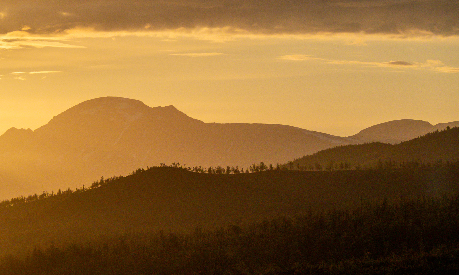
Steindalsbreen 2026
It has become a tradition for me to hike to the glacier Steindalsbreen on the Lyngen Peninsula once a year. I was there on 24 September 2023, on 28 September 2024, and on 14 September 2025. This year I’ll be away most of September, so I hiked there already yesterday with my friend Christine.
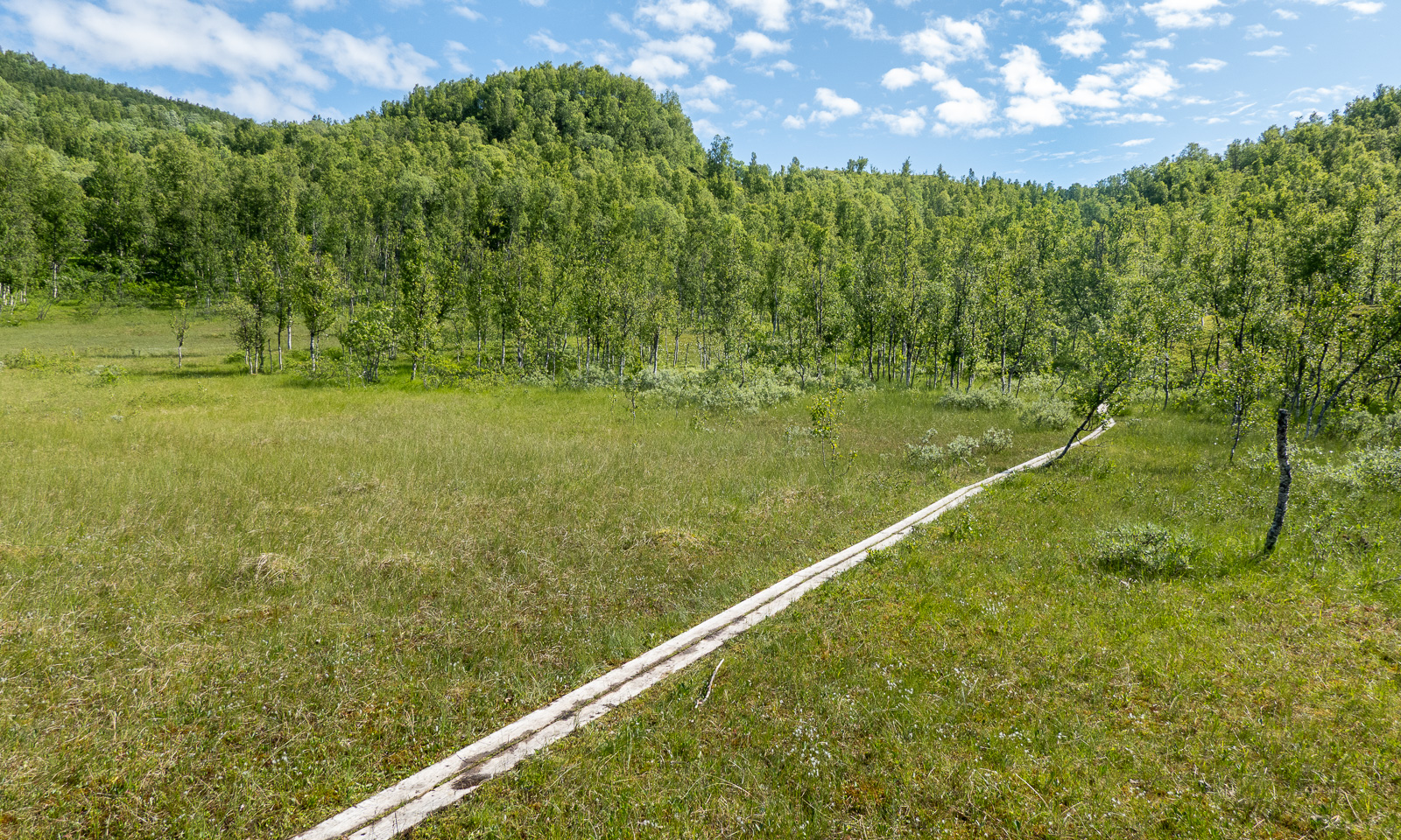
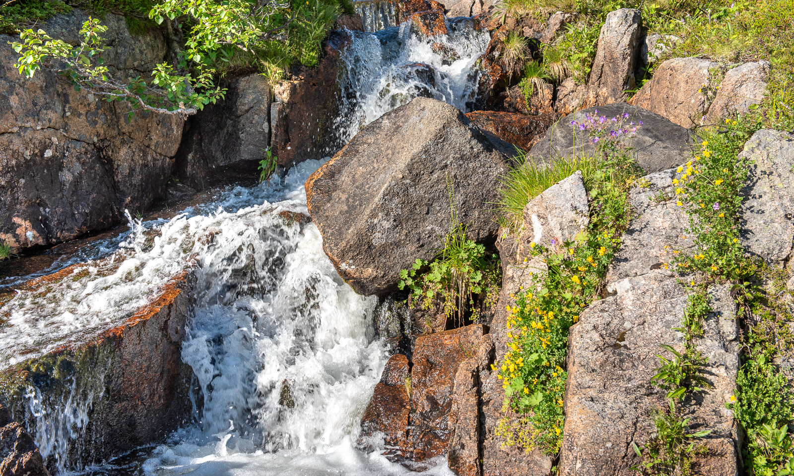
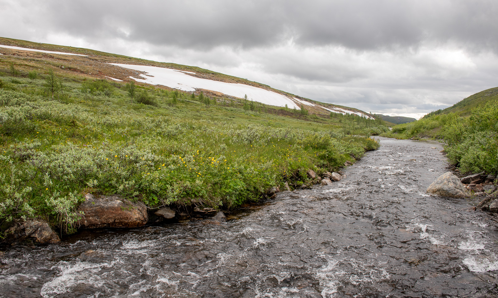
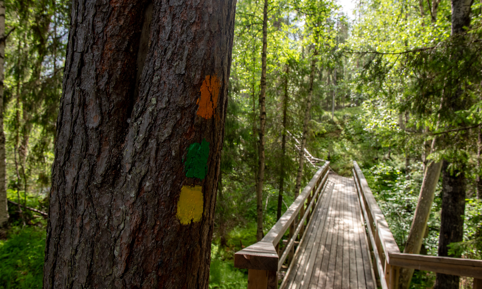
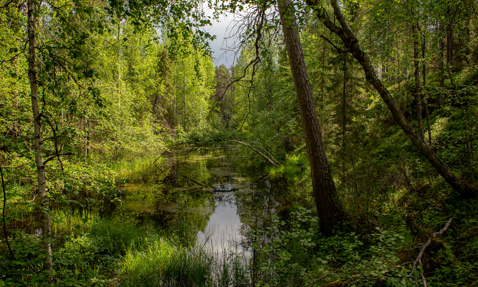
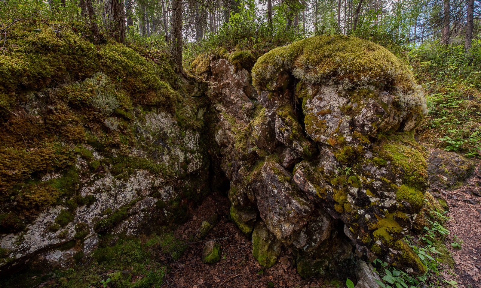
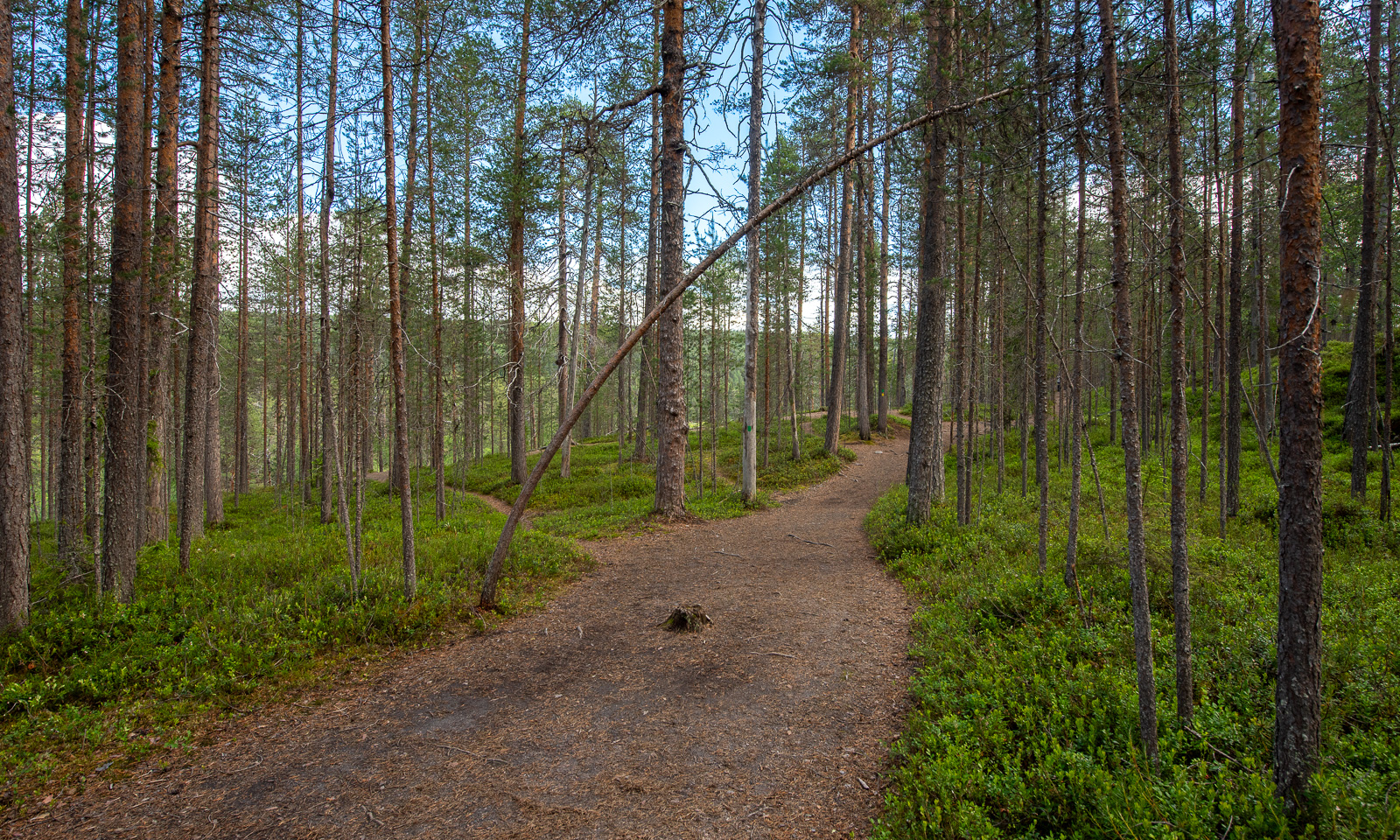
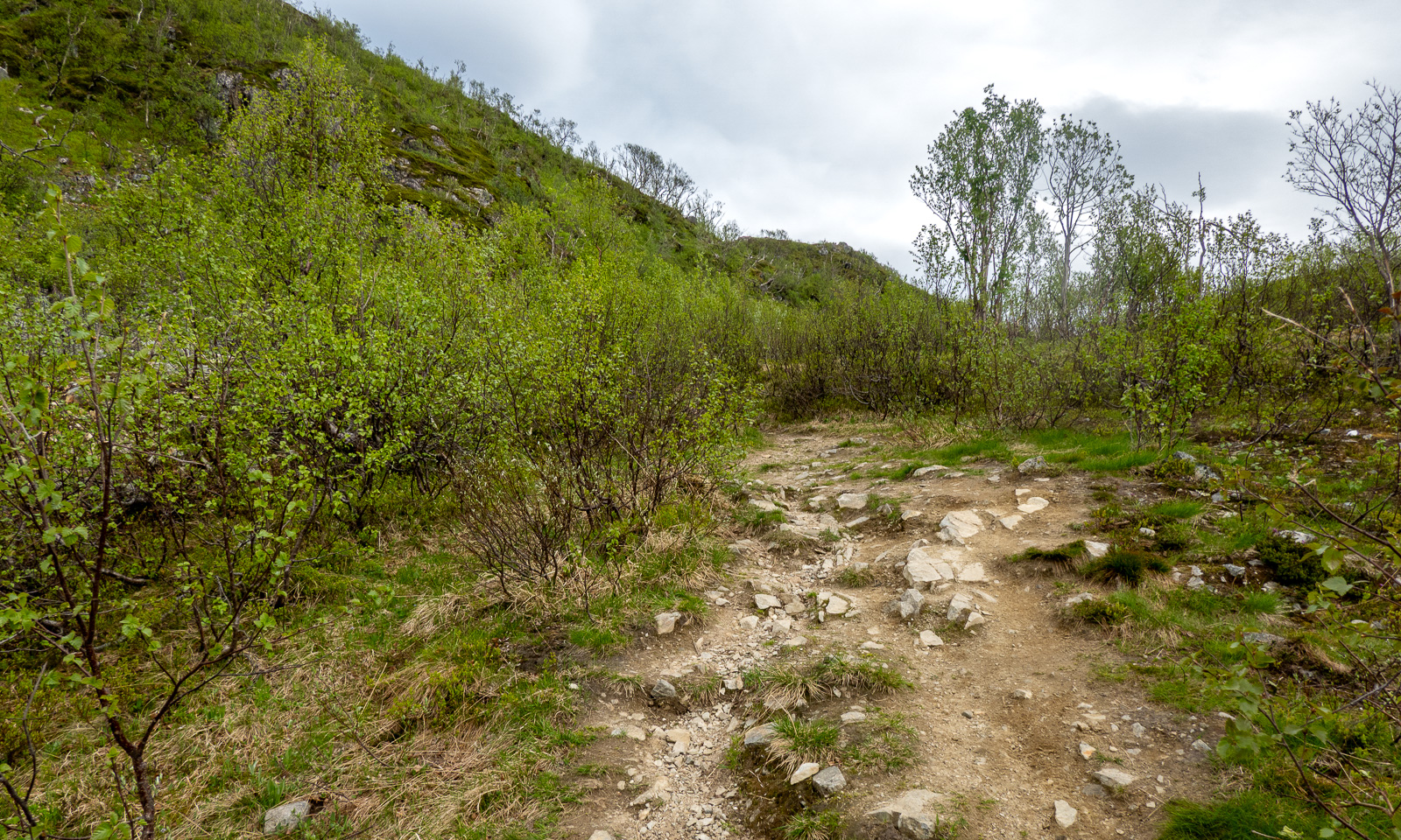
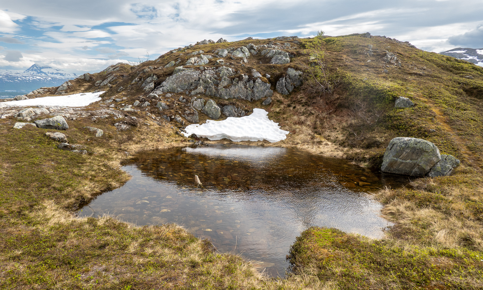
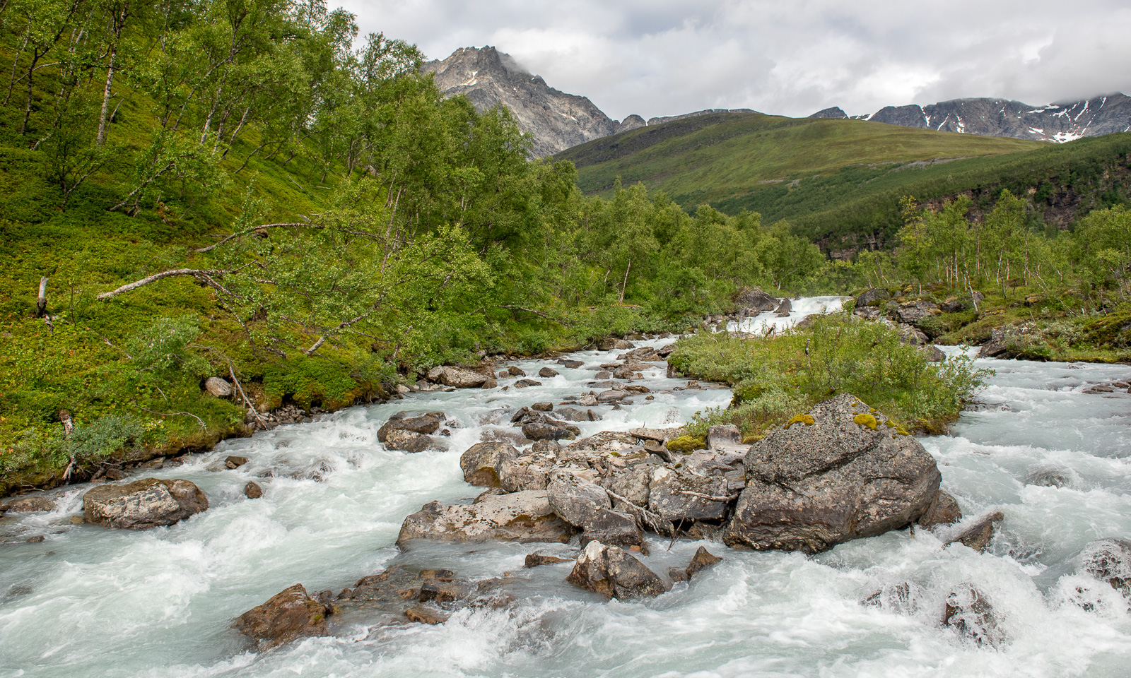
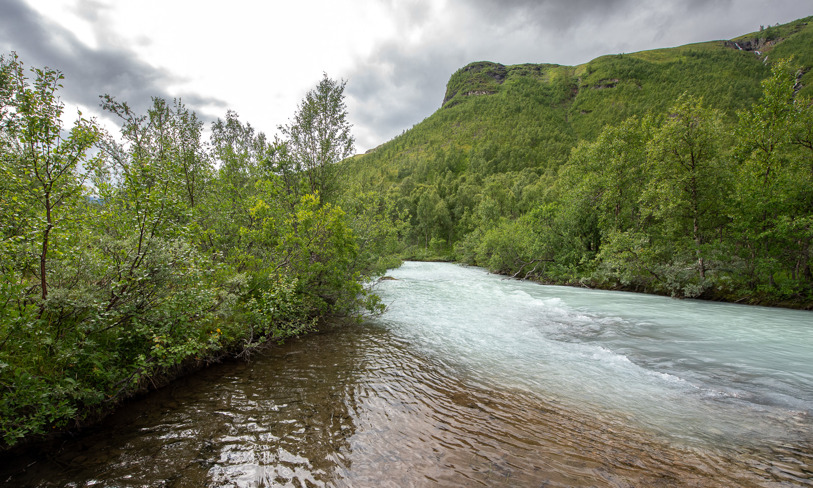
We know the way – the ascending forest path by the river Gievdanjohka (Steindalselva) …
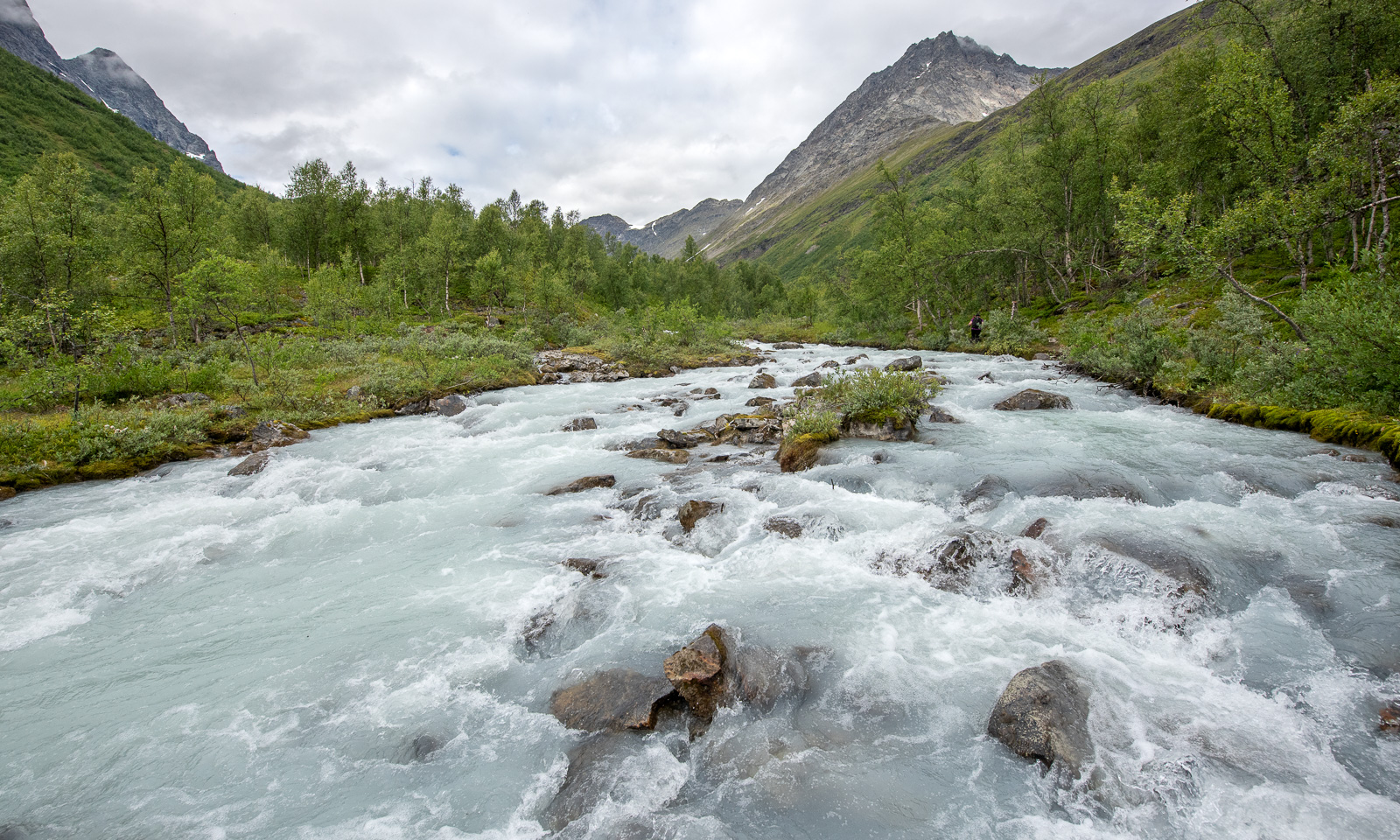
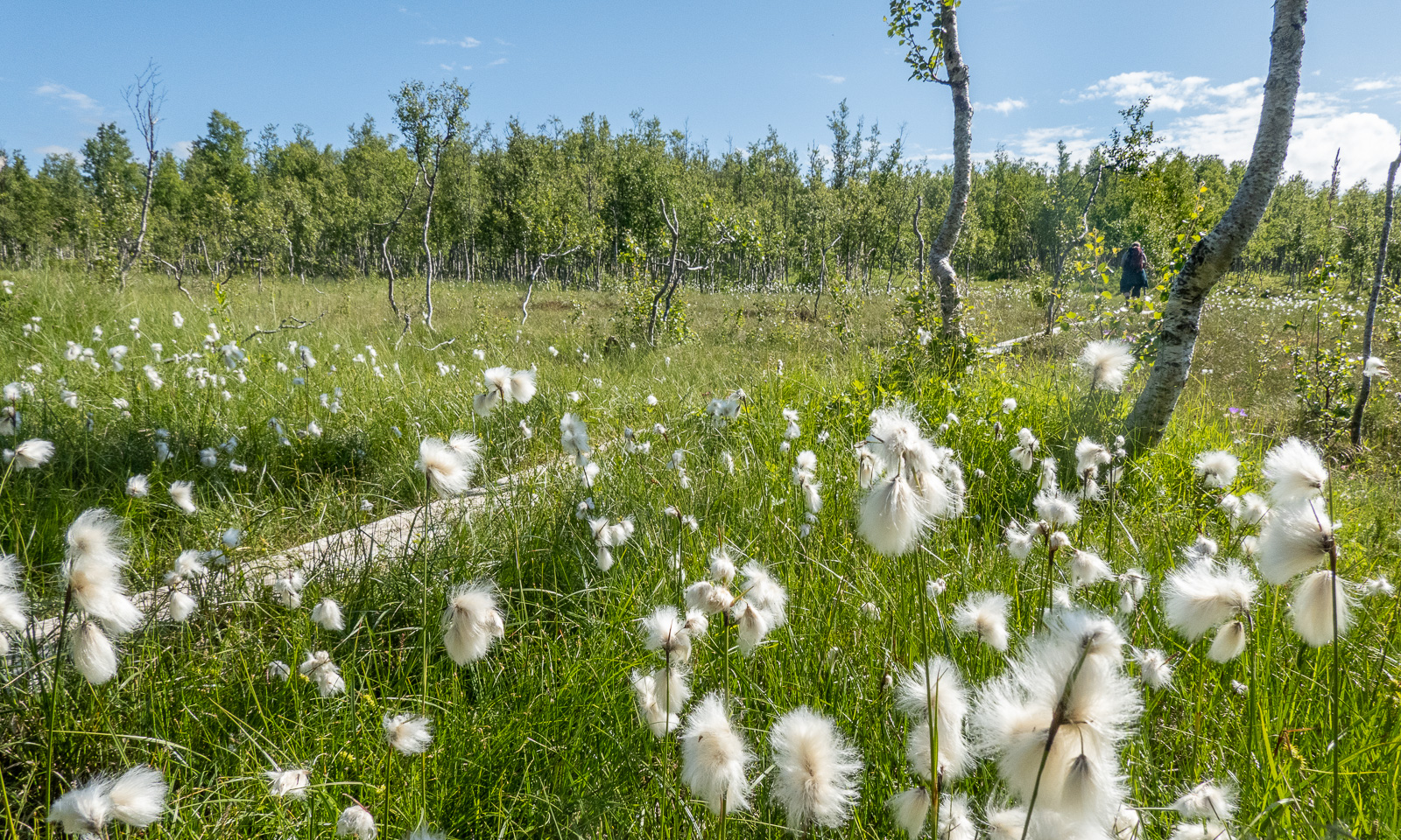
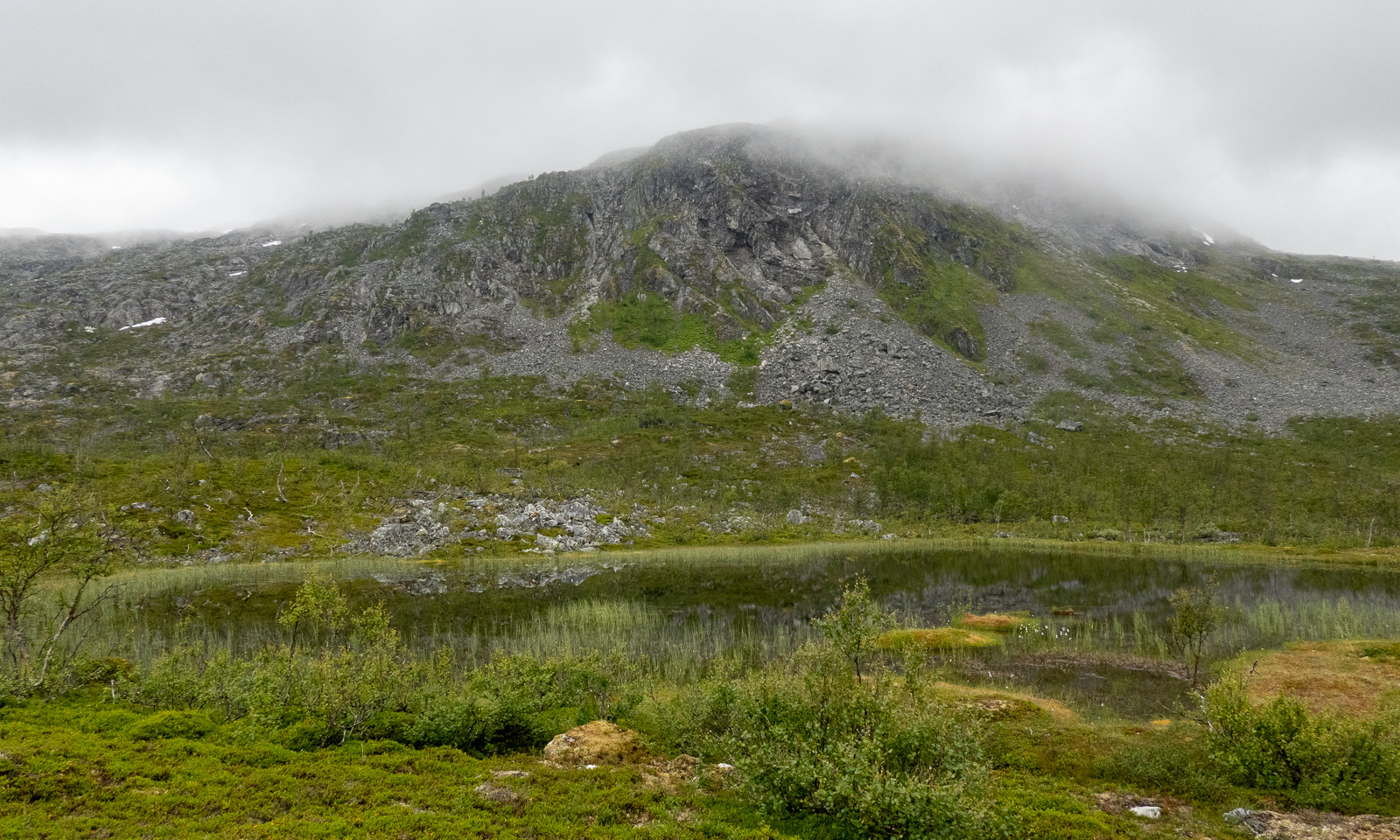
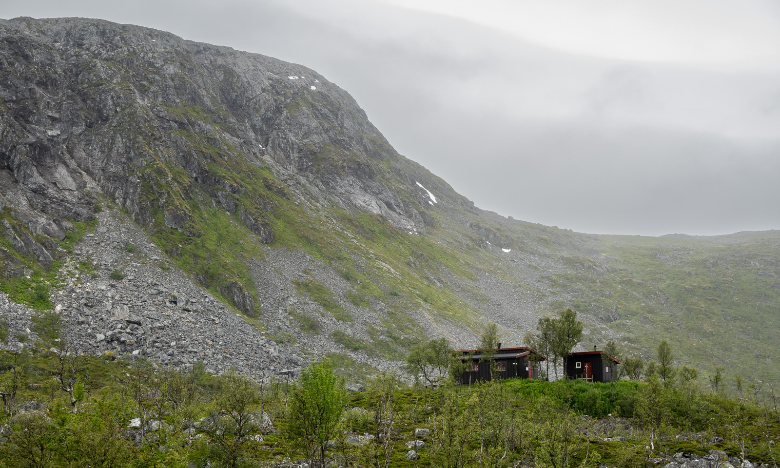
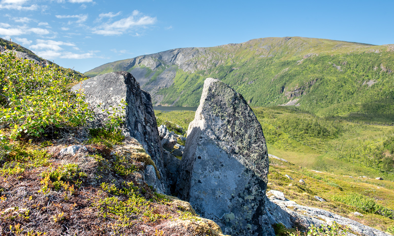
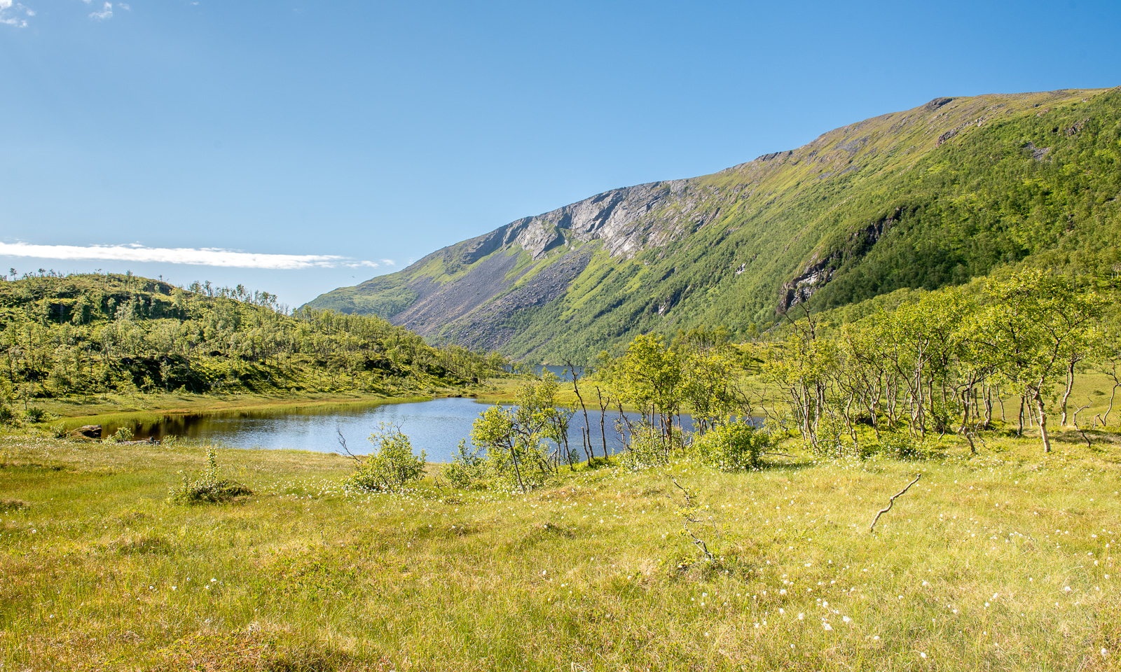
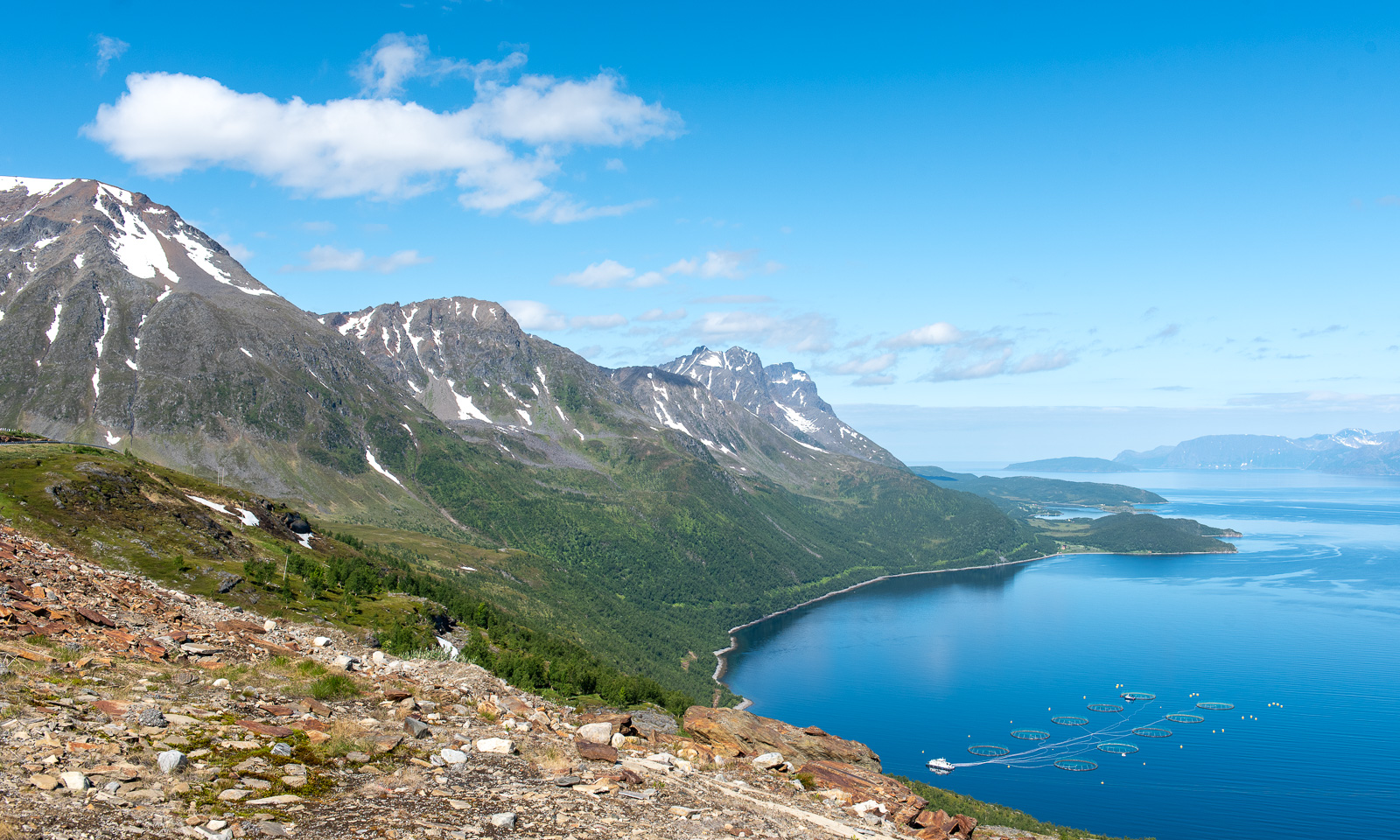
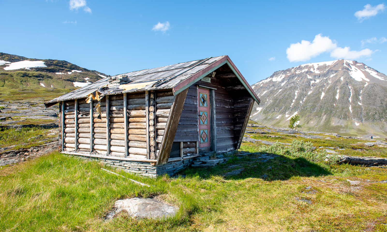
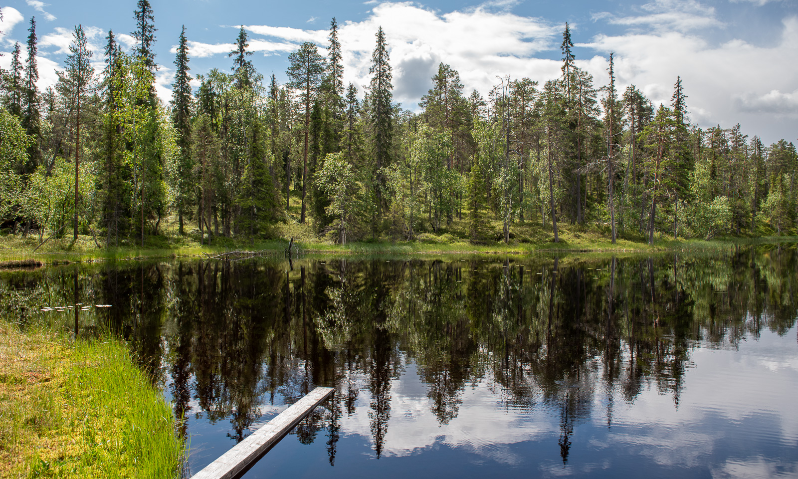
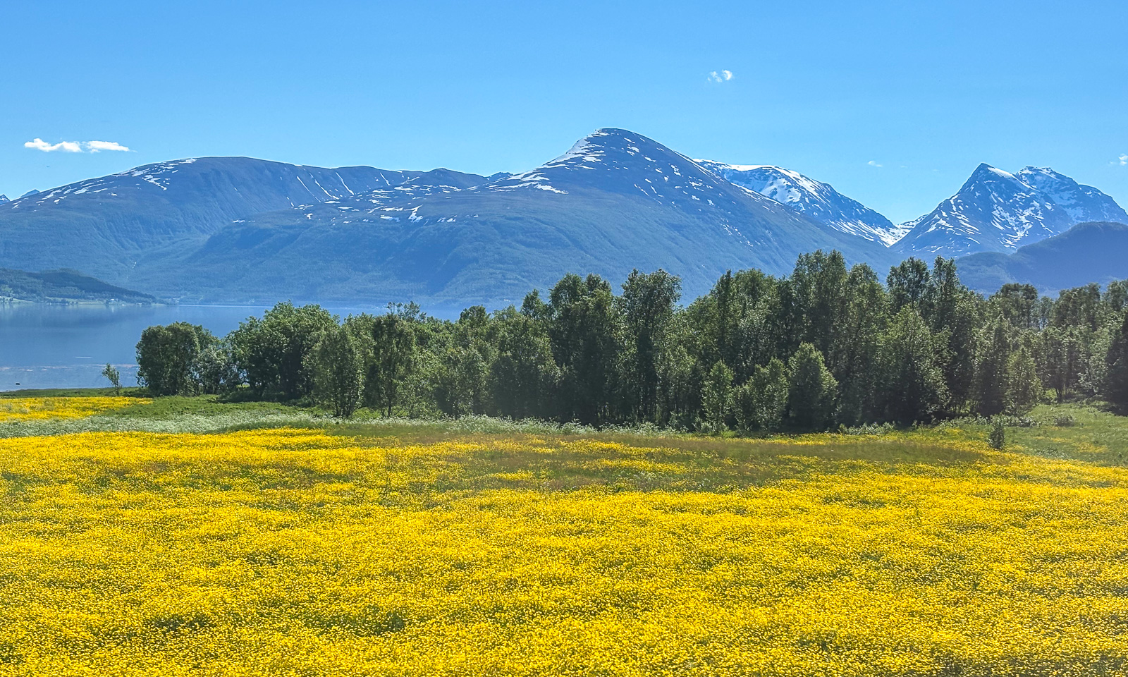
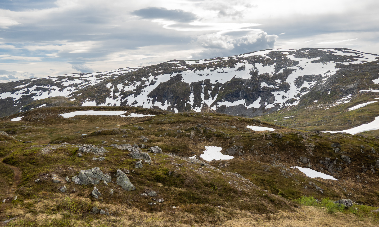
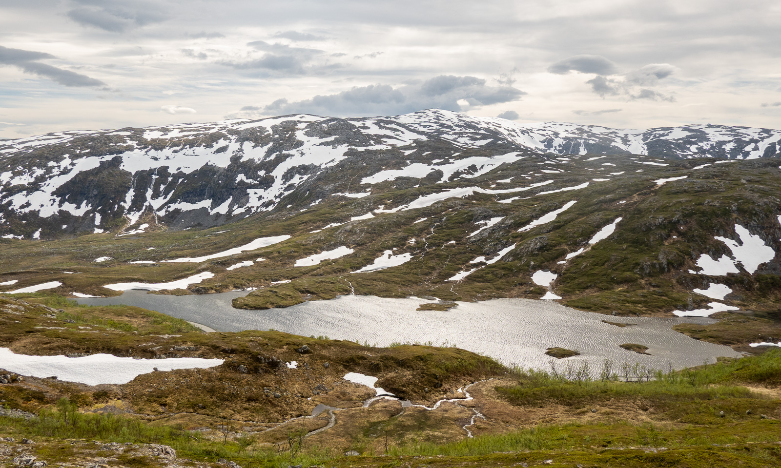
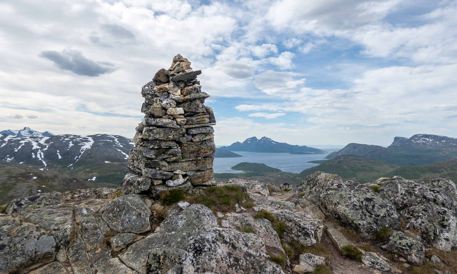
… the Steindalshytta cabin, where my wife Annika and I stayed overnight last year, the bridge over the river Doaresjohka (Tverrelva) and the small hilltop from which you can see the glacier for the first time. Then the U-shaped valley, broad and easy to walk before the ascent where the landscape looks high alpine between 1500-metre-high mountains.
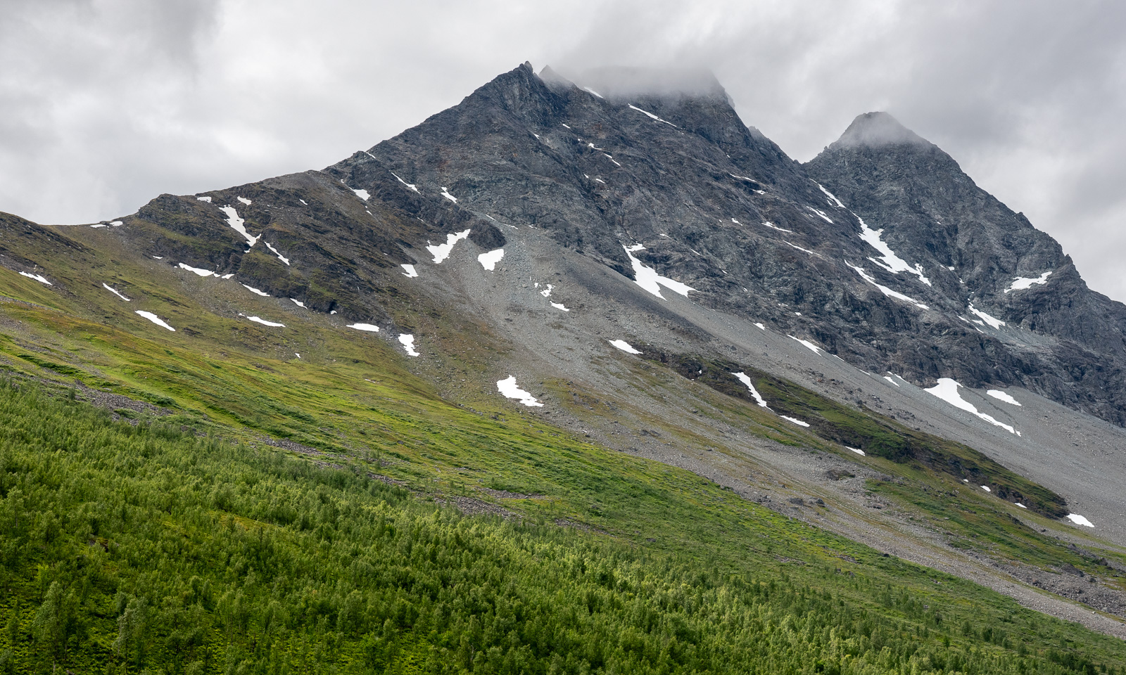
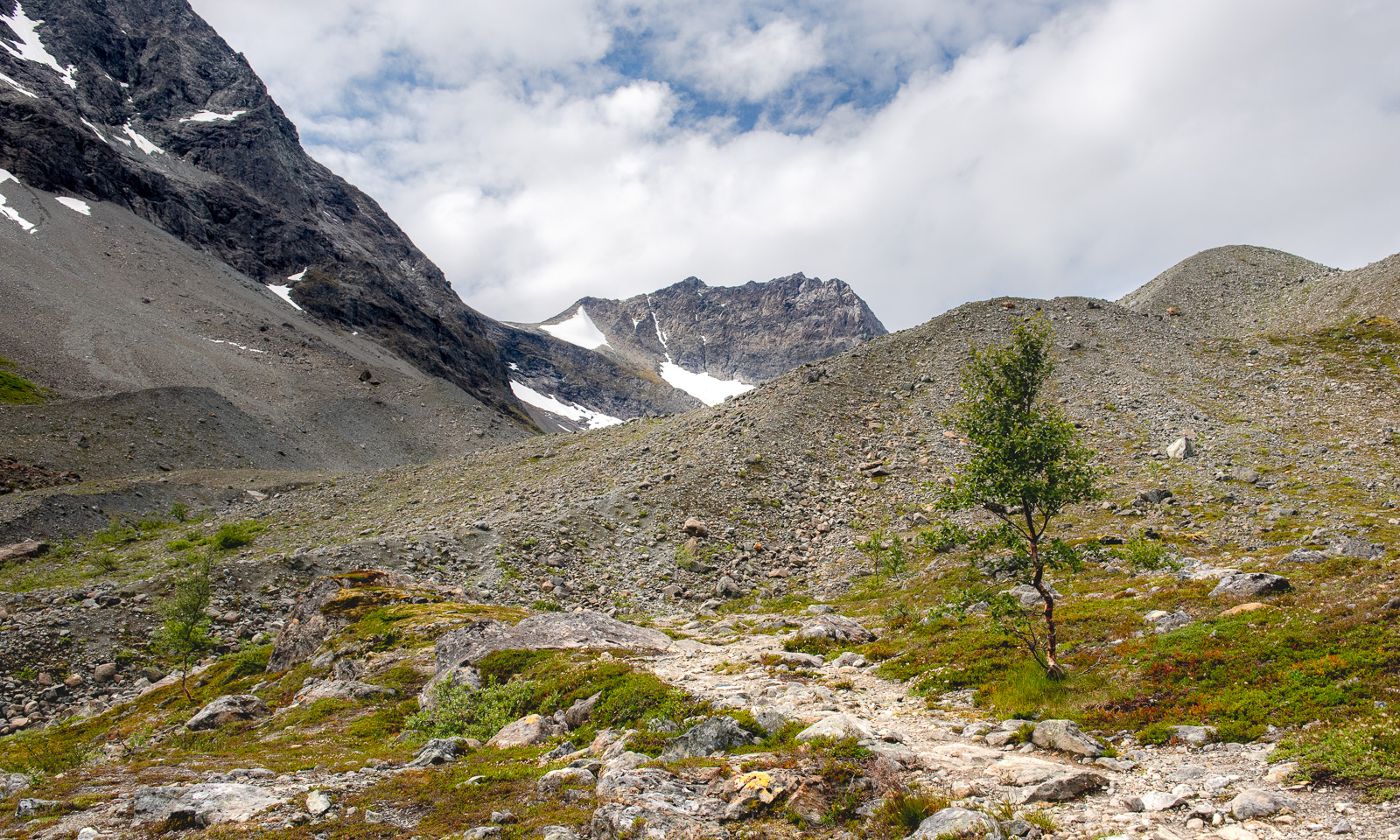
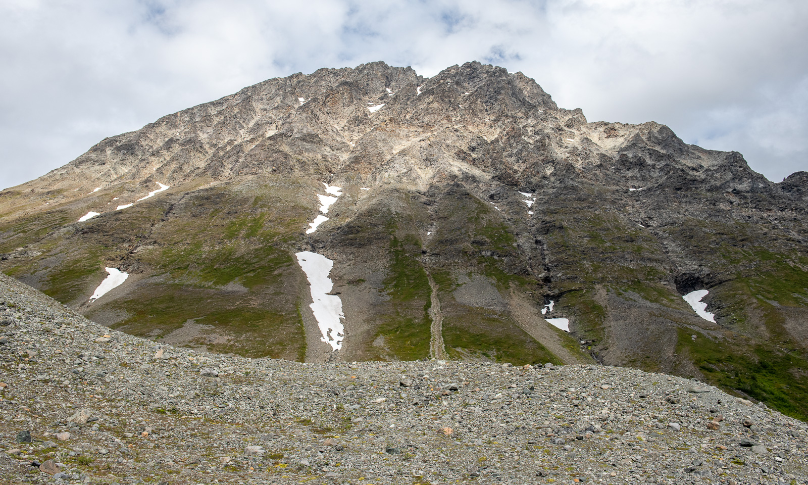
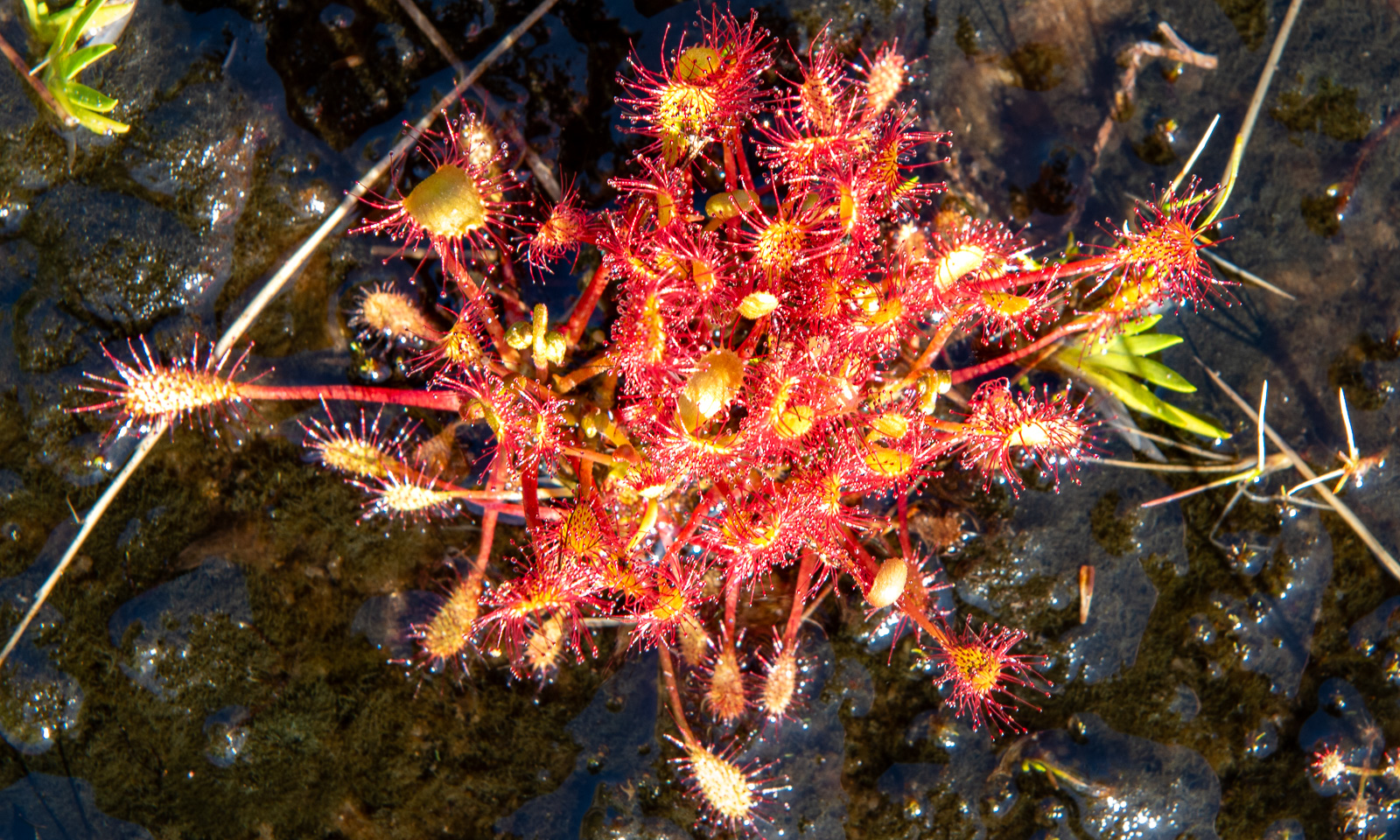
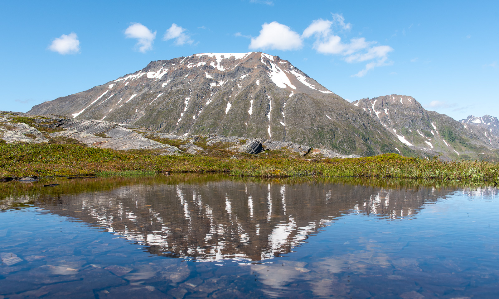
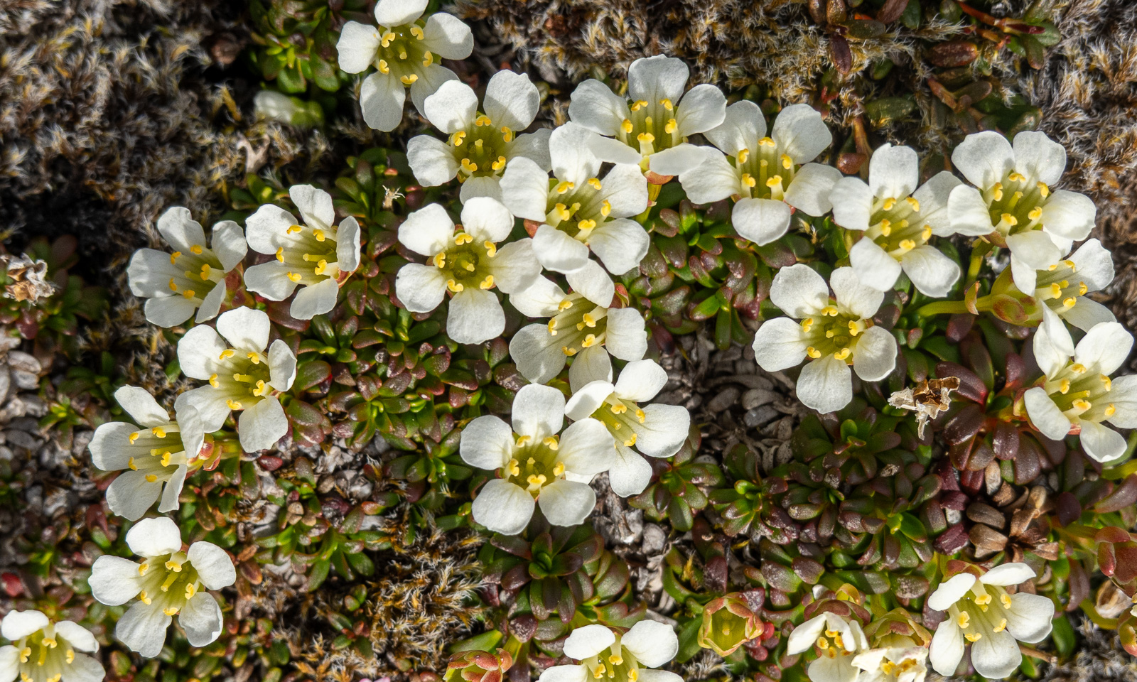
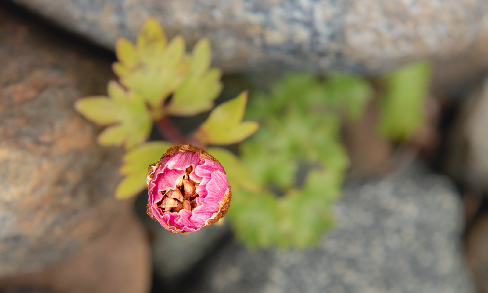
Now the landscape is dominated of rocks and the vegetation is sparse and low. Here a favourite flower of mine grows: Ranunculus glacialis – also known as glacier buttercup or glacier crowfoot.
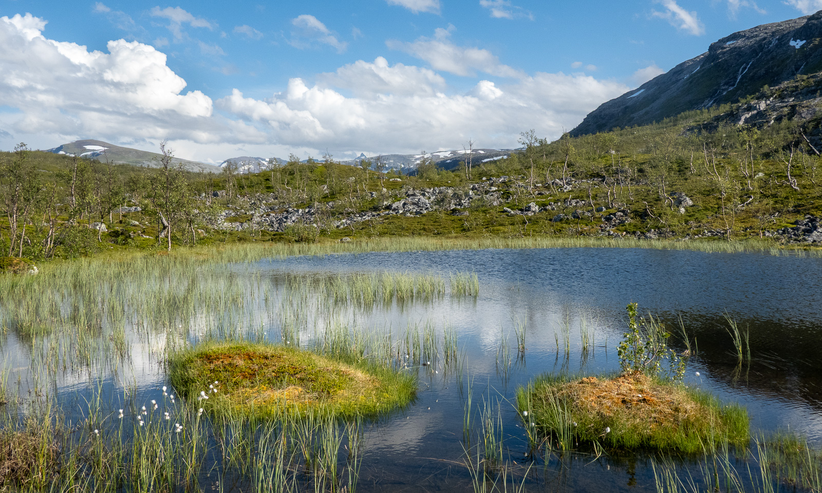
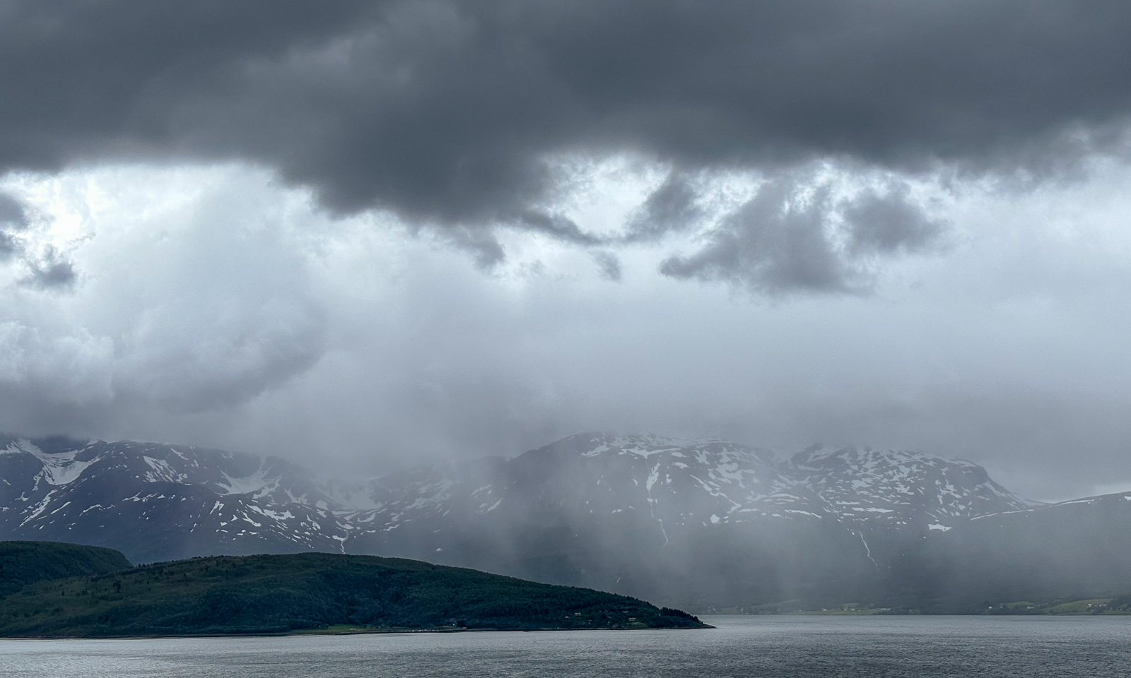
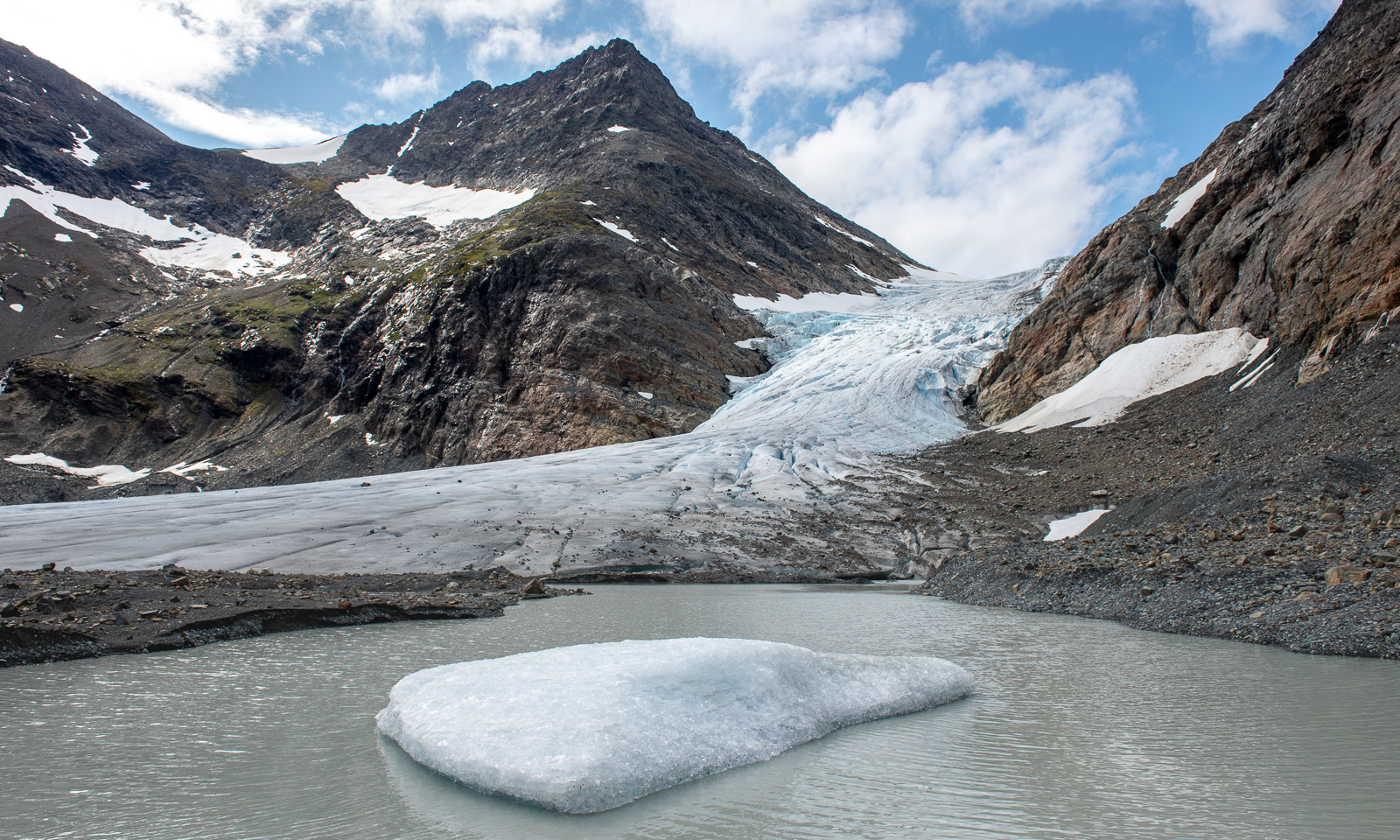
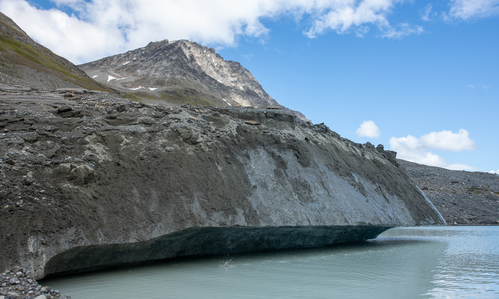
The landscape rises in several waves and then we can see the glacier lake. The water level looks higher than usual. I don’t know if it’s due to the wet summer or the time of the season. This time the lake has some small icebergs in it.
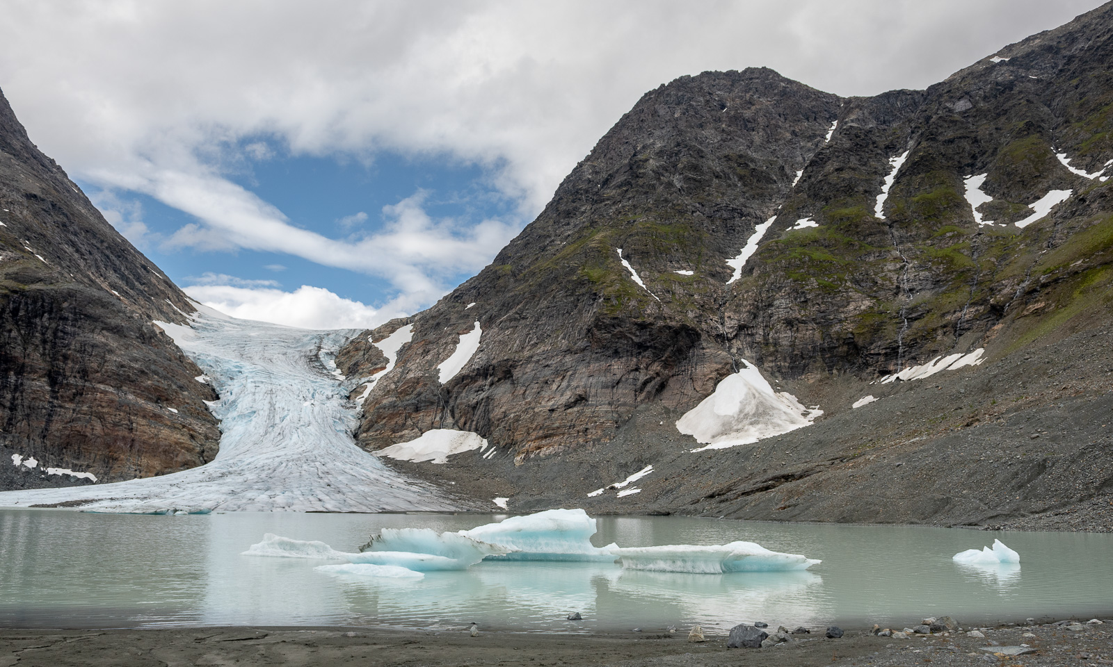
I’m not sure if it is possible to reach the glacier without taking an icy swim but it is surprisingly easy to follow the small path on the scree slopes. The other years it was possible to walk along the glacier front on banks of sand and mud. This year I am limited to the tiny reachable edge of the glacier. This makes the photography part much shorter this year.
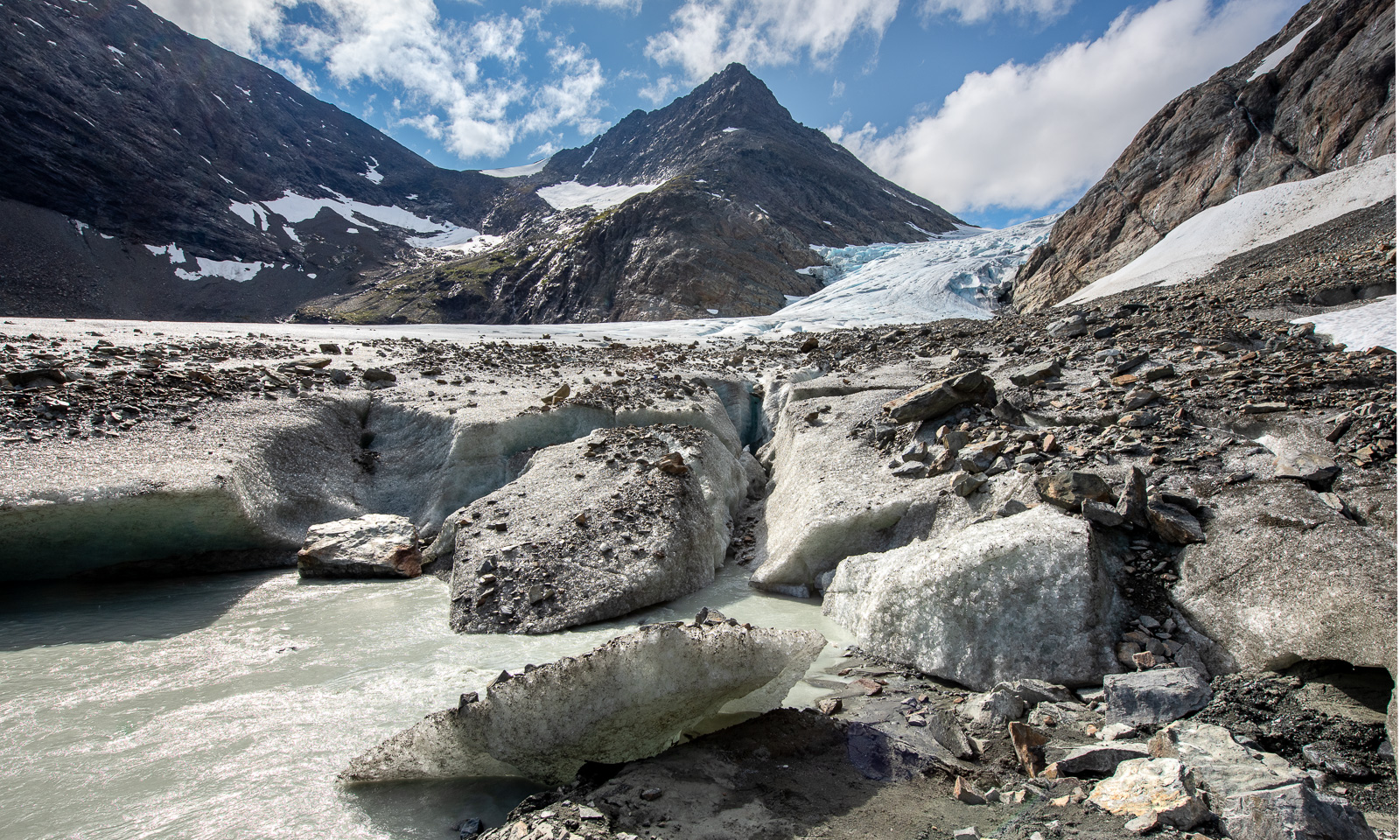
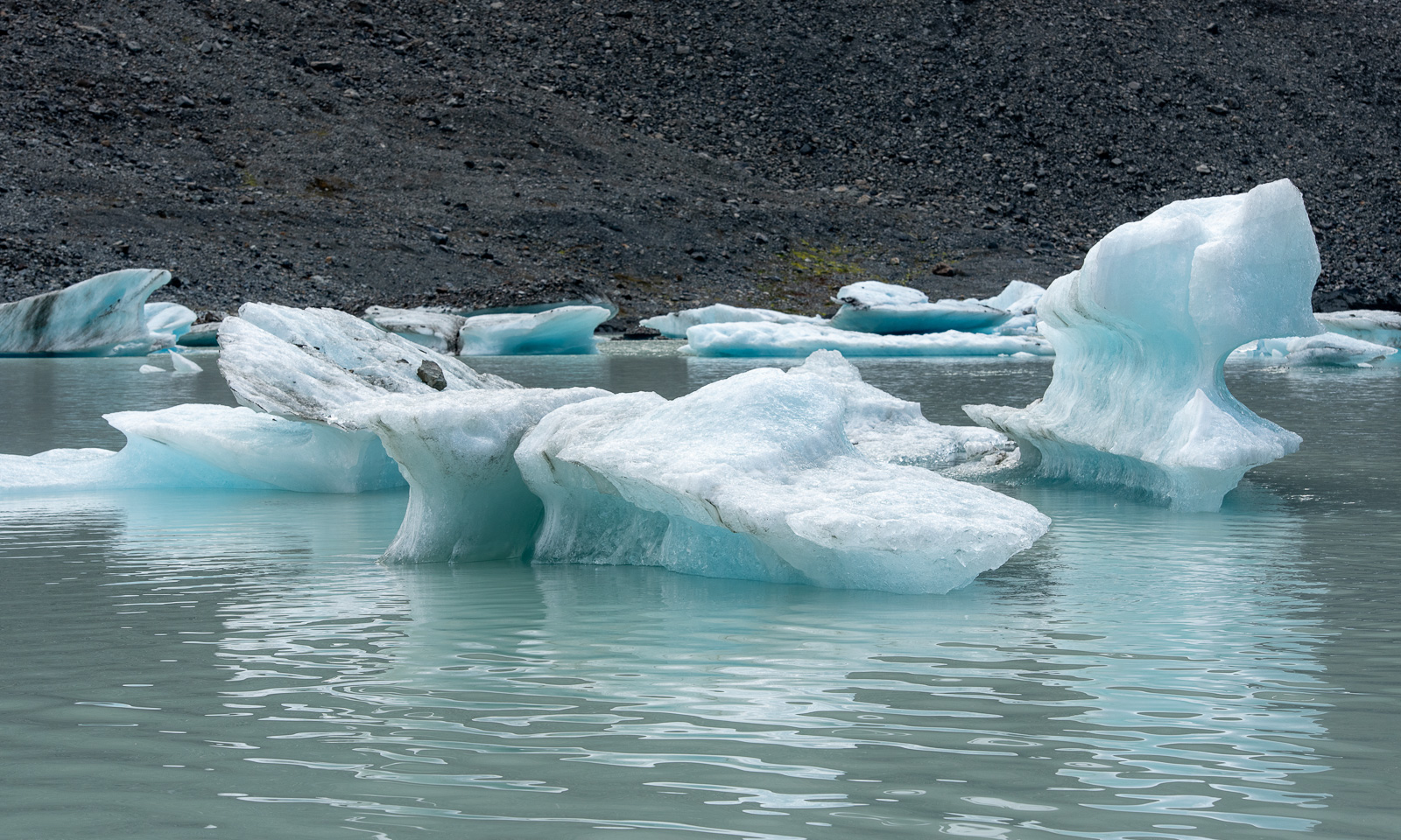
The lake looks murky and so do some of the huge ice blocks by the lake. They are covered with rocks, pebbles, and clay and only the smooth side reveals that under the debris there is solid glacial ice.
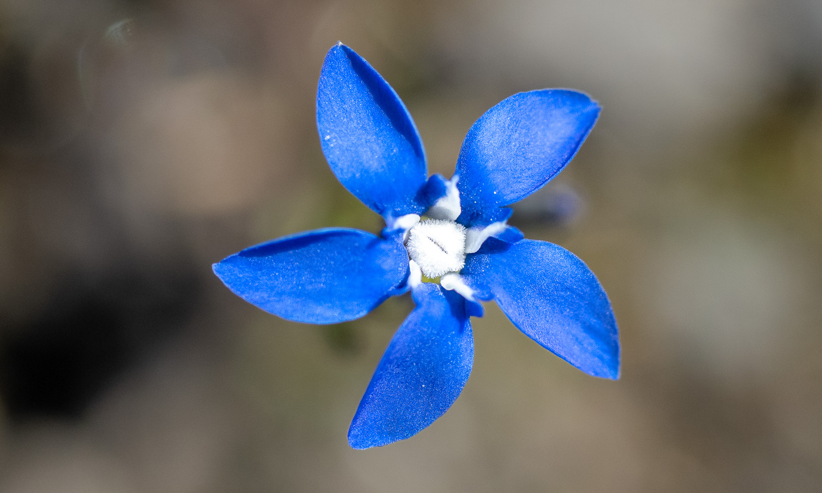
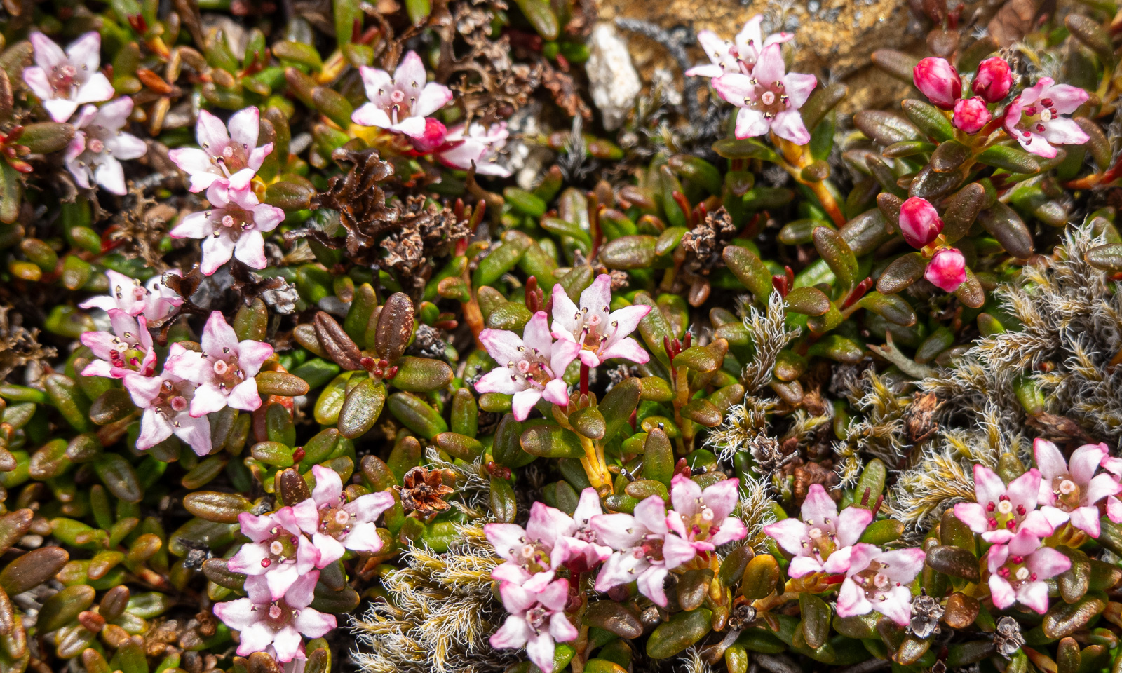
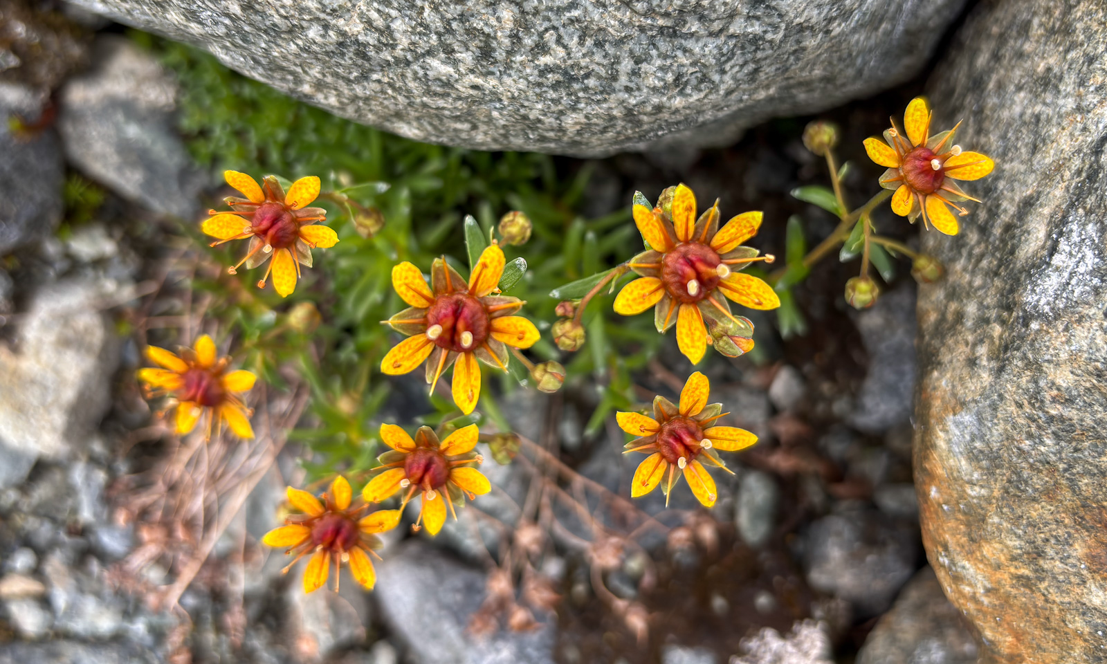
On our way back I hardly took any photos, just an snapshot of this flower with my mobile phone to look up what it is. According to my app “Flora Incognita”, it is Saxifraga aizoides – also known as yellow mountain saxifrage.
Thanks for the trip, Christine, and for driving all the way.