Slåka (314 m) and Guratinden (424 m) are two mountains on the island Kvaløya. I know them from my book “På tur i Tromsø” where they are described in tour 7. This tour is marked as green, which is the easiest category in this book. I chose it because on the higher mountains there still might be some amount of snow and I wanted to avoid that.
I took the car to the parking place in Skulsfjorden yesterday. The parking place I already knew from another tour. Then I tried to find the hiking trail while the cows starred at me curiously and the bravest of them came to sniff at my hand.
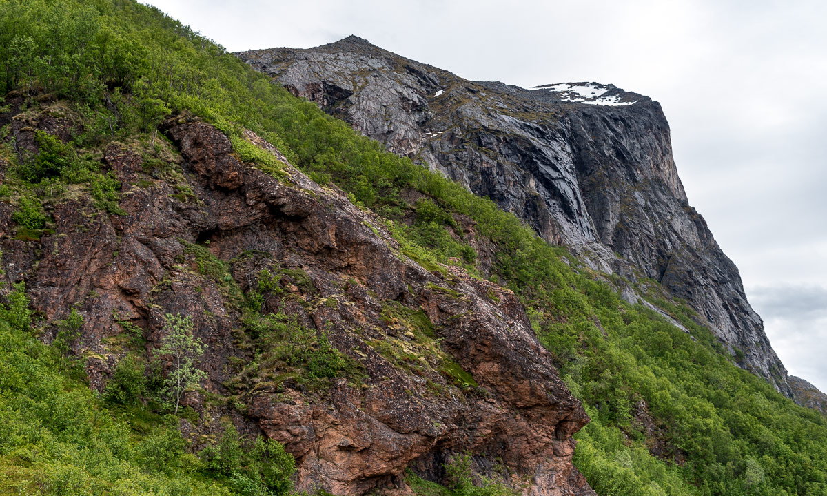
It took a while until I found the way which was not were the map showed it. It forked quite soon and maybe I followed the wrong direction because somewhere over the tree line it faded away somewhere in the heather. Way marks and sign posts you will hardly find when you hike like this in Norway. It is assumed that you can orientate in pathless terrain even on beginner tours. Anyhow a way to the top of the Slåka was easy to find without paths. Here I had a fantastic 360° view. In the north the mountain Nuortagáisi (or Nordtinden), in the south the fjord Kaldfjorden, in the west the island Vengsøya and behind that the open sea. And where there was no sea there were mountains, mountains, mountains, all higher ones still covered in snow.

Without any break I continued to the Guratinden. Again I could not find a reliable hiking trail but more a patchwork of paths, some of them probably animal tracks. Anyhow it’s not far to the Guratinden, where I took a rest to enjoy the view and something to drink.
Although it was the beginning of June it was very chilly on the summit, mostly because of the strong wind. I guess it was 7 °C and at least 15 m/s. Already on my way up I wore gloves and a woollen cap, now I was really glad about my down hoodie. Without I wouldn’t have taken any rest.
On the way back I followed other trails and tracks or I just cut cross country. Sometimes I walked on rocks, sometimes on boggy ground but mostly on heather.
Round three hours later I was at my car after 9 km hiking and round about 650 metres in altitude. And here you can see how it looks on the map when you hardly follow any trails ;-)