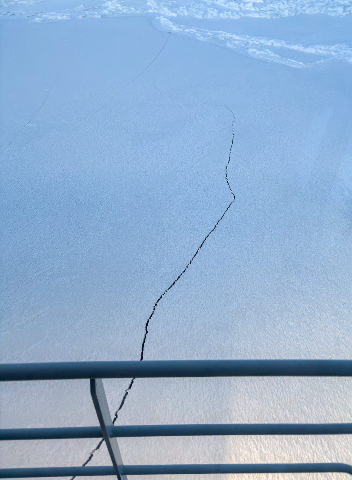
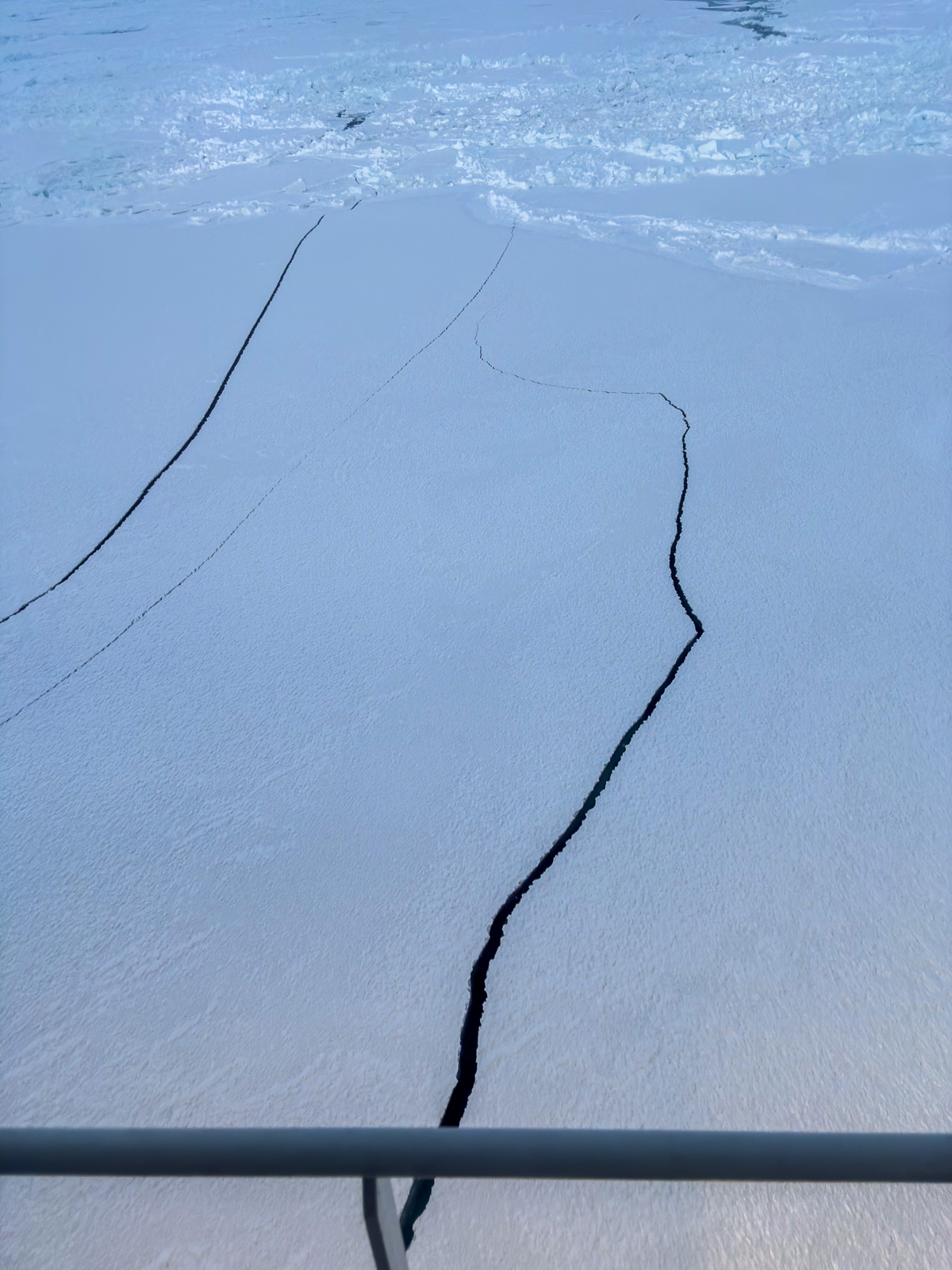
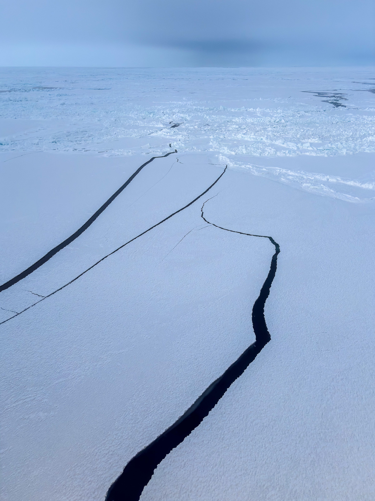
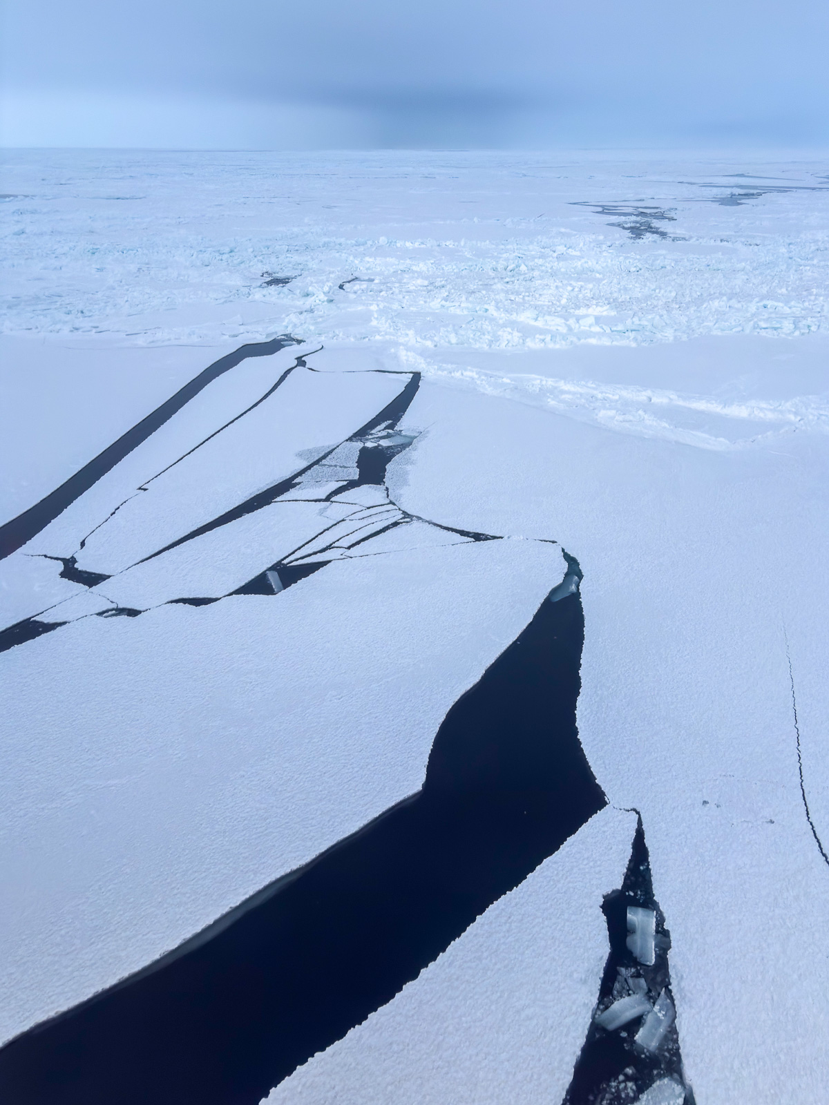
Daily weather changes and another ice station

This article is part of the series “2026-10: Fram Strait cruise KPH”.

18 October

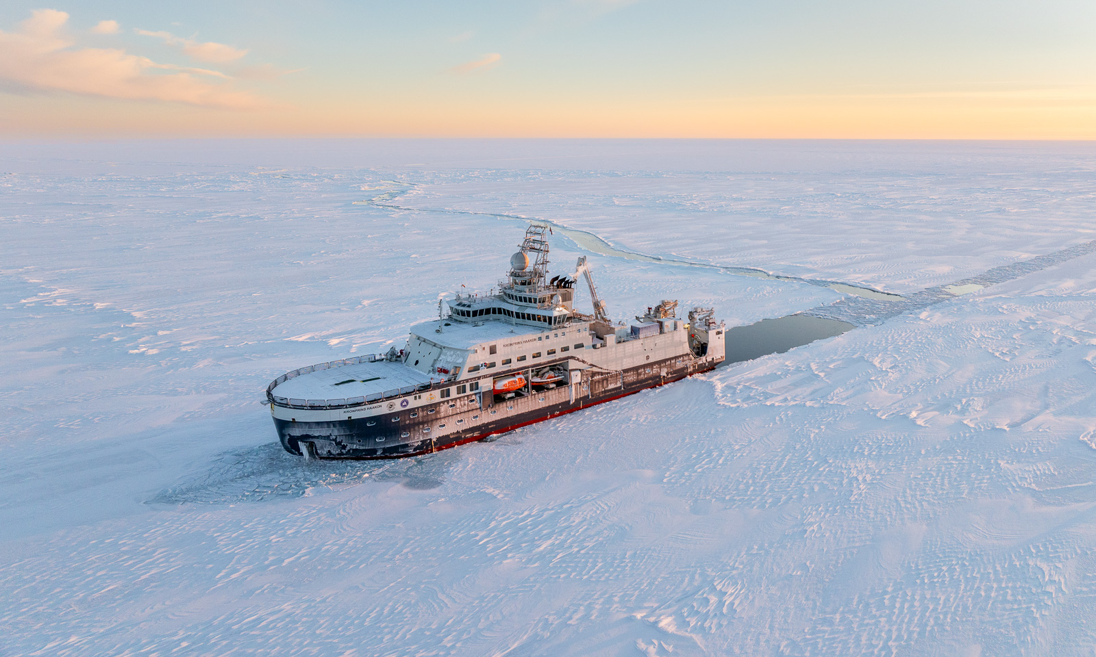
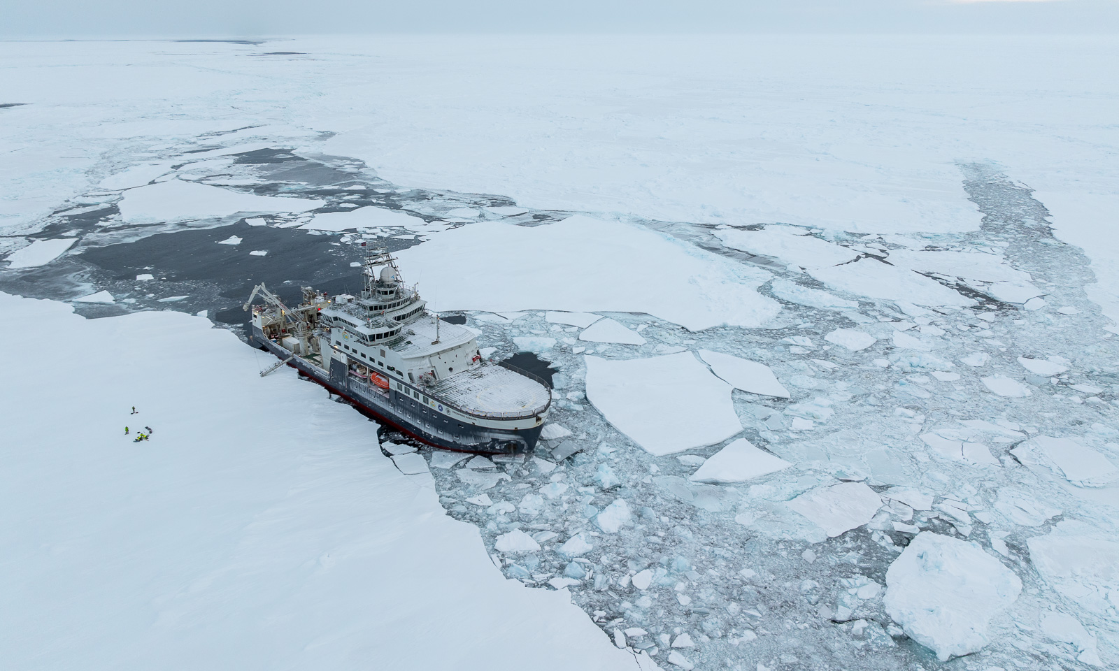
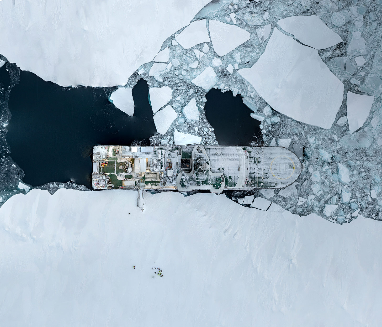
Oh, what lovely weather we have on the ice station. After I have done my job, I take the opportunity to take a photo from the icebreaker Kronprins Haakon by drone.
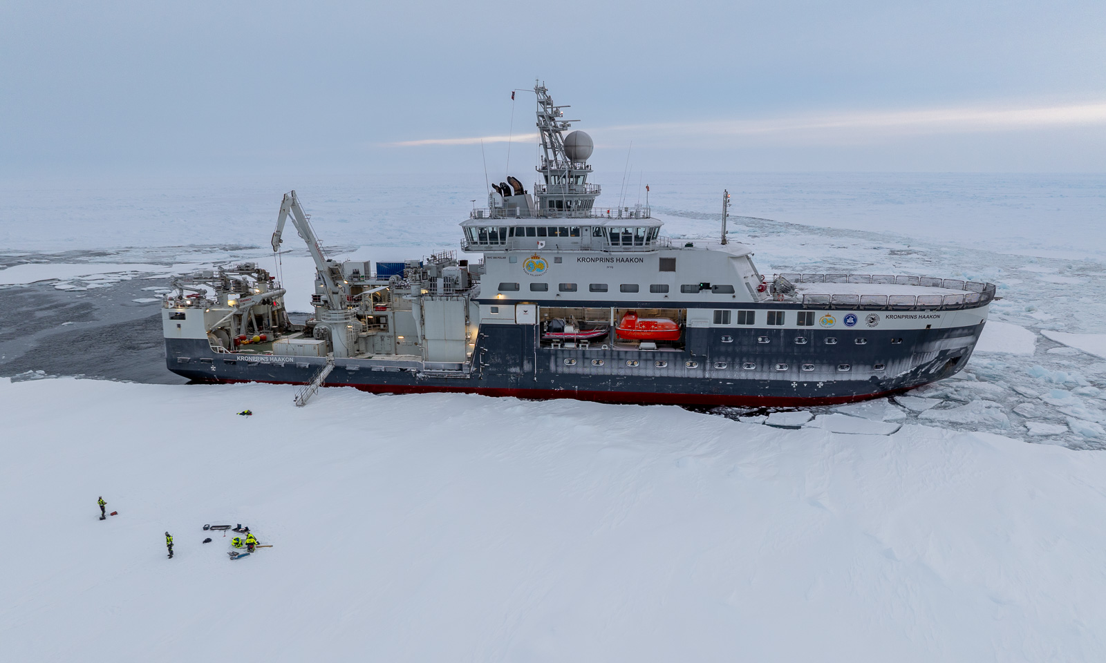
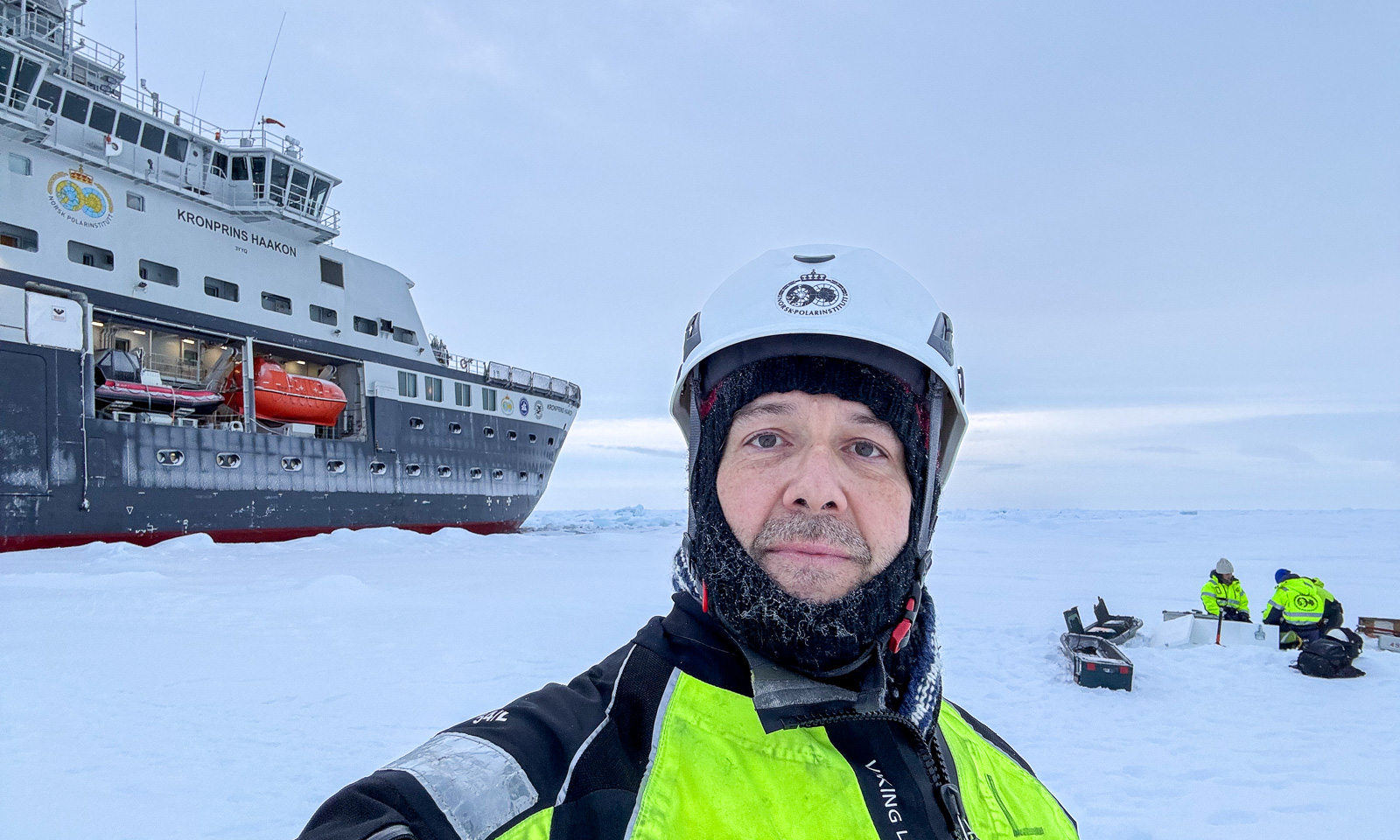
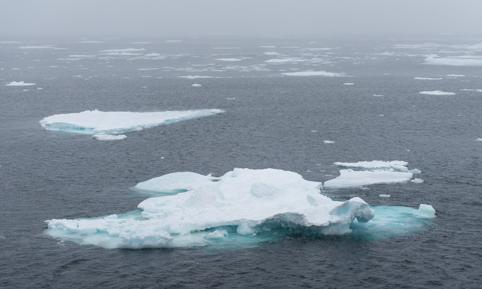
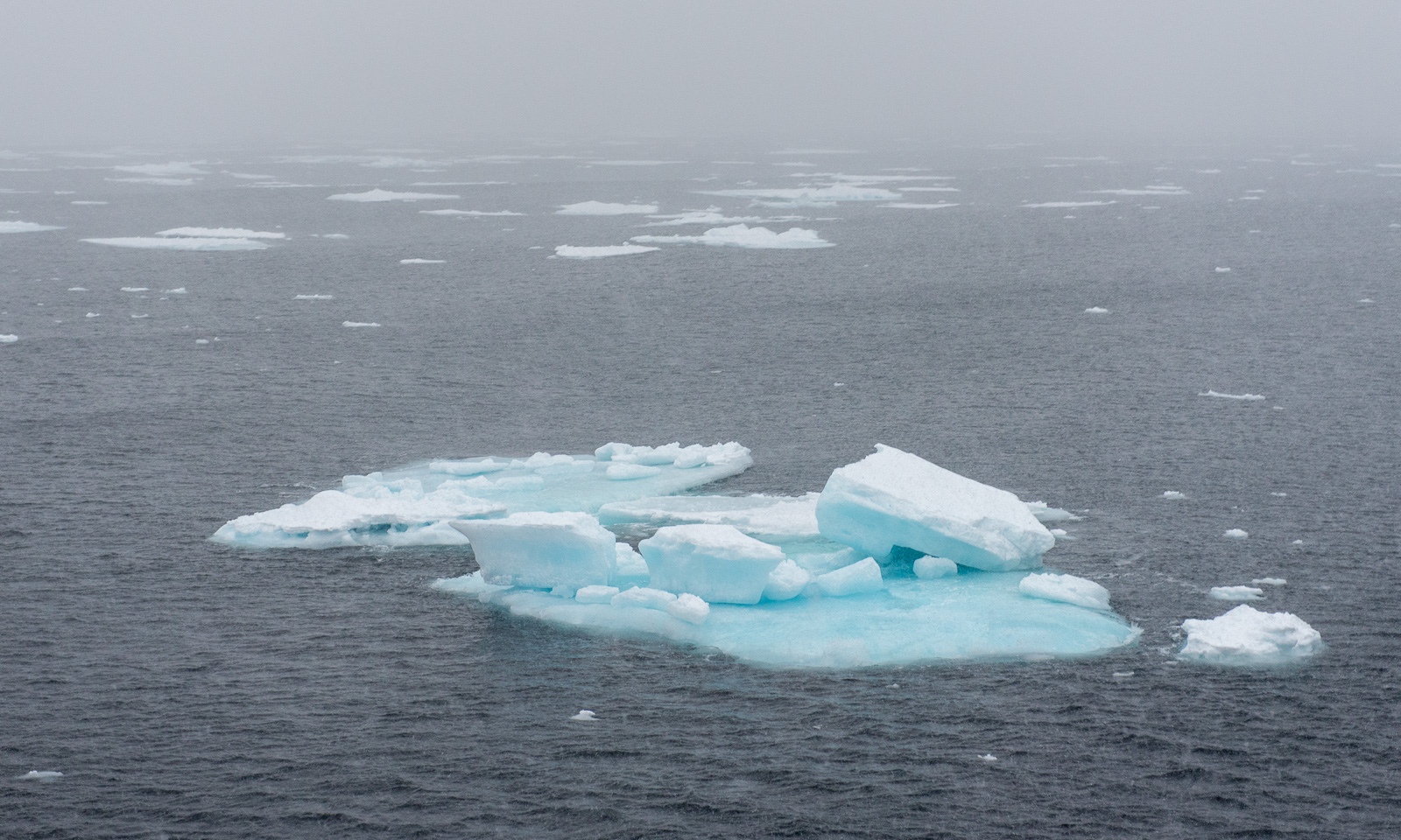
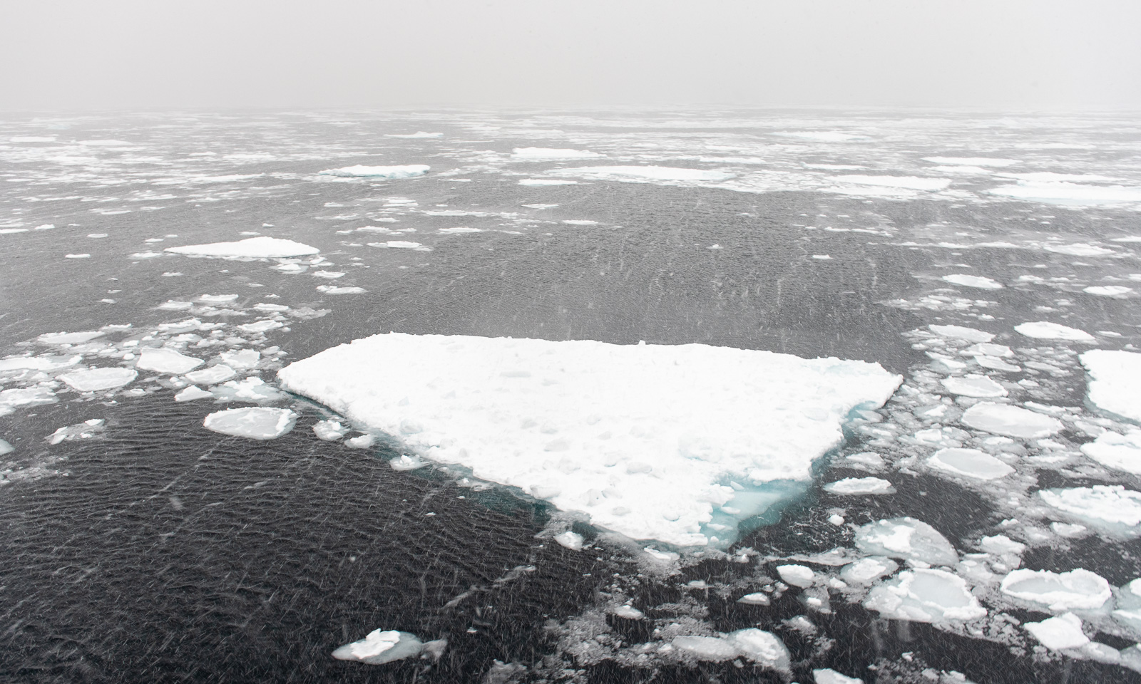
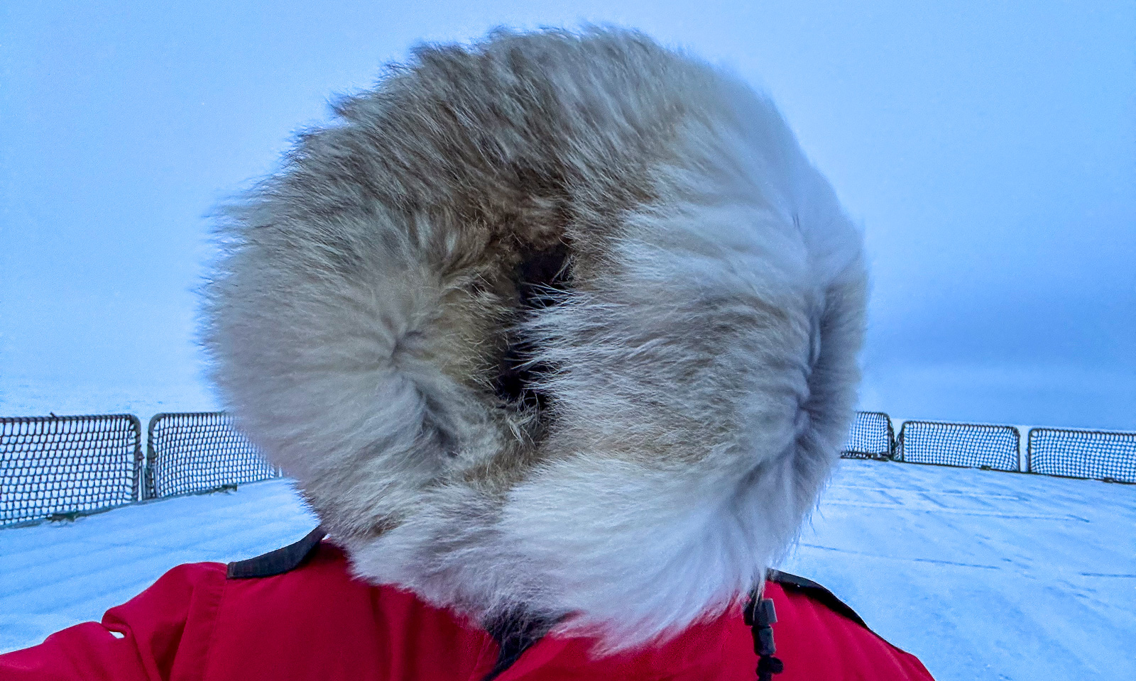
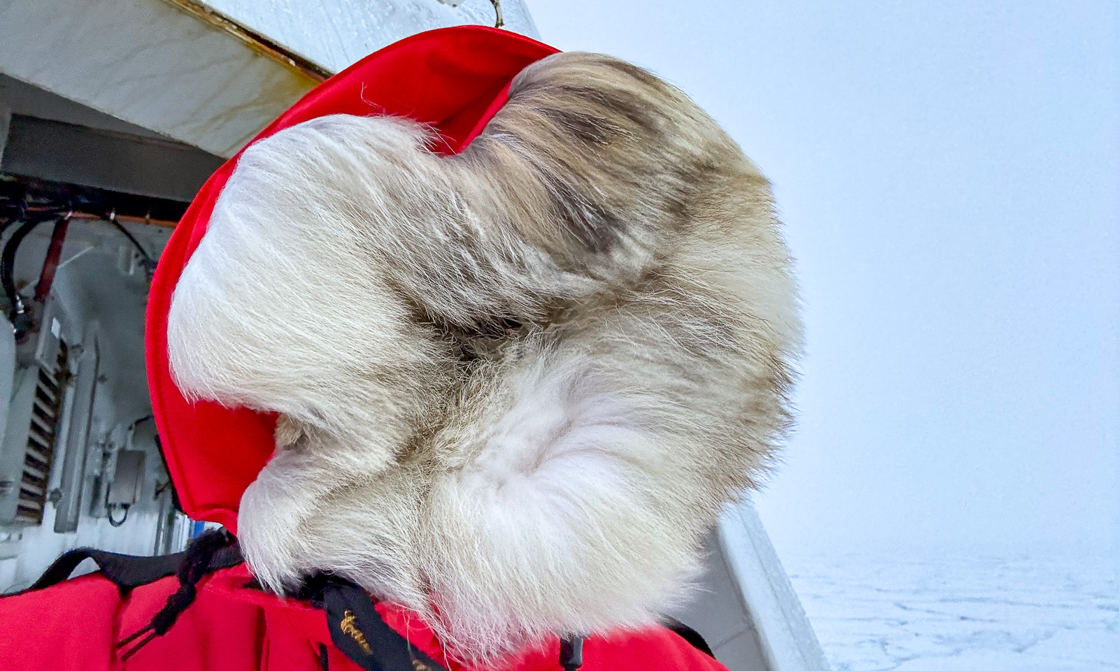
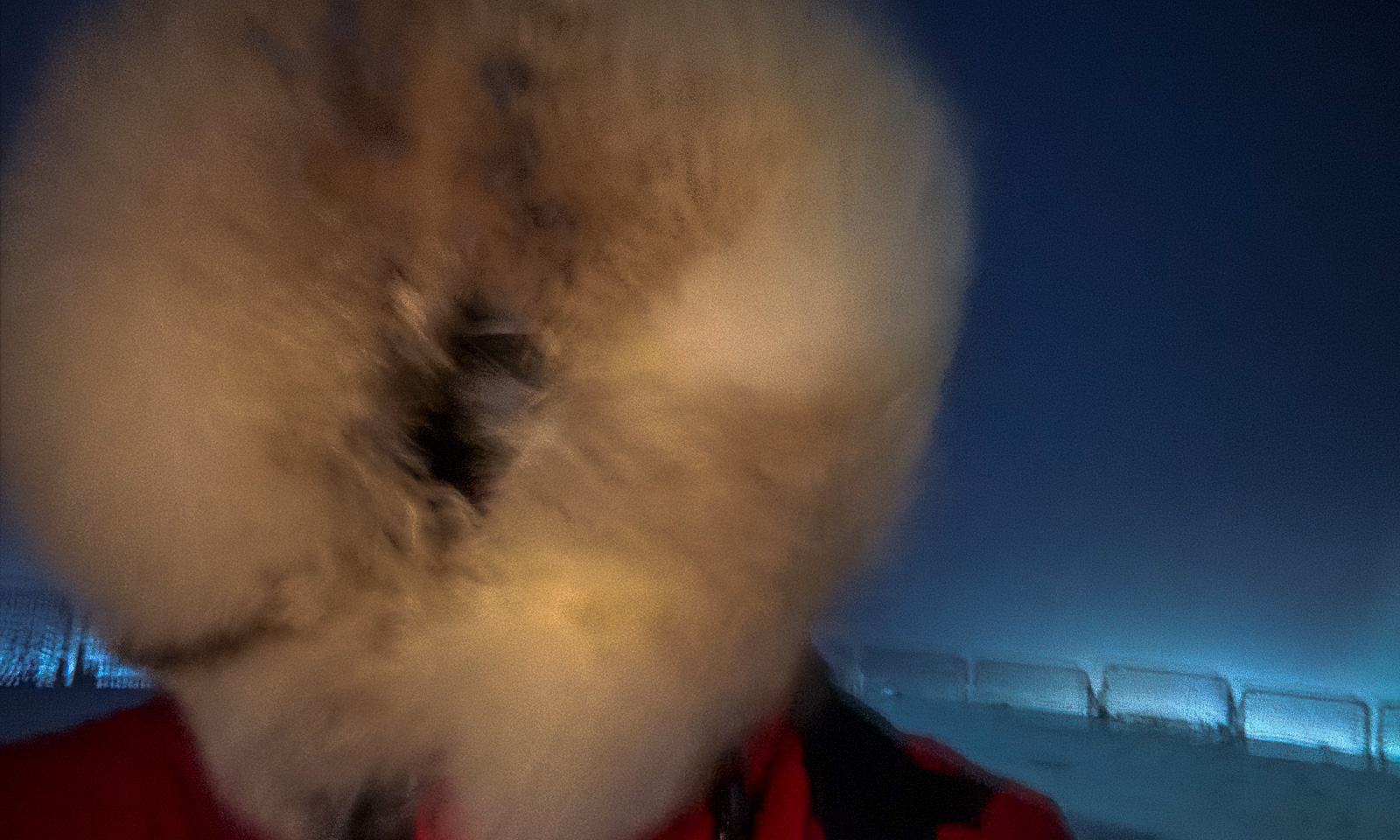
That was 13:00. Six hours later, the weather has changed. It is snowing and the crosswind on the helicopter deck is so massive that I do not dare to step out more than one metre. I take a shot to the front and a very blurred selfie and go inside again.
19 October

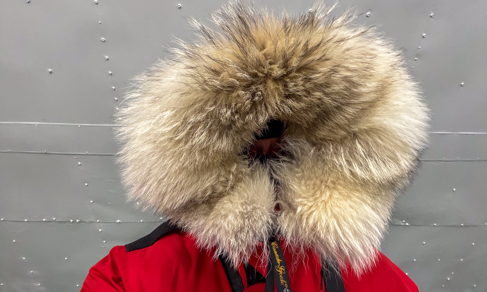
As predicted, the weather has become worse. When I am on the deck again after lunch, wind speeds have increased to something between 22 m/s and 28 m/s and the temperature has dropped to -8 °C. So I take the selfie in the wind-protected hangar.
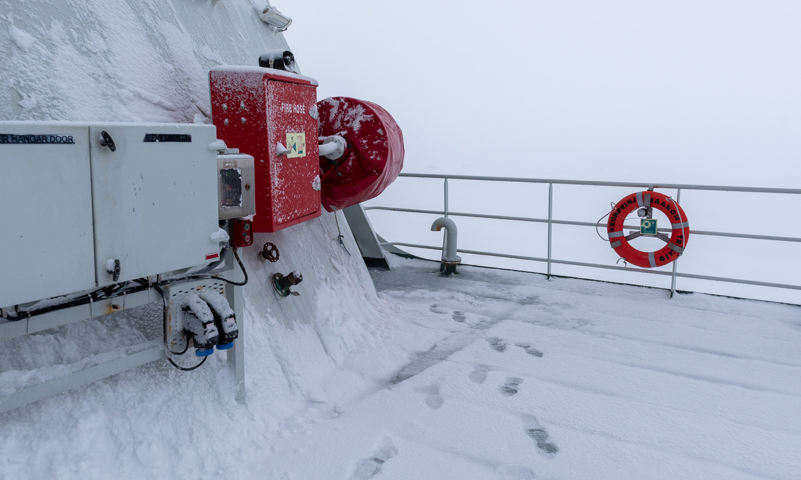
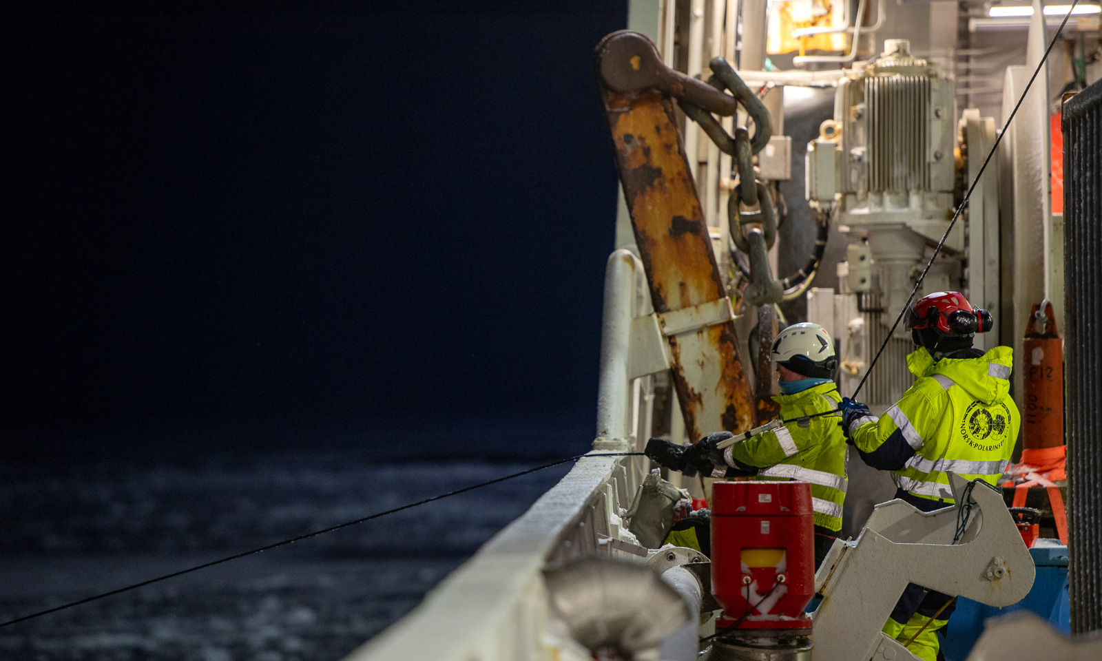
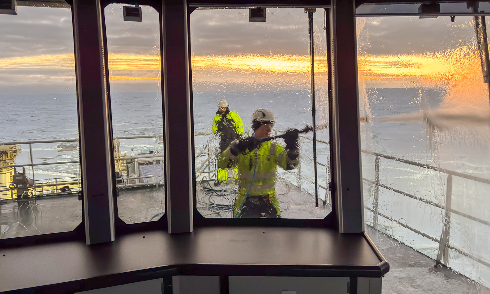
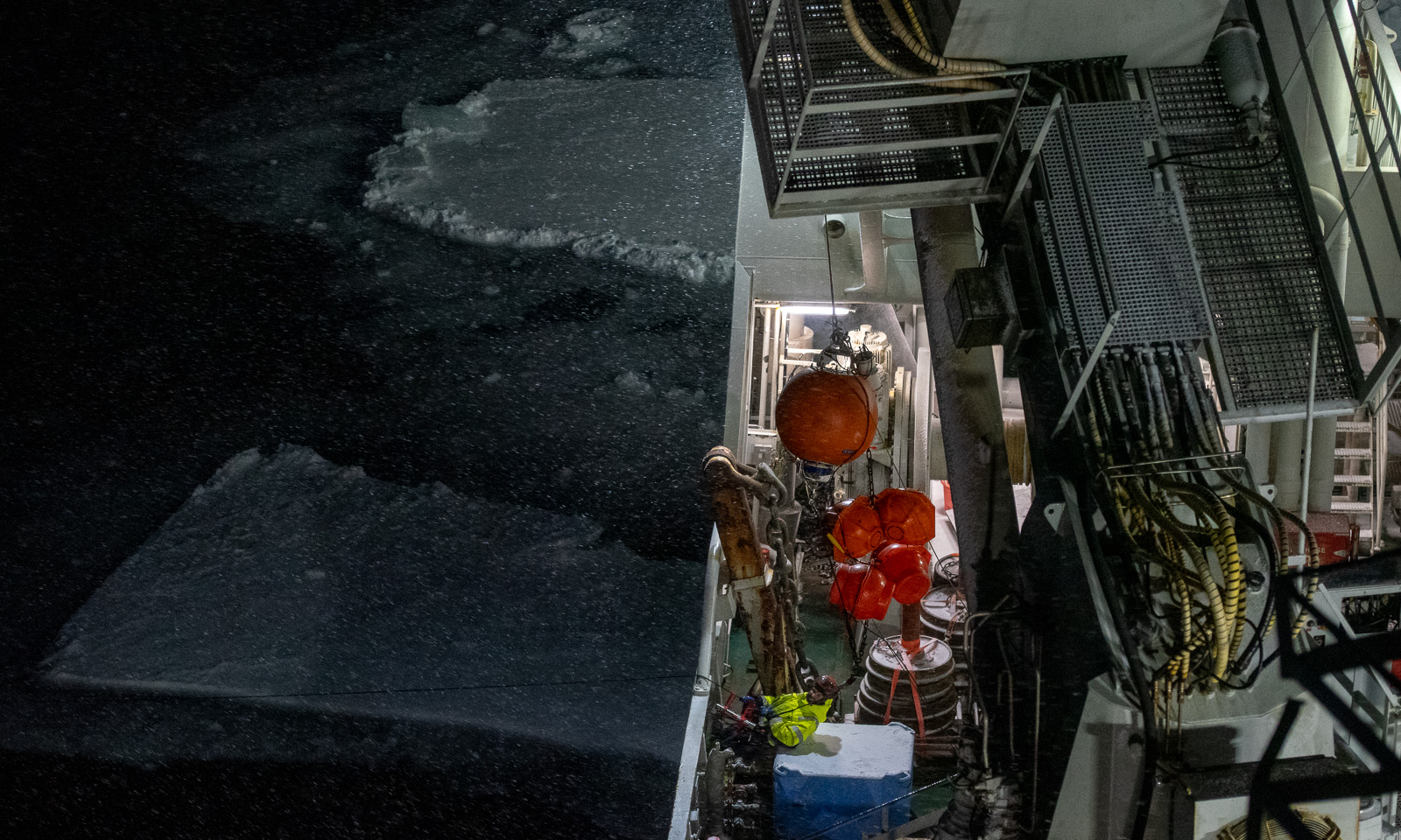
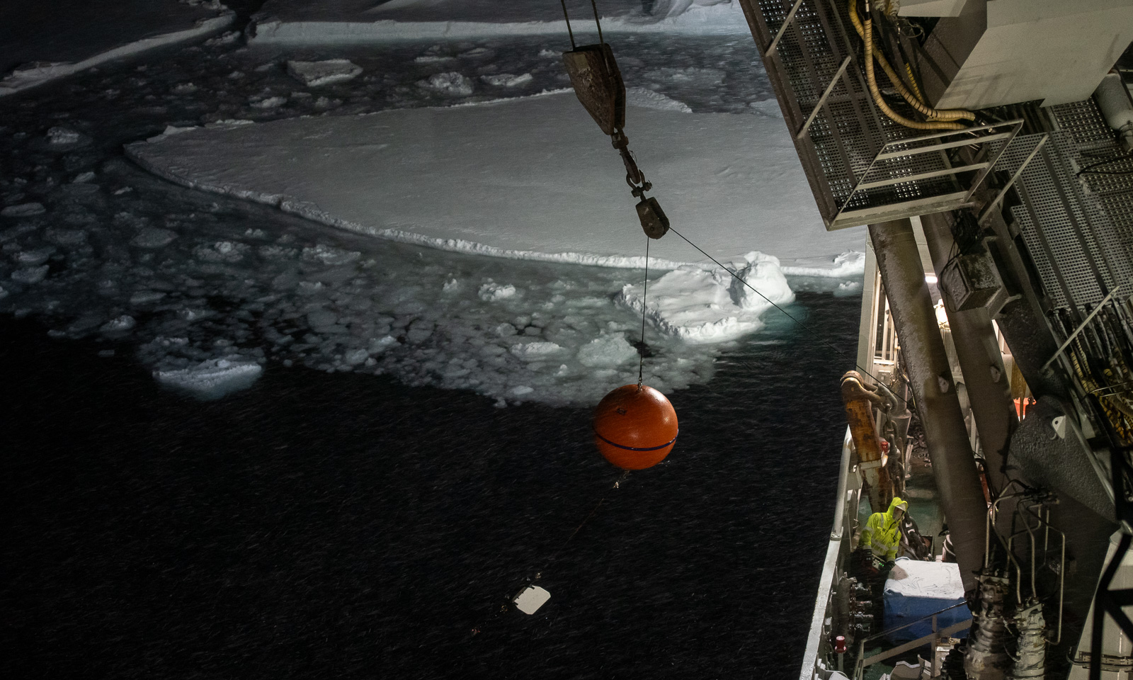
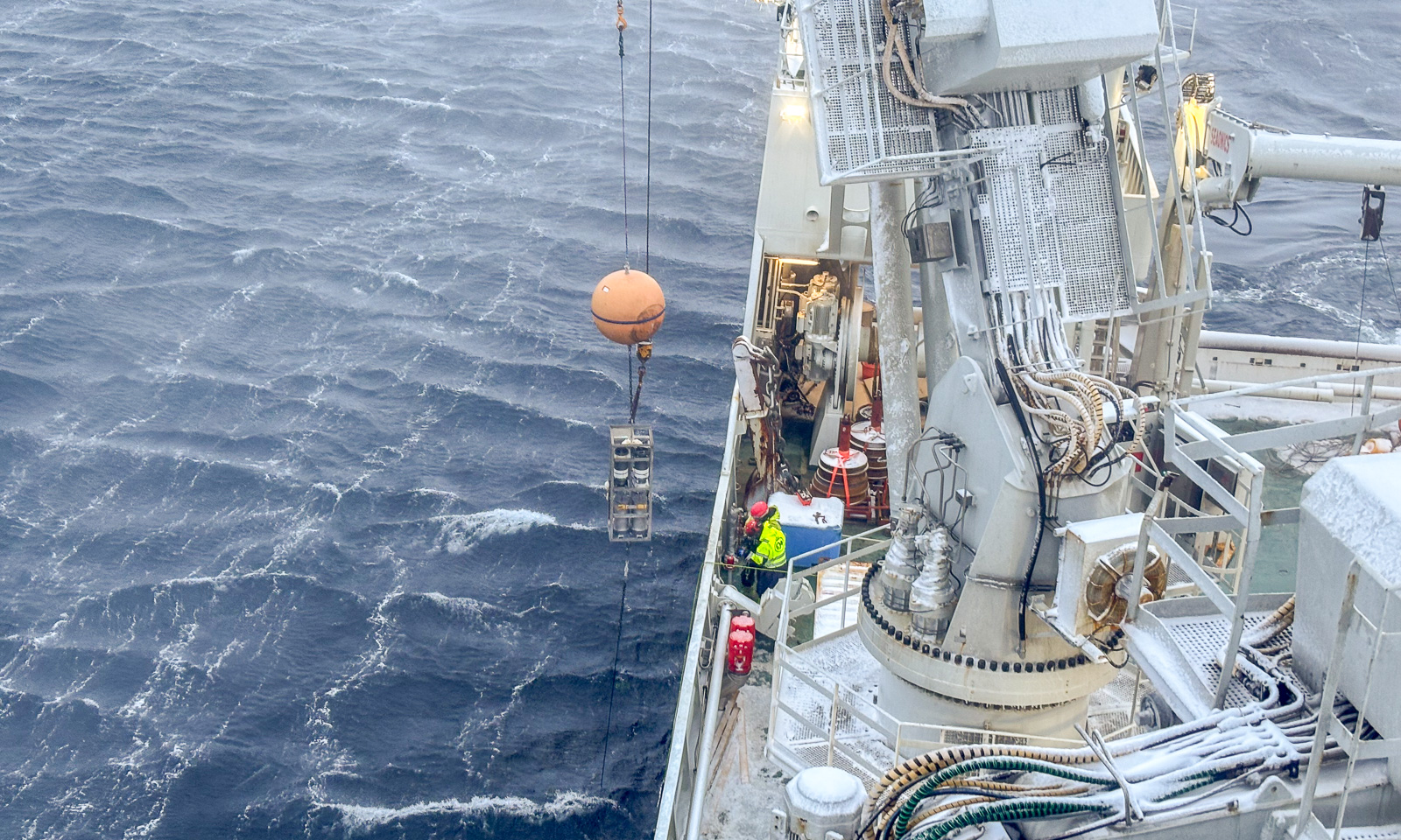
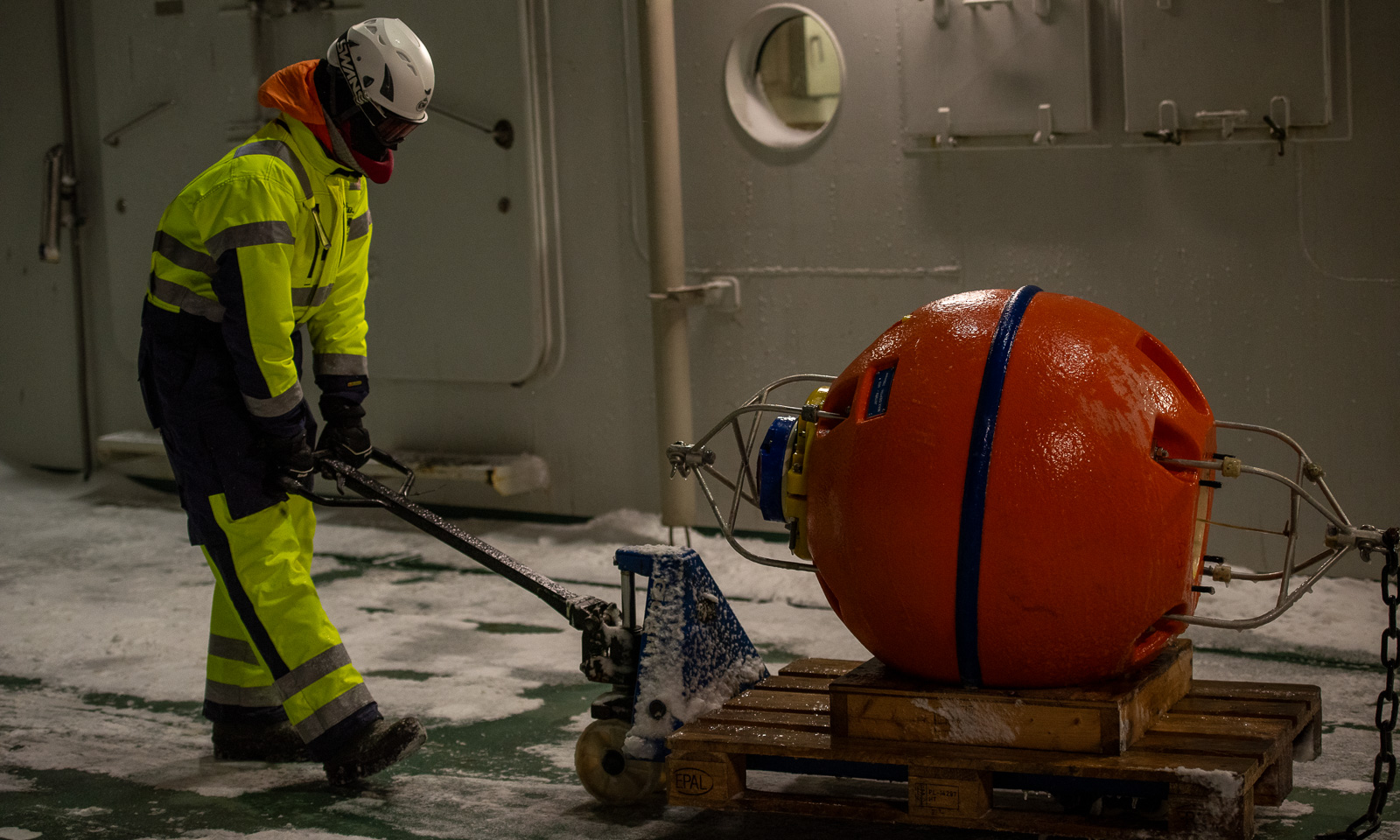
But I am in a luxury position. Most of my work here is computer work, done in the heated Conference Work Room. Others have a much tougher job. They are recovering a mooring. Although the cable is one of the shorter ones, it takes around two hours until the mooring is recovered, because the elements keeps tangling up the cable. This is outside work on deck 3, with overalls, helmets, balaclavas and goggles in storm conditions and wind chills below -20 °C. So, it’s not me who should complain about the weather.
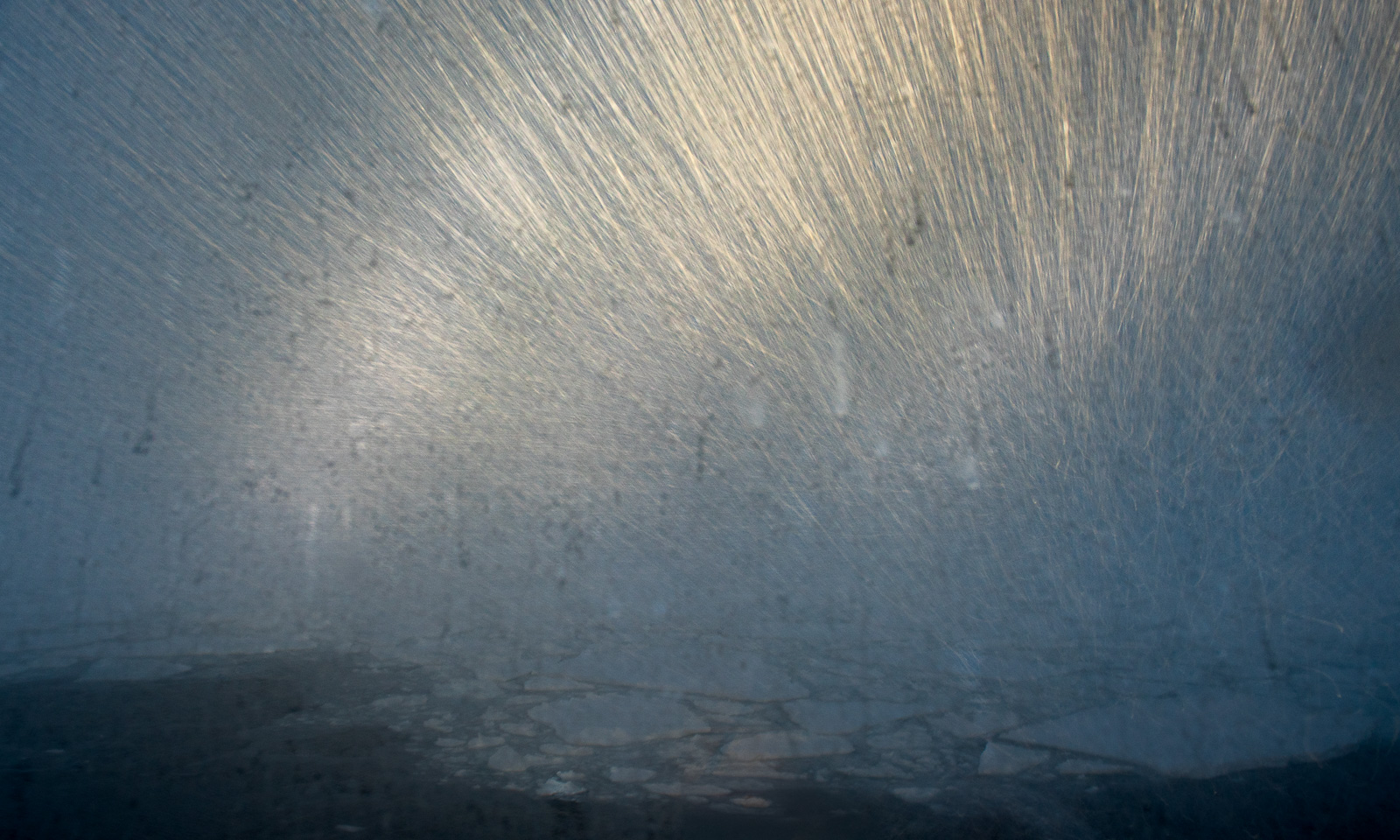
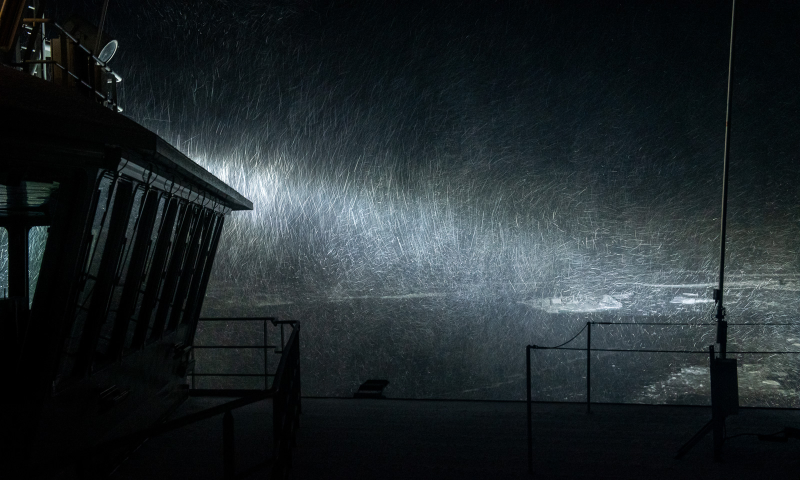
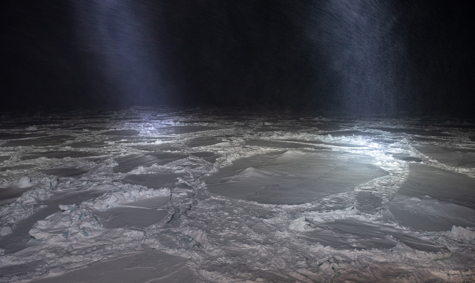
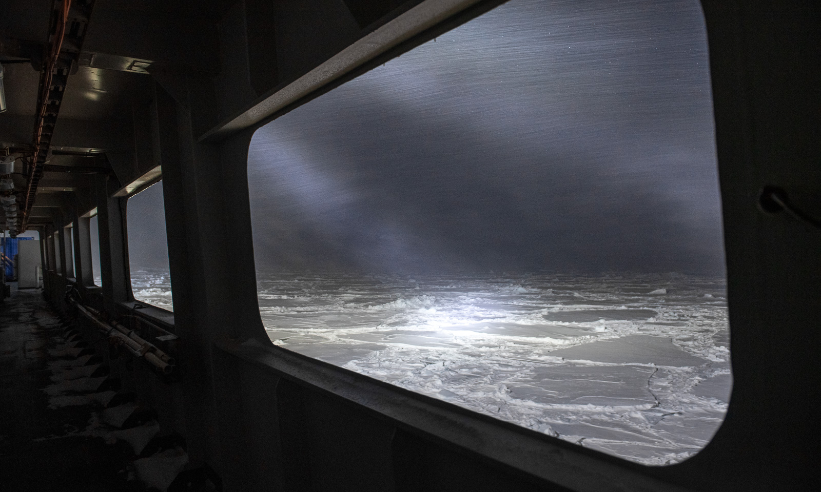
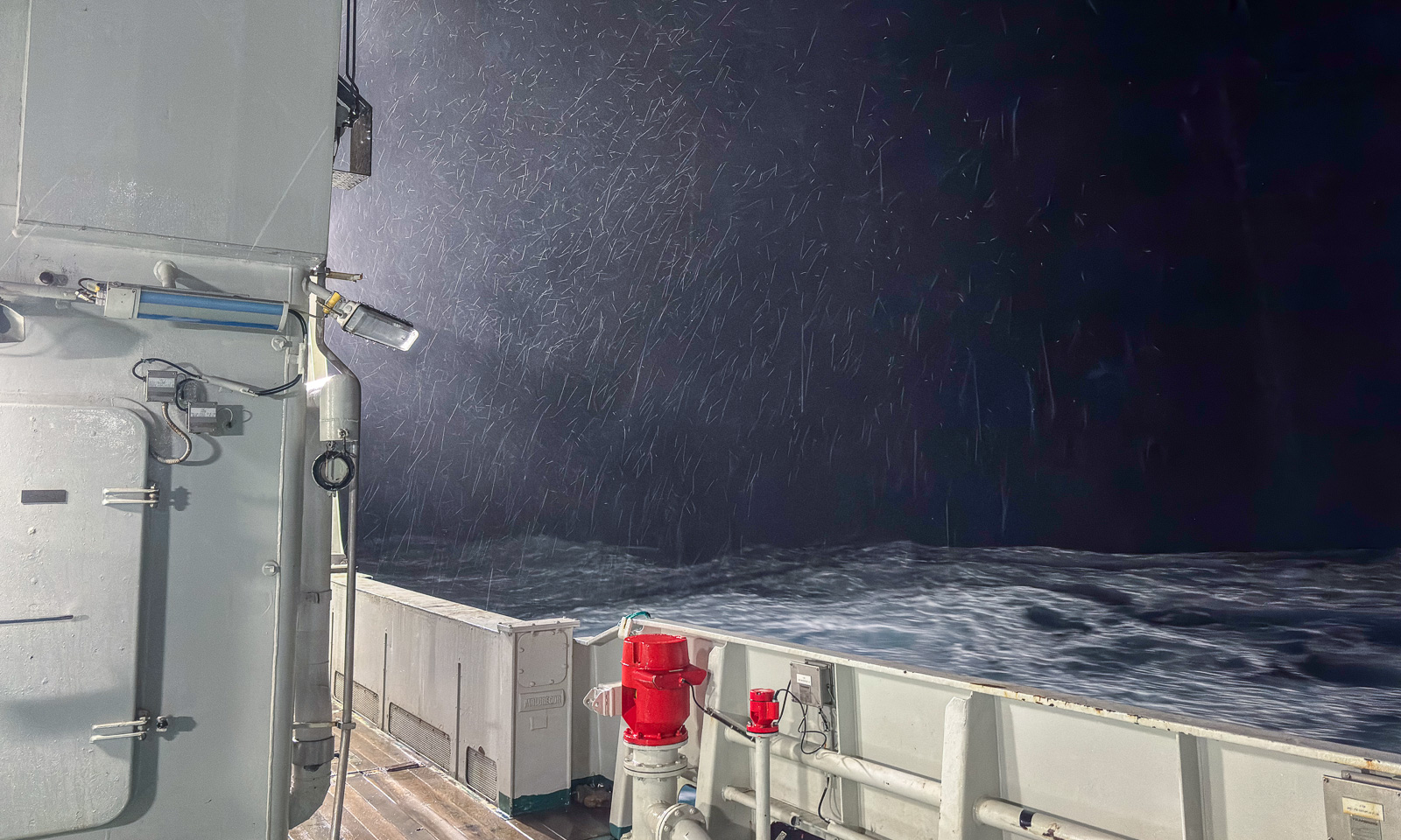
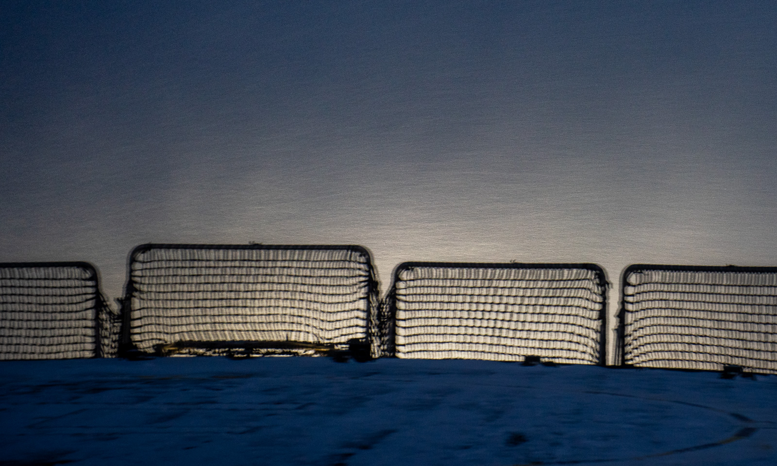
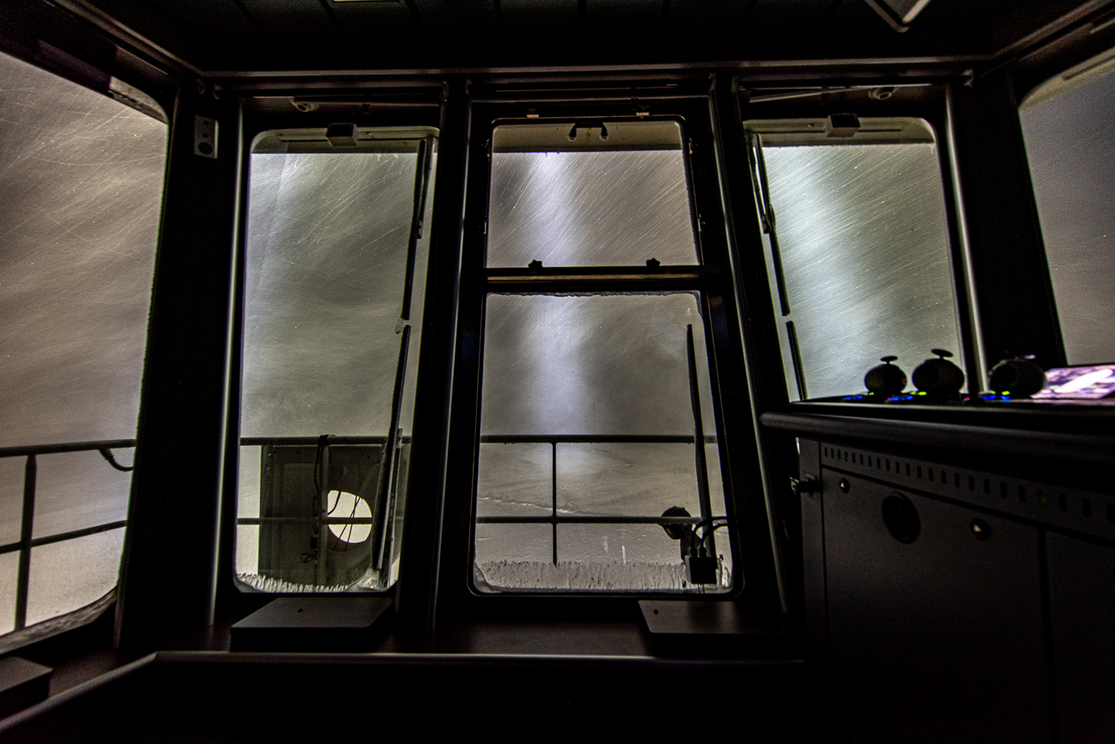
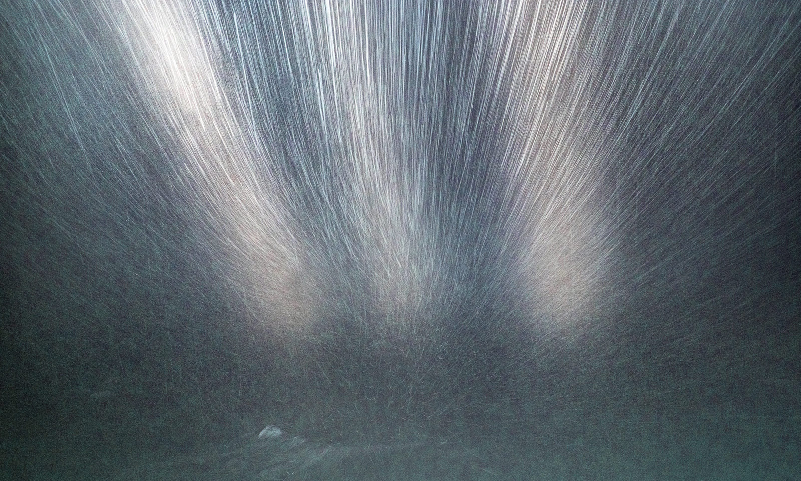
Later in the evening, the weather becomes even more severe, with wind gusts above 30 m/s and temperatures dropping below -10 °C. A very good time to stay inside even when taking photos. So I take photos through the windows from the bridge. On the starboard side, the storm batters the ship with snow. On the port side, the snow swirls in all possible directions.
20 October

The next morning, the weather has changed again, this time for the better. It has become colder, with temperatures of -13 °C, but the storm is gone and so has the snowfall.
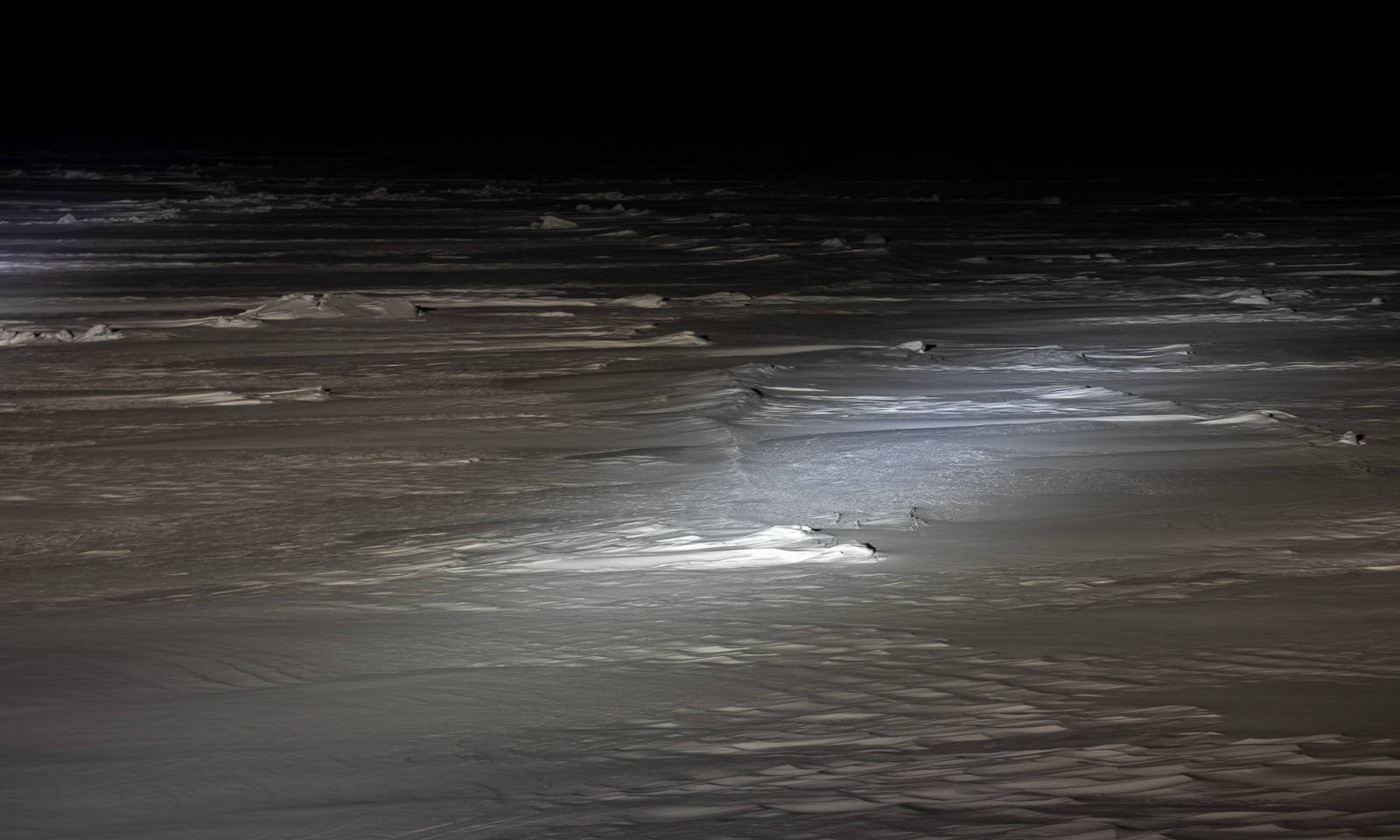
An ice station is planned. I will join it later, when the wind has decreased even more and it is a bit brighter outside. Although our position is -9.5° W, our ship time is Norwegian time and so sunrise is around noon. Around 10 o’clock, I stand on the ice with the drone I intend to fly. Will it work when it is still dawn?
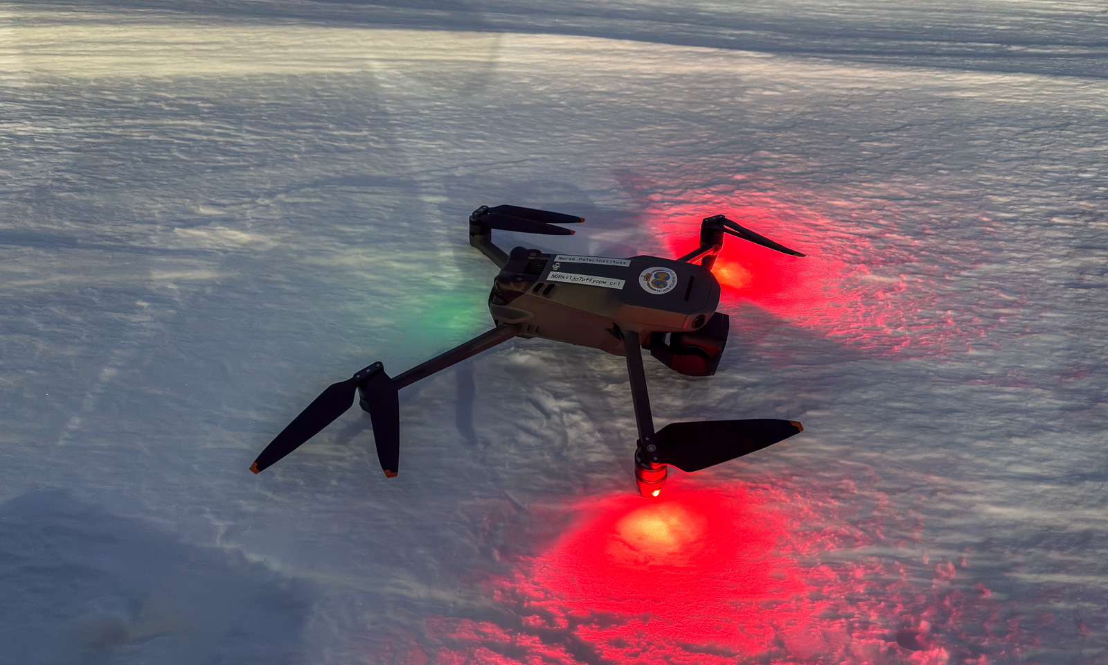
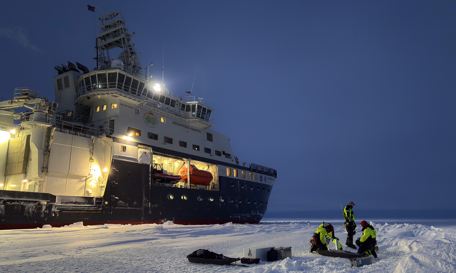
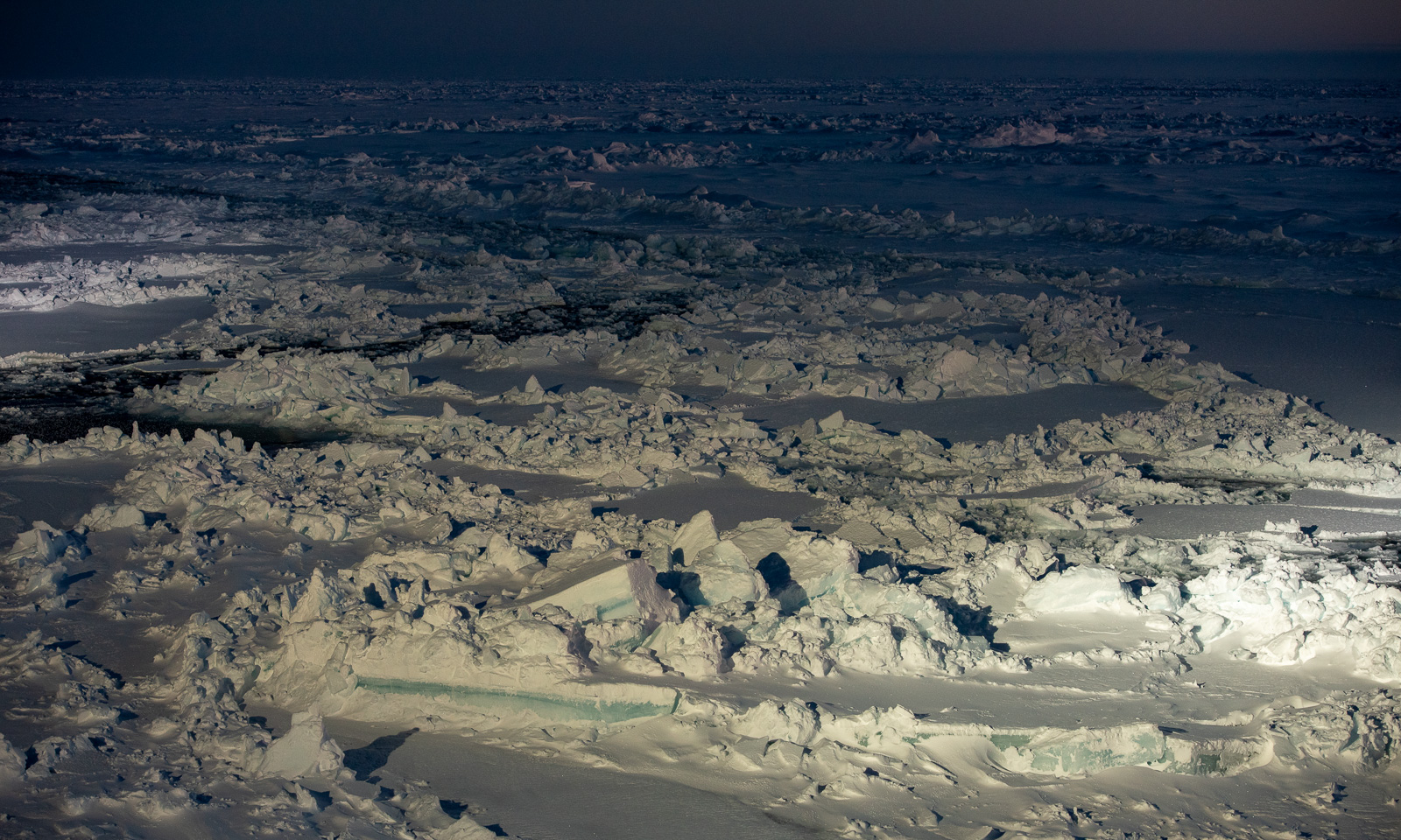
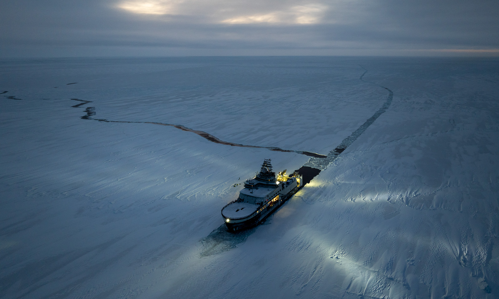
Yes – it works! The ship provides a lot of light that illuminates the ice. Not only for working but also for the team on the bridge that is looking for polar bears. While their job is harder at dawn, my drone flies well, although it detects obstacles in the air that are not there.
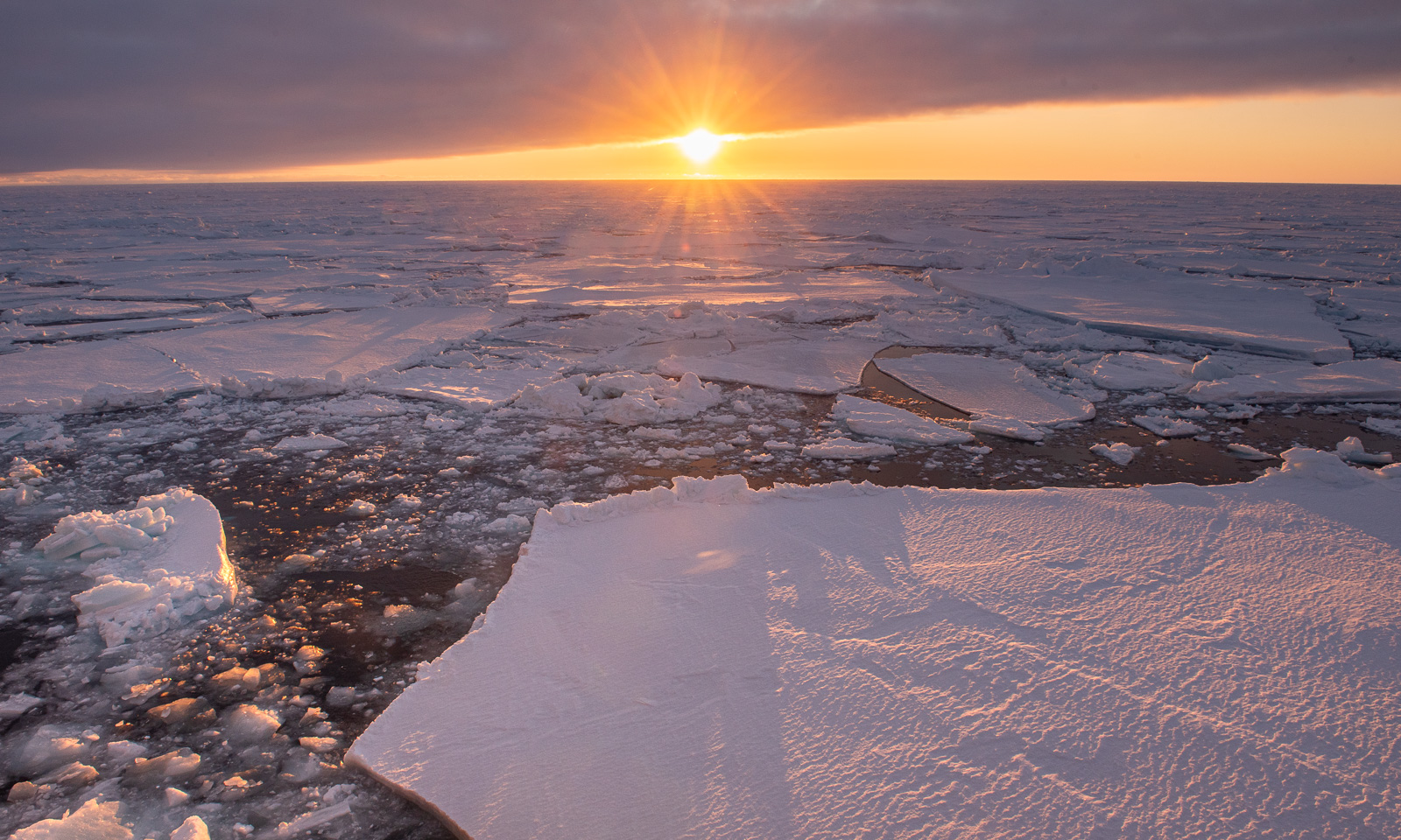
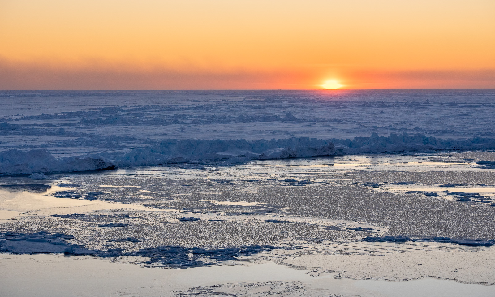
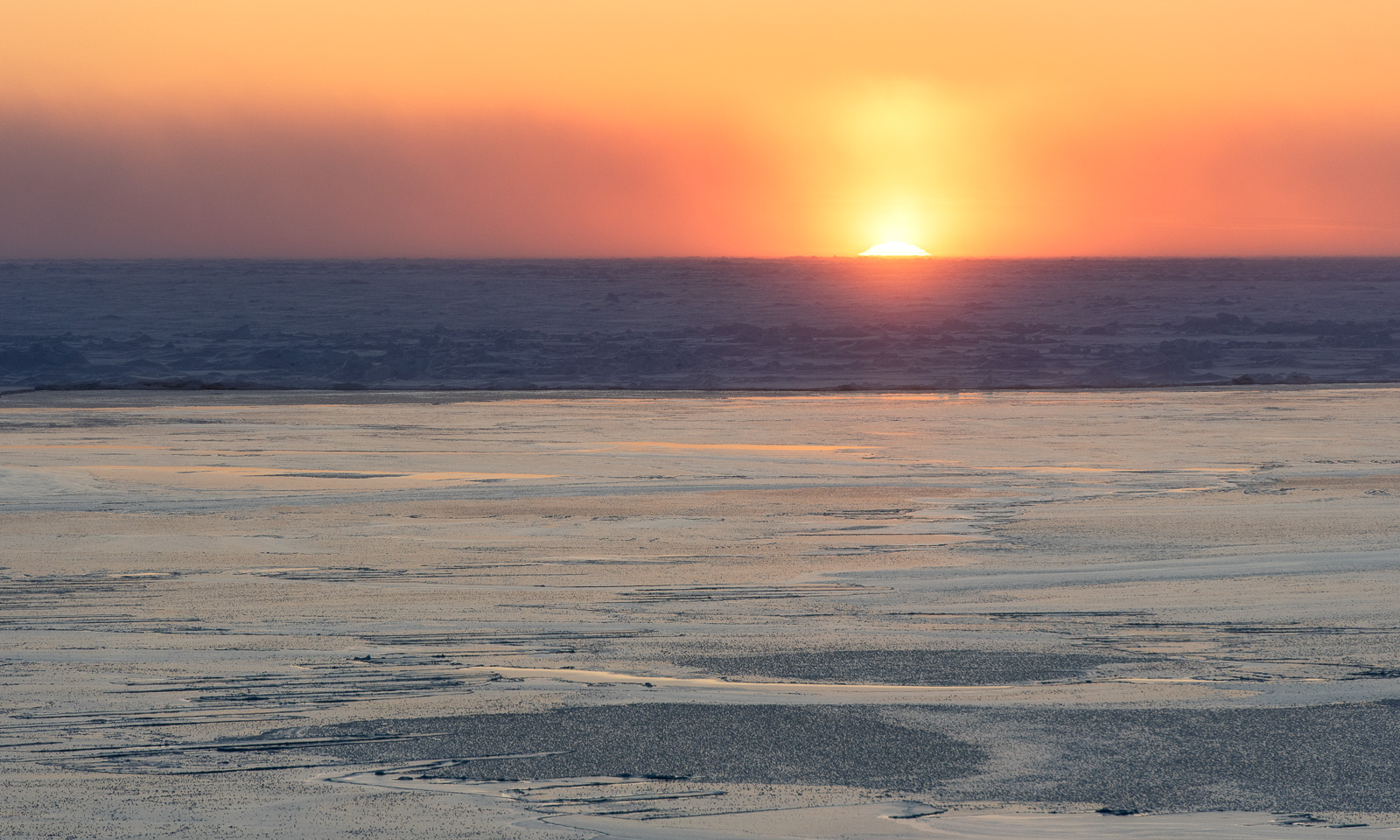
When the sun finally rises, it is pretty spectacular. In high latitudes, it seems more to roll over the horizon than to lift up.
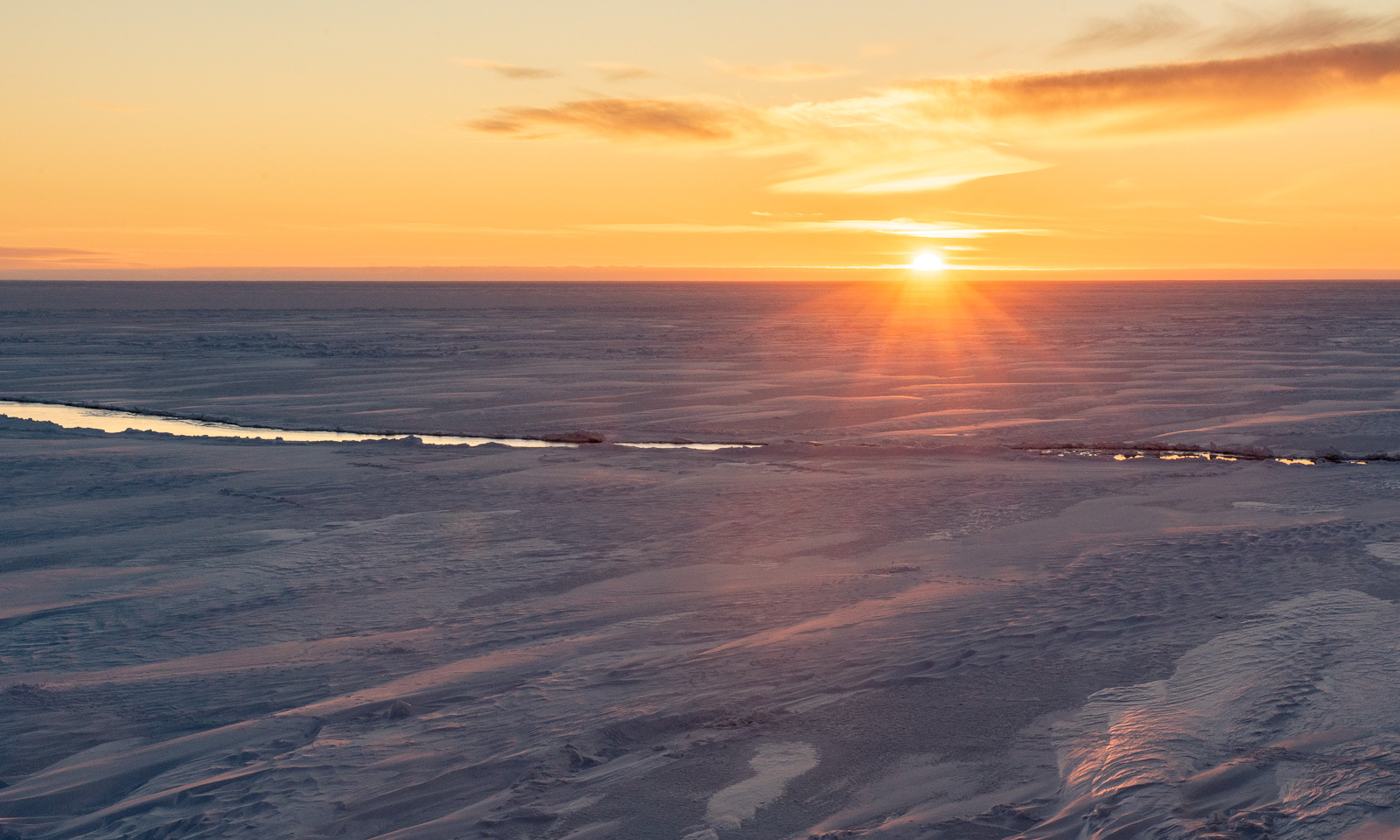
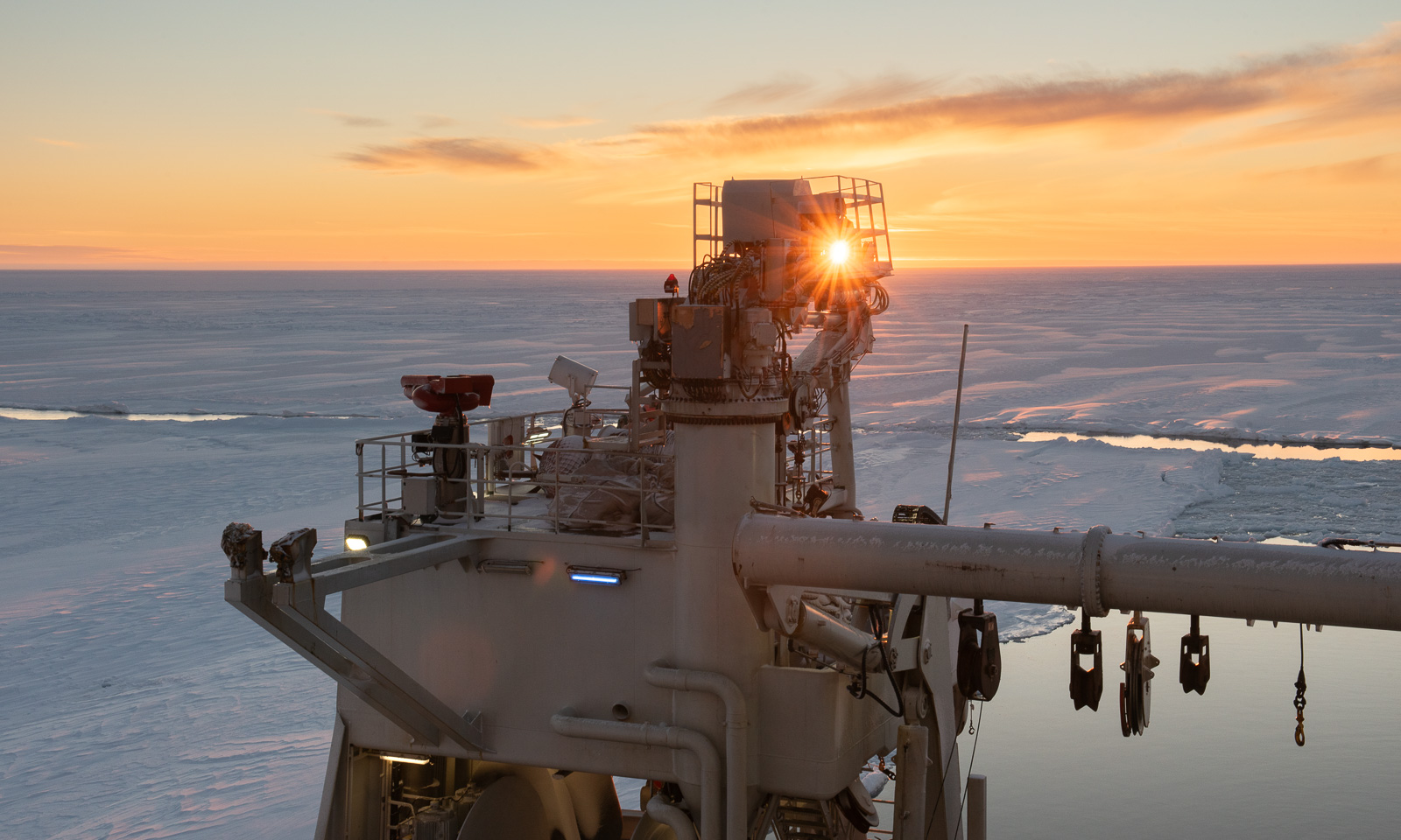
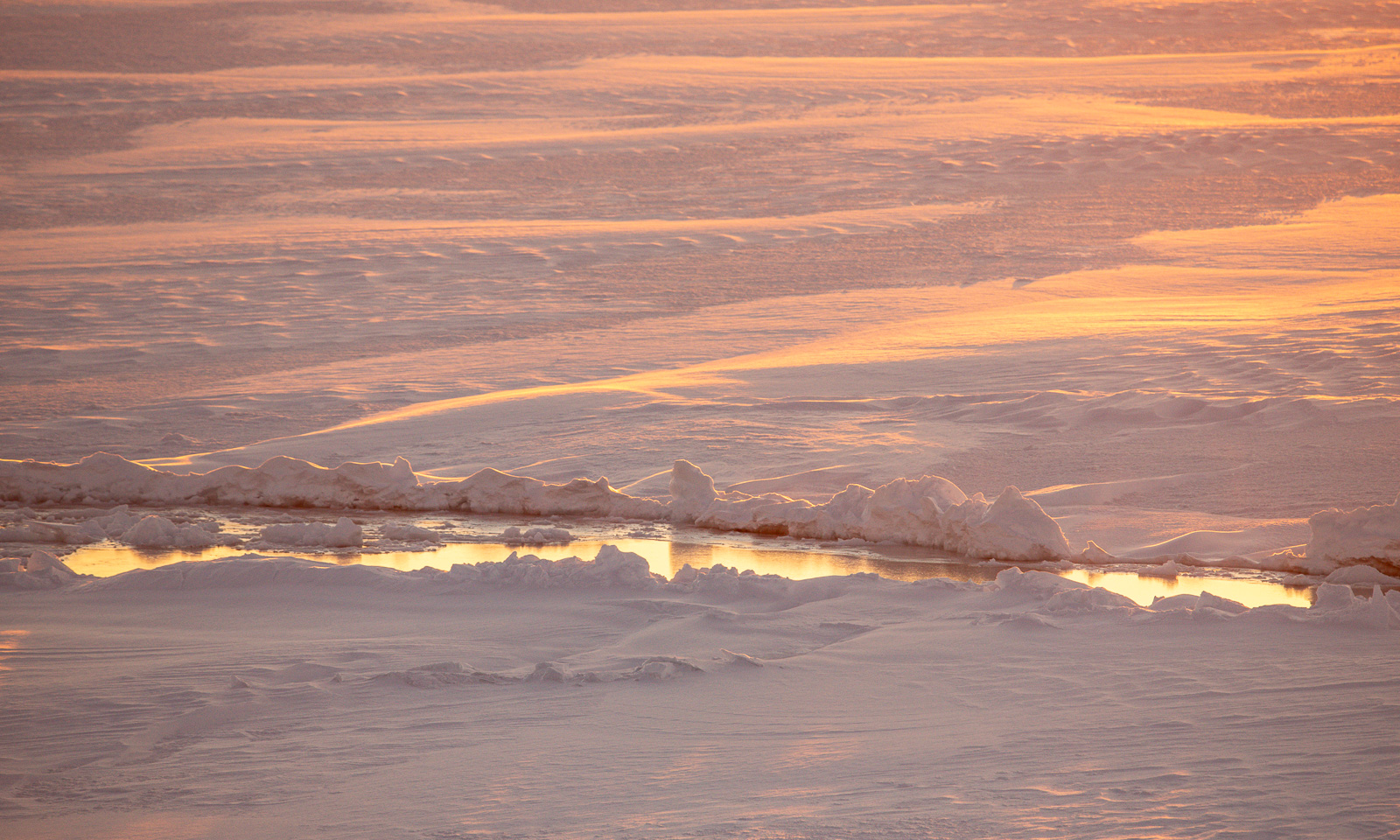
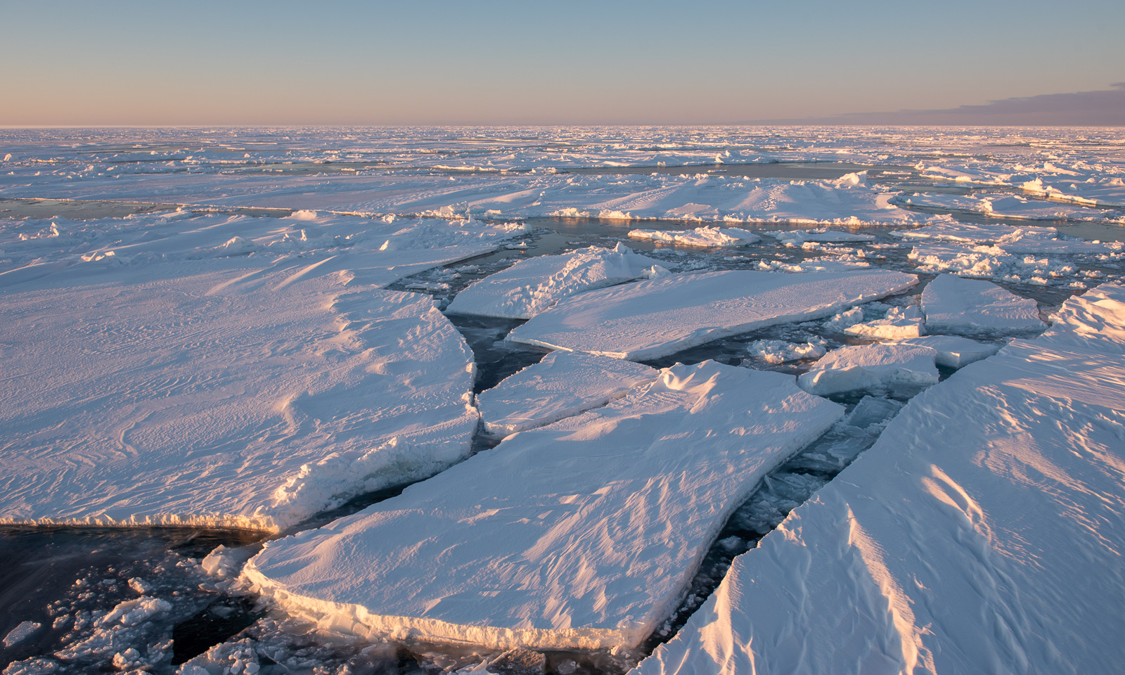
And the colours are incredible. The snow-covered ice floe we are in shows many colours but not white.
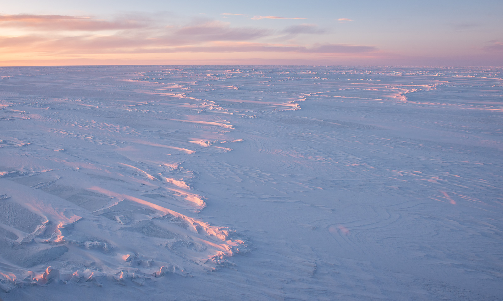
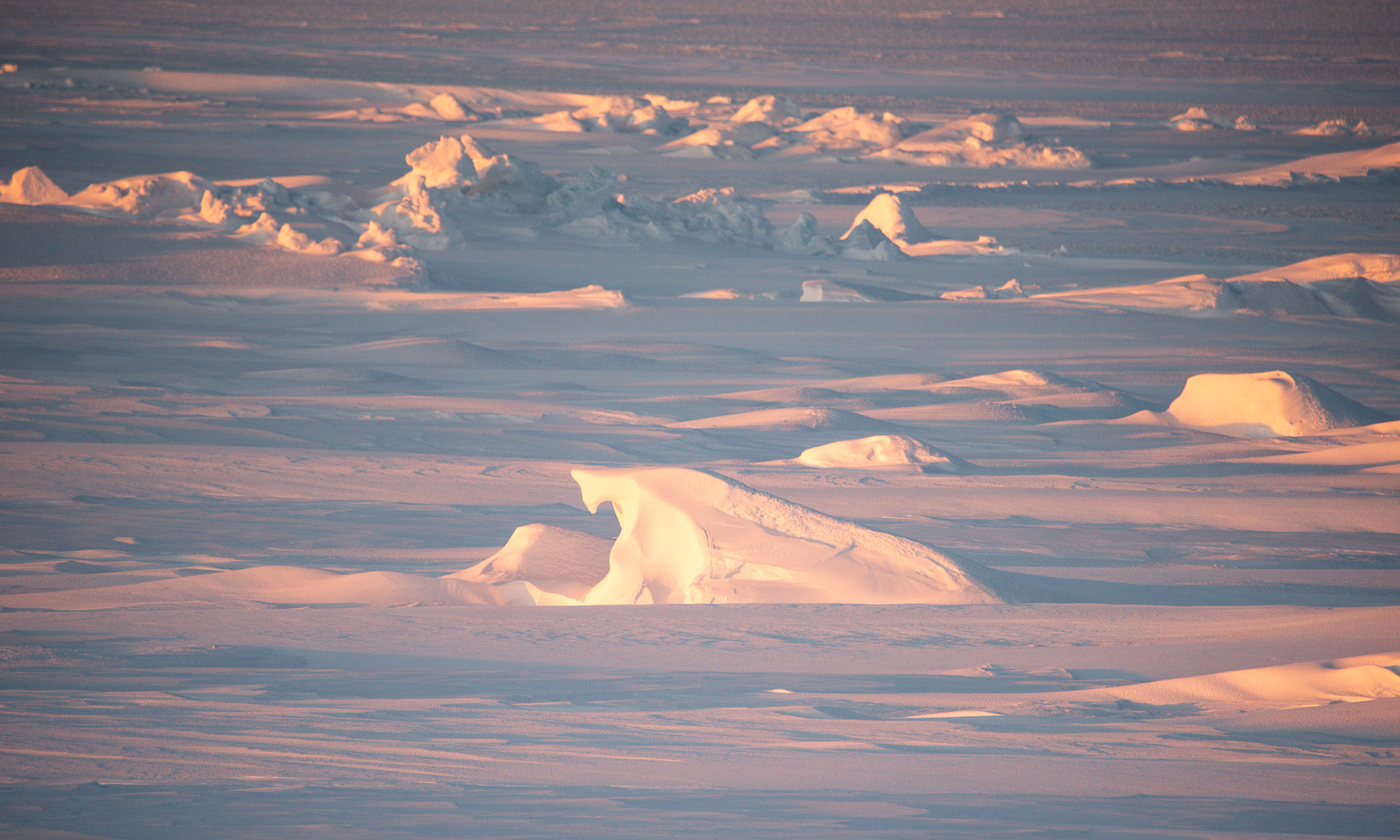
After lunch, the ice station is continued and have the opportunity for another flight. Some shots from the side:
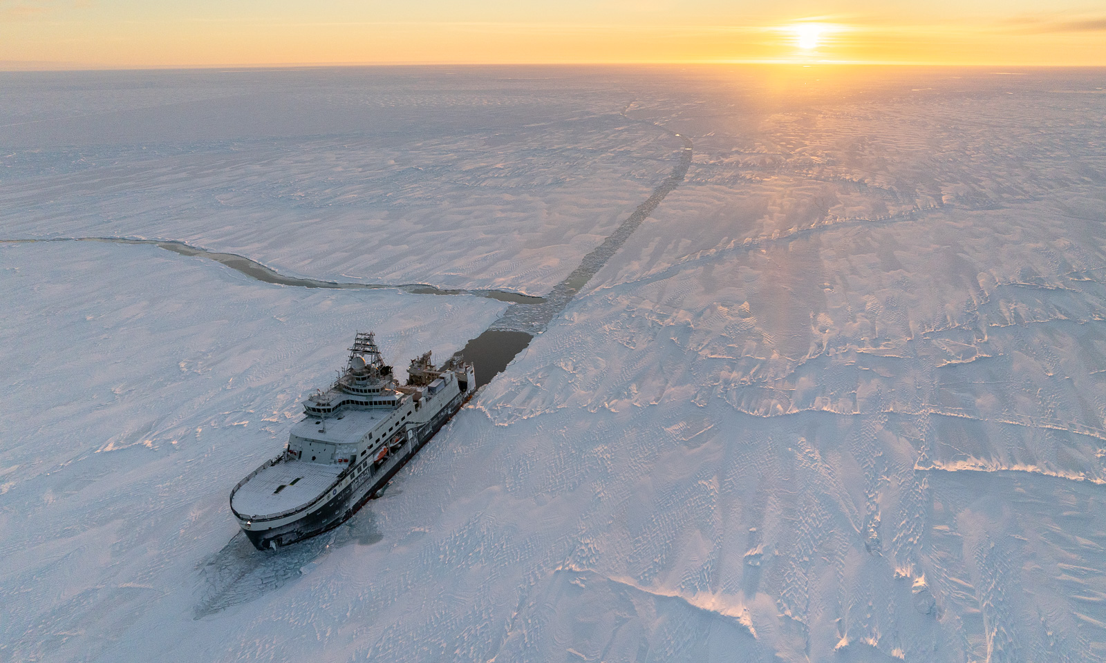
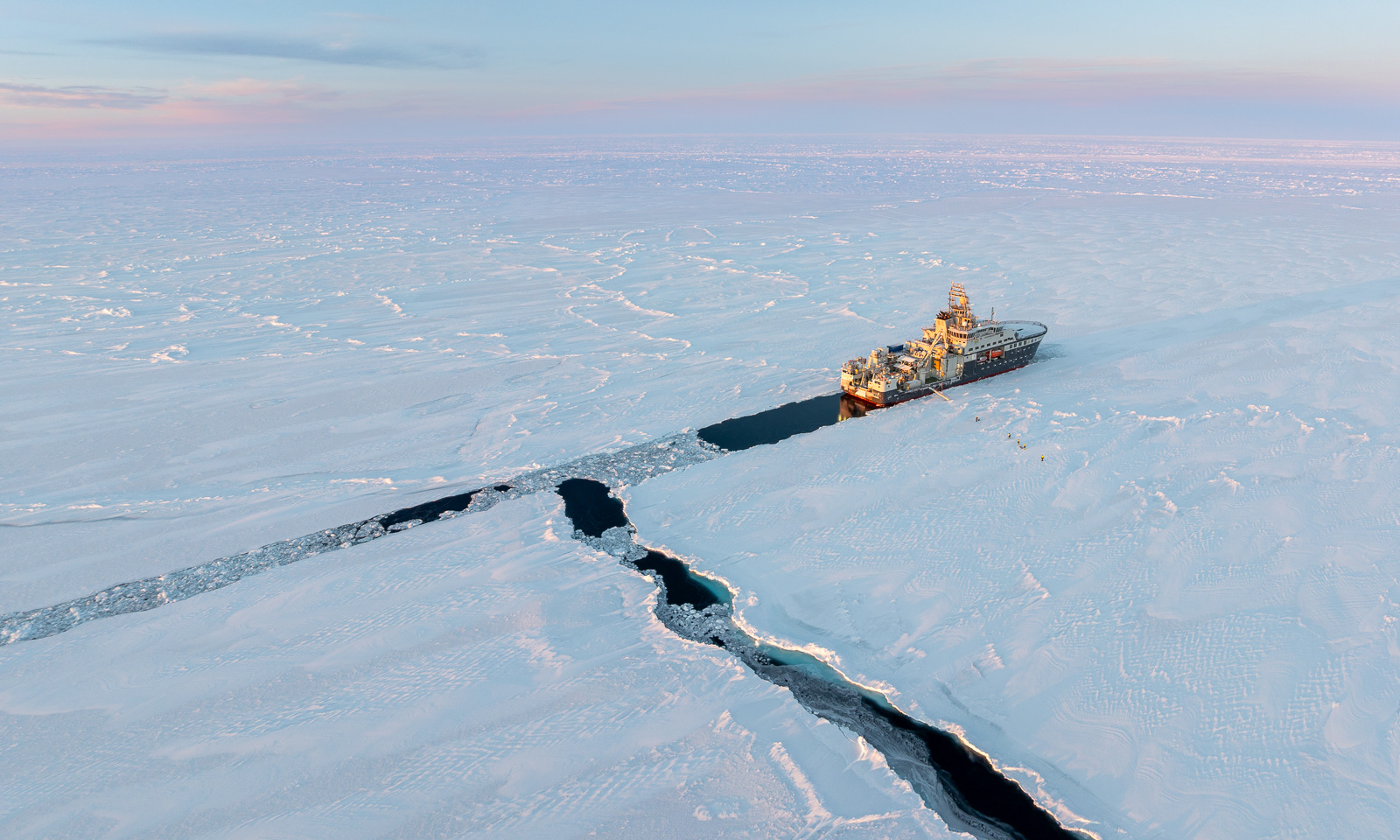
Then I stayed outside to learn a bit about the calibration of the GEM2, an electromagnetic instrument that is used for measuring the thickness of snow and ice.

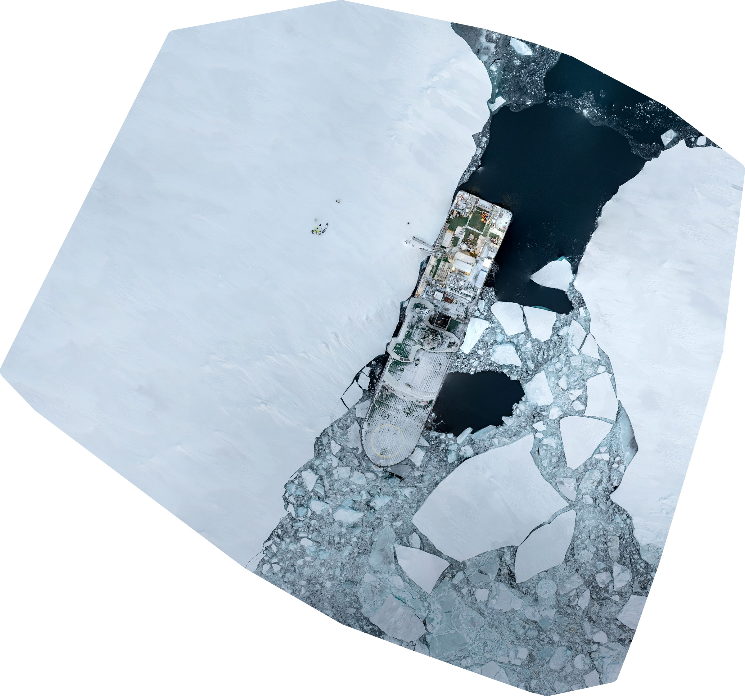
However, I do not fly the drone for leisure but to make orthophotos that show the ice situation from above. For that, I have to take many pictures and then – back on the ship – use both traditional image editing and special software to stitch the images together. The morning orthophoto was stitched together from 125 images, the afternoon one from 255 images. That took about an hour of processing on a fast computer.
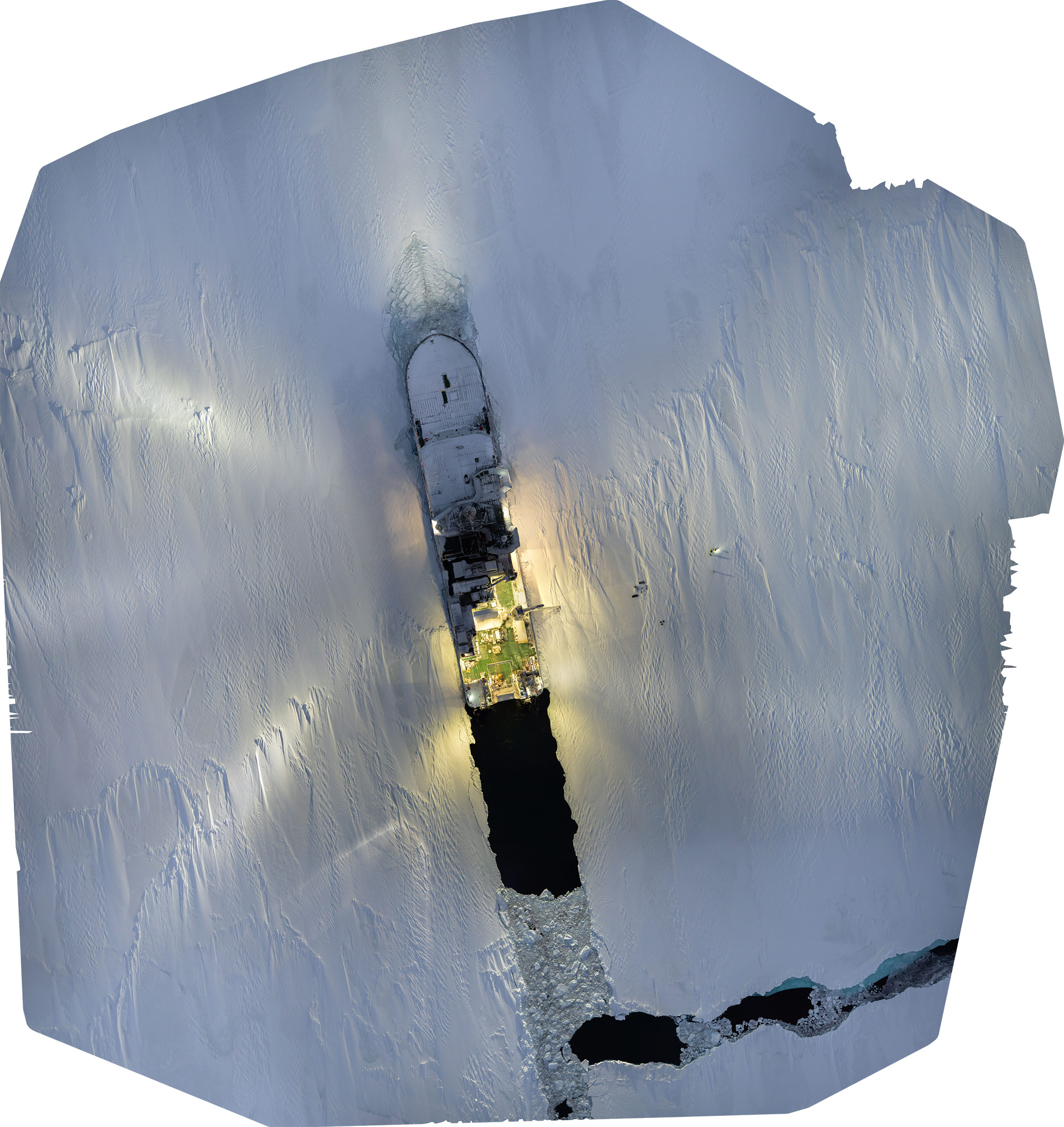
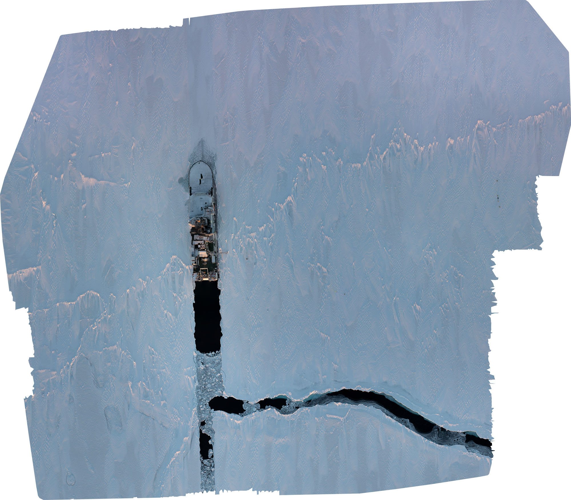
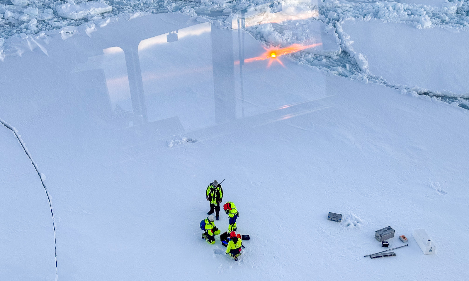
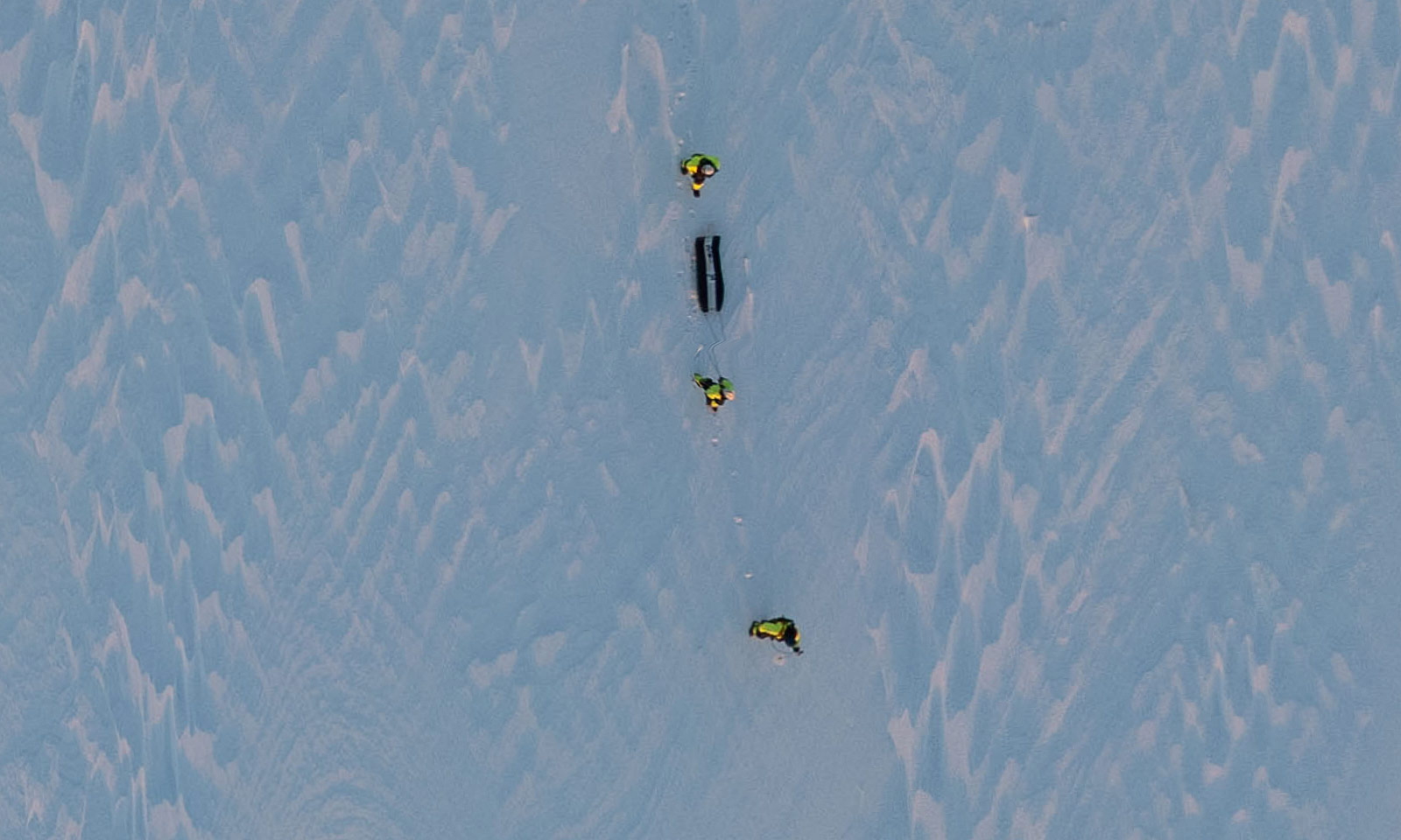
Especially the latter photo has a good image resolution. Do you see the scientists out there with the GEM2 on a pulka sled in the photo below? It is taken from the orthophoto above.
The next day another ice station is planned.

21 October

… but never set up. First the visibility was too poor and then it was too windy. I couldn’t have flown a drone anyhow because first it was snowing and then, with rising temperatures, it was raining. So a lot of other work was done instead.
So – another ice station tomorrow? Actually, that’s planned. Tomorrow I’ll know a bit more.
 

A mooring, ice stations and the sun

This article is part of the series “2026-10: Fram Strait cruise KPH”.

16 October

The polar bear is gone. The dinner has been eaten. Now it is time to recover F12, another mooring which is underwater and has measured a variety of values for 14 months. The ship’s echo sounder has already located it, so it has “only” to be released from the ground. There is only one issue – there is a lot of ice and to recover the mooring, open water is needed. The helmsman has already circled the icebreaker several times to create an ice-free area. When the mooring is finally released, the air-filled buoy pops up in the water, just two metres away from the searchlight. Chapeau! I mentioned in the last article the joint effort that is needed to get such a mooring with more than 1800 metres of Kevlar cable equipped with instruments from the sea onto the ship.

17 October

When there is ice, it’s an opportunity for an ice station. Again, this is teamwork. Besides the scientists on the ice, you need a polar bear guard with a rifle on the ice and three bridge watches on the bridge on deck 8 that are constantly observing the surroundings for polar bears, cracks in the ice, fog coming up, and other potential dangers. I handle the communication between the bridge and the team on the ice, and luckily nothing happens. The only thing I have to do is to keep track of the people who are on the ice.

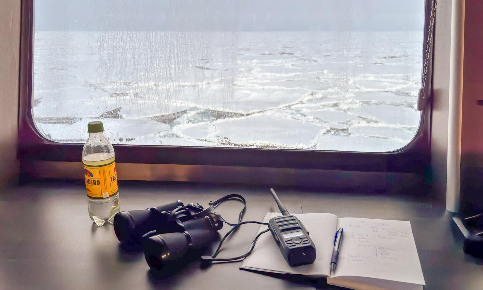
There are my things: A bottle of water, my own binoculars (I have had them for more than 40 years), a VHF radio for communication and a notebook with a ballpen for taking notes.

I haven’t seen the sun for days, but now, while I am taking the second shift, the sun is rising from a low layer of clouds on the horizon. I can see its reflections in the windows on the other side of the bridge while the ice team works in the ship’s shadow.

For the rest of the day, I do computer work but interrupt it several times just to go outside and take some photos from the helicopter deck, which is on deck 6 at the bow of the ship. You never know how long the good weather will last. I am there while the sun is shining, I am watching the sllloooowww sunset, and I am there in the evening, when it is the ship that is illuminating the ice.

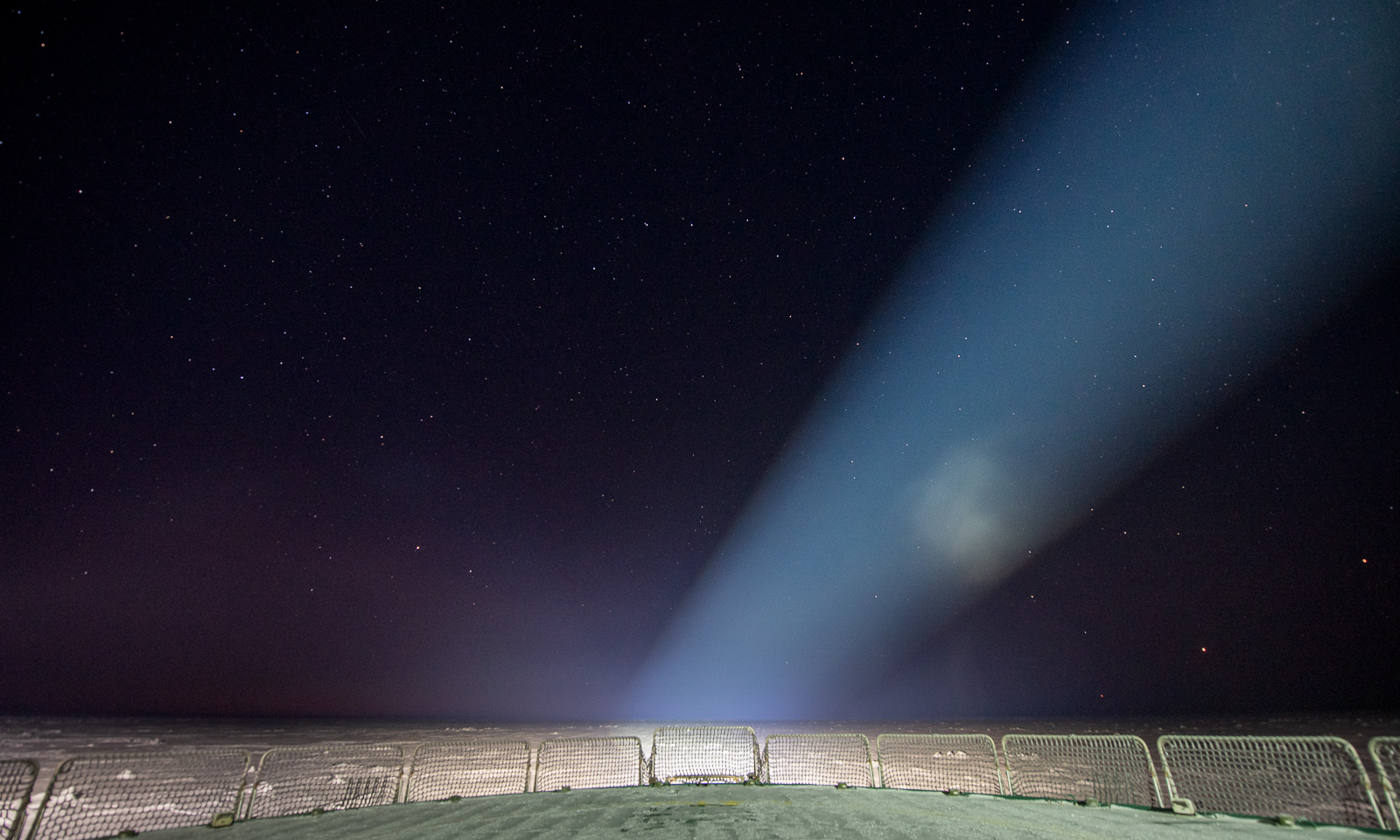
I am already in bed when I see a post in our group chat mentioning Jupiter and Mars. I put my down clothes over my pyjama, put the helmet on my head and go out onto the “helideck” one last time for the day. The night is starry and there they are: Both Jupiter and Mars near the horizon, accompanied by many stars. But there are also big spotlights, which make the view somehow special. The stars are slightly out of focus, but I am showing a photo nevertheless.

18 October

Another day – another ice station. I will do the first bridge watch and then go onto the ice myself to fly a drone. Around 10 o’clock, the team enters the ice.

Two things are certain on an expedition with the icebreaker Kronprins Haakon. All meals are on time. Everything else may and will change. This time, it is a crack in the ice that I observe. I inform the team on the ice. I have to give several updates, because more and more cracks appear. After less than half an hour, both the team and their equipment are safely back on board, and the ice station is aborted. Between the first and the last of the following photos lie 18 minutes.

After lunch – the second try. I may join the team in the beginning, because, although the conditions for drone flying are not the best (mediocre visibility, low temperatures, high humidity), the winds will increase in the afternoon. It’s now, or never.

Fifteen minutes later, I am on the sea ice. At first, I let the drone fly at an altitude of only 2-3 metres for two minutes. I land it and check the propellers. Are they free and able to move? Is there visible icing? What about the battery? Luckily, everything looks fine. With a new battery I lift the drone up to 65 metres to fly a zigzag pattern to get a mosaic of photos to be stitched together later. The flying itself works pretty well, although I get some wind warnings on the display of my remote control. I have some minor issues with the camera gimbal and take another flight to get some backup photos. At the very end I take a snapshot of our icebreaker.

And a selfie or two. I am wearing a survival suit and a helmet from the Norwegian Polar Institute, a woollen sweater I bought in Longyearbyen two years ago and a balaclava knitted by my friend Christine.

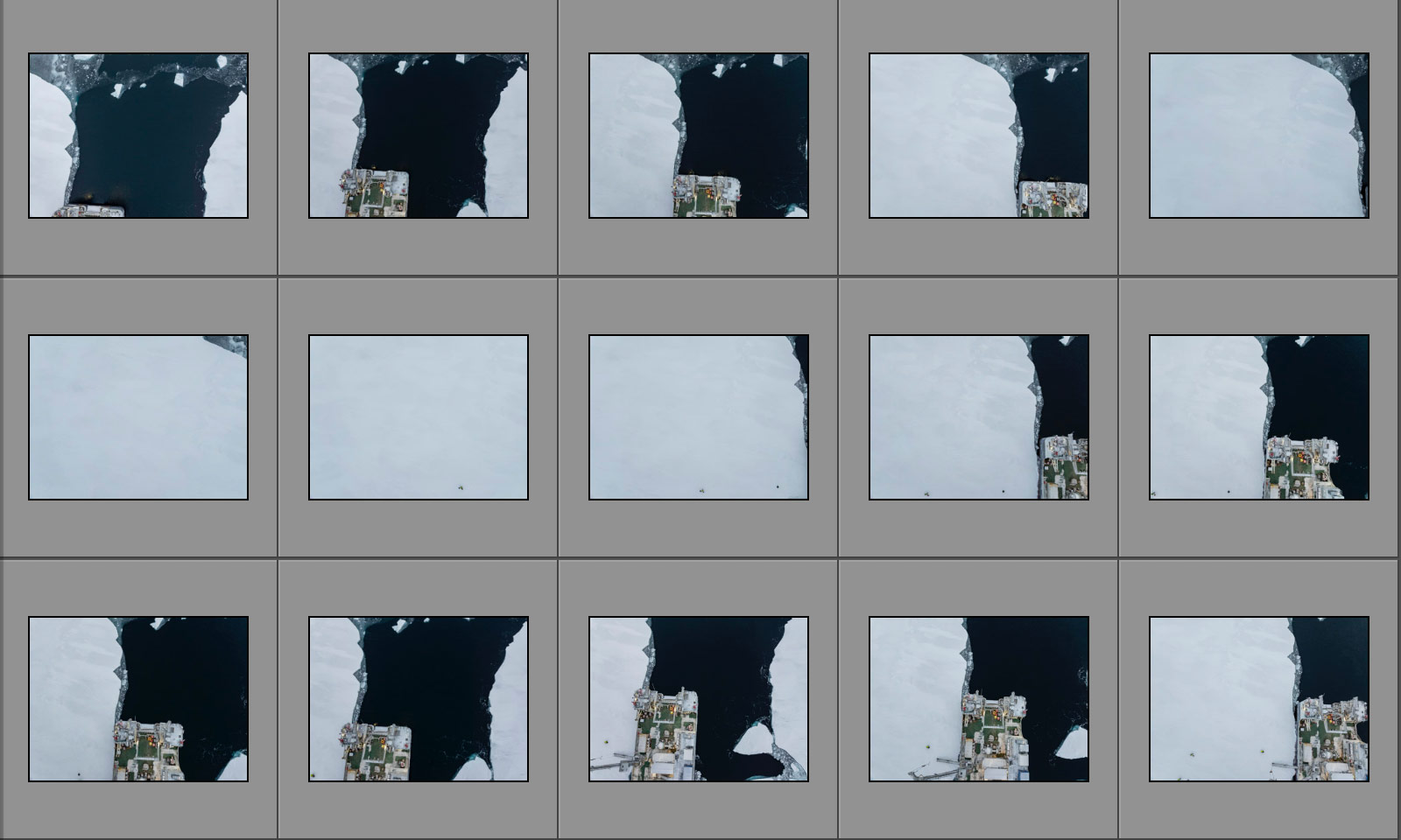
When I have finished, I leave the sea ice. After redressing and a small break I take another bridge watch. Nothing happens, and so it should be. The exciting part comes thereafter. Are the photos – 126 in total – suitable for an orthomosaic? I mean, the single shots look like this:

An then, the relief: WebODM, the software successfully stitches together the photos.

Why does the image has this odd angle? Because it contains spatial data, so that it can be used in GIS systems. It is therefore aligned north. Here is a cropped version aligned parallel to the ship:

Will there be another ice station? I’m pretty sure. Probably not tomorrow, when we expect another strong gale, with wind speeds above 20 m/s. So I don’t know what will happen tomorrow, apart from one thing: all meals will be on time.
Into the ice, into the storm

This article is part of the series “2026-10: Fram Strait cruise KPH”.
14 October

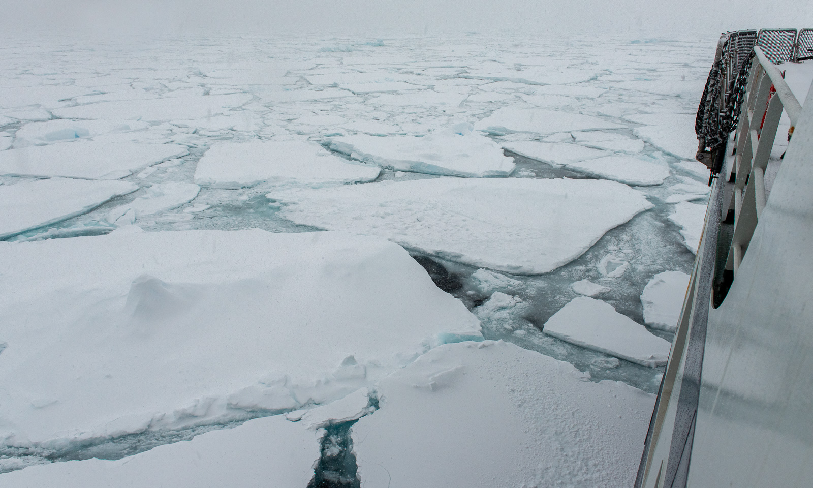
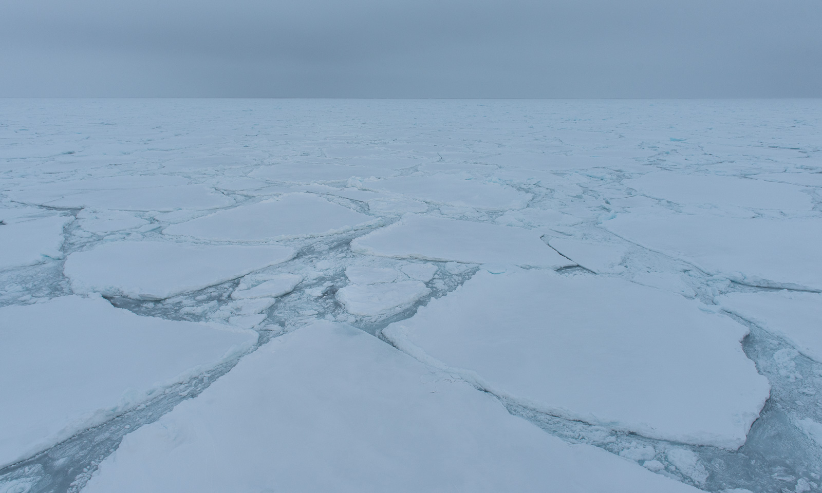
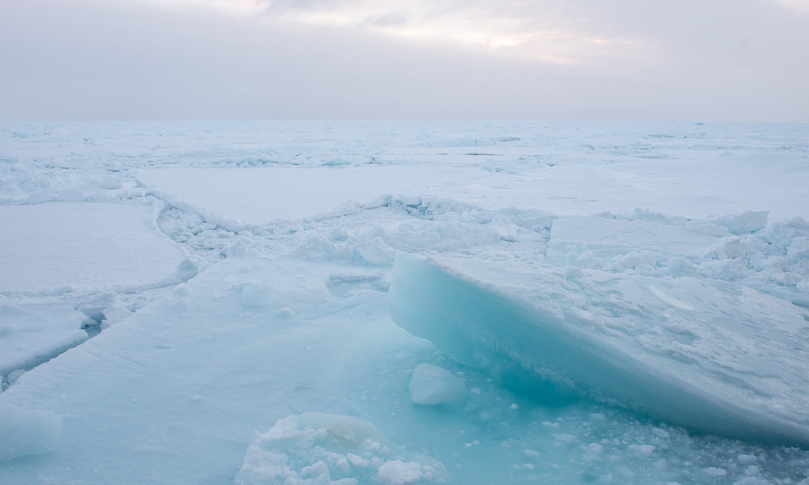
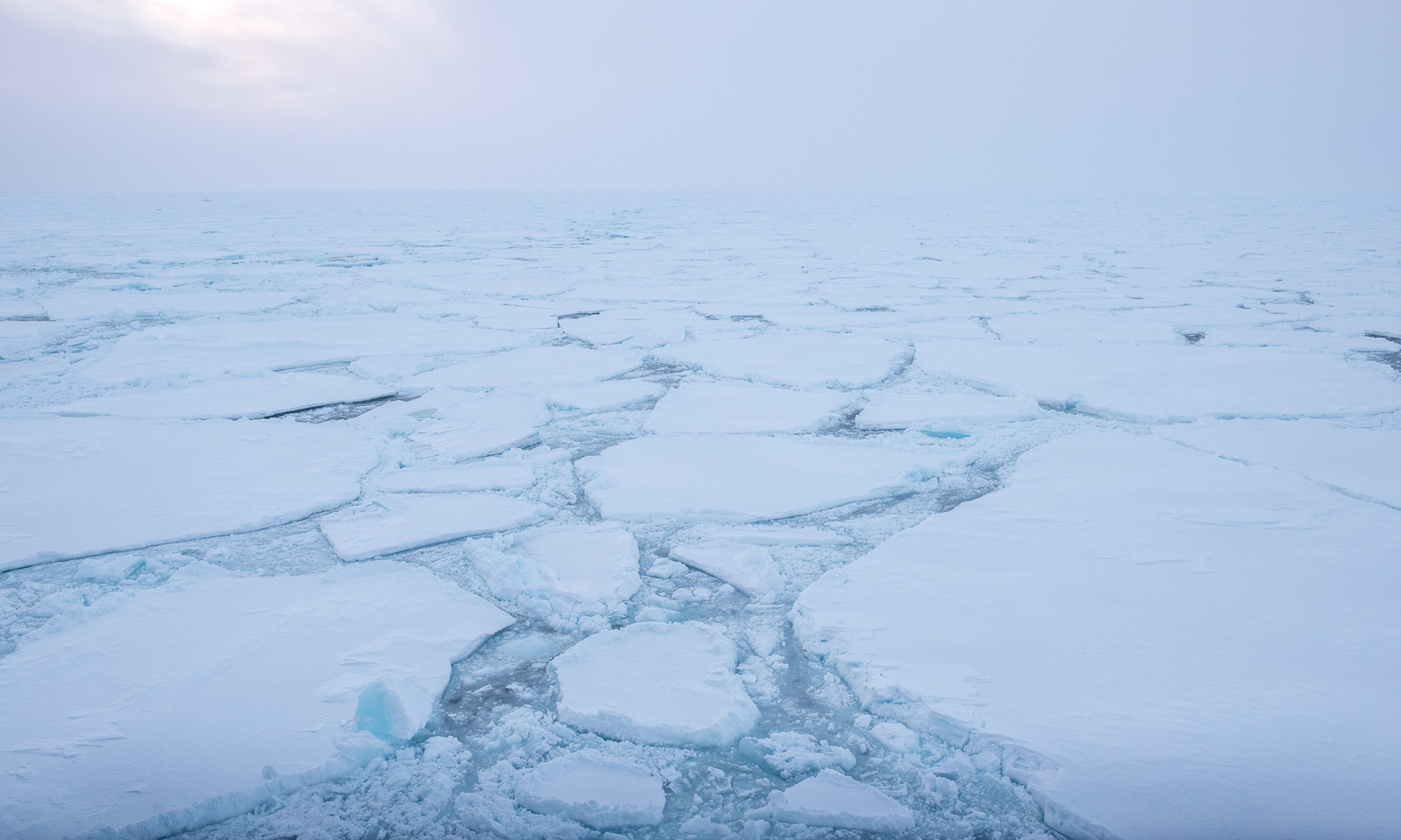
After encountering a small ice field in the morning, we reach the marginal ice zone. So it looks like round 16:00:

Less than an hour later, it looks like this:

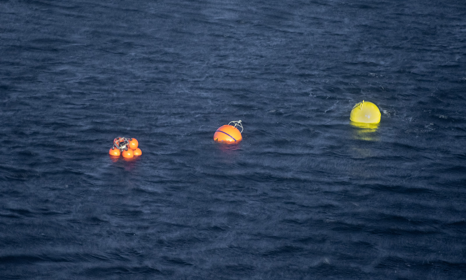
At six o’clock, people are standing on the bridge, peeking into the snowfall, driven by the increasing wind. A mooring is about to be recovered. It has been collecting data for more than a year, and now its release mechanism will be triggered by a so-called hydrophone, allowing the air-filled orange buoys to float to the surface and making the mooring visible. Then it has to be located visually so that it can be towed onto the ship. Not easy, when it looks like this.

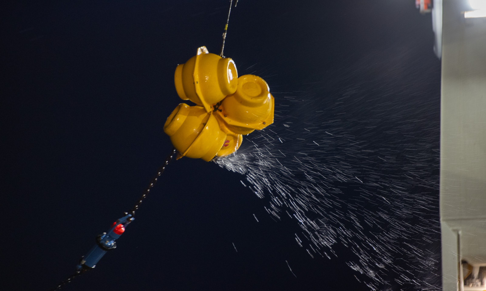
The buoy is spotted, and now the long cable, equipped with instruments at different depths, is pulled onto the ship. Not easy, because ice floes drift along and carry the cable with them, bringing them close to the ship, until the cable is released. A new version of ice fishing.

This is a good example of teamwork. You need experts on deck doing the manual work, a helmsman steering the ship with Fingerspitzengefühl, people on the bridge spotting the next buoy, and good communication between these groups. The first activity is successfully completed, with a wow-effect.

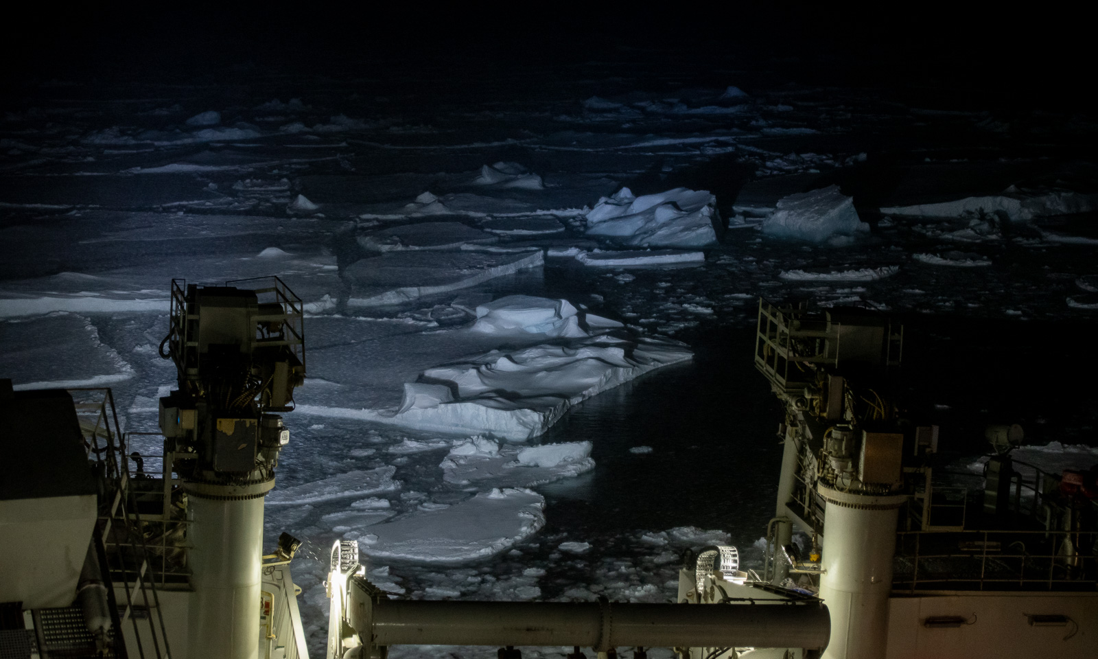
Watching the sea ice illuminated by the ships spotlights has its own beauty. I still cannot get enough from these views.

The weather, however, worsens. At 21:10, the wind speed reaches 20 m/s for the first time that day, and the temperature is dropping as well. It is snowing, and each snowflake leaves a bright trail, like a meteor. How will the weather be like tomorrow?

15 October

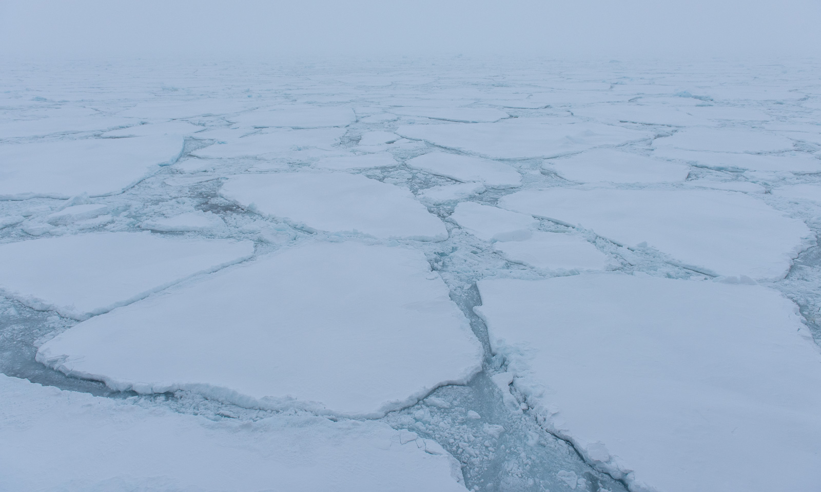
Over night, it has become even colder and windier. The temperature -10 °C and falling, and the wind speed is above 20 m/s and increasing. Ice floes cover the ocean. Now I’m glad, I brought my warmest down parka with me.

Two CTD casts have been completed today, but then it became too stormy to continue. I go onto the helicopter deck to take some photos, but the wind is so strong, that although I never thought it could actually happen, I’m afraid of being blown overboard. I can’t see much because I’ve pulled up the fur-trimmed hood of my parka to protect myself from the cold, and the wind blows the fur in all direction closing the hood even further.

In the evening – well, I managed to get a shot from the side of the ship, where I was slightly sheltered from the storm. When I went around the corner to the helicopter deck, I had to seek shelter because the storm was too strong. I took a selfie, but in a sheltered corner so that I could stand steadily and avoid getting frostbite on my hand while using my mobile phone.

16 October

At the risk of repeating myself, the weather looks even worse. I wake up at 5 o’clock, and the temperature is -15.4 °C with a wind speed of 26.2. That’s a wind chill of -32.6 °C. In mid-October!

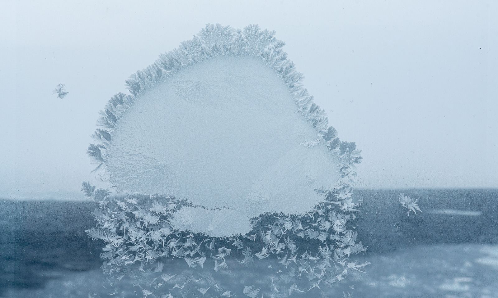
If you have read this article so far, you might get the impression that I am here as a photographer, but I’m actually here as a data manager, and I spend a lot of time at my computer in the Conference Work Room. I just don’t write too much about my computer work here. I am making good progress, but the distractions are there, for example, the frost patterns on the outer windows. This one looks like a jellyfish made of ice.
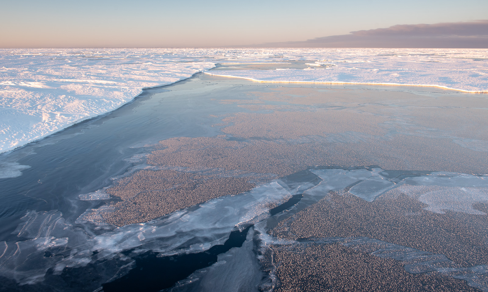
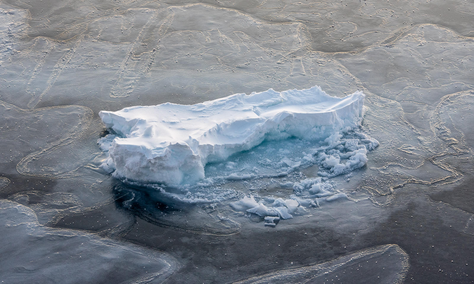
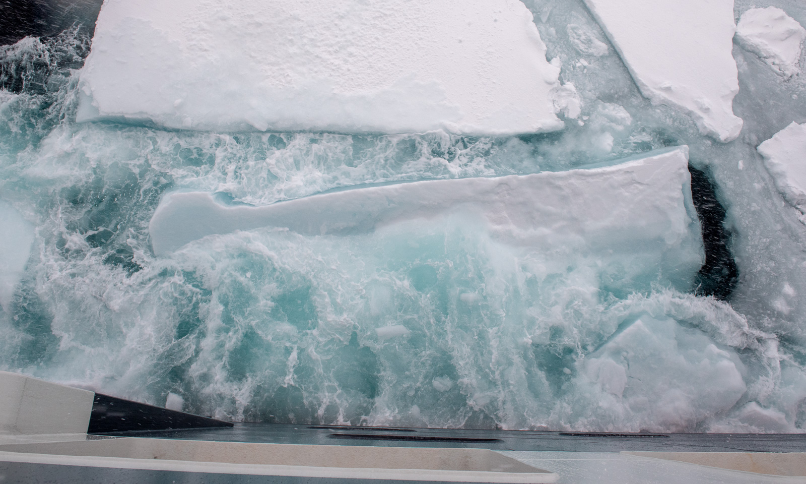
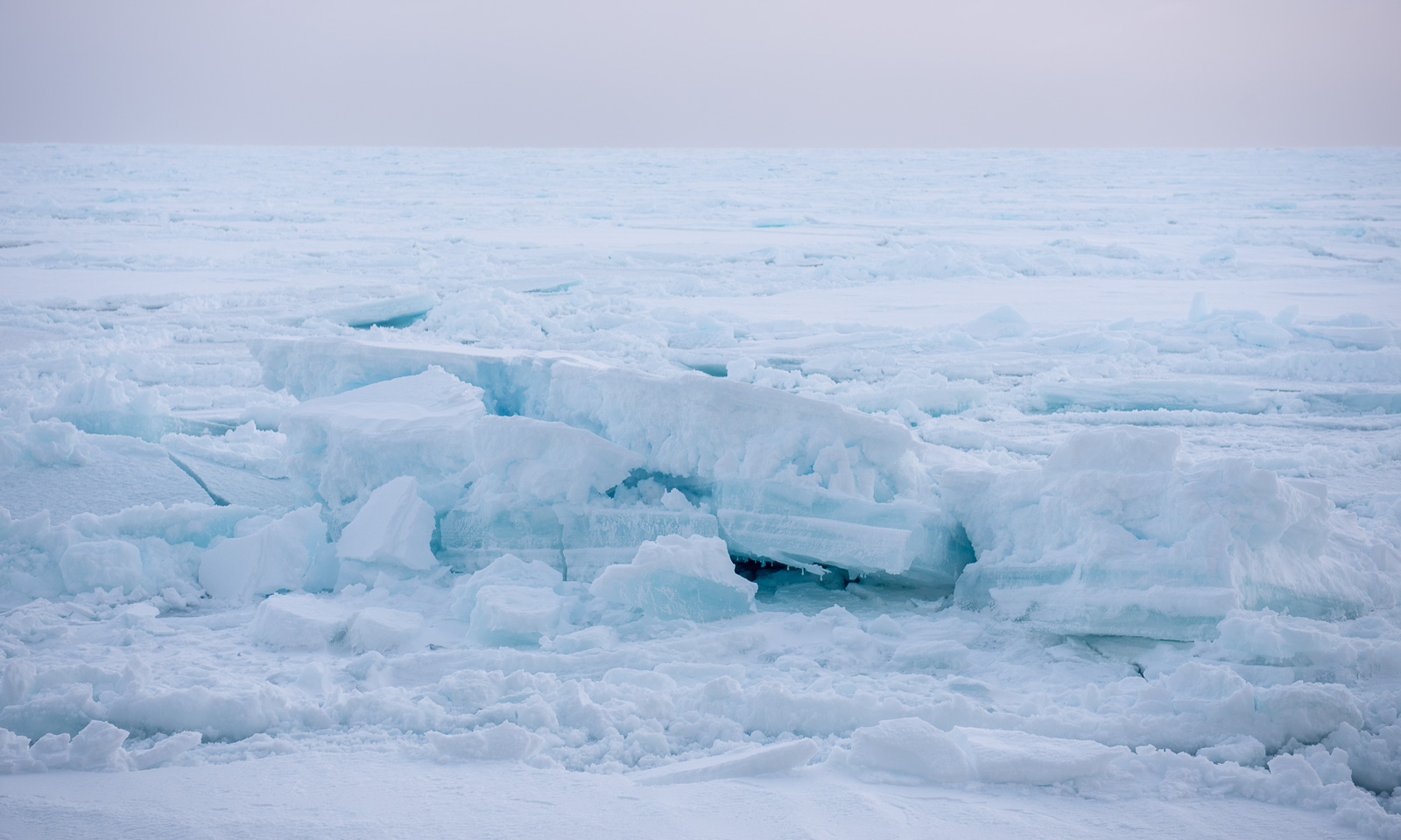
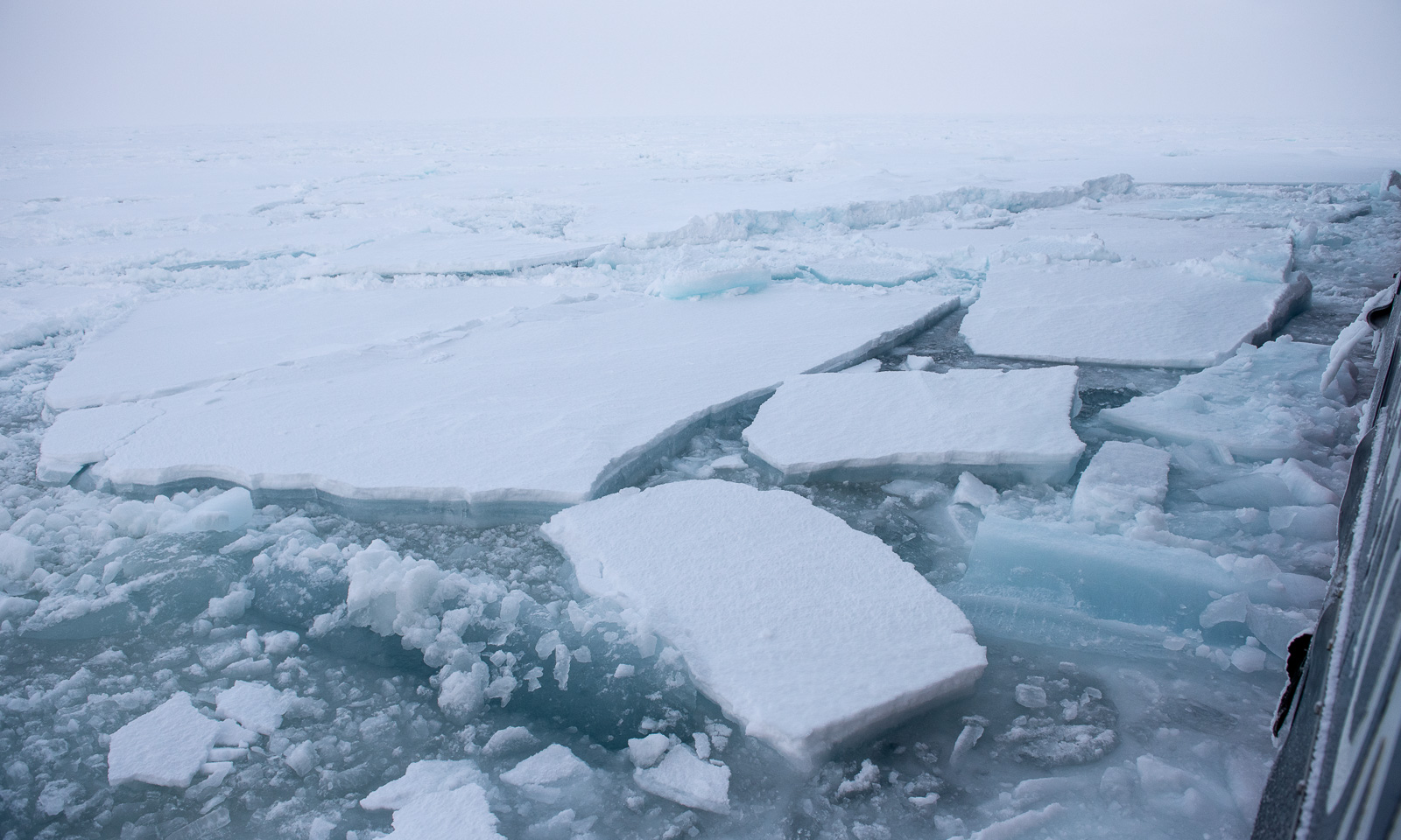
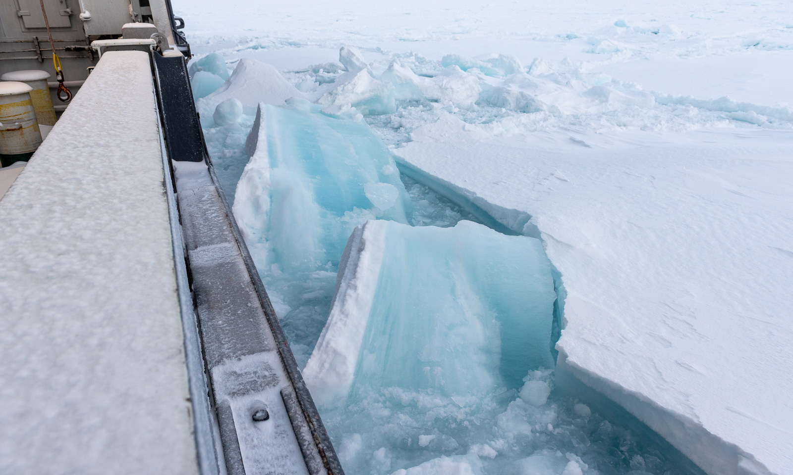
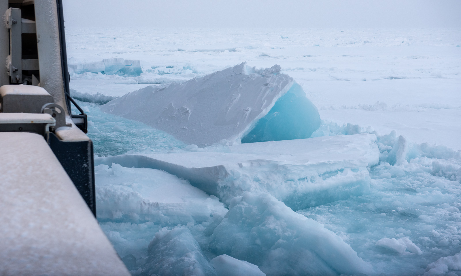
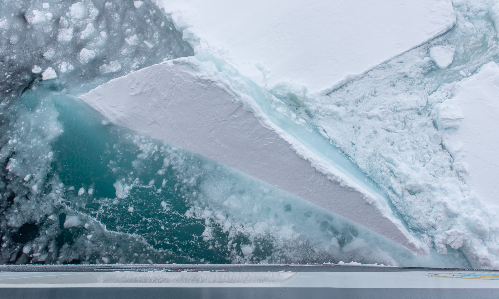
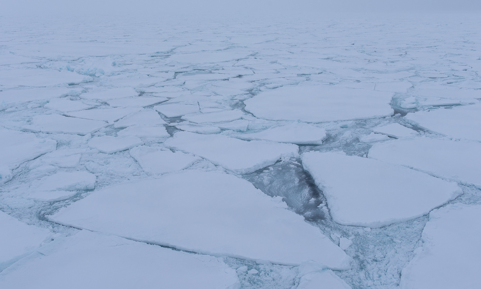
Right after lunch I go outside once more, this time to the ship’s stern, where I had a better protection from the wind. Oh, how I love watching the sea ice gently drifting by or being crushed forcefully by the ship.
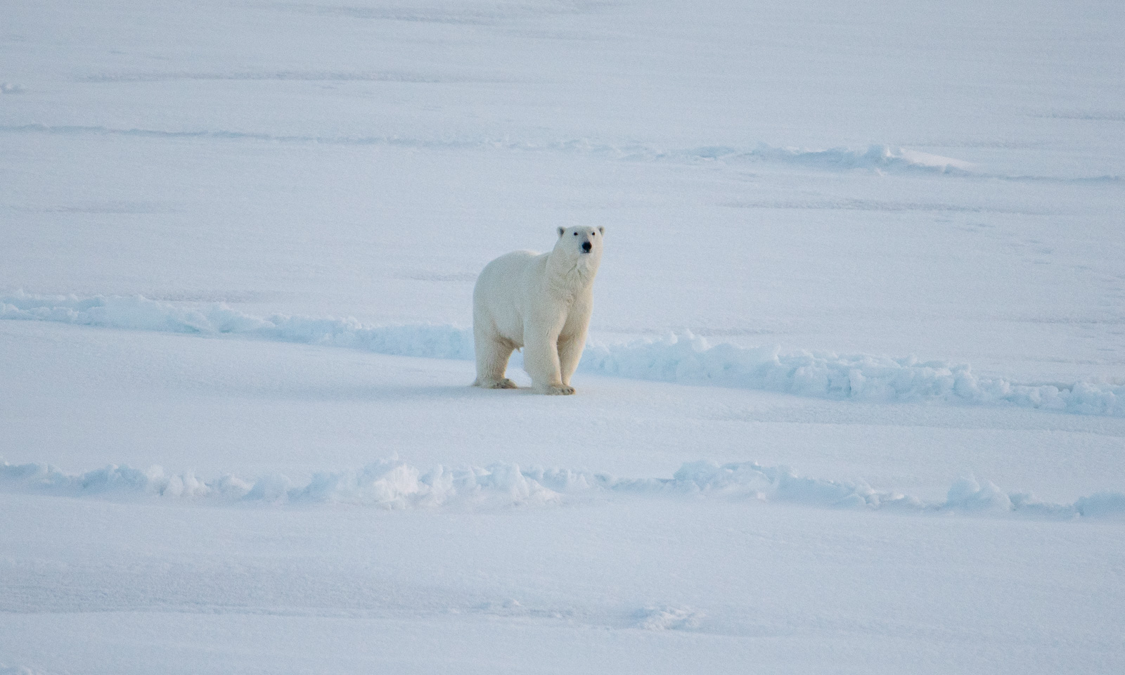
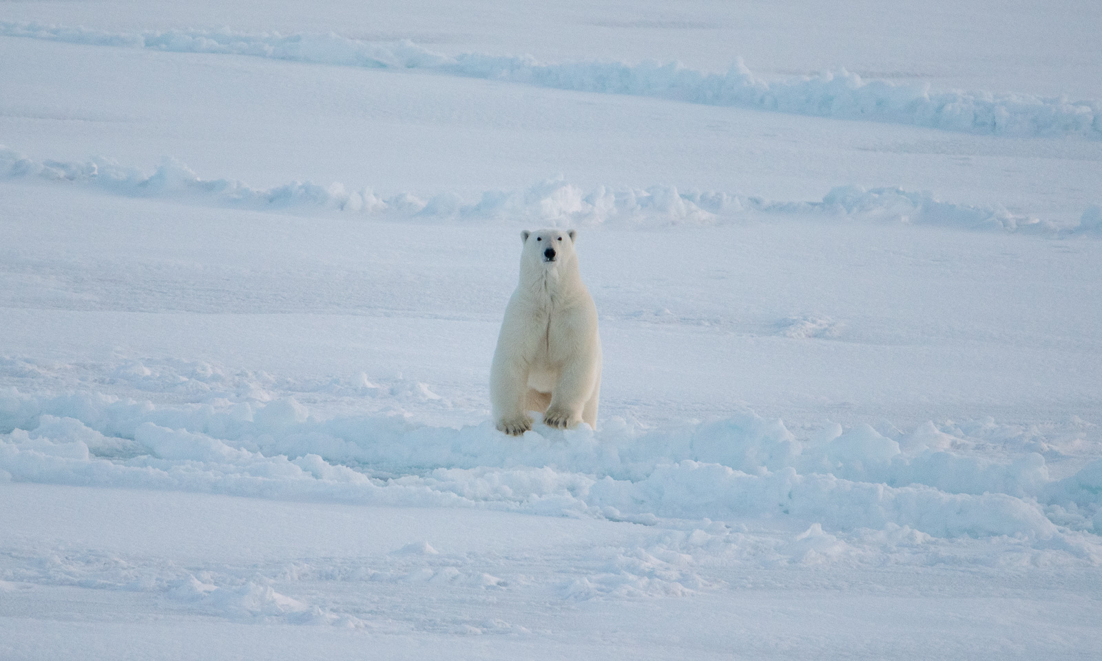
Ok, back to work. I’m almost finished with the day’s work when the others in the room suddenly jump up and disappear. A polar bear has been sighted in front of the ship. It takes me some time to put on my face mask, helmet, down parka, down pants, gloves, and boots, and to mount the big telephoto lens. Only then can I take some photos of the bear in the distance. It approaches at first, but then turns right and trots away.


Fram Strait cruise – departure

This article is part of the series “2026-10: Fram Strait cruise KPH”.

12 October

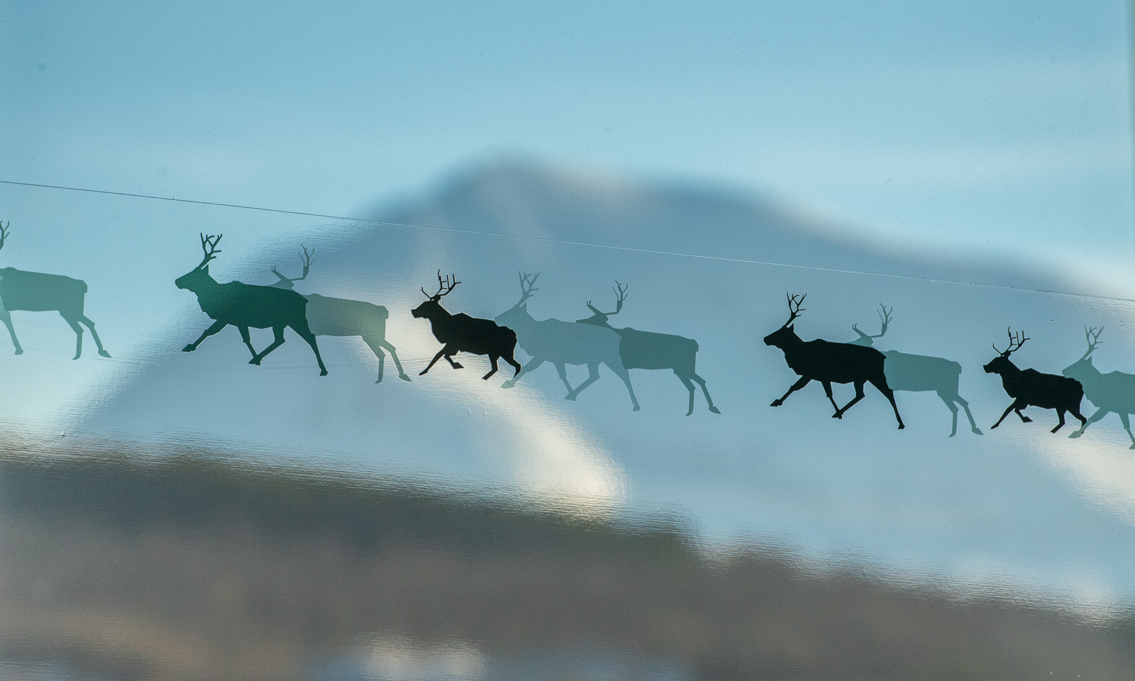
The weather in Tromsø is clear, the mountains are white, and the reindeer are flying.

At least, it looks like this, while I’m sitting at Gate F18 of Tromsø Lufthavn, waiting for my flight to Longyearbyen, Svalbard. Some of my colleagues from the Norwegian Polar Institute are here as well. We are all going on board the research icebreaker Kronprins Haakon (KPH) for a cruise in the Fram Strait between Svalbard and northern Greenland for almost three weeks the next day.

On arrival in Svalbard, we get a lift to our respective hotels, where we stay overnight.

13 October

Three of us were staying in Coal Miner’s Cabin, which is south of the centre. We share a taxi to Bykaia, part of the Port of Longyearbyen, where KPH is berthed. It has got warmer and it’s raining.

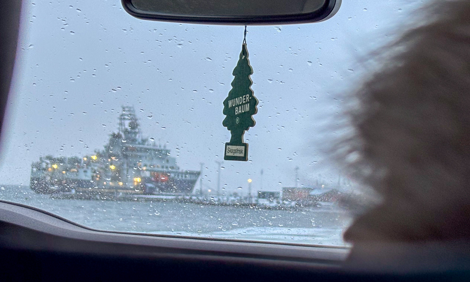
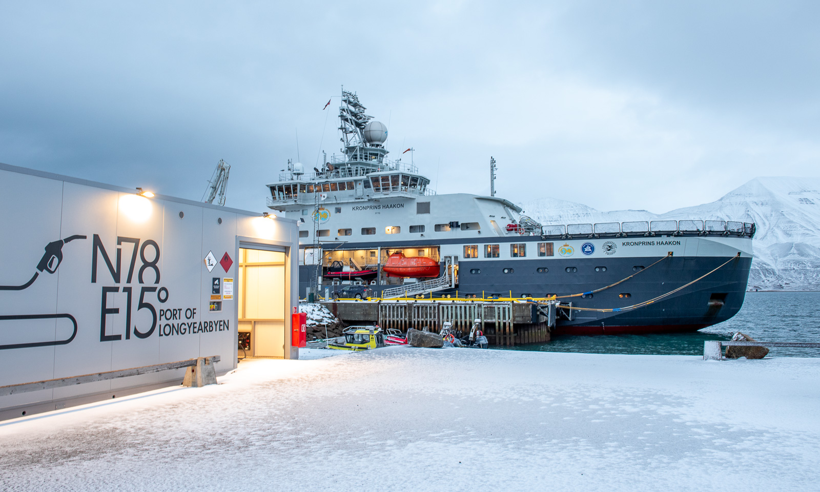
And here it is – the ship on which the 18 of us will spend the next three weeks together with the crew.

Just kidding! The RV Kronprins Haakon is actually lying in the other direction.

During the evening, the weather gets a bit ugly. It’s +5 °C, it’s raining and the wind speed is around 20 m/s. The sea state gets rougher and the waves grow higher.

14 October

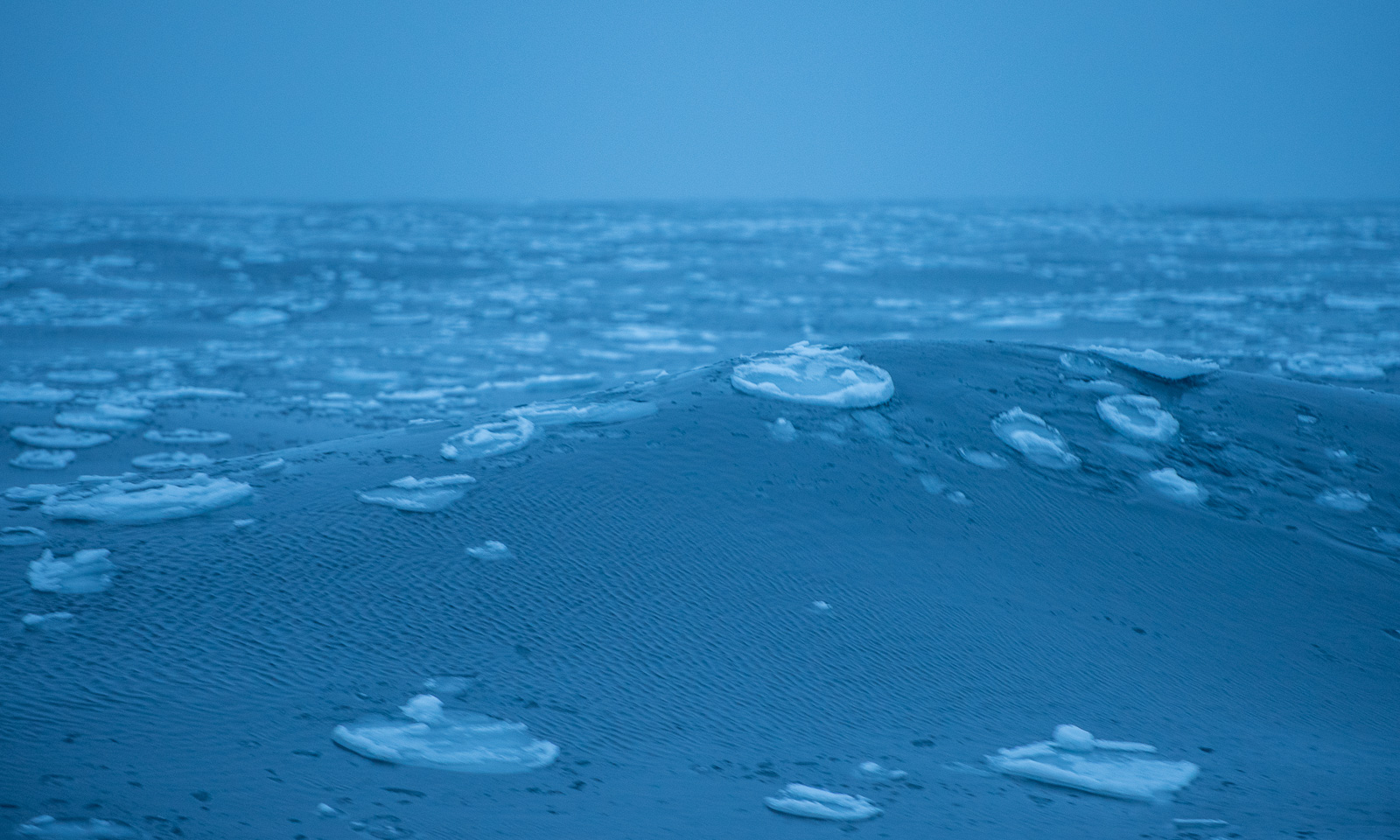
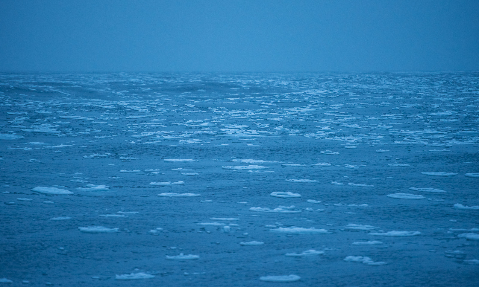
In the morning the sea has calmed down and at a quarter past nine I feel the first small bump as a small ice floe collides with our ship. We have entered a band of pancake ice.

Now we are in open water again and the conditions are calm. Anyway, if Windy is right, we will get pretty rough weather tomorrow with a wind speed of around 18 m/s and an air temperature of -17 °C – a drop of almost 20 degrees. That would result in a windchill of -33 °C and I am very glad that I took my Canada Goose parka and trousers with me.

28 September – 1 October – the last days

This article is part of the series “2026-09: Canada”.

It was more than three weeks ago that our holiday in Canada began. We still have some days left, but we are on the home stretch. It has been a spectacular holiday with many more impressions than I had hoped for, and if I had to say what the best part was, I couldn’t give a single answer. Besides, I got to share it all with my wife Annika.

28 September

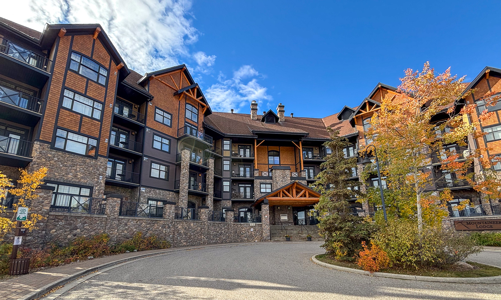
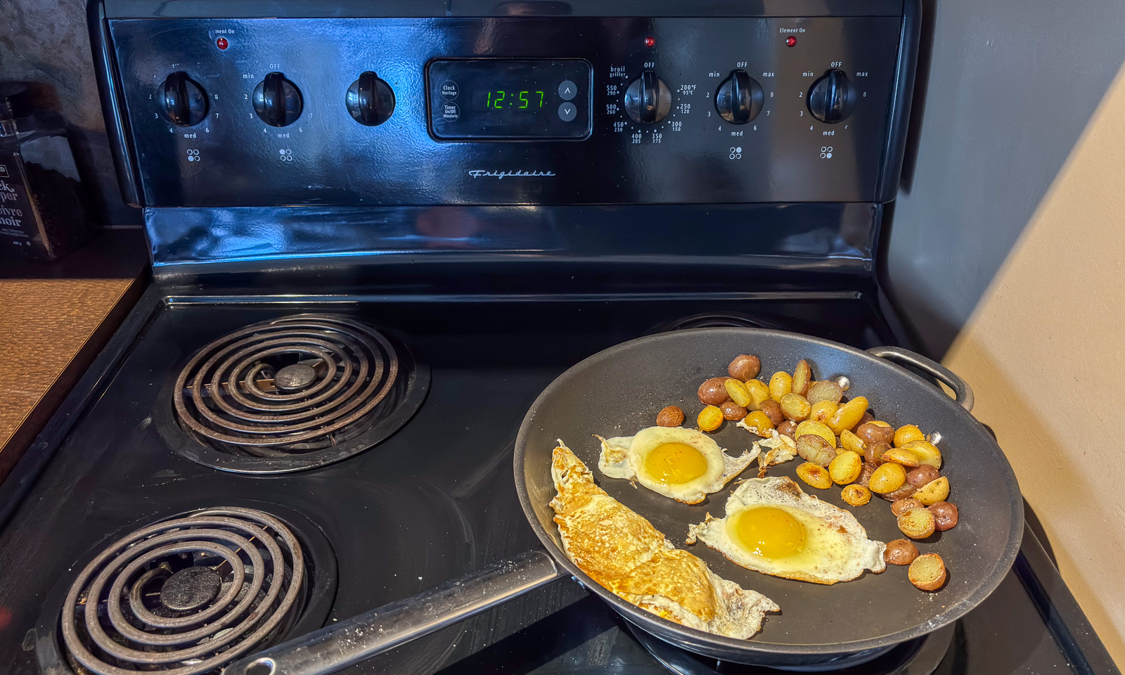
After the wonderful previous day, when we drove the Icefields Parkway we have another day at the Kicking Horse Mountain Resort, a ski resort 500 metres above the town of Golden, My plans for the day; a swim in a lake and an afternoon nap. But first: breakfast.

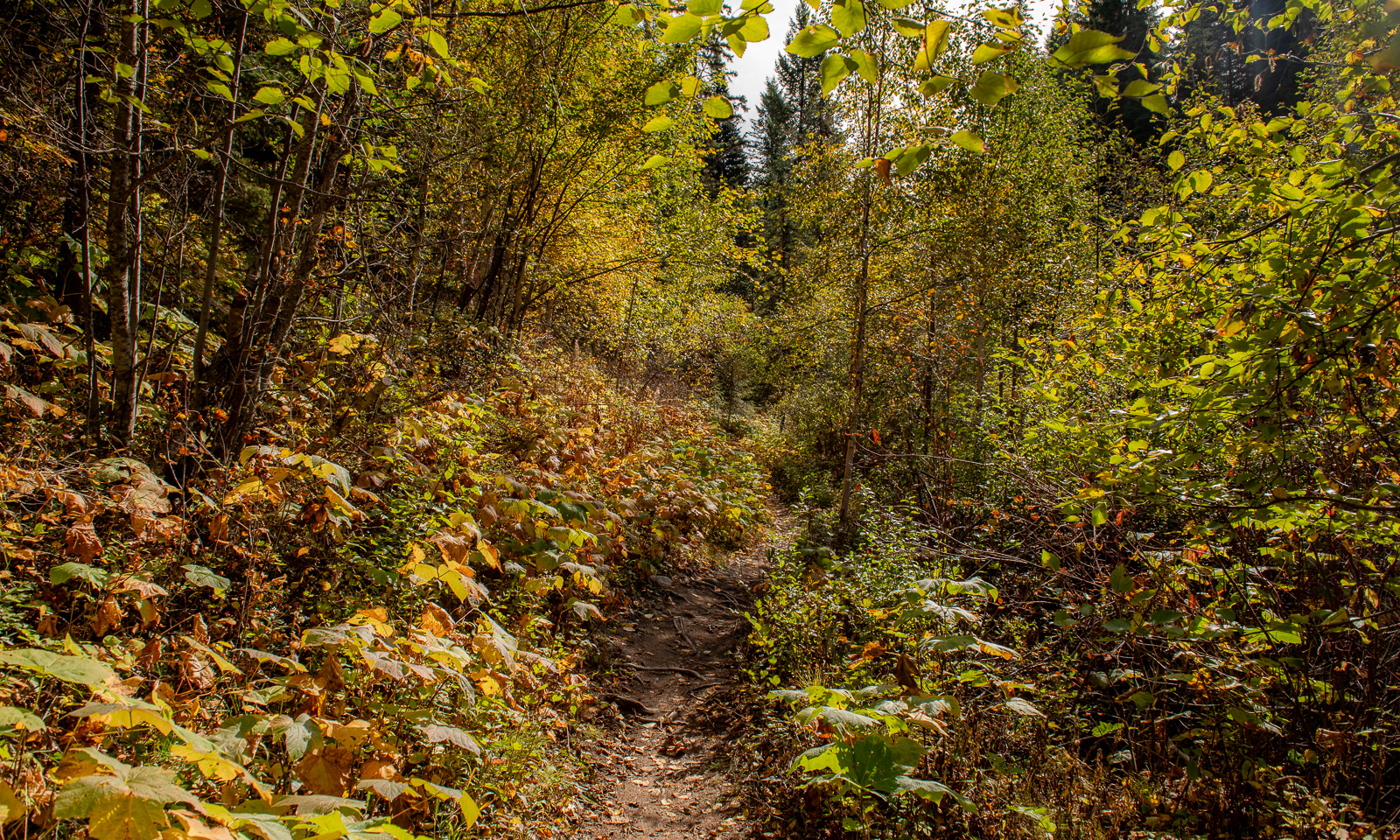
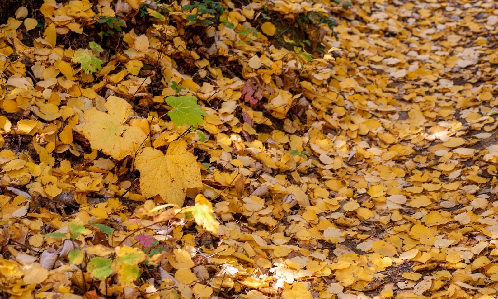
We take the car to the Cedar Lake, a nice bathing lake nearby. First we hike to Astro Lake through autumnal forests. The way back is a bit longer than expected, and a chance to cool down in Cedar Lake, which has its own bathing jetty is mostly welcome. I spend some time swimming in the cold water, and back at the apartment I am shivering. Luckily, our apartment has a bathtub, which gives me my second bath of the day.

29 September

Oh, this is an early morning. For three weeks we have been spreading out all our belongings in our rental car, now everything is properly packed again, because today we have to return the car. Not in Golden, but in Calgary – 300 km away – by 10 o’clock. When we start, it is pitch black and it is raining. It takes more than an hour until I can distinguish the mountains against the cloudy sky.

Returning the car works like a charm. There is a dedicated lane off the road and the friendly staff wave us into a parking bay. We take our belongings, return the key, and that’s it. We take the number 500 bus into town and another one to our Airbnb apartment, leave our luggage and look for a place where we can return our deposit bottles that we collected over the past few weeks. They are not accepted in the supermarkets but in special bottle depots.

30 September

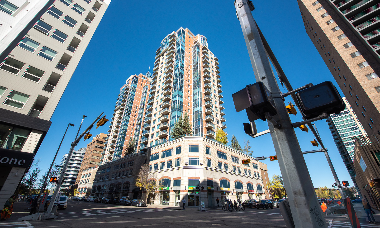
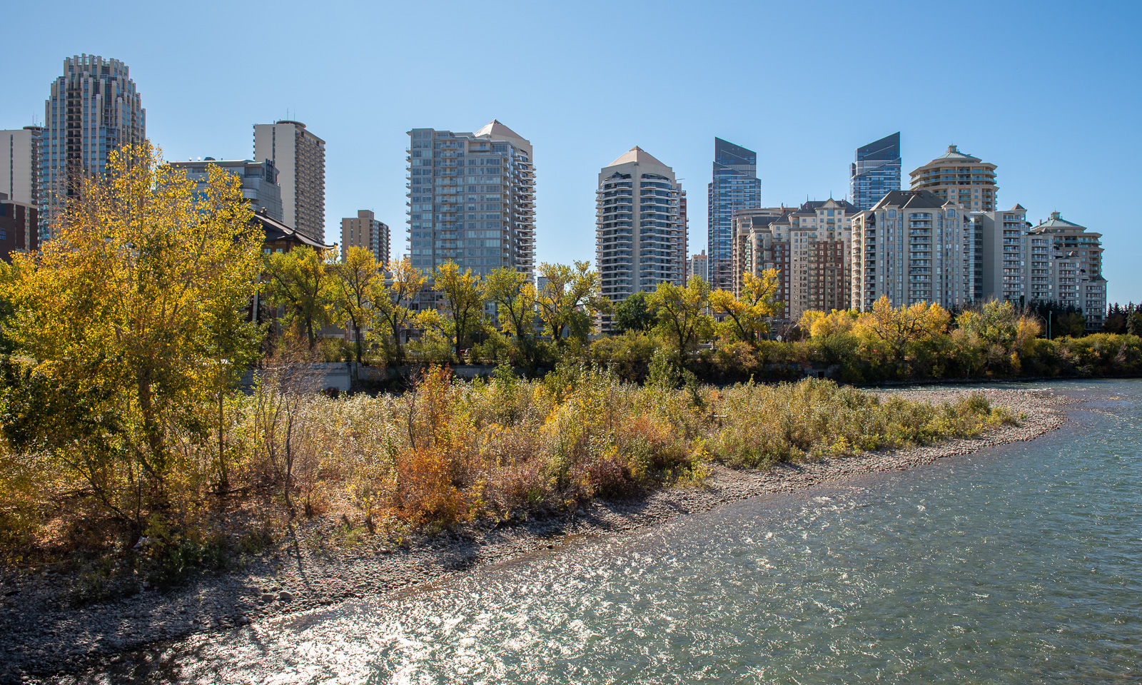
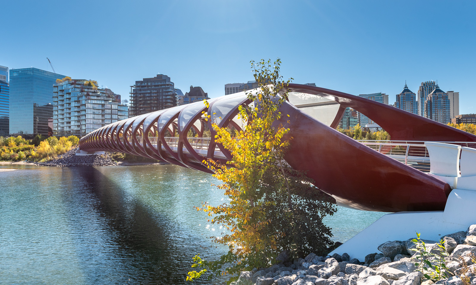
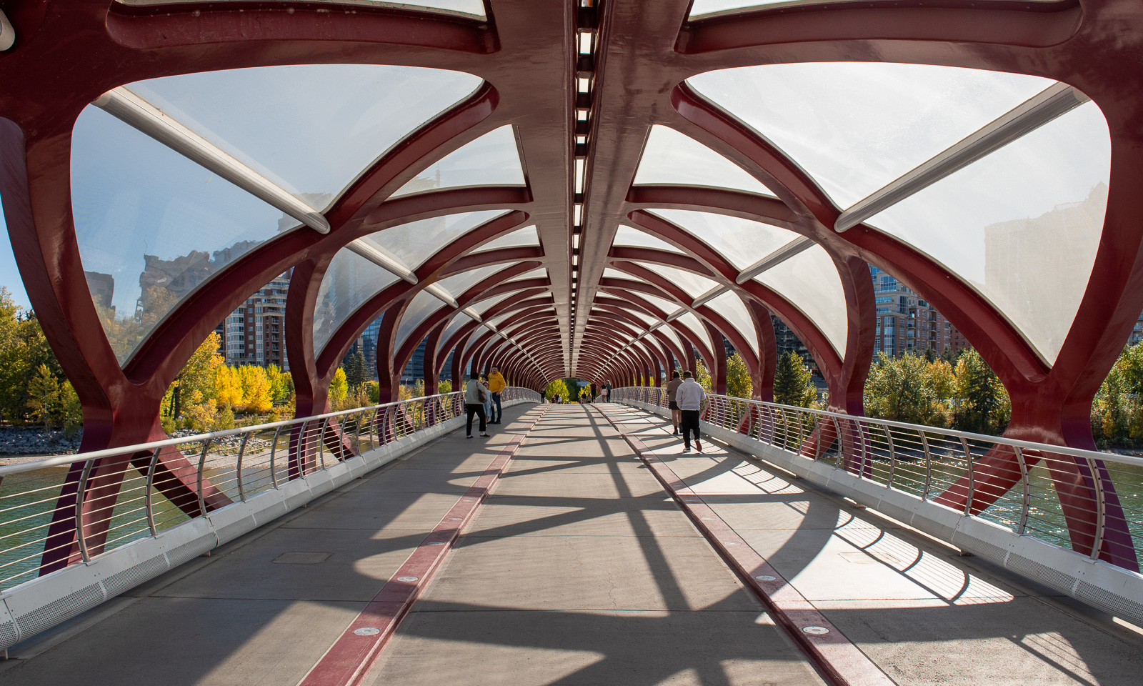
Today we want to discover Calgary. We take a bus to the centre and cross the Bow River, the very same river we saw in the Rockies three days ago. We return to the centre on the Peace Bridge and take a stroll through the Prince’s Island Park, located on a river isle. The combination of the skyscraper-dominated cityscape, the river and the autumnal trees has its appeal.

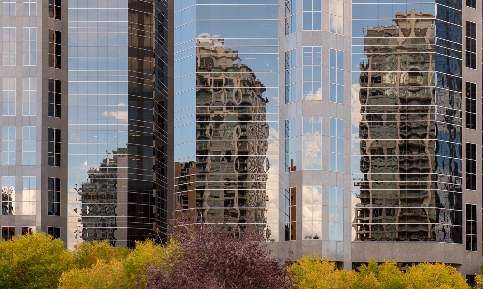
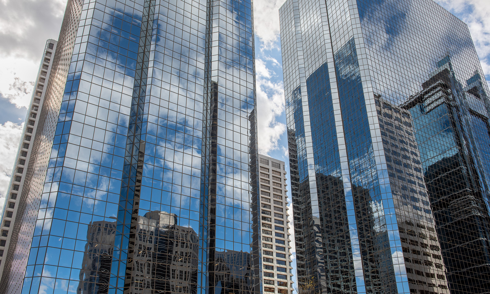
In town we drift through the streets, which are laid out in a grid with streets (St) and avenues (Ave). The number of skyscrapers is stunning. There are many with apartments, but it looks like the big ones with the mirrored façades seem to be mainly office buildings.

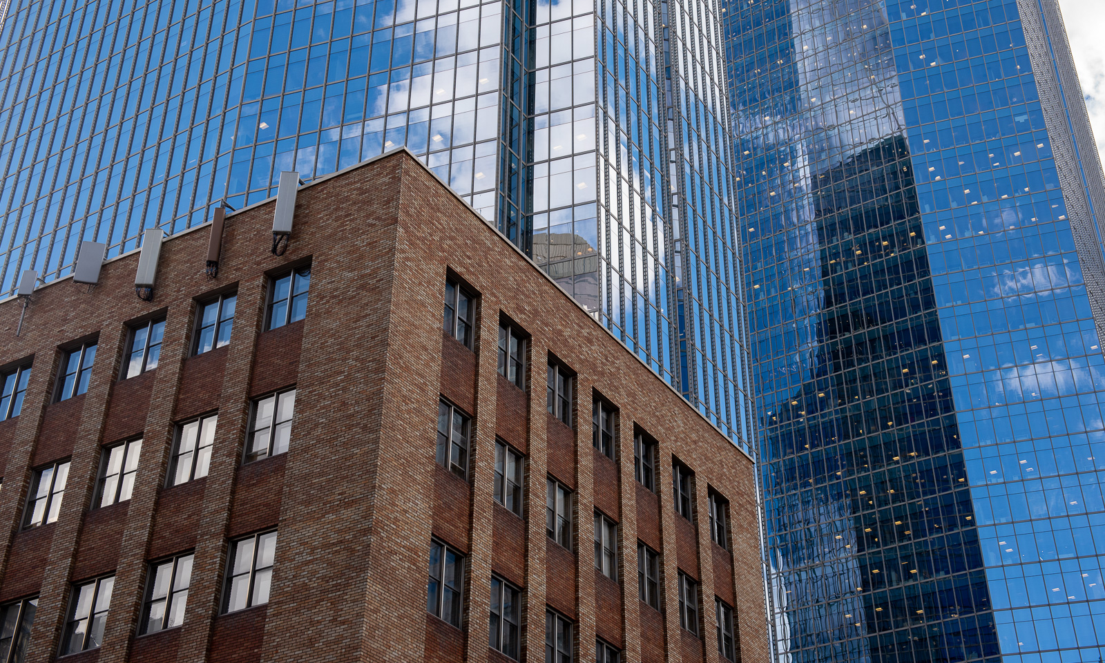
But of course there are other houses as well, sometimes contrasting with their modern siblings, sometimes just finding a small patch, where they stand like a dandelion on an asphalt road.

We enjoy our last dinner in the Taste of Yemen, where we get an incredible meal at more than reasonable prices. If I lived in Calgary, I would be a regular visitor there.

1 October

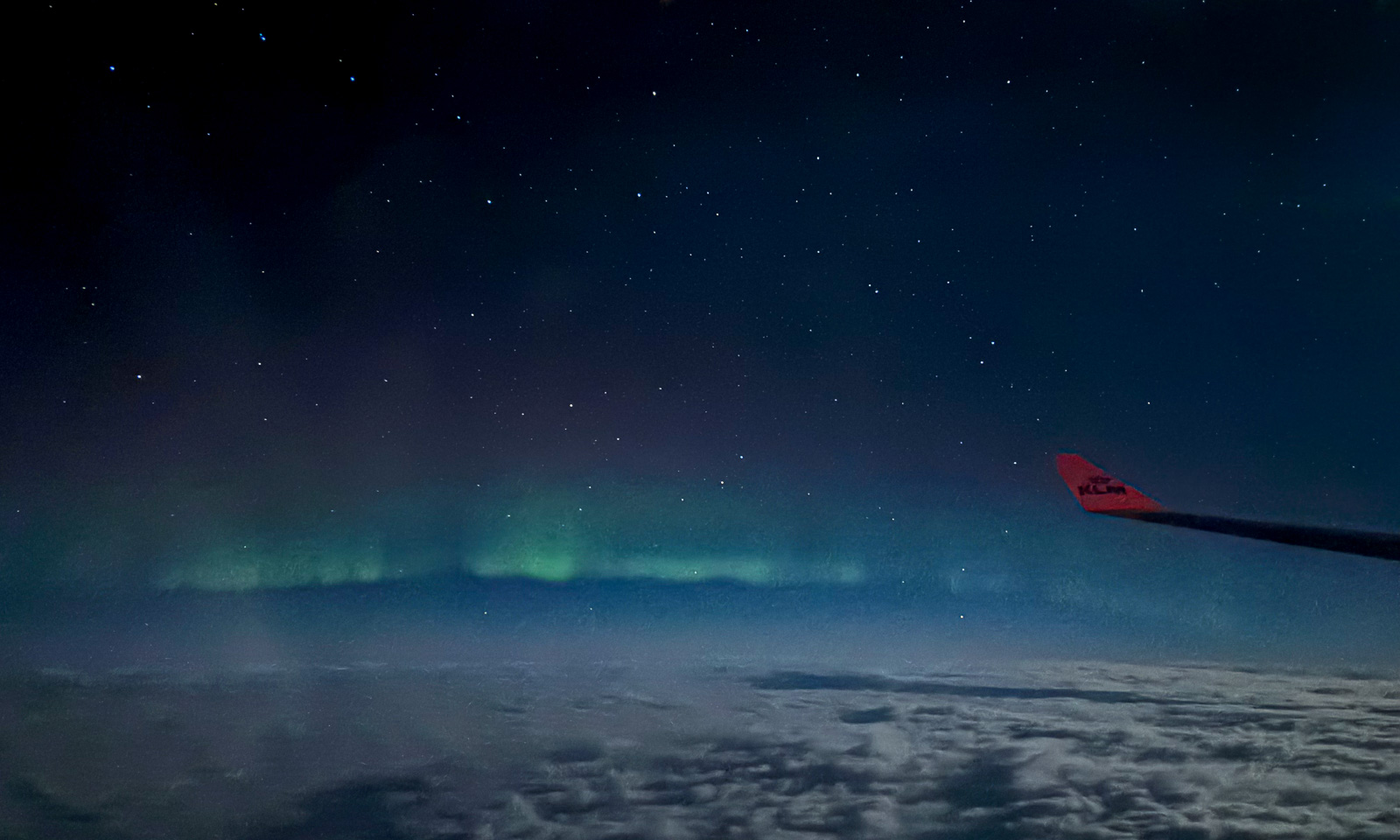
Time to fly home. After having the last breakfast, packing our belongings, taking the bus to the airport, leaving the baggage, waiting for the flight and then Annika and I leave Calgary, sitting side by side in the very last row of the aeroplane. I have set my clock forward eight hours to get back to Central European Summer Time again and try to sleep as much as possible. It is more than a series of naps. When I wake up for the umpteenth time, we are above the coast of Labrador. It is night and I cannot see any landscape, but I do see a faint green arc in the north. The first Northern Lights of the season.


27 September – Icefields Parkway

This article is part of the series “2026-09: Canada”.

27 September

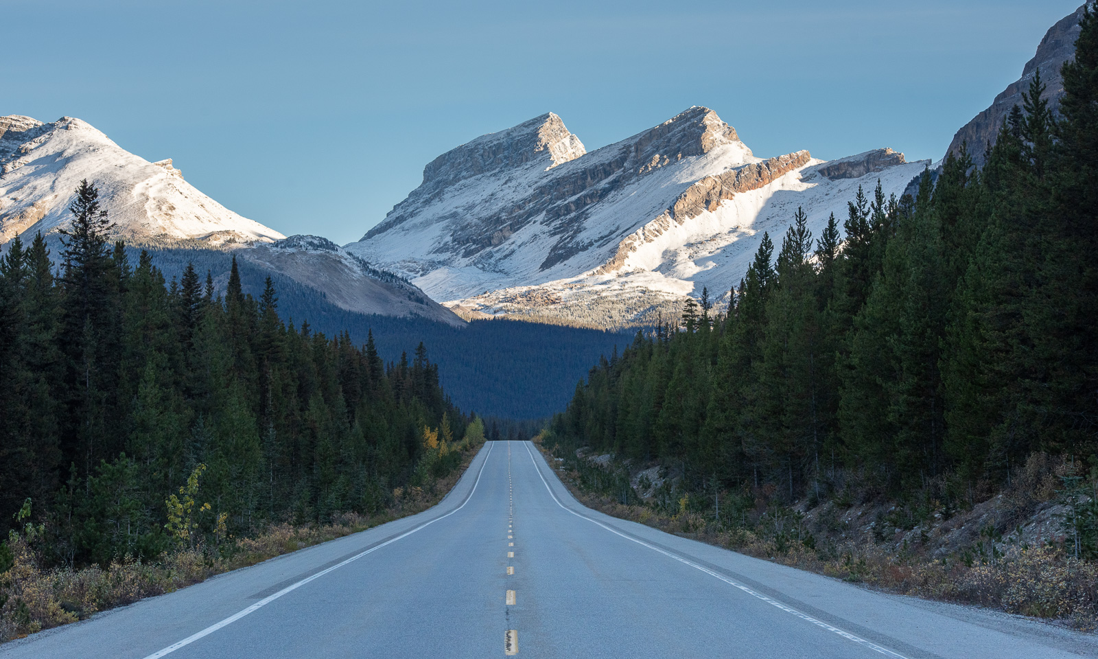
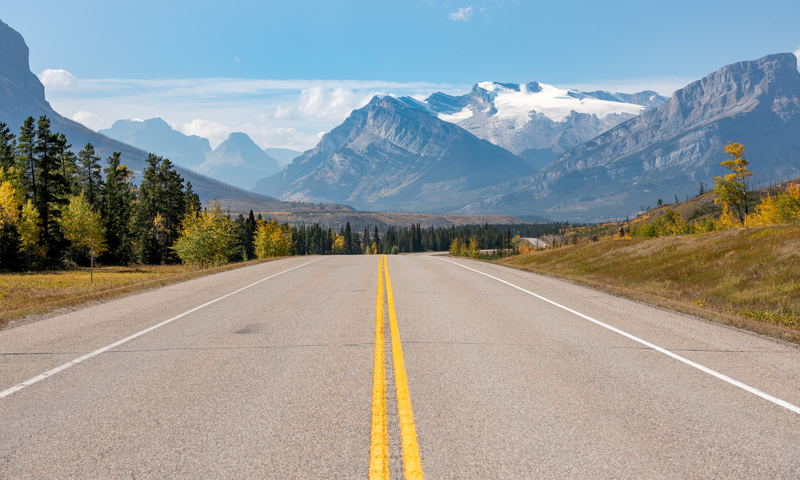
My wife Annika and I have seen the Canadian Rocky Mountains on both our flights to Canada. We crossed them together on our way from Valemount to Jasper. We saw them again when we visited the Athabasca Falls the following day. We crossed them again in the opposite direction on our way from Drumheller to Radium Hot Springs. Today is the day when we want to drive the most famous road in the Canadian Rocky Mountains, the Icefields Parkway, part of Alberta Highway 93.

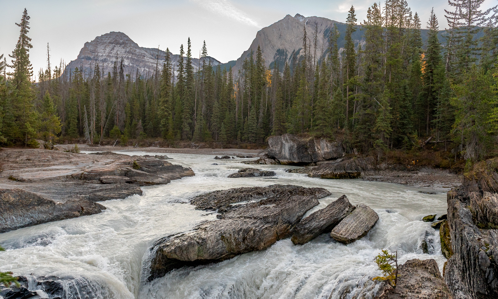
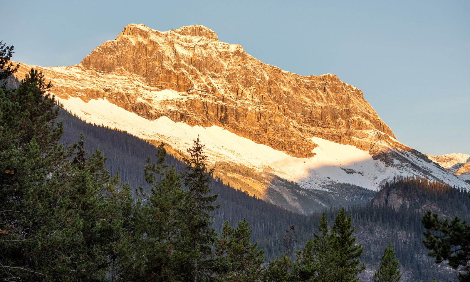
5:40 – the alarm clock rings. We want to get an early start, because it could be a long day. At 6:30, we start our journey. It is a chilly and starry morning with constellations like Orion and Canis Major in the east. Our first stop is not on the Icefields Parkway but on the road between Golden and Banff – Natural Bridge Lower Falls in the Yoho National Park. The river lies in the shade of the morning. While we are back on the road, the sun rises and illuminates the mountain peaks.

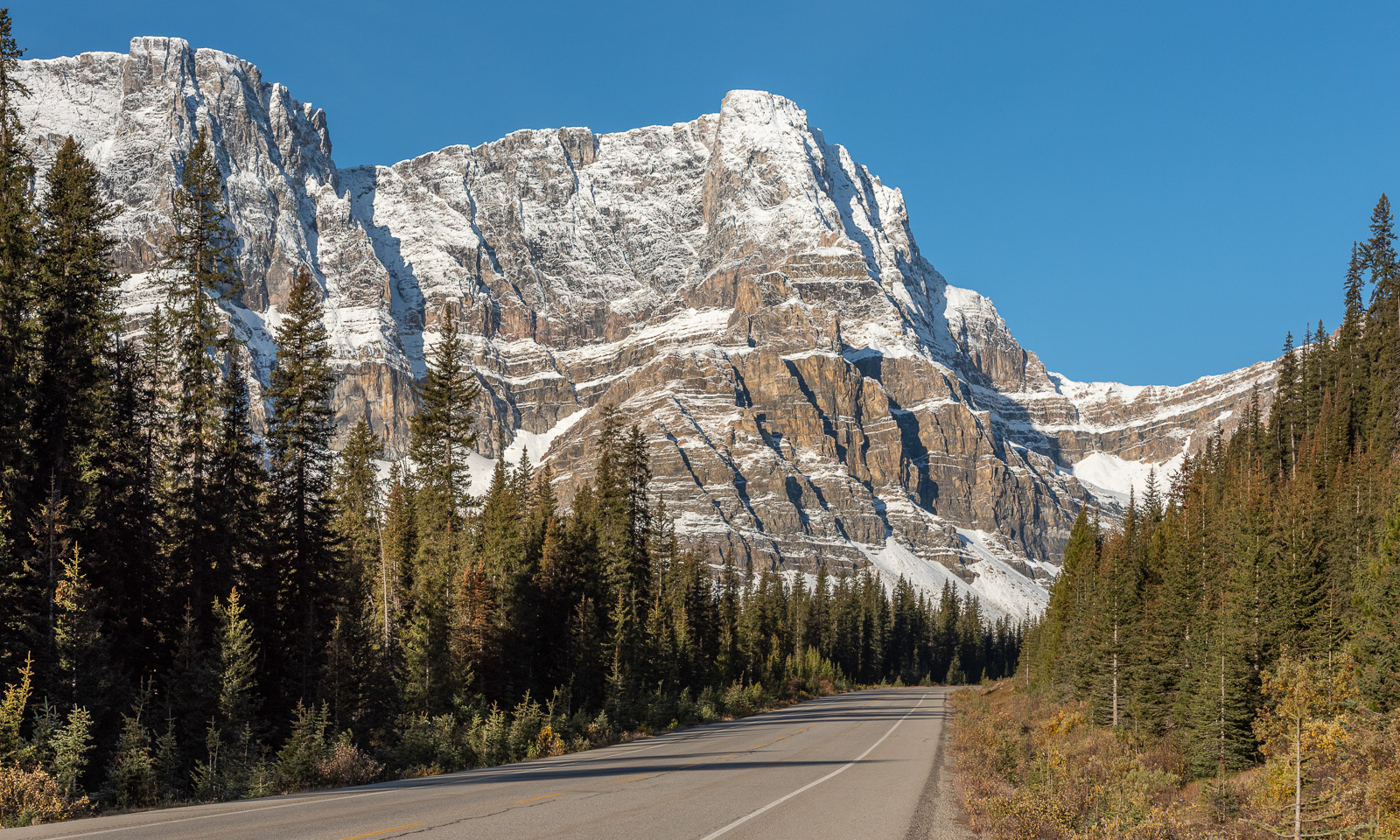
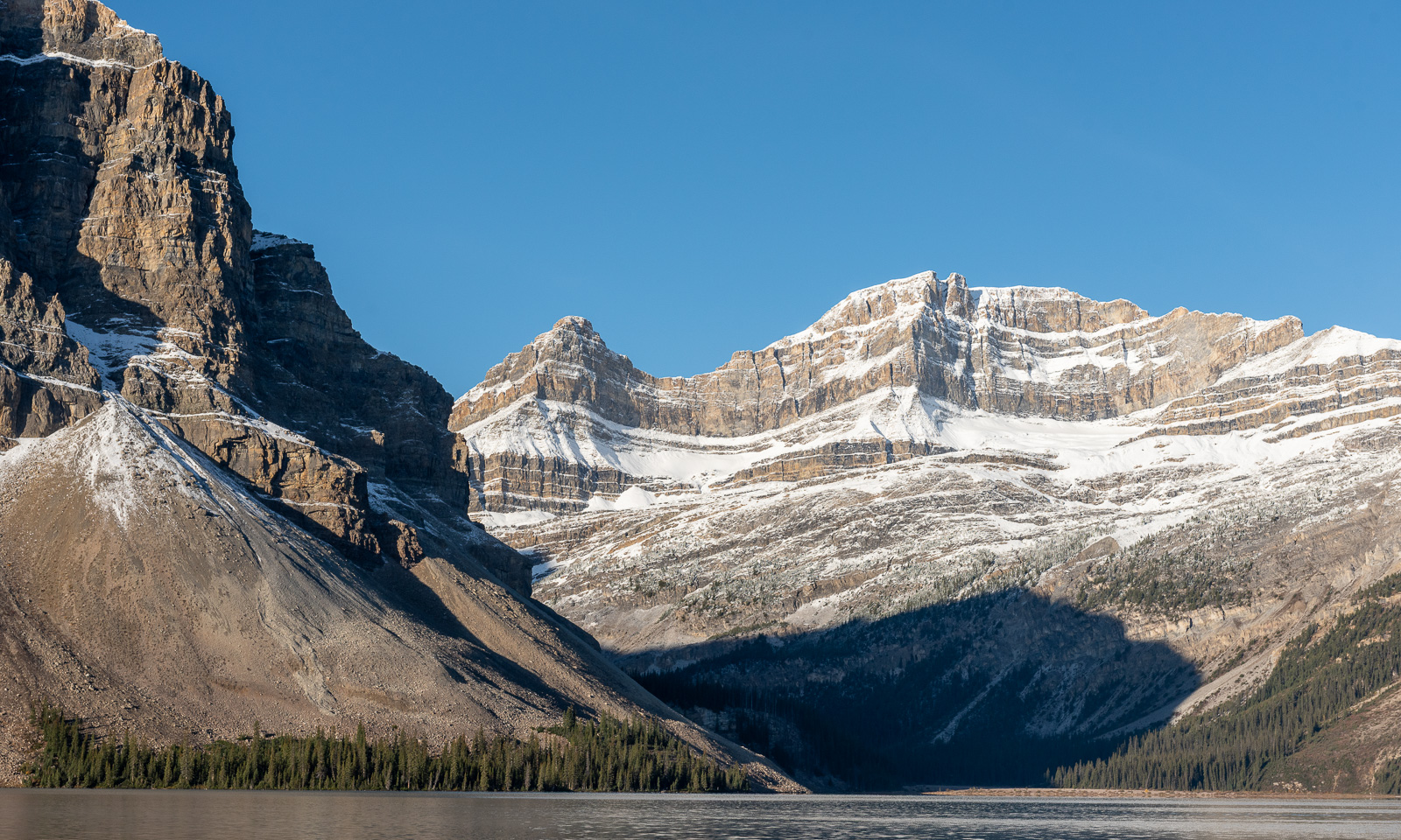
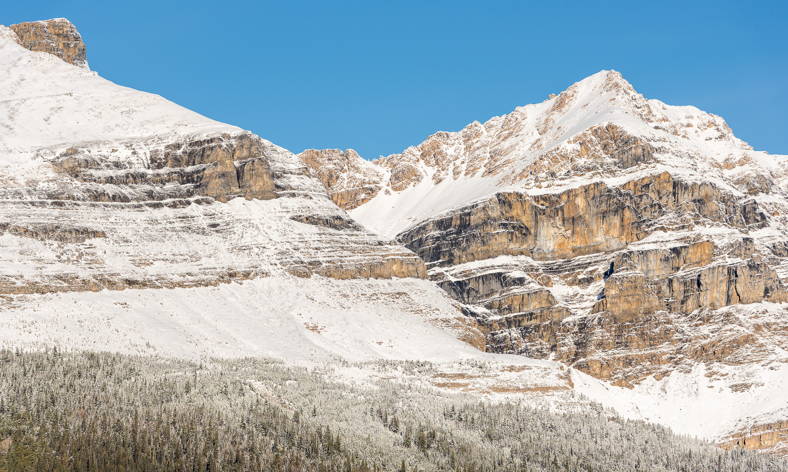
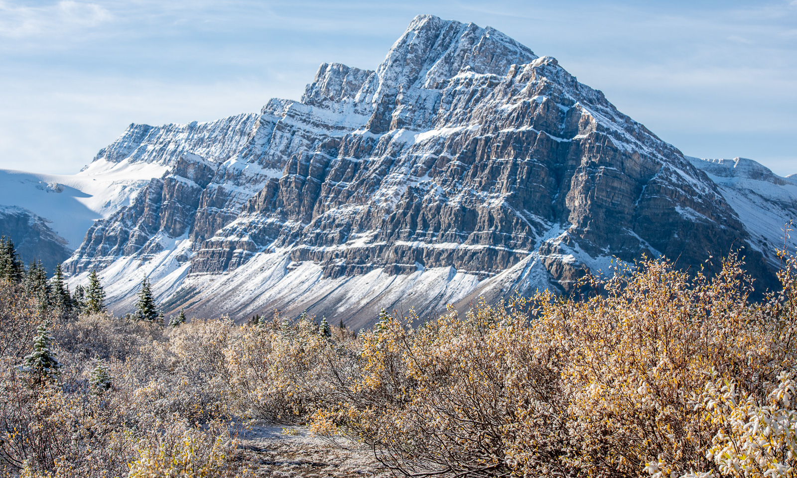
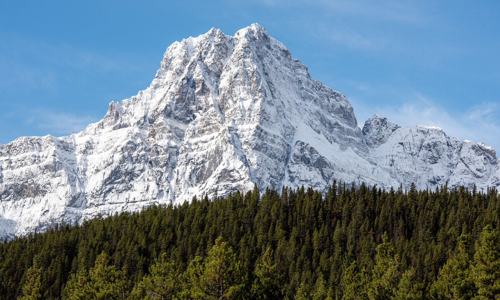
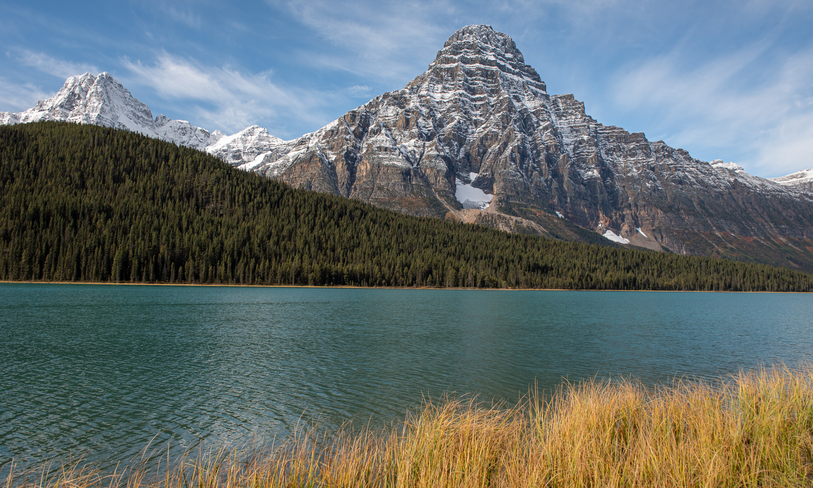
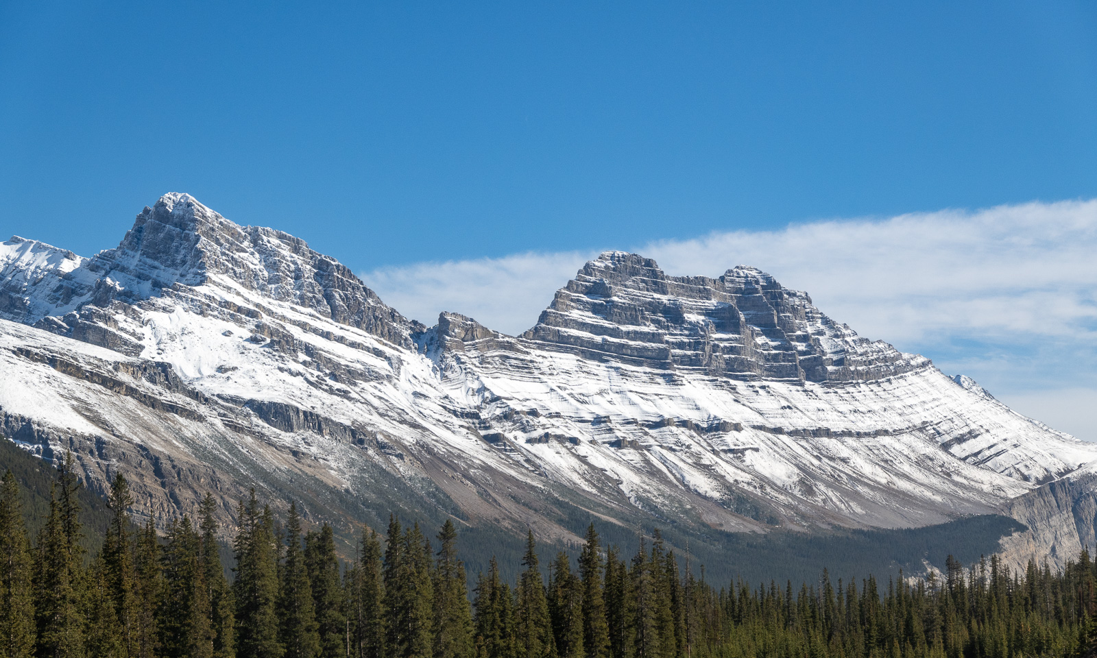
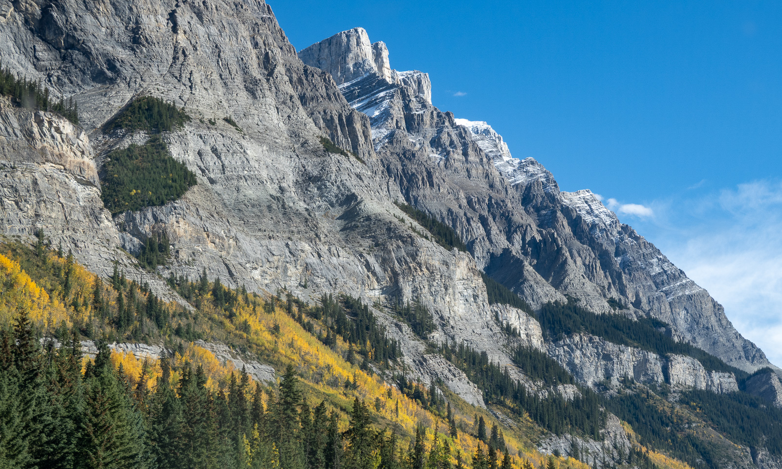
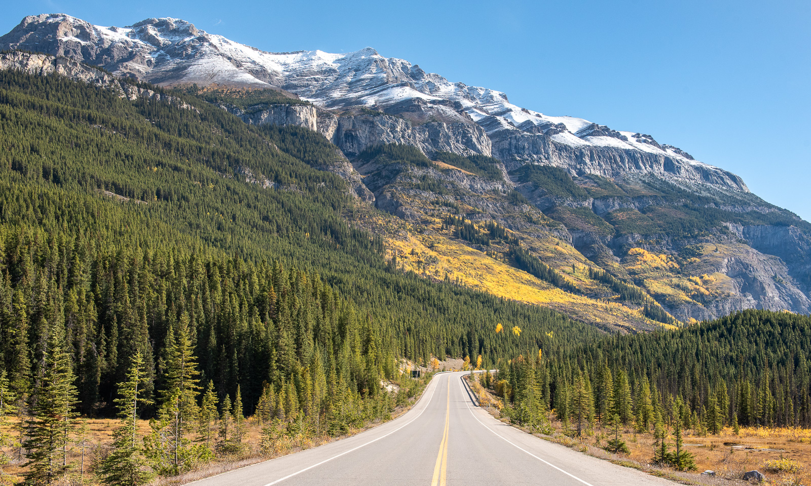
We drive to the car park at Lake Louise, one of the tourist hotspots but just turn around. First of all, the car park is already full, and then we’ve decided to skip the lake anyway (the parking fee alone is 42$). However, this is where the Icefields Parkway starts or ends, depending from your perspective. The air is cold, the car thermometer shows -4 °C. We drive north. We have had incredible luck with the weather. The last rain has brought fresh snow to the mountains, but now the sky is clear again and all the mountain peaks are visible. And yes – this is an especially beautiful road to drive ,and now, in late September, it is much less crowded than I expected.

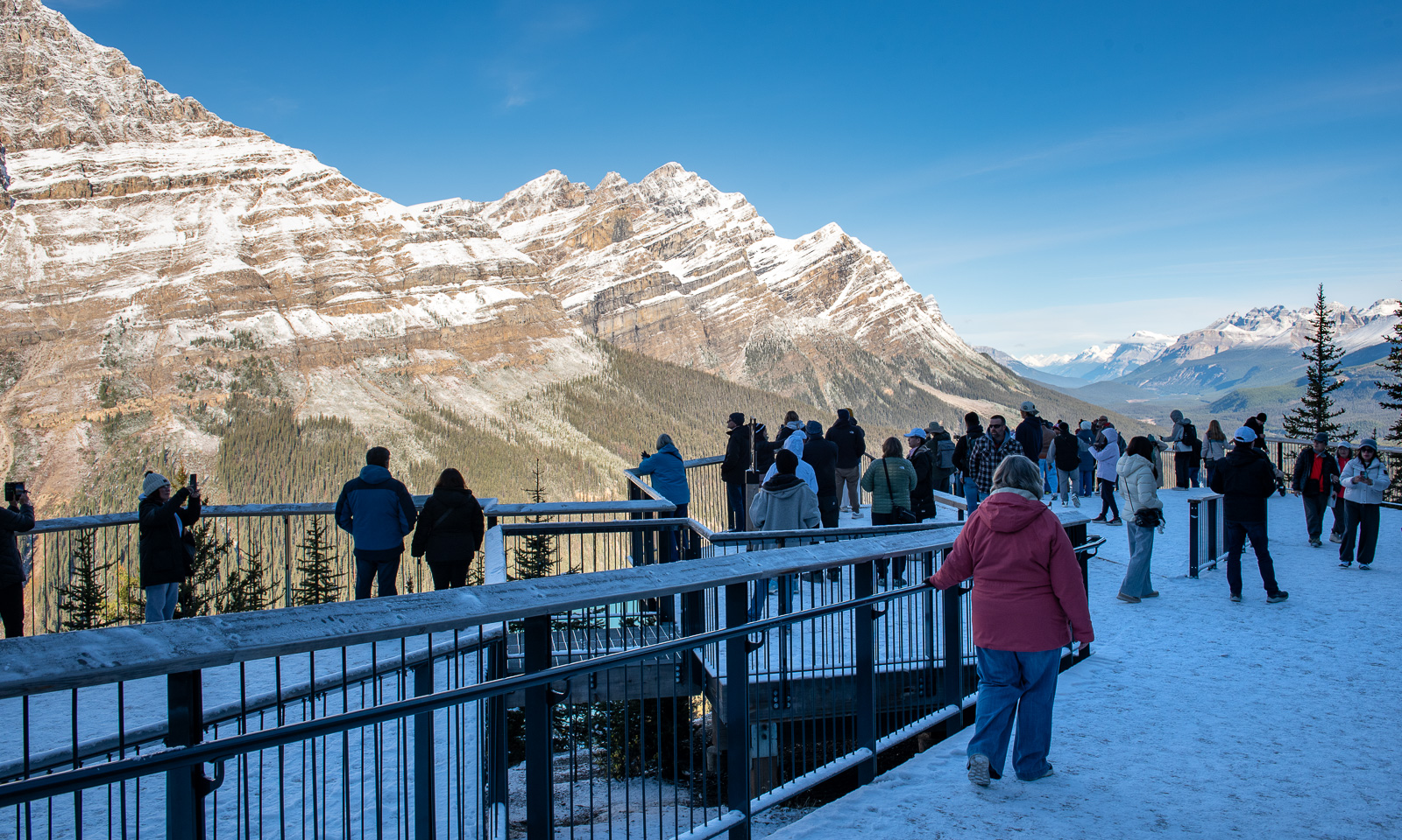
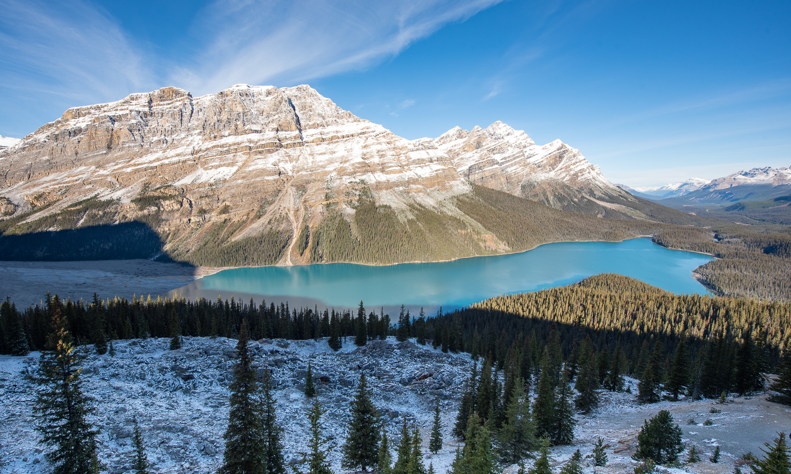
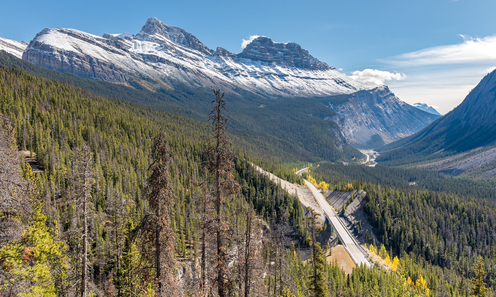
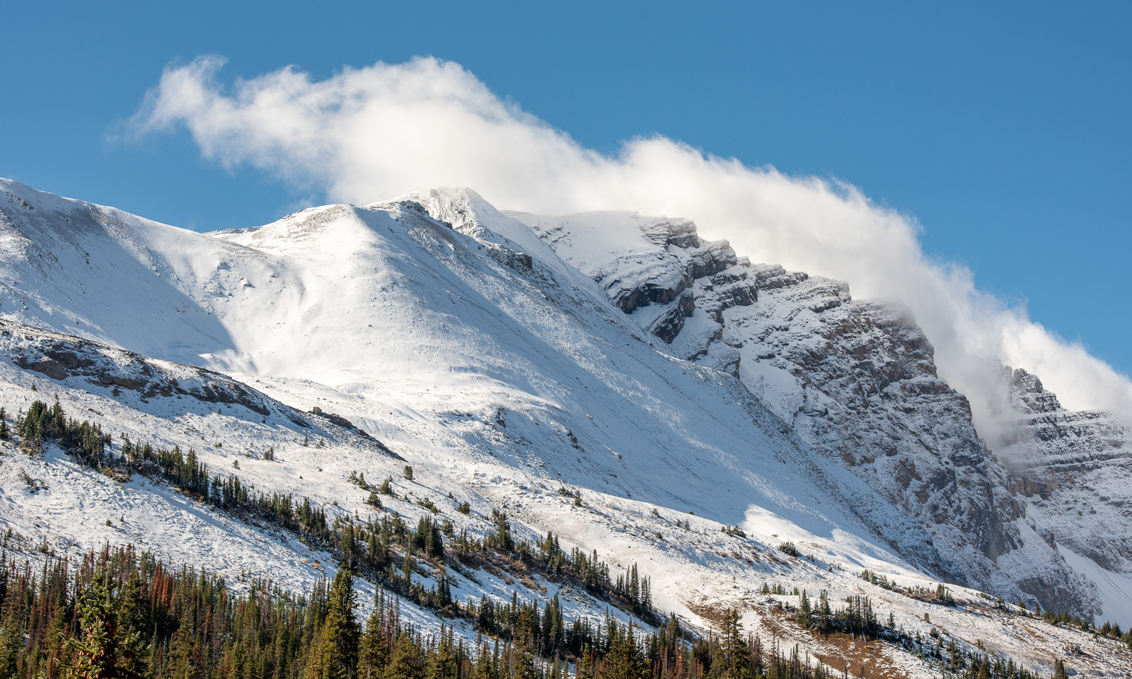
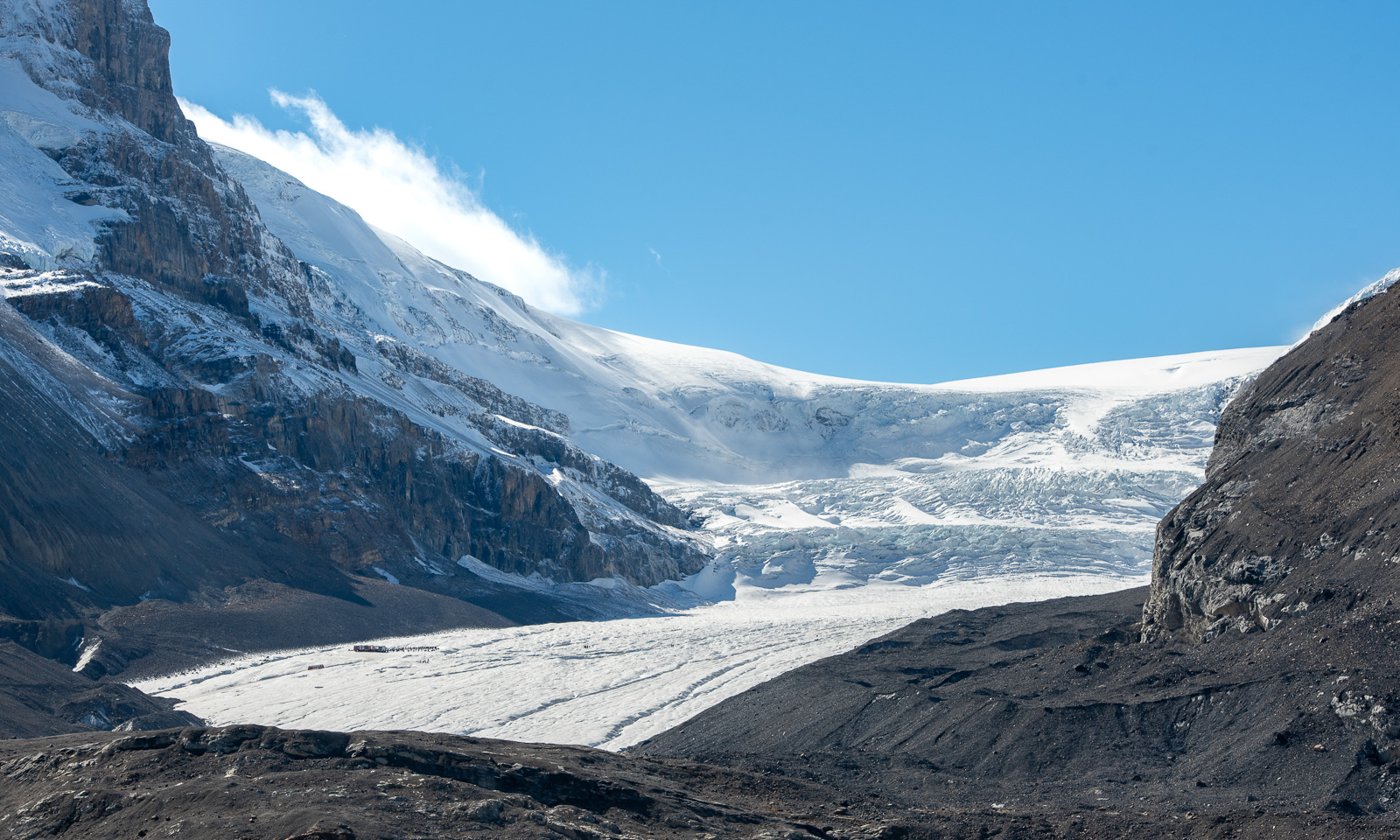
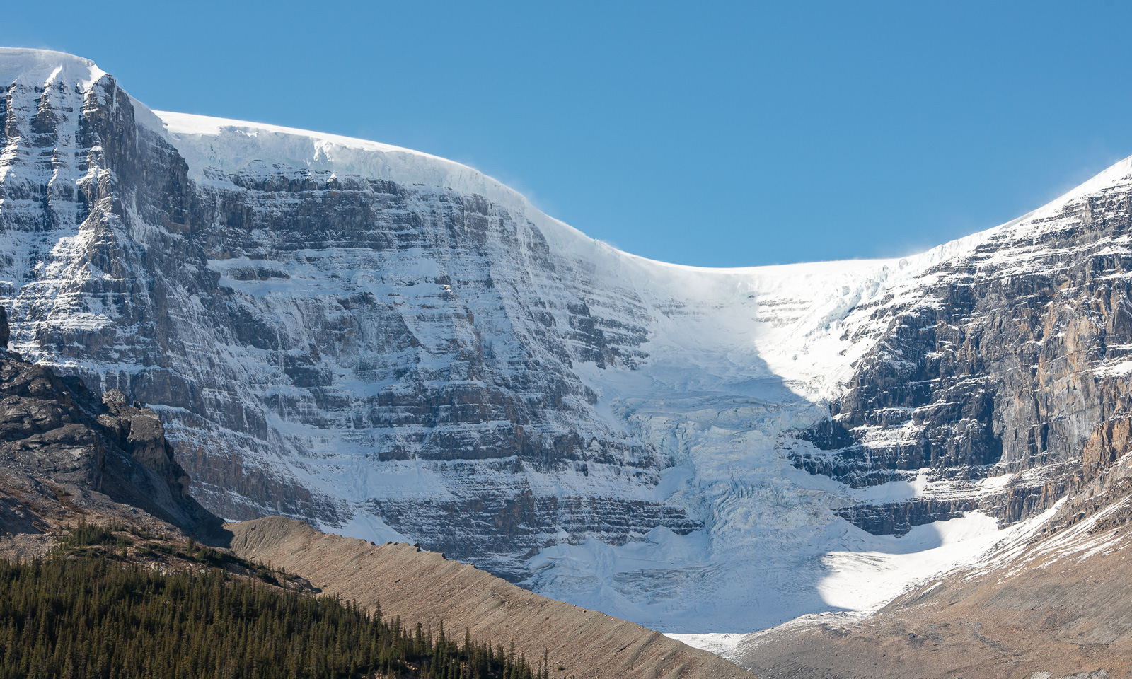
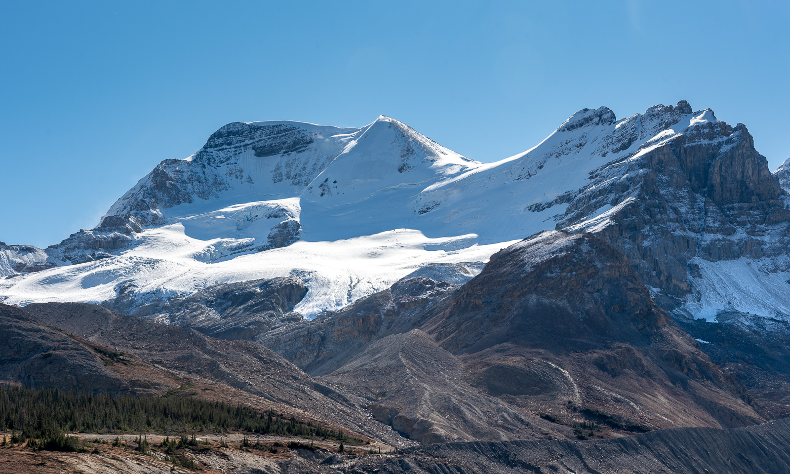
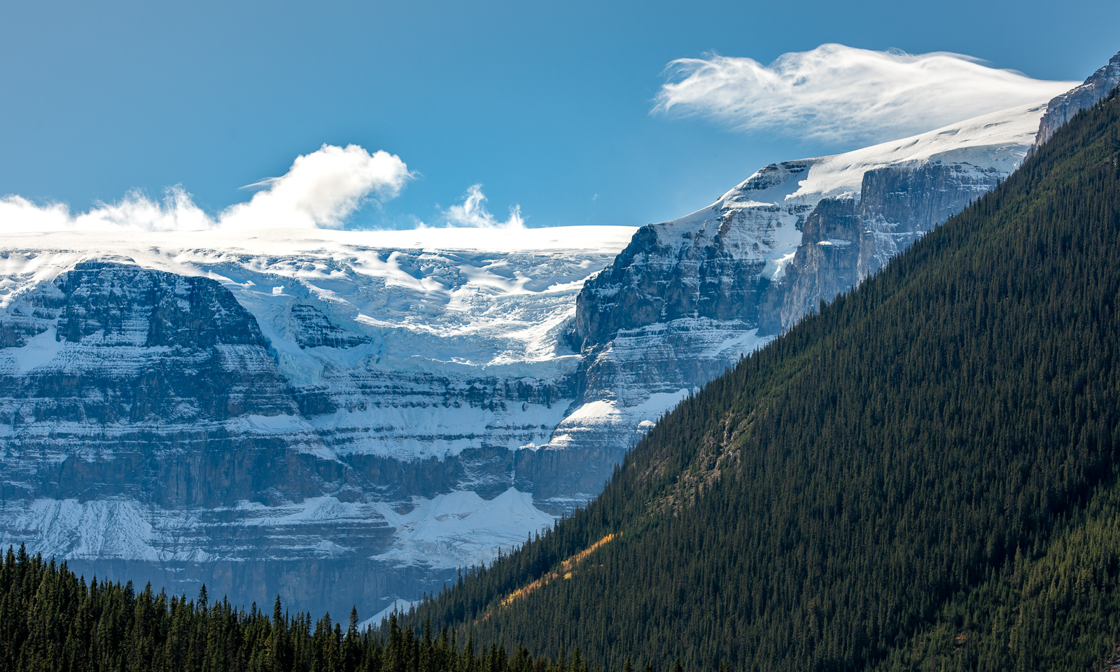
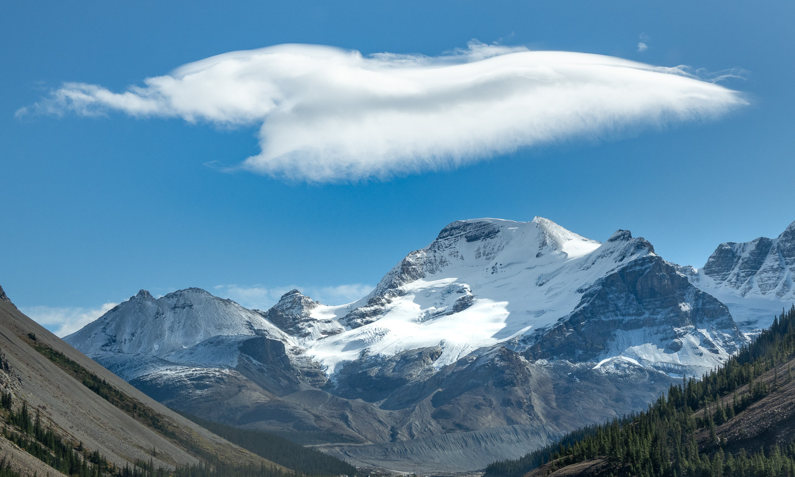
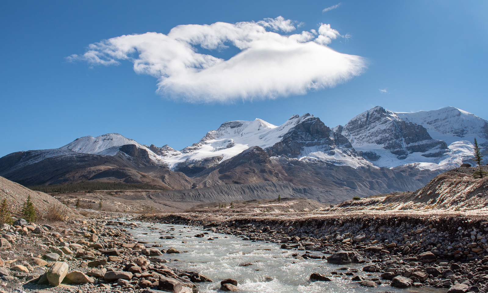
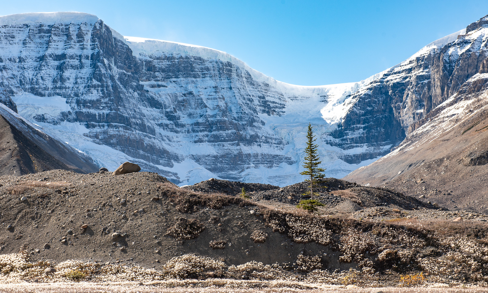
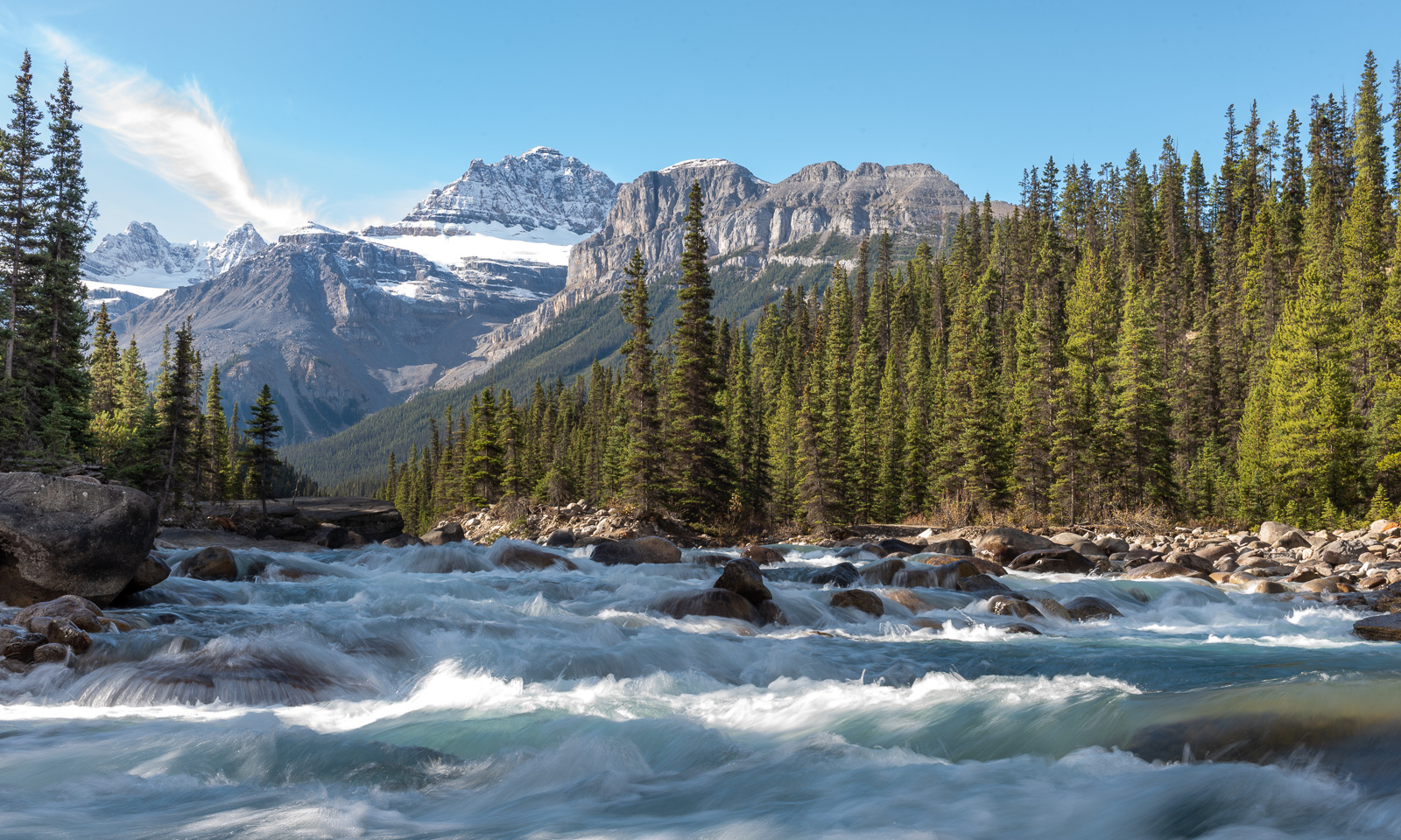
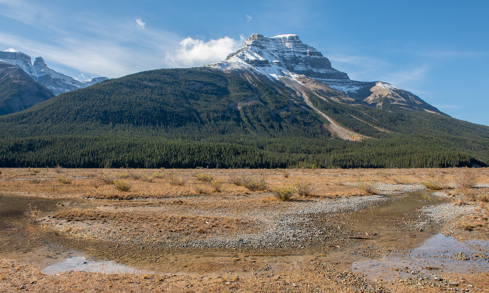
We see countless snowy mountains whose names I do not know. We stop at Bow Lake. At Bow Pass (2067 m) the snow is not above us but beside us. We take the walk to the Peyto Lake Viewpoint. We stop at Waterfowl Lake. We take the short walk to Mistaya Canyon. We look back along the road from the Big Bend Viewpoint. And then we arrive at the Columbia Icefield, where we can see the glaciers in the distance – both impressive and distressing, because the total area covered by the Icefield decreased by 18% between 1985 and 2018. (Geosciences 2021, 11(1), 19; https://doi.org/10.3390/geosciences11010019). We continue on to the Stutfield Glacier Viewpoint. Then it is time to turn around and drive the same way back. What a day! This has been another highlight on our trip to Canada, though by no means the only one.

And now – the trip photos.

Disclaimer: Some of the photo captions name the subject, while others name the place from which the photo was taken. I have done my best to use the correct names, but I might have got some of them wrong.

24–26 September – From dinosaurs to Emerald Lake

This article is part of the series “2026-09: Canada”.

24 September

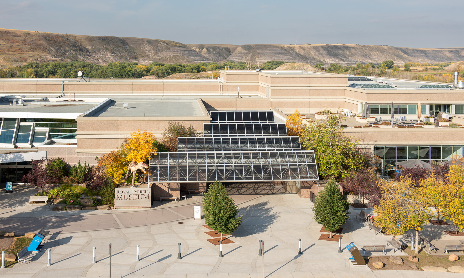
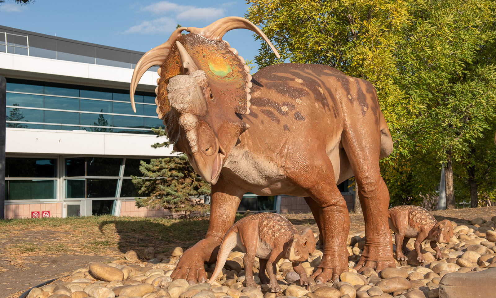
My wife Annika and I are in Drumheller, Alberta, Canada. The weather is nice. There is a Pachyrhinosaurus with two youngsters standing in front of us. They do not notice us at all. Perhaps that’s because they are made of plastic. They stand in front of the Royal Tyrrell Museum of Palaeontology, and so do we.

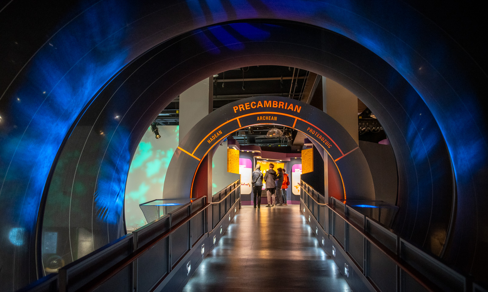
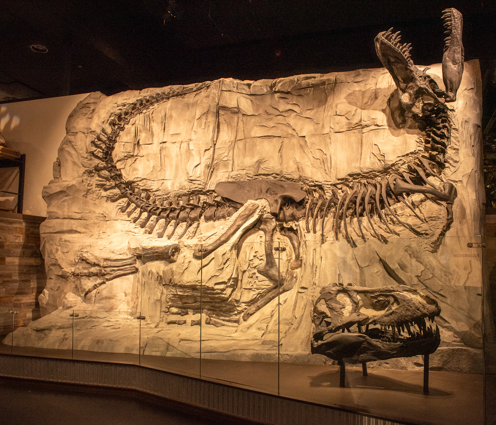
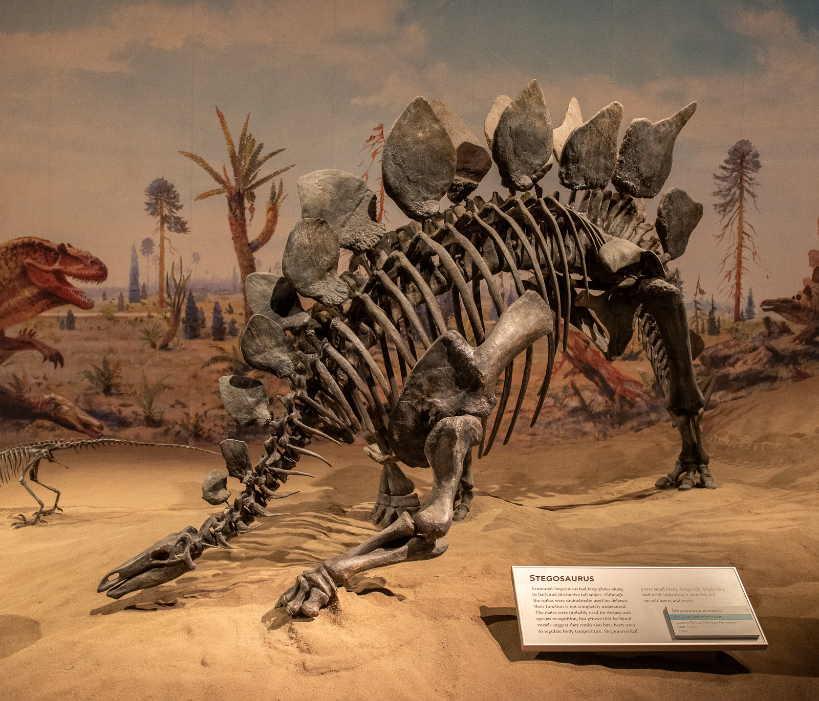
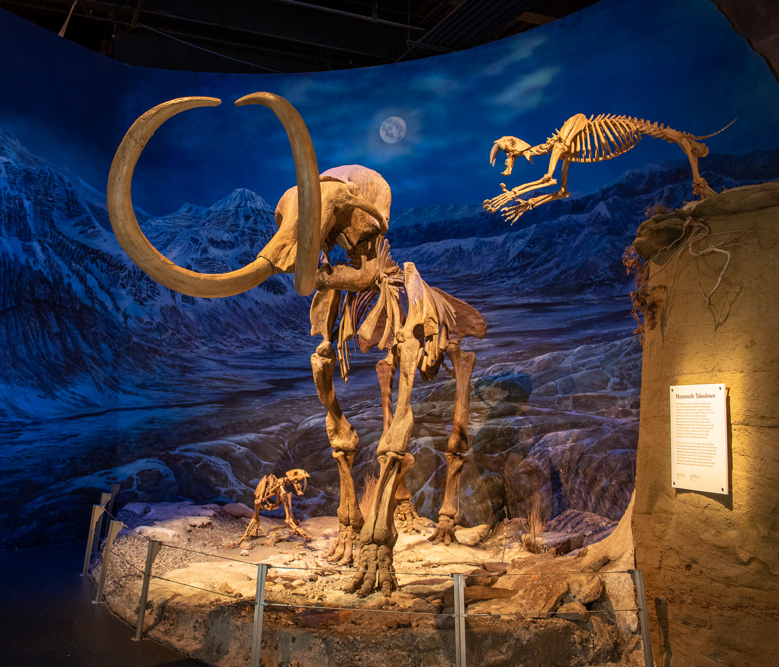
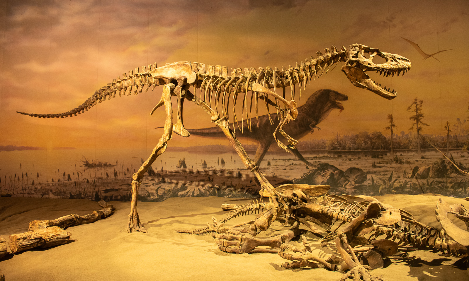
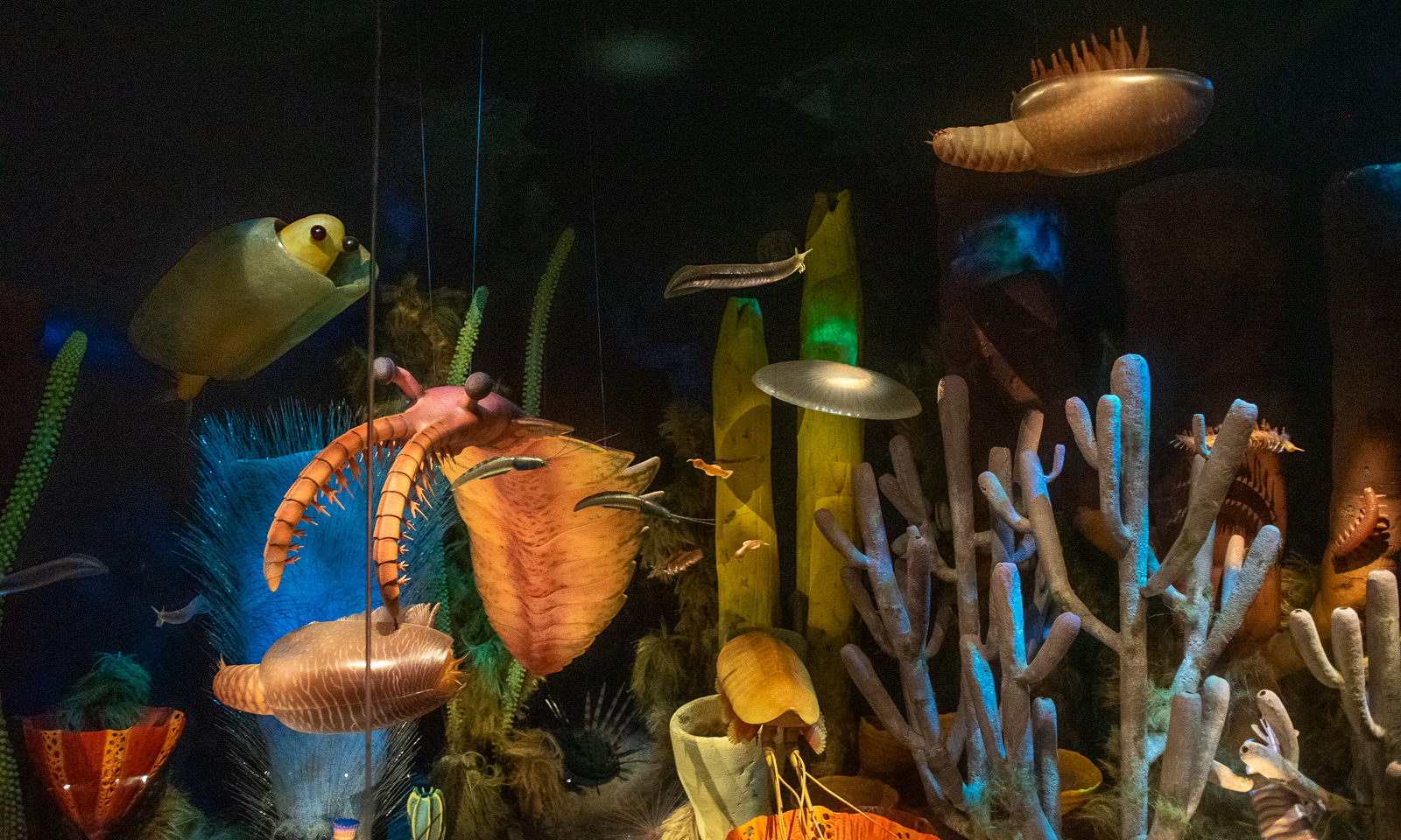
The Royal Tyrrell Museum holds Canada’s largest fossil collection and is famous for its dinosaur fossils. I am the first to get in when it opens. I just run through the museum to take some photographs before other people get in the there. After that, Annika and I go through the museum, taking our time. This museum is awesome! If I lived here, I would definitely have an annual pass to visit it from time to time.

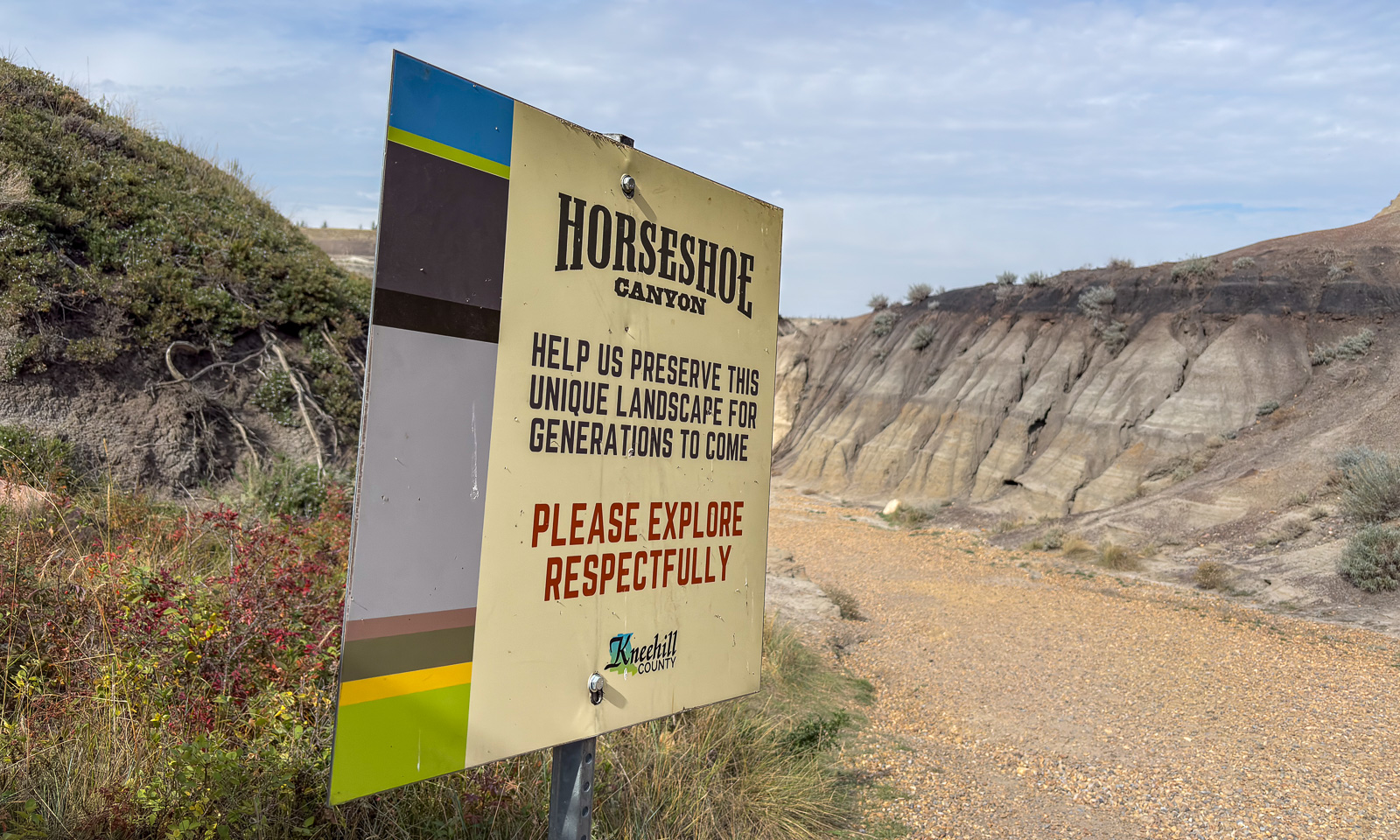
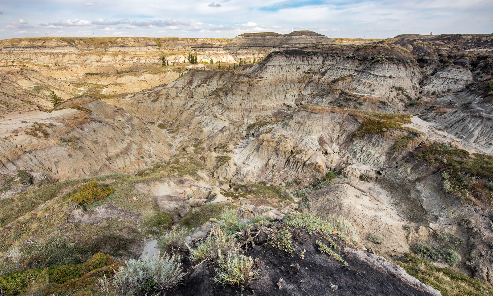
After the museum, we take the car to Horseshoe Canyon. We go for a longer walk here on the countless small paths that lead through this badlands canyon. Be sure to have water with you and make sure you can find your way back, because the many hills make the place a maze.

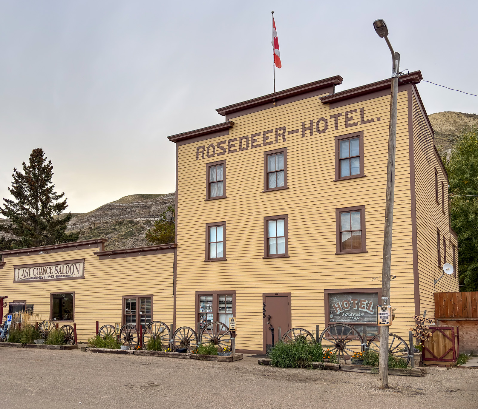
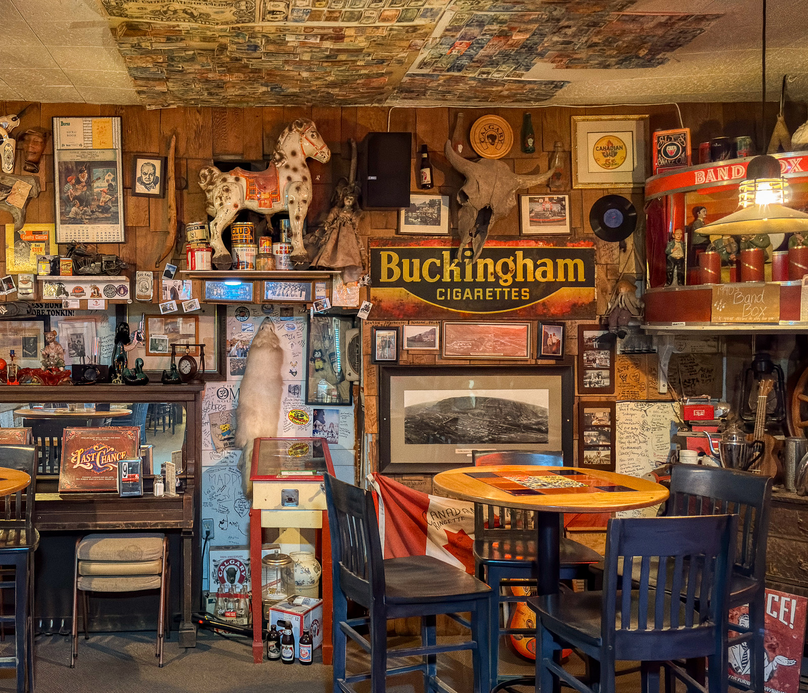
In the late afternoon, we have another destination, the Last Chance Saloon, Alberta’s oldest operating saloon. They are about to close, but we get in and can sit in this extraordinarily cosy saloon and enjoy the delicious food. I order a “Badlands Brisket Taco Bowl” and am surprised to discover that the bowl does not contain any taco, it is made out of taco. And the smoked brisket – wow!

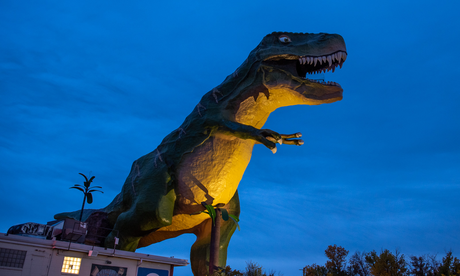
If you are in Drumheller, your day may start with a dinosaur and it may end with one, too. This is Tyra, the World’s Largest Dinosaur, a roadside attraction that we have passed several times over the last few days.

25 September

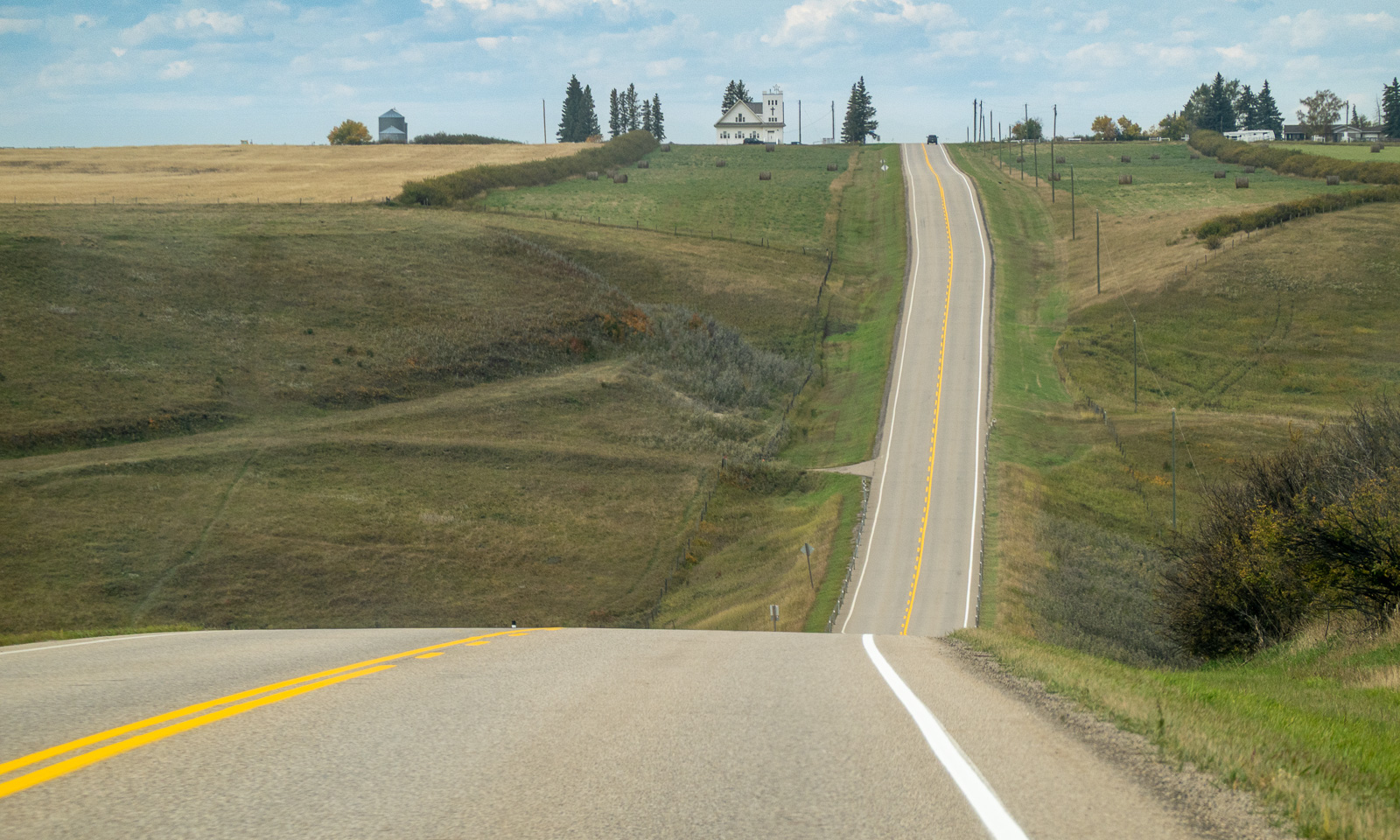
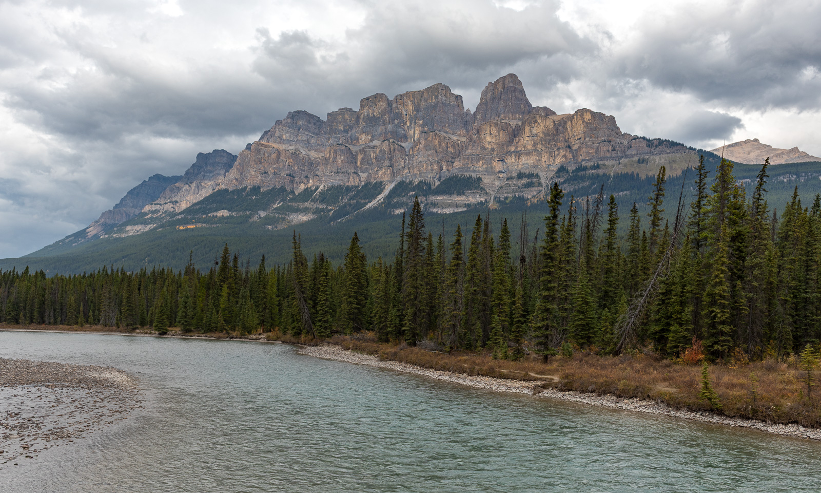
Today we head to Radium Hot Springs, which lies on the other side of the Rockies. It is a longer drive of about 400 km. First, we follow the grid-like roads through the prairies, then follow the Bow River until Castle Junction.

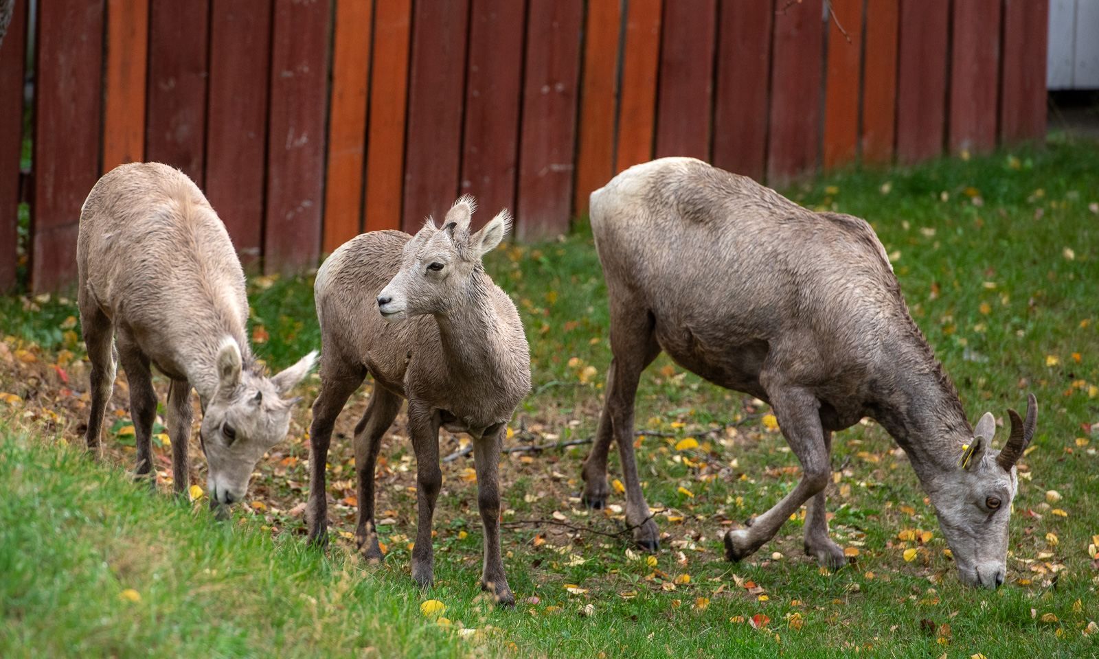
There we leave Alberta Highway 1 first and then Alberta altogether. We are back in British Columbia, where our journey began almost three weeks ago. Something interesting is happening. It starts to rain. We have had dry weather for weeks; now there is rain with everything from “I’ll drench you with a drizzle, even if it takes half the day.” to “Buy yourself an ark.” In Radium Hot Springs, we check in at the motel and take a nap. When I wake up, I see animals looking like goats on the property. I take a photo of a mother with two lambs. These are, of course, a bit cautious but not shy at all. It is only now, while blogging, that I learn that these are bighorn sheep, which are quite famous in Canada.

After dinner (goulash soup at the Old Salzburg restaurant) we take a walk before heading home.

26 September

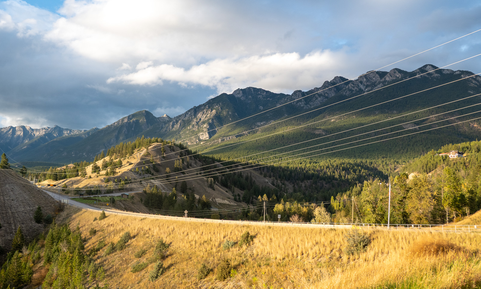
Today we head northeast to Golden, where we’ll have an apartment for three days. It is the only place we booked well ahead, because we want to visit the Rockies and accommodation there is ridiculously expensive. It is still cloudy, but the rain has mostly stopped. To be honest, I am glad about yesterday’s rain. With the drop in temperature, it might have snowed in the mountains. Hopefully it did.

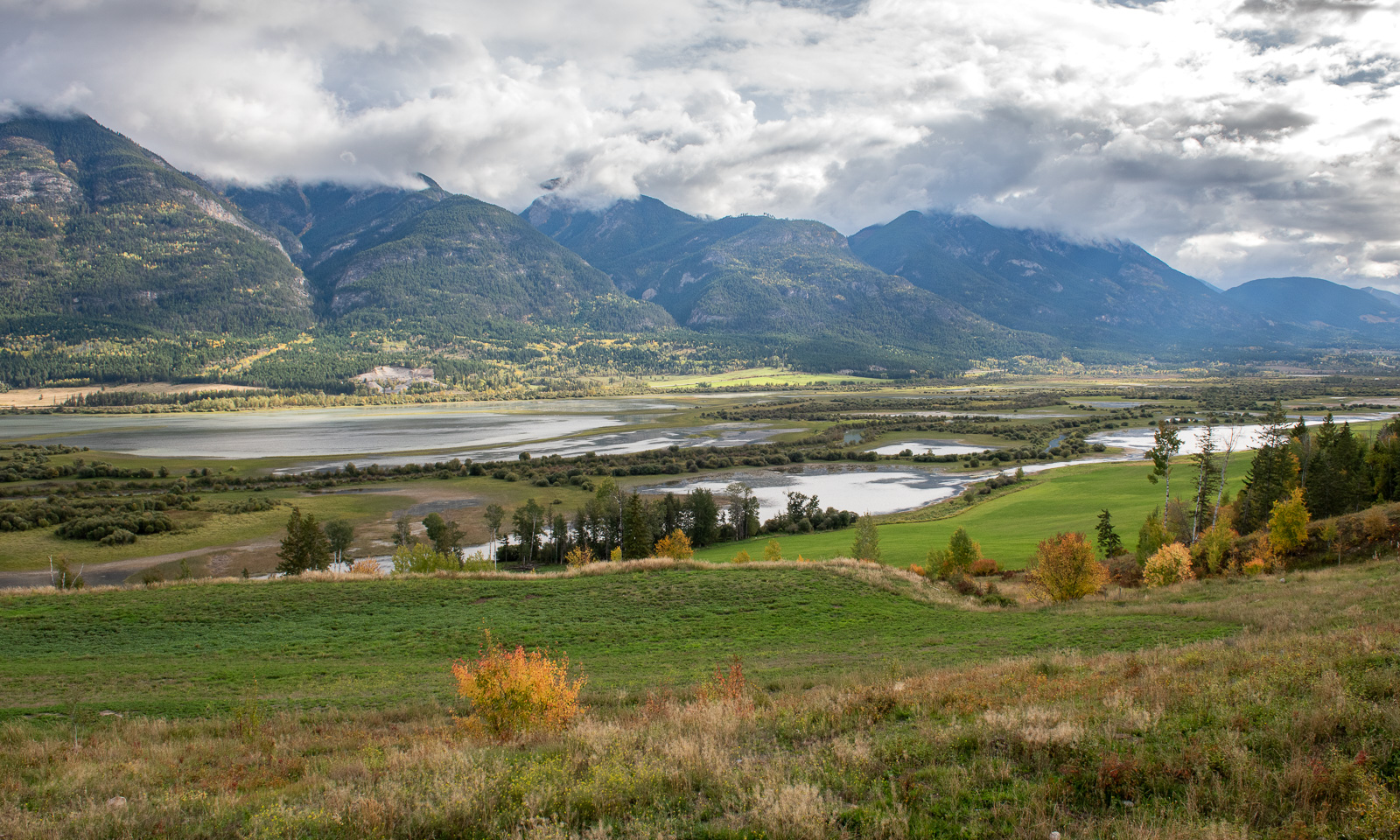
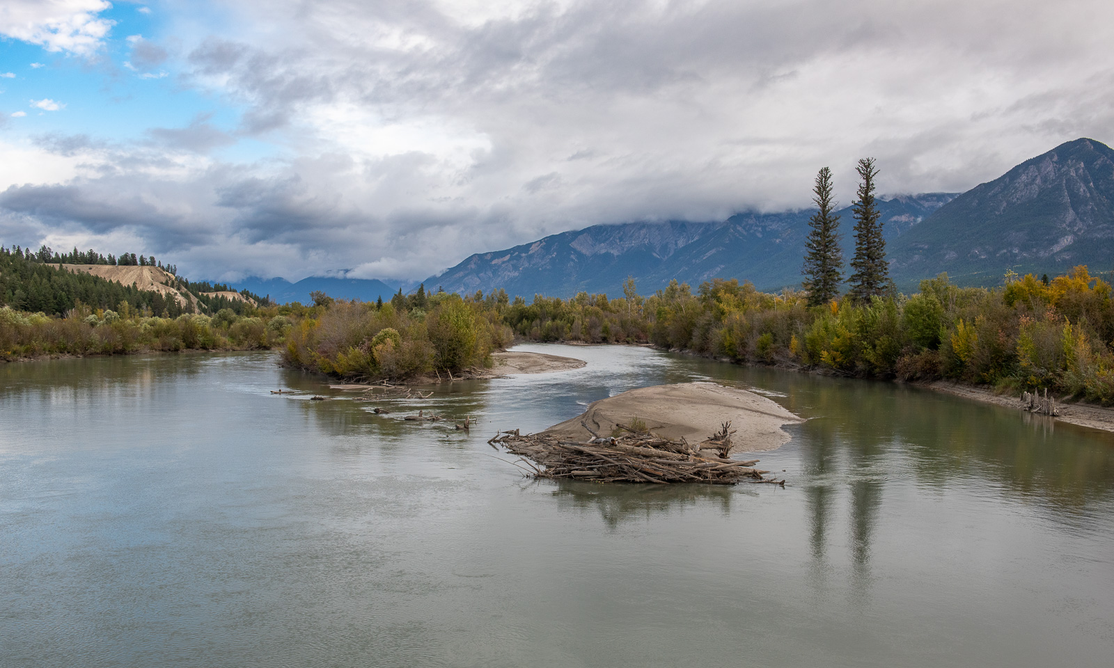
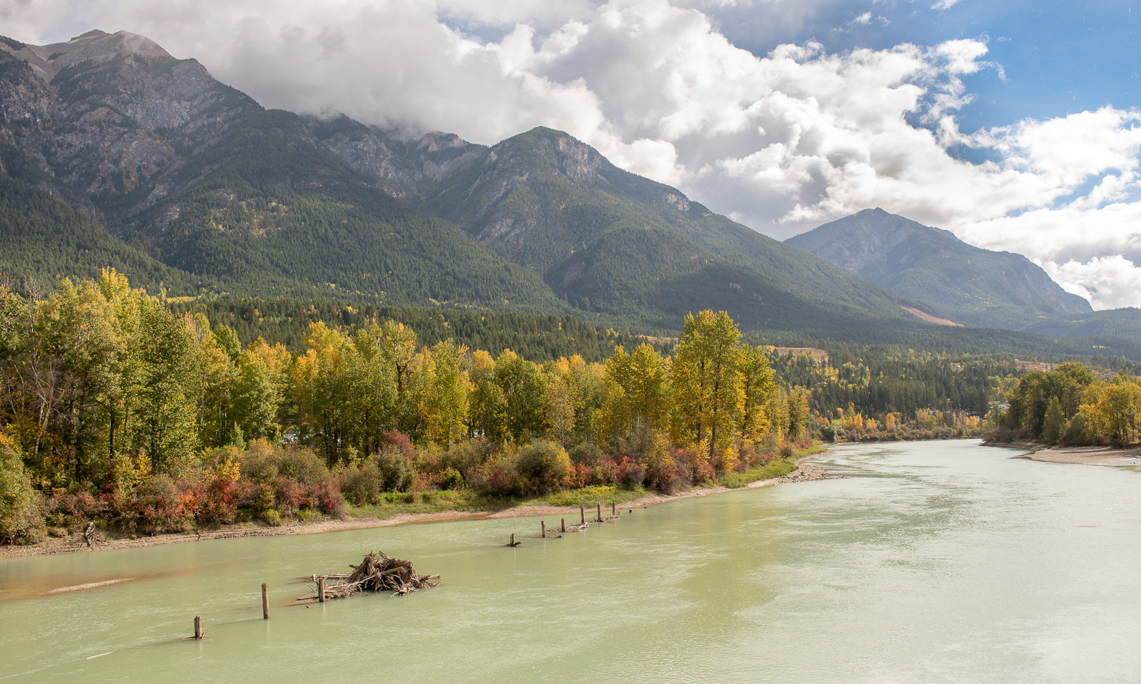
The road follows the Columbia River, which is not a single river so much as a system of river branches, islets, oxbow lakes, and swamps. Sometimes we take the main road; sometimes we take the small gravel roads on the other side of the river.

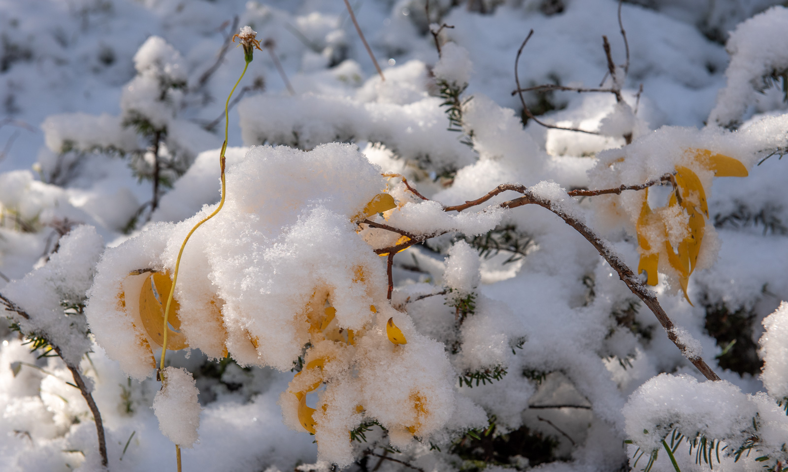
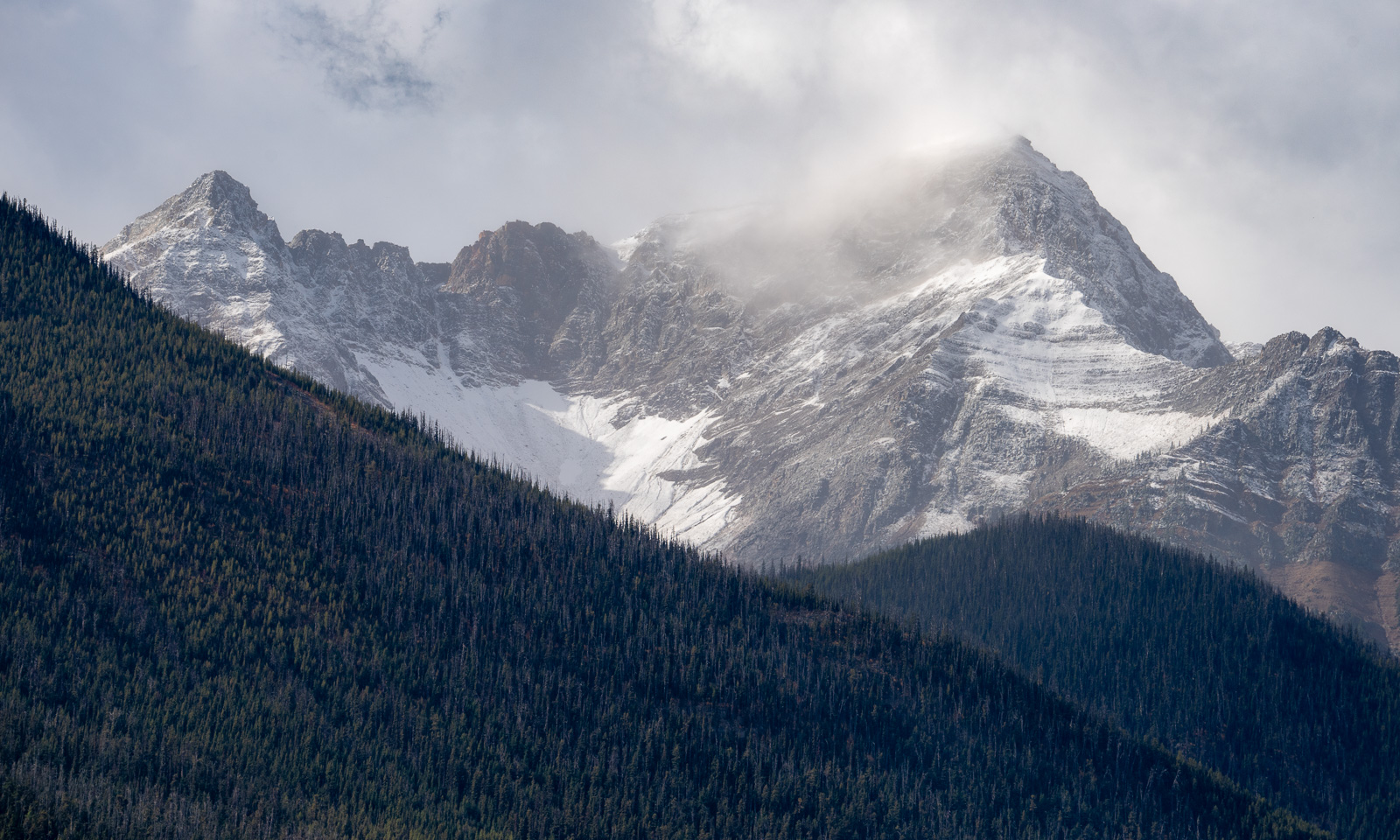
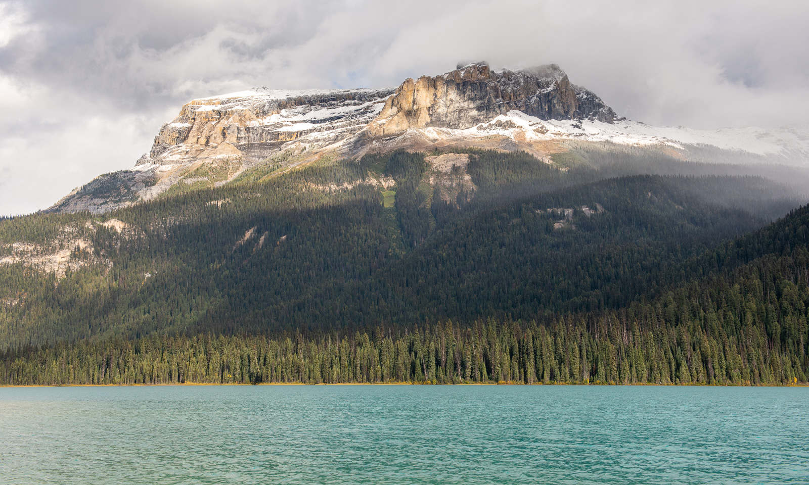
When the clouds lift, we get a glimpse of the mountains. There is fresh snow on the mountaintops.

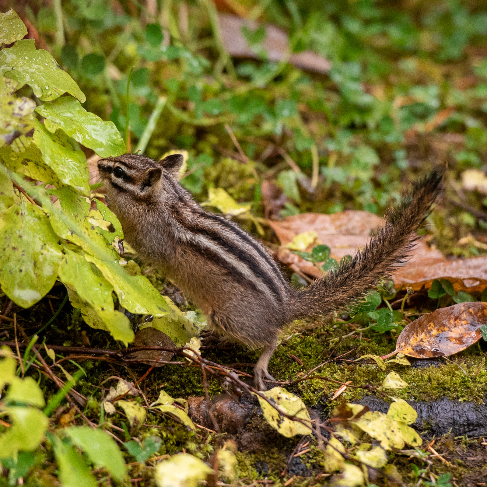
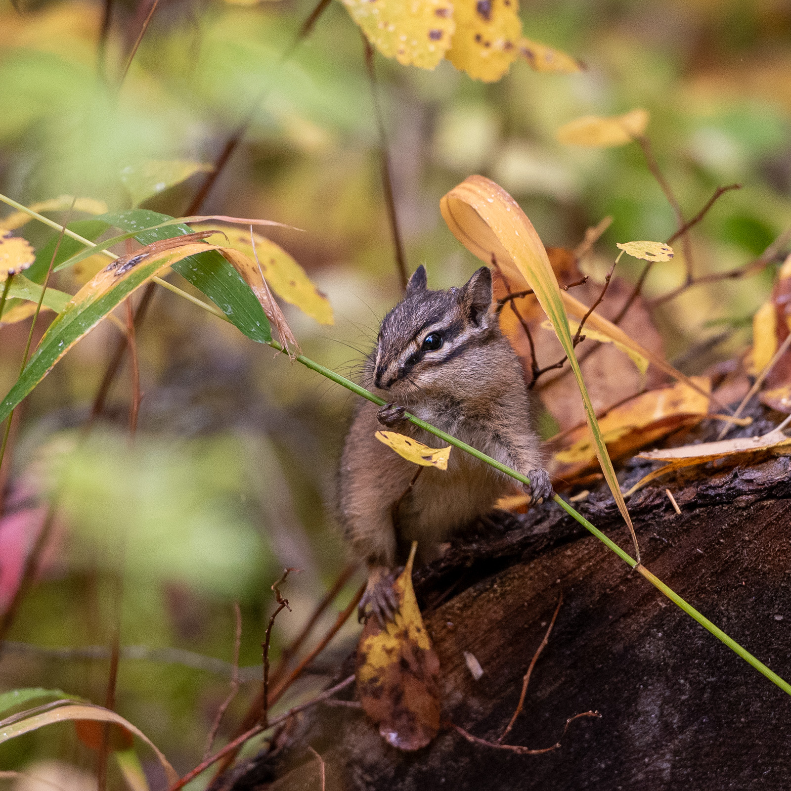
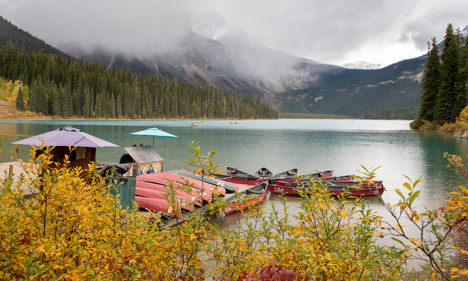
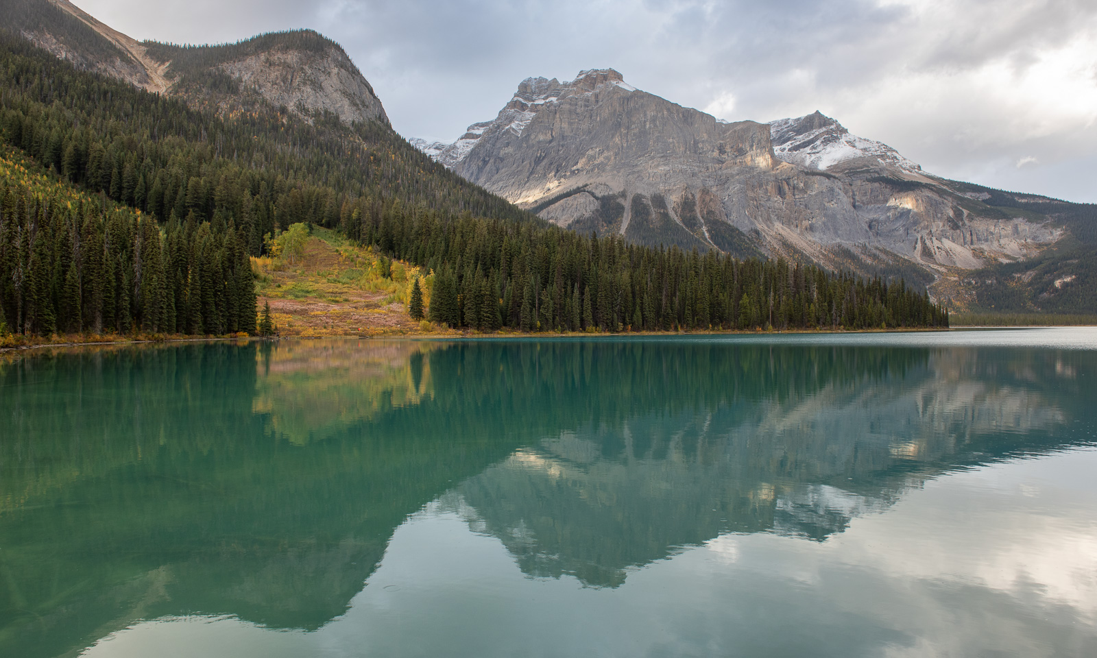
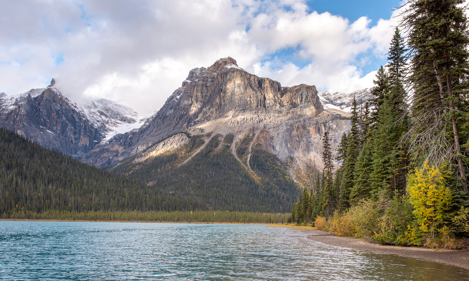
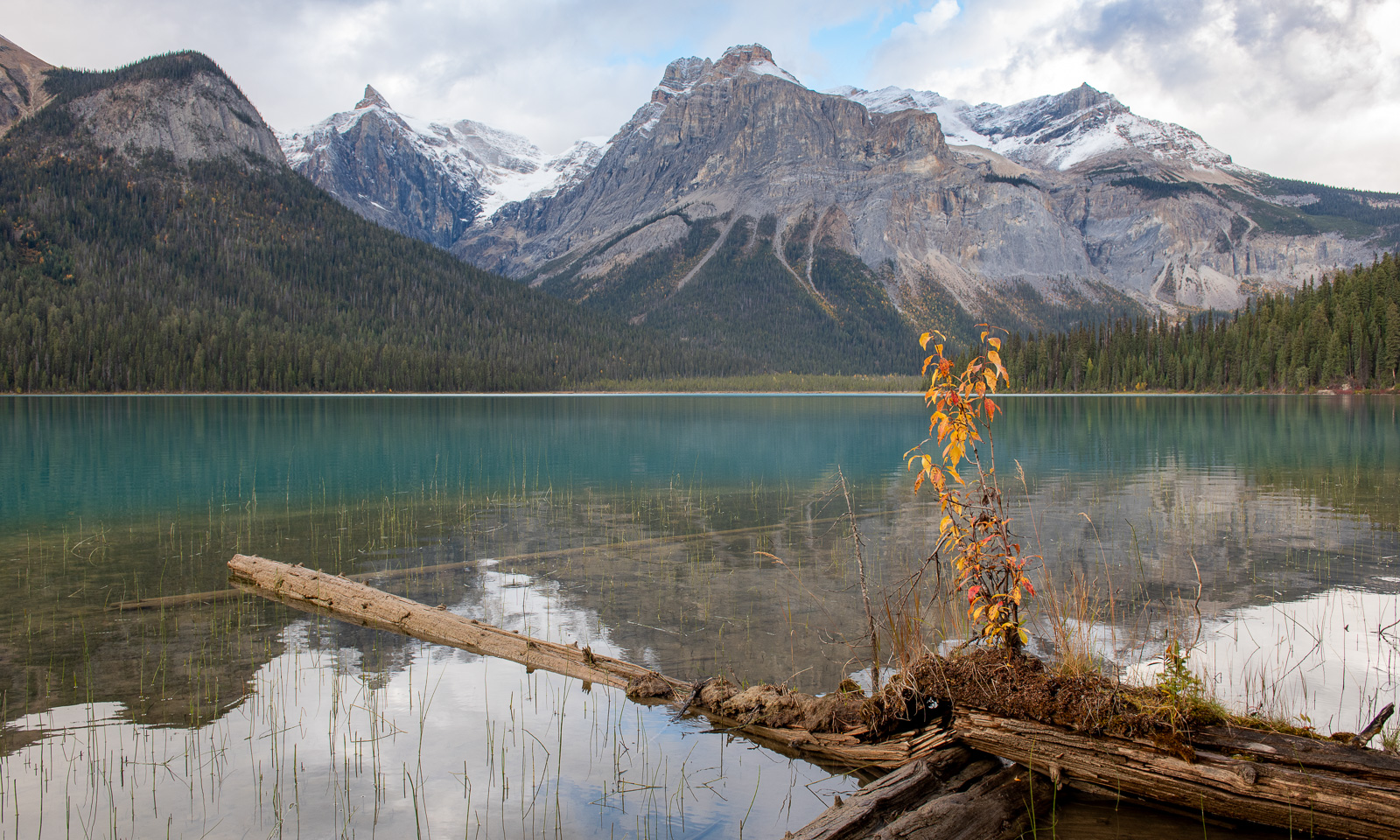
We pass Golden to visit Emerald Lake, which lies between Golden and the Rocky Mountains. We take a hike around the lake, slightly distracted by a chipmunk running back and forth on the trail not far from the car park.

Then we start our trail. Although the first half of the trail is very easy to walk, it takes a long time. I’m to blame because I wait for the sun to shine on a certain part of the mountains on the other side of the lake. Halfway along the trail, it becomes a normal forest path with small bridges, slippery tree roots and some mud puddles. I have bear spray within reach; Annika carries a bear bell. So far, we haven’t seen a single bear, and I’m happy about that. Of course, it would be cool to see one from a safe spot, but I don’t want to meet one in its forest.

Tomorrow we will visit one of Western Canada’s most scenic routes, the Icefields Parkway, which crosses the Canadian Rocky Mountains in a north-south direction. Hopefully the weather will be as fine as predicted, and hopefully it won’t be too crowded.

23 September – Drumheller I – badlands and hoodoos

This article is part of the series “2026-09: Canada”.

23 September

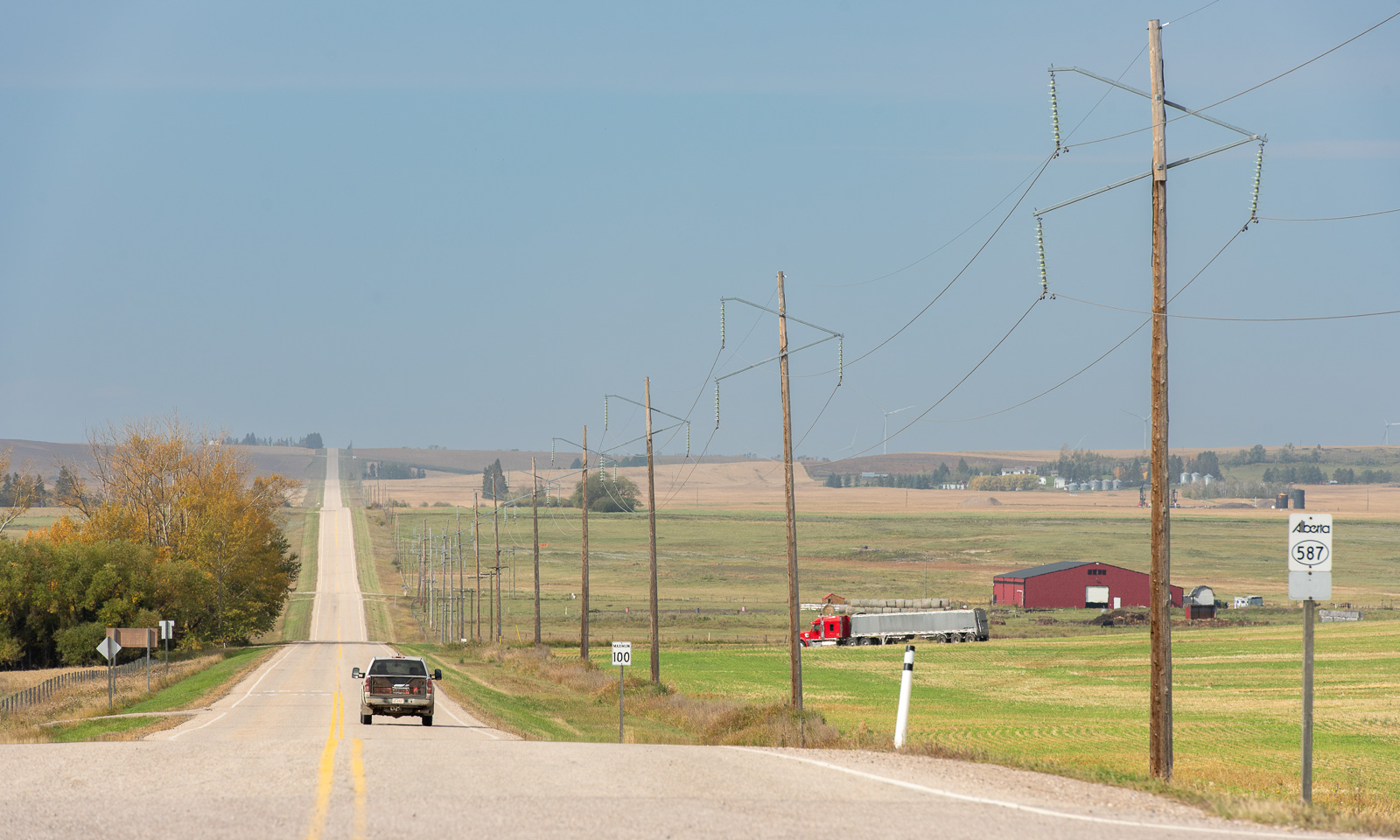
After a night in the village town city of Red Deer my wife Annika and I continued our journey southeastwards. We are in the prairies now, which are dominated by farmland and large grain fields. While the terrain is slightly hilly, most streets are dead-straight. They go either north—south or west—east, making the map look like squared paper.

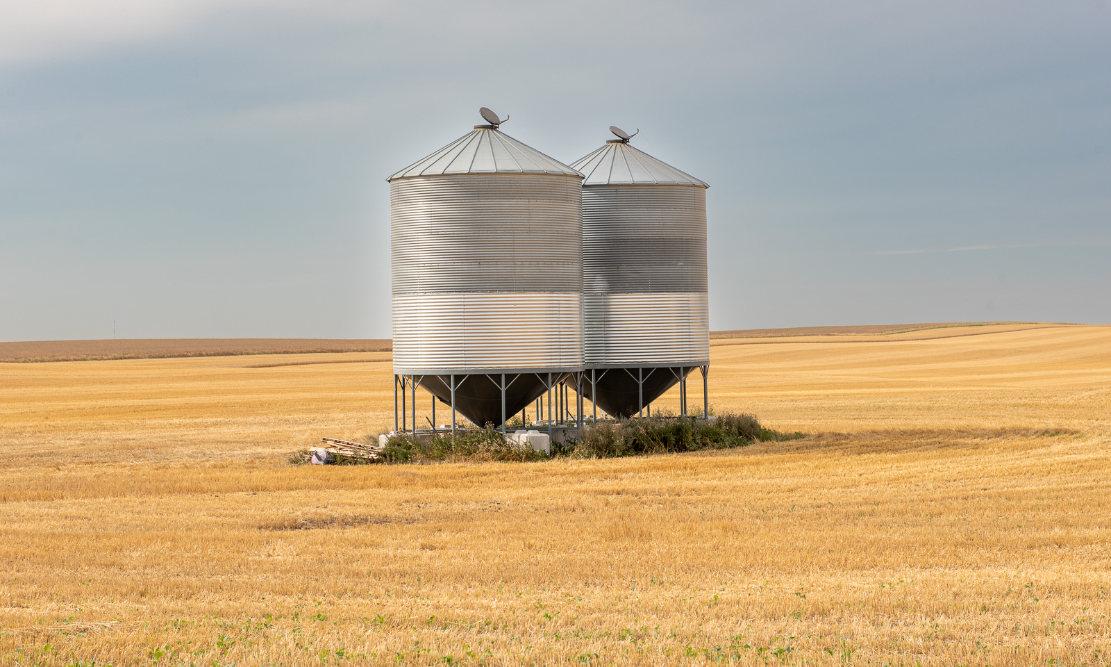
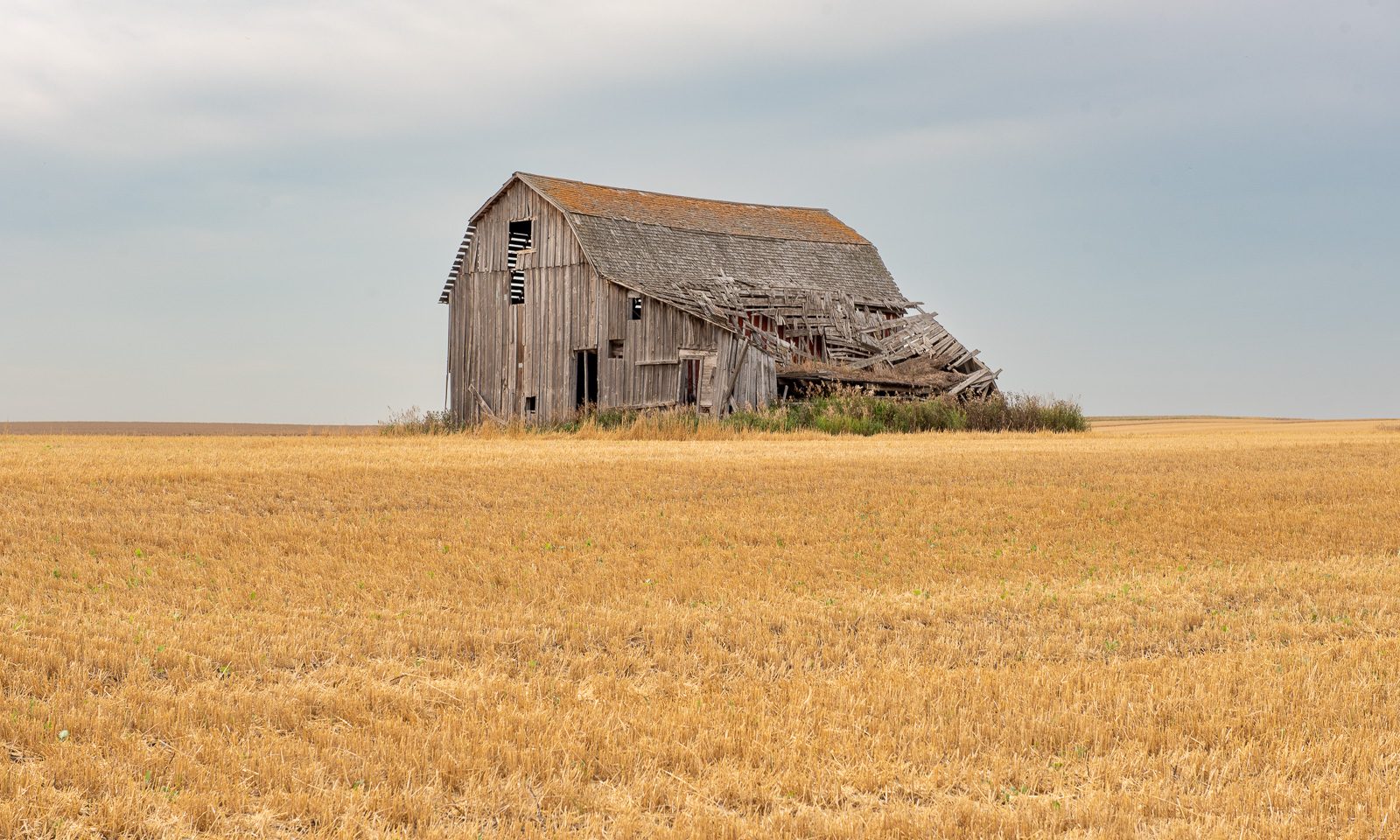
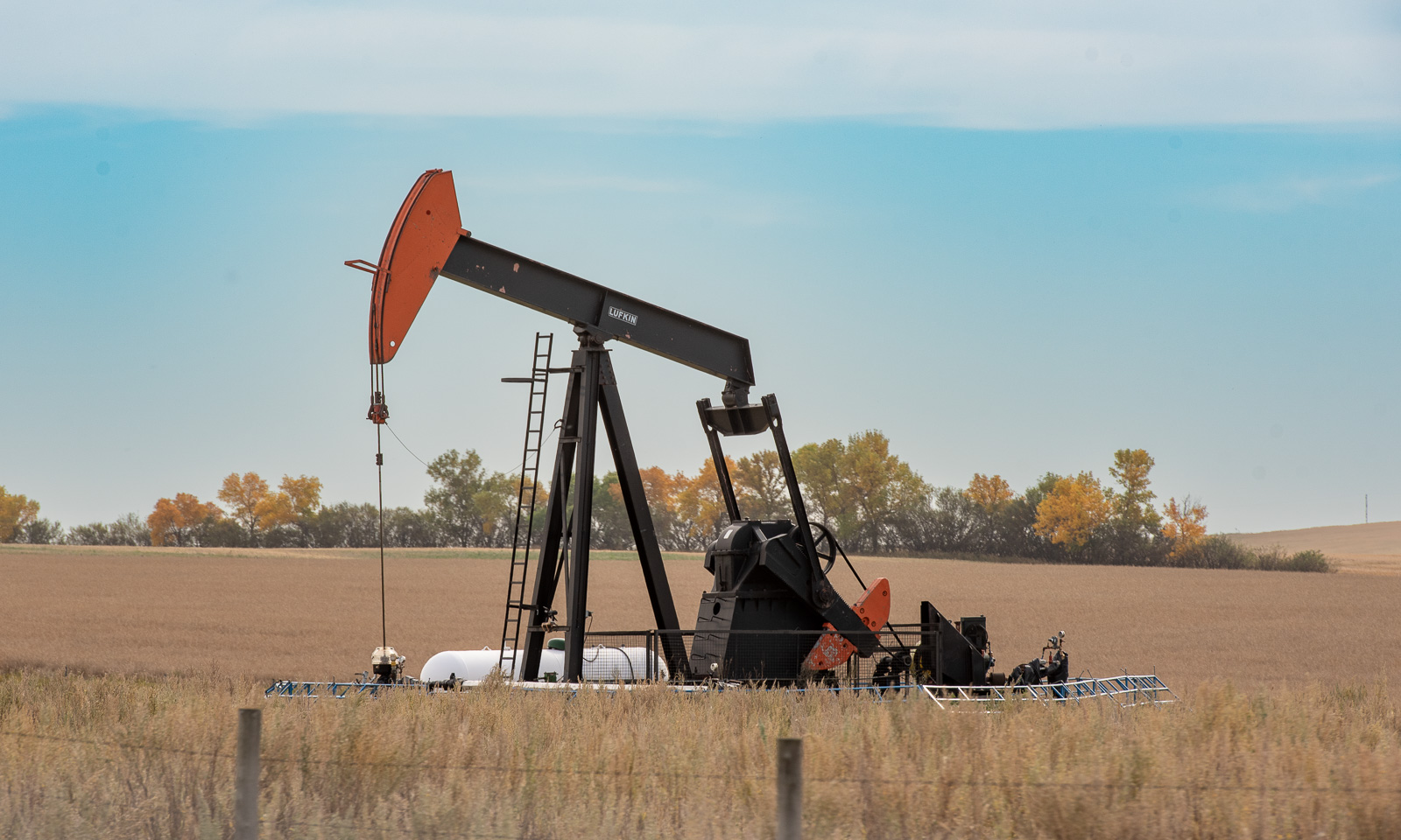
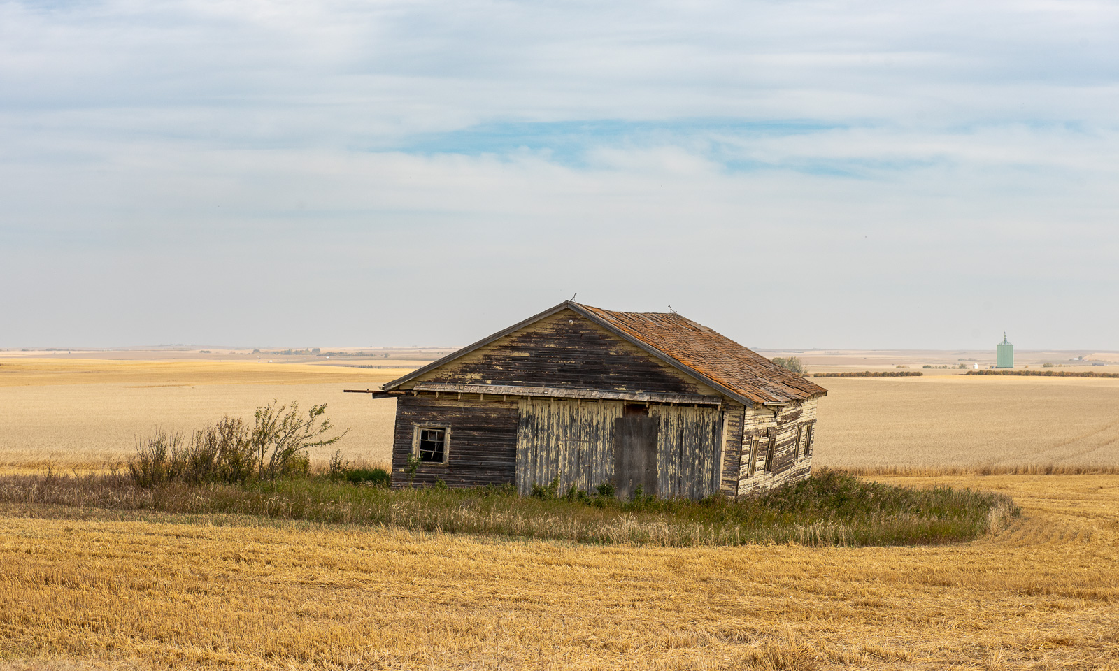
The fields can be huge from a Central European perspective. Sometimes there is an old barn, sometimes a grain silo and sometimes there is a pumpjack, because in Alberta oil is still being extracted. But mostly it is grain fields, some already harvested, some not yet.

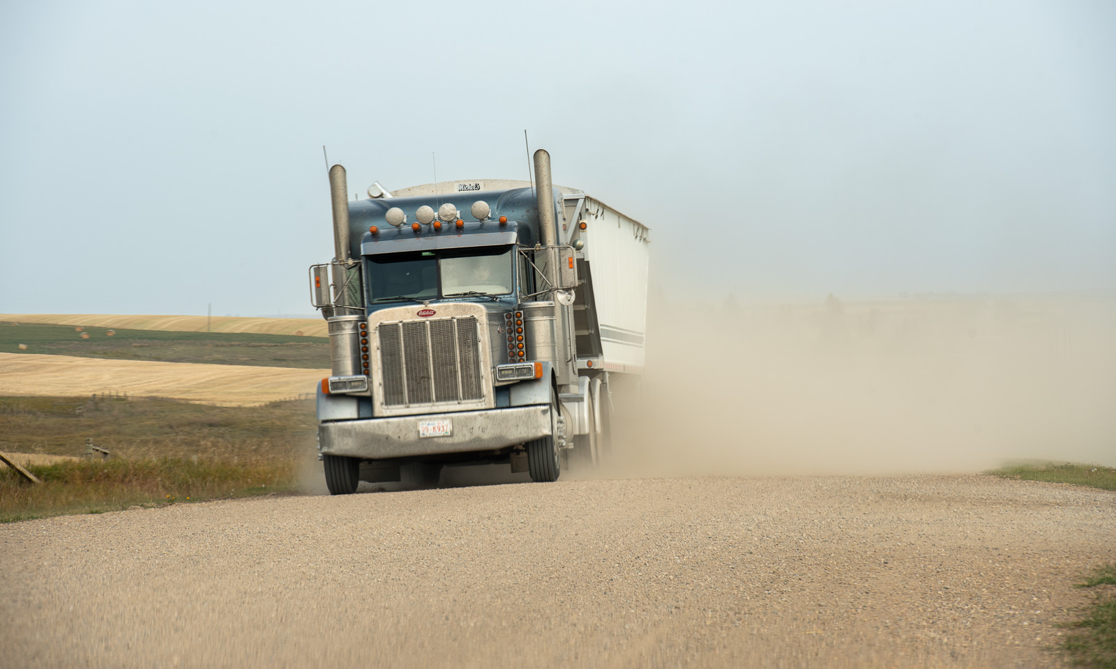
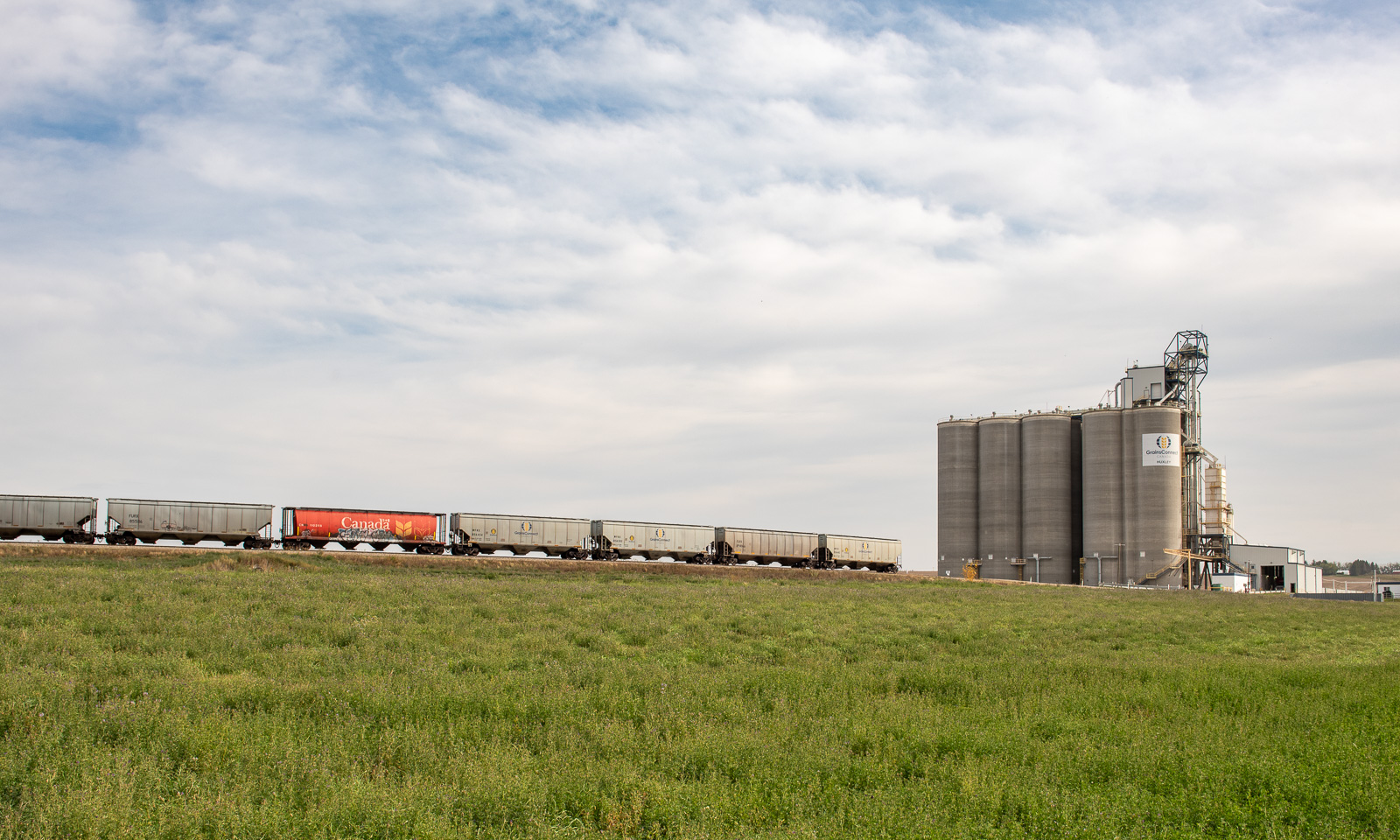
Harvesters collect the grain, and lorries transport it, leaving a long track of dust behind. At one place we see a GrainsConnect plant with large silos for interim storage and a train to dispatch the grain further, most probably to the Pacific Ocean to be shipped overseas.

Of course I love the spectacular mountain views, the incredible rain forests with their old and mighty trees and the turquoise alpine lakes. But I also love the monotonous rhythms of these prairies. They are part of the Great Plains east of the Rocky Mountains, which stretch from Alberta and Saskatchewan through the USA into Mexico. (We didn’t drive that far that day ….)

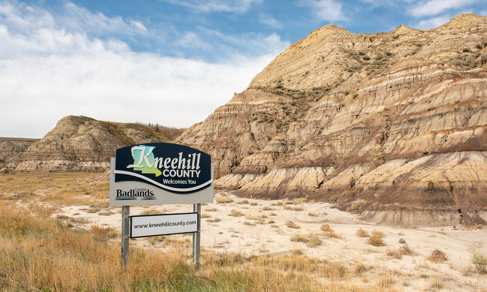
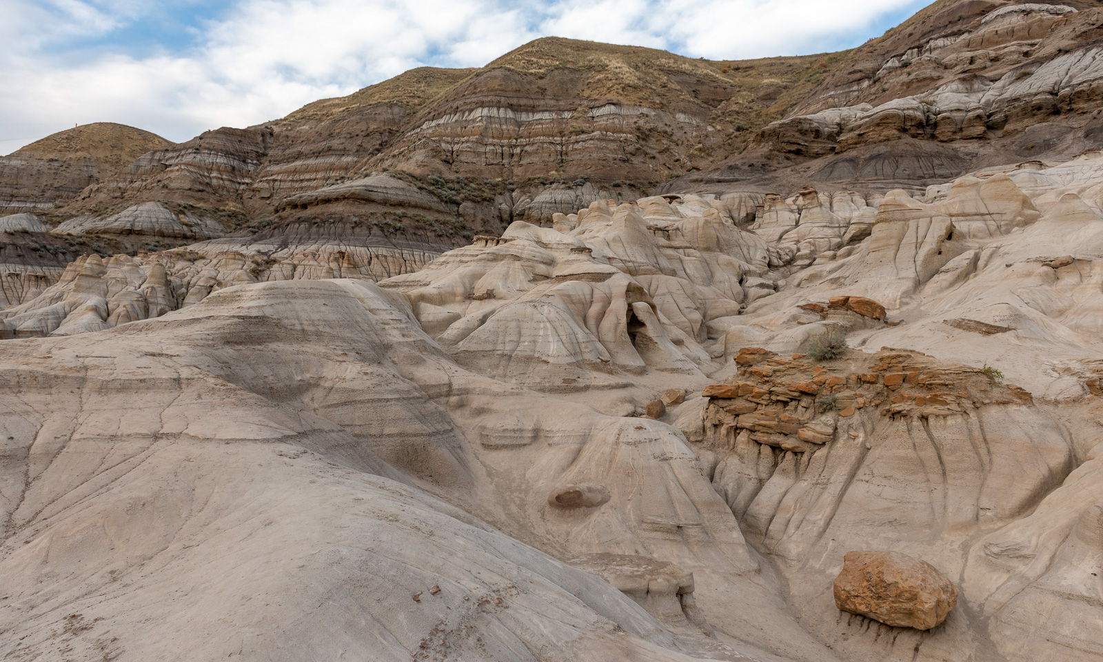
You get into this rhythm of the squared patchwork, then you start to wonder what these fractal-like disruptions on the navigation map are, and all of a sudden you are in a completely different type of landscape – the badlands.

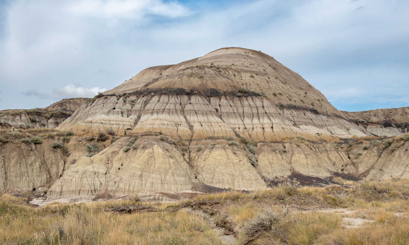
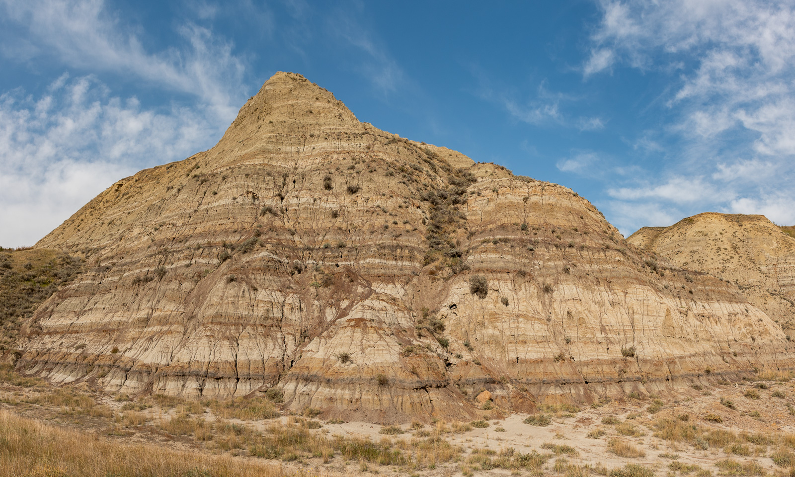
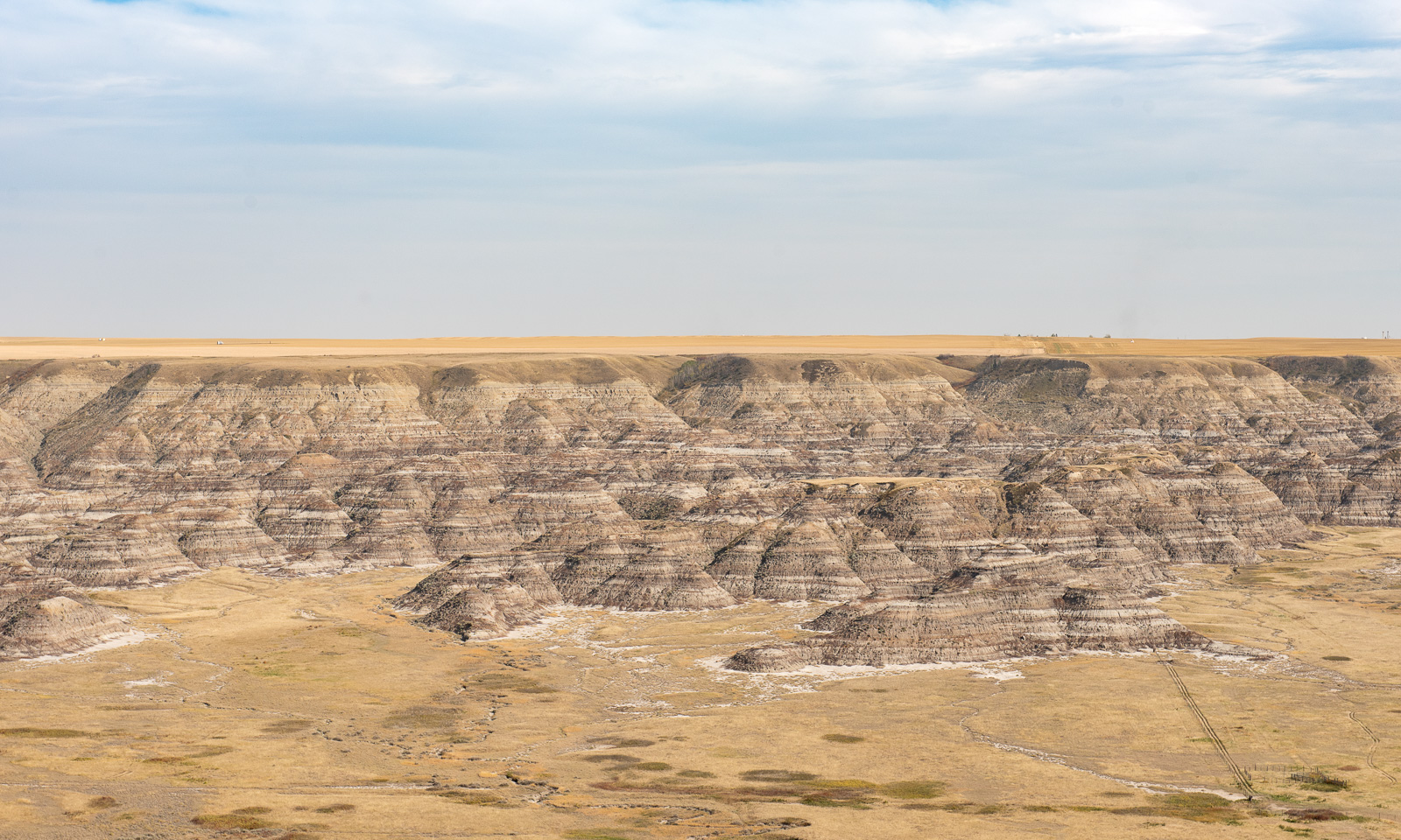
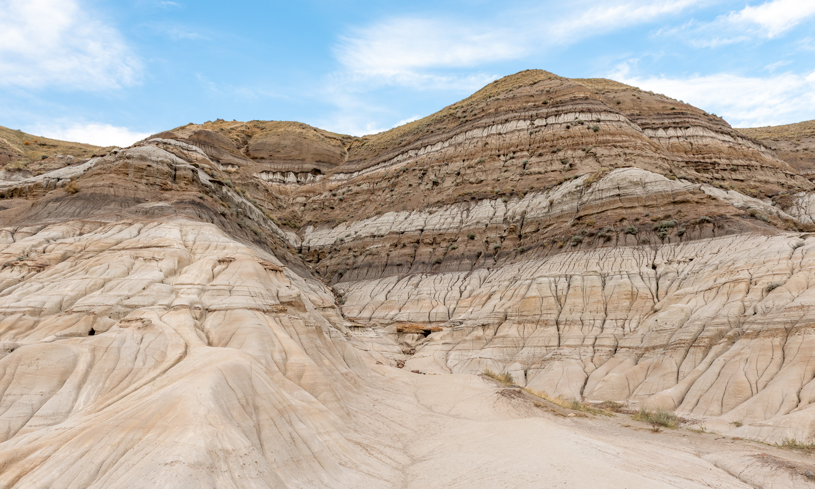
The plains are gone and now you are amidst these eroded mountains. Let’s hear, how Copilot AI describes the next image:

“Overall, I’d describe this as a well-exposed stratified badlands butte showing millions of years of sedimentary deposition and subsequent erosion.”

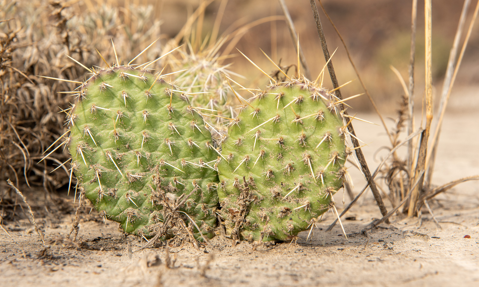
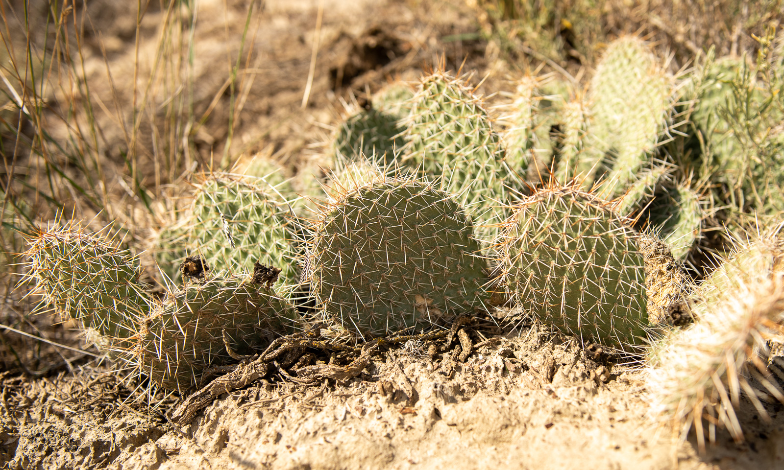
The area has sparse, desert-like vegetation on the sandy ground, including cacti like these plains pricklypears.

Then you drive further, a bit uphill and Bam! – you are in the plains again as if the badlands had just been a dream.

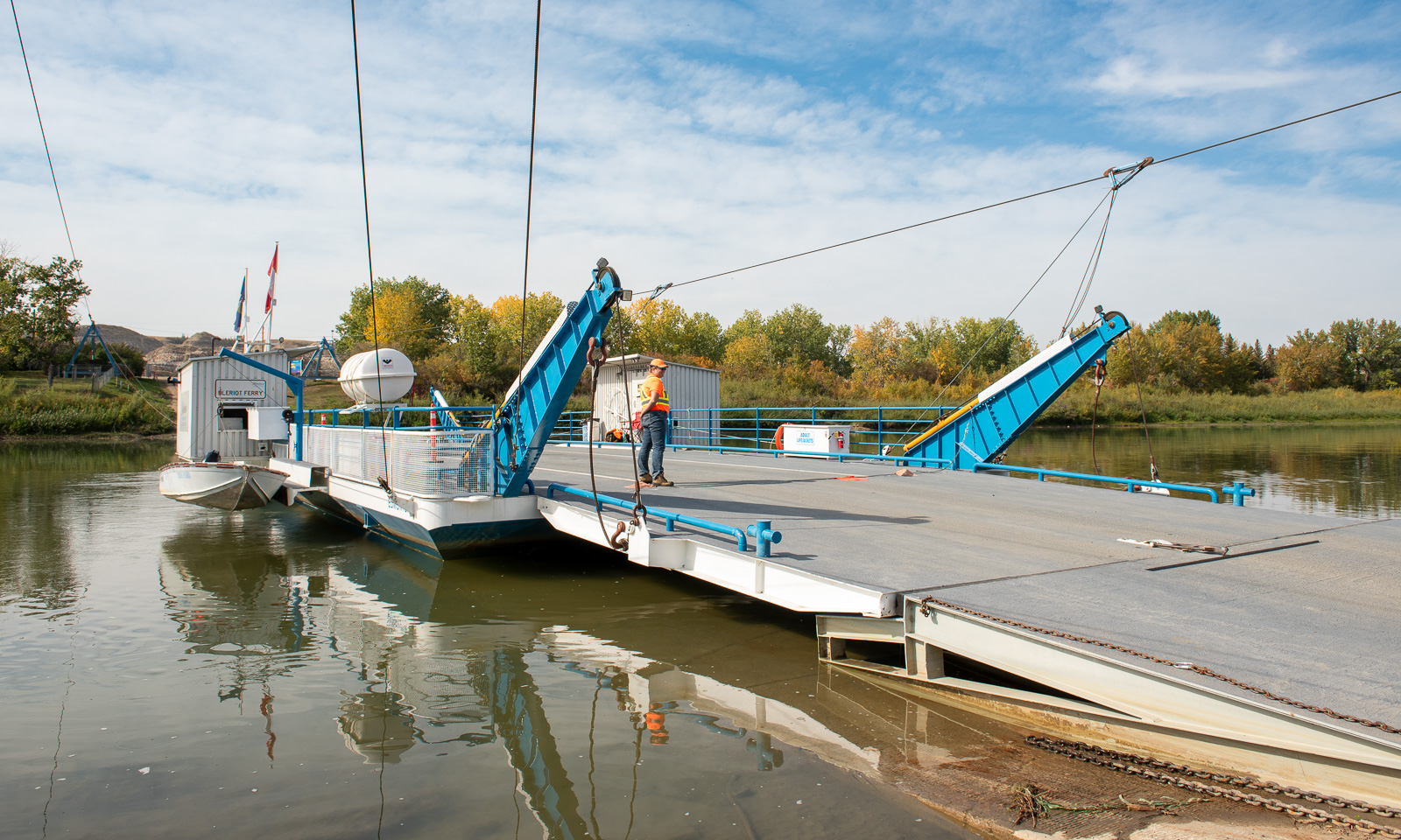
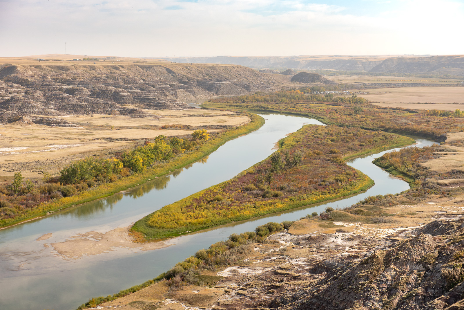
Now we are not far away from Drumheller, our destination for today, but first we have to check out the Bleriot Ferry, a cable ferry crossing the Red Deer River. The ferry operator tells us that we can (and should) use the ferry, that the road to Drumheller on the other side is closed, that we should drive there anyhow to the viewpoint, and that we could come back here thereafter. Sounds like a plan. We take the ferry – it is free, ignore the “road closed” sign and park on the small car park by the Orkney Viewpoint. And that’s an incredible viewpoint over the dusty Badlands – 72 million years old, the Red Deer River with its green, mellow banks and, in the distance the prairies. A perfect place to have a light lunch with bread, dips, and cookies.

We head back the very same way and take the ferry again. From there it is only twenty minutes to Drumheller where we’ll stay in a motel for two days. The town looks a bit like a dinosaur theme park – dinos everywhere! – because numerous dinosaur fossils have been discovered in the area, making it one of the most important paleontological regions in the world. The town is also home to the famous Royal Tyrrell Museum that we plan to visit the next day.

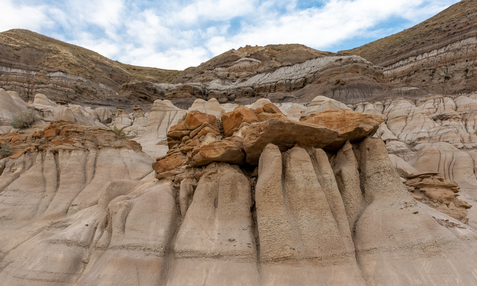
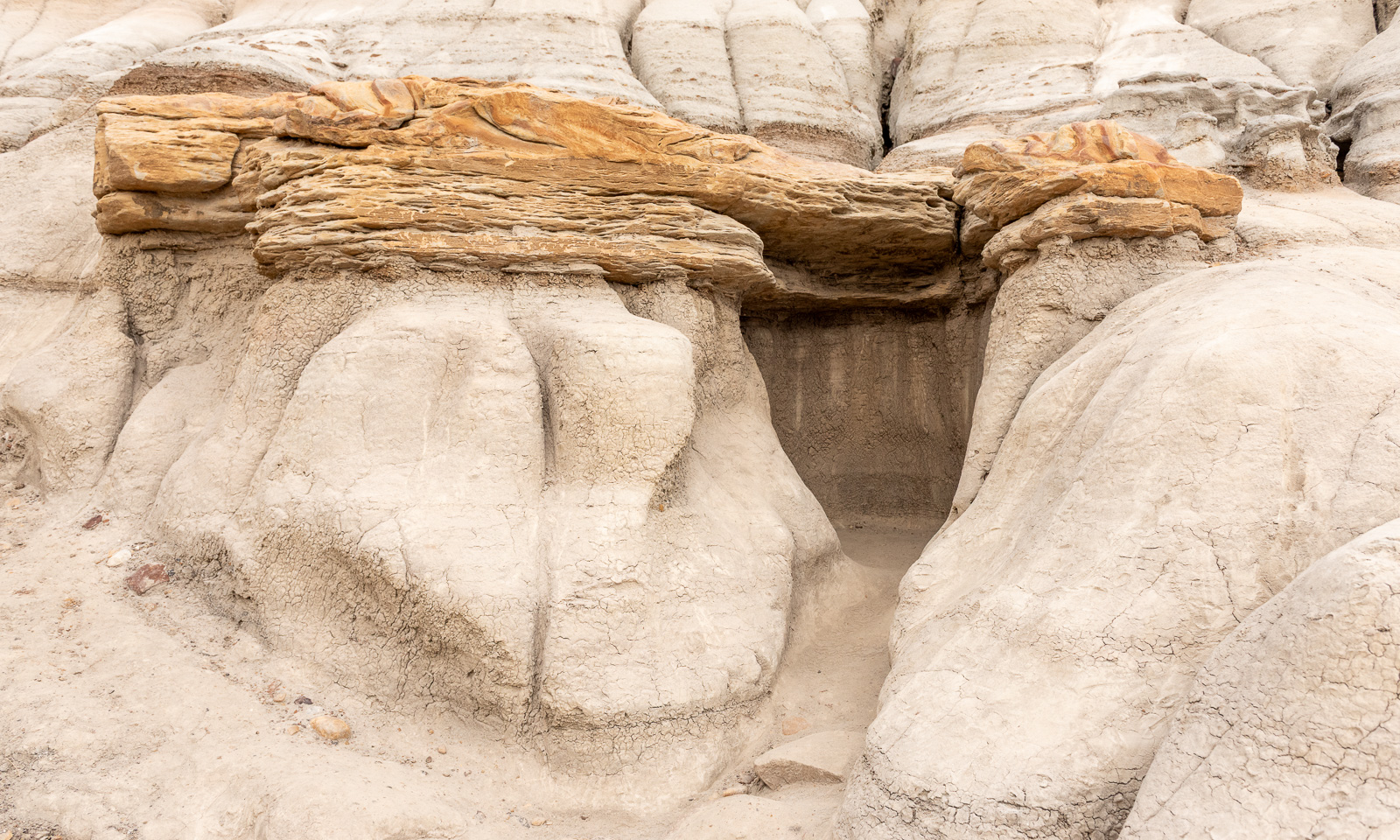
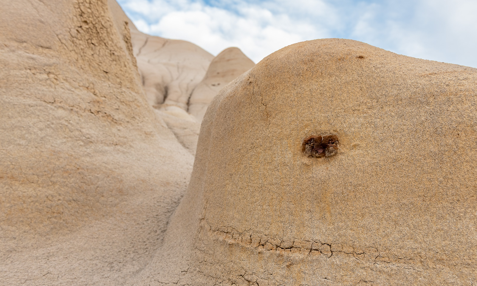
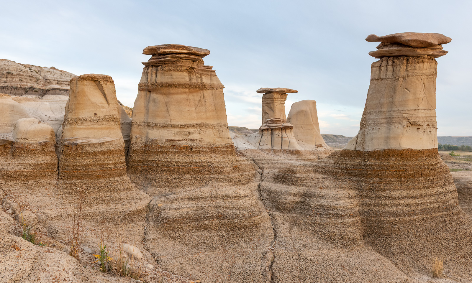
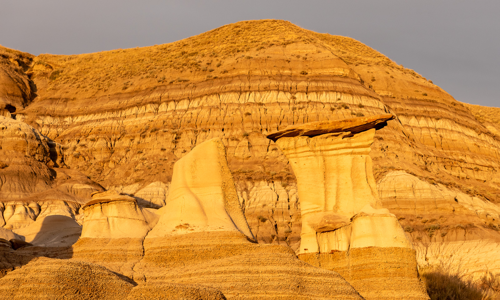
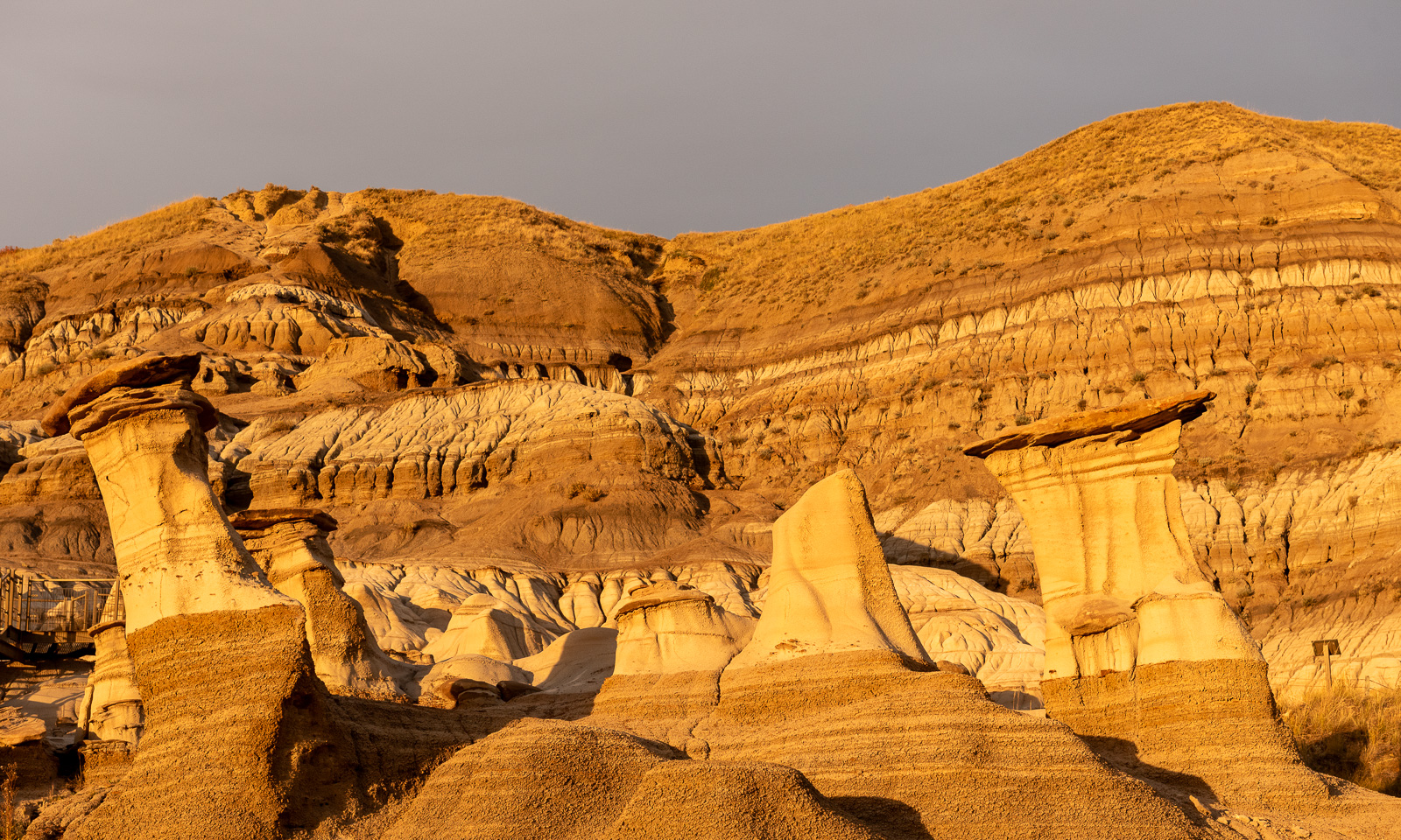
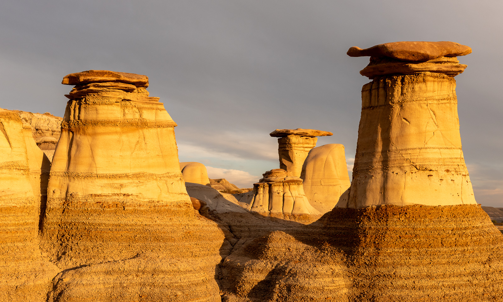
In the late afternoon, we take the car to Willow Creek, which is well-known for its hoodoos – geological rock formations created by erosion. Annika and I take a walk and gaze at nature’s art exhibition.

Before we drive back to the motel I want to take some better photos of the hoodoos, now that most other tourists have left. I take a first photo …

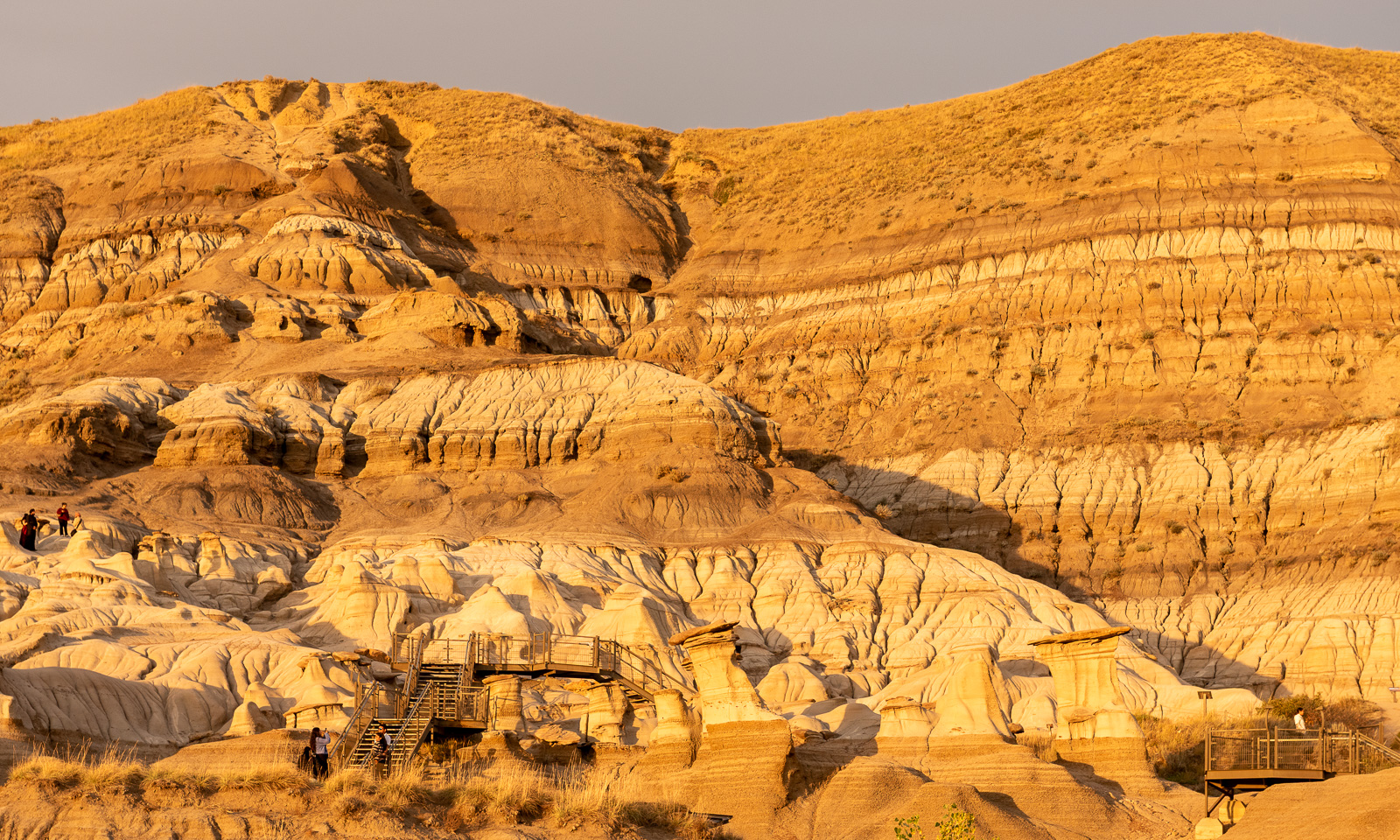
… and then slowly but surely the evening sun that hid behind a layer of clouds comes out and all of a sudden the hoodoos start to glow in the warmest sunset colours imaginable, as if they were glowing from within. I’m truly happy that I can experience that moment and that I have my Nikon at hand. This moment teaches me that if you want a good photo, look for a good subject; but if you want a better photo, wait for the light.


20–21 September – Nordegg, Alberta

This article is part of the series “2026-09: Canada”.

20 September

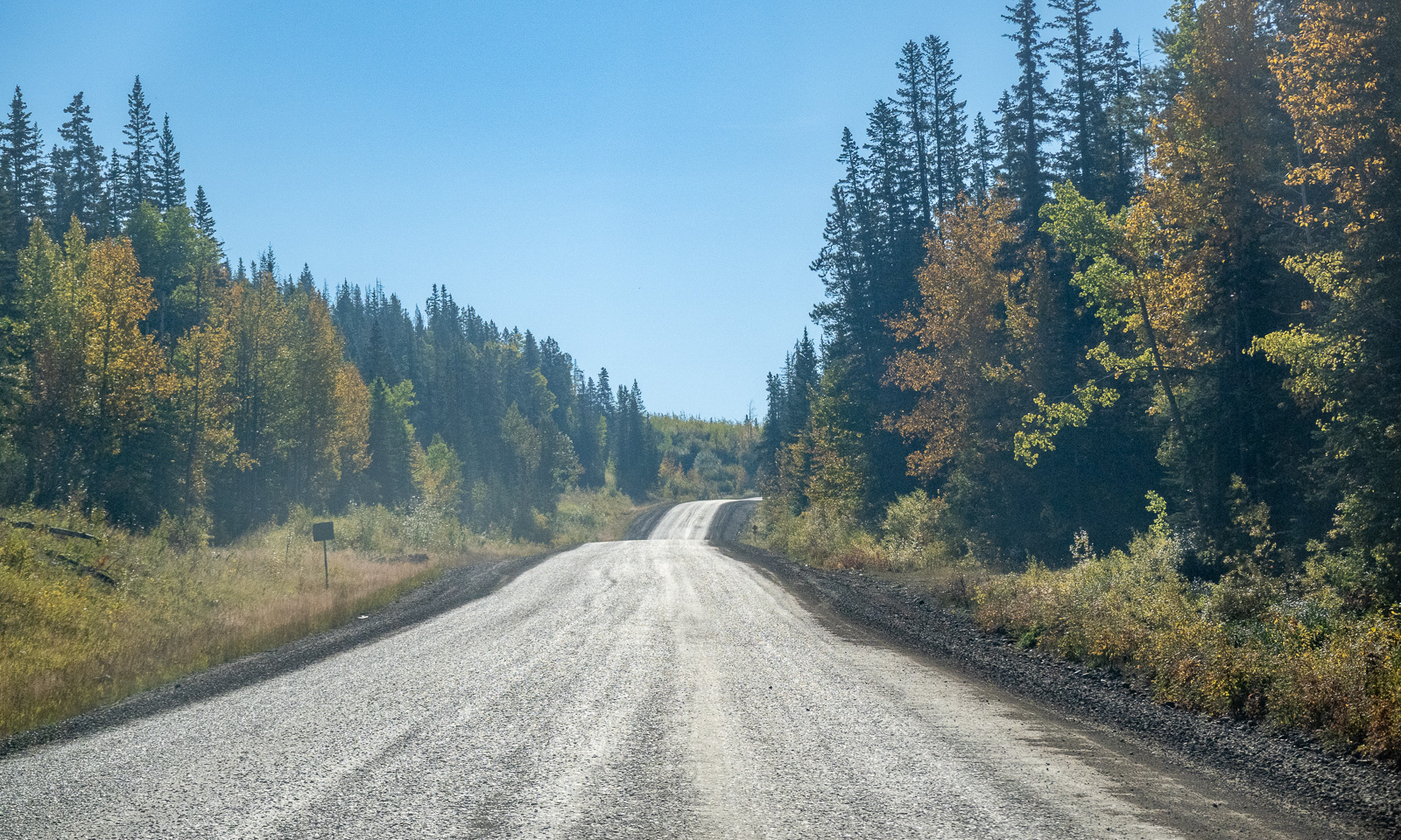
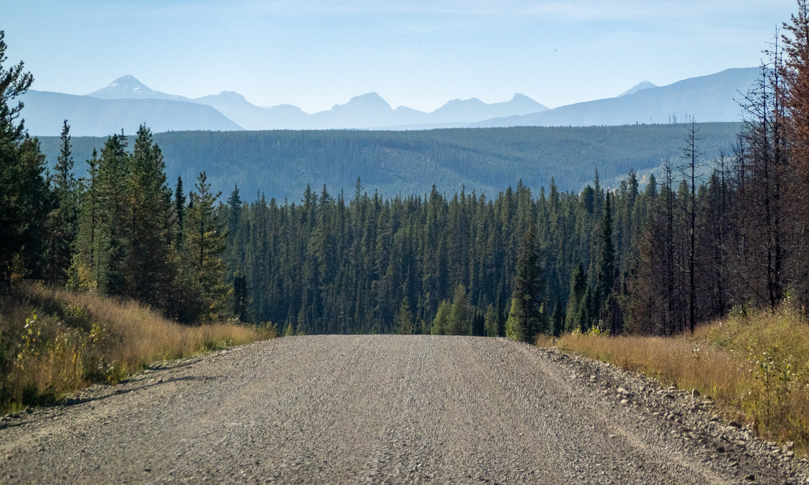
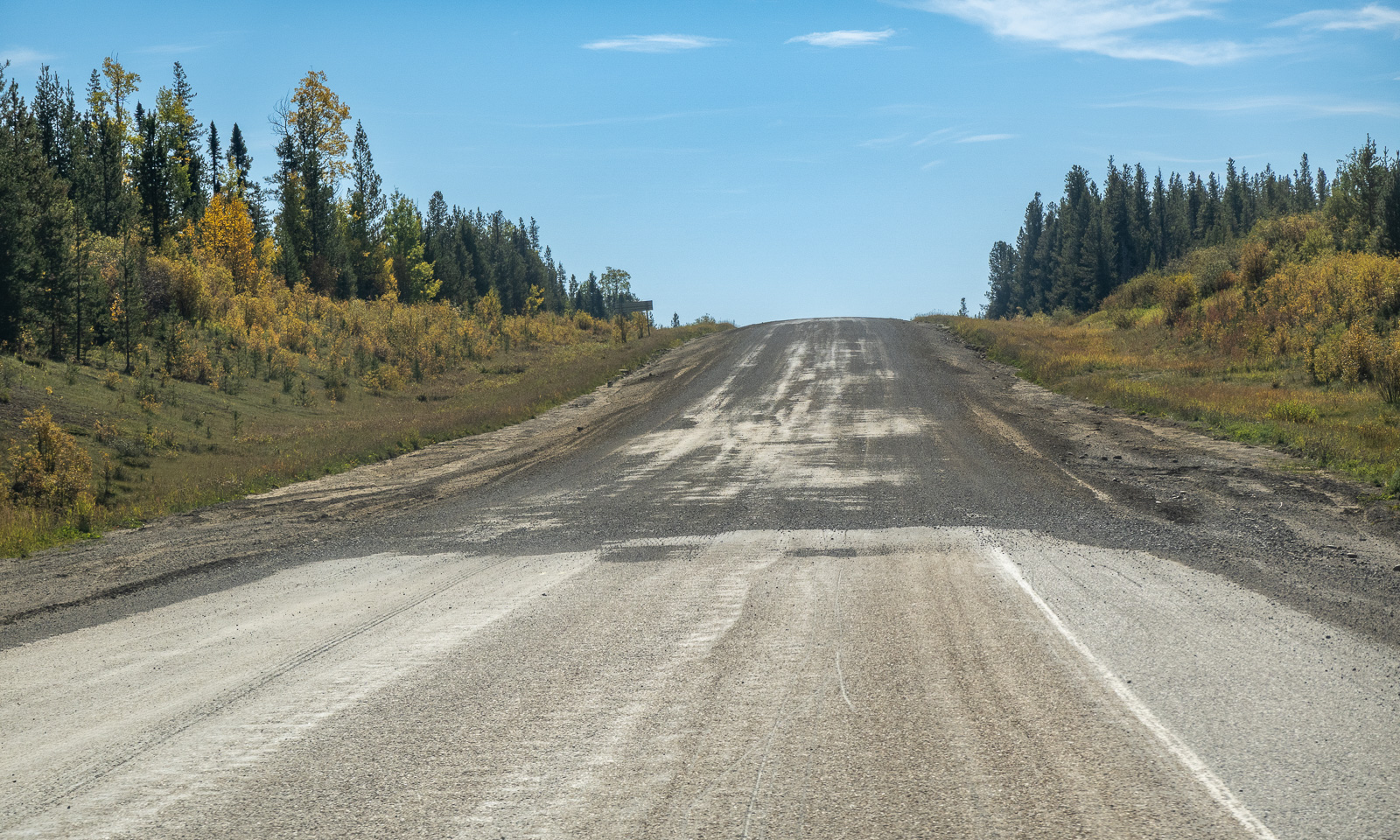
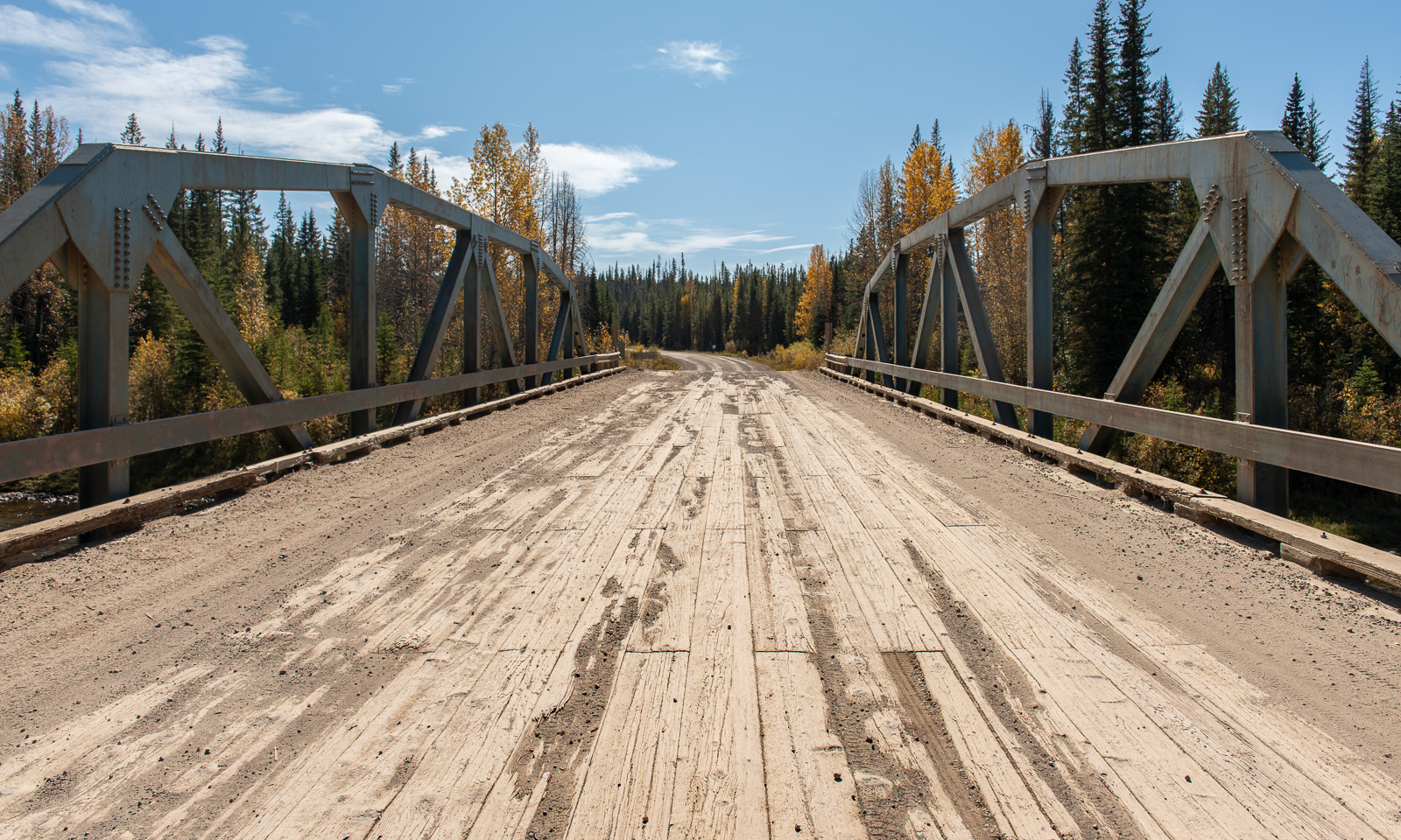
Nordegg, Alberta, Canada – another settlement I never heard of before (which doesn’t mean too much). This will be Annika’s and my next stop; we will stay in a hostel for two nights. After a brief breakfast, we leave Hinton, fill up the car, buy food for the next few days and take the direct road east. This road is mostly unpaved and leads through autumnal forests and across rivers on old bridges. It is a perfect road to take it nice and slow, especially on such a sunny day when the destination is less than 200 km away.

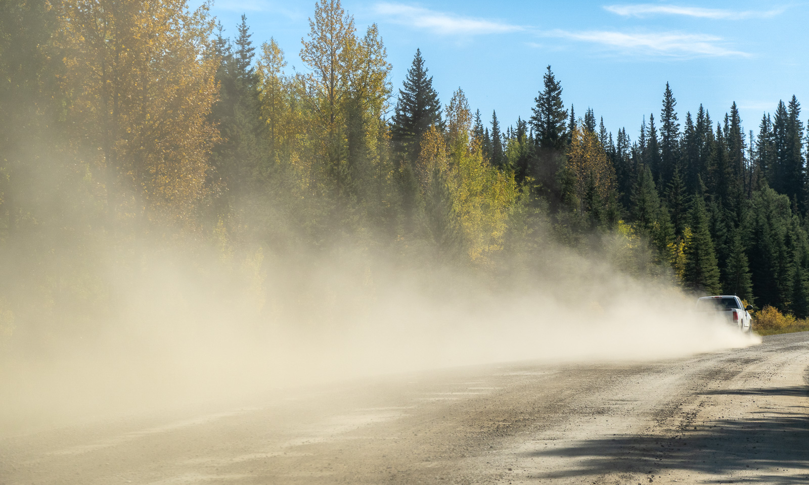
Using these roads in a dry period means a lot of dust when another car approaches or passes.

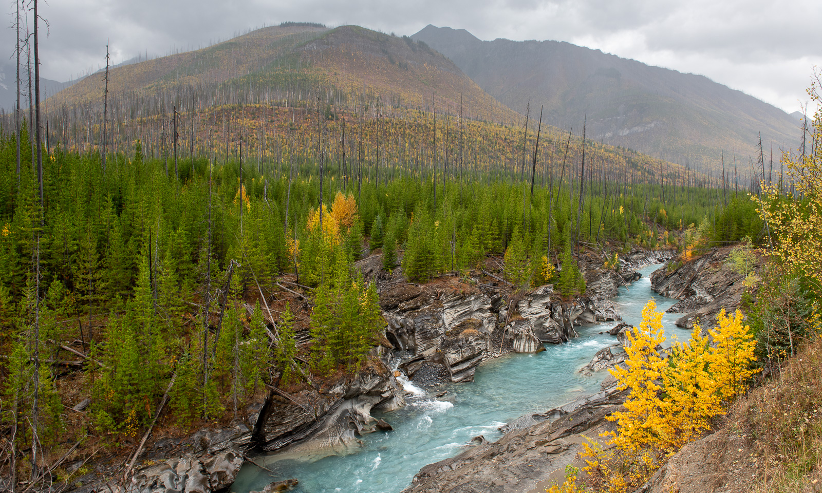
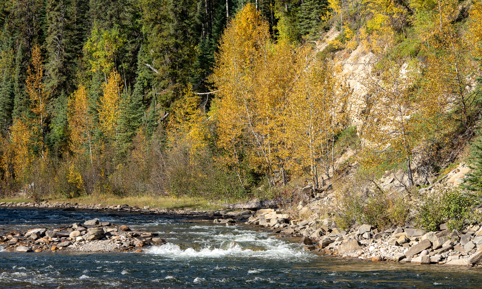
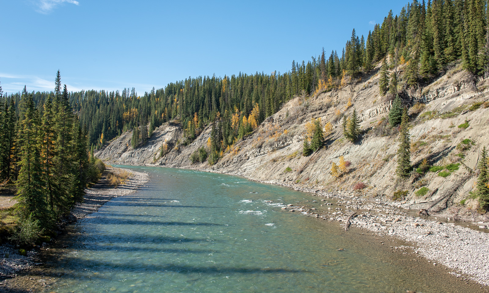
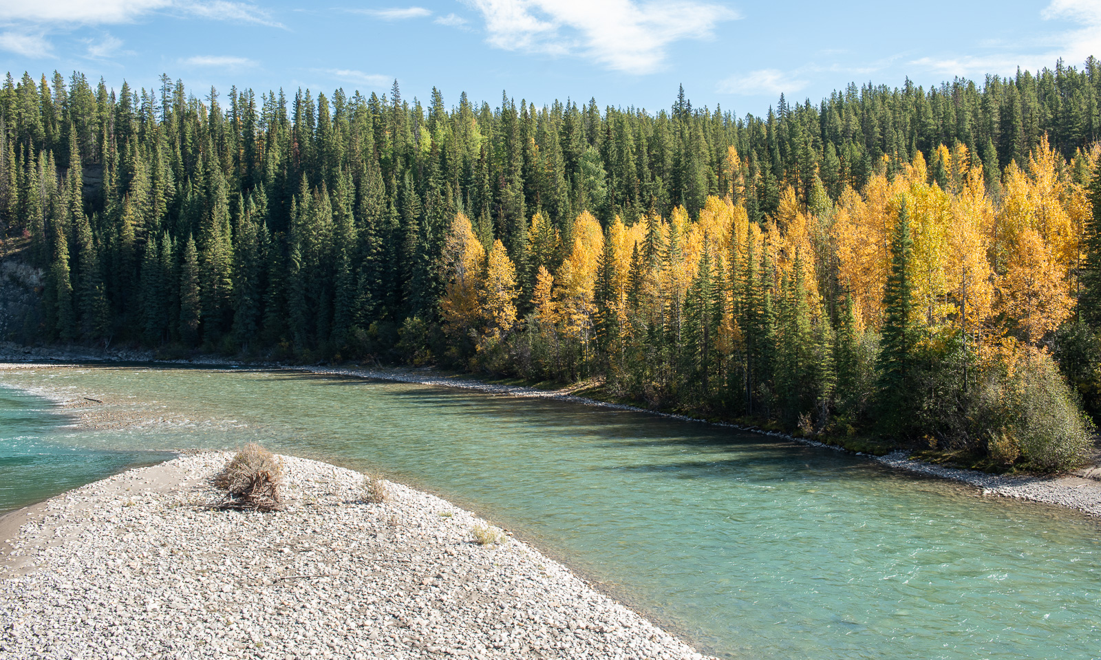
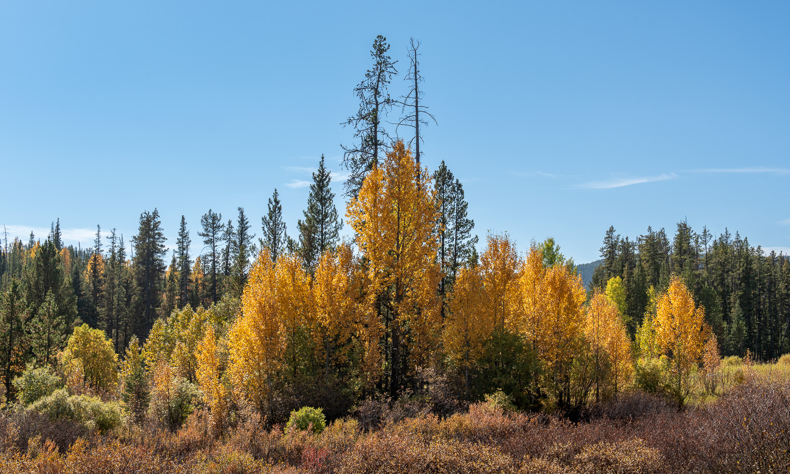
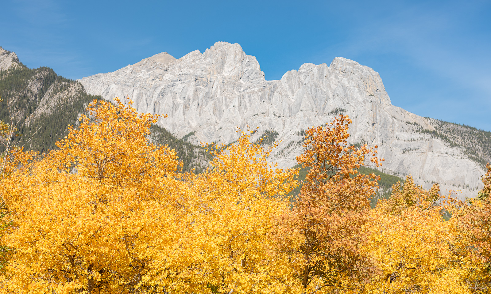
However, we are mostly alone and enjoy the views of the yellow aspen trees and the turquoise rivers.

Just as our car has been filled up with petrol, we are filling ourselves up with colours, just like in the children’s book about the mouse Frederick.

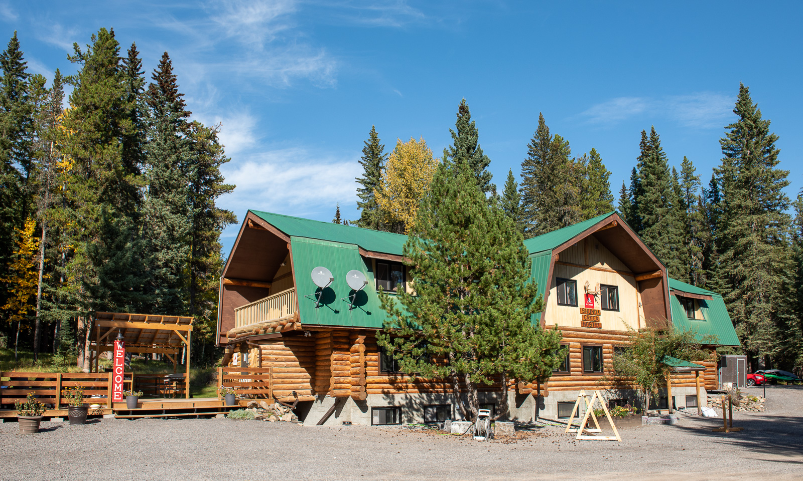
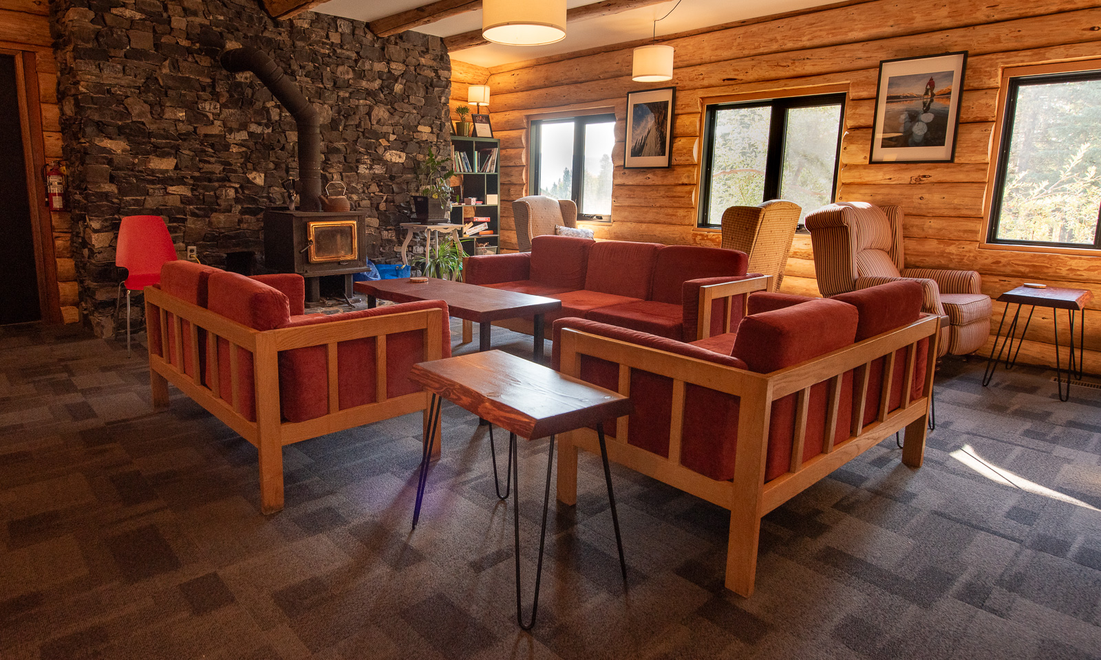
We arrive at the Nordegg Shunda Creek Wilderness Hostel already at a quarter to three; way too early to check in. Anyhow, we may use the facilities and besides, it is so warm and sunny outside that we just sit on the terrace until we get our room.

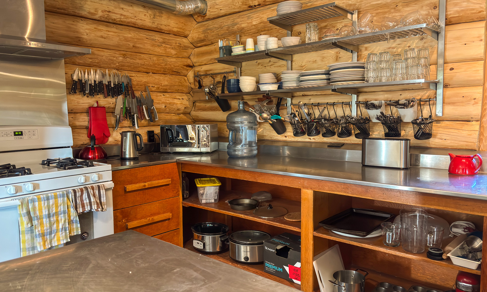
Later we realise that this hostel is not only extraordinarily cosy but also extremely well-conceived. The kitchen is perfectly equipped and apart from the cups, everything is within easy reach. There is a lot of space and even when the hostel is fully booked it never feels crowded. There are even free goodies in a drawer that I open more than once over the next two days.

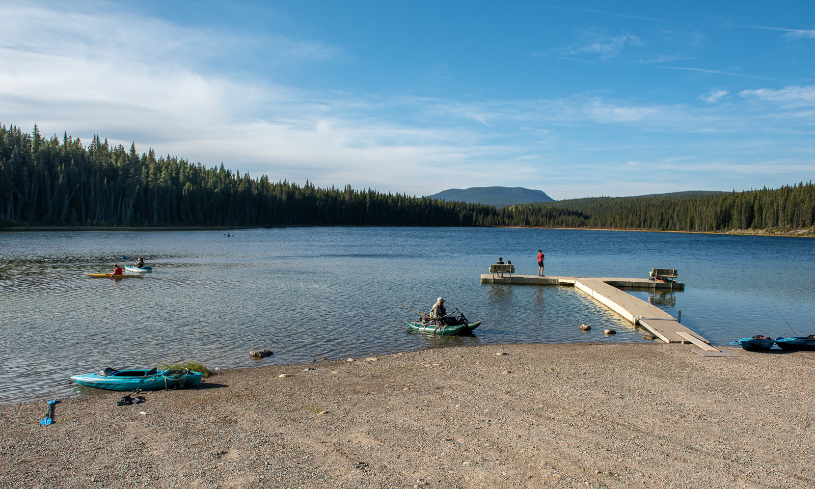
Before lunch, we take a short drive to Goldeye Lake to take a swim. The lakebed is muddy and rocky at the same time, but the water is wonderfully refreshing.

21 September

While Nordegg may not be the most popular place in Alberta, it is located near a prominent river: the North Saskatchewan River, which originates in the Rocky Mountains, flows eastwards, widens into Abraham Lake before continuing for another 1000 km, eventually joining the South Saskatchewan River.

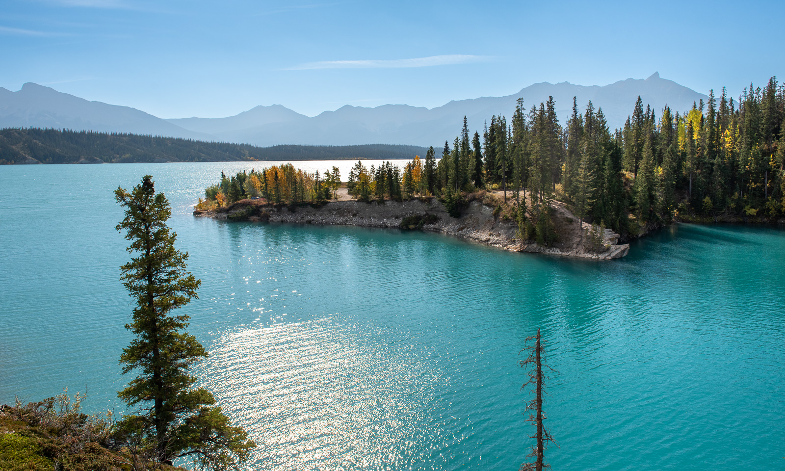
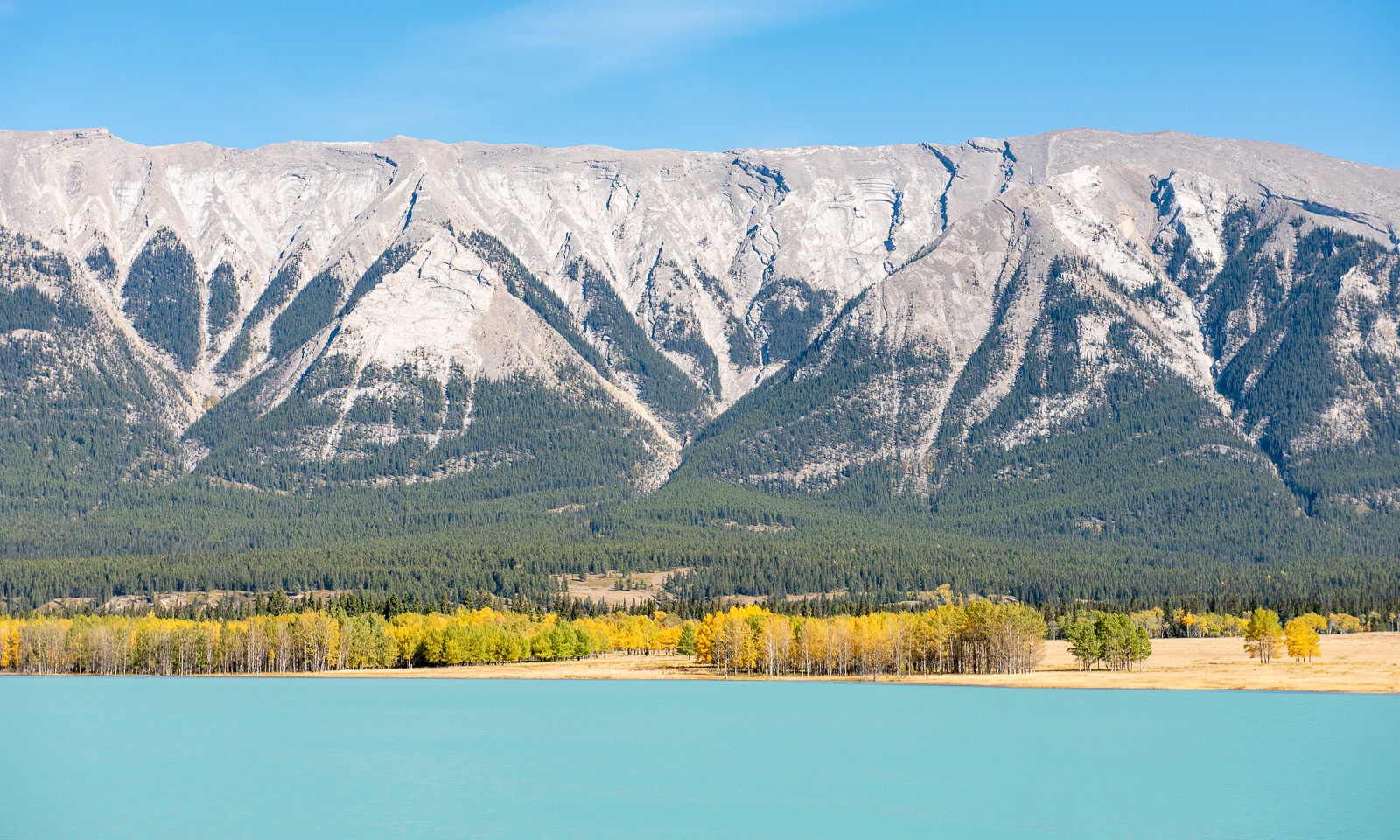
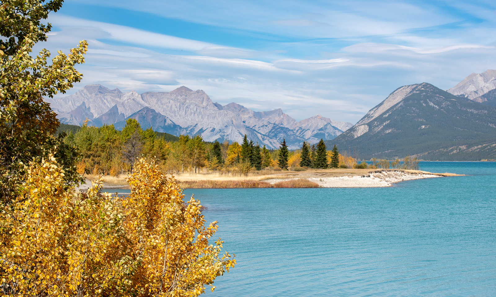
What luck we have! The morning is pretty chilly, but the sky is blue and promises to deliver another beautiful, sunny day. After a leisurely breakfast we take the car to Abraham Lake. When we see it  for the first time from the car, its bright, intense turquoise colour looks almost ridiculous, like someone had played around with Photoshop, setting the hue to its maximum. The lake is so calm that I wish I had a kayak to paddle on this beauty of a lake.

While we are driving to the next stop, strong gusts appear out of nowhere and start shaking our car. Standing outside in these strong gusts makes my dream of kayaking on the lake vanish instantly.

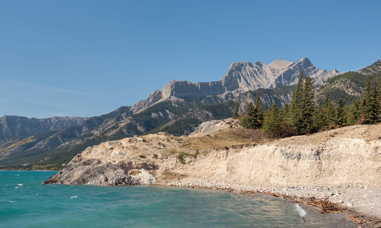
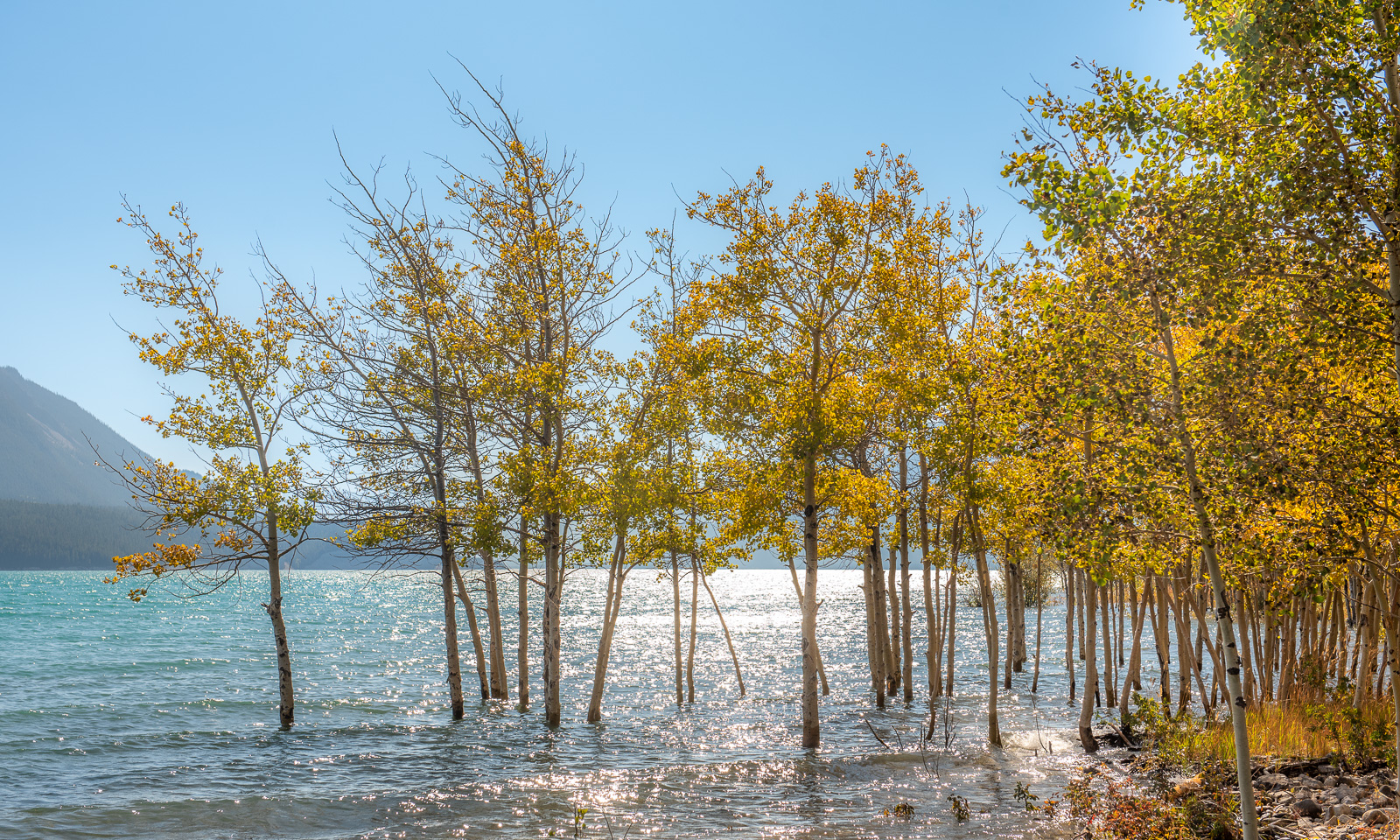
Another stop and most of the wind is gone – where did it come from? The water level of Abraham Lake is quite high. Many trees at the shore stand in the water.

More stops, more photos. Of course, I do not know what screen you use, but let me assure you: the colours were as bright as the photos show. Another thing that fascinates me: while driving more and more mountains appear around us until we are surrounded by them. It is as if these mountains were living beings that actively move around.

We have passed the whole lake and now follow the river again. If we continued another 30 km west, we would end up at the locality of Saskatchewan River Crossing, which lies on the famous Icefields Parkway. We can already spot glacier-covered mountains ahead, such as Mount Wilson (3260 m), as shown in the next photo. But the Icefields Parkway is not our route today; we will drive it the following week – hopefully with equally brilliant weather.

So we turn the car and drive the same way back. We pass Abraham Lake again and, while driving along, the mountains seem to scurry back to their secret places and we are in the hilly lands of Nordegg again, where we first take a nap and then eat a delicious dinner that Annika cooked with small potatoes, eggs, carrots, Parmesan cheese and two dips. And I still have a bottle of my favourite Canadian drink: Canada Dry Ginger Ale.

22 September

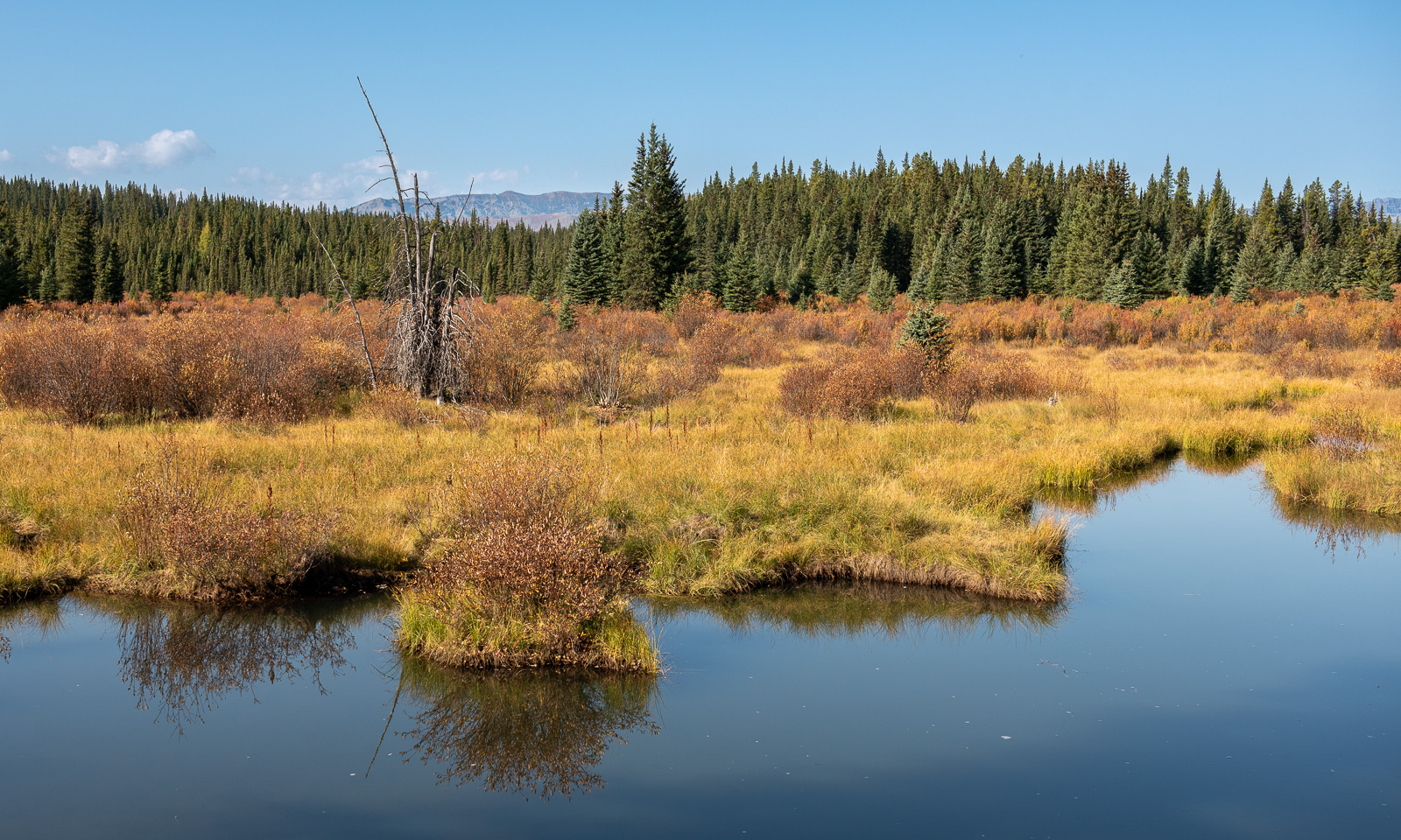
This morning I finally take a picture of the wetlands by the hostel. Then we will head off to Red Deer, where a surprise await us.

18–19 September – The Canadian Rockies and an unexpected interruption

This article is part of the series “2026-09: Canada”.

18 September

Only reluctantly do we leave the Summit River Lodge in Valemount. It is a wonderful place. We fill all our bottles with the delicious well water, pet Cookie, the cat, and say goodbye to our hosts. Today we will continue to Jasper where we booked two ridiculously expensive bunk beds in a shared hostel room. But hey, it’s Jasper, one of the places that every single tourist seems to visit and we are lucky we found accommodation for less than a thousand dollars a night.

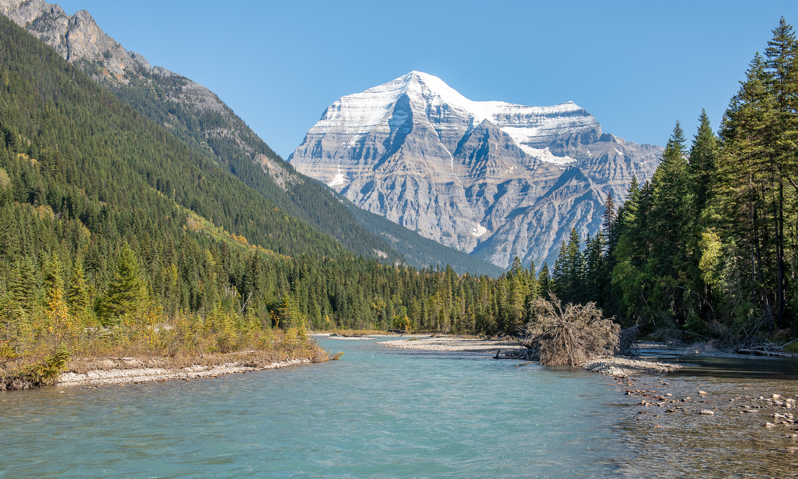
We take Highway 5 and then Highway 16 east, which leads to Jasper. After a turn we see a huge, striped mountain with a snowy top ahead. It is Mount Robson, with 3954 m, the highest summit of the Canadian Rocky Mountains. On the way there, I find a nice spot by the Robson River to take photos.

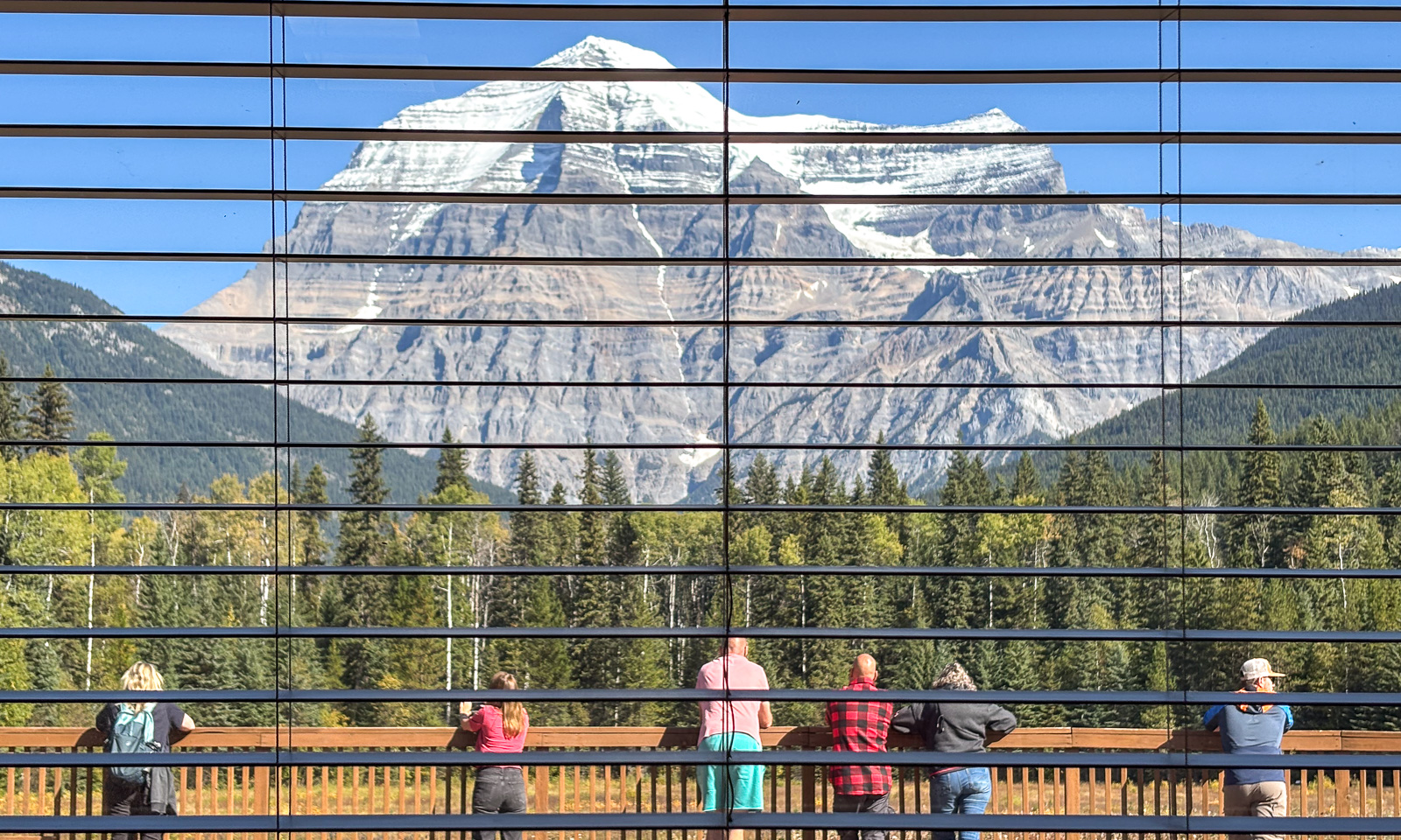
We stop at the Mount Robson Welcome Centre where people take pictures of this massive mountain too.

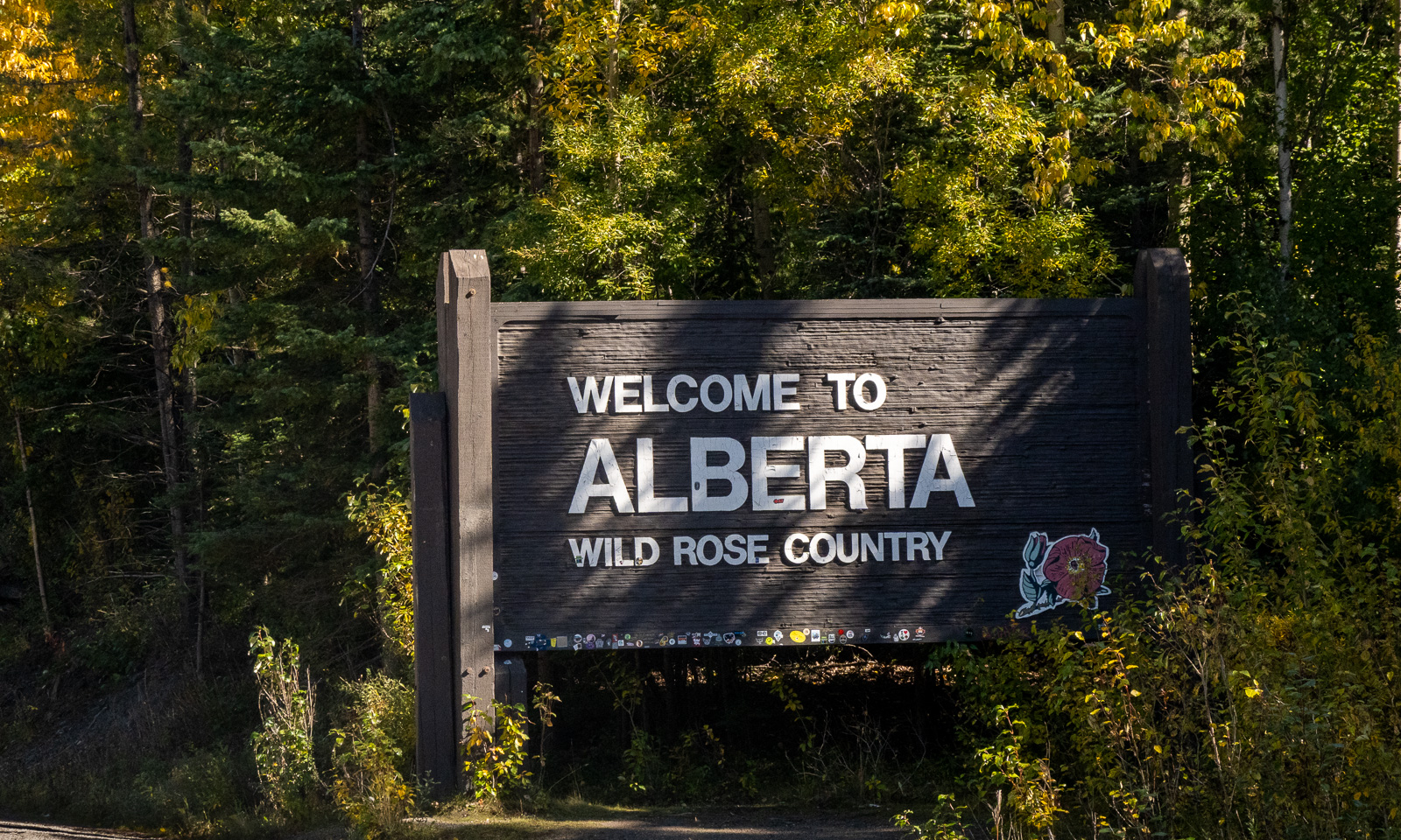
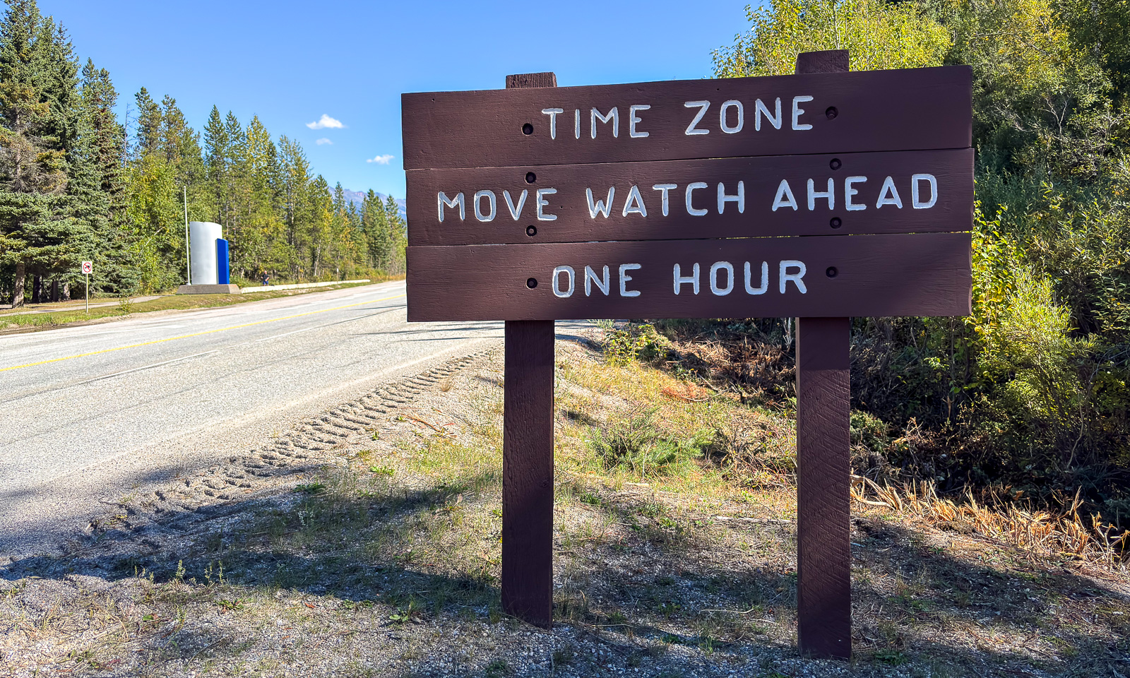
About 60 kilometres further east we cross two borders. The first is the provincial border between British Columbia and Alberta, the other is the time zone border. I will not try to explain the Canadian time zones here. They are independent of the provinces and several changes have been made this year. Pretty confusing. Let’s keep it simple: We set the clocks forward by one hour.

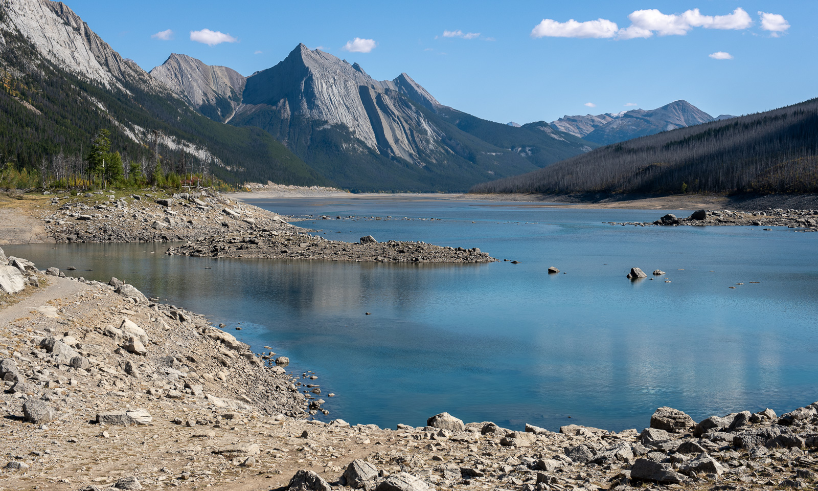
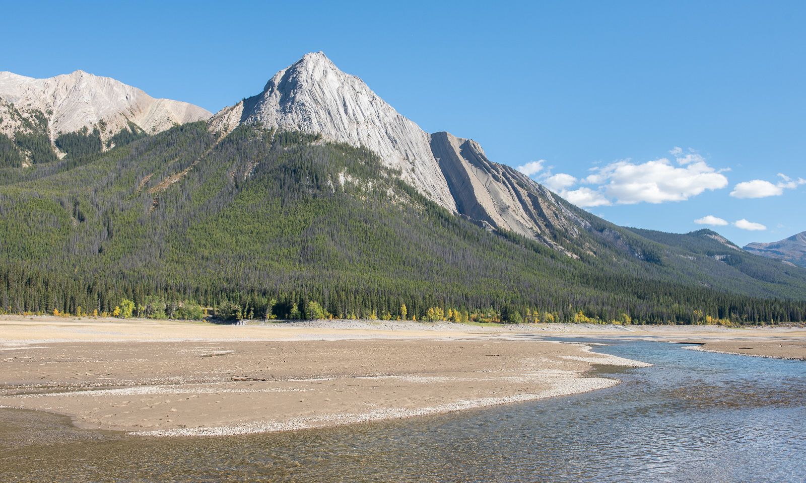
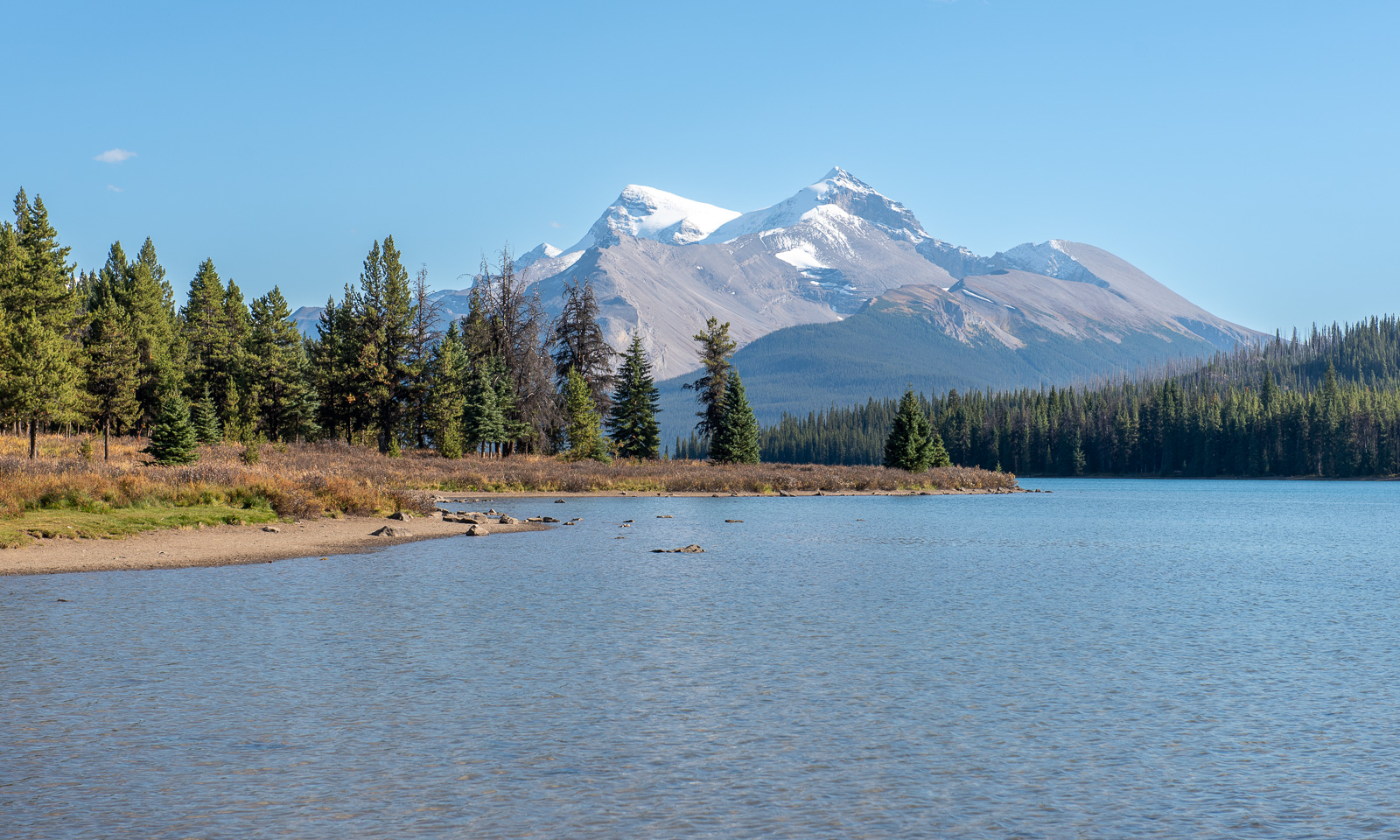
We pass Jasper and take a side road to Medicine Lake and Maligne Lake. Medicine Lake is special because it is not a normal lake, but rather part of the Maligne River that disappears underground. The water level varies greatly over the year. This time of year it has a pretty low water level. At the southern tip the lake is mostly empty and reveals large sandbanks, interrupted by small but fast-flowing streams.

The next lake – Maligne Lake is one of the iconic lakes in the Rockies. I guess the main season is over because we can always find a parking space, even here we have to wait just a few minutes.

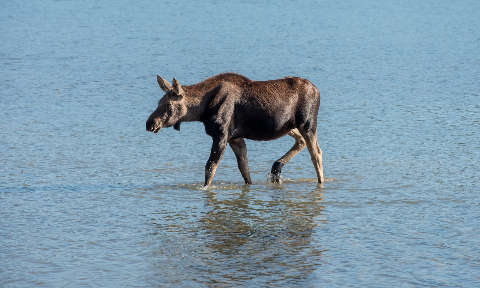
We stroll along the shore to find a good bathing place but maybe the best one is near the tourist centre. There we change into our swimming clothes and walk into the lake. And we walk and walk. The lake is so shallow that I finally just lie down in the water to get wet. When we come back to dry ourselves a moose is approaches. We already heard about two local moose in this area and the signs indicate that we should not approach wildlife. But what do you do when the wildlife is approaching you? We grab our things and move back on the way to keep our distance. When the moose turns I take some pictures. The moose makes calling sounds. Is it looking for its mum?

At the restaurant – already closed we meet a couple from France that has been travelling around Canada for almost two years. Like the Canadians we met in Likely they also recommend visiting Drumheller. We are shown some photos of an impressive landscape. Maybe we manage to visit it later.

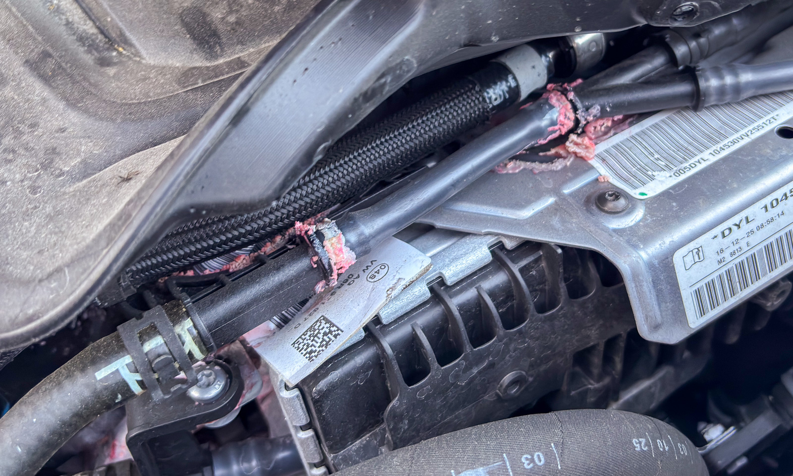
While we are driving back to Jasper the VW Tiguan displays a warning: “Check the coolant level.” That doesn’t look good. We stop the car for a few minutes but the same warning pops up again. We open the car’s hood and, sure enough, there is hardly any coolant left. The French couple passes and stops to help us. We realise, that there is a leak in the hoses. As usual, we don’t have any mobile coverage at all. All passing people are helpful, but no one has coolant or distilled water. It is the French couple who stop a camper van from Virginia. The camper van has Starlink. In the end , they are the ones that help us. Slowly we continue our drive back to Jasper with the camper van following us as a backup. We are lucky, we make it as far as the crossing near town and gratefully wave goodbye to our helpers. To all of you who helped us or tried to help us: you are great people.

In the hostel it takes some effort to communicate with the Avis customer service, who provided our rental car. They cannot understand the situation that we have a breakdown but do not need any roadside assistance. But finally, we learn one thing: Avis has an office in Jasper.

19 September

Did I sleep well? No. It was very noisy both inside (the metal separations between the bunk beds droned loudly every time someone was touching them) and outside (a lot of drunk people were shouting and quarrelling until night). But that’s not important. What is important is to get a replacement for our rental car. To make a long story short: none of the numbers provided got us any help, but the one employee in Jasper did.

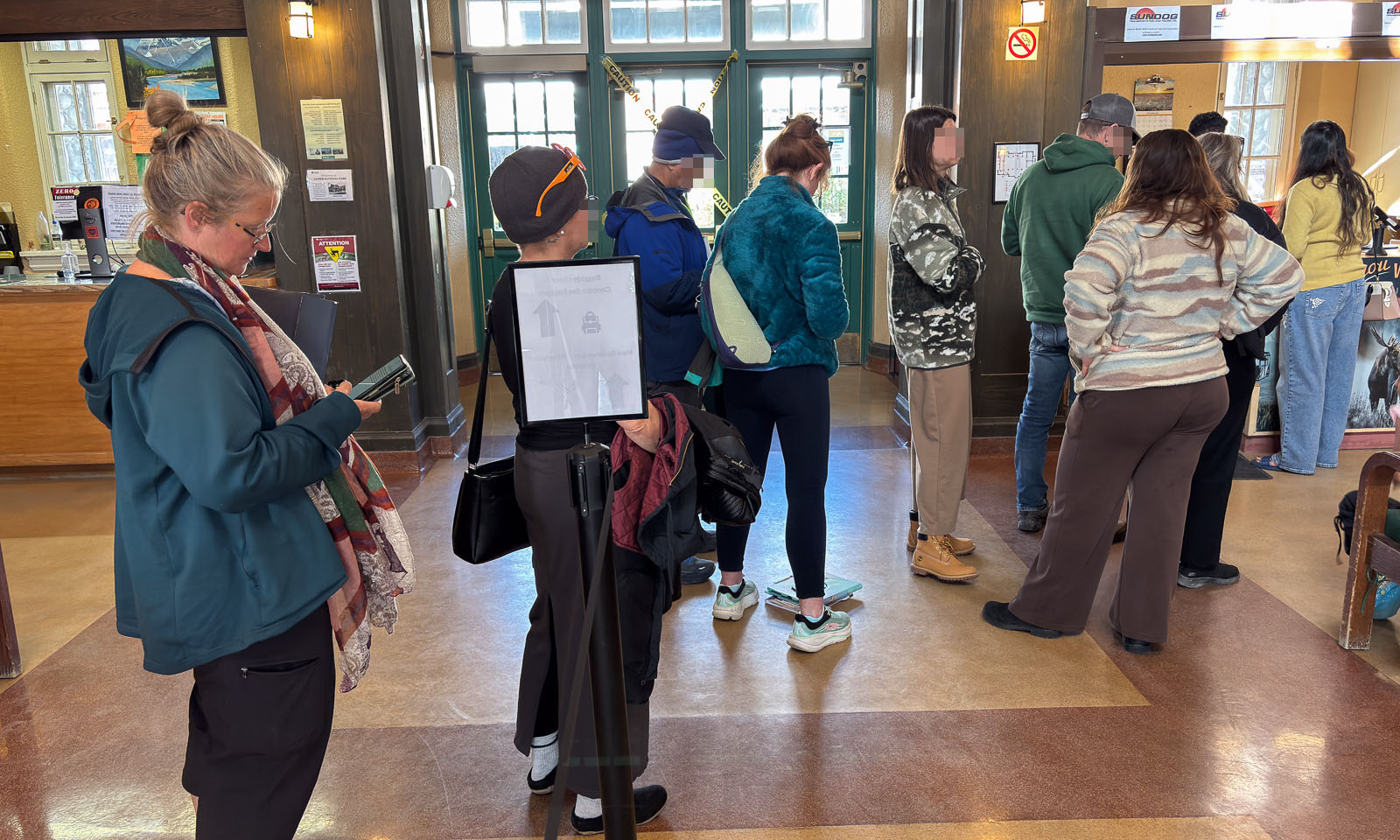
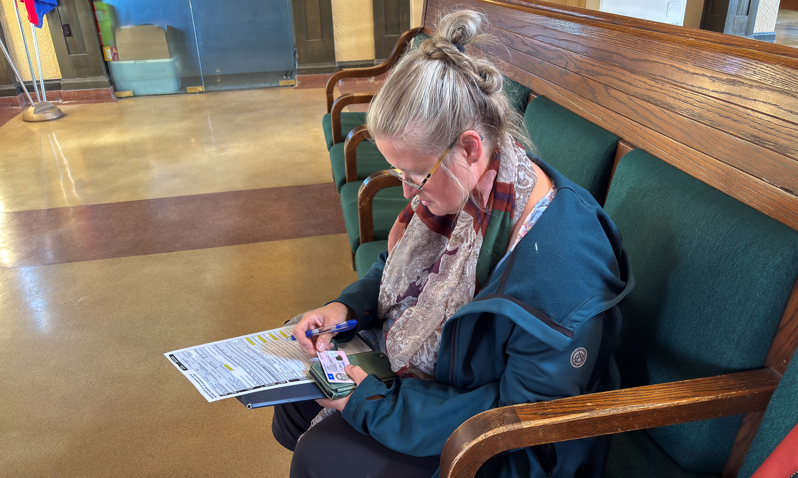
First we have to wait in the queue for quite a while but before lunchtime we have a new car, a Kia Sportage. Will it be a good replacement for our VW Tiguan? We’ll see. Annika has already filled out the extensive paper form. We move all our stuff from one car to the other, return the old car key and here we are – having our mobility back. We were extremely lucky that the car broke down near Jasper, that we made it back and that Avis has an office there. So we don’t have to change any plans and are ready to leave Jasper just a few hours later than planned.

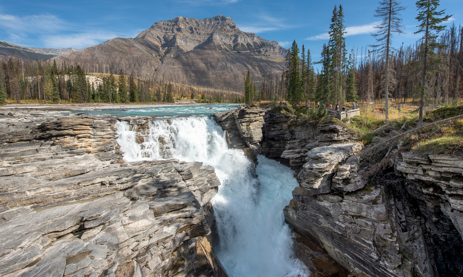
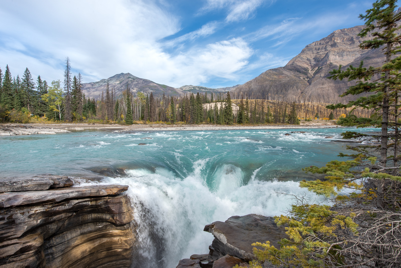
Today we will head east for a few days but our next overnight stop, Hinton, is near, so we want to drive a bit of the Icefields Parkway first. This part of the Alberta Highway 93 is most famous for its view of glaciers, mountains, and lakes and a “must-see” for many tourists. Today we want to drive to Athabasca Falls – not on the main road but on the older road 93A on the other side of the Athabasca River. Here we are almost completely alone. We stop at one of the pullouts and have our lunch by the river.

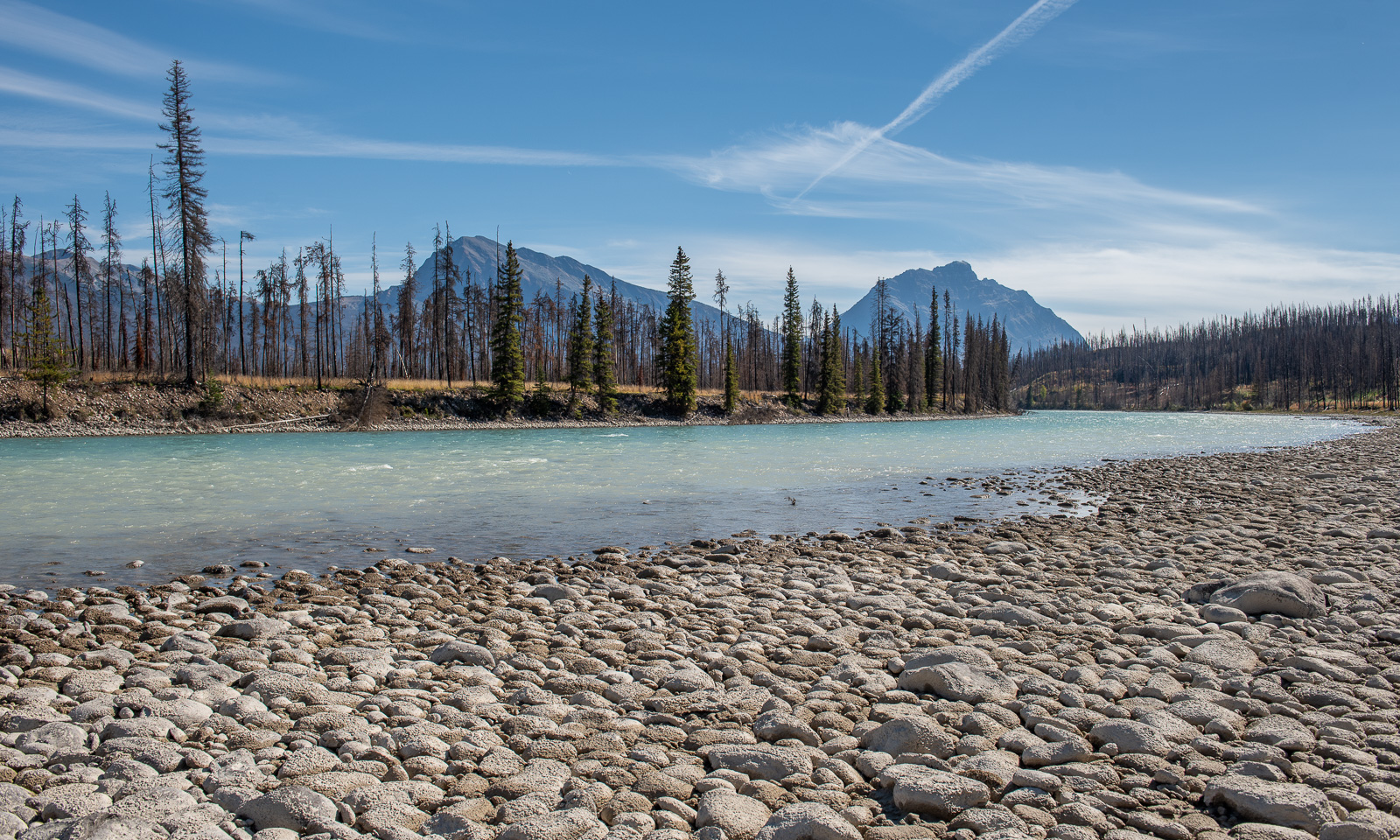
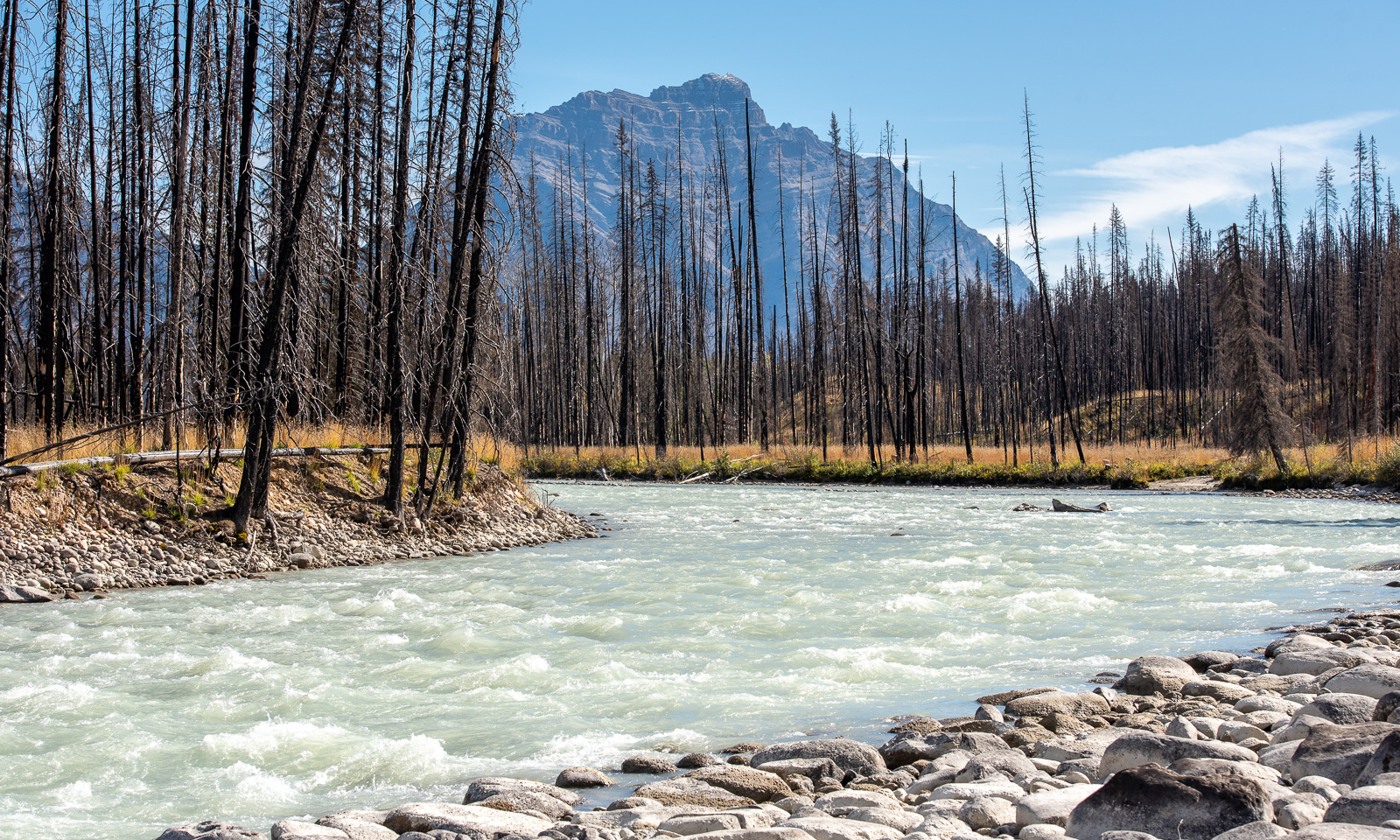
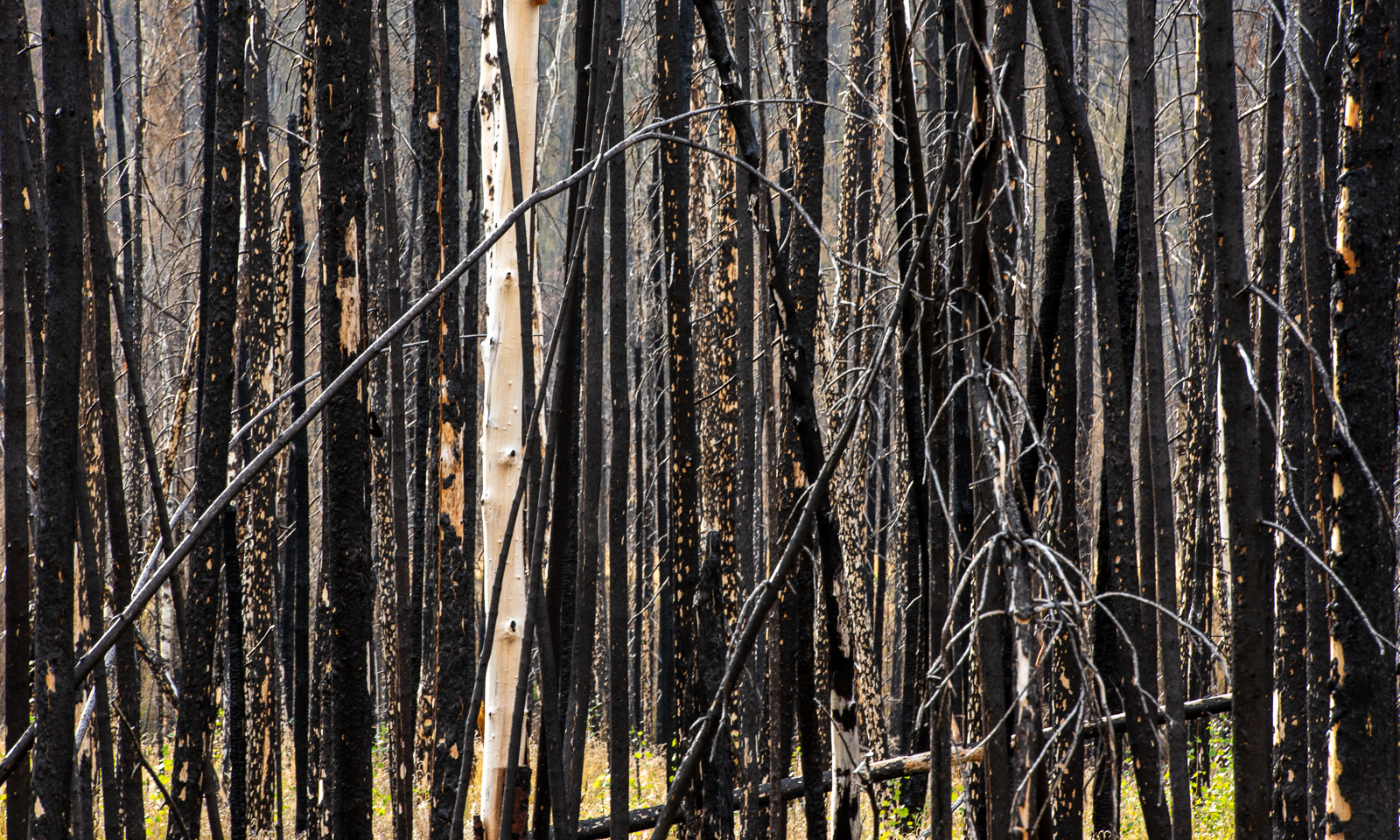
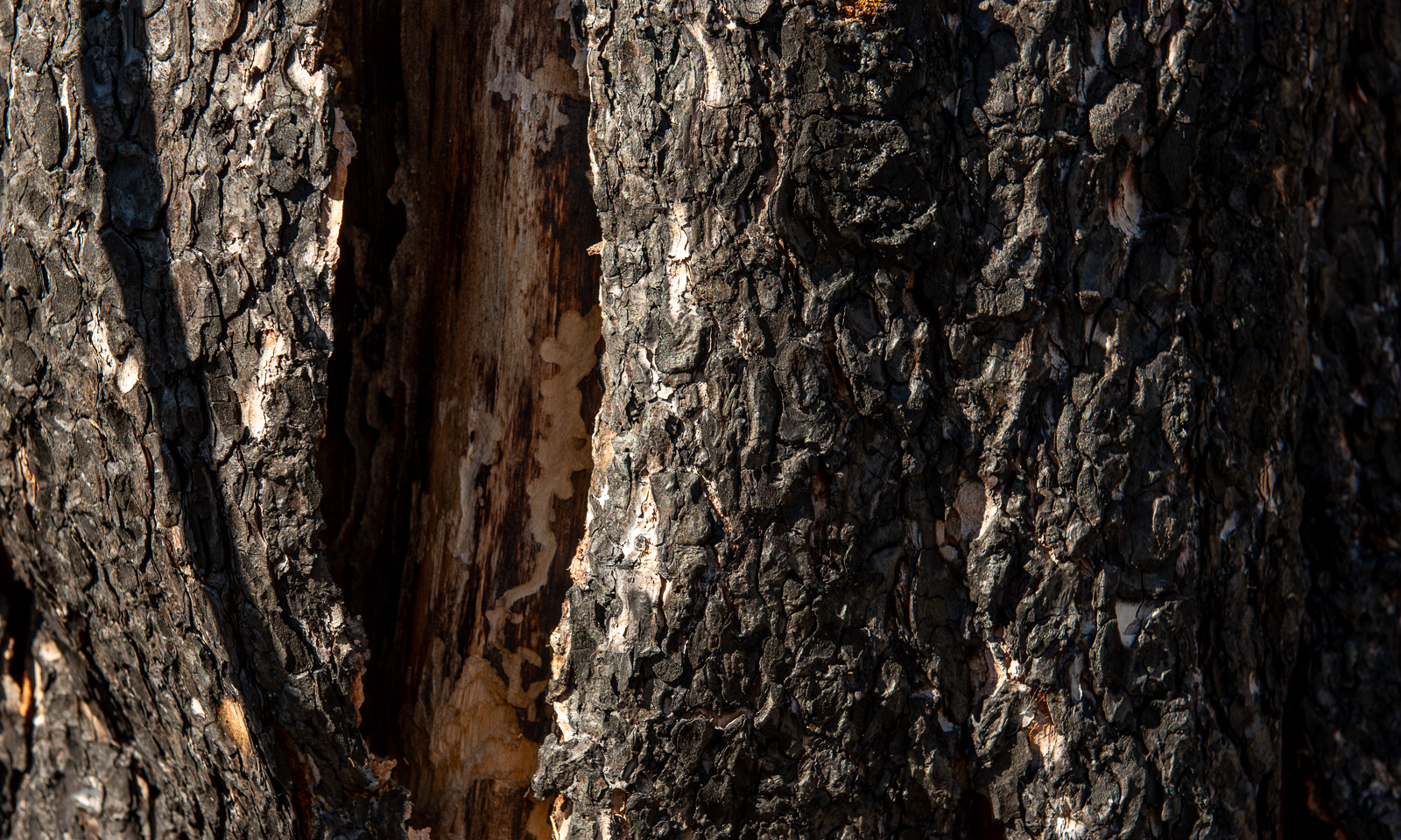
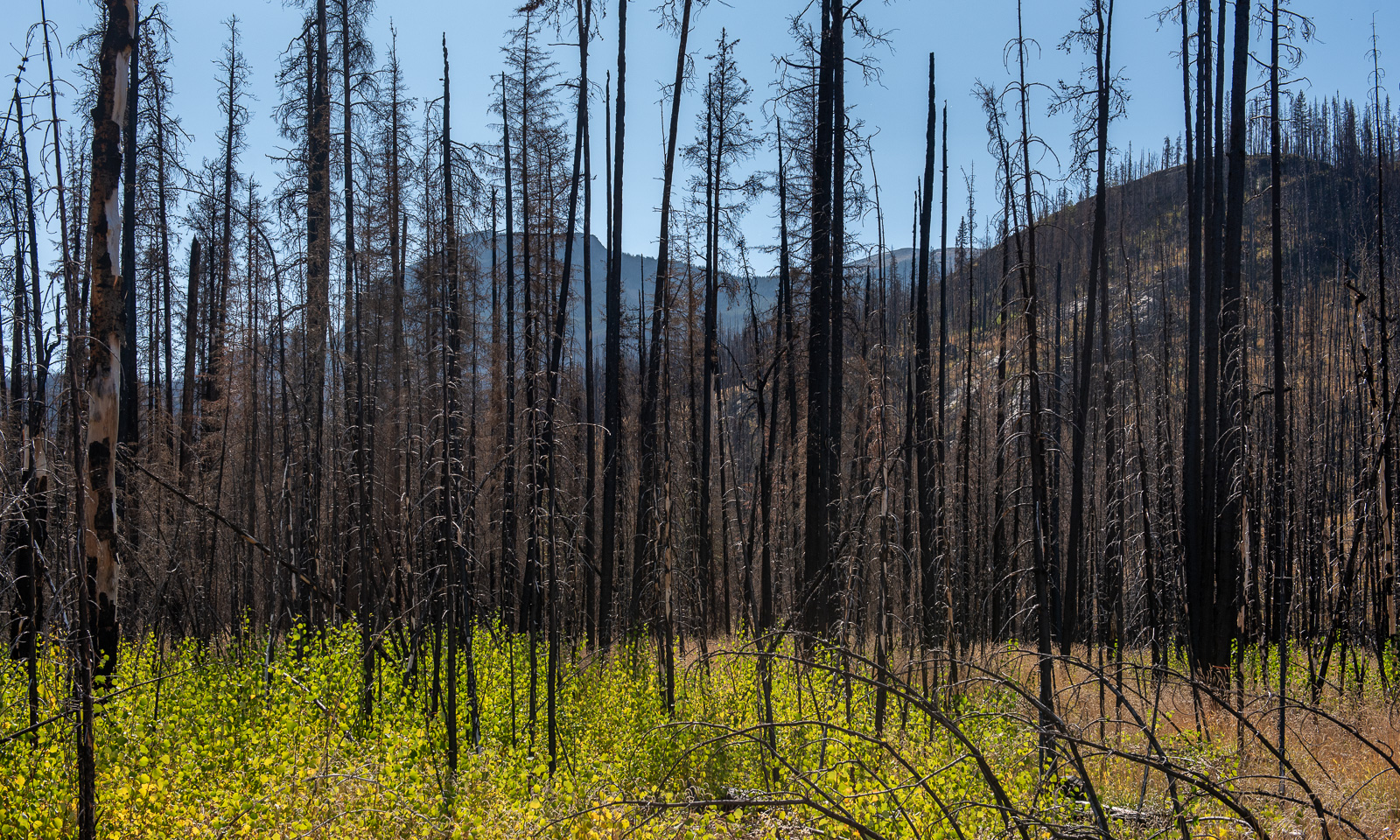
The river is beautiful but the trees clearly show that there have been forest fires in this area as well. Many trees have black, burnt bark and I am not sure whether any of them will survive. Nevertheless new saplings with fresh leaves are growing between the black trunks.

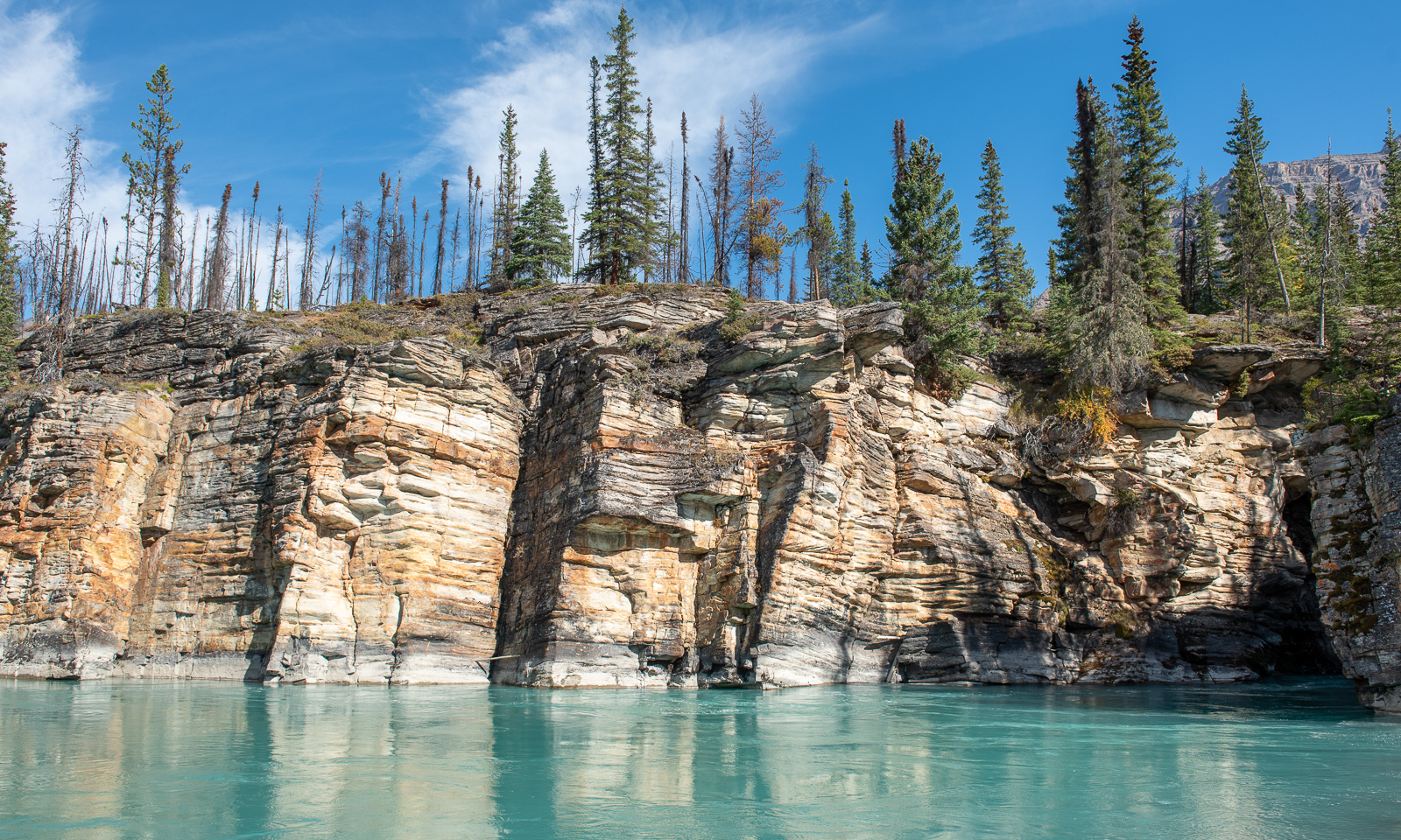
We stop at another pullout and walk to the Athabasca River near the waterfall. Even here we are almost alone. We can see the tourists on the official trail on the other side. We go to the shore – on our side, this is possible – and look at the turquoise water of the river and the steep rocky cliff on the other side.

Less than 200 metres further on is the official car park. Even here we get a parking space almost immediately. Together with other tourists we follow the trail. Sometimes I have to wait a minute until all selfies have been taken, then I get the good spots to take my own pictures.

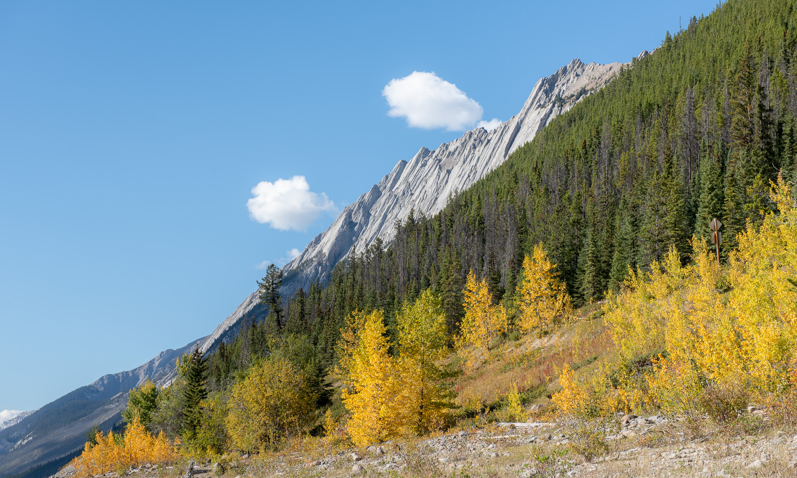
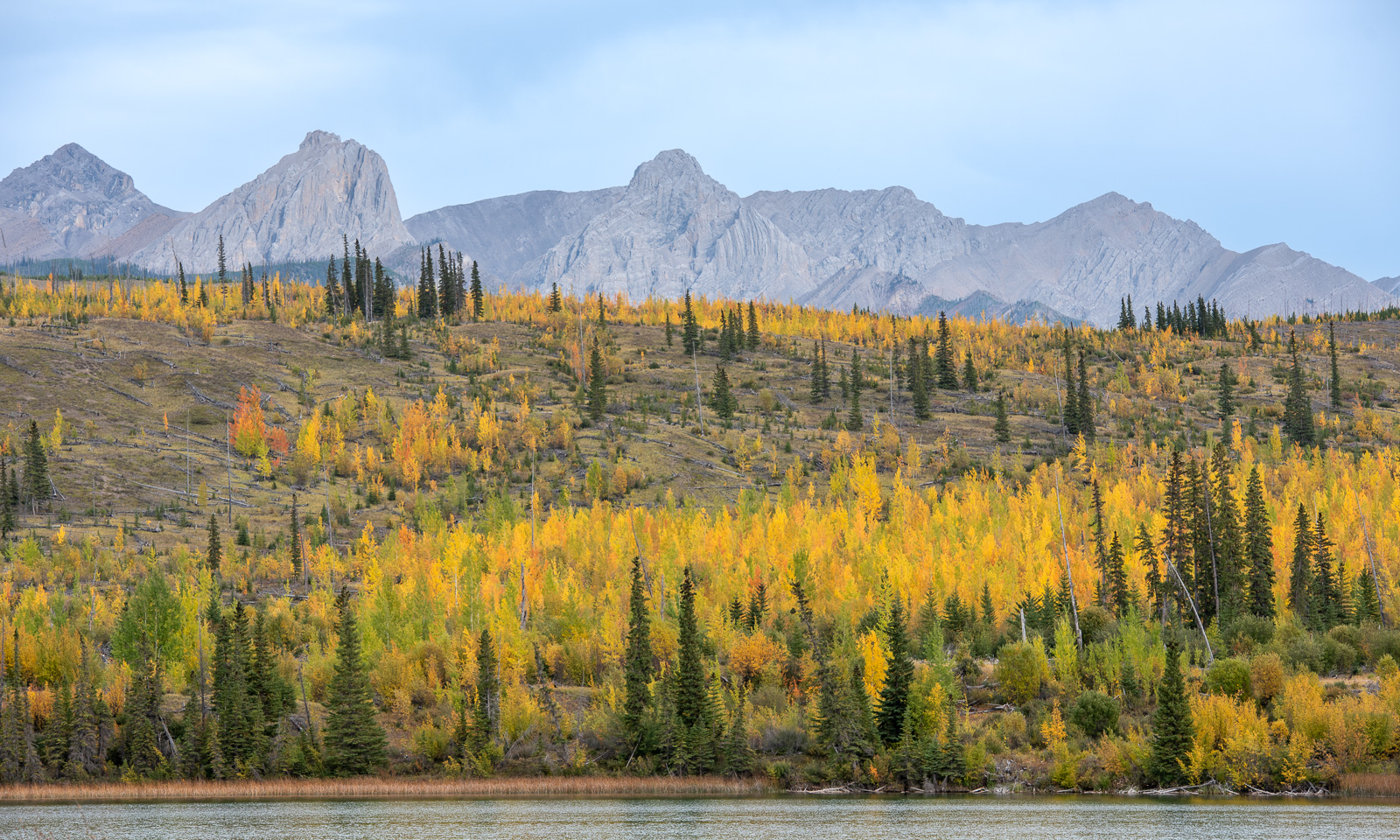
This was our preview of the Icefields Parkway. Now it is time to turn and leave the Canadian Rocky Mountains for a while. We take Highway 93 and turn east onto Alberta Highway 16. There we pass a slope behind a lake with a lot of quaking aspen trees. The leaves turn bright yellow in autumn, a bit like the birch trees at home.

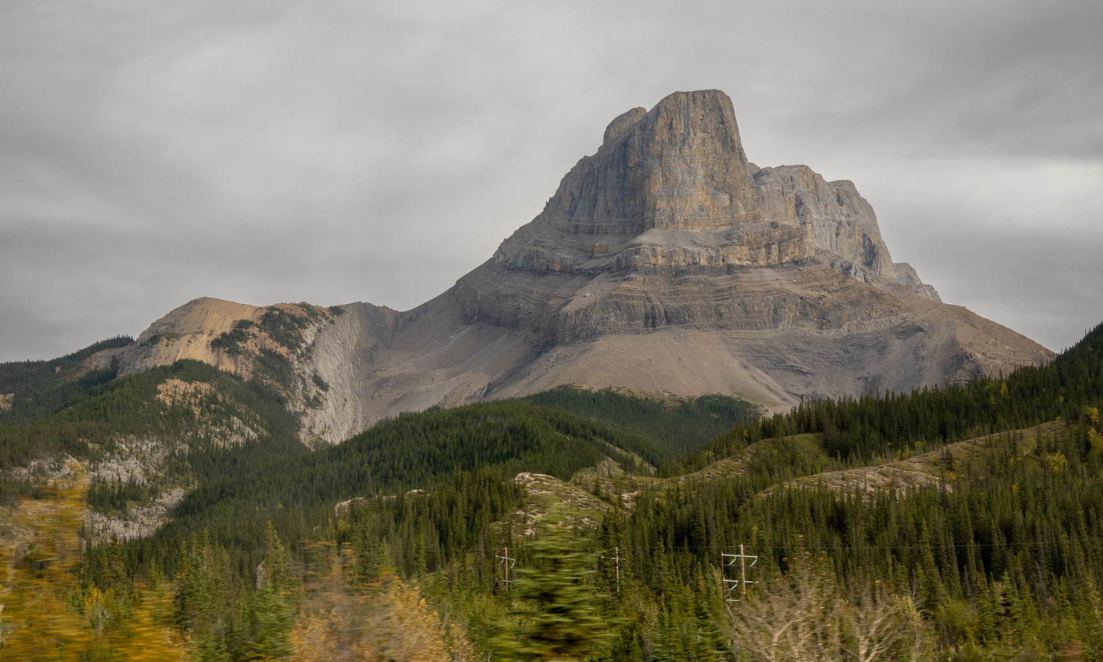
As we leave the Rockies behind, something strange happens: it gets cloudy. We haven’t seen clouds for days and almost had taken the blue sky, the sun and the fact that our rain gear stayed untouched for granted.

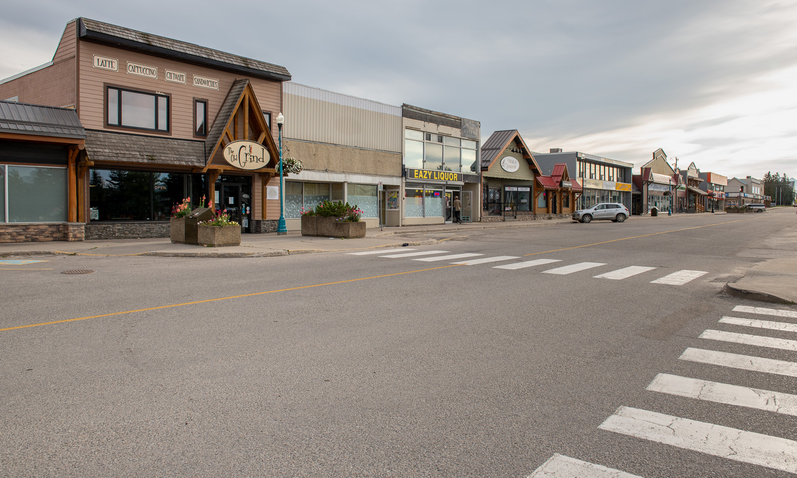
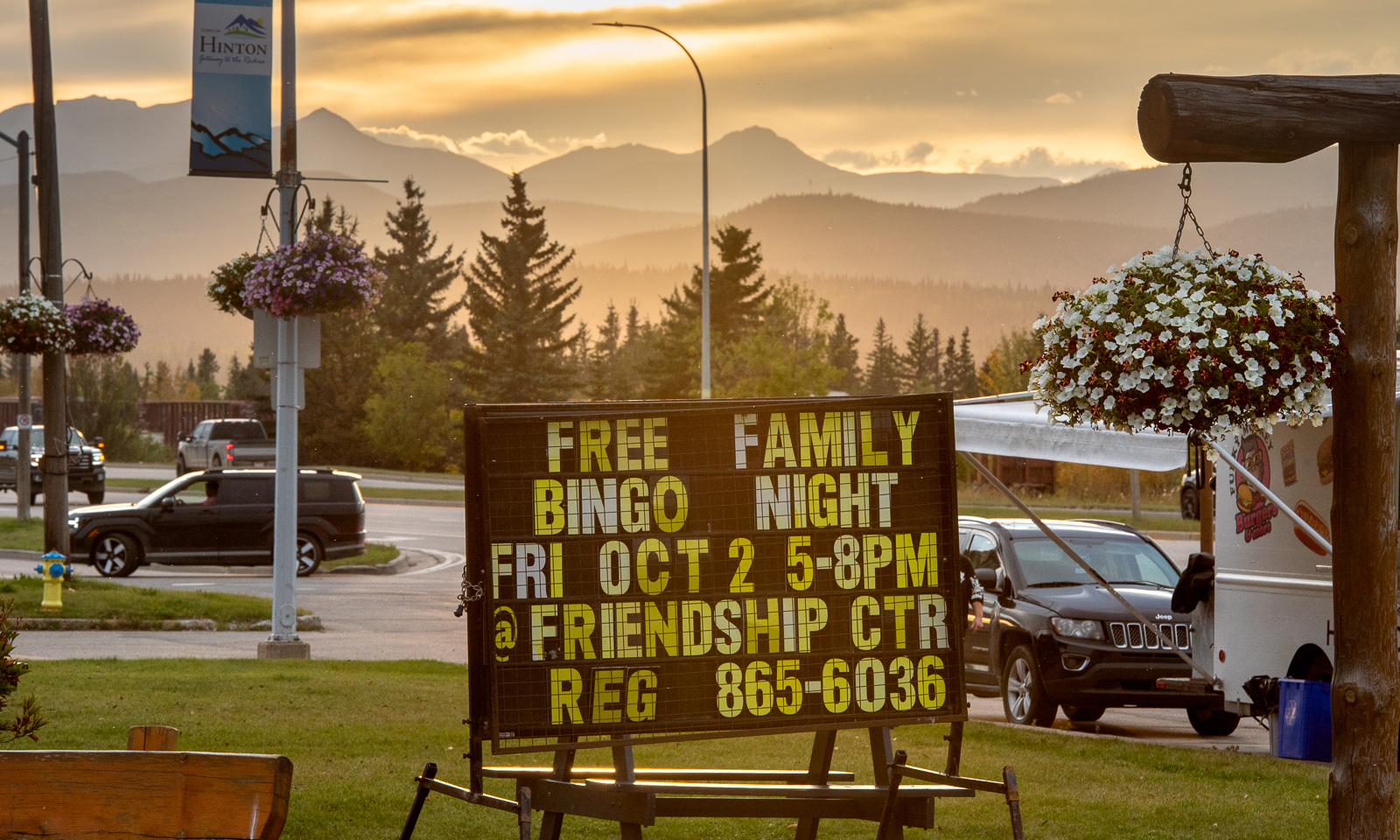
When we arrive in Hinton it reminds me of a western town from the movies. Yes, the streets are paved, the horses were replaced by pickup trucks long ago and the houses are not of wood anymore, but the rows of houses and the spacious roads and the overall layout of the town evoked this image. We check in into our hotel and walk to the Filipino restaurant Pinoy Kusina where we eat Tapsilog, a dish under the label “All day breakfast”. On our walk back we can see the Rockies in the west and even the sun peeps through the clouds.