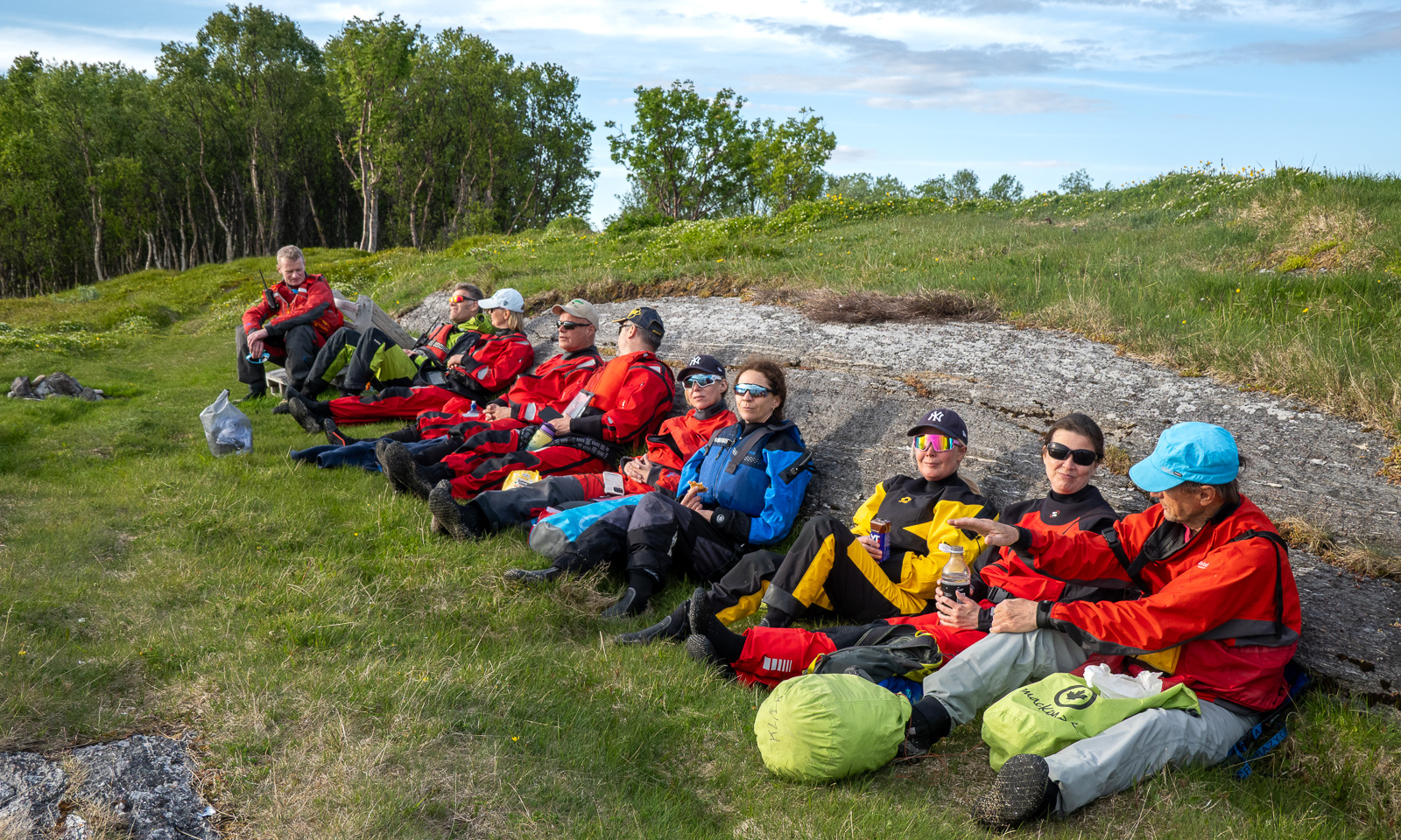
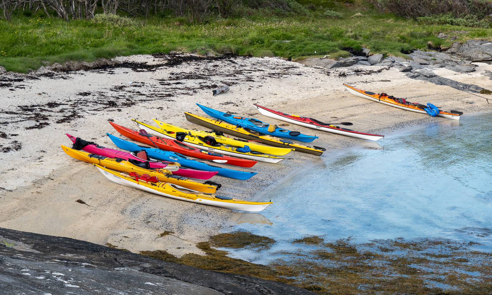
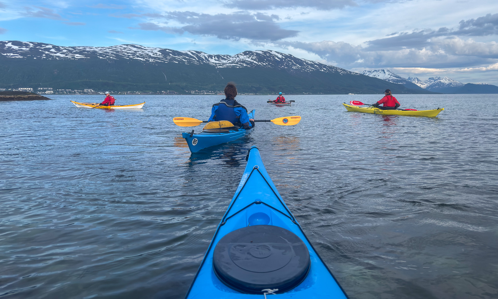
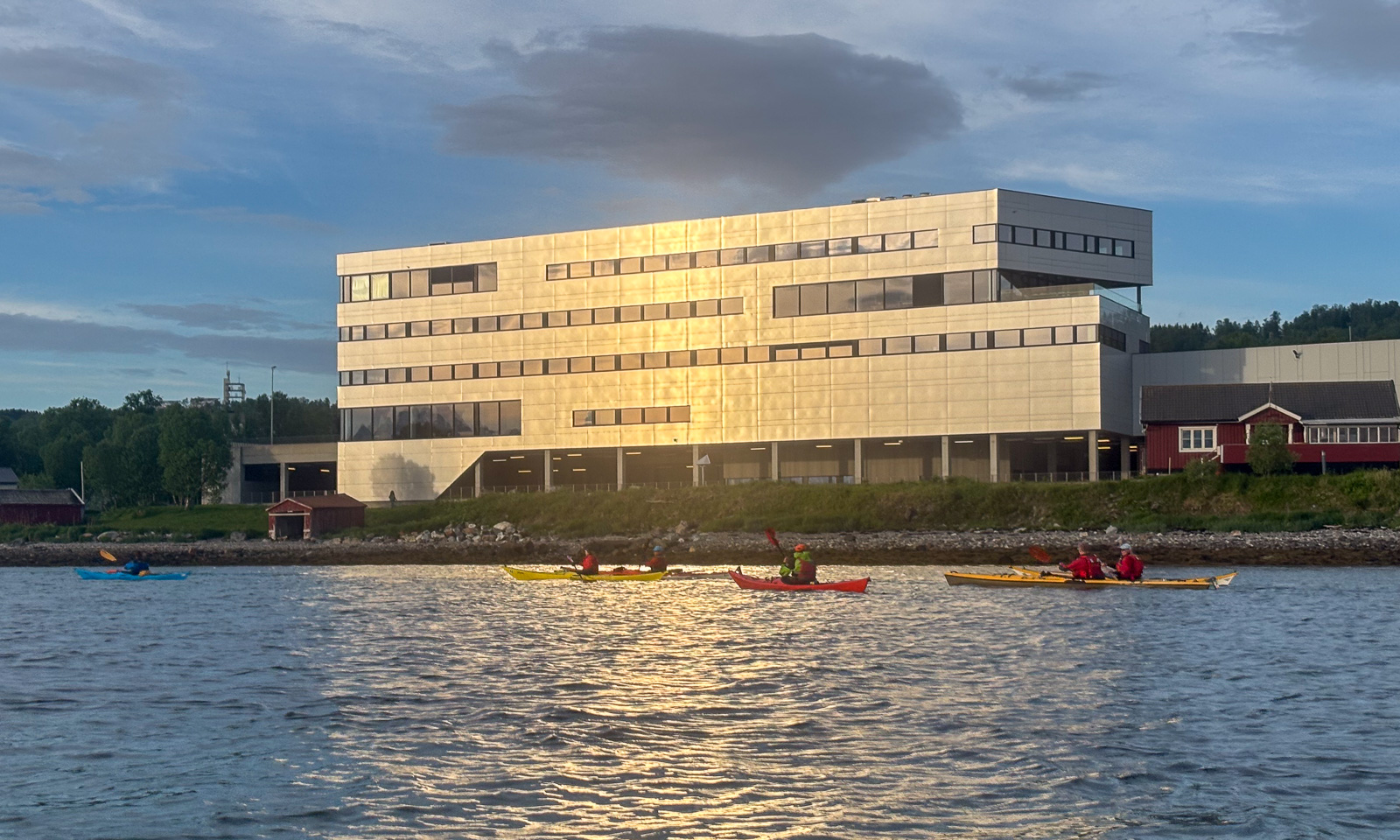
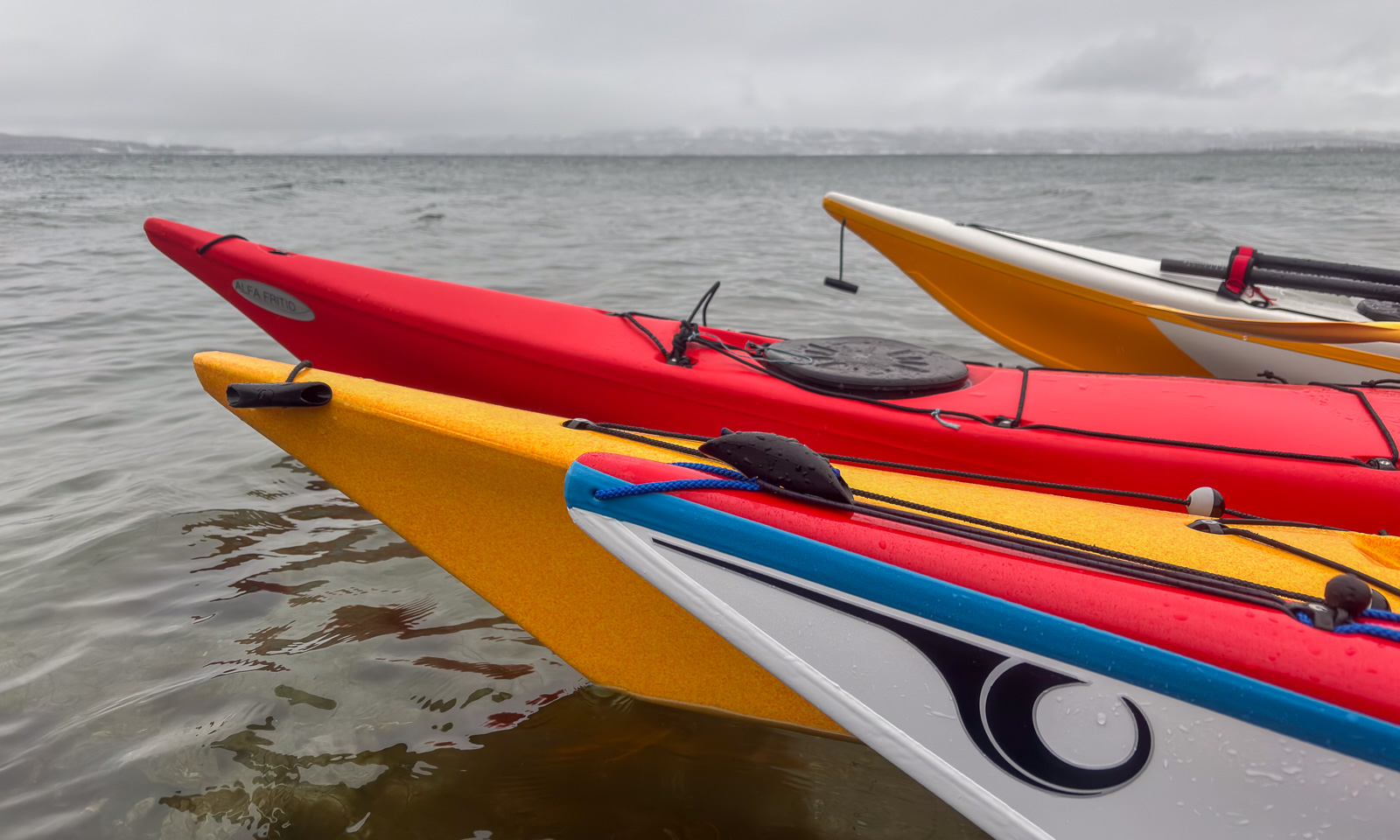
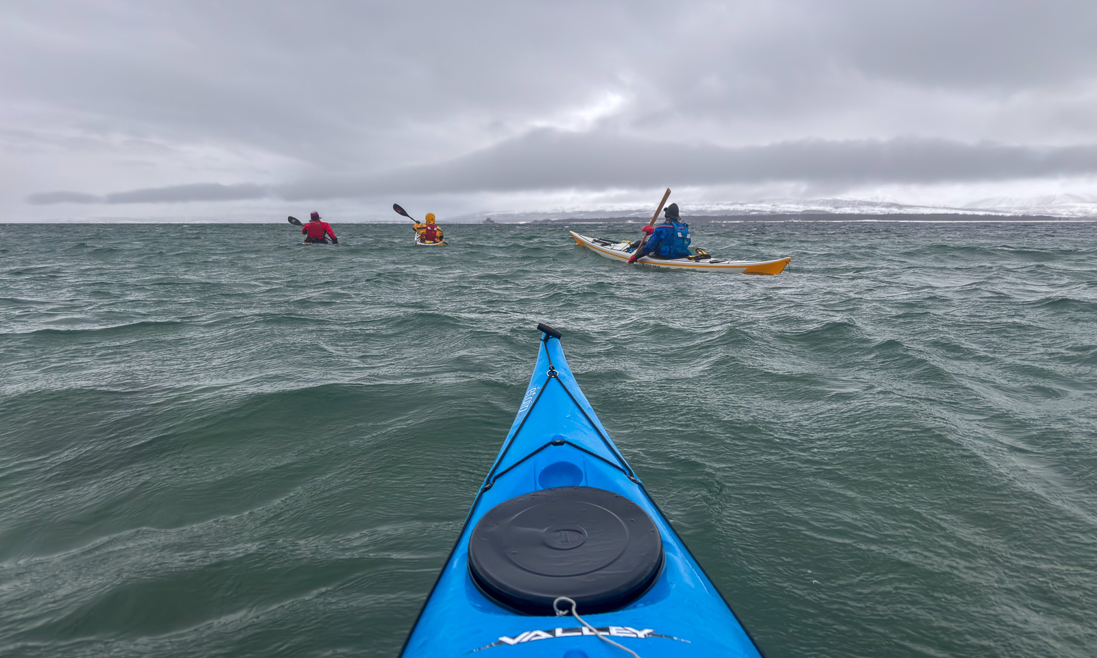
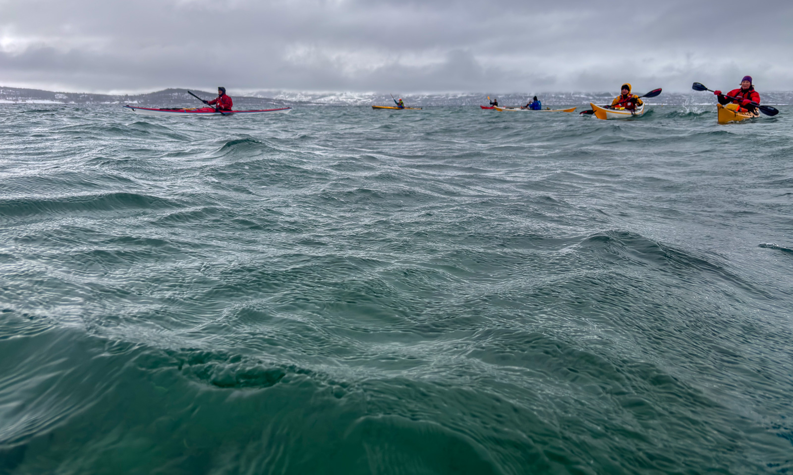
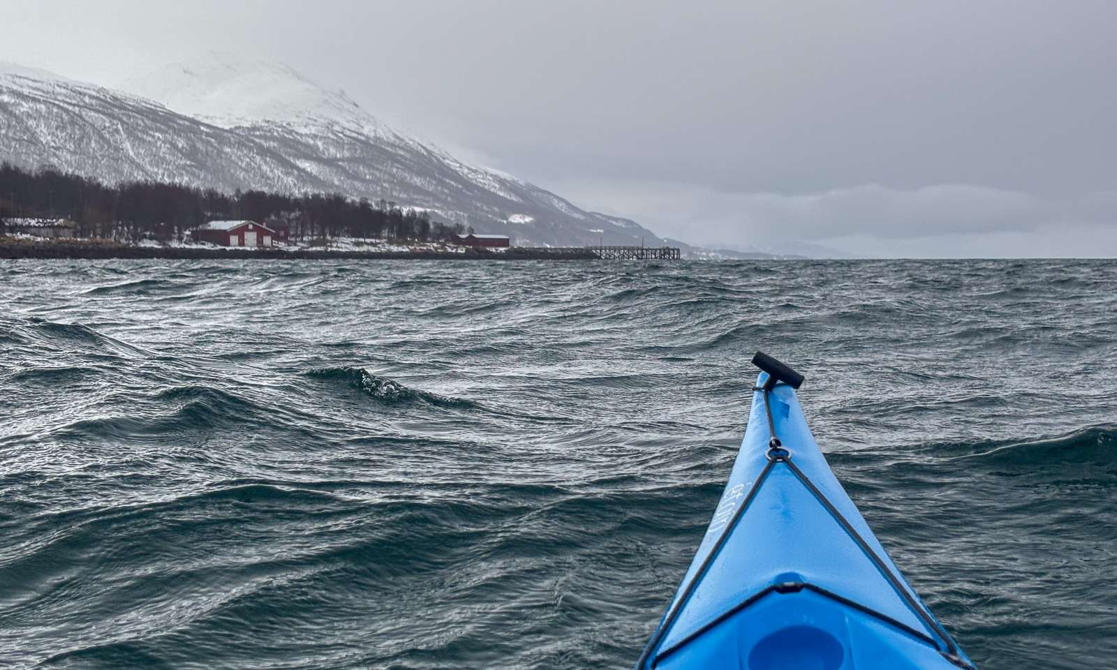
Obbola—Tromsø via Finland – part one
This article is part of the series “2026-06: Obbola—Finland—Tromsø”.
Obbola—Oulu
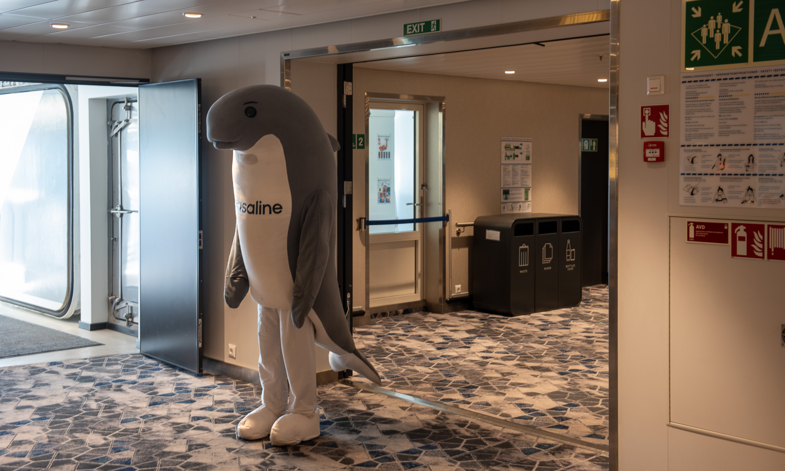
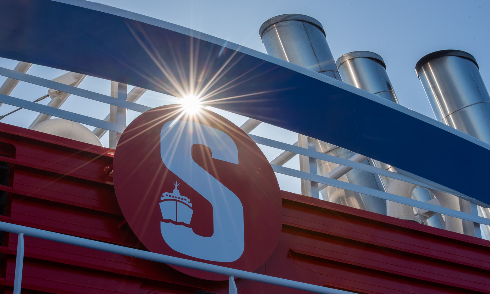
I face the shark, we look into each other’s eyes. I am standing and so is the shark. It waves at me. On its stomach is the word “Wasaline”. That’s the name of the ferry to Finland that we are on.
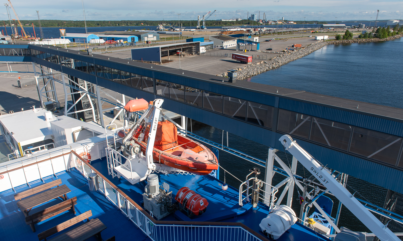
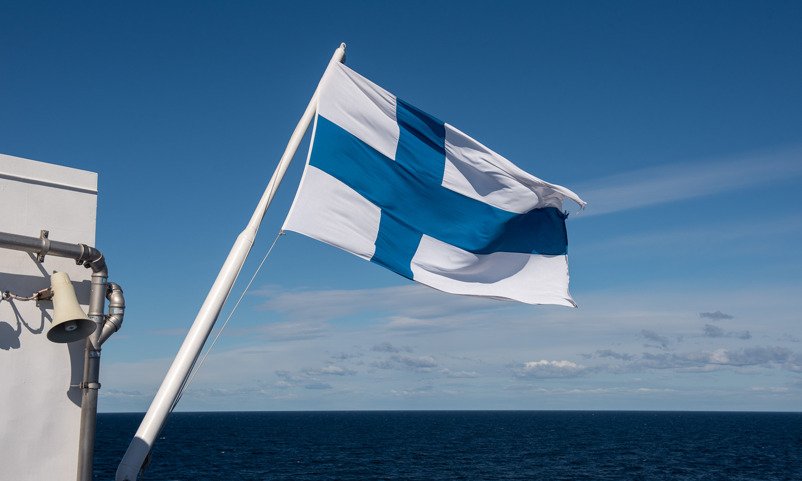
My wife Annika and I are travelling from our house in Obbola, Sweden, to my workplace in Tromsø, Norway. We have a whole week, so it’s a vacation, not just travelling. We decided to take the ferry from Holmsund, Sweden to Vaasa, Finland. Holmsund is just on the other side of the river Umeälven and we can see the arriving and departing ferries from our house. It is 7:50, the ferry Aurora Botnia departs ten minutes ahead schedule.
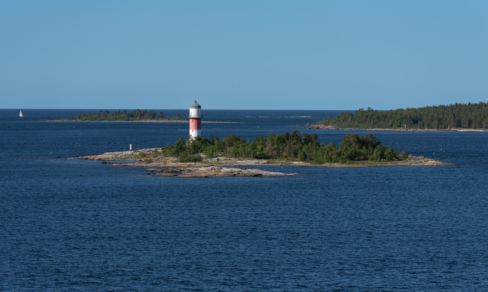
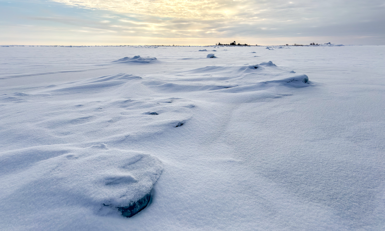
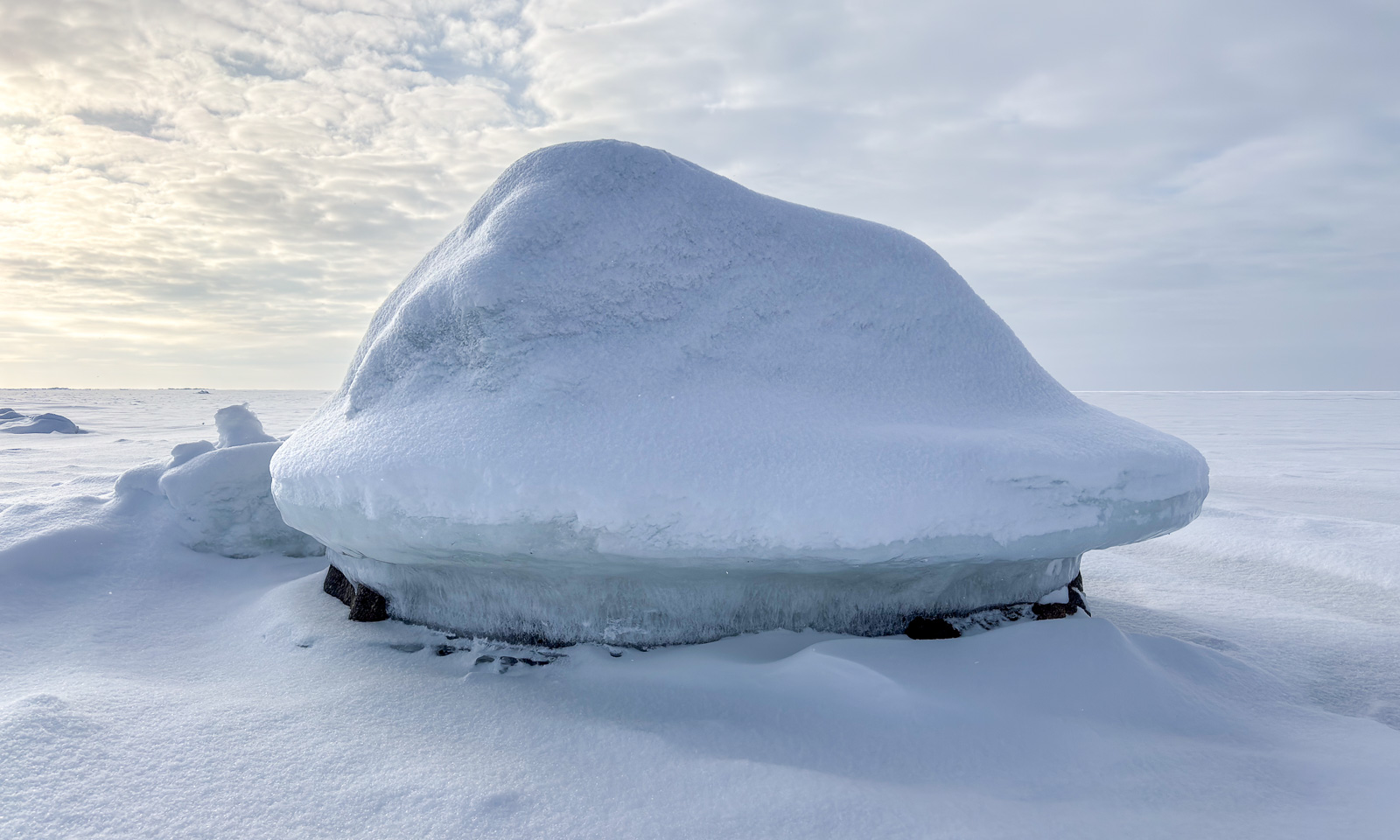
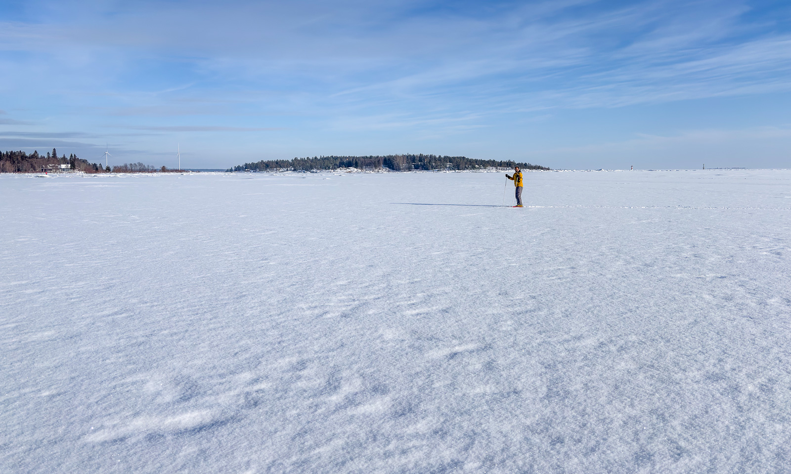
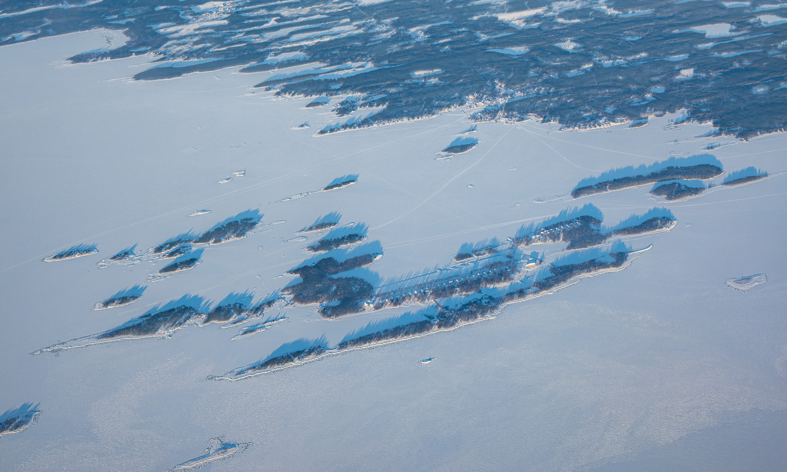
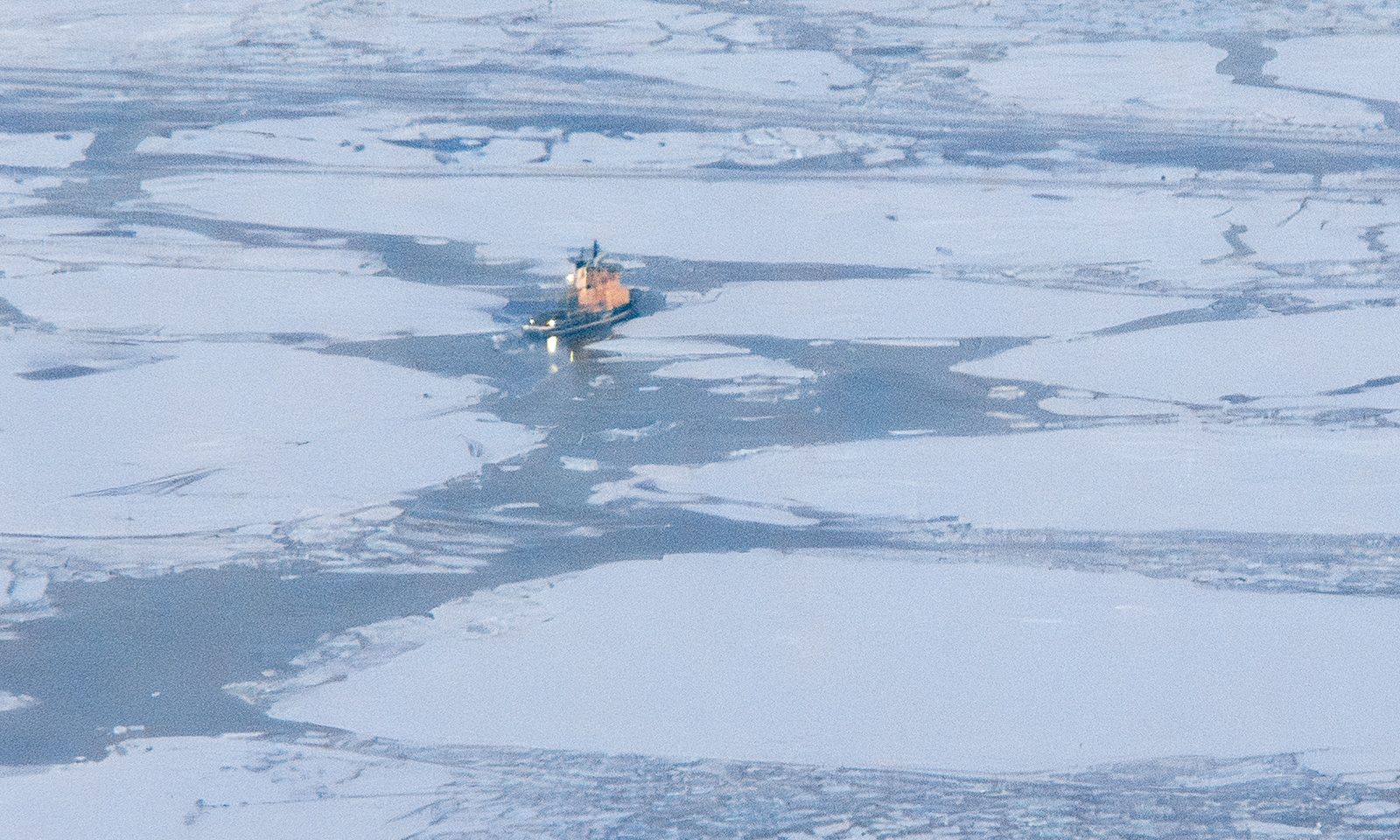
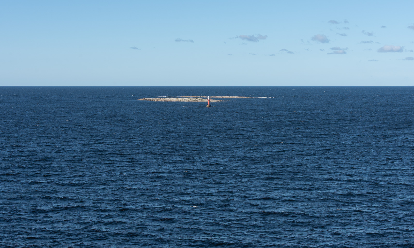
I am standing outside taking photos and looking for the lighthouses. About four months ago I walked to four of them over the frozen Baltic Sea. Now, when I see the small skerries and the isolated lighthouses surrounded by the sea it feels unbelievable. Two different worlds! After we passed Storbränningen, the lighthouse furthest away, I go inside to join Annika at the rich breakfast buffet.
Some hours later we cruise through the Finnish archipelago near our destination, Vaasa where we arrive at 12:30 Finnish time, which is one hour ahead. We leave the ferry and drive north, partially on the main road E8 (it would lead us to Tromsø), partially on smaller detours, which are nicer to drive. The weather is mostly sunny and we start looking for beaches to go for a swim.
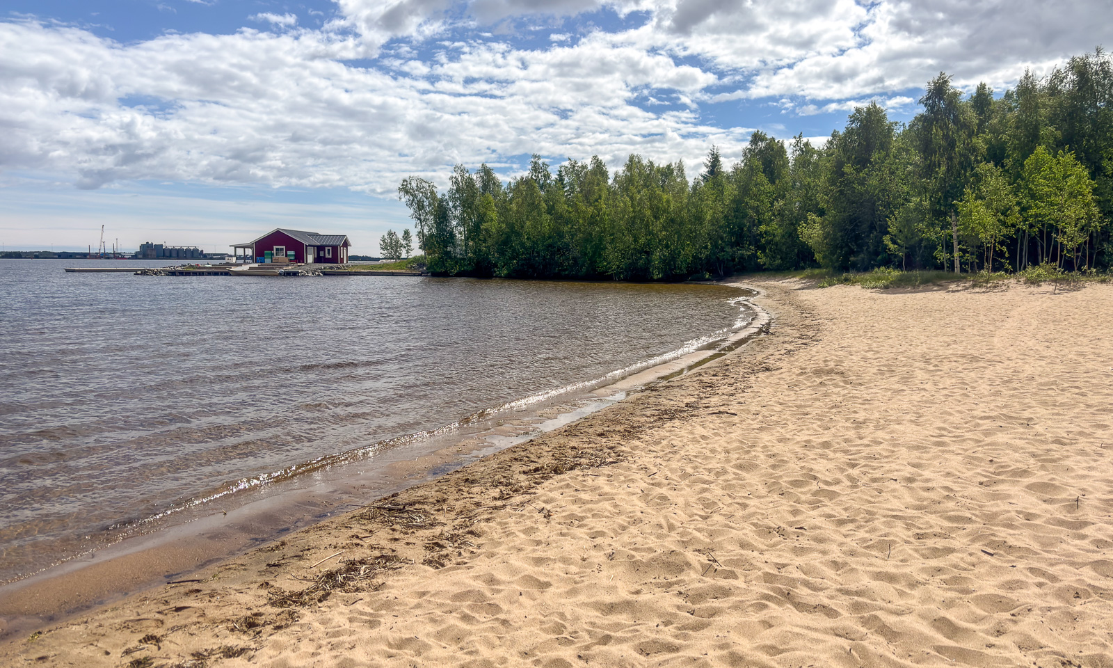
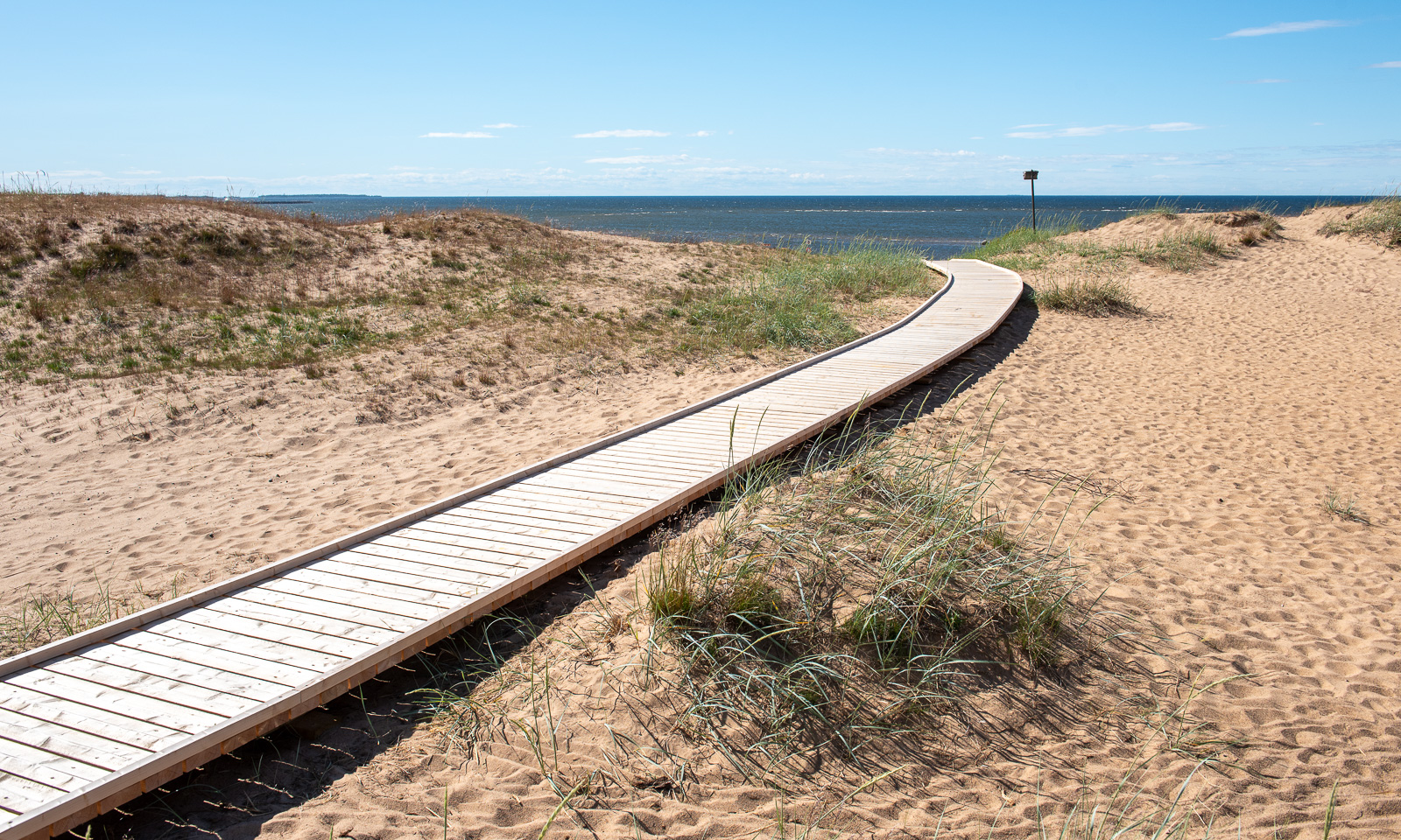
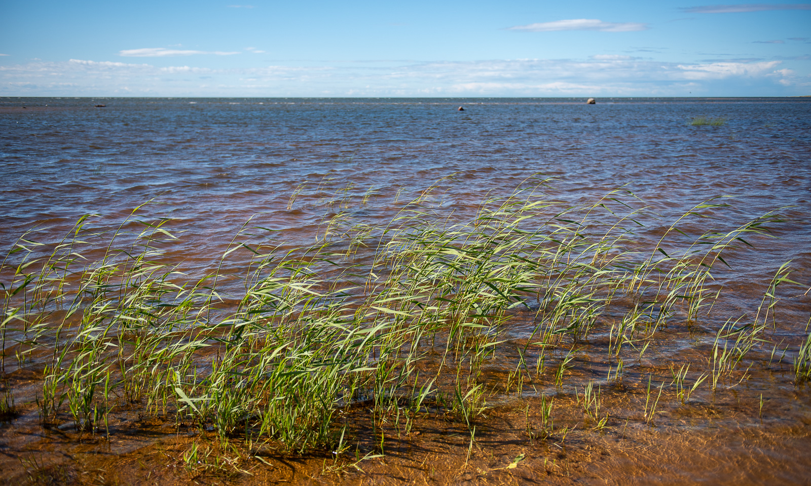
We turn left to the beach Kalajoen Hiekkasärkät which is surprisingly large. Boardwalks lead along the dunes and to the sea. The sea is pretty shallow. That kills my motivation a bit and we stay on land.
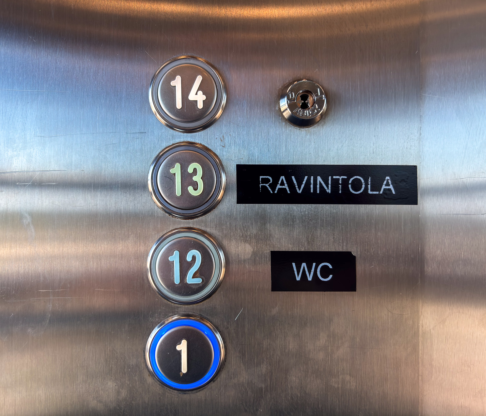
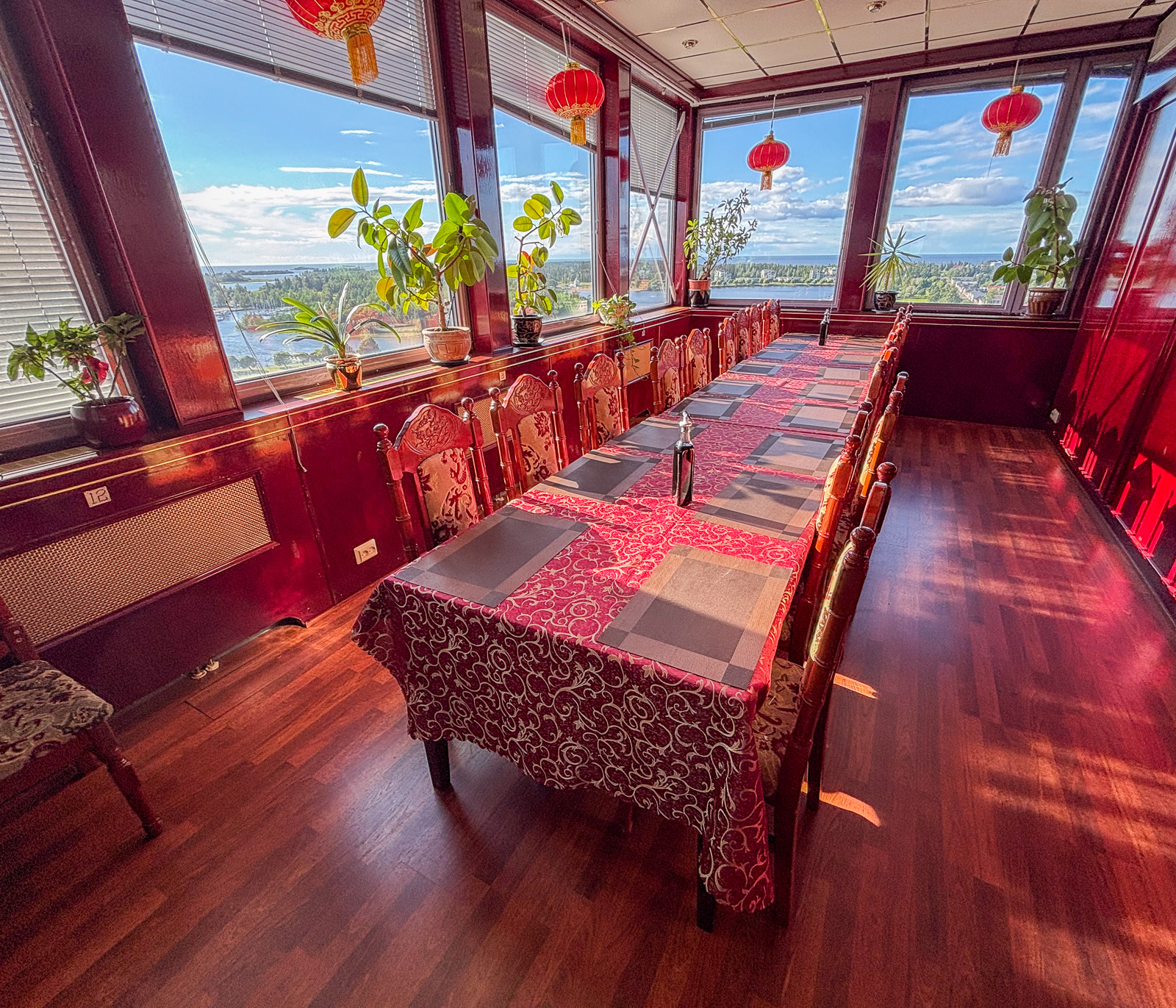
We enjoy the windy but fair weather for a while before we continue our travel north. We start to get hungry and I am looking for a restaurant in Raahe, about an hour away. Many restaurants close already at 18 o’clock, but I find an Asian restaurant that is open longer. When we arrive there and enter the building we are confused. There is nothing but an elevator. We enter it and find only three levels to choose from: (1), (12), and (13). And there – in level 13 is the restaurant with a wide view over land and sea and a huge buffet of sushi and Chinese and Thai food. The reviews on the web were a bit mixed but I liked it very much.
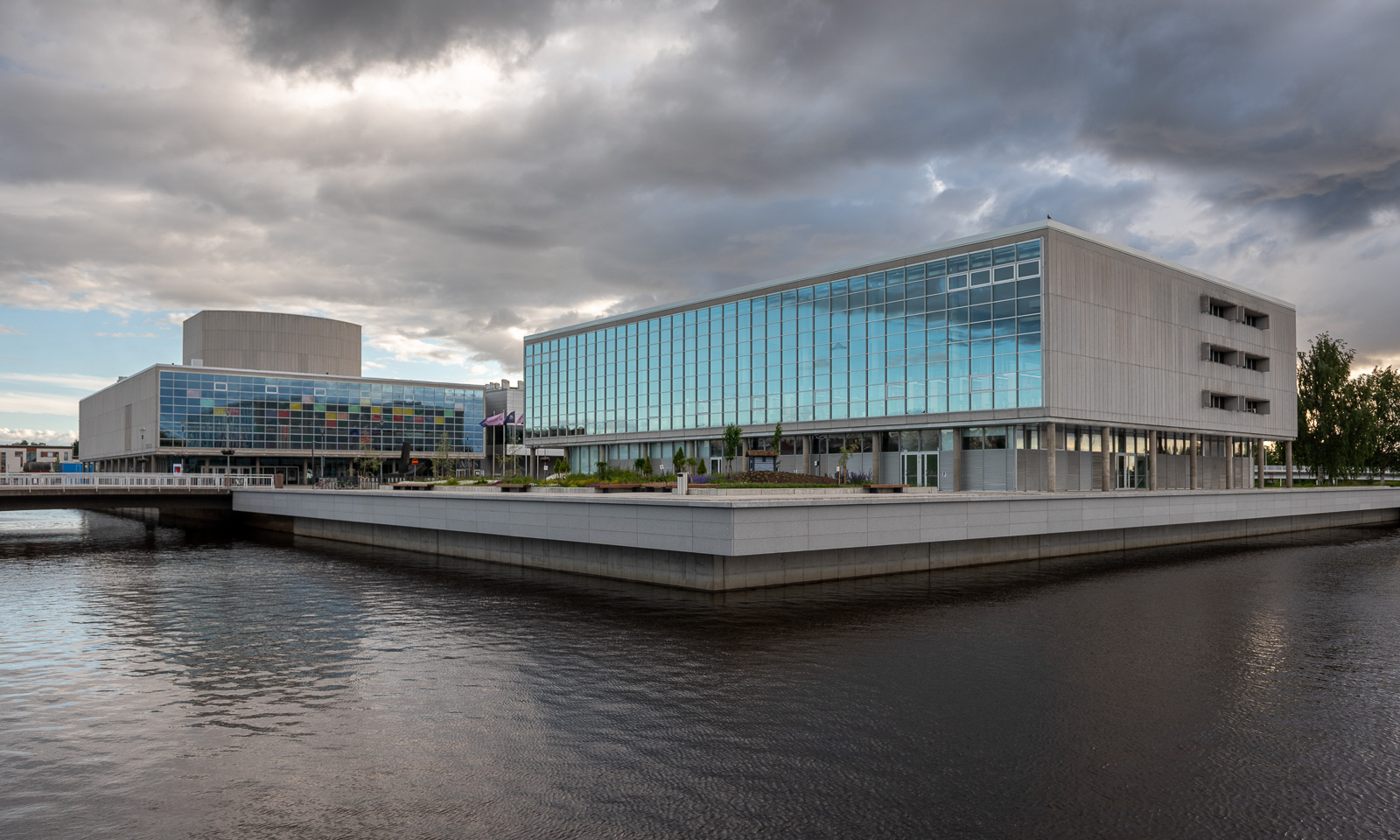
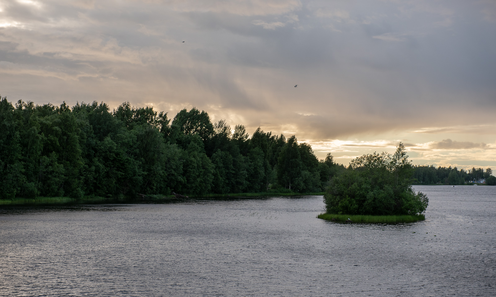
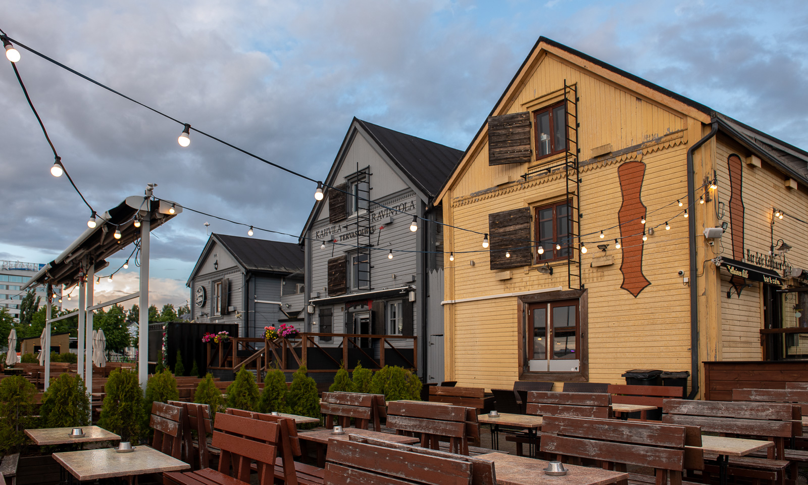
After two more hours of driving we arrive in Oulu, a major city in Finland which is European Capital of Culture this year. We take a short walk and get wet in the only rain shower of the evening. I like the many bridges, the areas of water, the fact that Oulu is a very bicycle-friendly city and the meeting of historical and contemporary architecture.
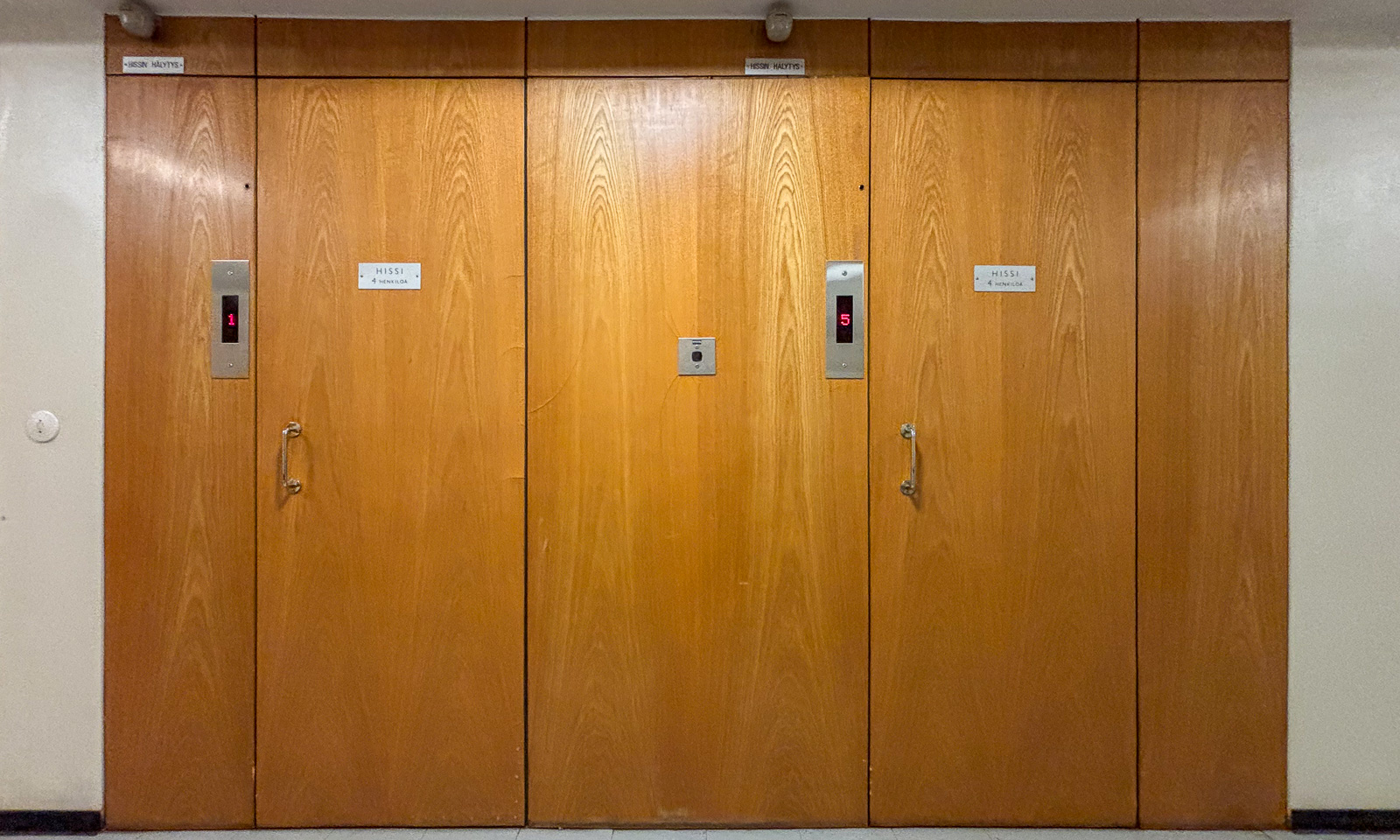
In the apartment house right in the center where we’ll stay two nights we have another elevator encounter. This vintage “hissi” looks like from the fifties and has no inner door, which gives it a bit of a steampunk appearance.
Tomorrow we’ll spend the day in Oulu. The weather forecast looks great, perhaps I’ll go for a swim tomorrow.