Red Deer, Alberta

22 September

Sometimes it is not really my wife Annika and I who choose the exact place to go next, sometimes it is just the availability (and prices!) of accommodation. We want to go to Drumheller, but while searching for an additional stopover, we have found a hotel in Red Deer. Another town, locality, or village I have never heard of. They have several places to stay and there is even a small jazz festival going on with a concert today at 16:30. Perhaps some traditional jazz played by the locals? We will try to make it in time, and we’ll see.

After breakfast with fried eggs and fried potatoes, we pack our things in the car and leave the cosy Shunda Creek Wilderness Hostel – my all-time favourite hostel. First, we visit Nordegg including the Farmhouse Local Foods store, then we head east. We drive through large, golden barley fields with one stop in mind: Markerville, a village (or a hamlet for the picky ones) that has an interesting history connected with Iceland. I love the idea that such a small settlement had a library more than 130 years ago. You can read more on the website www.historicmarkerville.com/history.html.

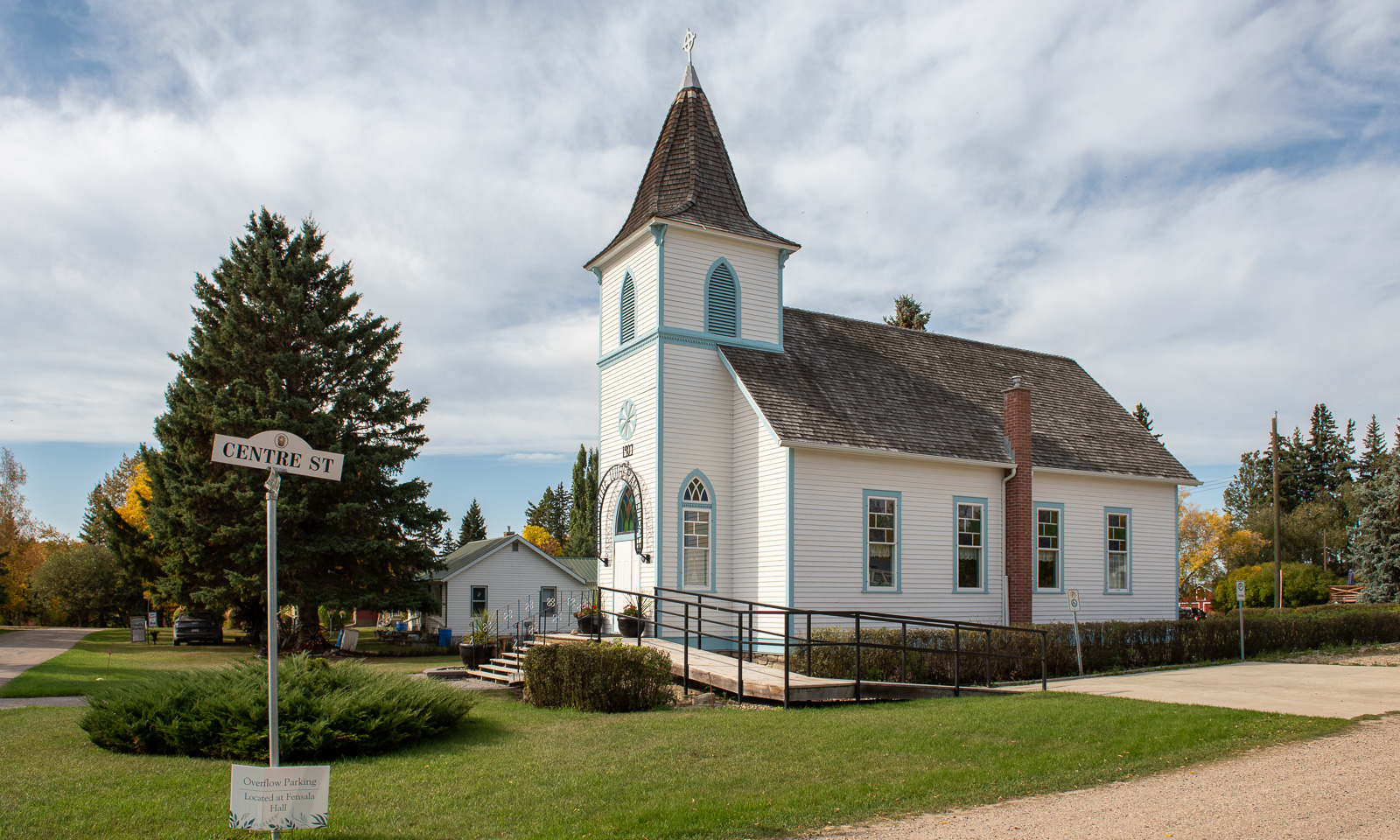
From here it is less than an hour to the village of Red Deer, but …

At first, I think that Alberta Highway 2 that connects Alberta’s two largest towns Edmonton and Calgary is the only major road here. But then there are multi-lane highways everywhere, and highway junctions, and slip roads, and confusing roundabouts, and six-lane traffic lights, and everything that stresses me fiercely when I drive a car. I prefer a snowstorm to that. So it turns out that Red Deer is anything but a small town. It is Alberta’s third-largest city, with about 100,000 inhabitants and we didn’t know that. Well, that came as a surprise.

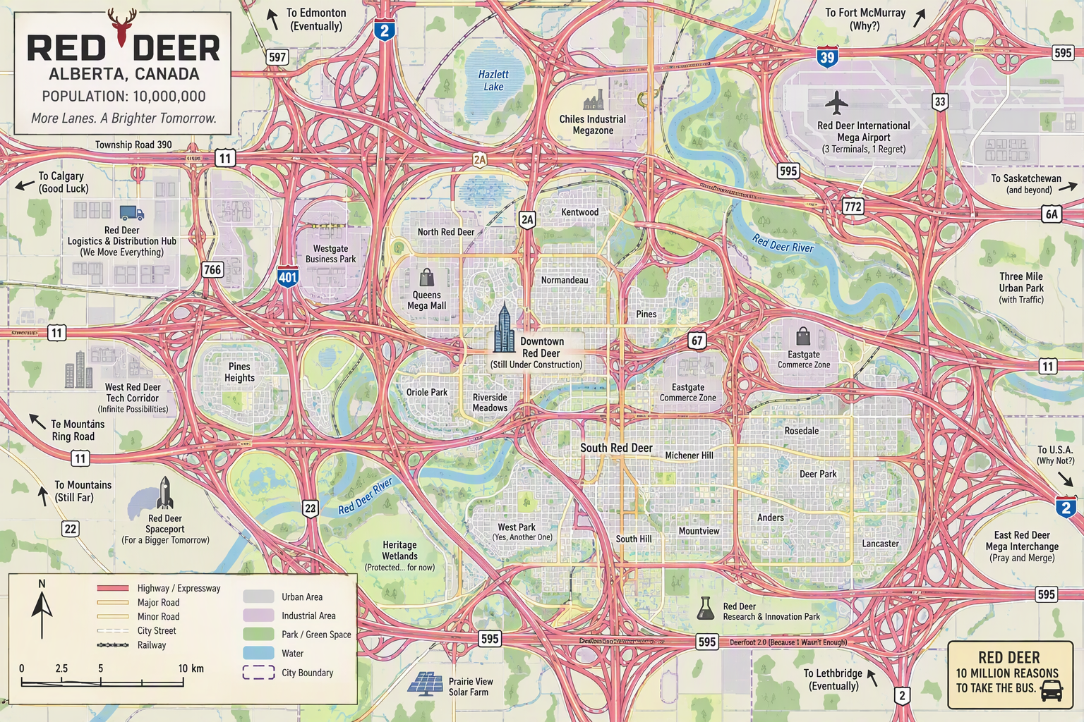
(The map to the left shows my image of Red Deer I had in mind before going there. The map to the right shows my panicked impression of driving a car there. Both images have been created by the Copilot AI.)

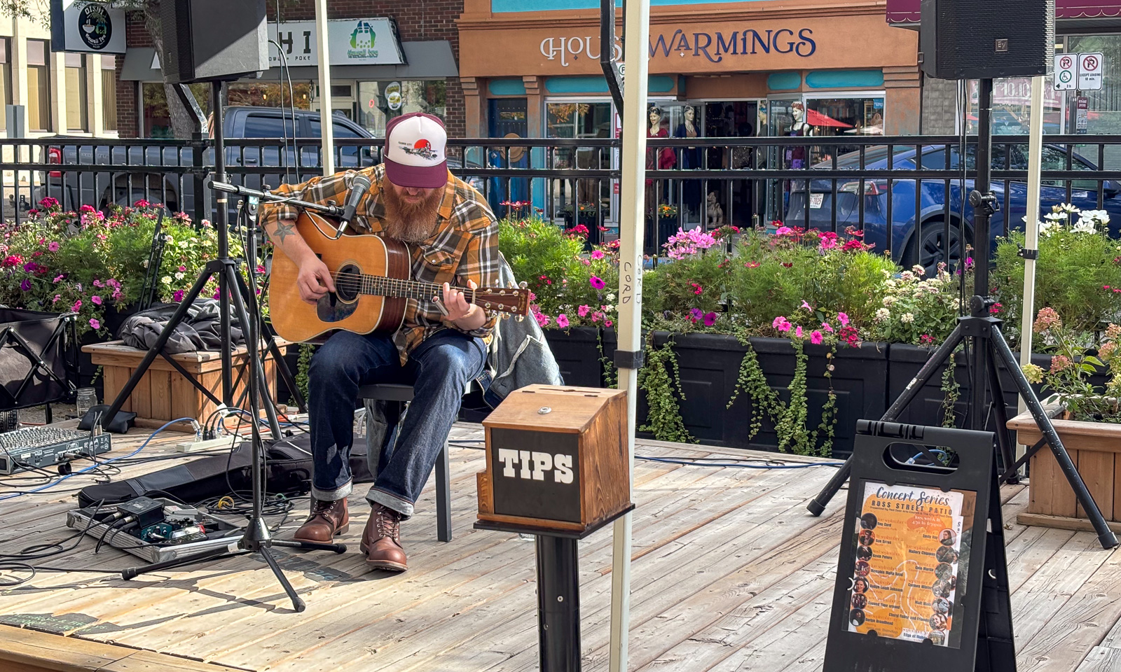
I manage to get to the centre and we find a parking bay directly at the location of the jazz festival. A guitar player is sitting lonely outside, playing and singing the blues. We listen for a while, then go to visit some second-hand shops and decide to drive to the hotel to check in. I am very grateful that now Annika is driving the car. This town is too big for me and she is by far the better driver in cities.
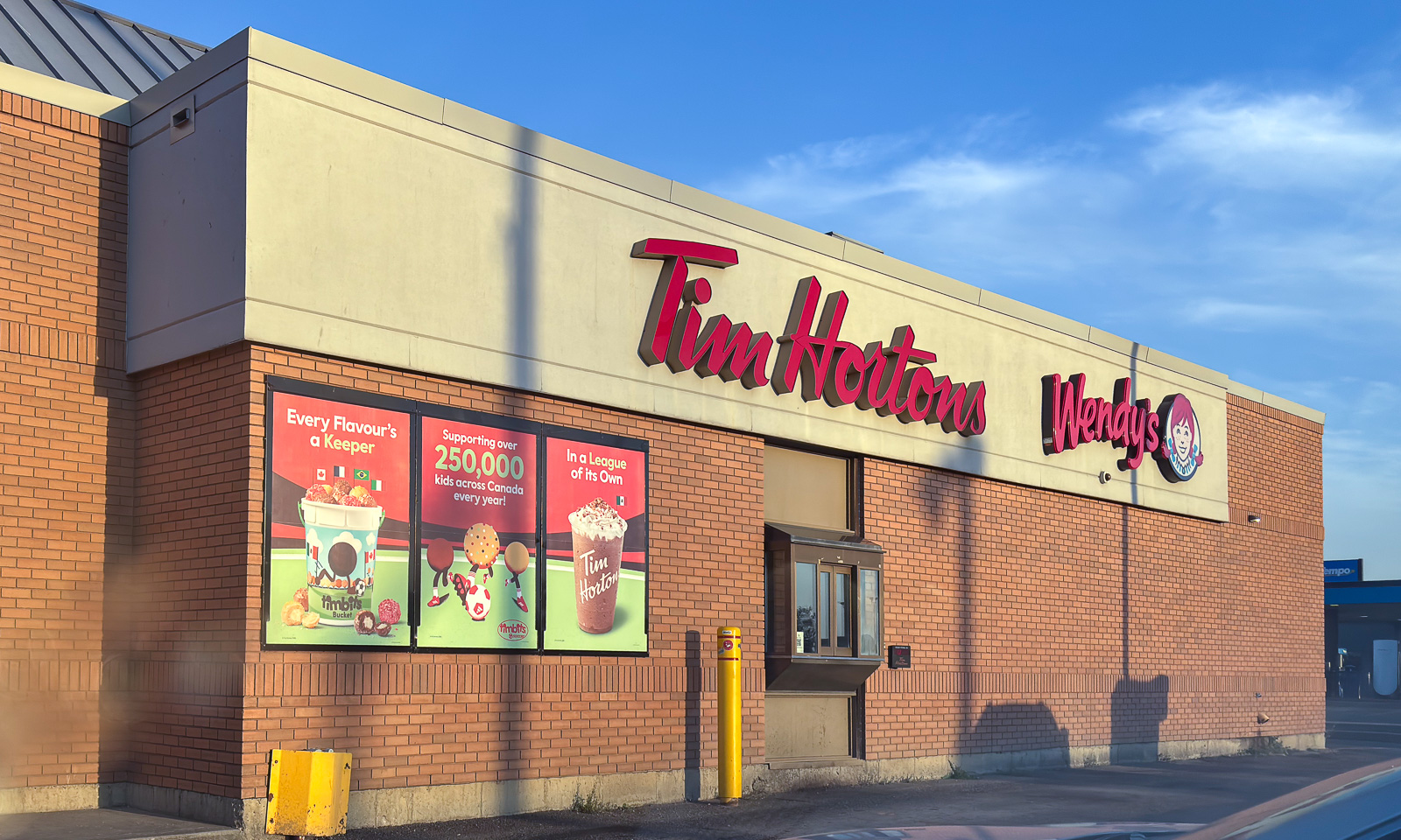
Now that we are in “civilisation mode”, we do something else I wanted to do since we started travelling through Canada: eating at Tim Hortons, Canada’s largest quick-service restaurant chain, with about 4000 restaurants in Canada. I have to admit that I liked my bowl. The chicken was tasty and crispy, and there was a lot of salad and it is always nice to get some non-burger food.

After our meal, we head to the hotel, which has a swimming pool and a hot tub. Of course, we have to try it out.

Tomorrow, we will continue our journey to Drumheller, where we will stay for two nights.
From the island into the desert

This article is part of the series “2026-09: Canada”.

13 September

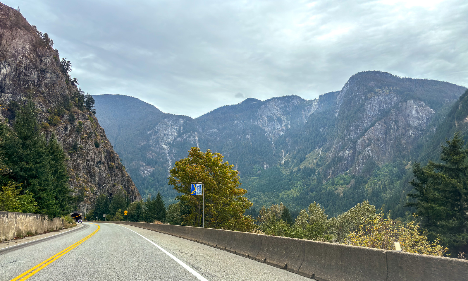
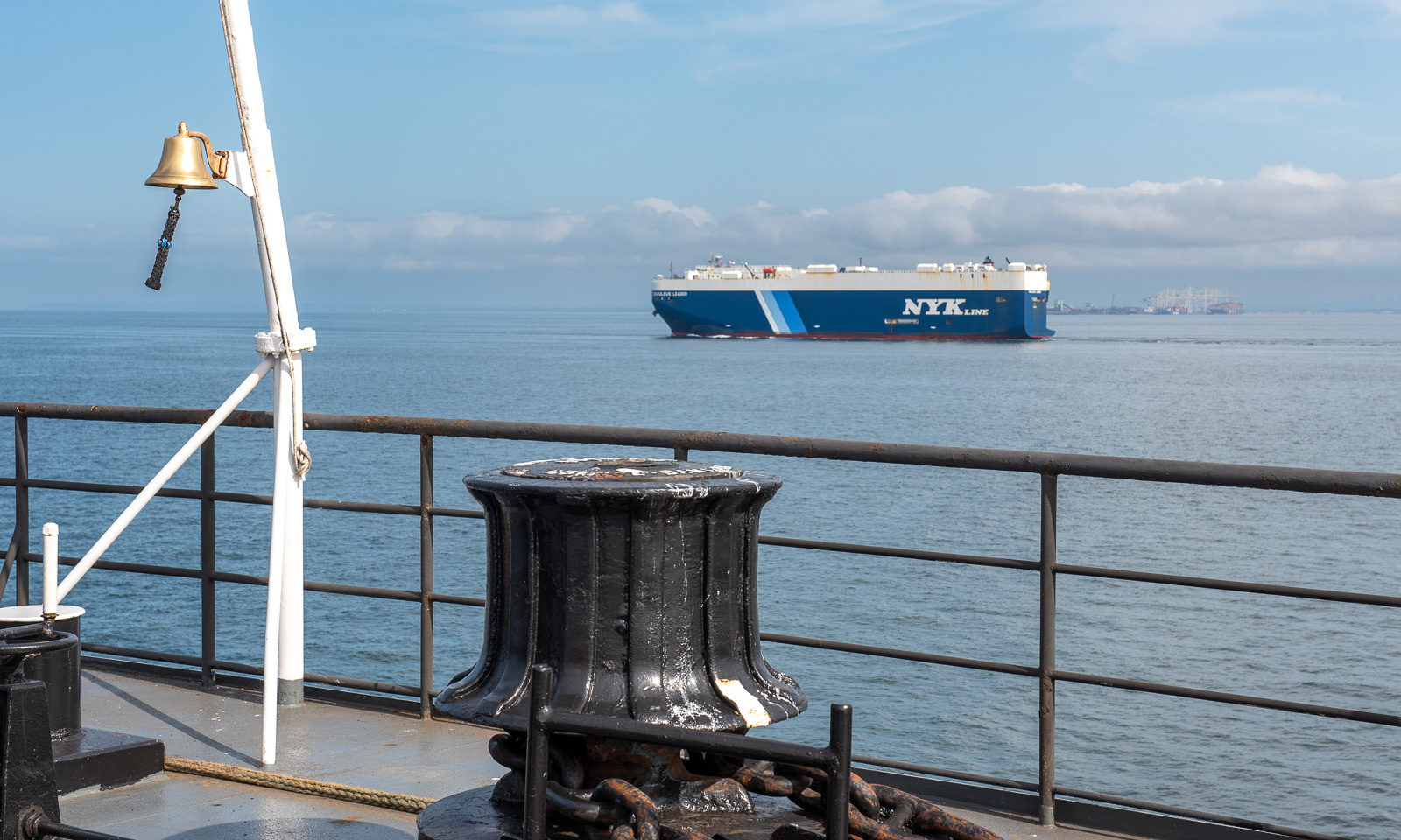
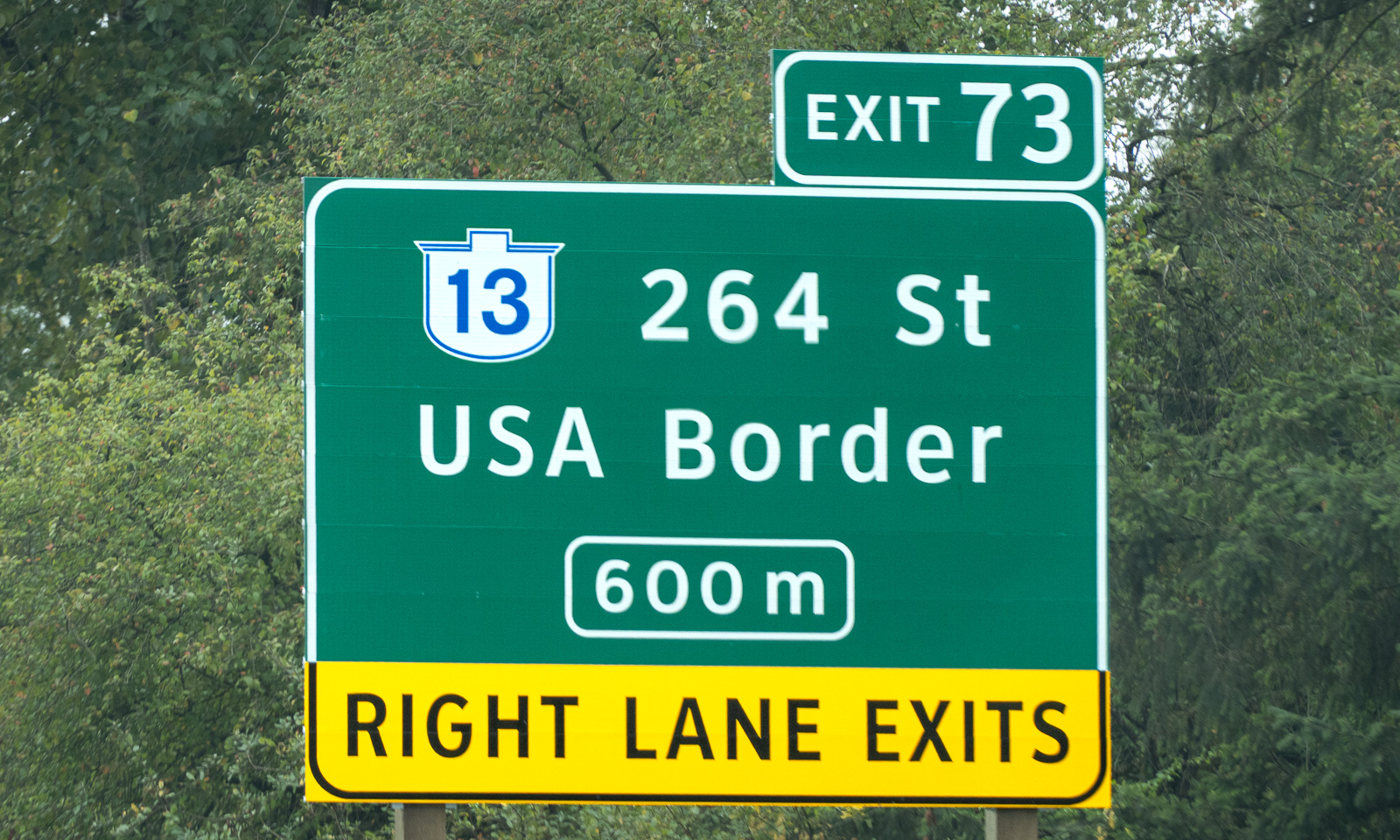
My wife Annika and I stand on board of the ferry Queen of Cowichan. After several days on Vancouver Island we are heading back to the Canadian mainland, this time to Tsawwassen, which is south of Vancouver. To get there we have to cross international borders twice, first into the USA and then back into Canada. These borders are invisible because they are on sea. Back on the mainland, we see signs to the USA border at several places as well.

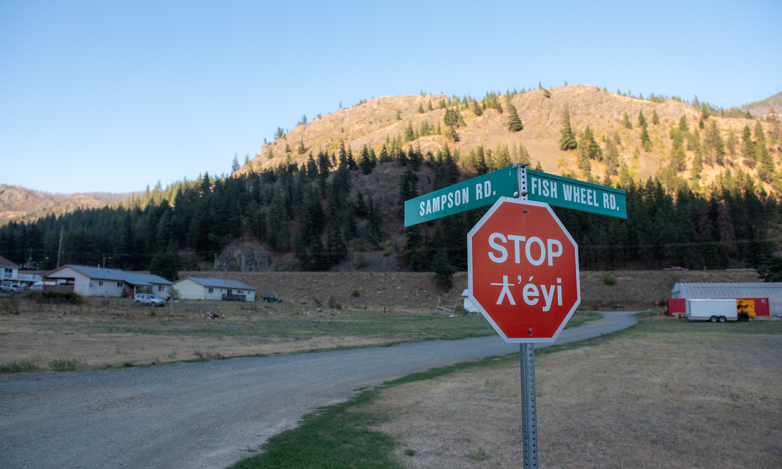
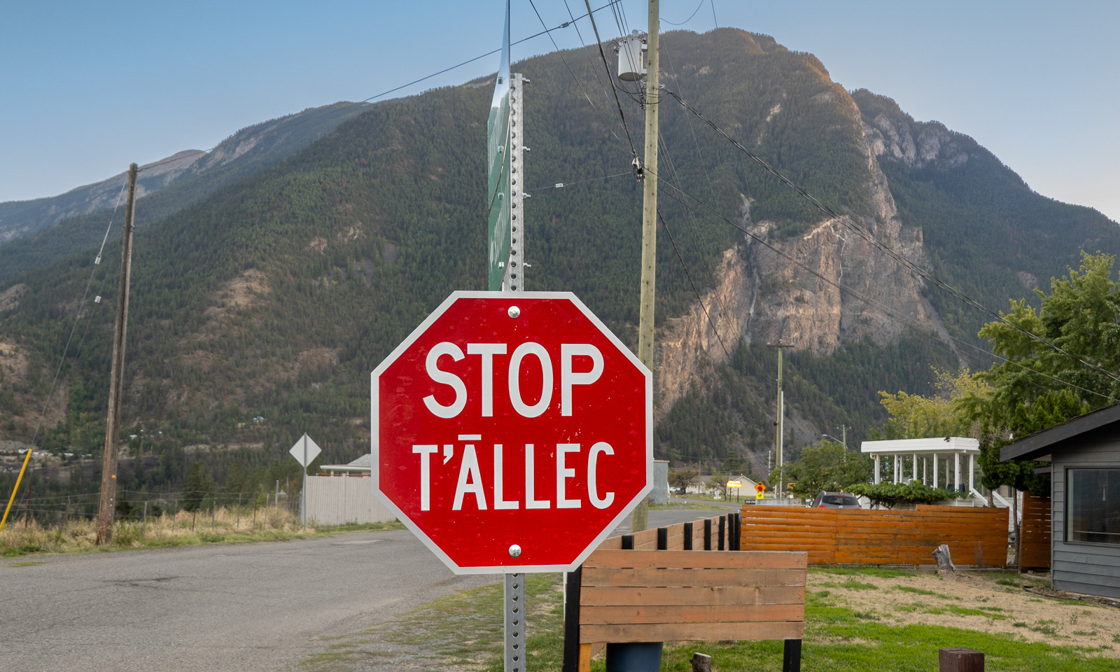
We make a stop in the village of tucckʷiowhum which is part of the Nlaka’pamux Nation. British Columbia is home to many distinct First Nations, each with its own culture, history, territory, and language. Often the languages are visible on the bilingual signs. The following stop signs show two different languages. According to the AI I used for research, “ƛ̓éyi” is Nłeʔkepmxcín which is spoken in the Fraser Canyon and Nicola regions. “T̄ÁLLEC” is St̓át̓imcets which is spoken in and around Lillooet, the town we are heading for today.

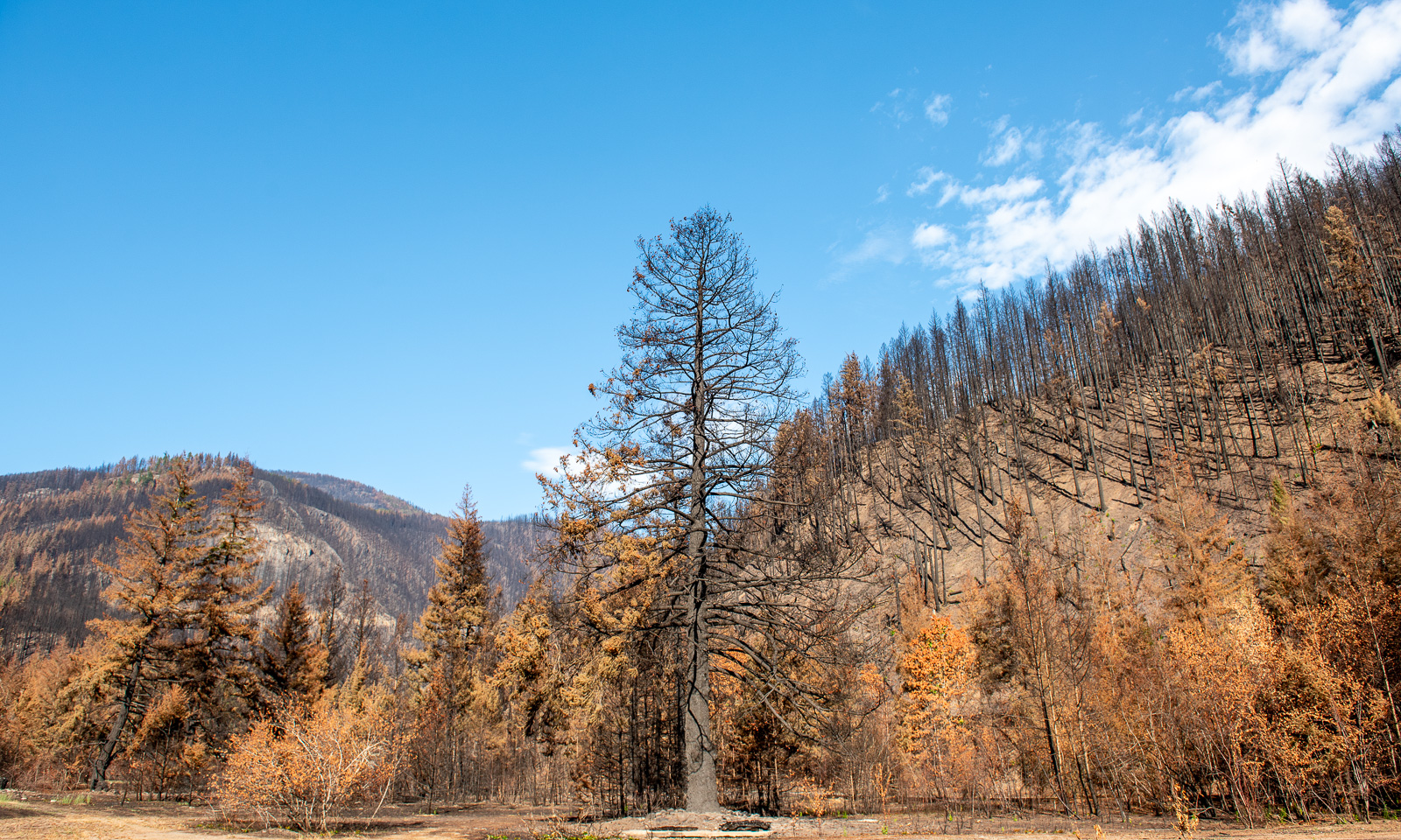
But we are not in Lillooet yet, we are in tucckʷiowhum. This is the first place where we can see the devastation caused by this year’s forest fires. Some hills are covered with black trunks. Even some of the buildings have burnt down. We know that forest fires are part of nature (or can be) but it makes me sad to see the black trees, some standing, some fallen.

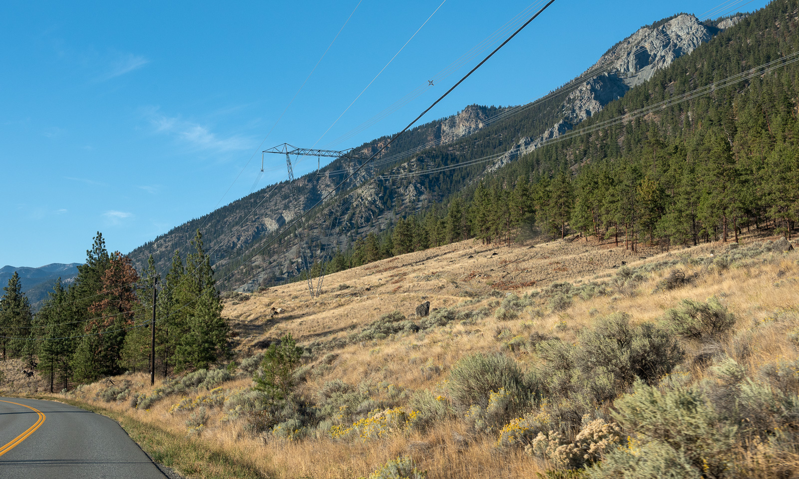
We continue our trip north. The landscape changes slowly. The forests are less dense, the soil looks drier and is often vegetated with brown grass.

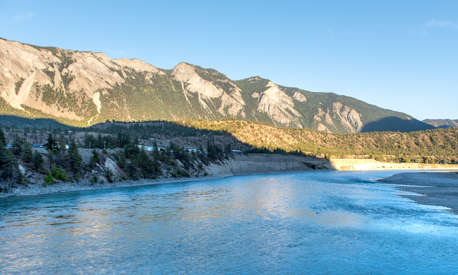
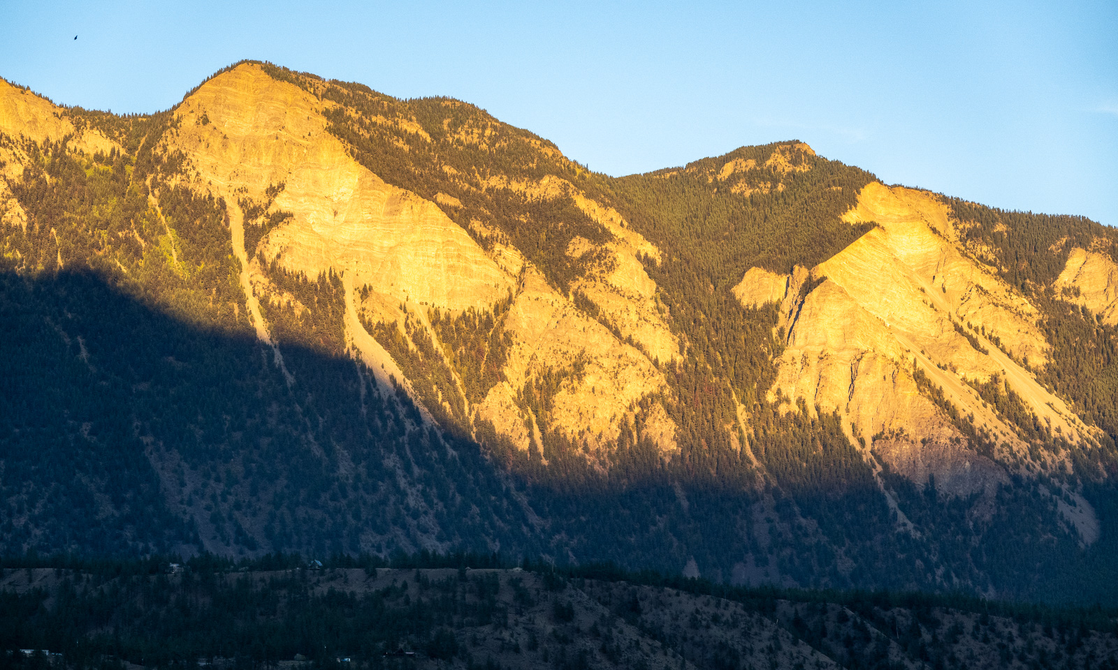
At half past seven we cross the Fraser river and arrive in Lillooet, a small town with a population of about 2300. The sun starts to set, but the mountains in the east still have sunlight.

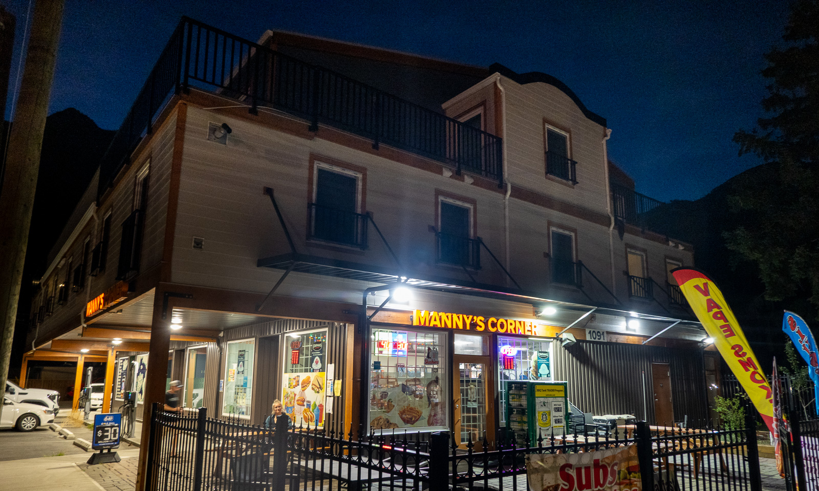
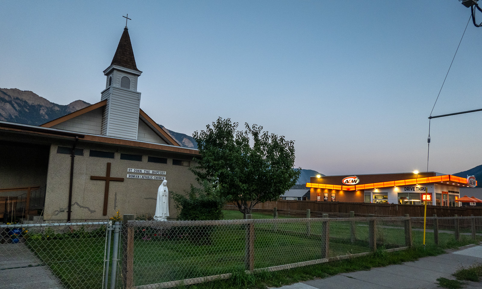
We check in at our first motel ever. We get a giant room with two double beds, a fridge, a coffee machine and a microwave. Since there is no proper kitchen available we walk into the centre where we eat salad and pizza at Manny’s Corner. The delicious Tandoori Chicken Pizza is massive and although I ordered only “medium size” I only manage to eat half of it. The leftovers will serve as tomorrow’s breakfast. On the other side of the street: The Roman Catholic church and a fast food chain.

In the streets: some pedestrians, especially younger ones and cars – mostly pickup trucks. The latter are very common in the area, the bigger the better. No wonder that our rented VW Tiguan, not a small car either, was rated as an “undersized vehicle” by the ferry company :-D .

14 September

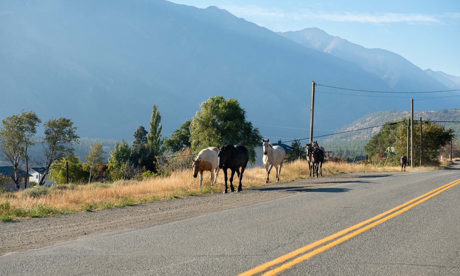
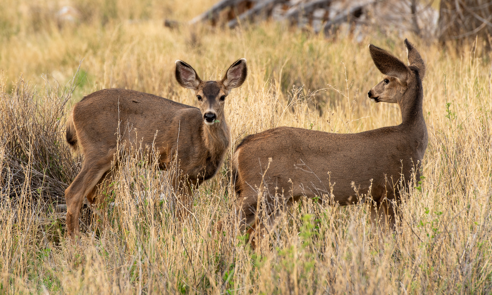
Yesterday it had cleared up and when I wake up, the sky is blue. I go outside, just to the road where I see a flock of mule deer grazing on the dry meadows.

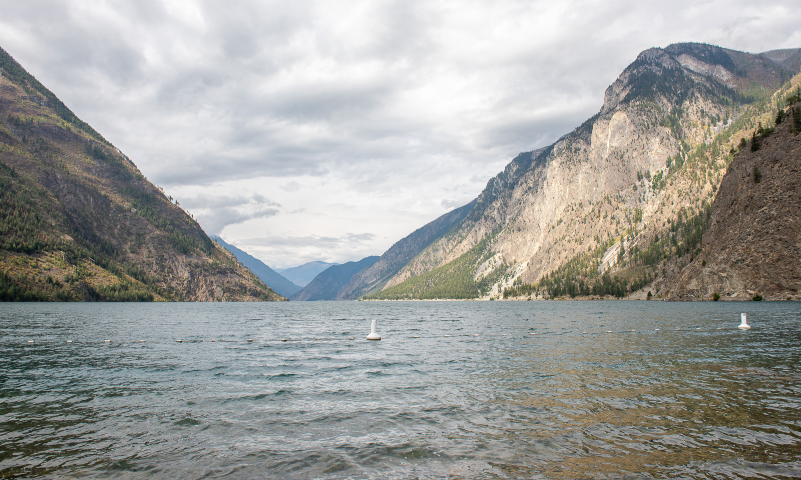
Our first action this morning is to visit Seton Lake. Sam, the manager of the motel said, it was a good place to take a swim and it is. There are some other people around but it is only us actually swimming in the lake.

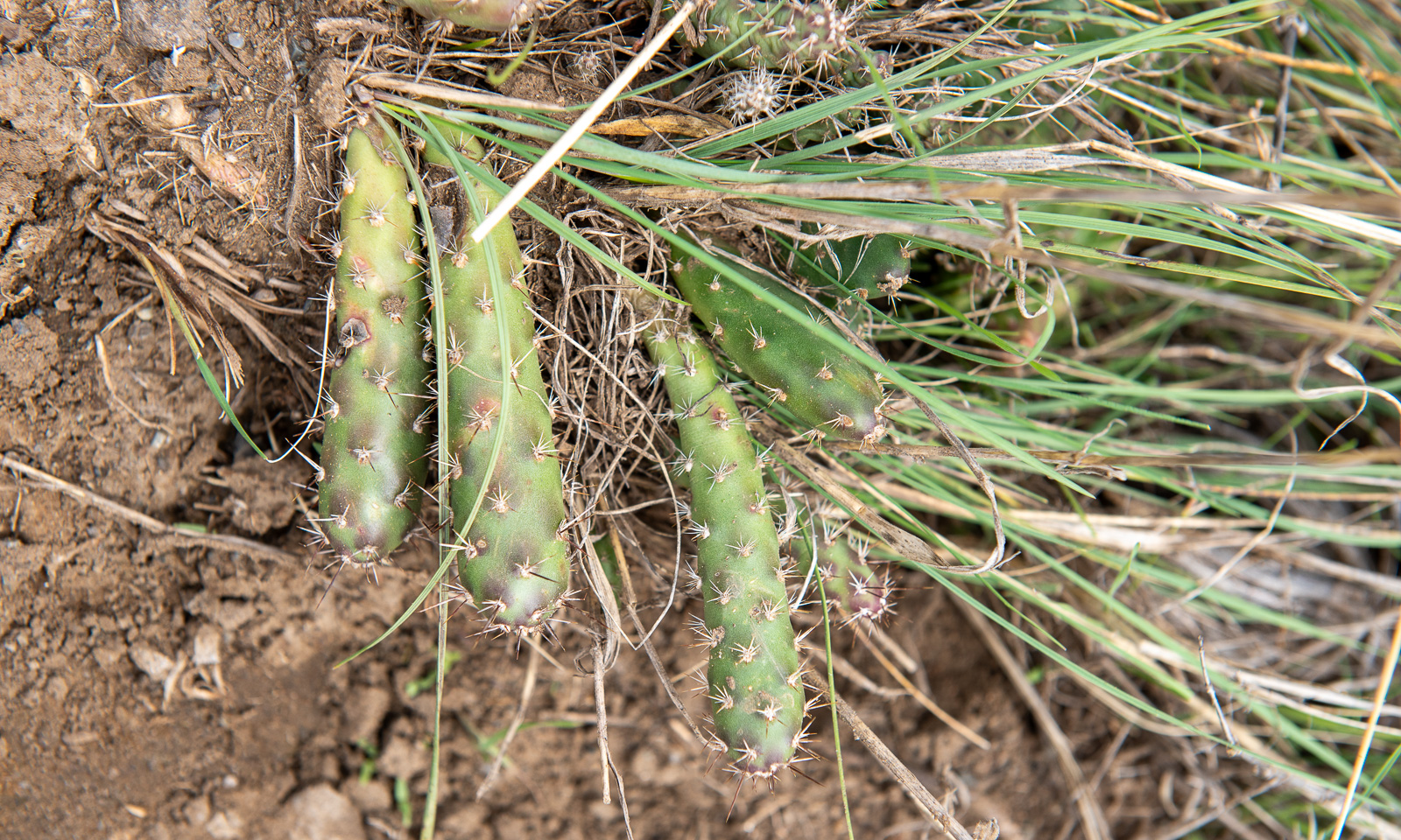
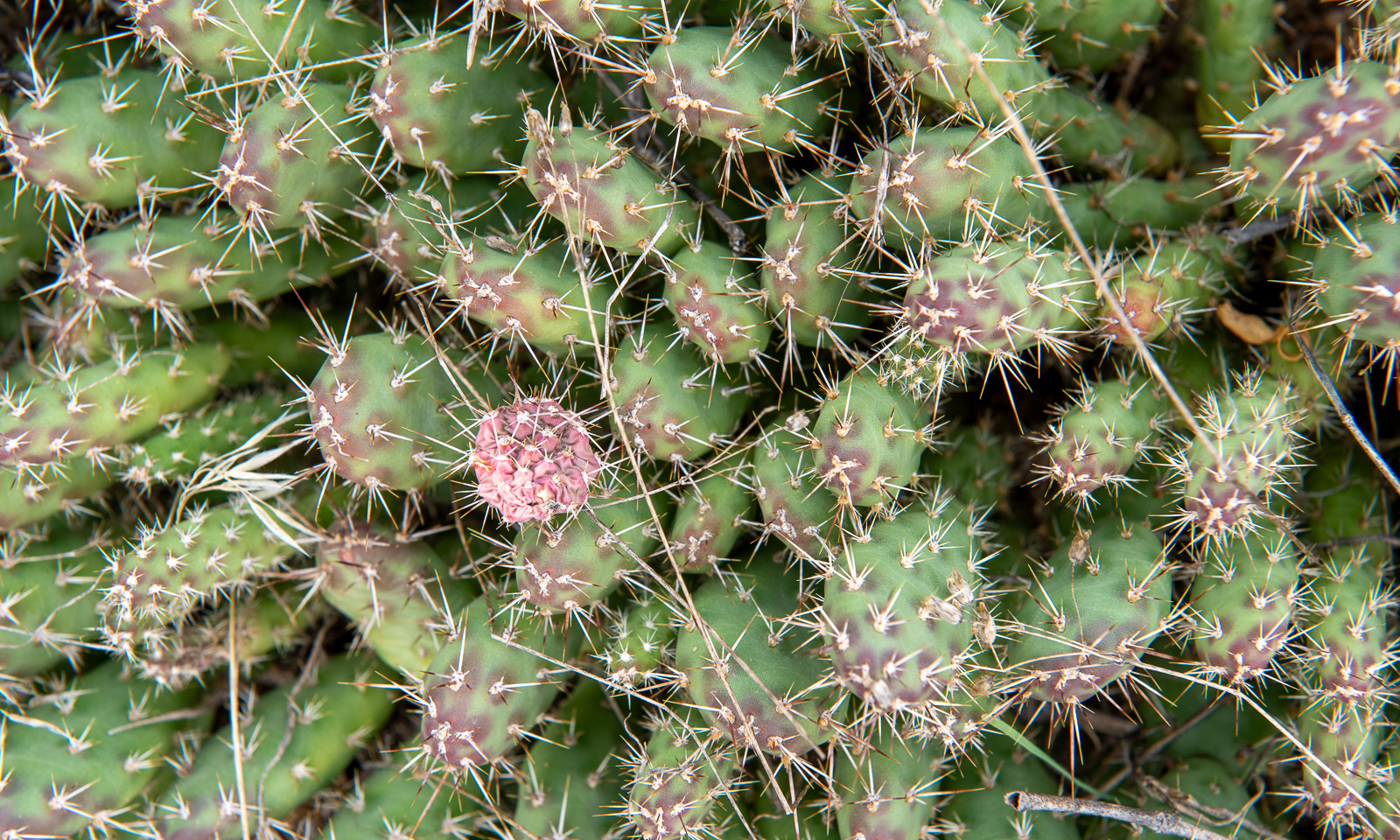
Back in town we are looking around. I already knew that the landscape around Lillooet is desert-like, but I never expected cacti to grow here. This species seems to be the Brittle pricklypear.

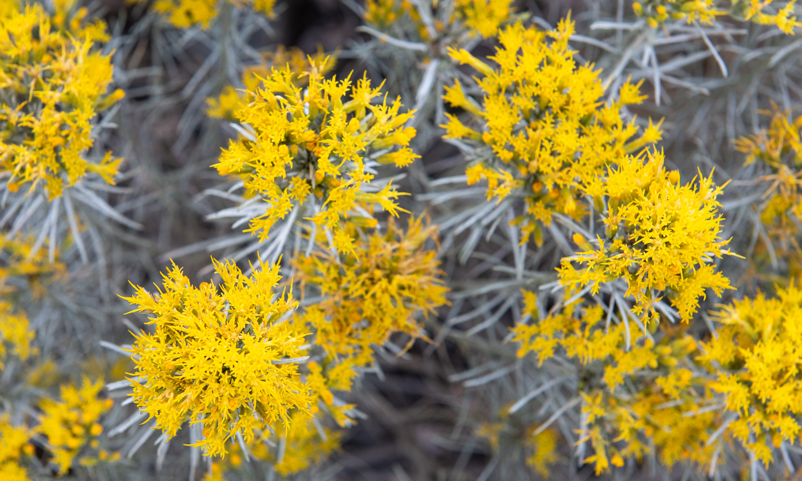
You meet the Brittle pricklypear in person when you are stupid enough to wear sandals. But it is the yellow-blooming Rubber rabbitbrush that shapes this landscape. You can see them everywhere.

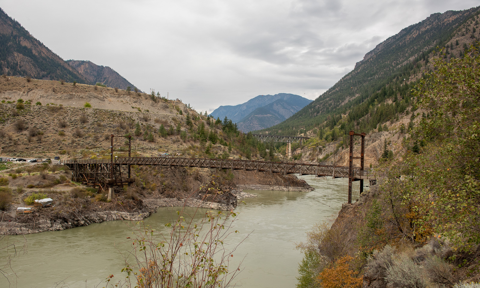
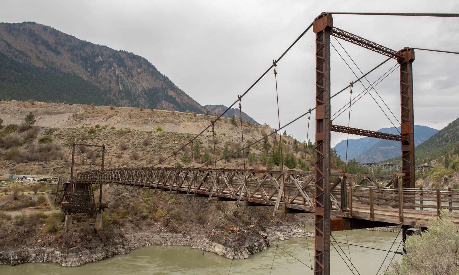
Nearby lies the Lillooet Suspension Bridge, built in 1913 and in active use to cross the Fraser river until the modern “Bridge of the Twenty-Three Camels” was built in 1981.

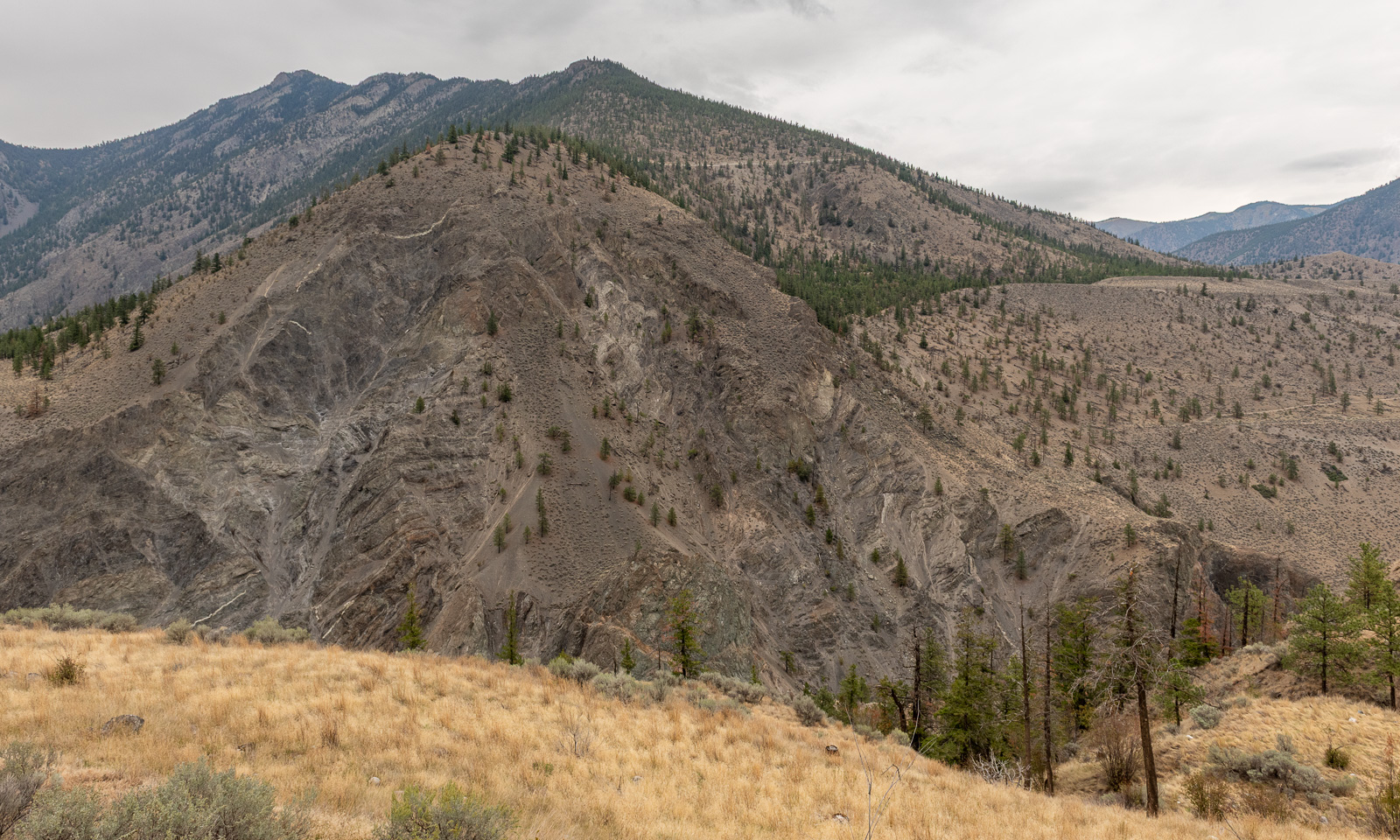
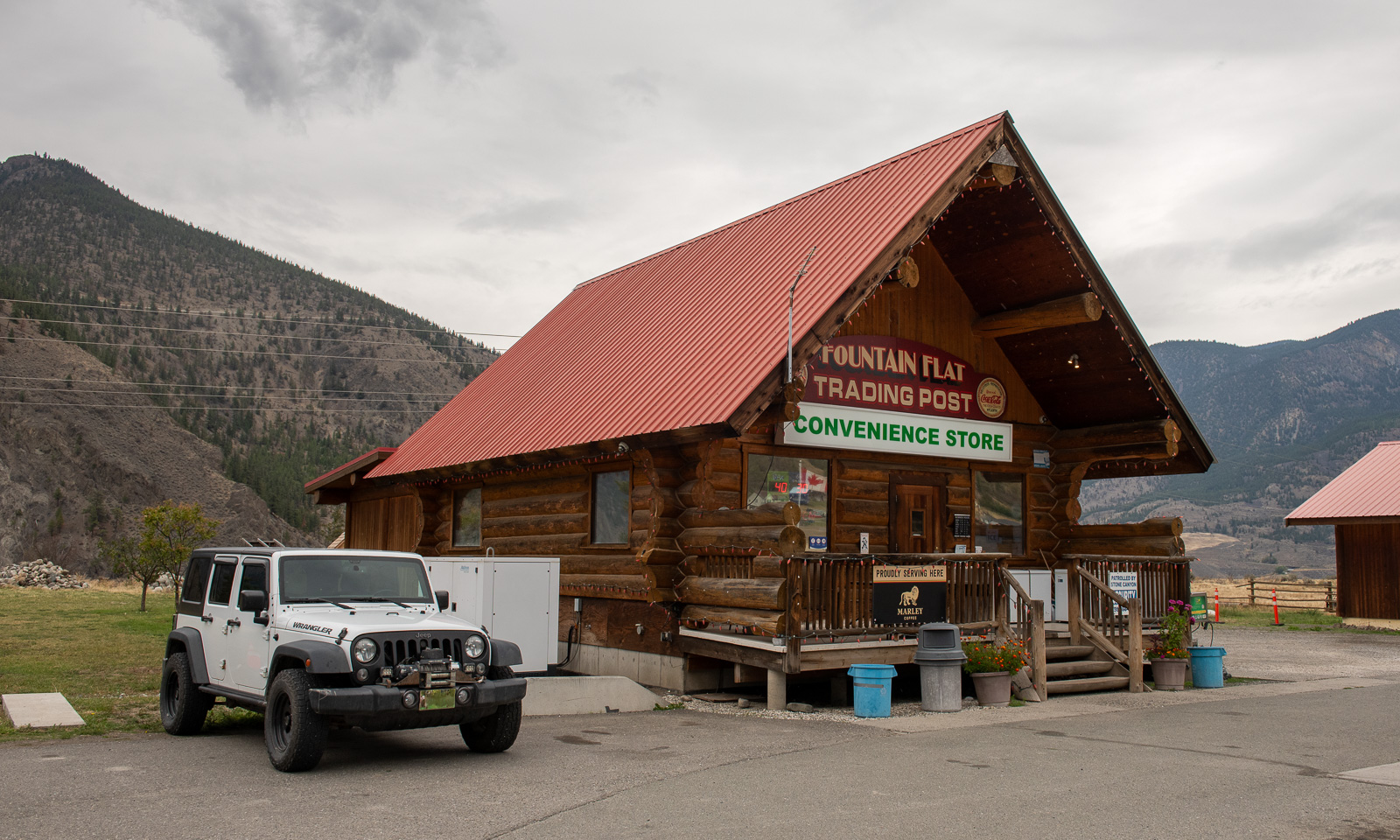
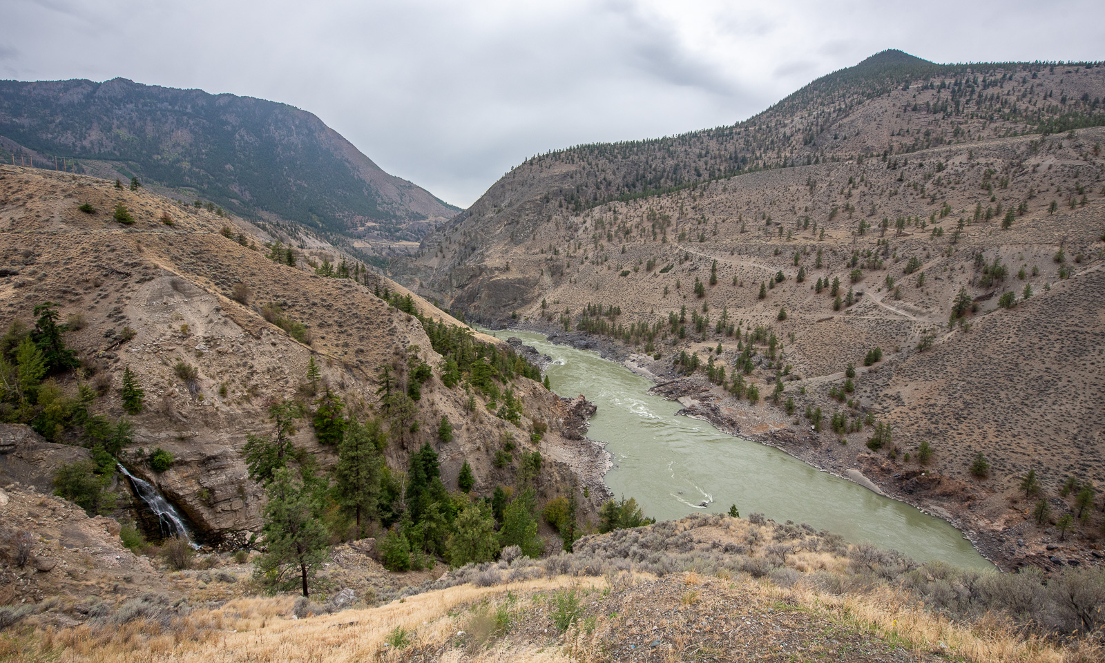
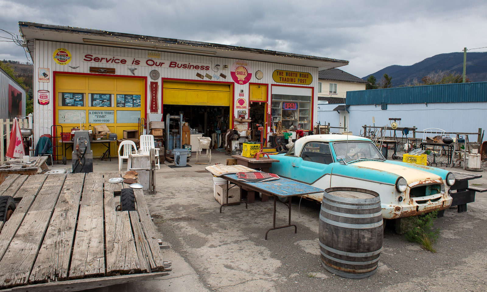
Our way leads north along the Fraser River canyon. We stop several times, mostly to enjoy the views and once at the Fountain Flats Trading Post, a convenience store where we buy snacks and something to drink.

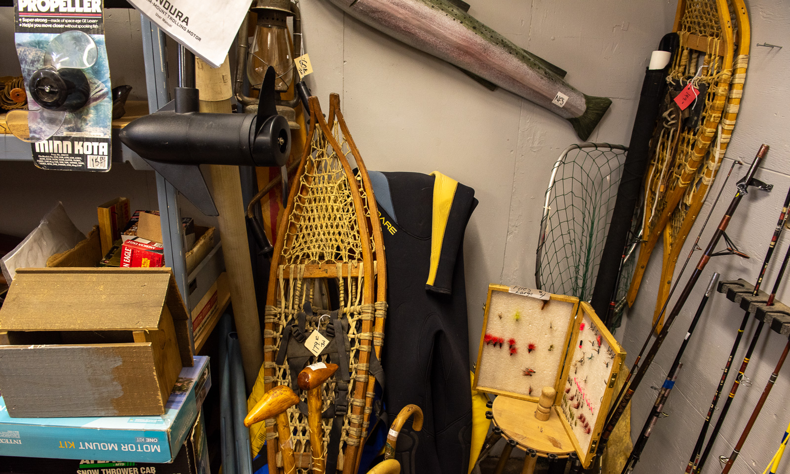
Another stop we make is at the second-hand shop in Clinton where Annika buys a Thermos flask with an interesting feature: it does not insulate for a minute. In a corner of one of the rooms: Two pairs of large snowshoes.

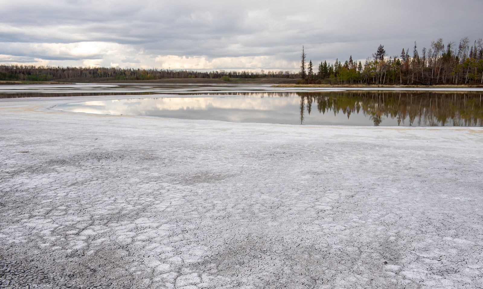
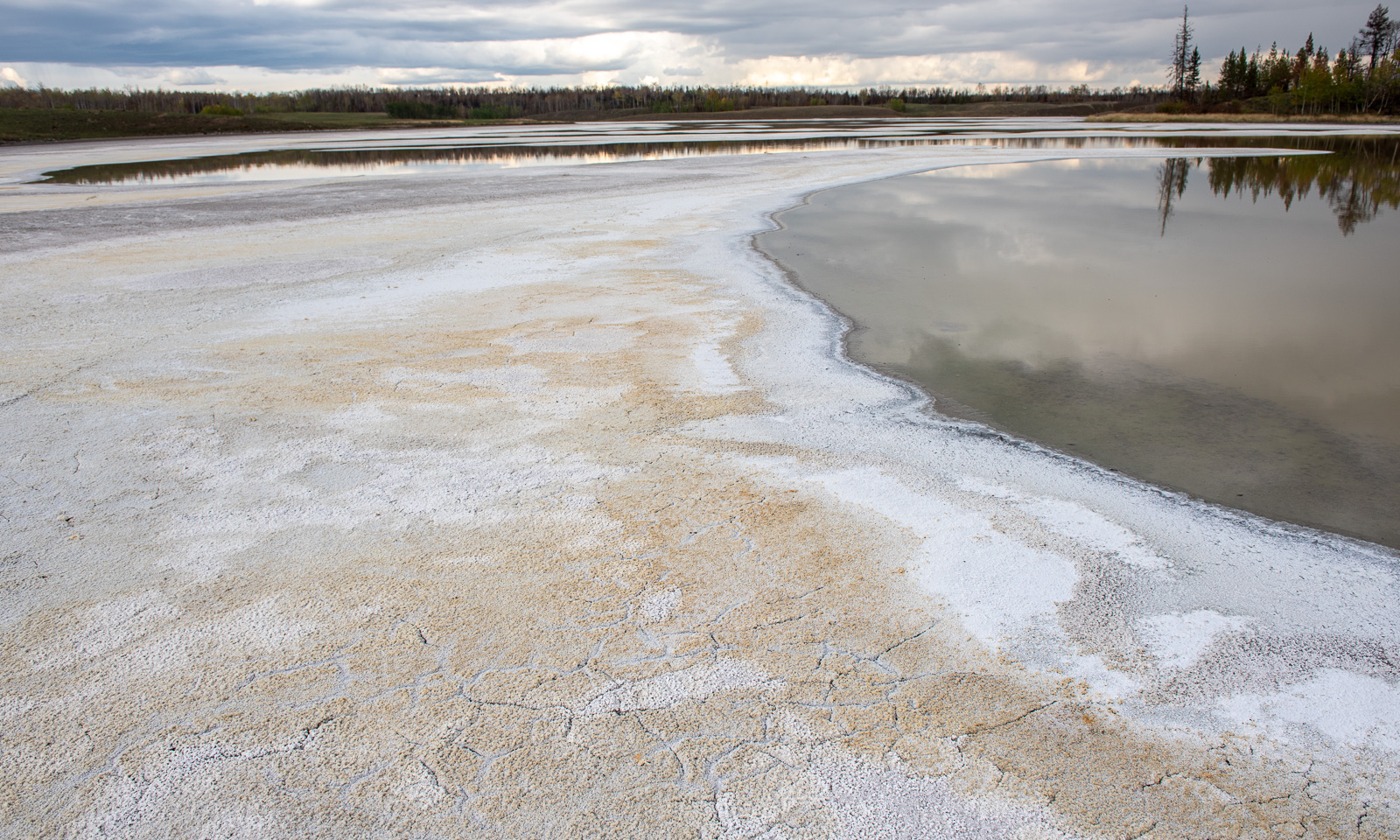
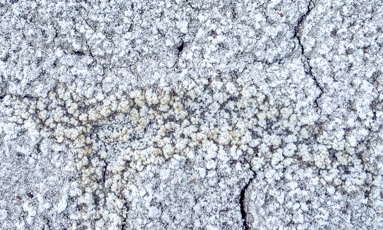
Near Chasm we leave Highway 97 and drive north on unpaved roads. Beside the road are several alkaline lakes, most of them dried out. On the surface there is a thin layer of soda crust, underneath it is black mud. I never saw anything like this before. My rubber boots get muddy and it takes ages to wash the soft-soap-like mud away.

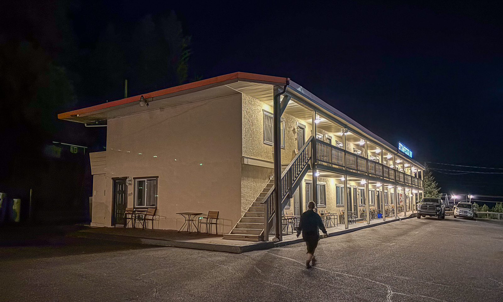
At half past eight we arrive at our motel, the Stampeder Inn in Williams Lake where we’ll stay for two nights.
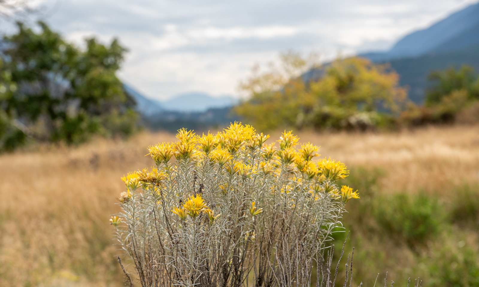
Again I remember my wondering before our journey: Will Canada be different from Scandinavia apart from its size. And again I get the answer: Some parts are very, very different!

Skoganvarre—Tromsø – the last stage of our car trip

This article is part of the series “2026-06: Obbola—Finland—Tromsø”.

Part four of the journey from Obbola to Tromsø

It is Saturday morning. My wife Annika and I are having breakfast in the kitchen of the campsite Skoganvarre Villmark. It is raining and people passing outside are wearing pyjamas and carrying umbrellas or wearing raincoats and crocs. Campsite fashion. Skuvvanvárri (Northern Sámi) or Skoganvarre (Norwegian) is located in Norway, but most of the guests here are Finnish, and it seems to me that more or less all of them are here for fishing.

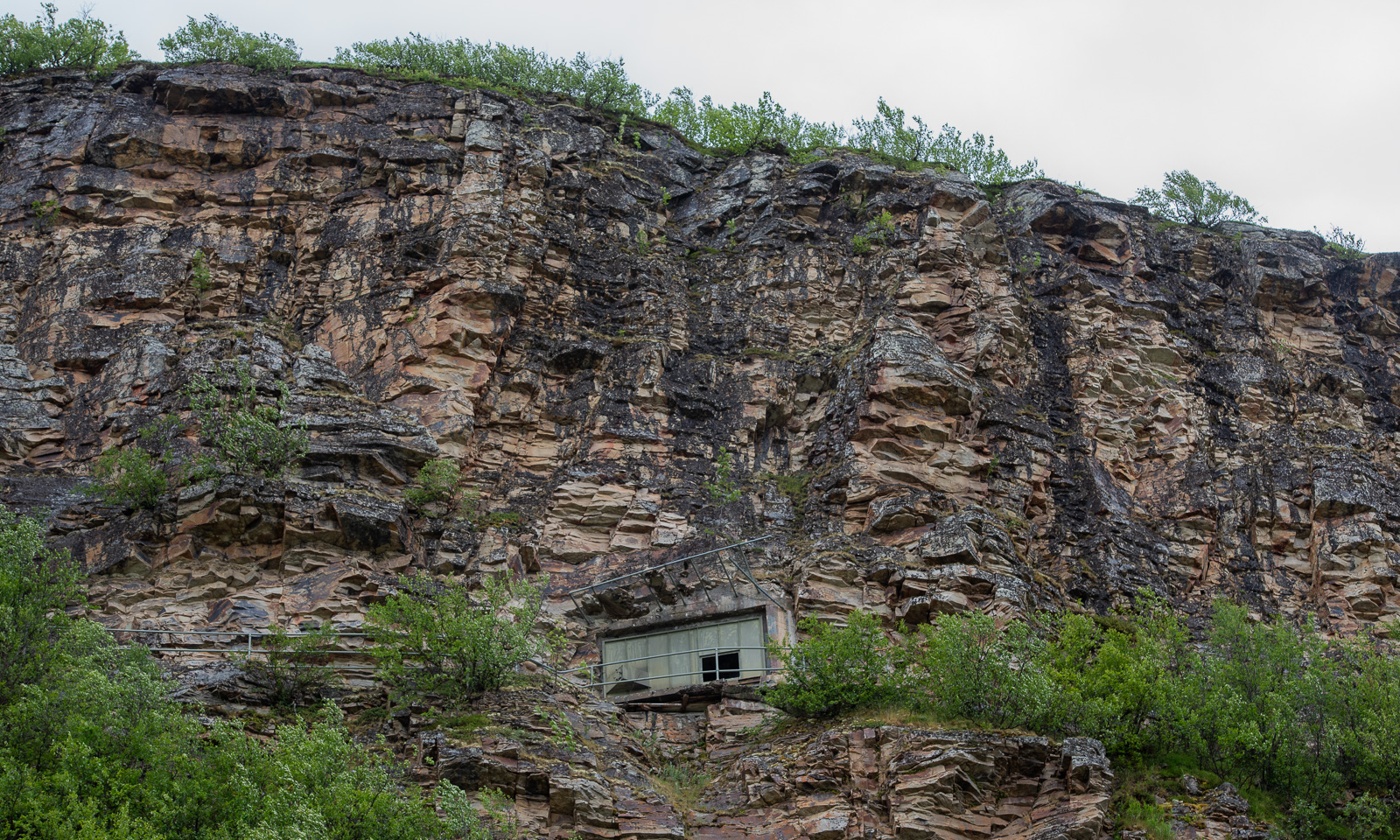
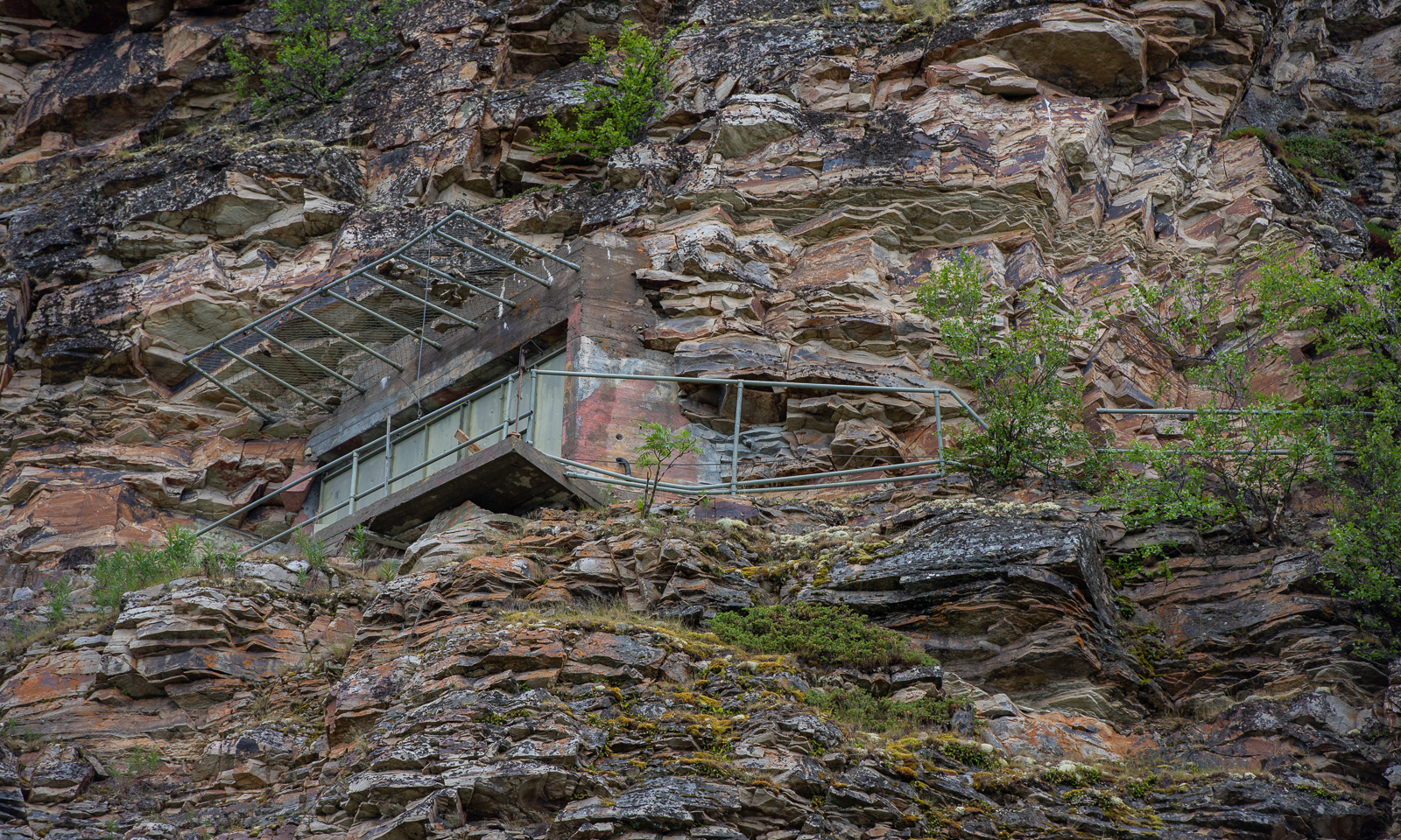
The grey weather follows us to Lakselv where we meet the sea again in the form of the southern end of the huge Porsangerfjorden, the fourth longest fjord in Norway. We passed the road leading north before, but it was the first time that I saw the fortification high in the mountain walls left of the road. It is part of Banak fort, started by the Germans in WWII and continued by the Norwegians and used until 1987.

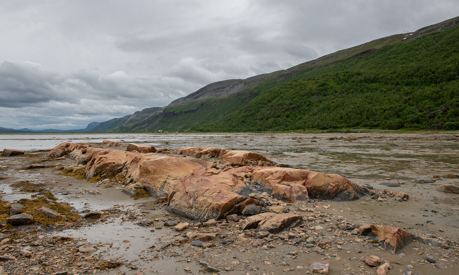
On the other side of the road the scenery is completely different. Stabbursnes nature reserve is a large protected area dominated by wetlands.

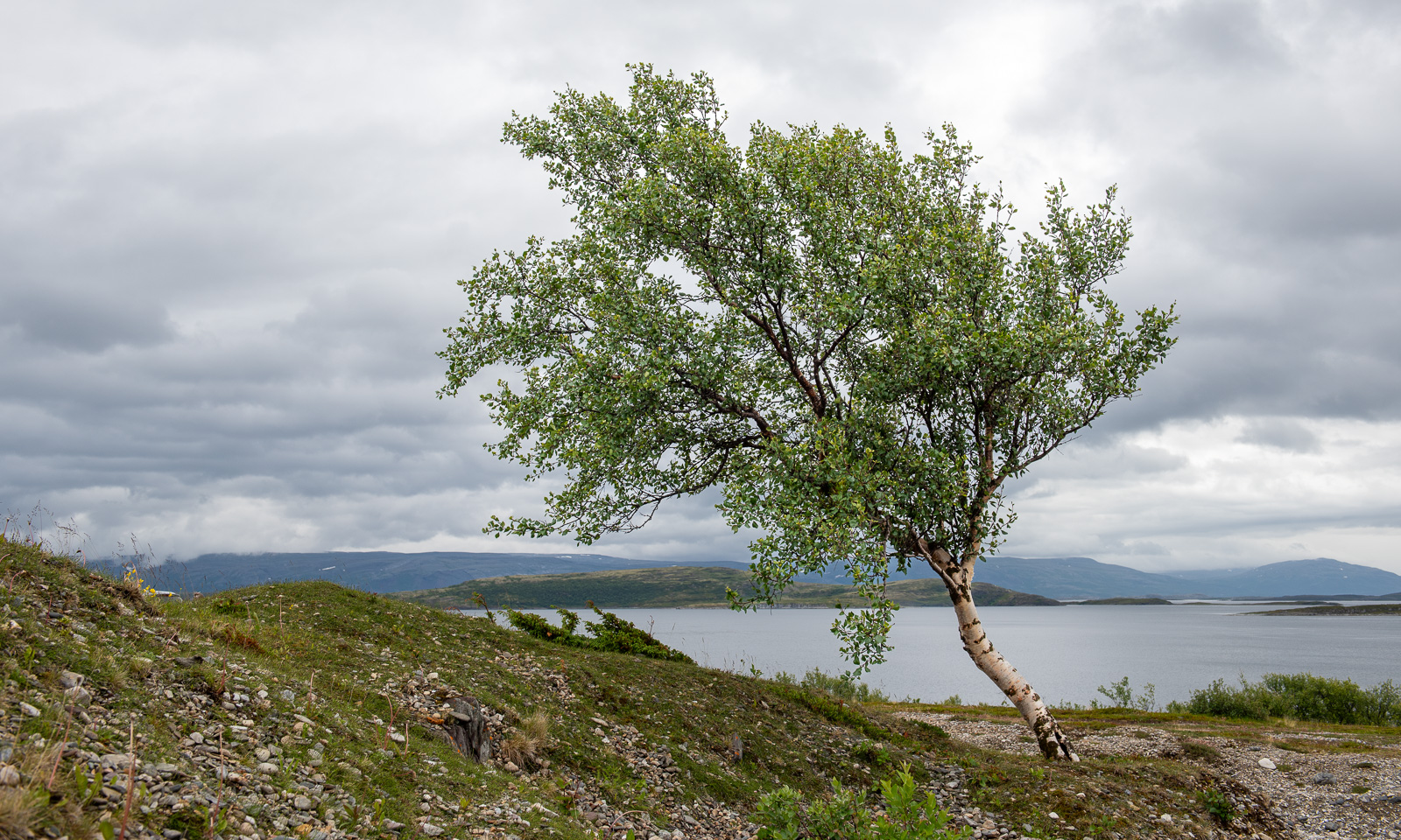
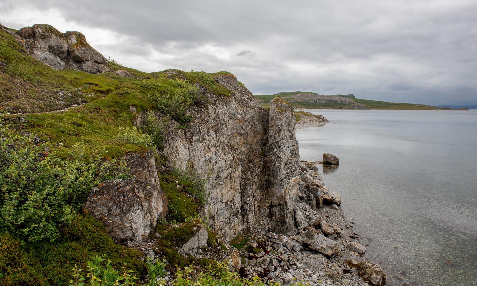
Annika started geocaching a while ago. Sometimes I join her in the search for I found a place to park the car, sometimes I focus more on looking for photo subjects, ideally I do both. At one of the geocache locations behind a gravelly area I first find this lonely birch and then surprisingly beautiful coastal cliffs, although it looked a bit dull in the grey weather.

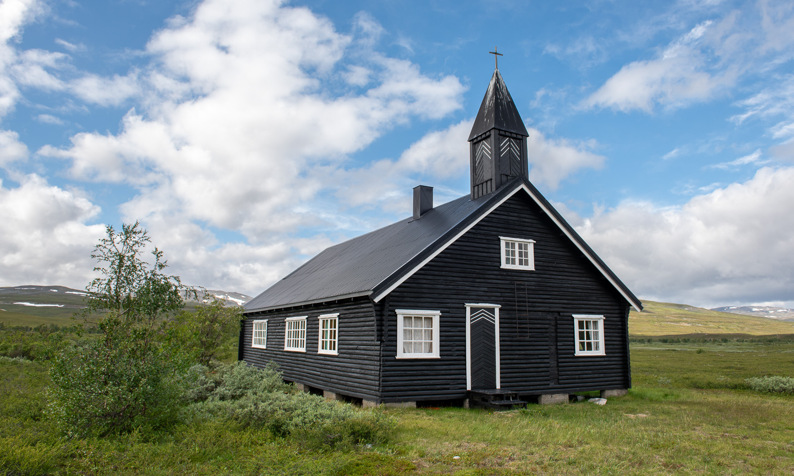
I hardly take any photos of one of my favourite landscapes on this stage of the journey – the plateau of  Sennalandet. I only stop for the Aisaroaivi kapell after the sky has cleared up a bit.

Some more photos from this day:

At 7 o’clock in the evening we arrive at our last overnight stay of this road trip near Sørstraumen. This time we used Airbnb and found a real gem, owned by Gunn, who is a fantastic host. Gunn rents out rooms in her private home and not only invites her guests to her kitchen for a chat but also provides huge amounts of waffles with jam. I can highly recommend her when you like meeting interesting people. We met two Germans who wanted to go north for fishing and a motorcyclist, who is driving all coastal roads of mainland Norway to collect money for ME-fondet, part of Norges Myalgisk Encefalopati forening. We are talking about 50,000 km – what a trip! This is his Facebook page: Around the Coast 2026.

A last photo of this day.

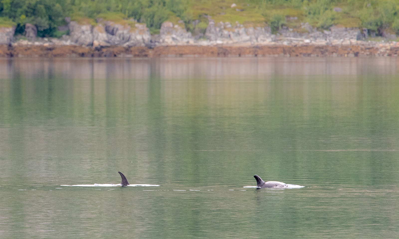
The next day at Gunn’s place began a bit like the evening before: a lively chat and waffles. One thing was different, though. Gunn already told us about whales she saw and showed some videos. While eating another waffle I looked at the fjord and saw movements on the surface. It was a school of white-beaked dolphins passing by the house. We observed them for a while, swimming, jumping, blowing and hunting. They were far away, so even with the big telephoto lens I only got images like this one:

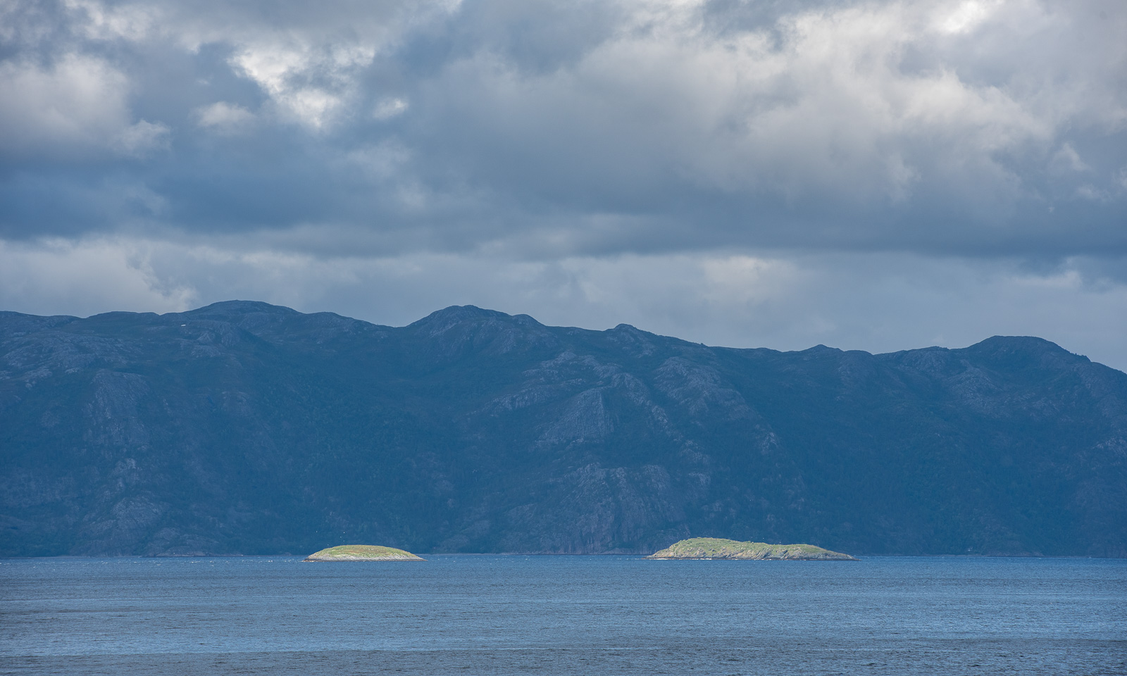
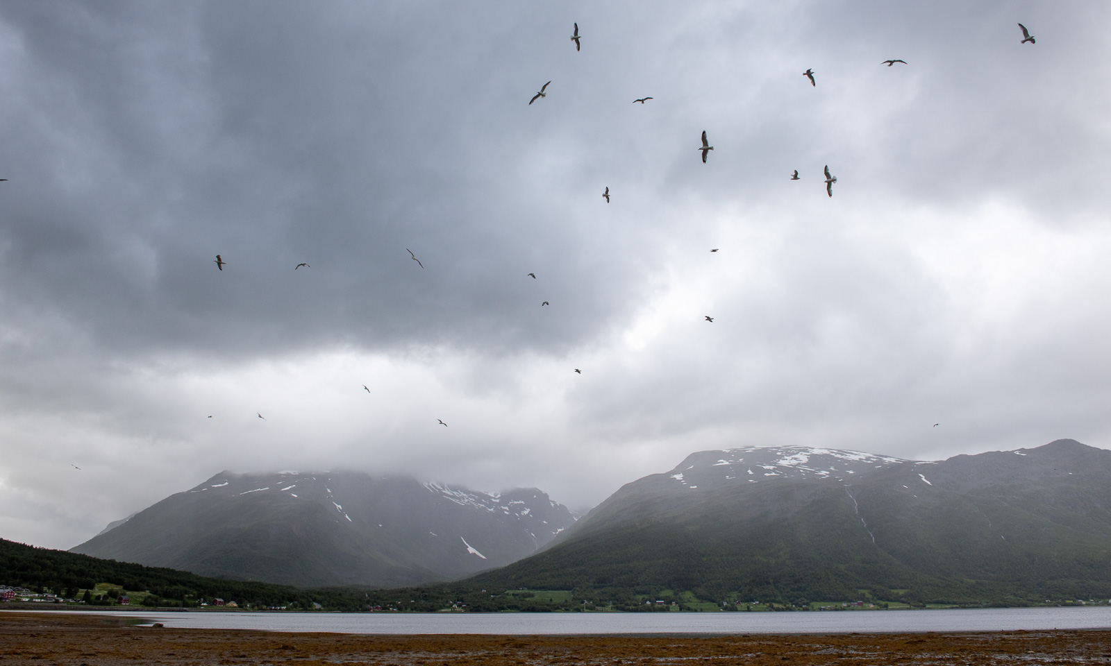
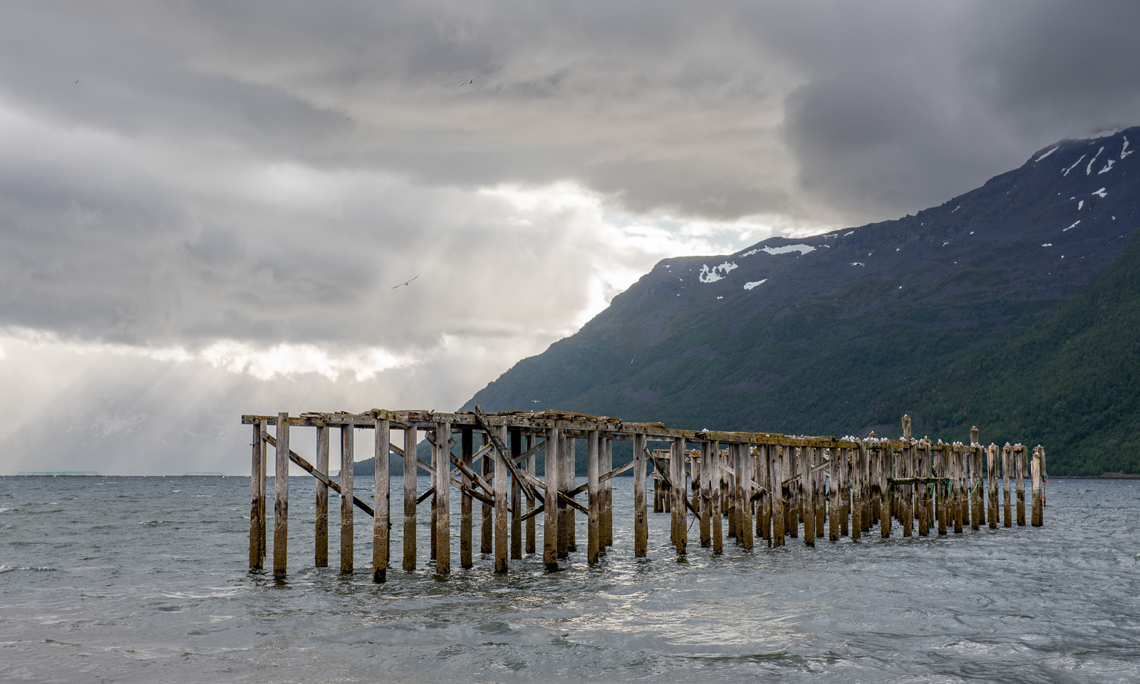
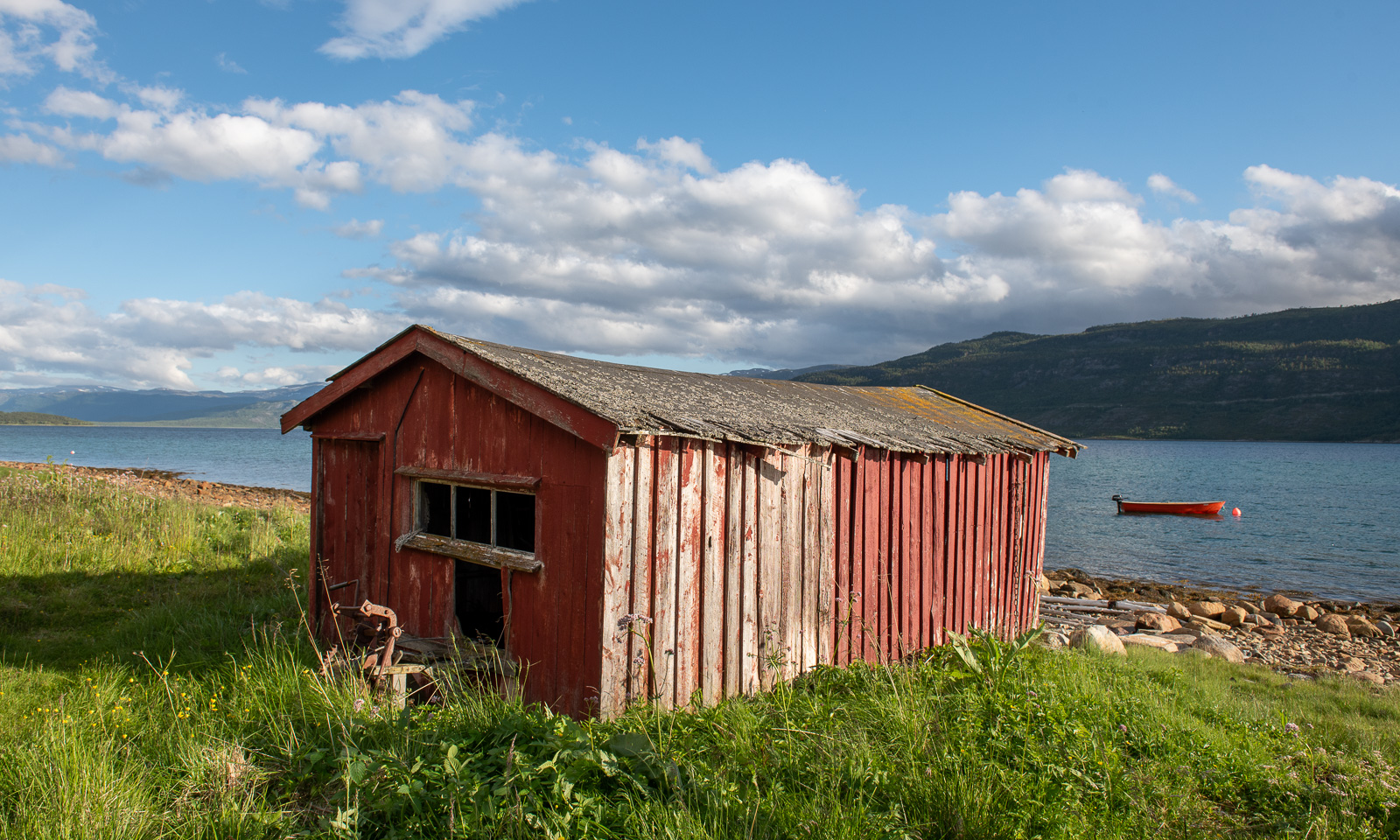
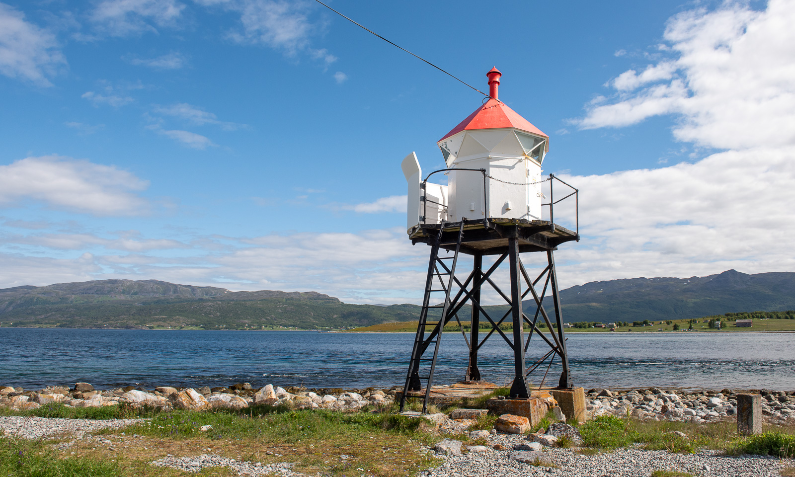
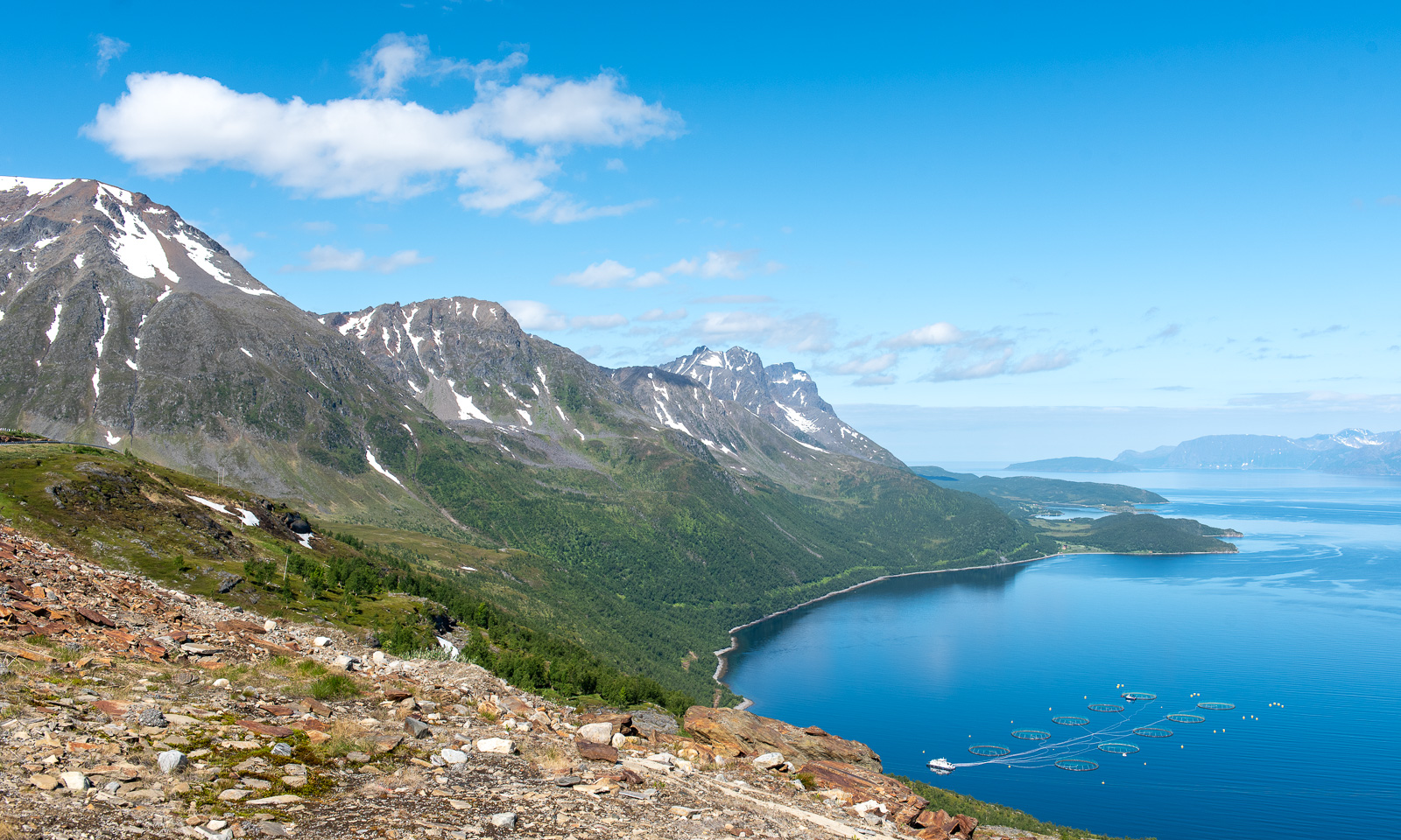
Later than usual, we left this wonderful place to drive the last stage to Tromsø. We could have made it in four hours but it took us seven and a half. The reasons: geocaches, photo stops, detours and an outdoor lunch break. Here are some photos.

Around 18:00 we arrive in Tromsø, my “work home”. I’ll be here for about four weeks and Annika will join me the first two weeks.

A day and half a night in Bergen

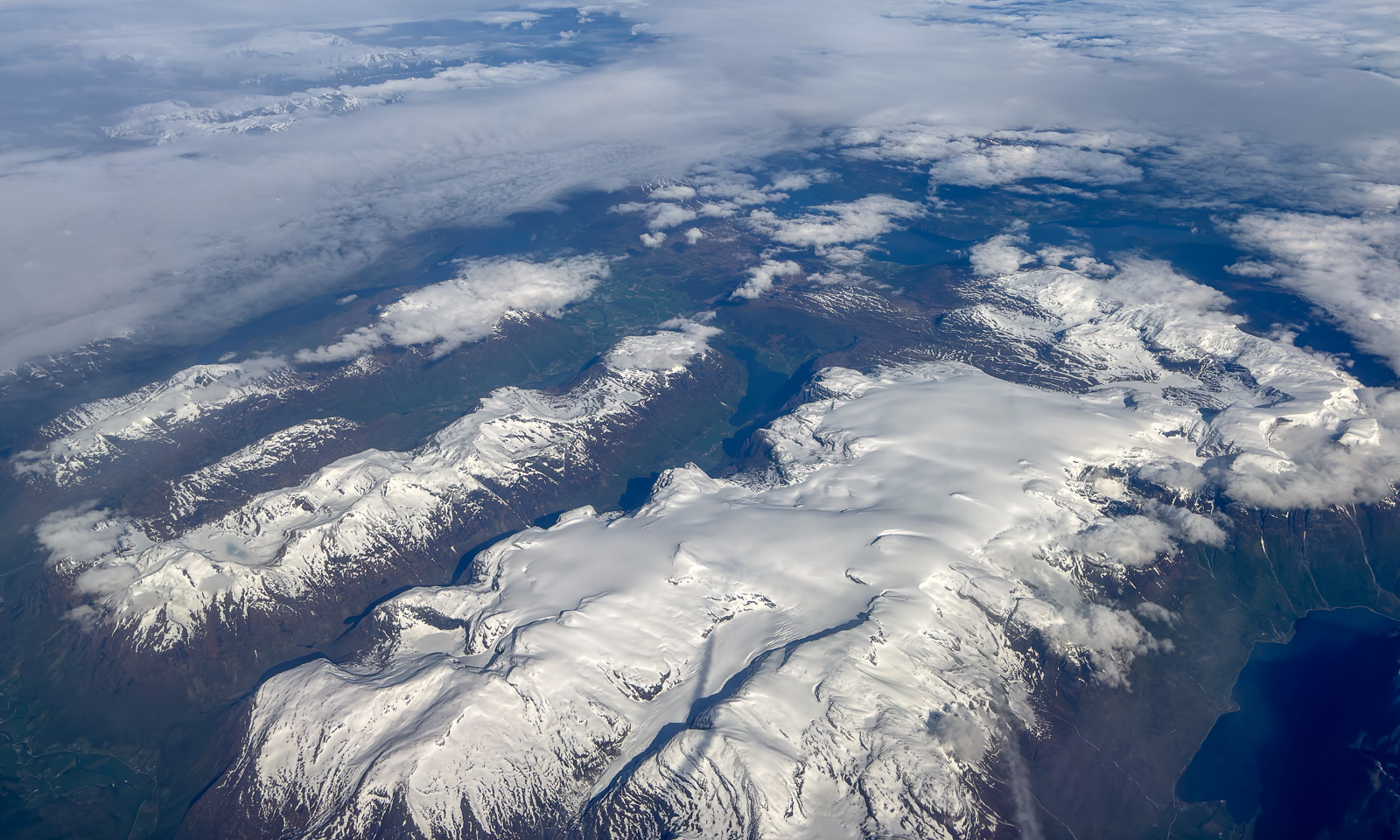
28 May – I am sitting on a plane to Bergen, Tromsø lies behind. Finally the layer of clouds has opened and Vestlandet – Western Norways reveals itself with vast glaciers, mountain ranges, fjords, forests, archipelagos and the open sea.

The reason I am in Bergen is sea ice in the Arctic. On board the ice-breaking research vessel Kronprins Haakon there is a special radar used for navigation through sea ice. Researcher Polona Itkin wants to store this data for scientific purposes. The companies Sea-Hawk Navigation AS and dspnor AS are responsible for the hardware, I handle the software to read and store the data. And since these companies are in Bergen and have a working setup including a radar on the roof, I am working there for two days. The only work-related detail I will mention is this: the data volume to be stored is immense and can exceed 2 TB a day. Quite a challenge.

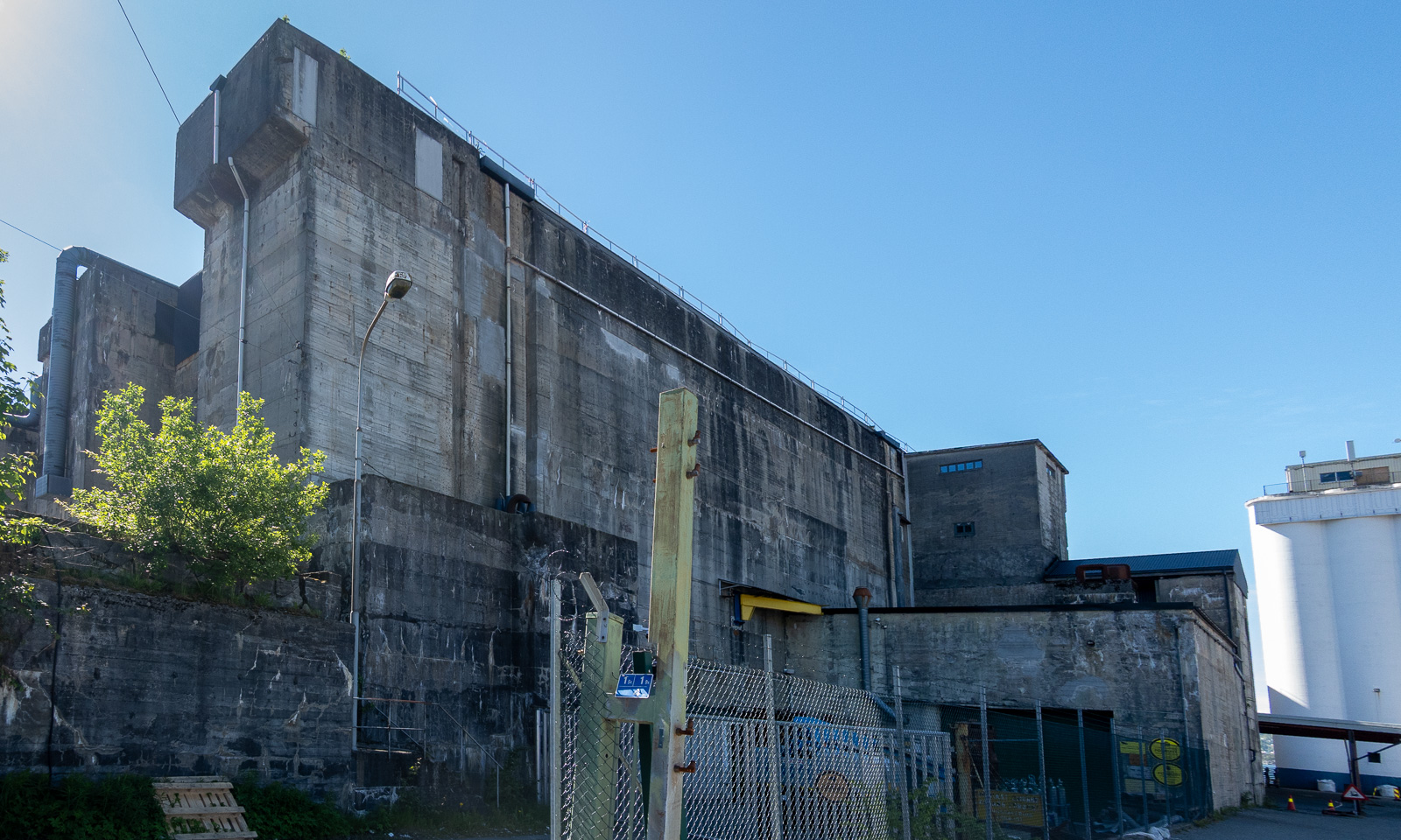
At 16:00 I finish work. Since the weather is warm and sunny, I decide to walk to the hotel in the centre of Bergen on the other side of Puddefjorden. Let’s go down the concrete ramp and start our tour. First, I walk through an industrial area …

… but then the surroundings change revealing marinas, parks and older wooden houses.

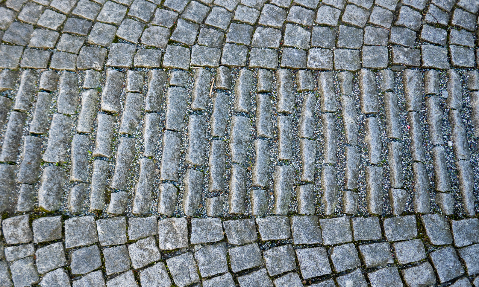
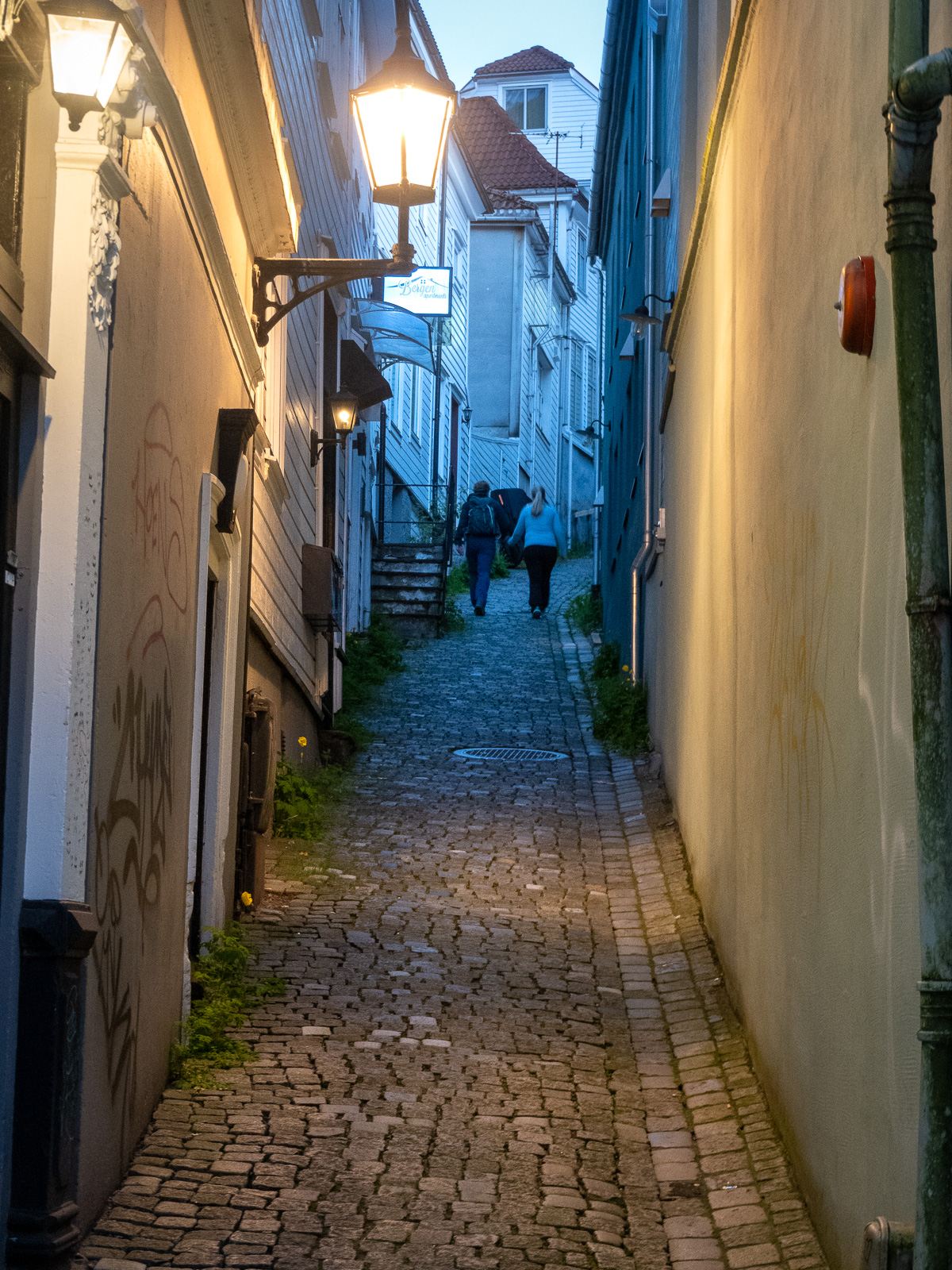
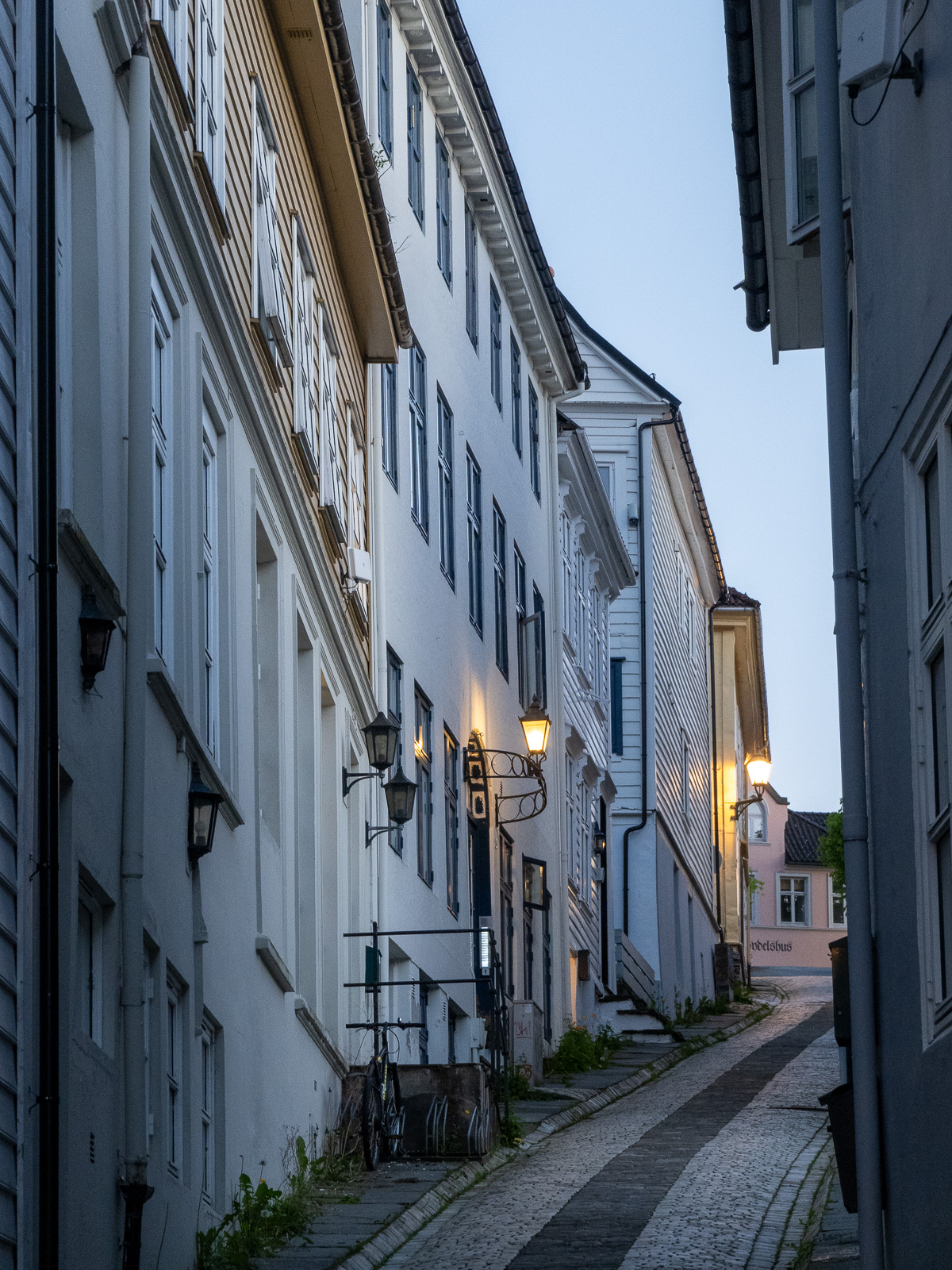
I cross the Damsgårdssundet and head towards the centre. A myriad of small alleys, footpaths and stairs make me ignore the polite navigation of Google Maps and stroll around, enjoying the town in the sun.

I don’t want to own this car, but I envy the driver’s parking skills.

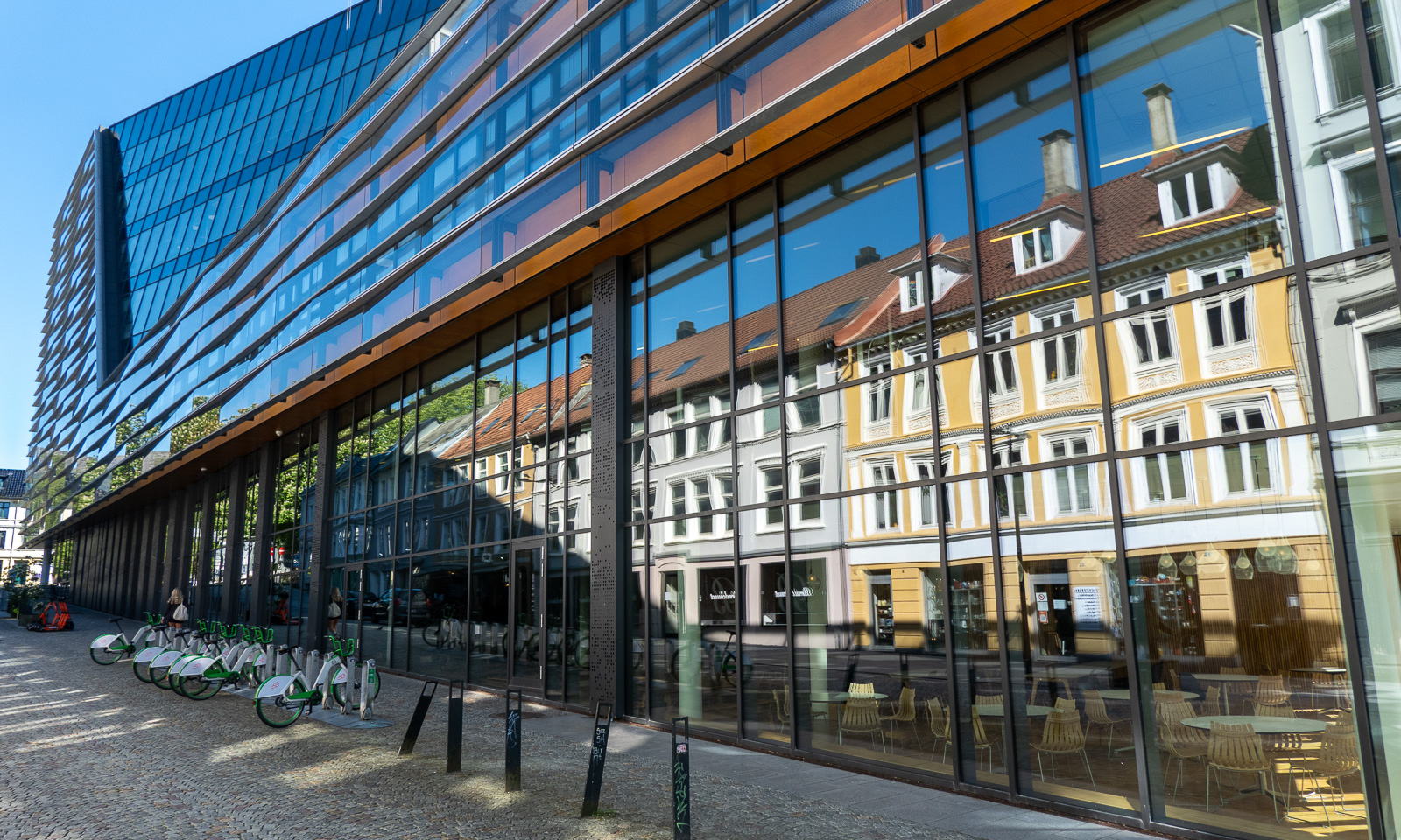
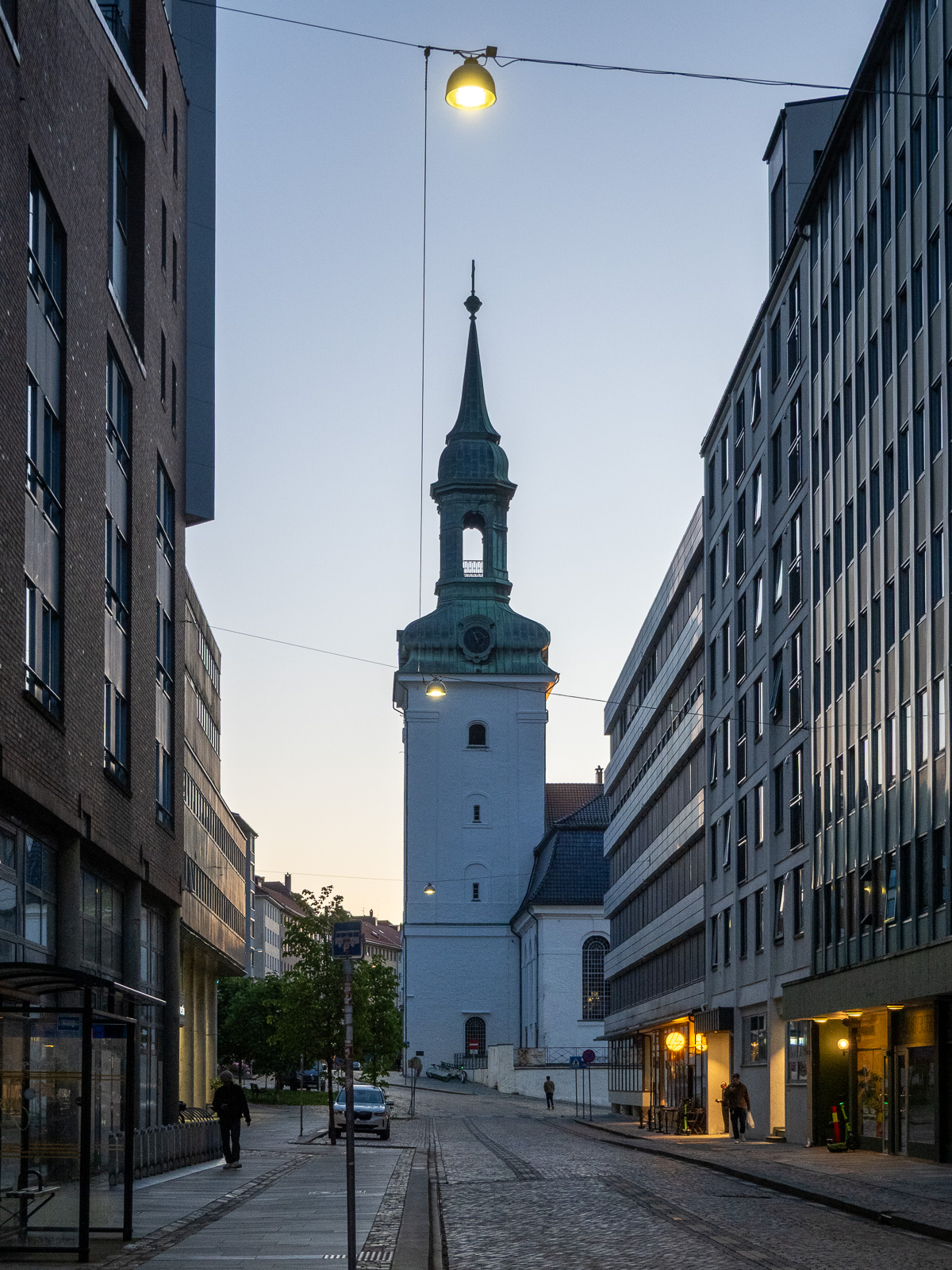
But of course Bergen is an evolving city, not a museum and a lot of contemporary architecture is found there too. But sometimes the glassy facades reflect the older world.

From there it is not long to Vågen, the central harbour bay with a view of the historic quarter Bryggen.

I check in at the hotel and leave again straight away, first to get some food (Pasha – Peruvian food – not cheap but delicious) and then to take Fløibanen, a 848-metre-long funicular railway that leads up to the mountain of Fløyen (320 m).

Of course I could have walked up the 302-metre ascent, but I have a plan: I want to walk to the mountain of Ulriken (643 m), the highest of De syv fjell that surround the city centre of Bergen. The route is between 13 and 15 km long and leads through hilly terrain. From there I want to take the cable car down and the last one leaves at 23:00. So I don’t have the whole day, just a long evening.

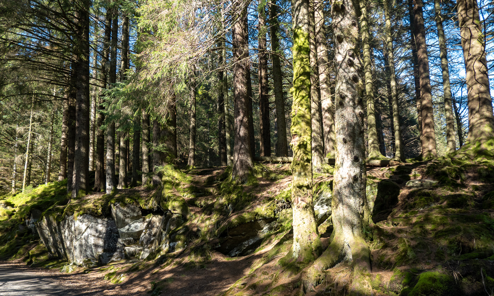
At 18:45 I start my tour. First, I cross a small, but surprisingly dense forest then I follow the wide hiking trail.

When I approach the mountain Rundemanen with its tall radio mast, the trail branches into many paths leading in different directions. I ask for directions twice and get it – together with the warning that it is a long hike. The younger women told me it would take four hours from here, another woman said it would take her six hours. I decide to walk a bit faster and see where I am after two hours. I could still turn back then.

Now the trail looks more like a mountain trail. Smaller, steeper, rougher and sometimes very wet. Normally I walk with rubber boots but on this journey I only have an old pair of low shoes, so I try to avoid all the wet patches walking around them or stepping onto the stones.

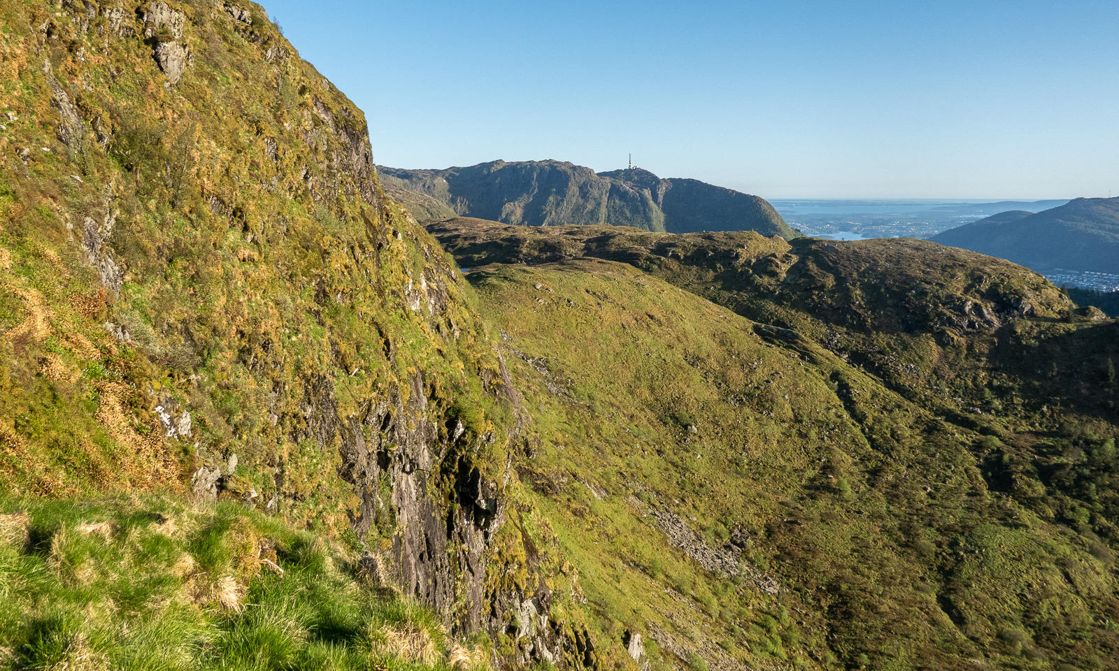
I pass the lake Øvre Jordalsvatnet, use the stone causeway to cross the small stream that transports water to the lower lake Tarlebøvatnet. My planned destination, the TV tower near Ulriken, can already be seen.

Now the trail is excellently marked by large square cairns with a sign “←Fløyen, /Ulriken→“. It is easy to follow them. I try to walk at least 4 km/h, ideally 4.5 to catch the cable car. At 20:30 I reach one of the few signposts with distances. I’m happy, because I made more than half the distance in one hour, forty-five minutes. Decision made: I carry on.

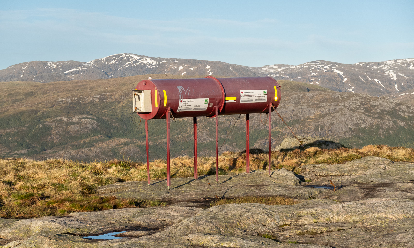
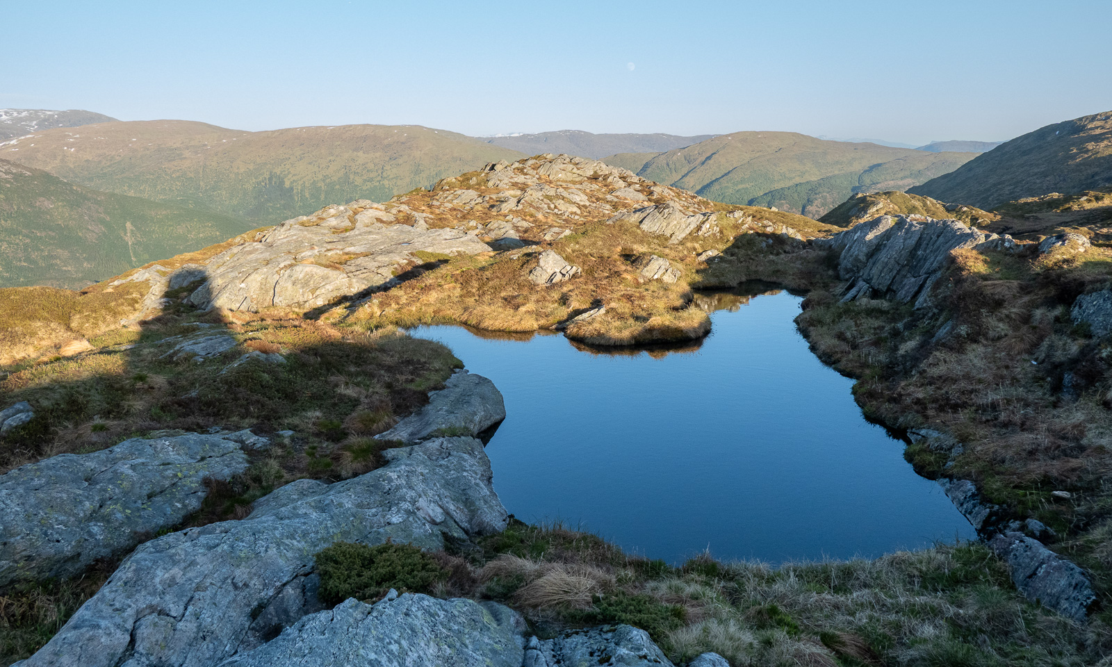
And on I go across the Vidden. Sometimes the point of interest is nearby, such as the tube with the first aid equipment including a stretcher. Sometimes it is far away, such as the snowy mountains in the east. Will I see snow here as well?

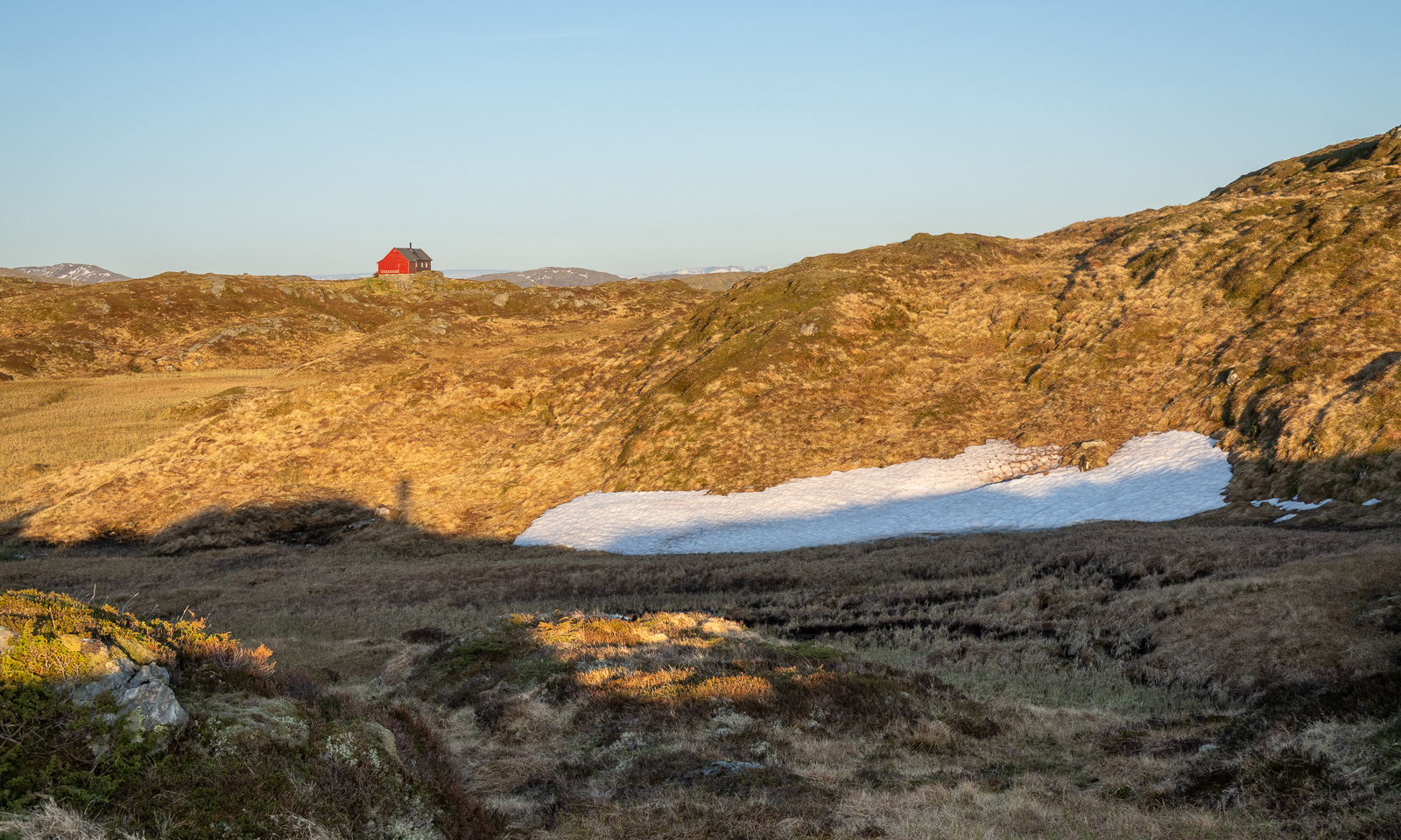
And there it is: one of the two patches of snow on the Vidden plateau.

Slowly the sun is setting and the light gets warmer. I walk against the sun and have to protect my eyes with one hand when the path descends steeply into one of the valley cuts. But I’m sure I’ll arrive in time.

I spot some cabins, first a small red one then a larger one. When I researched this while writing, I found out that this is Turnerhytten, a DNT cabin with thirty beds. I think that when I plan a trip to Bergen again, I should stay there rather in some hotel in the centre.

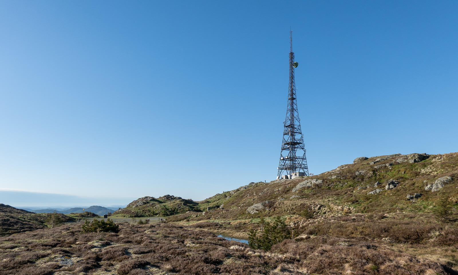
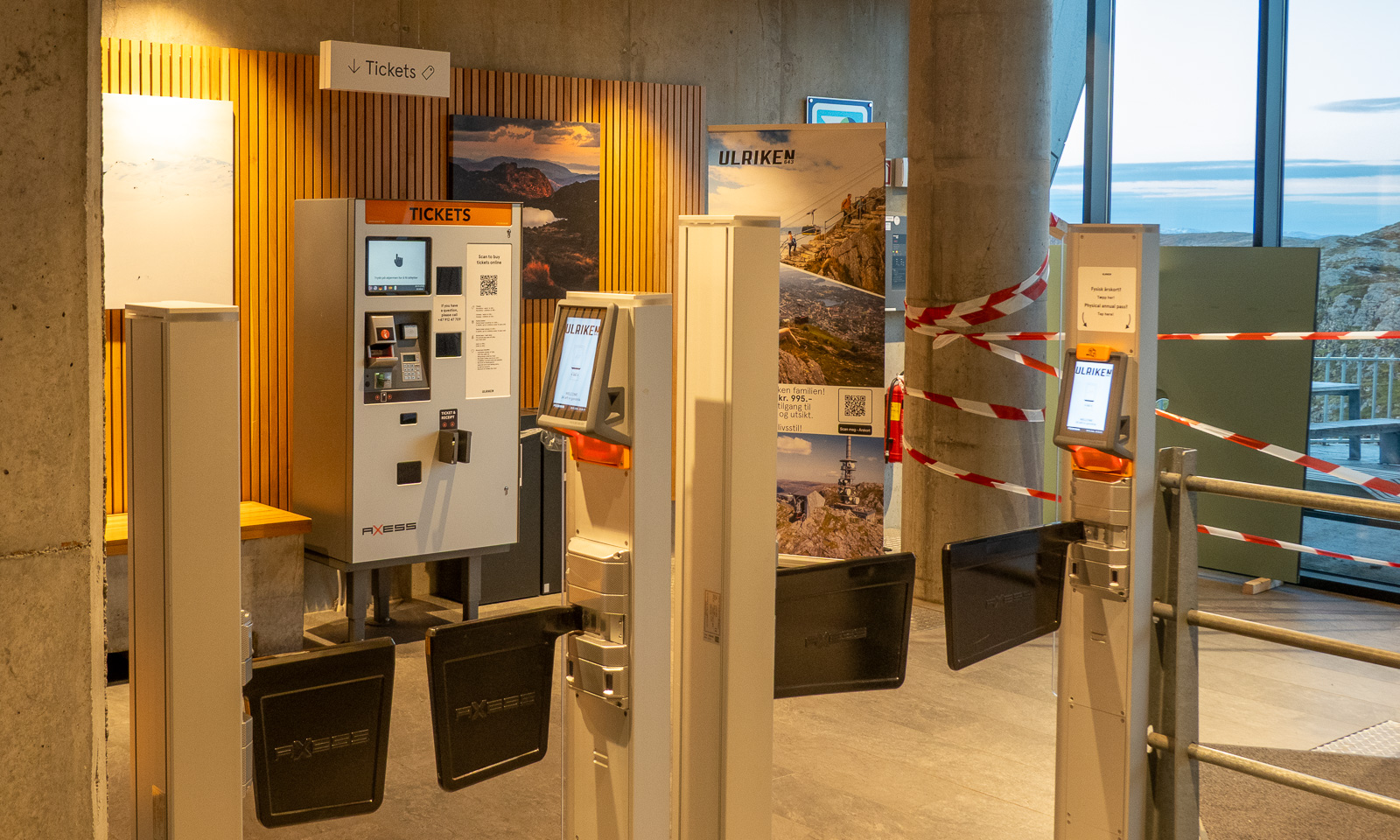
I decide not to climb to the top of Ulriken but to go straight to the cable car station. I’m tired and exhausted because my only rests were to take photos and once to put on a jacket. I follow the signs to the station, take another photo, one of the TV tower, buy a ticket at the ticket machine and two minutes later I am in the cable car that leads me down. It is 22:30, so the hike – 14½ km long – took me 3¾ hours.

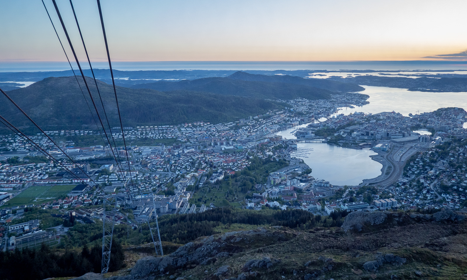
From the descending cable car I watch the sunset …Sunset over Bergen

… then I’m in town again. It is five more kilometres to my hotel, so I take a bus (the wrong one), a tram, and another bus. At 23:15 I am in my hotel room.

Today I walked around 25 kilometres in total and now I only want to take a shower and fall into bed and sleep until breakfast at 7:00 the next morning.

From inland to coast – a cold car ride

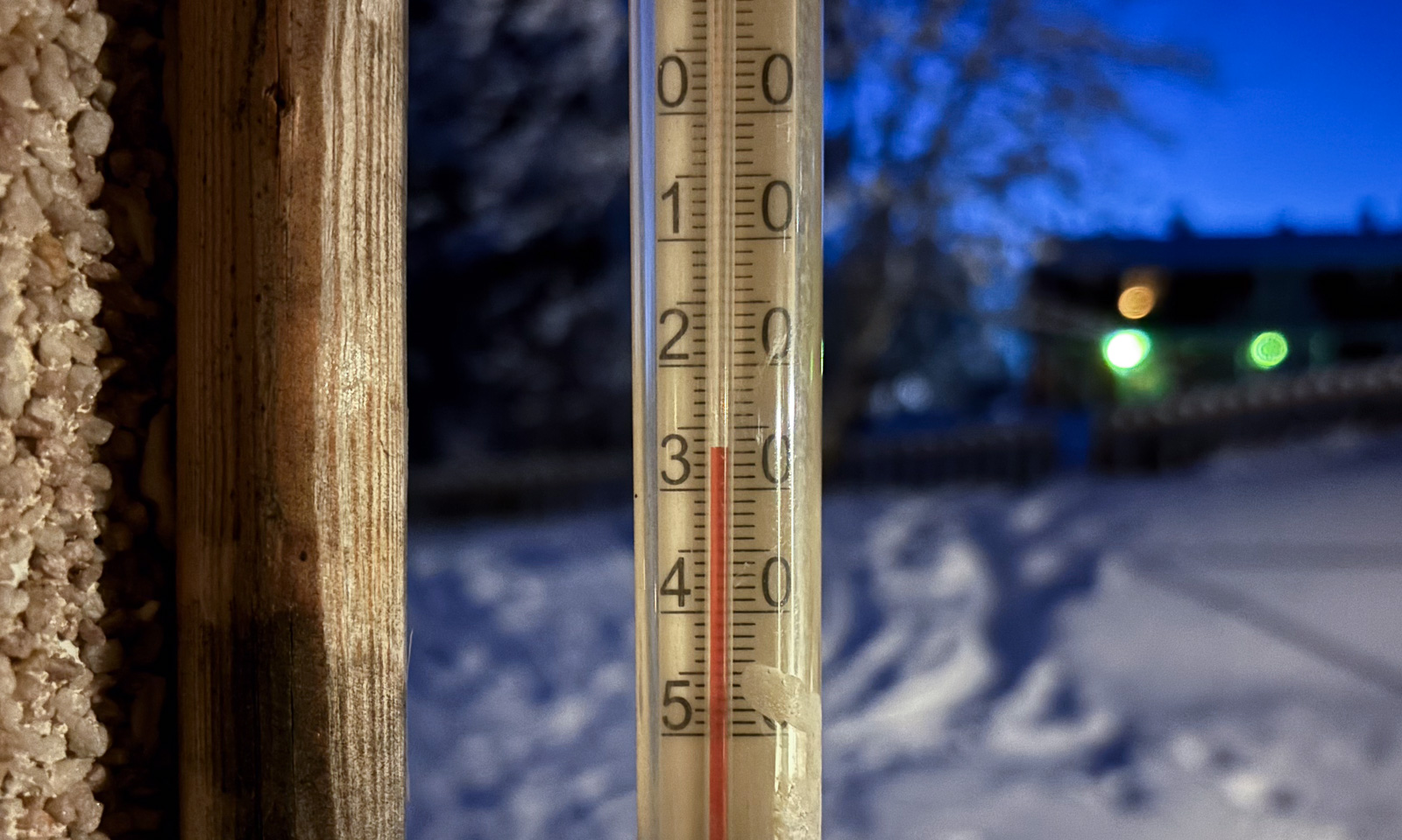
Yesterday morning, when I woke up I first checked the thermometer in the kitchen. It showed -27 °C.

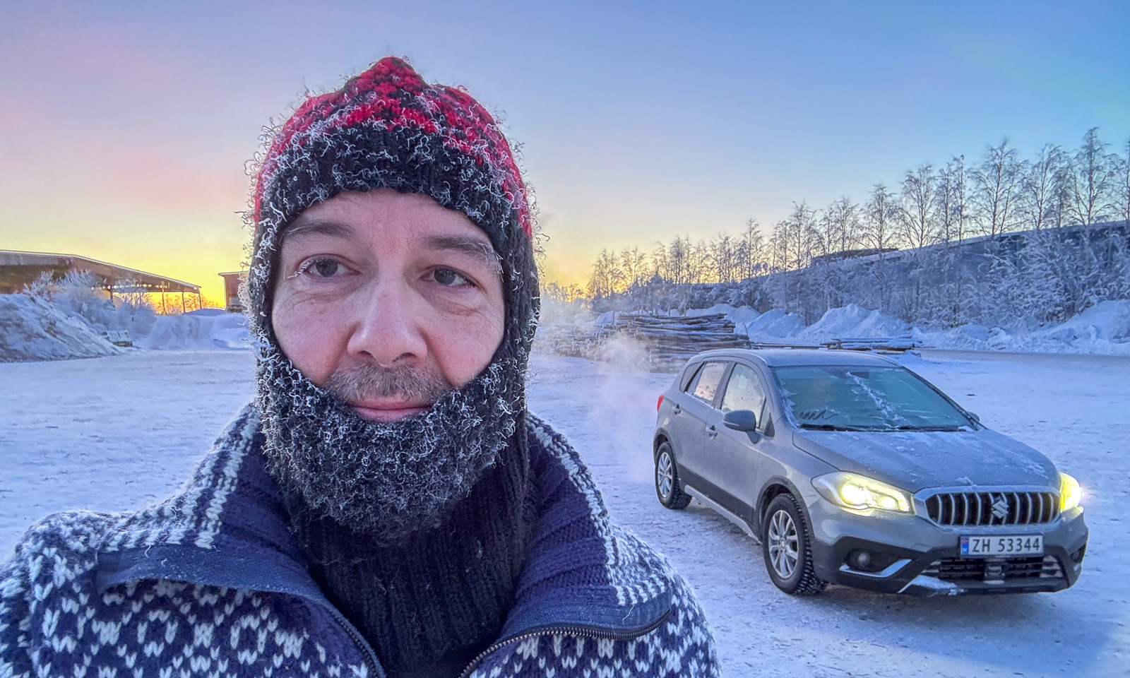
I was in Jokkmokk to visit my friend Sascha and the Jokkmokk winter market. Would my car start when it’s that cold? After a coffee Sascha, his dog Roxy, and I went to the huge car park behind the railway line where my Suzuki had been parked the last two days. To my relief it started without any issues and even scraping ice off the car didn’t take as long as expected.

Farewell my friends – off I go.

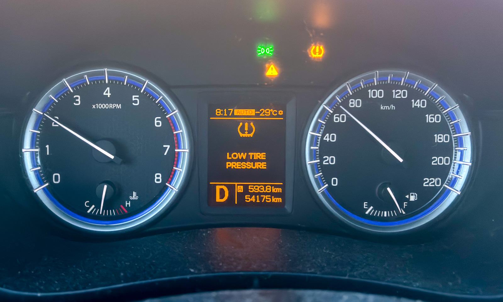
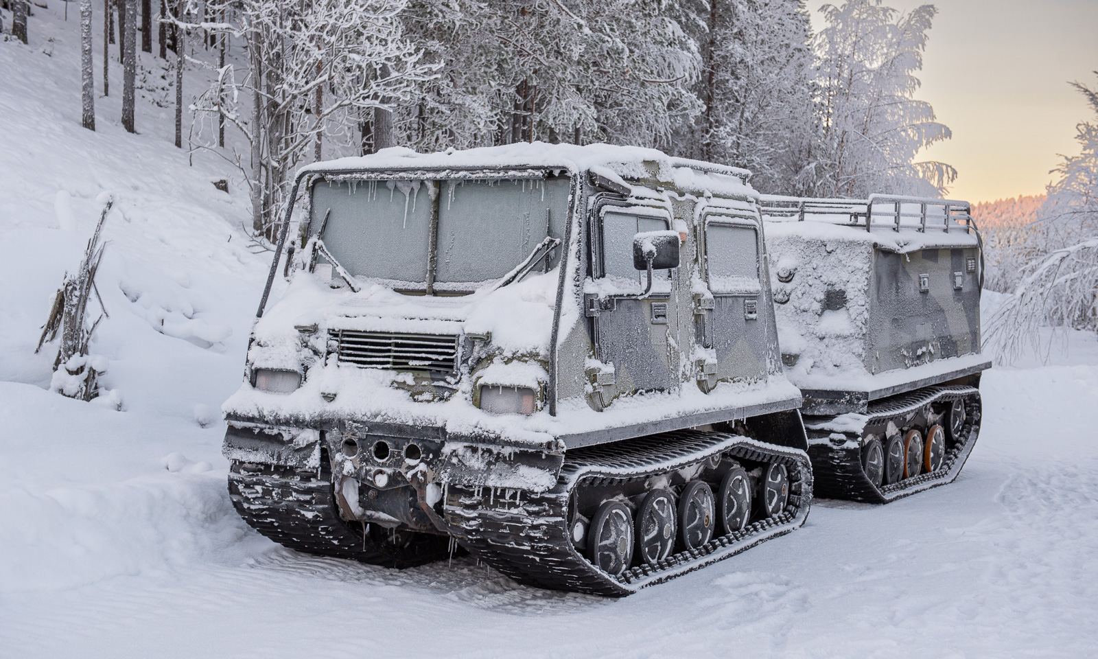
The day was exceptionally beautiful and cold. The car thermometer went down to -29 °C and then stayed around -25 °C for the next hour. Should I switch to the Hägglunds that was parked beside the E45? Probably not the best idea with a distance of around 400 km ahead.

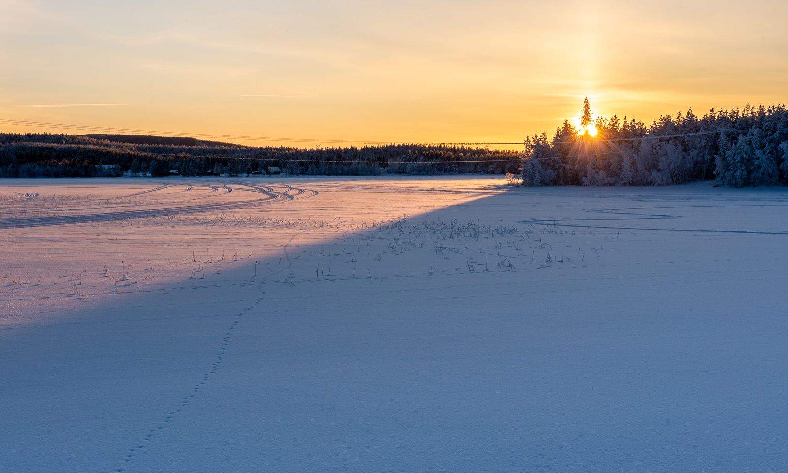
At half past eight, the sun rose. I parked my car and walked to a frozen lake nearby to take some photos. Was that where I froze my nose? It still itches a bit today.

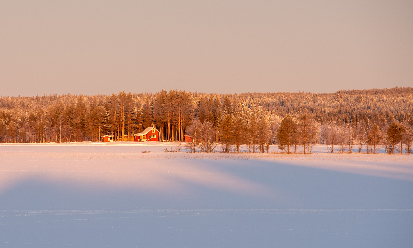
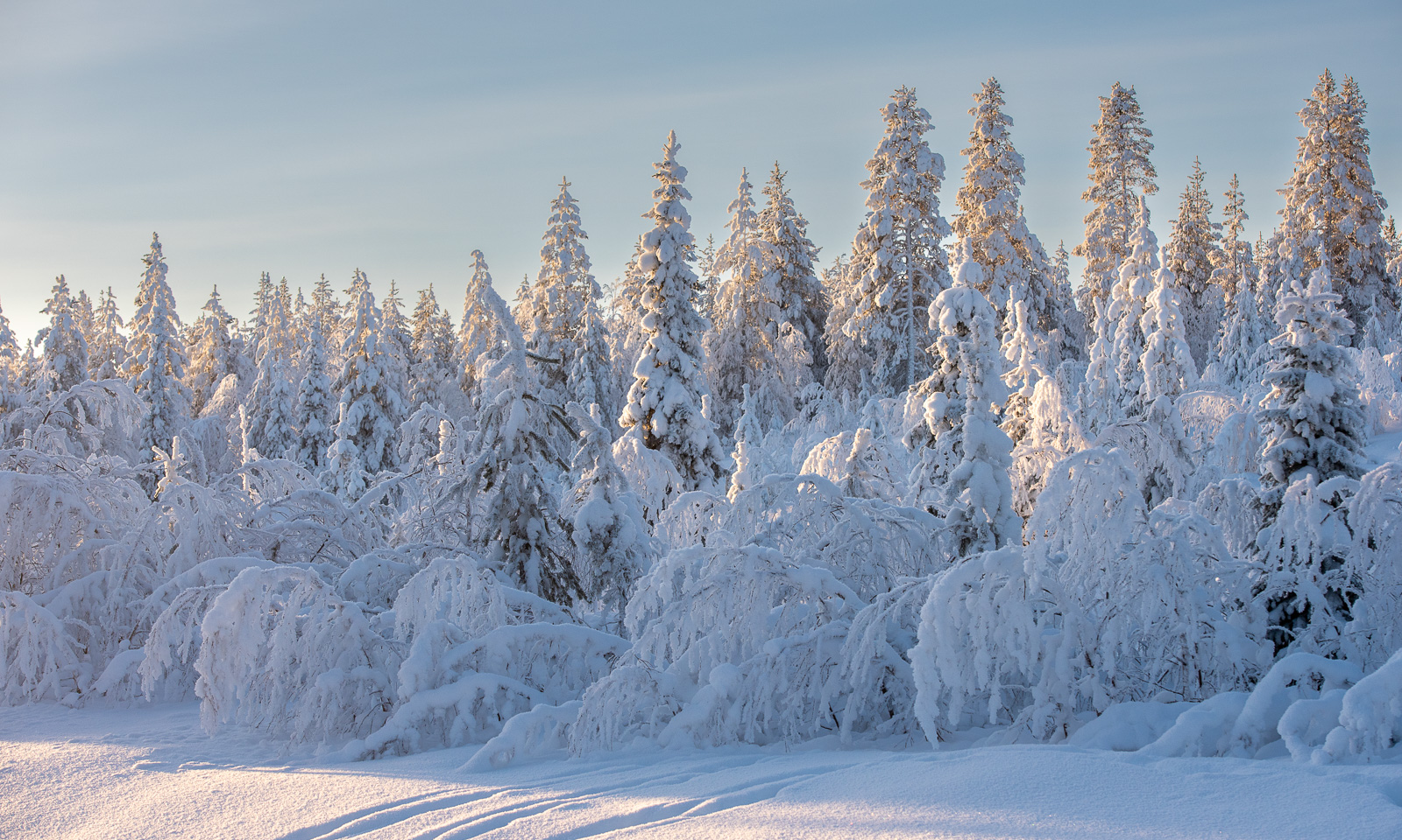
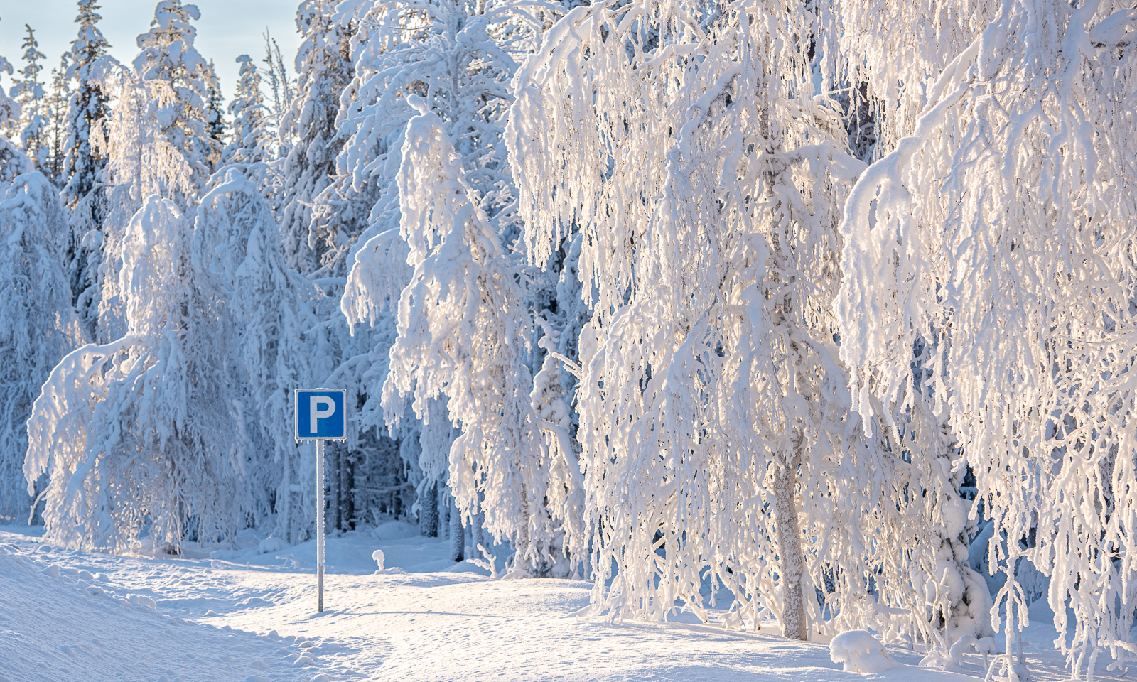
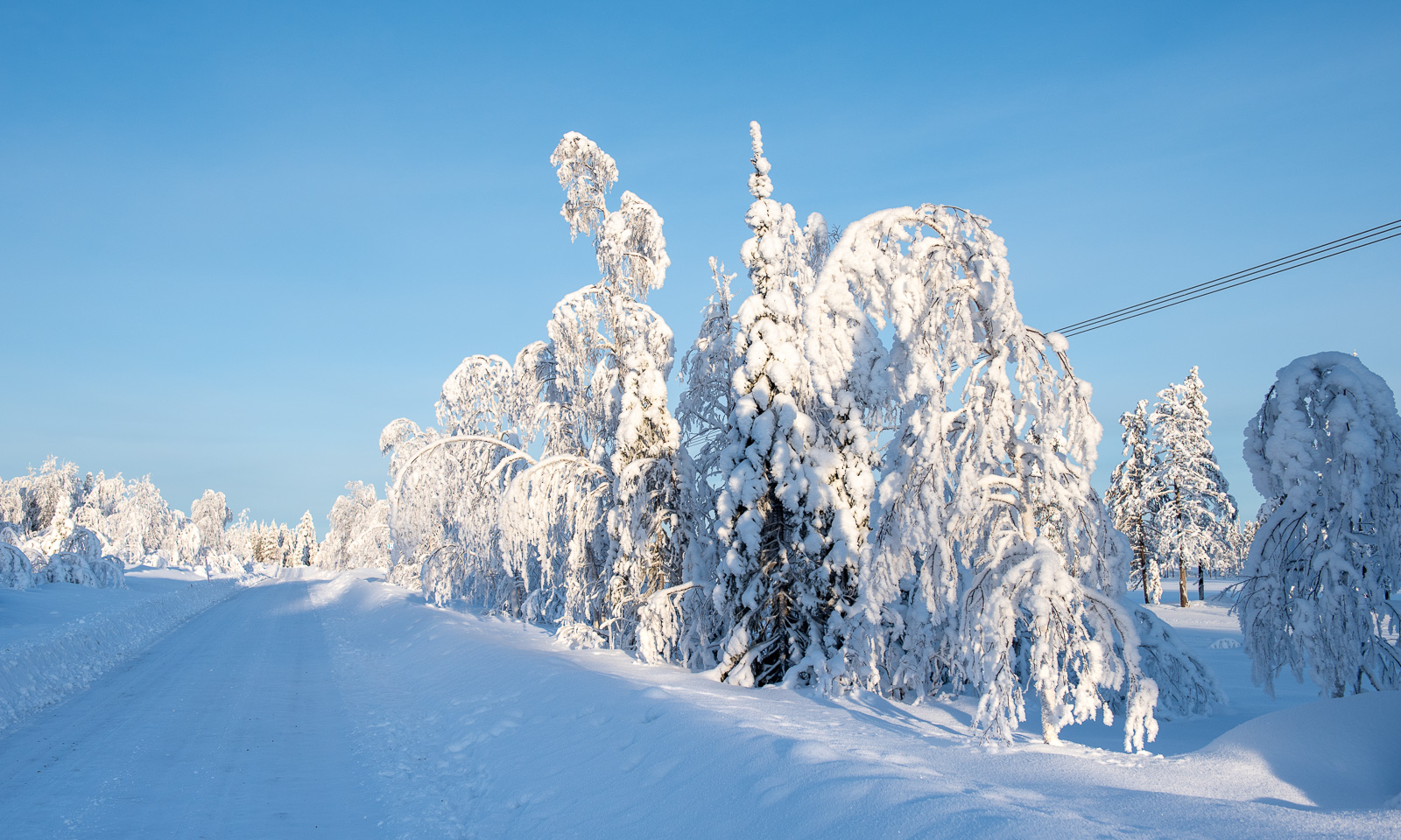
Because of the cold weather in the last weeks the frost and snow on the trees has not melted and often I pulled into a lay-by to take more pictures. The small side roads were white with snow and looked absurdly beautiful.

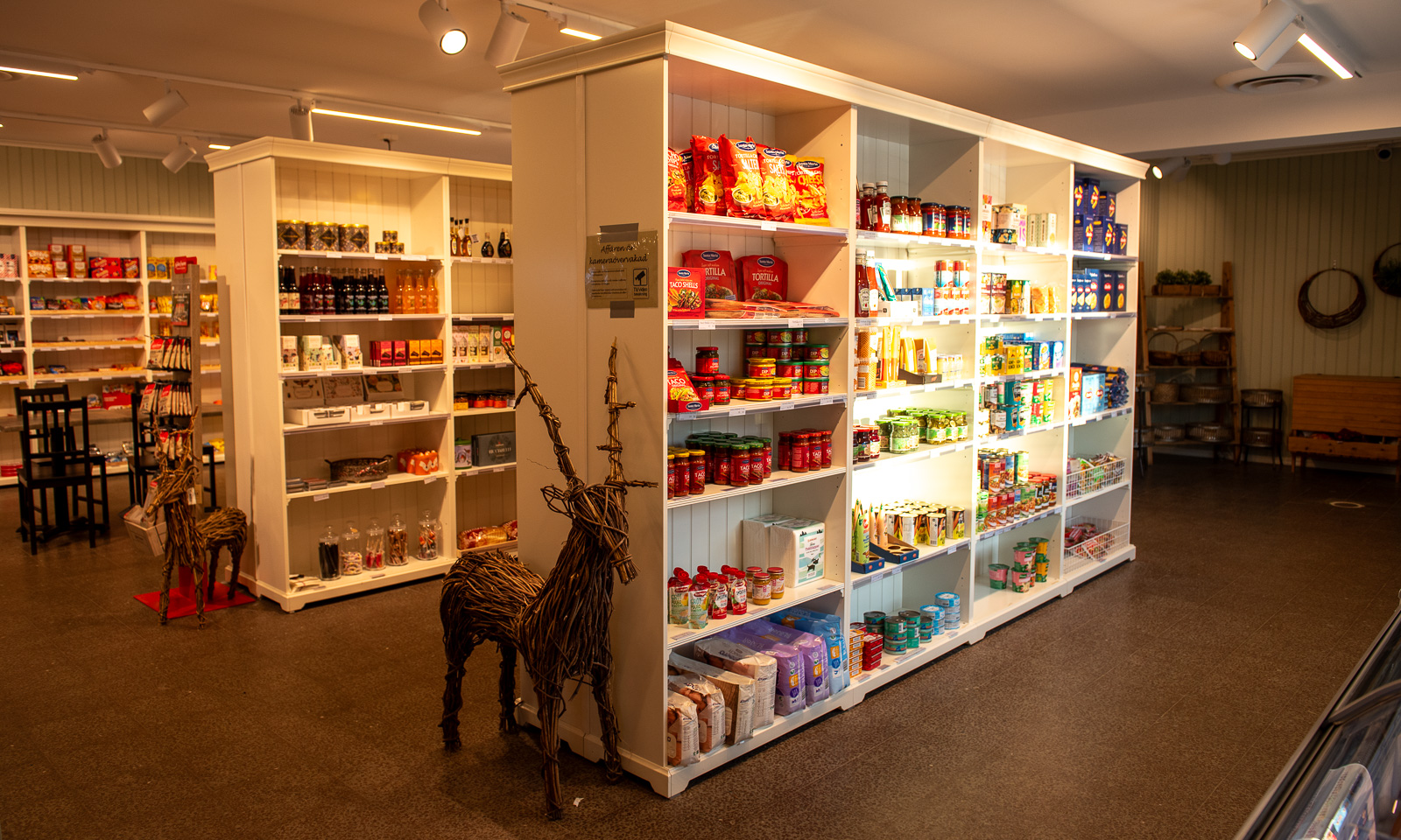
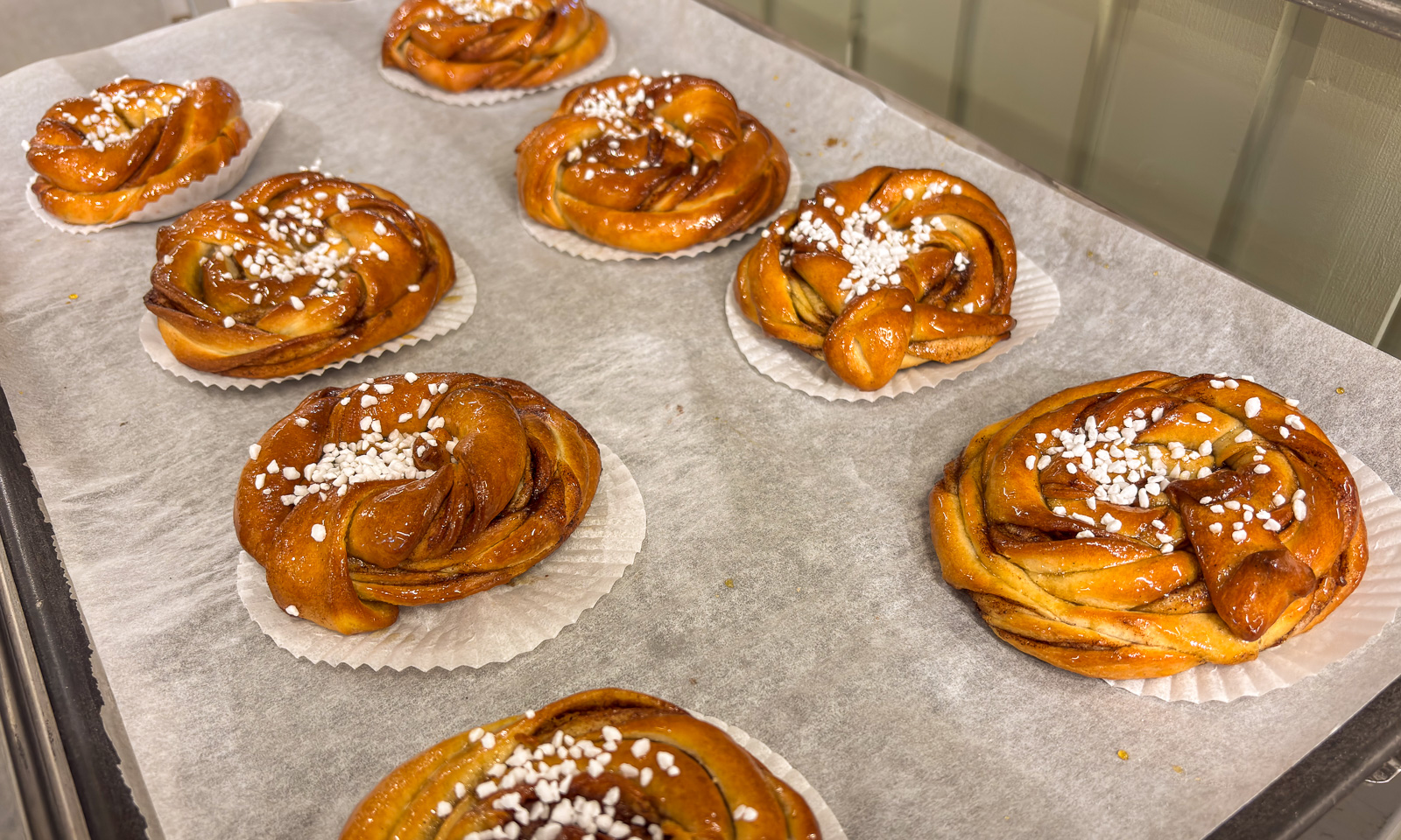
I started to get hungry and stopped at the small shop in Kåbdalis, where I bought a kanelbulle that was still hot from the oven.

I continued my trip south and crossed the river Piteälven, which was mostly open. And so was the river Skellefteälven, which I crossed three hours later.

The sun sank lower and lower. When I arrived in Obbola at five in the afternoon it has become dark.

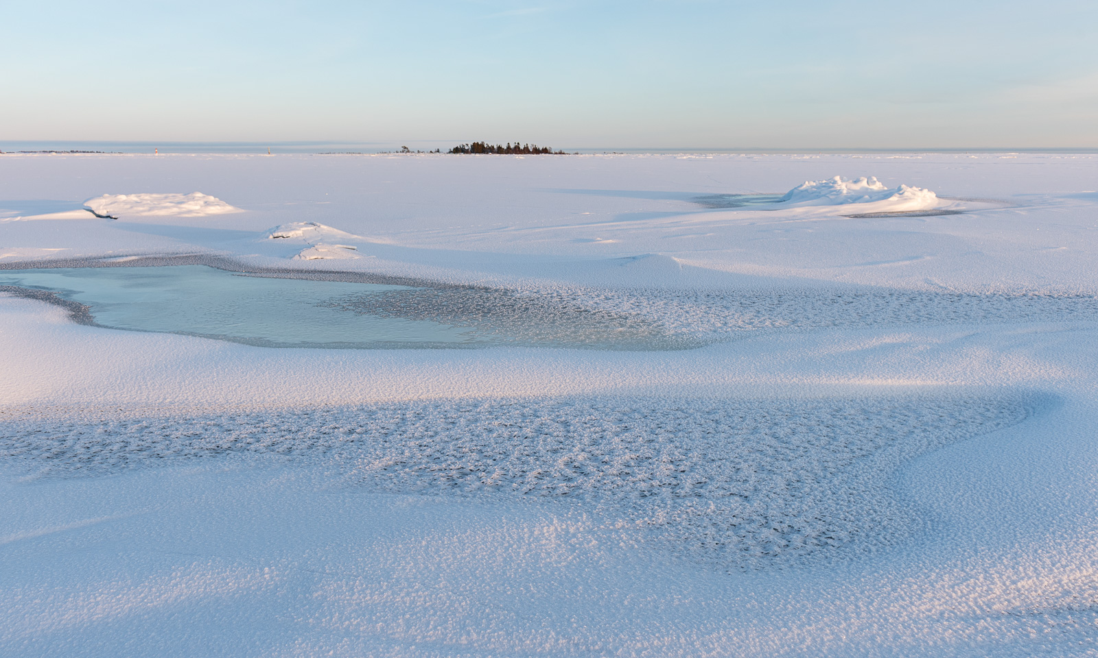
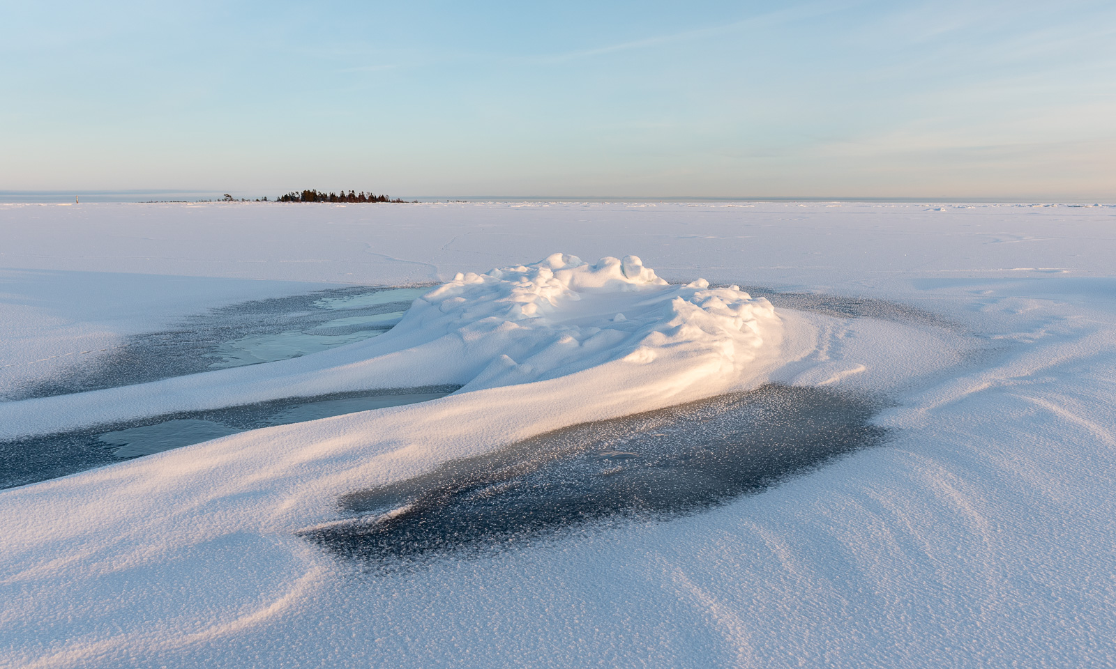
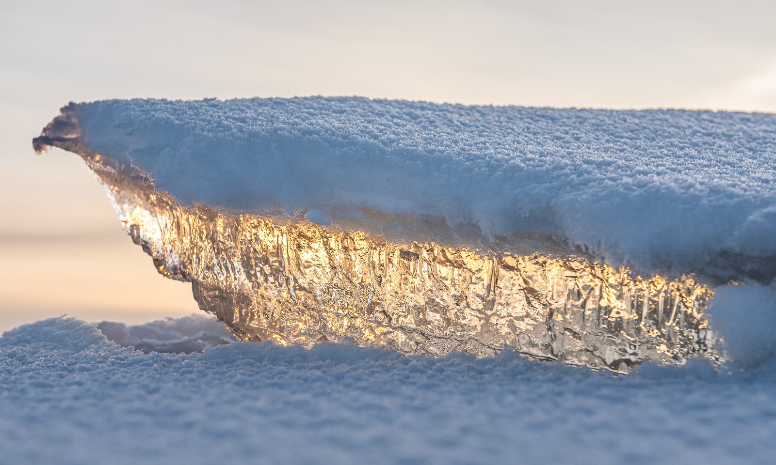
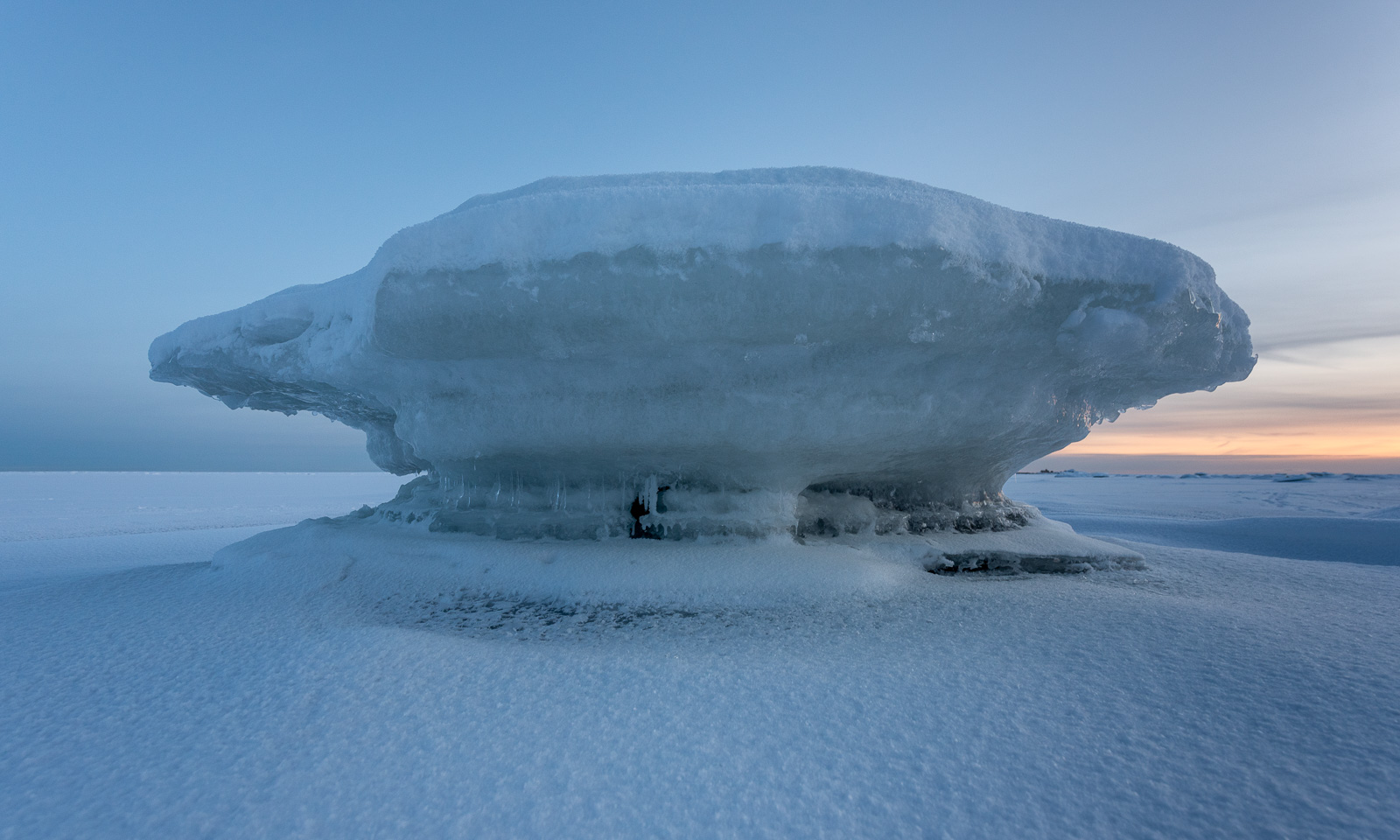
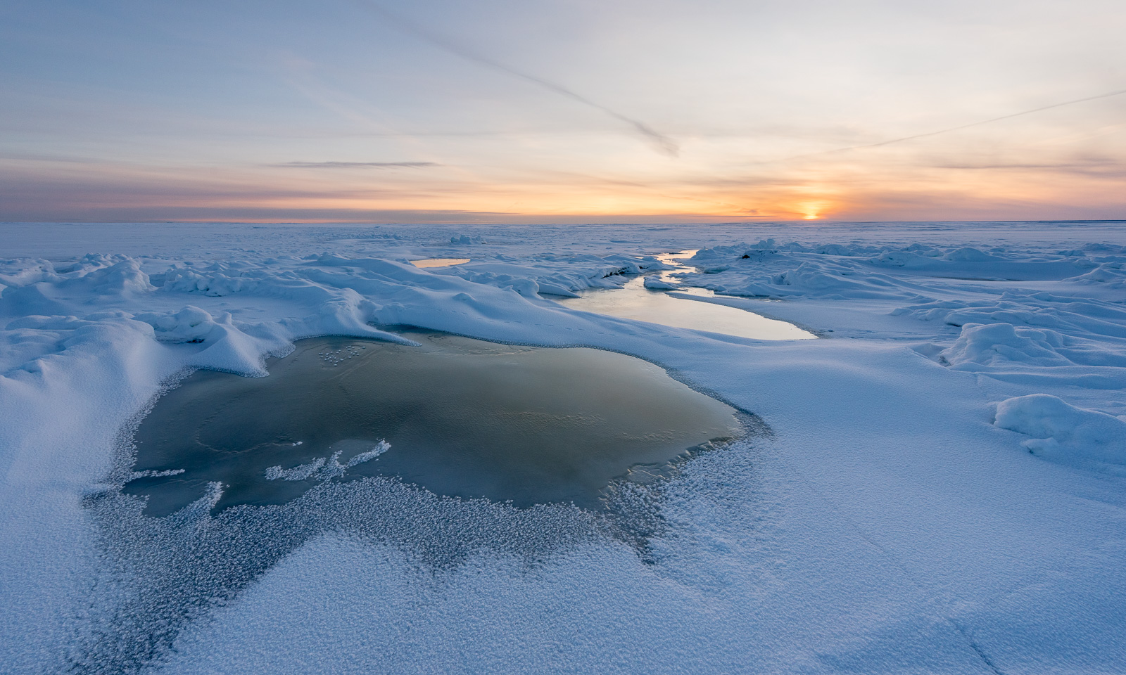
Today in Obbola the winter looked very different from the forest-dominated inland. The Baltic Sea has frozen due to the cold winter temperatures and if the icebreakers would not keep open channels for commercial seafaring you could walk the 45 km to Finland. I was on the ice as well, but only for a walk along the coast. I like the snowy forest, but I adore the sea ice!

30 days – 30 photos

19 November – Obbola, Sweden

The morning is cold. -14 °C. The sea has been freezing over. At the horizon lies a layer of clouds. Will they bring snow? Ice fog indicates open water. Later this morning I walk Spåret, the local circular hiking trail. There is hardly any snow, but the ice on the ponds is covered with frost patterns.

27–29 November – Obbola, Sweden

The weather has changed back from winter to autumn. Rain and storm dominate. The crushed sea ice gathers in our bay and big waves roll up the beach of Vitskärsudden. Even the last tiny bit of snow has gone.

1–2 December – Obbola and Umeå, Sweden

We got some centimetres of snow and Vitskärsudden looks completely different. Our plan to take the car to the inland with our German guests however was stopped by the weather. Too slippery the wet and icy roads. At least we make it to Umeå, where parts of the river Umeälven are frozen over.

3–4 December – Obbola, Sweden

The snow is gone. On 4 December my wife Annika and I leave our house behind …

4–5 December — Obbola, Gagsmark, and Pajala, Sweden / Palojoensuu, Finland

… and we are on our way to Tromsø. First stop is the village Gagsmark in Sweden, where we visit friends and stay over night. Next morning we continue our journey. We pass Piteå and Luleå, leave the E4 in Töre and take lunch in Vippabacken, a small restaurant with a back-room museum. We buy food in Pajala and cross the border to Finland. We stay the night in the village Palojoensuu.

6–7 December – Skibotn, Tromsø, Norway

The road between Palojoensuu (FIN) to Kilpisjärvi (FIN) is lonely. Beside of the village Karesuvanto (population: 140) hardly anyone seems to live here and only a few other cars pass. As soon as we cross the border to Norway snowy mountain ranges come into view. Near Skibotn we see the first fjord and at a quarter past two we arrive in Tromsø.

Next day is the second Sunday of advent but I only have a single candle. I have to cheat with a mirror.

7–13 December – Tromsø, Norway

I am member of two choirs and Christmas is near. That results in a pretty busy week, where I have three rehearsals and three concerts beside of my regular work. The first concert is in the hospital, which is in walking distance. While Obbola was free of snow 60 cm lie in Tromsø.

After the second concert, this time with the Sami choir Romssa Rástát we got Northern lights. Annika and I watch them from the balcony. I try to make photos with my Nikon and a tripod as well, but the aurora has weakened and I had some camera issues.
On Saturday we open the skiing season. It is polar night, so we ski round noon, when it isn’t dark. In the evening I am singing the last concert, this time with the choir Ultima Thule in the Tromsø Cathedral, a wooden church in the very centre of Tromsø.

15–18 December – Tromsø, Norway

On Sunday Annika travels back to Obbola. I will take bus and train a week later (that’s tomorrow) and spend the rest of the year there, too. Will we get a white Christmas? Probably not. It is plus degrees and rainy weather both in Tromsø and in Obbola. While the Christmas decoration in the office building looks cozy, the streets in the centre of Tromsø don’t. Brown ice and sleet and water puddles dominate and it is extremely slippery.

On Thursday I have a special workplace: The research ice breaking vessel Kronprins Haakon lies in the port of Tromsø for two days. I walk down with my spiked Icebug shoes. On board of the ship I test some of my software components that read from the ship’s systems. It is always a relief to see your software to work in real life, not only with simulations. And I get a free lunch :-) . I get a bit nostalgic. I joined three scientific cruises on board of this ship. Will I ever join a cruise again, standing on the helicopter deck while we break through the ice? I hope so.

A photo of another Northern light in the evening ends this photo series.

Scotland NC500 – day 6 – a long breakfast and palm trees in the evening

This article is part of the series “2025-10: Northern Scotland”.

October 18

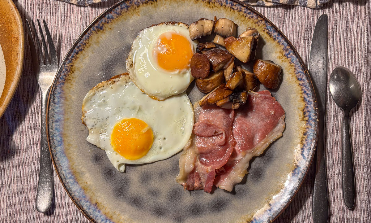
Annika and I are sitting in the comfortable kitchen of our hosts in Badrallach having breakfast. Cereals – bacon – fried eggs – mushrooms – toast – homemade jam – homemade ketchup – tea. The breakfast is very delicious, but it’s not the main reason we’ve been sitting here for hours. It is the wonderful conversation about life, us, and the wider world that we have with our hosts. Breakfast had long turned into brunch when we finally prepare ourselves to leave.
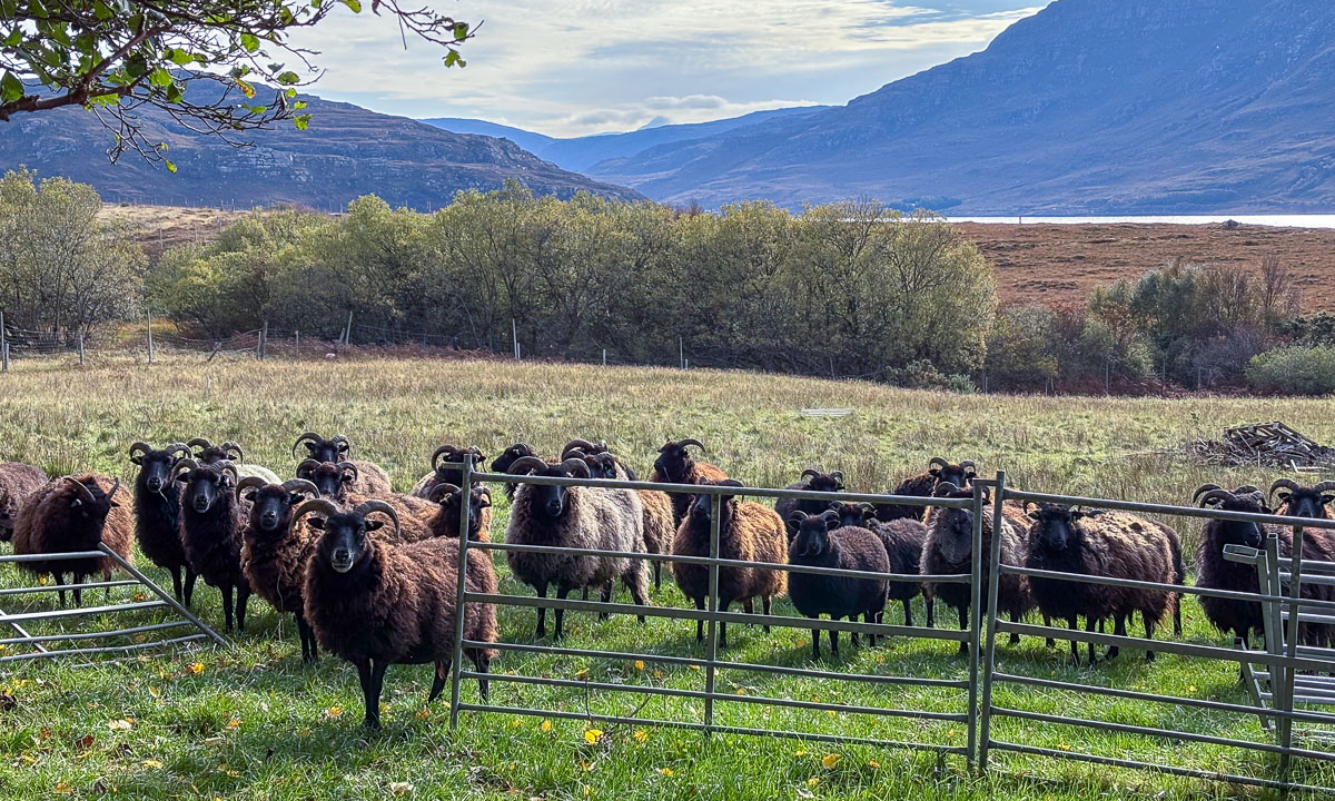
Behind the house is a pasture with dark, horned sheep. They are curious and all of them are looking at us. In the background lie the mountains and in front of them a narrow strip of blue – the sea loch Little Loch Broom.
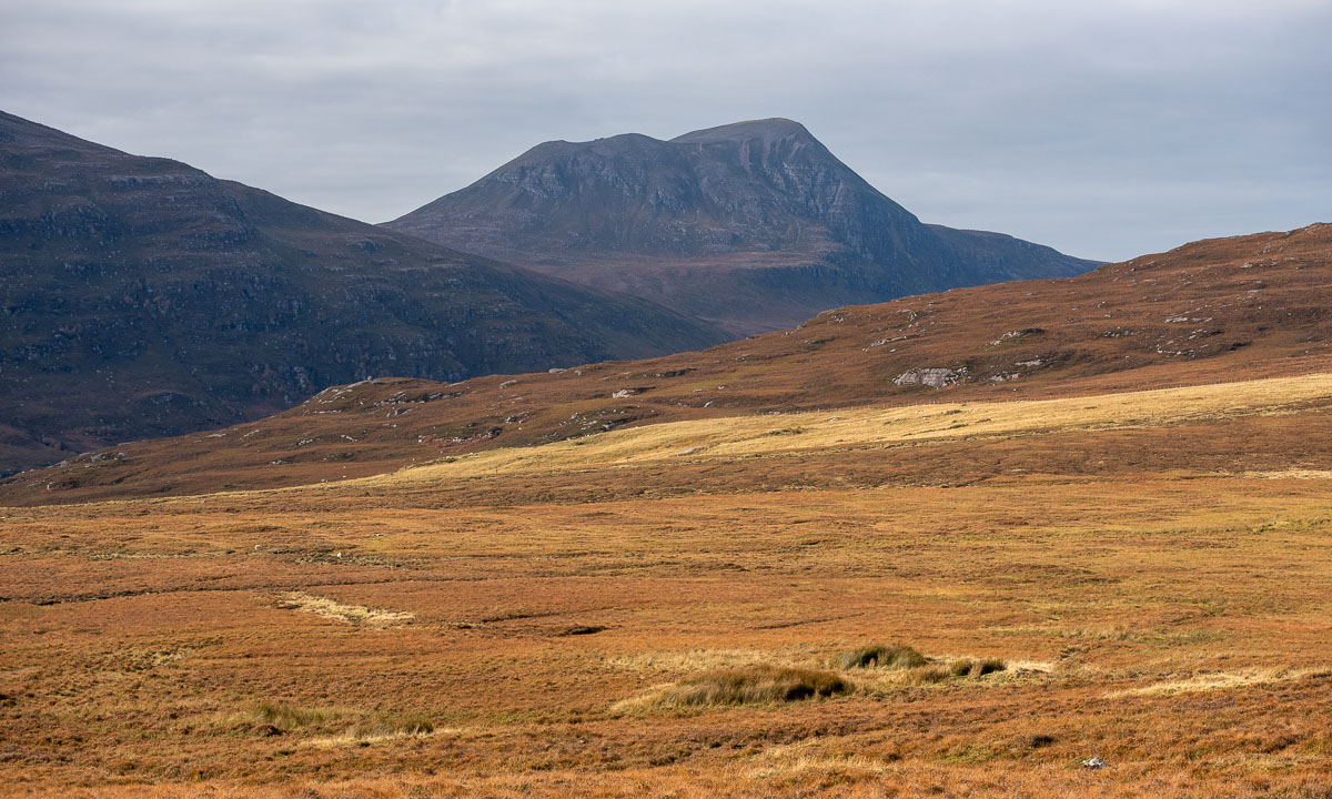
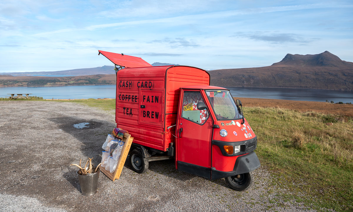
Soon we drive over the moorlands of the Scottish Highlands with their intense colours. We haven’t gone far when we make a spontaneous stop at a car park by the sea. It is the small, bright red three-wheeled vehicle with labels such as “coffee” that catches our eyes. The owner is a local and he seems to know all the other customers. The two old ladies just leaving and the man with moustache, who – so he tells me – has worked in the Arctic and Antarctica. While Annika enjoys her hot chocolate I get perhaps the best coffee I’ve ever had. I’m not a big coffee consumer but this stuff is addictive.

As the weather is fine today, we stop at another beach – Mellon Udrigle Beach – where we meet another local playing with his border collie. I take the first and only bath on our Scotland holidays. The water is crystal clear and warmer than expected.  It’s a shame I only bathed once.

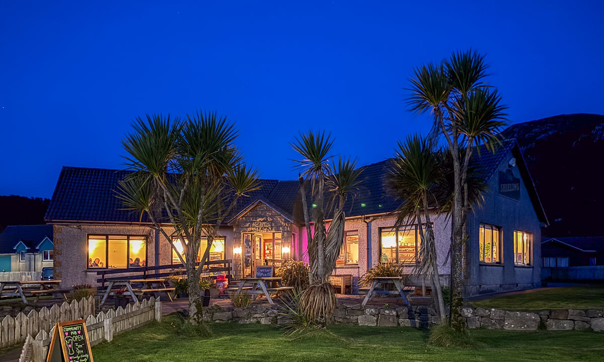
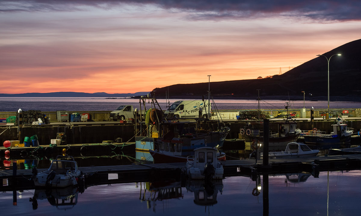
This day is about the people we meet and it is the only day where we haven’t booked any accommodation. We make a stop in Gairloch, a village that I quickly fall in love with. It is not just the location by the sea or the beautiful houses. Many Scottish villages have that as well. It is the alternative book shop, the community-driven pub, the restaurant with Caribbean food that makes Gairloch special. After we have bought some books we continue our road trip, but we have hardly left the village when we decide to stay there overnight. Annika turns the car, we enter the Gairloch Hotel and the receptionist gives us a big room with a sea view. Later we go to the pub first and then have Caribbean food for dinner. That kind of food matches perfectly the palm trees that grow outside the pub.

Scotland NC500 – day 1 – the road trip starts

This article is part of the series “2025-10: Northern Scotland”.

13 October

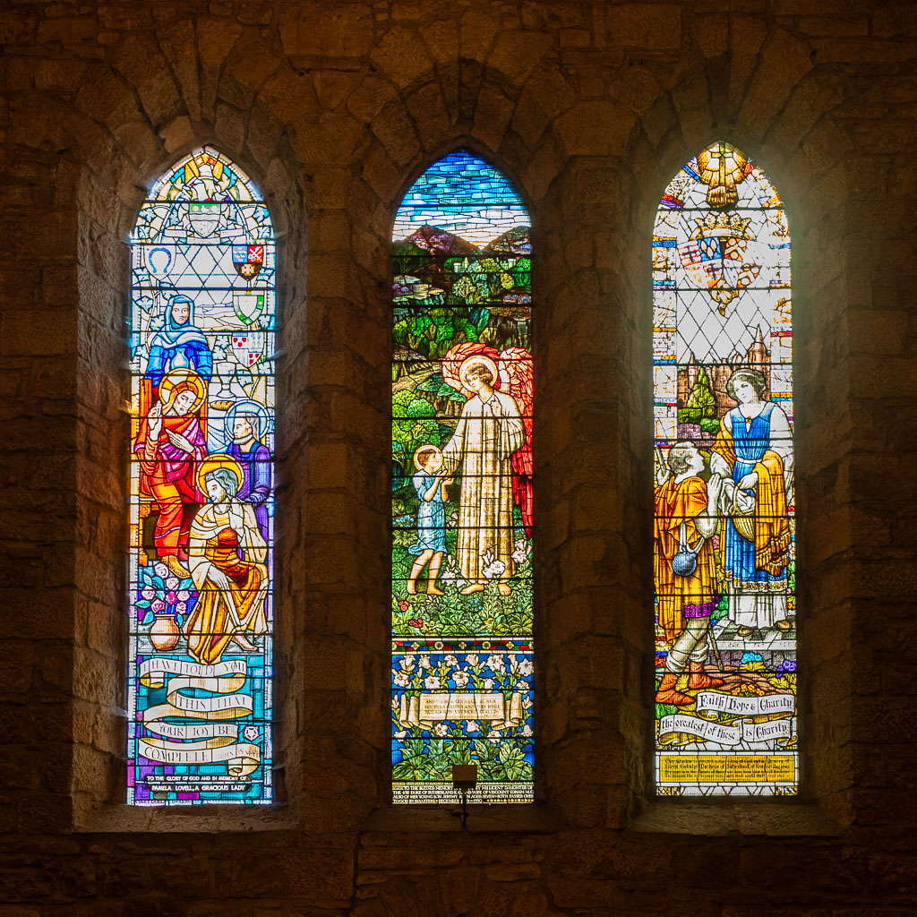
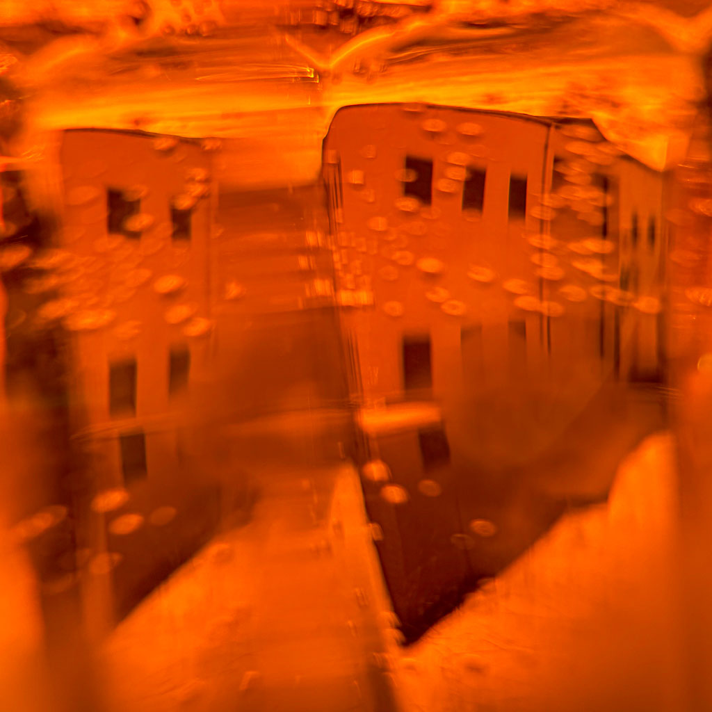
It is one o’clock. Annika has driven the first 70 kilometres in our rental car, and we’ve arrived in Dornoch. We already visited the cathedral with its beautiful stained-glass windows. Now we are sitting at the only table outside the SandStone cafe enjoying the sun. I also enjoy something else: An Irn-Bru, this legendary Scottish soft drink with its bright orange colour. It won’t be the last one the next days.

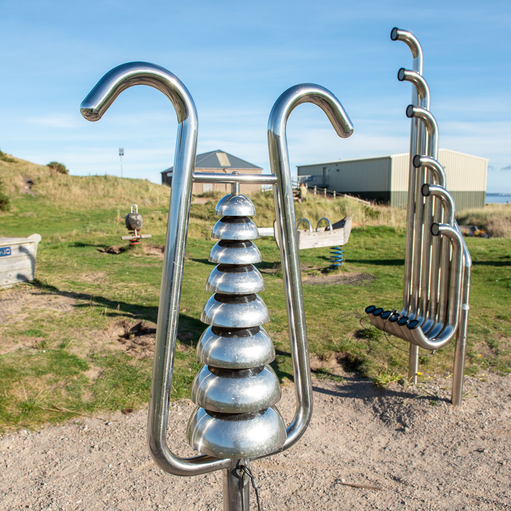
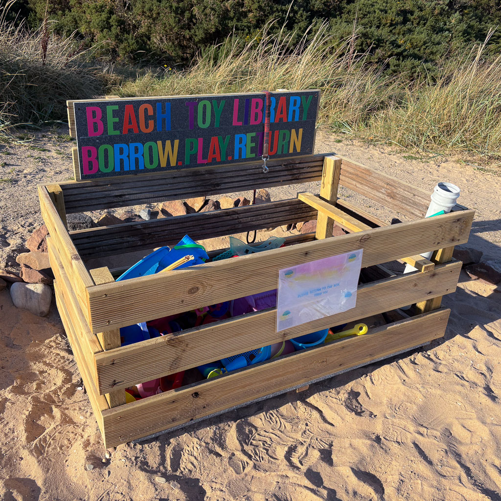
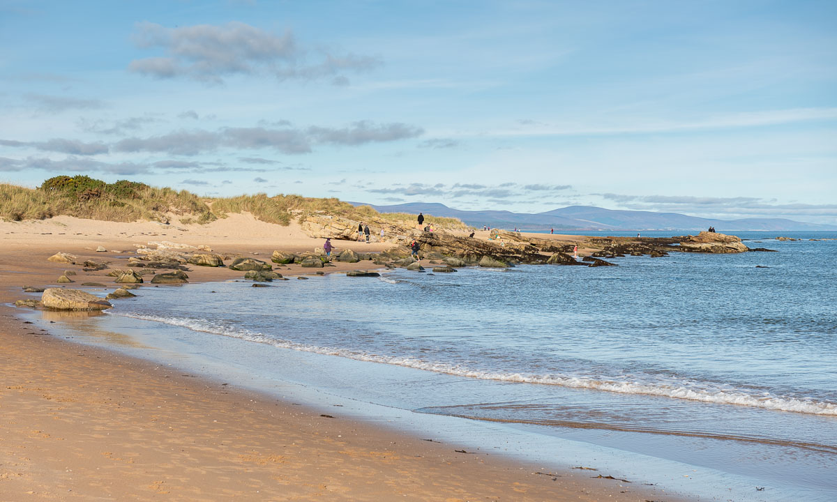
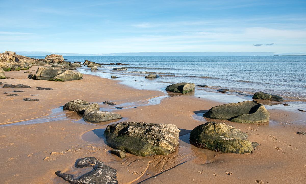
From there it is not far away to our first beach: Durness beach with its beautiful sandy shoreline. It has some features beyond the usual such as a park with outdoor metal musical instruments or the box where you can lend beach toys.

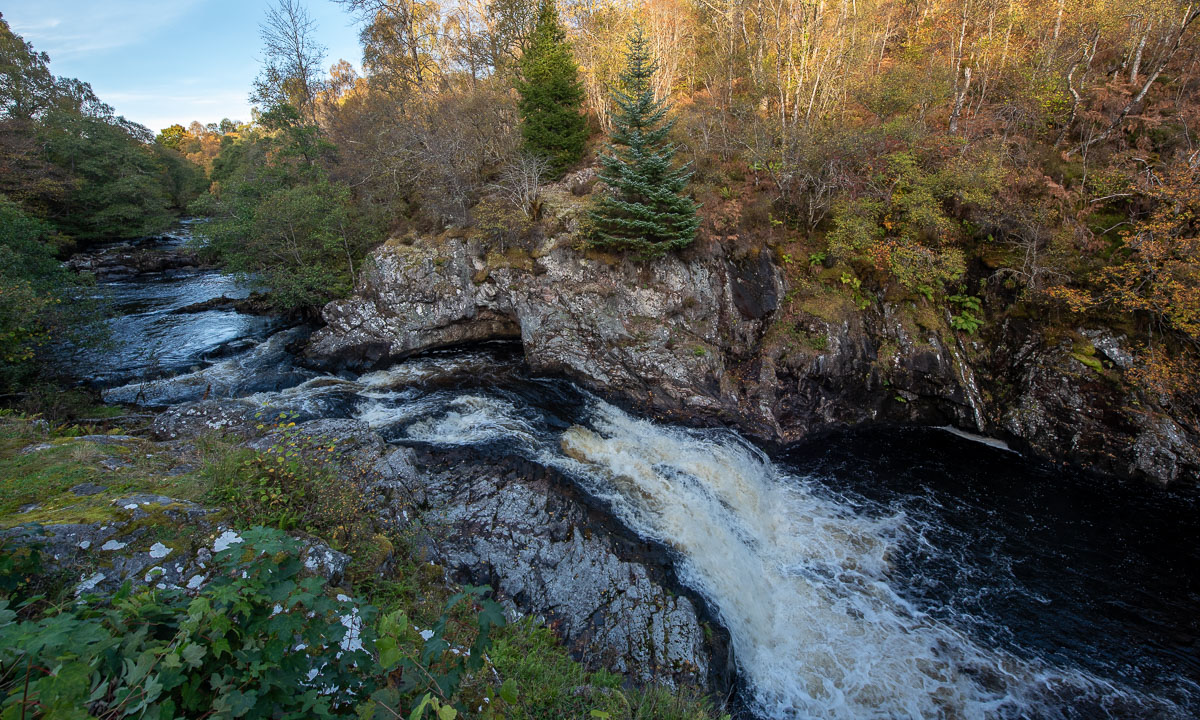
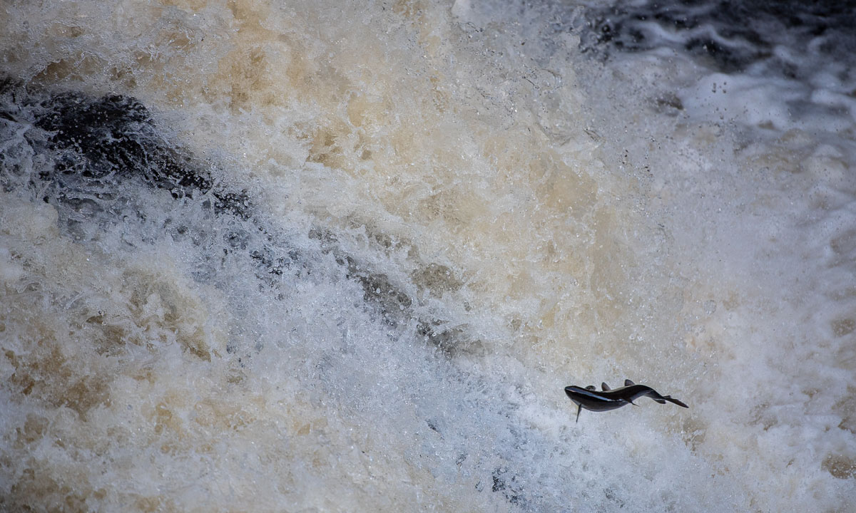
We continue our road trip, but instead of following the main route we take a detour to the Falls of Shin. It is said that in summer and early autumn the salmons swim up the River Shin to spawn. When they pass the Falls of Shin they have to jump up the rapids. I thought, October was already off-season, but we do not only spot the waterfall but also some jumping salmons. And another species: salmon watchers with their binoculars and cameras with huuuge telephoto lenses. With my smaller telephoto lens I manage to take some photos of a lot of water with a tiny fish. I wonder how the salmons master this waterfall? We have not seen any salmon succeed.

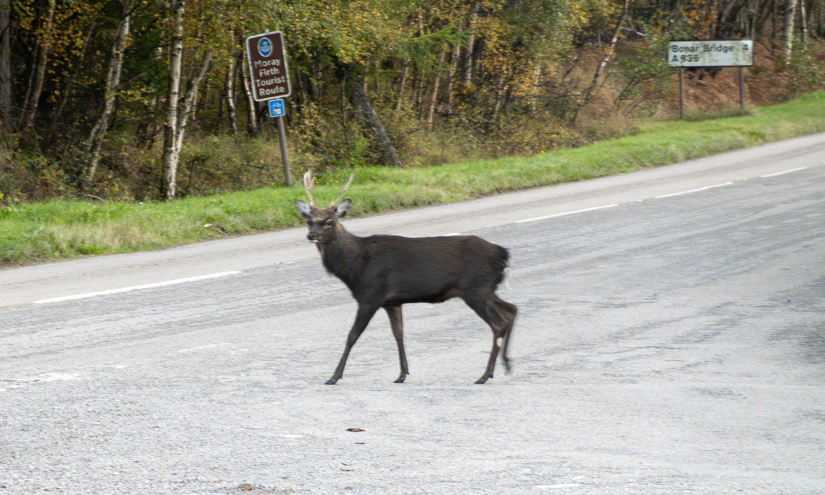
Back in the car we take the road north and pass Lairg. Then we pick minor roads that lead east again. A deer is crossing one of the roads, taking its time.

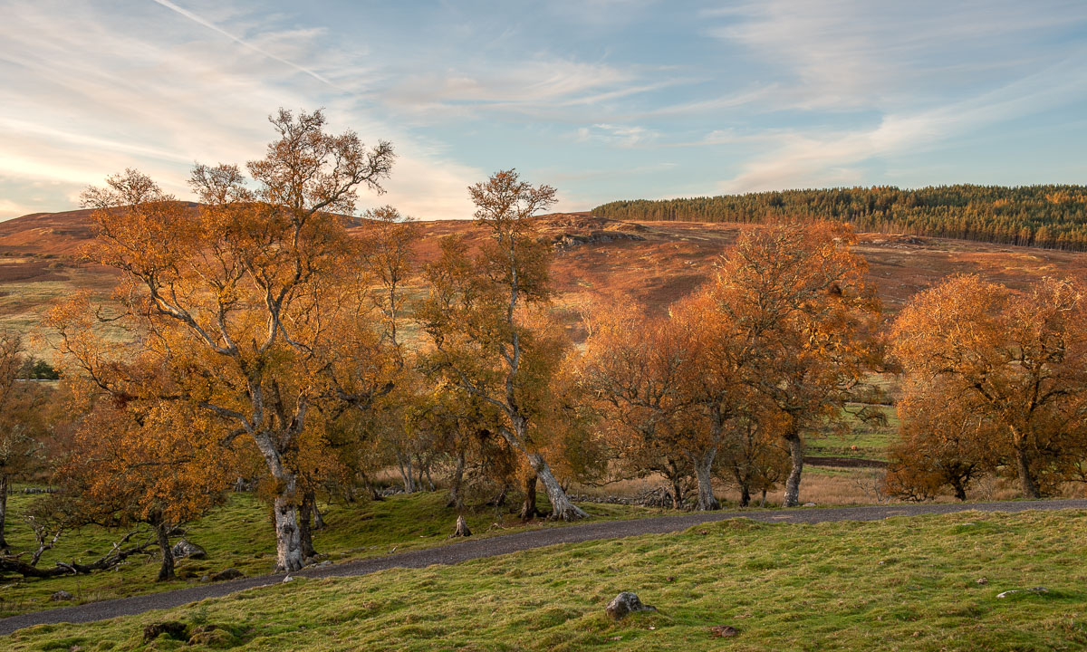
The sun is setting much faster than in Northern Europe and soon the colours of the scenery become warm. Photographers call this the golden hour and in my humble opinion it is especially beautiful in autumn.

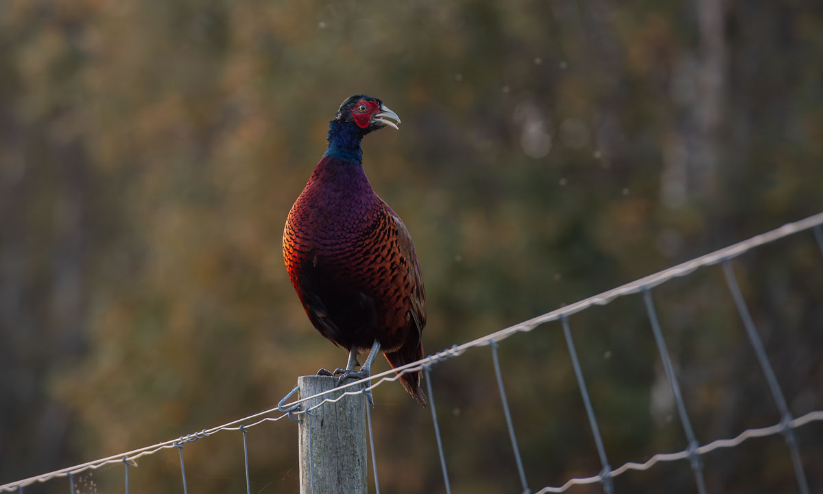
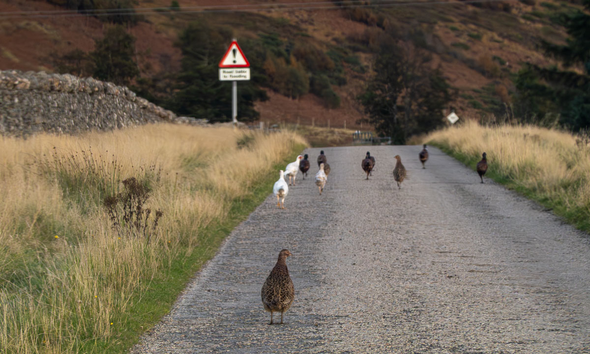
It is not only the golden hour, it is the hour of the pheasants. First we see one here and two there, then some are on the road and all of a sudden a whole flock is blocking the narrow road. completely. They totally ignore our car and I have to exit, running towards them, waving my arms like a madman to shoo them away. Never have I seen so many pheasants in my life.

Near Brora we come back to the main road A9. Another eighteen kilometres and we arrive at the “Song of the Sea, Selkie House” in Helmsdale, our first stay for the night. Just half a day’s drive, and we’ve seen so much already. Now we’re heading to a pub for some food, and before long we’re lying in the huge double bed in our cosy room.

Tomorrow we will continue north.

Scotland NC500 – prelude

This article is part of the series “2025-10: Northern Scotland”.

Oh my, was is really less than two weeks ago, that my wife Annika and I were on holidays in Scotland? It feels like ages ago! Time to start blogging about our trip that is south from were we live, but still kind of way up north, at least from a British perspective.

11 October – arrival

Half past twelve. I have just landed in Aberdeen, Scotland’s 3rd largest town. Annika will arrive late afternoon, my luggage the next day … . I check in at the Station Hotel and realise that I have reached a rainy realm. At the entrance door you can rent umbrellas. 3 £ for 48 hours. Card payment.

I take a stroll through town and start to take photos.

Soon I realise that in Aberdeen it completely makes sense to take photos in upright format.

Later the day I head eastwards to the Aberdeen beach front. I would have taken my bathing gear if my luggage had arrived in time.

When Annika arrives it has become dark. We eat dinner at the Indian restaurant Namaste Delhi where we have great Indian food. I ordered a salty lassi and got a custom one—off the menu! I however didn’t dare to play the grand piano. A rare view nowadays.

12 October – Aberdeen

After having breakfast in our hotel –cereals,  toast, bacon and eggs, beans, haggis, you name it – we take the bus to the Old Town. But before that I try to take a photo of the Marischal College in the center. No, it is not curved like on the photo but even with my 14 mm wide angle lens I had to stitch together six photos to get this colossal building on a single image.

But now: Old town. First the botanical garden, where the Autumn Crocus flowers were in full bloom. Very beautiful and very toxic!

Next stop: St Machar’s cathedral with its Heraldic Roof. Just impressive!

Equally impressive are the huge and ancient trees. We don’t have such trees at home, neither in Umeå, Sweden, nor in Tromsø, Norway. These beech roots I photographed in Seaton Park that lies beside St Machar’s by the river Don.

Next stop: King’s College, founded in 1495 and still part of the university. The wood carvings in the chapel are amazing and the whole place breathes centuries of history.

After a small lunch we take the bus back to the center of Aberdeen, where old and modern architecture live side by side.

We are back at the hotel, but not my luggage. Just minutes after we have entered our room I get a call from the reception. The luggage finally has arrived. Wideroe had failed completely in giving any updates on any communication channel about the luggage’s whereabouts. Now I’m really relieved. We can take the train to Inverness the next day as planned! Now it is time for a nap.

After the nap we want to have a snack for dinner, preferably something that is new to us. We find it in a tiny Georgian restaurant called Oki Doki, where we eat Khinkali for the first time in our lives. Strongly recommended to try it out when you are in Aberdeen!

13 October – Car rental

It is ten o’clock and Leakey’s Bookshop – Scotland’s 2nd largest second-hand bookshop – has just opened. It is a beauty! At least in the eyes of book lovers. It is also overwhelming with its over 100,000 books (including an own section for polar exploration!) and we didn’t buy anything.

We are not in Aberdeen anymore. As planned we took the the train to Inverness in the morning, where Leakey’s Bookshop is located. Here in Inverness we will hire a car and drive the “North Coast 500” (short NC500), a scenic 516-mile (or 830 km) long road trip along the north coast of Scotland. We have eight days.

We have to walk a bit to Arnold Clark, our car rental. Here we receive our SEAT Ibiza – a perfect car for the many narrow single track roads. It is Annika, who is driving. She has already left-hand driving experiences from three years ago and an additional driver (me) would have costed us £ 120.

And off we go – heading north.

Stay tuned for the next chapter …