Mountain tour on the Ullstinden

The weather forecast looked good for Saturday which was yesterday, so my friend Christine and I decided to do a mountain tour on Mount Ullstinden on Tromsø‘s mainland. We met at her place, had breakfast and drove to the car park, the very same where our tours to Trollvassbu start.

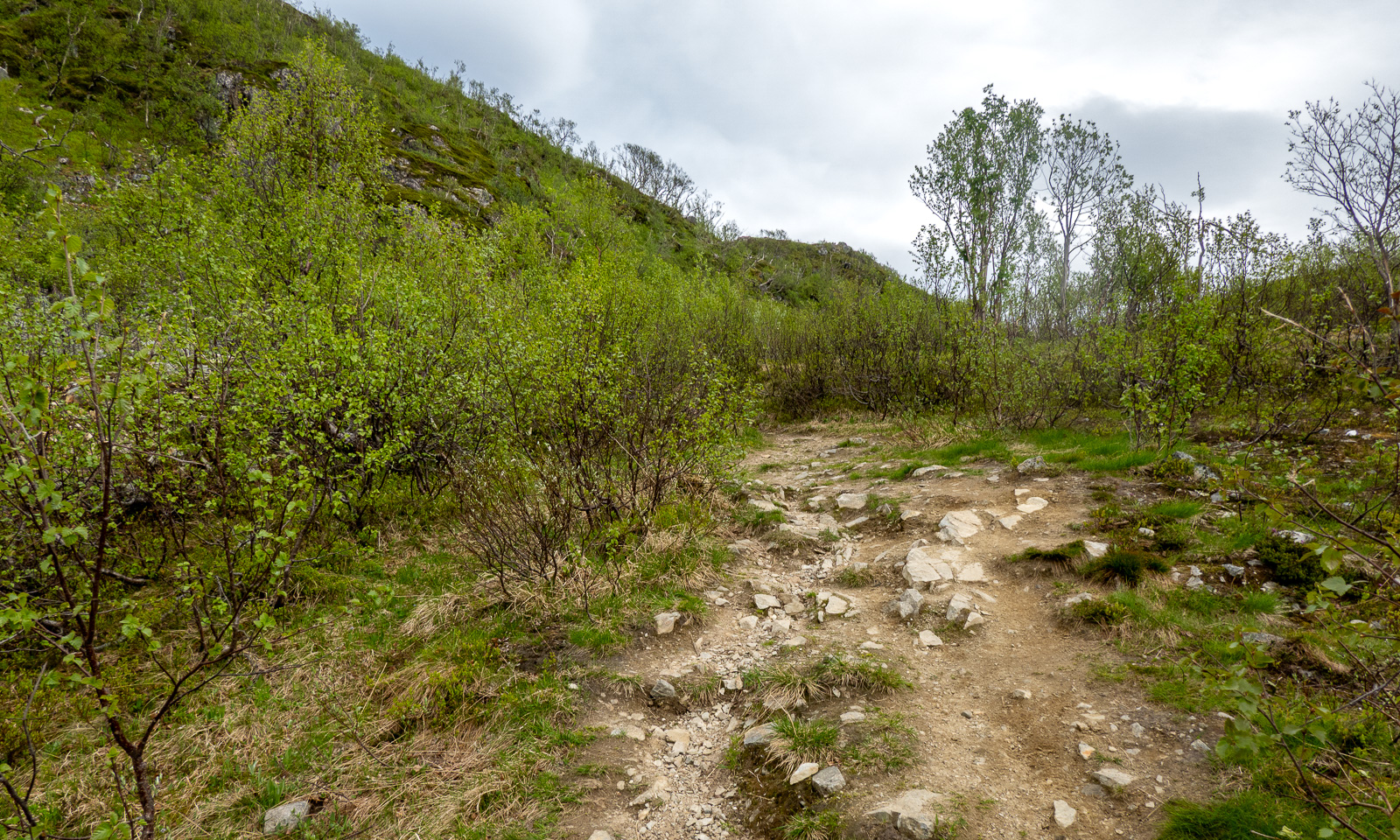
This time we head north-east. The unmarked path leads over several bogs and some parts are pretty wet and muddy.
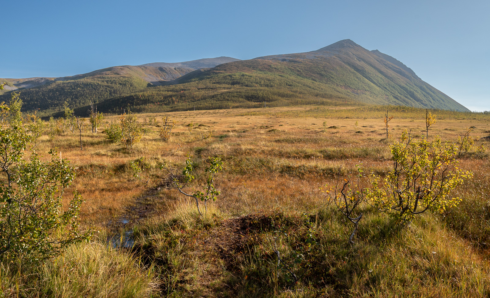
We cross some stretches of birch forests and the ground gets drier. Even at this early stage, we have wide views of the mountains and valleys to the south and west.
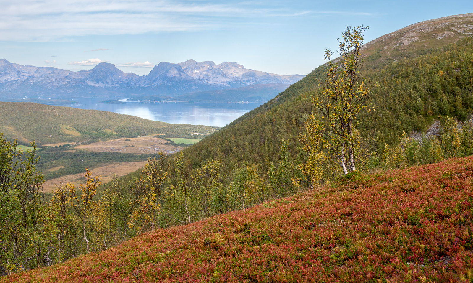
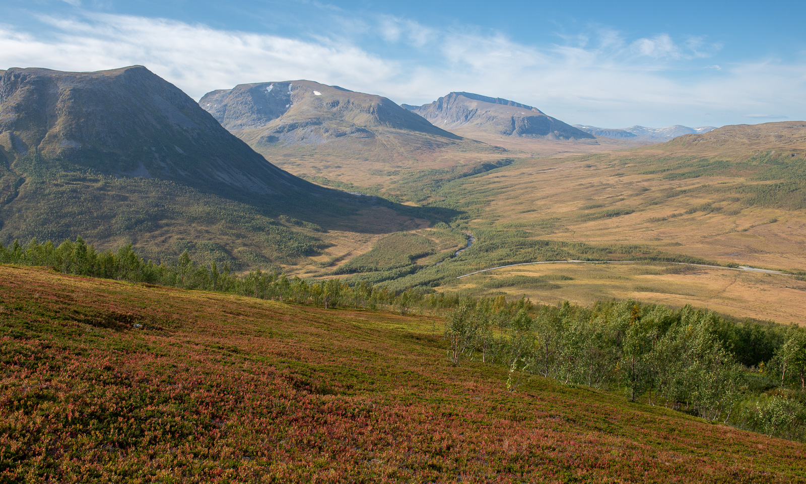
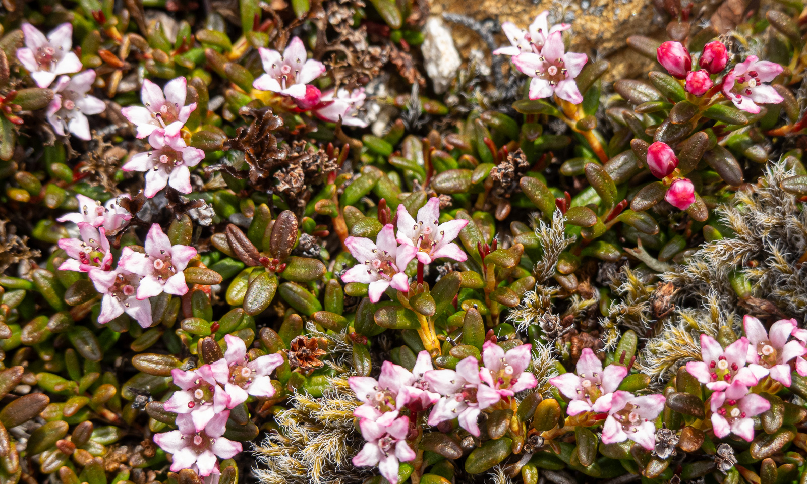
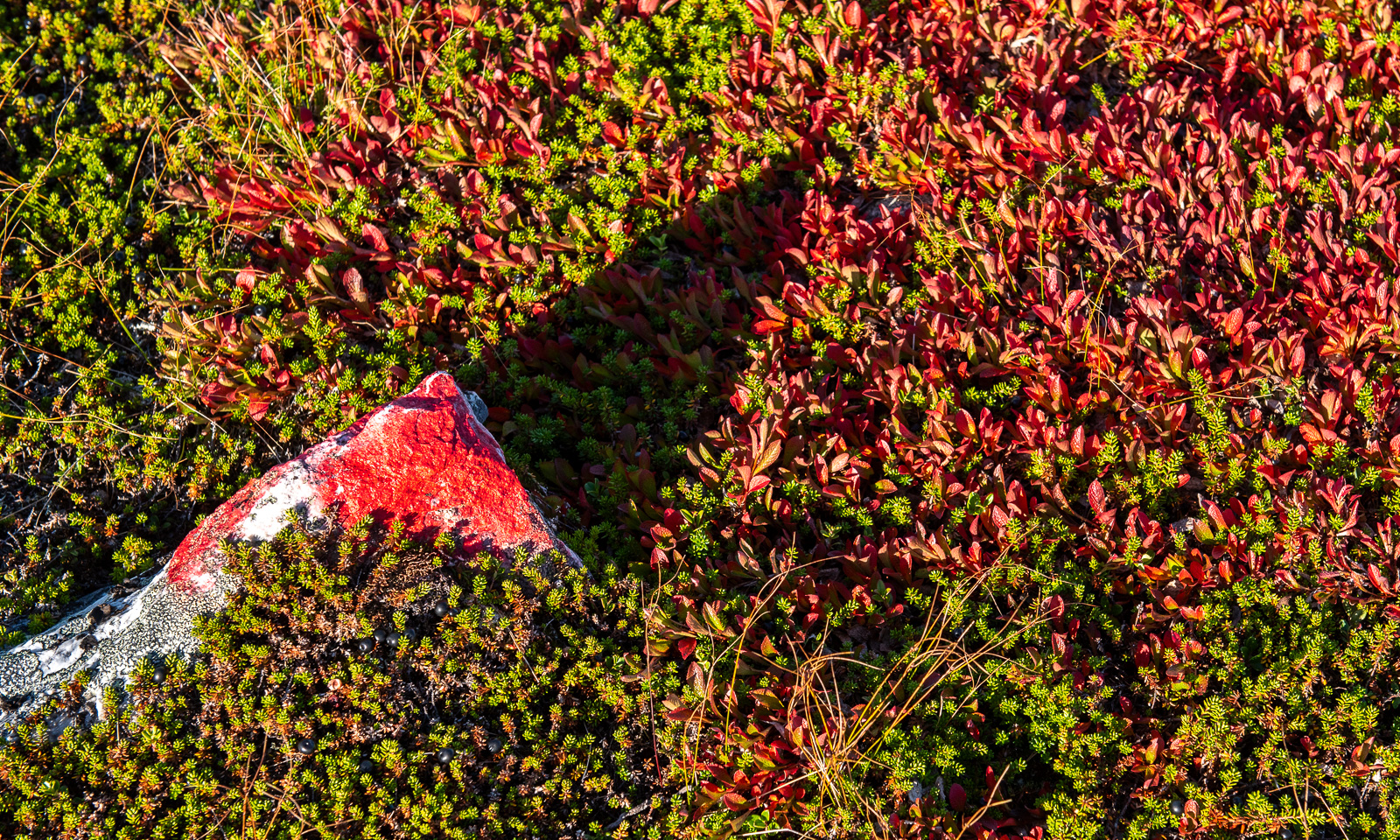
Some parts are covered with Arctous alpina whose leaves turn bright red in early autumn. The colour can be pretty intense and although the birches have hardly turned yellow they give the mountain landscapes an autumnal atmosphere.
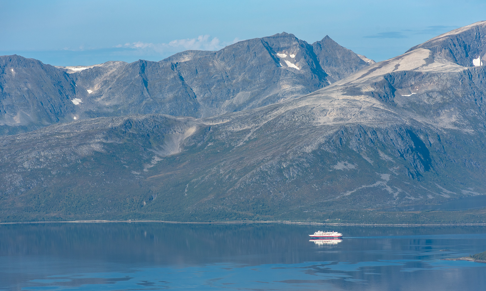
In the north we can see Grøtsundet, which connects Tromsøya to Ullfjorden and so to the open sea in the north. Here the Hurtigruten ships can continue to Skjervøy, the next Hurtigruten port in the north. The Hurtigruten ship we see however is probably an expedition cruise ship because the ships from the north arrive in the night.
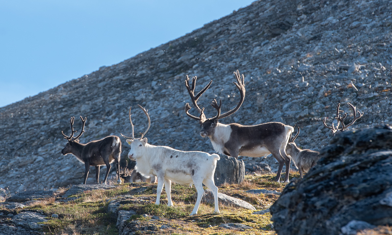
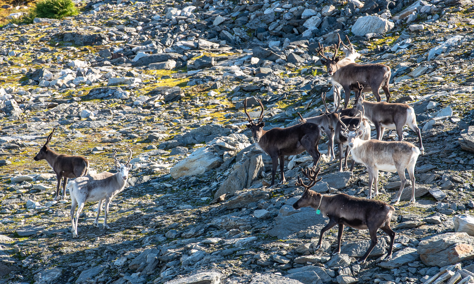
I am a bit confused. I thought Ullstinden was the mountain we already headed to on the bogs but I was wrong, our destination is more to the west. Here we see the first reindeer, first just a couple, then more groups – they are at least fifty. Since they stand more or less on our trail we slow down and give them a head start.
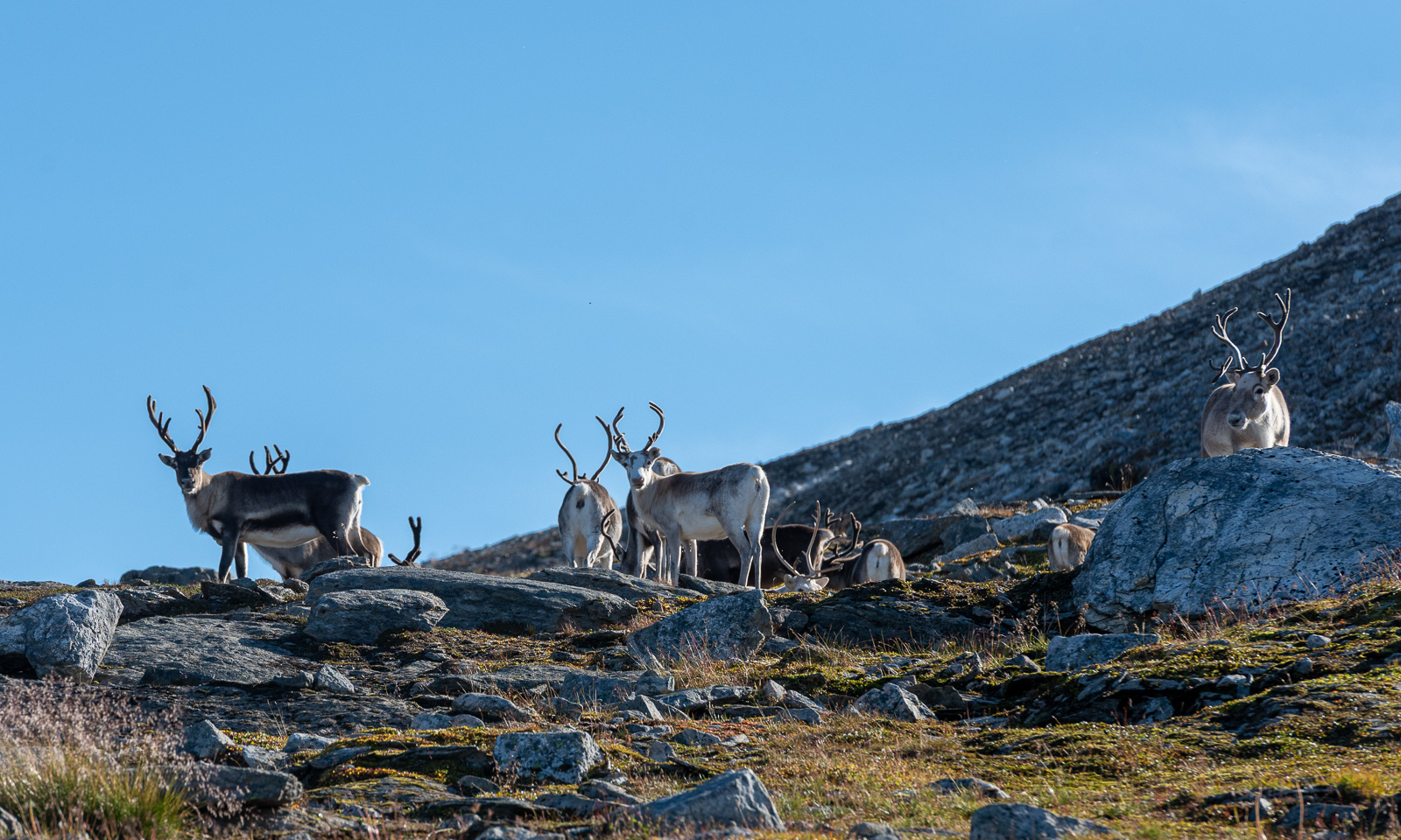
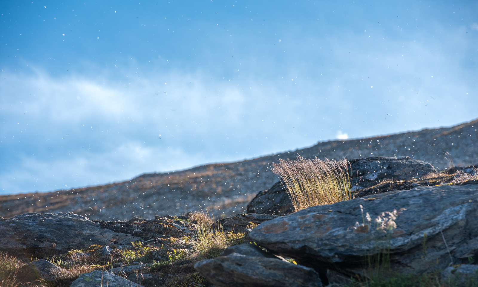
While we wait and watch, the wind picks up a little. It is carrying a lot of willow seed with it and against the sun it looks like a late-summer snow shower.
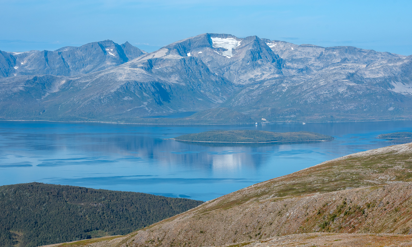
We turn left now following the red-painted rocks that mark the trail up. The Hurtigruten ship is out of sight but the view of Grøtsundet is still there, including the island Nipøya and the mountain Istinden with its glacier in the background.
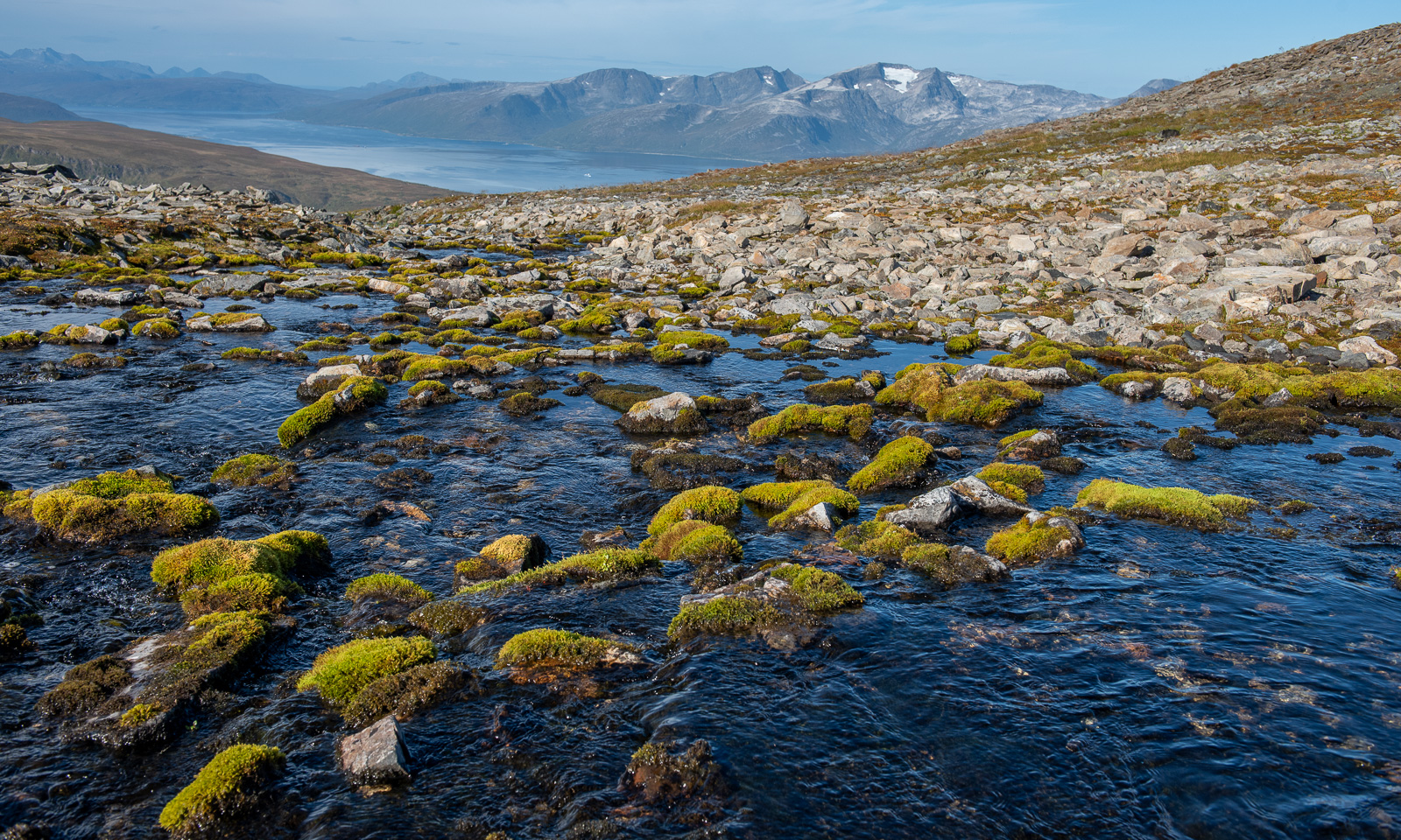
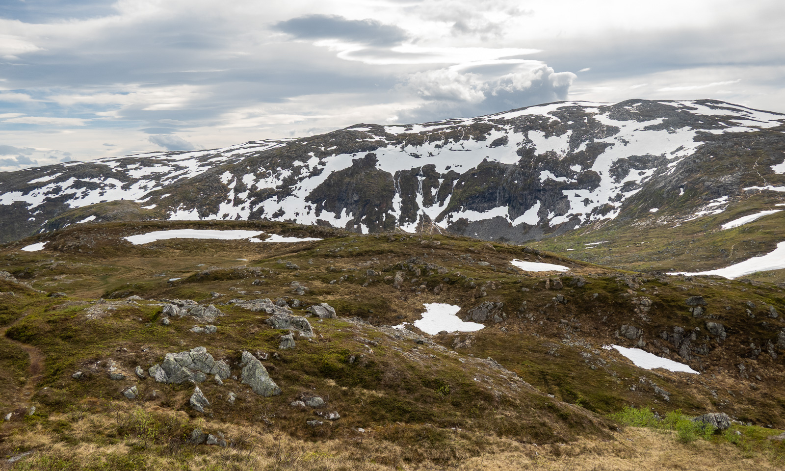
The terrain gets rocky. We cross a broad but shallow mountain stream with green patches of moss and the “high alpine” part of our mountain tour starts.
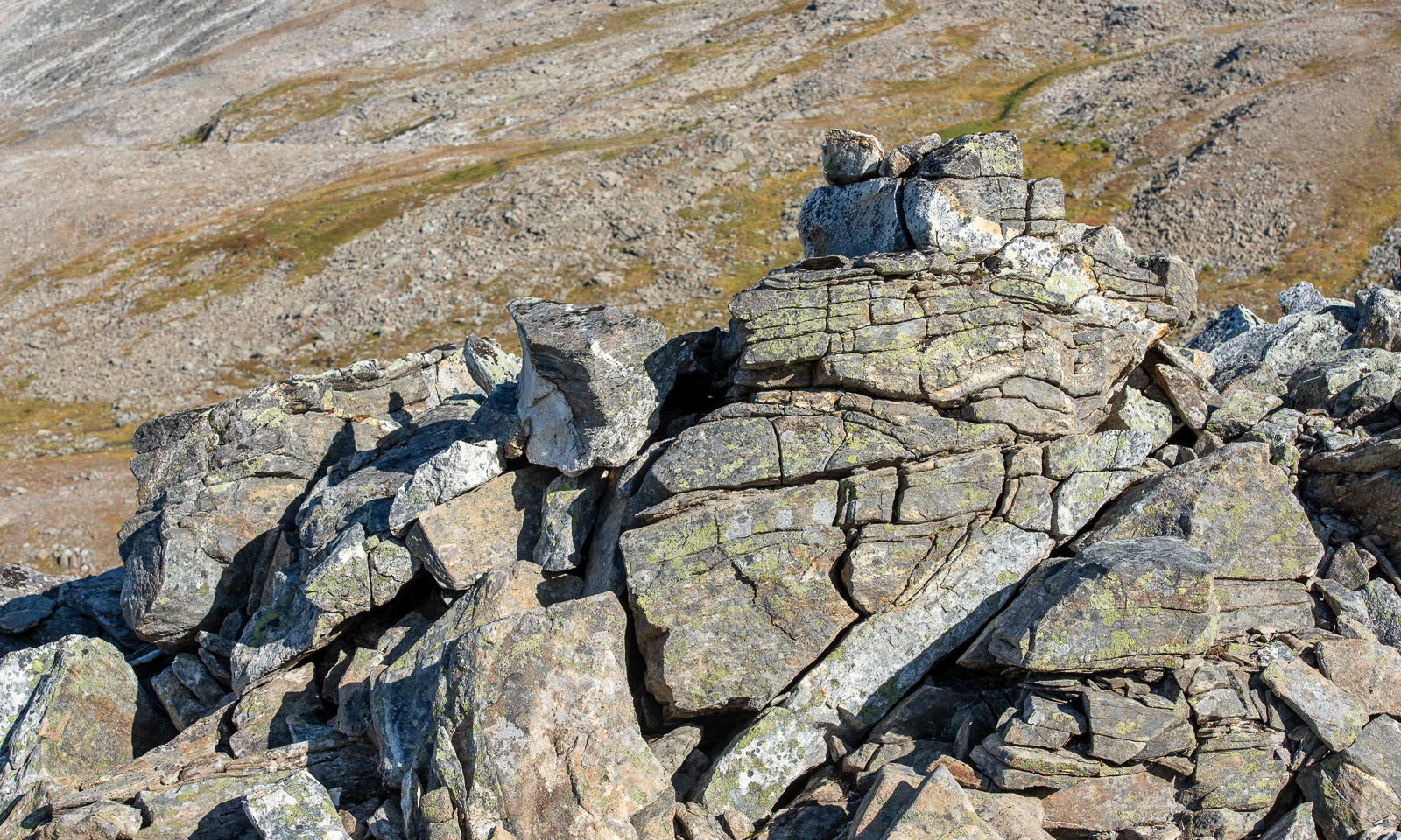
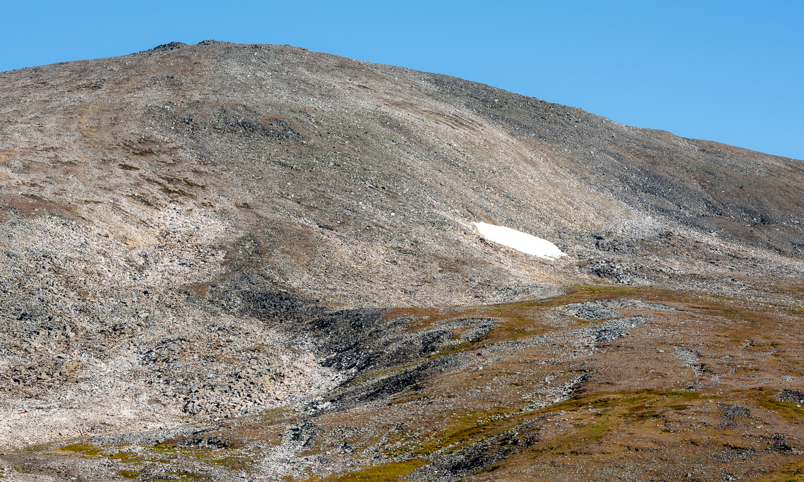
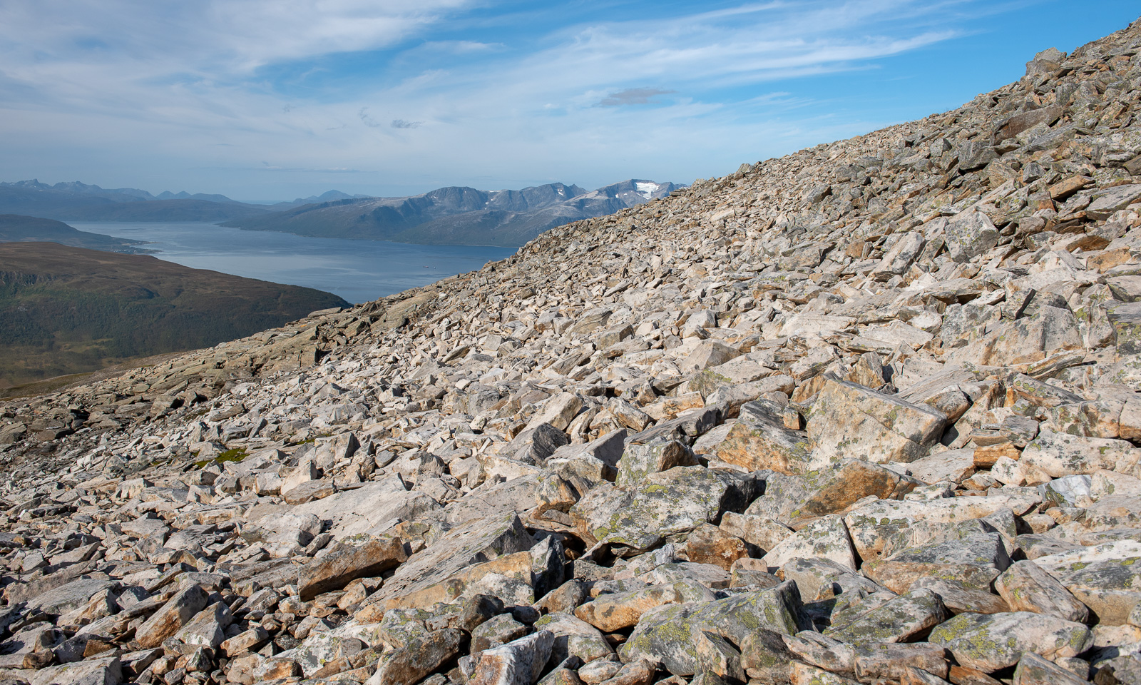
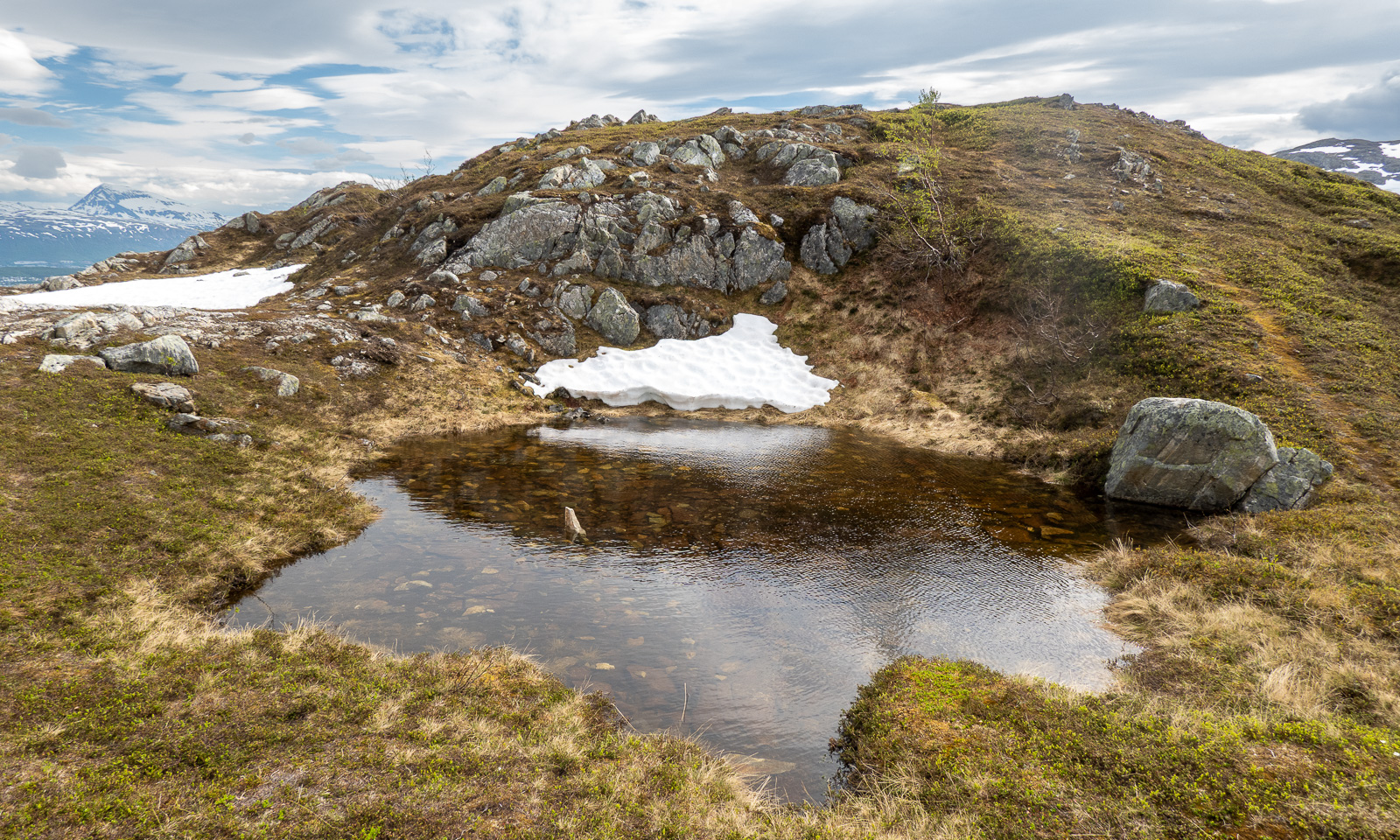
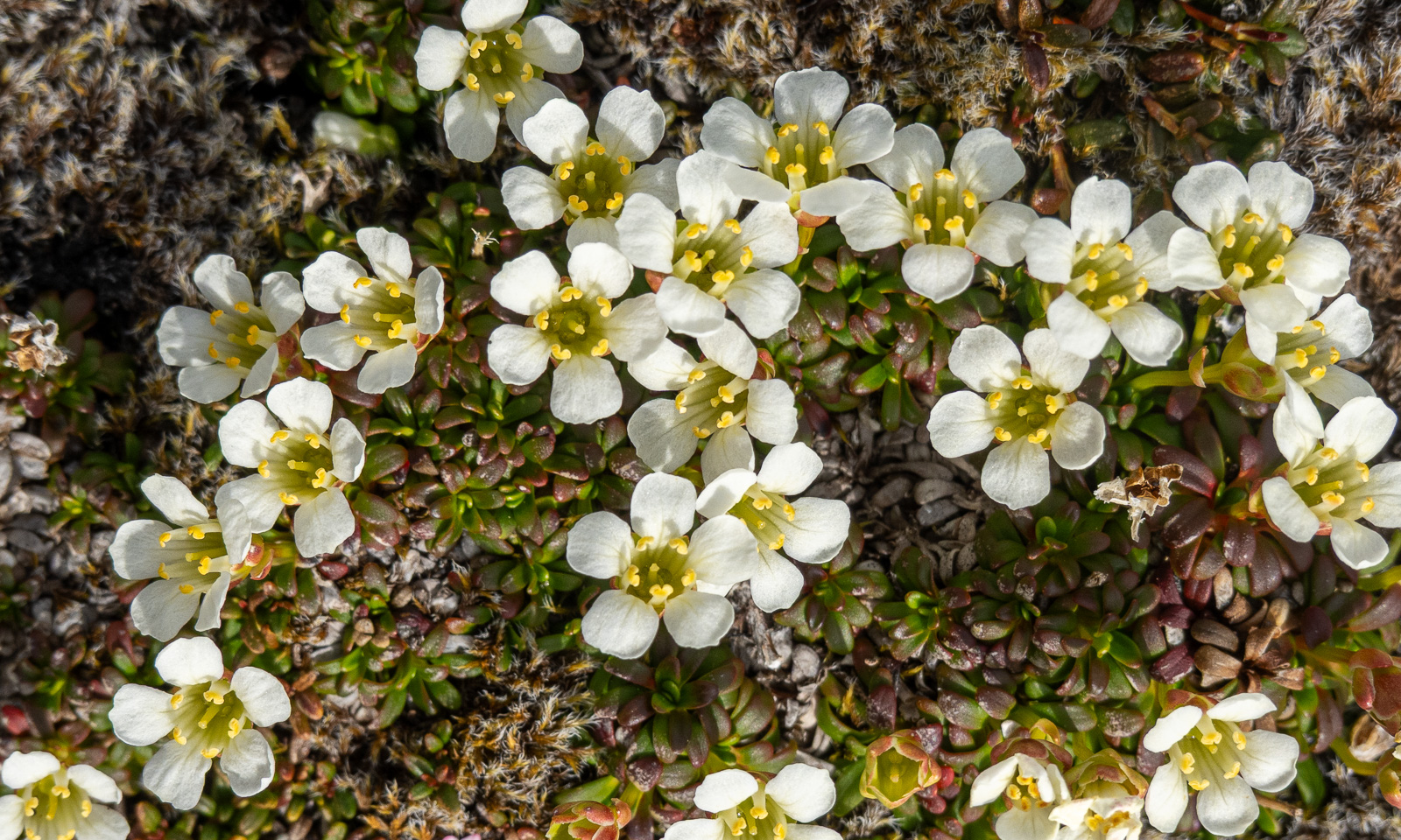
The slope is covered with rough, angular rocks. Sometimes there is a tuft of grass or a small ground-cover plant but moss and  crustose lichens dominate the sparse vegetation.
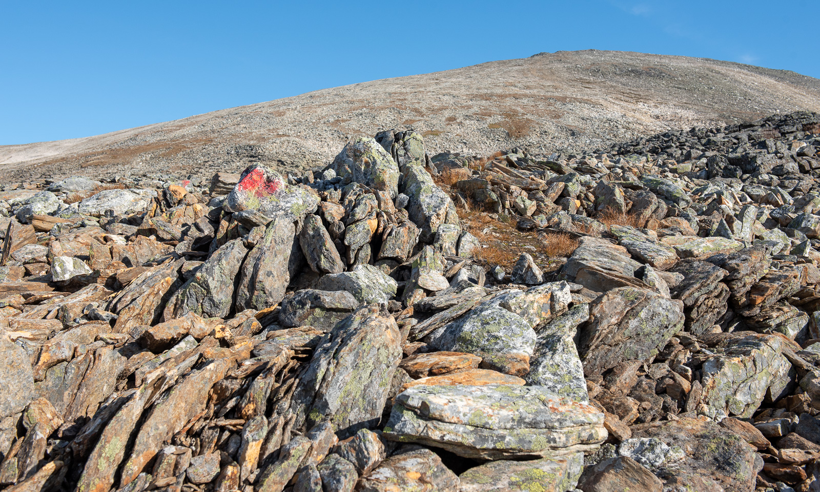
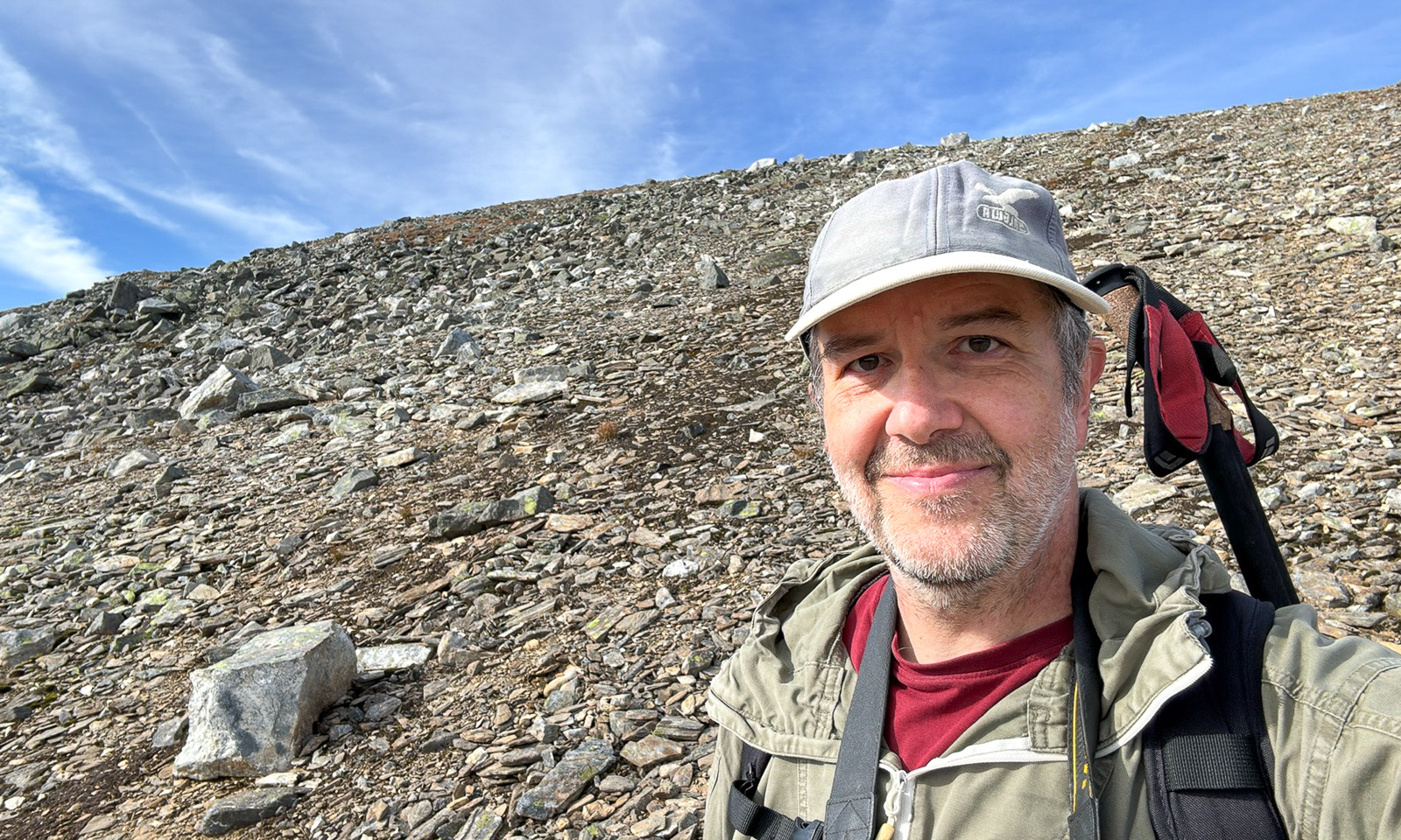
I took the selfie at an altitude of 800 metres. In Bavaria you have towns like Oberstdorf or Bayrischzell at those altitudes, here in Tromsø you are in desert-like Arctic alpine terrain.

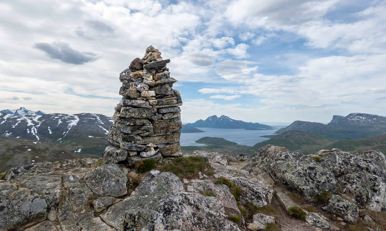
Finally we reach reach the summit of the south-western summit of Ullstinden (in some sources called Stortinden) at an altitude of 1078 metres. We drop our backpacks, drink some water and share some chocolate. We have been completely alone for the whole tour, but now a young woman is approaching. It is her taking the photo of us. Thank you, unknown hiker!
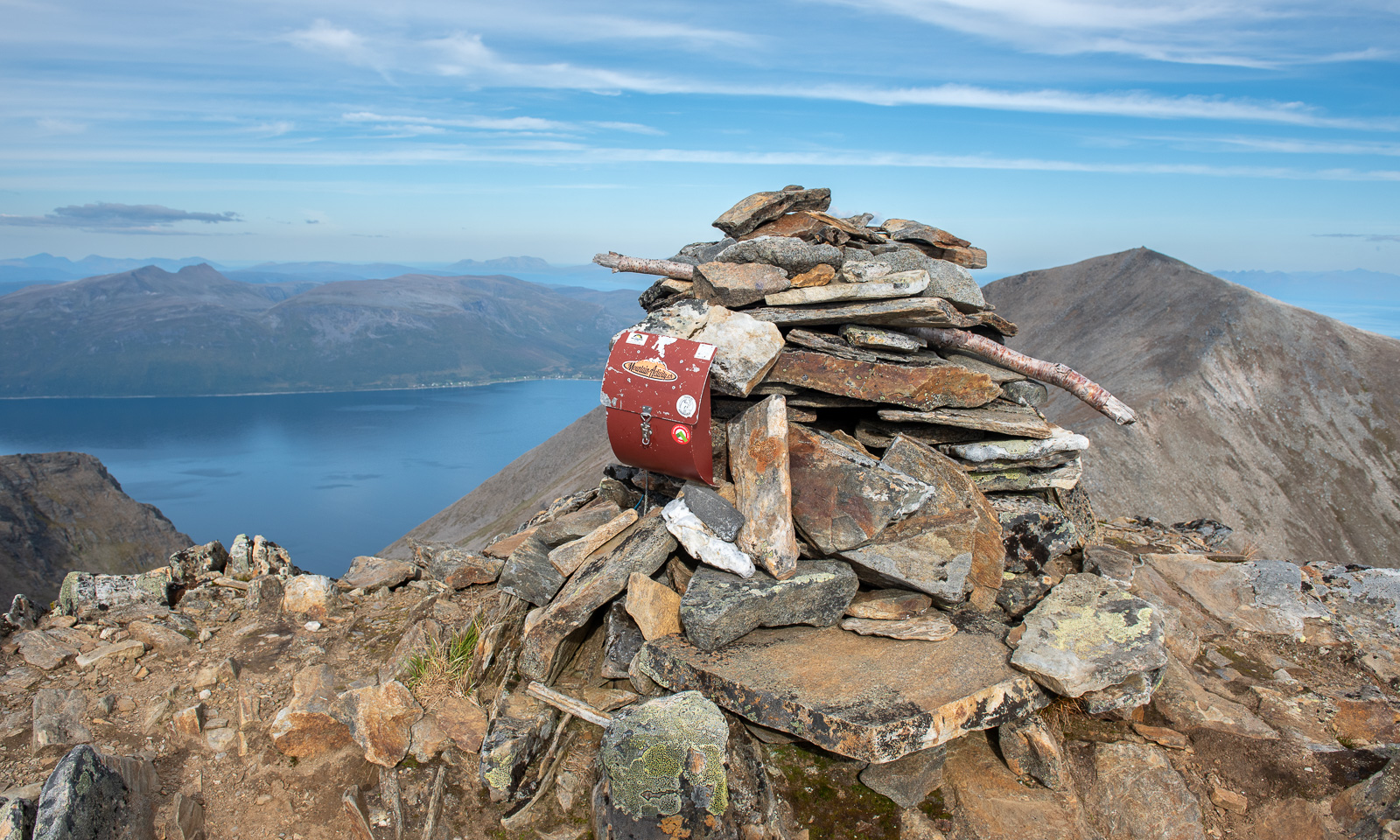
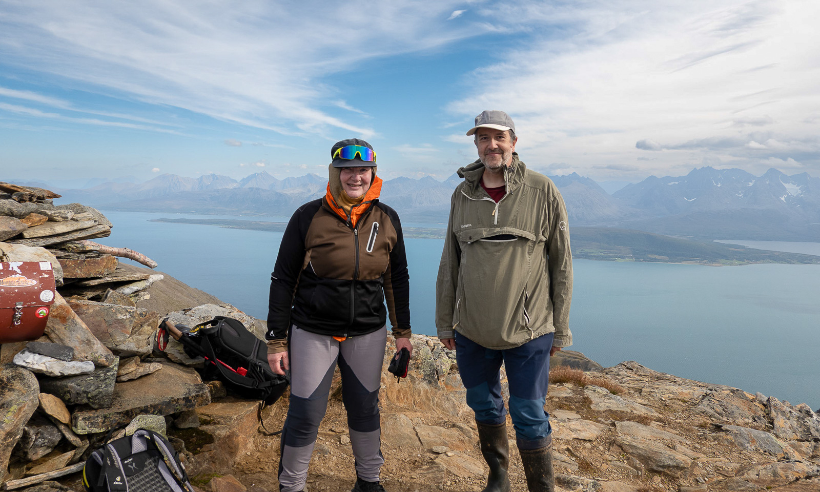
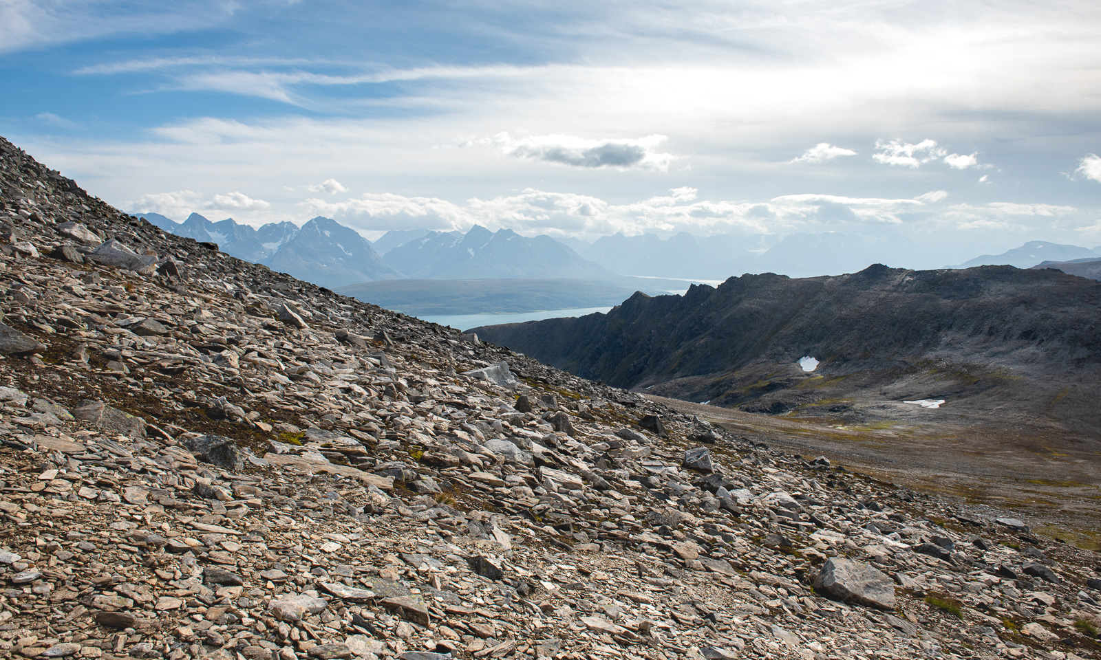
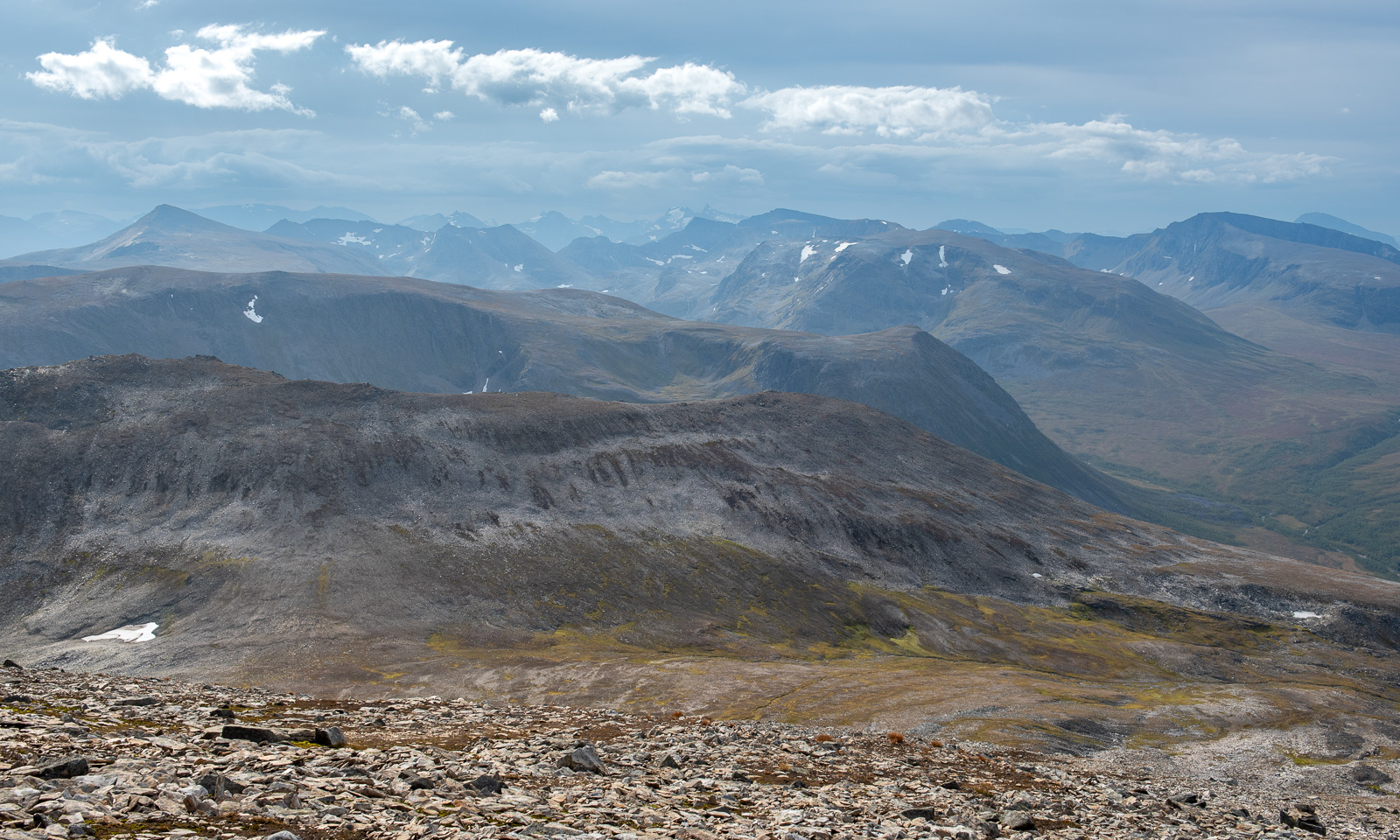
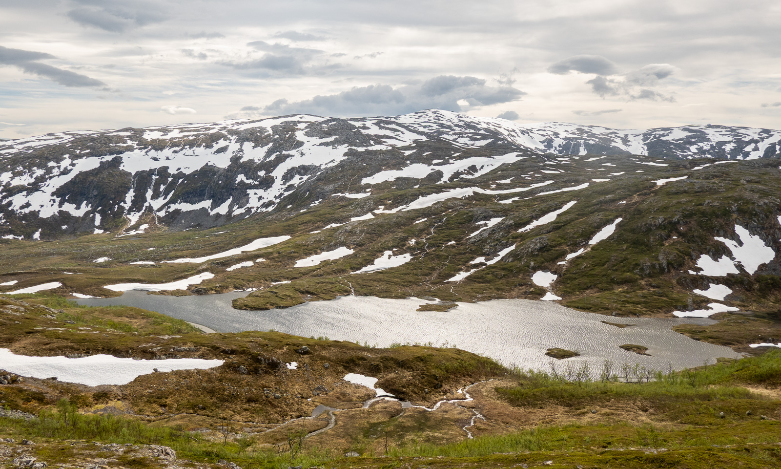
The view from the peak is absurdly spectacular, almost unreal. To the southwest we can see the slope we ascended. To the west, behind Ullsfjorden we can see the northern half of the Lyngen Alps. Also to the west, more than 600 metres below us – the lake Riehppejávri or Storelvvatnan with its intense turquoise water. To the north, the other summit of Ullstinden – 15 metres higher and there are other fjords and snow fields and mountain ranges and two eagles and … . I am speechless.

I take some photos. For the one with the lake I have to lie down, because there the terrain is much steeper than the comfort-zone part of me likes.
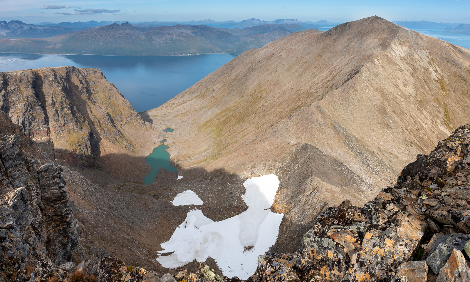
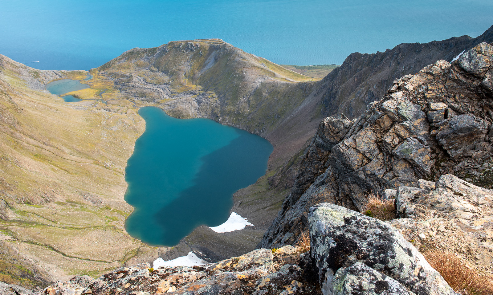
I even try to take a series of shots for a panoramic photo (thanks, Martin for your inspiration!) but I’m not content. I should have taken more time to find a better angle.
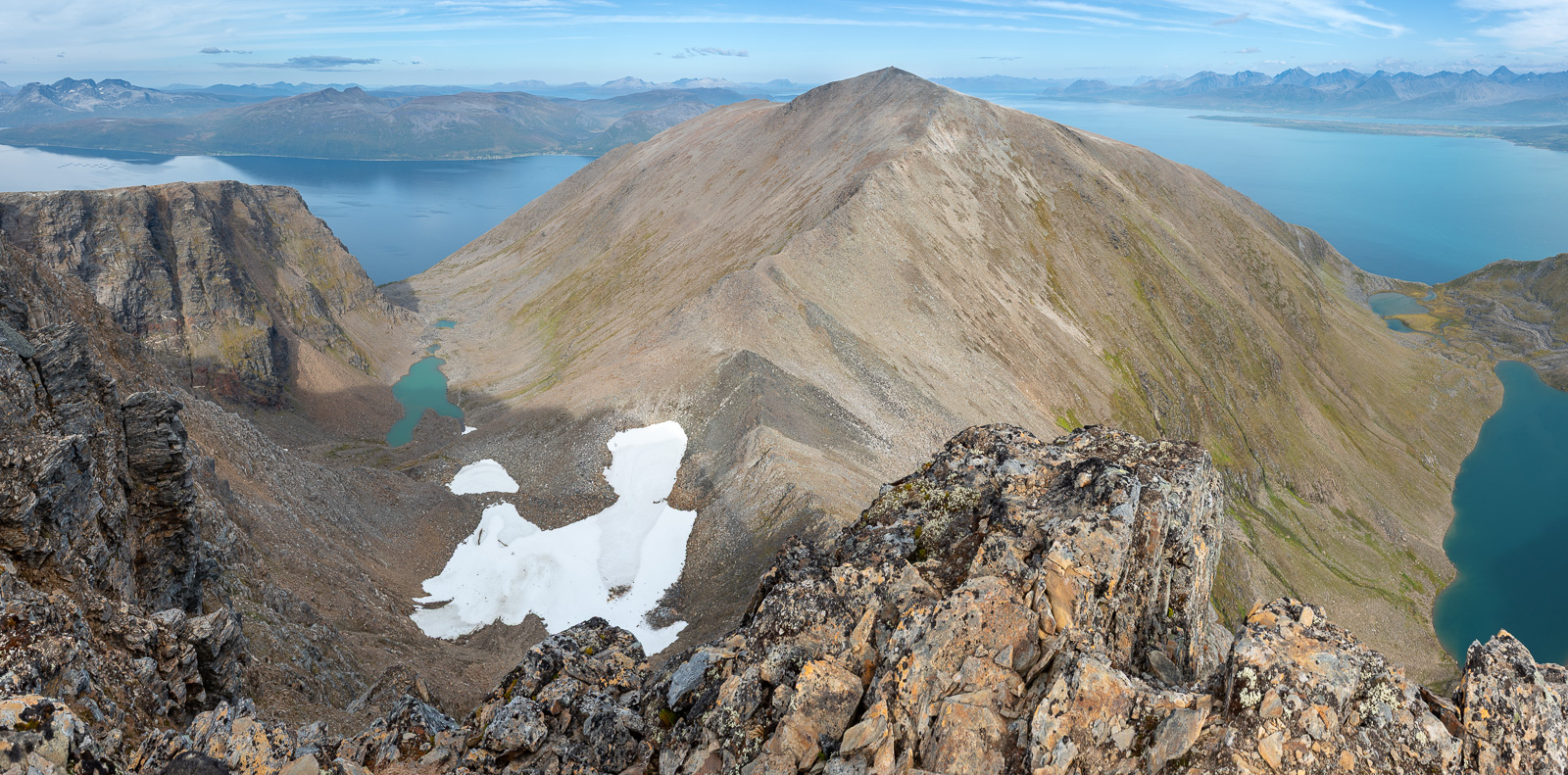
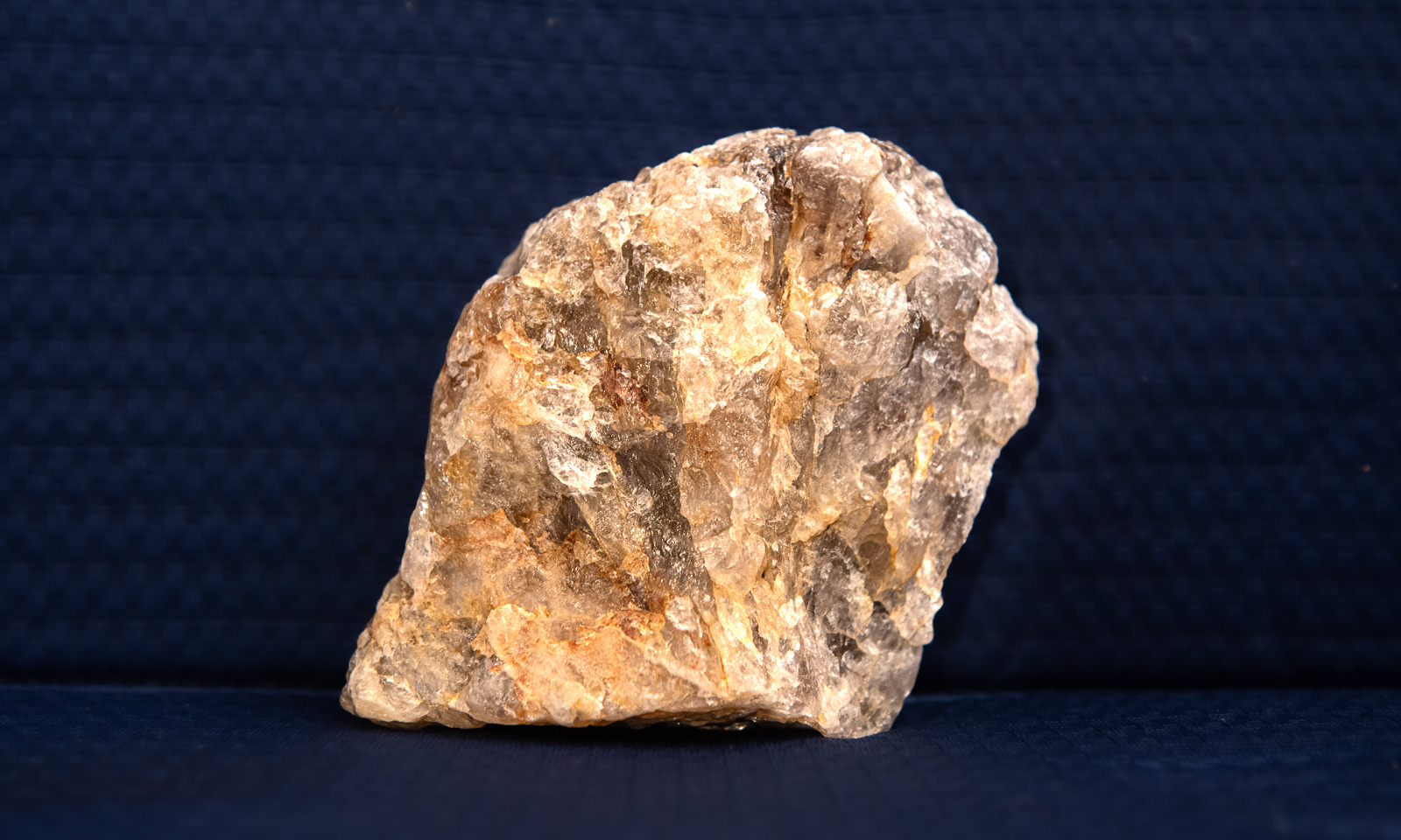
I was glad that I took my trekking poles with me. I hardly use them, but my knees appreciated it when I was descending about 950 metres in altitude. I have eaten the chocolate, I have drunk most of the water but now I had another weight to bear: A quartz rock of about one kilo that I found on the way up. Until it has found its final place in my apartment it stands on the coffee table and reminds me of this exhausting but pretty spectacular mountain tour.
Thanks for the great hike, Christine. Takk for turen!
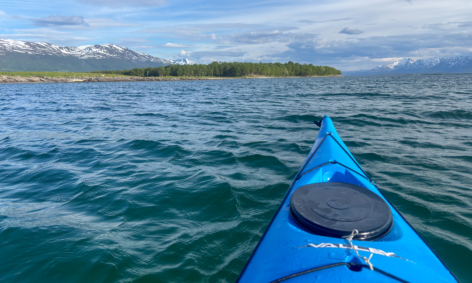


The sea and the mountains

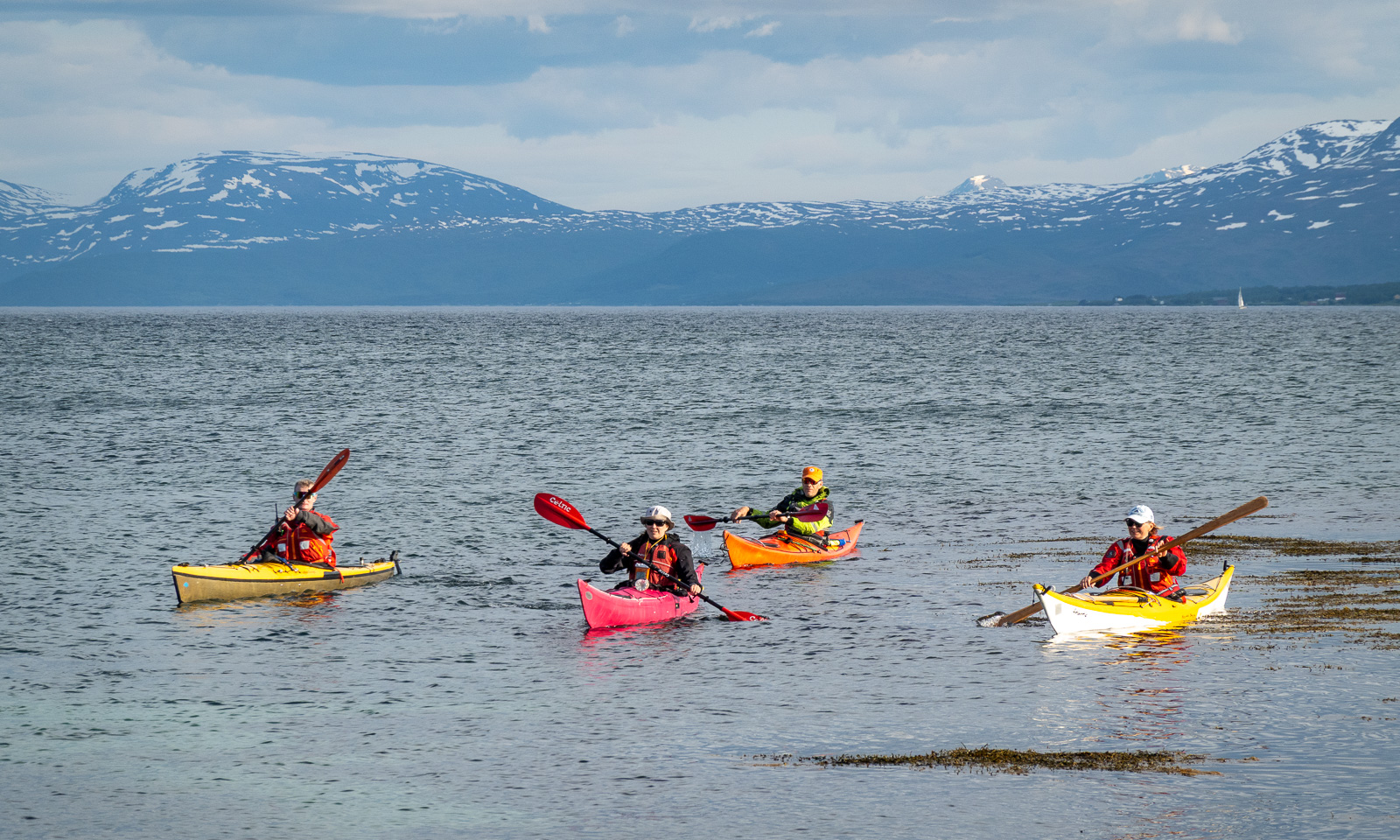
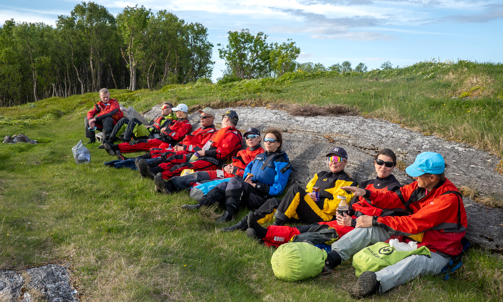
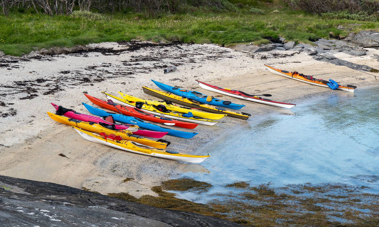
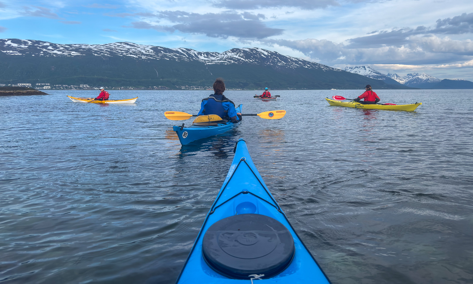
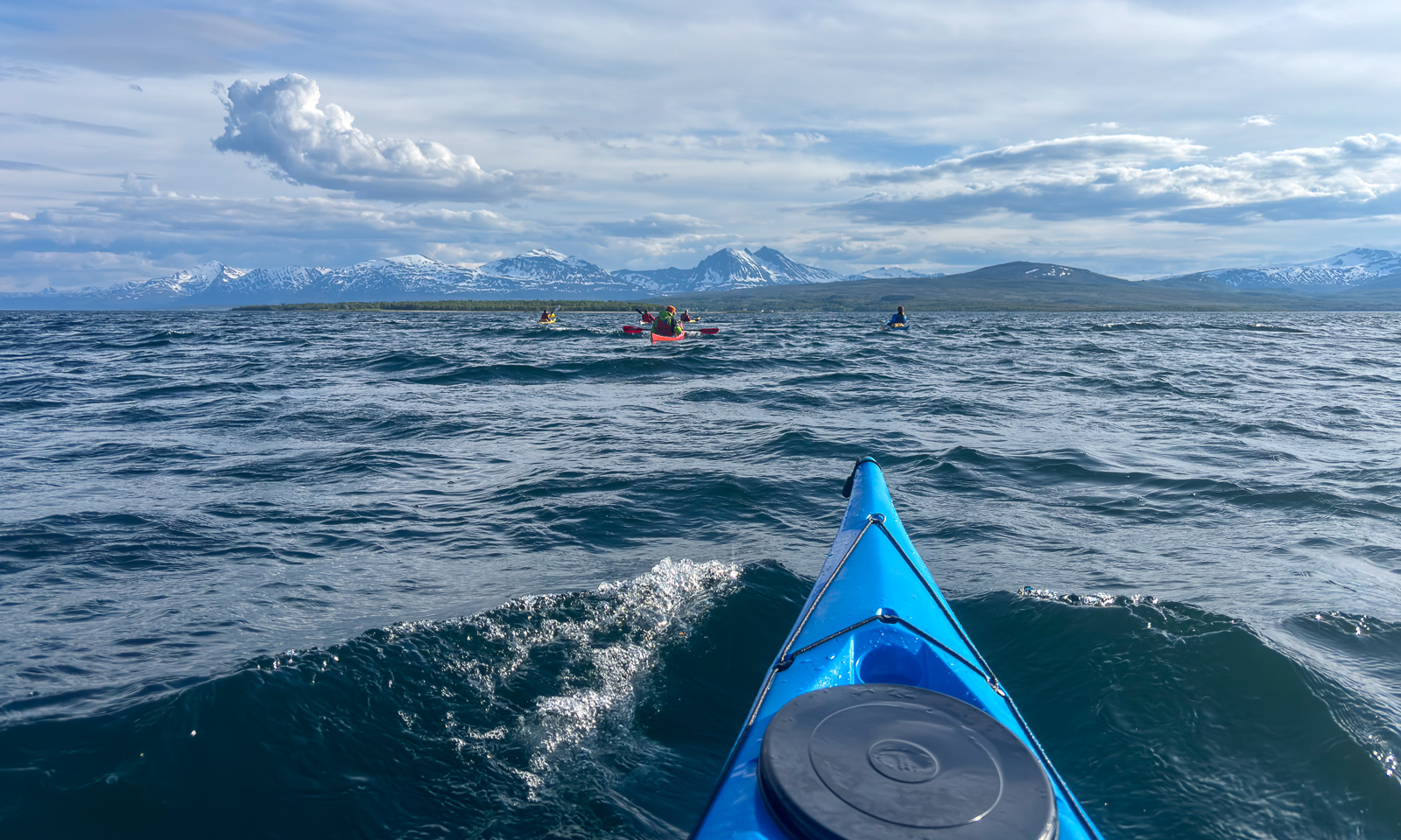
Back in Tromsø after some travelling I joined the “Thursday paddling” organised by the Tromsø Sea Kayakers Club. We were eleven kayakers and it was proposed and we decided to paddle to Grindøya, one of the common tours.

On Sálljnjárnuorri / Sandnessundet, the sound between Tromsøya and Kvaløya, it was windy and short waves came from the right. Here I preferred to hold my paddle and didn’t take any photos. In the lee of Grindøya, I started taking photos again.

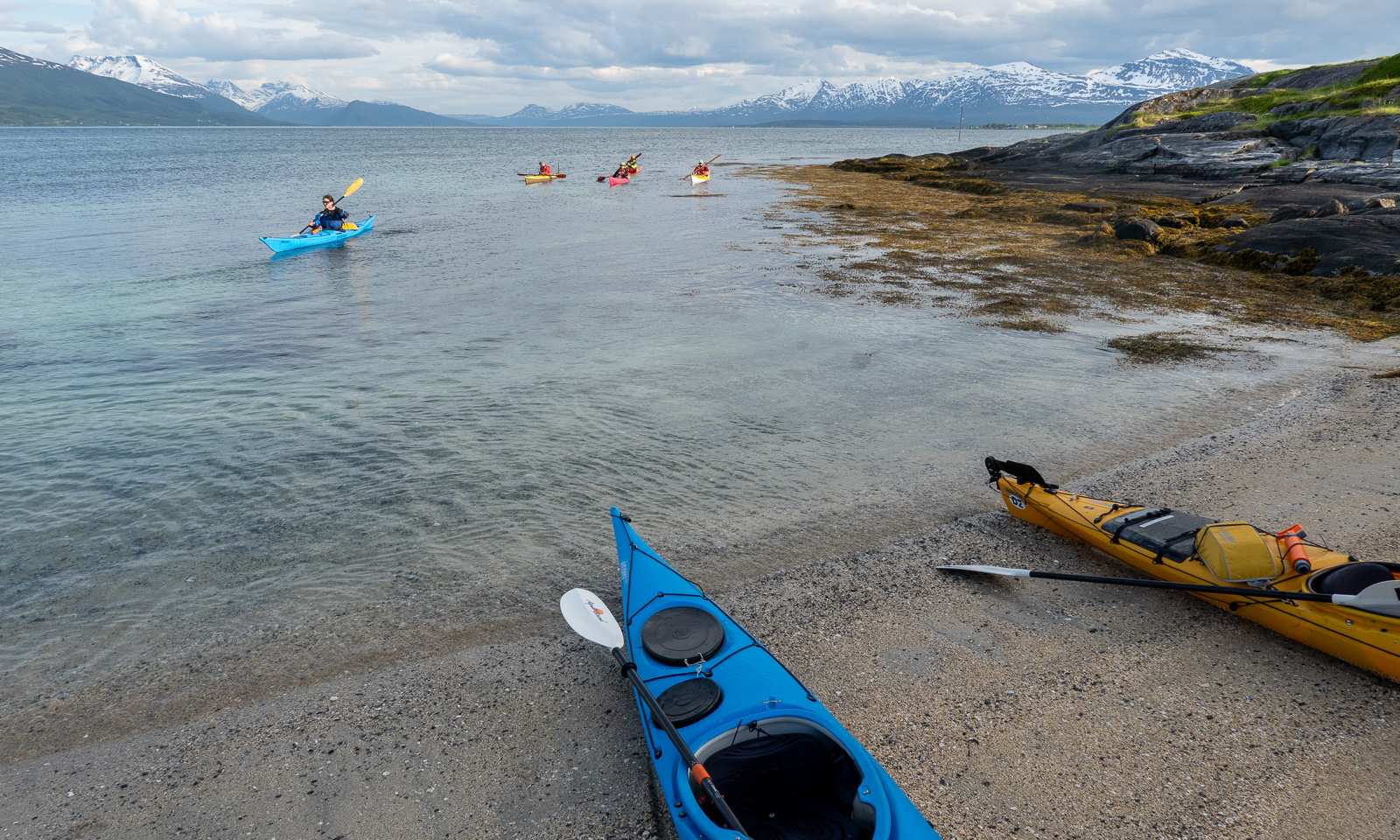
We paddled alongside the island and took a break at the southern tip.

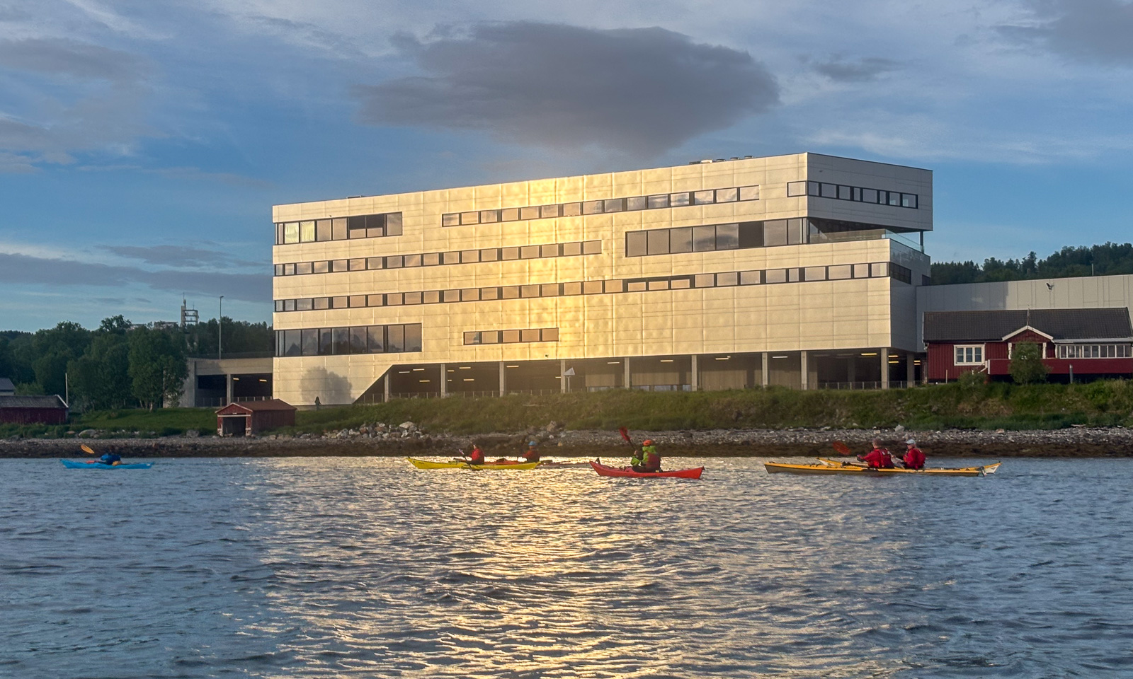
After half an hour, we continued our tour. The wind had calmed down and so did the waves. We paddled around the island and then headed to Monsterbygget (the monster building), a landmark on Tromsøya often used for kayaking navigation. After three hours, we were back at the boathouses.

Next day, another tour. I stopped working early to meet my friend Christine. We took my car to a parking area on Kvaløya and went up the Sørtinden. This is a short tour, about 4 km long with 250 metres of elevation gain., but you are immediately in the mountains.

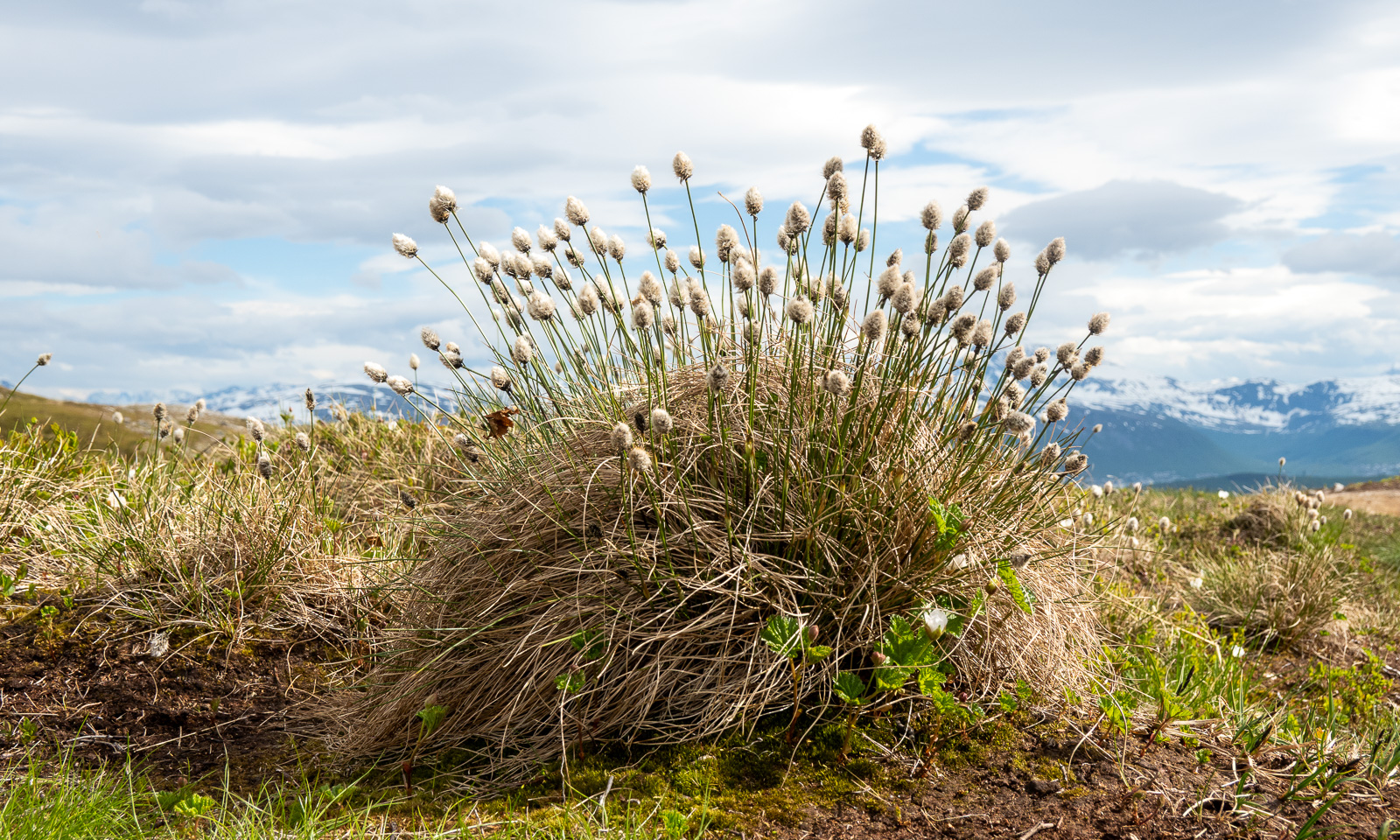
Some parts were still covered with snow while others were covered with carpets of flowers. Even the cottongrass was blooming.

Gaining altitude, we had views of the lake Finnvikvatnet and the mountains behind, such as Kjølen.

The top of Sørtinden is a bit like a cliff. Here, you also have a view of the sea and the island Vengsøya. After a rest on the windy summit, we went back the same way.

Tromsø 2024 – a special end-of-year review

Last December I changed my “work home” in Tromsø from a tiny studio to a flat with bedroom and kitchen. First I was a bit unhappy because the studio was near to the beach Telegrafbukta while the current one lies amidst the island Tromsøya.

But then I realised how beautiful nature nearby is. There are hilly forests, bogs and ponds and a zillion ways and paths leading through.And each season looks different. I walked there the whole year, either walking home after work or just taking a promenade. In winter I used my skis.

Here is a selection of photos from this year:

Short days in Obbola II

Just some photos from Obbola in the last days.

A flock of fieldfares in our rowan tree ❦ an icy morning by the coast ❦ sunlit ice fog hovering above the bay Vitskärsudden ❦ three roe deers eating rowan berries, leftovers of the fieldfares’ meal.

Translation:

EnglishGermanSwedishNorwegian
FieldfareWacholderdrosselBjörktraskGråtrost

Routine detox

#routinedetox

Are you a photographer? Do you know the feeling that you are stuck taking the same pics again and again? Without evolving? I know it for sure. So I decided to do a bit of “photo routine detox” here and there. This is the first detox session, shot on 20 October this year.

This session’s rules:

  • iPhone with a cheap plastic magnifier (hand held) only
  • macro in the forest
  • develop as b/w with an image ratio of 7:6
  • publish exactly four photos, if I like any or not

These are the results.


Back in Tromsø – an autumnal walk

After five weeks of travelling with just two intermediate days I have come back to my work home Tromsø two days ago. Now I’ll stay here for a while.

Yesterday I have started working in the office again and today I walked home from the lake Prestvannet to my apartment after work. That’s five kilometres. Weather and nature have been showing, that summer says farewell and the wind is strong enough to tear out some of the tree’s green leaves, too. From today on I’ll try to take a one-hour walk every day. Let’s see, how long I’ll keep up that habit.

Some photos from today. Just the iPhone and some editing in Lightroom.

Norddeich/Norden

Annika and I were in Norddeich, the coastal district of Norden (“north”) in East Friesland, Germany the last days. The word “Norden” definitely qualifies that place for getting an article in my blog way-up-north.

Many streets of Norddeich have the theme “north” in their names. Am Nordkap (At the North Cape), Nordlandstraße (Northland street), Nordlichtstraße (Northern Light Street). Guess what, I like the names! Partly from my Scandinavian point of view, partly because I am from Northern Germany and therefore a “Nordlicht” (a nickname for people from Northern Germany) by myself.

Some photos from Tuesday, 10 September, the day of our arrival:

Yesterday on Wednesday, 11 September Annika and I rented e-bikes and took a cycle tour to Greetsiel. The weather was quite nasty for early September: strong gusty winds, hailstorms, cloudbursts and even a thunderstorm. And all that at temperatures around 10–11 °C. Kudos for the e-bikes! Without electrical motor support we wouldn’t have managed it against the wind.

It’s a long way to travel to Norden from our places. Round about 2800 km from Tromsø, my “work home” and still 1900 km from Obbola, my “home home”. But I think, I’ll visit Norddeich again some other time.

Spåret

After two weeks on the sea between Svalbard and Greenland I took the plane from Longyearbyen back to Tromsø and two days later the bus to Narvik and the train to Umeå. Since Sunday morning I have been in the familiar surroundings of my real home (“home home”) in Obbola again.

Two days ago I walked Spåret, a four kilometre promenade through the forests near us. It was warm and summery but also visible that Autumn has begun in parallel. What a contrast the forests are to the open ocean in the Fram Strait, the ice sheet near Greenland or the treeless valleys of Svalbard.

Afterwork car trip

This article is part of the series “2021-07: Back in Tromsø”.

Yesterday after work I started the weekend with a “scouting expedition” by car. I drove over the bridge Tromsøbrua and took the way to Oldervik. On the way I stopped several times to get to know Tromsø’s surroundings and to look for photo motives.

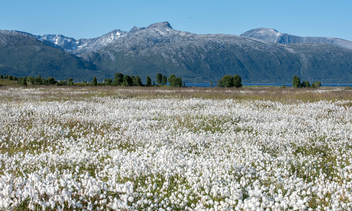
Some photos from yesterday: Common cotton grass and some mountains from the Lyngen Alps.

A short promenade to a near swamp

Spåret is a fantastic motion trail just some 100 metres from here. It is 3.6 km long and good for skiing (if not too much snow), running and going for a walk. It leads through forests, over large granite rocks, over sandy bottoms and passes some small swamps. When I walked there with Annika last weekend I spotted some beautiful pond-lilies. Today I took a hike there to take some pictures.

The mosquitos and horse flies appreciated that.

From top to bottom, from left to right:

  • Sundew, a carnivorous plant. Can grow directly on mud.
  • Heath spotted orchid. Protected in Sweden and other countries.
  • Cloudberry, a berry growing on wet ground. Rich in vitamin C. Guarded by mosquitoes …
  • Sphagnum (or peat moss), the main building bog of peat bogs.
  • Cotton-Grass, a sedge that looks like wool. Loves wet ground.
  •  European white water lily, an aquatic plant with blossoms of great beauty.