A summer overnight stay at Blåkollkoia cabin
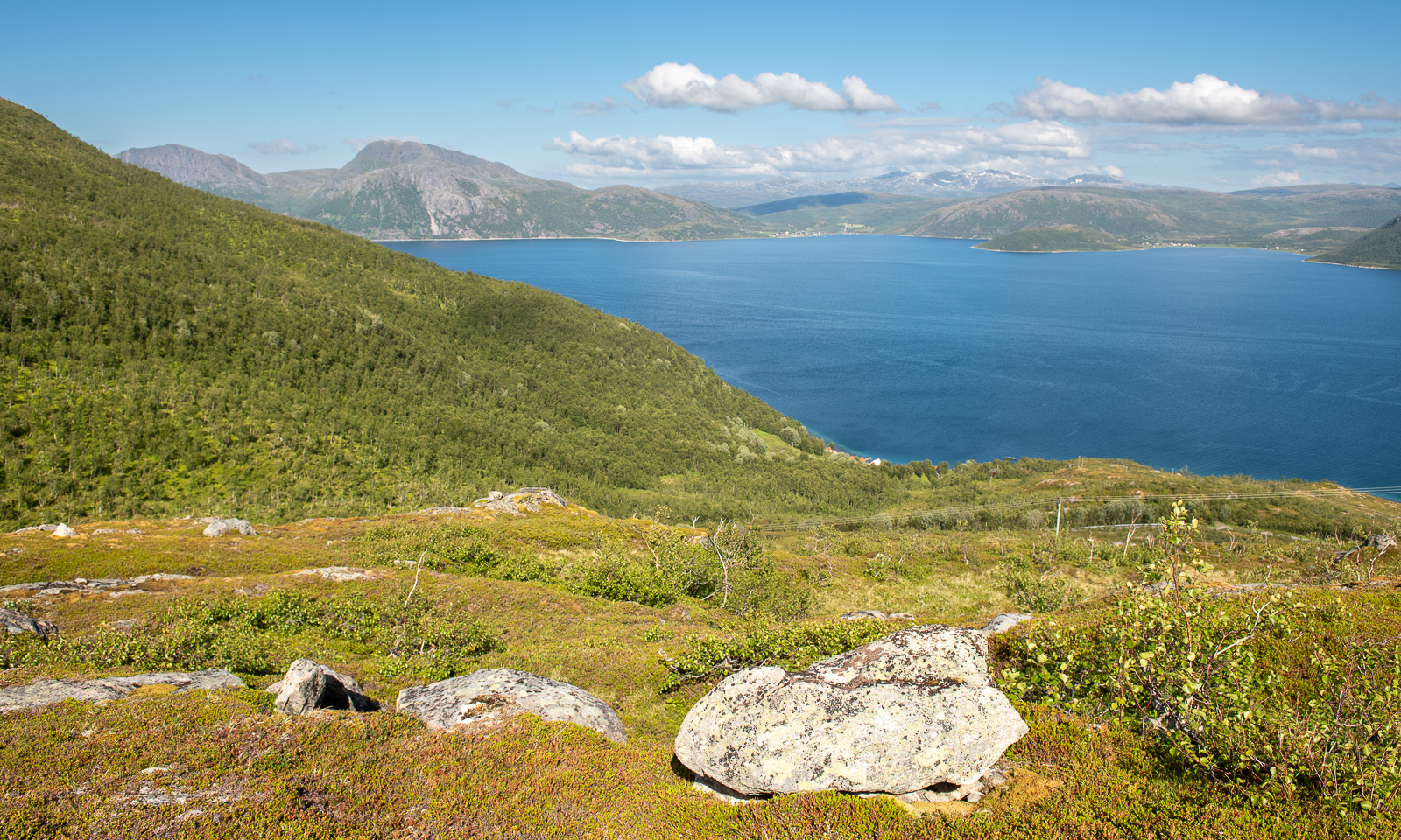
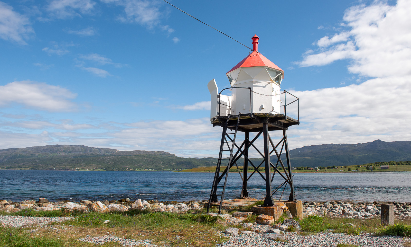
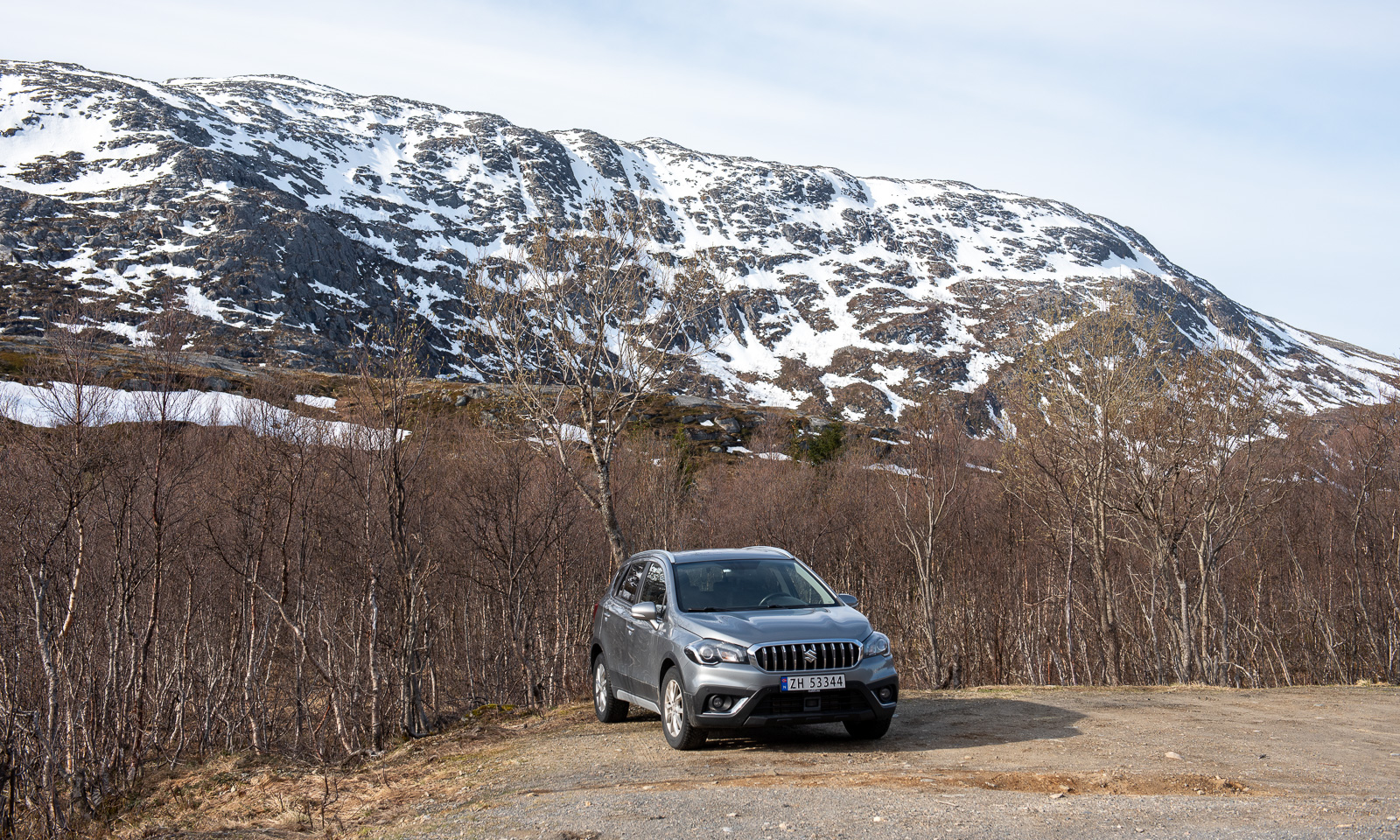
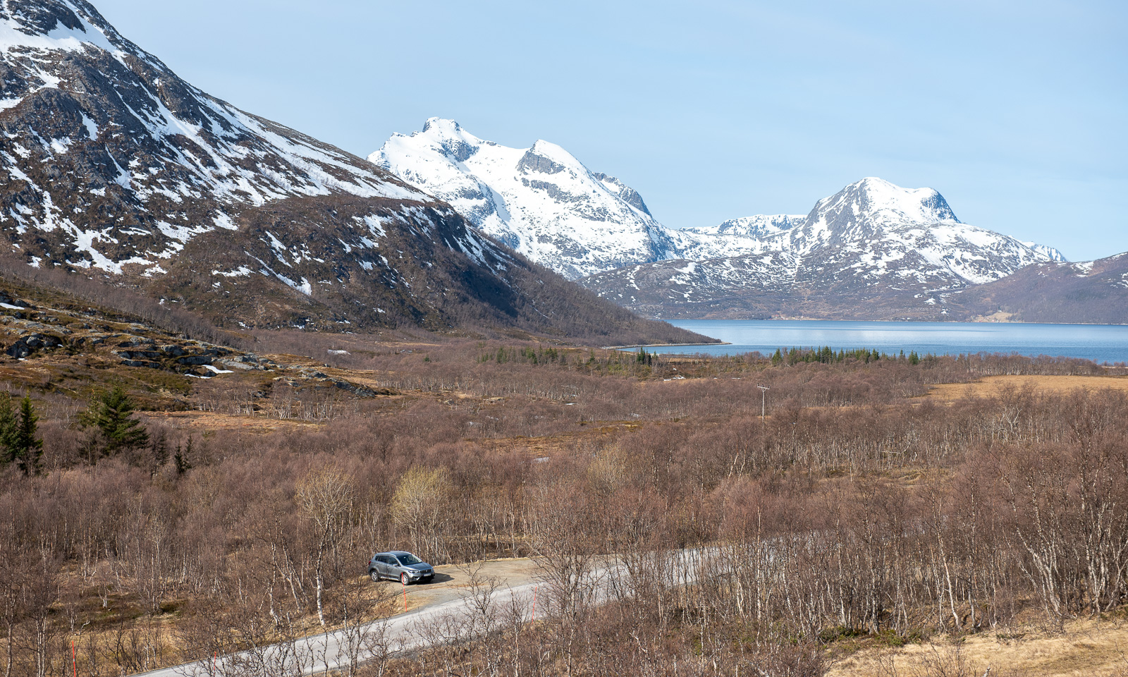
The weather in Tromsø for the weekend didn’t look promising, but for Friday it did. I leave work just after lunch so that Annika and I can hike up to Blåkollkoia cabin together. At half past one I park the car in Tønsvik. From there, it is an 8 km walk up to the cabin. The first 2½ km we follow a gravel road that leads to some private cabins.


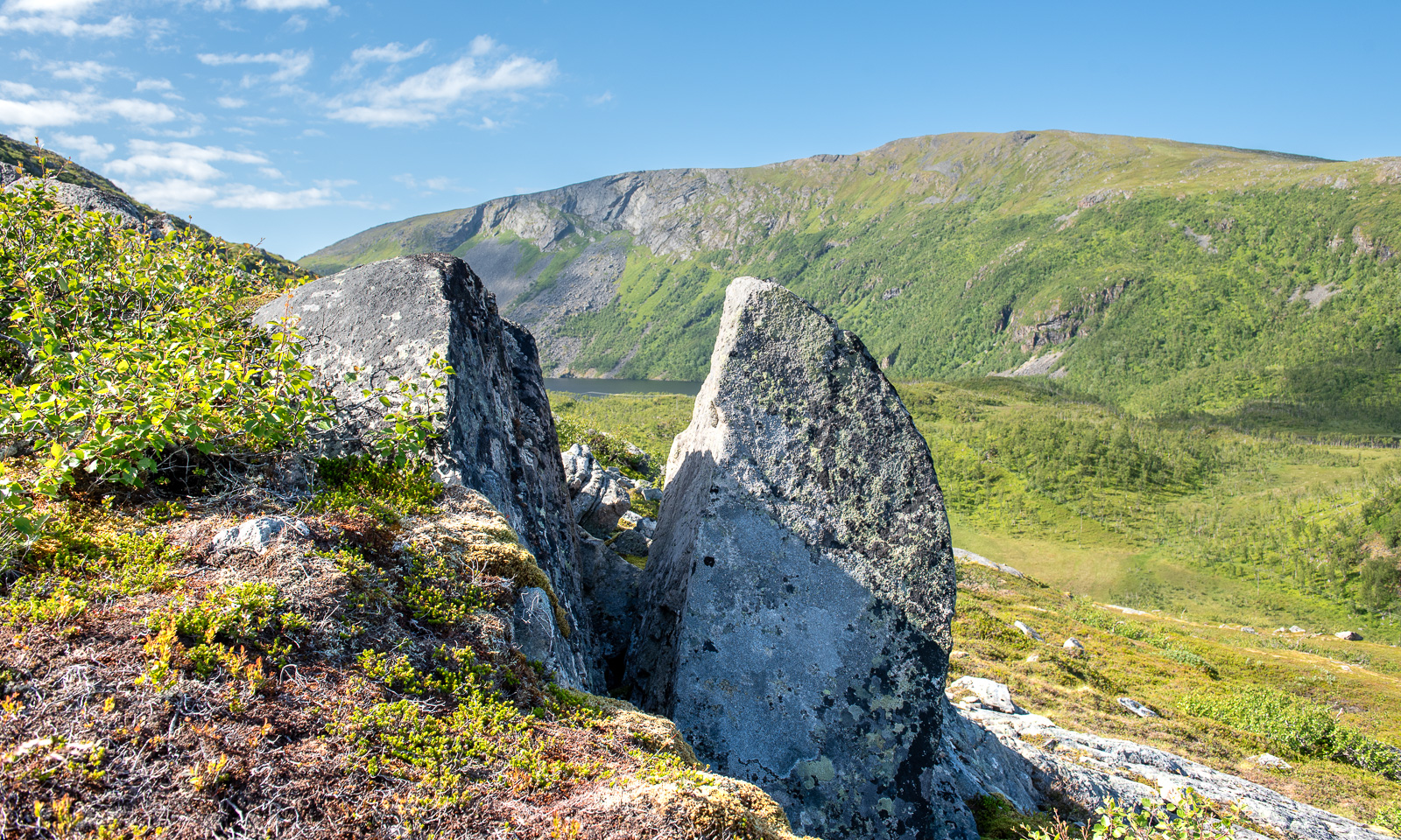
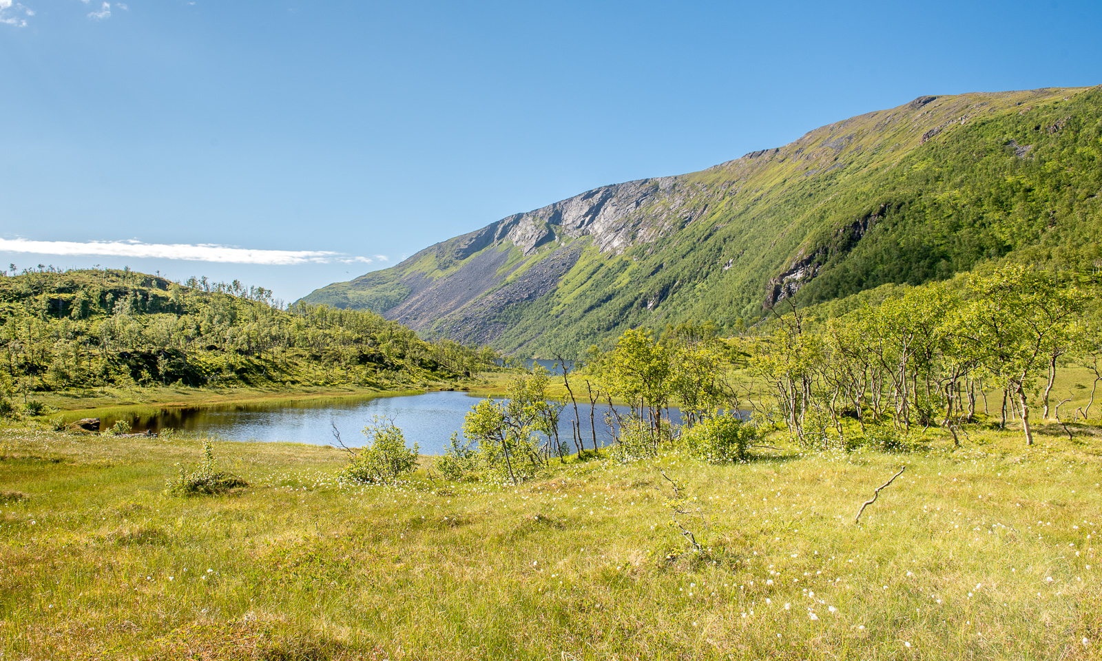
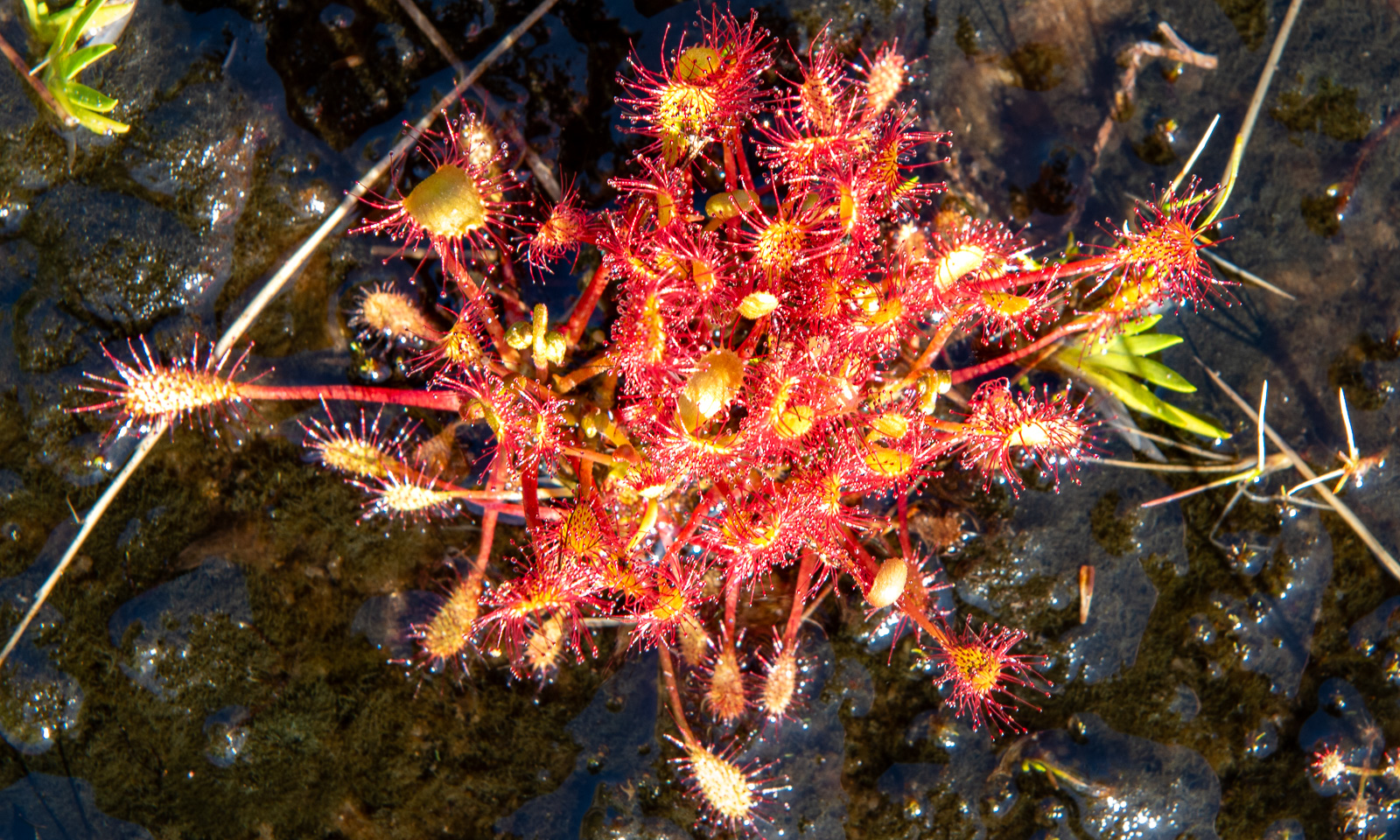
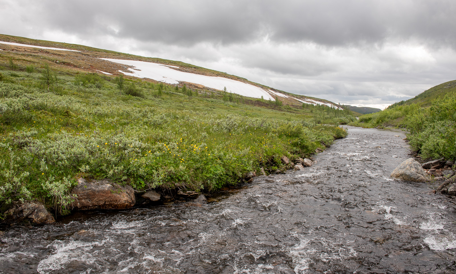
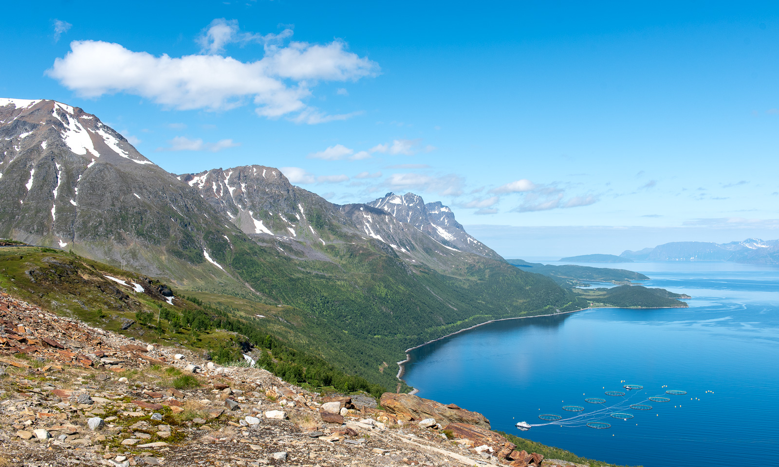
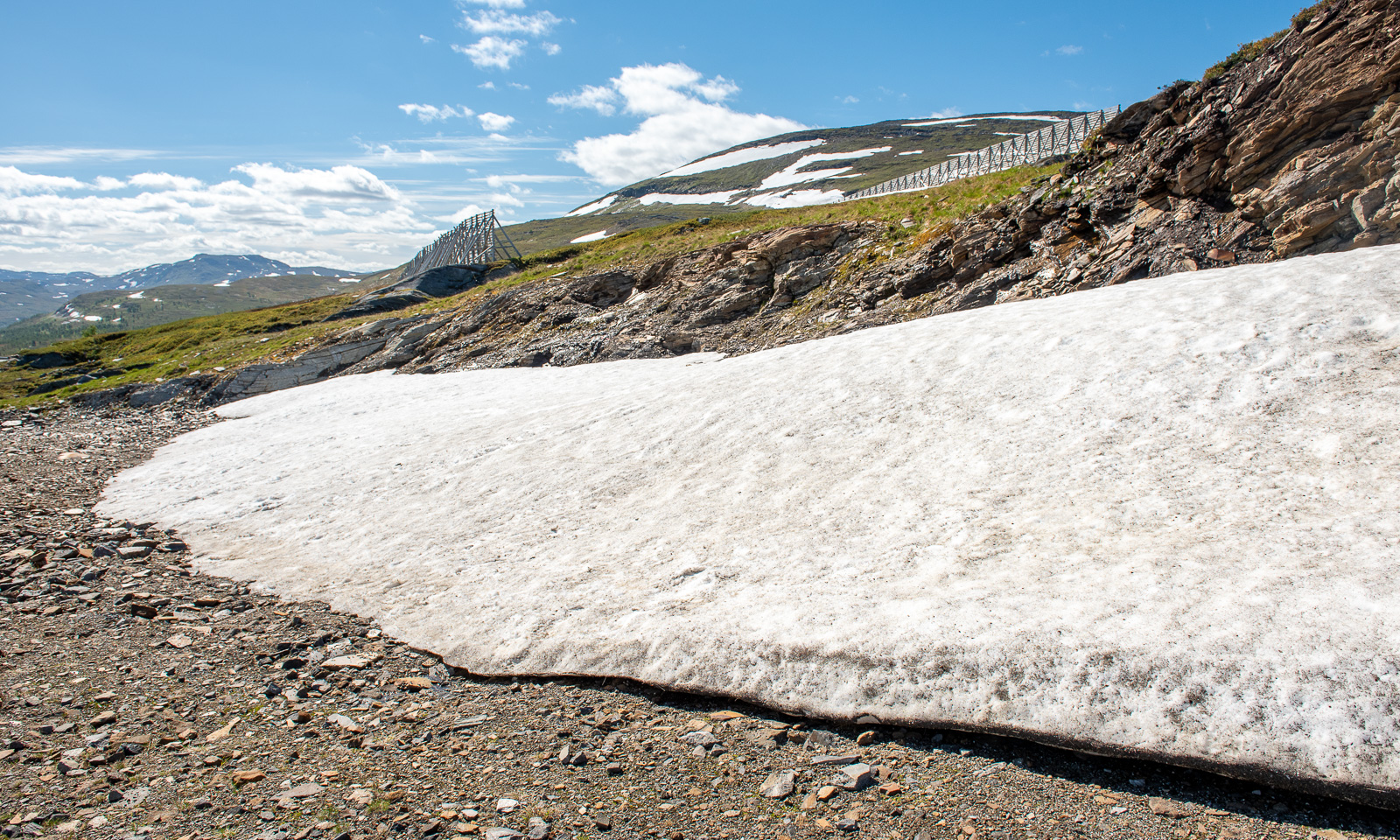
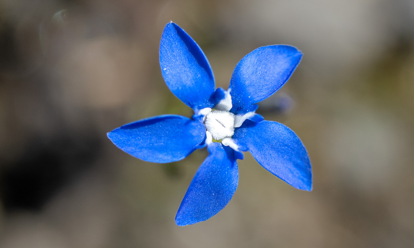
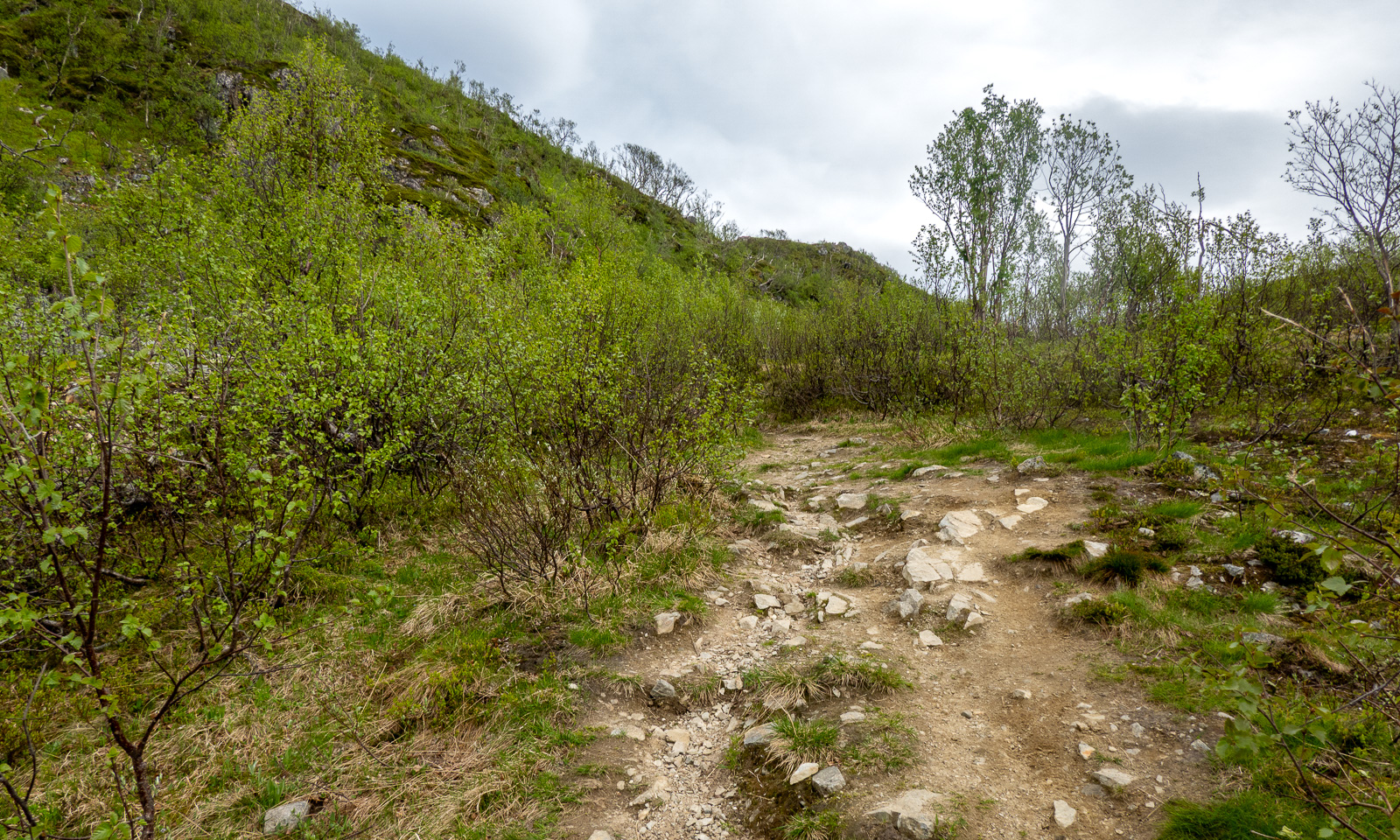
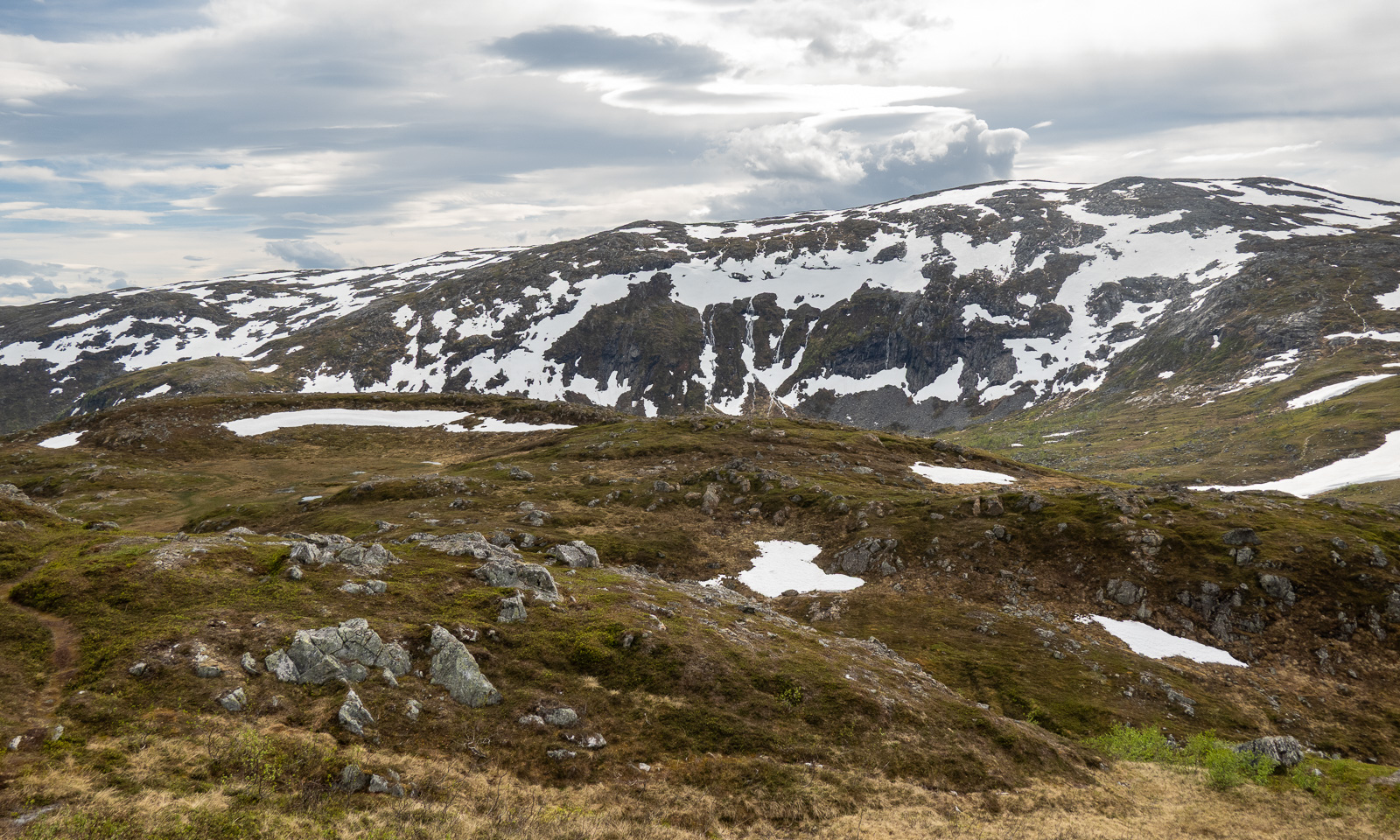
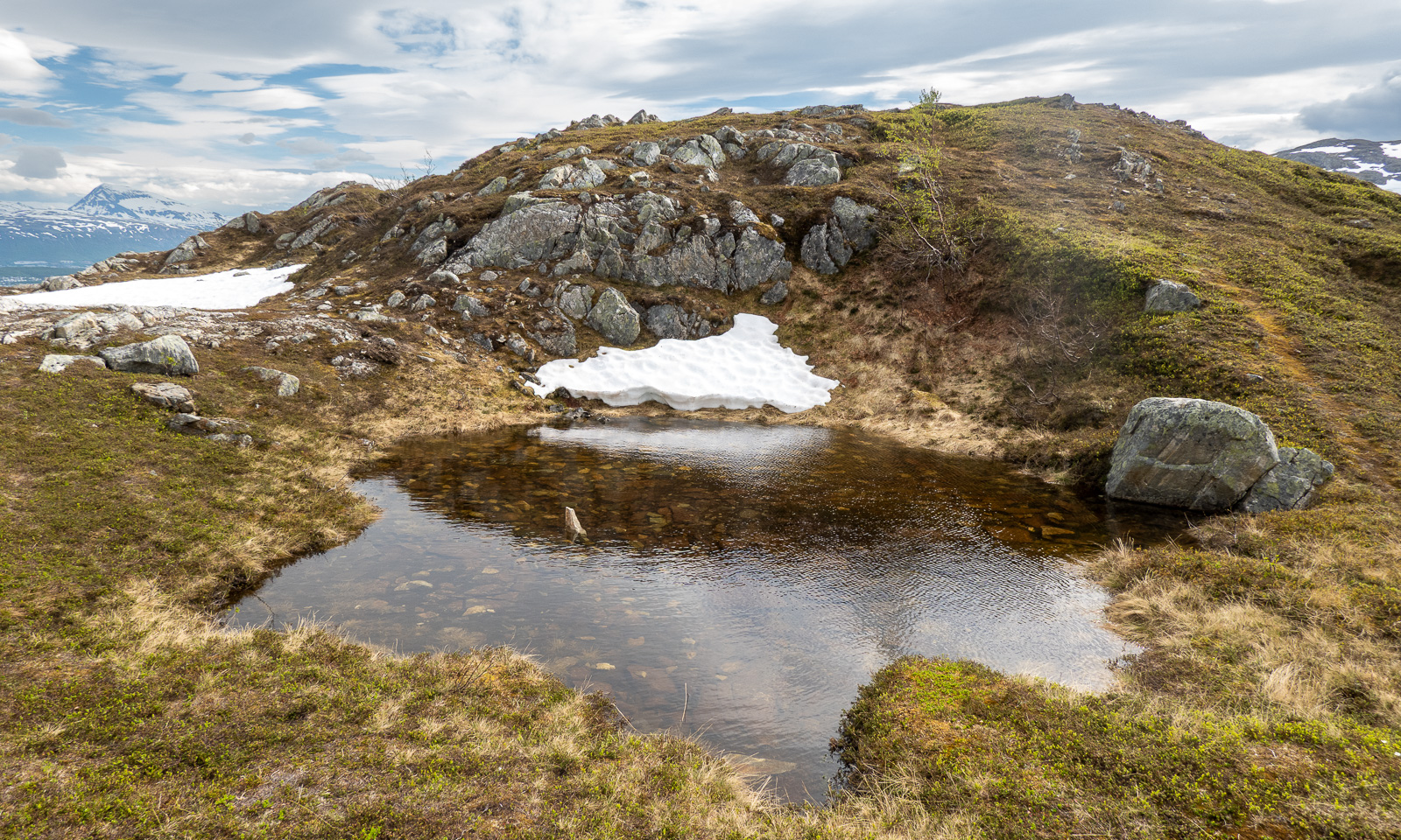
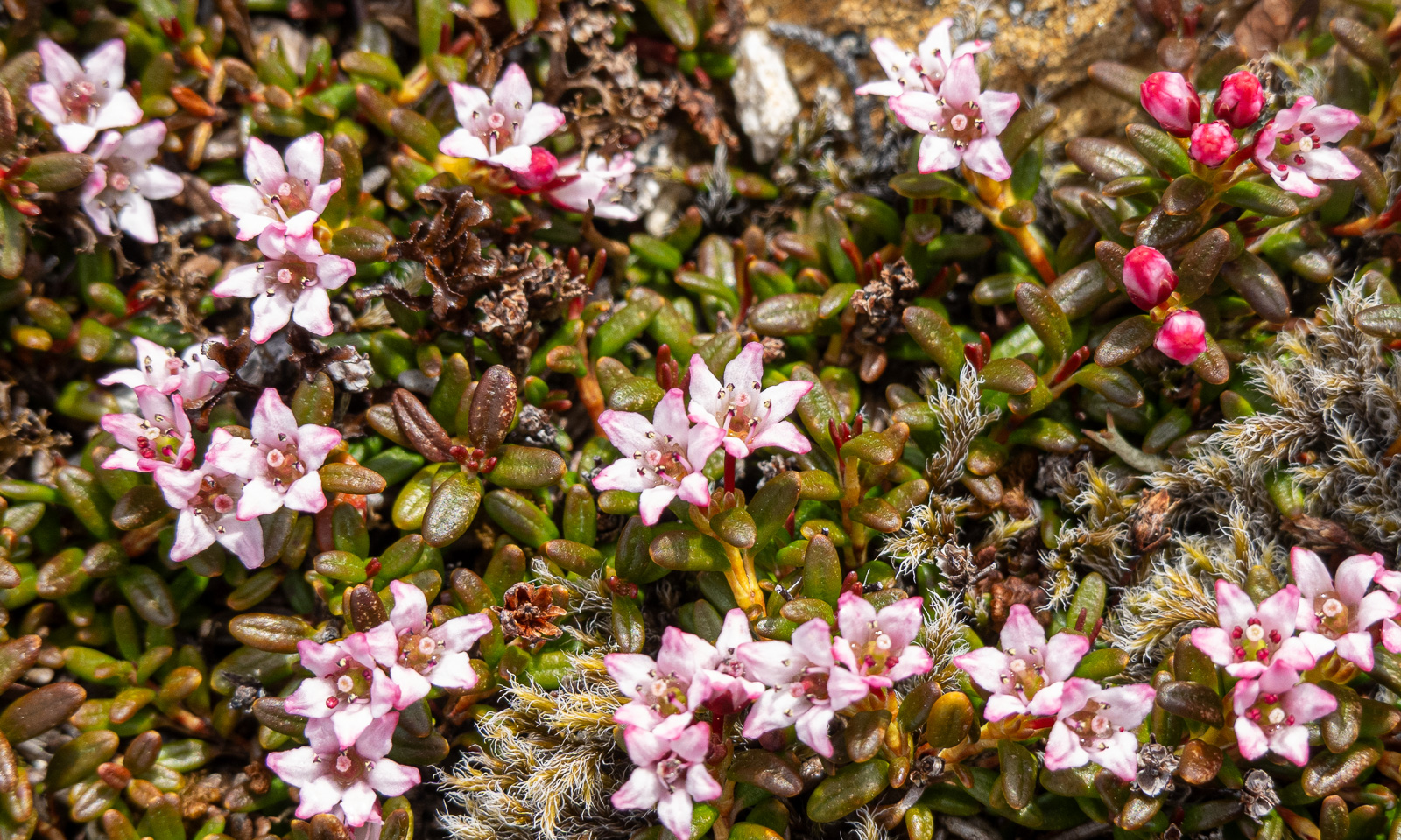
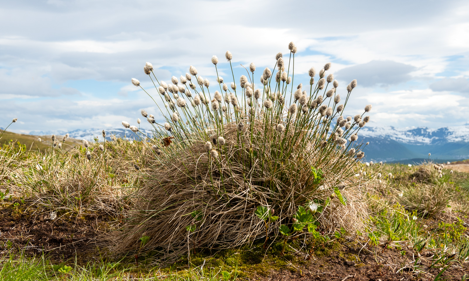
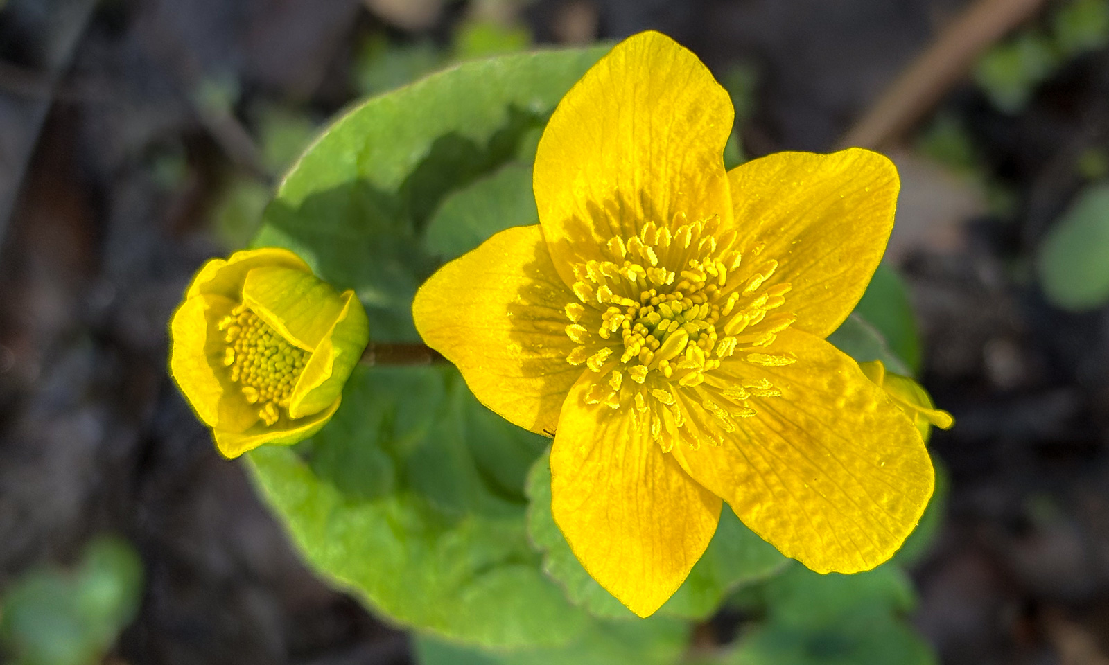
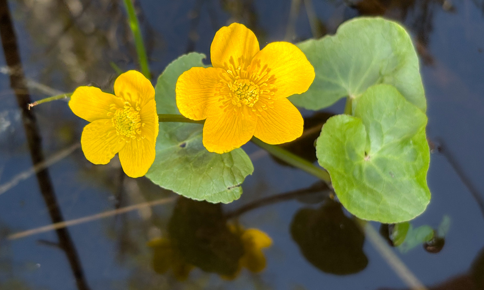
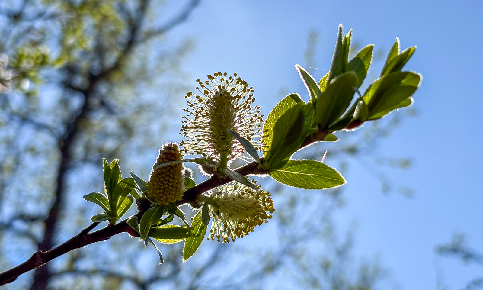
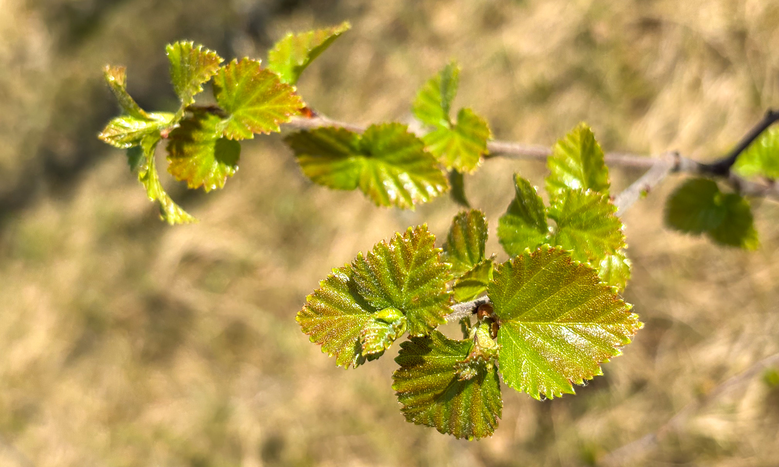
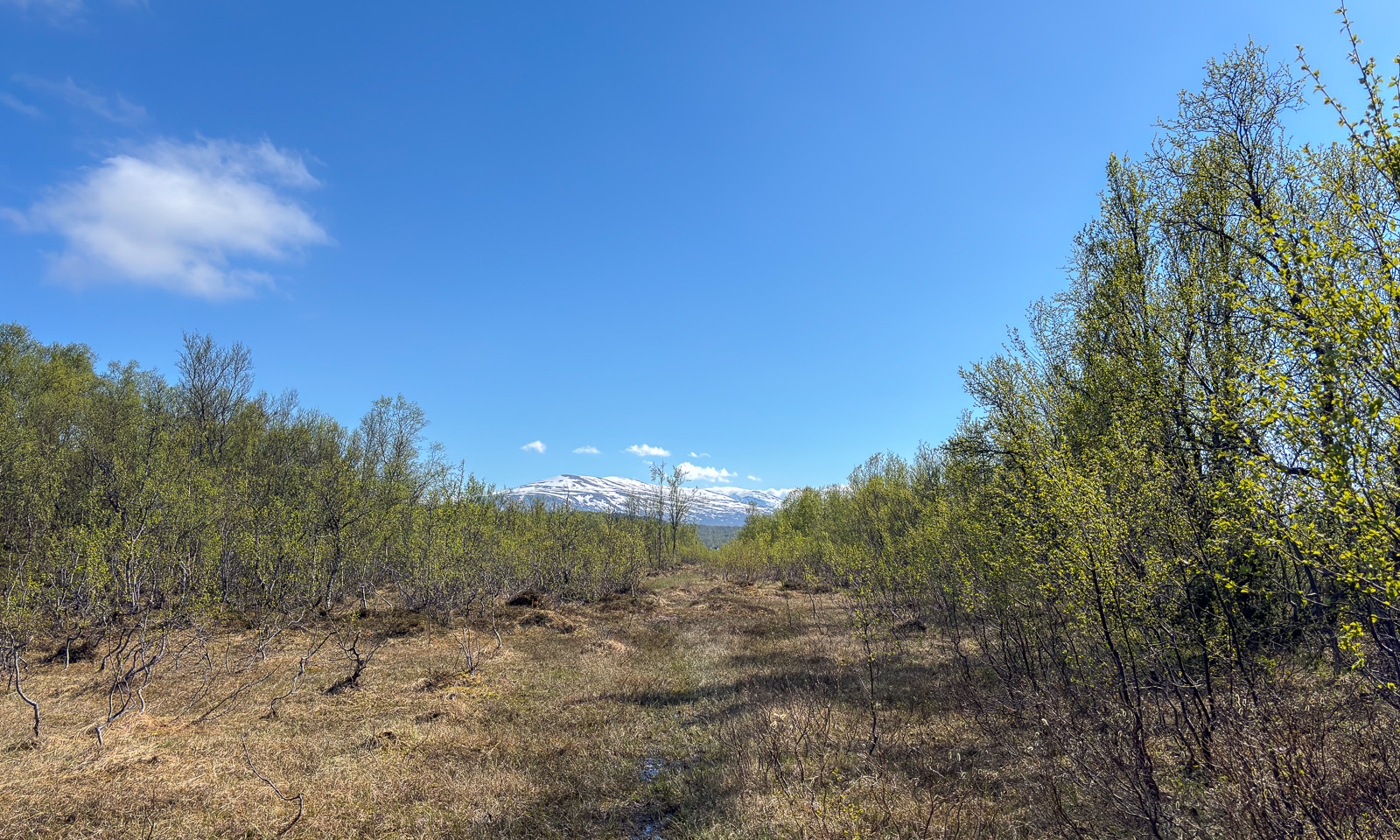
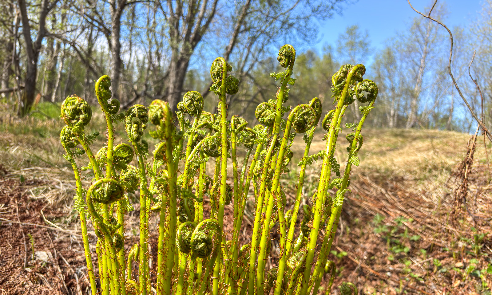
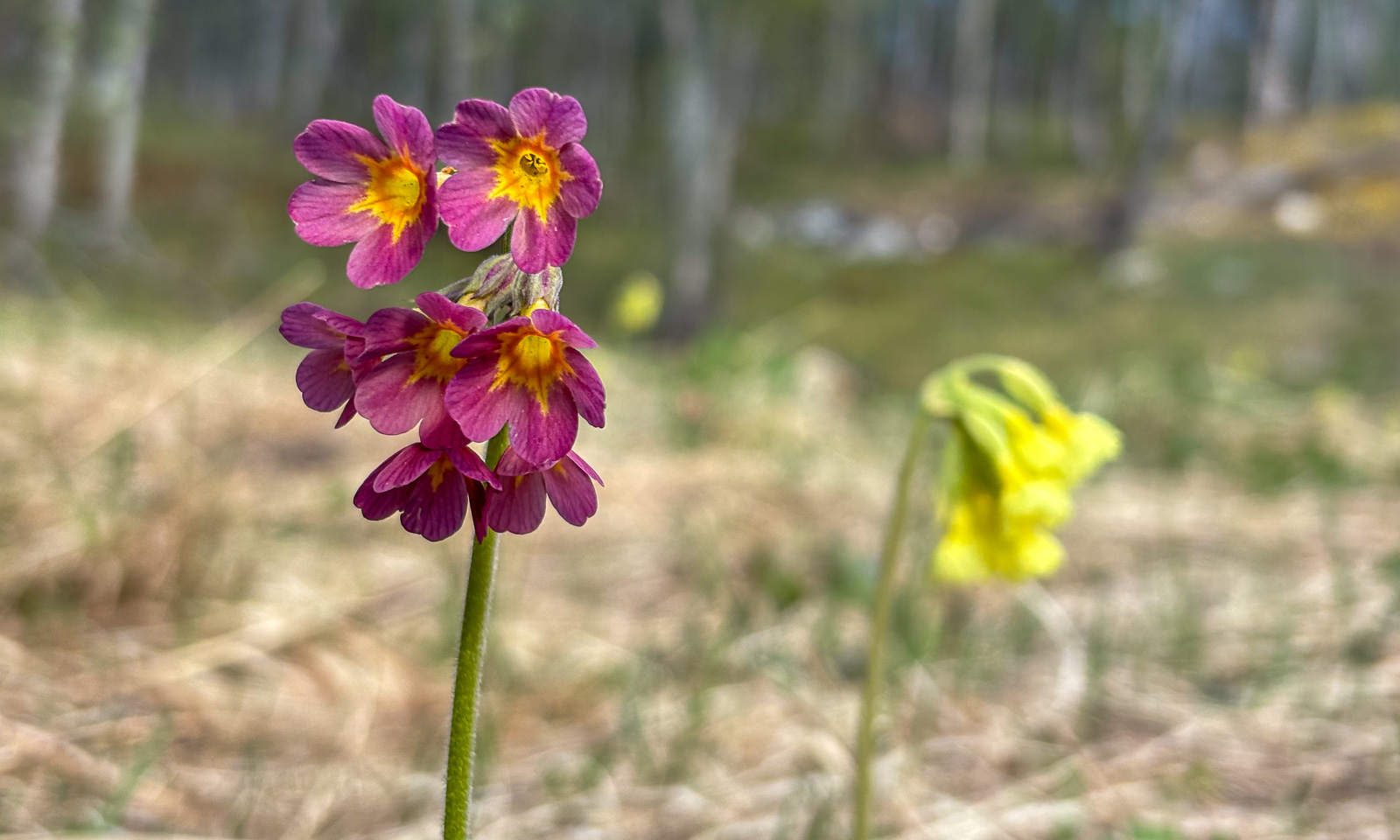
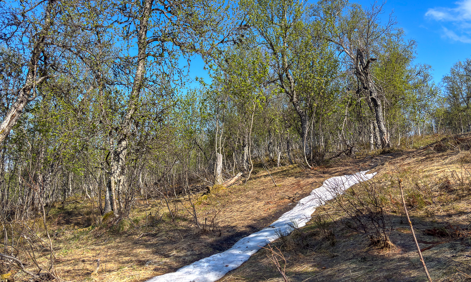
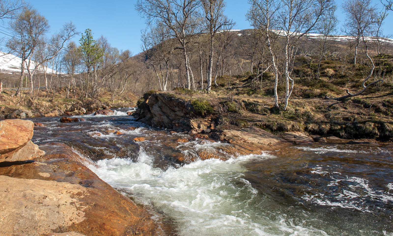
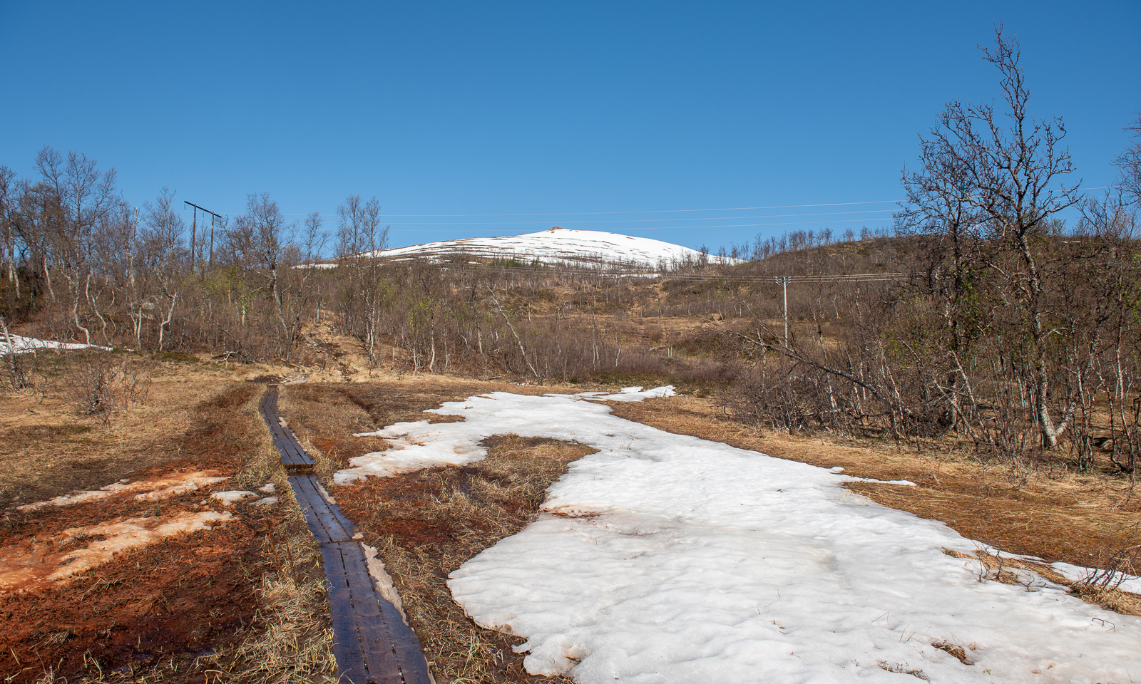
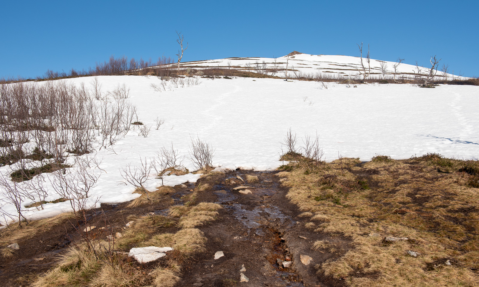
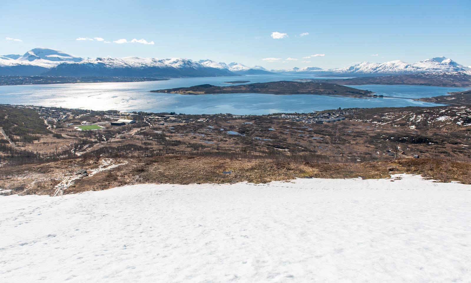
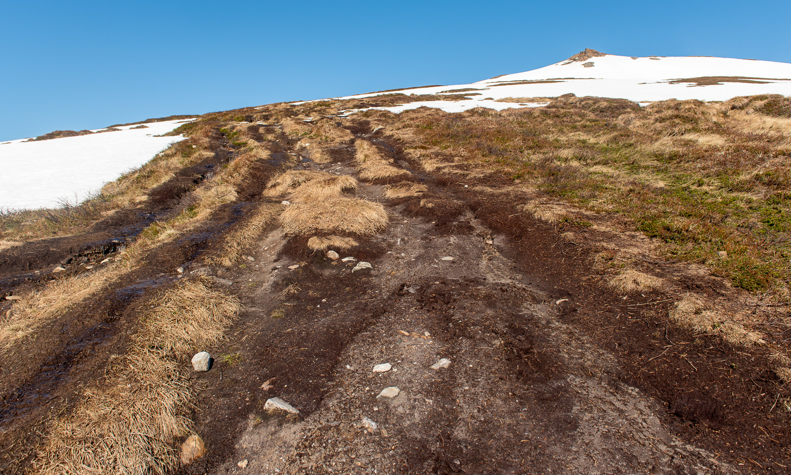
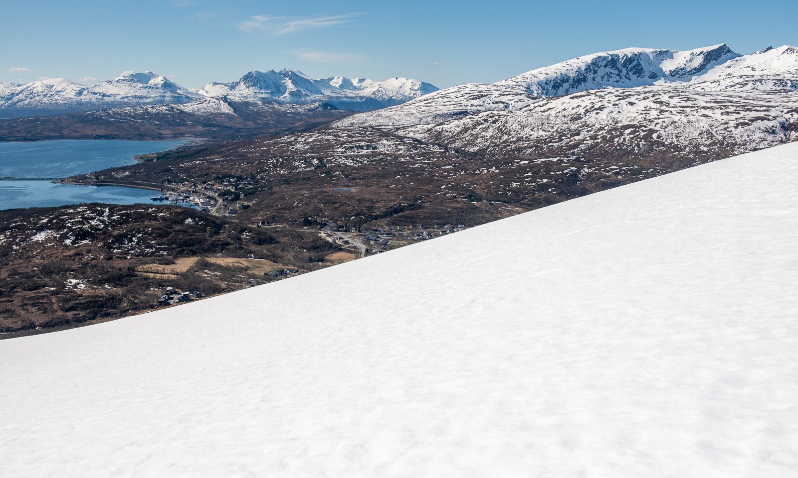
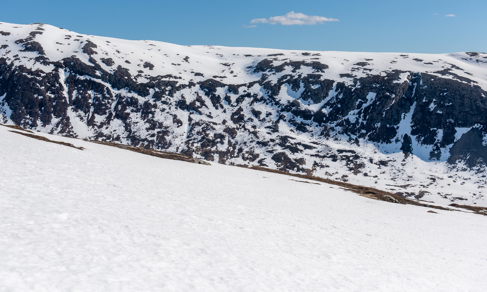
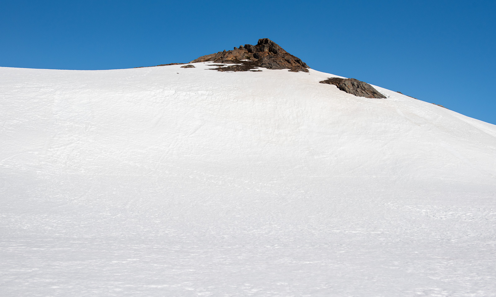
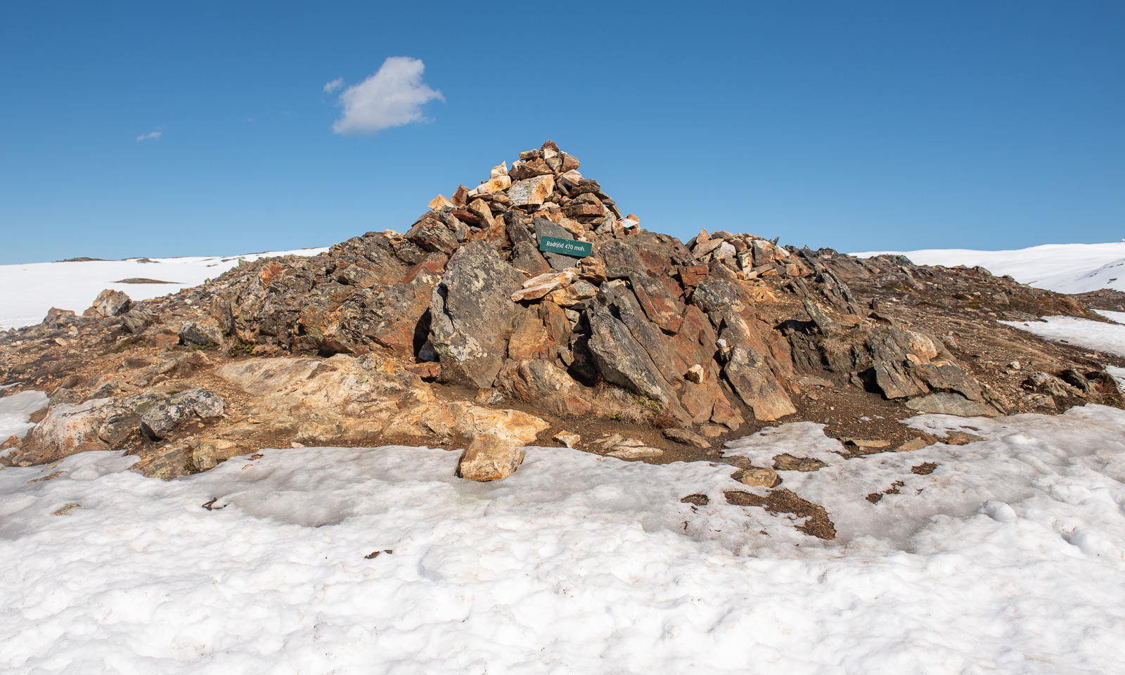
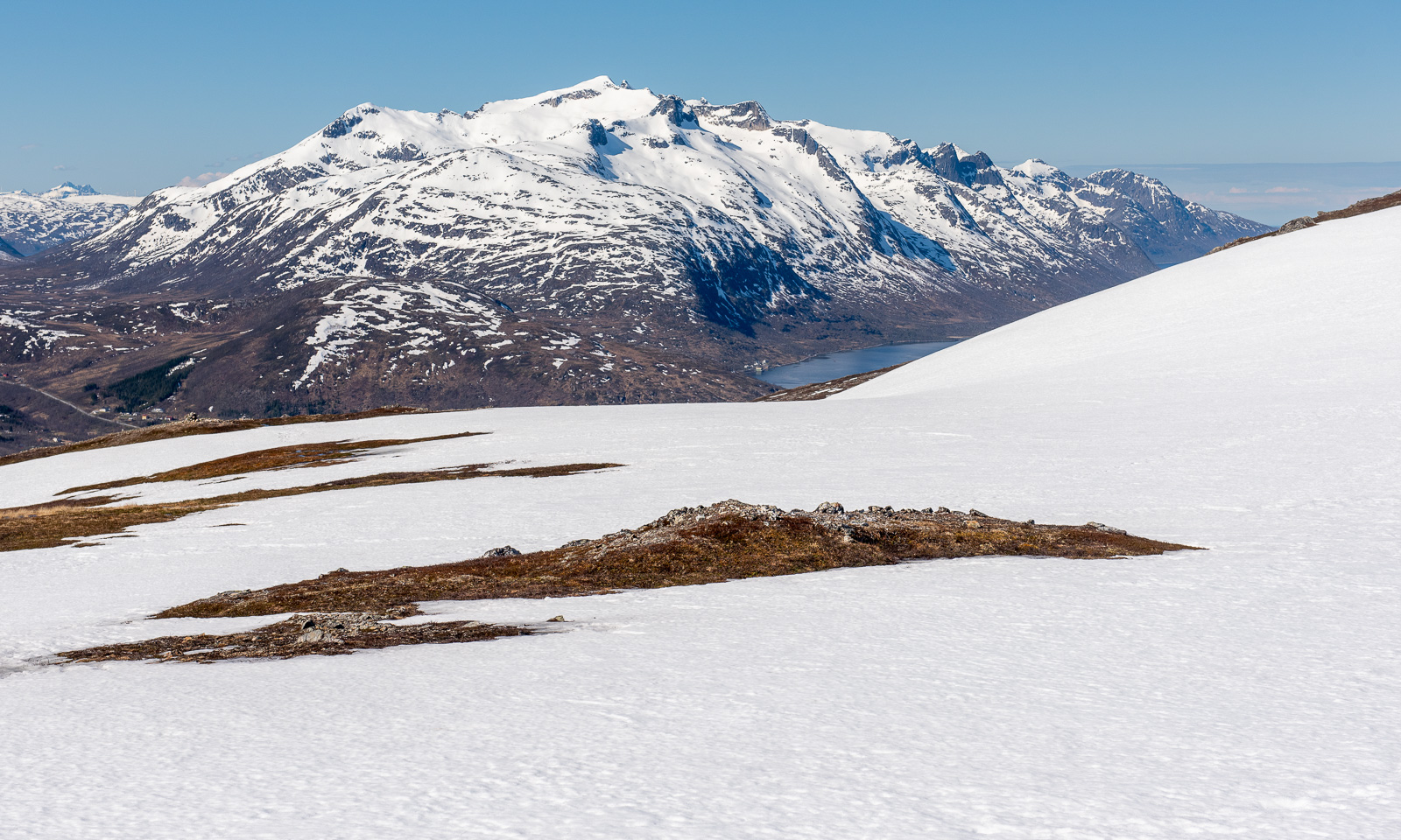
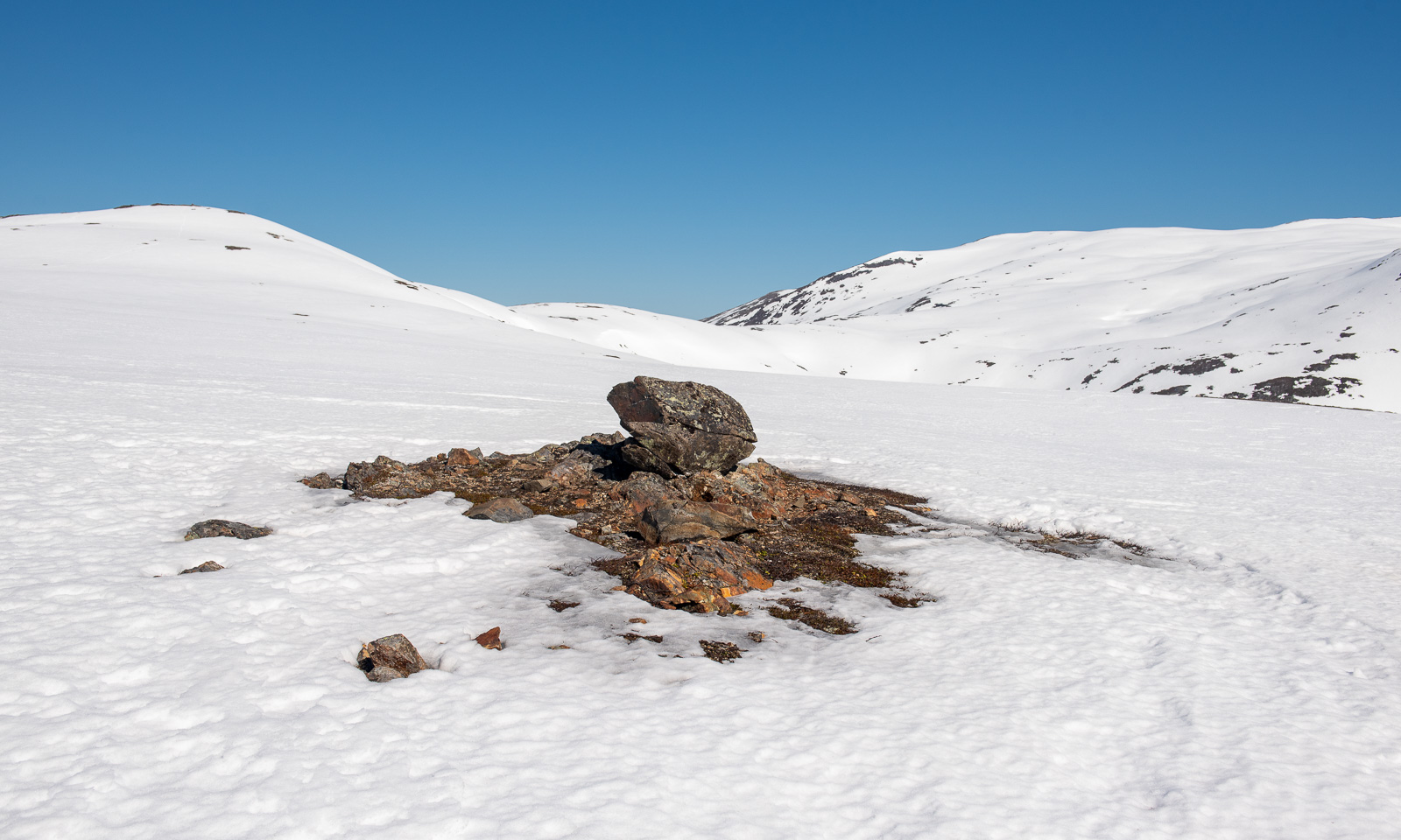
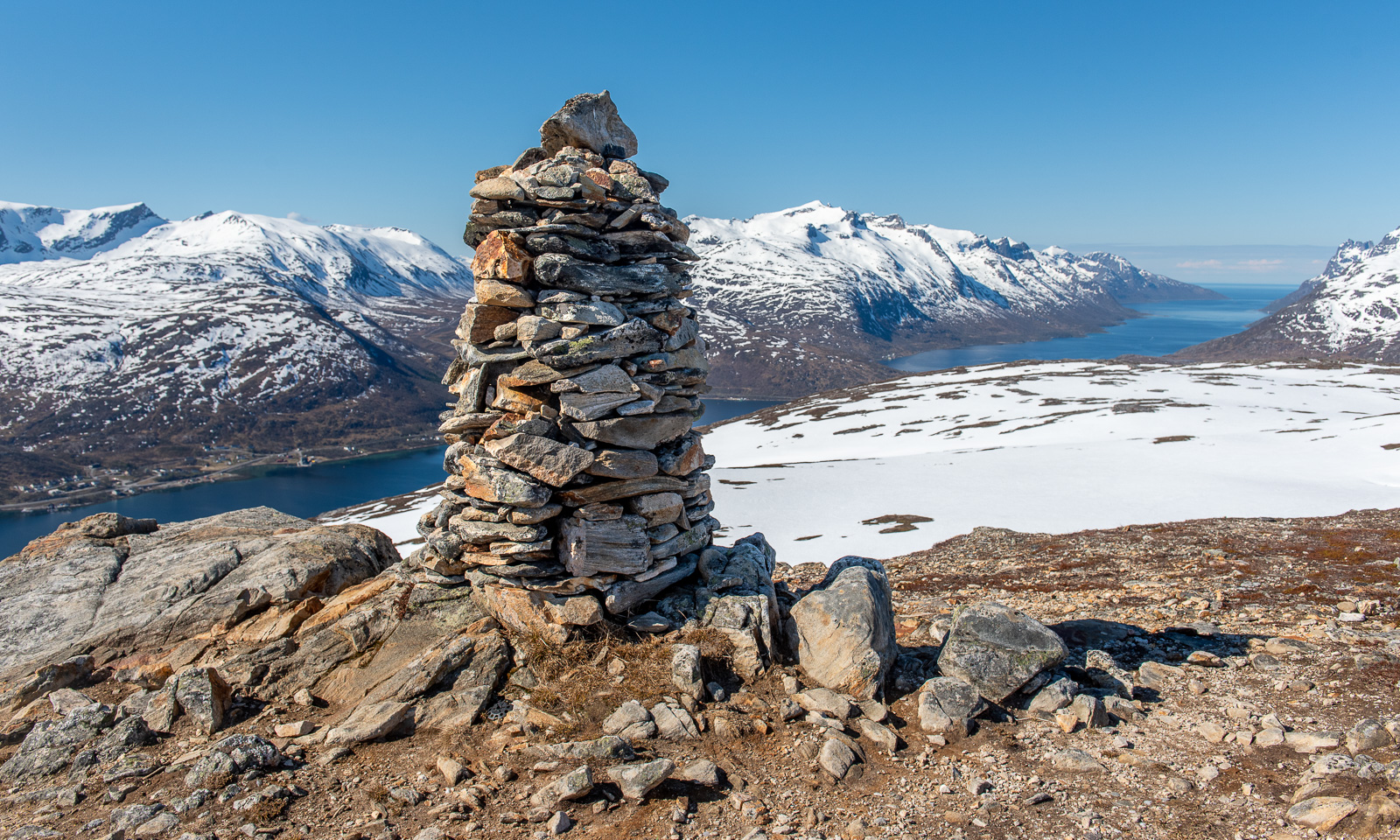
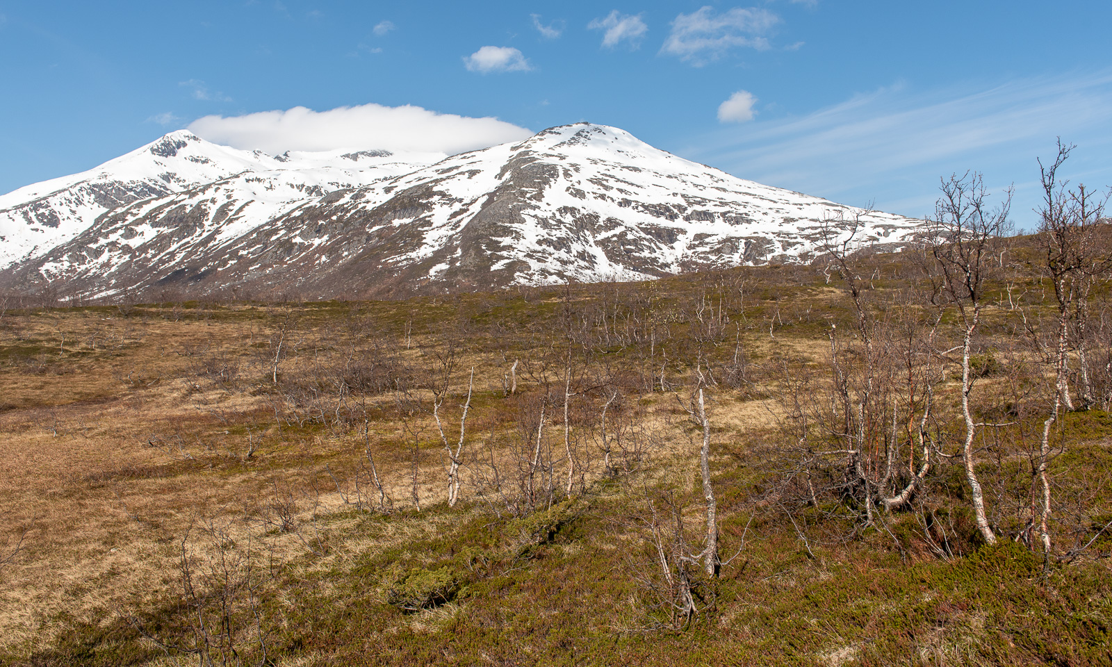
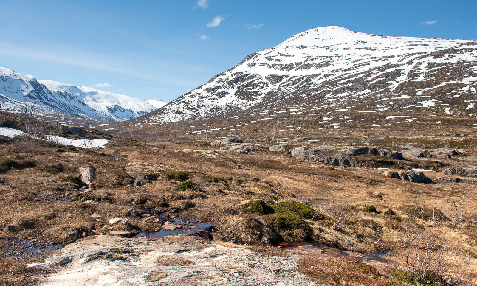
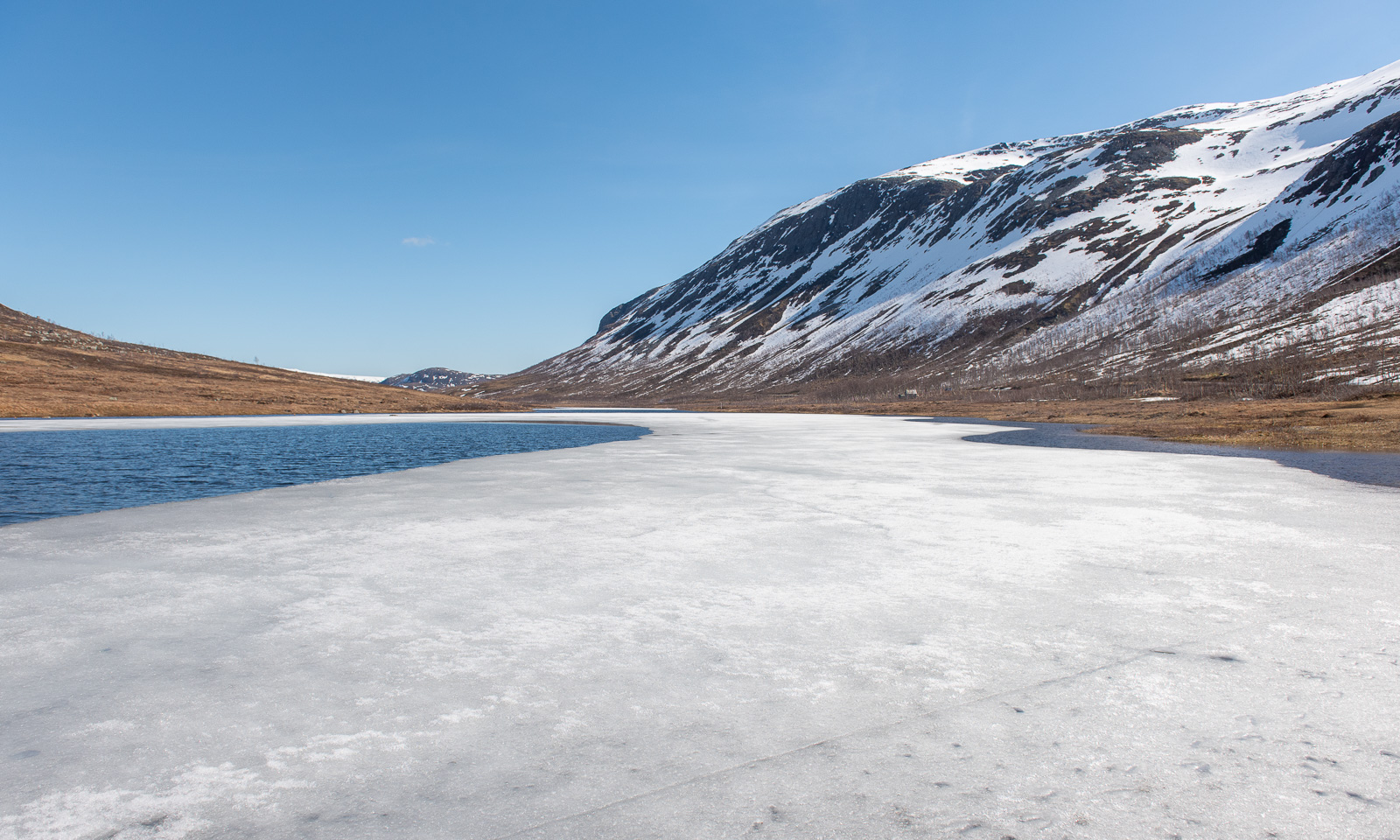
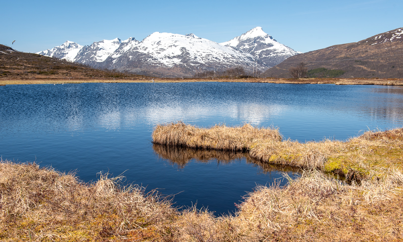
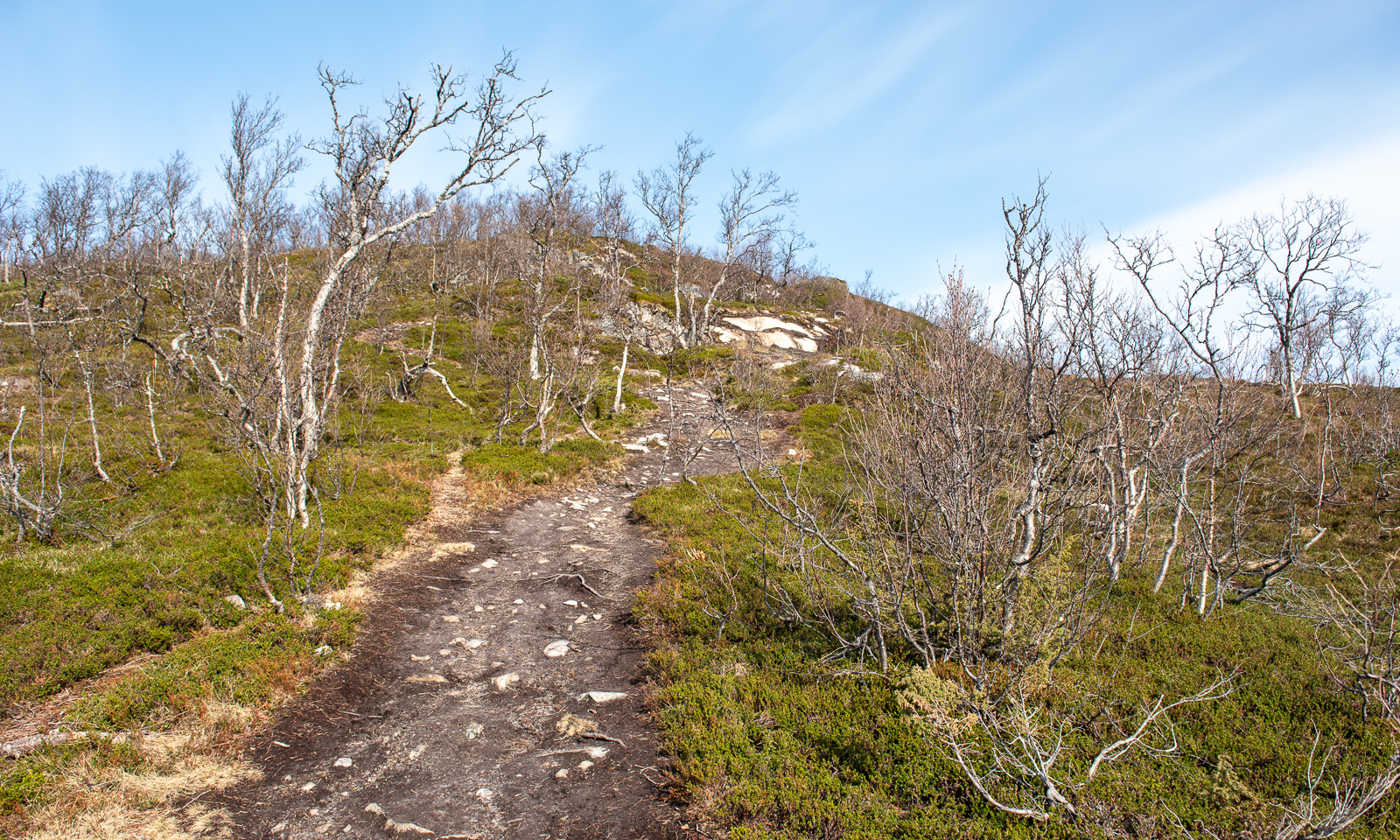
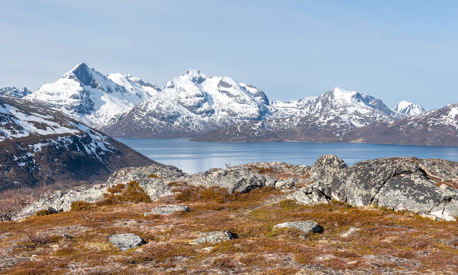
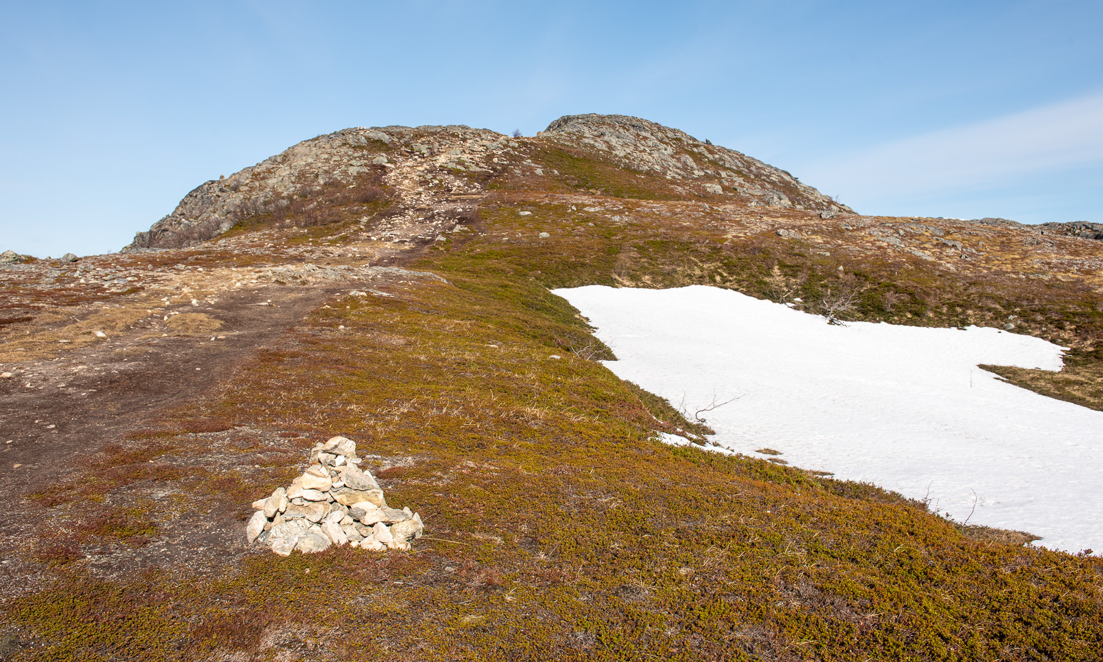
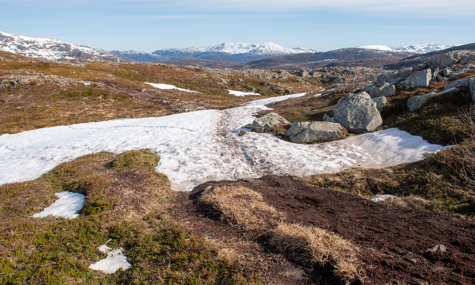
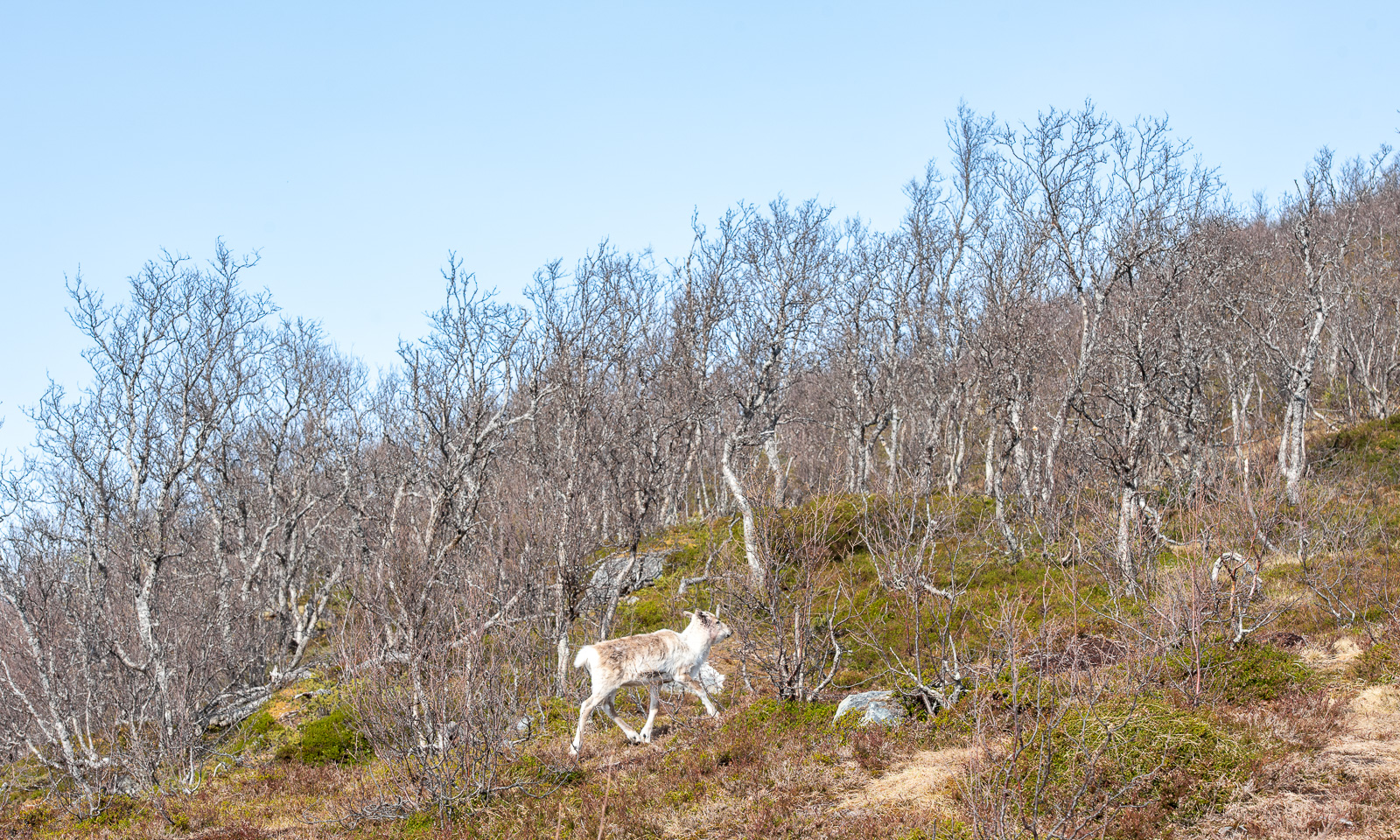
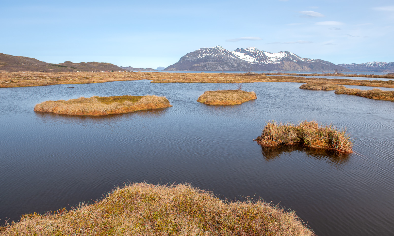
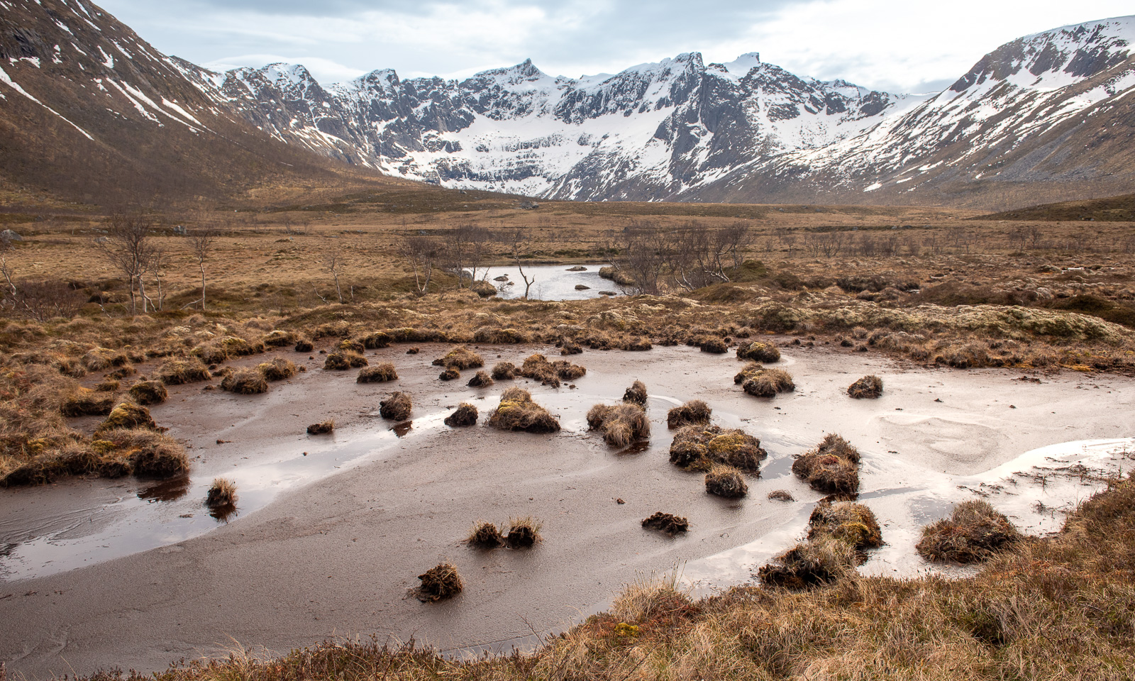
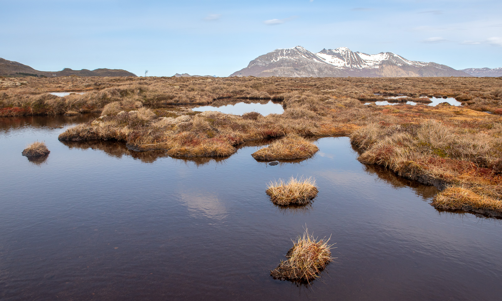
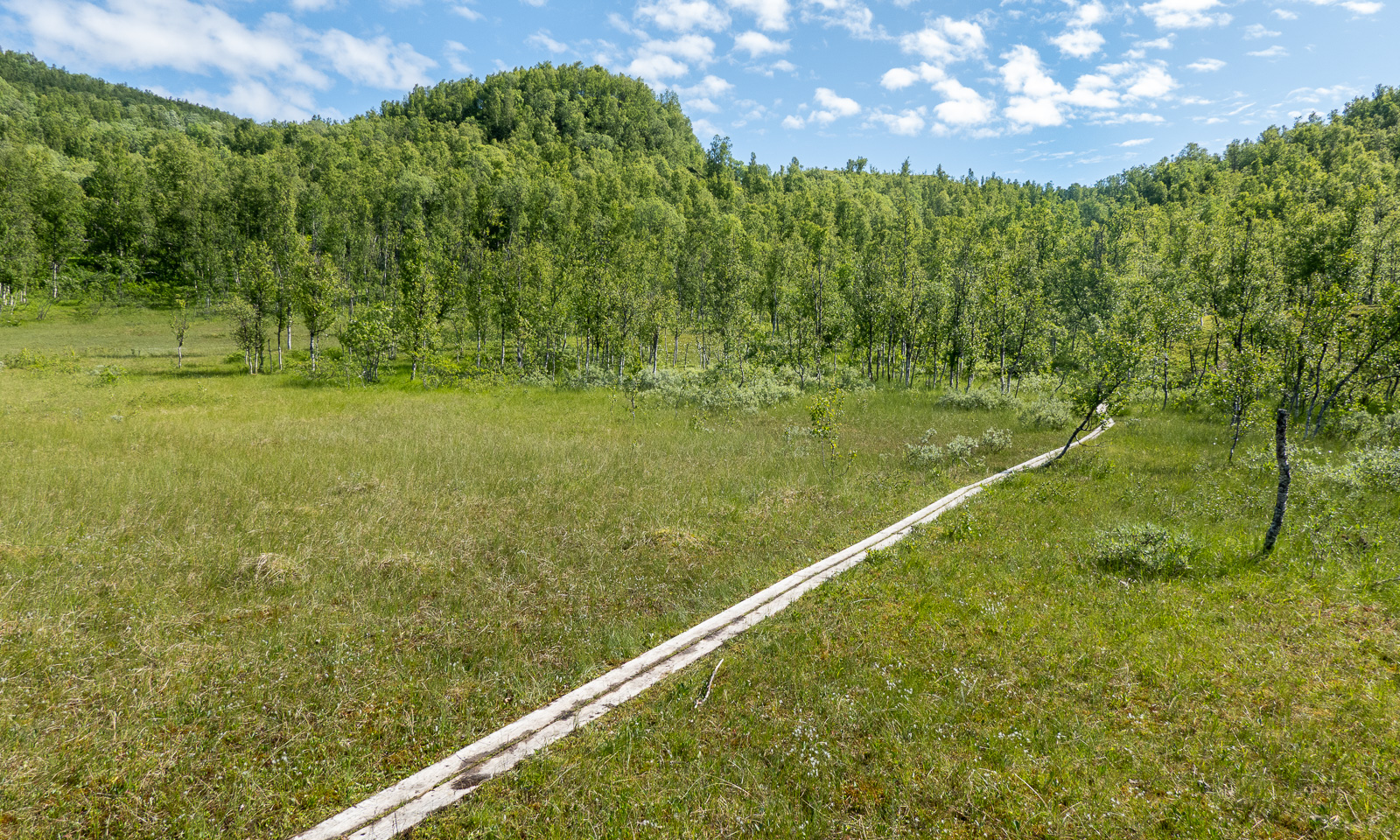
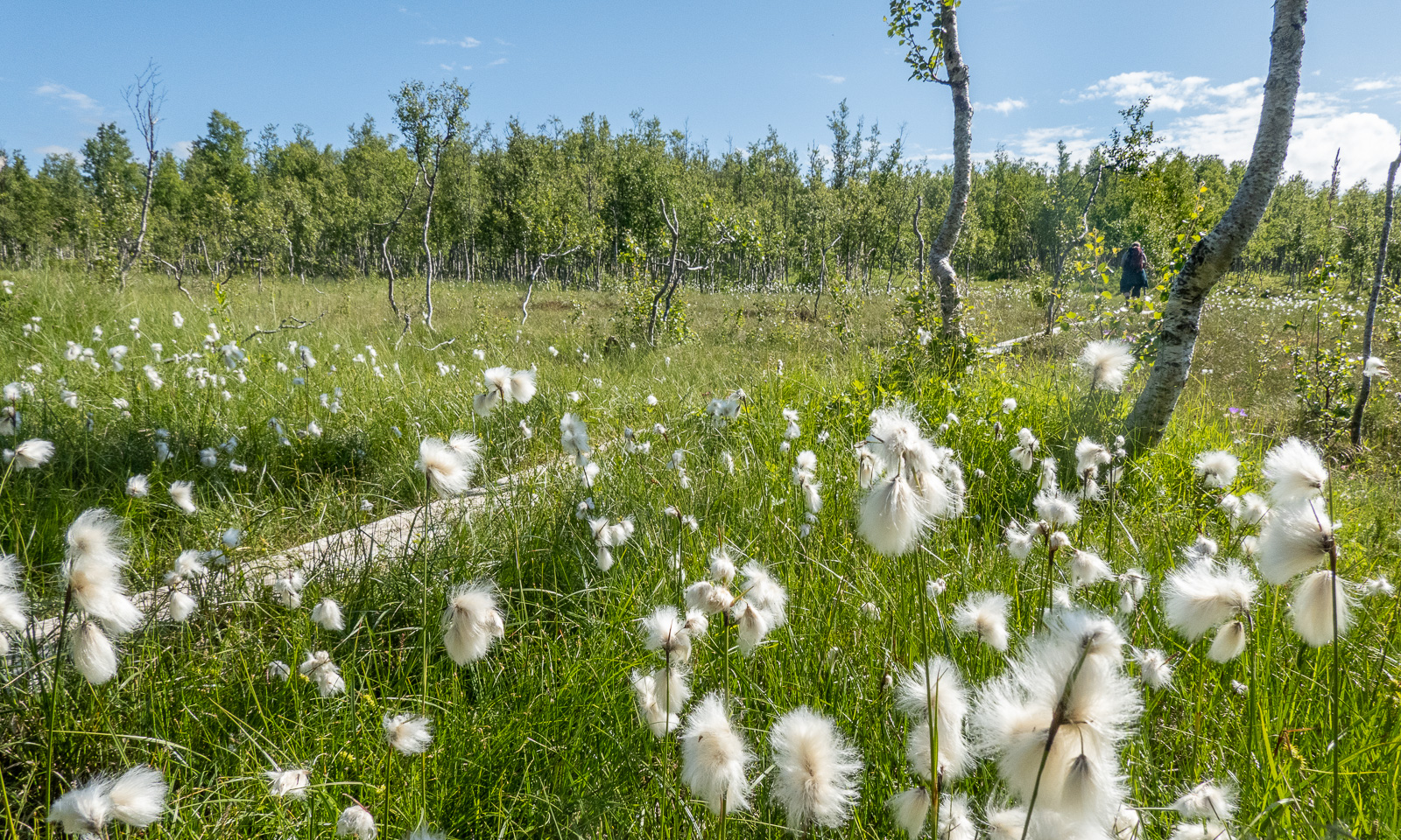
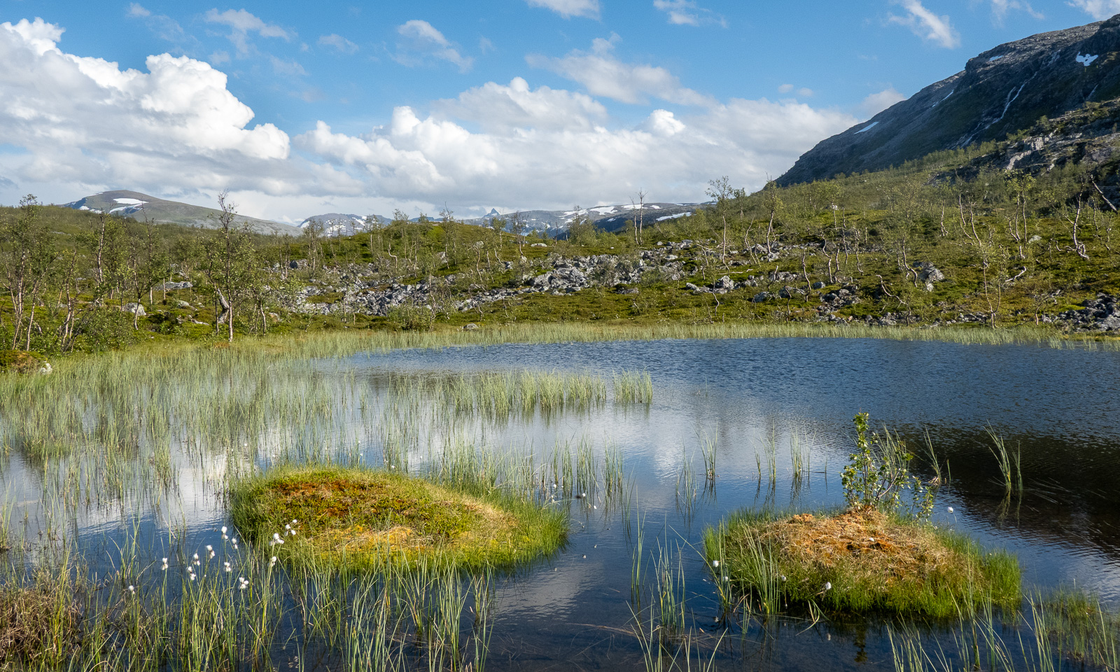
Then the road turns into a marked hiking trail. It leads through fern thickets and birch forests; it crosses grassy plateaus and bogs with cotton grass.


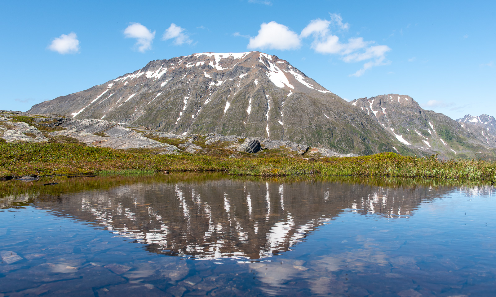
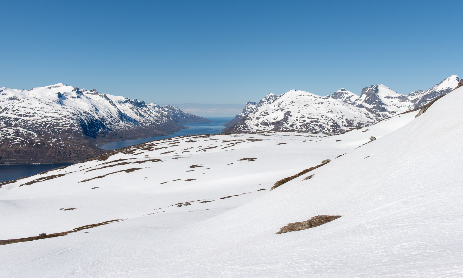
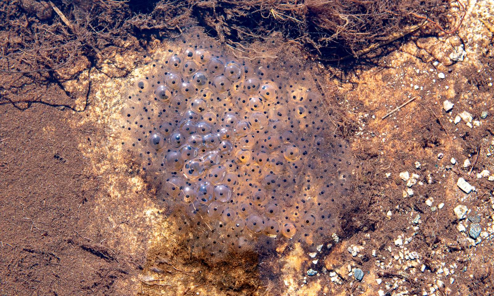
It is perfect hiking weather. The air is not too warm, but the sun is quite strong and we are glad about the occasional wind cooling us down. There are hardly any mosquitoes, but plenty of flies seem to fall in love with us and follow us everywhere.
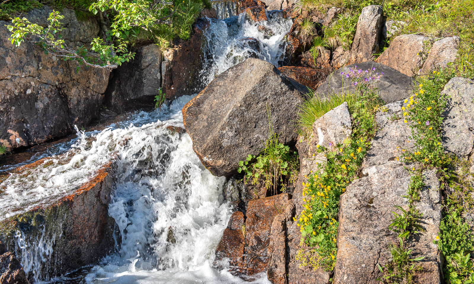
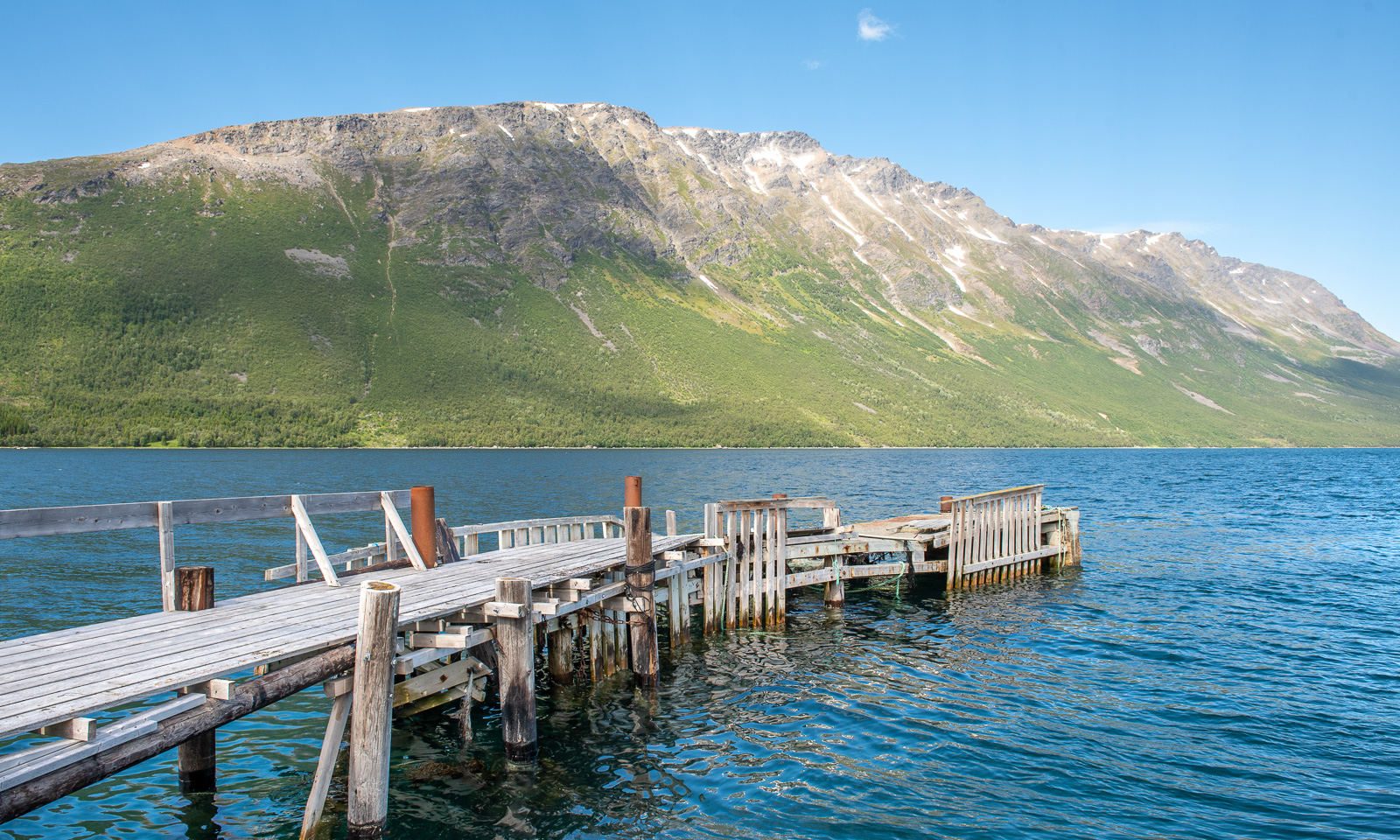
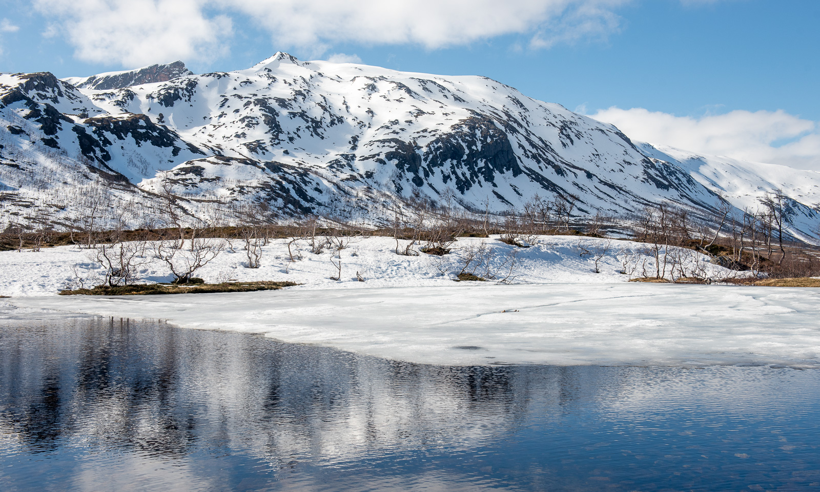
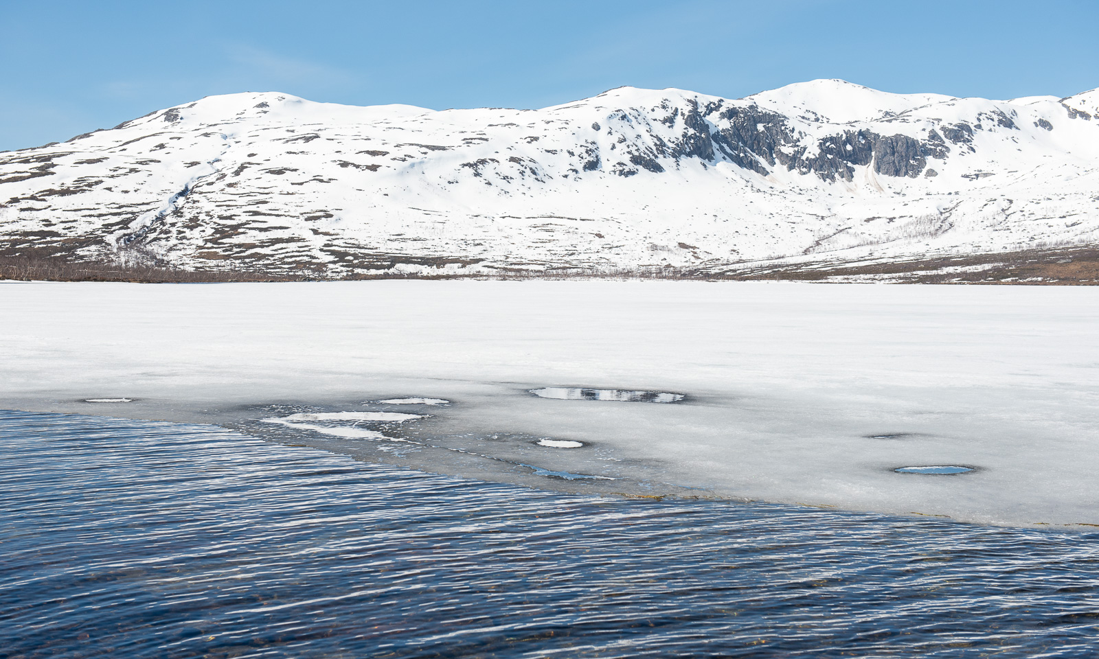
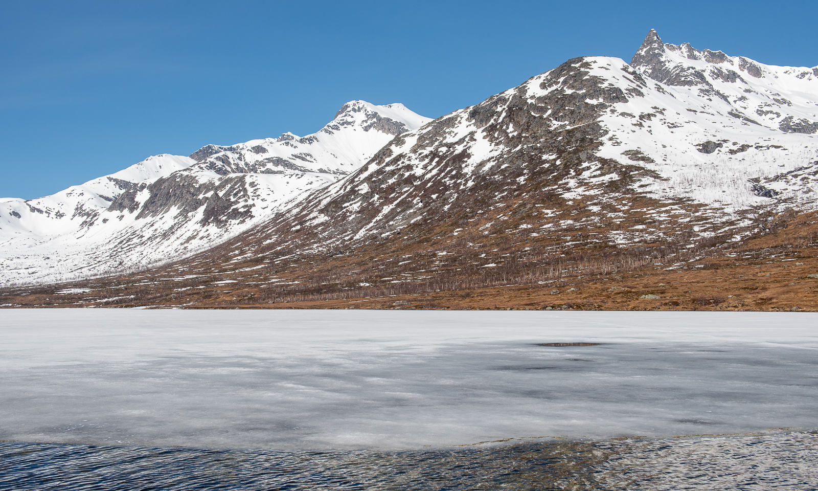
Below the cabin we use the bridge to cross the river Goahtevuomieatnu/Tønsvikelva. We were here in August 2024 and took a bath; now the river carries a lot more water.

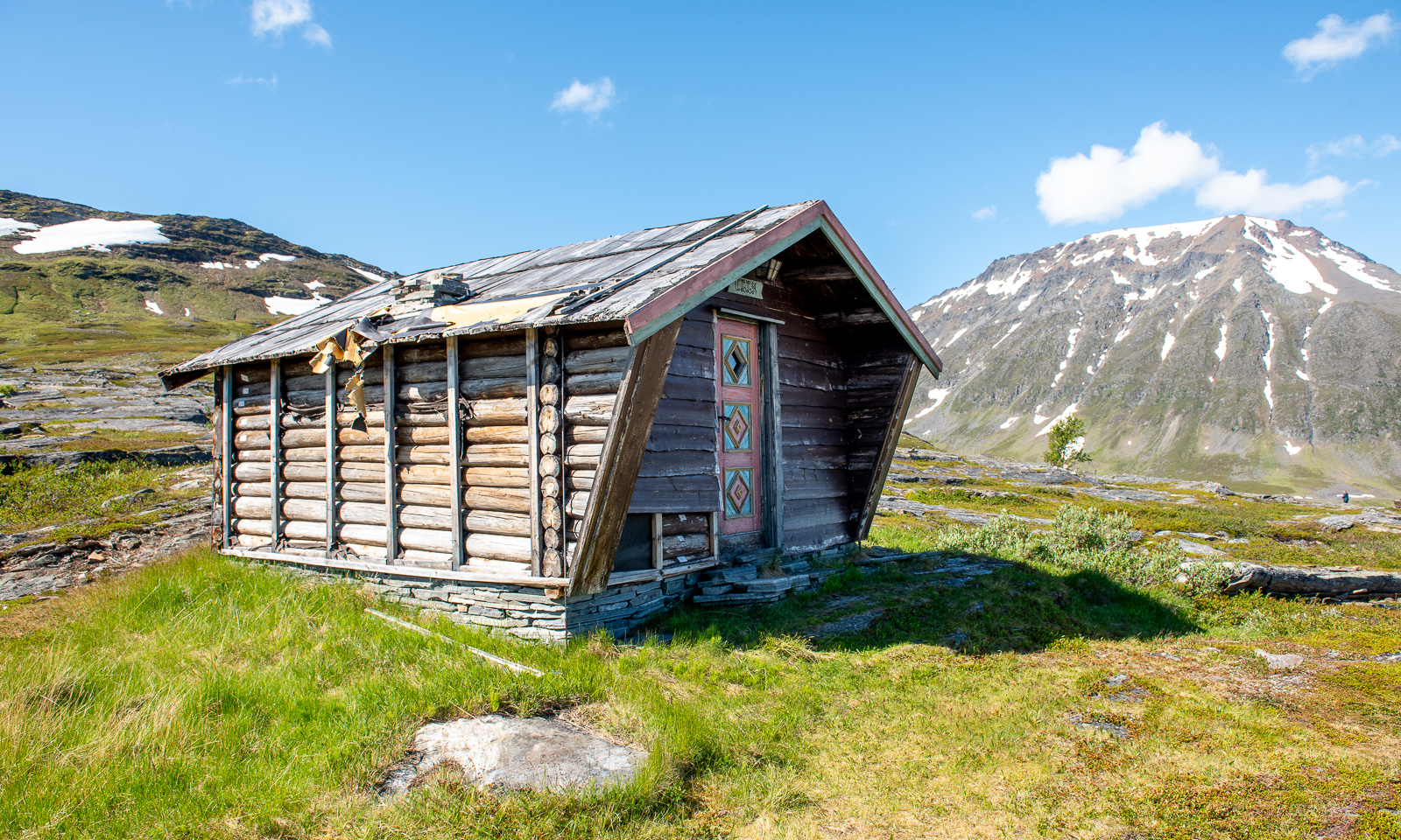
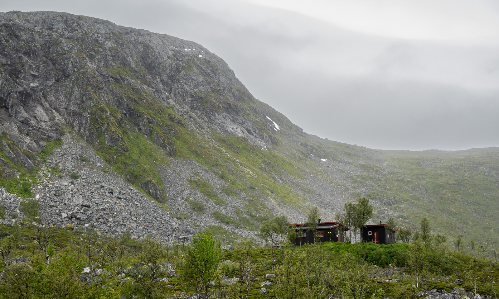
Then we arrive at the cabin. It is locked and we use the key provided by DNT (Den Norske Turistforening) to enter. We have booked two beds in Room 2.


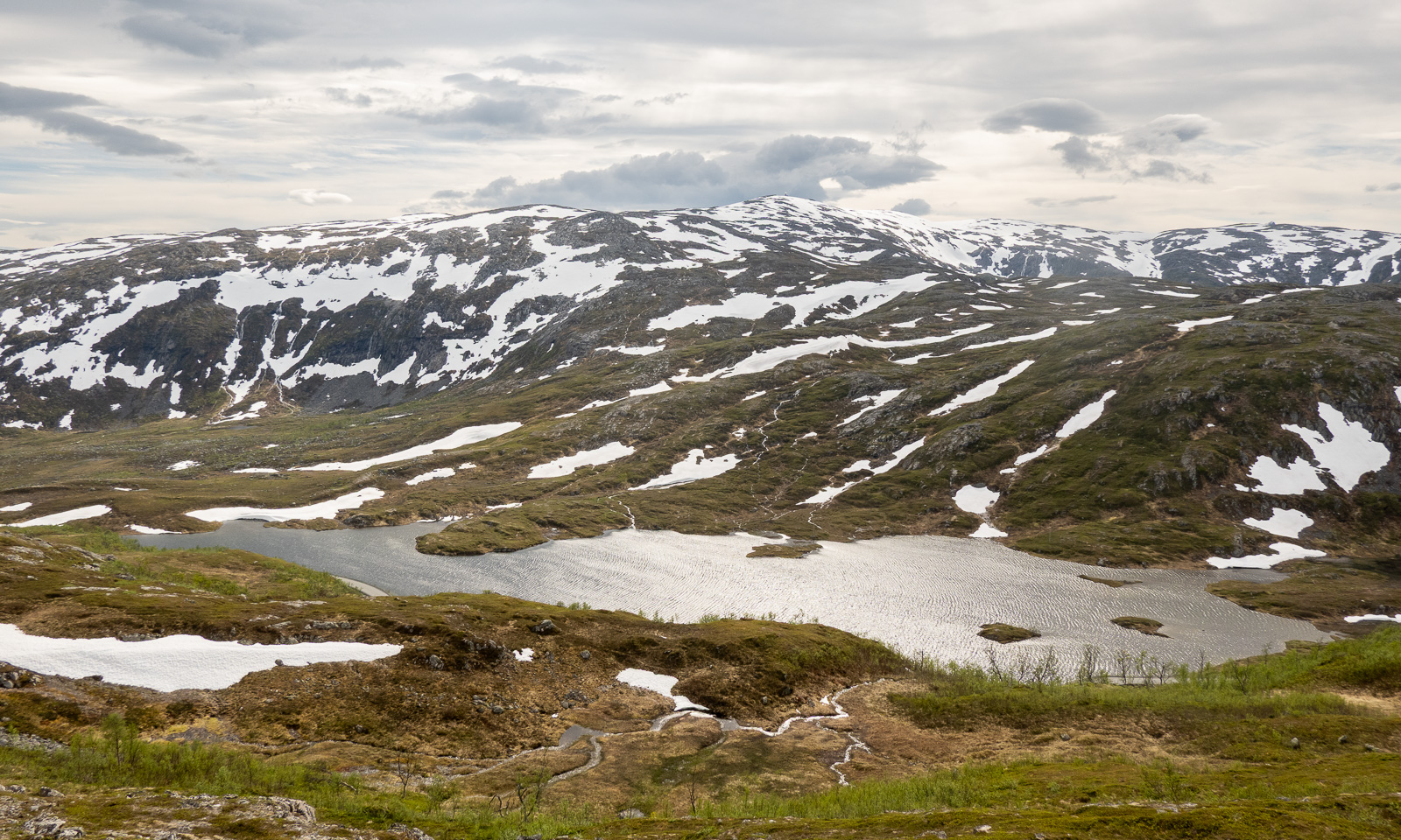
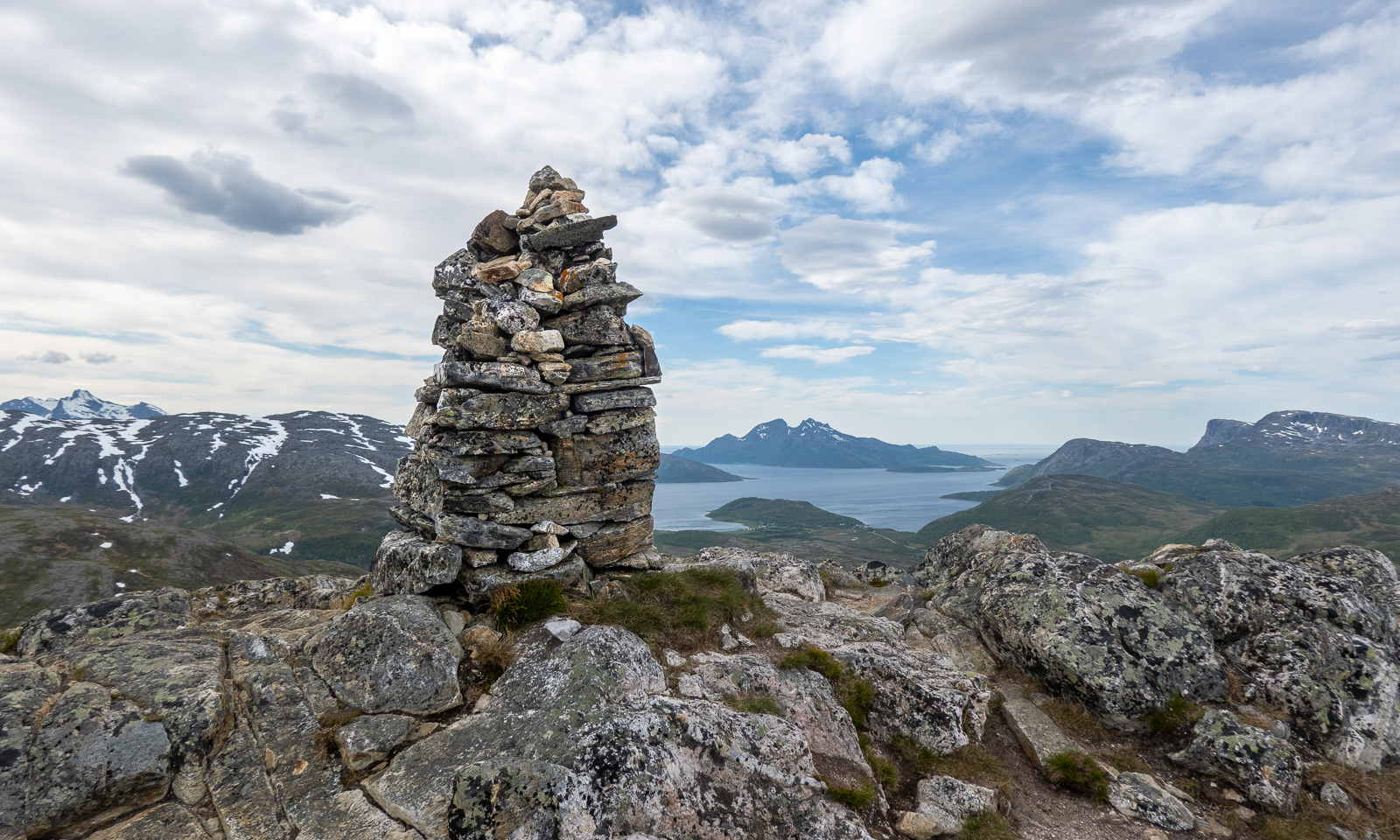
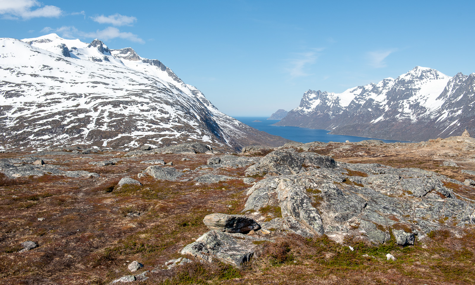
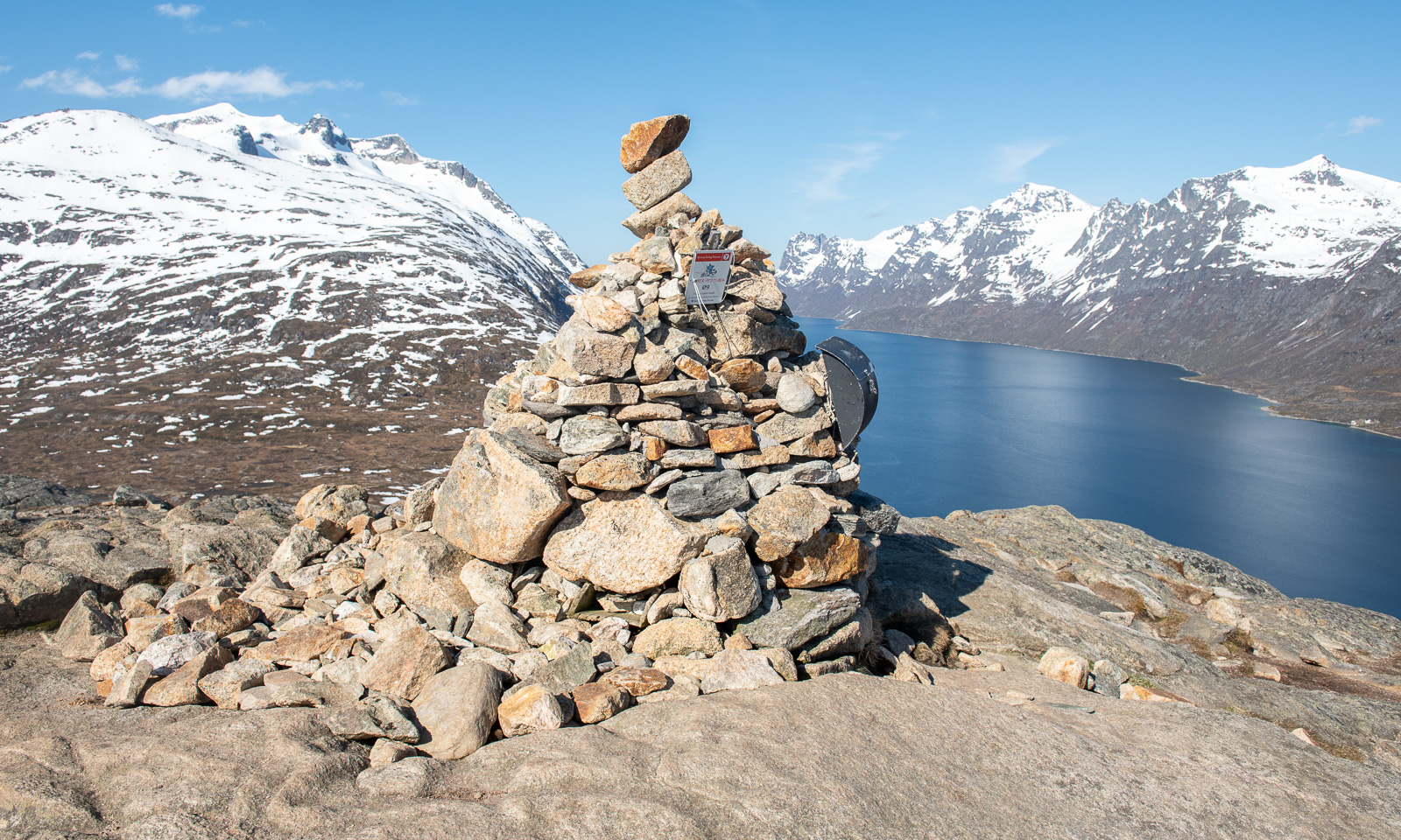
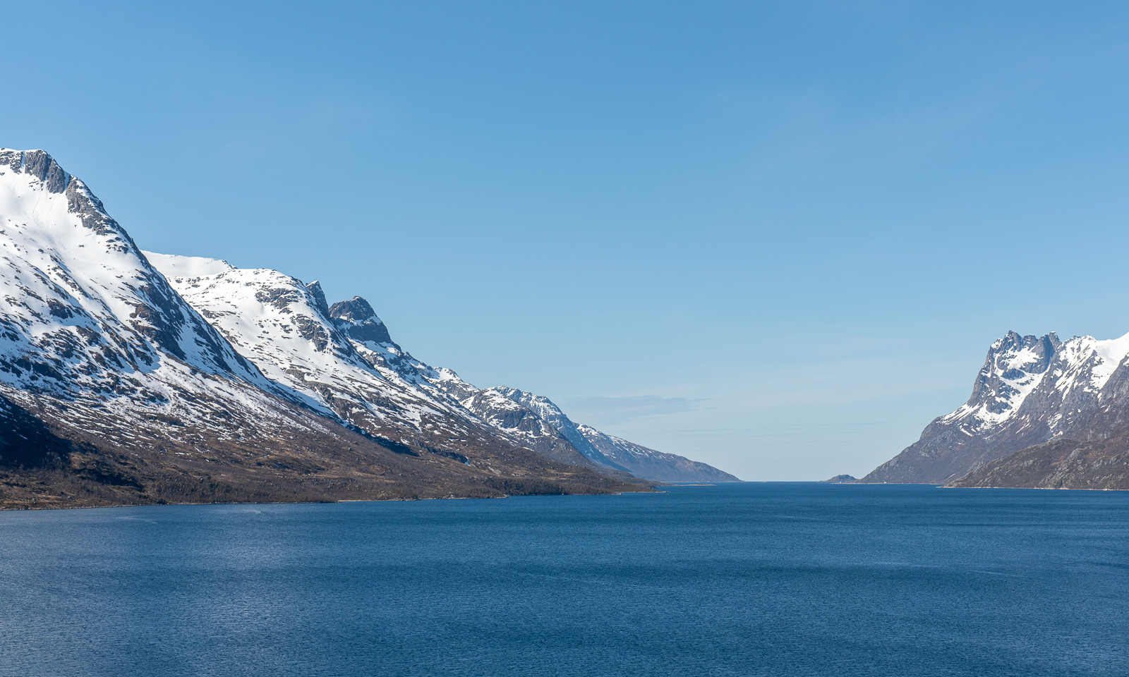
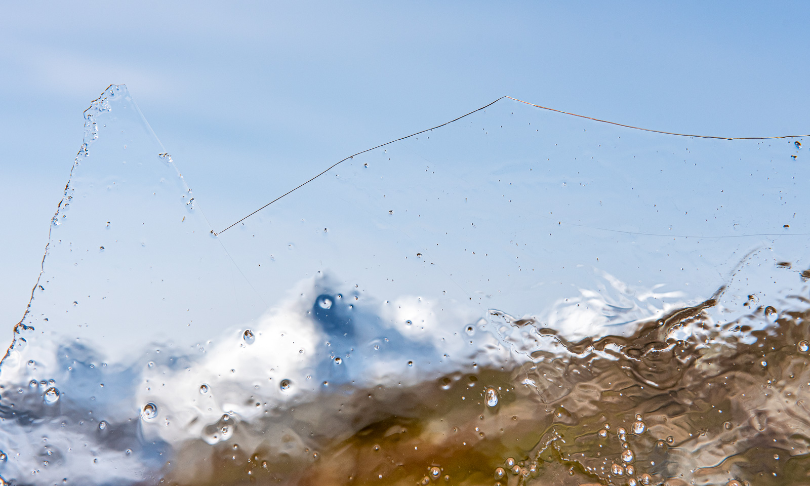
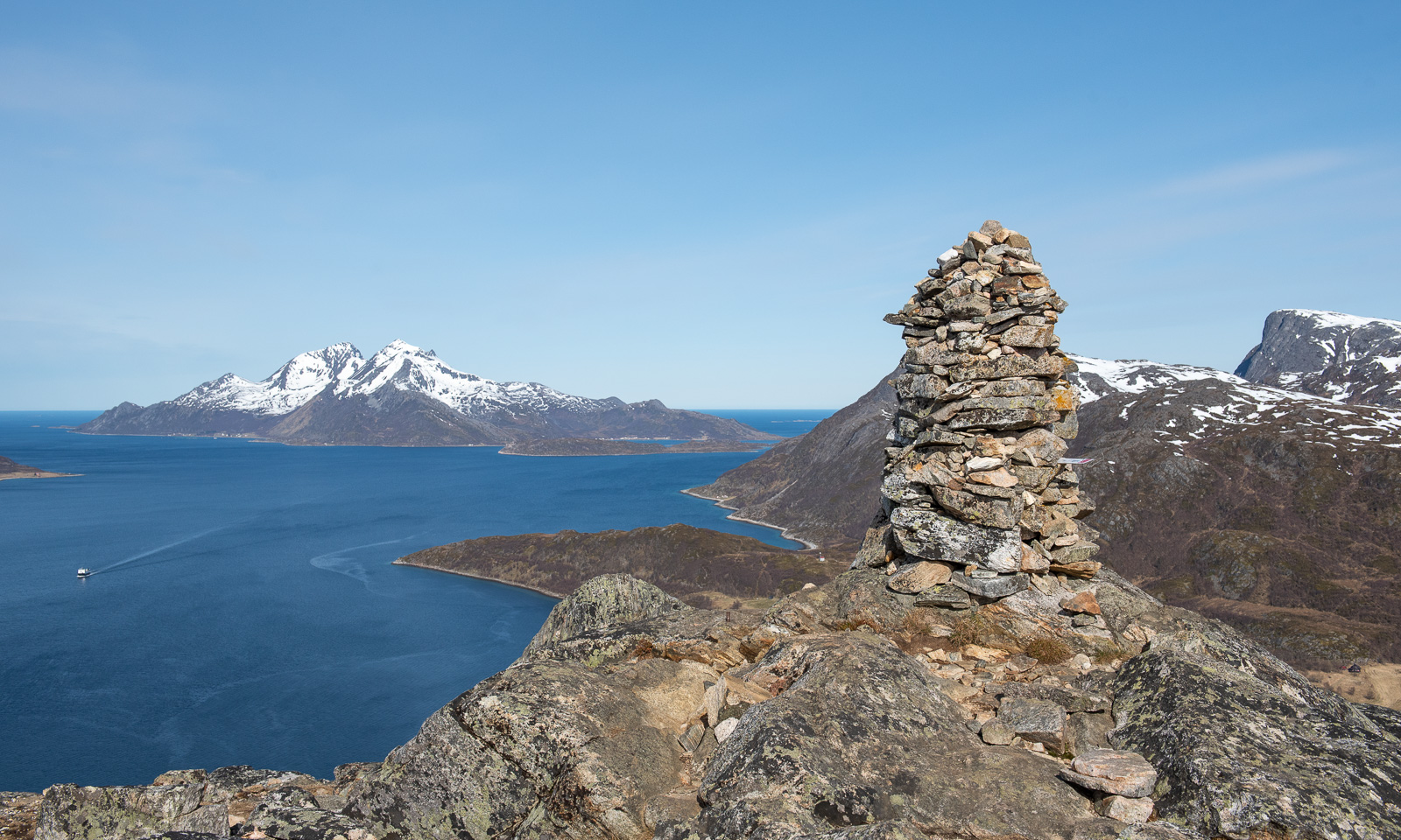
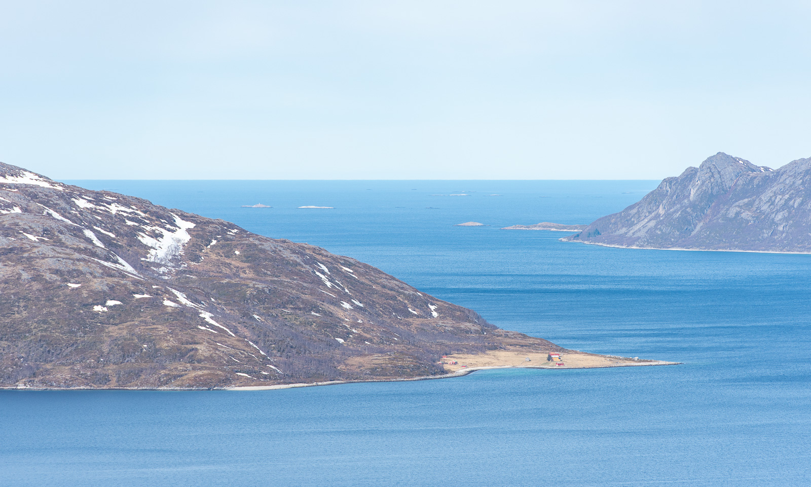
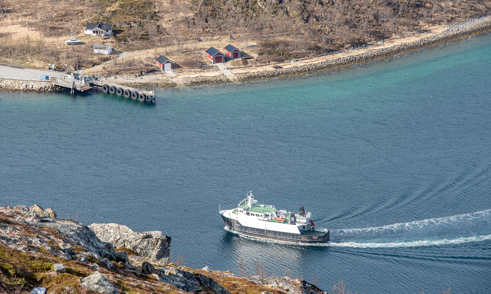
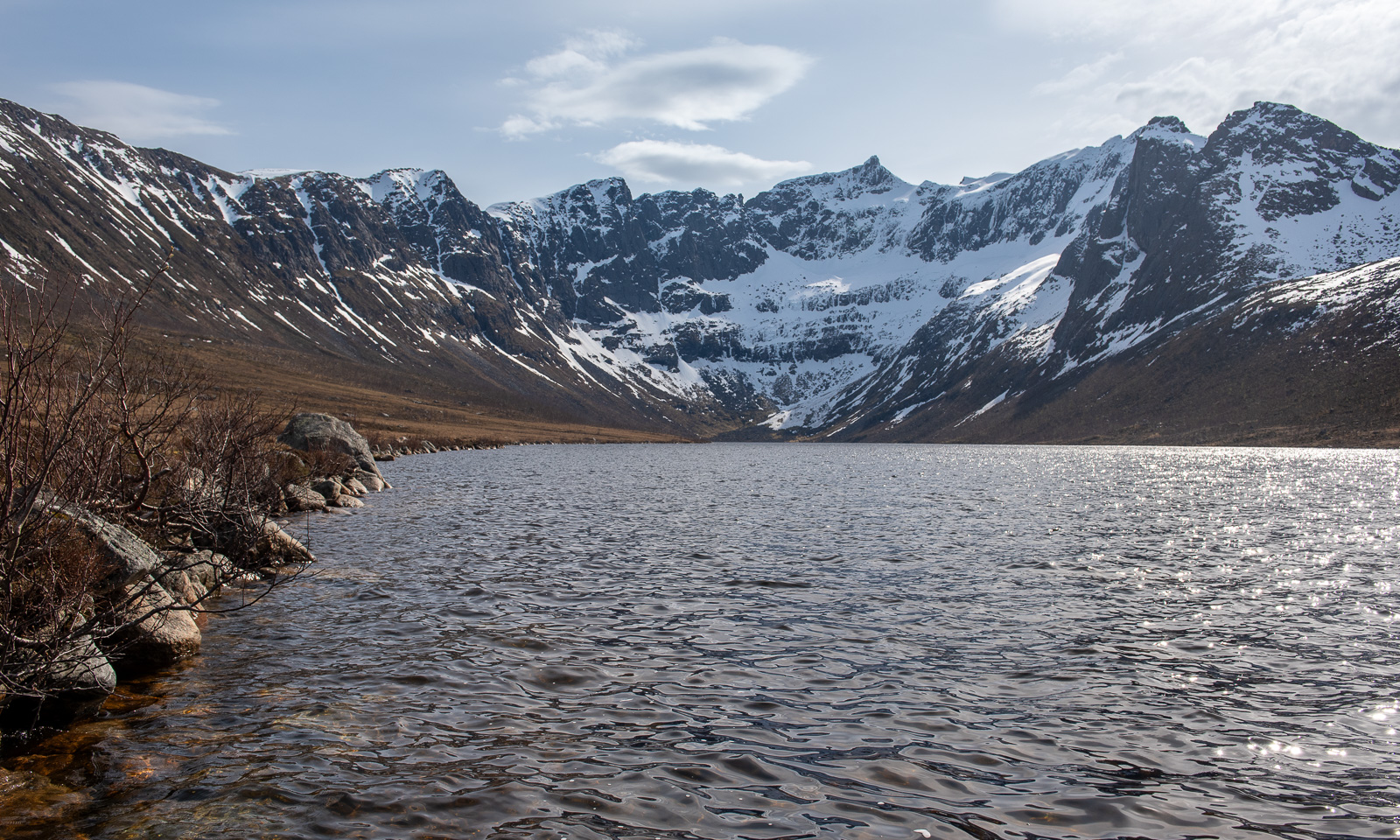
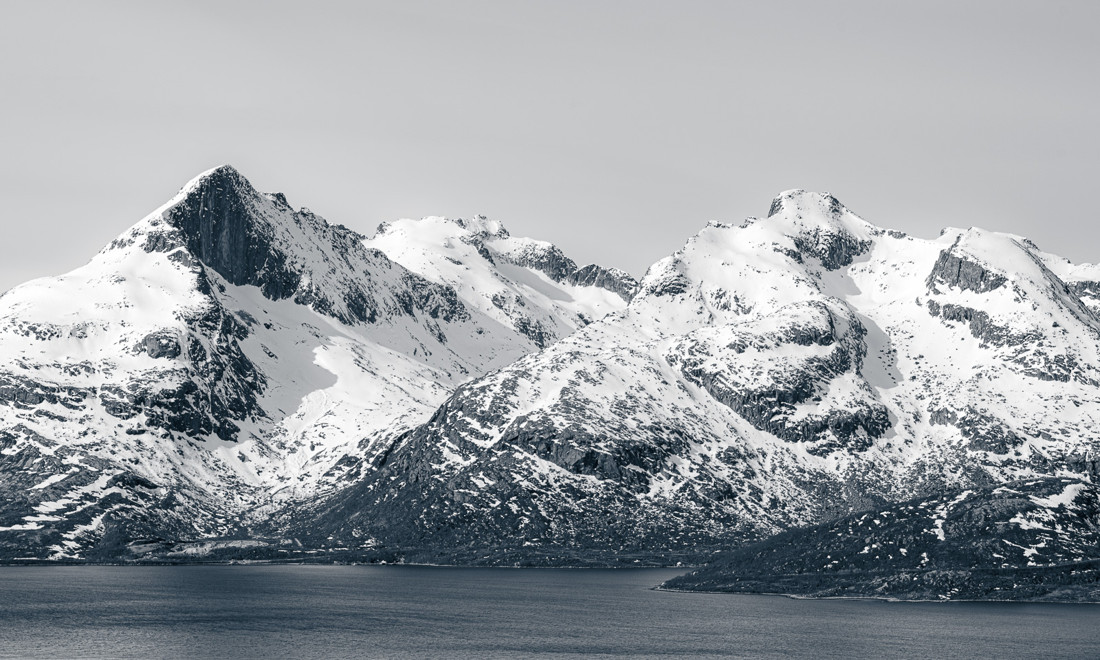
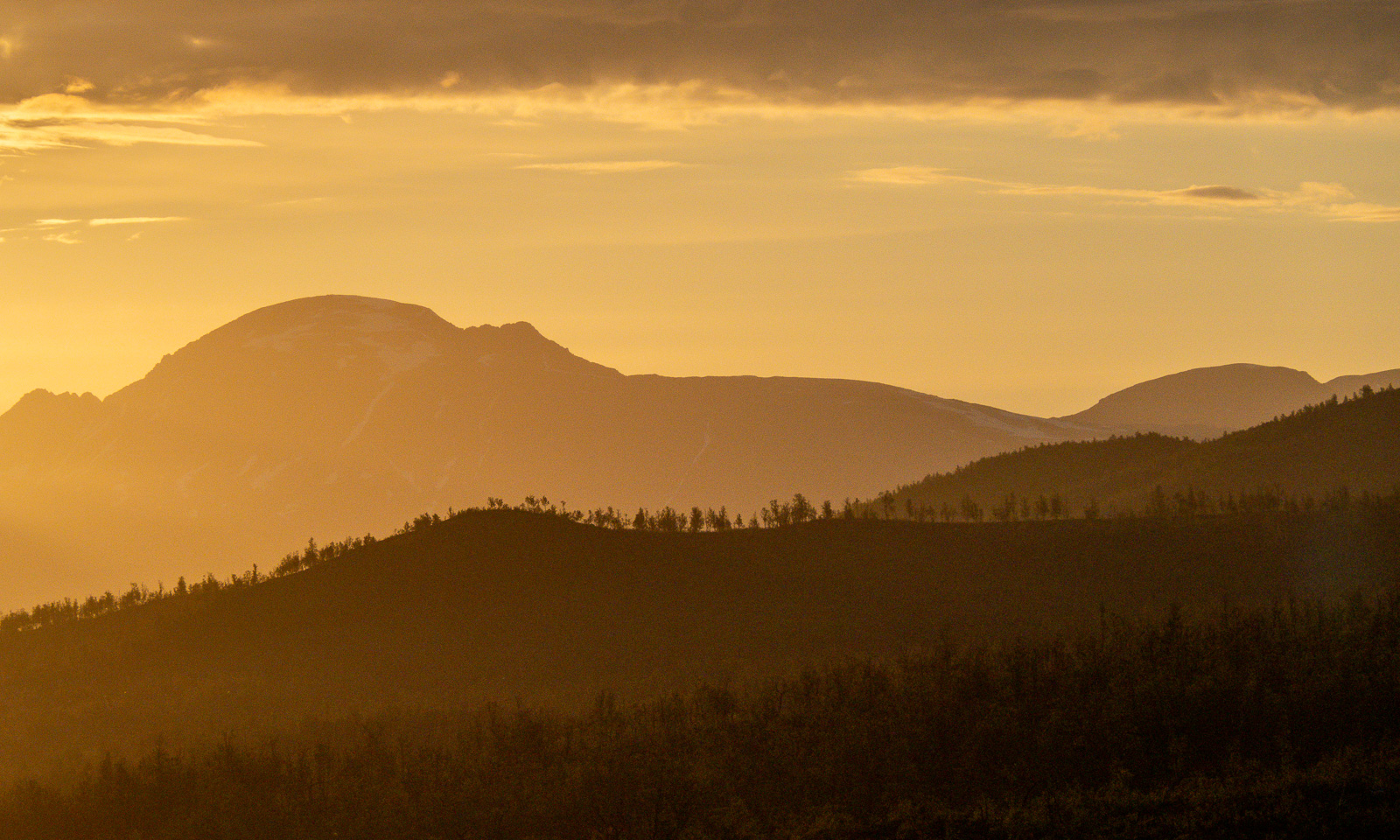
I go outside several times to take photos, while the sun is slowly sinking lower and lower. It is still polar day in Tromsø, so the sun won’t set. I sleep a bit but after midnight I am out again enjoying the beautiful scenery that is illuminated by the low sun in warm colours.


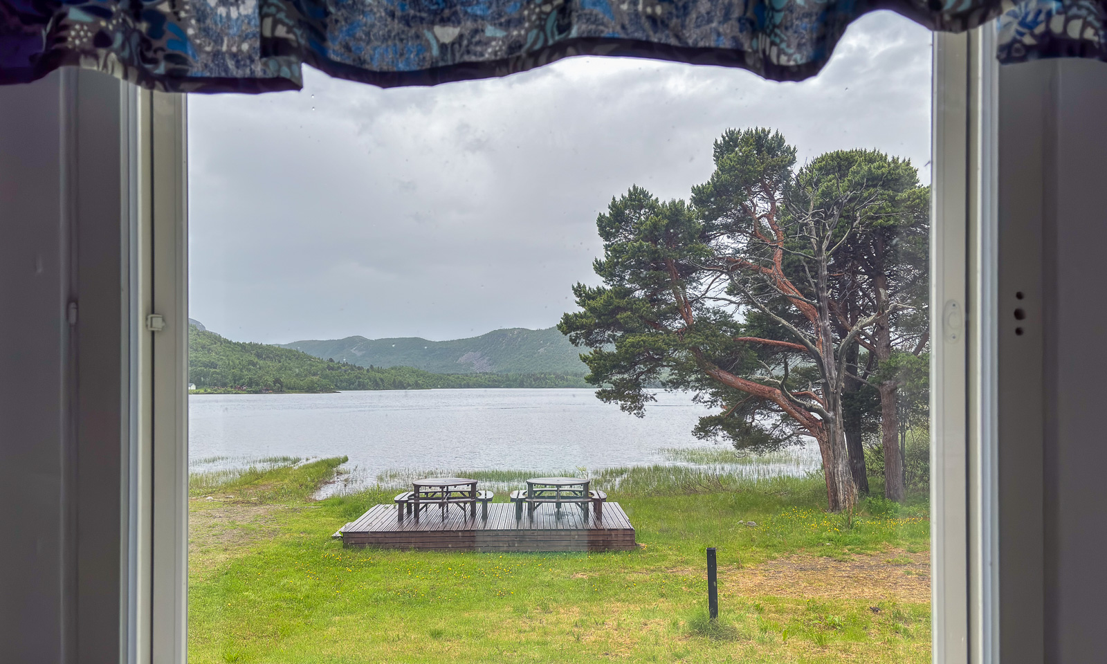
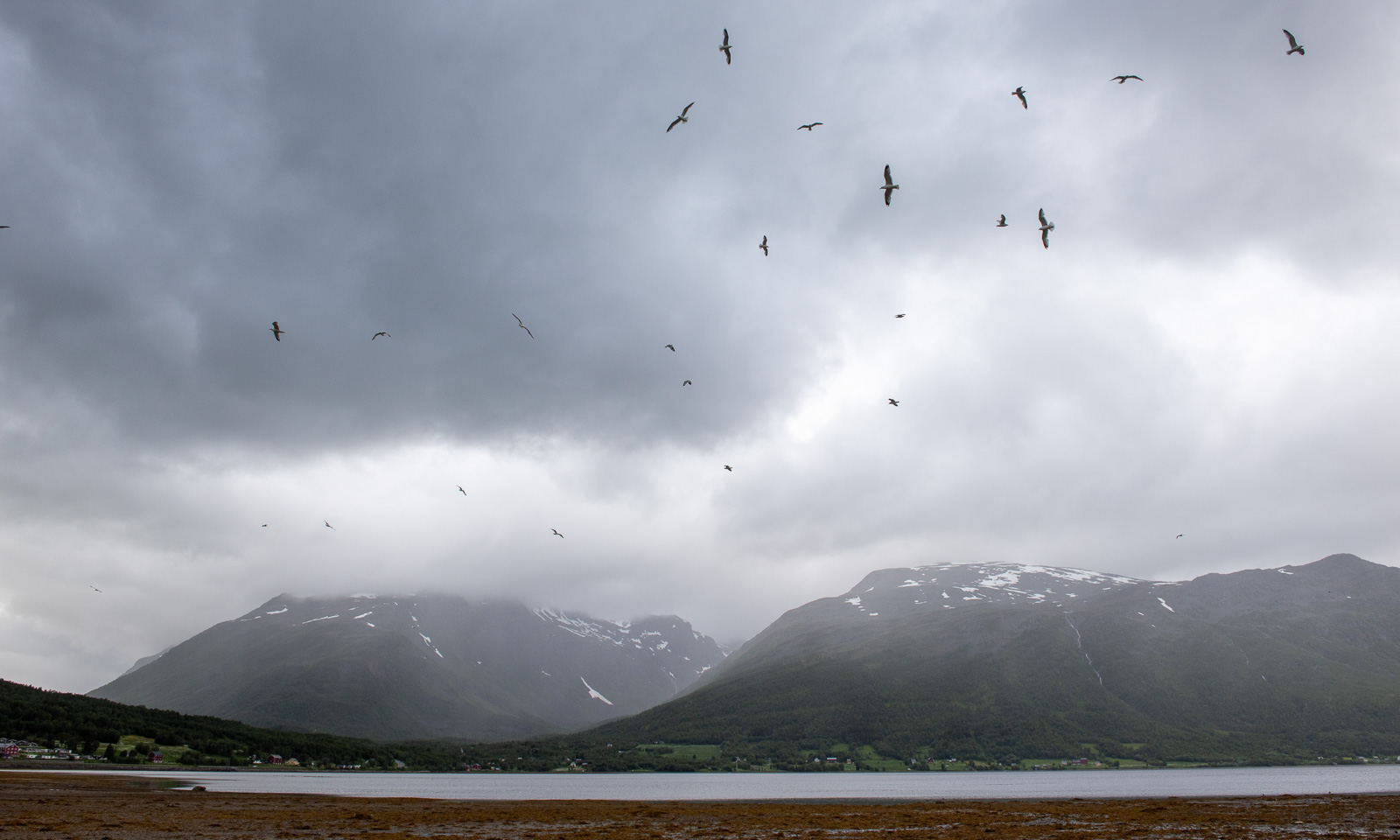
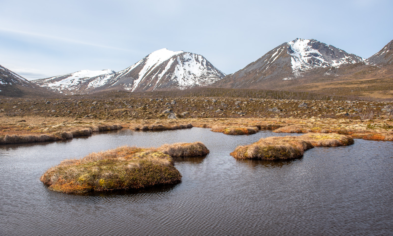
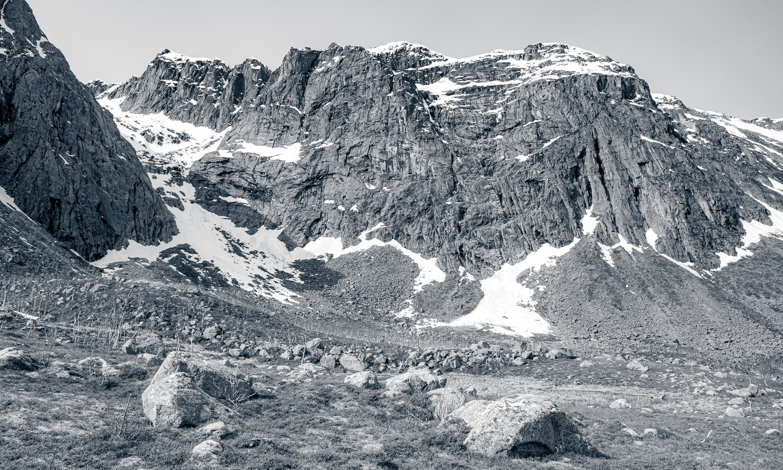
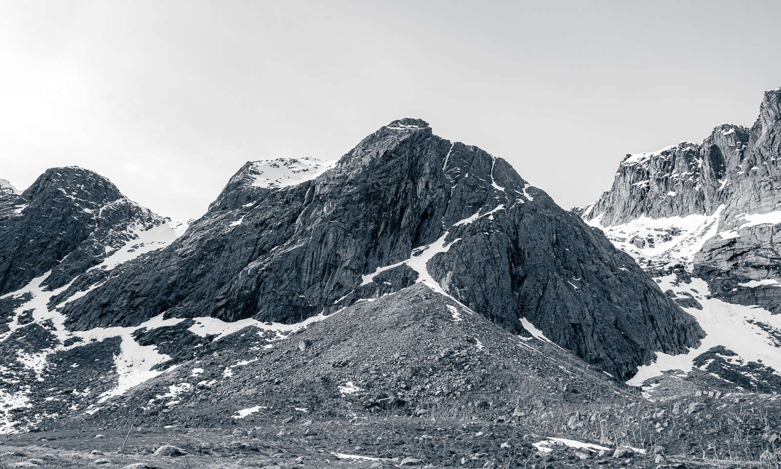
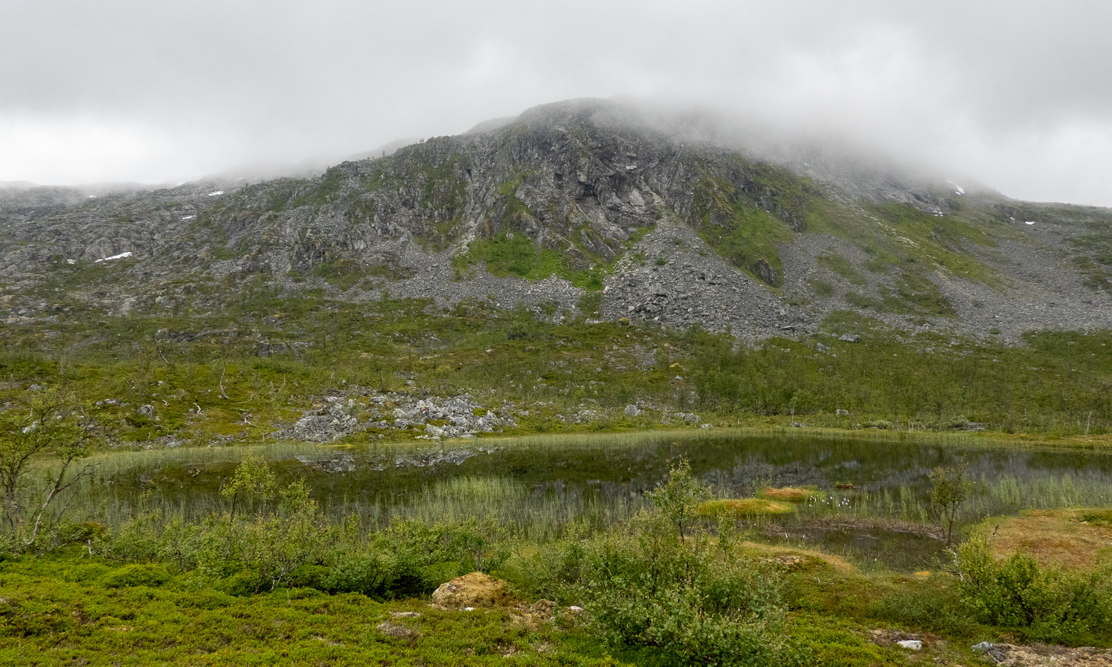
The next morning the scenery is quite different. The sky is overcast, some mountains hang in the clouds and it has started drizzling a bit.
After a two-course breakfast (fried spaghetti and muesli), Annika and I pack our things, clean the cabin with the other guests and start our tour back to the parked car.

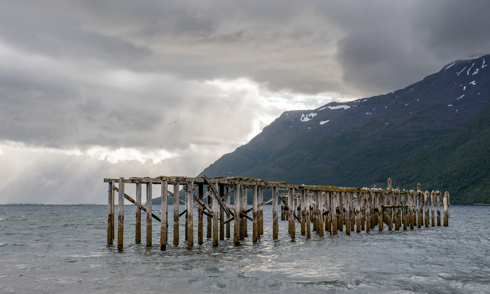
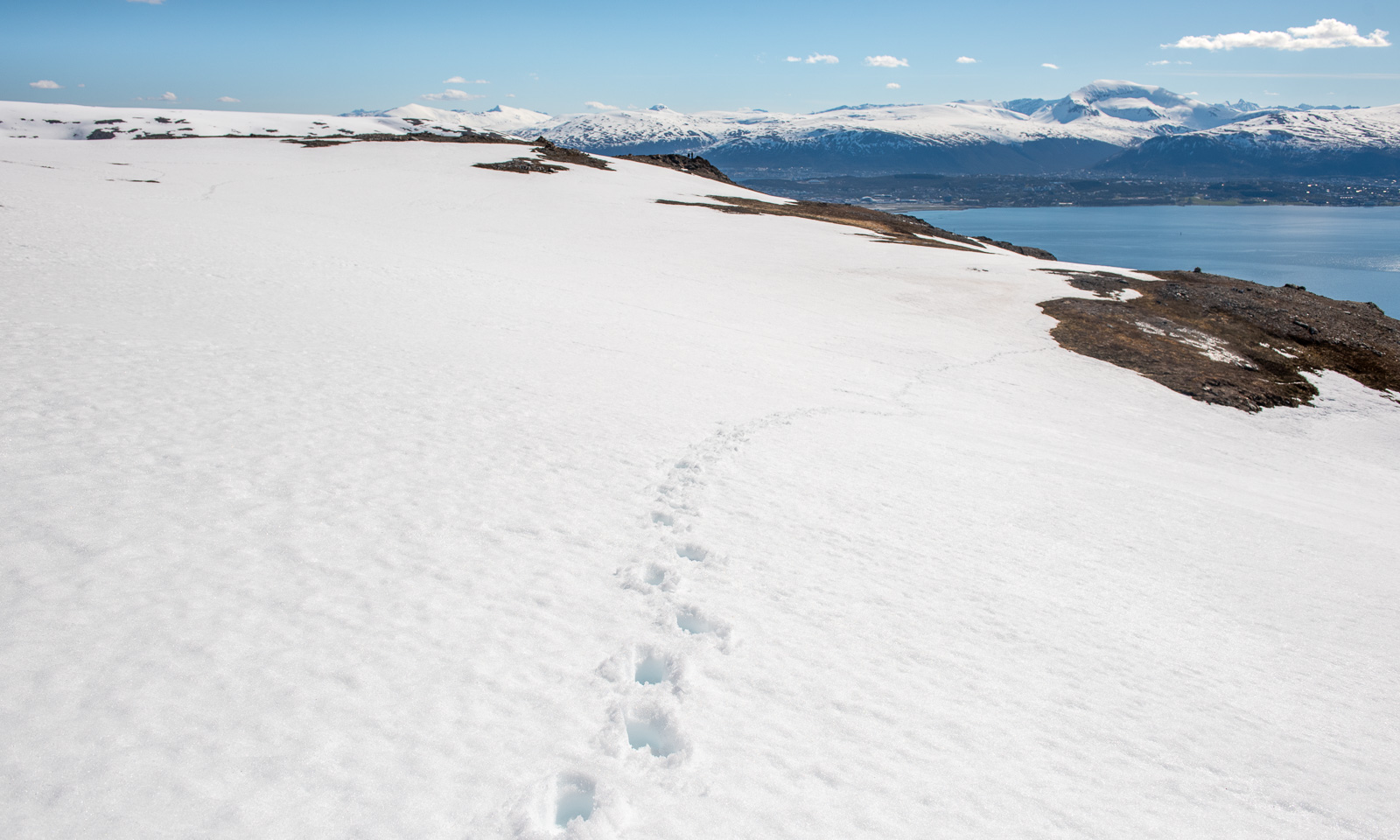
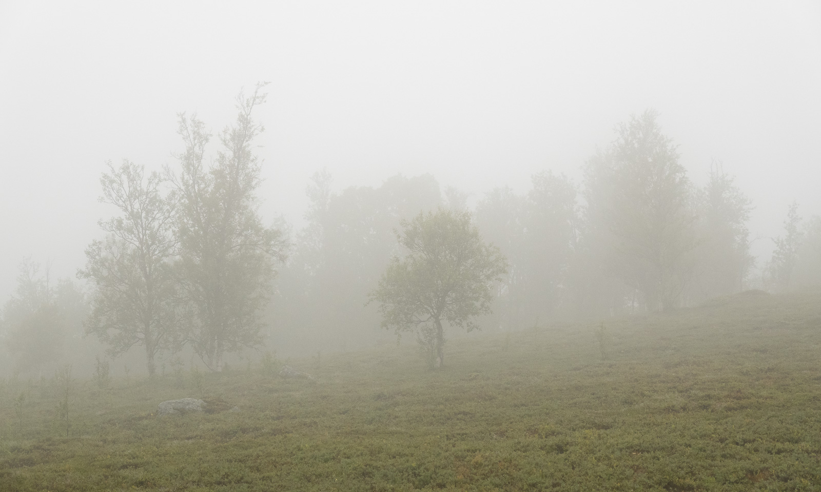
First it is just overcast, then it becomes foggy and in the end, when we are on the gravel road again, it starts to rain.


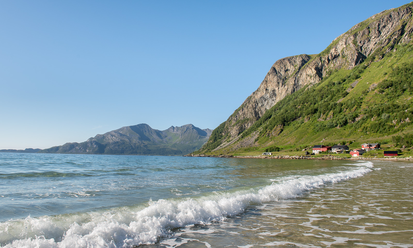
Luckily, a friend of ours lives nearby. Here we can change into dry clothes and we get hot soup and coffee. Thank you, C. for the food and good company! A perfect ending for a great hiking tour that took less than 24 hours.