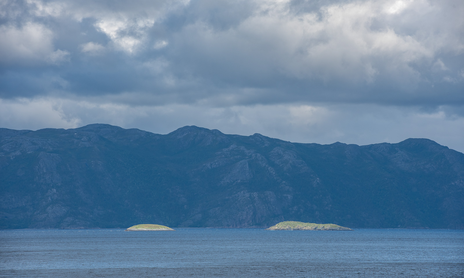
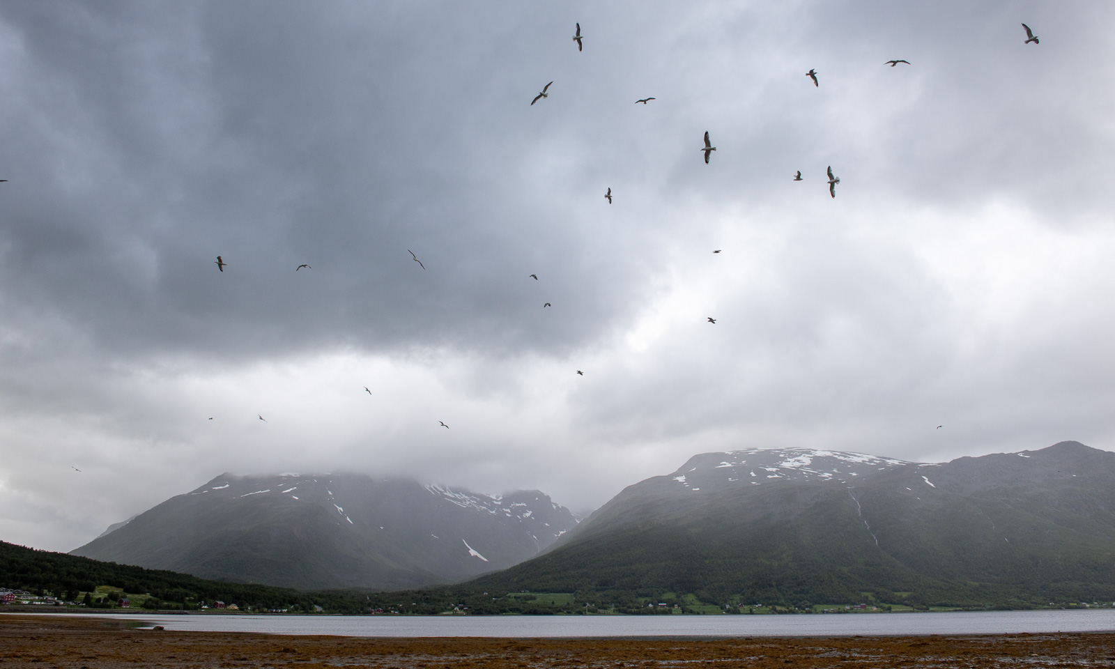
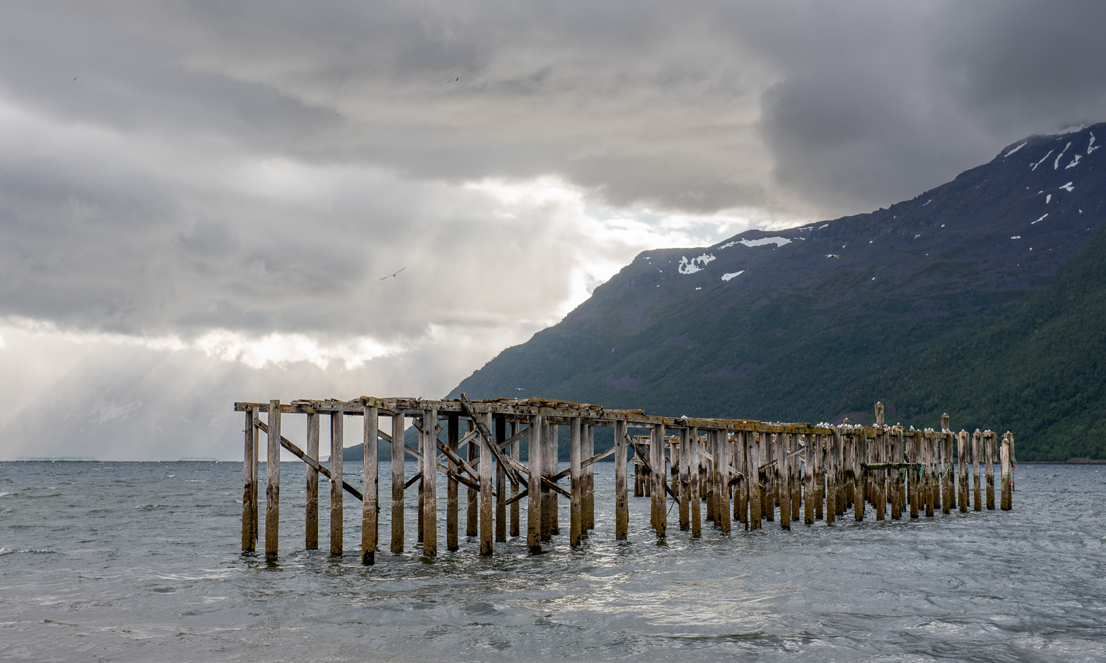
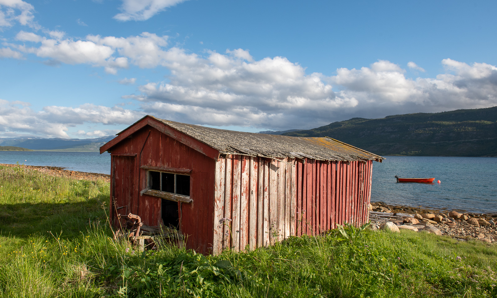
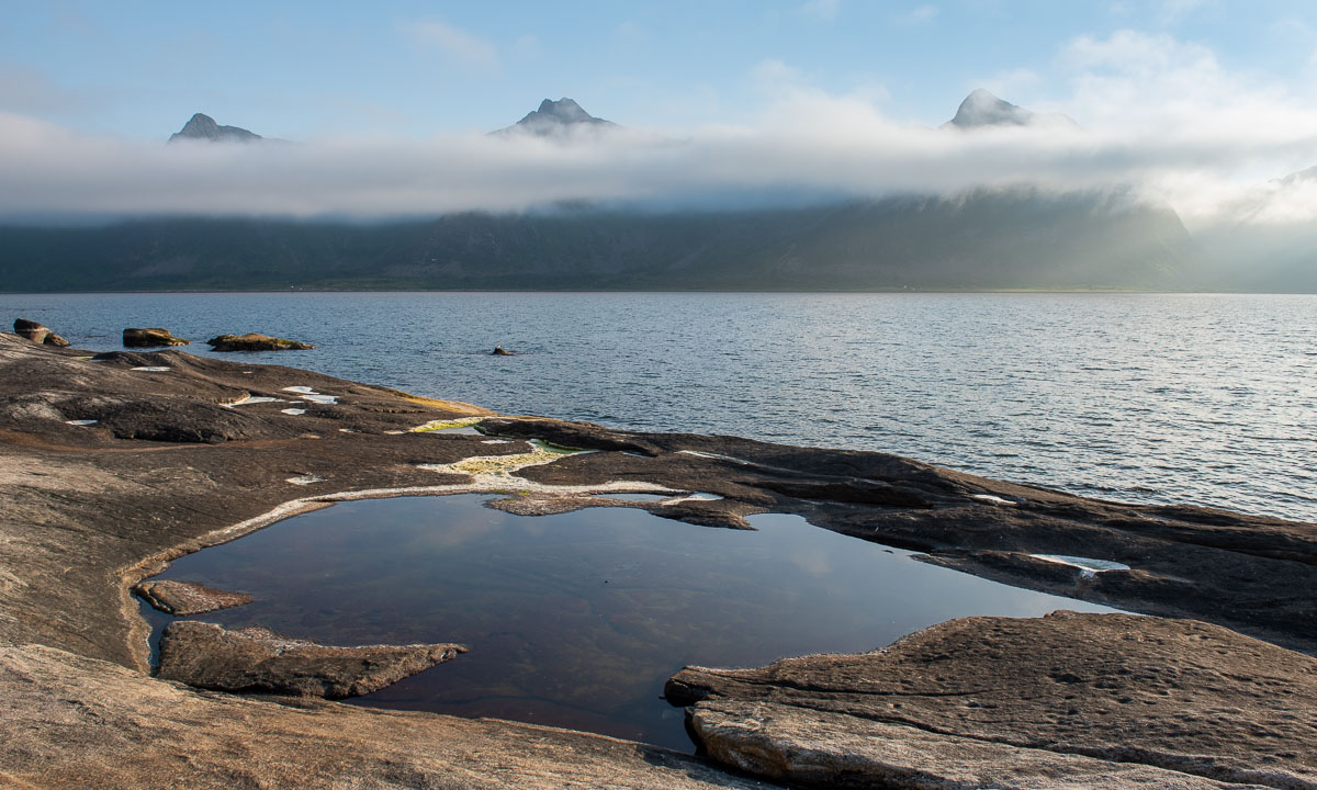
A summer overnight stay at Blåkollkoia cabin

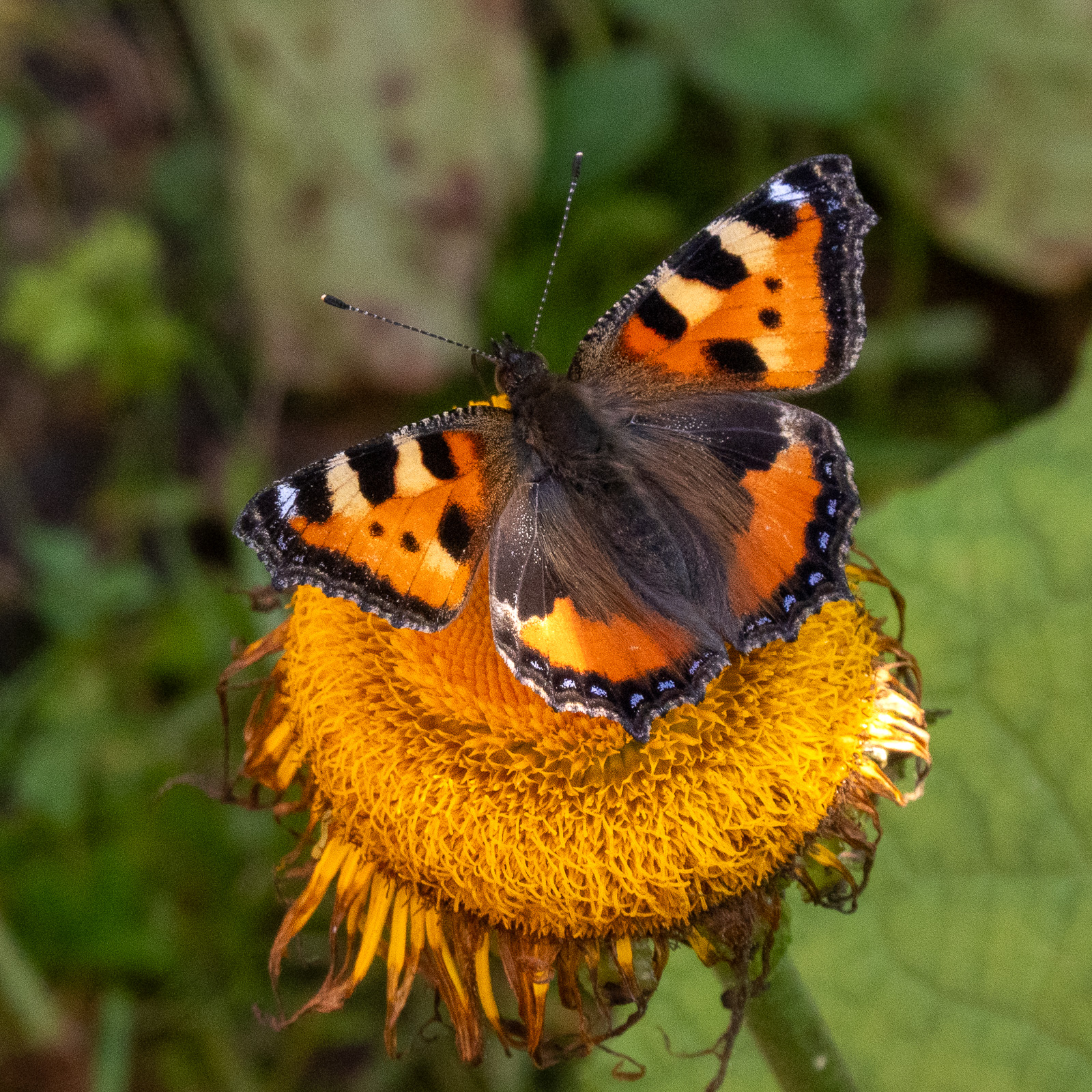
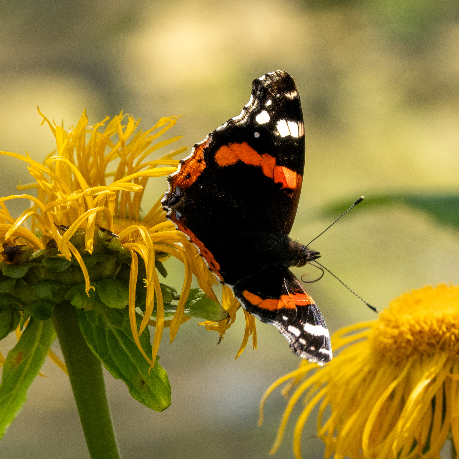
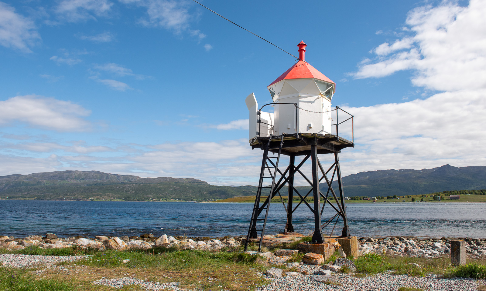
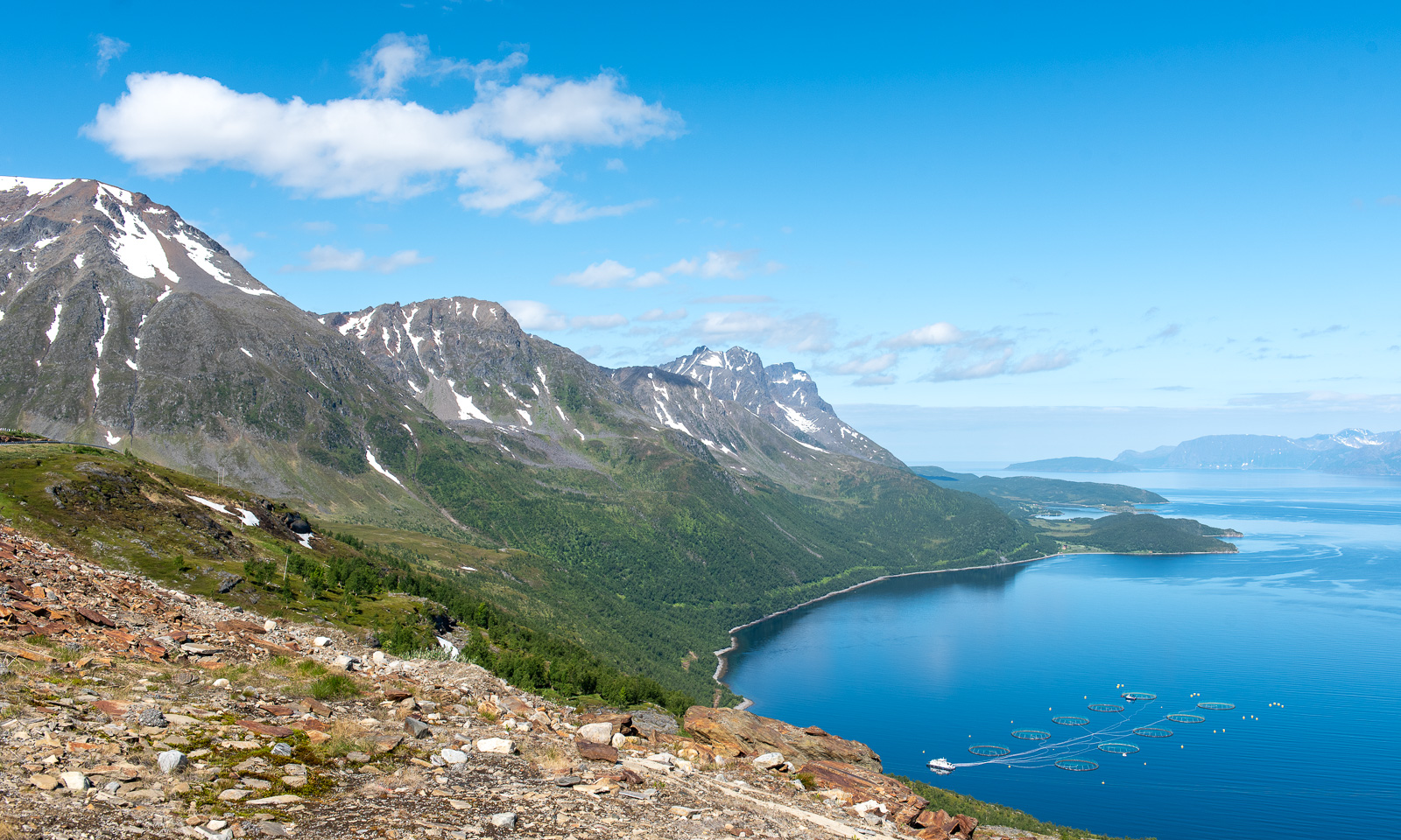
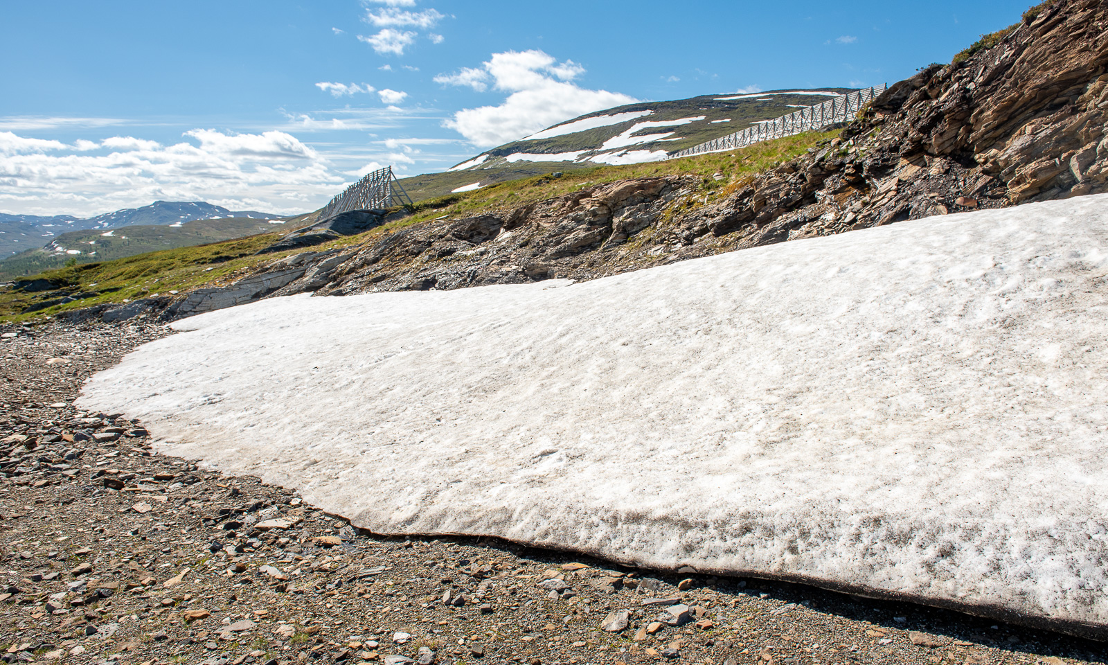
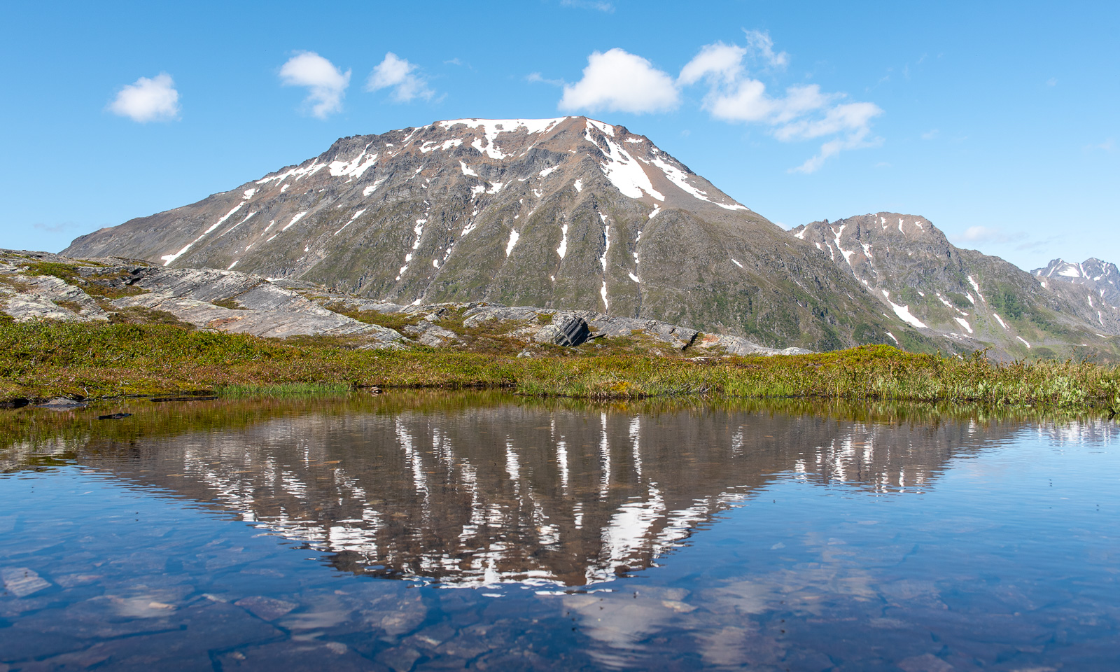
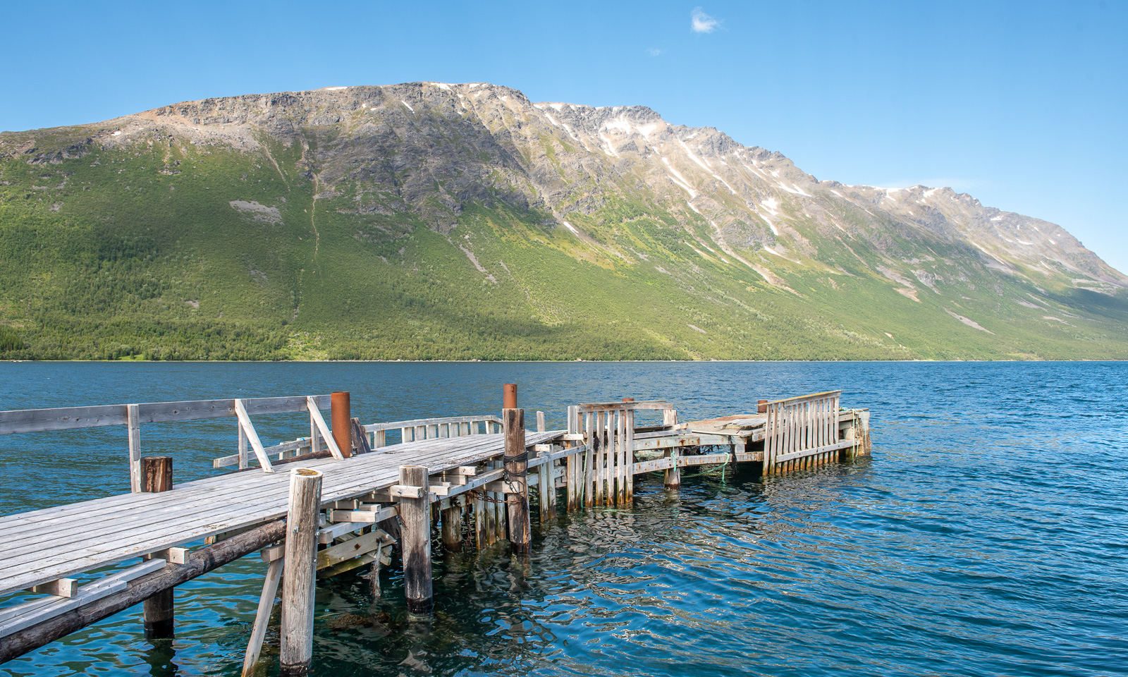
The weather in Tromsø for the weekend didn’t look promising, but for Friday it did. I leave work just after lunch so that Annika and I can hike up to Blåkollkoia cabin together. At half past one I park the car in Tønsvik. From there, it is an 8 km walk up to the cabin. The first 2½ km we follow a gravel road that leads to some private cabins.

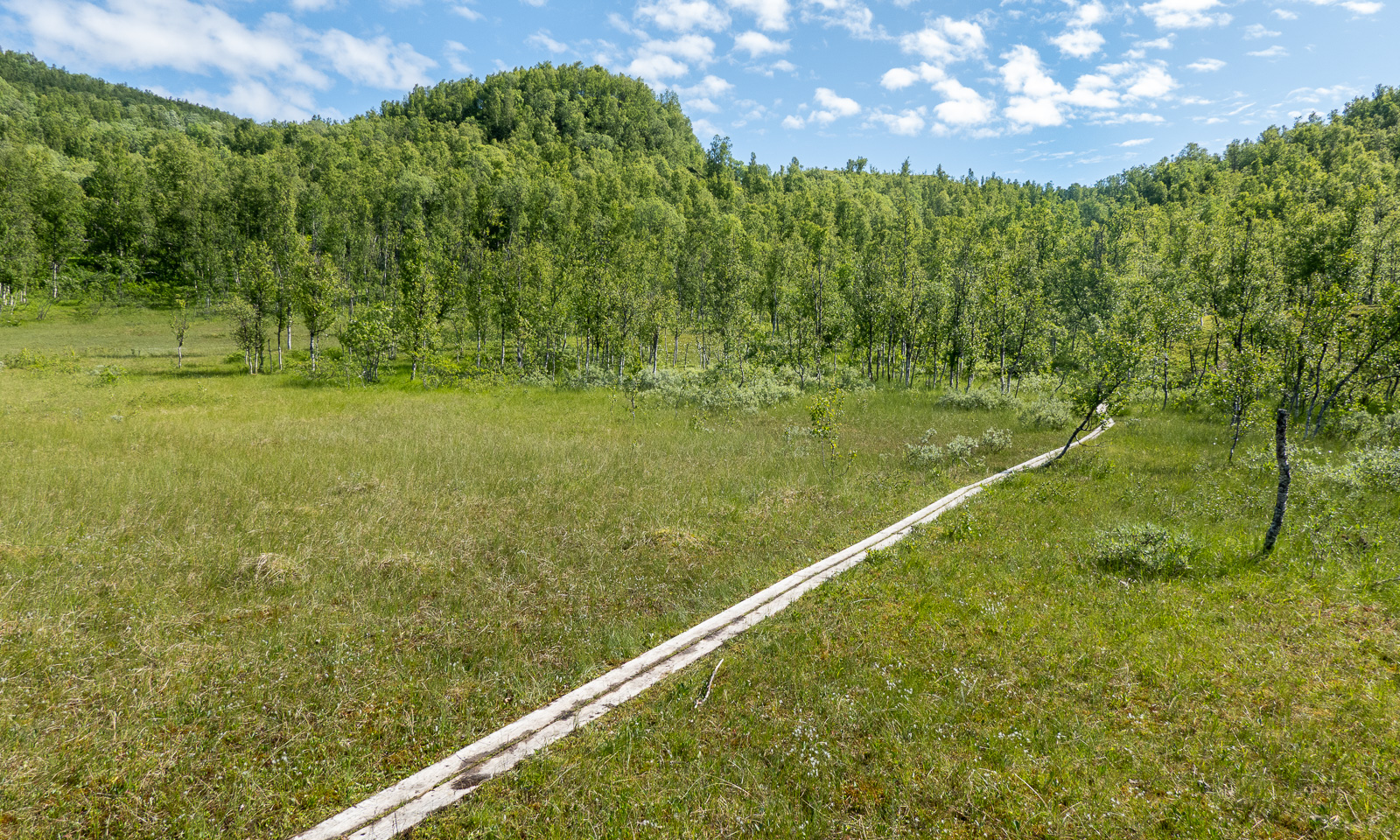
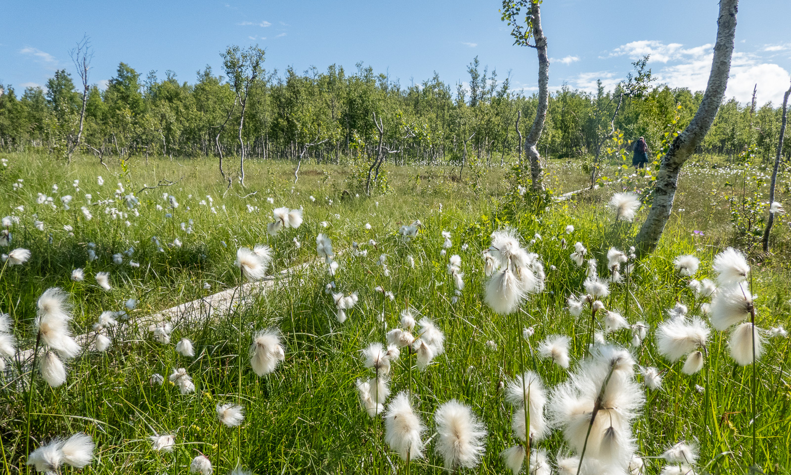
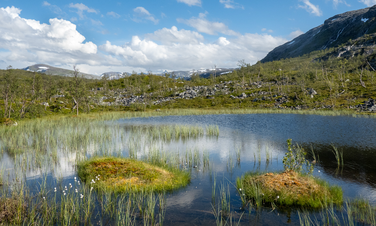
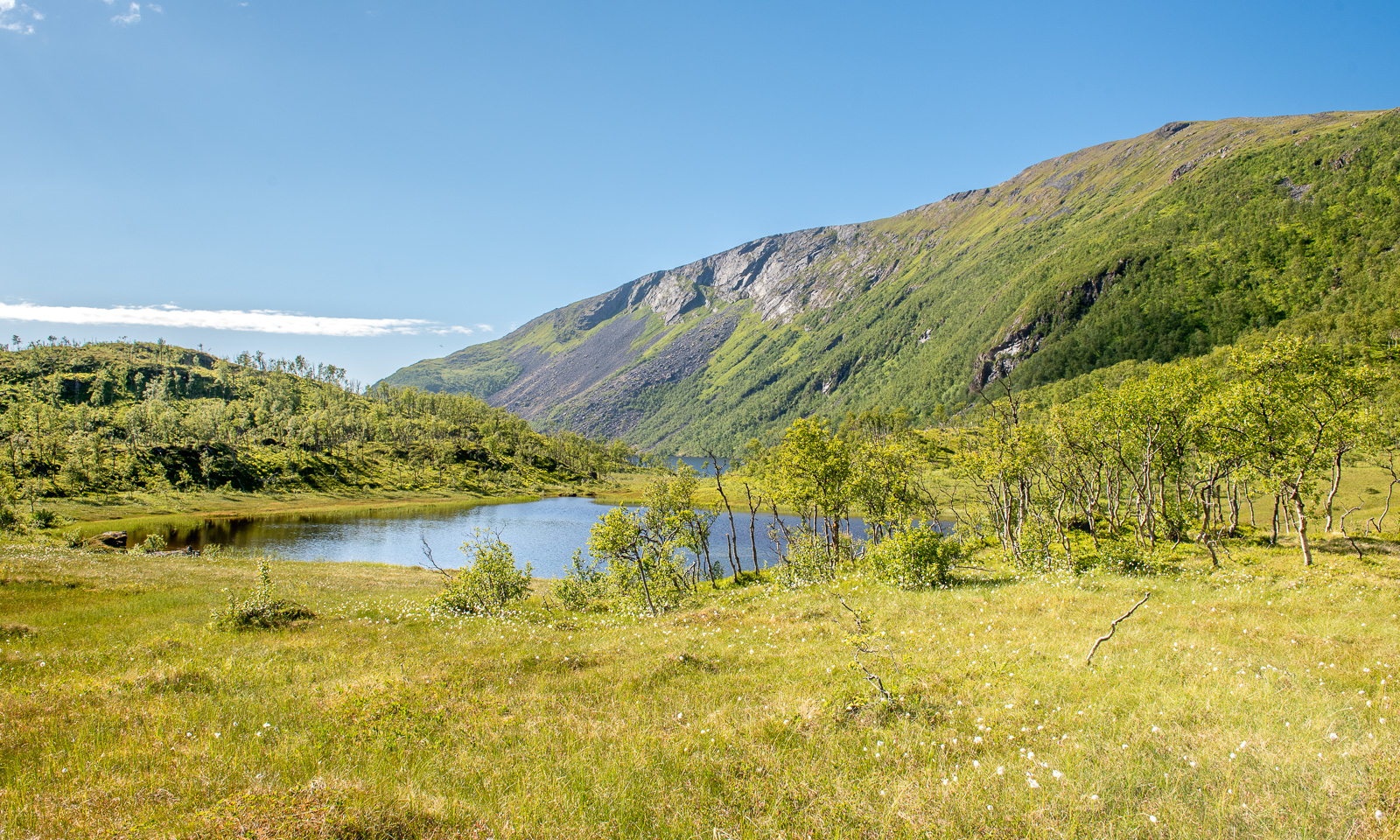
Then the road turns into a marked hiking trail. It leads through fern thickets and birch forests; it crosses grassy plateaus and bogs with cotton grass.

It is perfect hiking weather. The air is not too warm, but the sun is quite strong and we are glad about the occasional wind cooling us down. There are hardly any mosquitoes, but plenty of flies seem to fall in love with us and follow us everywhere.

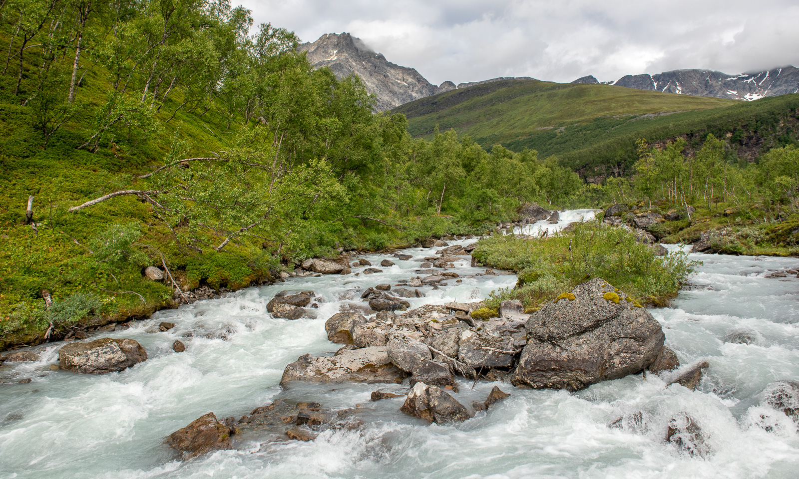
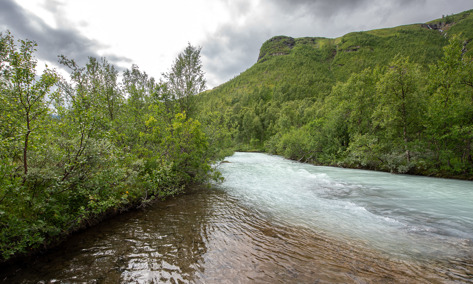
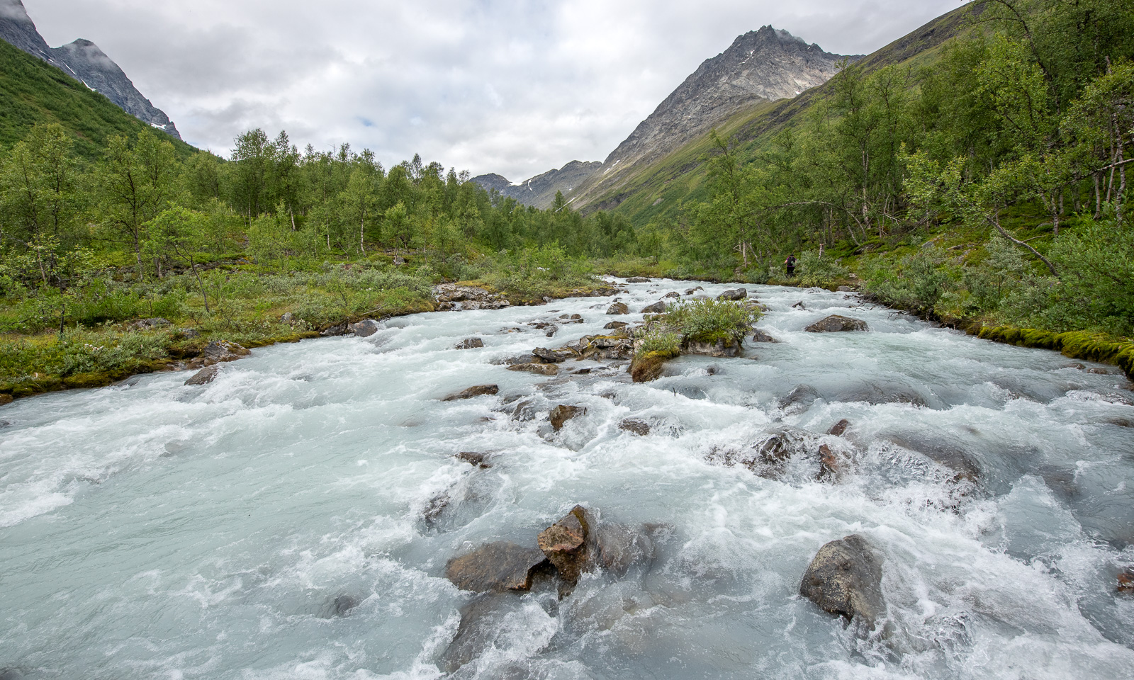
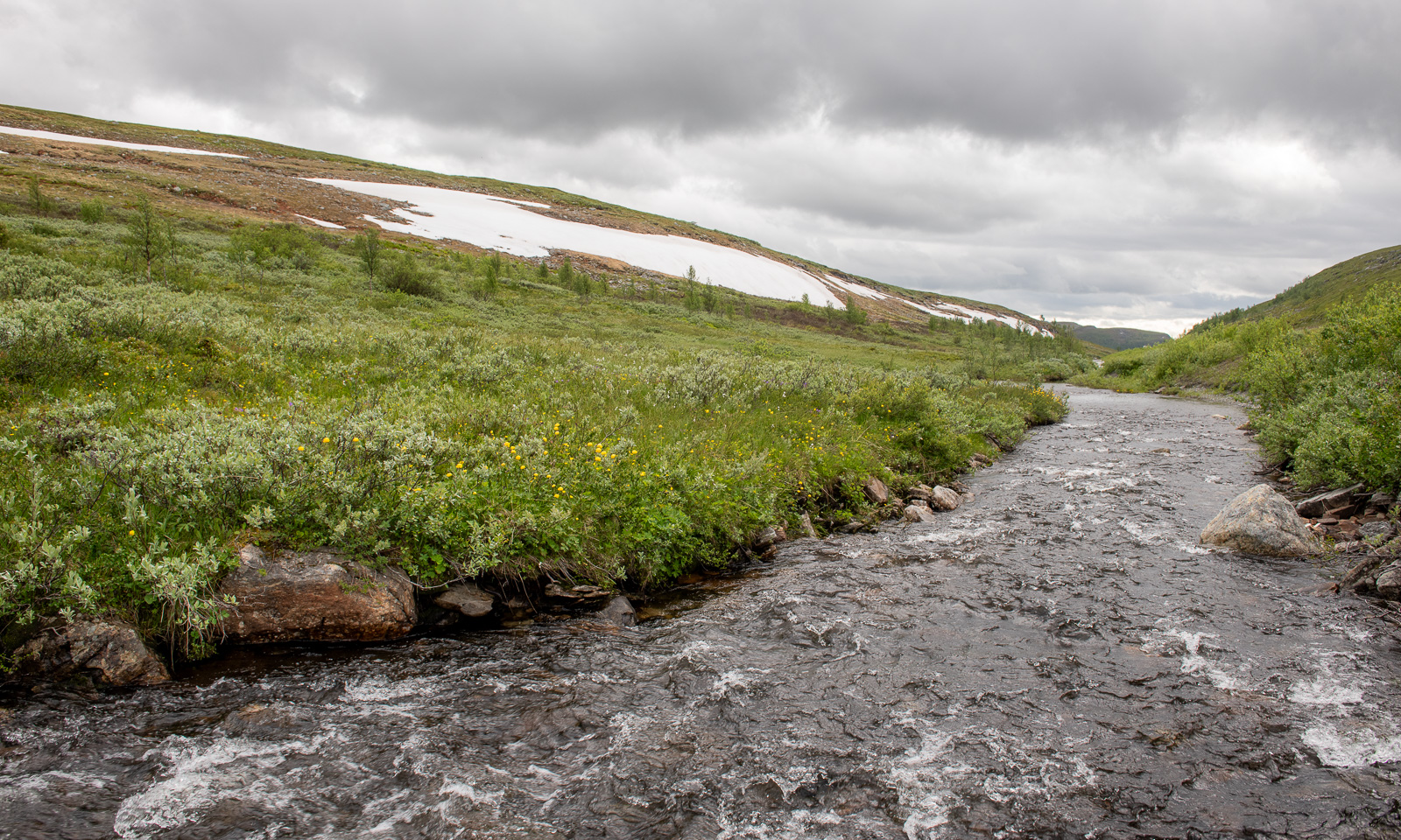
Below the cabin we use the bridge to cross the river Goahtevuomieatnu/Tønsvikelva. We were here in August 2024 and took a bath; now the river carries a lot more water.

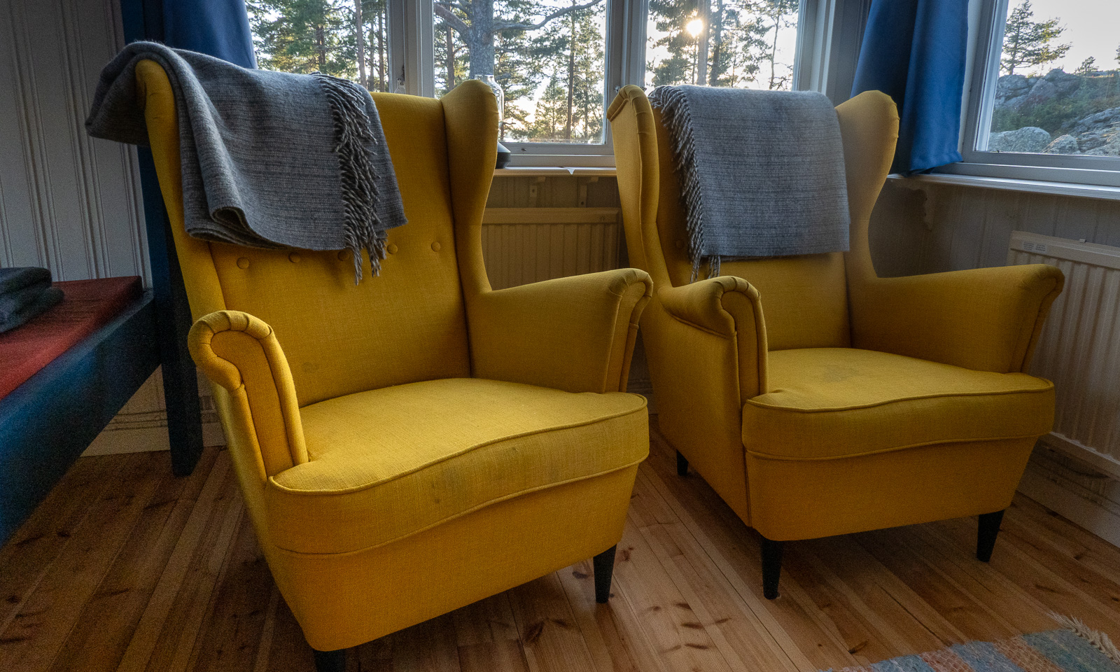
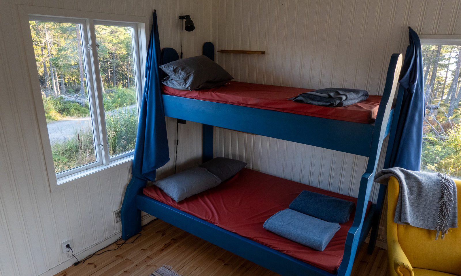
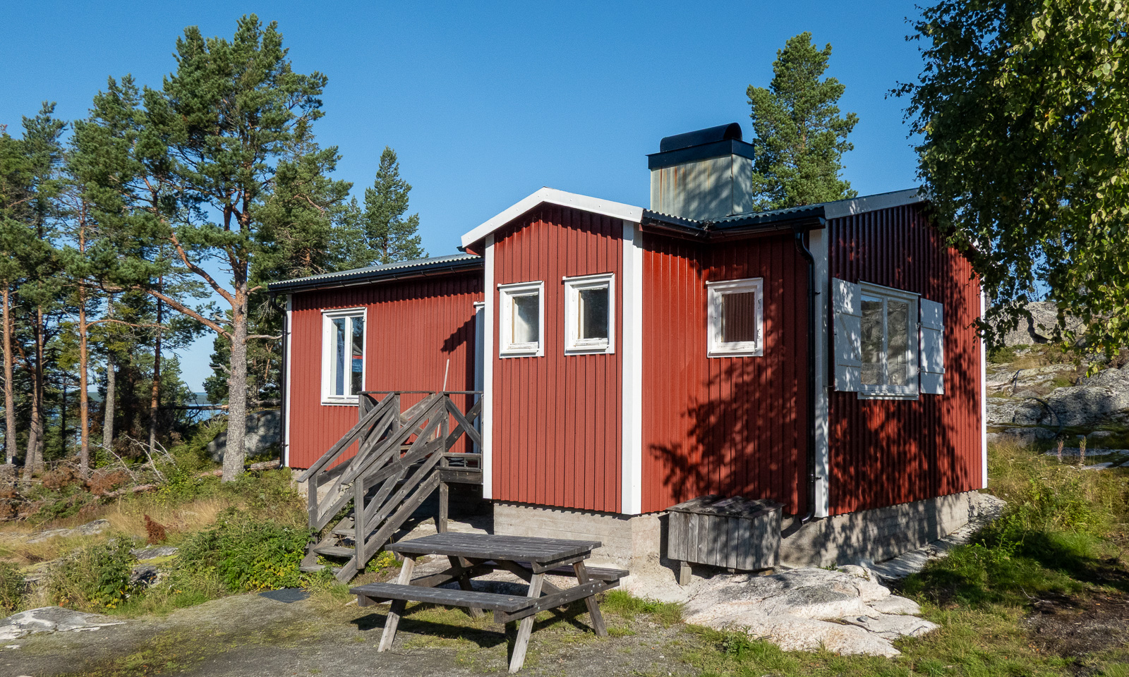
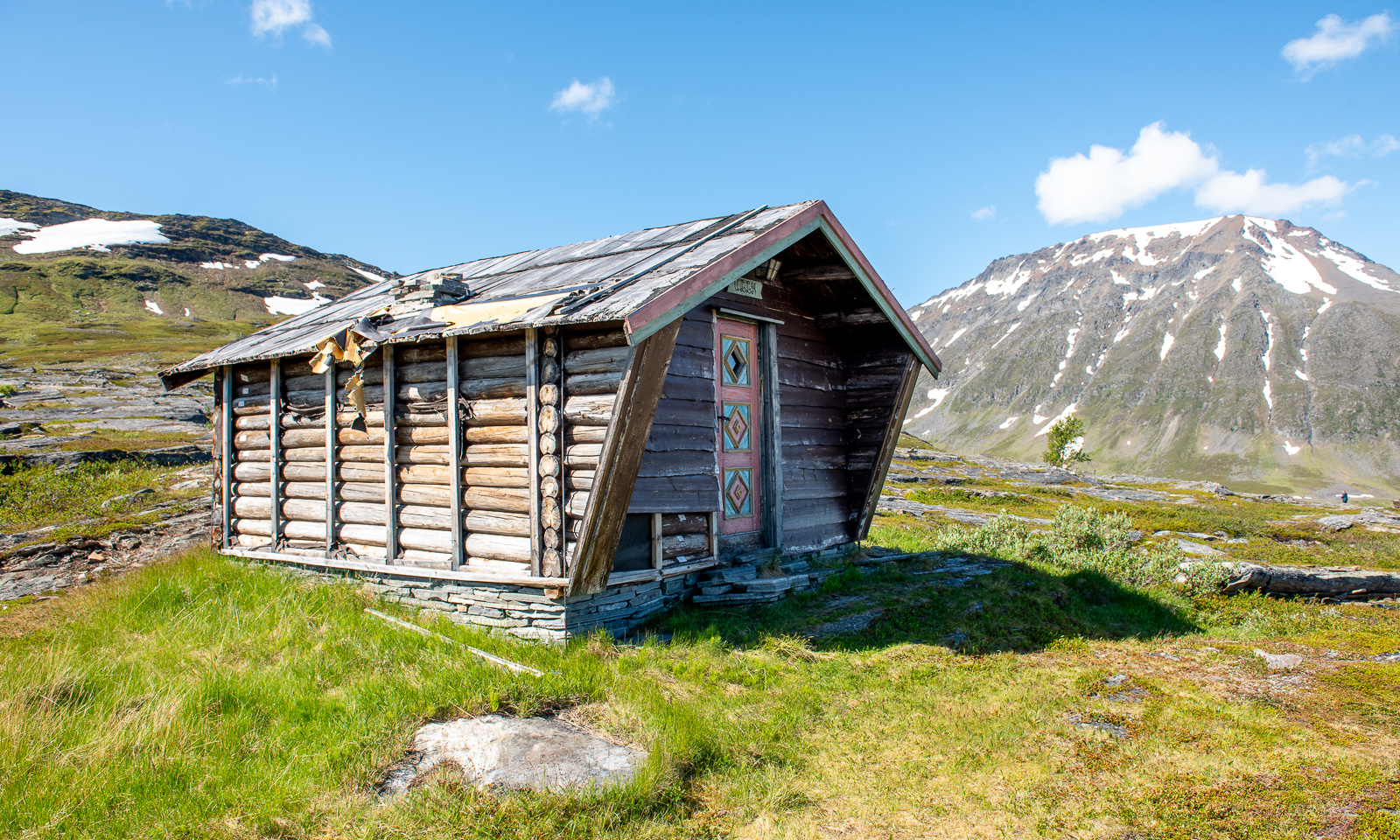
Then we arrive at the cabin. It is locked and we use the key provided by DNT (Den Norske Turistforening) to enter. We have booked two beds in Room 2.

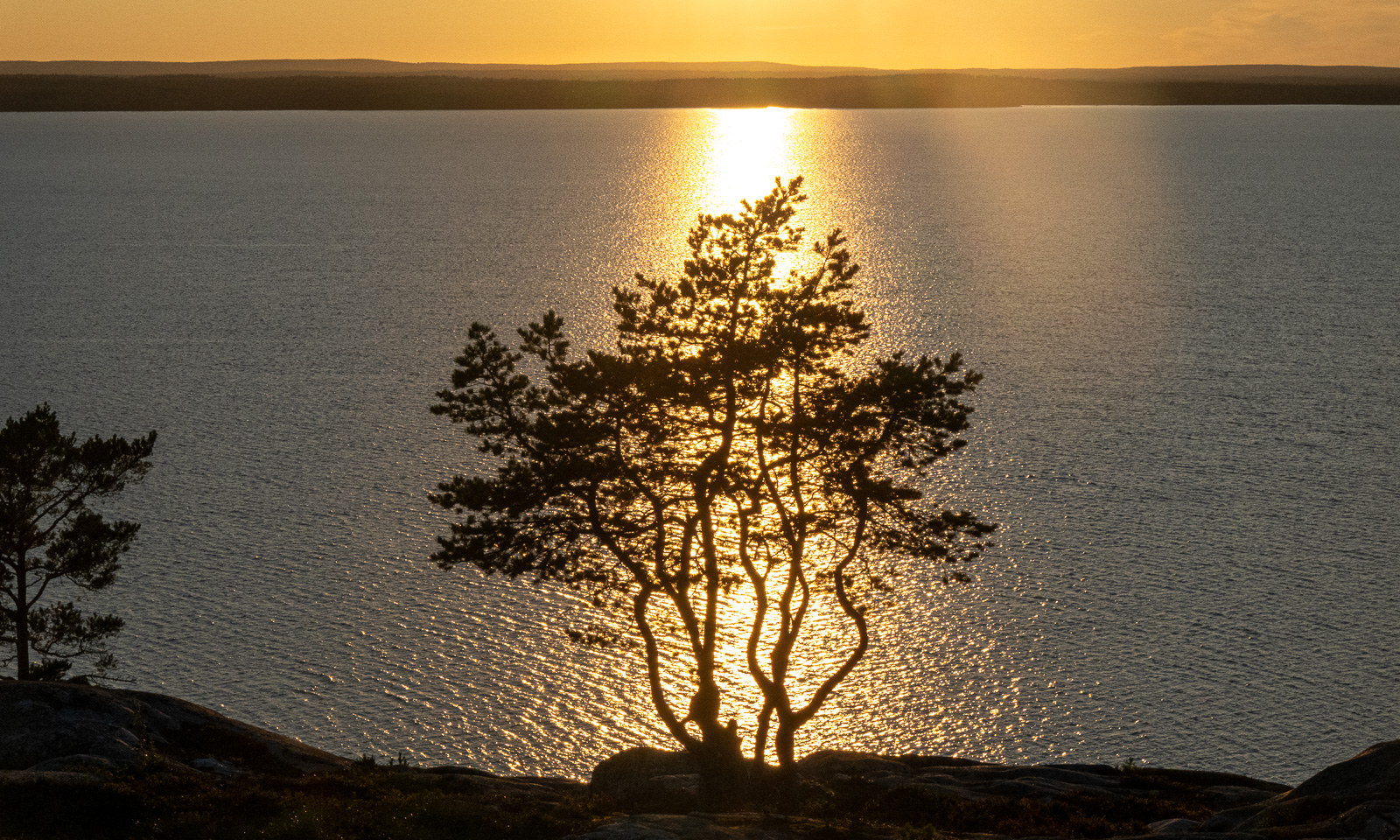
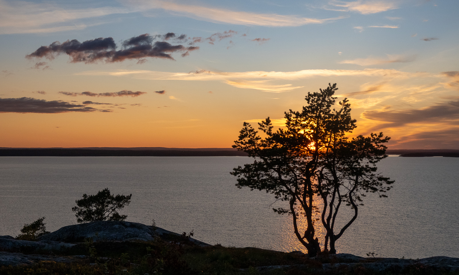
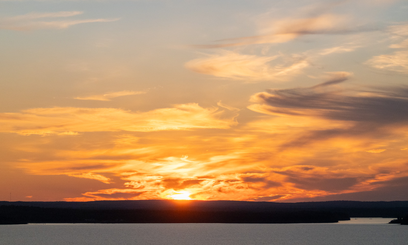
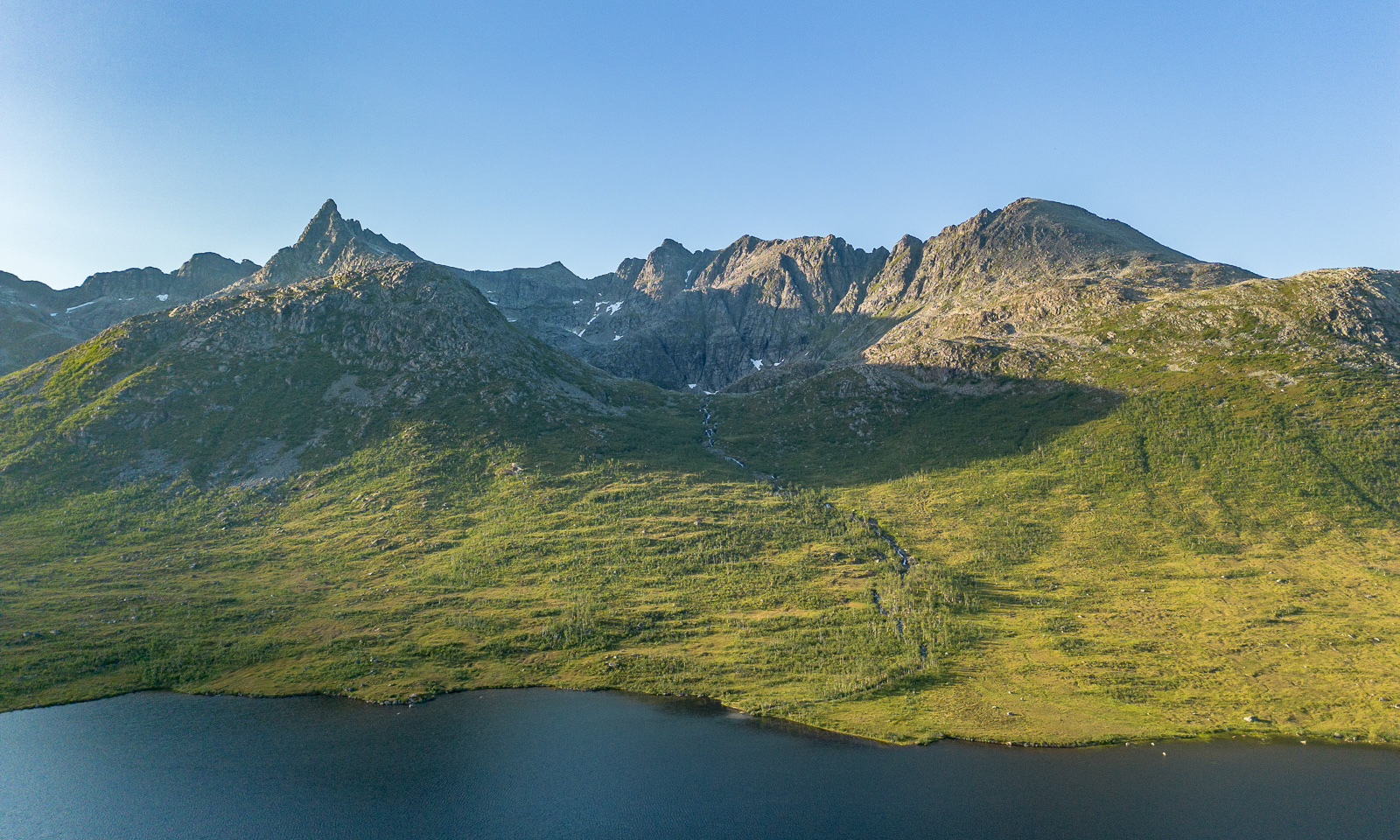
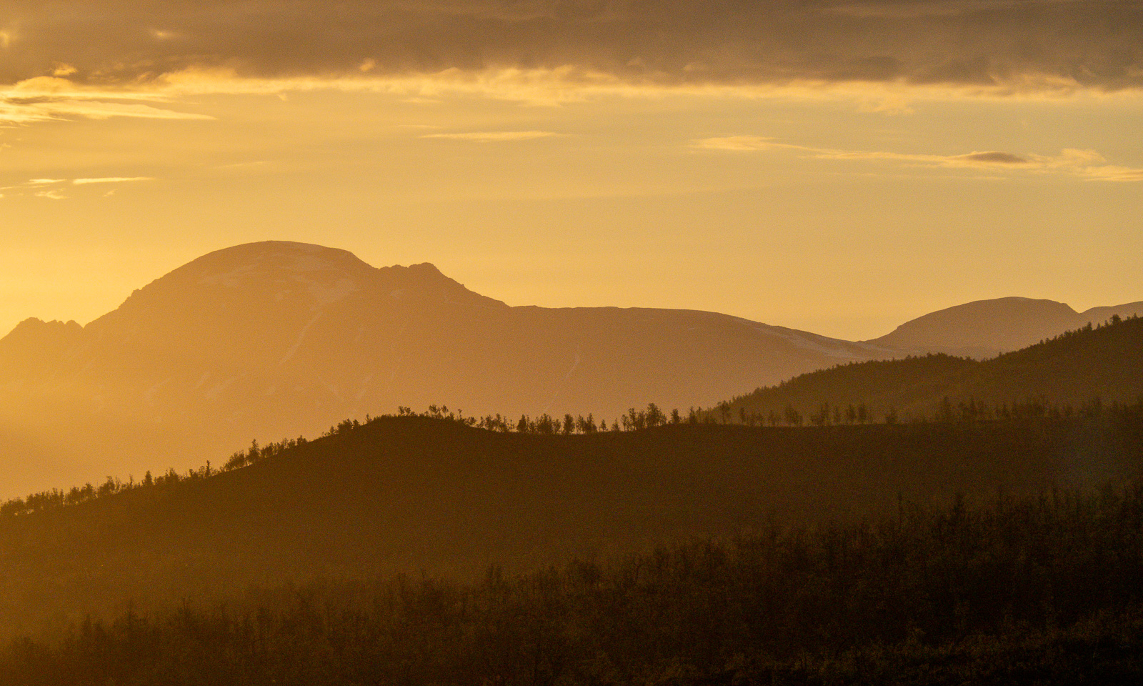
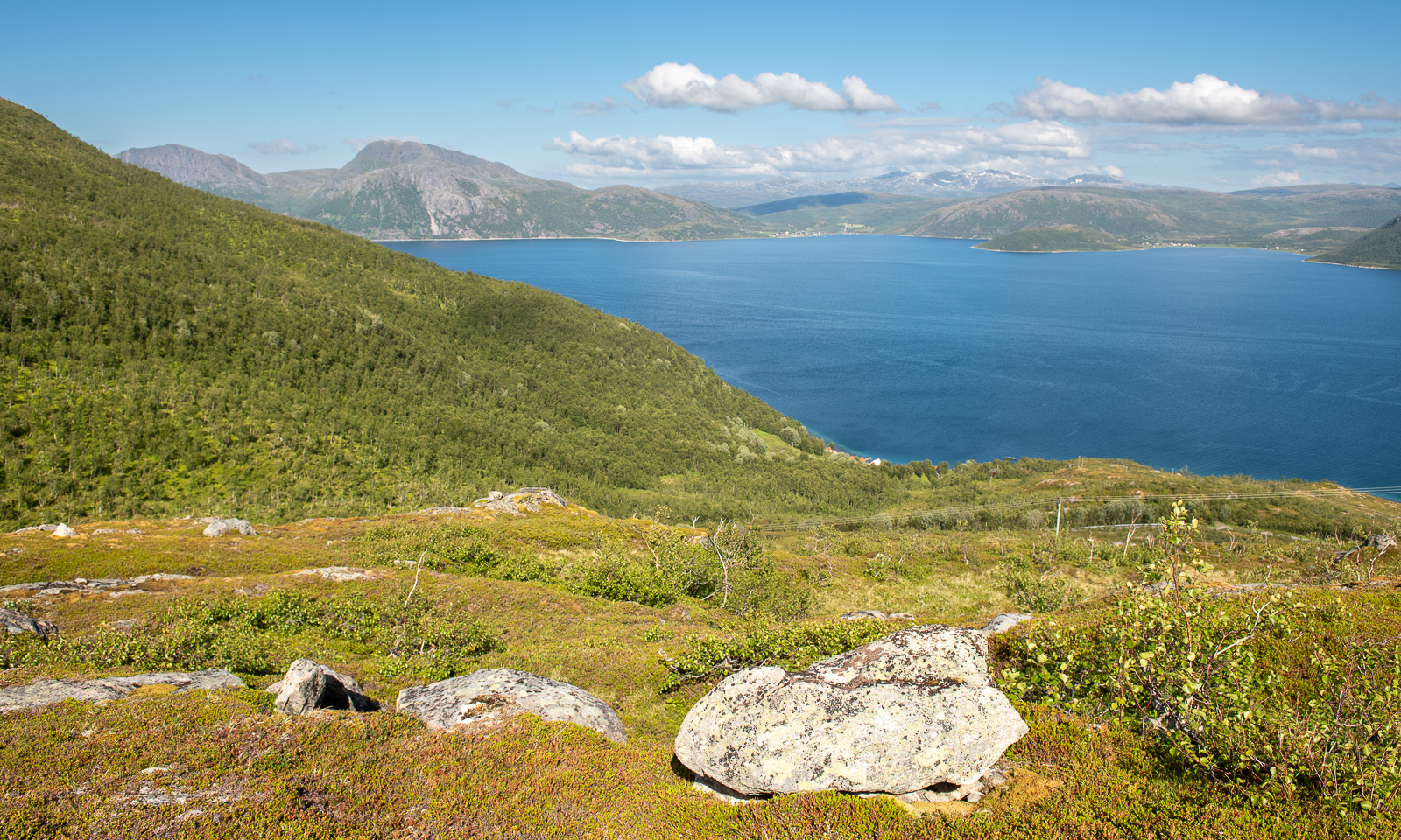
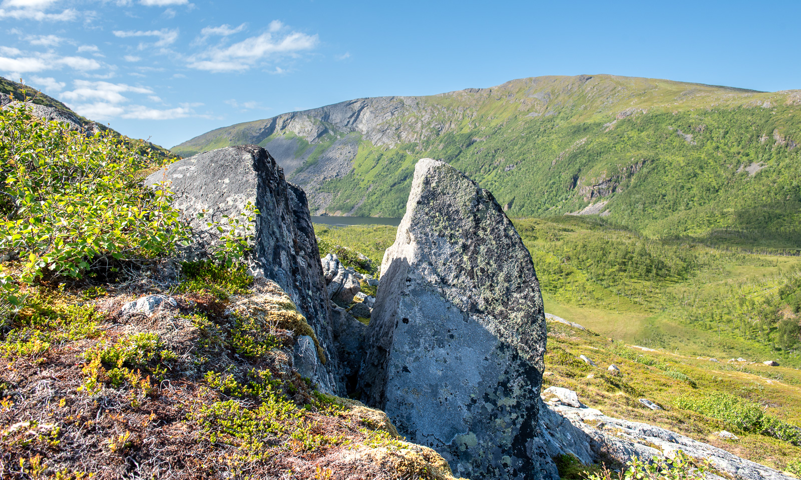
I go outside several times to take photos, while the sun is slowly sinking lower and lower. It is still polar day in Tromsø, so the sun won’t set. I sleep a bit but after midnight I am out again enjoying the beautiful scenery that is illuminated by the low sun in warm colours.

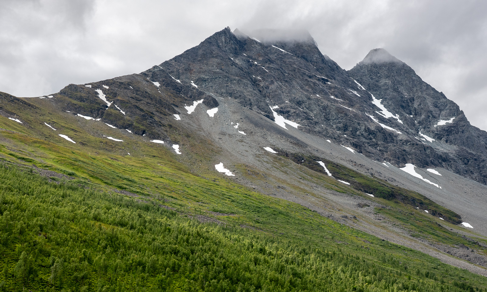
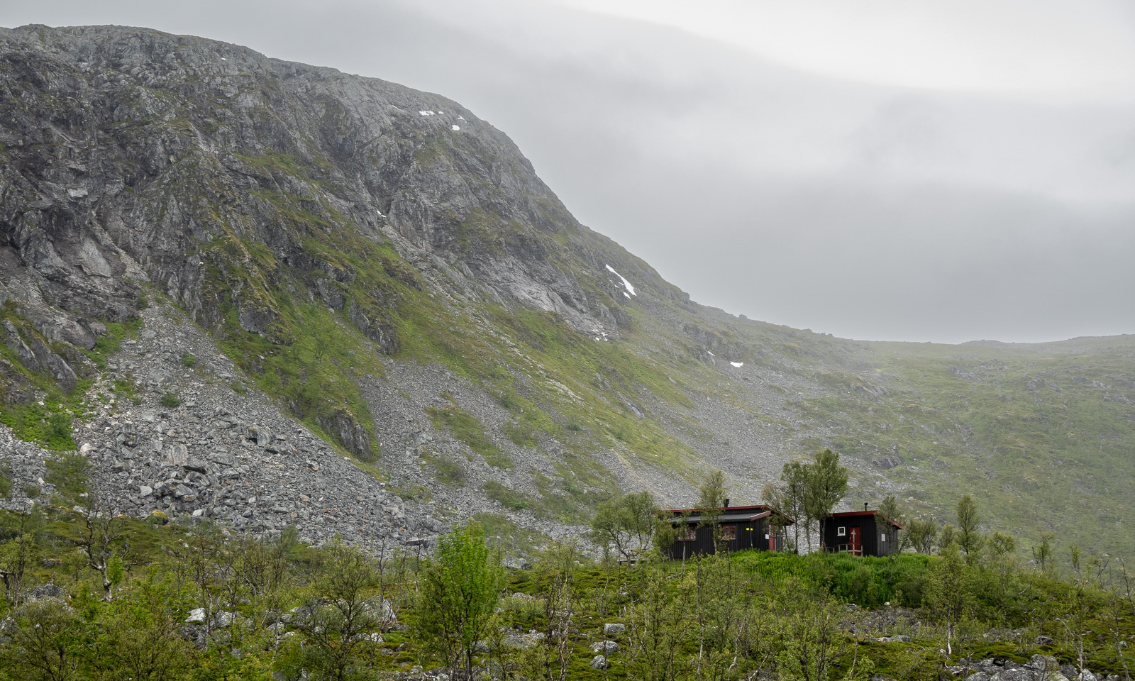
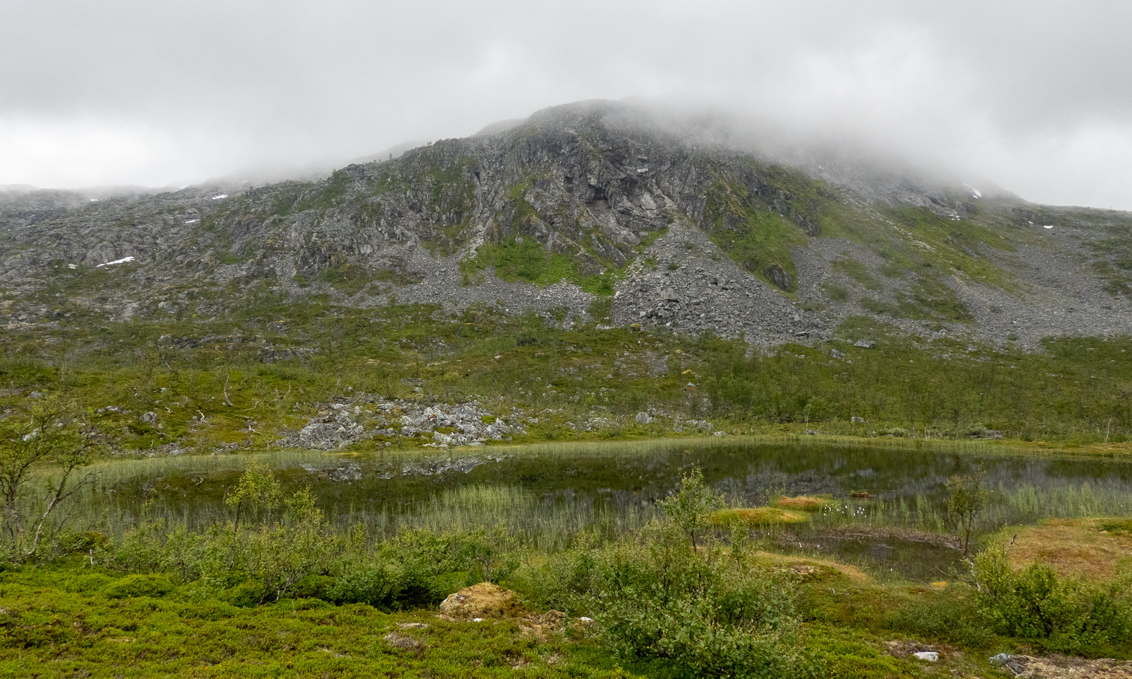
The next morning the scenery is quite different. The sky is overcast, some mountains hang in the clouds and it has started drizzling a bit.

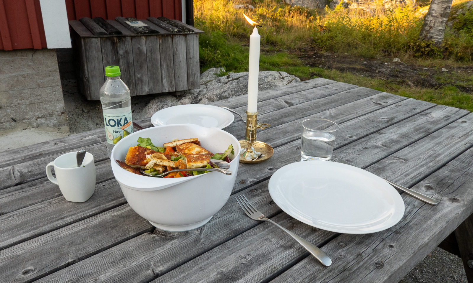
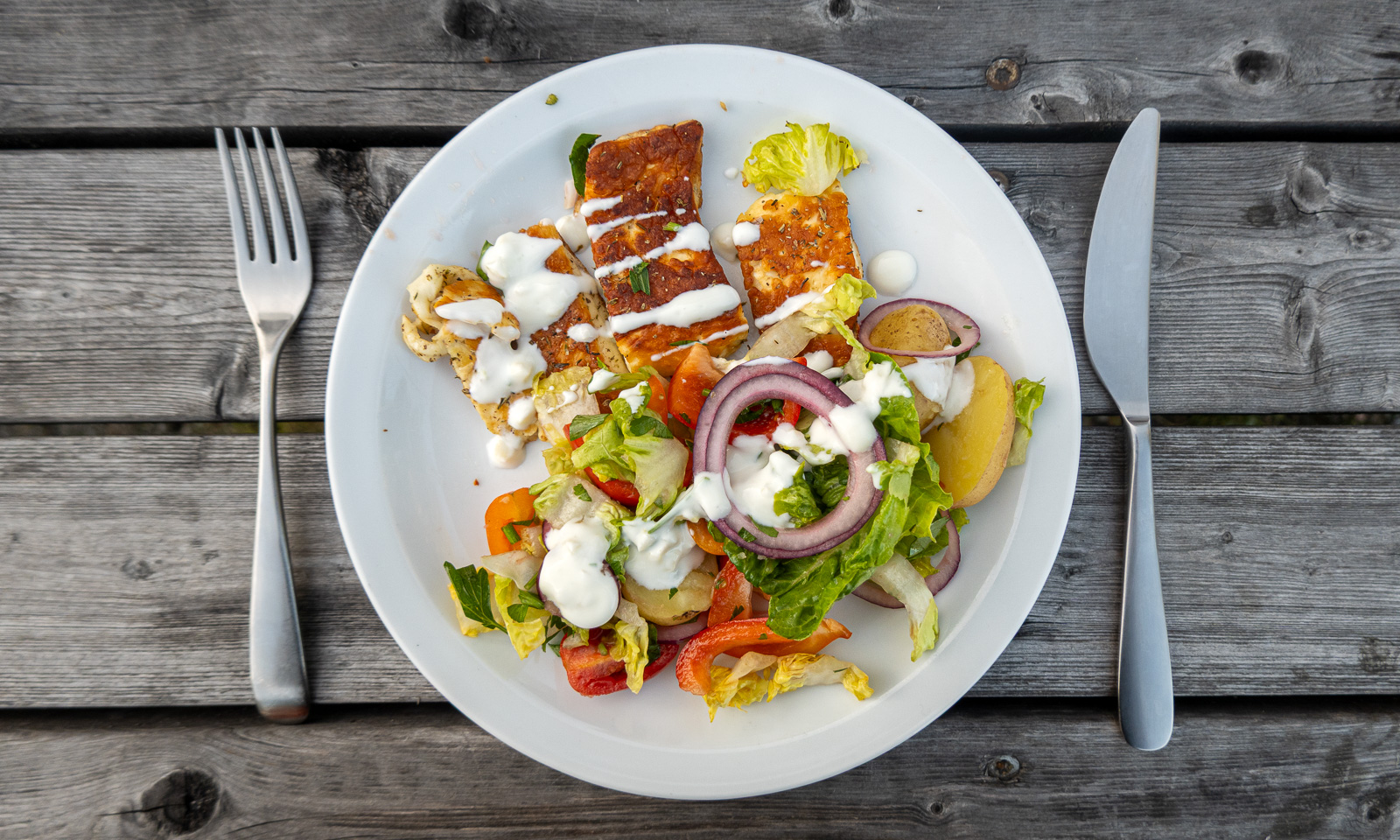
After a two-course breakfast (fried spaghetti and muesli), Annika and I pack our things, clean the cabin with the other guests and start our tour back to the parked car.

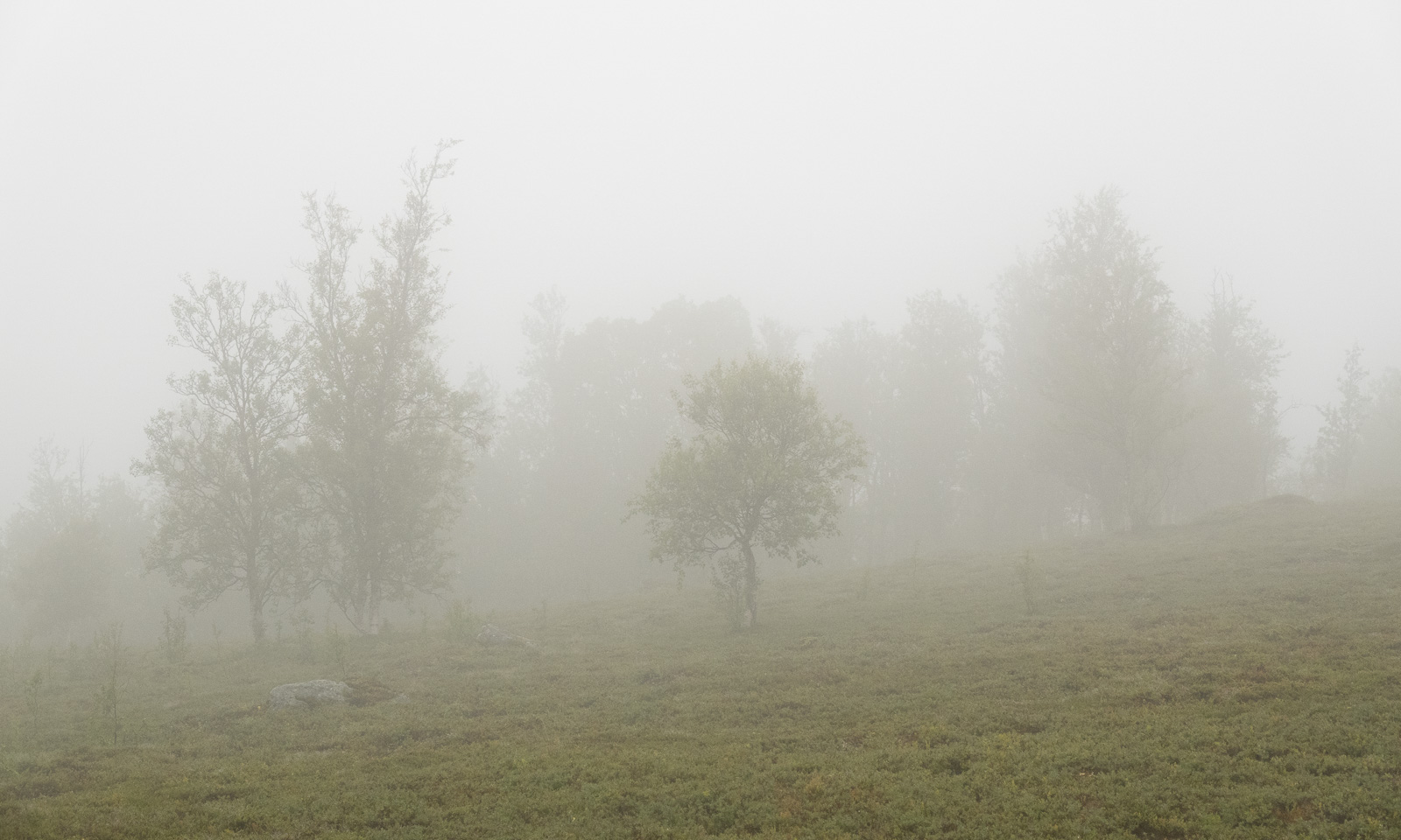
First it is just overcast, then it becomes foggy and in the end, when we are on the gravel road again, it starts to rain.

Luckily, a friend of ours lives nearby. Here we can change into dry clothes and we get hot soup and coffee. Thank you, C. for the food and good company! A perfect ending for a great hiking tour that took less than 24 hours.


After work visit of Kvaløya

A bit of hiking – a bit of dining – a bit of bathing – a bit of geocaching – a lot of sun.

All after a regular work day, together with Annika.

Skoganvarre—Tromsø – the last stage of our car trip

This article is part of the series “2026-06: Obbola—Finland—Tromsø”.

Part four of the journey from Obbola to Tromsø

It is Saturday morning. My wife Annika and I are having breakfast in the kitchen of the campsite Skoganvarre Villmark. It is raining and people passing outside are wearing pyjamas and carrying umbrellas or wearing raincoats and crocs. Campsite fashion. Skuvvanvárri (Northern Sámi) or Skoganvarre (Norwegian) is located in Norway, but most of the guests here are Finnish, and it seems to me that more or less all of them are here for fishing.

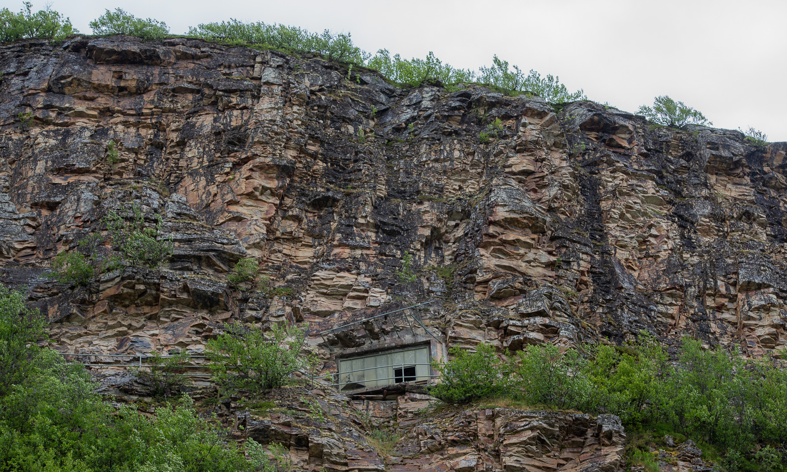
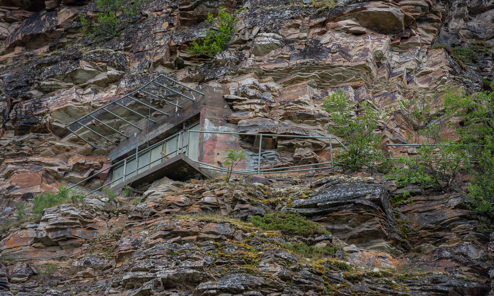
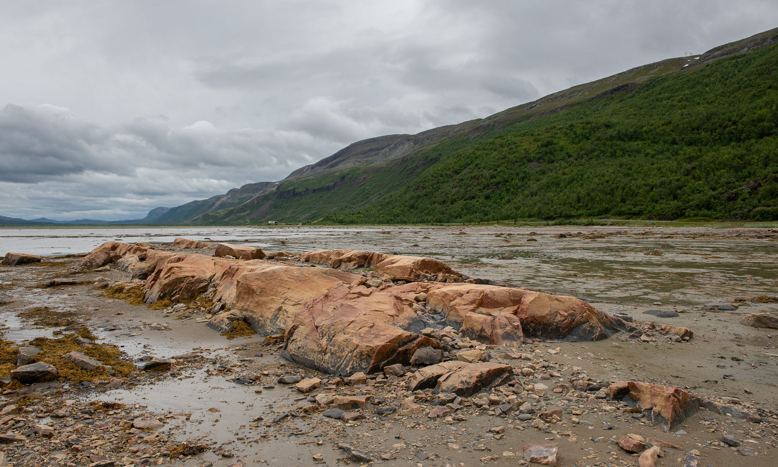
The grey weather follows us to Lakselv where we meet the sea again in the form of the southern end of the huge Porsangerfjorden, the fourth longest fjord in Norway. We passed the road leading north before, but it was the first time that I saw the fortification high in the mountain walls left of the road. It is part of Banak fort, started by the Germans in WWII and continued by the Norwegians and used until 1987.

On the other side of the road the scenery is completely different. Stabbursnes nature reserve is a large protected area dominated by wetlands.

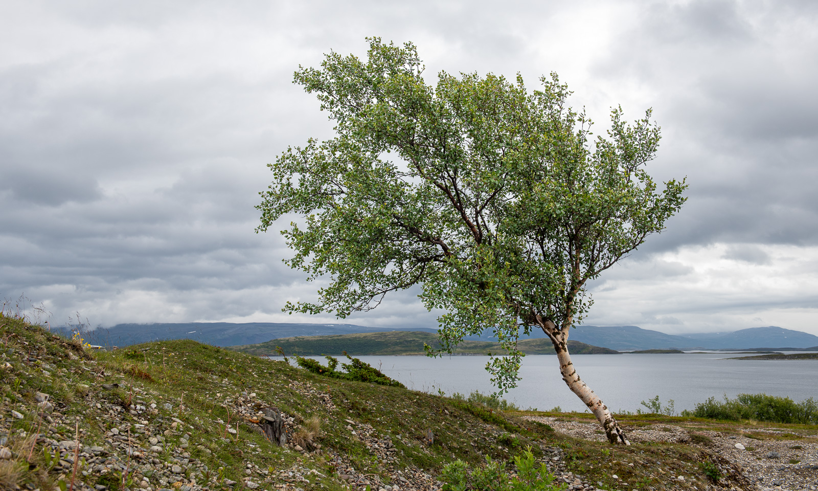
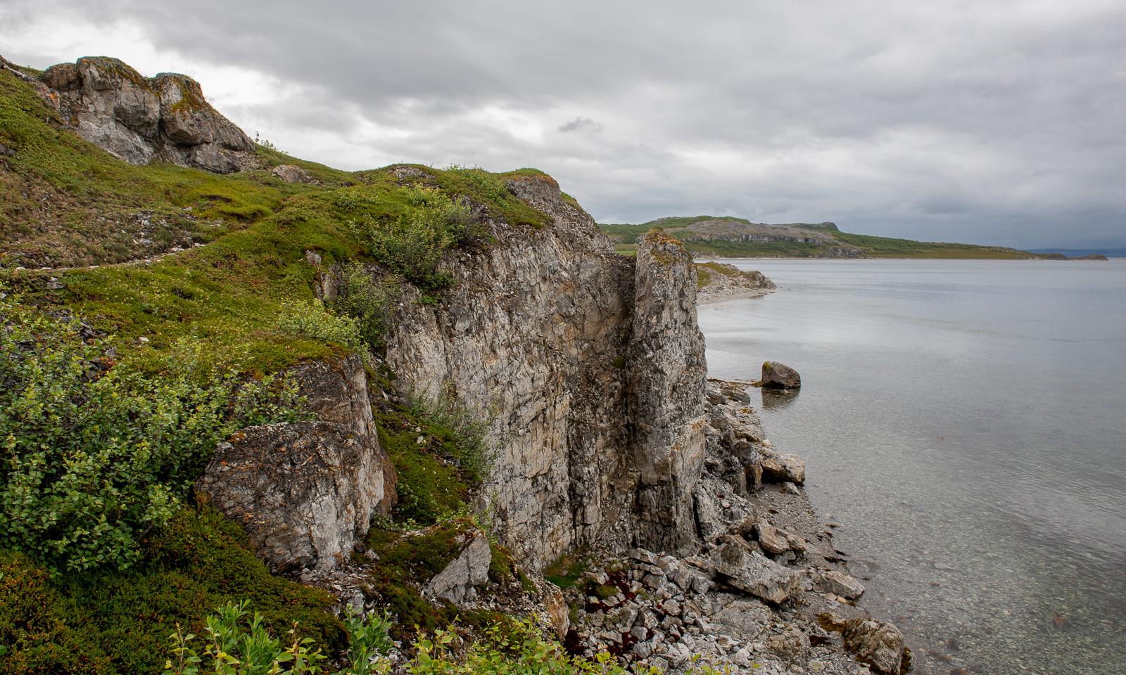
Annika started geocaching a while ago. Sometimes I join her in the search for I found a place to park the car, sometimes I focus more on looking for photo subjects, ideally I do both. At one of the geocache locations behind a gravelly area I first find this lonely birch and then surprisingly beautiful coastal cliffs, although it looked a bit dull in the grey weather.

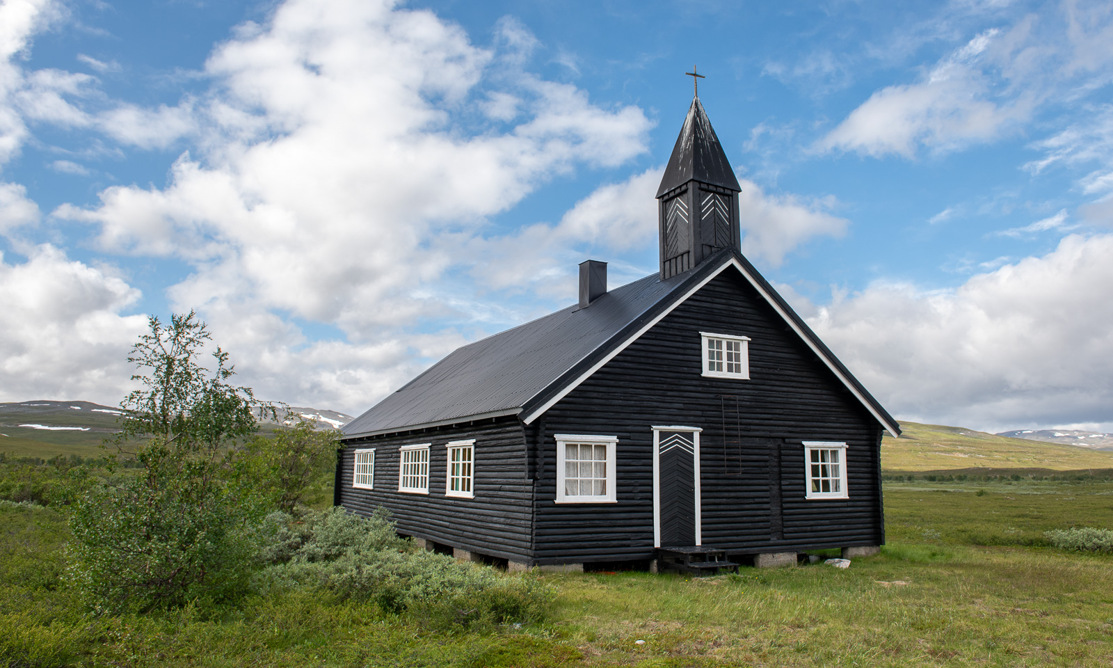
I hardly take any photos of one of my favourite landscapes on this stage of the journey – the plateau of  Sennalandet. I only stop for the Aisaroaivi kapell after the sky has cleared up a bit.

Some more photos from this day:

At 7 o’clock in the evening we arrive at our last overnight stay of this road trip near Sørstraumen. This time we used Airbnb and found a real gem, owned by Gunn, who is a fantastic host. Gunn rents out rooms in her private home and not only invites her guests to her kitchen for a chat but also provides huge amounts of waffles with jam. I can highly recommend her when you like meeting interesting people. We met two Germans who wanted to go north for fishing and a motorcyclist, who is driving all coastal roads of mainland Norway to collect money for ME-fondet, part of Norges Myalgisk Encefalopati forening. We are talking about 50,000 km – what a trip! This is his Facebook page: Around the Coast 2026.

A last photo of this day.

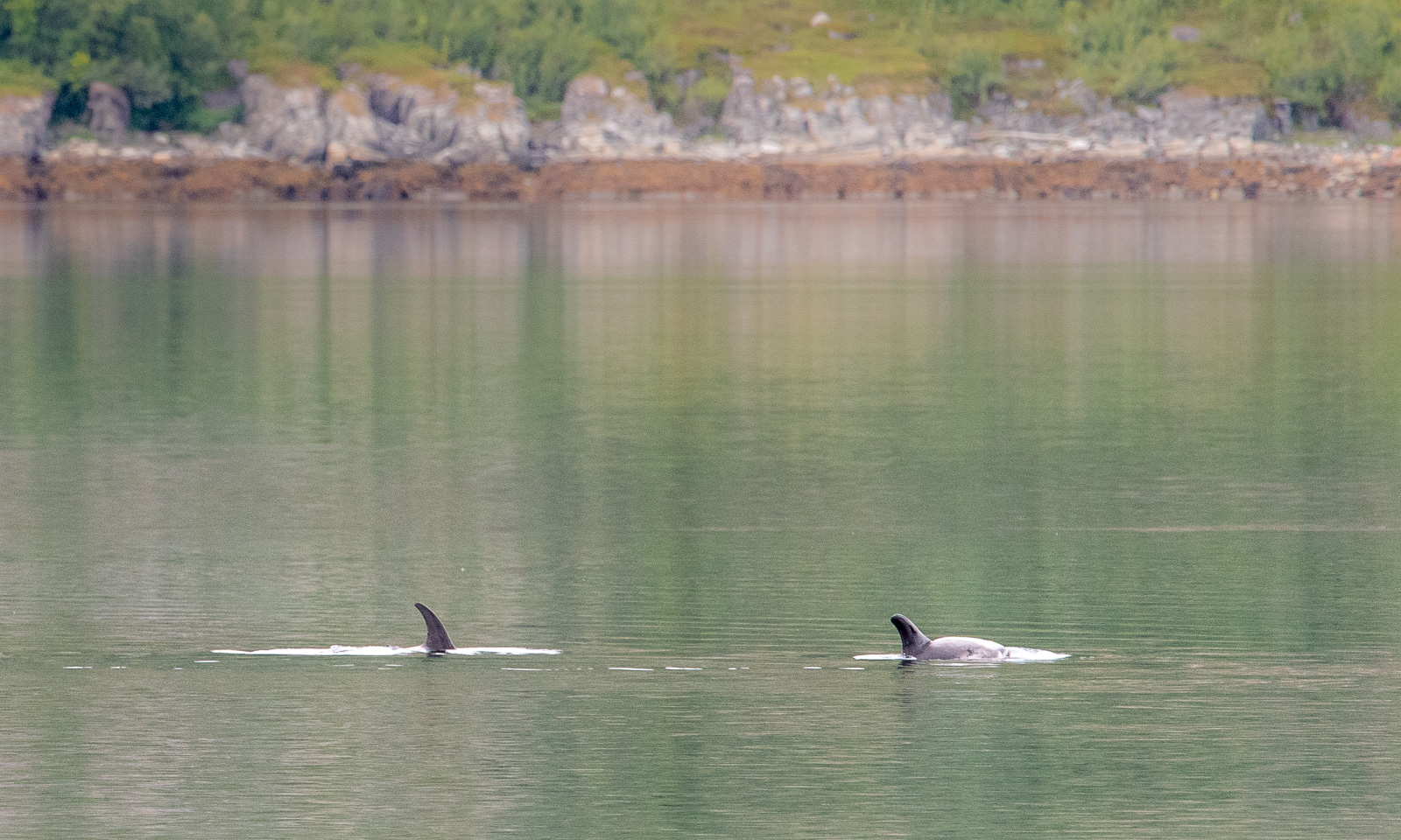
The next day at Gunn’s place began a bit like the evening before: a lively chat and waffles. One thing was different, though. Gunn already told us about whales she saw and showed some videos. While eating another waffle I looked at the fjord and saw movements on the surface. It was a school of white-beaked dolphins passing by the house. We observed them for a while, swimming, jumping, blowing and hunting. They were far away, so even with the big telephoto lens I only got images like this one:

Later than usual, we left this wonderful place to drive the last stage to Tromsø. We could have made it in four hours but it took us seven and a half. The reasons: geocaches, photo stops, detours and an outdoor lunch break. Here are some photos.

Around 18:00 we arrive in Tromsø, my “work home”. I’ll be here for about four weeks and Annika will join me the first two weeks.

Obbola—Tromsø via Finland – part one

This article is part of the series “2026-06: Obbola—Finland—Tromsø”.

Obbola—Oulu

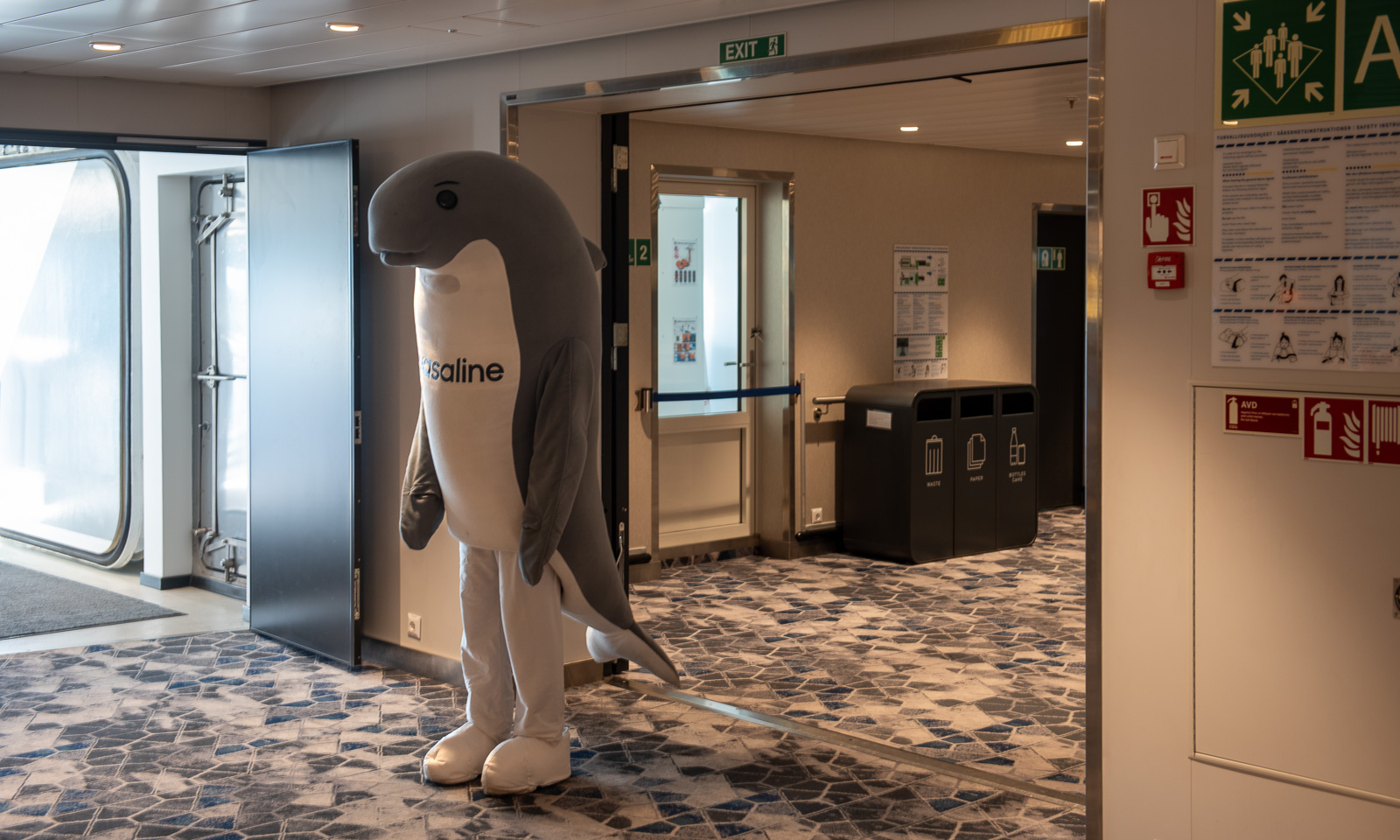
I face the shark, we look into each other’s eyes. I am standing and so is the shark. It waves at me. On its stomach is the word “Wasaline”. That’s the name of the ferry to Finland that we are on.

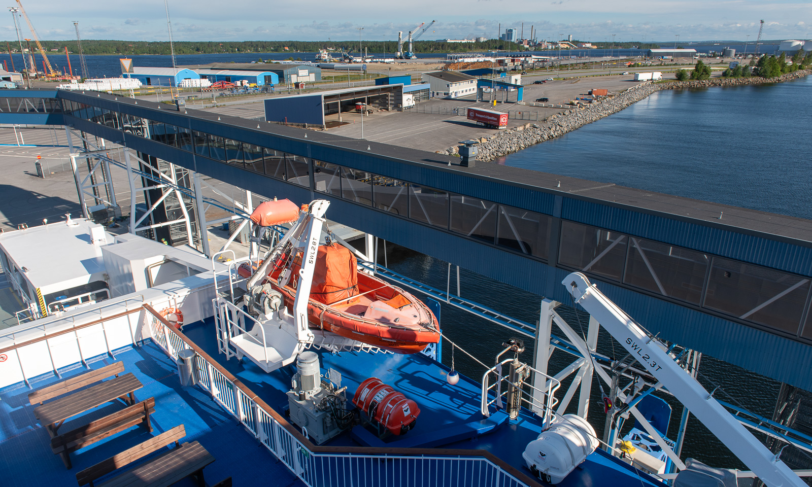
My wife Annika and I are travelling from our house in Obbola, Sweden, to my workplace in Tromsø, Norway. We have a whole week, so it’s a vacation, not just travelling. We decided to take the ferry from Holmsund, Sweden to Vaasa, Finland. Holmsund is just on the other side of the river Umeälven and we can see the arriving and departing ferries from our house. It is 7:50, the ferry Aurora Botnia departs ten minutes ahead schedule.

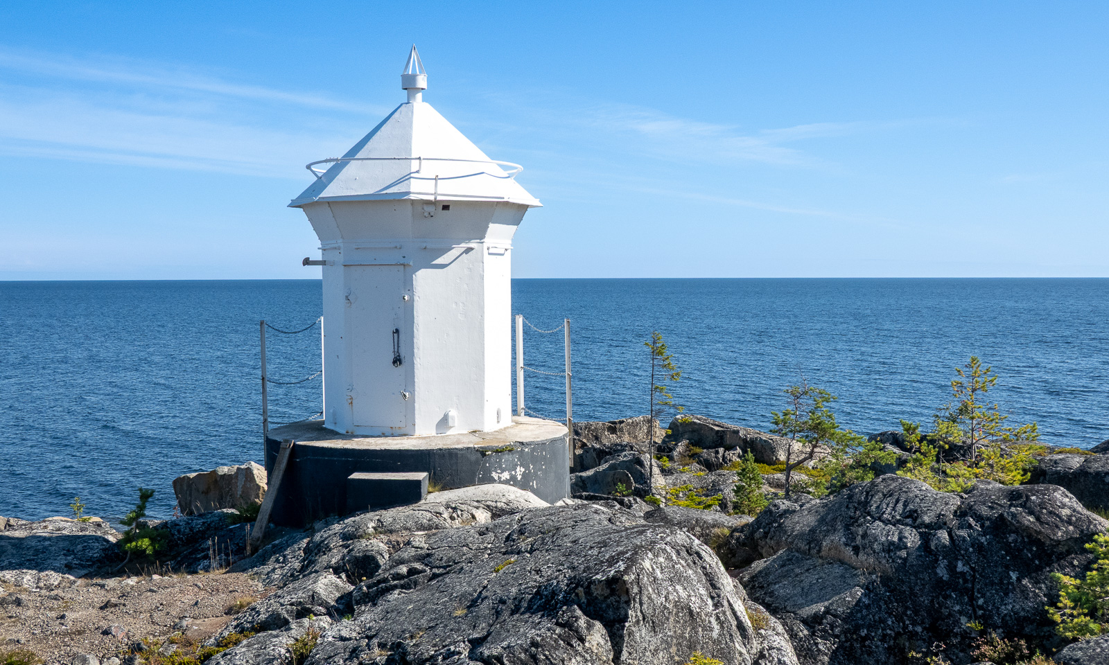
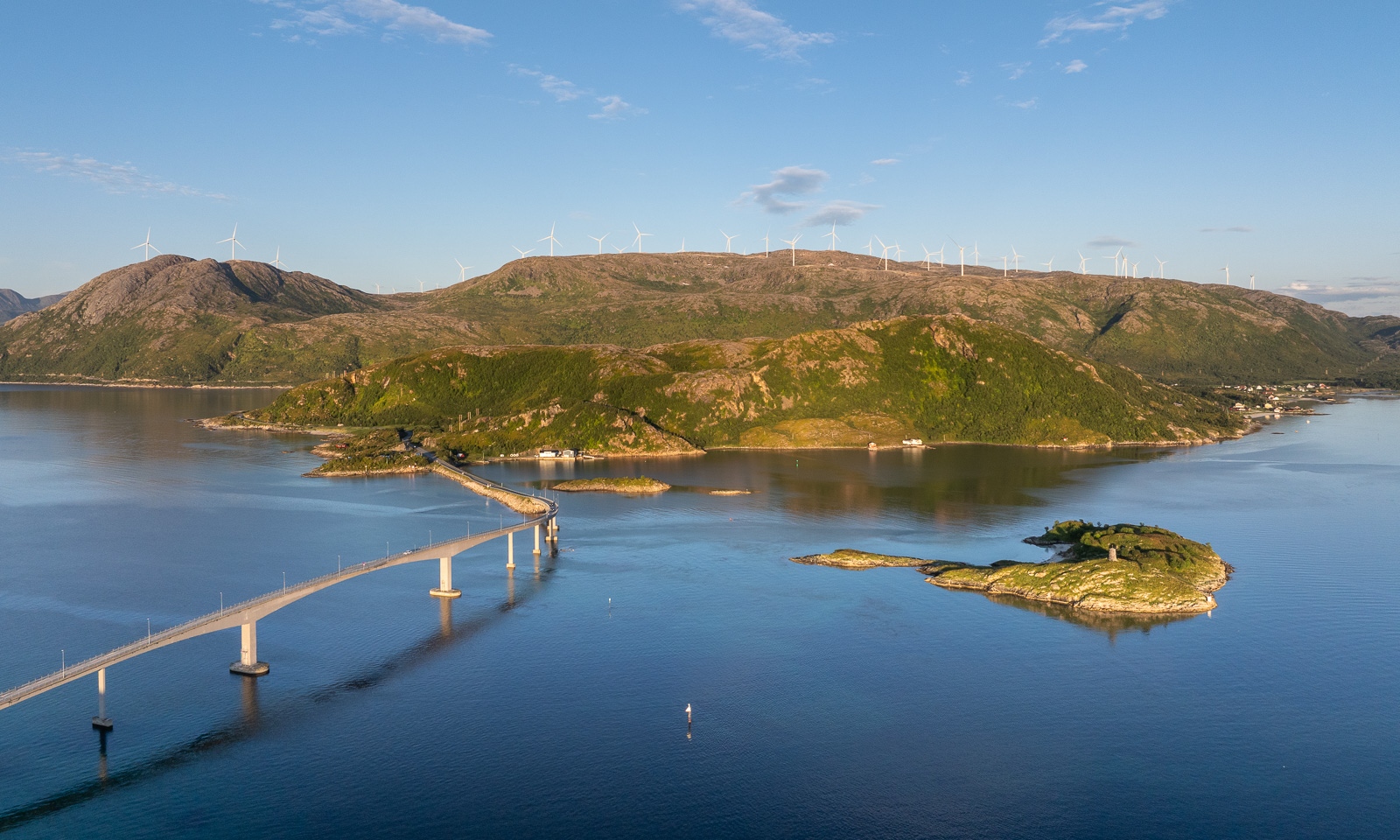
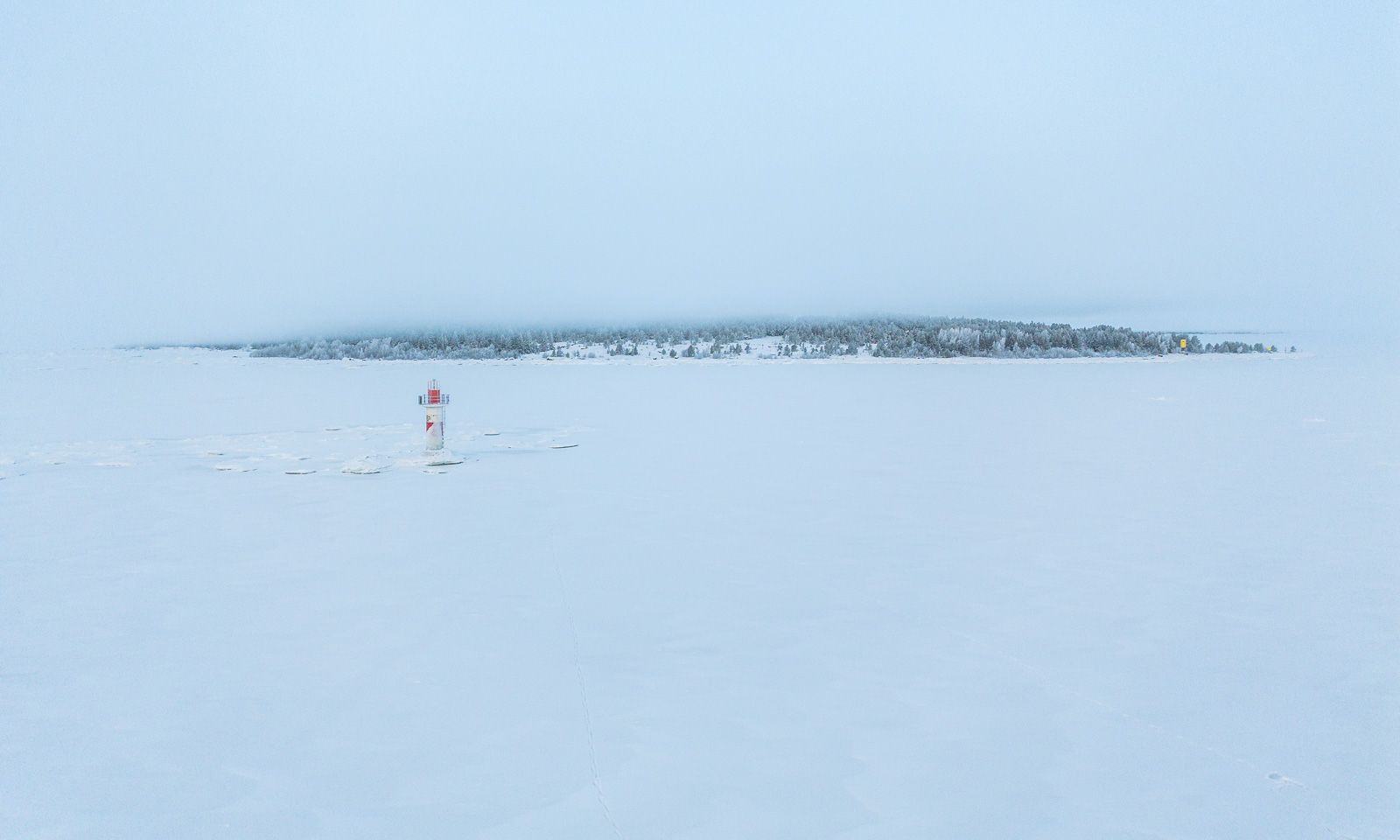
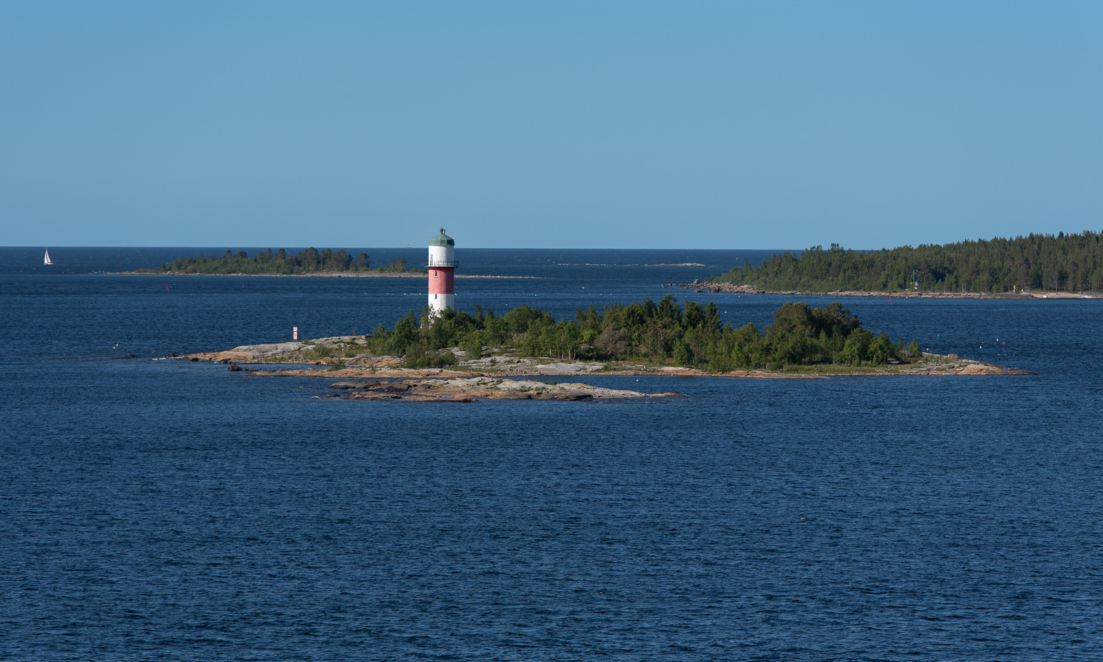
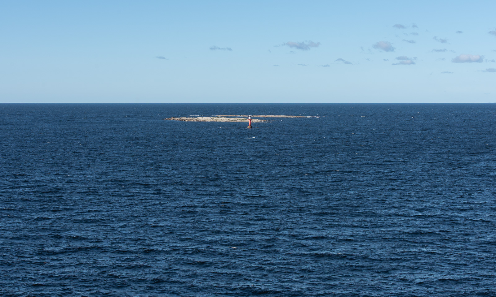
I am standing outside taking photos and looking for the lighthouses. About four months ago I walked to four of them over the frozen Baltic Sea. Now, when I see the small skerries and the isolated lighthouses surrounded by the sea it feels unbelievable. Two different worlds! After we passed Storbränningen, the lighthouse furthest away, I go inside to join Annika at the rich breakfast buffet.

Some hours later we cruise through the Finnish archipelago near our destination, Vaasa where we arrive at 12:30 Finnish time, which is one hour ahead. We leave the ferry and drive north, partially on the main road E8 (it would lead us to Tromsø), partially on smaller detours, which are nicer to drive. The weather is mostly sunny and we start looking for beaches to go for a swim.

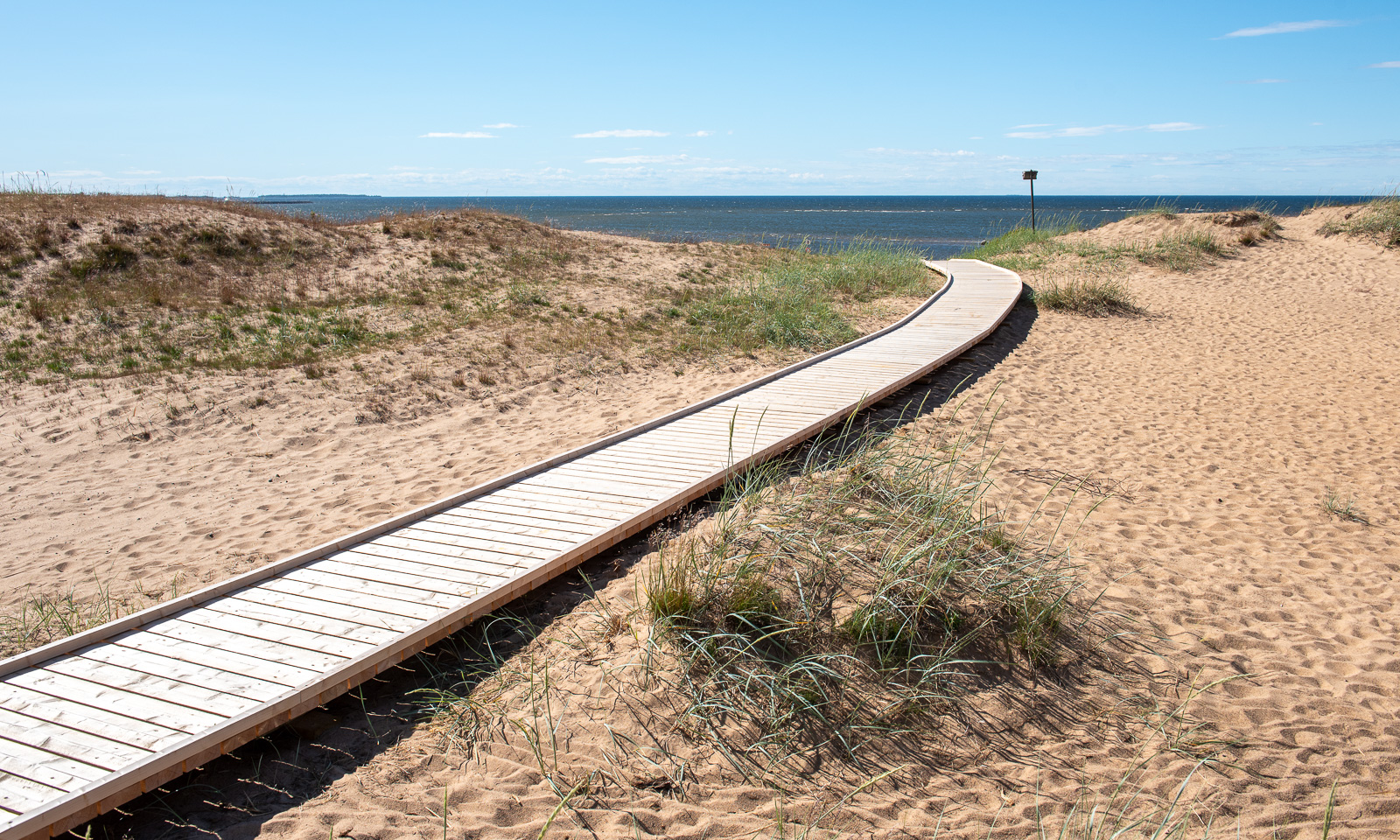
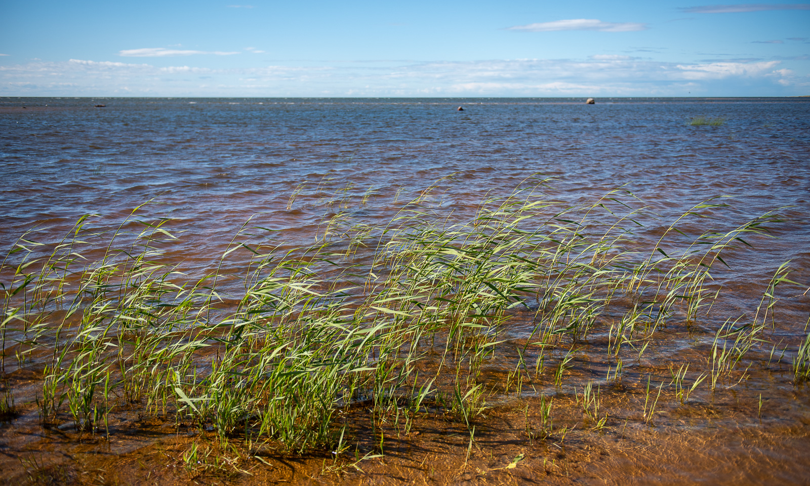
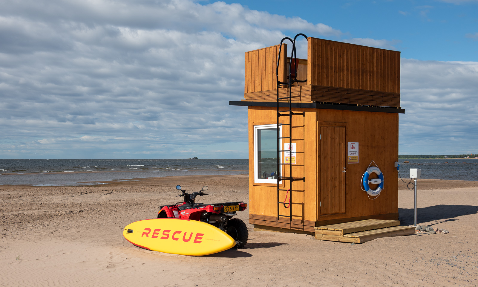
We turn left to the beach Kalajoen Hiekkasärkät which is surprisingly large. Boardwalks lead along the dunes and to the sea. The sea is pretty shallow. That kills my motivation a bit and we stay on land.

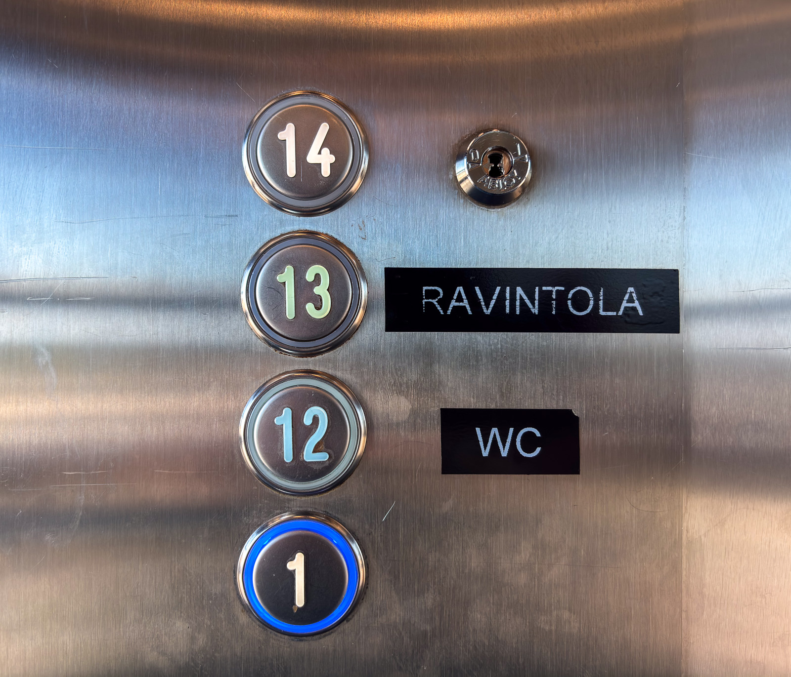
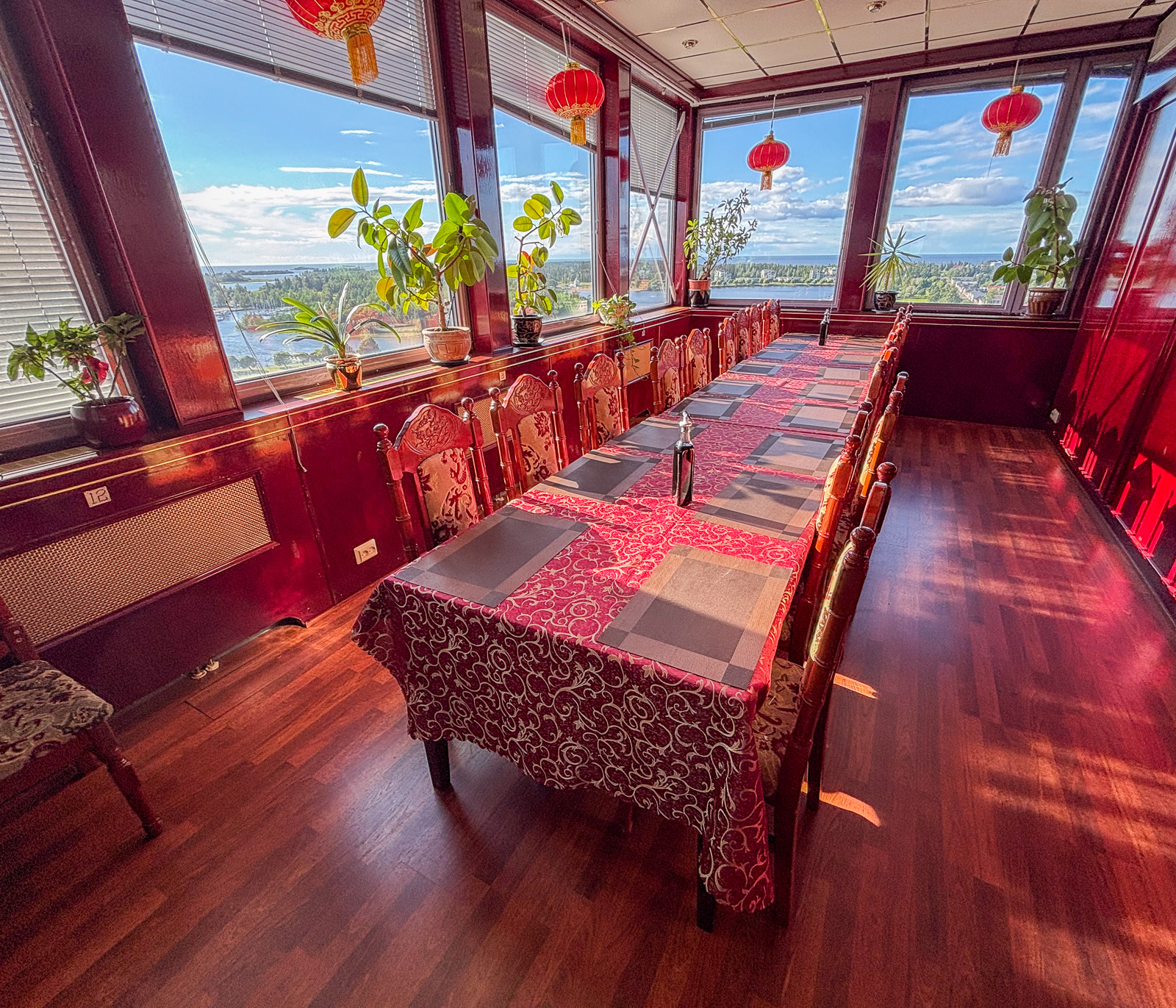
We enjoy the windy but fair weather for a while before we continue our travel north. We start to get hungry and I am looking for a restaurant in Raahe, about an hour away. Many restaurants close already at 18 o’clock, but I find an Asian restaurant that is open longer. When we arrive there and enter the building we are confused. There is nothing but an elevator. We enter it and find only three levels to choose from: (1), (12), and (13). And there – in level 13 is the restaurant with a wide view over land and sea and a huge buffet of sushi and Chinese and Thai food. The reviews on the web were a bit mixed but I liked it very much.
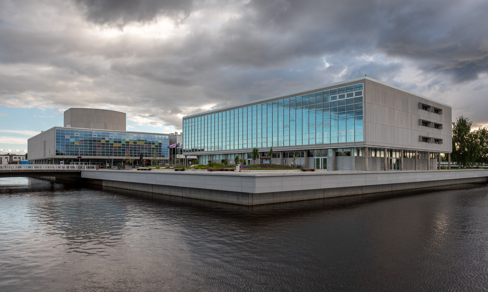
After two more hours of driving we arrive in Oulu, a major city in Finland which is European Capital of Culture this year. We take a short walk and get wet in the only rain shower of the evening. I like the many bridges, the areas of water, the fact that Oulu is a very bicycle-friendly city and the meeting of historical and contemporary architecture.

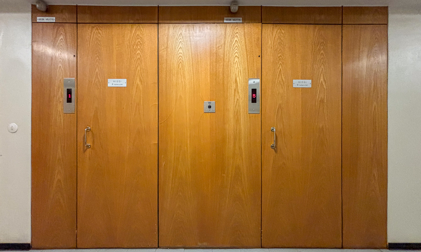
In the apartment house right in the center where we’ll stay two nights we have another elevator encounter. This vintage “hissi” looks like from the fifties and has no inner door, which gives it a bit of a steampunk appearance.

Tomorrow we’ll spend the day in Oulu. The weather forecast looks great, perhaps I’ll go for a swim tomorrow.


The end of high summer in Tromsø

One month ago was the last polar day in Tromsø, where the sun did not set at all. Now it gets dark again in the night. Rain clouds may help as well to make it darker and I got a lot of help from them, when I made an evening stroll through the forests nearby yesterday evening.

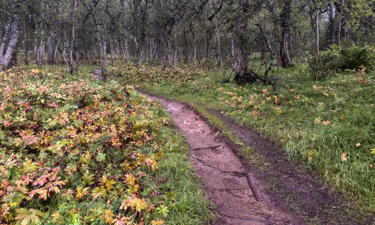
It was still light when I set off and it was raining. The big leaves of the wood cranesbill (Geranium sylvaticum) beside the forest paths had started to turn yellow.

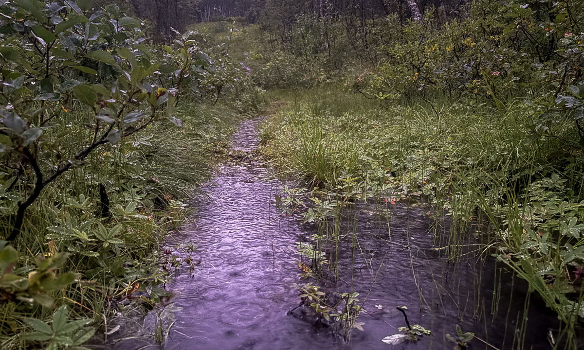
The small, grass-covered bogs always look like autumn. The vegetation is just yellower and browner. Because of the recent rain they were pretty wet and partly covered with water.

There were still flowers in bloom, like the pink fireweed and the thistle in the next photo, but more and more it was the leaves bringing the colour—like the wood cranesbill, whose leaves turn a vivid red in autumn.

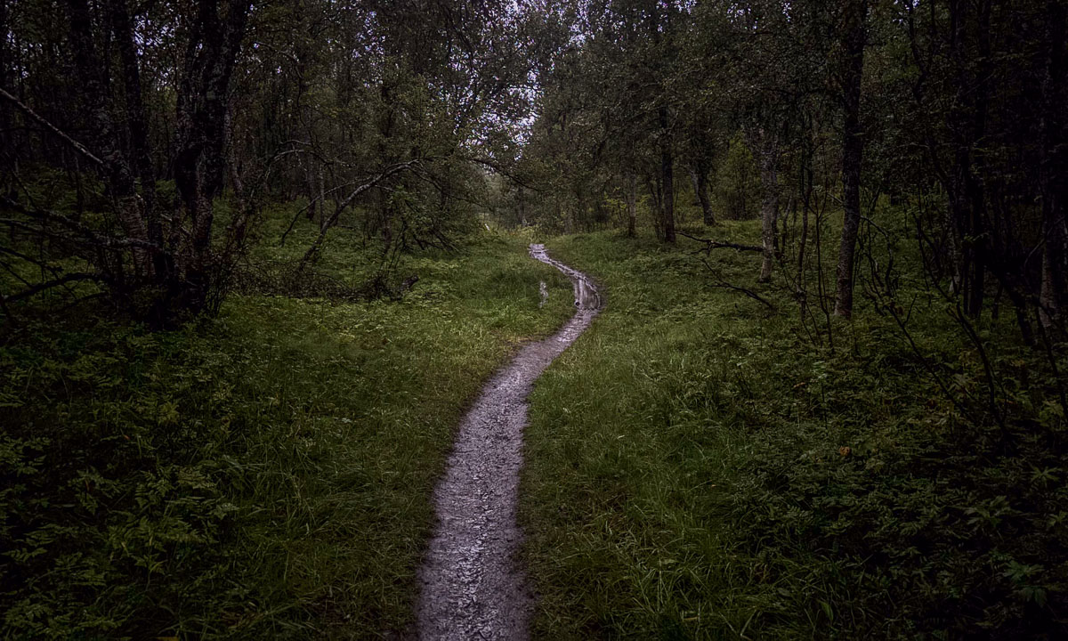
Most of the forest paths were mostly dry but some of them had turned into deep water puddles. Rubber boots came in handy.

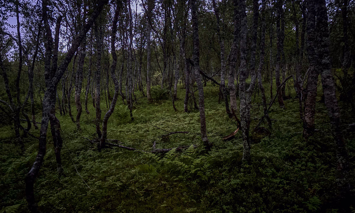
Half past nine – it was getting darker. Now and then I caught a glimpse of city lights through the trees, but most of the time I was away from town—sometimes going cross-country through the forest, sometimes staying on the paths.

Another sign of autumn was starting to show. Various mushrooms have popped up beside the path. I don’t pick them—I haven’t got a clue about mushrooms—but I do enjoy spotting them.

When I came home at 22:20 my rain clothes were so soaking wet, that I hung them into the shower. Today was the first day after months, where I put on the electrical heating in the living room.

July 2025 – photo supplement

No matter whether I blog little or much, there are always photos left, that could be published but weren’t. Today I just show four photos from this month that comes to its end in less than two hours from now.

4 July – Obbola

Just on the eve of my journey from Obbola to Tromsø, when my telephoto lens was already safely packed in the suitcase for next days travel the doe with its two fawns came back. This time they didn’t just passed by but all three stayed in our garden. First the fawns were frolicking around, running back and forth, then they joined their mother and grazed the long culms round the rock in our garden. Meanwhile I found my old telephoto lens and took photos through the window pane. That’s far from being ideal but I didn’t wanted to disturb our visitors peace.

11 July – Tromsøya

One week later I walked home through the forests on top of Tromsøya. Four weeks ago there still had been deep patches of snow, now it was blooming everywhere. Fields of lilac cranesbills, patches of yellow globeflowers and where it was wet und muddy a favourite of mine, marsh-marigold with its bright yellow petals. There is still snow on the mountains, but on the island Tromsøya it is summer.

23 July – Tromsøya

17 °C may not sound hot, but when the wind is calm and it is sunny it makes a summer day in Tromsø. A day Annika and I used for taking a bath in the lake Langvannet. There’s a sandy beach over there at this woodland lake and some quite curious ducklings. After the bath we took another way home that led us to another lake. Lillevannet is far from being a lake for bathing but it shows the beauty of Tromsøya’s nature.

27 July – Tromsøya again

A good friend will start a very special trip the following week. She will embark the three-master Statsraad Lehmkuhl and sail from Nuuk in Greenland through the Northwest Passage to Cambridge Bay in Arctic Canada. What a journey! Time to bid farewell with a barbecue in the forest, but before that another hike to Langvannet – 2 km from my place – to take another bath. We met an acquainted duck with three ducklings (last time one of them tried to nibble my toes all the time). Then another duck family arrived with much younger ducklings – still nestlings. While being less curious they were equally confiding and we could take some photos of them. This is my favourite.

That’s all for today. Perhaps I have some photo leftovers again in the end of August but I guess I’ll blog before that. See you soon in the digital world.

Just a pick-up at the station… – part II

< to part 1

Tuesday, 22 July

When I wake up early, the mountains and the sea have vanished. Thick fog surrounds our overnight stay Marmelkroken on the island Andøya. I take a walk through the wet grass to the bird observation place but beside of some seagulls and a lonely curlew that flies around there is nothing to see.

One hour later Annika and I sit inside enjoying our gorgeous breakfast. We get a table-side presentation of the dishes. More or less everything has been produced locally and we eat it all.

Then we head of. We want to catch the one o’clock ferry in Andenes that will bring us to the next island Senja, second largest in Norway (again, when we ignore Svalbard). The weather soon gets fair again, but around the mountains still some clouds are hanging.

Yesterday we took the western road, today we cross the boggy island to take the eastern one. On the way there we pass the village Å. There are several Norwegian places called Å, the most famous one is on the Lofoten. The next stop is the octagonal church in Dverberg.

A bit north near Myrset there is a huge area of peat mining. Andøya has large areas of peat bogs and parts of it has been drained to extract the peat. I climb on a hill of peat – it bounces like a water bed – to take some photos of this moonscape. Then I protect my camera lens, because each step emits a cloud of brown dust. But that’s nothing compared to the huge double-wheeled tractors anyhow that produce huge clouds of peat dust while driving. My car is brown now.

We take it easy, we have time – that’s what I thought. When we however arrive at the ferry terminal it becomes quite obvious that we would not join the next ferry. Too many cars are ahead of us waiting. So the one o’clock the ferry departs without us, leaving us behind but in a much better start position. Now we have to wait for four hours. Time to explore Andenes a bit.

As hoped and expected we find place on the next ferry. Now we are on the way north to Senja. Soon we are in open water, accompanied only by some sea birds.

The ferry trip takes one hour and forty minutes. Then we arrive in Gryllefjord on Senja.

Unfortunately we won’t catch the last ferry to Kvaløya today, they are not coordinated. We have to drive via the mainland – a large detour. Although it is another detour we decide to take the coastal route. 289 more kilometres to go which means a five hour drive in Norway. It is evening and we will make less breaks now.

Stop one – Tungeneset, a scenic rest area.

Stop two – another one of the many beautiful views on a fjord and the mountains on the other side. Here we see something special: a cloud waterfall. Clouds fall down a steep mountain range where they vanish in thin air. New clouds come from behind. The cloud waterfall is several kilometres broad and looks like a huge waterfall in slow motion. An impressive view.

(Note to the meteorologists: is this a orographic cloud spillover?)

We take the bridge from Silsand to Finnsnes. After two days we are on the Norwegian mainland again. Although it is still midnight sun season – the sun won’t set, it just moves lower and lower until it is hidden behind the mountain. I took the next photo at eleven o’clock in the evening.

At half past twelve we arrive home in Tromsø, my “work home”. Although it was only one evening and two days of travelling together it felt like real holidays.

We think about doing the same in half a year. I have to check the ferries, but it would be interesting to visit the same places in wintertime.

Just a pick-up at the station…

When Annika travelled to me last weekend, her train from Boden to Narvik was cancelled and the next and last train was heavily delayed. Unfortunately train problems have become common in Northern Sweden over the years. I had to use the airplane several times because trains didn’t run at all for days or it was impossible to buy tickets.

To keep Annika from being stranded, I drive to Narvik to fetch her. From Tromsø it takes me about three and a half hours plus some breaks.

Meanwhile Annika has booked a hostel in Bogen where we stay overnight. Our plan is not to drive back the direct route, but to visit the islands Andøya and Senja.

Monday, 21 July

The next morning starts sunny.

However it soon gets foggy. After crossing the Tjeldsund we are on Hinnøya, the largest Norwegian island (when we ignore Svalbard). We decide against a swim in the sea due to the fog and continue to Refsnes. From here go ferries cross the Gullesfjorden to Flesnes. On my trip to Narvik yesterday it was often 28 °C, now in the fog it is hardly 15 °C.

We have missed the 10 o’clock ferry, but they run hourly and we don’t have to wait for long. The journey itself takes only 20 minutes.

From Flesnes we continue to Risøyhamn. Hurtigruten travellers may know this place not only because it is one of the stops but also because of Risøyrenna – a man-made underwater channel that allows larger vessels to pass between Andøya and Hinnøya. The Hurtigruten ships has to go quite slow there.

We take the bridge over the Risøysundet and drive through Risøyhamn. Twice. Because I didn’t know that it is so small. Only round 200 people live there.

The weather is sunny again and we become more beach focussed. The first beach is for having lunch. We share it with a flock of sheep.

The second beach is for bathing. 16 °C in the water – surprisingly warm for the region.

We continue north. To the west the Norwegian Sea. Next shore westwards is Greenland, more than 1500 kilometres away. Our next stop is much closer: a public toilet at Bukkekjerka. But what a one! It is a designed block of concrete and mirrored glass. From the outside you cannot look in, but from the inside you can switch the huge glass windows between being transparent or opaque.

Around this place – a lighthouse on a peninsula, interesting looking rocks, a baaing sheep and of course the sea.

We follow the coastal road further north to Bleik. Here you can find beaches and turquoise water as well as ridiculously looking rock needles.

After refuelling my car in Andenes we drive south again to Marmelkroken, where we will stay overnight. With an additional photo stop.

To part 2 >

Flower spotting in Tromsø

This afternoon I took my camera with a macro lens and strolled through the nature of Tromsøya looking for flowers. A lot of them grow on gravel, while others prefer the shady forest or boggy grounds. I’m not a biologist so I used AI tools to identify the flowers. I then checked in GBIF if these flowers have been found in Tromsø. Anyhow the scientific names may be plainly wrong! I do not provide any English names here, because there are too many synonyms for my taste. No wonder, that the English Wikipedia uses the scientific names as well. 30 blooming flowers I found today:

Midnight sun on the Stor-Kjølen – part II

To part I >

I slept better than expected in the shelter on top of the mountain Stor–Kjølen (790 masl) that I hiked up the previous day. At 7 o’clock I get up and enjoy strolling around the plateau under a deep blue sky. Thank you, DNT, for maintaining this shelter.

At half past seven I start my way back. The sun is high in the sky.

The plateau summit resembles a desert of stones with hardly any plant beside of lichens and some tufts of grass. The first plant that catches my eye when descending the summit is a flowering ground cover. If the AI is correct, it is silene acaulis, also known as moss campion or cushion pink.

Again I cross the huge snow field. I see footprints but no ski tracks. Skiing season seams finally to be over.

Navigation is easy. Sometimes I go astray, since there are so many parallel paths – this hike is quite popular. But with the help of the painted red dots it is easy to find back to the main track. The cairns – Scottish  Gaelic for a man-made pile of stones – can be used for navigation as well. Great in fog! However, use them with caution. Tourists love to build these all over the mountains on random places.

While coming down the mountain the landscape slowly changes. The ground is more and more overgrown and to the right there are several lakes.

As the day before I pass a small valley. Now it lies in the sun. It looks very idyllic with its lakes, streams and its birch trees. One day I have to check how to go there.

Another stream to cross, another lake to view …

… and I’m on the home stretch. Soon I can see the gravel car park. One of the grey cars is mine. But still the terrain is hilly and in no time the car park disappears from view again.

By 9:45 I am back at the car. I was incredibly slow — a luxury you can afford when you’re hiking alone and stopping to take photos.

Later that day I stand on my balcony. The view is mostly blocked by large trees. Birches, willows, rowans. Through the gaps I can spot the mountains. And if you look carefully on the next photo, you may spot a tiny white dot on the top of a snowy mountain. That’s the radar station of Stor-Kjølen. I’ve been there last night.