Ski tour in the Pallas-Yllästunturi National Park – day two
This article is part of the series “2026-03: Ski tours”.
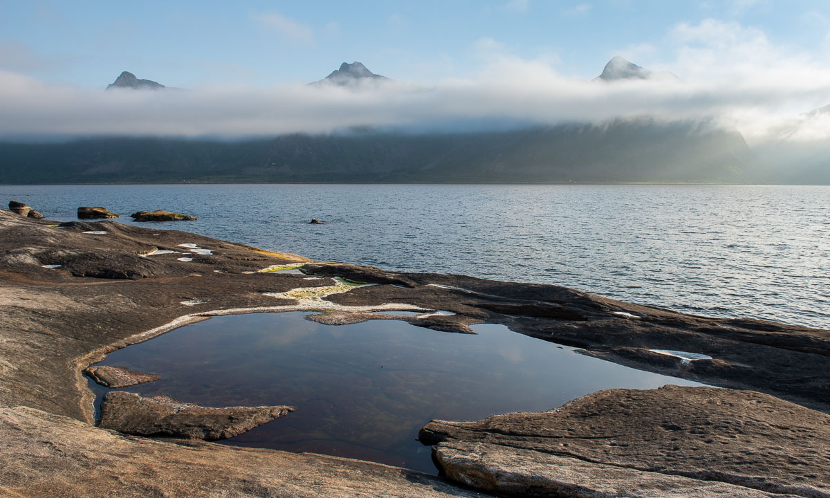
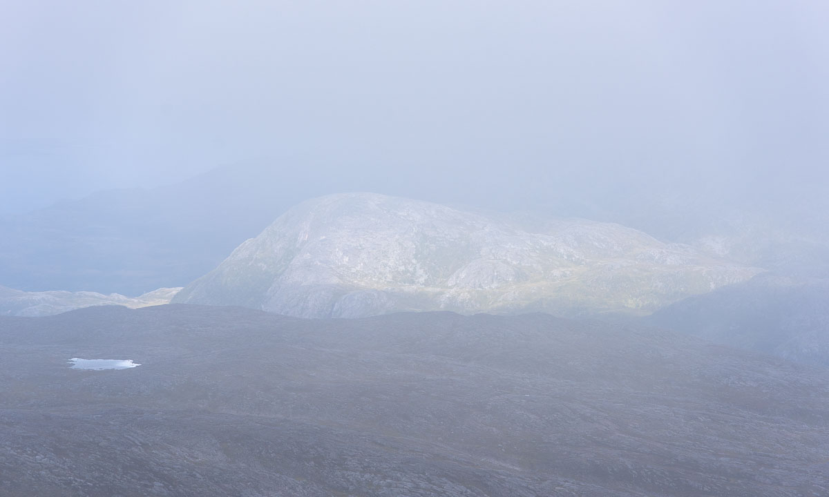
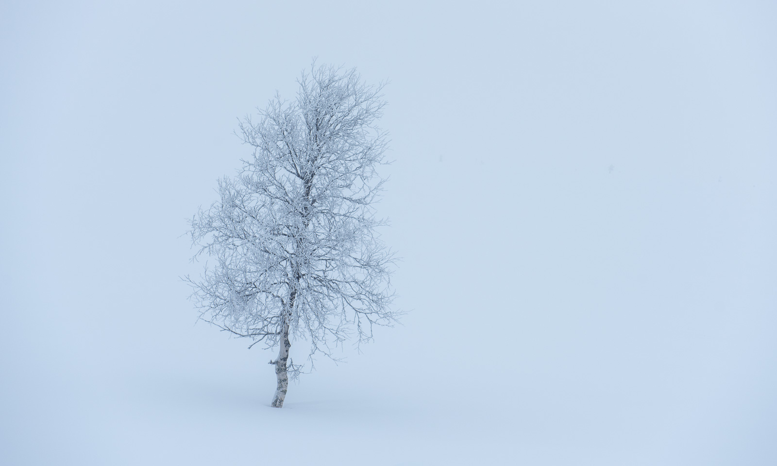
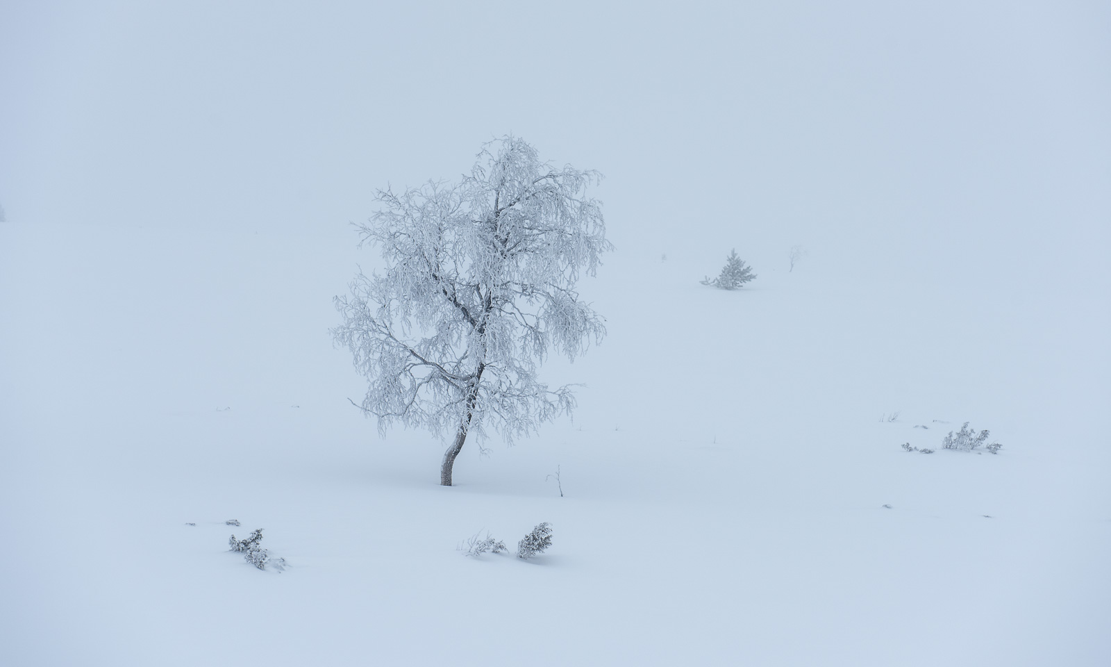
When I wake up in the hut Sioskuru in the Pallas-Yllästunturi National Park the scenery has changed since yesterday. Thick fog makes the world small and the few visible trees are all covered with frost.

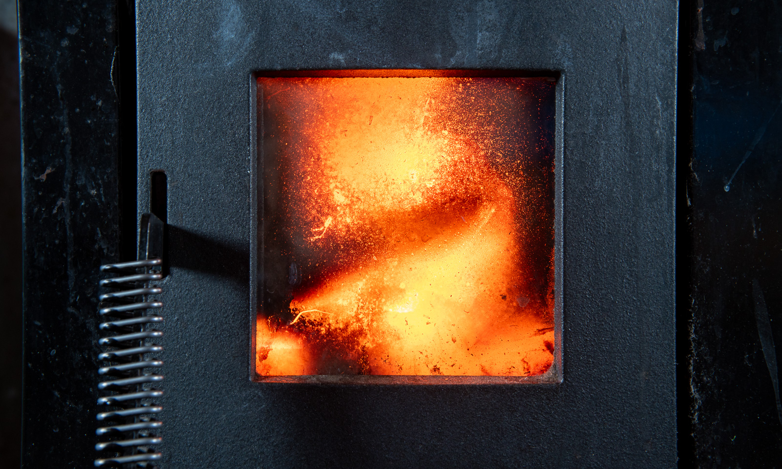
Time to light the stove in our small room.
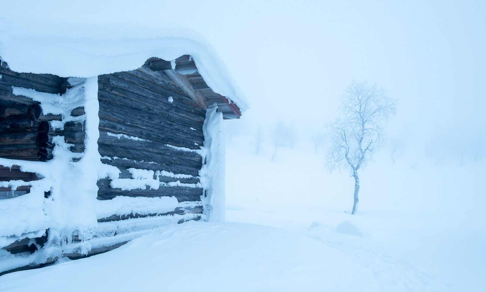
Yesterday we started our ski tour in Hetta, today we want to continue on to Hannukuru, the next cabin. The distance is shorter than that of the previous day and although it is foggy the weather is calm. At 9:45 we set off. We pass the wooden bridge and ski into the fog.

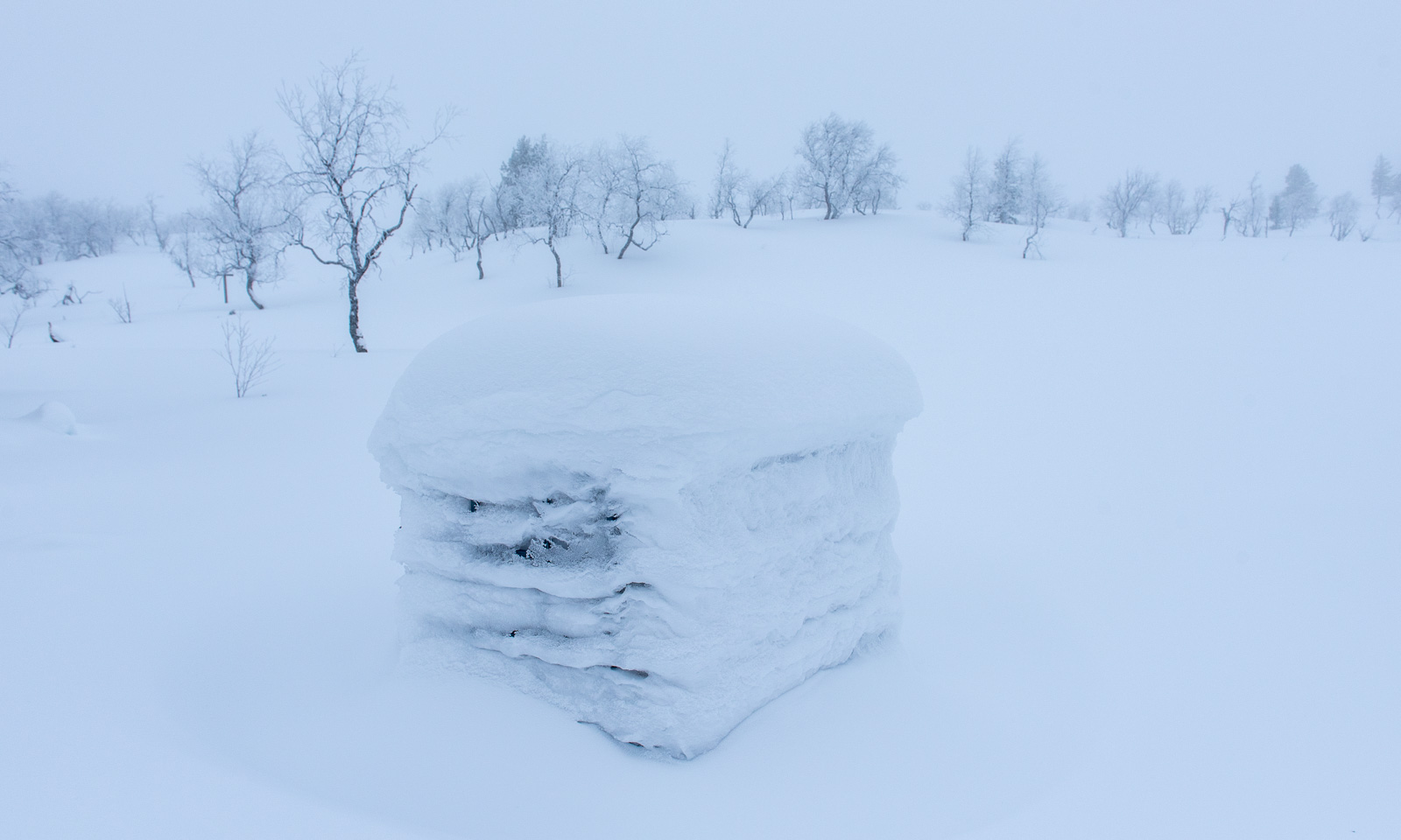

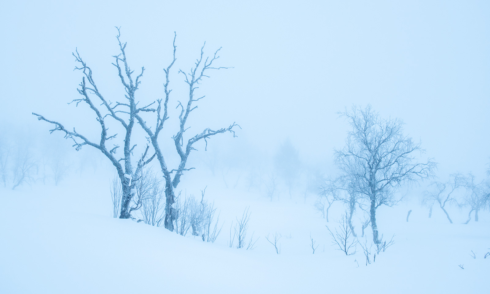
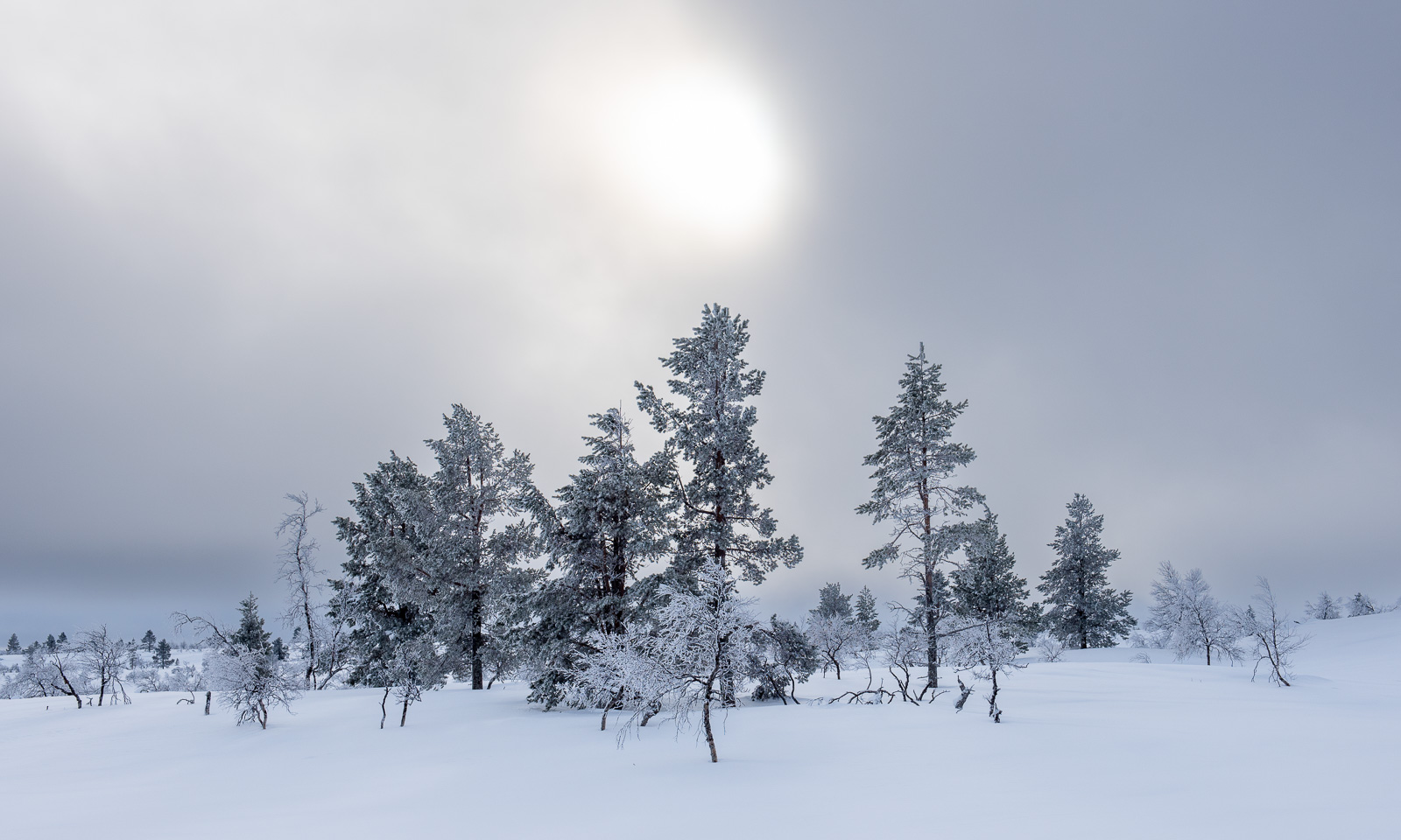
It is like skiing through a contemporary art exhibition with us being the only visitors. There is fog and there are some frosted trees, some of them are real beauties. And there is silence.


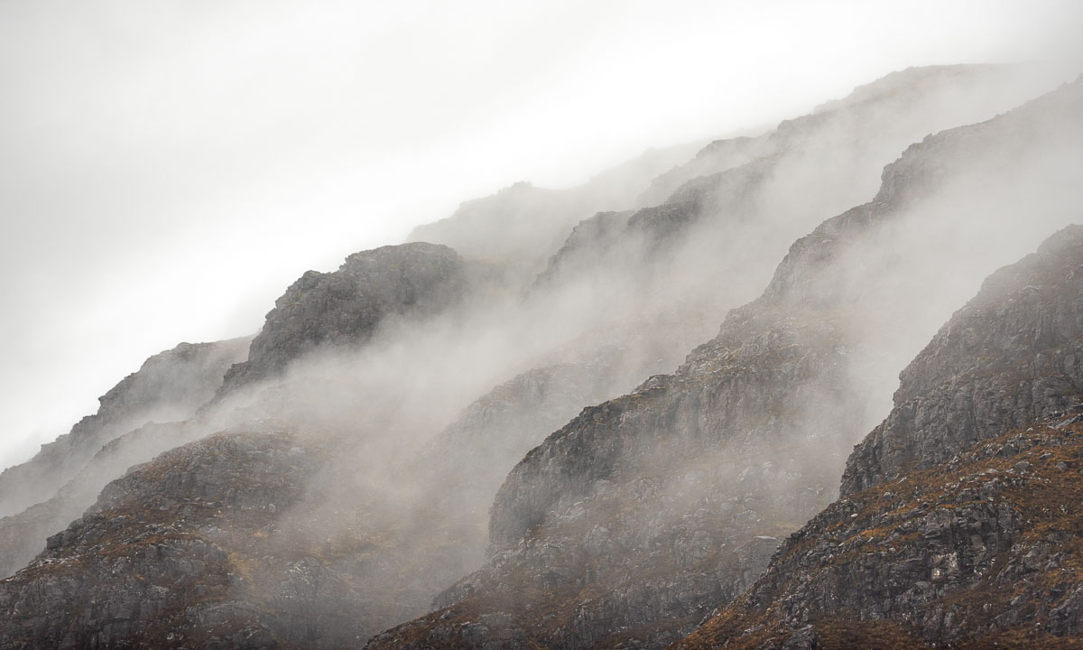
Slowly we gain elevation. Fewer and fewer trees grow here. I’m glad about the wooden waymarks, it would be an effort to navigate through the fog in this featureless landscape.


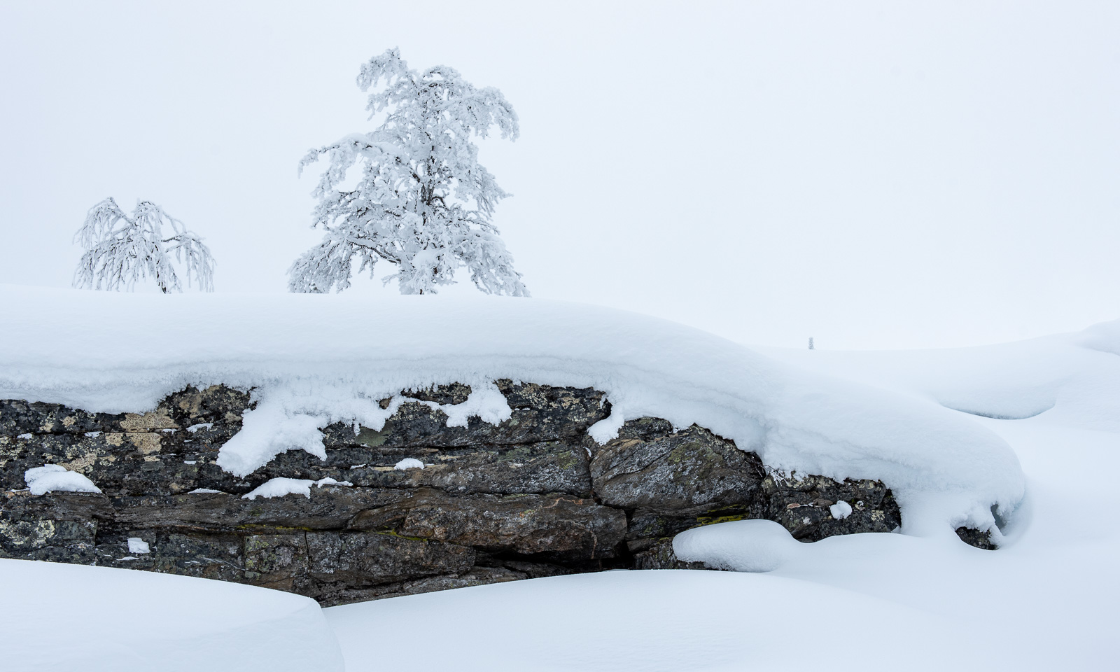
After crossing this plateau, we descend a bit and are below the timberline again. The fog has started lifting, but it is still grey.


I am still a bit exhausted from the day before but I cannot explain why it is so hard to ski today. It is as if the landscape is bewitched and sucks all my energy, motivation and happiness from my body, my mind and my soul. More and more I have to stop, lean forward on my ski poles and ask myself why I should ski another metre. We are getting slower and slower and it feels like Dementors from Harry Potter’s magical had gathered here in this bleak nothingness. I stop and shout my frustration into the void with words not suitable for publication. Then another nine and a half metres of skiing. A stop. Some more steps. And so on.
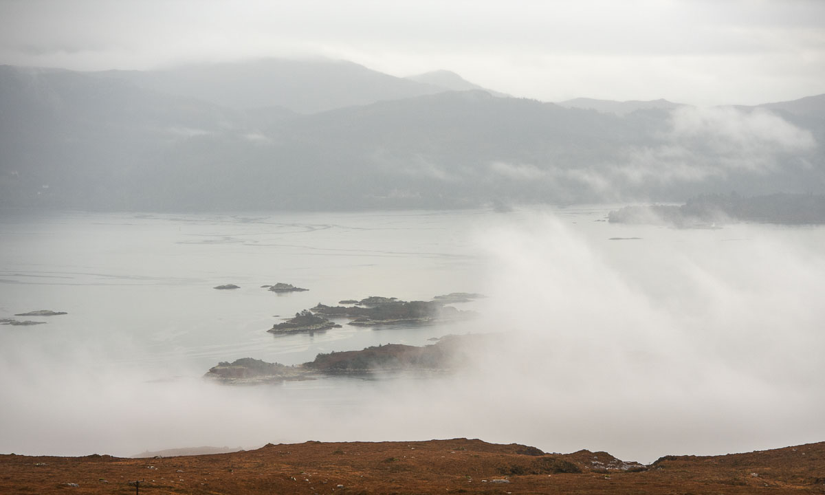
After two hours something happens. The clouds have started breaking up and all of a sudden the sun is coming out. It is maybe only half a minute but it helps me to look ahead again. I’m still exhausted but I can see the beauty of the landscape again and of course I know that we will reach the next cabin.
There are more and more trees and in another small hollow we even spot something we yet didn’t see: rocks!


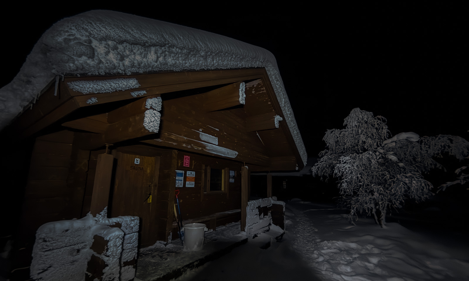
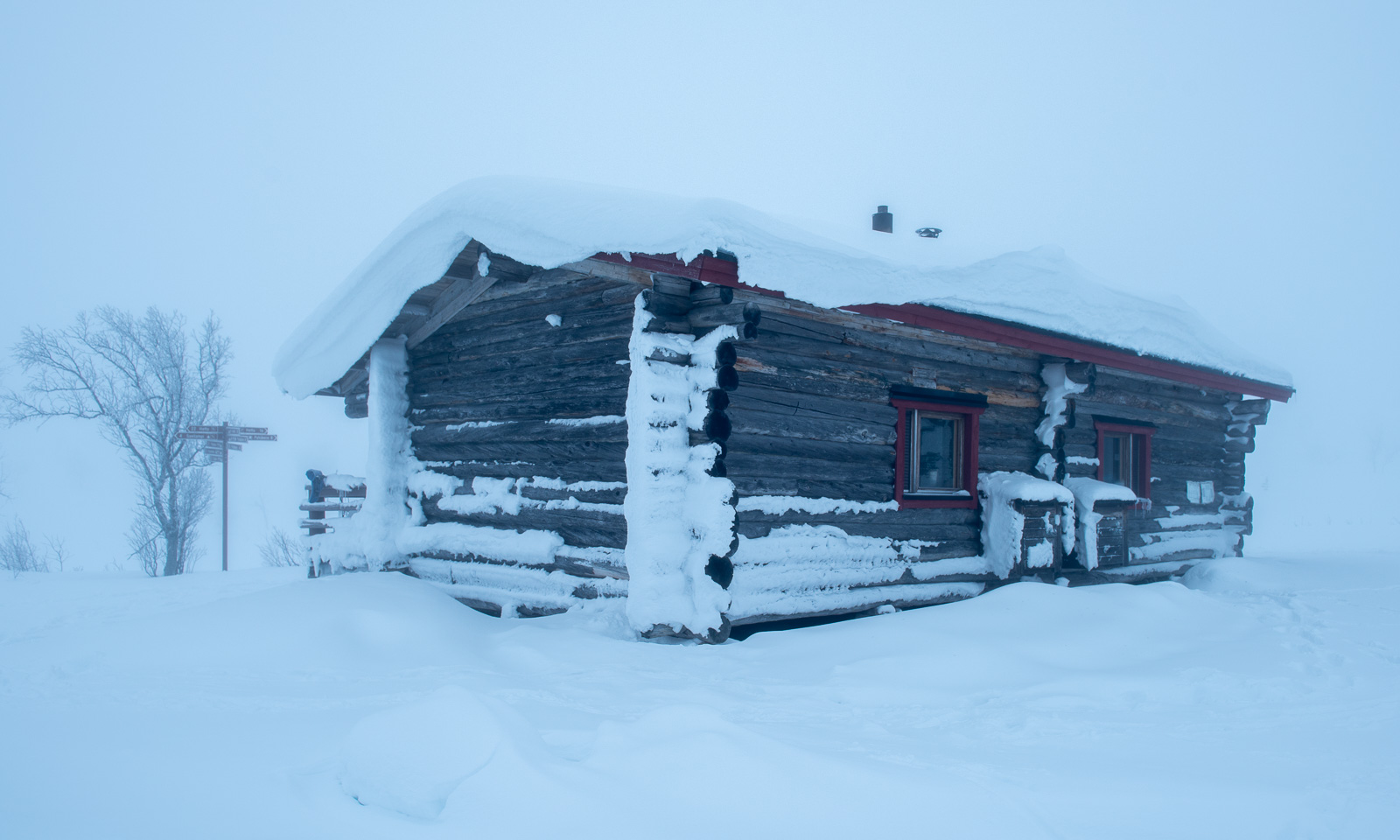
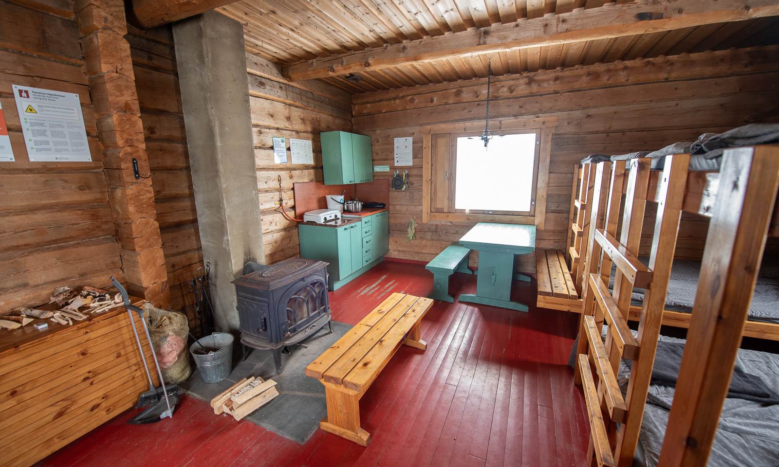
After 11.7 km (and more than 5 hours) we reach the hut Hannukuru, or rather the wilderness village of Hannukuru. There are several huts, woodsheds, outhouses and a sauna. We search our pre-booked shared rental hut, unlock “Hannukuru Hanna” – the room on the right – and inside I spot the most beautiful collection of kindling I’ve ever seen in my life.

While Sioskuru was pretty small and more a mattress room, this spacious room provides bunk beds for twelve people and a giant wood-burning stove.


I am eating part of the chocolate that I forgot we had with us. Annika is soaking dried potatoes and vegetables for the dinner: frittata. Delicious!


Before dinner we plan the next day’s route. We cannot change it – the skiing distance to Nammalakuru, the next hut is 21 km with a tedious ascent in the end. We are considering to change our plans and ski east instead. Reason one: the long distance, likely in untracked terrain. Reason two: the weather forecast that predicts warm temperatures with sleet and freezing rain.
A Finnish couple in the other room knows the area well and shows us the options. We decide to ski east to the small ski resort Vuontispirtti. This also means that we can sleep longer the next day. When three other skiers invite us to use the sauna after them we gladly accept. What a wonderful end of a quite strange and tiring day. And yes – Finnish saunas are hot!