Scotland NC500 – day 2 – standing stones and a castle on a cliff
This article is part of the series “2025-10: Northern Scotland”.
14 October
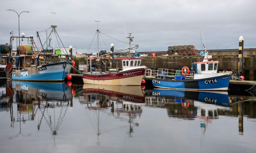
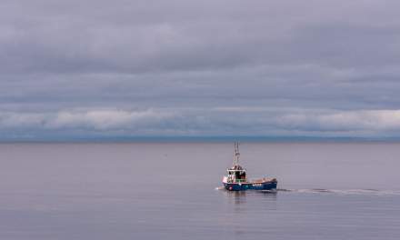
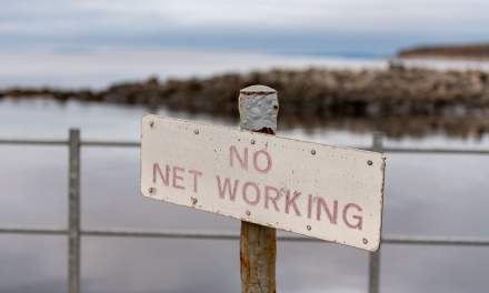
When I wake up in Helmsdale on the Scottish east coast it is still twilight. It is quiet. Only some fisher boats are leaving the harbour and two bird watchers are standing on the pier. I like especially the sign “No net working” which has a completely different meaning here. Context matters!
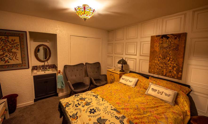
Back at our guesthouse “Song of the Sea, Selkie House”, Lorna, our host is inviting my wife Annika and me to her big kitchen where she prepares our breakfast. And what a breakfast: Cereals with fresh strawberries, eggs, bacon, mushrooms, toast with home-made jam and more was put on the table while we had a long and cheerful chat with plenty of laughter. I feel so welcome to be here and we only left reluctantly. I think: “If you do not like Lorna’s place you do not know anything about travelling.” If only my English was better and my ability to understand all kinds of Scottish accents.
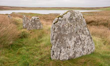
Round half past ten we continue our road trip, heading straight north. Some attractions we find in our guidebook, while others are on using Google Maps. So we have found Achavanich, a megalithic structure literally in the middle of nowhere. We use the tiny parking area und wander around between the lichen-covered stones that are arranged in a horseshoe-shaped pattern. A bit further down – a lake called Loch Stemster.
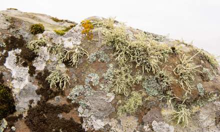
Exercise for lichenologists: how many different species can you count on the second photo?
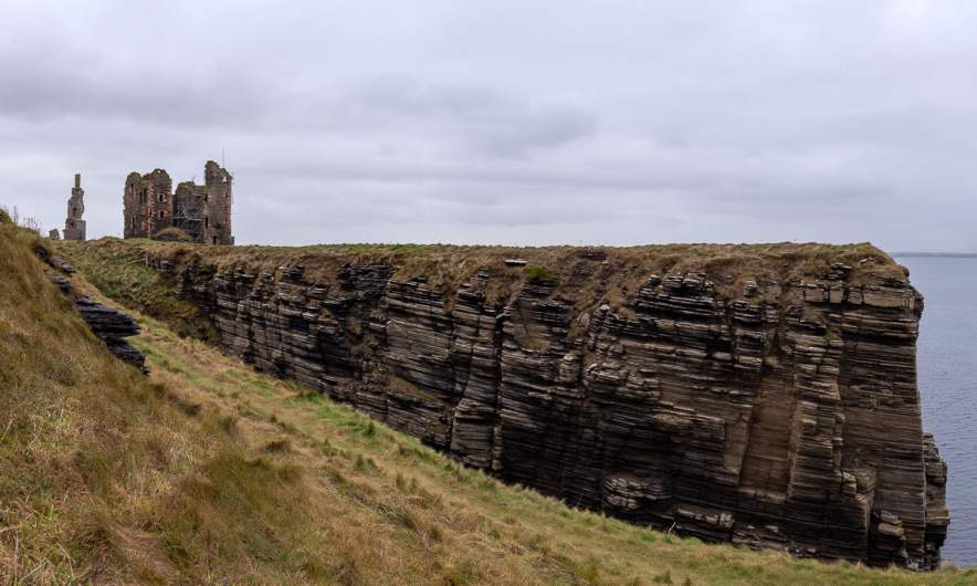
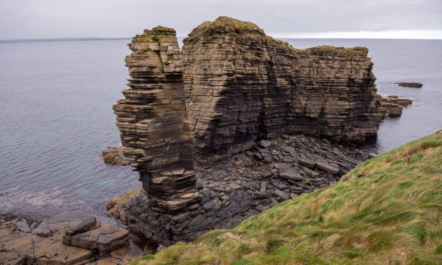
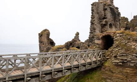
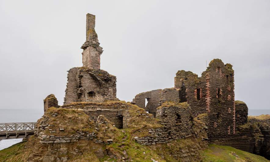
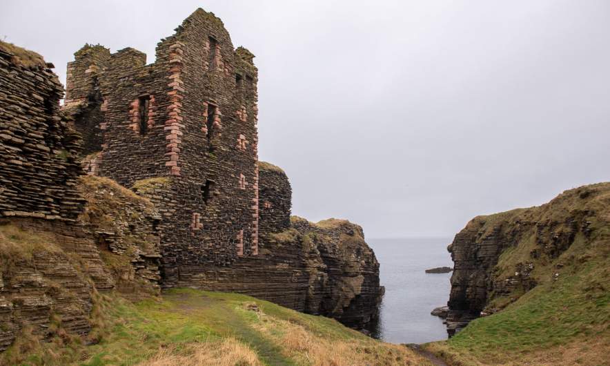
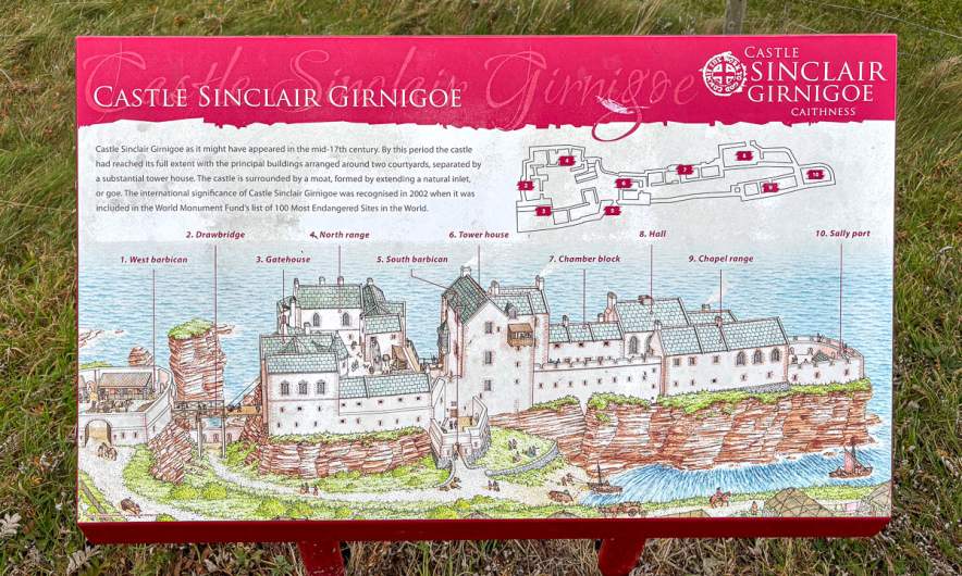
The next attraction is in the book: The Castle Sinclair Girnigoe 5 miles north of the town Wick. This castle – or better said its ruins – is located at the very edge of the coastal cliff. There are educational displays that explain the history, but for me the most impressive detail is the exposed location by the sea. More than an hour Annika and I are strolling round the castle despite of the drizzle. A real highlight on our trip!
This is one of the displays showing how the castle looked centuries ago.
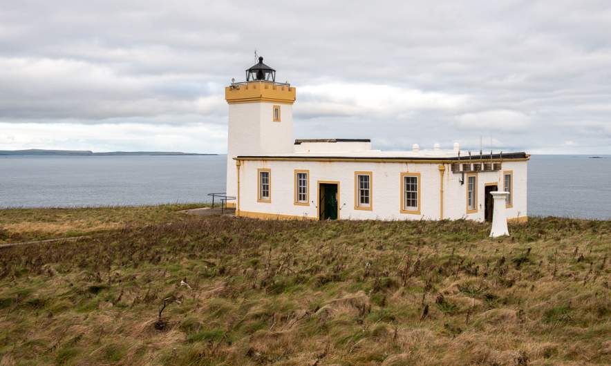
Back in the car we drive back to the A)), follow it north and then take the road to the Duncansby Head Lighthouse which marks the most northeasterly point of the Scottish mainland. Photo. Check!
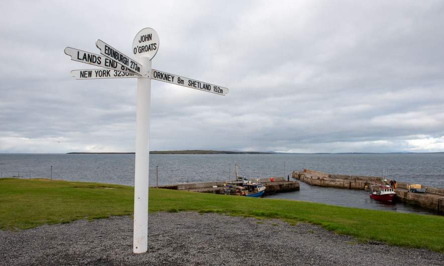
The next stop is only a very short one. I take some photos of the John o’ Groats Signpost, a famous but surprisingly boring signpost. It has four arms pointing to Orkney and Shetland, to Edinburgh, Lands End and New York. That’s it. While I take these photos Annika is slowly driving around because parking is expensive in this commercially focussed place and we are happy to leave it behind.
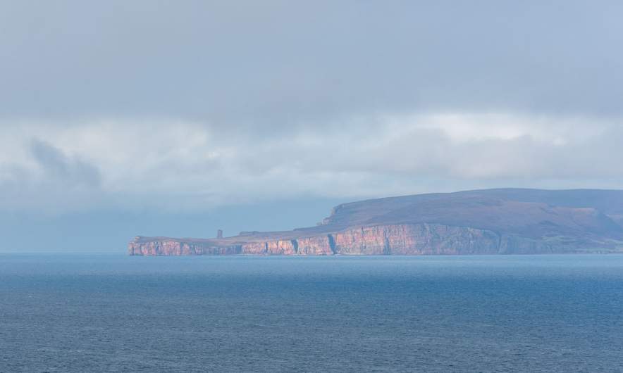
But the signpost is true: The Orkney islands are pretty near and we see the cliffs from different places, such as our next stop Dunnet Head. This is the northernmost point of the UK. Here take a photo of the partially sunlit cliffs of the Orkney islands in the distance.
So Annika, next time Orkney and Shetland? … and Faroe islands? … Iceland again? … Greenland? … Vinland? Sorry, I got slightly distracted. Back to our road trip.
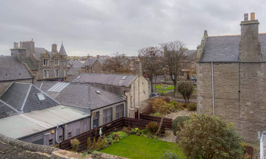
From Dunnet Head it is just about twenty kilometres to Thurso, a surprisingly big town by the north coast of Scotland. Here we stay in a quite shabby hostel, but we can cook, we can sleep and that’s all you really need. Parking the car in town however was adventurous because the rules are pretty cryptic and time-dependent. Anyhow, there is a big car park by the River Thurso, where Annika parked our rental car over night. (Thanks again, Google Maps for the tip.)
The next day we will leave the NC500. We thought, travelling in October would make it easier to find accommodation, but it gets harder, because many guesthouses have been closed for the season.
