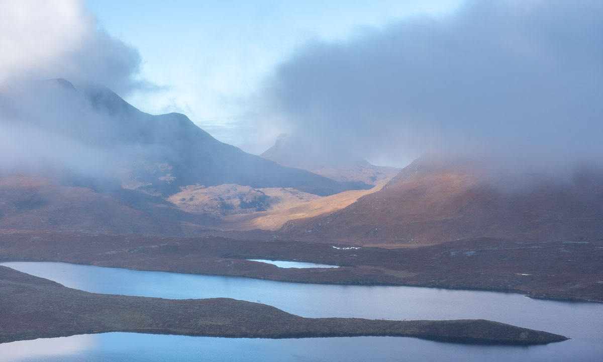
Oulanka National Park, the Russian border, long dirt roads and Lokka reservoir
This article is part of the series “2026-06: Obbola—Finland—Tromsø”.
Part three of the journey from Obbola to Tromsø
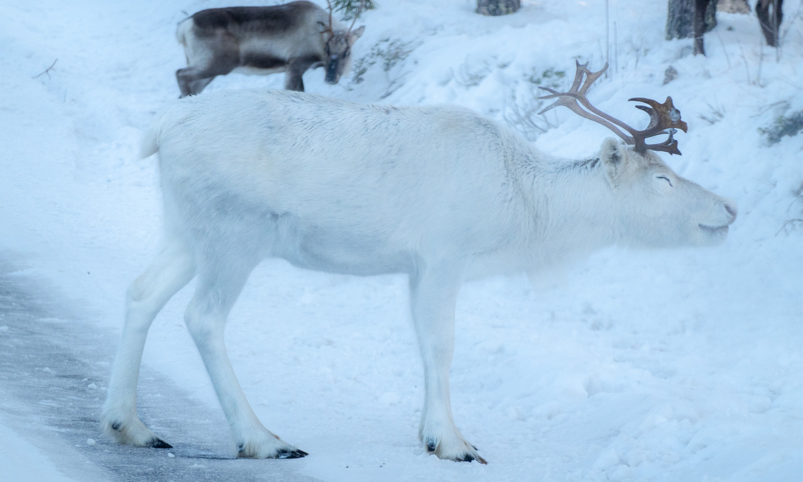
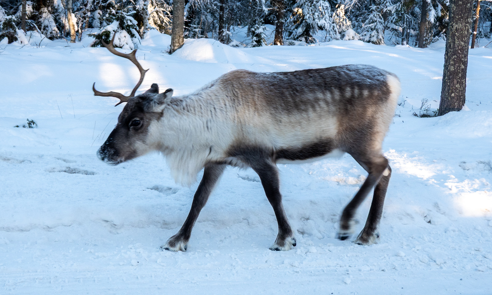
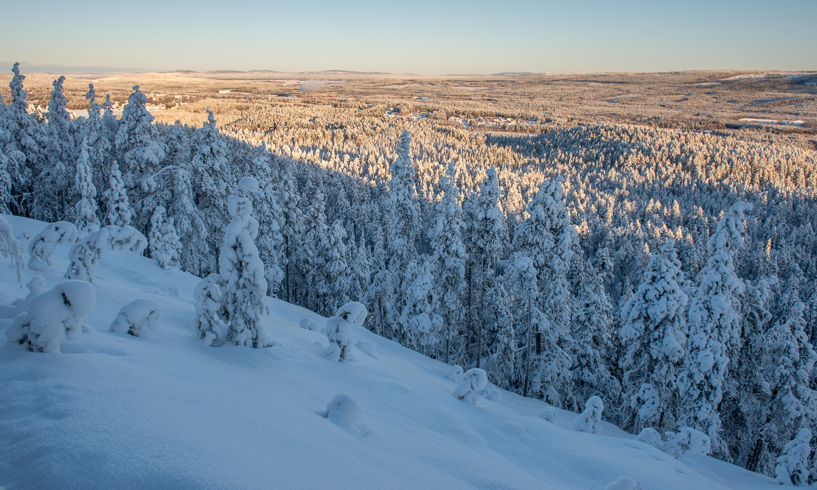
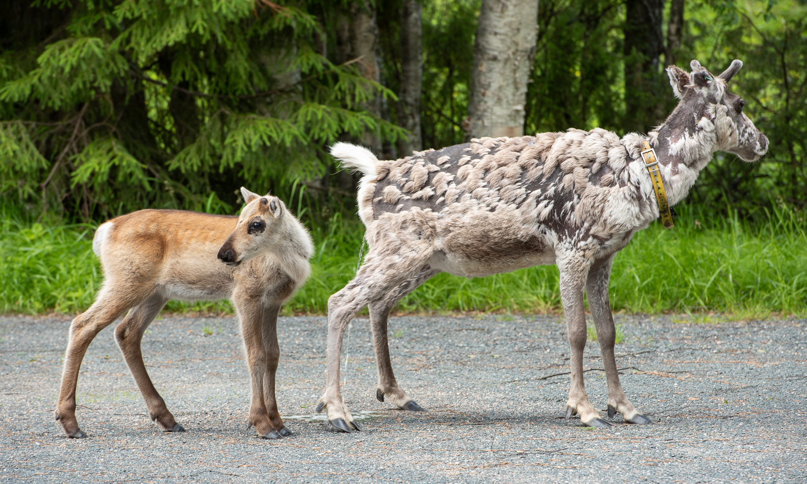
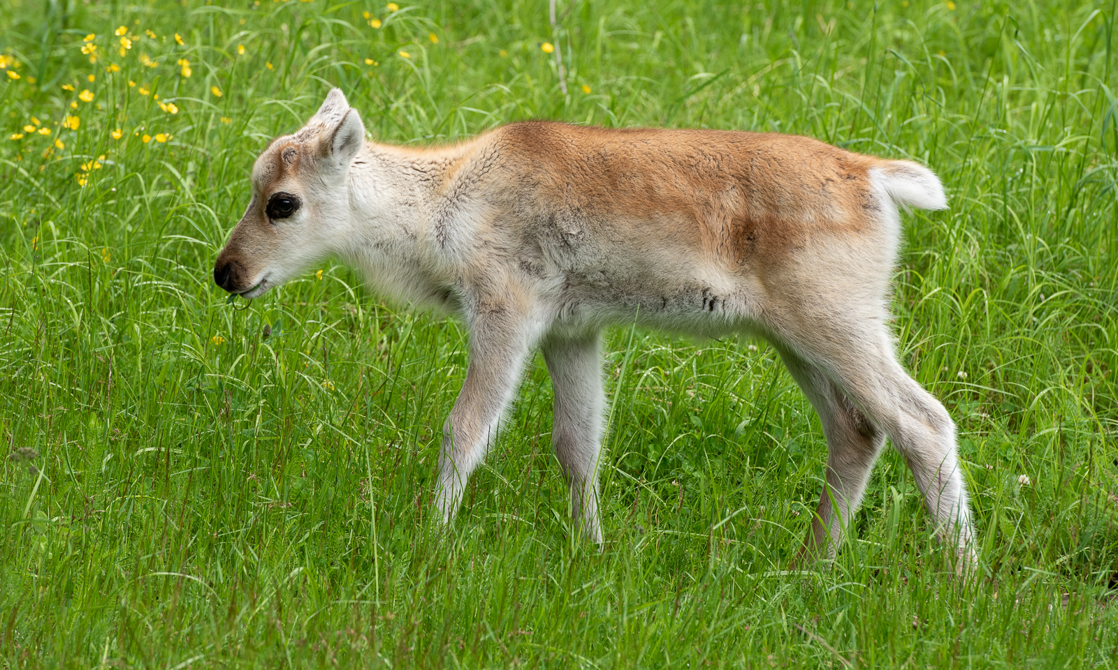
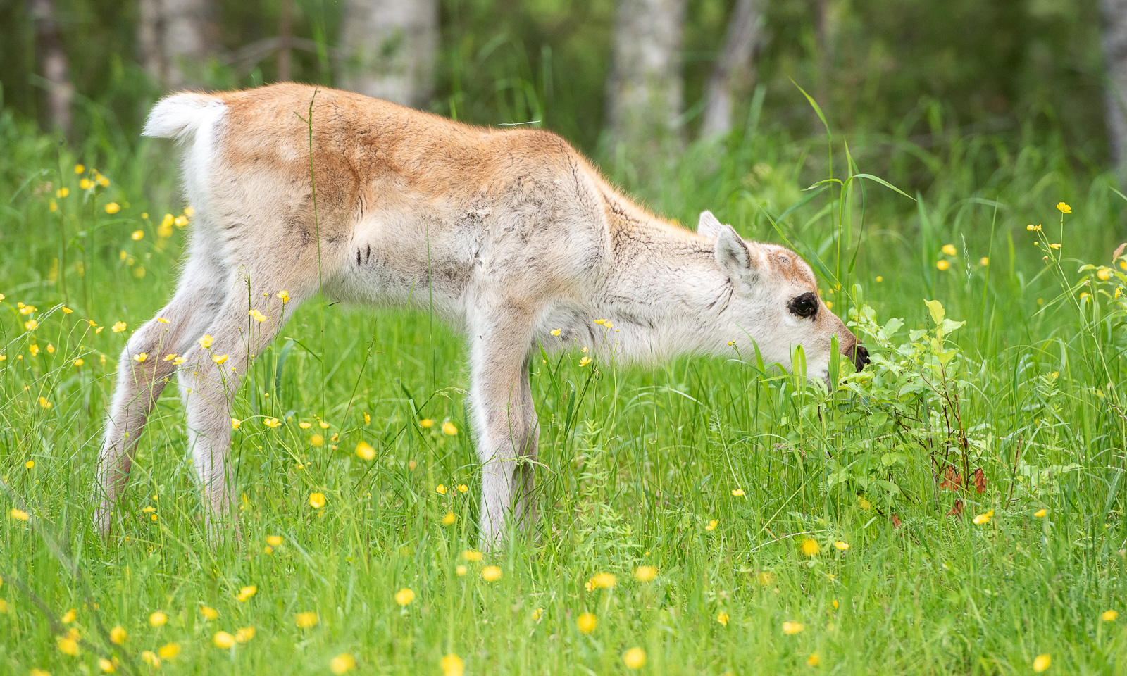
Our first car trip today is short. From our mökki (cottage) by the lake where we slept to the Oulanka National Park it’s only 22 km. In the car park there are more reindeer than cars. While the older reindeer are undergoing a coat change and look quite ragged the younger ones look like animals from an old Disney film with their soft fur, their thin legs and their huge, dark eyes.
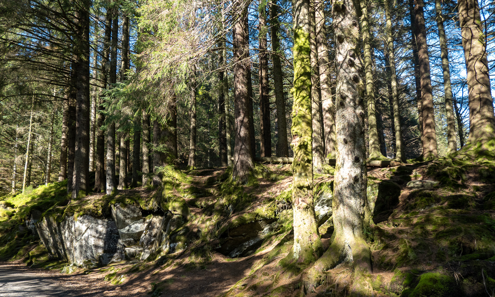
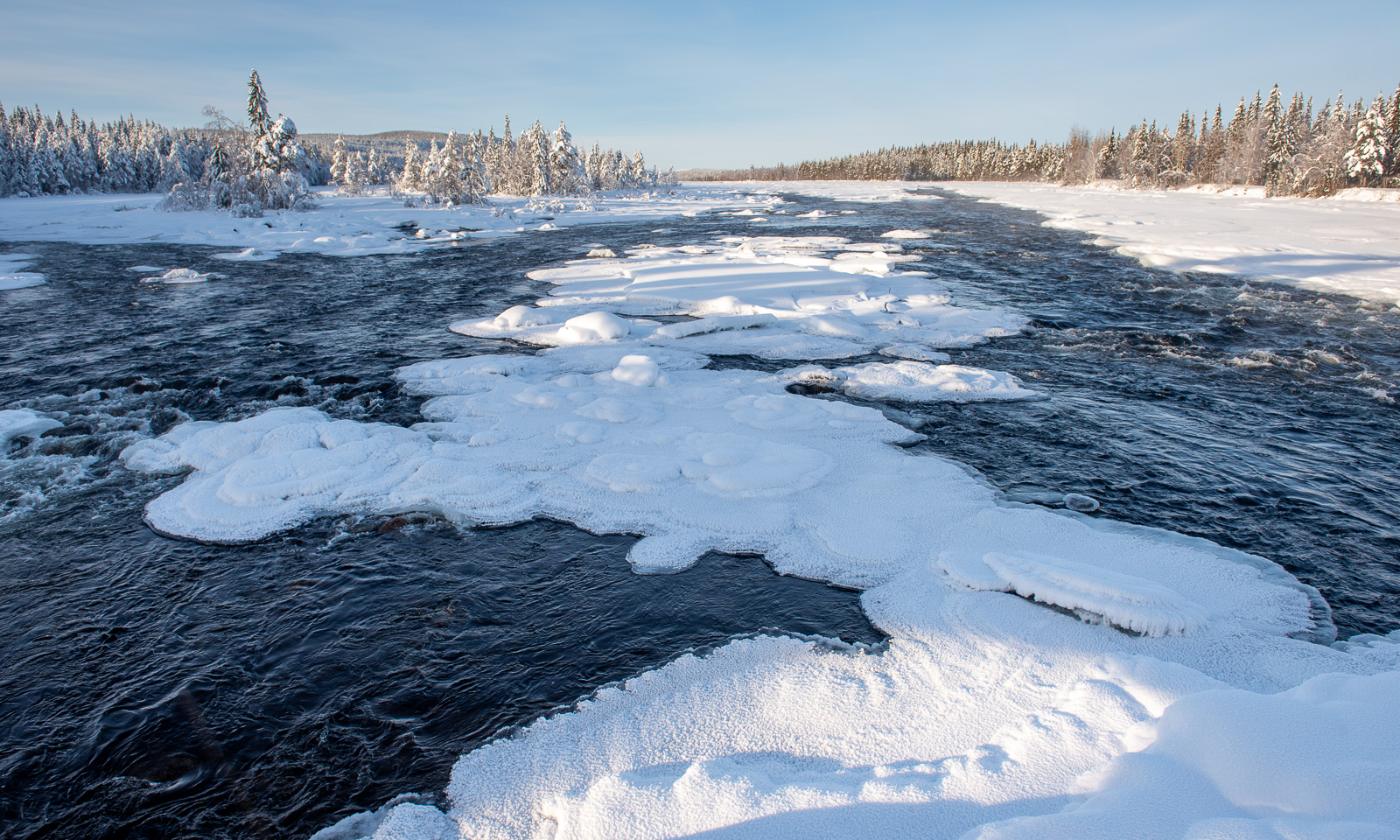
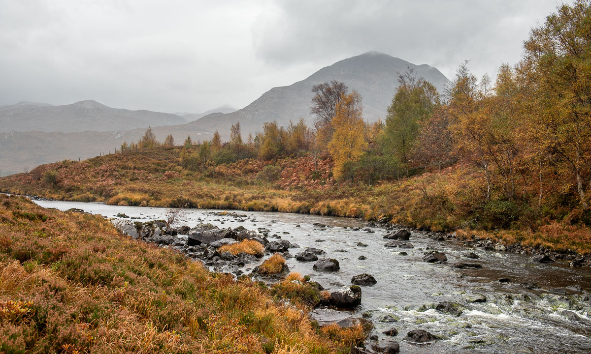
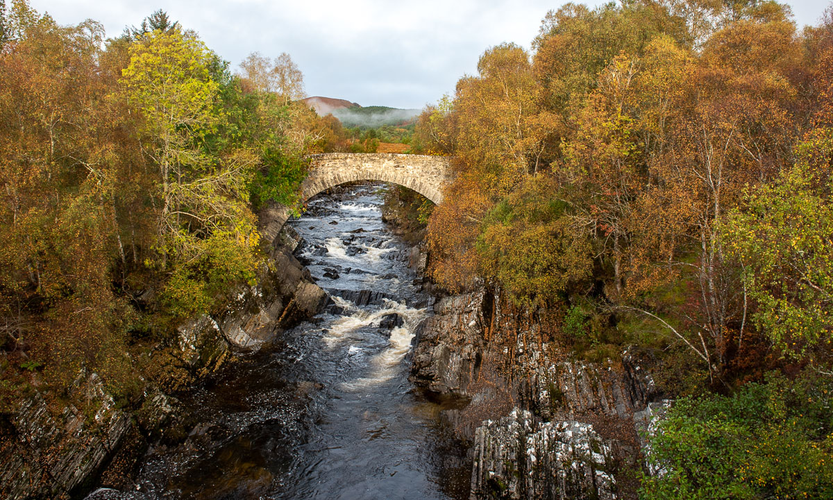
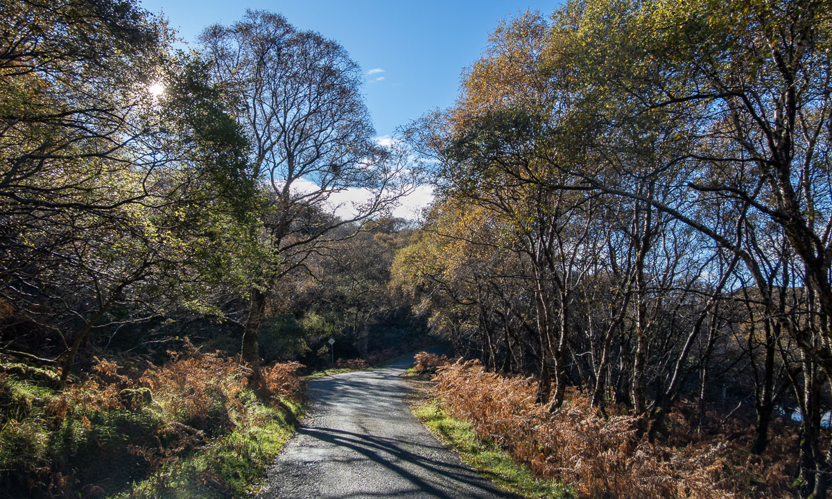
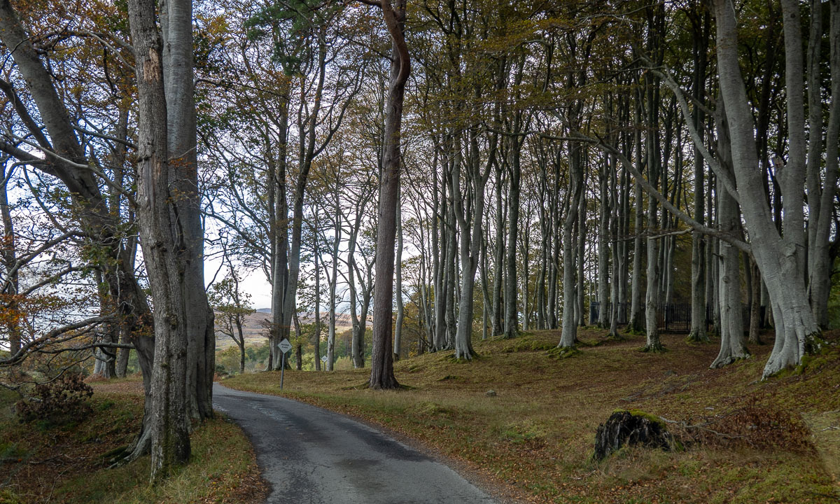
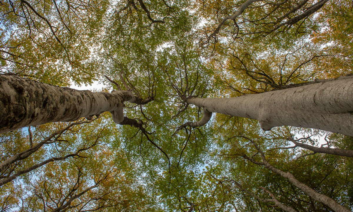
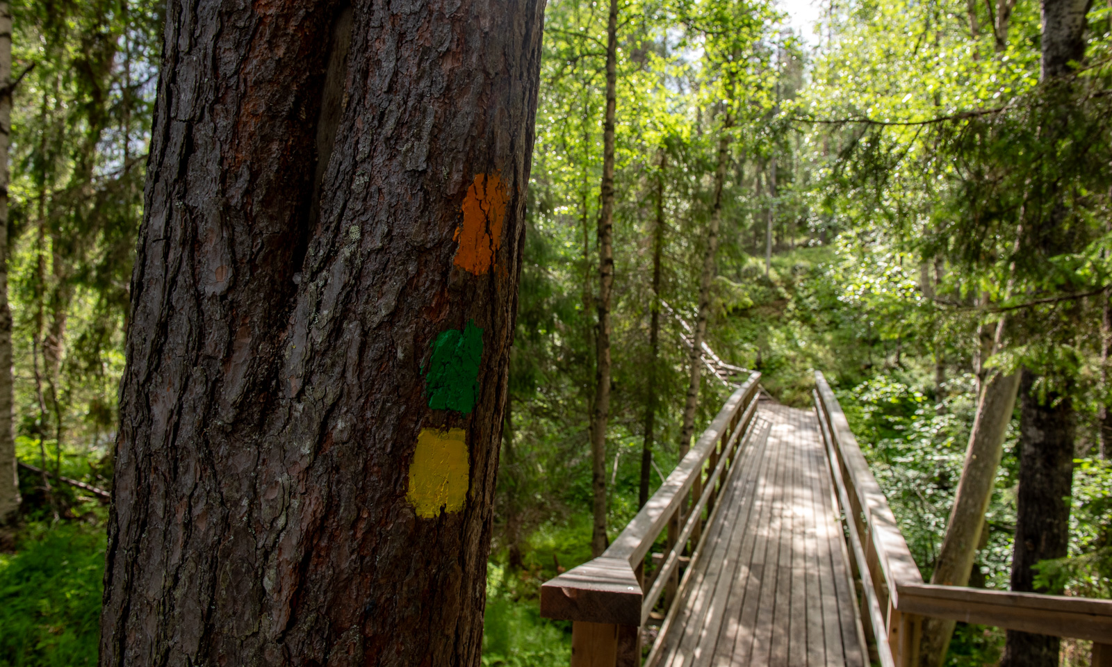
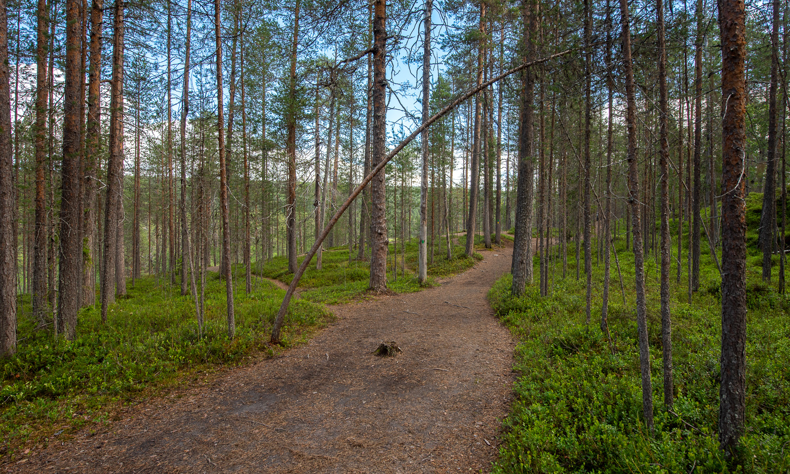
Our hiking tour to the Kiutaköngäs rapids starts through a beautiful, wild forest. After a while you can hear the roar of the water and then you see the narrow gorge through which the water of the river Oulankajoki rushes downwards.
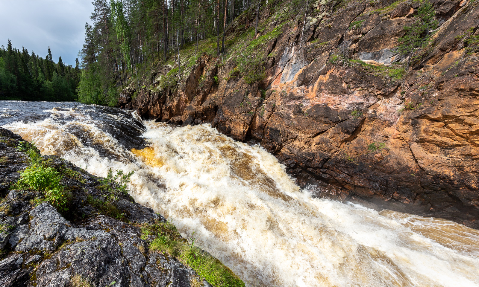
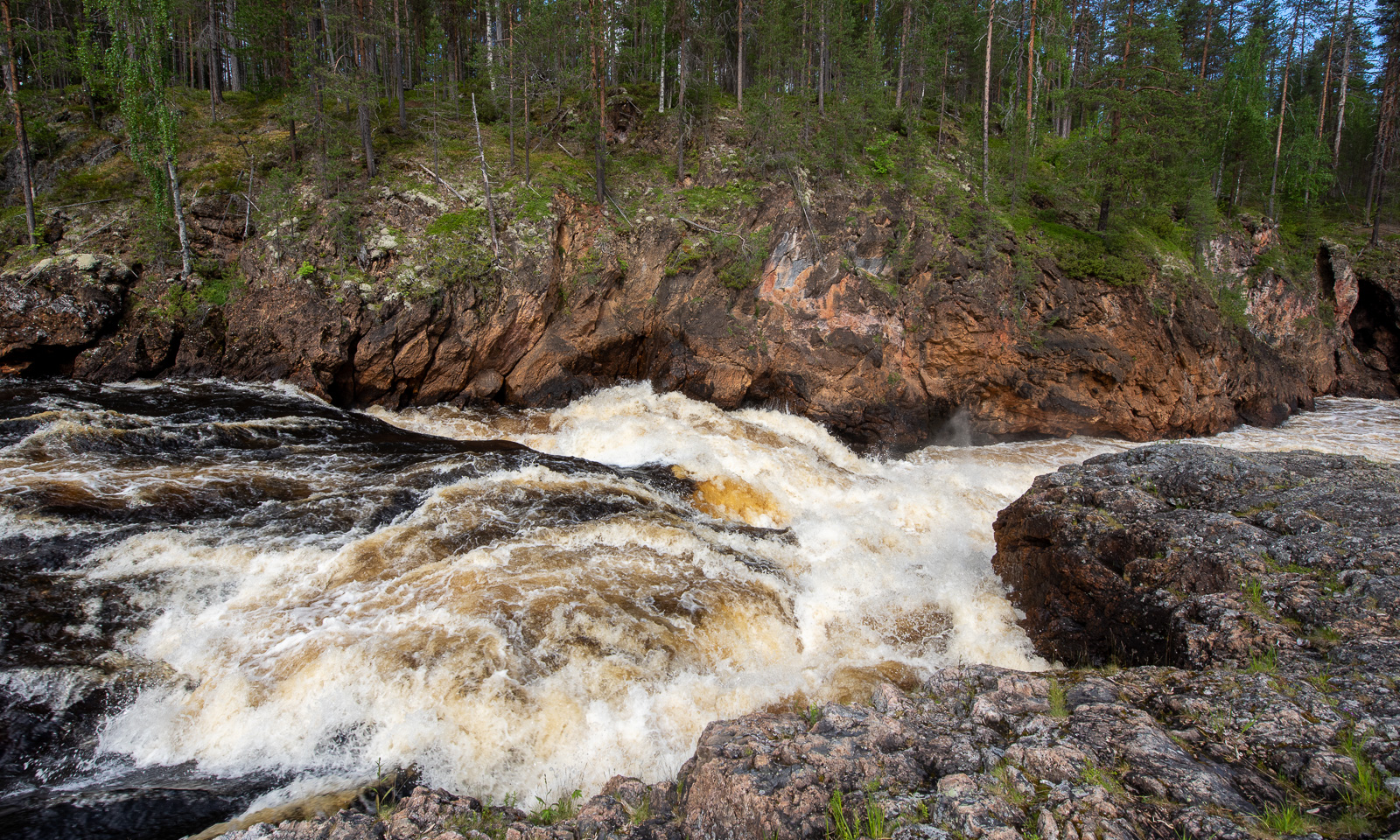
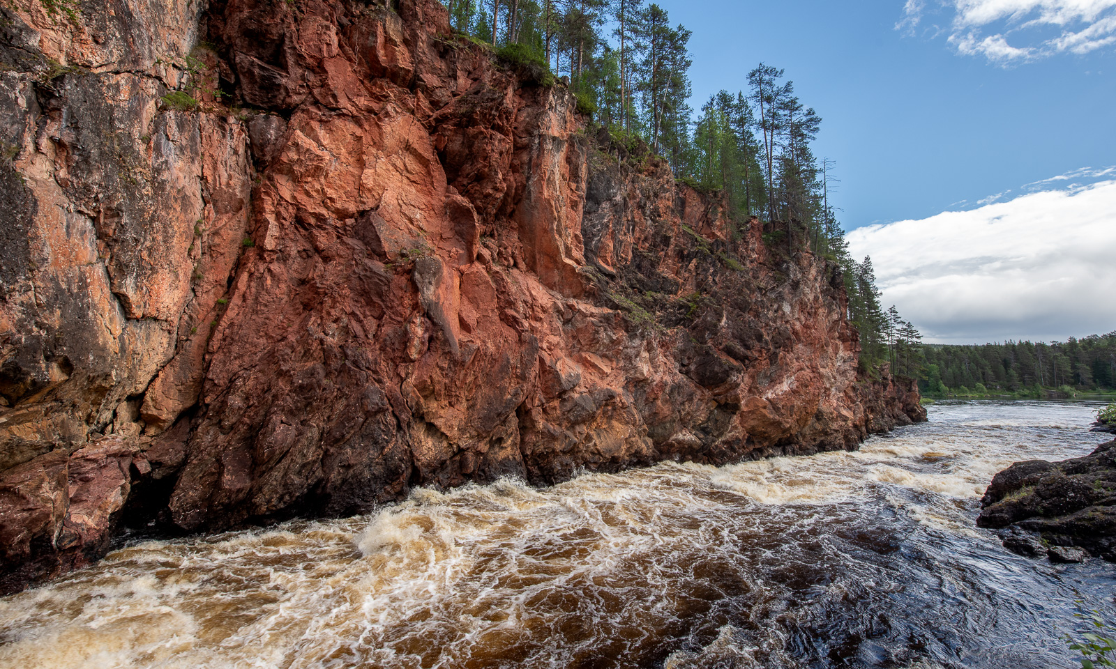
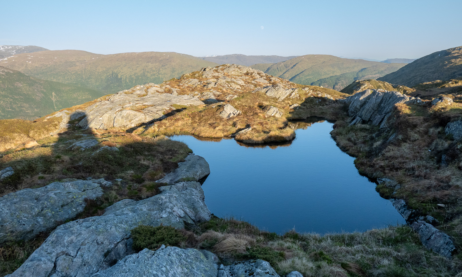
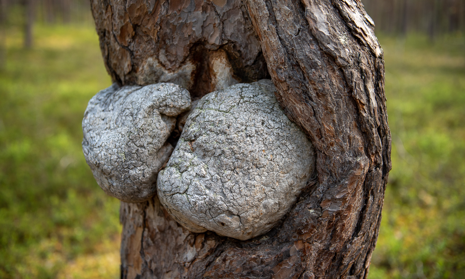
The moss-covered rocks by the gorge look as impressive as the rapids – as if from ancient times.
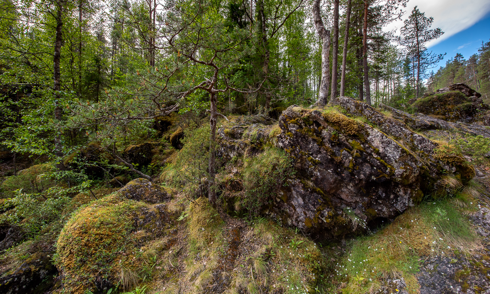
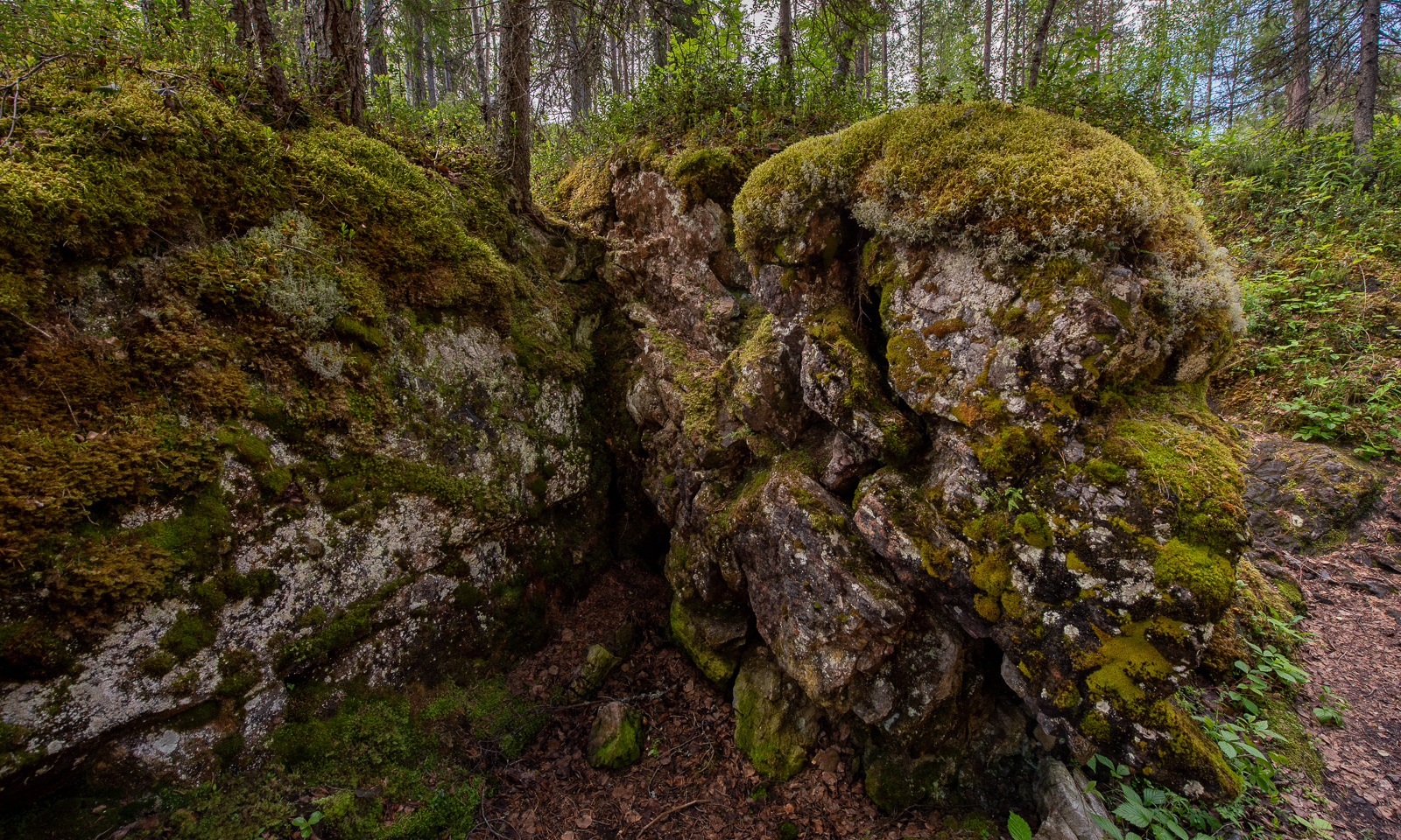
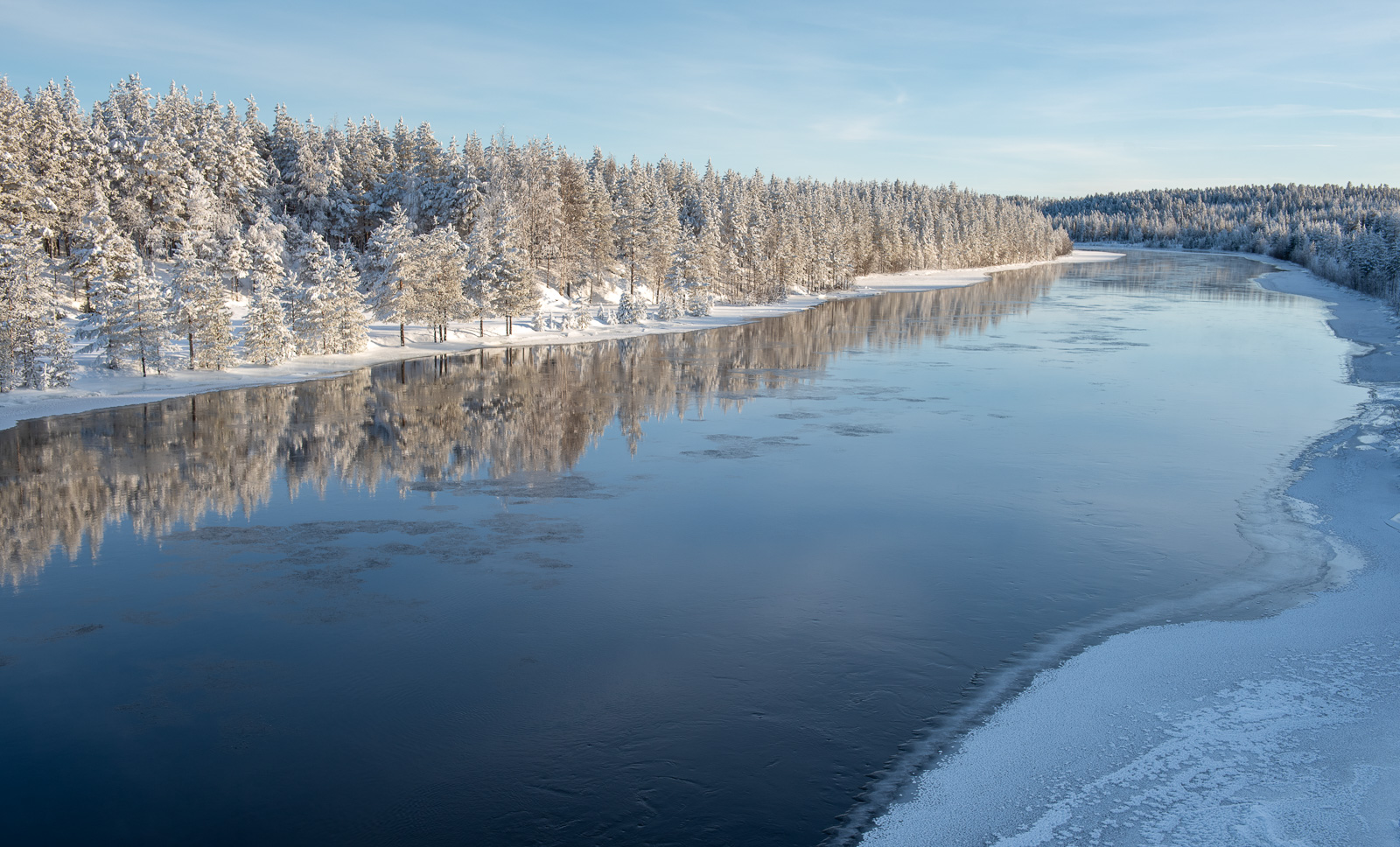
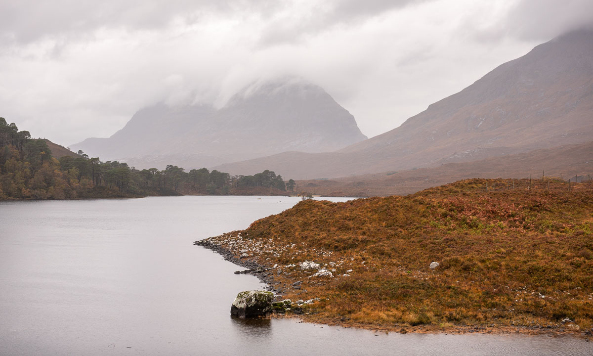
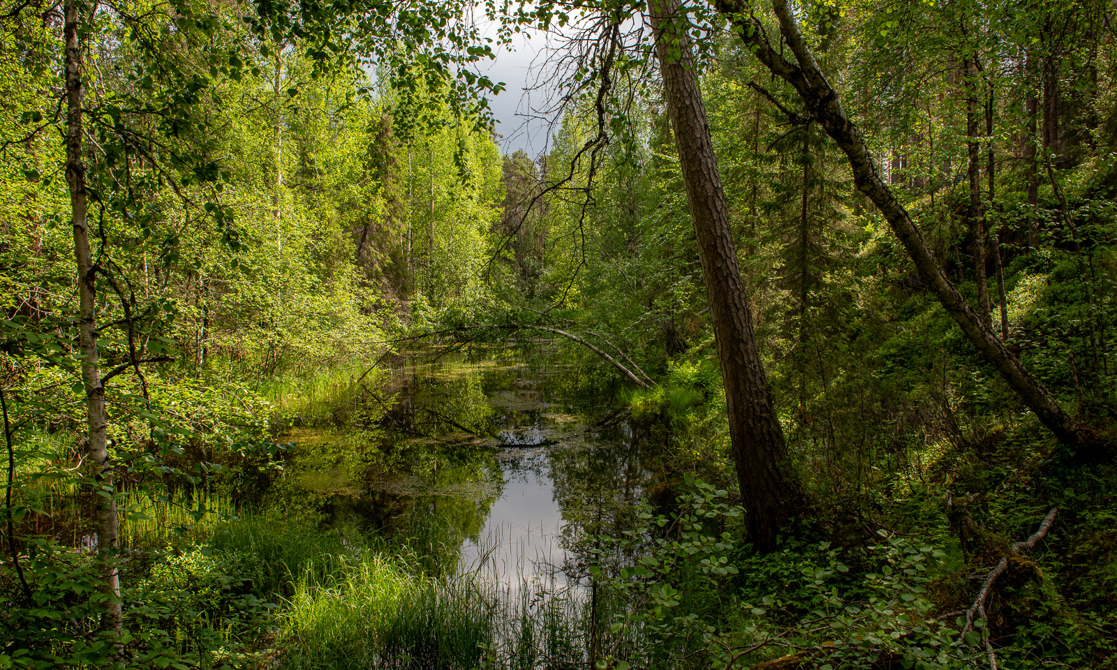
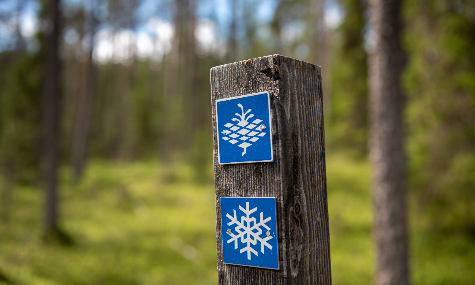
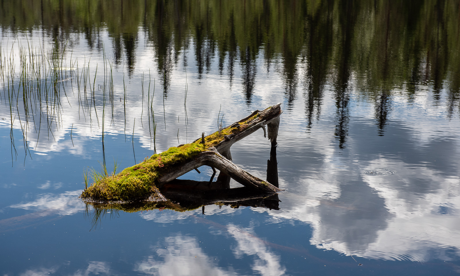
We follow the yellow dots that mark the shortest circular route. The landscape is now less spectacular than the rapids but in its variety, it’s beautiful to walk in.
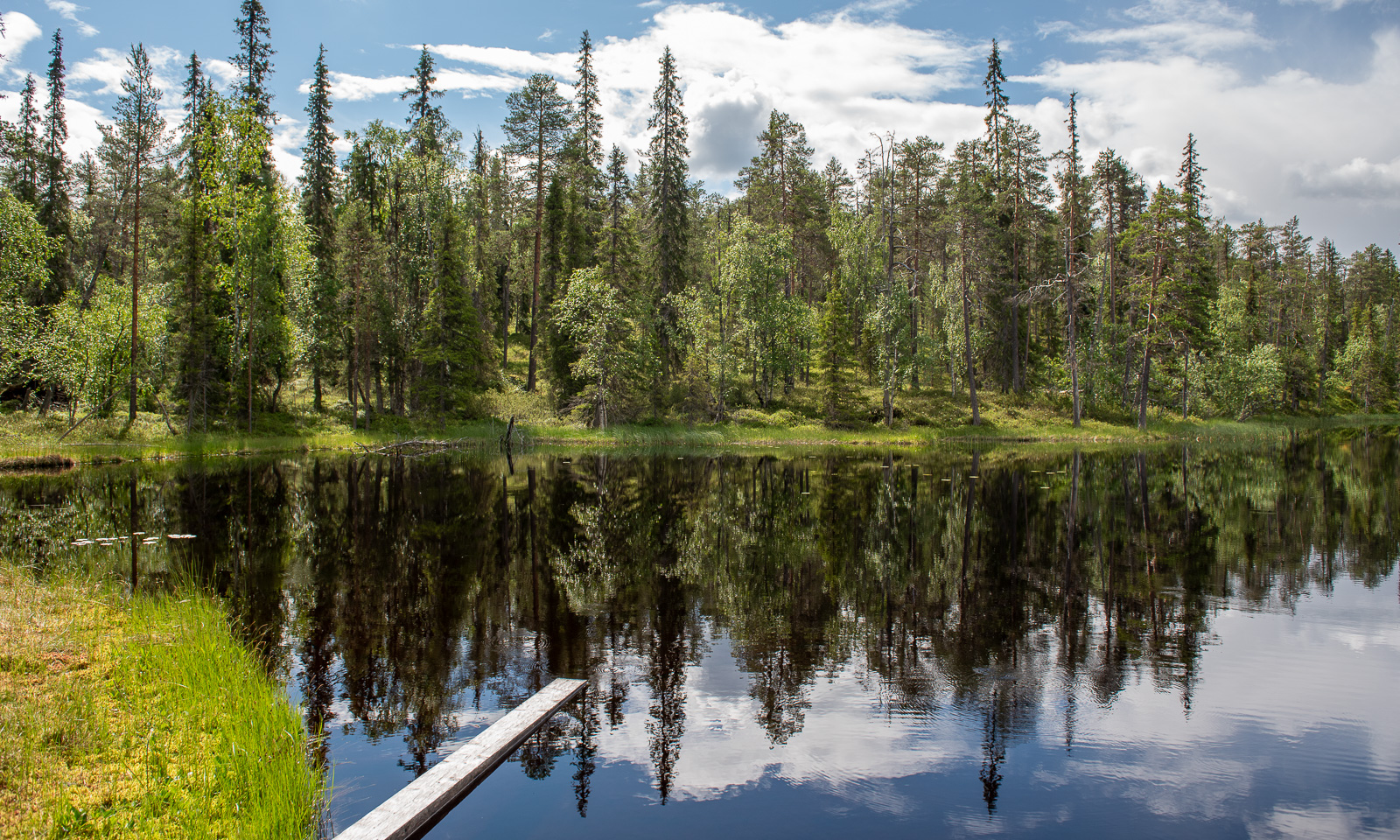
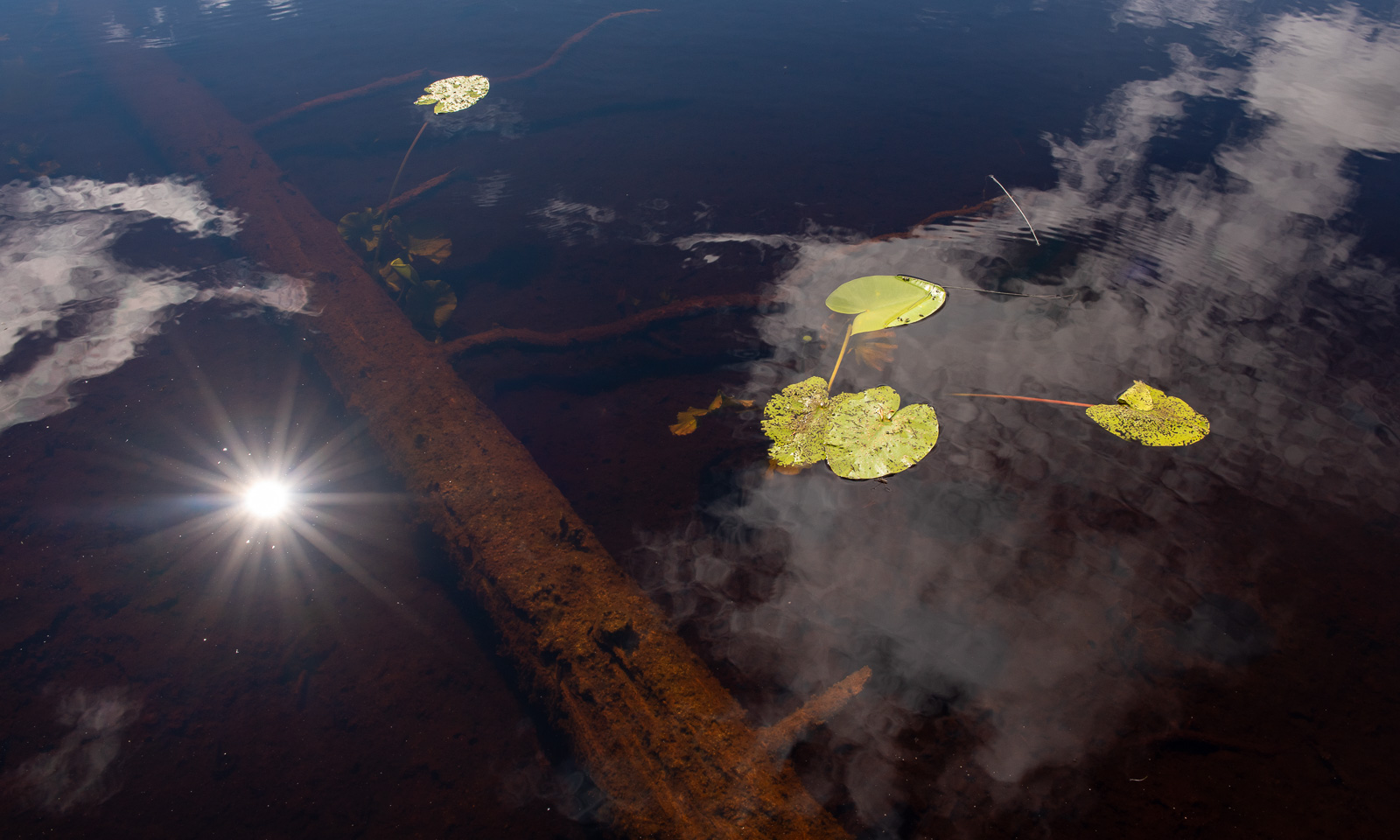
We pass a bog lake named Ylimmäinen Hiidenlampi. We are not alone, a group of students is doing research on freshwater and invertebrates.
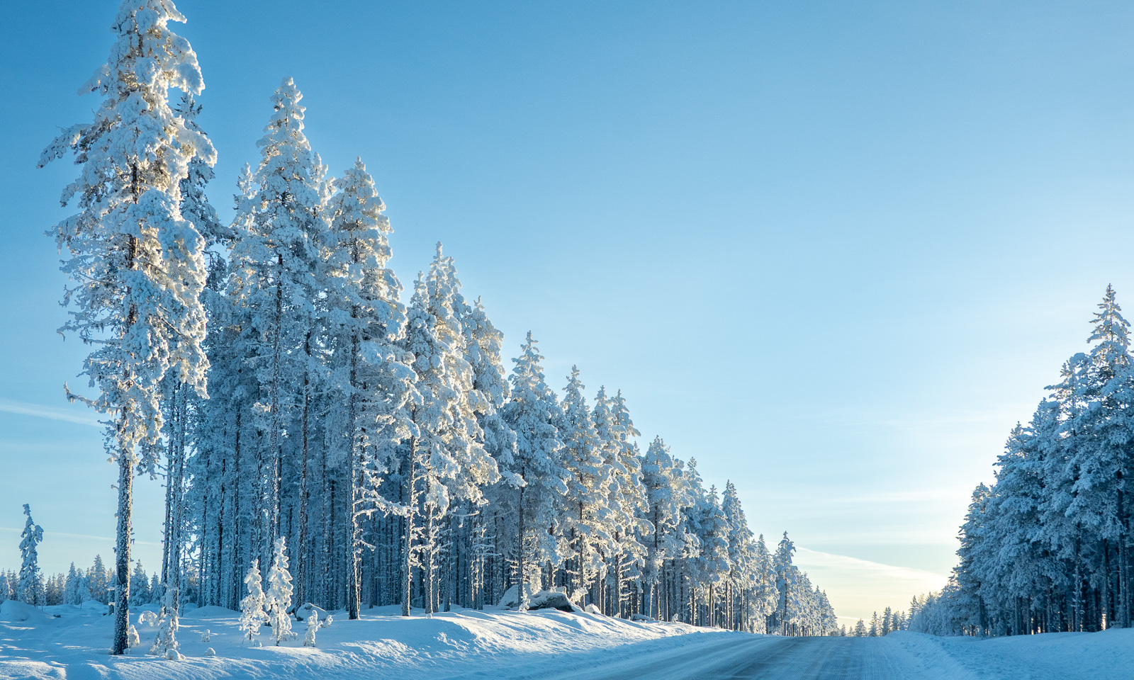
For most of the walk, we were lucky with the weather but in the end we get caught in a rain shower. While we have lunch in the visitor centre our jackets start to dry.
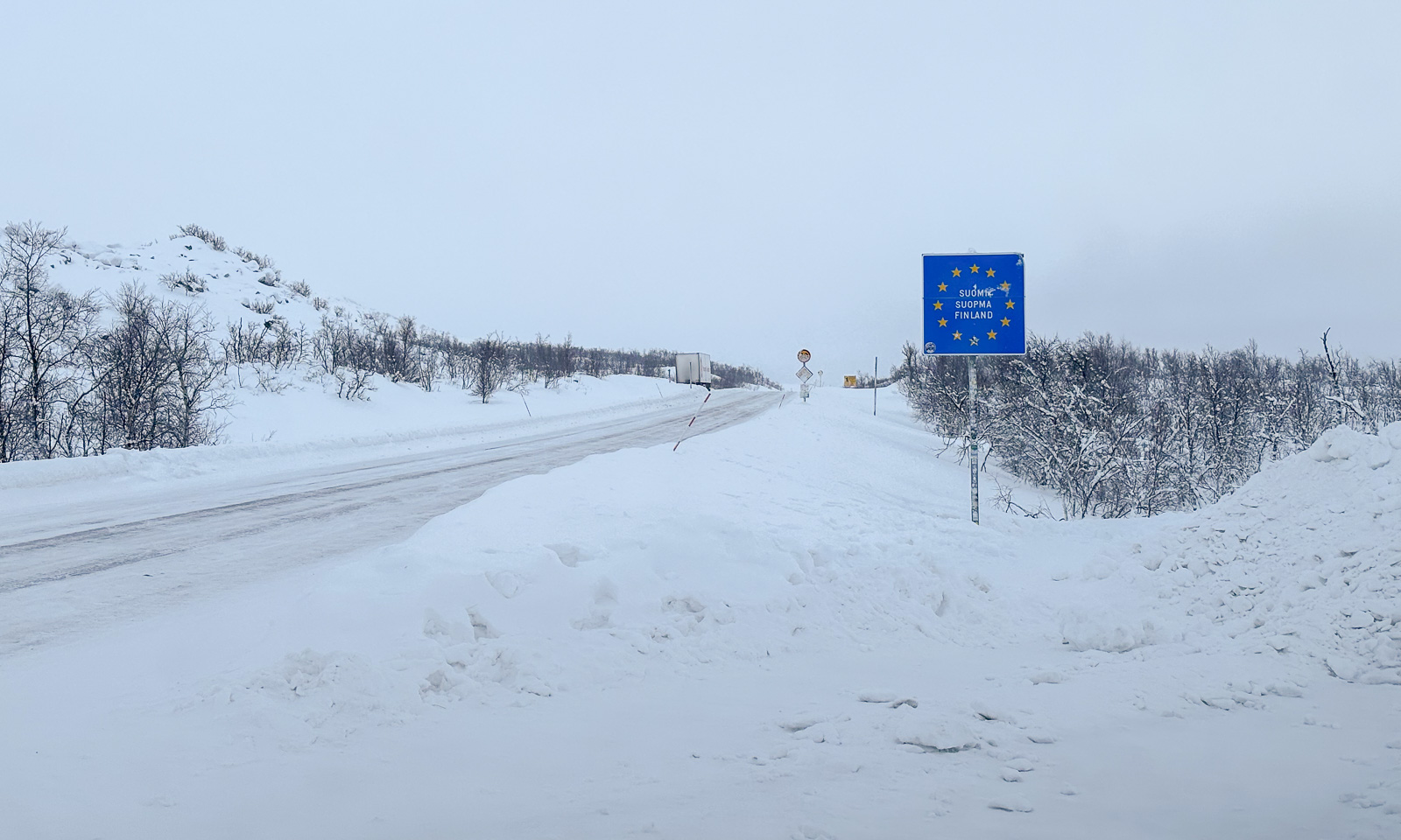
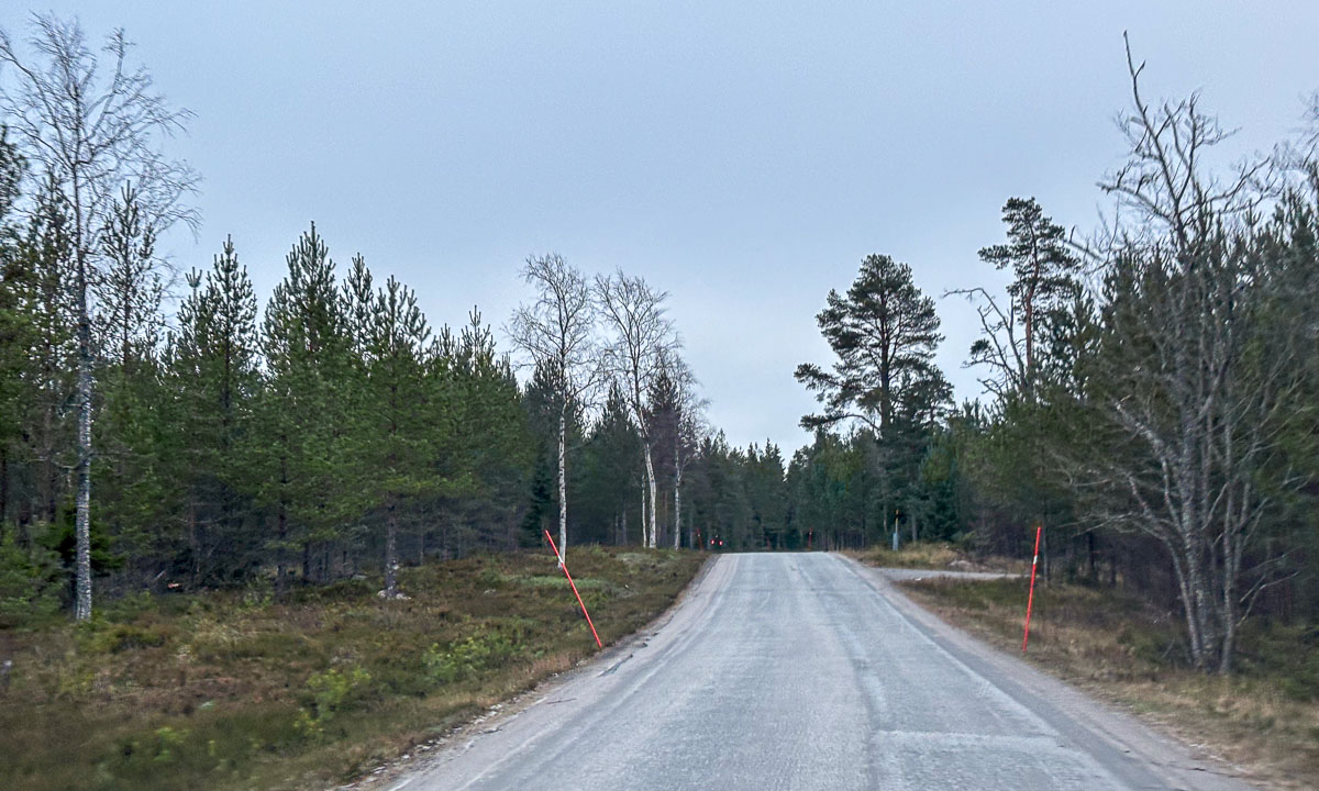
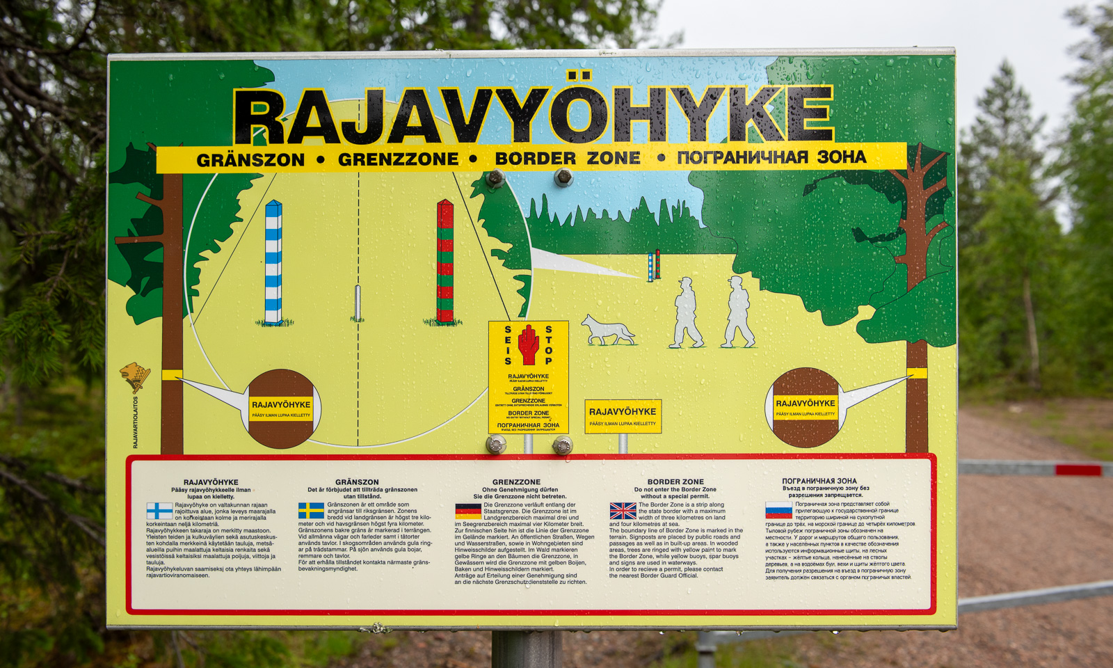
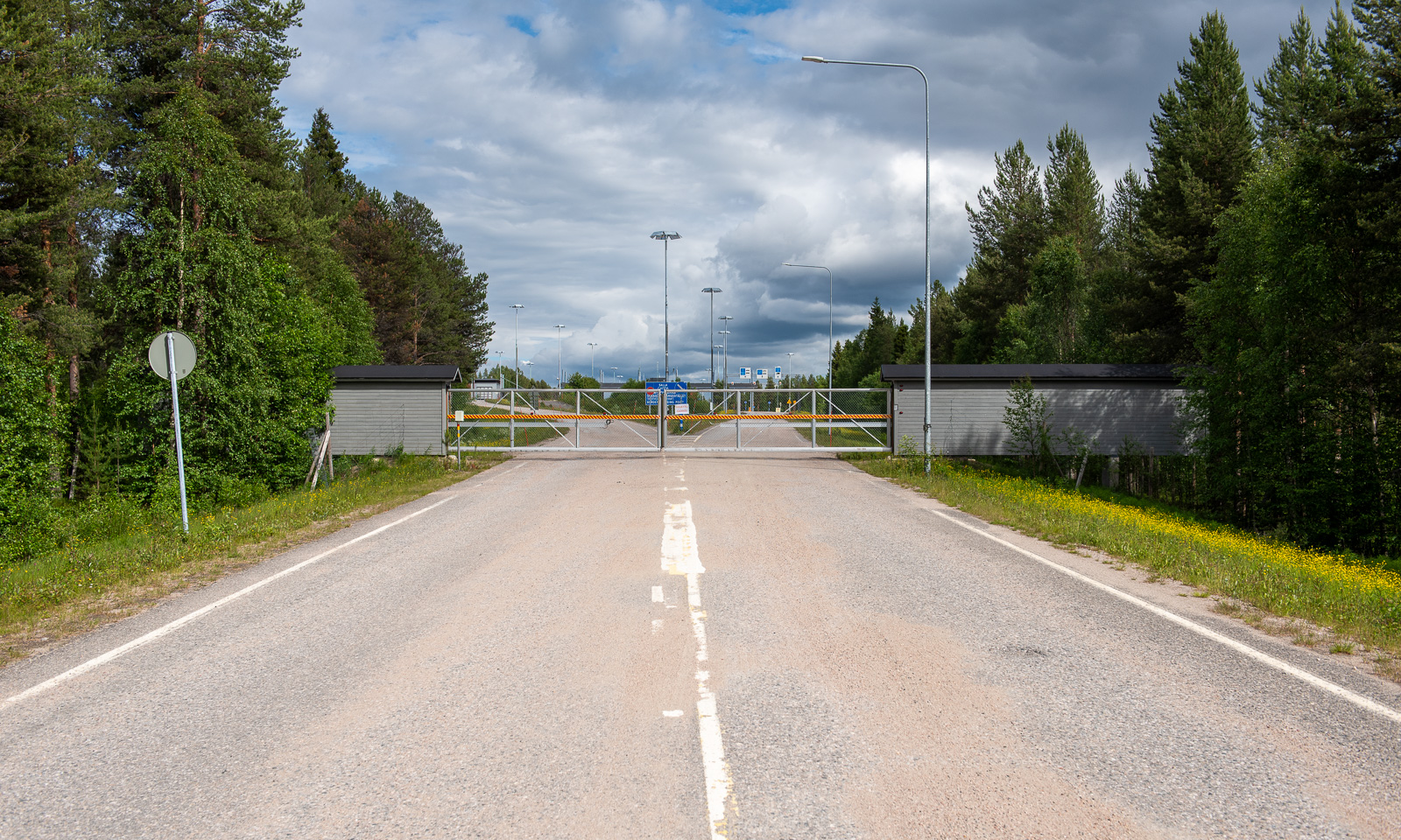
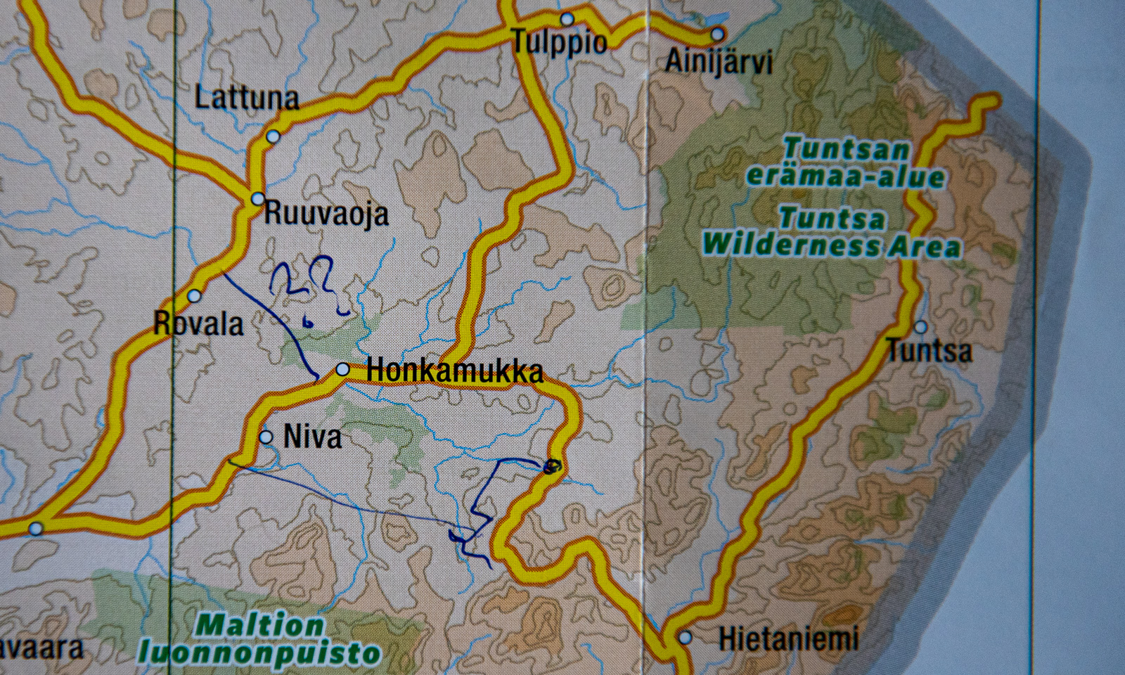
Change of scenery. We are in the eastern part of Finland, a country that has a 1340-kilometre border with Russia. We take a small road to the east leading to the border. In the end, it is just a small forest road. It just ends with a simple barrier and a warning sign saying “Border zone—no entry without special permit” in five languages. On the other side there is an information sign – that’s it.

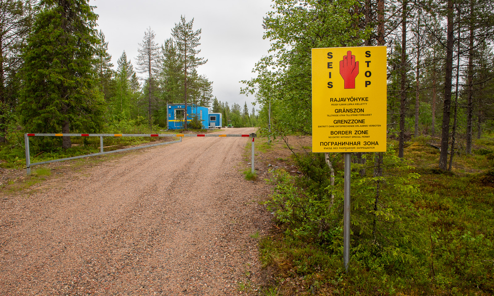
While this road probably never was a border crossing, there is one northeast of Salla. Or rather, was, because all checkpoints were closed in April 2024. Hardly imaginable that I crossed the border here on a journey to Murmansk in March 2019.
When will Russia’s terrible war against Ukraine end? Will there be a regime change in Russia that makes it possible to travel there again in my lifetime? I don’t know.
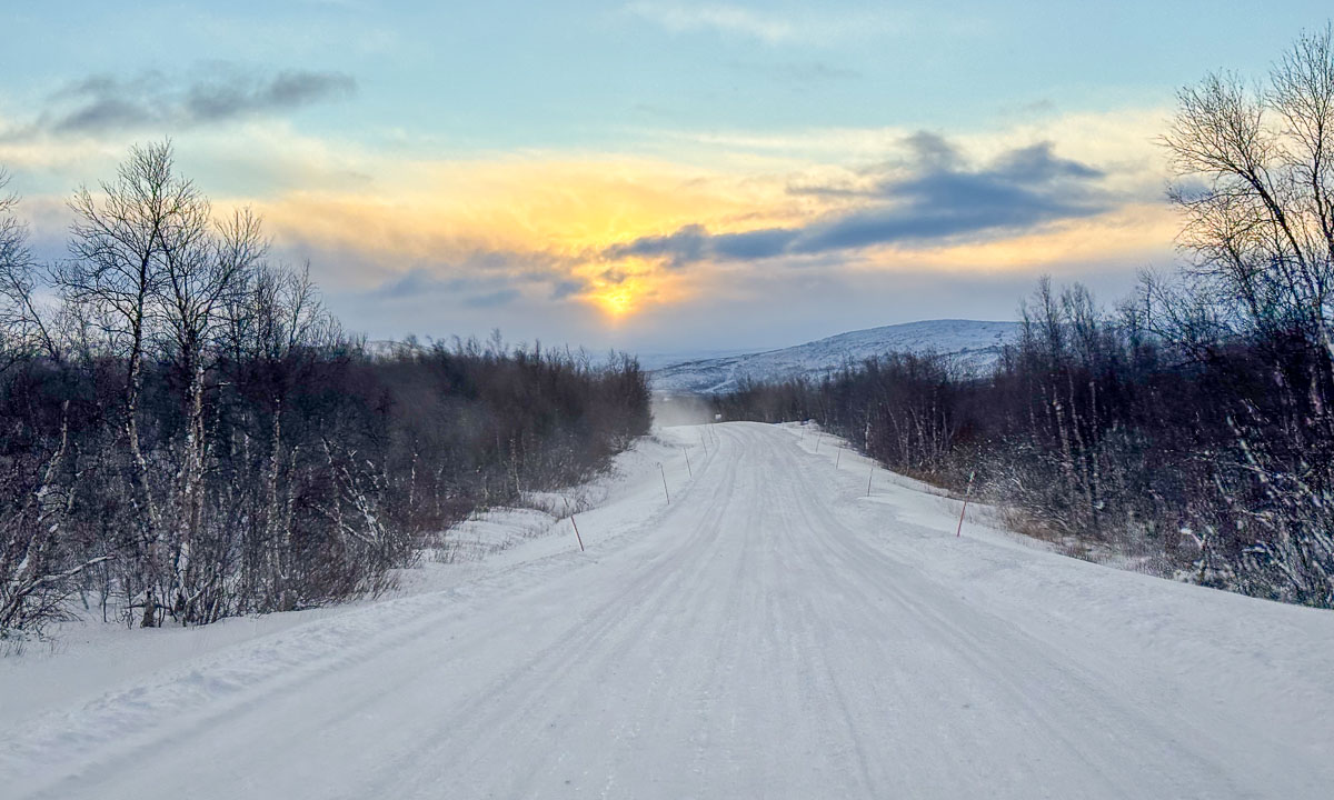
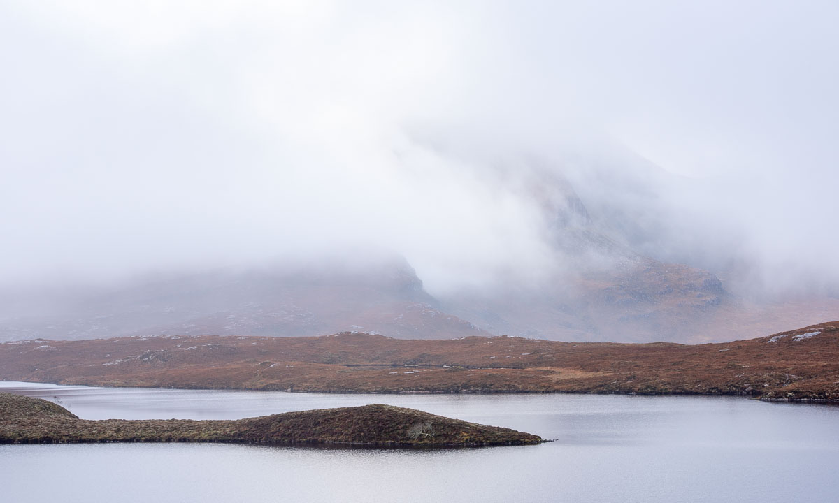
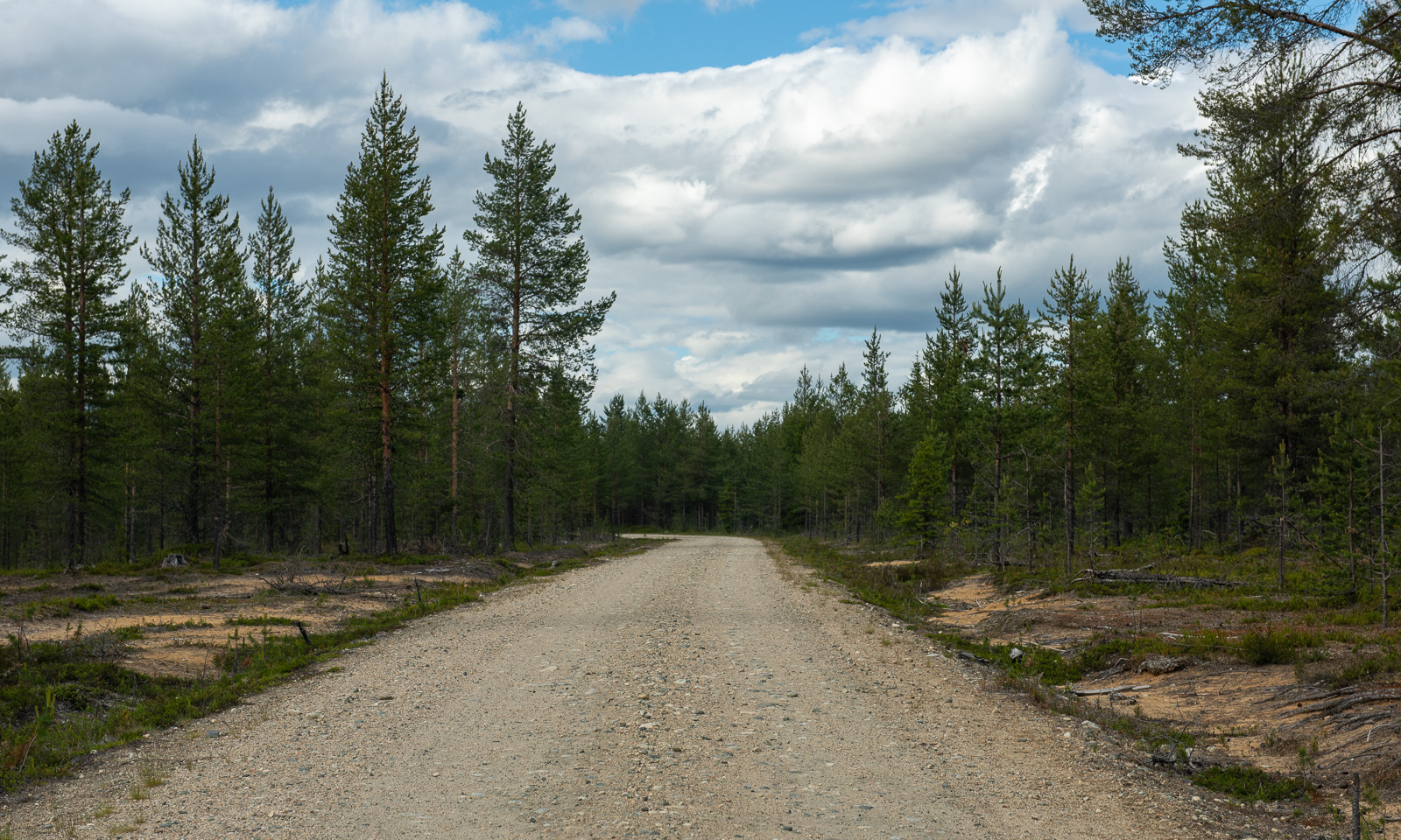
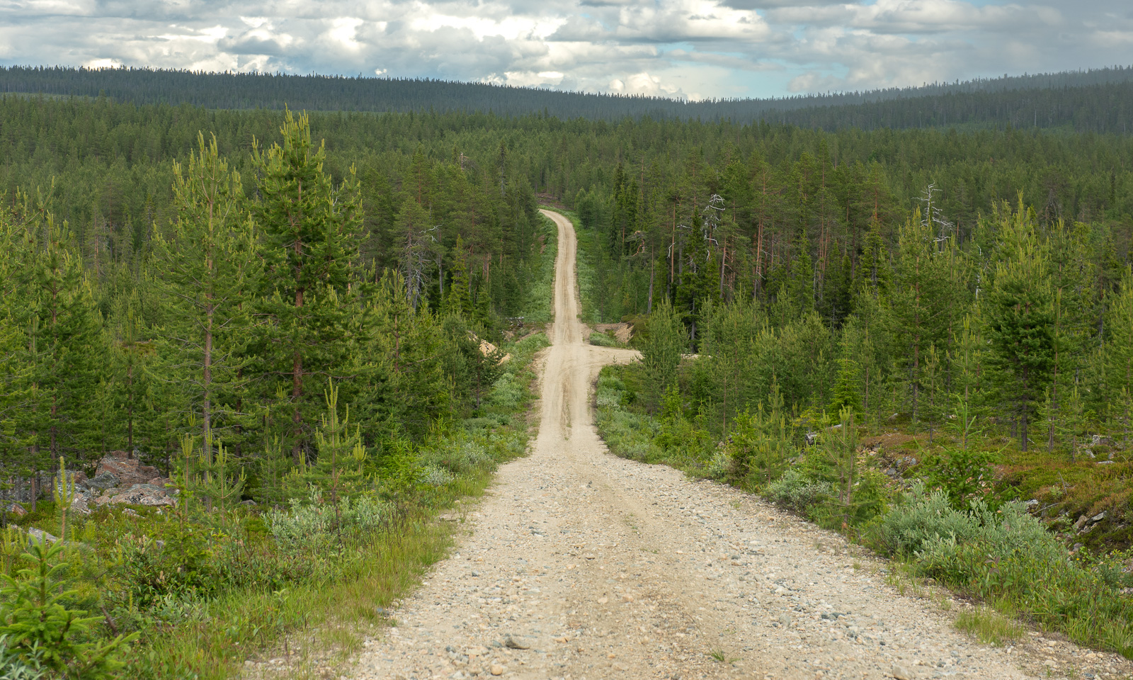
Change of scenery. We travel to Lokka, the most remote location we found with accommodation for overnight stay. Several roads marked in yellow on our paper map lead there and we decide to take some of them to get there. First there are some visible signs of other people – a cottage, a passing car, then we are all alone. We follow the roads according to Google’s navigation. First we drive on asphalt roads, then gravel roads and in the end narrow dirt roads with grass growing in the middle.
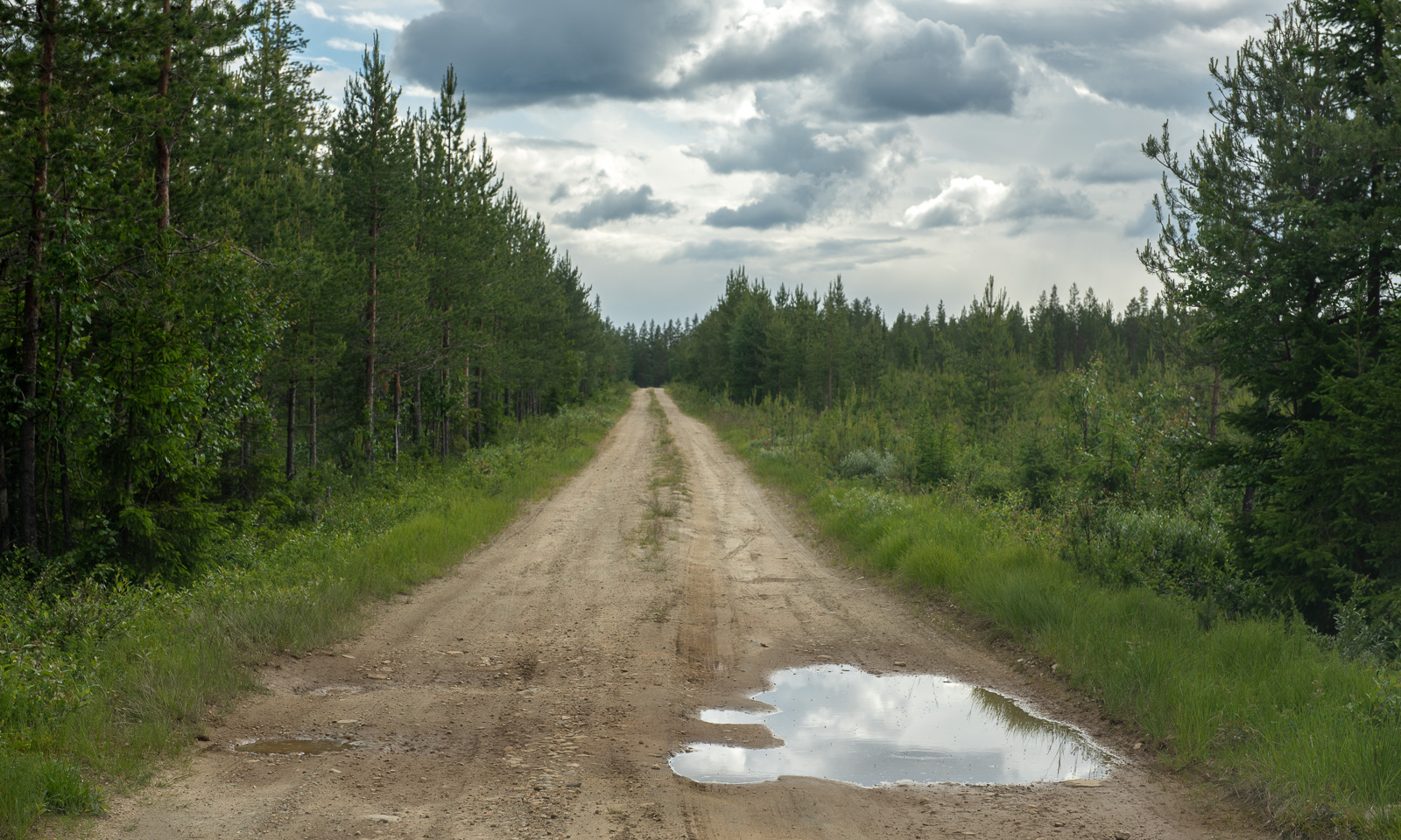
At one junction where we should turn right the road is closed. I follow the other road but it is difficult to know if we are on the right track. There are too many other dirt roads and there are no signs, nor is there any mobile coverage. Finally we find a way back to Hietaniemi that we passed perhaps an hour ago. From there it’s another 50 km back to a paved road. Another minor road finally leads us to Mummon Mökki, our cozy overnight stay where we arrive around 8 o’clock Finnish time.
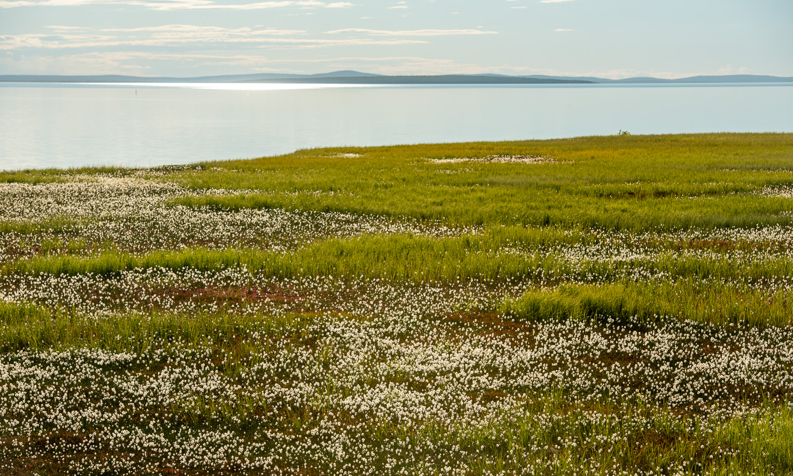
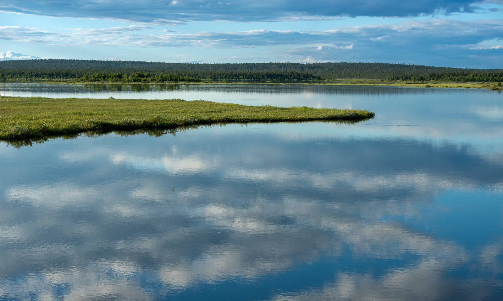
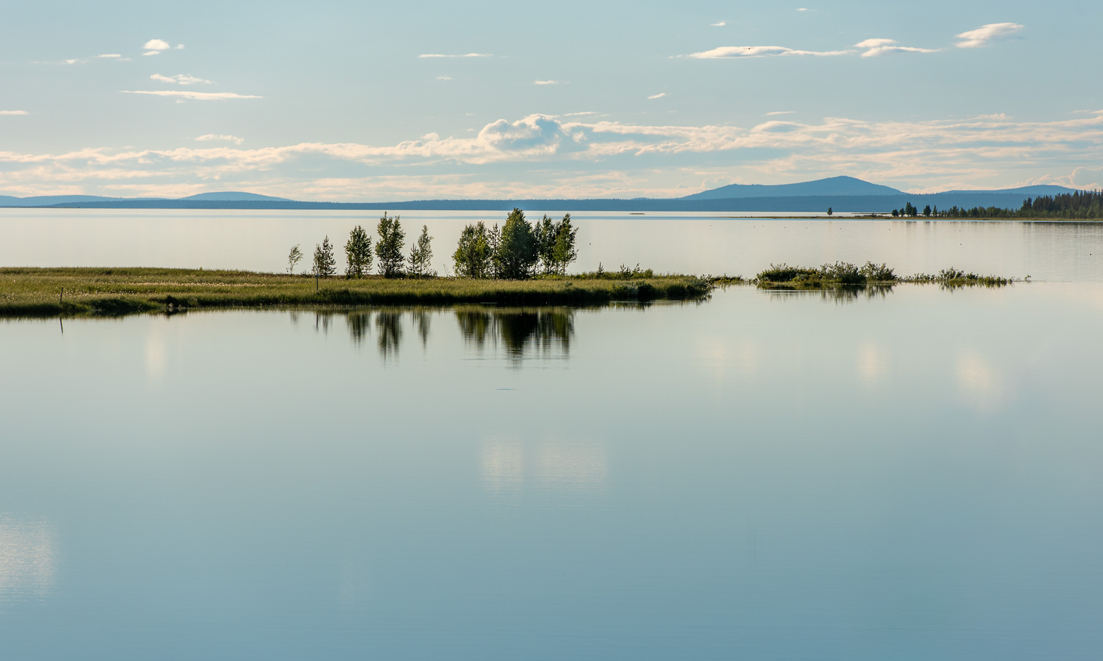
The last part was fascinating. We passed Lokka Reservoir, one of the largest artificial lakes in Europe. There are large areas of grass and some birch trees by the shore. When I walk there after dinner I realise that these immense mats of grass are actually floating on the lake. Fascinating but not a place to stroll around. I take my photos from the safety of the road.
Around ten o’clock I’m back at the mökki. I try to jump in as fast as possible to keep the mosquitoes outside and take a hot shower. Then it’s time to sleep after this long and varied day.