Hill hike III – Ruksesvárri

Today I did my thrid hill hike within 8 days. After Trehørningen (283 m) and Nattmålsfjellet (296 m) I chose Ruksesvárri (470 m) today. Most people refer to the mountain by its Norwegian name (Rødtind), which more or less means the same as the Sámi name: red mountain peak. Like the other hills Ruksesvárri is located on Kvaløya.

I park the car in Storelva, put on my rubber boots and shoulder my camera backpack. From there it’s about one kilometre along the river Stuorajohka/Storelva until I leave the wide gravel hiking path and branch off. From now on the track may be wet and – looking at Ruksesvárri – snowy.

I hike up, following the track. Soon it vanishes under the first larger snow field.

The track is less muddy than I remember but wet, because the snowmelt turns everything into a brook, even the boardwalks. Further up I see that under sand and water there is blank ice. However, it is the only patch I see.

I look back. To the south I can see the island of Håkøya and mountain chains in more or less all directions.

The further up I go, the more the terrain is covered in snow. The barren sections show, how popular this hike is: the track is several metres wide.

Now I am above the timber line and snow dominates the scene. Mostly it is good to walk on and I do not sink in too much, but there are some nasty holes, especially above the mountain brooks, where you can easily break through up to your thighs. I’m on a gentle slope, angled at 10–15°.

I reach the saddle below the peak. In summer the path gets steeper and rockier, now all I can see is the peak and snow. The snowy slope is pretty steep.

I wasn’t the first one today. I met an elderly man who was already on the way down. Perhaps it’s his footsteps that I follow now on the way up. At the steeper part I use my hands as well. Then I reach the top plateau, cross another snow field and stand on the surprisingly unimpressive peak.

The impressive part are the views, especially to the west and the north.

At the tall cairn from where I can see Kaldfjorden meet the open sea is my turning point today. If I had skis or at least snowshoes I would continue. Without then, it’s time to return.

This hill walk was 7.2 km long. Elevation gain and loss: about 500 metres.

The weather is still sunny while I am editing the photos. In one of the photos I can see a small figure – the man who passed me on my way up. On his left side he has something blueish. I magnify the photo to 400%. It’s a pair of blue snowshoes strapped to his small backpack.


Hill hike II – Nattmålsfjellet

Today I decided to hike up another small mountain. It is called Nattmålsfjellet and is 296 m high. As Trehørningen it is on the island of Kvaløya.

I park my car and soon I am out in nature in Northern Norway. High mountains, covered with snow. Open birch woodland, the birches still bare. Small lakes and ponds, halfway covered with snow and ice. Small mud bogs with wet patches. And views of the fjords and the open sea. All under a blue sky with temperatures above 10 °C.

While this pond looks freezing cold, it is inhabited by common frogs. They have already spawned and large clumps of frogspawn are floating in the water.

It does not take long and I am on the summit, marked by an impressive cairn that looks half as high as the mountain itself.

I decide to take another way down. This brings me near the village Ersfjordbotn, but I stay above to follow a track that leads around Nattmålsfjellet which brings me back to my car. Before I leave the village behind I pass this artefact that clearly shows that I’m hiking in nature but not in the wilderness. Someone had mounted a satellite antenna on a small ledge. The cable leads downwards, probably to one of the houses.

First the track leads through some wet mud bogs but then it winds through an open landscape with views of the boggy grasslands below and the snowy mountains above.

After seven kilometres, I am back at the car. Elevation gain and loss – round 330 m.

Side dishes

After the hike I drive further west to the lake Kattfjordvatnet. Most of it is still covered with ice, but I don’t think it will stay long. Even the snow line rises with each day. This however is no argument for the locals to stop doing alpine ski tours and they always seem to find a snowy patch by the car, to avoid carrying up their skis. Meanwhile, cross-country skiers have now switched to roller skis and use the roads. Other locals walk their dogs or run downhill on the muddy path happily chatting to each other.

Then I take the car to Ersfjordbotn and stopped at the gravel car park at the viewpoint, apparently the only one in the village. I was too lazy to walk to the waterfall but at least I took a photo of the fjord Ersfjorden which faces directly west.

On my way back home I make another stop in Eidkjosen and take a walk uphill to Lomvatnet.

From Eidkjosen, it’s only a fifteen-minute drive home. I’m still happy every single time I realise that nature around Tromsø is so beautiful, full of variety and nearby, as long as you own a car. With public transport many of these small hikes would unfortunately be inaccessible.


The sunset was too early

Today we had another clear morning with a temperature of -23 °C and not a single cloud. According to SMHI and The Photographer’s Ephemeris sunrise at our place in Obbola was at 07:32 today. While I was still walking on the sea ice to have a better view of the sunrise the sun already appeared – three minutes too early. The reason for this is atmospheric refraction due to an inversion above the ice that bends the light and so “lifts up” objects in the distance.

To the right in the photo: The lighthouse Storbränningen, which I visited two days ago. It is about 4 km away. I could also spot the lighthouse Väktaren – 7 km away – although the distance to the horizon is technically only 4.5 km. I can even still see some construction far, far away on a bearing of 140° but I haven’t worked out what it is. Finland perhaps … ?

Just a walk to the supermarket

I couldn’t find my small Sony RX100 camera so I took photos with my mobile when I took a walk to the supermarket on my lunch break today. In wintertime there are some hidden beauties on the walk there.

Bonus photo – taken at 16:55, just before my first Friday winter swim at Telegrafbukta beach. We were a group of around twenty people. Today’s challenge was not the swim itself (water temperature: 3 °C), but the vicious wind and the long walk into swimmable water due to the low tide.

Sunrise winter paddling

Three days ago it thawed and stormy weather crushed all the sea ice. The day after, the temperature dropped below zero again. This morning the weather was clear and calm at -12 °C. Time for another morning kayak tour, just like four days ago.

At 7:50 I stood on the leftovers of the old ice that covered the small bay. In front of me – a fresh layer of new ice. How thick may it be? I have the feeling it will not hold my weight.

You see the photo above? The kayak is tilted sideways. That’s not because of the waves or because I’m edging, but because the kayak is lying on the ice. The ice is stable enough to bear us with me sitting in the kayak. I move forward by using ice safety picks that I drive into the ice in front of me and then pull the kayak and myself forward. It’s exhausting, but it works. I have done it many times before. The ice is approximately 3 cm thick.

But then the ice gets thinner and has exactly the thickness I loathe: between 1.5 cm and 2 cm. Then the kayak breaks through and is jammed in a narrow water channel, where it’s almost impossible to use your paddle – no open water reachable – or the ice picks – the ice will break when pulling. Luckily the water channels often tend to widen, so you can kayak back some metres, get some forward momentum using the paddle and break another two metres of ice. That takes a lot of time and extends the distance paddled by a factor of four or more.

But then – finally – I reach open water by the island Lillskär. It took me almost half an hour for less than 300 metres!

Anyhow I manage to reach the sunrise in time. Now the surface of the sea is multicoloured. The back of the waves are reflecting the orange horizon, the front of the waves the blue sky above.

Now I just paddle a short round, because it is a weekday and I have to work. Just some more photos with my mobile phone in its waterproof bag …

… before I return home. First it is easy, because the channel that I had broken through the ice is open and I can easily follow it. Then the ice gets thicker again. I’m tired and since the water is pretty shallow I exit the kayak and walk the kayak home. I learn that the ice does not bear me at all. So I break it with my knees or – when deeper – with my rear. I would not dare to do this with my kayaking drysuit, but today I wear my survival suit made of thick neoprene, which is very sturdy.

I reach the shallow part of the bay where I manage to grab a large piece of ice and put it upright. Time to play a bit with the translucent motif in front of the sun.

It is two o’clock in the afternoon when I decide to take another break from my desk to watch the sunset. To make a long story short – I got it. No kayaks involved this time.

Tromsø—Obbola by car

You may know that I have two places to live. My “work home” in Tromsø, where I work at the Norwegian Polar Institute and my “home home” in Obbola near Umeå, where my wife Annika works and we have a house together. Mostly we use the train and the bus to travel, sometimes the plane and occasionally even the car, although it’s a long way.

It is early Friday morning, I’m in Tromsø. My car is packed and I’ve cleared last night’s snow. It is mid-November and the conditions are wintry.

Norway

I start the trip at 6:50. In Tromsø the weather is fair, but then I experience some heavy snow showers. When it’s dark the snowflakes seem to form a tunnel that looks a bit as if a spaceship in a science fiction film were going to warp drive. Some short passages have streetlights. That makes seeing the road much easier.

Around half past eight it is bright enough outside to see the landscape, not only a fraction of the road. It is still snowing, but driving is easy. Around 9:20 I reach the border to …

Finland

The snowfall has stopped but a lot of snow lies on the road. I guess up to 15 cm with some deep tracks of a few cars. After a while a snowplough approaches, but it is clearing the opposite lane. In Kilpisjärvi I make a stop at the supermarket and buy some breakfast. The rear of my car is plastered with snow.

I continue south and it is clearing up. Even the road is in much better shape now. Easy driving.

In the Finnish village Karesuvanto I turn right, cross the Muonio River and thus the border to …

Sweden

… where I arrive in Karesuando. I turn right again and join the E45 which ends in Gela, Italy. The sky is clear and the outside temperature dropped more and more. In Övre Soppero the display in the car shows -13 °C. It also shows a lot of warnings because the packed snow in front of the car is confusing the sensors for the cruise control. I feel tired and find a parking bay where I take a nap.

I sleep less than half an hour but I feel refreshed again. I continue my car trip to Vittangi and while I’m following the road see the slowest sunset I can remember. Perhaps, because I’m driving southwards?

In Töre, where I reach the E4 I fill up the car with fuel. From there it is not far to Råneå, where I visit friends and stay overnight. I’m asleep before 9 o’clock.

Still Sweden

After ten hours of sleep and breakfast I feel fit again to continue my car trip. The day before I made already two thirds of the distance and today I’m more or less only on the E4, so driving will be easy. To be honest, it’s a bit boring. That’s also because I’m leaving winter behind. There is less and less snow and it gets warmer. The good thing – the snow on the car has melted and the cruise control is working again.

Around 14:15 I pass Obbola and drive southwards to “home home”. No snow.

And then, after driving 966.8 km I am finally home home again. Here I’ll stay for about three weeks, then Annika and I will make the return trip to Tromsø together.

The route

Tromsø—Nordkjosbotn—Kilpisjärvi—Karesuvanto—Karesuando—Övre Soppero—Nedre Soppero—Vittangi—Tärendö—Överkalix—Töre—Råneå—Skellefteå—Umeå—Obbola

Midnight sun on the Stor-Kjølen

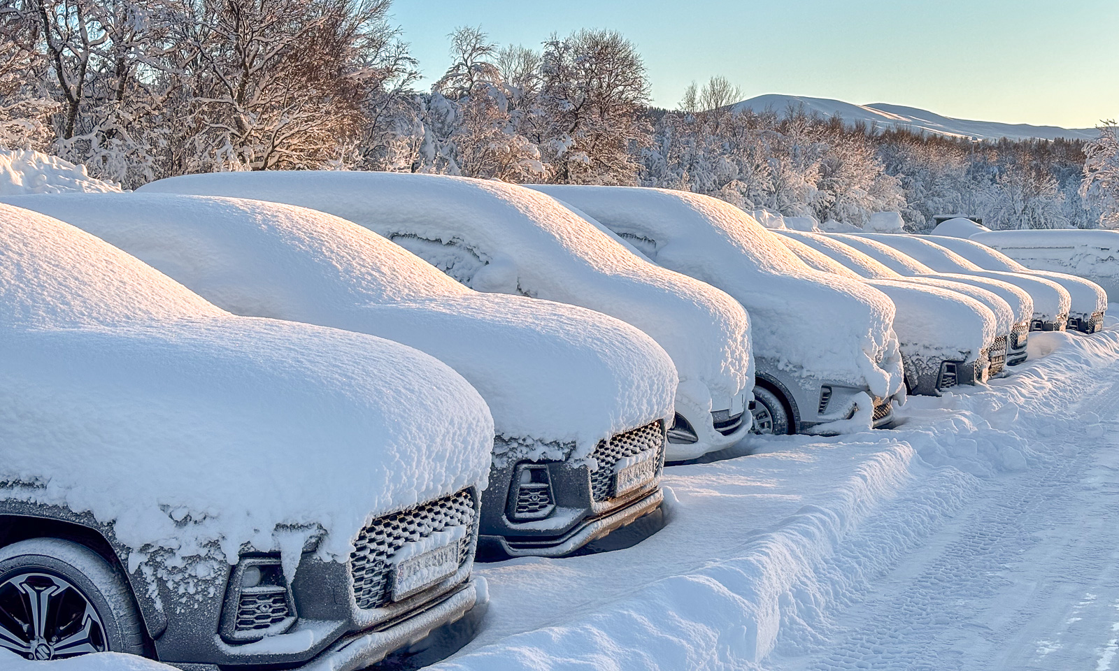
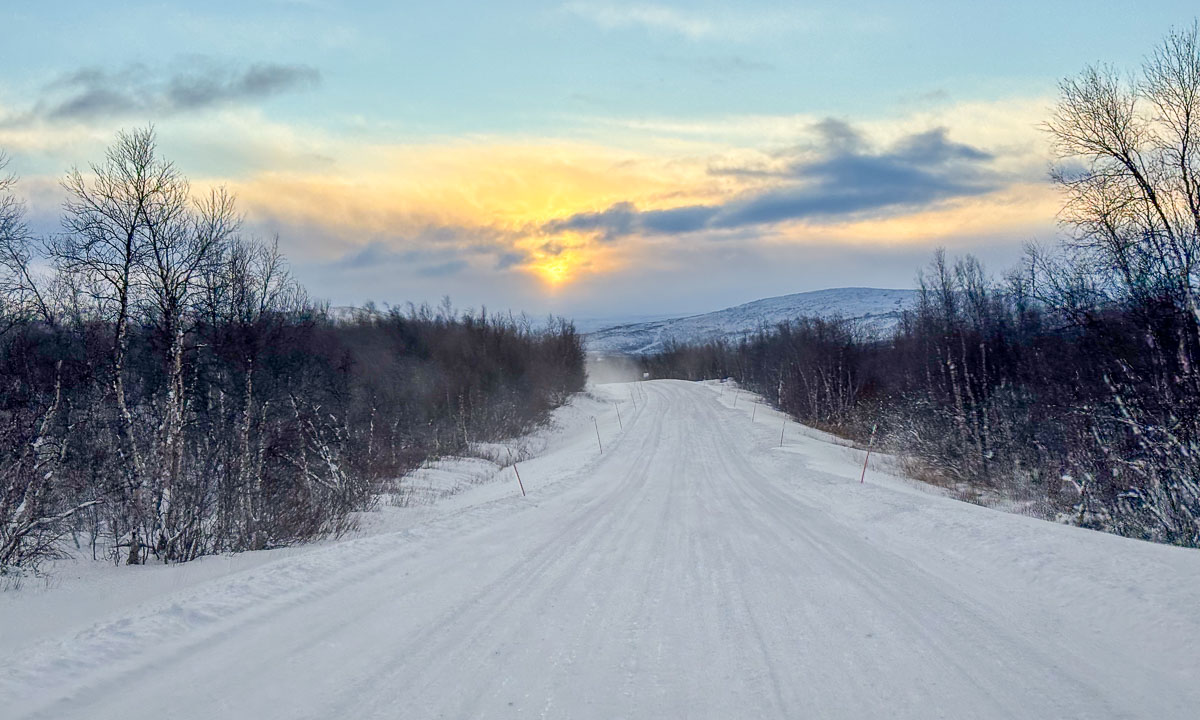
Yes, I was tired Saturday evening after travelling back from Obbola to Tromsø. But the weather was so nice and I already had started thinking about going up the mountain Stor-Kjølen for experiencing the midnight sun up there. Finally I made a decision. Let’s go. I packed water, a camping mat, a sleeping back, but most of all my camera equipment and went off. It is only a twenty minute drive to the lake Finnvikvatnet on the island Kvaløya where I parked my car. From there it is round 5½ km to the top and a good 500 metres of elevation gain.

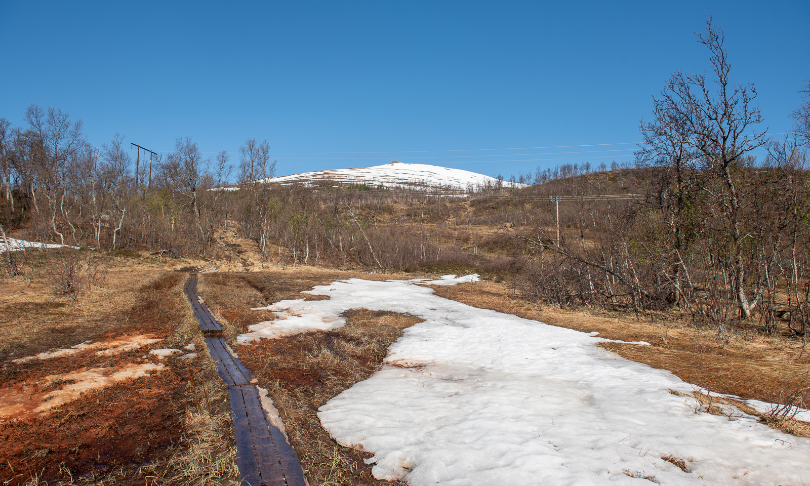
When I start my tour at around 10 o’clock the sun is low. The sun is low, but it won’t set tonight – and not for the next twenty days either. The landscape glows in warm colours. The ground is dry, but soon I cross the first tiny snowfield.

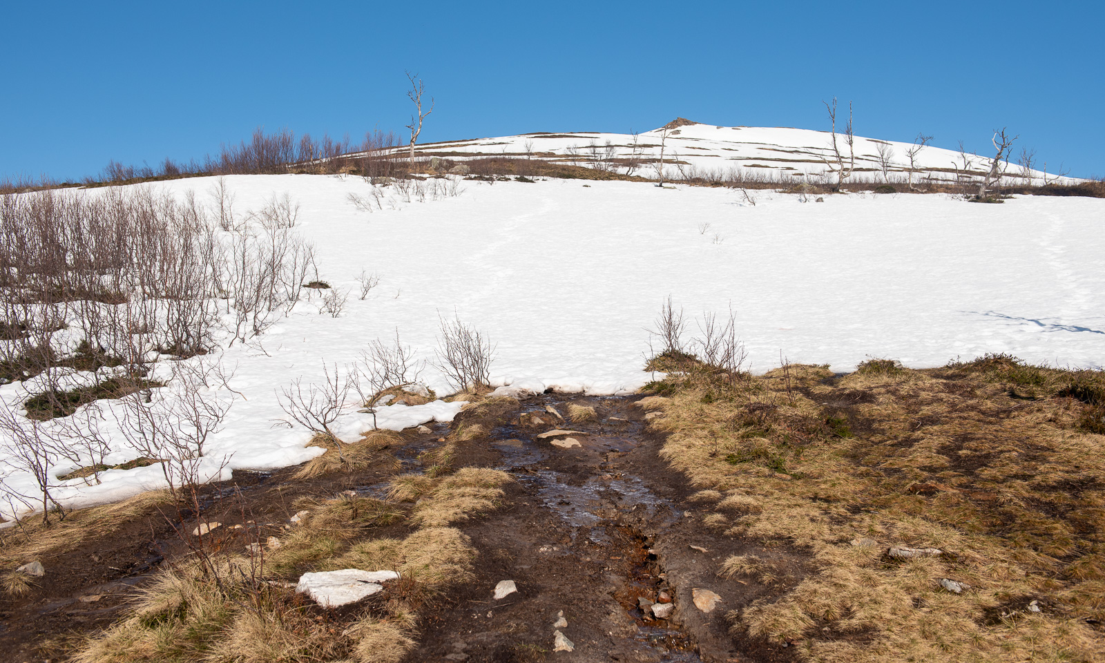
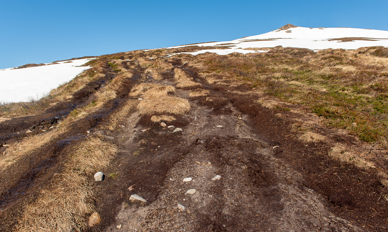
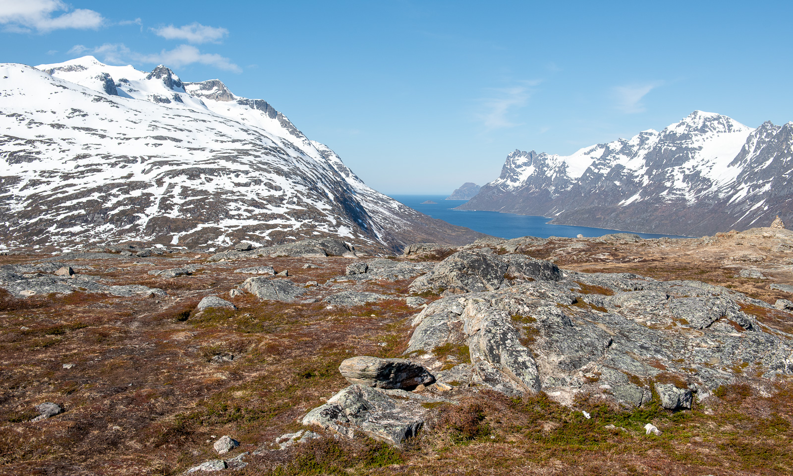
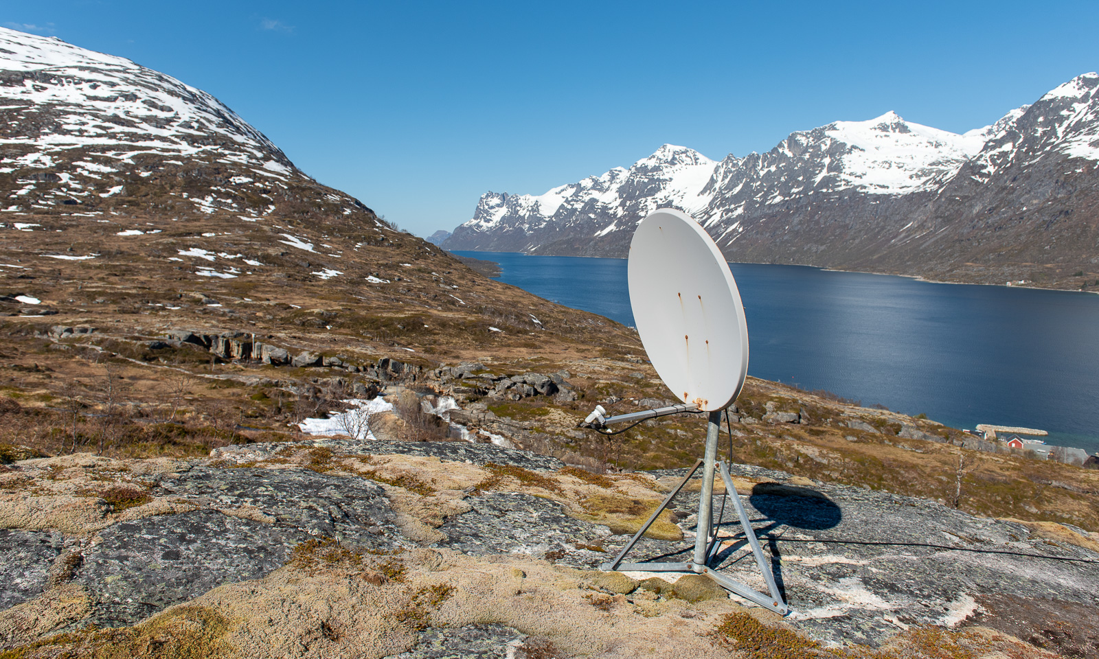
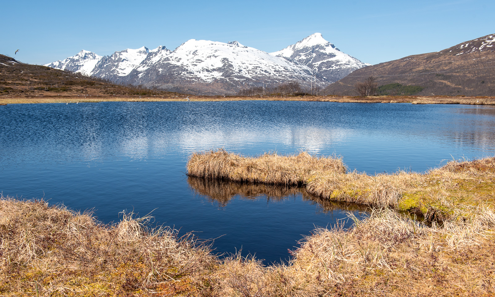
The path winds its way through grassy terrain scattered with stones and rocks. Stray snowfields lie on both sides of the path and the radar station on top of Stor-Kjølen has come into view.

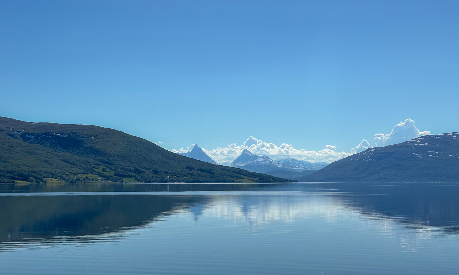
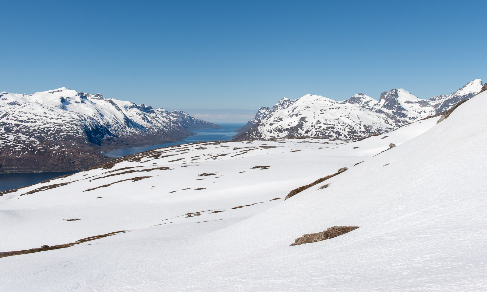
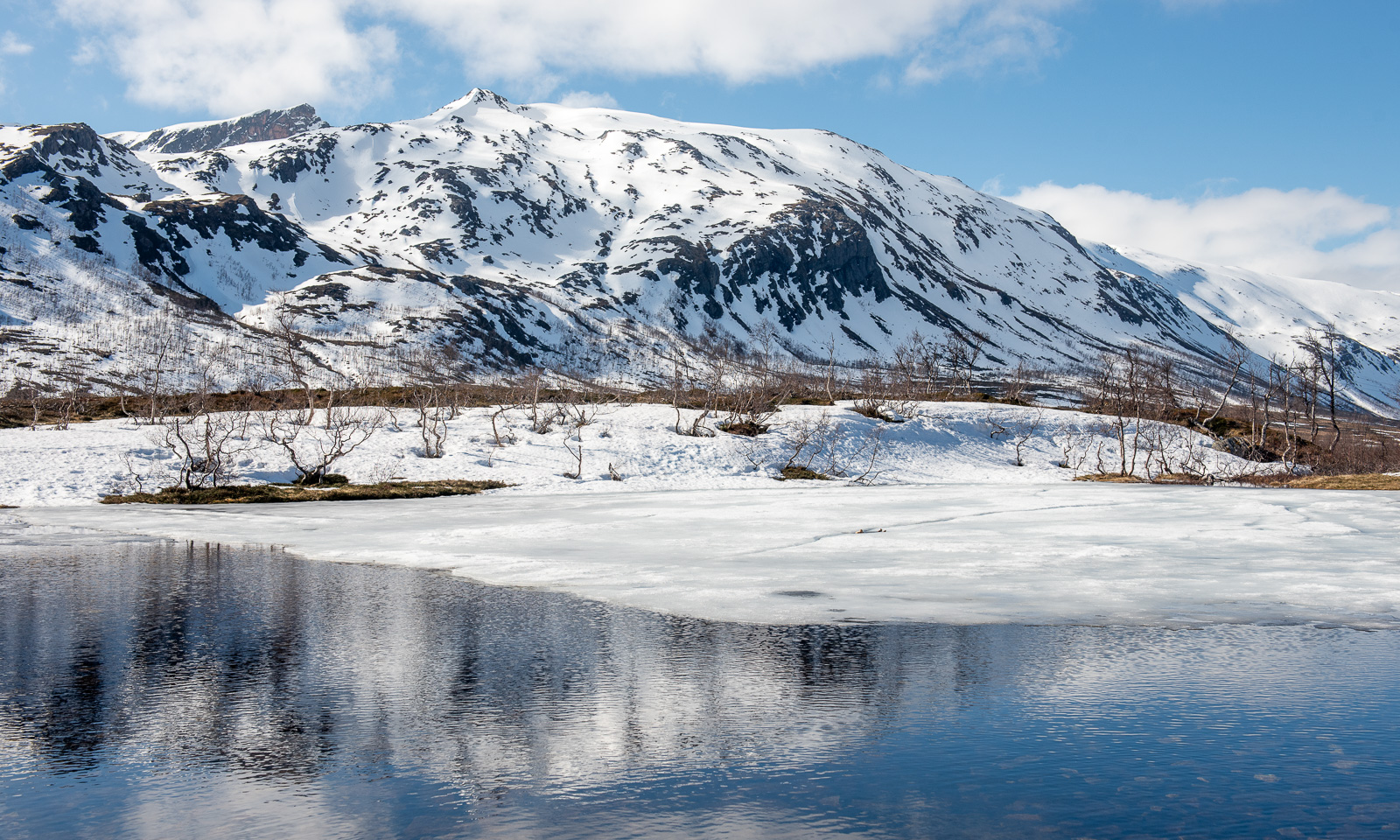
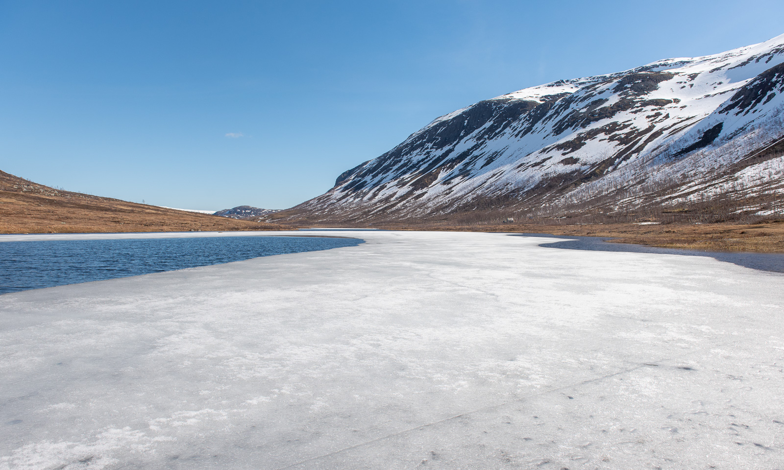
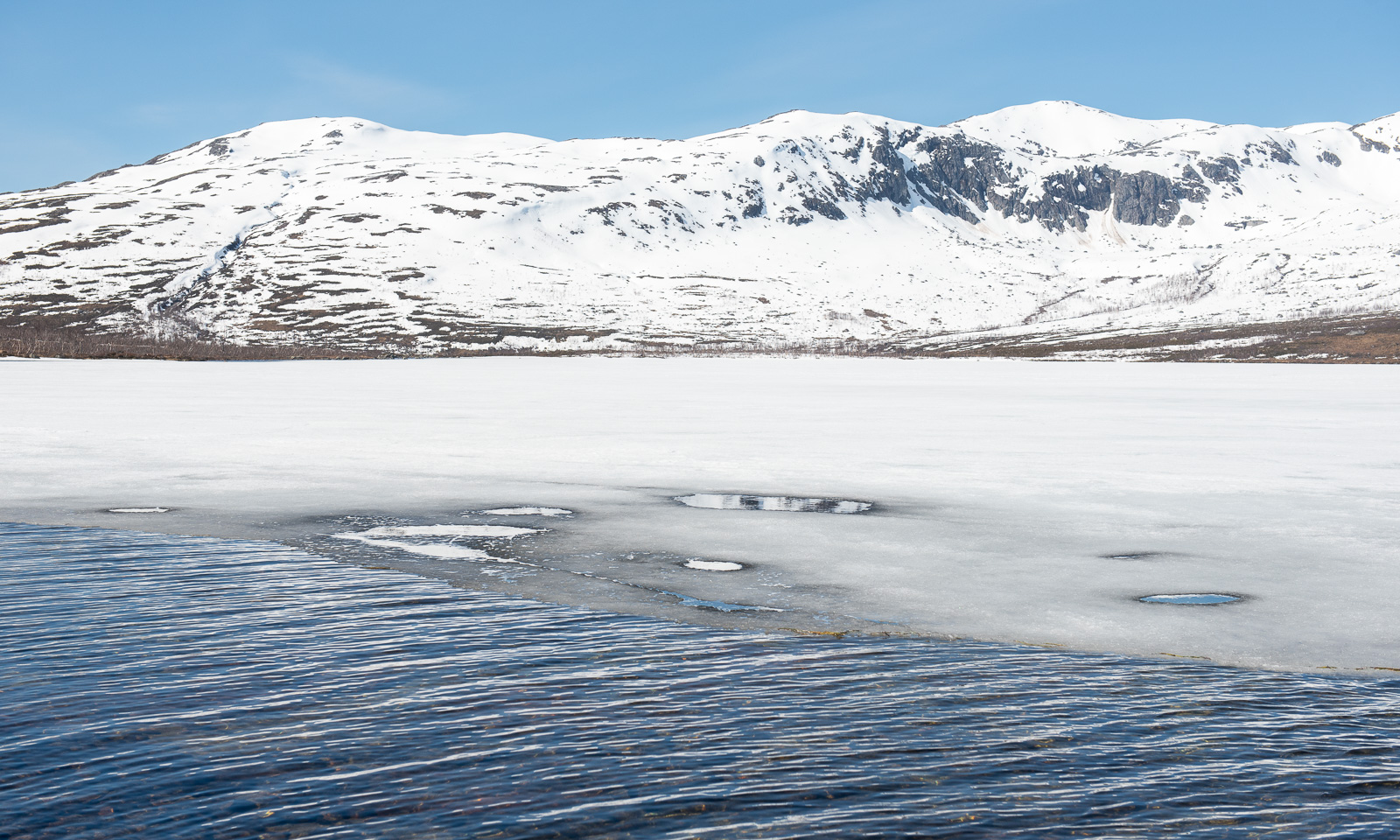
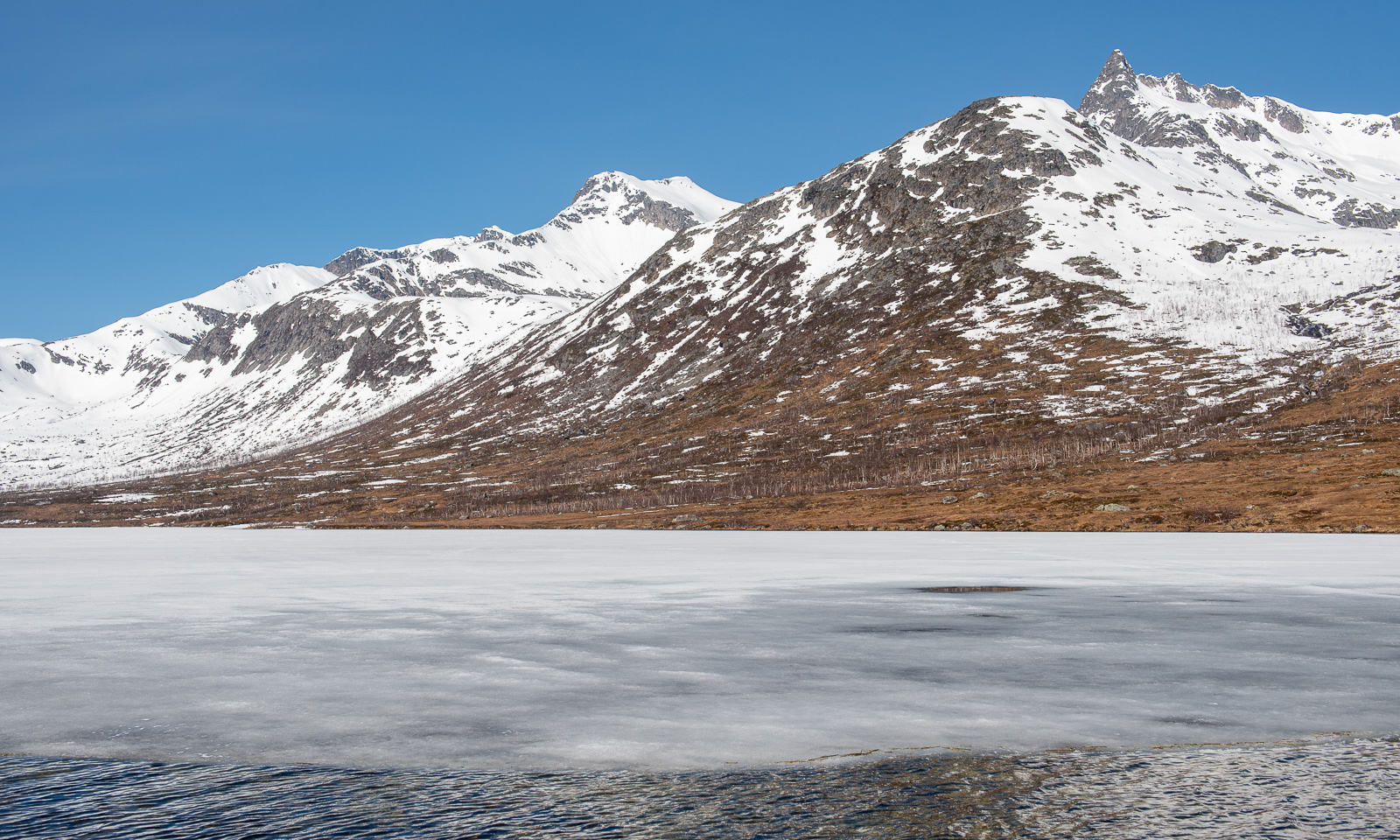
The first lake flanks the trail. Slowly, the terrain is becoming rockier.

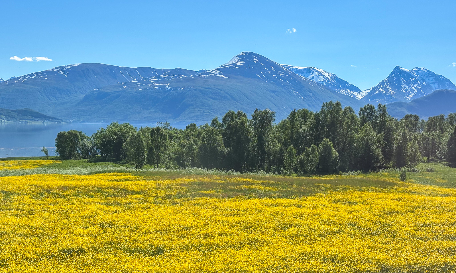
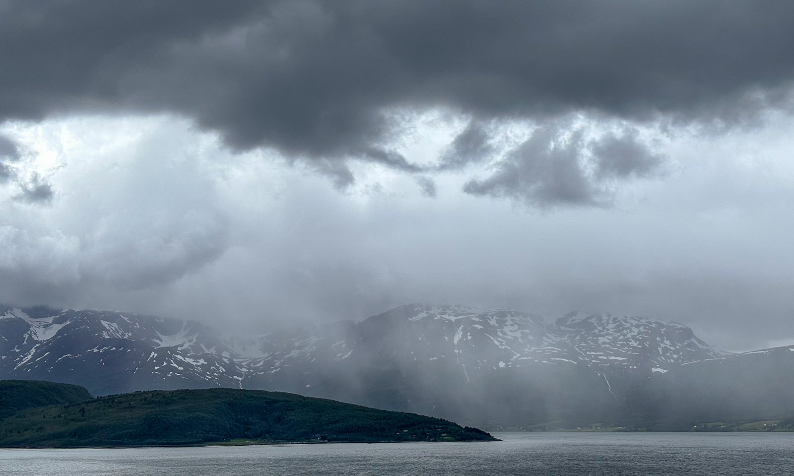
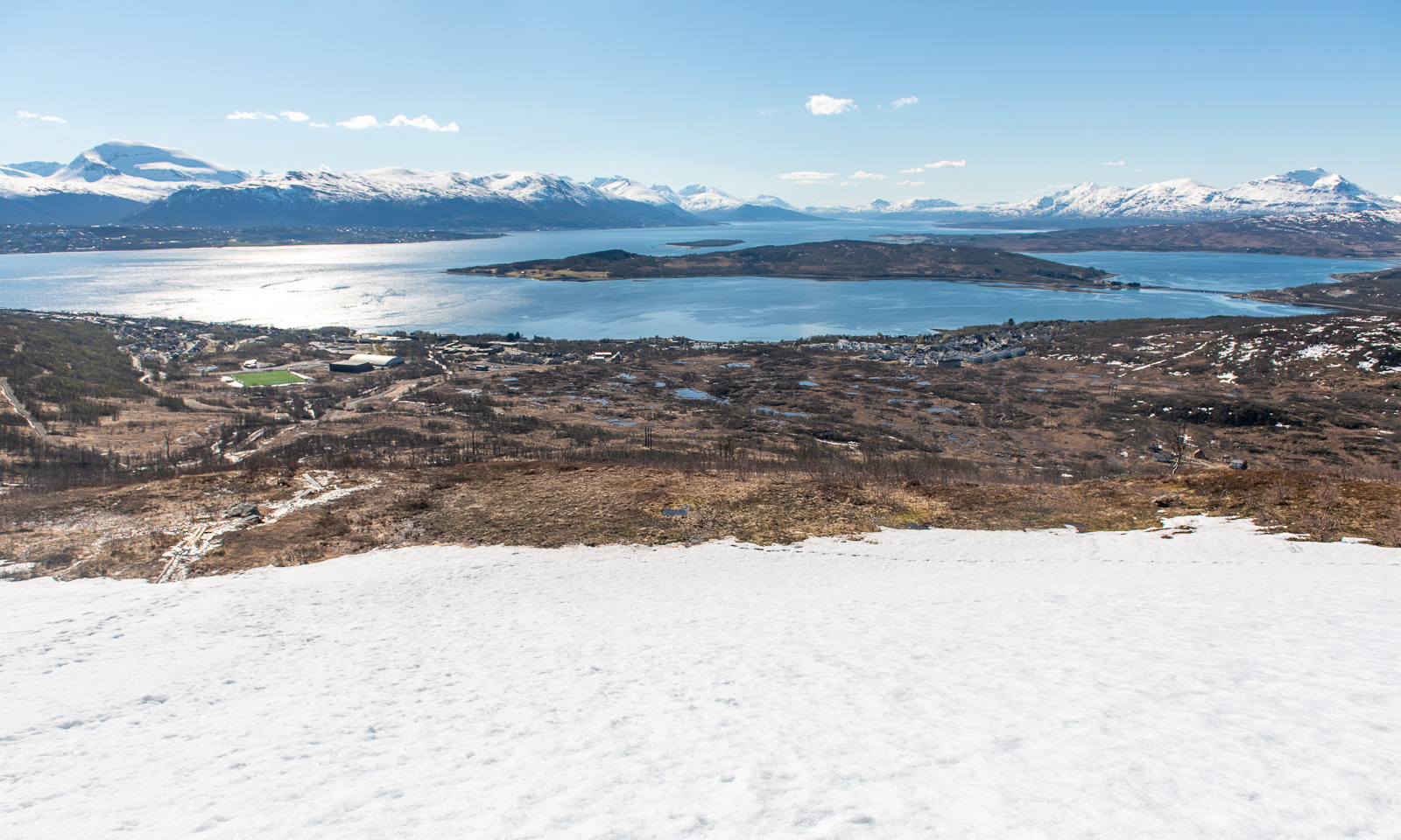
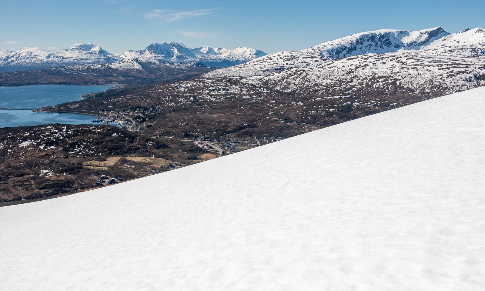
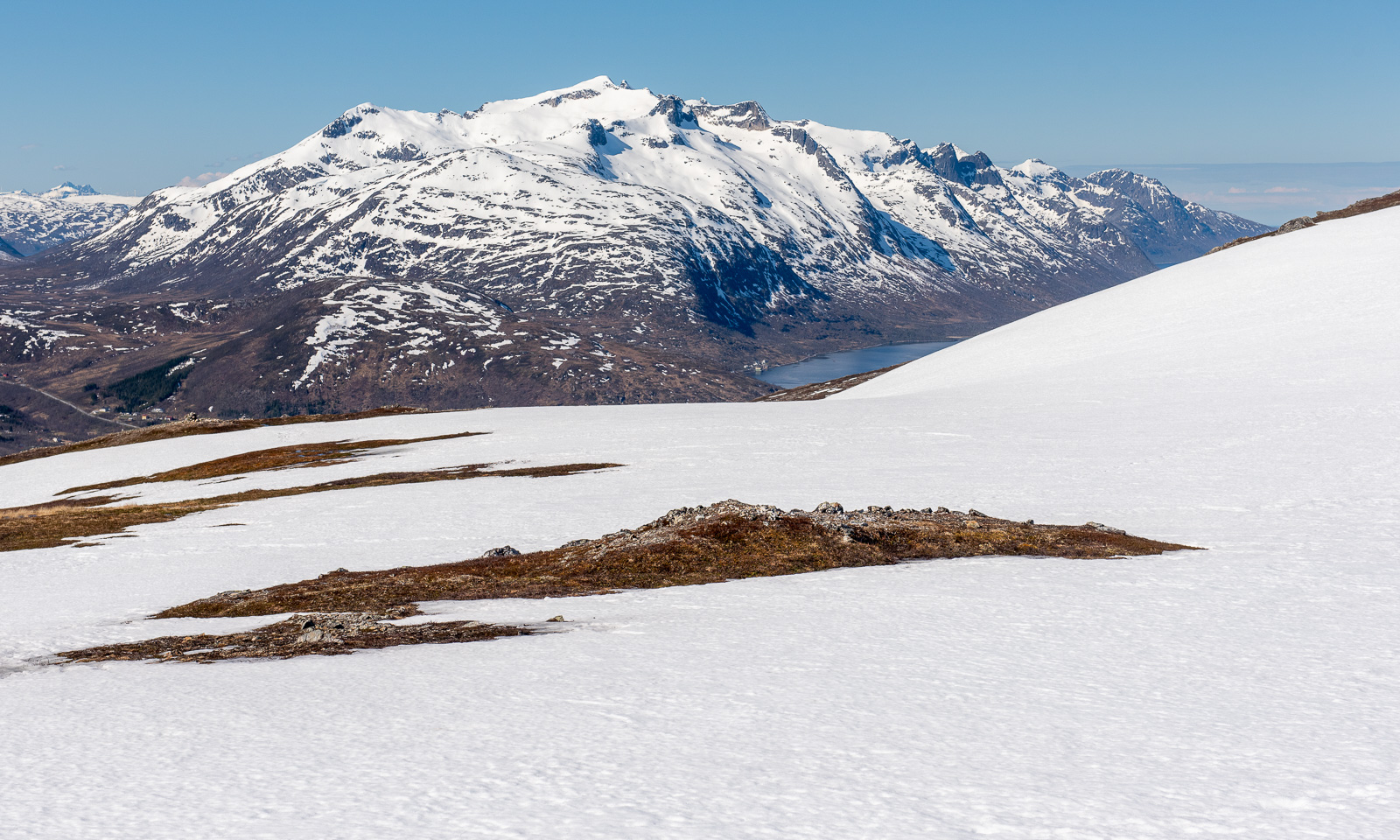
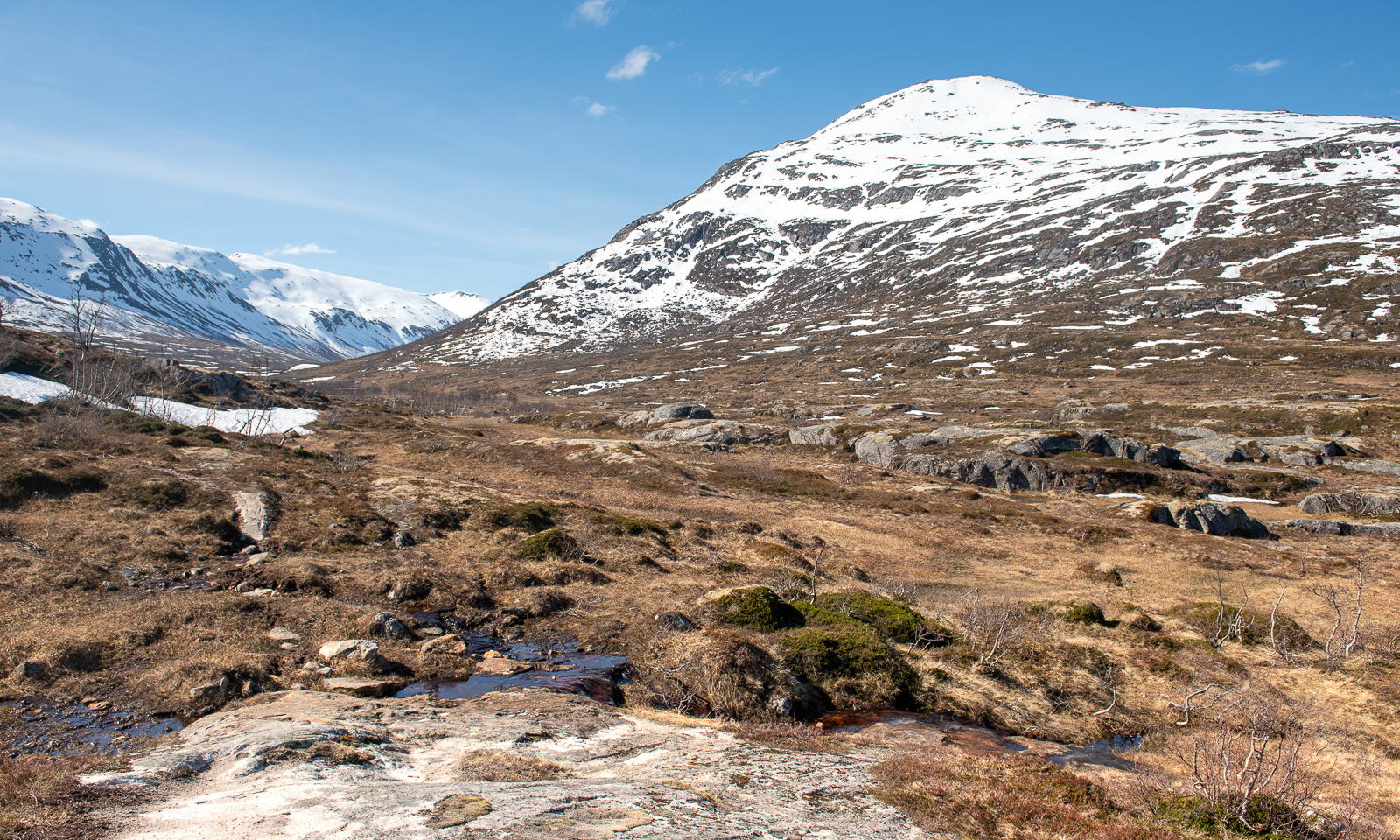
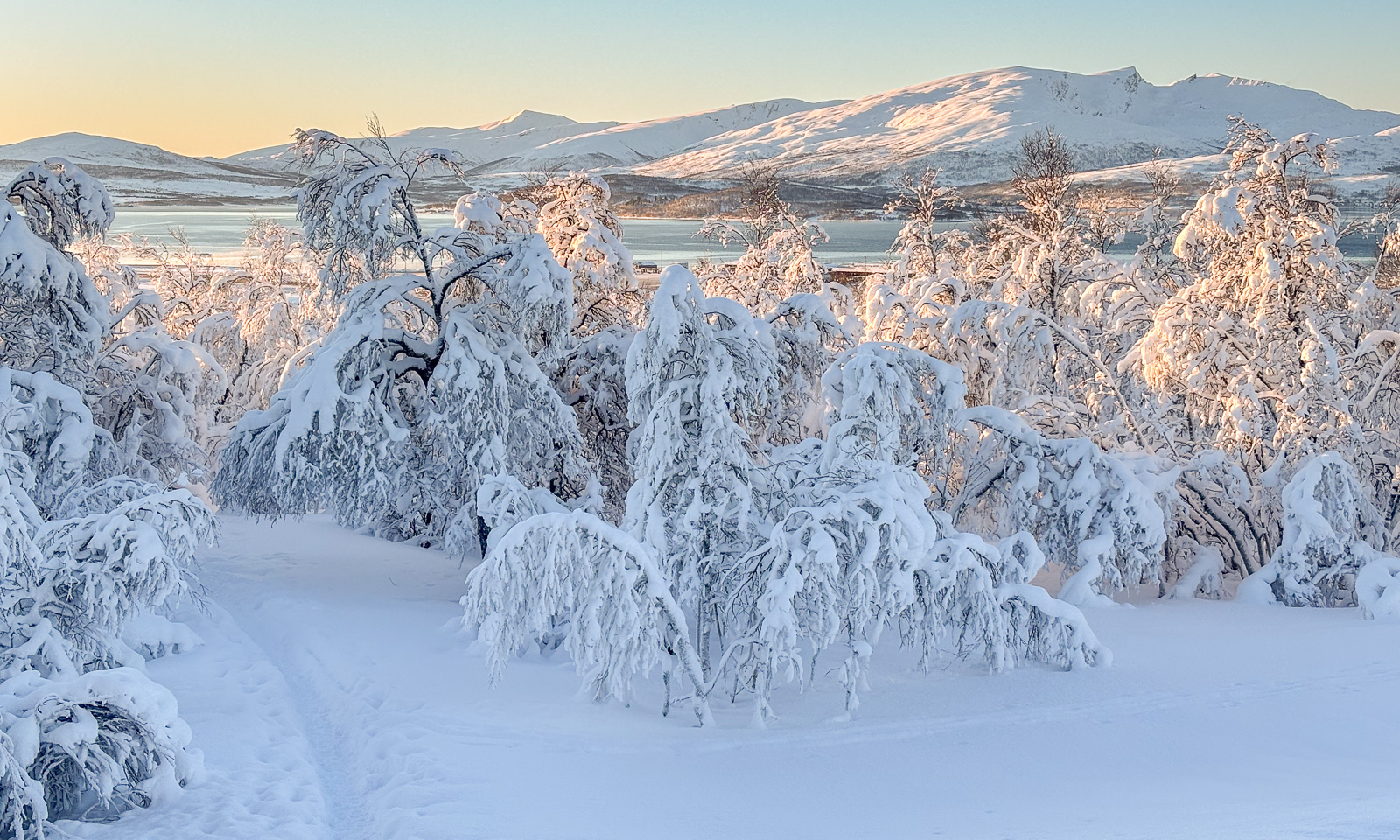
I look back and already now the hiking tour was a success. Lakes, hills – some grassy, some rocky – and at the horizon a mountain range. So beautiful in the warm light of the low sun.

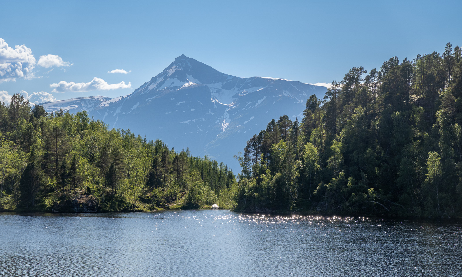
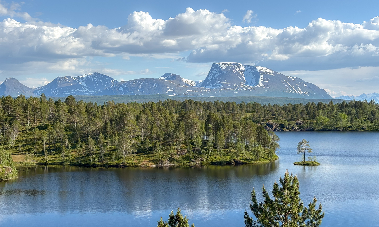
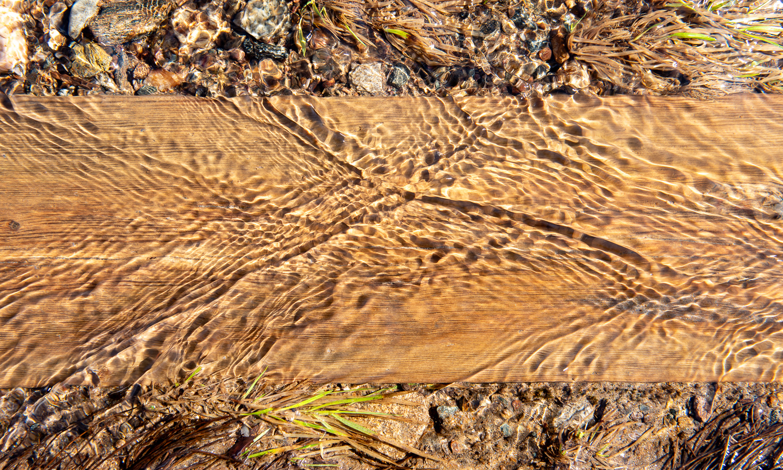
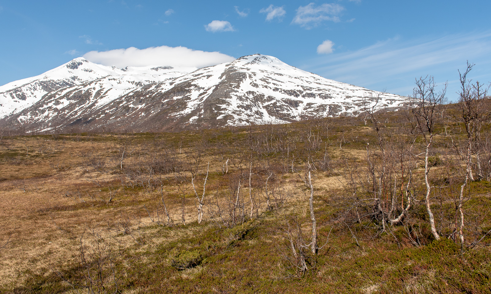
For a while, grassy patches and rocky ground alternate …

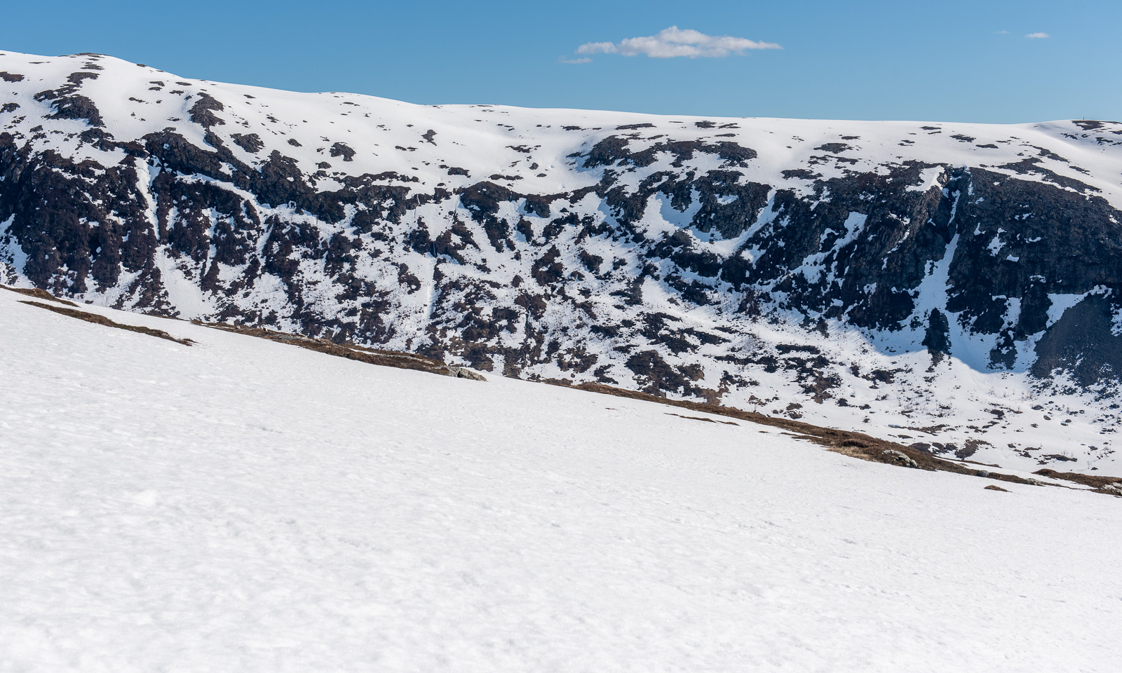
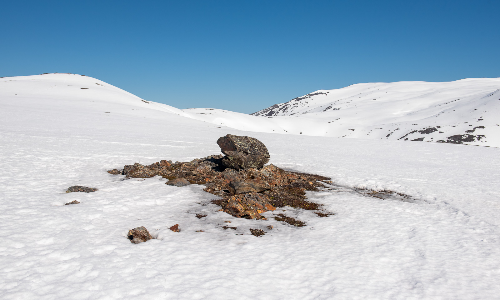
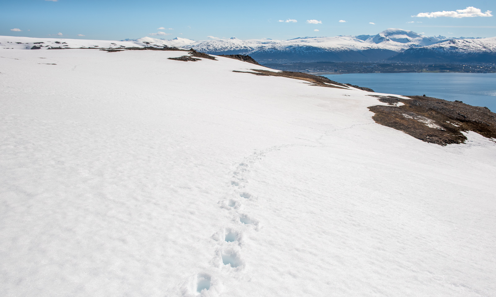
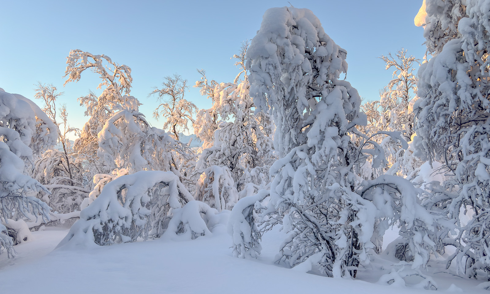
… then the altitude takes command. Only snow and rocks are present and the vegetation is reduced mostly to mosses and lichens. I have to cross a large snow field but the ground is not slippery.

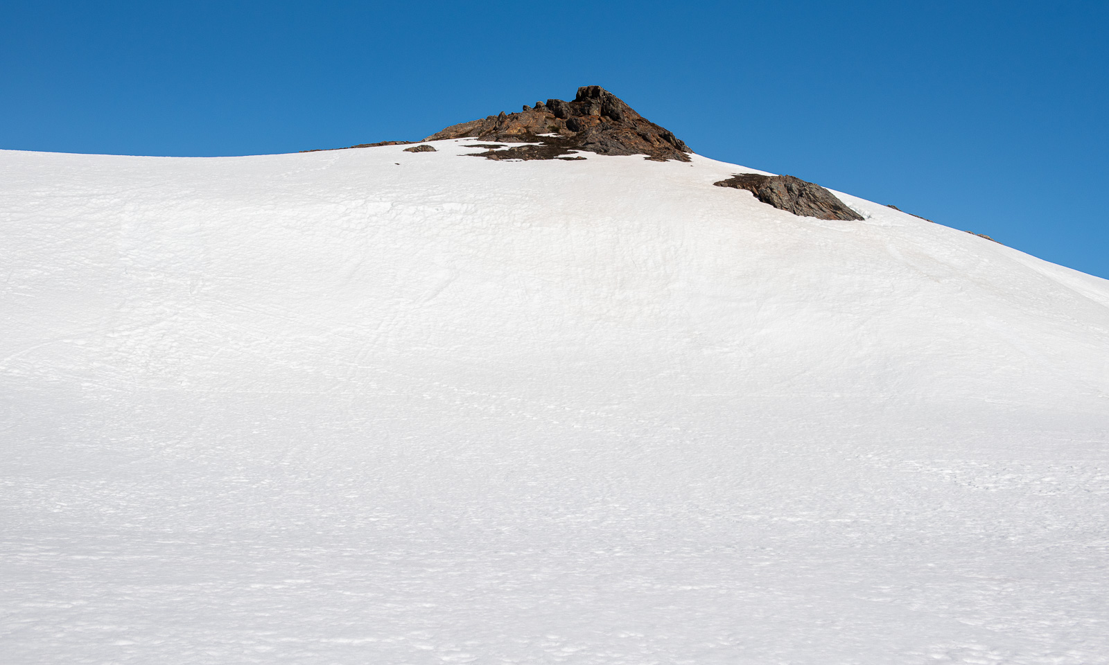
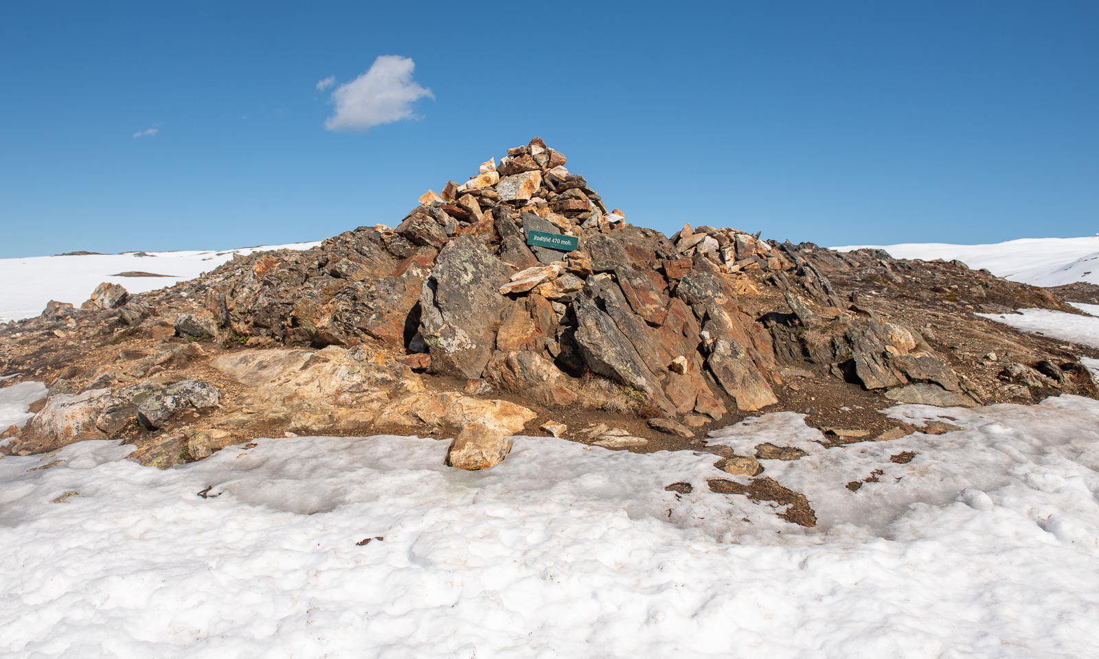
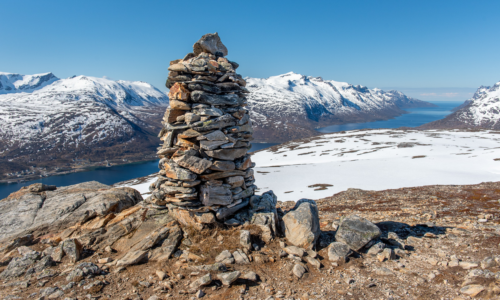
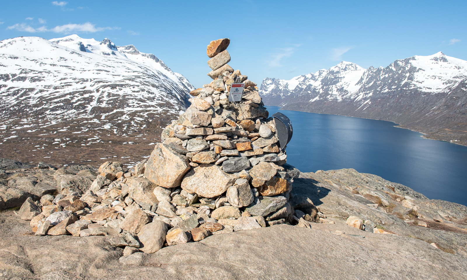
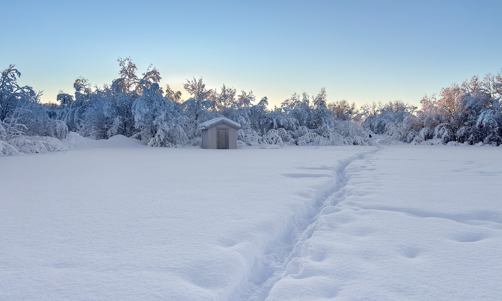
But then I arrive on the stone-covered plateau of Stor-Kjølen, where I can see a small cairn in front of me, a tall cairn marking the summit and the radar station. And if you look closely you can see a small cabin in front of the station. It’s a shelter for hikers. I’m alone, so I can use it for the night.

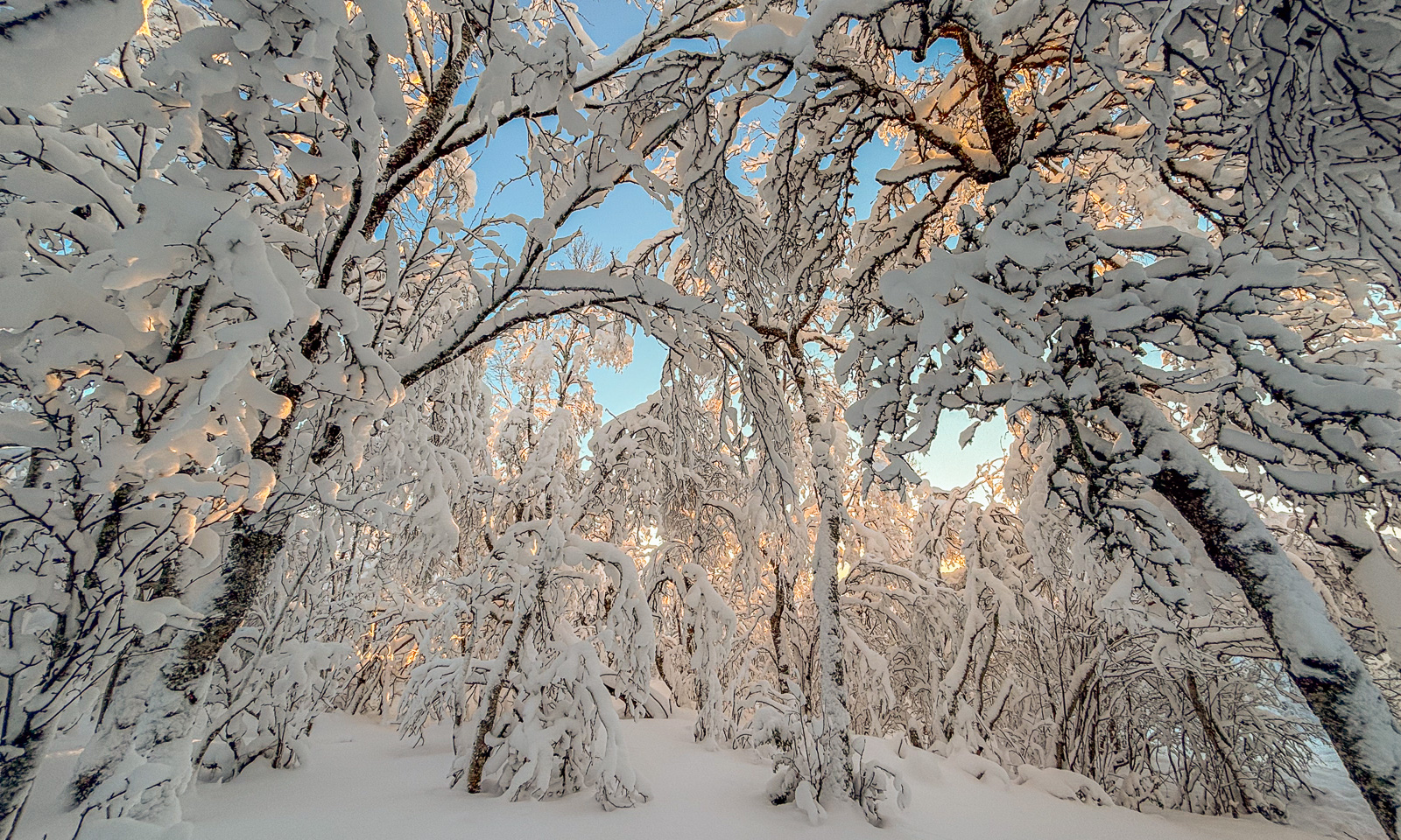
I want to take photos of the midnight sun, so I start experimenting with some sun-facing shots. These photos are much darker than reality. While the light is warm, it is still bright daylight.

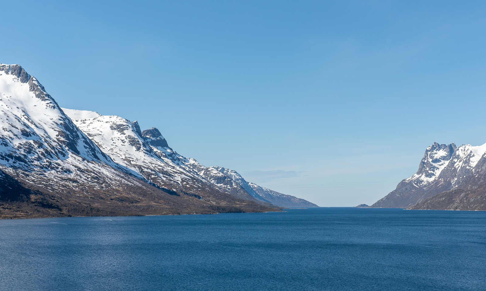
The mountains and the sea all glow in hazy orange hues when I look against the sun.

But I have a mission – taking a photo of the midnight sun. Here it is. Unfortunately there is a small, transparent cloud in front of the sun that makes it look like a white splotch instead of a circle. Bad luck!

Bad luck? Not really. We have summer time, so the lowest position of the sun is one hour later – or a bit more accurate 0:48 due to local solar time. So I had some spare time to take more photo from the stone-covered flat top.

Then it was time: The sun as its lowest position. Ok – I was three minutes late, but the solar path is so flat that it doesn’t matter when taking photos. The light is the same. And eventually the little cloud was vanished.

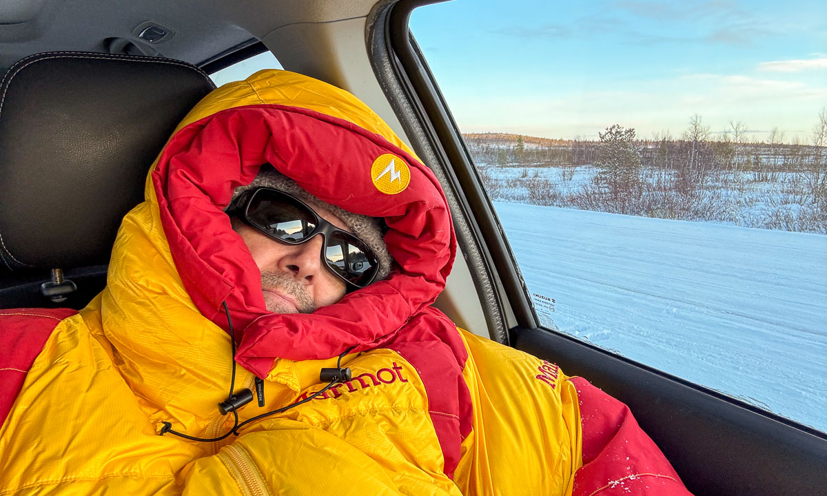
Just a selfie with my mobile phone, then it is time for bed, at last. (A down hoodie? Yes – it is windy and only +5 °C.)

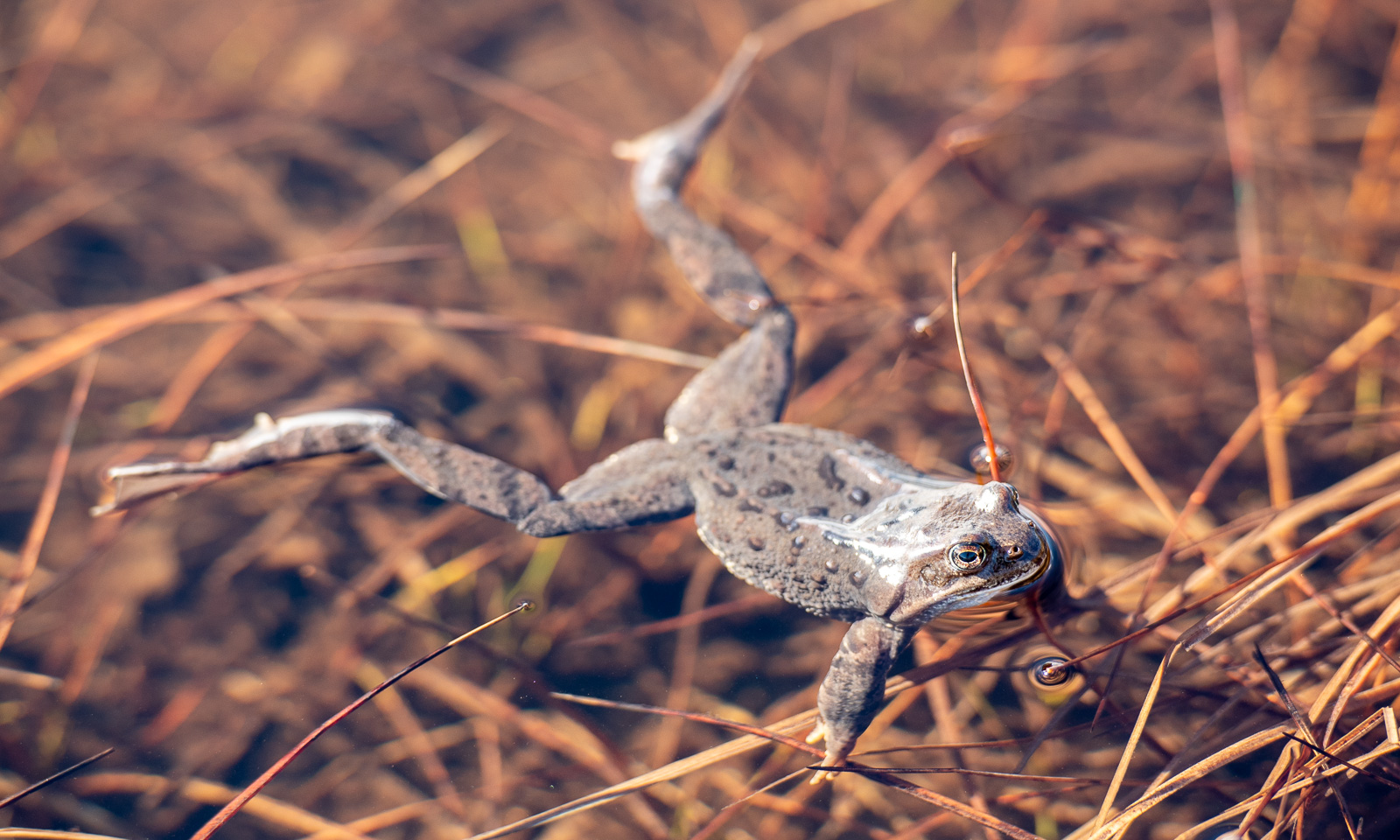
I enter the shelter, roll out my sleeping mat on the floor and lie down, using my sleeping bag as a blanket. Cluck-cluck, cackle-cackle! What’s that? I peek out of the door and see that the hour of the ptarmigans has started. All around, these galliforms dart about, filling the air with their typical clucking. I am too tired to start another photo hunt so I just take some snapshots. (These photos are heavily cropped.)

But then it is finally time to sleep. The shelter is filled with light, the camping mats (I found another one in the shelter) are thin and the ground is hard. But then I doze off and …

… sleep. At least for a couple of hours.

To part II >

End of April winter in Tromsø

When I woke up yesterday morning (28. April) and looked outside the window of my living room I was pretty surprised. I didn’t rain in the night, it had been snowing.

Round 15 cm of fresh snow had fallen within the last six hours and everything looked wintry again. In the centre of Tromsø however, 88 metres lower in elevation than my apartment only five cm of snow had fallen and the cars had smashed it to brown slush. What a difference!

Home again I watched a ptarmigan in the back yard. First it picked on a twig of a tree, then it dug itself into the snow and rested there for some hours. Couldn’t it see me behind the window pane or did it just ignore me? In the night it was gone.

Today I took my skis to work so that I could ski back home from the lake Prestvannet. This time the forecast was correct: we got a blue sky, the sun was shining at temperatures round +3 °C. At the harbour in the centre the view was quite spring-like.

Taking the bus from the center up to Prestvannet takes only 5 minutes, but there it is still winter season with snow depths round 90 cm. It’s astonishing what a difference in altitude of less than 100 metres can do.

Time to ski back, preferably not on the tracks but through the forests. After four kilometres on skis and 840 metres by foot I was home.

Two promenades on Tromsøya

Easter Monday – from Sydspissen to home

On Easter Monday we got surprisingly fine weather in Tromsø. The sun was shining and the sky was blue. I took the bus to Sydspissen – the southern tip of Tromsøya – because it has been ages since I’ve been there. A lot of snow has melted away and tussilago was blooming everywhere. I passed the beach at Telegrafbukta and the pier at Folkeparken came into view. I know the this area well, because I lived nearby for quite some time.

I went on, enjoying the sun and ignoring the chilly wind. Don’t let your eyes fool you, the max temperature was about +2 °C. I passed the old boat house Engenesnaustet, saw a lonely winter kayaker and passed the small lighthouse.

I was not alone. A lot of other people took the holiday to take a promenade, sit side by side or do some barbecuing. I took the liberty to remove some people from the photos.

I wondered if the old, abandoned boathouse was still open? It was. A bit away from the shore there was some leftover snow. The tussilago flowers didn’t care, they were blooming anyhow.

Now it was not far away to the boat houses of the two kayak clubs in Tromsø. TSI Trulle and Tromsø Havpadleklubb. Here I start all my kayak tours in Tromsø, because my own kayak is in Obbola in Swede, so I use to hire one here. Season has just started and I want to paddle a lot this year!

At the bus stop Giæverbukta I missed my bus. 28 minutes of waiting or two kilometres of walking? Easy decision: I walked.

It was fascinating that the coast was mostly free of snow, while MET, the meteorological institute inside the island measured a snow depth of about 80 cm that day. At an elevation of 100 metres. And so the walk became snowy in the end. But spring showed up here as well: some willows had started to bloom.

Intermezzo – more snow

Yesterday afternoon it started snowing. Some snow showers were pretty dense. And sometimes I got one of my favourite weathers: snow flurry and sun at the same time. So beautiful. I tried to take pictures but the result became quite ugly, because the snow against the camera looks dark.

This morning ten more centimetres of snow have fallen, even in the lowland areas. All Scilla flowers in the centre were covered in snow and for the photo I had to look to find some flowers not being completely buried.

Friday (today) – from Prestvannet to home

I use to walk home twice a week after work. Then I take the bus to the lake Prestvannet to skip the boring (and steep) parts. Today I do the same. Additional snow showers have increased the snow depth to 92 cm, but it has started clearing up, when I begin my way home at 15:00. The fresh snow gives the lake an untouched appearance and the first lifebuoy is snowed over almost completely. Could it be January? No, the light is different.

I follow the ski trail a bit then I follow the smaller paths. They have hardly been used today, mostly by a single skier or pedestrian.

But then I come to an area where the snowy paths are completely untouched. No one has used them today. Imagine that: You are on a island with 43000 inhabitants. Many of them are enthusiastic skiers and outdoor maniacs. It is Friday afternoon and the sun is shining. And I trudge through 15 cm of untouched fresh snow. This is absolutely brilliant; I’ve never experienced anything like this before!