Areas of water
There’s a lot of water round Skelleftehamn. North and east lies the Baltic Sea, in the west and south runs the river Skellefteälven and in the forests around there are some lakes such as the one kilometre long Snesviken.
As several times before, winter came when I left the country for a visit in Germany. That figures! But it didn’t last long. In my absence Skelleftehamn got 20 – 30 cm snow and one cold day with a minimum of -12.9 °C. Then it got warmer again and rain melted away most of the snow. Since I came back on sunday it snowed a bit with temperatures round 0 °C.
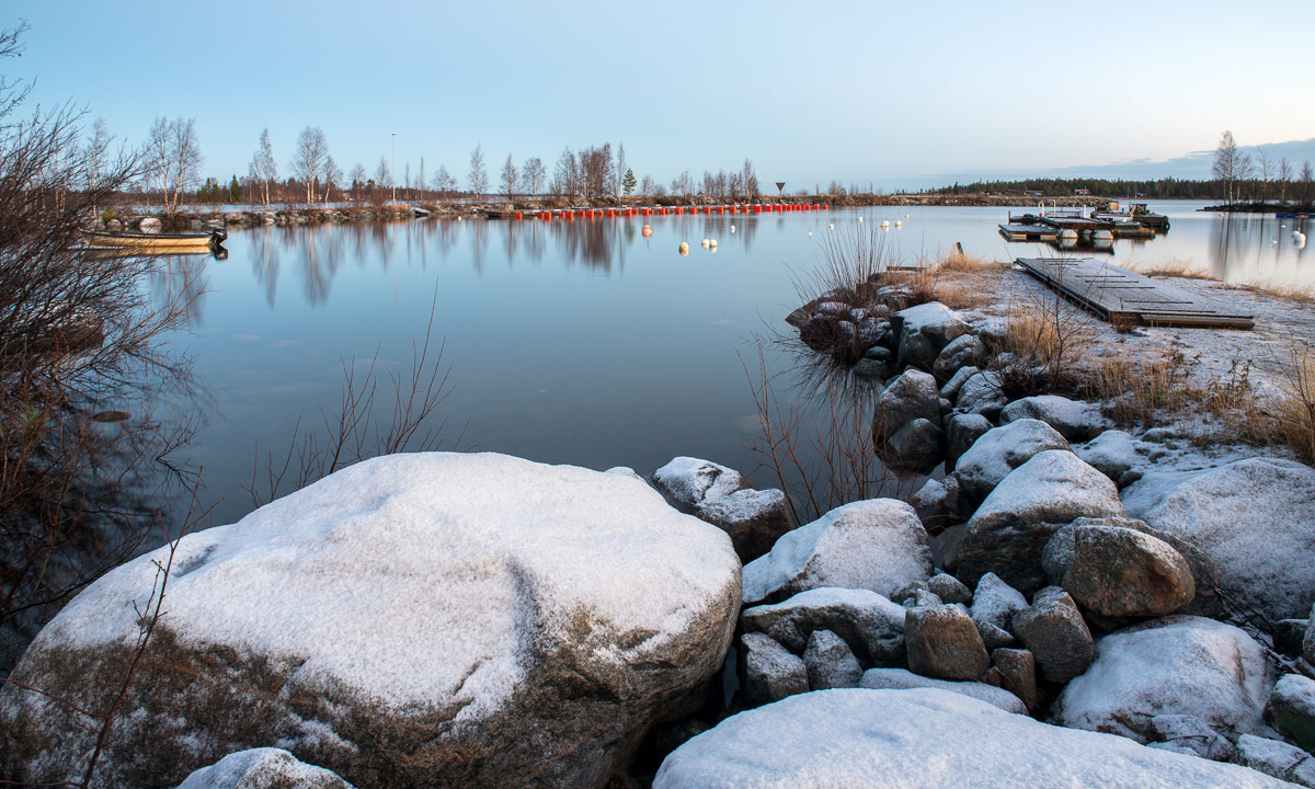
Today I was curious, how much ice would lay on the waters. First I checked the Baltic Sea round the peninsula Näsgrundet. The water still was completely open. The same at the small boat harbour Tjuvkistan.
Next stop: Sundgrundsbron, a bridge crossing the Skellefteälven which is round 700 meters wide at that place. The eastern part – the mouth of the river – was almost completely open too, with some thin ice at the riversides, while larger areas of the river itself in the west were covered with ice.

Next stop: Rudtjärnen, a smaller lake in the forest nearby. It might look like waves, but the lake is completely iced, as well as the larger Snesviken.

Next stop: Storgrundet, which is both an elongated island and a small sandy beach. The Baltic Sea between island and main land is sheltered from wind and freezes over quite early. Round three-quarters of the water were iced too.

I would love to paddle at least one more time before the ice becomes too thick, but I’m afraid that I have to look for another starting point as my favourite Storgrundet.
And then I’m longing for cold weather that freezes over the Baltic Sea so that it’s possible to go or to ski to the islands.


