Skoganvarre—Tromsø – the last stage of our car trip
This article is part of the series “2026-06: Obbola—Finland—Tromsø”.
Part four of the journey from Obbola to Tromsø
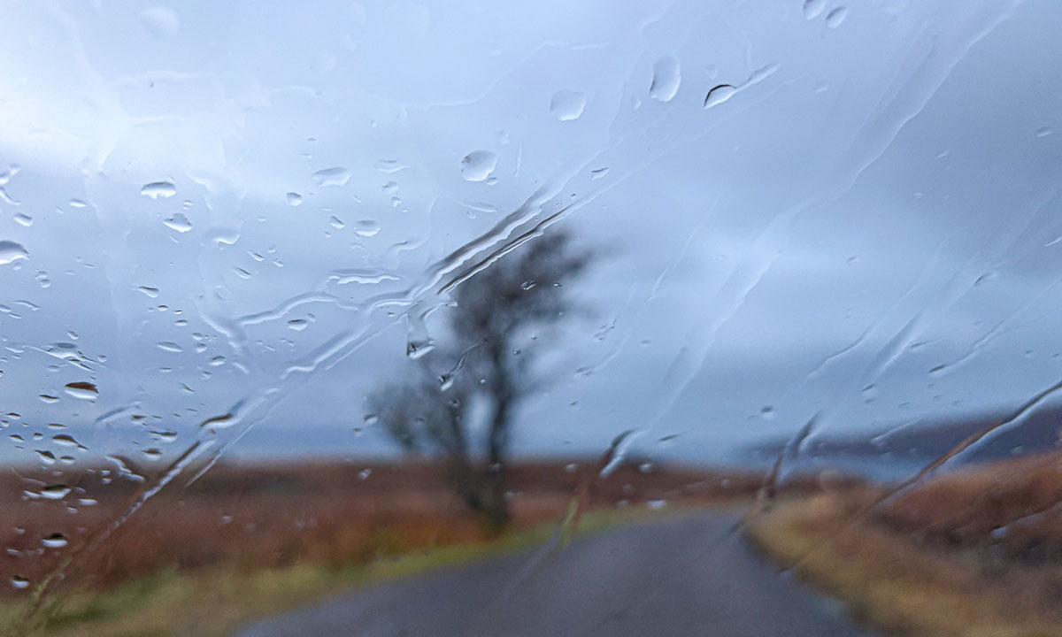
It is Saturday morning. My wife Annika and I are having breakfast in the kitchen of the campsite Skoganvarre Villmark. It is raining and people passing outside are wearing pyjamas and carrying umbrellas or wearing raincoats and crocs. Campsite fashion. Skuvvanvárri (Northern Sámi) or Skoganvarre (Norwegian) is located in Norway, but most of the guests here are Finnish, and it seems to me that more or less all of them are here for fishing.
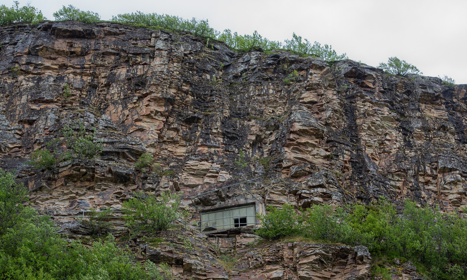
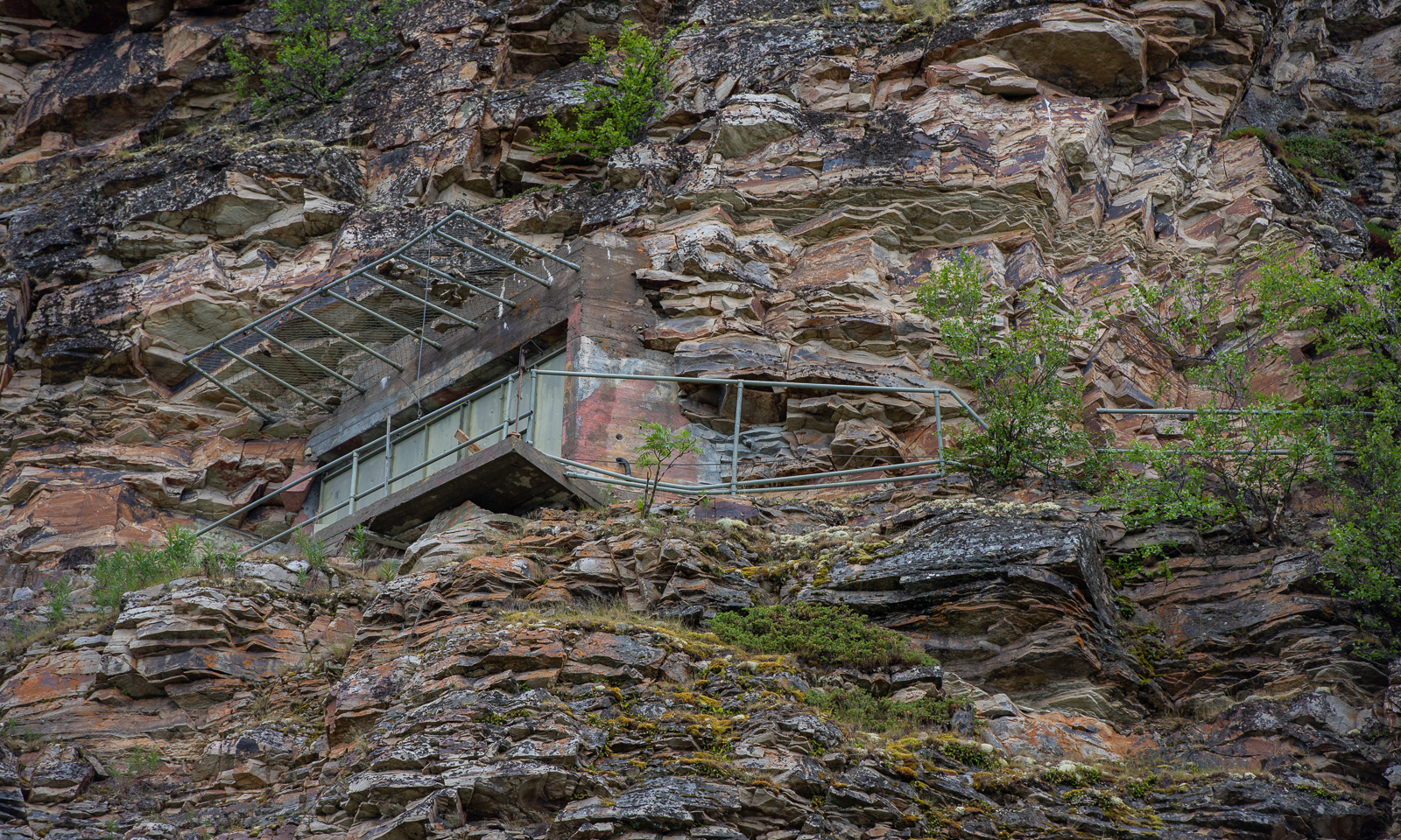
The grey weather follows us to Lakselv where we meet the sea again in the form of the southern end of the huge Porsangerfjorden, the fourth longest fjord in Norway. We passed the road leading north before, but it was the first time that I saw the fortification high in the mountain walls left of the road. It is part of Banak fort, started by the Germans in WWII and continued by the Norwegians and used until 1987.
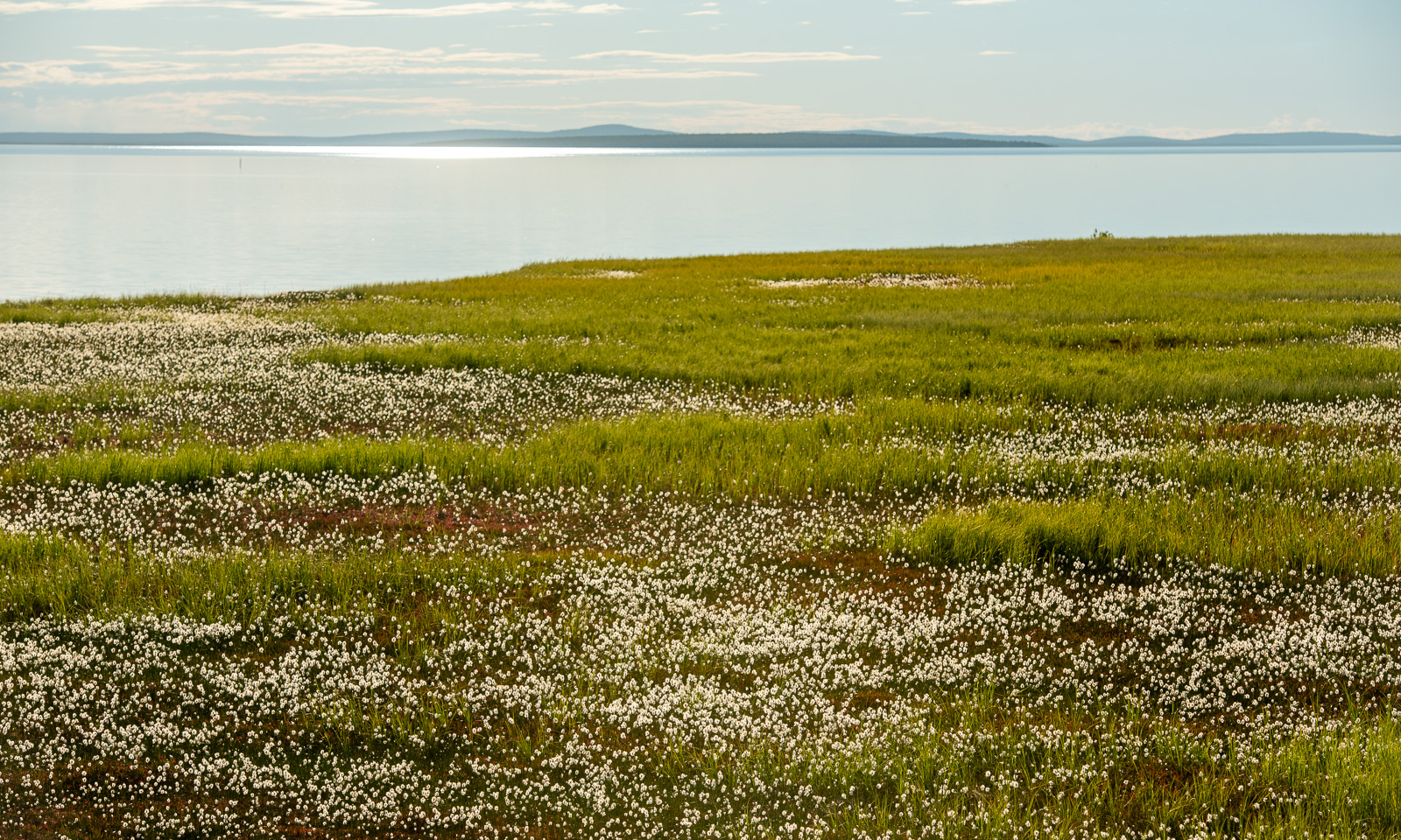
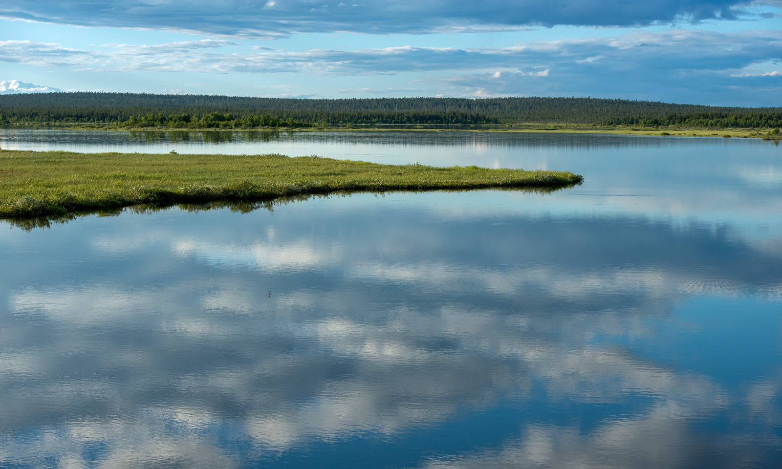
On the other side of the road the scenery is completely different. Stabbursnes nature reserve is a large protected area dominated by wetlands.
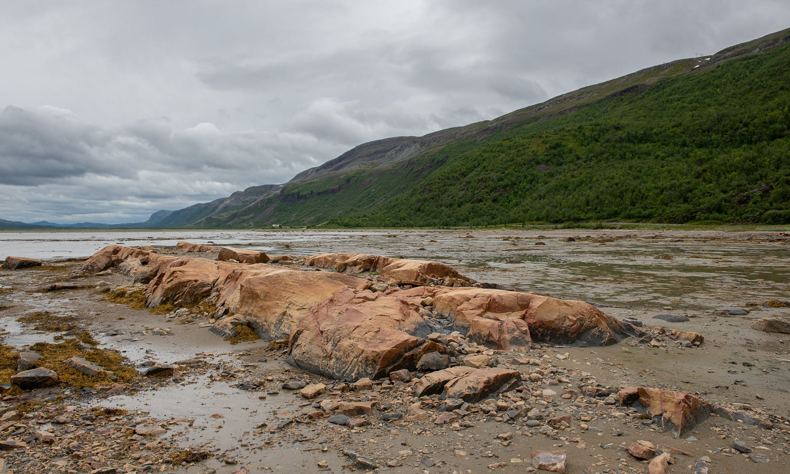
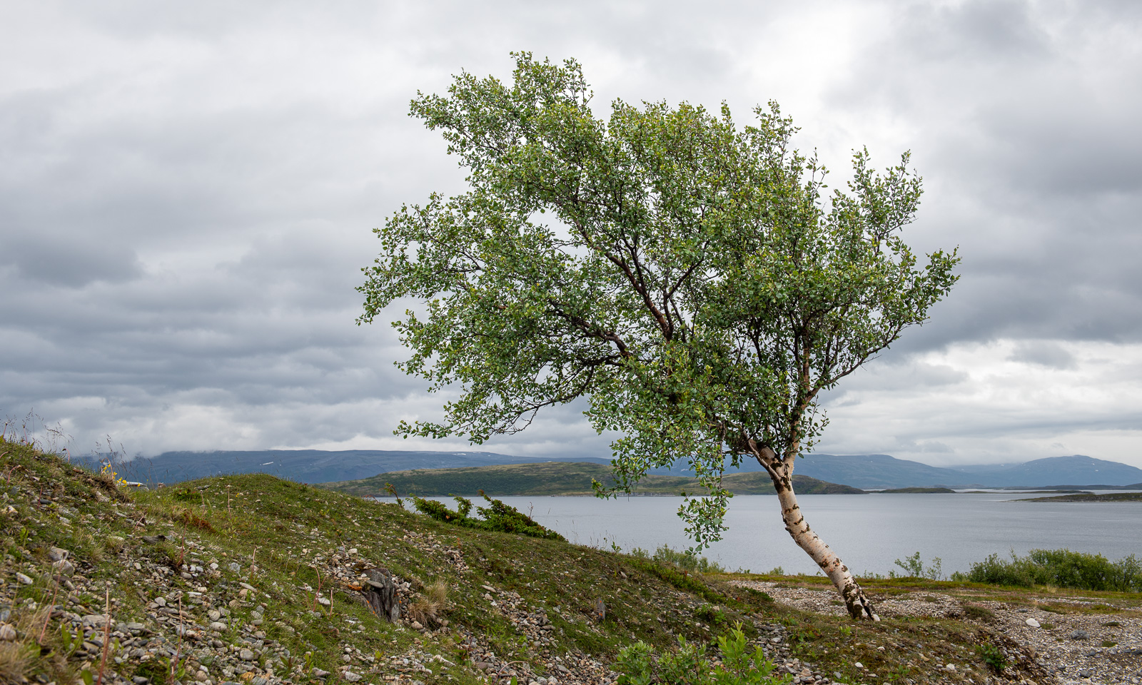
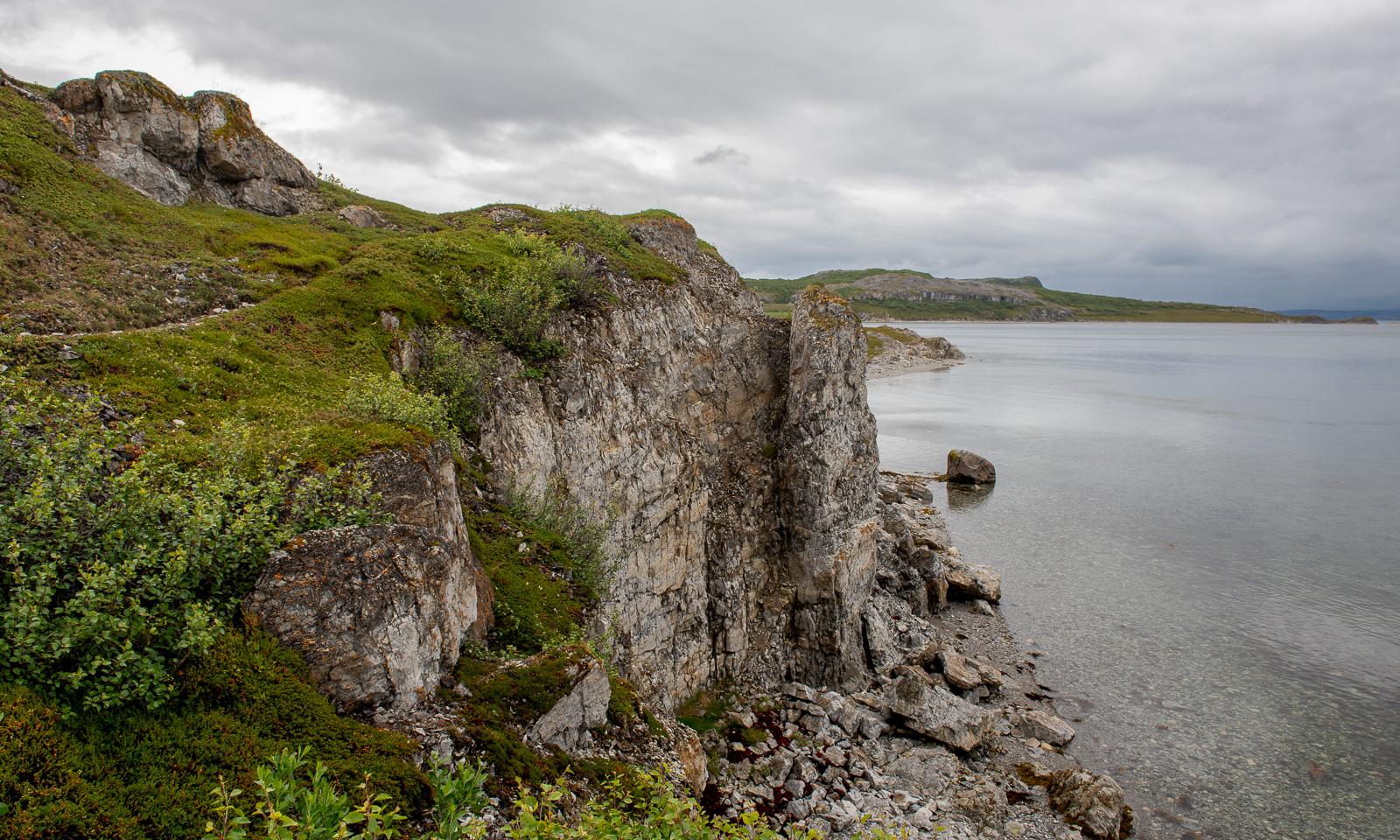
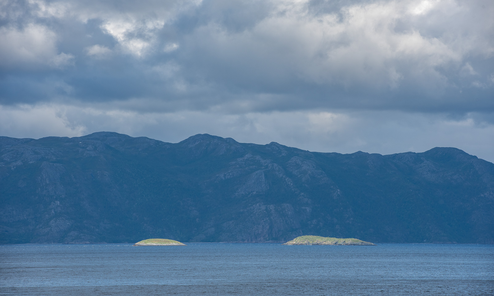
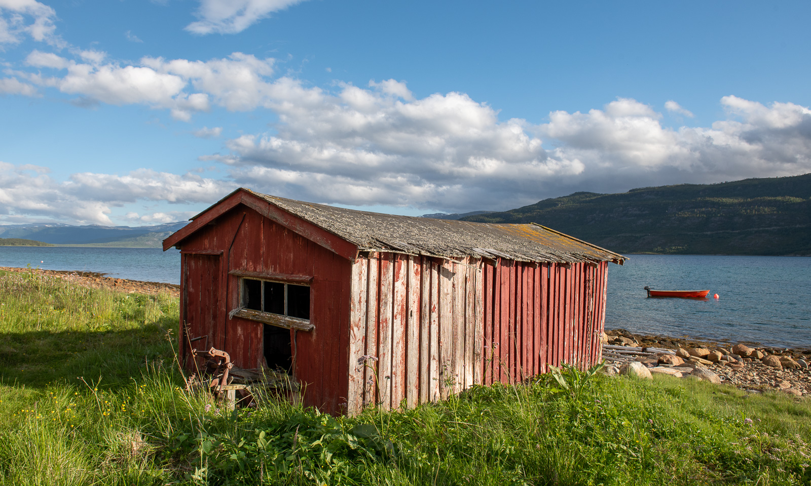
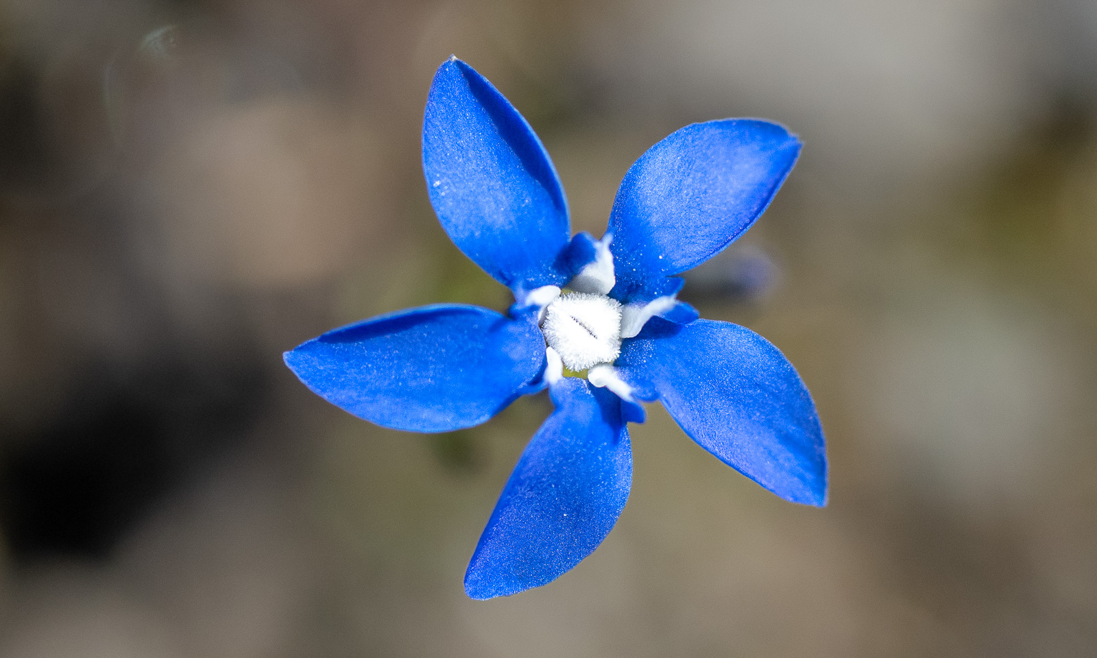
Annika started geocaching a while ago. Sometimes I join her in the search for I found a place to park the car, sometimes I focus more on looking for photo subjects, ideally I do both. At one of the geocache locations behind a gravelly area I first find this lonely birch and then surprisingly beautiful coastal cliffs, although it looked a bit dull in the grey weather.
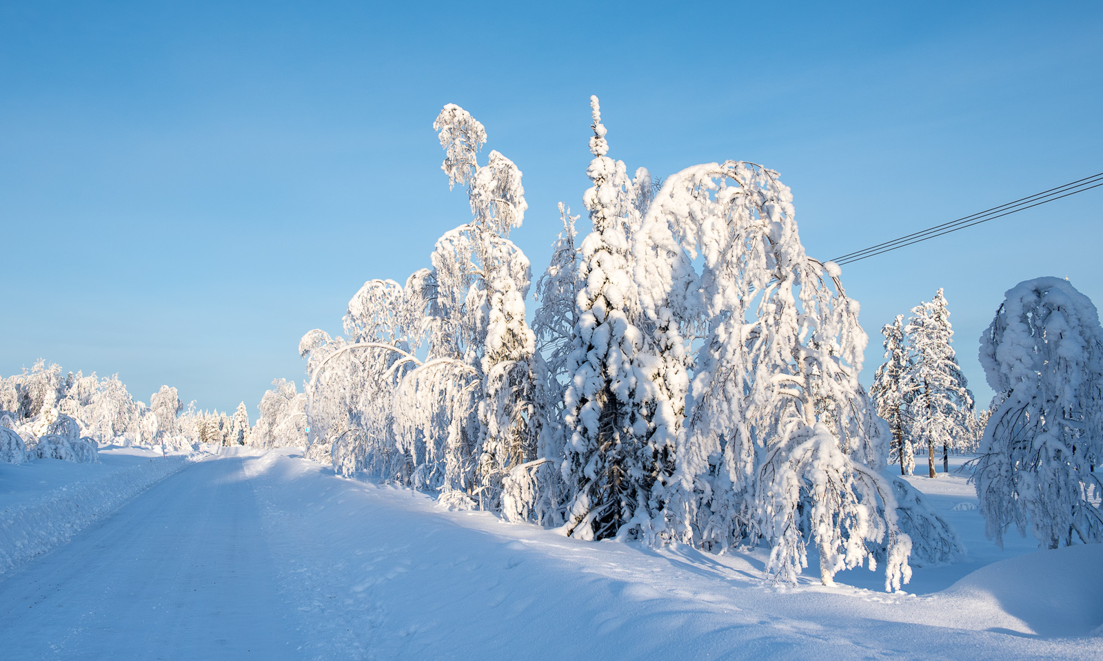
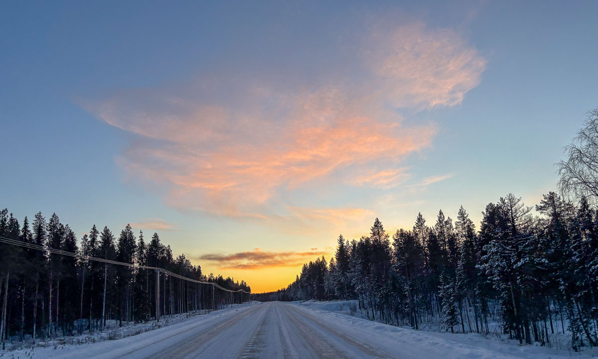
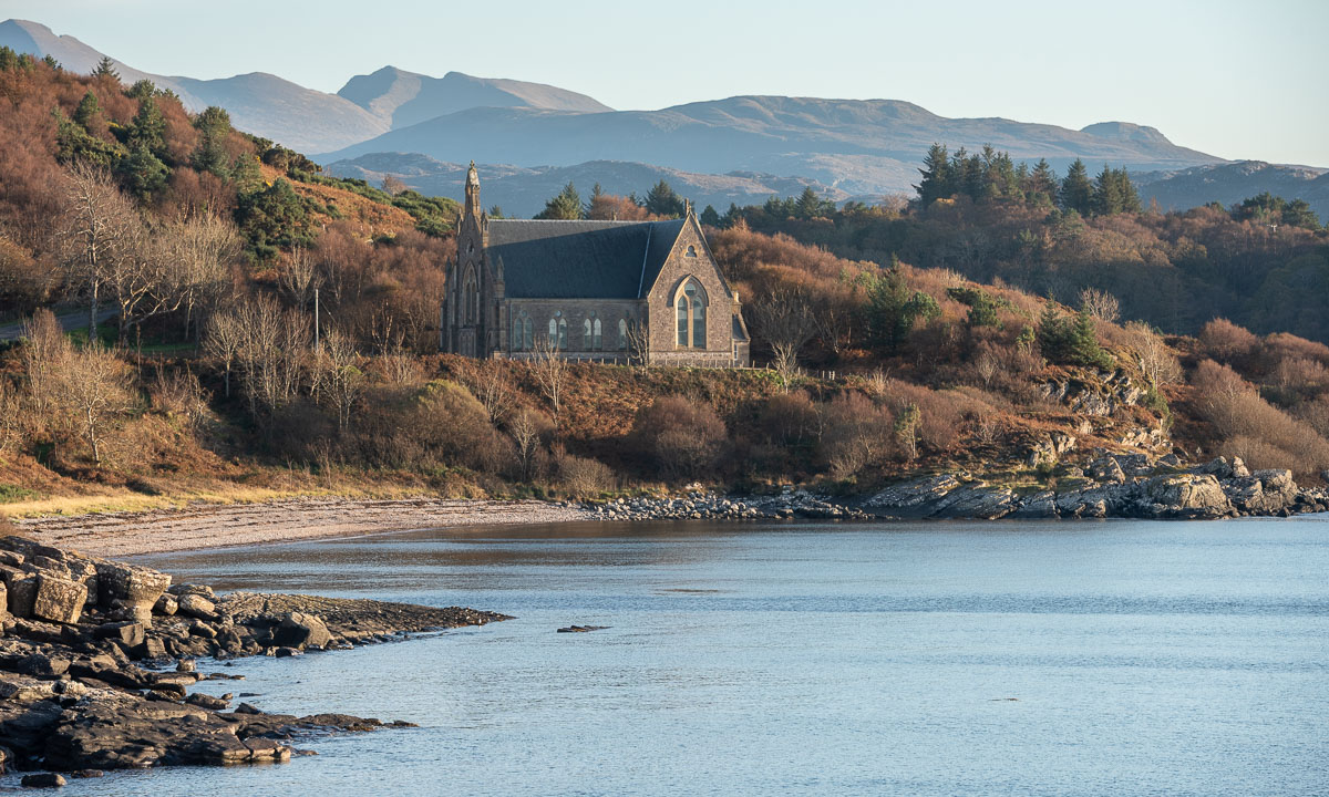
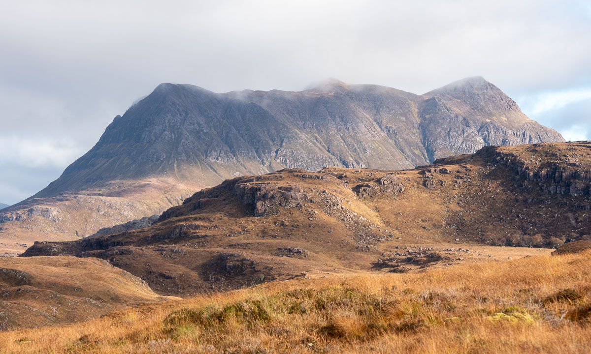
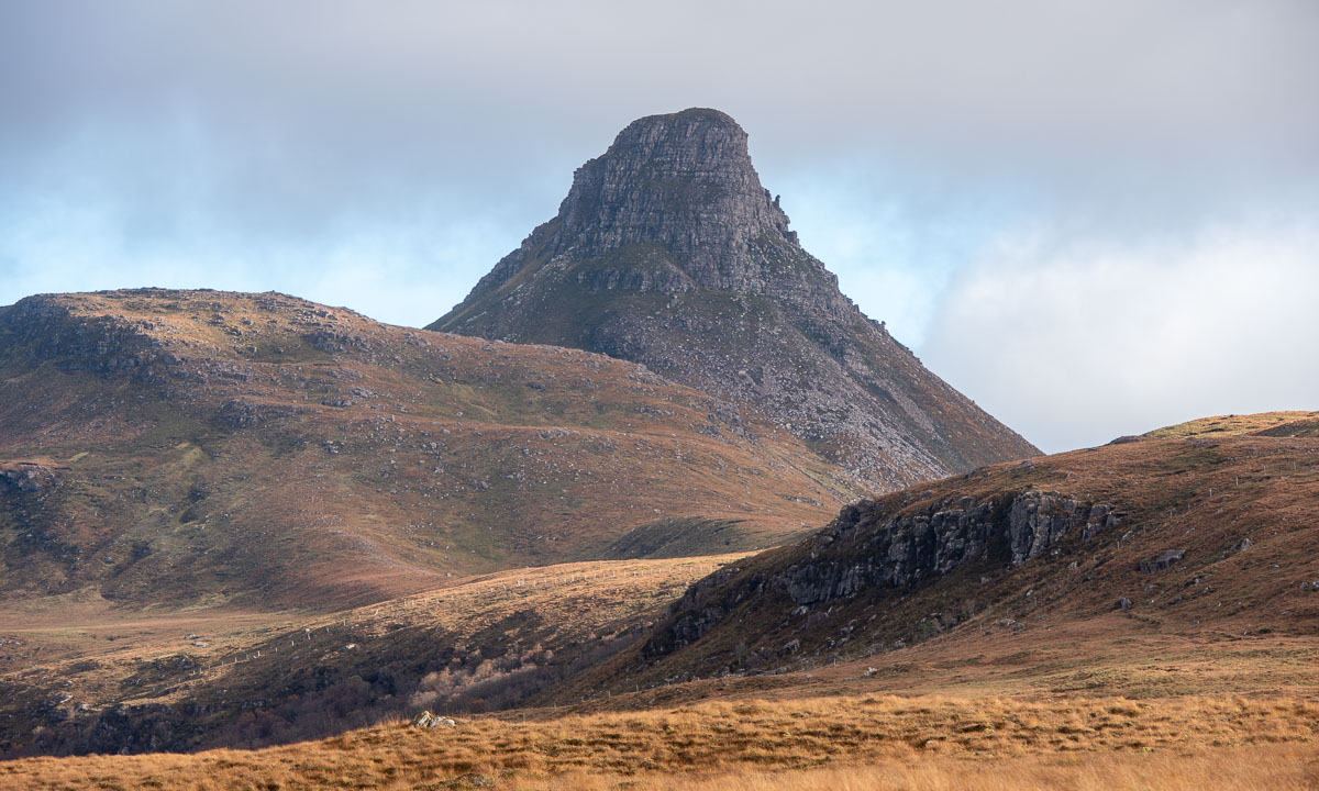
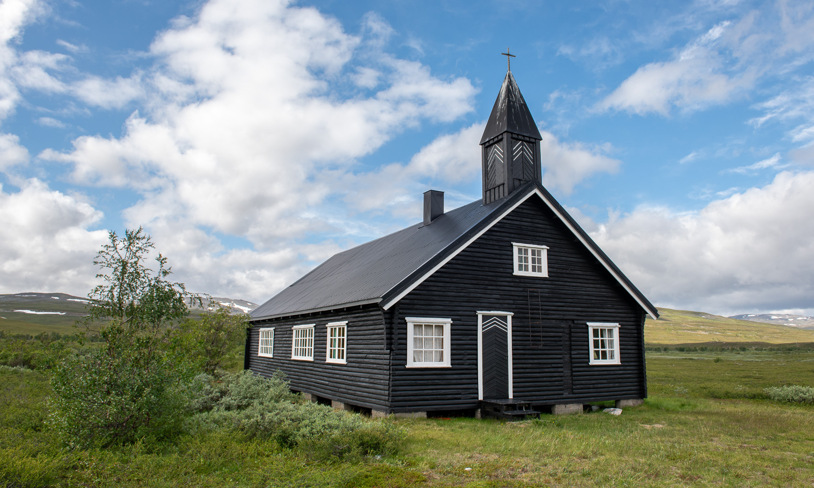
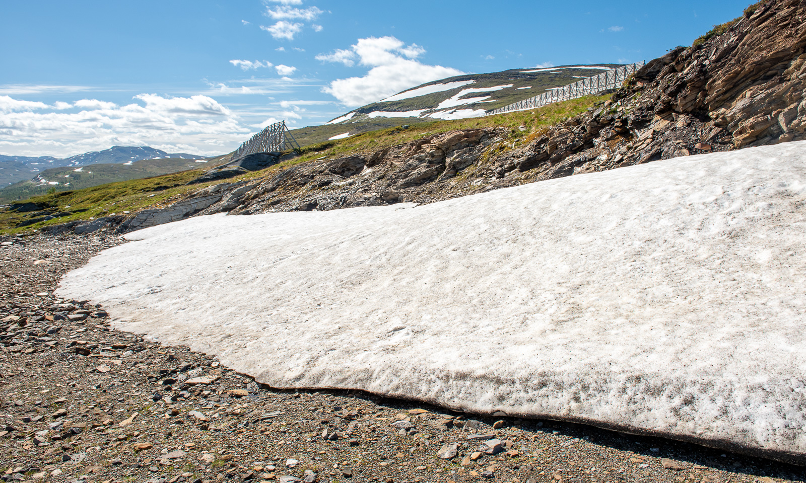
I hardly take any photos of one of my favourite landscapes on this stage of the journey – the plateau of Sennalandet. I only stop for the Aisaroaivi kapell after the sky has cleared up a bit.
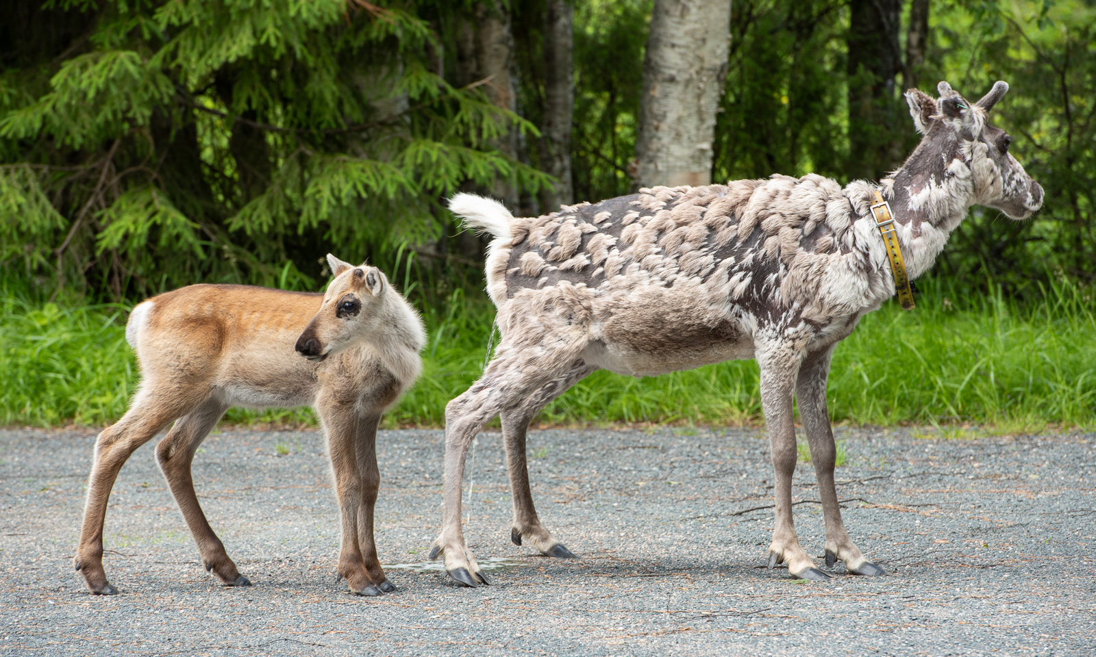
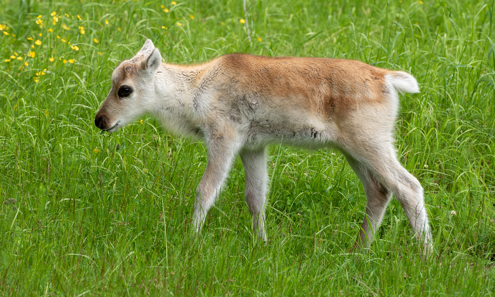
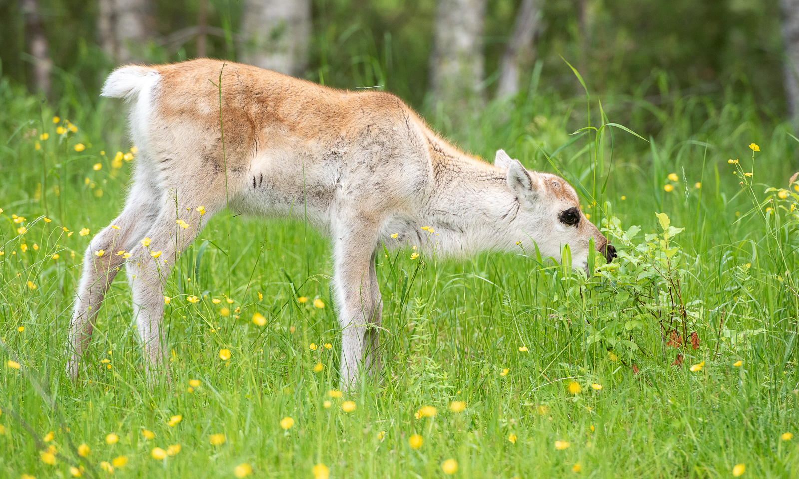
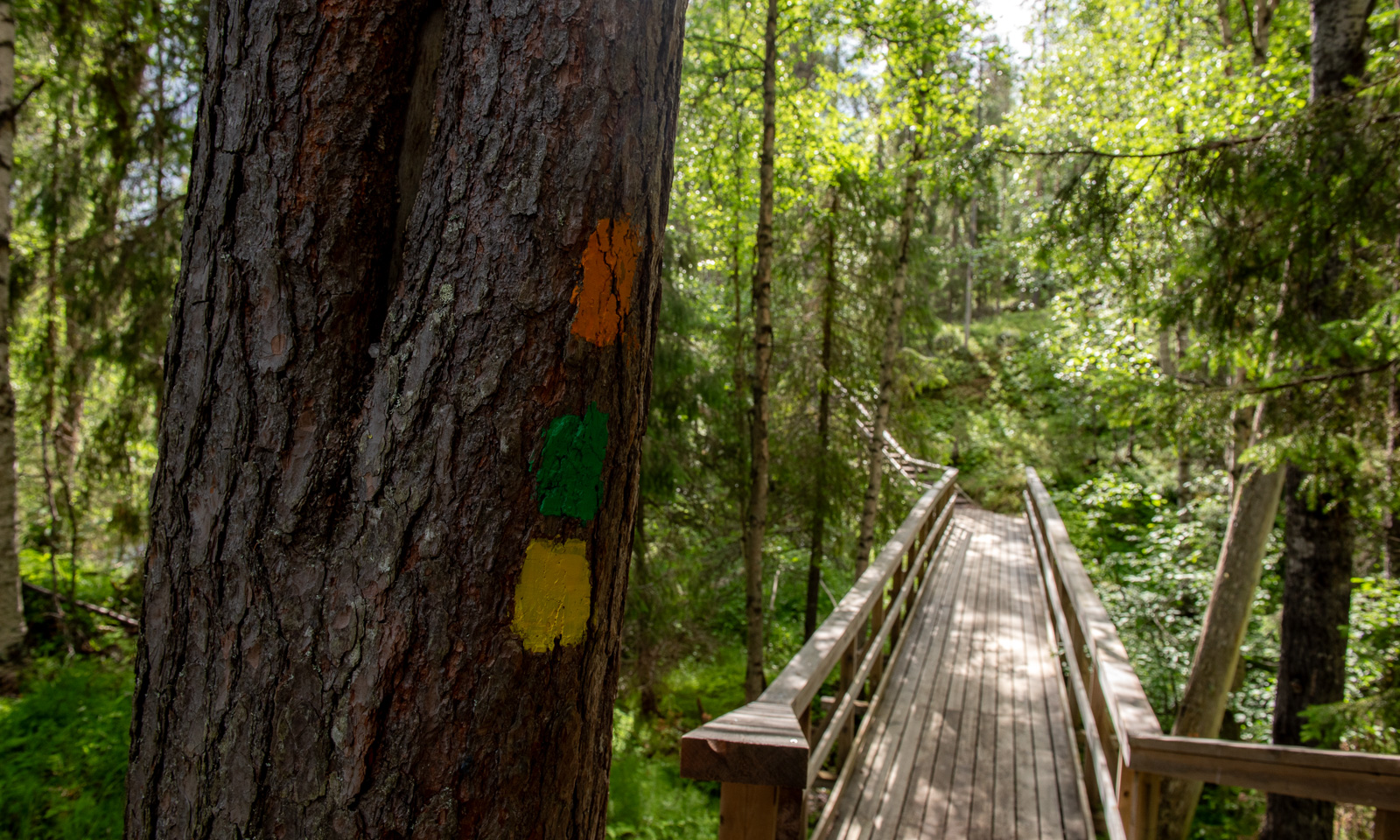
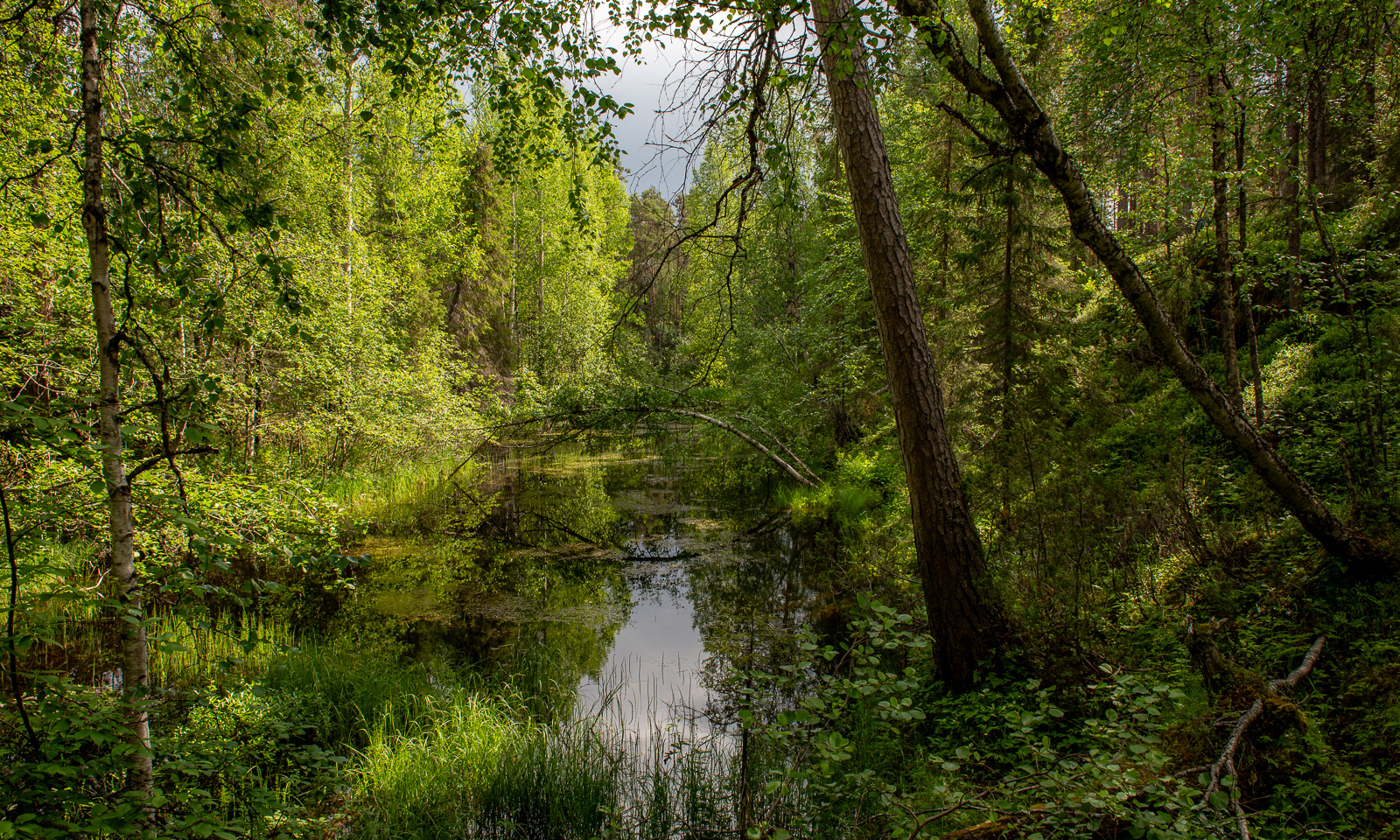
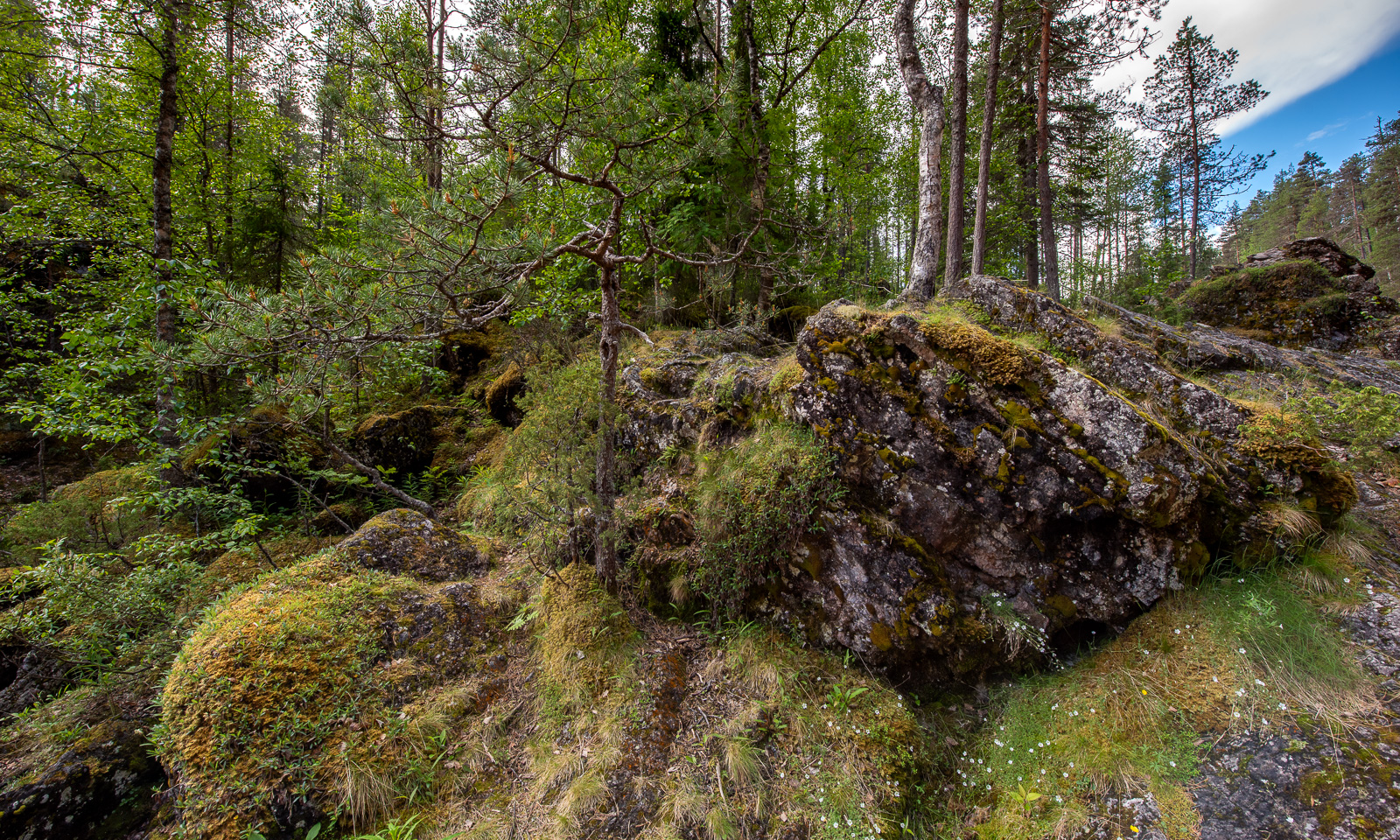
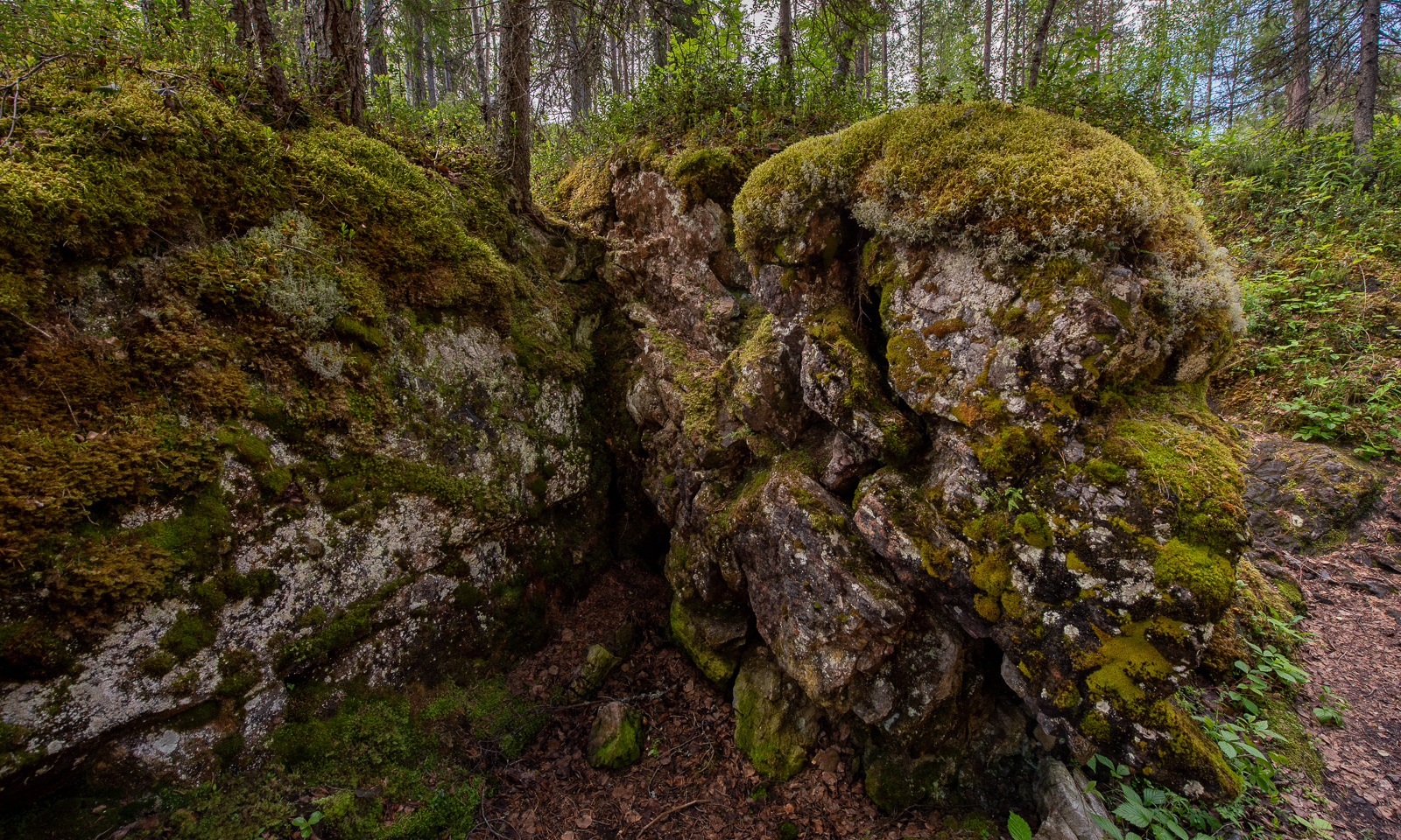
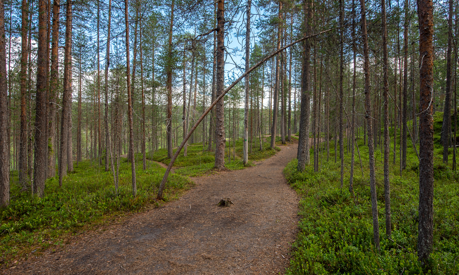
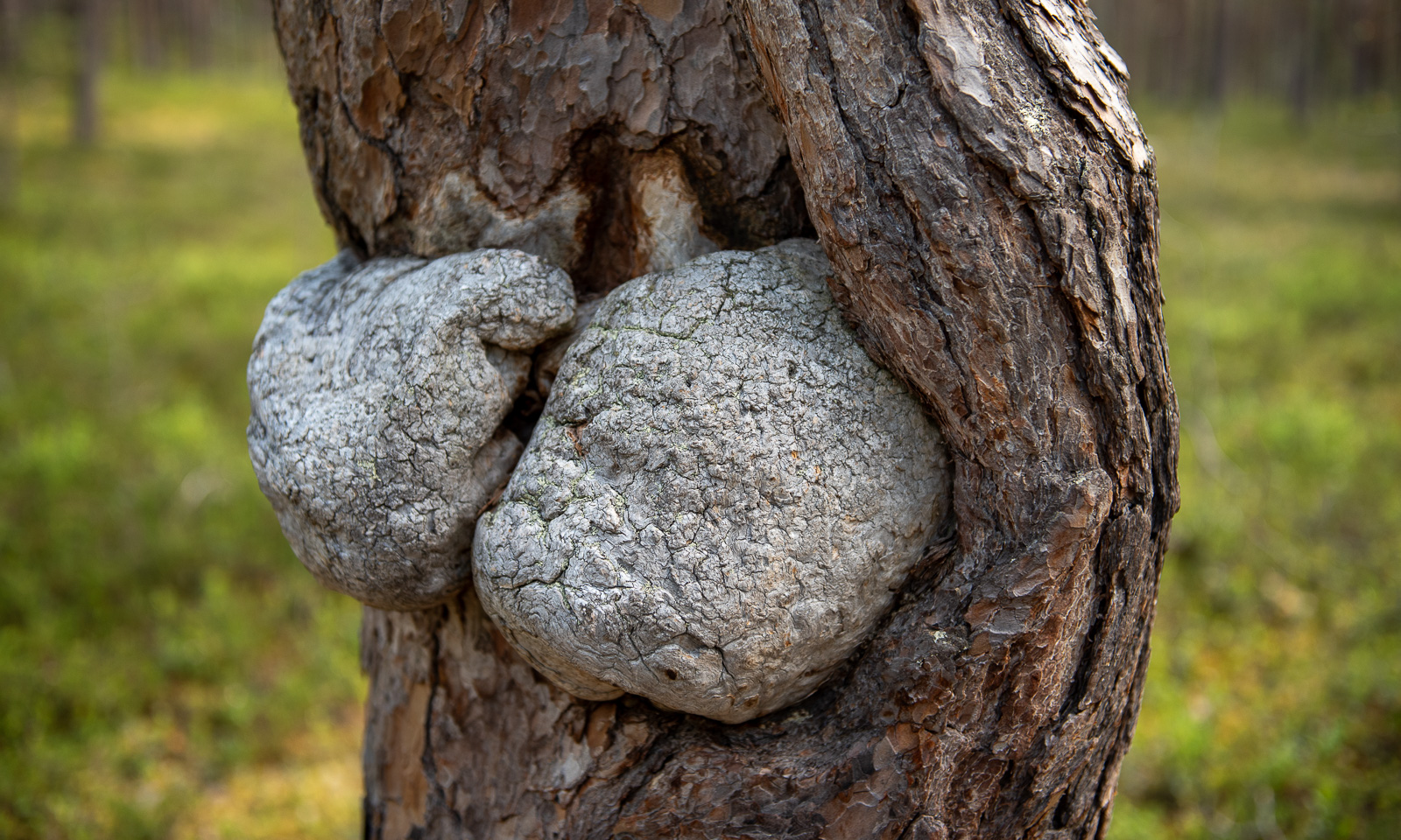
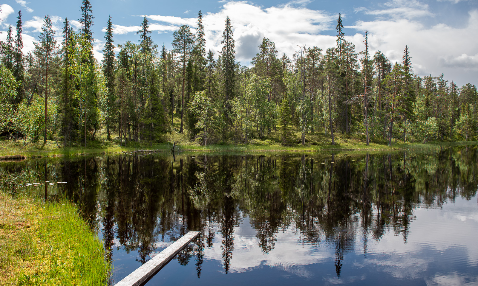
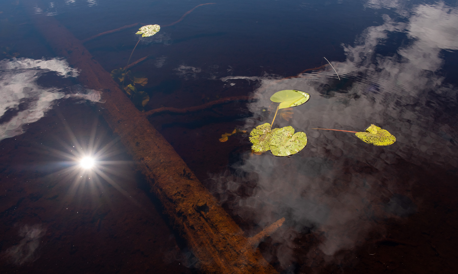
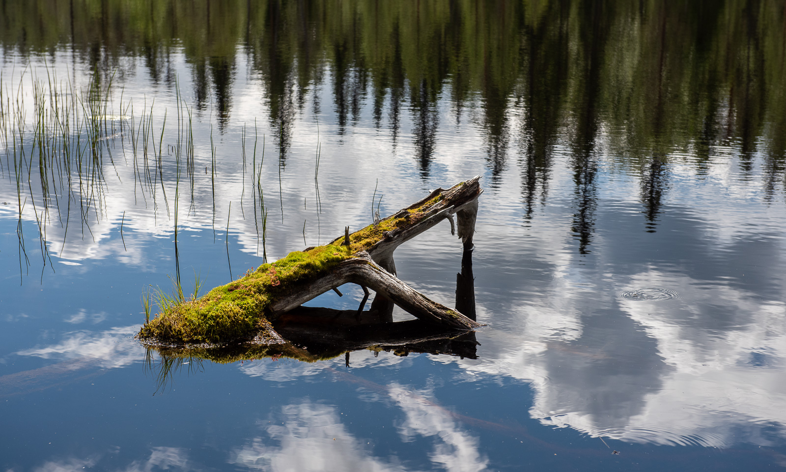
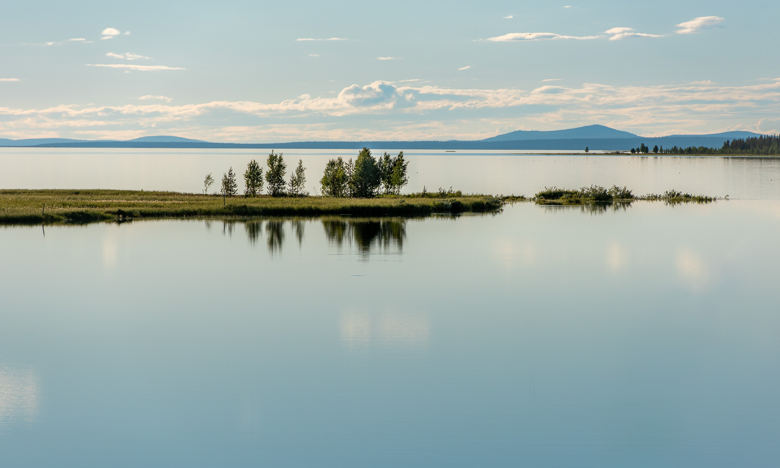
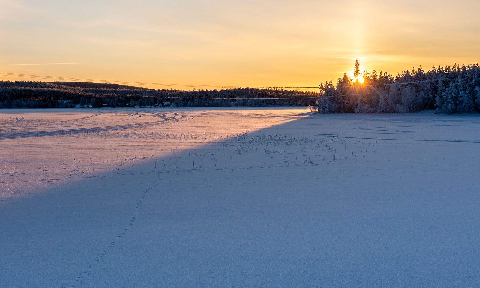
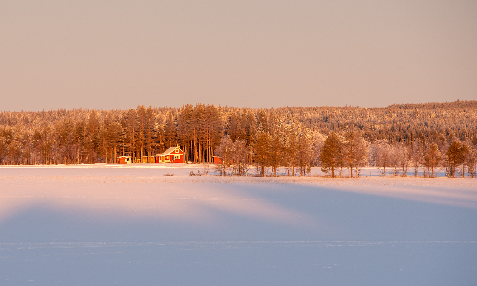
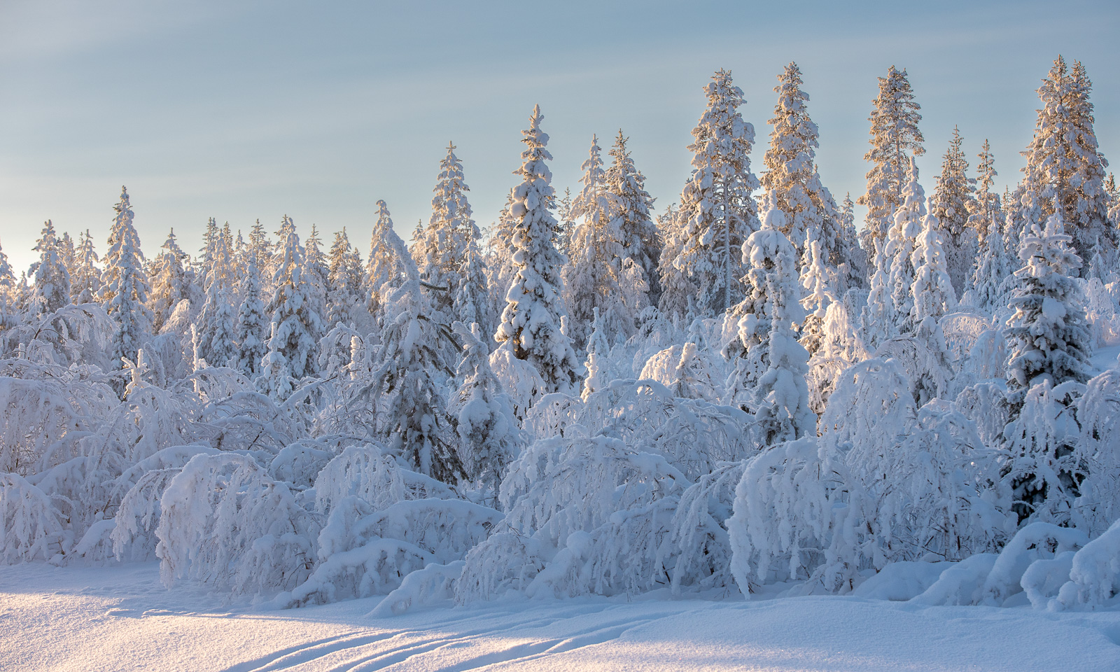
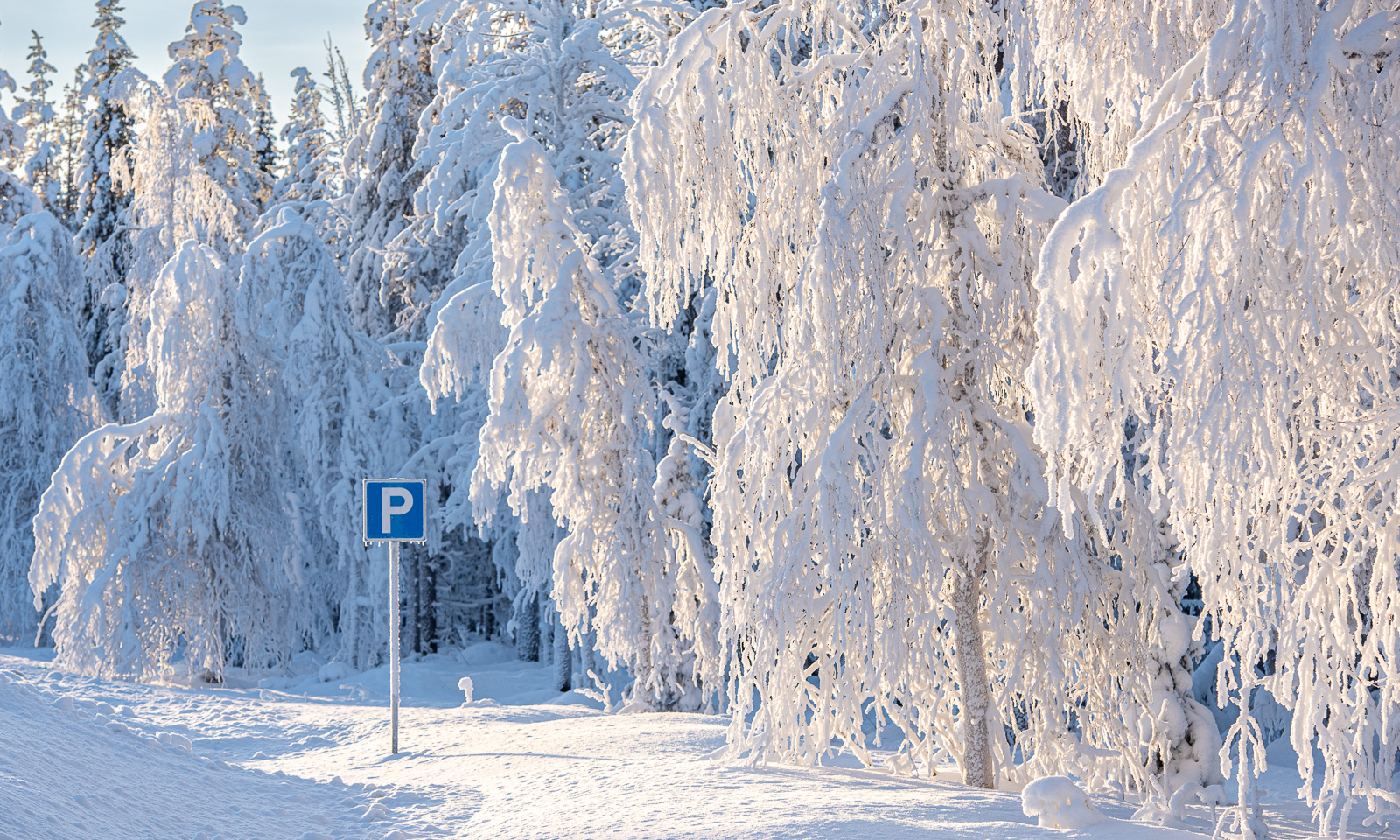
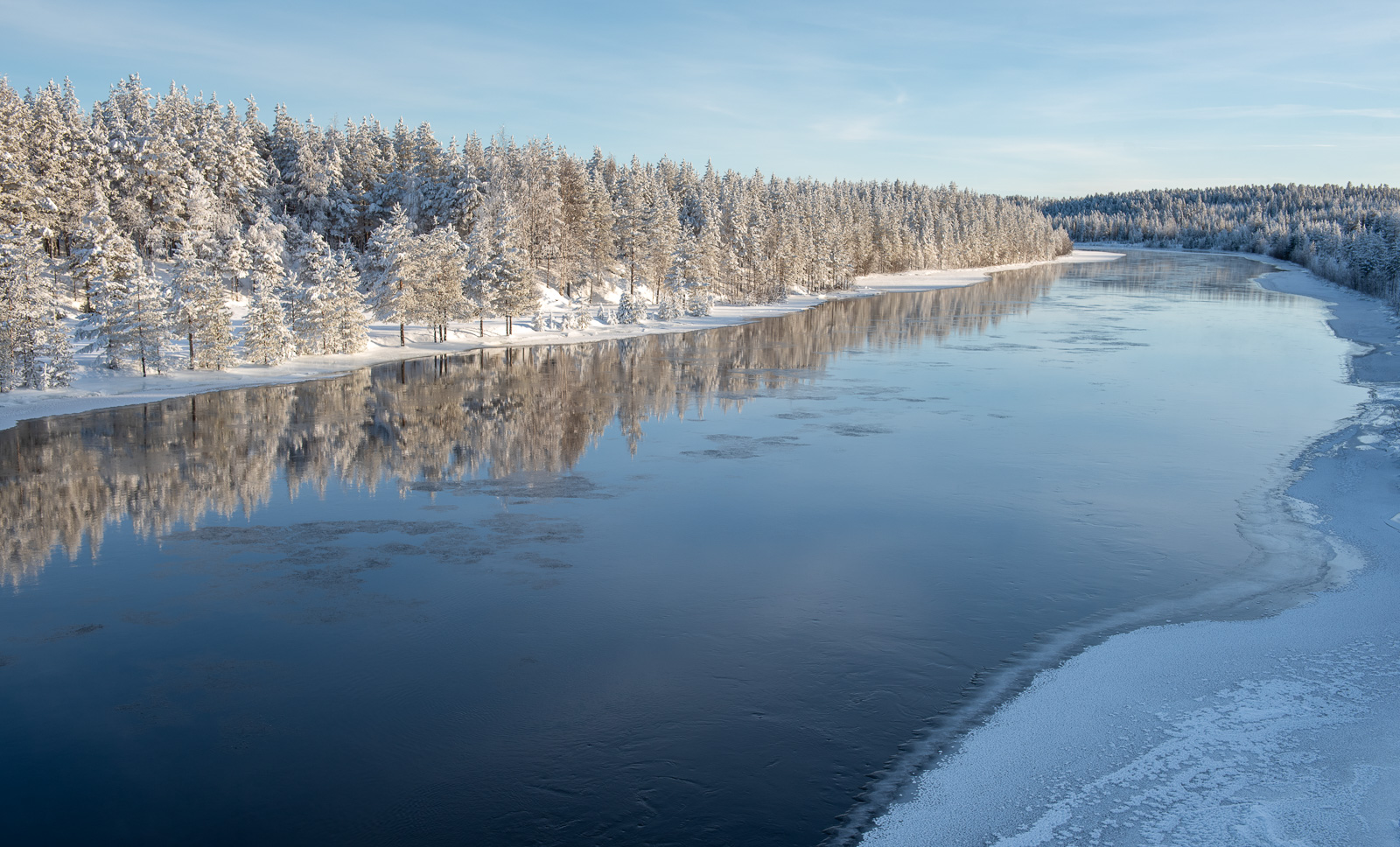
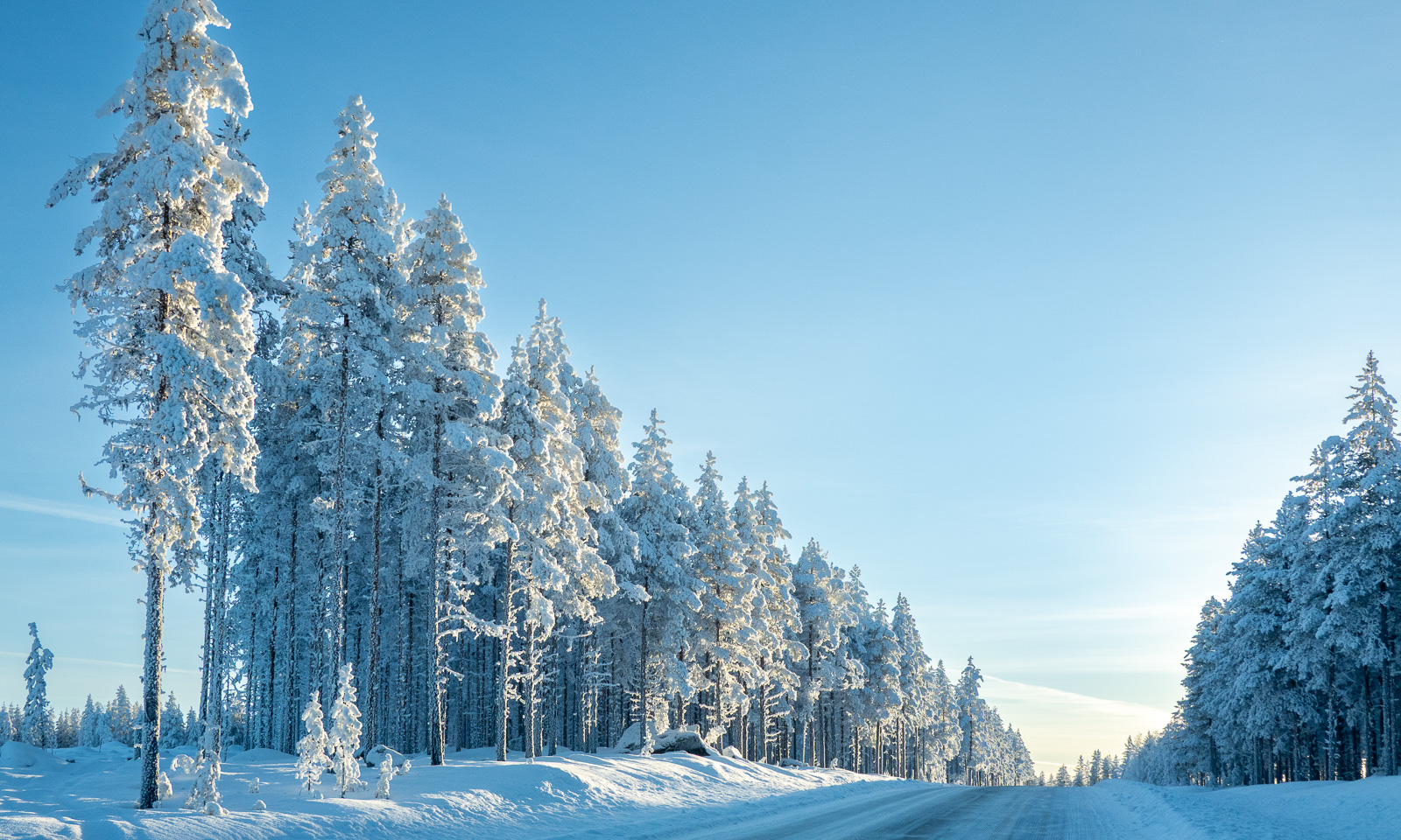
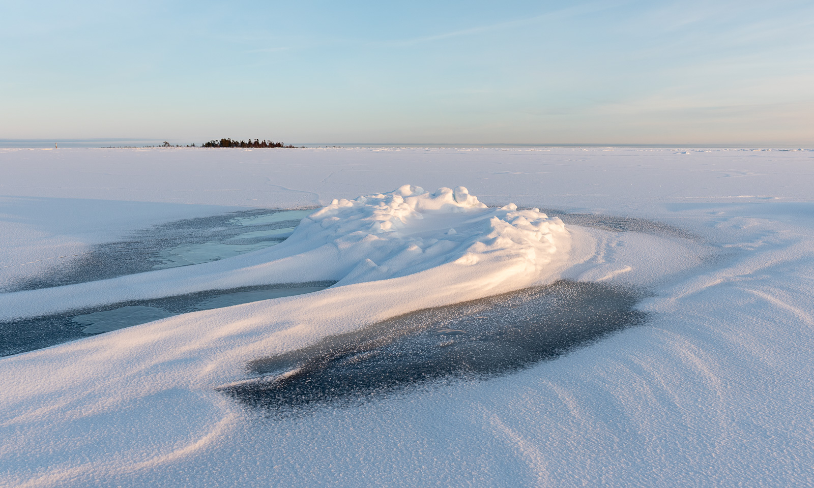
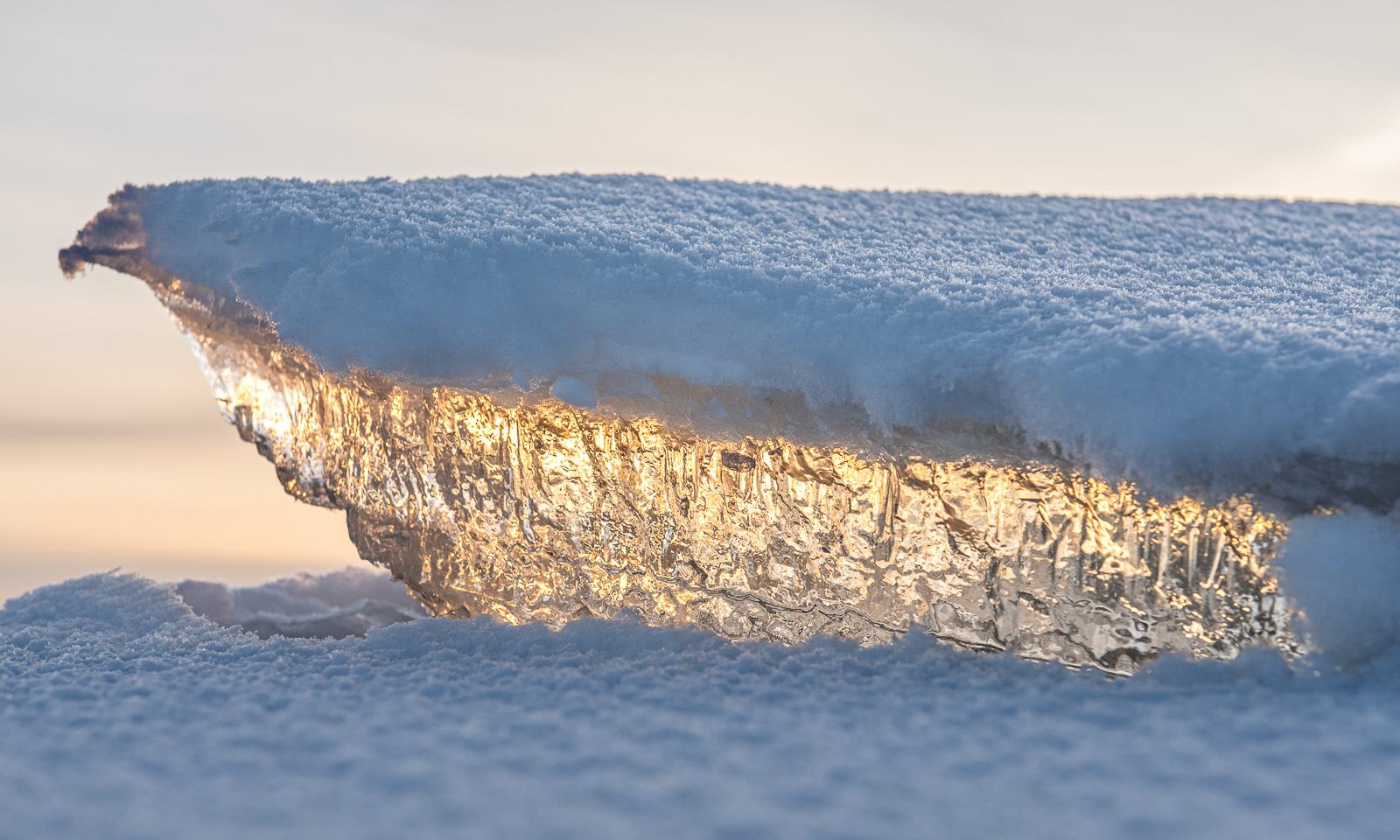
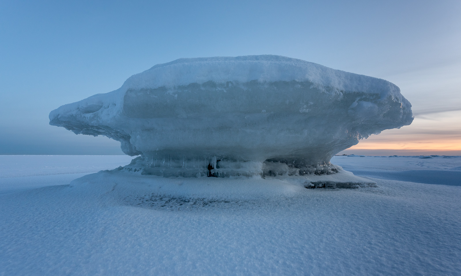
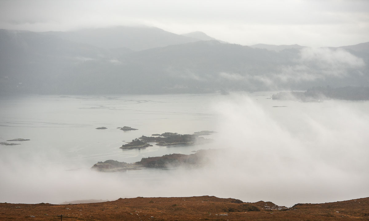
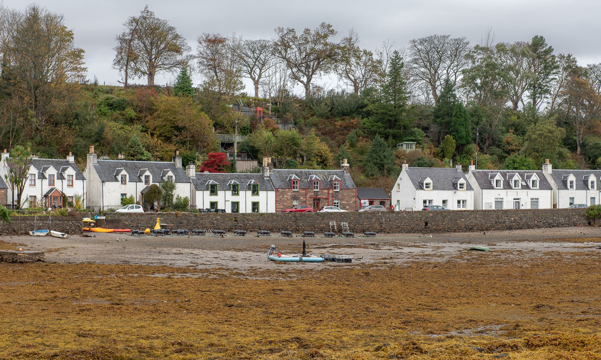
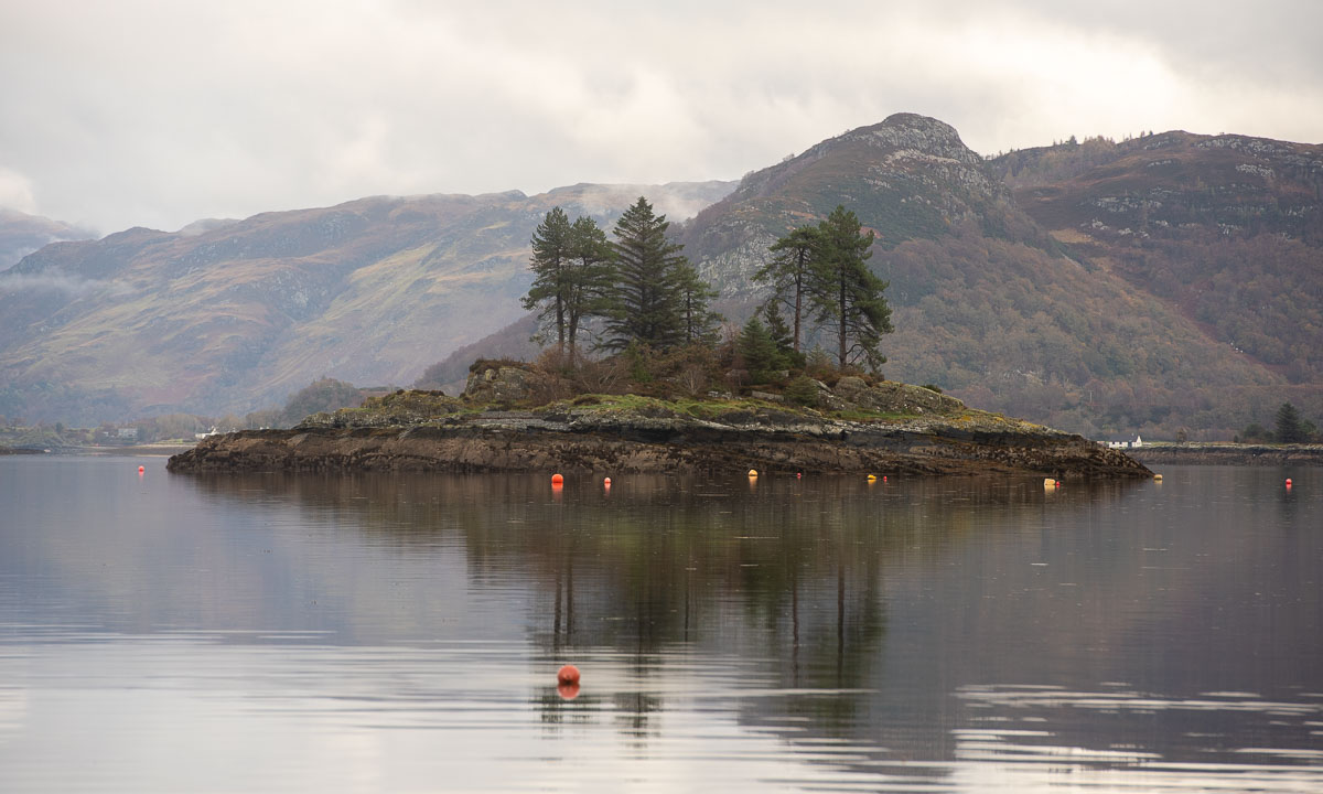
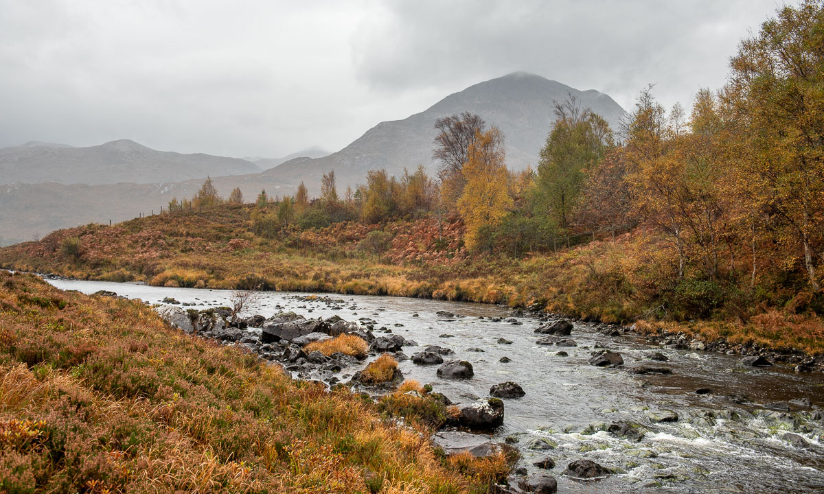
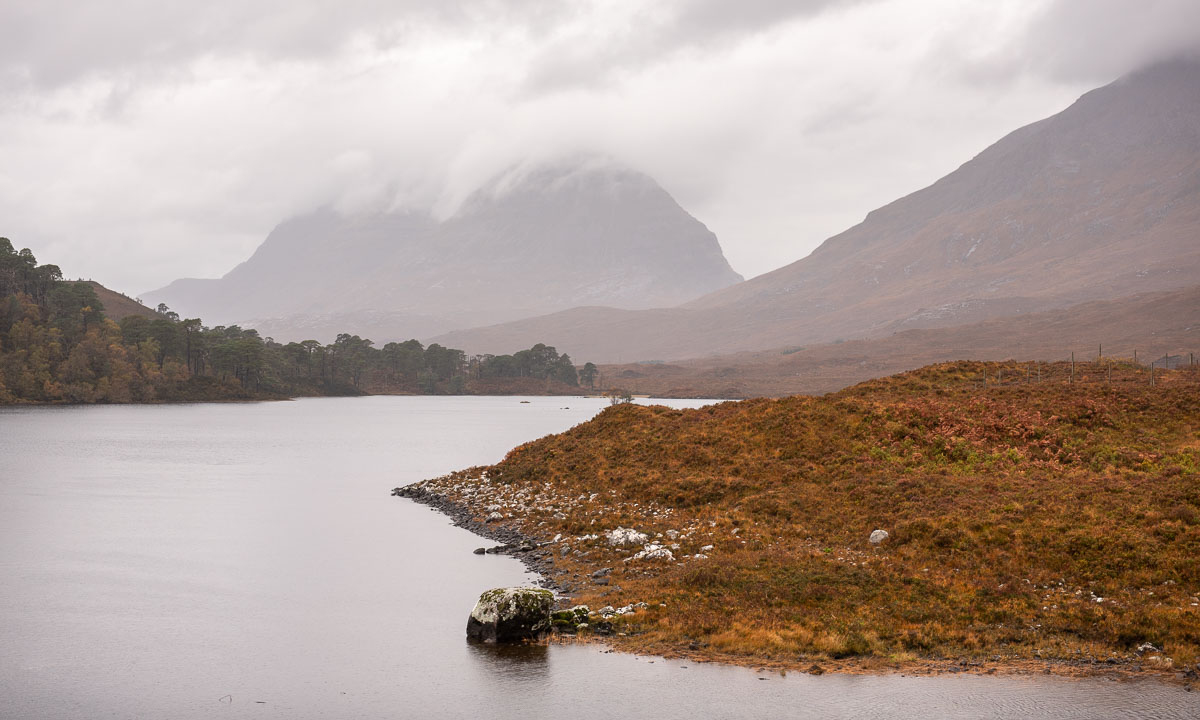
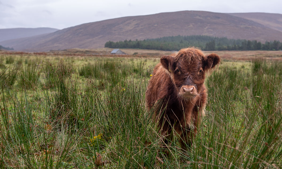
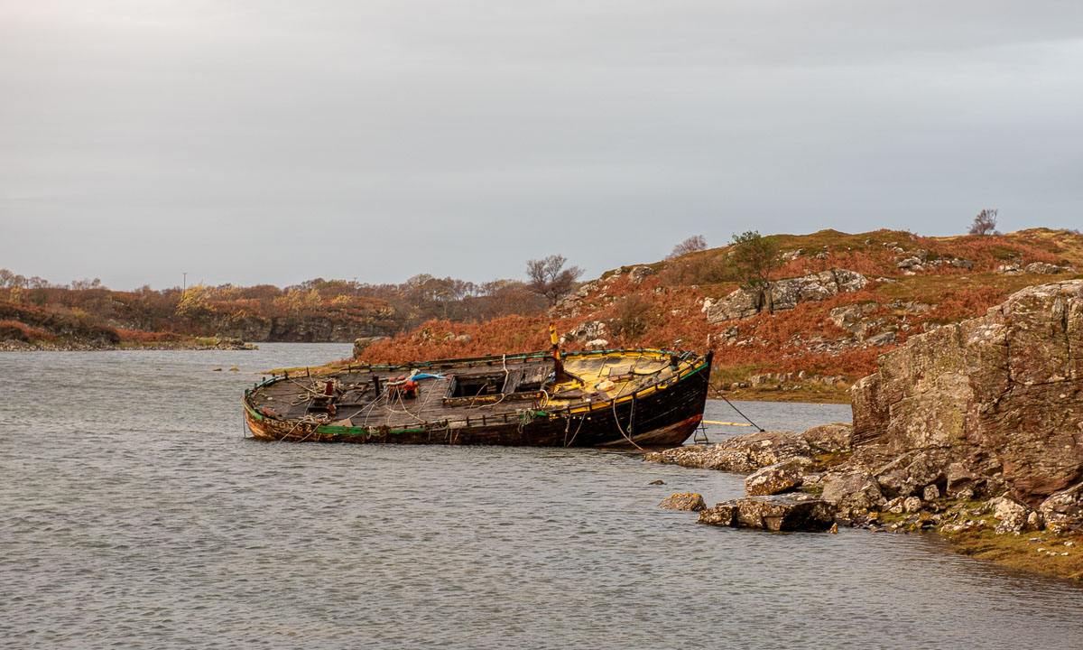
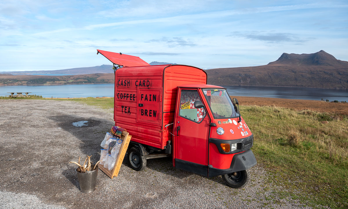
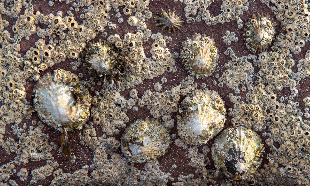
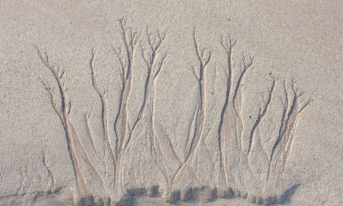
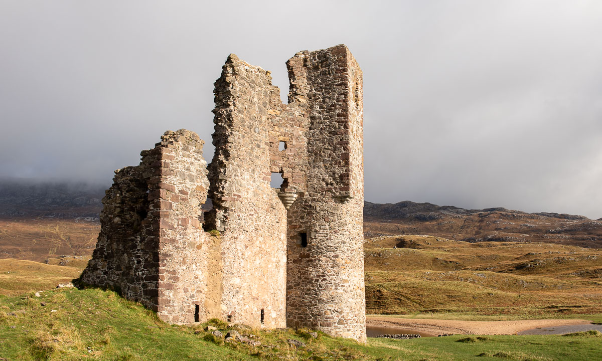
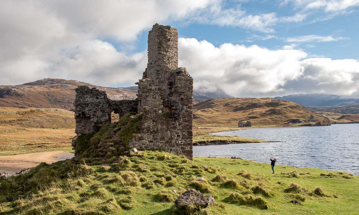
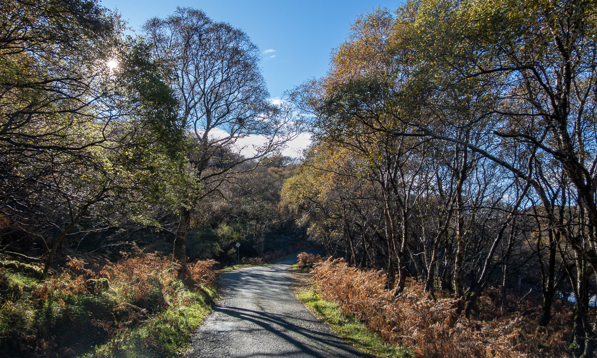
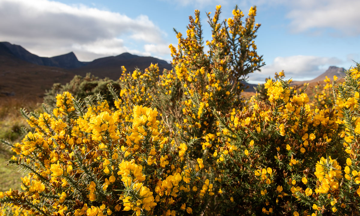
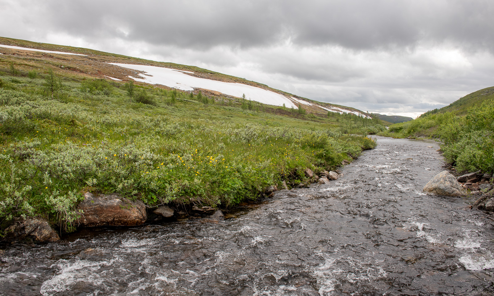
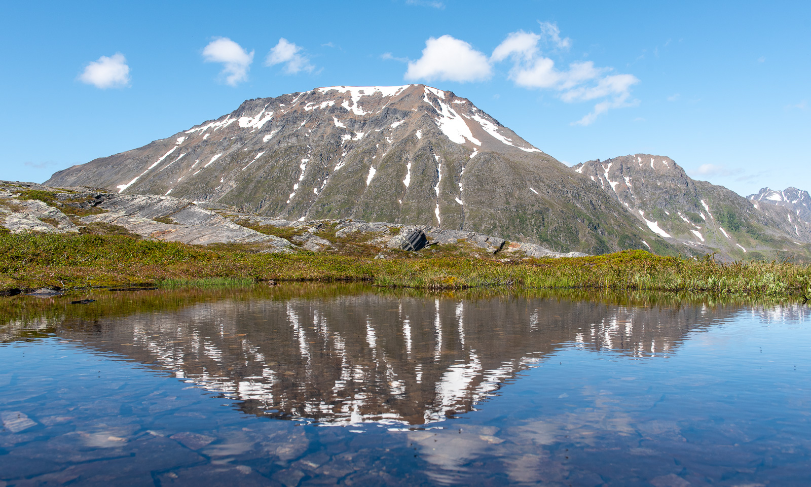
Some more photos from this day:
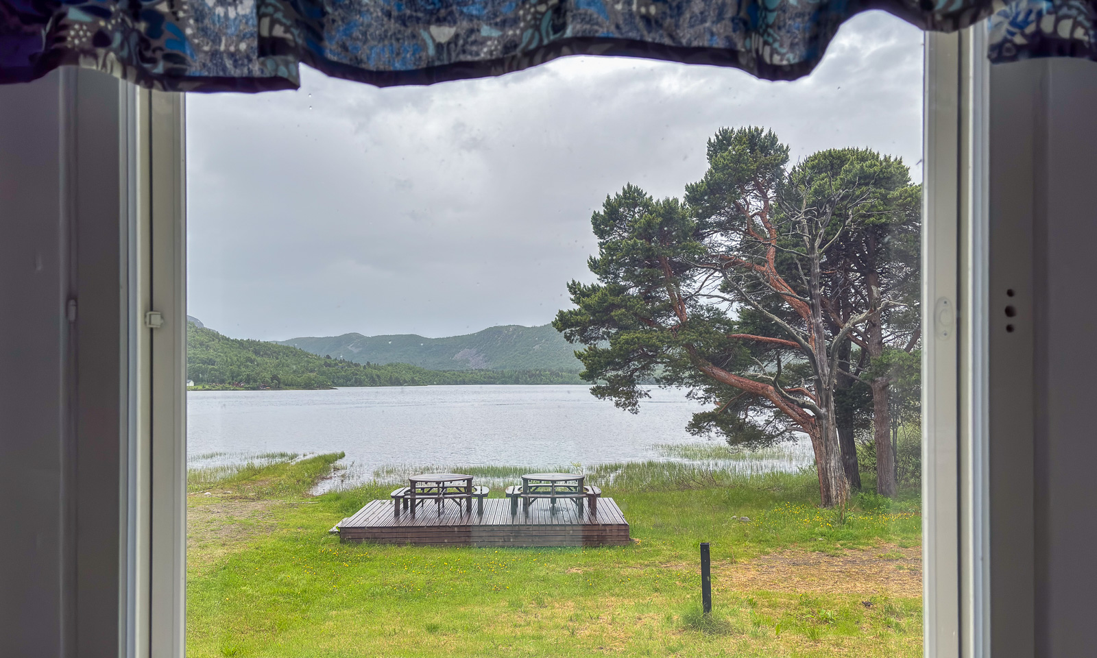
At 7 o’clock in the evening we arrive at our last overnight stay of this road trip near Sørstraumen. This time we used Airbnb and found a real gem, owned by Gunn, who is a fantastic host. Gunn rents out rooms in her private home and not only invites her guests to her kitchen for a chat but also provides huge amounts of waffles with jam. I can highly recommend her when you like meeting interesting people. We met two Germans who wanted to go north for fishing and a motorcyclist, who is driving all coastal roads of mainland Norway to collect money for ME-fondet, part of Norges Myalgisk Encefalopati forening. We are talking about 50,000 km – what a trip! This is his Facebook page: Around the Coast 2026.
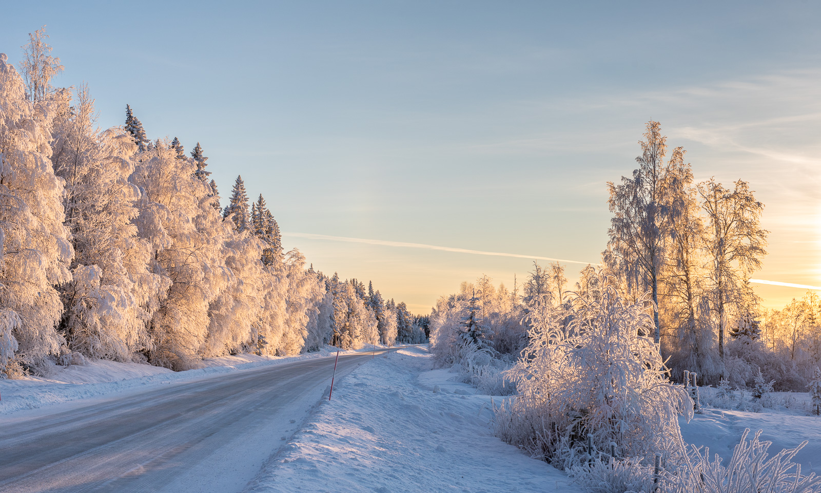
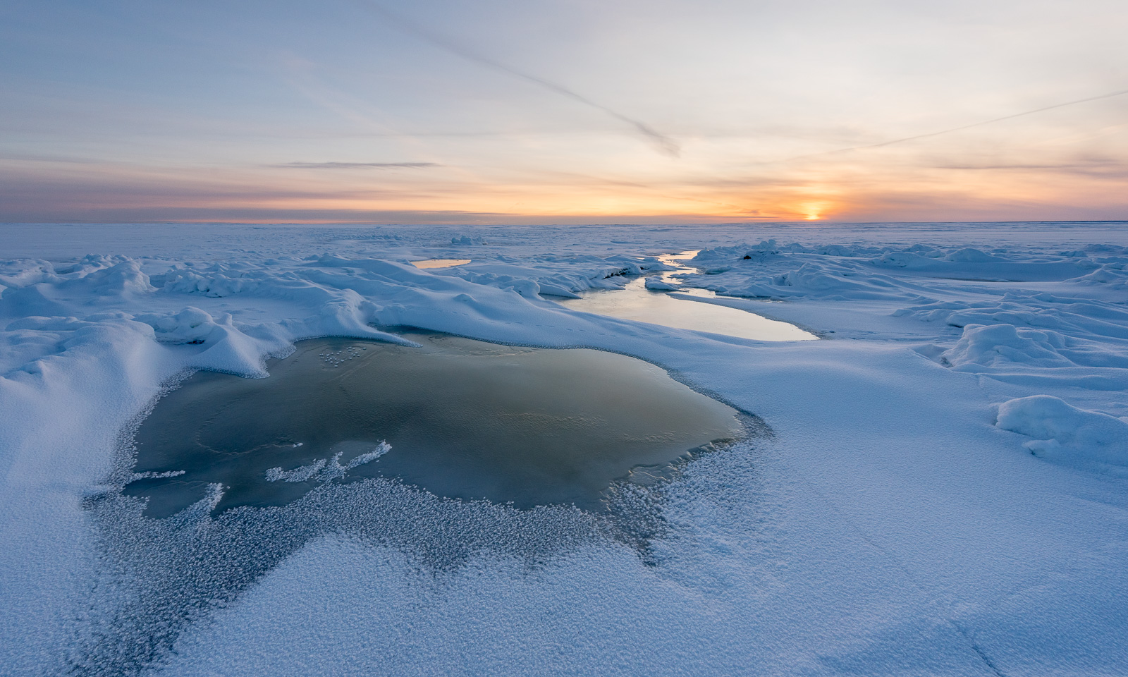
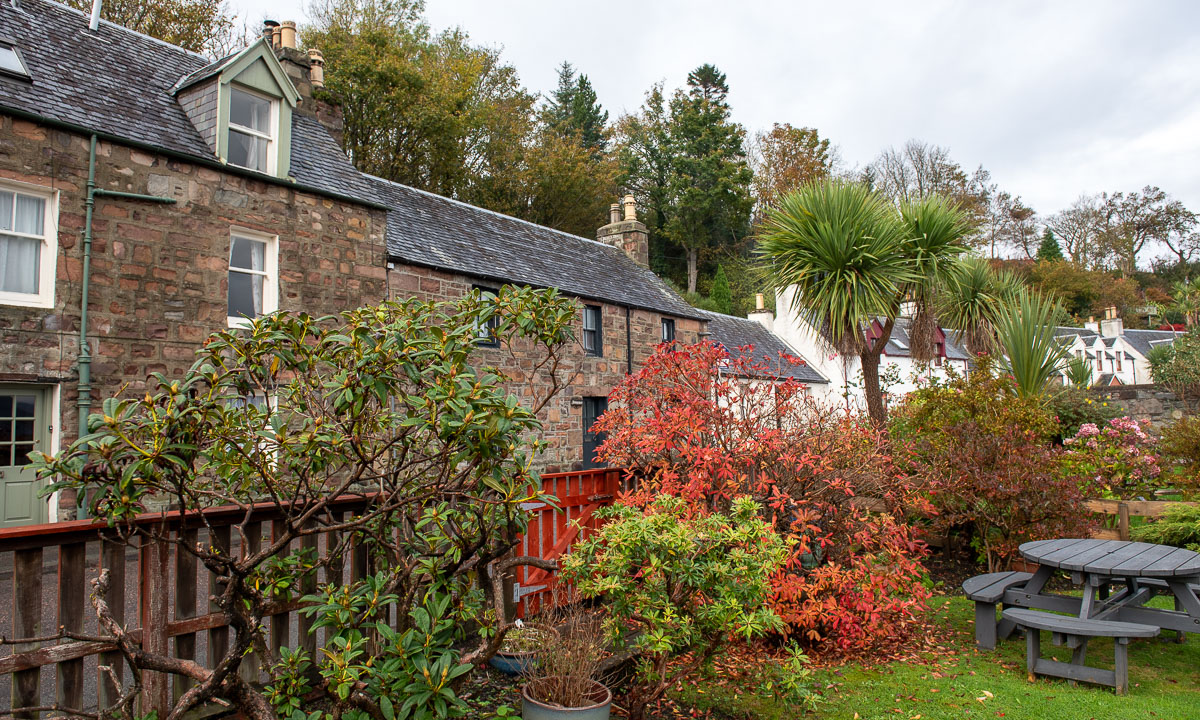
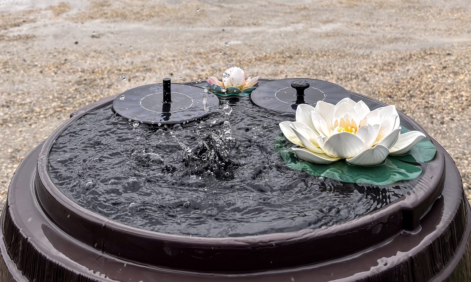
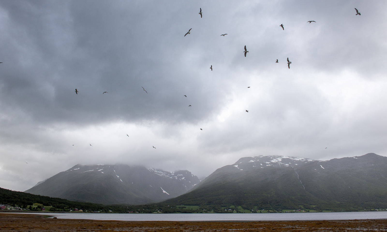
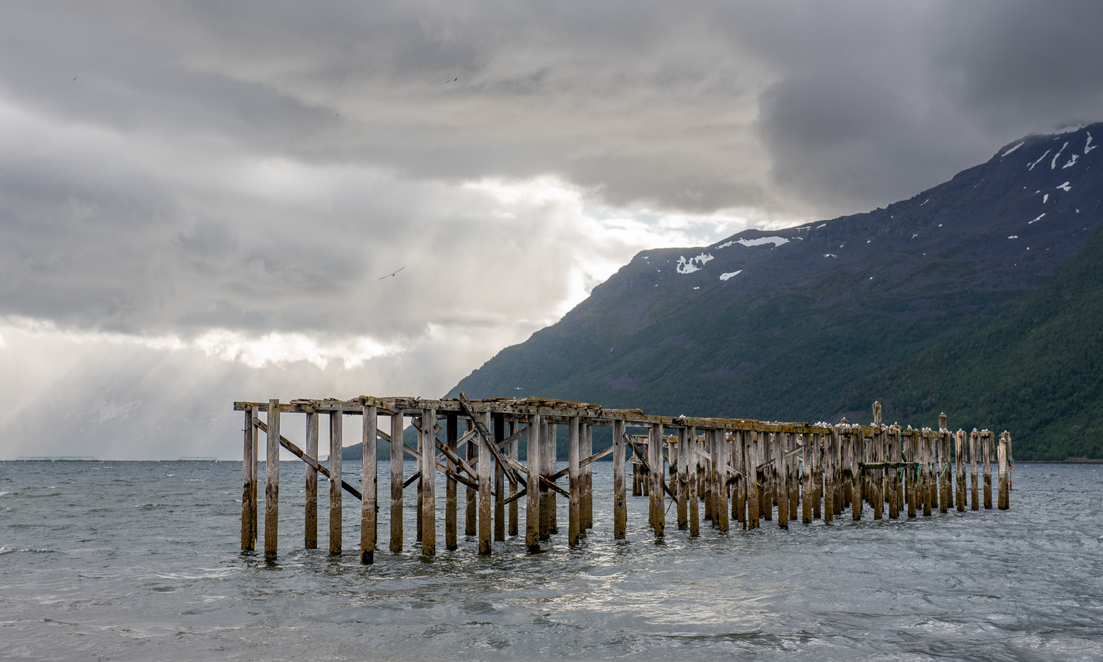
A last photo of this day.
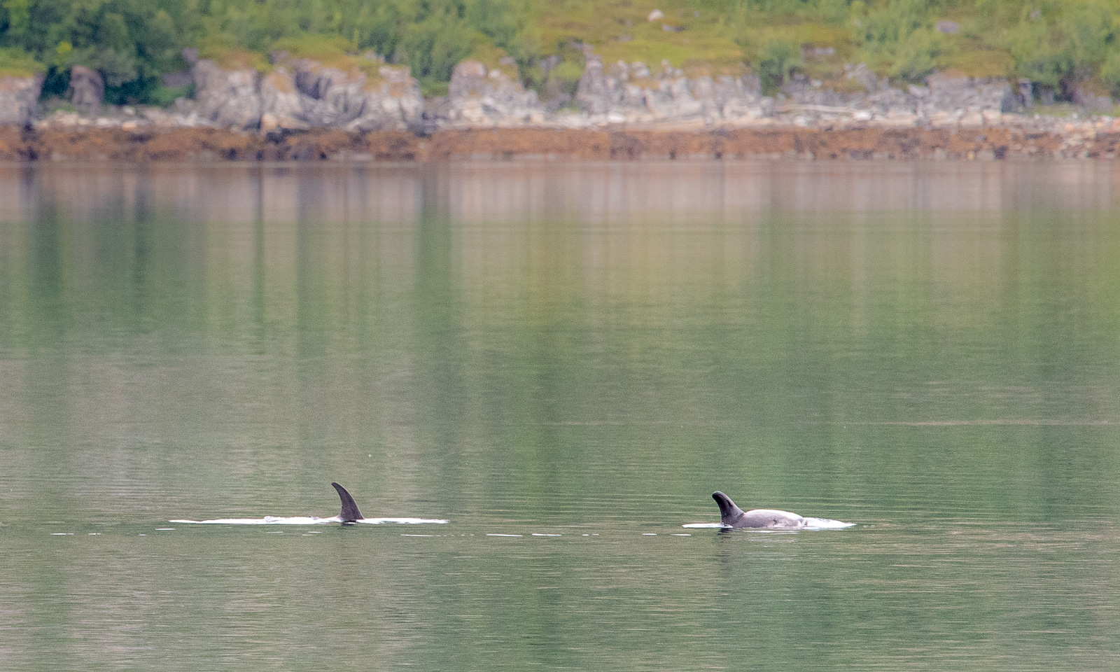
The next day at Gunn’s place began a bit like the evening before: a lively chat and waffles. One thing was different, though. Gunn already told us about whales she saw and showed some videos. While eating another waffle I looked at the fjord and saw movements on the surface. It was a school of white-beaked dolphins passing by the house. We observed them for a while, swimming, jumping, blowing and hunting. They were far away, so even with the big telephoto lens I only got images like this one:
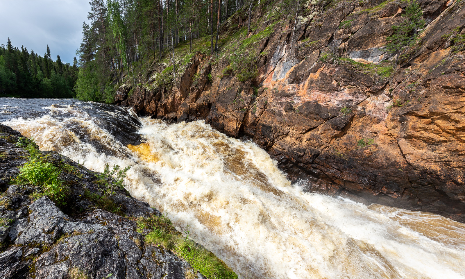
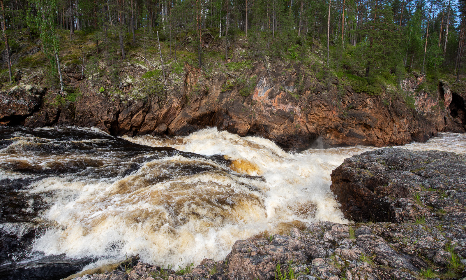
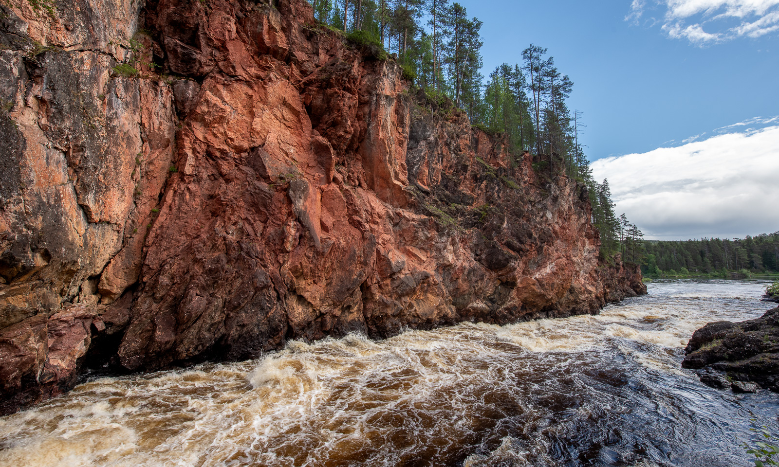
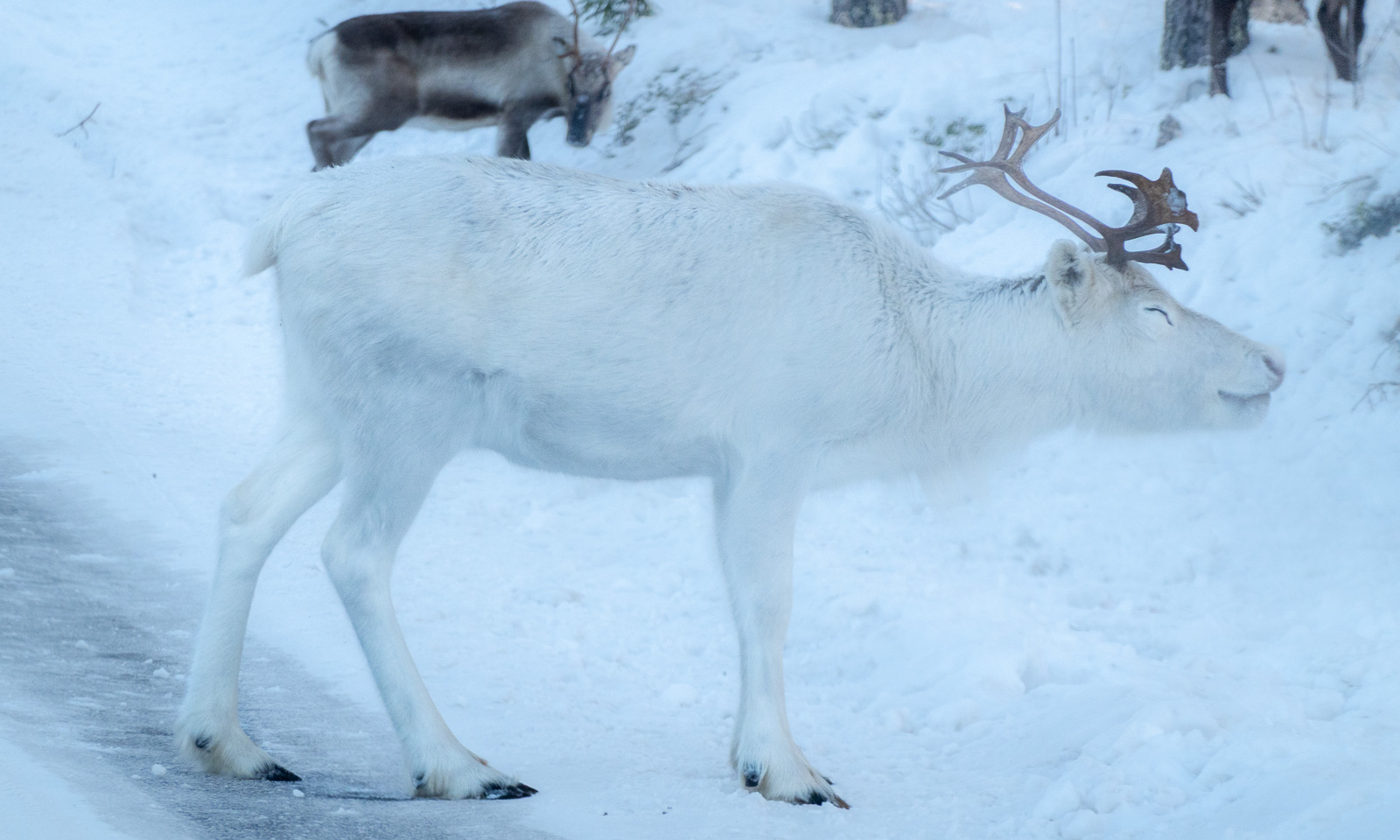
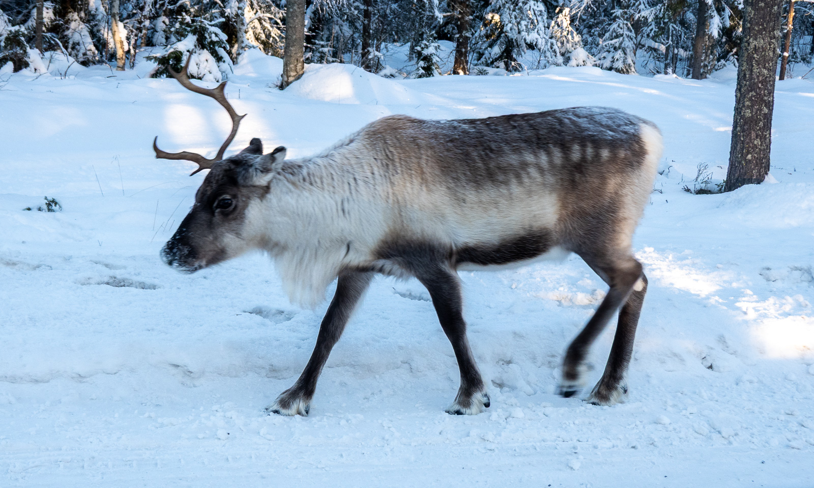
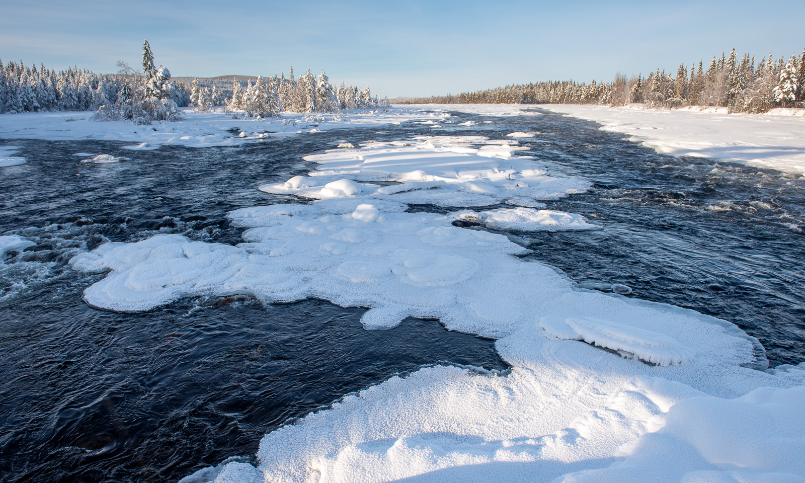
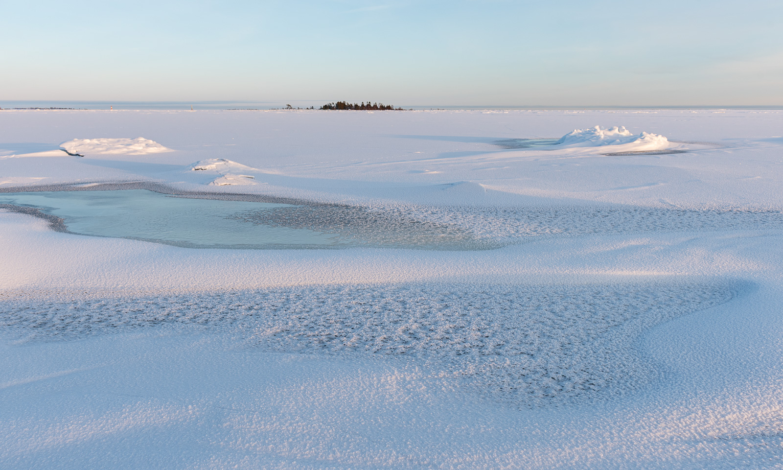
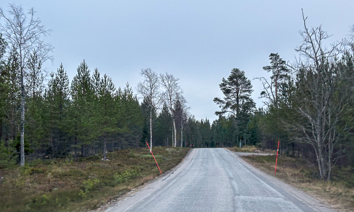
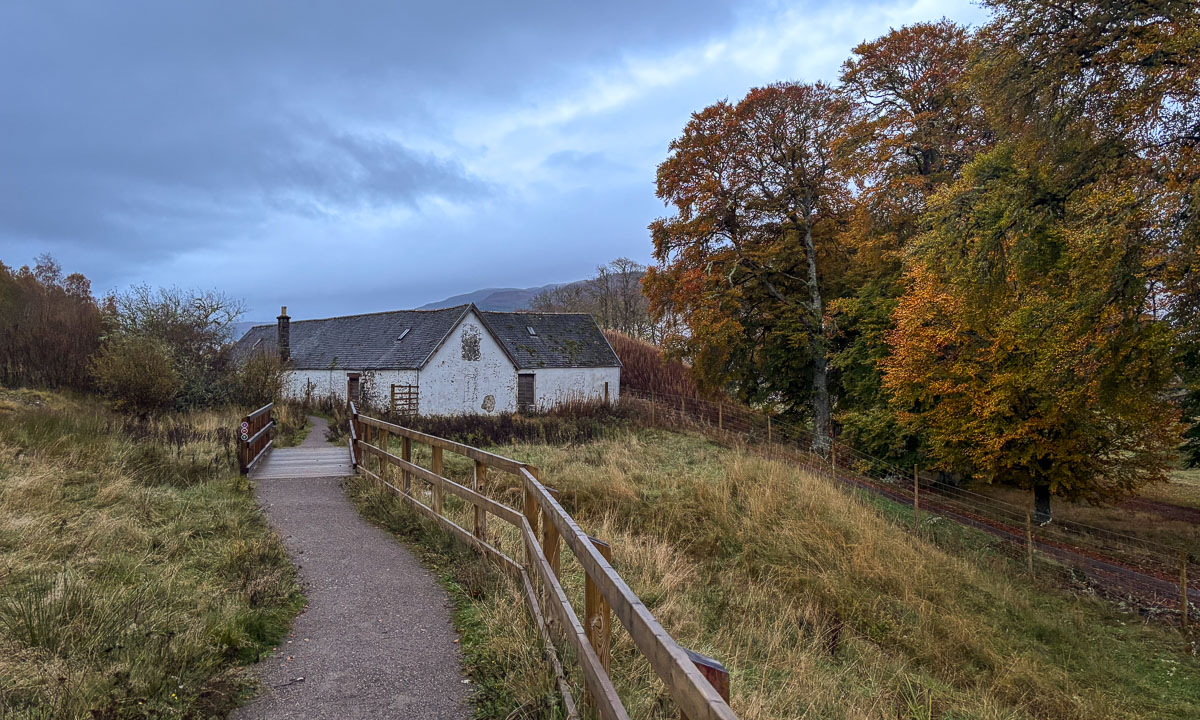
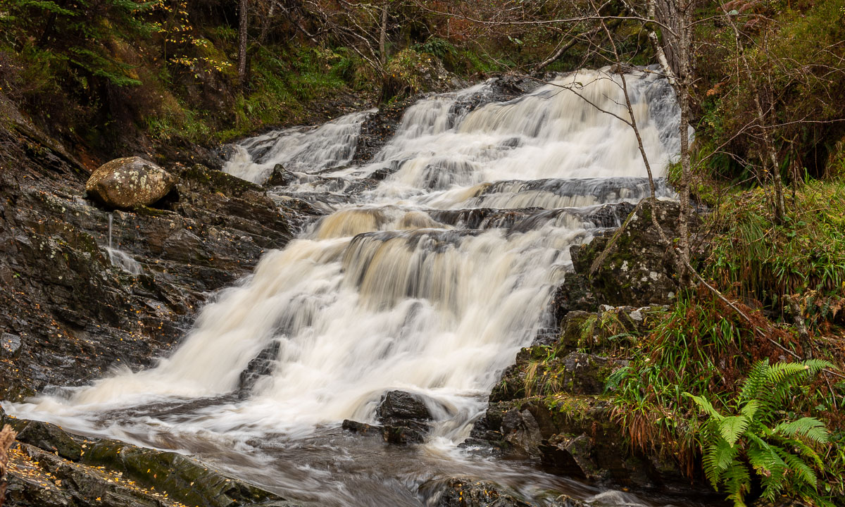
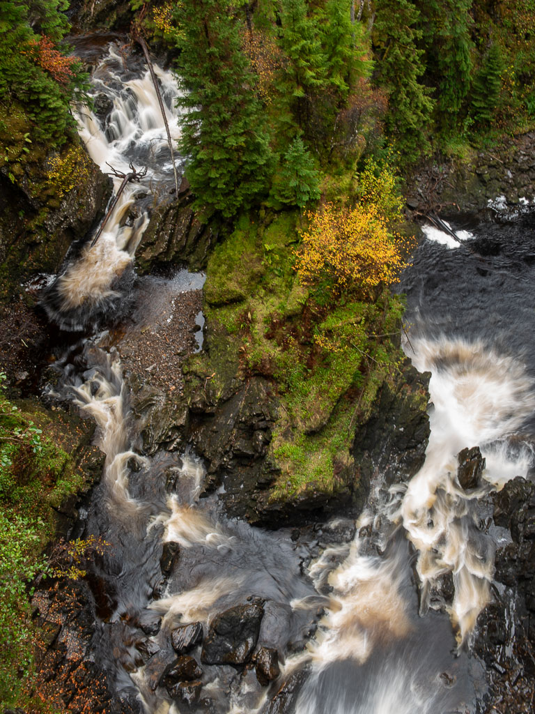
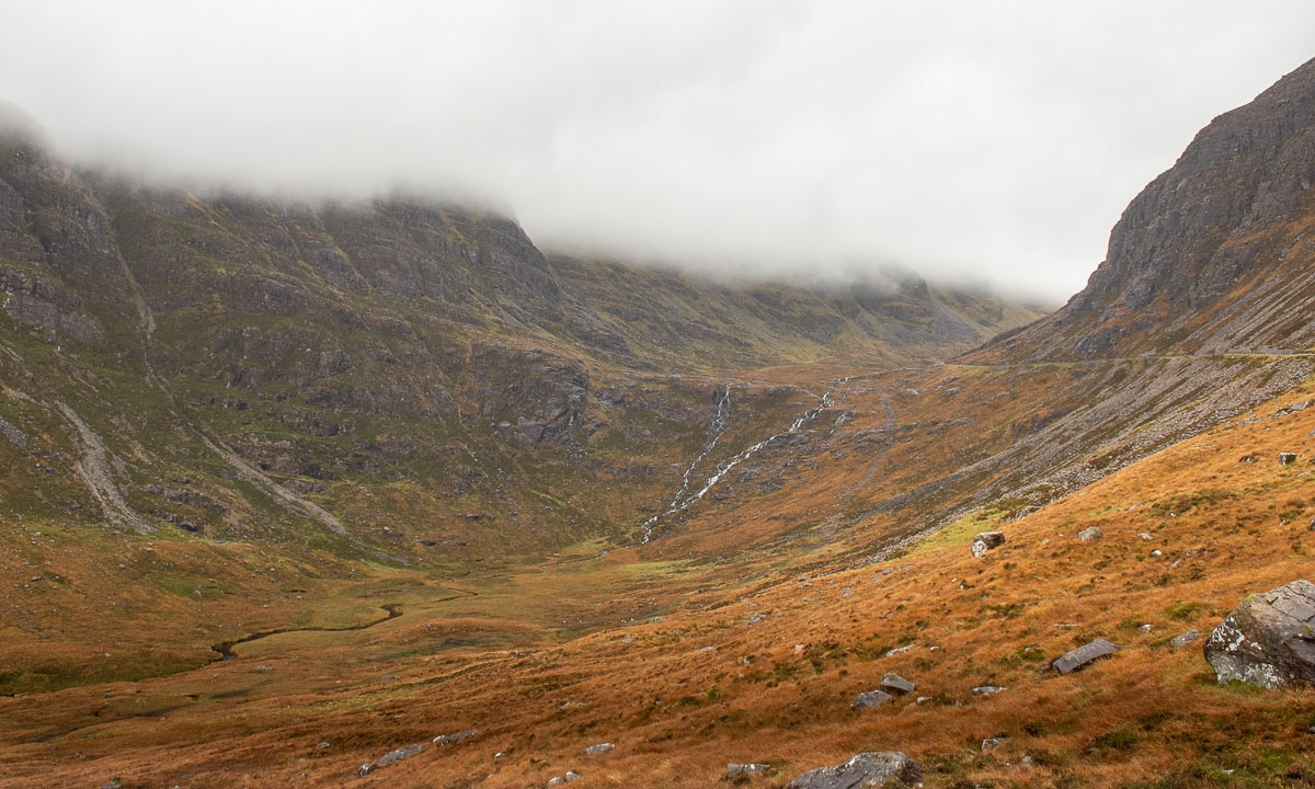
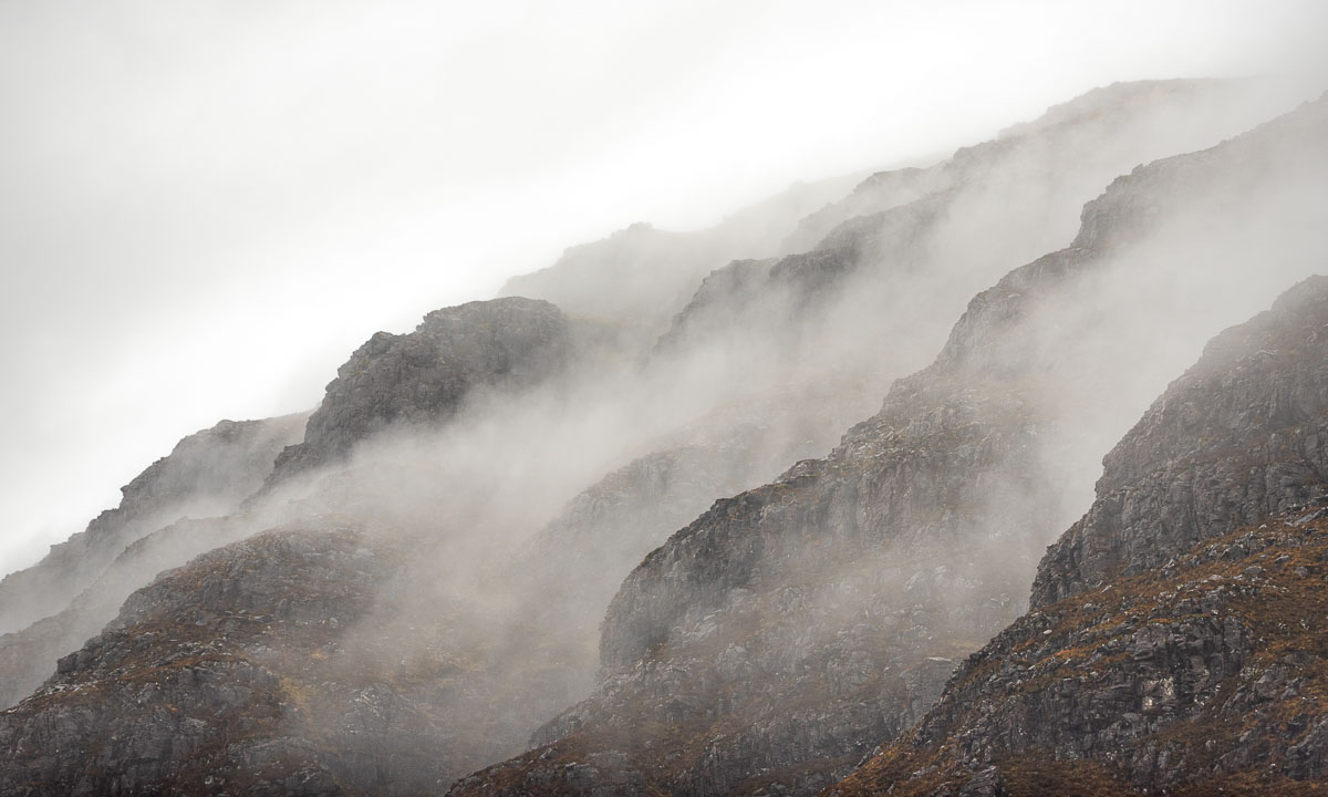
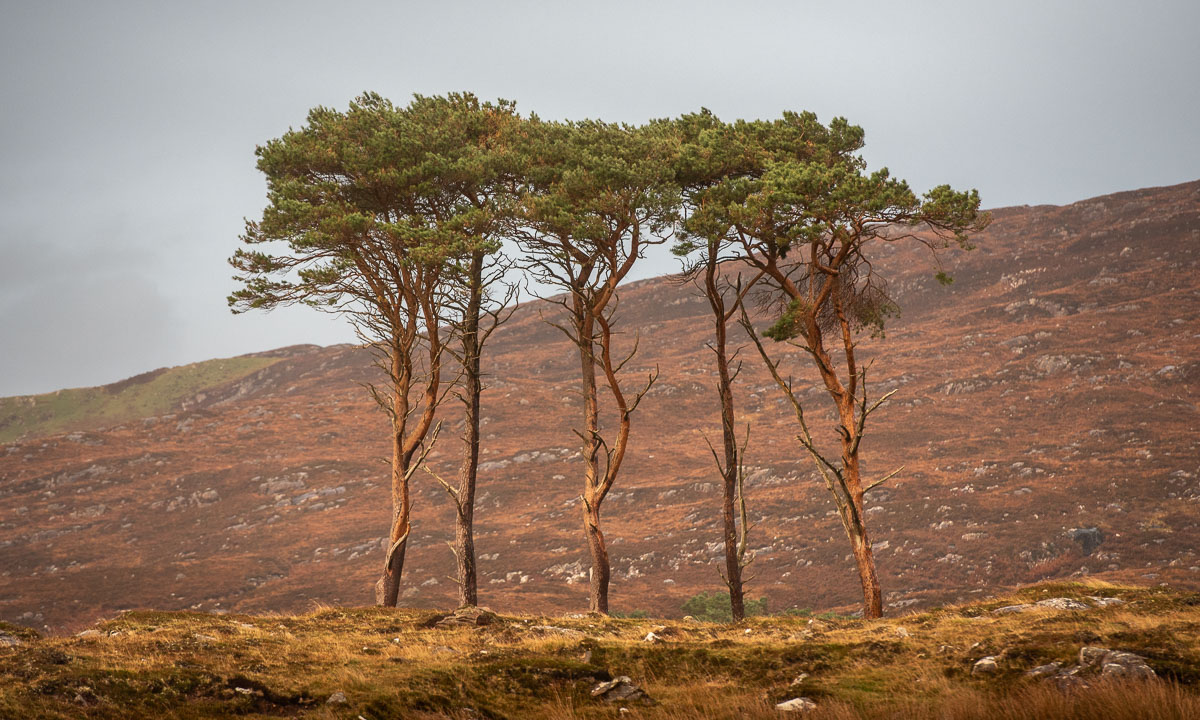
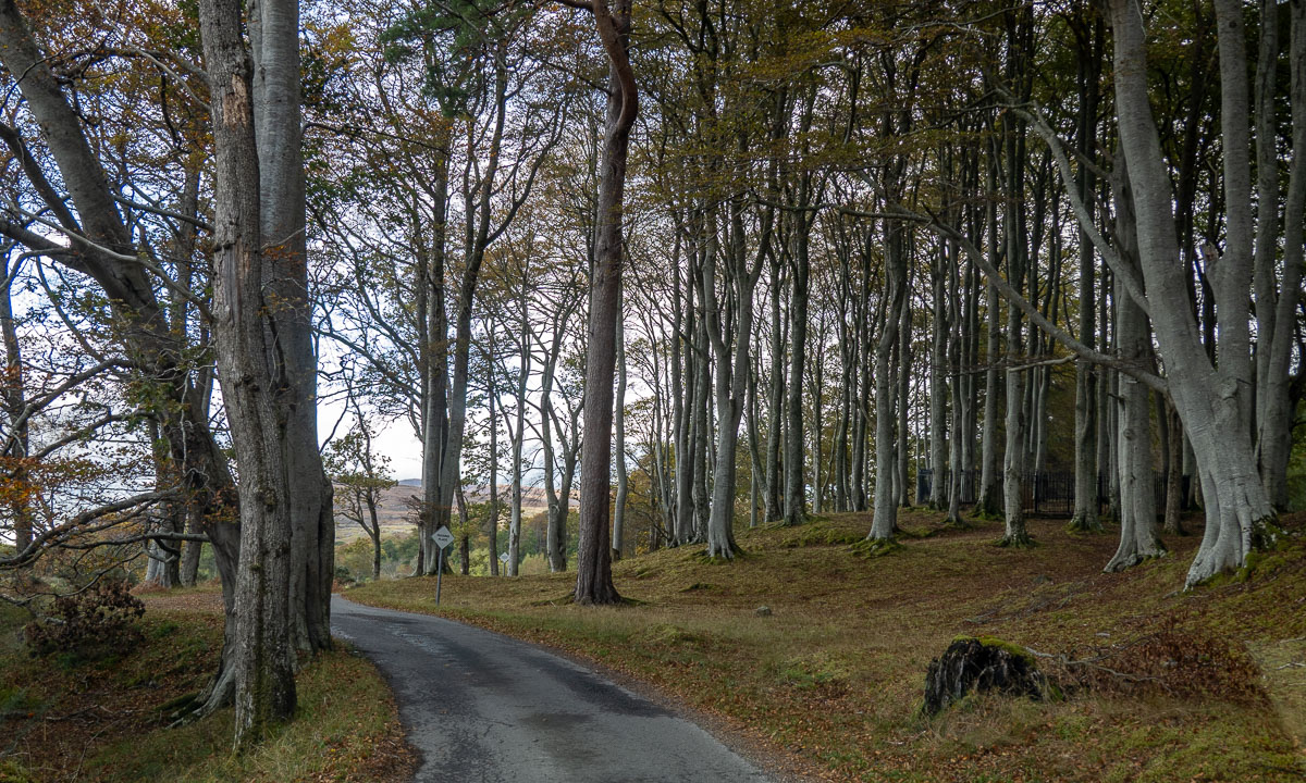
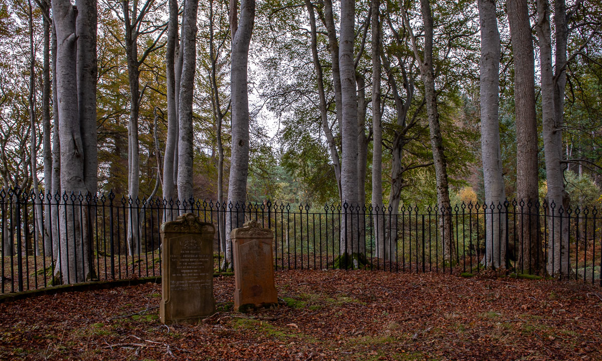
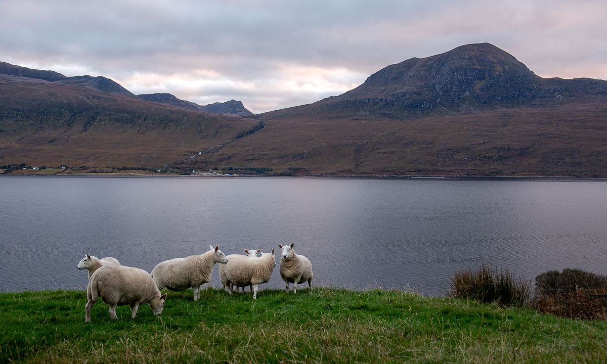
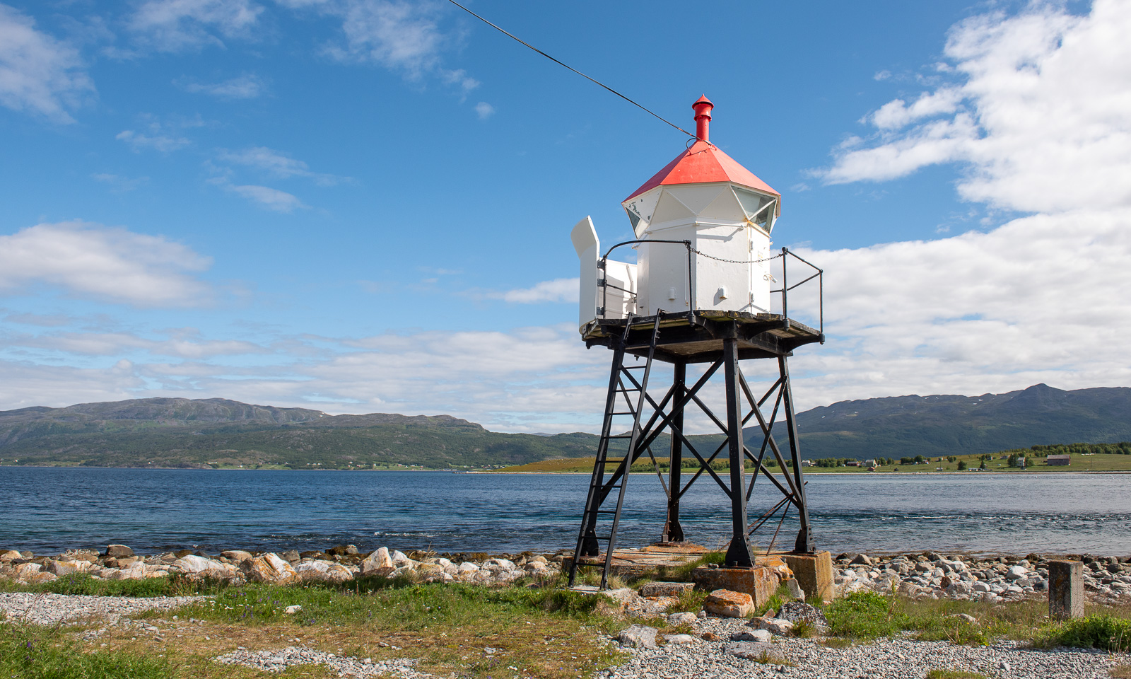
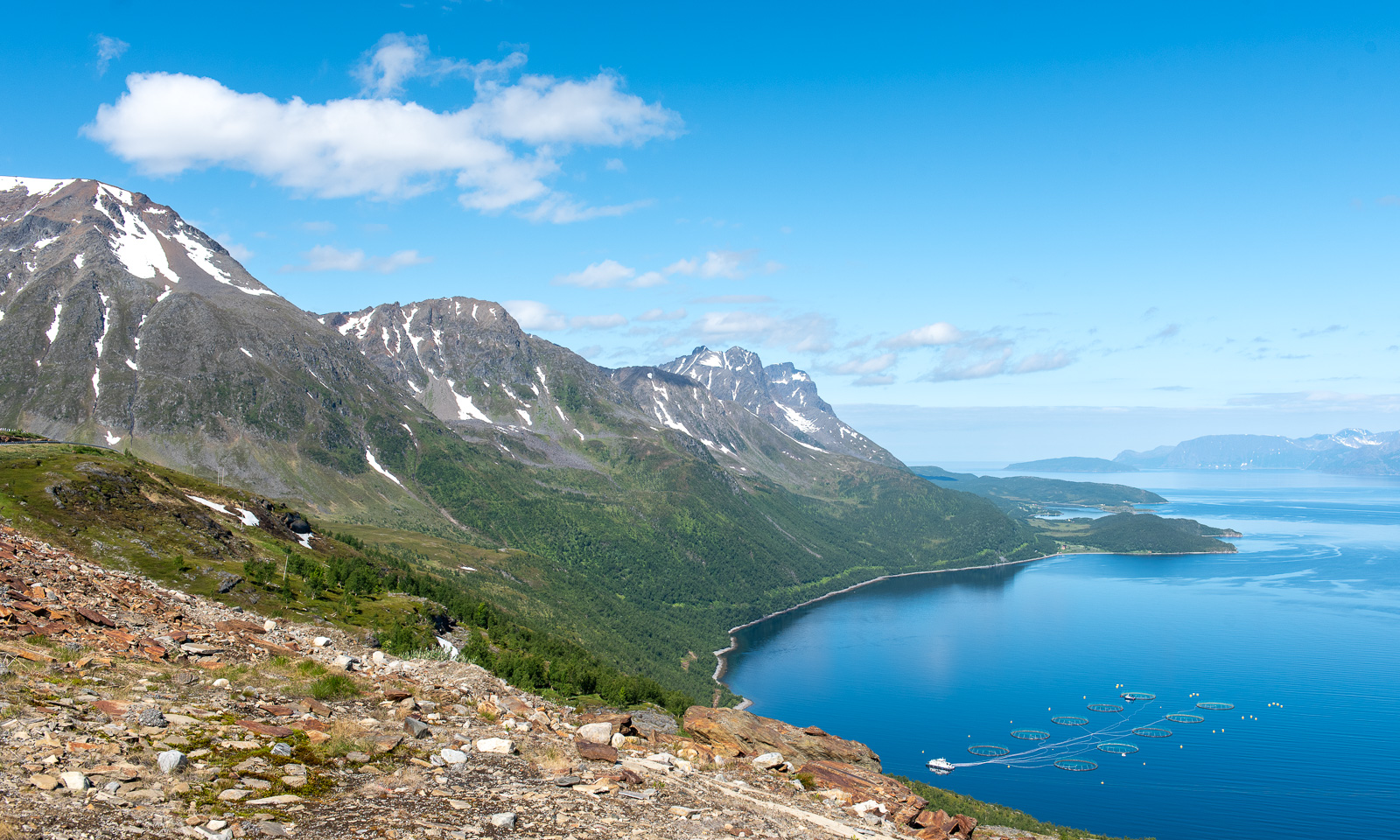
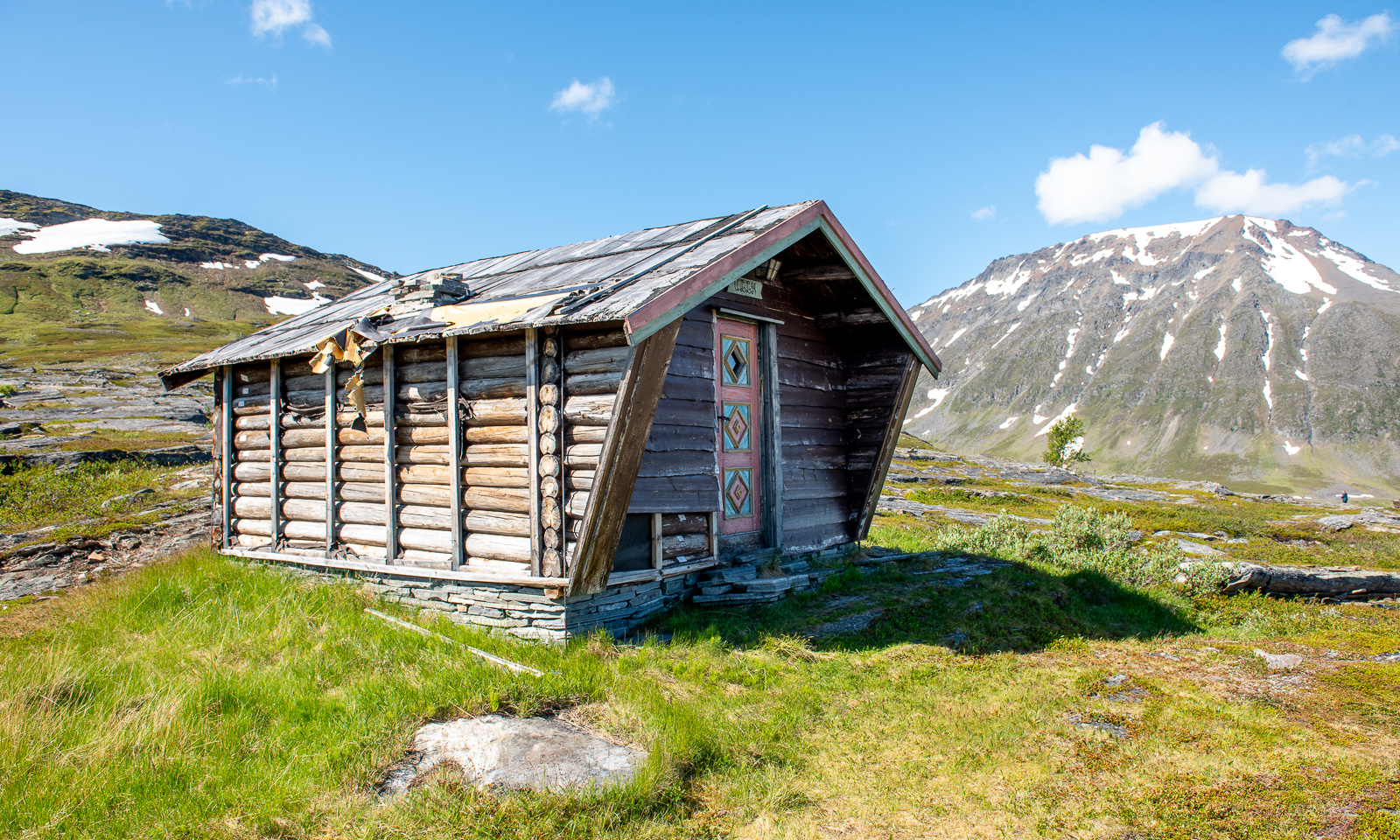
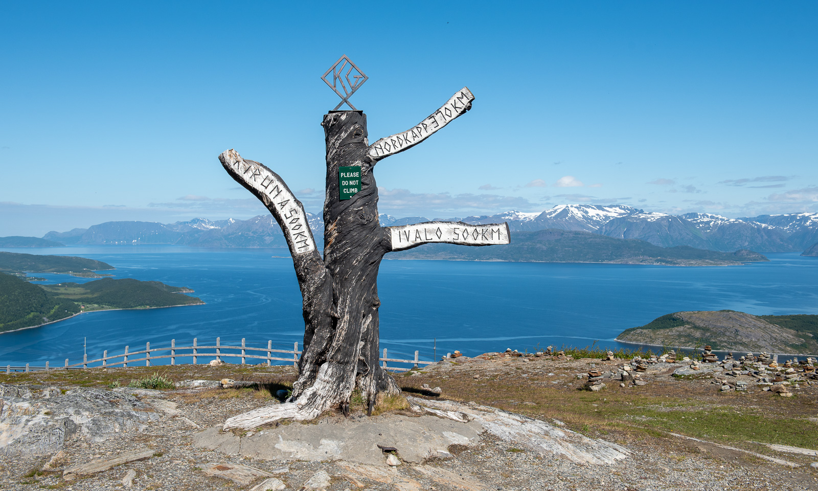
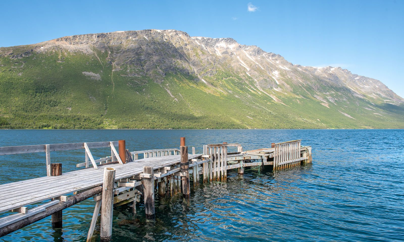
Later than usual, we left this wonderful place to drive the last stage to Tromsø. We could have made it in four hours but it took us seven and a half. The reasons: geocaches, photo stops, detours and an outdoor lunch break. Here are some photos.
Around 18:00 we arrive in Tromsø, my “work home”. I’ll be here for about four weeks and Annika will join me the first two weeks.