Scotland NC500 – day 3 – from kayak surfers to the inland
This article is part of the series “2025-10: Northern Scotland”.
15 October
My wife Annika and I have stayed in a hostel in the center of Thurso. If you took a ship from here and head north you could reach the North Pole without crossing any land mass. We however have no ship, but a rental car and after breakfast we continue our road trip westward.
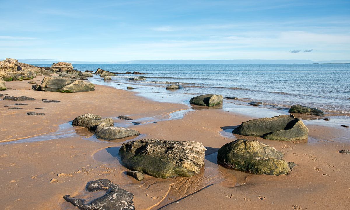
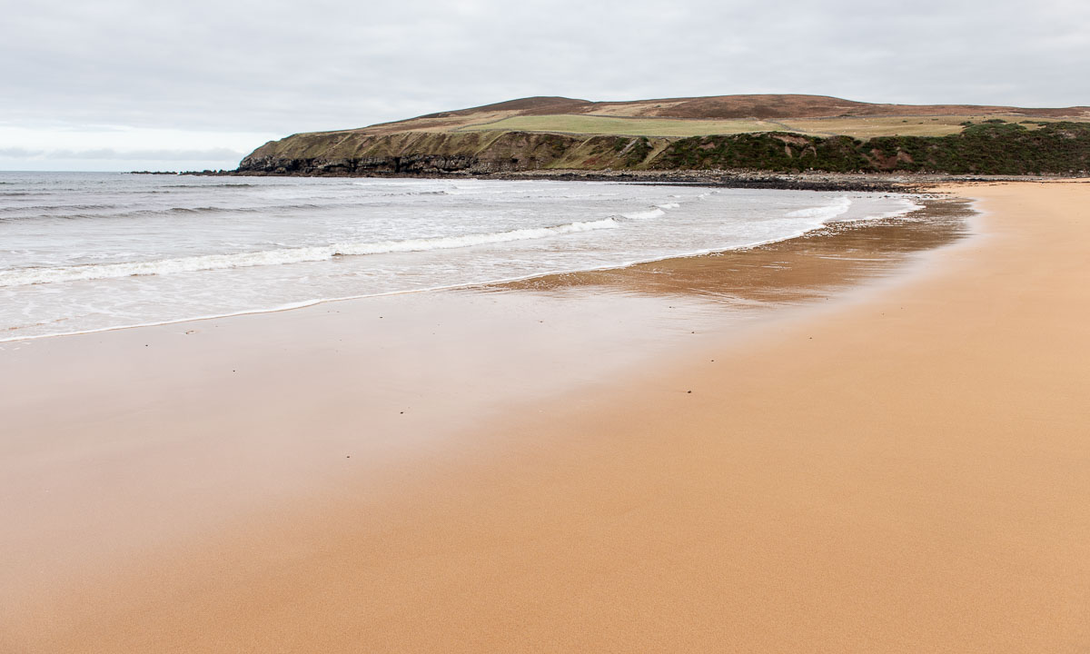
Our first stop is Melvick Beach, where we go for a walk. The beach is embedded in a bay. At the eastern end Halladale River flows into the sea. In this section of the beach it smells bad, because large amounts of rotten seaweed cover the sand. Maybe it was torn from the sea by Storm Amy a fortnight ago.

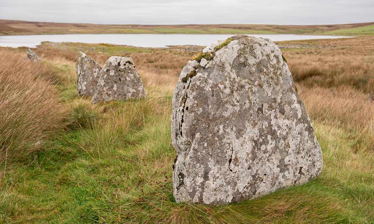
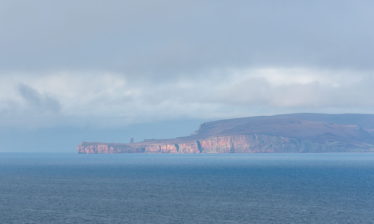
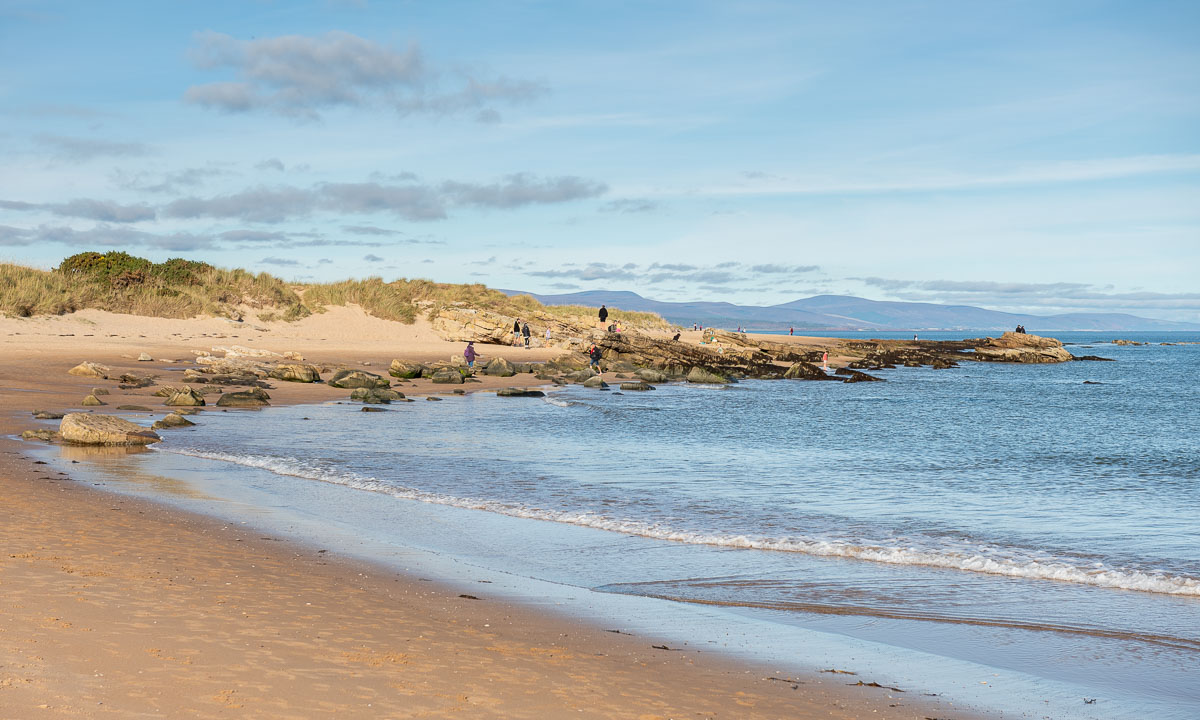
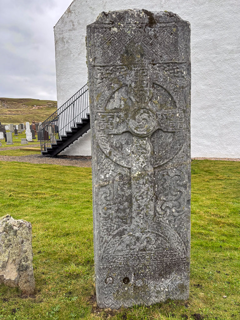
Our next stop is Bettyhill, just 20 km to the west. While there is a beach here as well – we come to this later – there is something else to see: Erected in the Bettyhill Cemetery there is an ancient Pictish symbol stone, the Farr Stone. It is dated to around the year 800. Little is known about the Picts. That makes this carved stone all the more mysterious.
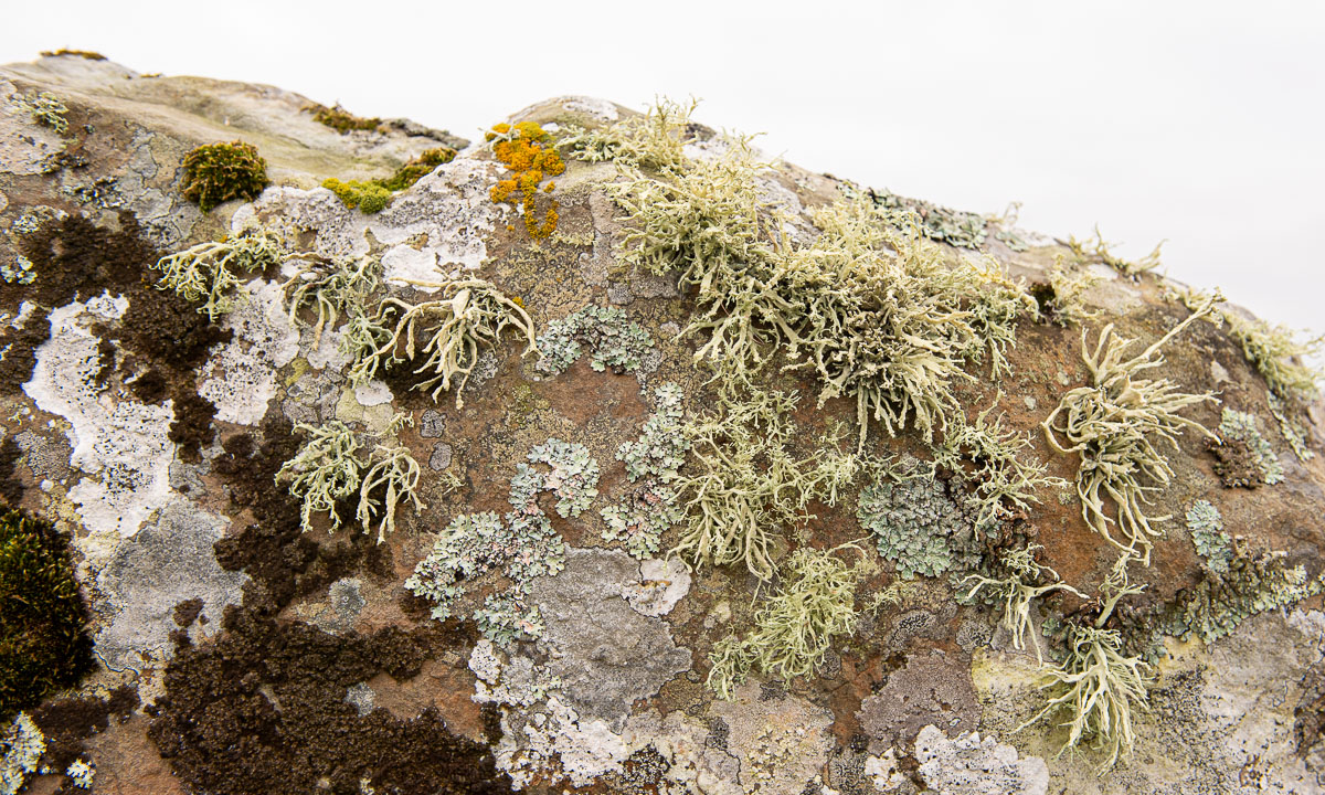
The old tombstones from the 17th century are pretty impressive as well with their pictogram-like symbols: The hourglass, the bell, the coffin, the skull with crossbones and grave-digging tools. When this tombstone was carved, Johann Sebastian Bach was still alive.

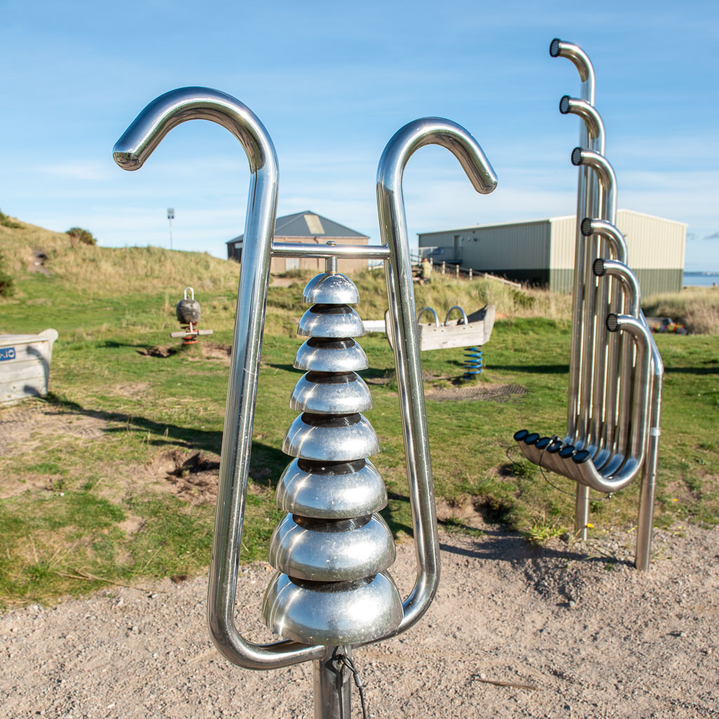
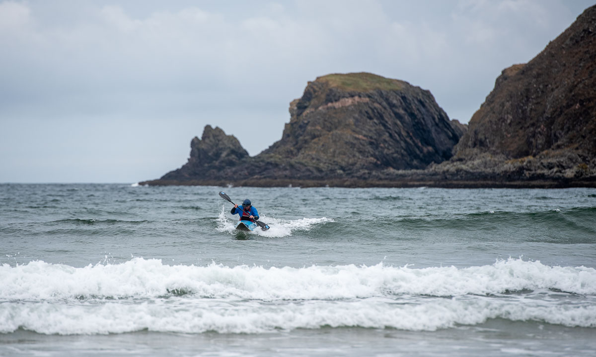
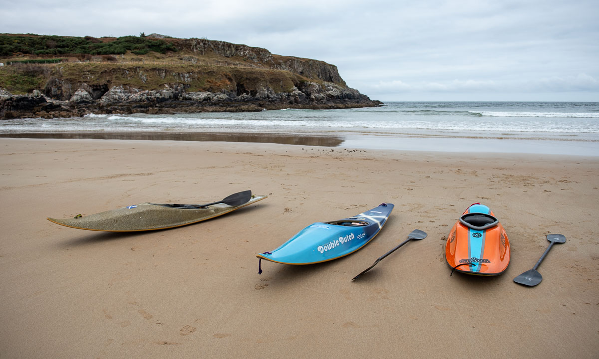
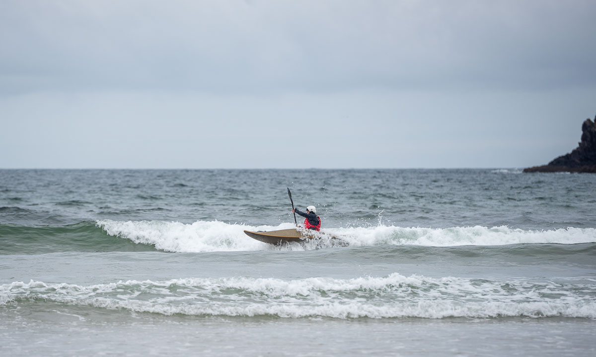
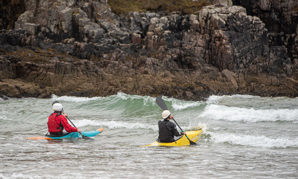
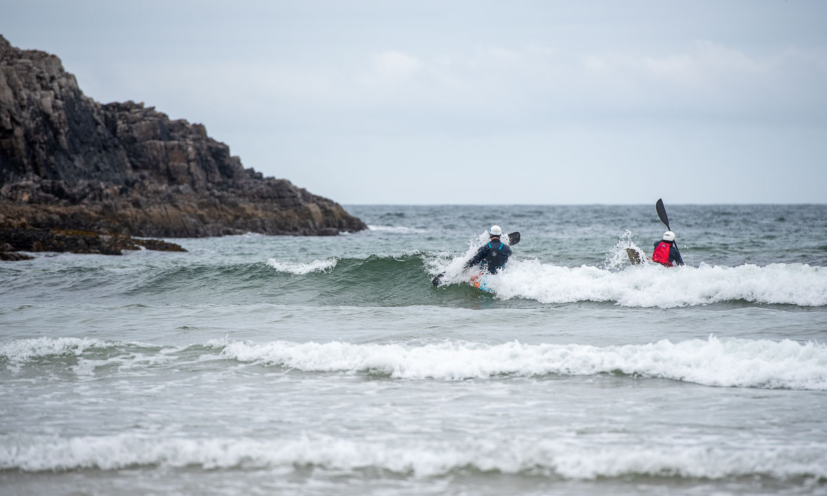
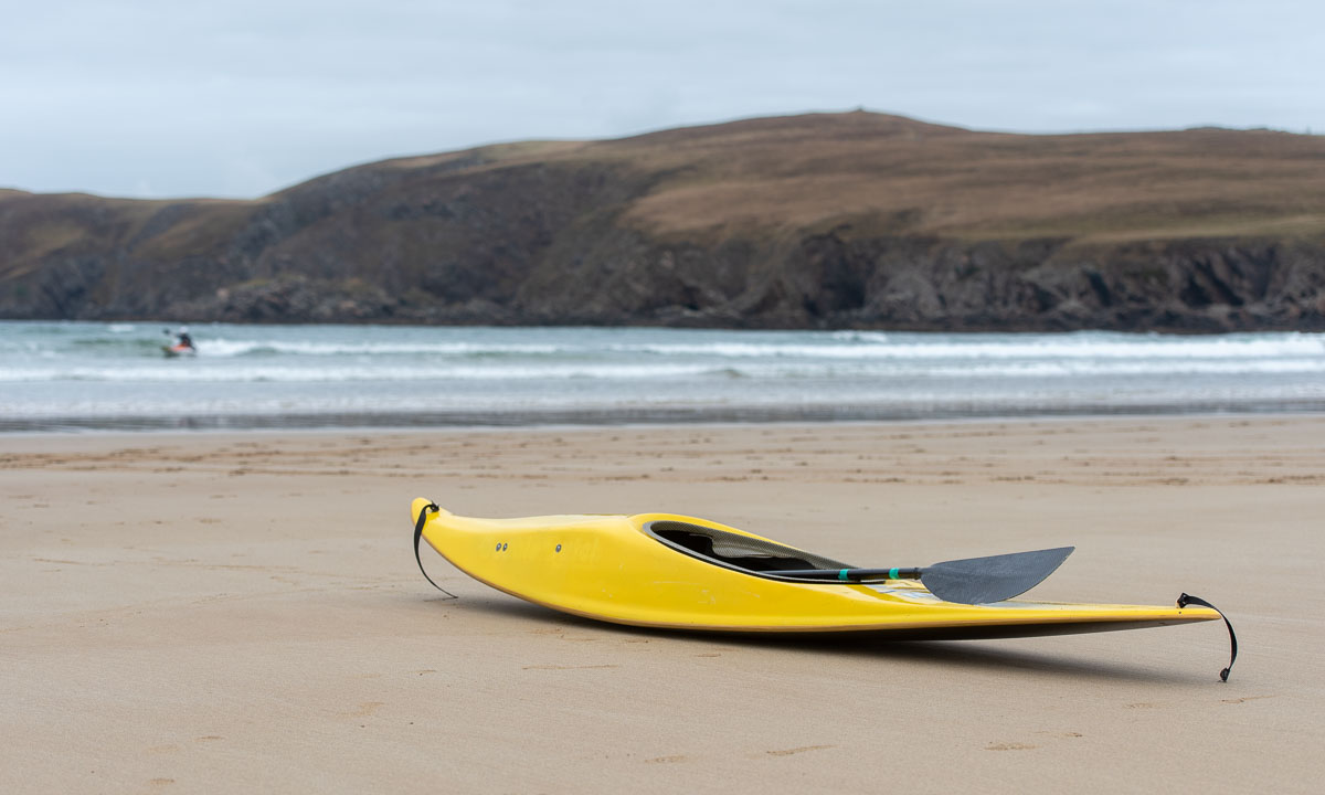
Back to the present. And time to visit Farr Beach nearby. We are not alone. There are kayakers out in the sea with short surf kayaks. I wish I had a tenth of their skills. On the beach, we strike up a conversation with a man. We learn that it is his friends being out there playing in the waves. Among them are some of the most skilled kayak surfers in Scotland. The waves are not high, they are just playing around and it is fun to watch them while chatting. I wish I had a twentieth of their skills.
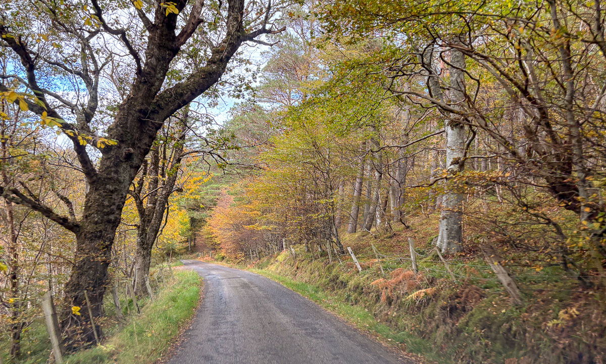
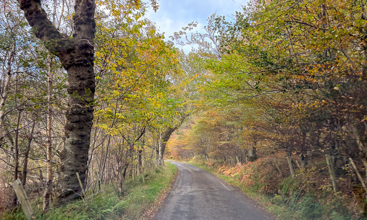
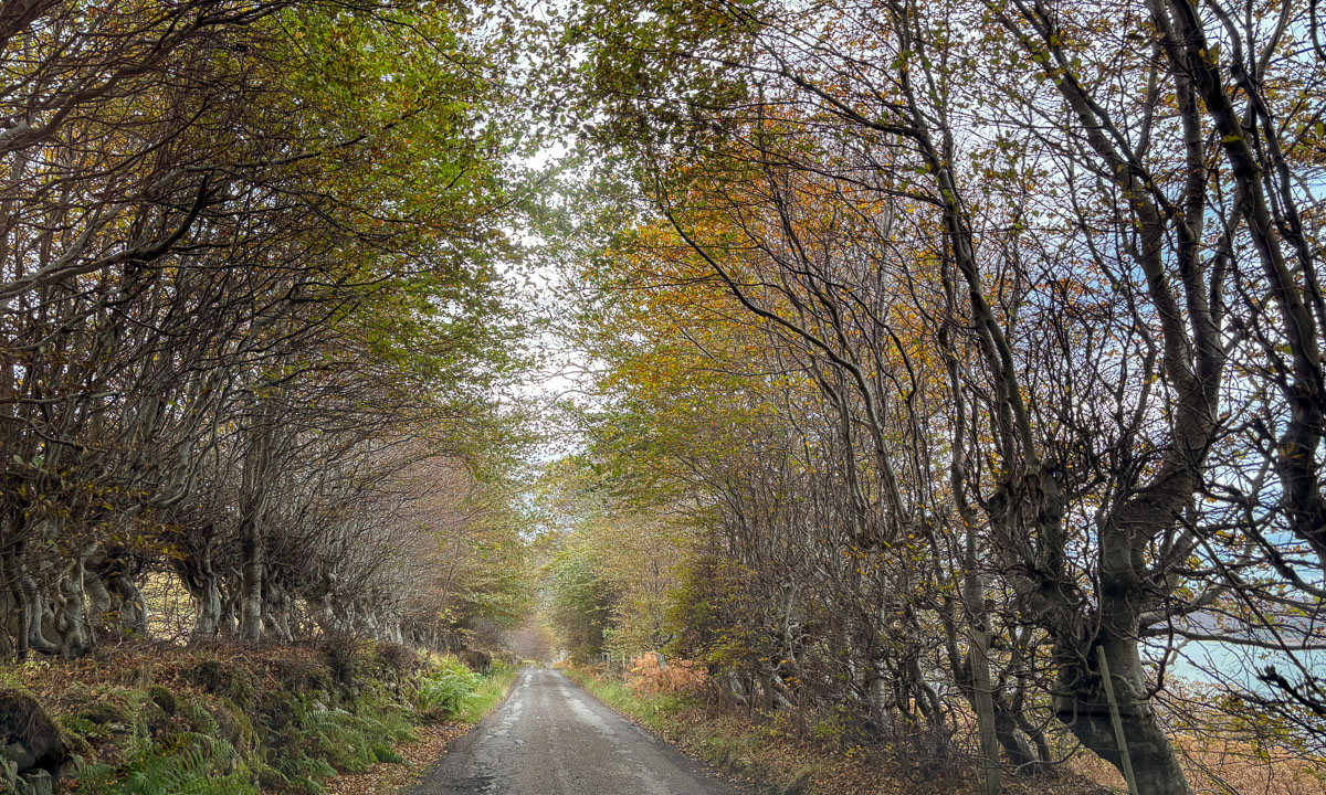
Back in the car we continue west but we make a detour. We follow a small road lined by trees. Sometimes the treetops touch each other so that a tunnel of trees is formed. That makes these single track roads look even narrower. Luckily the road is pretty empty.
We see the island Eilean nan Ron from above. The road rises, then descends nearly to sea level and we come to the main road, where we reach the Kyle of Tongue, a shallow sea loch. Before we cross it using the bridge, we have lunch on the car park by the loch. Each of us has a “meal deal”. That’s a cold meal such as sushi or salad, combined with a drink and a snack. Available in most supermarkets.
It has been pretty grey today, but there are holes in the clouds and the sun illuminates different parts of the mountains in the south.
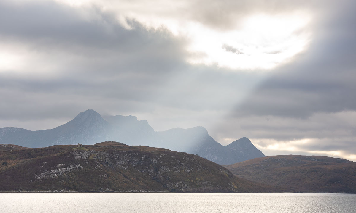
Our original idea was to follow the NC500 further to Durness further west, but we couldn’t find any affordable accommodation. Therefore we had booked a room in Altnaharra the day before. After the booking we learned that there are many accommodations in Scotland, which are not on booking.com, but today’s room is already booked. So let’s head to the Scottish highlands!
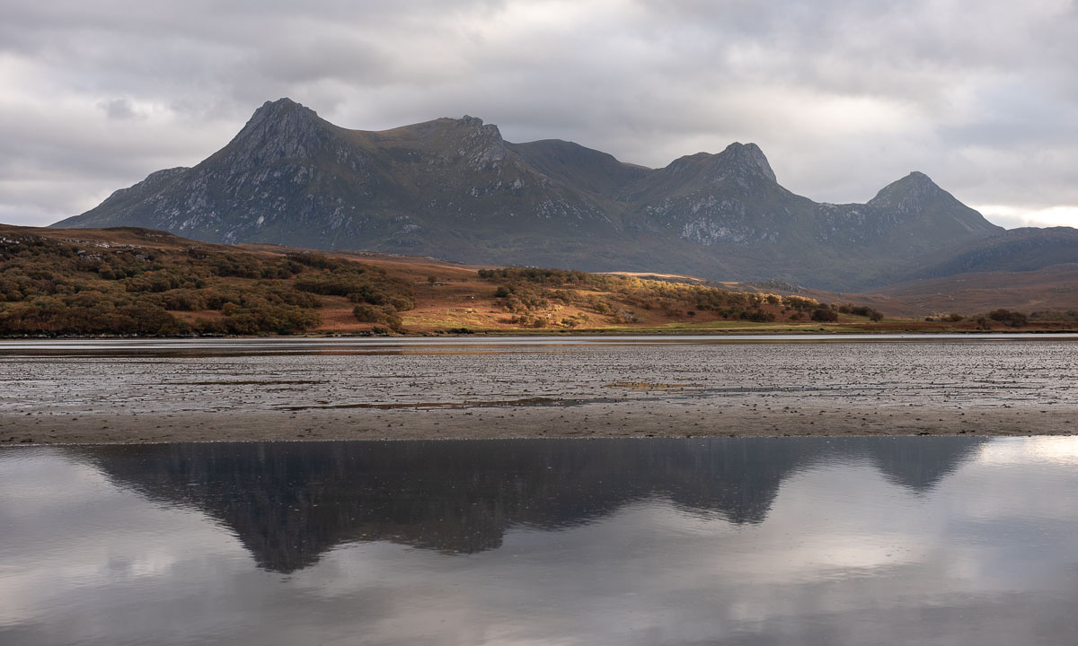
We take the bridge over the Kyle of Tongue and turn left to follow the bay southwards until it looks more like a shallow slough with mudflats sticking out of the water. A pity, that the light is quite dull.

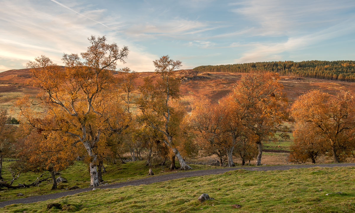
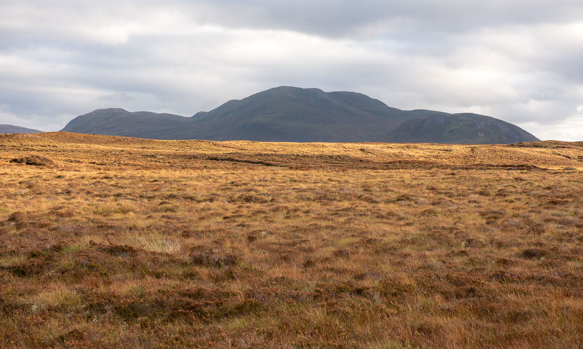
And then we cut through the moorlands in the Scottish highlands. The red-brown colours of the grass are intense – these are the colours of Scotland in my humble opinion.
Forty minutes later we sit by the open fireplace at the reception of the hotel in Altnaharra.
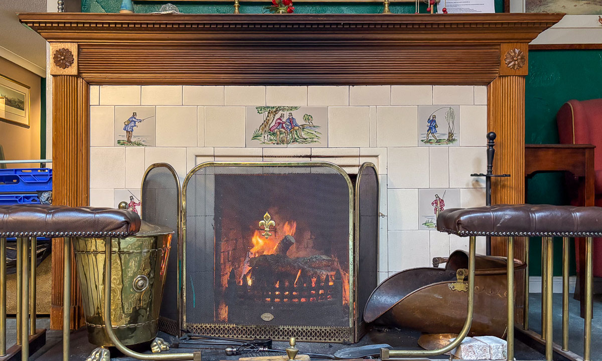
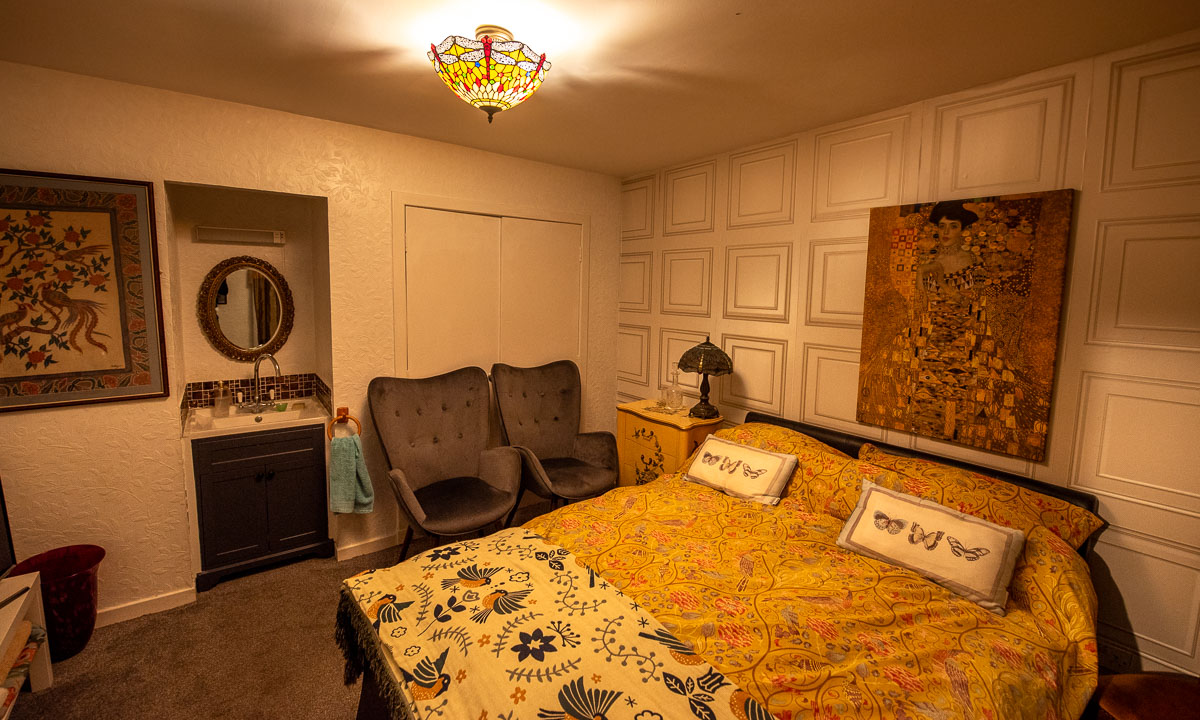
Soon we are given a comfortable room upstairs. To my delight it includes a bathtub. After dinner I’m having my first hot bath in years. Oh – so delightful!