Hydrographical measurements in the Fram Strait

This article is part of the series “2024-08: Fram Strait cruise KPH”.

You see the map with Greenland to the left and Svalbard to the right? And all these orange dots?

Each of the dots stands for a cast where an instrument or a set of instruments was lowered into the water. As you see it was quite a lot of casts that the researchers and the crew of the icebreaker Kronprins Haakon conducted in the Fram Strait between 14° W and 10° E within two weeks.

Let’s start with the most prominent hydrographical instrument, the CTD.

CTD stands for Conductivity, Temperature, and Depth. It is a group of instruments to measure these important water properties. The conductivity is directly related to salinity. While the CTD is lowered these three properties are measured continuously which results in so-called “profiles” that show the salinity and the temperature per depth. With these properties oceanographers get the first insight in what kind of sea water it may be. It is Atlantic? Or Arctic? But there are also other sensors mounted to the CTD to measure properties such as fluorescence or current velocities.

Also part of a CTD is the rosette of “Niskin bottles”. These bottles can be opened and closed remotely underwater to fetch sea water in defined depths on the way up. The large CTD has 24 of these bottles. When it is on board again and stands on the euro-pallet in the main hangar on deck 3 then it is time to fetch water samples from the Niskin bottles.

Some of the samples will be processed on land after the cruise but many samples are processed directly. Two examples:

Anne-Marie Wefing (NPI) uses the Winkler titration to measure the concentration of dissolved oxygen in the sea water. My chemical knowledge is too weak to explain this process. For the chemists amongst you I refer to the Wikipedia article for details.

Daniel Koestner (University of Bergen) leads water through different types of filters. The water can pass, particles exceeding a certain size will remain in the filter. While the deeper sea water is quite pure the samples from the upper water column contain more particles. The difference is visible by the naked eye but only land-bound lab work will give quantifiable results. Some of the filters can be transported at room temperature, those for chlorophyll have been frozen at -80 °C.

Daniel Koestner is also part of the team that measures particle concentrations directly in the water using a laser. This is how the instrument of the “optical cast” looks like:

The CTD is a heavy-duty instrument and could be used more or less all the time. Other instruments such as the laser or the MSS are much more fragile and the usage had to be skipped when the waves were to high. Too big the risk, that an expensive instrument would crash. But as far as I know everything has gone well!

Some cruise stats:

CTD casts 73
Optical casts 44
MSS casts 27
Total casts 144

While I have the luxury to work whenever I want the sheer amount of casts has led to a huge amount of lab work and some teams have been working in shifts, because casts have been conducted day and night.

Disclaimer: This is a private blog. I try to stick to the facts as best as I can. However, this article has not been proofread by anyone, so some facts may be slightly inaccurate or even plainly wrong. If you find an error, please let me know and I will correct it. Thank you!

Ice station two and icebergs

This article is part of the series “2024-08: Fram Strait cruise KPH”.

When I woke up in the morning of the 20th of August my first thought was: will there be another ice station? I peeked through the port hole and – yes – we were at least in the ice. From the helicopter deck it looked like this:

Round nine o’clock the ice station is started. Eleven people are involved – four scientists and students actually doing science, a polar bear guard on the ice and two times three bridge watches taking turns to observe everything from above. I take the morning shifts, the weather is not good for drone flying anyhow. Yesterday we had a lot of polar bears on the ice, today it is quiet. It is more the fog that could lead to problems, but even the visibility is ok. Good luck.

In the afternoon it has become too windy to fly the drone. I get onto the ice anyhow to take photos for outreach. Time to show people doing research on the ice. It is a lot of manual work. Carrying things down the gangway, pulling sledges, using drills with coring equipment, a saw to slice the ice cores, a digital thermometer and for a lot of data – paper and pencil. This may sound antiquated but writing down notes works often works better in harsh environments than using electronics.

Later, just before dinner people who never have stood on the sea ice before become an opportunity to do that. I was on the sea ice three times since yesterday, so I volunteer for bridge watch again. The weather has become more and more nasty. It is raining and wind is blowing with temperatures round +1 °C. So it looks from the bridge:

At 17:30 (dinner time) the second ice station is finished. Now we will head back more or less the same way we came from. I take some photos from the helicopter deck, especially from the turquoise coloured melt ponds that I have never seen before like that.

At 9 o’clock we reach the ice edge and sail through the open sea again. Time to say farewell. I do not know when I’ll may see my beloved sea ice again.

Anyhow one thing was different than on our way there some days ago: icebergs are drifting on the sea. We see a lot of them on this and the following day. Some of them are small or medium sized …

… one of them was huge. I am able to take a drone photo from above. I estimate that the cliff to the right has a height of 10-15 metres.

There was one difference between the two ice stations. It is visible on the map:

While the 2nd ice station started and ended at the same place, the 1st ice station didn’t. This is because the 1st station was on drift ice while the 2nd station was on fast ice. Fast ice is either grounded or it is connected to land, in this case Greenland.

Although Greenland with islands was more than 50 km away it was visible on the 19th of August. I was really surprised and also happy – I have never seen Greenland before. And I managed to take some blurred photos (cropped image, 600 mm focal length).

Feels like I should visit that place sometimes …

Ice station one and polar bears

This article is part of the series “2024-08: Fram Strait cruise KPH”.

For days we wondered, will we ever have an ice station on this Fram Strait cruise in open water? But then at 14° 21′ W, 79° 02′ N we found a large ice floe to work on. Shortly after nine o’clock I finally was on the ice again!

But I wasn’t here to take snapshots but to fly drone and to take a lot of photos from above.

I had issues with the drone from the Polar Institute, so I fetched my private one. First I had to calibrate some sensors, especially the compass and then I put the drone into the air and made some photos to check the image exposure. Ok, looks pretty good.

Now I flew the drone in a rectangular zig-zag pattern. That’s a bit tricky, because the drone is positioned by GPS while the ice flow is drifting. Since I wasn’t sure if I covered every part of the ice station I flew a second round. The single photos look like these:

Before going on board I took a couple of photos on the ice.

On board I uploaded the photos first into my laptop and then into the program OpenDroneMap that would stitch the photos together and add geographical information. And then it was 11:30, lunch time!

After lunch I went up on the bridge on deck 8. Together with two others I was observing my segment checking for polar bears, cracks in the ice and weather. There were several polar bears around but all were further away. I also had a VHF to keep track on the people on the ice. I had two shifts, 12:30–13:15 and 14:00–14:45.

After my second shift I got to know that we had a polar bear in front of the ship. So one of the bears that we had observed for hours had finally decided to pay us a visit. That meant of course that all people had to leave the ice.  On the helicopter deck many people were around to watch the bear.

And there it was – a surprisingly white curious fellow that examined our ship. Did it smell the cake?

In the meanwhile OpenDroneMap finally created a properly rendered orthophoto. I was relieved because I was not sure if my drone photos were sufficient. This is an excerpt:

In the afternoon I had fixed the issue with the other drone. At 19:00 I would have another opportunity to go onto the ice to re-calibrate and test it. Our ice visit was however postponed because another polar bear was paying a visit. It looked much thinner than the other one, but on the other side the fur was wet. So photo shooting again. It surrounded the ship and then stopped, laid down onto its stomach, pushed itself forward with its furry feet and  then rolled in the snow before it continued its walk.

We had to wait some time but then the ice was clear and I had time to test the drone on the ice. It worked. Hopefully I would be able to use it on the second ice station on the next day but the forecast does not look promising. Too much wind.

I shot a drone selfie and then I was ready to go on board. I just had to put my hand into one of the polar bear paw prints for size comparison.

The bear won!

Mooring recovery and deployment

This article is part of the series “2024-08: Fram Strait cruise KPH”.

Yannick using the hydrophoneFor science it is important to get measurements, preferably a lot of measurements. That’s not so easy if you have to take the icebreaker, you have only one and very limited ship time. One thing to go round this is to have sets of instruments that are moored at different locations in the sea. A weight and a buoy keep the communication cable with the instruments vertically and make the mooring stationary

On this cruise we had to recover seven moorings between 78° und 79° N and between 2° and 10° W. To communicate with the mooring a so-called hydrophone is used which can transmit and receive acoustical signals. The hydrophone is used to find the mooring and also to release it. Then the mooring will detach from the weight at the bottom and the upper buoys will slowly drift to the surface.

Then you have to find the mooring . Visually. That’s not an easy task because you will release the mooring in a certain distance to the ship to avoid crashing it into the hull. Beside of that it was pretty foggy this day when a team of NPI engineers and the ship’s crew tried to recover the first mooring with the id F10-19.

But look: There it is! It was found a while ago and our ship Kronprins Haakon is already in position for the recovery.

Now it takes a while to get everything on board without to destroy the scientific instruments. A lot of winch work is involved in the process.

This recovery at 2° W took approximately took one and a half hours. I think that’s quite fast if you consider, that the depth of the sea is round 2650 m at this place. That’s a lot of cable to pull up.

In the afternoon the second mooring recovery took place, this time at 3° W. I’ll show some more photos because this was one of the rare occasions when we actually had sun.

When the mooring was on board the collected data had to be fetched from the instruments and checked while other research was going on in parallel. And so the work continued until the last mooring was recovered three days later.

Of course you want to proceed with the continuous measurements. So on our way back the same amount of moorings had been deployed at the same places. Sometimes a mooring could be re-used, sometimes instruments had to be calibrated on mainland and a replacement was deployed. Each deployment started with the heaviest part, the iron weight that moors the cable to the ground following by the cable, the instruments and some buoys. And then again – a lot of winch work, setting carbines and so on.

Today we got the message: “All moorings are deployed! 🎈” – Great news!

P.S.: One instrument was lost but already in November. The data anyhow is saved elsewhere in the mooring and could be recovered.

Disclaimer: This is a private blog. I try to stick to the facts as good as I can. However this article has not proofread by any other people. Therefore some facts can be slightly inaccurate or even plainly wrong. If you find a mistake, please let me know and I will correct it. Thank you!

Before the cruise – Longyearbyen, Svalbard

This article is part of the series “2024-08: Fram Strait cruise KPH”.

Sunday, 11. August

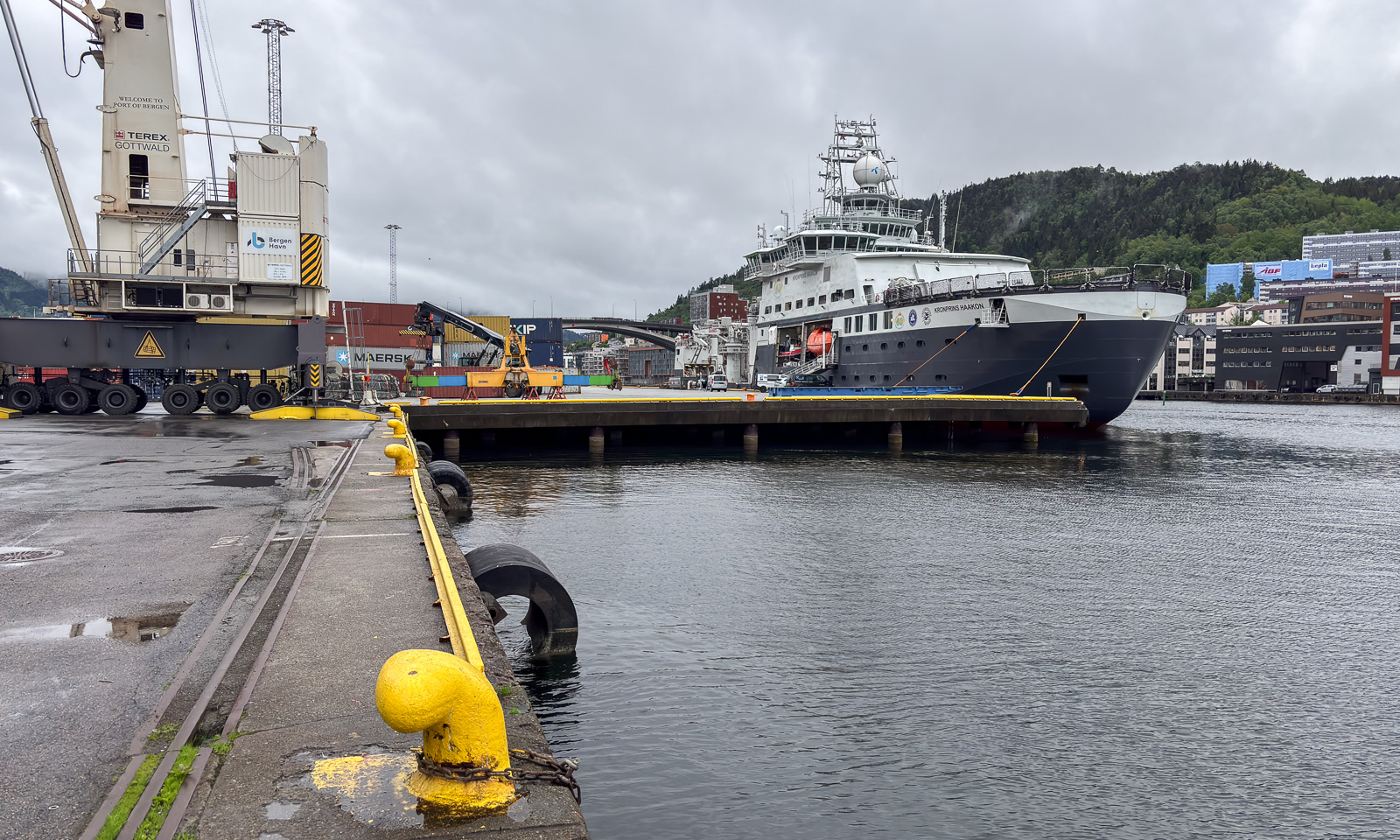
I am sitting in a plane heading north. Tromsø lies behind, the plane goes to Longyearbyen, the largest settlement on Svalbard. If everything goes according to plan I’ll be on board of the Norwegian research icebreaker Kronprins Haakon two days from now to join a scientific cruise to the Fram Strait between Svalbard and Greenland.

Eight other participants are in the same plane, there are not so many flights to Longyearbyen. The rest will arrive tomorrow or has been joining already the previous cruise. We wait for the luggage and then for the “Maxitaxi“ that brings us to our different accommodations. I check in at Gjestehuset 102 and start a photo tour back to the center.

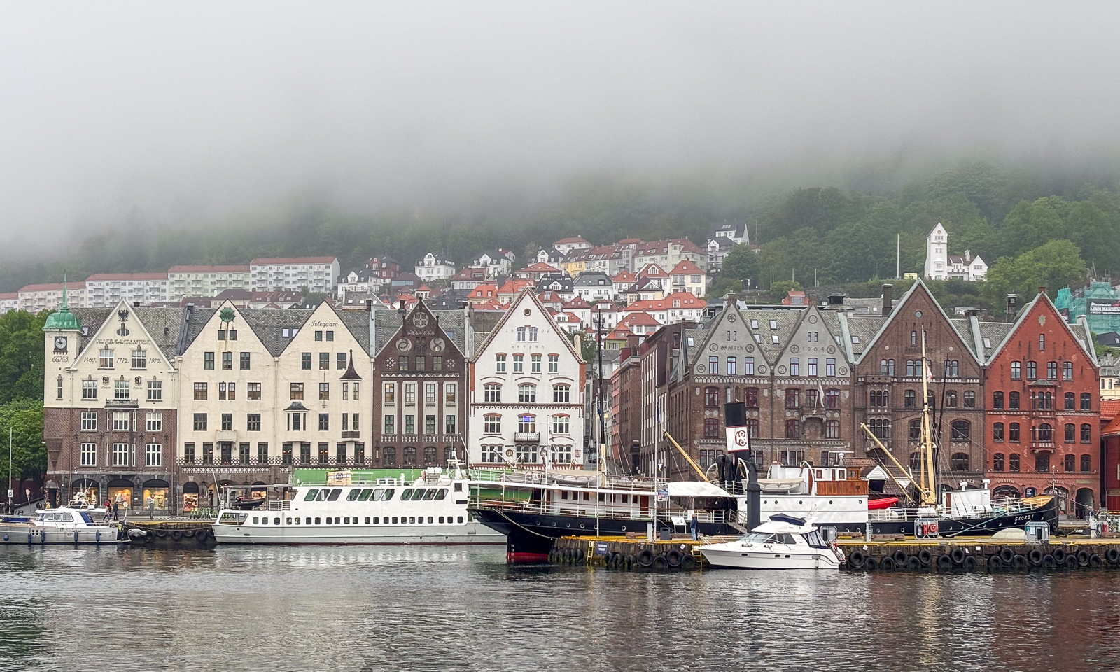
In August the town looks brown. It’s brown water, brown mountains and brown dust everywhere. As a photographer I prefer winter. Longyearbyen lies by the fjord Adventfjorden and there lies the German research icebreaker Polarstern that I visited in Tromsø three days ago.

It is windy but surprisingly warm with temperatures round 19 °C. Later I learn that the maximum was 20.3 °Con this day, the warmest August temperature measurement ever. I stroll around and go to the huge supermarket to buy some goodies. Then I head to the beach again to take some more photos. At 18:30: dinner time with nine of the cruise participants. After that I walk the 2.3 km back to the guesthouse. And take some more photos in the evening light.

Monday, 12. August

Before the cruise many things are on hold. When will the ship arrive? When are the first scientists allowed on board? Is my help needed? When is the flare gun training for the ice people? And so on. Let’s wait and see.

KPH has arrived in the morning but only a few selected scientists were supposed to go on board to get a handover. So I have time to stroll around again – it is still warm and sunny – and take some more photos while constantly checking our WhatsApp group for plans being updated. And I meet some of my colleagues that joined the previous cruise.

In the evening we have another dinner, this time with all 19 participants. That is quite a small team this time, there are 35 berths on the vessel. We have pizza and the first opportunity to get to know each other. What a nice and interesting team I am allowed to work with for the next two and a half weeks :-) !

Tuesday, 13. August

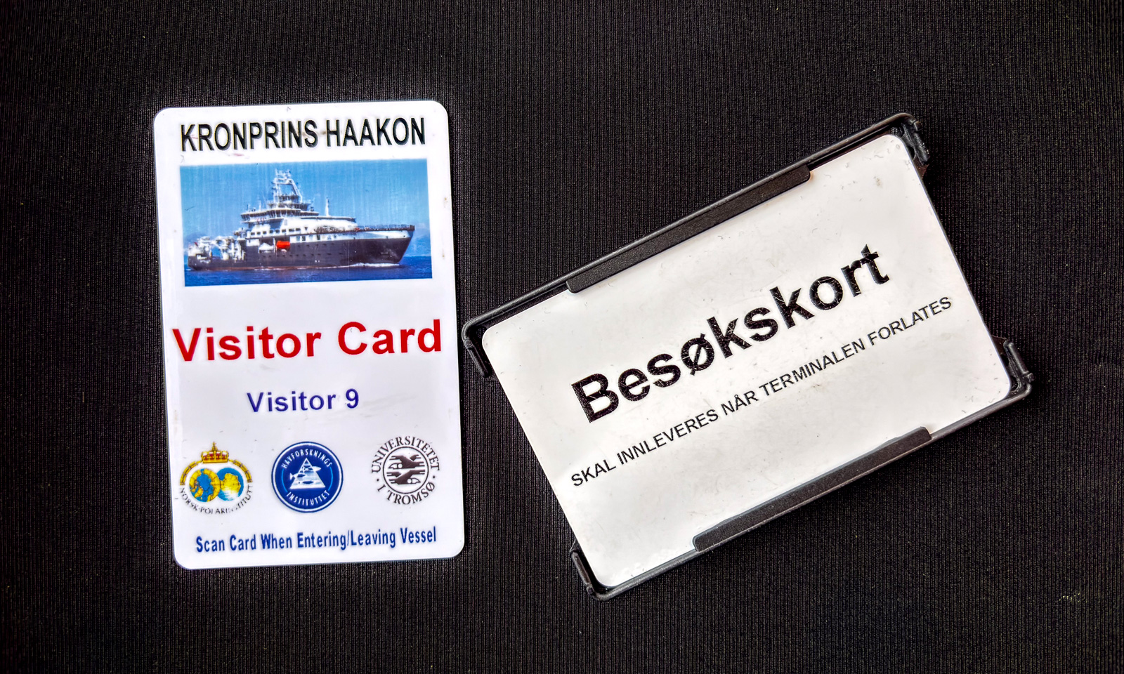
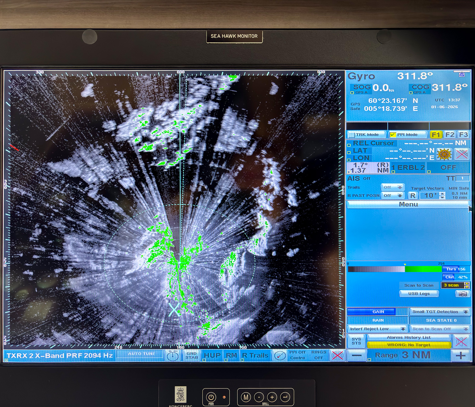
Today is the day. I was already in town and bought a woollen sweater that I wanted to buy for years. Then at 13:00 the first group of people gets a ride to our swimming research platform – Kronprins Haakon. Welcome back. At 13:15 I have boarded, at 15:00 I have checked in. I have got the very same room as on the first cruise two years ago. It’s on deck 3 in the bow and when there is ice, it is shaky, loud and noisy. I love it! Arctic lullabies. This time I have it eben for me alone. That’s luxury!

At 16:00 we get a safety briefing. After that I fetch my safety boots and my survival suit. Will I ever wear it on the ice on this cruise? At 17:00 we have our first dinner. Salmon and rice – delicious. Ice cream as dessert. And at 18:19 I realise that we have left port. Now we will be on our way west.

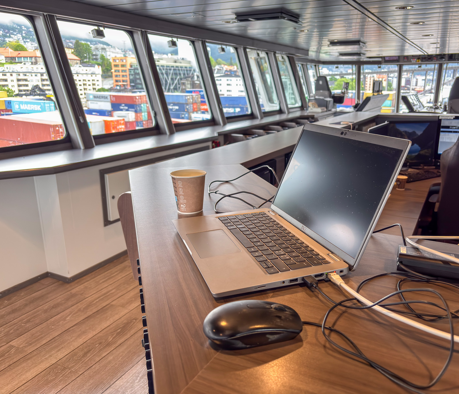
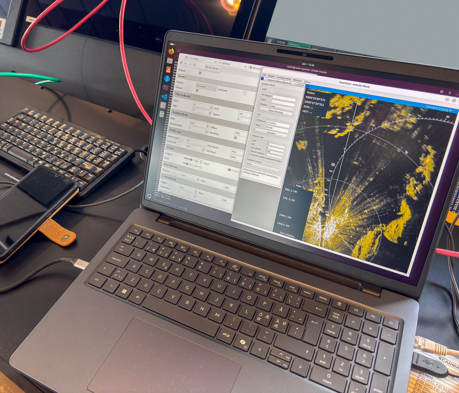
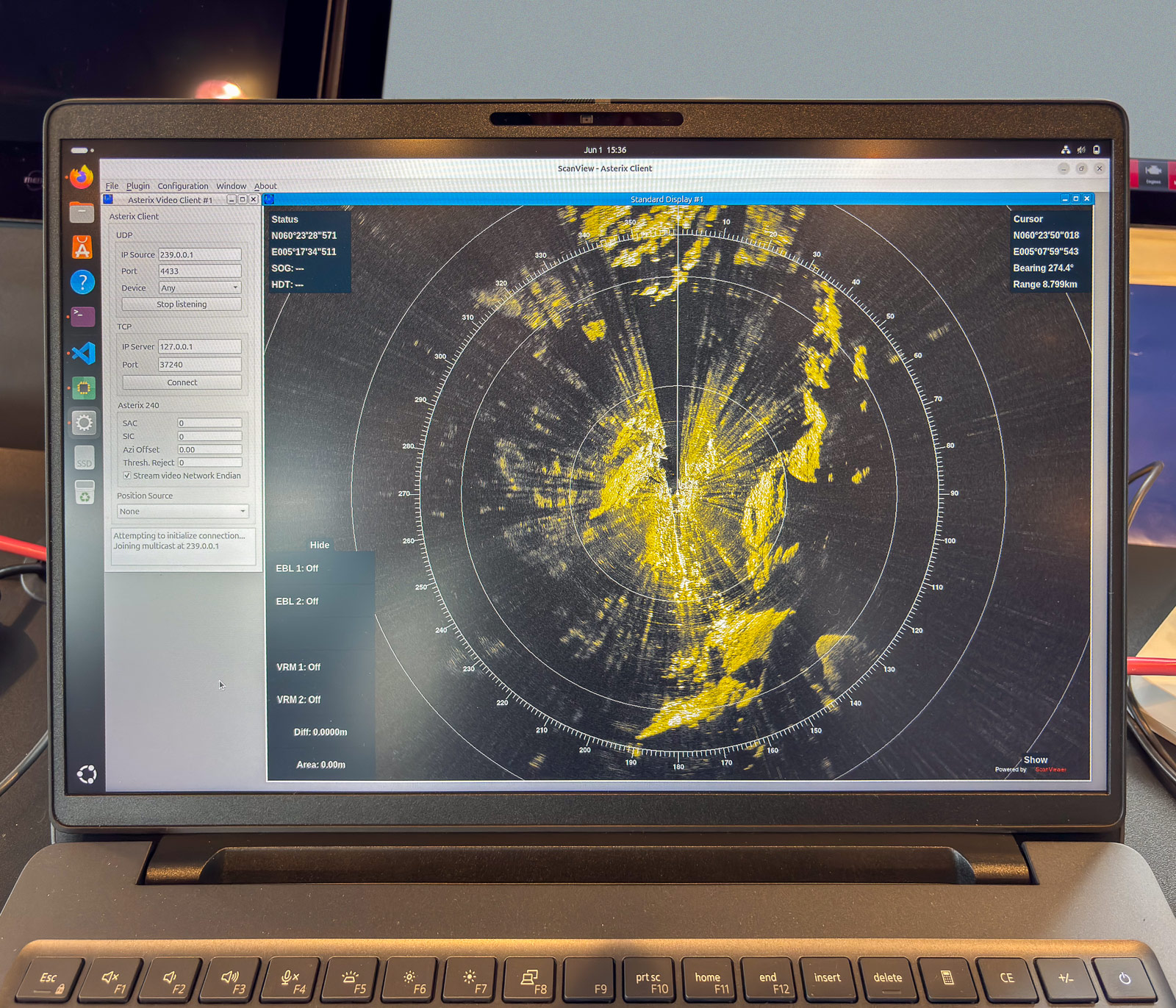
I will work with a software project and I want to join the sea ice team. The ice situation however is doubtful. Last year there was so much ice, that navigation was a real issue, not its the absence of ice that can lead to problems for the ice people. But as on each cruise – let’s wait and see.

Anyhow I’m lucky and happy to be on tokt – on cruise – again!

I decided not to blog regularly while being on the cruise. There is just too much going on and too much work to do. Anyhow I may show some photos in a few days. Let’s wait and see.

Visiting the Polarstern

Two days ago the German research icebreaker Polarstern has arrived in Tromsø after a three and a half week cruise in the Fram Strait between Greenland and Svalbard. Today I met the data manager of the Polarstern to learn more about how data is handled on board. Well – I’m deeply impressed! This however is a private blog and no place to talk data.

However I was lucky that the data manager had time to give me a guided tour through the ship. Beside things of professional interest I got to see the mess, the helicopter hangar, a bunk, the operating room, some of the labs, the recreation area with a small swimming pool and much, much more. I took some snapshots that I am allowed to share.

Tomorrow the scientists will arrive and then the next cruise PS144 starts. It is a nine week cruise to the Arctic Ocean crossing the North Pole. (Sounds tempting!)

Today I left the ship after two hours but I’m lucky. On Sunday I will fly to Longyearbyen and next Tuesday I’ll go on board the Norwegian icebreaker Kronprins Haakon to join the two week Fram Strait cruise of the Norwegian Polar Institute. It will be my third cruise and I’m happy and grateful that I’ve got this opportunity.

Today’s thanks go to the data manager – for your time, your explanations and for the “private guided tour”. Vielen Dank!

Lab work

Today I put my computer job at the Norwegian Polar Institute aside for some hours to become a lab worker. Why? What happened?

On scientific cruises, such as with the icebreaker Kronprins Haakon a lot of water samples are taken from different places and depths. This water is then analysed in many ways. One of the main properties of seawater is the salinity. To measure this, a salinometer is used. Some of the lab work is already done on board, some later in the lab.

Yesterday I joined a meeting where I learned about how to use a salinometer and I measured the salinity of my very first two bottles ever. Today I had the opportunity to analyse twenty more bottles – first with the help of an oceanographer, than by myself. This was my workplace:

Every measurement of the salinometer involves a lot of cleaning with tissues and flushing the system to assure that no salt crystals at the bottle or water from the previous bottle distort the result. First I had to ask everything twice, then after a while I got used to the process. It is a bit like practising an instrument:  Practising means repeating what is right.

Sometimes data is stored automatically, sometimes you use paper and pencil. Here it was the latter:

Later I will add my name in the “Analyst” field. Pretty much later. It took me two hours twenty minutes to analyse twenty bottles plus two bottles with “IAPSO standard seawater” as a reference. It takes P., another oceanographer 40 minutes for 24 bottles. Well, dear students: how much slower was I?

It was very interesting to get insights into another puzzle piece about where scientific data comes from, how it is measured and how it is processed. And so this was really part of my job as a data manager.

P.S.: I removed the bottle numbers from the photo of the data with Photoshop. I just wanted to be 100% sure not to publish any data that is not ready for publication yet. Without the bottle number there is no change to know the position, the time, the depth and then the numbers do not mean anything.

The fourth ice station – orthophoto and ice coring

This article is part of the series “2023-06: Arctic Ocean cruise KPH”.

It’s Monday, 19 June 13:35 and I just started writing this blog article. For two days the weather has been very foggy and on the 5th ice station (st11) only part of the research could be done due to the bad visibility. While I am writing, we have arrived at our next station (st13) and started to lower the CTD in the moon pool that is in the ship. We are 180 metres west from the prime meridian, that goes through Greenwich. But back to four days ago in times were there was no fog at all …

We are at our 4th ice station with the number st9 and the weather looks ideal for drone flying. Soon after breakfast I’m ready to go on the ice but first the ship has to be anchored to the ice floe. Then the polar bear guard enters the ice and after that we do. As usual most of us leave the helmets by the ship. They are mandatory on deck 3 because of the winches but on the ice we don’t need them.

Drone flying goes well. I even have time and battery to get another try, just to be sure. I corrected exposure, exported 94 images and let them be stitched together to get an aerial “orthophoto” of the area. I added some comments on the image:

After that I have time to stay a bit on the ice. Everything goes well, no one needs my help so I take some photos of Cora doing an ice core. With 110 cm the ice is thicker than the ice corer’s length, therefore the core does not come up in the corer. However Cora just grabs it with her fingers and pulls it up.

Later on the day I play with my private drone on the helicopter deck. One thing is to take aerials from above, another one is to chase ice flows. I am quite nervous because now I look onto the drone from above and it’s hard to tell how close it is to the water. I want to keep my drone and so I keep distance but I get a photo from my favourite ice floe.

At 20:00 I go out onto the ice again, this time to help the oceanographers with the MSS and SUNA. It is really nice that another researcher and I are allowed to help because without us they probably would be faster. Everything takes a little bit the first time. The oceanographers made it clear: You are here to do things and not to take photos. And so this “trip” was very special to me: I didn’t take a single photo! Unbelievable, isn’t it?

Back to the present: The winch with the CTD is still going done, now at a depth of 1800 metres. The bottom depth is shown as 2587 m, so there is a bit to go. The vertical velocity is 1 m/s, so we have almost another hour until the CTD is up again.


Polar bear in the morning

This article is part of the series “2023-06: Arctic Ocean cruise KPH”.

One hour ago my telephone rang. 5:32. I picked up the phone. “Polar bear at the port side” I was told. I put on some overclothes over my pyjamas took the photo backpack and the big lens and walked outside. And there it was: I big polar bear quite near the ship. It had already circled the stern of the ship and was now starboard side.

It sniffed curiously around and was interested in all these smells the ropes emitted. And unfortunately is was quite interesting in the air sampling station as well. I hope that all the cables survived.

When it didn’t find anything of interest it slowly walked away into the fog that had started coming up.

The third ice station – MSS and SUNA

This article is part of the series “2023-06: Arctic Ocean cruise KPH”.

It is 13 June. Kronprins Haakon has approached 6.5° W in the Fram Strait and today we’ll start our 3rd ice station.

The weather seems to be better in the morning so I go out to fly the drone after breakfast. But this time I do not manage to get enough photos for the aerial orthophoto that is supposed to show the whole ice station.

It is probably a combination of wind and drift. The drone uses GPS to keep its position. The ice floe doesn’t. It drifts in the wind and so the drone seems to be drawn off-course all the time. We may have a drift of 0.6 knots, that’s almost 20 metres per minute.

At the same time it is windy in 80 metres height. This exhausts the batteries pretty fast and finally I have to cancel the flight operation. No orthophoto today. Sorry.

Just some non-drone photos from the morning.

In the afternoon I have the opportunity to join Anna and Julie from the oceanography team. Part of their work is done from the ship and part from the ice. Now they will put two instruments into the water: An MSS measuring turbulences and a SUNA measuring nitrates, one of the main nutrients in the sea. Both instruments also act as CTDs and measure conductivity, temperature and depth. I won’t go into detail because I’m not a scientist and this is not a science blog. I only want to mention that conductivity is used to calculate the salinity. By temperature and salinity you can learn whether the water is Arctic or Atlantic. (Is this correct, oceanographers?)

MSS

The first thing was to get ready the MSS. It needs some preparation to first connect battery, converter, power adapter, computer and the MSS and then start the software. Some of the connections are quite fragile. The MSS is connected to the computer and sends continuous data that is shown on the display. When it is put into the water, a recording is started. Then the MSS is supposed to fall freely. Therefore there has to be an amount of extra cable in the water but not so much that it would get tangled. The cable is more than 200 metres long and the recording is manually stopped when the depth has become constant. Now it’s exercise time: Bring up the instrument again. The MSS is still sending data but it is only used to know when to slow down with winching up the instrument.

Normally a series of three casts is done in a row. That helps to find and correct faulty measurements.

SUNA

The SUNA is much easier to power on and to deploy. I’ll help Julie a bit with preparation, then I put the instrument into the water. 50 metres down – nice and evenly – and then 50 metres up again. The instrument is surprisingly heavy even under water. So I’m learning a lot about scientific measurements and get a bit of workout as well today.

While I pull up the SUNA I get informed by other scientists how expensive this instrument is and that there probably is no insurance. Thank you for that ;-)

It happens quite often, that scientists do measurements not for themselves, but for colleagues. So it is the case with the SUNA. The data is collected here and now but then send to other scientists that will process the data later.

Other measurements

On this ice station we have the luxury to work by the open water and do not have to cut a hole into ice which is more than one metre thick. Soon we get neighbours: other scientists getting samples and measurements. As usual all guarded by a polar bear guard that carries a flare gun to scare off polar bears and a rifle. Today it is Harald, our cruise leader.

An unexpected encounter

Julie and Anna have started another series of MSS casts. Dima and Cora are passing by, doing another transect. Rupert is their polar bear guard. After a while I look into their direction and see the four figures of the transect team near an ice ridge. Three are clad in the usual colourful overalls, one figure – further to the right – is white. Why? Is it a piece of ice? No, it is a polar bear standing on its back legs. All these observations and thoughts of mine probably just took a second.

I directly call Harald: “Polar bear, over there”, pointing in the direction. The bear is on all fours again and hidden between the ridge ice. Harald takes the VHF to inform everyone. So Rupert, the polar bear guard of the team that is nearest to the bear gets the information as well.

Dima and team turn around and come to our place. The bridge has spotted the polar bear soon after I did and now we hear in the VHF, that the polar bear is moving away. Perfect! We stay alert for a while, then research is continued.

I however follow Dima to the ship. When the polar bear should decide to come back it’s one person less on the ice.

Usually it is one of the three bridge watches who spots a polar bear. Then the VHF will be used to inform everyone about:

  • in which direction is the bear (1 to 12 o’clock)
  • how far is it away
  • what is it doing (standing, going away, heading to the ship …)

We will never know, why the polar bear was not spotted earlier. One guess is that it had slept all the time well hidden from view. When Dima came nearer with the Magnaprobe, the “beep” of the instrument may have woken up the bear. But it’s still just a guess.

Later at the daily 6 o’clock meeting we talk about this encounter. Harald shows a sketch that he has drawn on the digital whiteboard.

Personally I felt save all the time because there were two experienced and fully equipped polar bear guards nearby. I think however that my communication to Harald although fast could have been more precise. Well, I’m still learning …

This was an interesting day on the ice. I’m only a bit sulky because I didn’t manage to get the drone photos I wanted to.