More ice stations and back to the open water

This article is part of the series “2026-10: Fram Strait cruise KPH”.

22 October

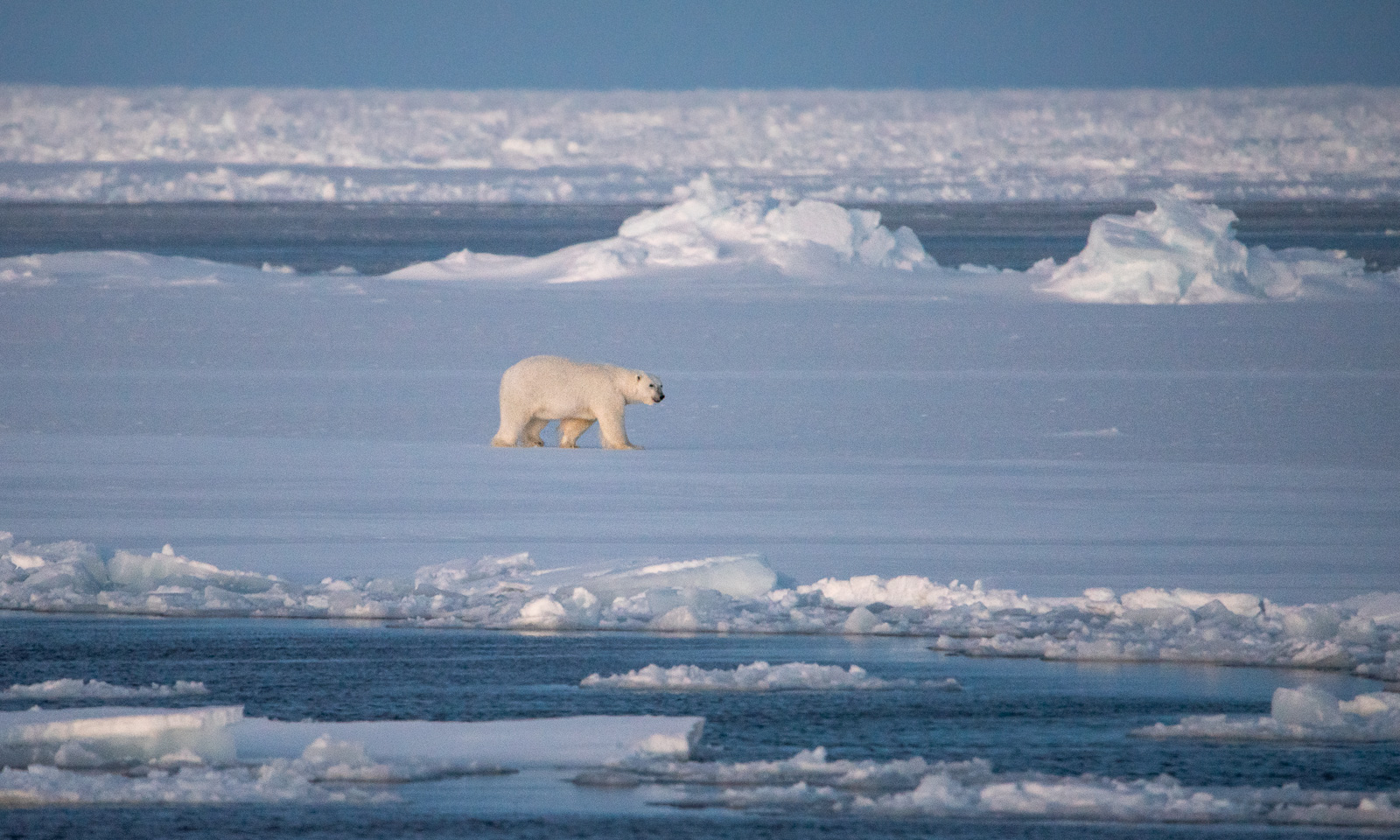
After a day with drizzle and bad visibility, there is another ice station, starting around 78° 50′ N, 6° 15′ W. The first part is interrupted soon, because a polar bear shows up, forcing the sea ice team to go back on board and wait until this specimen of Ursus Maritimus has walked away far enough for the team to go back onto the ice.
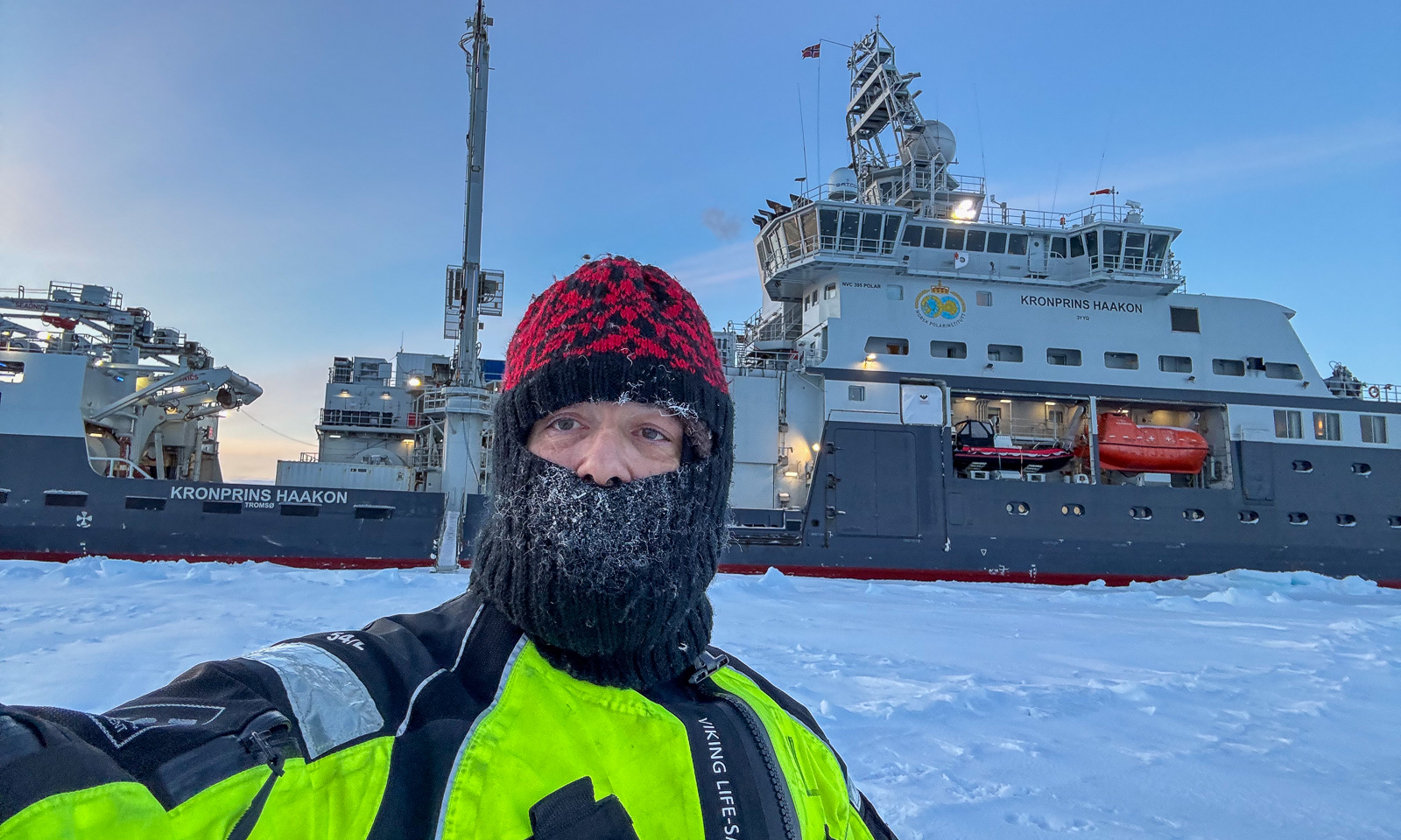
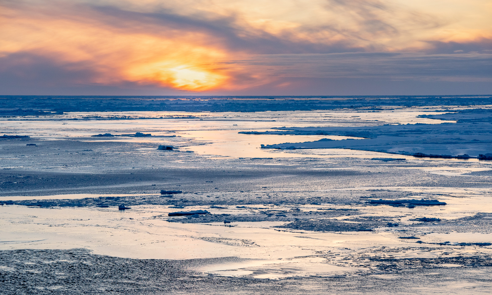
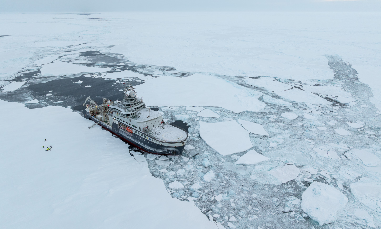
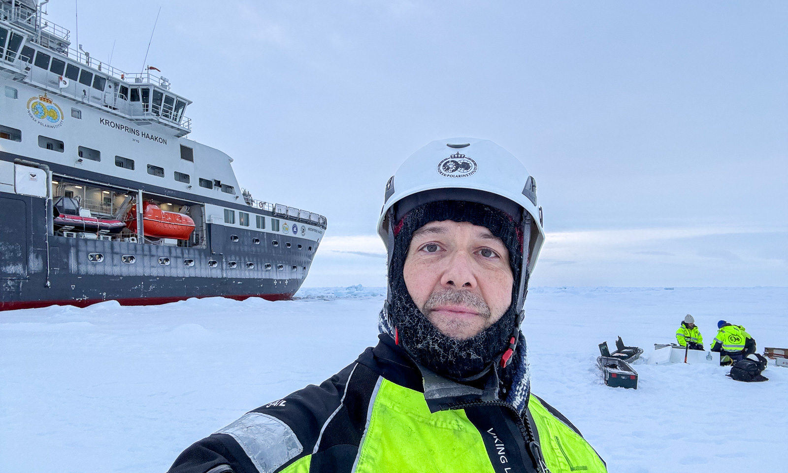
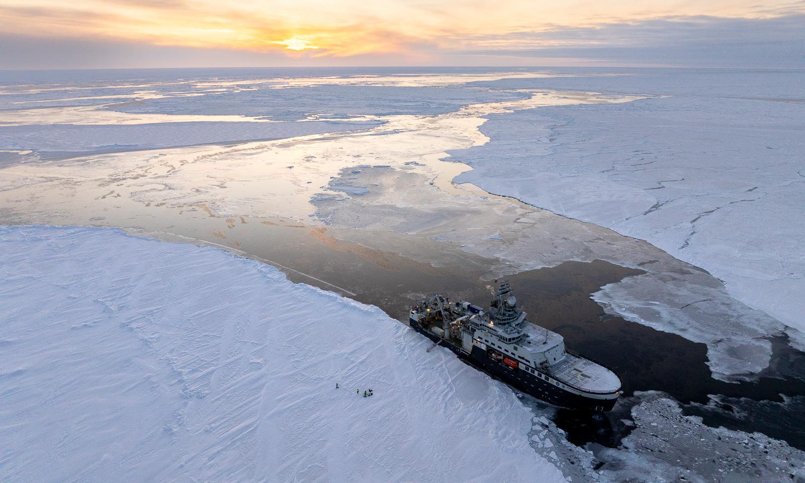
After lunch I can go onto the ice for another drone flight. It is this flight that will teach me something about drone flying on the ice. It is cold, but everything goes fine. After flying I take a selfie and go back on board the icebreaker Kronprins Haakon. I enjoy the sun and take some photos from the helicopter deck.
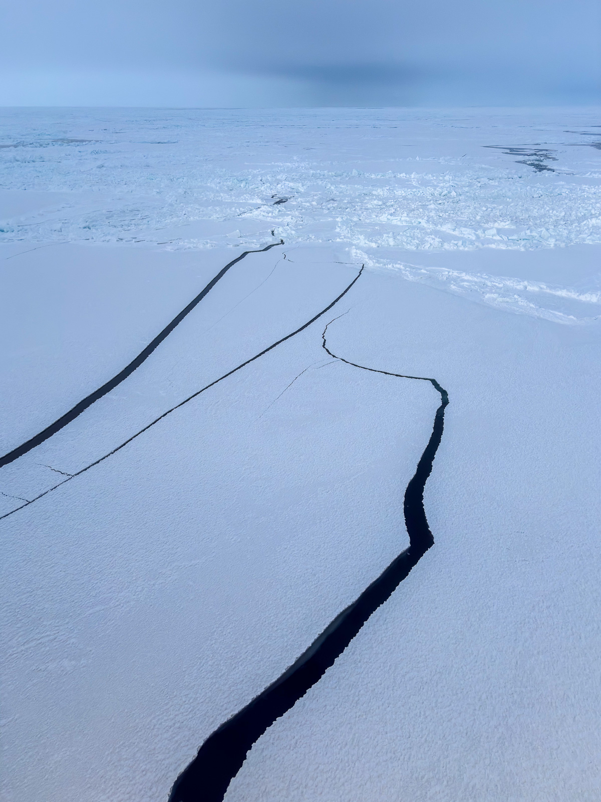
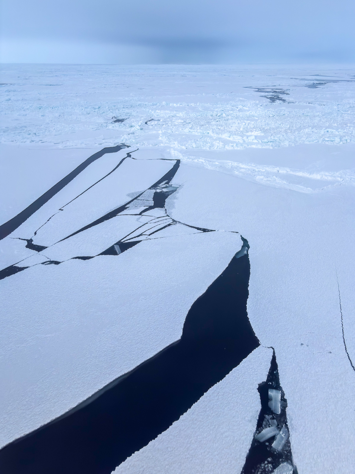
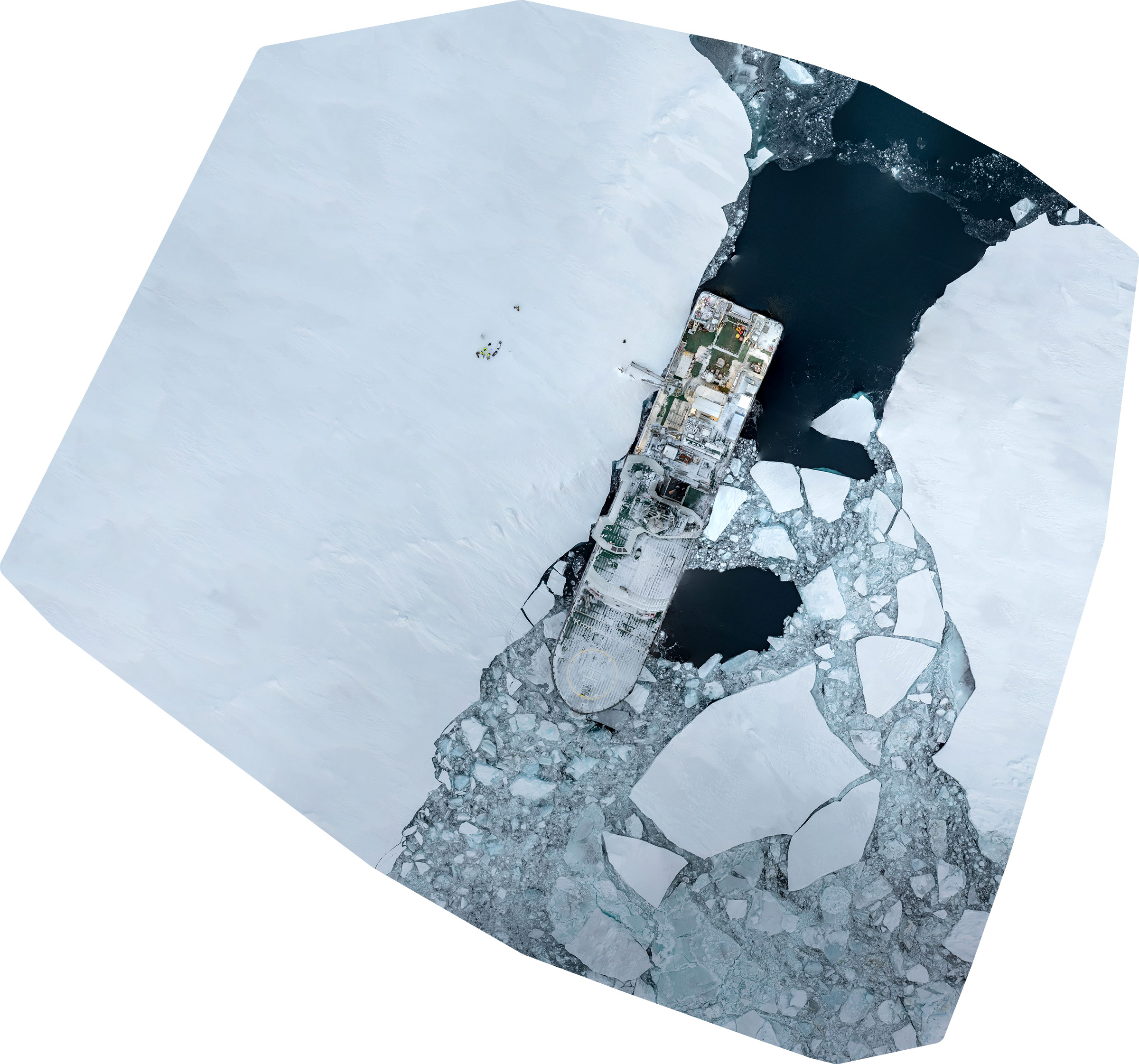
When I get the first result of the orthomosaic – stitched together from more than 200 photos – I experience a surprise. The photo is – well – chaos. Perhaps because I added a wrong image? But the second and third attempts are not better.
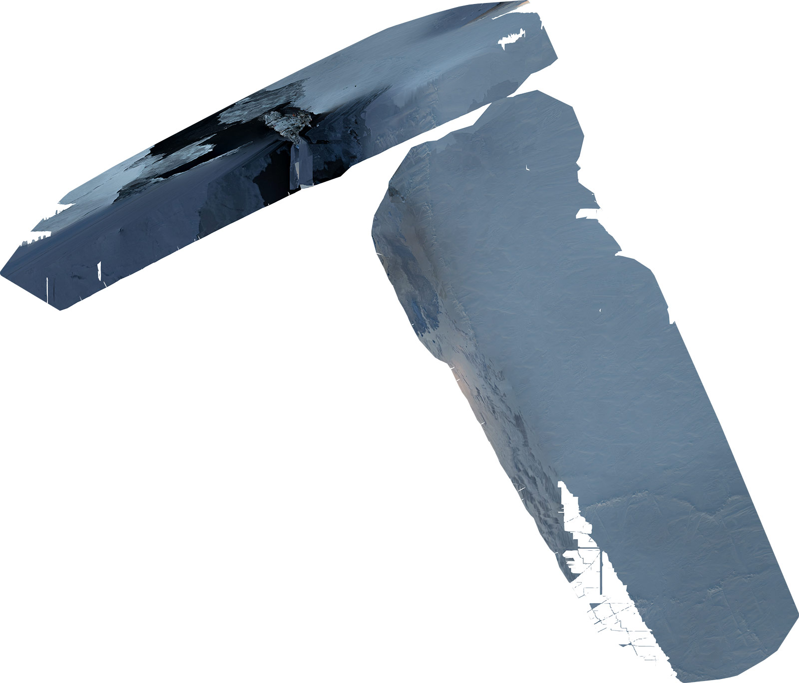
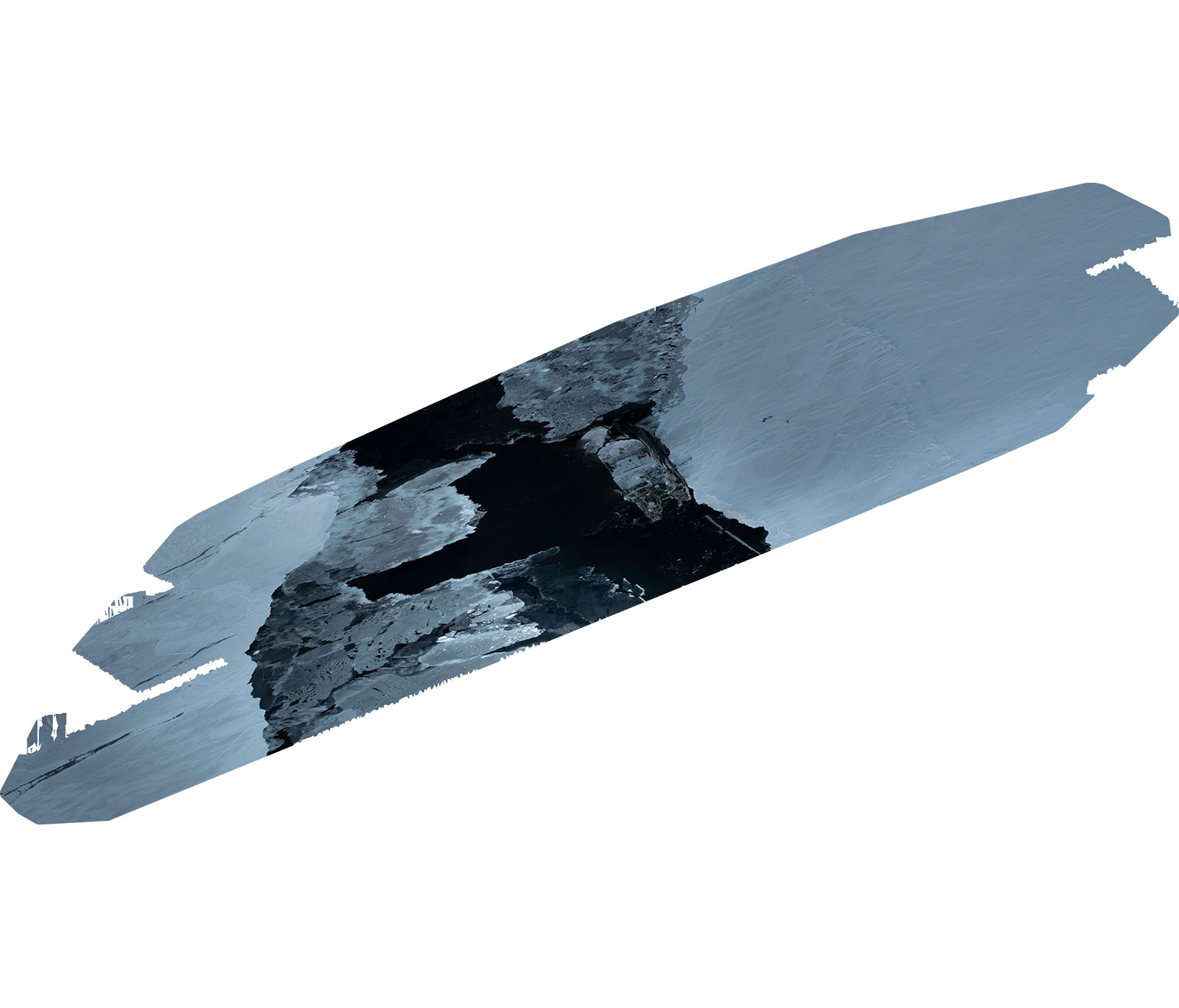
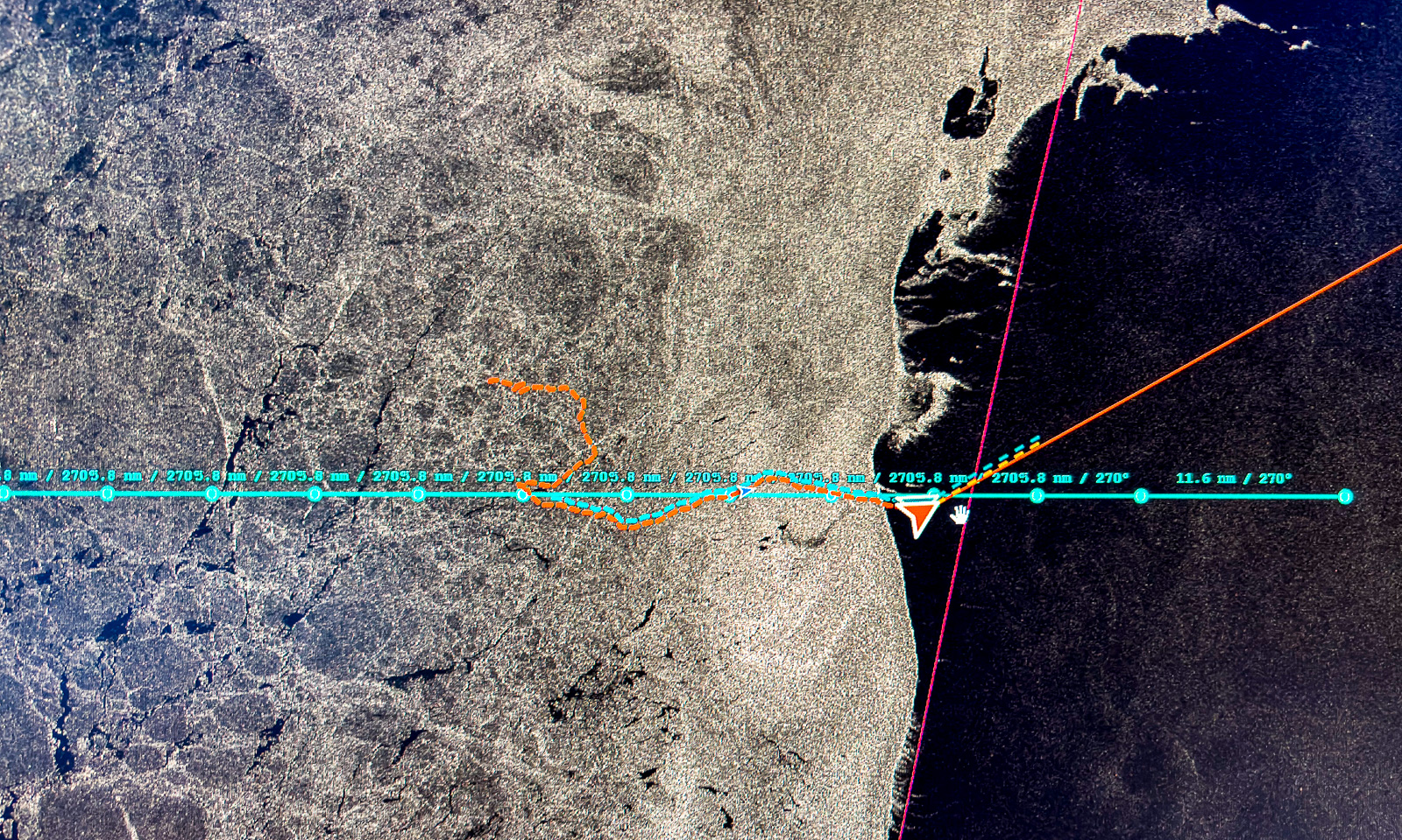
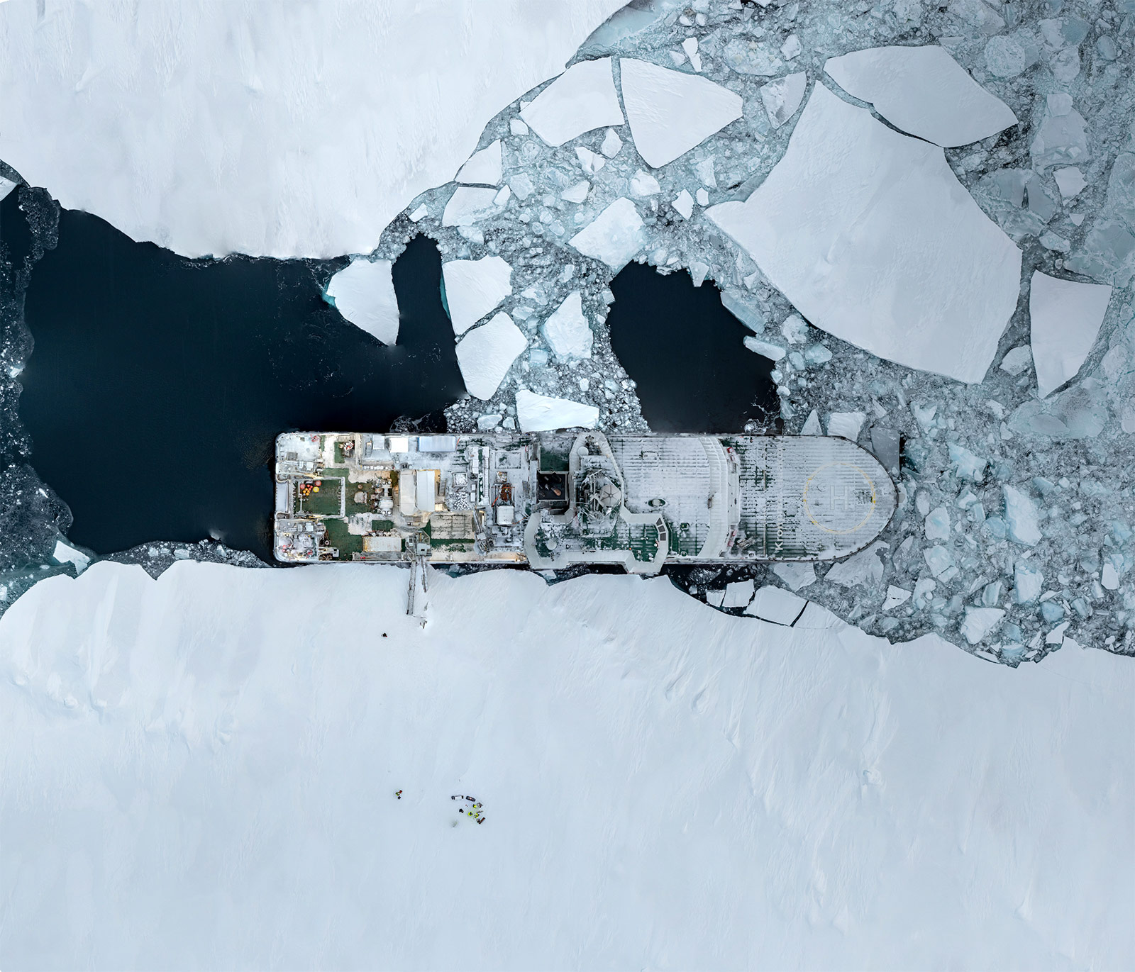
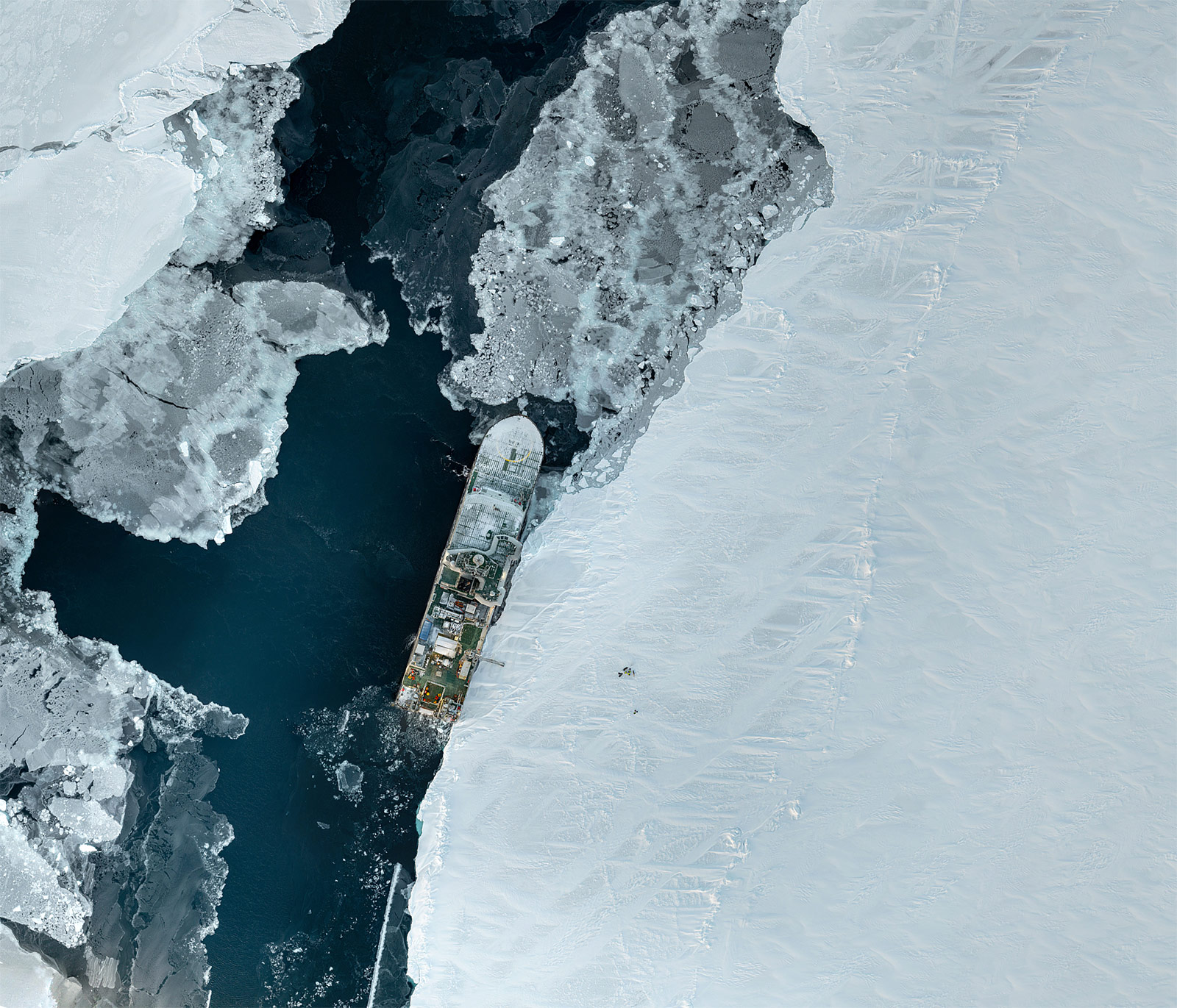
Was it the GPS? Other sensors? What happened? To make it short: It was the drift of the sea ice. It was 0.4 knots this day, which does not sound extreme. Nevertheless, it is a drift of about 12 metres per minute and that adds up, when drone flying takes half an hour. Over the next two days I use some of my time to write a script to compensate for the drift by reading the position of the ship (which drifts together with the ice). And with this drift compensation, the orthomosaic creation finally works well:
23 October

Another day with an ice station. The ice team has it tough today with temperatures around -17 °C and a wind speed of more than 10 m/s. At the same time, it gets darker each day. Yesterday there were around three hours of daylight; today it is less than two and a half. Tomorrow it will be eighty minutes and then there will be polar night for almost four months.
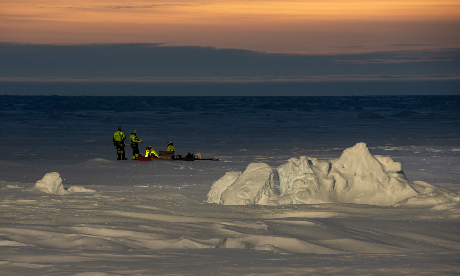
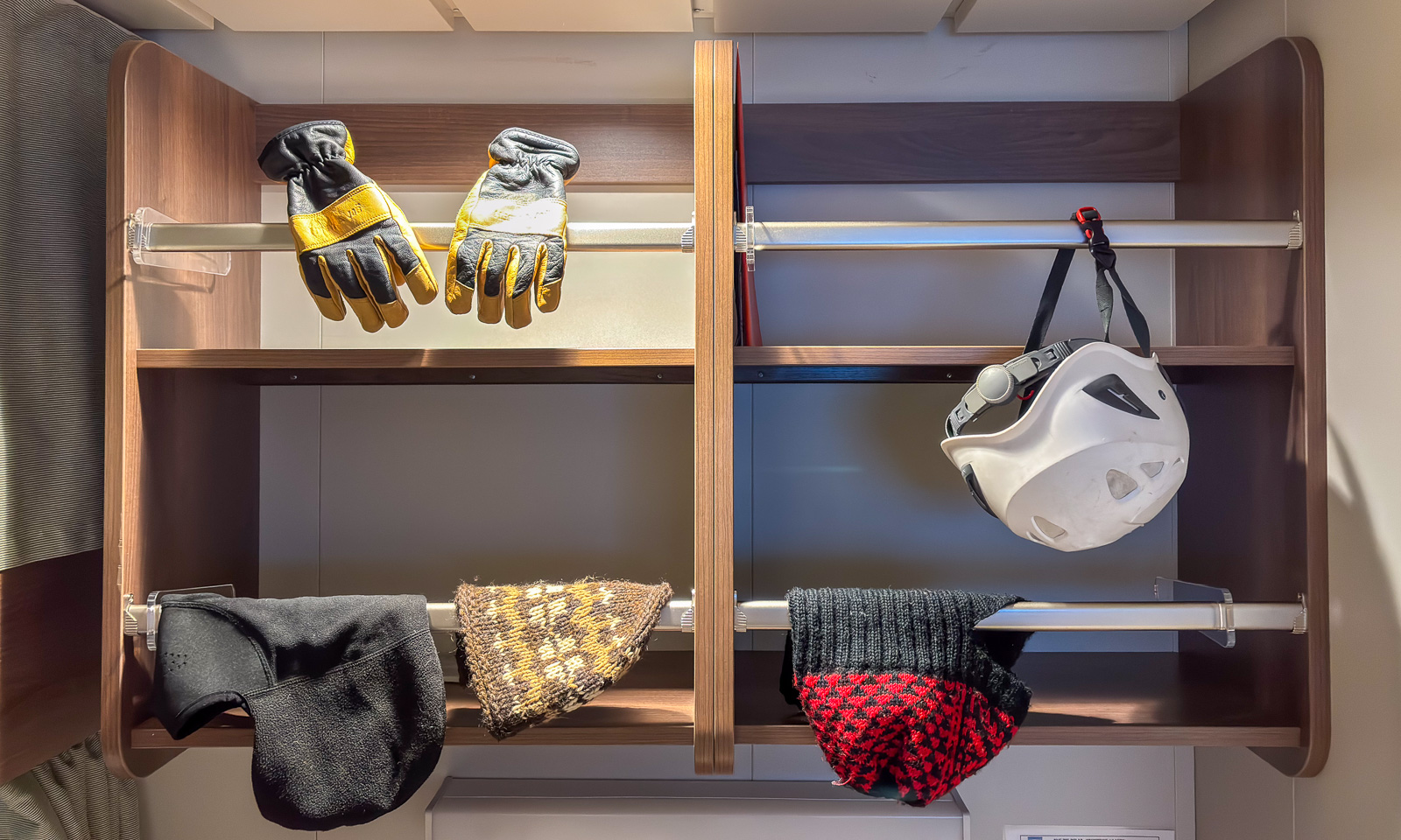
In the afternoon I take another drone flight from the ice. Brrr! That’s cold. The second photo shows my caps and balaclavas drying – I wore them all, one above the other.
24 October

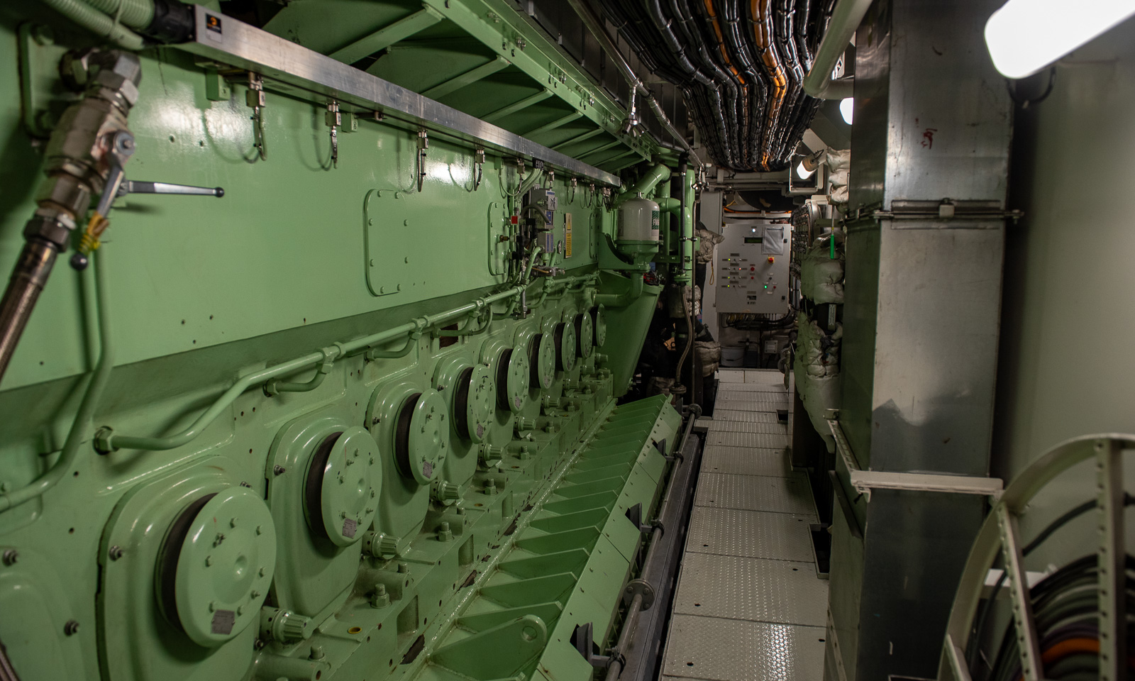
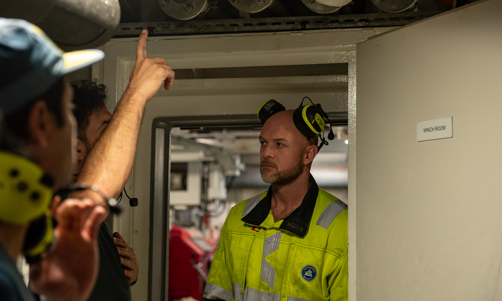
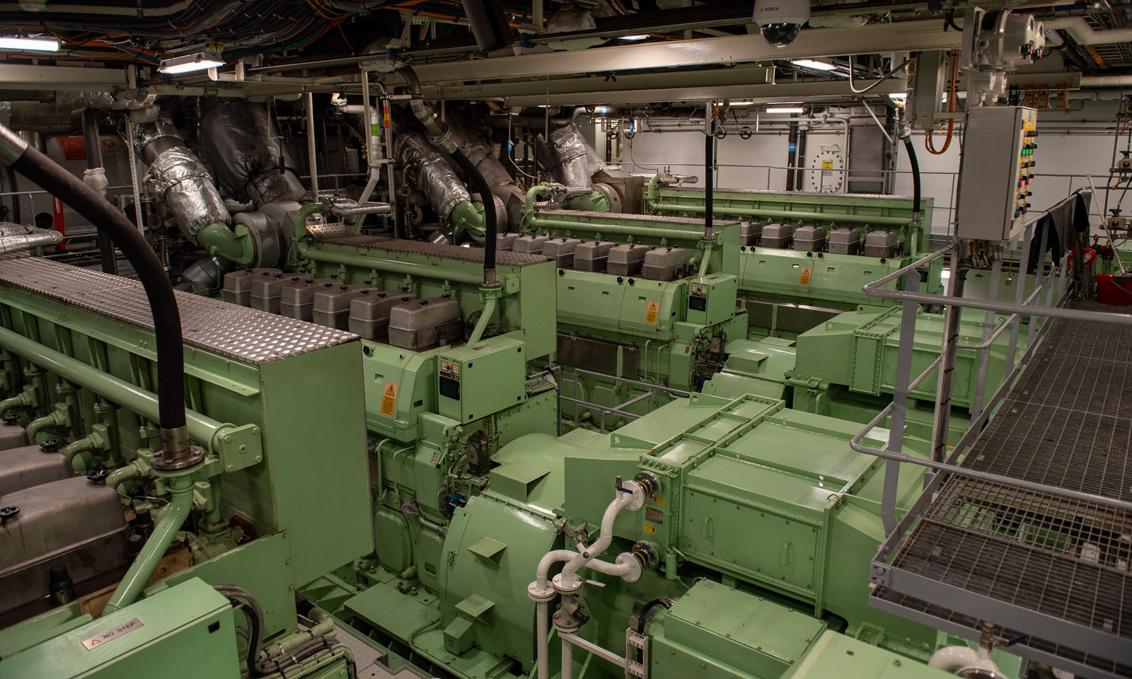
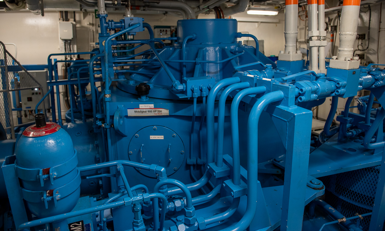
For all those interested, we got a tour through the machinery spaces by maskinsjef B. I have a deep respect for the crew members working with these complex systems and who know so much about every technical facet of this icebreaker. I do not even try to tell you anything about it because I do not have the slightest clue about any of these components. Thanks for the great tour, B.!
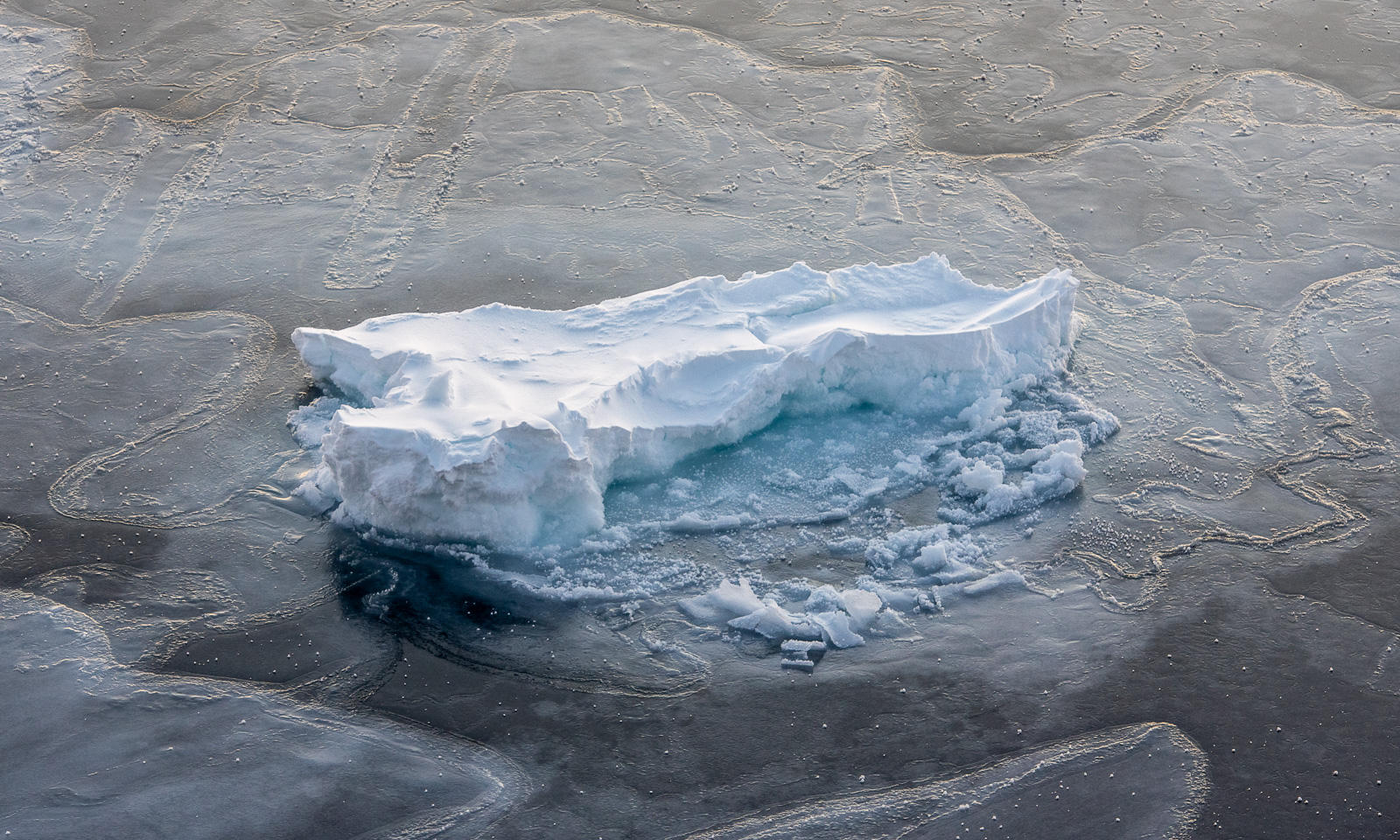
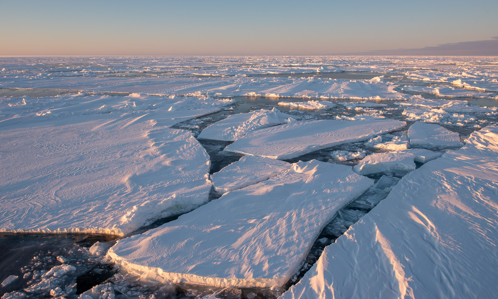
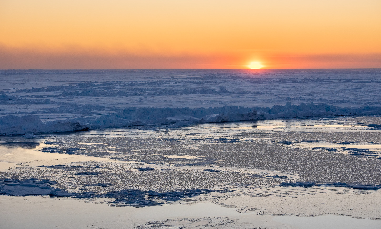
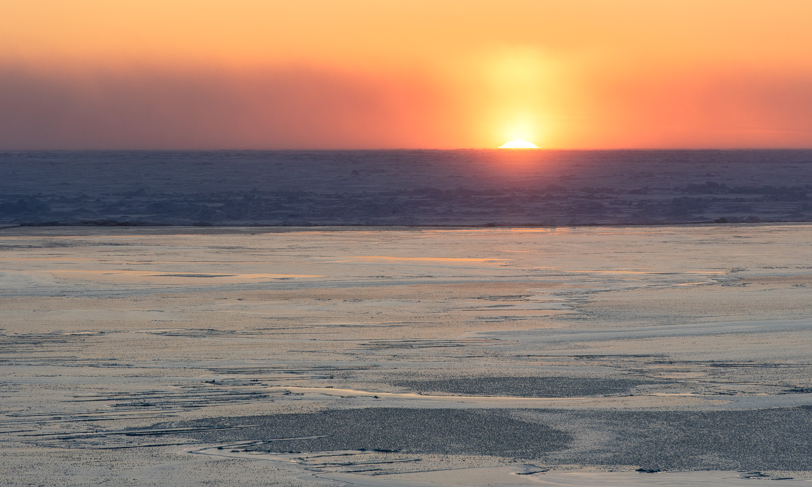
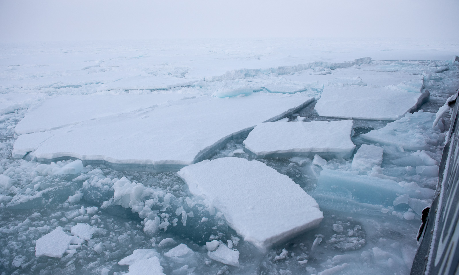
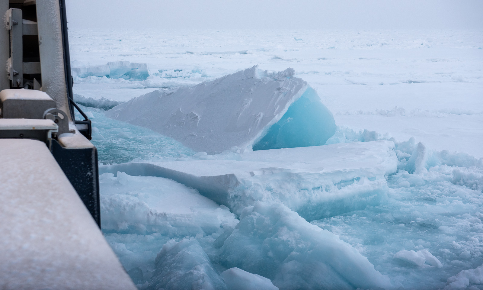
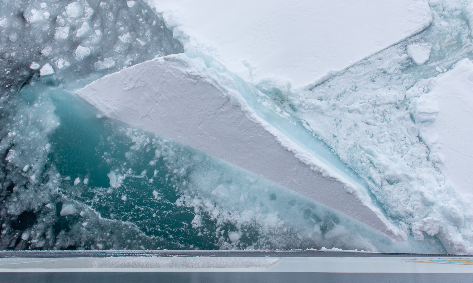
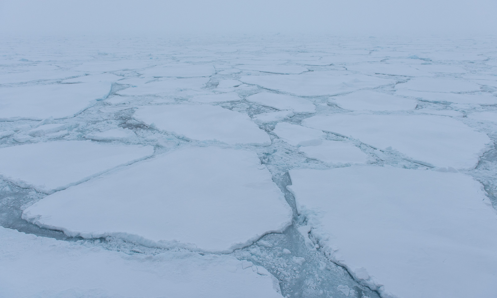
At 3 o’clock in the afternoon, something strange happens – we are leaving the ice behind. The boundary between the marginal ice zone and the open water is like being cut with a knife. When I am on deck, it is already too late to see this cut. We have been in the sea ice for more than a week and I have grown accustomed (and fond) to it.
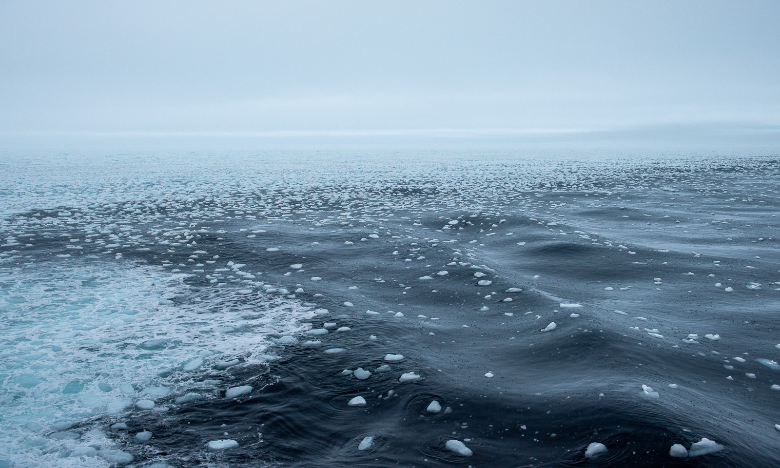
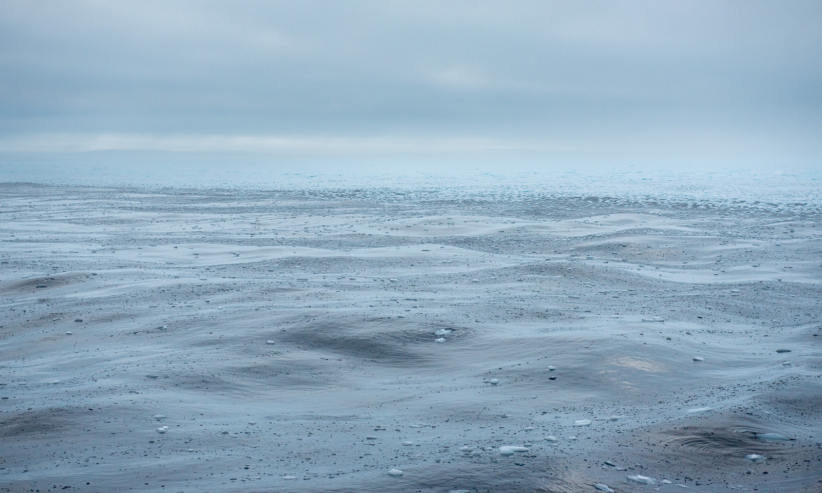
But it’s not for long; we return into the ice only hours later.

25 October

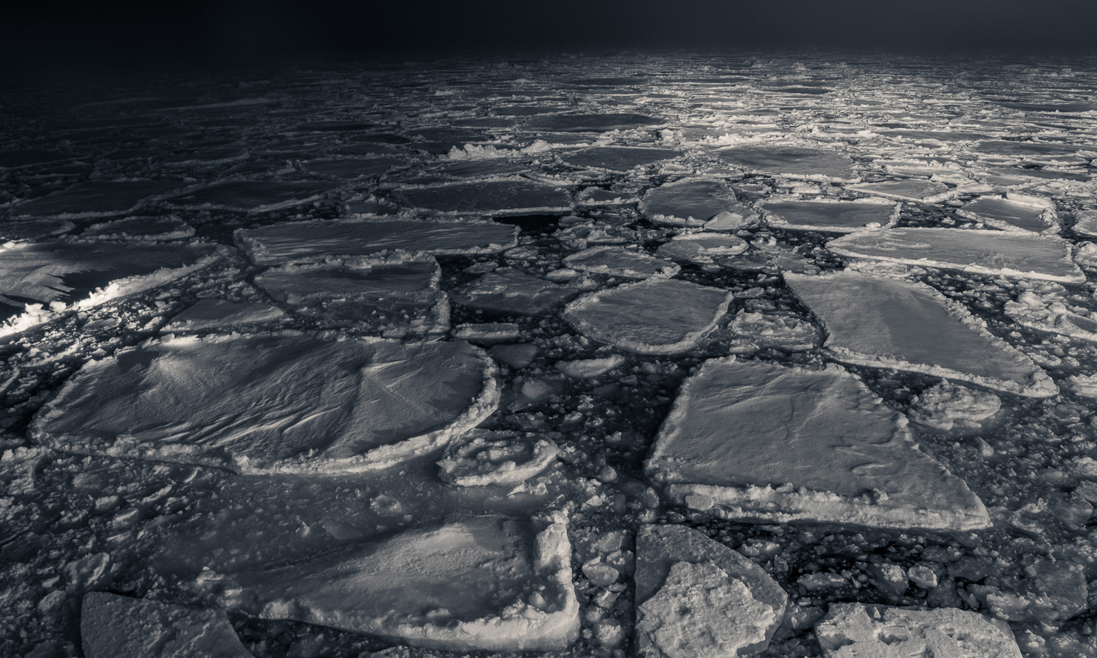
Some shots taken in the evening.
26 October (today)

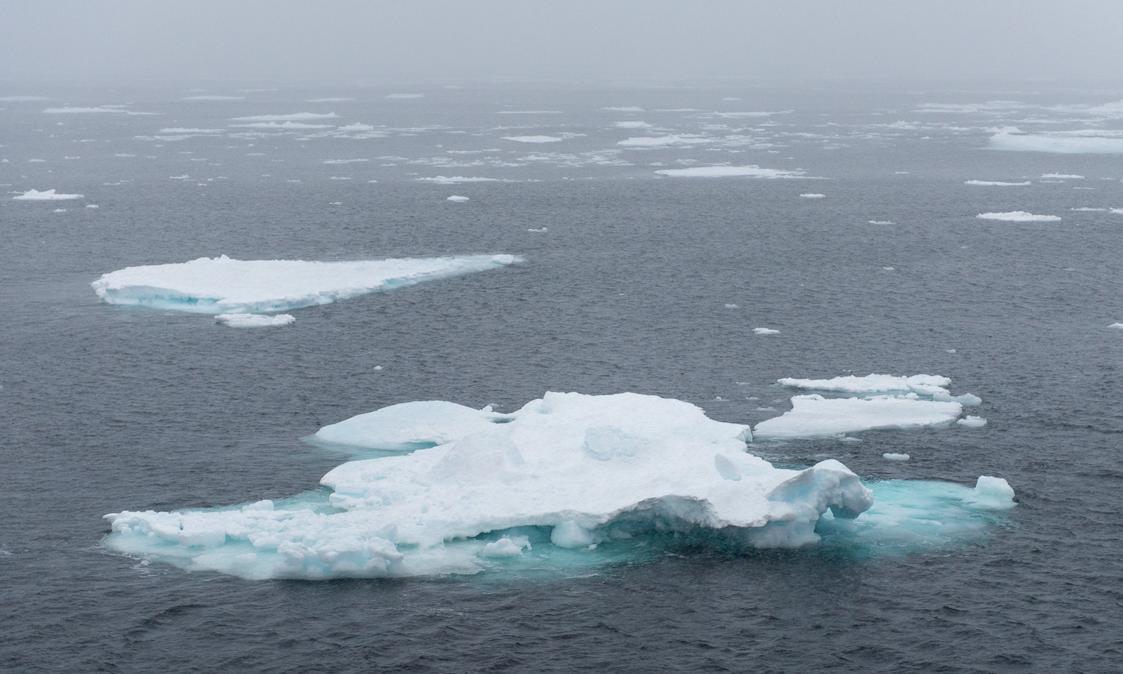
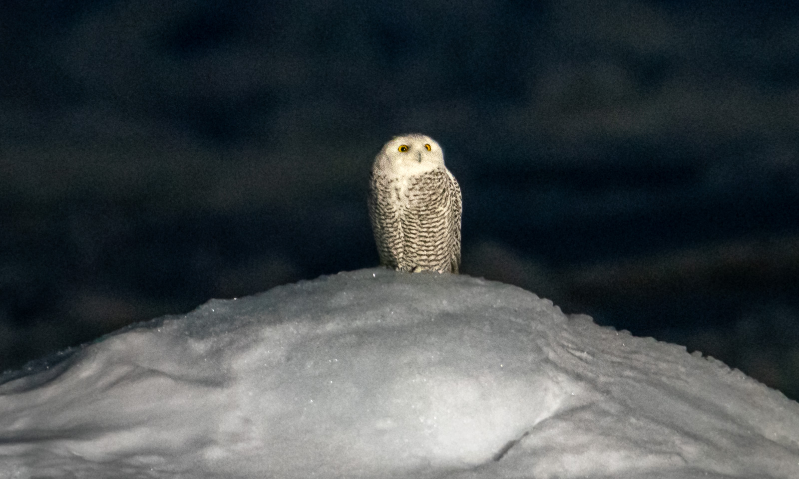
Today we have the last ice station. It is pretty dark, the visibility is far from brilliant and it is drizzling. I get a message from A., who has discovered a rare guest in this region – a snowy owl sitting on an ice floe nearby. This is the best shot I get of it from deck 3.
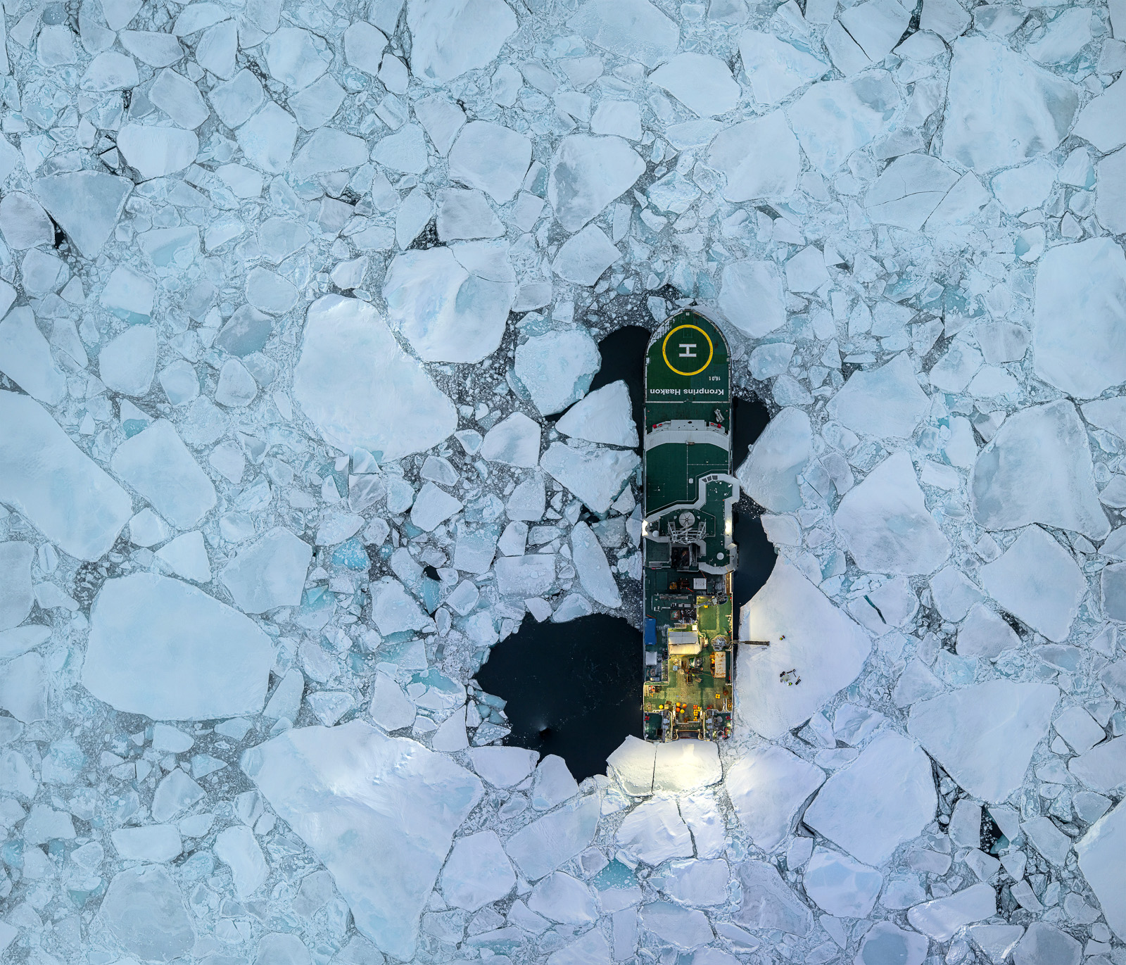
To my delight it clears up after a while and the drizzle has stopped. My last chance to go out on the ice again to take a series of drone photos for the sixth orthomosaic of this cruise. Despite the damp weather, the results turn out to be surprisingly good. (And yes – I used drift compensation again, because here we had a drift of 0.6 knots, which is 30 cm a second.)
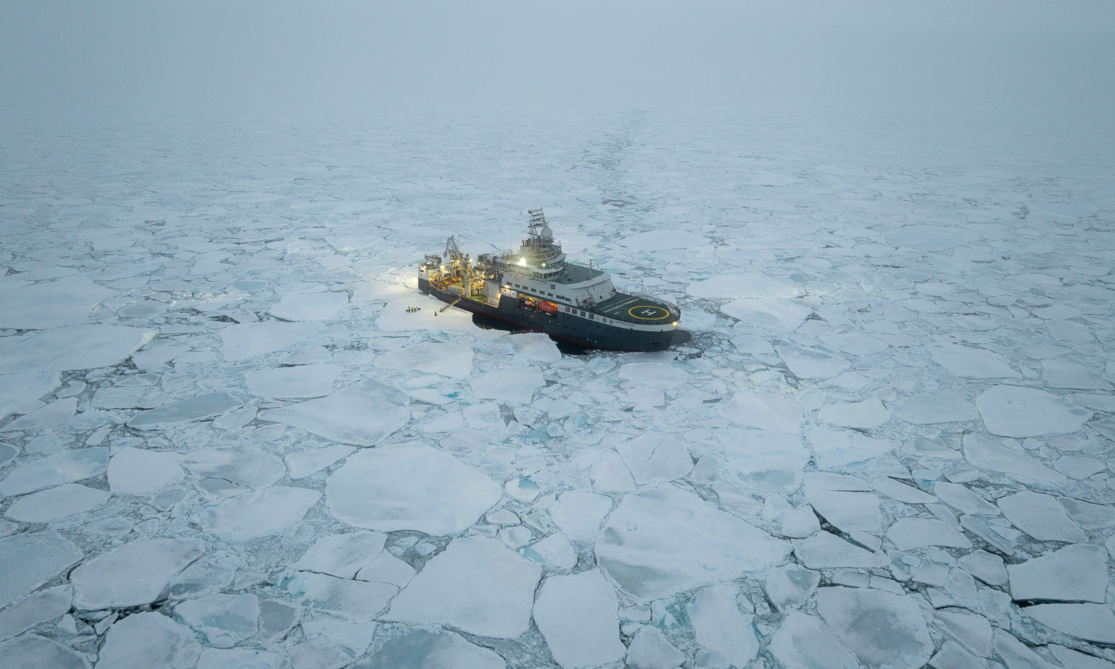
In the afternoon, while I am playing table tennis with two researchers, we leave the ice again, this time for good. The rest of this week we will spend in open water (it’s fun to play table tennis in a ship that is slightly rolling) and continue with one of the main fields of this cruise that I haven’t mentioned yet: conducting CTD casts to measure Conductivity (and so salinity) and Temperature at different Depths. The oceanographers have already conducted 49 CTDs over the last two weeks and there will be many more. But that’s another story to tell.
 

A mooring, ice stations and the sun

This article is part of the series “2026-10: Fram Strait cruise KPH”.

16 October

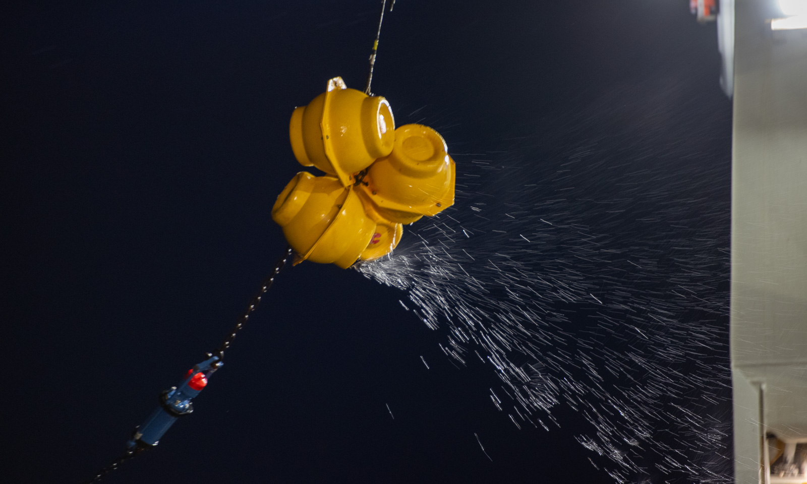
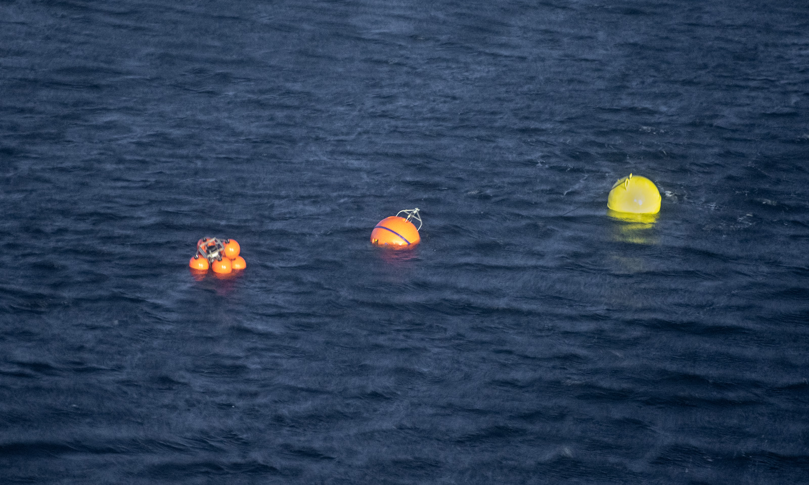
The polar bear is gone. The dinner has been eaten. Now it is time to recover F12, another mooring which is underwater and has measured a variety of values for 14 months. The ship’s echo sounder has already located it, so it has “only” to be released from the ground. There is only one issue – there is a lot of ice and to recover the mooring, open water is needed. The helmsman has already circled the icebreaker several times to create an ice-free area. When the mooring is finally released, the air-filled buoy pops up in the water, just two metres away from the searchlight. Chapeau! I mentioned in the last article the joint effort that is needed to get such a mooring with more than 1800 metres of Kevlar cable equipped with instruments from the sea onto the ship.

17 October

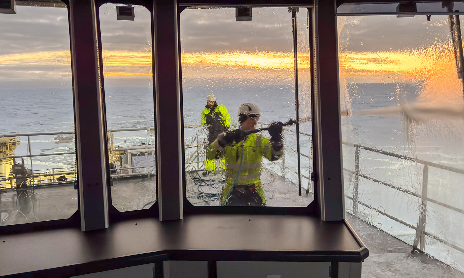
When there is ice, it’s an opportunity for an ice station. Again, this is teamwork. Besides the scientists on the ice, you need a polar bear guard with a rifle on the ice and three bridge watches on the bridge on deck 8 that are constantly observing the surroundings for polar bears, cracks in the ice, fog coming up, and other potential dangers. I handle the communication between the bridge and the team on the ice, and luckily nothing happens. The only thing I have to do is to keep track of the people who are on the ice.

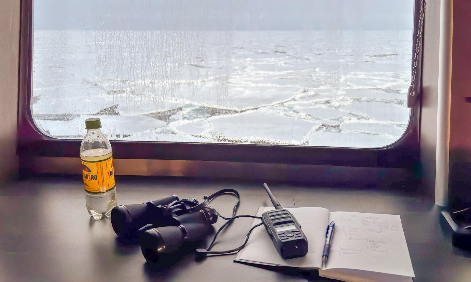
There are my things: A bottle of water, my own binoculars (I have had them for more than 40 years), a VHF radio for communication and a notebook with a ballpen for taking notes.

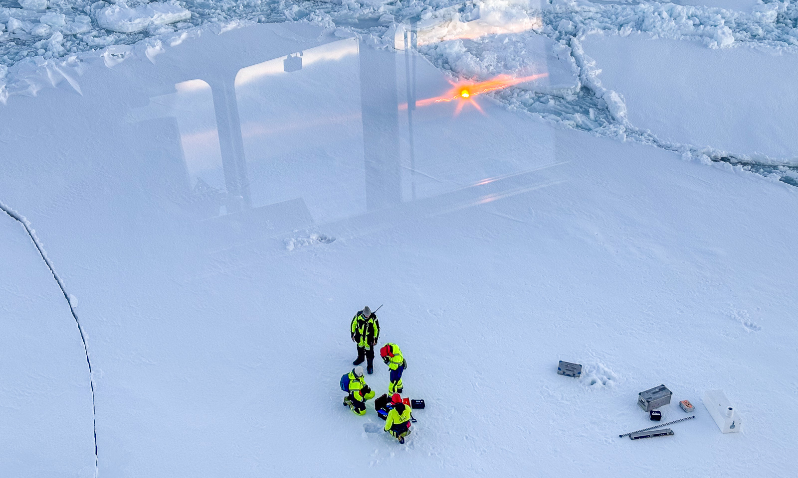
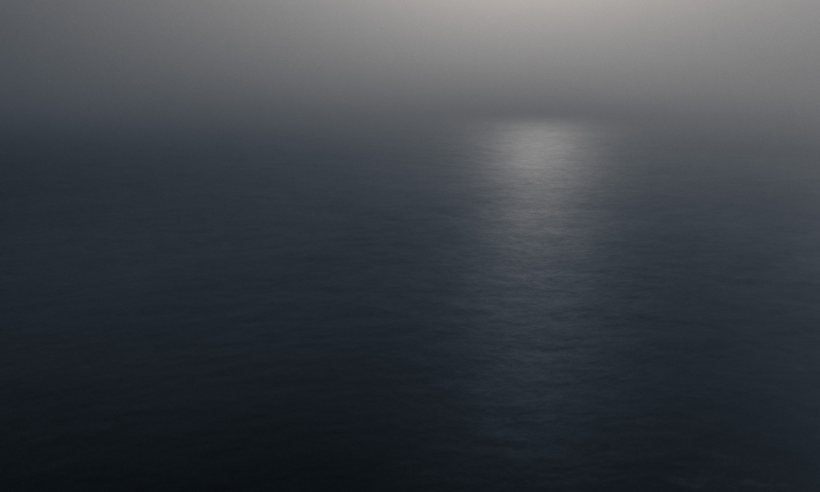
I haven’t seen the sun for days, but now, while I am taking the second shift, the sun is rising from a low layer of clouds on the horizon. I can see its reflections in the windows on the other side of the bridge while the ice team works in the ship’s shadow.

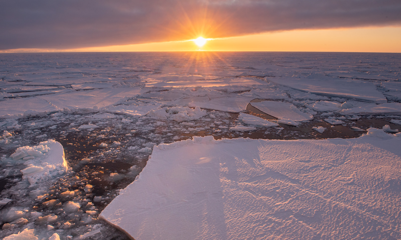
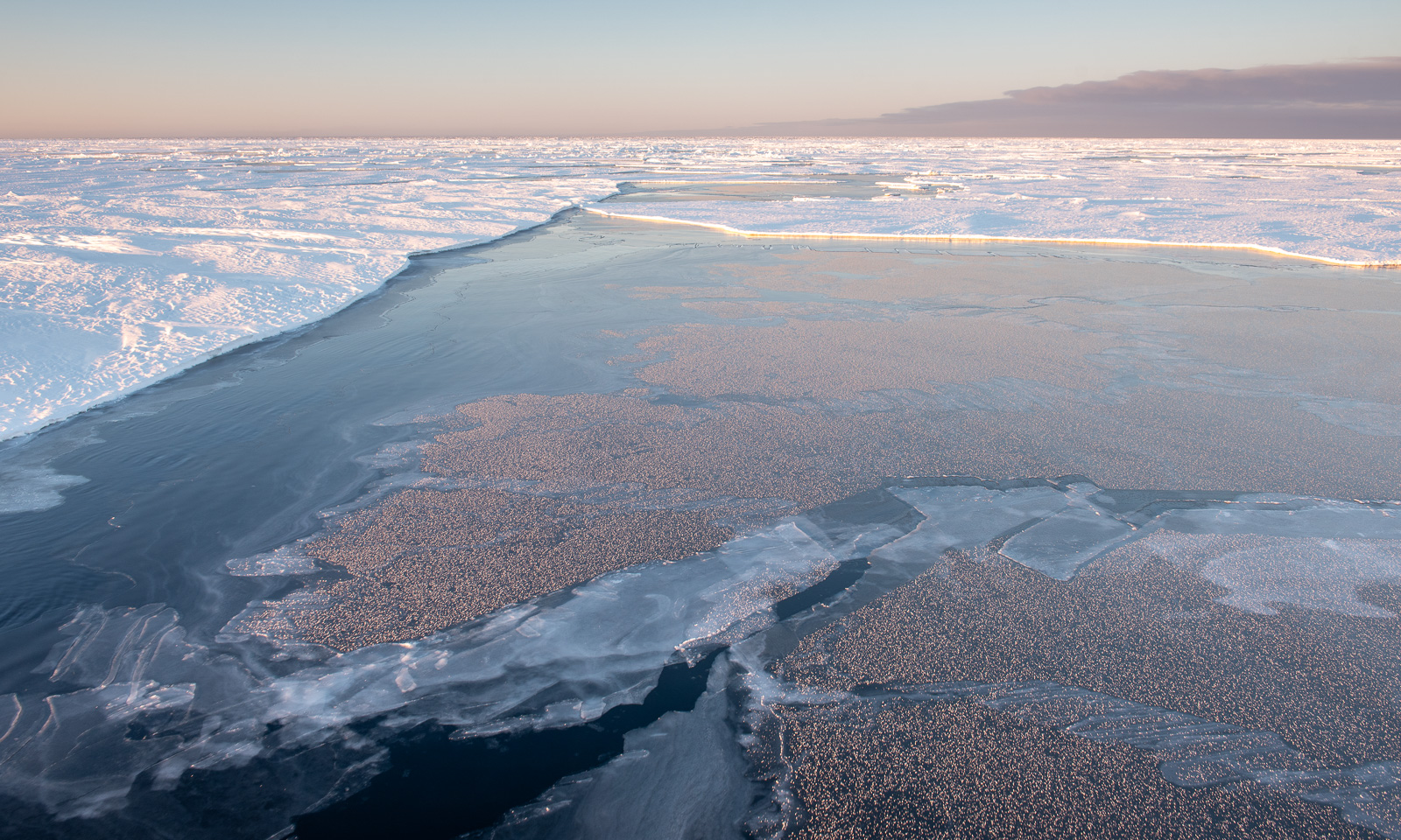
For the rest of the day, I do computer work but interrupt it several times just to go outside and take some photos from the helicopter deck, which is on deck 6 at the bow of the ship. You never know how long the good weather will last. I am there while the sun is shining, I am watching the sllloooowww sunset, and I am there in the evening, when it is the ship that is illuminating the ice.

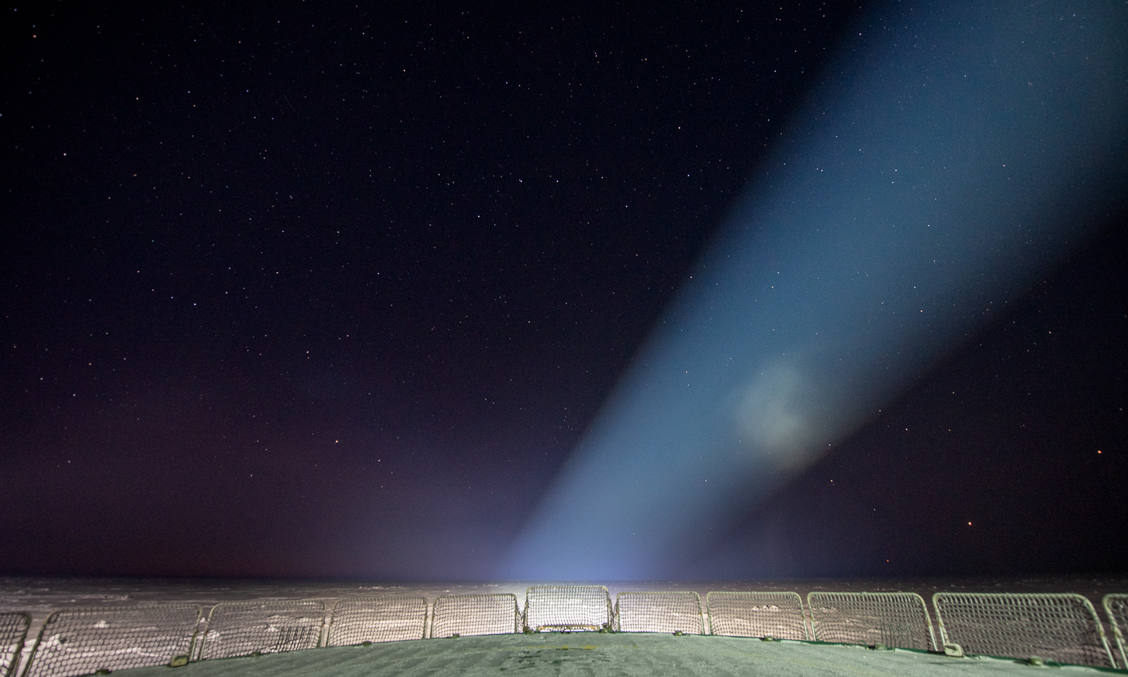
I am already in bed when I see a post in our group chat mentioning Jupiter and Mars. I put my down clothes over my pyjama, put the helmet on my head and go out onto the “helideck” one last time for the day. The night is starry and there they are: Both Jupiter and Mars near the horizon, accompanied by many stars. But there are also big spotlights, which make the view somehow special. The stars are slightly out of focus, but I am showing a photo nevertheless.

18 October

Another day – another ice station. I will do the first bridge watch and then go onto the ice myself to fly a drone. Around 10 o’clock, the team enters the ice.

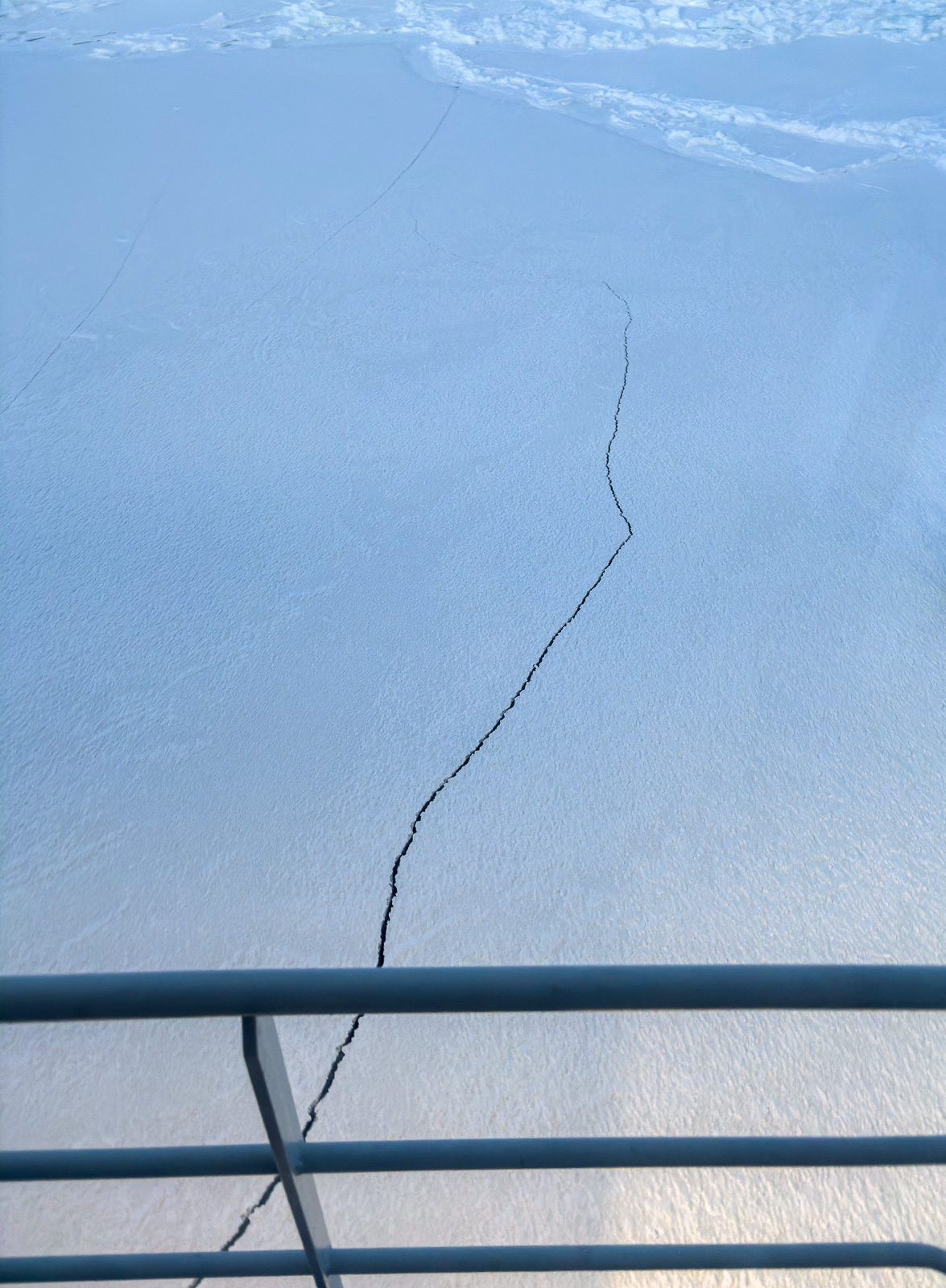
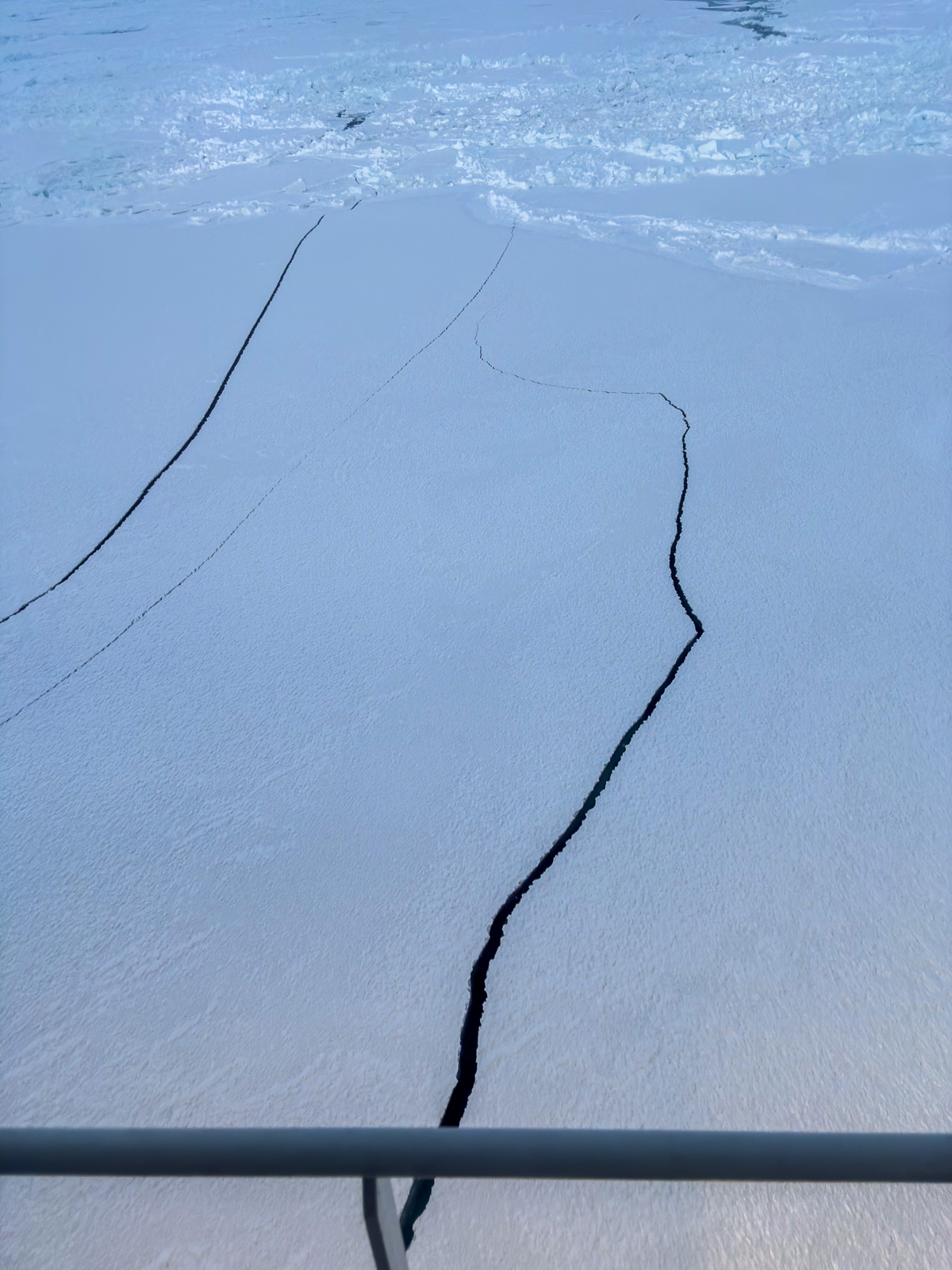
Two things are certain on an expedition with the icebreaker Kronprins Haakon. All meals are on time. Everything else may and will change. This time, it is a crack in the ice that I observe. I inform the team on the ice. I have to give several updates, because more and more cracks appear. After less than half an hour, both the team and their equipment are safely back on board, and the ice station is aborted. Between the first and the last of the following photos lie 18 minutes.

After lunch – the second try. I may join the team in the beginning, because, although the conditions for drone flying are not the best (mediocre visibility, low temperatures, high humidity), the winds will increase in the afternoon. It’s now, or never.

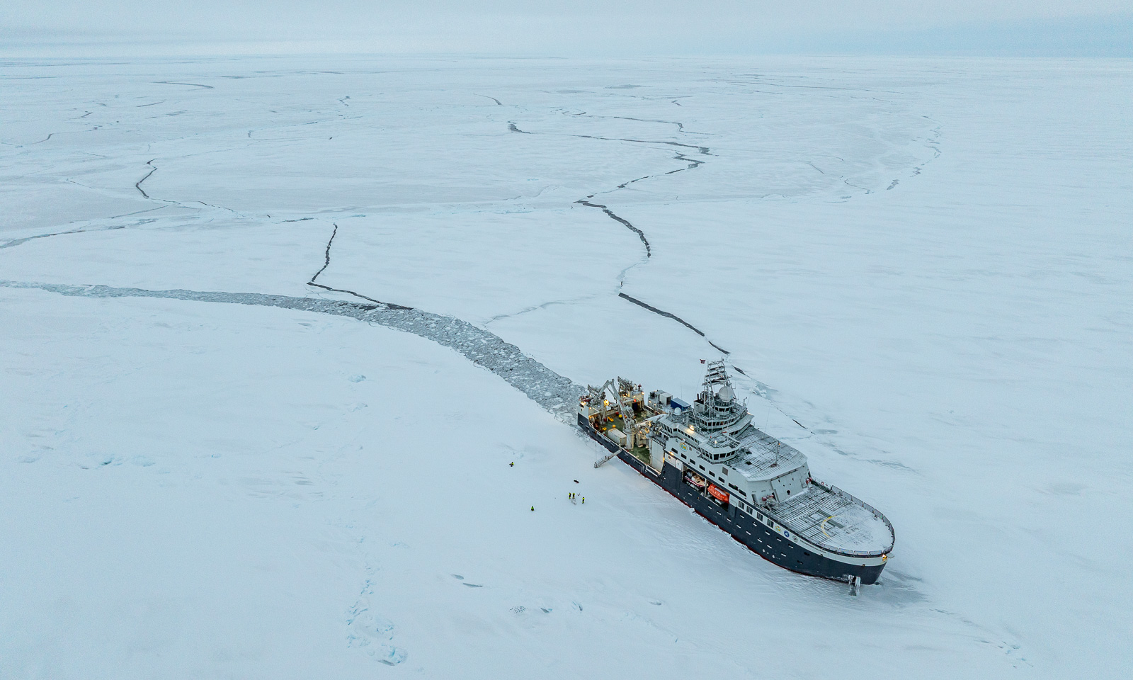
Fifteen minutes later, I am on the sea ice. At first, I let the drone fly at an altitude of only 2-3 metres for two minutes. I land it and check the propellers. Are they free and able to move? Is there visible icing? What about the battery? Luckily, everything looks fine. With a new battery I lift the drone up to 65 metres to fly a zigzag pattern to get a mosaic of photos to be stitched together later. The flying itself works pretty well, although I get some wind warnings on the display of my remote control. I have some minor issues with the camera gimbal and take another flight to get some backup photos. At the very end I take a snapshot of our icebreaker.

And a selfie or two. I am wearing a survival suit and a helmet from the Norwegian Polar Institute, a woollen sweater I bought in Longyearbyen two years ago and a balaclava knitted by my friend Christine.

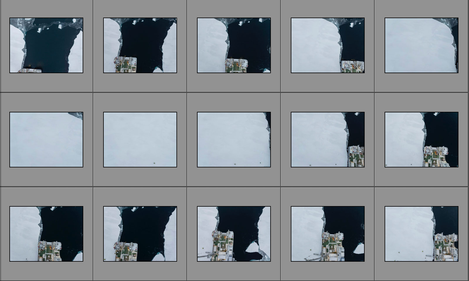
When I have finished, I leave the sea ice. After redressing and a small break I take another bridge watch. Nothing happens, and so it should be. The exciting part comes thereafter. Are the photos – 126 in total – suitable for an orthomosaic? I mean, the single shots look like this:

An then, the relief: WebODM, the software successfully stitches together the photos.

Why does the image has this odd angle? Because it contains spatial data, so that it can be used in GIS systems. It is therefore aligned north. Here is a cropped version aligned parallel to the ship:

Will there be another ice station? I’m pretty sure. Probably not tomorrow, when we expect another strong gale, with wind speeds above 20 m/s. So I don’t know what will happen tomorrow, apart from one thing: all meals will be on time.

Into the ice, into the storm

This article is part of the series “2026-10: Fram Strait cruise KPH”.

14 October

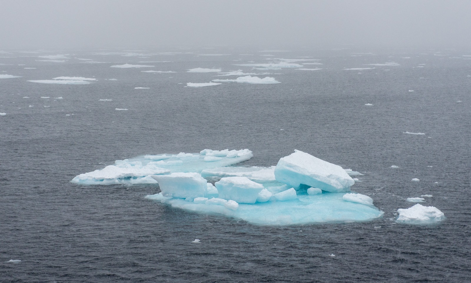
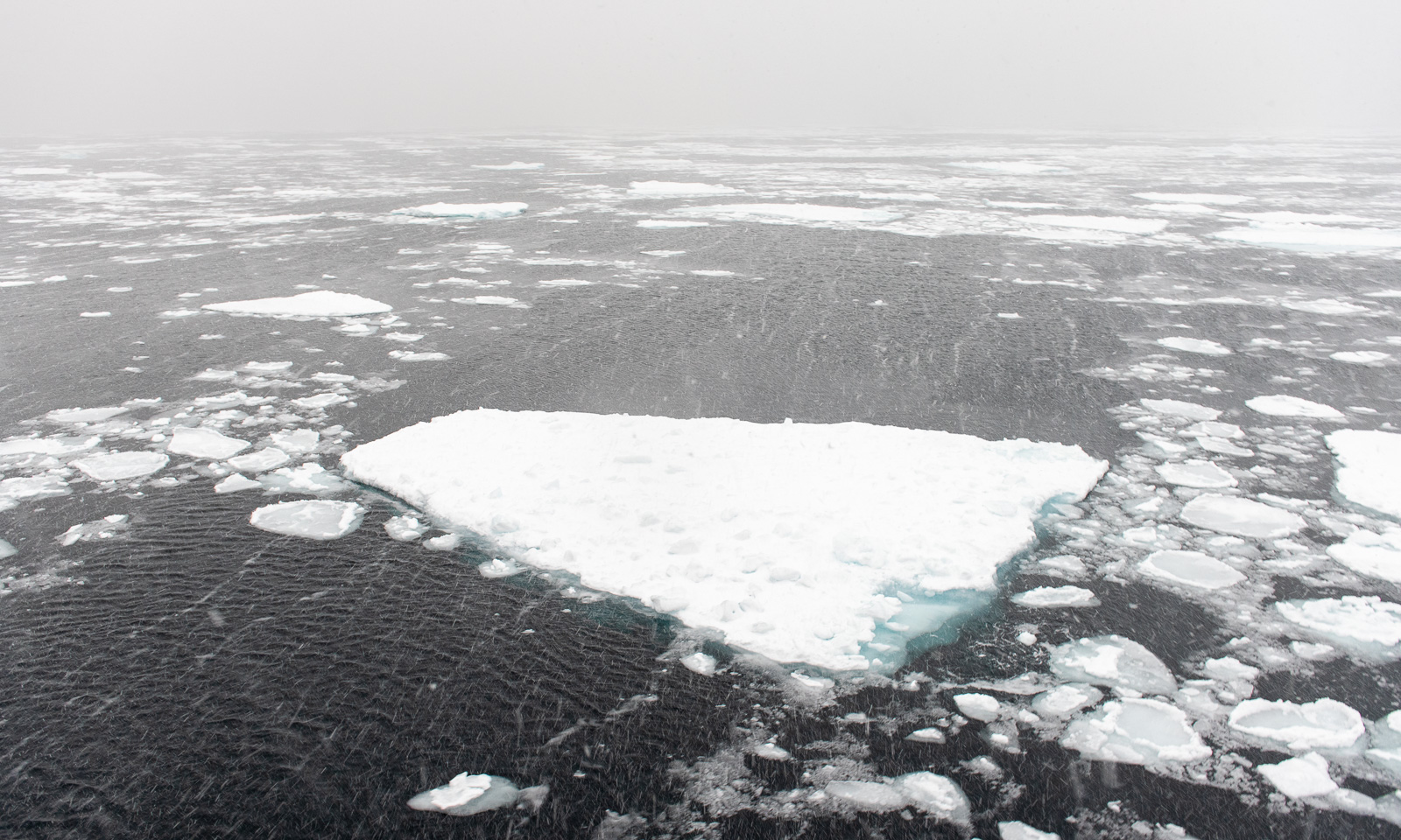
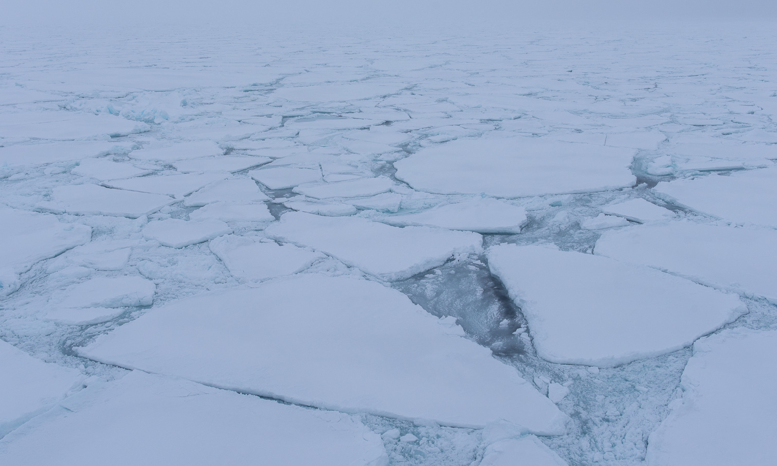
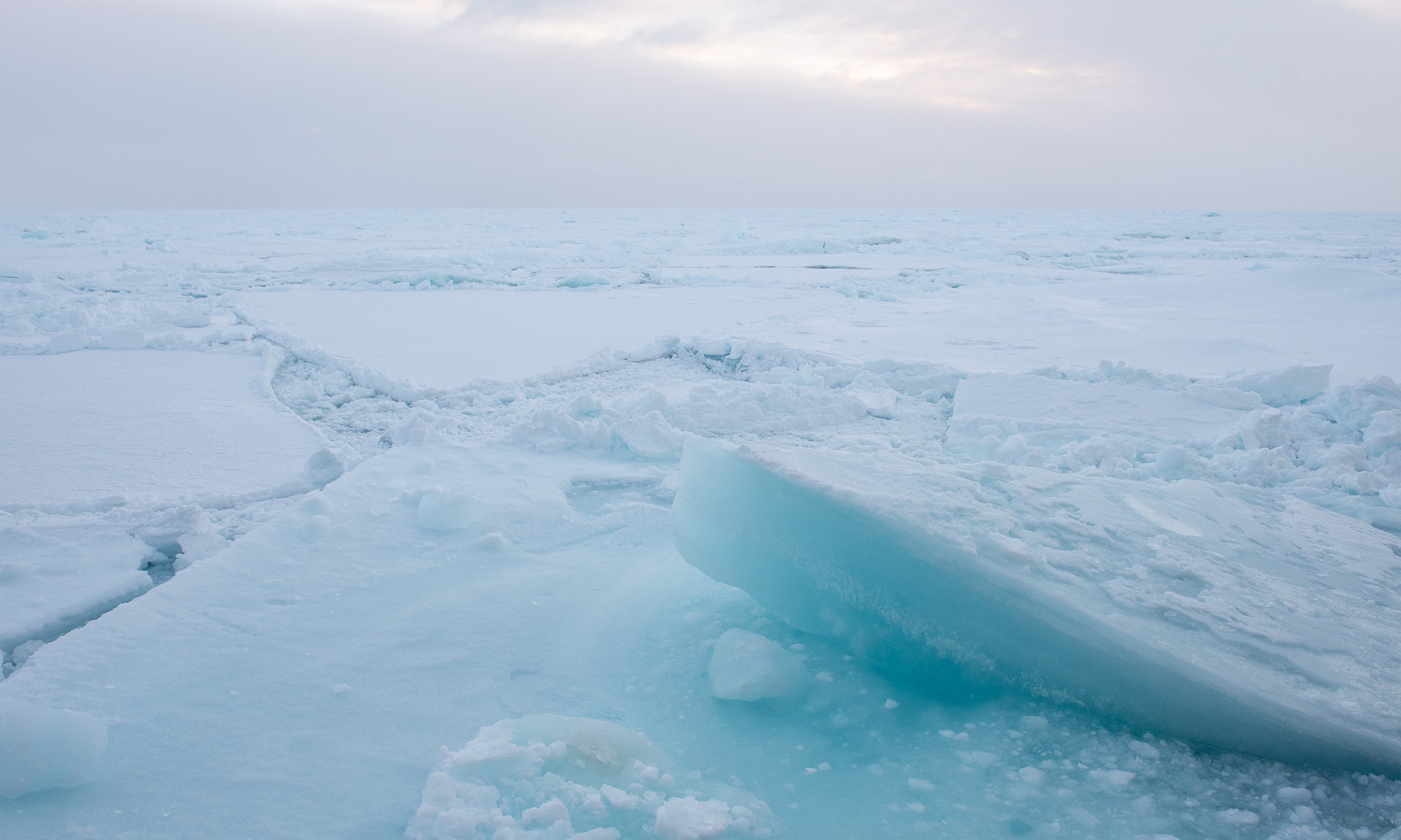
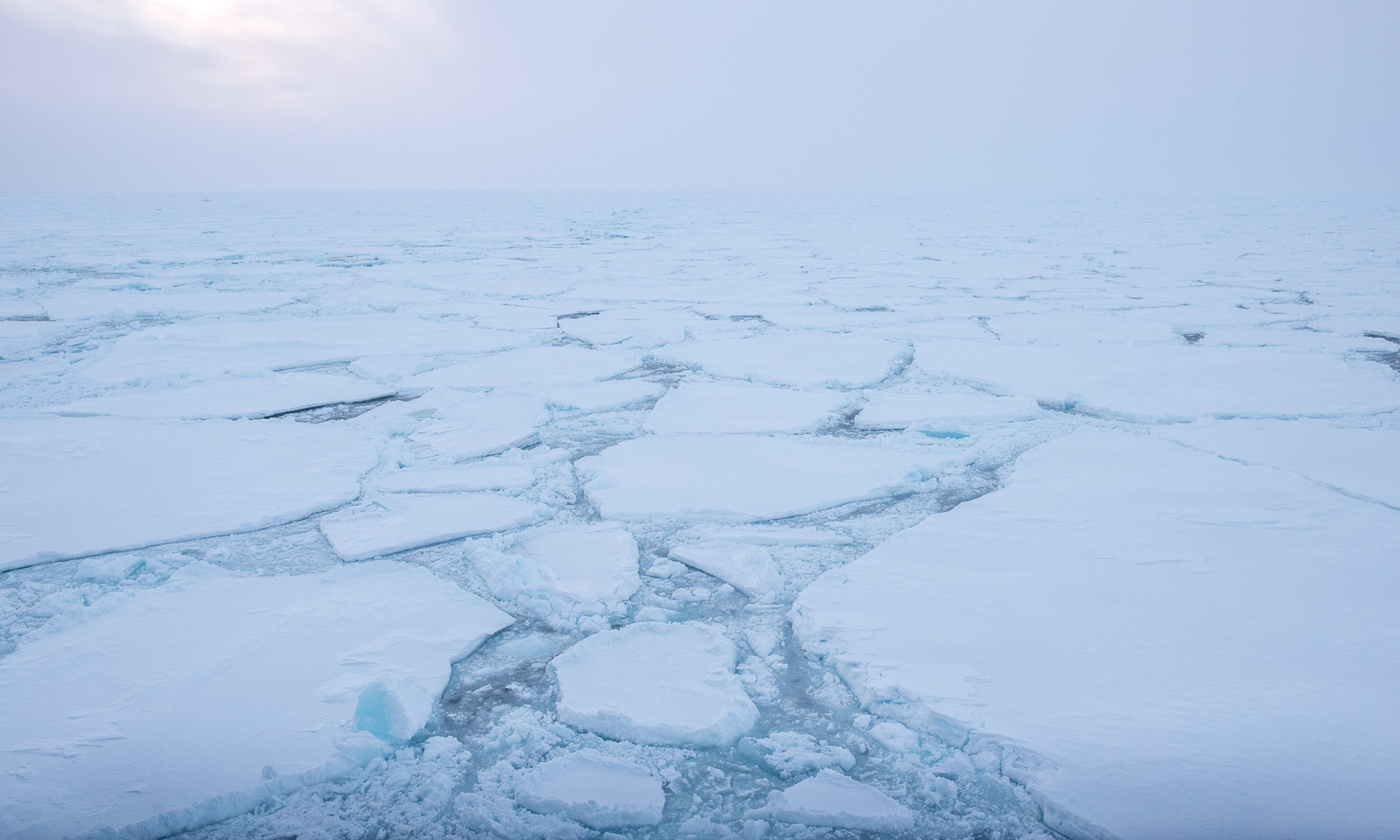
After encountering a small ice field in the morning, we reach the marginal ice zone. So it looks like round 16:00:

Less than an hour later, it looks like this:

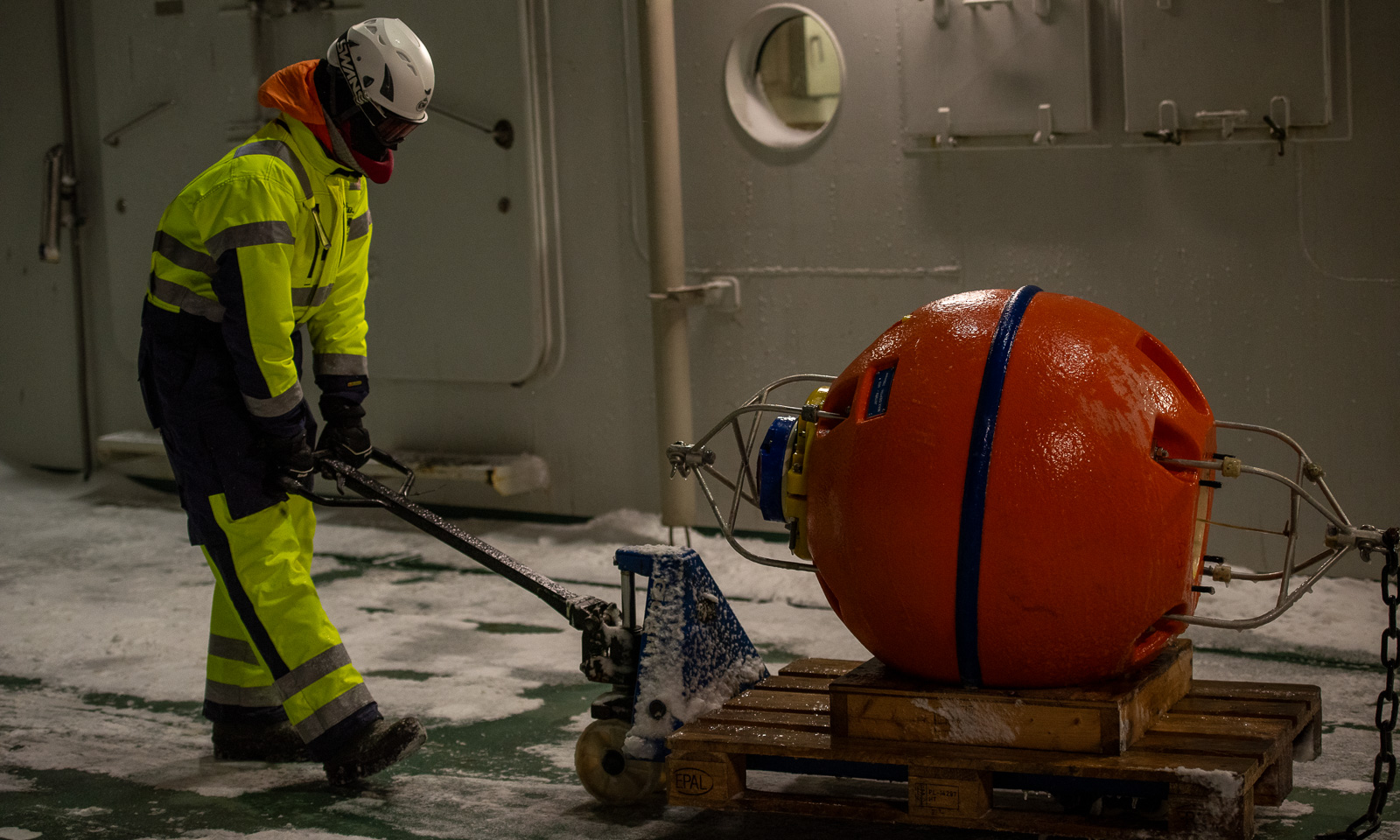
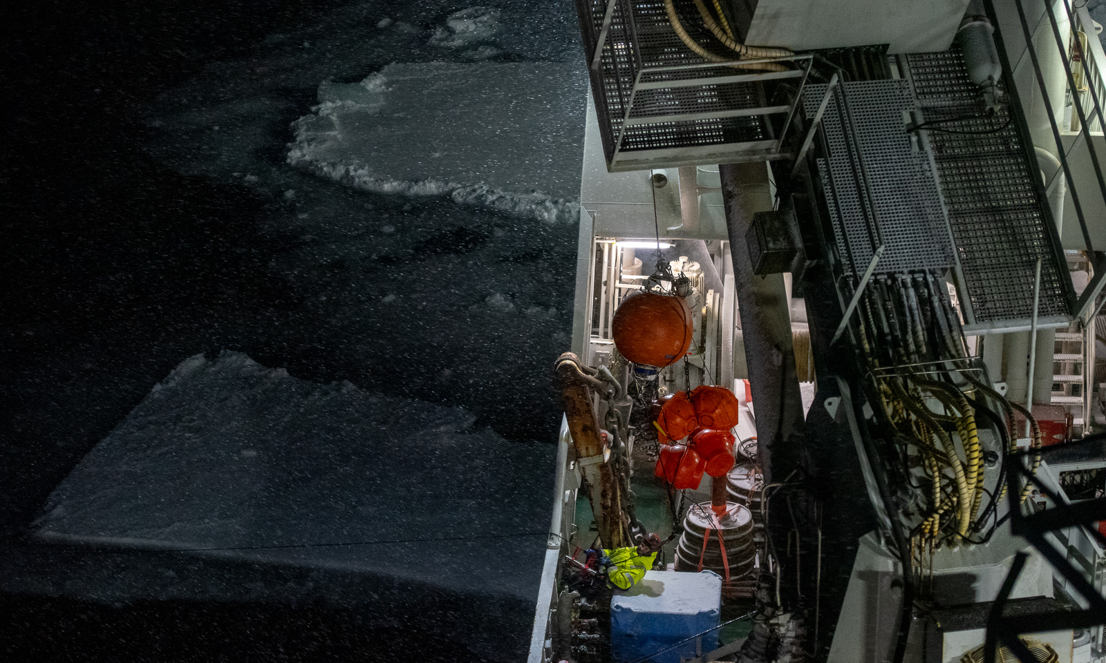
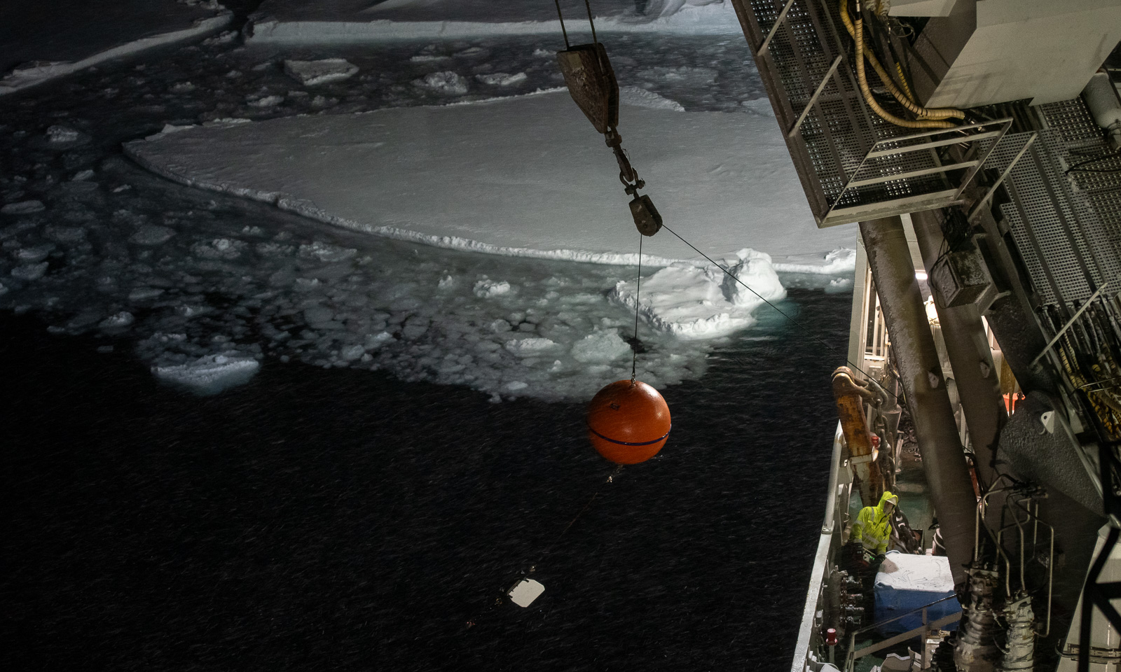
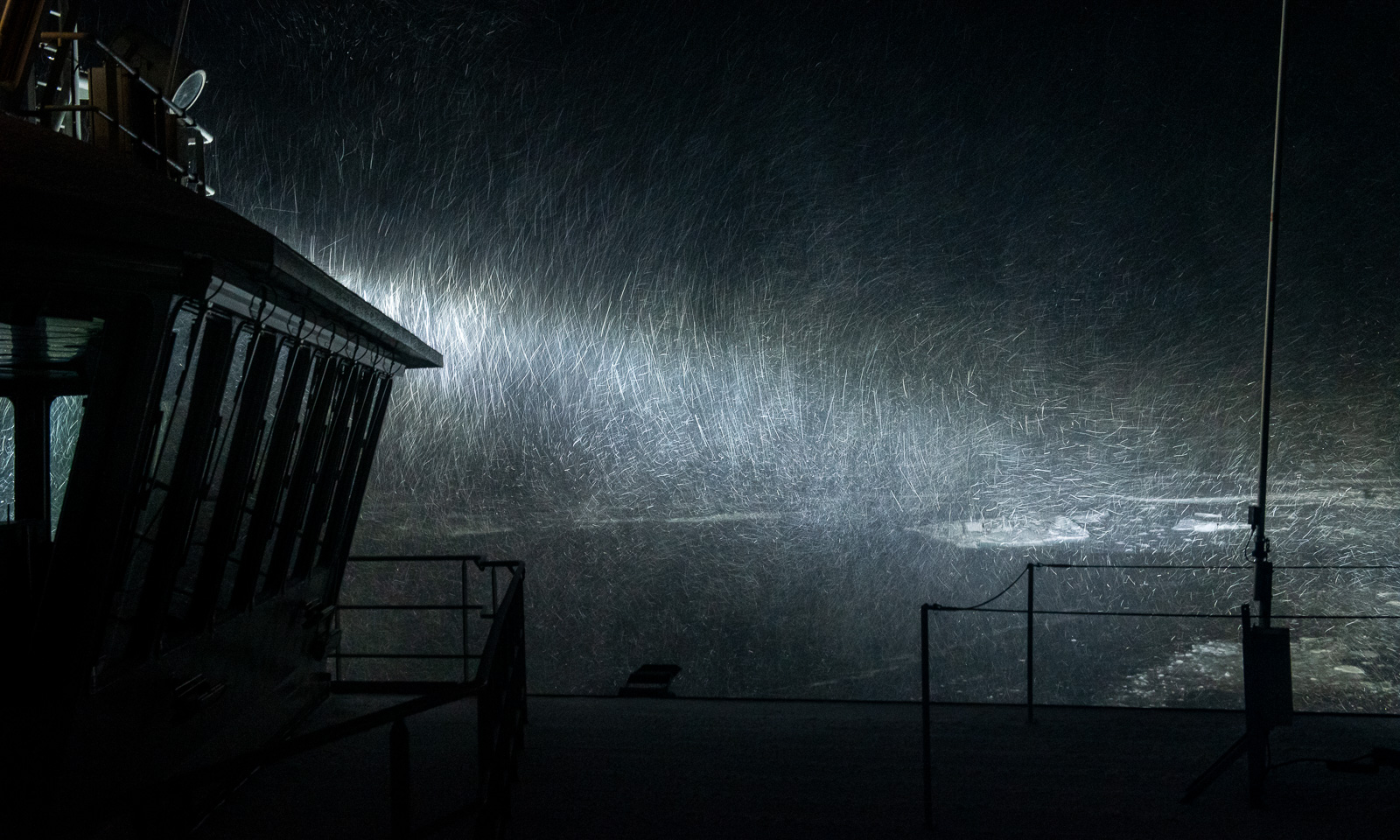
At six o’clock, people are standing on the bridge, peeking into the snowfall, driven by the increasing wind. A mooring is about to be recovered. It has been collecting data for more than a year, and now its release mechanism will be triggered by a so-called hydrophone, allowing the air-filled orange buoys to float to the surface and making the mooring visible. Then it has to be located visually so that it can be towed onto the ship. Not easy, when it looks like this.

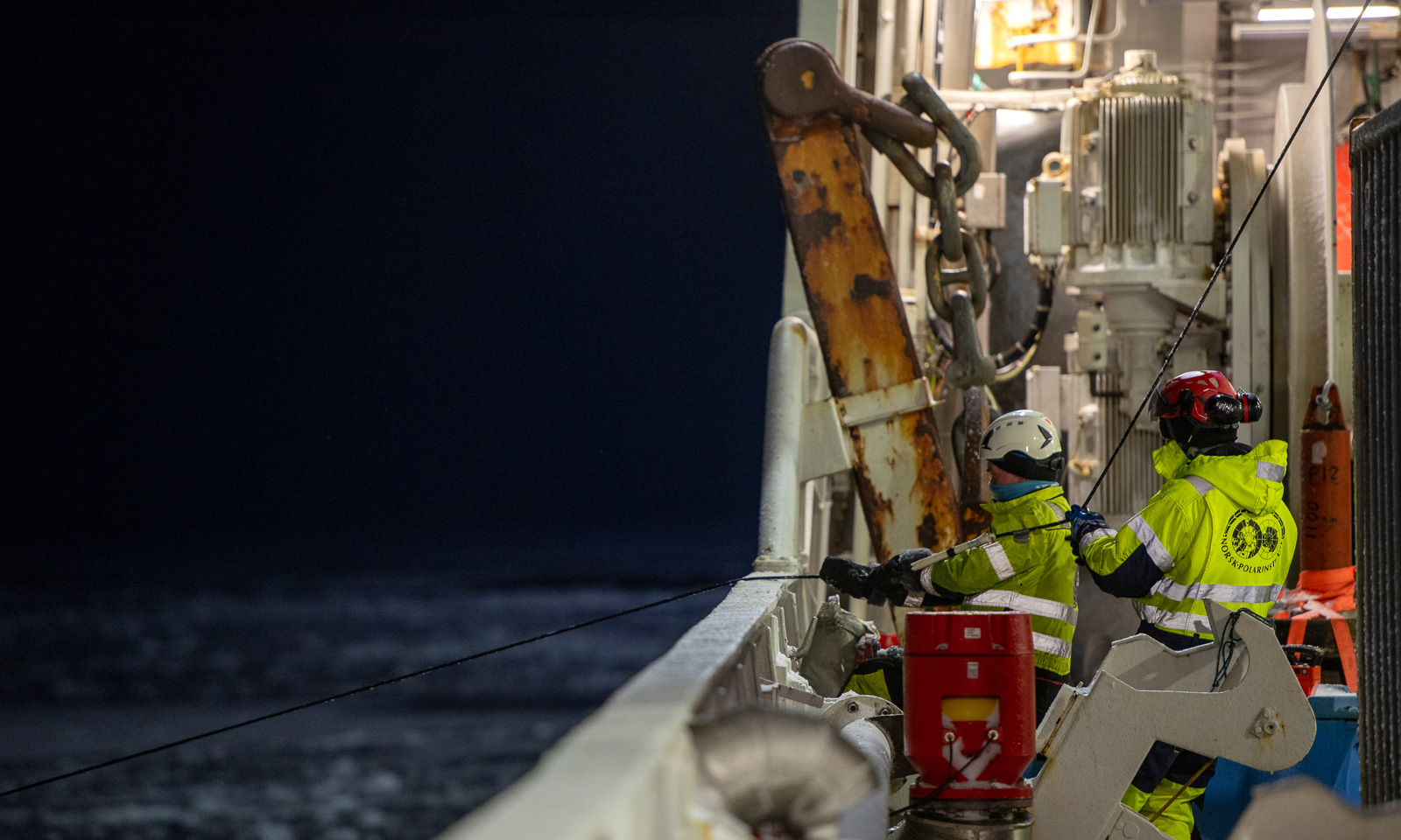
The buoy is spotted, and now the long cable, equipped with instruments at different depths, is pulled onto the ship. Not easy, because ice floes drift along and carry the cable with them, bringing them close to the ship, until the cable is released. A new version of ice fishing.

This is a good example of teamwork. You need experts on deck doing the manual work, a helmsman steering the ship with Fingerspitzengefühl, people on the bridge spotting the next buoy, and good communication between these groups. The first activity is successfully completed, with a wow-effect.

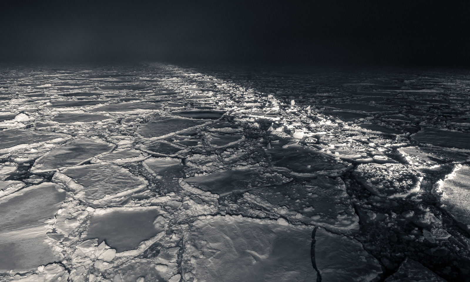
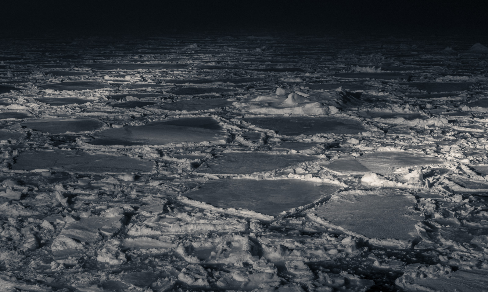
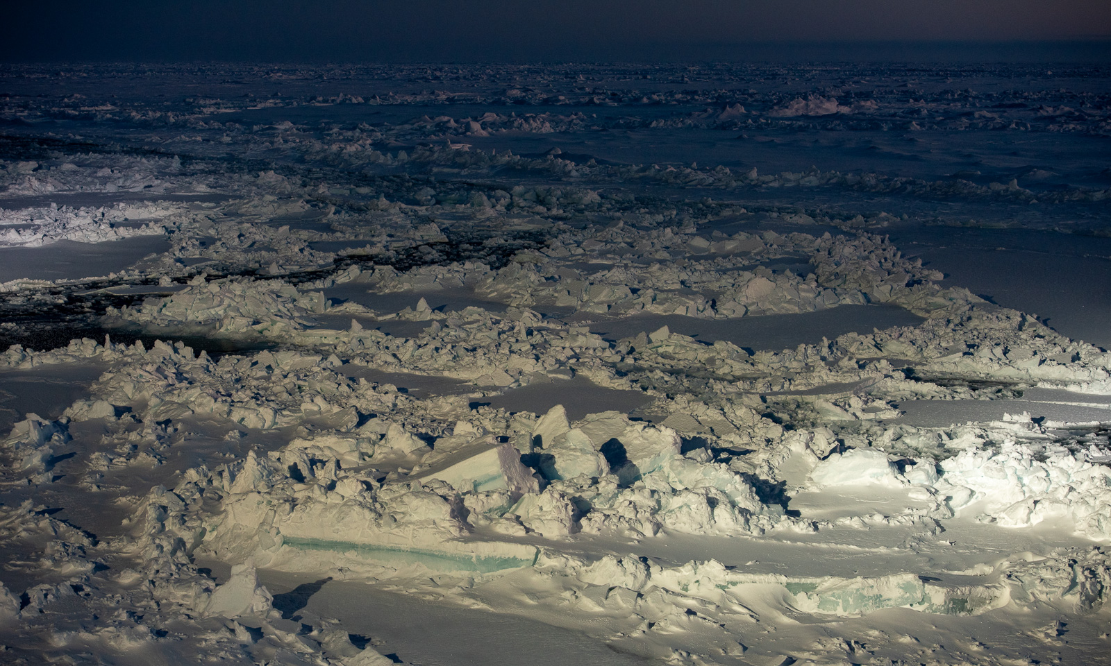
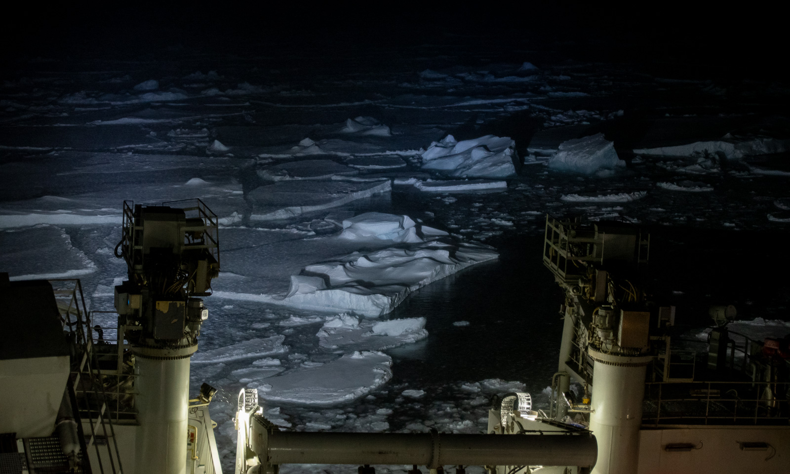
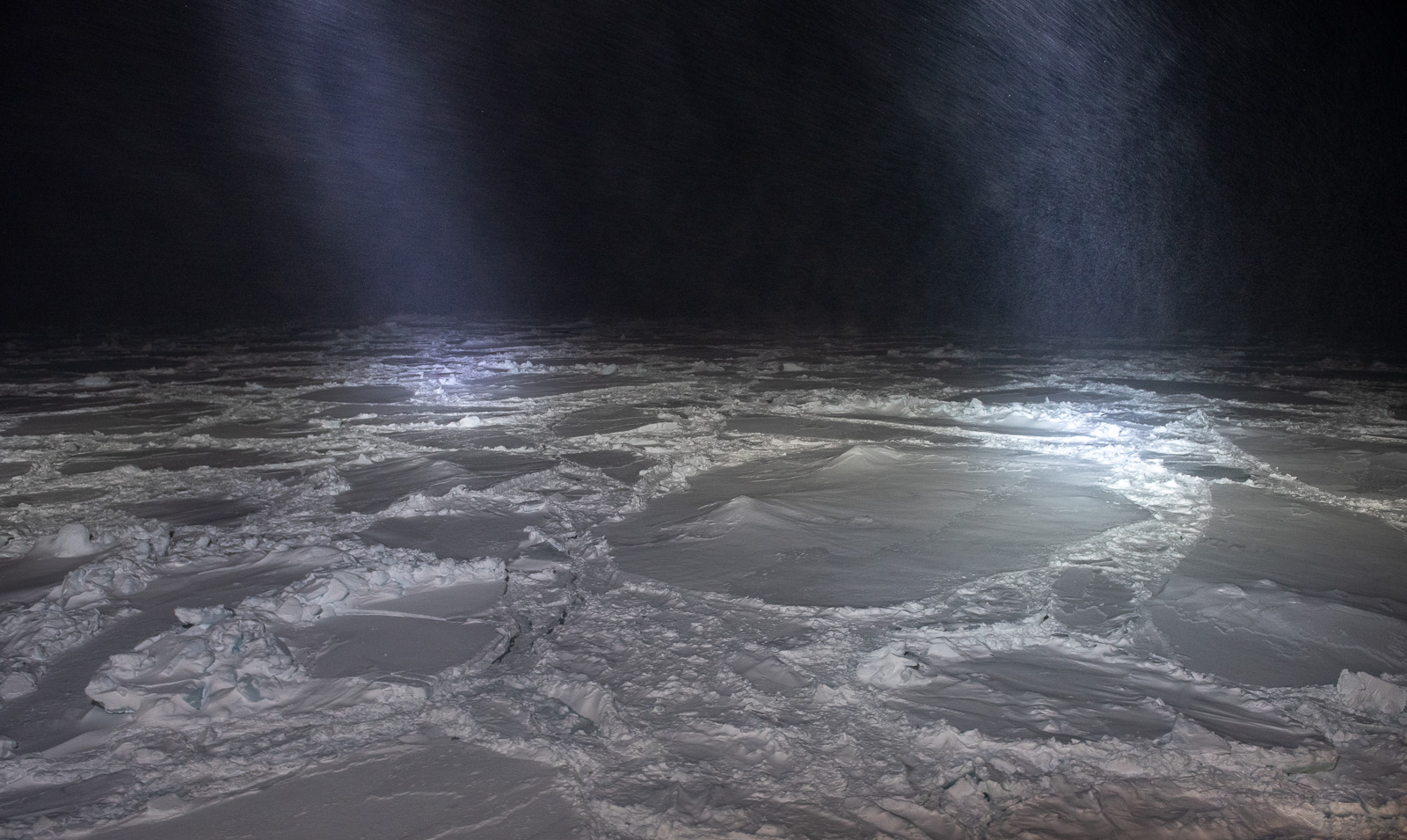
Watching the sea ice illuminated by the ships spotlights has its own beauty. I still cannot get enough from these views.

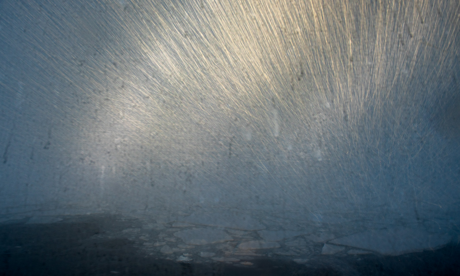
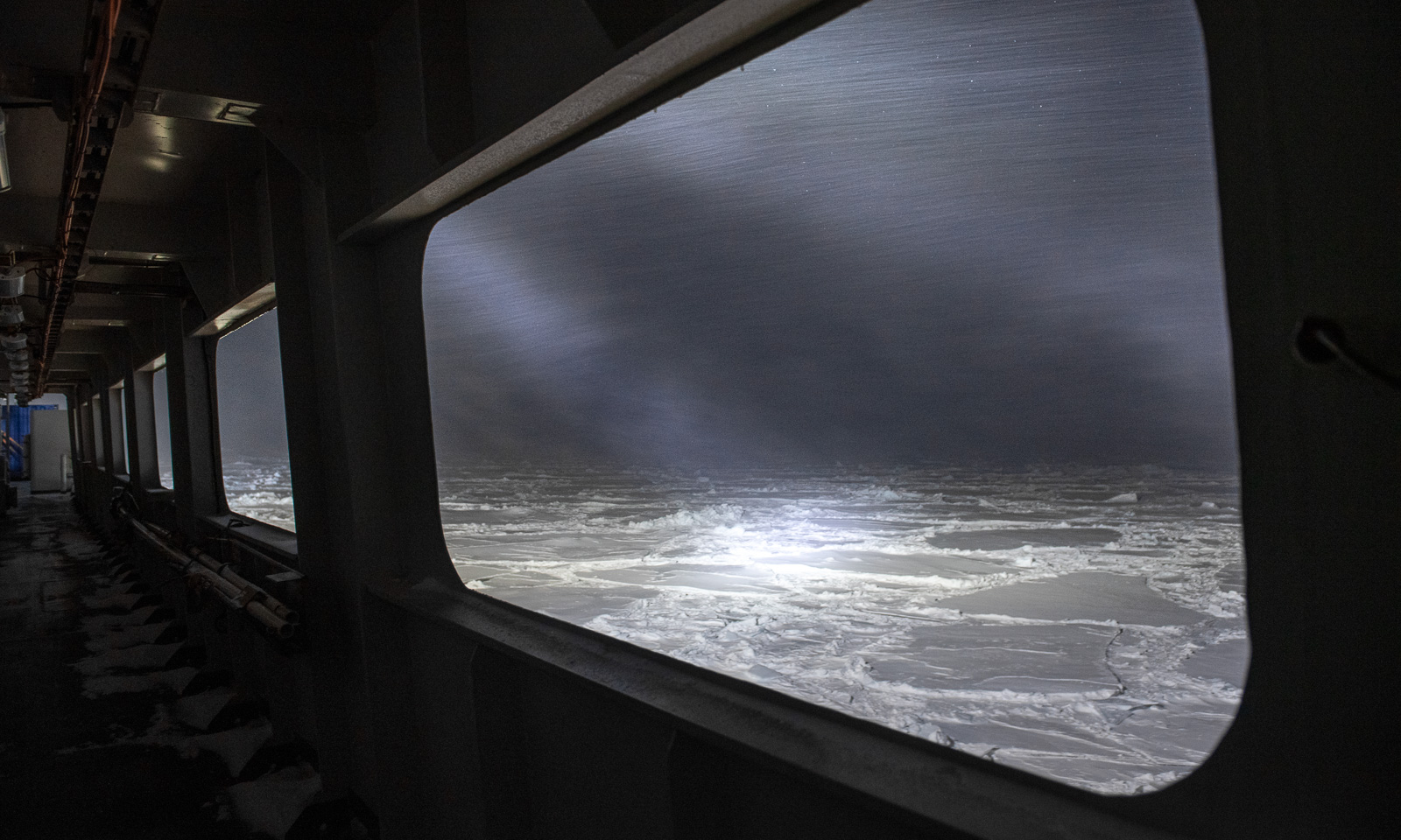
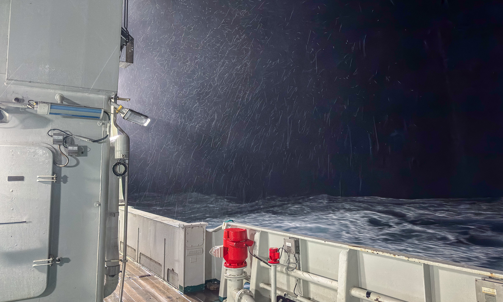
The weather, however, worsens. At 21:10, the wind speed reaches 20 m/s for the first time that day, and the temperature is dropping as well. It is snowing, and each snowflake leaves a bright trail, like a meteor. How will the weather be like tomorrow?
15 October

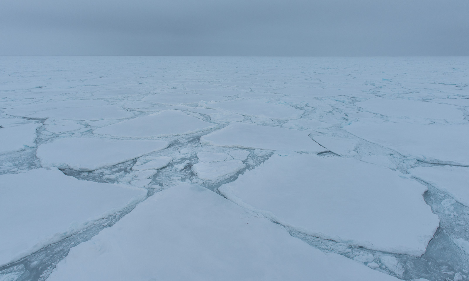
Over night, it has become even colder and windier. The temperature -10 °C and falling, and the wind speed is above 20 m/s and increasing. Ice floes cover the ocean. Now I’m glad, I brought my warmest down parka with me.

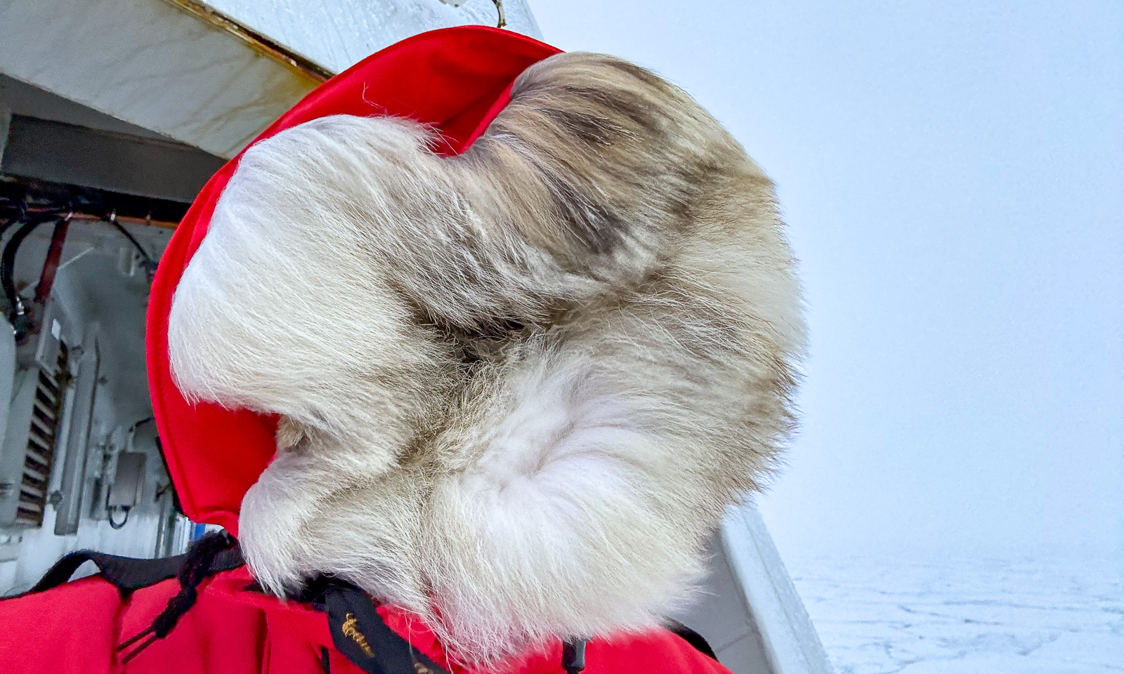
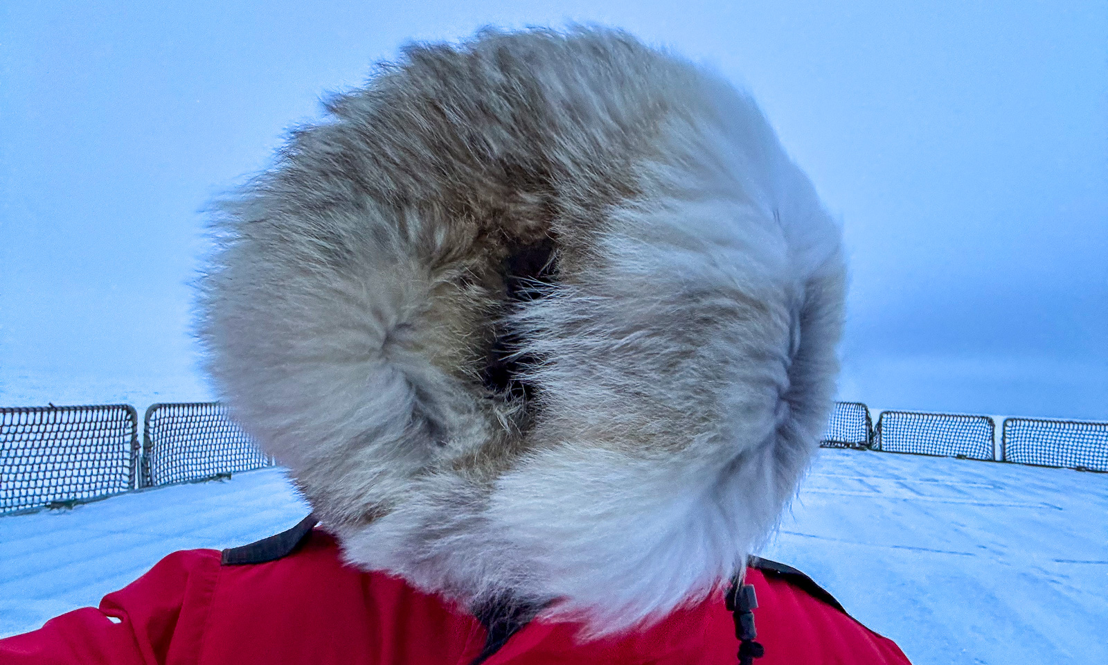
Two CTD casts have been completed today, but then it became too stormy to continue. I go onto the helicopter deck to take some photos, but the wind is so strong, that although I never thought it could actually happen, I’m afraid of being blown overboard. I can’t see much because I’ve pulled up the fur-trimmed hood of my parka to protect myself from the cold, and the wind blows the fur in all direction closing the hood even further.

In the evening – well, I managed to get a shot from the side of the ship, where I was slightly sheltered from the storm. When I went around the corner to the helicopter deck, I had to seek shelter because the storm was too strong. I took a selfie, but in a sheltered corner so that I could stand steadily and avoid getting frostbite on my hand while using my mobile phone.

16 October

At the risk of repeating myself, the weather looks even worse. I wake up at 5 o’clock, and the temperature is -15.4 °C with a wind speed of 26.2. That’s a wind chill of -32.6 °C. In mid-October!

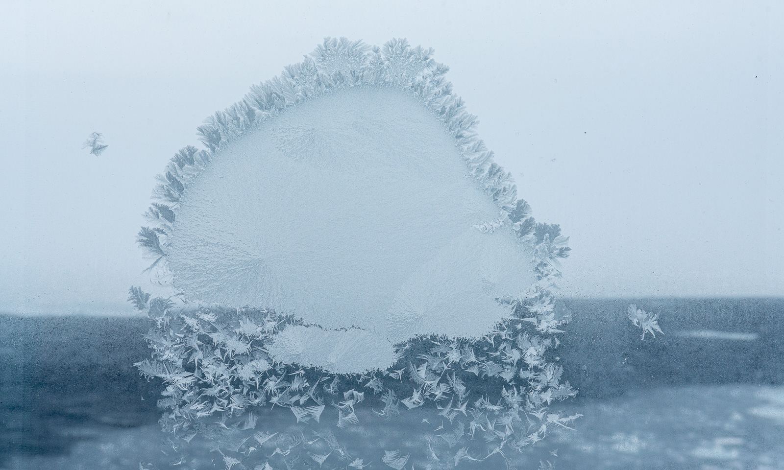
If you have read this article so far, you might get the impression that I am here as a photographer, but I’m actually here as a data manager, and I spend a lot of time at my computer in the Conference Work Room. I just don’t write too much about my computer work here. I am making good progress, but the distractions are there, for example, the frost patterns on the outer windows. This one looks like a jellyfish made of ice.

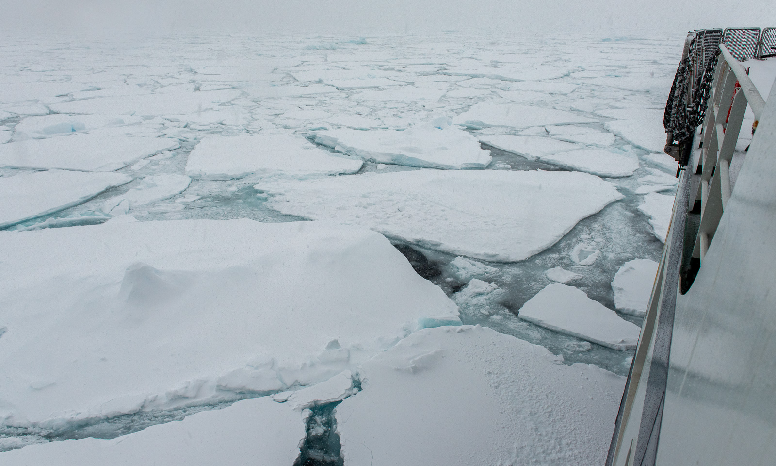
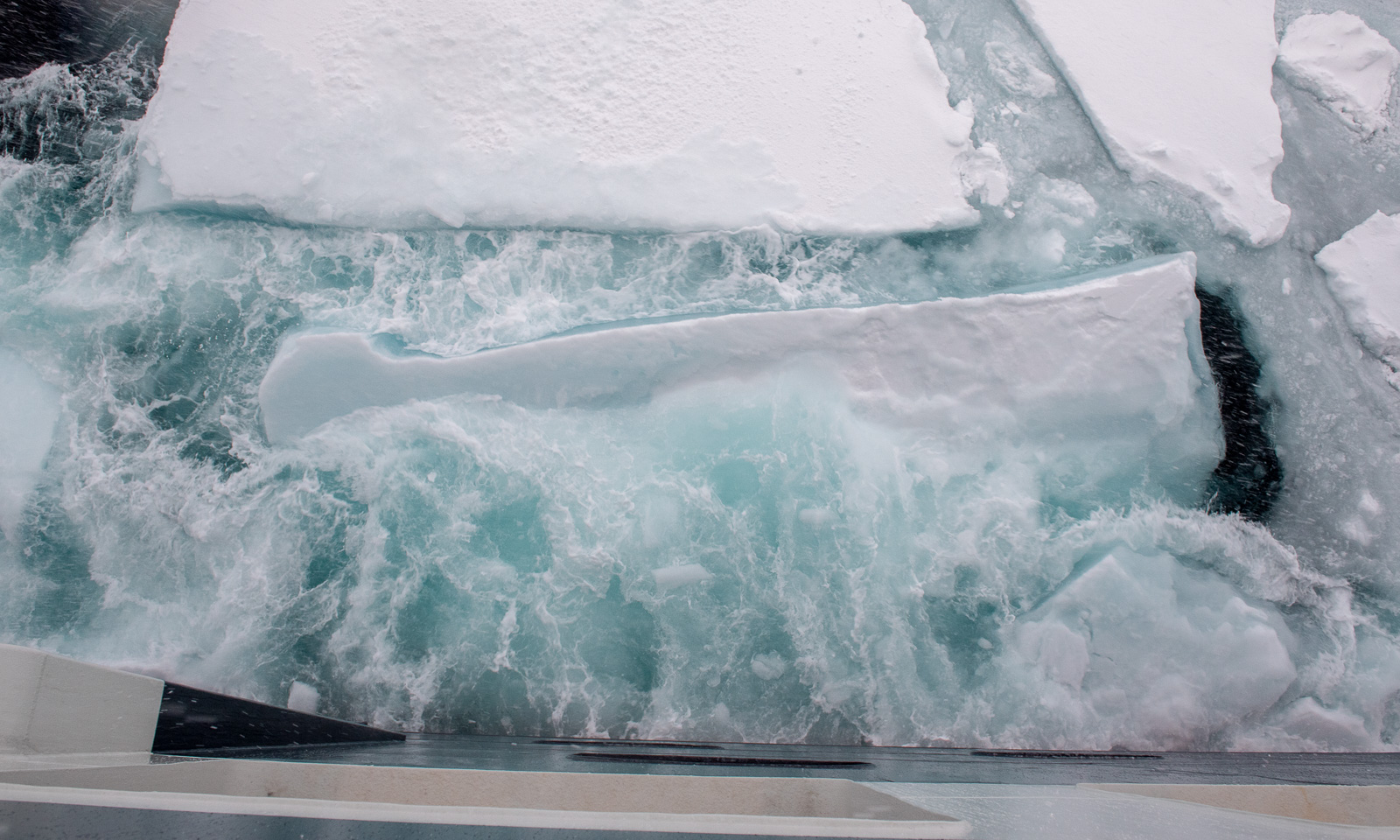
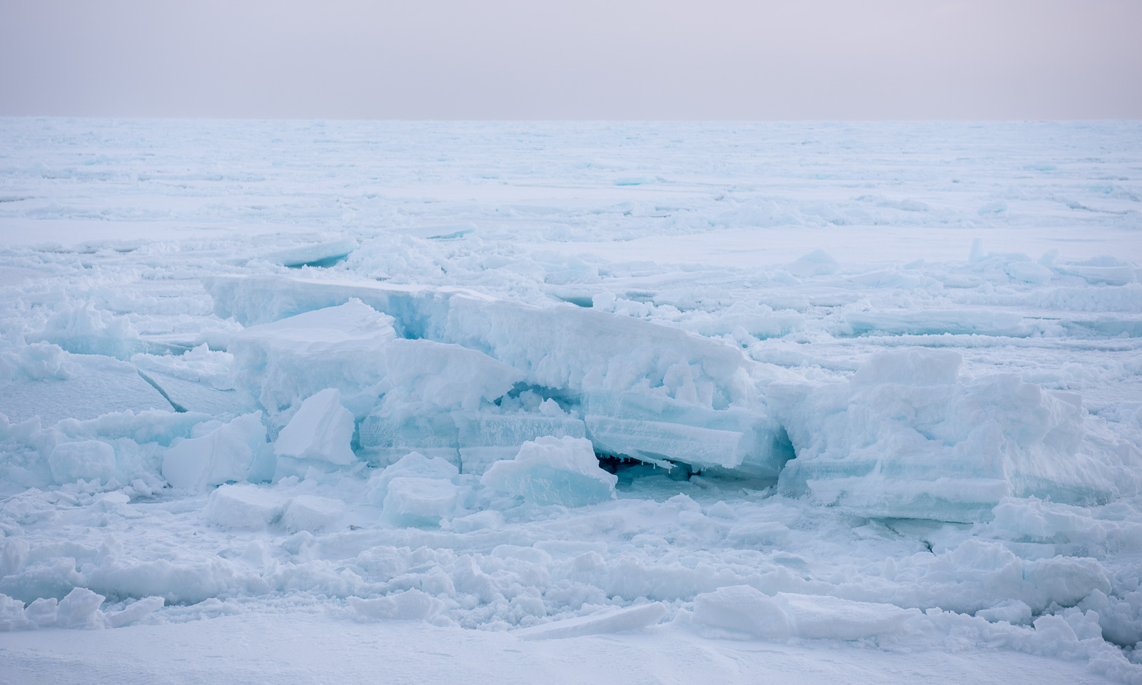
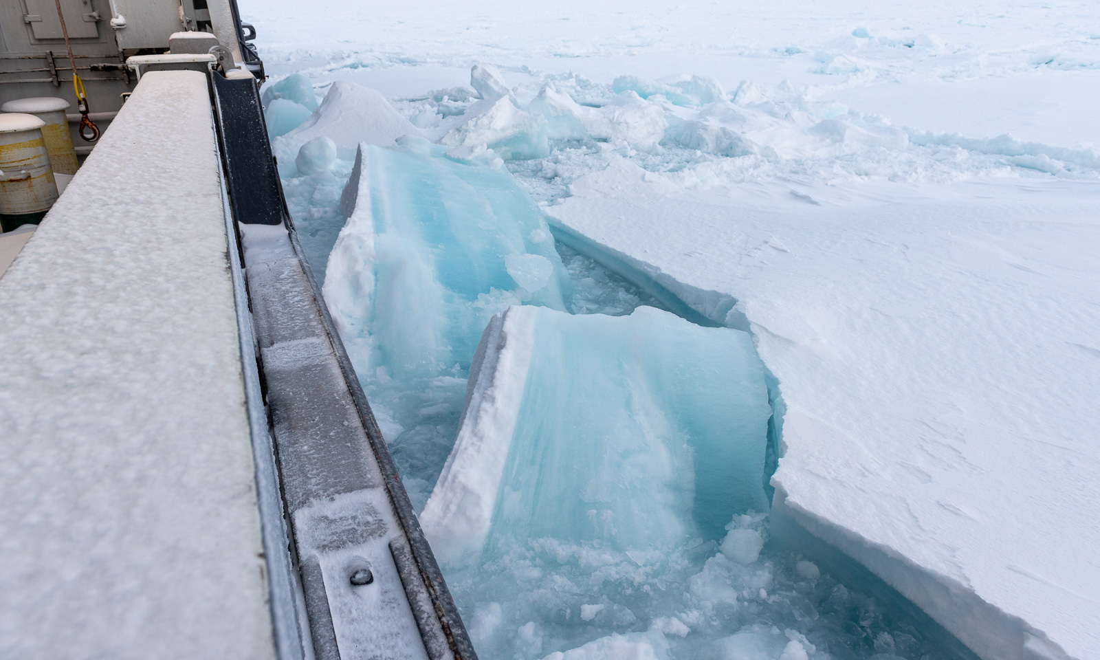
Right after lunch I go outside once more, this time to the ship’s stern, where I had a better protection from the wind. Oh, how I love watching the sea ice gently drifting by or being crushed forcefully by the ship.

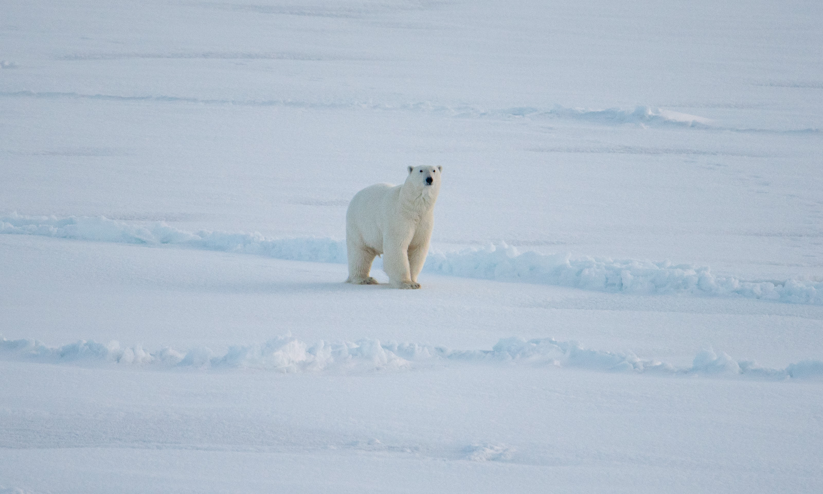
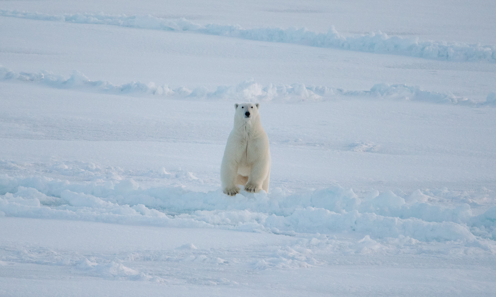
Ok, back to work. I’m almost finished with the day’s work when the others in the room suddenly jump up and disappear. A polar bear has been sighted in front of the ship. It takes me some time to put on my face mask, helmet, down parka, down pants, gloves, and boots, and to mount the big telephoto lens. Only then can I take some photos of the bear in the distance. It approaches at first, but then turns right and trots away.


Fram Strait cruise – departure

This article is part of the series “2026-10: Fram Strait cruise KPH”.

12 October

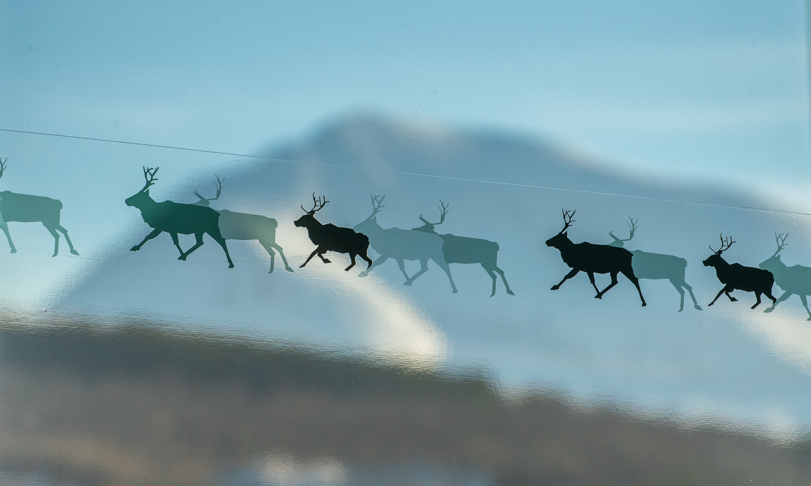
The weather in Tromsø is clear, the mountains are white, and the reindeer are flying.

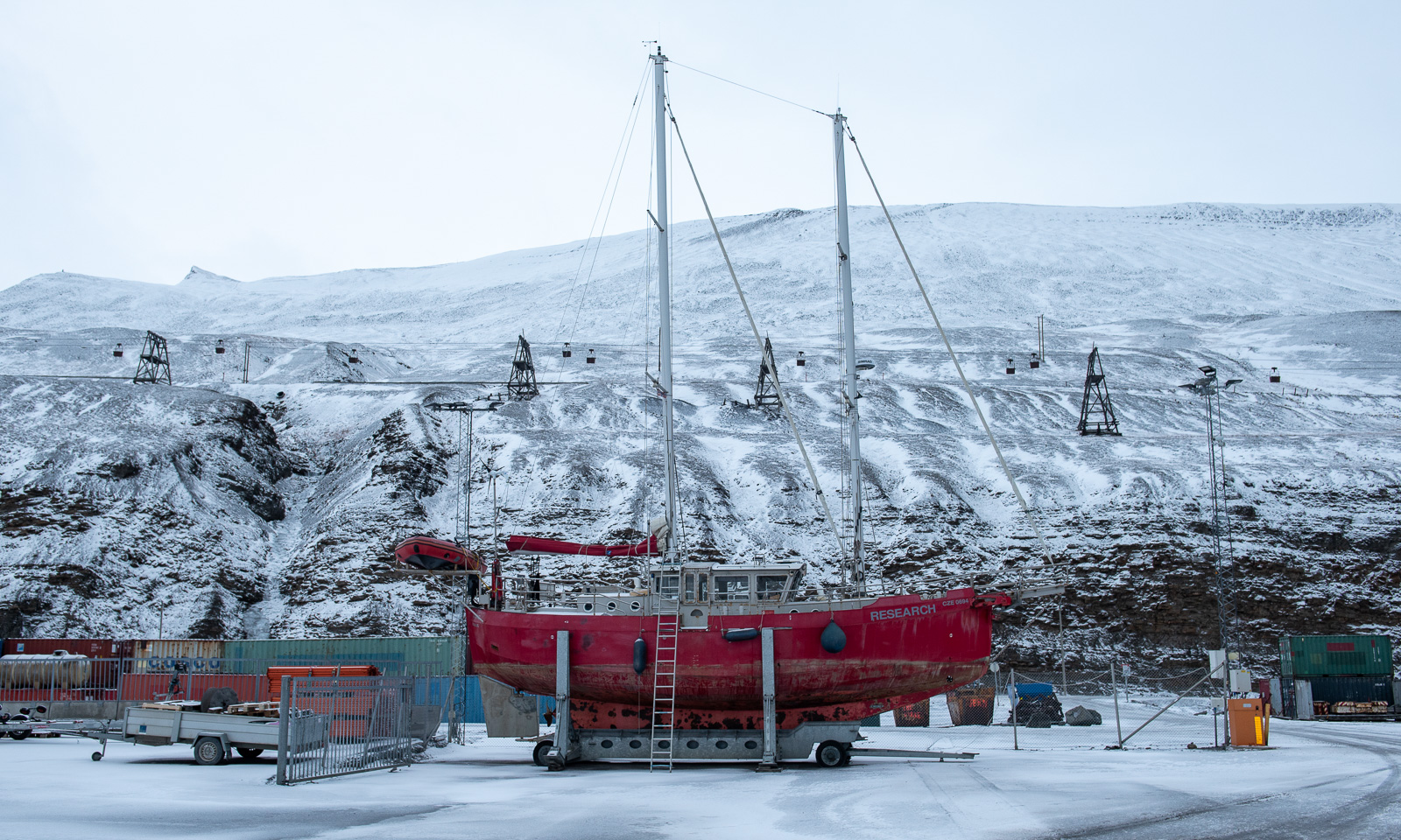
At least, it looks like this, while I’m sitting at Gate F18 of Tromsø Lufthavn, waiting for my flight to Longyearbyen, Svalbard. Some of my colleagues from the Norwegian Polar Institute are here as well. We are all going on board the research icebreaker Kronprins Haakon (KPH) for a cruise in the Fram Strait between Svalbard and northern Greenland for almost three weeks the next day.
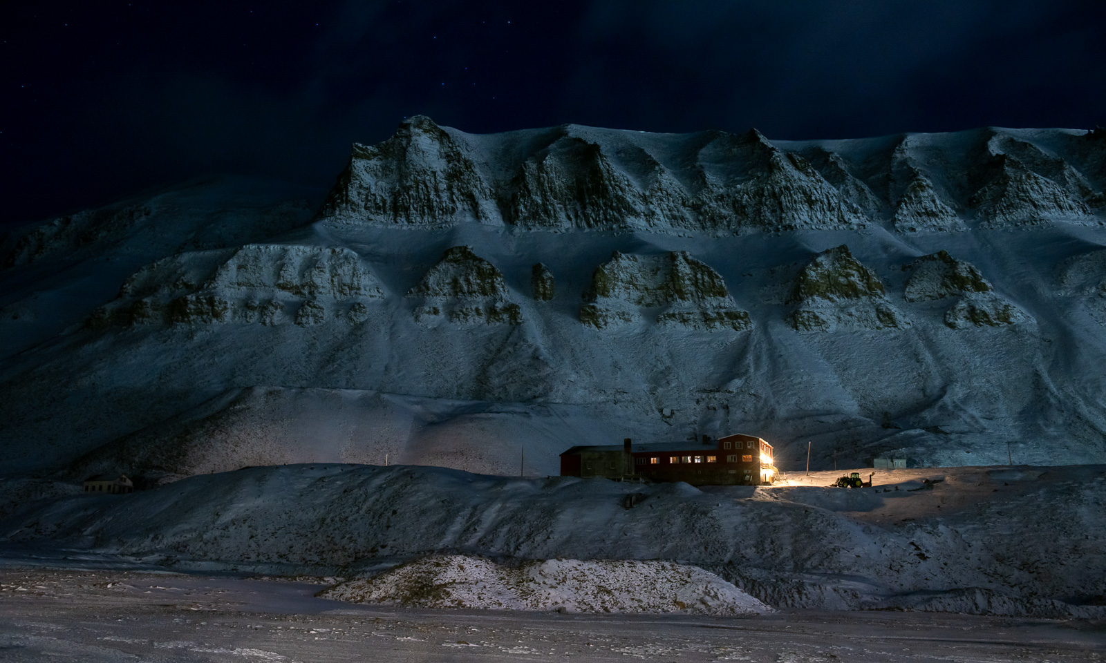
On arrival in Svalbard, we get a lift to our respective hotels, where we stay overnight.

13 October

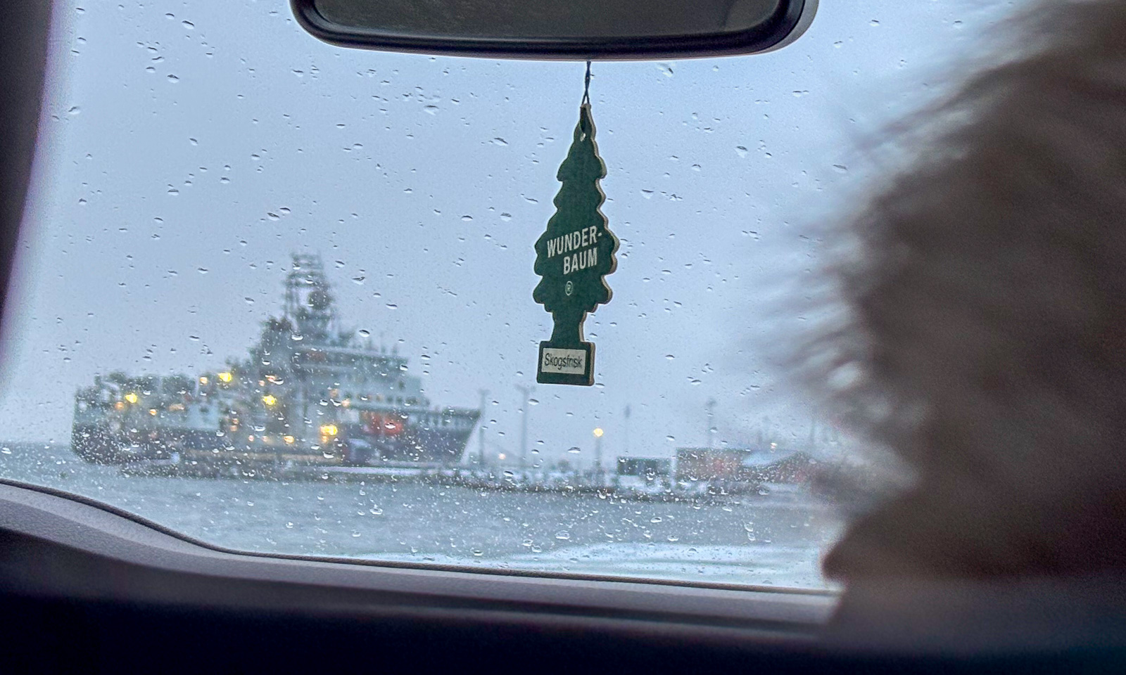
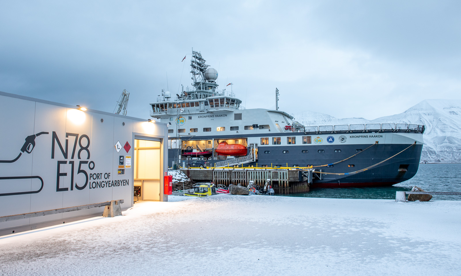
Three of us were staying in Coal Miner’s Cabin, which is south of the centre. We share a taxi to Bykaia, part of the Port of Longyearbyen, where KPH is berthed. It has got warmer and it’s raining.

And here it is – the ship on which the 18 of us will spend the next three weeks together with the crew.

Just kidding! The RV Kronprins Haakon is actually lying in the other direction.

During the evening, the weather gets a bit ugly. It’s +5 °C, it’s raining and the wind speed is around 20 m/s. The sea state gets rougher and the waves grow higher.

14 October

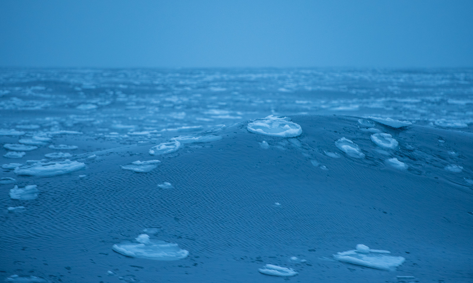
In the morning the sea has calmed down and at a quarter past nine I feel the first small bump as a small ice floe collides with our ship. We have entered a band of pancake ice.

Now we are in open water again and the conditions are calm. Anyway, if Windy is right, we will get pretty rough weather tomorrow with a wind speed of around 18 m/s and an air temperature of -17 °C – a drop of almost 20 degrees. That would result in a windchill of -33 °C and I am very glad that I took my Canada Goose parka and trousers with me.

The sea and the mountains

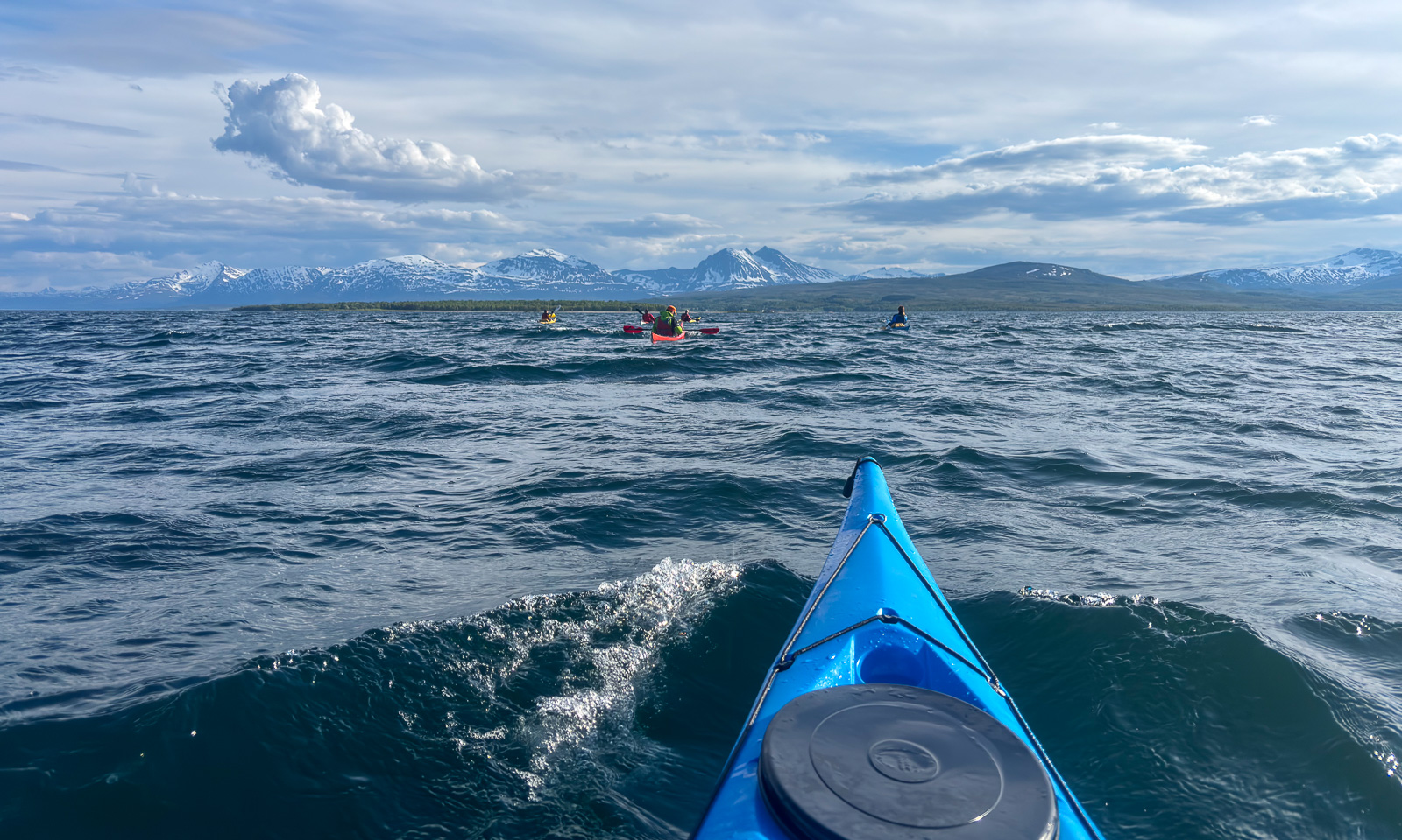
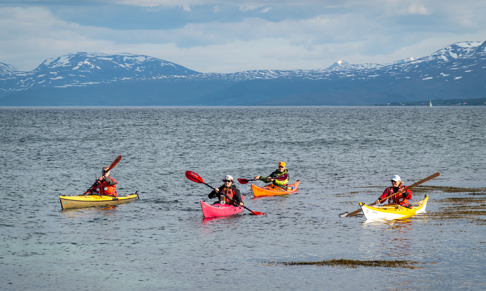
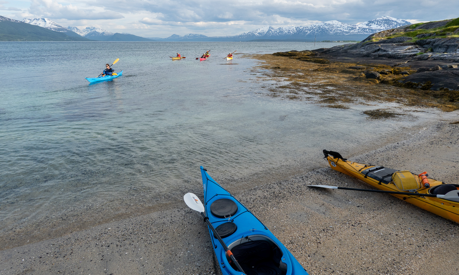
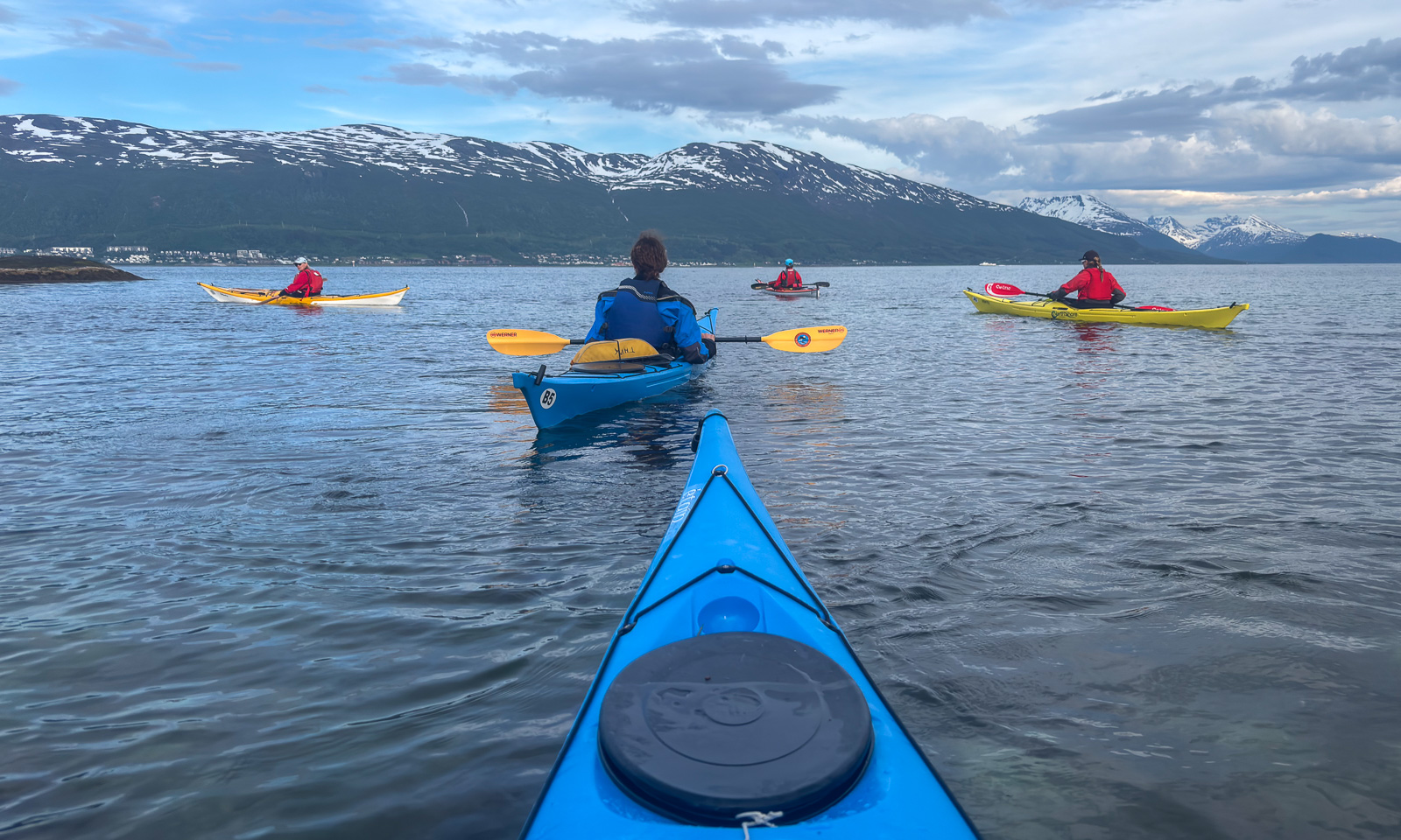
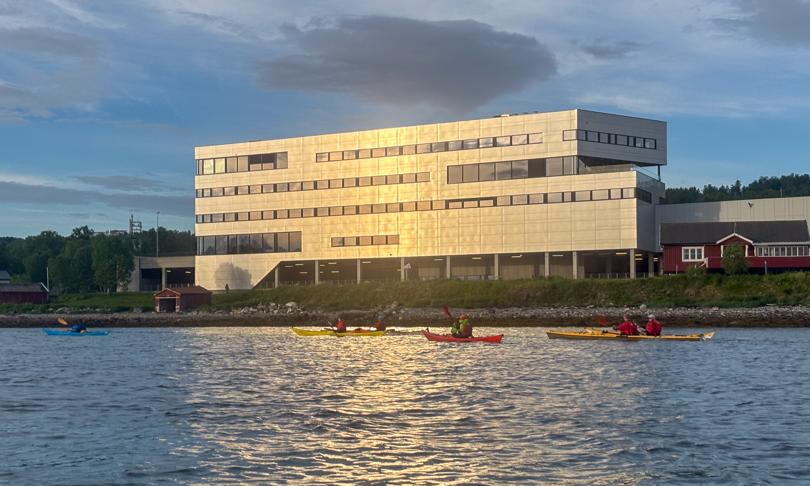
Back in Tromsø after some travelling I joined the “Thursday paddling” organised by the Tromsø Sea Kayakers Club. We were eleven kayakers and it was proposed and we decided to paddle to Grindøya, one of the common tours.

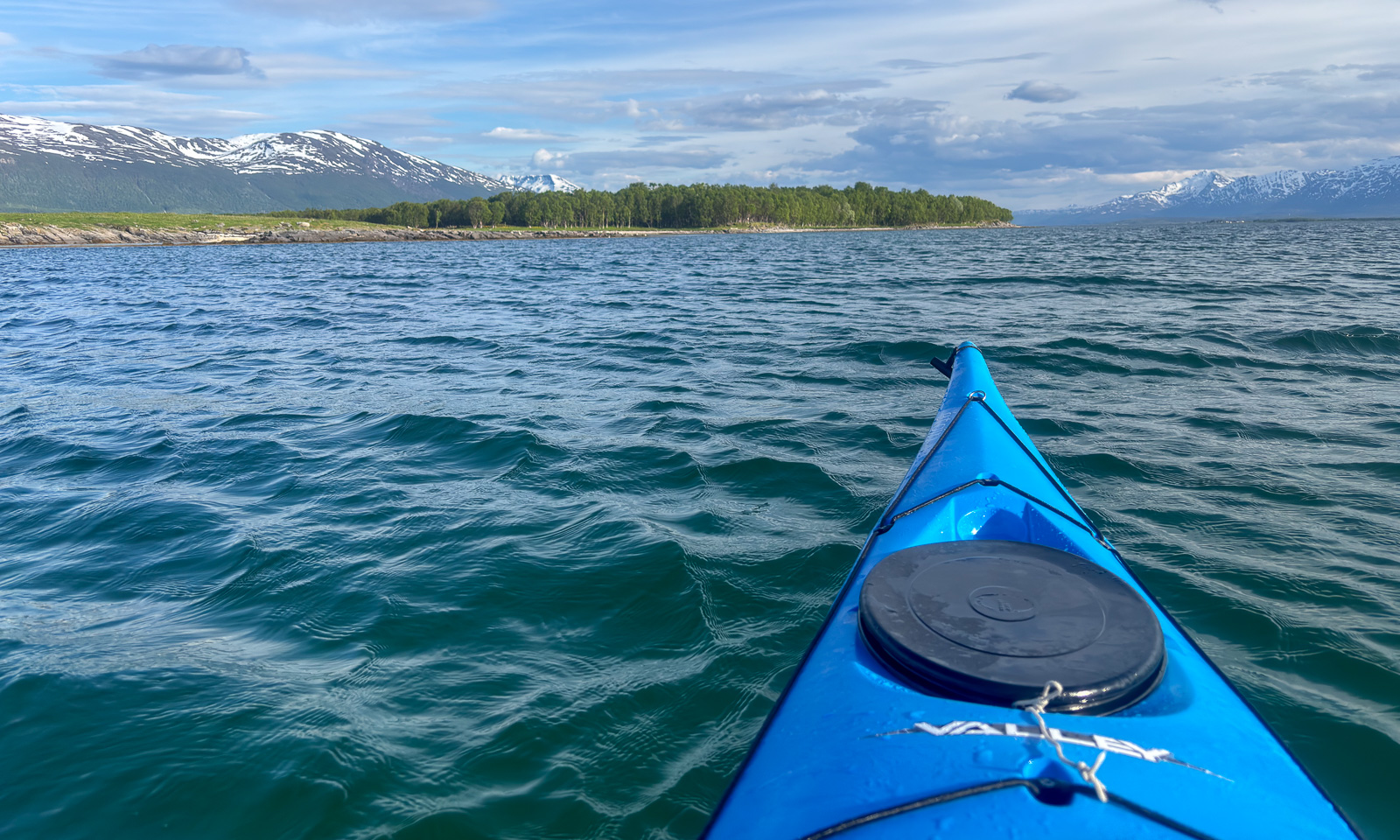
On Sálljnjárnuorri / Sandnessundet, the sound between Tromsøya and Kvaløya, it was windy and short waves came from the right. Here I preferred to hold my paddle and didn’t take any photos. In the lee of Grindøya, I started taking photos again.

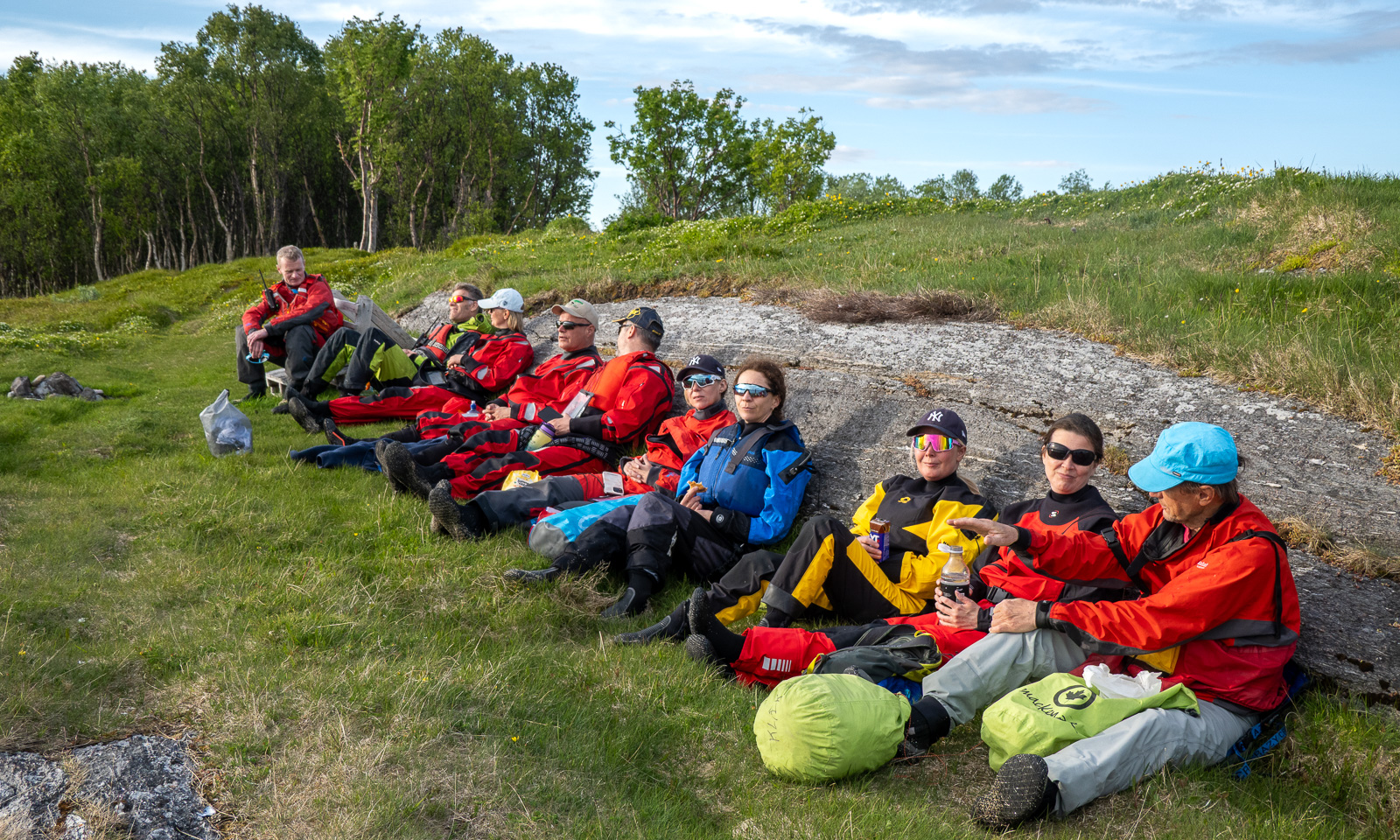
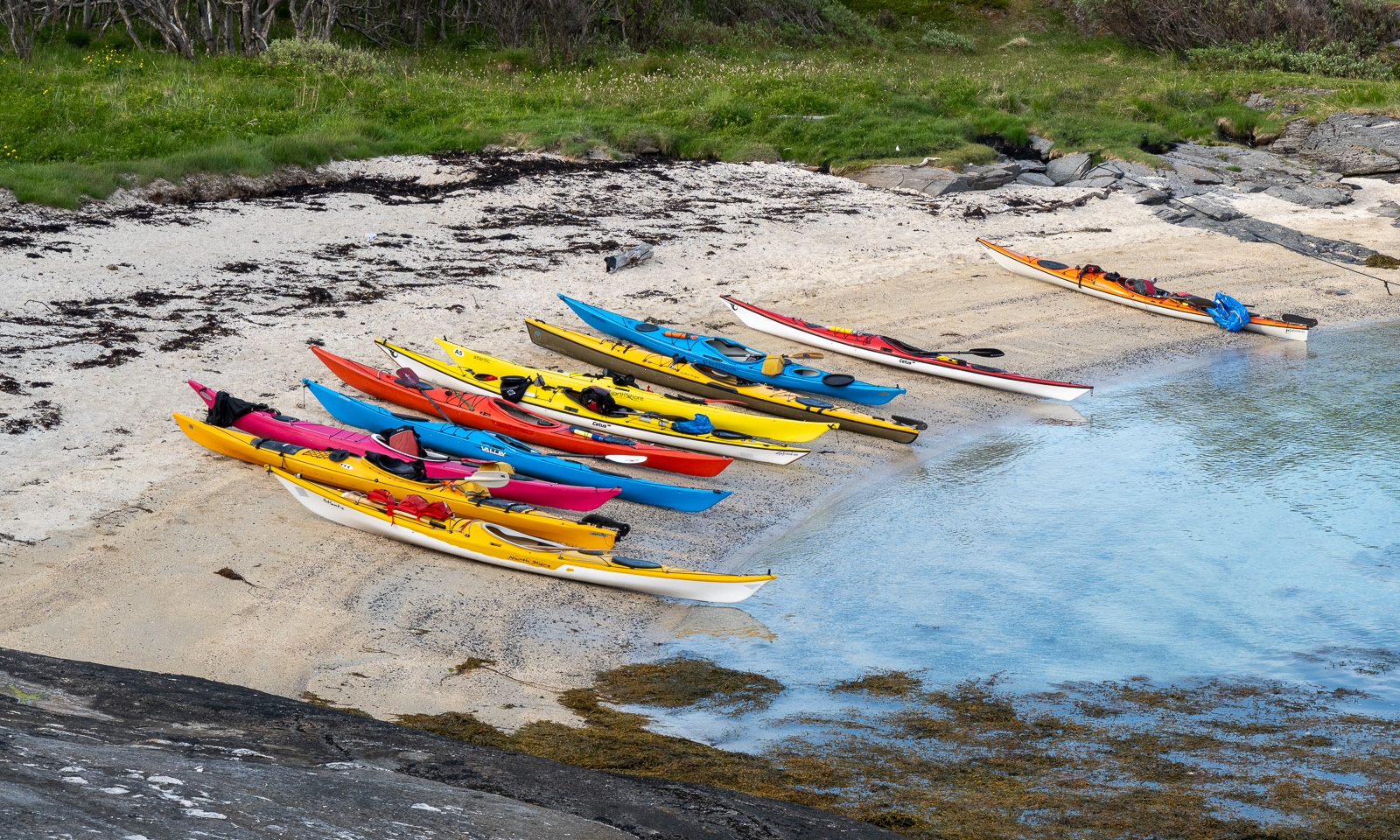
We paddled alongside the island and took a break at the southern tip.

After half an hour, we continued our tour. The wind had calmed down and so did the waves. We paddled around the island and then headed to Monsterbygget (the monster building), a landmark on Tromsøya often used for kayaking navigation. After three hours, we were back at the boathouses.

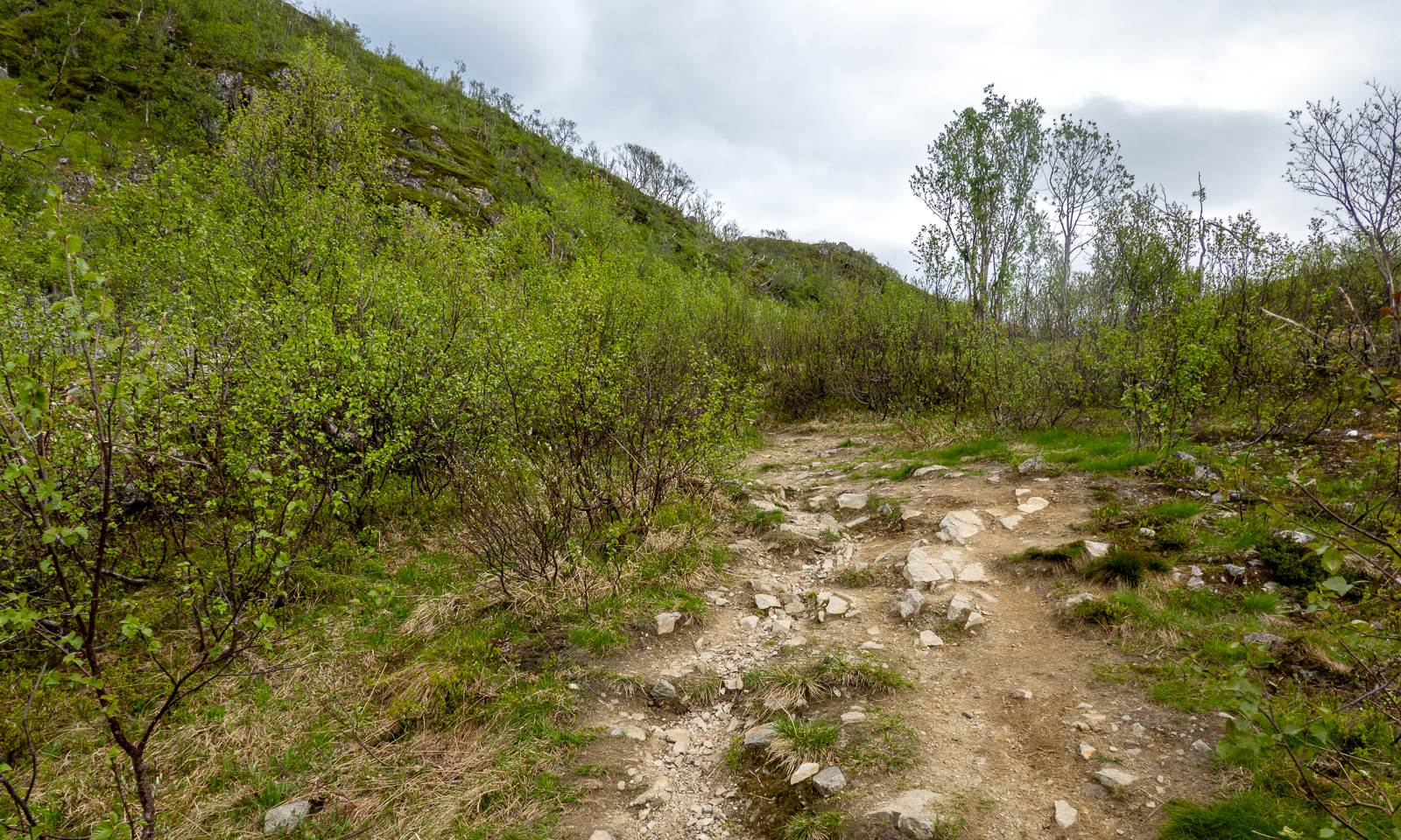
Next day, another tour. I stopped working early to meet my friend Christine. We took my car to a parking area on Kvaløya and went up the Sørtinden. This is a short tour, about 4 km long with 250 metres of elevation gain., but you are immediately in the mountains.

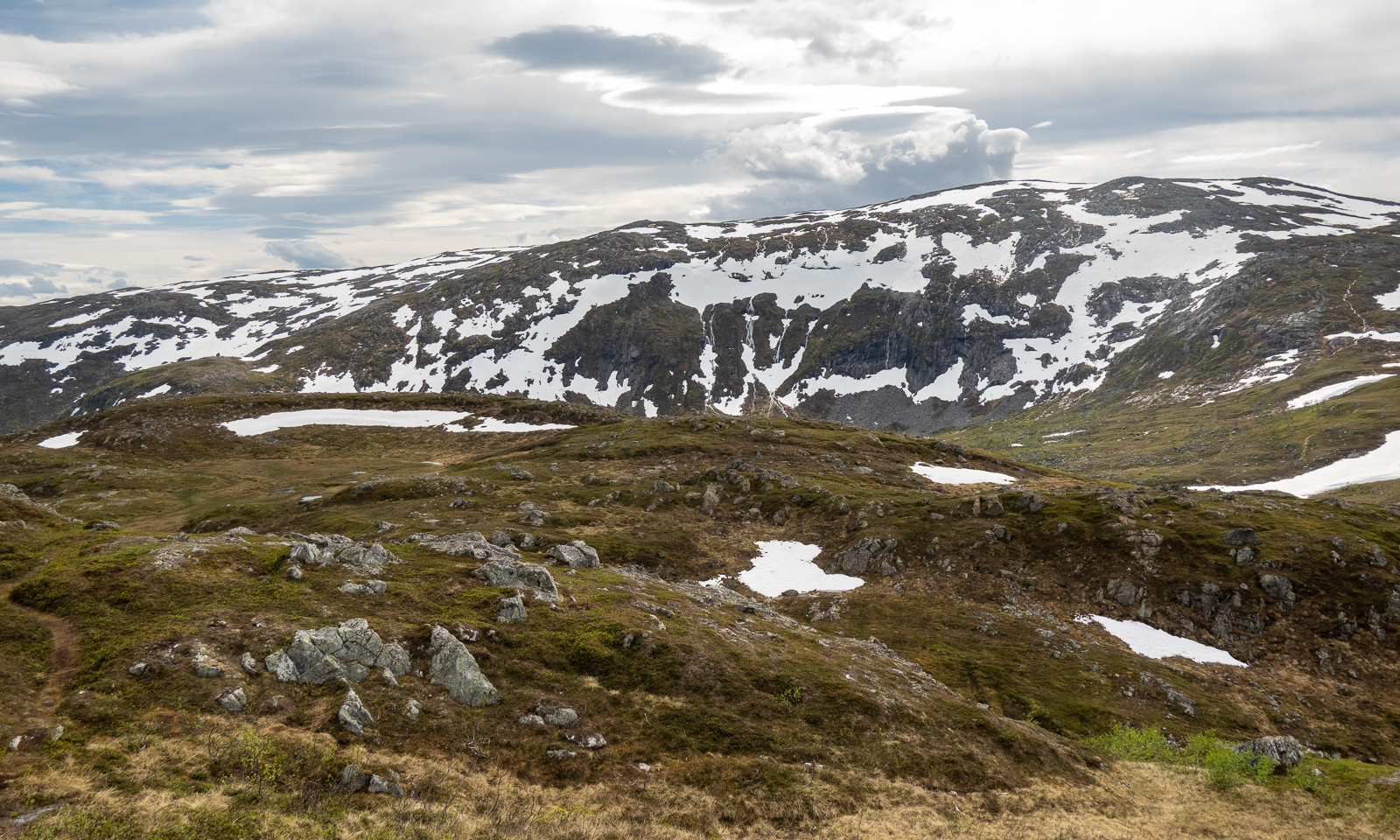
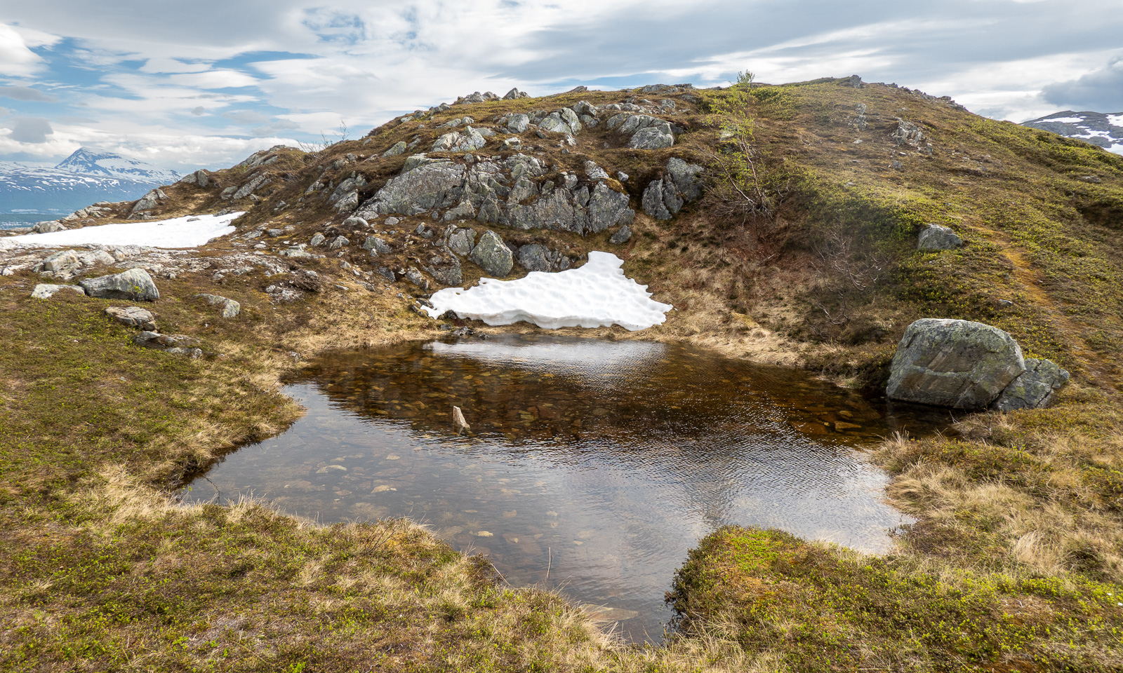
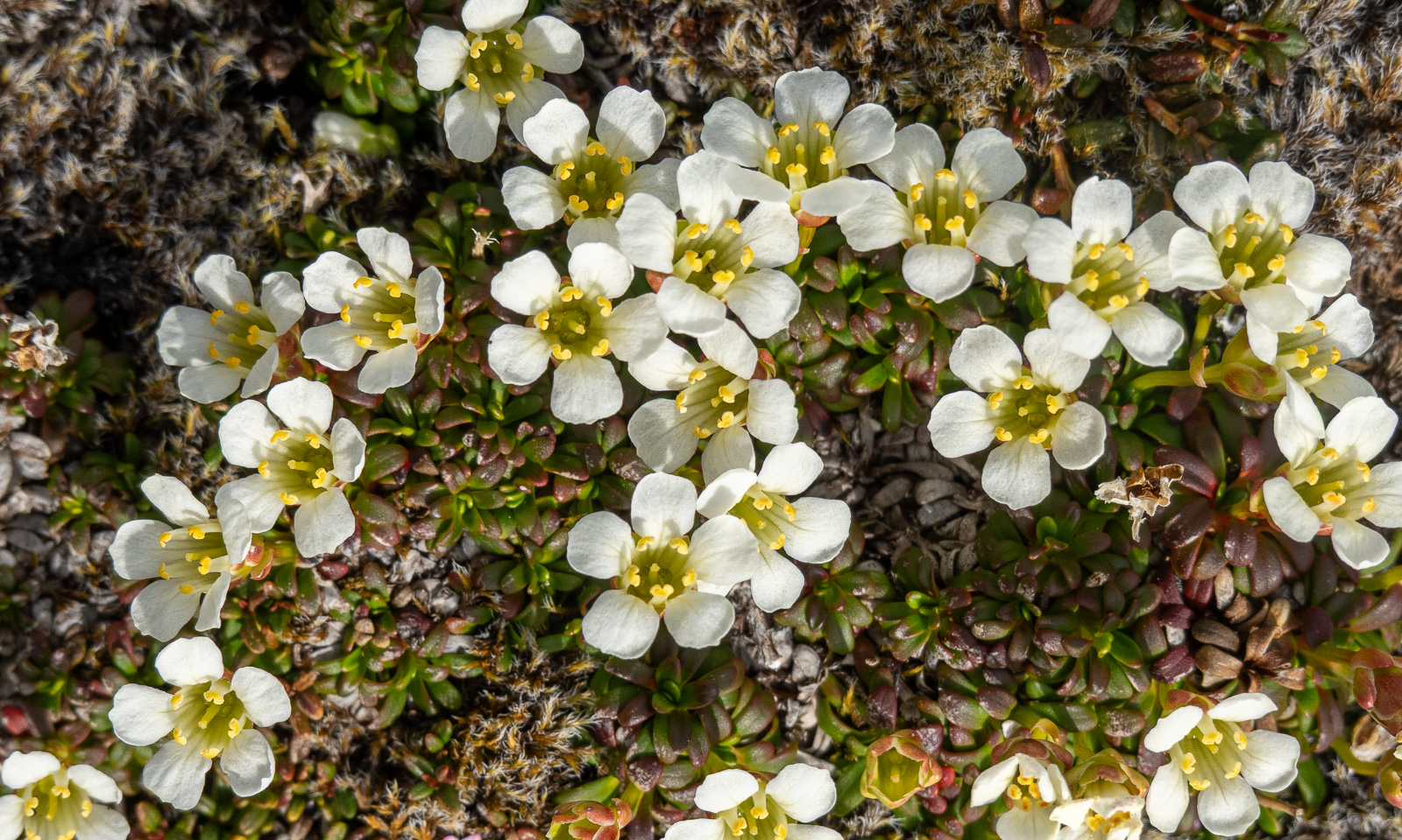
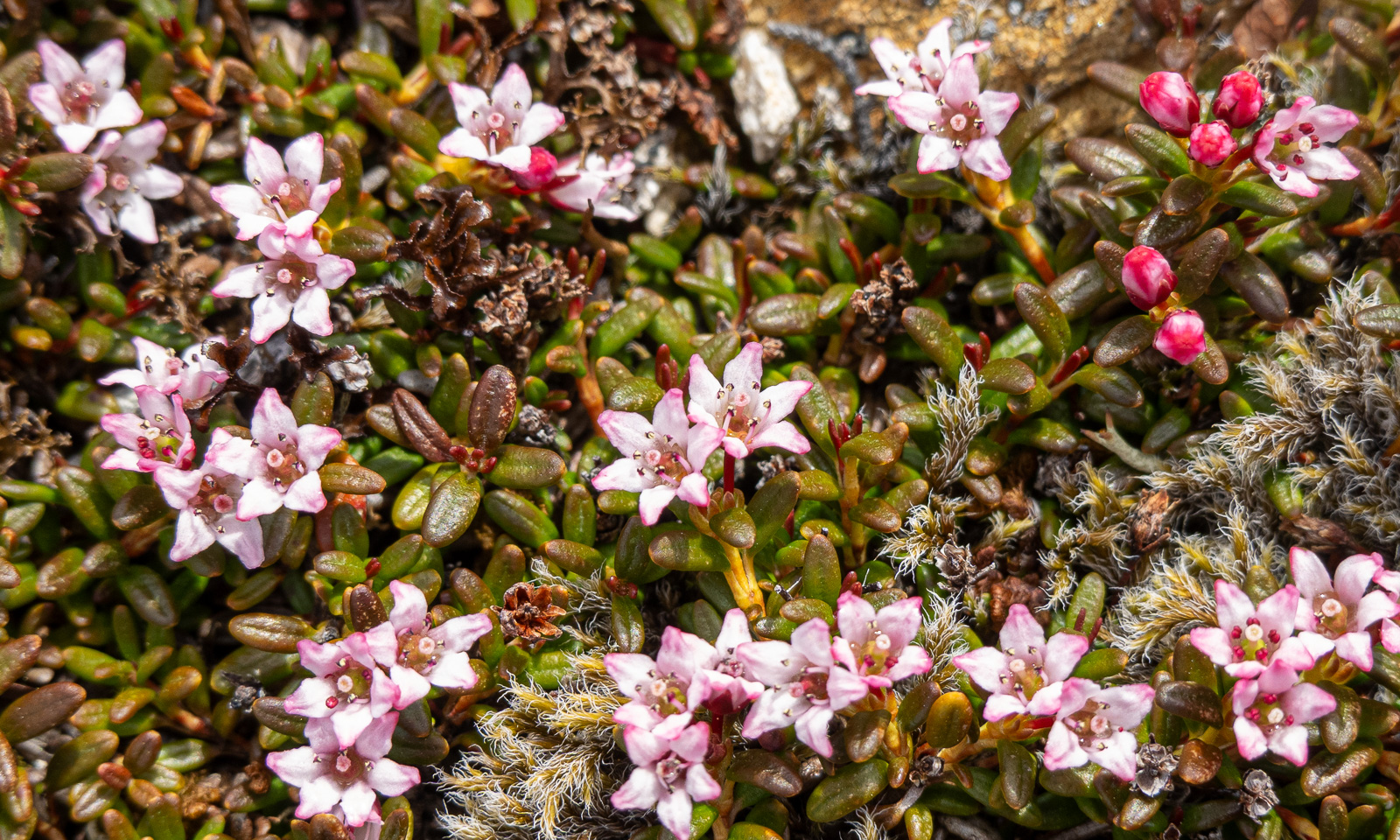
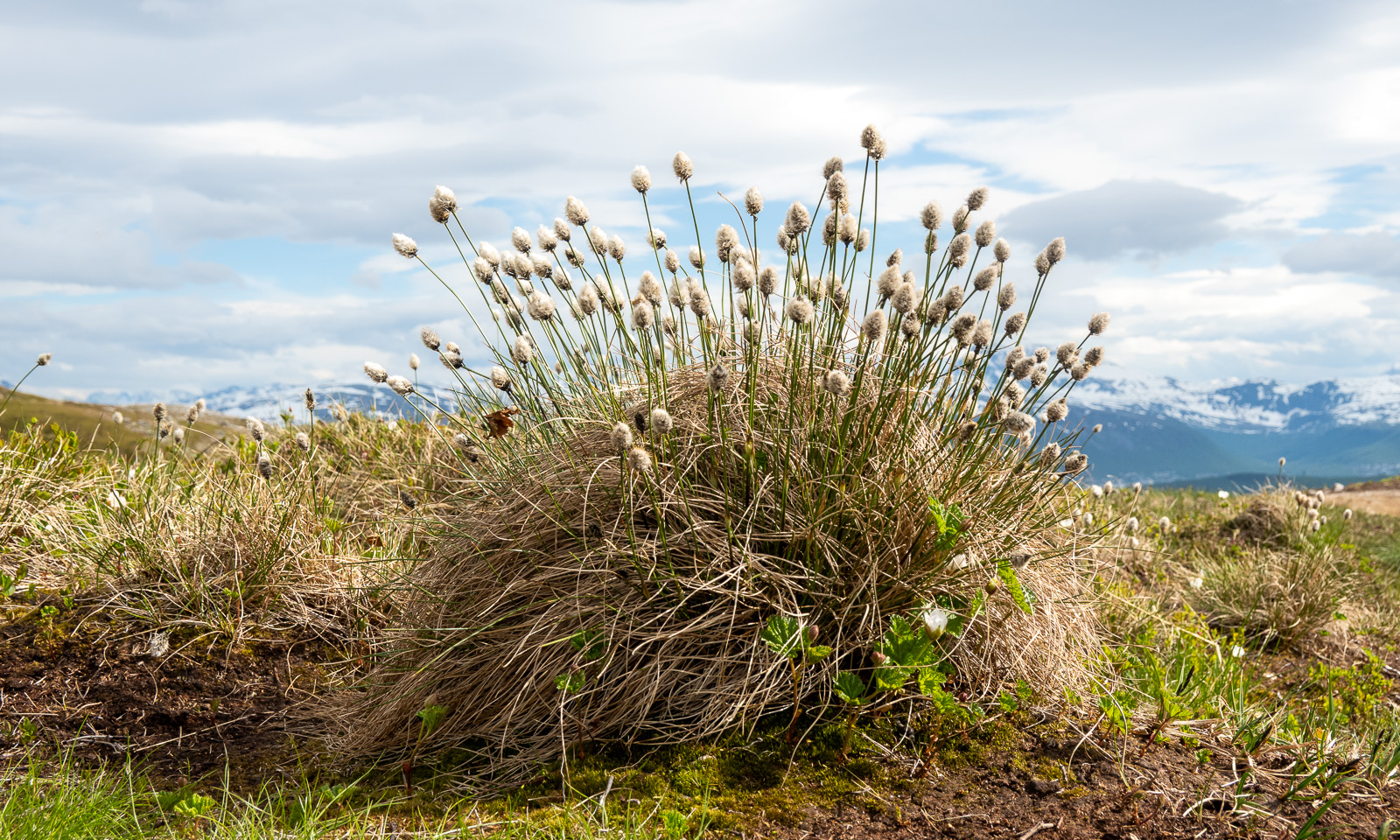
Some parts were still covered with snow while others were covered with carpets of flowers. Even the cottongrass was blooming.

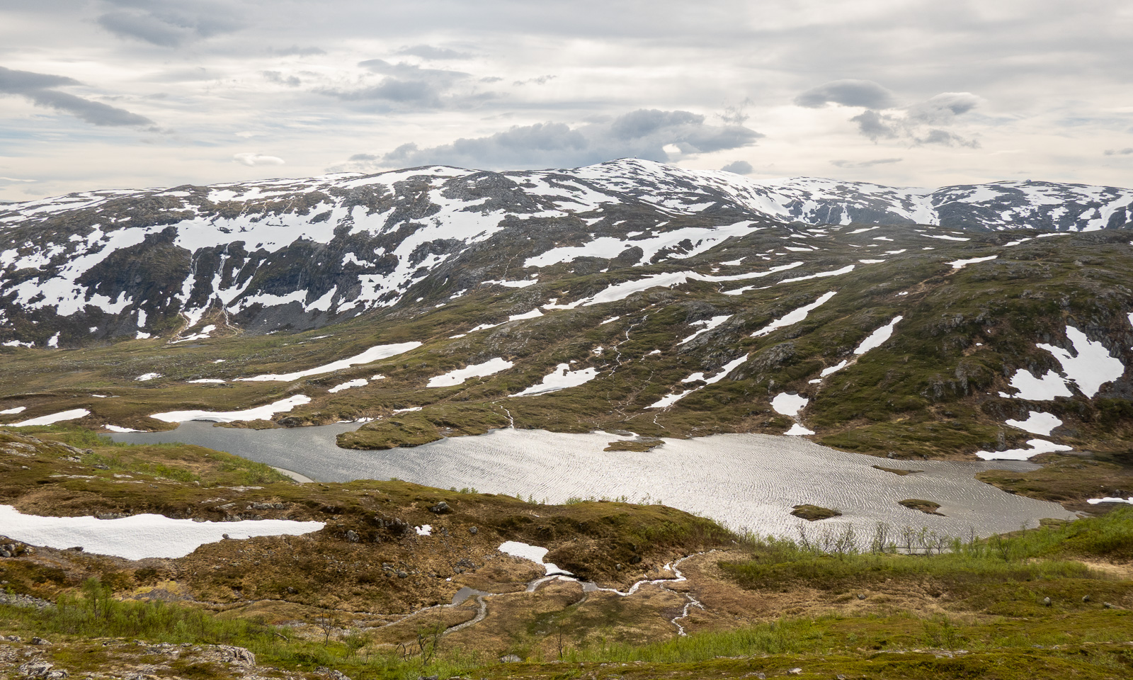
Gaining altitude, we had views of the lake Finnvikvatnet and the mountains behind, such as Kjølen.

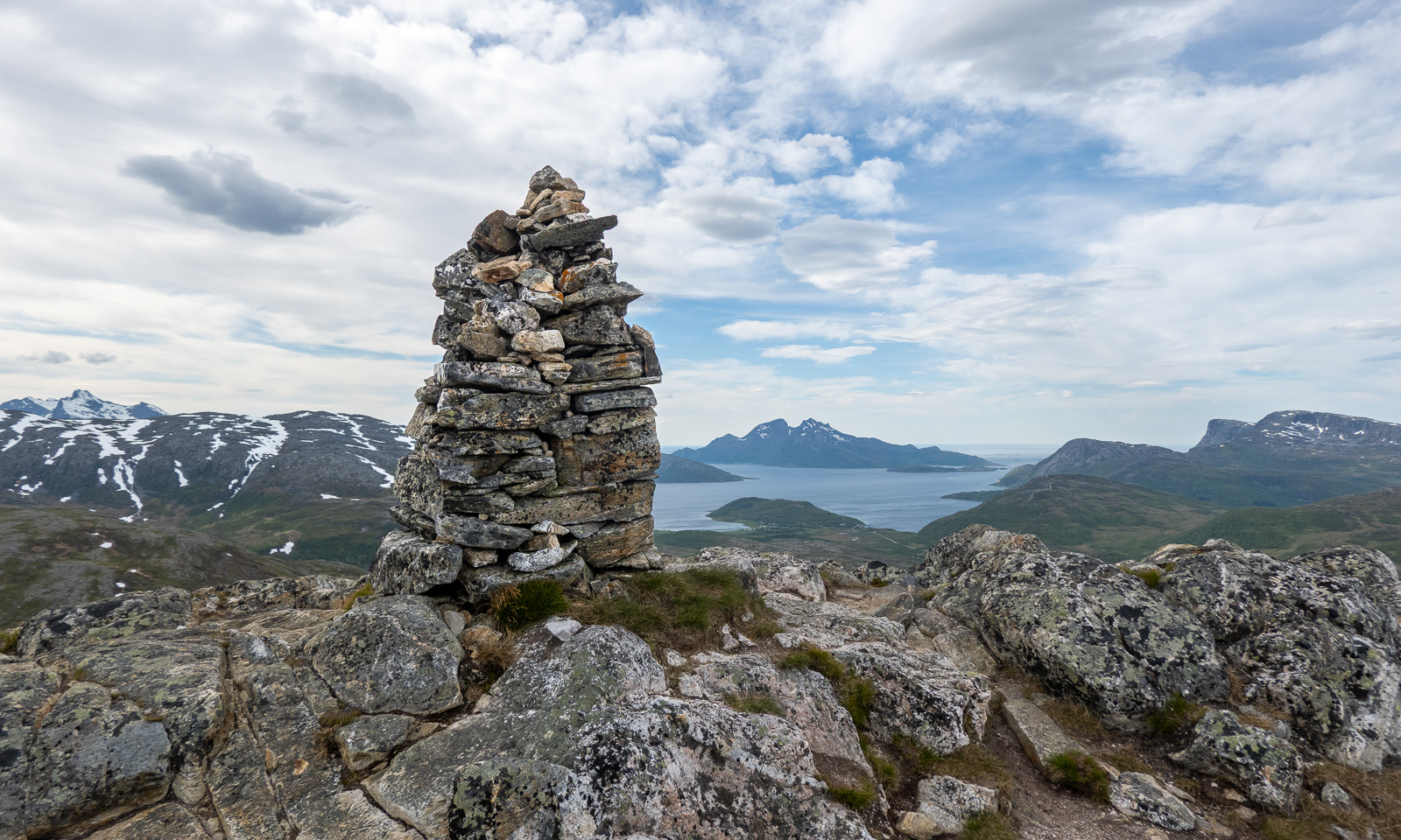
The top of Sørtinden is a bit like a cliff. Here, you also have a view of the sea and the island Vengsøya. After a rest on the windy summit, we went back the same way.

Bergen reloaded

On Sunday I flew to Bergen once more. While it had been sunny a few days ago, it now presented itself as Bergen is known for: rainy.

It was not the normal rain with raindrops falling from above. It was more like an omnipresent moisture coming at you from all directions. Invisible to the eye but you get wet anyway.

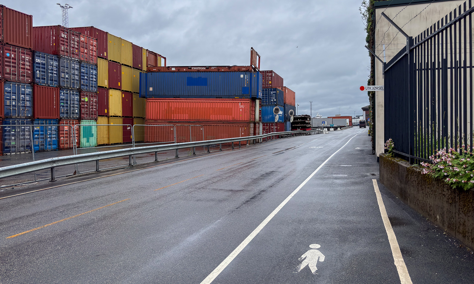
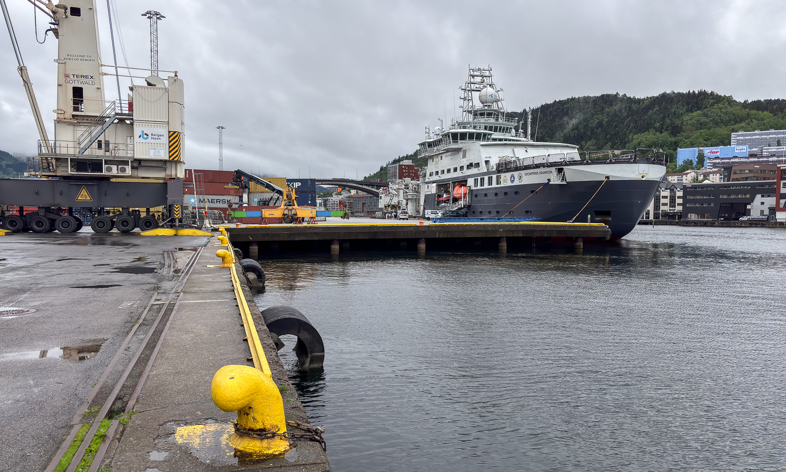
On Monday I went to work. I went from the hotel in the centre to the Port of Bergen, where it took me a while to find the entrance and then to get on the list for a day visit aboard the icebreaker Kronprins Haakon.

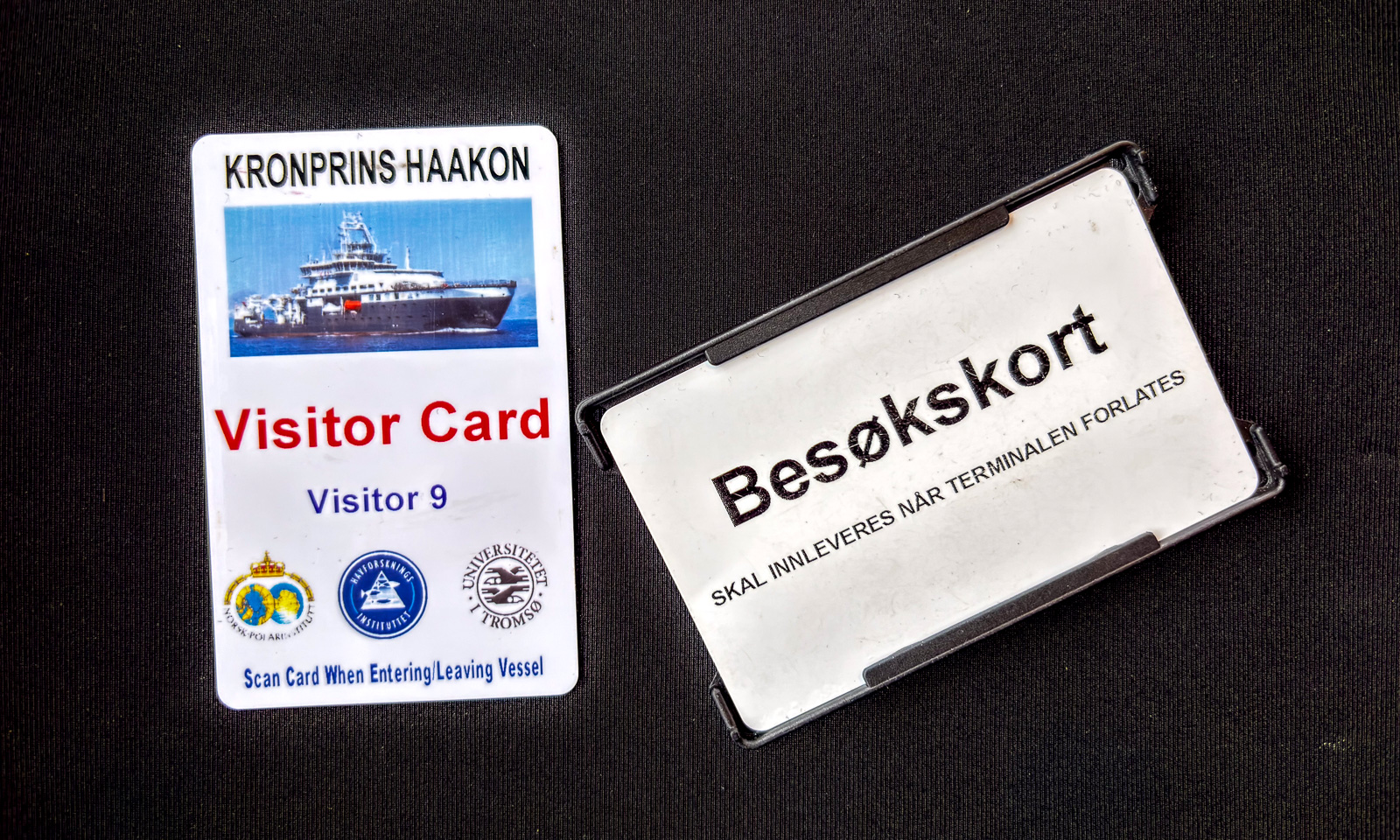
My pocket was full of cards – one for my hotel room, one visitor card for the port, one for the ship.

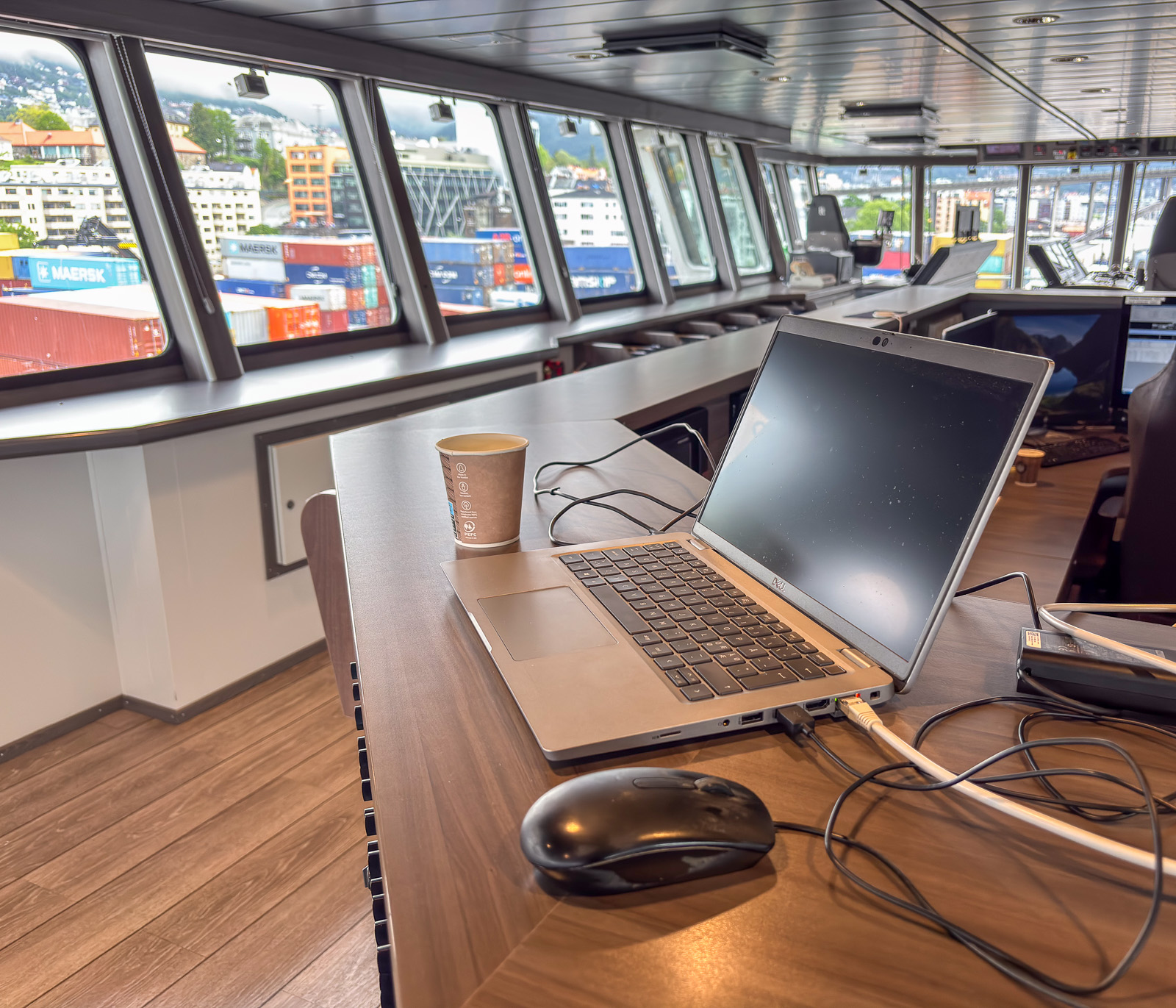
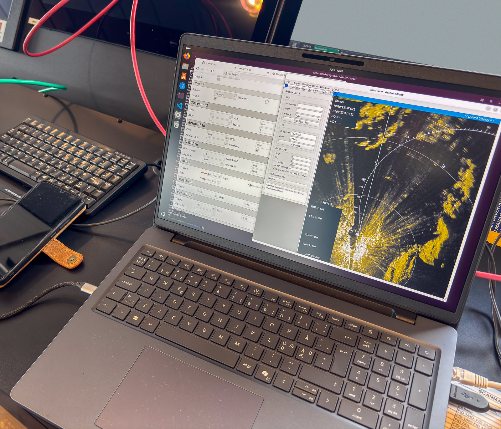
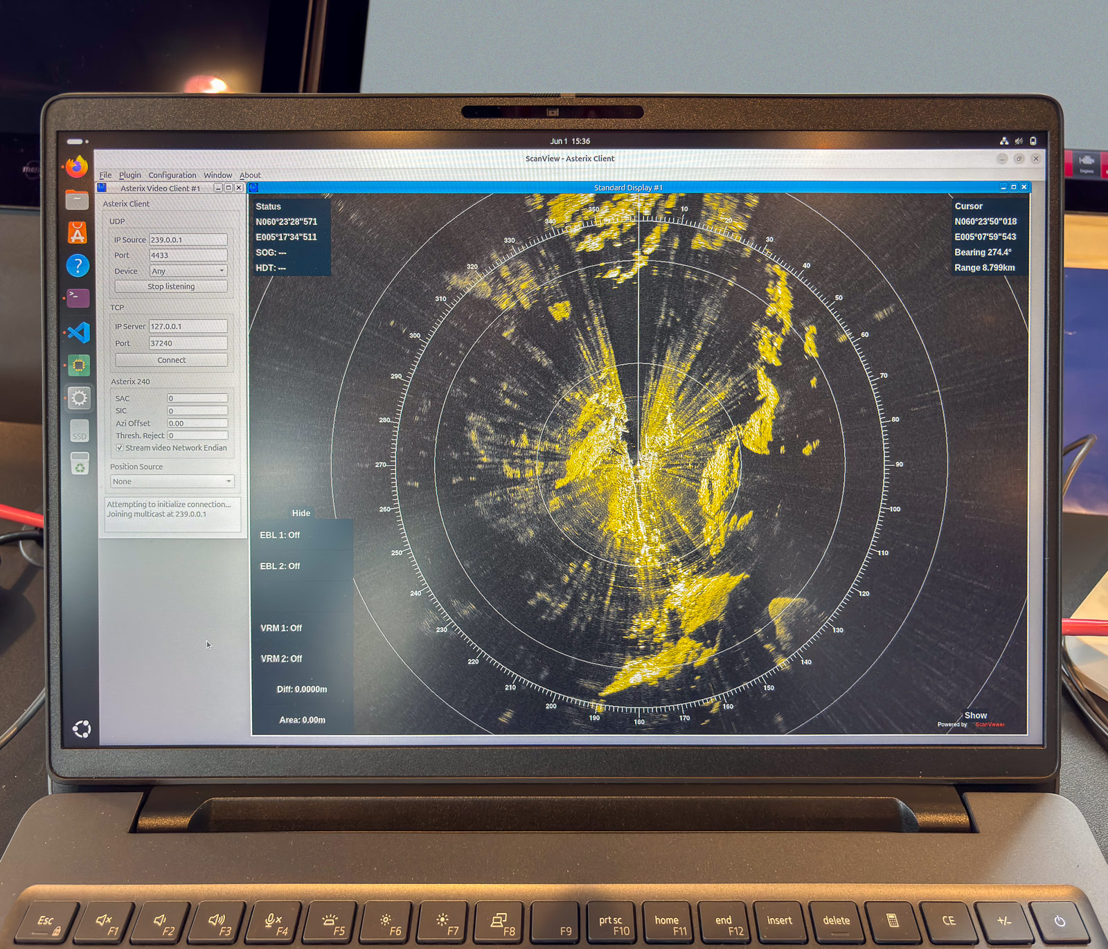
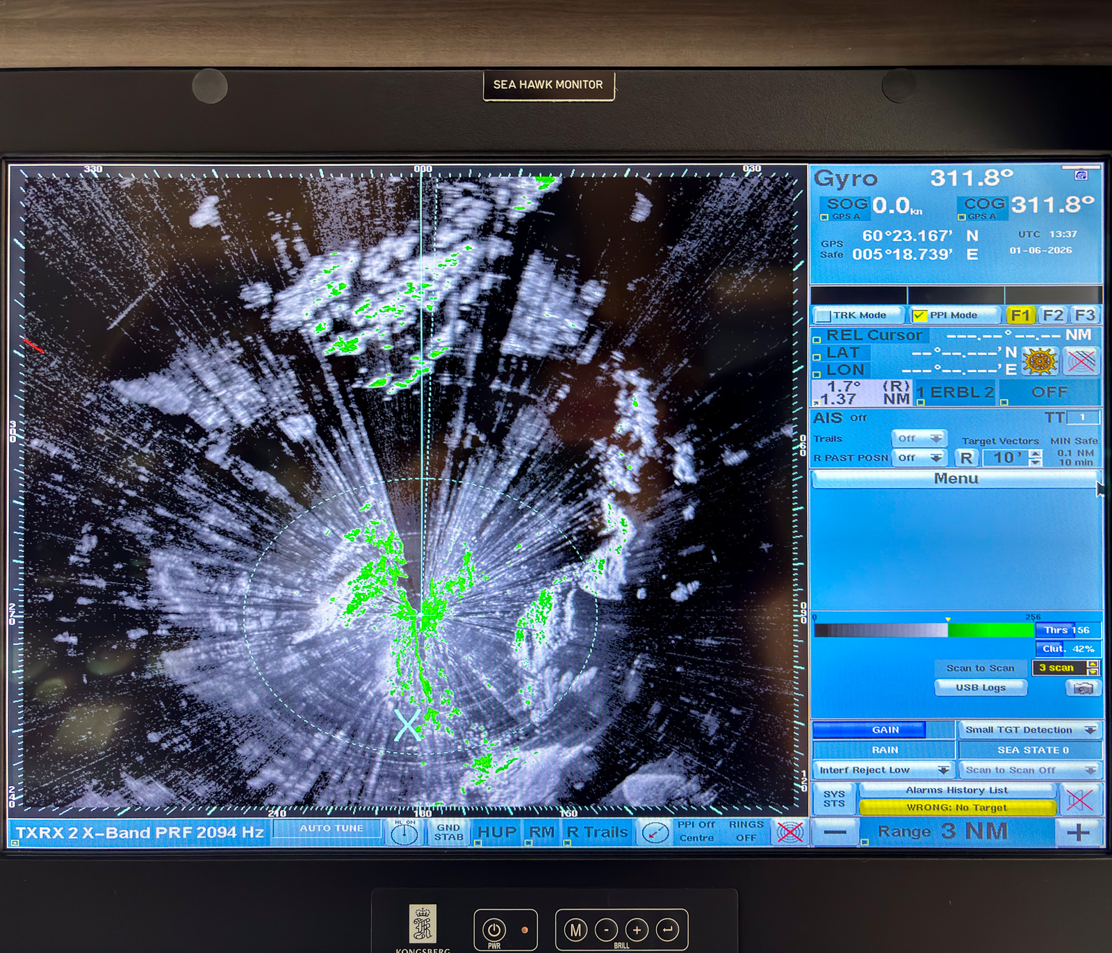
One of the instruments on the bridge is a radar used for sea ice navigation. On this day an engineer from Sea Hawk was installing additional hardware that delivered the radar video signal and additional data such as GPS and gyro to an auxiliary network. My responsibility was the other half: the laptop and the software to read and store the data. And so my workplace looked like:

After some hours of work the “radar” laptop showed the same data as the large overhead display on the bridge. The engineer calibrated the scan streamer unit and I used the rest of my working day to catch one hour of radar data as an example. As expected the amount of data was immense: about 74 GB per hour.

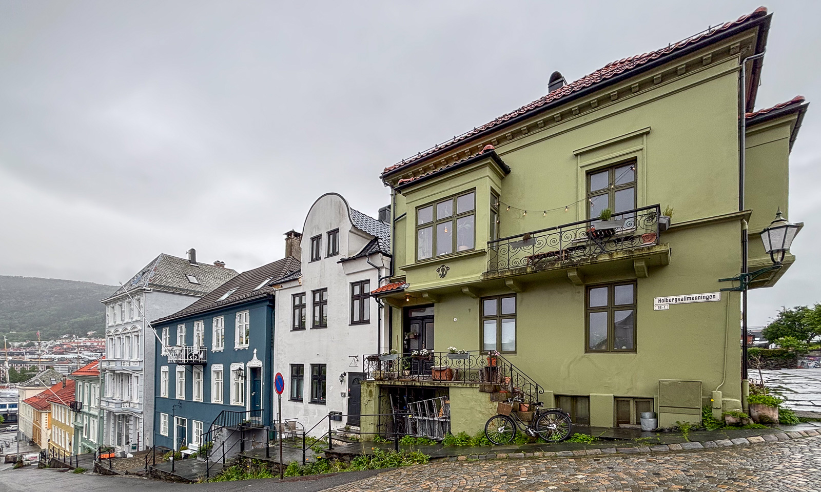
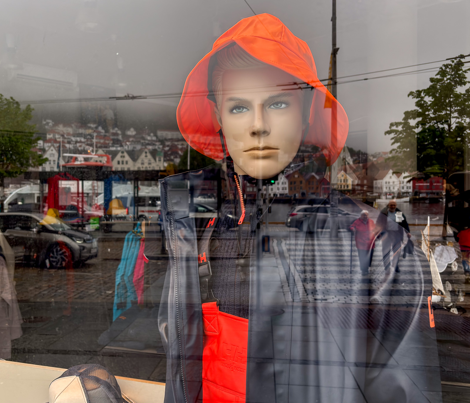
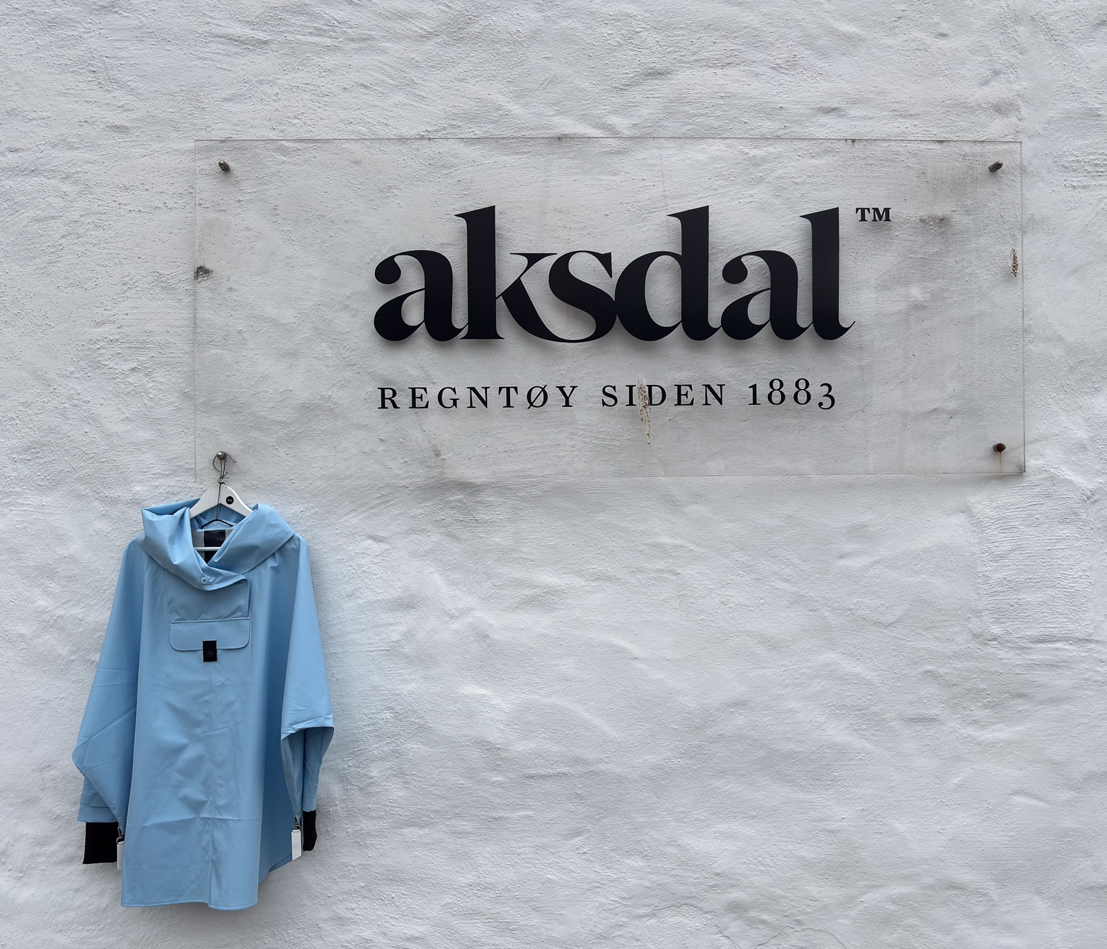
Then it was time to head back to my hotel in Bergen, the city with about two hundred days of precipitation a year. Even the shops here reflect the omnipresence of rain.

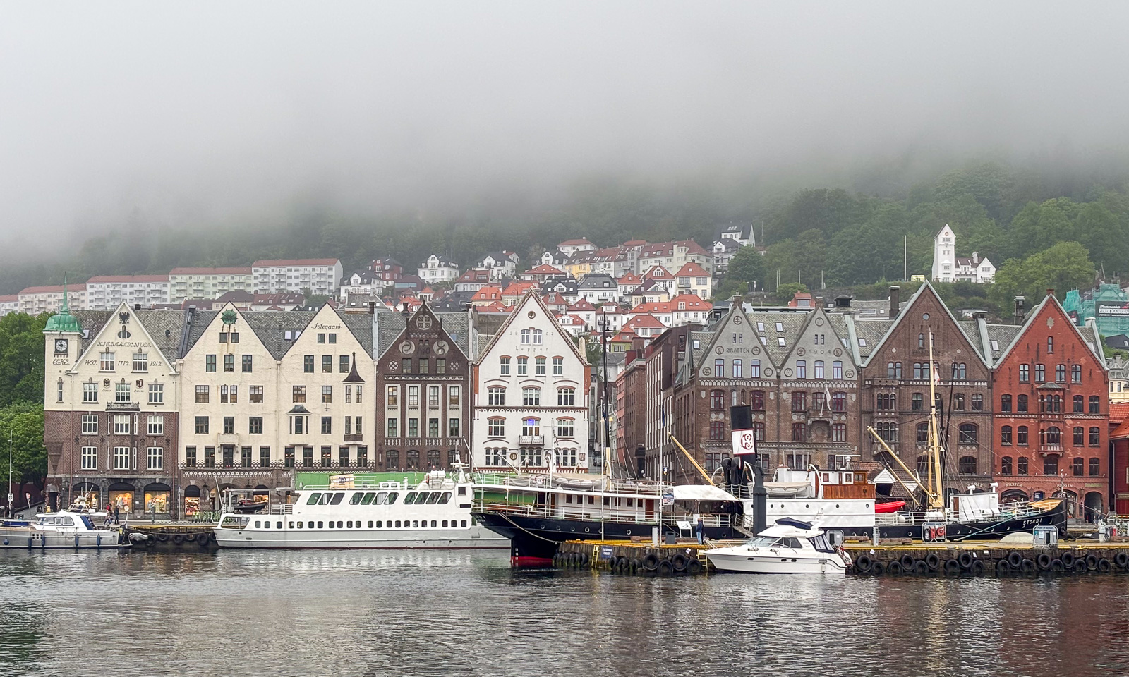
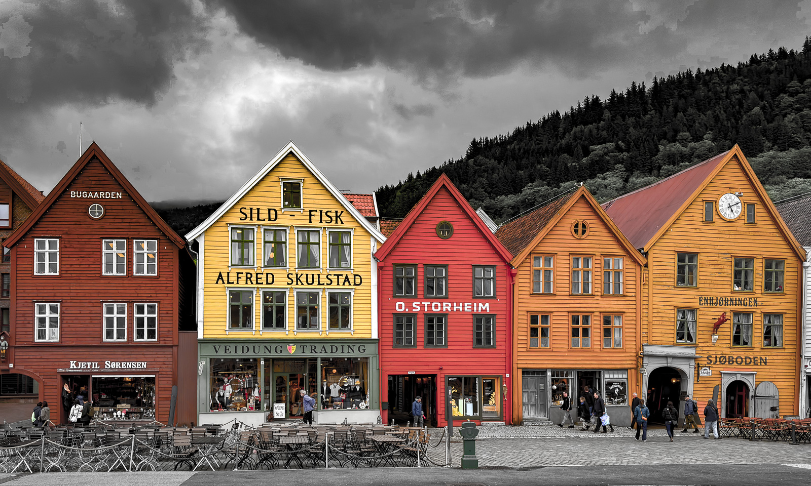
Tor te rest of the day, I was a tourist and took some tourist photos in Bryggen, the famous historic quarter.

Ways, paths, tracks, and trails

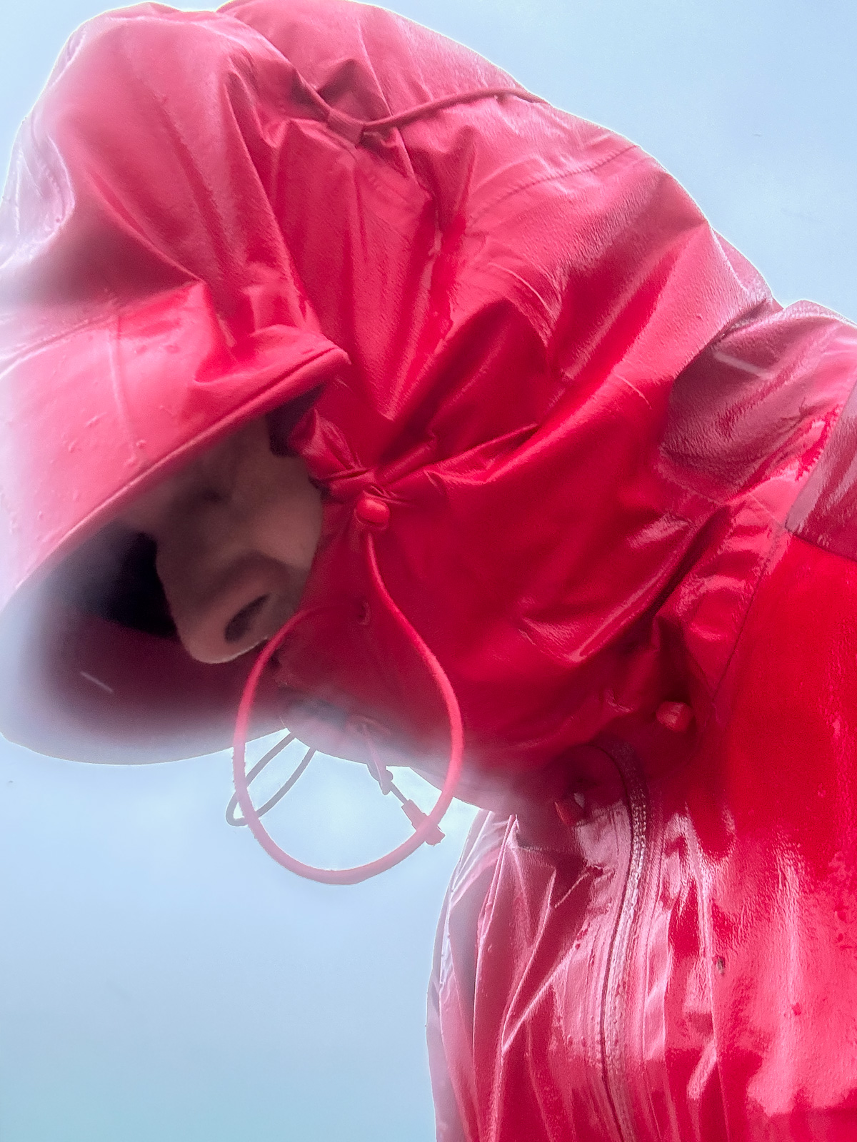
When I thought the weather had been bad on the kayak trip the day before yesterday, it was much worse today. It was colder, it was windier and the mix of precipitation was more varied: rain, snow, soft hail and sleet. At the northern tip of Tromsøya, storm gusts almost knocked me off balance and the graupel blowing straight into my face hurt. I wished I had brought a face mask and ski goggles and I bent my head low to avoid the heavy weather. That’s why I did not walk all the way home but took the bus, boarding it looking like a drowned rat.

At home the same procedure: a long, hot shower and a fire in the stove, which was drawing like mad in the storm.

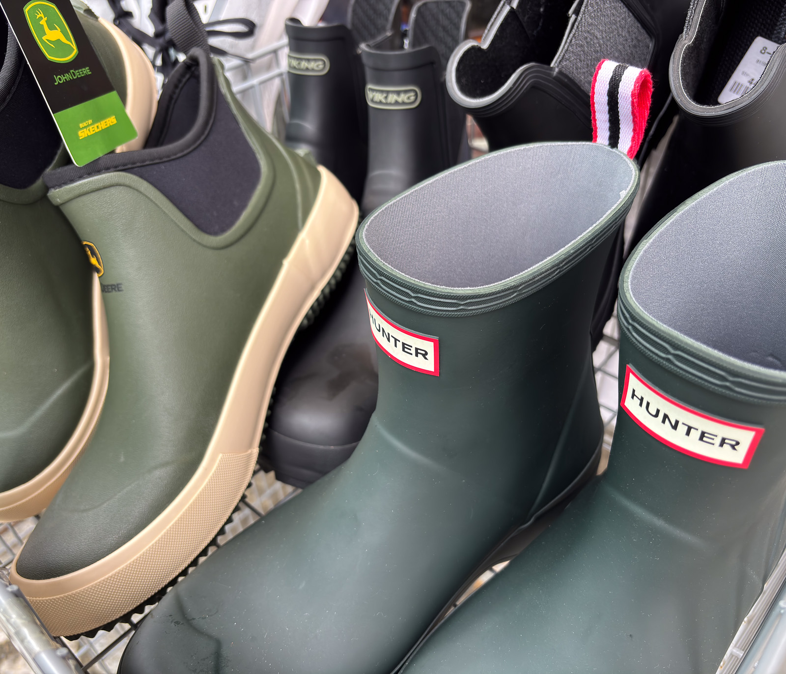
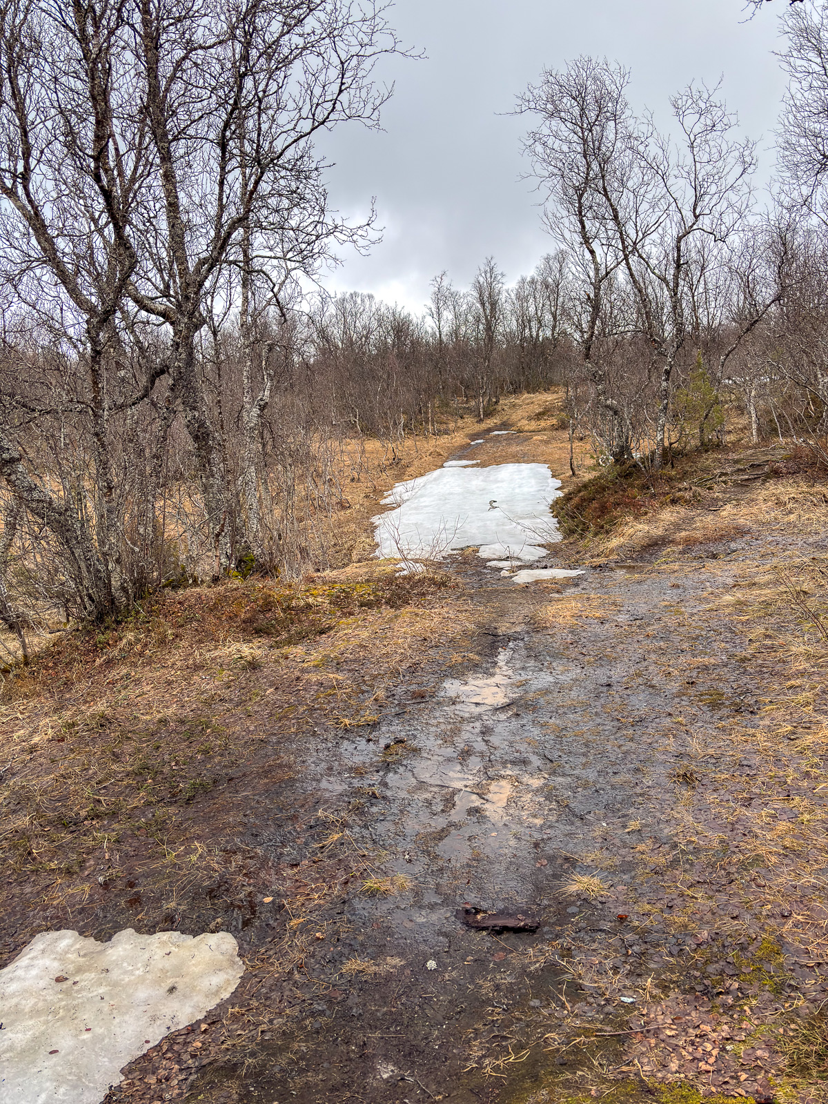
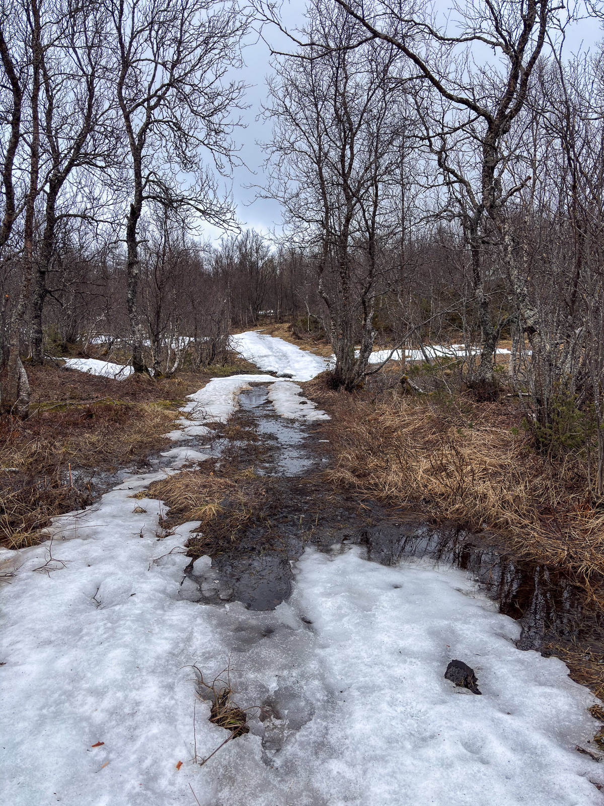
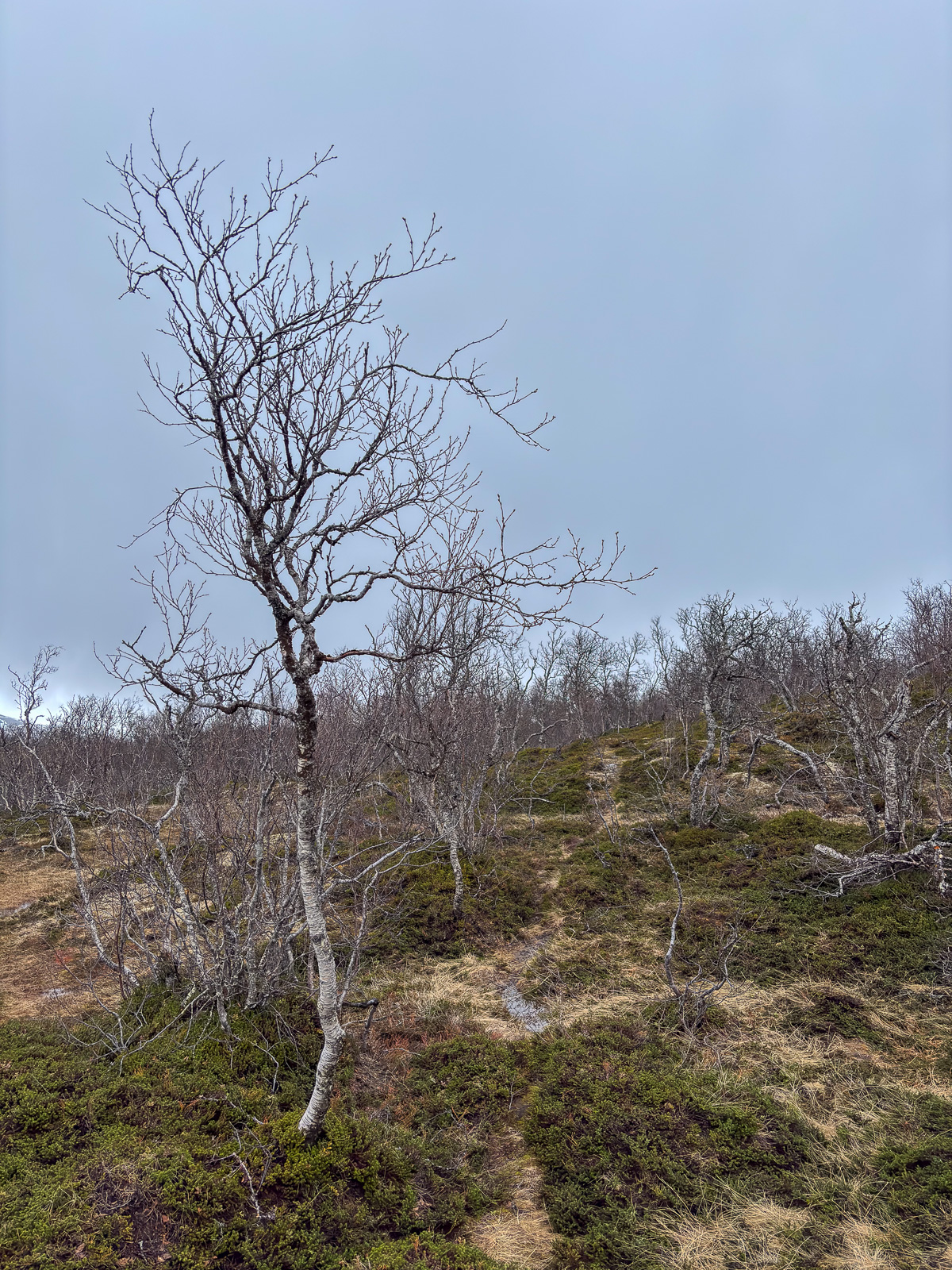
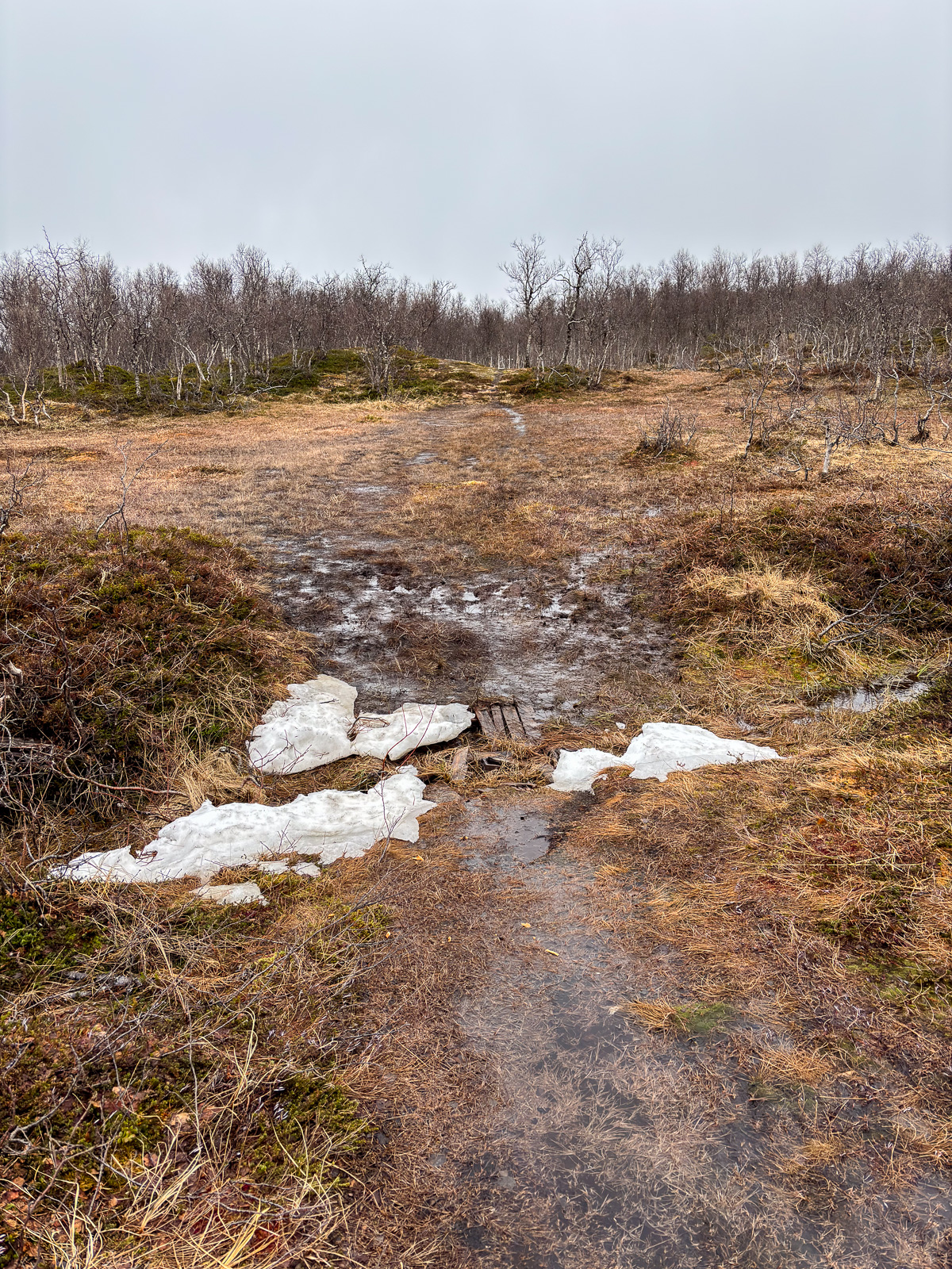
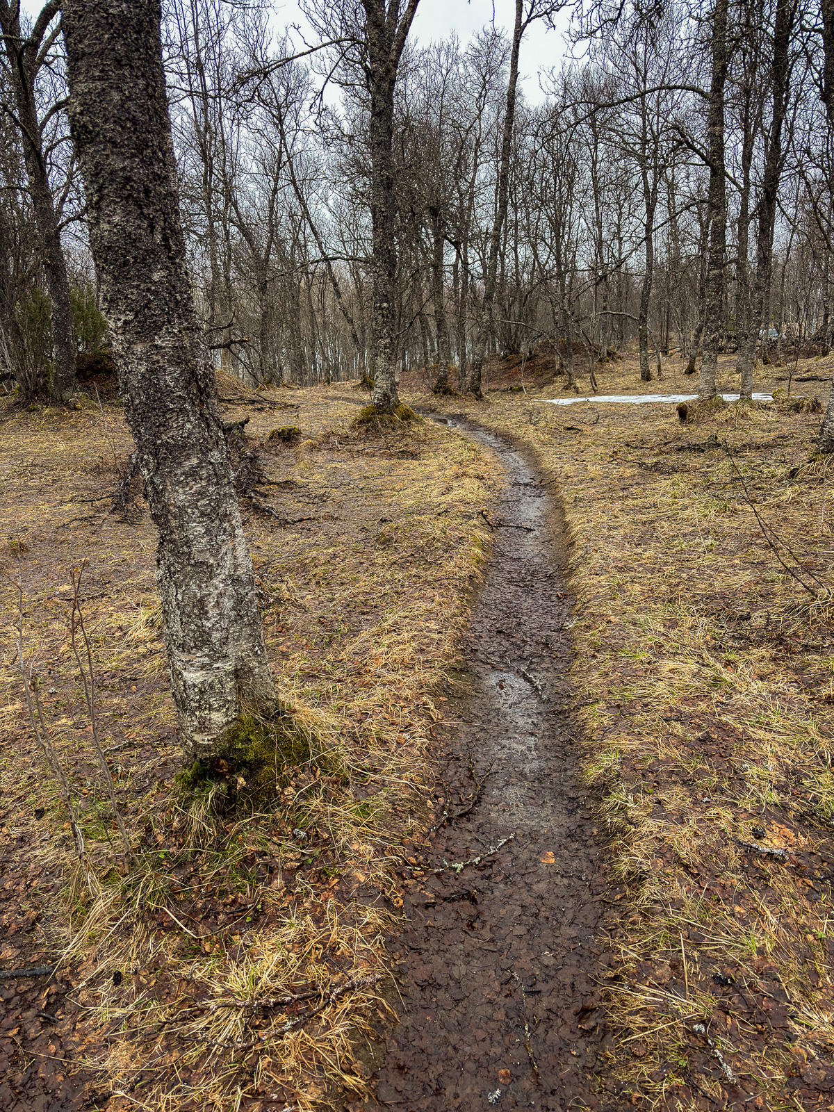
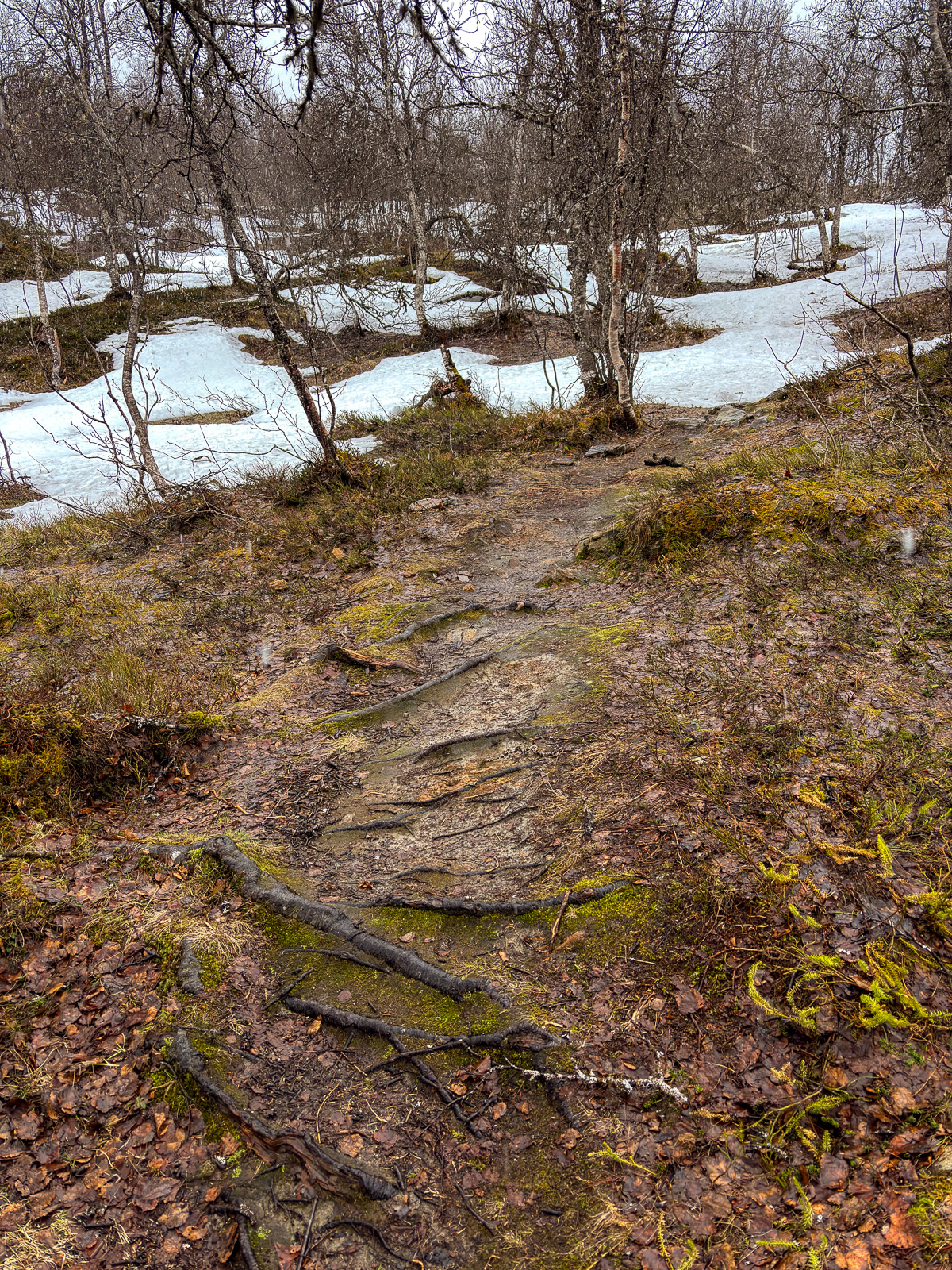
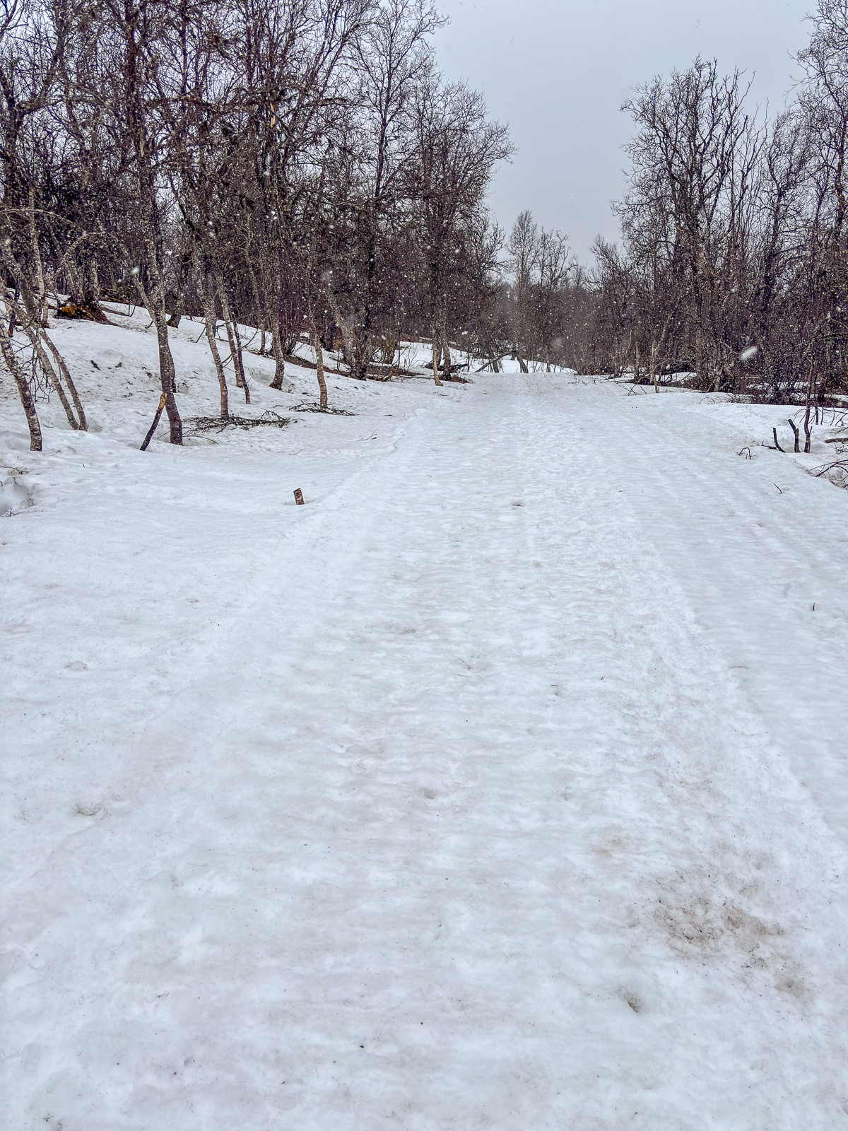
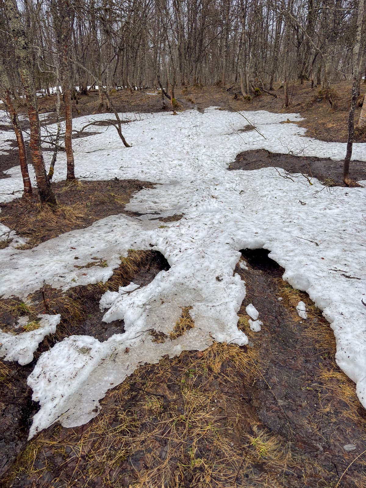
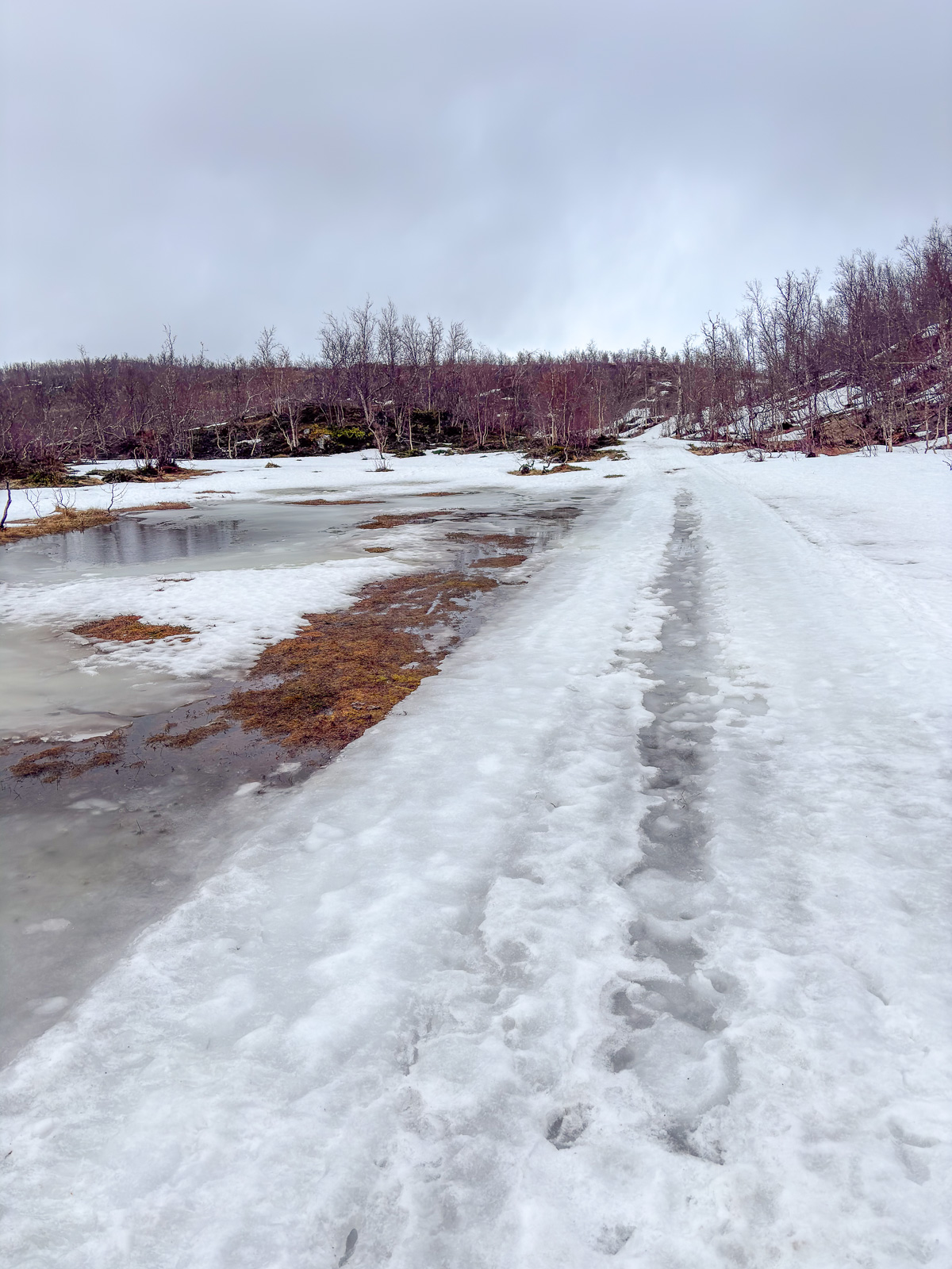
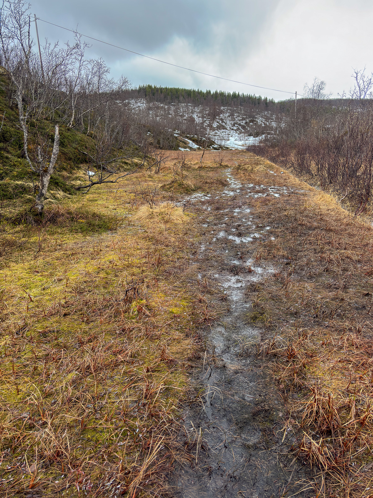
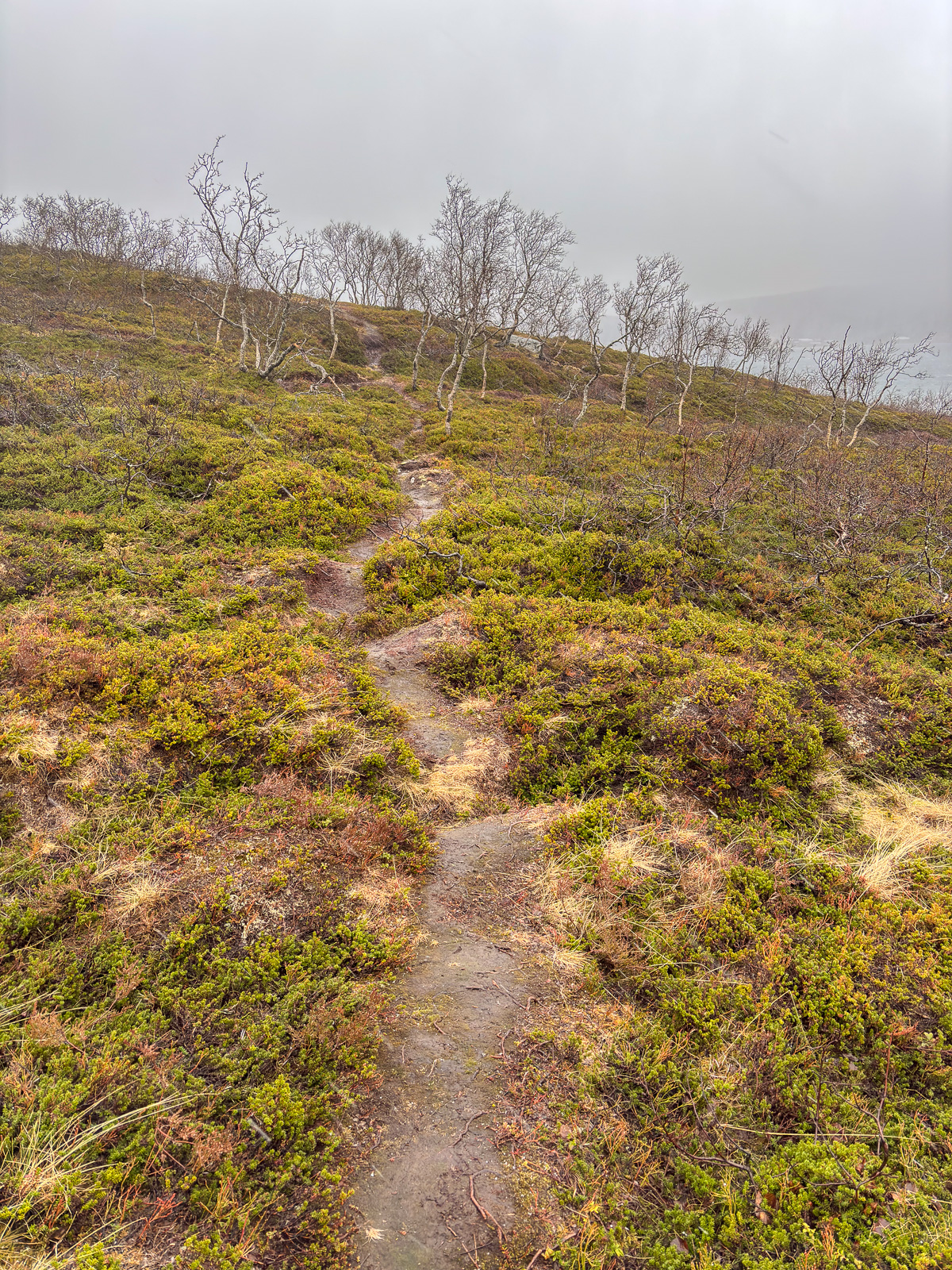
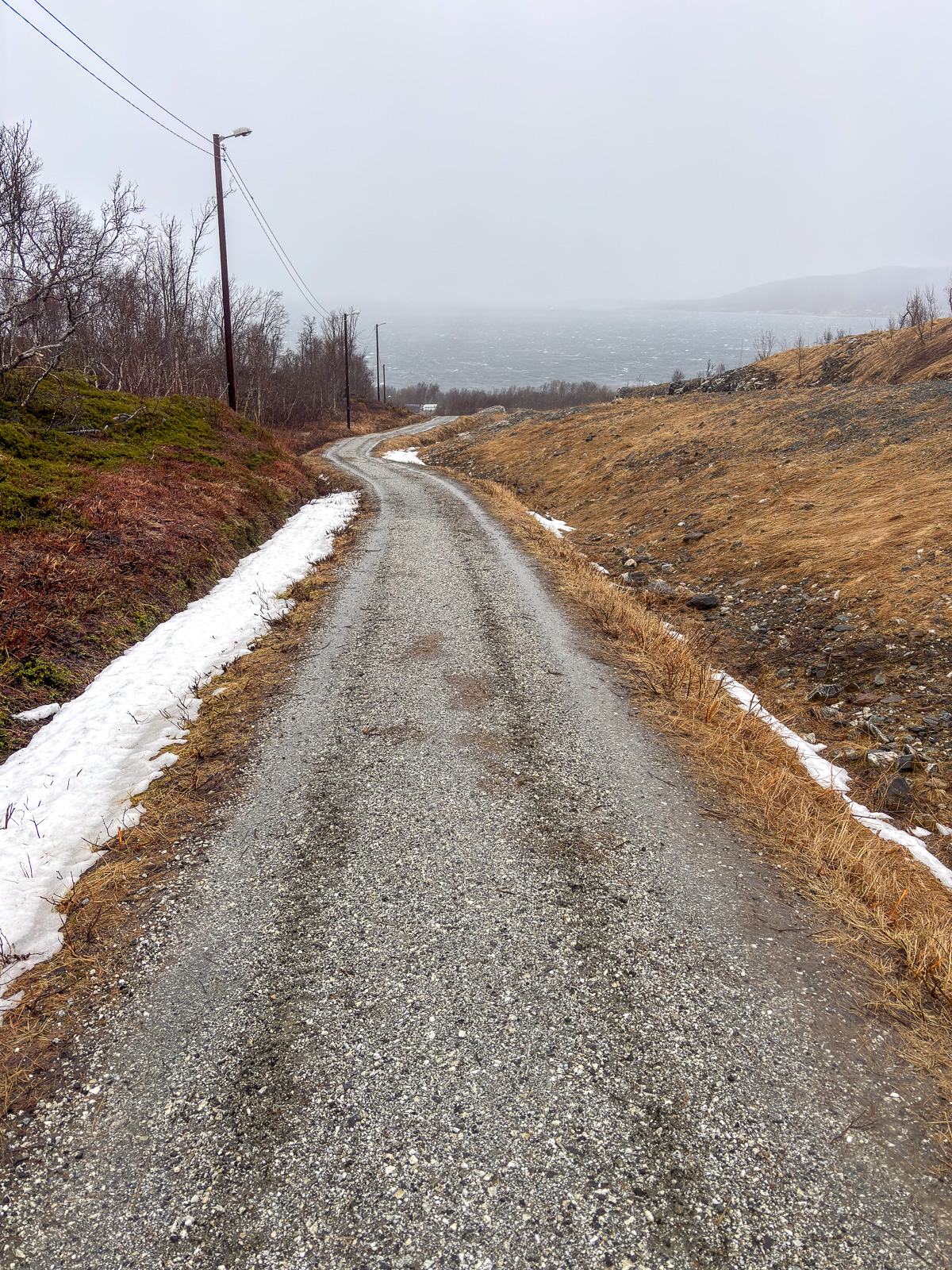
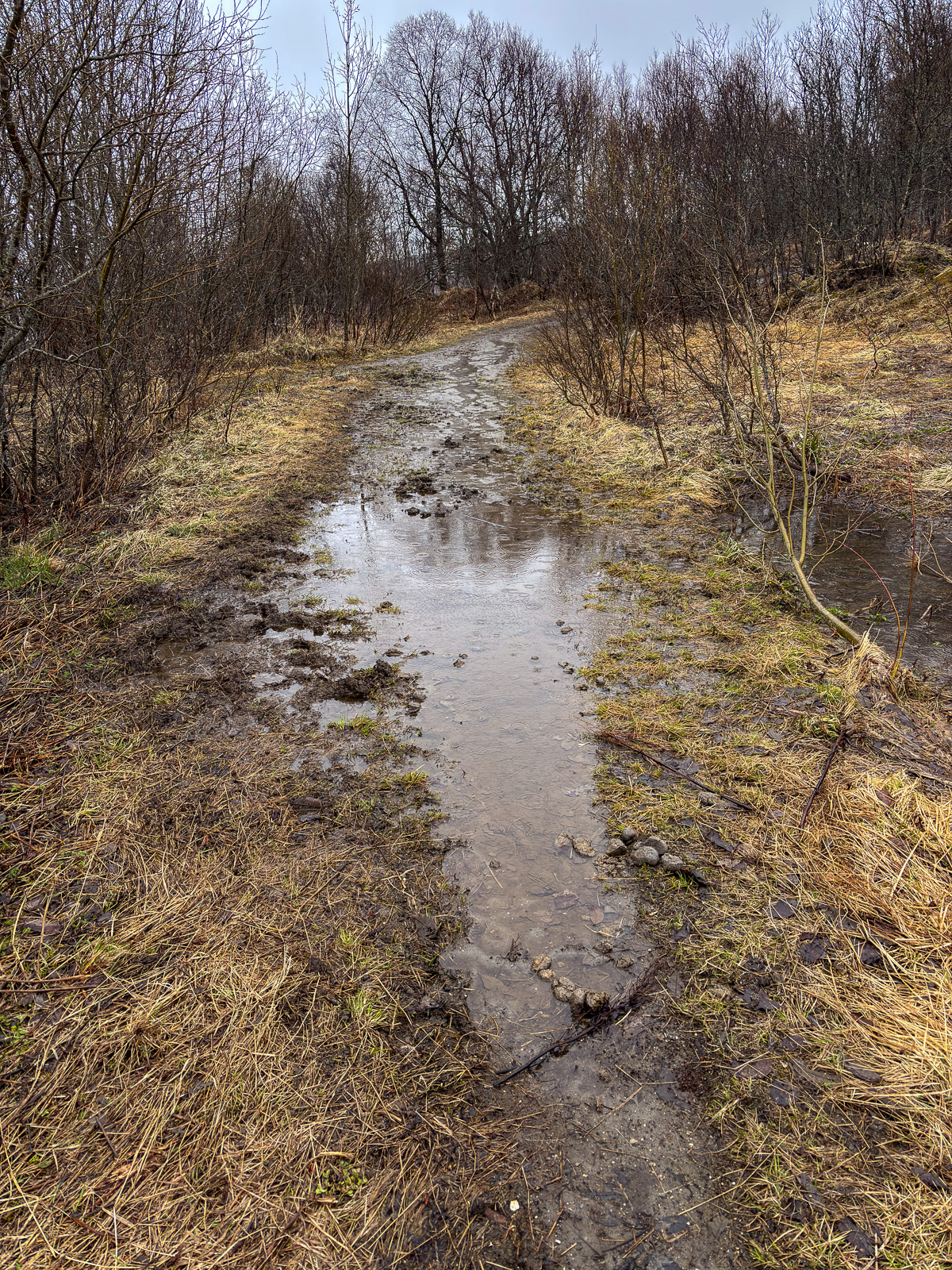
However the photos are not about weather, they are about the ways, paths, tracks and trails that I followed or crossed on my hike on Tromsøya today. Some are ski trails, most are summer and winter trails. Some still offer very wintry conditions; others look like early spring – or late autumn. My rubber boots splash through water, bog down in the mud and disappear into the snow. It will take some time until most of the ways, paths, tracks, and trails are dry – if it ever happens.

Tomorrow will be different, tomorrow it will snow.

Jokkmokk’s Market 2026

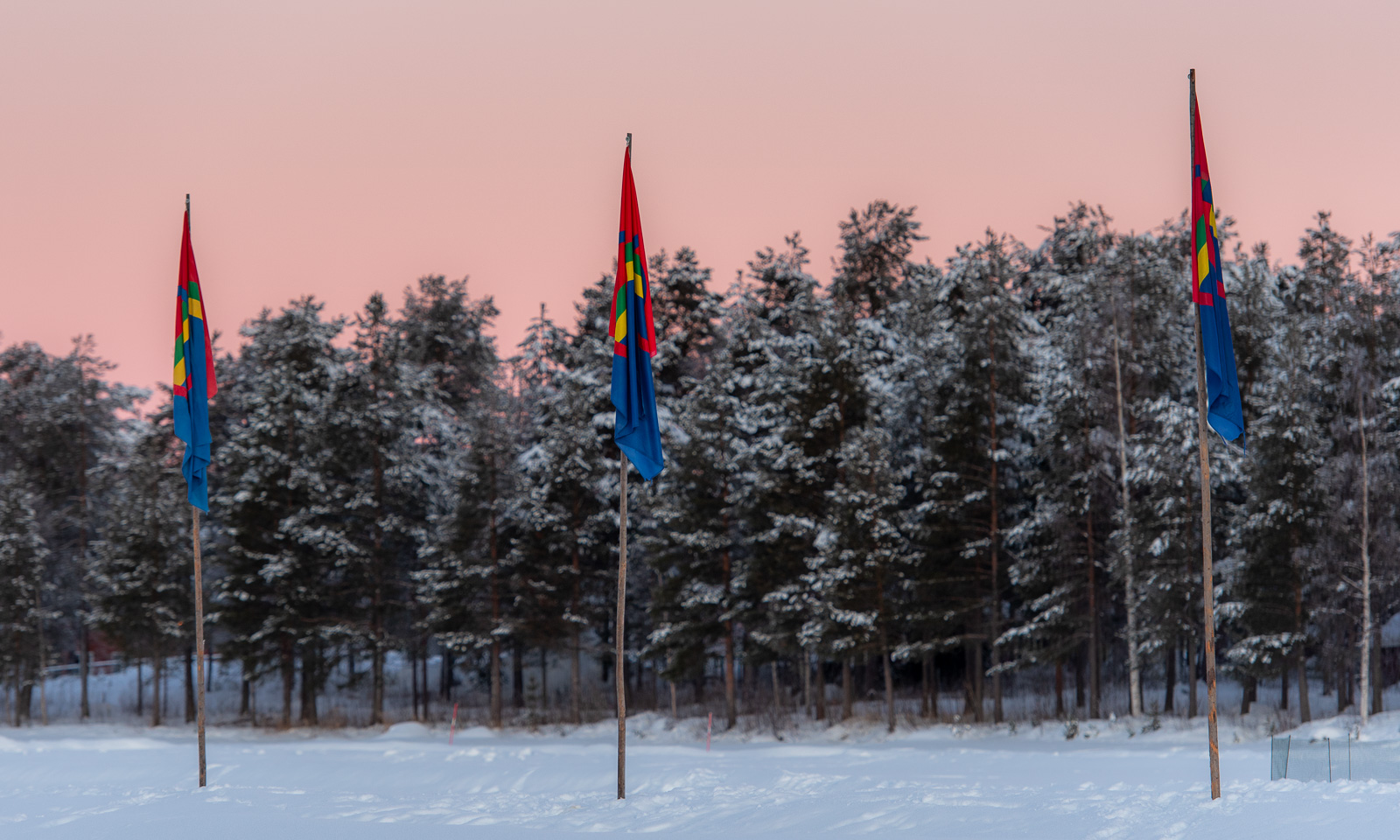
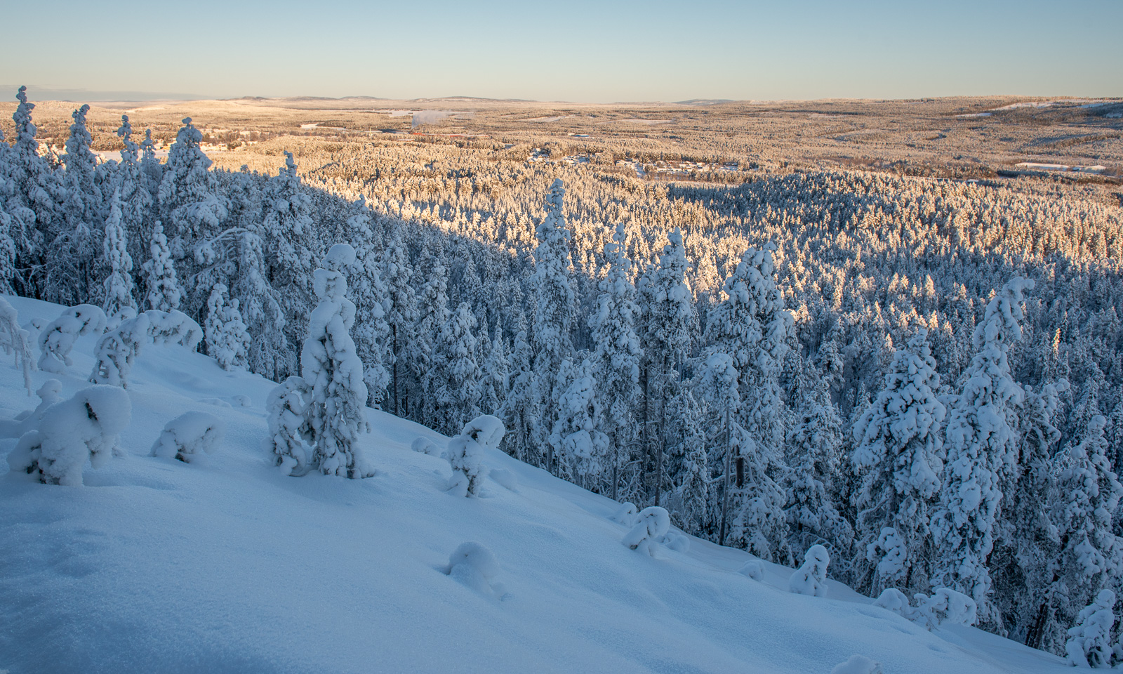
How time flies! It has been eight years since I visited Jokkmokk’s Market, the traditional Sámi market in Swedish Lapland that took place for the 421st time this year. This year I was lucky, because my friend Sascha had moved to Jokkmokk and so I had not only good company but also a place to stay. The weather was just perfect: the sun shone from a perfect blue sky and the air was calm with temperatures between -15 and -20 °C.

Thursday, 5 February

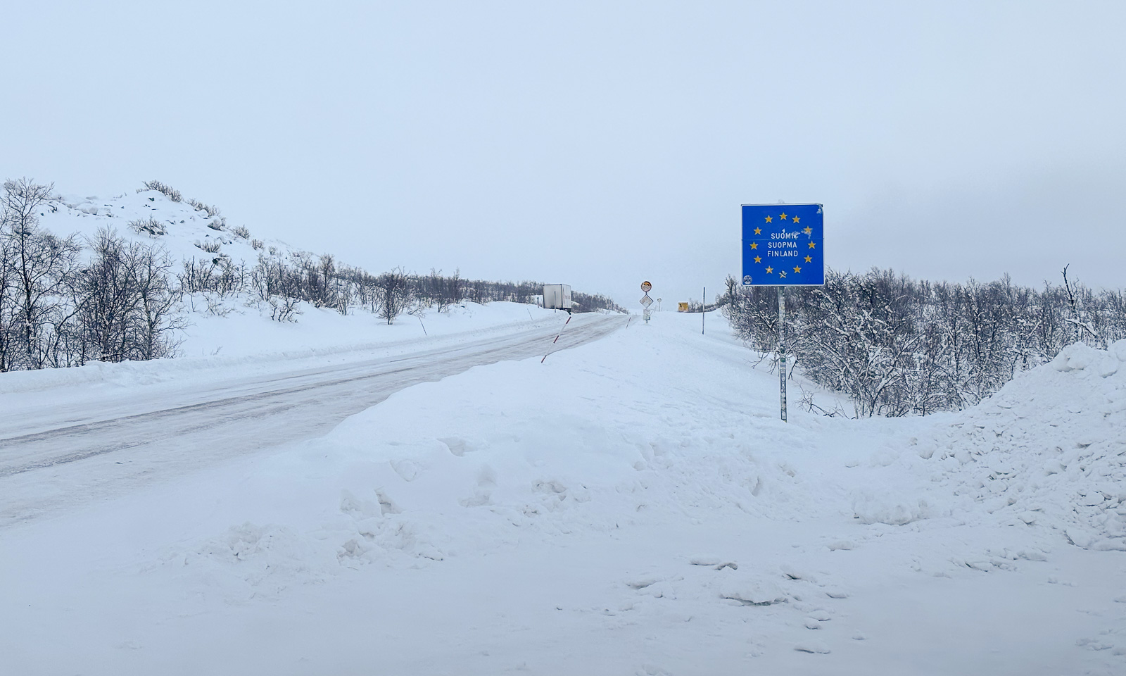
I had started my drive in Tromsø on Thursday morning and was pretty tired when I arrived in Jokkmokk the same day. It is almost 600 km of driving and the conditions in Finland had been rather bad: -4 °C and freezing drizzle. In Sweden, however, it had slowly started clearing up.

Friday, 6 February

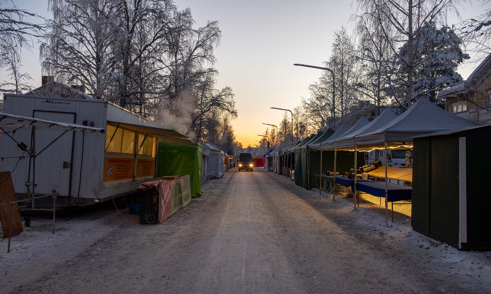
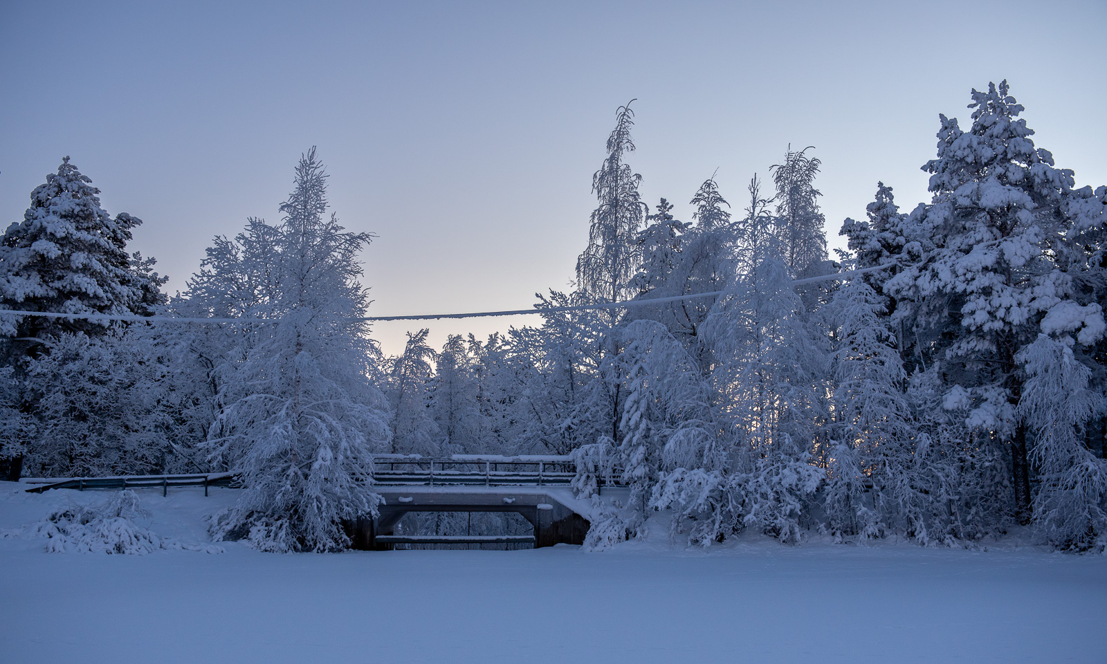
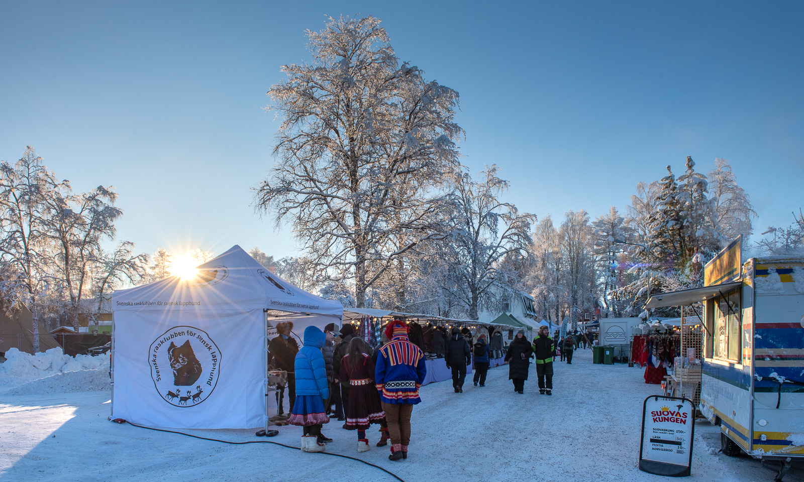
On Friday I was up early. At eight o’clock the market was empty; it would open at ten. I went to the lake Talvatissjön, enjoying the crisp air and the sunrise colours. When I went back to the market the first stalls were open.

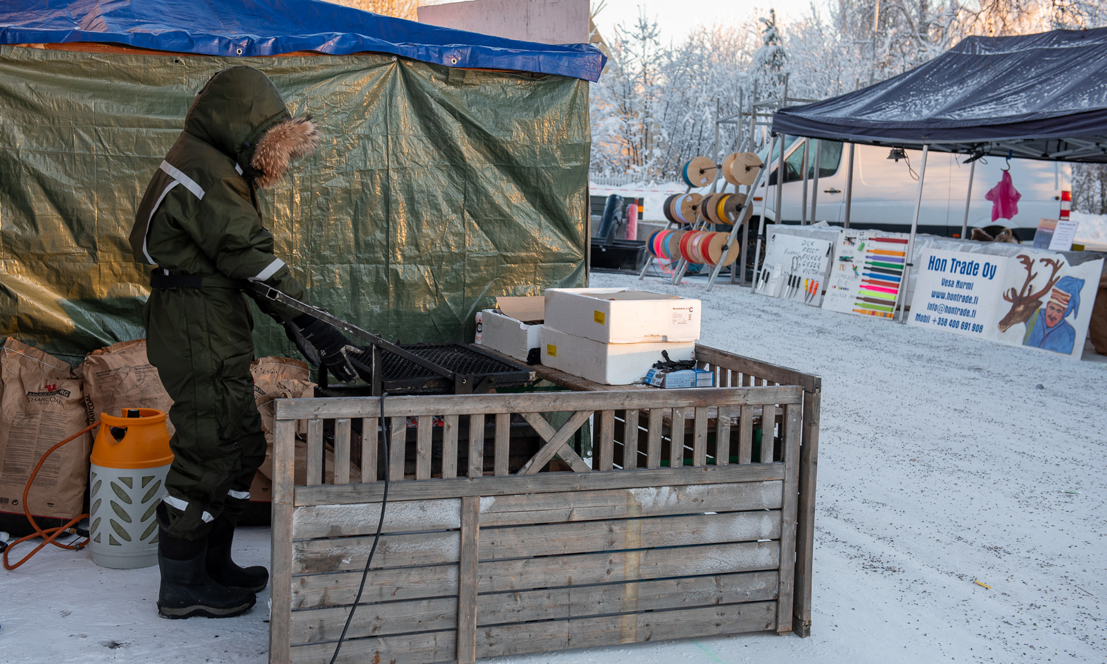
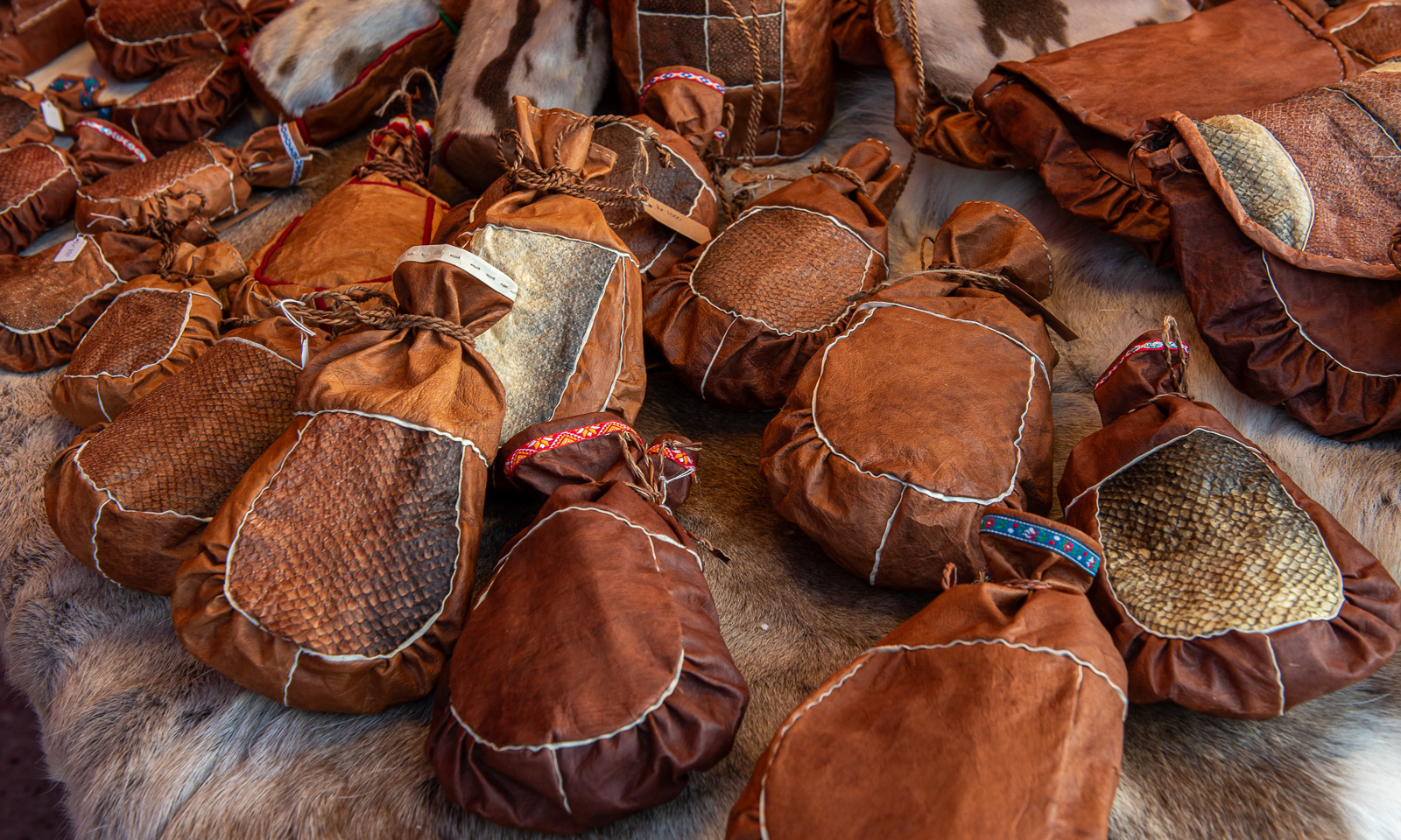
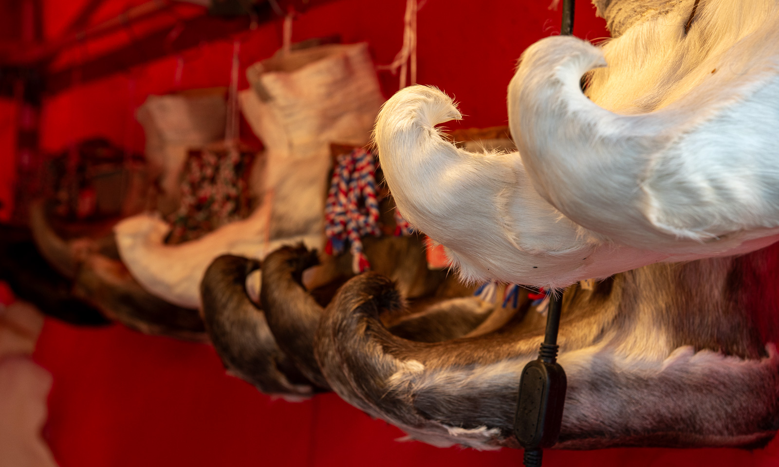
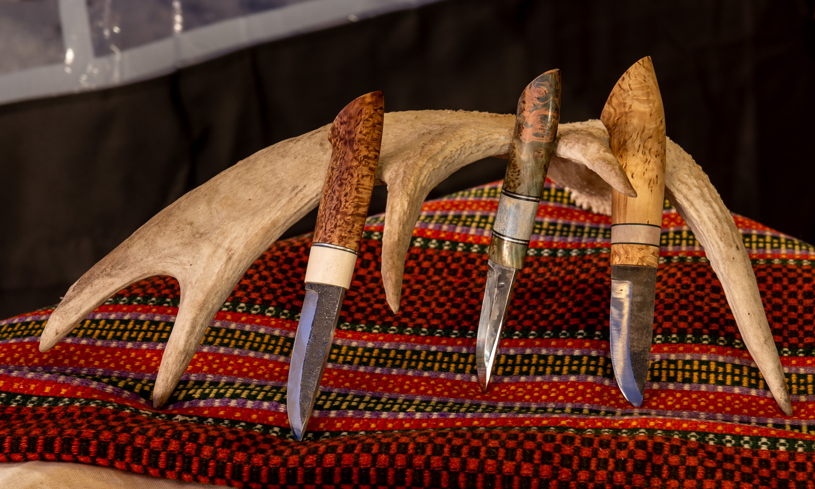
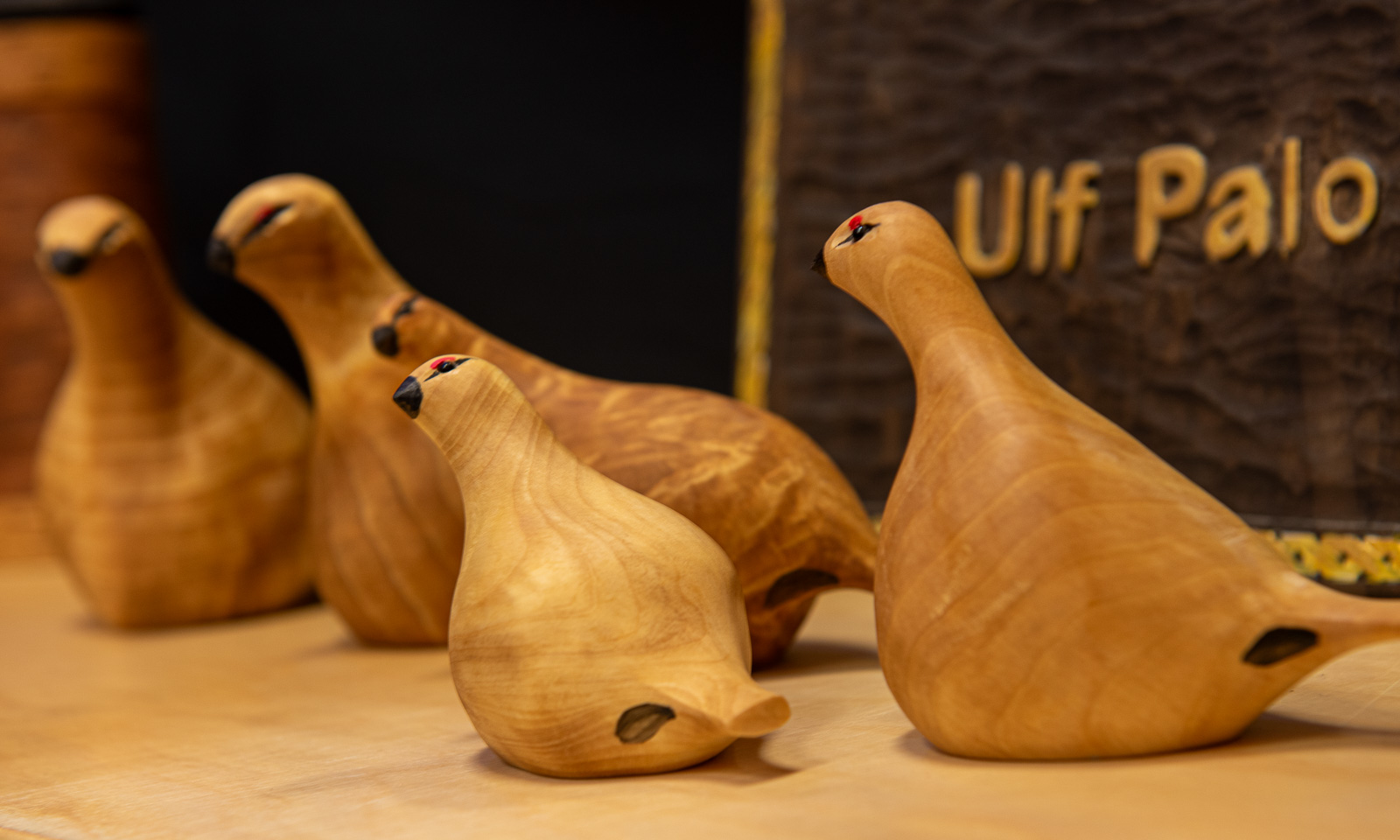
The market is famous for the Sámi culture being presented there. You can, for example, attend Sámi concerts and you can buy Sámi handicraft – often made of natural materials such as leather or reindeer hides.

But don’t let yourself be fooled by these images, because a market is a market and even on the Jokkmokk Market you can find cheap plastic clothing and plastic toys, made in you-know-where. I don’t like it but it is part of the market as well.
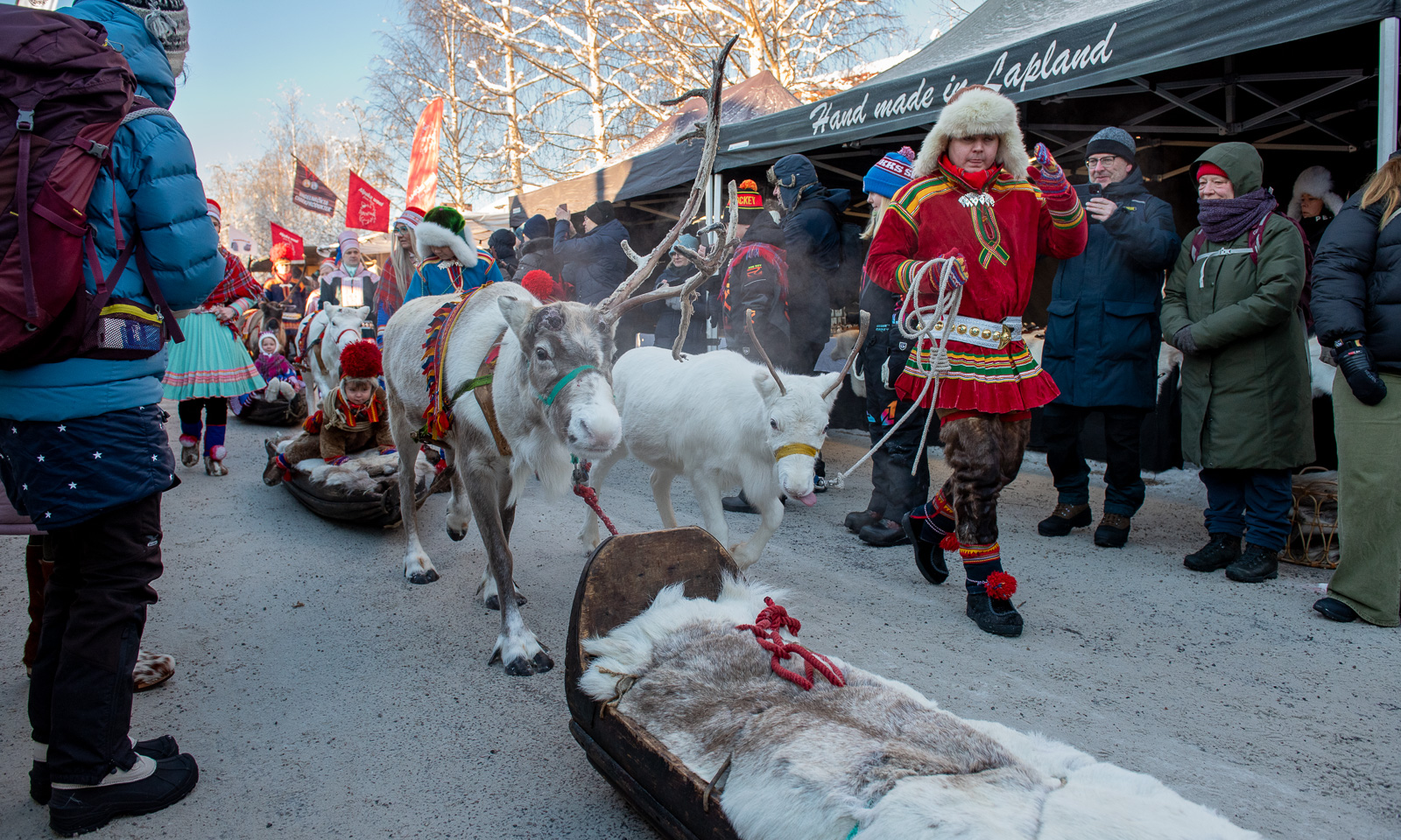
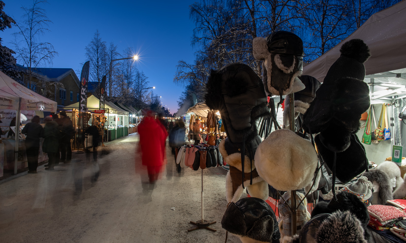
At 10:20, the sun peeped over the tents. And at 12:15 the traditional renrajden crossed the market.
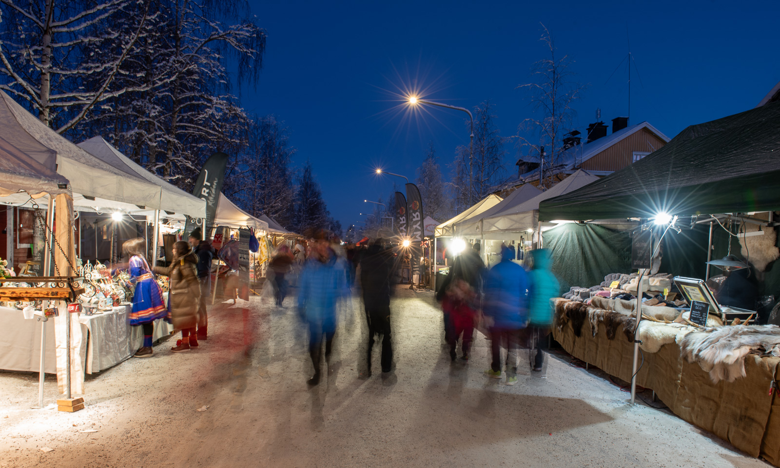
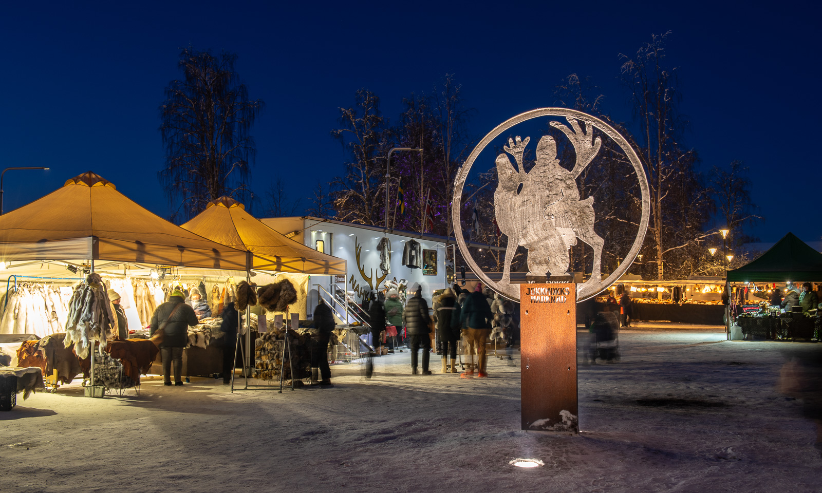
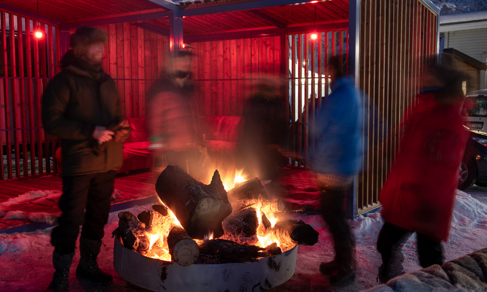
The market gets its special atmosphere when it gets dark. I had my tripod with me and made some long-exposure photos to catch my favourite time of the day at the market.

Saturday, 7 February

On Saturday I joined Sascha while he was walking his dog Roxy. Next to the lake Talvatissjön there are countless ski trails and winter footpaths. We went up Storknabben (The Big Knob) from which you have a wide view of Jokkmokk and the surrounding forests. We were completely alone until we were almost back at the lake.

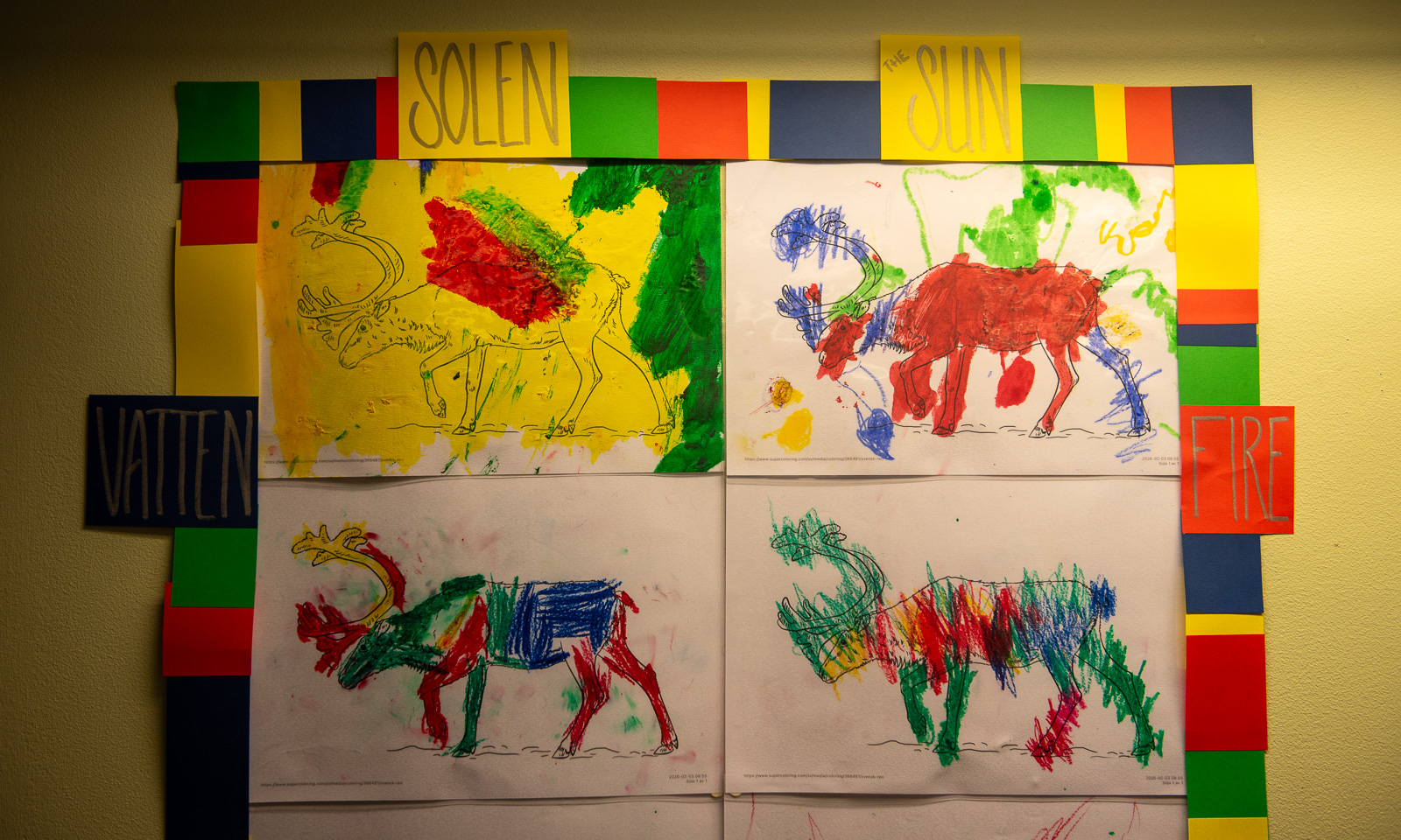
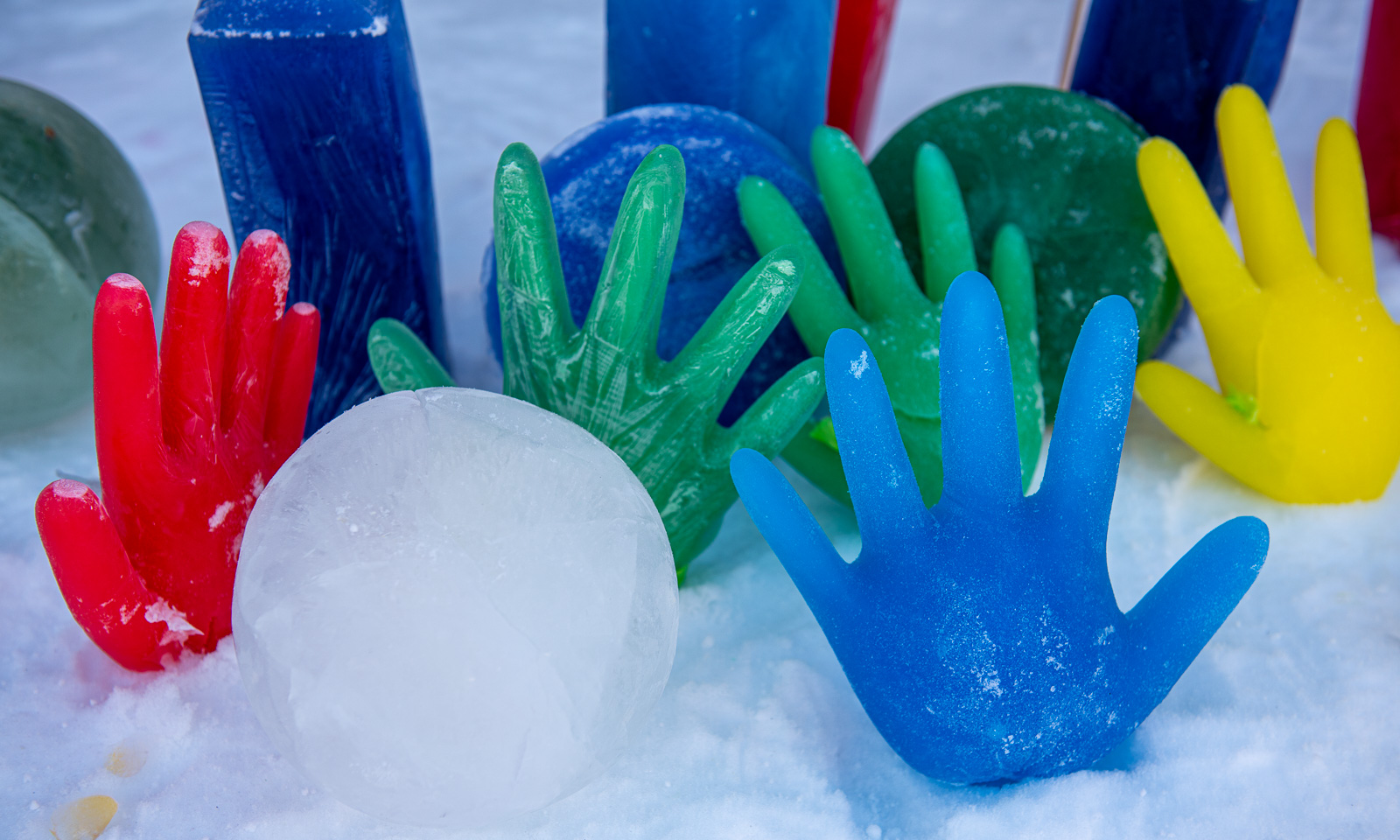
Then I went back to the market, this time to the elementary school Västra skolan. In the sports hall you can see arts and crafts from local artists. In the corridor and outside you can see arts and crafts from the local children. Which of them will become a professional artist later on?

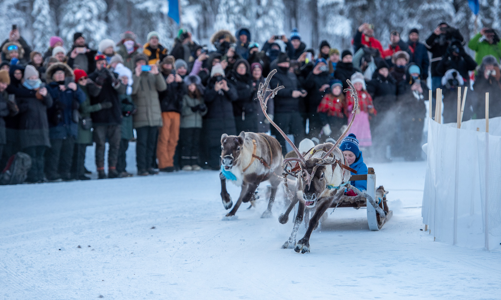
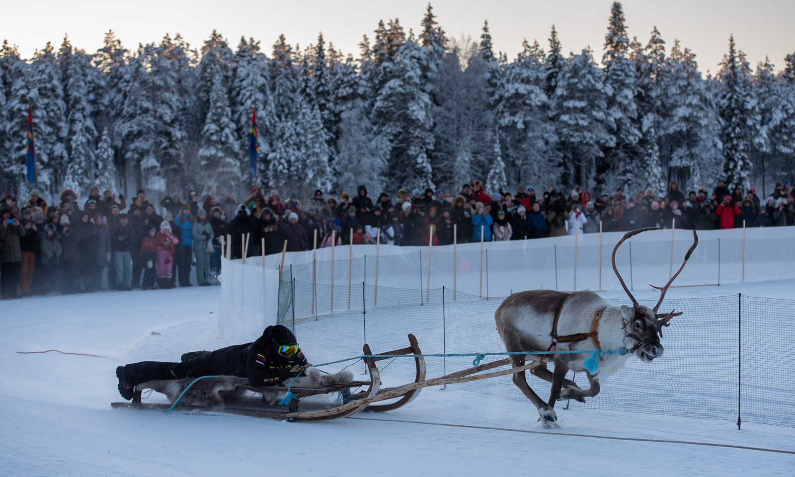
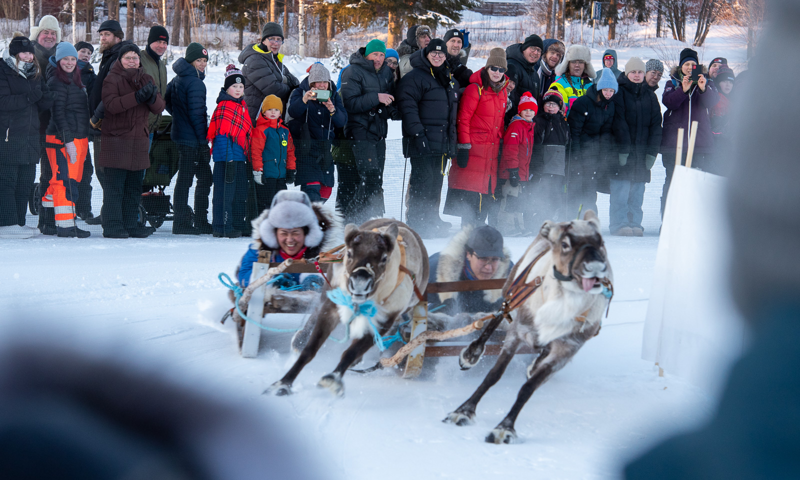
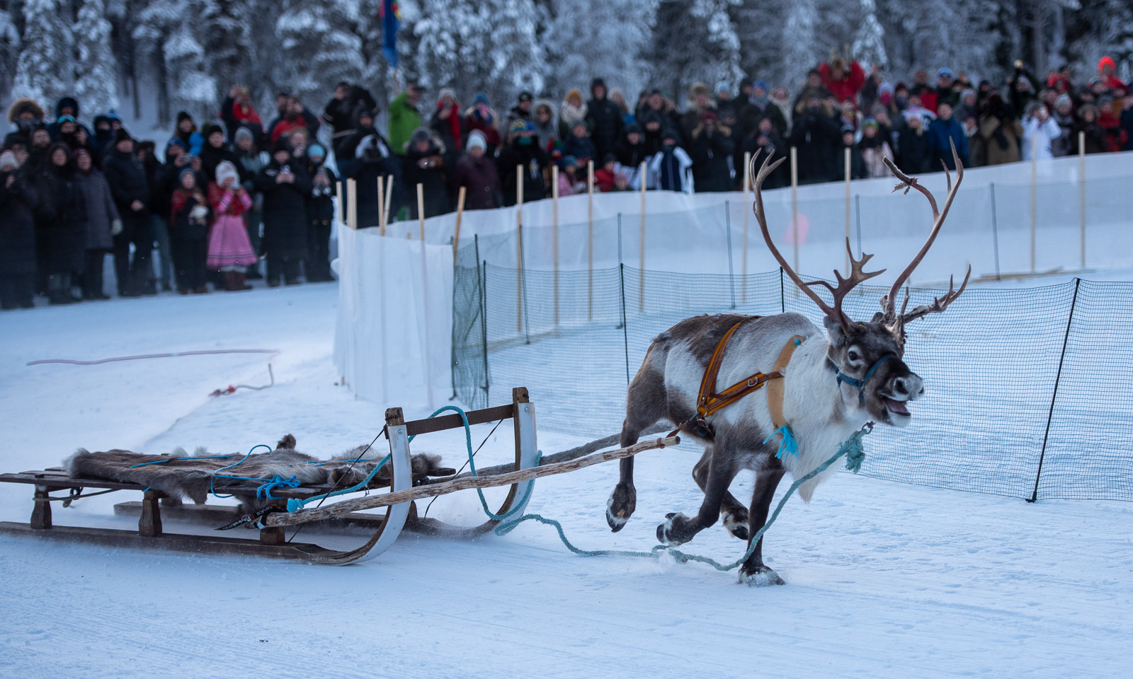
At lunchtime I met friends from Umeå who visited the market this day and we went together to Talvatissjön to watch the reindeer race. I watched it with mixed feelings. It looks like fun for us humans but it seems pretty stressful for the reindeer.

Will I visit the Jokkmokk Market again? Very likely, but not every year.


My first winter paddling 2026

It may not look like the ideal conditions for kayaking: -10 °C, snowfall and winds of 7–10 m/s, according to SMHI. Anyway, I wanted to open this year’s kayak season today, though not for a long trip.

It all start with dressing properly: stay warm, stay dry. Then I dragged my kayak to the small bay. I was lucky, the ice was thick enough to cross, so I was in the water within minutes.

I followed the coastline southwards. I would have loved to come closer to the photo scenes, but there are a lot of underwater rocks there and the waves were breaking on the shore. So I had to keep my distance.

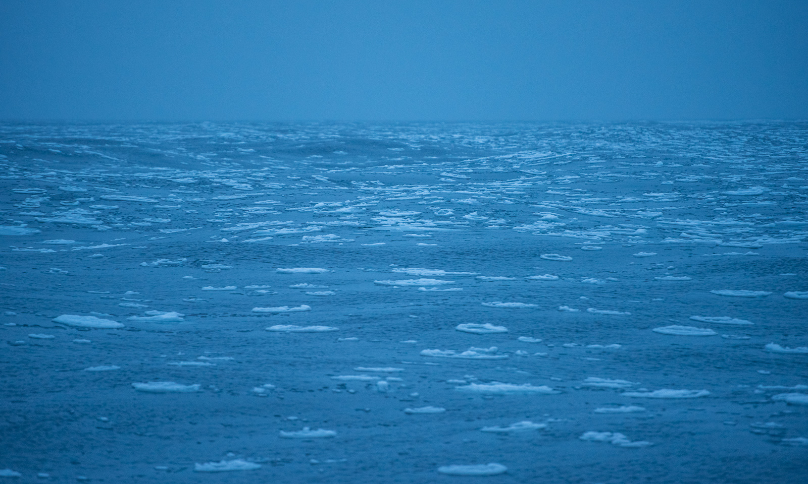
Paddling became much easier with every metre away from shore. Most rocks were covered with ice, a result of the cold, windy weather over the past few days. The sea was open but some long bands of wet ice floes were drifting on the open Baltic Sea.

I turned right and headed to Vitskärsudden, our nearest sandy beach.

I turned my kayak and paddled the same way back. First to the south, then south-east, and finally east

And then home again, which lies to the north-northeast – that’s where the cold wind and snow come from. I can feel the cold air behind my face mask. Time to put on the ski goggles. (Nice side effect of being bundled up like this: you do not have to smile on your selfies ;-) )

I tried to take some more photos but was blown back by winds with around 1 m/s. Time to reach the ice edge – from there it’s less than 100 metres home.

The 3.8 km took me an hour. Partly because of the wind, partly because my neoprene survival suit is pretty stiff but mostly because of the photos I took. Even though my iPhone, in its waterproof case, hangs around my neck, it always takes time to put off the warm mittens and put the paddle aside.

Despite the forecast, it has been snowing all day and the kayak lying on the terrace is covered with snow. The survival suit is still drying in the shower. Sleeves and legs were encrusted with ice when I hung it up.


Looks still like winter – mostly …

Yesterday I was working from home in my flat in Tromsø when an outside movement caught my eye. A ptarmigan was passing by in the snow covered garden. It went to a birch tree, picked a bit at the branches and continued its lunch walk. That was a nice work interruption.

In the afternoon I was out for a walk. The small bog pond looked quite wintry but I wouldn’t cross it anymore.

The cross-country ski trails seem to be in a good shape. People are still skiing there but some wet areas beside the trails start thawing.

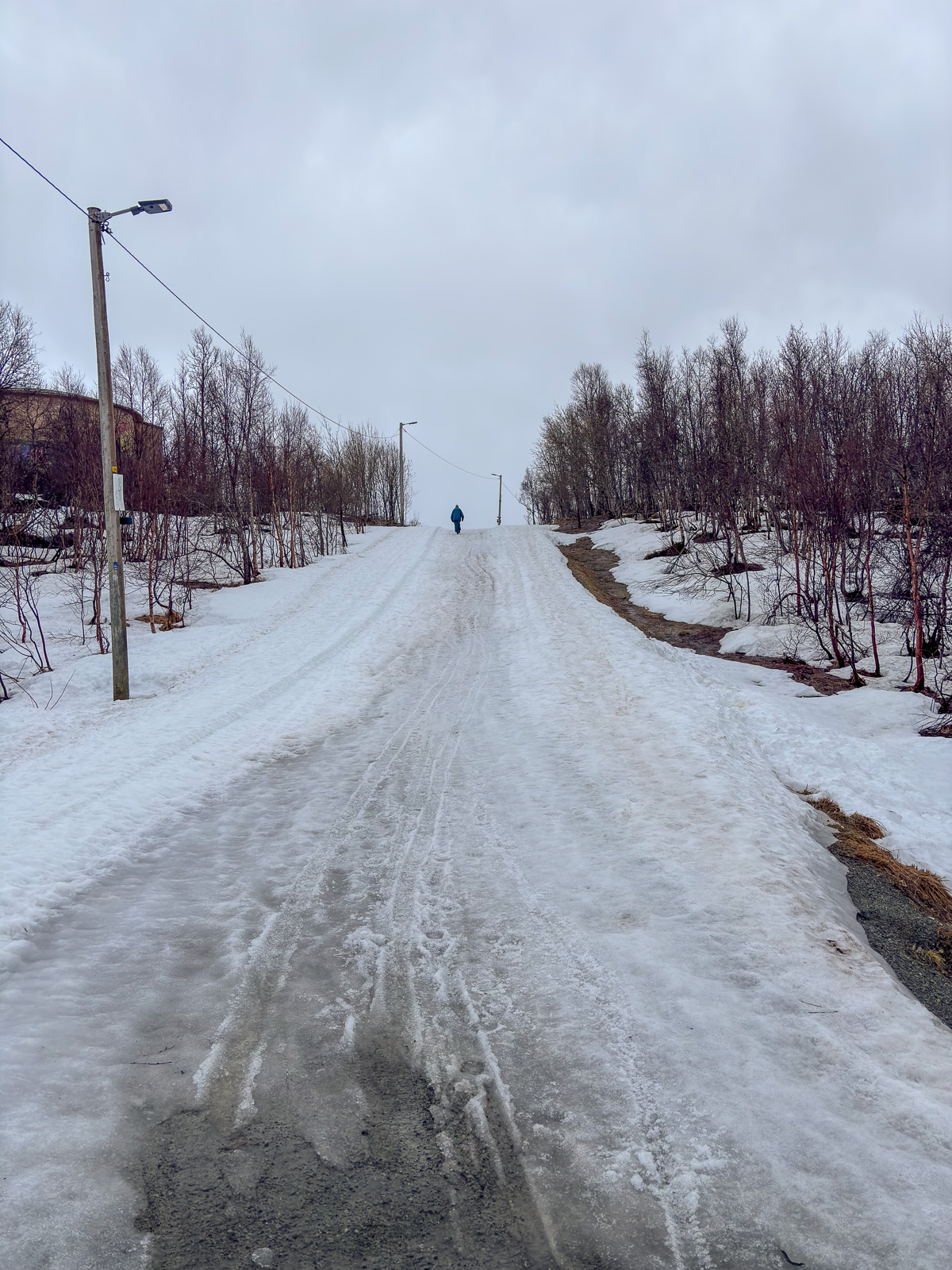
I passed the ski lodge – now closed for the saison – and went down the gravel road. The snow on the road looks grey and is no real snow anymore, but pure slush.

Today it was warm and rainy and more rain is to come tomorrow. Then we may get some snowy days again. I adore snow, but I also love spring. I’m curious when the snow will have melted away in Tromsø this year and when birches start getting their green leaves.