Nordegg, Alberta

This article is part of the series “2026-09: Canada”.

20 September

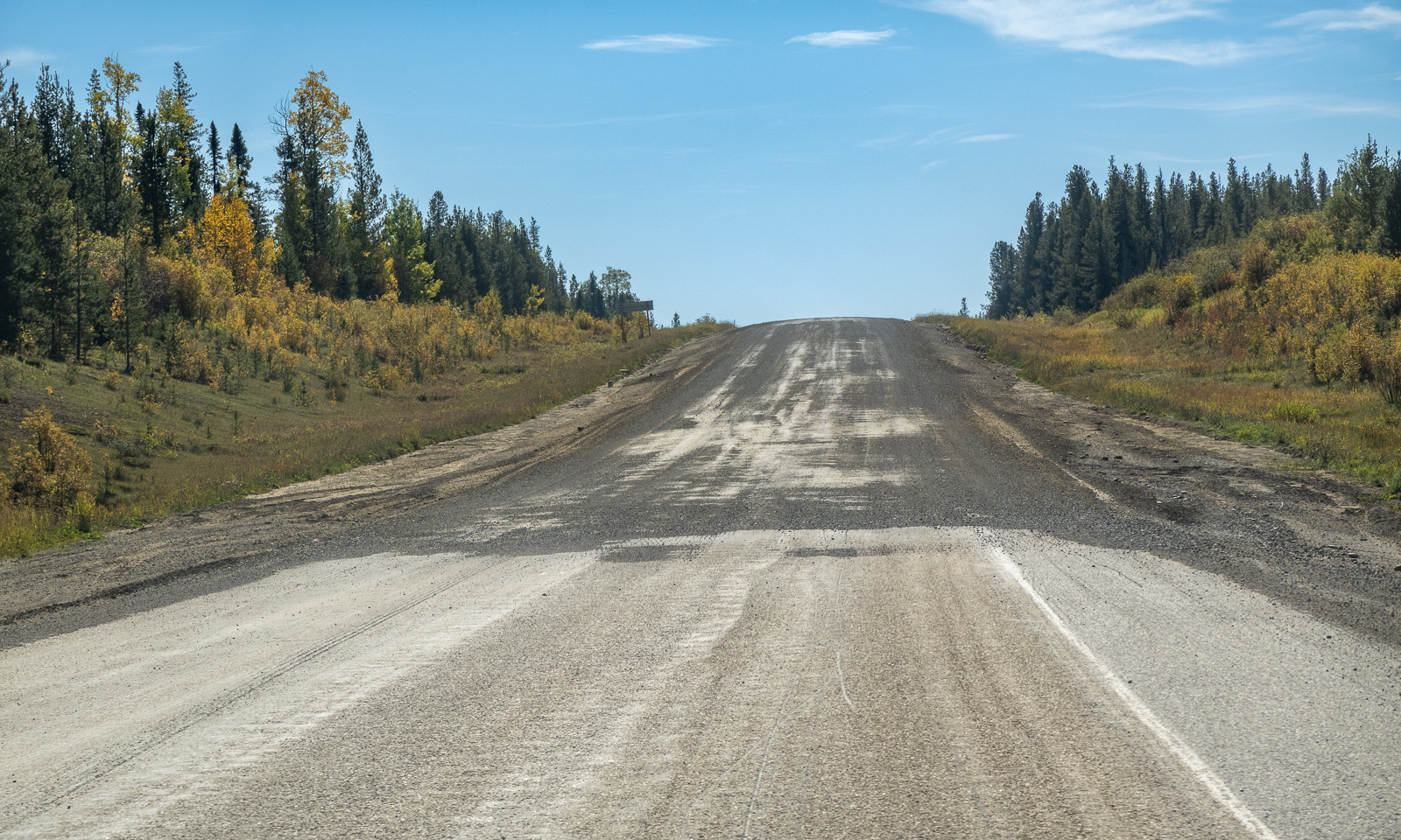
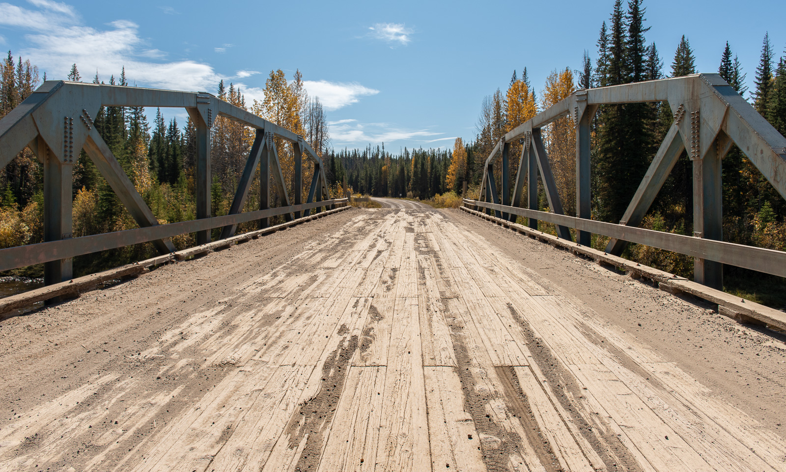
Nordegg, Alberta, Canada – another settlement I never heard of before (which doesn’t mean too much). This will be Annika’s and my next stop; we will stay in a hostel for two nights. After a brief breakfast, we leave Hinton, fill up the car, buy food for the next few days and take the direct road east. This road is mostly unpaved and leads through autumnal forests and across rivers on old bridges. It is a perfect road to take it nice and slow, especially on such a sunny day when the destination is less than 200 km away.
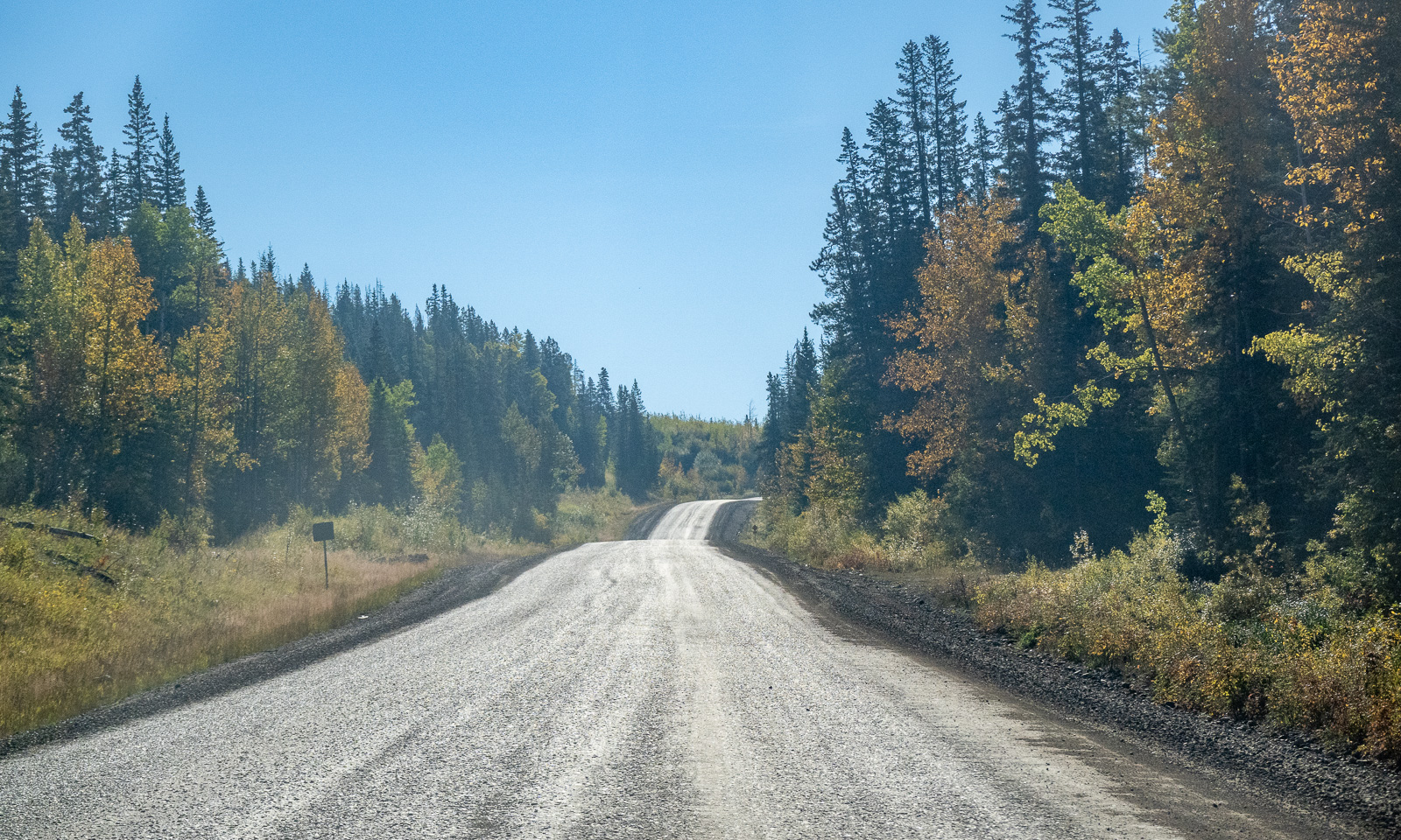
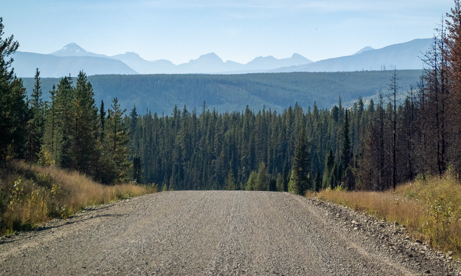
Using these roads in a dry period means a lot of dust when another car approaches or passes.
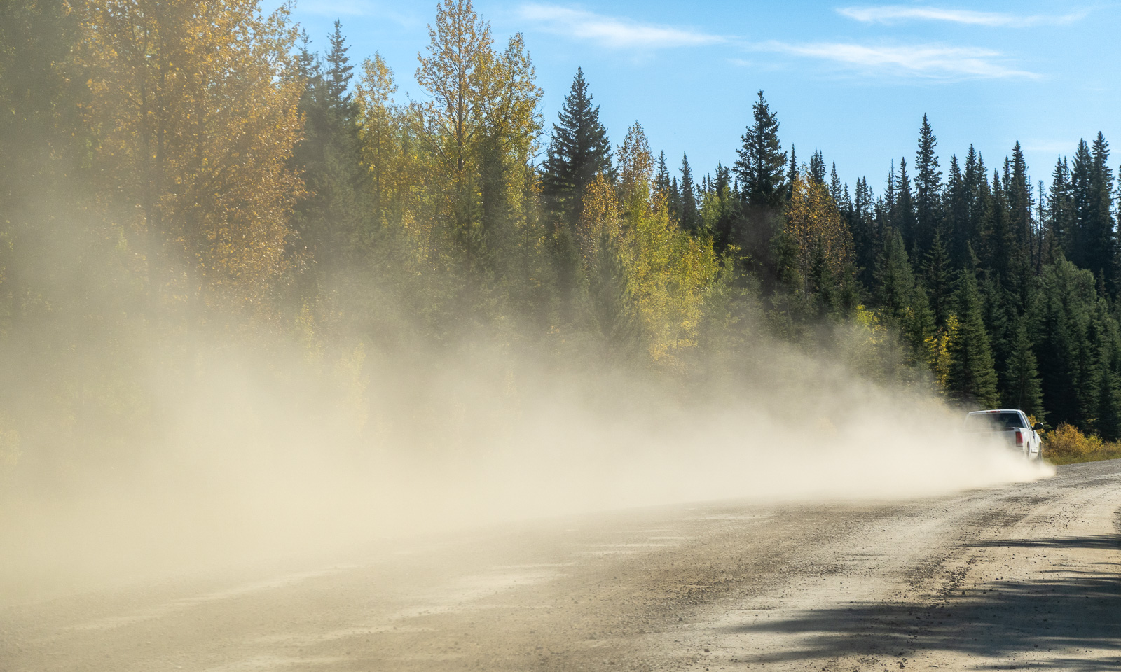
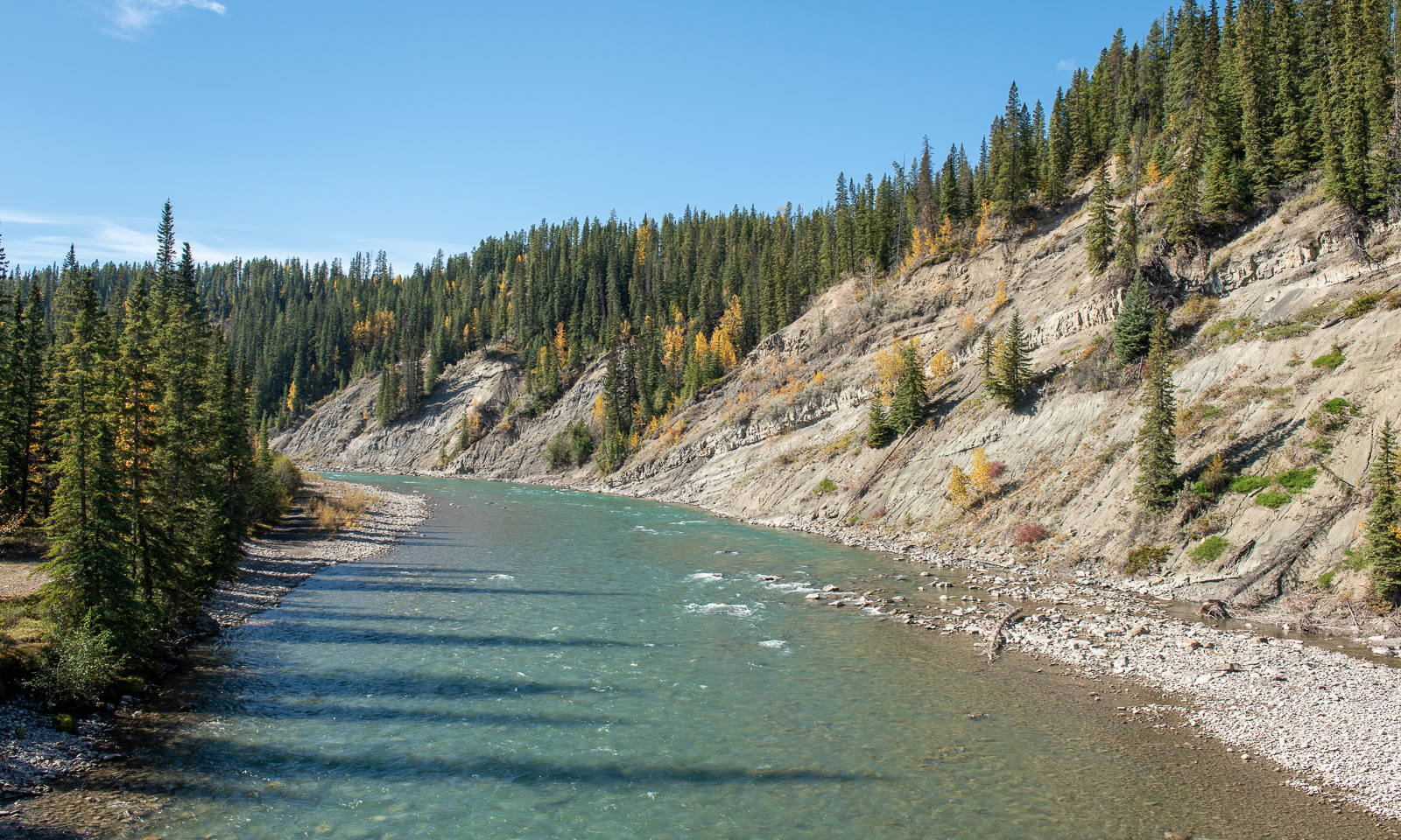
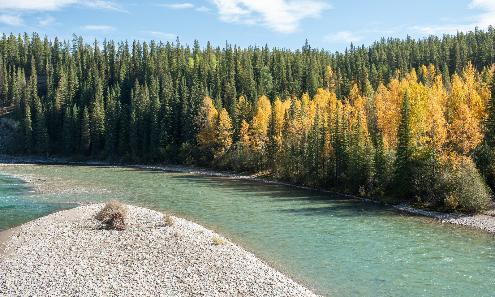
However, we are mostly alone and enjoy the views of the yellow aspen trees and the turquoise rivers.
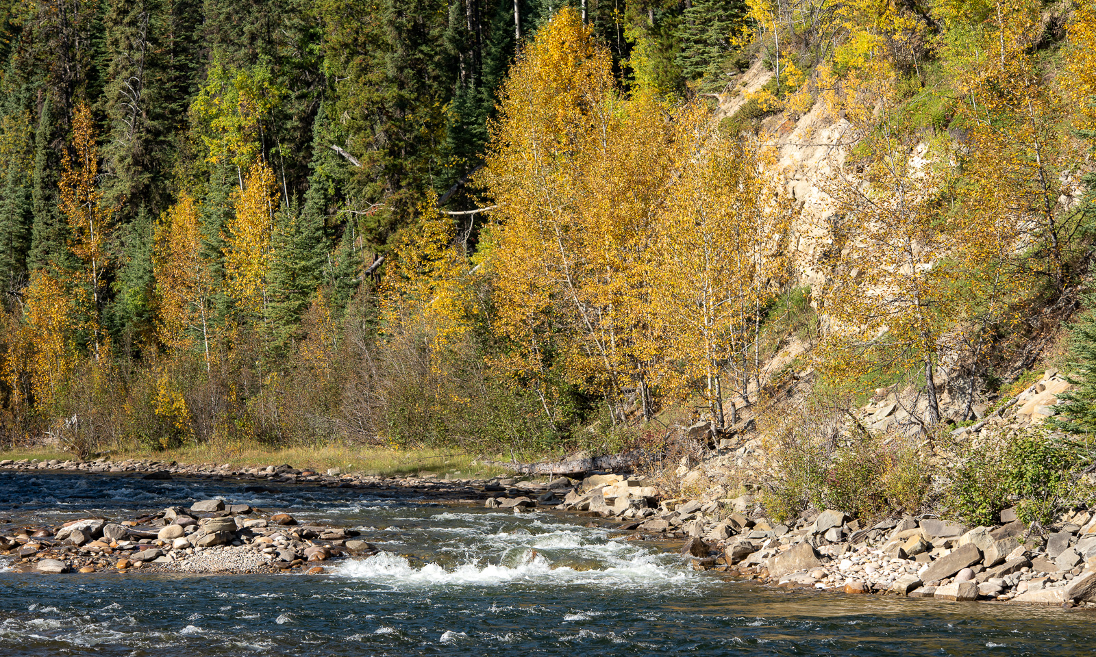
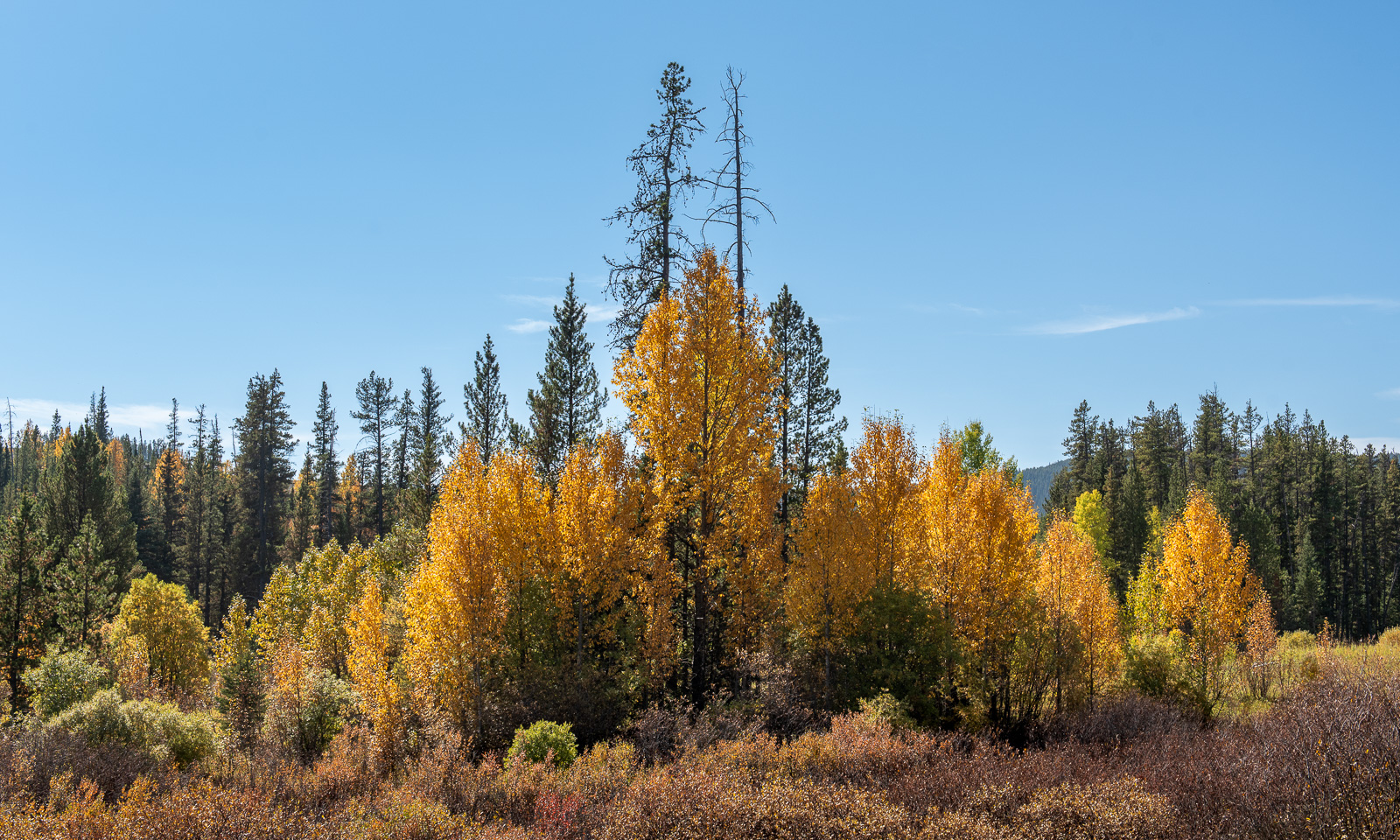
Just as our car has been filled up with petrol, we are filling ourselves up with colours, just like in the children’s book about the mouse Frederick.
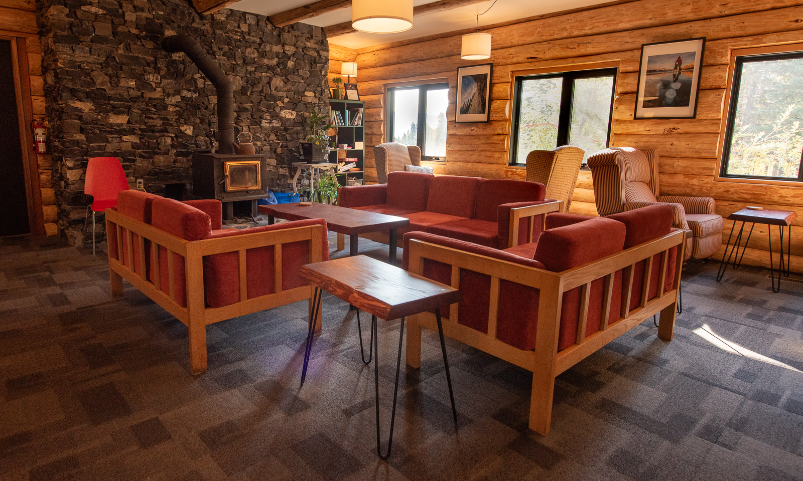
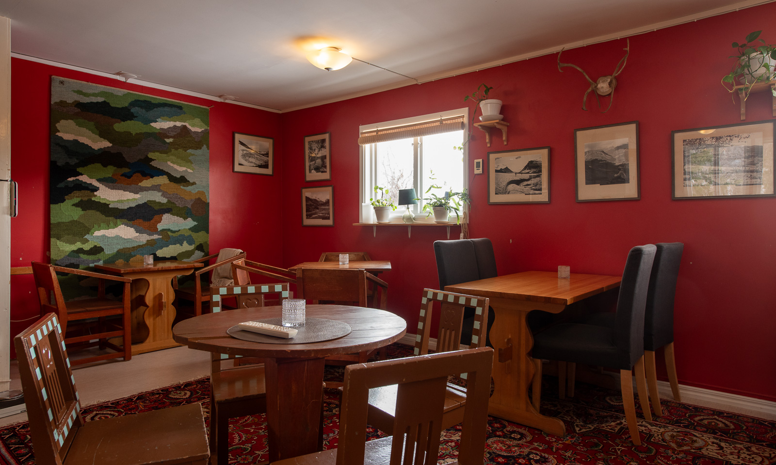
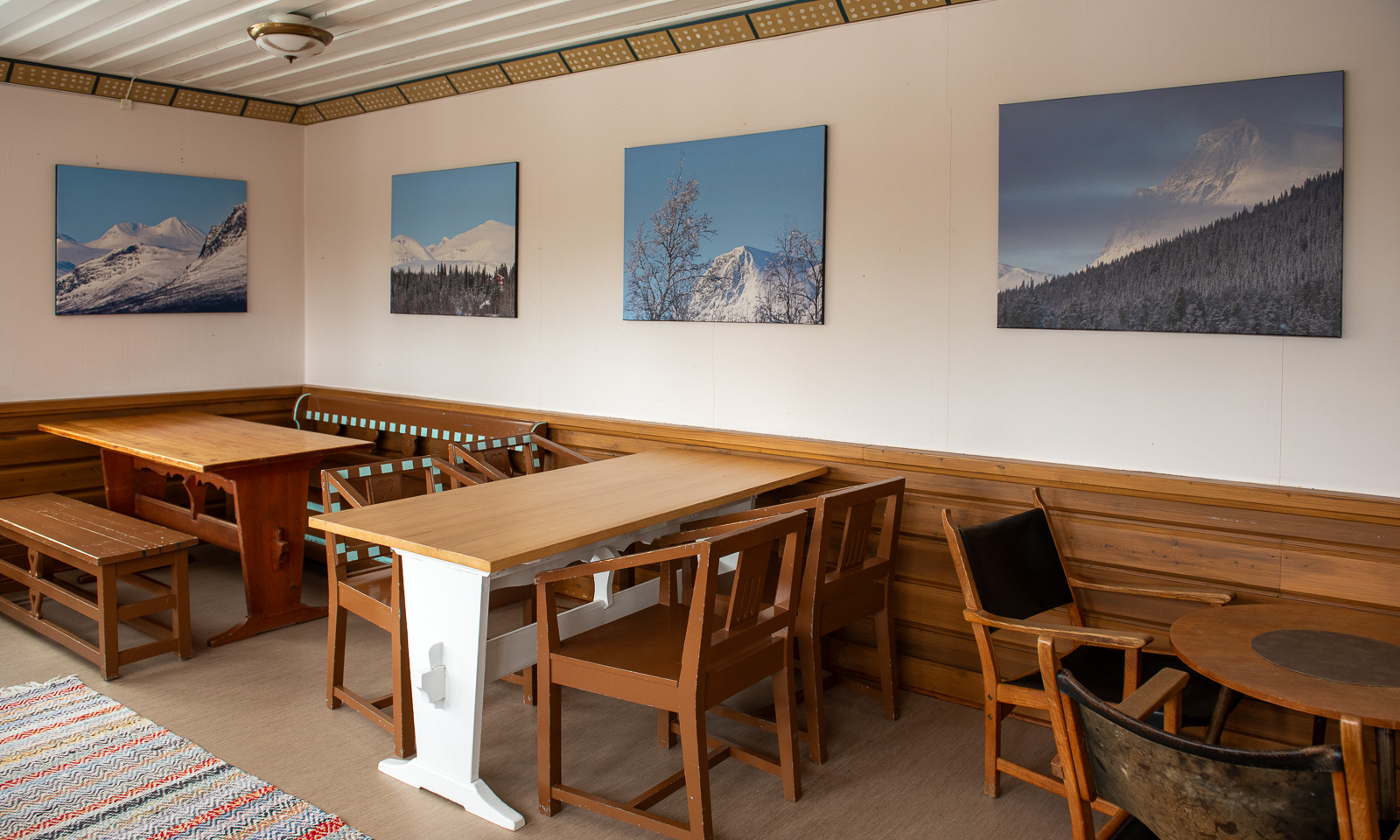
We arrive at the Nordegg Shunda Creek Wilderness Hostel already at a quarter to three; way too early to check in. Anyhow, we may use the facilities and besides, it is so warm and sunny outside that we just sit on the terrace until we get our room.
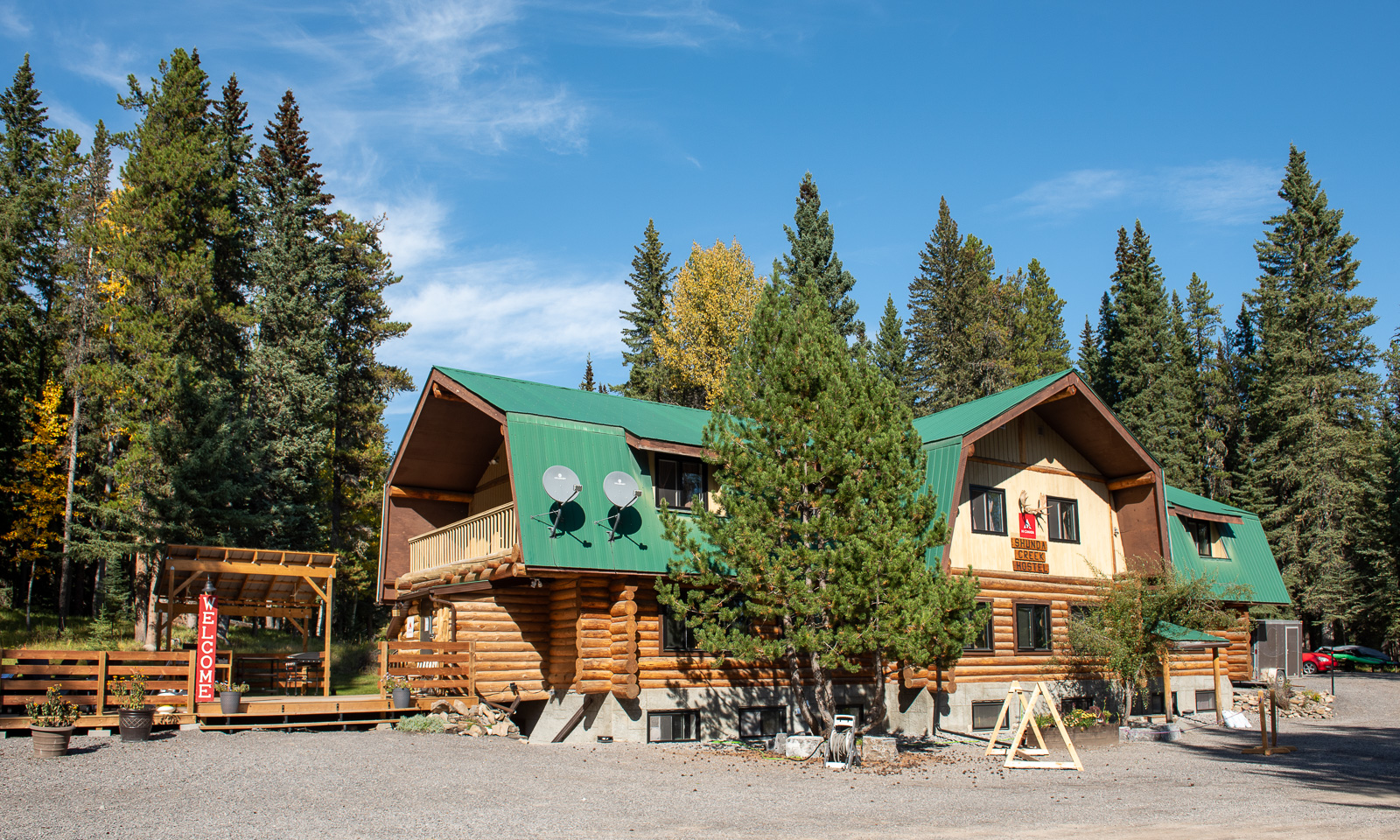
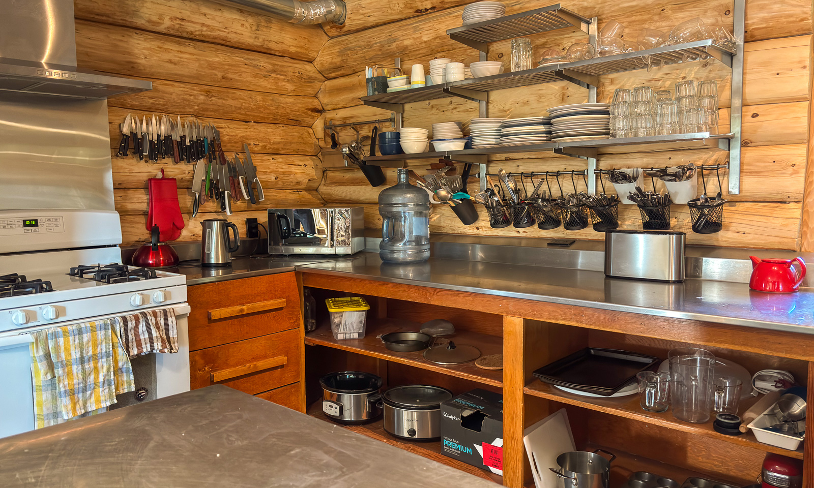
Later we realise that this hostel is not only extraordinarily cosy but also extremely well-conceived. The kitchen is perfectly equipped and apart from the cups, everything is within easy reach. There is a lot of space and even when the hostel is fully booked it never feels crowded. There are even free goodies in a drawer that I open more than once over the next two days.

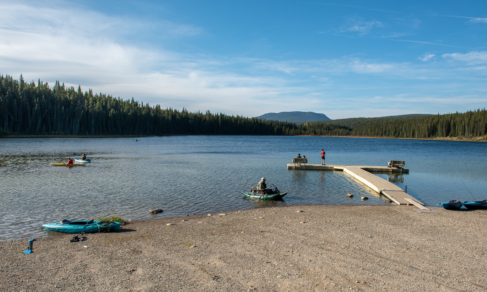
Before lunch, we take a short drive to Goldeye Lake to take a swim. The lakebed is muddy and rocky at the same time, but the water is wonderfully refreshing.
21 September

While Nordegg may not be the most popular place in Alberta, it is located near a prominent river: the North Saskatchewan River, which originates in the Rocky Mountains, flows eastwards, widens into Abraham Lake before continuing for another 1000 km, eventually joining the South Saskatchewan River.

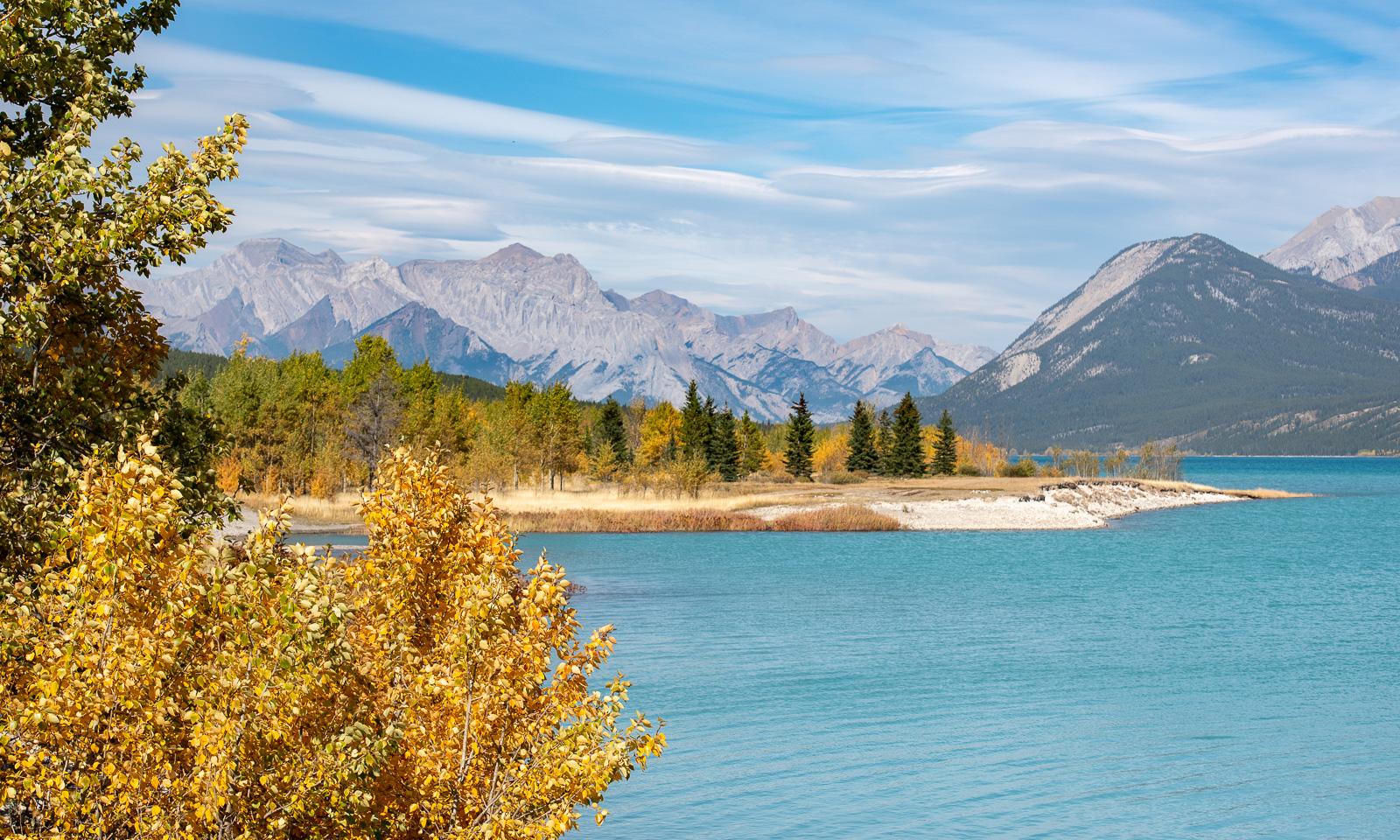
What luck we have! The morning is pretty chilly, but the sky is blue and promises to deliver another beautiful, sunny day. After a leisurely breakfast we take the car to Abraham Lake. When we see it  for the first time from the car, its bright, intense turquoise colour looks almost ridiculous, like someone had played around with Photoshop, setting the hue to its maximum. The lake is so calm that I wish I had a kayak to paddle on this beauty of a lake.
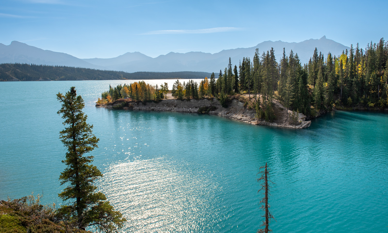
While we are driving to the next stop, strong gusts appear out of nowhere and start shaking our car. Standing outside in these strong gusts makes my dream of kayaking on the lake vanish instantly.
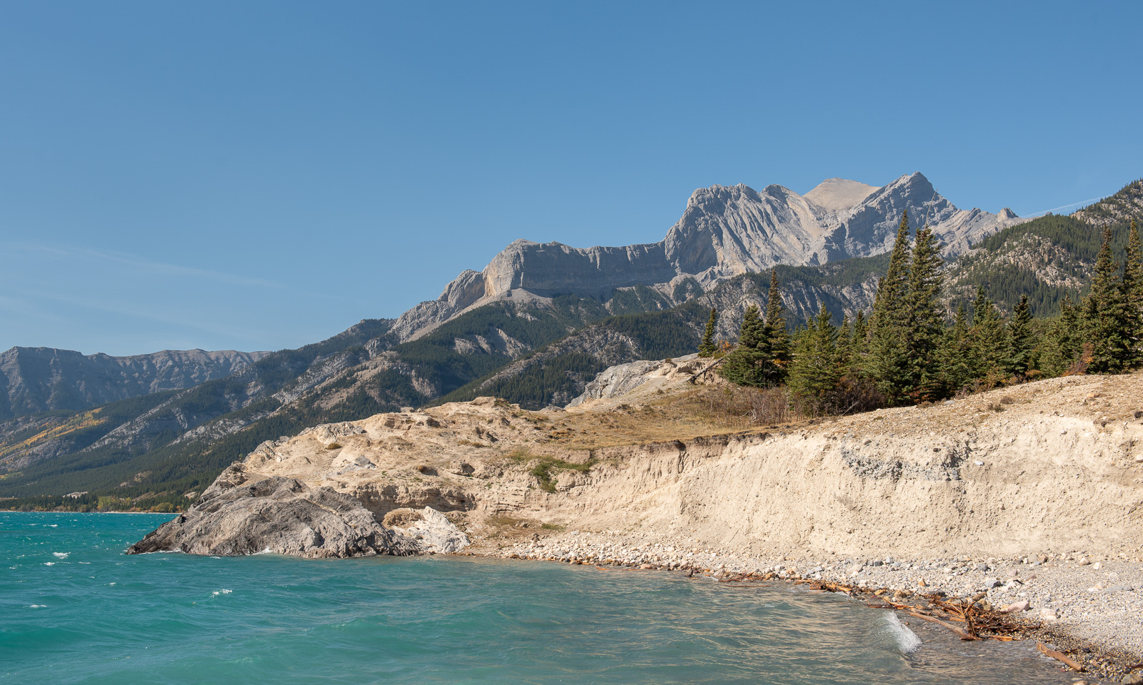
Another stop and most of the wind is gone – where did it come from? The water level of Abraham Lake is quite high. Many trees at the shore stand in the water.
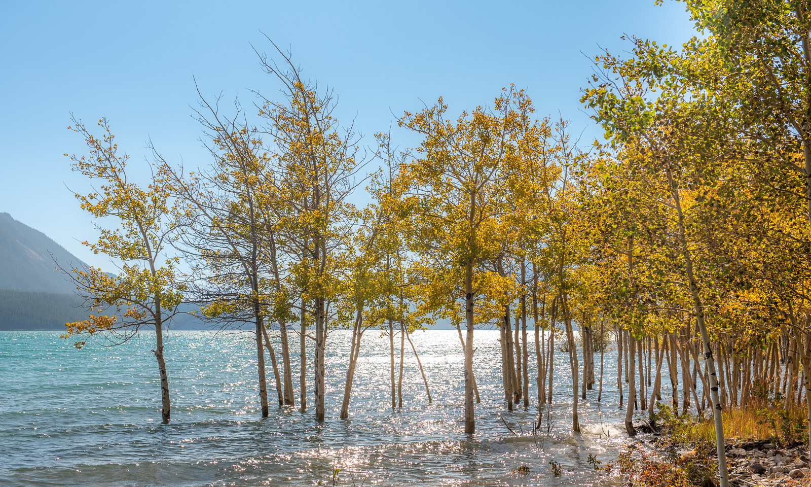
More stops, more photos. Of course, I do not know what screen you use, but let me assure you: the colours were as bright as the photos show. Another thing that fascinates me: while driving more and more mountains appear around us until we are surrounded by them. It is as if these mountains were living beings that actively move around.
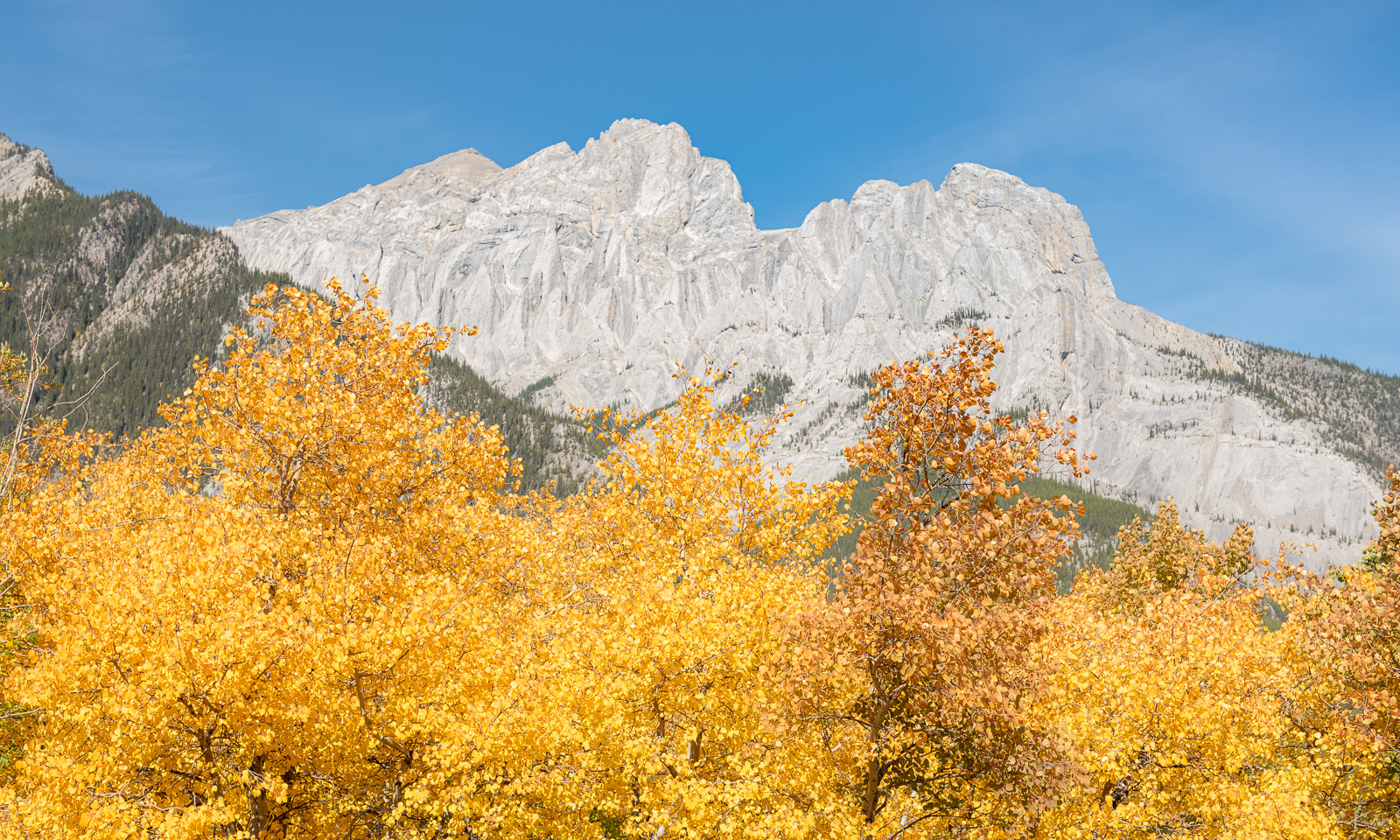
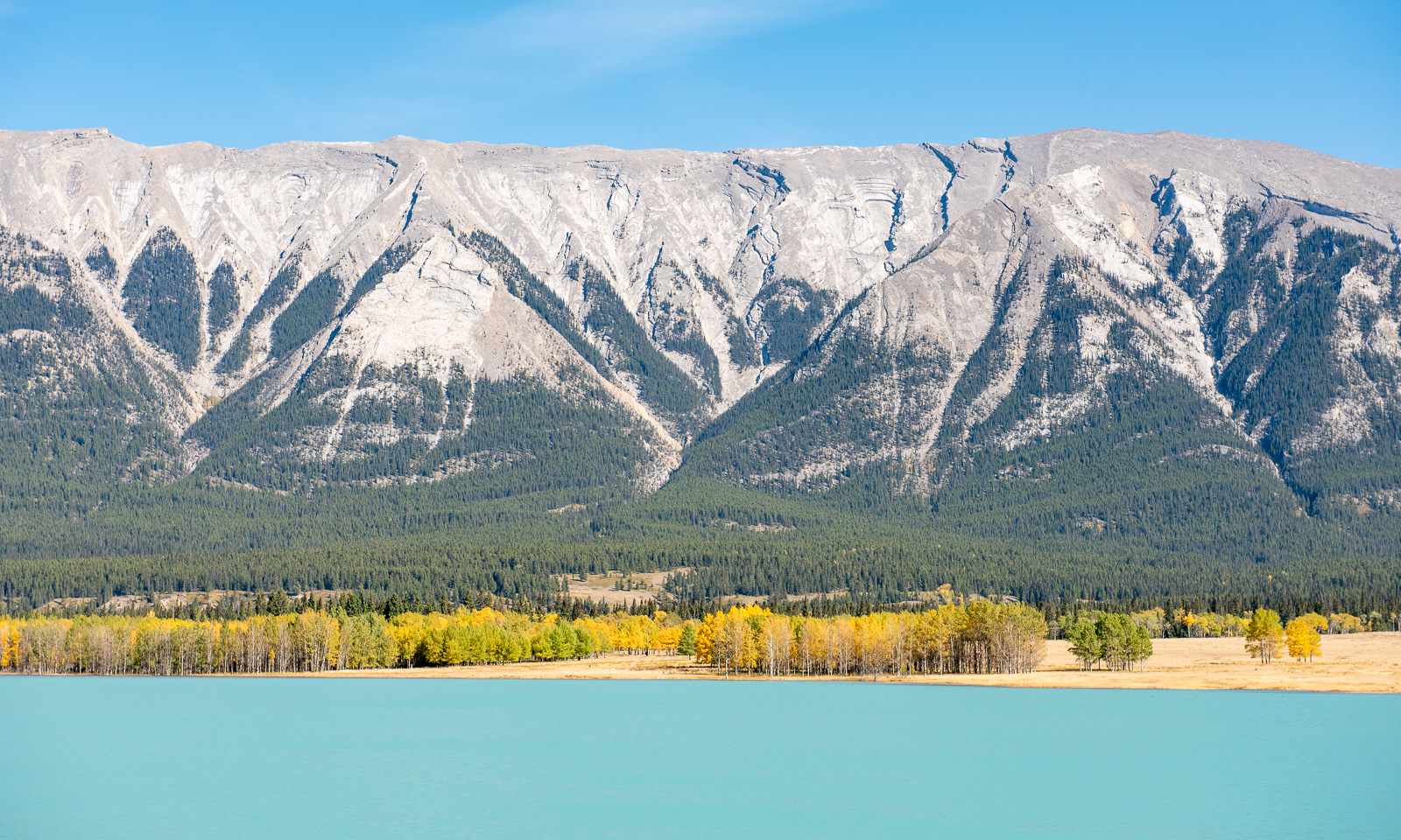
We have passed the whole lake and now follow the river again. If we continued another 30 km west, we would end up at the locality of Saskatchewan River Crossing, which lies on the famous Icefields Parkway. We can already spot glacier-covered mountains ahead, such as Mount Wilson (3260 m), as shown in the next photo. But the Icefields Parkway is not our route today; we will drive it the following week – hopefully with equally brilliant weather.
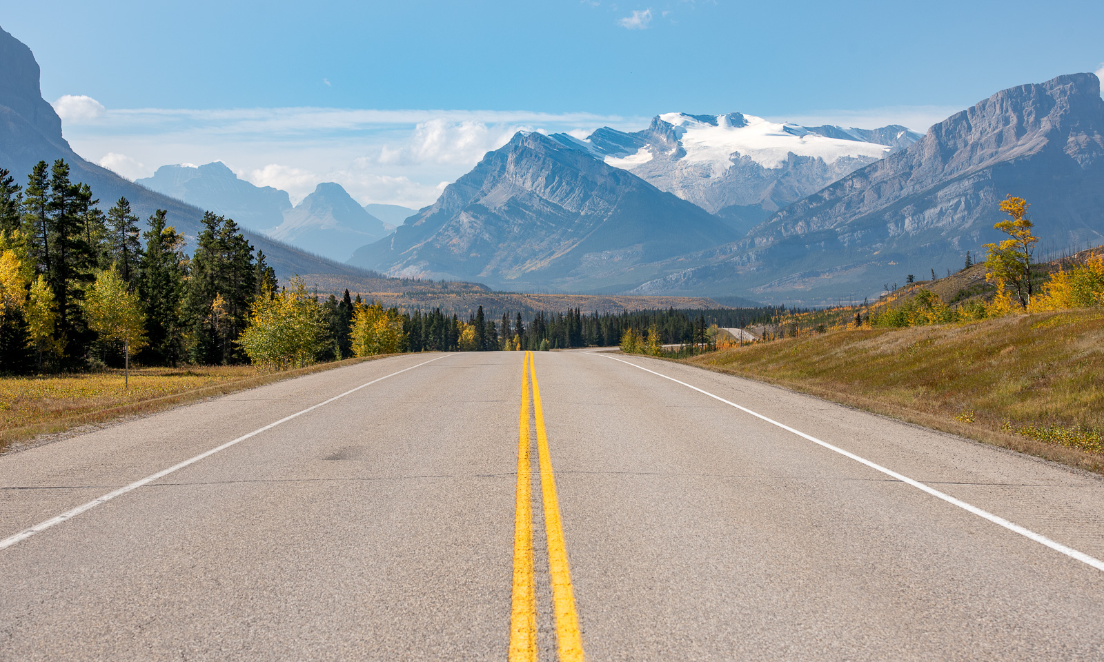
So we turn the car and drive the same way back. We pass Abraham Lake again and, while driving along, the mountains seem to scurry back to their secret places and we are in the hilly lands of Nordegg again, where we first take a nap and then eat a delicious dinner that Annika cooked with small potatoes, eggs, carrots, Parmesan cheese and two dips. And I still have a bottle of my favourite Canadian drink: Canada Dry Ginger Ale.

22 September

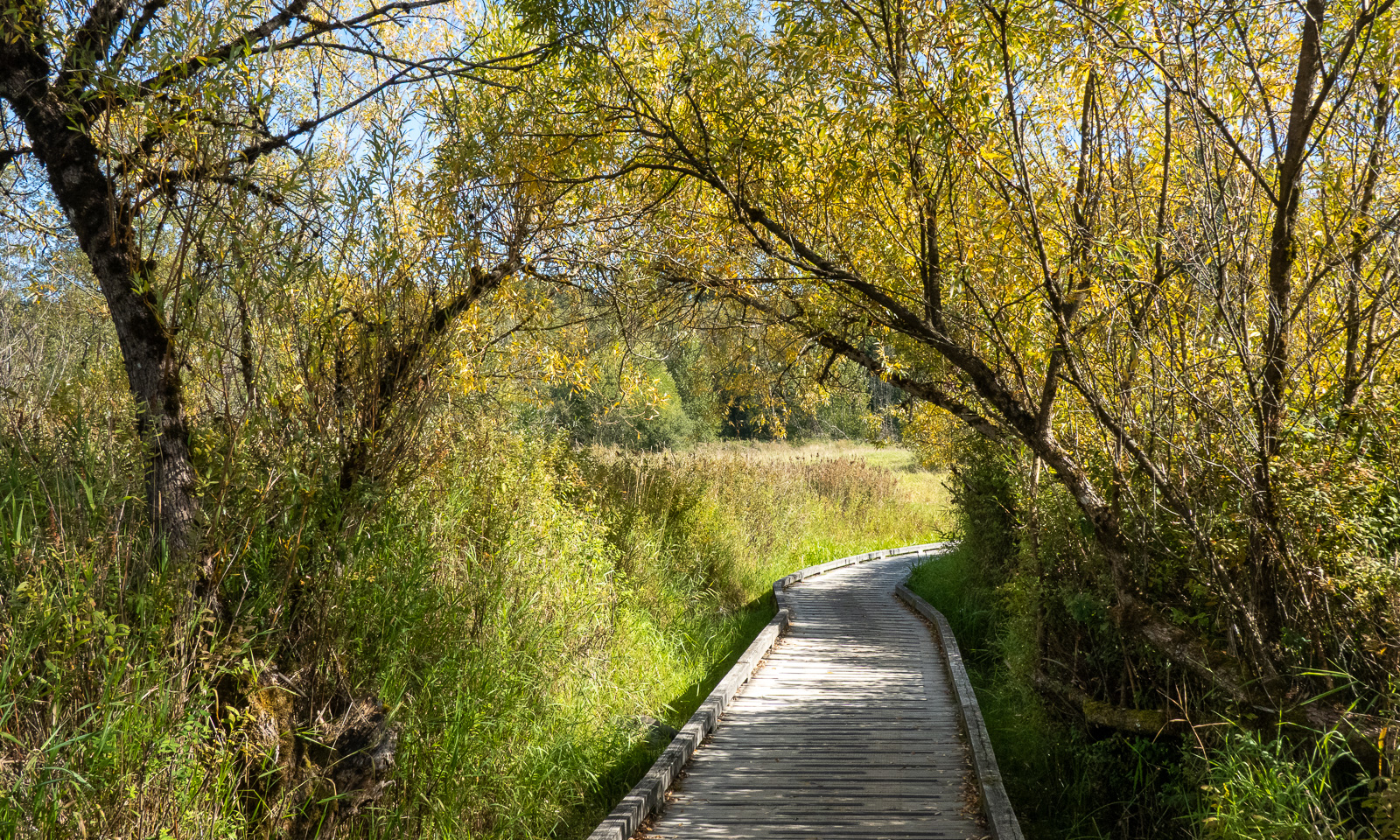
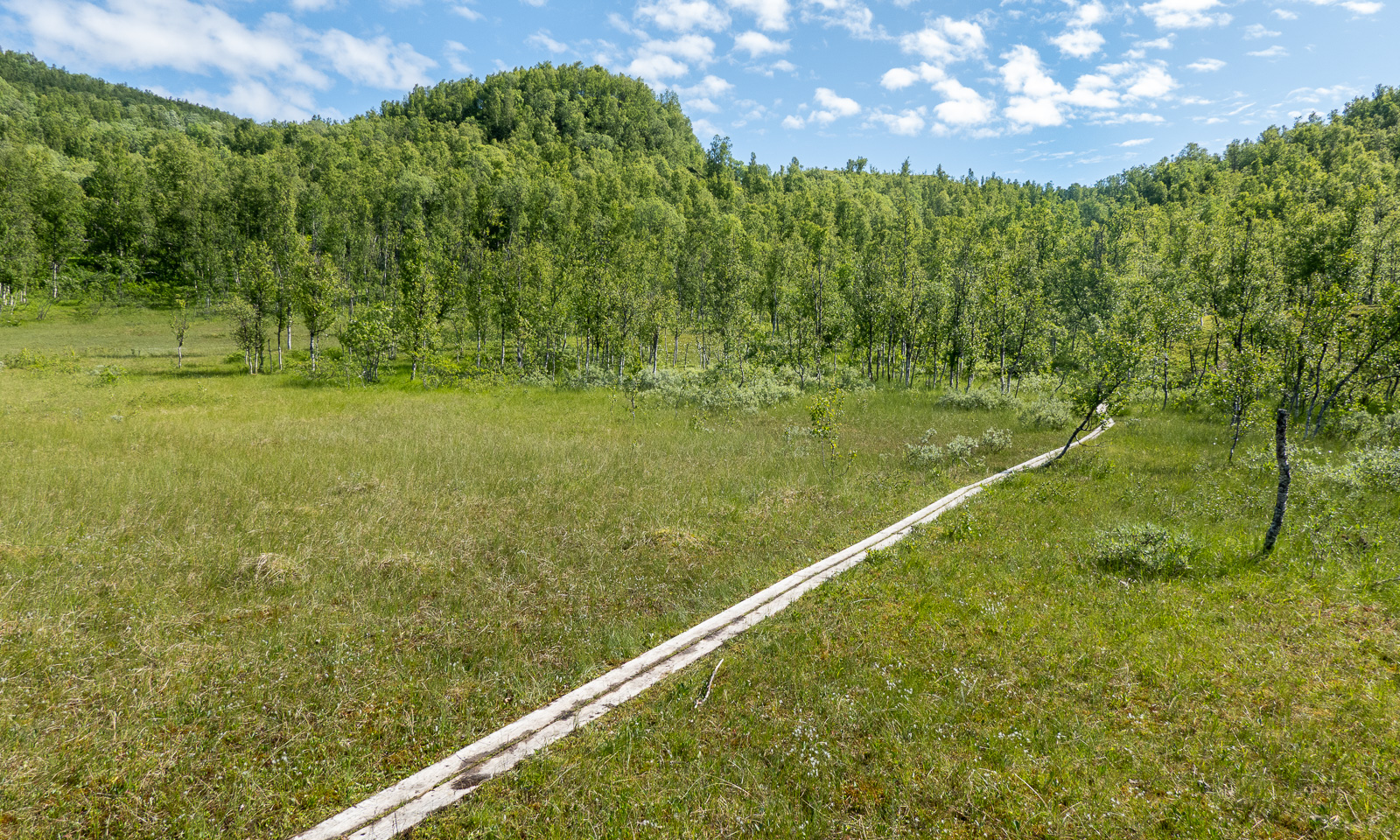
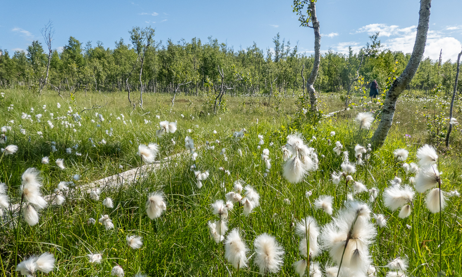
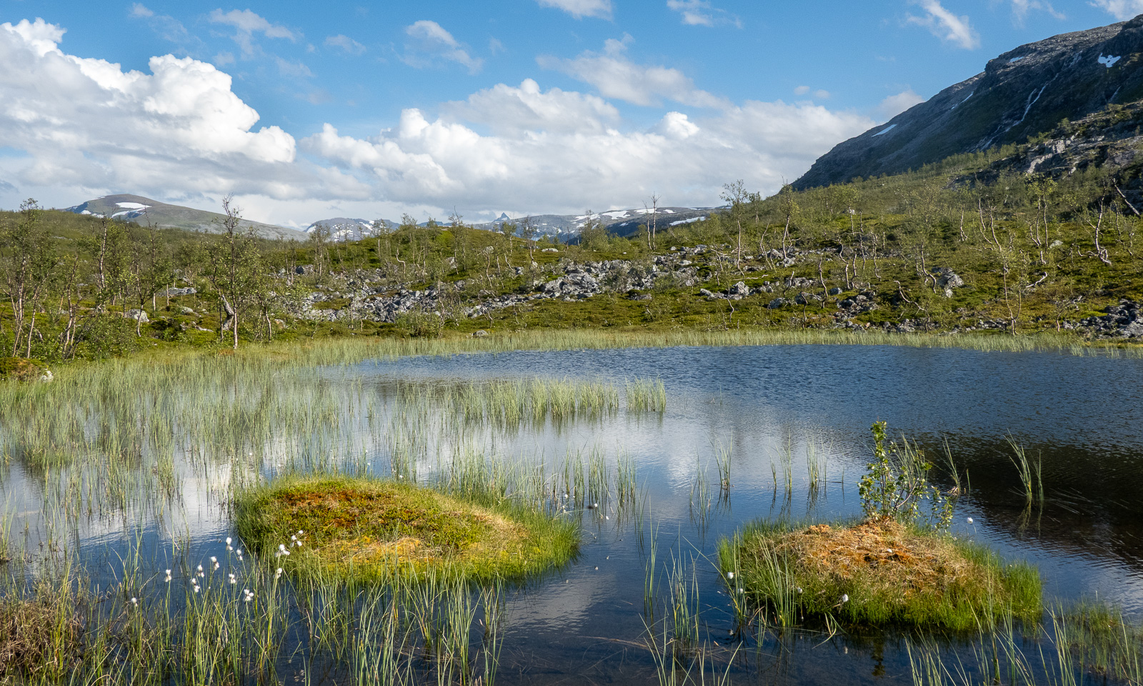
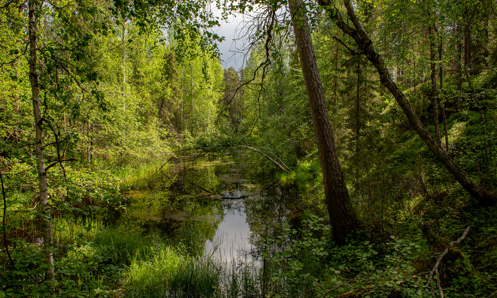
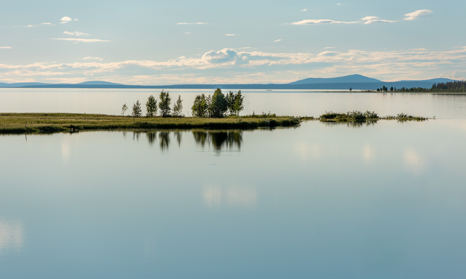
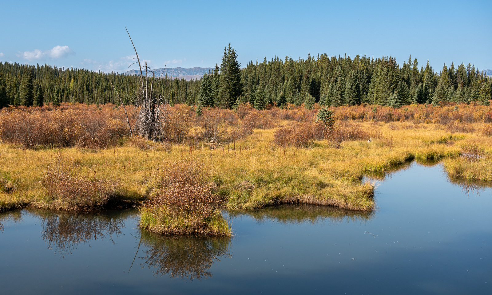
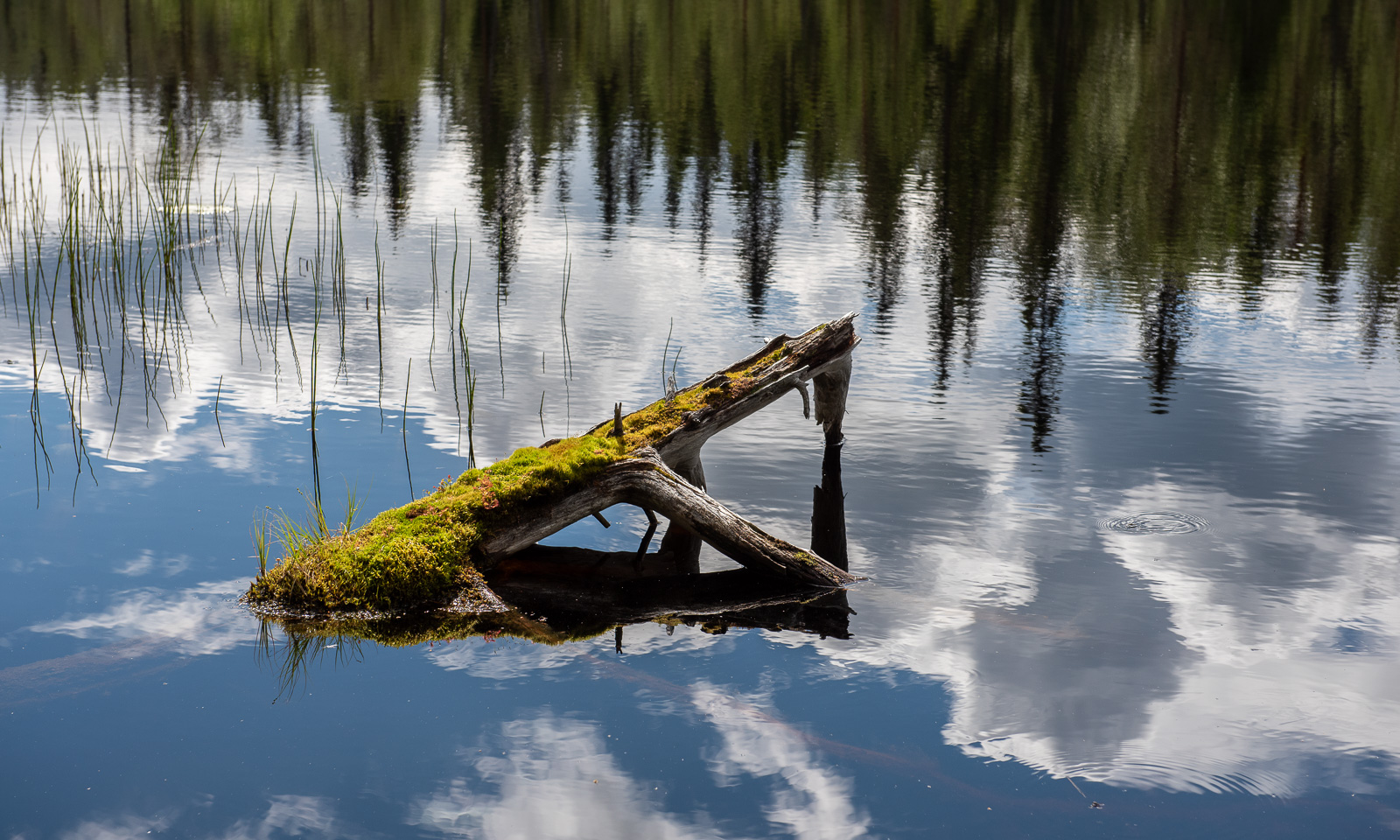
This morning I finally take a picture of the wetlands by the hostel. Then we will head off to Red Deer, where a surprise await us.
From the island into the desert

This article is part of the series “2026-09: Canada”.

13 September

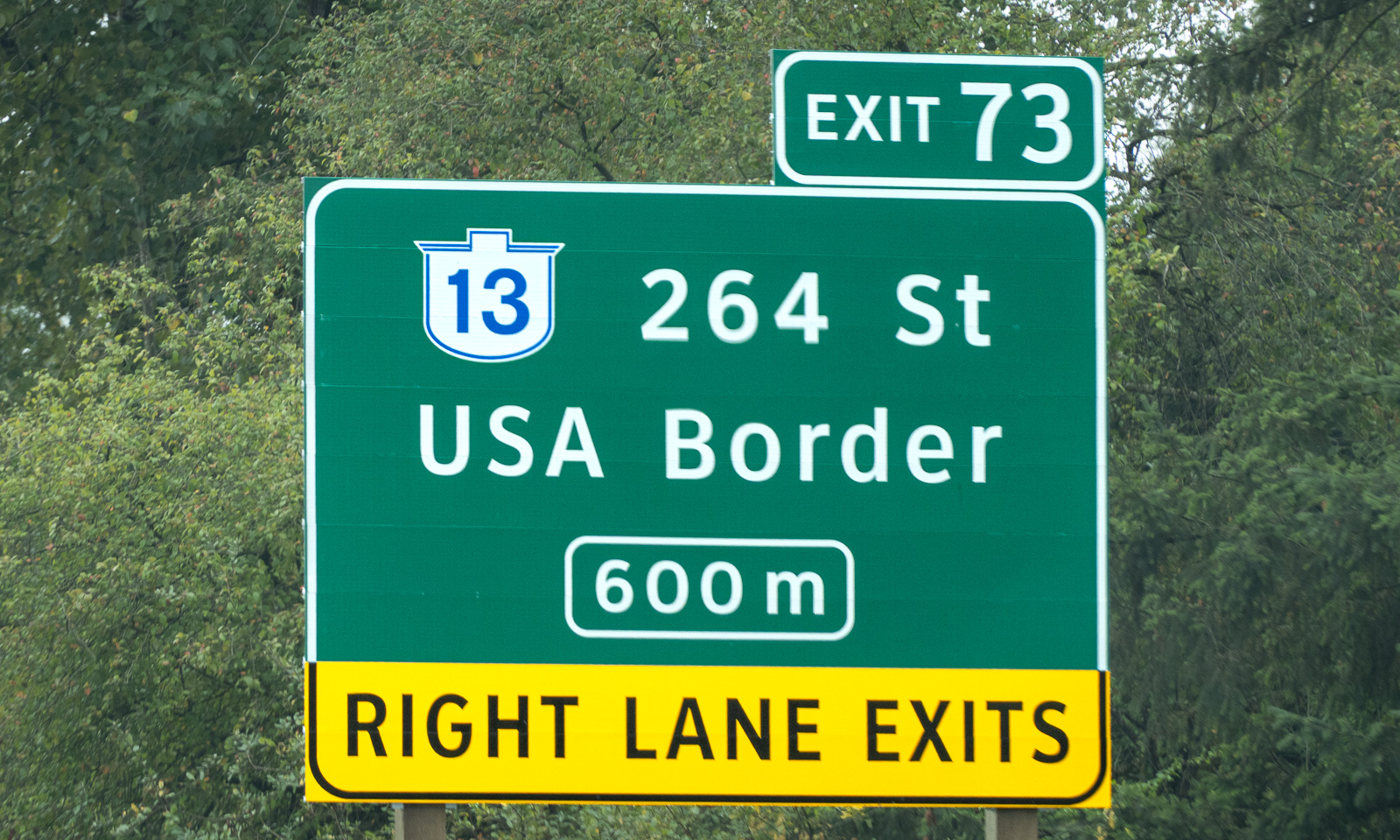
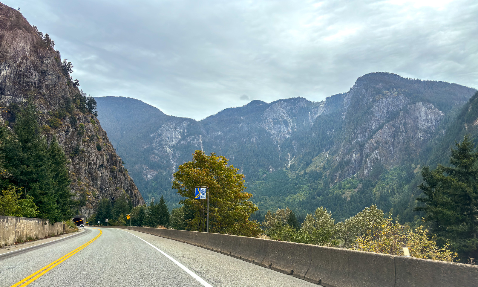
My wife Annika and I stand on board of the ferry Queen of Cowichan. After several days on Vancouver Island we are heading back to the Canadian mainland, this time to Tsawwassen, which is south of Vancouver. To get there we have to cross international borders twice, first into the USA and then back into Canada. These borders are invisible because they are on sea. Back on the mainland, we see signs to the USA border at several places as well.

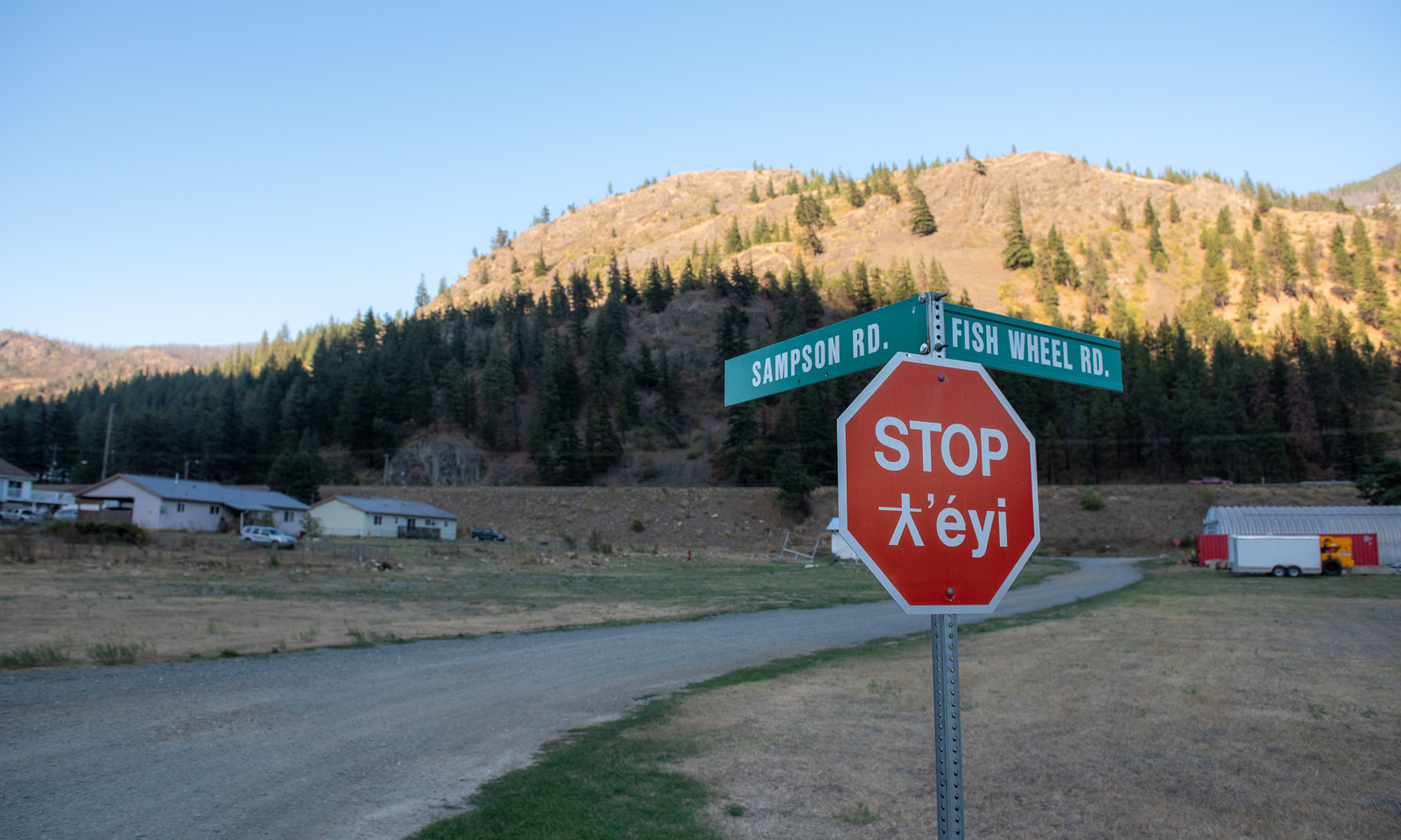
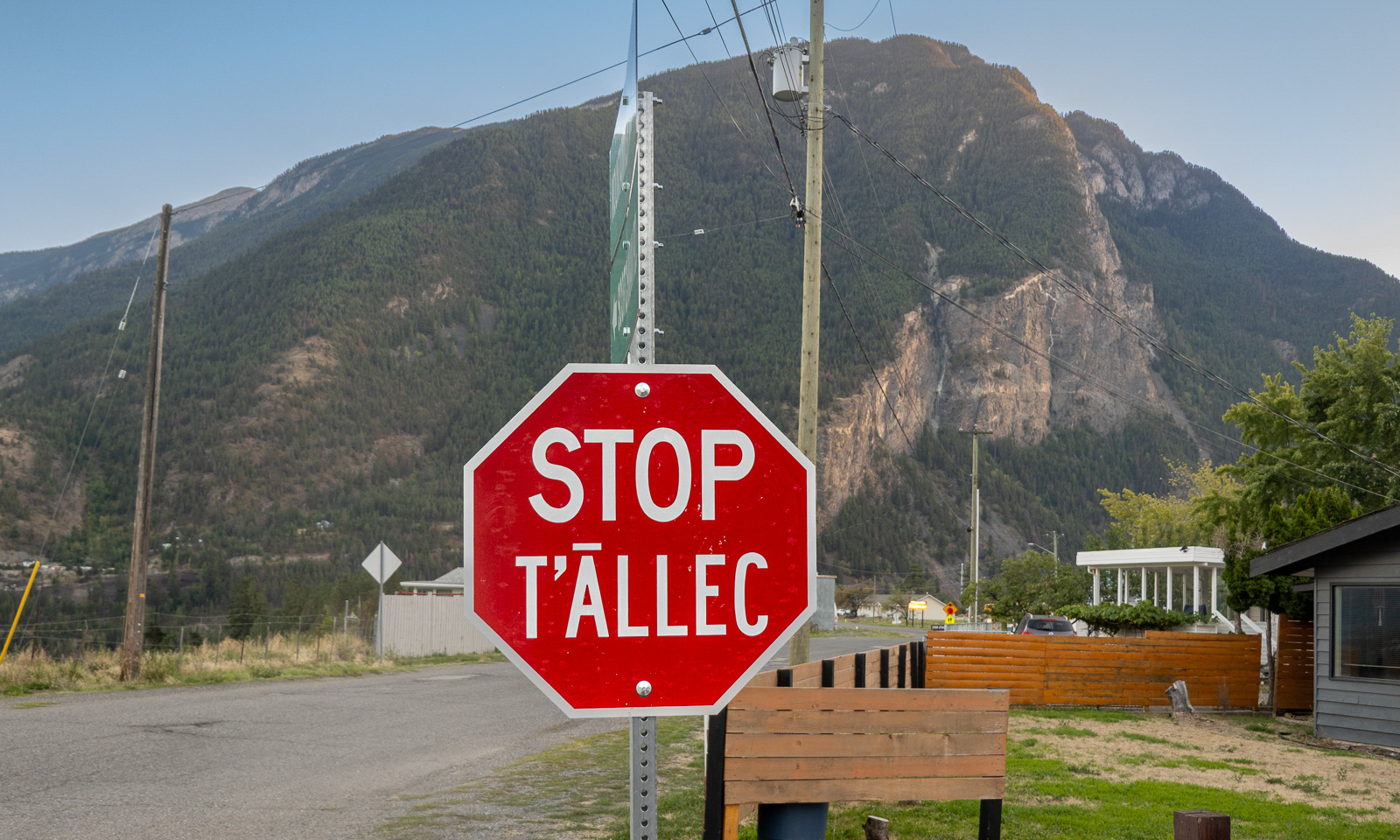
We make a stop in the village of tucckʷiowhum which is part of the Nlaka’pamux Nation. British Columbia is home to many distinct First Nations, each with its own culture, history, territory, and language. Often the languages are visible on the bilingual signs. The following stop signs show two different languages. According to the AI I used for research, “ƛ̓éyi” is Nłeʔkepmxcín which is spoken in the Fraser Canyon and Nicola regions. “T̄ÁLLEC” is St̓át̓imcets which is spoken in and around Lillooet, the town we are heading for today.

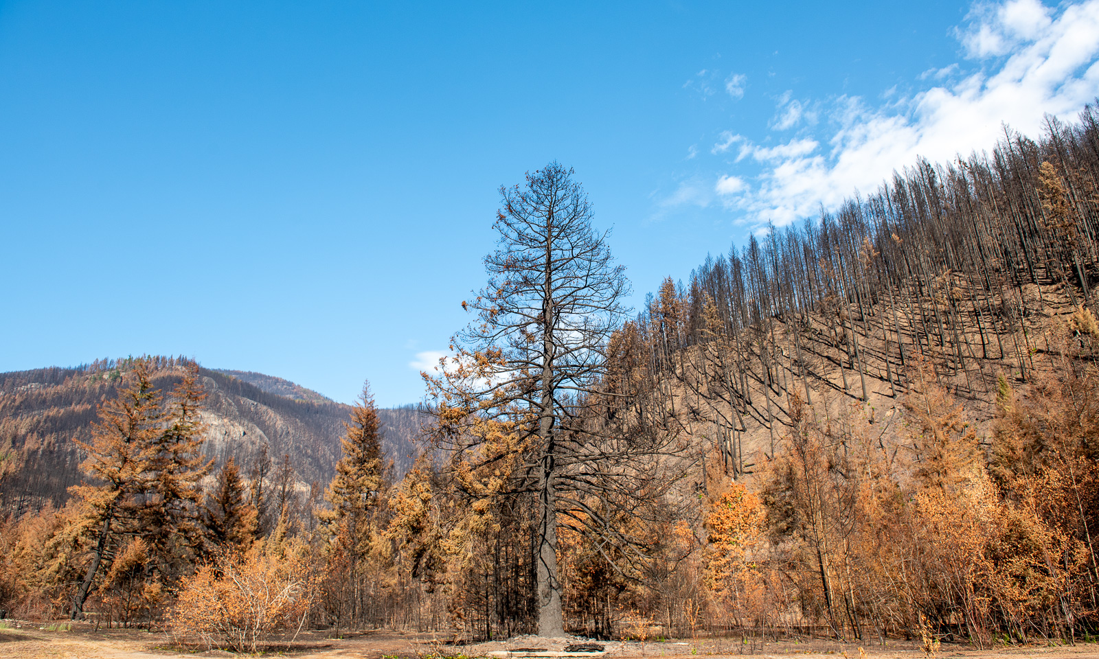
But we are not in Lillooet yet, we are in tucckʷiowhum. This is the first place where we can see the devastation caused by this year’s forest fires. Some hills are covered with black trunks. Even some of the buildings have burnt down. We know that forest fires are part of nature (or can be) but it makes me sad to see the black trees, some standing, some fallen.

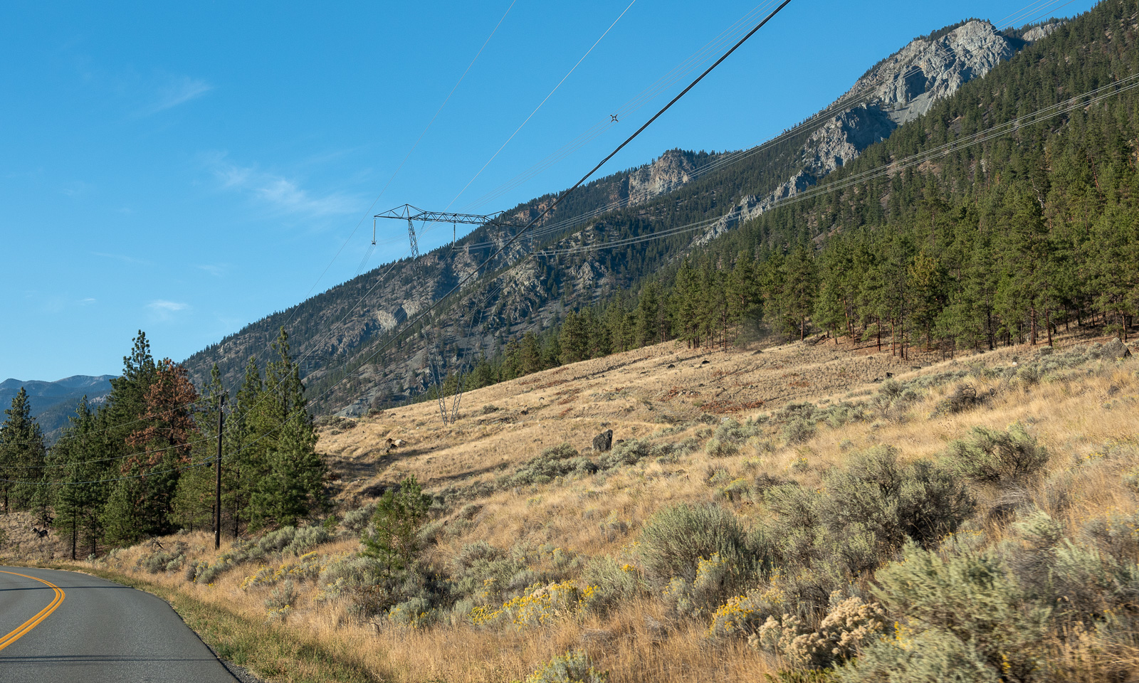
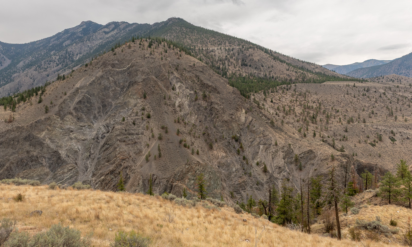
We continue our trip north. The landscape changes slowly. The forests are less dense, the soil looks drier and is often vegetated with brown grass.

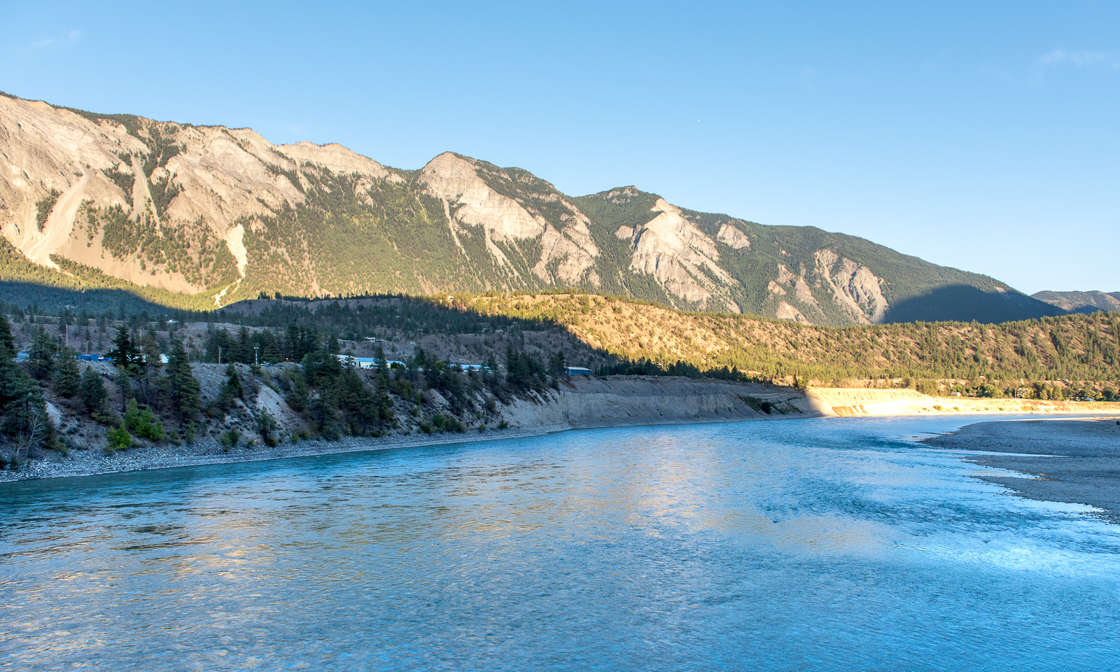
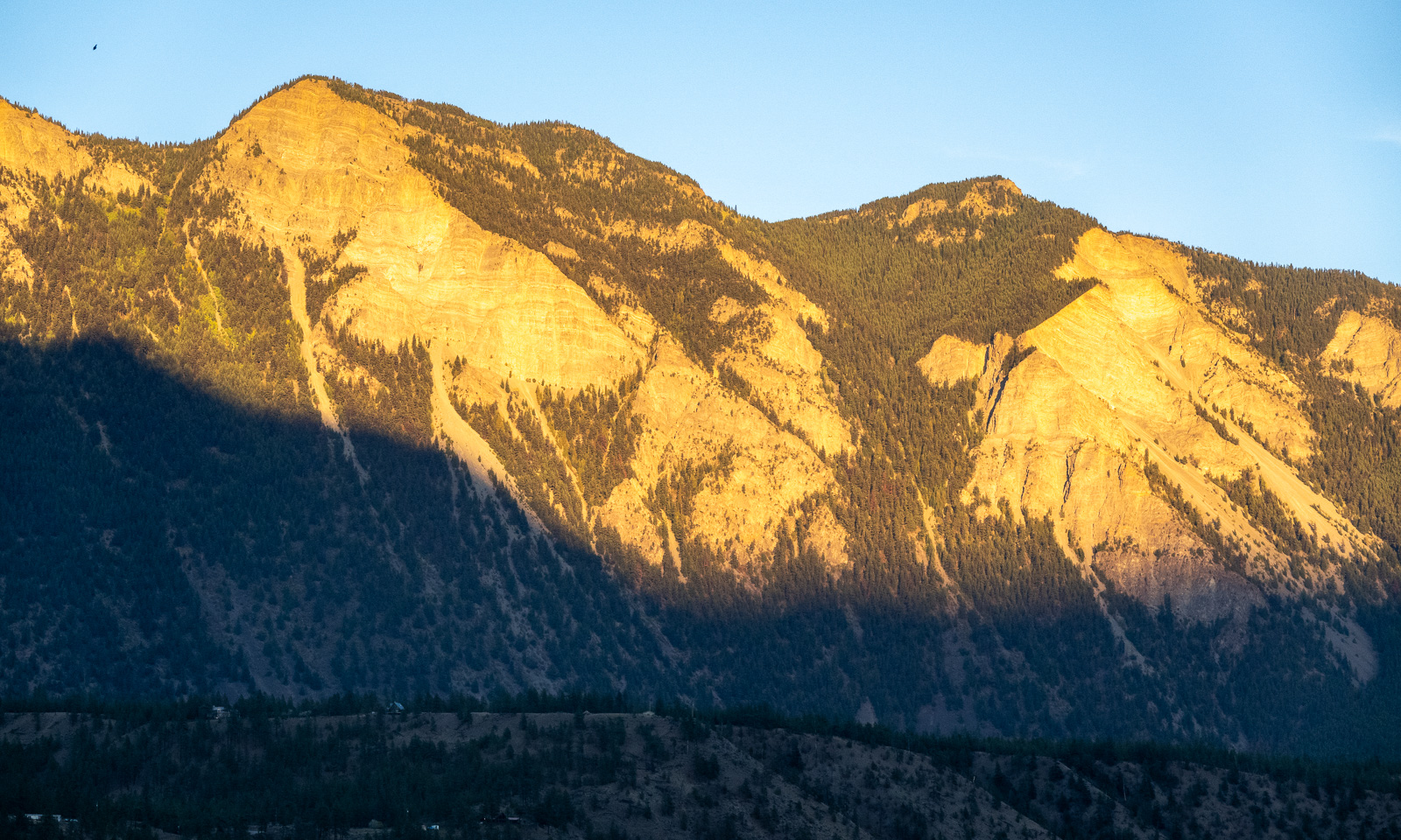
At half past seven we cross the Fraser river and arrive in Lillooet, a small town with a population of about 2300. The sun starts to set, but the mountains in the east still have sunlight.

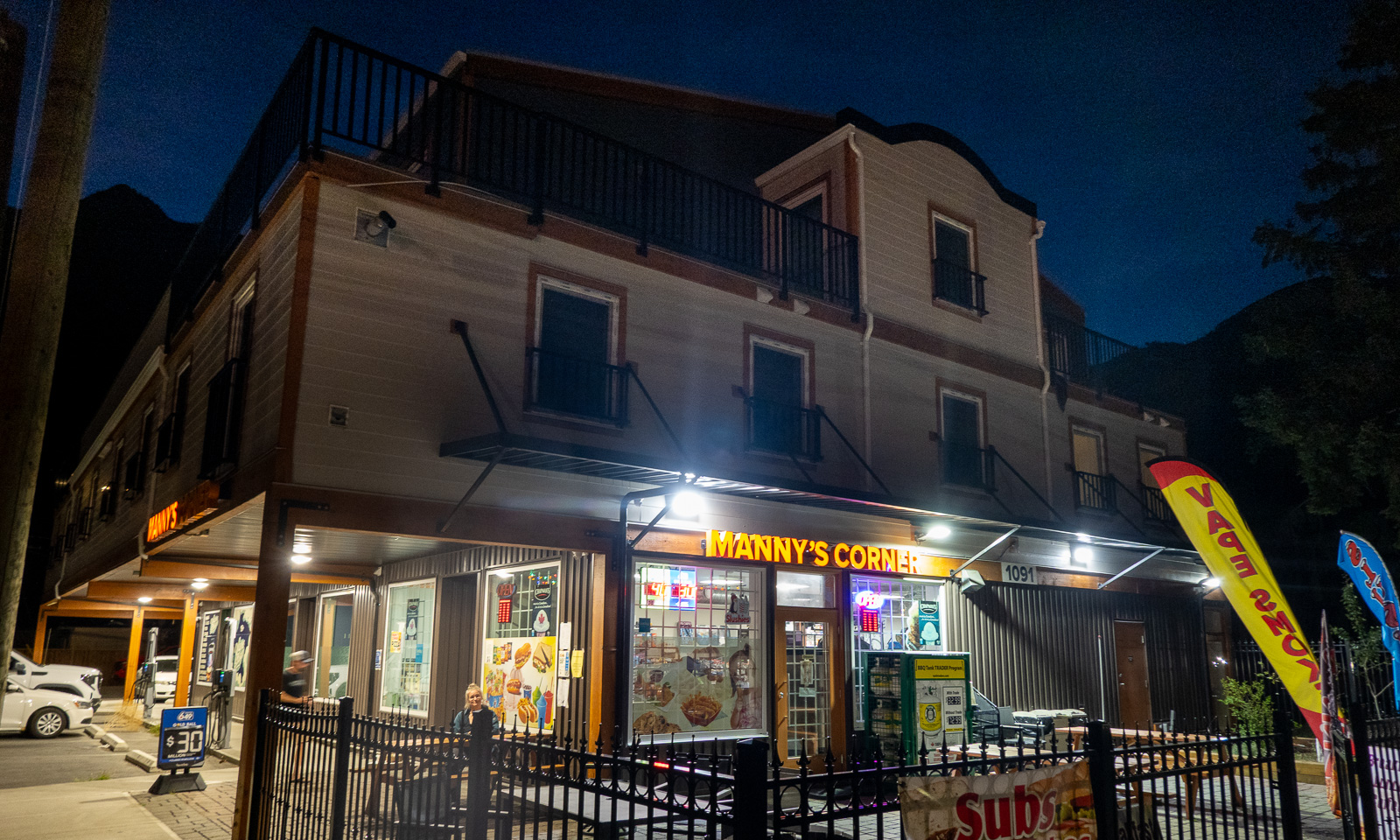
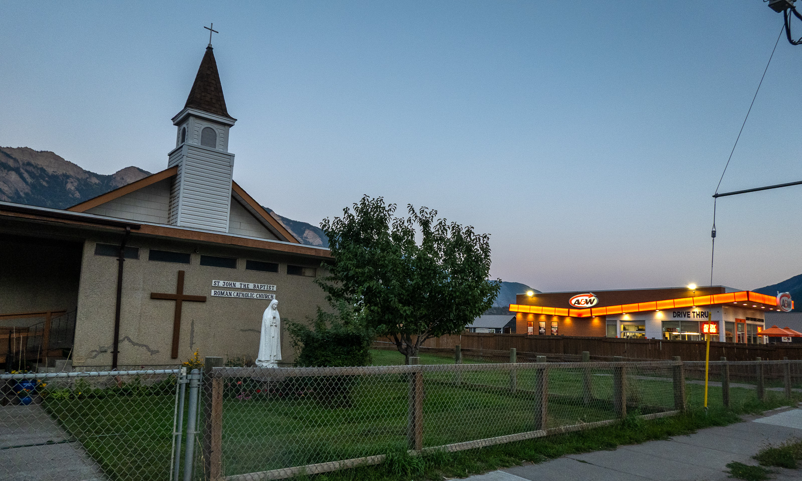
We check in at our first motel ever. We get a giant room with two double beds, a fridge, a coffee machine and a microwave. Since there is no proper kitchen available we walk into the centre where we eat salad and pizza at Manny’s Corner. The delicious Tandoori Chicken Pizza is massive and although I ordered only “medium size” I only manage to eat half of it. The leftovers will serve as tomorrow’s breakfast. On the other side of the street: The Roman Catholic church and a fast food chain.

In the streets: some pedestrians, especially younger ones and cars – mostly pickup trucks. The latter are very common in the area, the bigger the better. No wonder that our rented VW Tiguan, not a small car either, was rated as an “undersized vehicle” by the ferry company :-D .

14 September

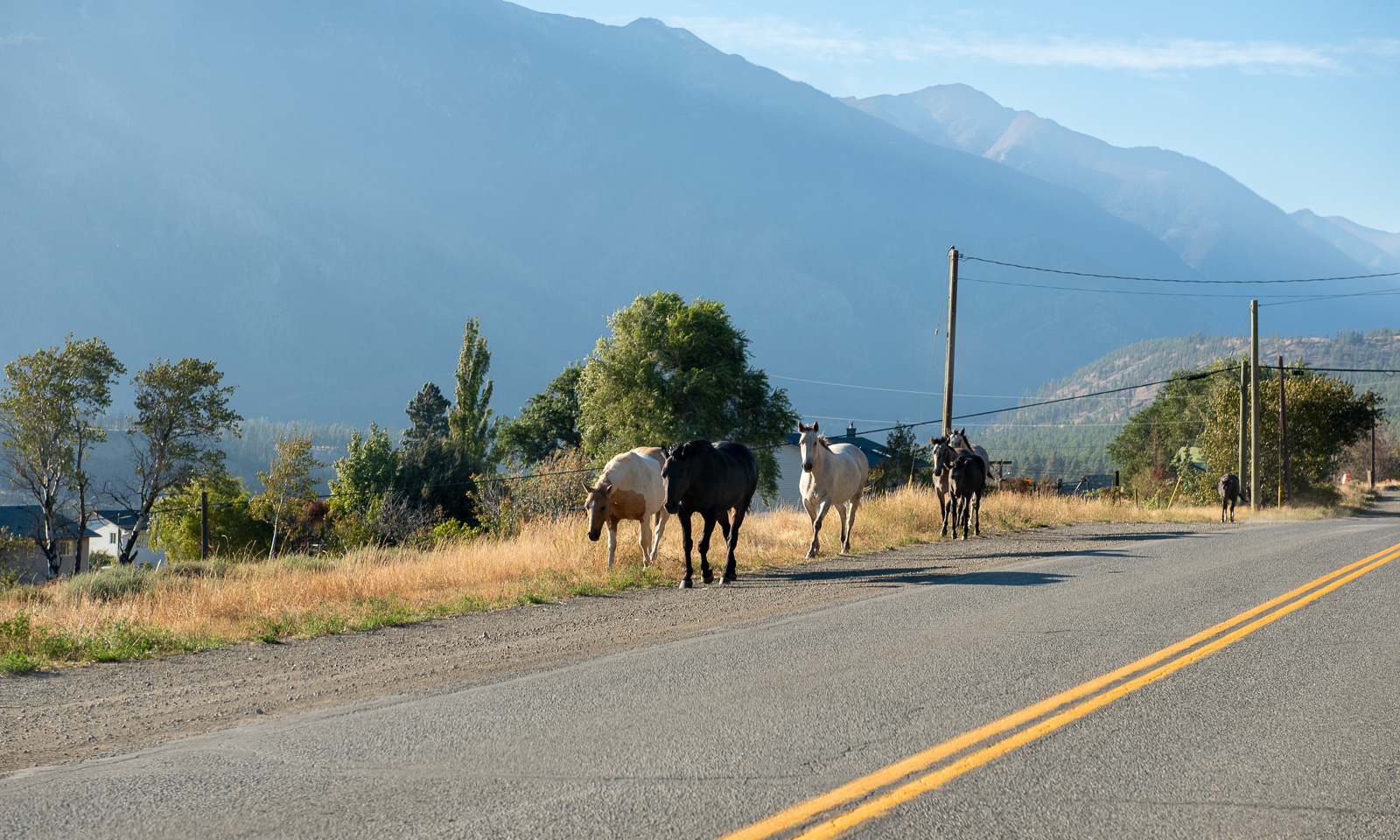
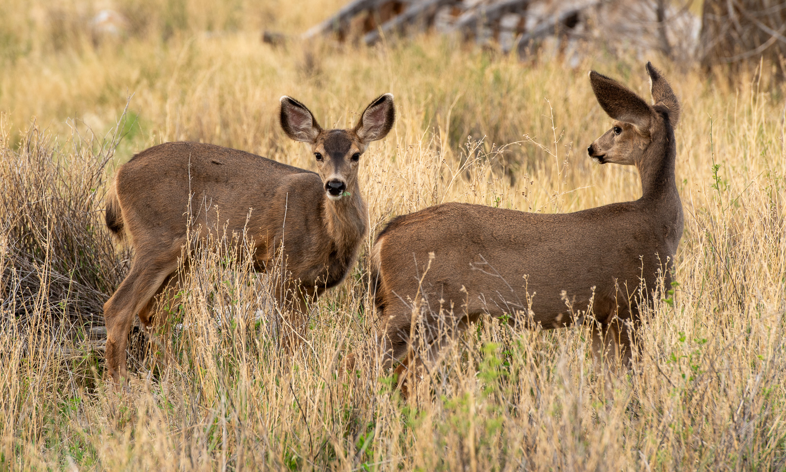
Yesterday it had cleared up and when I wake up, the sky is blue. I go outside, just to the road where I see a flock of mule deer grazing on the dry meadows.

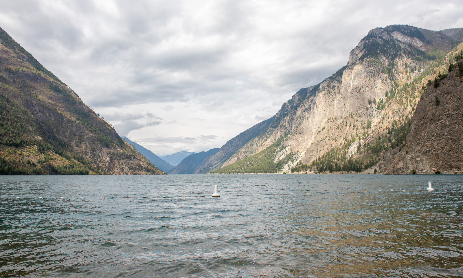
Our first action this morning is to visit Seton Lake. Sam, the manager of the motel said, it was a good place to take a swim and it is. There are some other people around but it is only us actually swimming in the lake.

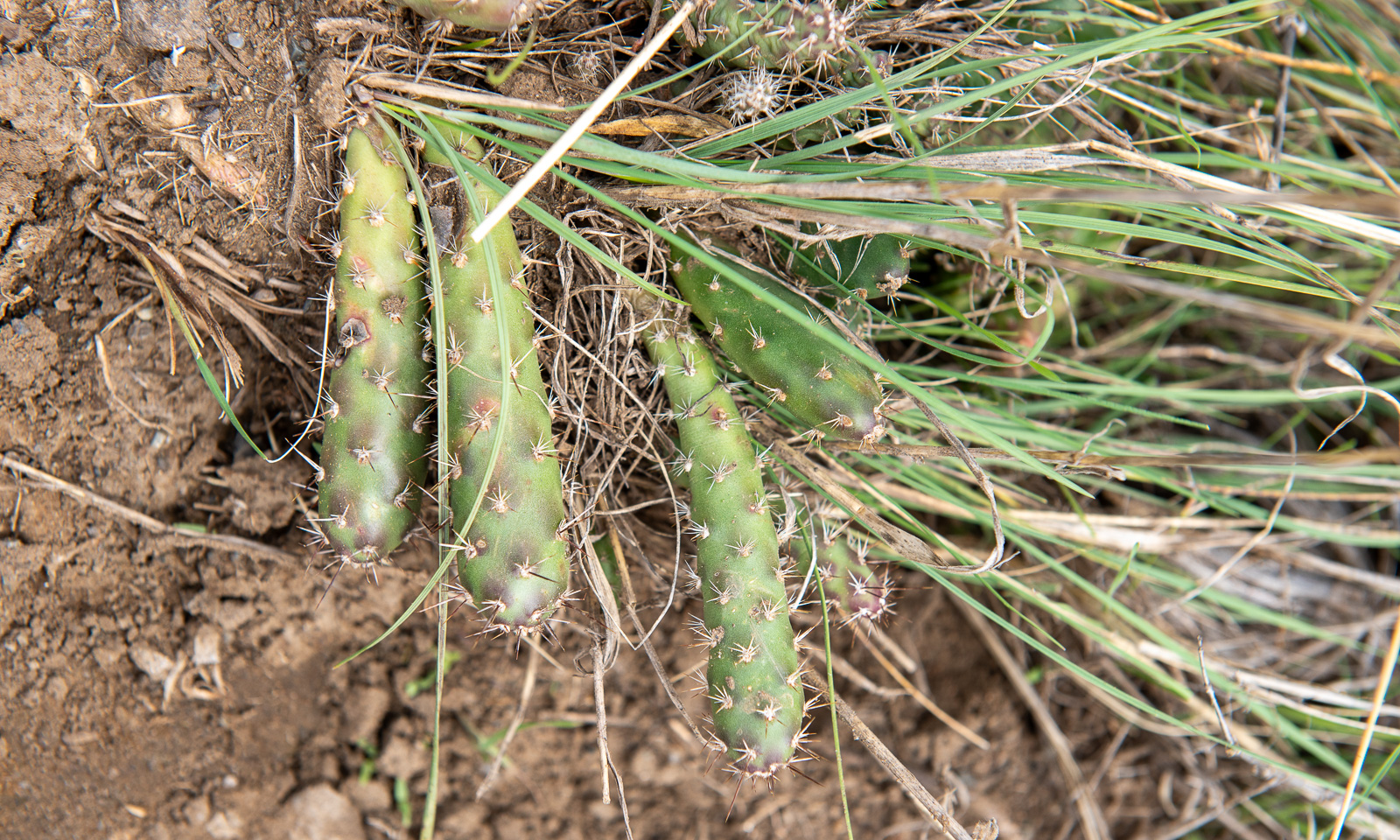
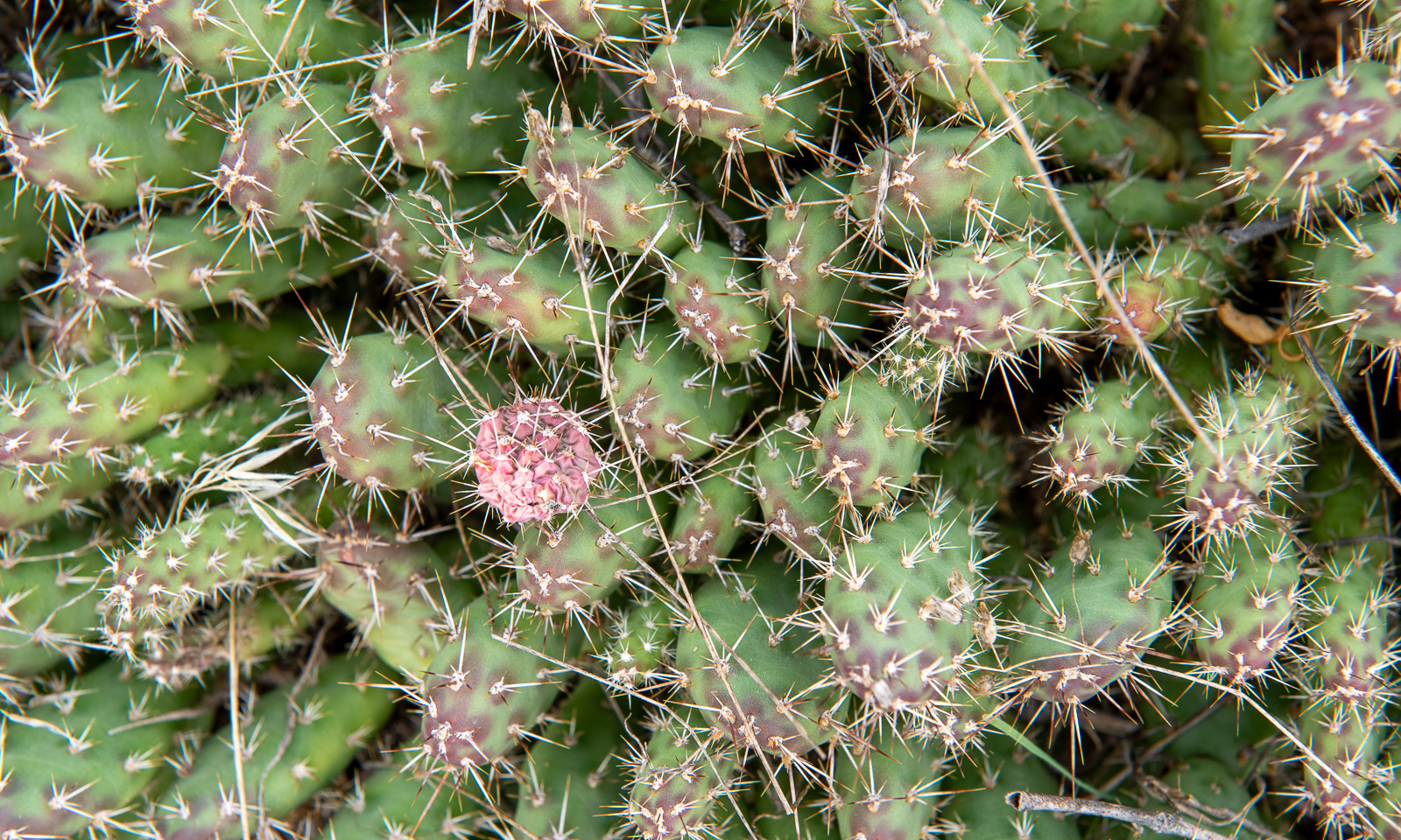
Back in town we are looking around. I already knew that the landscape around Lillooet is desert-like, but I never expected cacti to grow here. This species seems to be the Brittle pricklypear.

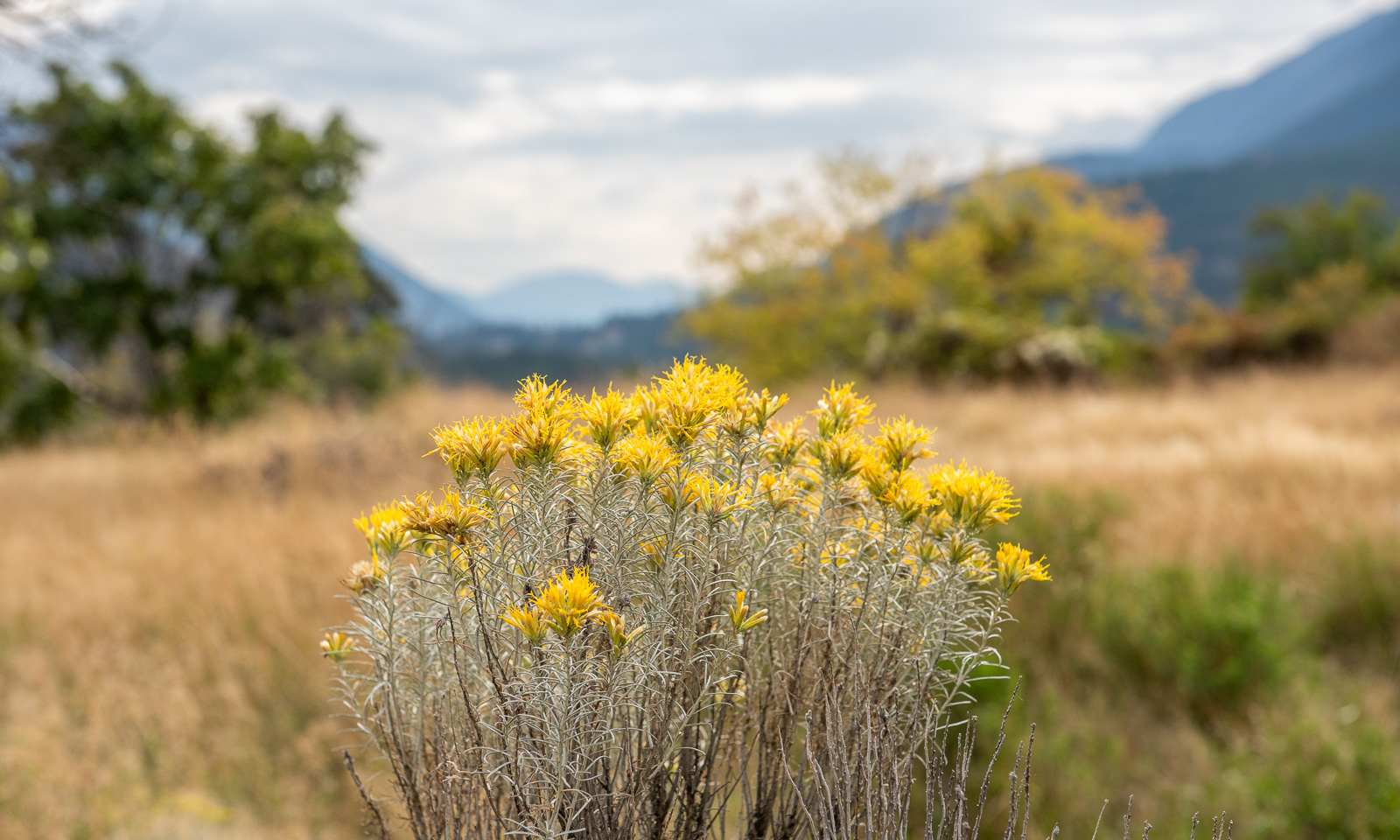
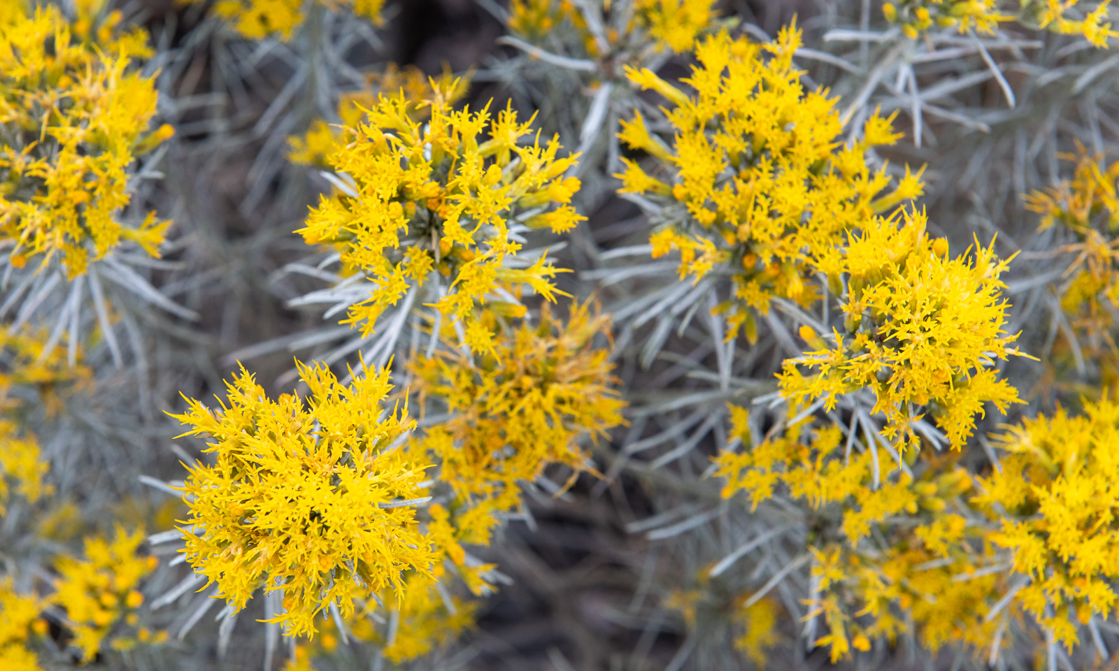
You meet the Brittle pricklypear in person when you are stupid enough to wear sandals. But it is the yellow-blooming Rubber rabbitbrush that shapes this landscape. You can see them everywhere.

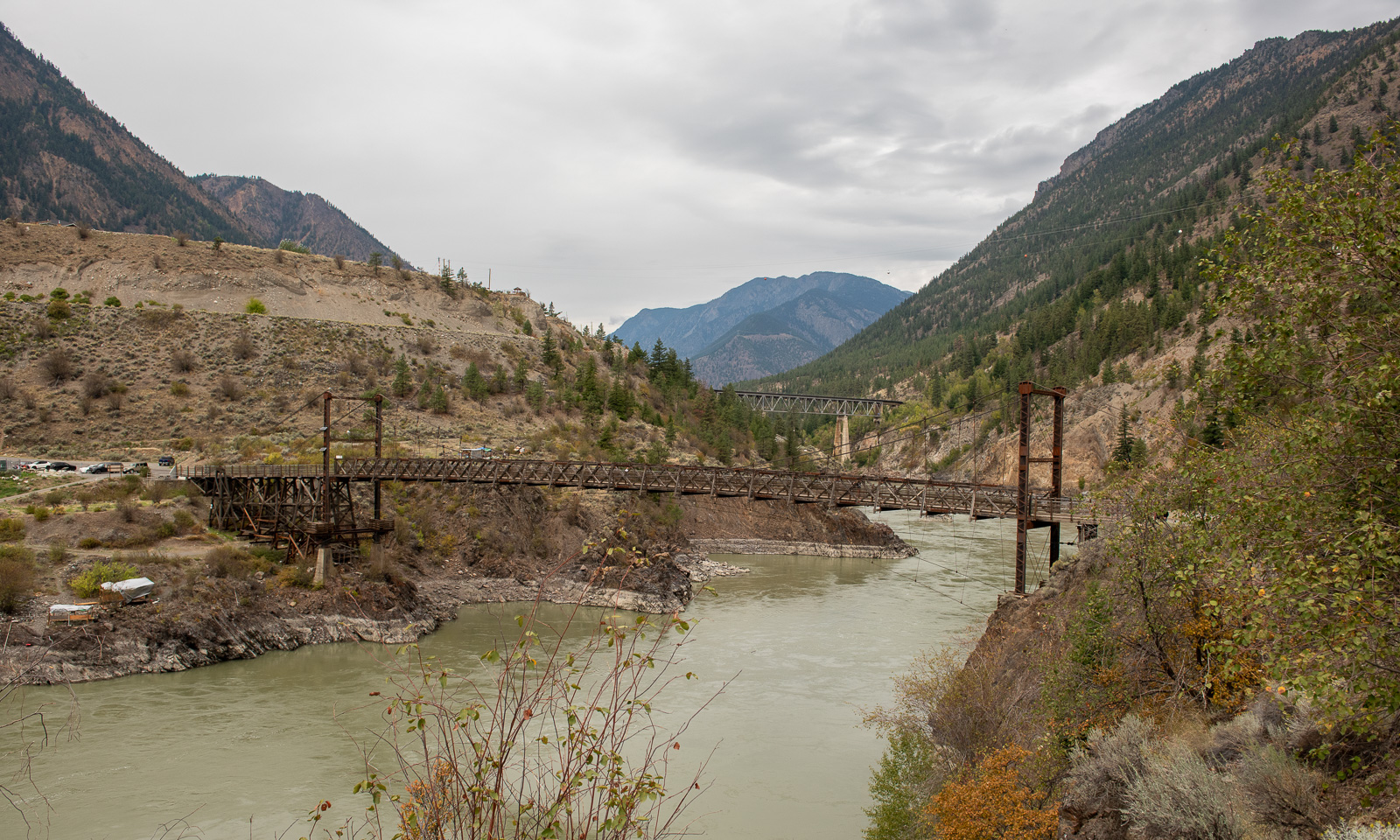
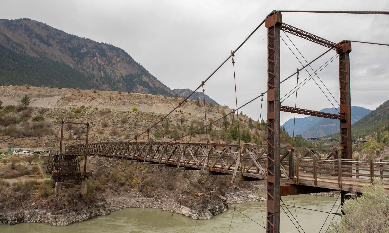
Nearby lies the Lillooet Suspension Bridge, built in 1913 and in active use to cross the Fraser river until the modern “Bridge of the Twenty-Three Camels” was built in 1981.

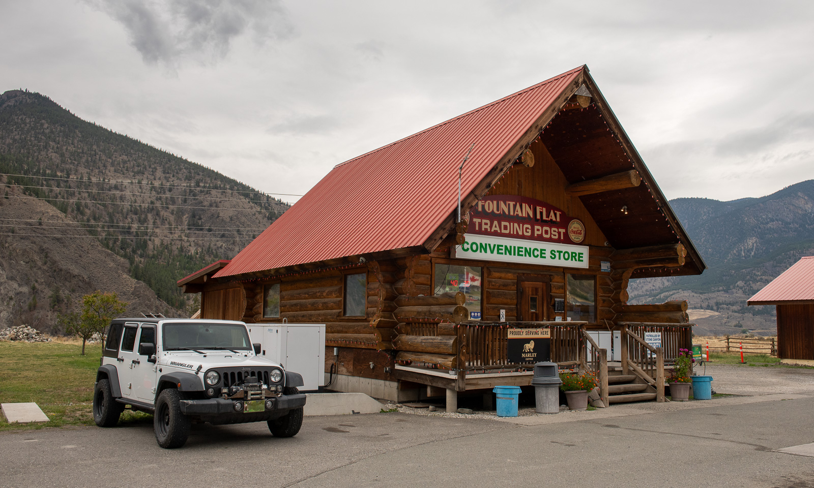
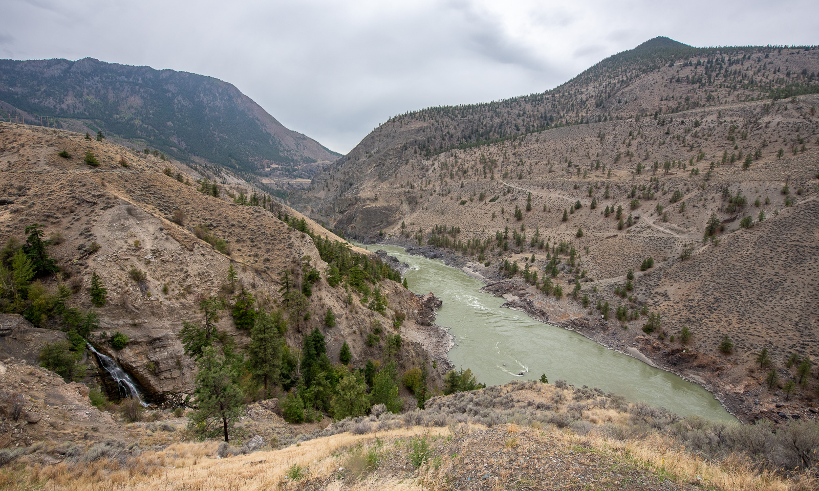
Our way leads north along the Fraser River canyon. We stop several times, mostly to enjoy the views and once at the Fountain Flats Trading Post, a convenience store where we buy snacks and something to drink.

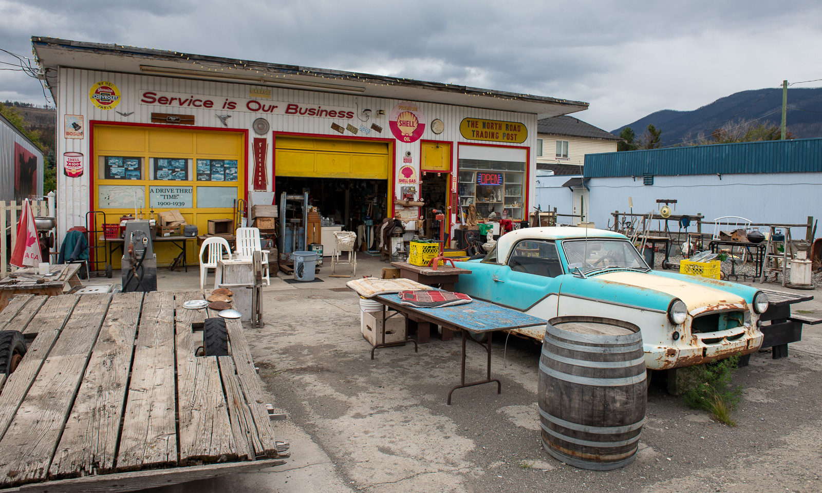
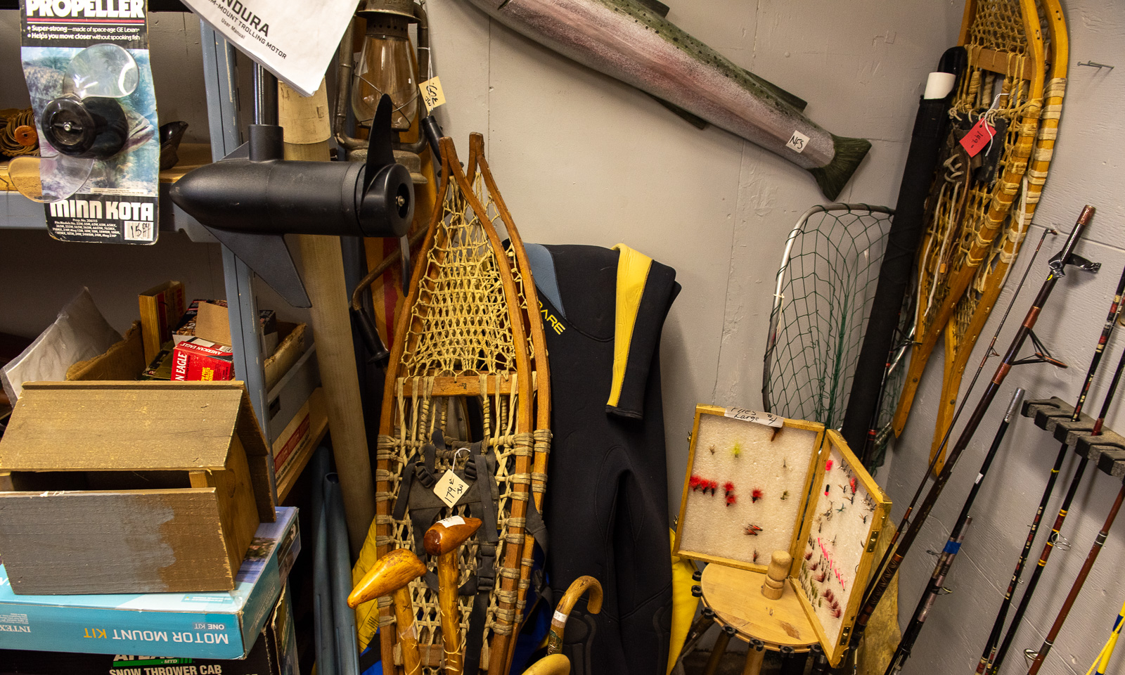
Another stop we make is at the second-hand shop in Clinton where Annika buys a Thermos flask with an interesting feature: it does not insulate for a minute. In a corner of one of the rooms: Two pairs of large snowshoes.

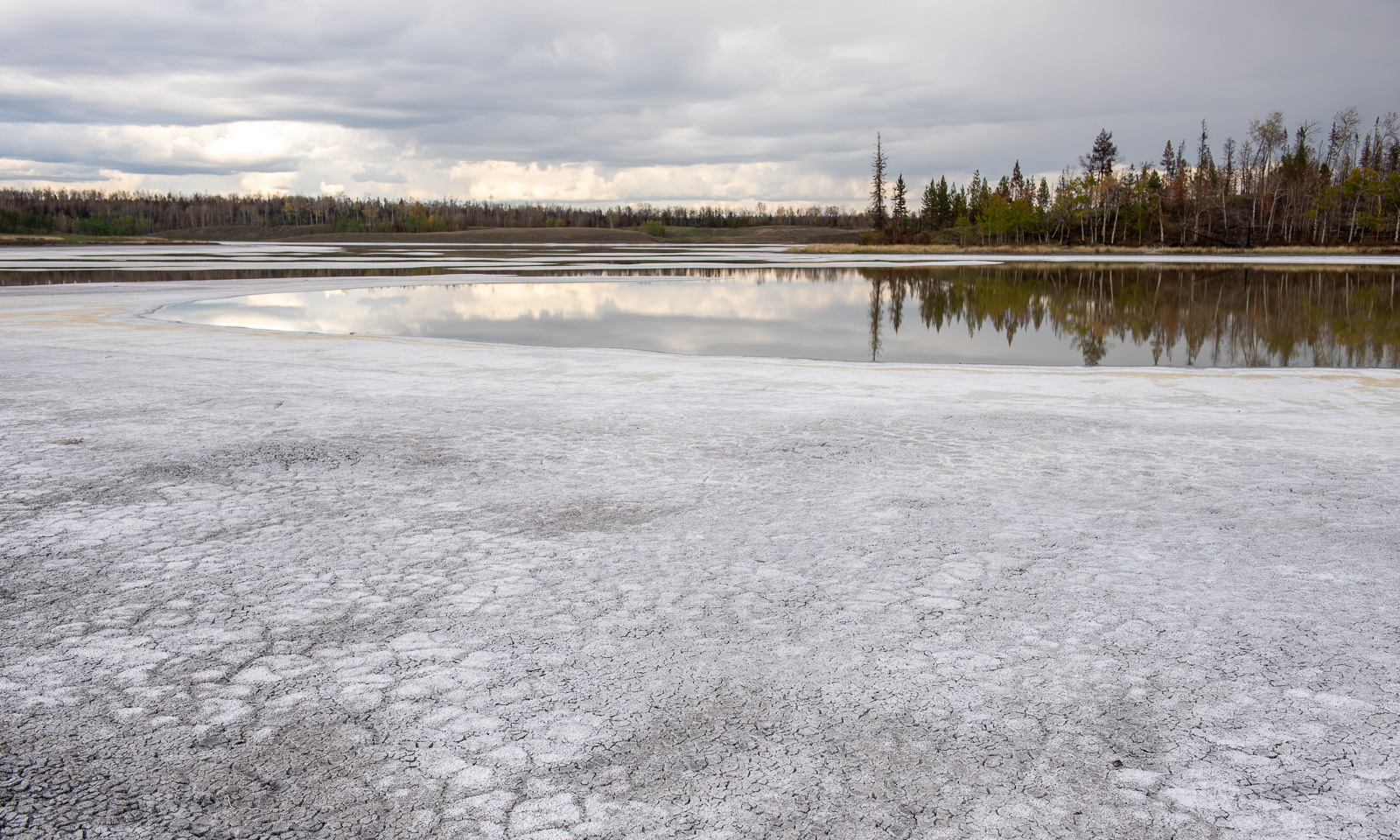
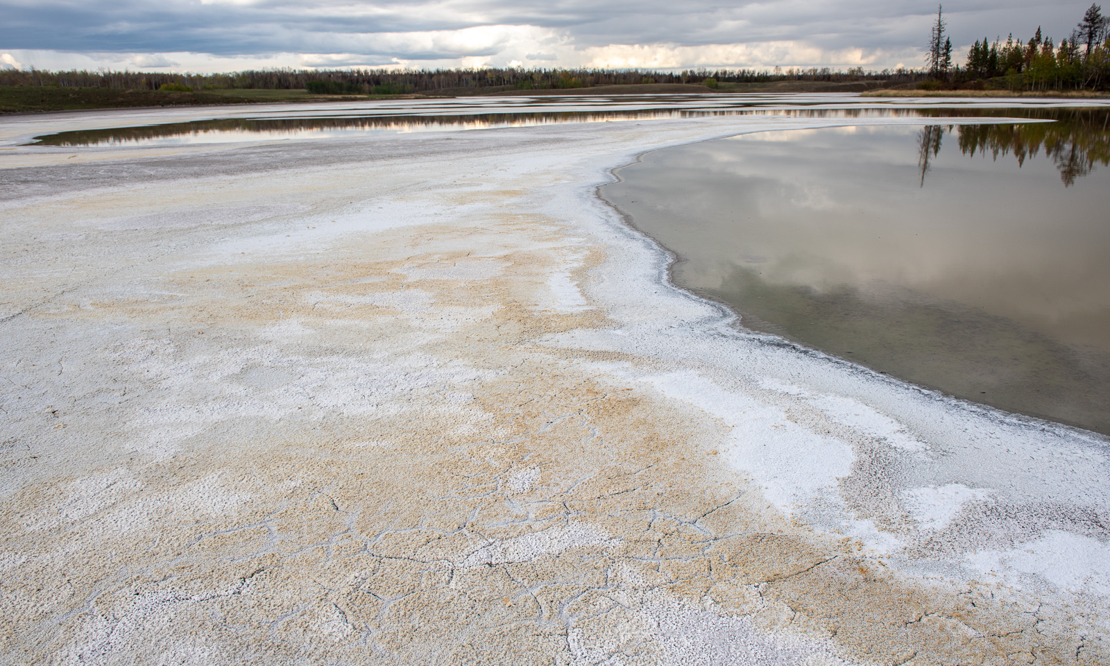
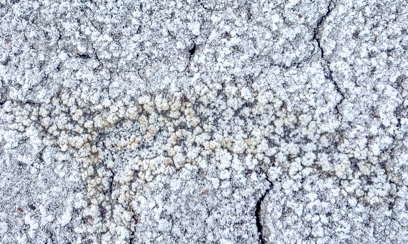
Near Chasm we leave Highway 97 and drive north on unpaved roads. Beside the road are several alkaline lakes, most of them dried out. On the surface there is a thin layer of soda crust, underneath it is black mud. I never saw anything like this before. My rubber boots get muddy and it takes ages to wash the soft-soap-like mud away.

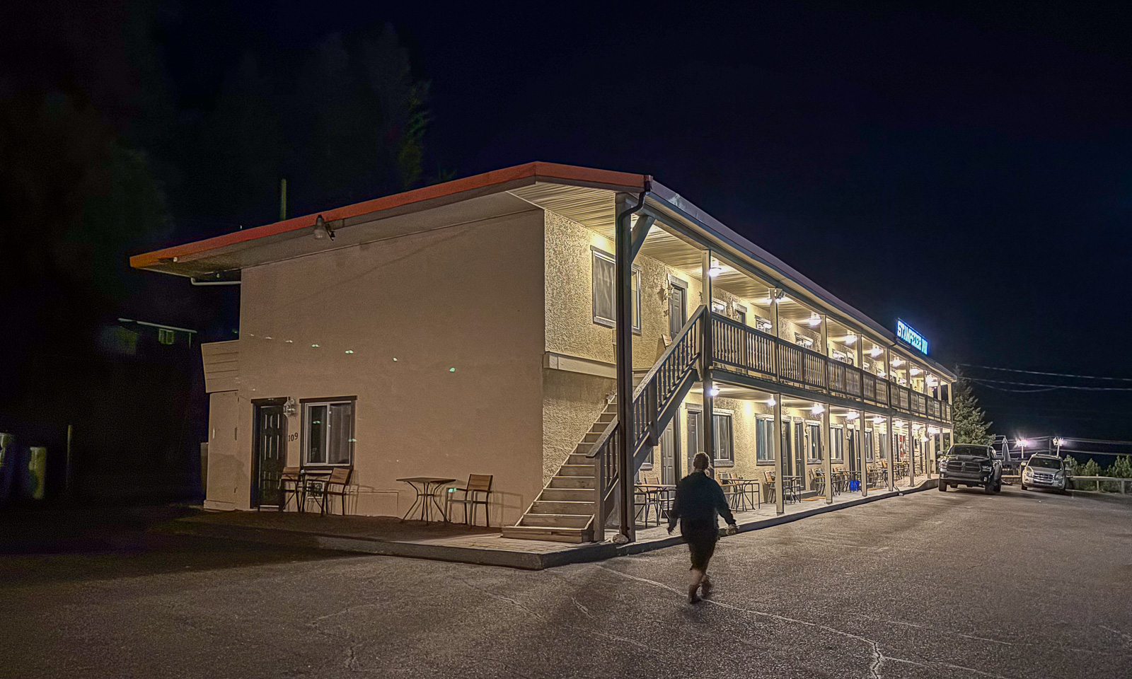
At half past eight we arrive at our motel, the Stampeder Inn in Williams Lake where we’ll stay for two nights.

Again I remember my wondering before our journey: Will Canada be different from Scandinavia apart from its size. And again I get the answer: Some parts are very, very different!

Vancouver

This article is part of the series “2026-09: Canada”.

6 September

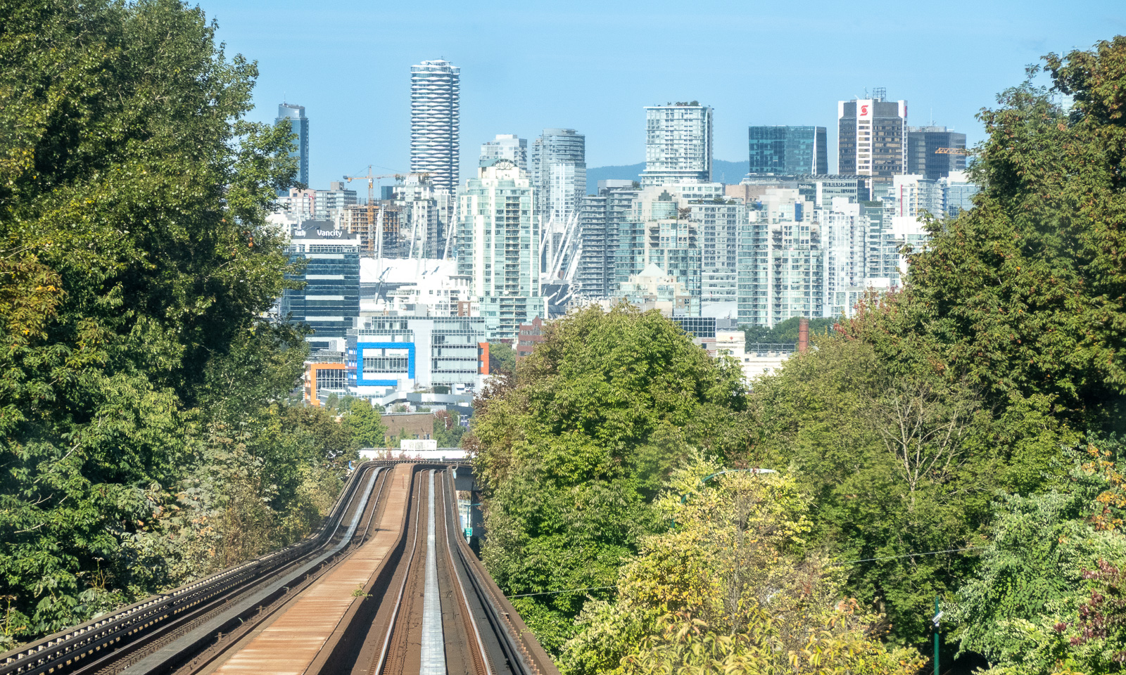
I am standing on the SkyTrain Expo Line that brings me to Waterfront station in central Vancouver. SkyTrain is fully automated and so I can stand at the front looking at the mountains to the right and the skyscrapers in the front.

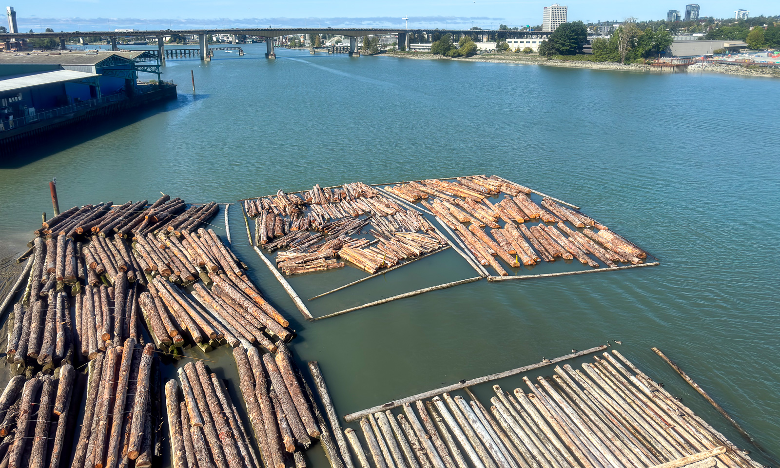
At Waterfront I change to the Canada Line in the direction of the airport. It crosses the Fraser River on which tree trunks are floating, waiting to be transported.

Then I am at Vancouver Airport again. Yesterday I arrived here myself, today I am fetching my wife Annika. It takes some time before she is through the passport control and collects her luggage, then she is finally here, nineteen hours late. Our four-week Canadian holiday can begin.

As I was the day before, Annika is pretty tired from the flight but we don’t have any jet lag, although we travelled across nine time zones. We take the same trains back to Burnaby, enter bus 119 and arrive at our private host’s home.

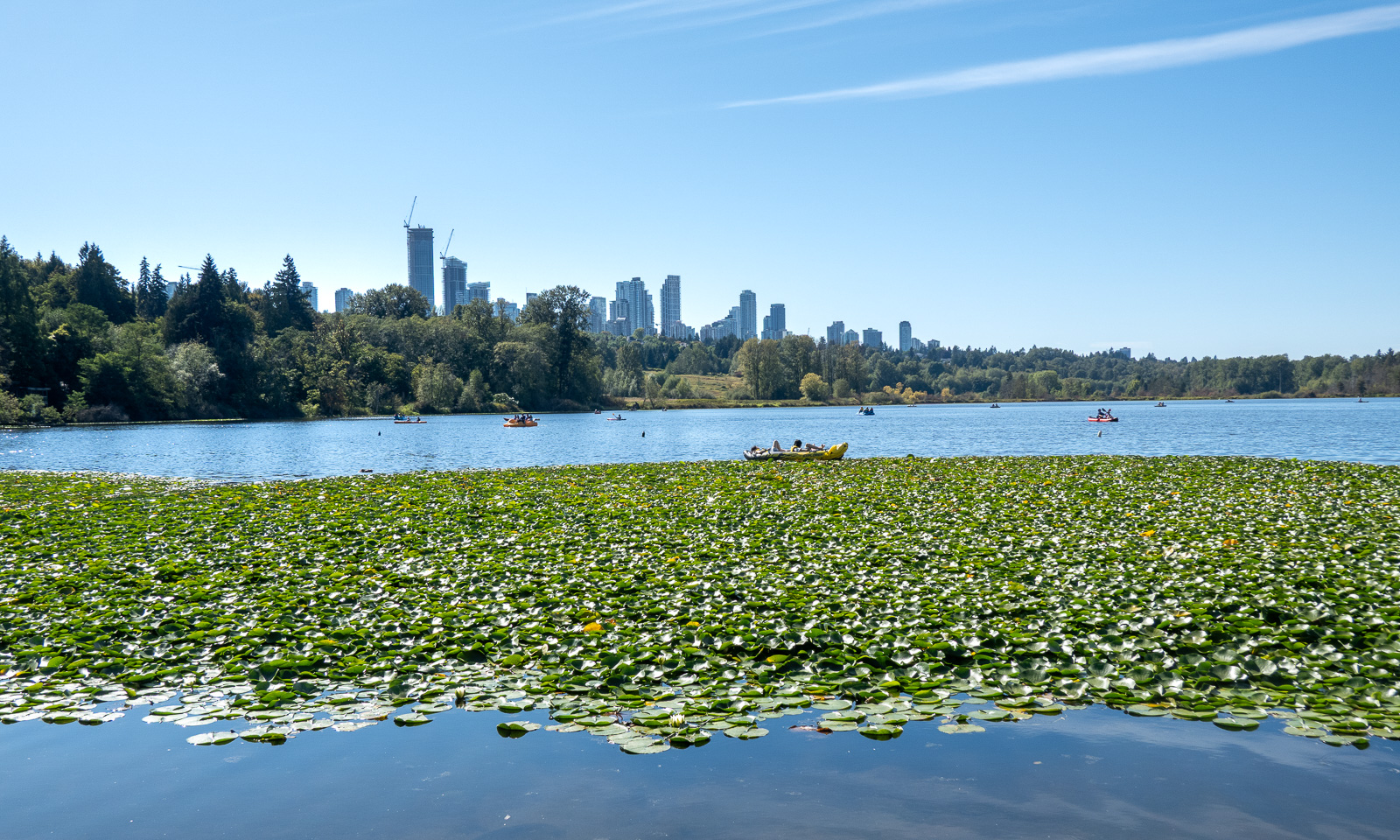
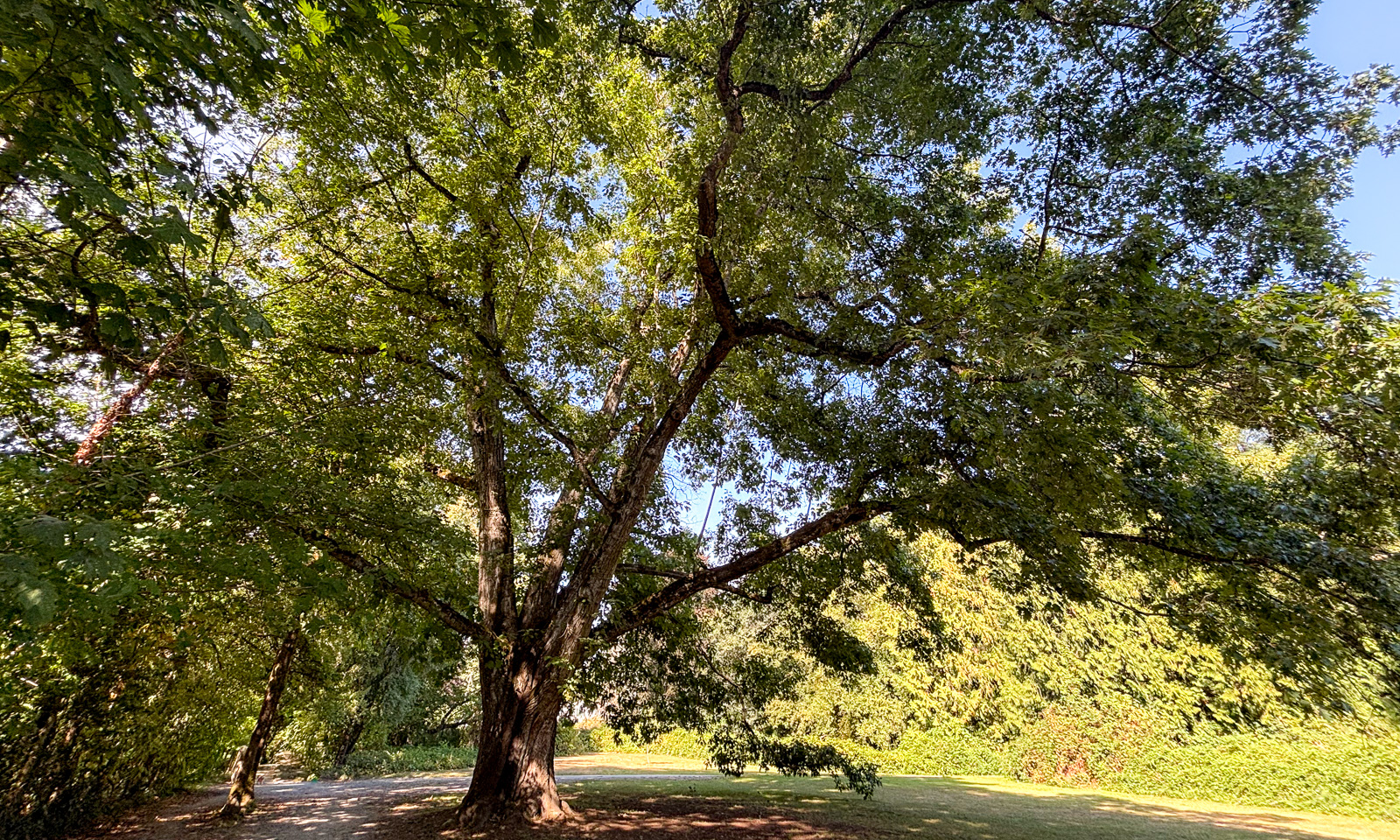
After having a chat and leaving Annika’s luggage behind we go for a walk to Deer Lake, which is nearby. It is a beautiful lake in a park in the south of Burnaby which you can walk around. There are many signs that we are no longer in Scandinavia anymore: the many skyscrapers in the background, the bear and coyote warning signs but most of all: the huge trees.

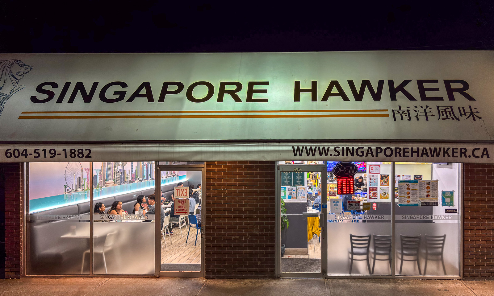
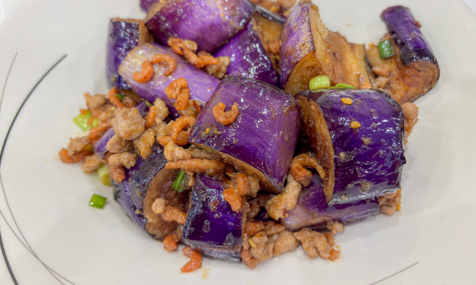
After an afternoon nap we are looking for a restaurant. We were told that the local asian ones are all excellent. We choose the “Singapore Hawker” because it is crowded. We have to wait a while until we are seated. The interior is simple but the food is excellent. I ordered “G6. Nyonya Eggplant – Tender wok-fried eggplant and minced pork, enhanced with dried shrimp.” Have I ever eaten eggplant so tasty as it was here? I cannot remember.

7 September

Today Annika and I want to explore central Vancouver with Stanley Park. Again we take the SkyTrain into town, walk a bit and find a bicycle rental shop, where we hire two excellent bicycles for exploring.

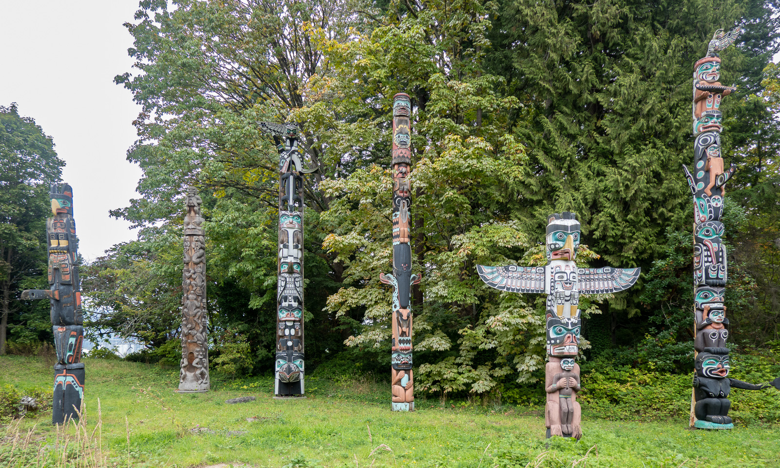
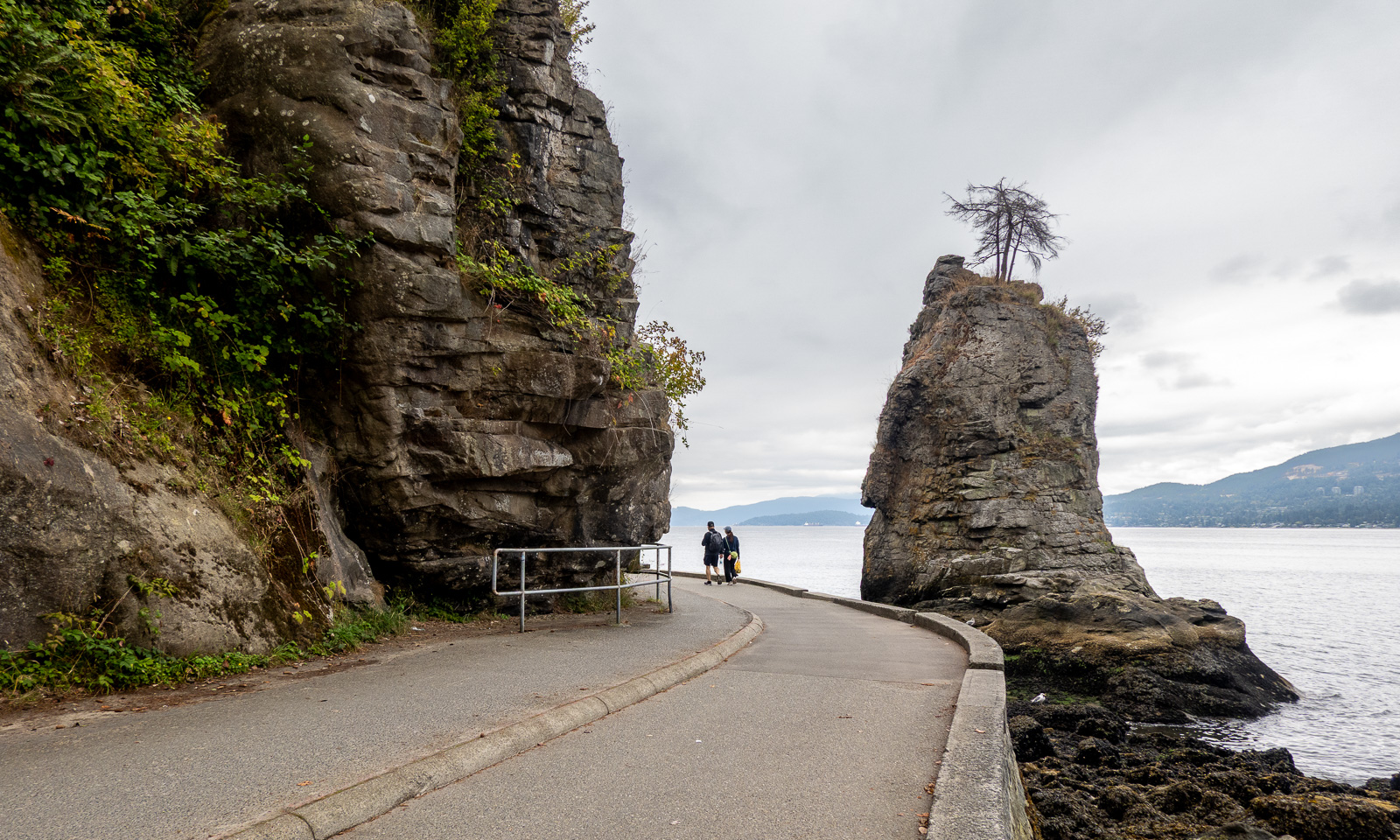
There is a cycle path by the seaside that we follow to Stanley Park which lies on a peninsula north of the centre. Our first stop is at a group of totem poles.

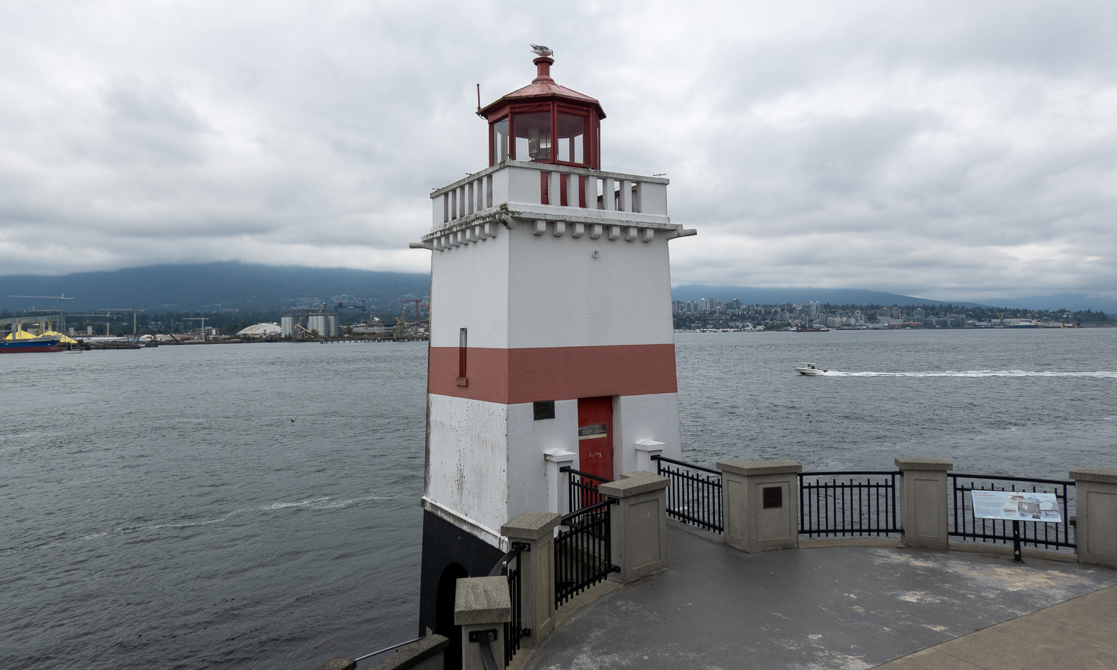
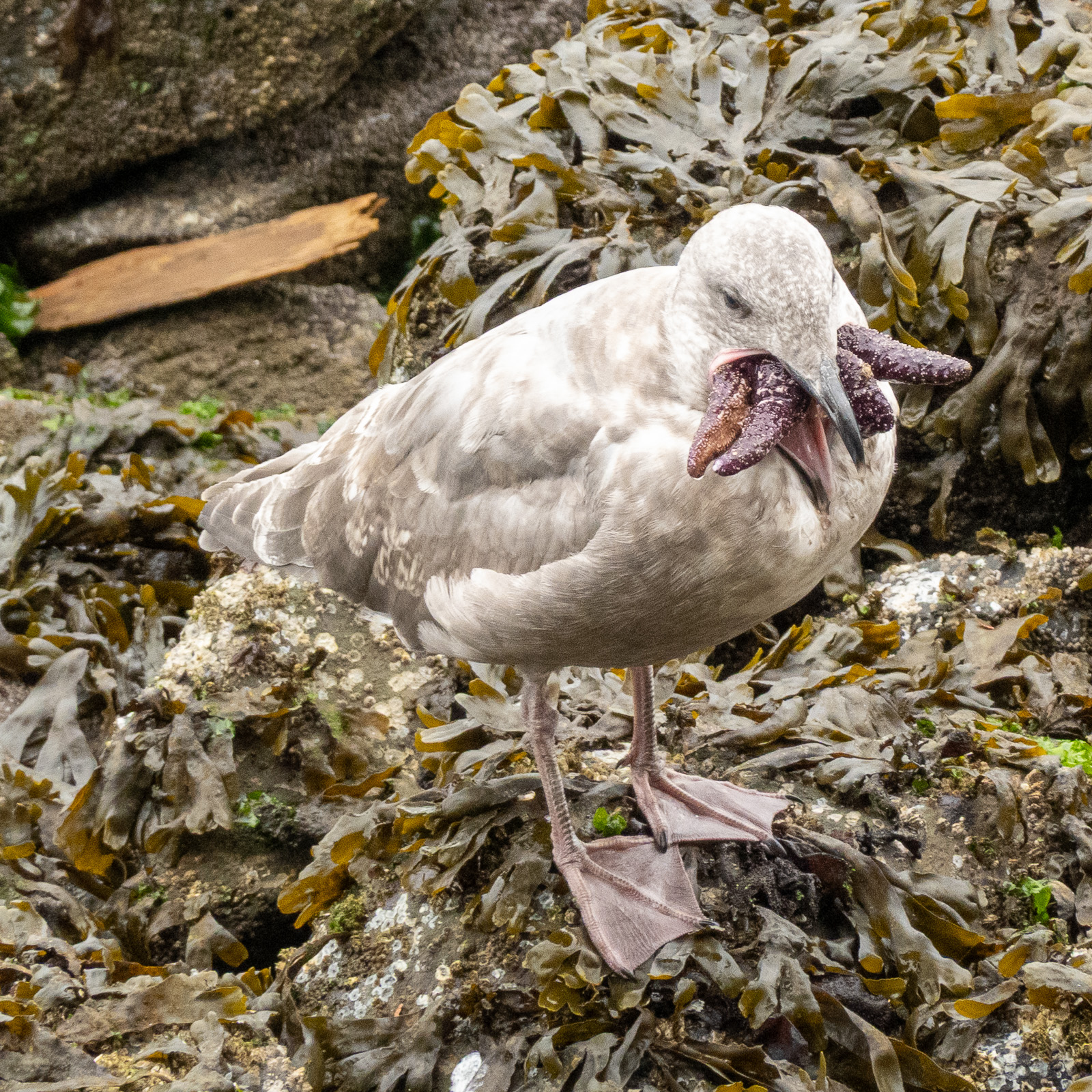
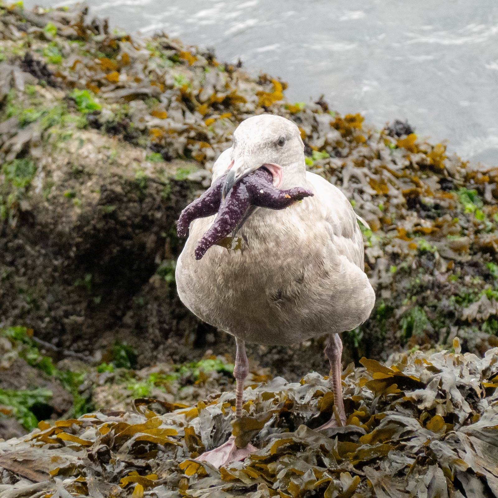
We continue around, pass the Brockton Point Lighthouse and watch the seagulls carrying starfish in their beaks. They look like the birds’ versions of H. P. Lovecraft’s Cthulhu.

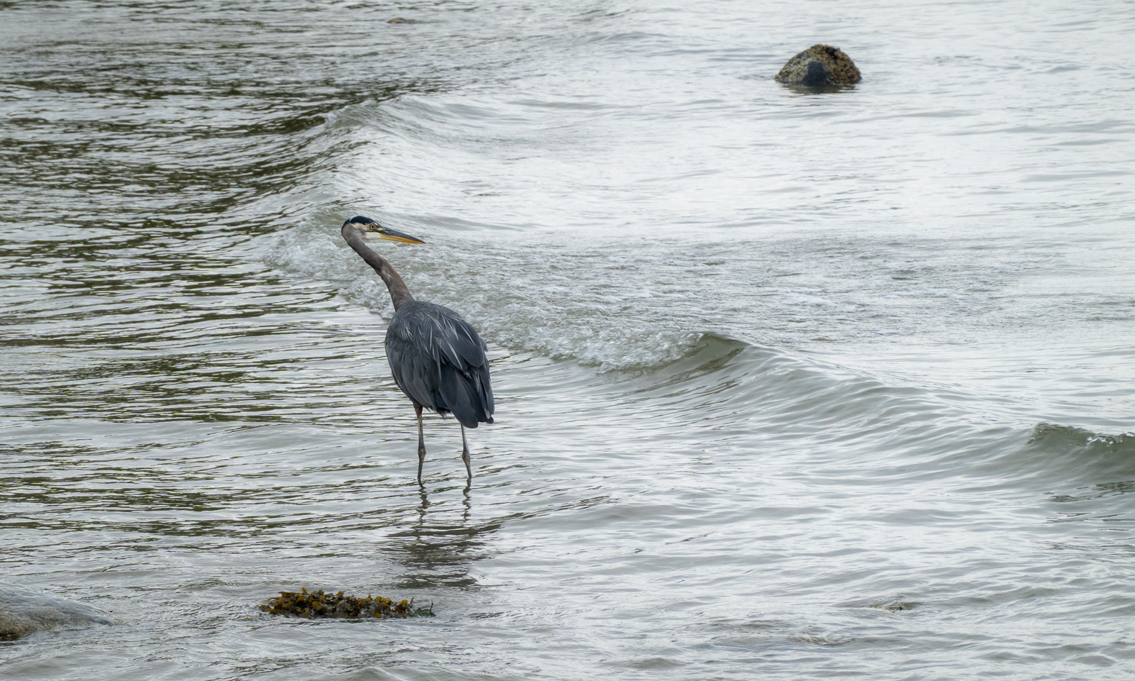
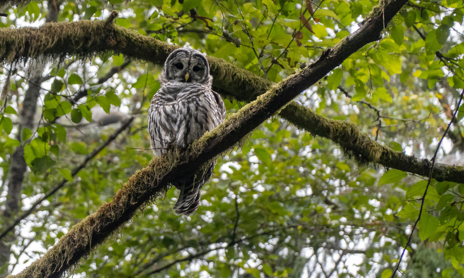
We also spot some birds. A woodpecker, probably a pileated woodpecker. Then, also in the forest, a barred owl and finally at the beach a great blue heron. All beautiful birds of their kind.

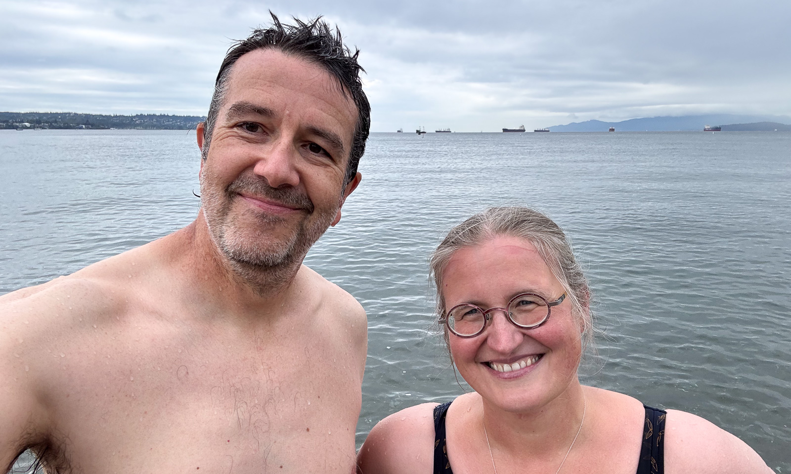
At the end of Stanley Park there are several sandy beaches. Time for a swim – our first swim ever in the Pacific Ocean.

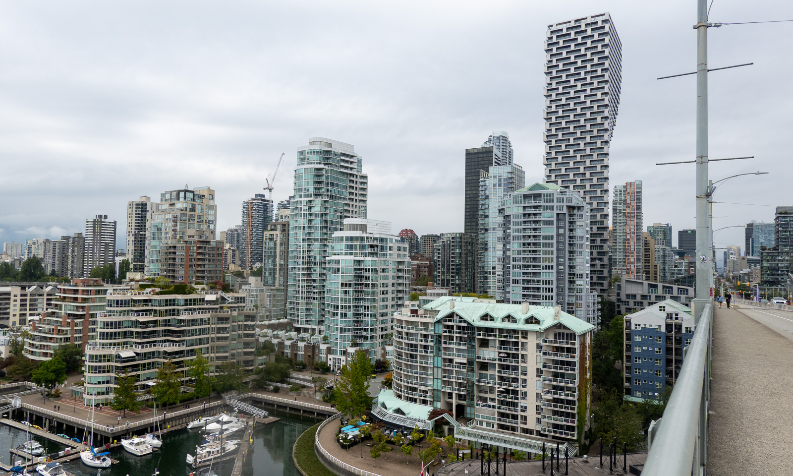
Now I am getting pretty hungry. We took Granville Bridge over False Creek and get some food at the Granville Park Public Market which was quite crowded. We cycled a bit more but I got tired and so we turned back, this time using the Burrard Street Bridge. After about thirty kilometres of cycling we were back at the rental shop to bring back the bikes.

In my option the bicycle is the perfect vehicle to explore Vancouver.

8 September

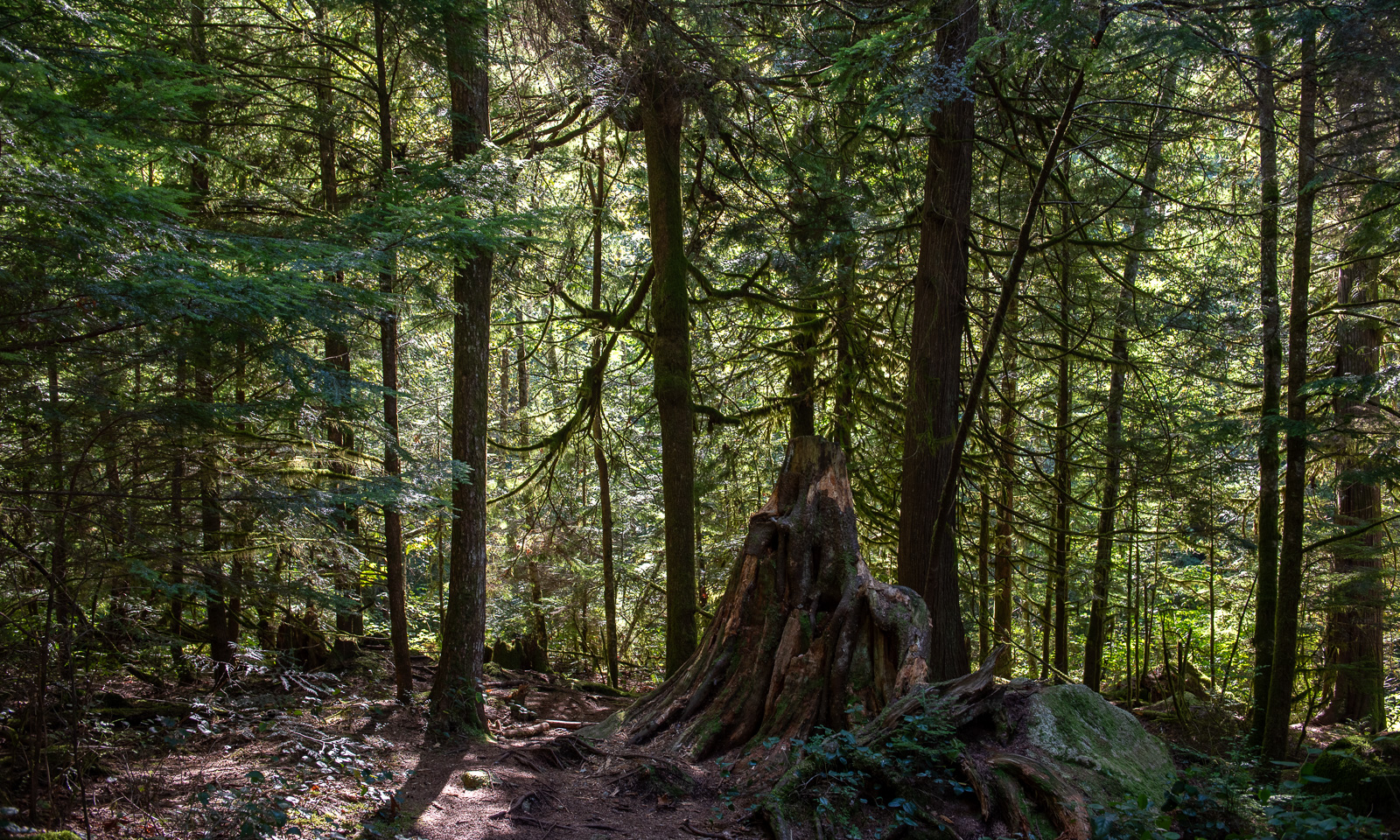
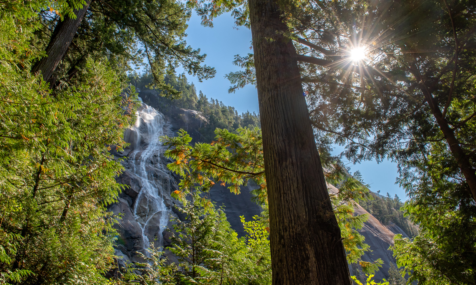
It is time to pick up our rental car at the airport. We’ll have it for three weeks to travel around in western Canada but today we’ll just make a day trip. We get a VW Tiguan with all-wheel drive and I am glad that Annika is driving this day, she handles big cities better than me. Our first stop is Richmond, a city near the airport where we buy some essentials and eat lunch, then we head off north to visit Whistler. In my view, Whistler is just a town and a ski resort, the journey there is very beautiful. We stop twice at designated tourist attractions. The first one is the Shannon Falls Provincial Park. The waterfall is beautiful, but what impresses us much more is the giant trees in the park. I’ve never been in a forest like this before.

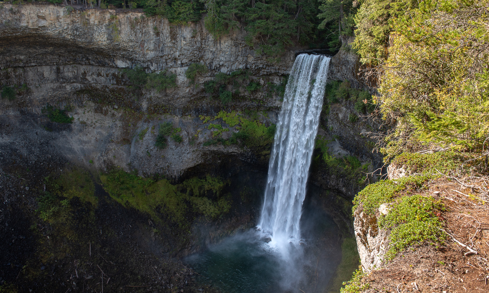
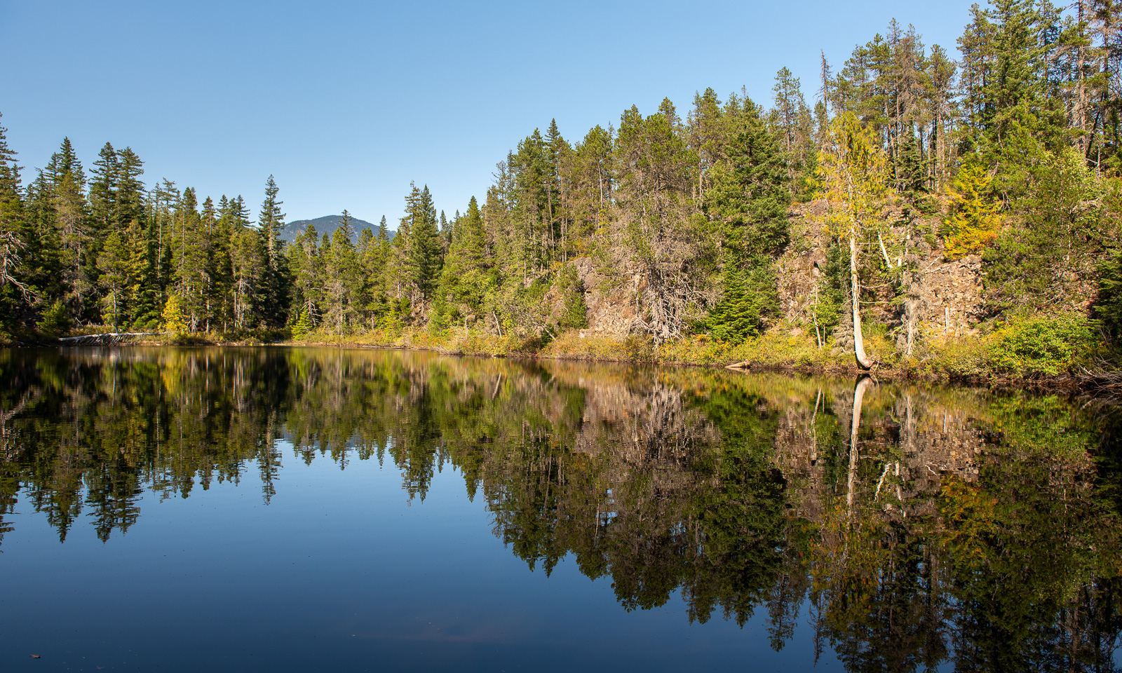
We make another stop at the Brandywine Falls Provincial Park. First we take the short walk to the platform from which you can see the water falling down about 70 metres, then we take a small hike to a lake nearby. I’m a bit nervous, there are black bears and grizzly bears living in these forests as well as coyotes and cougars (though sightings of the latter are uncommon).

When we drive back the same way to our accommodation in Burnaby, it starts to get dark and when Annika parks the car in front of the house, it is dark.


Flying a drone

I’m sitting on a bench at gate E18 of the Tromsø Airport. E18 means it’s an international flight. I am flying to Munich and will be spending a week in Augsburg. In Tromsø the temperature exceeded 20 °C on only two days in July, Augsburg will be hot with temperatures up to 35 °C. I like summer but this heat is not my thing and I’m longing for cooler temperatures already now. Like 6 May 2023, when temperatures in Tromsø reached only around 6 °C.

On that day I tested a drone of the Norwegian Polar Institute for an expedition. Flying a drone always means having to leave Tromsøya because of the airport restrictions.

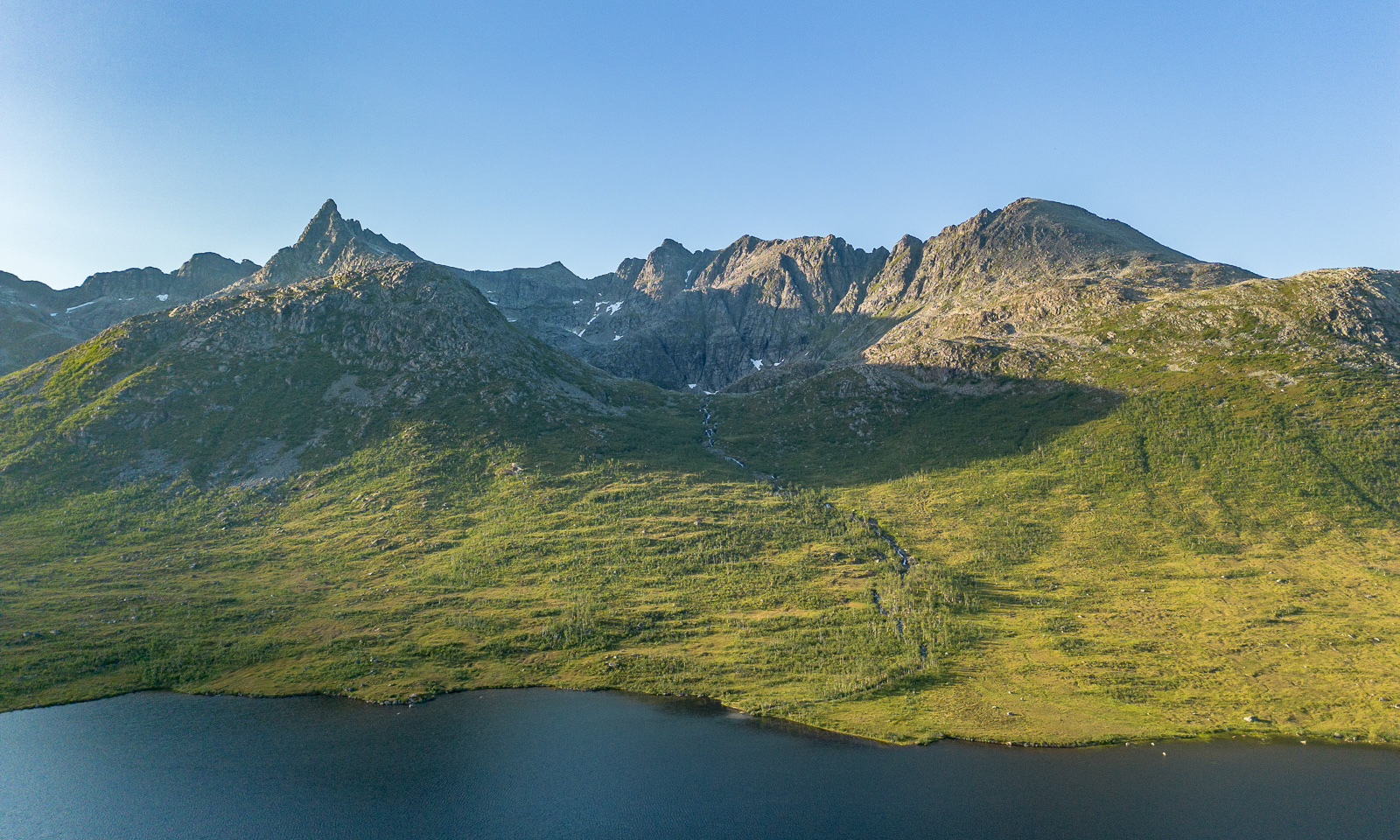
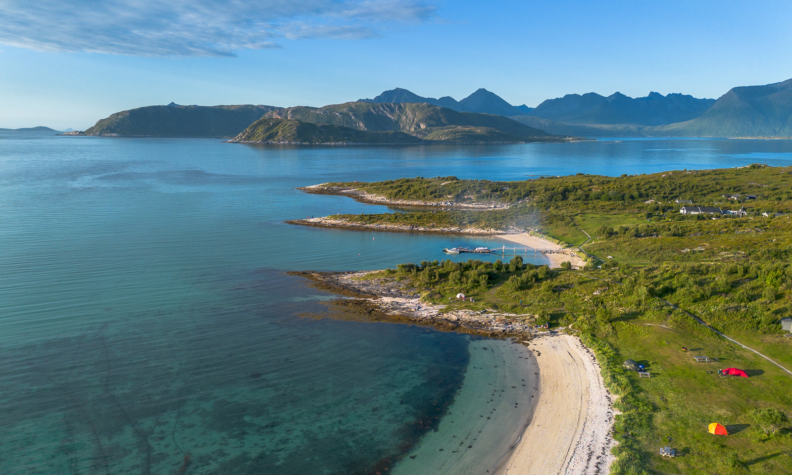
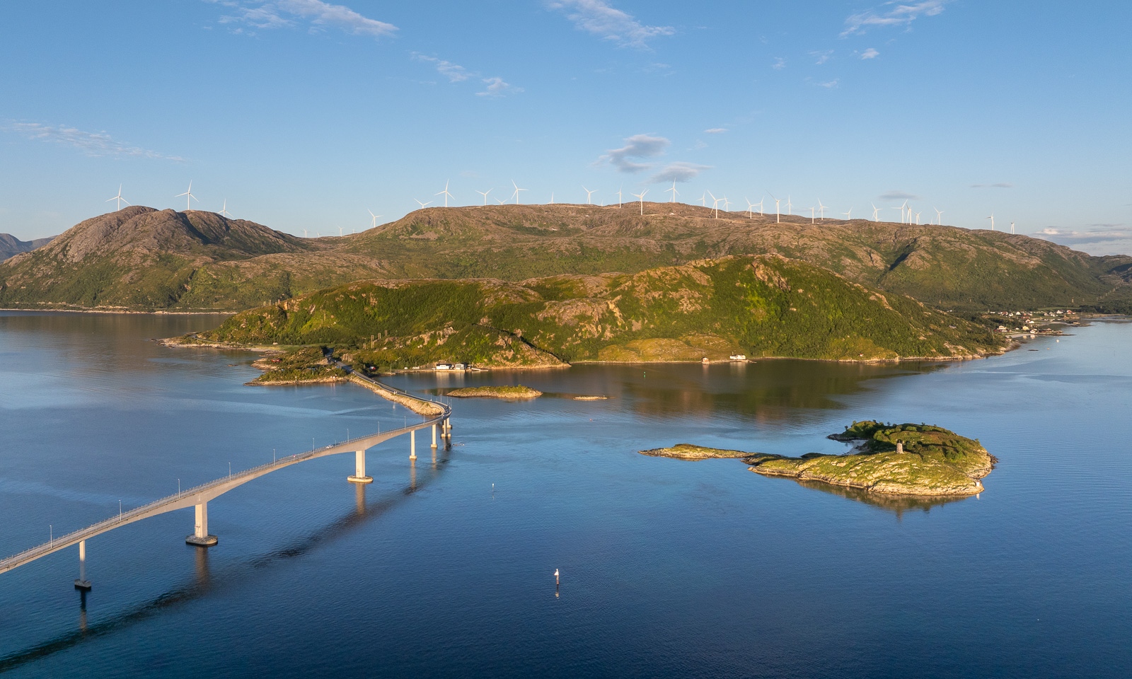
Last week I tested again, this time a newer drone belonging to the Norwegian Polar Institute and a better remote control for my own drone, which I bought second-hand a few days ago. I really like the institute’s DJI Mavic 3 Pro because it is larger, more stable, and has three cameras. But I’m pretty content with my own DJI Mini 3 Pro, especially now with the updated remote control. Under good light conditions they both make great photos. Here is one from Kattfjordeidet, Kvaløya, and the others are from Sommarøya. You can try to guess which drone took which photo. I couldn’t.

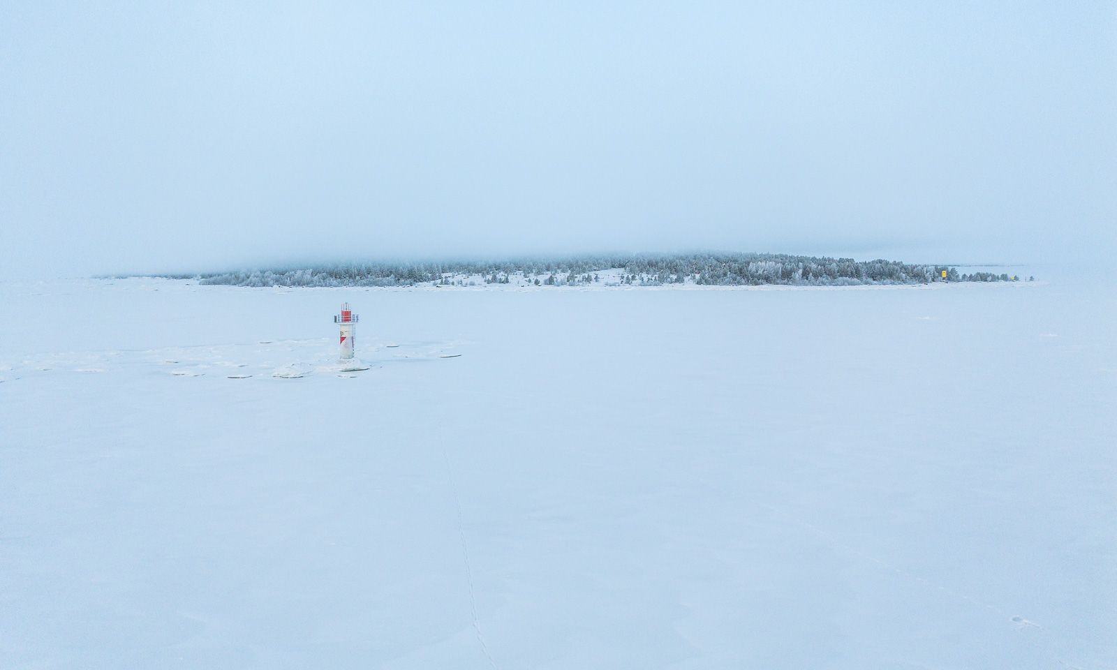
About half a year ago I had my drone with my as well, this time on the frozen Baltic Sea where I flew it several times. Publishing aerial photos taken in Sweden always takes a while, as you need to apply for publication permission for each photo. I have obtained permission to publish the following photo of the lighthouse Dynan and the island Bredskär. So, here it is:

If everything goes according to plan I will go on a three-week work cruise with the icebreaking vessel Kronprins Haakon between Svalbard and Greenland in October. Hopefully, we will have good conditions for ice stations. Then I’ll take orthophotos of and on the ice again.


A summer overnight stay at Blåkollkoia cabin

The weather in Tromsø for the weekend didn’t look promising, but for Friday it did. I leave work just after lunch so that Annika and I can hike up to Blåkollkoia cabin together. At half past one I park the car in Tønsvik. From there, it is an 8 km walk up to the cabin. The first 2½ km we follow a gravel road that leads to some private cabins.

Then the road turns into a marked hiking trail. It leads through fern thickets and birch forests; it crosses grassy plateaus and bogs with cotton grass.

It is perfect hiking weather. The air is not too warm, but the sun is quite strong and we are glad about the occasional wind cooling us down. There are hardly any mosquitoes, but plenty of flies seem to fall in love with us and follow us everywhere.

Below the cabin we use the bridge to cross the river Goahtevuomieatnu/Tønsvikelva. We were here in August 2024 and took a bath; now the river carries a lot more water.

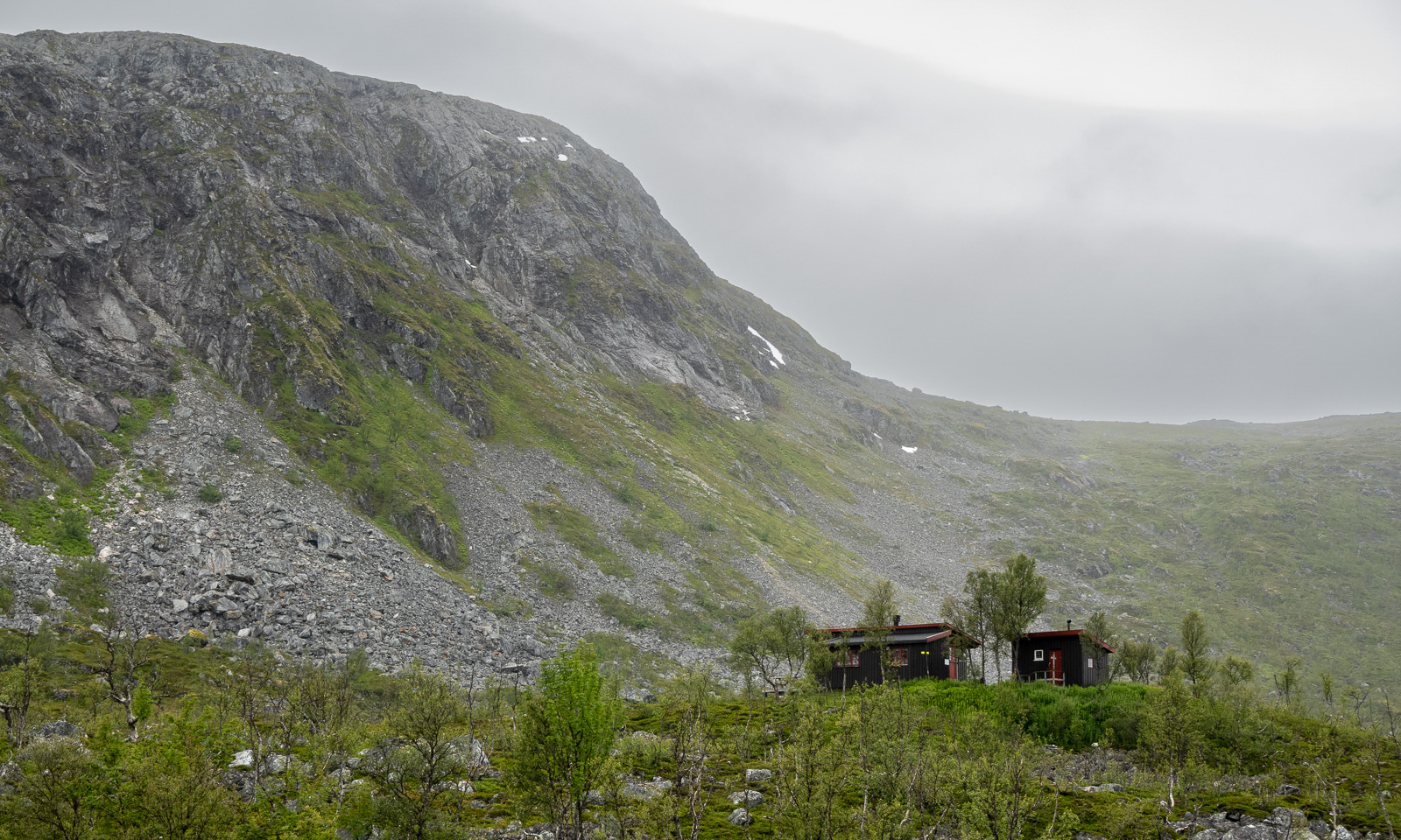
Then we arrive at the cabin. It is locked and we use the key provided by DNT (Den Norske Turistforening) to enter. We have booked two beds in Room 2.

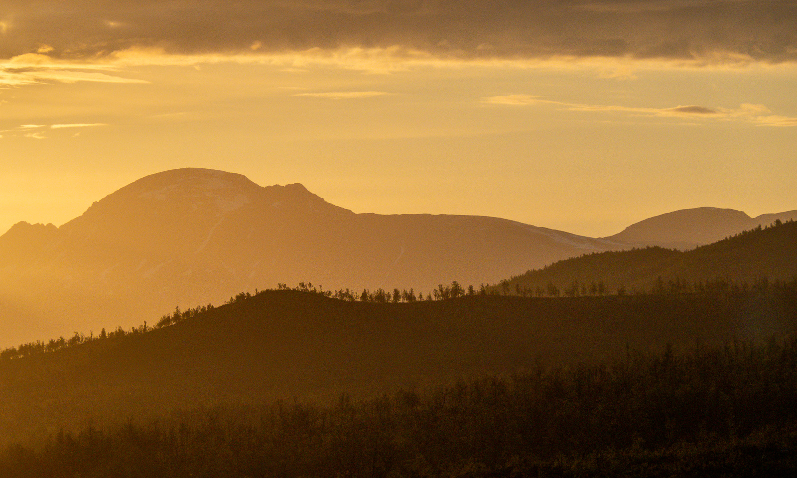
I go outside several times to take photos, while the sun is slowly sinking lower and lower. It is still polar day in Tromsø, so the sun won’t set. I sleep a bit but after midnight I am out again enjoying the beautiful scenery that is illuminated by the low sun in warm colours.

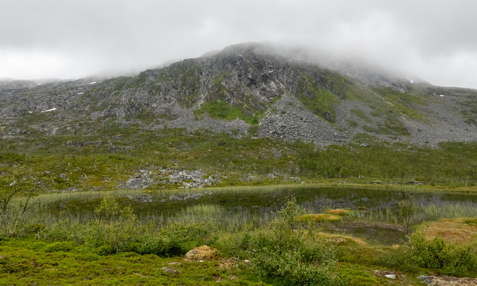
The next morning the scenery is quite different. The sky is overcast, some mountains hang in the clouds and it has started drizzling a bit.

After a two-course breakfast (fried spaghetti and muesli), Annika and I pack our things, clean the cabin with the other guests and start our tour back to the parked car.

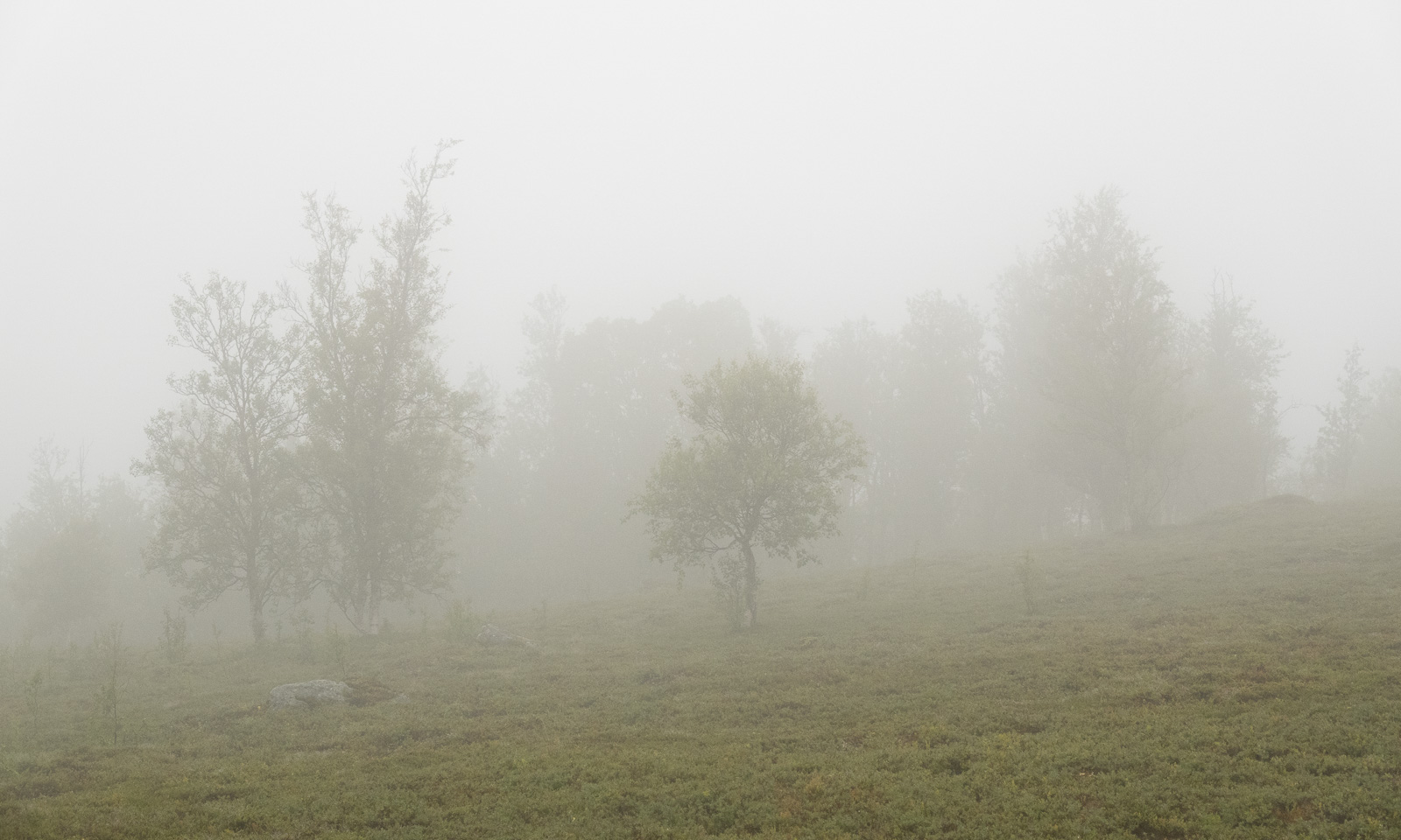
First it is just overcast, then it becomes foggy and in the end, when we are on the gravel road again, it starts to rain.

Luckily, a friend of ours lives nearby. Here we can change into dry clothes and we get hot soup and coffee. Thank you, C. for the food and good company! A perfect ending for a great hiking tour that took less than 24 hours.


Oulanka National Park, the Russian border, long dirt roads and Lokka reservoir

This article is part of the series “2026-06: Obbola—Finland—Tromsø”.

Part three of the journey from Obbola to Tromsø

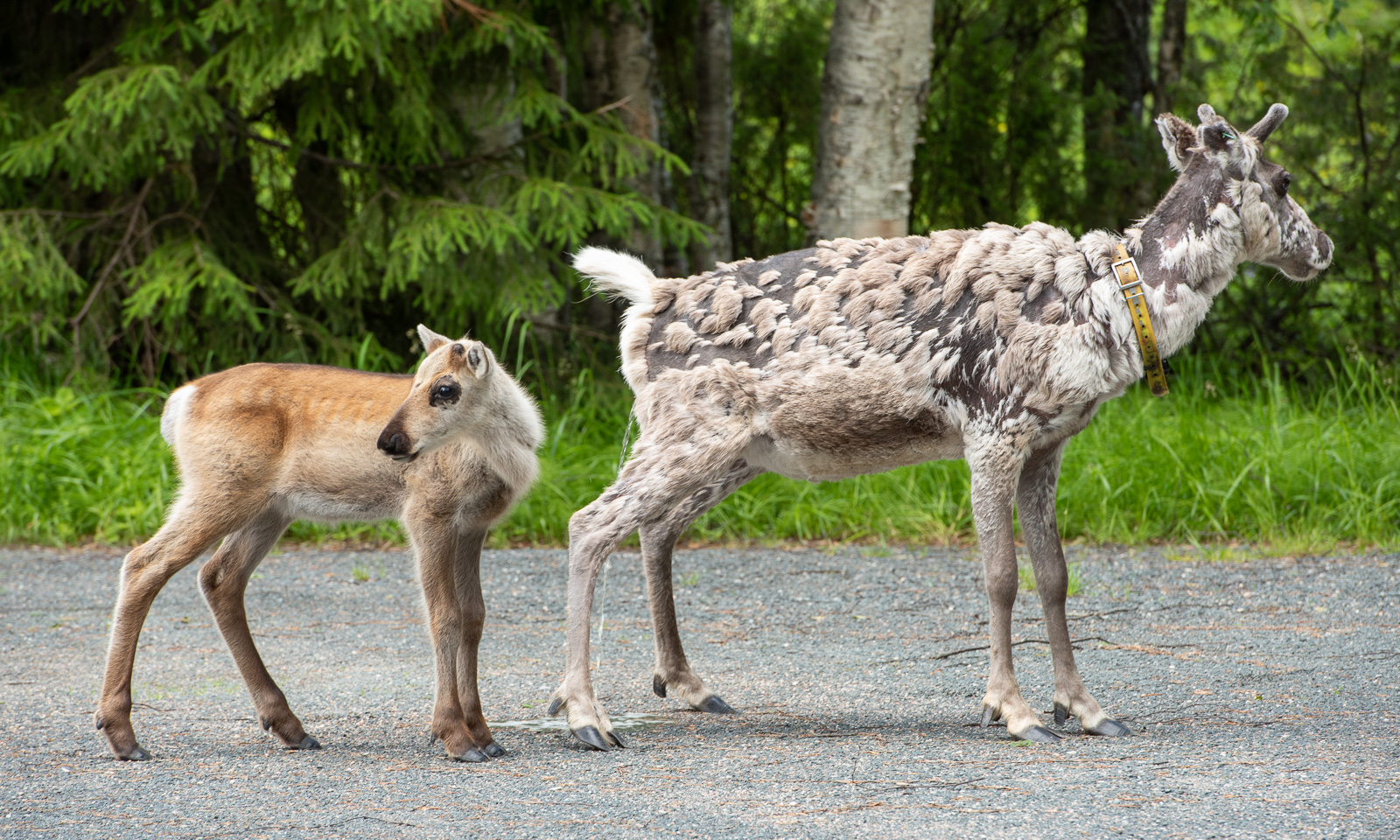
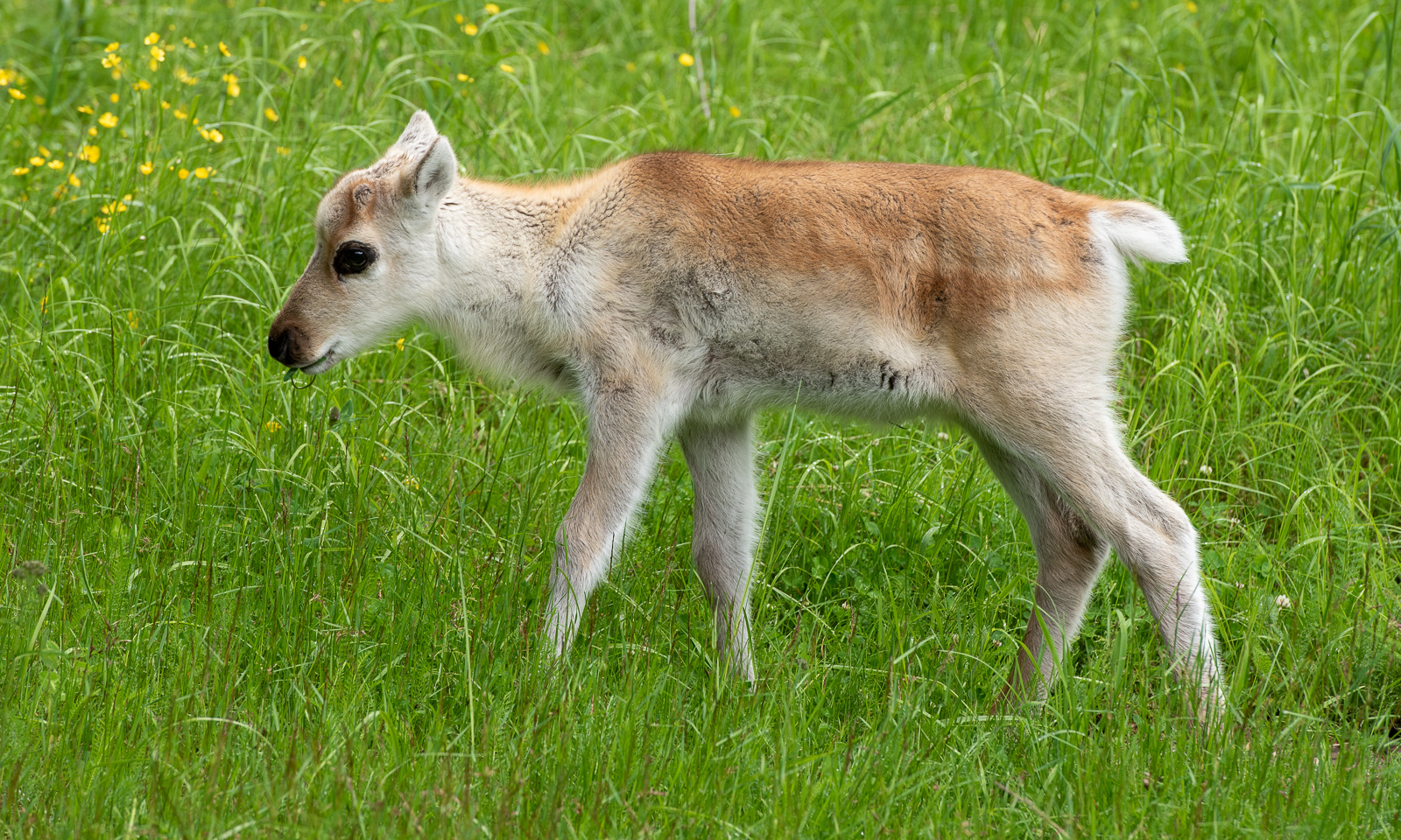
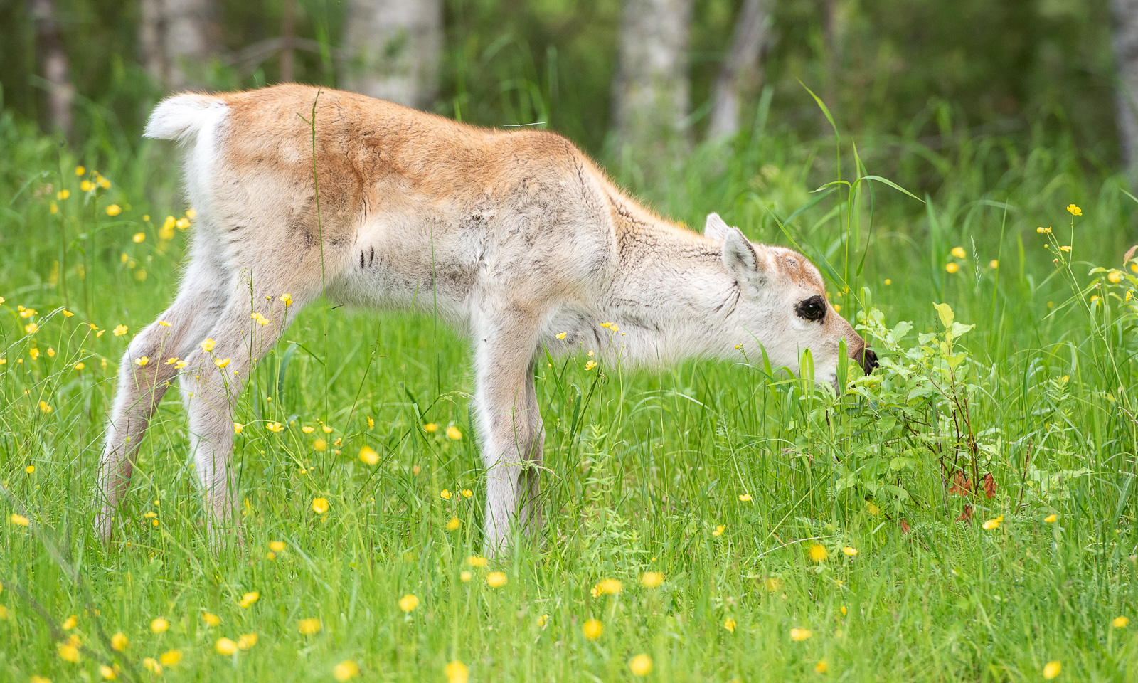
Our first car trip today is short. From our mökki (cottage) by the lake where we slept to the Oulanka National Park it’s only 22 km. In the car park there are more reindeer than cars. While the older reindeer are undergoing a coat change and look quite ragged the younger ones look like animals from an old Disney film with their soft fur, their thin legs and their huge, dark eyes.

Our hiking tour to the Kiutaköngäs rapids starts through a beautiful, wild forest. After a while you can hear the roar of the water and then you see the narrow gorge through which the water of the river Oulankajoki rushes downwards.

The moss-covered rocks by the gorge look as impressive as the rapids – as if from ancient times.

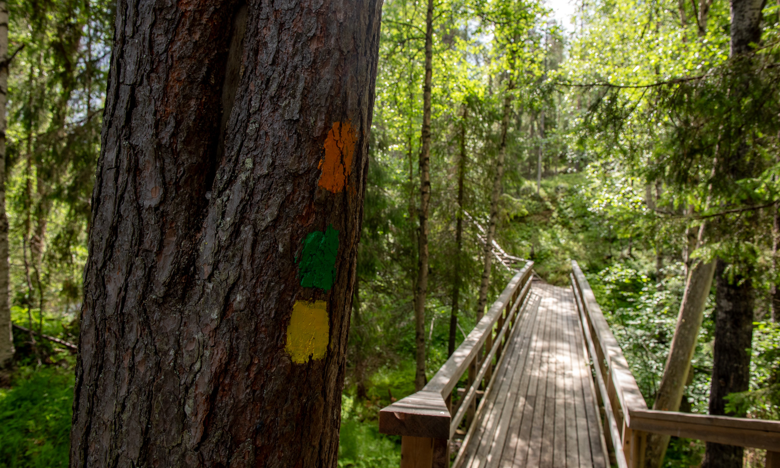
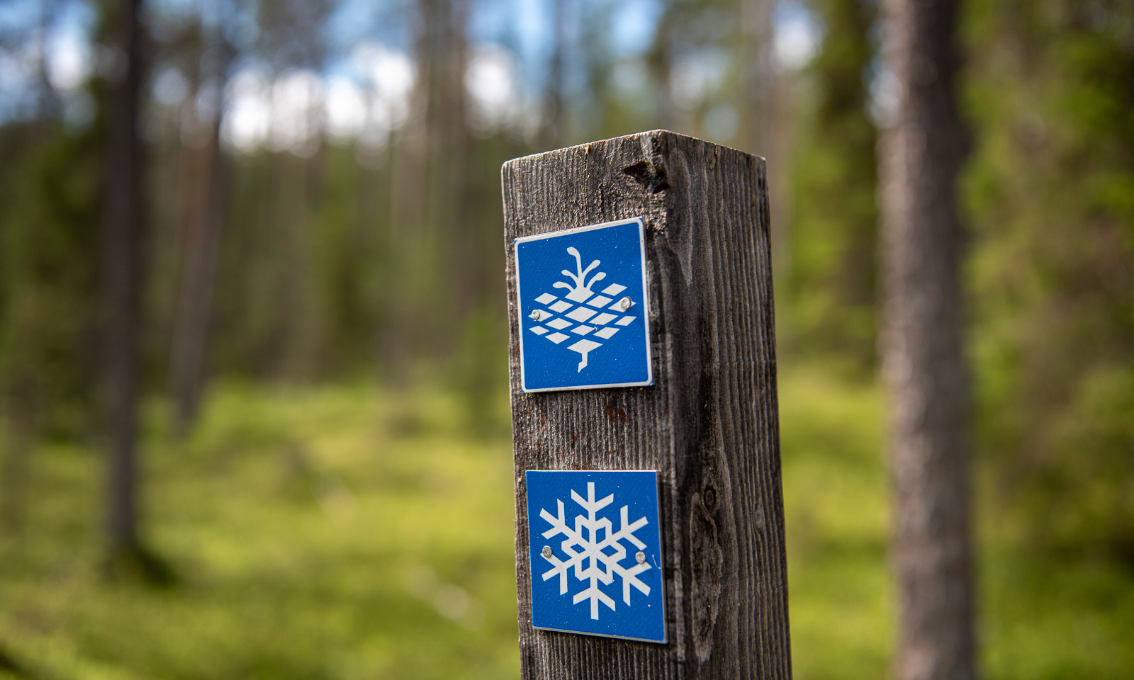
We follow the yellow dots that mark the shortest circular route. The landscape is now less spectacular than the rapids but in its variety, it’s beautiful to walk in.

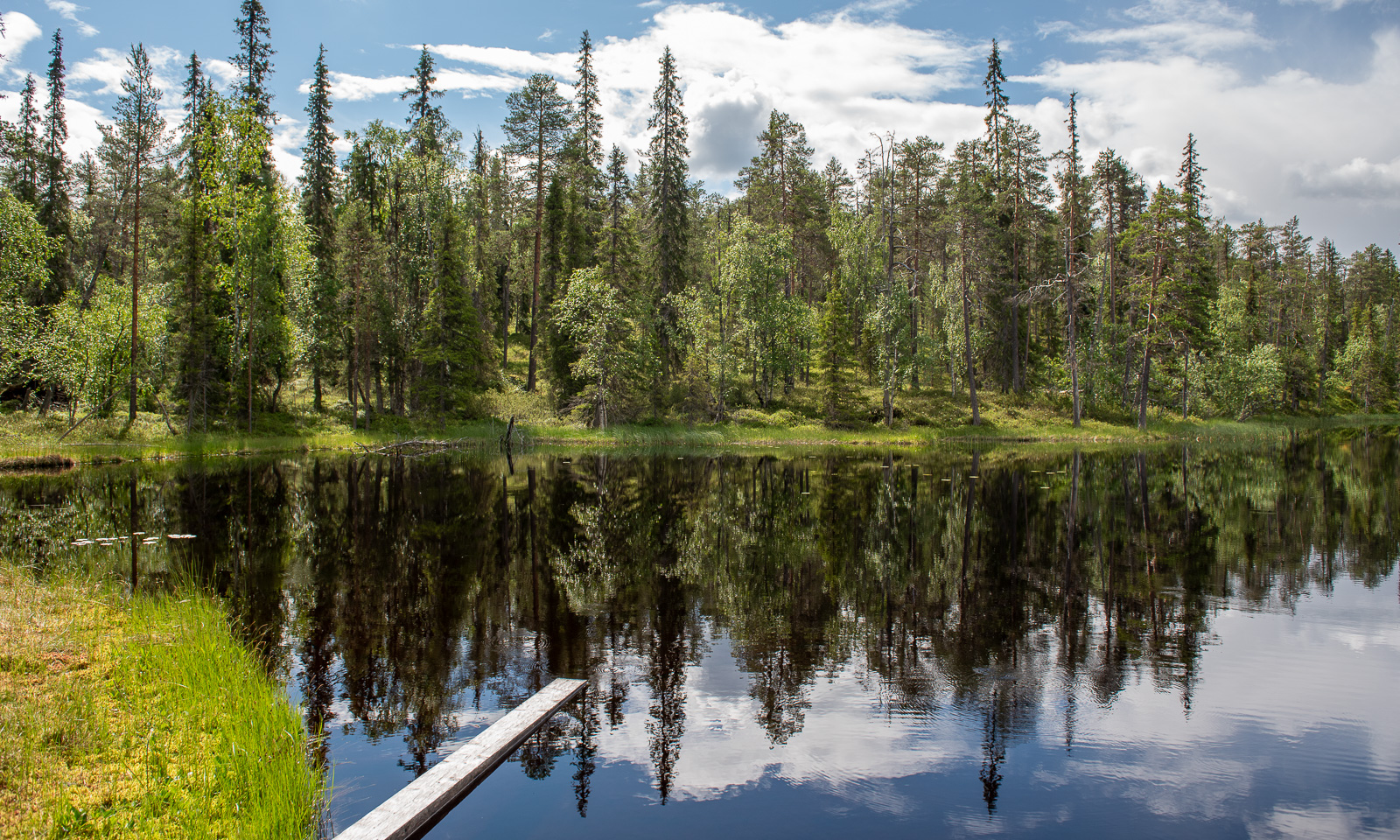
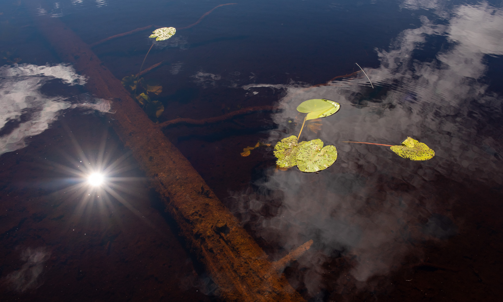
We pass a bog lake named Ylimmäinen Hiidenlampi. We are not alone, a group of students is doing research on freshwater and invertebrates.

For most of the walk, we were lucky with the weather but in the end we get caught in a rain shower. While we have lunch in the visitor centre our jackets start to dry.

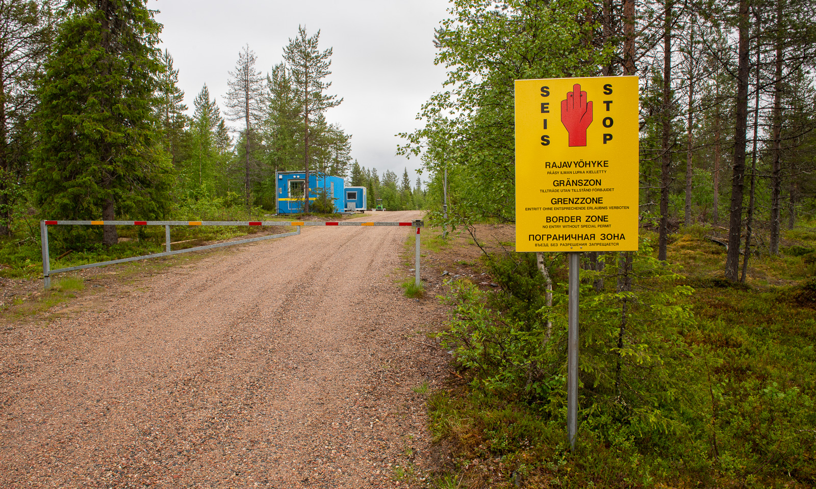
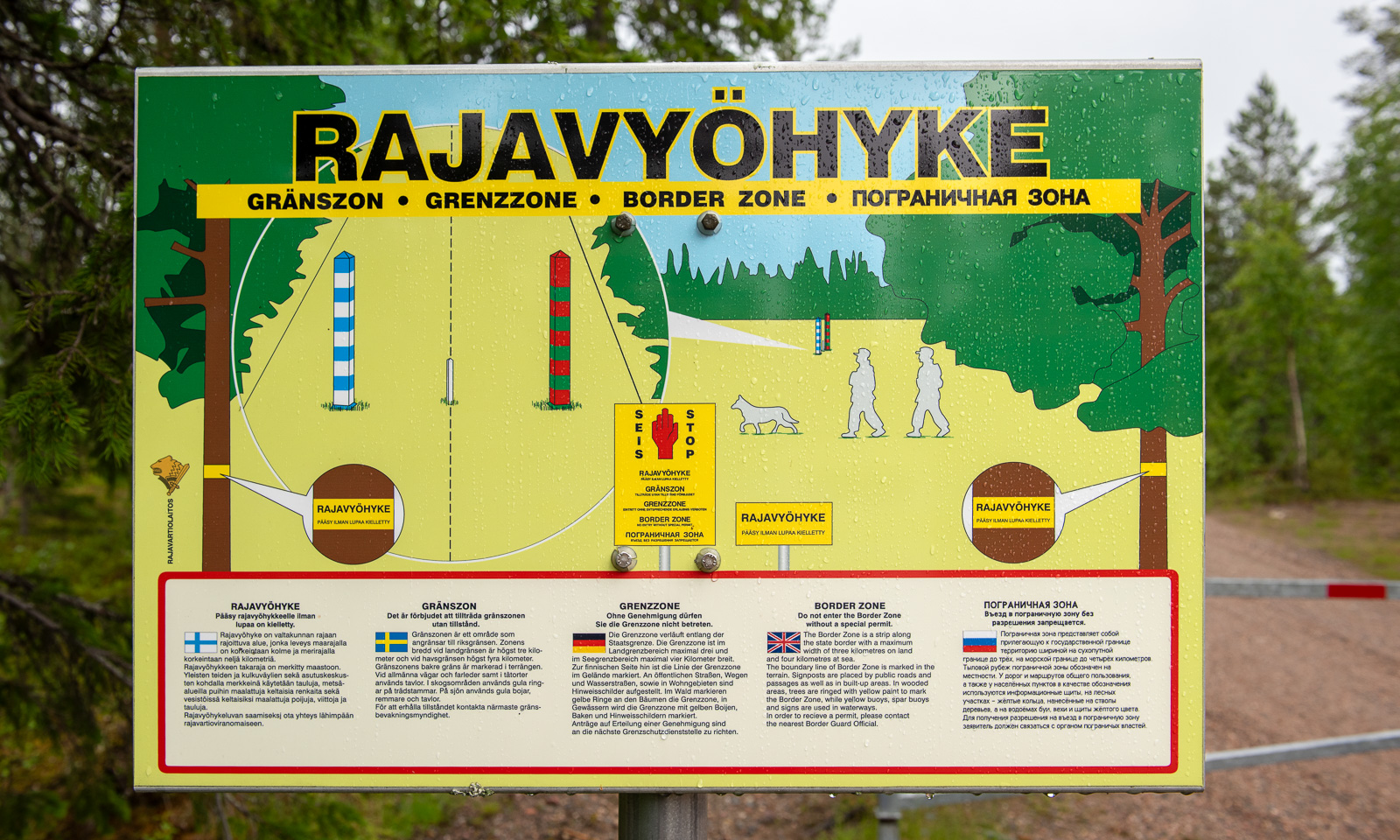
Change of scenery. We are in the eastern part of Finland, a country that has a 1340-kilometre border with Russia. We take a small road to the east leading to the border. In the end, it is just a small forest road. It just ends with a simple barrier and a warning sign saying “Border zone—no entry without special permit” in five languages. On the other side there is an information sign – that’s it.

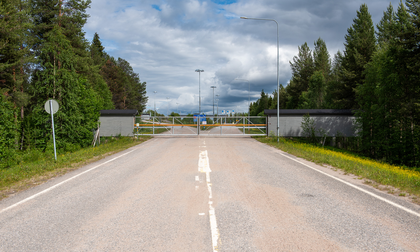
While this road probably never was a border crossing, there is one northeast of Salla. Or rather, was, because all checkpoints were closed in April 2024. Hardly imaginable that I crossed the border here on a journey to Murmansk in March 2019.

When will Russia’s terrible war against Ukraine end? Will there be a regime change in Russia that makes it possible to travel there again in my lifetime? I don’t know.

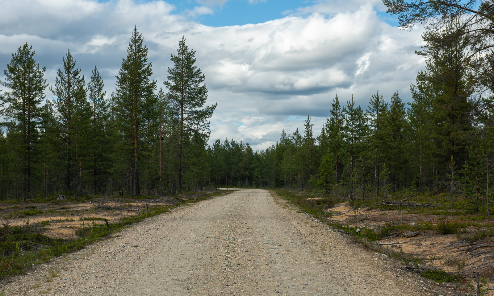
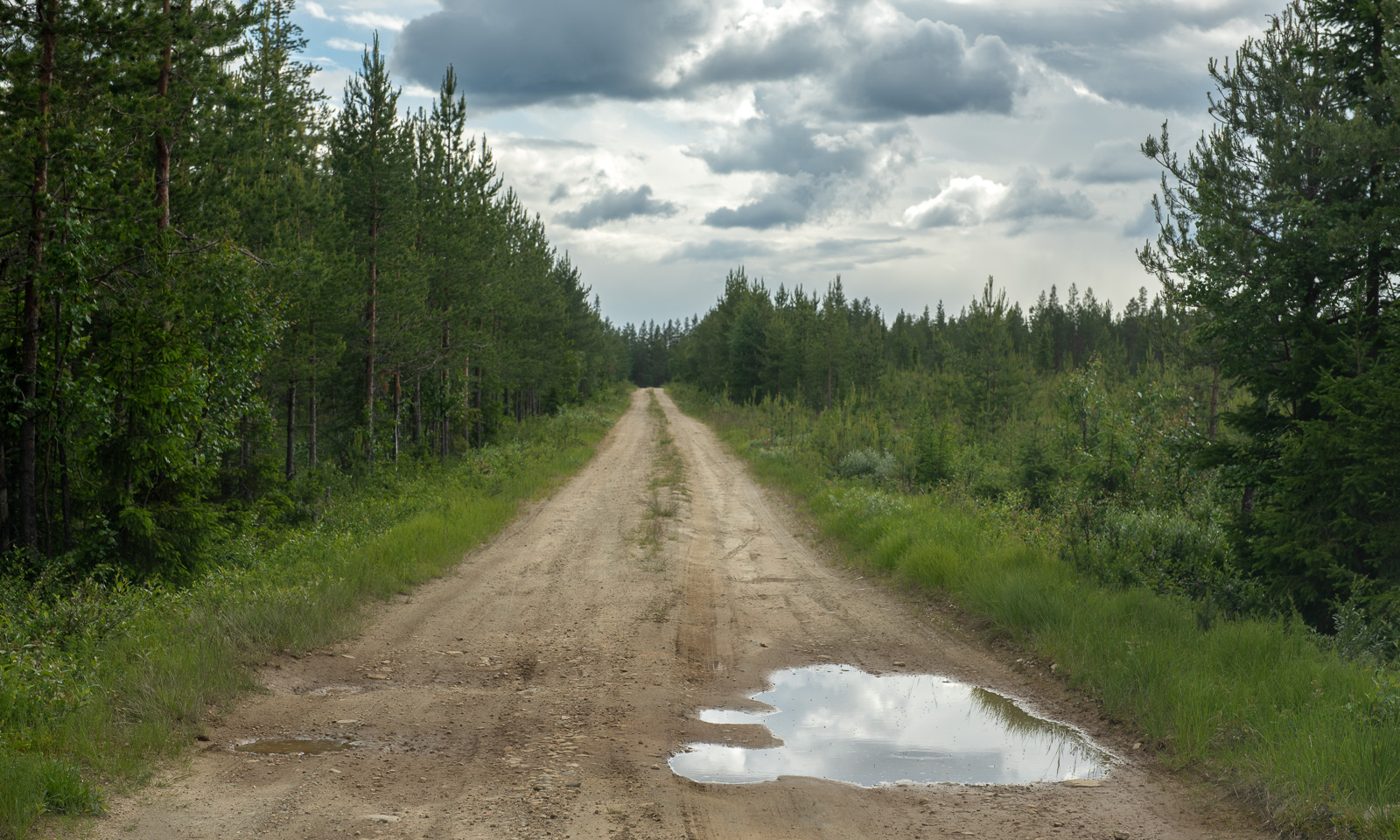
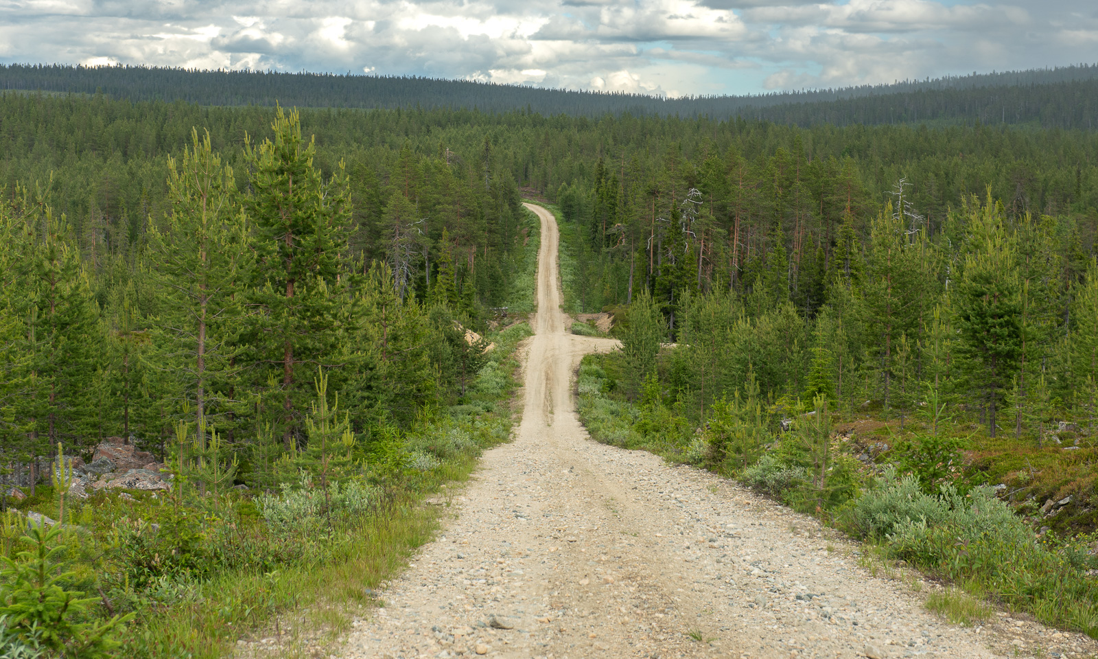
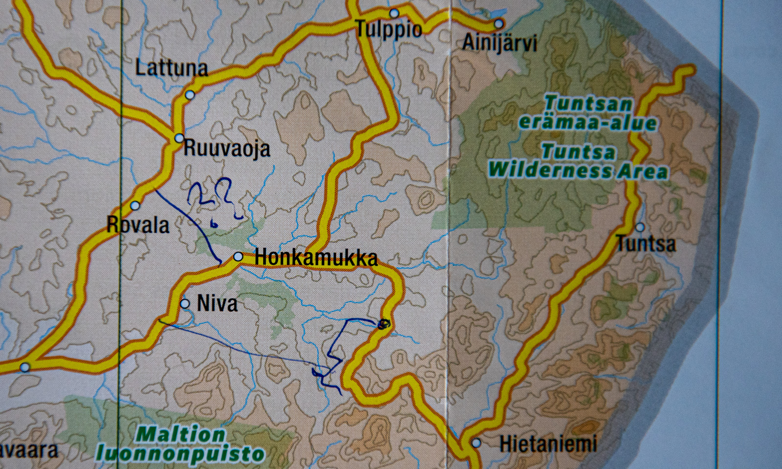
Change of scenery. We travel to Lokka, the most remote location we found with accommodation for overnight stay. Several roads marked in yellow on our paper map lead there and we decide to take some of them to get there. First there are some visible signs of other people – a cottage, a passing car, then we are all alone. We follow the roads according to Google’s navigation. First we drive on asphalt roads, then gravel roads and in the end narrow dirt roads with grass growing in the middle.

At one junction where we should turn right the road is closed. I follow the other road but it is difficult to know if we are on the right track. There are too many other dirt roads and there are no signs, nor is there any mobile coverage. Finally we find a way back to Hietaniemi that we passed perhaps an hour ago. From there it’s another 50 km back to a paved road. Another minor road finally leads us to Mummon Mökki, our cozy overnight stay where we arrive around 8 o’clock Finnish time.

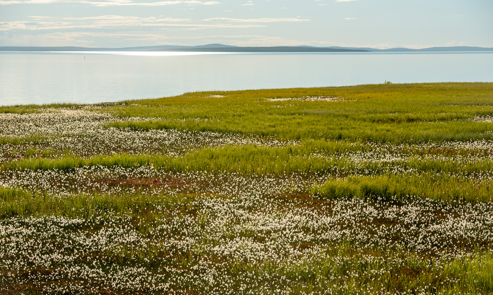
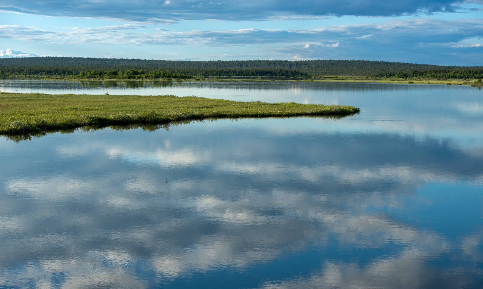
The last part was fascinating. We passed Lokka Reservoir, one of the largest artificial lakes in Europe. There are large areas of grass and some birch trees by the shore. When I walk there after dinner I realise that these immense mats of grass are actually floating on the lake. Fascinating but not a place to stroll around. I take my photos from the safety of the road.

Around ten o’clock I’m back at the mökki. I try to jump in as fast as possible to keep the mosquitoes outside and take a hot shower. Then it’s time to sleep after this long and varied day.


A day and half a night in Bergen

28 May – I am sitting on a plane to Bergen, Tromsø lies behind. Finally the layer of clouds has opened and Vestlandet – Western Norways reveals itself with vast glaciers, mountain ranges, fjords, forests, archipelagos and the open sea.

The reason I am in Bergen is sea ice in the Arctic. On board the ice-breaking research vessel Kronprins Haakon there is a special radar used for navigation through sea ice. Researcher Polona Itkin wants to store this data for scientific purposes. The companies Sea-Hawk Navigation AS and dspnor AS are responsible for the hardware, I handle the software to read and store the data. And since these companies are in Bergen and have a working setup including a radar on the roof, I am working there for two days. The only work-related detail I will mention is this: the data volume to be stored is immense and can exceed 2 TB a day. Quite a challenge.

At 16:00 I finish work. Since the weather is warm and sunny, I decide to walk to the hotel in the centre of Bergen on the other side of Puddefjorden. Let’s go down the concrete ramp and start our tour. First, I walk through an industrial area …

… but then the surroundings change revealing marinas, parks and older wooden houses.

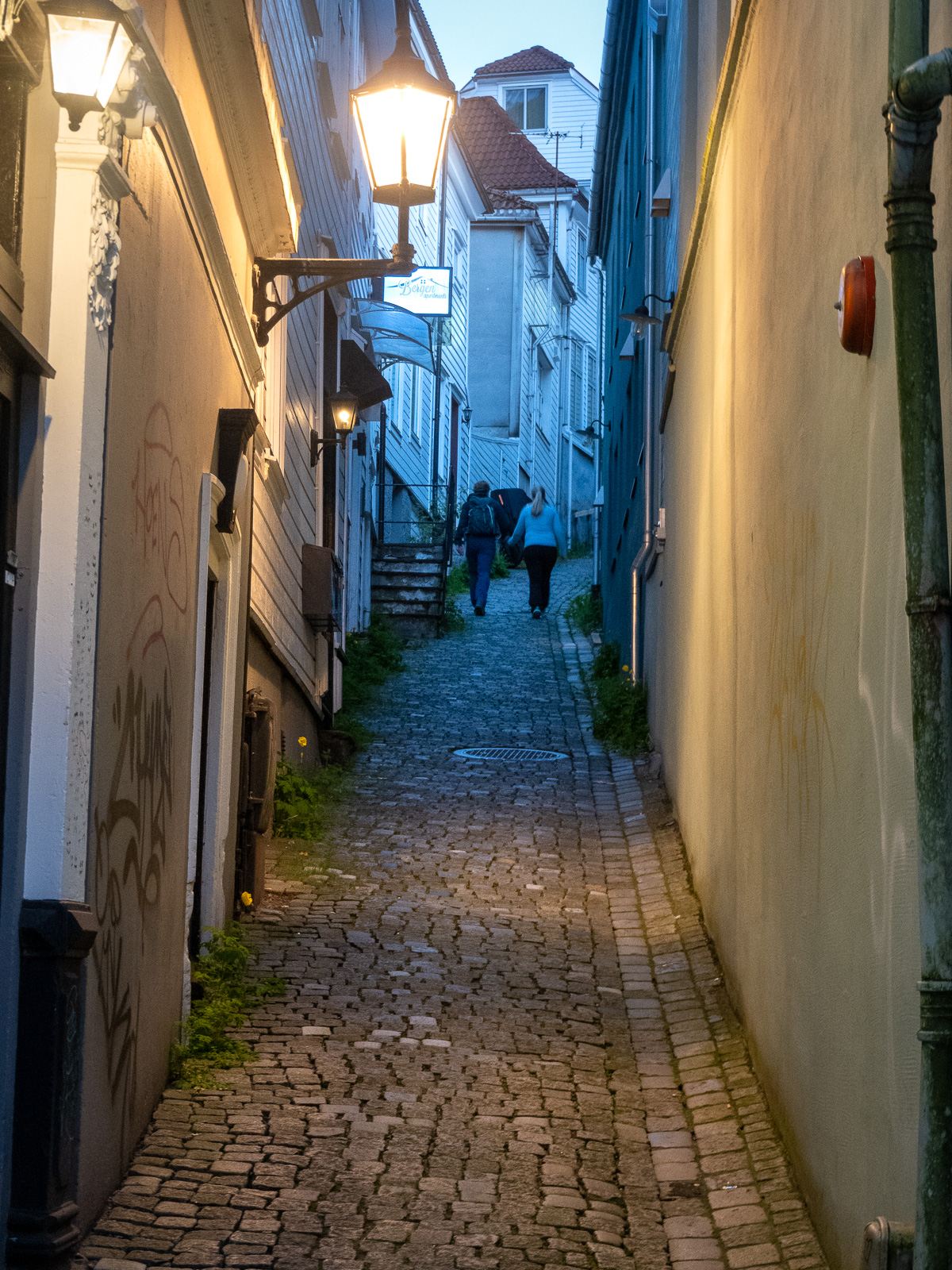
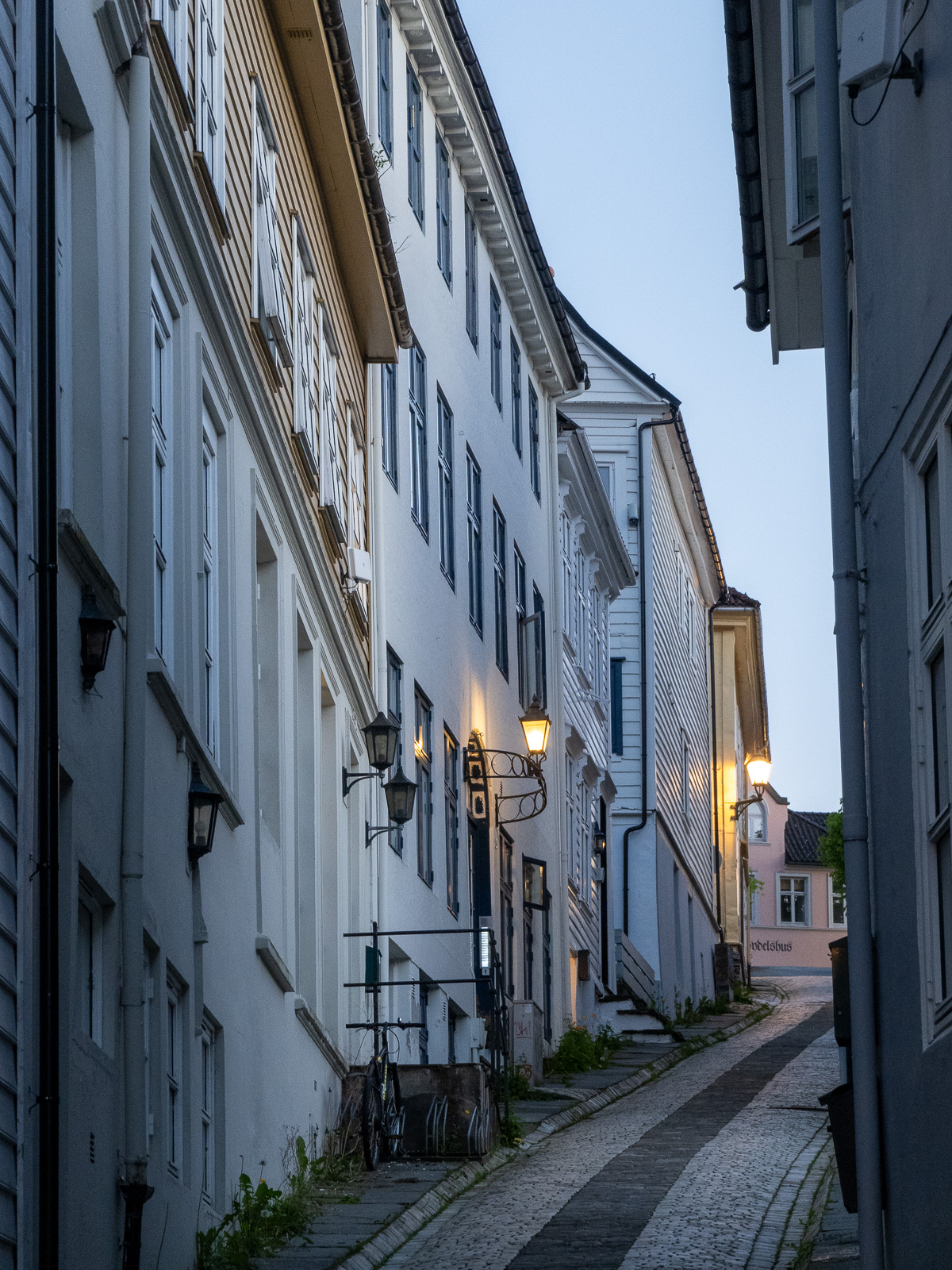
I cross the Damsgårdssundet and head towards the centre. A myriad of small alleys, footpaths and stairs make me ignore the polite navigation of Google Maps and stroll around, enjoying the town in the sun.

I don’t want to own this car, but I envy the driver’s parking skills.

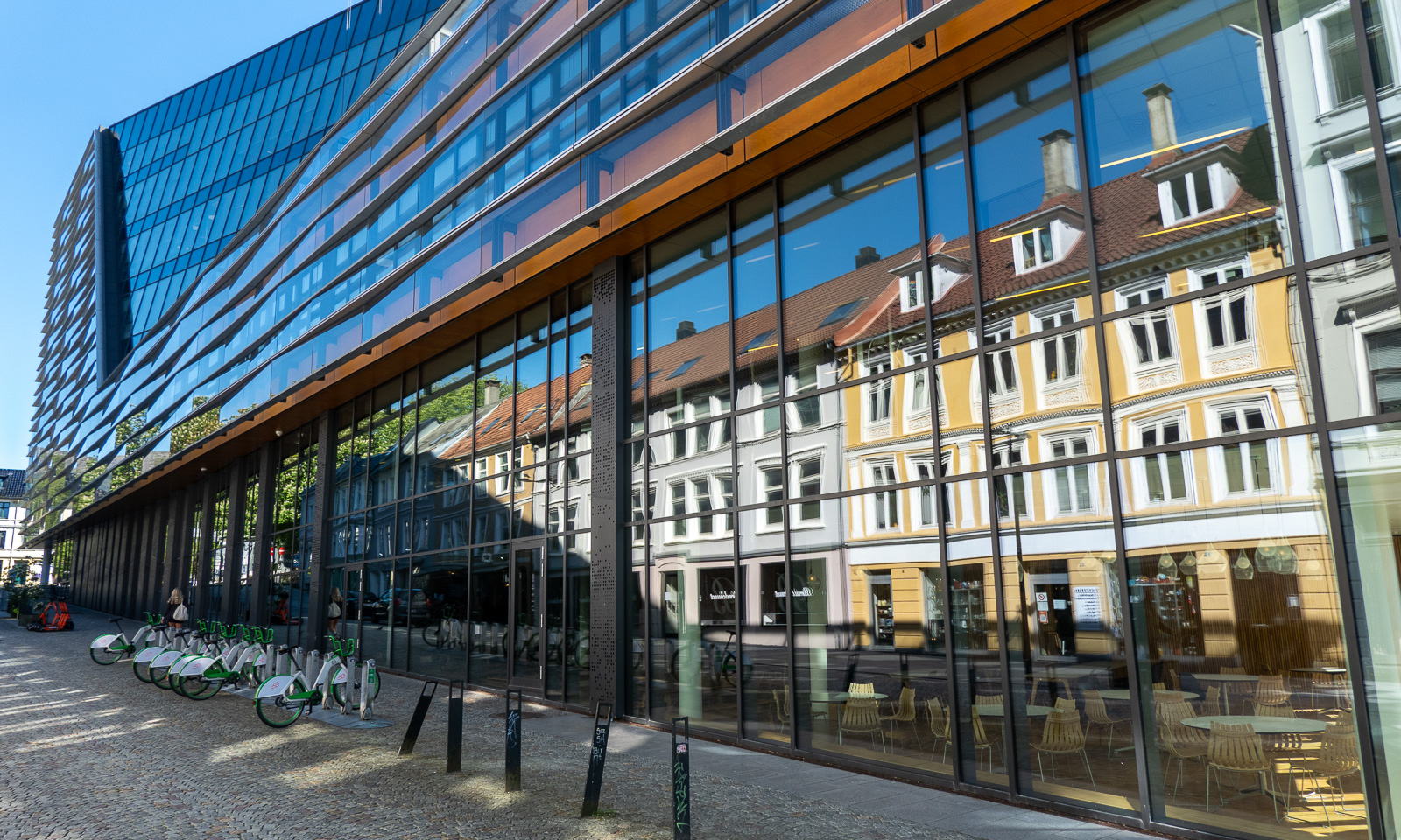
But of course Bergen is an evolving city, not a museum and a lot of contemporary architecture is found there too. But sometimes the glassy facades reflect the older world.

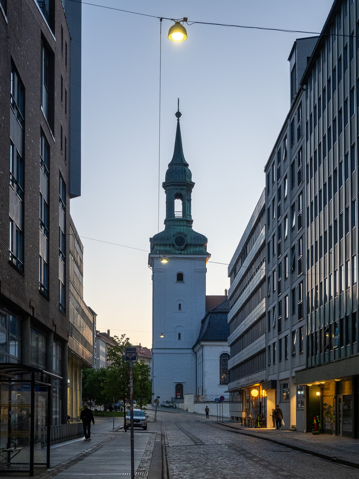
From there it is not long to Vågen, the central harbour bay with a view of the historic quarter Bryggen.

I check in at the hotel and leave again straight away, first to get some food (Pasha – Peruvian food – not cheap but delicious) and then to take Fløibanen, a 848-metre-long funicular railway that leads up to the mountain of Fløyen (320 m).

Of course I could have walked up the 302-metre ascent, but I have a plan: I want to walk to the mountain of Ulriken (643 m), the highest of De syv fjell that surround the city centre of Bergen. The route is between 13 and 15 km long and leads through hilly terrain. From there I want to take the cable car down and the last one leaves at 23:00. So I don’t have the whole day, just a long evening.

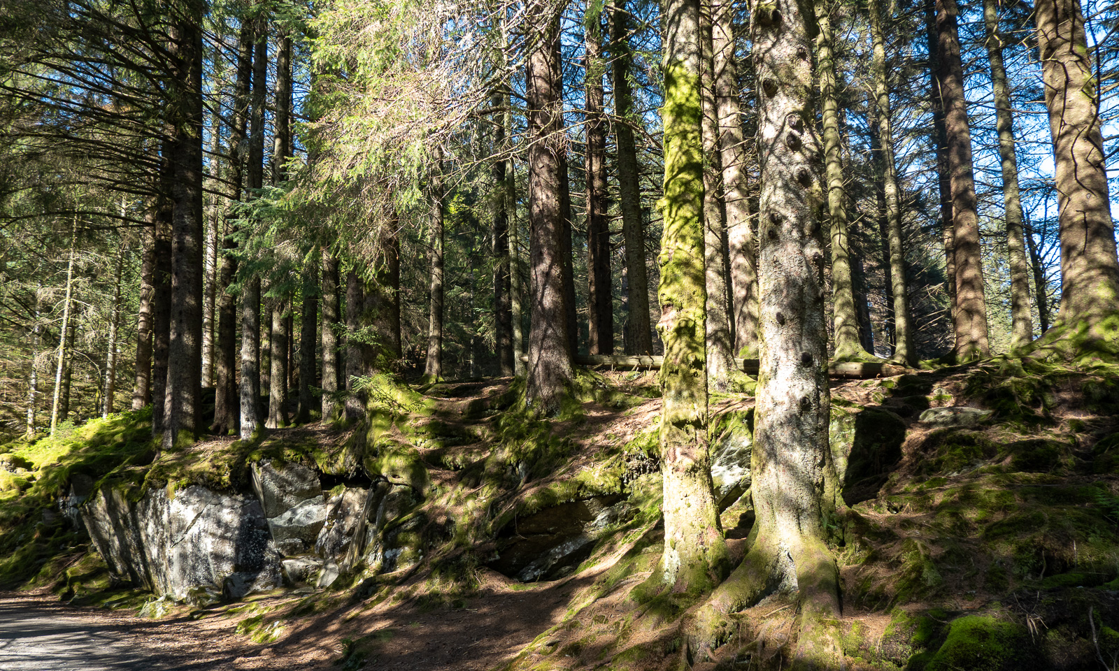
At 18:45 I start my tour. First, I cross a small, but surprisingly dense forest then I follow the wide hiking trail.

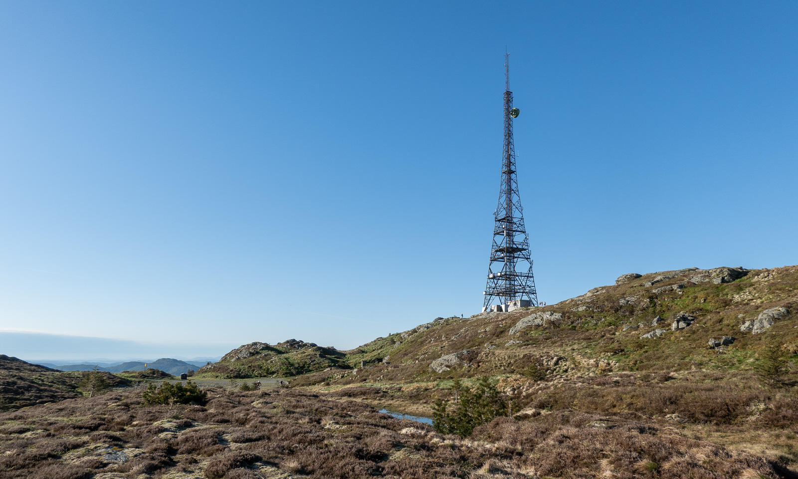
When I approach the mountain Rundemanen with its tall radio mast, the trail branches into many paths leading in different directions. I ask for directions twice and get it – together with the warning that it is a long hike. The younger women told me it would take four hours from here, another woman said it would take her six hours. I decide to walk a bit faster and see where I am after two hours. I could still turn back then.

Now the trail looks more like a mountain trail. Smaller, steeper, rougher and sometimes very wet. Normally I walk with rubber boots but on this journey I only have an old pair of low shoes, so I try to avoid all the wet patches walking around them or stepping onto the stones.

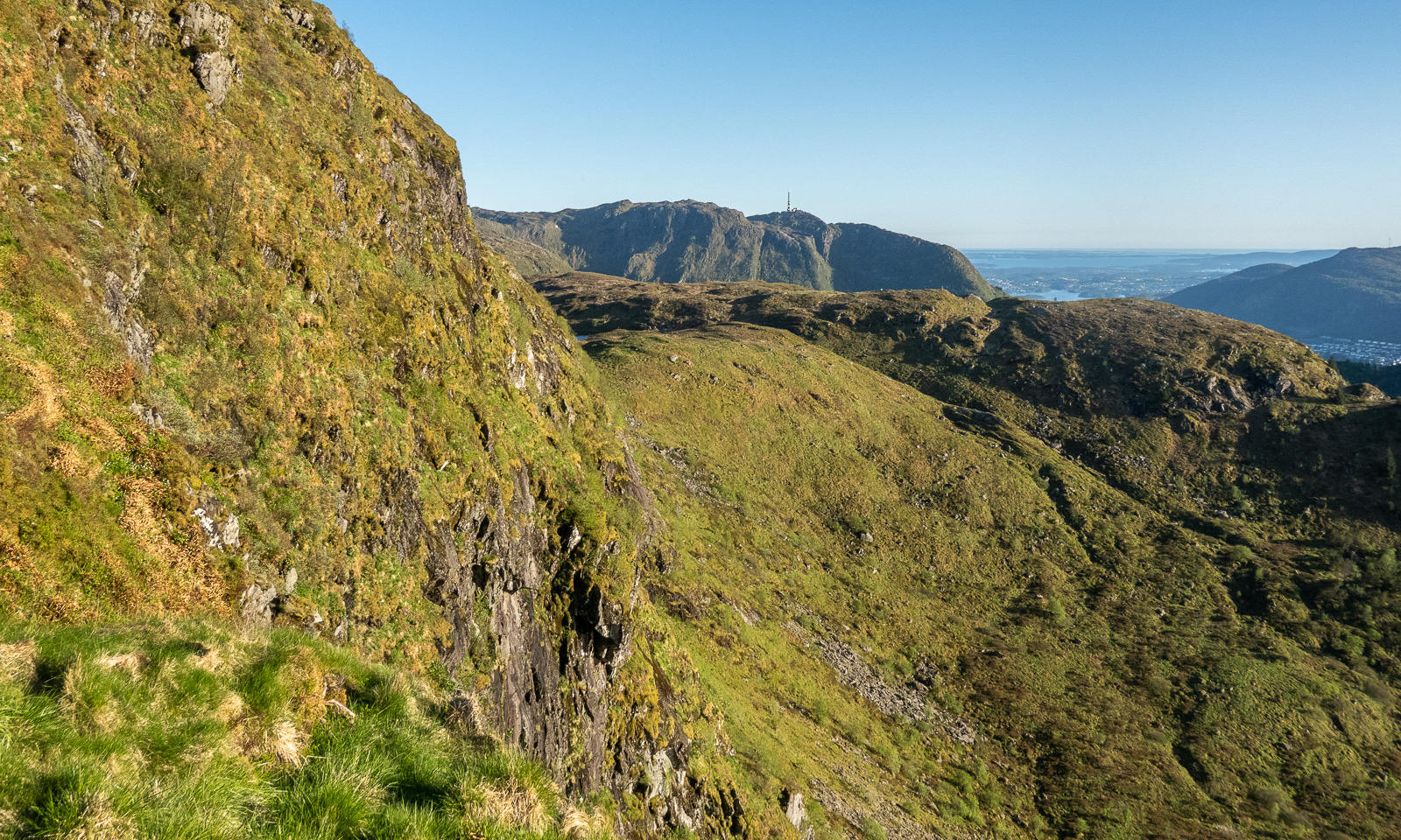
I pass the lake Øvre Jordalsvatnet, use the stone causeway to cross the small stream that transports water to the lower lake Tarlebøvatnet. My planned destination, the TV tower near Ulriken, can already be seen.

Now the trail is excellently marked by large square cairns with a sign “←Fløyen, /Ulriken→“. It is easy to follow them. I try to walk at least 4 km/h, ideally 4.5 to catch the cable car. At 20:30 I reach one of the few signposts with distances. I’m happy, because I made more than half the distance in one hour, forty-five minutes. Decision made: I carry on.

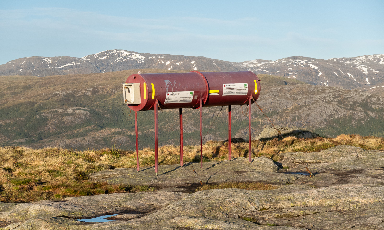
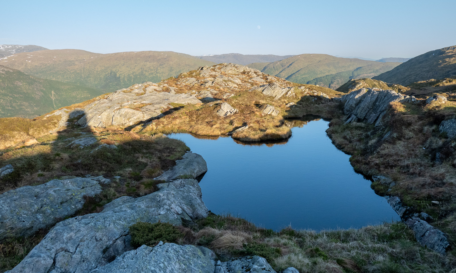
And on I go across the Vidden. Sometimes the point of interest is nearby, such as the tube with the first aid equipment including a stretcher. Sometimes it is far away, such as the snowy mountains in the east. Will I see snow here as well?

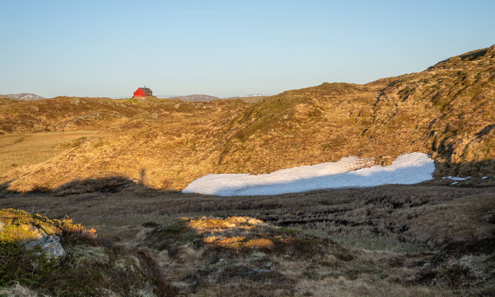
And there it is: one of the two patches of snow on the Vidden plateau.

Slowly the sun is setting and the light gets warmer. I walk against the sun and have to protect my eyes with one hand when the path descends steeply into one of the valley cuts. But I’m sure I’ll arrive in time.

I spot some cabins, first a small red one then a larger one. When I researched this while writing, I found out that this is Turnerhytten, a DNT cabin with thirty beds. I think that when I plan a trip to Bergen again, I should stay there rather in some hotel in the centre.

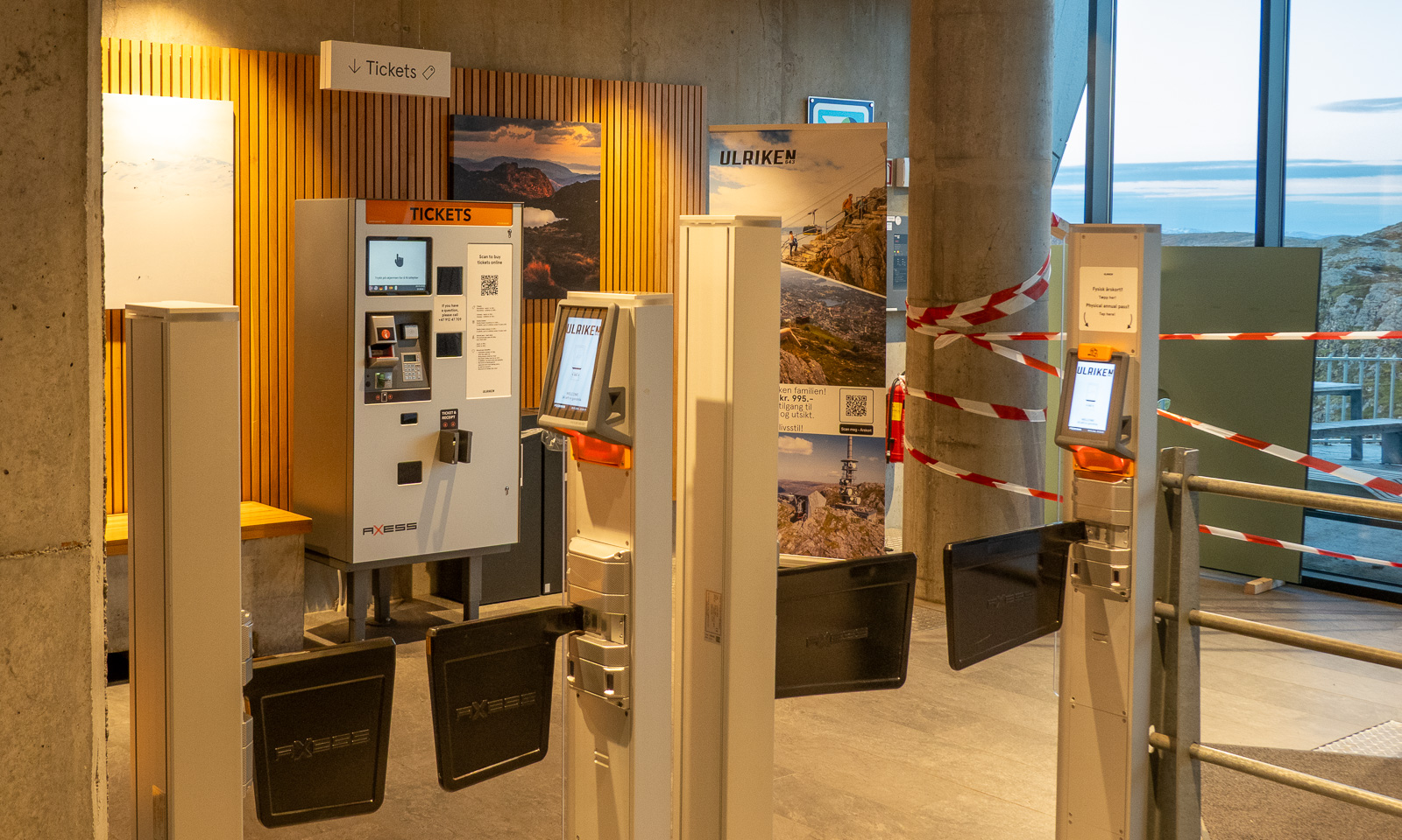
I decide not to climb to the top of Ulriken but to go straight to the cable car station. I’m tired and exhausted because my only rests were to take photos and once to put on a jacket. I follow the signs to the station, take another photo, one of the TV tower, buy a ticket at the ticket machine and two minutes later I am in the cable car that leads me down. It is 22:30, so the hike – 14½ km long – took me 3¾ hours.

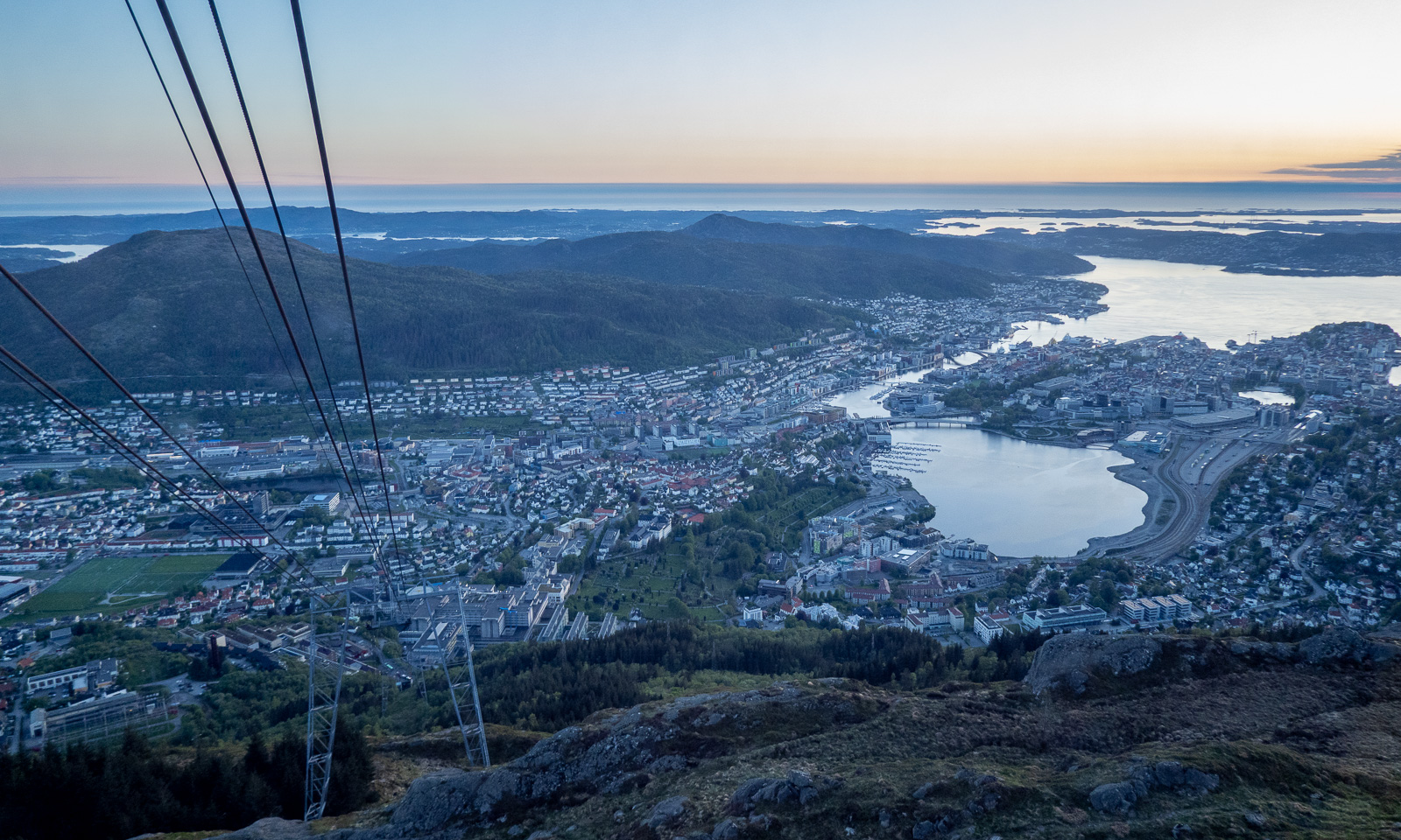
From the descending cable car I watch the sunset …Sunset over Bergen

… then I’m in town again. It is five more kilometres to my hotel, so I take a bus (the wrong one), a tram, and another bus. At 23:15 I am in my hotel room.
Today I walked around 25 kilometres in total and now I only want to take a shower and fall into bed and sleep until breakfast at 7:00 the next morning.

Ways, paths, tracks, and trails

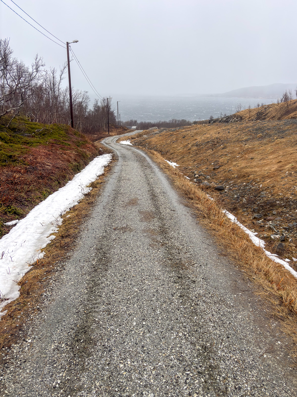
When I thought the weather had been bad on the kayak trip the day before yesterday, it was much worse today. It was colder, it was windier and the mix of precipitation was more varied: rain, snow, soft hail and sleet. At the northern tip of Tromsøya, storm gusts almost knocked me off balance and the graupel blowing straight into my face hurt. I wished I had brought a face mask and ski goggles and I bent my head low to avoid the heavy weather. That’s why I did not walk all the way home but took the bus, boarding it looking like a drowned rat.

At home the same procedure: a long, hot shower and a fire in the stove, which was drawing like mad in the storm.

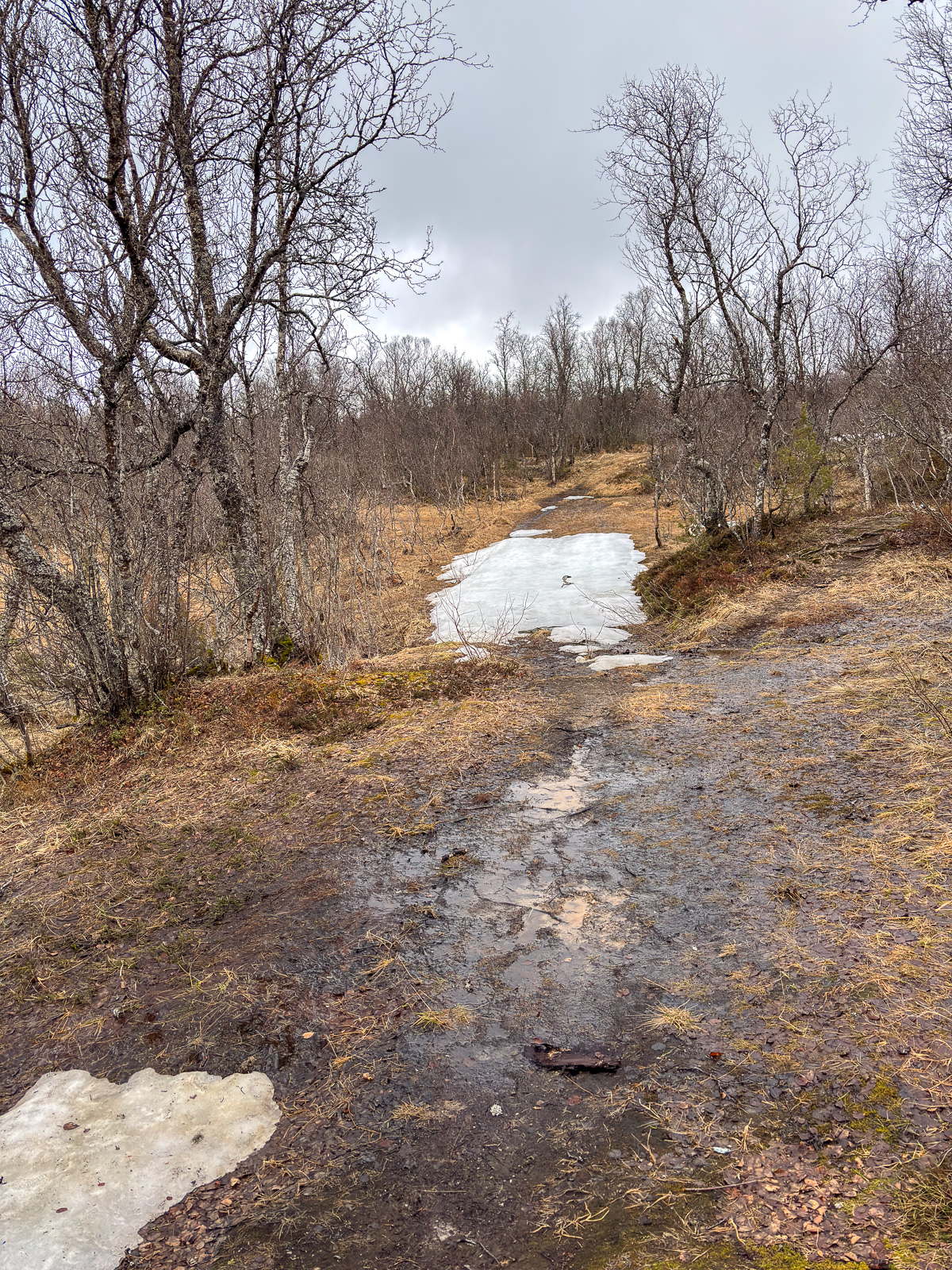
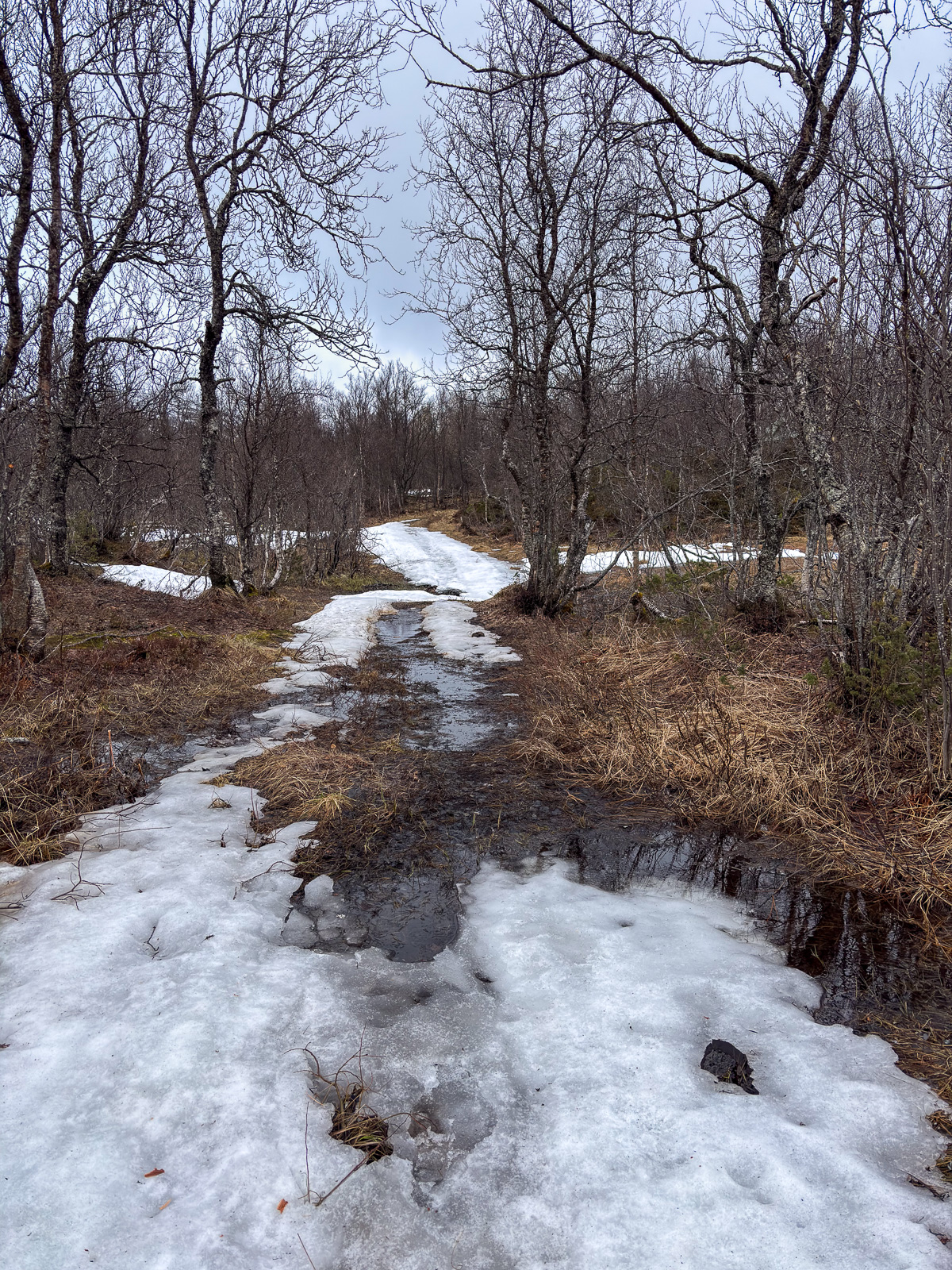
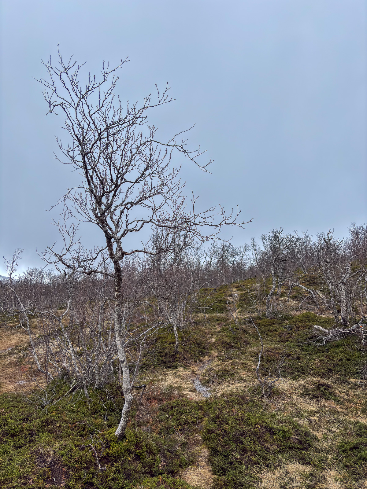
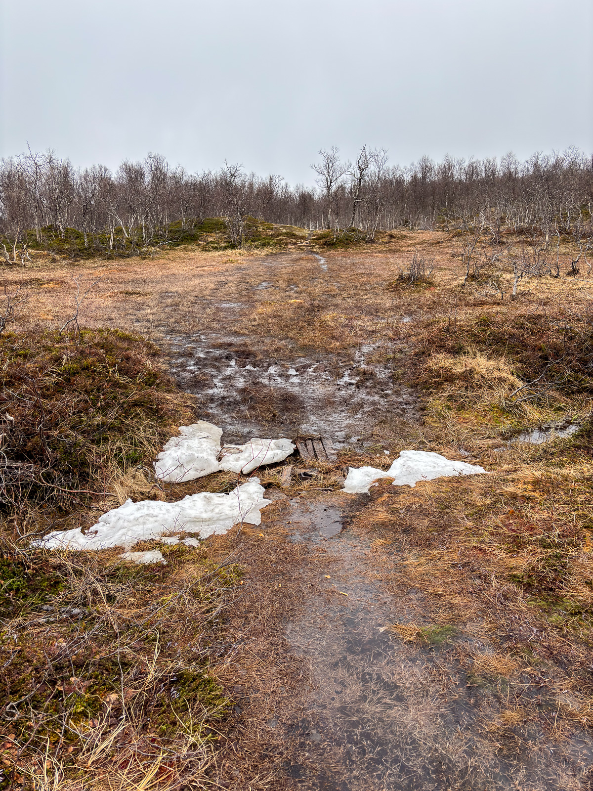
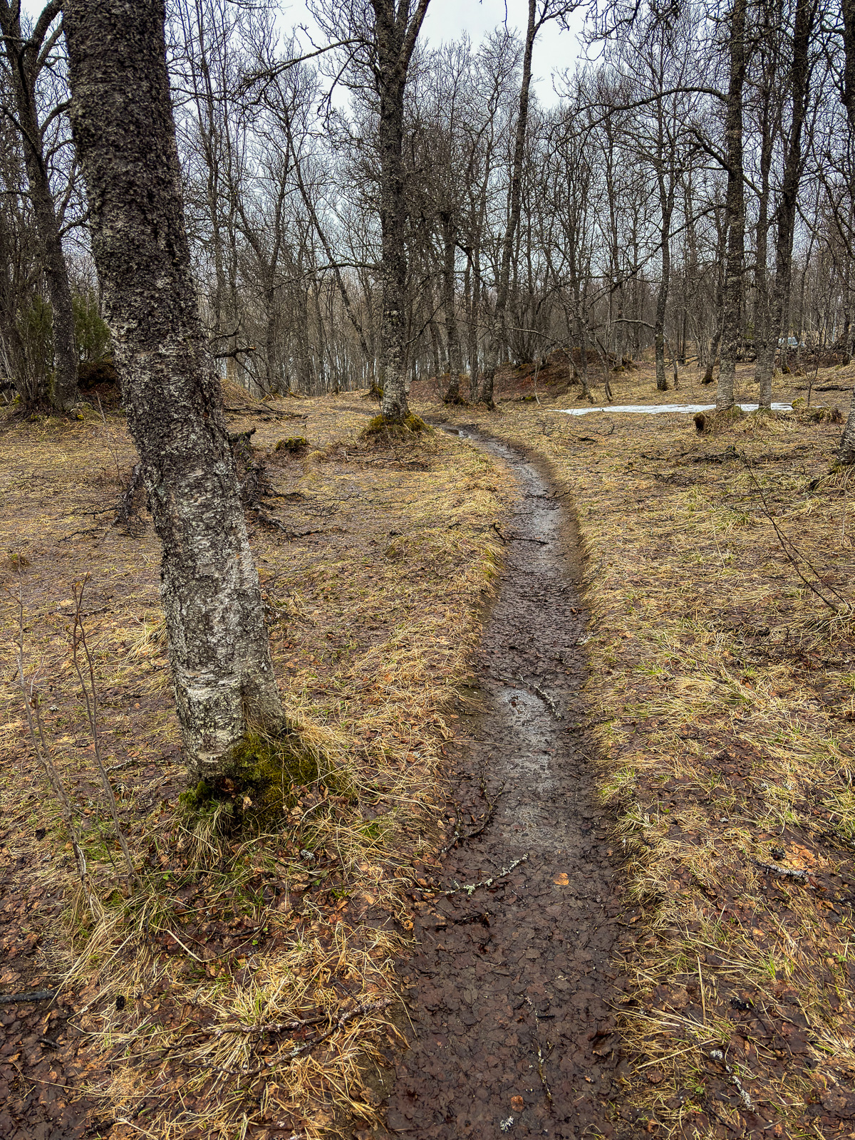
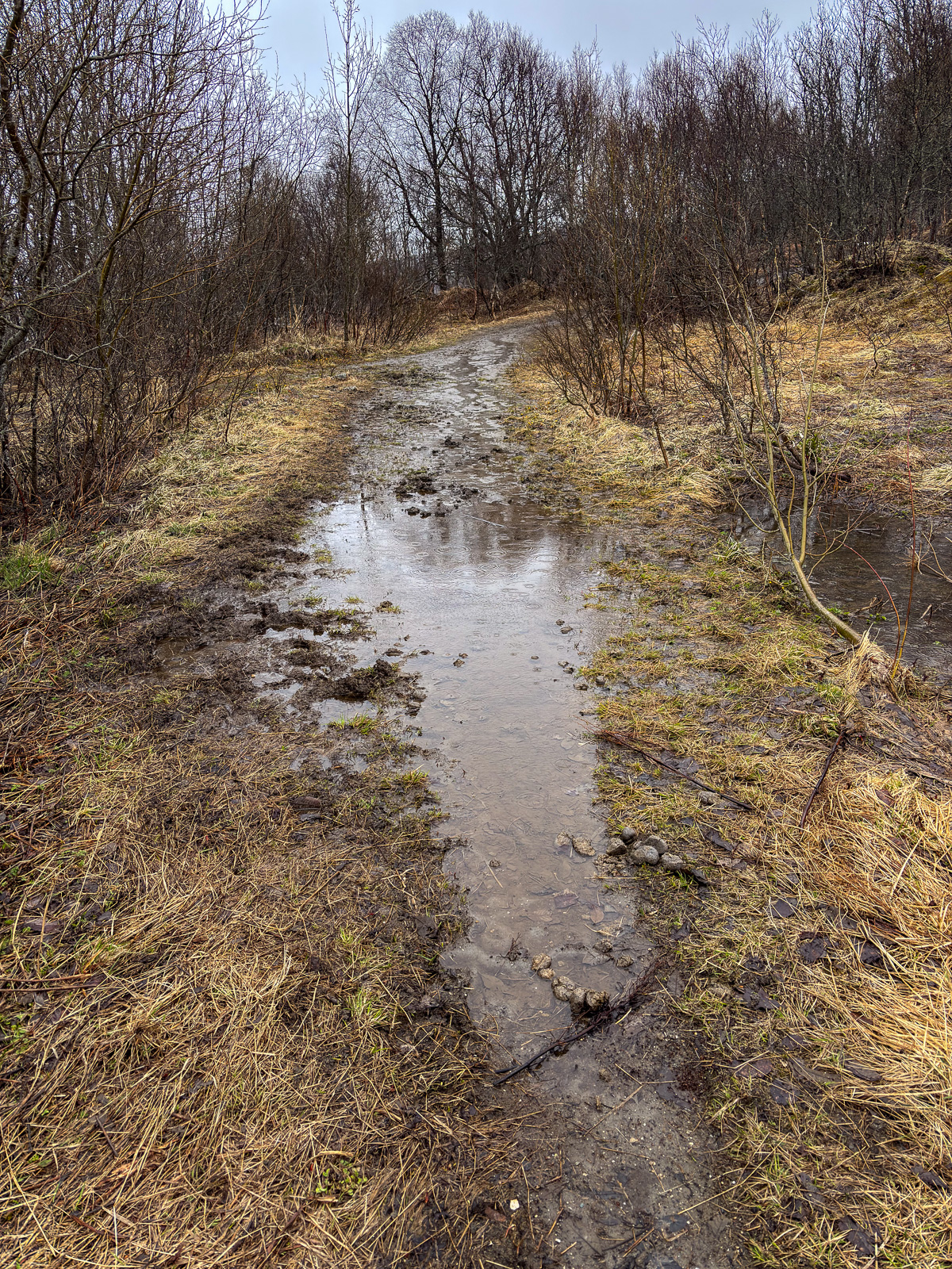
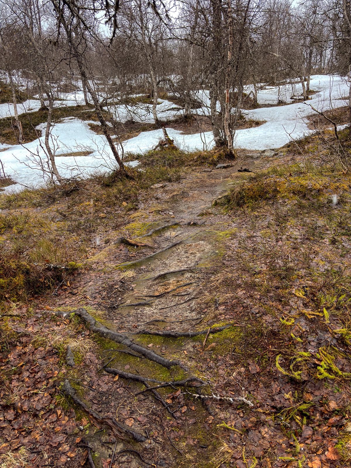
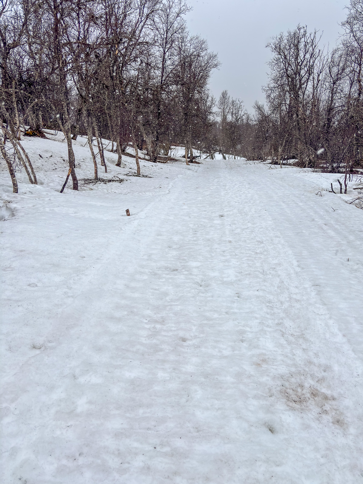
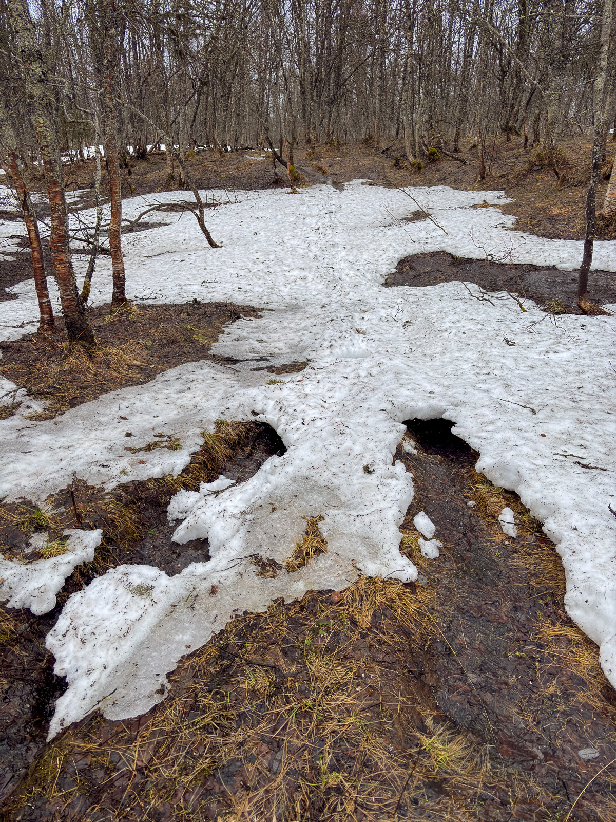
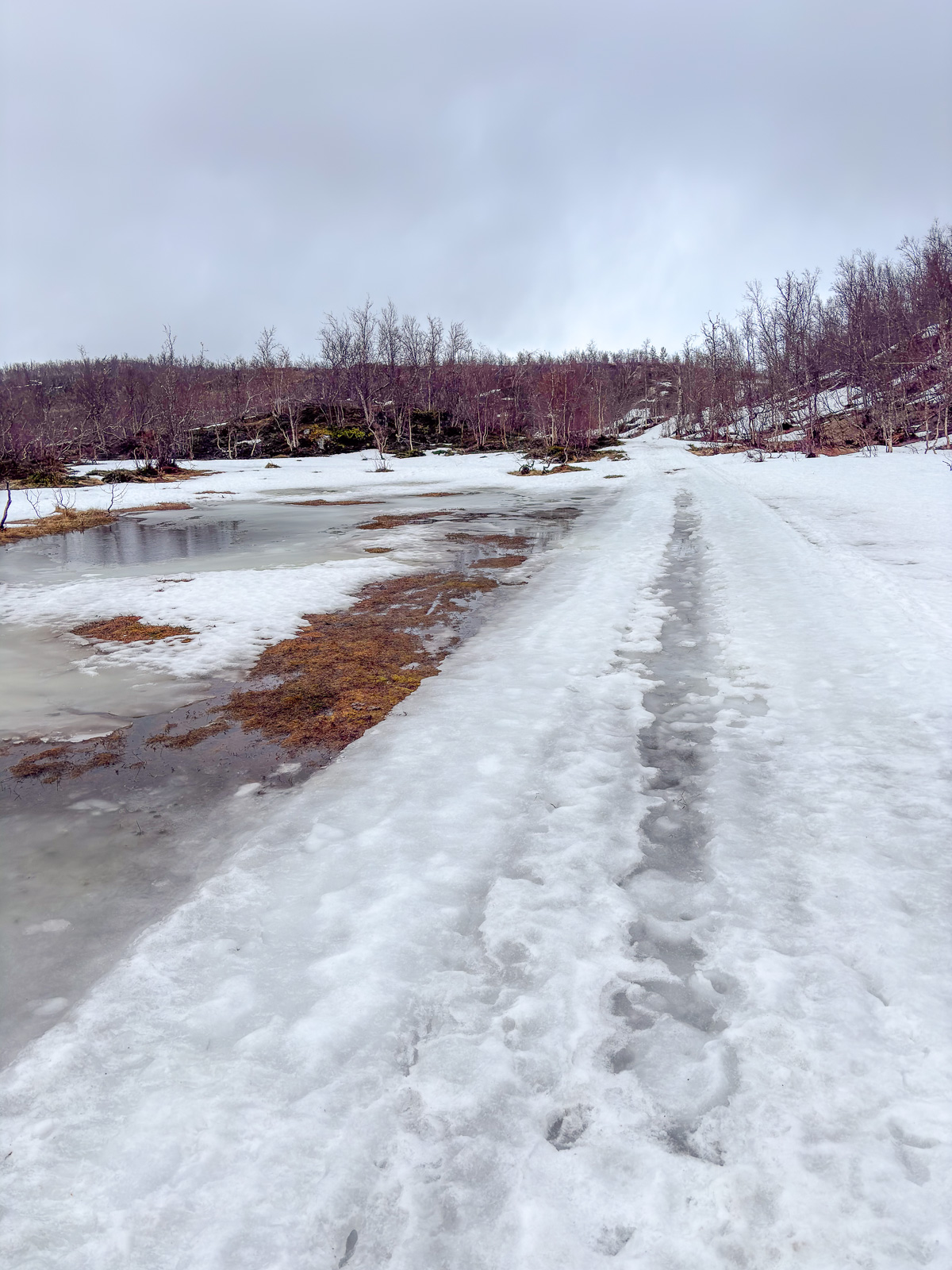
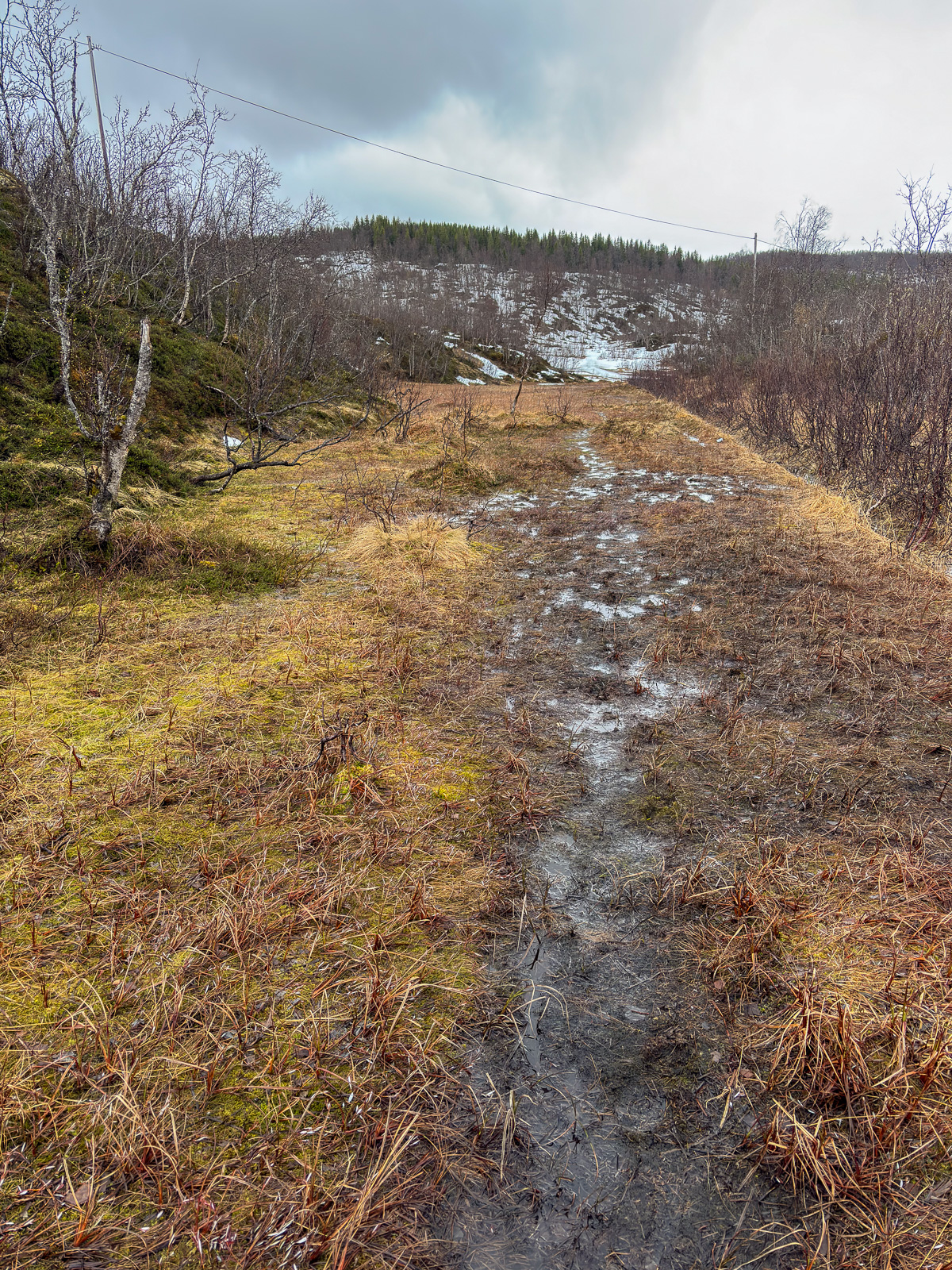
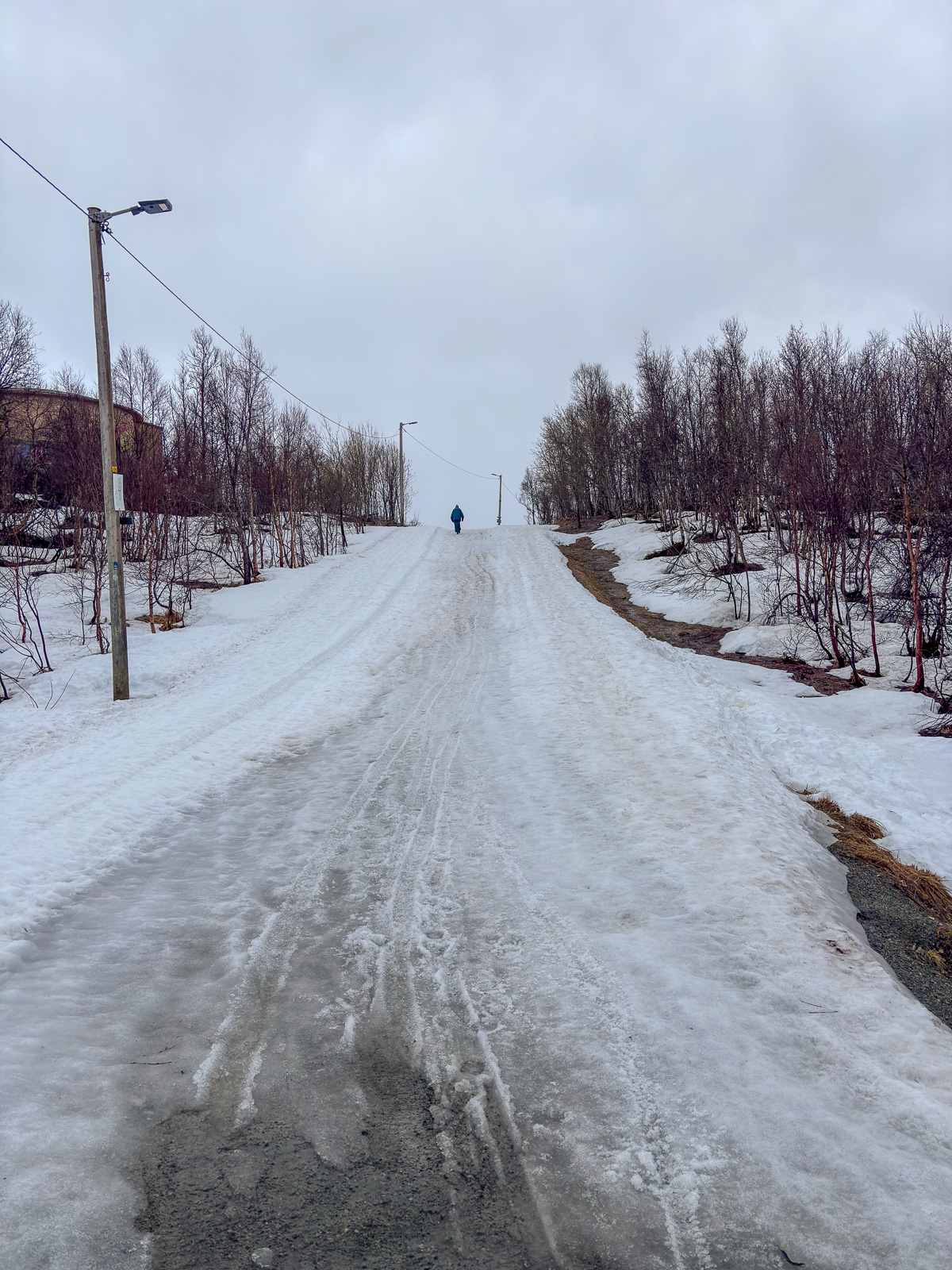
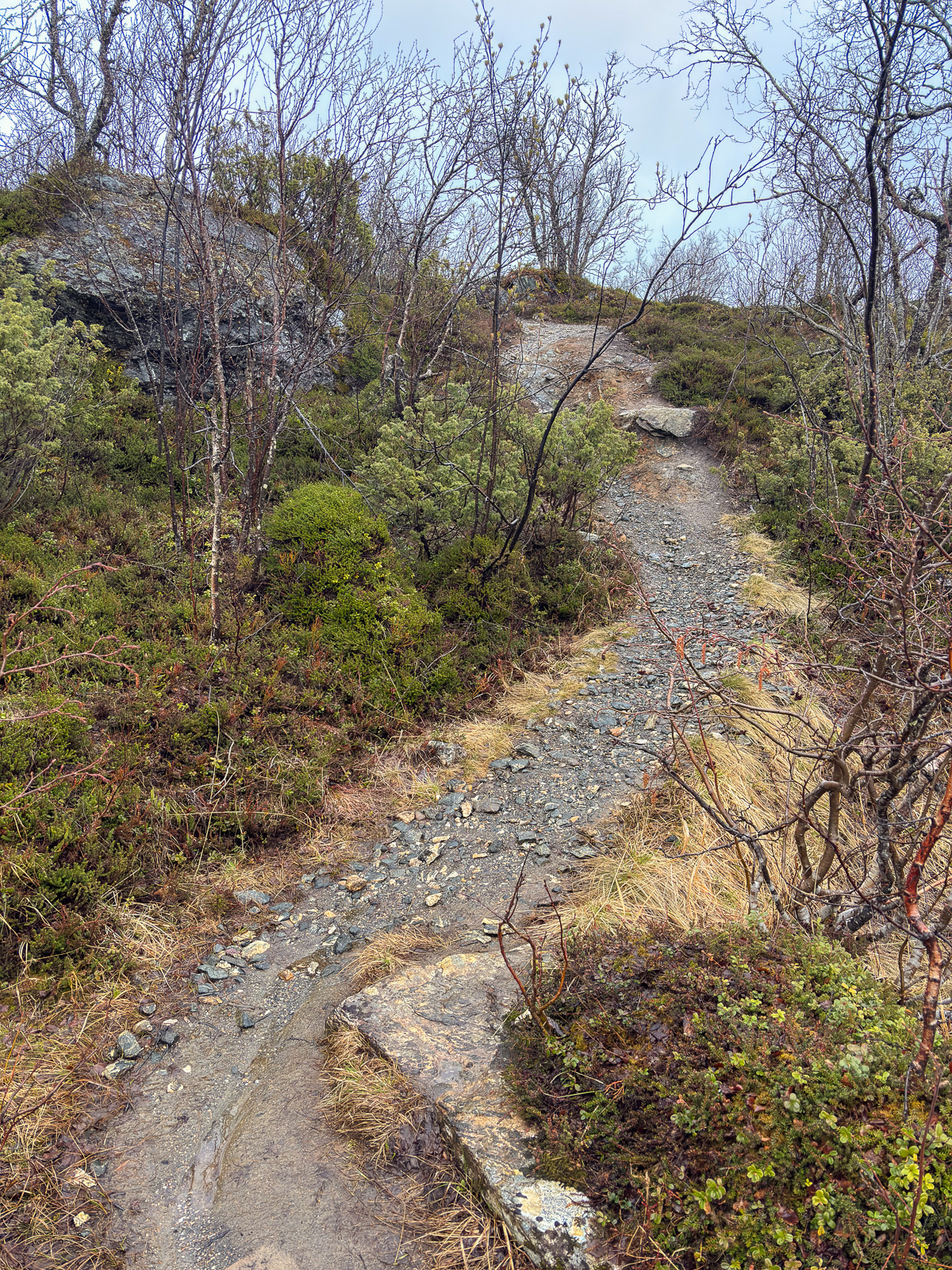
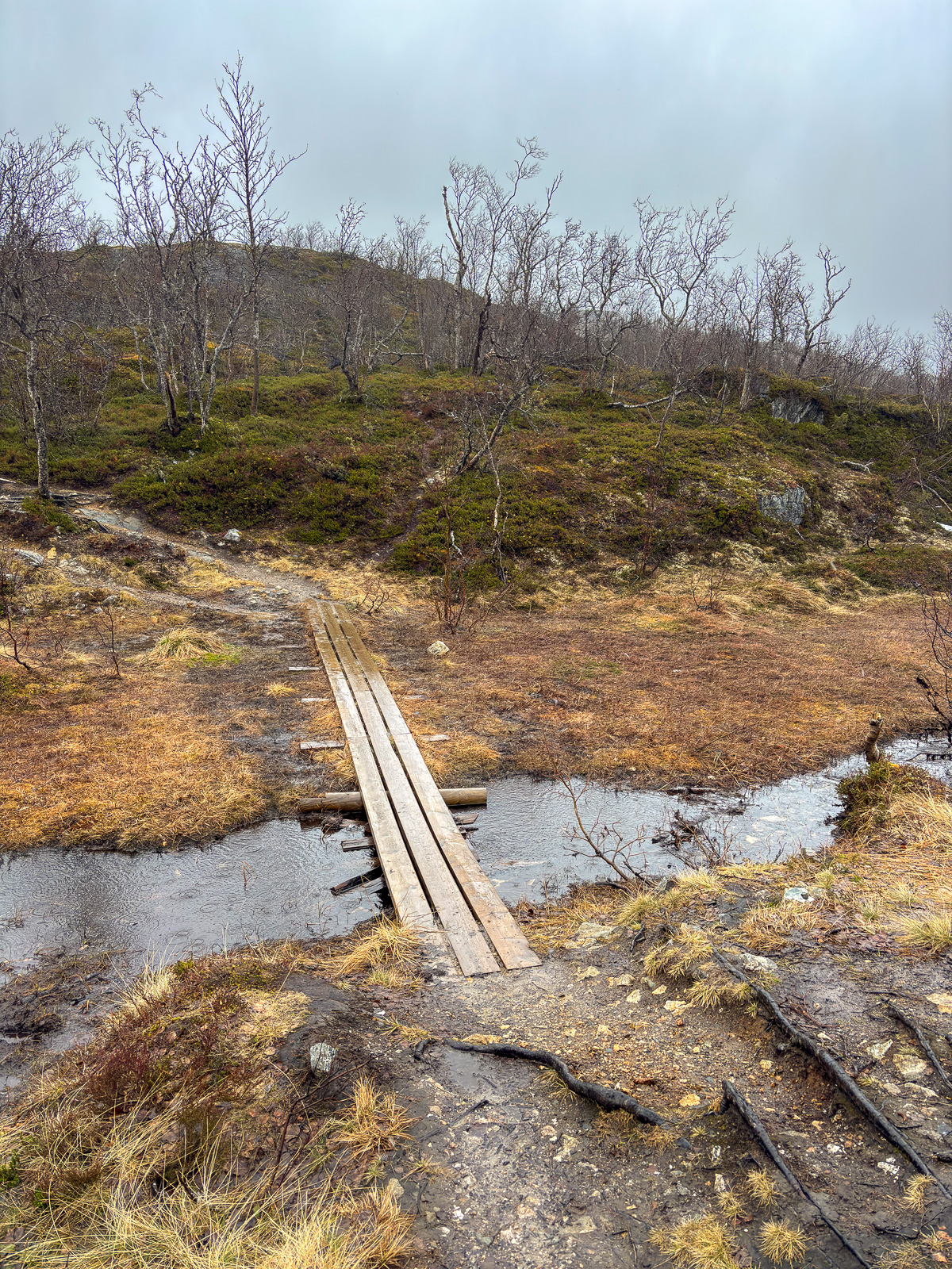
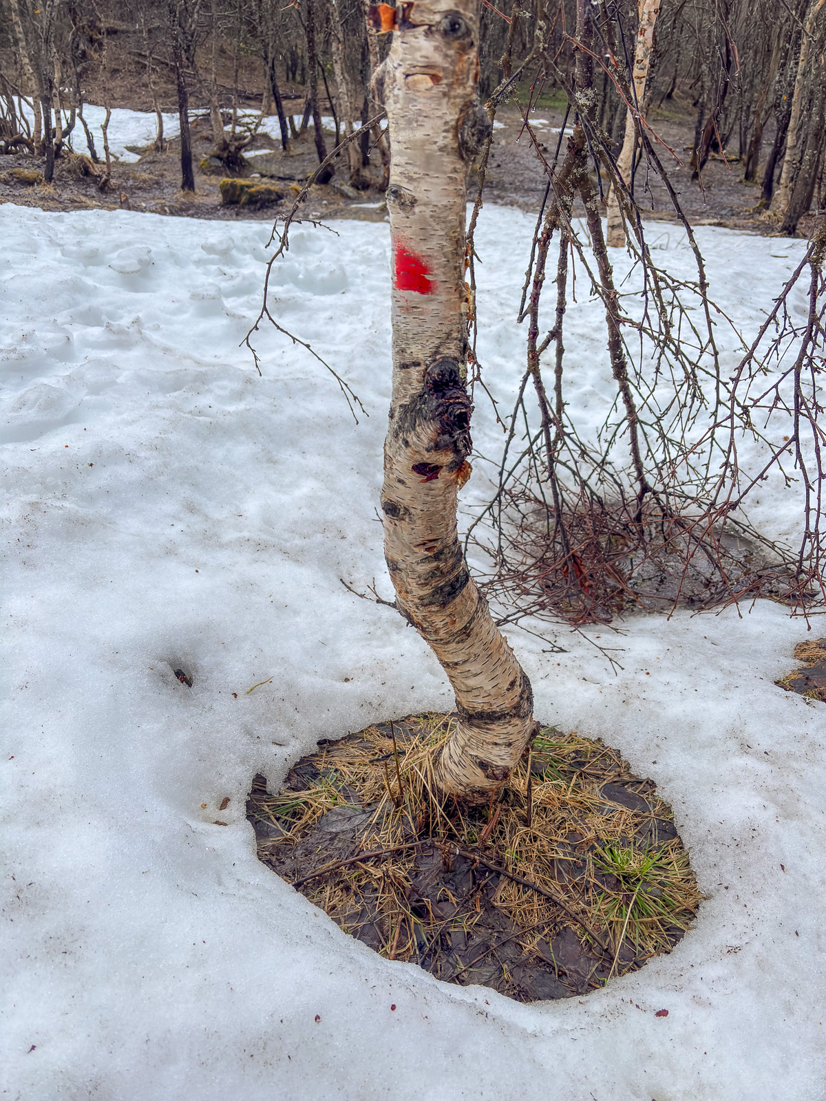
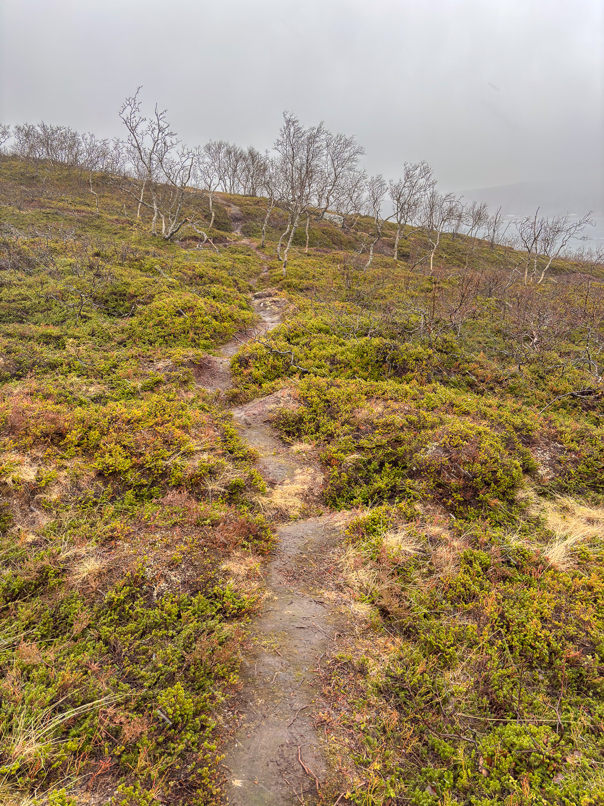
However the photos are not about weather, they are about the ways, paths, tracks and trails that I followed or crossed on my hike on Tromsøya today. Some are ski trails, most are summer and winter trails. Some still offer very wintry conditions; others look like early spring – or late autumn. My rubber boots splash through water, bog down in the mud and disappear into the snow. It will take some time until most of the ways, paths, tracks, and trails are dry – if it ever happens.
Tomorrow will be different, tomorrow it will snow.
Skiing to Njunjes

This article is part of the series “2026-03: Ski tours”.

Monday, 9 March

Last week, in our second week of holiday my wife Annika and I wanted to visit the stugvärdarna – the cabin hosts – of the Swedish mountain cabin Aktse. We had loads of food with us, among others chicken filet.

It is 16 km by ski from the car park Sitoälvsbron. Or would have been if the road to the car park had been cleared of snow. However, when we tried to drive there, the last 13 km of the road were just a snowmobile track not suited for cars. So we had to change plans.

At the Kvikkjokk Fjällstation we could sit inside and use wifi and bathroom to make new plans. We decided to stay there a night and to ski to Njunjes – the nearest cabin of the Padjelantaleden – the next day.

Tuesday, 10 March

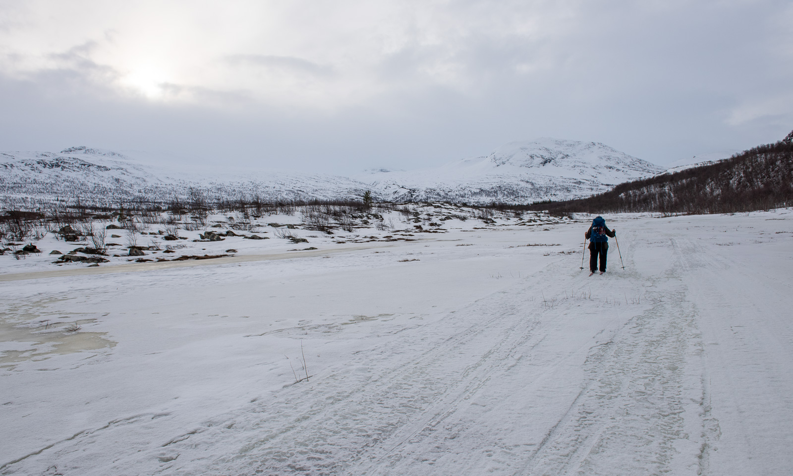
After breakfast Annika packed her backpack and I packed my pulka and we started our ski tour to Njunjes. The first part is on the river Darreädno/Tarraätno – by boat in summer, on the ice in winter. More or less the whole river was covered with snowmobile tracks and they were so icy that I put off my skis and walked using spikes under my ski boots.

I stopped and asked Annika: Do we have the chicken filet with us? No, we didn’t, we forgot it in the fridge.

Later the snowmobile trail continued in the forest. Here it was easier to ski despite the warm weather with above-freezing temperatures. It was apparent that there had been not much snow this season and occasionally you could see patches free of snow.

Wet and icy snow, grey weather, a snowmobile track through the forest – I didn’t take many photos of this dull scenery. It seemed to take ages until we finally got a view of the cabins. But first we had to cross wet and icy terrain were we broke through into a few centimetres of water several times. According to the map there is neither a lake nor a bog. Maybe it was a partially frozen meltwater pond.

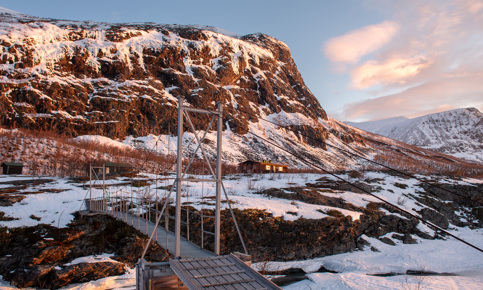
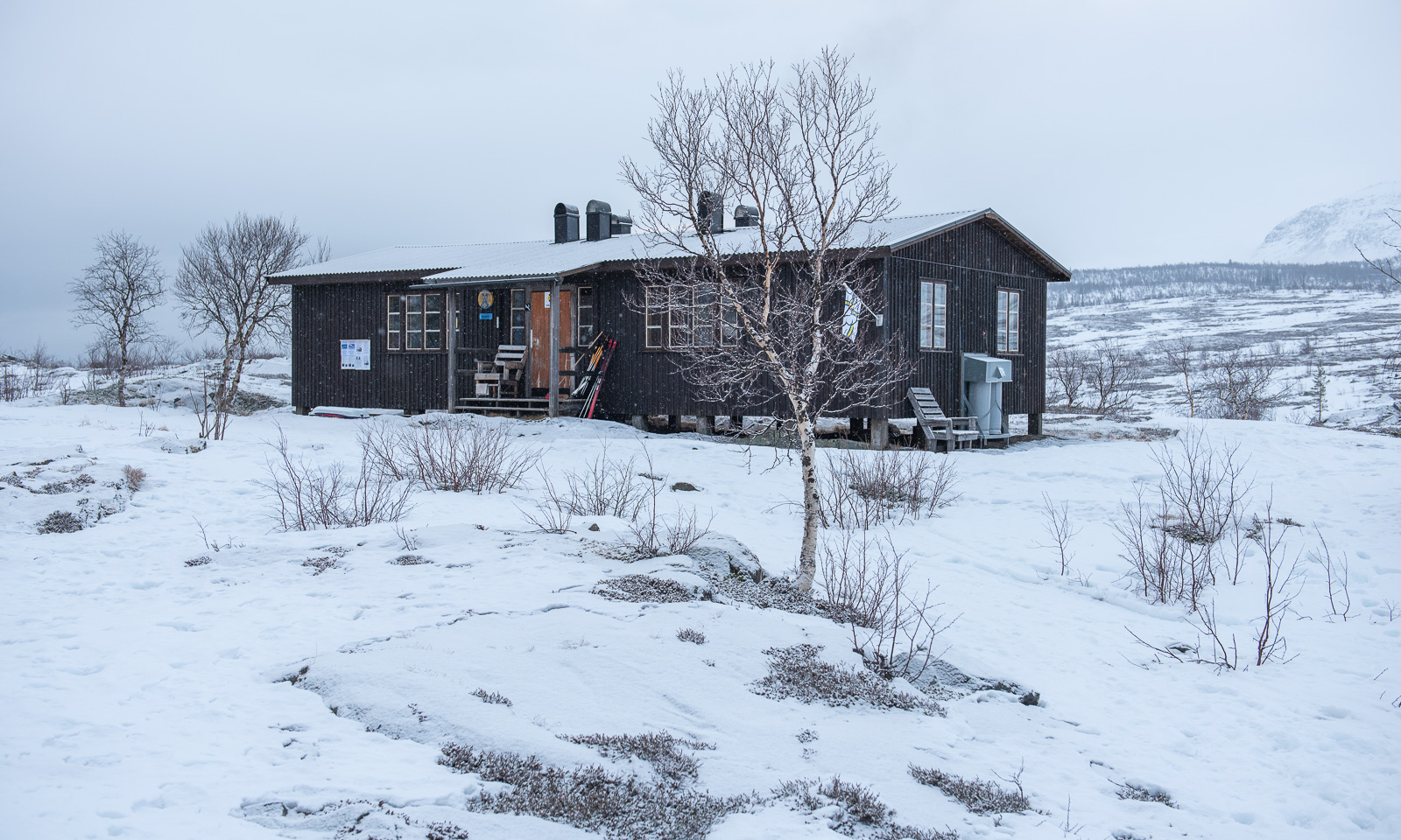
But then after about 17 km we arrived at the cabins of Njunjes where we were welcomed by the hut warden. The main cabin of Njunjes is a “Fjällstuga 65”, sometimes called Abrahamssonstugan. It was renovated lately and the new wood-burning stove is just awesome!

Our skis and ski skins were soaking wet from the final stretch but at least we ourselves stayed dry, because luckily the forecasted rain came later after we already had arrived.

Wednesday, 11 March

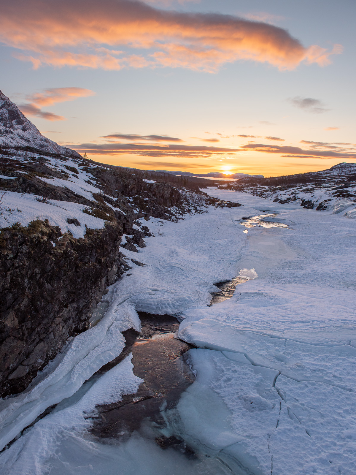
On this day we took a rest day. I was up early and went out to watch the sunrise because rain and clouds had disappeared overnight. What a beautiful morning!

The rest of the day we were pretty lazy. While Annika was reading in the sun (and my pulka was drying) I was taking some photos nearby.

It was quiet, but occasionally we could hear loud rumbles. The southern cliff of the mountain Njunjesvárre was dewing in the sun and the large ice blocks were thundering downwards. This added some drama to the otherwise peaceful scenery.

In the afternoon Annika started to make food. Although we forgot the chicken filet we still had loads of other food, among others feta cheese, peppers, zucchini, and onions, all of them dried at home by Annika in the weeks before. This home-dried food has to be soaked in water for hours, so the resting day was a good opportunity to use it. In the evening we got a very delicious dinner.

Thursday, 12 March

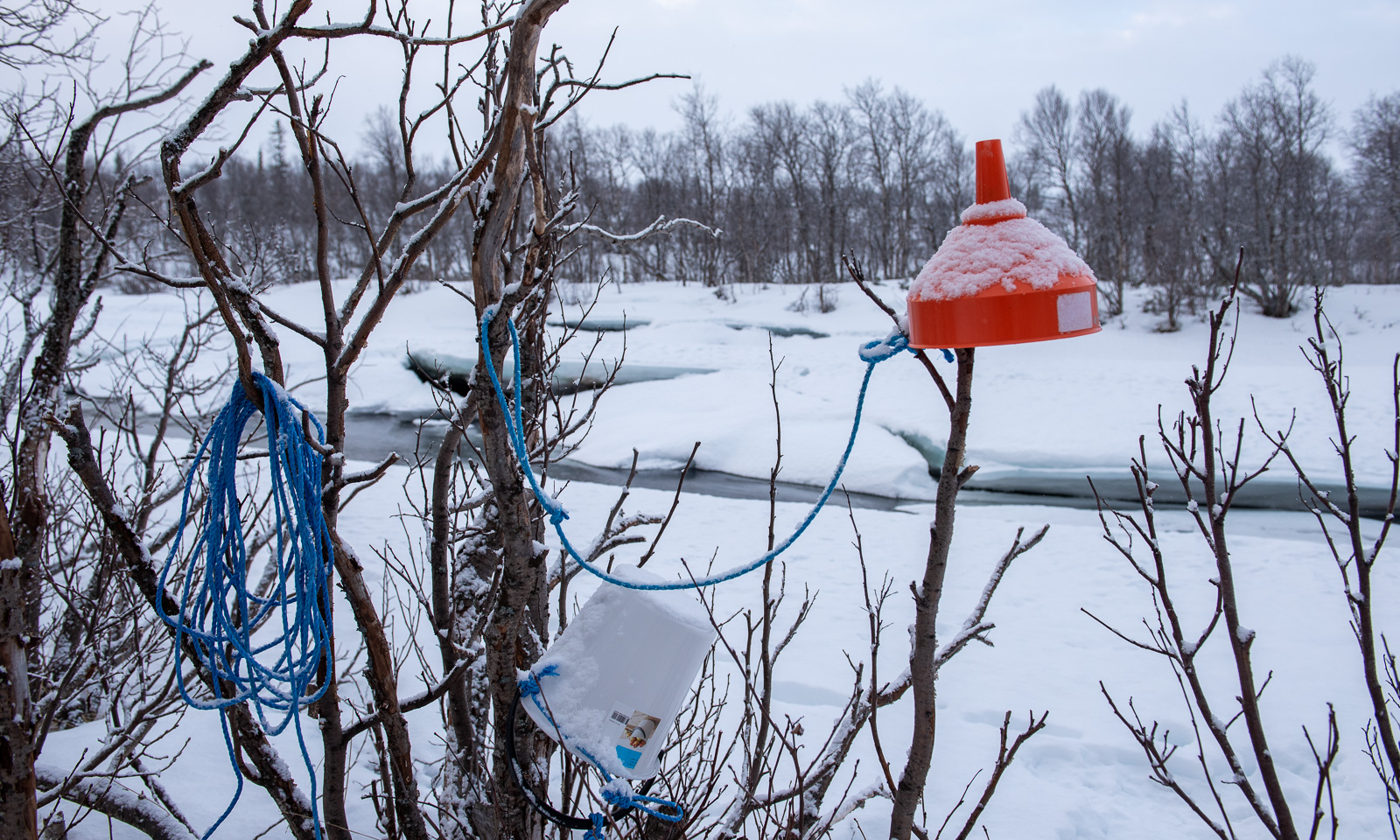
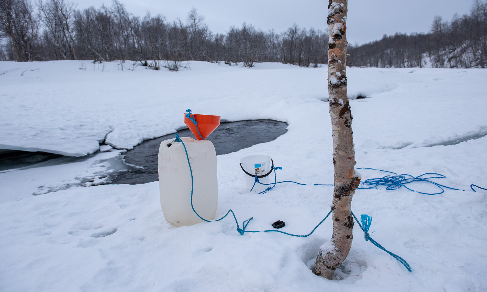
Time to return to Kvikkjokk. The mountains were cloud-covered and it had snowed over night. Just one centimetre or two, but enough to make the scenery look a bit more wintry and more important: to make the icy track a bit smoother to ski. Before we started I fetched water from the river. About 200 metres away the river is partially open and there is a bucket to fetch water with and a funnel to pour it into the canister. I pulled the heavy canister after me back to the cabin. Now there was water and wood for the next guests to come.

Then we packed our things, cleaned the room and said goodbye to the friendly warden. And off we went, taking a slightly different track in the beginning. I only took some photos on our way back and none at all in the forest.

This day we realised again that of course you can ski here, but the omnipresent vehicle is the snowmobile. We met about fifty on our way back. In the last kilometres most of river was more or less covered with their tracks. But then we saw other skiers gliding effortlessly on the other side of the river. We skied there and right: there was a freshly prepared cross-country ski trail that we used until we were in Kvikkjokk.

Here we picked up the forgotten chicken filet, bought something to drink and put everything into the car. This night we would stay in Solberget, the touristic wilderness retreat that I visited the first time in 2005. We had three-hour car drive ahead of us but it was still early and probably we would make it not only for the dinner but also for the sauna before. And yes – we made it. The smoked reindeer in creamy sauce was delicious!

Sunday, 15 March

Annika was back in Obbola, I was back in Tromsø. I finally fried and ate the chicken filet.