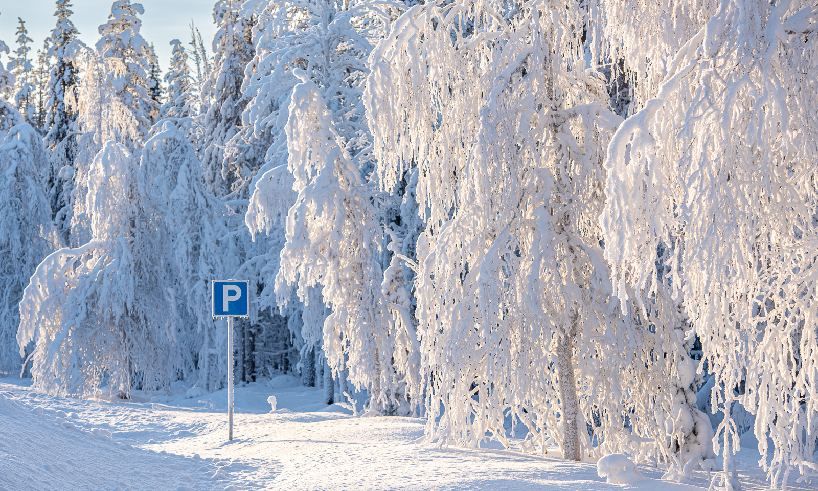
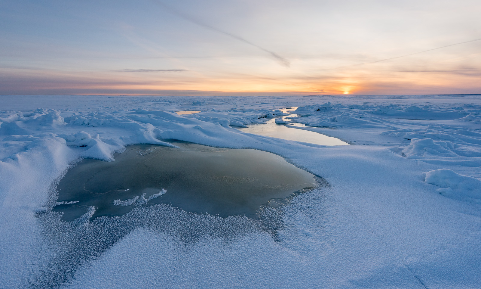
Hill hike III – Ruksesvárri
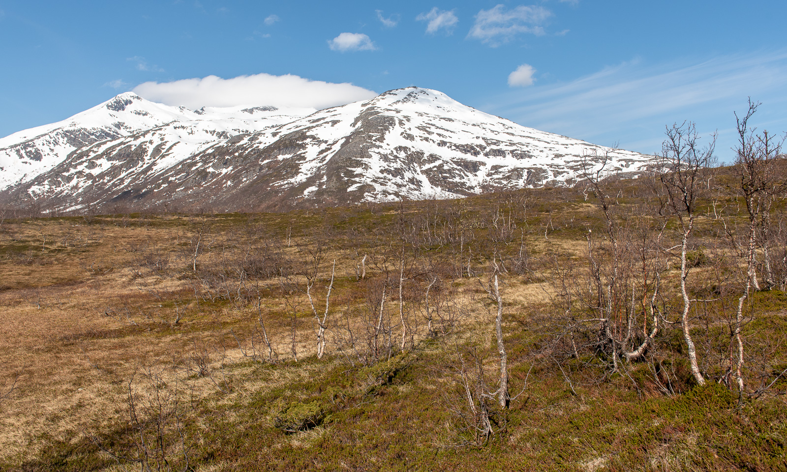
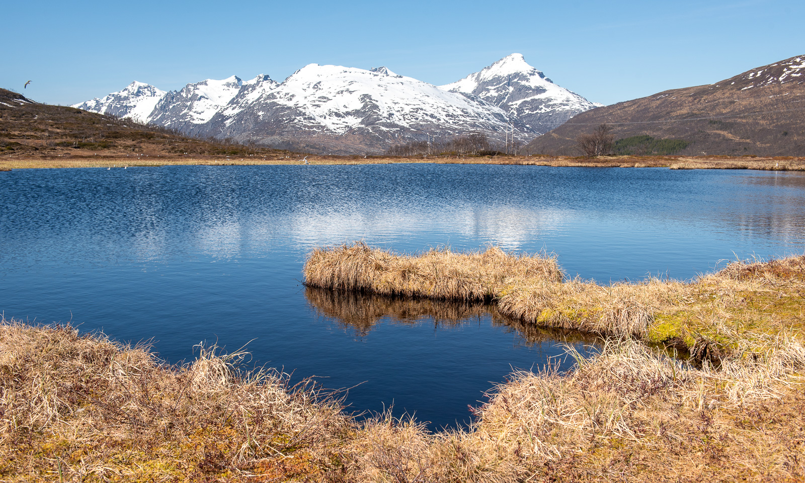
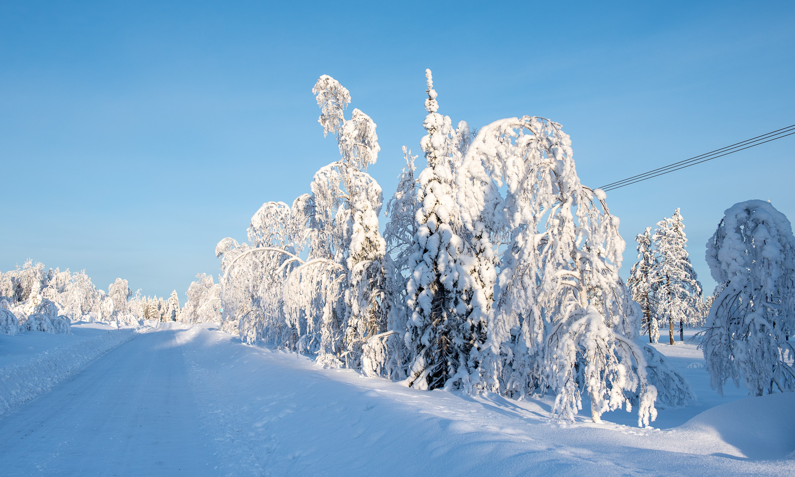
Today I did my thrid hill hike within 8 days. After Trehørningen (283 m) and Nattmålsfjellet (296 m) I chose Ruksesvárri (470 m) today. Most people refer to the mountain by its Norwegian name (Rødtind), which more or less means the same as the Sámi name: red mountain peak. Like the other hills Ruksesvárri is located on Kvaløya.
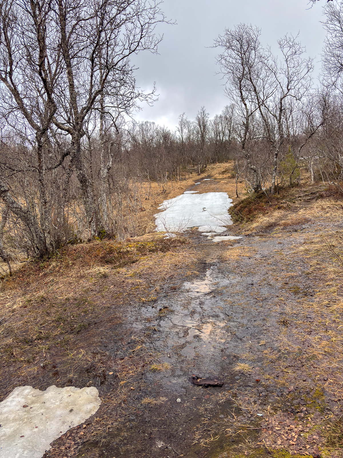
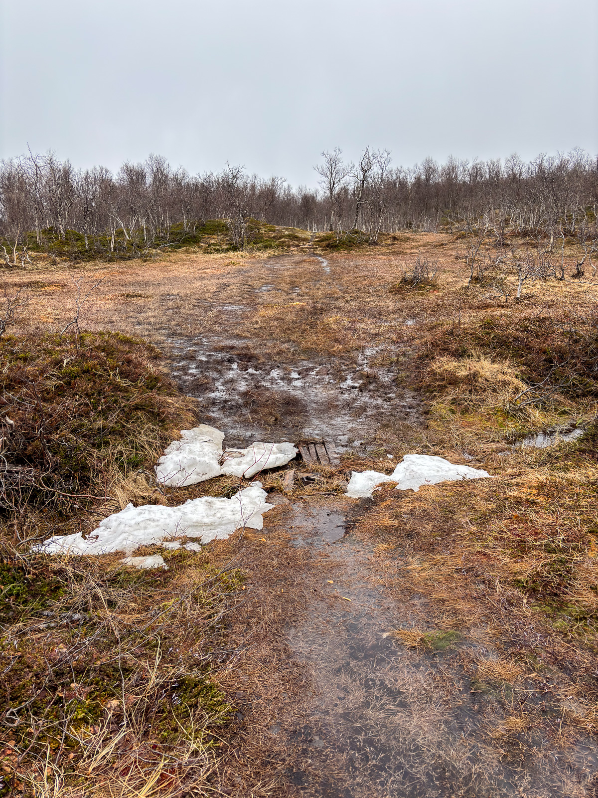
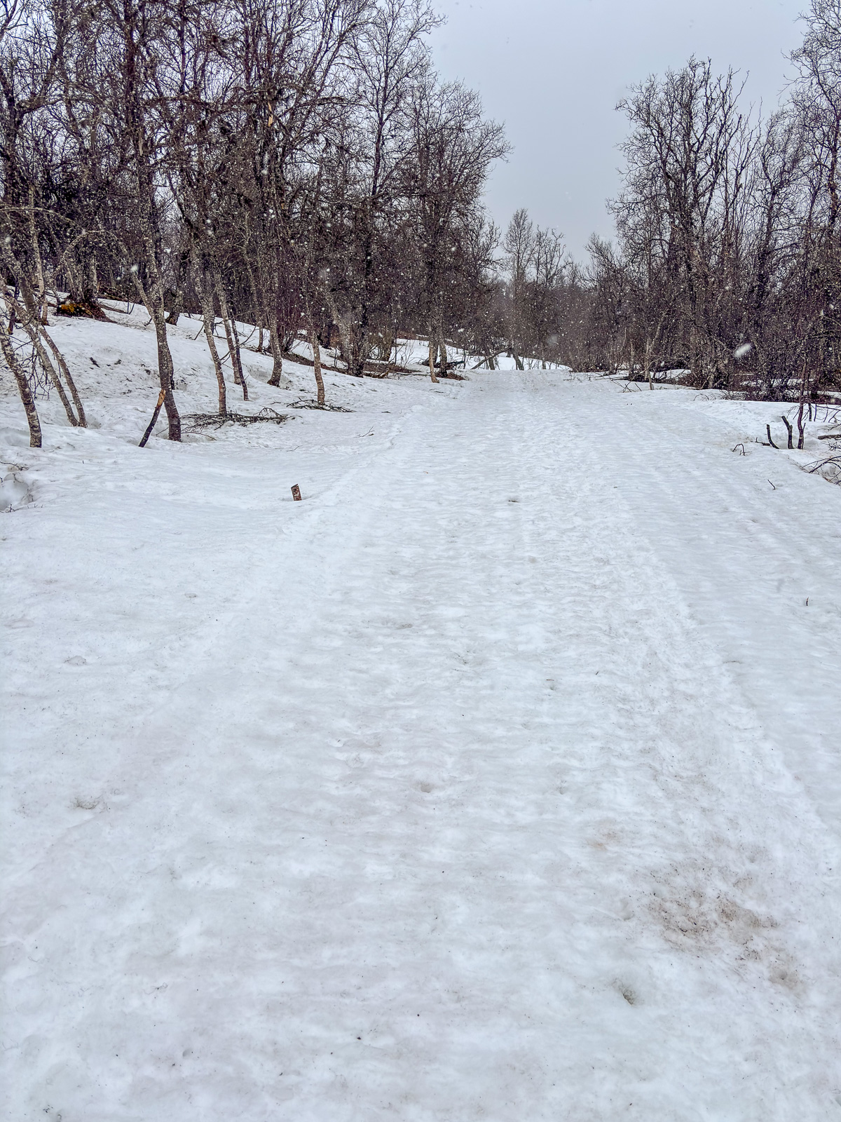
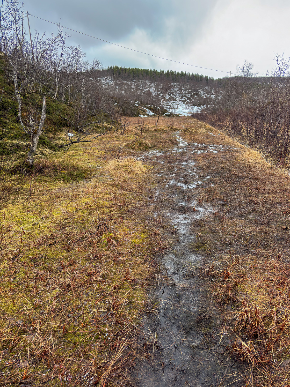
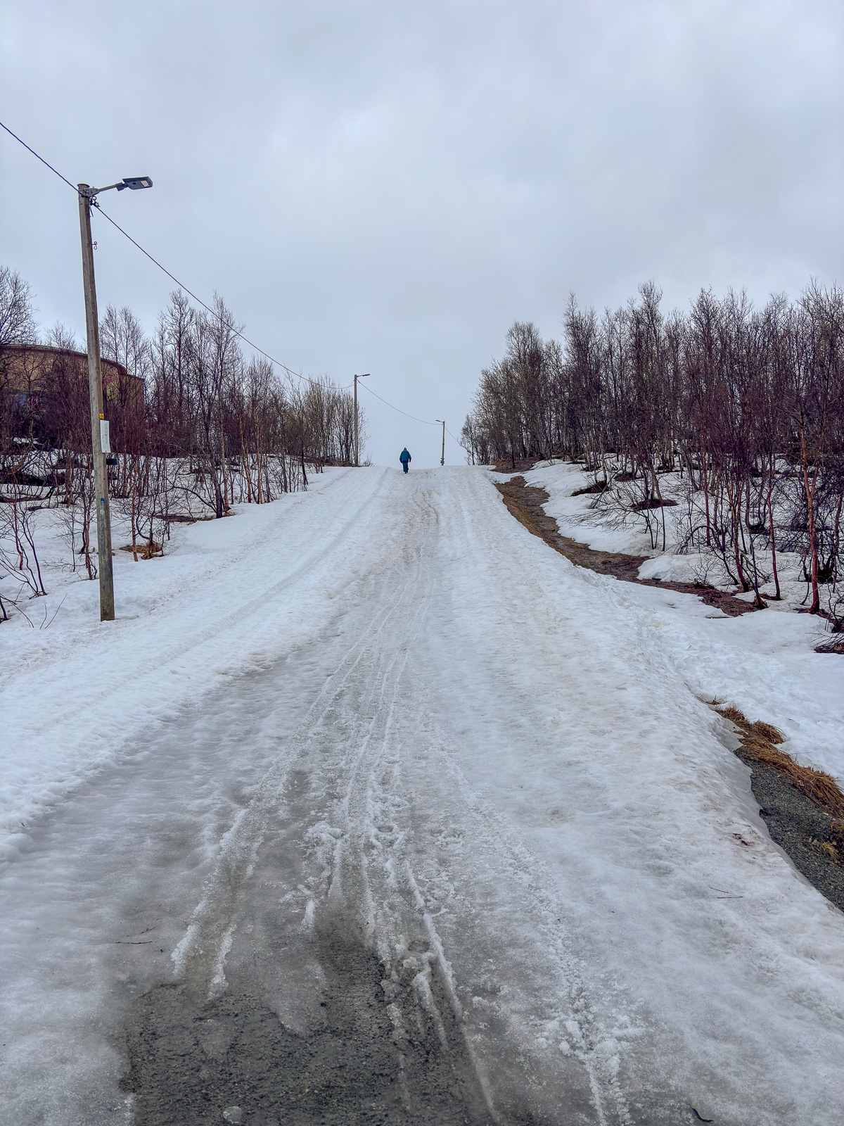
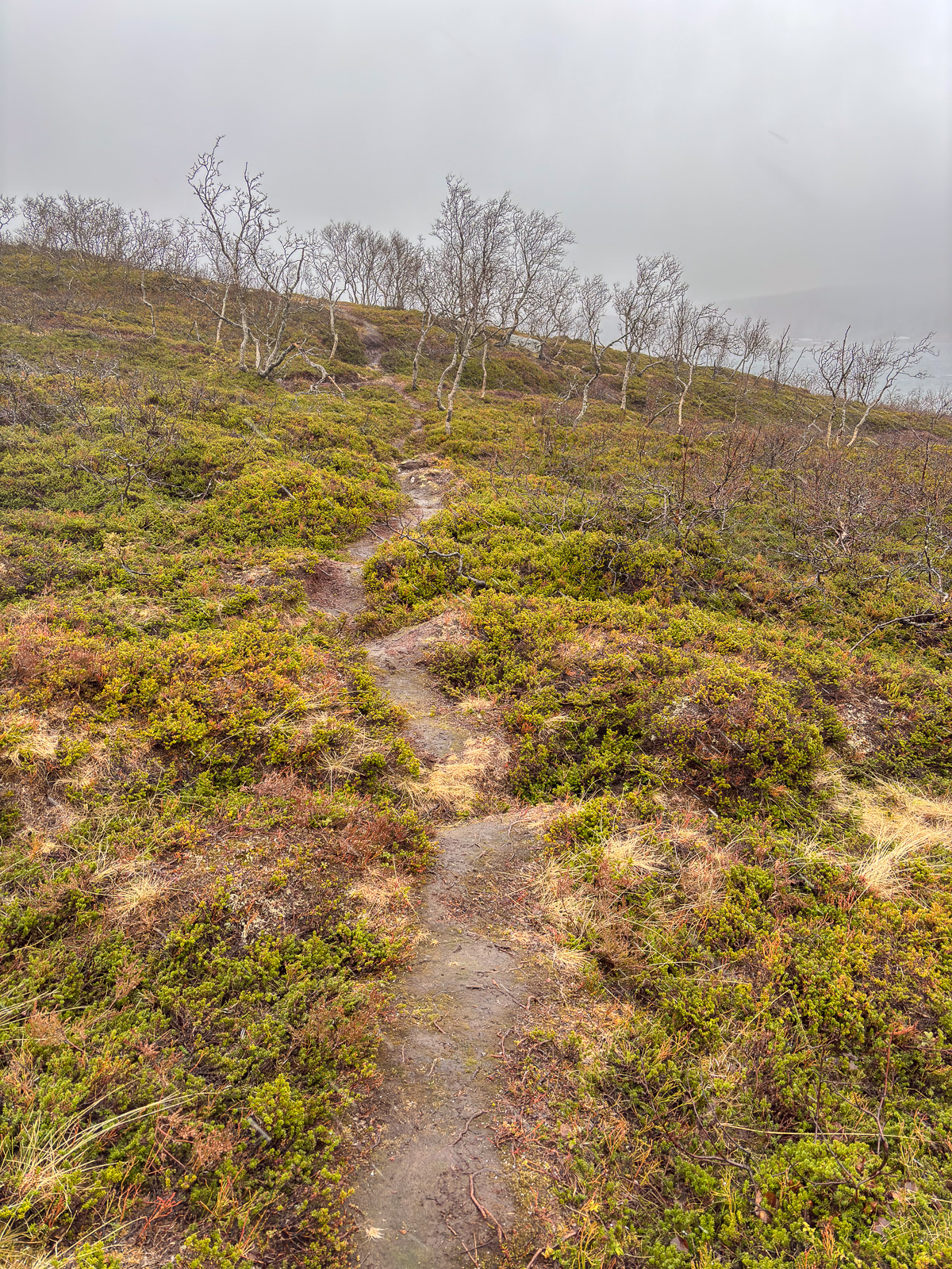
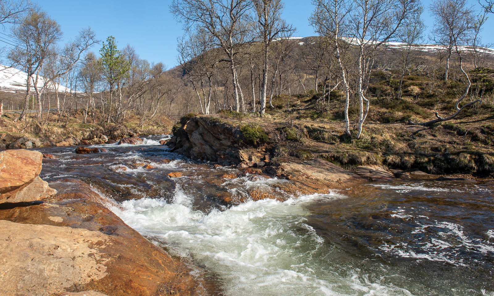
I park the car in Storelva, put on my rubber boots and shoulder my camera backpack. From there it’s about one kilometre along the river Stuorajohka/Storelva until I leave the wide gravel hiking path and branch off. From now on the track may be wet and – looking at Ruksesvárri – snowy.
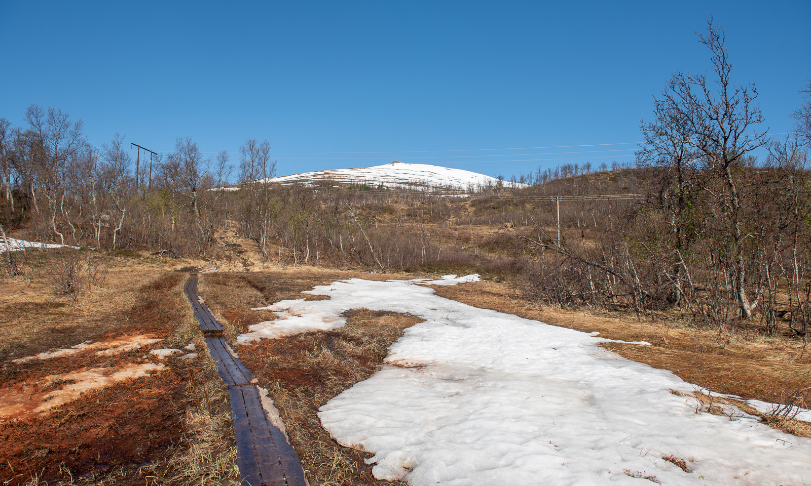
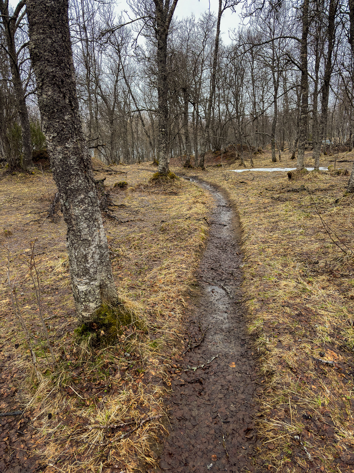
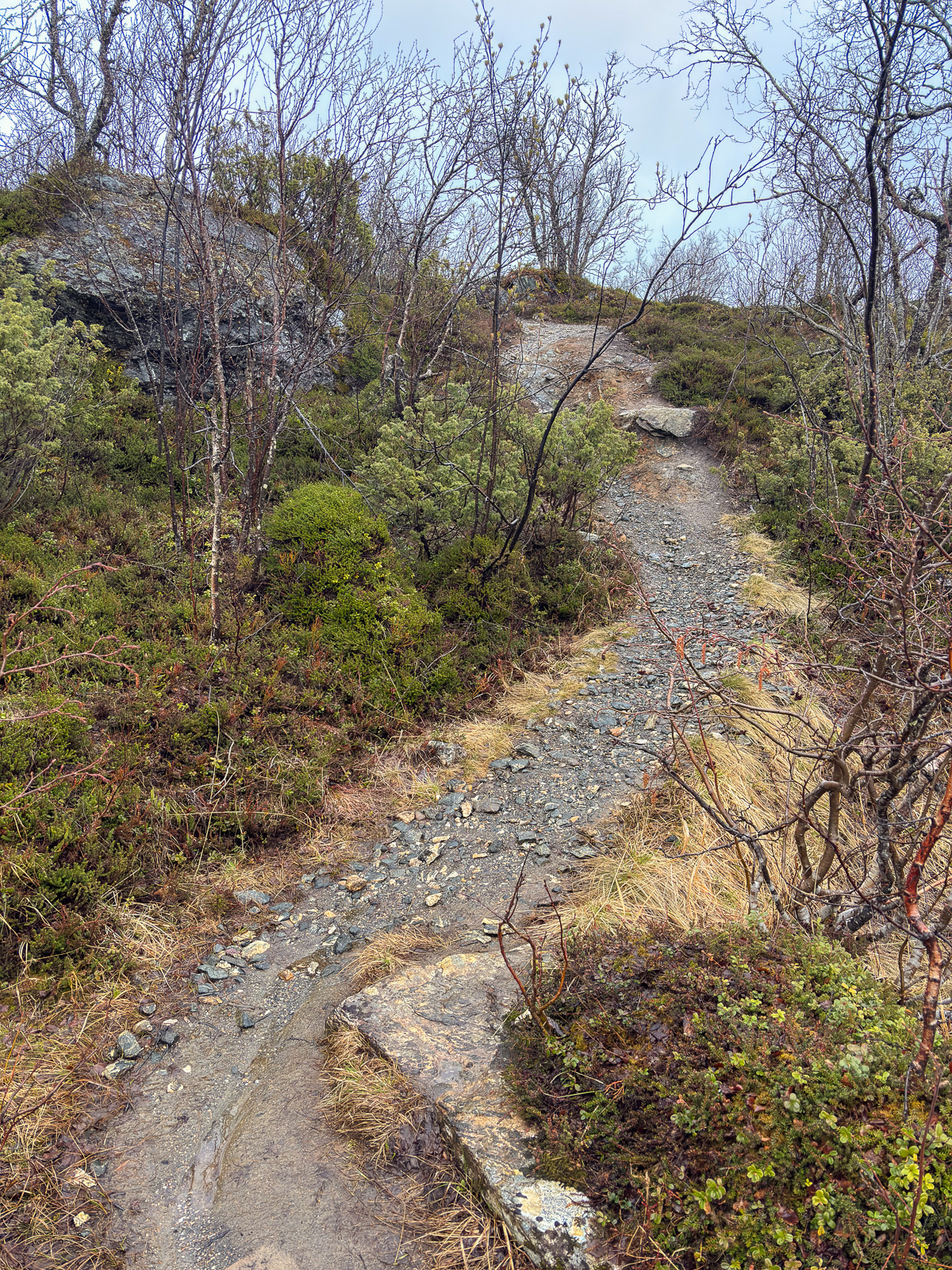
I hike up, following the track. Soon it vanishes under the first larger snow field.
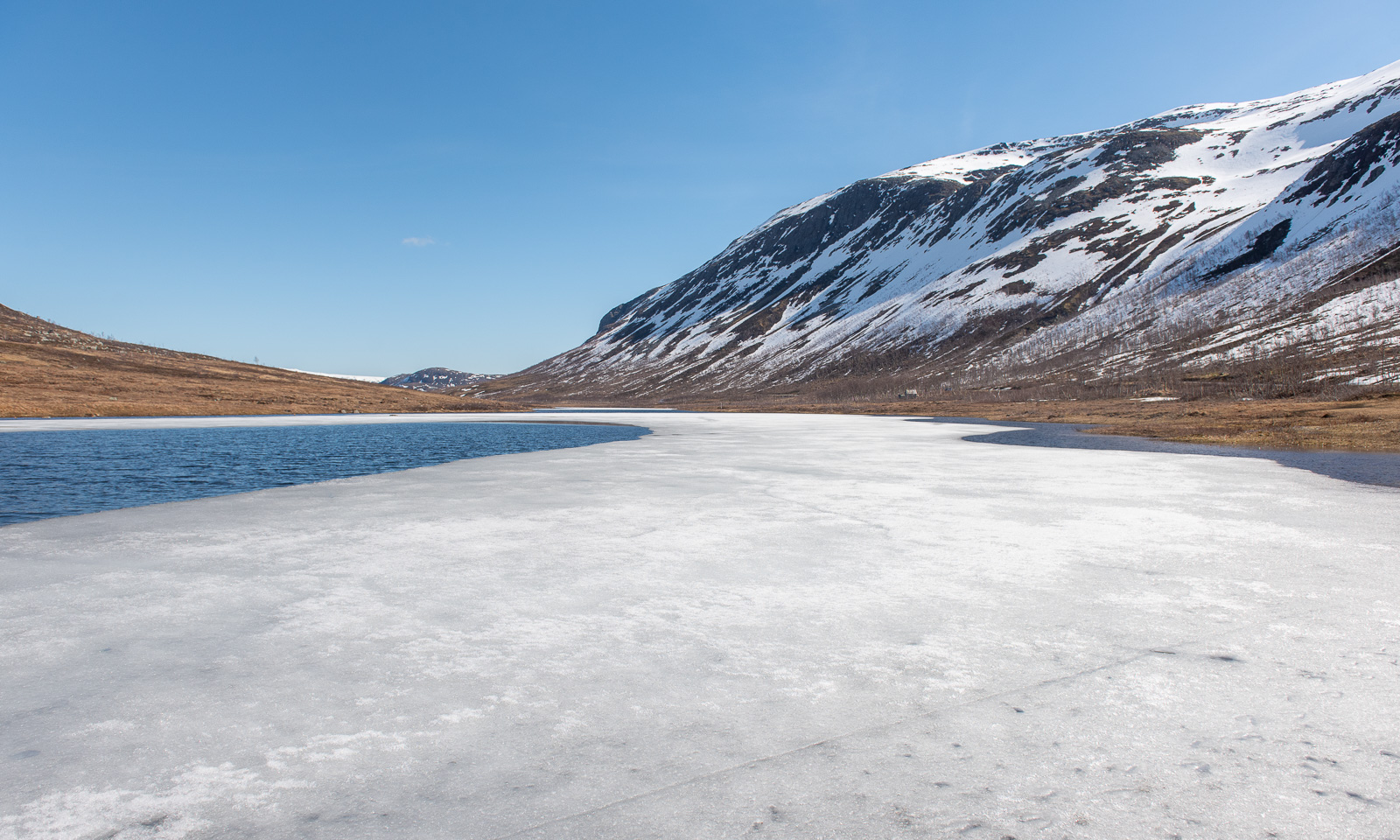
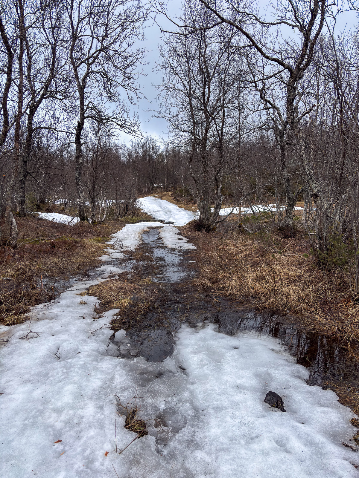
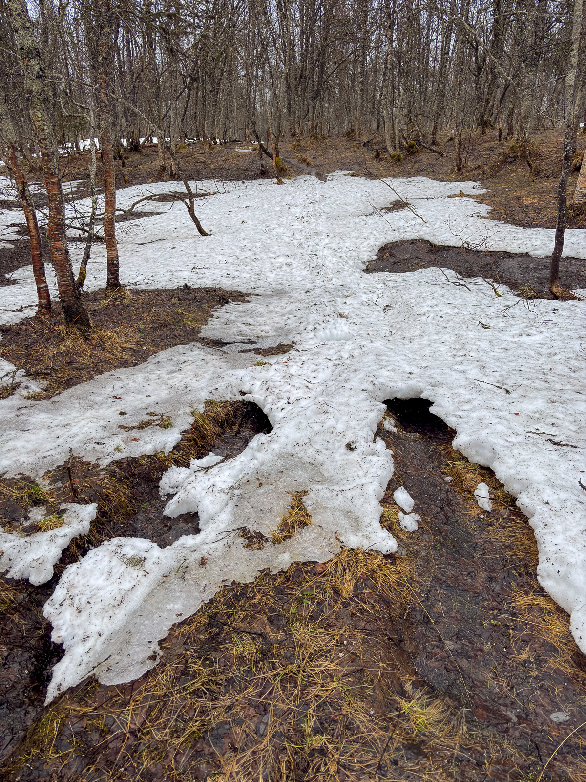
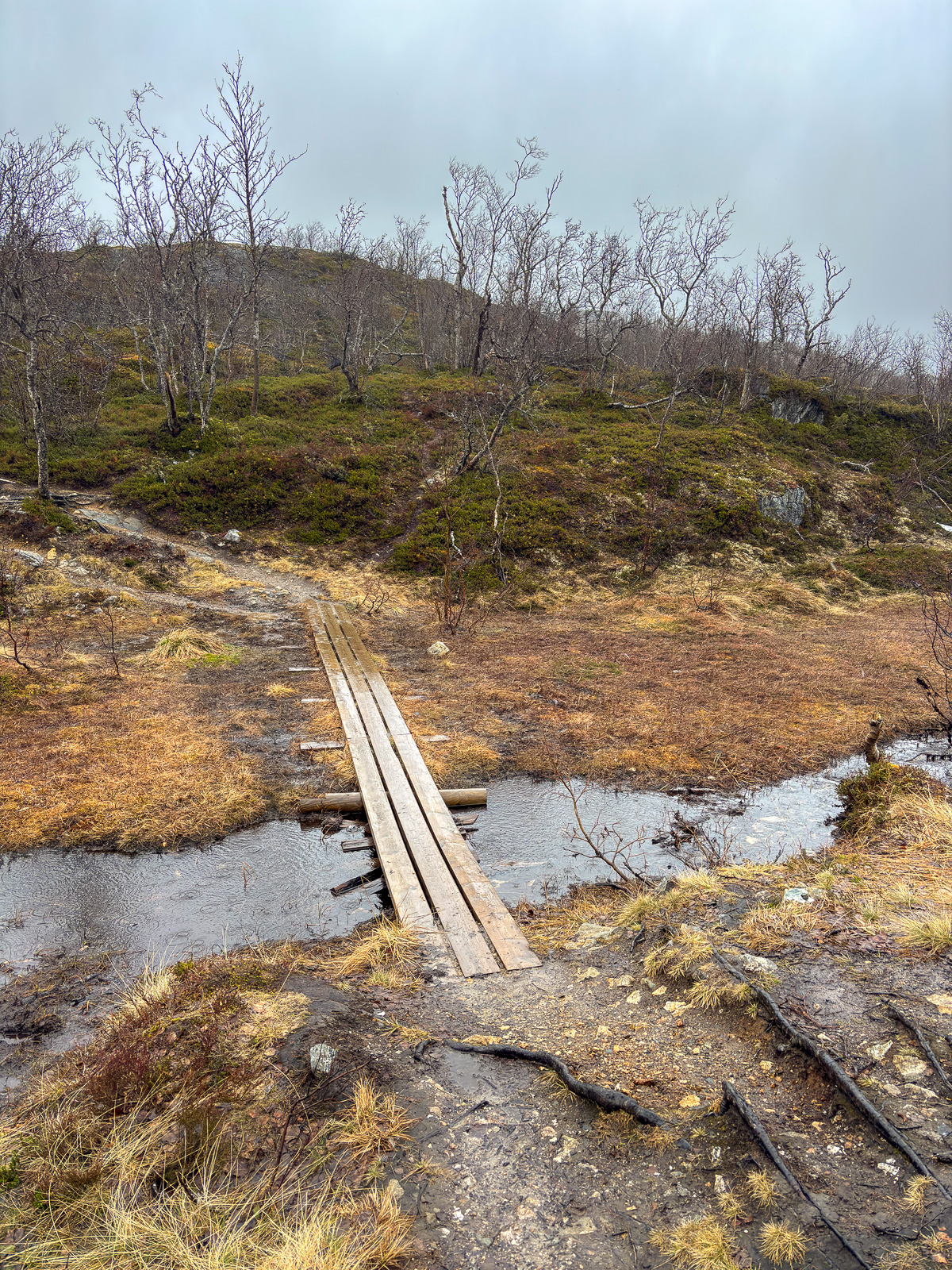
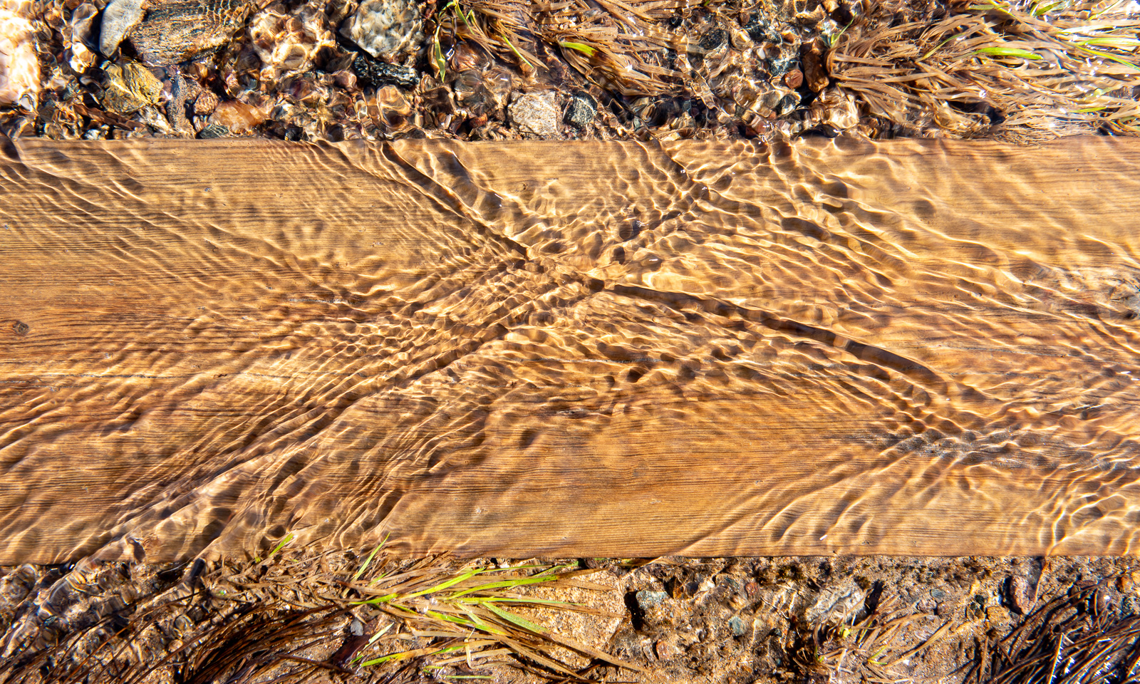
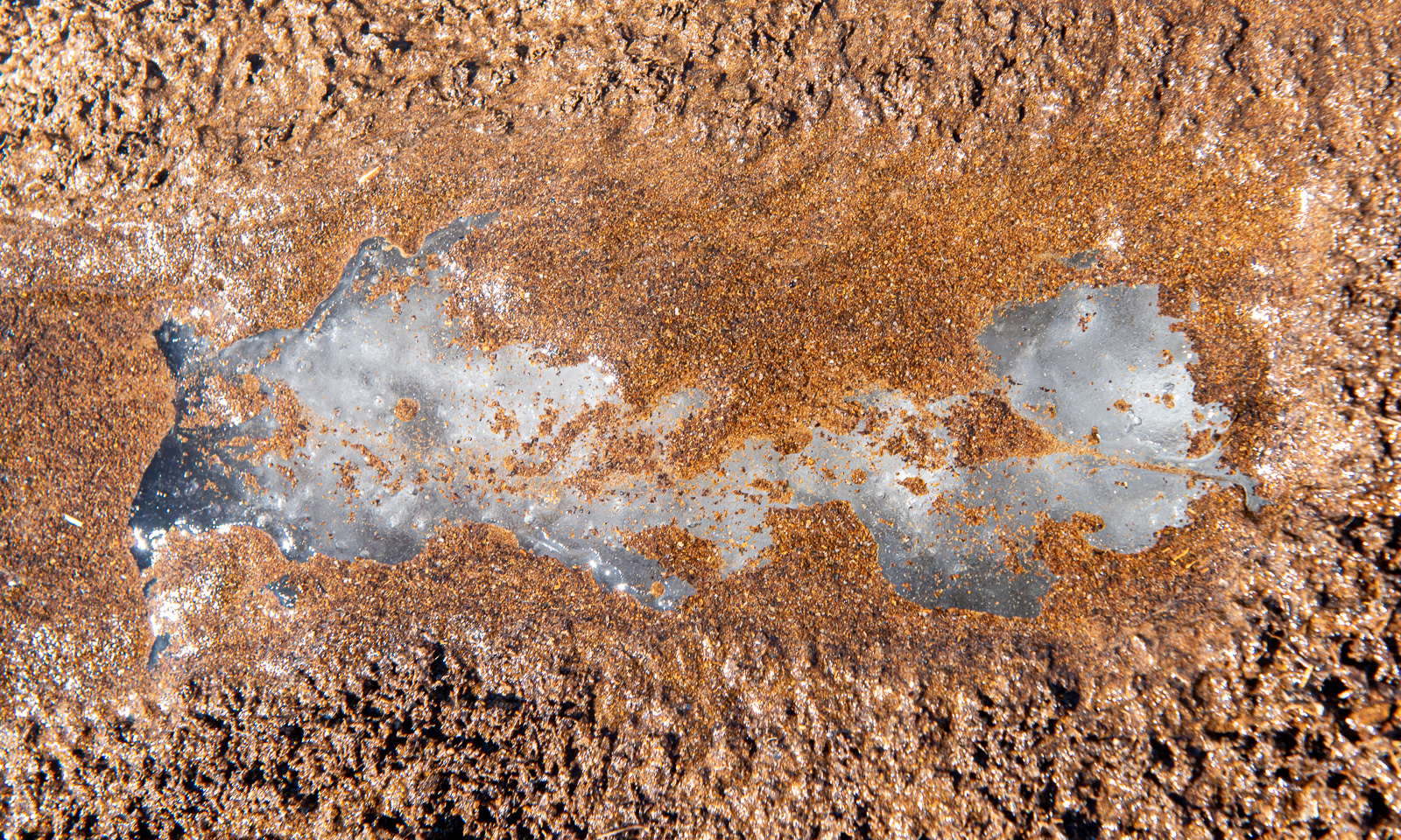
The track is less muddy than I remember but wet, because the snowmelt turns everything into a brook, even the boardwalks. Further up I see that under sand and water there is blank ice. However, it is the only patch I see.
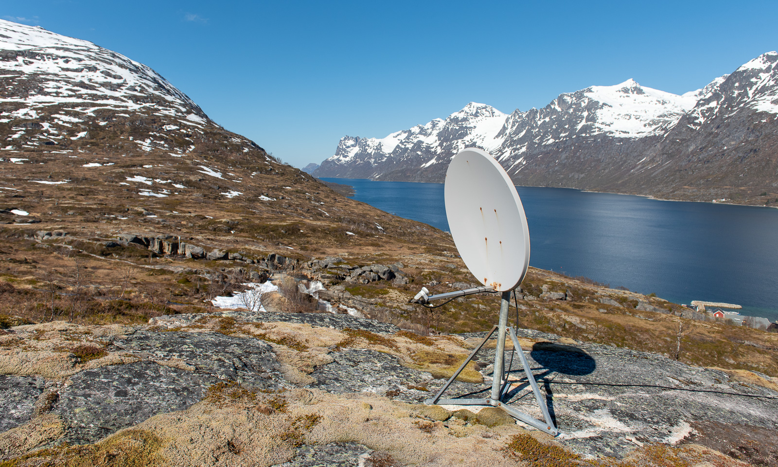
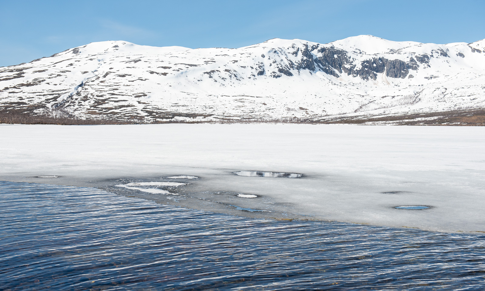
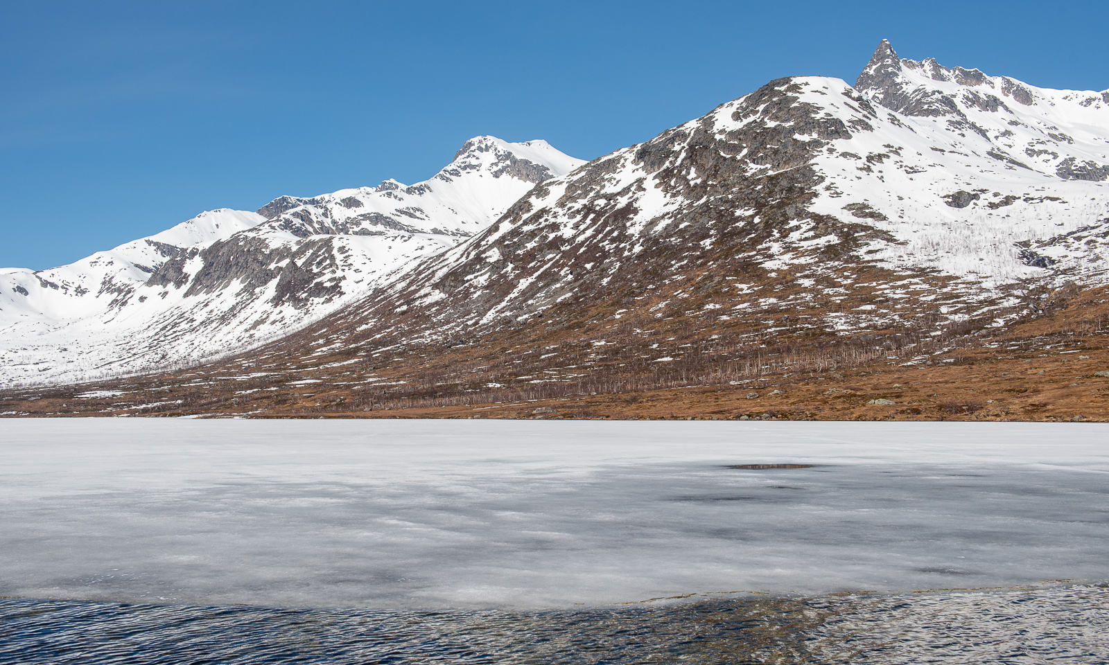
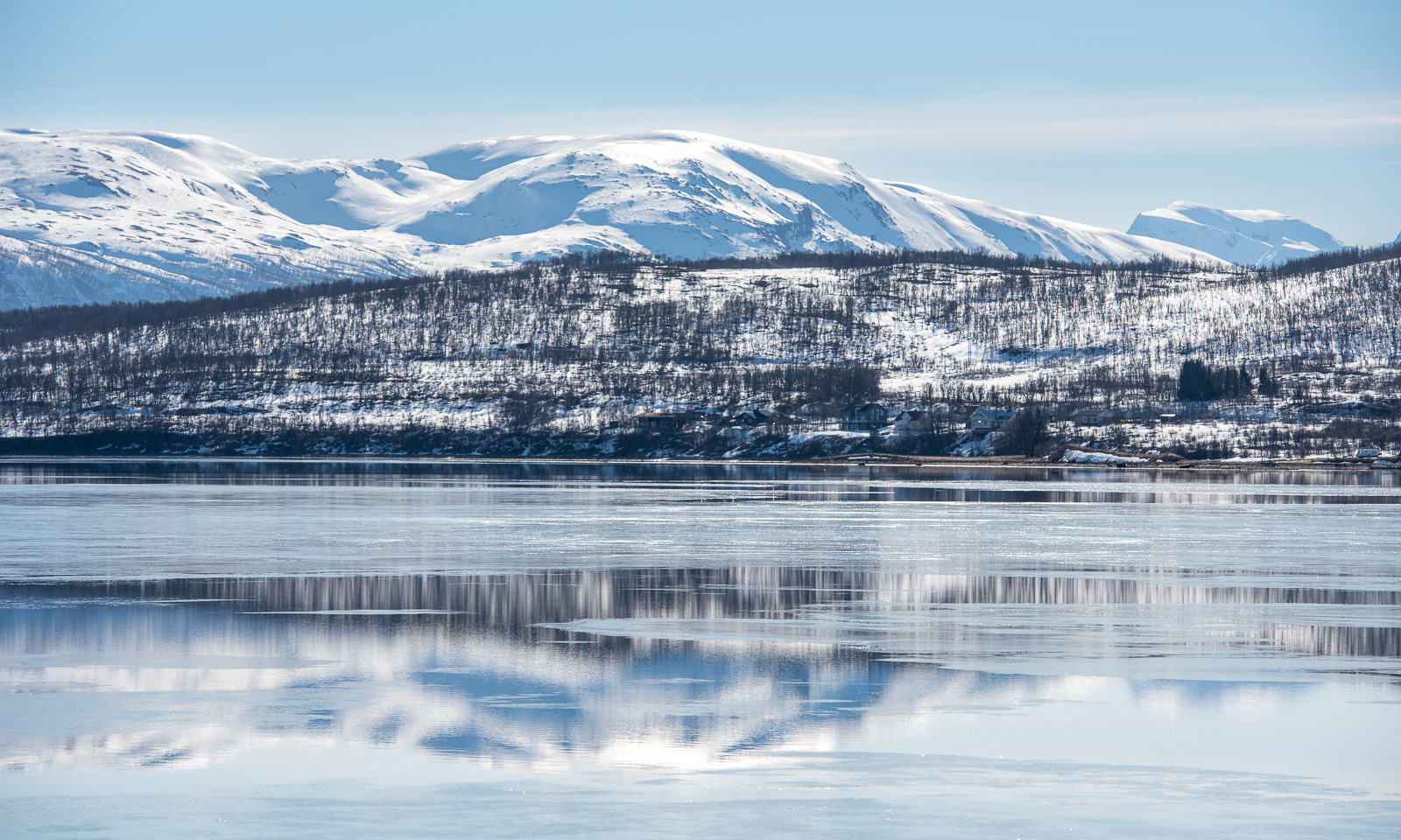
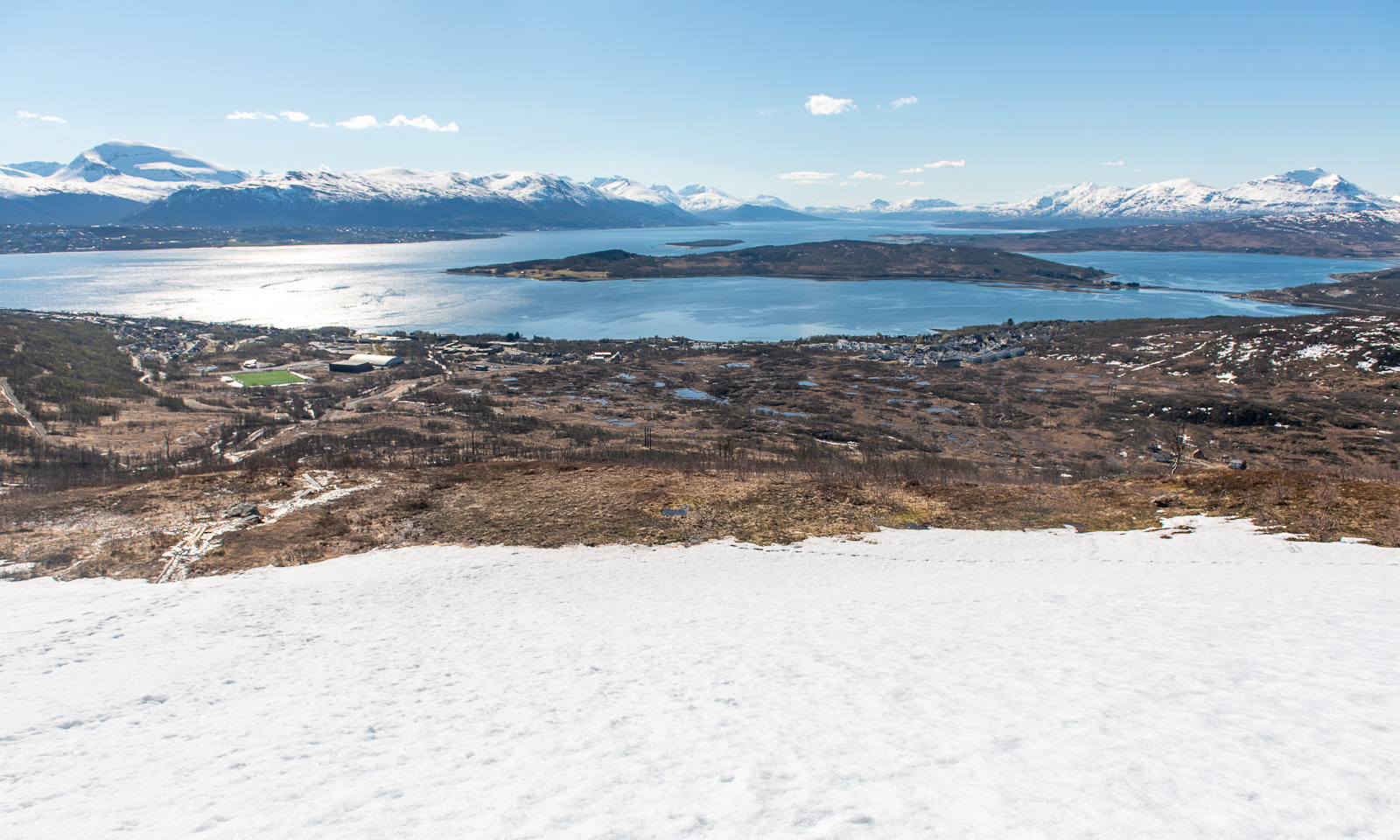
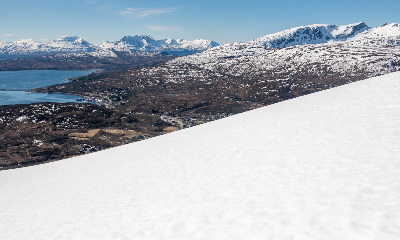
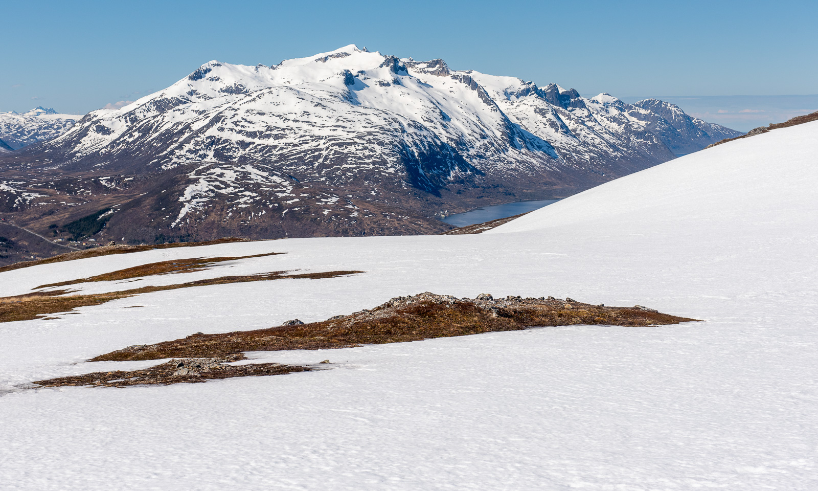
I look back. To the south I can see the island of Håkøya and mountain chains in more or less all directions.
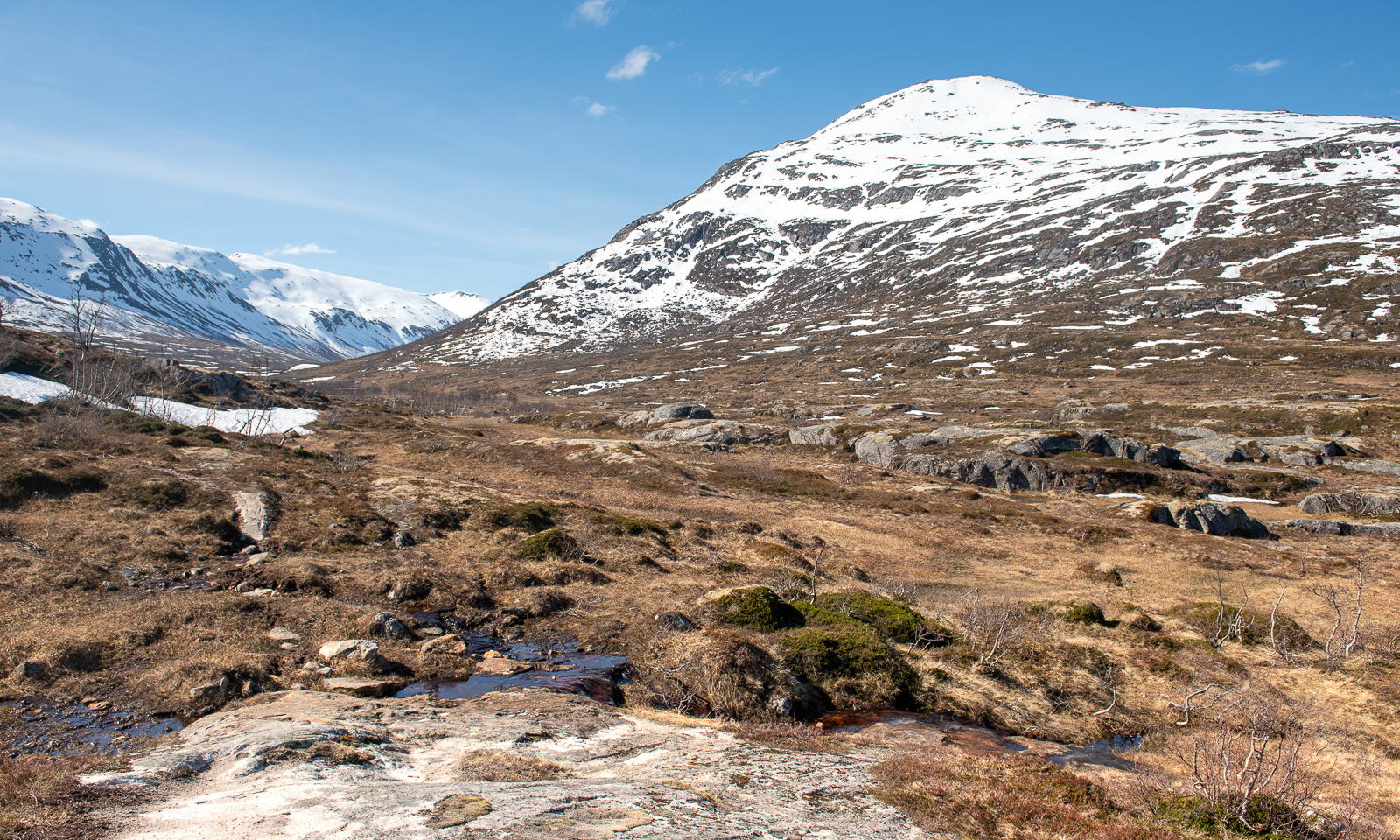
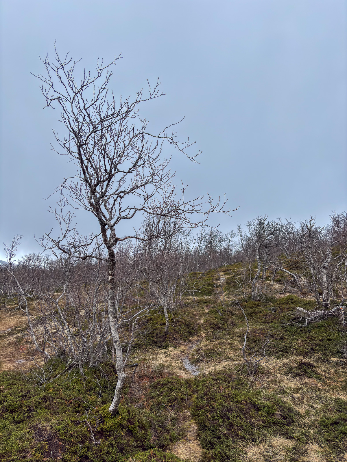
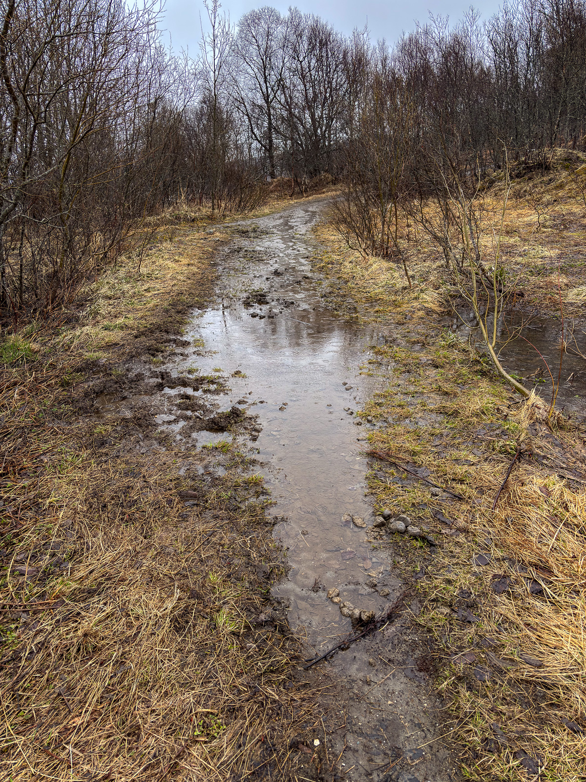
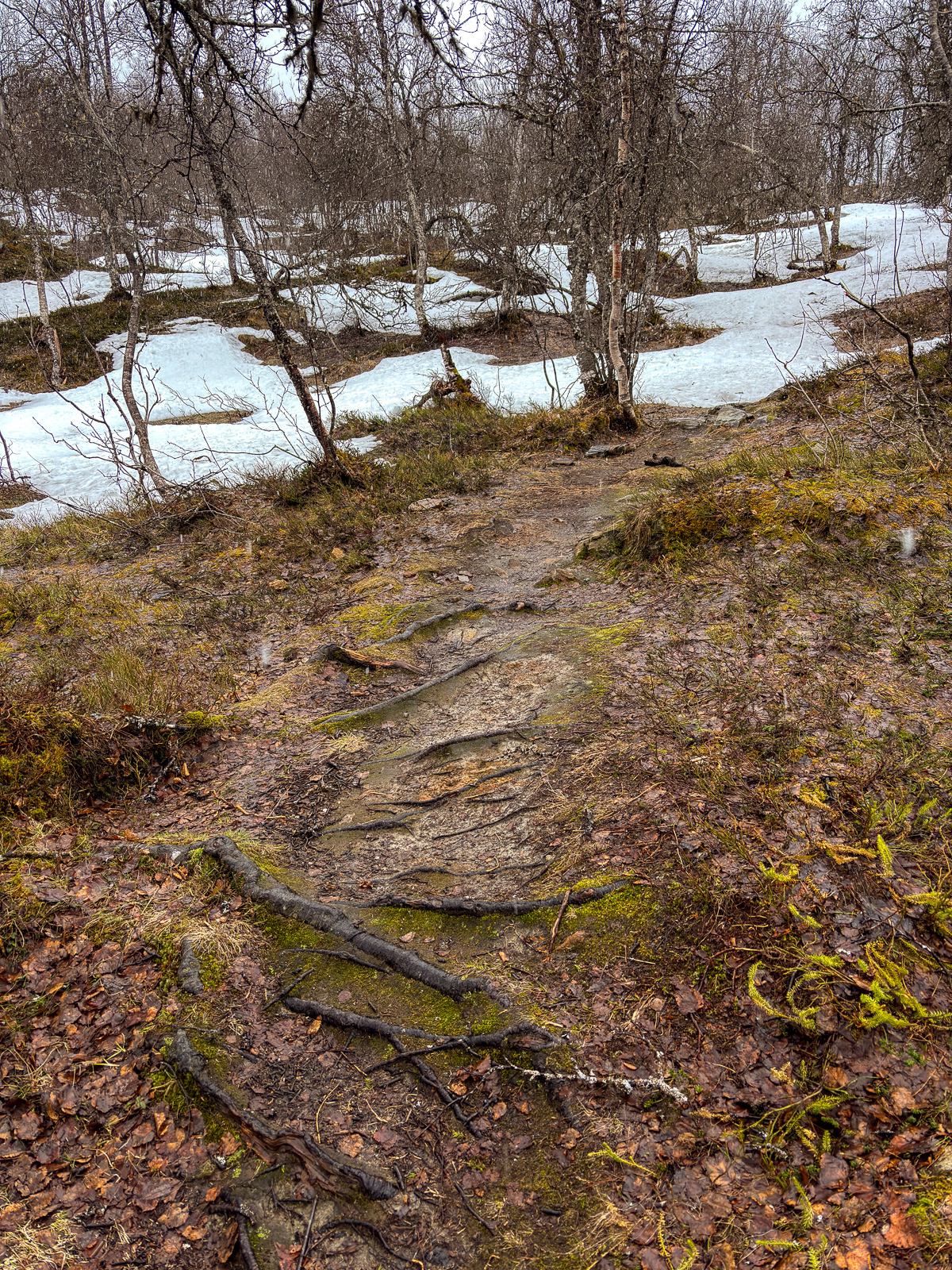
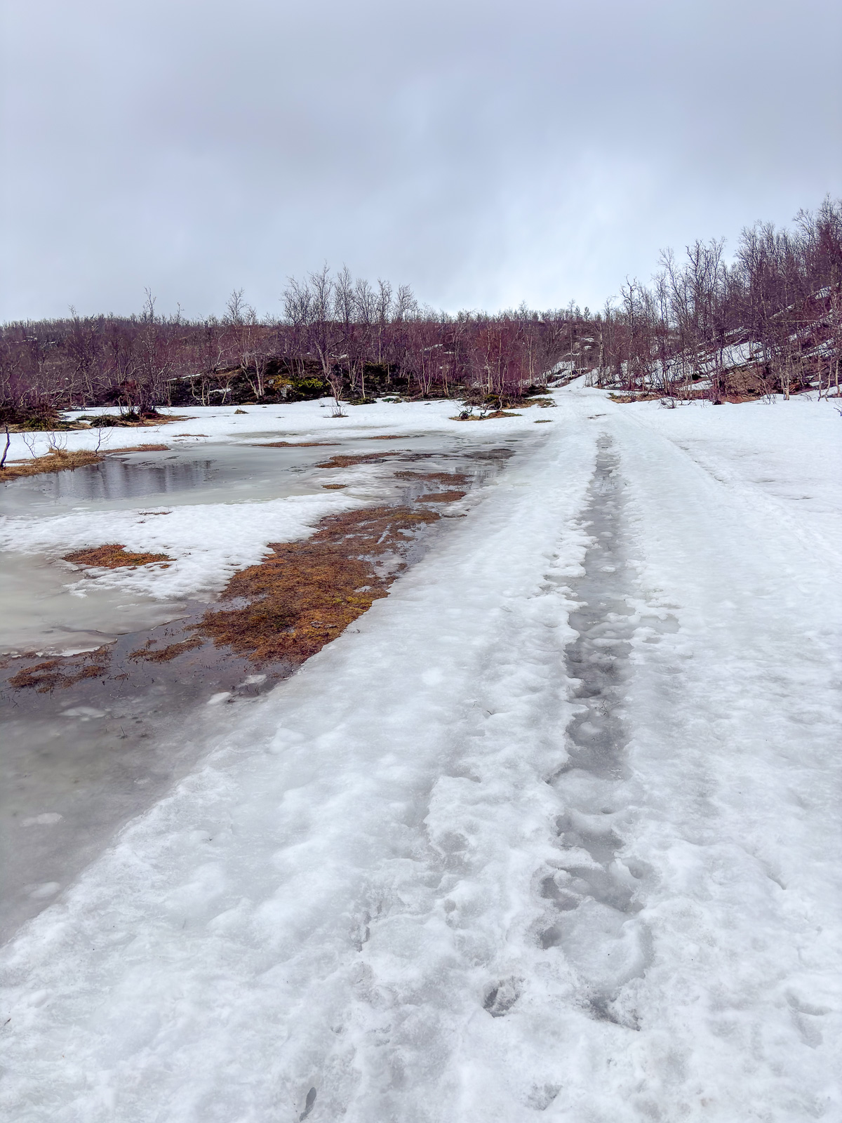
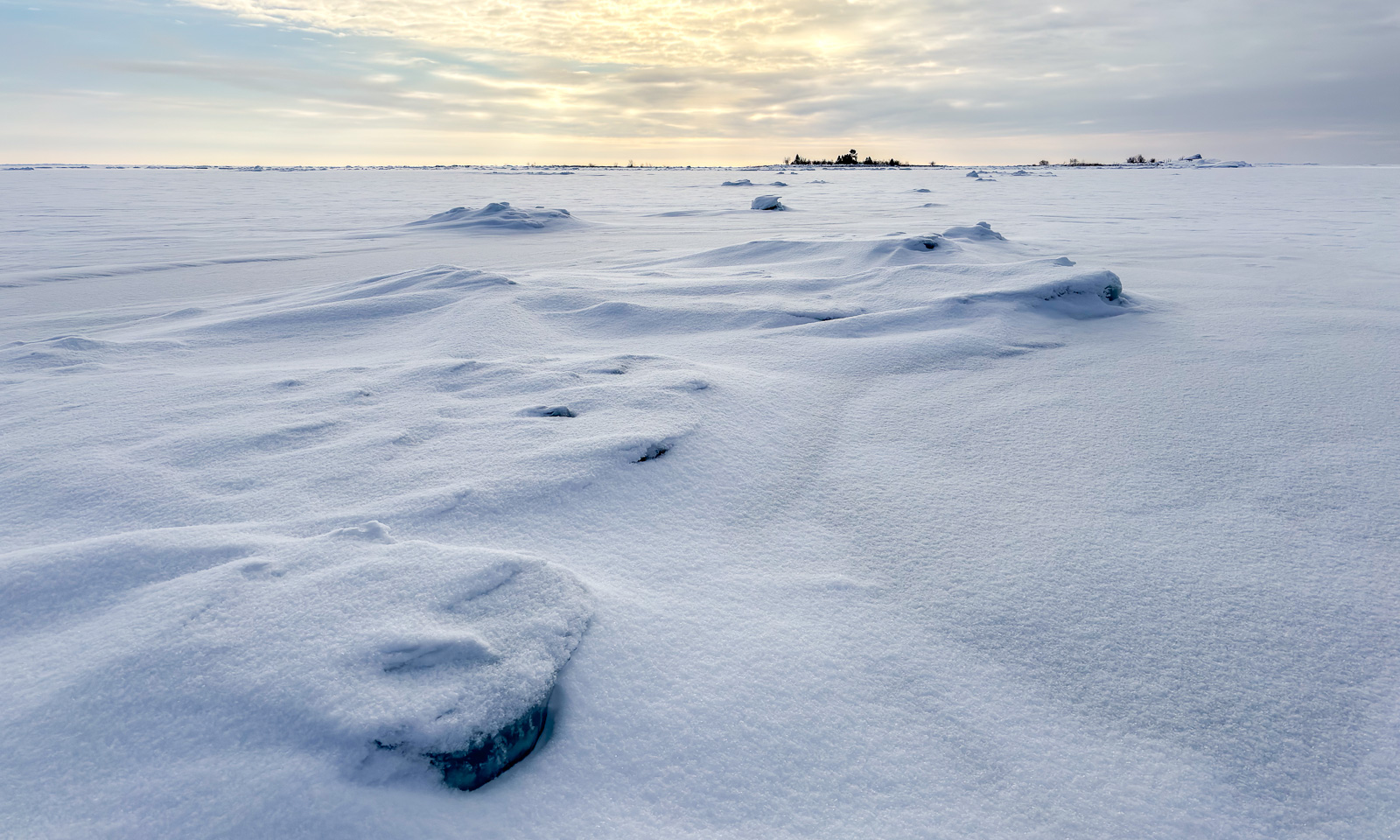
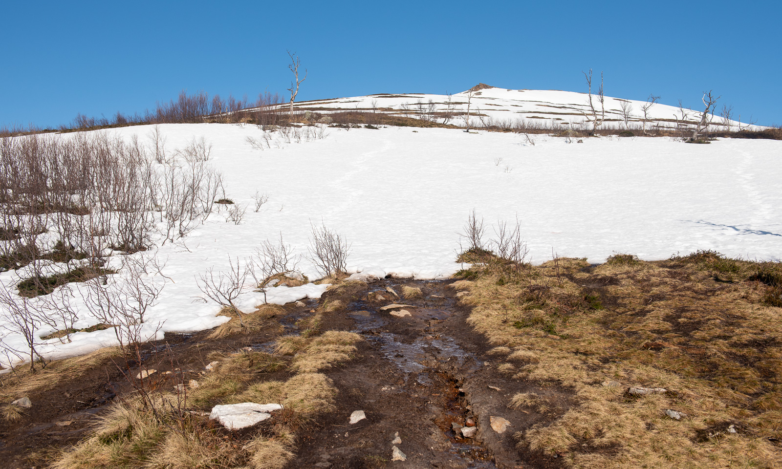
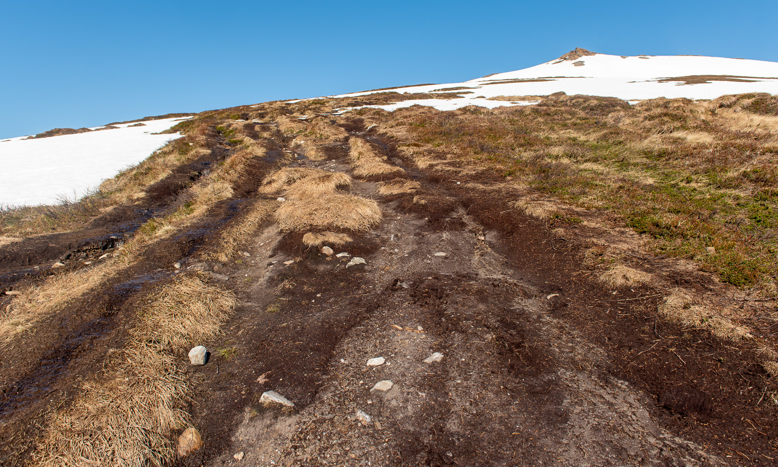
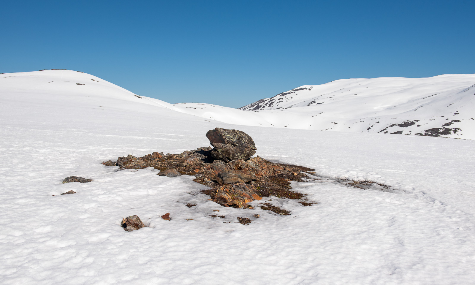
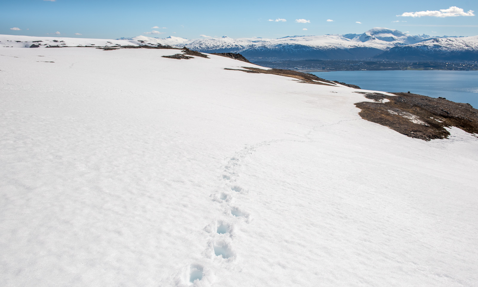
The further up I go, the more the terrain is covered in snow. The barren sections show, how popular this hike is: the track is several metres wide.
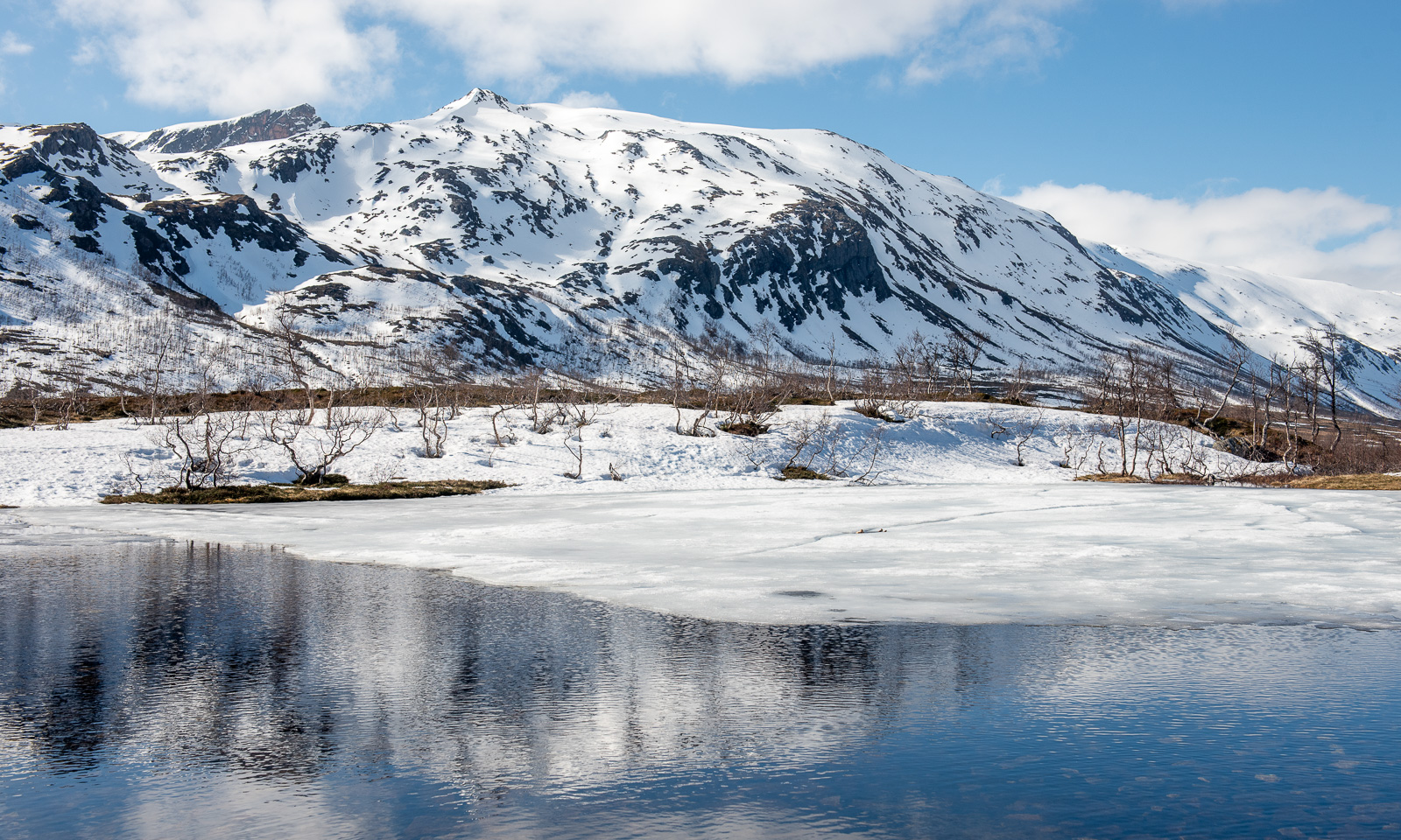
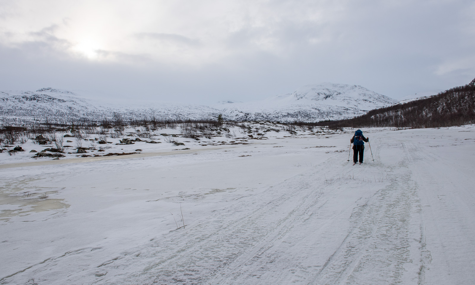
Now I am above the timber line and snow dominates the scene. Mostly it is good to walk on and I do not sink in too much, but there are some nasty holes, especially above the mountain brooks, where you can easily break through up to your thighs. I’m on a gentle slope, angled at 10–15°.
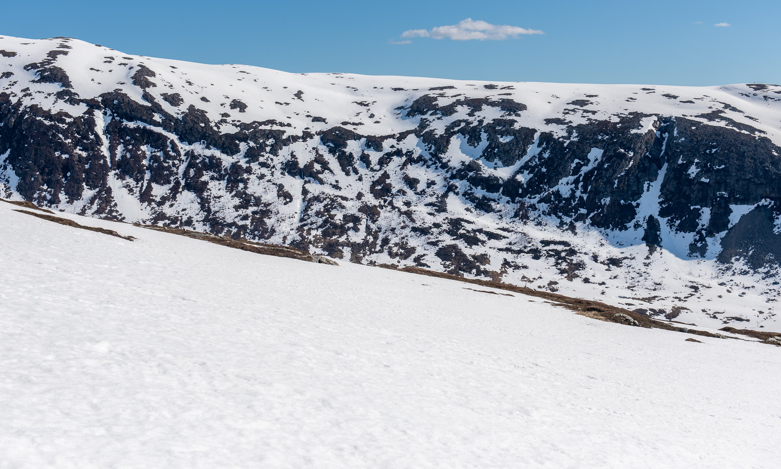
I reach the saddle below the peak. In summer the path gets steeper and rockier, now all I can see is the peak and snow. The snowy slope is pretty steep.
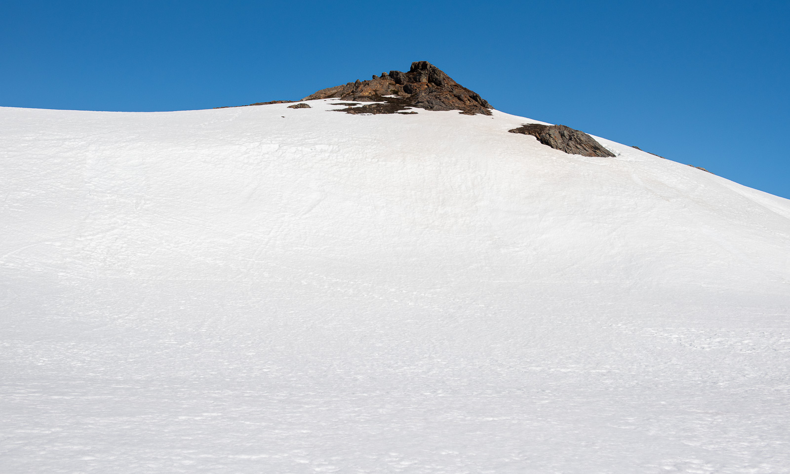
I wasn’t the first one today. I met an elderly man who was already on the way down. Perhaps it’s his footsteps that I follow now on the way up. At the steeper part I use my hands as well. Then I reach the top plateau, cross another snow field and stand on the surprisingly unimpressive peak.
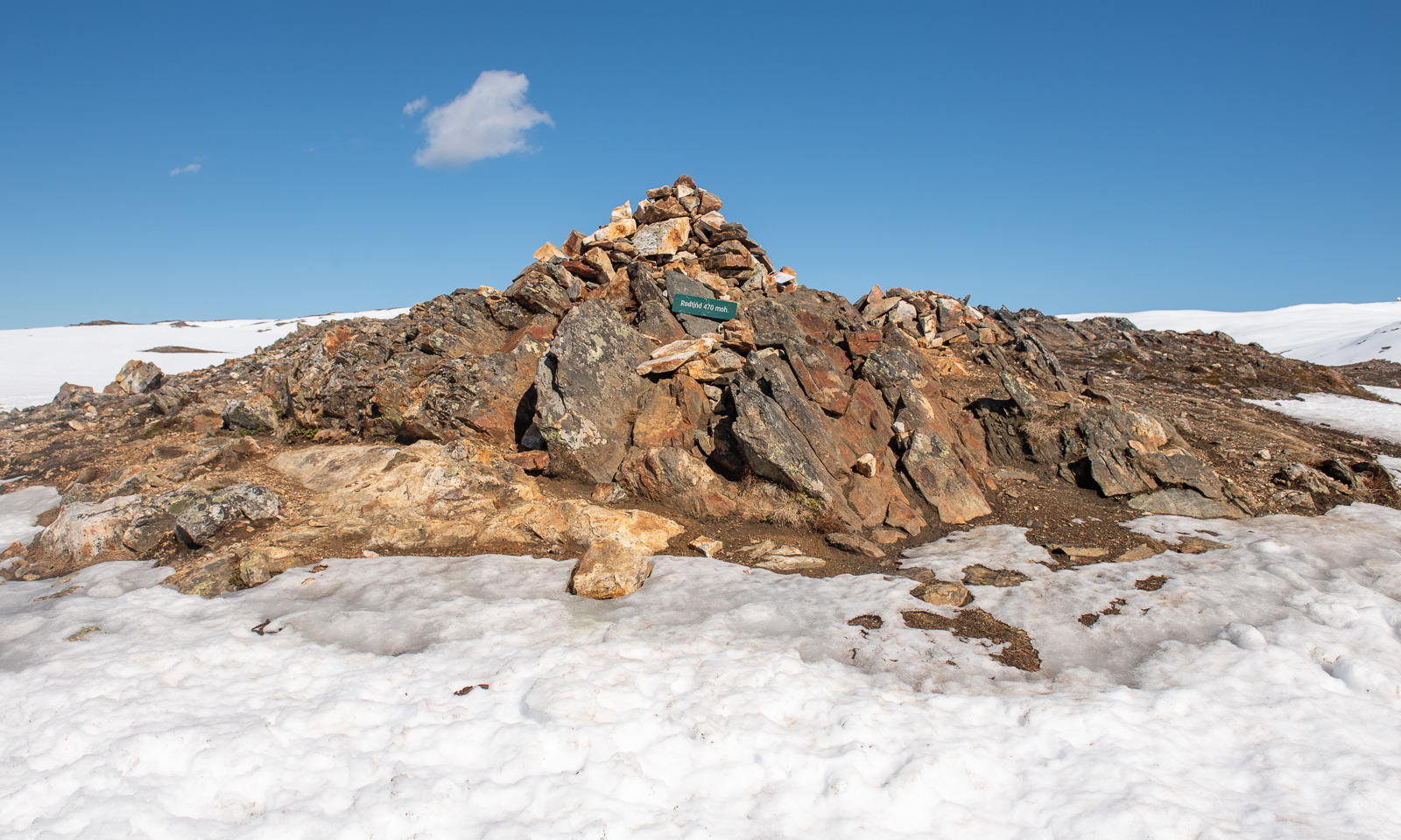
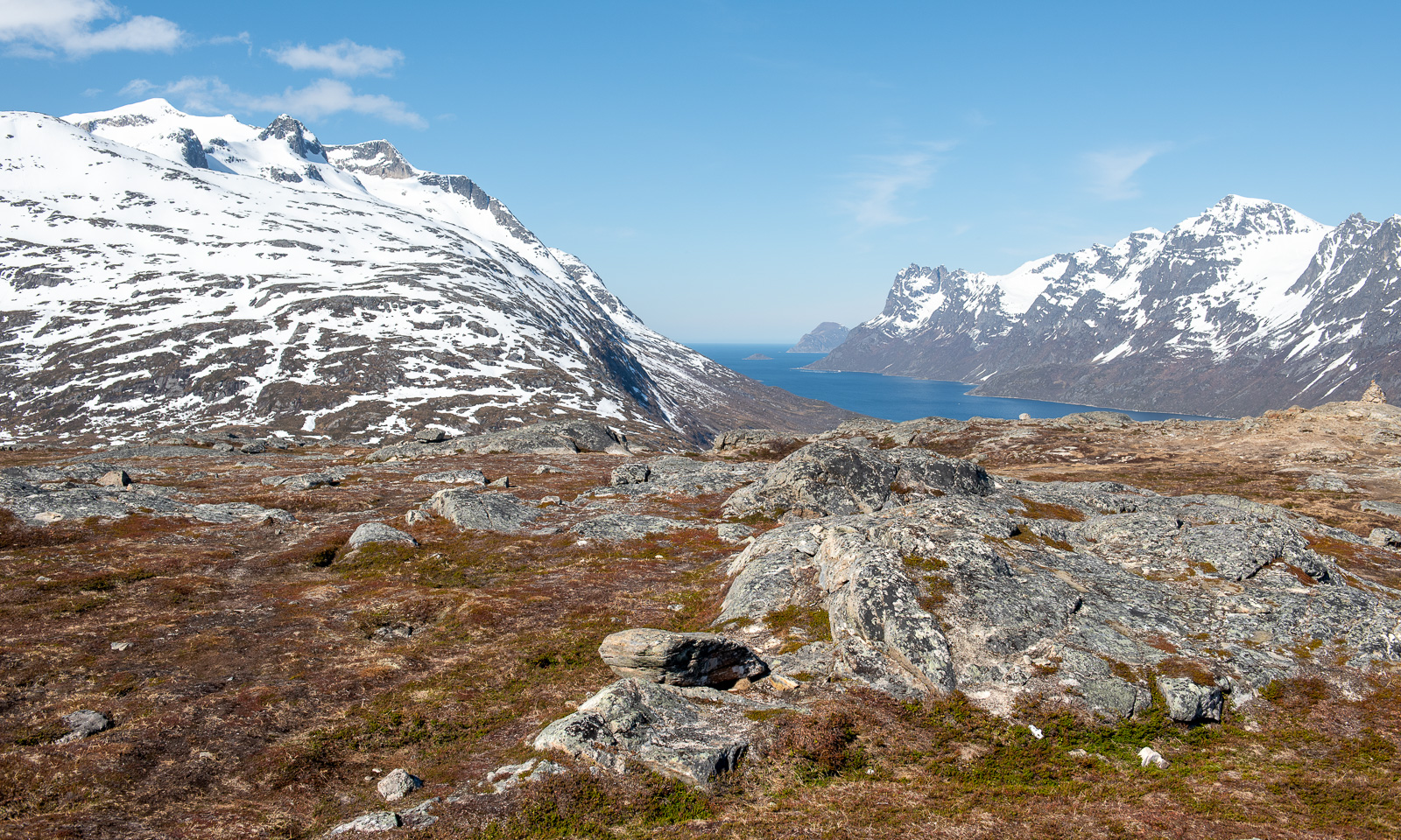
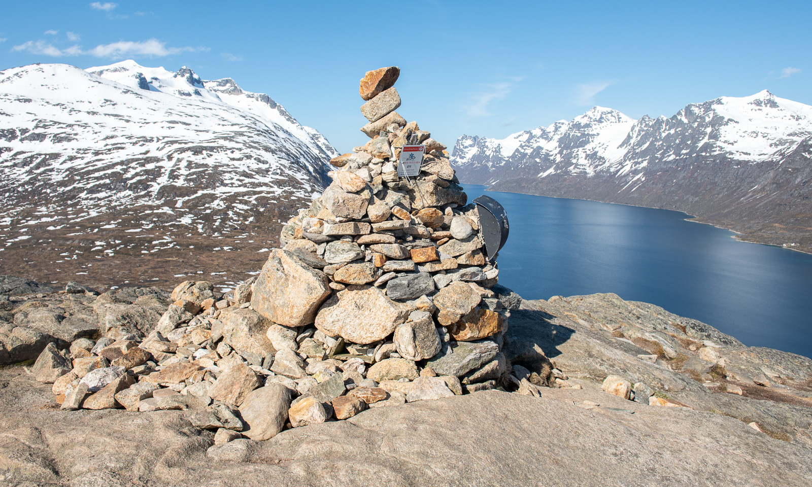
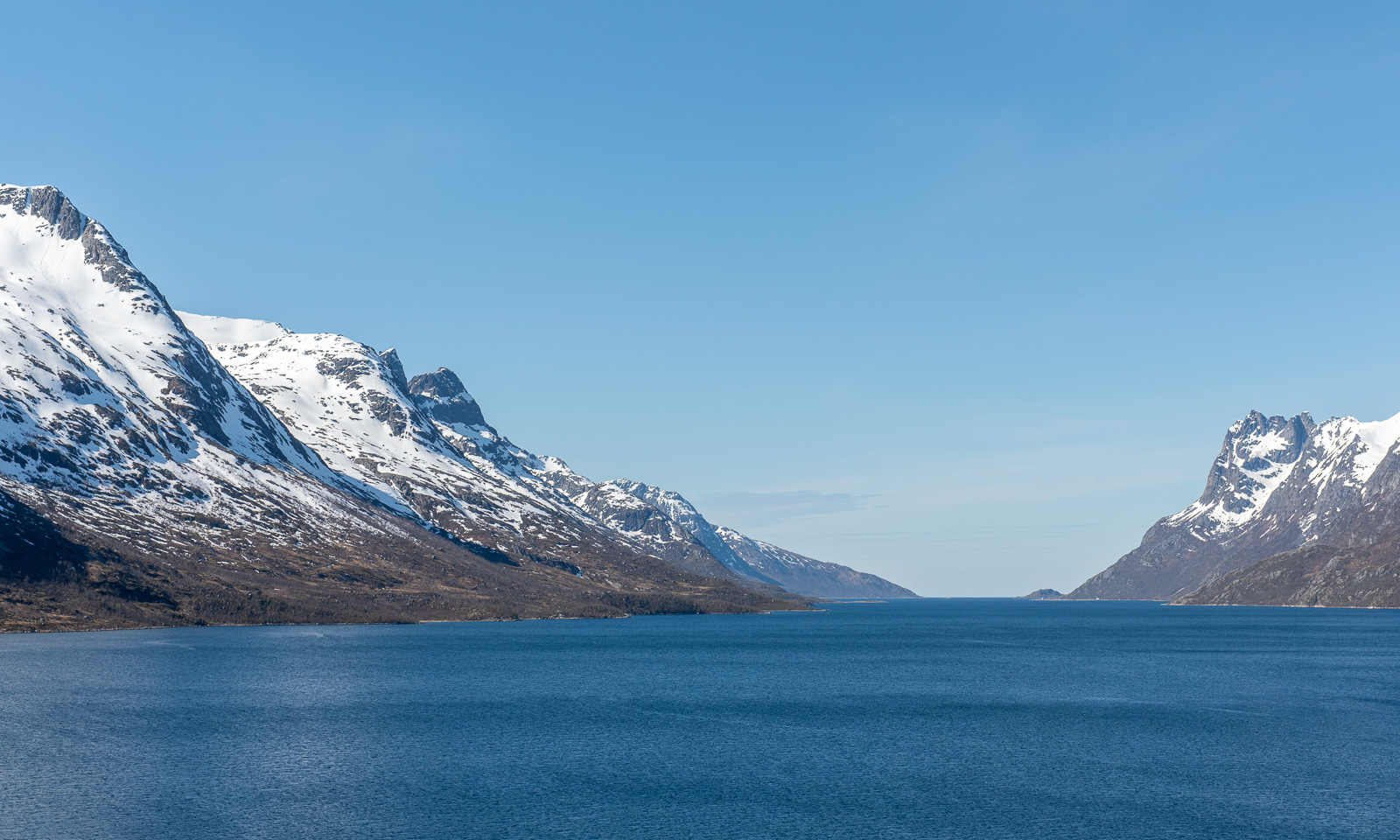
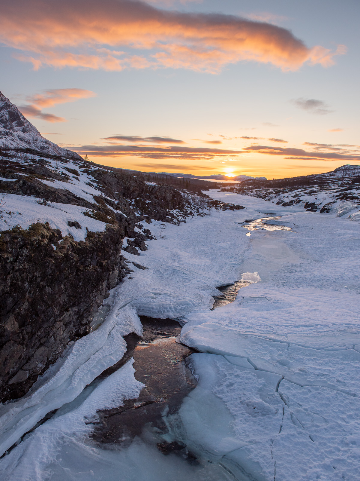
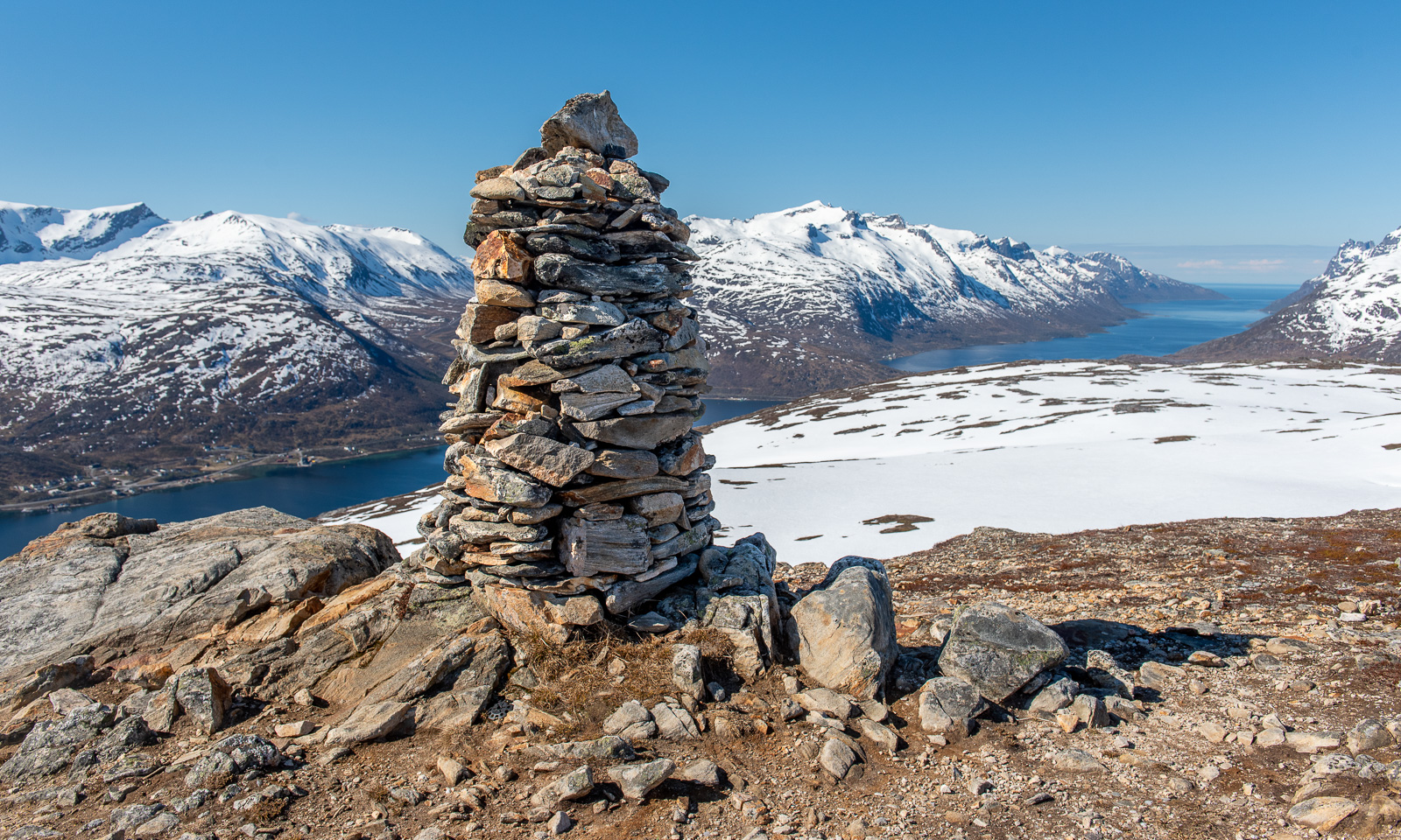
The impressive part are the views, especially to the west and the north.
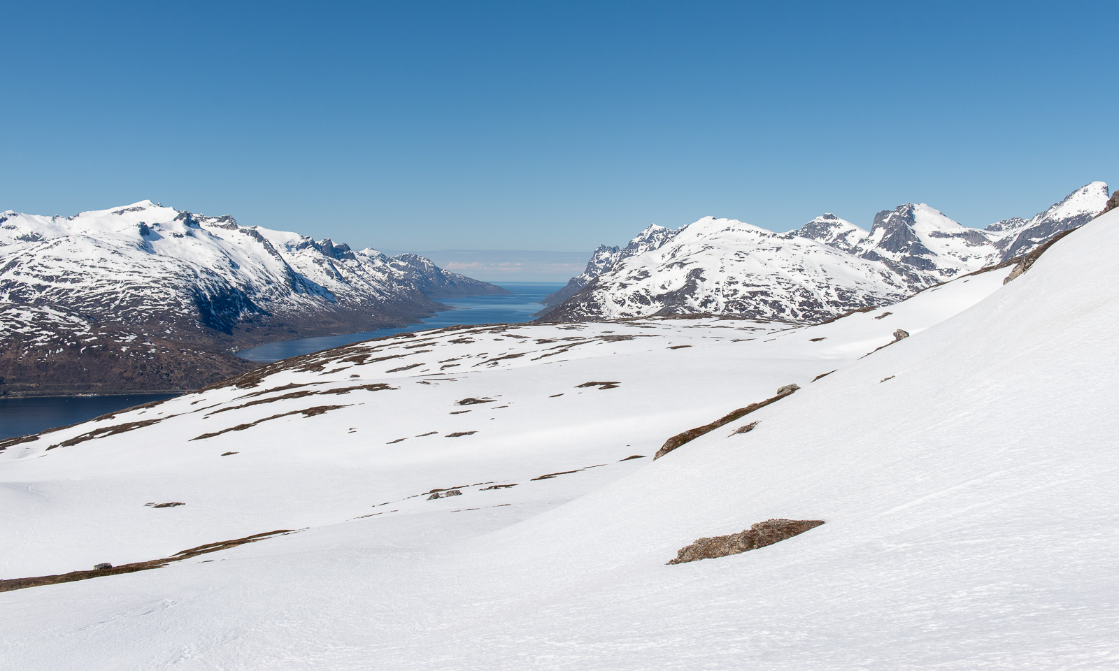
At the tall cairn from where I can see Kaldfjorden meet the open sea is my turning point today. If I had skis or at least snowshoes I would continue. Without then, it’s time to return.
This hill walk was 7.2 km long. Elevation gain and loss: about 500 metres.
The weather is still sunny while I am editing the photos. In one of the photos I can see a small figure – the man who passed me on my way up. On his left side he has something blueish. I magnify the photo to 400%. It’s a pair of blue snowshoes strapped to his small backpack.