Three weeks in Sweden – some photos

14. June

I am sitting in the airplane. Soon I’ll be back “home home” in Obbola for three weeks. Here we are crossing the river Umeälven.

20. June

A low rainbow has appeared above the trees. In the inside it shows supernumerary bands.

21. June

Midsummer in Sweden has several traditions. Probably the most famous one is the dancing round the midsummer pole. Annika and I are in Gammlia, a park with outdoor museum in Umeå. Here we are doing “raketen” – the rocket.

In the evening Annika and I are watching a roe passing by with her two young fawns. They are crossing the shallow bay. Since the water level is higher than normal the water is quite deep for the fawns.

22. June

Excursion to a coast we do not know yet – Järnäsklubb. There are several trails you can follow, only the bathing place we do not find.

24. June

While I pluck lupins (an invasive species) I realise how many beautiful flowers we have in the small patch of wilderness between our house and the sea. Here: a Siberian iris.

27. June

Annika and I are in Gammlia again, this time for the Mullin Mallin Band that plays folk music from Balkan to Sápmi.

29. June

We are in Åsele in the Swedish inland where we visit friends of us together with their farm animals. (Photo: Annika Kramer)

3. Juli

For lunch break I paddle to the beach at Byviken where I eat Ćevapčići. Total distance – round 6.7 km both ways. After that I have to continue working. Home office.

6. Juli (yesterday)

I am sitting in the train to Narvik. I read, I eat, I play with my mobile, I doze and I look out of the window.

The train was in time in Umeå and in Narvik as well. From there the bus 100 brings me to Tromsø where I will work for the more or less next five weeks. Hej då Sverige – hei Norge!

Summer weather in Tromsø

10:30. I am sitting in my car on my way to Sommarøya – “The summer island”. The sun is shining and it is warm already. Today it is supposed to be 19 °C, much warmer than the last weeks (or months). The first photo stop, a parking place by the sea. Tussilago is blooming everywhere.

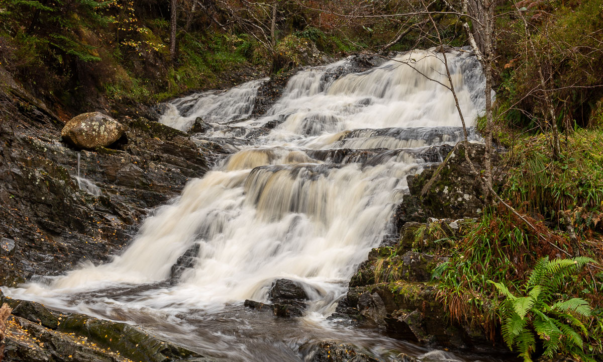
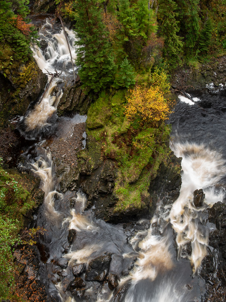
The road leaves the sea and leads through the valley Kattfjordeidet. The lake Kattfjordvatnet lies on 149 metres of altitude. Does not sound much, nevertheless it is high enough that most parts of it are still covered with ice. I like the open areas – small waterfalls and beautiful reflections.

The valley is 12 km long. I leave it behind and meet the sea again. And two locals – reindeer that know the traffic rules and walk on the other side of the street (or better said in the ditch).

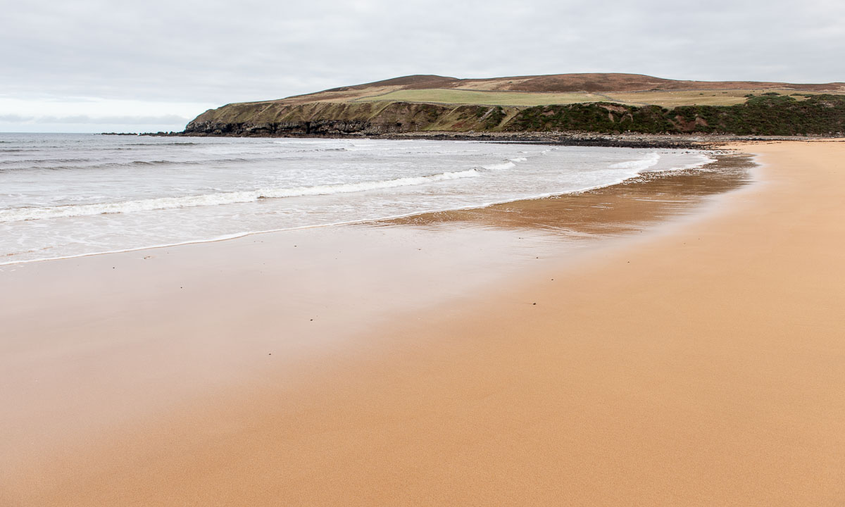
Just before the tunnel Oterviktunnelen there is a parking place and shortly after a beautiful sandy beach. It looks so warm, but I didn’t measure the water temperature …

I am lucky, I find a nice shell, a “pelican’s foot”. Then I continue my ride and enter the tunnel. It is not long, just 607 m.

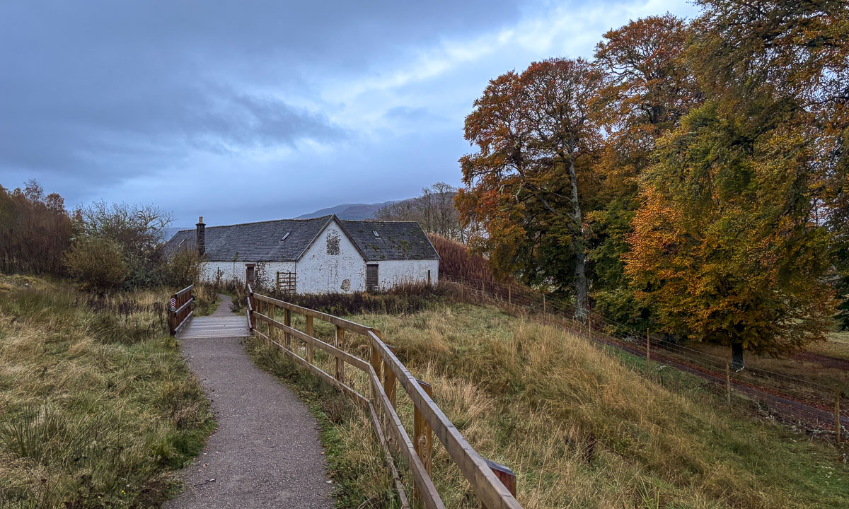
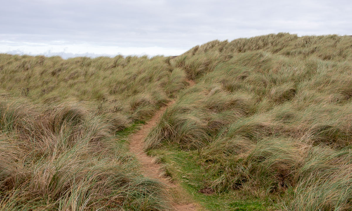
Almost wherever you stop there are nice places to explore, for example this tiny beach, less than ten metres wide. It is not far away from the bridge to Sommarøya.

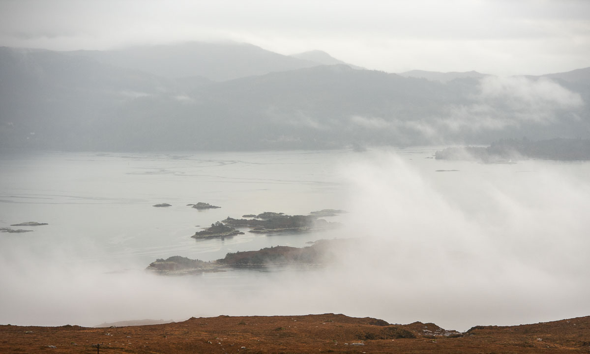
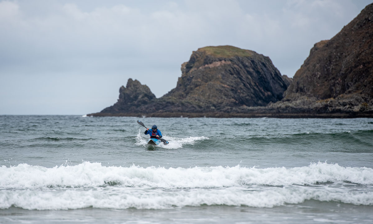
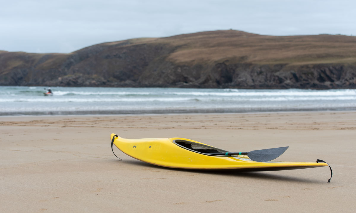
From the bridge you can see a lot of small islands, many of them with sandy beaches. A kayakers paradise, although the weather can be pretty rough. But if you like challenges, take your boat, head west and after 1600 km you are in Greenland. ;-)

The last weeks I have seen three kinds of wild flowers blooming in and around Tromsø. (1) Tussilago – 17 April (always the first). (2) Dandelion – 26 April. (3) Oxlip (or another primula) – 8 May. Today I discovered two others. According to Pl@ntNet, which I use for identification a Goldilocks buttercup (91.2%) and a Purple mountain saxifrage (94.6%).

Would I find one of my favourites flowers as well – the Marsh marigold, which loves wet places and has an incredibly beautiful hue of yellow. Yes? I found some of them beside a small pond.

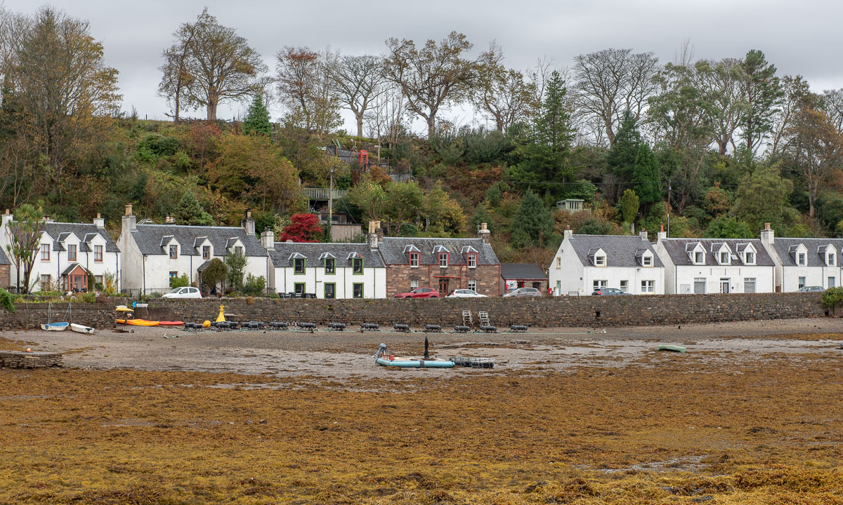
On Sommarøya I hardly took any picture, on the outer island Hillesøya I took a photo of one of the boat harbours. In my back an open door, a dark room and in there a man cleaning fish.

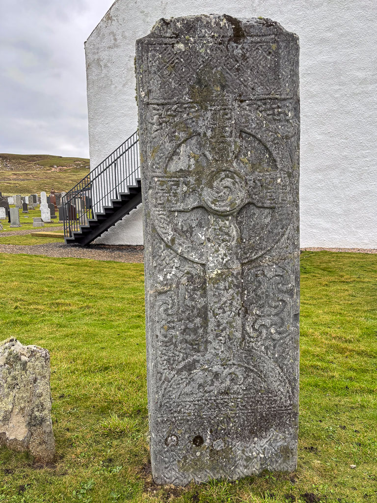
After taking lunch in the snack restaurant Havfrua (“The mermaid”) it was time to drive back. I chose the way round the south of the island Kvaløya and made some small stops. One at the ponds and puddles in a boggy area, which now are free of ice. Another by the church Hillesøy kirke, which is by the way not on the island Hillesøya.

And then the time came: 20 °C according to the car thermometer! Last time it was so warm here was last August.

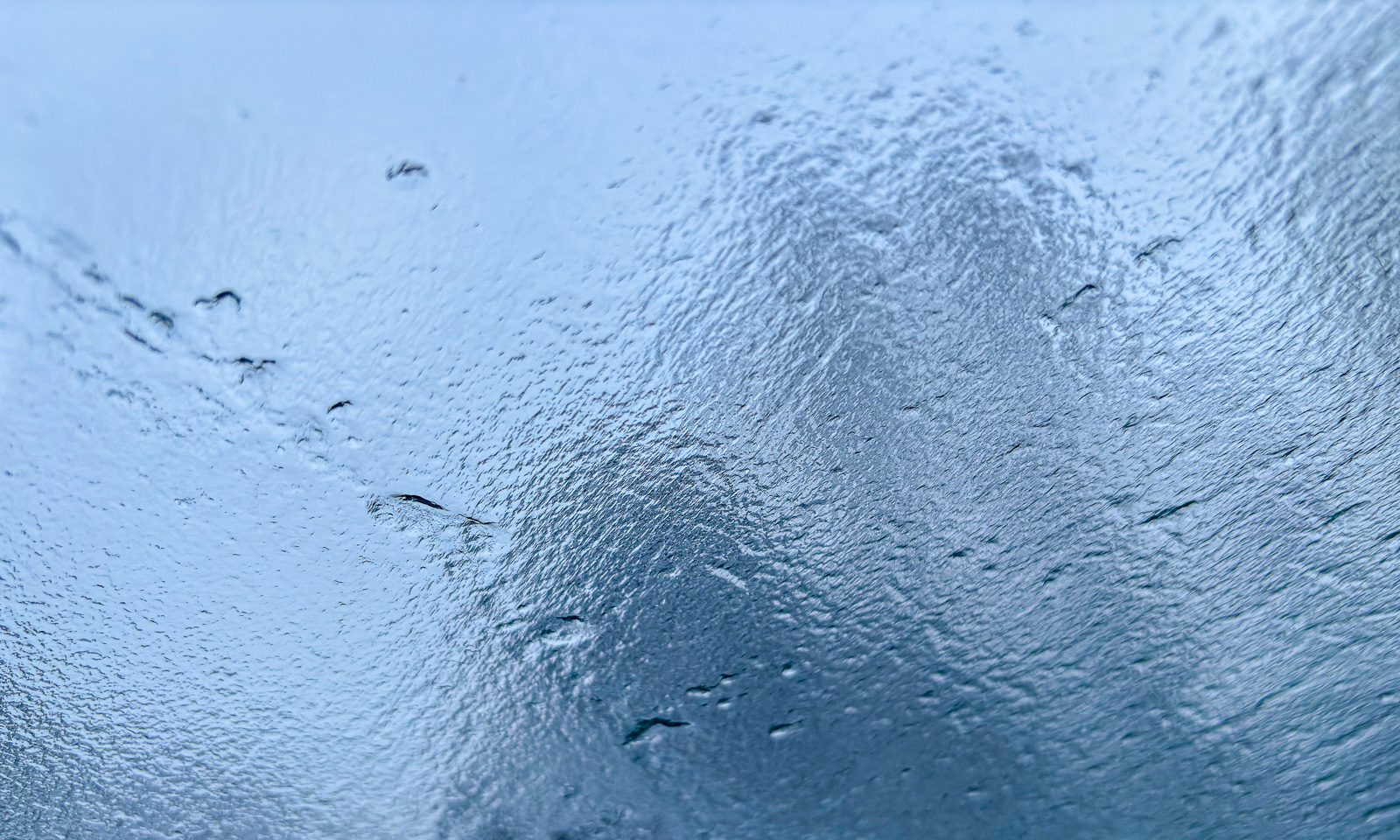
I took another stop to take a photo of one of the mighty mountains on the other side of the strait Straumsfjorden. When I looked down into the deep water I spotted a shoal of fish. It was hundreds, probably thousands of fish resting in the shadow. The photo is heavily edited to make the fish more visible.

After a while I came back to more known areas – less than 30 minutes away from my “work flat” in Tromsø. I stopped at a small grave yard. Most tomb stones were free of snow, but those located in the snow drifts will have to wait a bit longer. Anyhow snow in the lowlands has become the exception. Even the bogs that tend to be cold are hardly frozen any more. And so I had to be quite cautious to avoid wet feet, when I looked for a good place to take a picture of that beautiful pine tree other there – the last photo for today.

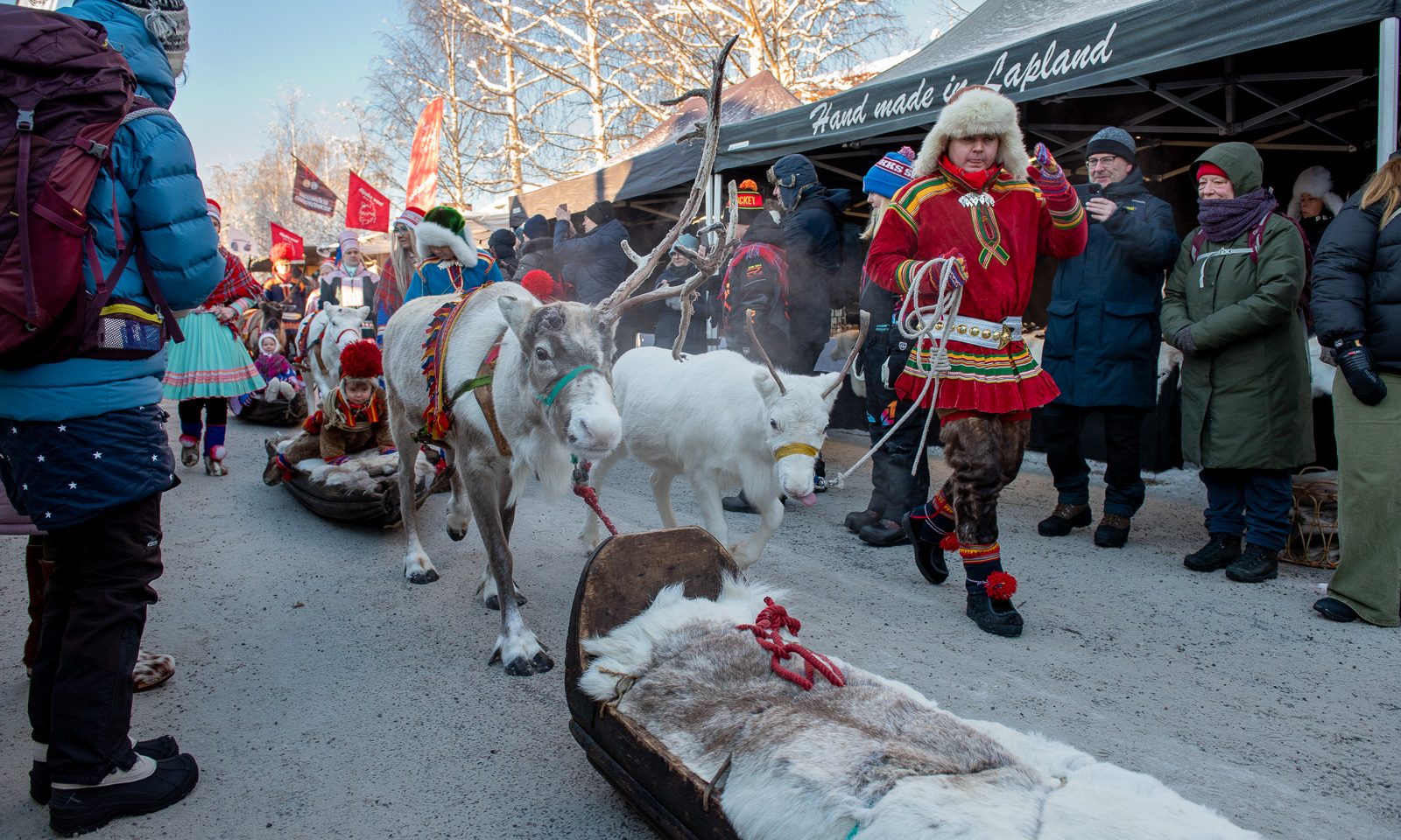
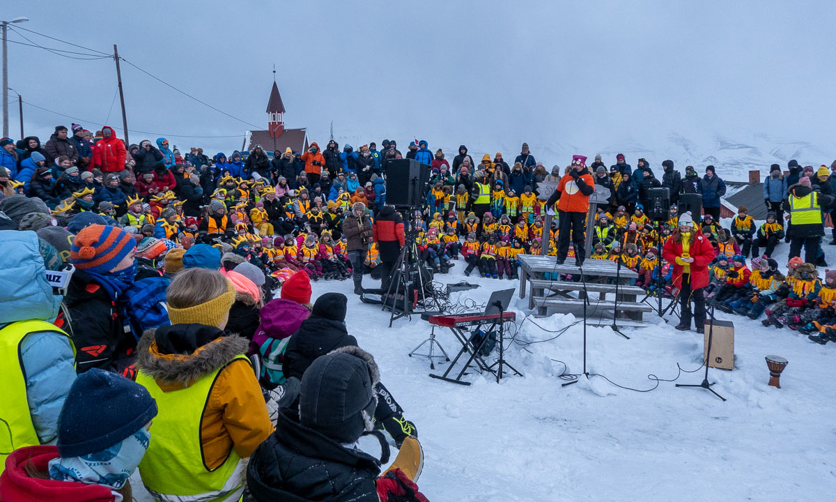
Those of you that are not so familiar with Norway as a country may ask yourselves: Why did Olaf make an excursion on a Friday? That’s because today it is Constitution Day. On 17 May 1814 the Constitution of Norway was signed and this is the most important day of the year. Even through our street a marching band walked by and all people have their best clothes on – many of them the traditional bunad which shows, from which part of Norway they come from.

And so I shout out: “Gratulerer med dagen, Norge!” – Happy birthday, Norway!

Here is an article from 10 years ago: Syttende mai (German text).

Like ice in the springtime …

In the rare cases where the temperature rises above 0 °C something special happens: Ice and snow melt and become a liquid known as „water“. One of these rare occasions is called „spring“ and this is what has started happening right now. In these days many things happen that are related to ice, snow, and water.

8 April: Vattenplasket in Malå

Last Friday Annika and I visited our friends Lasse and Martine in Kusfors and stayed over. Lasse is a journalist and had a job in Malå the next day. There was a very special ski competition named “Vattenplasket” – the water splash. A ski hill and instead of a finish line a large basin with knee deep water. Is it possible to downhill on ski or snowboard and have enough momentum to cross the water? Let’s see:

Most of the competitors failed, two actually managed it. True sportsmanship showed a small boy that did not get enough momentum with his sled and just walked into the water. Kudos!

9 April: almost a kayak tour

On Sunday Annika and I tried to do another kayak tour. Five days ago the ice was stable, this day it had got holes and was not reliable anymore. While Annika stood on safe ice I tried to cross the old ice to the island but **splash!** broke through several times. No biggie, the water is quite shallow and we have drysuits but it is exhausting. When Annika started breaking through as well, we decided to return. Another time …

10 April: winter bath

Finally. Annika and I. Twice. And then: sitting on the rocks in the wet bathing clothes without freezing because the sun is so warm. Springtime!

12 April: ice work

This is a piece of ice seen from the side. You can see the different horizontal layers that accumulated over time.

This is however no glacier ice nor Arctic sea ice. It is a piece of ice from our way to our house. Annika and I have been chopping the ice bit by bit for many days and today was the day: the way to the car and the road is free of ice and snow.

12 April: another “almost” kayak tour

There are other parts that are free of ice: Most of the weak ice between land and the island Lillskär is gone. After work I tried to paddle around the islet. We had low water (-30 cm) and some of the stable ice was grounded while large parts of the sea were open.

The first part was easy but when I almost rounded the island I came into an ice field. I already had seen it before starting the tour and thought I could paddle through. In theory this was possible, but the wind and the layers of ice made it near to impossible to steer the kayak.

So I got off the boat, jumped into the 60 cm deep water and while standing turned the kayak back to course. Now I could continue my island circumnavigation. Anyhow I consider exiting the kayak on the tour cheating, that’s why I say: I almost circumnavigated Lillskär today.

Even though the ice floes may have been 7–8 cm thick you couldn’t stand on the ice any longer. The ice was “rotten”. Many tiny vertical channels had weakened the ice and made it sensible to vertical stress. You can see it on the next photo. The piece on ice is standing, the bottom part of the ice floe is on the left.

Sol, sol, kom igjen, sola er min beste venn!

This article is part of the series “2023-03: Svalbard”.

It is 8 March 2023, a special day in Longyearbyen. While polar night ended already three weeks ago today is the first opportunity to see the sun in Longyearbyen above the mountains in the south. A special day after the sun disappeared in October last year. And as you can see it is a big celebration!

After some singing the moment has come. All people are shouting: “Sol, sol, kom igjen, sola er min beste venn!” – Sun, sun, come back, the sun is my best friend!

But the chanting was in vain: the sun didn’t appear. Some children are in doubt – was it the clouds or didn’t they shout loud enough.

But now it’s only a matter of waiting. Already in six weeks the time of polar day and midnight sun will begin.

Kudos for the musicians. Must be hard to play guitar or piano when windchill is round -23 °C. Brrr!

Anticipation is the greatest joy

This article is part of the series “2023-03: Svalbard”.

In Germany this means “Vorfreude ist die schönste Freude”. I never liked this proverb. I’m too impatient! Or is it true? Even for impatient people like me? Perhaps.

Yesterday I asked the map section of the Norwegian Polar Institute if I may have a map of Svalbard. And I got one. Since my part of our shared office does not have any walls I decided to put in on the wall in my Hybel – my small apartment in Tromsø. Here it hangs, just between the two windows.

Last week I got to know, that I may collaborate with L. for a week. He does not work at the Polar Institute, but at UNIS, the university centre in Svalbard.

Today my boss told me – he knows me well – that I may work there. So, If L. and I really find a common time to work together and there is accommodation and payable flights, I’ll be in Longyearbyen within the next months for a week. Plus some extra days when possible.

I have been in Longyearbyen before, but only a couple of hours after last years expedition. It would be so great to travel there again with much more time.

Of course it’s not carved in stone yet, but I’m looking forward to it already very much.

Anticipation is the greatest joy.

Scotland: the west coast of Isle of Lewis

This article is part of the series “2022-10: Autumn in Scotland”.

It is 10 October.

Yesterday evening we arrived on the Isle of Lewis, took the reserved rental car (Annika driving) and stayed in the Ravenspoint Community Hostel. Today we want to go by car to explore the west coast of the island.

We do not meet a single person while taking breakfast. We succeed in not raising fire alarm while frying eggs, we pack our backpacks, revert our personal rearrangement of the beds in our twin room and get in our small car – a Kia Picanto. While Annika has been in Scotland much more often than me it is our joint premiere in exploring this country by car.

After taking a detour to a small beach at Tobson we continue to Callanish Stones, one of several arrangements of menhirs. Although yesterdays gale has subsided it is still very windy with some showers of rain. My challenge as a photographer is not only to keep my small Sony dry (first photo is an iPhone photo) but also to take pictures while a large family uses the standing stones for playing hide and seek.

We make a stopover at Doune Braes Hotel for lunch. There we spot the standing stones again – as a colourful leaded window, animals included.

Next stop: the Gearrannan Blackhouses, a village of thatched cottages that was inhabited until 1974. Now it is not only a museum but one of the cottage is a hostel, where we check in and reserve a bunk bed. We have a look at the museum, where a local shows his expert knowledge regarding weaving looms. The view of the coast from the village is quite impressive. The waves are high and smash surf and spray against the rocky cliff.

Now we continue the road north to the headland with the catchy name Butt of Lewis. When we arrive there I’m really flabbergasted. Neither Annika nor I have ever seen waves breaking so high as here at the northern tip of the Isle of Lewis. Extremely impressive, a bit daunting and also a bit wet because sea spray seems to be everywhere. Keep in mind, that the rocks in the next photos are round 10 metres high. Thanks, Google Earth for your elevation data.

It takes some time until I can tear myself away. Next we head for Port of Ness, a harbour village nearby. The sandy beach is broad and shallow. Huge waves roll ashore. While they are breaking the wind gusts blow the spray away – a fascinating view. I decide that today is just not the day to take a relaxing bath in the Atlantic ocean.

We return to our parked car and drive back to our hostel – part of the Gearrannan Blackhouses. The museum is closed and it looks like we are completely alone in our cottage, that can host 13 guests. While we boil water to cook pasta we still can hear the waves splashing ashore at the rocky coast round 100 metres away. After dinner we fall fast asleep . Stormy weather is exhausting, and so is left-hand driving. So, thank you, Annika, my luv, for driving us.


Jämtland tour 22 – signposts and waymarks

This article is part of the series “2022-08: Jämtland and Trøndelag”.

If you want to hike you need either a good map and a compass, or a GPS, or you have an area with designated hiking trails. Then you in most cases have only two issues: find the right trail and follow it.

Easy, isn’t it? Yes, but wait – what’s that?:

Why are there two trails to Storerikvollen? Check the symbols. One shows a skier, the other a hiker. That’s the first think you have to know: There are summer and winter trails in the Swedish mountains. The latter ones are often a bit less hilly but can lead over bogs and lakes. So choose the right track. Quite often they go together for a while and then split up again. That’s where you have either to check a map (take an up-to-date one) or follow the right waymarks.

The waymarks for summer trails use stones and red paint. In Norway it is a red T, in Sweden it is mostly a red dot. Mostly they are painted on large stones, rocks or on cairns – heaps of stones. The advantage of cairns: they are easier to spot when it is foggy.

In wintertime most summer waymarks are hidden under a deep snow cover. Then it is the time of the winter waymarks: Red diagonal crosses.

The poles can be several metres long because of the snow, the depth of which can vary greatly. When you have snowstorm conditions in winter you sometimes just can spot the next cross. When you’re lucky. I took the following photo on 20 February 2020 on a ski tour. Two hours later we experienced average wind speeds of 25 m/s. Then you start to love the waymarks that guide you through the storm.

Back to our August Jämtland tour this week. We could watch some people replacing the old winter waymarks by new ones. An important job, probably done on a voluntary base. Voluntary work is so important in Norway that it has its own word: dugnad.

I guess the best sign posts we found in Nedalshytta in Norway. One “summer signpost”, one “winter signpost” and even ratings for the trails from green to black.

It’s always nice to meet some signposts on your way, but not all of them show the distances. I like the last one. The letters are holes in the metal sign, so it won’t snow over so easily in winter time.

But not all signs are about following the trail. They can show you the Swedish-Norwegian border. Or the way to the toilet. Or the toilet – often a “privy” – itself. Or where to park your dog in case you have any.

And some of the signs or marks are quite creative. I almost missed this “in-tree” waymark in Norway. Perhaps more funny than helpful.

But the clearest sign we directly spotted on our first hiking day in Storlien:

The words say henan, dittan and hittn which are apparently words in Jamska, a group of Jämtland dialects. They mean something like here, →there and →here. I cannot express it better. Anyhow this is an article about signposts and waymarks, not about linguistics.

Jämtland tour 22 – the cabins, part 1

This article is part of the series “2022-08: Jämtland and Trøndelag”.

On our hiking tour in the Swedish Jämtland and a bit of Norway we hiked from cabin to cabin. These cabins are quite different, both in concept and in standard.

Ok, the photo above does not show a mountain cabin, it shows the Ringve Musikkmuseum in Trondheim that we visited the day before. Sorry folks, I couldn’t resist.

½ – the first emergency hut

Since the weather in the Swedish mountains can be quite rough, there are emergency huts on the trail. The first one lies between Storvollen and Blåhammaren, our first destination. You may rest inside the hut, but do not touch the fire wood or the emergency box – they are meant to save life.

1 – Blåhammaren

With an altitude of 1086 metres it is the highest STF mountain cabin. Famous for its fire beacon and its three-course dinner. We however use the self-catering kitchen to cook pasta with tomato sauce. A great first stay on our tour.

1½ – Endalen raststuga

Another emergency hut. The sun comes out and invites us to take a break. From here it’s only a kilometre to the Norwegian border.

2 – Storerikvollen

Two signs, that we are not in Sweden anymore: All roofs are grass-covered and the inside is full of carpets, wall pictures and other things to make the cabin individual and hyggelig – cozy.

A thing that makes Storerikvollen special: free-roaming sheep and Icelandic horses.

3 – Nedalshytta

After the longest distance of ca. 23 km we gladly arrive at Nedalshytta. As in Storerikvollen this cabin does not provide a self-catering kitchen in the season. We have pre-booked half board and now order dinner. What we do not know yet: the cook is very gifted and the dinners are awesome! A good place for a rest day.

This is by the way the only cabin with road access on our tour.

3½ – Ekkordörren

We are back in Sweden again. Time to take a short rest in the hut Ekkordörren before we follow the trail over the pass.

4 – Sylarna

Without loosing too many words: this is the worst cabin I know! A tiny shop with ridiculous prices, a dysfunctional self-catering kitchen with five soup plates in total, insufficient drying space and so on, and so on. The personal is friendly and pretty uninterested.

We will meet other people on our trip – cabin hosts as well as guests. No one likes Sylarna. But it’s only a single night and now it gets better. Much better!

Stay tuned for part 2 of the cabin article. Coming soon …


An intangible longing

This blog article is a bit special. It’s not about the places I visit but about a special place of longing. The article is more personal than the others and probably I write it mostly for myself. I decided to publish it anyhow. You are welcome to read it and share your thoughts in the comment section. That would be nice!

I’m feeling sad and wistful. This map shows the reason for my melancholy and the place of my longing:

The image above is a clip of the map North Circumpolar Region. A large version of the map hangs in my work room home in Sweden. In the middle of the cropped image there it is: The North Pole! Unreachable. But …

Let’s first go back in history. 20 years ago. I lived in Essen, Germany and I just had stopped working as a professional jazz musician and made my first work experiences in web programming. Everything was new. And I started to develop a new passion: The Scandinavian winter.

That winter I had been in Lapland for the first time and I loved it! With the exception of the following year I have been north of the Arctic Circle every single year since then. In 2004 I first moved to the opposite direction – Munich – but in 2010 I moved to Sweden. 2020 was a very special year. Annika and I bought a house and moved in together in May. And in August we have married ! At the same time I got a job at the Norwegian Polar Institute in Tromsø. As a matter of fact that is too far away from home but this job is just a once-in-a-lifetime opportunity. That’s why I have had two places to live since then. Right now I’m in Tromsø.

Since I not only like maps but also graphics, I photoshopped a bit today. A graph about “way-up-north” the last 20 years. The x-axis shows the time and y-axis shows the latitude. The bars show were I lived and the dots my northernmost latitude per year.

You see the green dot this year? 82 °N – that’s quite out of my normal Northern Scandinavian boundary box. How I came there? As part of my job I got the opportunity to join a polar expedition with the ice breaker Kronprins Haakon. The three week journey took us to the Polar Ocean north of Svalbard. I was really touched and overwhelmed by the beauty of the sea ice and I fell in love with the high Arctic.

Last week Kronprins Haakon started another polar expedition for five weeks. Oh, I was longing for being in the high Arctic again and I wished to join that cruise so much!

It doesn’t make it easier that I know 9 of the 27 participants. And it doesn’t make it easier either, that the ship is probably not fully booked. There might have been a place (although no budget)! But today it became even harder when I read that yesterday Kronprins Haakon has reached the North Pole for the first time. The North Pole! Imagine – the NORTH POLE! Being there is one of my two strongest dreams in life! The other I’ll keep secret ;-). But of course it is not my main field of work travelling around. Unfortunately.

So that’s why I have been feeling sad and wistful the last two weeks.

But there are things that help.

Annika is coming to Tromsø next Friday and then we have three weeks of holiday together! Since we do not see each other regularly, each day together is something special. I’m so looking forward to see her!

Other thing that help? Hiking in the mountains (last Sunday and tomorrow), paddling kayak (yesterday), taking a bath in the sea (this afternoon).

But still visiting the North Pole will be one of my big dreams!

Tromsøya crossing in winter

An almost true story to be read out loud with a deep and rough voice.

I survived one of mankind’s largest expeditions of our times – the crossing of the arctic island Tromsøya from south to north! Probably I’m the first one, who dared to face this extraordinary challenge.

The arctic ice breaker could not approach the harsh coastal line of Tromsøya’s southern tip. Too mighty the storm, too sharp the rocky cliffs, too high the enormous waves! I was forced to row the last mile in a wooden dinghy. When I approached land I realised that despite of months of planning I was without food! Would I survive? Well, the tour must start, with or without provisions. One has to go on in live.

The land was wild and it was hard to find the entry point of my expedition. Where is Sydspissen, the Southern tipp? With my extraordinary orientation skills I finally managed to find this unexplored promontory which would be the starting point for my crossing.

I followed the coastal line through a field of invincible rocks. The storm howled and the surge of waves covered everything in spray. I decided to leave the exposed coast and seek shelter in the inland. To my surprise I found some ancient dwellings.

It seemed that this hostile island had been inhabited earlier. What a discovery! I continued my way and realised that I was not alone. People still seemed to live here. While most of the indigenes hid inside some dared to be outside, guarded by their dogs. The houses were shocking. While the people seemed to have some basic skills in woodcraft, they still lacked the knowledge of constructing right angles.

I continued my way through the forbidding terrain. After a while it opened and gave view to an extent of ice. Could it be a lake? Probably it had been frozen for centuries. Here I spotted more locals. As the others before they ignored me. Didn’t they dare to seek contact? I do not know. First I though they would hunt seal or walrus but they just seemed to wander around without any goal.

Soon I was alone again in the rough mountain scape of this arctic island. Orientation was extremely difficult. Without my compass and sextant I probably would have been lost forever in this pathless country. I was completely on my own.

The terrain descended and gave view to a strange installation. Scaffoldings pointing up to the sky were erected randomly on that slope. Was is temples or other places of worship? Who build them? When? And why? Probably one never will find out.

Since I lost my food I was forced to continue my expedition. Time was precious. The land was bleak and barren. No trees, no bushes, nothing. Maybe some moss seeking shelter between the stone could survive under the eternal snow. For other plants this place is too hostile. 

The mountains became even higher and I got view on a small coastal village, probably abandoned ages ago. One wooden house lay nearby but it lacked a door and most of the walls.

I looked for walkable paths that would lead me further north. The more north I came the more glaciers covered the land.

It started to get dark but without food I did not dare to seek shelter. I was forced to go on and on without any rest. Amidst the mountains I spotted two indigenes. They sat on some kind of toboggan well clad in furs to keep them warm in the harsh sub-zero climate. I did not dare to disturb them and only managed to get a blurred photo as a proof of my observations.

According to my positional measurements the northern tipp of Tromsøya could not be far. I had survived until now. Would I make it to Nordspissen, the northern tip?

Alas – after more efforts and privations I managed to reach Nordspissen. I was grateful that fate allowed me to be the first human who reached this remote spot on foot. To my big surprise the legend was true: There is a mystic monument at Tromsøya’s northern tip and I can prove it:

But my efforts were in vain. I was too late! The last ship of the season just had passed by. Now I was forced to live here on this remote and solitary polar island for another year. But that’s daily routine for tough explorers like me.