It is the third year, that I hiked to the glacier Steindalsbreen in the Lyngen Alps. This time I had the pleasure to do the tour with my wife Annika. To make it a holiday we have decided to try to book the cabin Steindalshytta over the weekend. This cabin lies some kilometres from the parking place on the way to the glacier.
Saturday morning we manage to book two beds but we have to hurry to fetch the key in Steindalen, which is 100 km away. There we meet H. that gives us the keys and some info. She tells us we can use the gas driven hotplates to cook. We also learn that there’s hardly any firewood left, but it’s not cold and we have sleeping bags, so no worries. We pay using Vipps, the leading mobile payment system in Norway, then we take the car to Lyngseidet – 25 km away – to buy food.
When we pack our backpacks to start the tour it is already afternoon, but the cabin is not far away.
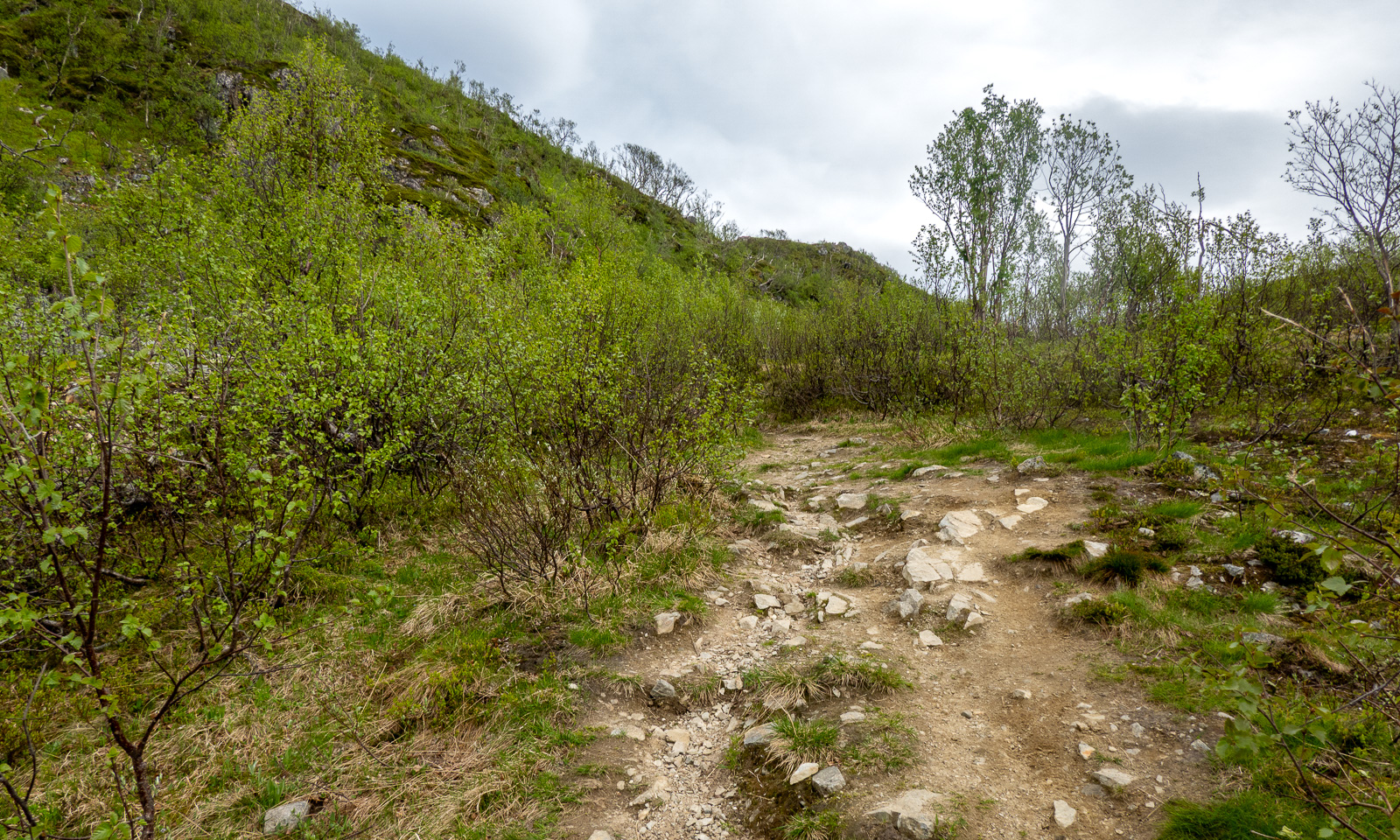
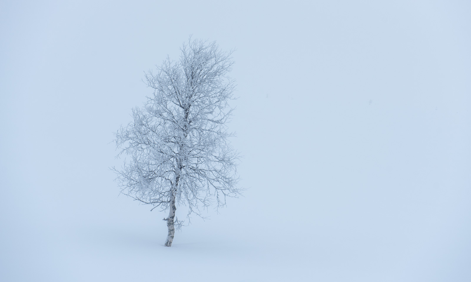
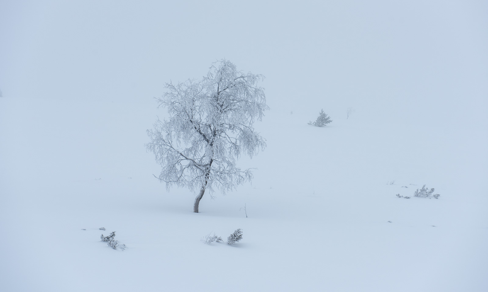
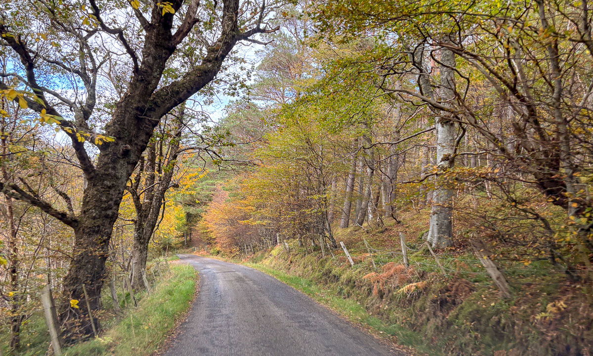
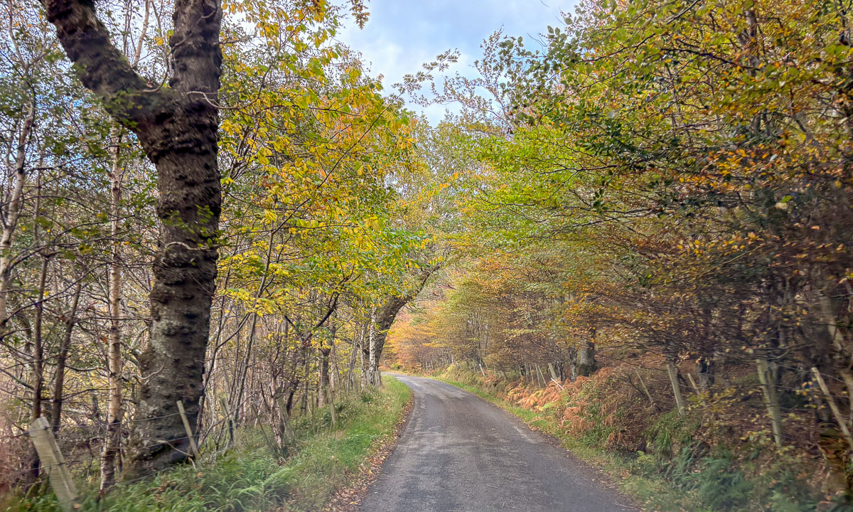
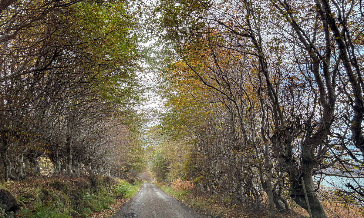
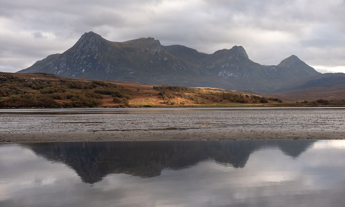
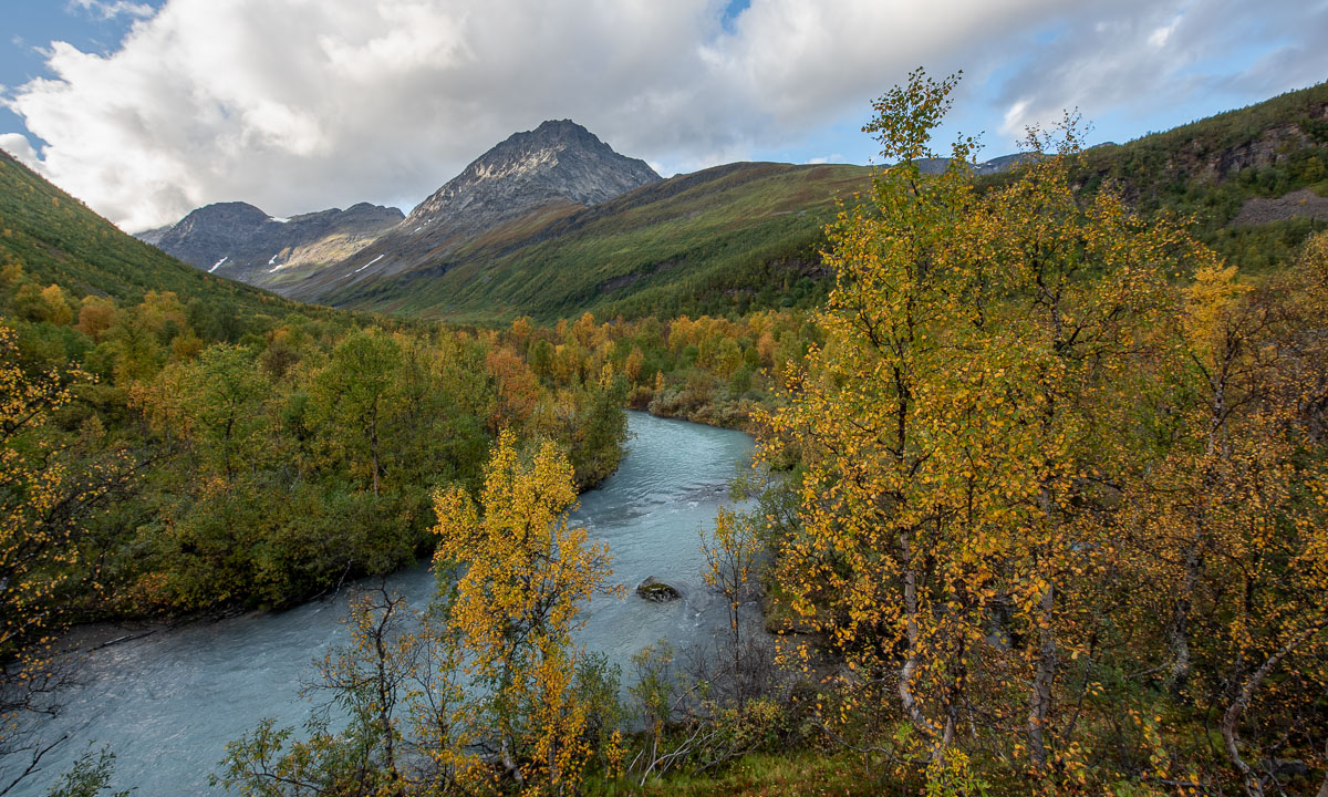
In the beginning a forest path winds up through a narrow valley. The colours are autumnal – yellow the birches, red the cornel and the blueberries. To the left down from the bottom of a ravine we can hear the river Gievdanjohka.
The path is rising and so is the river. After two kilometres we are almost level.
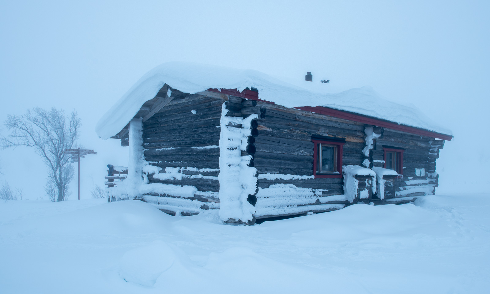
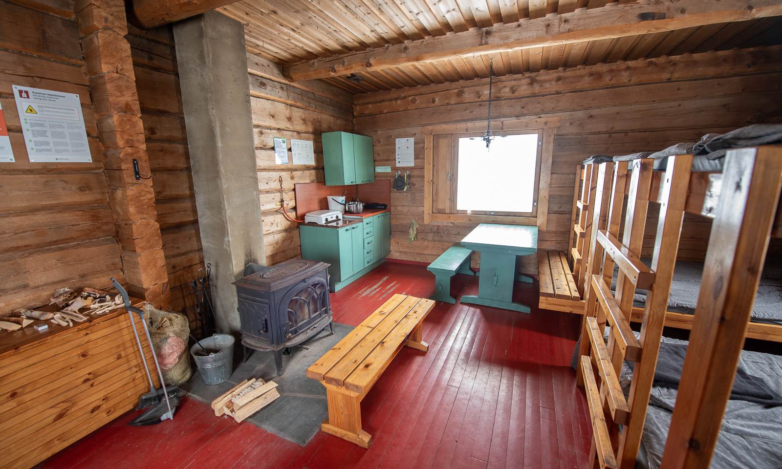
From there it is not far to the cabin. We go round a moraine and there it is: Steindalshytta. I unlock the door and we peek inside. Looks cosy!
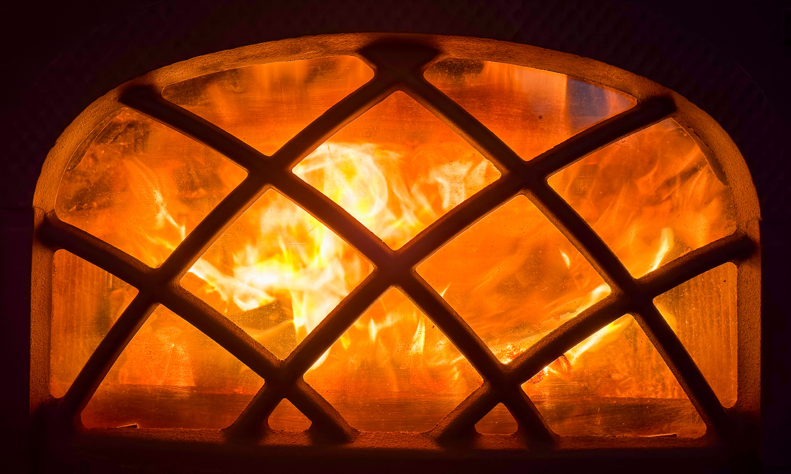
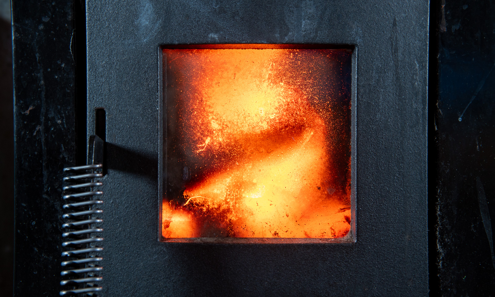
Now we want to cook. This will take the rest for the evening because the gas canister is empty. No cooking on the hotplates, we have to use the wood-burning stove. We gather all the leftover wood from inside and outside of the cabin. There is no axe. Luckily Annika has a knife that is sturdy enough to make some smaller peaces of firewood. The wind is calm, the oven isn’t drawing and it takes almost three hours until the water for the spaghetti is boiling. At least we get a starter: warm shrimps with parmesan that we eat from the huge plastic plates we found in the kitchen. And I found chocolate cookies in the kitchen.
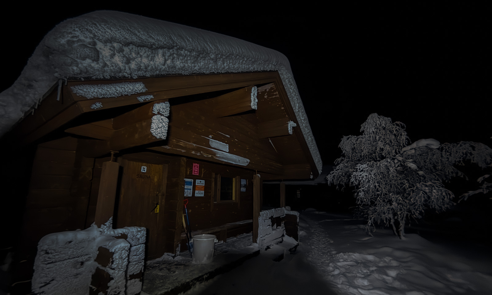
Meanwhile it has become dark outside and soon we get to sleep. We don’t have to freeze. After having powered the stove for hours we have 24 °C in the living room and hardly less in our sleeping room. Good night!
When I wake up the next morning it is raining, but it stops soon and the sun starts to light the mountains in the east.
After breakfast we pack our backpacks and start our hike to the glacier Steindalsbreen. Many things like our sleeping bags we leave behind, because we will go the same way back.
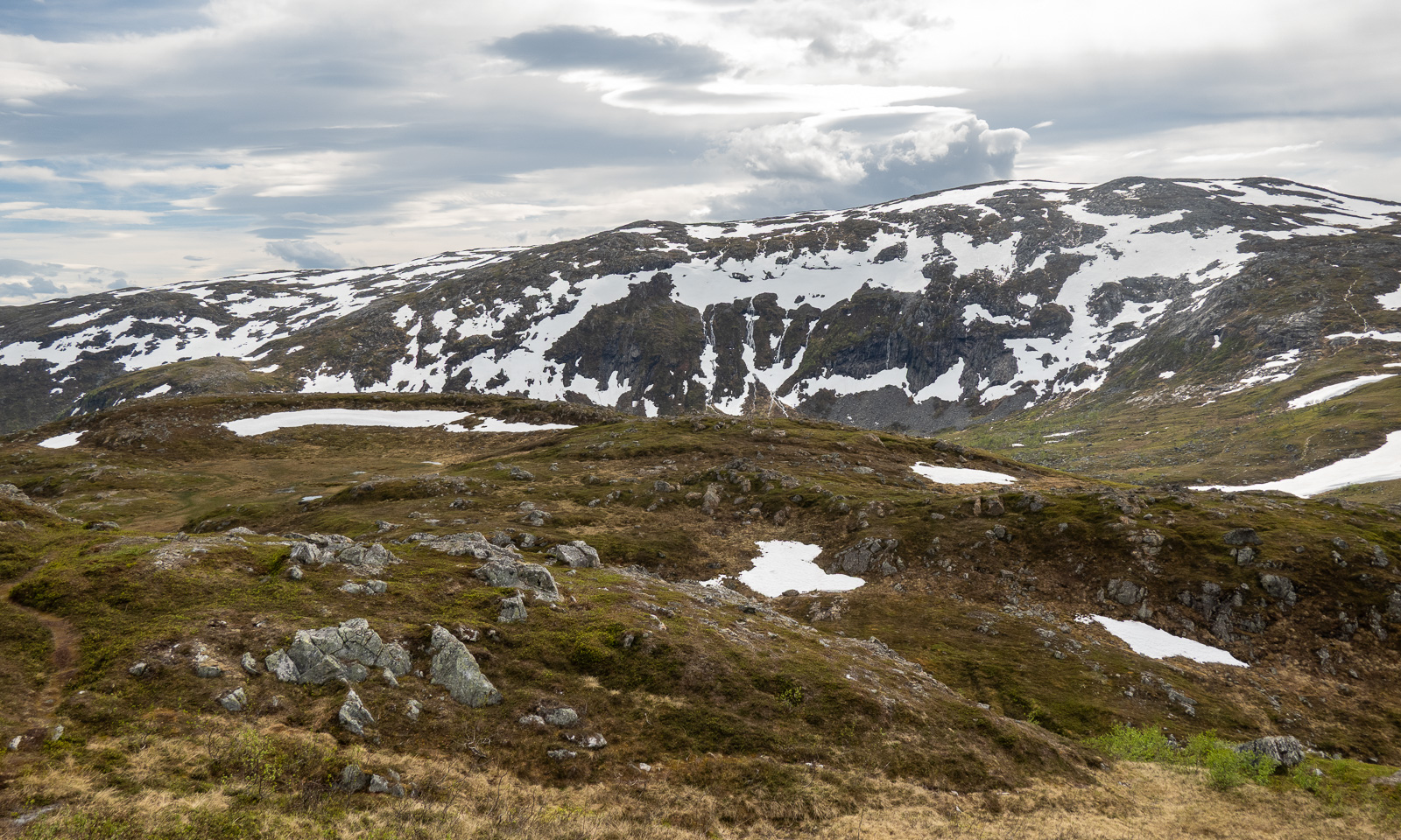
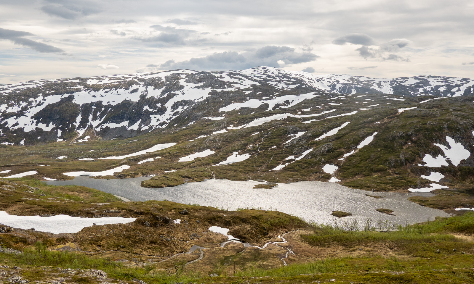
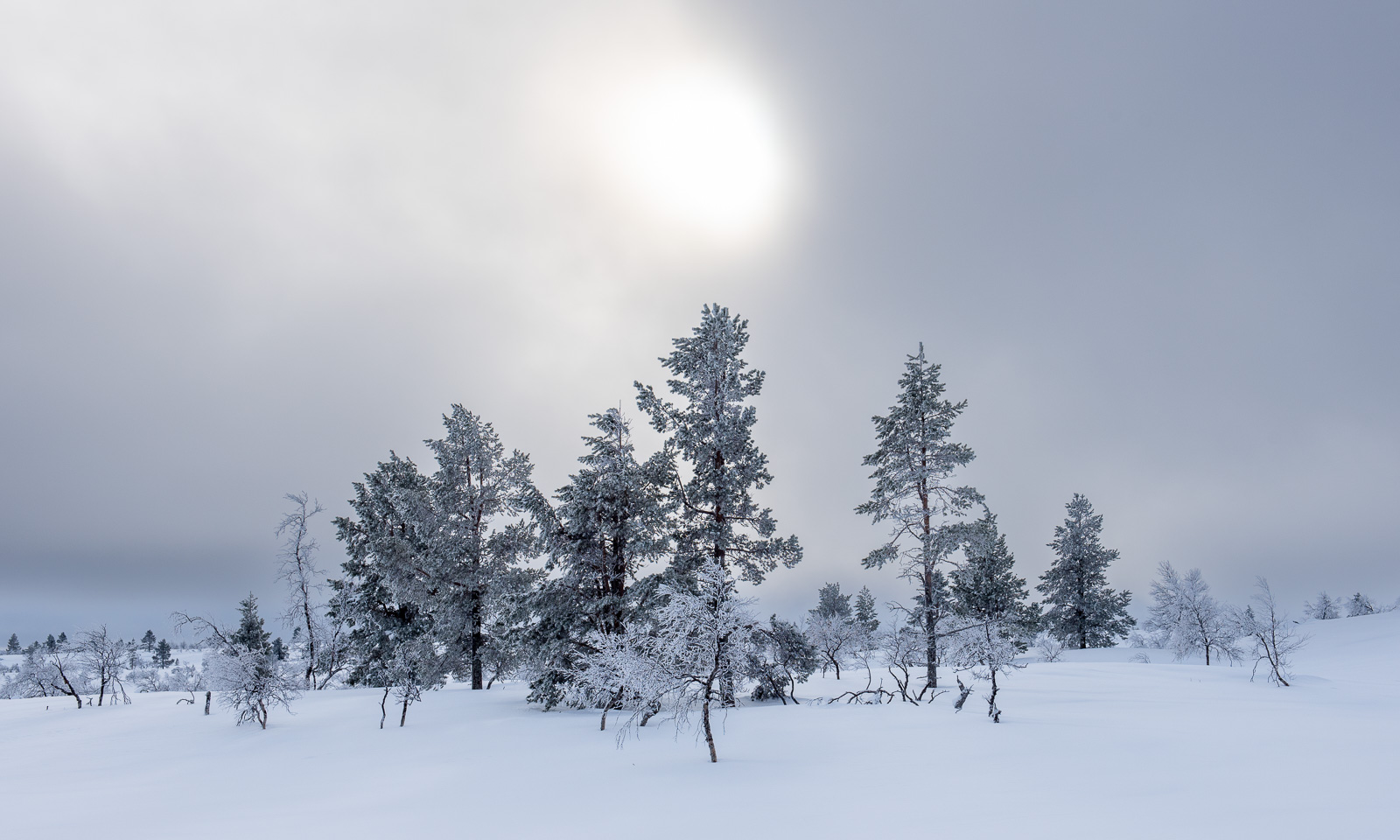
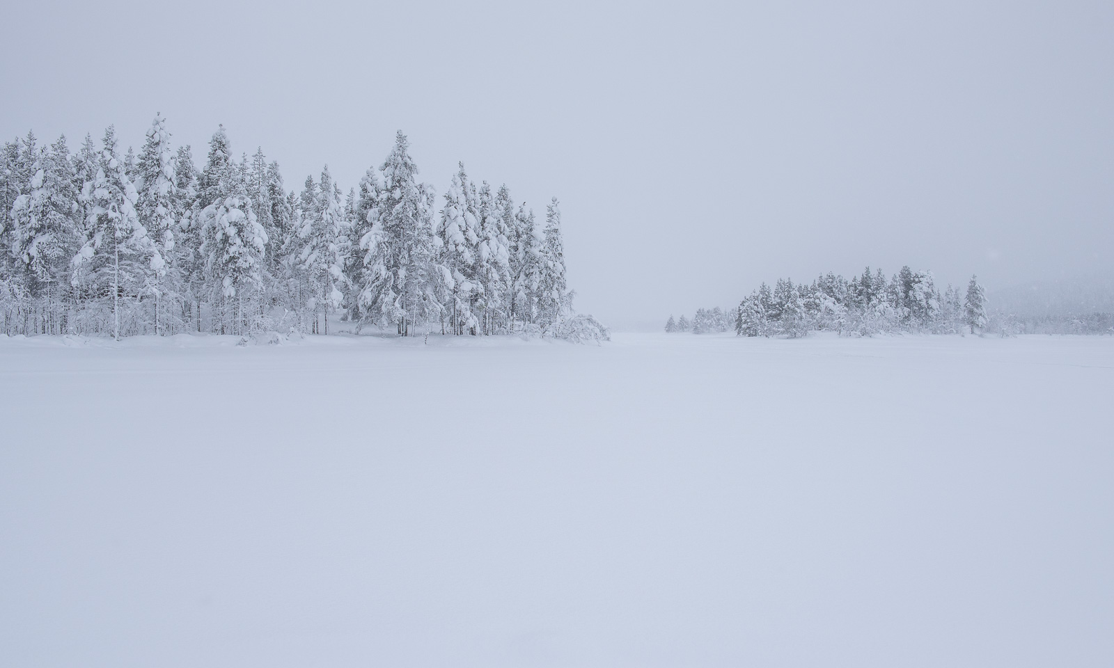
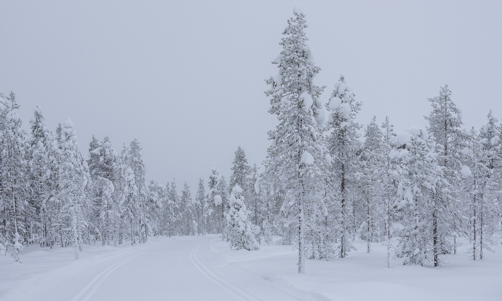
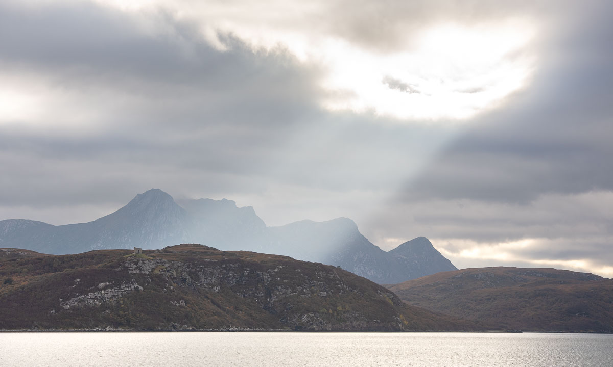
Again we follow the river to the east, then the landscape opens to a broader U-shaped valley. The terrain flattens and hiking is easy.
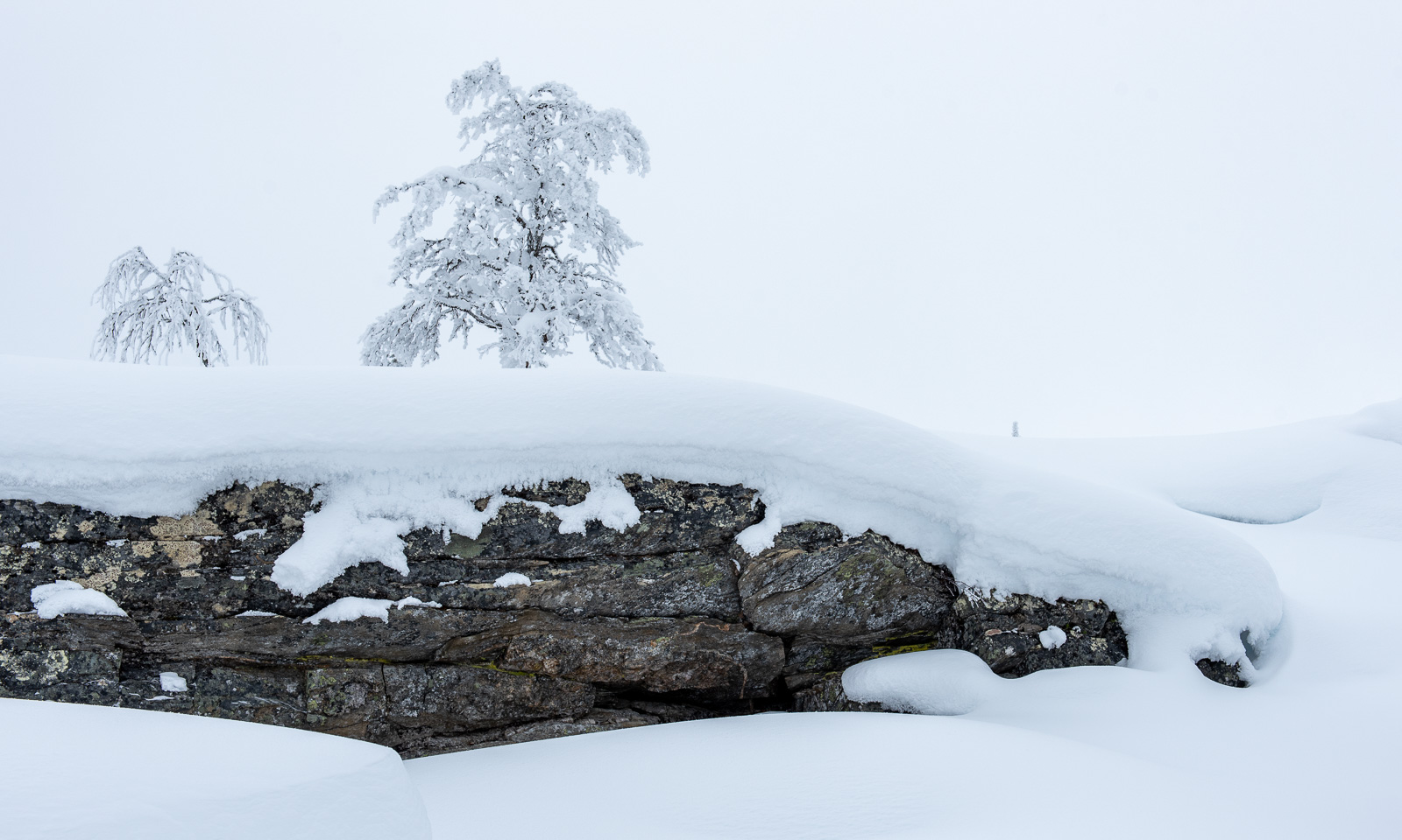
But we can already see the ascent we have to take. After two steeper passages we stand between two landscapes. In our back lies the mellow valley with its gentle slopes, everything in autumnal colours. Ahead lies a rough and rugged mountain landscape, where grey rocks and stones are the predominant element.
And there it is. The glacier. (Photo Annika Kramer.)
We continue the gravel path. Soon we pass the first of the signs that marks the glacier front some decennials ago. Due to global warming the glacier is melting and retreating every year. It is fantastic to see the glacier and we feel excited, but sad at the same time. First we hike to the glacial lake in front. Will we manage to go round the lake the glacier itself? Yes – and it is quite easy this year.
I have my big camera backpack with me and the Nikon with three lenses. That was made possible by Annika who took all the food. Although the weather is a bit dull it is photo time!
As often I’m not content with my photos and yes, I should have carried my tripod with me. But I’m happy about being there together with Annika. (Next photo: Annika Kramer.)
It is time to go back. This time we follow the river and pass two fields with scientific instruments, part of the project iC3. I have to ask a colleague from the Norwegian Polar Institute what is measured there.
Now the trail leads mostly downwards. We descend the hill, cross the broad valley, enter the forest and then reach the bridge by the cabin again. Here we take a rest and then fetch the rest of our stuff from inside the cabin.
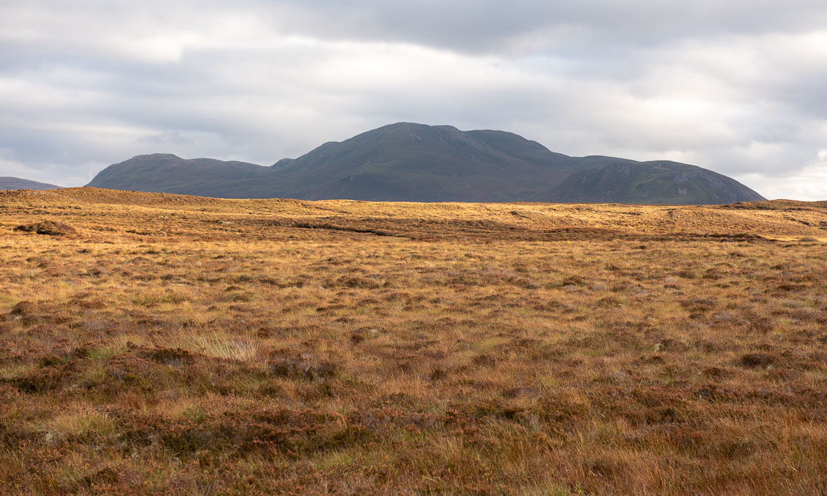
I take a tiny detour that leads on a hill. Here I can see everything together: The huge mountains with their snow fields, the river Gievdanjohka, the autumnal birch forests. Only the glacier is hidden from view.
What a terrific tour we had! The glacier Steindalsbreen is worth a visit, especially in autumn. We drive back to Tromsø and I copy the photos to my computer. Then I check the tracker I used on the tour. As I was afraid I have walked on rock, sand, and mud this year, where last year the glacier covered the ground.