This article is part of the series
“2023-06: Arctic Ocean cruise KPH”.
You may have read the article “Breaking through thick ice” that I published three days ago. We were west from Svalbard halfway to Greenland with the plan to head northeast to the station 05 north from Svalbard. We tried to get north or northeast, but all efforts looking were in vain. This is the track of 4 June, the 4th cruise day:
You see, that we didn’t come long that day. There was hardly open water, the ice was unusually thick (more than 150 cm) while Kronprins Haakon is built for 100 cm). The ice floes were too big to be pushed aside and the thick layer of snow added additional friction between the ice and the ship. We weren’t stuck but couldn’t had further north.
In the evening meeting it became clear, that we need a plan B. We were still on the Greenlandic side of the Fram Straight but never applied for the mandatory permit to do research there. Next morning a decision was made: Head south and to the Norwegian side and do an ice station there.
5 June – travel day
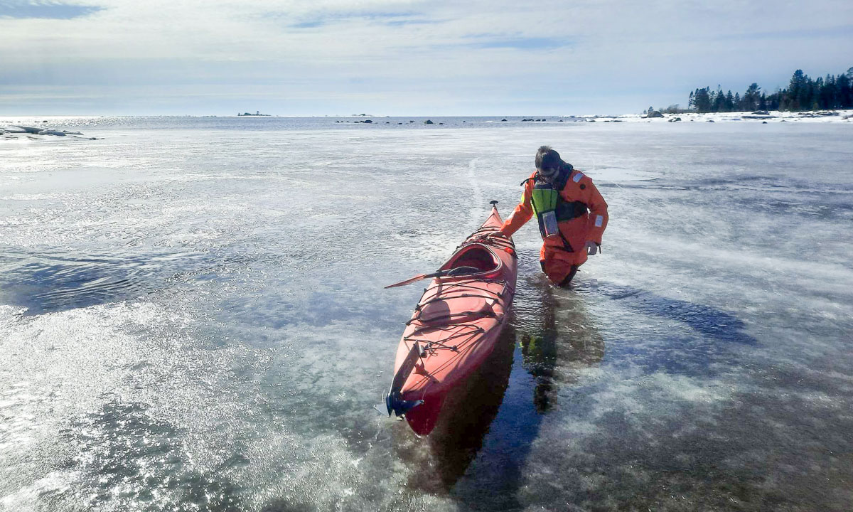
We travel through the ice until the evening and I do not have much to do. Time to take some pictures.
In the evening the cruise leader and ice experts start looking for the ideal ice floe. When it is found in the night I’m already fast asleep.
6 June – preparations
The next morning the weather is just awesome. Blue sky, -2 °C and hardly any wind. I go to deck 3 in the aft. That means helmet and safety boots. There I can see clearly that an ice station has started being prepared. The two snowmobiles have been moved from the helicopter hangar to the deck, the ship has been anchored by the ice and the ice gangway is hovering above the ice.It must hover so that no polar bears can sneak on board.
After breakfast the teams go onto the ice while I held polar bear watch with two others on the bridge. The things to observe are: polar bears, walruses, cracks in the ice, whether changes. After ninety minutes of watching the ice with binoculars and naked eye I start planning my drone flight route. Now I know, where the stations on the ice are located.
Just before lunch I get the opportunity to get on the ice the first time. I just want to re-calibrate the compass (we are far away from Tromsø) and check that the drone is working. And – it does! I’m able to take three fast snapshots to check the camera. I try to be fast, because lunchtime has already started and when you are on the ice, four more people are needed: not only the three polar bear watches on the brigde but also a polar bear guard with a rifle near on the ice.
Anyhow, the drone works and later I’ll stitch together the three snapshot from pre-lunchtime. Here’s the photo:
6 June – drone flying
After lunch I take another polar bear watch and then it gets serious. Fifteen minutes to prepare, then I get onto the ice. Again with a polar bear guard for safety. We go the the main coring site which suits me best, because it’s quite in the center of everything, Kronprins Haakon included. When I arrive there I even have time to take some snapshots with my Nikon.
You see the red, cylindrical thing? That’s an ice corer to take ice cores. The ice core will either be cooled down or melted on board to do different studies and measurements. When I did ice cores last year it was easy, because the ice was less than one metre. Now extensions have to be used and the core will be taken in several steps. But back to drone flying …
The last weeks I made a long checklist that I now follow to get everything right. When I’m ready to fly I tell the polar bear guard that the bridge shall deactivate the radar. It may interfere with the drone. He informs the bridge using a VHF-radio and soon I can start. Whirrr …
The first photos are for checking the manual exposure:
But now it gets serious. I fly to the stern of the ship and then right. Move the camera straight down and take the first photo. Click! One. Move the drone to the left a ⅓ step. Click! Two. And the same again. Click! Three. Four. Five … Nine. Move the drone towards me a ⅓ step. Click! One. And to the right a ⅓ step. Click! Two … . You get the idea.
In the middle I have to land the drone to change the battery. I take 149 photos from 80 metres height looking like these:
It took round about 45 minutes to take these images. On the next ice station I may have to cover a larger area but I’m limited to three batteries. More than 60 minutes of flying is hardly practical. When I was ready the coring people were almost done as well and in groups we walked back to the ship, always accompanied by an ice bear guard with a shouldered half-loaded rifle.
Then my computer got work. Creating a so called GeoTIFF can take some hours. And that is a crop of the result:
I’m quite content with the result. It’s the second time ever I did this and the first time on the ice. The image however is not perfect. The ship is stitched together quite badly, there are a lot of artefacts as e.g. the interrupted yellow circle on the helicopter deck. Otherwise everything went pretty well. That I almost have lost the drone in the sea on the other side of the ship is a story that I may tell some other time …
7 June – leaving the ice station
Today there was still research on the ice. Two ice experts measuring ice and snow and three oceanographers taking MSS (MicroStructure Sensor), both with a bear guard. I however was not involved. Then everyone and everything went back on board including the snowmobile. Round 15:10 the ship has set in motion. Since then we are cruising to the next ice station.
Two more images and additional text about the drone flying you can read in the previous article Taking drone photos from the sea ice.