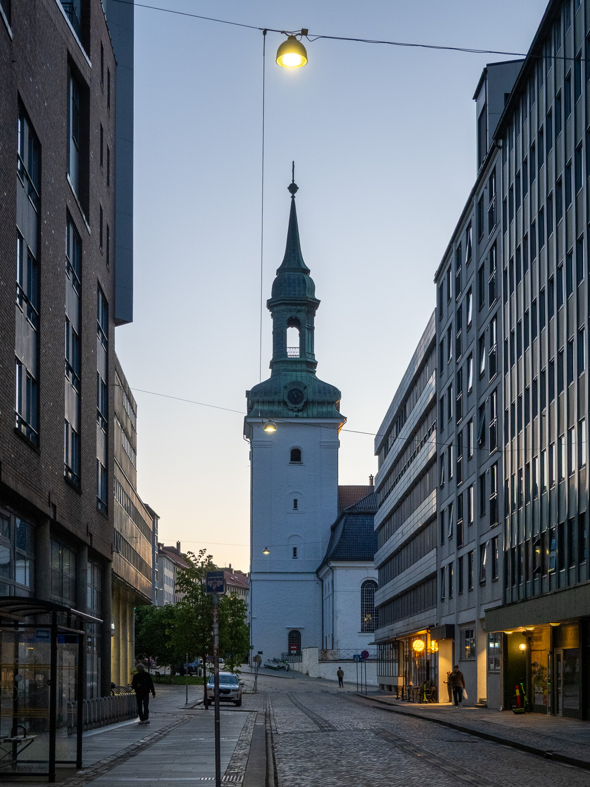
Into the ice, into the storm

This article is part of the series “2026-10: Fram Strait cruise KPH”.

14 October

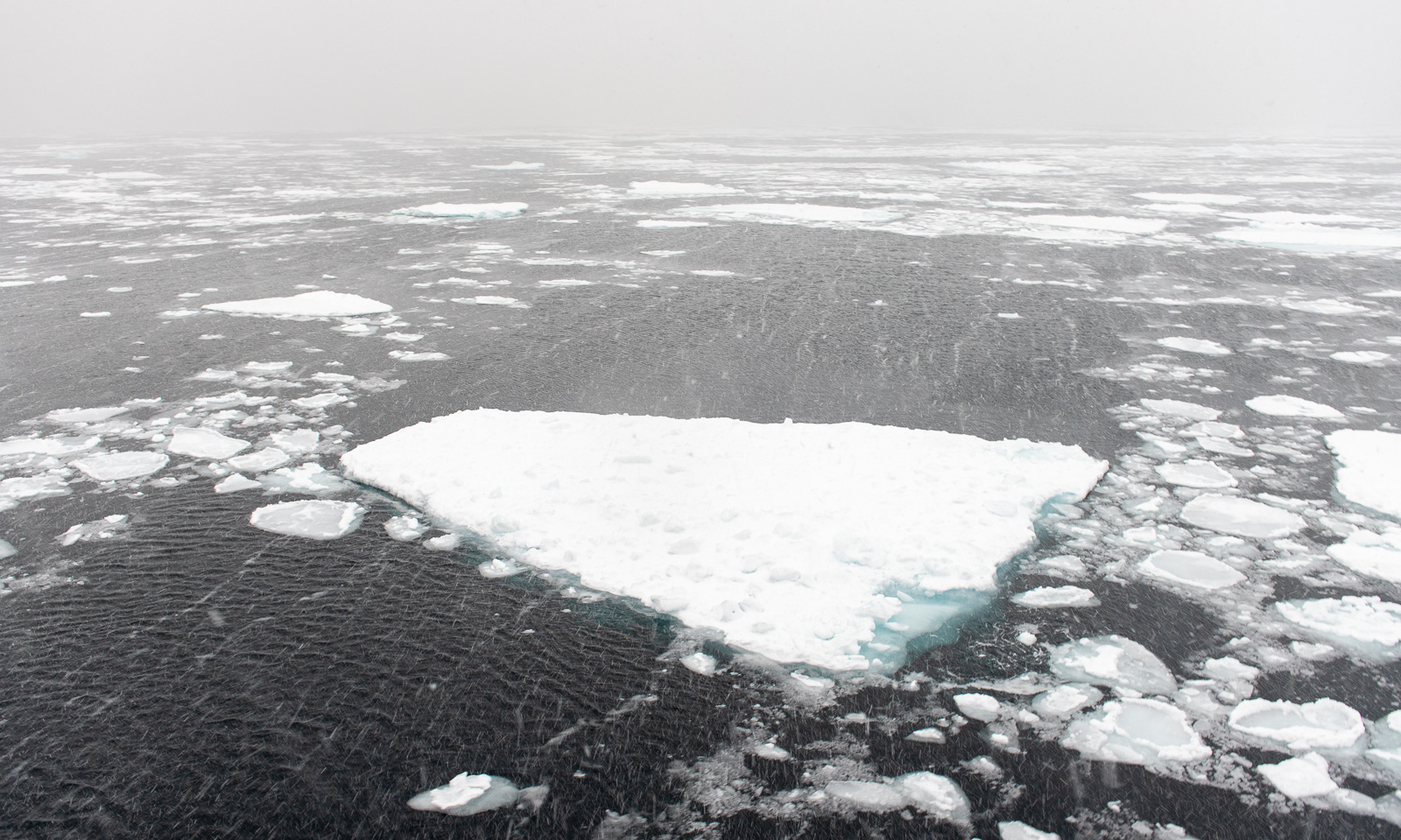
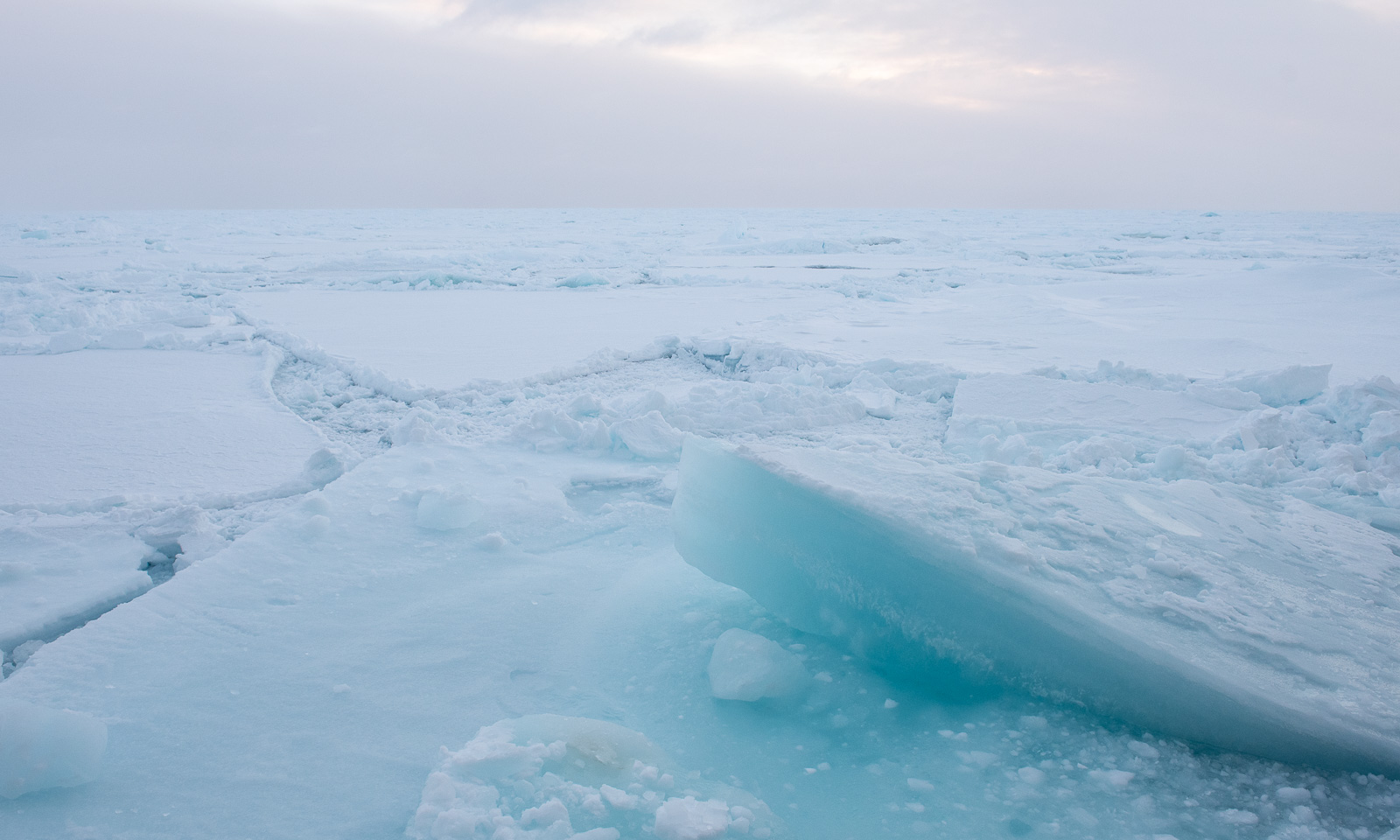
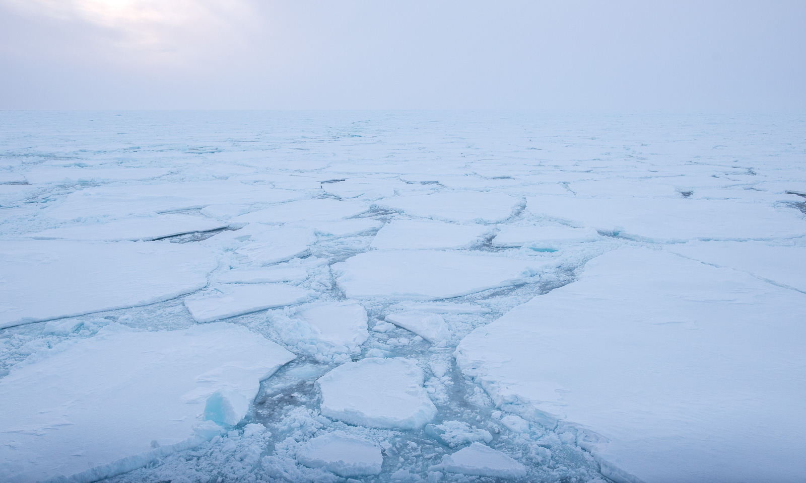
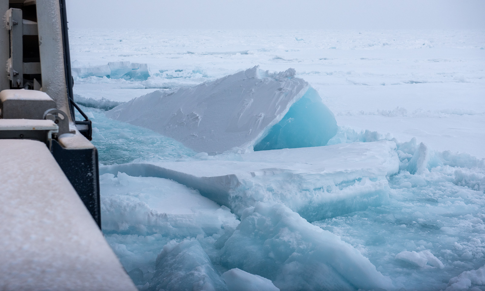
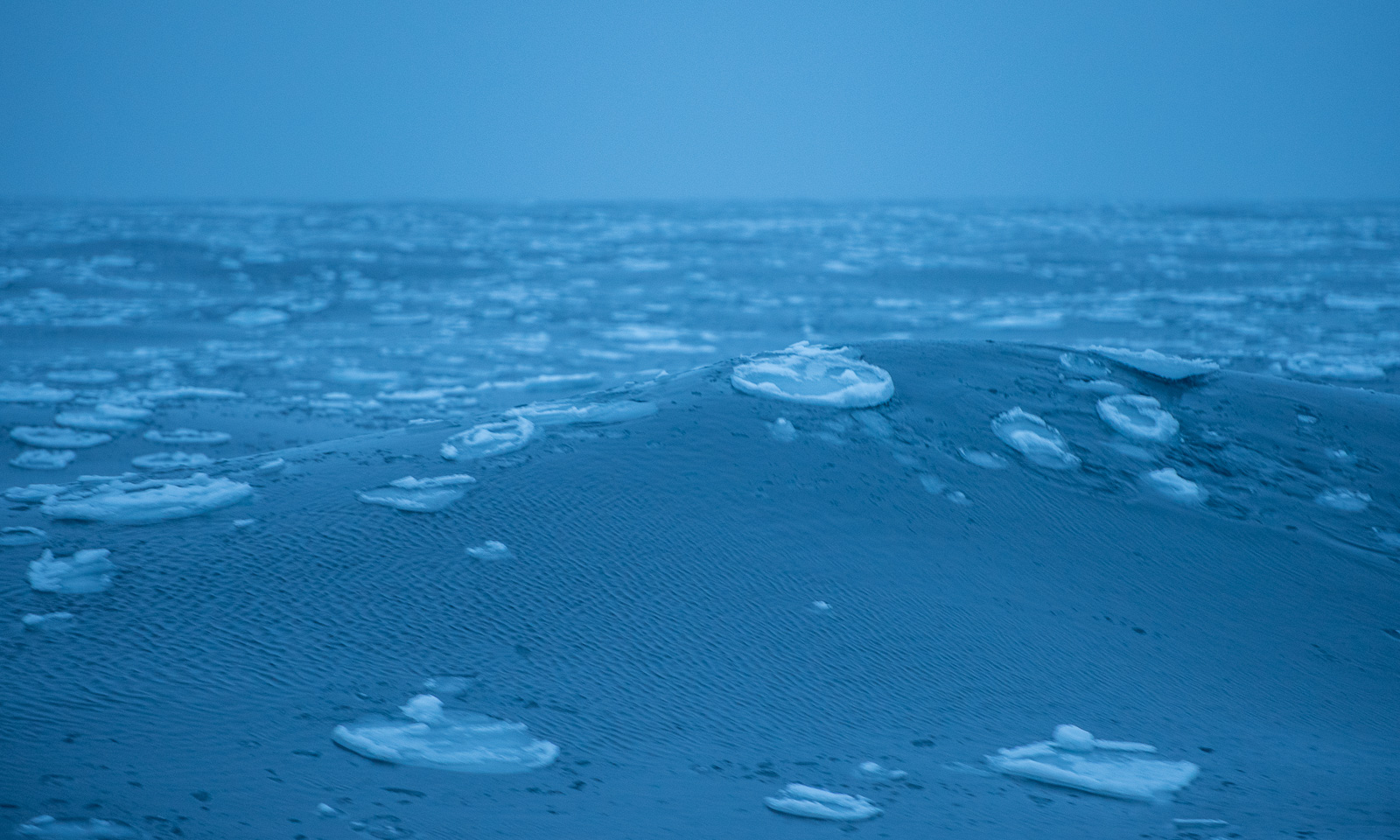
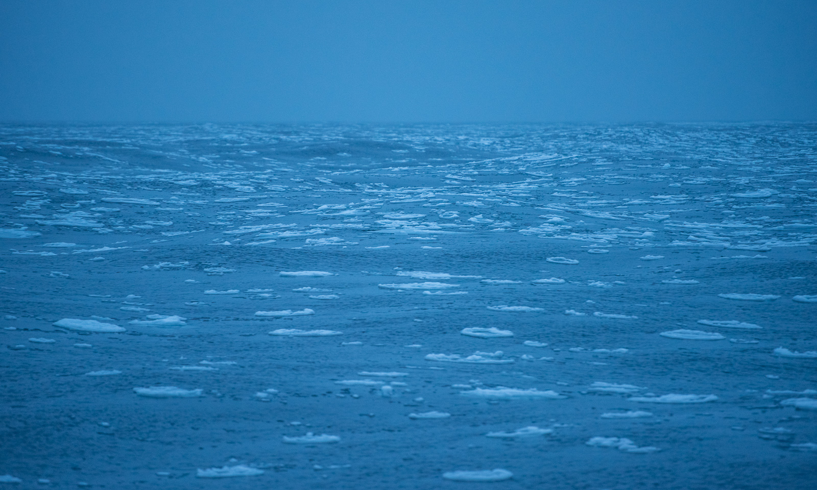
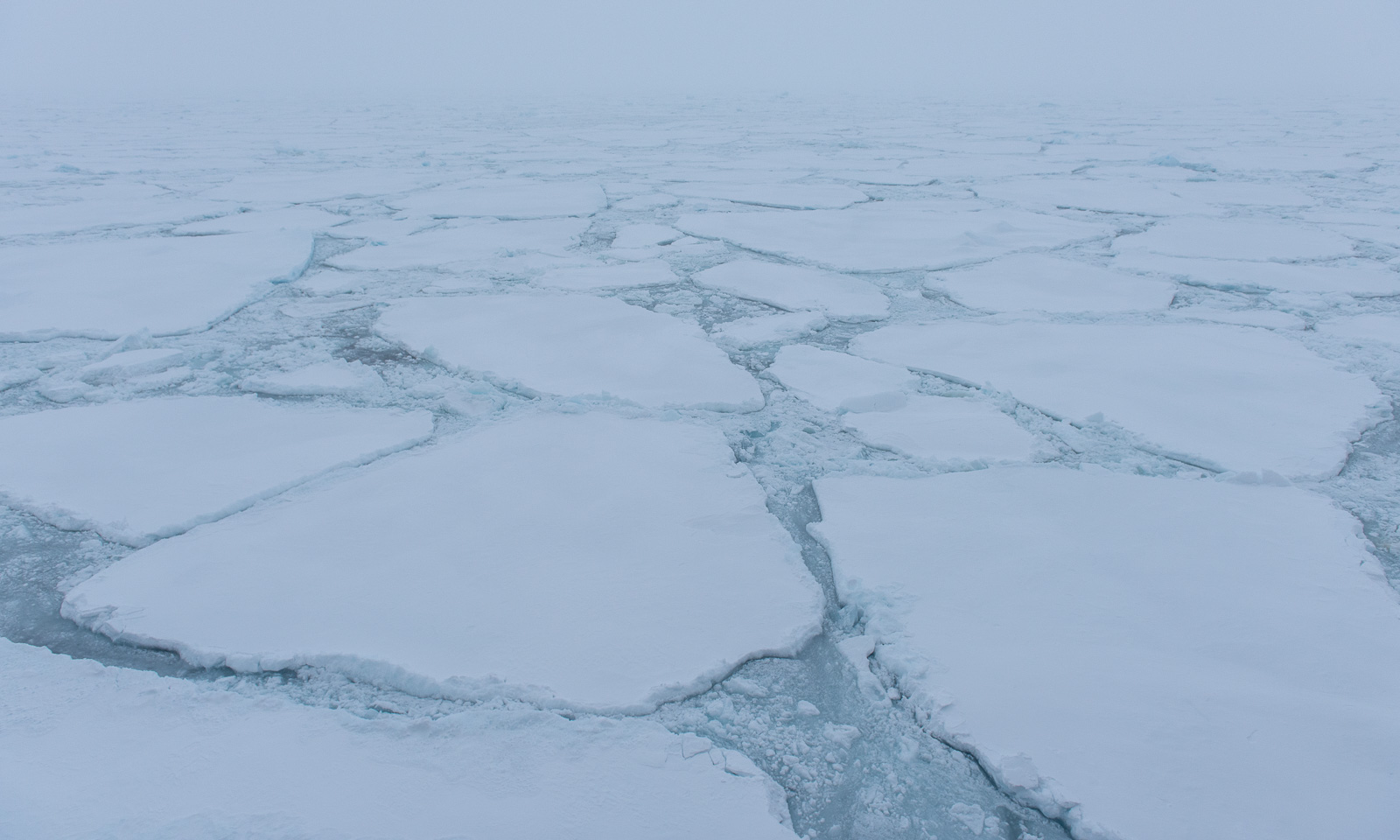
After encountering a small ice field in the morning, we reach the marginal ice zone. So it looks like round 16:00:
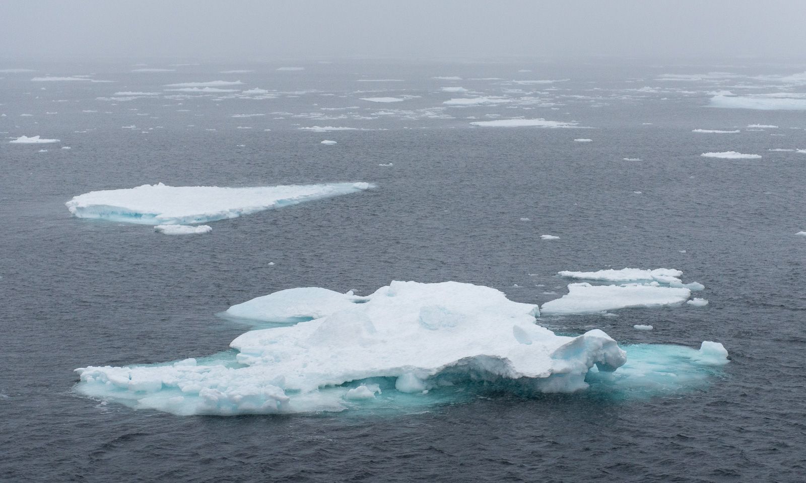
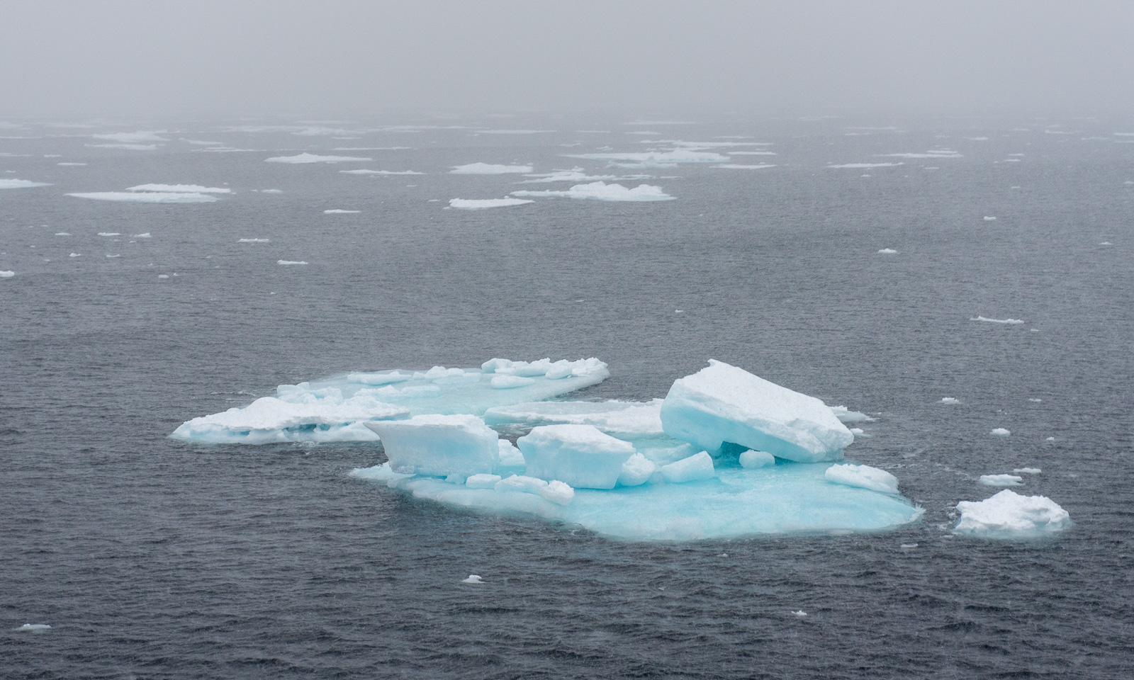
Less than an hour later, it looks like this:
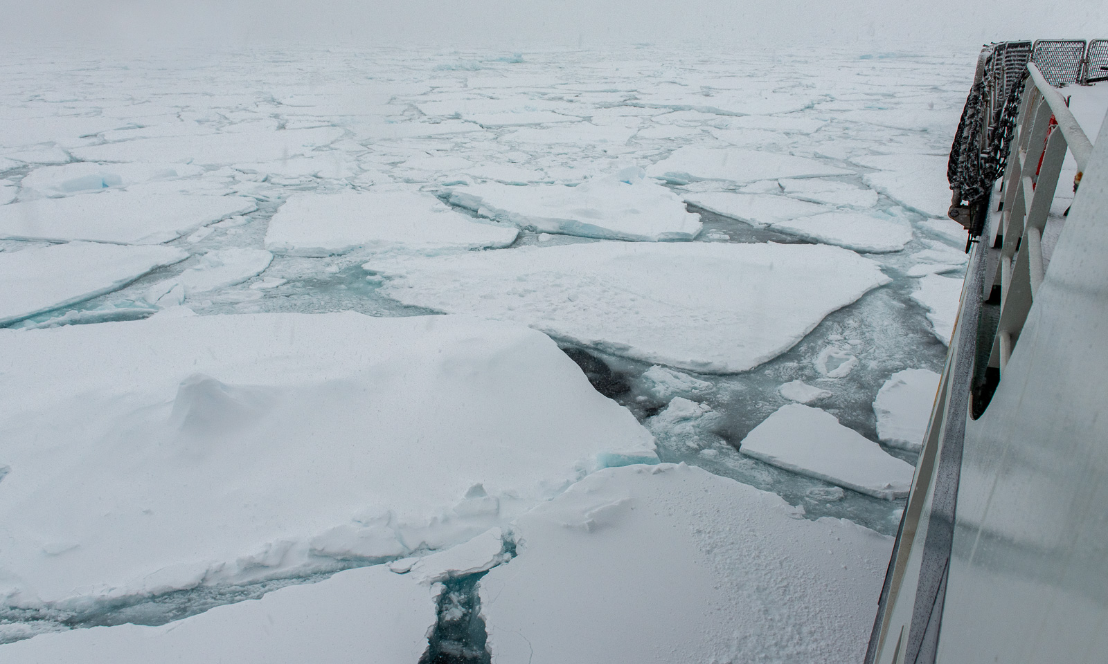
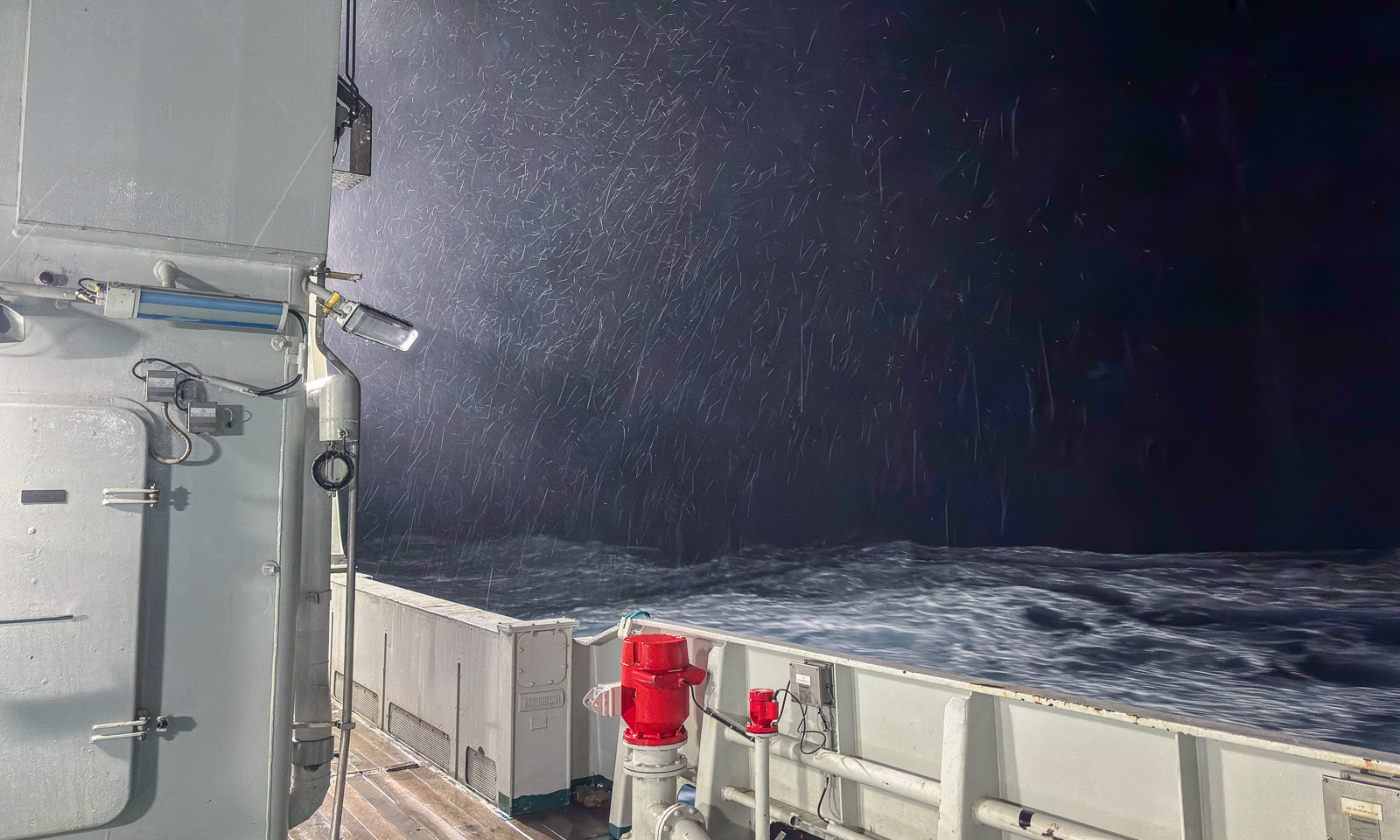
At six o’clock, people are standing on the bridge, peeking into the snowfall, driven by the increasing wind. A mooring is about to be recovered. It has been collecting data for more than a year, and now its release mechanism will be triggered by a so-called hydrophone, allowing the air-filled orange buoys to float to the surface and making the mooring visible. Then it has to be located visually so that it can be towed onto the ship. Not easy, when it looks like this.
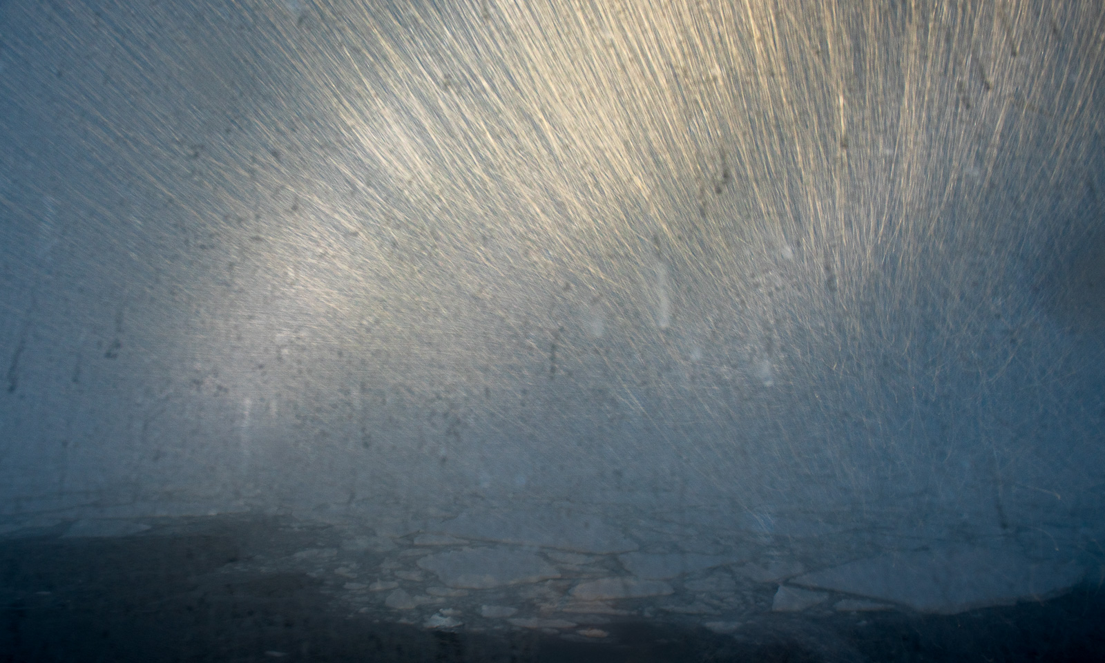
The buoy is spotted, and now the long cable, equipped with instruments at different depths, is pulled onto the ship. Not easy, because ice floes drift along and carry the cable with them, bringing them close to the ship, until the cable is released. A new version of ice fishing.
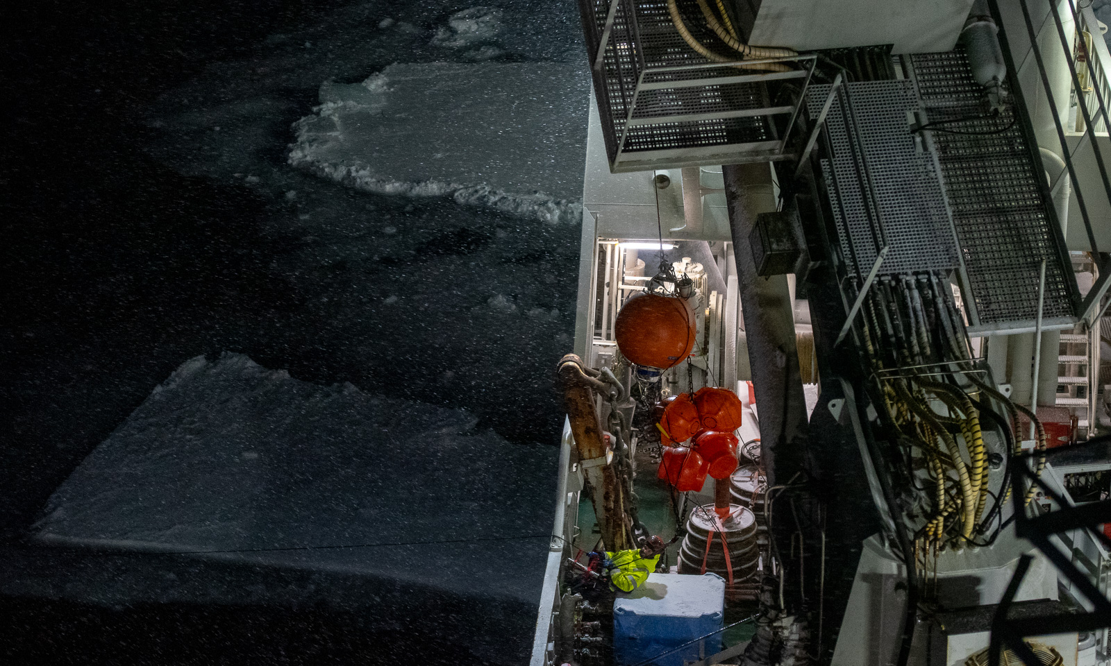
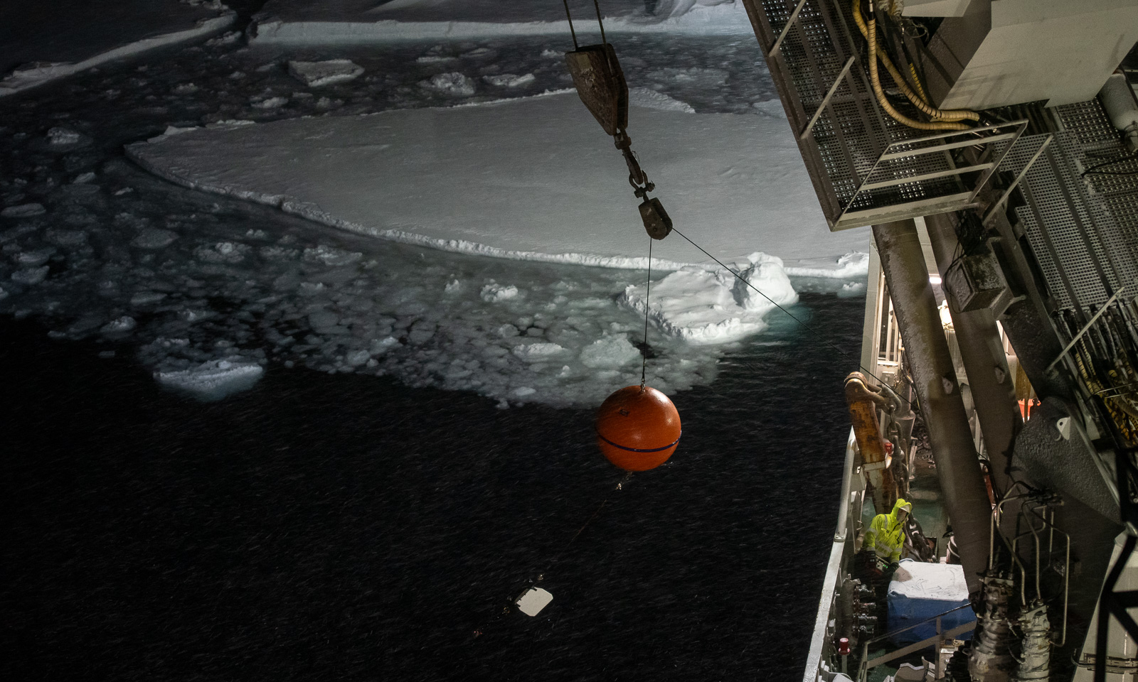
This is a good example of teamwork. You need experts on deck doing the manual work, a helmsman steering the ship with Fingerspitzengefühl, people on the bridge spotting the next buoy, and good communication between these groups. The first activity is successfully completed, with a wow-effect.

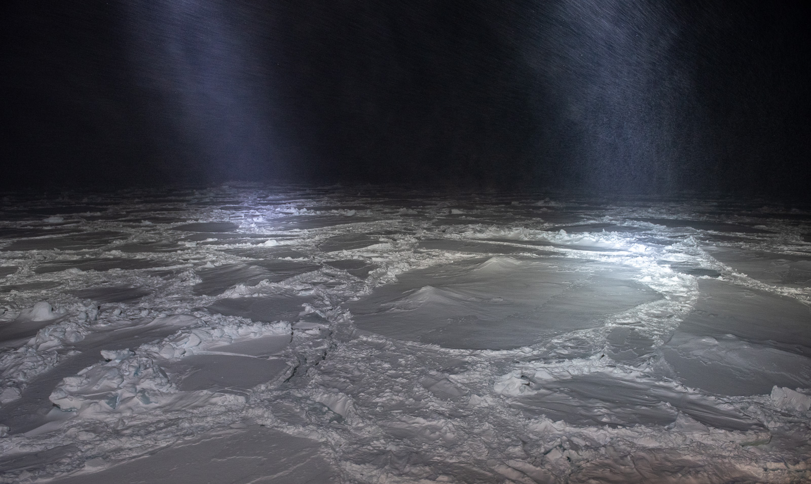
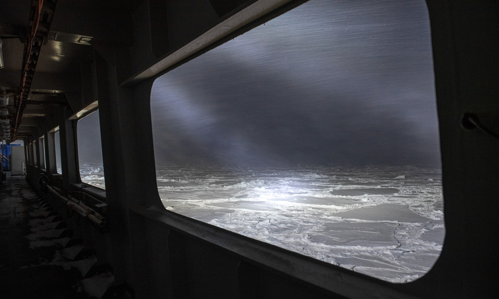
Watching the sea ice illuminated by the ships spotlights has its own beauty. I still cannot get enough from these views.
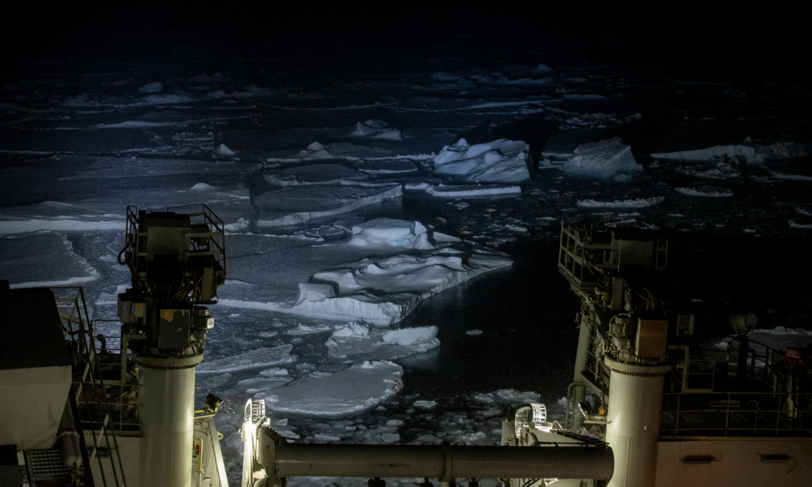
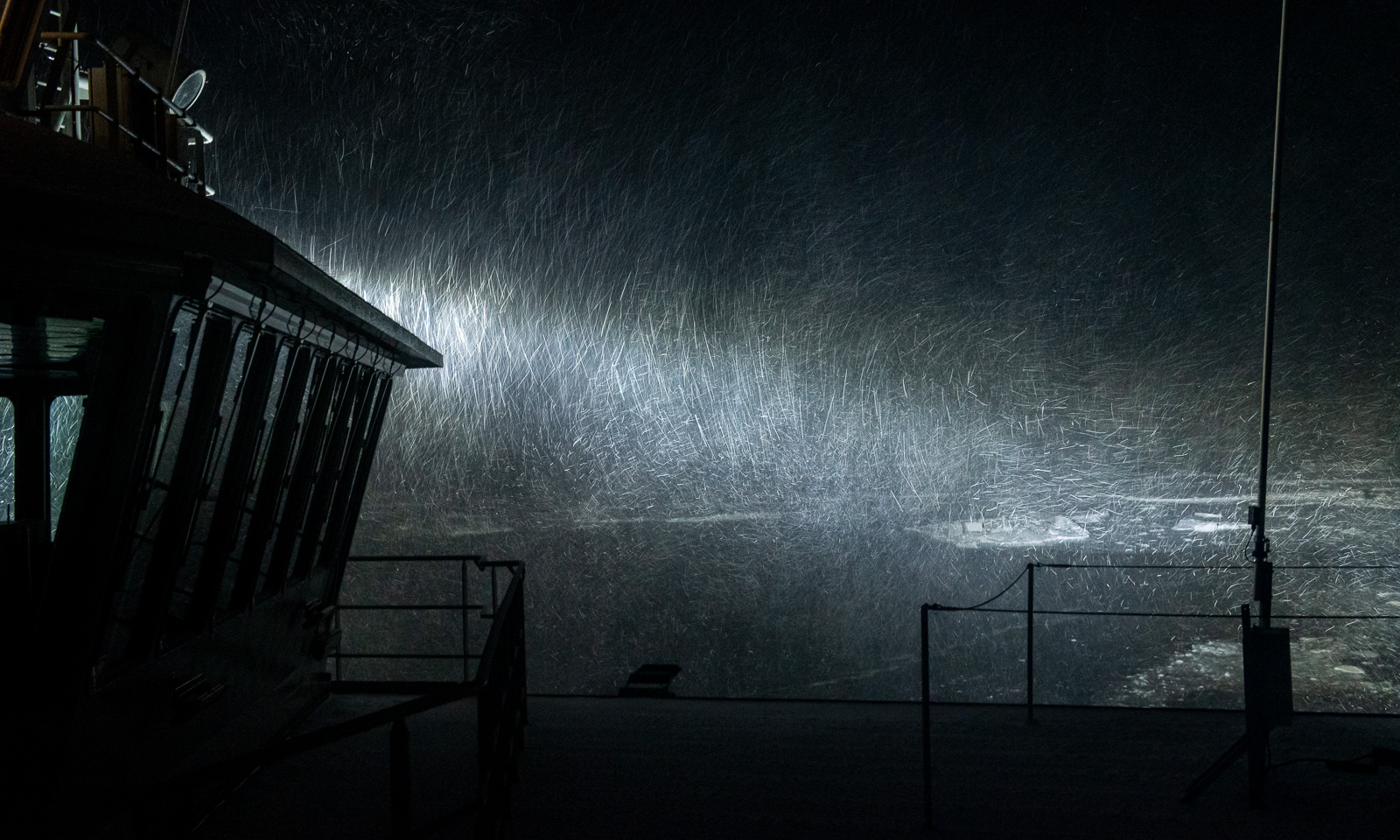
The weather, however, worsens. At 21:10, the wind speed reaches 20 m/s for the first time that day, and the temperature is dropping as well. It is snowing, and each snowflake leaves a bright trail, like a meteor. How will the weather be like tomorrow?
15 October

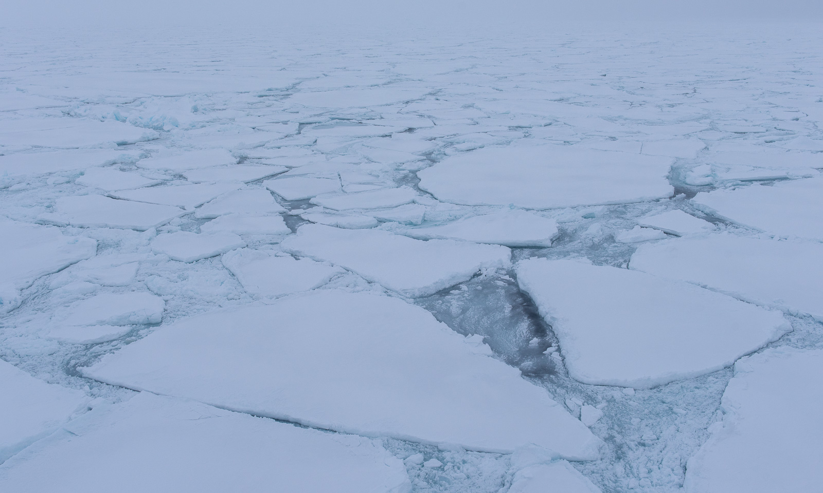
Over night, it has become even colder and windier. The temperature -10 °C and falling, and the wind speed is above 20 m/s and increasing. Ice floes cover the ocean. Now I’m glad, I brought my warmest down parka with me.
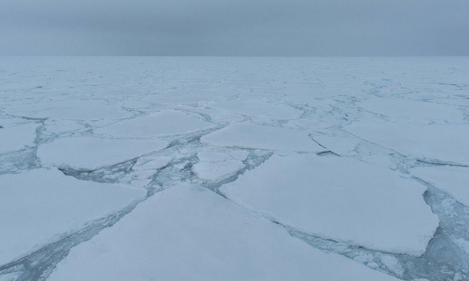
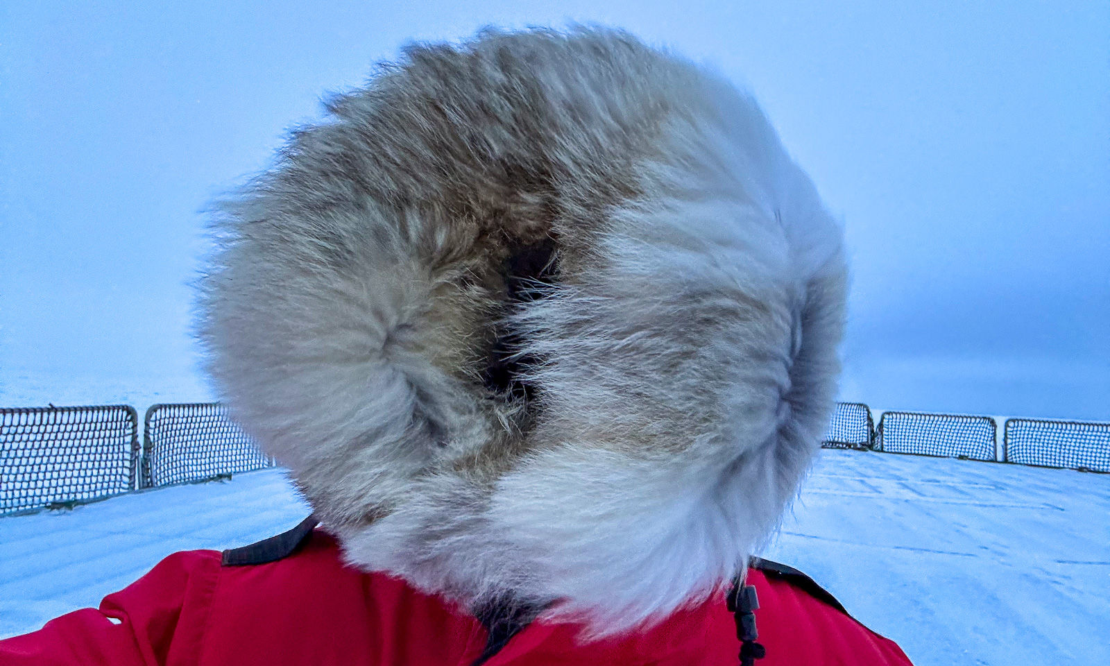
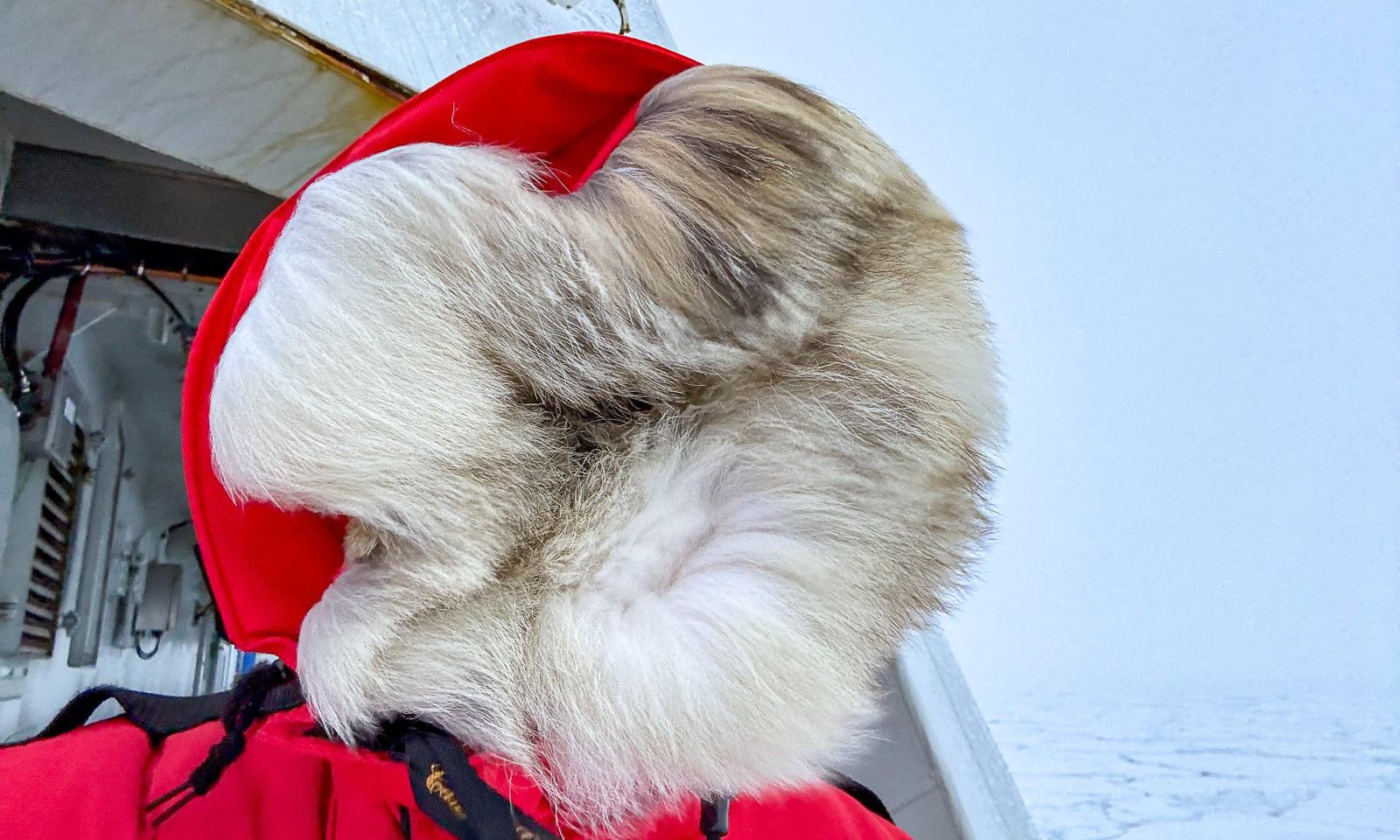
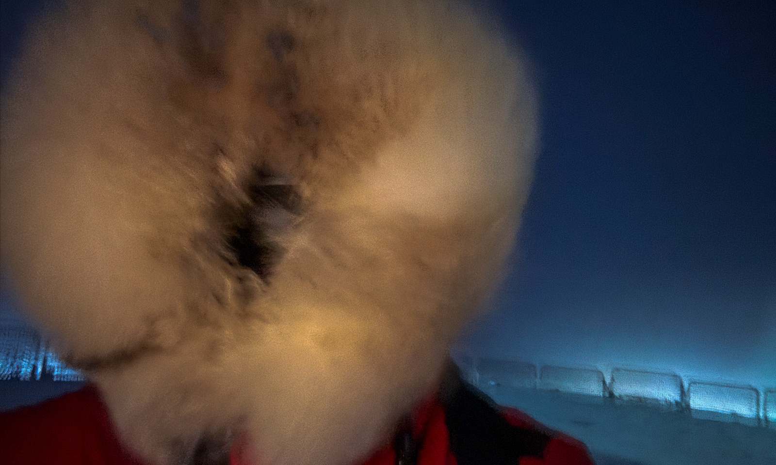
Two CTD casts have been completed today, but then it became too stormy to continue. I go onto the helicopter deck to take some photos, but the wind is so strong, that although I never thought it could actually happen, I’m afraid of being blown overboard. I can’t see much because I’ve pulled up the fur-trimmed hood of my parka to protect myself from the cold, and the wind blows the fur in all direction closing the hood even further.
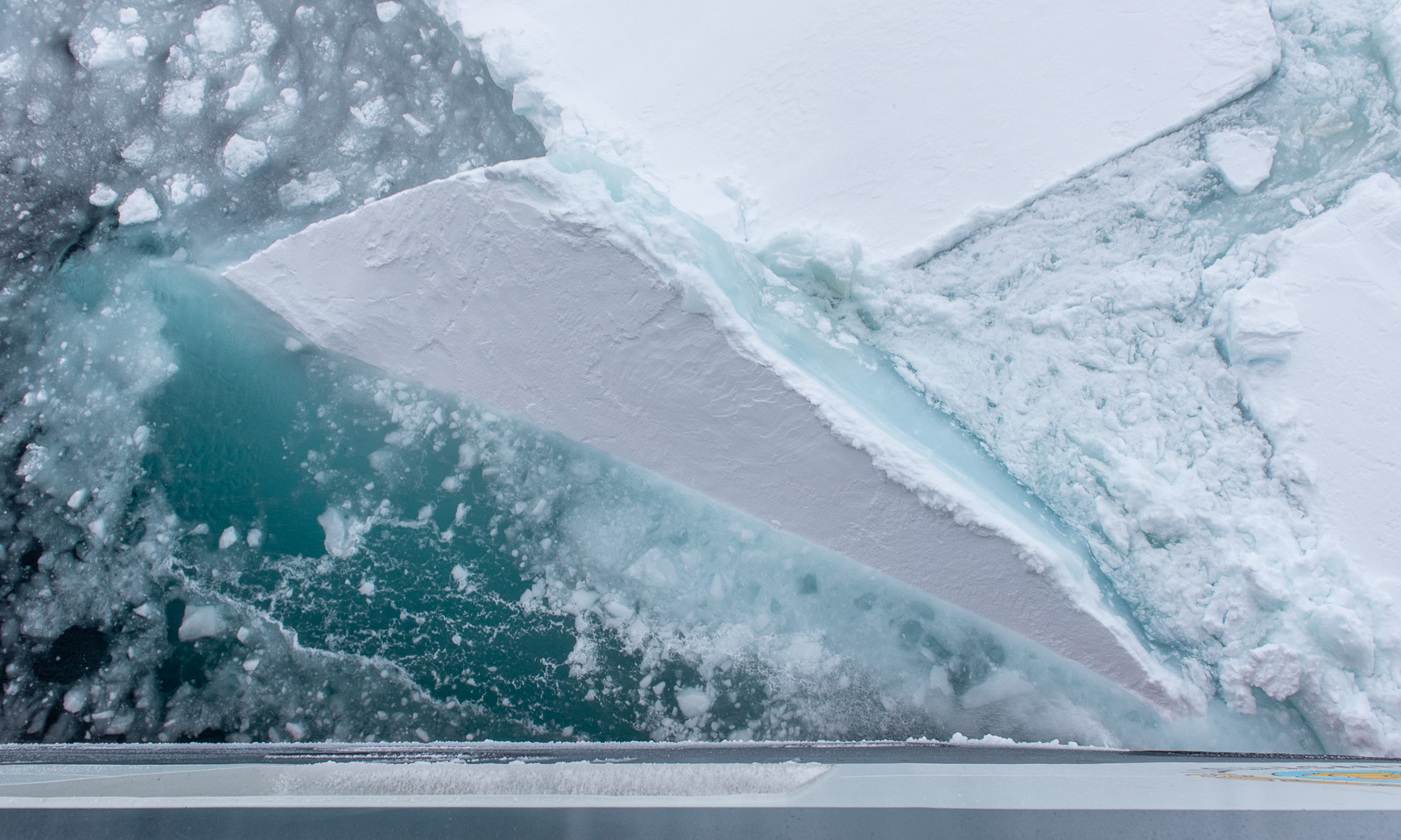
In the evening – well, I managed to get a shot from the side of the ship, where I was slightly sheltered from the storm. When I went around the corner to the helicopter deck, I had to seek shelter because the storm was too strong. I took a selfie, but in a sheltered corner so that I could stand steadily and avoid getting frostbite on my hand while using my mobile phone.
16 October

At the risk of repeating myself, the weather looks even worse. I wake up at 5 o’clock, and the temperature is -15.4 °C with a wind speed of 26.2. That’s a wind chill of -32.6 °C. In mid-October!

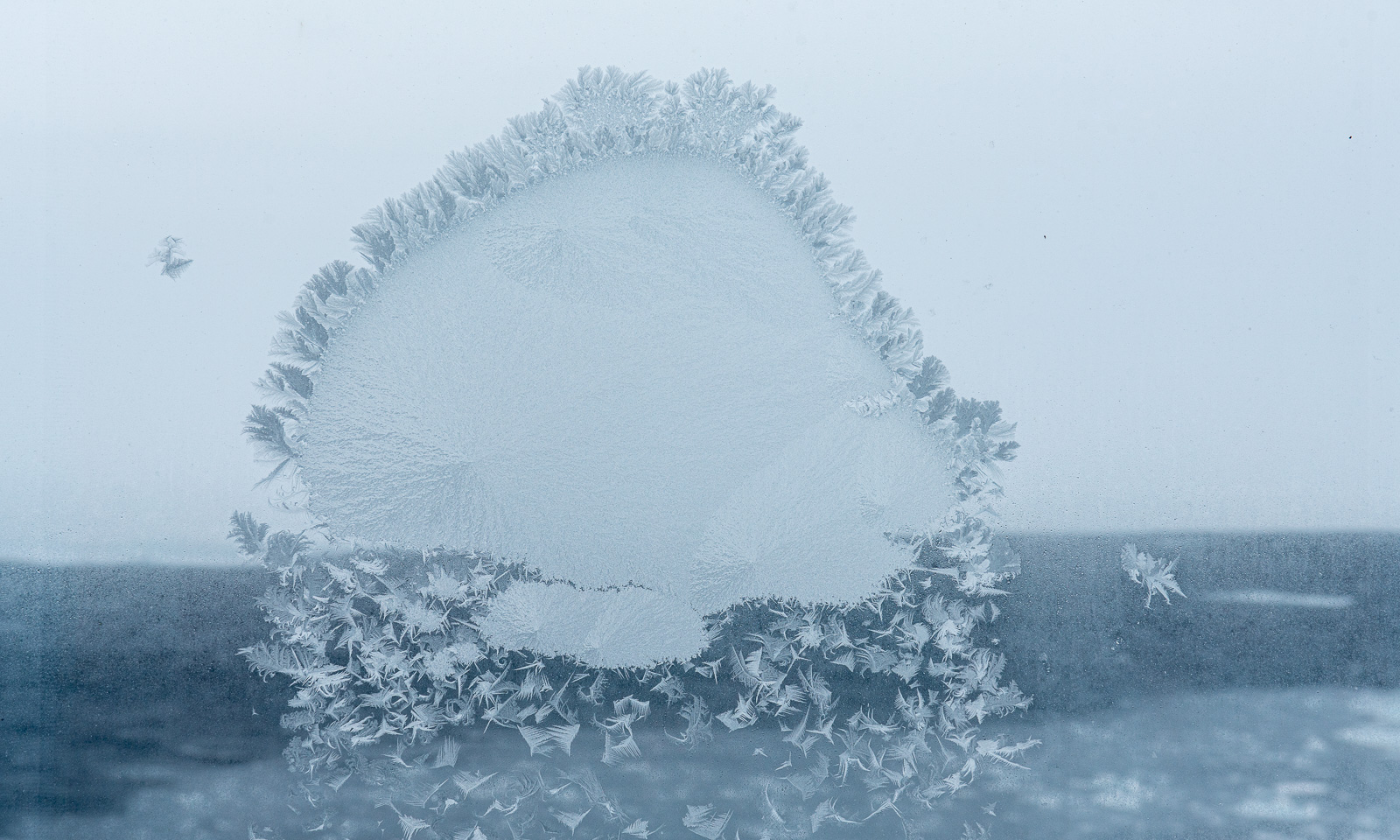
If you have read this article so far, you might get the impression that I am here as a photographer, but I’m actually here as a data manager, and I spend a lot of time at my computer in the Conference Work Room. I just don’t write too much about my computer work here. I am making good progress, but the distractions are there, for example, the frost patterns on the outer windows. This one looks like a jellyfish made of ice.
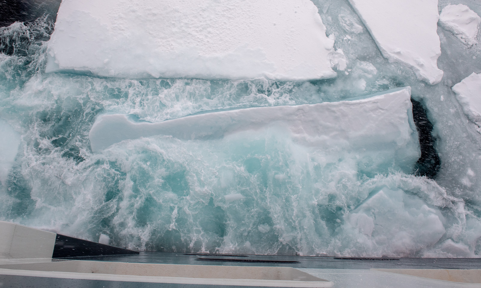
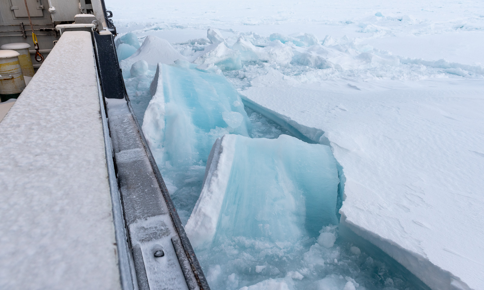
Right after lunch I go outside once more, this time to the ship’s stern, where I had a better protection from the wind. Oh, how I love watching the sea ice gently drifting by or being crushed forcefully by the ship.
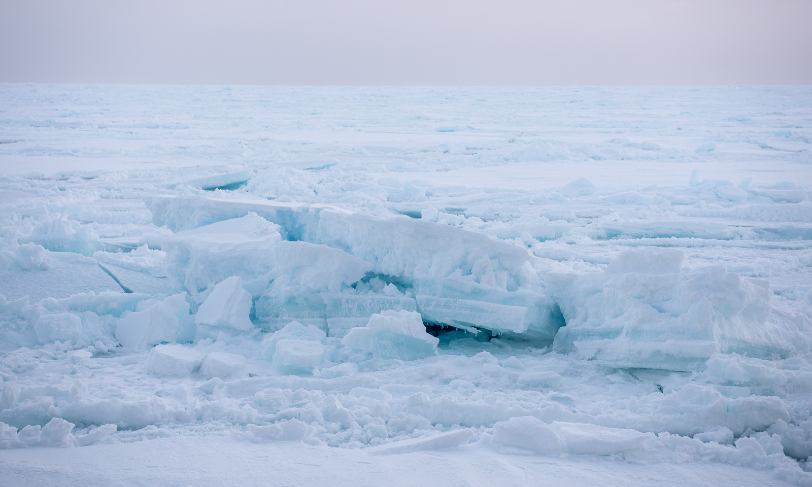
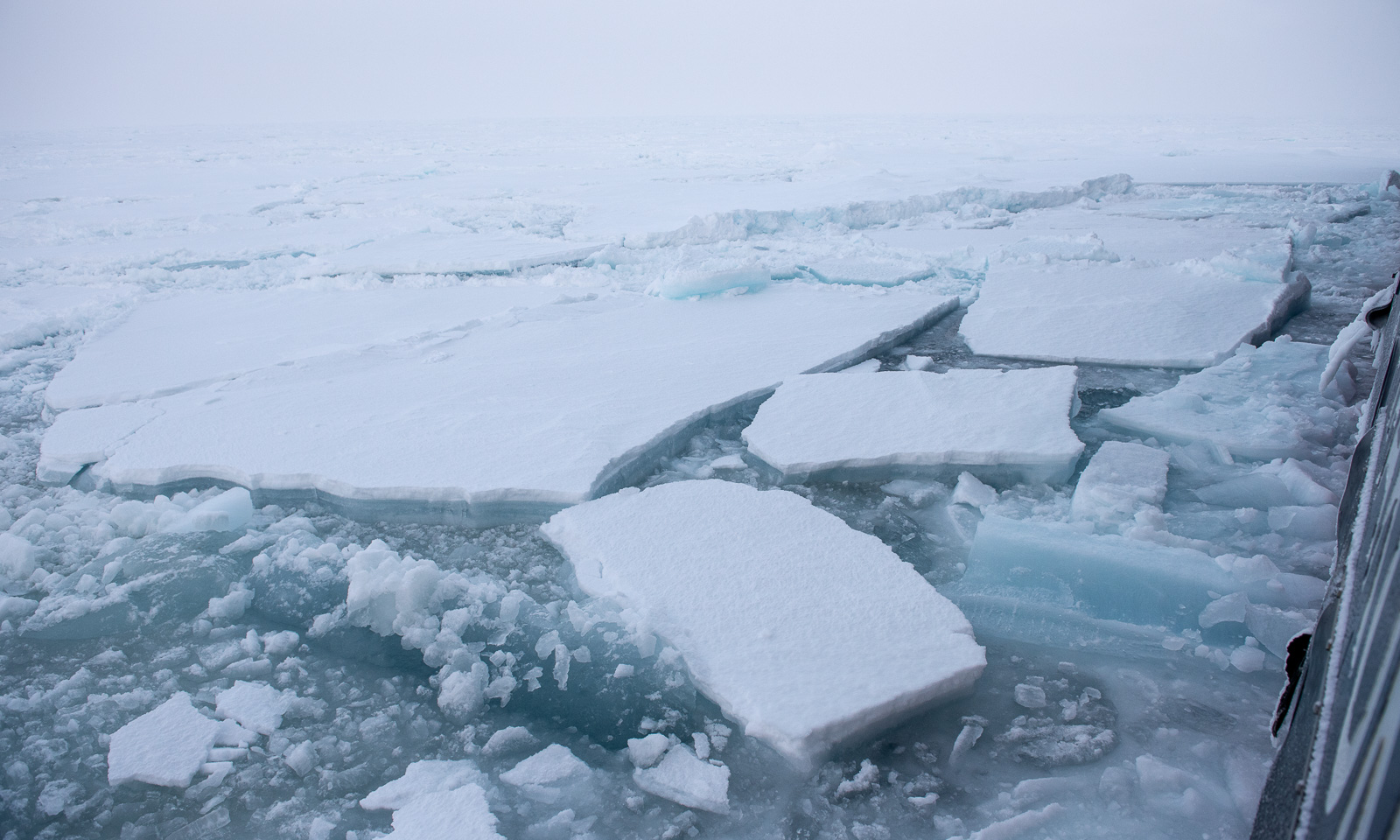
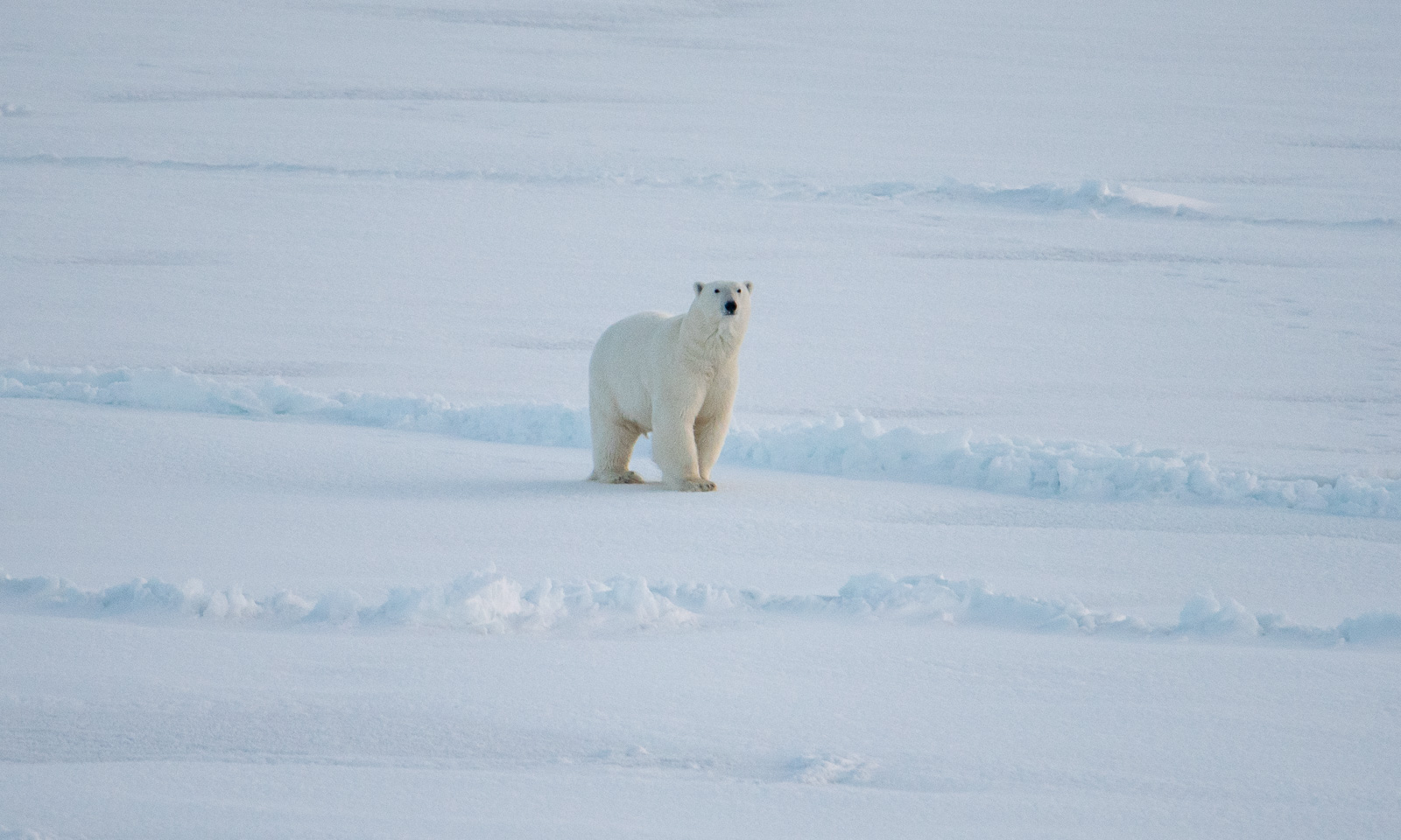
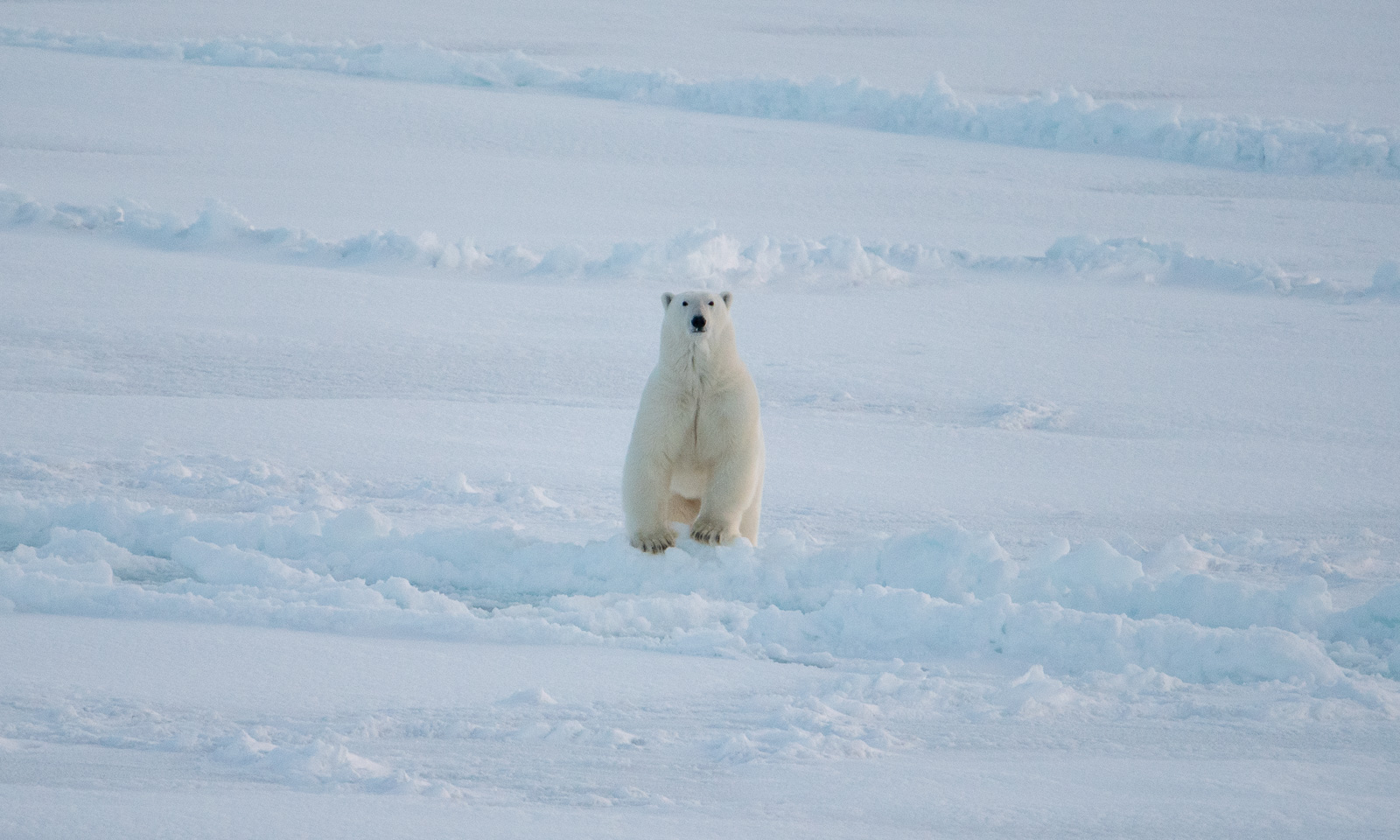
Ok, back to work. I’m almost finished with the day’s work when the others in the room suddenly jump up and disappear. A polar bear has been sighted in front of the ship. It takes me some time to put on my face mask, helmet, down parka, down pants, gloves, and boots, and to mount the big telephoto lens. Only then can I take some photos of the bear in the distance. It approaches at first, but then turns right and trots away.
 

Fram Strait cruise – departure

This article is part of the series “2026-10: Fram Strait cruise KPH”.

12 October

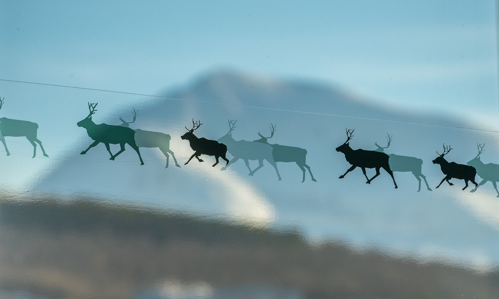
The weather in Tromsø is clear, the mountains are white, and the reindeer are flying.

At least, it looks like this, while I’m sitting at Gate F18 of Tromsø Lufthavn, waiting for my flight to Longyearbyen, Svalbard. Some of my colleagues from the Norwegian Polar Institute are here as well. We are all going on board the research icebreaker Kronprins Haakon (KPH) for a cruise in the Fram Strait between Svalbard and northern Greenland for almost three weeks the next day.

On arrival in Svalbard, we get a lift to our respective hotels, where we stay overnight.

13 October

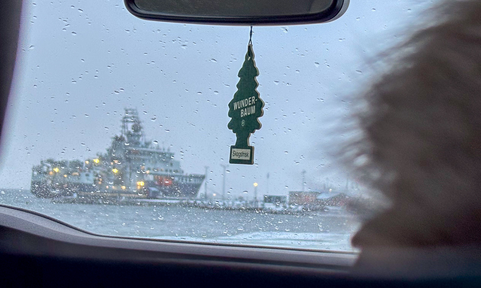
Three of us were staying in Coal Miner’s Cabin, which is south of the centre. We share a taxi to Bykaia, part of the Port of Longyearbyen, where KPH is berthed. It has got warmer and it’s raining.

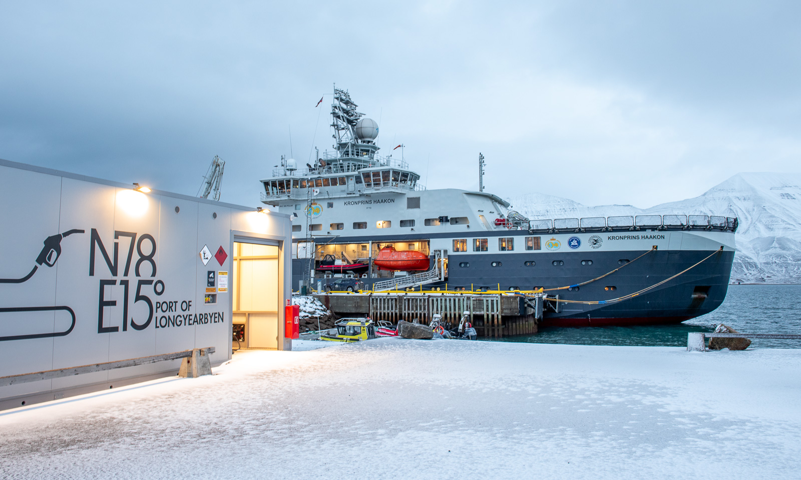
And here it is – the ship on which the 18 of us will spend the next three weeks together with the crew.

Just kidding! The RV Kronprins Haakon is actually lying in the other direction.

During the evening, the weather gets a bit ugly. It’s +5 °C, it’s raining and the wind speed is around 20 m/s. The sea state gets rougher and the waves grow higher.

14 October

In the morning the sea has calmed down and at a quarter past nine I feel the first small bump as a small ice floe collides with our ship. We have entered a band of pancake ice.

Now we are in open water again and the conditions are calm. Anyway, if Windy is right, we will get pretty rough weather tomorrow with a wind speed of around 18 m/s and an air temperature of -17 °C – a drop of almost 20 degrees. That would result in a windchill of -33 °C and I am very glad that I took my Canada Goose parka and trousers with me.

Flying a drone

I’m sitting on a bench at gate E18 of the Tromsø Airport. E18 means it’s an international flight. I am flying to Munich and will be spending a week in Augsburg. In Tromsø the temperature exceeded 20 °C on only two days in July, Augsburg will be hot with temperatures up to 35 °C. I like summer but this heat is not my thing and I’m longing for cooler temperatures already now. Like 6 May 2023, when temperatures in Tromsø reached only around 6 °C.

On that day I tested a drone of the Norwegian Polar Institute for an expedition. Flying a drone always means having to leave Tromsøya because of the airport restrictions.

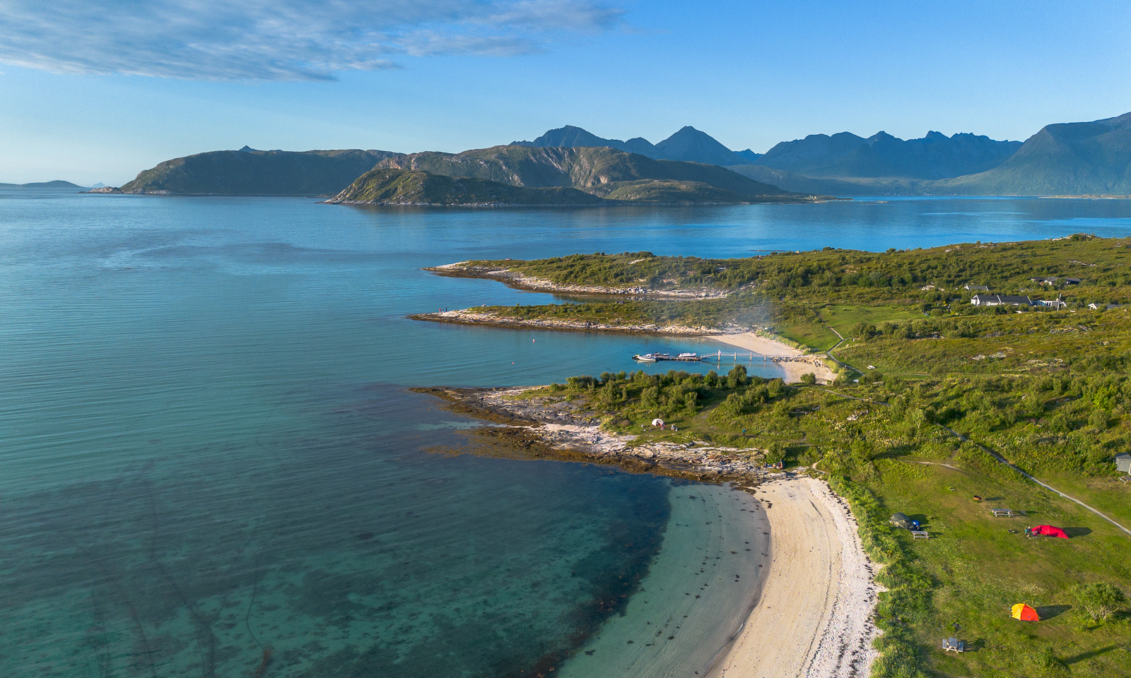
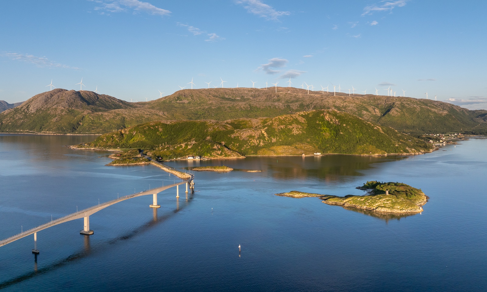
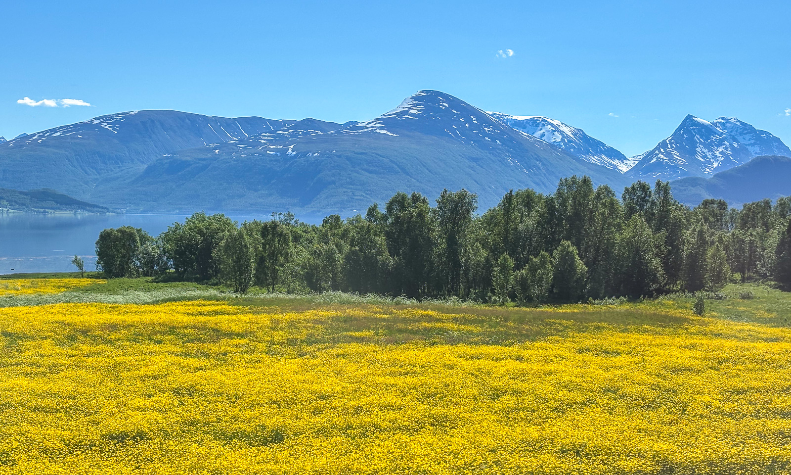
Last week I tested again, this time a newer drone belonging to the Norwegian Polar Institute and a better remote control for my own drone, which I bought second-hand a few days ago. I really like the institute’s DJI Mavic 3 Pro because it is larger, more stable, and has three cameras. But I’m pretty content with my own DJI Mini 3 Pro, especially now with the updated remote control. Under good light conditions they both make great photos. Here is one from Kattfjordeidet, Kvaløya, and the others are from Sommarøya. You can try to guess which drone took which photo. I couldn’t.

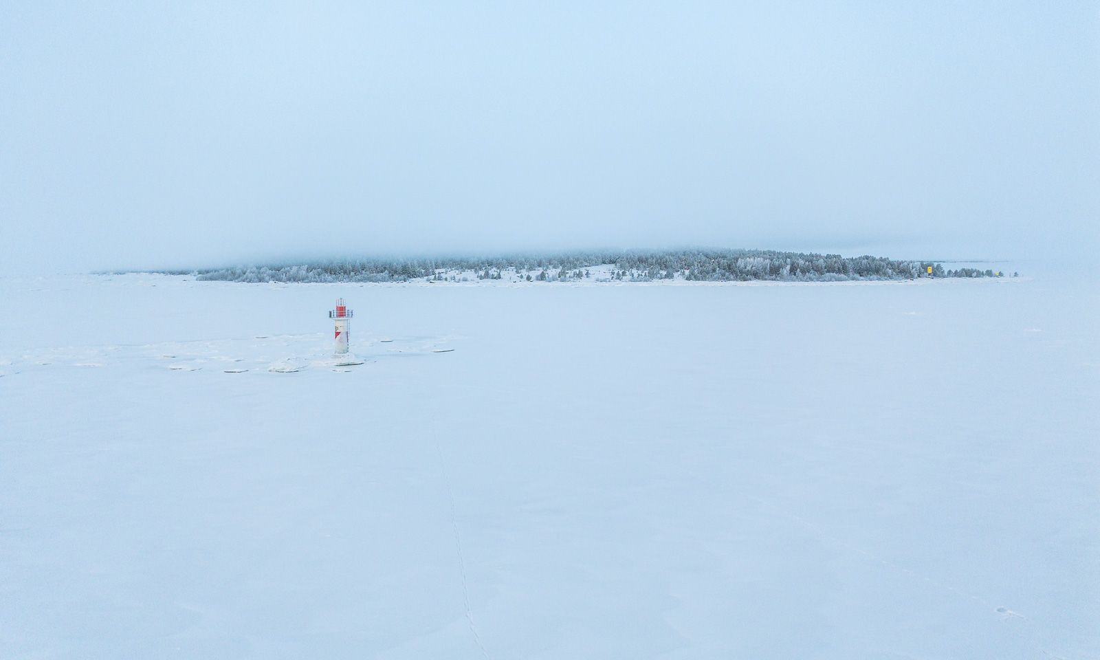
About half a year ago I had my drone with my as well, this time on the frozen Baltic Sea where I flew it several times. Publishing aerial photos taken in Sweden always takes a while, as you need to apply for publication permission for each photo. I have obtained permission to publish the following photo of the lighthouse Dynan and the island Bredskär. So, here it is:

If everything goes according to plan I will go on a three-week work cruise with the icebreaking vessel Kronprins Haakon between Svalbard and Greenland in October. Hopefully, we will have good conditions for ice stations. Then I’ll take orthophotos of and on the ice again.


Two days in Malangen

Yesterday and today our department “Miljø og kart” MIKA at the Norwegian Polar Institute had a two-day seminar on the Malangen peninsula.

We travelled there by bus while in glorious real summer weather. Two photos I took from the bus:

Between the last presentation in the afternoon and dinner we had a few hours off. A group of us headed to a spot by Lake Nikkavatnet and I went round the lake with a colleague. It was a beautiful walk of about 2 km, revealing another facet of Northern Norway: Forest and lake – with snowy mountain ranges on the horizon.

During the night the weather changed completely. This morning it was about ten degrees colder and it was cloudy with occasional rain showers. Therefore the view from the bus on the way back was quite different:


Bergen reloaded

On Sunday I flew to Bergen once more. While it had been sunny a few days ago, it now presented itself as Bergen is known for: rainy.

It was not the normal rain with raindrops falling from above. It was more like an omnipresent moisture coming at you from all directions. Invisible to the eye but you get wet anyway.

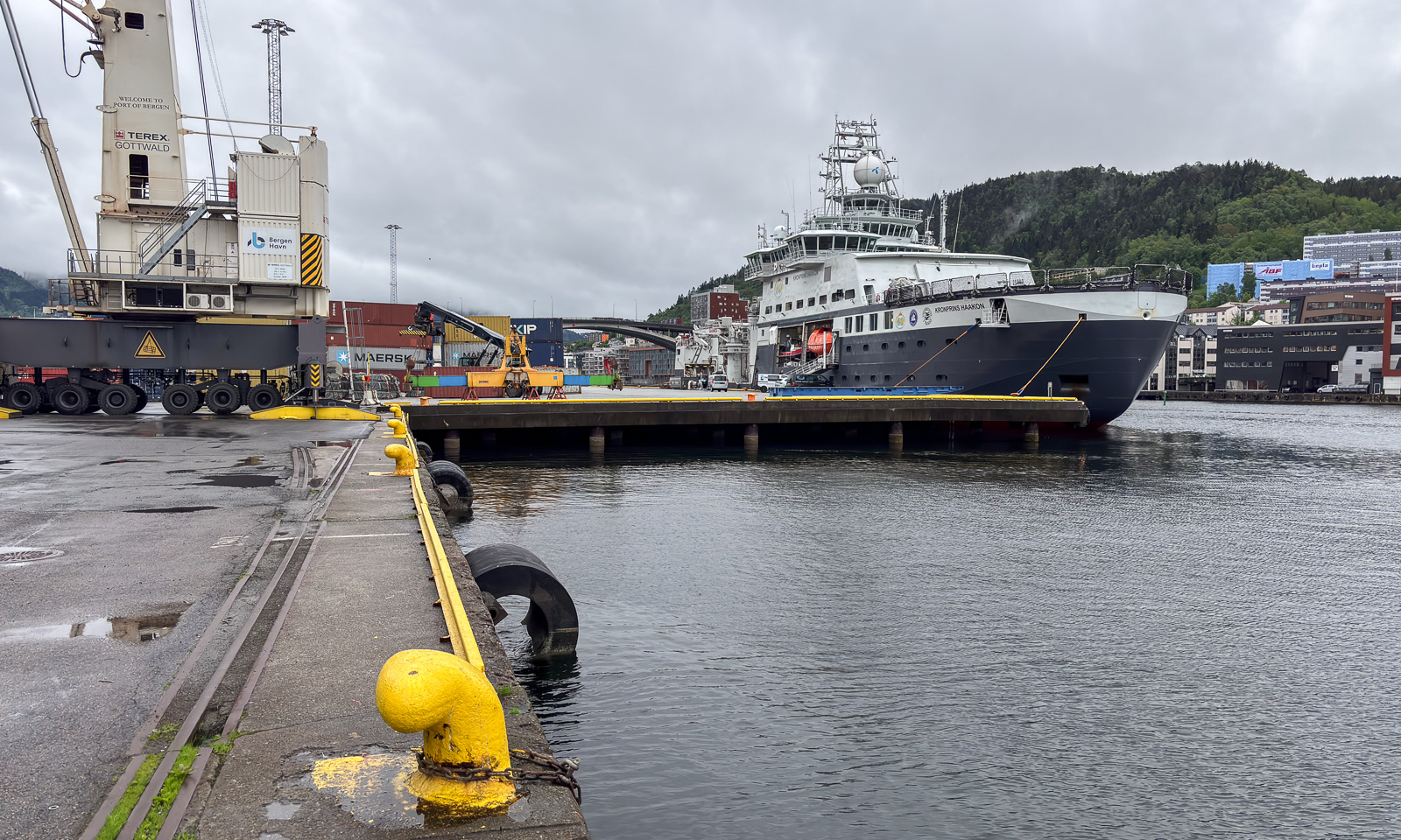
On Monday I went to work. I went from the hotel in the centre to the Port of Bergen, where it took me a while to find the entrance and then to get on the list for a day visit aboard the icebreaker Kronprins Haakon.

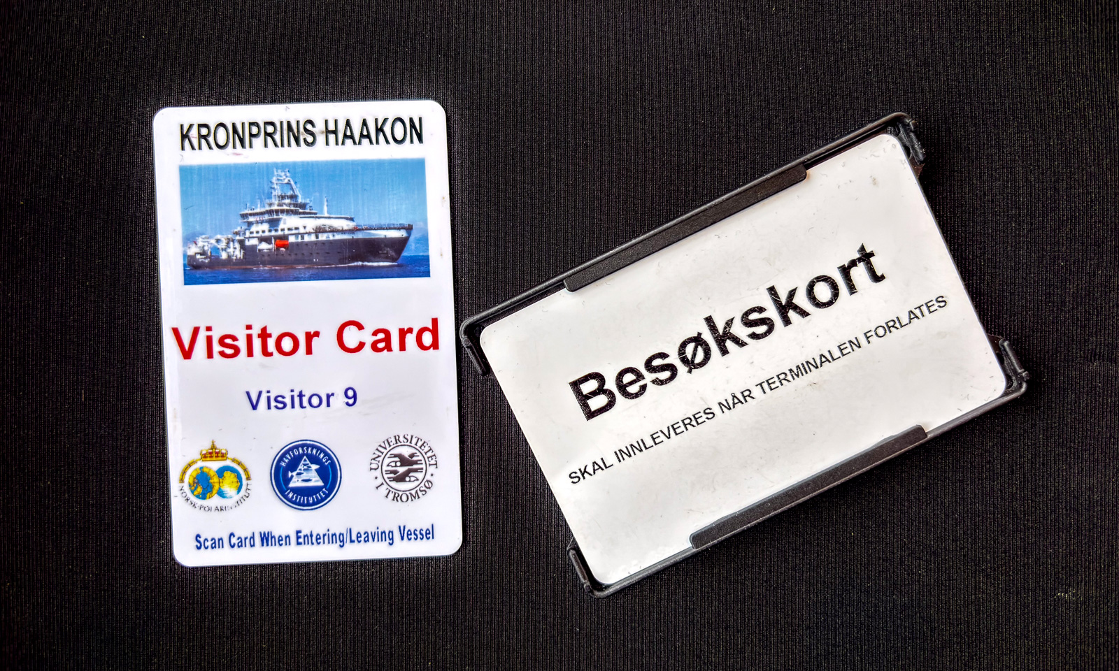
My pocket was full of cards – one for my hotel room, one visitor card for the port, one for the ship.

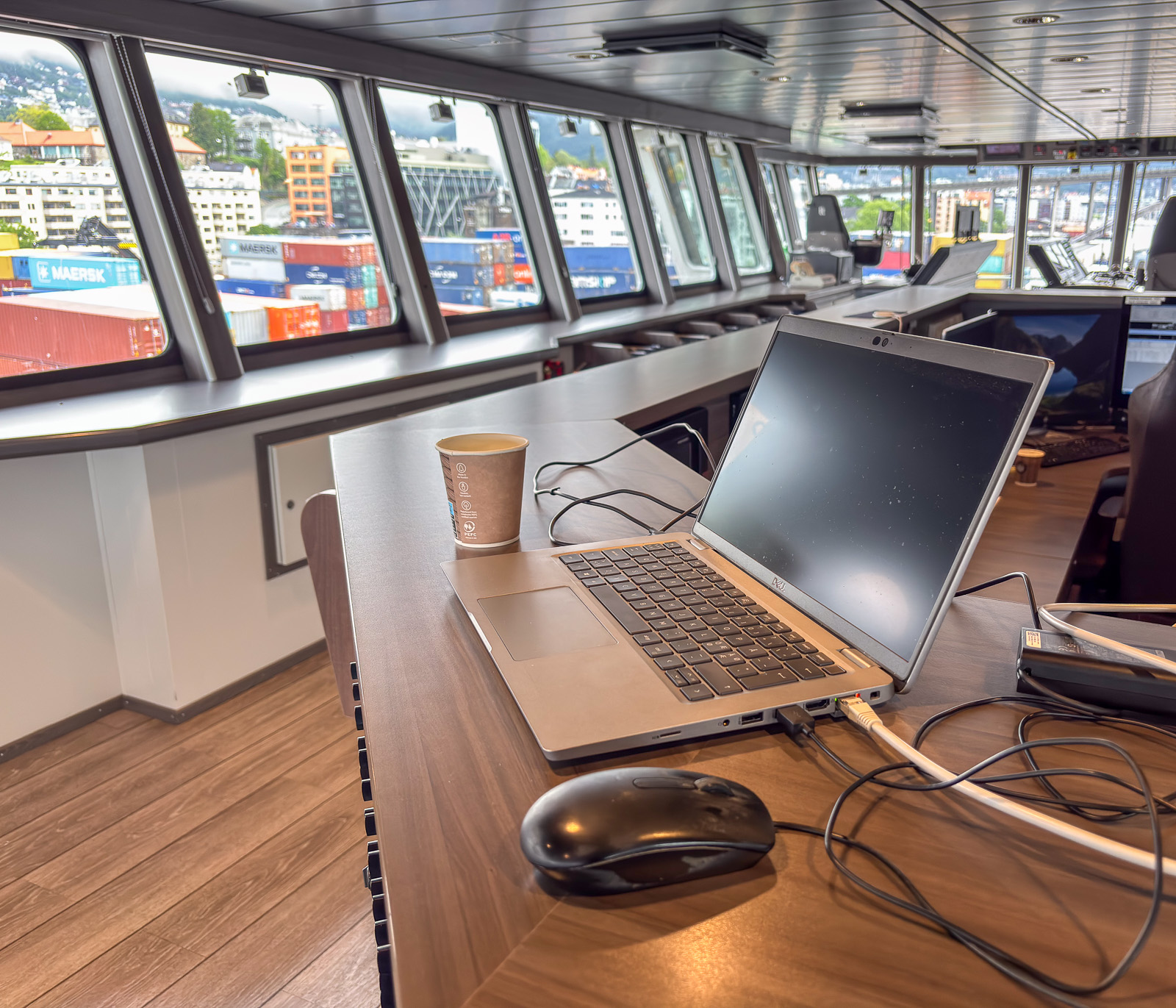
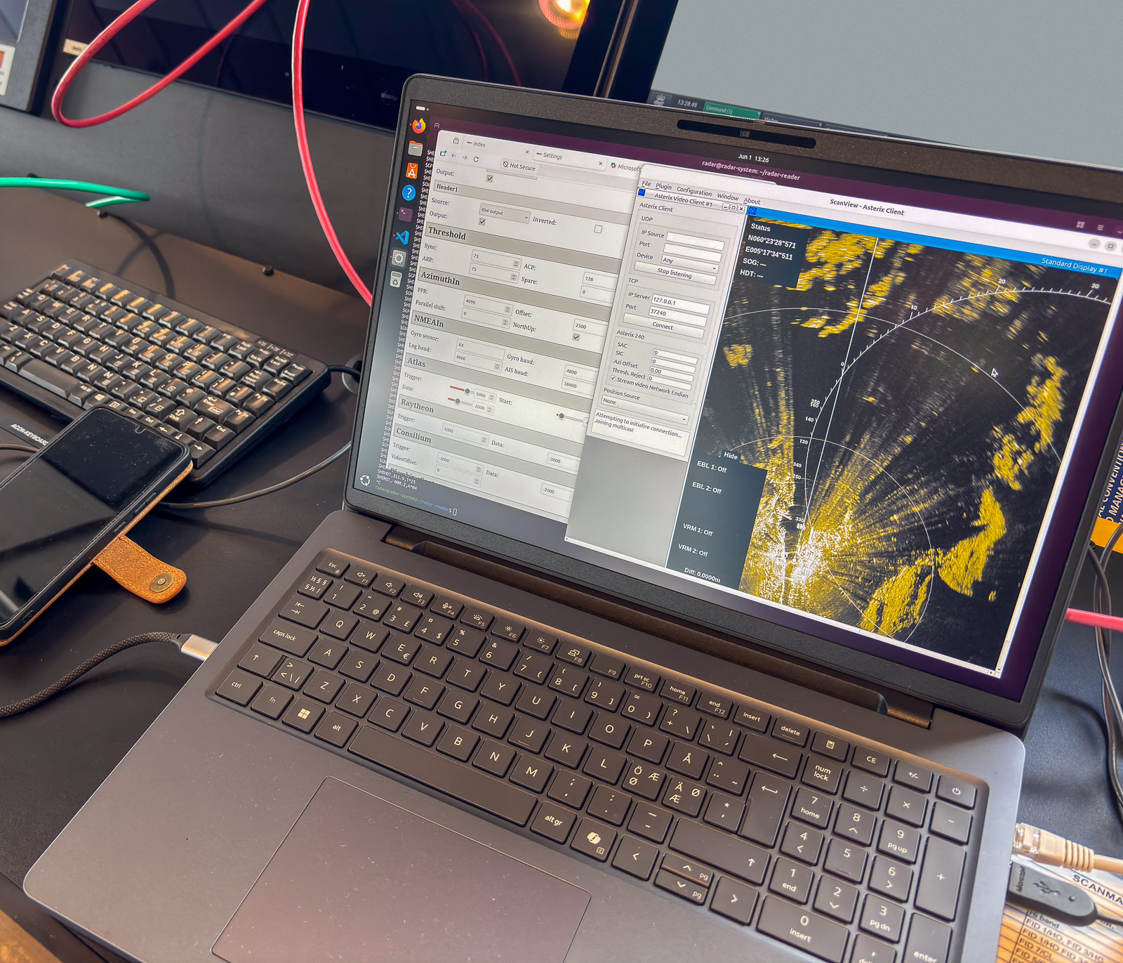
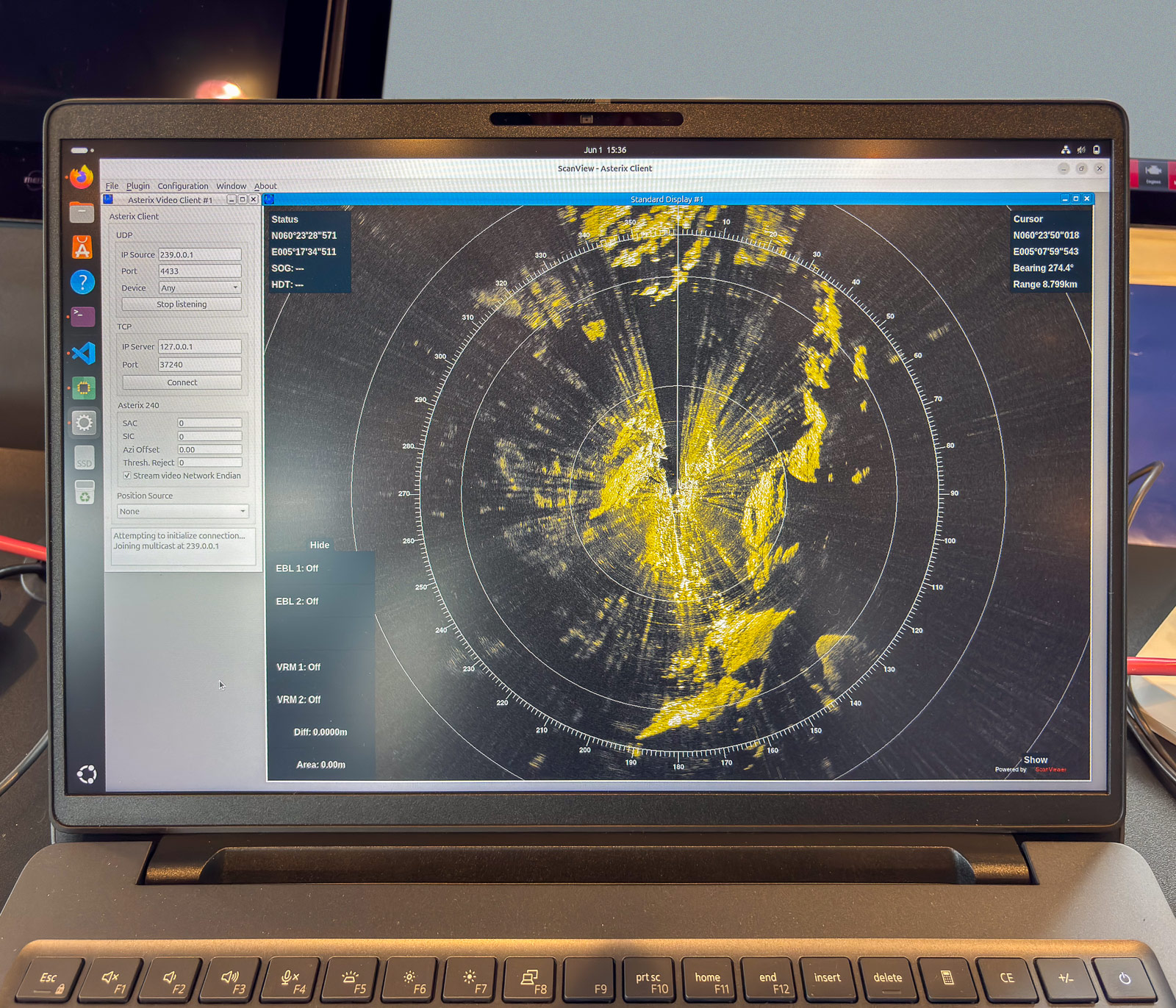
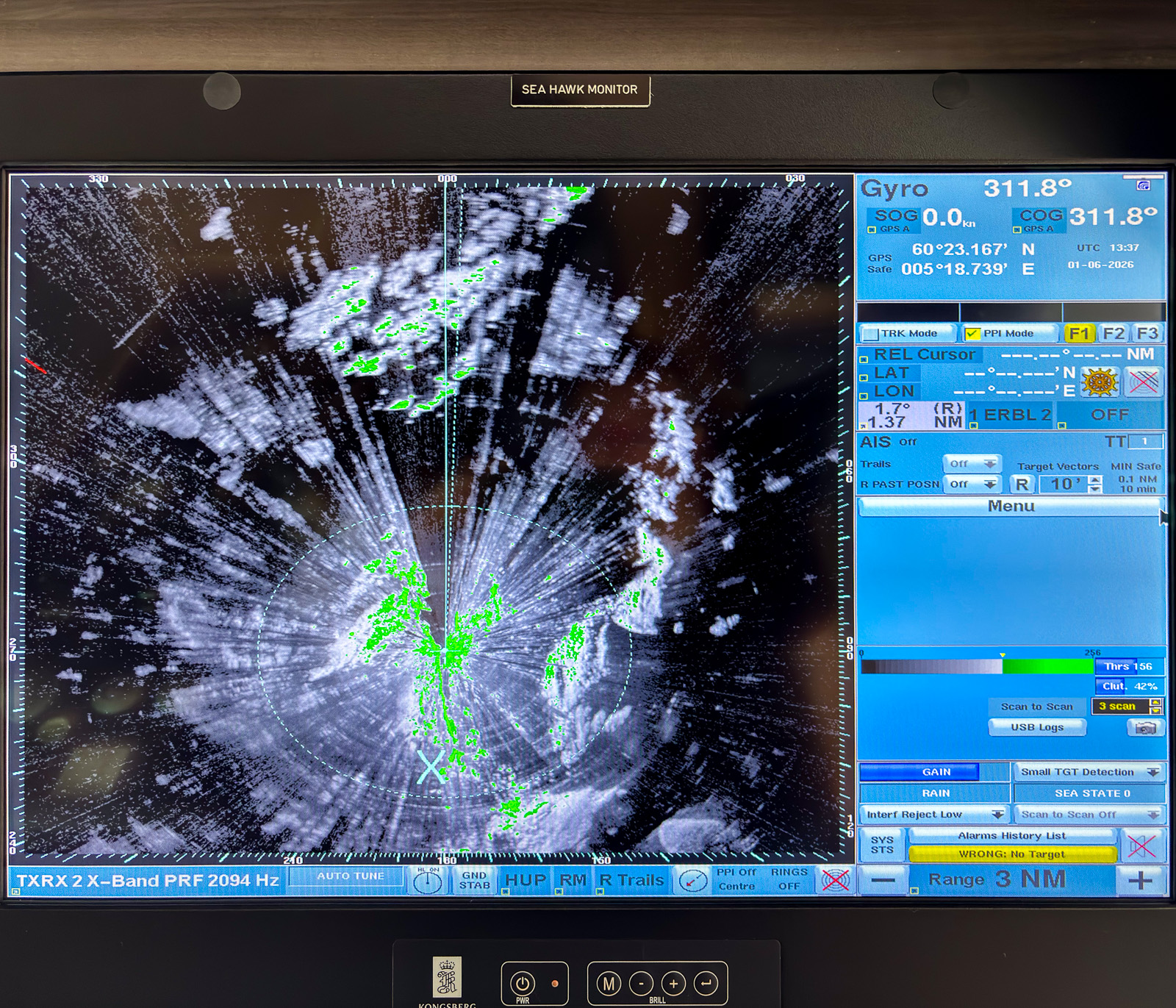
One of the instruments on the bridge is a radar used for sea ice navigation. On this day an engineer from Sea Hawk was installing additional hardware that delivered the radar video signal and additional data such as GPS and gyro to an auxiliary network. My responsibility was the other half: the laptop and the software to read and store the data. And so my workplace looked like:

After some hours of work the “radar” laptop showed the same data as the large overhead display on the bridge. The engineer calibrated the scan streamer unit and I used the rest of my working day to catch one hour of radar data as an example. As expected the amount of data was immense: about 74 GB per hour.

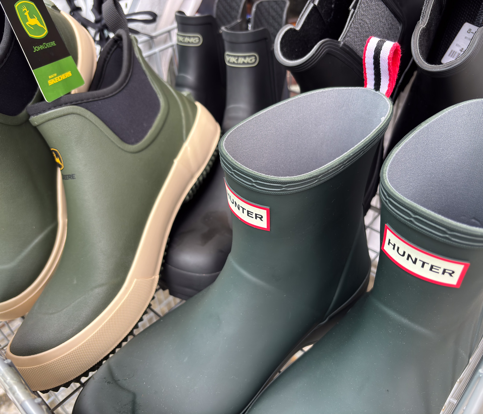
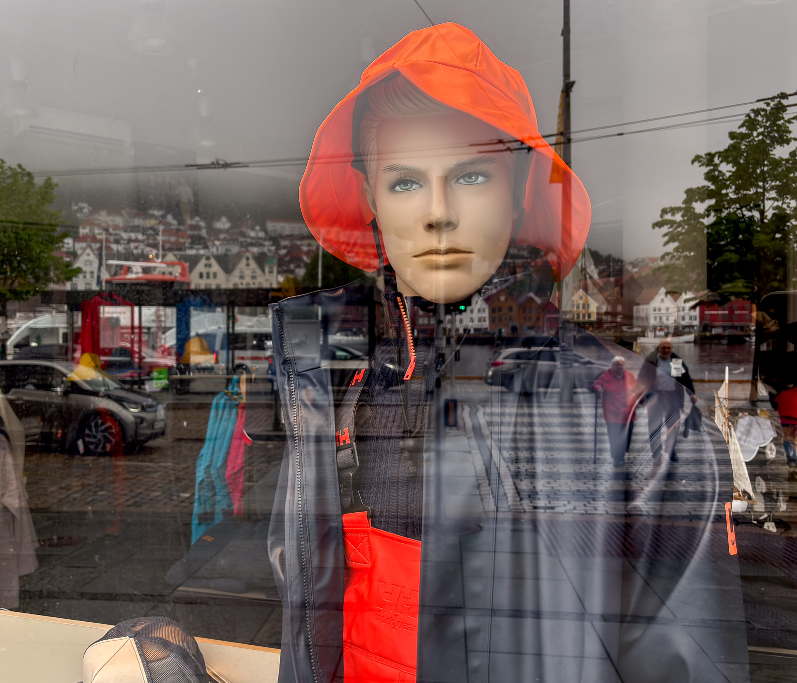
Then it was time to head back to my hotel in Bergen, the city with about two hundred days of precipitation a year. Even the shops here reflect the omnipresence of rain.

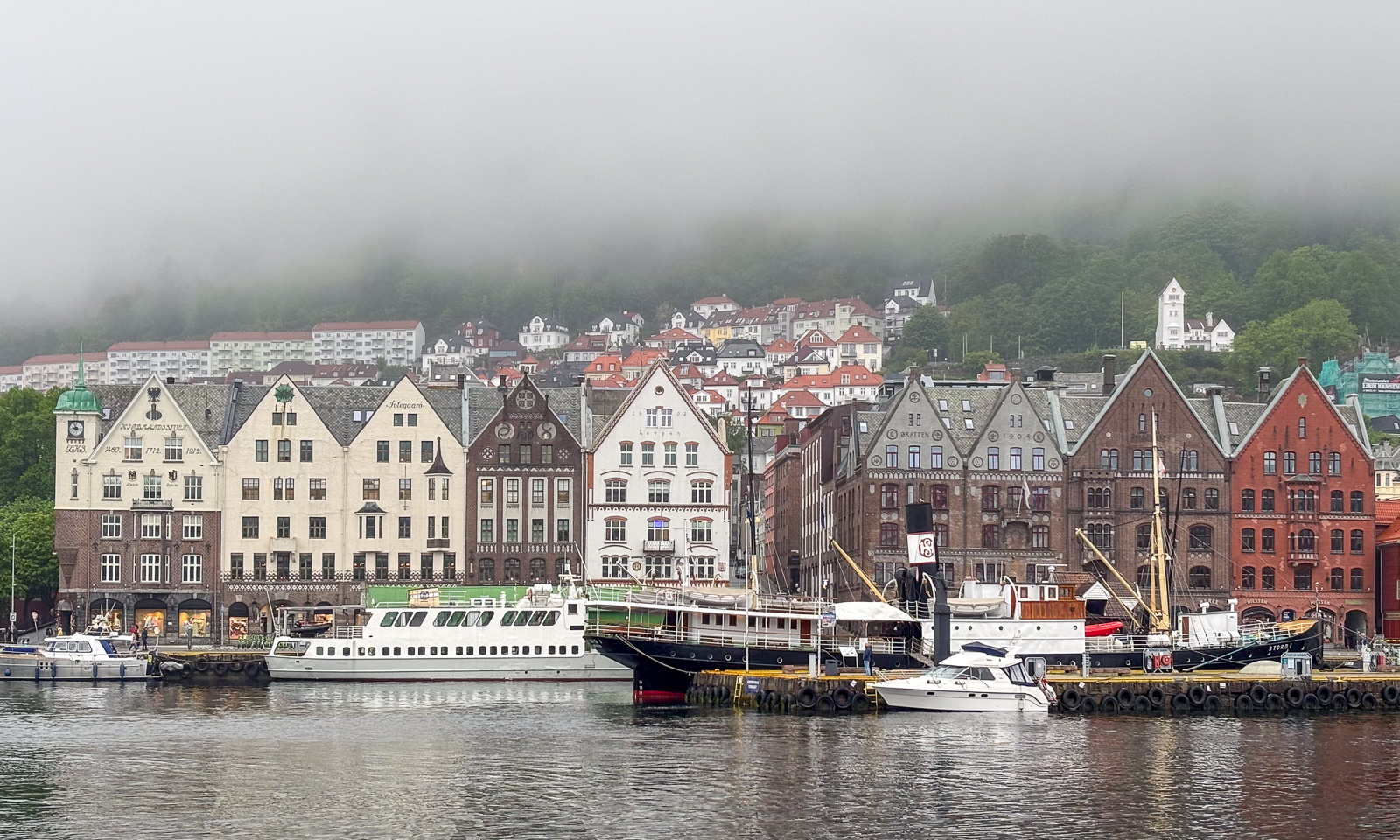
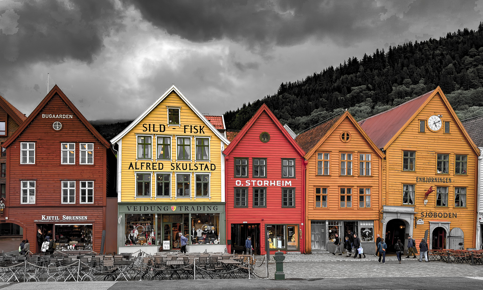
Tor te rest of the day, I was a tourist and took some tourist photos in Bryggen, the famous historic quarter.

A day and half a night in Bergen

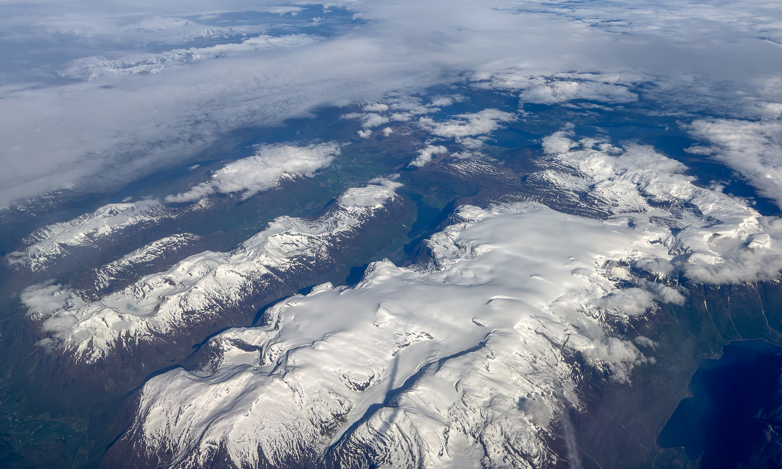
28 May – I am sitting on a plane to Bergen, Tromsø lies behind. Finally the layer of clouds has opened and Vestlandet – Western Norways reveals itself with vast glaciers, mountain ranges, fjords, forests, archipelagos and the open sea.

The reason I am in Bergen is sea ice in the Arctic. On board the ice-breaking research vessel Kronprins Haakon there is a special radar used for navigation through sea ice. Researcher Polona Itkin wants to store this data for scientific purposes. The companies Sea-Hawk Navigation AS and dspnor AS are responsible for the hardware, I handle the software to read and store the data. And since these companies are in Bergen and have a working setup including a radar on the roof, I am working there for two days. The only work-related detail I will mention is this: the data volume to be stored is immense and can exceed 2 TB a day. Quite a challenge.

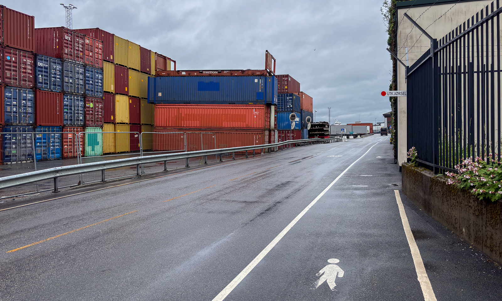
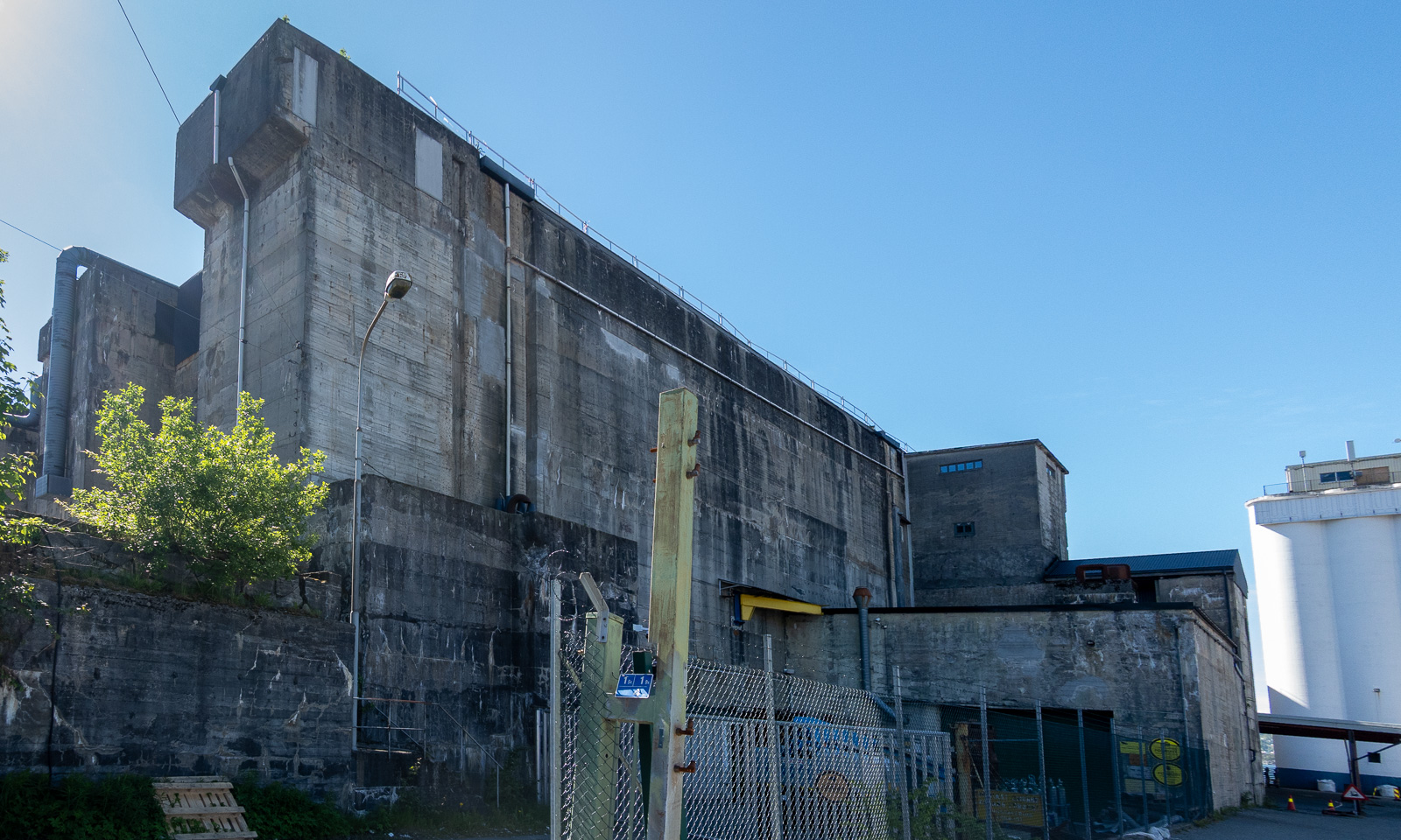
At 16:00 I finish work. Since the weather is warm and sunny, I decide to walk to the hotel in the centre of Bergen on the other side of Puddefjorden. Let’s go down the concrete ramp and start our tour. First, I walk through an industrial area …

… but then the surroundings change revealing marinas, parks and older wooden houses.

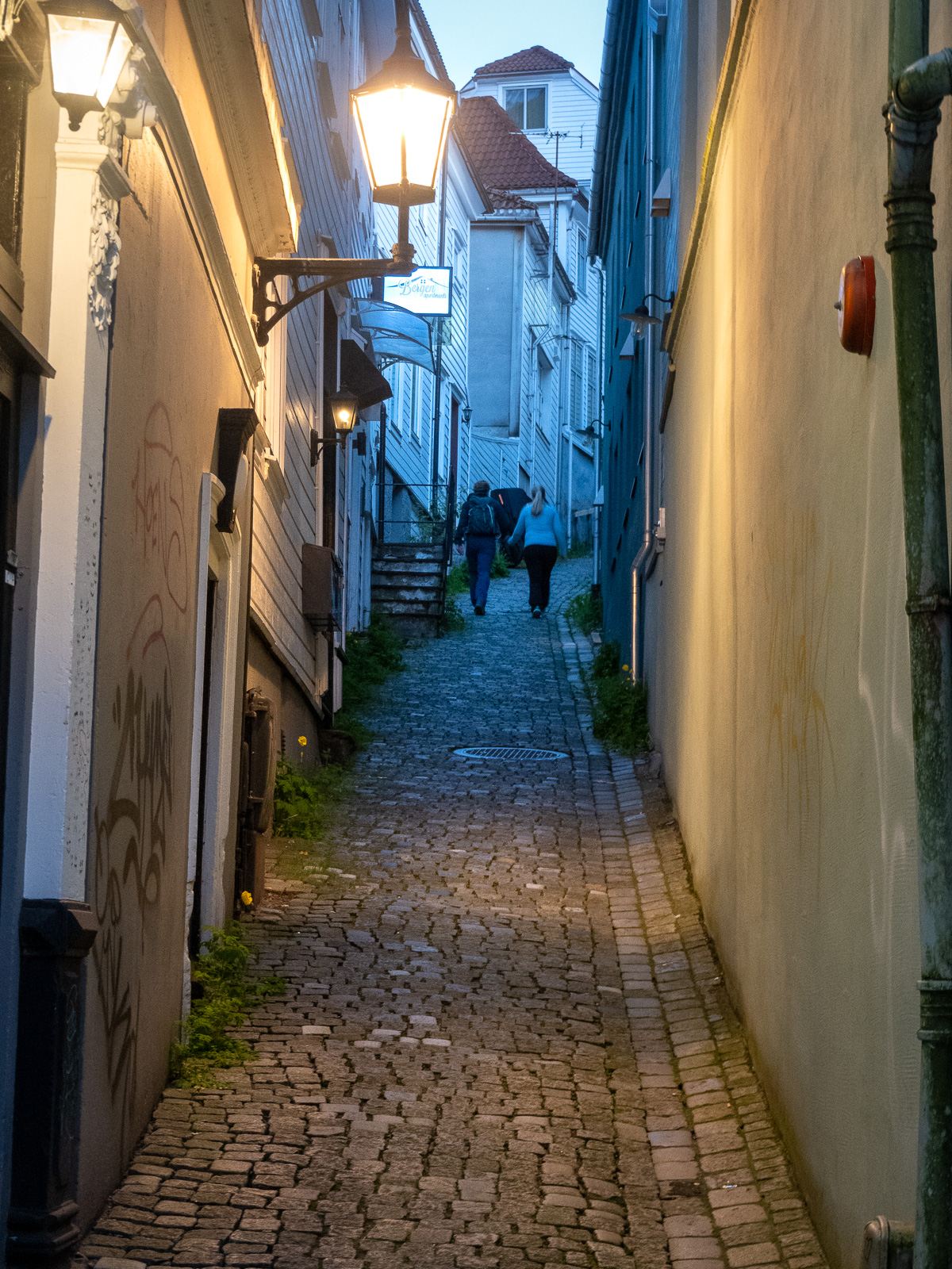
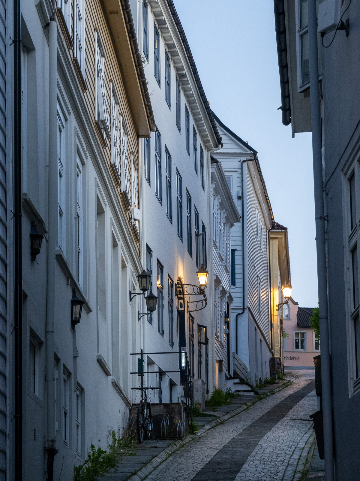
I cross the Damsgårdssundet and head towards the centre. A myriad of small alleys, footpaths and stairs make me ignore the polite navigation of Google Maps and stroll around, enjoying the town in the sun.

I don’t want to own this car, but I envy the driver’s parking skills.

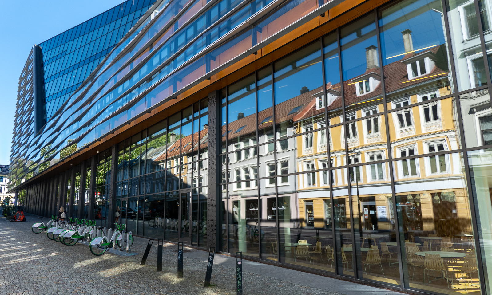
But of course Bergen is an evolving city, not a museum and a lot of contemporary architecture is found there too. But sometimes the glassy facades reflect the older world.

From there it is not long to Vågen, the central harbour bay with a view of the historic quarter Bryggen.

I check in at the hotel and leave again straight away, first to get some food (Pasha – Peruvian food – not cheap but delicious) and then to take Fløibanen, a 848-metre-long funicular railway that leads up to the mountain of Fløyen (320 m).

Of course I could have walked up the 302-metre ascent, but I have a plan: I want to walk to the mountain of Ulriken (643 m), the highest of De syv fjell that surround the city centre of Bergen. The route is between 13 and 15 km long and leads through hilly terrain. From there I want to take the cable car down and the last one leaves at 23:00. So I don’t have the whole day, just a long evening.

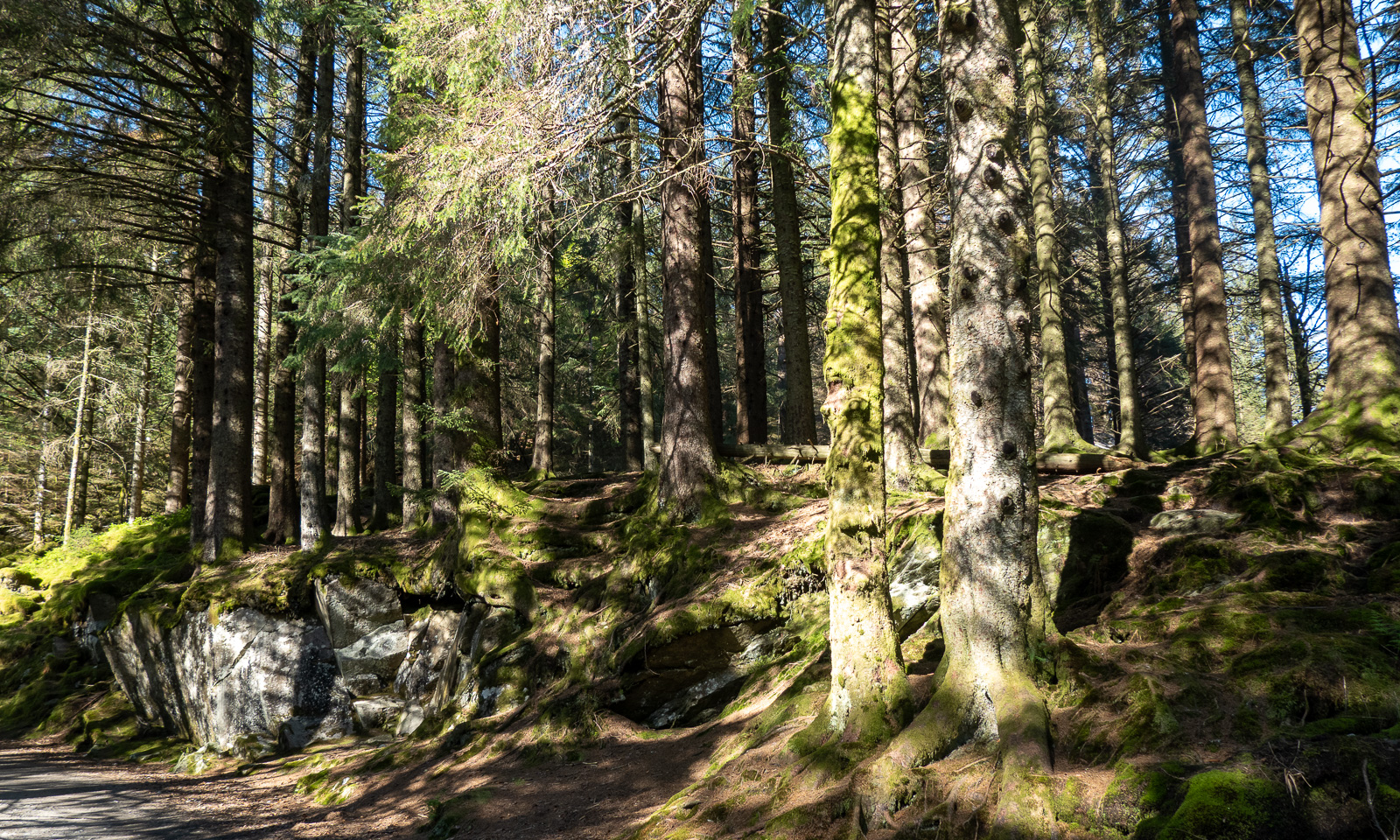
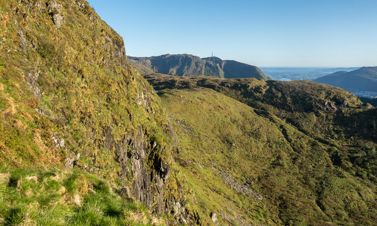
At 18:45 I start my tour. First, I cross a small, but surprisingly dense forest then I follow the wide hiking trail.

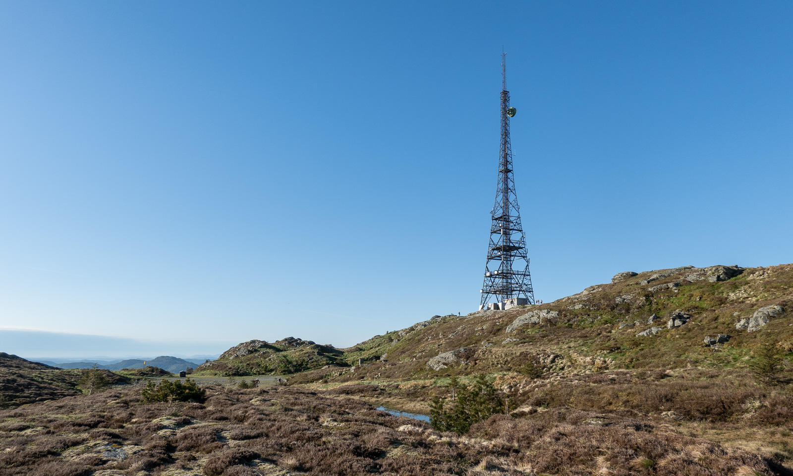
When I approach the mountain Rundemanen with its tall radio mast, the trail branches into many paths leading in different directions. I ask for directions twice and get it – together with the warning that it is a long hike. The younger women told me it would take four hours from here, another woman said it would take her six hours. I decide to walk a bit faster and see where I am after two hours. I could still turn back then.

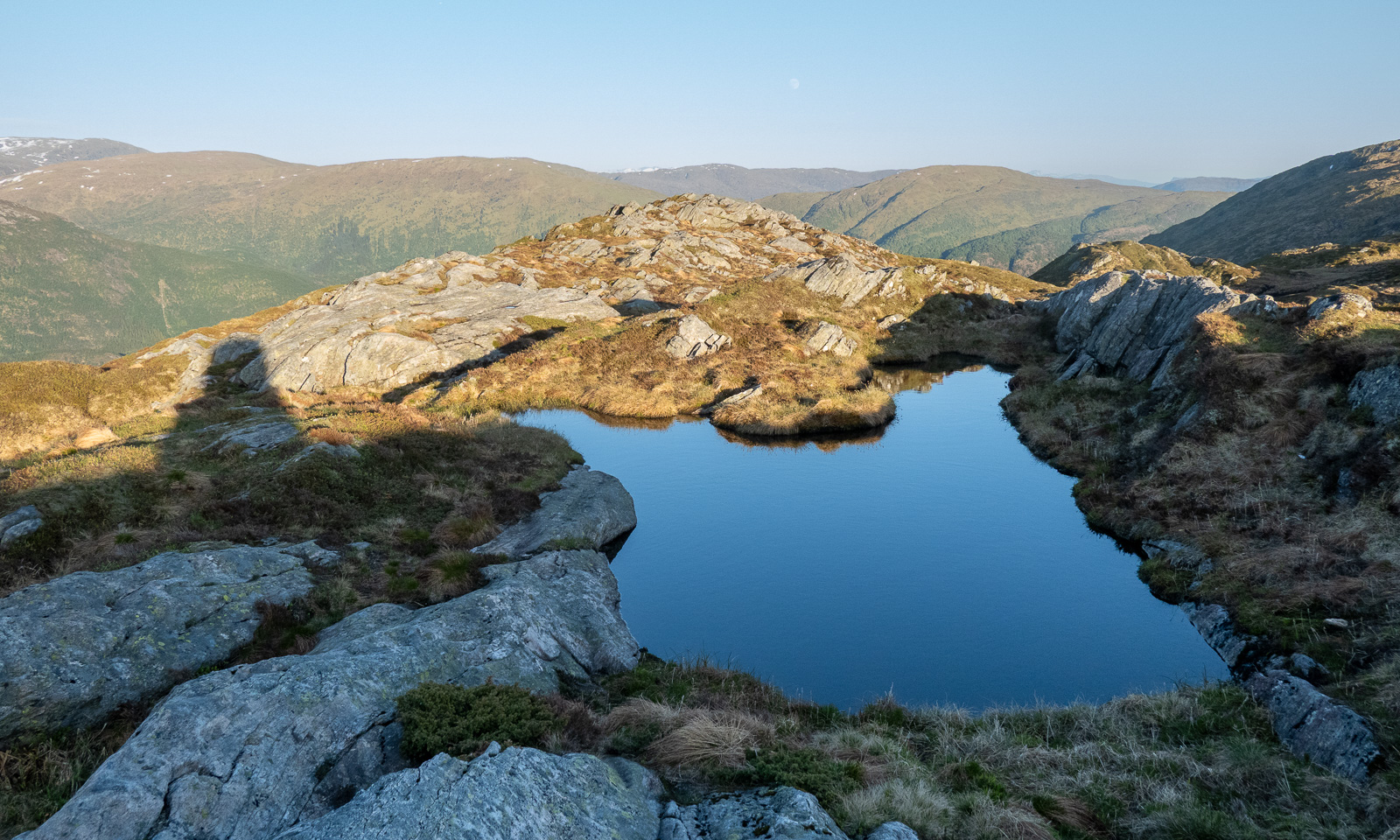
Now the trail looks more like a mountain trail. Smaller, steeper, rougher and sometimes very wet. Normally I walk with rubber boots but on this journey I only have an old pair of low shoes, so I try to avoid all the wet patches walking around them or stepping onto the stones.

I pass the lake Øvre Jordalsvatnet, use the stone causeway to cross the small stream that transports water to the lower lake Tarlebøvatnet. My planned destination, the TV tower near Ulriken, can already be seen.

Now the trail is excellently marked by large square cairns with a sign “←Fløyen, /Ulriken→“. It is easy to follow them. I try to walk at least 4 km/h, ideally 4.5 to catch the cable car. At 20:30 I reach one of the few signposts with distances. I’m happy, because I made more than half the distance in one hour, forty-five minutes. Decision made: I carry on.

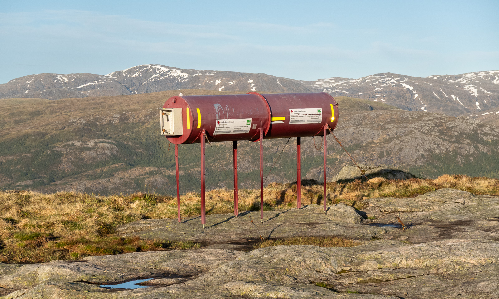
And on I go across the Vidden. Sometimes the point of interest is nearby, such as the tube with the first aid equipment including a stretcher. Sometimes it is far away, such as the snowy mountains in the east. Will I see snow here as well?

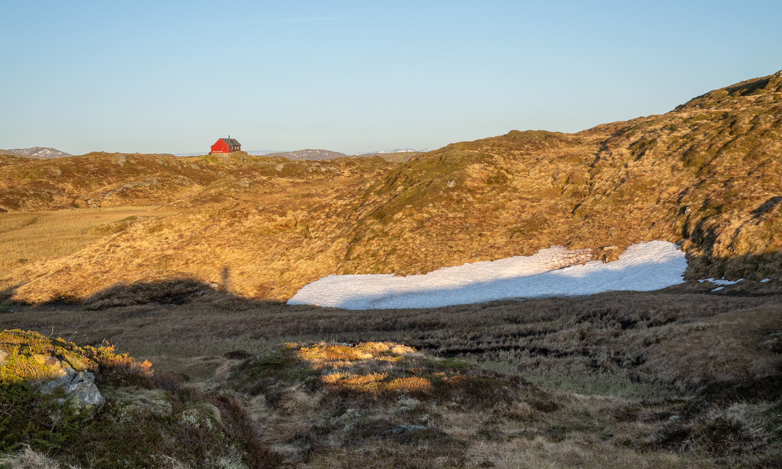
And there it is: one of the two patches of snow on the Vidden plateau.

Slowly the sun is setting and the light gets warmer. I walk against the sun and have to protect my eyes with one hand when the path descends steeply into one of the valley cuts. But I’m sure I’ll arrive in time.

I spot some cabins, first a small red one then a larger one. When I researched this while writing, I found out that this is Turnerhytten, a DNT cabin with thirty beds. I think that when I plan a trip to Bergen again, I should stay there rather in some hotel in the centre.

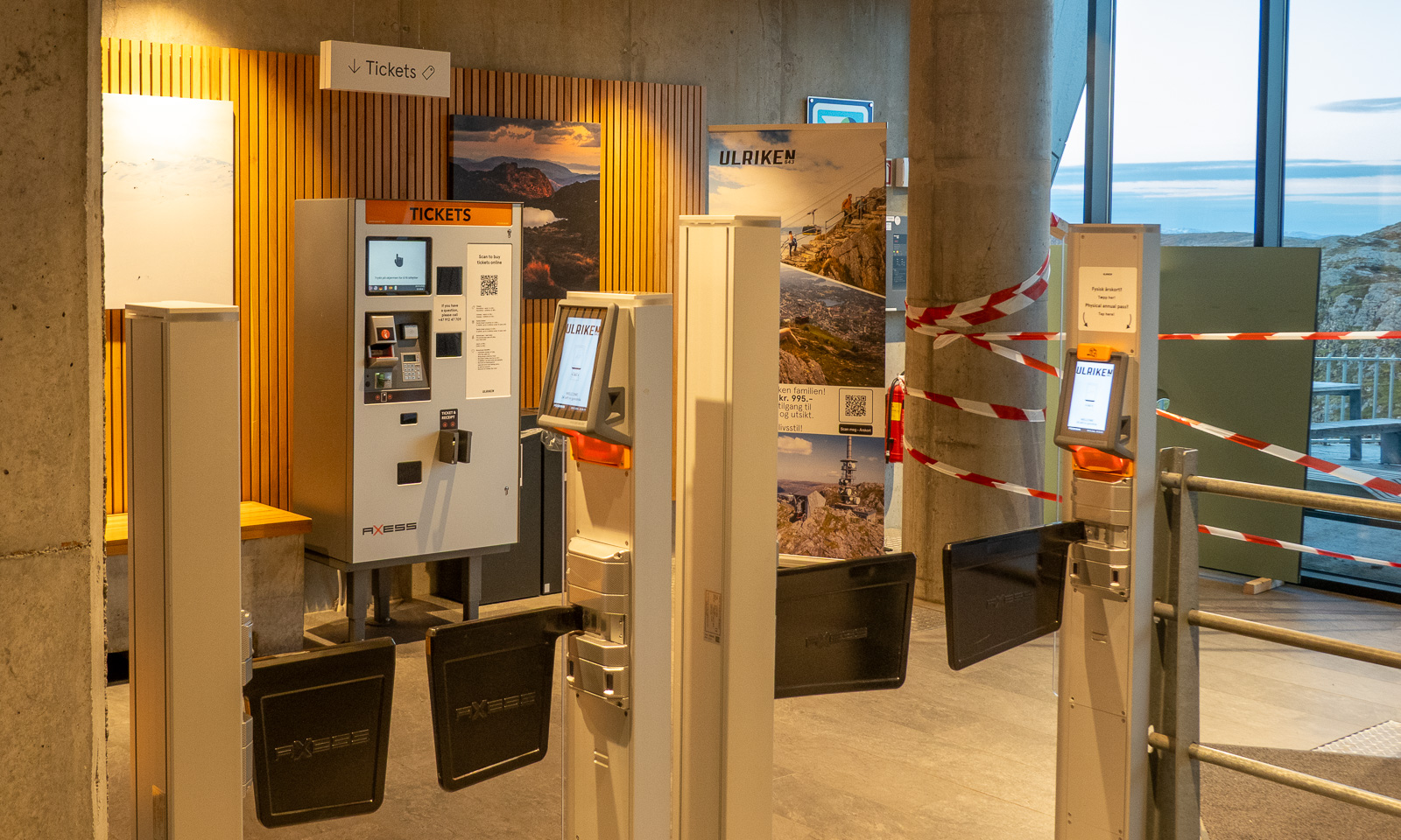
I decide not to climb to the top of Ulriken but to go straight to the cable car station. I’m tired and exhausted because my only rests were to take photos and once to put on a jacket. I follow the signs to the station, take another photo, one of the TV tower, buy a ticket at the ticket machine and two minutes later I am in the cable car that leads me down. It is 22:30, so the hike – 14½ km long – took me 3¾ hours.

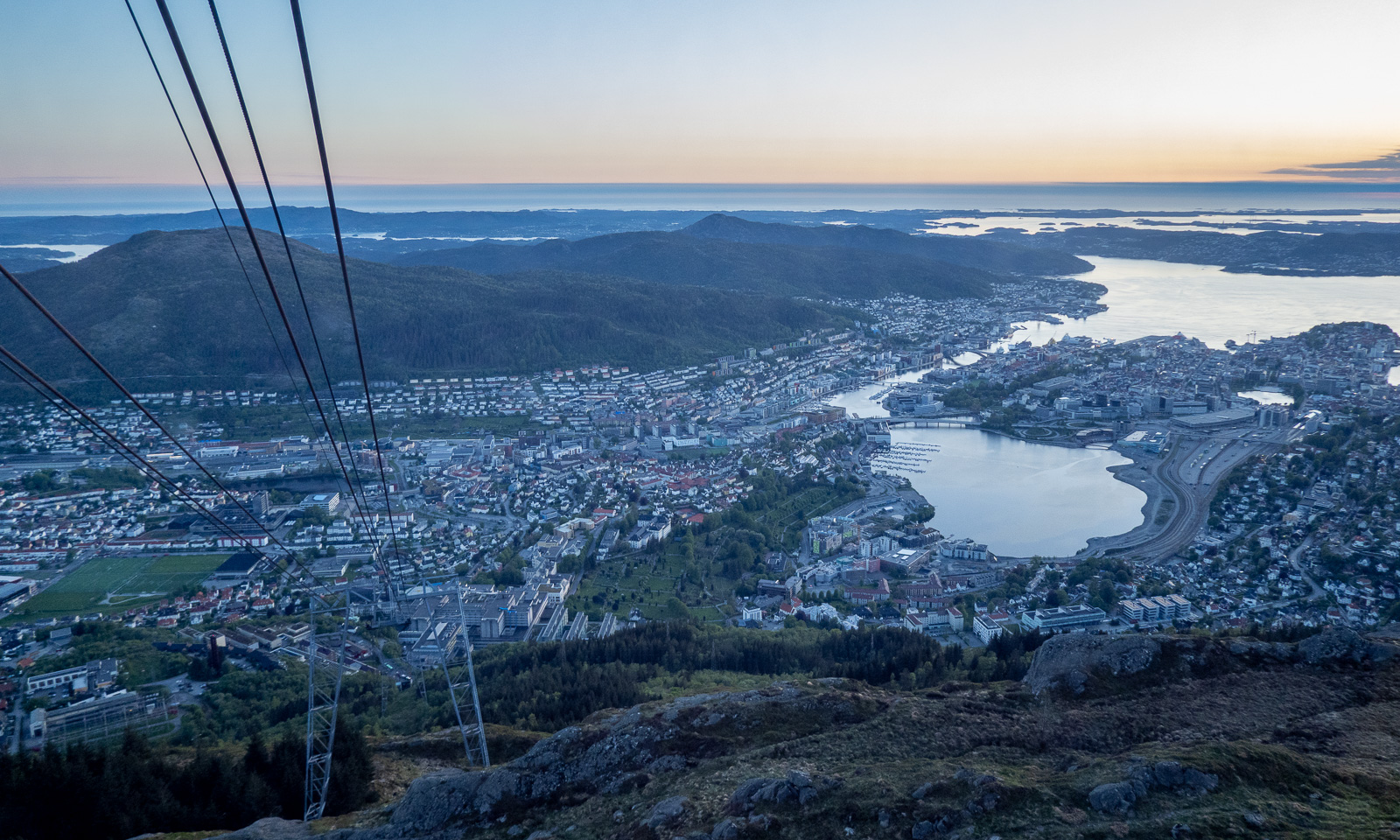
From the descending cable car I watch the sunset …Sunset over Bergen

… then I’m in town again. It is five more kilometres to my hotel, so I take a bus (the wrong one), a tram, and another bus. At 23:15 I am in my hotel room.

Today I walked around 25 kilometres in total and now I only want to take a shower and fall into bed and sleep until breakfast at 7:00 the next morning.

Visiting Kronprins Haakon

Last Thursday I visited the icebreaker Kronprins Haakon in the port of Tromsø. Not to join an expedition but only for a couple of hours. I wanted to check some code that is supposed to run on the ship later this year. This is part of my work as a software developer and data manager at the Norwegian Polar Institute. When I run code in the office I always have to simulate the systems running on the vessel and I was glad that the software actually worked with the real ship’s system as intended.

“Takk for sist” – thanks for the last time – you say in Norway, when you haven’t seen each other for a while. I’ve been on several cruises with Kronprins Haakon and so I know part of the crew and they know me. “Takk for sist, Roy”. “Takk for sist, Ronny”. “Takk for sist. (I forgot your name, sorry.)”

This year, the budget is far too tight to allow me another cruise and no one knows next year’s budget. But three expeditions I’ve done already. Since I’m a software developer I wrote some code to create the ship’s tracks from these expeditions as “GeoJSON”, a file format that you can easily load in the open source GIS software QGIS. Here is a Screenshot I made. Greenland to the left, Svalbard to the right:

Arven etter Nansen JC3 · Arctic Ocean 2023 I · Fram Strait 2024

Just now (2025-04-06T19:31:54Z) Kronprins Haakon is in the Svovelbukta in southern Spitsbergen. I however will continue office work in Tromsø tomorrow and improve the code I’ve written. Hopefully I can try it out again when Kronprins Haakon is in Tromsø again. There are several opportunities.

Fram Strait 2024 – returning to Svalbard

This article is part of the series “2024-08: Fram Strait cruise KPH”.

26 August 2024

It is the 14th day of our Fram Strait cruise. We are on our way back to Longyearbyen on Svalbard. After many grey and foggy days we finally have got nicer weather since yesterday and so I am standing on the “heli deck” looking for animals to take pictures of. I cannot see any whales and the few puffins that I spot are too fast and too far away. So I take photos of the seagulls that effortlessly accompany the ship.
Since today it is possible to see land again in the distance. Not Greenland like a week ago but Prins Karls Forland, an elongated island which is the westernmost island of  the Svalbard archipelago.

I have gone inside again until I see a message popping on our WhatsApp group:

Dolphins just in front of the ship now

I grab my photo bag, hurry to the heli deck again and see a school of dolphins on the starboard side. Most of them swim underwater but again and again a group of these beautiful sea mammals come out of the water. With my big telephoto lens I try to take pictures of the dolphins. The result: a lot of pictures of sea water. They are just too fast for me and my lens. But I’m lucky. Once I manage to guess correctly and get a photo of two dolphins (and a third one immersed).

27 August 2024

Originally we wanted to reach Svalbard one day later but a lot of things have been done faster without the presence of sea ice. Mooring recoveries are simpler, CTD casts are easier and so is the ship’s navigation – no search for leads needed. Therefore we will arrive one day earlier, which is today. While I’m having breakfast we are already in the fjord Isfjorden. At 9 o’clock we have arrived in the city port of Longyearbyen.
After lunch I leave the ship and stand on land again. I walk into town and go to Svalbardbutikken, the local supermarket. We still live on board and get our meals there, but I want to have chocolate! And I get it.

28 August 2024

We all have stayed on board overnight as well. The cabins are free (and paid) and so there is no need to find some expensive last-minute accommodation in Longyearbyen.

My plane to Tromsø will depart at 14:40. I interrupt my work and leave the ship once more to take some pictures. It is sunny again but Svalbard looks pretty brown and dirty in summer.

Then it was time to say good bye to the crew and the other participants. Car to the airport – checking in the baggage – security. And some hours later I sat in the airplane to Tromsø now leaving also Svalbard and the research ice breaker Kronprins Haakon behind.
When shall we three meet again?
In thunder, lightning, or in rain?
When the data work is done,
When the budget’s lost or won …

Hydrographical measurements in the Fram Strait

This article is part of the series “2024-08: Fram Strait cruise KPH”.

You see the map with Greenland to the left and Svalbard to the right? And all these orange dots?

Each of the dots stands for a cast where an instrument or a set of instruments was lowered into the water. As you see it was quite a lot of casts that the researchers and the crew of the icebreaker Kronprins Haakon conducted in the Fram Strait between 14° W and 10° E within two weeks.

Let’s start with the most prominent hydrographical instrument, the CTD.

CTD stands for Conductivity, Temperature, and Depth. It is a group of instruments to measure these important water properties. The conductivity is directly related to salinity. While the CTD is lowered these three properties are measured continuously which results in so-called “profiles” that show the salinity and the temperature per depth. With these properties oceanographers get the first insight in what kind of sea water it may be. It is Atlantic? Or Arctic? But there are also other sensors mounted to the CTD to measure properties such as fluorescence or current velocities.

Also part of a CTD is the rosette of “Niskin bottles”. These bottles can be opened and closed remotely underwater to fetch sea water in defined depths on the way up. The large CTD has 24 of these bottles. When it is on board again and stands on the euro-pallet in the main hangar on deck 3 then it is time to fetch water samples from the Niskin bottles.

Some of the samples will be processed on land after the cruise but many samples are processed directly. Two examples:

Anne-Marie Wefing (NPI) uses the Winkler titration to measure the concentration of dissolved oxygen in the sea water. My chemical knowledge is too weak to explain this process. For the chemists amongst you I refer to the Wikipedia article for details.

Daniel Koestner (University of Bergen) leads water through different types of filters. The water can pass, particles exceeding a certain size will remain in the filter. While the deeper sea water is quite pure the samples from the upper water column contain more particles. The difference is visible by the naked eye but only land-bound lab work will give quantifiable results. Some of the filters can be transported at room temperature, those for chlorophyll have been frozen at -80 °C.

Daniel Koestner is also part of the team that measures particle concentrations directly in the water using a laser. This is how the instrument of the “optical cast” looks like:

The CTD is a heavy-duty instrument and could be used more or less all the time. Other instruments such as the laser or the MSS are much more fragile and the usage had to be skipped when the waves were to high. Too big the risk, that an expensive instrument would crash. But as far as I know everything has gone well!

Some cruise stats:

CTD casts 73
Optical casts 44
MSS casts 27
Total casts 144

While I have the luxury to work whenever I want the sheer amount of casts has led to a huge amount of lab work and some teams have been working in shifts, because casts have been conducted day and night.

Disclaimer: This is a private blog. I try to stick to the facts as best as I can. However, this article has not been proofread by anyone, so some facts may be slightly inaccurate or even plainly wrong. If you find an error, please let me know and I will correct it. Thank you!

Ice station two and icebergs

This article is part of the series “2024-08: Fram Strait cruise KPH”.

When I woke up in the morning of the 20th of August my first thought was: will there be another ice station? I peeked through the port hole and – yes – we were at least in the ice. From the helicopter deck it looked like this:

Round nine o’clock the ice station is started. Eleven people are involved – four scientists and students actually doing science, a polar bear guard on the ice and two times three bridge watches taking turns to observe everything from above. I take the morning shifts, the weather is not good for drone flying anyhow. Yesterday we had a lot of polar bears on the ice, today it is quiet. It is more the fog that could lead to problems, but even the visibility is ok. Good luck.

In the afternoon it has become too windy to fly the drone. I get onto the ice anyhow to take photos for outreach. Time to show people doing research on the ice. It is a lot of manual work. Carrying things down the gangway, pulling sledges, using drills with coring equipment, a saw to slice the ice cores, a digital thermometer and for a lot of data – paper and pencil. This may sound antiquated but writing down notes works often works better in harsh environments than using electronics.

Later, just before dinner people who never have stood on the sea ice before become an opportunity to do that. I was on the sea ice three times since yesterday, so I volunteer for bridge watch again. The weather has become more and more nasty. It is raining and wind is blowing with temperatures round +1 °C. So it looks from the bridge:

At 17:30 (dinner time) the second ice station is finished. Now we will head back more or less the same way we came from. I take some photos from the helicopter deck, especially from the turquoise coloured melt ponds that I have never seen before like that.

At 9 o’clock we reach the ice edge and sail through the open sea again. Time to say farewell. I do not know when I’ll may see my beloved sea ice again.

Anyhow one thing was different than on our way there some days ago: icebergs are drifting on the sea. We see a lot of them on this and the following day. Some of them are small or medium sized …

… one of them was huge. I am able to take a drone photo from above. I estimate that the cliff to the right has a height of 10-15 metres.

There was one difference between the two ice stations. It is visible on the map:

While the 2nd ice station started and ended at the same place, the 1st ice station didn’t. This is because the 1st station was on drift ice while the 2nd station was on fast ice. Fast ice is either grounded or it is connected to land, in this case Greenland.

Although Greenland with islands was more than 50 km away it was visible on the 19th of August. I was really surprised and also happy – I have never seen Greenland before. And I managed to take some blurred photos (cropped image, 600 mm focal length).

Feels like I should visit that place sometimes …