This article is part of the series
“2026-03: Ski tours”.
Monday, 9 March
Last week, in our second week of holiday my wife Annika and I wanted to visit the stugvärdarna – the cabin hosts – of the Swedish mountain cabin Aktse. We had loads of food with us, among others chicken filet.
It is 16 km by ski from the car park Sitoälvsbron. Or would have been if the road to the car park had been cleared of snow. However, when we tried to drive there, the last 13 km of the road were just a snowmobile track not suited for cars. So we had to change plans.
At the Kvikkjokk Fjällstation we could sit inside and use wifi and bathroom to make new plans. We decided to stay there a night and to ski to Njunjes – the nearest cabin of the Padjelantaleden – the next day.
Tuesday, 10 March
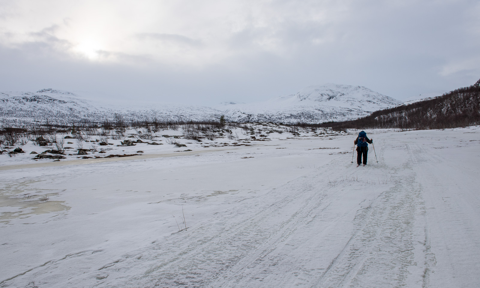
After breakfast Annika packed her backpack and I packed my pulka and we started our ski tour to Njunjes. The first part is on the river Darreädno/Tarraätno – by boat in summer, on the ice in winter. More or less the whole river was covered with snowmobile tracks and they were so icy that I put off my skis and walked using spikes under my ski boots.
I stopped and asked Annika: Do we have the chicken filet with us? No, we didn’t, we forgot it in the fridge.
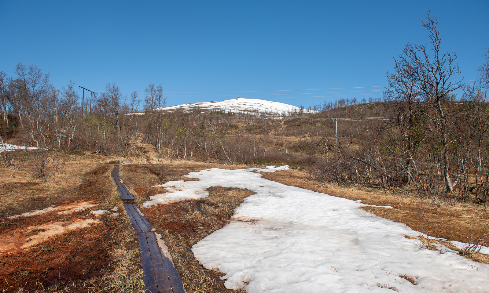
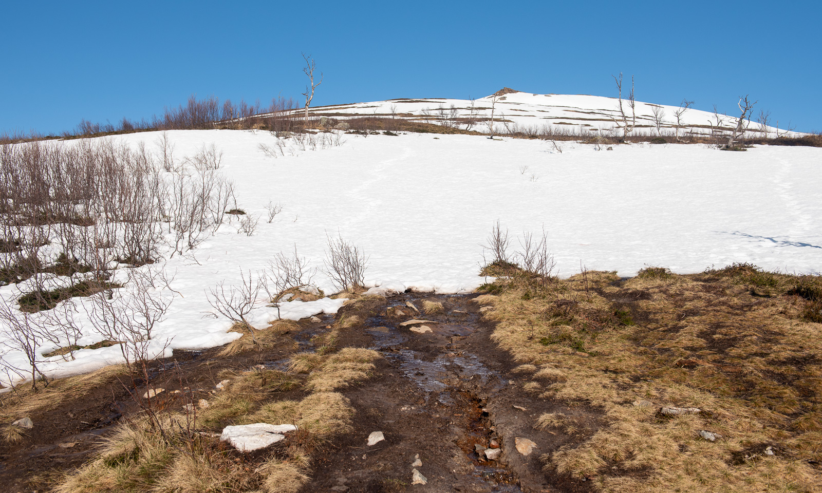
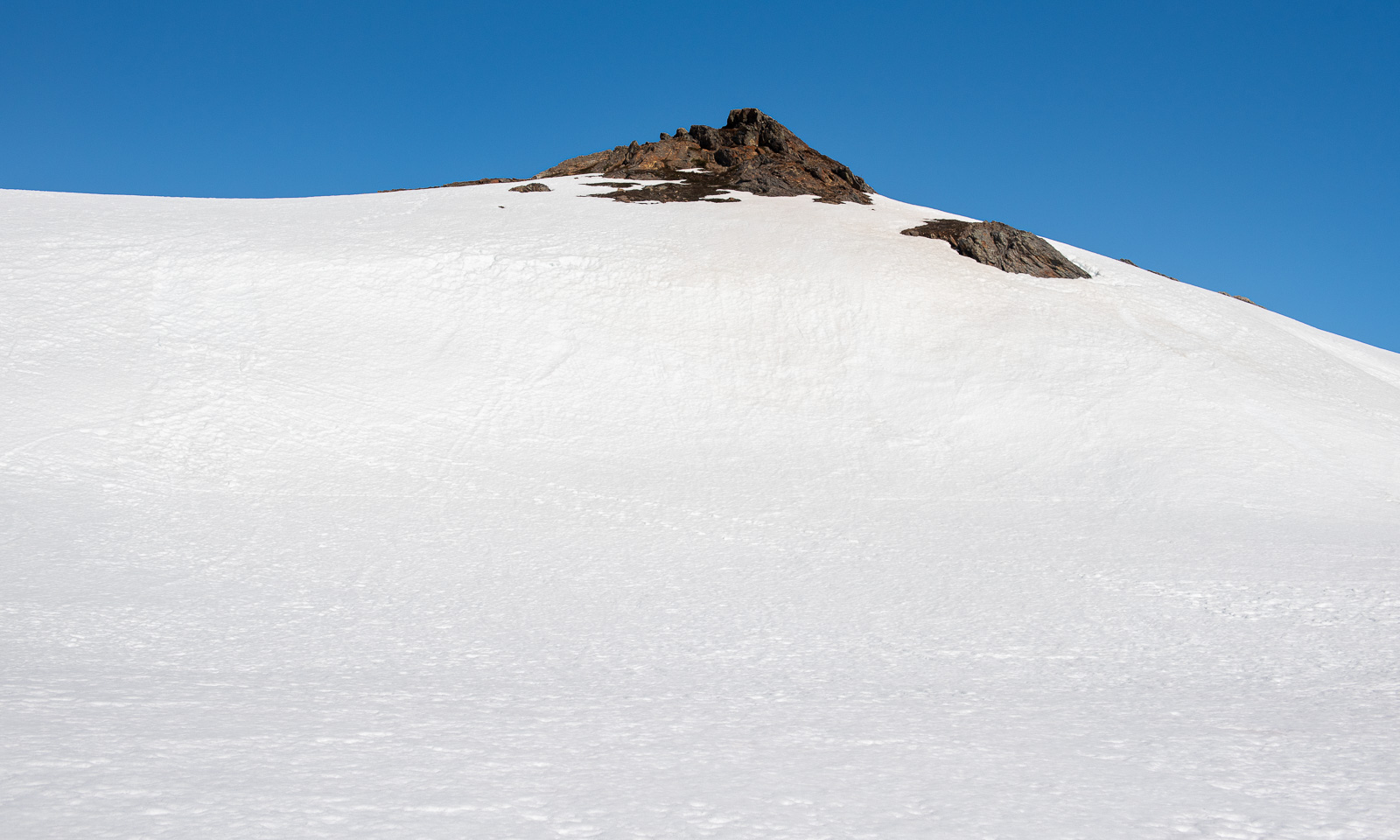
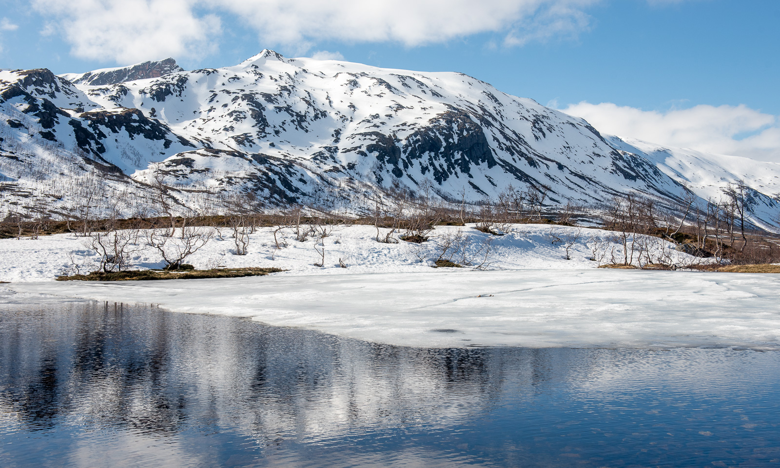
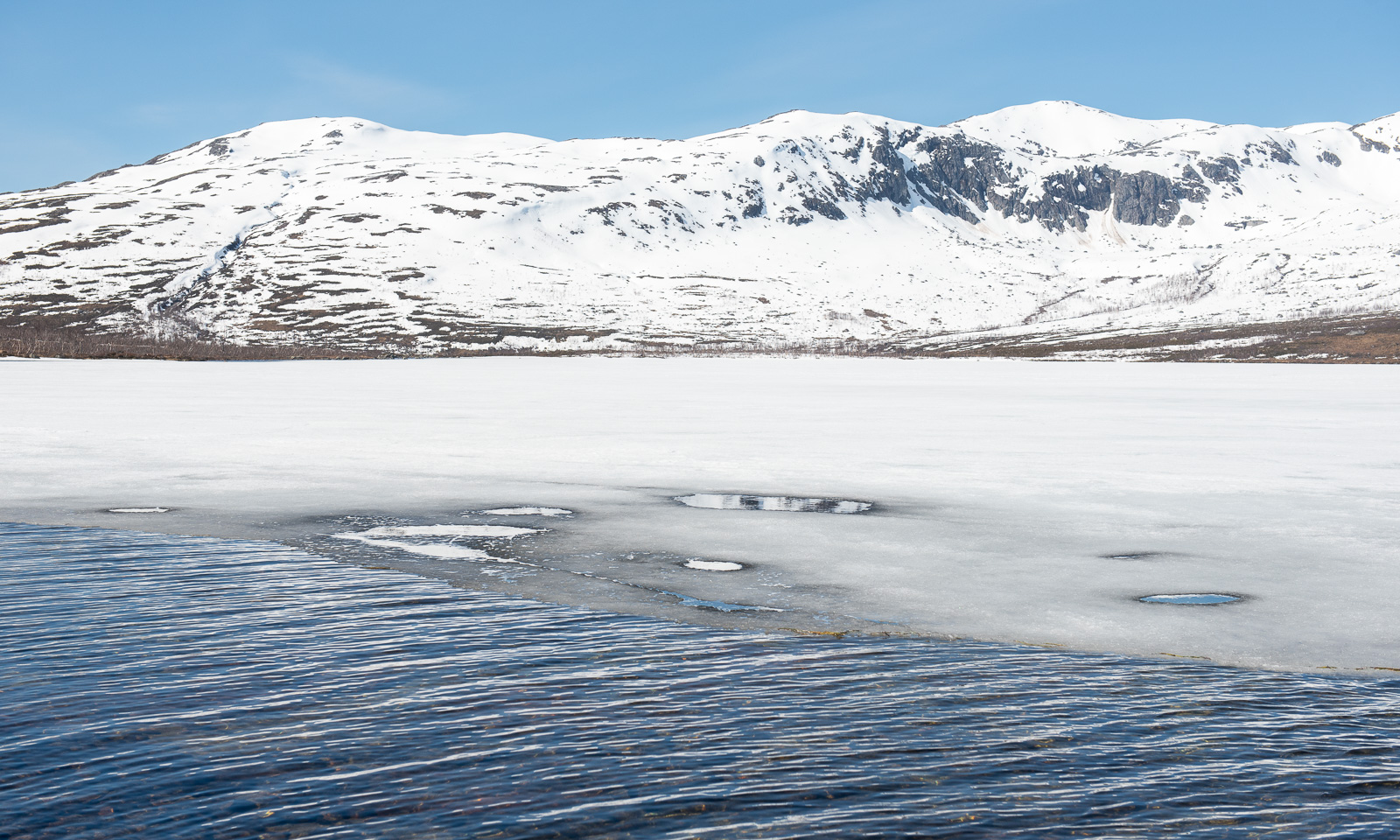
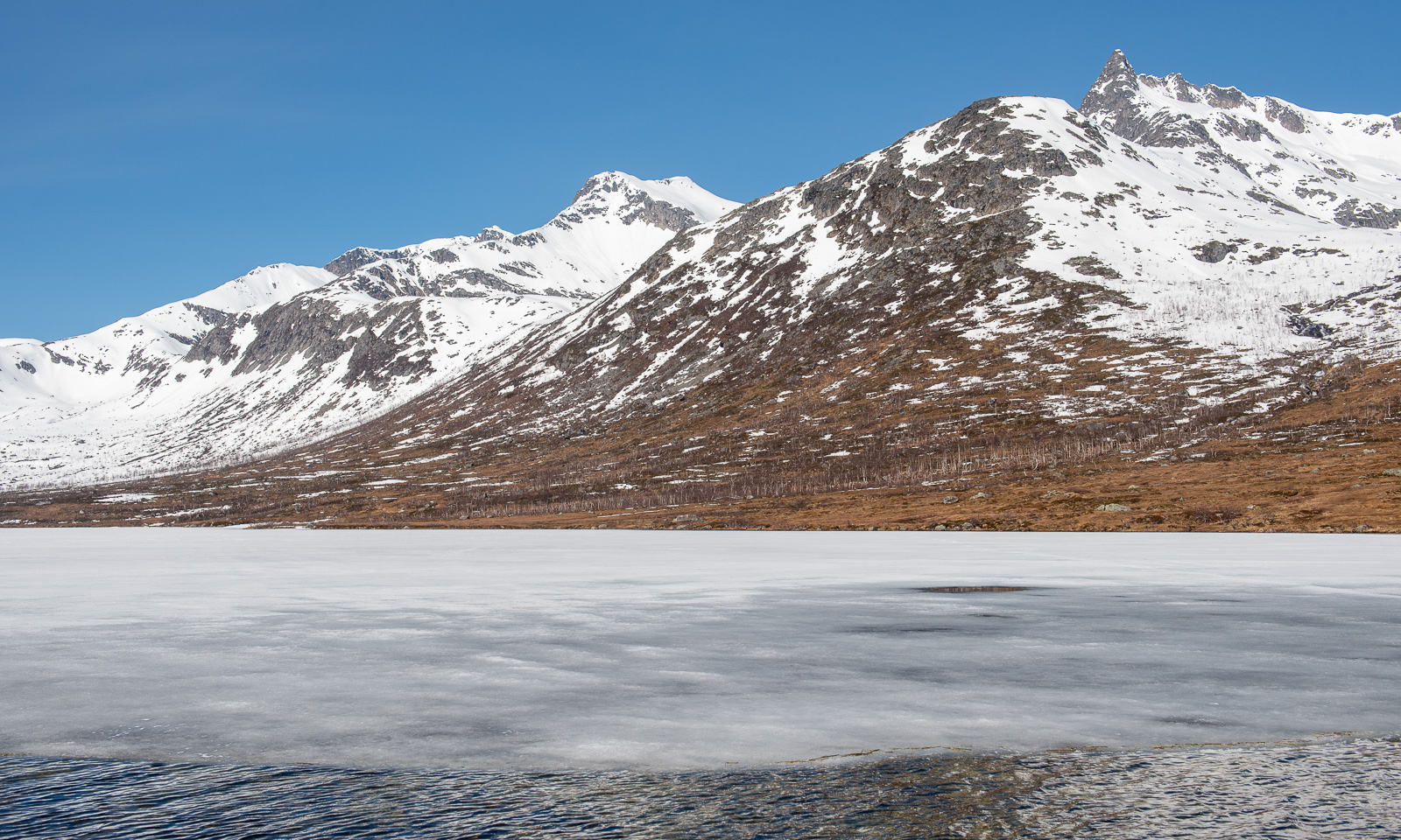
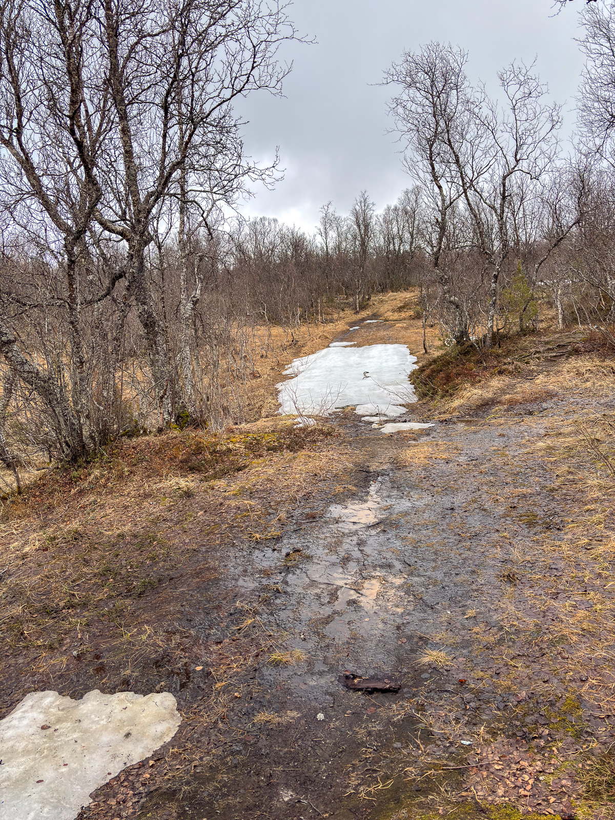
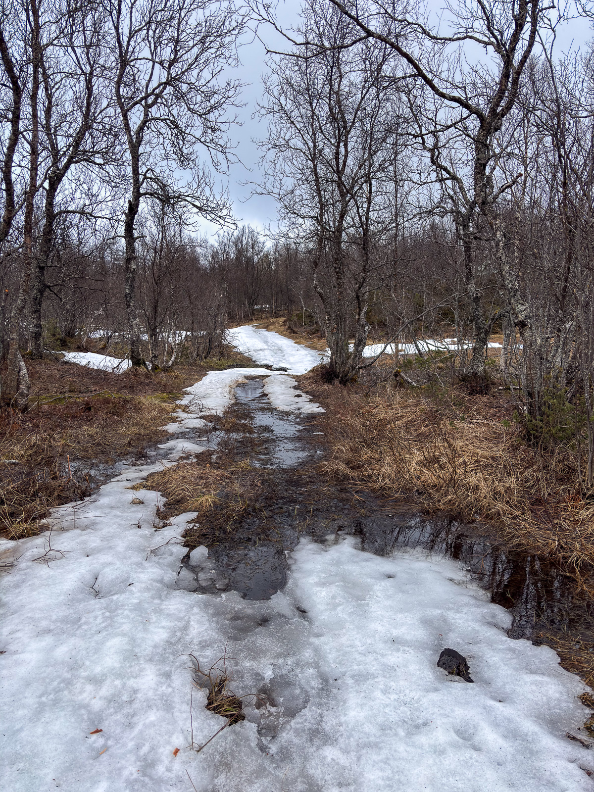
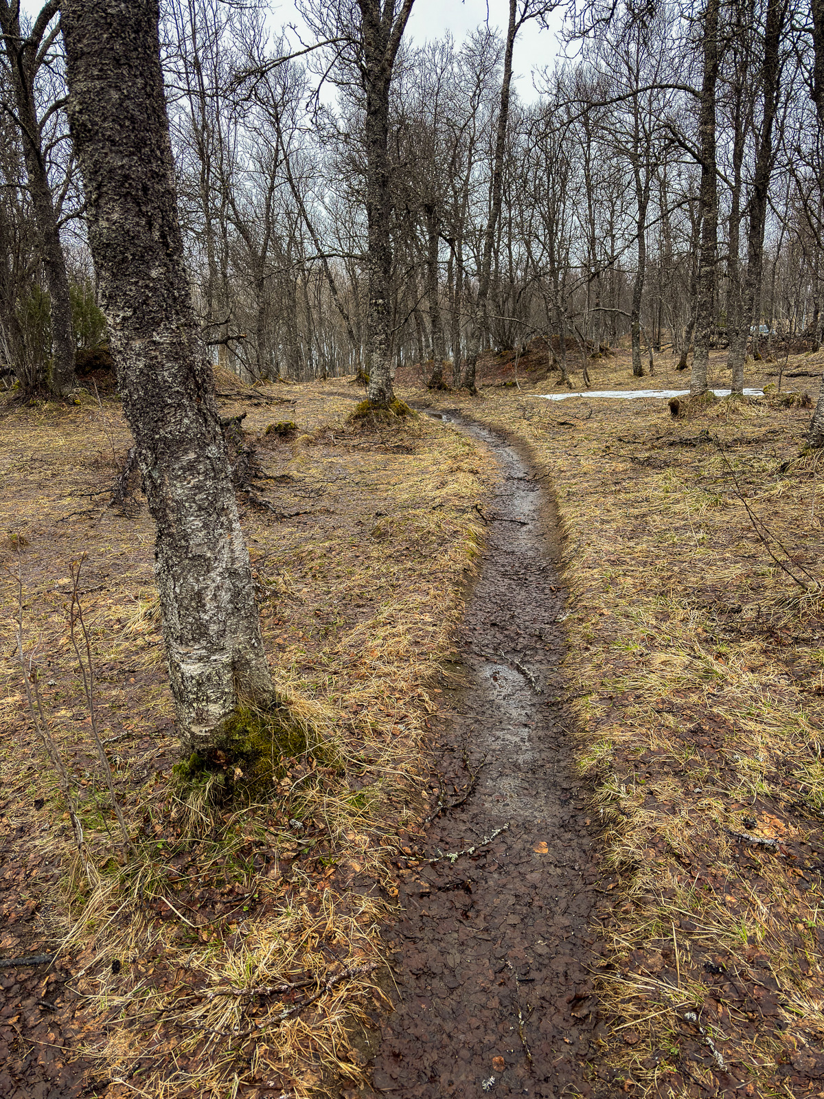
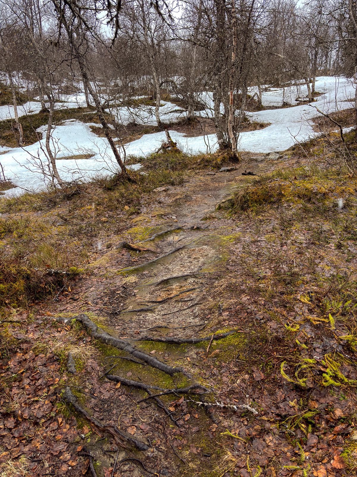
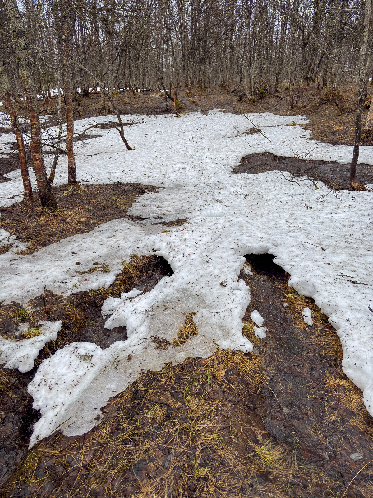
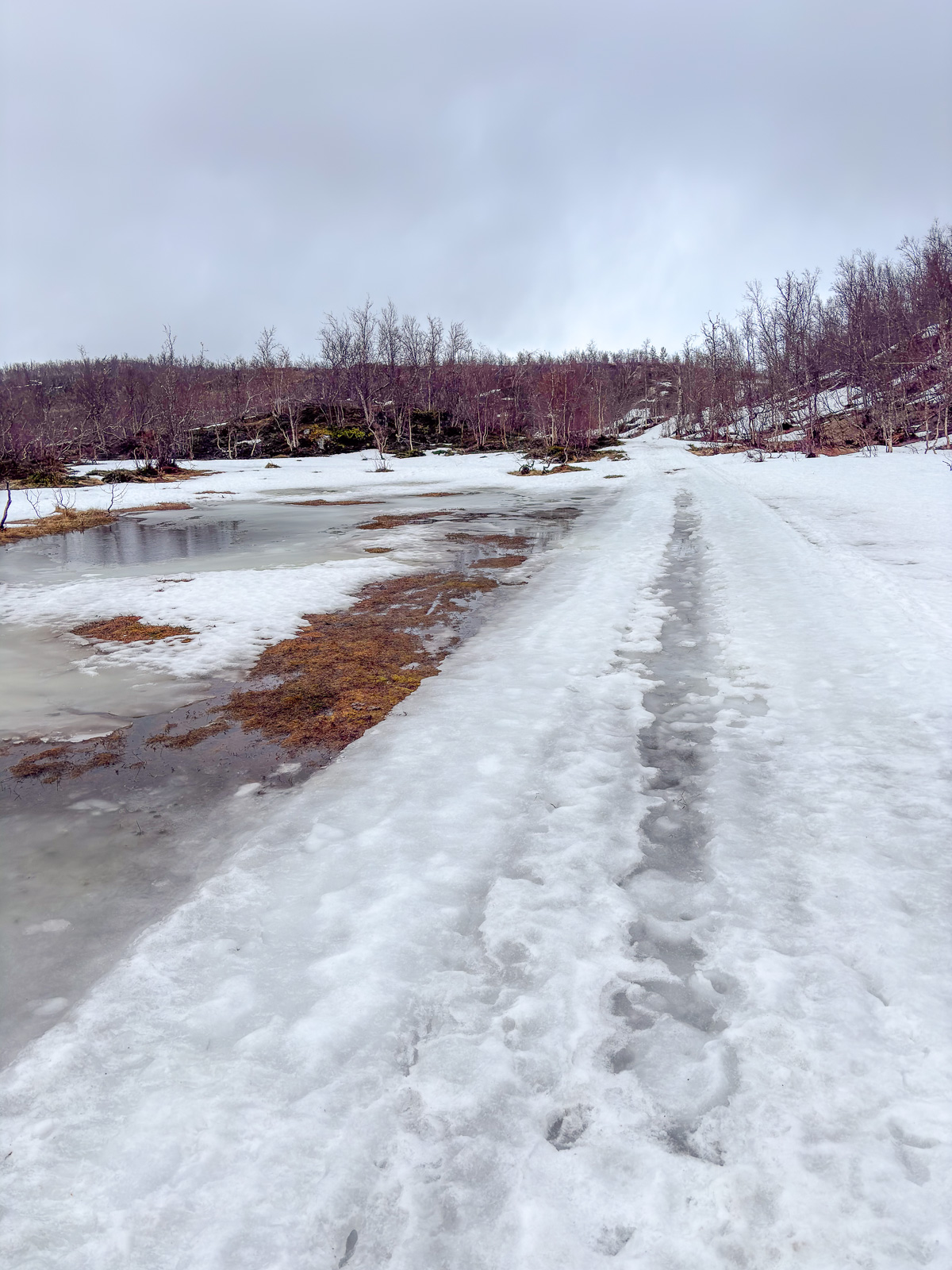
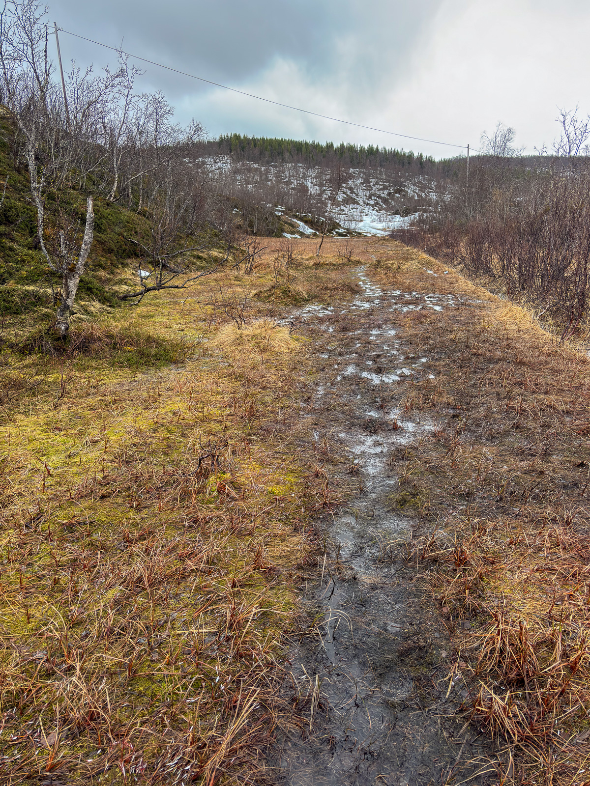
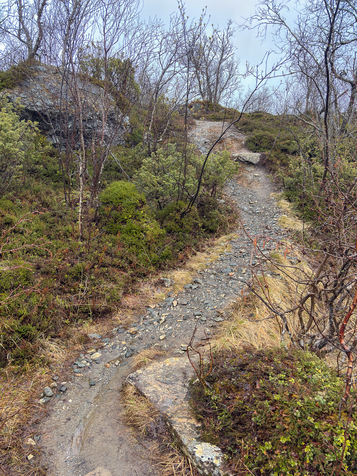
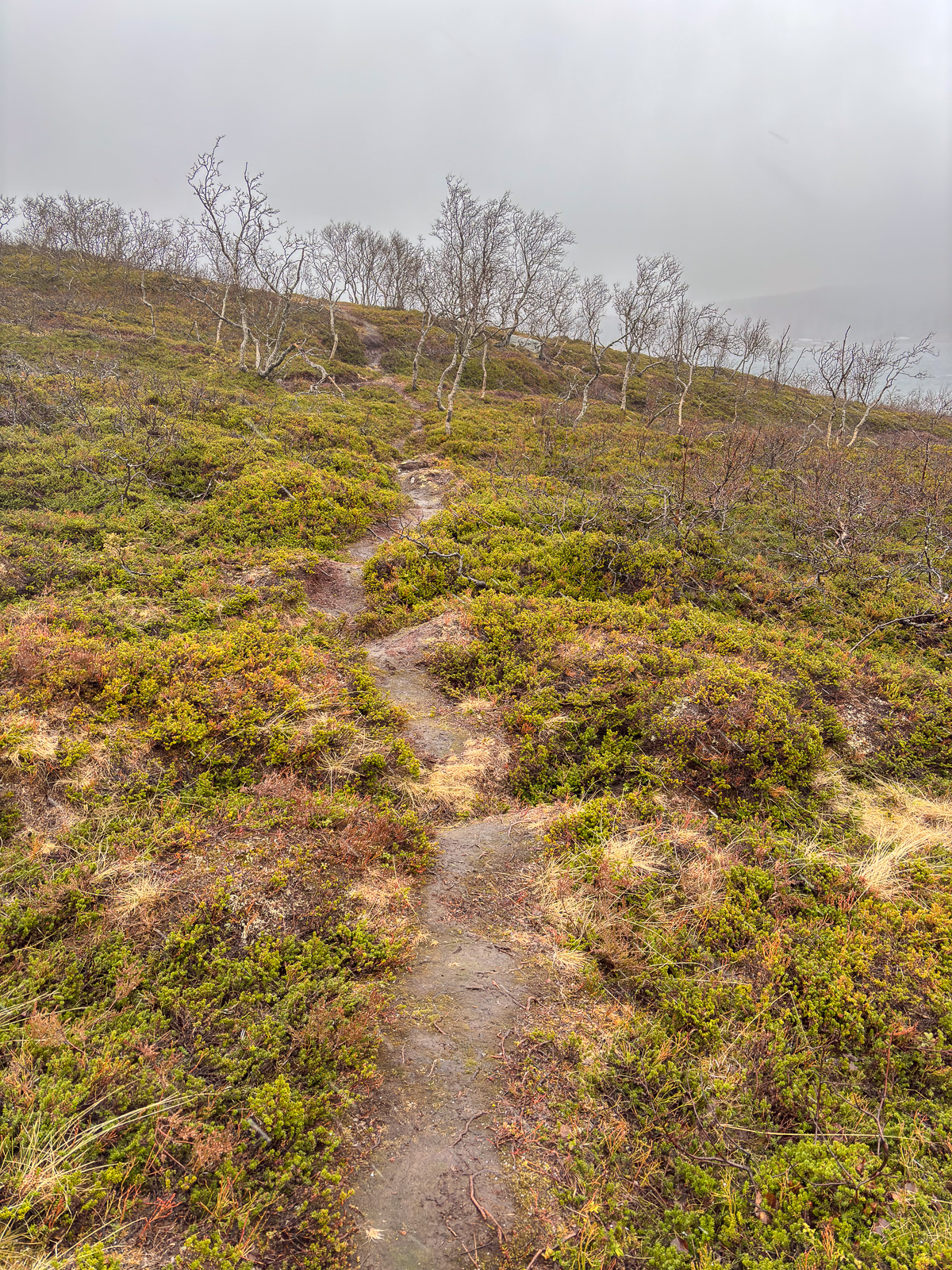
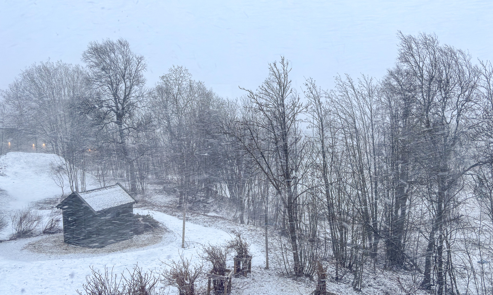
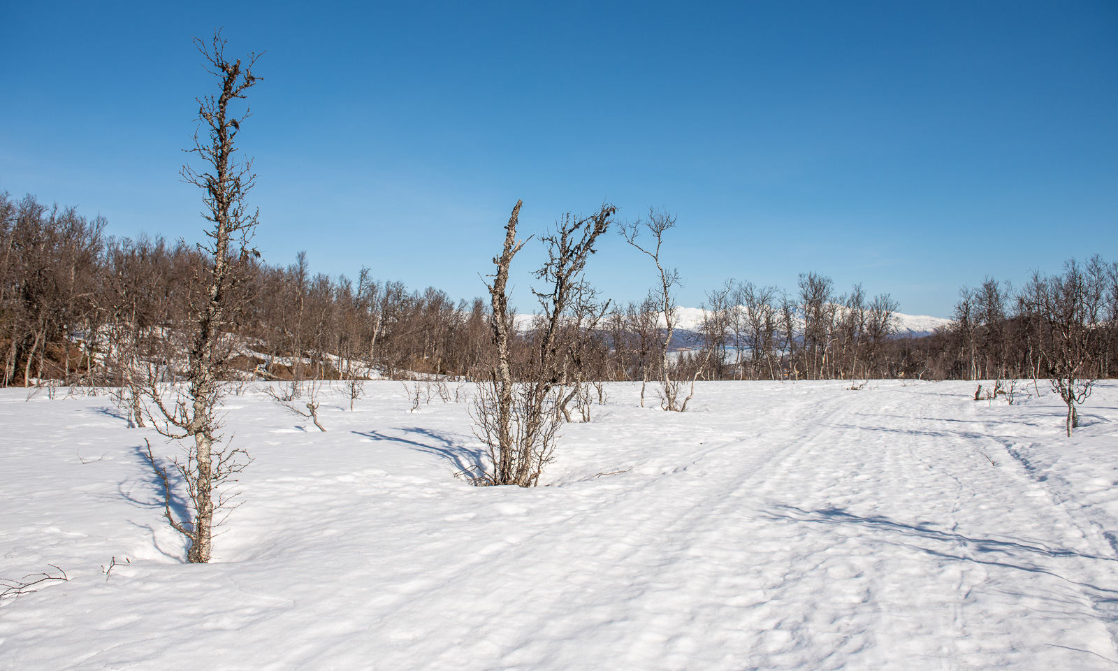
Later the snowmobile trail continued in the forest. Here it was easier to ski despite the warm weather with above-freezing temperatures. It was apparent that there had been not much snow this season and occasionally you could see patches free of snow.
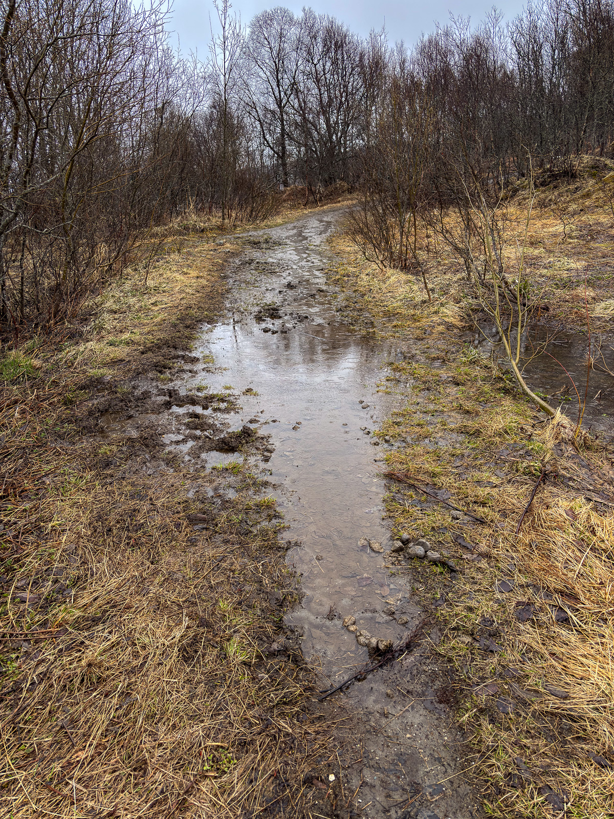
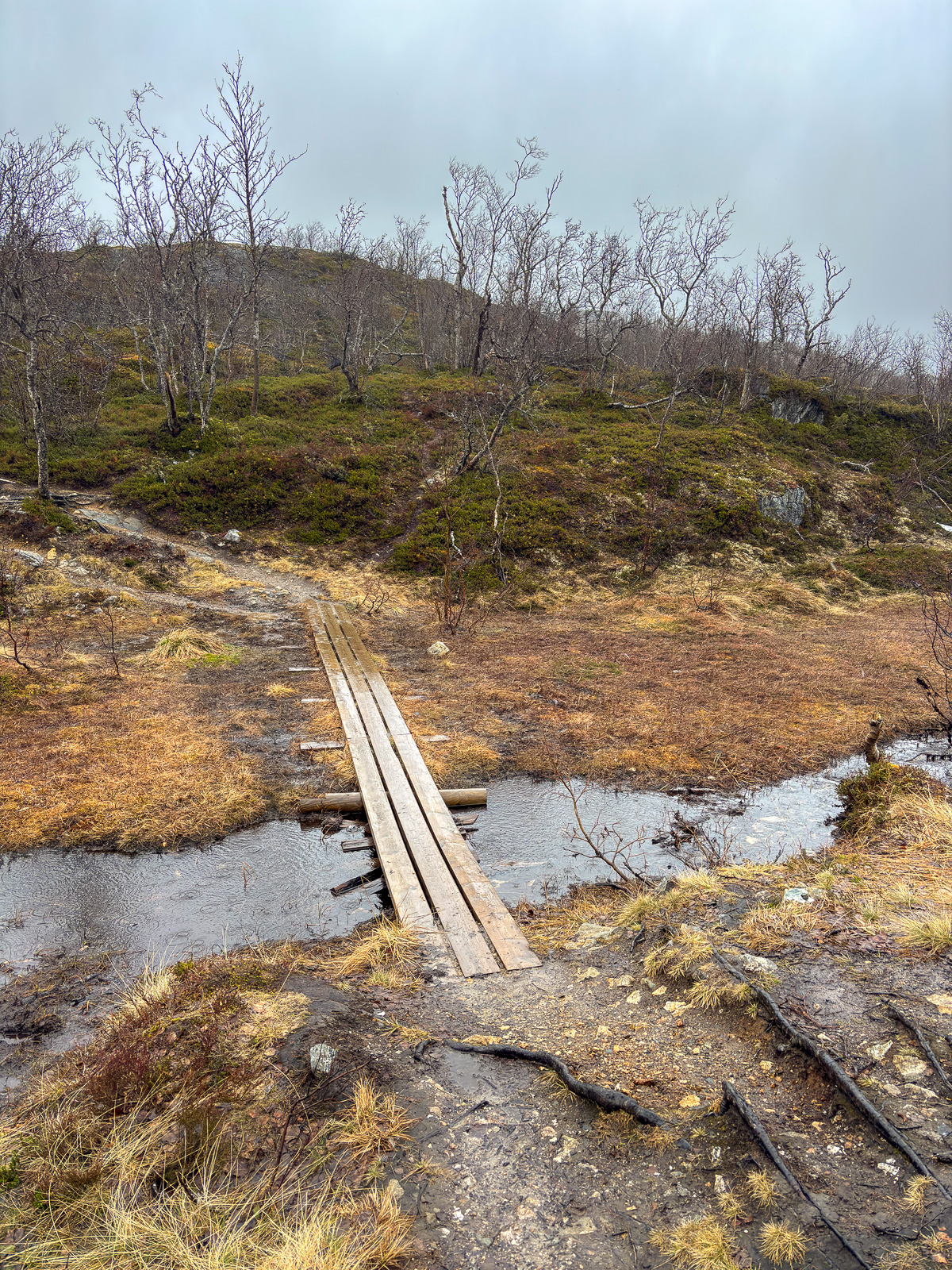
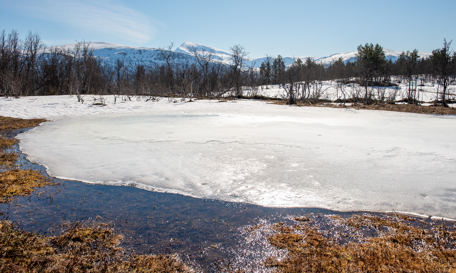
Wet and icy snow, grey weather, a snowmobile track through the forest – I didn’t take many photos of this dull scenery. It seemed to take ages until we finally got a view of the cabins. But first we had to cross wet and icy terrain were we broke through into a few centimetres of water several times. According to the map there is neither a lake nor a bog. Maybe it was a partially frozen meltwater pond.
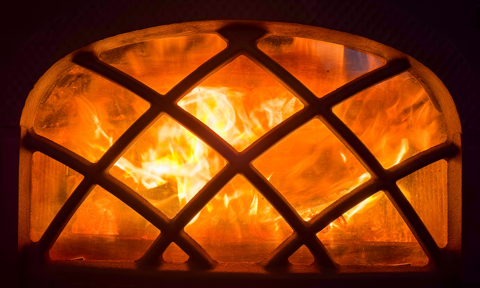
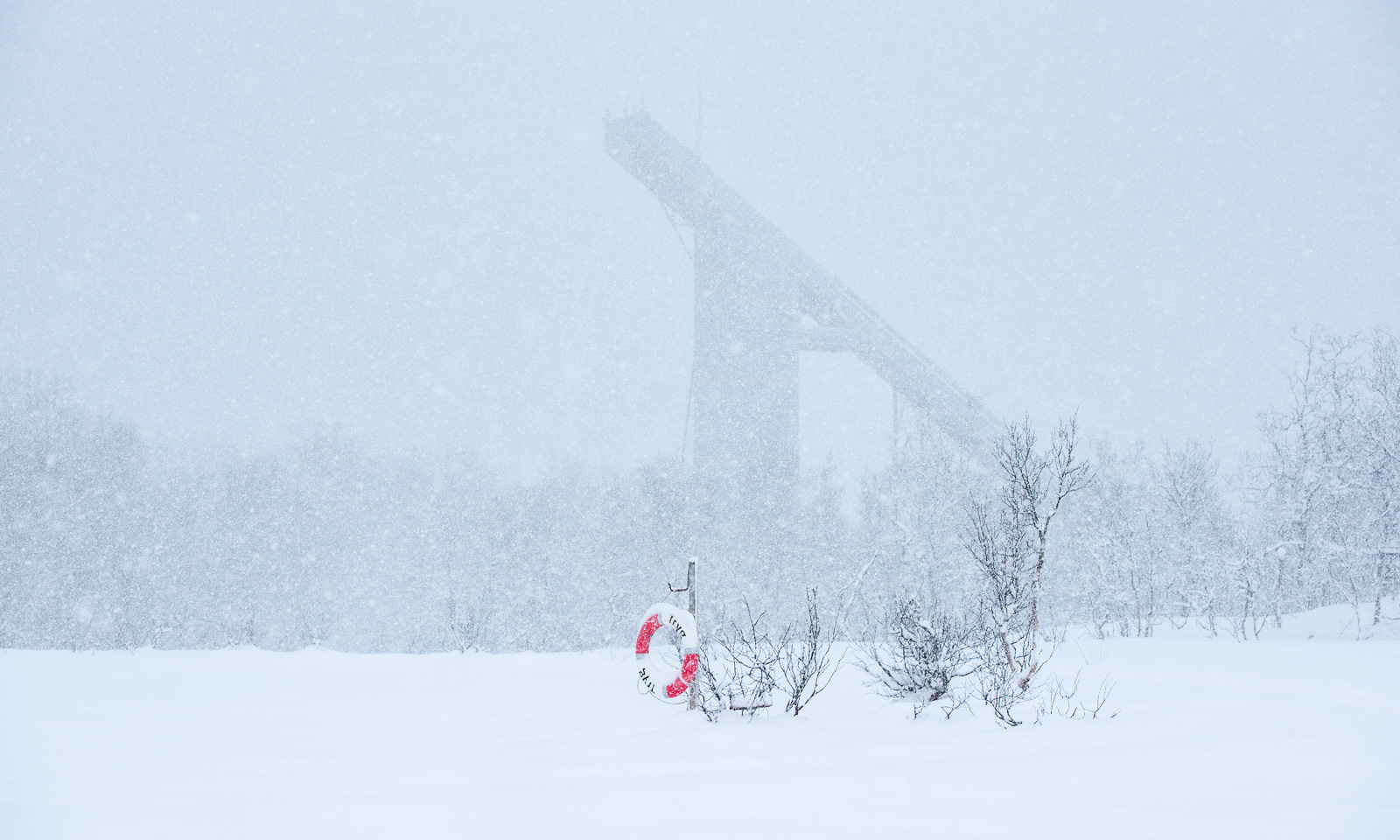
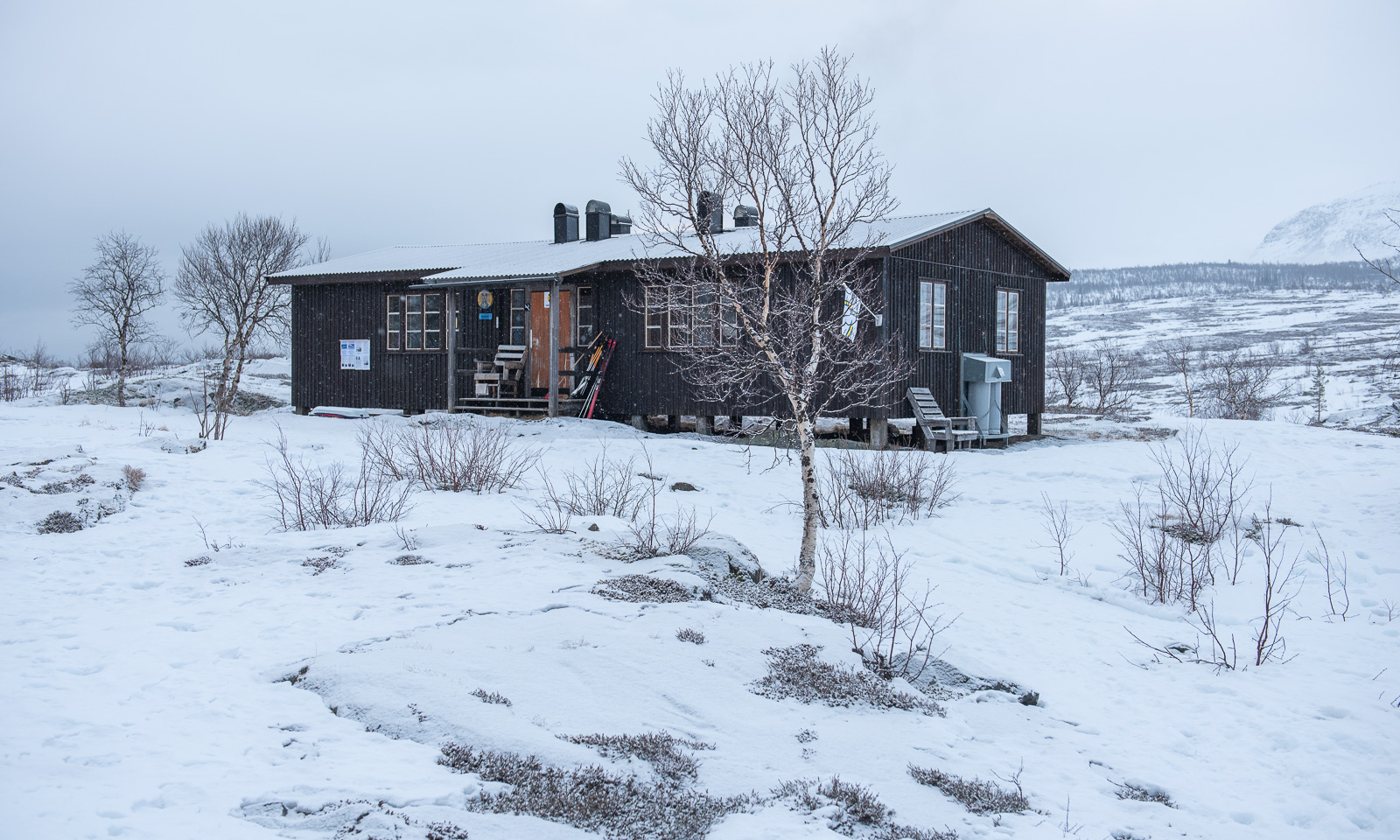
But then after about 17 km we arrived at the cabins of Njunjes where we were welcomed by the hut warden. The main cabin of Njunjes is a “Fjällstuga 65”, sometimes called Abrahamssonstugan. It was renovated lately and the new wood-burning stove is just awesome!
Our skis and ski skins were soaking wet from the final stretch but at least we ourselves stayed dry, because luckily the forecasted rain came later after we already had arrived.
Wednesday, 11 March
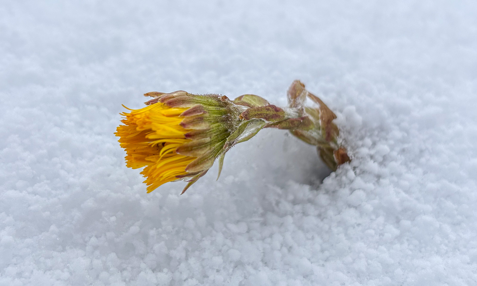
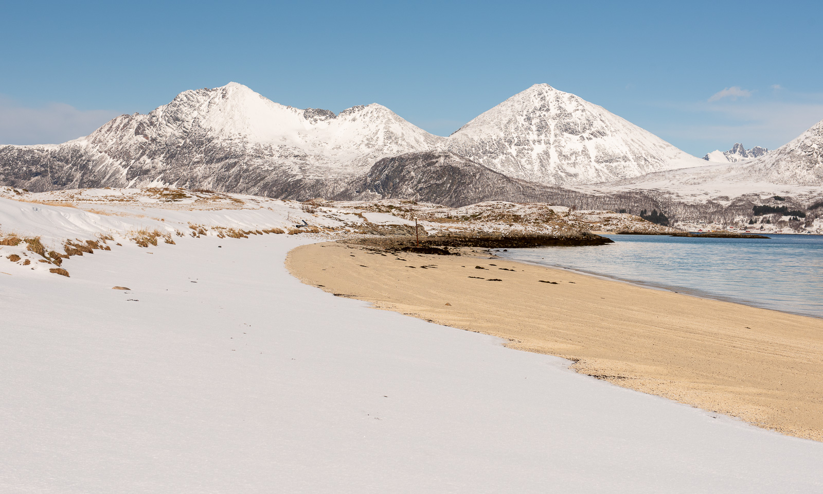
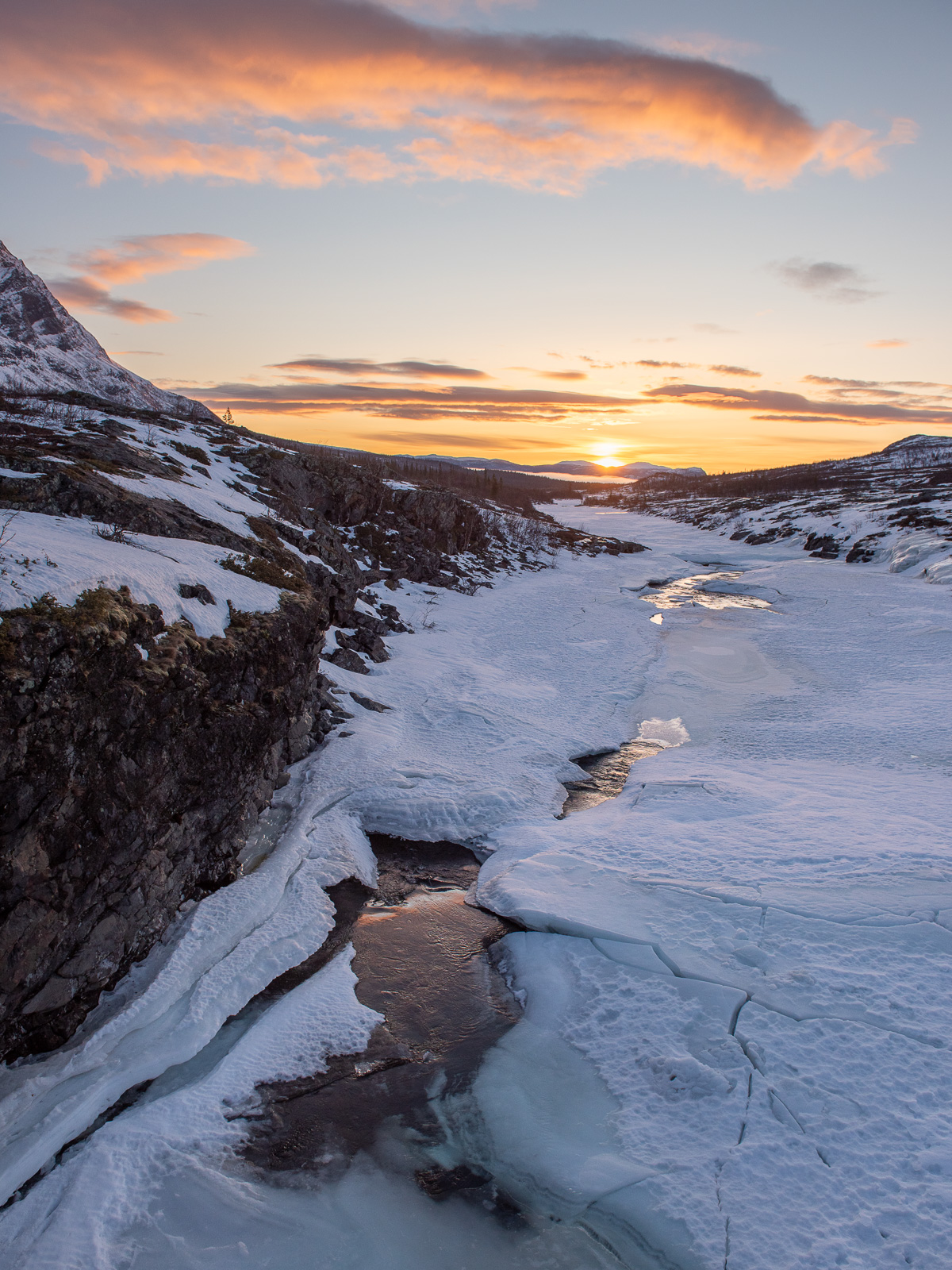
On this day we took a rest day. I was up early and went out to watch the sunrise because rain and clouds had disappeared overnight. What a beautiful morning!
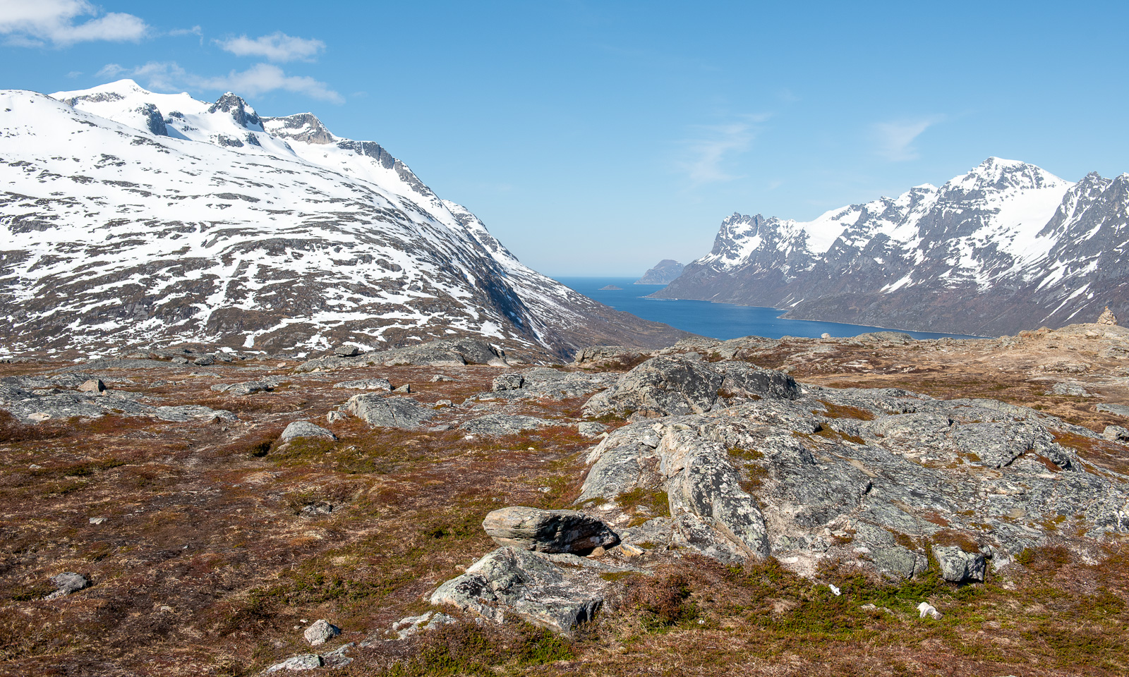
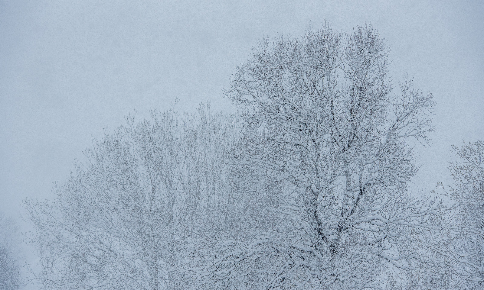
The rest of the day we were pretty lazy. While Annika was reading in the sun (and my pulka was drying) I was taking some photos nearby.
It was quiet, but occasionally we could hear loud rumbles. The southern cliff of the mountain Njunjesvárre was dewing in the sun and the large ice blocks were thundering downwards. This added some drama to the otherwise peaceful scenery.
In the afternoon Annika started to make food. Although we forgot the chicken filet we still had loads of other food, among others feta cheese, peppers, zucchini, and onions, all of them dried at home by Annika in the weeks before. This home-dried food has to be soaked in water for hours, so the resting day was a good opportunity to use it. In the evening we got a very delicious dinner.
Thursday, 12 March
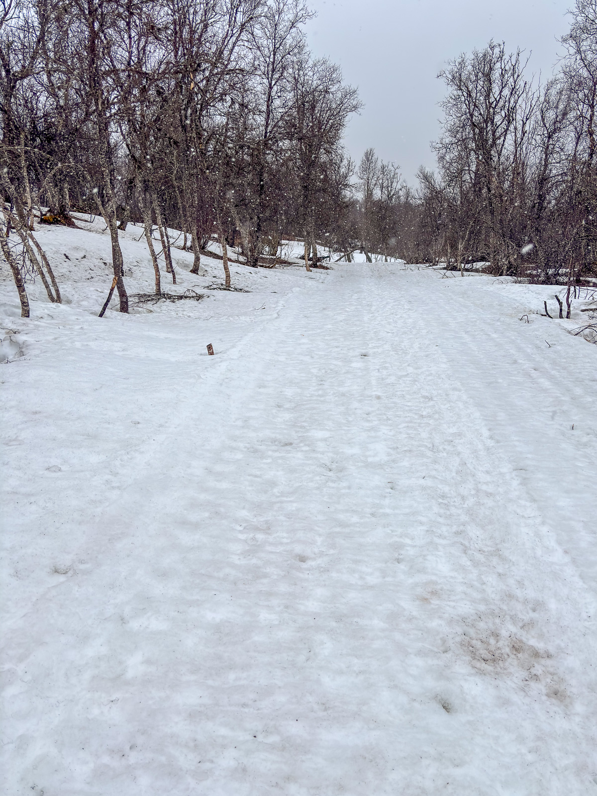
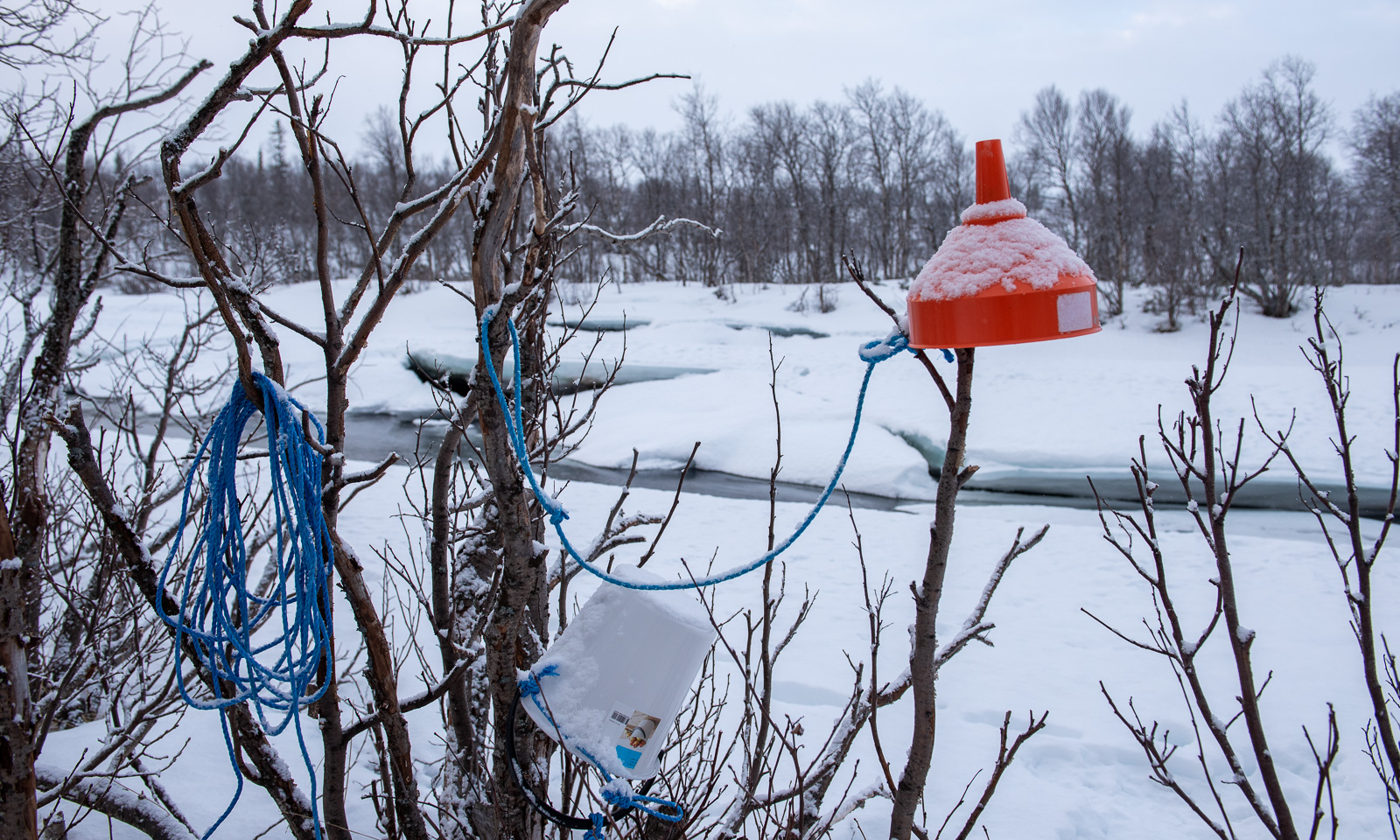
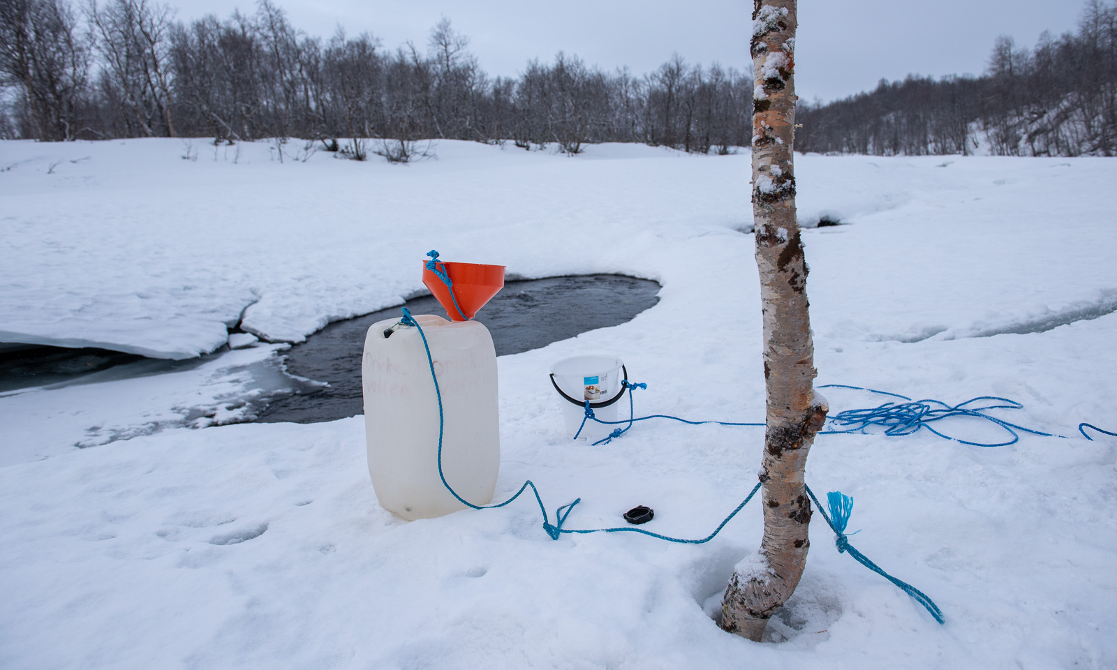
Time to return to Kvikkjokk. The mountains were cloud-covered and it had snowed over night. Just one centimetre or two, but enough to make the scenery look a bit more wintry and more important: to make the icy track a bit smoother to ski. Before we started I fetched water from the river. About 200 metres away the river is partially open and there is a bucket to fetch water with and a funnel to pour it into the canister. I pulled the heavy canister after me back to the cabin. Now there was water and wood for the next guests to come.
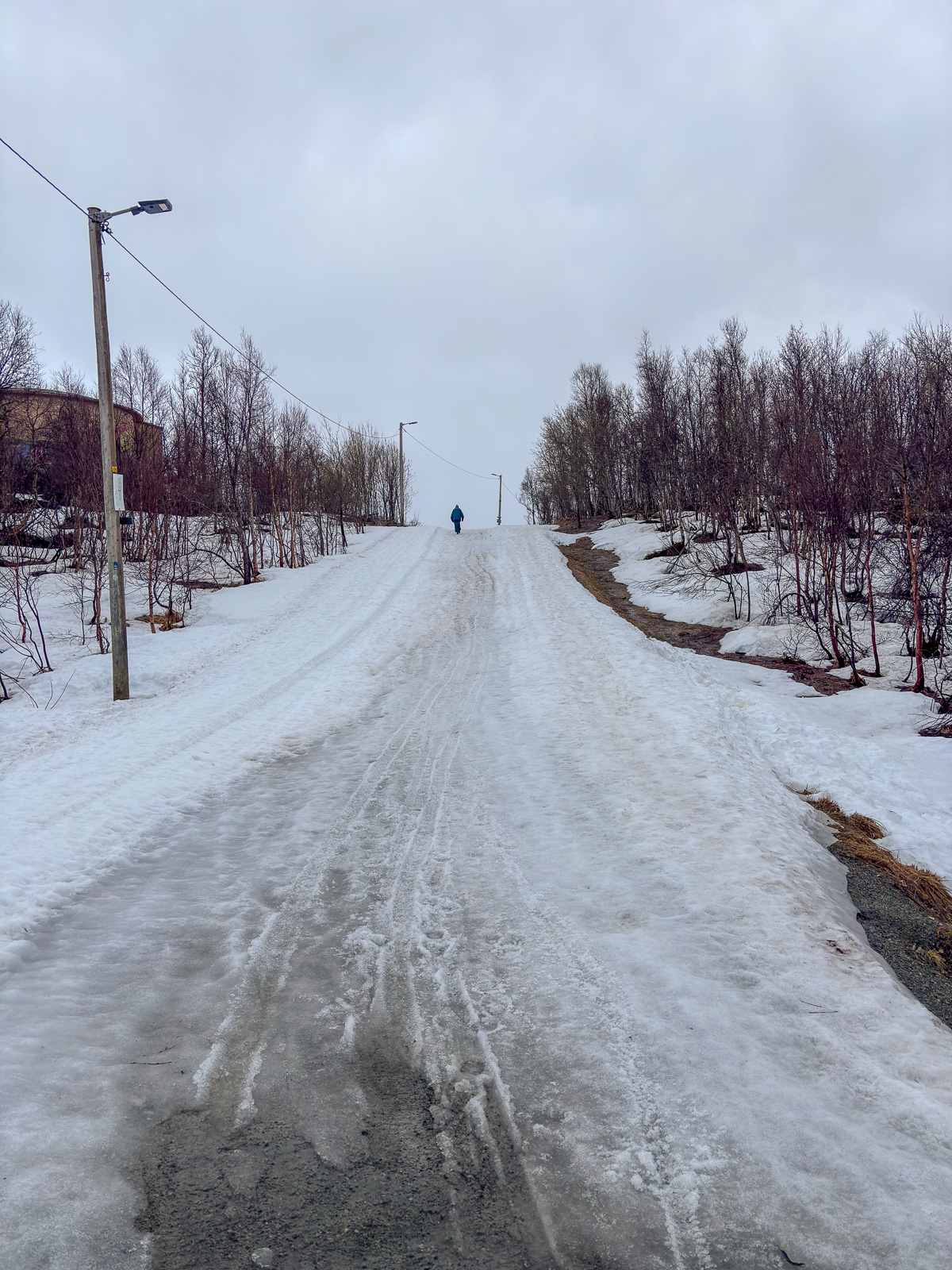
Then we packed our things, cleaned the room and said goodbye to the friendly warden. And off we went, taking a slightly different track in the beginning. I only took some photos on our way back and none at all in the forest.
This day we realised again that of course you can ski here, but the omnipresent vehicle is the snowmobile. We met about fifty on our way back. In the last kilometres most of river was more or less covered with their tracks. But then we saw other skiers gliding effortlessly on the other side of the river. We skied there and right: there was a freshly prepared cross-country ski trail that we used until we were in Kvikkjokk.
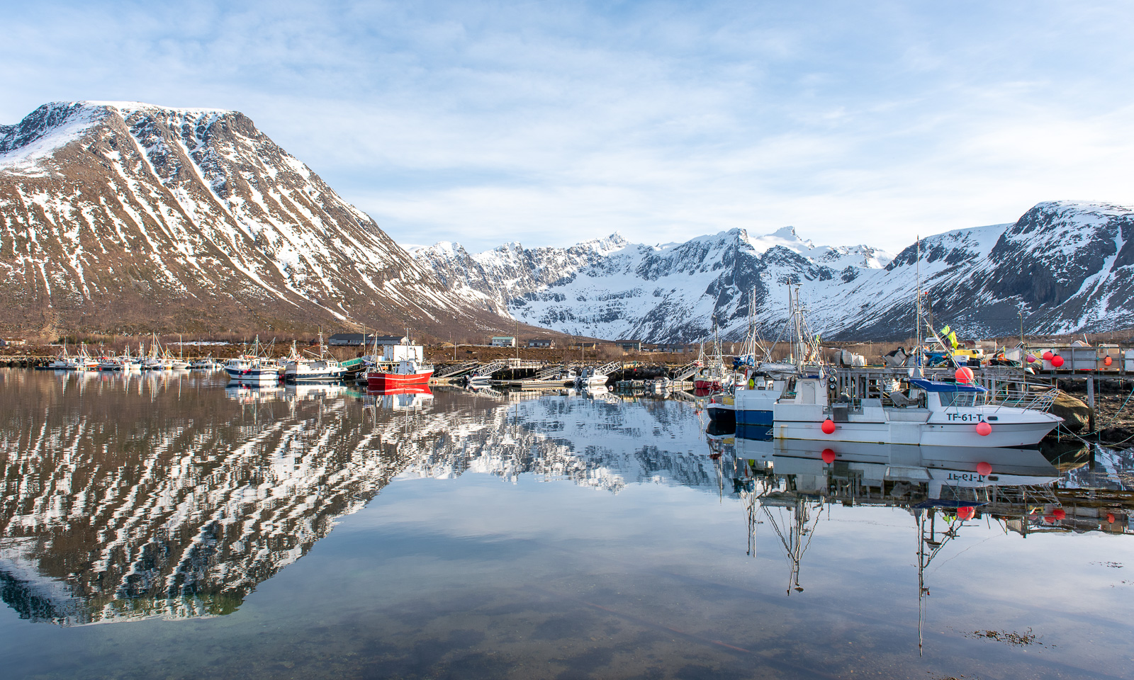
Here we picked up the forgotten chicken filet, bought something to drink and put everything into the car. This night we would stay in Solberget, the touristic wilderness retreat that I visited the first time in 2005. We had three-hour car drive ahead of us but it was still early and probably we would make it not only for the dinner but also for the sauna before. And yes – we made it. The smoked reindeer in creamy sauce was delicious!
Sunday, 15 March
Annika was back in Obbola, I was back in Tromsø. I finally fried and ate the chicken filet.