Flying a drone
I’m sitting on a bench at gate E18 of the Tromsø Airport. E18 means it’s an international flight. I am flying to Munich and will be spending a week in Augsburg. In Tromsø the temperature exceeded 20 °C on only two days in July, Augsburg will be hot with temperatures up to 35 °C. I like summer but this heat is not my thing and I’m longing for cooler temperatures already now. Like 6 May 2023, when temperatures in Tromsø reached only around 6 °C.

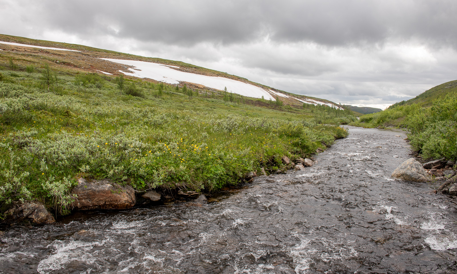
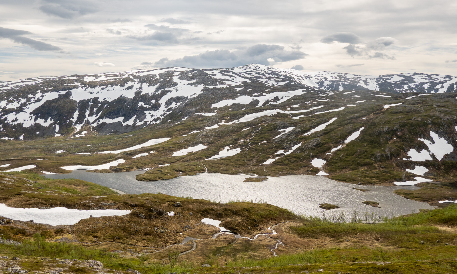
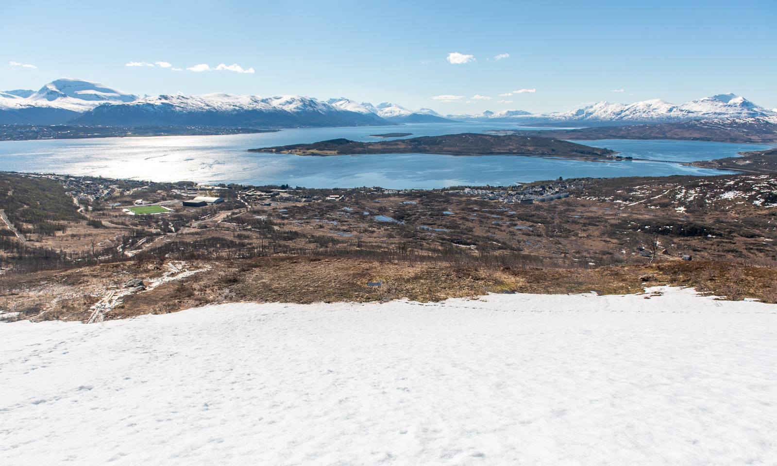
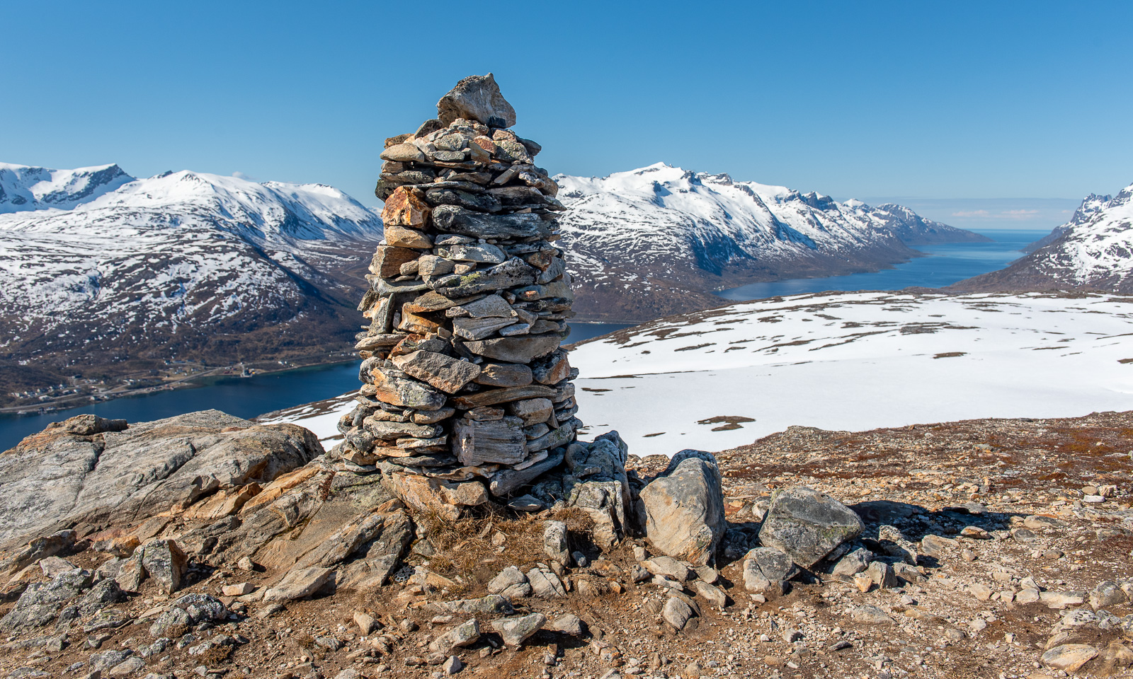
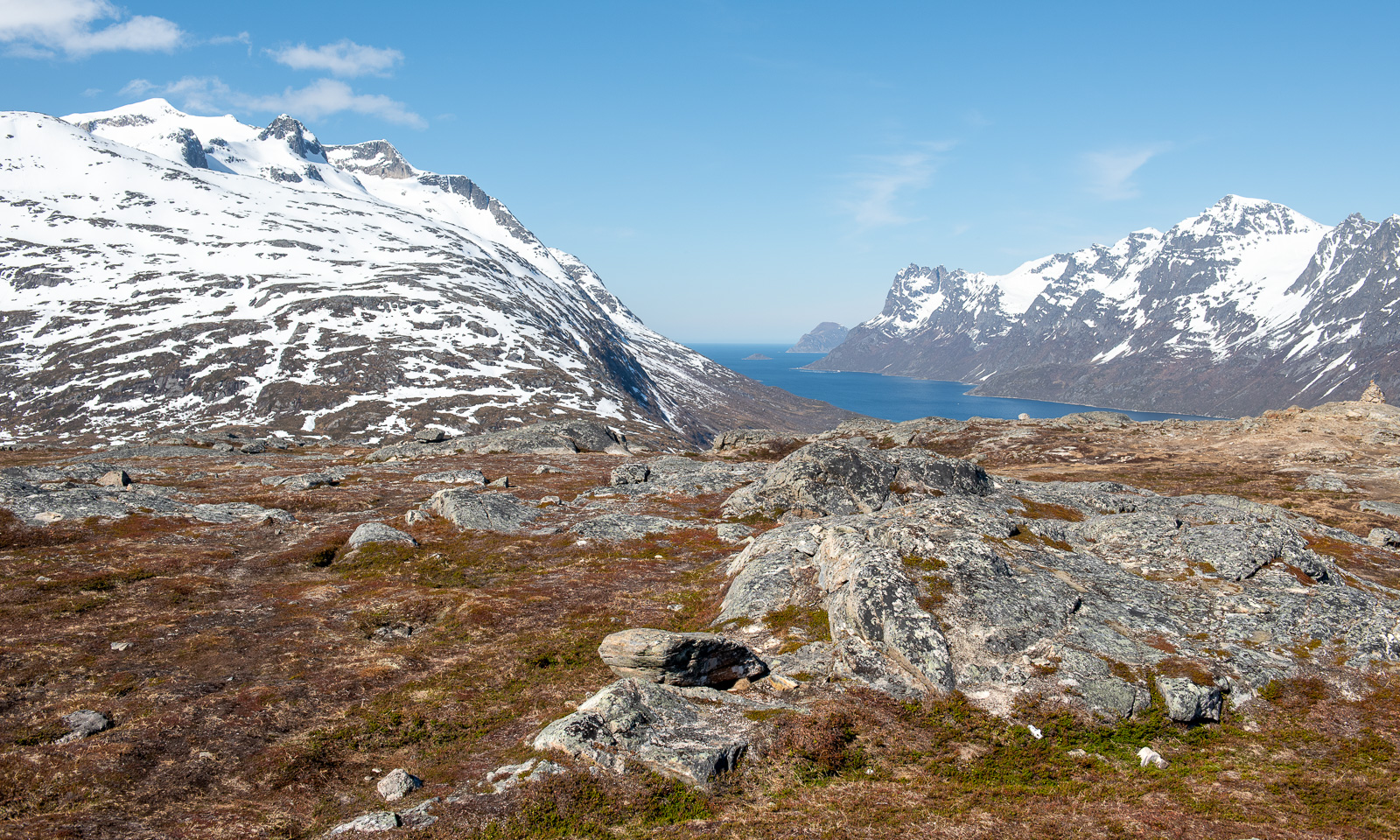
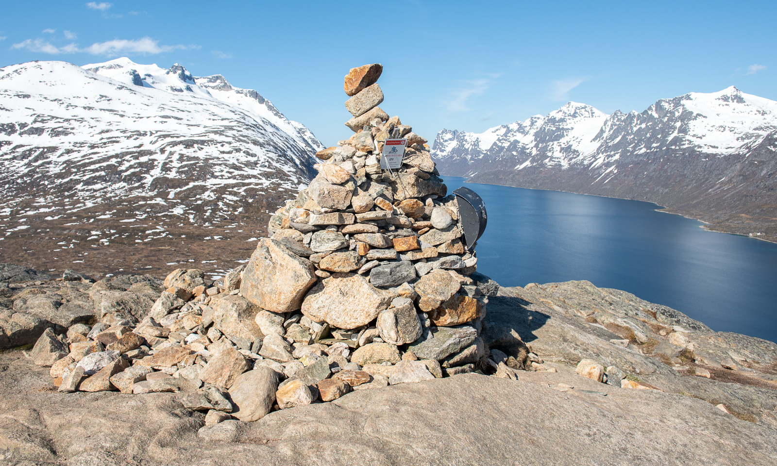
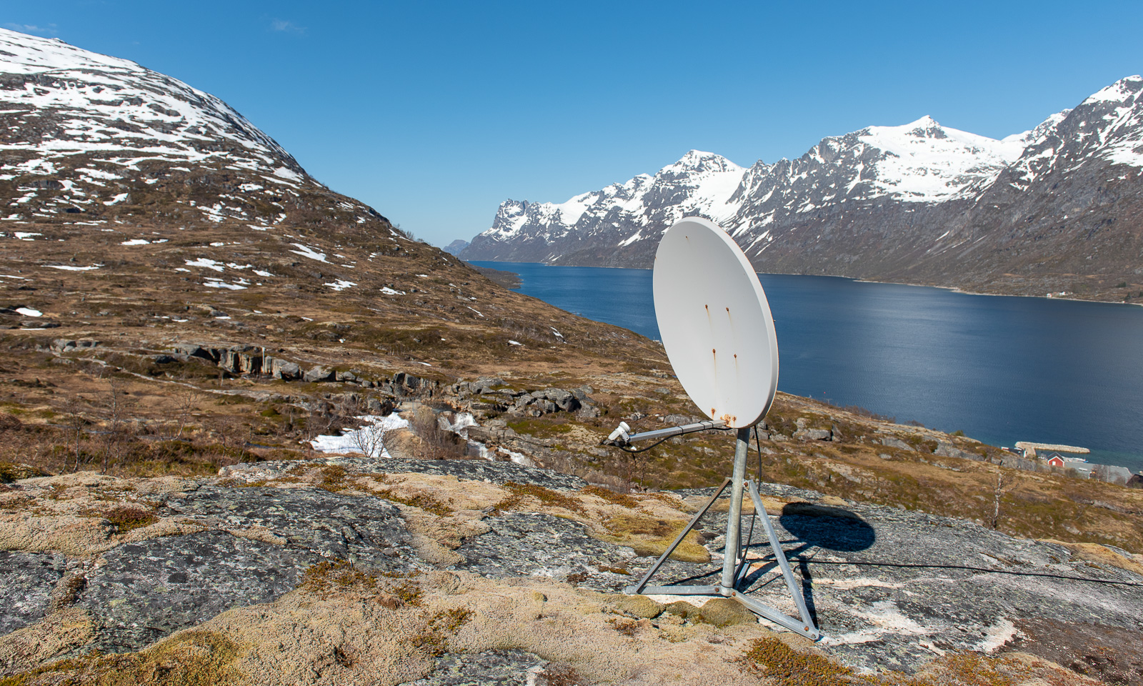
On that day I tested a drone of the Norwegian Polar Institute for an expedition. Flying a drone always means having to leave Tromsøya because of the airport restrictions.
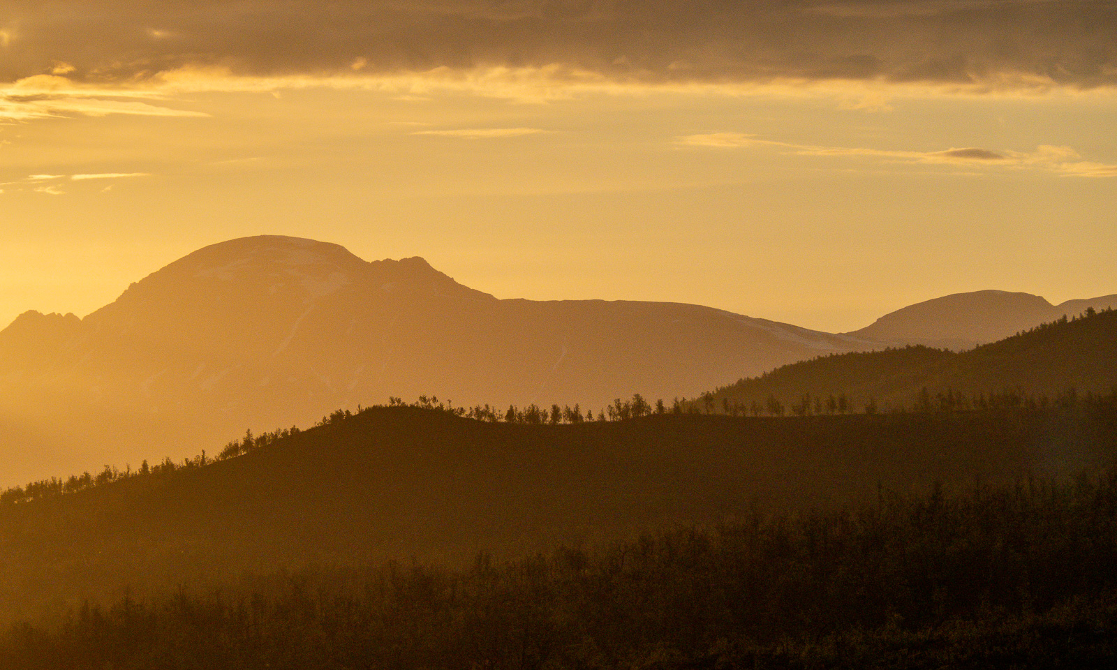
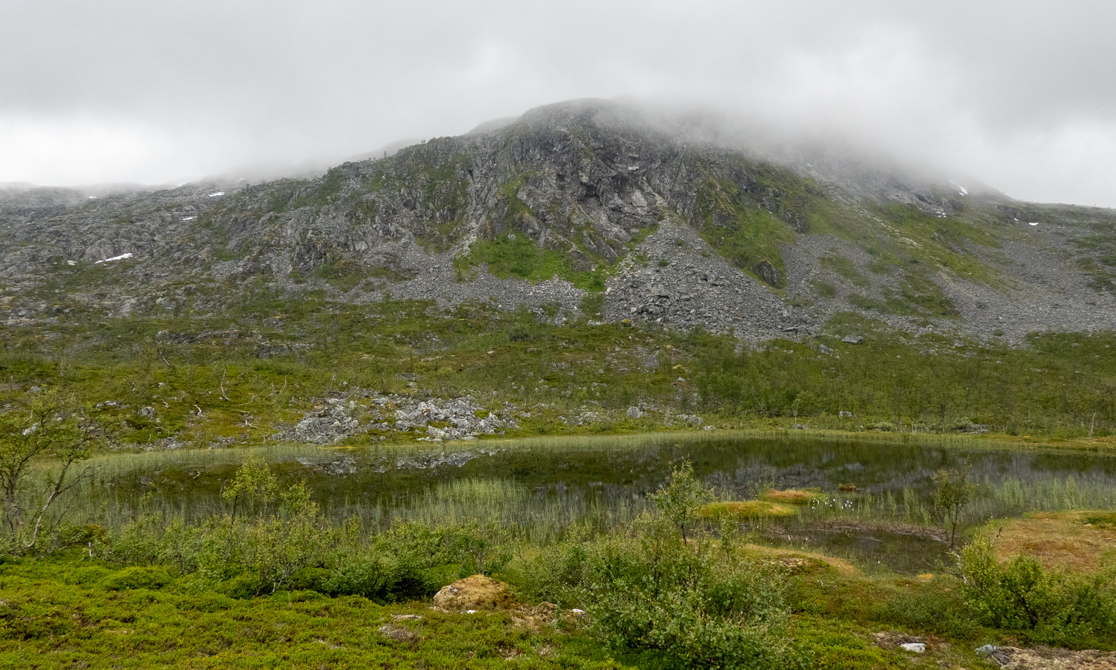
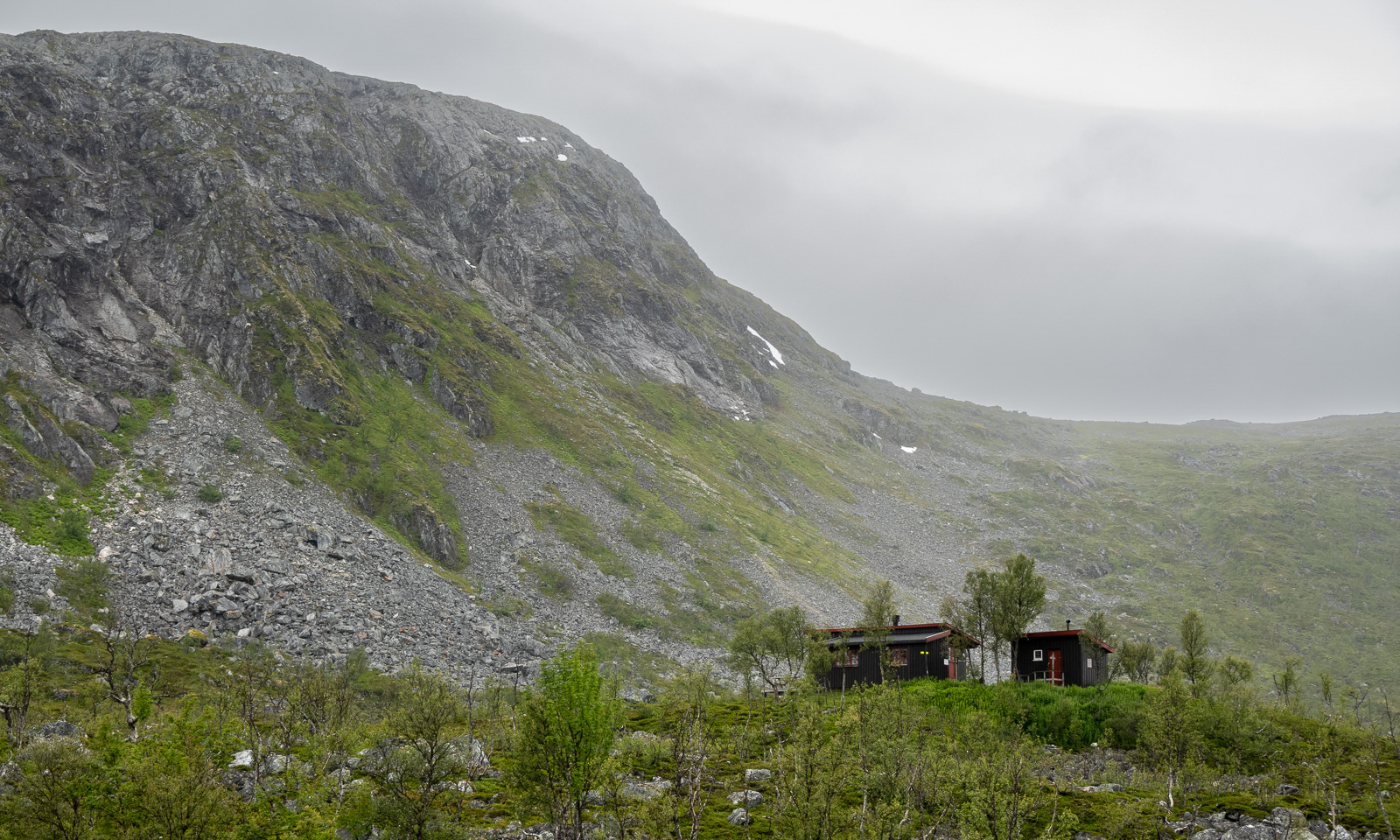
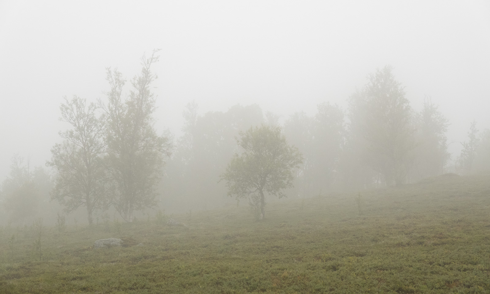
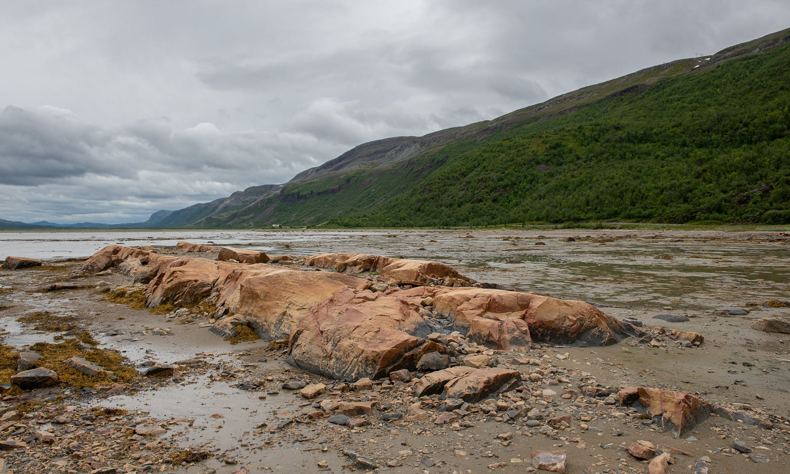
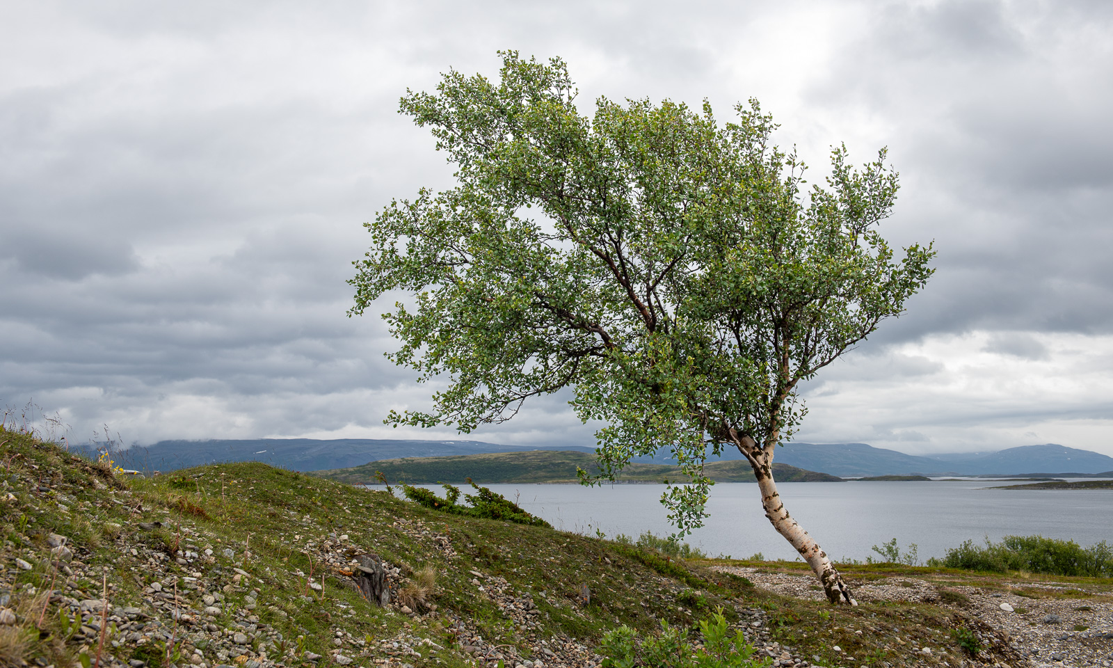
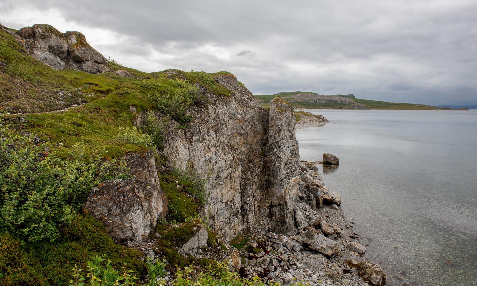
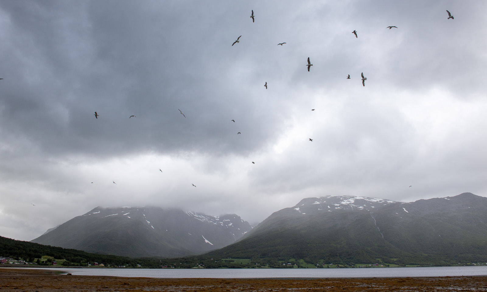
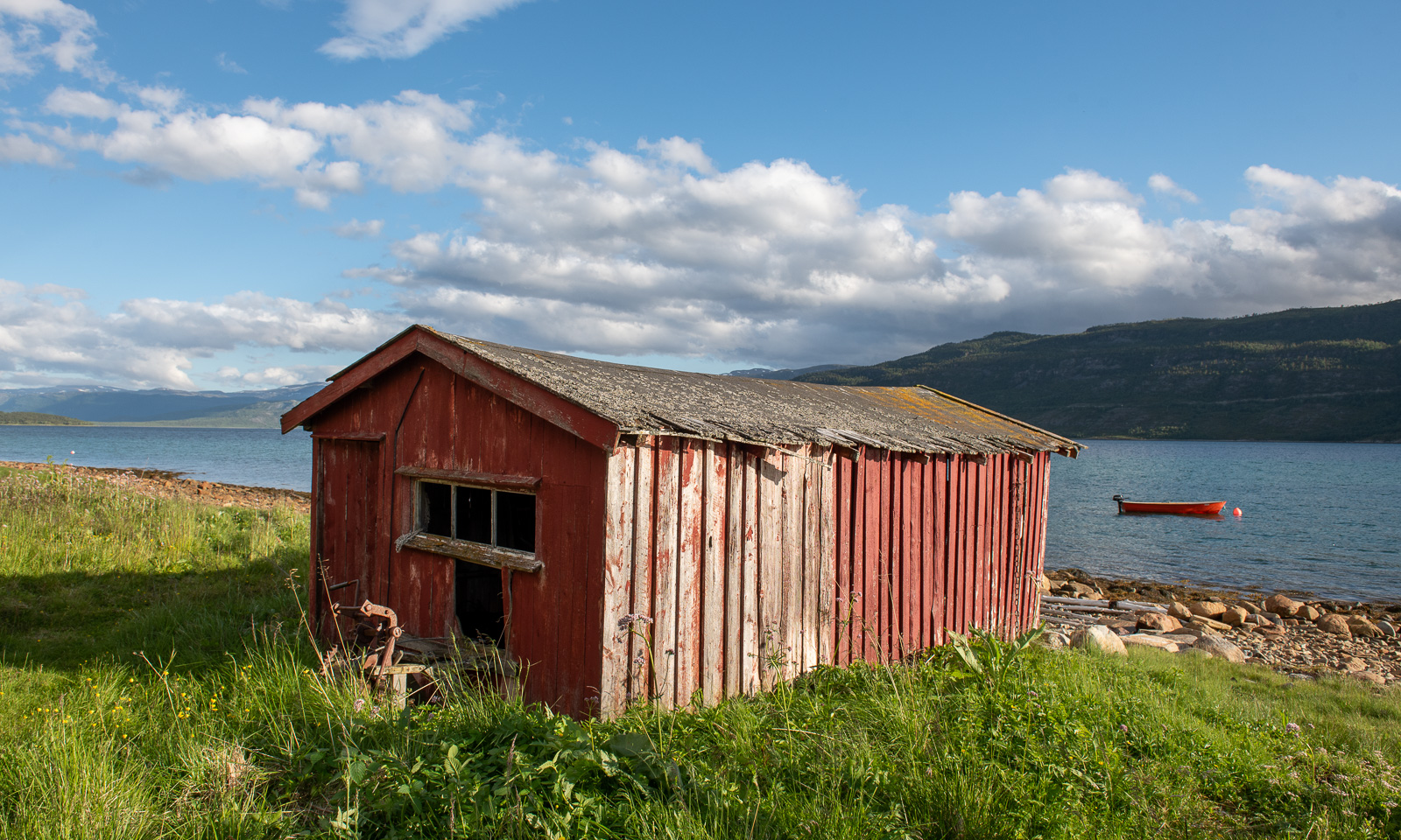
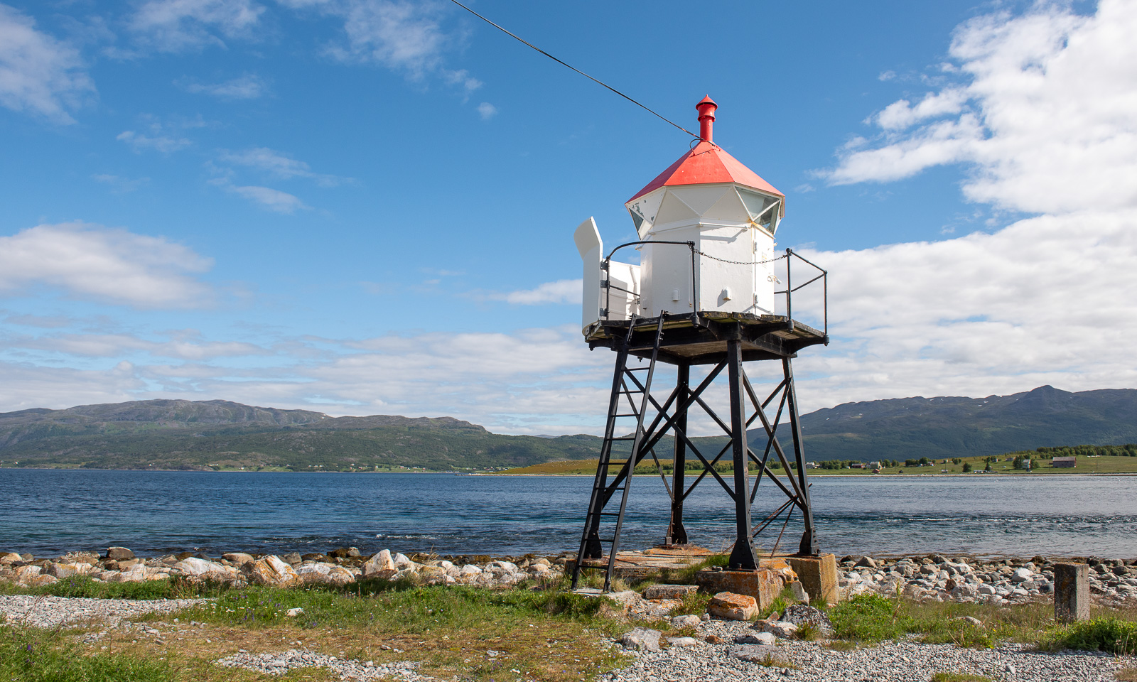
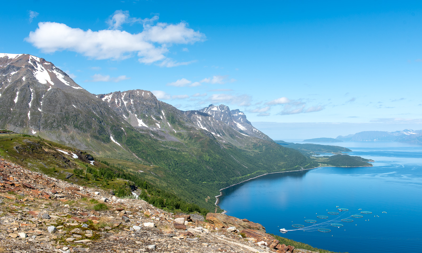
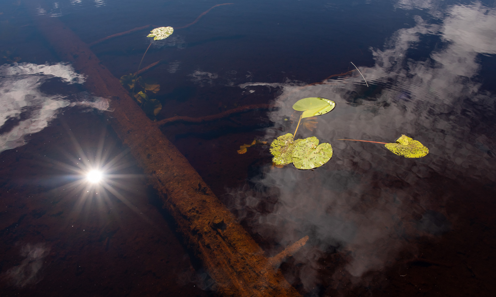
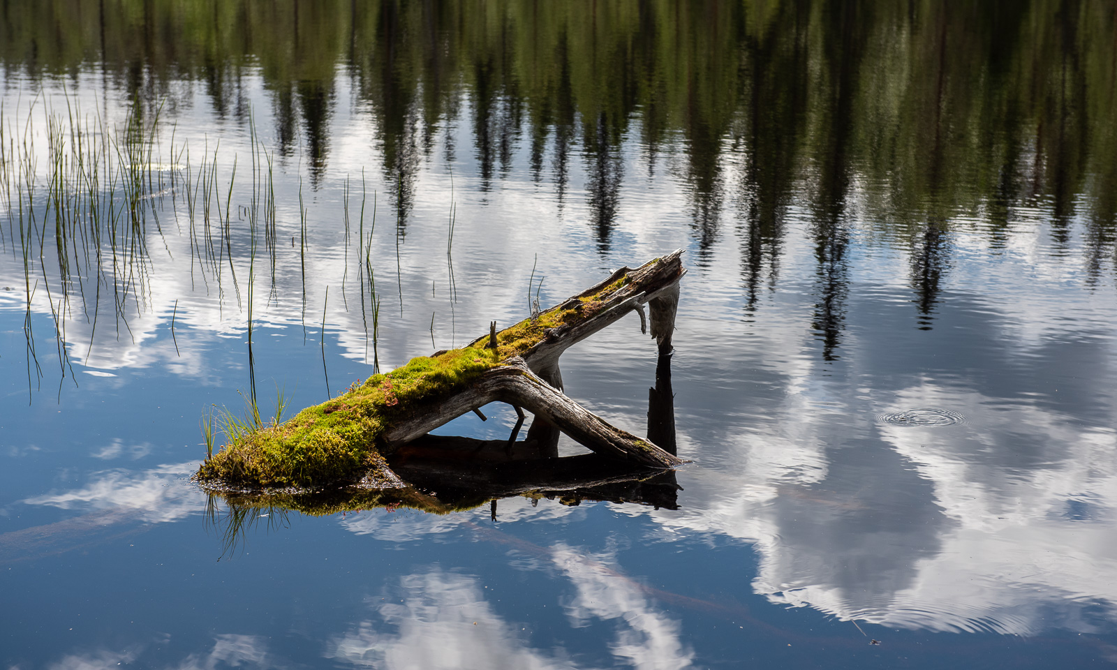
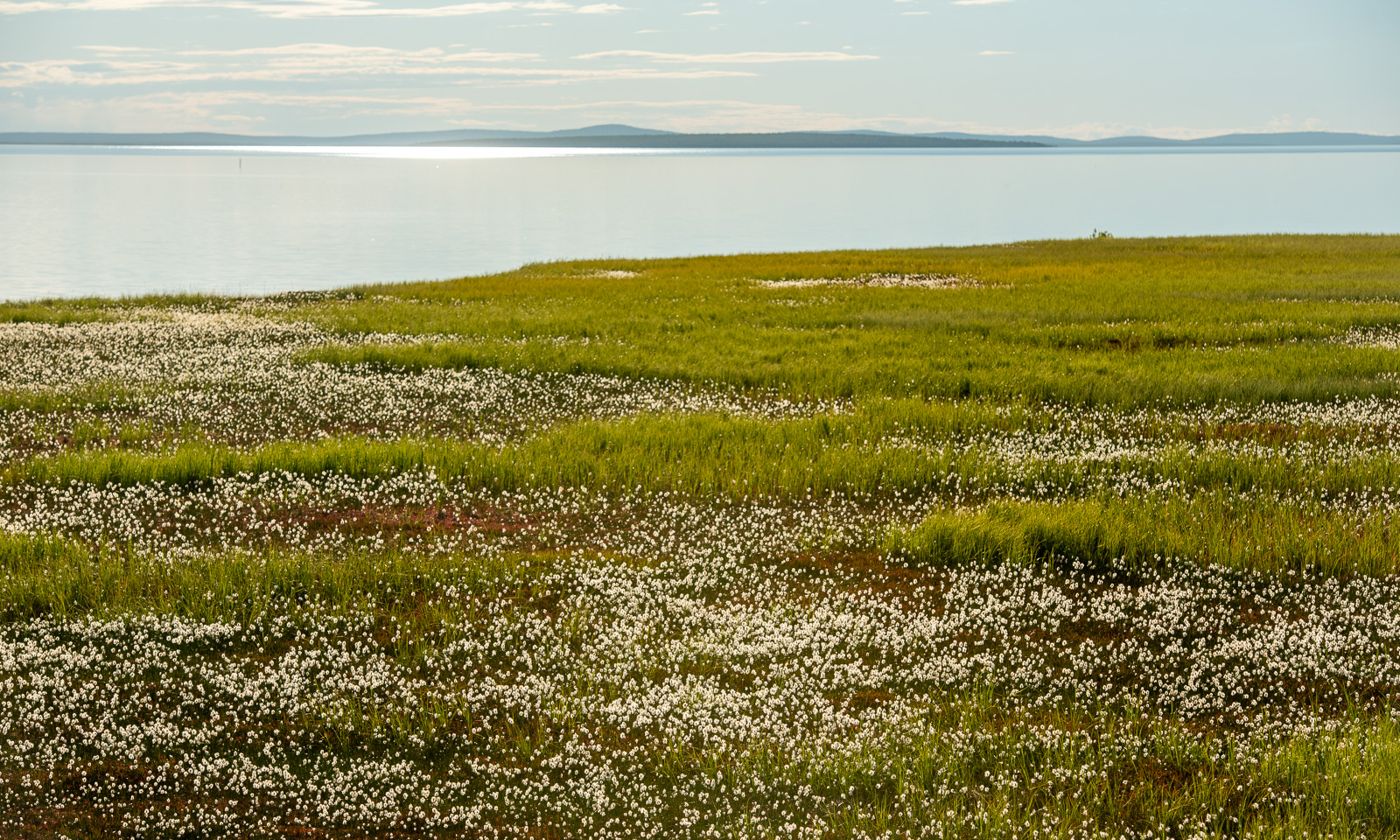
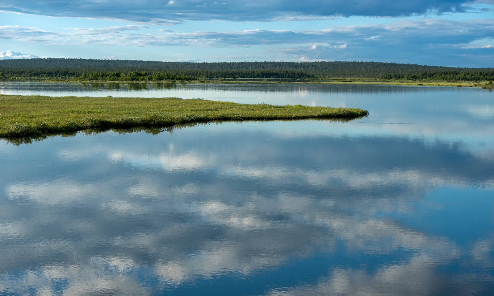
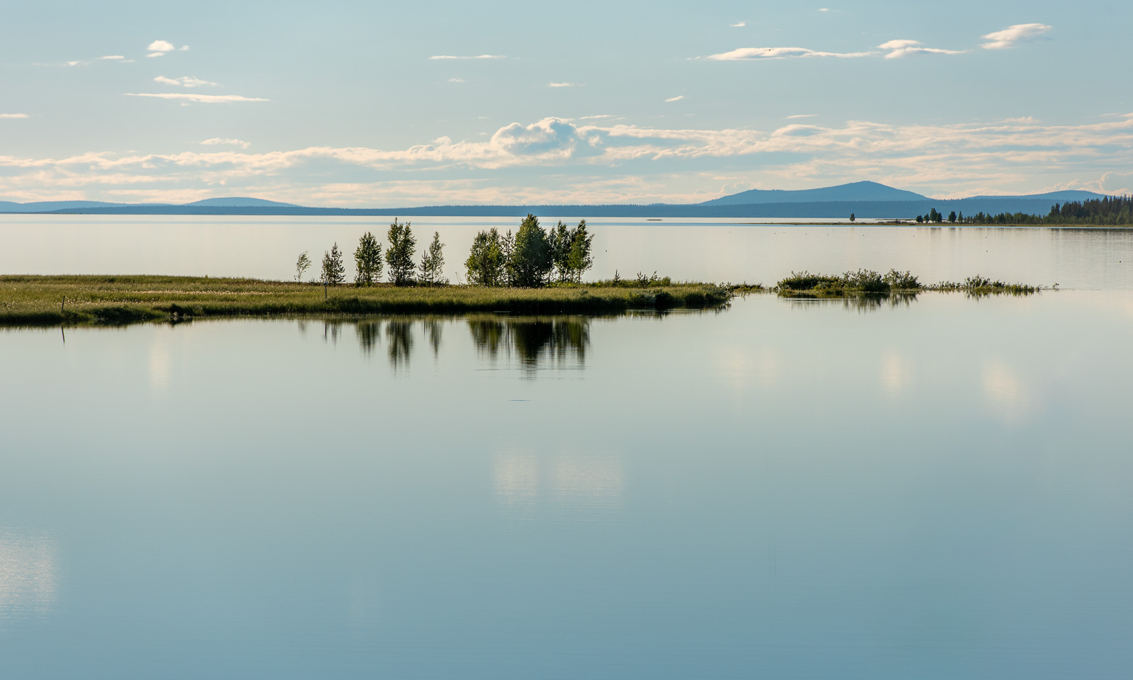
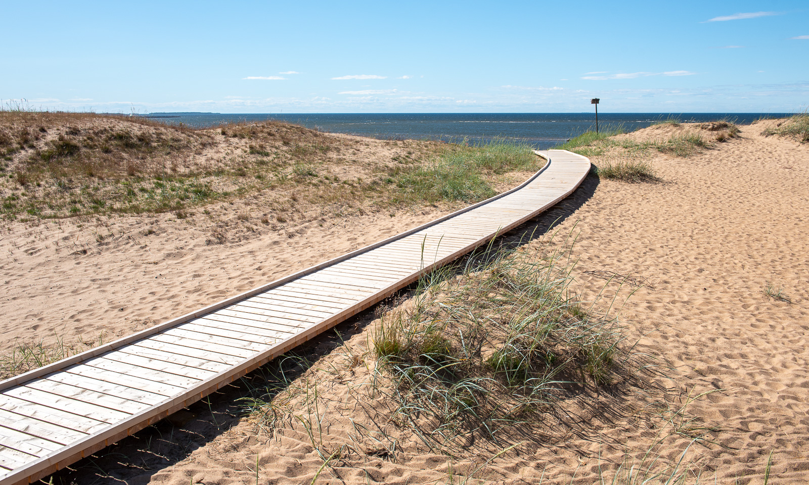
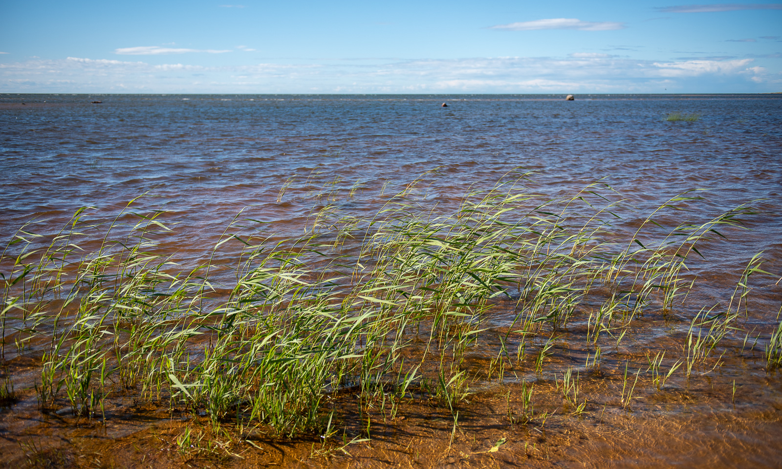
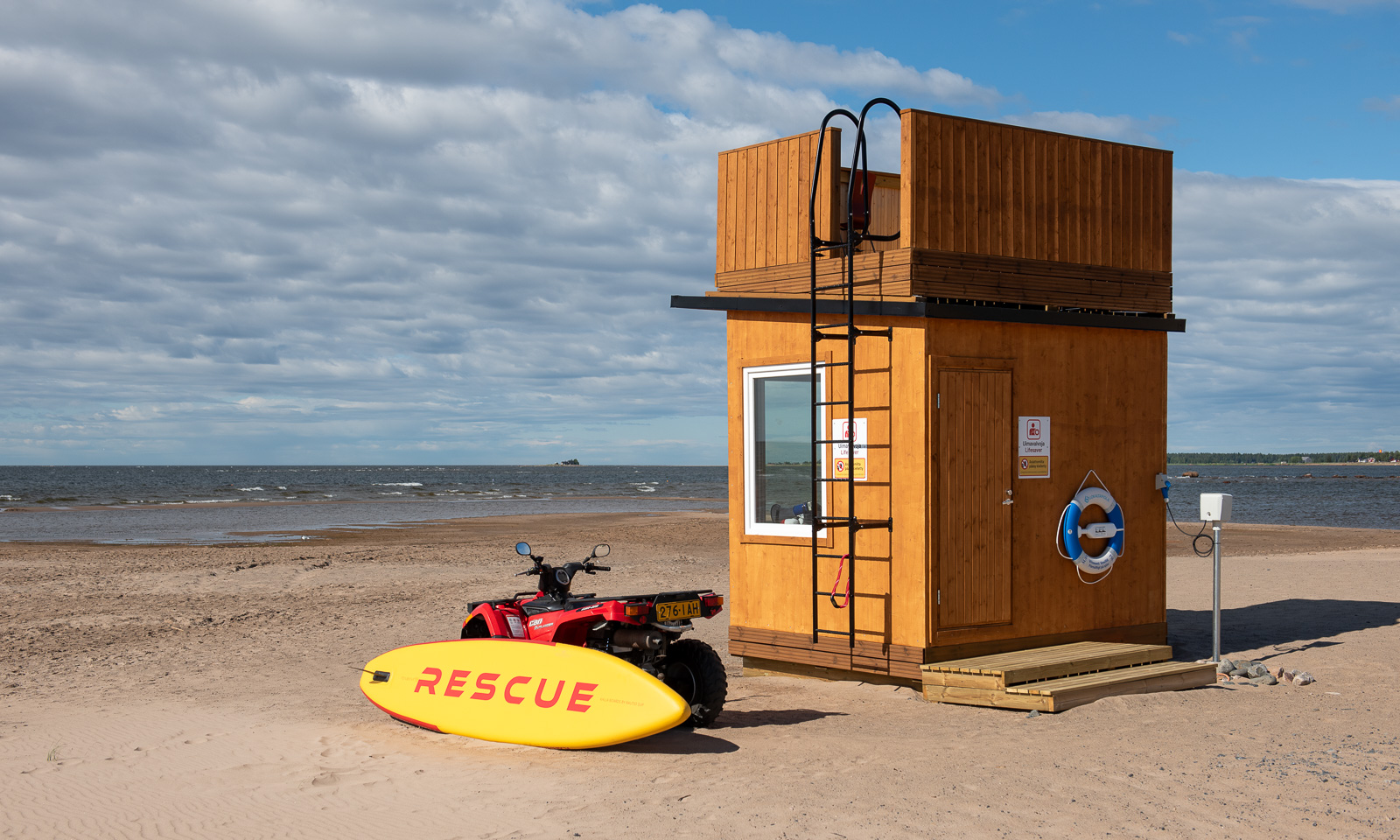
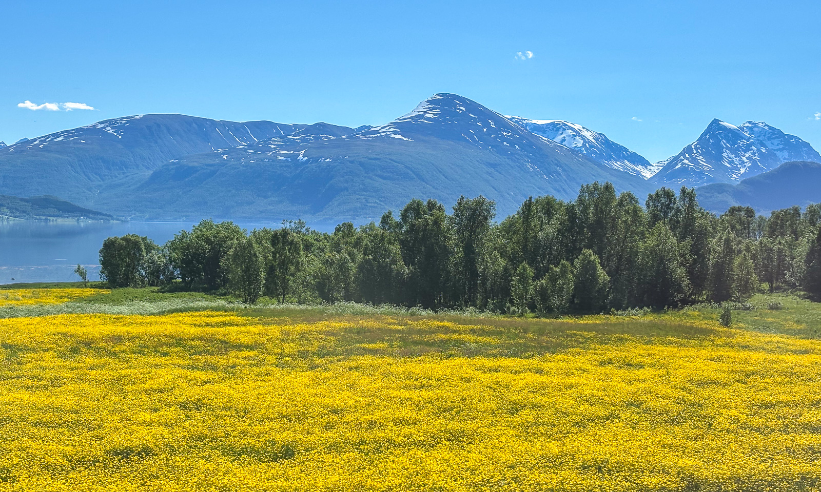
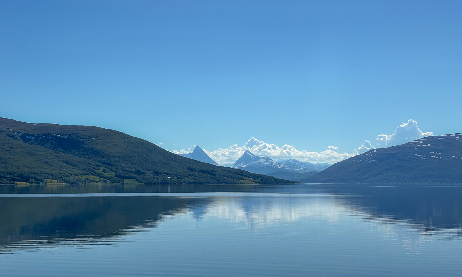
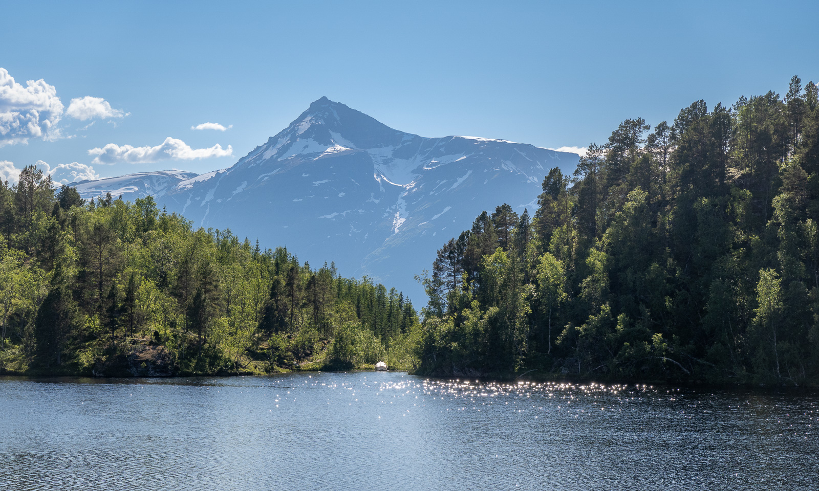
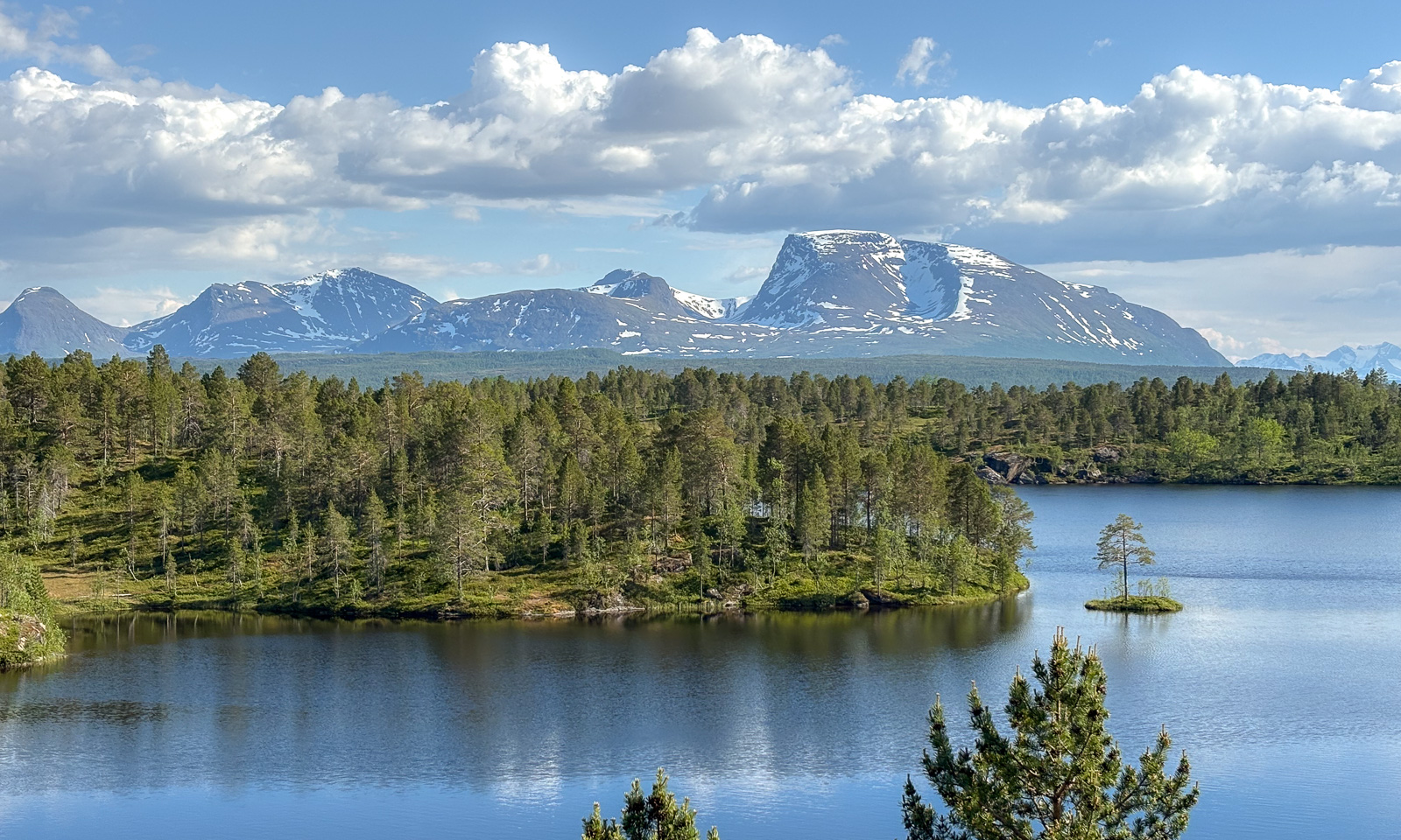
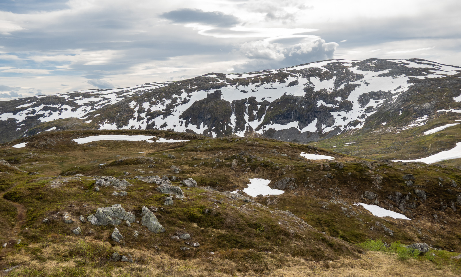
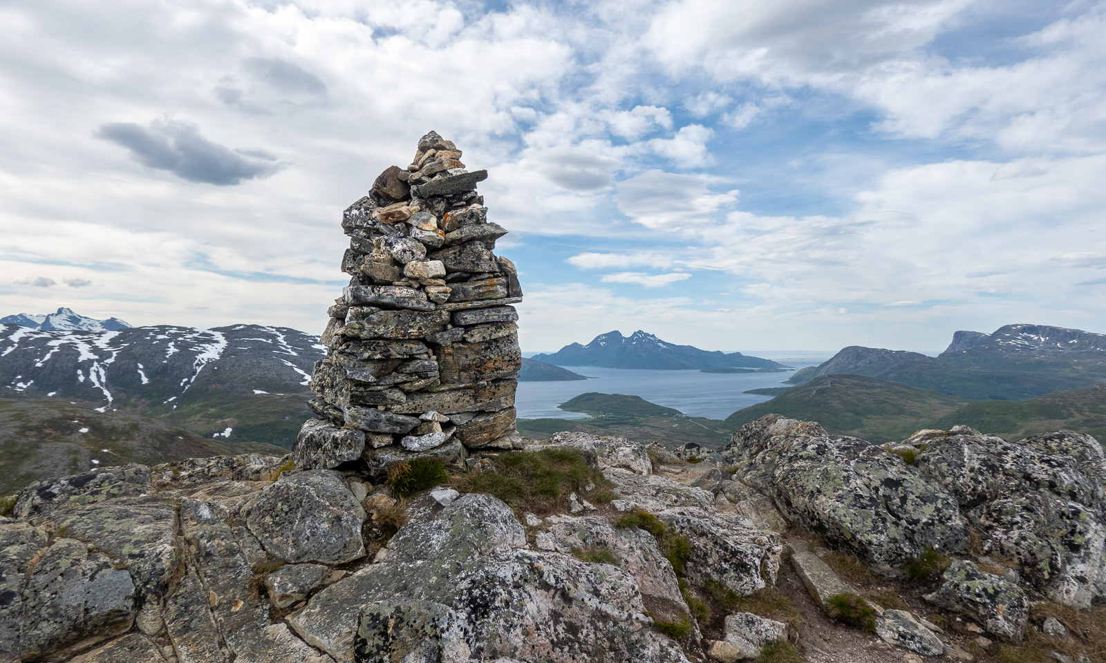
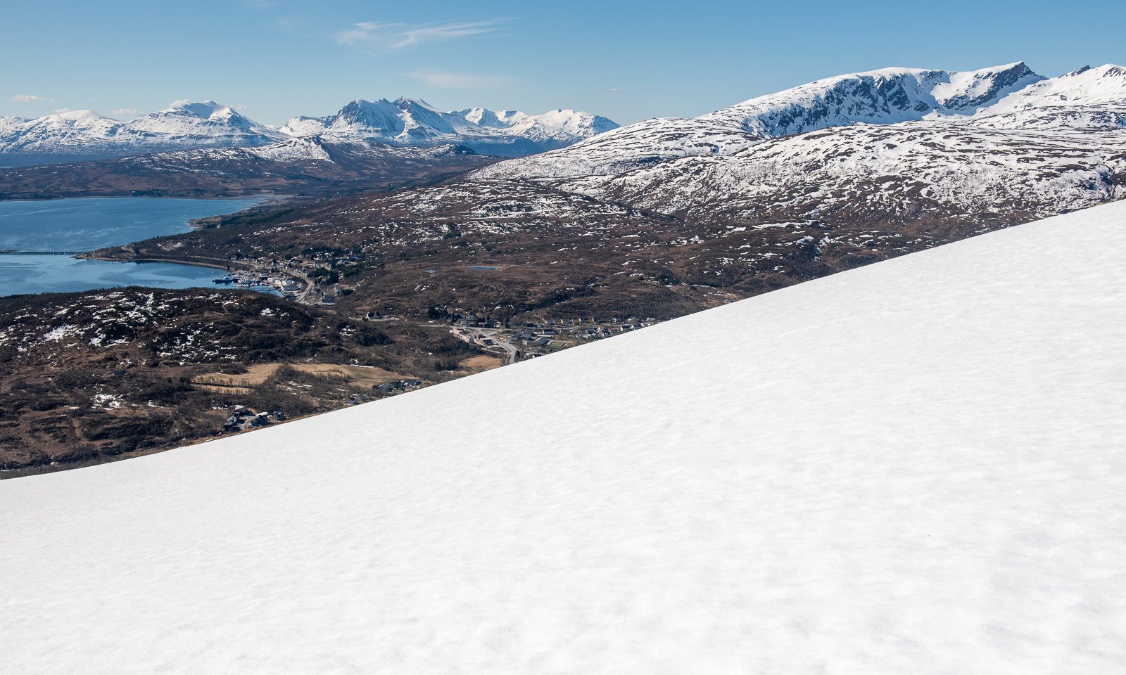
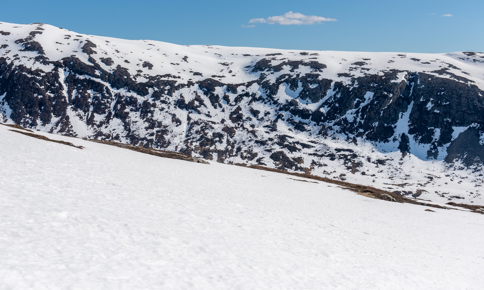
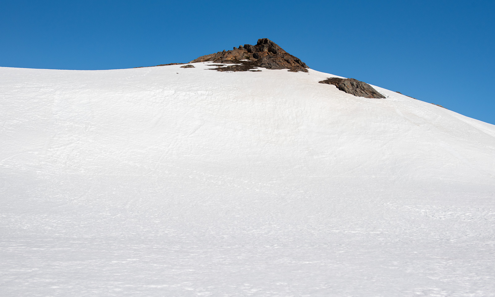
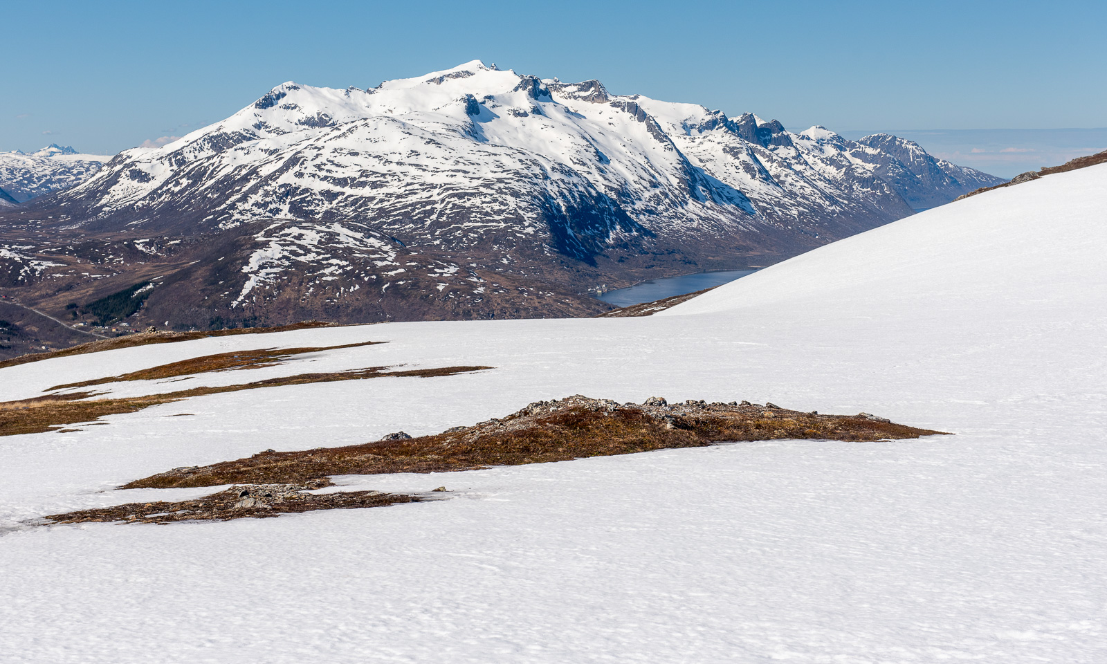
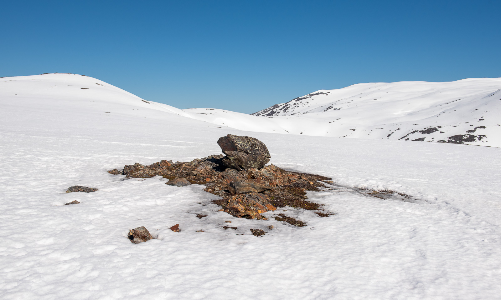
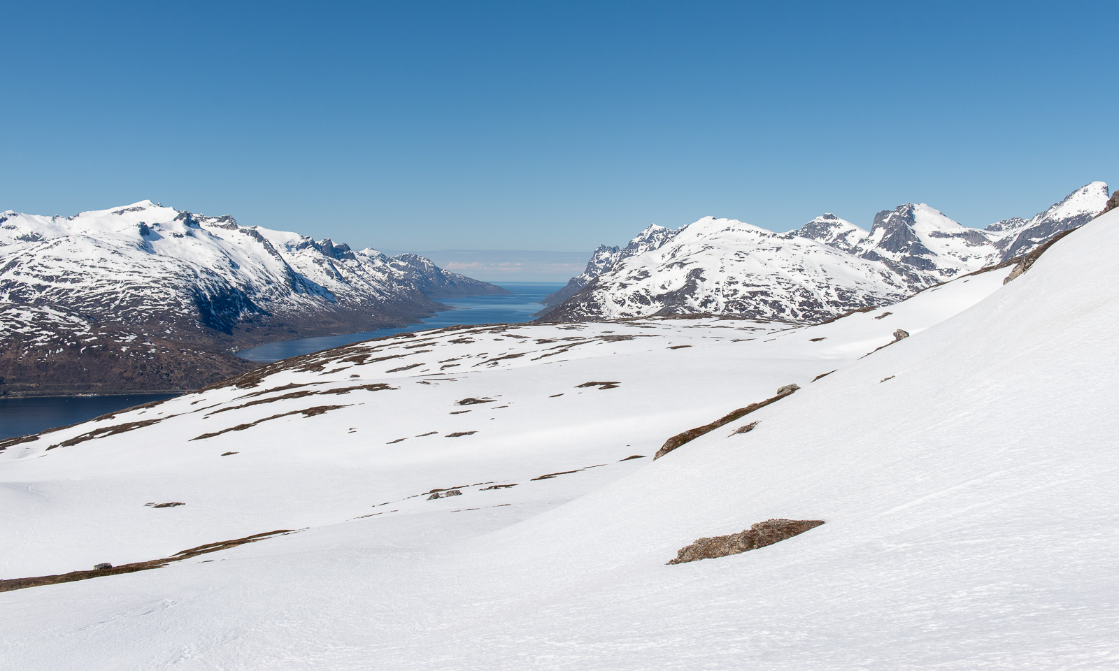
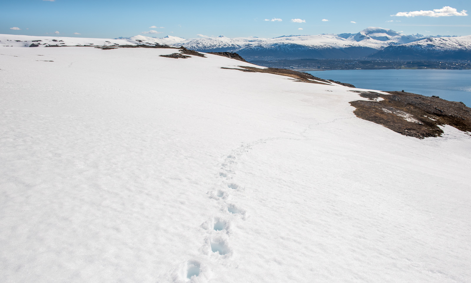
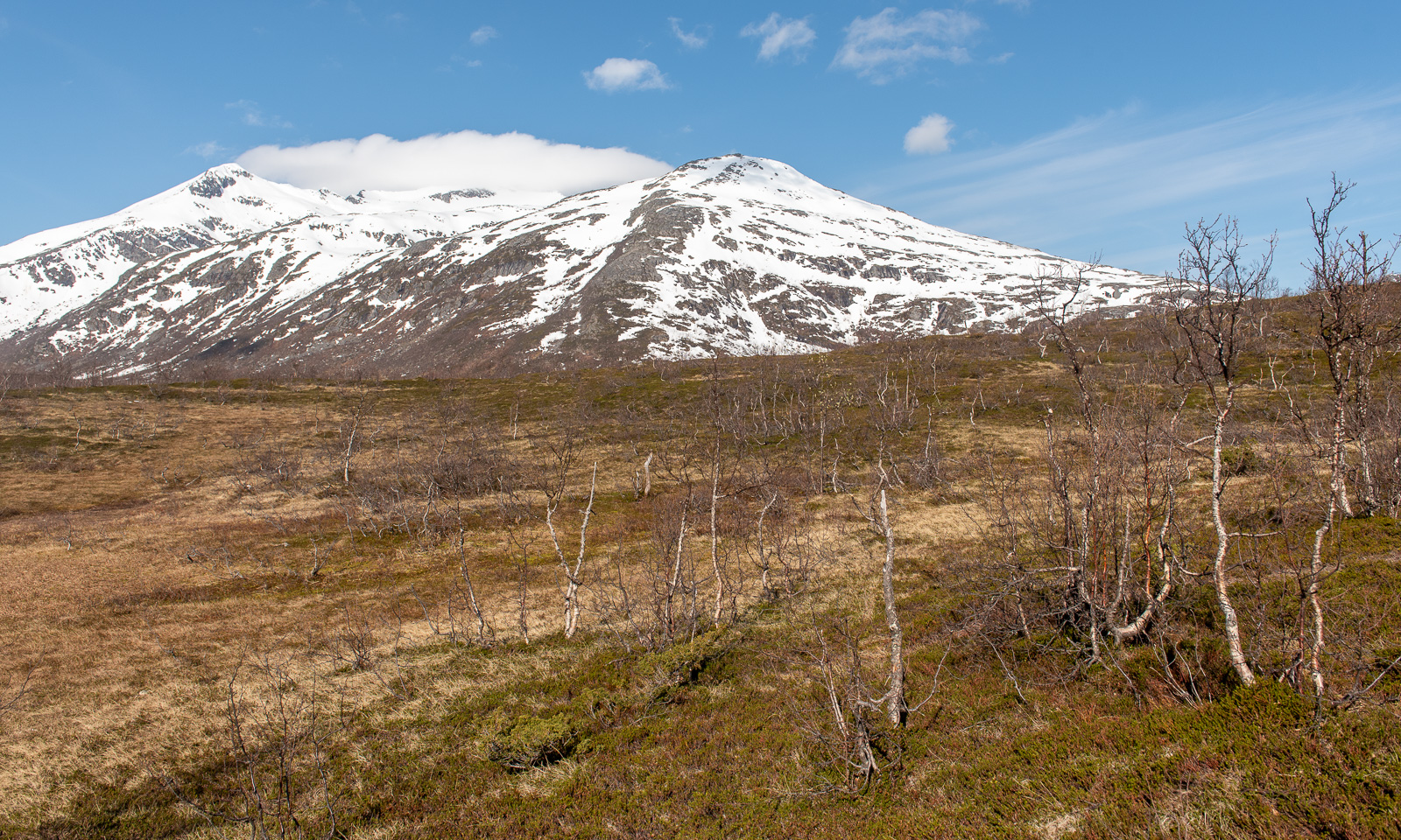
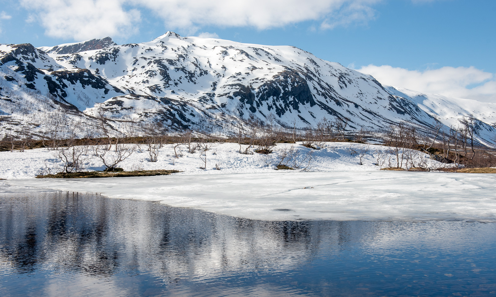
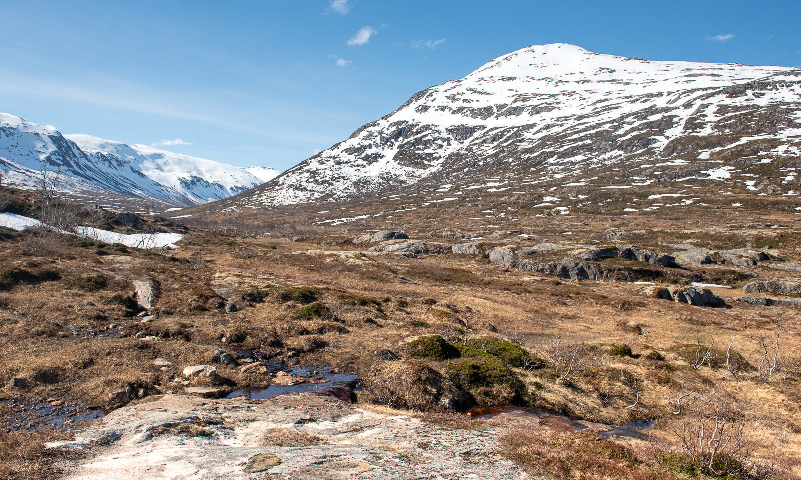
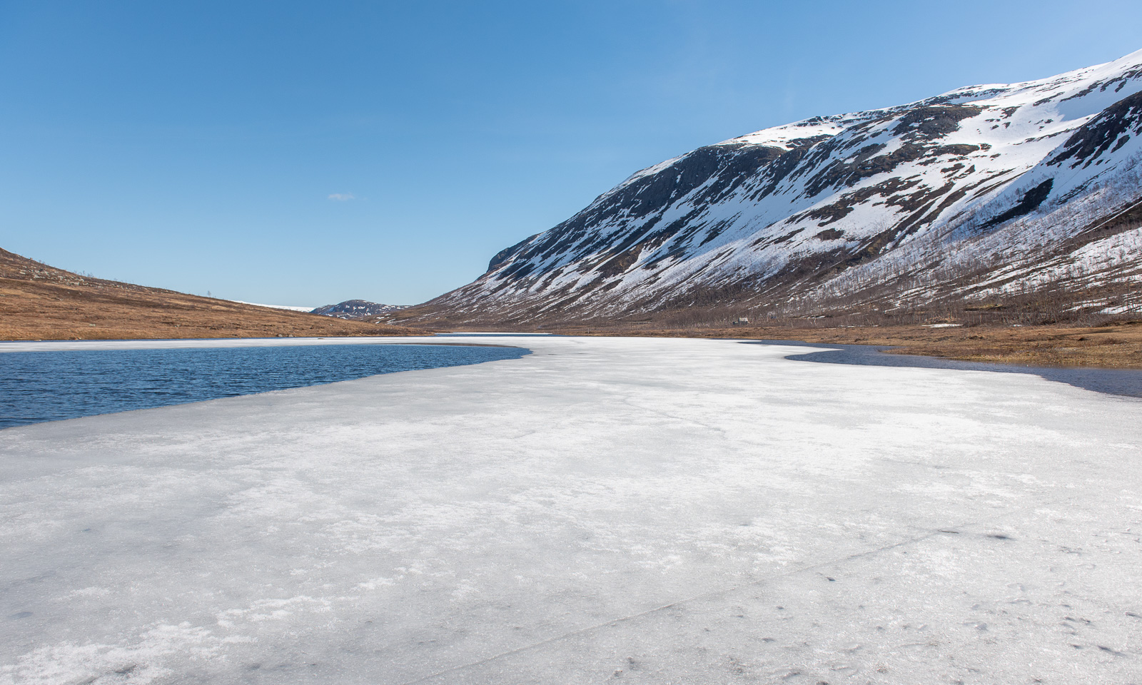
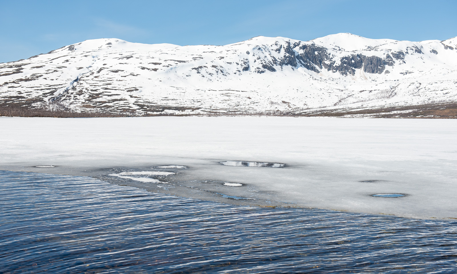
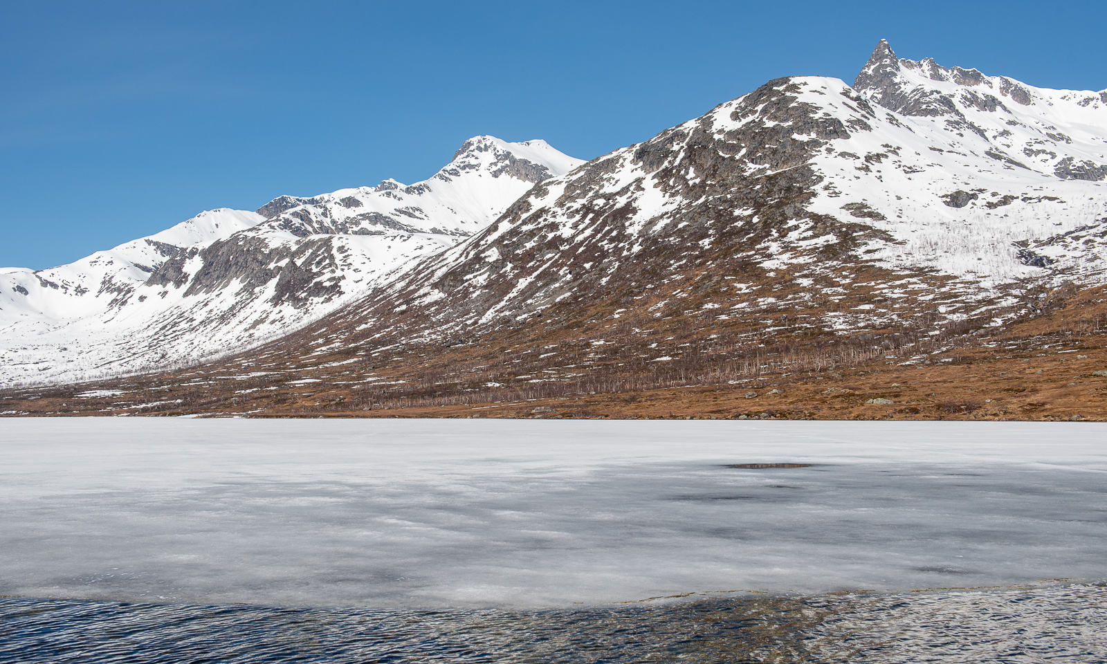
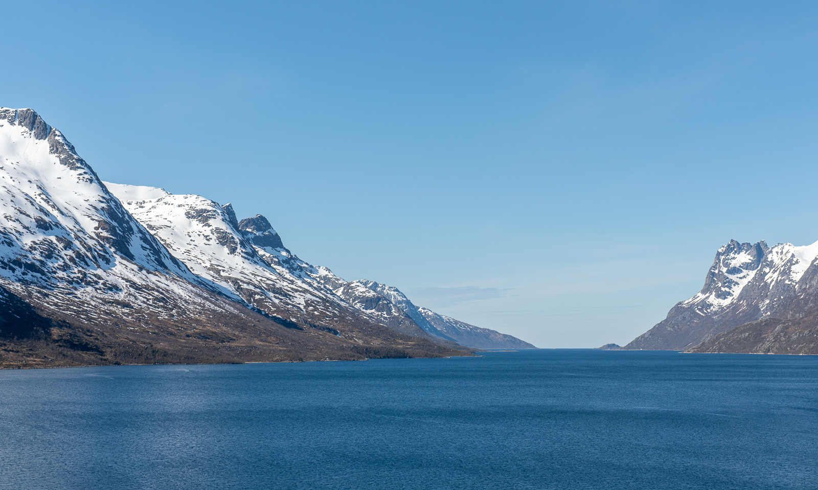
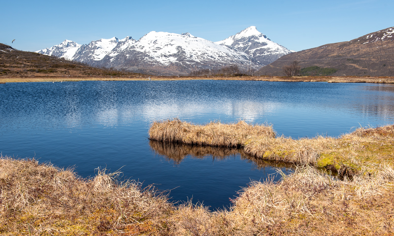
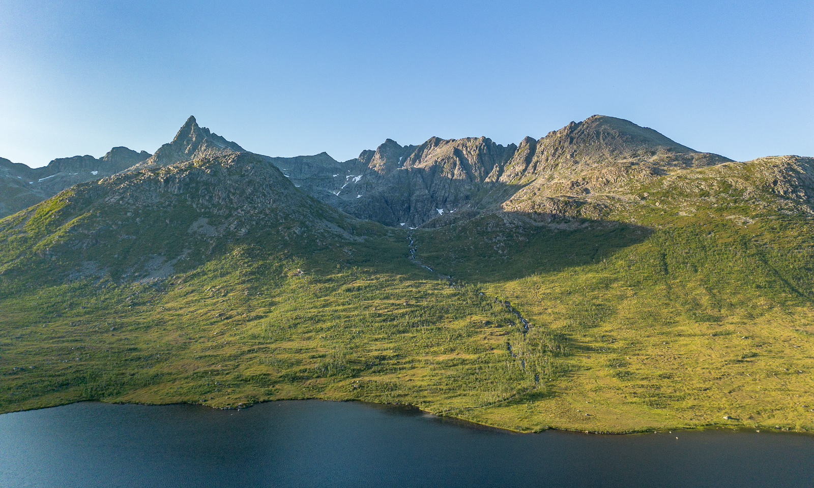
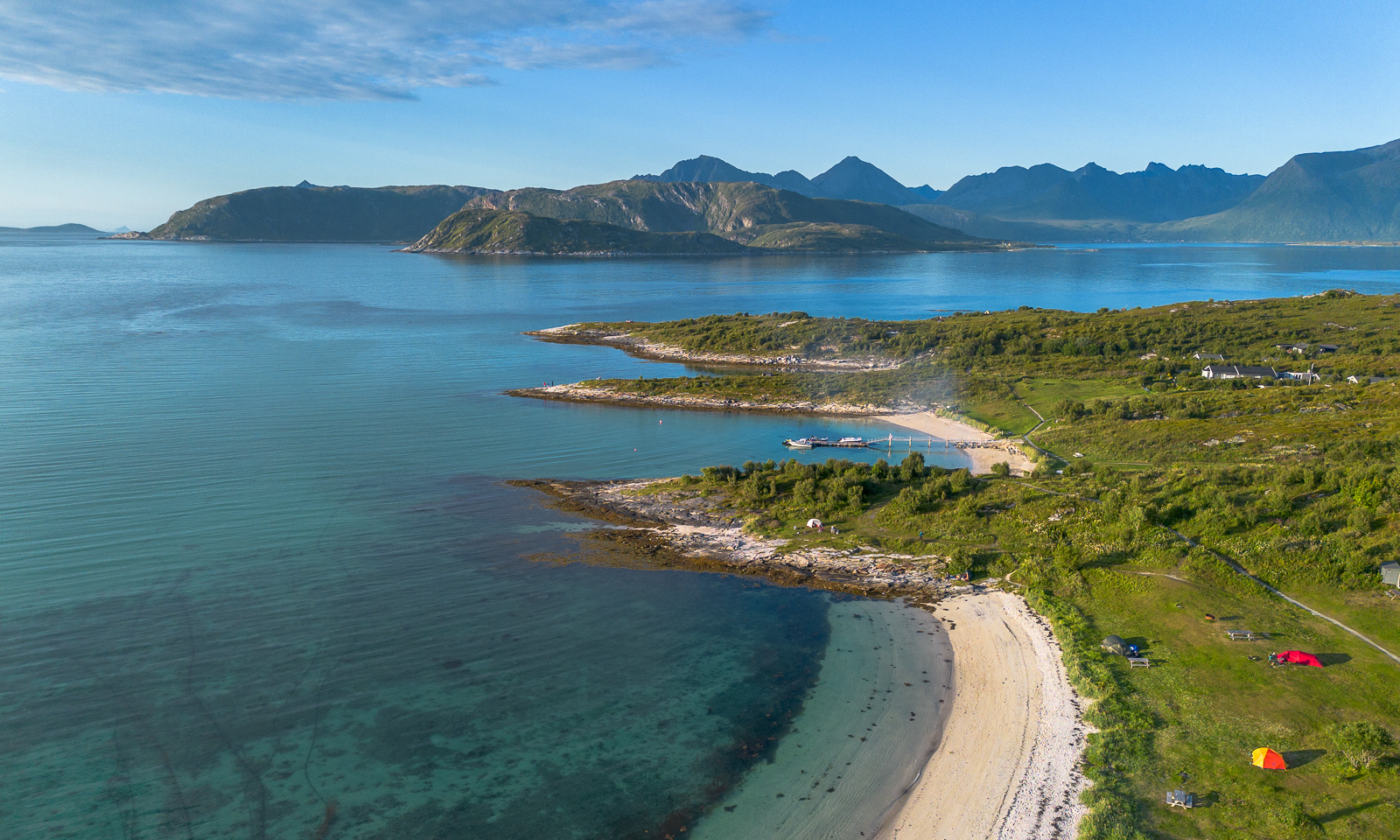
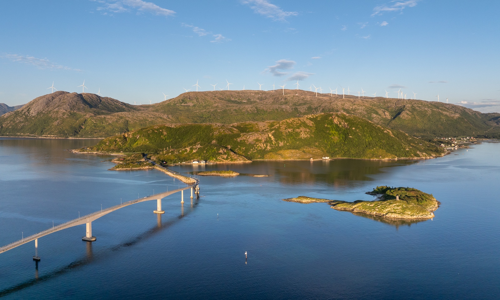
Last week I tested again, this time a newer drone belonging to the Norwegian Polar Institute and a better remote control for my own drone, which I bought second-hand a few days ago. I really like the institute’s DJI Mavic 3 Pro because it is larger, more stable, and has three cameras. But I’m pretty content with my own DJI Mini 3 Pro, especially now with the updated remote control. Under good light conditions they both make great photos. Here is one from Kattfjordeidet, Kvaløya, and the others are from Sommarøya. You can try to guess which drone took which photo. I couldn’t.
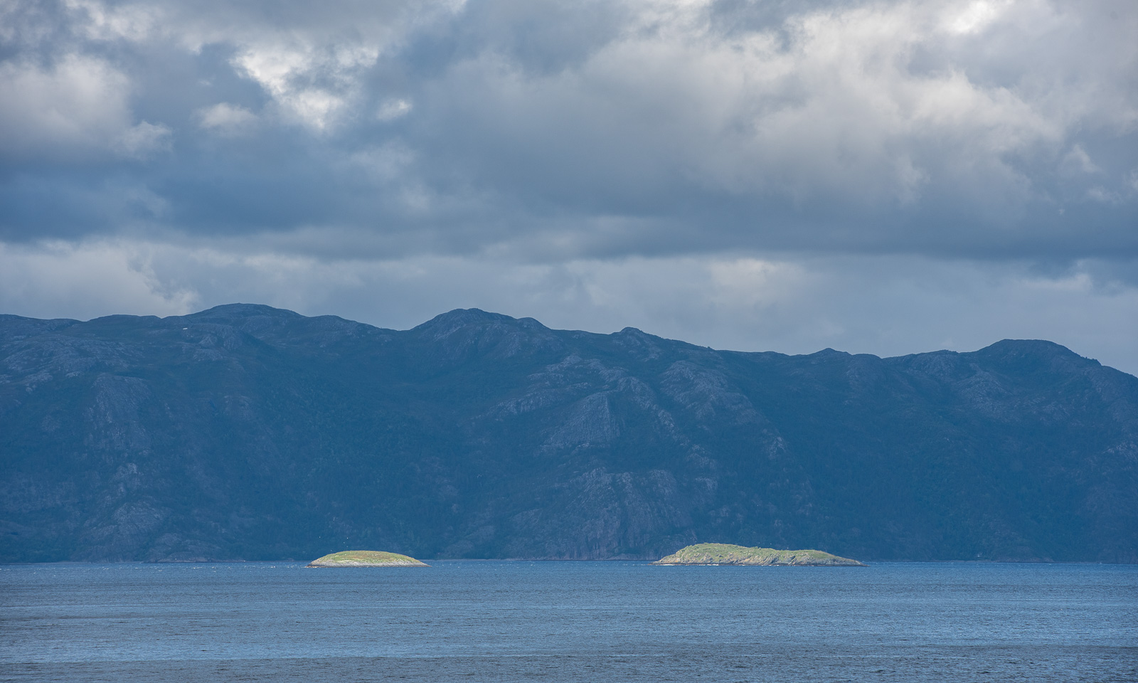
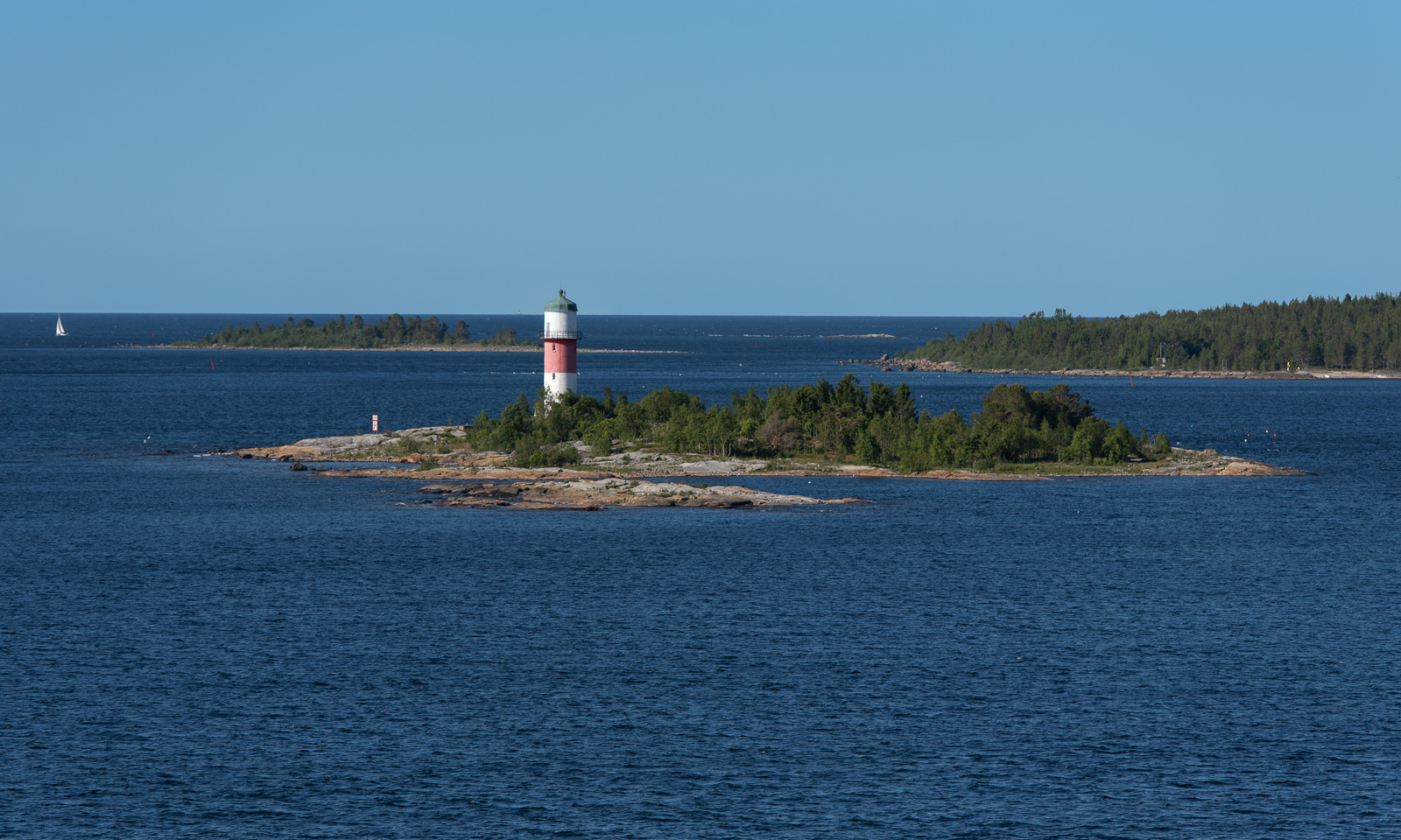
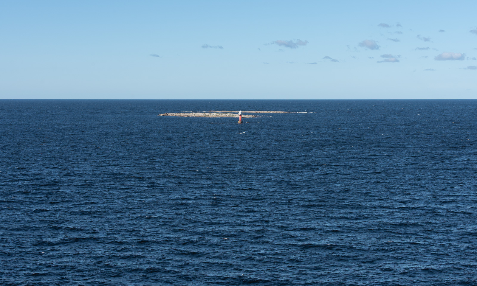
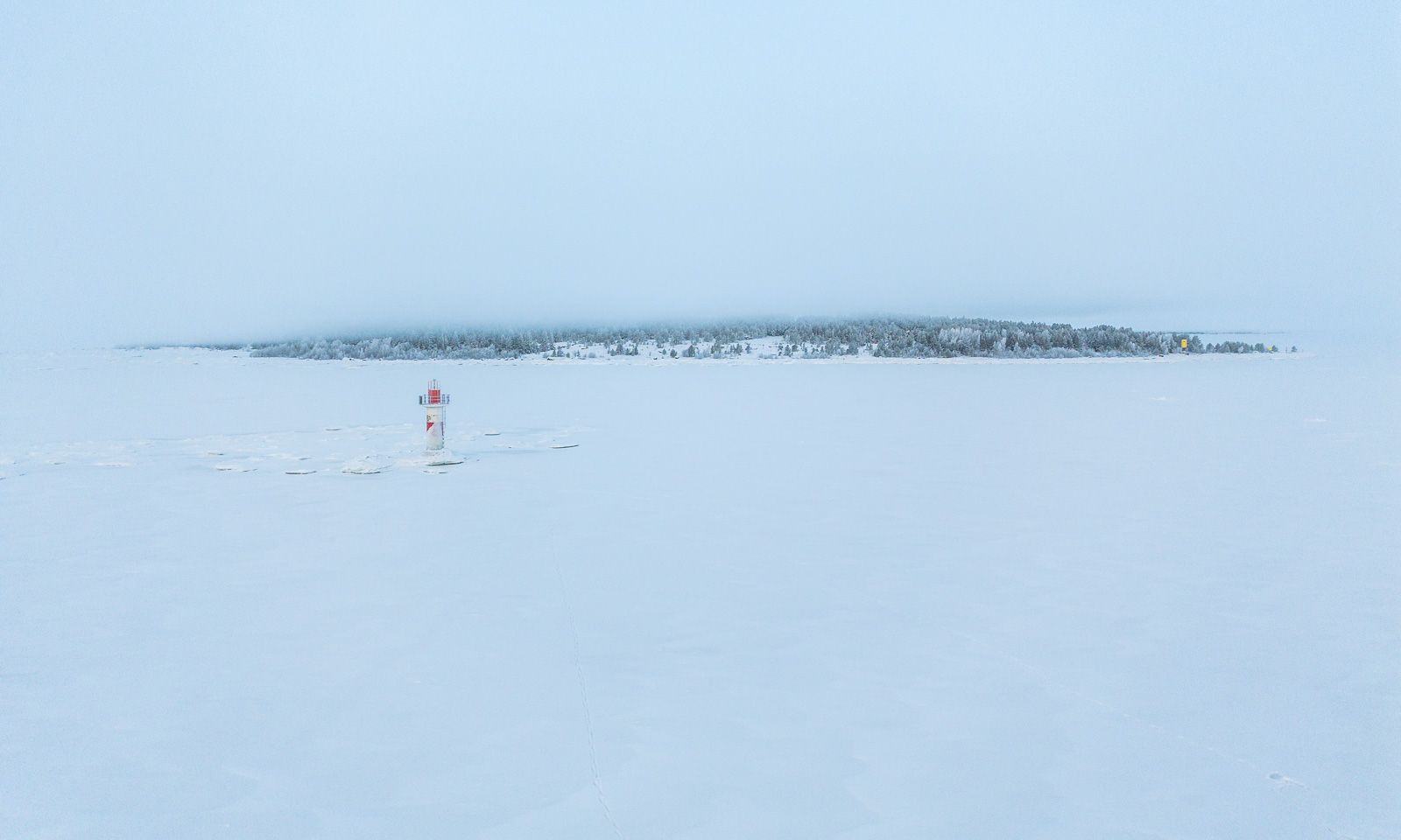
About half a year ago I had my drone with my as well, this time on the frozen Baltic Sea where I flew it several times. Publishing aerial photos taken in Sweden always takes a while, as you need to apply for publication permission for each photo. I have obtained permission to publish the following photo of the lighthouse Dynan and the island Bredskär. So, here it is:
If everything goes according to plan I will go on a three-week work cruise with the icebreaking vessel Kronprins Haakon between Svalbard and Greenland in October. Hopefully, we will have good conditions for ice stations. Then I’ll take orthophotos of and on the ice again.