19 November – Obbola, Sweden
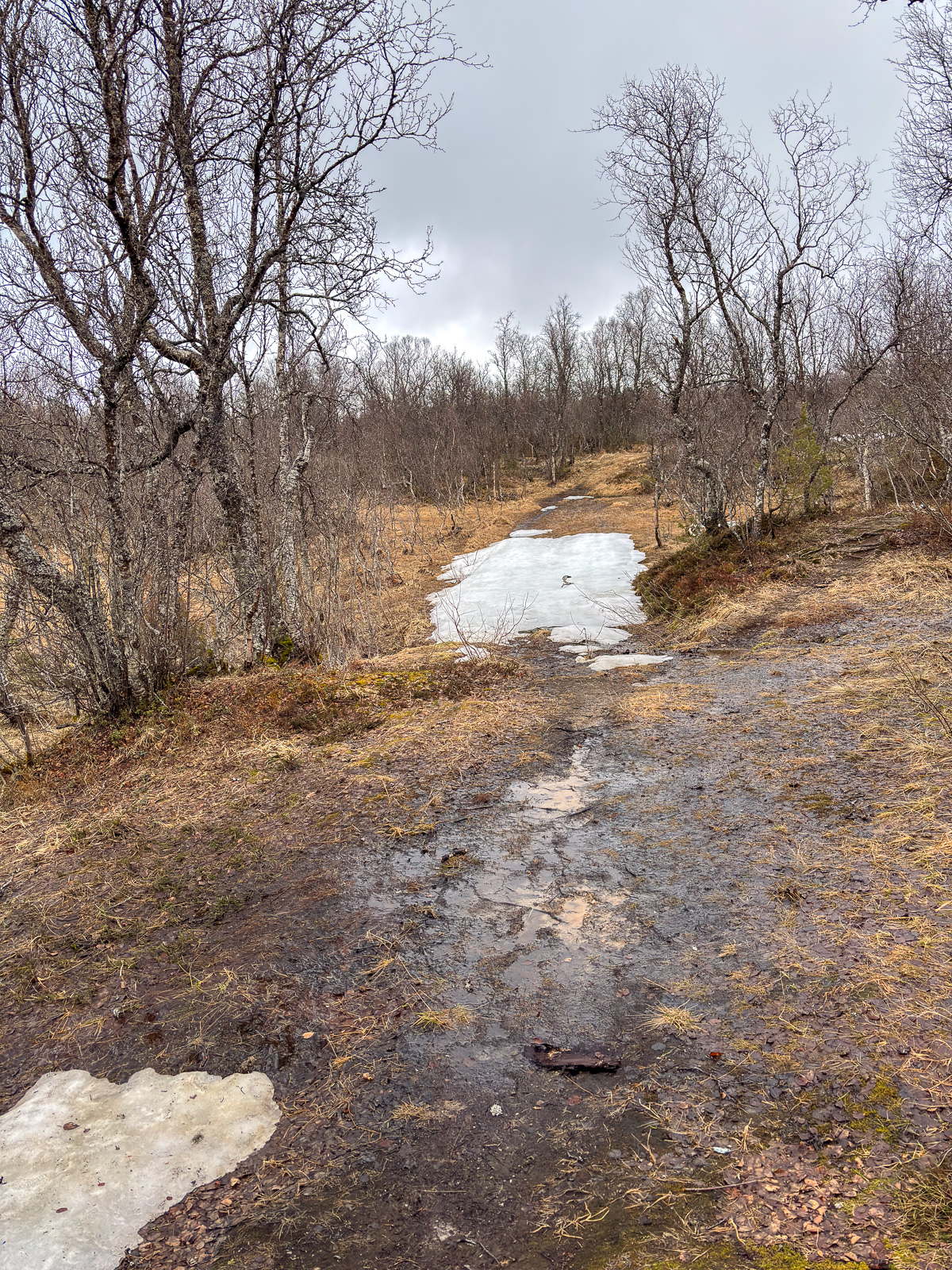
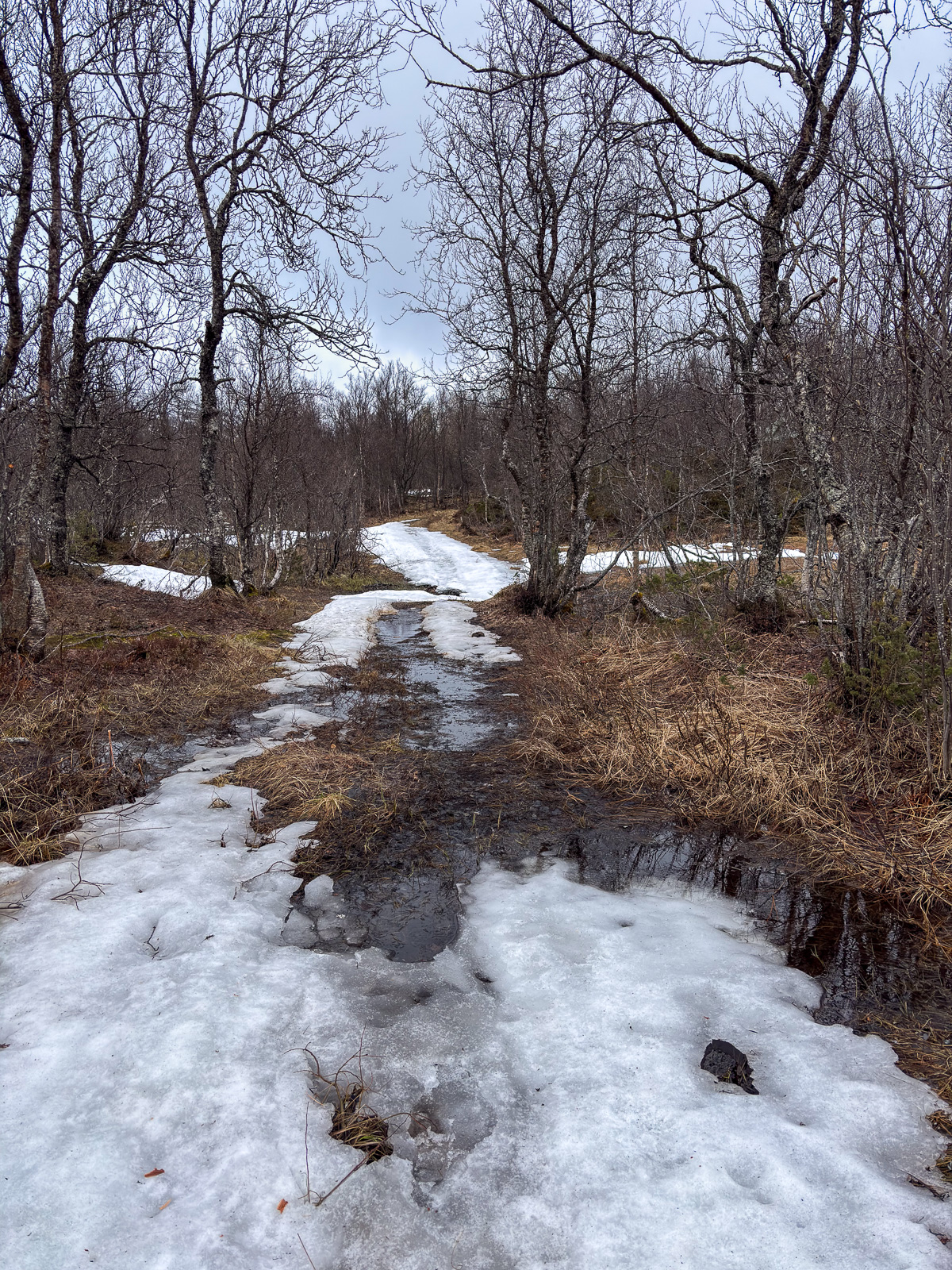
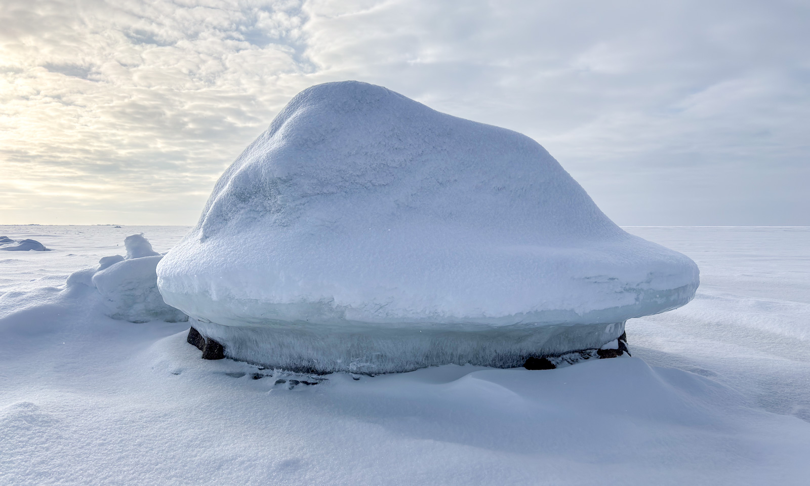
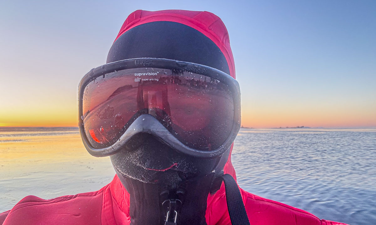
The morning is cold. -14 °C. The sea has been freezing over. At the horizon lies a layer of clouds. Will they bring snow? Ice fog indicates open water. Later this morning I walk Spåret, the local circular hiking trail. There is hardly any snow, but the ice on the ponds is covered with frost patterns.
27–29 November – Obbola, Sweden
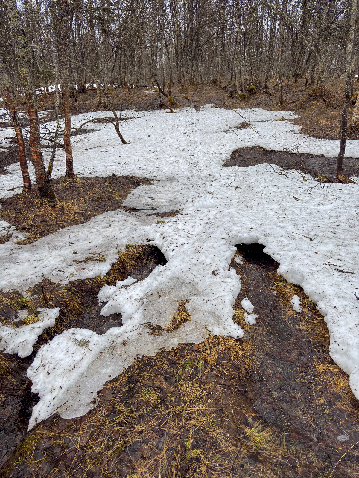
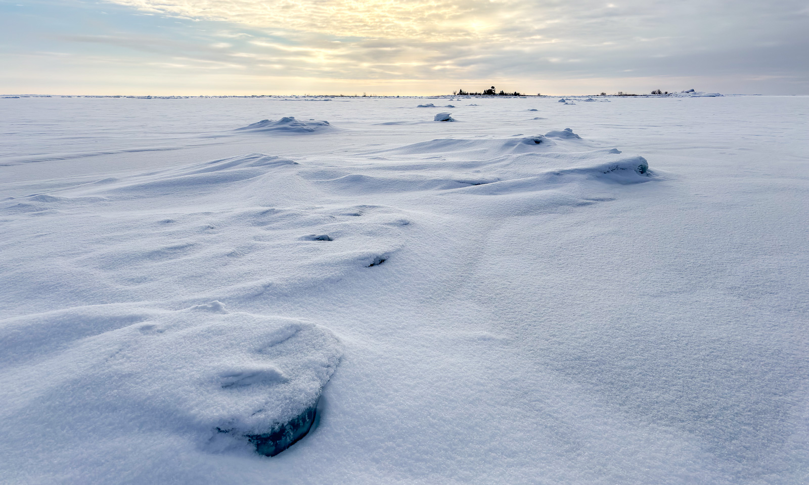
The weather has changed back from winter to autumn. Rain and storm dominate. The crushed sea ice gathers in our bay and big waves roll up the beach of Vitskärsudden. Even the last tiny bit of snow has gone.
1–2 December – Obbola and Umeå, Sweden
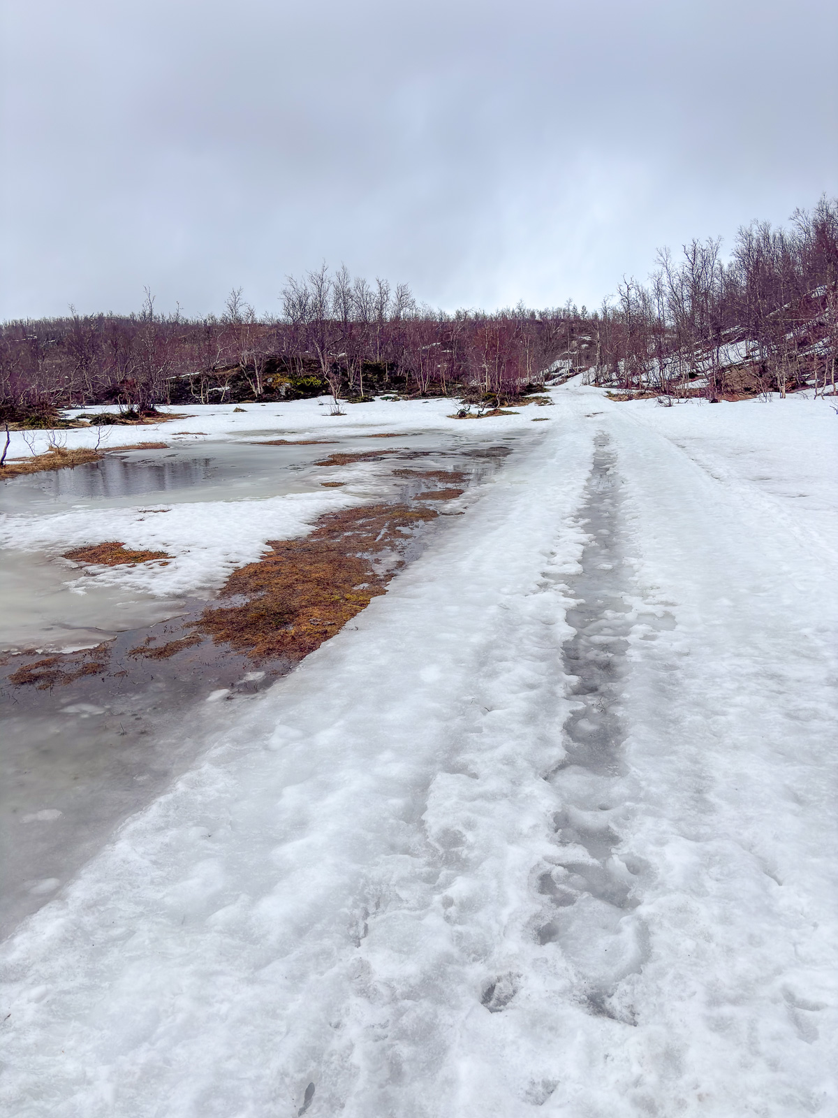
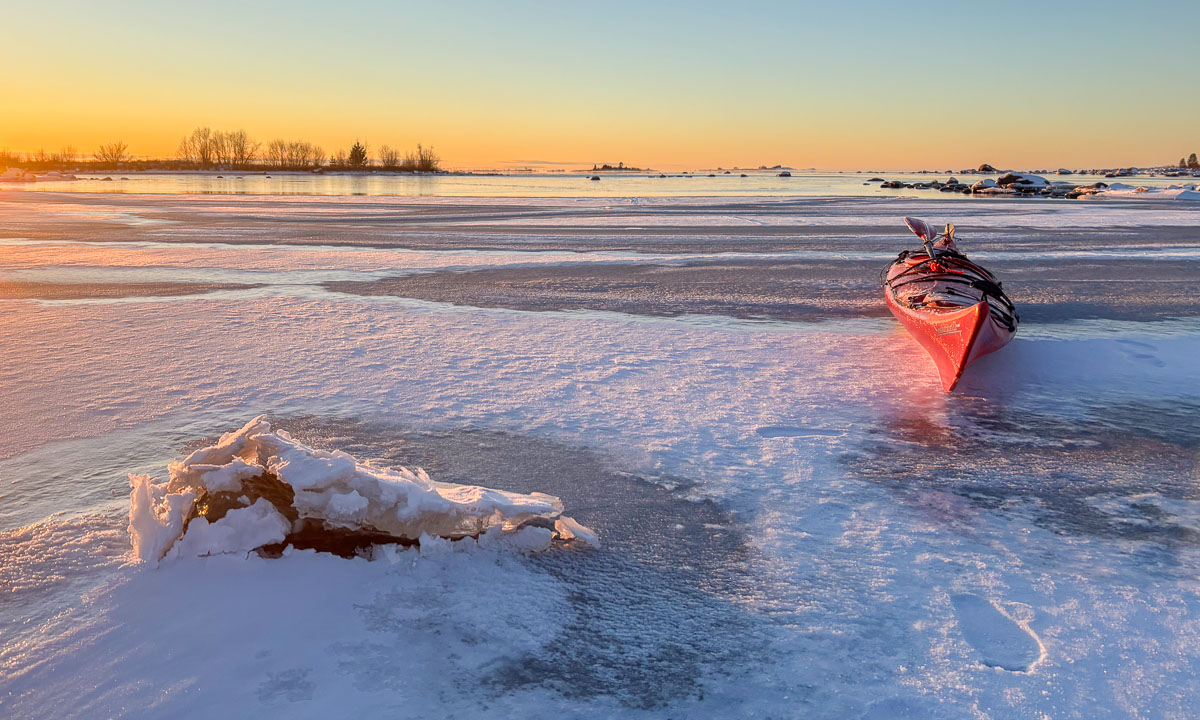
We got some centimetres of snow and Vitskärsudden looks completely different. Our plan to take the car to the inland with our German guests however was stopped by the weather. Too slippery the wet and icy roads. At least we make it to Umeå, where parts of the river Umeälven are frozen over.
3–4 December – Obbola, Sweden
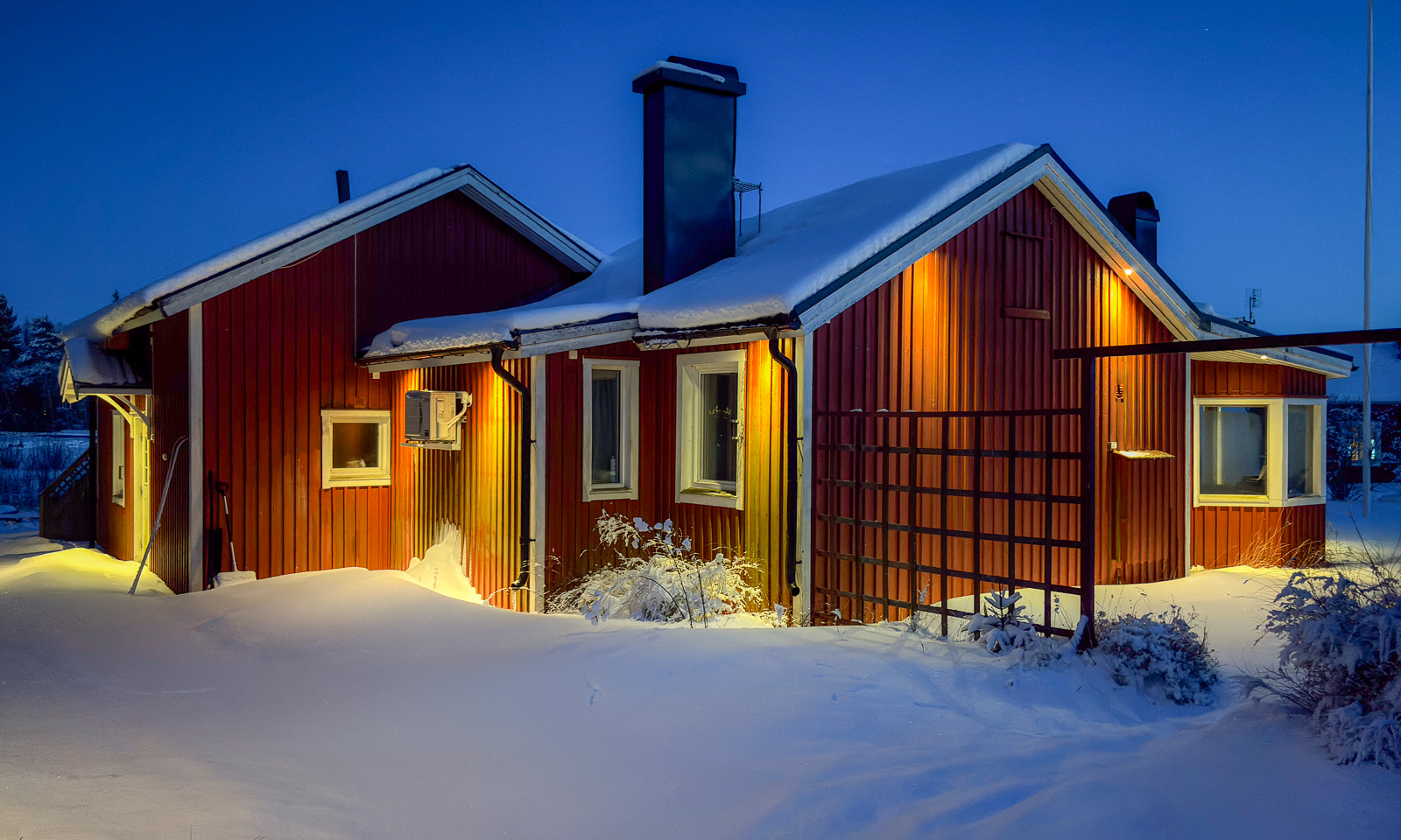
The snow is gone. On 4 December my wife Annika and I leave our house behind …
4–5 December — Obbola, Gagsmark, and Pajala, Sweden / Palojoensuu, Finland
… and we are on our way to Tromsø. First stop is the village Gagsmark in Sweden, where we visit friends and stay over night. Next morning we continue our journey. We pass Piteå and Luleå, leave the E4 in Töre and take lunch in Vippabacken, a small restaurant with a back-room museum. We buy food in Pajala and cross the border to Finland. We stay the night in the village Palojoensuu.
6–7 December – Skibotn, Tromsø, Norway
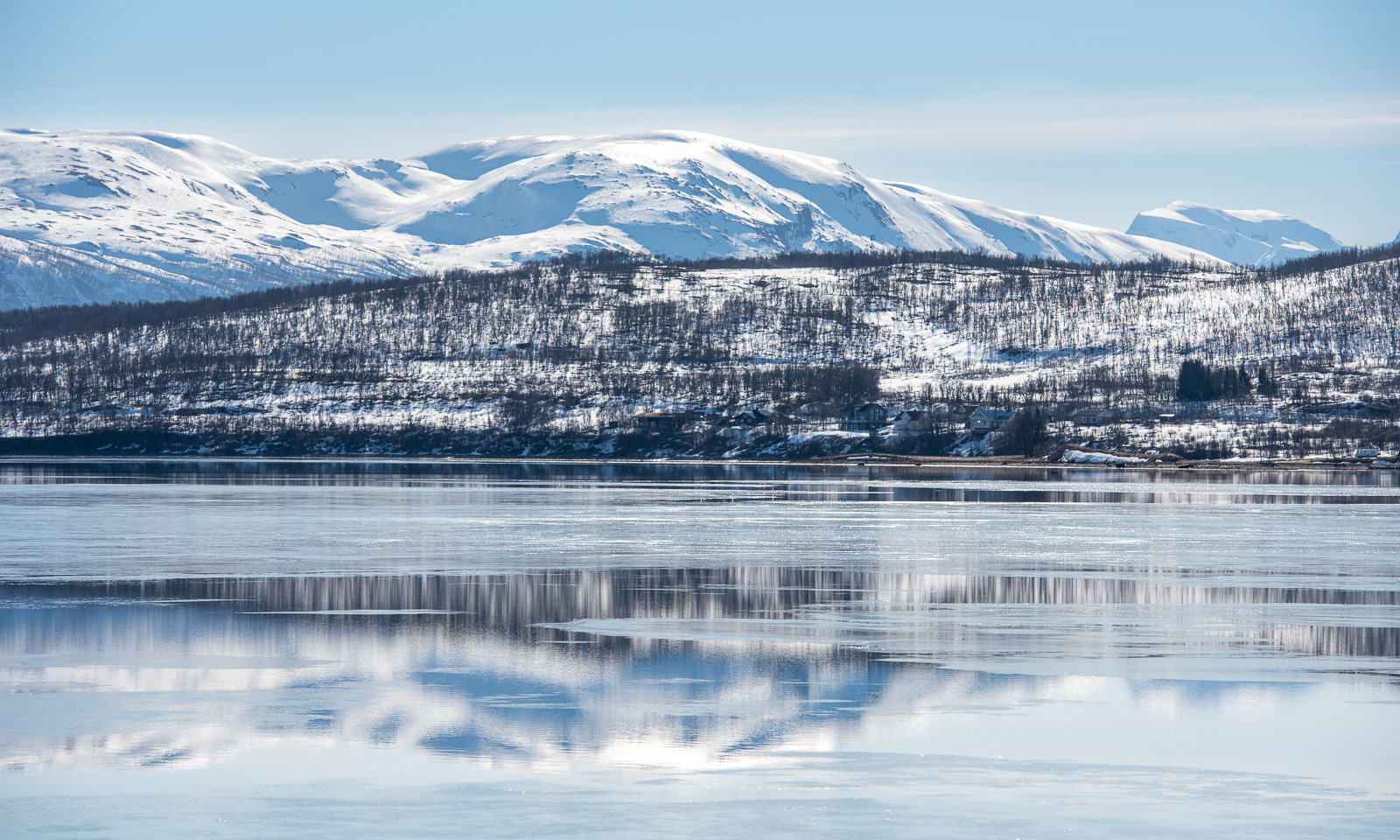
The road between Palojoensuu (FIN) to Kilpisjärvi (FIN) is lonely. Beside of the village Karesuvanto (population: 140) hardly anyone seems to live here and only a few other cars pass. As soon as we cross the border to Norway snowy mountain ranges come into view. Near Skibotn we see the first fjord and at a quarter past two we arrive in Tromsø.
Next day is the second Sunday of advent but I only have a single candle. I have to cheat with a mirror.
7–13 December – Tromsø, Norway
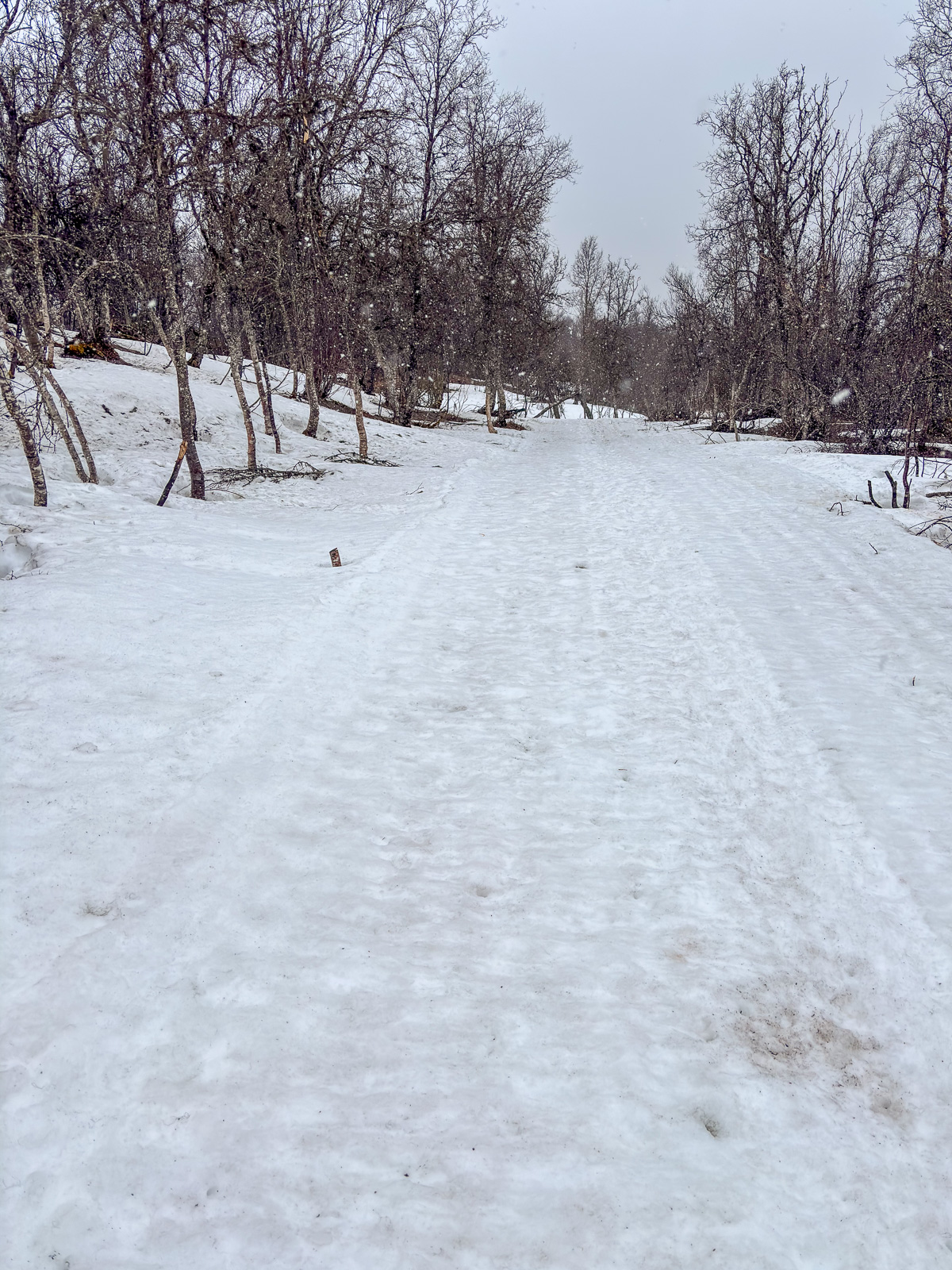
I am member of two choirs and Christmas is near. That results in a pretty busy week, where I have three rehearsals and three concerts beside of my regular work. The first concert is in the hospital, which is in walking distance. While Obbola was free of snow 60 cm lie in Tromsø.
After the second concert, this time with the Sami choir Romssa Rástát we got Northern lights. Annika and I watch them from the balcony. I try to make photos with my Nikon and a tripod as well, but the aurora has weakened and I had some camera issues.
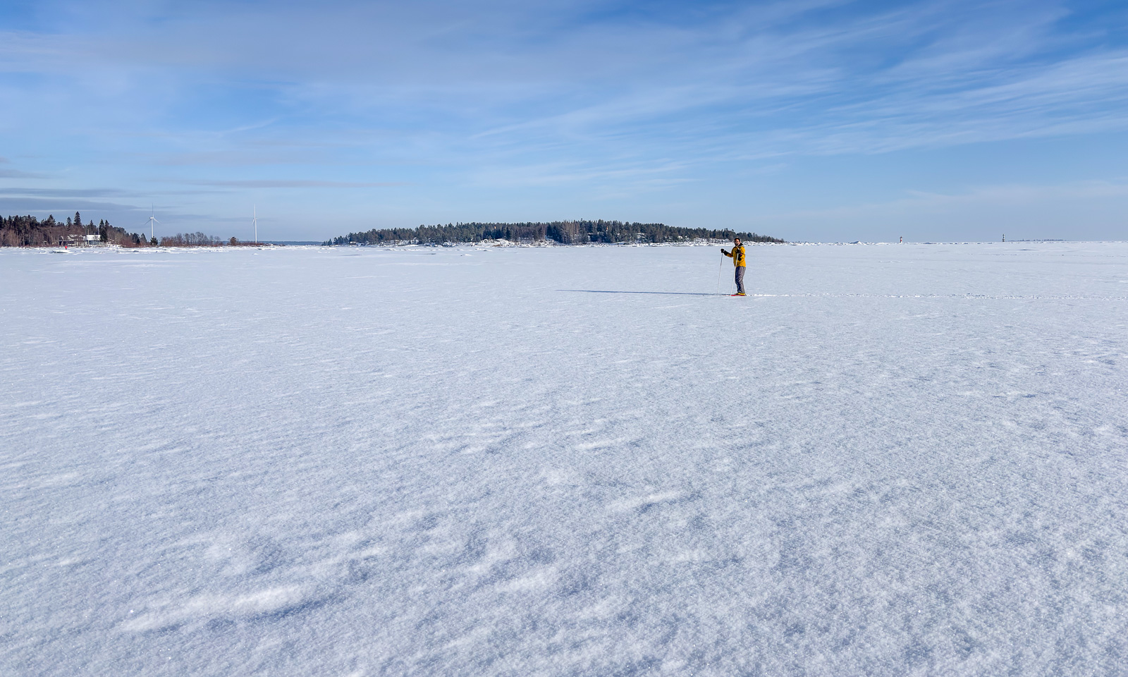
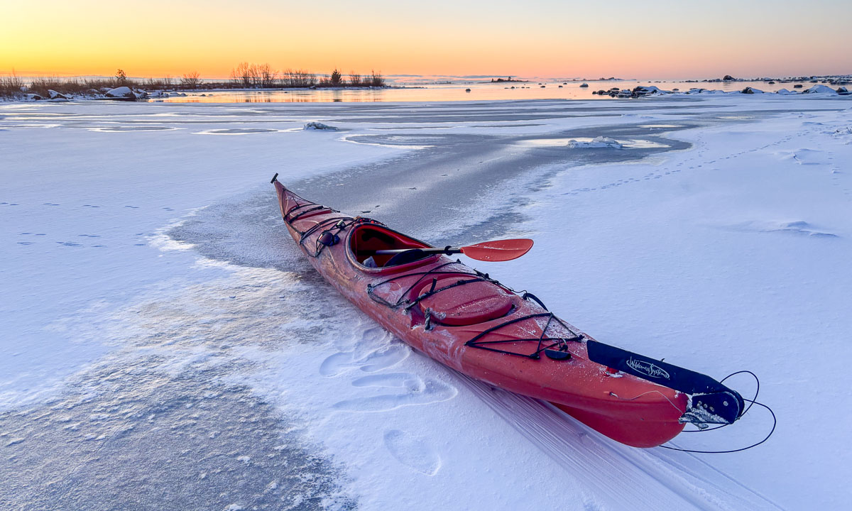
On Saturday we open the skiing season. It is polar night, so we ski round noon, when it isn’t dark. In the evening I am singing the last concert, this time with the choir Ultima Thule in the Tromsø Cathedral, a wooden church in the very centre of Tromsø.
15–18 December – Tromsø, Norway
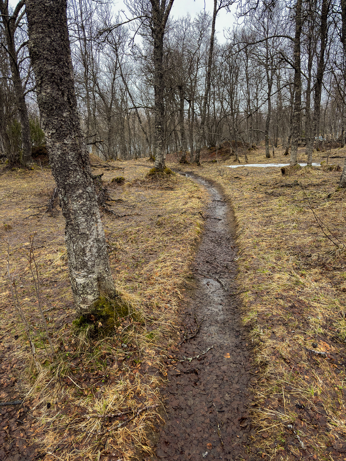
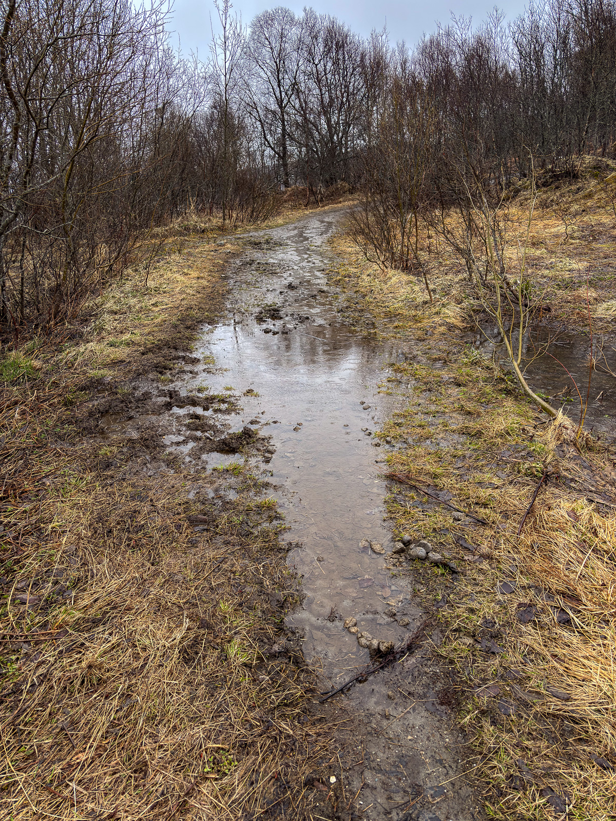
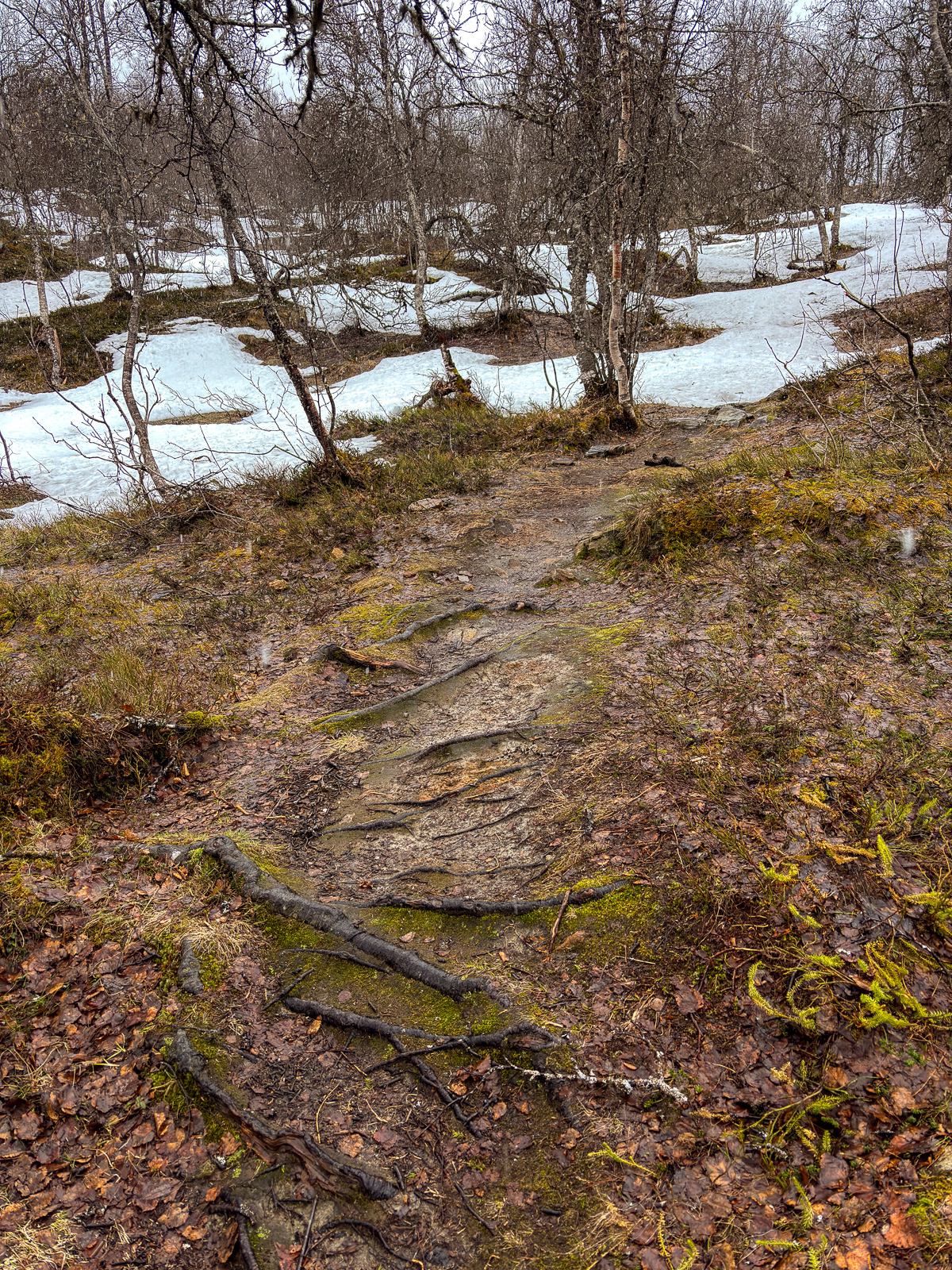
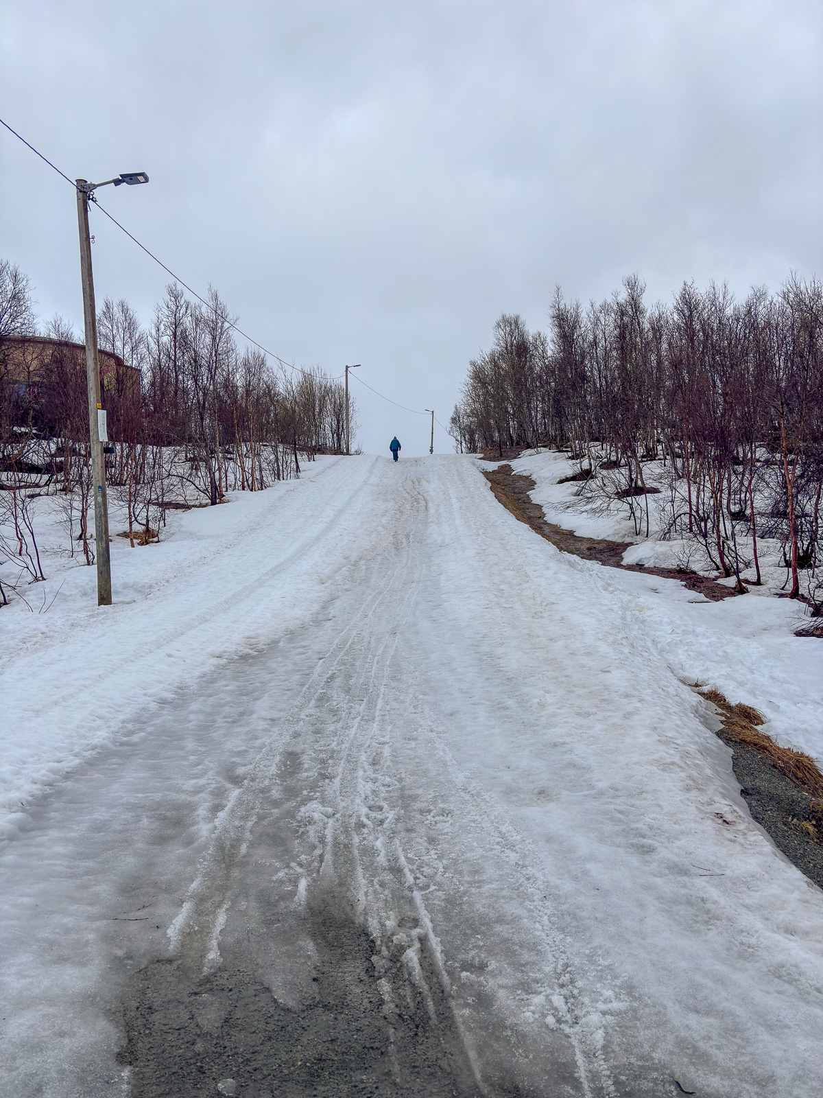
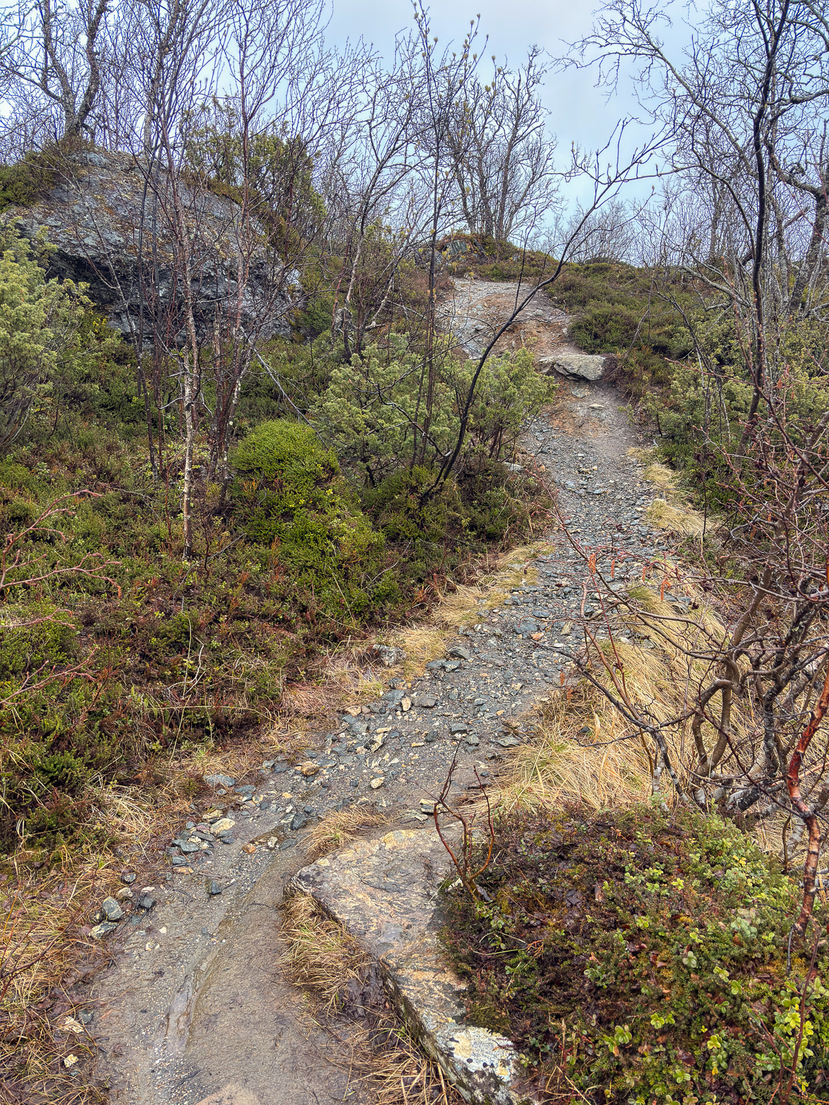
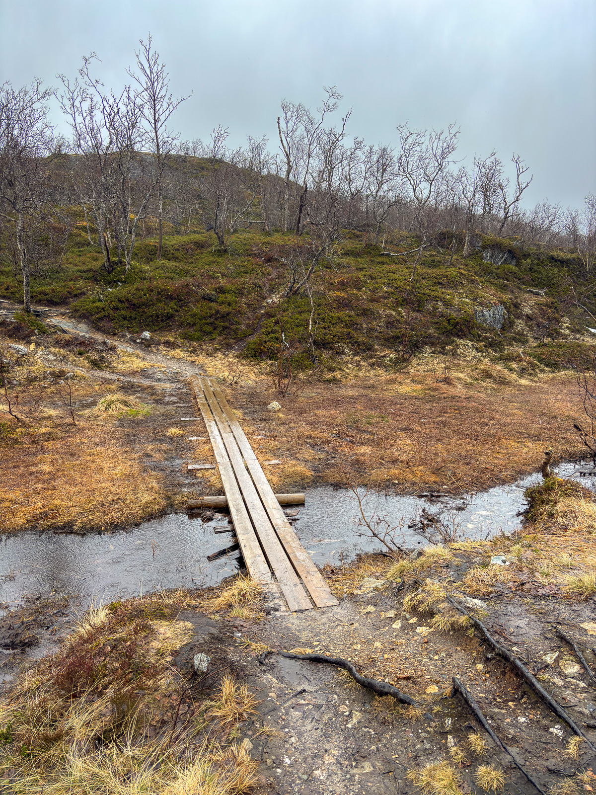
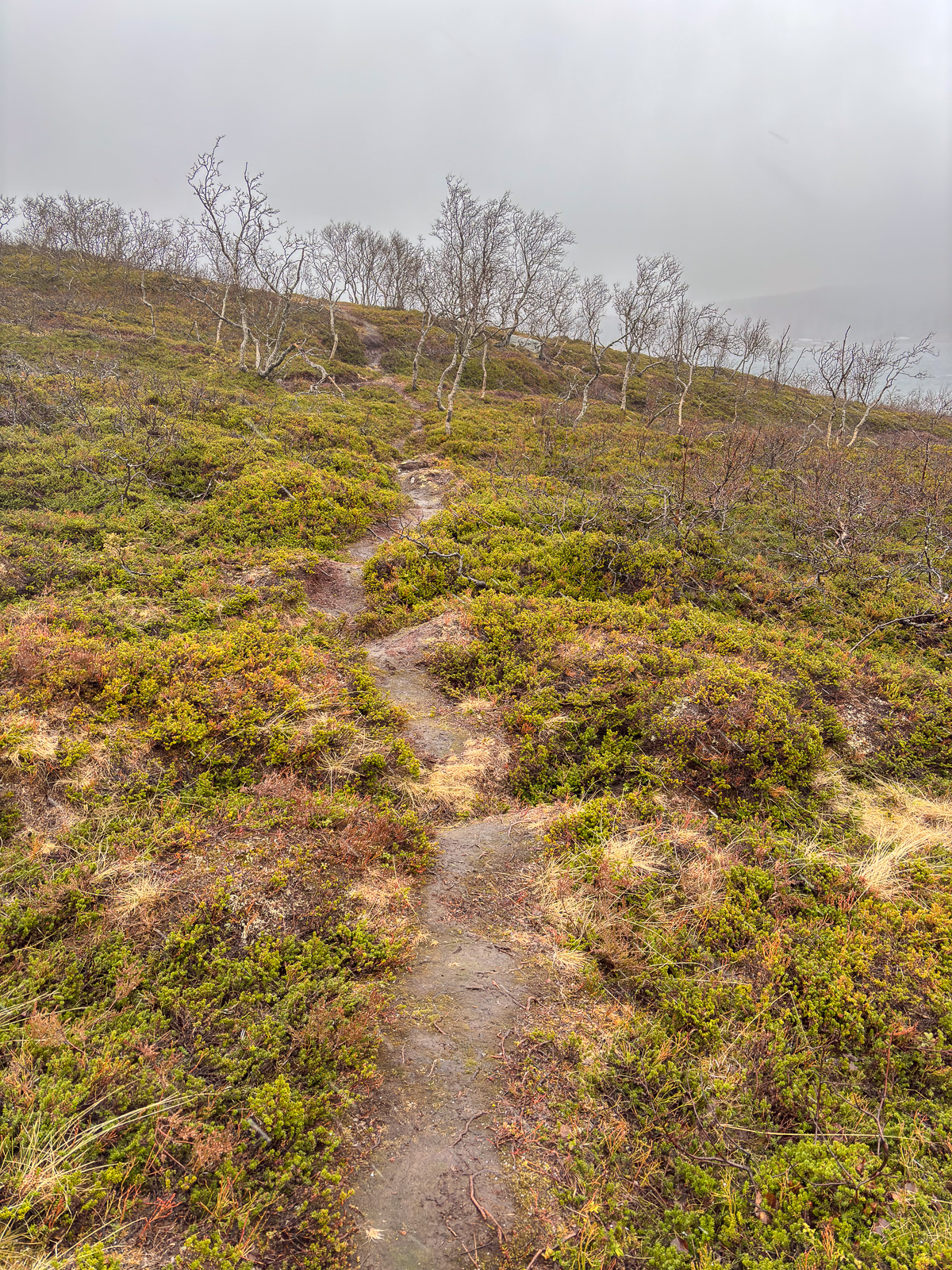
On Sunday Annika travels back to Obbola. I will take bus and train a week later (that’s tomorrow) and spend the rest of the year there, too. Will we get a white Christmas? Probably not. It is plus degrees and rainy weather both in Tromsø and in Obbola. While the Christmas decoration in the office building looks cozy, the streets in the centre of Tromsø don’t. Brown ice and sleet and water puddles dominate and it is extremely slippery.


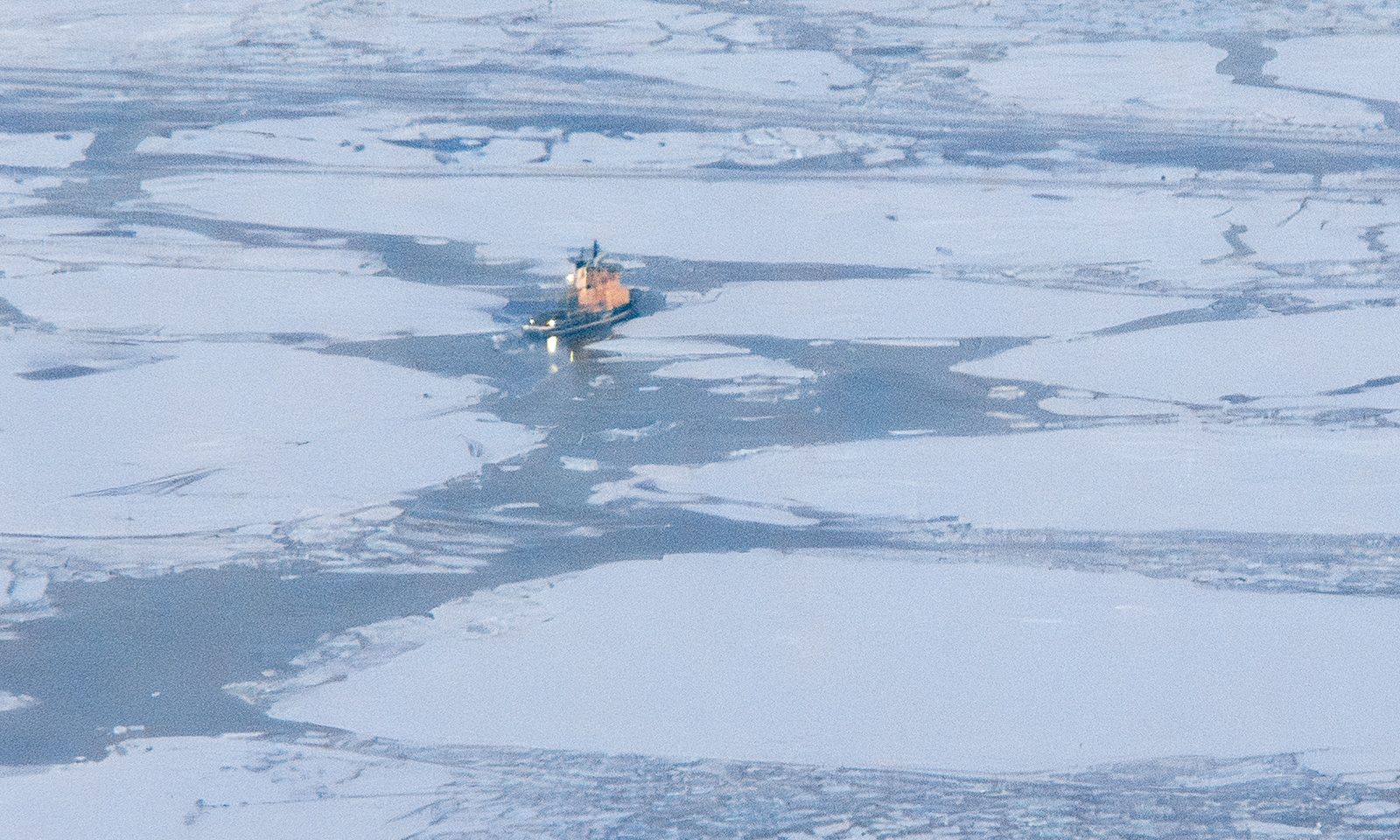
On Thursday I have a special workplace: The research ice breaking vessel Kronprins Haakon lies in the port of Tromsø for two days. I walk down with my spiked Icebug shoes. On board of the ship I test some of my software components that read from the ship’s systems. It is always a relief to see your software to work in real life, not only with simulations. And I get a free lunch :-) . I get a bit nostalgic. I joined three scientific cruises on board of this ship. Will I ever join a cruise again, standing on the helicopter deck while we break through the ice? I hope so.
A photo of another Northern light in the evening ends this photo series.