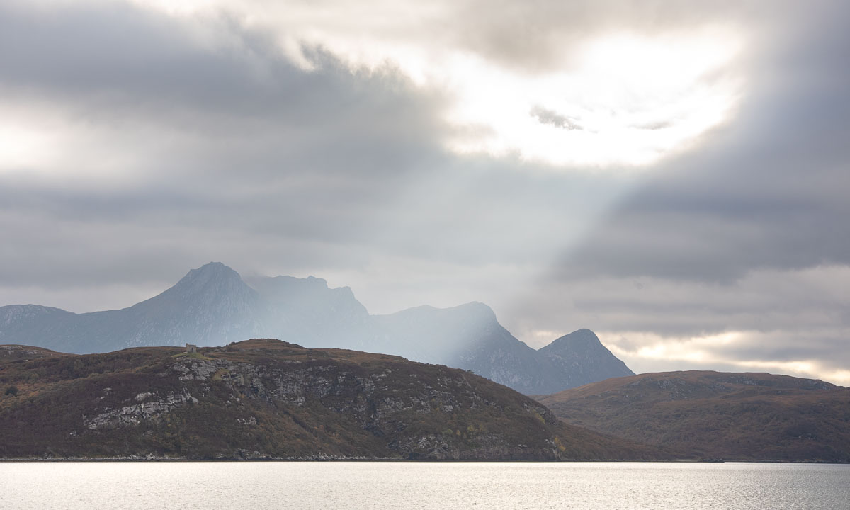
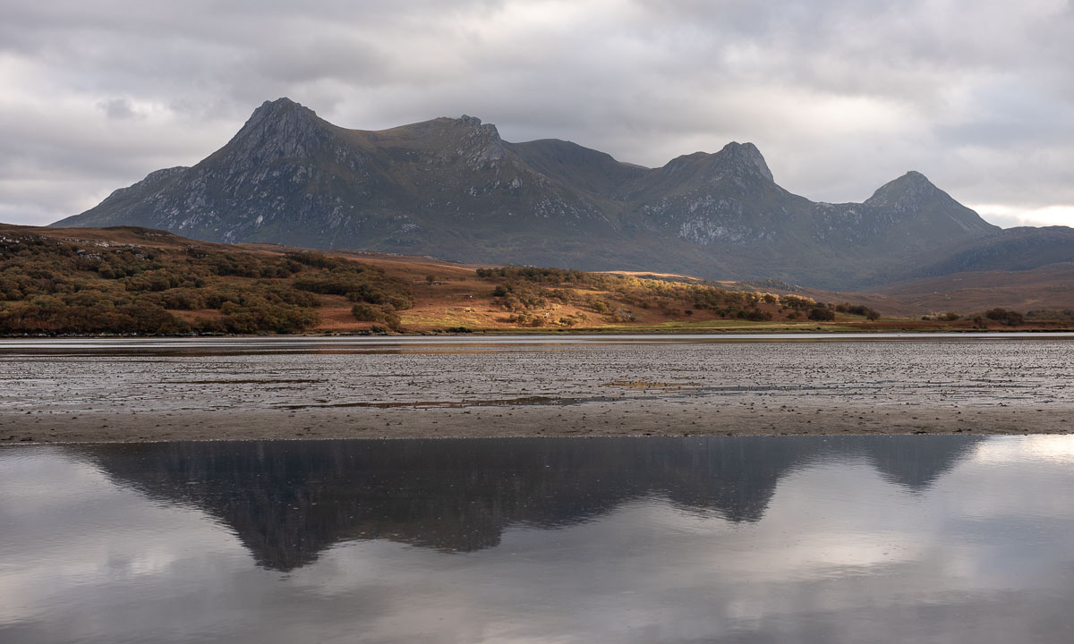
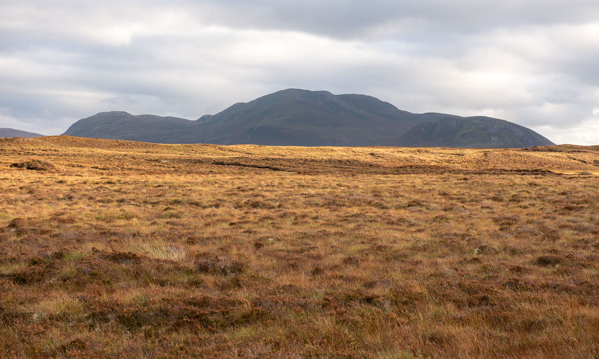
Steindalsbreen 2025

It is the third year, that I hiked to the glacier Steindalsbreen in the Lyngen Alps. This time I had the pleasure to do the tour with my wife Annika. To make it a holiday we have decided to try to book the cabin Steindalshytta over the weekend. This cabin lies some kilometres from the parking place on the way to the glacier.

Saturday morning we manage to book two beds but we have to hurry to fetch the key in Steindalen, which is 100 km away. There we meet H. that gives us the keys and some info. She tells us we can use the gas driven hotplates to cook. We also learn that there’s hardly any firewood left, but it’s not cold and we have sleeping bags, so no worries. We pay using Vipps, the leading mobile payment system in Norway, then we take the car to Lyngseidet – 25 km away – to buy food.

When we pack our backpacks to start the tour it is already afternoon, but the cabin is not far away.

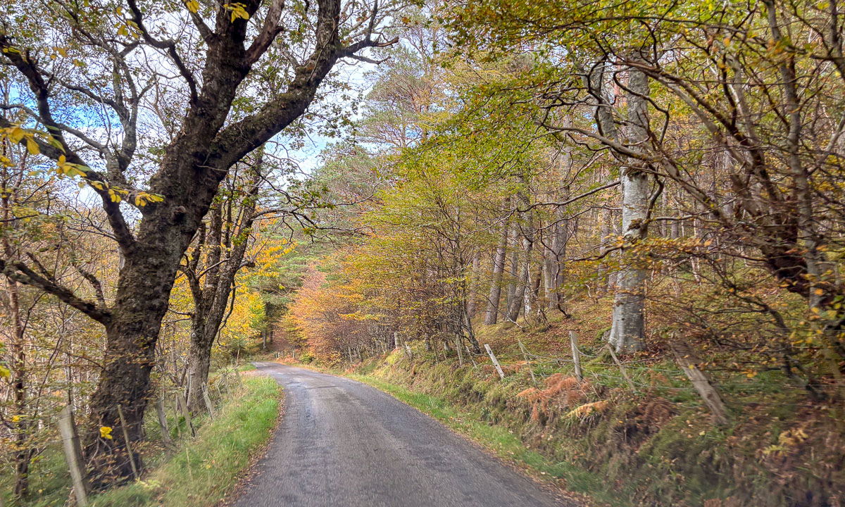
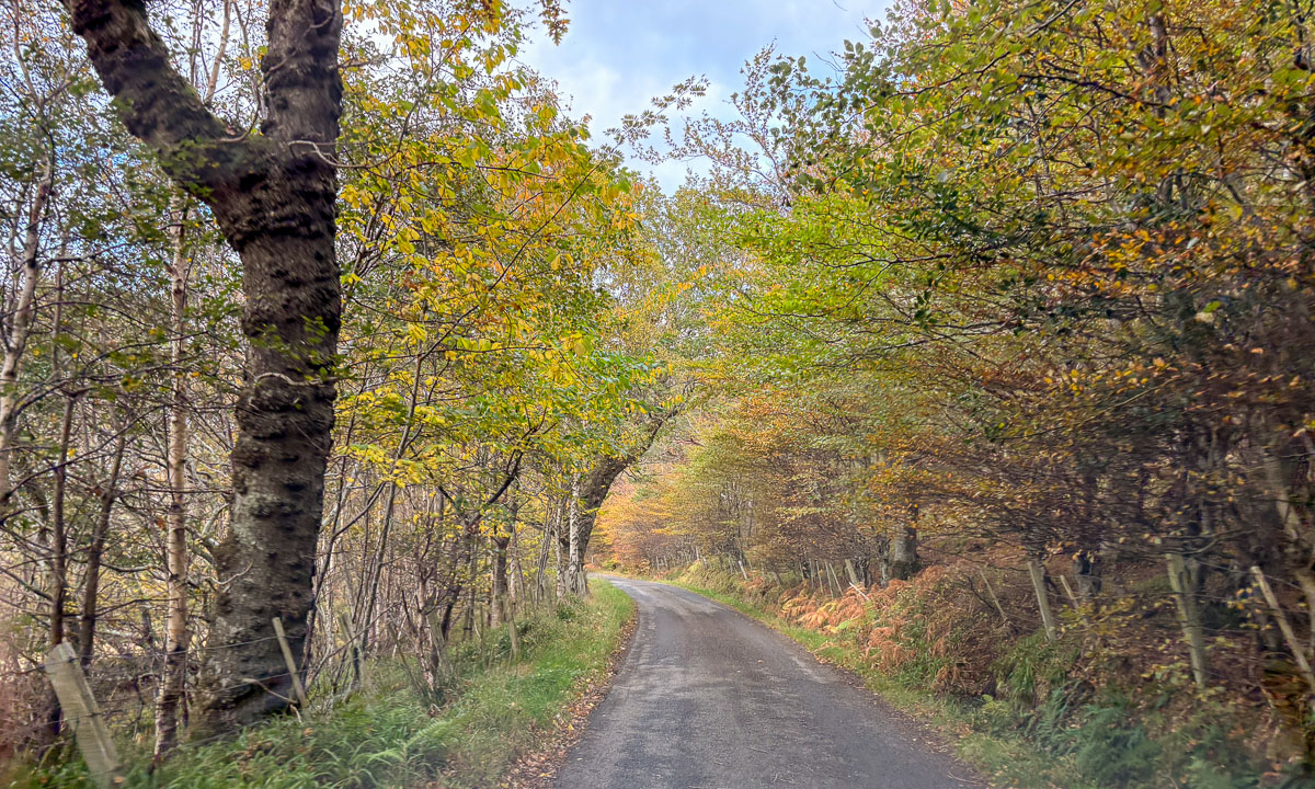
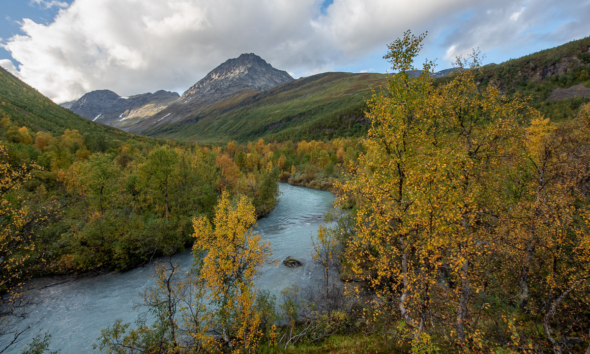
In the beginning a forest path winds up through a narrow valley. The colours are autumnal – yellow the birches, red the cornel and the blueberries. To the left down from the bottom of a ravine we can hear the river Gievdanjohka.

The path is rising and so is the river. After two kilometres we are almost level.

From there it is not far to the cabin. We go round a moraine and there it is: Steindalshytta. I unlock the door and we peek inside. Looks cosy!

Now we want to cook. This will take the rest for the evening because the gas canister is empty. No cooking on the hotplates, we have to use the wood-burning stove. We gather all the leftover wood from inside and outside of the cabin. There is no axe. Luckily Annika has a knife that is sturdy enough to make some smaller peaces of firewood. The wind is calm, the oven isn’t drawing and it takes almost three hours until the water for the spaghetti is boiling. At least we get a starter: warm shrimps with parmesan that we eat from the huge plastic plates we found in the kitchen. And I found chocolate cookies in the kitchen.

Meanwhile it has become dark outside and soon we get to sleep. We don’t have to freeze. After having powered the stove for hours we have 24 °C in the living room and hardly less in our sleeping room. Good night!

When I wake up the next morning it is raining, but it stops soon and the sun starts to light the mountains in the east.

After breakfast we pack our backpacks and start our hike to the glacier Steindalsbreen. Many things like our sleeping bags we leave behind, because we will go the same way back.

Again we follow the river to the east, then the landscape opens to a broader U-shaped valley. The terrain flattens and hiking is easy.

But we can already see the ascent we have to take. After two steeper passages we stand between two landscapes. In our back lies the mellow valley with its gentle slopes, everything in autumnal colours. Ahead lies a rough and rugged mountain landscape, where grey rocks and stones are the predominant element.

And there it is. The glacier. (Photo Annika Kramer.)

We continue the gravel path. Soon we pass the first of the signs that marks the glacier front some decennials ago. Due to global warming the glacier is melting and retreating every year. It is fantastic to see the glacier and we feel excited, but sad at the same time. First we hike to the glacial lake in front. Will we manage to go round the lake the glacier itself? Yes – and it is quite easy this year.

I have my big camera backpack with me and the Nikon with three lenses. That was made possible by Annika who took all the food. Although the weather is a bit dull it is photo time!

As often I’m not content with my photos and yes, I should have carried my tripod with me. But I’m happy about being there together with Annika. (Next photo: Annika Kramer.)

It is time to go back. This time we follow the river and pass two fields with scientific instruments, part of the project iC3. I have to ask a colleague from the Norwegian Polar Institute what is measured there.

Now the trail leads mostly downwards. We descend the hill, cross the broad valley, enter the forest and then reach the bridge by the cabin again. Here we take a rest and then fetch the rest of our stuff from inside the cabin.

I take a tiny detour that leads on a hill. Here I can see everything together: The huge mountains with their snow fields, the river Gievdanjohka, the autumnal birch forests. Only the glacier is hidden from view.

What a terrific tour we had! The glacier Steindalsbreen is worth a visit, especially in autumn. We drive back to Tromsø and I copy the photos to my computer. Then I check the tracker I used on the tour. As I was afraid I have walked on rock, sand, and mud this year, where last year the glacier covered the ground.

Midnight sun on the Stor-Kjølen

Yes, I was tired Saturday evening after travelling back from Obbola to Tromsø. But the weather was so nice and I already had started thinking about going up the mountain Stor-Kjølen for experiencing the midnight sun up there. Finally I made a decision. Let’s go. I packed water, a camping mat, a sleeping back, but most of all my camera equipment and went off. It is only a twenty minute drive to the lake Finnvikvatnet on the island Kvaløya where I parked my car. From there it is round 5½ km to the top and a good 500 metres of elevation gain.

When I start my tour at around 10 o’clock the sun is low. The sun is low, but it won’t set tonight – and not for the next twenty days either. The landscape glows in warm colours. The ground is dry, but soon I cross the first tiny snowfield.

The path winds its way through grassy terrain scattered with stones and rocks. Stray snowfields lie on both sides of the path and the radar station on top of Stor-Kjølen has come into view.

The first lake flanks the trail. Slowly, the terrain is becoming rockier.

I look back and already now the hiking tour was a success. Lakes, hills – some grassy, some rocky – and at the horizon a mountain range. So beautiful in the warm light of the low sun.

For a while, grassy patches and rocky ground alternate …

… then the altitude takes command. Only snow and rocks are present and the vegetation is reduced mostly to mosses and lichens. I have to cross a large snow field but the ground is not slippery.

But then I arrive on the stone-covered plateau of Stor-Kjølen, where I can see a small cairn in front of me, a tall cairn marking the summit and the radar station. And if you look closely you can see a small cabin in front of the station. It’s a shelter for hikers. I’m alone, so I can use it for the night.

I want to take photos of the midnight sun, so I start experimenting with some sun-facing shots. These photos are much darker than reality. While the light is warm, it is still bright daylight.

The mountains and the sea all glow in hazy orange hues when I look against the sun.

But I have a mission – taking a photo of the midnight sun. Here it is. Unfortunately there is a small, transparent cloud in front of the sun that makes it look like a white splotch instead of a circle. Bad luck!

Bad luck? Not really. We have summer time, so the lowest position of the sun is one hour later – or a bit more accurate 0:48 due to local solar time. So I had some spare time to take more photo from the stone-covered flat top.

Then it was time: The sun as its lowest position. Ok – I was three minutes late, but the solar path is so flat that it doesn’t matter when taking photos. The light is the same. And eventually the little cloud was vanished.

Just a selfie with my mobile phone, then it is time for bed, at last. (A down hoodie? Yes – it is windy and only +5 °C.)

I enter the shelter, roll out my sleeping mat on the floor and lie down, using my sleeping bag as a blanket. Cluck-cluck, cackle-cackle! What’s that? I peek out of the door and see that the hour of the ptarmigans has started. All around, these galliforms dart about, filling the air with their typical clucking. I am too tired to start another photo hunt so I just take some snapshots. (These photos are heavily cropped.)

But then it is finally time to sleep. The shelter is filled with light, the camping mats (I found another one in the shelter) are thin and the ground is hard. But then I doze off and …

… sleep. At least for a couple of hours.

To part II >

Back to winter …

The last days it got colder and new snow arrived. Now everything is white and wintry again. Alas, the next period with warm weather and rain is less than a week away, when the forecast is correct.

Some photos from a very short promenade to the ski jump – with active ongoing training – and Skihytta today.


A snowy ski promenade on Tromsøya

When I woke up this morning another 20 cm of snow have fallen within the last 12 hours. Looking out of the living room window and through the glass door of a balcony showed snowy landscapes amidst the town of Tromsø.

At half past nine I start a ski tour, right from my place in Tromsø. My photo task for today: show at least a human artefact on each photo, not only snowy trees.

The snowploughs haven’t been there so I can ski on the streets.

The gravel road to the ski jump is covered with snow, but the cross-country skiing trail has already been prepared. I however want to ski off the beaten tracks. I follow a snow covered trail to the pond and take some photos. That takes a bit of time because the light is so dim that I use a tripod. Remember: we still have polar night for some days.

Then I leave the trail. I immediately sink into the fresh snow up to my knees – with my skis on. And so it continues. The skis are under half a metre of loose snow and sometimes I sink deeper with each step. My ski poles sometime sink in the whole way despite the large snow baskets. That makes skiing pretty exhausting. I follow a snow-covered stream that leads my to a jagged terrain with small but deep gullies. Some of them are three metres deep and impossible to cross for me. Where am I? Is this still Tromsøya? I zigzag through the hilly and snowy forest looking for possibilities to cross the gullies which involves pulling myself forward by grabbing trees. But at the same time it is marvellous to ski through the “wilderness” and I have it all to myself.

After a while I reach another path, also deep in snow. But at least I sink in only 20-30 cm into the snow now and I’m glad that I can just ski along.

The way leads up and down and ends on the main cross-country skiing trail that seems to be prepared permanently. I step aside to make way for the oncoming snow plough. I take a photo but the lens is a bit fogged up. It is only -1 °C and everything is damp.

I follow the trail north until I come to the steep slope where I chicken out – as usual. Too steep for me. I go back and make my way to the barbecue place with the nice view on the district Hamna. No foot steps, I’m first today :-)

For a short while I follow the trail, then I turn right and take a trail to Skihytta. That’s a cabin that occasionally serves hot chocolate and cake on Sundays. Will it be open? First the trail is well prepared but then I am in fresh snow again and on the ascending passages I have a pulse like a hummingbird. Step by step and with some short rests I make progress and after a while my “private” path meets another trail that leads to Skihytta. Hooray! There it is.

Unfortunately the cabin is closed. But the good thing is: from here it’s only 700 metres to my apartment.  First I ski down through the forest, then I unmount my skis because all the streets have been cleared from snow in the meanwhile.

It was only round six kilometres skiing today, but it took me almost three hours, mostly due to the tiring snow conditions and the time-consuming crossing of some gullies. But taking photos with a tripod slowed me down as well.

Note 1: This was not my only workout today. In the afternoon I had to clear another 20–30 cm snow of my parking lot, that I already had cleared yesterday. Then I helped my neighbours a bit. This was a task I had to do today, because …

Note 2: The weekend brought almost half a metre of snow but now the weather will become extremely ugly. Tomorrow it will rain almost 30 mm and in the rest of the week another 60 mm of rain are expected. So I wanted to get rid of the snow before it gets soaked by that rain.

Thank you for the snow, weekend. I really appreciate it. What a pity that we now get a period of rain and thaw.

Advent season home in Obbola

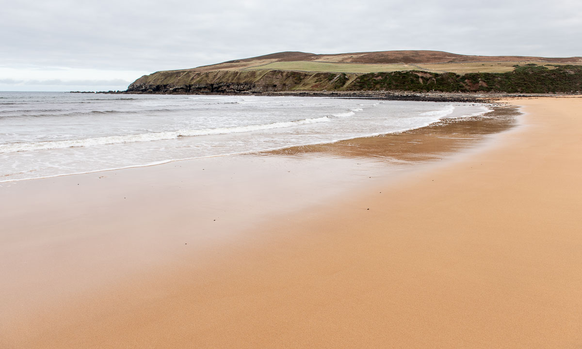
It was four days ago that I arrived in my “home home”, Annika’s and my house in Obbola. And we got some winter weather. First we got twenty centimetres of snow. We took a Saturday promenade to our favourite beach Vitskärsudden which looked like this:

It continued snowing and blowing the whole Saturday but then it cleared up in the night and Sunday morning the sky was clear at temperatures round -12 °C. I waited until 9:20 to watch the sun rise over the sea.

Later that day Annika and I took the very same promenade to Vitskärsudden again but it looked so differently in the sun.

In the night it became stormy. We have experienced some storms here before, but this was the very first time that I couldn’t open the front door at all. It was completely blocked by snow. I had to climb out of the snow-plastered kitchen window and shovel away the compact snow drift that blocked the door.

And this is how our house looked like some hours ago. Now it is clear and calm weather and -14 °C.


Four autumnal pictures

It is the first of October. The wind is blowing and it is raining against the large window panes of the Framsenteret, the building where the Norwegian Polar Institute is located.

After work I take the bus to the lake Prestvannet and walk home. That’s about 4 to 5 kilometres depending on which of the zillion routes you choose. I prefer the small paths. Rubber boots recommended. It is still raining anyhow it has become colder and more and more sleet mixes with the raindrops. When I cross one of the broader ways the sun peeks through the clouds creating a beautiful light. I really enjoy these walks home and do it twice a week.

Today it is three days later.  I wake up early and it is snowing, but the roads are dark and wet. After work I’m taking a smaller promenade through the neighbouring forest. Some patches of the morning snow have remained.

My way back home leads along a small path over one of the bog. The grass is turning yellow and so are the birch trees. Some of them have lost there leaves. The mountain Tromsdalstinden in the background has been snow white for many days. And the weather is pretty fair. A good end of the workweek. Now it is weekend and guess what – it will rain tomorrow.


Hydrographical measurements in the Fram Strait

This article is part of the series “2024-08: Fram Strait cruise KPH”.

You see the map with Greenland to the left and Svalbard to the right? And all these orange dots?

Each of the dots stands for a cast where an instrument or a set of instruments was lowered into the water. As you see it was quite a lot of casts that the researchers and the crew of the icebreaker Kronprins Haakon conducted in the Fram Strait between 14° W and 10° E within two weeks.

Let’s start with the most prominent hydrographical instrument, the CTD.

CTD stands for Conductivity, Temperature, and Depth. It is a group of instruments to measure these important water properties. The conductivity is directly related to salinity. While the CTD is lowered these three properties are measured continuously which results in so-called “profiles” that show the salinity and the temperature per depth. With these properties oceanographers get the first insight in what kind of sea water it may be. It is Atlantic? Or Arctic? But there are also other sensors mounted to the CTD to measure properties such as fluorescence or current velocities.

Also part of a CTD is the rosette of “Niskin bottles”. These bottles can be opened and closed remotely underwater to fetch sea water in defined depths on the way up. The large CTD has 24 of these bottles. When it is on board again and stands on the euro-pallet in the main hangar on deck 3 then it is time to fetch water samples from the Niskin bottles.

Some of the samples will be processed on land after the cruise but many samples are processed directly. Two examples:

Anne-Marie Wefing (NPI) uses the Winkler titration to measure the concentration of dissolved oxygen in the sea water. My chemical knowledge is too weak to explain this process. For the chemists amongst you I refer to the Wikipedia article for details.

Daniel Koestner (University of Bergen) leads water through different types of filters. The water can pass, particles exceeding a certain size will remain in the filter. While the deeper sea water is quite pure the samples from the upper water column contain more particles. The difference is visible by the naked eye but only land-bound lab work will give quantifiable results. Some of the filters can be transported at room temperature, those for chlorophyll have been frozen at -80 °C.

Daniel Koestner is also part of the team that measures particle concentrations directly in the water using a laser. This is how the instrument of the “optical cast” looks like:

The CTD is a heavy-duty instrument and could be used more or less all the time. Other instruments such as the laser or the MSS are much more fragile and the usage had to be skipped when the waves were to high. Too big the risk, that an expensive instrument would crash. But as far as I know everything has gone well!

Some cruise stats:

CTD casts 73
Optical casts 44
MSS casts 27
Total casts 144

While I have the luxury to work whenever I want the sheer amount of casts has led to a huge amount of lab work and some teams have been working in shifts, because casts have been conducted day and night.

Disclaimer: This is a private blog. I try to stick to the facts as best as I can. However, this article has not been proofread by anyone, so some facts may be slightly inaccurate or even plainly wrong. If you find an error, please let me know and I will correct it. Thank you!

Ice station two and icebergs

This article is part of the series “2024-08: Fram Strait cruise KPH”.

When I woke up in the morning of the 20th of August my first thought was: will there be another ice station? I peeked through the port hole and – yes – we were at least in the ice. From the helicopter deck it looked like this:

Round nine o’clock the ice station is started. Eleven people are involved – four scientists and students actually doing science, a polar bear guard on the ice and two times three bridge watches taking turns to observe everything from above. I take the morning shifts, the weather is not good for drone flying anyhow. Yesterday we had a lot of polar bears on the ice, today it is quiet. It is more the fog that could lead to problems, but even the visibility is ok. Good luck.

In the afternoon it has become too windy to fly the drone. I get onto the ice anyhow to take photos for outreach. Time to show people doing research on the ice. It is a lot of manual work. Carrying things down the gangway, pulling sledges, using drills with coring equipment, a saw to slice the ice cores, a digital thermometer and for a lot of data – paper and pencil. This may sound antiquated but writing down notes works often works better in harsh environments than using electronics.

Later, just before dinner people who never have stood on the sea ice before become an opportunity to do that. I was on the sea ice three times since yesterday, so I volunteer for bridge watch again. The weather has become more and more nasty. It is raining and wind is blowing with temperatures round +1 °C. So it looks from the bridge:

At 17:30 (dinner time) the second ice station is finished. Now we will head back more or less the same way we came from. I take some photos from the helicopter deck, especially from the turquoise coloured melt ponds that I have never seen before like that.

At 9 o’clock we reach the ice edge and sail through the open sea again. Time to say farewell. I do not know when I’ll may see my beloved sea ice again.

Anyhow one thing was different than on our way there some days ago: icebergs are drifting on the sea. We see a lot of them on this and the following day. Some of them are small or medium sized …

… one of them was huge. I am able to take a drone photo from above. I estimate that the cliff to the right has a height of 10-15 metres.

There was one difference between the two ice stations. It is visible on the map:

While the 2nd ice station started and ended at the same place, the 1st ice station didn’t. This is because the 1st station was on drift ice while the 2nd station was on fast ice. Fast ice is either grounded or it is connected to land, in this case Greenland.

Although Greenland with islands was more than 50 km away it was visible on the 19th of August. I was really surprised and also happy – I have never seen Greenland before. And I managed to take some blurred photos (cropped image, 600 mm focal length).

Feels like I should visit that place sometimes …

Ice station one and polar bears

This article is part of the series “2024-08: Fram Strait cruise KPH”.

For days we wondered, will we ever have an ice station on this Fram Strait cruise in open water? But then at 14° 21′ W, 79° 02′ N we found a large ice floe to work on. Shortly after nine o’clock I finally was on the ice again!

But I wasn’t here to take snapshots but to fly drone and to take a lot of photos from above.

I had issues with the drone from the Polar Institute, so I fetched my private one. First I had to calibrate some sensors, especially the compass and then I put the drone into the air and made some photos to check the image exposure. Ok, looks pretty good.

Now I flew the drone in a rectangular zig-zag pattern. That’s a bit tricky, because the drone is positioned by GPS while the ice flow is drifting. Since I wasn’t sure if I covered every part of the ice station I flew a second round. The single photos look like these:

Before going on board I took a couple of photos on the ice.

On board I uploaded the photos first into my laptop and then into the program OpenDroneMap that would stitch the photos together and add geographical information. And then it was 11:30, lunch time!

After lunch I went up on the bridge on deck 8. Together with two others I was observing my segment checking for polar bears, cracks in the ice and weather. There were several polar bears around but all were further away. I also had a VHF to keep track on the people on the ice. I had two shifts, 12:30–13:15 and 14:00–14:45.

After my second shift I got to know that we had a polar bear in front of the ship. So one of the bears that we had observed for hours had finally decided to pay us a visit. That meant of course that all people had to leave the ice.  On the helicopter deck many people were around to watch the bear.

And there it was – a surprisingly white curious fellow that examined our ship. Did it smell the cake?

In the meanwhile OpenDroneMap finally created a properly rendered orthophoto. I was relieved because I was not sure if my drone photos were sufficient. This is an excerpt:

In the afternoon I had fixed the issue with the other drone. At 19:00 I would have another opportunity to go onto the ice to re-calibrate and test it. Our ice visit was however postponed because another polar bear was paying a visit. It looked much thinner than the other one, but on the other side the fur was wet. So photo shooting again. It surrounded the ship and then stopped, laid down onto its stomach, pushed itself forward with its furry feet and  then rolled in the snow before it continued its walk.

We had to wait some time but then the ice was clear and I had time to test the drone on the ice. It worked. Hopefully I would be able to use it on the second ice station on the next day but the forecast does not look promising. Too much wind.

I shot a drone selfie and then I was ready to go on board. I just had to put my hand into one of the polar bear paw prints for size comparison.

The bear won!