Scotland NC500 – day 4 – the highlands, a beach, a cave and back to the highlands

This article is part of the series “2025-10: Northern Scotland”.

16 October

My wife Annika and I have just left the comfortable Altnaharra Hotel. As on the whole road trip Annika is driving while I am trying to guide as well as I can. We cross the River Mudale and turn left onto one of the many, many single track roads.

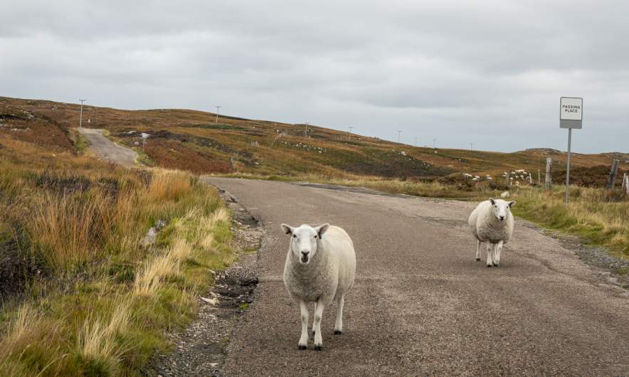
A single track road is a road so narrow that two cars cannot pass. Therefore there are passing places marked with signs at more or less regular intervals. As a driver you have to be constantly alert, especially when the road is bending or the terrain is hilly. And especially if you have a rental car without a rear-view camera ;-). For obvious reasons it is prohibited to park in any passing places.

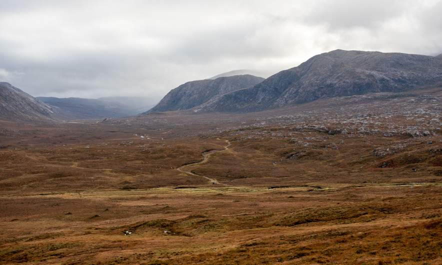
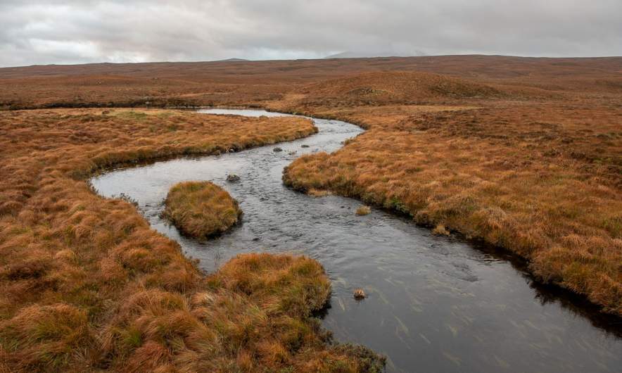
Luckily there are spots where you can stop, so that I can take photos of the moorlands in the Scottish Highlands. I wonder whether they always have such intense red-brown colours. I’ve been in Scotland three times, but always in October.

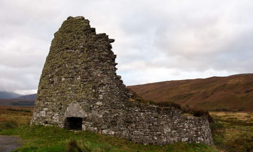
We stop at a broch. I learned this word just a couple of days ago and I cite from Wikipedia to explain it:

In archaeology, a broch /brɒx/ is an Iron Age drystone hollow-walled structure found in Scotland. […]

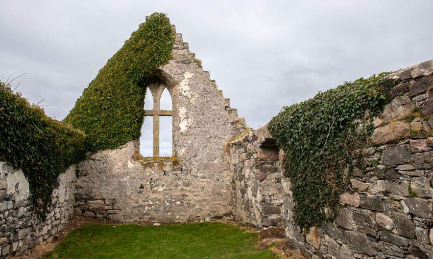
This tower-like ruin is Dun Dornaigil Broch. It dates back at least 2,300 years. It is impressive that parts of it still stand.

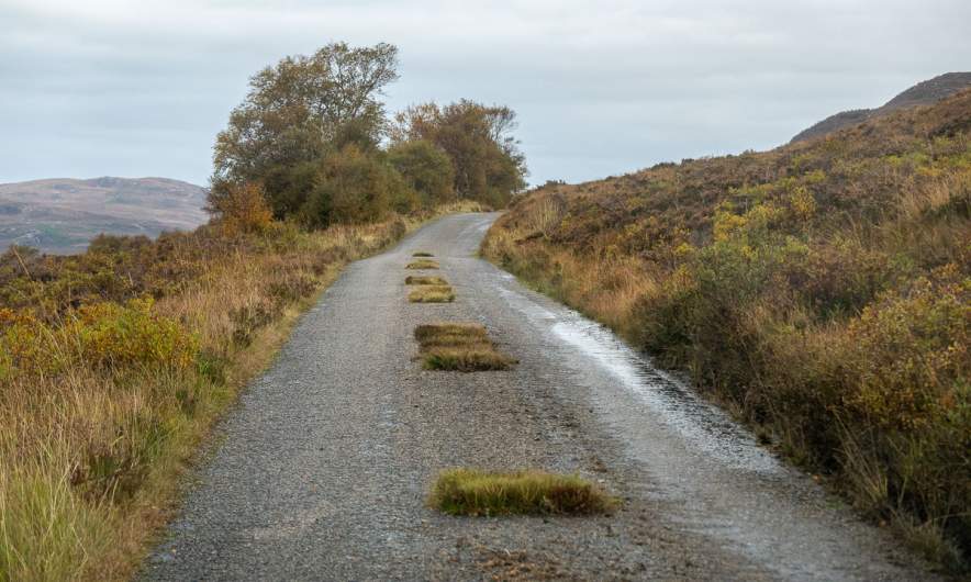
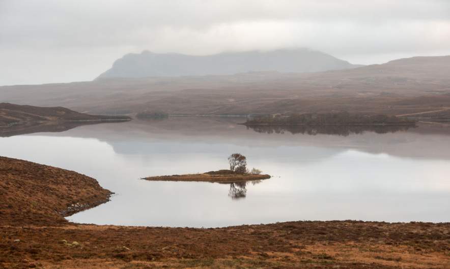
Actually we chose this street to see Ben Hope, Scotland’s northernmost Munro (that’s the Scottish name for mountains higher than 3000 feet). But it is too cloudy and we can only guess where the top might be. Following the road however is an attraction itself. The views on the moorlands, the patches of grass in the middle on the road, the stubborn sheep that refuse to move, often it is the small experiences that form one’s memories.

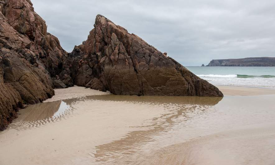
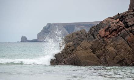
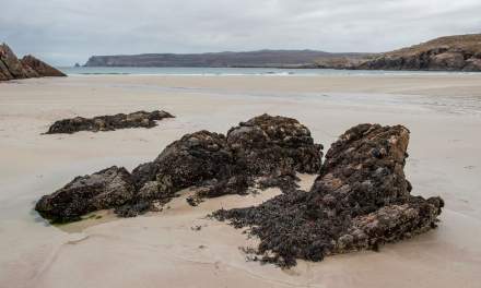
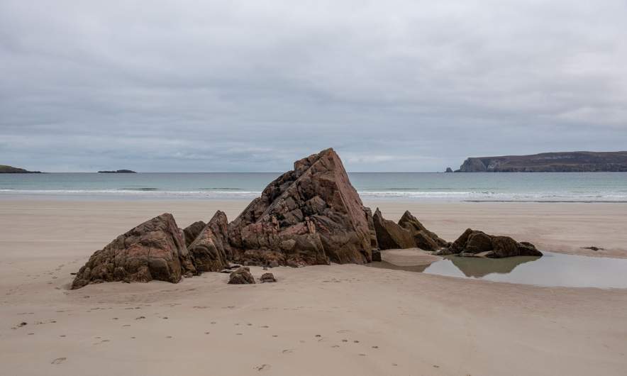
But eventually even the most stubborn sheep step aside and the longest single track road comes to an end. We are on the A838, drive round the sea loch Loch Eriboll and park our car at the Ceannabeinne Beach. Time for a walk. And photos. But still I haven’t bathed in the sea even once, the weather is just not very inviting.

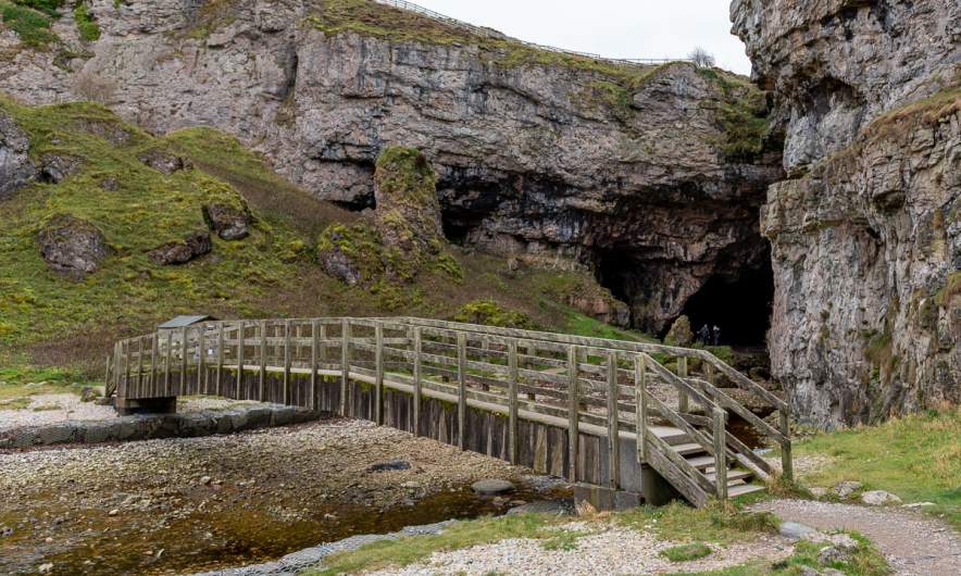
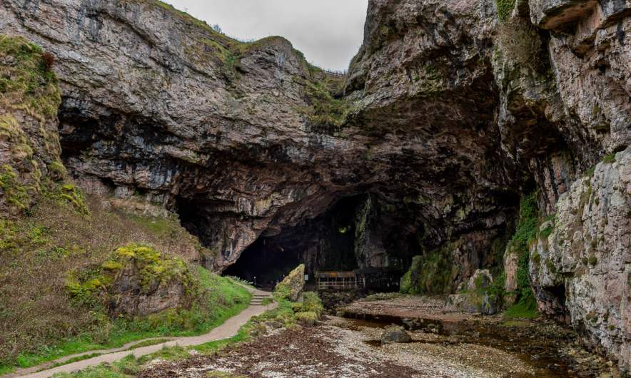
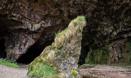
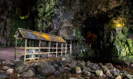
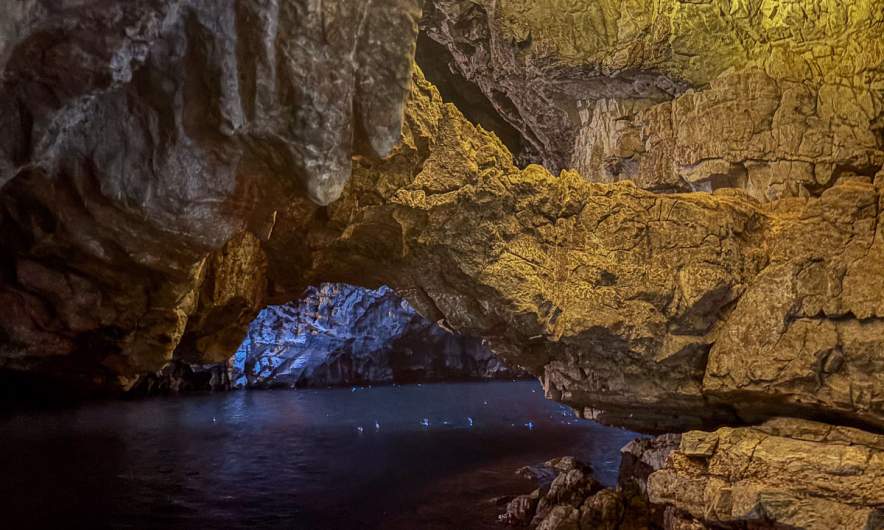
Our next stop is the car park of the Smoo Cave. We go down the stairs, cross the river that emerges from the cave on the wooden bridge and stand in the vast opening. Here there is another bridge leading into darkness.

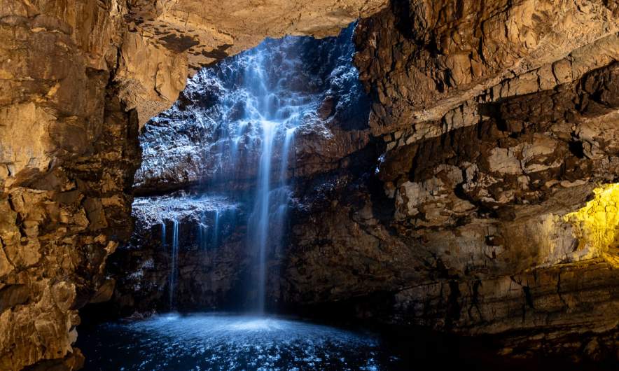
Following this bridge leads to a jetty. At the end of the jetty, there is a ladder. Below, a dinghy is moored. But straight ahead a waterfall is visible, illuminated from above, where there is a hole in the cave ceiling.

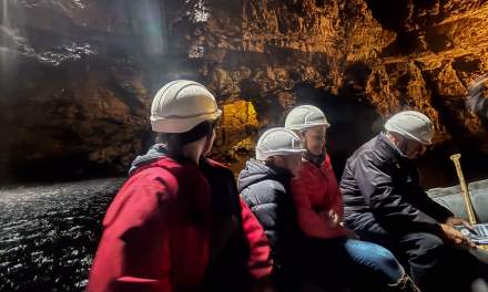
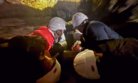
To our delight, tours into the caves are still available and we add our names to the list. I run upstairs to the car to fetch my waterproof mobile phone case and down again. Soon after we enter the jetty again. We are eight “cave explorers” including us and a guide, all wearing helmets. We climb down the ladder, enter the boat and are rowed over the underground pond. More than once we have to duck, when the ceiling gets low. Then we exit the boat and continue exploring by foot. We reach a water-filled hole in the bottom and the guide shows a video of a diver going down there. Diving down small and deep holes, digging oneself through the narrowest cracks – the stories we are told about the still ongoing exploration of this cave are not for people with claustrophobia!

The guided tour is not long but I enjoyed it very much. If you want to participate, take cash with you. There is no internet in the cave.

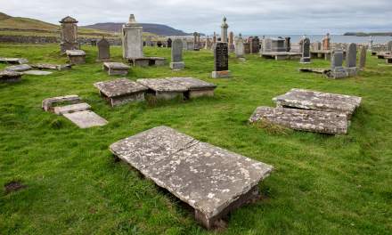
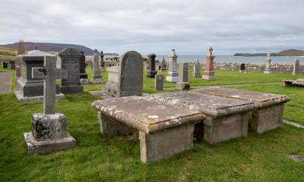
Near the cave is Durness, the north-western tip of the scenic road NC500. Here we do not stay long. After buying provisions at the shop and filling up the car we continue a bit further west to Balnakeil. We visit the cemetery and then have lunch on the grass looking over the beach and the sea.

Then we head back to Durness and drive southwards. Annika has to drive us another 90 km to Lairg where we managed to find affordable accommodation – not an easy task off-season in Scotland. But the road leads to the highlands again and so the day ends as it began: with impressive views over the red-brown moorlands and a grey sky.
October on Tromsøya

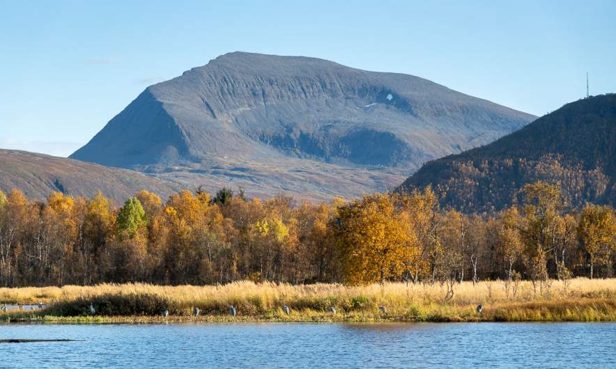
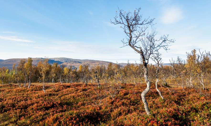
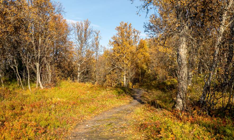
This is the season where the golden October starts to loose its colours. The first ground frosts occur and many birch trees have lost their leaves. Now it is the rowan and willow trees and the grass and moss that shows autumnal colours.

Four pics I took on an after-work hike two days ago and four I took today.

It won’t be long before the afternoons are so dark that the light posts make sense — and maybe I’ll be able to ski there as early as next month.

1st October

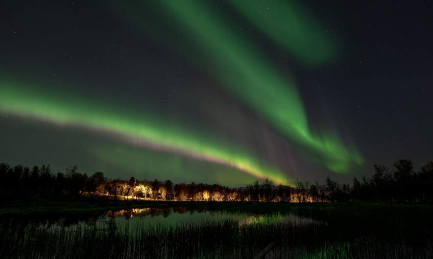
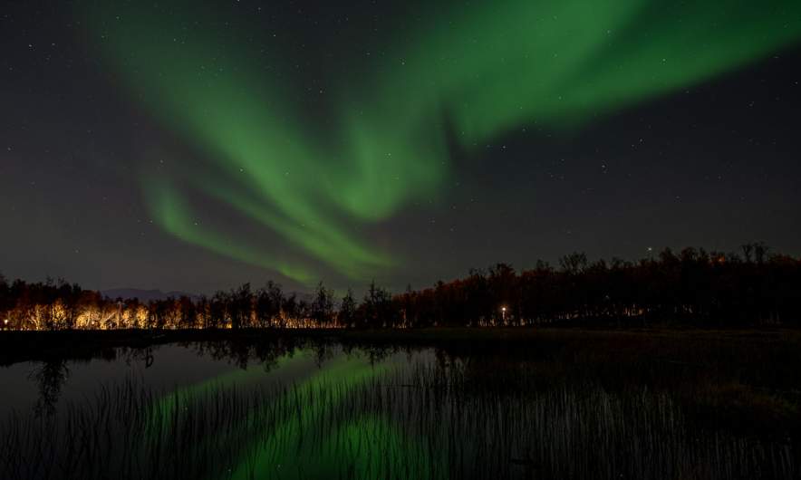
The 1st day of this year’s October delivers! First I got a clear, blue sky on my after-work hike through the autumnal forests on top of Tromsøya. Then I got beautiful Northern lights tonight, I just came in and developed the photos a bit.

What you don’t see here – as usual – is the movements of the Aurora. The live act is still better.

Late summer mountain hike

The forecast was correct – the sky was blue the whole day today. At 9 o’clock I meet my friend Chris on a parking place and we start a mountain hike. The morning air is a bit chilly and some leaves even have frost on them.

After we have crossed the river Tromsdalselva we follow a path and some quiet residential streets and arrive at the way up to Sherpatrappa. That’s is a stone staircase of 1,203 steps leading up the mountain. Today is Sherpatrappa Opp – a competition where people run up the stairs. We however prefer walking and are lucky, that the competition will not start before eleven.

At the end of the stairs the terrain becomes less steep and you have a gorgeous view on the island Tromsøya and its beautiful surroundings. I see the island Håkøya that I circumvented by kayak two days ago. And today there is another competition: Tromsøya rundt, a 24 km long kayak tour round the island. From 400 metres up, we spot a group of kayakers passing below.

I assumed it was too late in the year for cotton grass – a clear sign for wet ground – but by a small and shallow pond we find a field of these candyfloss like flowers.

A lake always gives an awesome extra perspective in the mountainous landscapes, especially when it is as clear and blue as this one.

A white reindeer is grazing by the trail. It is not shy at all and ignores us while looking for food. On the way back we will meet it again.

I will never loose the fascination for the Norwegian landscapes, where sea and summits meet. I paddled to Grindøya – the island in the middle – several times. In the back lies mountain range on the island Kvaløya. This island is more than 1200 times larger than Grindøya and mainland Norways 5th largest island.

The weather has become warm and summery. Anyhow you can see the signs that the summer comes to an end. The colours have started changing.

On our way back we use Sherpatrappa again and get an awesome view on the town. Tromsø in a nutshell: Two Hurtigruten ships – the bridge Tromsøbrua – the iconic church Ishavskatedralen. And in the background the mountain Kjølen, where I’ve seen the midnight sun seven weeks ago (I and II).

Takk for turen, Chris!

The end of high summer in Tromsø

One month ago was the last polar day in Tromsø, where the sun did not set at all. Now it gets dark again in the night. Rain clouds may help as well to make it darker and I got a lot of help from them, when I made an evening stroll through the forests nearby yesterday evening.

It was still light when I set off and it was raining. The big leaves of the wood cranesbill (Geranium sylvaticum) beside the forest paths had started to turn yellow.

The small, grass-covered bogs always look like autumn. The vegetation is just yellower and browner. Because of the recent rain they were pretty wet and partly covered with water.

There were still flowers in bloom, like the pink fireweed and the thistle in the next photo, but more and more it was the leaves bringing the colour—like the wood cranesbill, whose leaves turn a vivid red in autumn.

Most of the forest paths were mostly dry but some of them had turned into deep water puddles. Rubber boots came in handy.

Half past nine – it was getting darker. Now and then I caught a glimpse of city lights through the trees, but most of the time I was away from town—sometimes going cross-country through the forest, sometimes staying on the paths.

Another sign of autumn was starting to show. Various mushrooms have popped up beside the path. I don’t pick them—I haven’t got a clue about mushrooms—but I do enjoy spotting them.

When I came home at 22:20 my rain clothes were so soaking wet, that I hung them into the shower. Today was the first day after months, where I put on the electrical heating in the living room.

Just a pick-up at the station… – part II

< to part 1

Tuesday, 22 July

When I wake up early, the mountains and the sea have vanished. Thick fog surrounds our overnight stay Marmelkroken on the island Andøya. I take a walk through the wet grass to the bird observation place but beside of some seagulls and a lonely curlew that flies around there is nothing to see.

One hour later Annika and I sit inside enjoying our gorgeous breakfast. We get a table-side presentation of the dishes. More or less everything has been produced locally and we eat it all.

Then we head of. We want to catch the one o’clock ferry in Andenes that will bring us to the next island Senja, second largest in Norway (again, when we ignore Svalbard). The weather soon gets fair again, but around the mountains still some clouds are hanging.

Yesterday we took the western road, today we cross the boggy island to take the eastern one. On the way there we pass the village Å. There are several Norwegian places called Å, the most famous one is on the Lofoten. The next stop is the octagonal church in Dverberg.

A bit north near Myrset there is a huge area of peat mining. Andøya has large areas of peat bogs and parts of it has been drained to extract the peat. I climb on a hill of peat – it bounces like a water bed – to take some photos of this moonscape. Then I protect my camera lens, because each step emits a cloud of brown dust. But that’s nothing compared to the huge double-wheeled tractors anyhow that produce huge clouds of peat dust while driving. My car is brown now.

We take it easy, we have time – that’s what I thought. When we however arrive at the ferry terminal it becomes quite obvious that we would not join the next ferry. Too many cars are ahead of us waiting. So the one o’clock the ferry departs without us, leaving us behind but in a much better start position. Now we have to wait for four hours. Time to explore Andenes a bit.

As hoped and expected we find place on the next ferry. Now we are on the way north to Senja. Soon we are in open water, accompanied only by some sea birds.

The ferry trip takes one hour and forty minutes. Then we arrive in Gryllefjord on Senja.

Unfortunately we won’t catch the last ferry to Kvaløya today, they are not coordinated. We have to drive via the mainland – a large detour. Although it is another detour we decide to take the coastal route. 289 more kilometres to go which means a five hour drive in Norway. It is evening and we will make less breaks now.

Stop one – Tungeneset, a scenic rest area.

Stop two – another one of the many beautiful views on a fjord and the mountains on the other side. Here we see something special: a cloud waterfall. Clouds fall down a steep mountain range where they vanish in thin air. New clouds come from behind. The cloud waterfall is several kilometres broad and looks like a huge waterfall in slow motion. An impressive view.

(Note to the meteorologists: is this a orographic cloud spillover?)

We take the bridge from Silsand to Finnsnes. After two days we are on the Norwegian mainland again. Although it is still midnight sun season – the sun won’t set, it just moves lower and lower until it is hidden behind the mountain. I took the next photo at eleven o’clock in the evening.

At half past twelve we arrive home in Tromsø, my “work home”. Although it was only one evening and two days of travelling together it felt like real holidays.

We think about doing the same in half a year. I have to check the ferries, but it would be interesting to visit the same places in wintertime.

Just a pick-up at the station…

When Annika travelled to me last weekend, her train from Boden to Narvik was cancelled and the next and last train was heavily delayed. Unfortunately train problems have become common in Northern Sweden over the years. I had to use the airplane several times because trains didn’t run at all for days or it was impossible to buy tickets.

To keep Annika from being stranded, I drive to Narvik to fetch her. From Tromsø it takes me about three and a half hours plus some breaks.

Meanwhile Annika has booked a hostel in Bogen where we stay overnight. Our plan is not to drive back the direct route, but to visit the islands Andøya and Senja.

Monday, 21 July

The next morning starts sunny.

However it soon gets foggy. After crossing the Tjeldsund we are on Hinnøya, the largest Norwegian island (when we ignore Svalbard). We decide against a swim in the sea due to the fog and continue to Refsnes. From here go ferries cross the Gullesfjorden to Flesnes. On my trip to Narvik yesterday it was often 28 °C, now in the fog it is hardly 15 °C.

We have missed the 10 o’clock ferry, but they run hourly and we don’t have to wait for long. The journey itself takes only 20 minutes.

From Flesnes we continue to Risøyhamn. Hurtigruten travellers may know this place not only because it is one of the stops but also because of Risøyrenna – a man-made underwater channel that allows larger vessels to pass between Andøya and Hinnøya. The Hurtigruten ships has to go quite slow there.

We take the bridge over the Risøysundet and drive through Risøyhamn. Twice. Because I didn’t know that it is so small. Only round 200 people live there.

The weather is sunny again and we become more beach focussed. The first beach is for having lunch. We share it with a flock of sheep.

The second beach is for bathing. 16 °C in the water – surprisingly warm for the region.

We continue north. To the west the Norwegian Sea. Next shore westwards is Greenland, more than 1500 kilometres away. Our next stop is much closer: a public toilet at Bukkekjerka. But what a one! It is a designed block of concrete and mirrored glass. From the outside you cannot look in, but from the inside you can switch the huge glass windows between being transparent or opaque.

Around this place – a lighthouse on a peninsula, interesting looking rocks, a baaing sheep and of course the sea.

We follow the coastal road further north to Bleik. Here you can find beaches and turquoise water as well as ridiculously looking rock needles.

After refuelling my car in Andenes we drive south again to Marmelkroken, where we will stay overnight. With an additional photo stop.

To part 2 >

A stroll through the bog Torsmyran

Yesterday I visited the bog Torsmyran again. It has been almost five years since I was there. Torsmyran is a nature reserve that lies by the road E4. You can park there and easily walk on the wooden planks to the observation platform.

I have my long walking stick with me, both mobile phone and camera are waterproof and spare clothes are in the car. I am ready to leave the wooden walkway and take some photos. There are some heather-covered ridges that lead through the labyrinth of peat moss and ponds. Here it is easy to walk. Sometimes there are wet, mossy passages. And there is an old boardwalk crossing the bog, but would you trust it?

So it is not easy to reach some of the motives and for each photo I take there are five others I didn’t because there was no way to get there.

Taking photos takes some time, not only because of the terrain but also because I sometimes wait for a cloud to pass. The intense bog colours in sunshine are incredible.

After some hours of taking photos and finding routes through the maze I go back to the platform and then the car. I gladly change into clean and dry clothes and I think, I should pay Torsmyran a visit more often than every five years.


It’s June in Tromsø

After a week in my hometown Bremen in Germany I returned to Tromsø yesterday. This morning I took a tour through the nature of the northern island. The landscape is mostly wooded hills, with a few bogs and lakes dotted around. I was curious about two things: how much snow is left and have the birch trees got their leaves?

More and more snow is gone. However some of the forest floor is still covered with dirty snow, sometimes up to half a metre and more.

You can still see last winter’s cross-country ski trails. The pressure of many thousand skiers has squeezed the snow making it more compact. Like white ribbons, these paths wind their way through the forest.

Other paths give no hint that winter ever touched that place.

The moorland with its spongy ground is completely clear of snow. And so are the lakes.

However, although it is already 1st of June the colours look more like late October. But if you look a bit closer you see the signs of springs such as the blooming marsh-marigold and the birch leaves that finally start to grow and unfold on some of the trees.

Looks still like winter – mostly …

Yesterday I was working from home in my flat in Tromsø when an outside movement caught my eye. A ptarmigan was passing by in the snow covered garden. It went to a birch tree, picked a bit at the branches and continued its lunch walk. That was a nice work interruption.

In the afternoon I was out for a walk. The small bog pond looked quite wintry but I wouldn’t cross it anymore.

The cross-country ski trails seem to be in a good shape. People are still skiing there but some wet areas beside the trails start thawing.

I passed the ski lodge – now closed for the saison – and went down the gravel road. The snow on the road looks grey and is no real snow anymore, but pure slush.

Today it was warm and rainy and more rain is to come tomorrow. Then we may get some snowy days again. I adore snow, but I also love spring. I’m curious when the snow will have melted away in Tromsø this year and when birches start getting their green leaves.