This article is part of the series
“2022-02: Winter cruise KPH”.
Day 3 and 4 · 21 – 22 February 2022
Monday, 21 February
Yesterday afternoon we left Tromsø behind for the transit to P1. The program Arven etter Nansen has seven so called process study stations called P1 to P7. P1 is the southernmost station with the approx. coordinates 76° N 31°13′ E. That’s almost five degree more north then I’ve ever been in my live. And it is planned to reach P7 at 82° N later on this cruise. Will we make it?
ETA (estimated time of arrival) is set to tomorrow 8:00. So today is travel day.
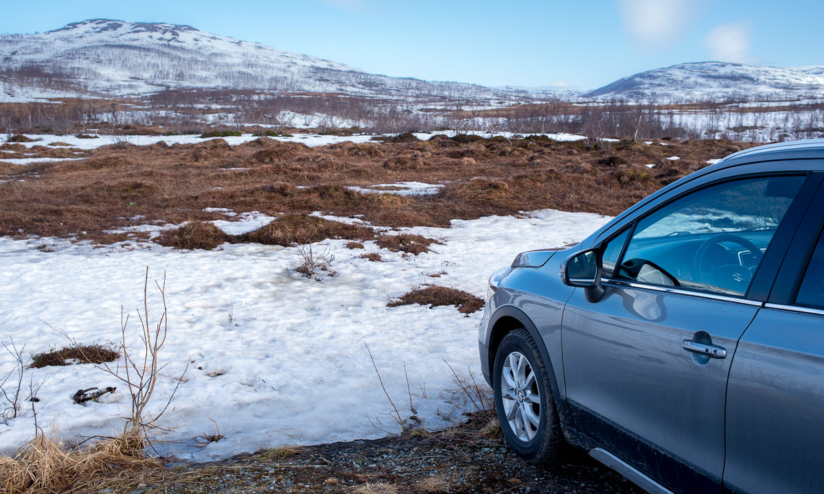
After I woke up I take a short lookout on the helicopter deck before breakfast. This starts to be a personal tradition on this cruise. With -11 °C it is colder than the days before but wind is calm and the temperature feels still very moderate.
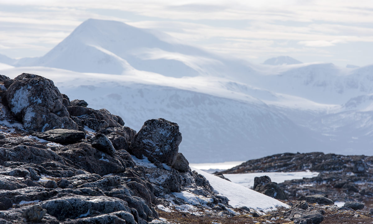
I expected that we had left the mainland far behind and would cruise through open sea. To my surprise I can see mountains and lights. Where are we!?
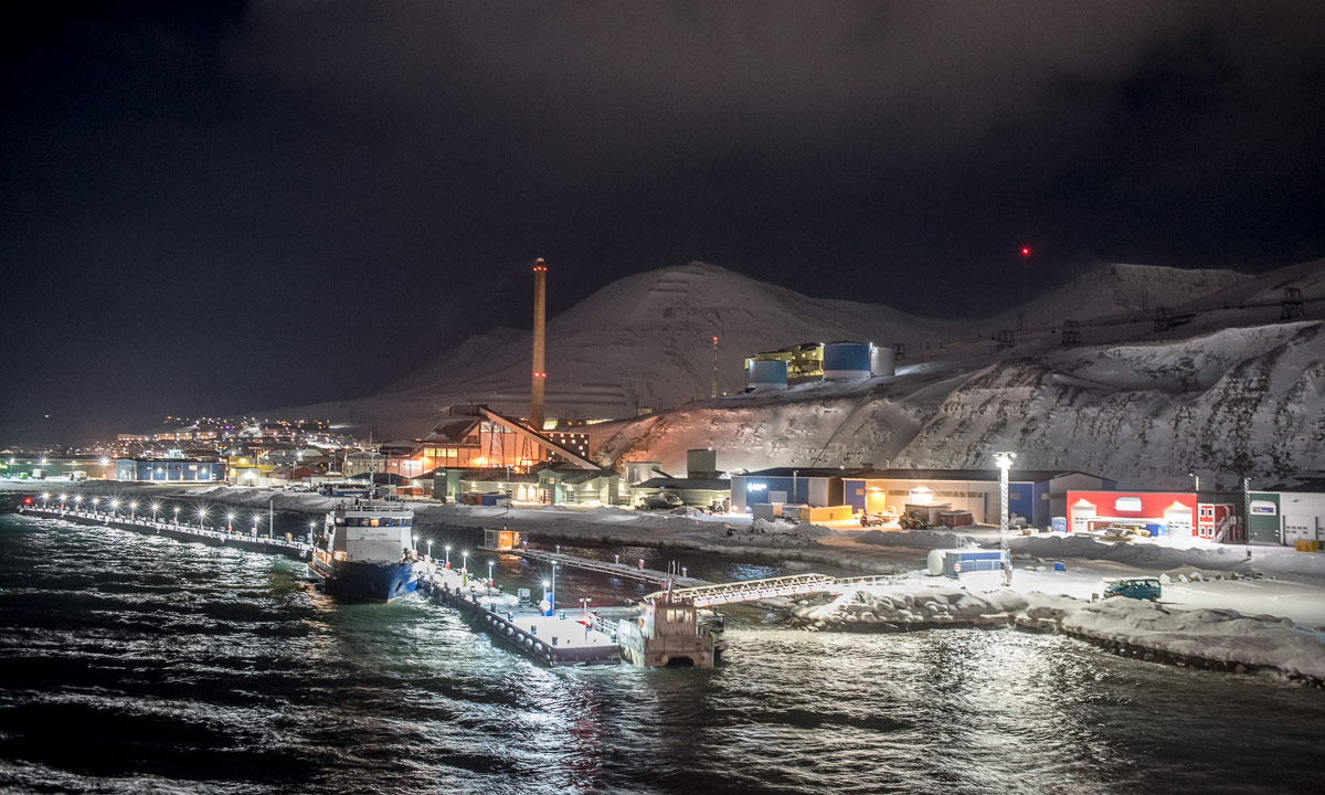
Internet reveals that we are just passing the island Melkøya near Hammerfest. Melkøya is illuminated by the lights of the processing plant Hammerfest LNG. Interesting!
After a rich breakfast I stand on the same deck again. Today I feel more like a cruise tourist then a data manager on a work trip. Even the photos look like beautiful but quite random pictures taken from a Hurtigruten ship.
And indeed the icebreaker Kronprins Haakon follows the very same route as the Hurtigruten ships. Aside from that we do not call any ports. (Spoiler: next port is Longyearbyen on Svalbard 18 days from now.)
What do you do on a transit day on sea? Participating the mandatory sea ice training for example. It’s from 9:00 to 14:00 with a lunch break and we are told a lot about the different risks we might be confronted with on this cruise.
What I know is cold weather. Hypothermia, frost bite. I tented at -35 °C, I skied in blizzard-like conditions. I guess I have a bit of experience.
What I hardly know is arctic sea ice. I’ve been on the ice of the northern Baltic Sea countless times, but that water has only the tenth of the salinity compared to the water of the Barents Sea. The sea ice is softer and the conditions are quite different.
I definitely know nothing about polar bears and a lot of the training is learning the procedures to avoid contacts. I’ll talk more about this in another blog article.
At 13:30 we meet at the quarterdeck and train the handling of throw bags. Inside the bag there is a rope attached to a hip belt. When someone breaks through the ice the rescuer can throw this bag. The person to be rescued catches the rope and can be pulled back to safety. By having a long rope it is possible to keep distance. This minimises the risk that the rescuer breaks through as well. I know this from kayak courses but I’m glad to give it some tries again. Yes, it’s me on the next photo.
Photo: Adam Steer, Norwegian Polar Institute
At 16:00 I go on deck 3 again. It has got dark and started snowing.
Later that day the arrival time for P1 has been postponed to 19:00, eleven hours later than the ETA before. So much to the letter E in ETA ;-) It is almost impossible to plan with conditions as unsure as in the Arctic.
Tuesday, 22 February
My sis has birthday today. Hooray! Will we still have internet that I can wish her a Happy Birthday? Don’t ask me why, but we have internet in this remote place and I can send her a message.
Again I am on the helicopter deck before breakfast. Three differences to the day before: The deck is covered with snow, it is slightly warmer and no land is in sight. Finally we have left mainland Norway behind. And more and more I’m able to realise that I am really on a scientific polar expedition!
Still it will take another 11½ hours until we reach P1. I use the time to finally start working. My goal on this cruise is to understand the flow of scientific data. Where do the unique IDs come from? Where location and time? How are physical samples tied to the digital data? And can I improve these processes? I ask many stupid question to scientists to get a basic understanding.
And since I cannot ask questions for 11½ hours – I don’t want to be thrown overboard by my “victims” – I use more time to stand outside and take pictures.
Dinner 17:30. I forgot what I ate but it was delicious! For sure, because every single meal has been delicious on Kronprins Haakon.
But after dinner it is time to recover a glider. This is the first scientific activity on this cruise. Finally!