After work visit of Kvaløya
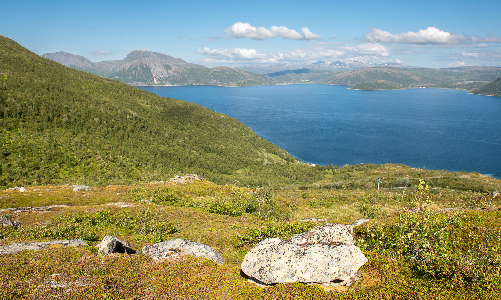
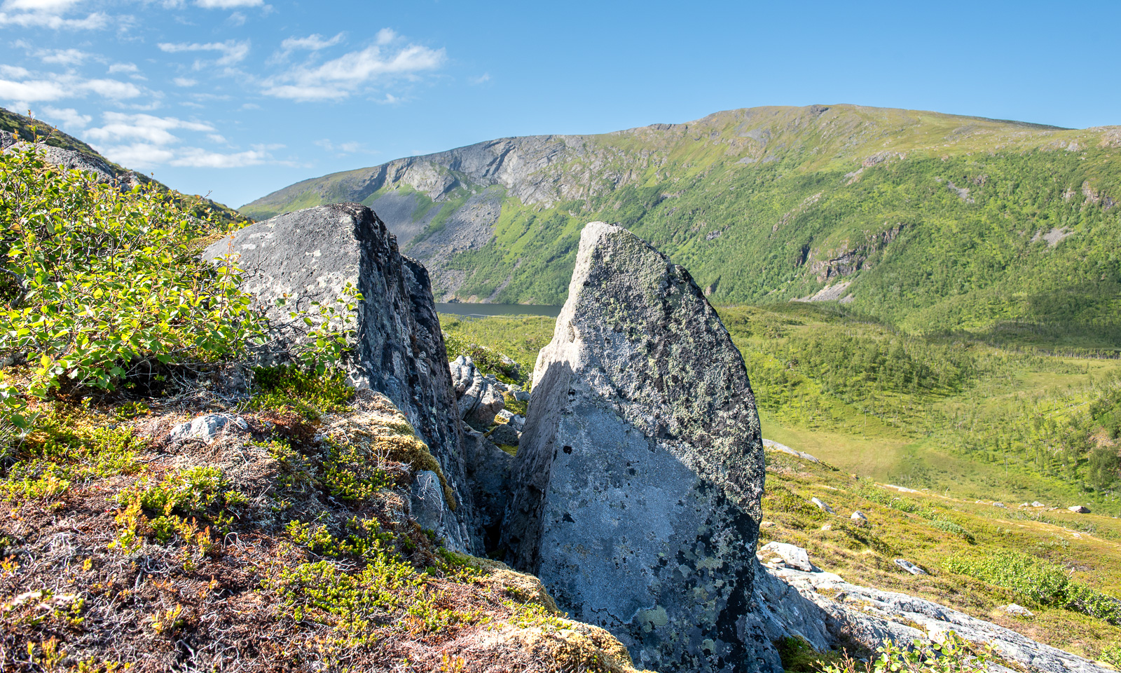
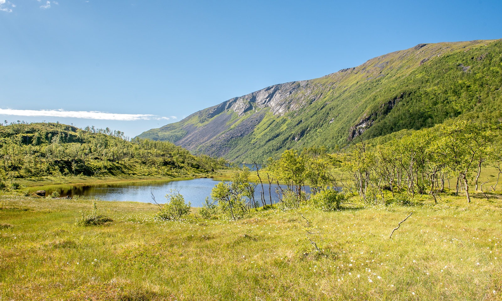
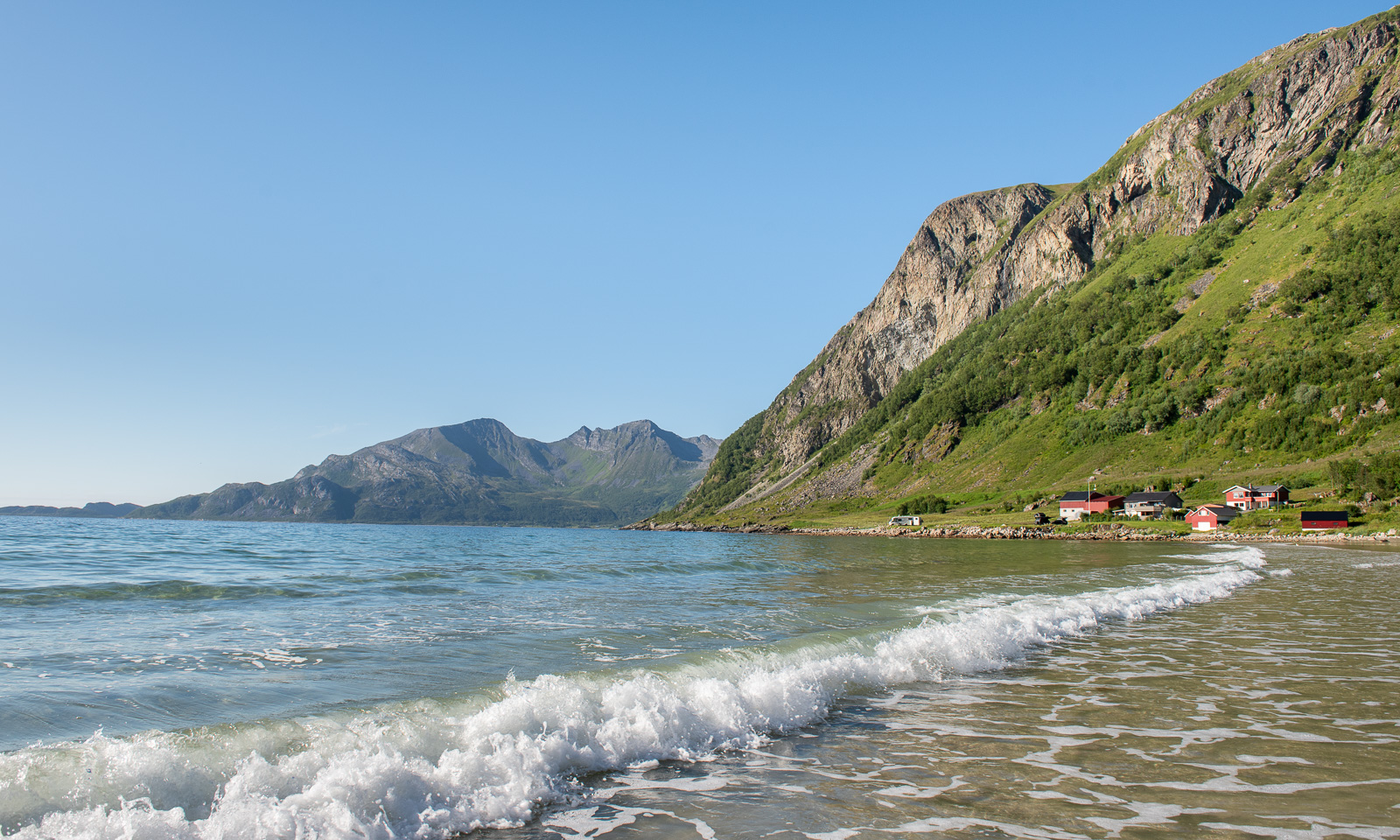
A bit of hiking – a bit of dining – a bit of bathing – a bit of geocaching – a lot of sun.
All after a regular work day, together with Annika.
A bit of hiking – a bit of dining – a bit of bathing – a bit of geocaching – a lot of sun.
All after a regular work day, together with Annika.
This article is part of the series “2026-06: Obbola—Finland—Tromsø”.
Part three of the journey from Obbola to Tromsø
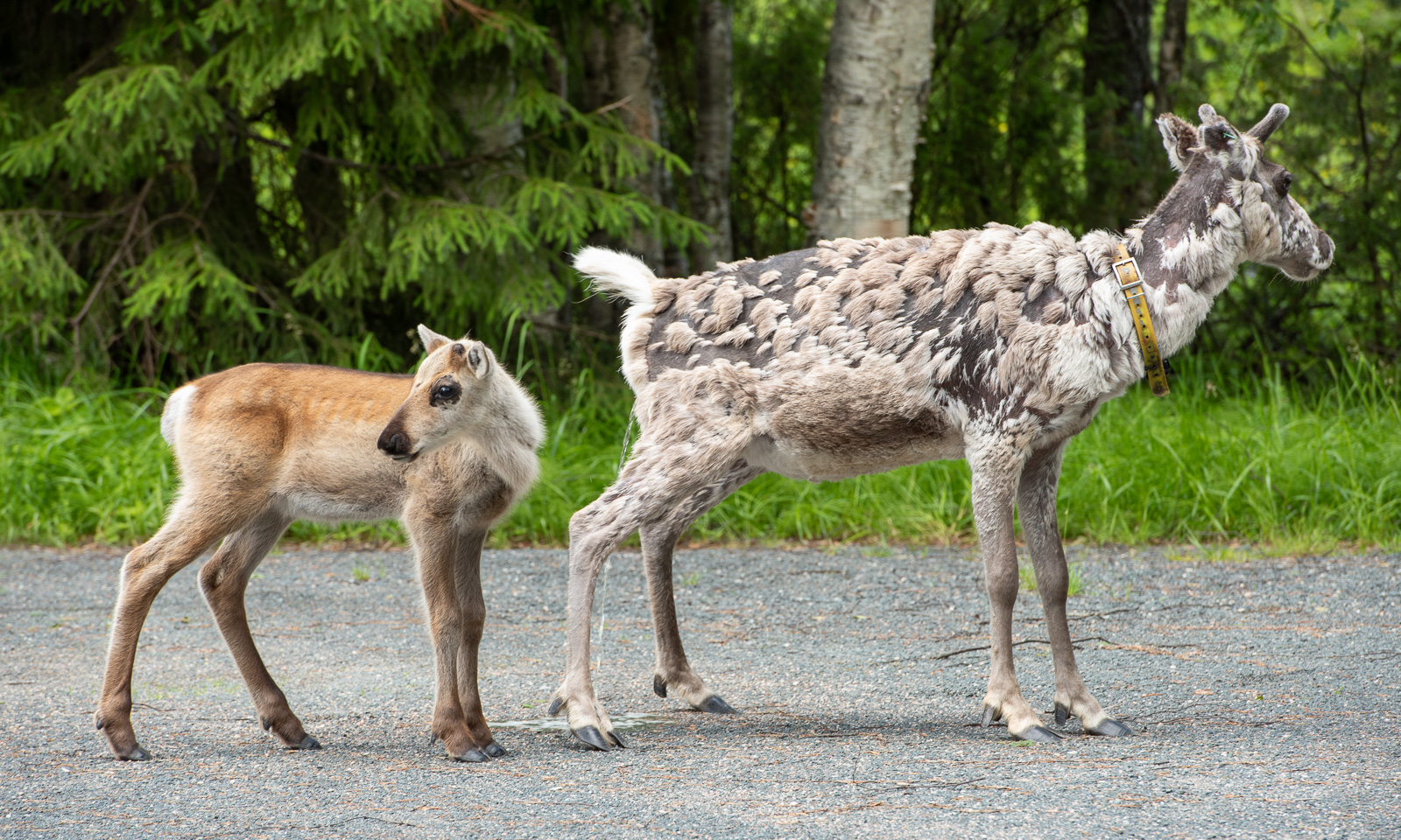
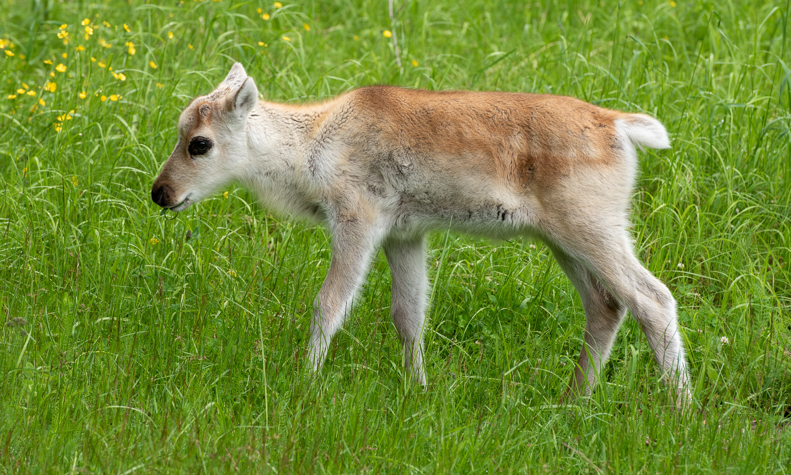
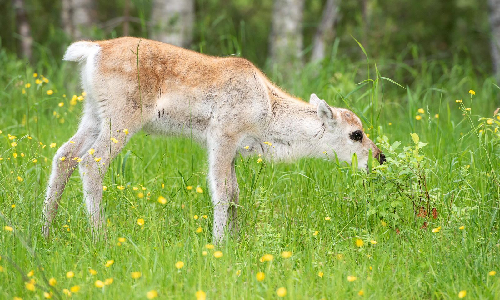
Our first car trip today is short. From our mökki (cottage) by the lake where we slept to the Oulanka National Park it’s only 22 km. In the car park there are more reindeer than cars. While the older reindeer are undergoing a coat change and look quite ragged the younger ones look like animals from an old Disney film with their soft fur, their thin legs and their huge, dark eyes.
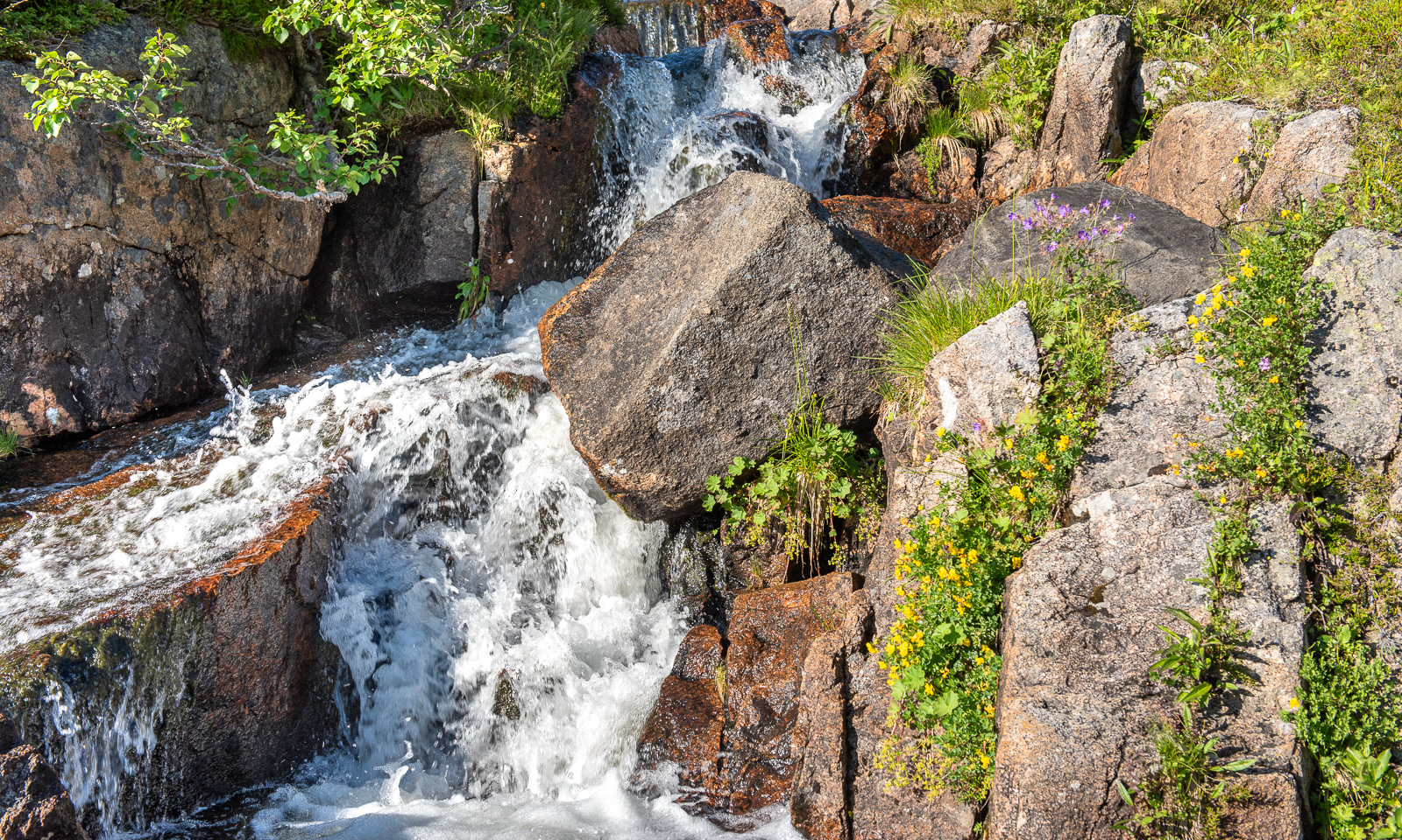
Our hiking tour to the Kiutaköngäs rapids starts through a beautiful, wild forest. After a while you can hear the roar of the water and then you see the narrow gorge through which the water of the river Oulankajoki rushes downwards.
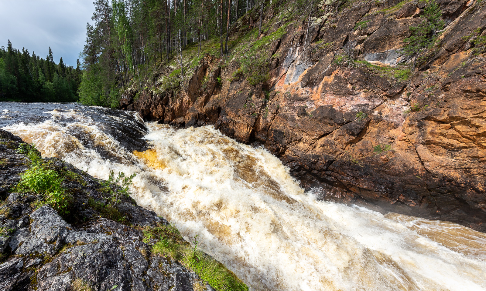
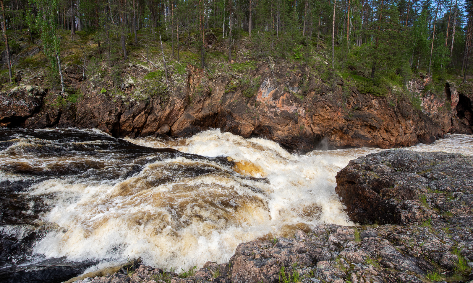
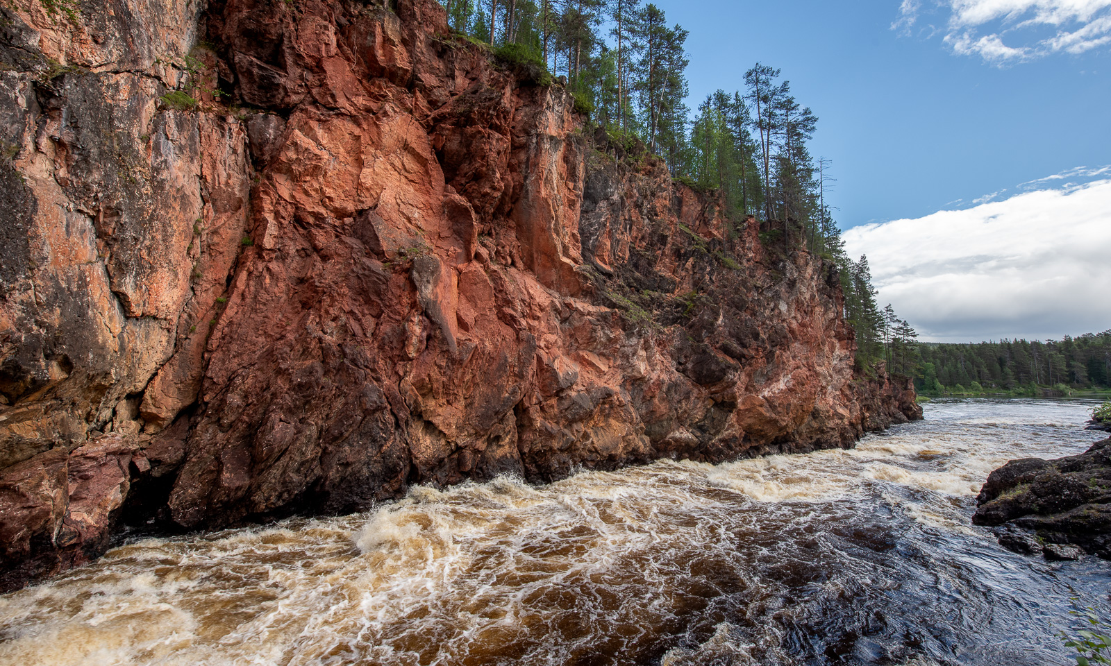
The moss-covered rocks by the gorge look as impressive as the rapids – as if from ancient times.
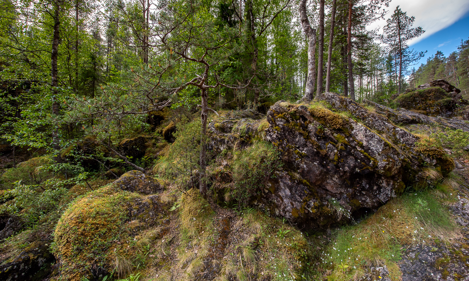
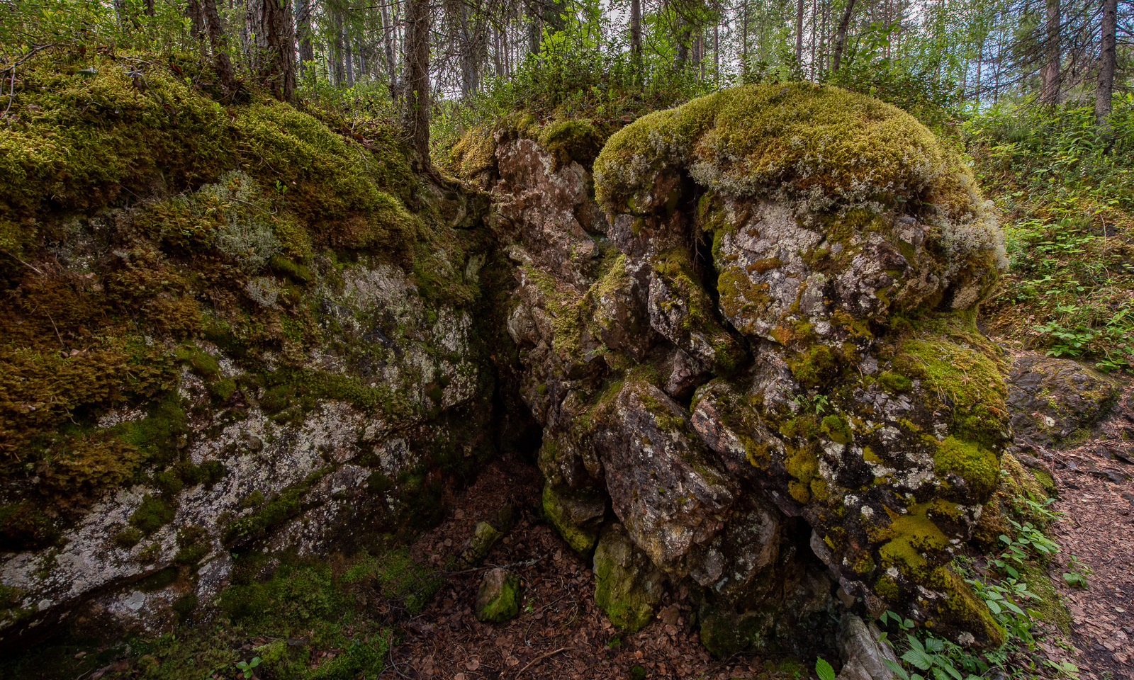
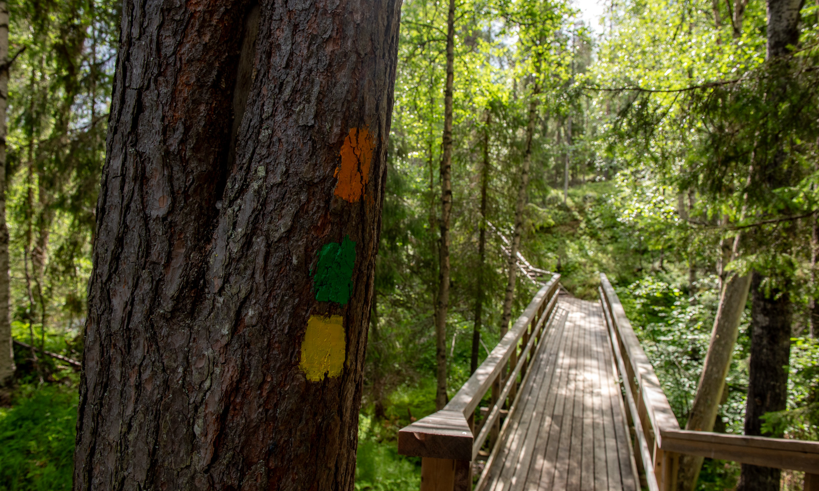
We follow the yellow dots that mark the shortest circular route. The landscape is now less spectacular than the rapids but in its variety, it’s beautiful to walk in.
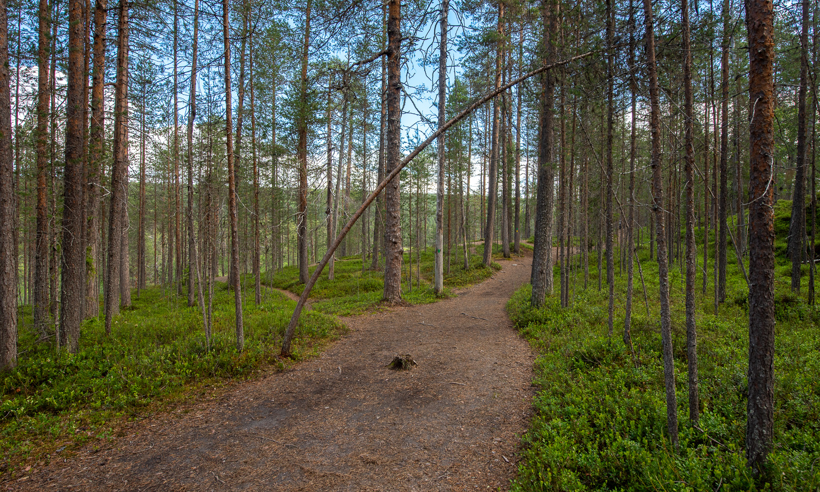
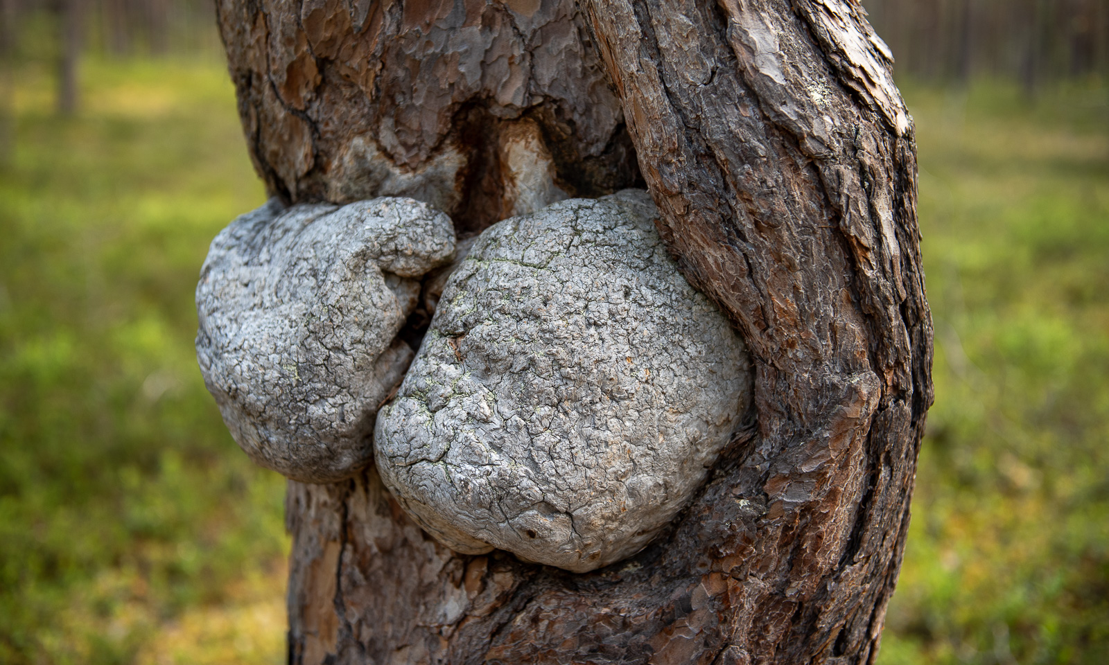
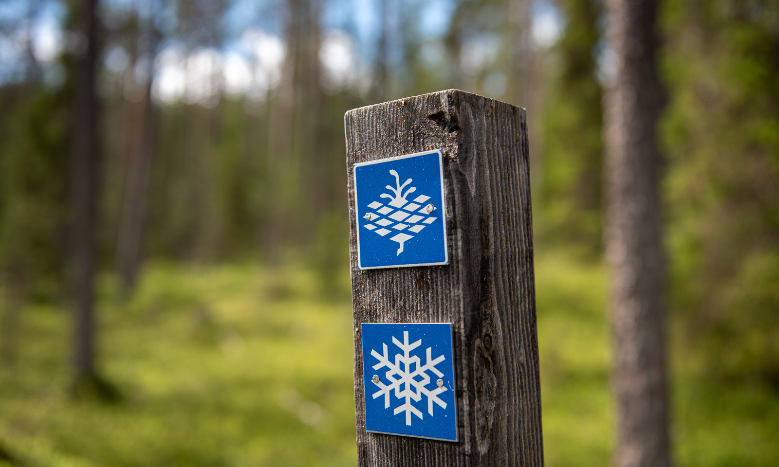
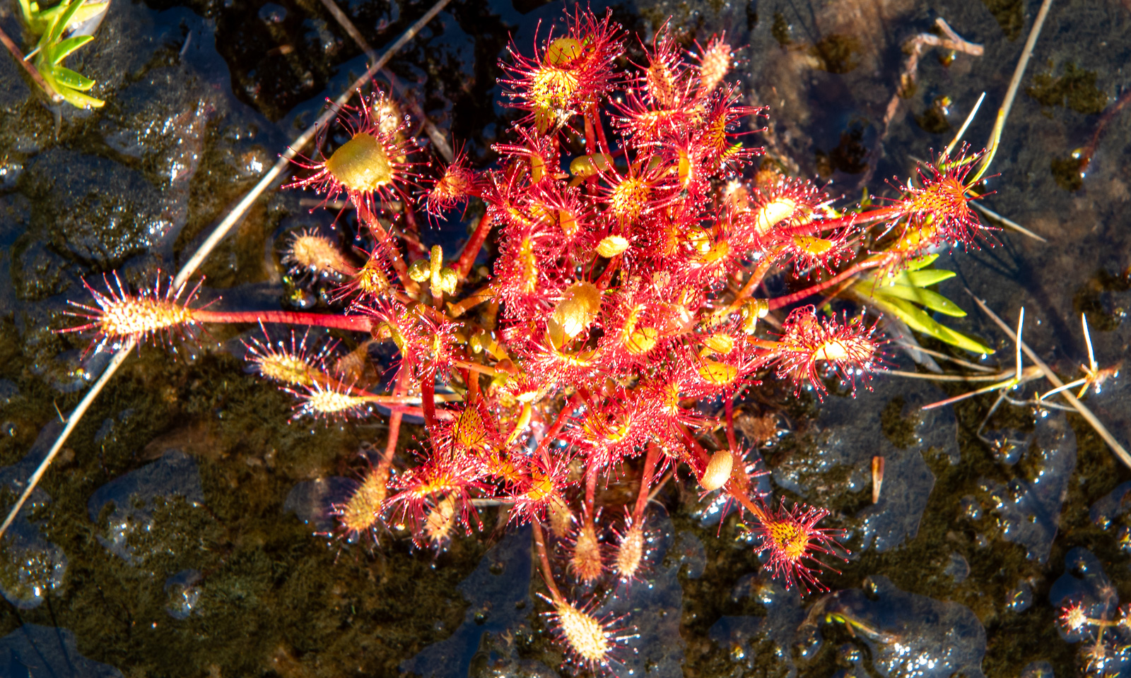
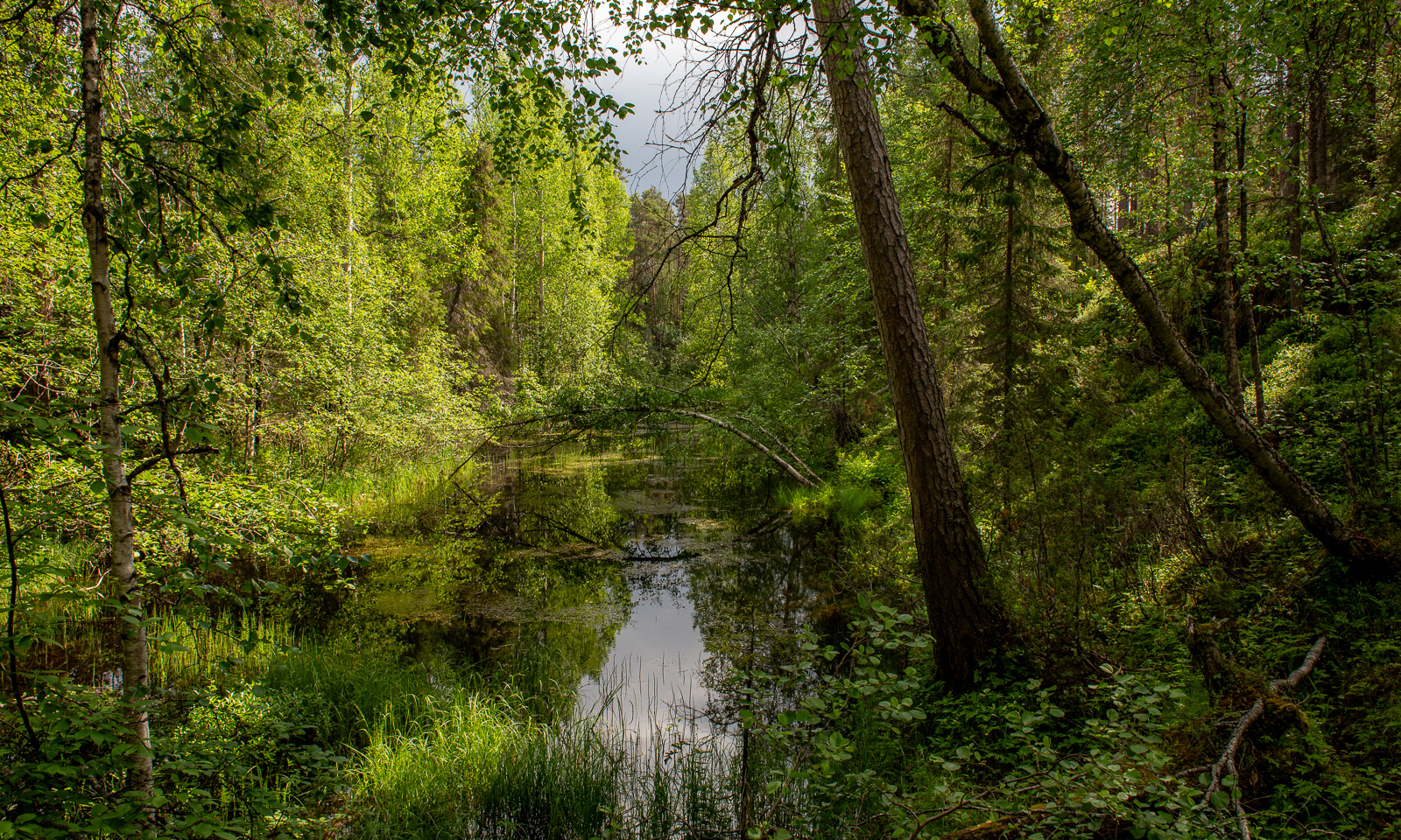
We pass a bog lake named Ylimmäinen Hiidenlampi. We are not alone, a group of students is doing research on freshwater and invertebrates.
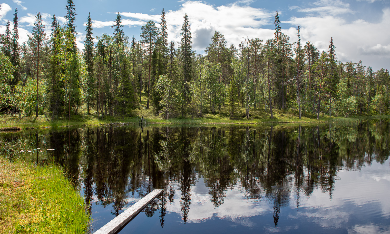
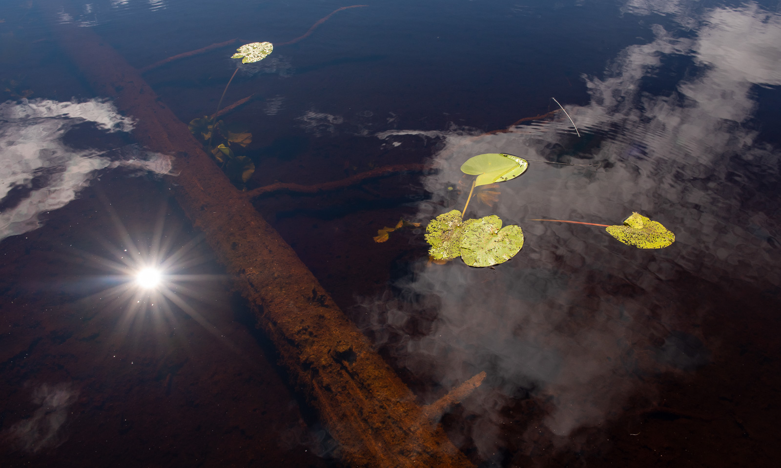
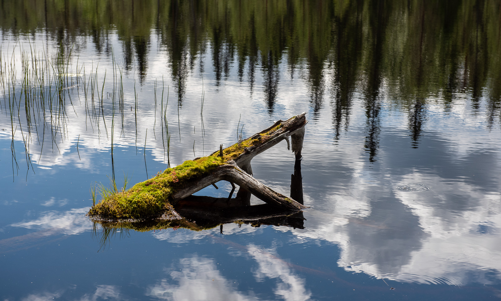
For most of the walk, we were lucky with the weather but in the end we get caught in a rain shower. While we have lunch in the visitor centre our jackets start to dry.
Change of scenery. We are in the eastern part of Finland, a country that has a 1340-kilometre border with Russia. We take a small road to the east leading to the border. In the end, it is just a small forest road. It just ends with a simple barrier and a warning sign saying “Border zone—no entry without special permit” in five languages. On the other side there is an information sign – that’s it.
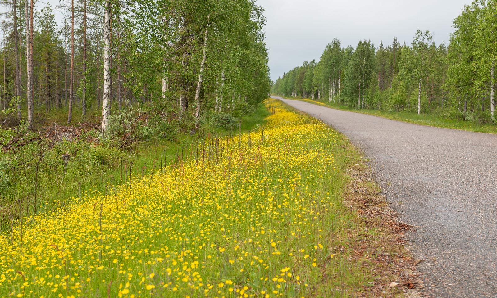
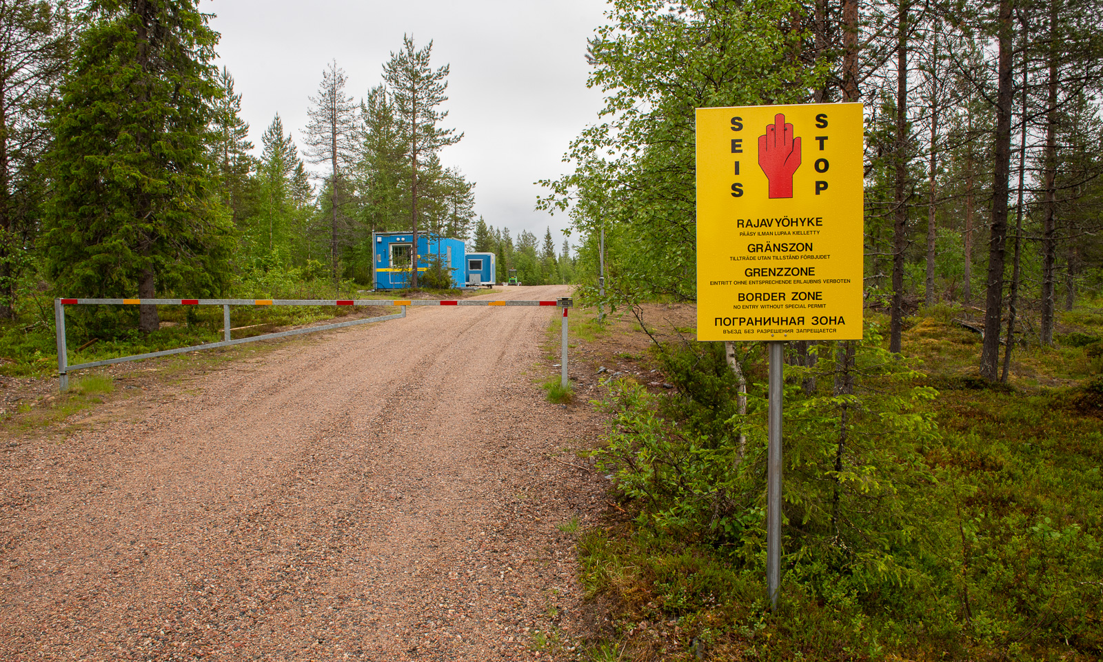
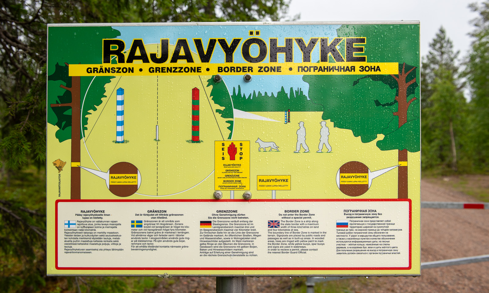
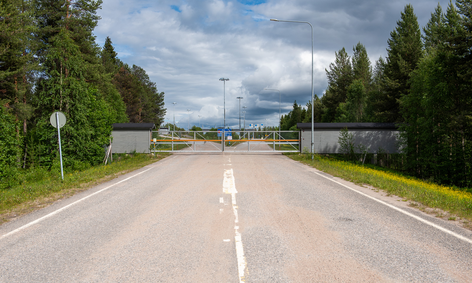
While this road probably never was a border crossing, there is one northeast of Salla. Or rather, was, because all checkpoints were closed in April 2024. Hardly imaginable that I crossed the border here on a journey to Murmansk in March 2019.
When will Russia’s terrible war against Ukraine end? Will there be a regime change in Russia that makes it possible to travel there again in my lifetime? I don’t know.
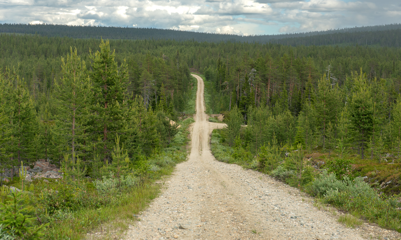
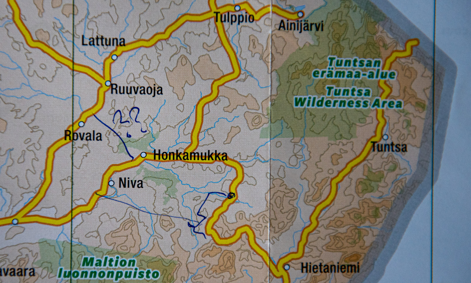
Change of scenery. We travel to Lokka, the most remote location we found with accommodation for overnight stay. Several roads marked in yellow on our paper map lead there and we decide to take some of them to get there. First there are some visible signs of other people – a cottage, a passing car, then we are all alone. We follow the roads according to Google’s navigation. First we drive on asphalt roads, then gravel roads and in the end narrow dirt roads with grass growing in the middle.
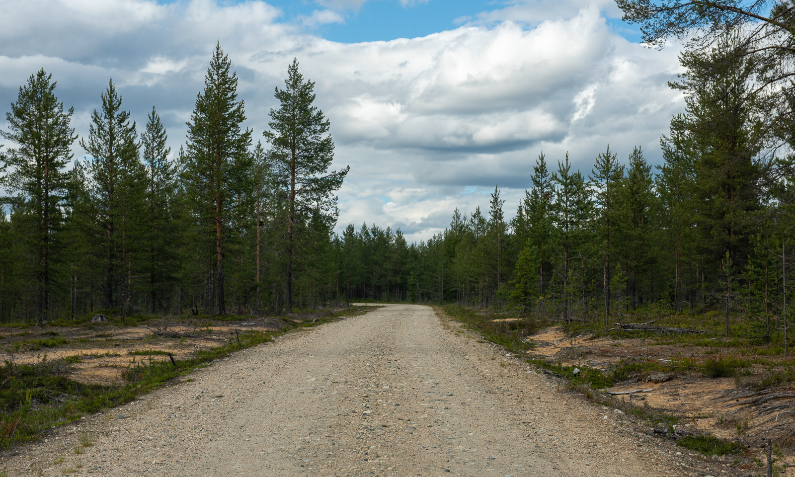
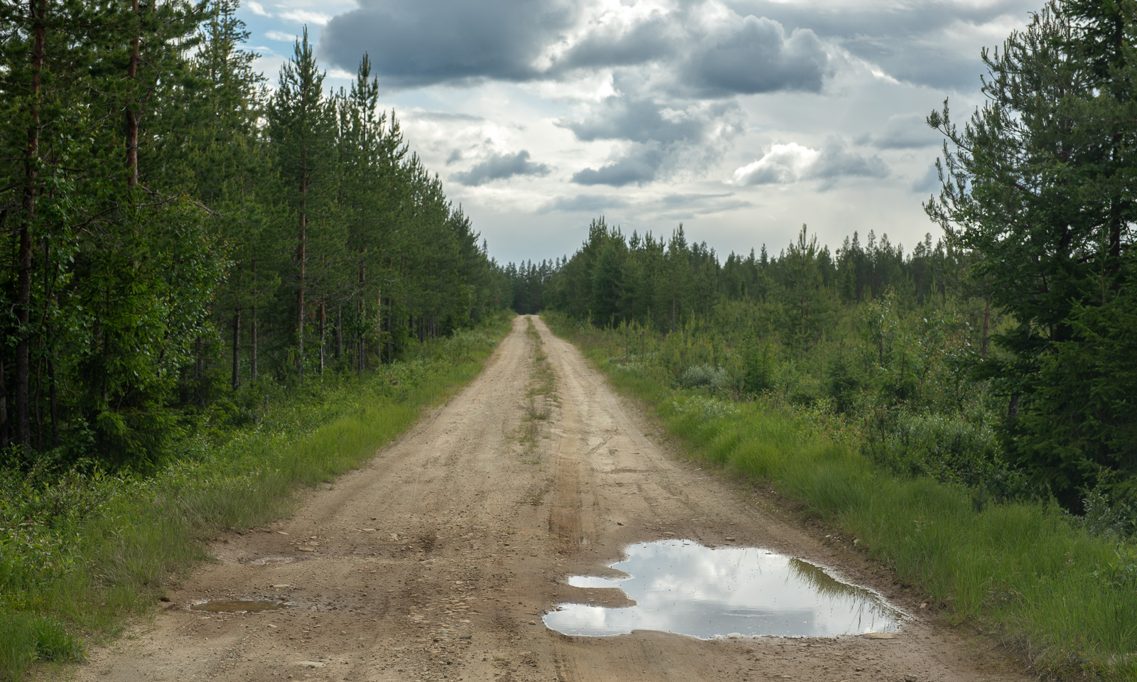
At one junction where we should turn right the road is closed. I follow the other road but it is difficult to know if we are on the right track. There are too many other dirt roads and there are no signs, nor is there any mobile coverage. Finally we find a way back to Hietaniemi that we passed perhaps an hour ago. From there it’s another 50 km back to a paved road. Another minor road finally leads us to Mummon Mökki, our cozy overnight stay where we arrive around 8 o’clock Finnish time.
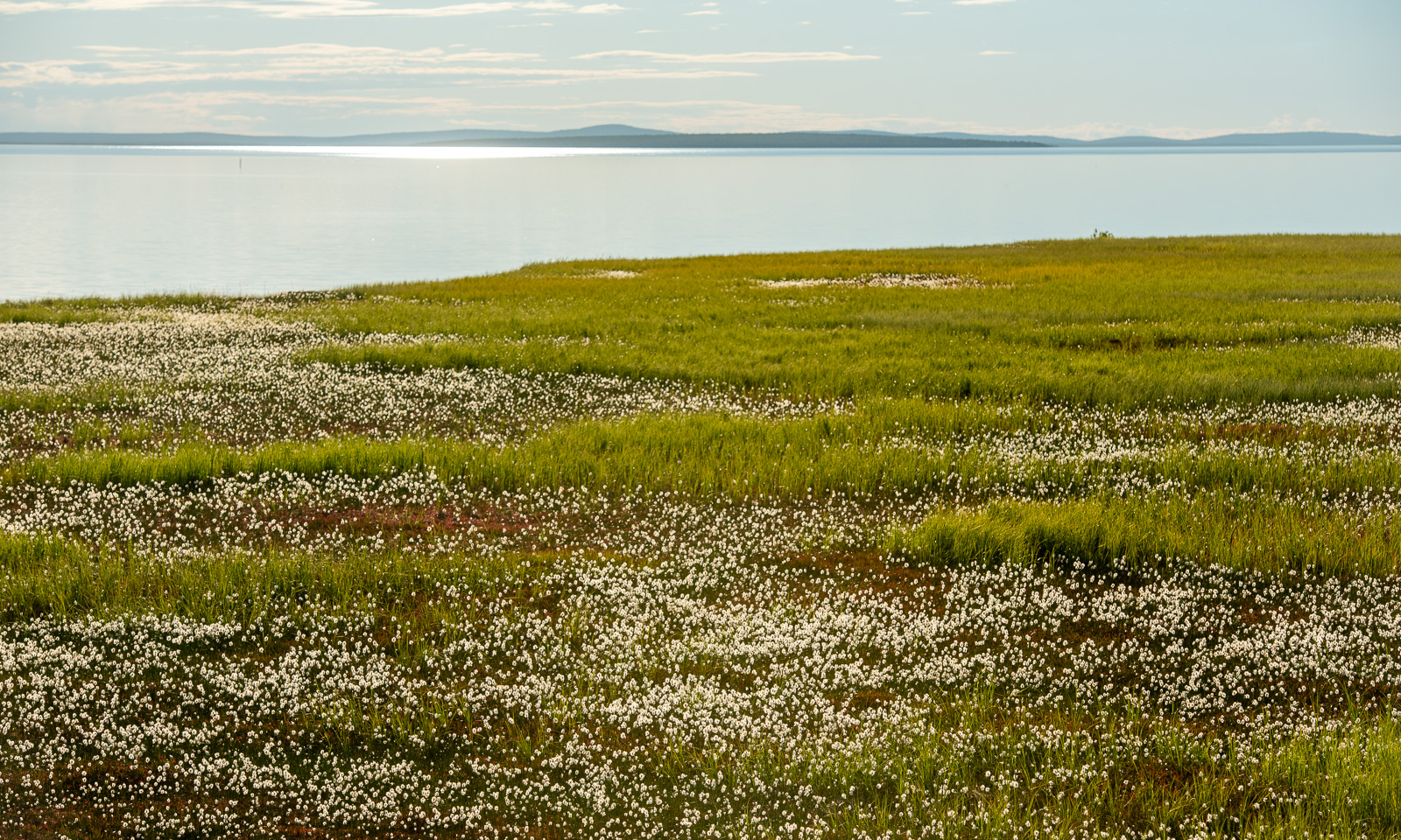
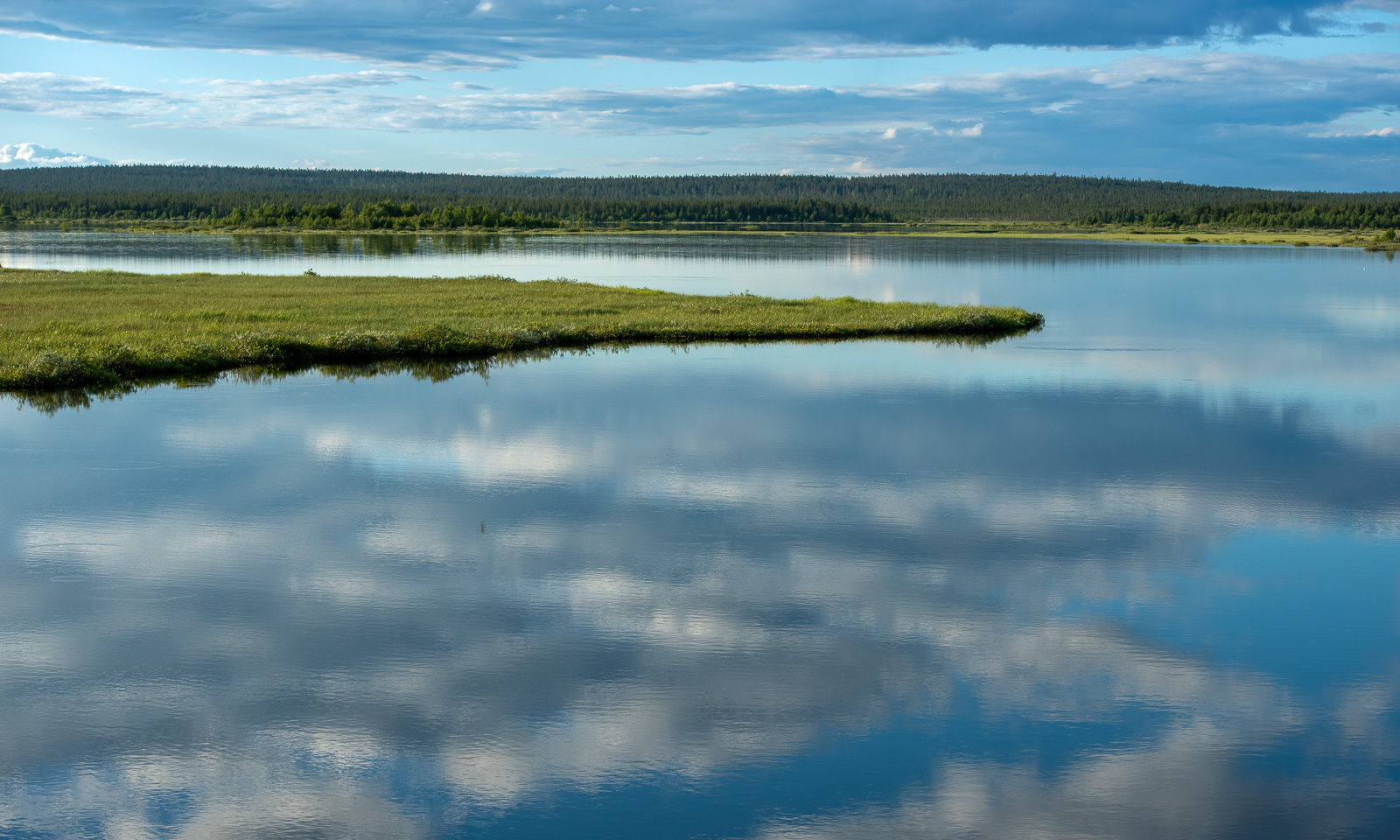
The last part was fascinating. We passed Lokka Reservoir, one of the largest artificial lakes in Europe. There are large areas of grass and some birch trees by the shore. When I walk there after dinner I realise that these immense mats of grass are actually floating on the lake. Fascinating but not a place to stroll around. I take my photos from the safety of the road.
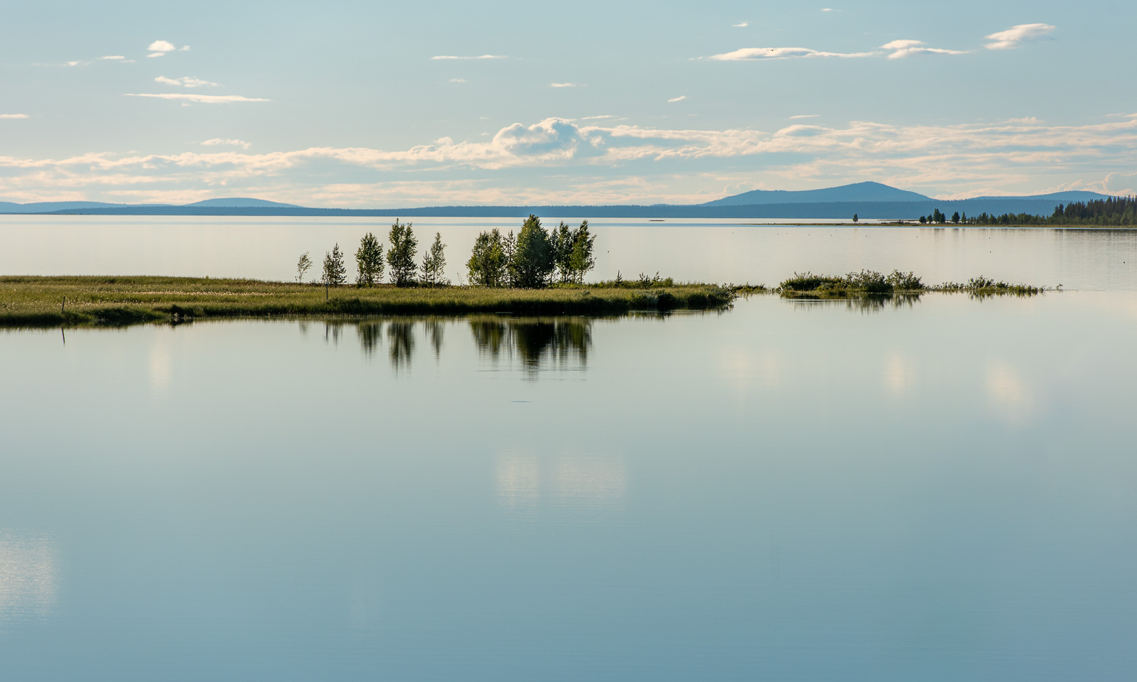
Around ten o’clock I’m back at the mökki. I try to jump in as fast as possible to keep the mosquitoes outside and take a hot shower. Then it’s time to sleep after this long and varied day.
This article is part of the series “2026-06: Obbola—Finland—Tromsø”.
Oulu
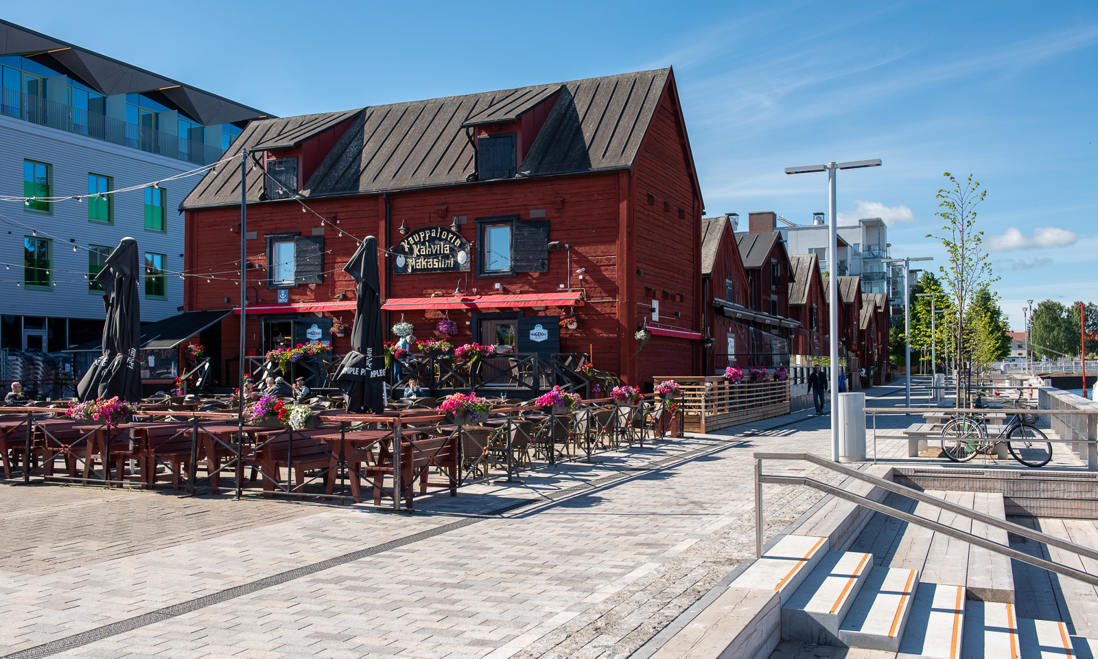
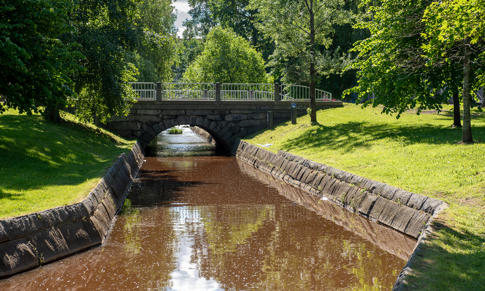
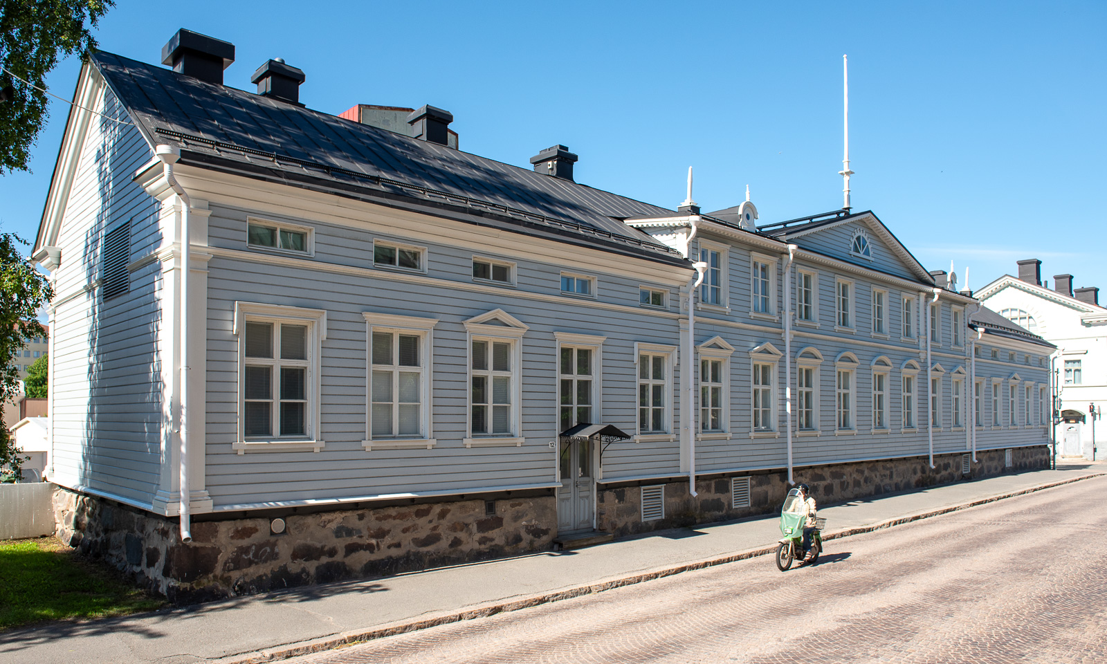
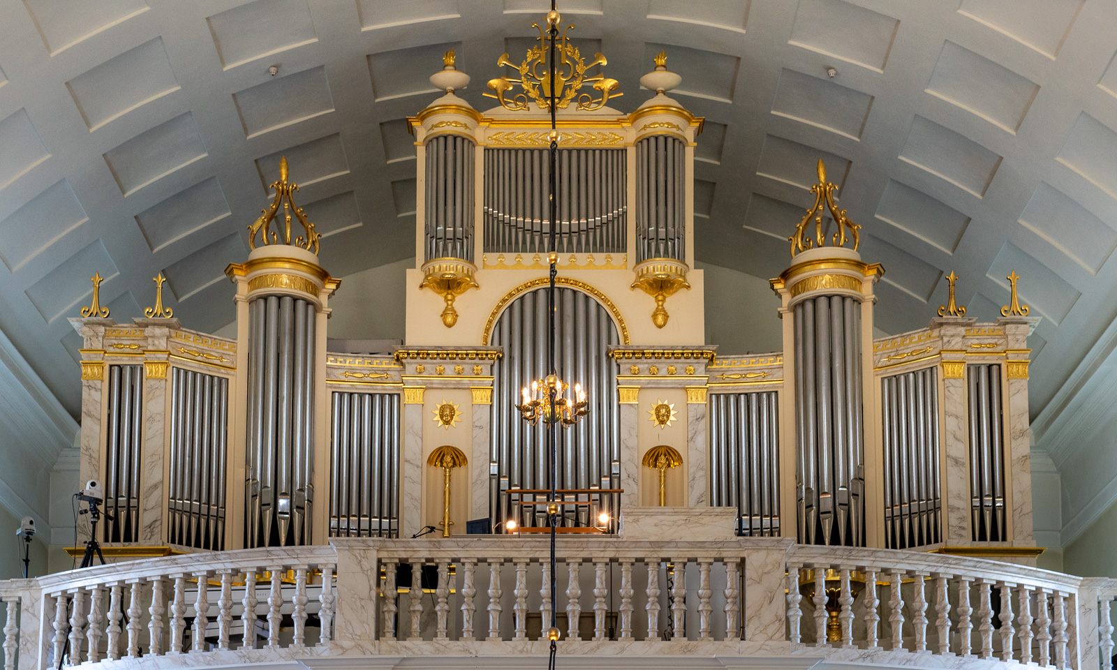
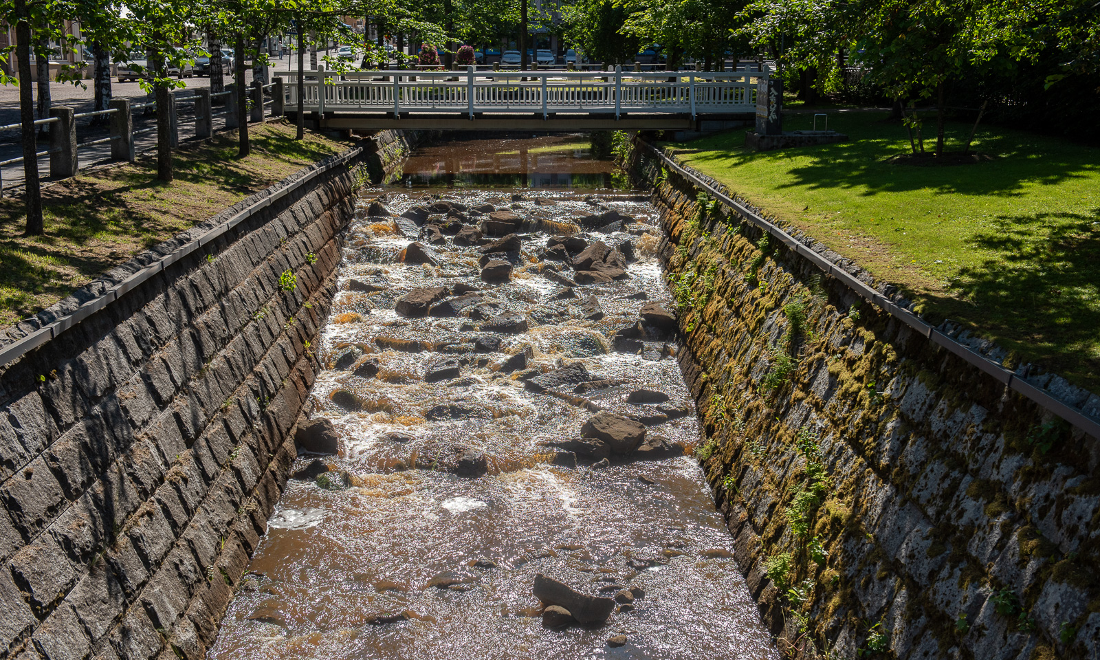
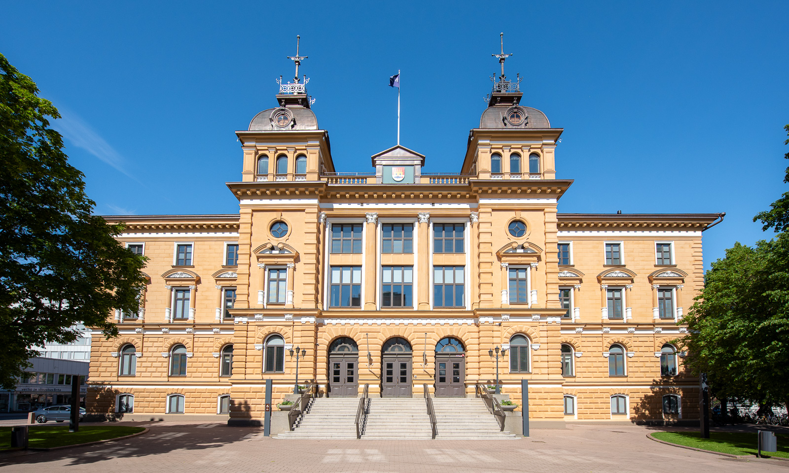
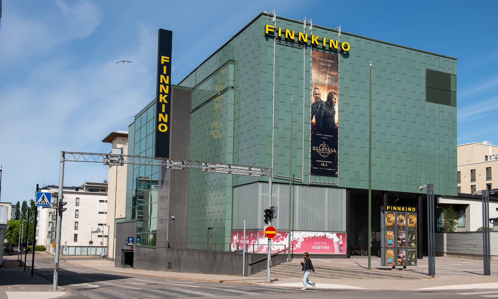
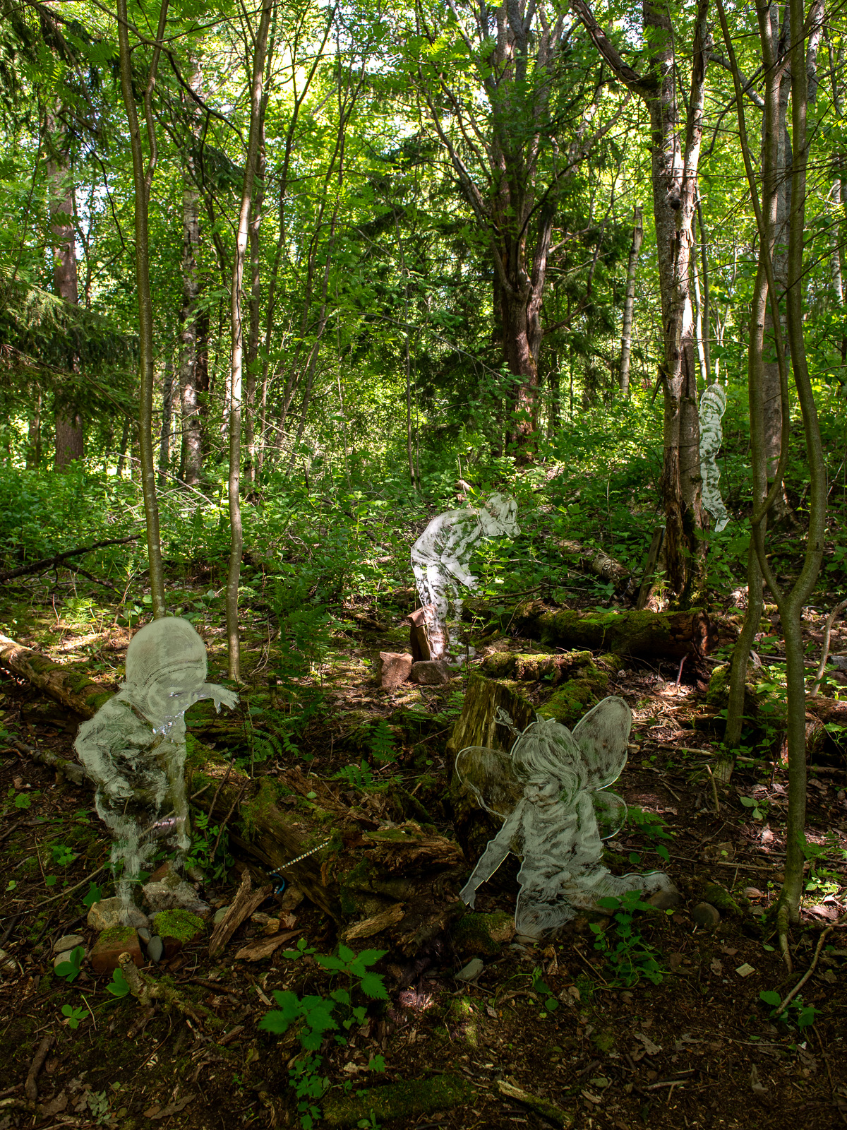
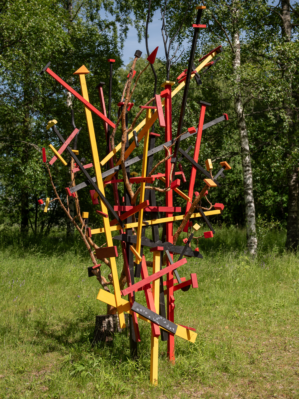
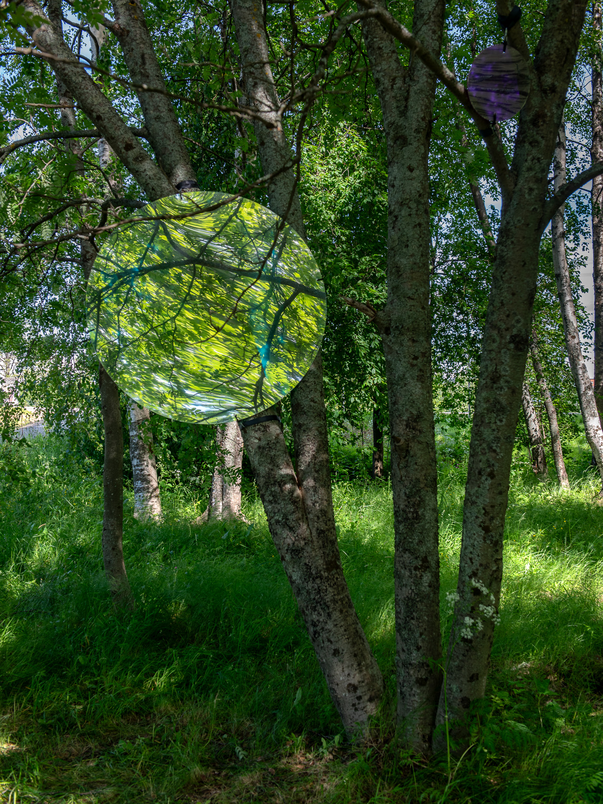
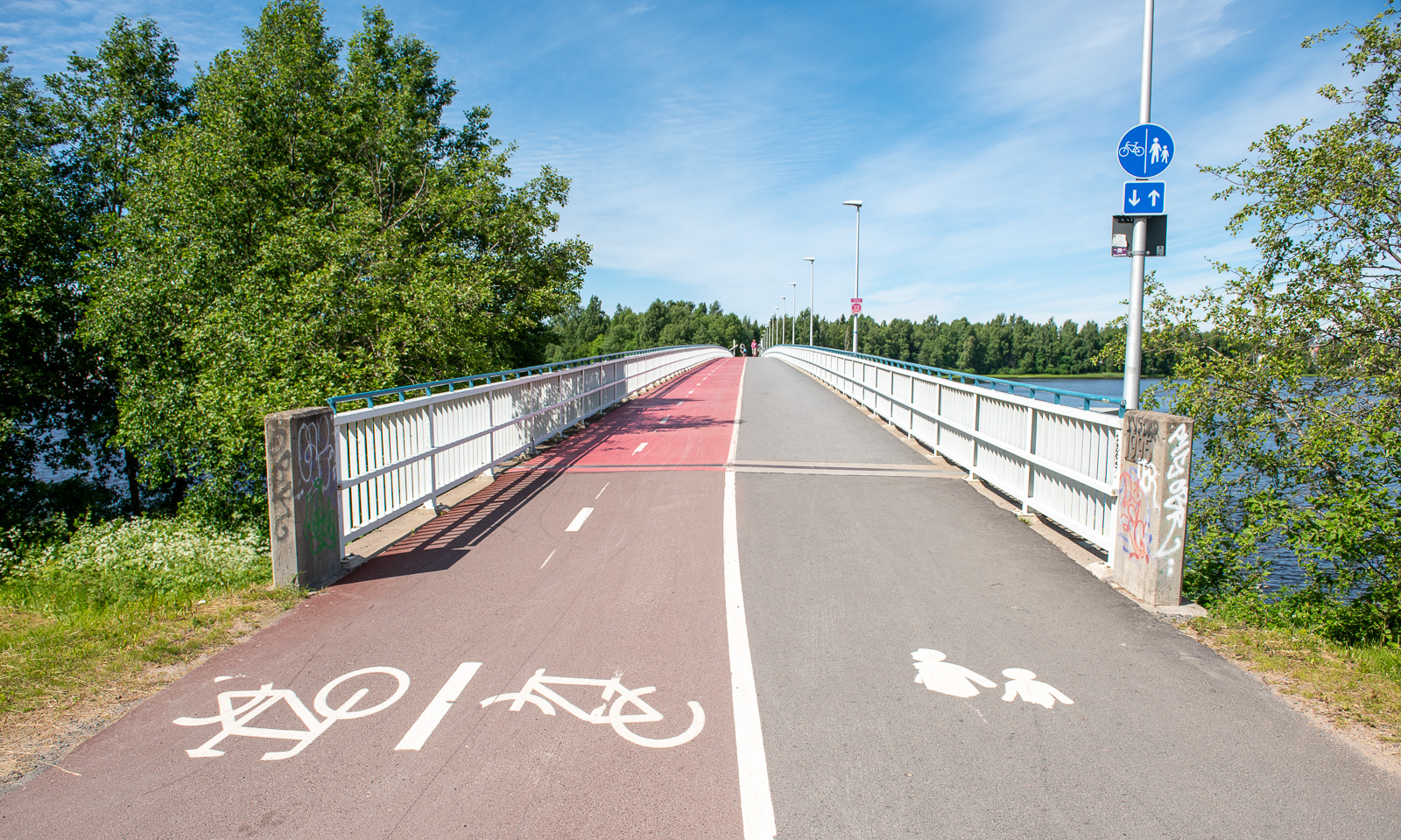
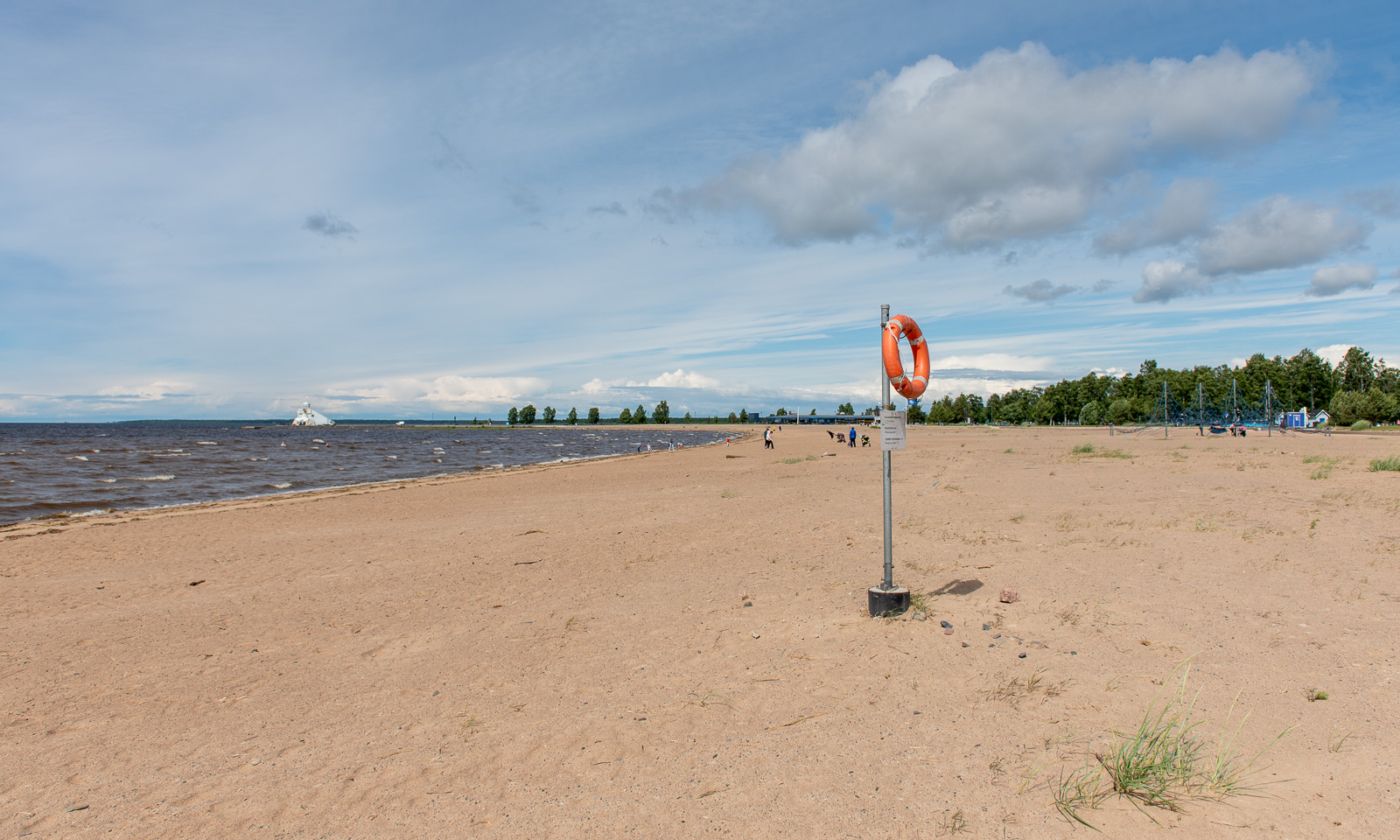
Just some random images from Oulu – old and newer buildings, the church organ in the cathedral, the city hall, some of the sculptures on the island Pikisaari and Nallikarin Uimaranta, the beach on the island Hietasaari where the water is as shallow as at yesterday’s beach.
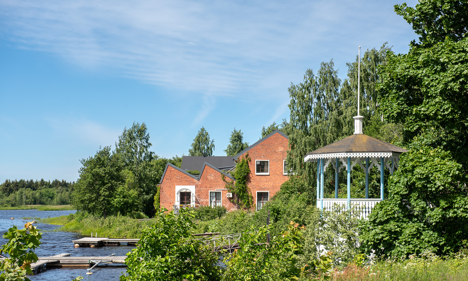
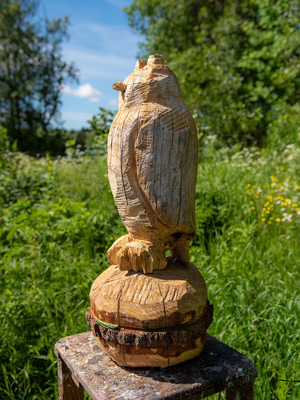
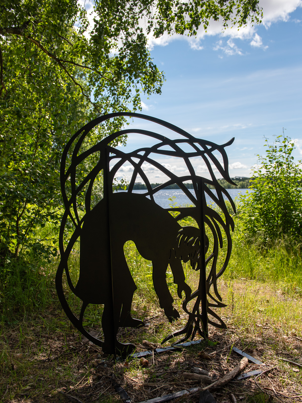
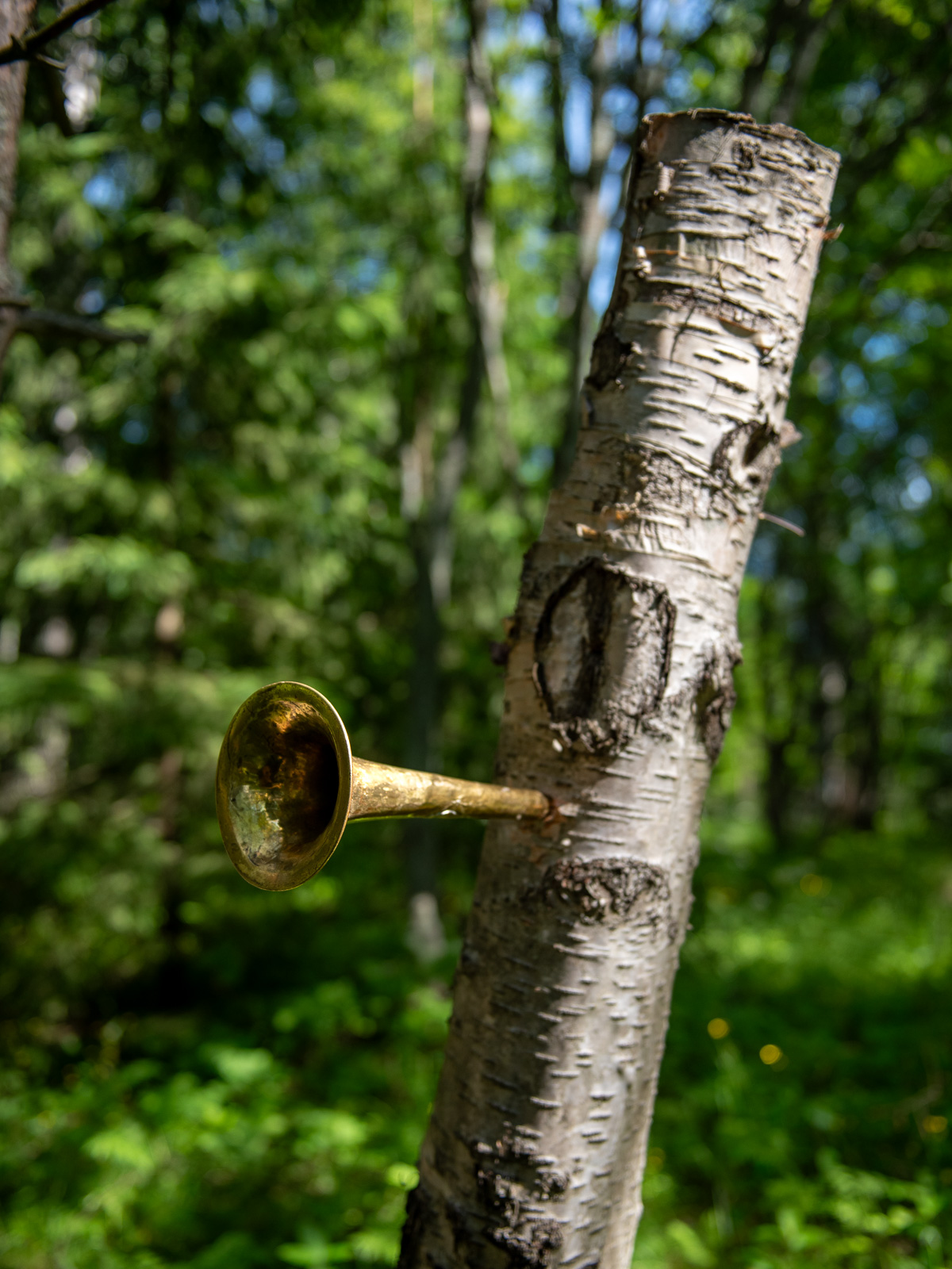
Today I did my thrid hill hike within 8 days. After Trehørningen (283 m) and Nattmålsfjellet (296 m) I chose Ruksesvárri (470 m) today. Most people refer to the mountain by its Norwegian name (Rødtind), which more or less means the same as the Sámi name: red mountain peak. Like the other hills Ruksesvárri is located on Kvaløya.
I park the car in Storelva, put on my rubber boots and shoulder my camera backpack. From there it’s about one kilometre along the river Stuorajohka/Storelva until I leave the wide gravel hiking path and branch off. From now on the track may be wet and – looking at Ruksesvárri – snowy.
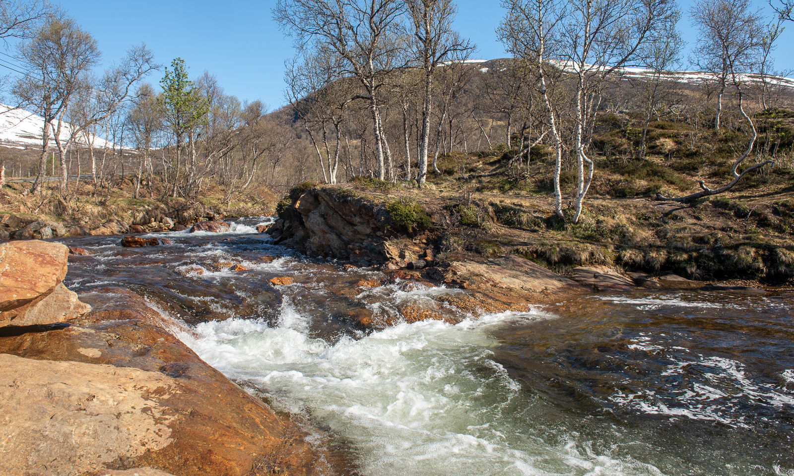
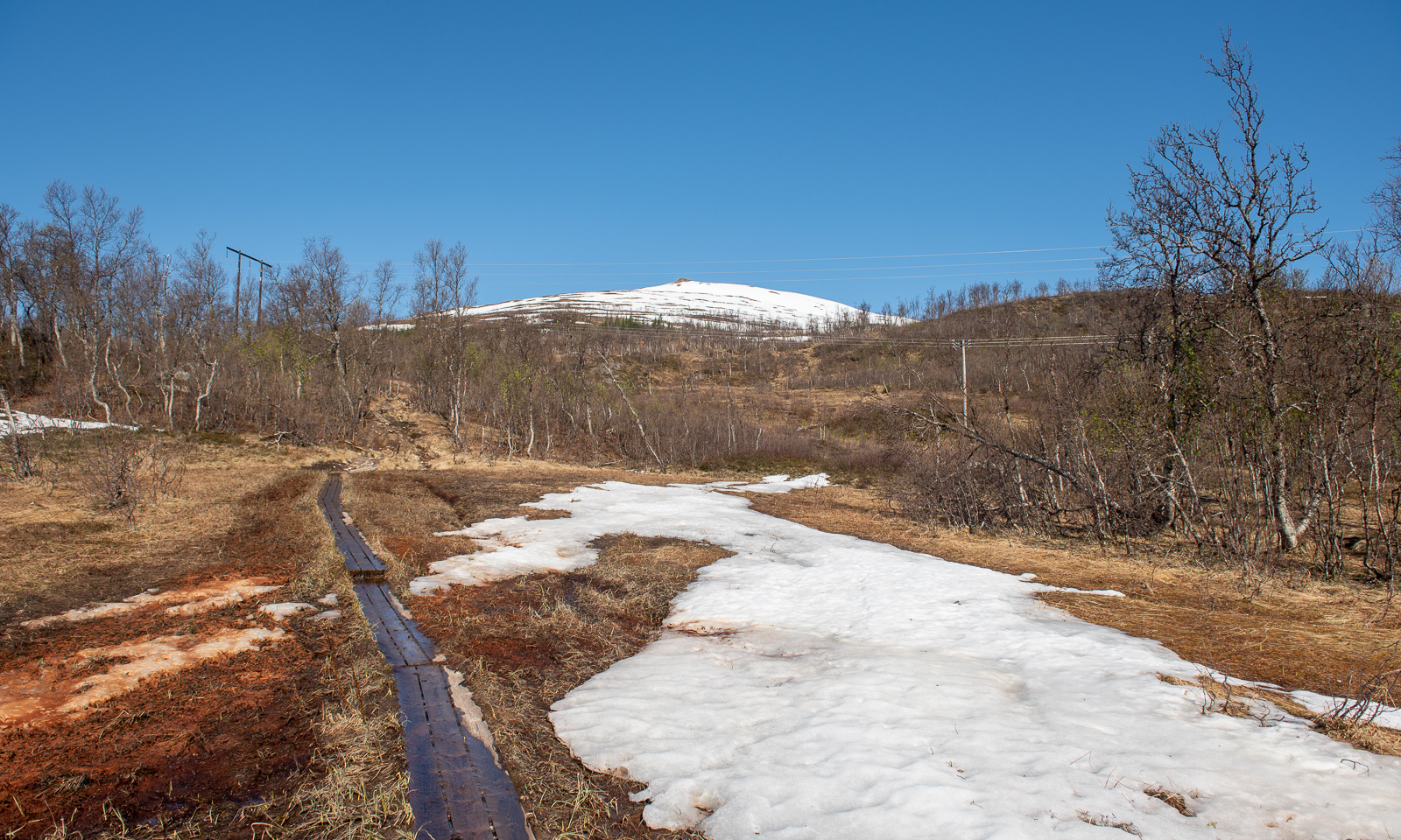
I hike up, following the track. Soon it vanishes under the first larger snow field.
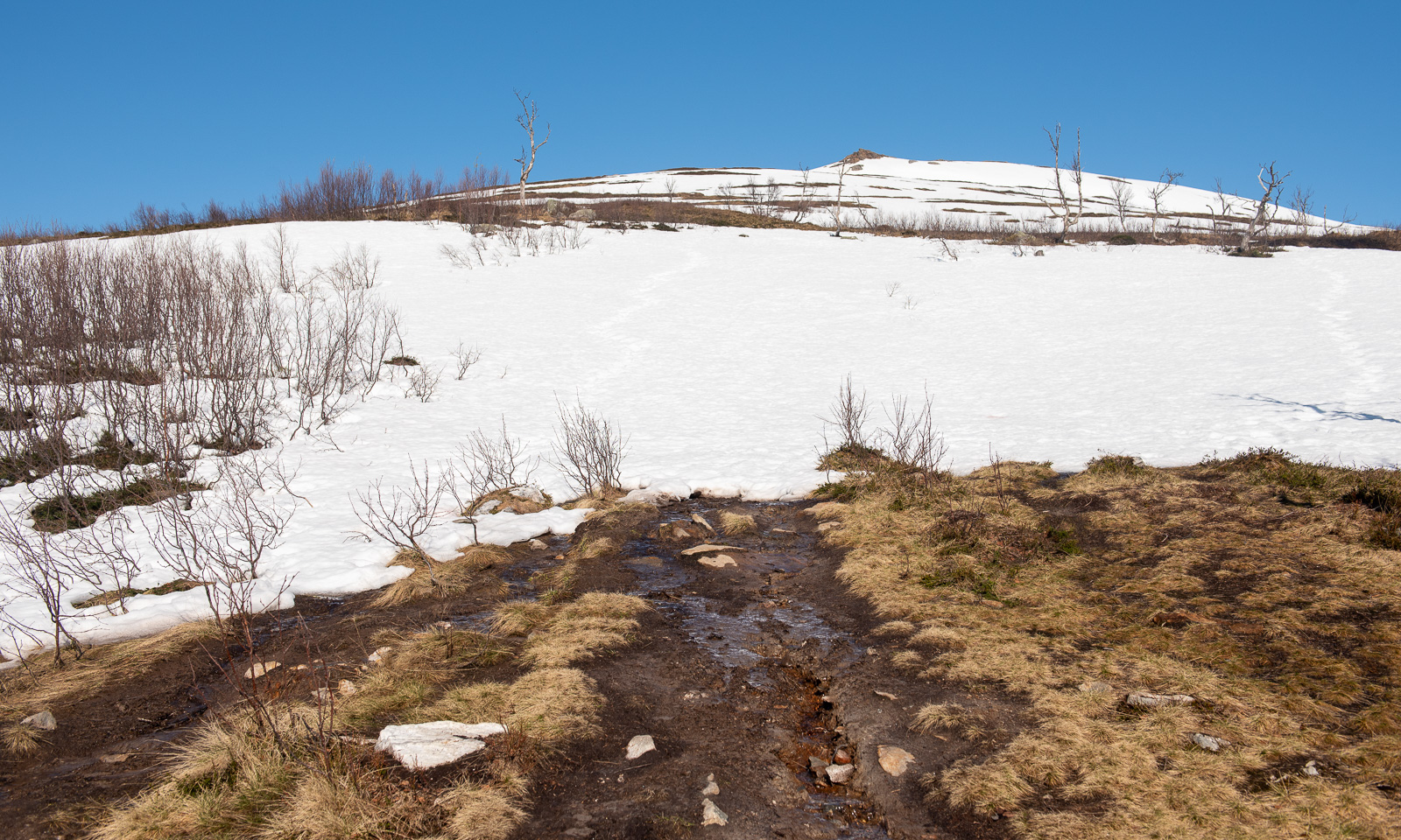
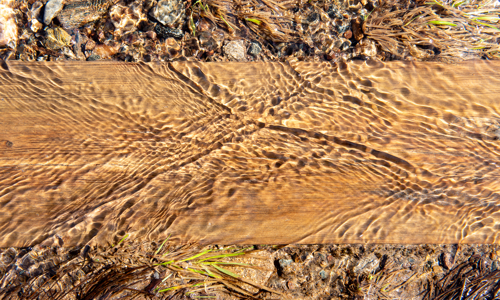
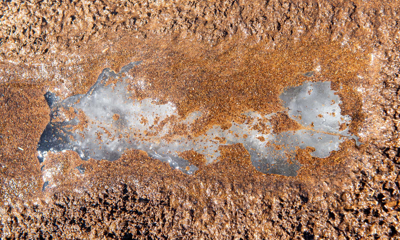
The track is less muddy than I remember but wet, because the snowmelt turns everything into a brook, even the boardwalks. Further up I see that under sand and water there is blank ice. However, it is the only patch I see.
I look back. To the south I can see the island of Håkøya and mountain chains in more or less all directions.
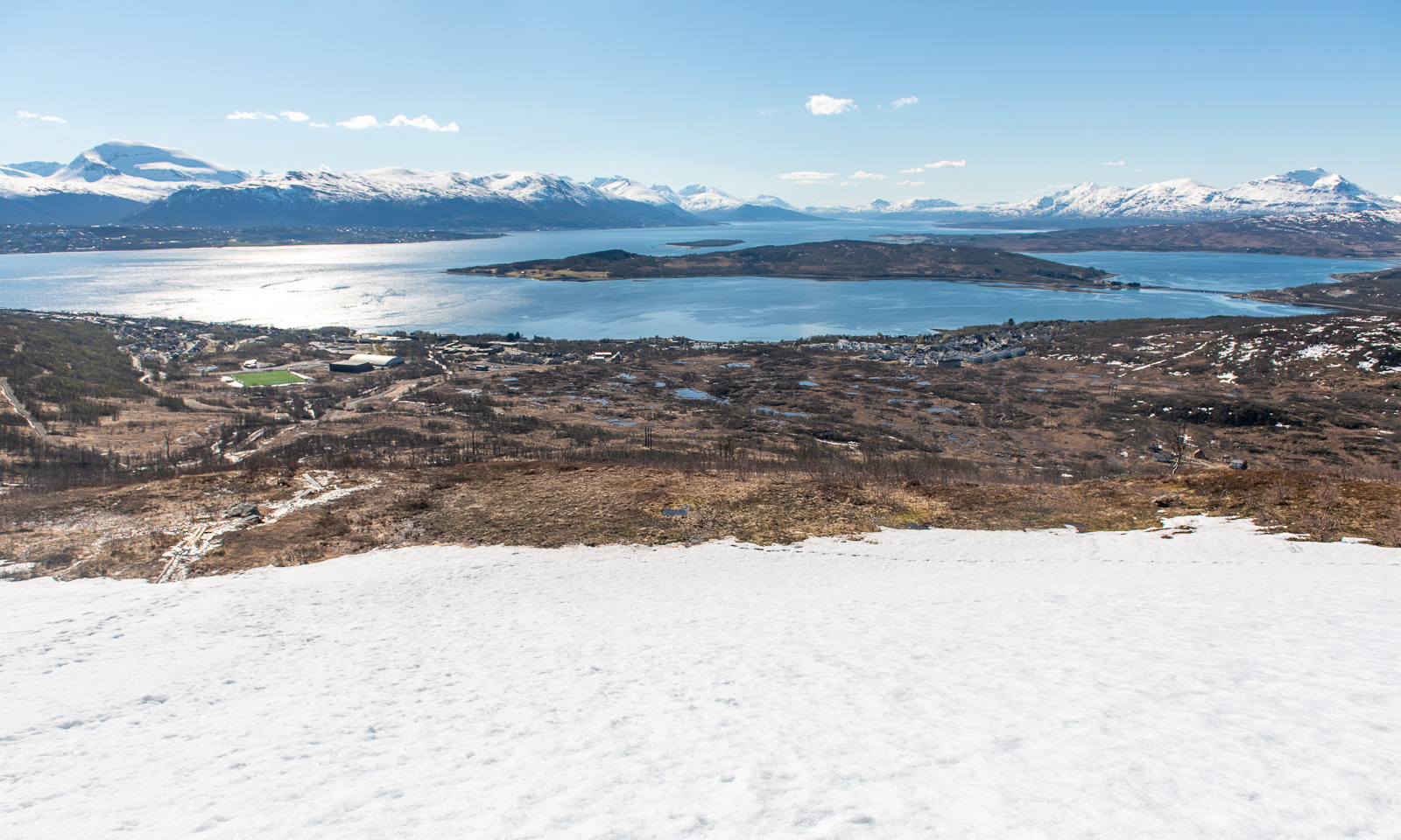
The further up I go, the more the terrain is covered in snow. The barren sections show, how popular this hike is: the track is several metres wide.
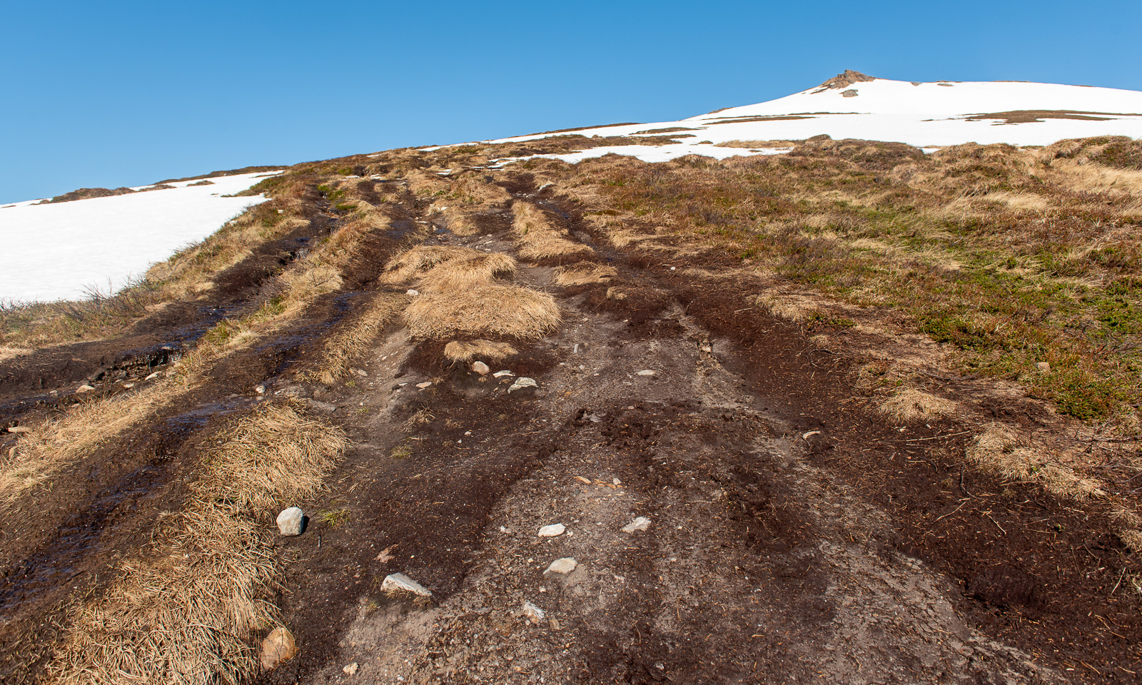
Now I am above the timber line and snow dominates the scene. Mostly it is good to walk on and I do not sink in too much, but there are some nasty holes, especially above the mountain brooks, where you can easily break through up to your thighs. I’m on a gentle slope, angled at 10–15°.
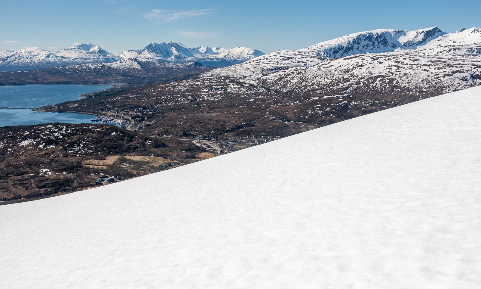
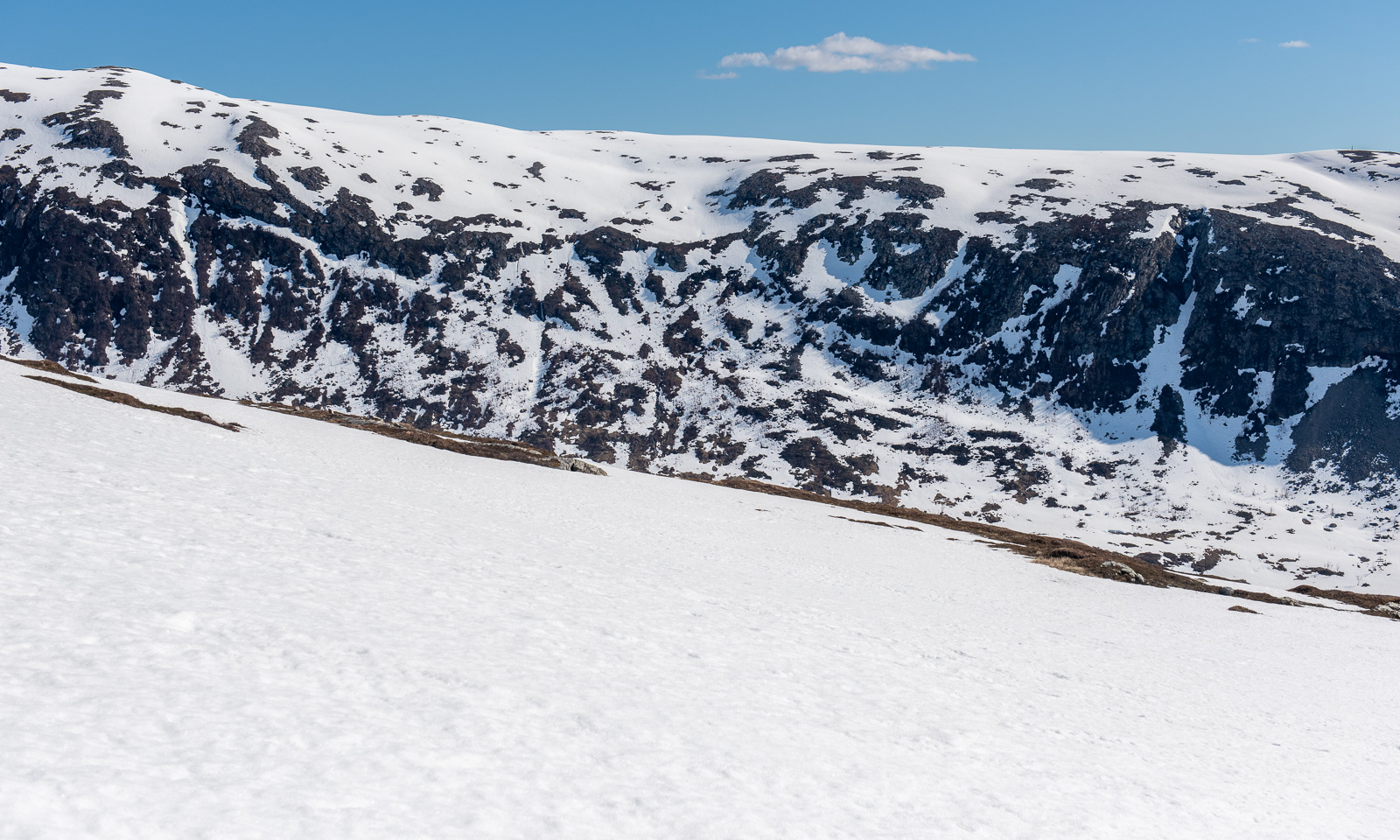
I reach the saddle below the peak. In summer the path gets steeper and rockier, now all I can see is the peak and snow. The snowy slope is pretty steep.
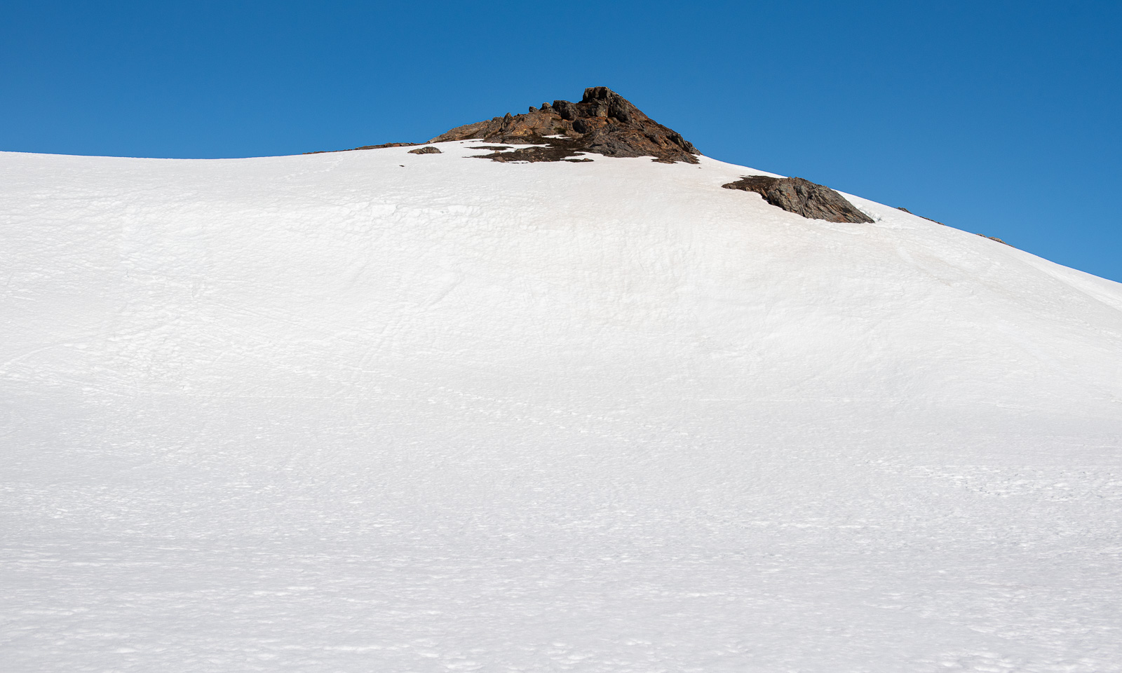
I wasn’t the first one today. I met an elderly man who was already on the way down. Perhaps it’s his footsteps that I follow now on the way up. At the steeper part I use my hands as well. Then I reach the top plateau, cross another snow field and stand on the surprisingly unimpressive peak.
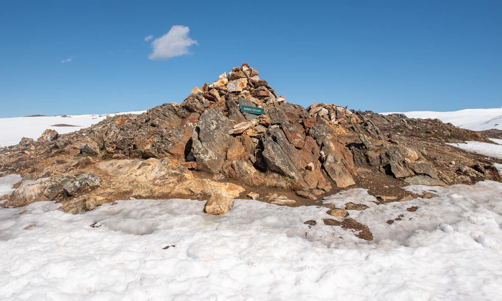
The impressive part are the views, especially to the west and the north.
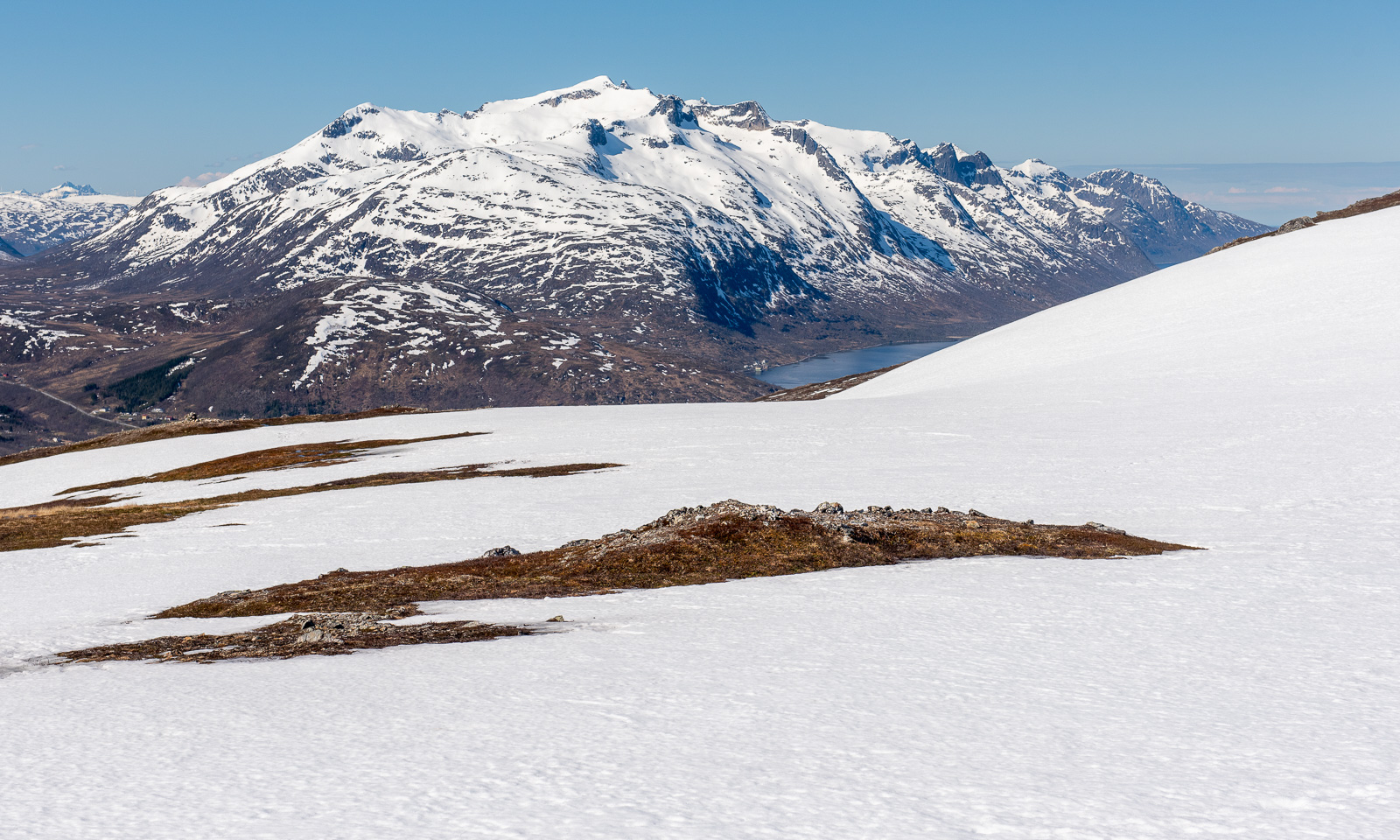
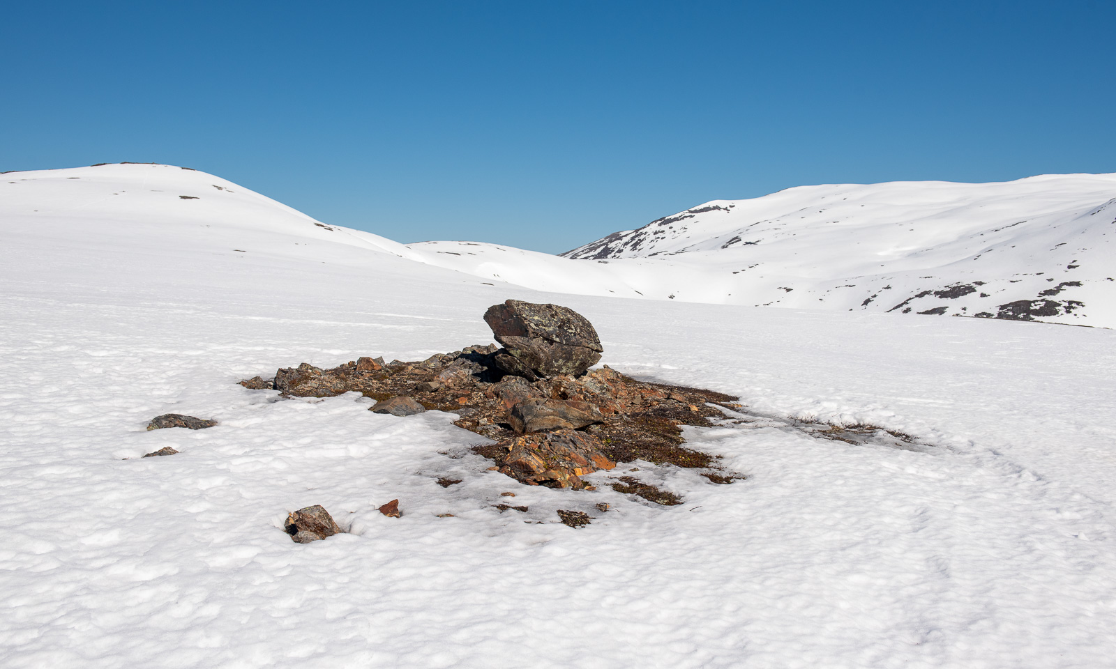
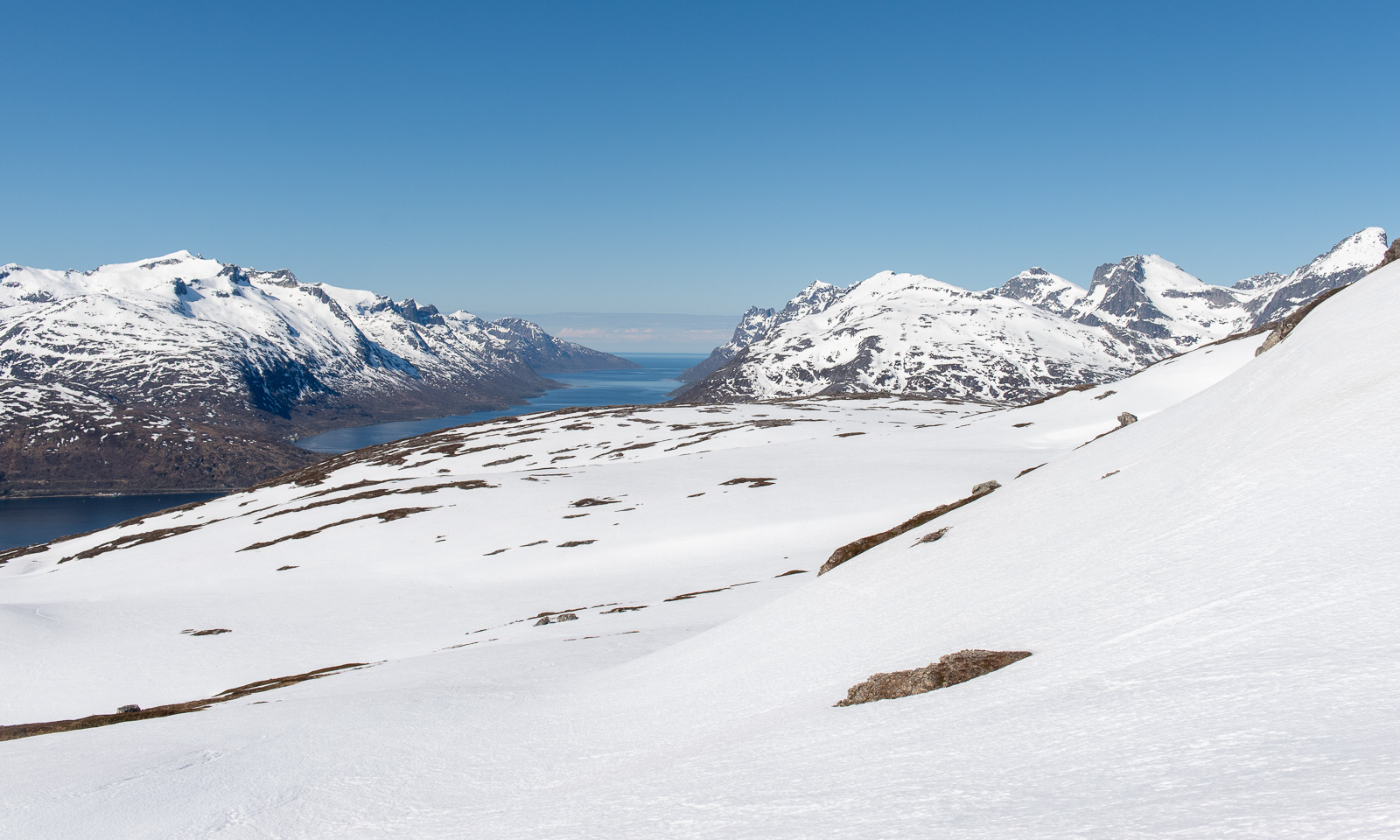
At the tall cairn from where I can see Kaldfjorden meet the open sea is my turning point today. If I had skis or at least snowshoes I would continue. Without then, it’s time to return.
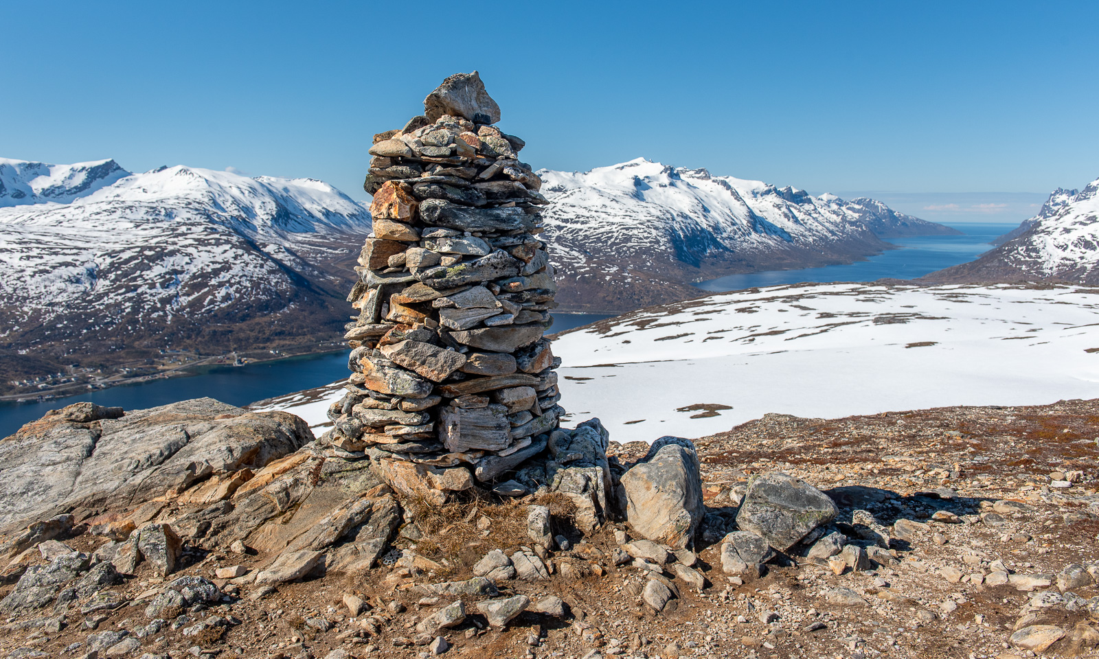
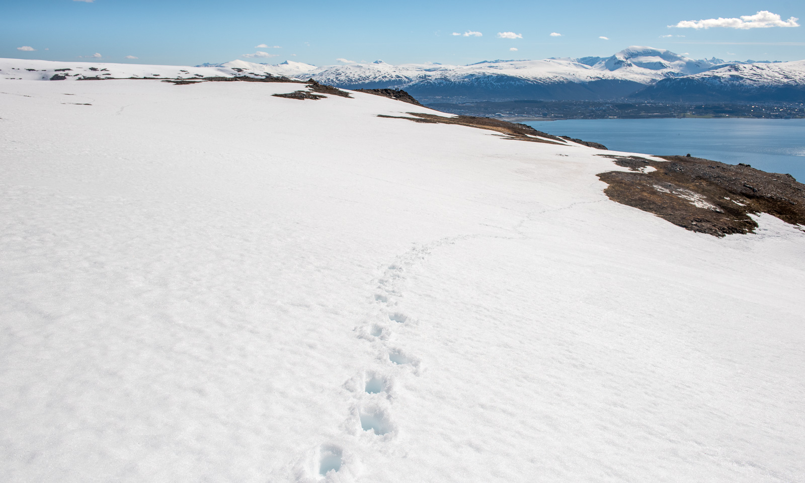
This hill walk was 7.2 km long. Elevation gain and loss: about 500 metres.
The weather is still sunny while I am editing the photos. In one of the photos I can see a small figure – the man who passed me on my way up. On his left side he has something blueish. I magnify the photo to 400%. It’s a pair of blue snowshoes strapped to his small backpack.
You want spring? Go to the left.


You want winter? Go to the right.


This may be exaggerated a bit, but in the spring winter season you really can have both. Spring feelings by the shore and winter as soon you leave shore and gain a bit of altitude. Yesterday I took the first two photos near Tromsø airport, The other two photos I took today, when Annika and I were skiing with a friend in the valley Tønsvikdalen.
Yesterday morning, when I woke up I first checked the thermometer in the kitchen. It showed -27 °C.
I was in Jokkmokk to visit my friend Sascha and the Jokkmokk winter market. Would my car start when it’s that cold? After a coffee Sascha, his dog Roxy, and I went to the huge car park behind the railway line where my Suzuki had been parked the last two days. To my relief it started without any issues and even scraping ice off the car didn’t take as long as expected.
Farewell my friends – off I go.
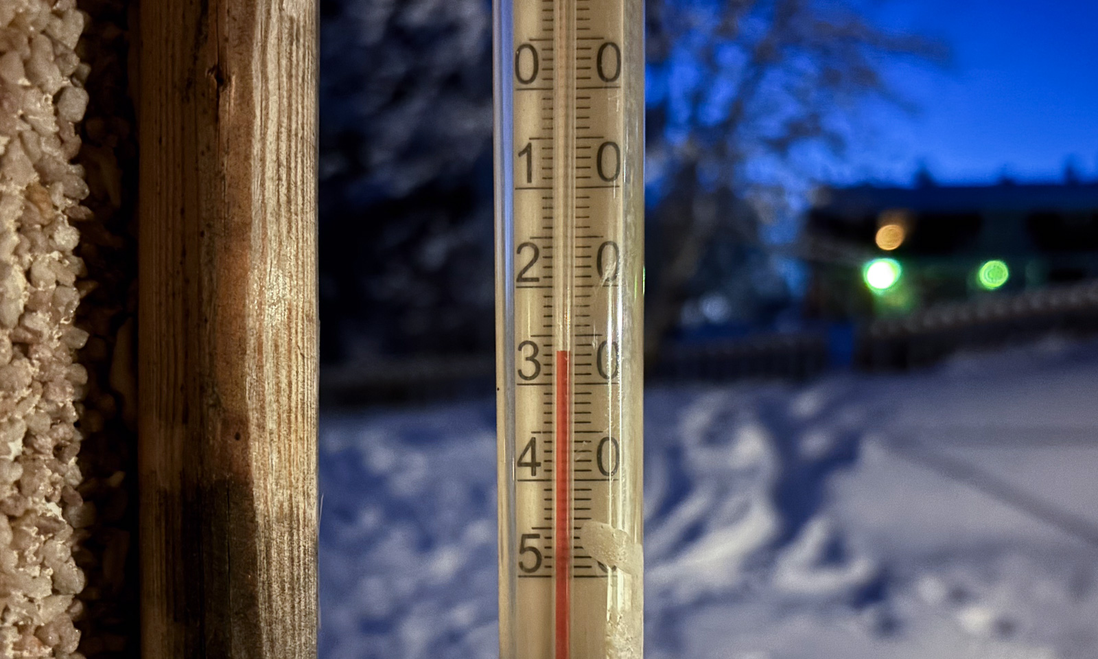
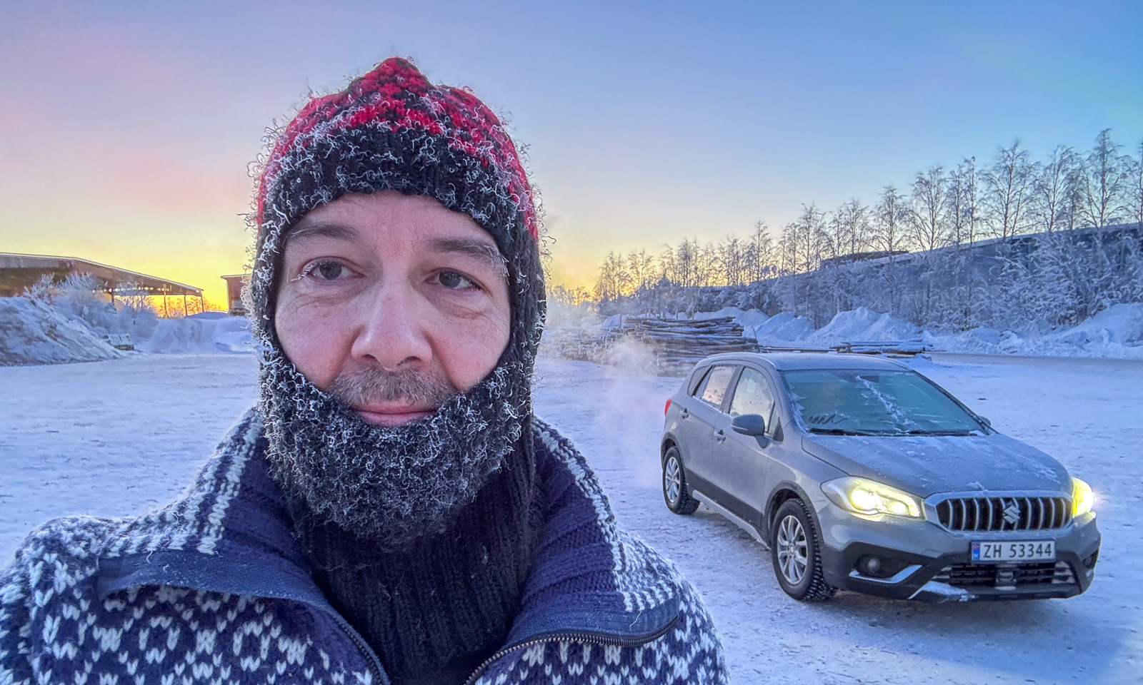
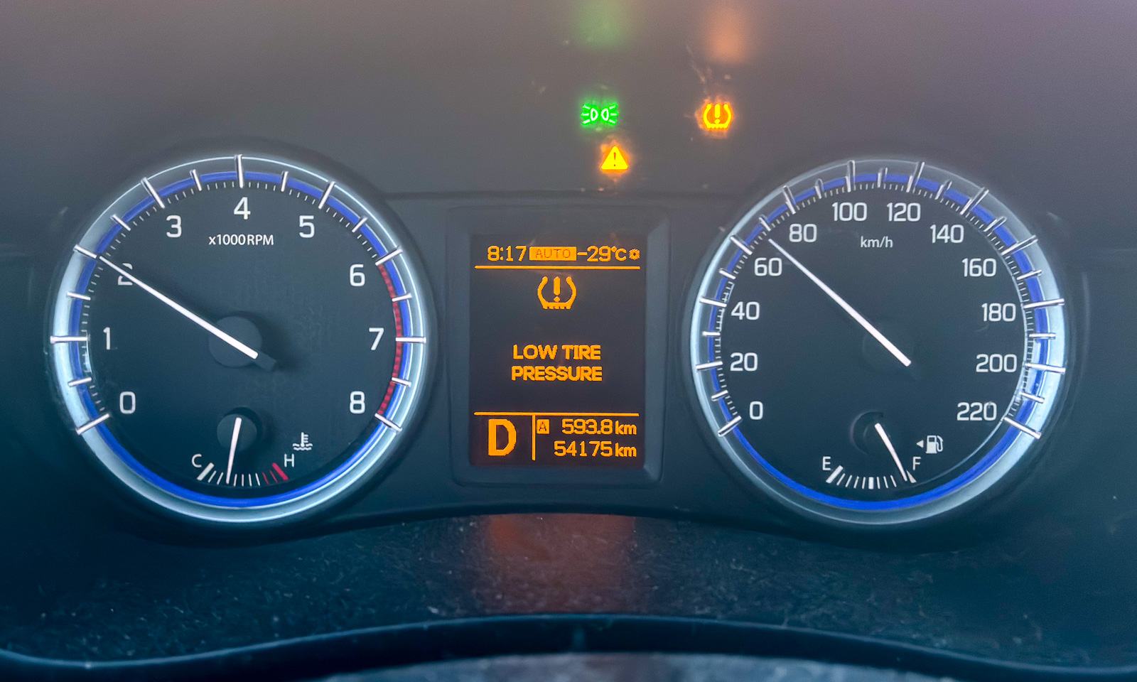
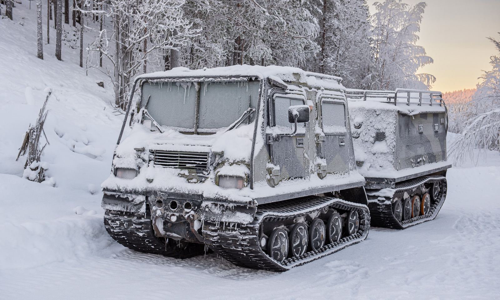
The day was exceptionally beautiful and cold. The car thermometer went down to -29 °C and then stayed around -25 °C for the next hour. Should I switch to the Hägglunds that was parked beside the E45? Probably not the best idea with a distance of around 400 km ahead.
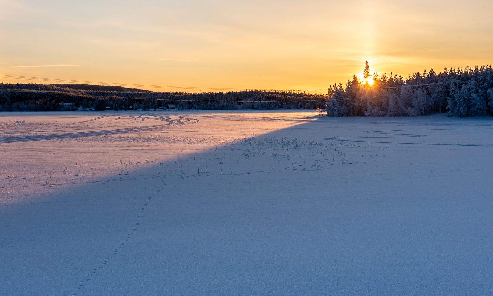
At half past eight, the sun rose. I parked my car and walked to a frozen lake nearby to take some photos. Was that where I froze my nose? It still itches a bit today.
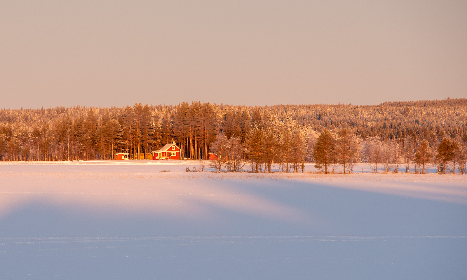
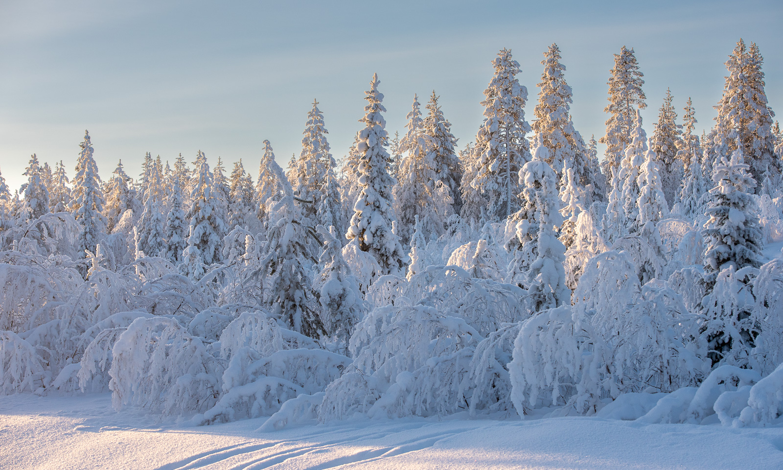
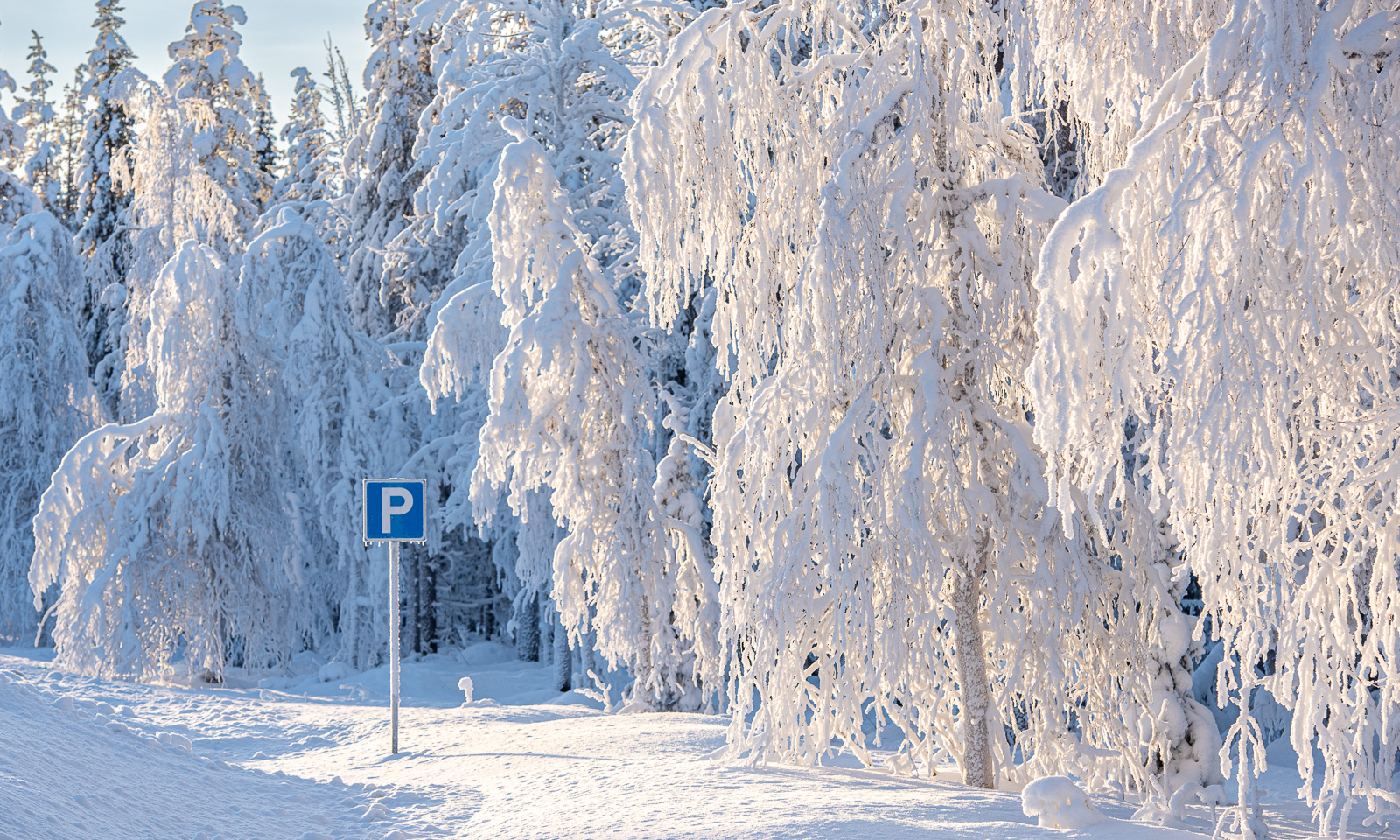
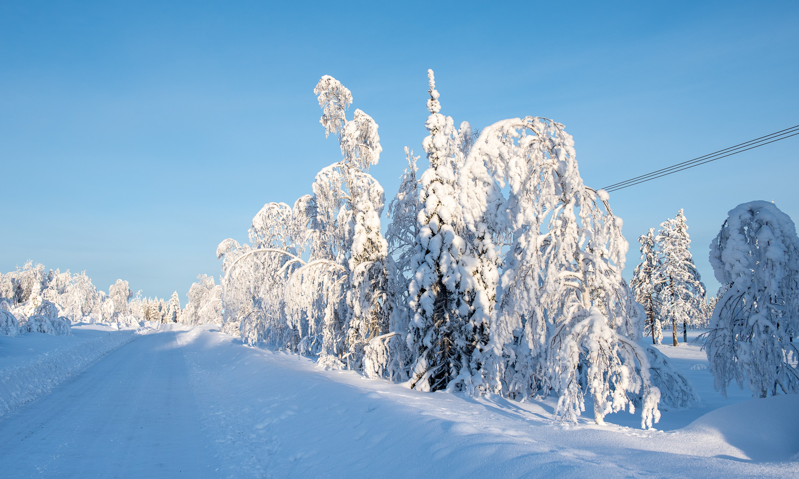
Because of the cold weather in the last weeks the frost and snow on the trees has not melted and often I pulled into a lay-by to take more pictures. The small side roads were white with snow and looked absurdly beautiful.
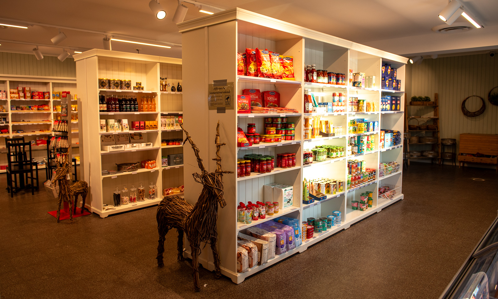
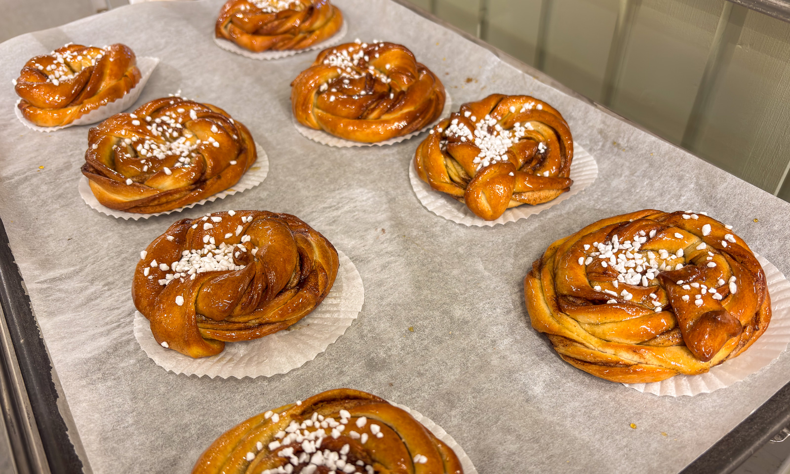
I started to get hungry and stopped at the small shop in Kåbdalis, where I bought a kanelbulle that was still hot from the oven.
I continued my trip south and crossed the river Piteälven, which was mostly open. And so was the river Skellefteälven, which I crossed three hours later.
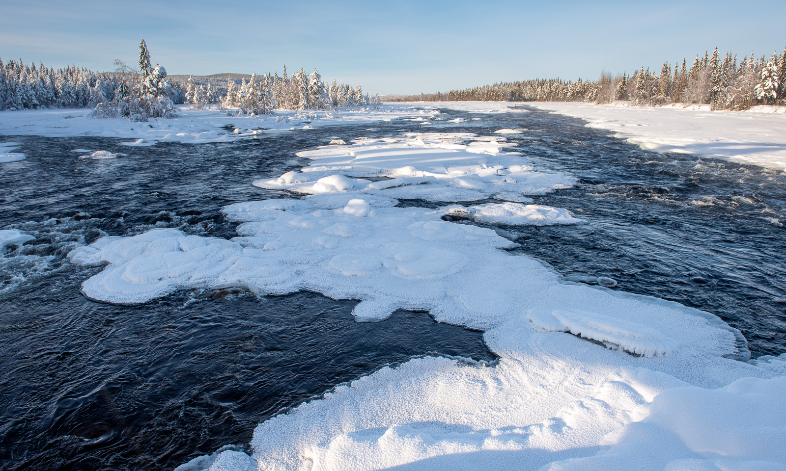
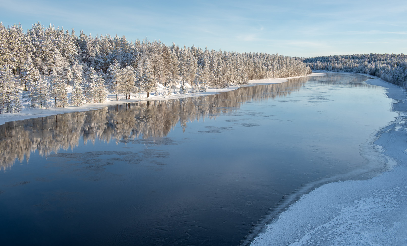
The sun sank lower and lower. When I arrived in Obbola at five in the afternoon it has become dark.
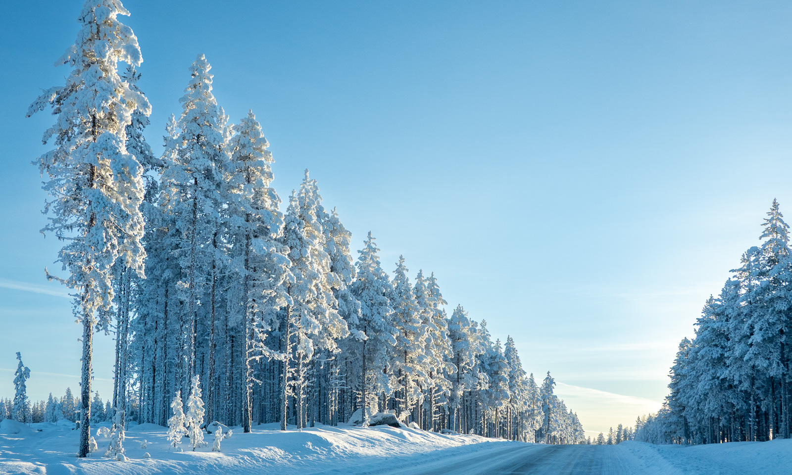
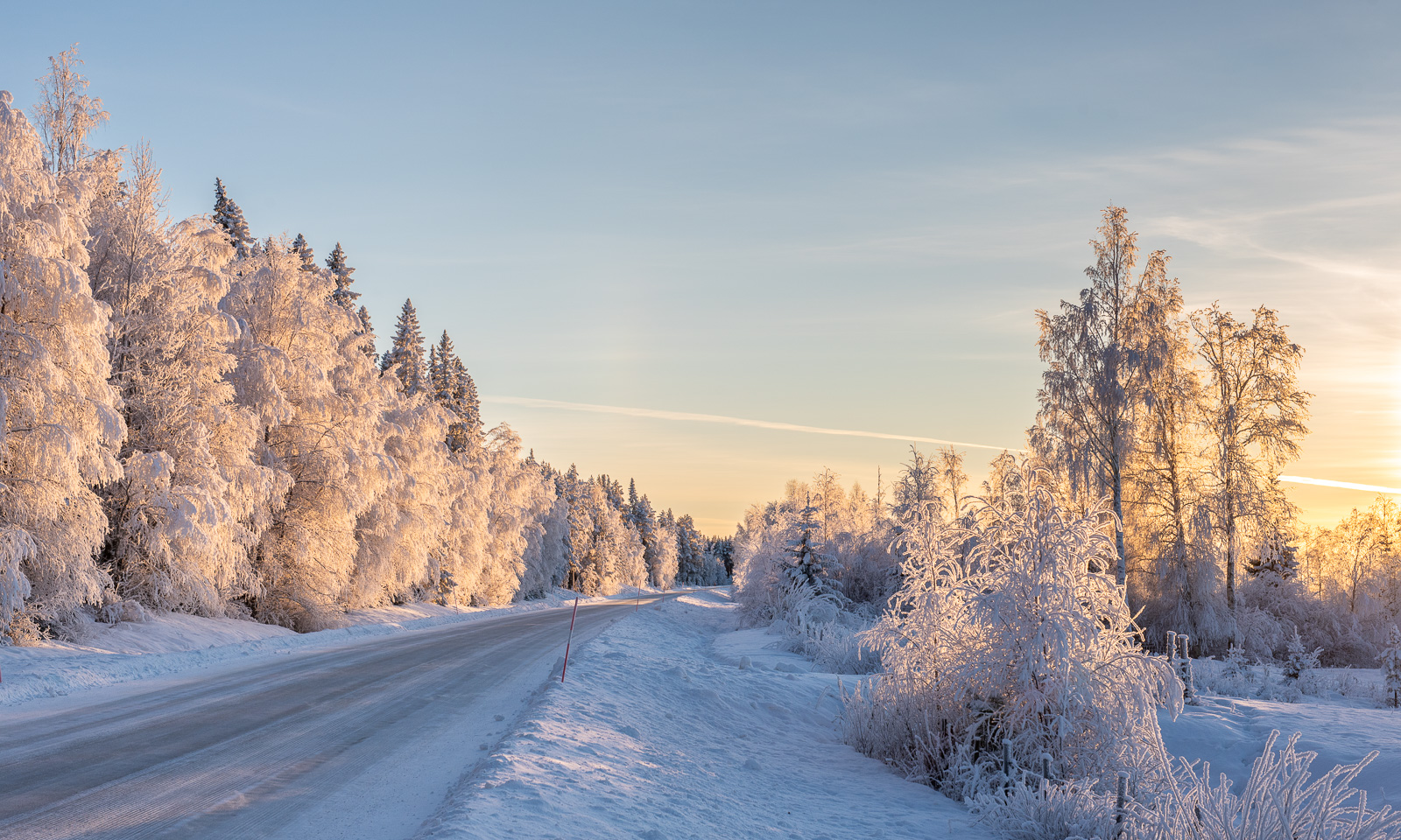
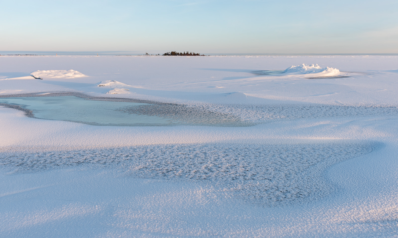
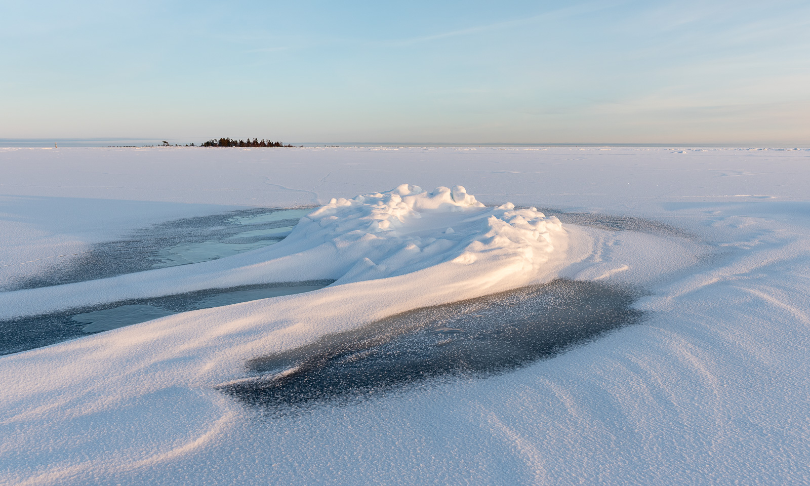
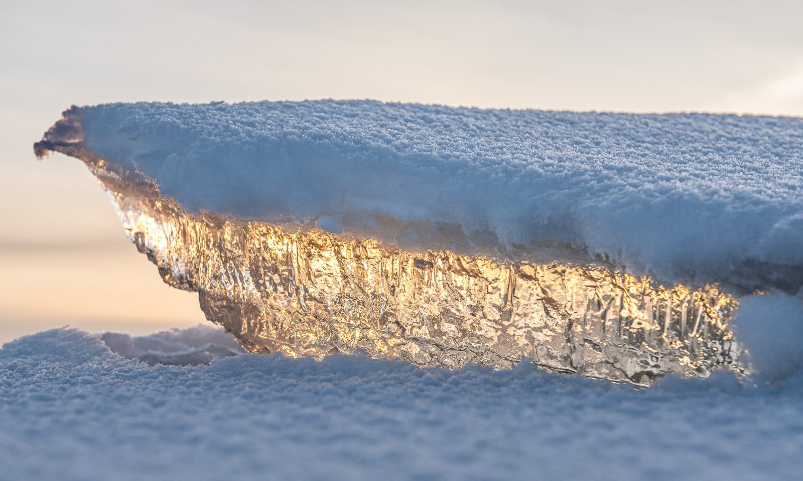
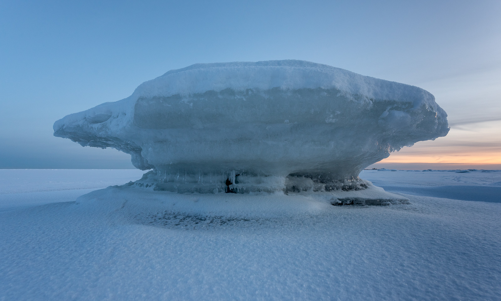
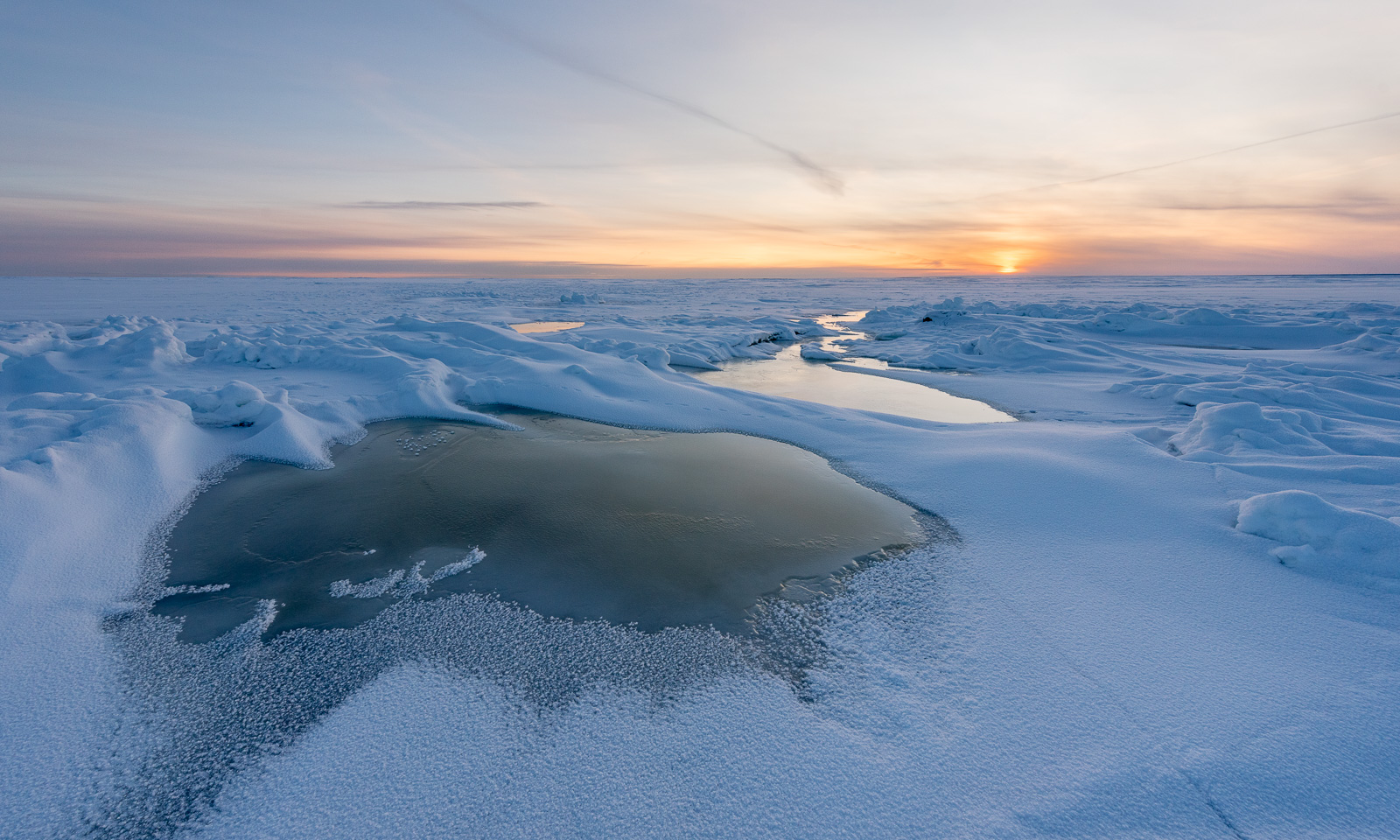
Today in Obbola the winter looked very different from the forest-dominated inland. The Baltic Sea has frozen due to the cold winter temperatures and if the icebreakers would not keep open channels for commercial seafaring you could walk the 45 km to Finland. I was on the ice as well, but only for a walk along the coast. I like the snowy forest, but I adore the sea ice!
It’s not the first time that Annika and I have visited the mountain cabin Trollvassbu. This time our friend Christine joined us on this ski trip.
At 10 o’clock we set of, Christine and Annika with backpacks and I with my camera backpack and pulka. And since there is a lot of space in a pulka – for example for all our sleeping bags – we could bring lots food with us for the evening and next day’s breakfast.
Navigating there has never been easier. Since it hasn’t snowed for twelve days the backcountry ski trail was not snow-covered and was very easy to follow. I have taken pictures of all the mountains already last year, but that’s no reason not to take more:


And there lies the mountain cabin Trollvassbu.

At first it was pretty crowded inside, but many were just on a day trip and didn’t stay overnight. Nowadays the head torches are so bright, that skiers can leave in the afternoon as well after it had become dark.

Like many mountain cabins, you heat Trollvassbu with a wood-burning stove and fetch water from the river nearby. It seems to be open all winter.


While I was taking long-exposure shots of the river, Christine was preparing a luxury dinner: reinskav with Spätzle. Reinskav is shaved reindeer meat and Spätzle traditional egg pasta from Swabia in the southwest of Germany. Thanks for cooking, Christine – so delicious!


In the evening it got warmer, and during the night the wind strengthened and turned very gusty. The next day showed that Yr, the Norwegian weather forecast, had been correct: it really had started raining.

After a long breakfast we got ready to leave Trollvassbu and ski back to the car park. This time the landscape looked colourless in the rain and the photos came out nearly black-and-white.


To our relief the wet snow did not slow us down and soon we arrived at the car park apparently guarded by this snowman with the top hat.

Now came the most dangerous part of our ski tour: crossing the car park that has transformed into a huge area of wet ice, which was almost frictionless. But no one slipped and fell, and we packed the car with all our wet stuff and left.

The weather on our way back could have been much better (and much worse), but it was fun to be out together. Shall we do it again later this winter?

This article is part of the series “2025-10: Northern Scotland”.
According to the weather forecast it will be pretty rainy in Northern Scotland the whole day. So, today we may interrupt our road trip less often than the other days. We will drive to AppleCross, where we’ve got a room in the Hartfield House Hostel & The Bunkhouse. If we arrive early, we may get a nap in the afternoon, which sounds tempting given the weather. We have breakfast in the hotel and take it easy. When we leave, it is half past ten. It is raining.
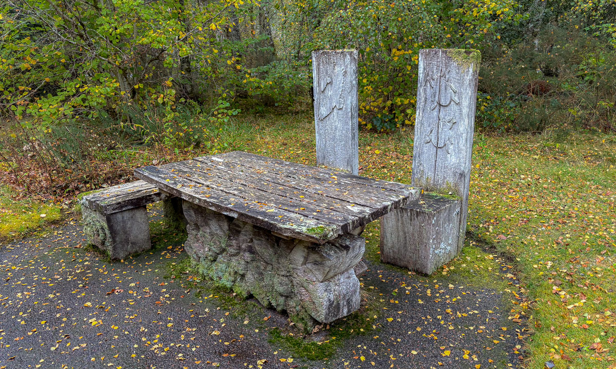
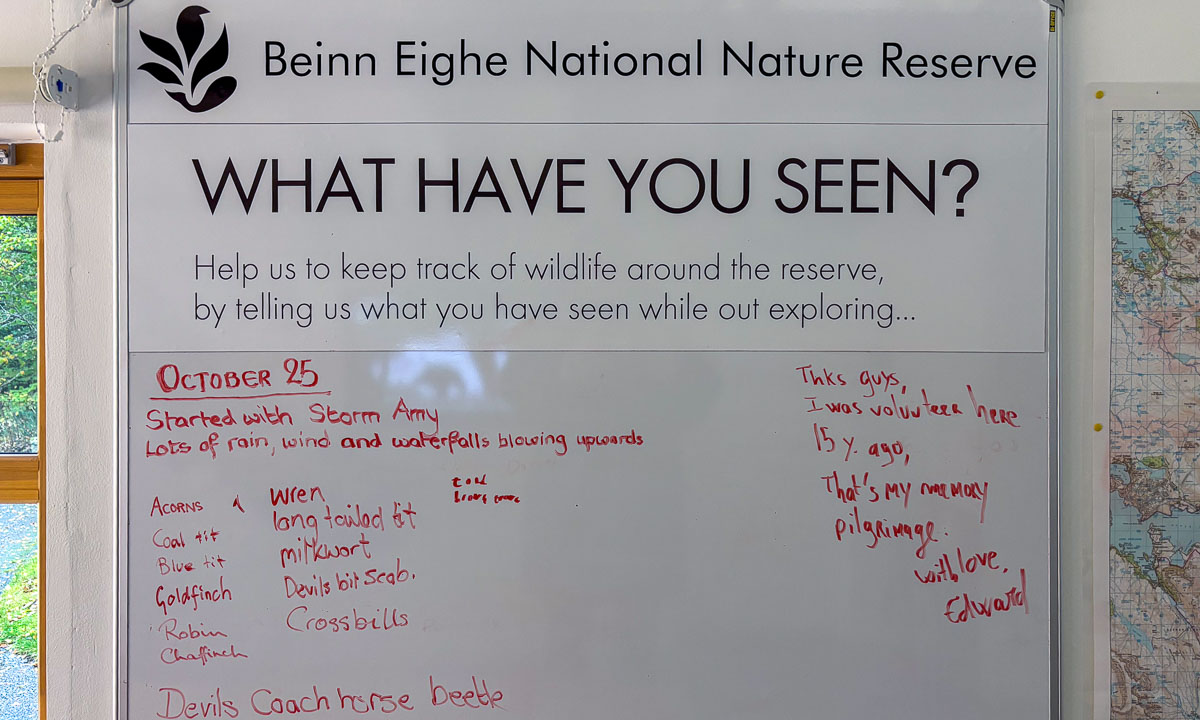
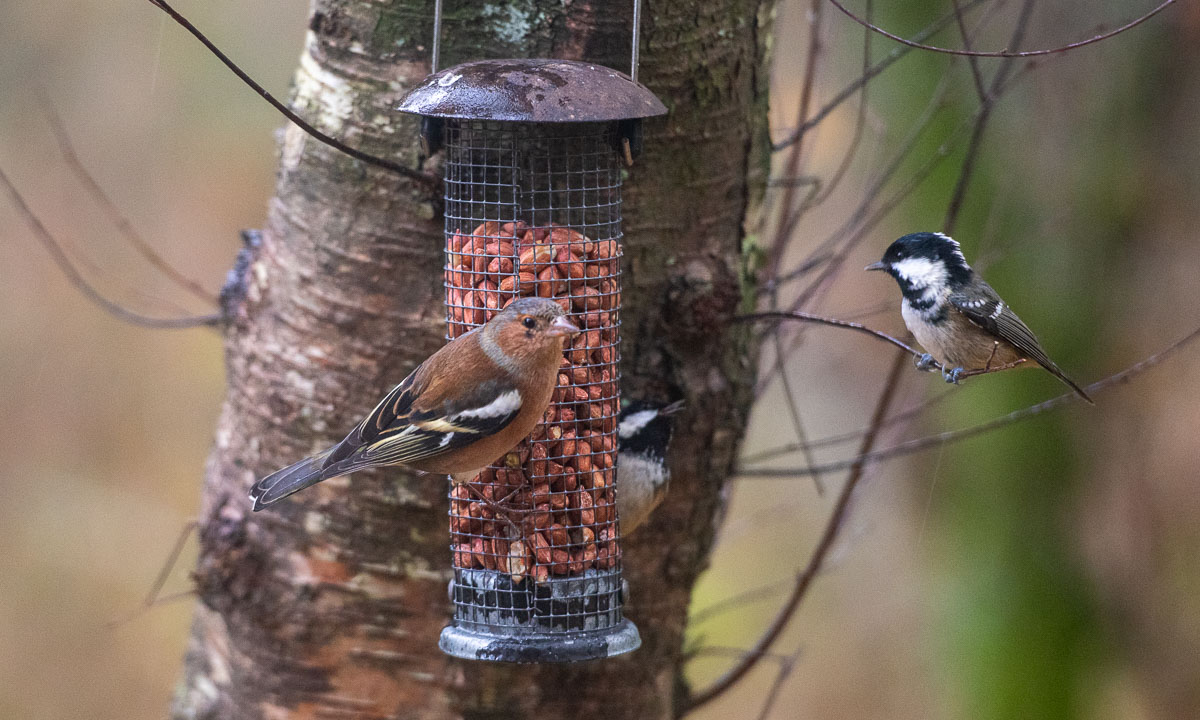
We make a stop at the visitor centre of the Beinn Eighe National Nature Reserve. There’s a small museum and a cabin, from where you can spot birds. There are also lovely spots outdoors, but – it is raining.
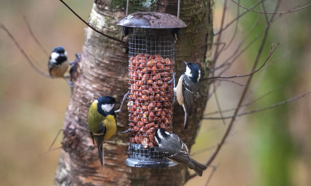
Next stop: The lake Loch Clair, where I go for a short walk. I put on rubber boots, waterproof trousers and a rain anorak, because – it is raining. Annika prefers to stay inside the car to read. A smart choice, because the trail is just a rather dull gravel road and – did I mention it? – it is raining.
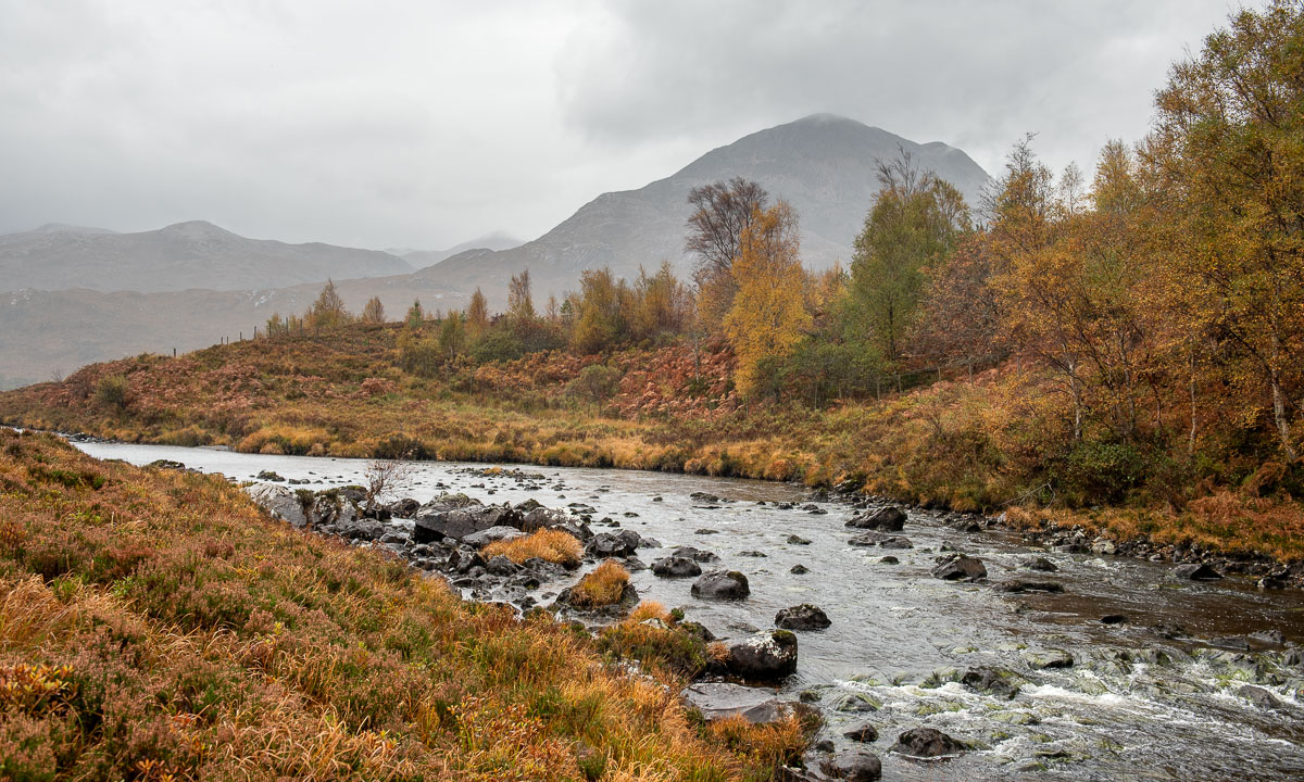
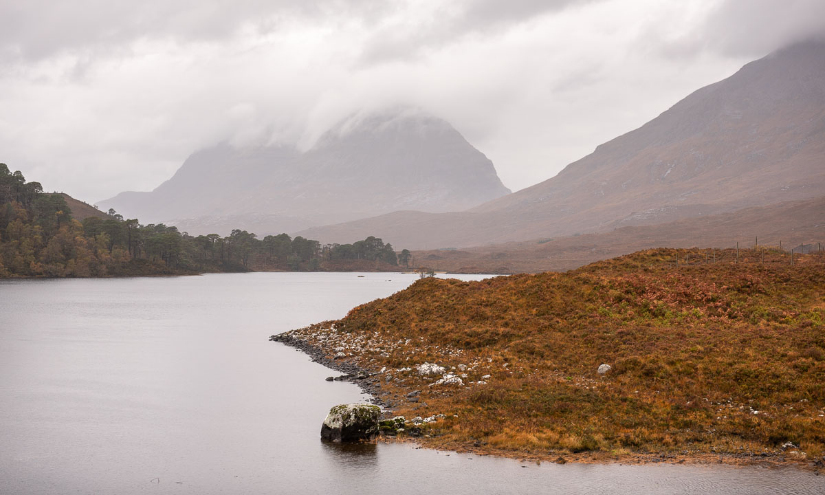
No noteworthy stops after that. We arrive at the bunkhouse at three o’clock. Beside the house there is a fenced in pasture with Scottish highland cattle. They look pretty soaked, but I guess, they are used to this kind of weather.
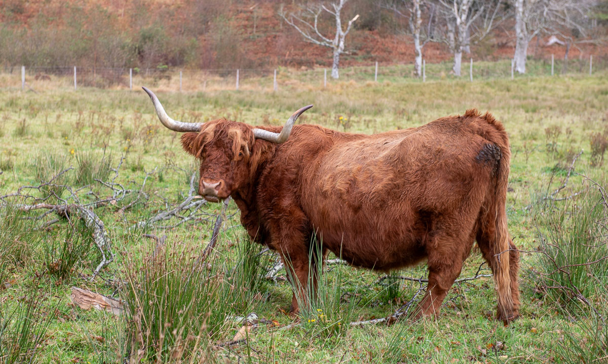
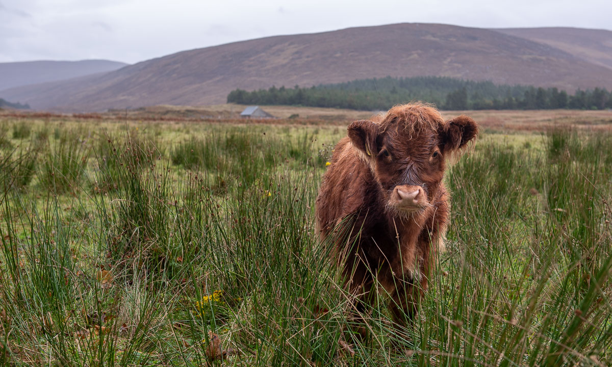
After an afternoon-nap (we got one!) we take a small car trip southwards. On the photos it looks like the weather has finally brightened up a bit.
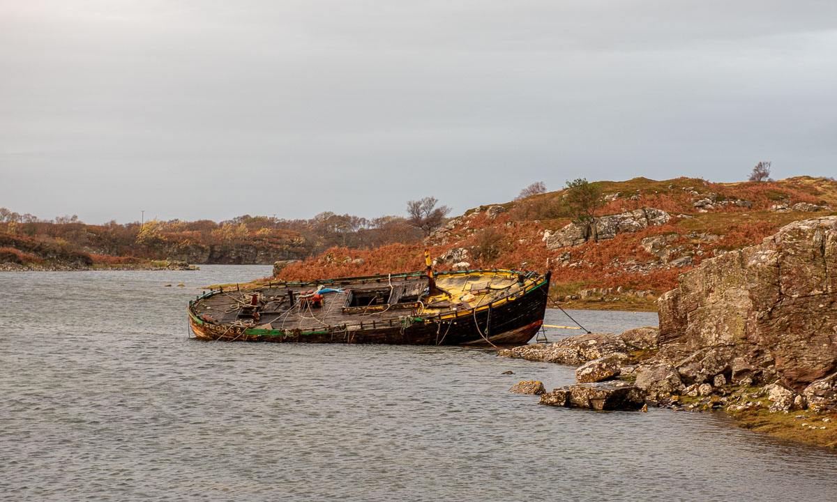
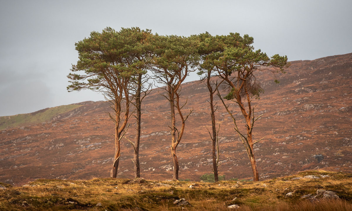
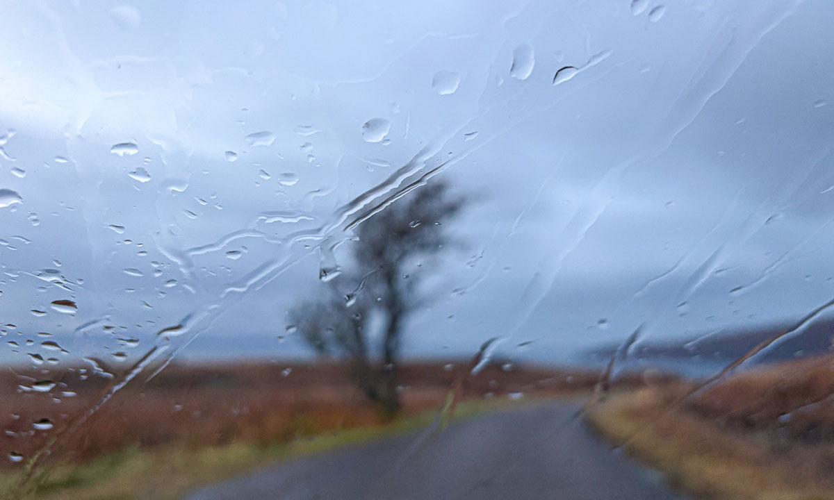
But if you see a photo taken from inside the car you realise – it is raining.
One of the last photos I take today is of the seafront of Applecross.
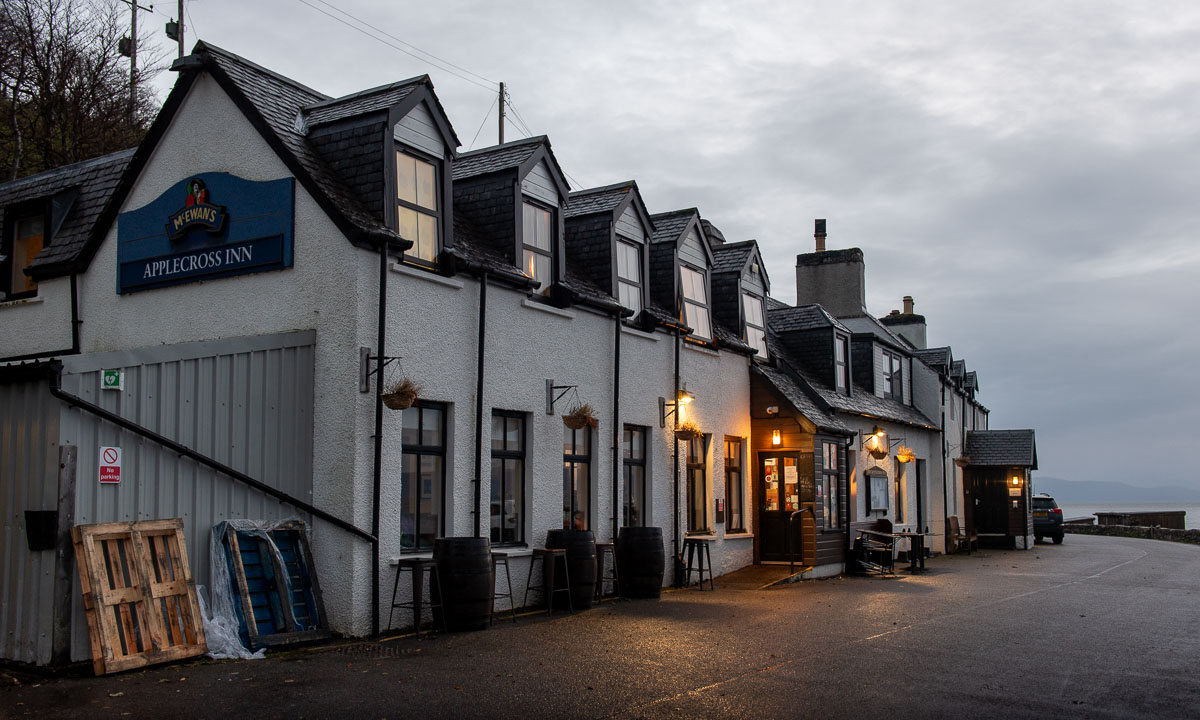
As Google has already told us, the pub is closed. So we head back to the bunkhouse and have our dinner there.
This article is part of the series “2025-10: Northern Scotland”.
My wife Annika and I have left Lairg where we stayed overnight and head west on the A837 through hilly farmland. Some places are covered with patches of dense fog which give even the more common views a magical touch.
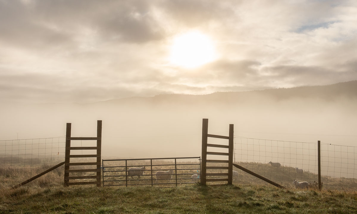
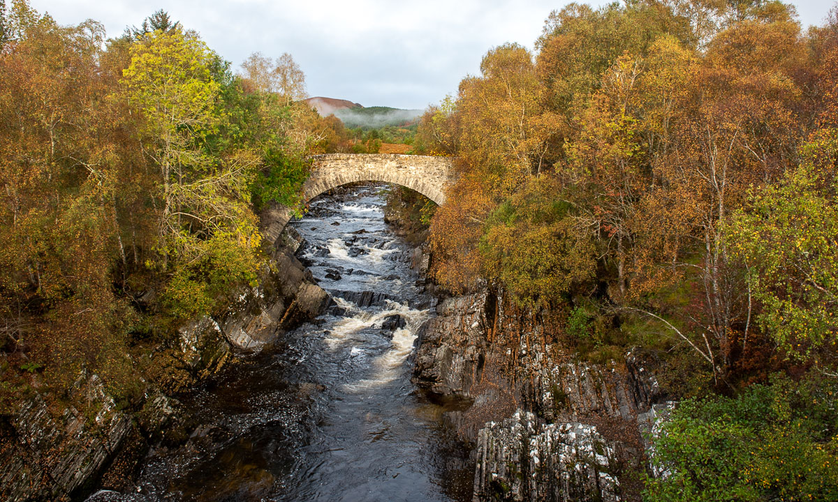
We cross the River Oykel. North of the A837 another bridge spans the small river. These stone arch bridges are quite common, but here we can park so that we can take photos. We even get a bit of sun.
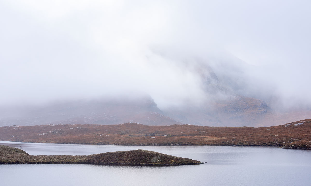
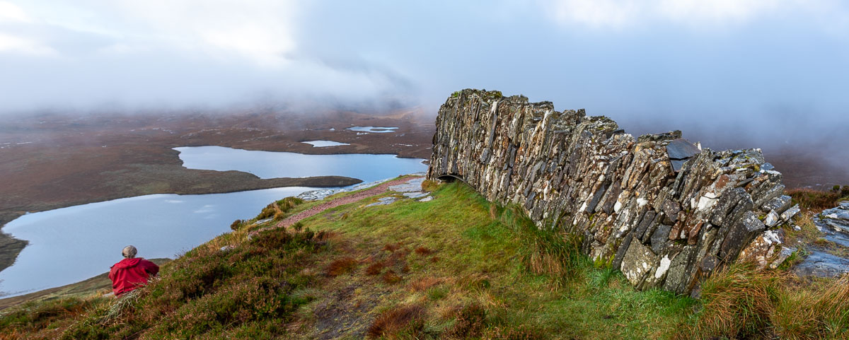
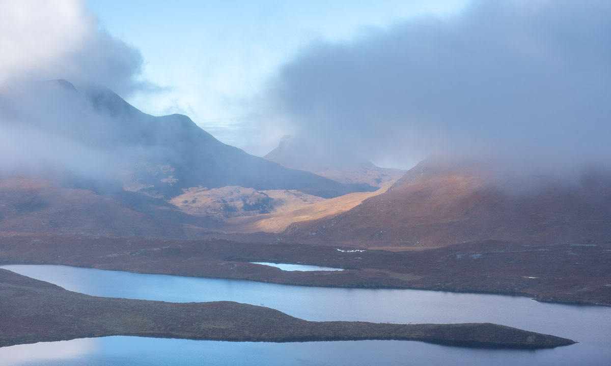
Half an hour later we arrive at the Knockan Crag National Nature Reserve. We park the car and have a view of the lake Lochan An Ais and the mountains behind. At least on those parts, that are not covered by fog.
Anyway, we hike the Crag Top Trail, a circular route. It starts drizzling as we follow the path and learn about the geological history of Scotland. Have a look at the seven photos of the stones.
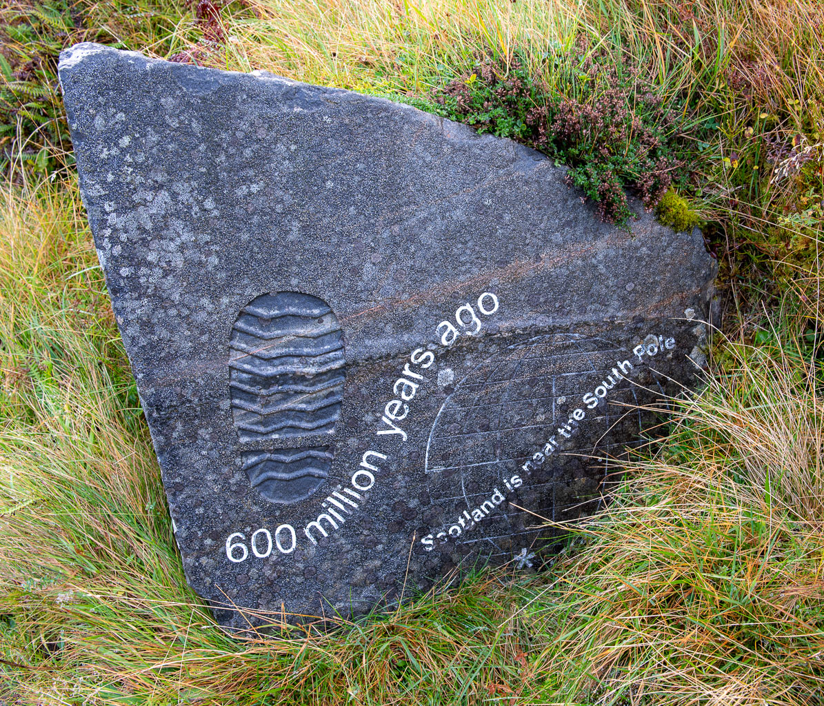
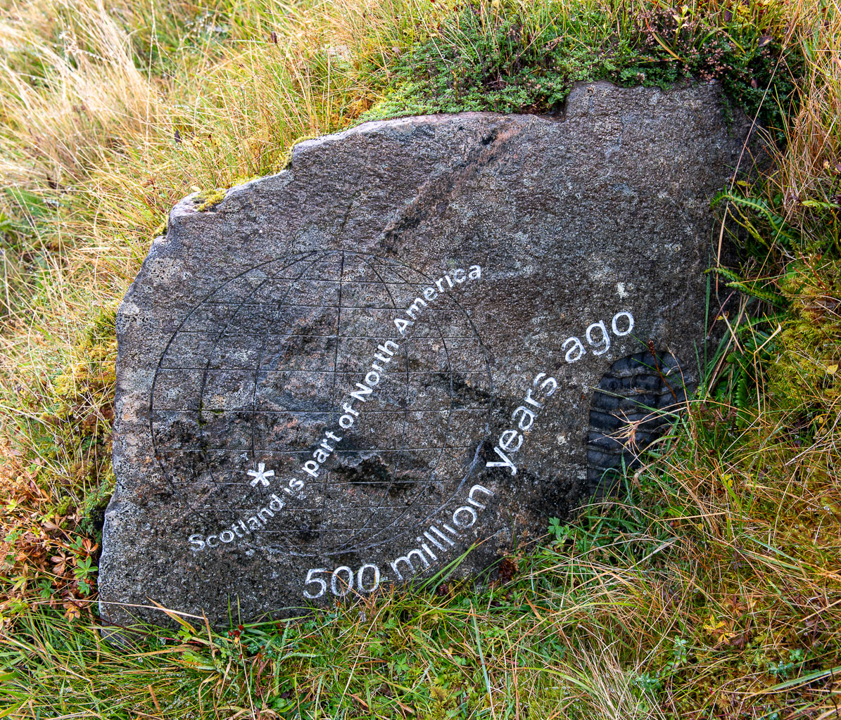
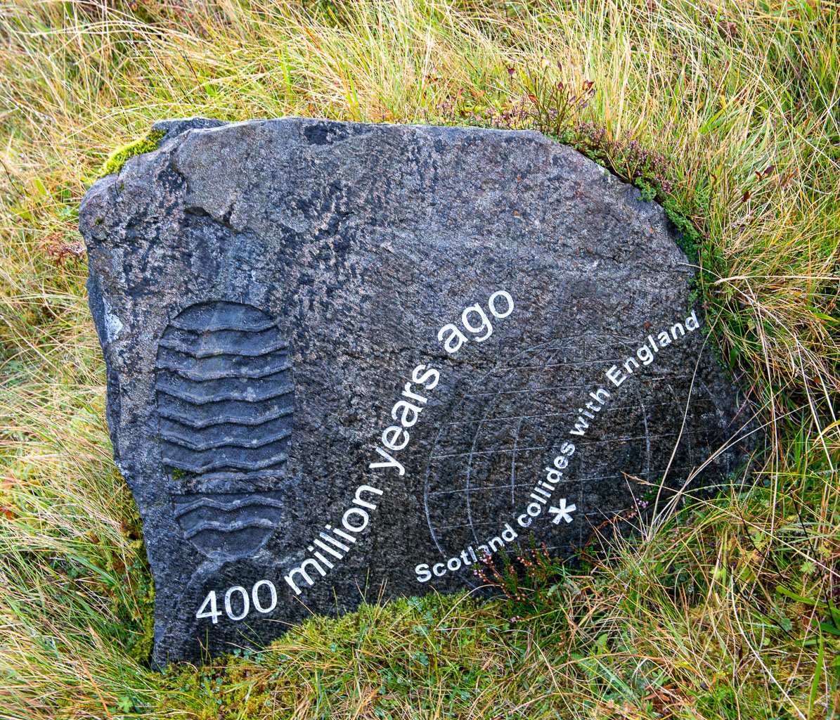
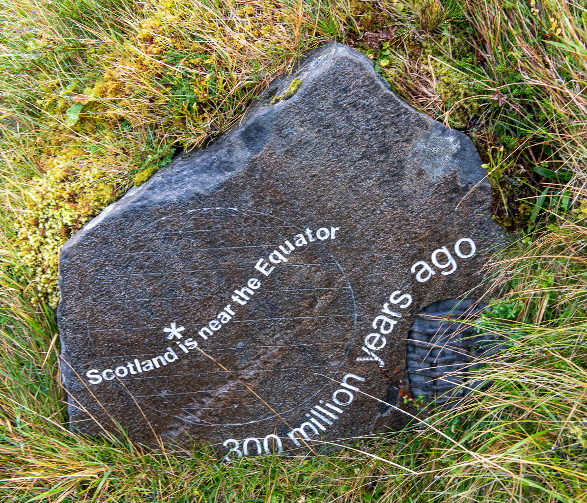
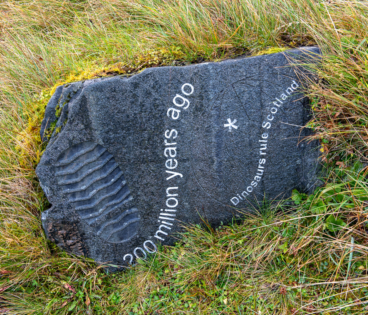

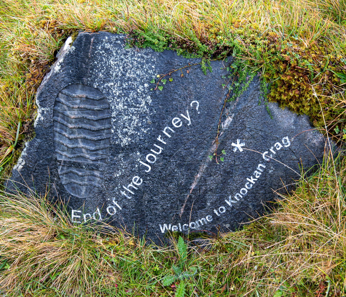
While we continue our hike clouds approach and most of the view vanishes into a white void. But not for long, then lake and mountains are visible again.
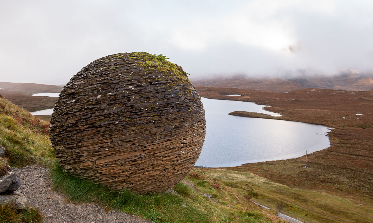
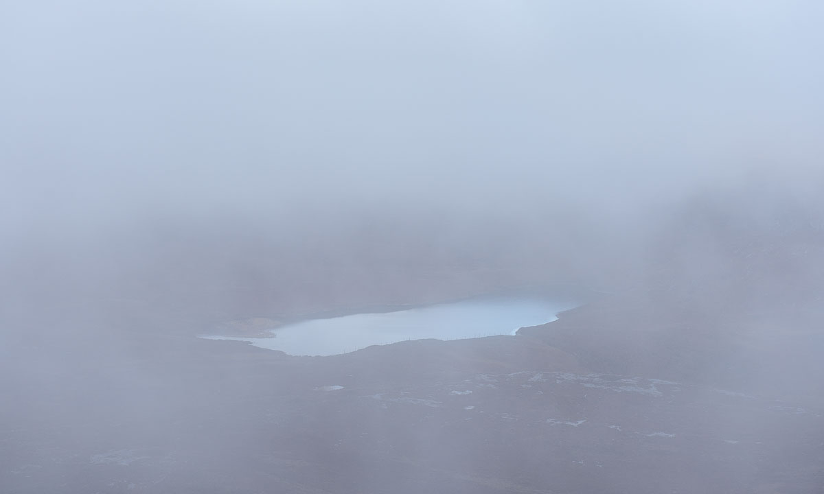
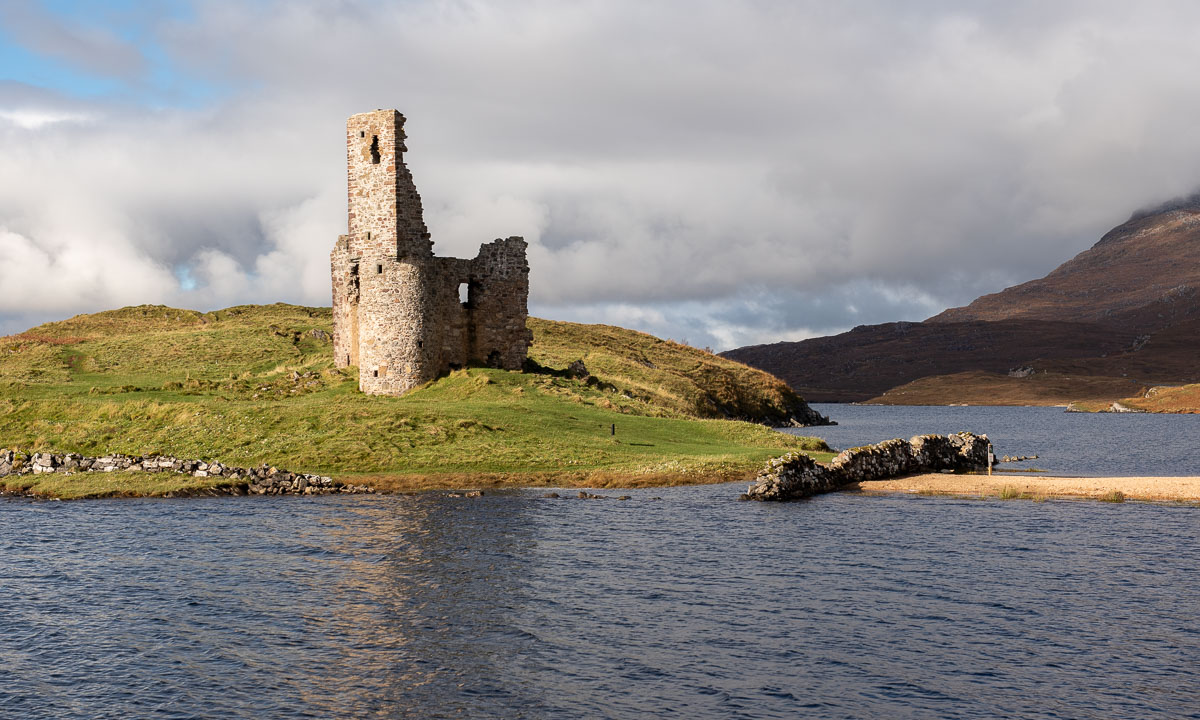
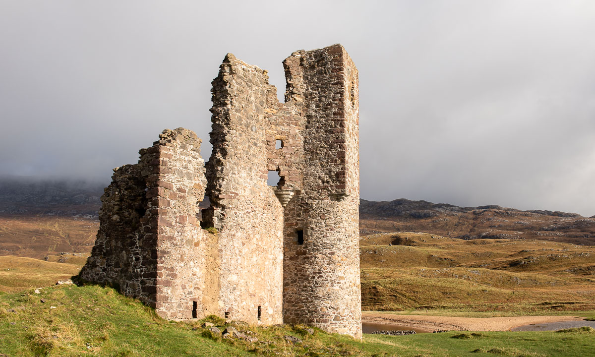
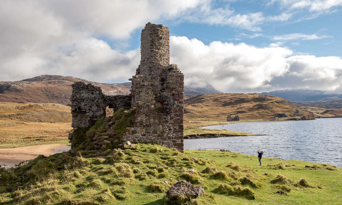
Our next accommodation is in Badrallach in the south. However, we have time and first take the road north to Loch Assynt where Ardvreck Castle is located. We already visited this place three years ago.
As we hoped, the weather forecast was correct and it cleared up more and more. The silhouette of the castle ruins looks as impressive as last time, but now the water level is much lower and you can reach the peninsula with dry feet without wearing high rubber boots.
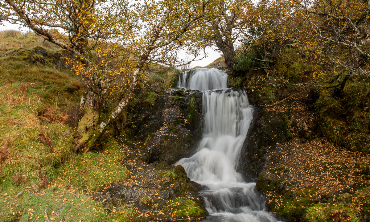
Not far from the castle there is a little waterfall, that is surrounded by birch trees. Now the leaves are bright yellow – one of the reasons why Annika and I love to visit Scotland in autumn.
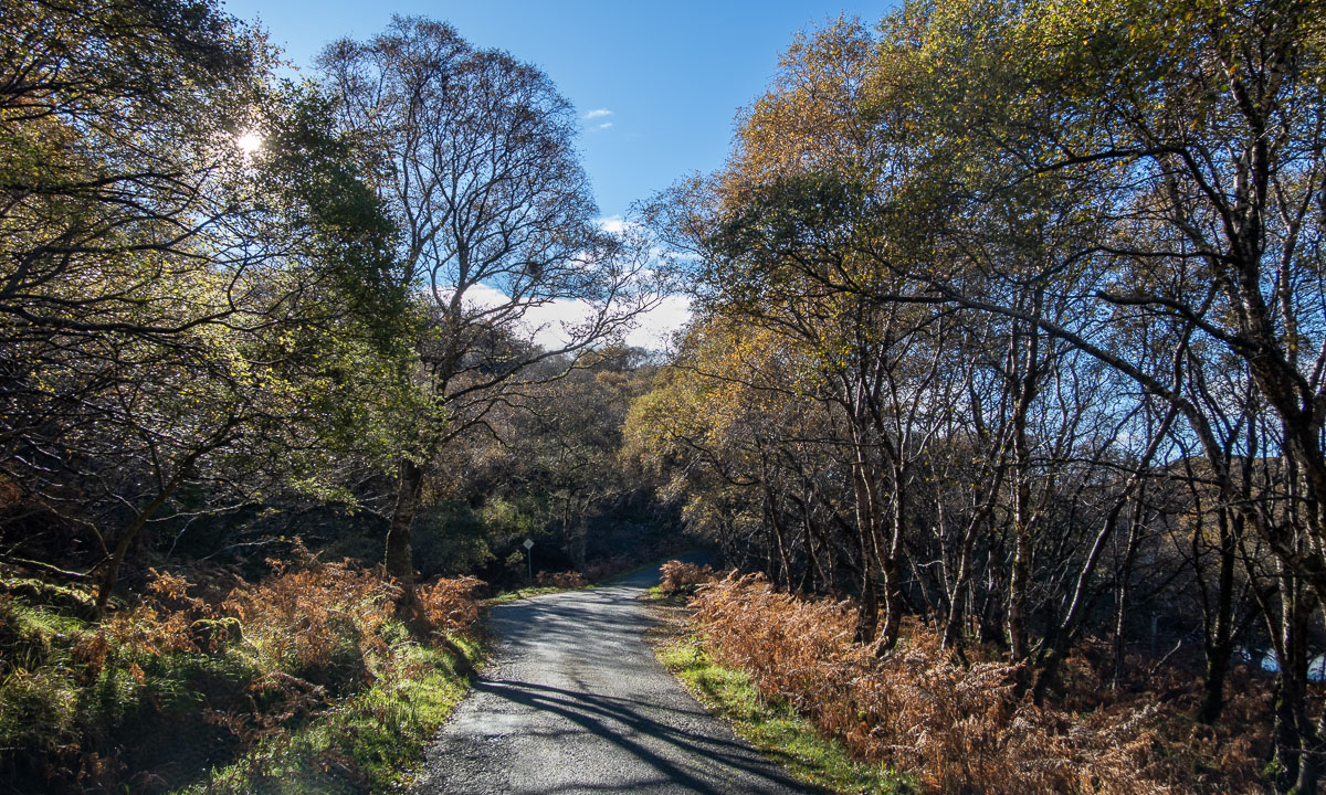
Back in the car we follow the same roads that we already used three years ago. The same A837 to Lochinver by the sea where we take a light lunch in the very same guesthouse we stayed overnight three years ago. The same ridiculously small and bent single track road, that leads us further south to Badnagyle. Perhaps this is my favourite Scottish road (as long as Annika is driving and not me).
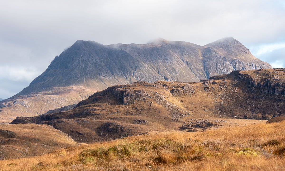
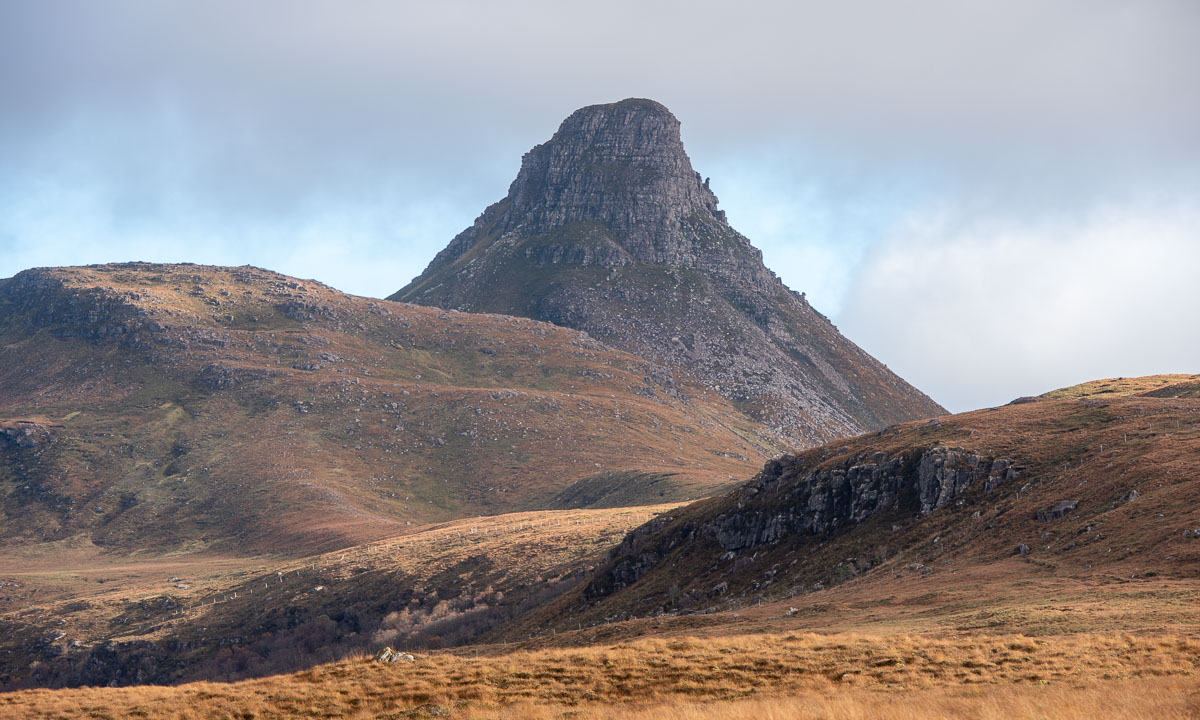
We turn left and reach the highlands again. We pass many mountains, amongst others Stac Pollaidh, that we climbed last time.
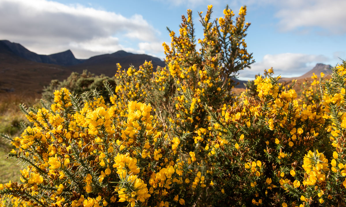
And we finally find a parking place where I can take a photo of a gorse bush, that is still in bloom.
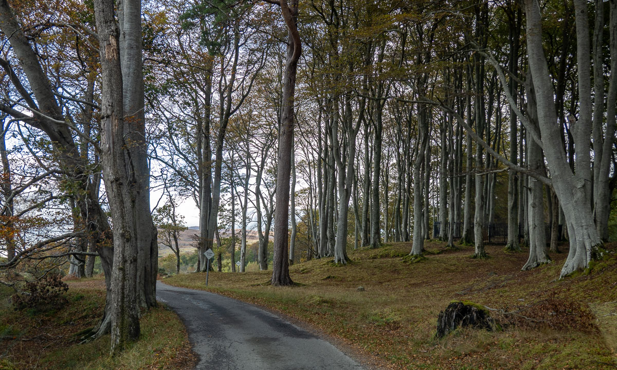
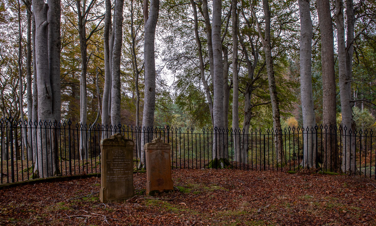
Last time we spent a lot of time in Ullapool, now we do not even stop. (Or did we? I don’t remember.) We have to drive around the Loch Broom, a sea loch that cuts deeply into the land. But finally we can leave the main route and take the small road to Badrallach where we will spend the next night. Left and right there are some of the most beautiful trees I have seen for a long time, but again this road is single-track and it is not possible to stop without blocking it completely. Only once we can leave the car to admire the beech forest and to have a curious look at the two fenced in tombstones.
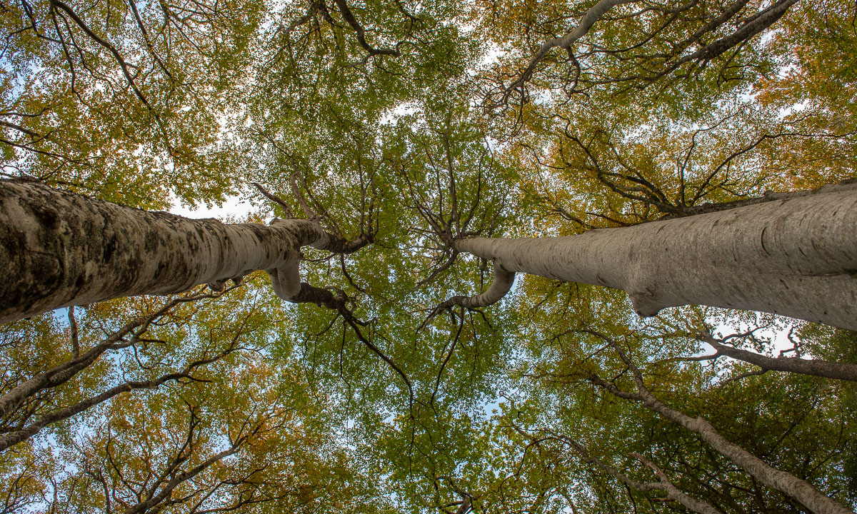
Then Annika and I arrive at our tonight’s accommodation where we get an extraordinarily beautiful room with a Scandinavian wood-burning stove and a large double bed. We take an evening walk to the end of the road and back again. Then we’re winding down the day in our room.
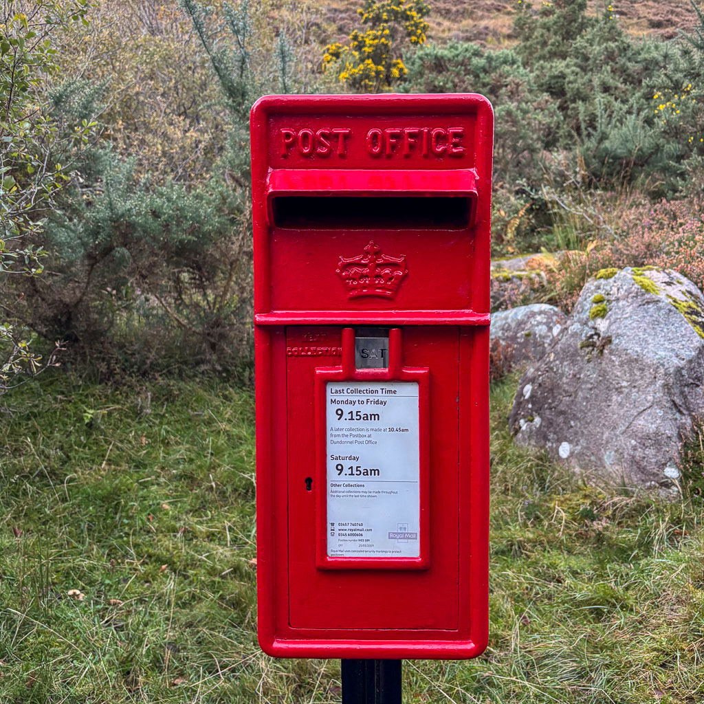
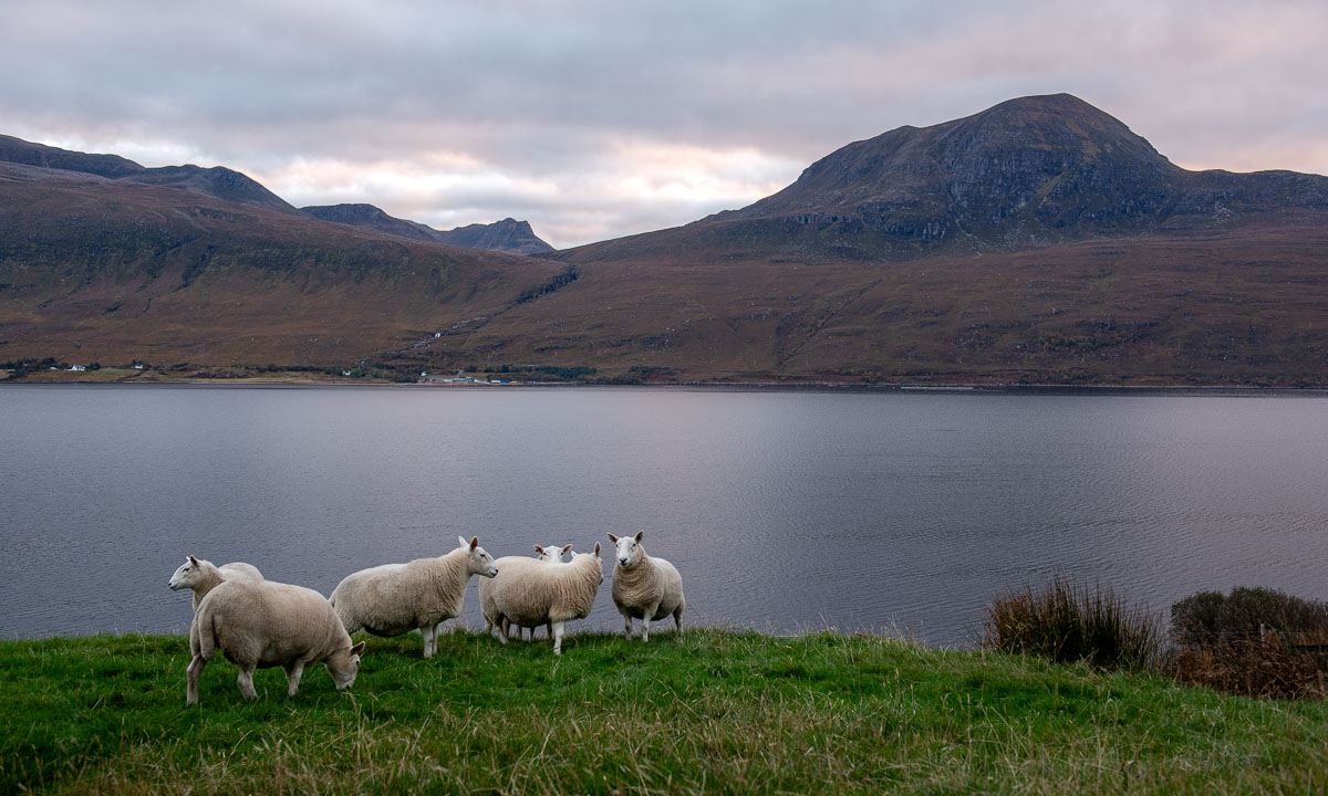
It is the third year, that I hiked to the glacier Steindalsbreen in the Lyngen Alps. This time I had the pleasure to do the tour with my wife Annika. To make it a holiday we have decided to try to book the cabin Steindalshytta over the weekend. This cabin lies some kilometres from the parking place on the way to the glacier.
Saturday morning we manage to book two beds but we have to hurry to fetch the key in Steindalen, which is 100 km away. There we meet H. that gives us the keys and some info. She tells us we can use the gas driven hotplates to cook. We also learn that there’s hardly any firewood left, but it’s not cold and we have sleeping bags, so no worries. We pay using Vipps, the leading mobile payment system in Norway, then we take the car to Lyngseidet – 25 km away – to buy food.
When we pack our backpacks to start the tour it is already afternoon, but the cabin is not far away.
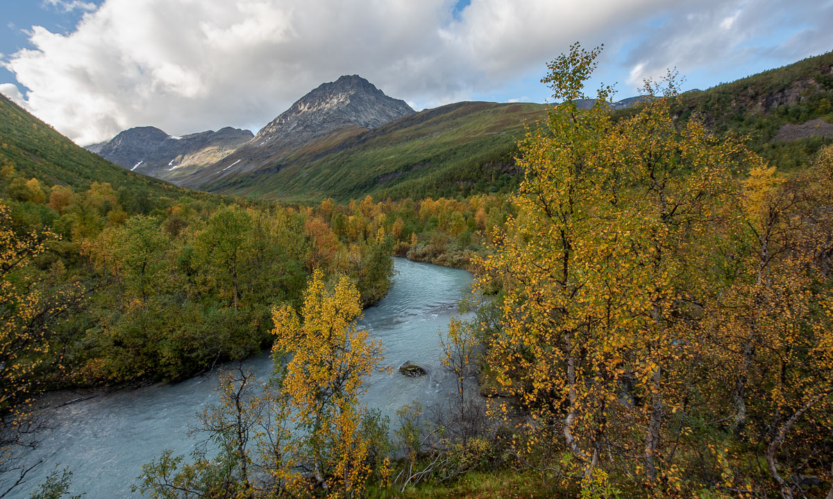
In the beginning a forest path winds up through a narrow valley. The colours are autumnal – yellow the birches, red the cornel and the blueberries. To the left down from the bottom of a ravine we can hear the river Gievdanjohka.


The path is rising and so is the river. After two kilometres we are almost level.

From there it is not far to the cabin. We go round a moraine and there it is: Steindalshytta. I unlock the door and we peek inside. Looks cosy!


Now we want to cook. This will take the rest for the evening because the gas canister is empty. No cooking on the hotplates, we have to use the wood-burning stove. We gather all the leftover wood from inside and outside of the cabin. There is no axe. Luckily Annika has a knife that is sturdy enough to make some smaller peaces of firewood. The wind is calm, the oven isn’t drawing and it takes almost three hours until the water for the spaghetti is boiling. At least we get a starter: warm shrimps with parmesan that we eat from the huge plastic plates we found in the kitchen. And I found chocolate cookies in the kitchen.


Meanwhile it has become dark outside and soon we get to sleep. We don’t have to freeze. After having powered the stove for hours we have 24 °C in the living room and hardly less in our sleeping room. Good night!


When I wake up the next morning it is raining, but it stops soon and the sun starts to light the mountains in the east.


After breakfast we pack our backpacks and start our hike to the glacier Steindalsbreen. Many things like our sleeping bags we leave behind, because we will go the same way back.
Again we follow the river to the east, then the landscape opens to a broader U-shaped valley. The terrain flattens and hiking is easy.


But we can already see the ascent we have to take. After two steeper passages we stand between two landscapes. In our back lies the mellow valley with its gentle slopes, everything in autumnal colours. Ahead lies a rough and rugged mountain landscape, where grey rocks and stones are the predominant element.


And there it is. The glacier. (Photo Annika Kramer.)

We continue the gravel path. Soon we pass the first of the signs that marks the glacier front some decennials ago. Due to global warming the glacier is melting and retreating every year. It is fantastic to see the glacier and we feel excited, but sad at the same time. First we hike to the glacial lake in front. Will we manage to go round the lake the glacier itself? Yes – and it is quite easy this year.
I have my big camera backpack with me and the Nikon with three lenses. That was made possible by Annika who took all the food. Although the weather is a bit dull it is photo time!


As often I’m not content with my photos and yes, I should have carried my tripod with me. But I’m happy about being there together with Annika. (Next photo: Annika Kramer.)

It is time to go back. This time we follow the river and pass two fields with scientific instruments, part of the project iC3. I have to ask a colleague from the Norwegian Polar Institute what is measured there.

Now the trail leads mostly downwards. We descend the hill, cross the broad valley, enter the forest and then reach the bridge by the cabin again. Here we take a rest and then fetch the rest of our stuff from inside the cabin.


I take a tiny detour that leads on a hill. Here I can see everything together: The huge mountains with their snow fields, the river Gievdanjohka, the autumnal birch forests. Only the glacier is hidden from view.
What a terrific tour we had! The glacier Steindalsbreen is worth a visit, especially in autumn. We drive back to Tromsø and I copy the photos to my computer. Then I check the tracker I used on the tour. As I was afraid I have walked on rock, sand, and mud this year, where last year the glacier covered the ground.