Hill hike II – Nattmålsfjellet

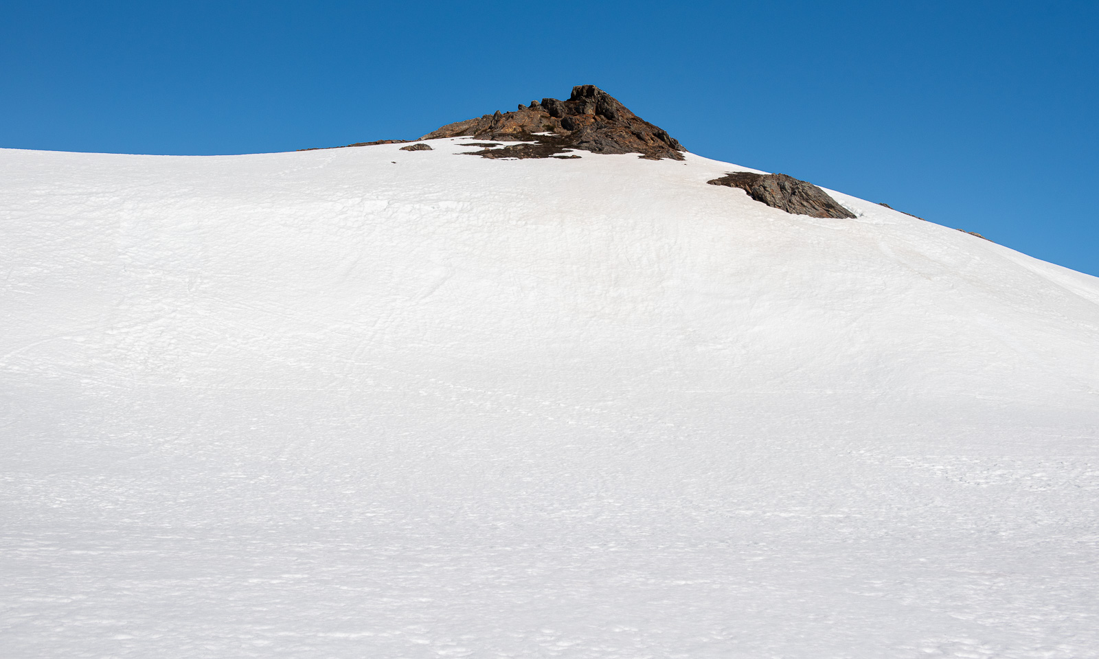
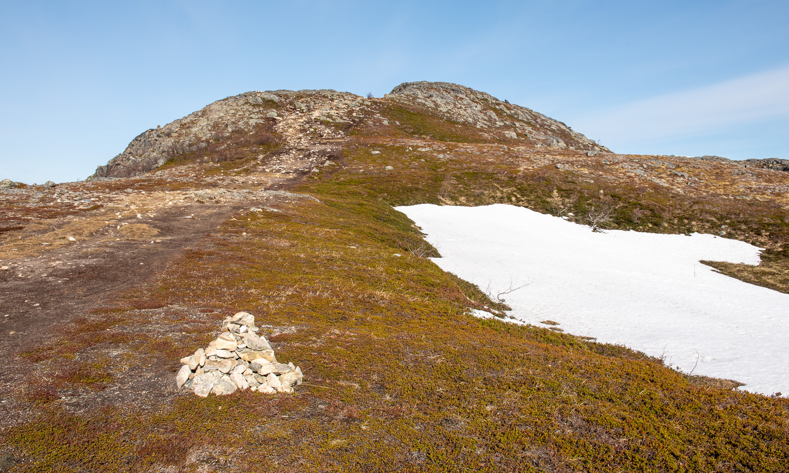
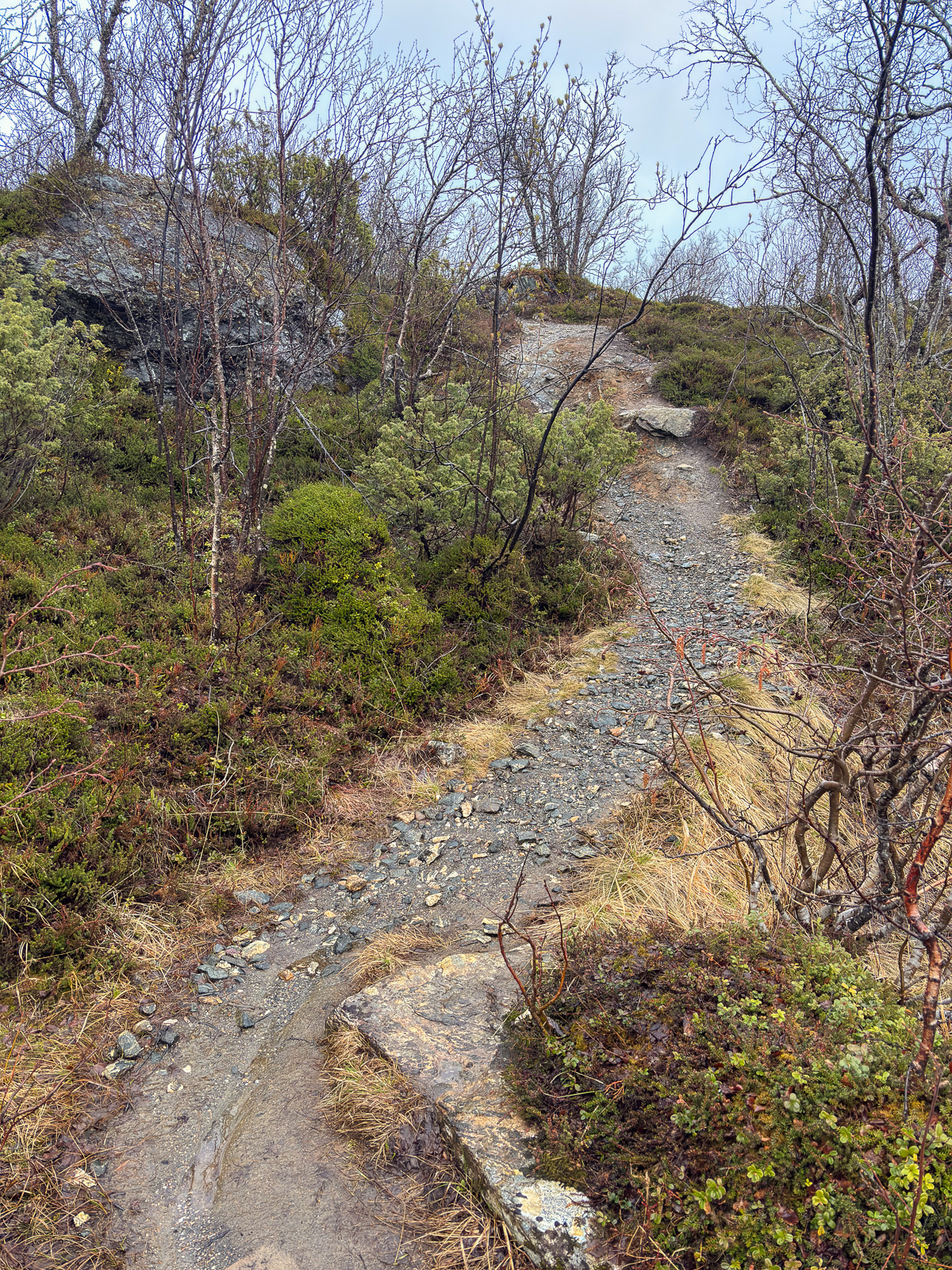
Today I decided to hike up another small mountain. It is called Nattmålsfjellet and is 296 m high. As Trehørningen it is on the island of Kvaløya.

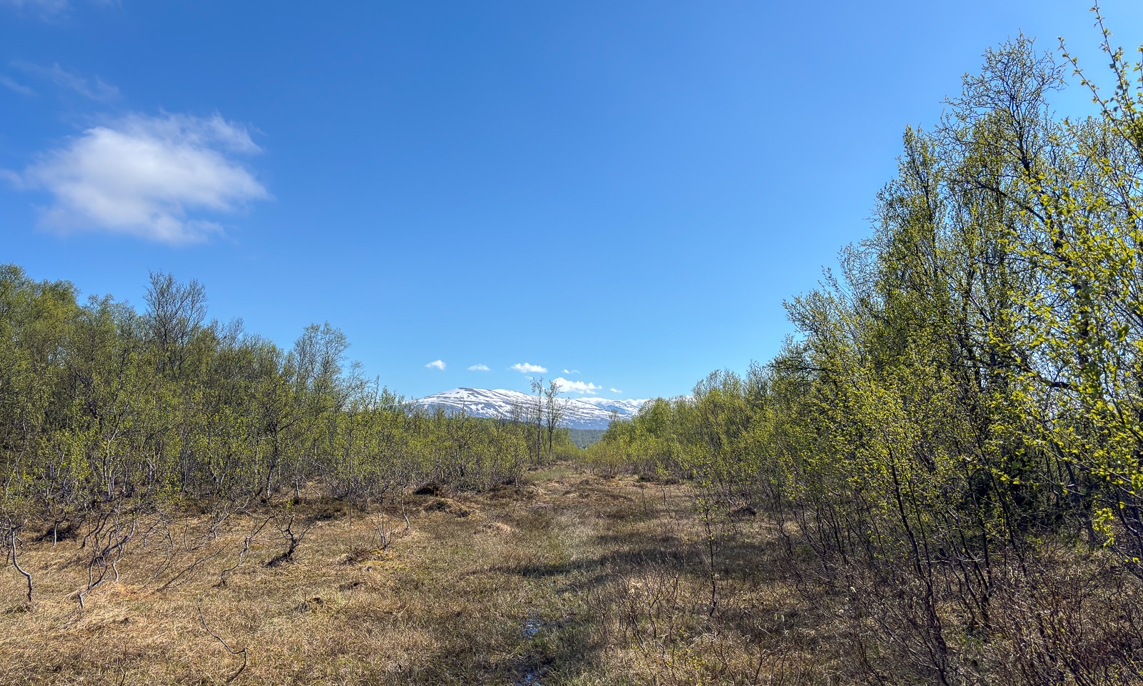
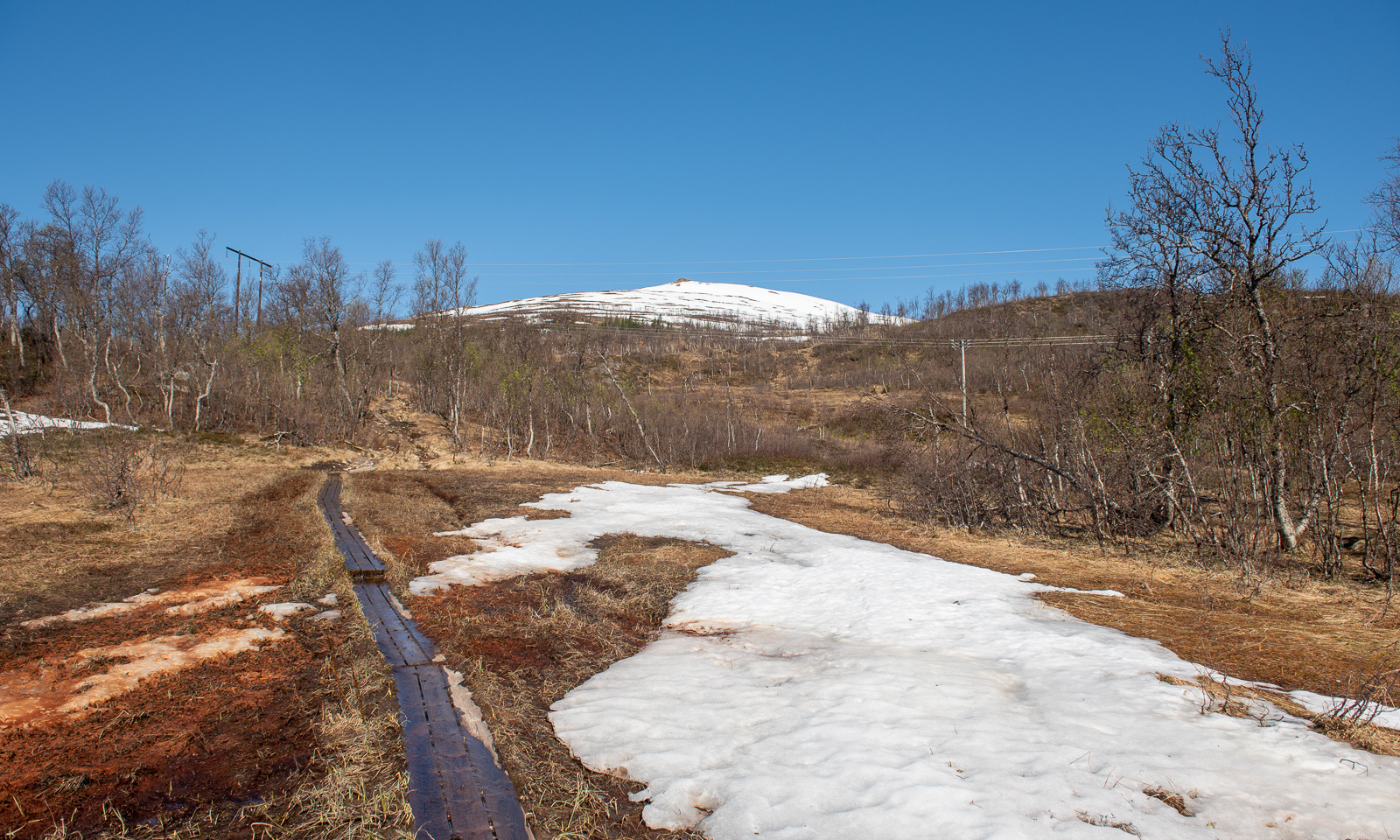
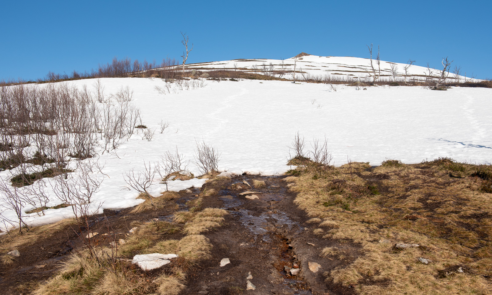
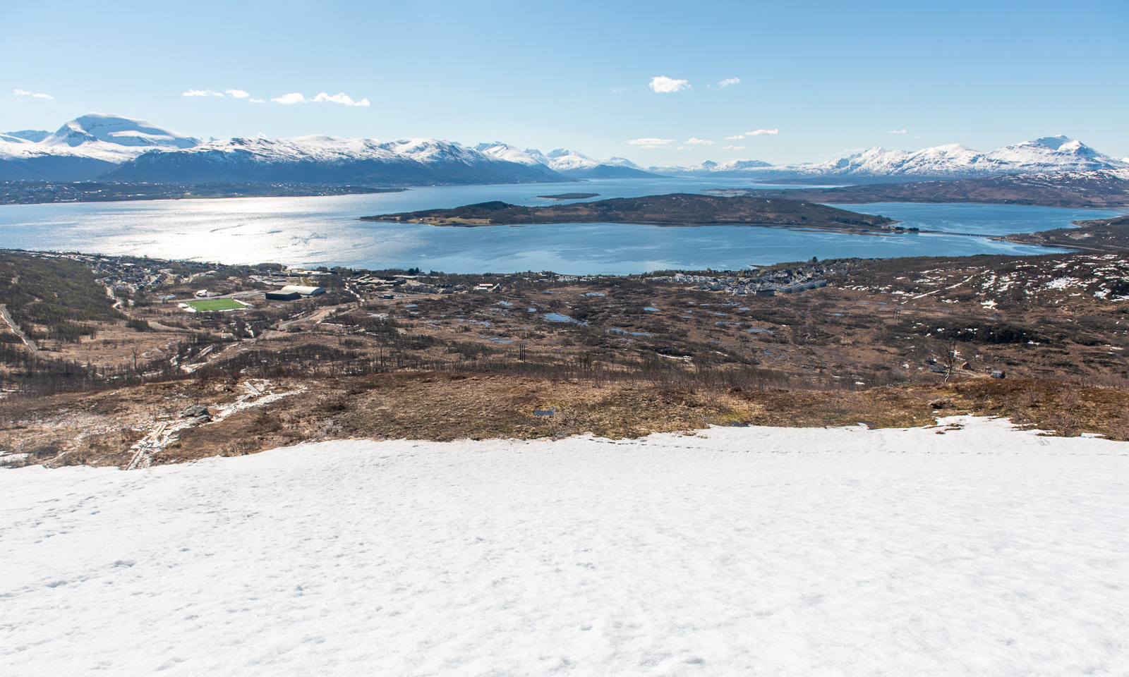
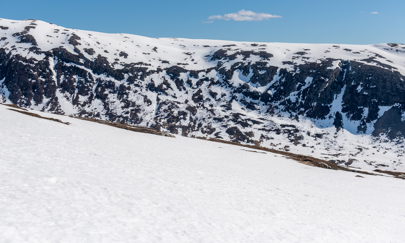
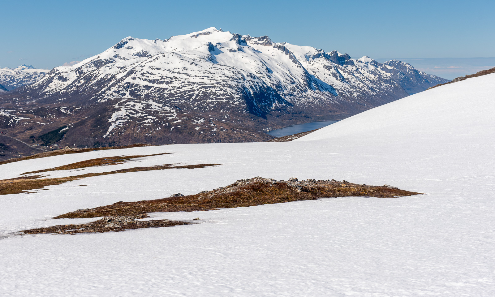
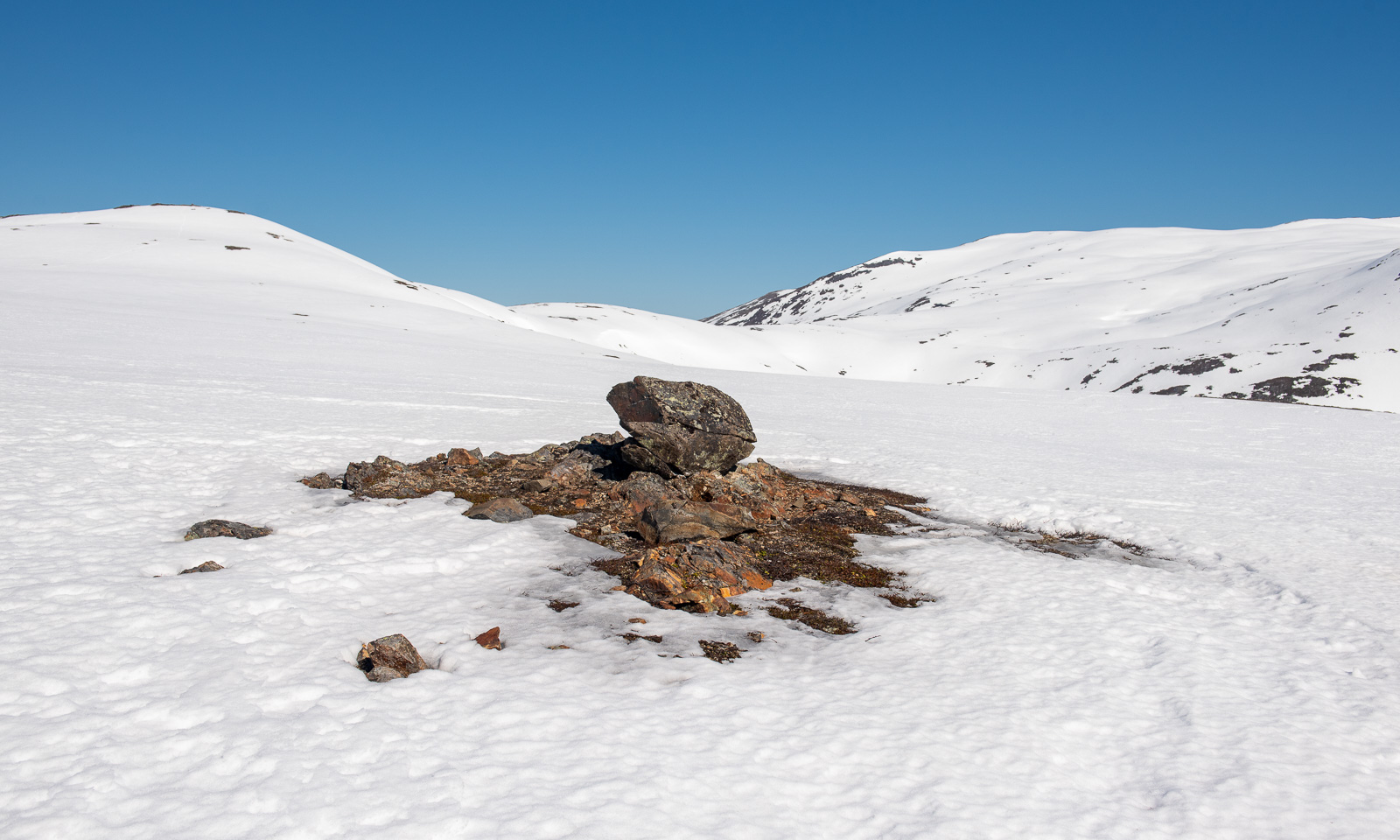
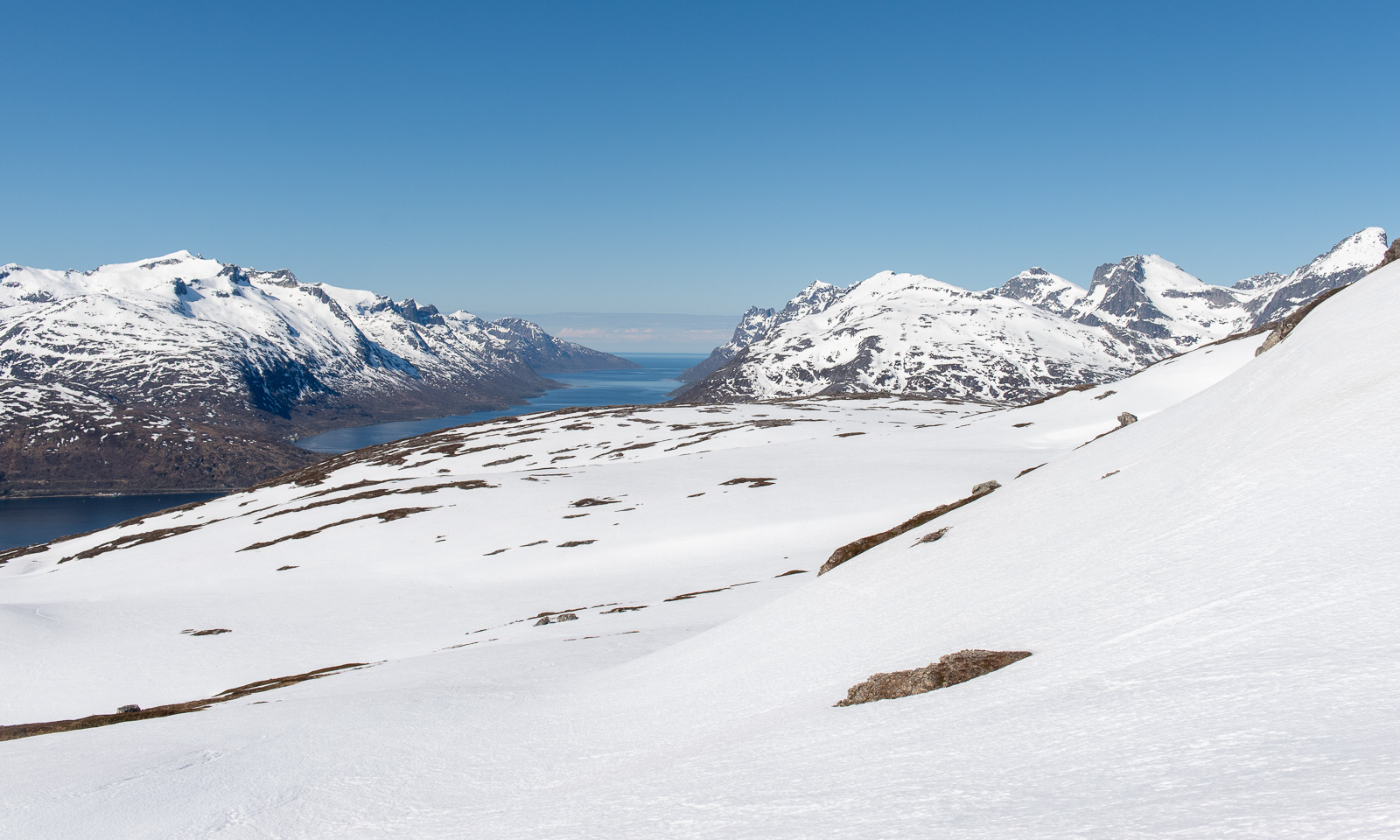
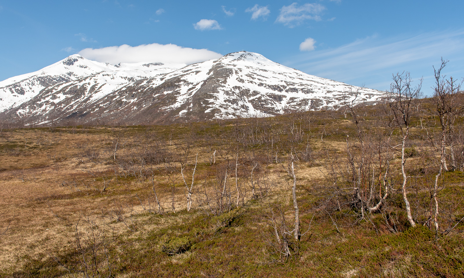
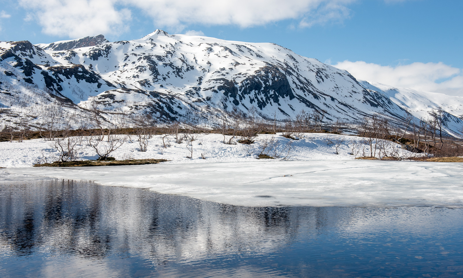
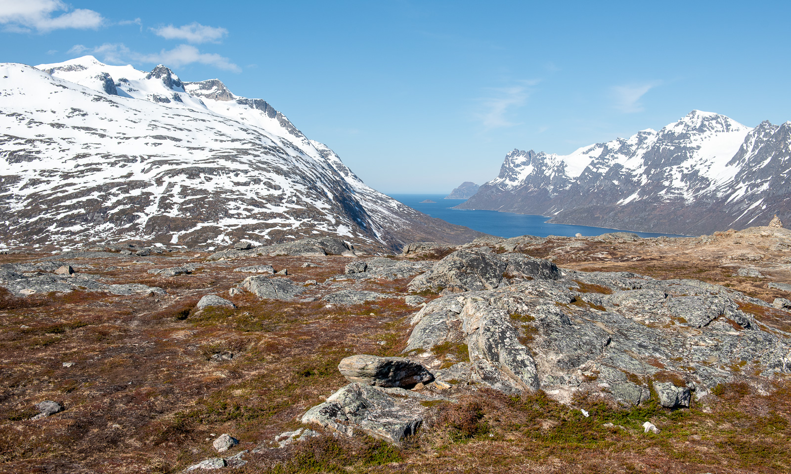
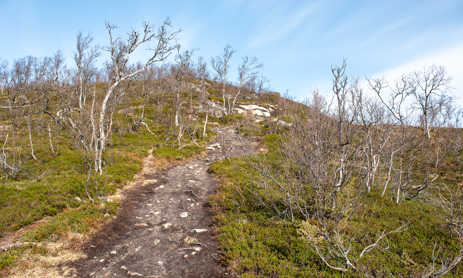
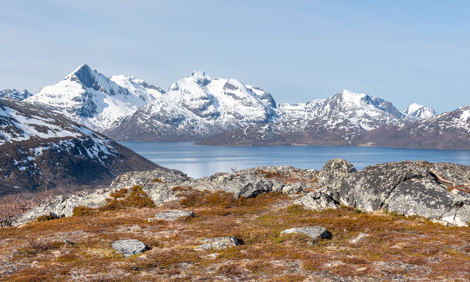
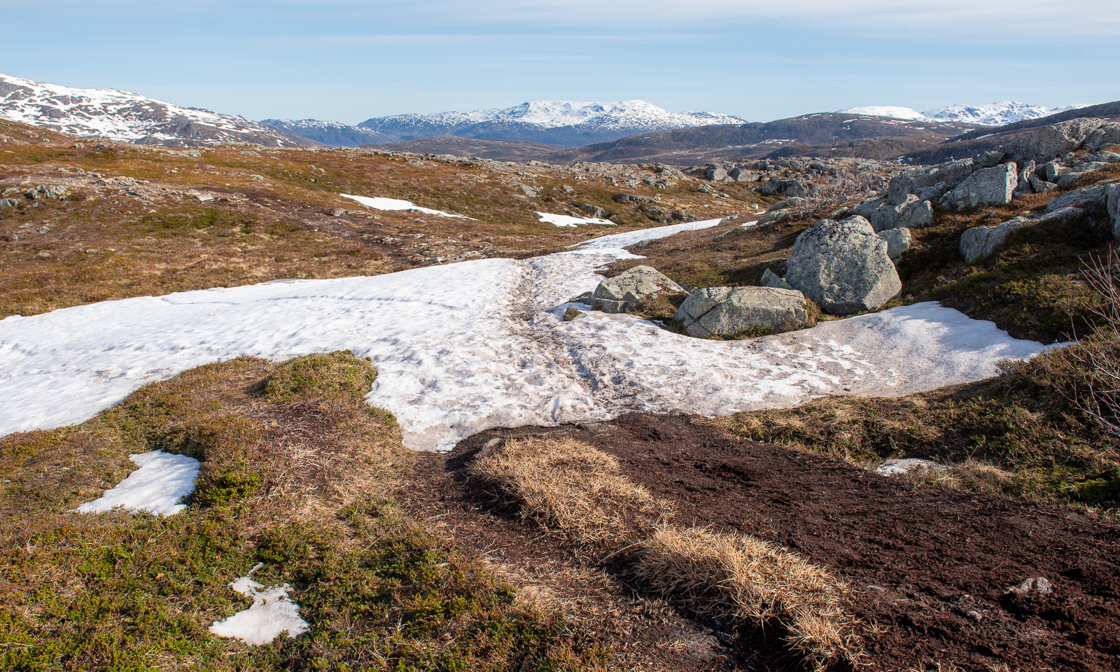
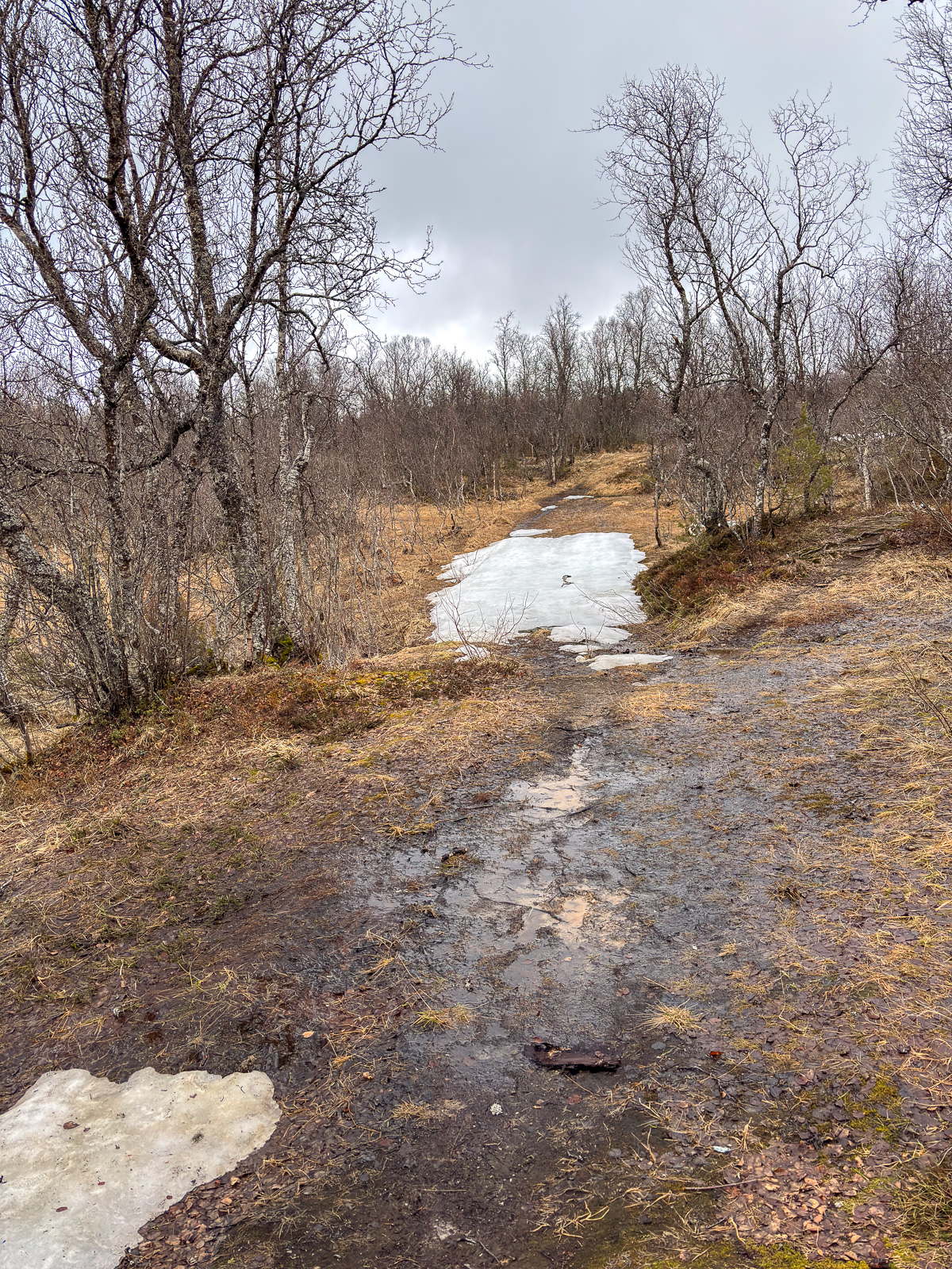
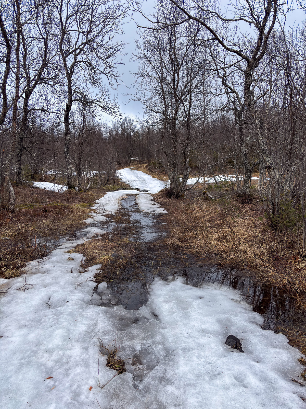
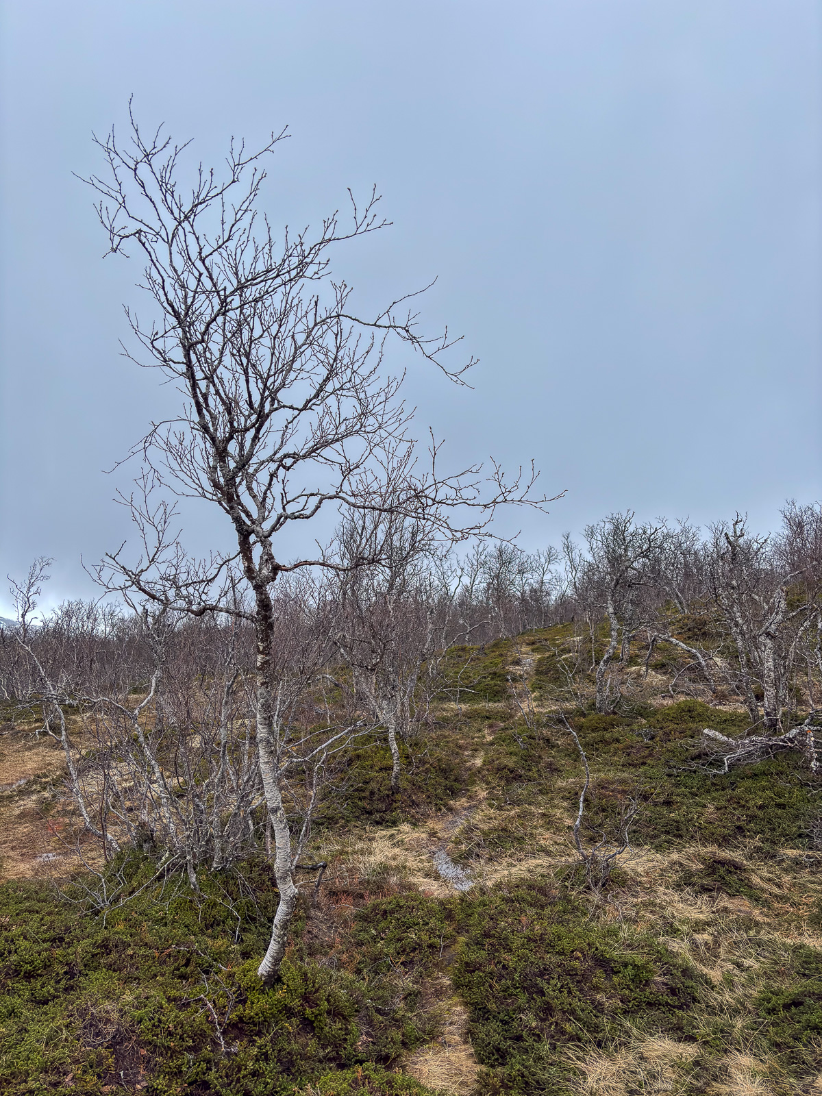
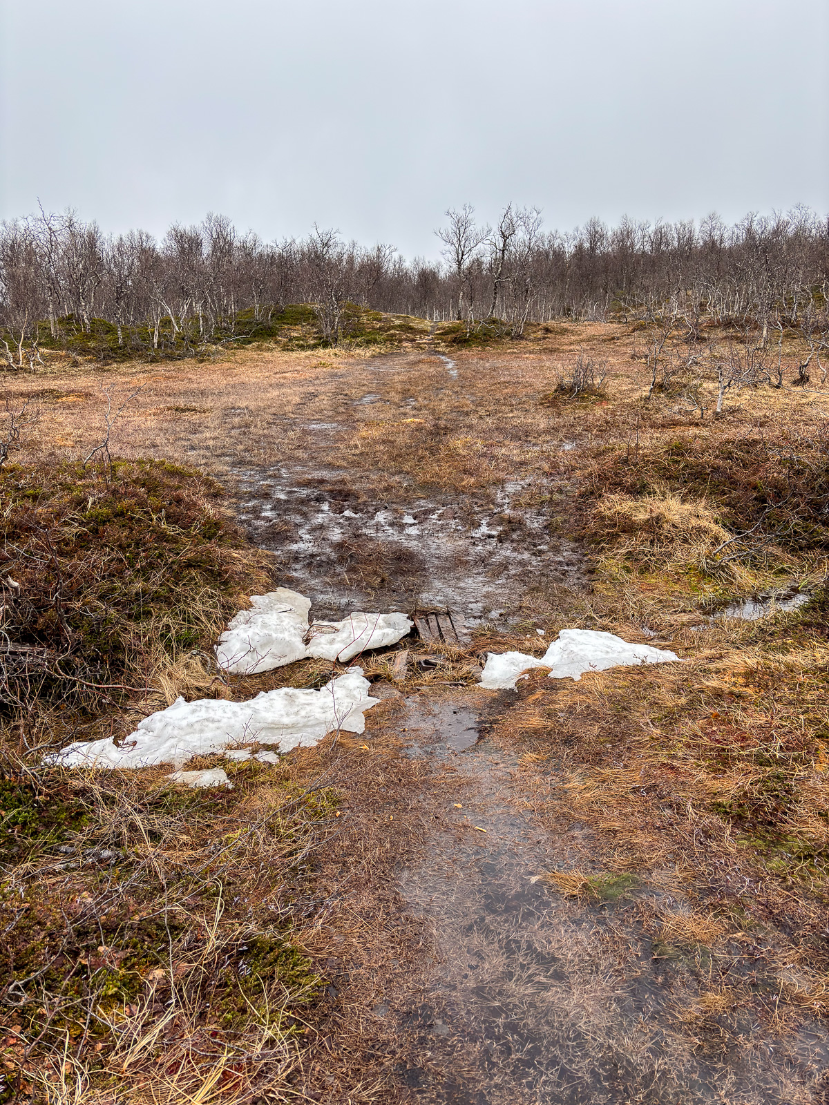
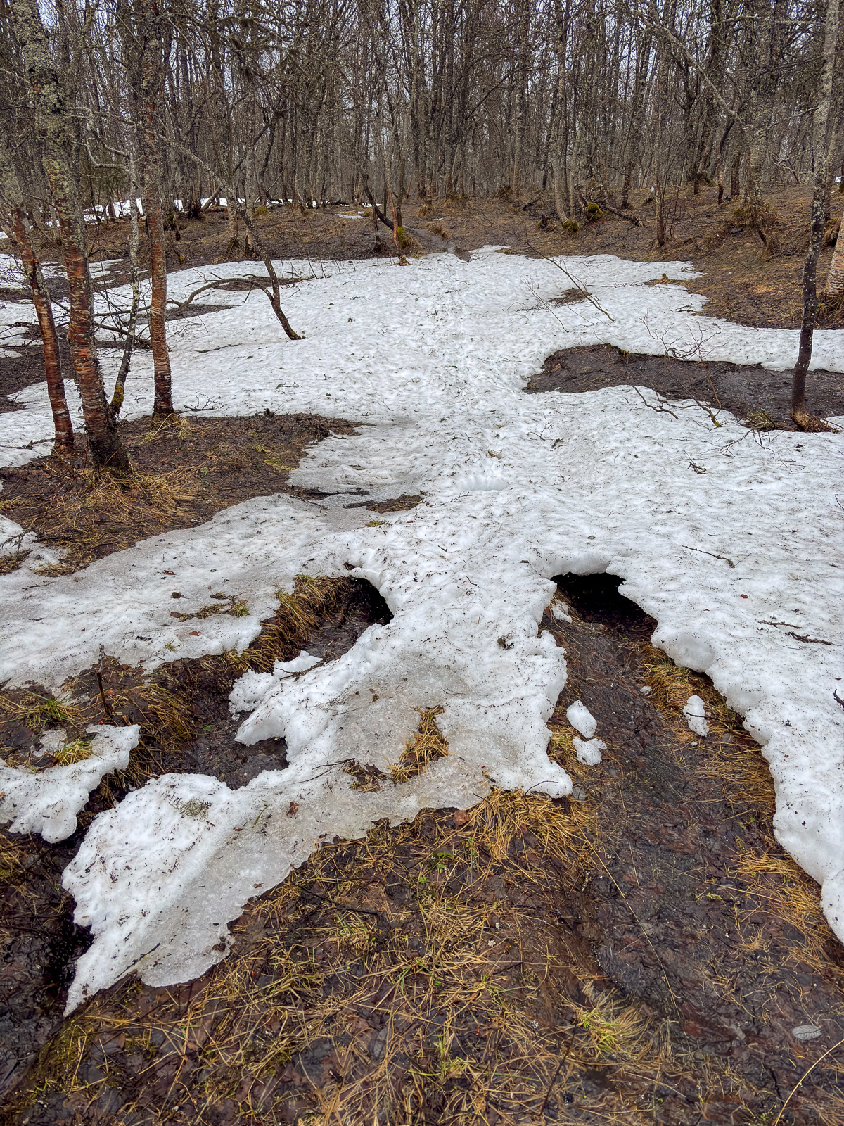
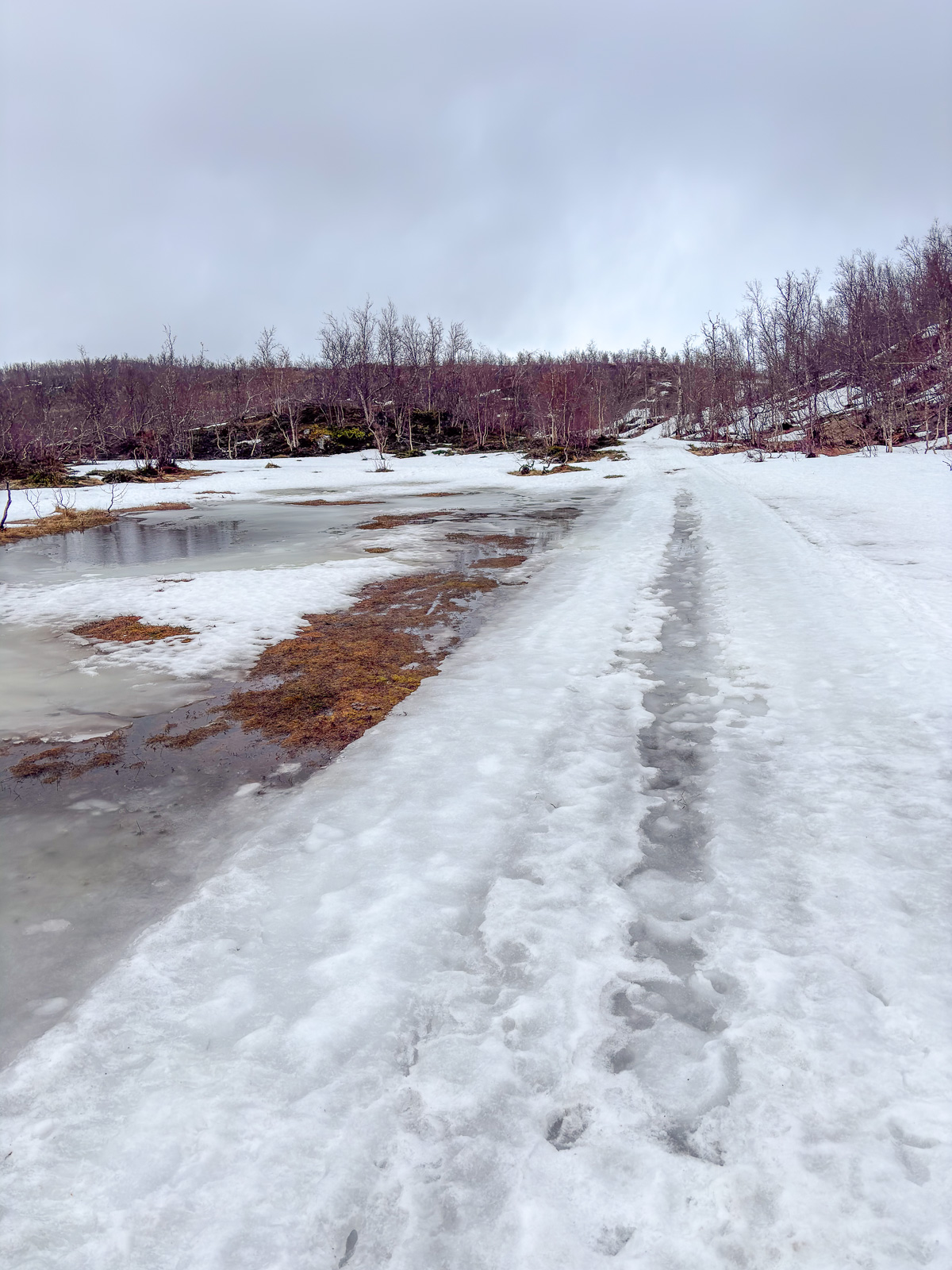
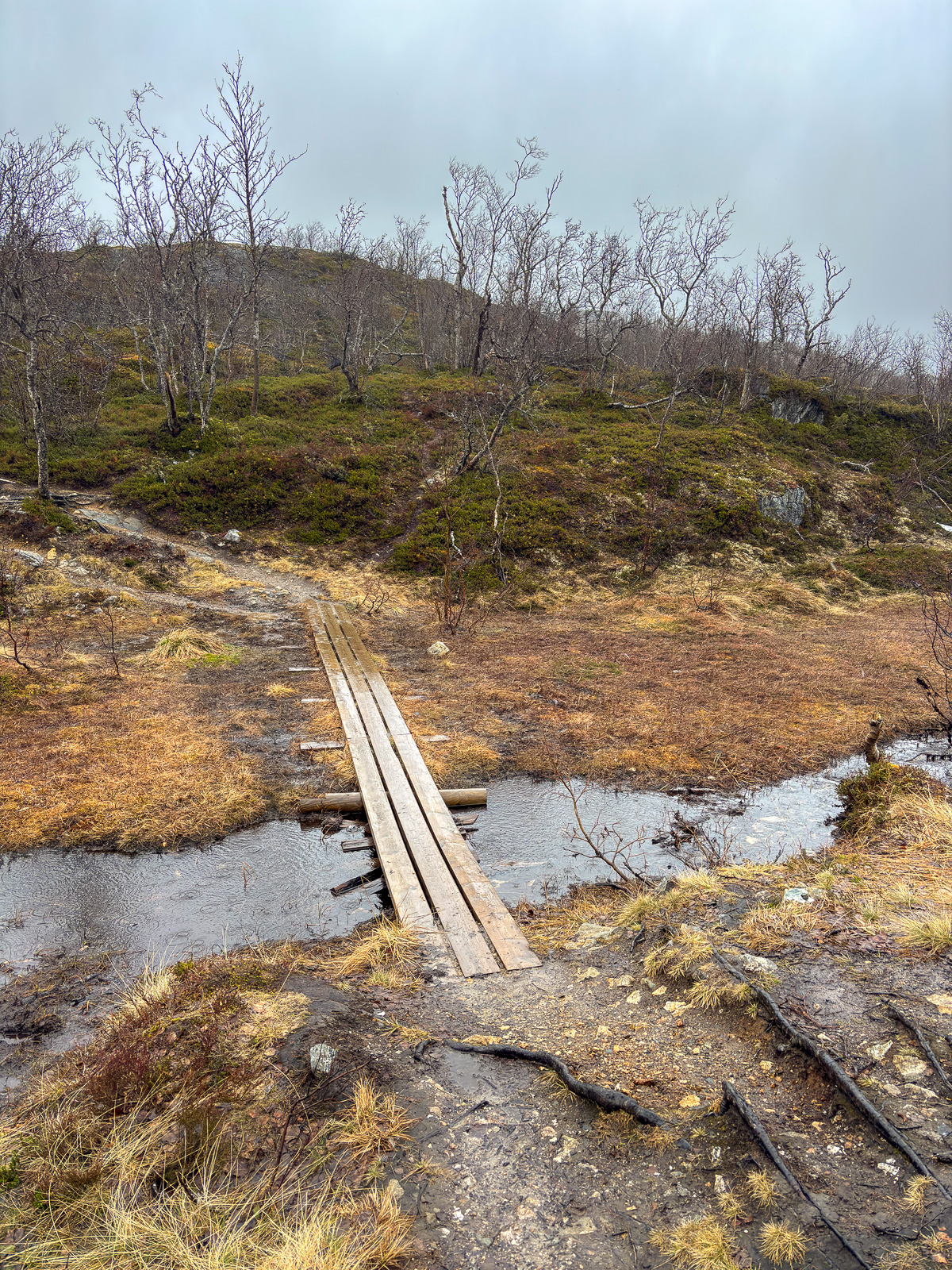
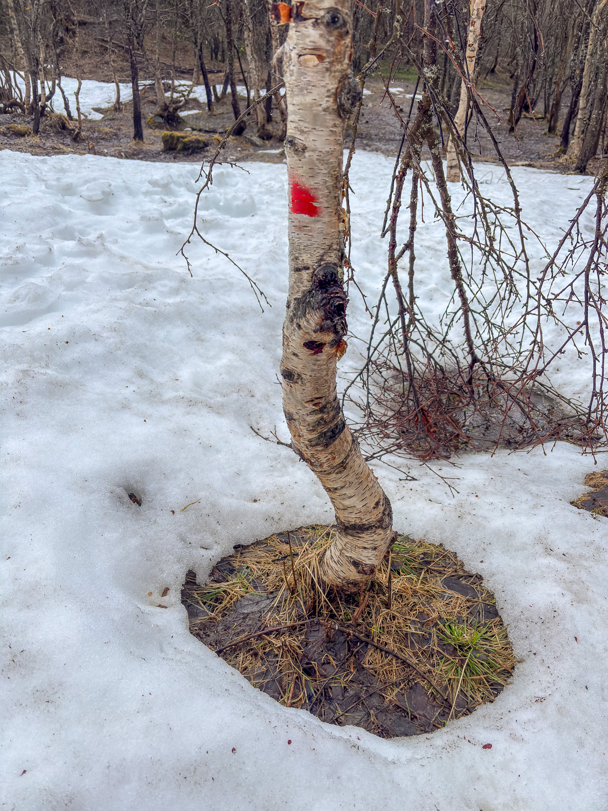
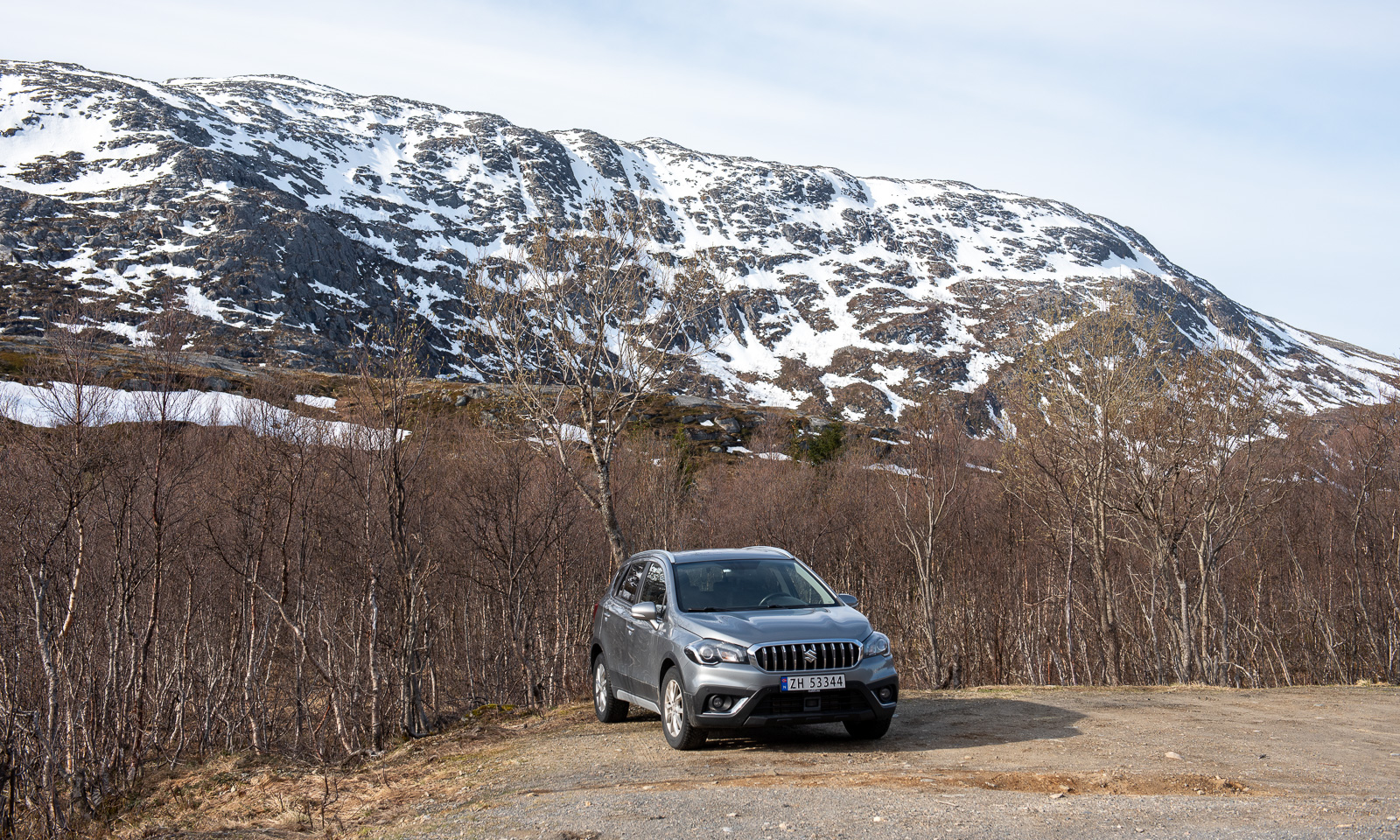
I park my car and soon I am out in nature in Northern Norway. High mountains, covered with snow. Open birch woodland, the birches still bare. Small lakes and ponds, halfway covered with snow and ice. Small mud bogs with wet patches. And views of the fjords and the open sea. All under a blue sky with temperatures above 10 °C.

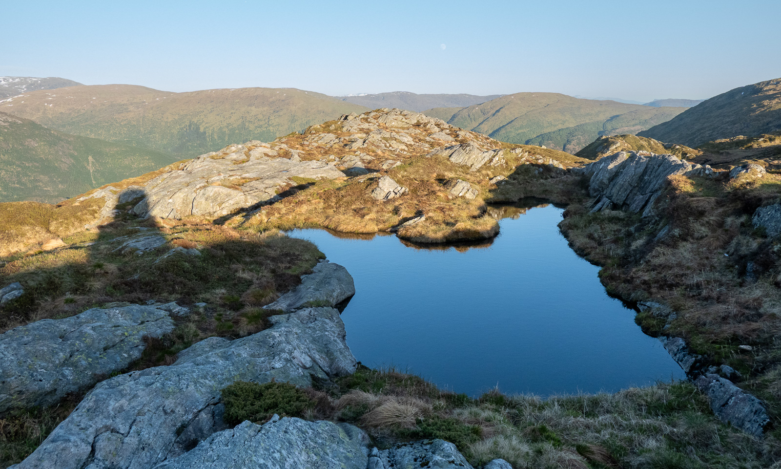
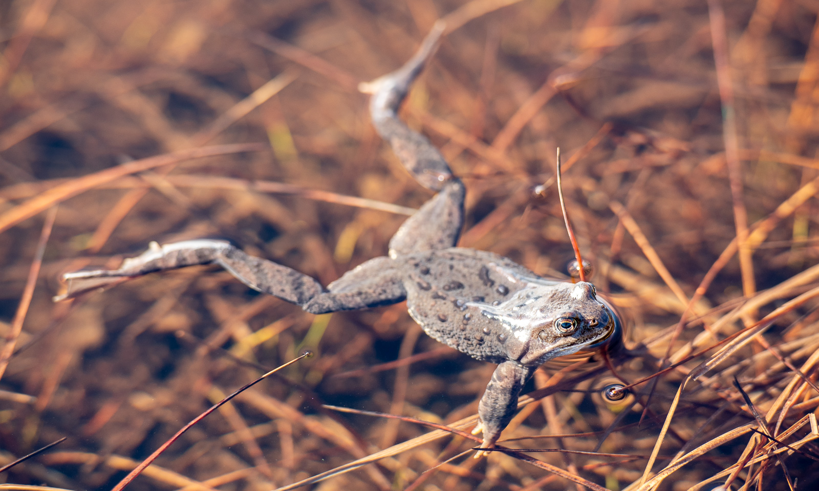
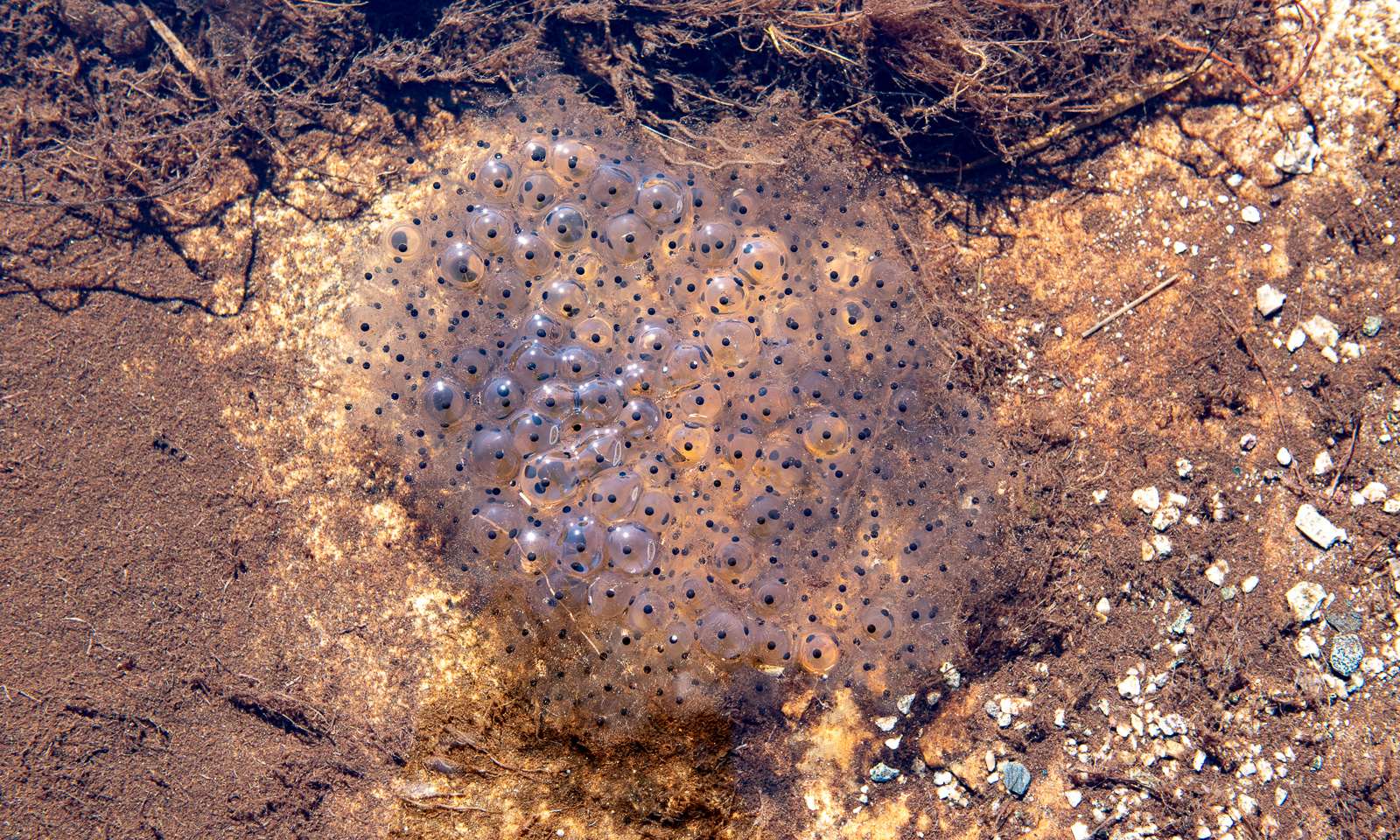
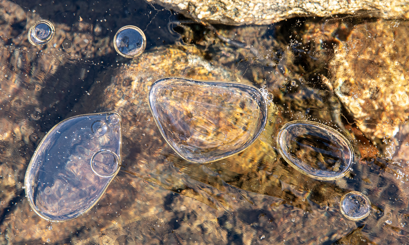
While this pond looks freezing cold, it is inhabited by common frogs. They have already spawned and large clumps of frogspawn are floating in the water.

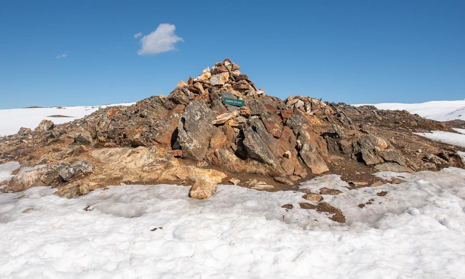
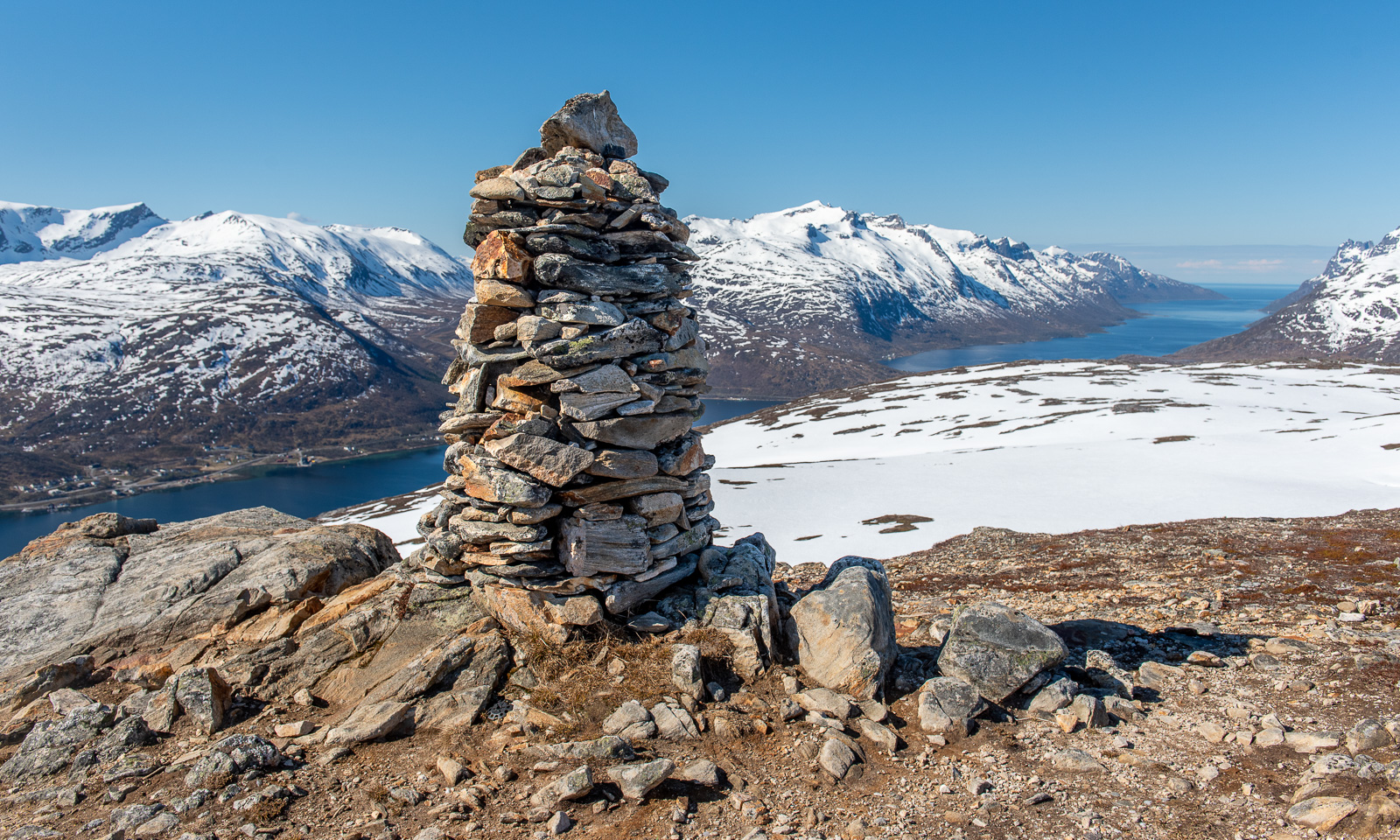
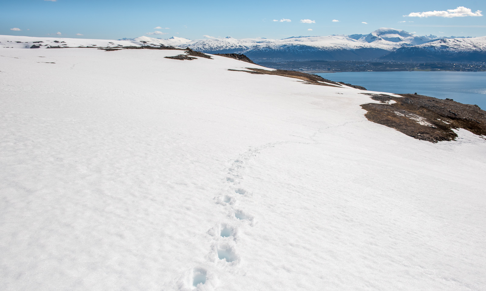
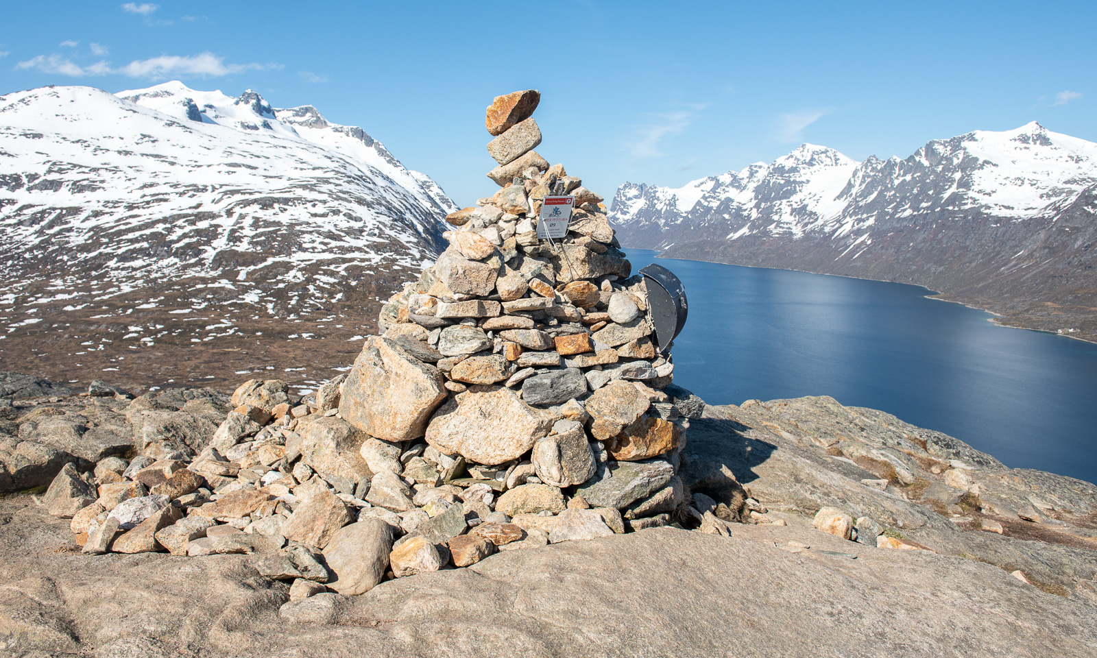
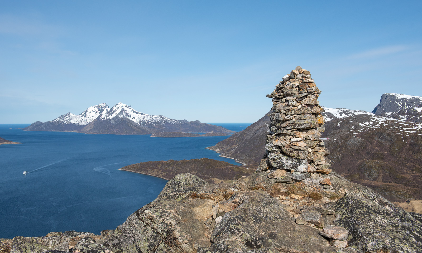
It does not take long and I am on the summit, marked by an impressive cairn that looks half as high as the mountain itself.

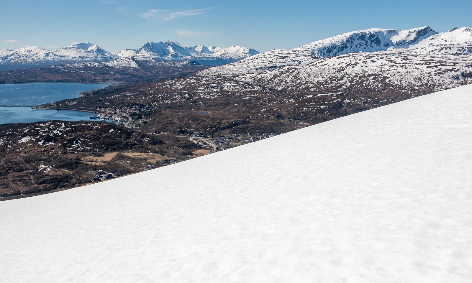
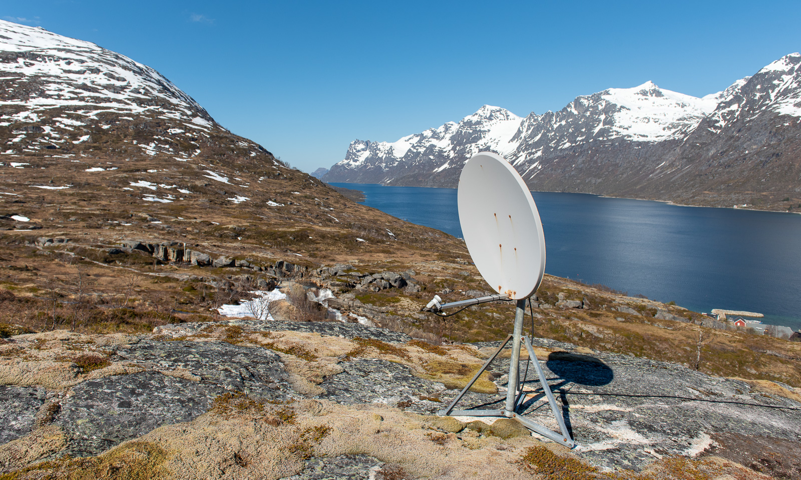
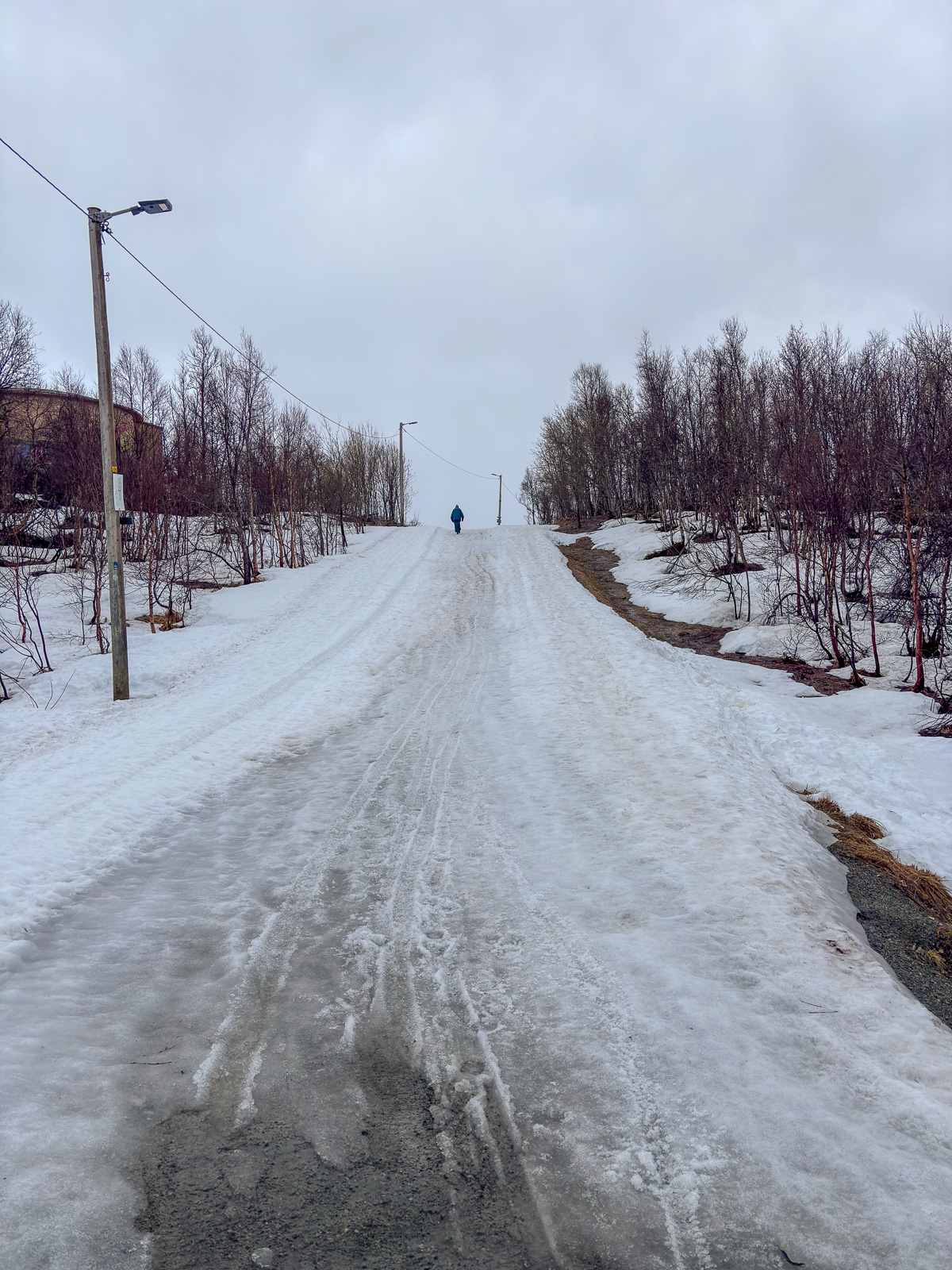
I decide to take another way down. This brings me near the village Ersfjordbotn, but I stay above to follow a track that leads around Nattmålsfjellet which brings me back to my car. Before I leave the village behind I pass this artefact that clearly shows that I’m hiking in nature but not in the wilderness. Someone had mounted a satellite antenna on a small ledge. The cable leads downwards, probably to one of the houses.

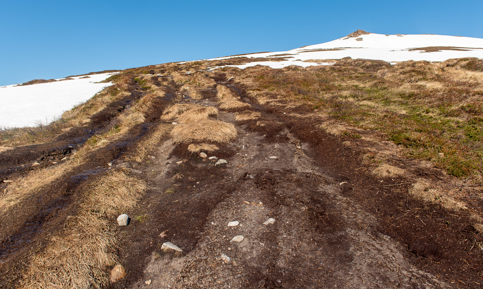
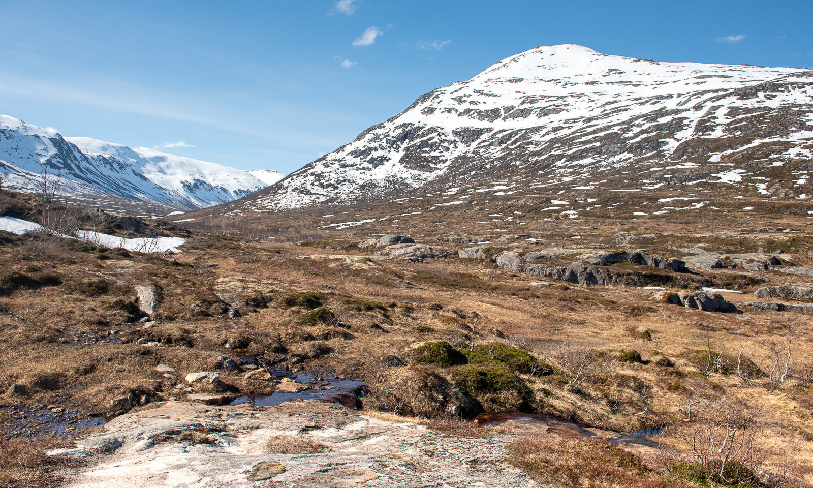
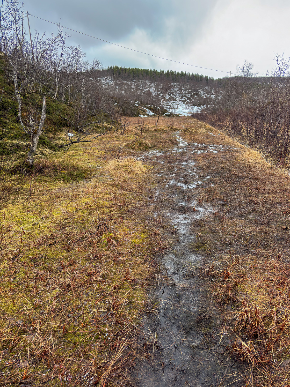
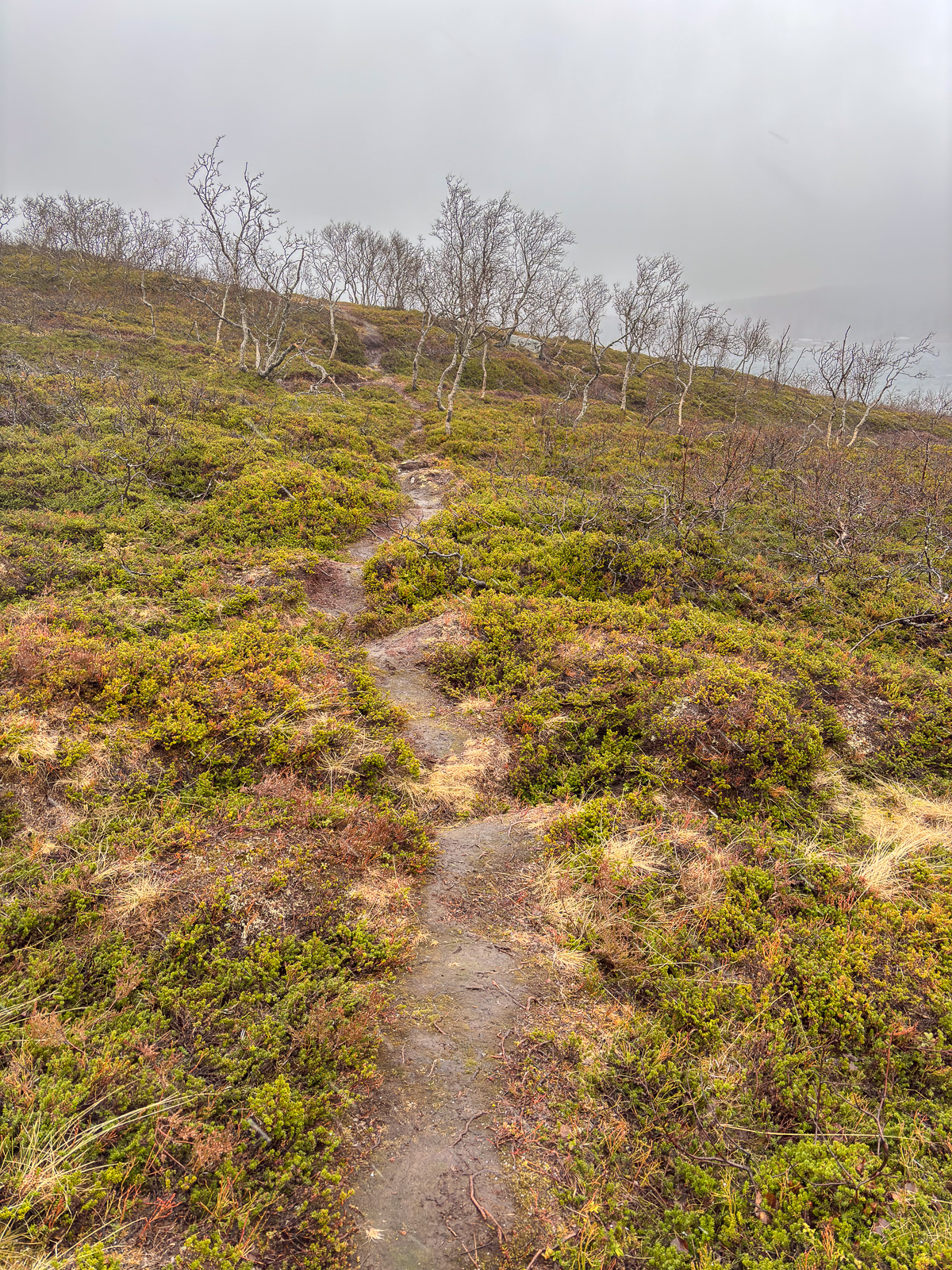
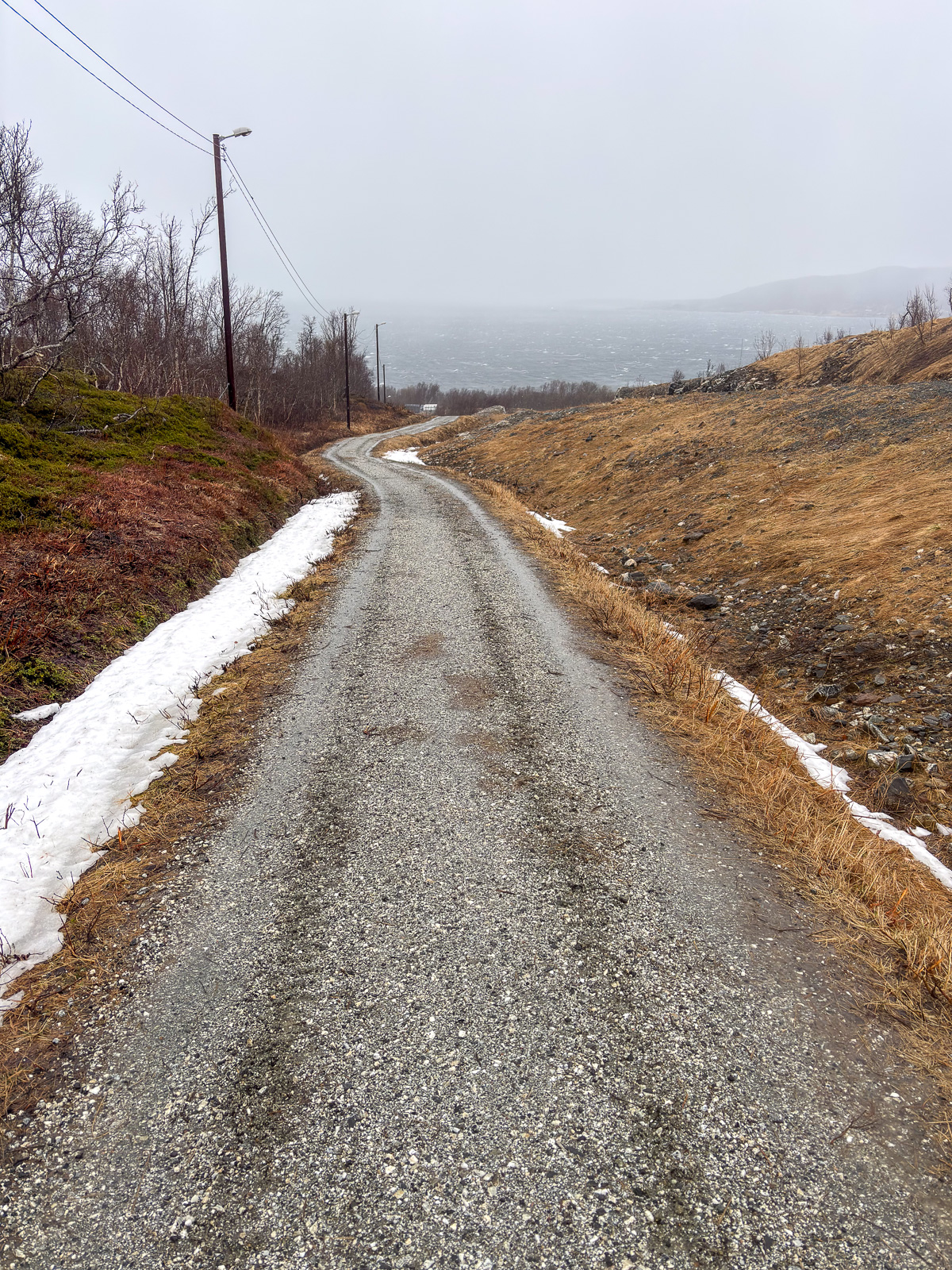
First the track leads through some wet mud bogs but then it winds through an open landscape with views of the boggy grasslands below and the snowy mountains above.

After seven kilometres, I am back at the car. Elevation gain and loss – round 330 m.

Side dishes

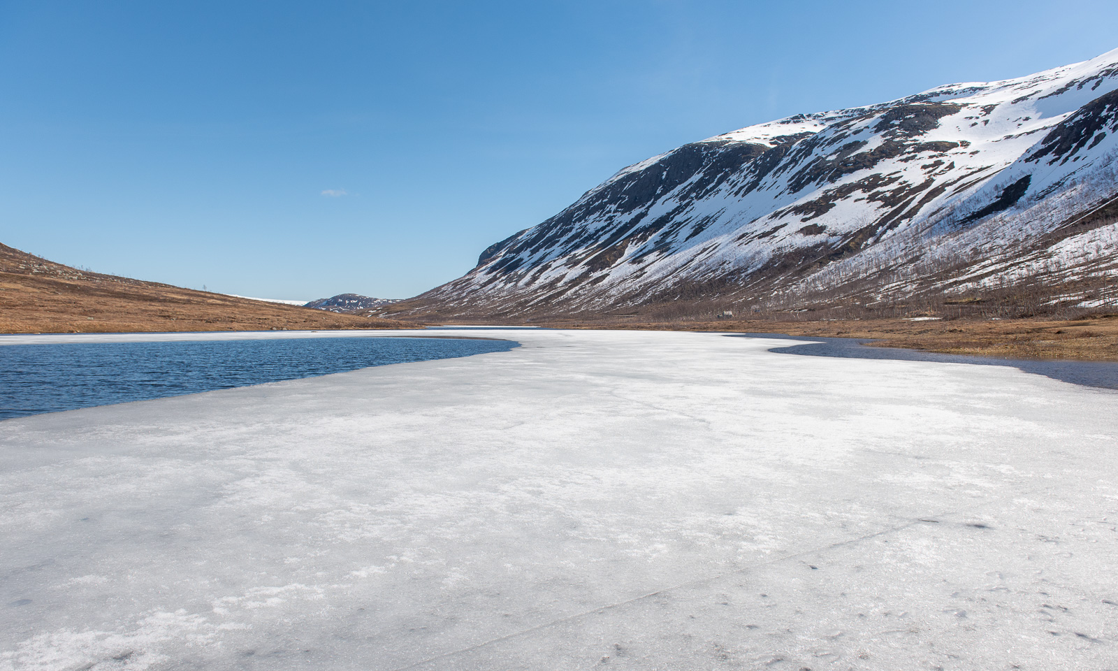
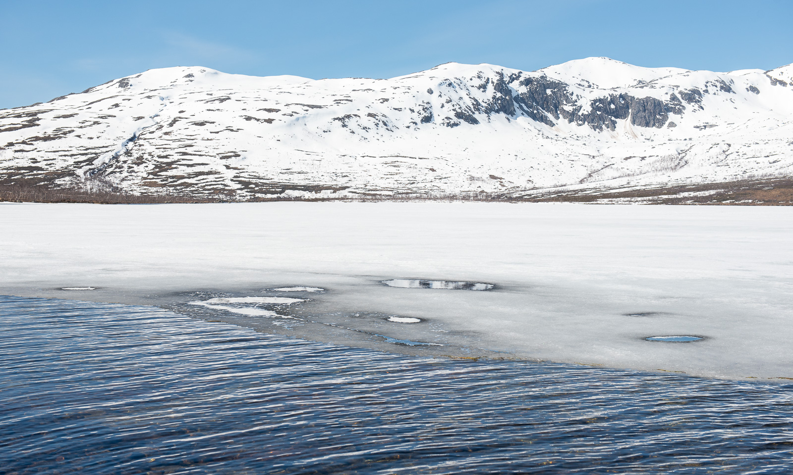
After the hike I drive further west to the lake Kattfjordvatnet. Most of it is still covered with ice, but I don’t think it will stay long. Even the snow line rises with each day. This however is no argument for the locals to stop doing alpine ski tours and they always seem to find a snowy patch by the car, to avoid carrying up their skis. Meanwhile, cross-country skiers have now switched to roller skis and use the roads. Other locals walk their dogs or run downhill on the muddy path happily chatting to each other.

Then I take the car to Ersfjordbotn and stopped at the gravel car park at the viewpoint, apparently the only one in the village. I was too lazy to walk to the waterfall but at least I took a photo of the fjord Ersfjorden which faces directly west.

On my way back home I make another stop in Eidkjosen and take a walk uphill to Lomvatnet.

From Eidkjosen, it’s only a fifteen-minute drive home. I’m still happy every single time I realise that nature around Tromsø is so beautiful, full of variety and nearby, as long as you own a car. With public transport many of these small hikes would unfortunately be inaccessible.


A hill hike and a bog walk

Trehørningen

While the mountains around Tromsø are still snowy and the locals are still going ski touring I was looking for a mountain or hill that I can actually walk on by foot. On Facebook people were talking about Trehørningen, not the large one but the small and child-friendly one near Skulsfjord with an astonishing height of 283 metres. Today I drove there, because most places are not accessible by public transport which makes hiking a bit of a motor sport most of the time. I arrive at around half past eight and I’m the first there. After three minutes I and a bit of ascending, I get the first views of the fjord Gállafjerda or Kaldfjorden and the mountain range around the Store Blåmannen.

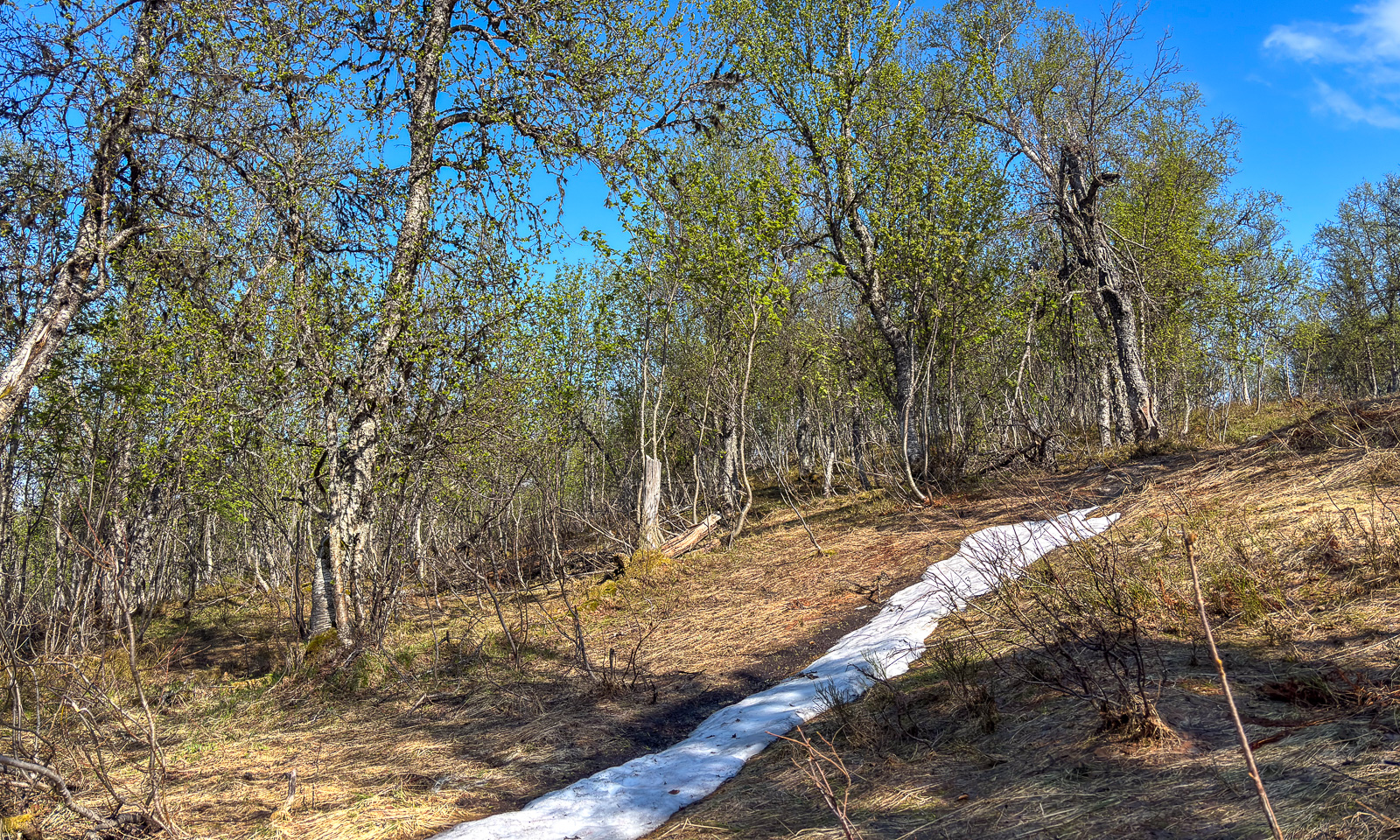
At first, the path is muddy but then the ground is much drier. The track leads up through an open forest of birch trees. They are still bare.

A bit further up, there is a plateau with a beautiful view of Gállafjerda and the mountains behind.

There are some small snow fields, but only one covers a few metres of the track.

By that snow field there are some water-filled depressions. To my surprise a thin layer of ice covers these puddles. Was there frost last night?

While I am taking these pictures another hiker passes. I’m not alone anymore. Anyway, the mountaintop is near, as usual marked with a huge cairn.

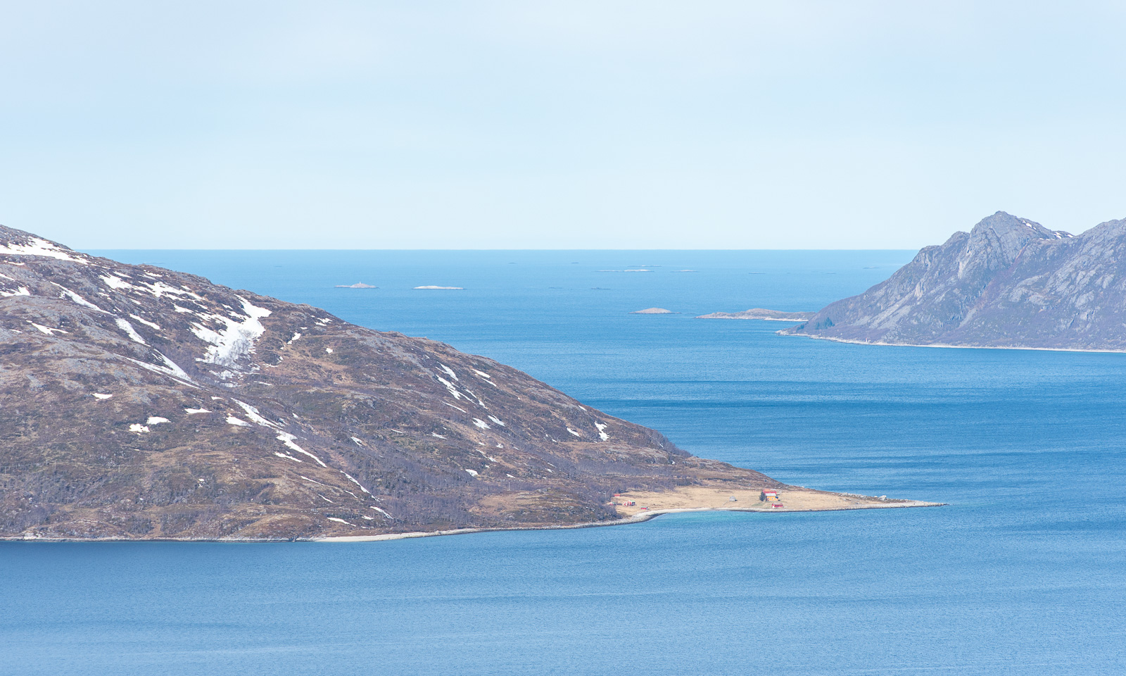
The view is awesome. In the background you can see the island Vengsøya with its mountain Kvantotinden. The island is surrounded by islets and skerries, behind that the Norwegian Sea.

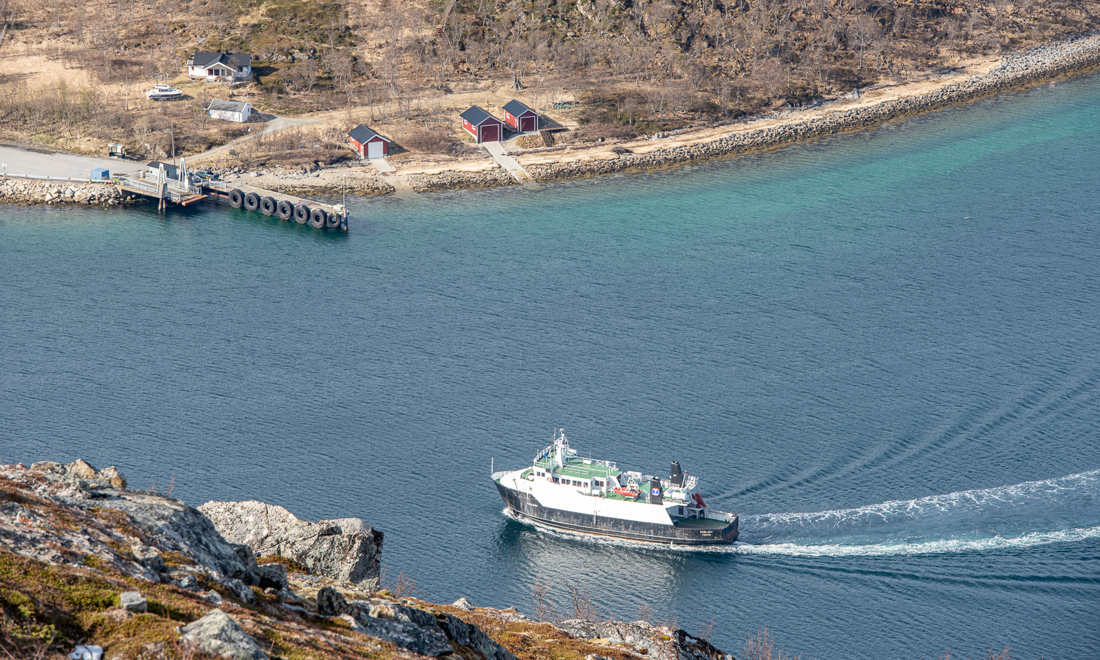
Vengsøya can be reached by ferry. It was just heading back while I was at the top.

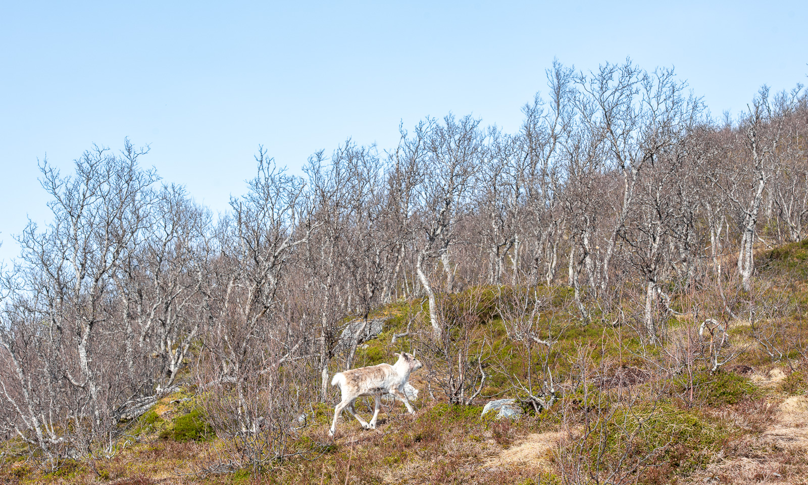
The sun makes the air feel warm but the wind on the top wins: The air is still cold and I put on my anorak again, hood over my head. As often, I take less photos on my way back. I only want to take another photo of the bare birches. While I looked through the viewfinder I saw a movement. A reindeer that I haven’t noticed before it trots into view. Does it want to be photographed? Probably not. It continued its walk carefully looking at me to see what I intend to do.

After a four-kilometre hike I am back at the car. Six other cars are parked there now. I liked the tour. It is easy and the parking area is just 20 km away from Tromsø so you could do it as a small after-work trip. You get clean air, awesome views and maybe – if you’re lucky – a reindeer trotting by.

Peat bogs south of Tromvik

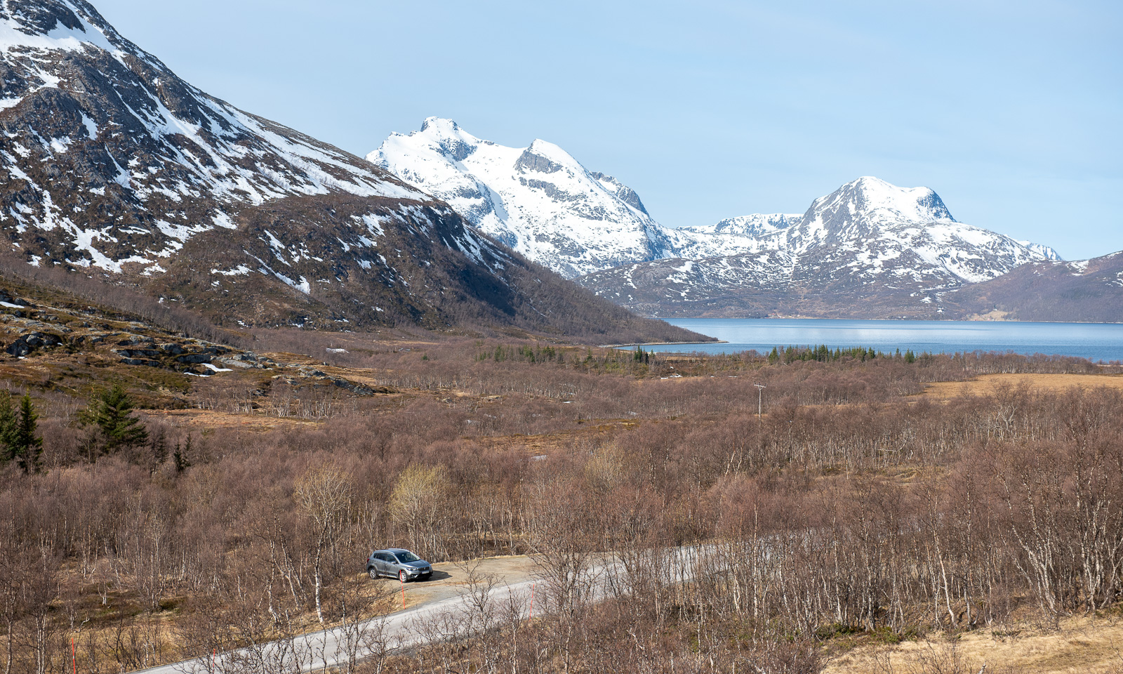
I had another tour in mind. A tour that could become pretty wet. I want to walk from Tromvik to the lake Storvatnet, but not on the track east from the river Storelva but instead crossing the mires and bogs. First I have to go there by car. Both Trehørningen and Tromvik are on the island Kvaløya but it’s a one hour drive. Remember, Kvaløya is the fifth largest island in mainland Norway. Then I put on waterproof clothes – you never know what happens and start my tour.

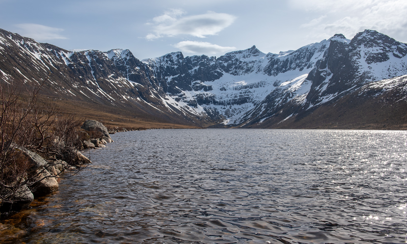
To make a long story short: I think, the lake is pretty boring. I took a souvenir photo, here it is. I guess this view is much nicer, when the lake is calm and the sun comes from the other direction.
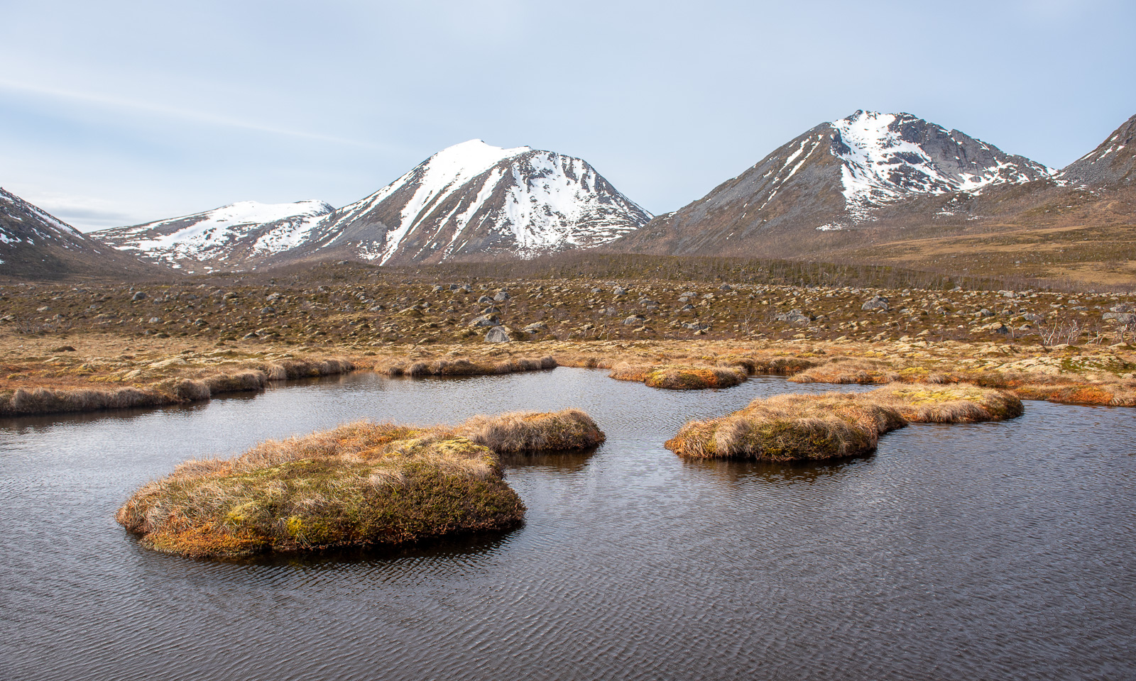
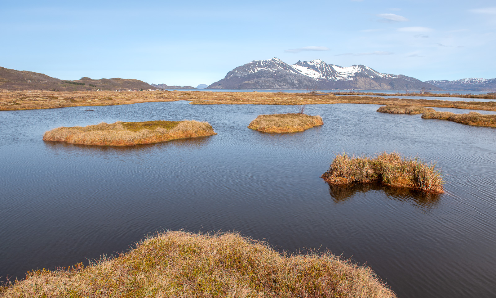
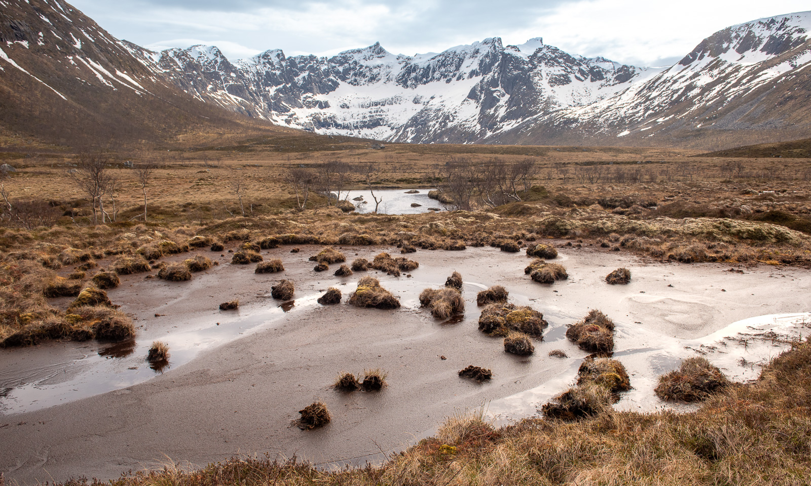
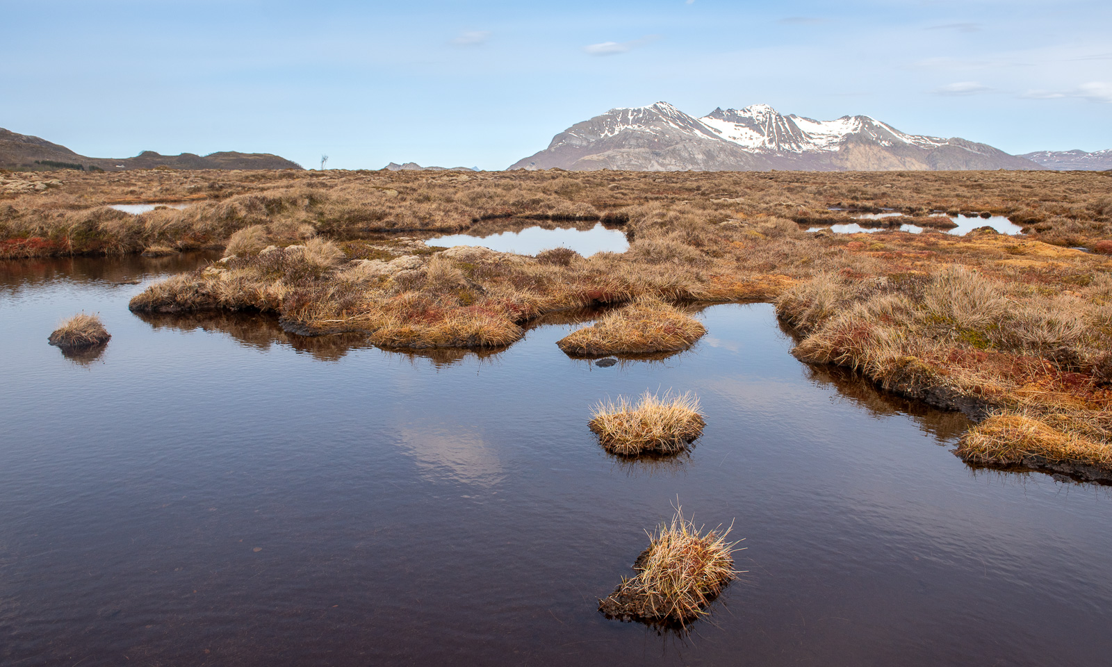
Much more interesting were all the small ponds with mossy islets and also the muddy peat flats with their scattered grass tussocks forming small islands. Pretty fascinating. Some photos:
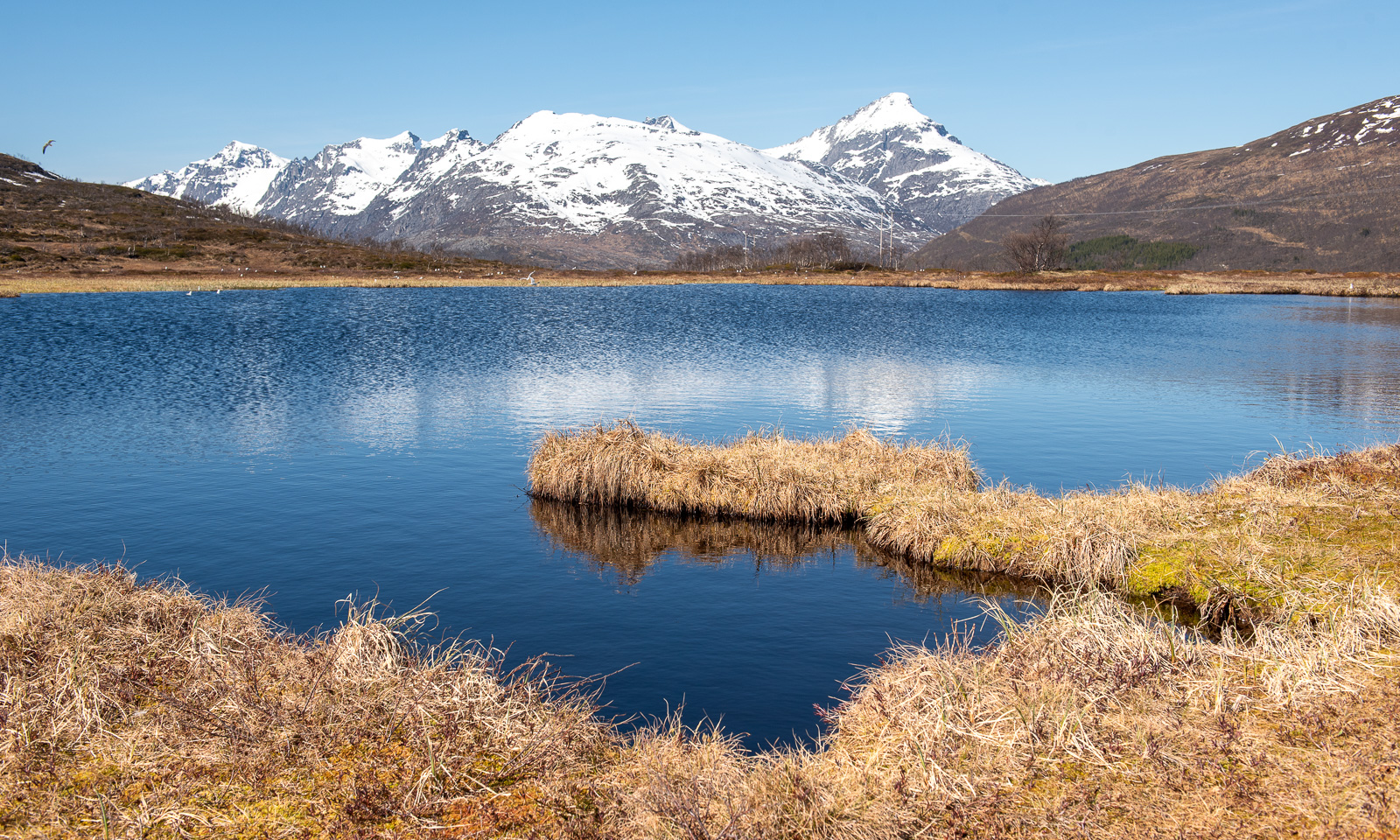
After a six-kilometre hike – a pretty wet one – I am back at the car. I liked this tour, too and I plan to come back on a sunny night this summer. Then the sun should be low in the north illuminating the mountains behind Storvatnet. Hopefully …

Mountains

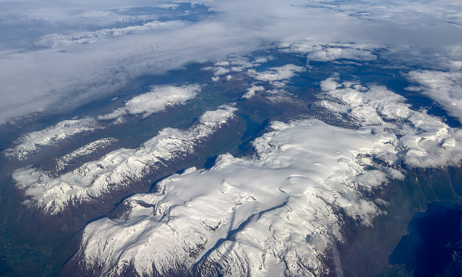
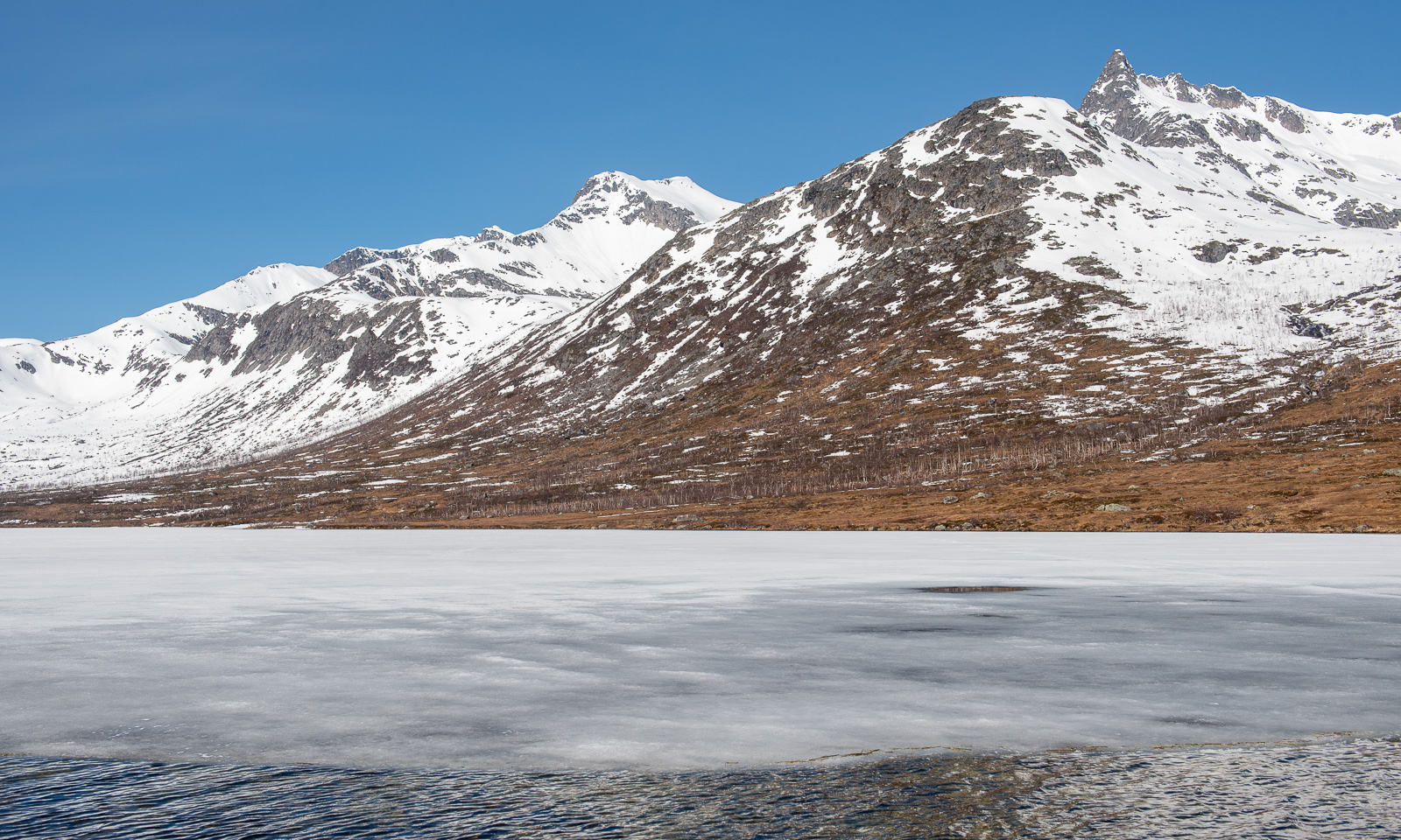
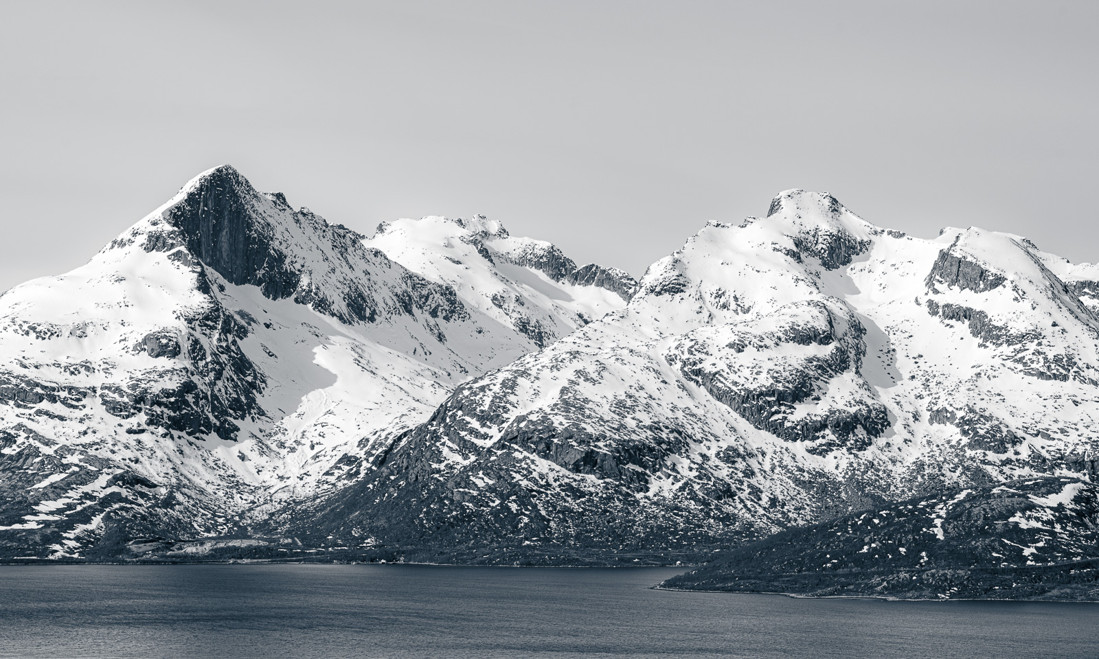
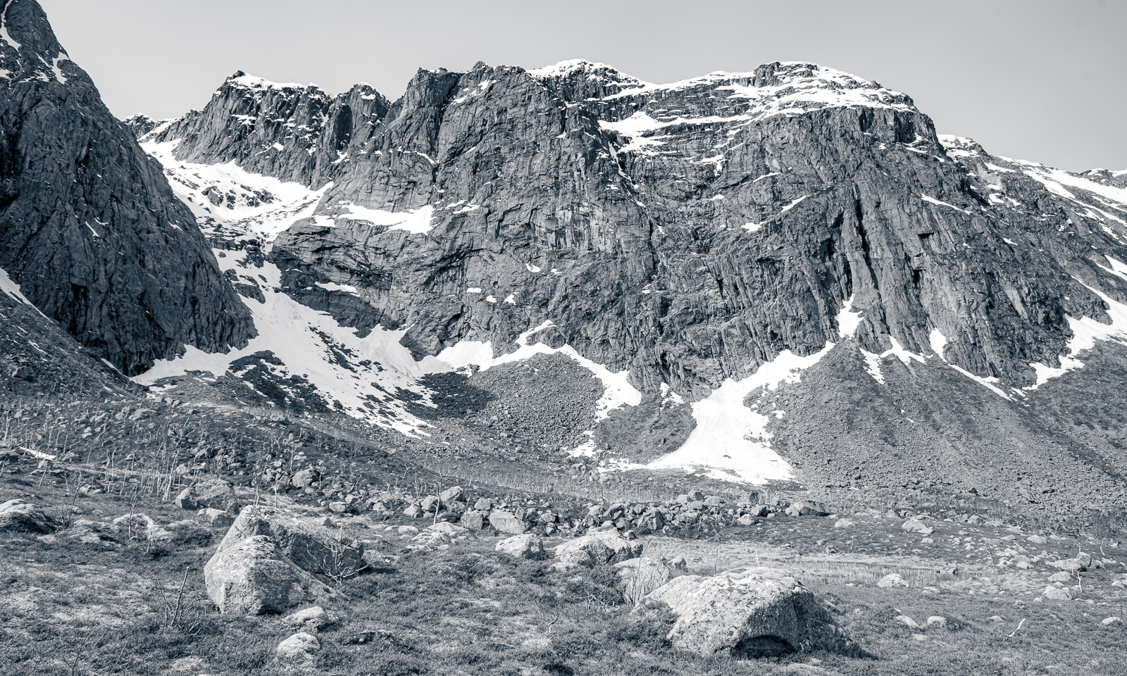
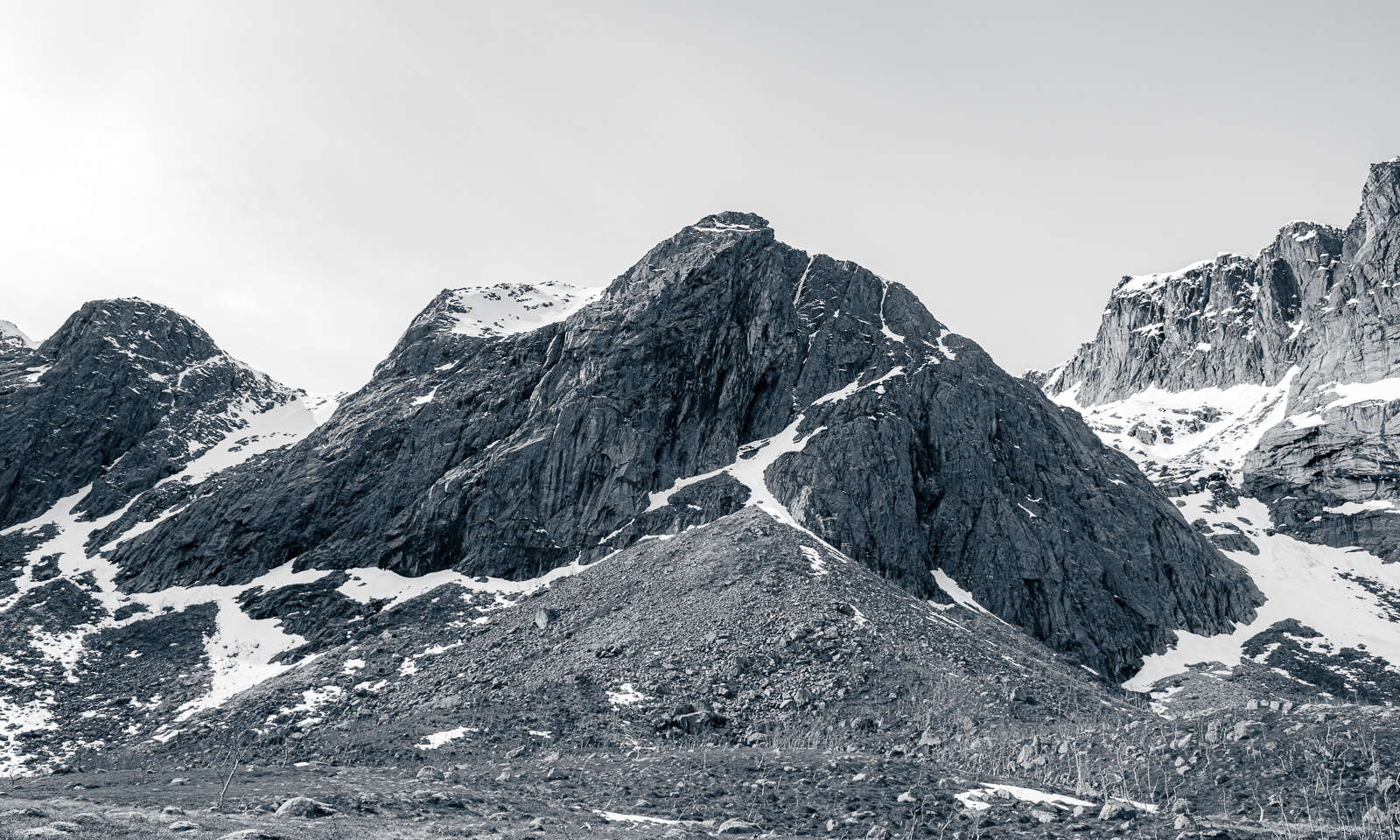
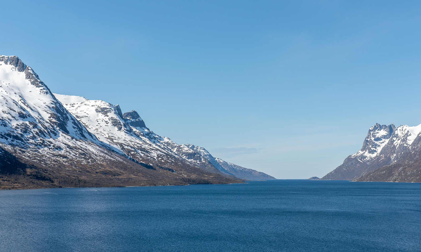
Some mountains and mountain ranges are extremely fascinating in their combination of white snow and rough rock. The first photo I took from Trehørningen, for the other two I stopped the car on my way to Tromvik.


Ways, paths, tracks, and trails

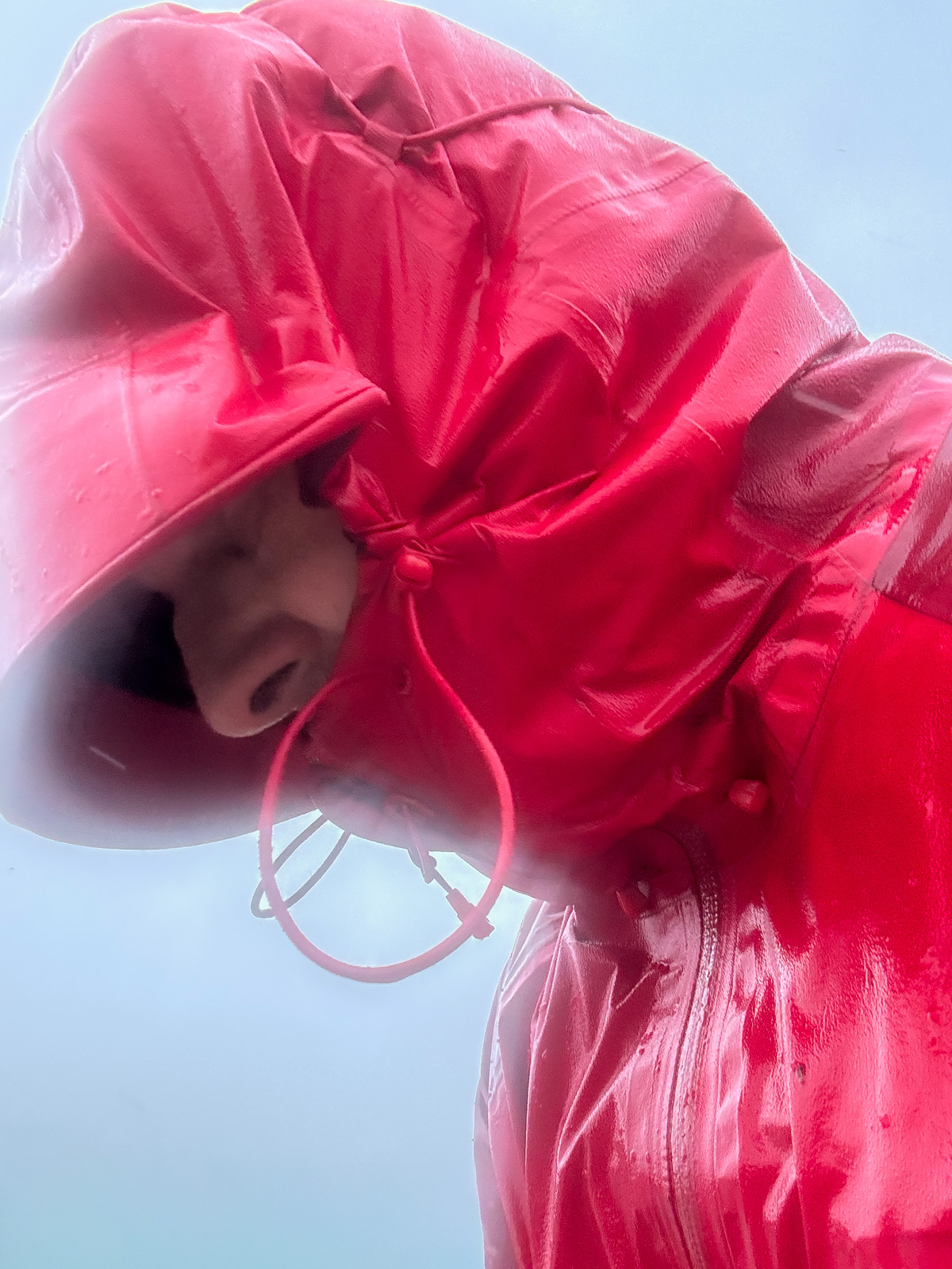
When I thought the weather had been bad on the kayak trip the day before yesterday, it was much worse today. It was colder, it was windier and the mix of precipitation was more varied: rain, snow, soft hail and sleet. At the northern tip of Tromsøya, storm gusts almost knocked me off balance and the graupel blowing straight into my face hurt. I wished I had brought a face mask and ski goggles and I bent my head low to avoid the heavy weather. That’s why I did not walk all the way home but took the bus, boarding it looking like a drowned rat.

At home the same procedure: a long, hot shower and a fire in the stove, which was drawing like mad in the storm.

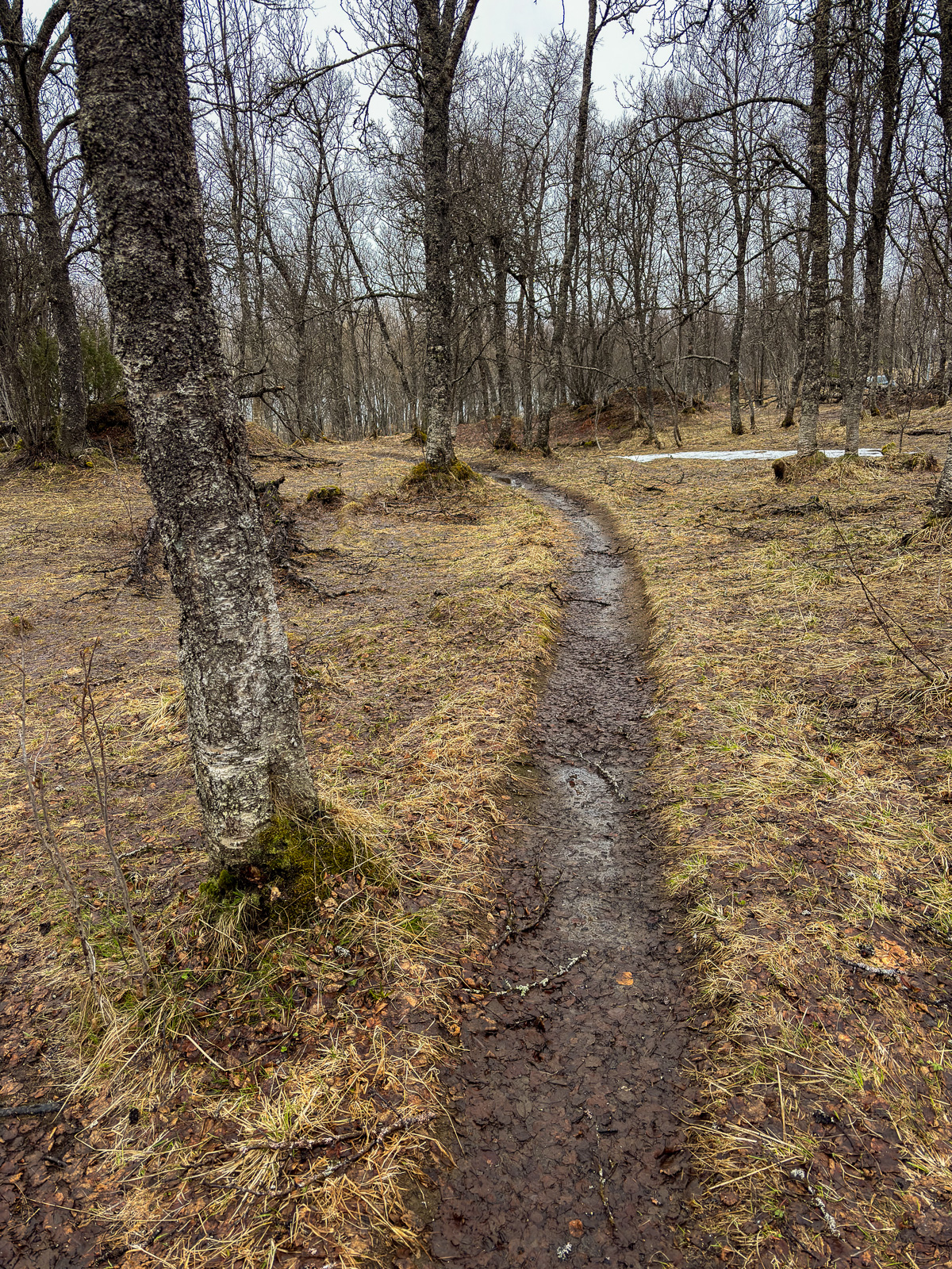
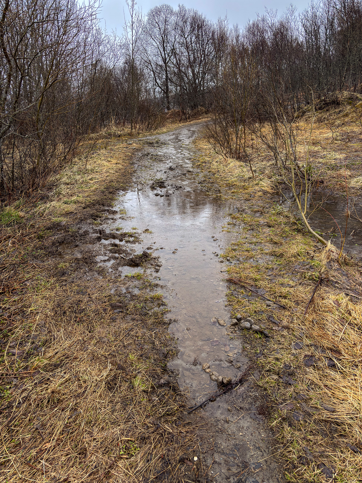
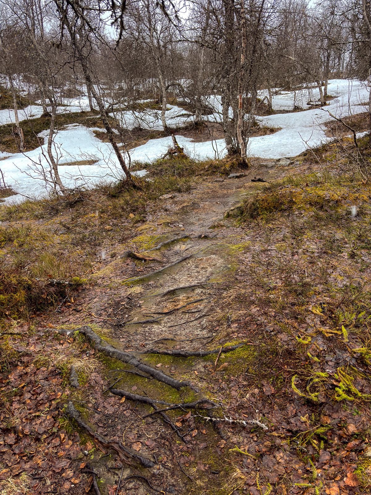
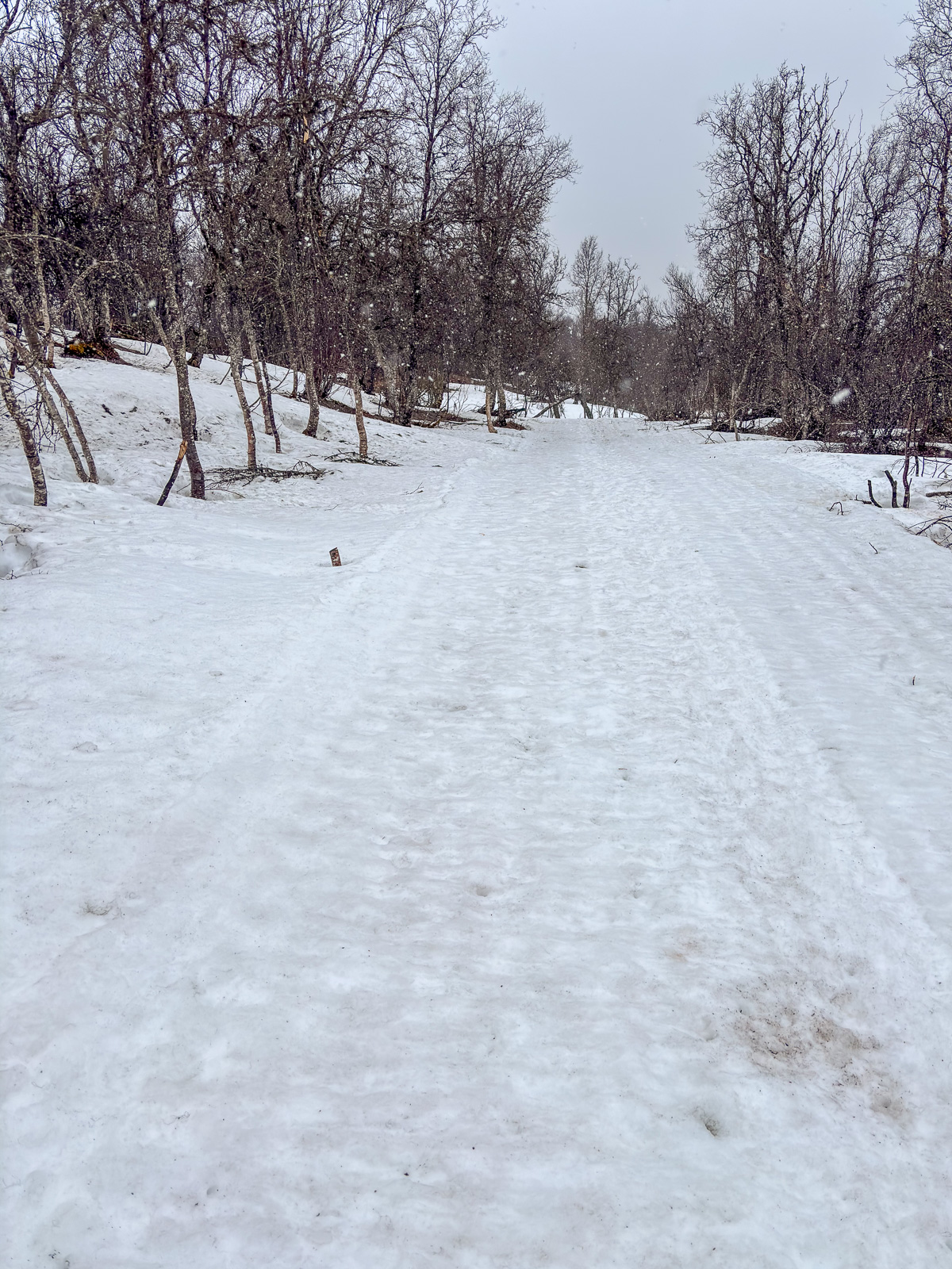
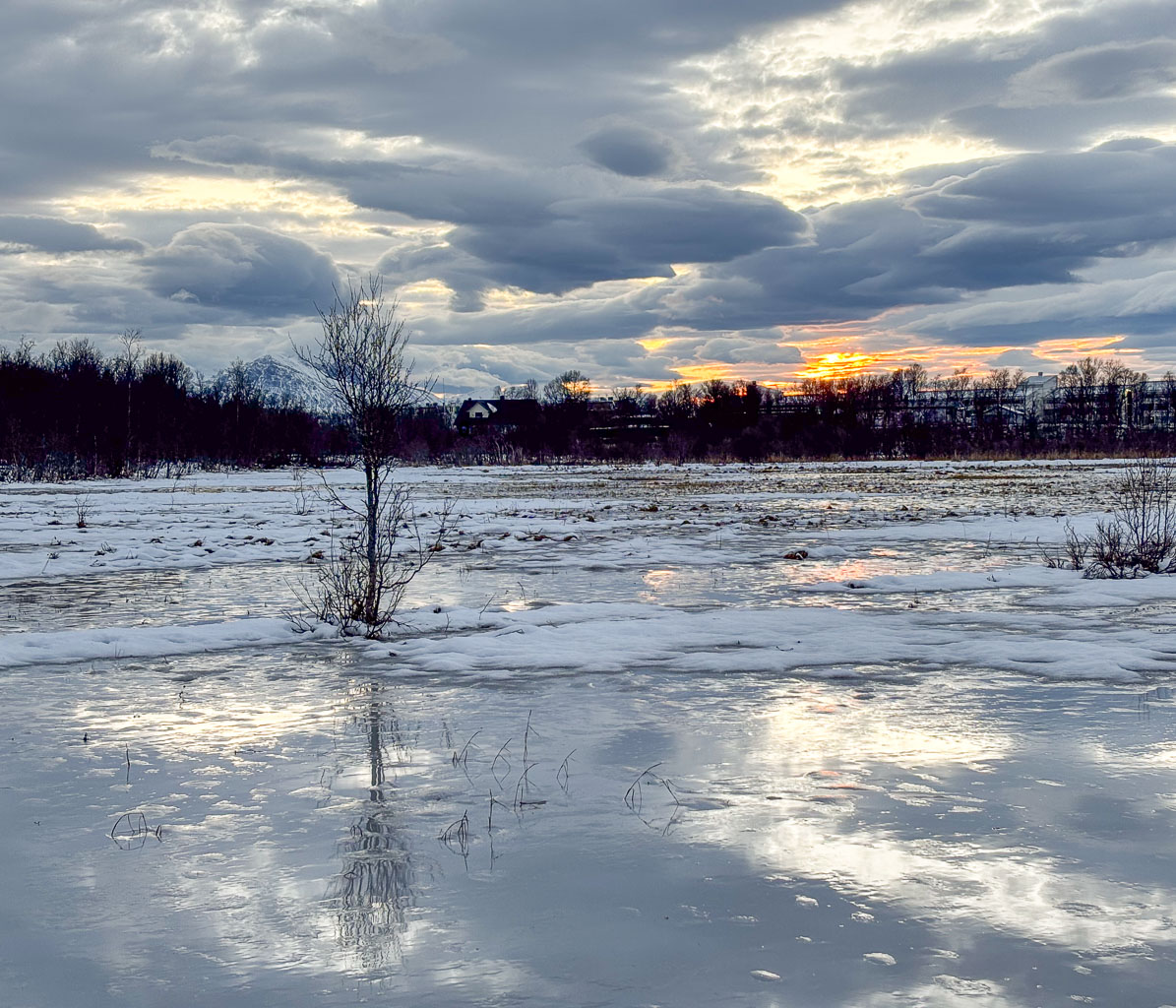
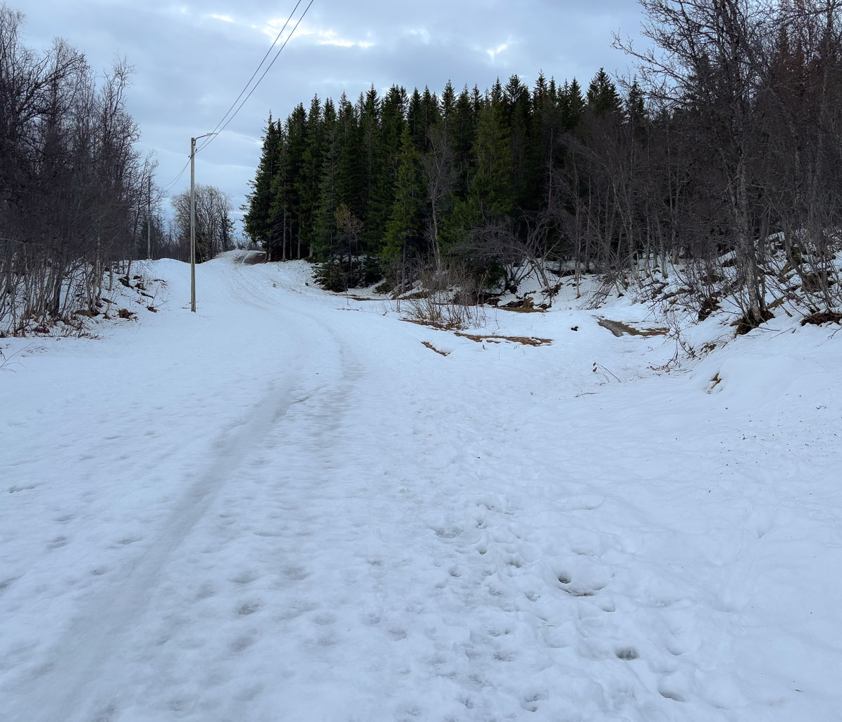
However the photos are not about weather, they are about the ways, paths, tracks and trails that I followed or crossed on my hike on Tromsøya today. Some are ski trails, most are summer and winter trails. Some still offer very wintry conditions; others look like early spring – or late autumn. My rubber boots splash through water, bog down in the mud and disappear into the snow. It will take some time until most of the ways, paths, tracks, and trails are dry – if it ever happens.

Tomorrow will be different, tomorrow it will snow.

Winter walk on Tromsøya

This morning I went for a winter walk in Tromsømarka. That’s not an official name, but it describes the hilly terrain with forests, lakes, and bogs on the island of Tromsøya. I’ve walked there countless times because it is only minutes away from my flat – on foot. And I walked there on foot today. Maybe a stupid idea, when we have 60 cm of snow …

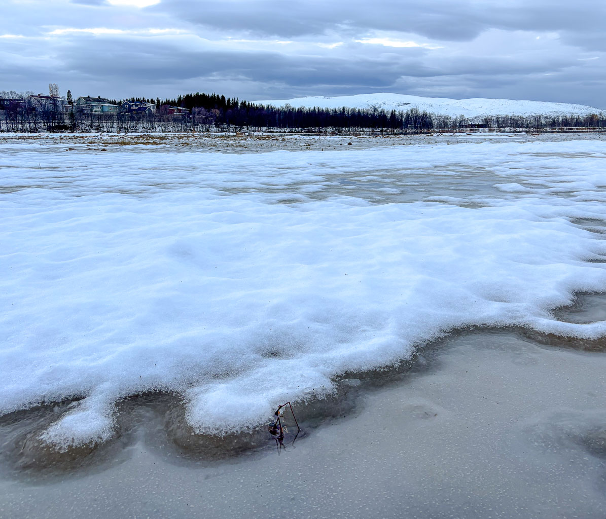
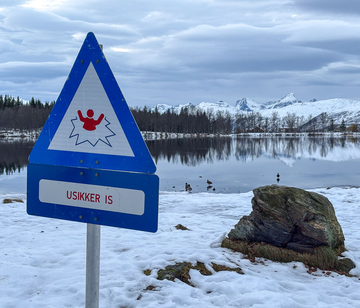
We are still in mørketid, the time where the sun will be below the horizon the whole day, but as you can see it is not dark at all. At least not around lunch time. The colours of the sky are incredibly delicate and vary a lot depending on the hour of the day and the direction you are looking. The photos were taken between 10:38 and 11:28.
I’m not happy with the photos. I used my small Sony RX100 that was accidentally to some strange mode using JPG, not raw format. That caused me some trouble editing them in Lightroom. Next time I will take my Nikon again, although the camera body plus two lenses is far heavier.

Low water level in Obbola

On the evening of 23 December, it got colder and frost patterns formed on the windows of the unheated winter garden.

It takes some effort to cross the new layer of ice in the bay when my wife Annika and I go kayaking on the morning of Christmas Eve, but we manage and most of the sea is free of ice.

Two days later – on 26 December – the situation has changed. It has become much warmer – up to +7 °C – and the ice is gone.

Yesterday – on 29 December – the water is gone as well, maybe caused by the storm Johannes that crossed Sweden two days before.

Today I have a day off and used the sunny weather to take a long stroll by the coast. The water level is even lower at –66 cm, so I walk part of my route in the Baltic Sea. Air temperature is around -8 °C and so you can see ice on the sea and on land, as well as huge fields of boulders that normally are underwater. Some photos from this morning:

Larger parts of the shallow bay Nagelhamnsviken by the camping ground Fläse have completely fallen dry. That looks pretty strange, when you know how it normally looks like.

The only thing we do not have at all in Obbola is any snow, but it seems to be a matter of days before it snows. And Tromsø – I’ll travel there at the end of the week – has 60 cm of snow right now.

Walking home between the seasons

After a three-week break, I did my usual after-work hike from Prestvannet to my flat today. Back then it was full autumn, now the weather bas become more wintry despite of the warmer temperatures the last days.

For those who wonder whether I’ll show photos from Scotland. Yes I’ll do but not before next weekend. See you then …

October on Tromsøya

This is the season where the golden October starts to loose its colours. The first ground frosts occur and many birch trees have lost their leaves. Now it is the rowan and willow trees and the grass and moss that shows autumnal colours.

Four pics I took on an after-work hike two days ago and four I took today.

It won’t be long before the afternoons are so dark that the light posts make sense — and maybe I’ll be able to ski there as early as next month.

1st October

The 1st day of this year’s October delivers! First I got a clear, blue sky on my after-work hike through the autumnal forests on top of Tromsøya. Then I got beautiful Northern lights tonight, I just came in and developed the photos a bit.

What you don’t see here – as usual – is the movements of the Aurora. The live act is still better.

Steindalsbreen 2025

It is the third year, that I hiked to the glacier Steindalsbreen in the Lyngen Alps. This time I had the pleasure to do the tour with my wife Annika. To make it a holiday we have decided to try to book the cabin Steindalshytta over the weekend. This cabin lies some kilometres from the parking place on the way to the glacier.

Saturday morning we manage to book two beds but we have to hurry to fetch the key in Steindalen, which is 100 km away. There we meet H. that gives us the keys and some info. She tells us we can use the gas driven hotplates to cook. We also learn that there’s hardly any firewood left, but it’s not cold and we have sleeping bags, so no worries. We pay using Vipps, the leading mobile payment system in Norway, then we take the car to Lyngseidet – 25 km away – to buy food.

When we pack our backpacks to start the tour it is already afternoon, but the cabin is not far away.

In the beginning a forest path winds up through a narrow valley. The colours are autumnal – yellow the birches, red the cornel and the blueberries. To the left down from the bottom of a ravine we can hear the river Gievdanjohka.

The path is rising and so is the river. After two kilometres we are almost level.

From there it is not far to the cabin. We go round a moraine and there it is: Steindalshytta. I unlock the door and we peek inside. Looks cosy!

Now we want to cook. This will take the rest for the evening because the gas canister is empty. No cooking on the hotplates, we have to use the wood-burning stove. We gather all the leftover wood from inside and outside of the cabin. There is no axe. Luckily Annika has a knife that is sturdy enough to make some smaller peaces of firewood. The wind is calm, the oven isn’t drawing and it takes almost three hours until the water for the spaghetti is boiling. At least we get a starter: warm shrimps with parmesan that we eat from the huge plastic plates we found in the kitchen. And I found chocolate cookies in the kitchen.

Meanwhile it has become dark outside and soon we get to sleep. We don’t have to freeze. After having powered the stove for hours we have 24 °C in the living room and hardly less in our sleeping room. Good night!

When I wake up the next morning it is raining, but it stops soon and the sun starts to light the mountains in the east.

After breakfast we pack our backpacks and start our hike to the glacier Steindalsbreen. Many things like our sleeping bags we leave behind, because we will go the same way back.

Again we follow the river to the east, then the landscape opens to a broader U-shaped valley. The terrain flattens and hiking is easy.

But we can already see the ascent we have to take. After two steeper passages we stand between two landscapes. In our back lies the mellow valley with its gentle slopes, everything in autumnal colours. Ahead lies a rough and rugged mountain landscape, where grey rocks and stones are the predominant element.

And there it is. The glacier. (Photo Annika Kramer.)

We continue the gravel path. Soon we pass the first of the signs that marks the glacier front some decennials ago. Due to global warming the glacier is melting and retreating every year. It is fantastic to see the glacier and we feel excited, but sad at the same time. First we hike to the glacial lake in front. Will we manage to go round the lake the glacier itself? Yes – and it is quite easy this year.

I have my big camera backpack with me and the Nikon with three lenses. That was made possible by Annika who took all the food. Although the weather is a bit dull it is photo time!

As often I’m not content with my photos and yes, I should have carried my tripod with me. But I’m happy about being there together with Annika. (Next photo: Annika Kramer.)

It is time to go back. This time we follow the river and pass two fields with scientific instruments, part of the project iC3. I have to ask a colleague from the Norwegian Polar Institute what is measured there.

Now the trail leads mostly downwards. We descend the hill, cross the broad valley, enter the forest and then reach the bridge by the cabin again. Here we take a rest and then fetch the rest of our stuff from inside the cabin.

I take a tiny detour that leads on a hill. Here I can see everything together: The huge mountains with their snow fields, the river Gievdanjohka, the autumnal birch forests. Only the glacier is hidden from view.

What a terrific tour we had! The glacier Steindalsbreen is worth a visit, especially in autumn. We drive back to Tromsø and I copy the photos to my computer. Then I check the tracker I used on the tour. As I was afraid I have walked on rock, sand, and mud this year, where last year the glacier covered the ground.

Late summer mountain hike

The forecast was correct – the sky was blue the whole day today. At 9 o’clock I meet my friend Chris on a parking place and we start a mountain hike. The morning air is a bit chilly and some leaves even have frost on them.

After we have crossed the river Tromsdalselva we follow a path and some quiet residential streets and arrive at the way up to Sherpatrappa. That’s is a stone staircase of 1,203 steps leading up the mountain. Today is Sherpatrappa Opp – a competition where people run up the stairs. We however prefer walking and are lucky, that the competition will not start before eleven.

At the end of the stairs the terrain becomes less steep and you have a gorgeous view on the island Tromsøya and its beautiful surroundings. I see the island Håkøya that I circumvented by kayak two days ago. And today there is another competition: Tromsøya rundt, a 24 km long kayak tour round the island. From 400 metres up, we spot a group of kayakers passing below.

I assumed it was too late in the year for cotton grass – a clear sign for wet ground – but by a small and shallow pond we find a field of these candyfloss like flowers.

A lake always gives an awesome extra perspective in the mountainous landscapes, especially when it is as clear and blue as this one.

A white reindeer is grazing by the trail. It is not shy at all and ignores us while looking for food. On the way back we will meet it again.

I will never loose the fascination for the Norwegian landscapes, where sea and summits meet. I paddled to Grindøya – the island in the middle – several times. In the back lies mountain range on the island Kvaløya. This island is more than 1200 times larger than Grindøya and mainland Norways 5th largest island.

The weather has become warm and summery. Anyhow you can see the signs that the summer comes to an end. The colours have started changing.
On our way back we use Sherpatrappa again and get an awesome view on the town. Tromsø in a nutshell: Two Hurtigruten ships – the bridge Tromsøbrua – the iconic church Ishavskatedralen. And in the background the mountain Kjølen, where I’ve seen the midnight sun seven weeks ago (I and II).
Takk for turen, Chris!