Meanwhile in Tromsø
While I am writing a lot of blog articles about my time in the Arctic live in Tromsø goes on.
When I arrived Friday a week ago Tromsø was as un-wintry as possible. It was several degrees plus and it rained.


But to be honest, it didn’t affect me a lot. Mentally I was still in the Arctic.
Despite to the torrential downpours that Yr forecasted for this weekend the weather was ok yesterday and nice today. But as the whole week it was really warm: +7 °C. Time for a morning walk. _(Sunny, but much windier than expected.)_


In the afternoon I wondered if it was possible to take a small promenade on Kvaløya. I headed to the parking place from which I started a ski tour seven weeks ago. A lot of other cars were there and snow and ski tracks. I did not have any skis with me today. I tried to walk on the snow just with boots but the snow was at least knee deep. And then I came to the bridge that crossed a rapid meltwater flow. Maybe nice for experienced skiers but I didn’t have any interest in falling into the water. Time for me to return to the parking place.

The good thing: the parking place is just 200 metres away from the coast. So I took a short afternoon promenade there enjoying the colours, the sun, the fresh air and the wind. Yes it was windy – the display at the bridge to Kvaløya showed 20 m/s.


Back again at my car skiers arrived. My skis where home but then I remembered, that I always have snowshoes in my car. I attached them to my rubber boots and so I could make at least a tiny promenade to the next hill some hundred metres away.

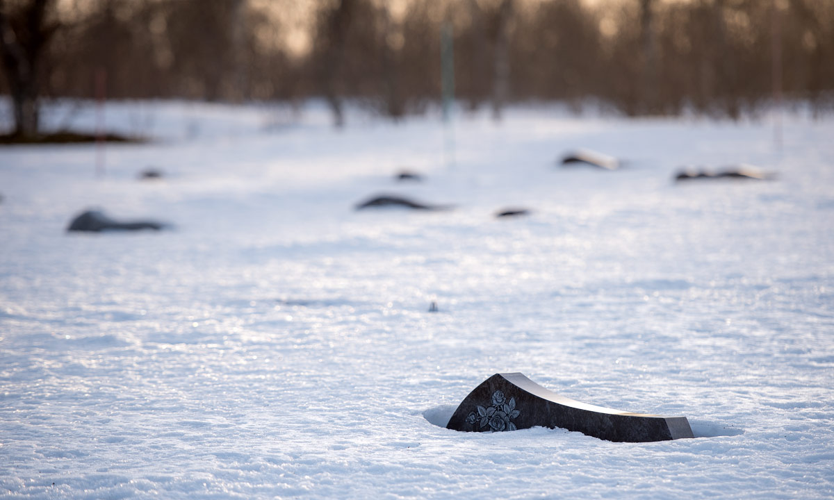
Back in my car. Next stop: Sandnessund Cemetery. Never been there before. Even there a lot of snow.
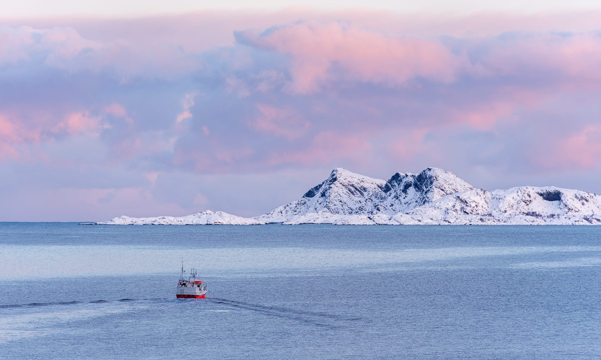
Next stop was unplanned. I just had to take a photo of the vessel and the mountains of Kvitøya. Luckily the parking place of the Tromsø Havpadleklubb was near.

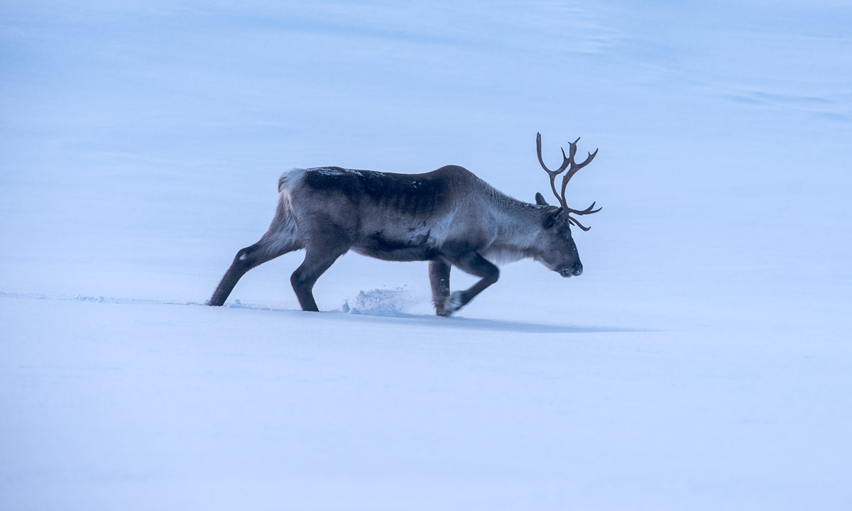
The Arctic has its own extraordinary beauty and I feel a special connection to it. Tromsø and surroundings however are beautiful too, even when weather has been much too warm for mid-March.
For the records: The first „hestehov“ or Tussilago I (17 March on my way to work).