ɥʇnos uʍop ʎɐʍ – part I

Although I already live quite up north (64° 41′ N) my most longer travels head even further north, not south. But not this time.

Having started in Umeå I took the train to Stockholm, another train to Malmö and in some hours a third train to Trelleborg, which is the southernmost town in Sweden. I’m travelling more than 1200 km and more than 9 degrees of latitude – a tenth of the distance between the equator and the North Pole!

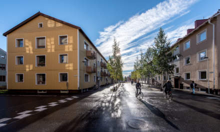
Last night rain poured down in Umeå, where I already arrived yesterday. How will I come to the rail station without becoming completely rain-drenched? Goretex jacket, pants and rubber boots? No need for it, I was lucky: The rain had stopped and the sunlight was reflected by the wet asphalt, when I went to Umeå Central.

I was way to early and had to wait. Anyway, the weather was fine, the air fresh and the train arrived 20 minutes before departure. When I went to carriage 1 I realised, that it’s a 1st class coach. First I was a bit puzzled, but then I remembered, that I did book 1st class tickets. They were hardly more expensive and now I was glad to have a bit more comfort on the long journey. And there was coffee, muffins and fresh mandarins, too. For free!

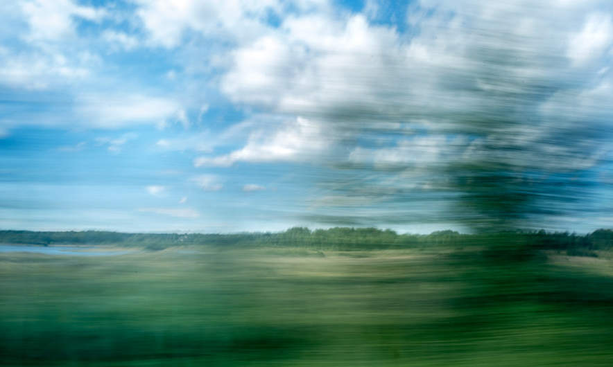
First I took another seat (my window seat hardly had any window …) and had a look at the Swedish landscape rolling past.

In Sundsvall many people got on and I had to take my original seat again. 2 hours 19 minutes to Gävle

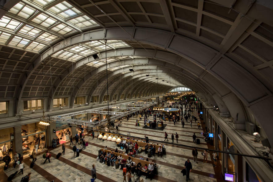
… and then 1 hour 26 minutes to Stockholm, where I left the train. One of the disadvantages of living in a small town is the increasing inability to be comfortable in crowded places. And for me, Stockholm Central Station is really crowed! The photo may fool you, all people were in the very same shop, where I bought a photo magazine.

I longed to get on the next train to Malmö, were I just could sit and relax, but first I had to wait with the other zillion people for the train to arrive …

(to be continued …)

ɥʇnos uʍop ʎɐʍ – part II

Two days ago I started a journey southwards. After half an hour in Stockholm, where I changed trains, I sat in the X2000 to Malmö – a four and a half hour trip. I looked out of the window to have a look at Stockholm and saw the train crossing the Årstaviken on a high rail bridge.

Then I got tired and tried to fall asleep. Then the landscape got a bit boring. Then it got dark. That’s why my camera stayed in its backpack for a long time. Then our train started to delay more and more. Will I be able to catch my connecting train in Malmö? I knew, there were later trains the same day in case of missing this one, but I was a bit nervous anyway. I was tired and just wanted to end this part of my journey as soon as possible.

Two or three minutes before the departure of my connection we arrived in Malmö. I left the train, and started to run: Where’s track 2B? To the left – to the right – holding left – running down the looong escalator. Where’s the train? Oh – the track changed. Where’s track 1A? The other end of the same platform. Jogging again. Where’s the train? Oh – not here yet. Phew!

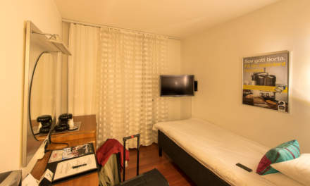
Some minutes later I entered the local train to Trelleborg where I finished my 12 hour 40 minute journey and took the short way to my hotel. I checked in, went to my room, took a shower and a photo and soon I was fast asleep.

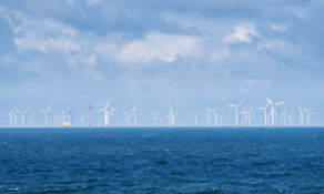
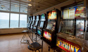
Ten hours later: I stand on the huge ferry to Sassnitz, Rügen, Germany. The ferry crossing will take a bit more than 4 hours. Twice I am inside to buy small things to eat and to drink, the rest I sit or stand outside having a look at Sweden leaving behind, the open Baltic Sea with nothing in view beside of an offshore wind park and some other ships far away. Some places on deck were quite windy, other were wind-protected so that I can sit in T-shirt enjoying the sun. Two and a half hours later Kap Arkona, the northernmost tip of Rügen comes into view and later the outstretched chalk cliffs of Jasmund. A good hour later the ferry goes ashore in Sassnitz and I am in Germany – for the first time after Christmas 2014.

I think, travelling by ship could be my favourite style of travelling. You are not bound to your seat, you can walk around, you get food (if you want) and you can look at the sea. What a pity, that there’s no ferry from Skelleftehamn to Sassnitz. Come on, shipping companies, it’s both the Baltic Sea, it cannot be so hard …

Some images of yesterday:

Jämtland hike part I: Storulvån—Blåhammaren

This article is part of the series “2016-09: Jämtland and Norway”.

After three weeks of travelling I’m back in Skelleftehamn. The first week I was in Germany, then I travelled back to Umeå, where Annika lives. Let’s start there:

Sunday after breakfast Annika and I started our tour through the autumnal Jämtland. However the first day’s focus was on getting there by car. It takes round six and a half hours to get from Umeå to Storulvån. We made a stopover in Åsele to look in on some friends and so it took a bit longer until we reached the STF Storulvån Fjällstation where we parked our car. But anyway, we have semester – holiday – and plenty of time. It was even still daylight left, when we crossed the creek Stor-Ulvån (sami: Stoere Vïerejällanjohke) to get to our cabin.

Monday, 12. September

I awoke quite early the next morning and went out to make some photos of the beautiful morning mood and the autumnal colours of nature.

After our breakfast we shouldered our backpacks and started the tour. My backpack could have been quite lightweight if I hadn’t taken my camera, four lenses and a tripod with me. Nevertheless the weight was less than 15 kilos since we were able to buy food in almost all cabins and mountain lodges.

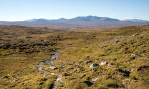
First it was a bit cloudy but soon the sky cleared up more and more and we got a warm autumn day with temperatures up to 20 °C, which is quite warm for the season. The summer trail led us first through autumnal birch forests but after some kilometres we were already on the kalfjäll – the bare mountains above the tree line.

In the middle of the trail between Storulvån and Blåhammaren lies the cot Ulvåtjärn, one of the “emergency cots”. You’re welcome to have a break here, but not to stay overnight beside of emergency situations. Right before this cot you have to cross the Stor-Ulvån again, this time by fording it. When Annika crossed the river three years ago, the water was knee deep, now the water level was much lower and I could just cross it in my rubber boots, while Annika went barefooted.

After a break we continued our tour to Blåhammaren. There were many reindeers on the fjäll. No big herds, but many small groups here and there. They are quite shy and cautious, but on the kalfäll it’s quite obvious, that they are the real residents of the mountains, not we human beings.

We continued our tour on the treeless mountain terrain until the Blåhammaren fjällstation came into view. Here we got two beds in a 14-bed-room and entered the sauna, that has a gorgeous view. After that Annika invited my to a three-course dinner (Blåhammaren is famous for its cuisine) where I got the most delicious reindeer meat I ate in my whole live. Thanks for the invitation, Annika!

While we enjoyed our dinner it started to get dark outside and after a while the beacon in front of the main house was lighted and the first stars came out. Later in the night we got a fantastic crystal clear starry sky, but no Northern lights. I considered about taking some pictures of the milky way, but I was too lazy and too tired.

The tour so far:

Continue with part two …

Jämtland hike part II: hejdå Sweden, hei Norge!

This article is part of the series “2016-09: Jämtland and Norway”.

Annika and I are in the mountains in Jämtland and have just reached our first destination: Blåhammaren, where we slept in a 14-bed room.

Tuesday, 13. September

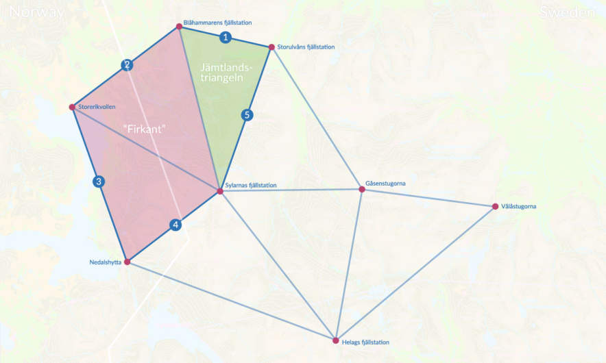
Sleeping in a 14-bed room can be quite demanding, especially if you have this kind of snorers in your room, that could awake a frozen mammoth. However Annika and I were really lucky, no snorers at all! After our breakfast we had to decide where to continue our tour. From Blåhammaren you can hike back to civilisation or continue to two other destinations. Most of the hikers continue to Sylarna which is very central and part of the Jämtland Triangle, a very popular three-day-tour, that connects Storulvån, Blåhammaren and just Sylarna. We were keener to cross the border and hike to the Norwegian lodge Storerikvollen and so we did.

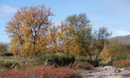
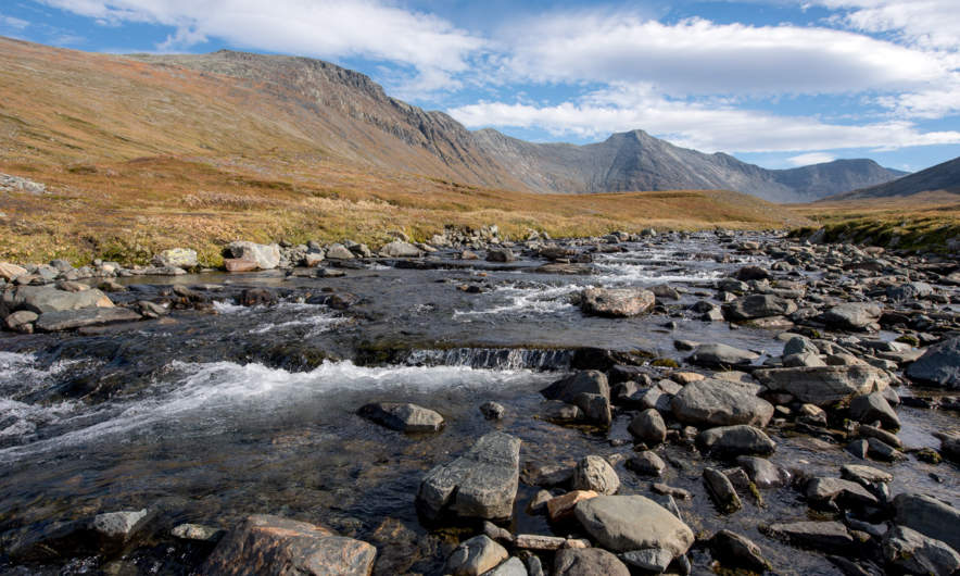
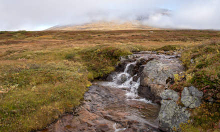
With an altitude of 1086 m Blåhammaren is the highest tourist station of the STF – the Swedish Tourist Association – so first the trail ran over the treeless mountain plateau, over rocks and moss, crossing some swamps and brooks. After a while we descended and the first yellow coloured birch trees came into view again.

Swedish summer trails are marked with red coloured dots on rock or tree, while winter trails are marked with poles bearing red crosses. You really shouldn’t follow the winter trails in summer unless you want to stand in front of a lake or find yourself deep in a bog – both are easy to cross only in wintertime. But quite often there’s a year round trail which makes navigation extremely easy even on less walked routes.

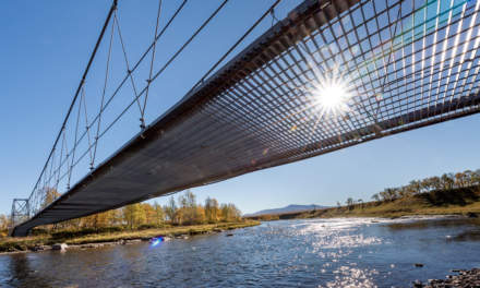
One kilometre behind Endalen, an emergency shelter, where we rested for a short while, the Sweden-Norwegian border came into view. It’s hard to mark a border less spectacularly than this one: A sign amidst of a pile of yellow painted stones, that’s it. The large bridge that crosses the river Enan (Sami: Äjnänjohke) directly after the border offers far more spectacularity.

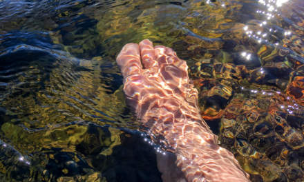
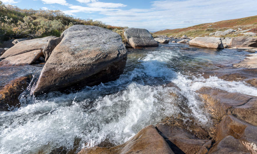
We detected a real nice resting place on the other side of the river, where we planned to enjoy the warm summerly weather, but two other hikers – by the way the first ones we met that day – coming from the other side chose exactly the same slab of rock to rest. Luckily we found another place, at least as nice as the first one. We unmounted our backpacks, took of our boots and dangled our feet into the ice-cold water.

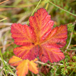
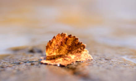
(I like the photo with the drifting yellow birch leave and the dead mosquito. It illustrates, why I prefer the autumn to summer: Beautiful colours and no biting insects left!)

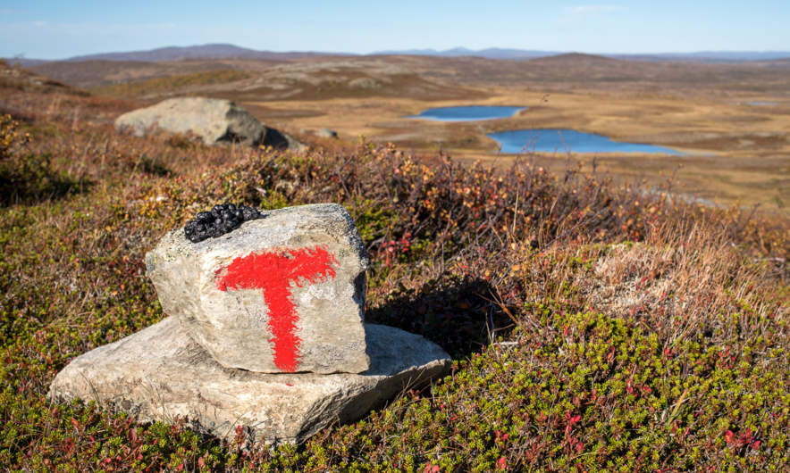
In Norway the summer trail marks change, now the trail was marked with big bright red T-s. The red T is also the logo of the DNT, the Norwegian Trekking Association.

Do you see the dark piece of something on the top of the stone? It’s animal droppings, but I’m not sure of which species. I asked for help on Facebook and the favourite answers are reindeer and (arctic) fox.

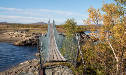
We continued our tour until we came to another swing bridge, this time crossing the river Djupholma. On the other side of that river lies a nice sandy beach where I took a refreshing bath (the only one of the whole tour). It was only two other kilometres to walk to our destination, the cabin Storerikvollen, where we arrived round six o’clock.

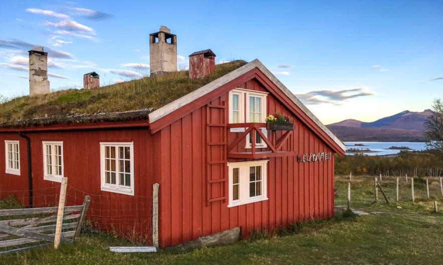
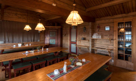
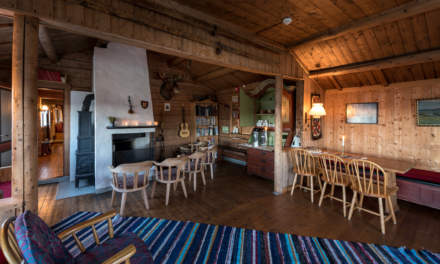
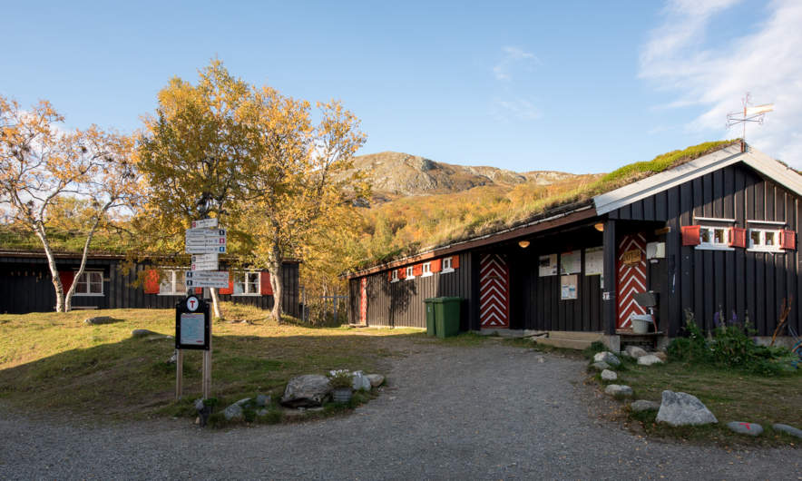
Oh, so nice these Norwegian lodges are. They seem less “funkis” (the Swedish functional style) and more “hyggelig” (the Norwegian word for cozy, snug, or homelike). Just gemütlich! And we got a two-bed-room for a good price. The only thing you should know, when you visit the Norwegian side: These cabins hardly sell any food and there is no public kitchen as in the Swedish cabins. So you have three options: (1) take a camp stove with you and cook outside. (2) cold dishes! Hopefully you have all with you. (3) eat the dinner and breakfast provided by the lodges (and pay the Norwegian price).

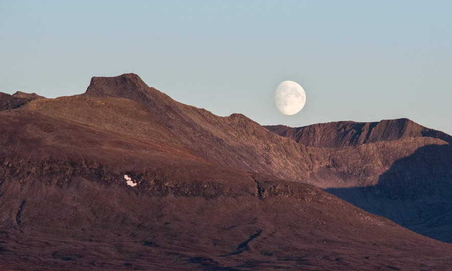
We chose (2) and had a nice dinner with salami, crisp bread and fresh water outside in the evening sun, enjoying both our simple meal, the warm air and the beautiful view. Later the almost full moon rose above the reddish mountain chain – what a beautiful evening!

Wednesday, 14. September

The next day would lead us to the Nedalshytta, which is between 20 and 24 km away, depending on which map or sign post you rely on. So we got up quite early.

We had to go back yesterdays route 2 or 3 km where the trail divided. Now we turned south and had to ascent. Soon again we were above the treeline. When we looked back, we could see parts of the big lake Essandsjøen and even spotted – beside of some reindeers – the now tiny Storerikvollen, that we left some ours ago.

After a while we came to the river Fiskåa, where we had to ford. My rubber boots were high enough and I just splashed through the water, whereas Annika changed boots with trekking sandals and waded through the river.

Since rivers use to flow through valleys we had to ascend again and walked up along a reindeer fence. The weather was still warm and sunny, but you could see a cloud layer approaching afar. Would it rain in the evening as the forecast told us?

Only the map showed us the progress of our longest tour so far. We went a bit up, a bit down, a bit to the left, a bit to the right, down a small valley and up again. But finally trees came into view once more and soon we stood on an exposed plateau not far away from the yet invisible Nedalshytta.

Come on, just less than a kilometre to go … . Final spurt! A short while later we arrived at the beautiful lodge. Again we got a nice two-bed room, this time right below the grass roof. And we got: pizza! Perhaps not the best I ate in my life, but walk 20 – 24 kilometres with a backpack by yourself and you’ll know, how delicious a warm pizza slice can be!

The tour so far:

Continue with part three …

Jämtland hike part III: back to Sweden and finishing the tour

This article is part of the series “2016-09: Jämtland and Norway”.

After two days in Norway we headed back to the Swedish mountains.

Thursday, 15. September

We started our day with a breakfast.

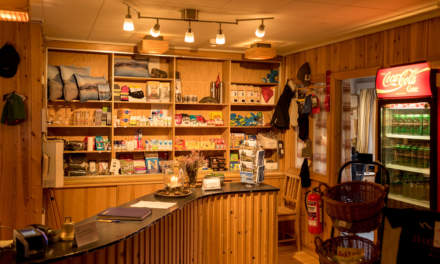
The Norwegian lodge Nedalshytta is really beautiful, but doesn’t have a kitchen and sells only some snacks, when it comes to food. Luckily we had both own things to eat and a mug with us, so would could enjoy our own breakfast: oat flakes with frothy milk! How to get frothy milk on a mountain tour? Mix milk powder and water in an empty coke bottle, shake it vigorously and voilà: schiuma di latte à la Annika.

After packing our backpacks we started our hike to the Sylarna Fjällstation. It was the first cloudy day since we started our tour three days before and anything was moist and wet. Sometimes we had to take a break to pluck some blueberries, that still tasted fresh and sweet.

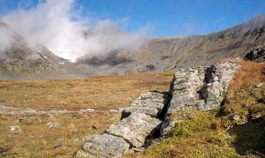
We went along the Templet, which is Swedens highest peak of the Sylarna mountain range (1728 m). (Storsylen with its 1762 meter altitude is higher, but on the Norwegian side, just 100 meters from the Swedish border.) Due to the weather we first couldn’t see that much but after a while it started to clear up and the clouds released the view on the huge and barren slopes of the Templet massif. We were so lucky, that we hadn’t to go this part of the trail in fog and clouds.

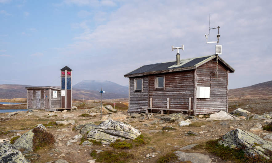
Soon we arrived at a place called Ekorrdörren – the squirrel door.

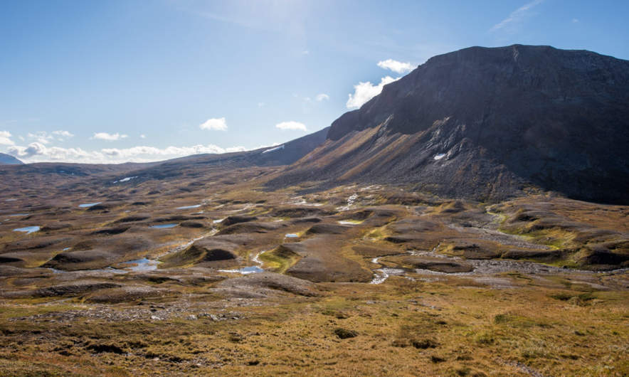
We started our tour at 780 m above sea level. Now we were on 1100 meter and would have to go up another 260 meters to reach the Ekorrpasset – the squirrel pass – which is 1360 m above sea level and so the highest point of our tour so long. We started climbing up the slope but had to look back over and over again. The undulating valley of the river Åeruvedurrienjohke with it’s many hills and ponds looked like from another planet.

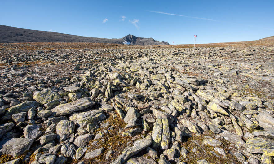
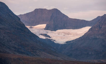
Our trail got more and more rocky. After a while there was hardly any way left, we just went over angular rocks with gorgeous views of the Templet, including a small glacier and the Slottet, another peak of the Sylarna.

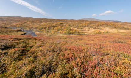
I really love the changes of the landscape you can have within just some hours: From autumnal birch forest with blueberries over to grass covered plateaus and finally up to an asteroid-like landscape that looks like a pile of stones.

Especially the squirrel pass looks both harsh and impressive. Anyway, when you go up a pass you’ll probably go it down as well and even 200 meters altitude make a difference. The Sylarna Fjällstation lies near the river Sylälven that flows through a wide grass covered U-shaped valley and when we came nearer we could see three reindeers standing in front of the cabins. Back to civilisation.

We had hiked four days in a row and were quite eager to take a day off. Sylarna fjällstation would be an ideal place, since it lies beautifully and you can leave that place in six different directions. Alas, there weren’t only reindeers, but people, too. Many people. The place was crowded! There were many hikers and mountain joggers. In the big dining room sat a large group of bankers that got their three-course dinner including candlelight and fresh salad, brought by helicopter. We were unsure, if this should be a good place to rest for a day.

The information we got in the evening shocked us a bit: There were already 100 – 125 booked sleeping-places for that night (in addition to all people that would come without booking). That means, that this place would be even more crowded. Even Helags, which is more in the South had just some single sleeping-places left.

That was the moment, where we decided to escape.

We would stay overnight of course, but the next day we would abandon the tour and hike back to Storulvån, were I parked my car.

Friday, 16. September

I was awake quite early, took my camera and tripod and walked out to wait for the sunrise. The valley Endalen was covered with fog. I looked at the glacier Storsylglaciären,that covers the eastern slope of the Storsylen and a lavvu – a traditional sami dwelling. The sun however showed up quite late, there were too many clouds.

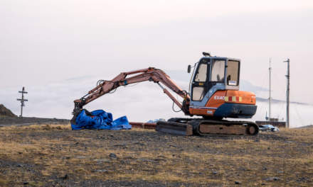
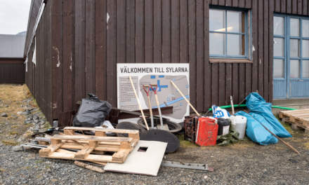
I looked at the less beautiful parts of that place too: An excavator on a flat building site, a welcome sign surrounded by building material and waste.

We started the tour being content to leave Sylarna behind but a bit melancholy, too, because we didn’t plan to leave the mountains already after five days. Annika started to count the approaching hikers, there were quite many …

After half the way we approached something quite funny:

It’s neither a sculpture nor a church, it’s a WiFi-station including a recharging unit for smartphones! It is even marked in the hiking map: “WiFi och laddstn.”. There were many hikers and even some mountain bikers resting, but no one started the WiFi. The cellular network is quite good in that part of the mountains and I guess there’s hardly a young Swede without a mobile internet flat rate.

We continued our tour and slowly hiked down the valley Endalen. After a while we were below the tree line and the landscape got even more colourful.

And just shortly before we reached our starting point, were we had left four and a half days before I spotted a lonely birch tree – almost leafless. A symbol, that winter will come even this year. Fifteen minutes later we reached Storulvåns fjällstation, then the parking place, then my car. Annika has counted almost 150 people hiking, jogging and cycling to Sylarna, just from one direction! That confirmed our decision to leave Sylarna behind.

It has been a fantastic and varying tour with many different experiences in a short time. Tack för turen – Annika!

The End.

“Wait, wait …”
– “… wait, what?”

“How can it be the end? You had two weeks holidays, not only five days!”
– “well, ok, we did continue our journey.”

After changing cloth, using the bath room and drinking a coke we got in the car and I drove the way back to Enafors, that lies at the E14 which connects Trondheim in Norway with Sundsvall in Sweden. We considered some options but didn’t decide yet what to do next. Shortly before we approached the E14 I asked Annika: “Back to Umeå or Norway?” The answer was: “Norway”. So we travelled to Norway …

Stay tuned for the next article telling more about our trip in Norway …