Guided minibus tour with Magnus

This article is part of the series “2023-03: Svalbard”.

Thursday morning Annika and I joined a guided tour by minibus. Magnus, our guide and driver has moved to Svalbard in 1964 and has spent most of his life here. I’ll show you some pictures of the tour, but the real experience were the incredible stories Magnus told us. About the times, when there was no shop in Longyearbyen, when the island could be cut off from the mainland the whole winter, when it was a mining town hardly visited by any tourists. What makes the stories special is that they seem to tell from ancient times but some took place just one generation ago. I could listen to Magnus for ages.

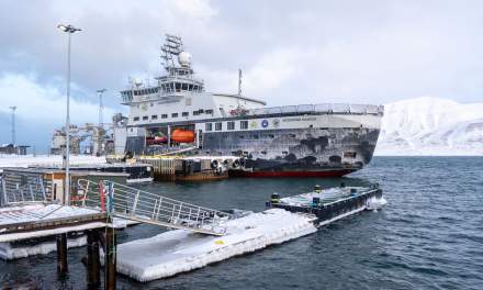
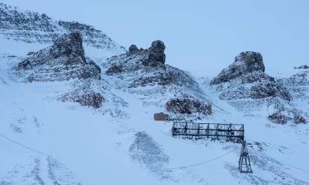
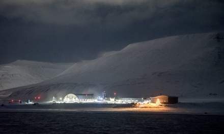
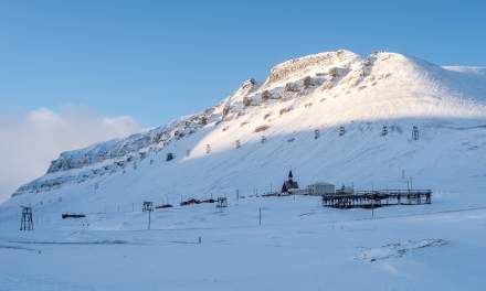
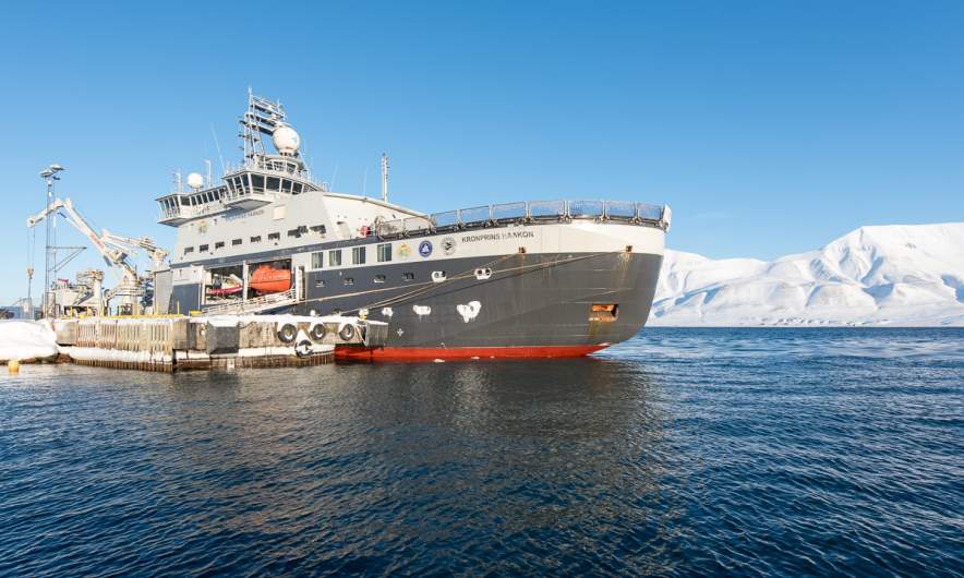
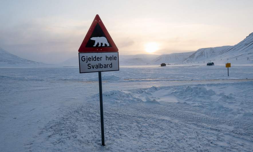
And now some photos. From the road up to Gruve 7, the last active coal mine that will be closed in 2025. From the Svalbard Global Seed Vault, where more than one million seed samples are stored. From the cable car facility that was used to transport coal from the mines to the quay until the 80th and from a special guest, the ice breaker Kronprins Haakon, that I travelled with last year. And of course from the famous polar bear warning sign on the road to Gruve 7.

This tour is strongly recommended if you want to get first hand information about Longyearbyen’s history. Longyearbyen Guiding AS. The web site is only in Norwegian, but the guiding is in English.


A first day in Longyearbyen

This article is part of the series “2023-03: Svalbard”.

Today Annika and I have the first full day in Longyearbyen. There’s a lot to see, even for us, for whom Northern Norway in general is nothing new.

House on mountain slope

We have seen houses, we have seen mountains, we have seen houses by and in mountains. But the mountains in Svalbard are really special and quite recognisable.

Arctic town

It is not only the mountains, that give Longyearbyen a very special character. It is amongst others the traces of the coal mining that is still present although there is no active mining in town any longer.

Avalanche fences

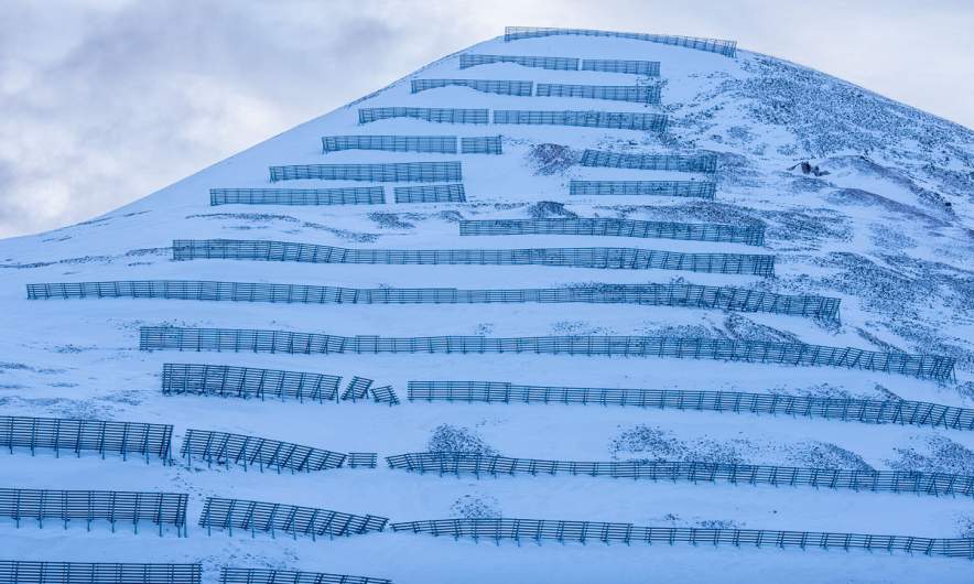
In December 2015 an avalanche buried ten houses in Longyearbyen. Two people died. Today some houses in Longyearbyen are abandoned because they lie in critical areas and the mountain Sukkertoppen (the sugar peak) is covered with avalanche fences.

Snowmobiles

In Northern Sweden snow mobiles are very popular, for work, transportation and for leisure. In Northern Norway there are much more restrictions and you do not see them as often. In Svalbard there are more snow mobiles than people. No wonder in a place with very long winters and hardly any road network.

Chilly temperatures

In Northern Sweden temperatures of -19.7 °C are not seldom in winter, but then it is mostly calm weather. Today in Longyearbyen it was pretty gusty and windy which made the temperature appear significantly lower.

Fjords

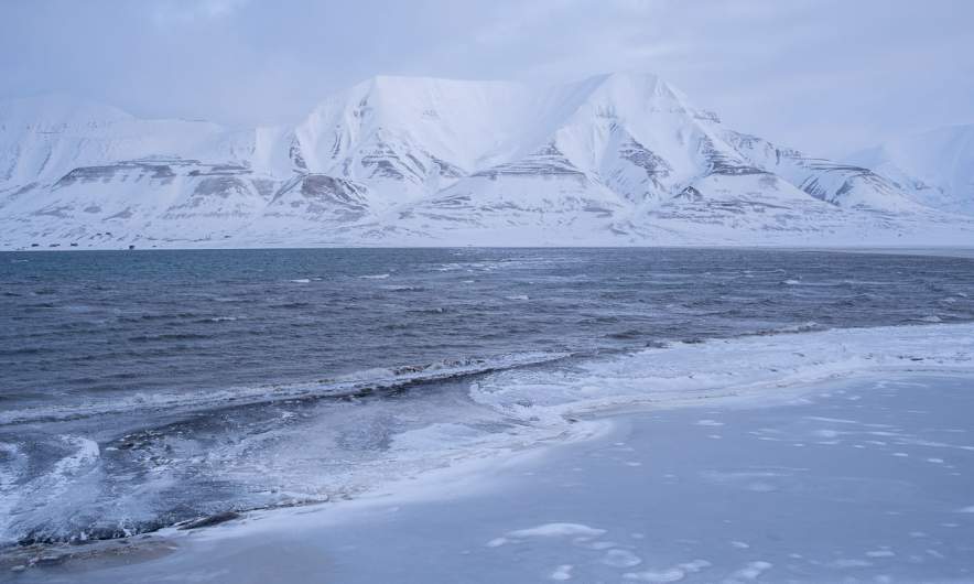
Yes, there are fjords in Tromsø. But there are roads and settlements, too. On Svalbard there are not many settlements at all and the fjords do not only look much more icy and arctic, but also untouched. The small dots on the right of the first image however tell another story: There is a lot of snowmobile traffic.

Northernmost church?

There is a church in Longyearbyen lying on a small hill. It looks cosy and if you go in you realise, it is. It is the northernmost Lutheran church in the world, only topped by an Eastern Orthodox church in the Russian Franz Josef Land. (Source: wikipedia)

Mukluks

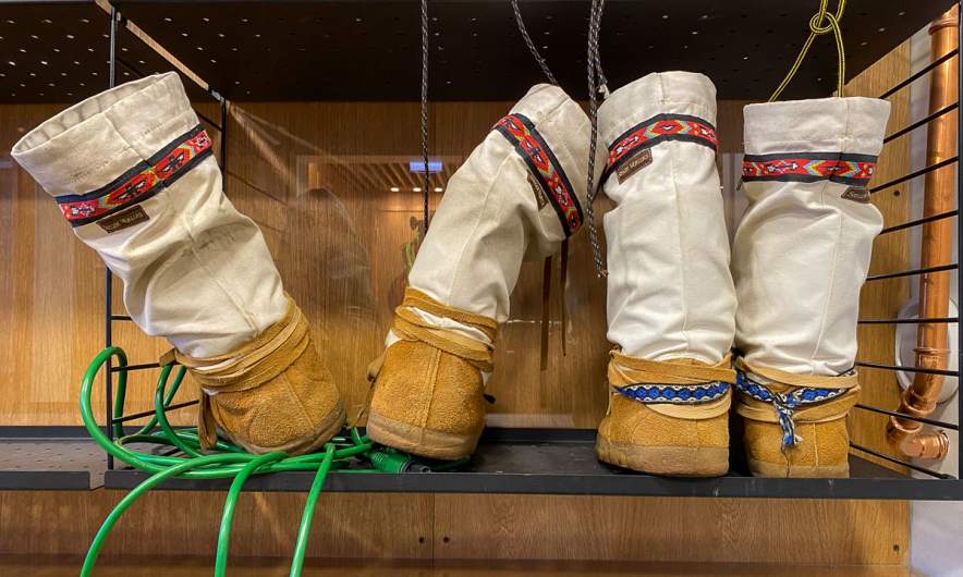
Of course people in Longyearbyen have warm clothes. When it comes to boots Mukluks are quite popular. The origin of these shoes lies in the Inuit culture of the North American Arctic and there are great for dry and cold weather. You hardly see them in mainland Scandinavia.

Impressive mountains

Did I mention the impressive mountains? I did? Well, anyhow – they are impressive!

Surprises

This solitary house goes by the name Huset – the house. The name is as pragmatic as the architecture. But it contains a surprise. The restaurant Huset does not only have quite high-priced dinner, but also a “Saturday beef” on Saturdays 15-18. By chance we passed the house at 14:45 and it is Saturday today. So we decided to eat there. A good choice because the food was very delicious and costed only 190 crowns – a bargain in Norway!

Polar bears

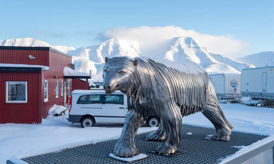
One of the very special things about Svalbard: there are more polar bears than human beings on this Archipelago. While the town Longyearbyen is protected the surroundings aren’t. If you leave town you have to carry a rifle and a flare gun and must know how to handle incidents with polar bears. Signs warn you when you leave the safe space.

Neither Annika nor I can and may handle a rifle so we stay within town beside of guided tours.

Treacherous weather

When we left the restaurant Huset, weather had changed. It was as windy as before but now it was snowing and the wind gusts blew snow everywhere. Into the face and into the pockets of my parka. It was however less than a kilometre walk until we reached our accommodation Coal Miner’s Cabin.


The first frost – hiking tour on the Laukviktinden

Today was the second day, where my car was covered with ice in the morning. I had to scrape ice after breakfast because I wanted to drive to Kvaløyvågen on the island Kvaløya to hike up the Laukviktinden (587 m) today. The weather was calm and the sky was blue and I enjoyed the views on sea and mountains from the car.

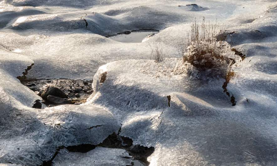
When I passed the shallow bay Finnvika I just had to stop and go there. Large areas were covered with a thin layer of ice that sparkled in the sun. Autumn in Tromsø is a fast season. Last weekend the trees were colourful, now many of them are bare.

20 km later: I just parked my car by the sea and read the tour description. I should follow the road for 80 metres, take the gravel road to the left and leave it when it turns left. The rest of the tour would be pathless but according to the book easy to find.

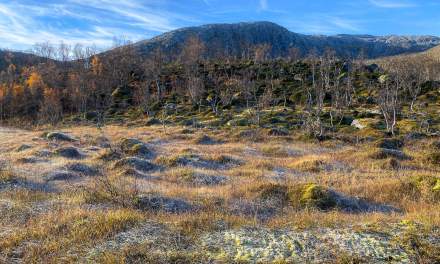
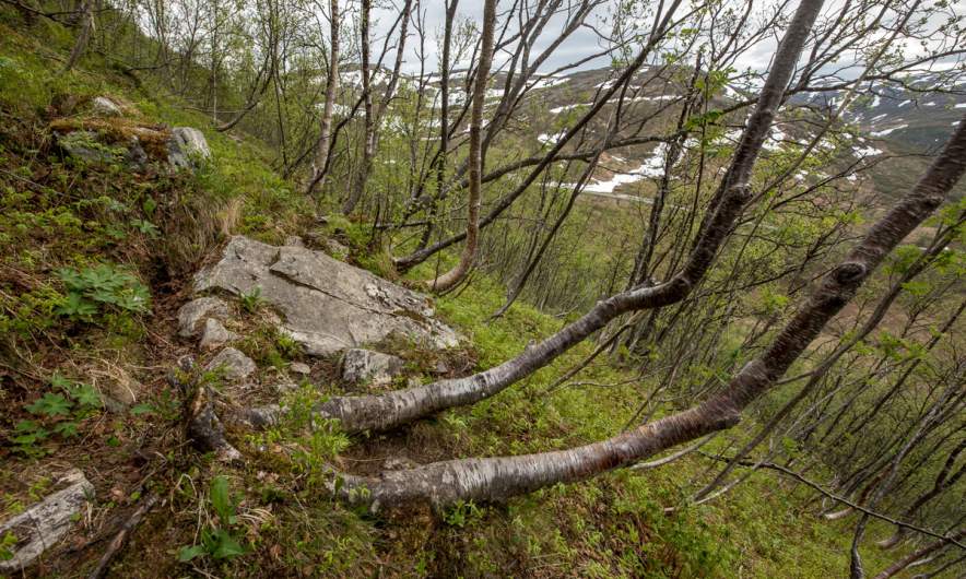
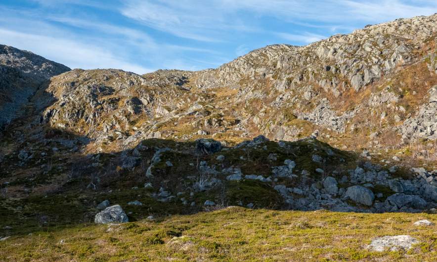
When I left the gravel road the terrain was a bit tricky. It was more or less overgrown boulders with hidden holes. The trees had shed their leaves and almost looked dead. I was glad when I had reached the mountain ridge where it was much easier to walk. The wet moss was covered with frost and so were the water puddles. Laukviktinden came into view, but I knew that there would be an acsent before. It looked pretty steep. Hopefully it’s just the perspective.

And indeed it was less steep than expected. A bit tricky however because some parts were wet and slippery. And that one of the countless moss pads hid a knee deep water puddle was not nice ;-) ! It is always a satisfying experience when you gain altitude, are above the tree line and can see more and more – both fjords and mountains.

Just straight ahead I spotted the lake Laukvikvatna and its neighbours. They lie 50 metres below. So I first had to climb down before hiking up again. Most of the lakes were covered with a thin layer of ice.

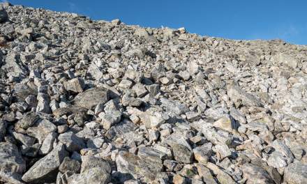
From the lake it is only 200 more metres in altitude to the top – according to the tour book. That meant that most of the the ascent lied behind me. It was easy to go up, only the very last part was a steep boulder field. Probably not the best routeI chose, but that was hard to see from below.

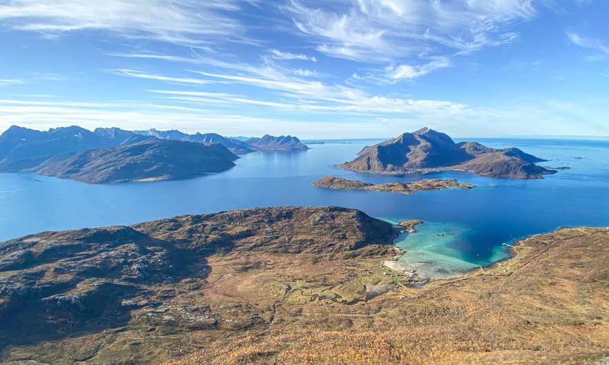
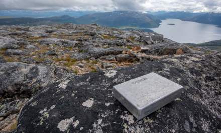
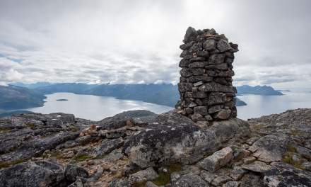
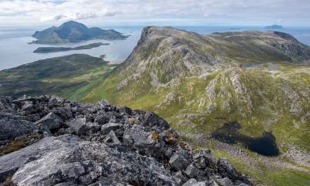
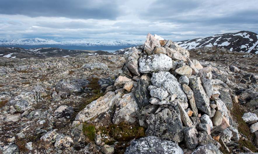
The terrain flattened out and then – all of the sudden – I could see the summit marker: A huge pile of stones with a metal box containing the summit book. And behind that: The open sea with the island Vengsøya.

What do you do on mountain summits beside of adding your name to the summit book? Yes – you take a selfie! After that I went a bit further to a place where the terrain drops off steeply. Here the view was really impressive because I could not only see the open sea and its islands but the bay Laukvika and even the boggy marshland that looked like it was directly under my feet. Here I took my iPhone as camera because it has a wide angle lens.

I took a break, ate some cookies and drank water. I even met another hiker that probably hiked up twice as fast as me. Then I started my way back. I found a better way because it is so much easier to find a good path when you look from above. Later my optimism was dampened when I landed in quite steep terrain and had to traverse it a bit until I was on my old trail.

Round 9½ km later I reached the gravel road again. In the shadow the ground was still frozen, but the car that waited in the sun was warm.

Just a hike up the Rødtinden

Today I joined a group of (much) younger people on a mountain hike up the Rødtinden (470 m). It was special in two ways: First of all it was nice to talk to a bunch of people from the USA, the Netherlands, Austria, Poland and Spain. An then – the weather! It was a real summer day with a cloudless sky and a lot of gorgeous views.

I didn’t take many pictures but some from a small pre-summit that we hiked to after reaching the main summit.

Hiking up the Nordtinden

After I failed reaching the summit of the Nordtinden (640 m) last November I gave it a second try today. It’s so much easier to navigate when there is no snow covering the path and the sparse way marks.

I start to follow the gravel road, which I leave after 2.7 km.

The small trail leads up steadily. It’s not so steep, that I have to climb but steep enough to raise my pulse to hummingbird level. I could blame it on my Covid infection two weeks ago but I guess it’s just a lack of fitness.

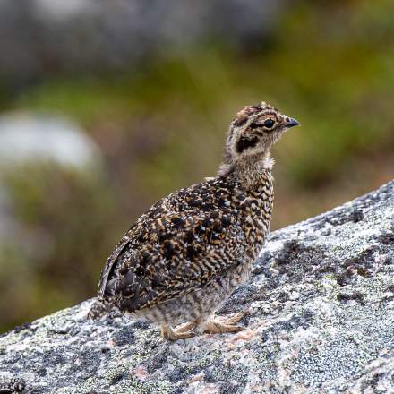
A movement to the left wakes me up. It’s a flock of ptarmigan fledglings with an adult. Some flutter away, some stay. I use the confusion to take some photos with my telephoto lens. The photos are heavily cropped, I want to keep distance.

I am above the tree line now and the views are impressive.

Most impressive is a chasm at the side of the trail. The gradient down? Perhaps 400%. Enough to keep safety distance while photographing.

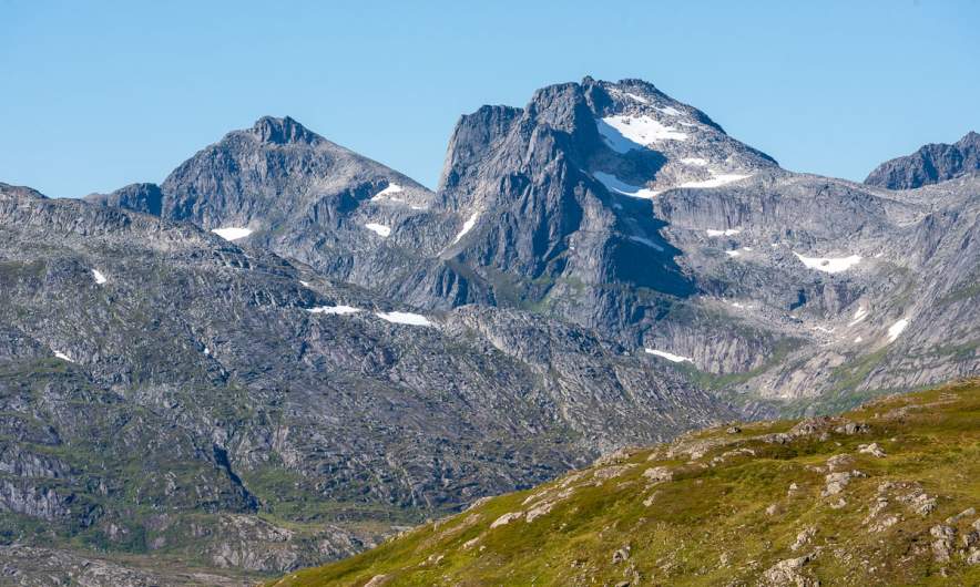
The last part is rocky and pathless but the huge cairns marking the tops of Nordtinden (there seem to be two) are in view so I can navigate just by eye. I take it easy on the boulder fields. I reach summit number one and add myself to the summit register that lies sheltered in an aluminium box.

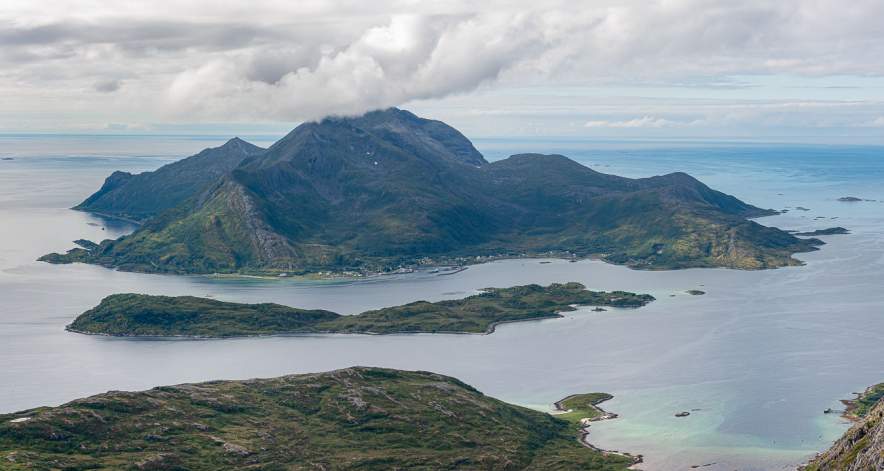
I continue a bit more west to get a better view to the sea. And there it is – the island Vengsøya with the smaller island Vågøya in the front.

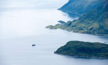
I walk around to take some more pictures. I watch the ferry leaving Vengsøya and climb a bit down the slope to have a closer look to the nameless lake below the mountain Laukviktinden.

Then I walk back in a small circle, pass the other summit cairn and start to descend.

It’s always interesting how not only the view changes but the terrain as well. Round the summits it’s mostly rocks and boulder fields, then more and more grass is present and the path consists also of gravel and then earth, too. On the way back the lake Skulsfjordvatnet lies in the sun.

As most day trips the way back is the same as the way there. So I pass the sign to Nordtinden a second time and am on the gravel road again.

The change from forest to farmland shows that my car is not far away. After four hours and about 12 km I’m back from a lovely mountain hike.

Two more photos showing small things. The first one a beetle from the genus Carabus. The first one a berry from the genus Rubus. I was glad about both discoveries. The difference: The beetle stayed unharmed, the berry was eaten right after taking the picture.


Hiking up the Slåka and Guratinden

Slåka (314 m) and Guratinden (424 m) are two mountains on the island Kvaløya. I know them from my book “På tur i Tromsø” where they are described in tour 7. This tour is marked as green, which is the easiest category in this book. I chose it because on the higher mountains there still might be some amount of snow and I wanted to avoid that.

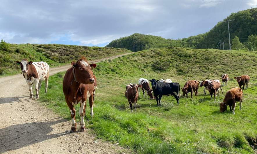
I took the car to the parking place in Skulsfjorden yesterday. The parking place I already knew from another tour. Then I tried to find the hiking trail while the cows starred at me curiously and the bravest of them came to sniff at my hand.

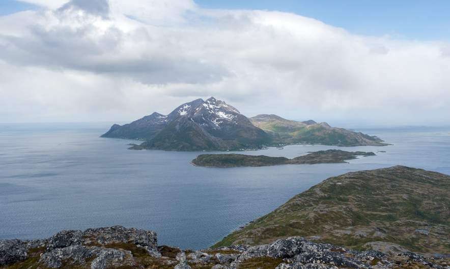
It took a while until I found the way which was not were the map showed it. It forked quite soon and maybe I followed the wrong direction because somewhere over the tree line it faded away somewhere in the heather. Way marks and sign posts you will hardly find when you hike like this in Norway. It is assumed that you can orientate in pathless terrain even on beginner tours. Anyhow a way to the top of the Slåka was easy to find without paths. Here I had a fantastic 360° view. In the north the mountain Nuortagáisi (or Nordtinden), in the south the fjord Kaldfjorden, in the west the island Vengsøya and behind that the open sea. And where there was no sea there were mountains, mountains, mountains, all higher ones still covered in snow.

Without any break I continued to the Guratinden. Again I could not find a reliable hiking trail but more a patchwork of paths, some of them probably animal tracks. Anyhow it’s not far to the Guratinden, where I took a rest to enjoy the view and something to drink.

Although it was the beginning of June it was very chilly on the summit, mostly because of the strong wind. I guess it was 7 °C and at least 15 m/s. Already on my way up I wore gloves and a woollen cap, now I was really glad about my down hoodie. Without I wouldn’t have taken any rest.

On the way back I followed other trails and tracks or I just cut cross country. Sometimes I walked on rocks, sometimes on boggy ground but mostly on heather.

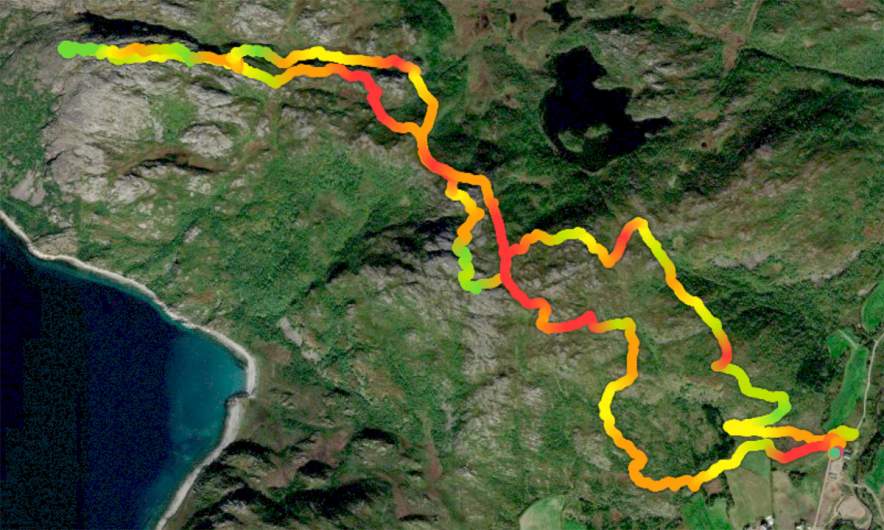
Round three hours later I was at my car after 9 km hiking and round about 650 metres in altitude. And here you can see how it looks on the map when you hardly follow any trails ;-)


After work promenade to the Keiptuva

38.5 km by car, 5.5 km by foot. Some hundred metres in altitude. Warm and windy weather. Forests, slopes, shallow bogs, mountain paths, water to ford, flowers, snow fields, lakes, tundra, rocks, views to the mountains of Kvaløya, the fjord, the open sea and Greenland. OK, cross out the last point. Anyhow, quite much for a short after work promenade.

“Kayak daytrip to Skarsfjord with beach clean up”

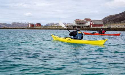
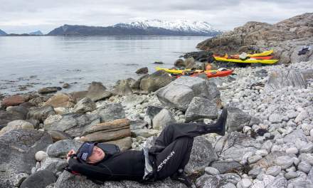
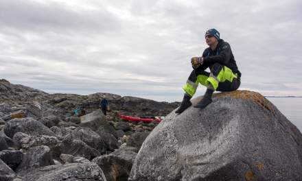
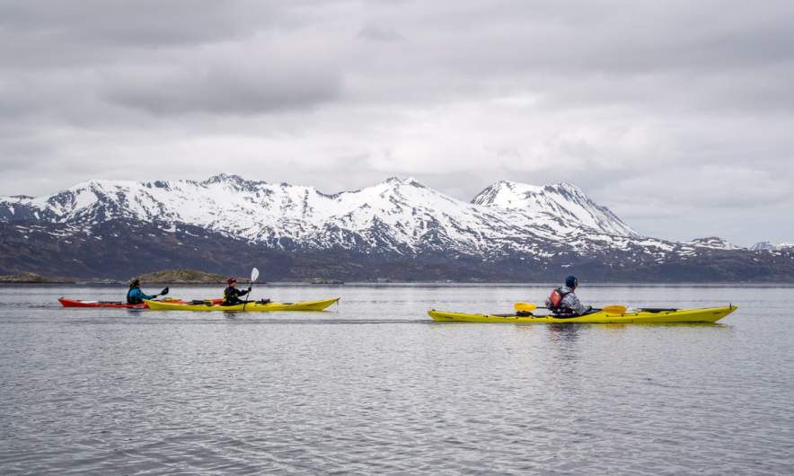
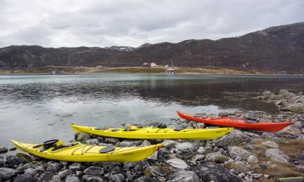
… this was the Facebook event I was invited to some weeks ago. It was an event organised by people from TSI Trulle, the other kayak association, but it was open for non-members, too. The idea was to start a kayak tour in Skarsfjord on the island Ringvassøya, paddle to a beach, clean it, cross the fjord to another beach, clean it, too, relax and paddle back. We were eight people joining the tour from five different countries.

Our tour does not start on the water. It starts with carrying kayaks to a trailer, use lashing straps to fix them there, packing all equipment into two cars  and some driving.

After 50 km – one hour drive – we arrive at the parking place by the sea, where we unstrap the kayaks and get everything ready including testing the sprayskirts and the footboards. Things you can do on land as well as you see.

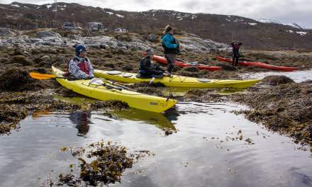
It always takes some time to put on the drysuit, check that everything is packed and working but then we all sit in our kayaks and are ready to paddle to our first destination: The islet Teistholmen.

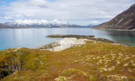
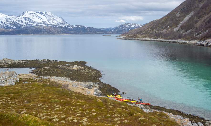
We leave the kayaks there, take a huge rubbish bag each and start combing the shore of the island. Most of the rubbish is on the northwest side of the island that is most exposed to the elements. Mostly it is plastic from fishing. Parts of old green nets, buoys from small to football size and then of course all the civilisation garbage as empty (or half-full) bottles, styrofoam and some nasty stuff. But it’s not extremely much.

After collecting I take a stroll over the green island. Hard to imagine, that I did a ski tour the day before.

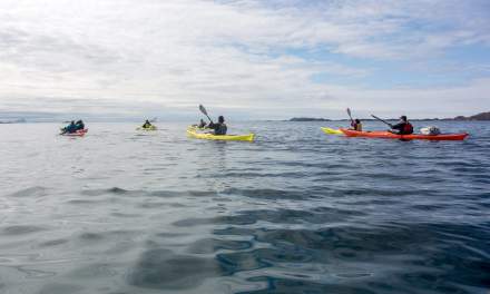
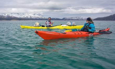
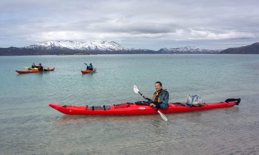
After a while and some lunch we continue our triangular tour, now crossing the fjord Skarsfjorden to another beach. You can see the rubbish bags on our kayaks. We were very lucky that there is no mentionable wind, because with side winds the huge bags would act as sails and turn the kayaks into the wind. But without any wind and waves it was easy to cross the fjord.

When we reach the beautiful sandy beach it turns out that this is not the beach to be cleaned. The location that the organiser has in mind is a bit further away. So we continue a bit to arrive at a rocky shore that looked much less inviting than the sandy beach and a bit more difficult to land.

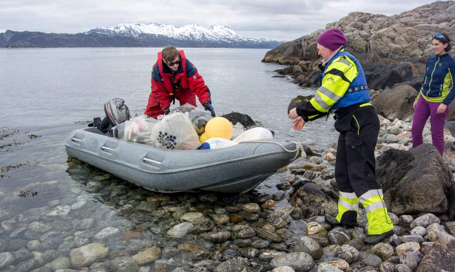
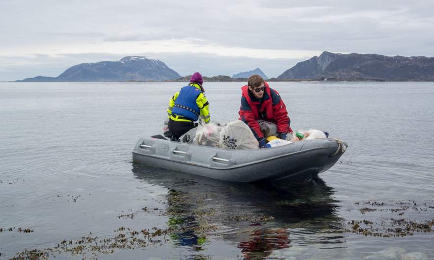
But it looks like that we would collect a lot of more trash here, and so we do. There is a lot of plastic trash, scrap metal (that we left alone) and driftwood for making fires for months. Some of us are collecting large amounts of plastic. It is obviously too much to be transported on our kayaks. But we are lucky and get help by two locals living on an island nearby. They load their whole boat full with our filled rubbish bags to take care of it. You can hear the motor of their boat for a while after they departed. Tusen takk – thousand thanks!

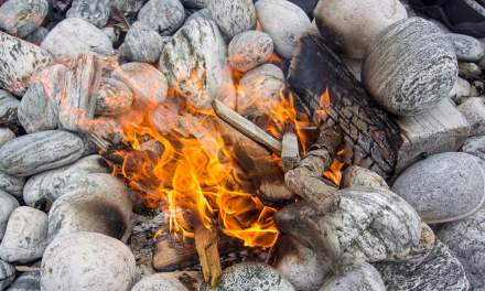
While others have collected more rubbing some of us have started a fire. Time to tell stories, eat a second lunch or just relax.

Anyhow, it is a day trip and so we leave this place, some of us with extra rubbish bags that didn’t make it on the motor boat. We pass the ship wreck, that we already spotted on the way there. It was washed ashore this winter while the captain was asleep because the anchor did not hold. He was not harmed but the ship was totally destroyed.

We are so lucky with the weather! Not much sun, but hardly any wind, no rain and much warmer than the weeks before. We paddle back to the parking place, the cars are visible as a small grey and a small white dot. The water is extremely clear and of a turquoise colour that makes the sea look Caribbean – until you put your hands into the water and realise how cold it is. This is, why drysuits are a must on such tours even under perfect conditions. Safety first!

And then we are back. Some of us train rescue manoeuvres, some of us relax, some collect trash (oh my, here you could collect for days :-( ). Then we put all kayaks back on the trailer, drive back to the boat house where we put all kayaks back in the boat houses. Then we are ready to leave.

Thank you guys for inviting me, letting joining me and having a great day together. Hopefully I meet some of you again. Would be a pleasure!


A sunny ski tour to Bønntuva

Three weeks ago I made a ski tour to mountain summit Bønntuva. There was a layer of half a metre of fresh snow and it snowed so much, that navigation was quite demanding.

This morning I decided to take a day off and do a ski tour to Bønntuva again, because finally the weather is sunny and warmer. No snowfall, no sleet, no stacked cloud layers, just a blue sky.

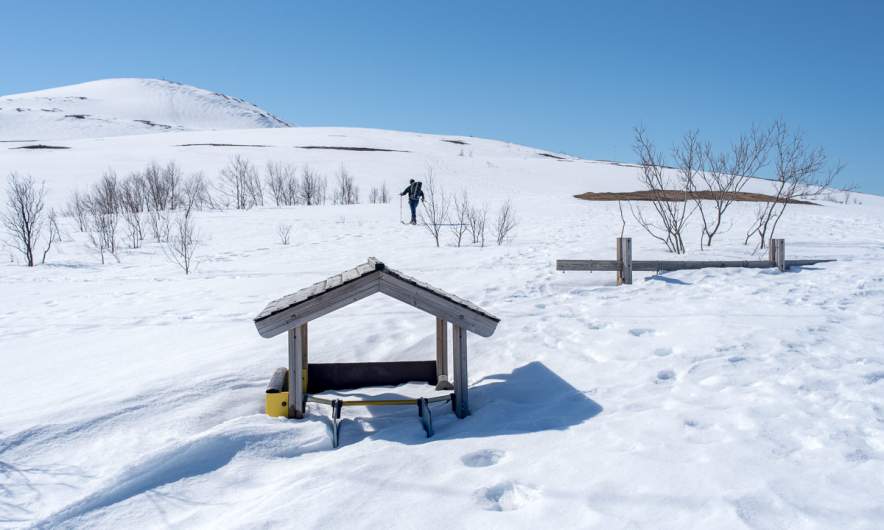
Same routine: Park the car, buy a ticket for Fjellheisen, the cable car and check, how much snow has melted away from the swing and the slide on the playground. Well, not much!

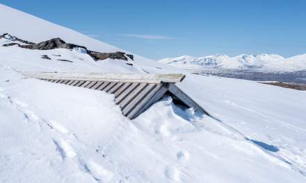
But you see the difference. Patches of heather and more rocks are visible. The cabin Steinbøhytta however is still snowed in, too.

The only other skier, that started with me – you see him on the first photo – is far ahead and so I have the mountains for myself.

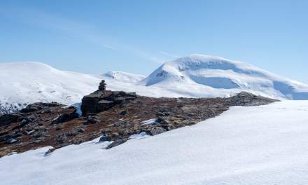
Thanks to my short climbing skins that you can hook into the skis and the easy conditions I reach the the summit of Bønntuva earlier than expected. Time for a short rest and a photo with self-timer. (To the right the selfie from 19 days before ;-) )

The view is marvellous. It’s mountains everywhere. Some are rocky, some are snowy. Some are steep, some are rounded. Some are by the fjords, others amidst other mountains. So beautiful!

After the break I decide to ski back. I am pretty nervous because the snow is fast and I am a lousy downhill skier. Where other carve beautiful sinus waves into the snowy slopes I walk more zigzag. Anyhow I manage to ski down the Bønntuva (which is not steep at all). Now I start to meet other people. Some on skis, some with hiking boots, because the snow is quite compact. I use one track of a skier to bypass the summit of Fløya – a good track, that slowly leads downwards.

After I pass the cabin I unmount my backcountry skis to walk down a steeper passage. Then I mount them again and all of a sudden I feel a bit more comfortable. I have a bit more control and can even do some bends by ploughing. Nice! Next year I should stand more on my skis! But this I say every spring. We will see what next winter has in store for me.
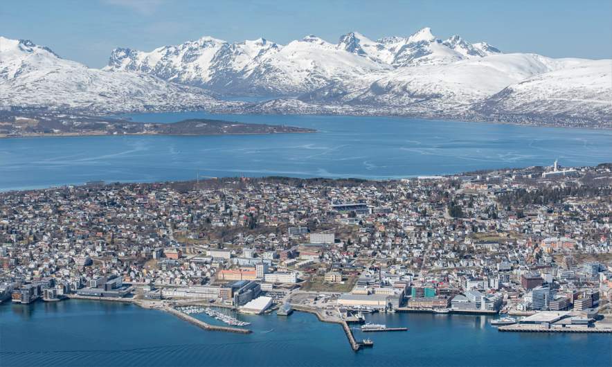
I arrive at the summit station ten minutes before the cable car goes down. Time to take a photo of Tromsø on the island Tromsøya and the mountains of the island Kvaløya in the background.

Then it’s time to leave the winter, go down by cable car and then stop the parking timer in the app, because parking at Fjellheisen is expensive!
Polar expedition AeN JC3 – day 21: Longyearbyen · time to say farewell

This article is part of the series “2022-02: Winter cruise KPH”.

Day 21 · 11 March 2022

It’s the night before 11 March, the last day of the polar expedition JC3 in the program Arven etter Nansen that I have been allowed to take part the last three weeks.

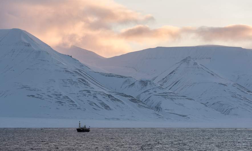
As often before I stand on the helicopter deck of the icebreaking research vessel Kronprins Haakon. It’s dark but I can see pale mountain schemes on both sides of Isfjorden. Mountains and fjords, that feels almost unreal after two and a half weeks with hardly any land in sight.

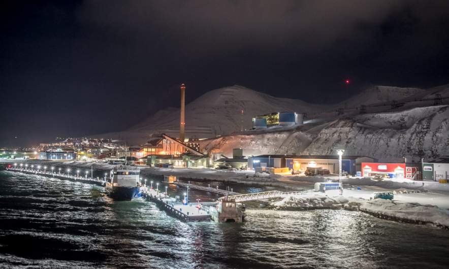
The first lights, the first other ships, the first mobile connection for weeks – we are definitely approaching civilisation. The airport is already in sight and soon the illuminated settlement Longyearbyen, the largest inhabited area of Svalbard is visible.

At 1:30 in the night we arrive at the harbour of Longyearbyen and the ship is moored. Time to catch some sleep.

After some hours of sleep the alarm clock wakes me up – time for breakfast. We have to leave our cabins at 8:00, the first farewell. Goodbye cabin 385 at the port side of the ship’s bow. After breakfast I stand again on the helicopter deck to welcome the sun and the blue sky.

Some of us leave the ship to visit town. Is it possible to go there without the threat of polar bears? Apparently, although we are at the coast and polar bears can swim. For two hours I stroll through the town, first with others than alone. Many of the others have lived here for a while – a normal place for people who are involved in polar research.

I head to the University Centre in Svalbard (UNIS). It’s not only the university that is located there, my employer the Norwegian Polar Institute has offices there as well. Hopefully I may work here for some weeks someday. I want to spend more time in Longyearbyen.

Together with J. who works there we had back to the ship. Here we will meet the taxis to the airport but before that we get lunch – the last meal on board.

Some hours later. Seven of our team sit in the waiting hall of the airport. Others already left with the earlier flight. And then we enter the airplane. It’s surprisingly cold in row 3 near to the open front door and after some minutes I put on my down parka. It may look ridiculous but soon I’m getting warm again. And then the plane starts.

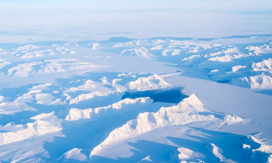
The plane is rapidly gaining altitude and more and more the whole wintry beauty of the island Spitsbergen is revealed. I’m so touched by the view of mountain chains, glaciers and ice covered fjords.

And then we leave Spitsbergen’s southern tip behind and a layer of clouds slide between airplane and sea. A journey far beyond the ordinary comes to its end. Time to say farewell.

On the arctic sea iceFarewell

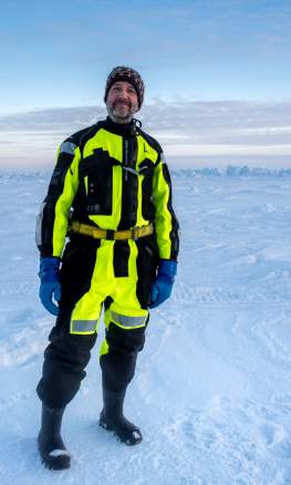
I stand on the Arctic sea ice
far in the north. The sun hangs low
over the horizon and there lies
an ice ridge lit by the morning glow.

The silence feels as infinite
as the extent of the frozen sea
and with every subsequent minute
my heart grows with boundless glee.

I stood on the Arctic Ocean
It’s past now and I should say good bye.
But an overwhelming sad emotion
shades my soul. And I cry, and I cry.


Olaf Schneider – 24 March 2022

My heartfelt thanks to all people that made this journey possible.