From Tromsø to Obbola
Friday, 18 November – walking back from work
It’s weekend. Today I stopped working already at 14:15. Sunset was 40 minutes ago and the light is beautiful while I’m walking home.


In Tromsø there’s hardly any snow, but a lot of rime. In the evening there’s polar light, but I only take a smartphone snapshot – tomorrow is a long day.

Saturday, 19 November – taking the bus to Narvik
Today is travel day. Round 16–17 hours it will take me from home to home.
Yes, I have two homes. One “work home” in Tromsø where I work and one “Home home” in Obbola where my wife Annika and I have a house by the Baltic Sea.
The weather is gorgeous and I take many photos through the window of the bus. Therefore some of the motives are blurred. The last one – the large bridge Hålogalandsbron is jittery because it has become dusky.


Saturday, 19 November – taking the train to Umeå
It’s a long ride from Narvik to Umeå. Departure 15:10, arrival 1:40 in the night. But it is a though train. I don’t have anything more to do but being awake on the arrival in Umeå. While I eat my take-away sushi outside of the train station it gets dark and so there is not much to see from the landscape in the train unless it stops.


In the frosty inland where it is quite cold I witness a special phenomenon. The whole forest we are passing is lit in green light. Another aurora? No, it’s cloudy. There are passages where the power lines for the train are coated with rime ice. The layer is so thick, that the current collector of the train looses contact and the electricity jumps over emitting bright green light that illuminates the dark forest.

The train arrives in Umeå in time and Annika already waits at the station. Another half an hour and I’m home home. Bed is waiting!
Sunday, 20 November – winter feelings
Oh, what a blessing it is to be home home. Normally we are supposed to work at the offices of the Norwegian Polar Institute but my boss knows about our long-distance relationship (or is it called long-distance marriage?) and allowed me to do home office until Christmas. Tusen takk! And it is even wintry and a bit sunny and a bit snowy.
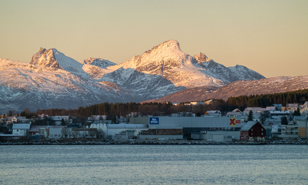
From now on I can enjoy the view from my home office.


Monday, 21 November – the first home office day
Enjoying the view from my home office is a pleasure but when all of the sudden the morning sun peeks through the clouds I just have to go outside and make some photos!


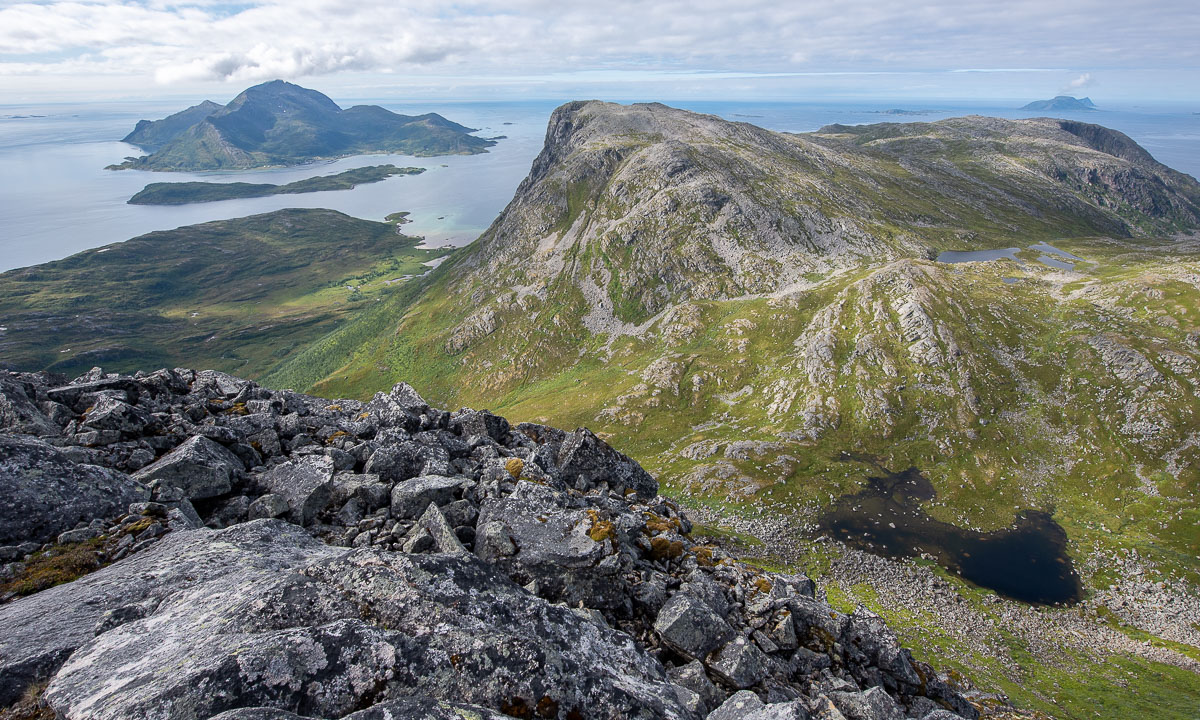
And what do I do at lunchtime? This: