Mountains, sea and midnight sun
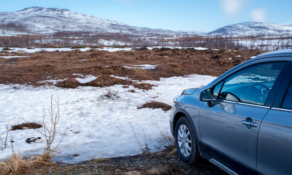
Yesterday at 18:00 I took the car to Elvenes on Kvaløya to start a small mountain tour. Well, mountain or hill – the summit of Grønnlibruna is only 401 metres above sea level. I chose this destination in the hope that it was not completely snowed over as the higher mountains still are.
I parked the car, walked the gravel path and stood before the first obstacle, the stream Finnelva. I did the same tour last November, where it was easy to cross. Now in the thawing period the water was at least 50 cm deep and quite fast . Too deep to cross here, even with rubber boots. Luckily I found a better place to ford a bit upstream. Soon I was in the forest. A very wet and muddy forest where I was not always sure whether I followed the way, crossed a swamp or waded in a brook. But this stopped when I gained a bit of altitude where old snow covered the forest floor.


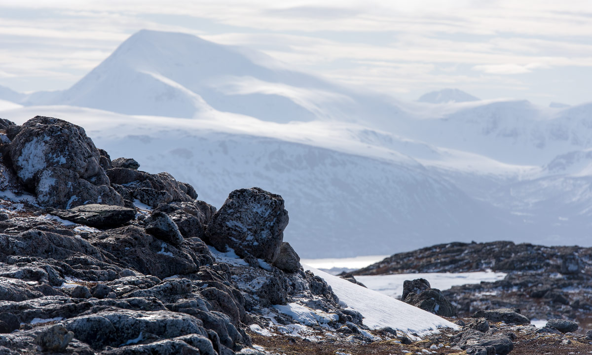
As soon as was above the tree line the landscape changed again. There were some large snow fields but most of the ground was bare of snow and easy to walk on.


After 4 km of hike and some hundred metres in altitude I stood on the summit enjoying the circular view while the weather cleared up more and more.

I did not take a break but hiked down again. I enjoyed the weather and the fact that the birch trees start to turn green, at least in the lowlands. I crossed Finnelva a second time, now with a sturdy stick that I had found on my way. It’s much easier to keep balance with such a “third leg”. From there it was not far to my parked car that I reached round 21:30.


When I left the supermarket in Eidkjosen it was 22:00 and the sky was blue. It won’t get dark because the last sunset in Tromsø was more than a week ago. Since then we have polar days with 24 hours of daylight. I could drive home or …
I turned left. Left to the road 862 that leads to Sommarøya. Maybe I catch the midnight sun. Sometimes I had to drive slow because of the reindeers, sometimes I had to stop to take a photo …


… but round 23:00 I had crossed the bridge to the island Sommarøya and shortly after I parked at the sandy beach Steinsvika. I was not alone. People stood at the beaches, some lit a fire, some paddled kayak, some camped in the hills.
I checked an app when sun would be lowest. What? 0:45!? I forgot, that we had daylight saving time, so clocks were one hour ahead. I took my camera bag, some water and an old jacket, that I use to have in the car and walked to the northern tip of Kvalneset. Now I had a lot of time to just observe the sun hardly going down. After one and a half hour it was time: 0:45 – the sun was at its lowest position: 1.55°. The photo is completely unspectacular because it only shows a low sun, not the fact that the sun would not get lower than that this night.

I was glad about my jacket because it got a bit colder, I was tired and I sat there for almost two hours in total. At least I had chocolate! I waited for the sun to disappear behind the prominent silhouette of the island Håja.


Then I went back to the car and had about an hour drive back home. I wasn’t in bed before 3:30 but it was completely worth it. For a very good reason: I never ever saw the midnight sun in my life before! Although I have lived in Northern Scandinavia for more than 12 years I hardly was above the arctic circle in summer and then it was cloudy.
But it was more than just checking another item of my bucket list. It was just gorgeous to sit there and enjoy nature. I should do that more often and put the old sleeping bag back into my car. Just in case …