Tromsøya crossing in winter

An almost true story to be read out loud with a deep and rough voice.

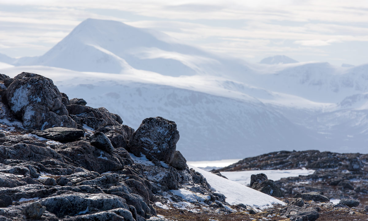
I survived one of mankind’s largest expeditions of our times – the crossing of the arctic island Tromsøya from south to north! Probably I’m the first one, who dared to face this extraordinary challenge.

The arctic ice breaker could not approach the harsh coastal line of Tromsøya’s southern tip. Too mighty the storm, too sharp the rocky cliffs, too high the enormous waves! I was forced to row the last mile in a wooden dinghy. When I approached land I realised that despite of months of planning I was without food! Would I survive? Well, the tour must start, with or without provisions. One has to go on in live.

The land was wild and it was hard to find the entry point of my expedition. Where is Sydspissen, the Southern tipp? With my extraordinary orientation skills I finally managed to find this unexplored promontory which would be the starting point for my crossing.

I followed the coastal line through a field of invincible rocks. The storm howled and the surge of waves covered everything in spray. I decided to leave the exposed coast and seek shelter in the inland. To my surprise I found some ancient dwellings.

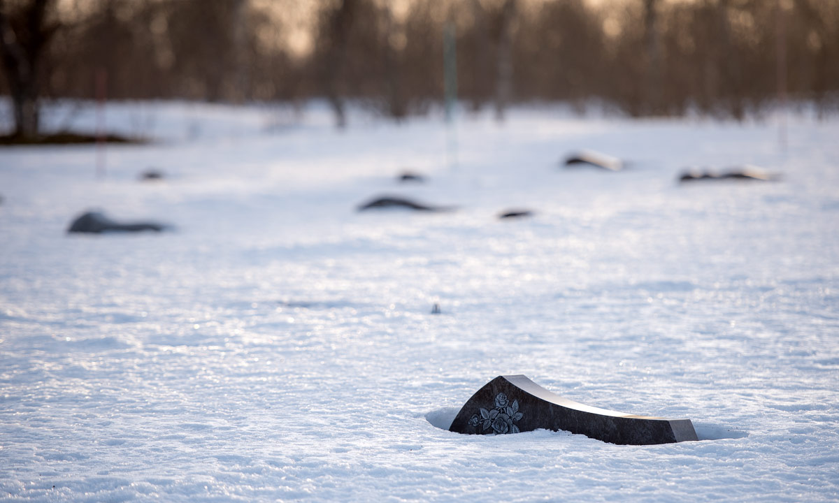
It seemed that this hostile island had been inhabited earlier. What a discovery! I continued my way and realised that I was not alone. People still seemed to live here. While most of the indigenes hid inside some dared to be outside, guarded by their dogs. The houses were shocking. While the people seemed to have some basic skills in woodcraft, they still lacked the knowledge of constructing right angles.

I continued my way through the forbidding terrain. After a while it opened and gave view to an extent of ice. Could it be a lake? Probably it had been frozen for centuries. Here I spotted more locals. As the others before they ignored me. Didn’t they dare to seek contact? I do not know. First I though they would hunt seal or walrus but they just seemed to wander around without any goal.

Soon I was alone again in the rough mountain scape of this arctic island. Orientation was extremely difficult. Without my compass and sextant I probably would have been lost forever in this pathless country. I was completely on my own.

The terrain descended and gave view to a strange installation. Scaffoldings pointing up to the sky were erected randomly on that slope. Was is temples or other places of worship? Who build them? When? And why? Probably one never will find out.

Since I lost my food I was forced to continue my expedition. Time was precious. The land was bleak and barren. No trees, no bushes, nothing. Maybe some moss seeking shelter between the stone could survive under the eternal snow. For other plants this place is too hostile. 

The mountains became even higher and I got view on a small coastal village, probably abandoned ages ago. One wooden house lay nearby but it lacked a door and most of the walls.

I looked for walkable paths that would lead me further north. The more north I came the more glaciers covered the land.

It started to get dark but without food I did not dare to seek shelter. I was forced to go on and on without any rest. Amidst the mountains I spotted two indigenes. They sat on some kind of toboggan well clad in furs to keep them warm in the harsh sub-zero climate. I did not dare to disturb them and only managed to get a blurred photo as a proof of my observations.

According to my positional measurements the northern tipp of Tromsøya could not be far. I had survived until now. Would I make it to Nordspissen, the northern tip?

Alas – after more efforts and privations I managed to reach Nordspissen. I was grateful that fate allowed me to be the first human who reached this remote spot on foot. To my big surprise the legend was true: There is a mystic monument at Tromsøya’s northern tip and I can prove it:

But my efforts were in vain. I was too late! The last ship of the season just had passed by. Now I was forced to live here on this remote and solitary polar island for another year. But that’s daily routine for tough explorers like me.


Tønsnesvarden

On Tuesday we got some snow in Tromsø. On Wednesday it already has melted away. But last night a bit of snow arrived.

Today I chose a shorter tour from my book “På tur in Tromsø” (On tour in Tromsø) because I just wanted an easy hike, not a full-grown mountain tour. The weather agreed with me.

By the sea only a bit of wet snow and sleet covered the ground but already 50 meter higher the gravel path was covered with 10 cm of snow. Deep tyre tracks were carved in the snow. This part of the tour was very easy. Just follow the road up until you reach the radio unit on the Tønsnesvarden (281 m) and try not to slip, because under the snow there are some icy patches.

This summit has a big radio station on its top. Even in the increasing snow fall is was quite visible. Now I walked through 20 cm of snow. After an hour I arrived at the radio station, where I met the creator of the deep tyre tracks: A six-wheeled ATV.

It wasn’t cold but a windy. It snowed more and more and the wet snow glued itself to my jacket. On my way back I left the main road and followed a small path on my digital map on my iPhone. I stopped in a forest of birches with thin and long stems. I loved the motive, but my Nikon camera gave up in this wet weather. The lens was fogged up in the inside and in the dense and wet snowfall I didn’t dare to change lens. One photo worked out ok anyhow:

Soon I realised that some of the paths drawn on the map did not exist in reality (at least not in winter) while others that exist were not part of the map. So I went cross-county through pathless terrain, partly dens forest, partly wetlands with many small streams to cross. It took only 15 minutes until I reached the other gravel road leading down again. Now the iPhone was in charge for making pictures.

I followed the path down. With each metre altitude I lost there was less snow on the ground and the snow fall became more and more sleet. When I arrived at my car my anorak was soaking wet. Having seat warmers in a car is a great feature after such a tour.

For the records: 6.5 km, round 300 metres in altitude. Temperature round 0°C.

Appendix 1:

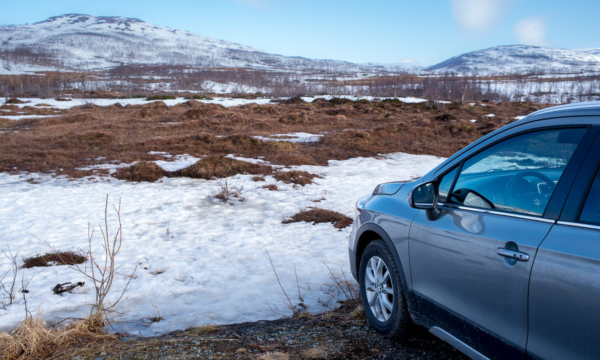
When I show pictures of mountain tours and hilly hikes it is easy to forgot, that Norway has not only mountains but the sea, too. This is an iPhone snapshot I took from some metres from my parked car. What you cannot see is the mountains of the island Kvaløya, 3.8 km away. They are hidden in the snow clouds.

Appendix 2:

What do you do with photos taken with a fogged up lens? You start to experiment. I mean, the photo is spoiled anyhow. But the result of today’s experimentation turned out nice in my opinion.

From autumn to winter – a tour to the Litjeblåmannen

This article is part of the series “2021-07: Back in Tromsø”.

My first concert with the chamber choir Ultima Thule was supposed to be today but due to the increasing COVID-19 cases in Tromsø the board decided to cancel the concert. That’s a pity but gave me a free day and the opportunity to continue with my #onceaweek project. I decided for a tour to the Litjeblåmannen (860 metres above sea level).

At 8:40 I have parked my car and start the tour. Temperature is -5 °C. Brr! I regret that I left my long johns home. That changes quickly when I take the first steep climb up the forest path and start to sweat. All trees have shed their leaves and are bare.

At 8:40 is sunrise. Half an hour later I can see the sun rise above the mountains. Ten minutes later I have left the birches behind and the landscape opens. I am gaining altitude and soon the path starts to cross the first snow fields.

Ten other minutes later snow and rocks start to dominate the landscape. It looks like winter. The autumn is left behind in the valley. I see a radio mast, part of the radio station on the Rundfjellet (472 m). Well, that was easy.

I decide to continue the tour. But where? The tour description mentions that I have to go down 50 metres. I hardly see any waymarks or a track but soon some foot steps that I follow. According to map and compass it’s the right direction. The terrain gets rockier, steeper and is partly icy but at least I spot some waymarks again. I stop to strap my spikes under the boots. Safety first! Less than an hour later I pass another radio station. I do not look closer because the terrain behind the building is very steep.

The terrain continues being steep and rocky but after a while I reach a plateau. Now it’s winter. Beside of some tufts of grass covered with frost there’s only snow and rocks.

From now on it’s much simpler to walk on this snow covered plateau and soon I reach the mountain summit Botnfjellet (844 m).

That’s however not my destination. Well, the summit of Litjeblåmannen looks far away but it takes only 20 more minutes to go there.

Break! Summit selfie!

The fur hood is not only for looking wintry on the selfie. It was colder than expected and after the selfies I put on my down pullover. Checking the temperature at Tromsø airport and subtracting 0.6 °C per 100 metres altitude I guess that the temperature is round -7 °C. The wind makes my mind change about wearing long johns a second time.

I eat a bit of chocolate and drink some Sprite before the frost transformed it into slush. I’m completely alone and I haven’t met anyone yet. It’s just beautiful up here with views on snowy mountain chains everywhere but on the snowless lowlands and the fjords as well.

After 20 minutes break I start my way down. First I follow my own tracks until I met the first mountain hiker today. Now I follow her steps. Does she know a better way?

Some impressions from the way down:

While I descend more and more the sun starts to set. I hike cross-country. Less and less snow covers the ground until I reach a terrain consisting of terraces of wetlands and dense birch thickets. The wetlands are easy to cross, since the ground is mostly frozen and I have rubber boots. The birch thickets however take some time to squeeze through. Looking back I can see purple clouds indicating that the sun already has set.

At 14:40 I arrive at the car. -4 °C. According to my app I walked 15 km and 1120 metres in altitude. I started before sunrise and arrived after sunset. This gives me the right to be very lazy the rest of the day. The blog article I want to write anyhow.

I met three persons in total:

  • A woman in my age in clothes that probably have been used on countless tours for many years,
  • A young woman in a grey woollen sweater hiking up quite fast while talking loudly on her cell phone.
  • A packed sleeping bag on a stone in the wetlands. A sleeping bag with a book. Wait! No, it’s a hood with a book. Wait! No, it’s a person leaning against a large rock reading. In the middle of some wet slope on the island Kvaløya. People here really like being outdoors.

So much for today. And now I have to stretch!

Appendix:

I just went to the kitchen and felt, that the outside light had changed. It had! It had snowed some centimetres and is still snowing. Everything is white. Beautiful!

A hike round the peninsula Klubben

This article is part of the series “2021-07: Back in Tromsø”.

#onceaweek tour 5

Today I didn’t choose a mountain top but a small coastal promenade as my #onceaweek tour. I took the car to the village Lyfjorden on Kvaløxya and went round the peninsula Klubben. I love hiking up mountains to get the view but at the coast you get views for free ;-).

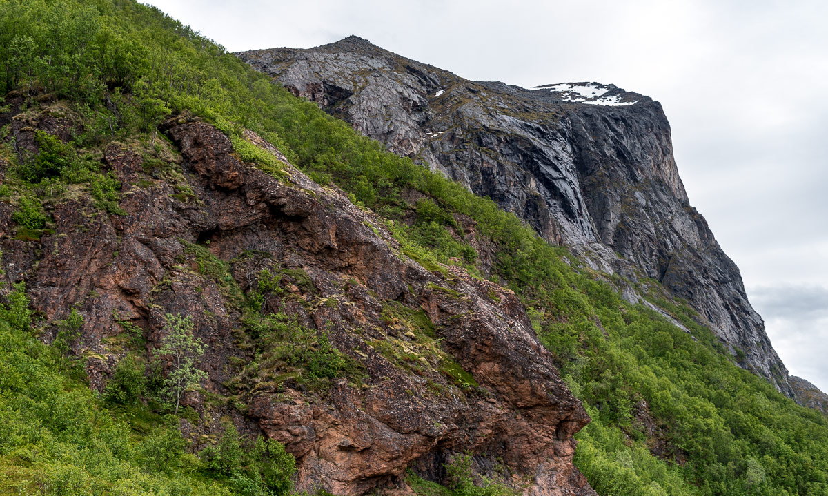
One of the things that still impresses me is how tiny some houses look standing in front of huuuge mountain faces that often look like vertical walls.

Klubben lies in the Kaldfjorden (the cold fjord). On the other side lies the mountain Store Blåmannen (1044 m) – always an imposing view.

The birches on Klubben had only some yellow leaves left. Since it was quite windy (15 m/s on the bridge to Kvaløya) they will be bare soon. Soon the autumnal colours will be history for this year.

Although this tour was marked as green (easy, for beginners) you still had to watch where to go. Sometimes the path was boggy but mostly stony and I had to watch my steps.

A quite loud noise, like someone inhaling loudly through the teeth interrupted me. I looked for the sound source and spotted a whale quite nearby. Although I had the camera with telephoto lens in my hands it took me a second before I managed to make a photo of the dorsal fin just before the small whale submerged again. I saw it two more times but in quite a distance. The photo is poor but the experience to spot a whale just by chance from your Sunday afternoon walk was extraordinary.

I continued my walk but now the path had vanished and the ground was only rocks. Did I miss the path? Possibly. I checked with the map app of Norgeskart and realised that the way was a bit higher up. I went and climbed up the steep slope but did not find any path. Higher and higher I ascended until it was clear that the map wasn’t as accurate as assumed. Probably the rocks were the path.

I didn’t want to descend that slope again and so continued to ascend it until I met a small gravel road that led to some houses – the first modern and cuboid, the second traditional with a grass roof.

Soon the area had become less steep and I could cut short to the coast again.

On the way back I took an extra stop in Finnes, Kvaløya . The small reindeer herd that I’ve seen there several times was still grazing. Probably they live there.

Today’s tour was only 4 km (elevation gain and loss round 250 m) but I cannot say that it was less fun or less exciting. I have however to admit that it was much less exhausting than the mountain tours. Training effect: ±0.

Tromtinden

This article is part of the series “2021-07: Back in Tromsø”.

It wasn’t planned, that I woke up already before 6 o’clock. Anyhow I took the opportunity to get an early start for my 2nd mountain tour of #onceaweek. Todays destination is the Tromtinden in the northwest of the island Kvaløya. The starting point is 50 km away so I had to take the car. It won’t be the last time.

The car ride however is incredible. Now many trees bear autumnal colouring. It is already impressive in the shadow, but then I suddenly drive into the sun and was almost blinded by these colours, to bright and intense they were.

I have to take another photo, that shows the road to Tromvik. It lies in the shadow while the sun illuminates the bald mountain peaks.

Already at 7:20 I start the tour. It’s 2 °C. It seems that most Norwegians prefer to start their hiking tours much later and so I am completely alone. The first part crosses boggy ground. There are some planks leading over wet parts but they are quite slippery because of ground frost.

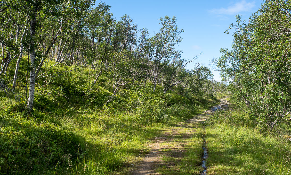
The way leads up through a sparse birch forest. Now the path is less muddy and starts being dominated by rocks. No wonder – it’s going to be a mountain tour.

On a small plateau I find some cloudberries. There are overripe and have a bland taste, but the frozen one in the shadow is really tasty. Cloudberry sorbet!

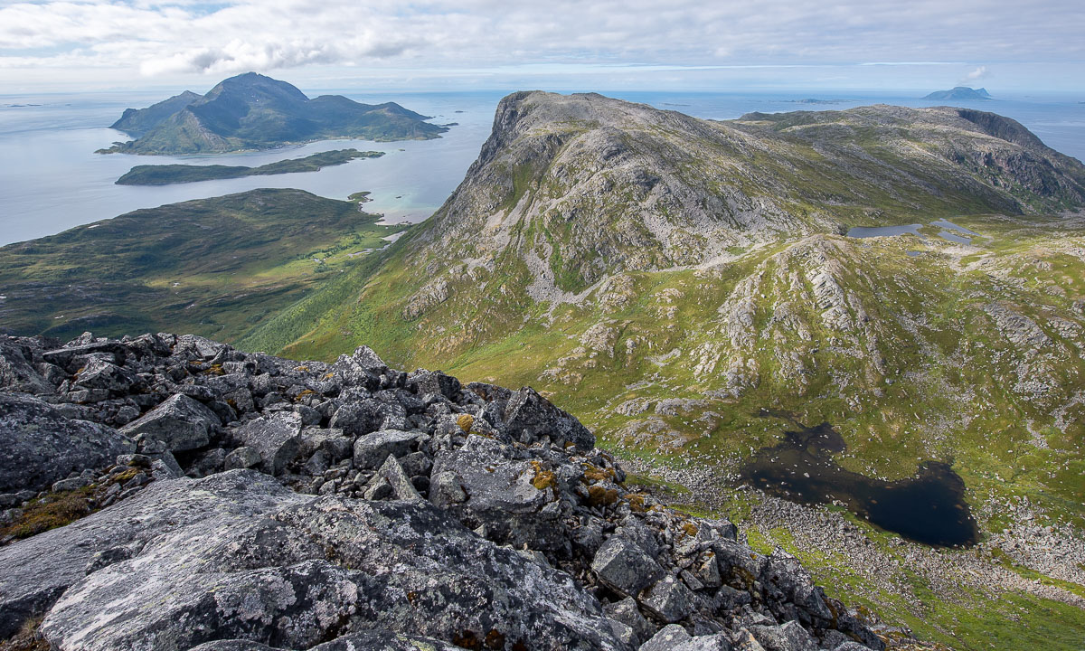
On a saddle between the Mellomtinden and Tromtinden the view opens to the northwest and a mountain lake as well as the sea appears.

I follow the ascending path until I stand on a larger plateau. From here I can see the steep northwest face of the Tromtinden and the marking of the summit.

After traversing the plateau the path gets steeper, leads mostly over rocks and I have to stop several times to look where it continues. Do you see the mark on the next image?

After crossing some rock fields and a bit of level I “climbing” I arrive at the summit plateau with its impressive cairn and an even more impressive 360° view.

9:15 – finally time for breakfast. Three cloudberries didn’t fill me up.

I almost spend one hour on the Tromtinden and enjoy being outdoors completely undisturbed.

Finally I start walking down. Slowly and carefully I take my steps on the rock fields but then the path gets easier and easier. When I am halfway down I meet the first other hiker – a woman with a dog. From now on I meet twelve other people (plus three dogs) until I arrive at the car. The sky is blue and it has become so warm, that I only wear a t-shirt.

I arrive at the car at round 11 o’clock. I’m surprised that the car thermometer shows only 7 °C, but the sun has still quite a lot power. Now I’ll head home, only with a detour to the grocery to buy a huge bowl of salad for lunch.

For the stats: 8.3 km, summit altitude 636 m.

A hike to the Stor-Kjølen

This article is part of the series “2021-07: Back in Tromsø”.

Let’s be honest and face it. I’ve been really lazy this year and my outdoor fitness is near non-existent. I don’t like that. There is a simple solution for that: Be more outdoors!

Today I started the project #onceaweek. I want to make an outdoor tour with at least 10 km every week. (Thanks M. for your inspiration.)

I will try to blog about these tours and I want to give each tour some photographical focus. Today’s theme: vegetation zones.

From forest to fjell

The gravel road is quite steep in the beginning. First it leads through birch forests that have started to colorise autumnal. Then the landscape opens and is not dominated by trees anymore.

Gaining height

At the lake I leave the gravel road and the character of the hike starts to get alpine. It’s however still a hiking tour, no climbing needed on the whole tour.

From earth to moon

The vegetation is becoming more and more sparse. Some tufts of grass, a fern, moss, map lichens. And then I pass the first snow field. I look up the mountain I wish to climb. It is just an enormous pile of stones. Fortunately there’s a way round this slope.

The mountain top of the is a plateau of rocks with even less live. It’s almost like being on another planet or moon. And there it is: the space station.

“Oh, the space station looks so cozy inside!” – „Well, that’s not the space station, it’s the varmebua, a small wooden cabin to give shelter to hikers.“

“Um, hikers? On an alien moon?” – “Well, we are on earth and the ‘space station’ is a radar station used for controlling the air traffic of a larger part of Northern Norway.“

I had been almost alone on my way up but on the summit there were many other hikers. Some passed, others took a rest like me.

Looking around

The plateau provided a 360° panoramic view. I could see many mountain chains, the higher tops all snow covered. Anyhow, it’s Tromsø and so fjords and open sea are present as well.

This could be a favourite place of mine in Tromsø’s gorgeous nature. But it is way too early to know this. Remember, it is my first tour of #onceaweek. There will be other places to discover.

For the stats: 16 km, summit altitude: 788 m.

April weather – kayaking through the snow

Yesterday the whole day was sunny. The sun was warm enough that we could take breakfast on the terrace. At lunch time we took a bath at Vitskärtsudden. Of course the water temperature is hardly above zero, but it felt springlike to go barefoot over the sand of the beach. Yes – sand, no more ice or snow!

Today however:

In the morning it has started snowing and since then it has been constantly snowing at temperatures round 0.3 °C. A good opportunity for …

… kayaking! Although wind had become stronger the Baltic Sea still was calm. Maybe it was the snow, that created a wet blanket of slush and made parts of the surface slow and doughy, but that I don’t know.

I just took a tour round Lillskär, but took some photos with my Nikon. That took time, because each time I took photos the wind blew me back 50 to 100 metres again. But as I said, the water was calm and it didn’t took long to round the island, cross a field of floating slush, disturb some geese and return home.

Short experiences can be great and memorable experiences!

A photo from the afternoon – still snowing. The original photo looked almost black-and-white and so I made this composition completely black-and-white with a slide blueish tone.

The background: a line of trees, dimmed by the intense snow fall. The middle layer: A line of rocks in the sea, covered with snow. The foreground: The sea, covered with a layer of slush.

Black and white weather

+1 °C, grey and hazy with some rainy showers. I ignore the weather and go out for a longer walk. Time to put a black and white film in the iPhone.

Outdoor exhibition

A Covid-19 compatible art exhibition visit.

What’s that? That’s the Baltic Sea off Obbola. When you stand on the ice, you see the frozen surface reaching to the horizon.

Today I take the skis to explore our coast the first time from the frozen sea. I head south and ski along the coast until I reach our beach Vitskärsudden.

From there I can see an apparently higher wall of ice at the southern tip of the island Tarv, 1.3 km away in the southwest. I do not know this part of the Baltic Sea in wintertime. Is it safe? Can I dare to cross the ice? Well, let’s check for tracks or prints.

OK. There is roe deer prints, footprints, ski tracks, ice skating cuts and a snowmobile trail. And I can see skiers on the ice. Doesn’t look too dangerous. Of course I have my ice picks round my neck as a rescue tool in case of breaking into the ice. Spoiler: the ice sings but nothing happens.

I ski across the ski and there it is. This year’s ice art exhibition:

How large are the exhibits? Here, where I took the photos mostly between 150 and 200 cm.

Most impressive is the ice wall along the coast. But some of the ice formations on the solitaire rocks look interesting, too. If you lay down they look like mountains.

I follow the coastal line of Tarv and finally find a place where the ice wall is so low, that I can enter the island. On the sea there was hardly half a cm of snow, here it’s more half a metre. And a lot of forest.

Parts of the forest are quite dense but after a while of squeezing between the trees I find a snowmobile trail that leads back to the coast. Although it is one and a half hours before sunset the light starts to become a bit orange.

Now I ski back quite the same way.

When our House comes into view I see that the front chimney is smoking. Has Annika warmed up the uninsulated winter garden? Yes, she has! A fire is burning in the stove and I even get a hot chocolate. A warm welcome! And a cool tour!

The forest is covered in snow

Snow fell in the last two weeks. Not in the South of Sweden, much less in the North of Lapland, but a lot in the province Västerbotten where Annika and I live, amongst others a bit west and north of Umeå.

Today we wanted to go up the hill Hemberget in Tavelsjö (or at least try). We parked our car at the church, crossed the road and skied up to the cemetery. There we followed the advice of a sign to cross the cemetery. Leaving the wrought iron gate behind we were lucky to find a snowmobile trail to follow through the forest. The forest was deeply covered in snow.

The trail crossed a cross-country ski run twice and vanished into thin air. We followed the way marks on the ski run and then left it to continue on untouched snow. At least we tried. While I managed to ski ten metres, Annika who has much shorter skis was bogged down in the deep powder. It was no surprise, I already guessed that we wouldn’t reach the top due to the snow conditions. So we changed plans and skied on the Tavelsjö skidspår, the cross-country ski run. A short, but extremely beautiful circular trail. It was so fun to slide on the perfectly prepared run that I forgot to take any photos.

The snow in the forest was round 130 cm deep. How I measured it? With my ski pole, which is 150 cm long. I sticked it into the snow at many places and looked about how much was left in average. But there’s also another method of measurement:

The photo was taken three steps beside the ski run. Here the snow was so loose, that even with skis I stood knee deep in snow, sinking deeper with every motion. I unmounted the skis and hopped. With a PLOP! –  I landed in chest deep powder snow and took a selfie for my blog. Then I wanted to continue to catch up with Annika. I wasn’t stuck but I didn’t I manage to get my feet onto the skis that now lay one metre above my feet in the powder. I had to crawl back to the ski run where it was easy again to mount. I guess we never would have reached the summit of Hemberget today, at least not with these skis.

So I plan to look for Tegsnäs skis for Annika. It’s time. These wooden skis are a much better choice for such snow. There are 225 – 240 cm long and also broader than normal tour skis. Disadvantage: I’m not sure if we manage to put them into Annika’s Volkswagen Golf. Well, we’ll see …