Early September in Tromsø

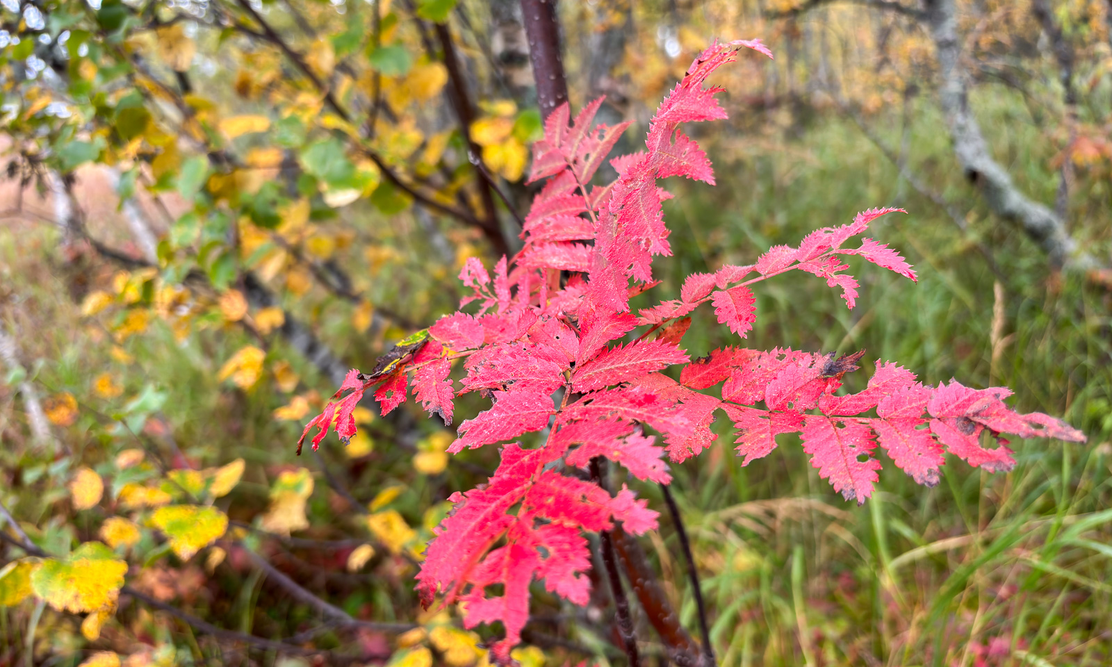
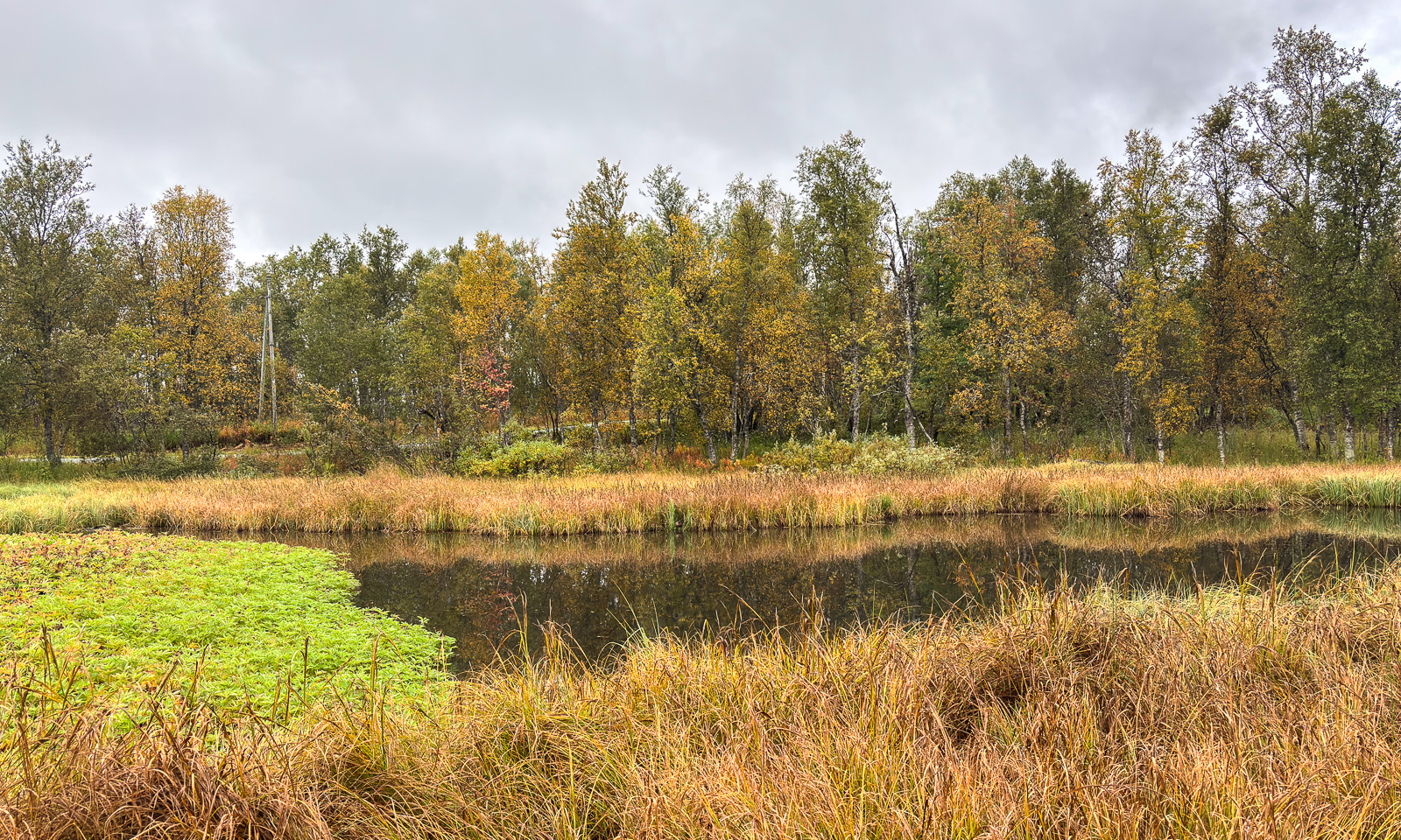
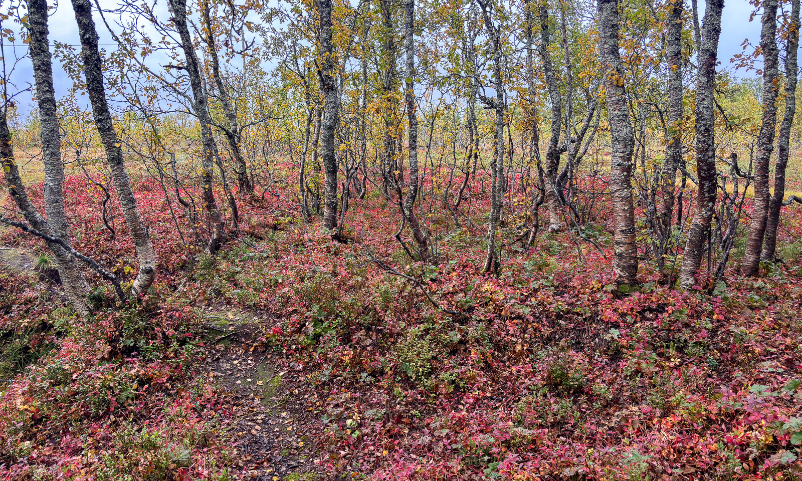
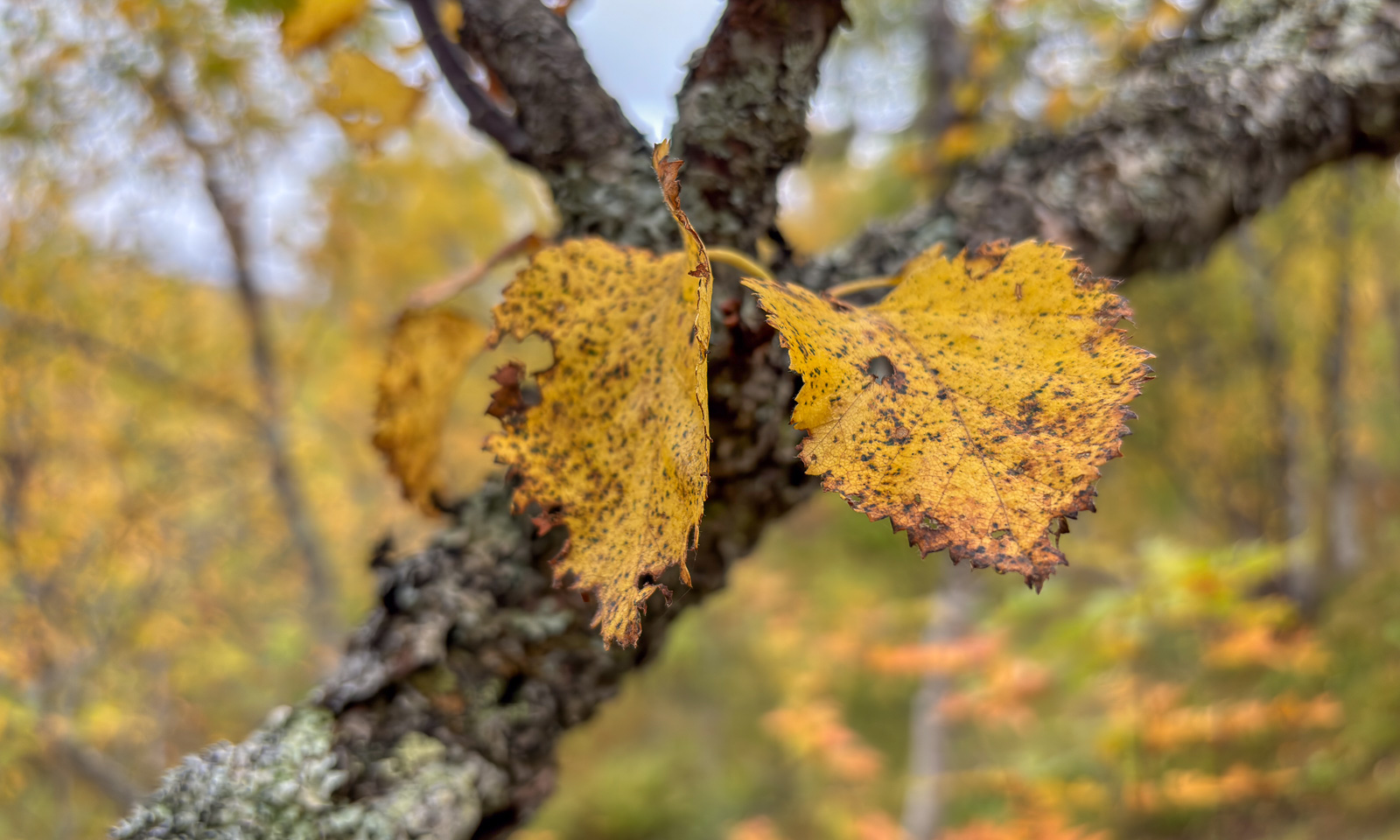
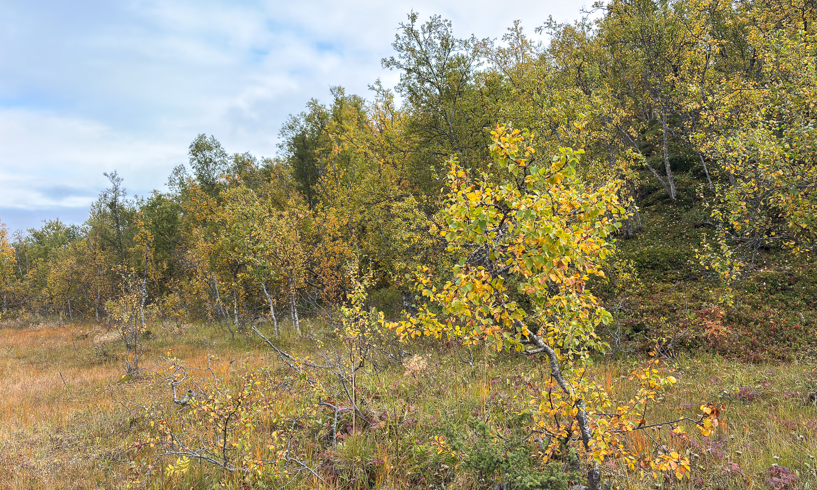
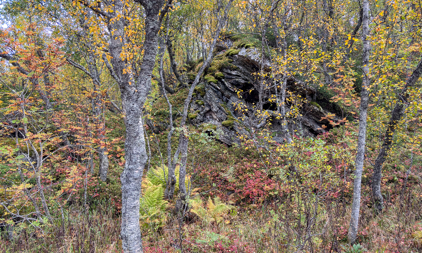
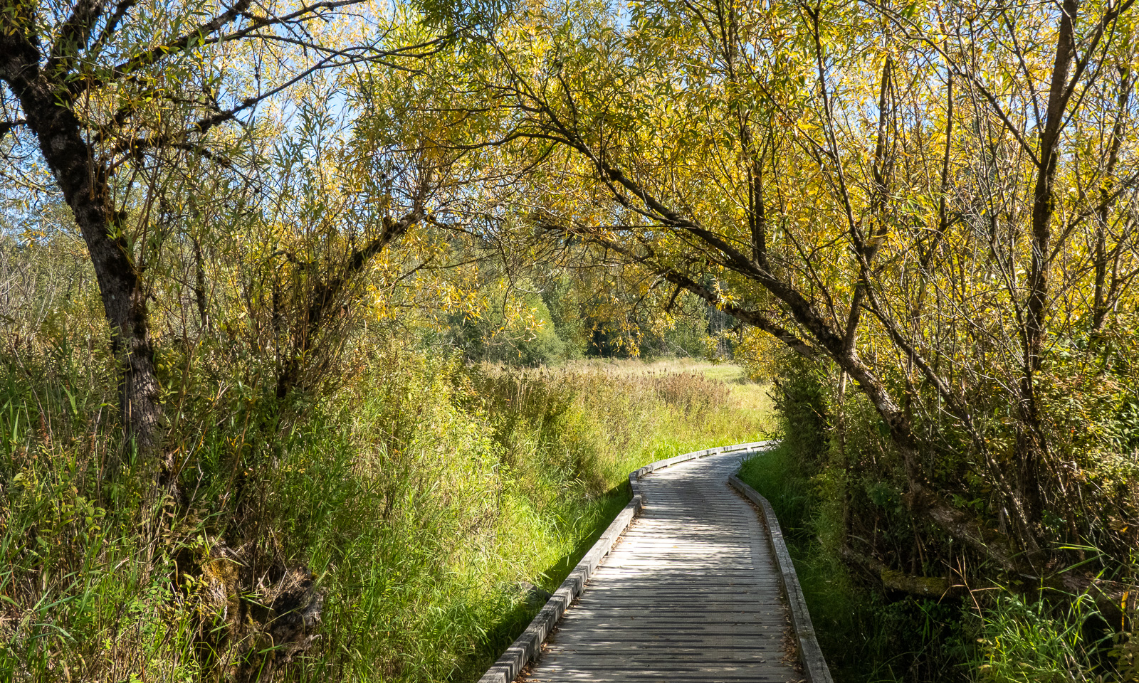
The first signs of autumn have arrived in Tromsø in recent days. I took some snapshots with my mobile while following the paths through the forest and the wet trods over the bogs. Still many birches are green but some are yellow and have starting shedding their leaves while parts of the undergrowth are bright red.

Today I left Tromsø behind for four weeks. I flew to Oslo and will spend the night in a hotel near the airport. Tomorrow I’ll fly to Amsterdam where I’ll meet my wife Annika and then we head for our furthest journey yet. Canada for four weeks! British Columbia and Alberta. I’m very excited, a bit nervous and pretty curious how it looks like.

An Arctic regular flight

This article is part of the series “2026-09: Canada”.

Saturday, 5 September. I am about to take my longest and furthest flight ever: from Amsterdam to Vancouver, West Canada. Annika had tickets for the same flight, but she was not allowed to travel because of issues with her eTA (Electronic travel authorization) and also because of the complete absence of a functioning customer service at KLM which we both have tried to contact for days, but in vain. So she will fly the next day.

My flight departs at around 16 o’clock and after a short time we leave the coast with the sandy beaches behind and are above the North Sea. Although Vancouver lies further south than Amsterdam the long flight goes north. It is shorter. We fly north of Iceland and over the Norwegian island Jan Mayen, which I cannot see because it is cloudy. Then the clouds begin to disperse and I get a view, first of a field of ice floes and then of the next mainland: Greenland. I am glued to the window to see these extraordinary views starting with the elongated island Store Koldewey. More and more mountain chains, bays filled with small ice floes come into view until the Greenland Ice Cap takes over and everything becomes white, first of ice, then because of a layer of clouds.

Some hours later holes start to appear in the layer of clouds and I can see other polar landscapes, those of Arctic Canada. We fly over Ellesmere Island, Axel Heiberg Island, Cornwall Island, Bathurst Island and Victoria Island. Then the mainland: a bit of mainland Nunavut and then the Northwest Territories, where I get a view of its largest lake Great Bear Lake, the eight-largest lake of the world.

Only slowly the landscape changes. There is less and less ice and part of the Northwest Territories is characterised by a large number of lakes, some of them dried-out and a red hue that makes it look like the surface of another planet.

After a while the landscape seems to have changed again. It takes me a couple of seconds until I realise, there are trees growing there. Now there are also more and more streets – probably dirt roads and then houses and fields, small towns and finally a big city: Metro Vancouver.

You see the beaches on the last photo? Two days later Annika and I will have a swim there, our first time in the Pacific Ocean.

Vancouver

This article is part of the series “2026-09: Canada”.

6 September

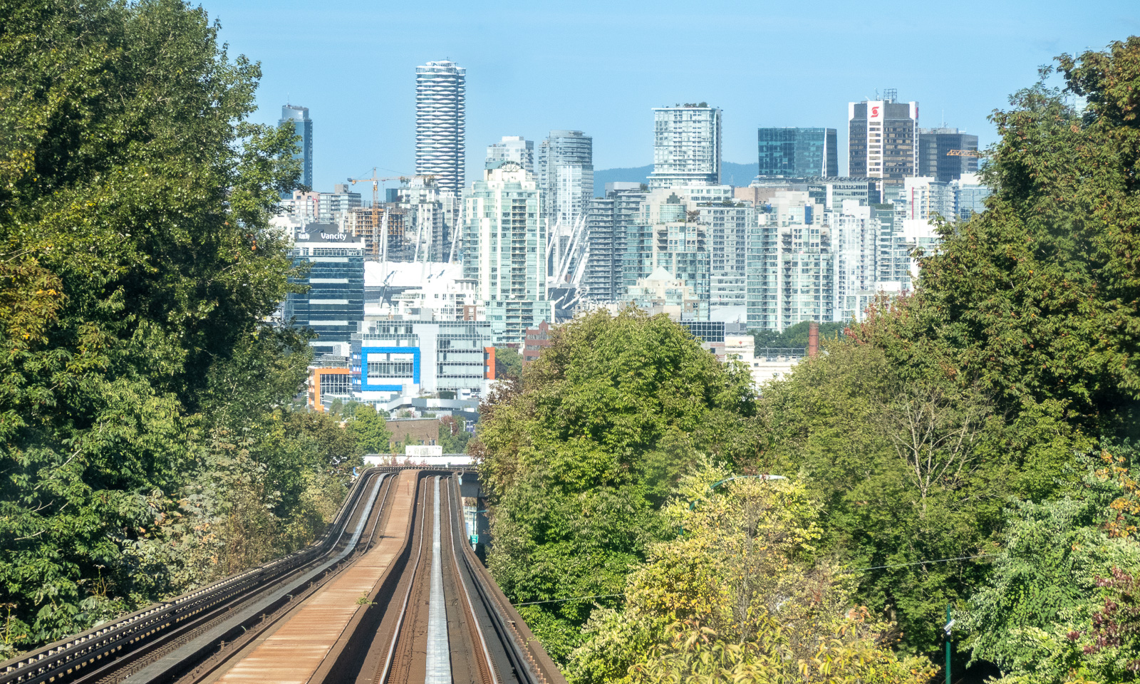
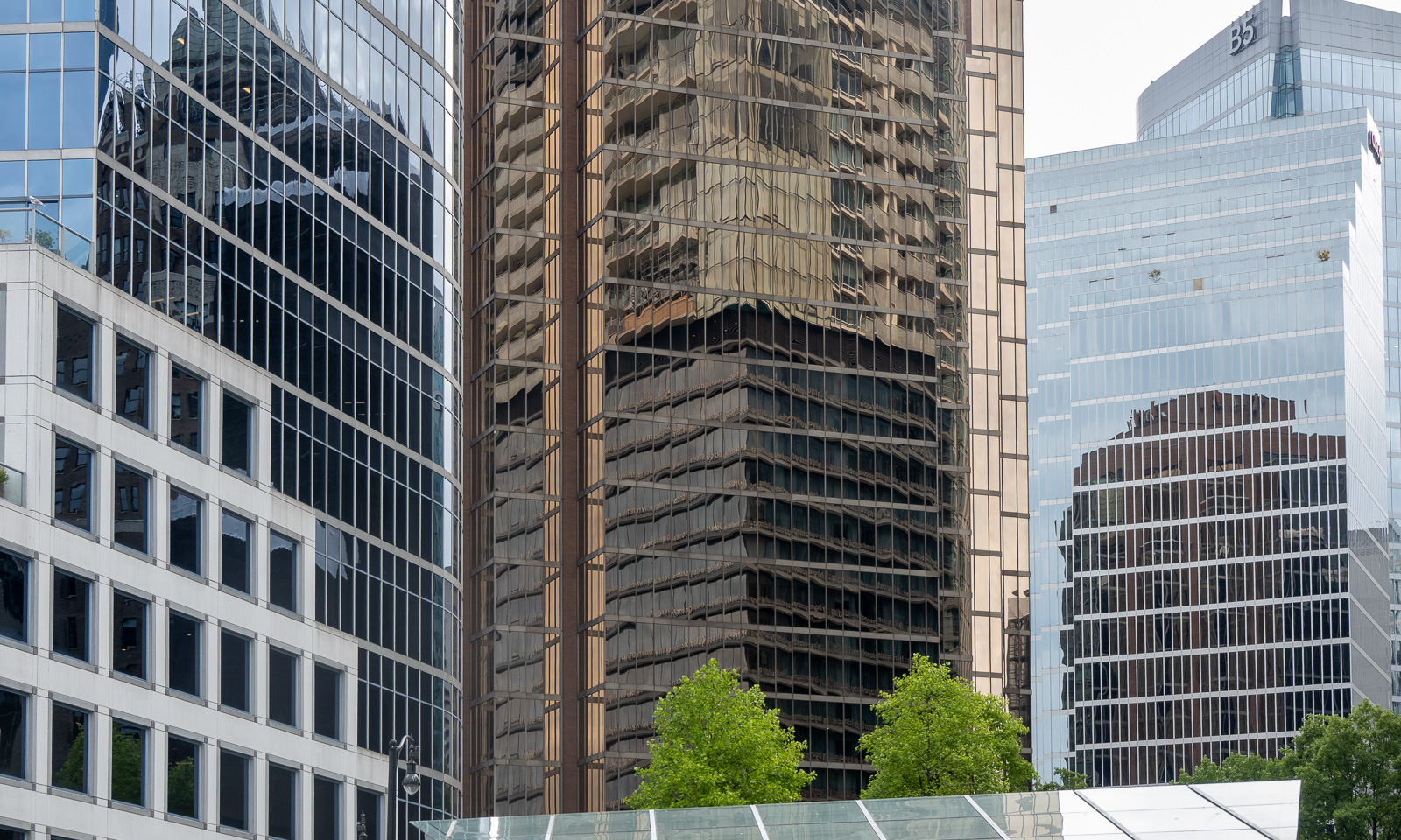
I am standing on the SkyTrain Expo Line that brings me to Waterfront station in central Vancouver. SkyTrain is fully automated and so I can stand at the front looking at the mountains to the right and the skyscrapers in the front.

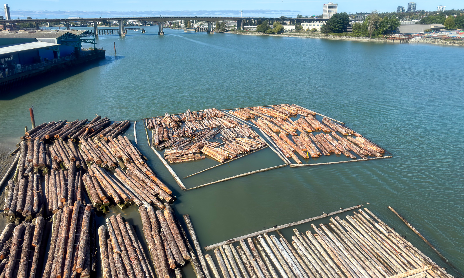
At Waterfront I change to the Canada Line in the direction of the airport. It crosses the Fraser River on which tree trunks are floating, waiting to be transported.

Then I am at Vancouver Airport again. Yesterday I arrived here myself, today I am fetching my wife Annika. It takes some time before she is through the passport control and collects her luggage, then she is finally here, nineteen hours late. Our four-week Canadian holiday can begin.

As I was the day before, Annika is pretty tired from the flight but we don’t have any jet lag, although we travelled across nine time zones. We take the same trains back to Burnaby, enter bus 119 and arrive at our private host’s home.

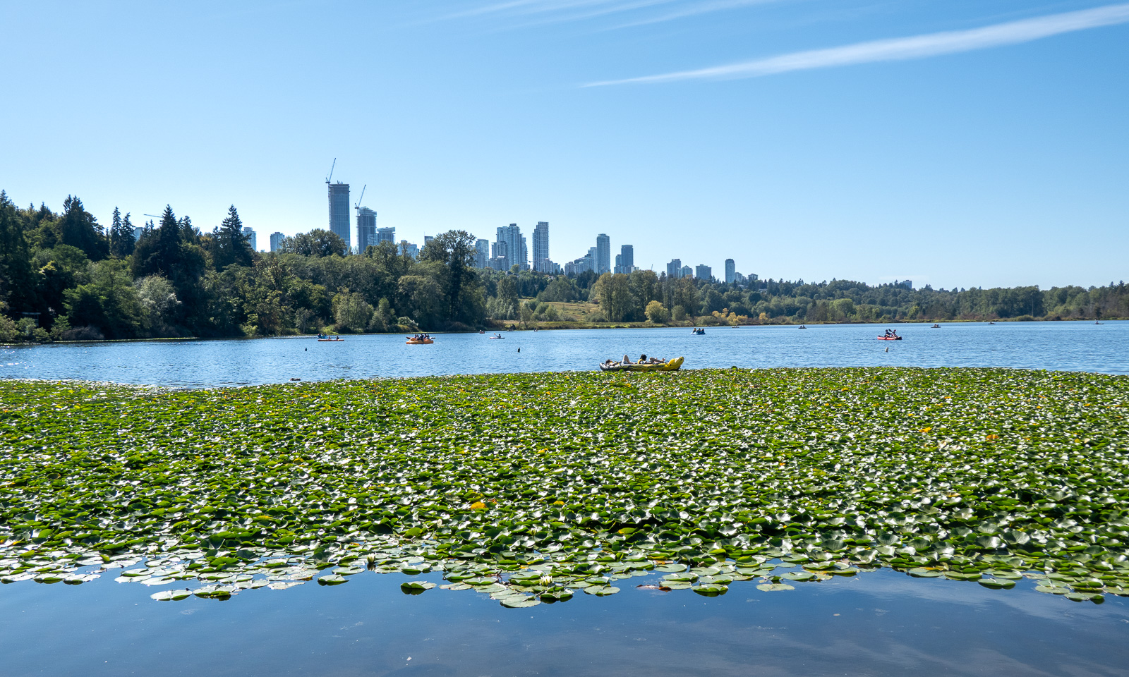
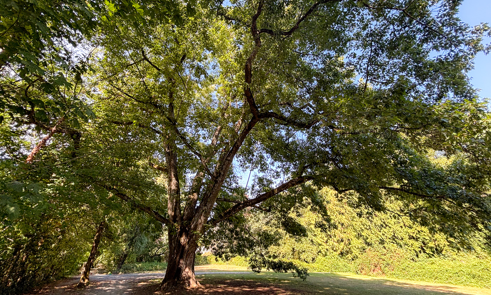
After having a chat and leaving Annika’s luggage behind we go for a walk to Deer Lake, which is nearby. It is a beautiful lake in a park in the south of Burnaby which you can walk around. There are many signs that we are no longer in Scandinavia anymore: the many skyscrapers in the background, the bear and coyote warning signs but most of all: the huge trees.

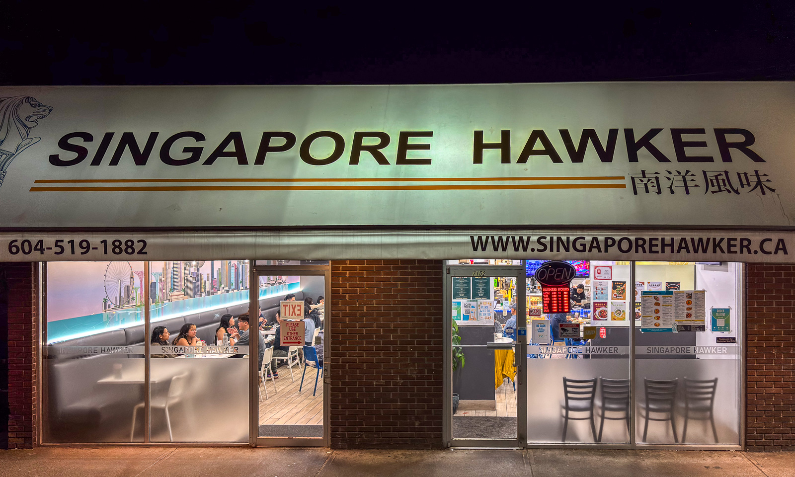
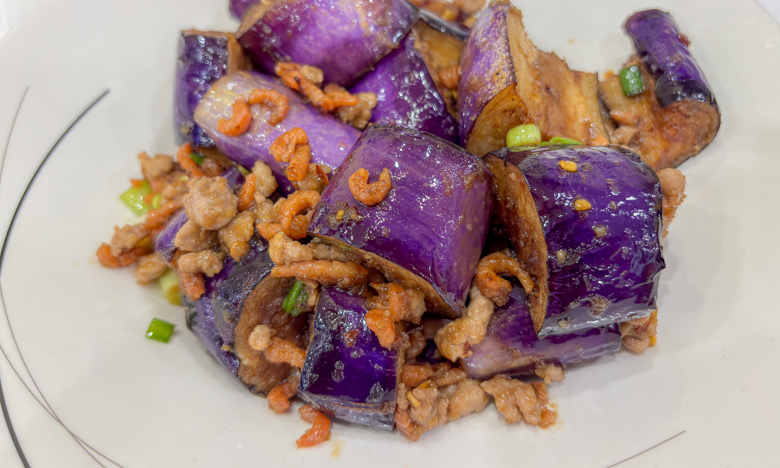
After an afternoon nap we are looking for a restaurant. We were told that the local asian ones are all excellent. We choose the “Singapore Hawker” because it is crowded. We have to wait a while until we are seated. The interior is simple but the food is excellent. I ordered “G6. Nyonya Eggplant – Tender wok-fried eggplant and minced pork, enhanced with dried shrimp.” Have I ever eaten eggplant so tasty as it was here? I cannot remember.

7 September

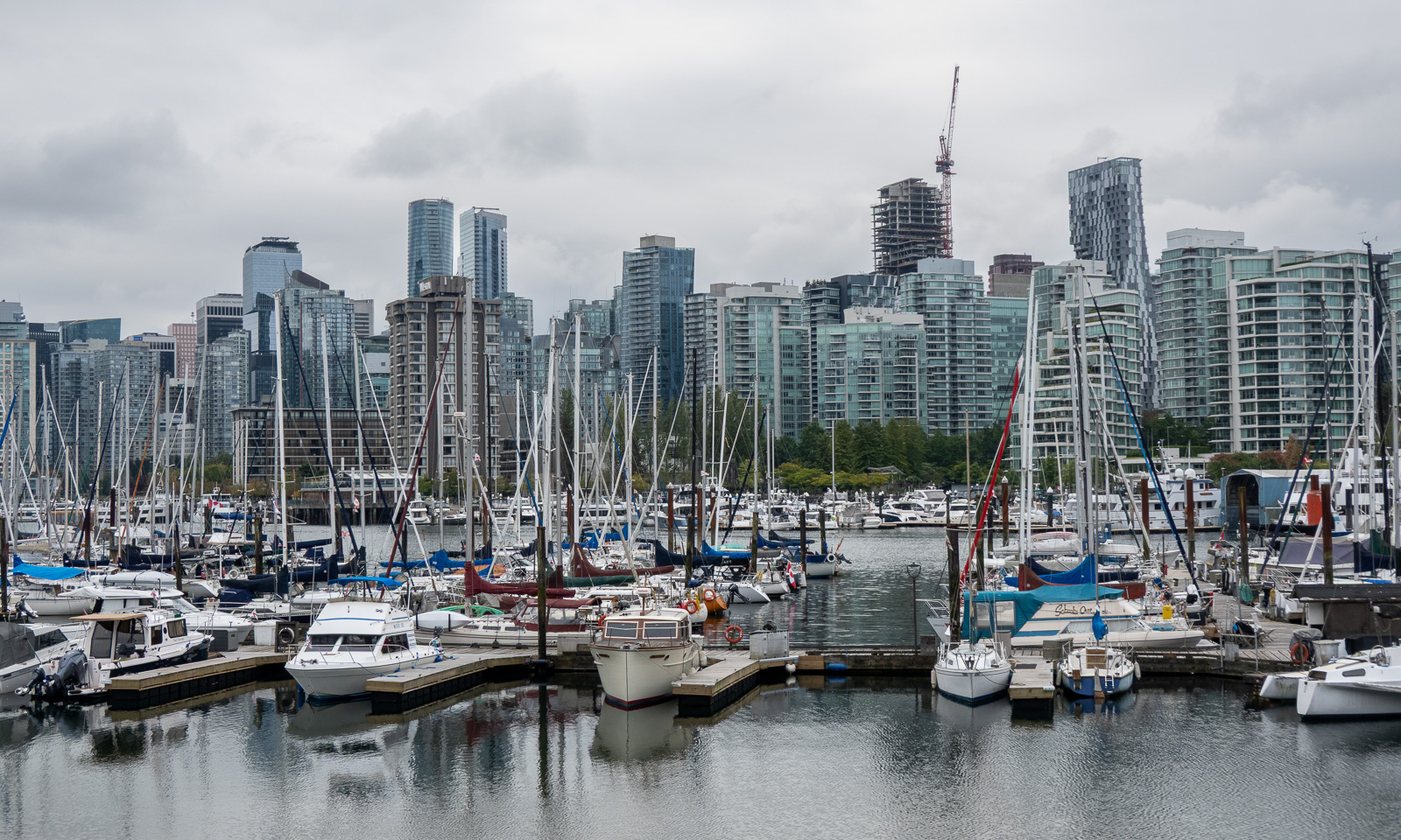
Today Annika and I want to explore central Vancouver with Stanley Park. Again we take the SkyTrain into town, walk a bit and find a bicycle rental shop, where we hire two excellent bicycles for exploring.

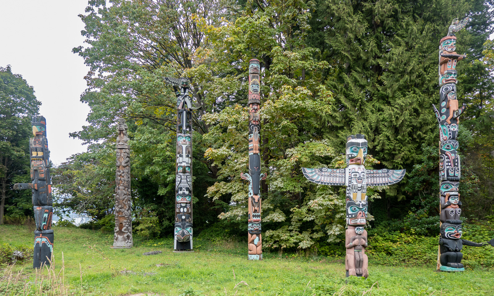
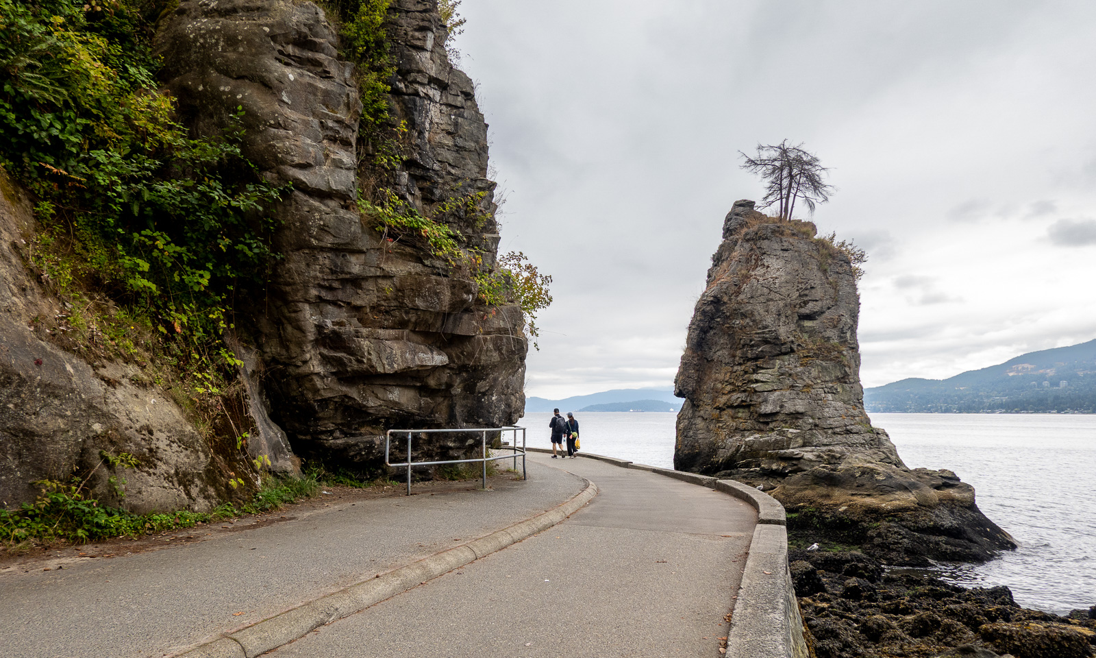
There is a cycle path by the seaside that we follow to Stanley Park which lies on a peninsula north of the centre. Our first stop is at a group of totem poles.

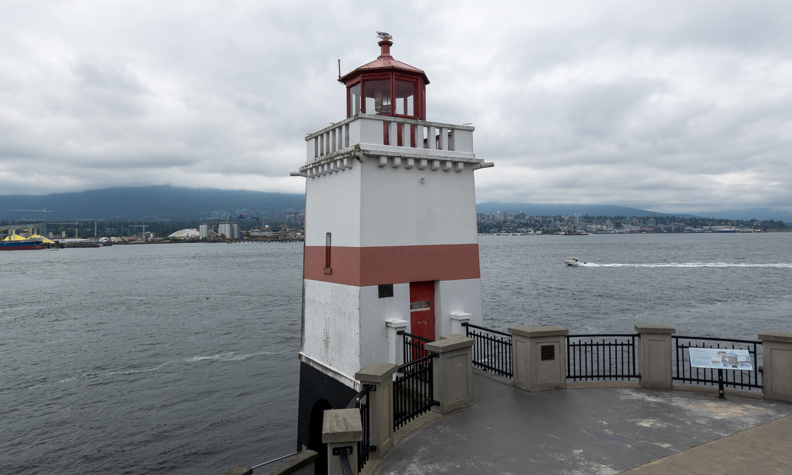
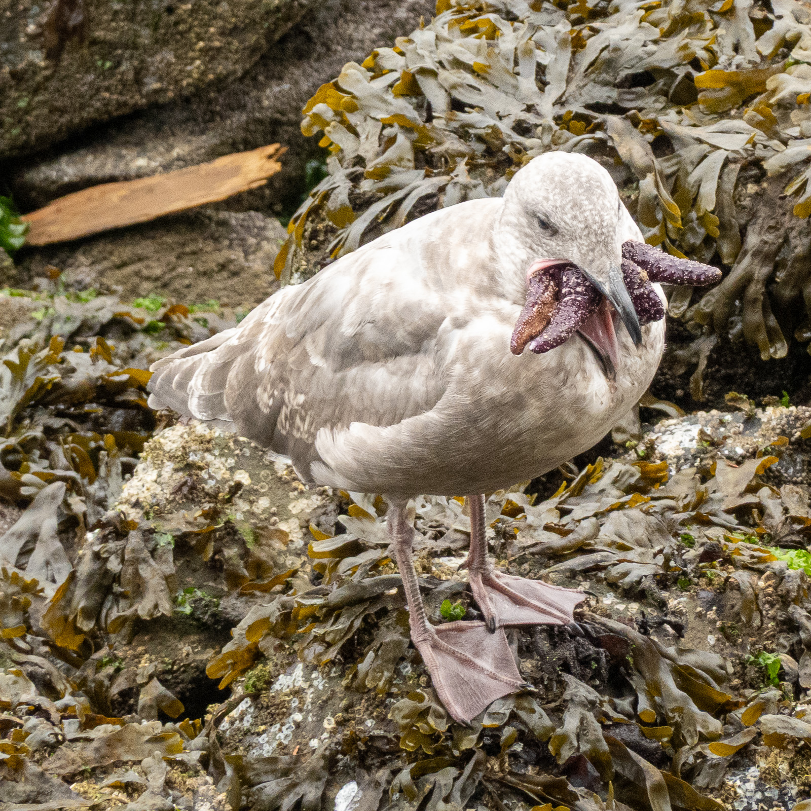
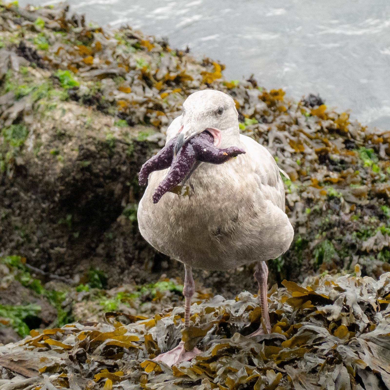
We continue around, pass the Brockton Point Lighthouse and watch the seagulls carrying starfish in their beaks. They look like the birds’ versions of H. P. Lovecraft’s Cthulhu.

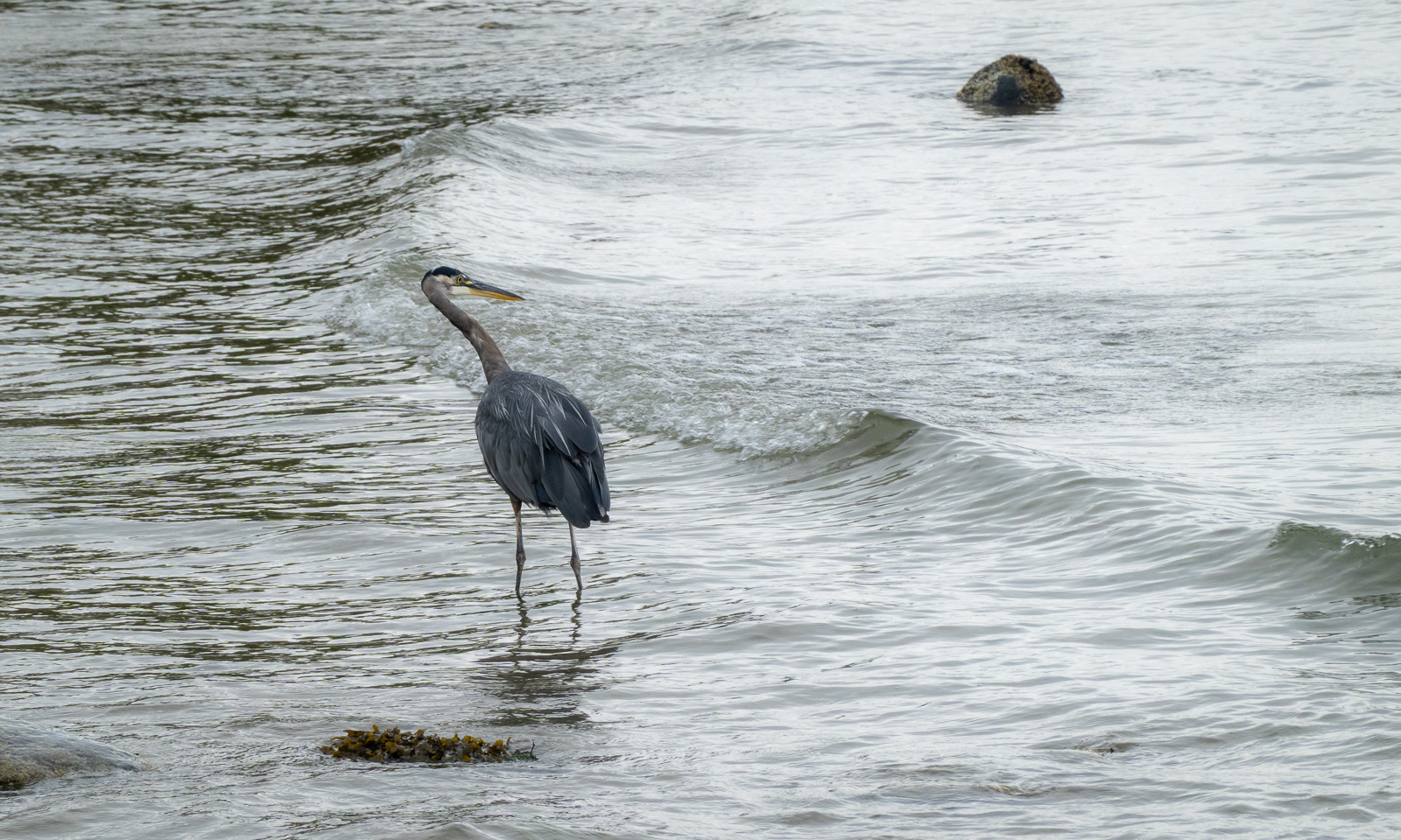
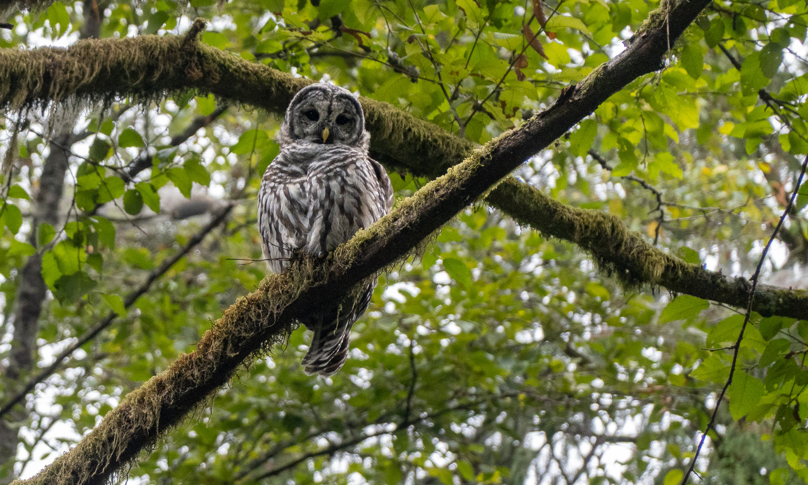
We also spot some birds. A woodpecker, probably a pileated woodpecker. Then, also in the forest, a barred owl and finally at the beach a great blue heron. All beautiful birds of their kind.

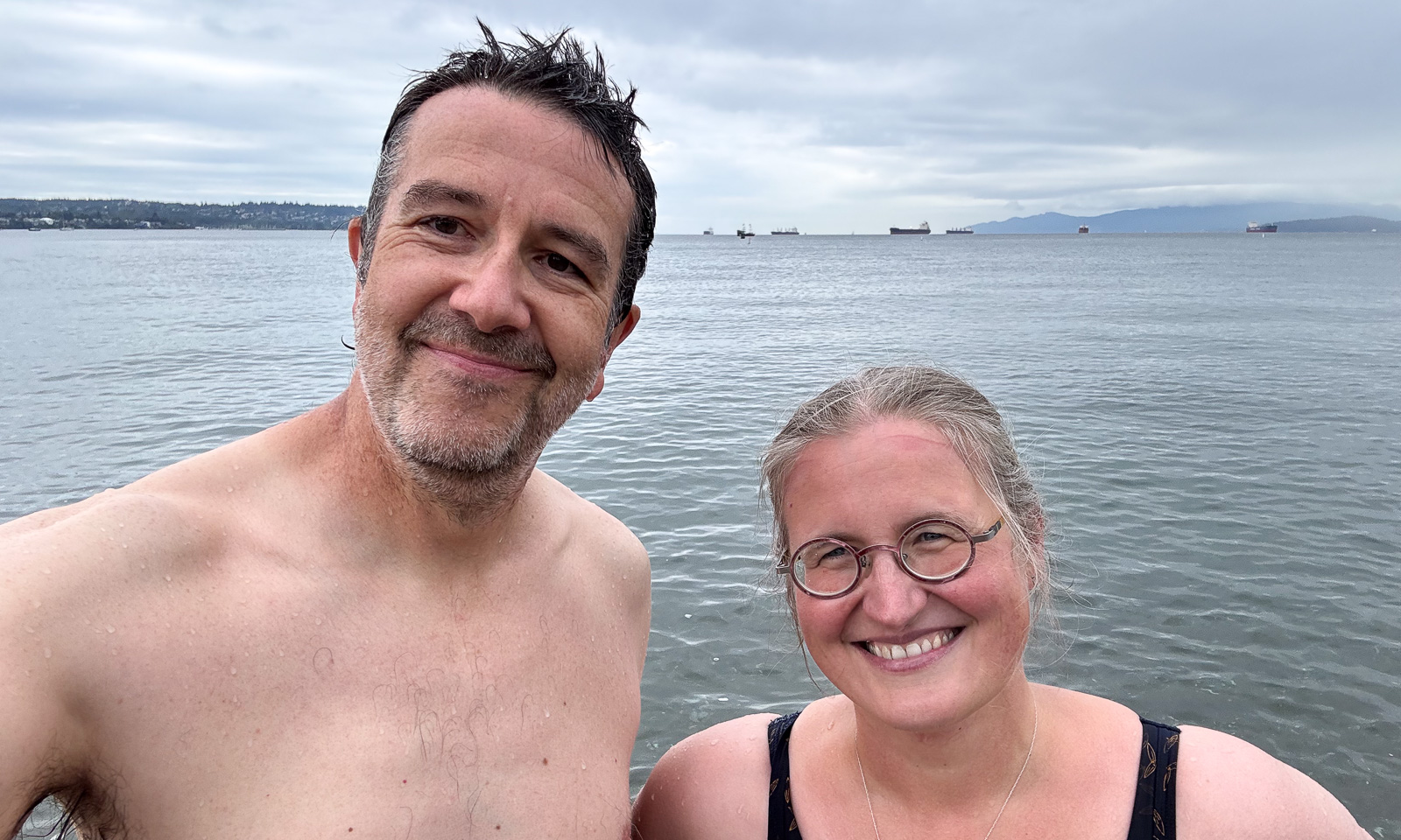
At the end of Stanley Park there are several sandy beaches. Time for a swim – our first swim ever in the Pacific Ocean.

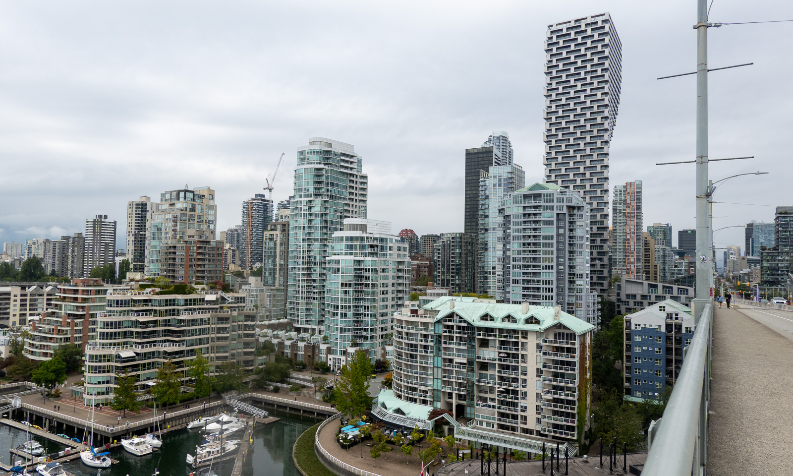
Now I am getting pretty hungry. We took Granville Bridge over False Creek and get some food at the Granville Park Public Market which was quite crowded. We cycled a bit more but I got tired and so we turned back, this time using the Burrard Street Bridge. After about thirty kilometres of cycling we were back at the rental shop to bring back the bikes.

In my option the bicycle is the perfect vehicle to explore Vancouver.

8 September

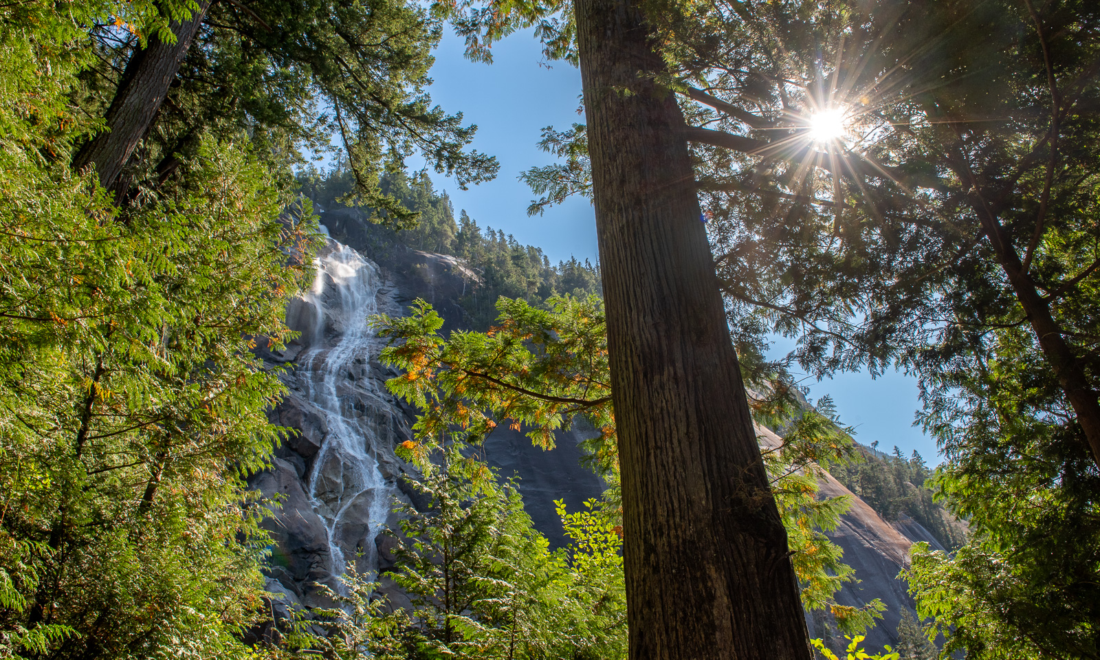
It is time to pick up our rental car at the airport. We’ll have it for three weeks to travel around in western Canada but today we’ll just make a day trip. We get a VW Tiguan with all-wheel drive and I am glad that Annika is driving this day, she handles big cities better than me. Our first stop is Richmond, a city near the airport where we buy some essentials and eat lunch, then we head off north to visit Whistler. In my view, Whistler is just a town and a ski resort, the journey there is very beautiful. We stop twice at designated tourist attractions. The first one is the Shannon Falls Provincial Park. The waterfall is beautiful, but what impresses us much more is the giant trees in the park. I’ve never been in a forest like this before.

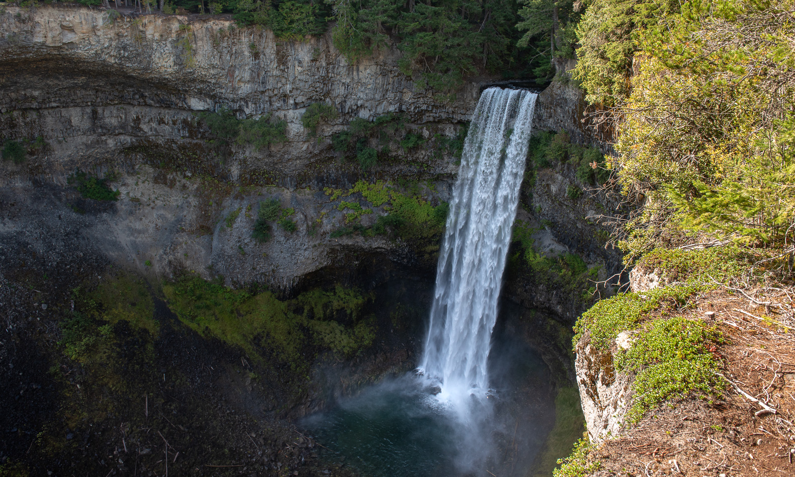
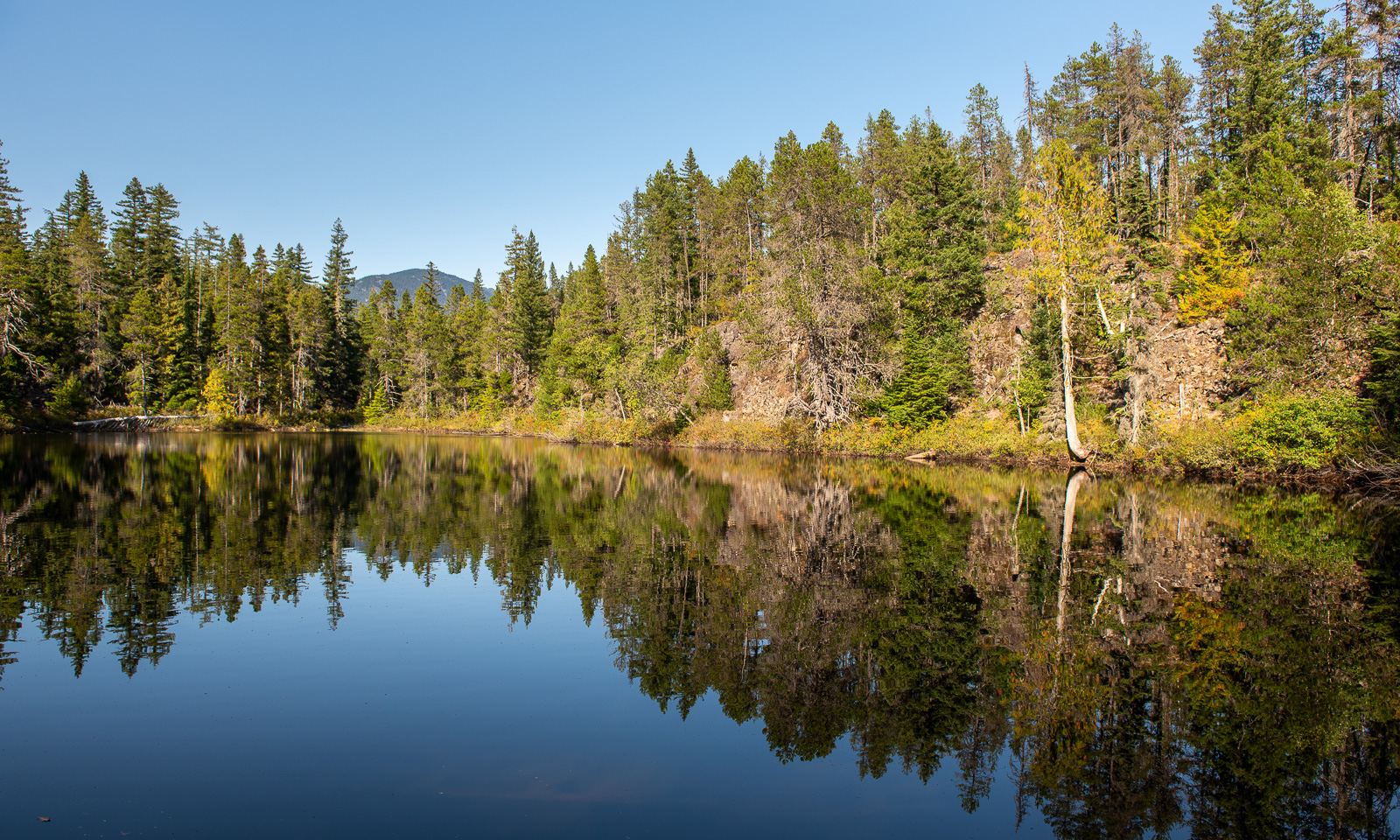
We make another stop at the Brandywine Falls Provincial Park. First we take the short walk to the platform from which you can see the water falling down about 70 metres, then we take a small hike to a lake nearby. I’m a bit nervous, there are black bears and grizzly bears living in these forests as well as coyotes and cougars (though sightings of the latter are uncommon).

When we drive back the same way to our accommodation in Burnaby, it starts to get dark and when Annika parks the car in front of the house, it is dark.


Vancouver Island

This article is part of the series “2026-09: Canada”.

Oh my, it is already 20 September. My wife Annika and I are still travelling around in western Canada, have seen many things and today I finally find the time to write another blog article, this time about Vancouver Island, that we visited from 9 to 13 September. It feels like ages ago.

9 September

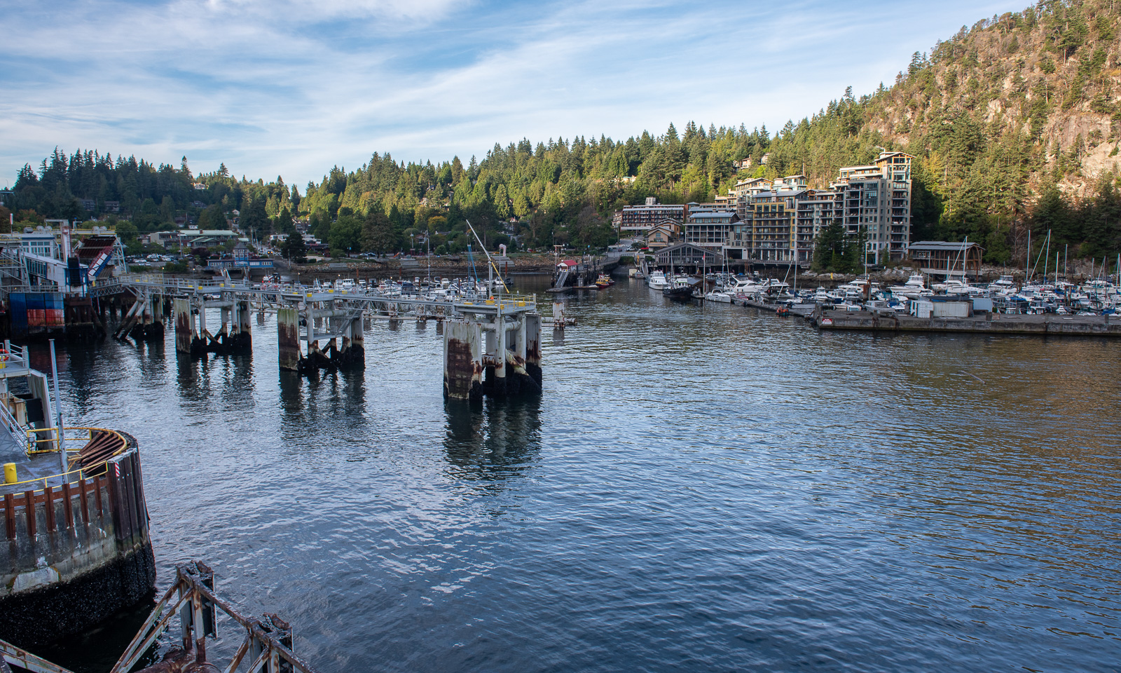
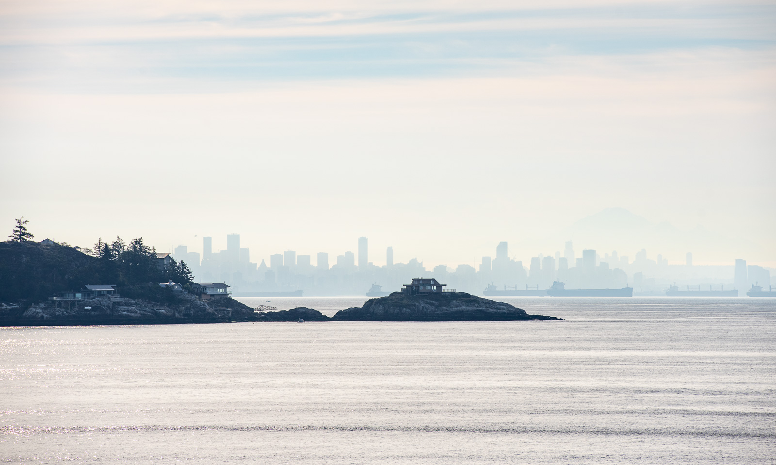
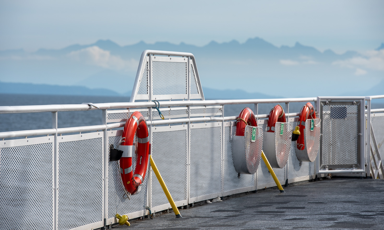
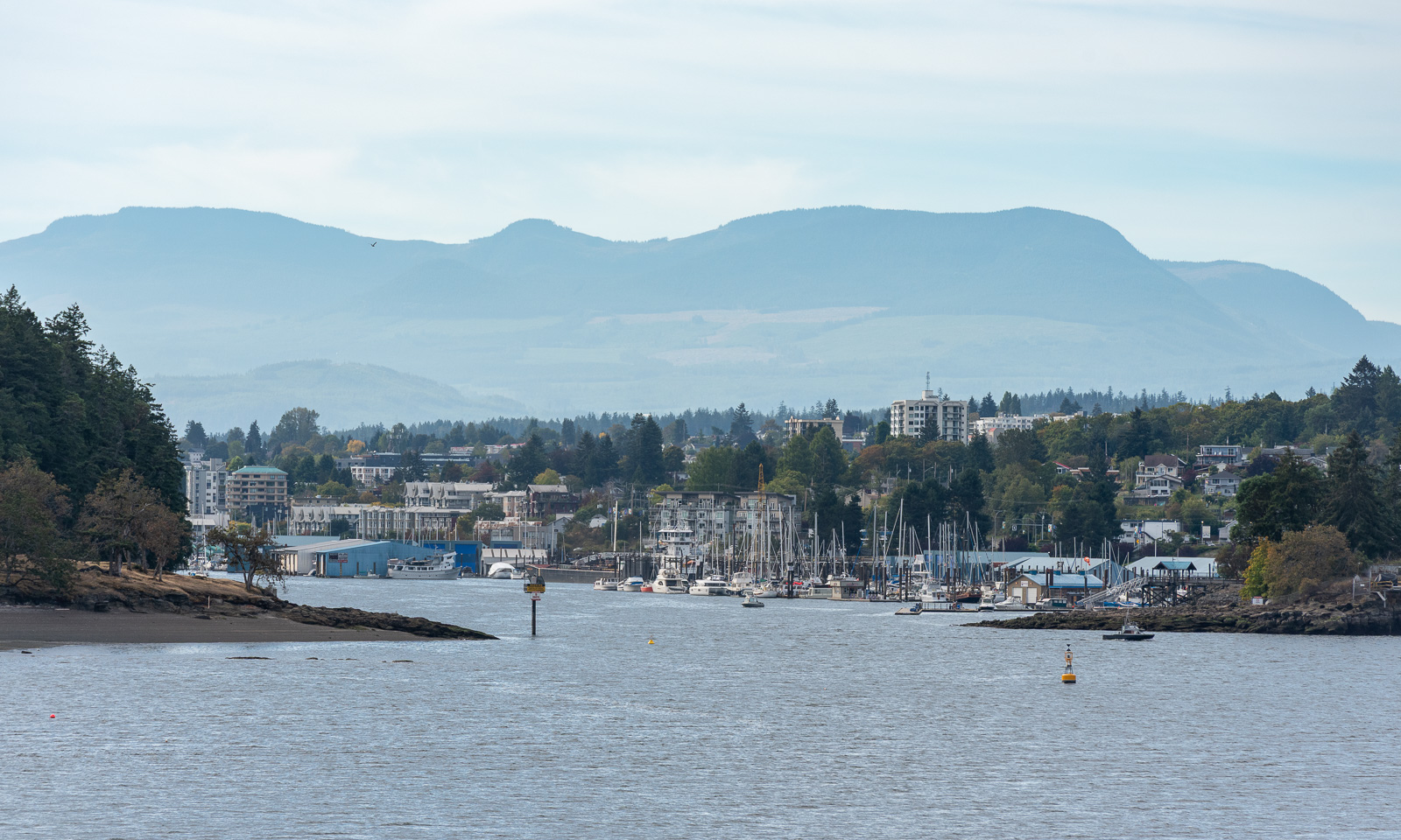
The alarm clock rings at 5:45. We want to catch the early ferry from Horseshoe Bay on the mainland to Nanaimo on Vancouver Island. The ferry crossing takes about two hours.

With 2200 km², Hinnøya is the largest Norwegian island near the mainland. Vancouver Island is more than 14 times as large and is ranked 11 on the list of Canadian islands. Sometimes Canada may resemble Scandinavia but everything seems to be much bigger.

We take the road north and make a stop at the public beach in Parksville on the east side of the island.

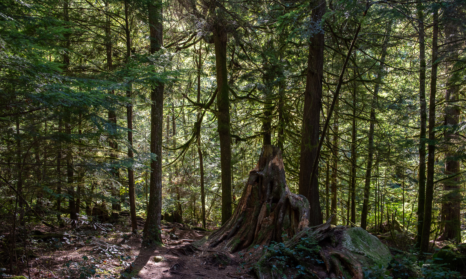
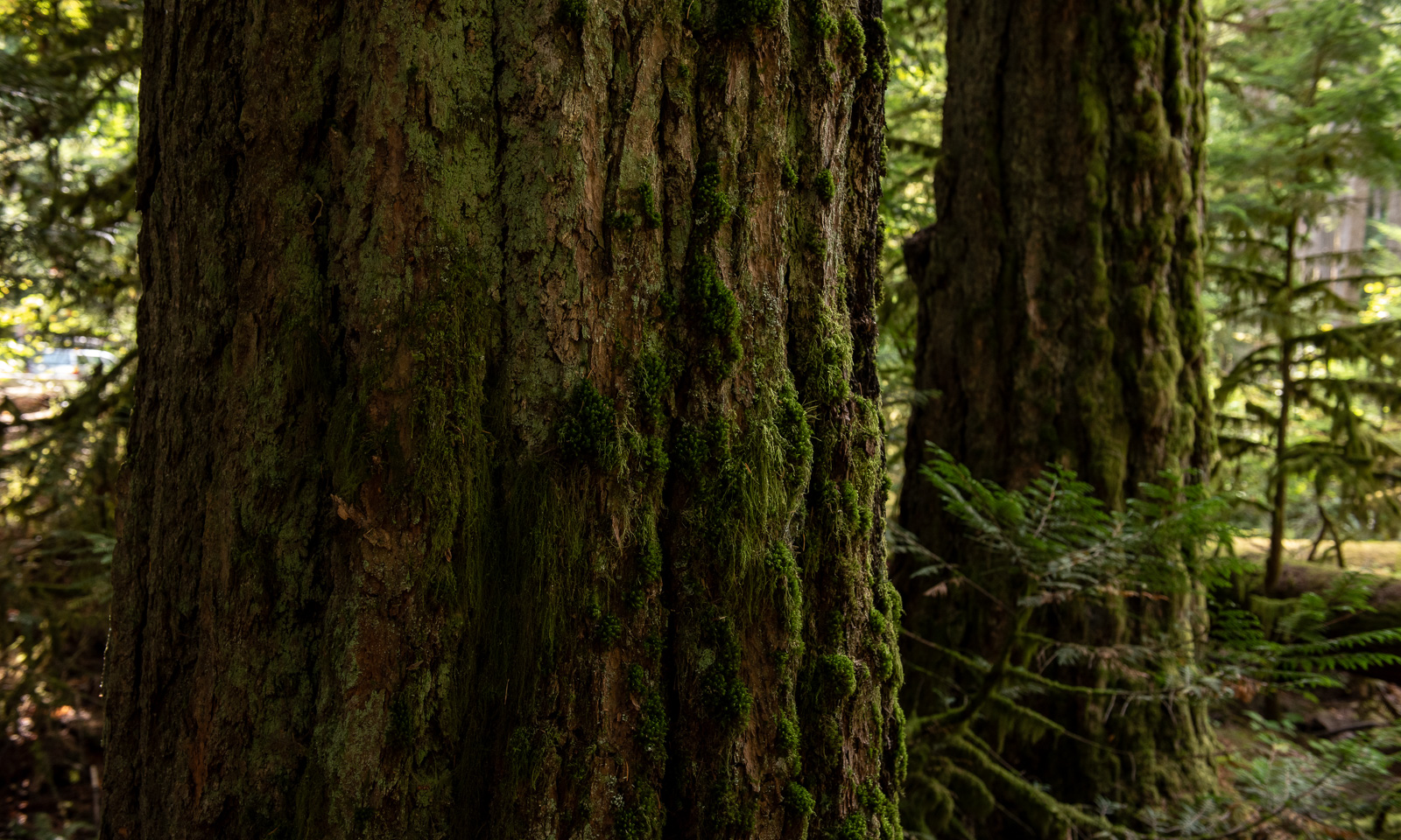
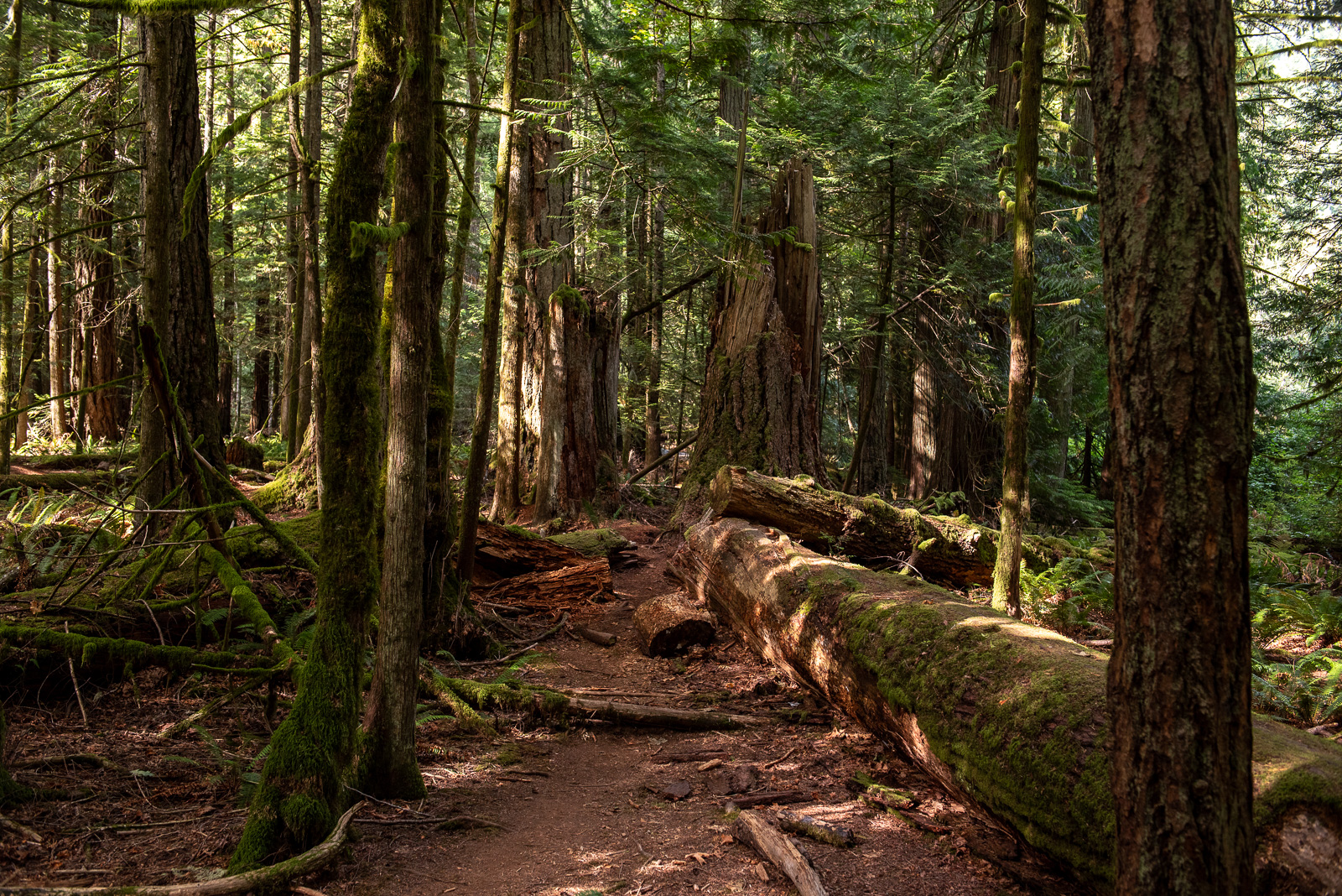
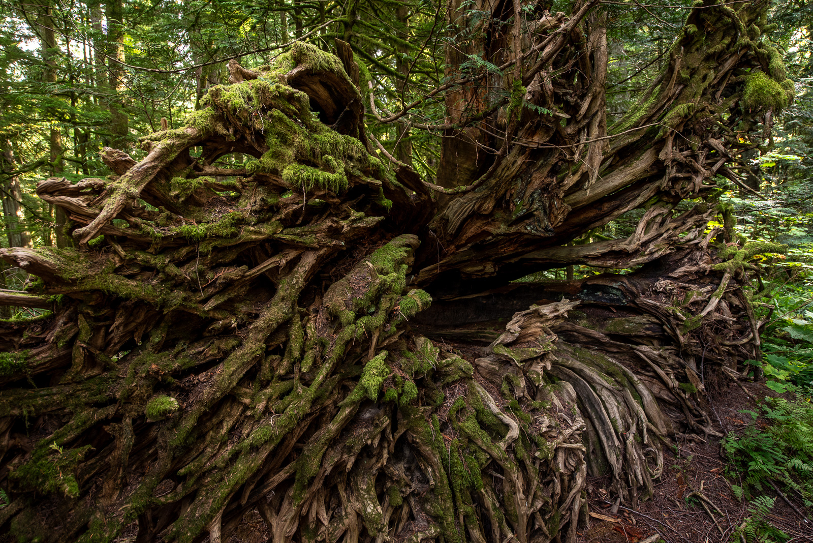
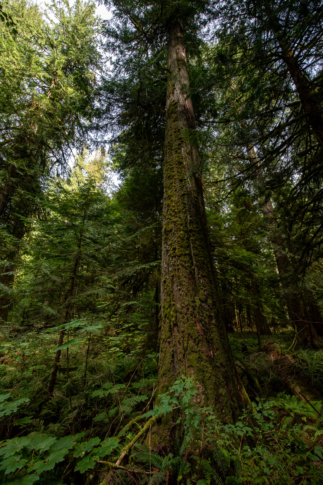
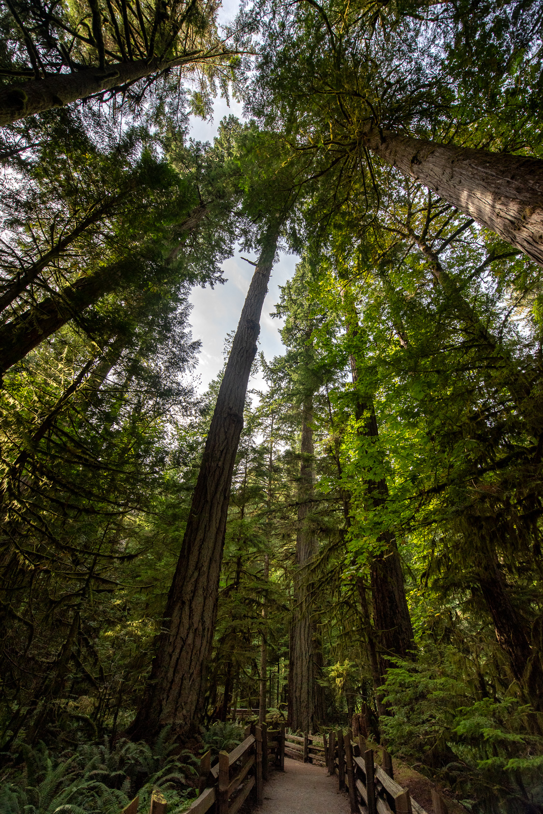
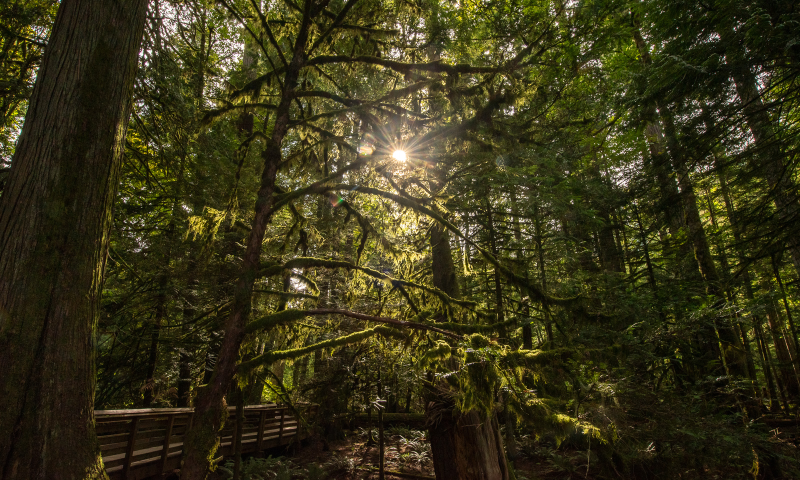
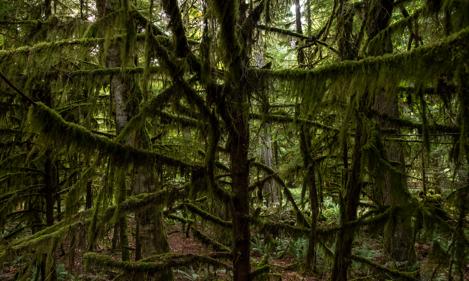
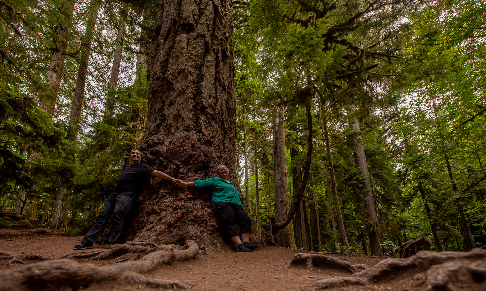
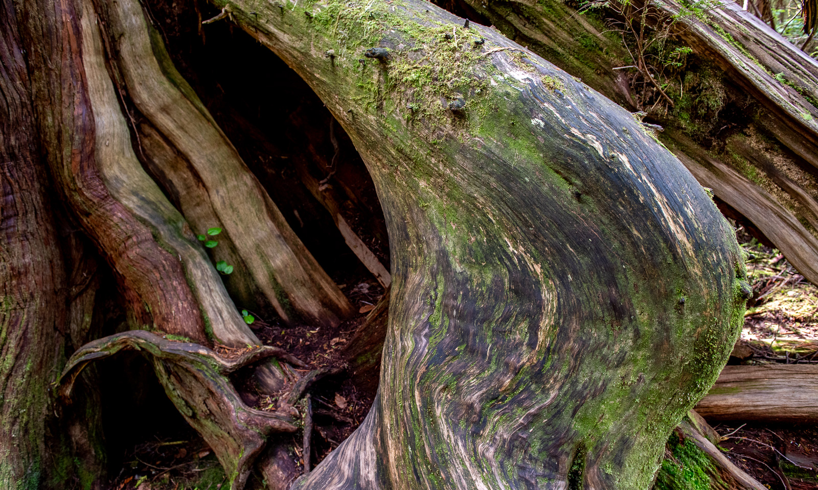
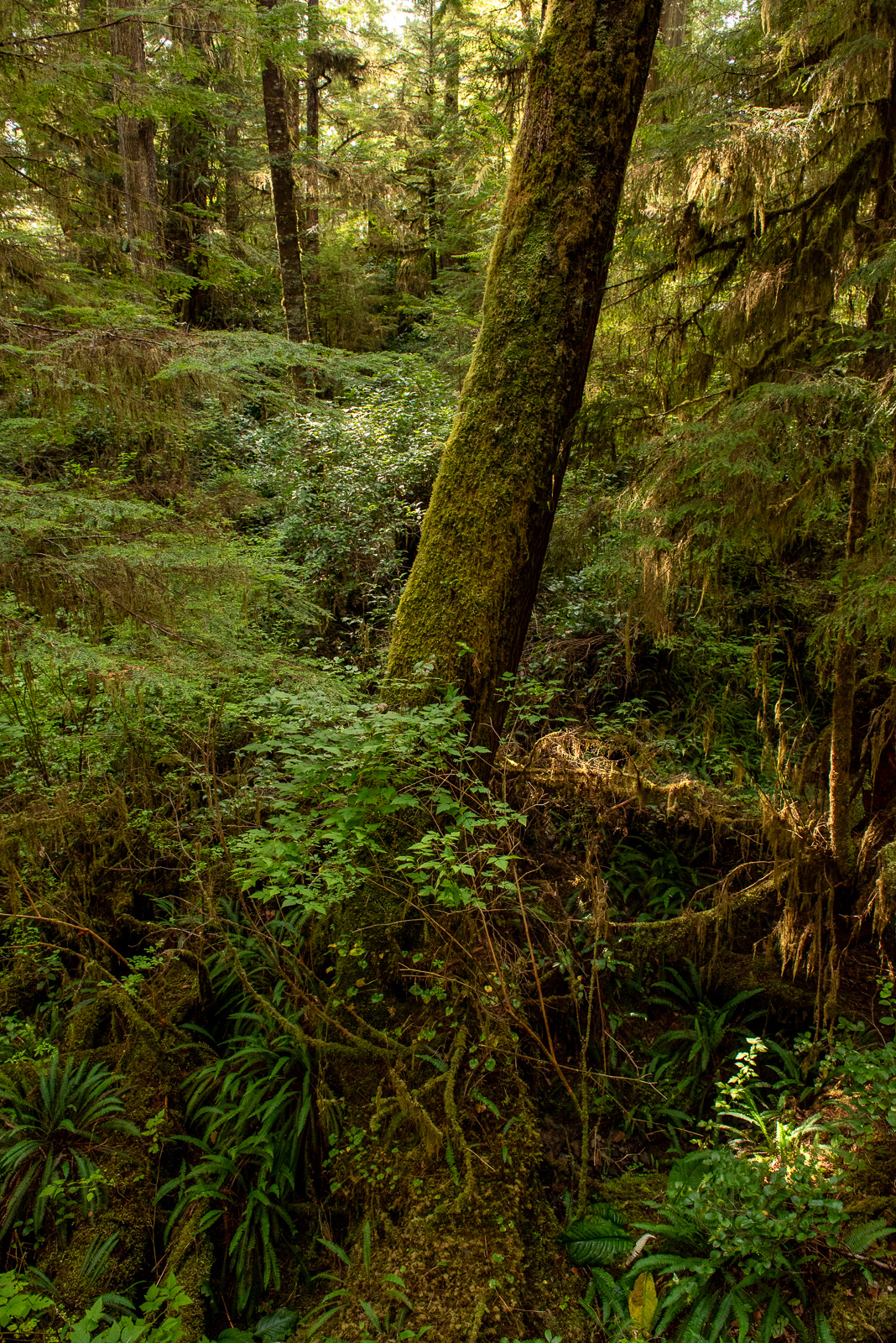
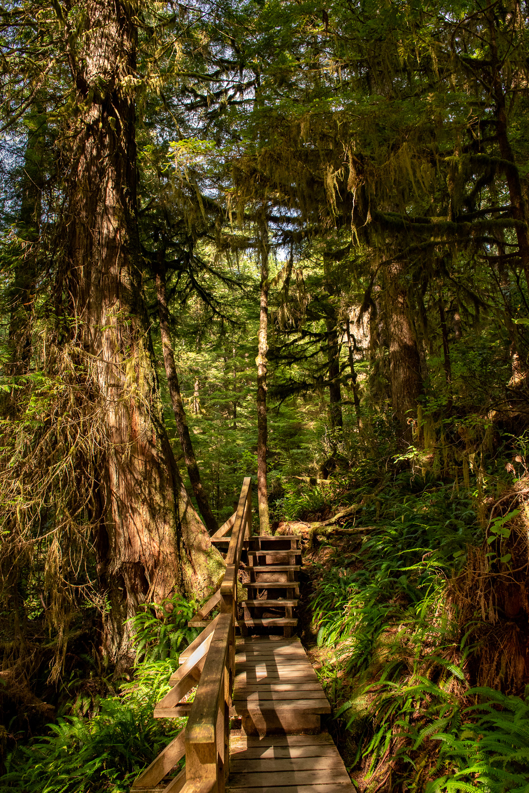
Then we make a stop at Cathedral Grove. It was a recommendation of a local from Vancouver that we met a couple of days ago. And this place is amazing. This is not just some forest, it is an ancient rain forest with gigantic trees, both tall and thick so that you may need a whole group of people to embrace it. I never ever saw a forest and trees like that and my concerns that Canada could be too similar to Scandinavia are immediately washed away.

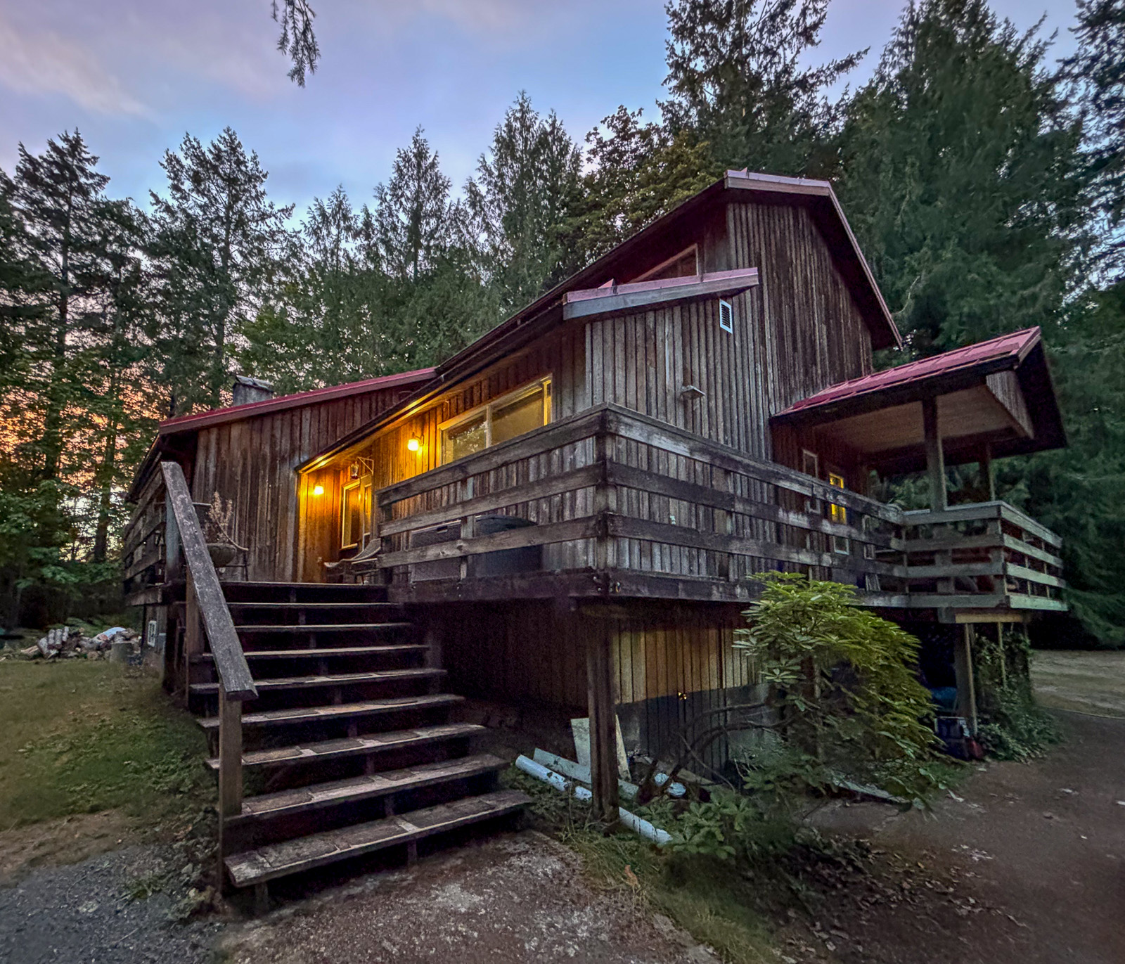
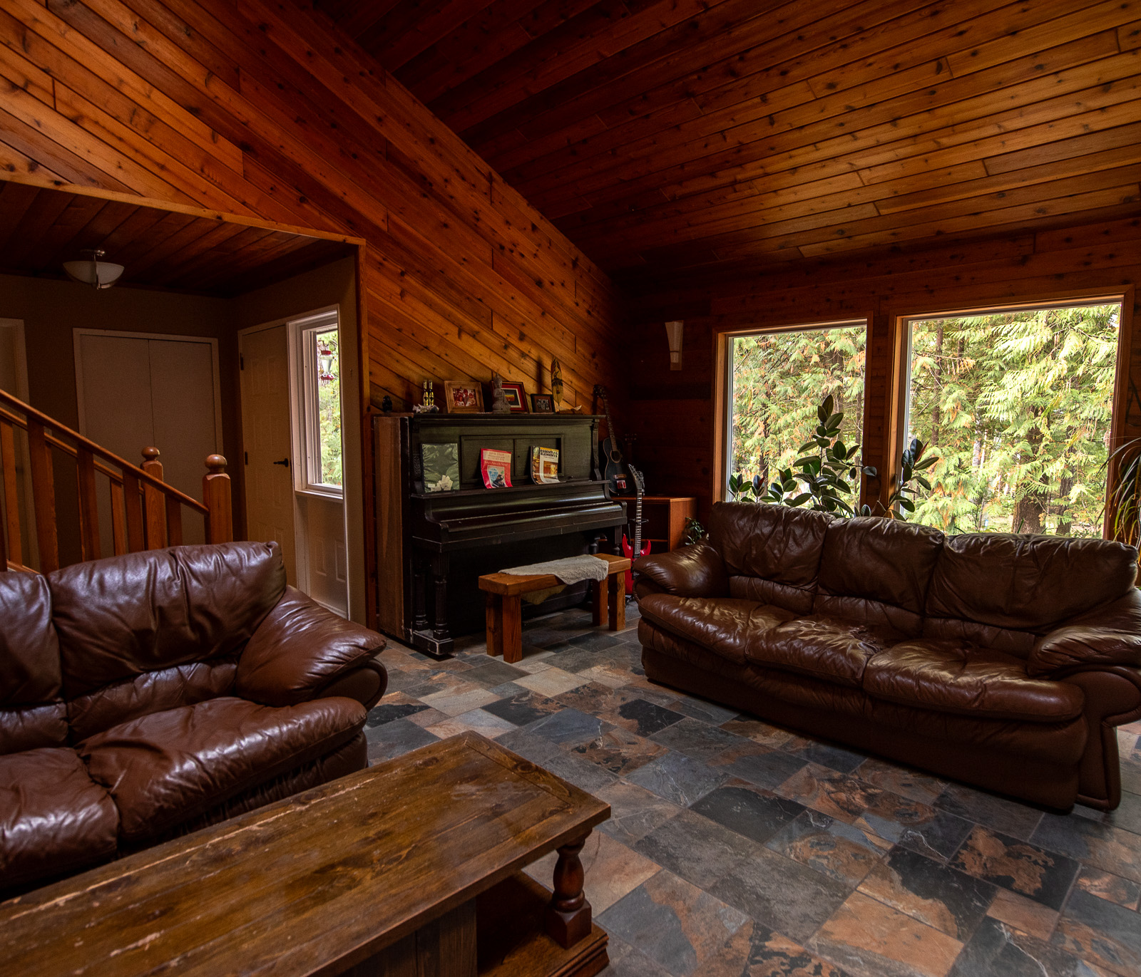
From there it is not far away to our accommodation near Port Alberni, a beautiful blockhouse that we have booked for a night but immediately extend to three nights. It has a large living room including a piano and everything you need. Later Ryan, the friendly and helpful owner will tell us about the house’s story, but now we just fall into the king-size bed and are soon fast asleep.

10 September

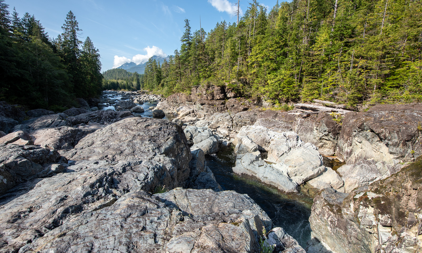
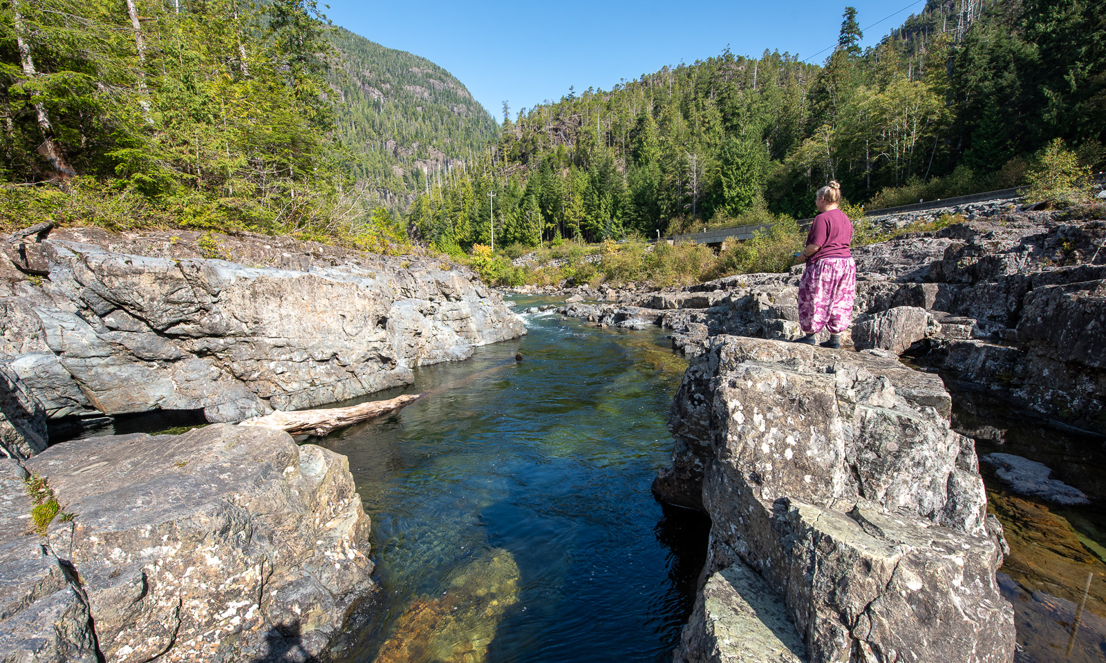
Today we have planned a day trip to Tofino including visits in the Pacific Rim National Park Reserve. Our first stop is an unplanned one – many more will follow, a pull-off by Kennedy River¹, that has created a gorge in the rough rocks. A good way to start the day.

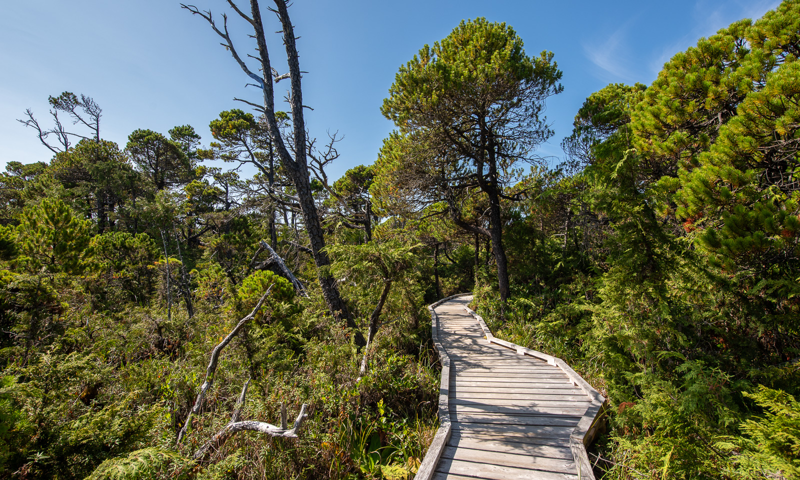
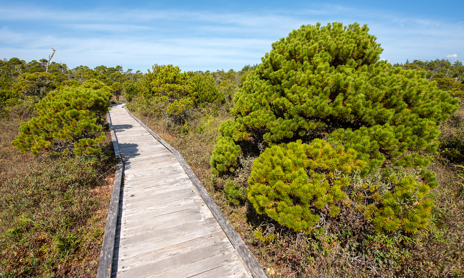
We buy a pass for the Canadian national parks and start with a short hike on the Shorepine Bog Trail. Well, I have visited countless bogs in Sweden, where the landscape is mostly sparse. Here a boardwalk leads over the bog, which is wet as well but overgrown with large pines with intense green needles.

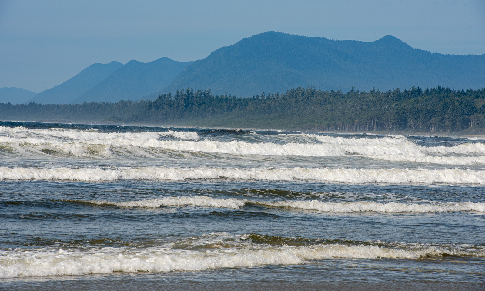
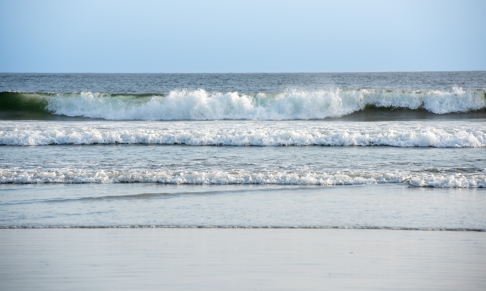
And then there it is – a Pacific beach, the open ocean. Both the waves and the many warning signs prevent us from taking a bath, but the impression of standing at the shore of the largest ocean of the world is thrilling. Next land to the west? More than 6000 km away!

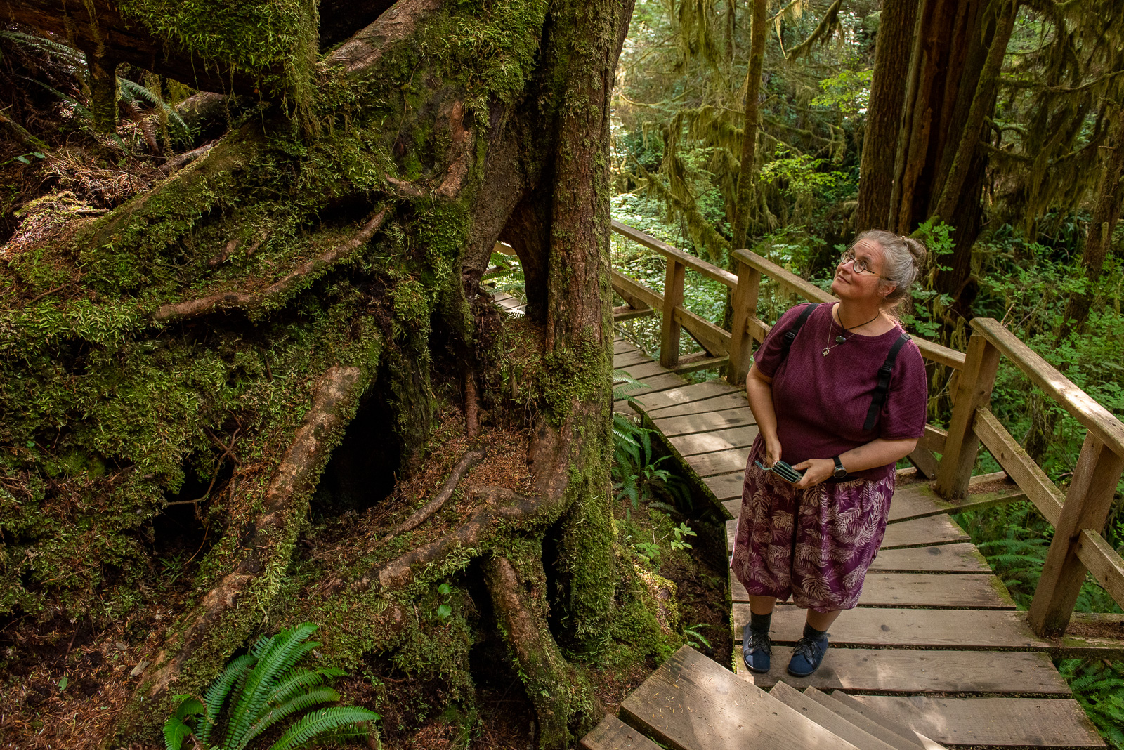
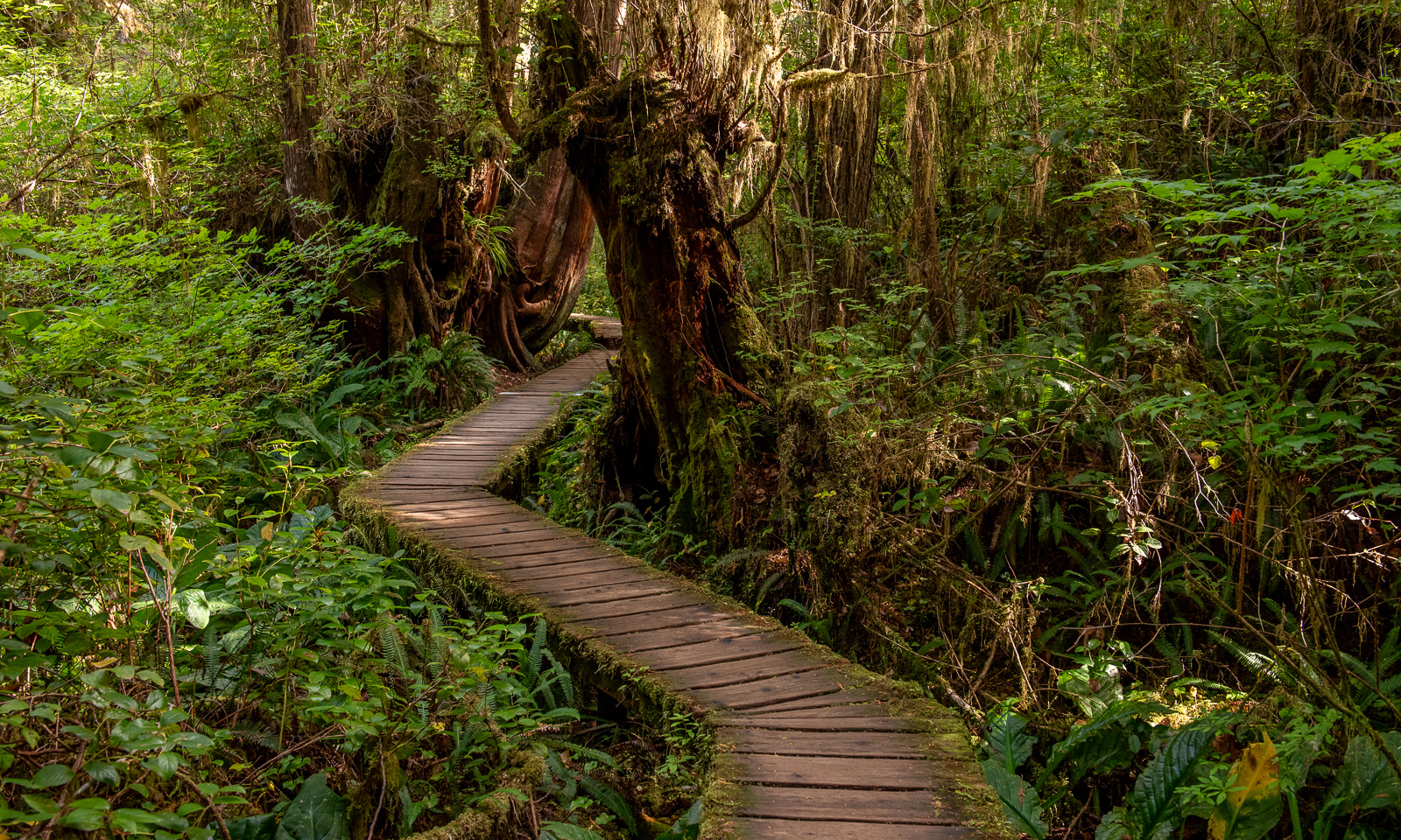
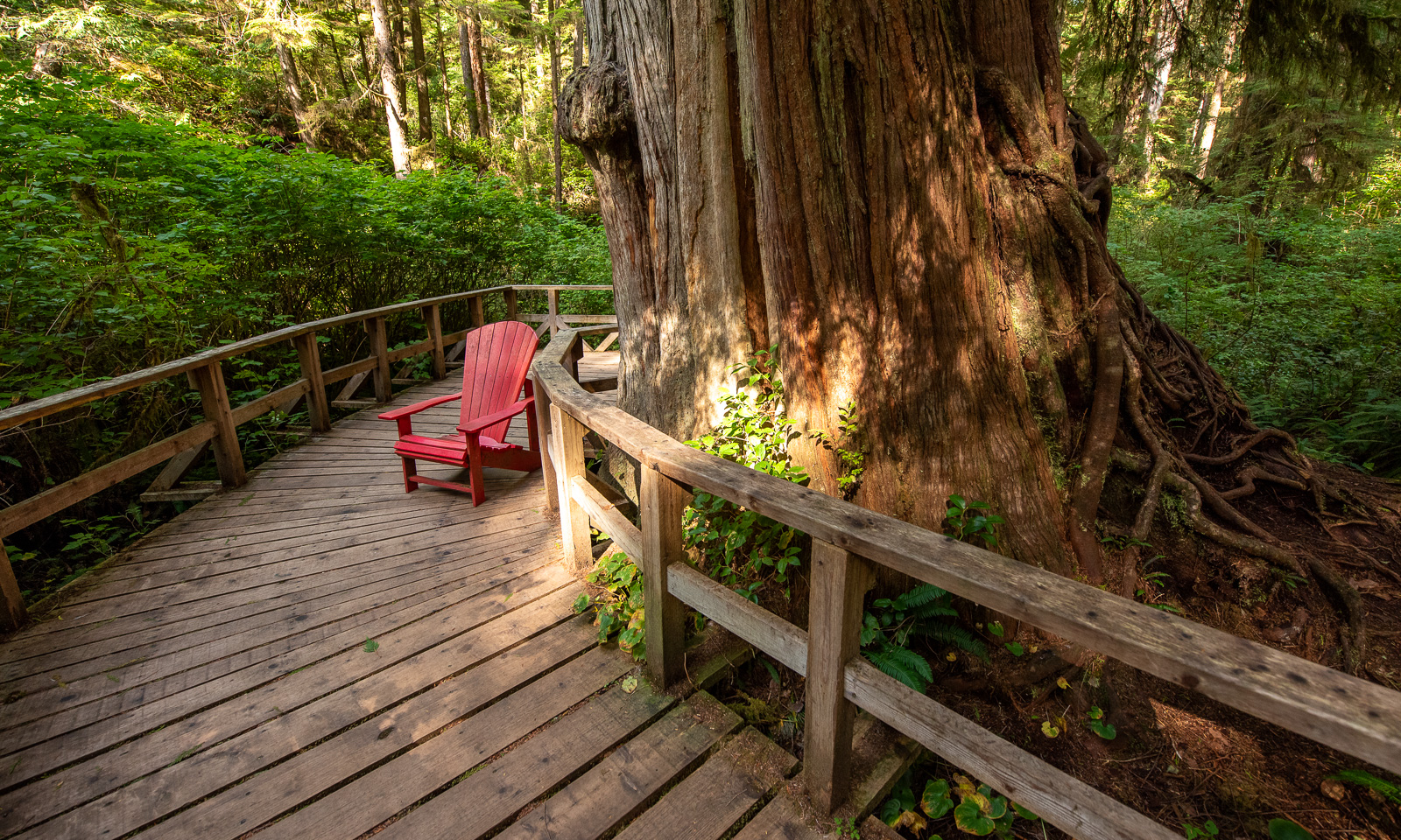
Before we arrive in Tofino, we walk both parts of the Rainforest Trail, which is as amazing as Cathedral Grove. Especially “Loop B” is outstanding, because it not only features giant trees but also leads into a deep-cut valley so overgrown that you cannot see any ground or soil. Even if you head to Tofino for the beaches – as I did – do make this hike. It does not take long but it’s absolutely worth it!
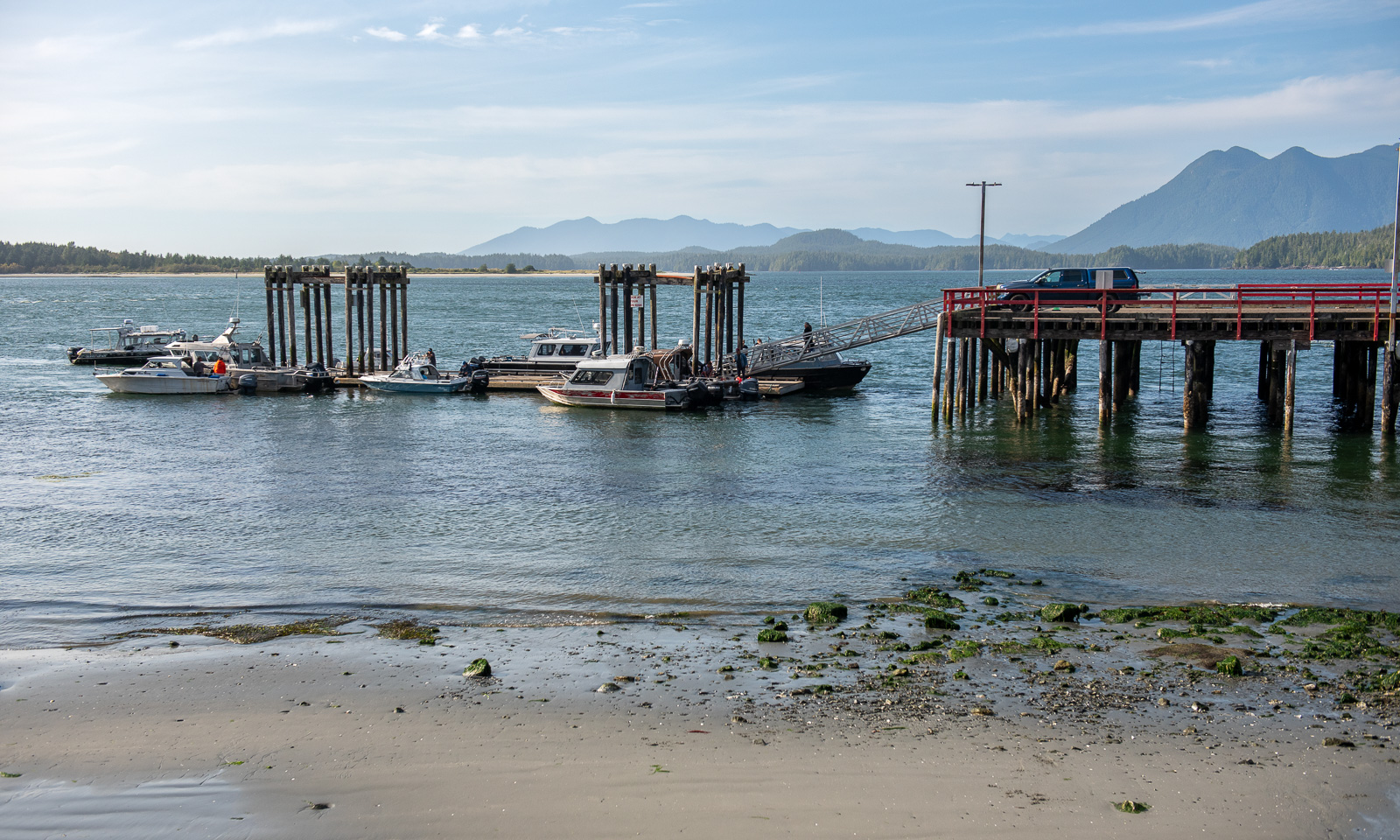
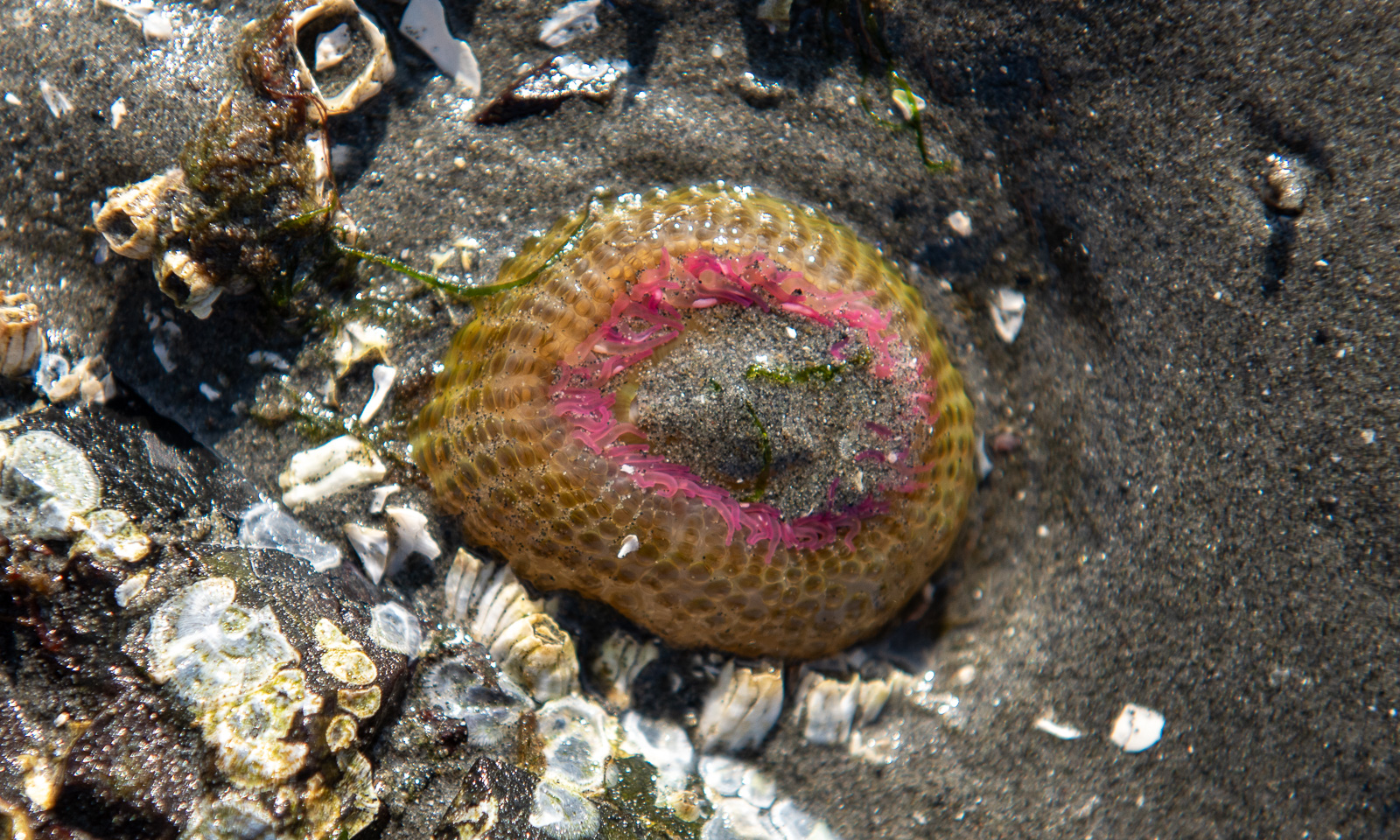
We spend the time in Tofino mostly replenishing our supplies, refuelling the car and having a meal by the harbour, where as many seaplanes than boats were arriving or leaving. I also found an animal on a rock under a layer of sand. It is the sea anemone Anthopleura elegantissima (thank you, Ulrich, for the specification).

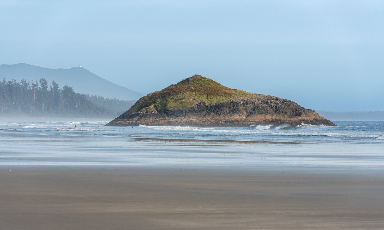
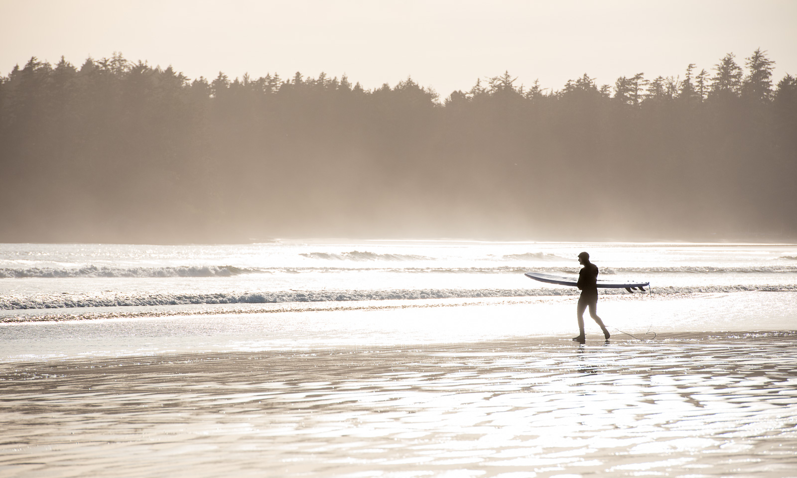
On the way back we stop at the northern tip of Long Beach, the largest beach, where we watch the surfers, take a stroll by the beach and collect some shells.

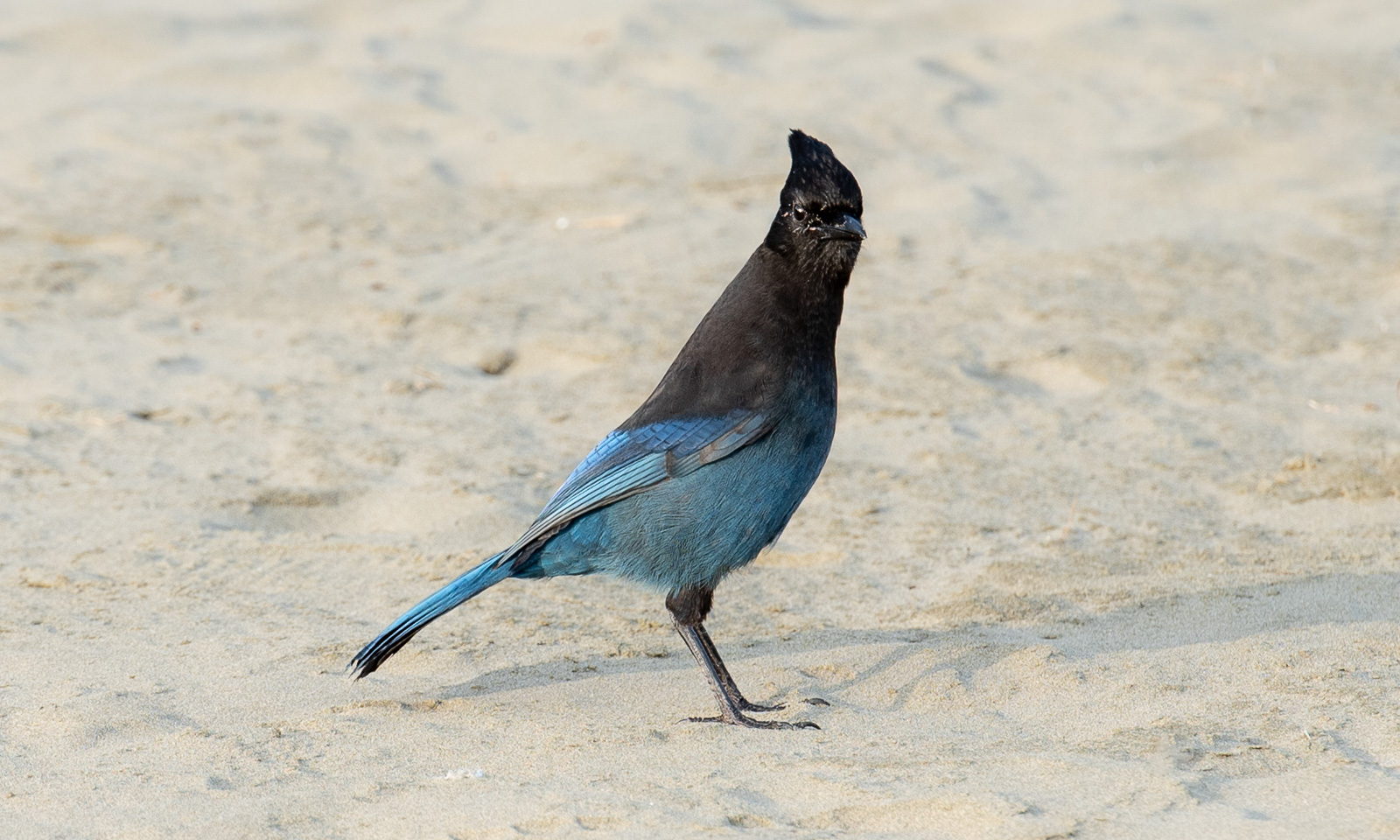
And here I finally manage to take a photo of a Steller’s jay. I’ve seen many, but they flew away as soon as I appeared with my telephoto lens.

11 September

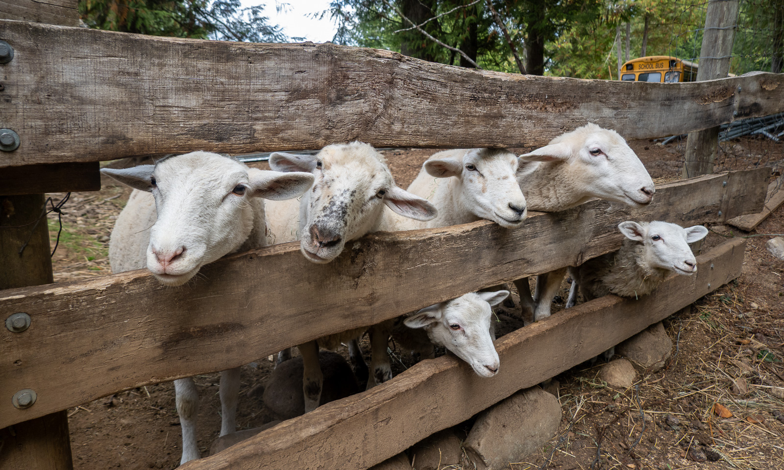
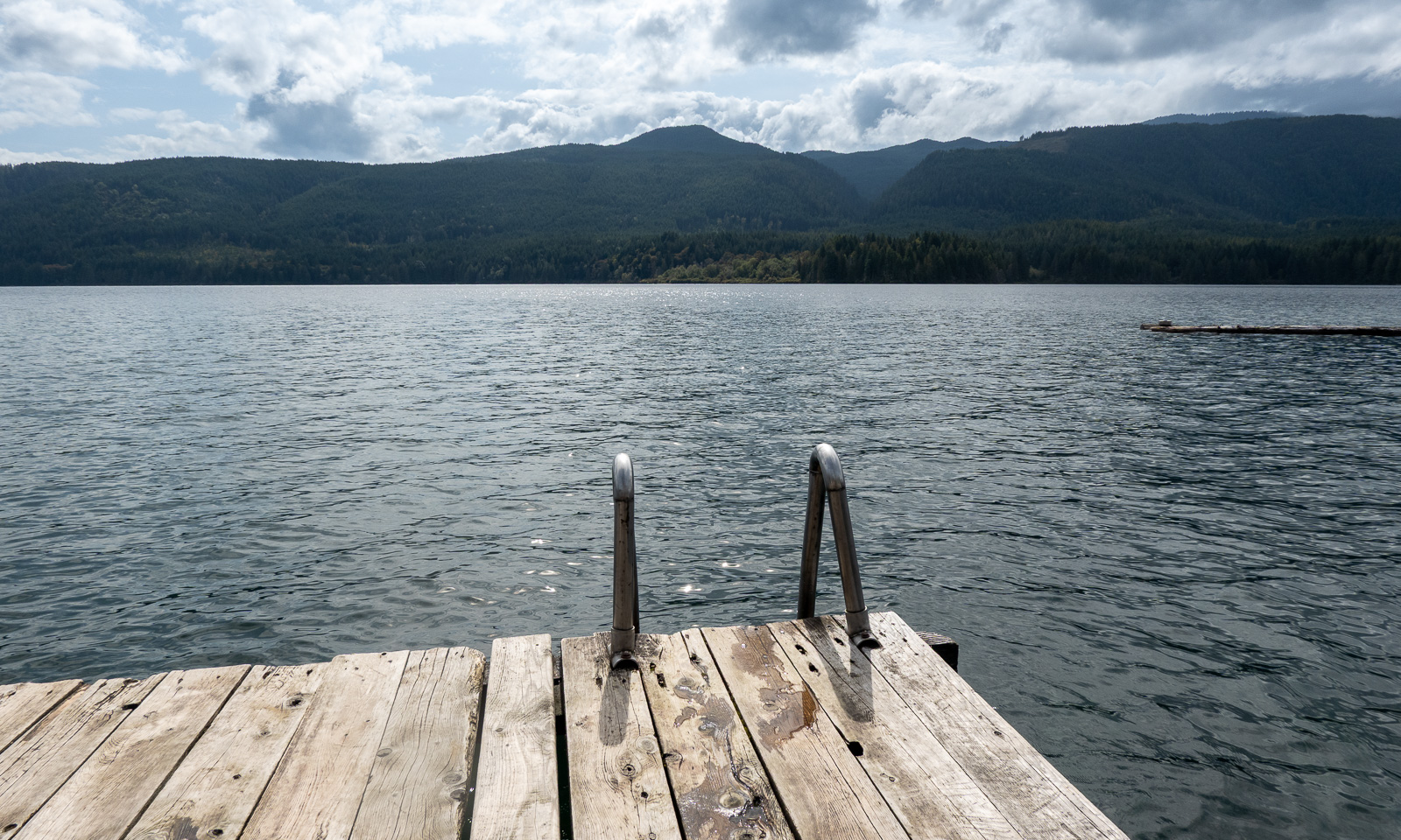
Our first day off. Taking it easy, feeding the sheep, playing the piano, taking a bath in Sproat Lake, taking a nap and another bath in Sproat Lake. It’s important to let the many impressions sink in.

We will stay another day on Vancouver Island, then we will head back to British Columbia’s mainland.

_____
¹Kennedy River may be the wrong name.

From the island into the desert

This article is part of the series “2026-09: Canada”.

13 September

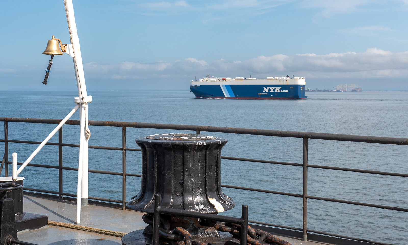
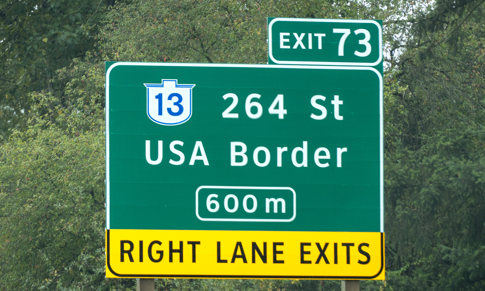
My wife Annika and I stand on board of the ferry Queen of Cowichan. After several days on Vancouver Island we are heading back to the Canadian mainland, this time to Tsawwassen, which is south of Vancouver. To get there we have to cross international borders twice, first into the USA and then back into Canada. These borders are invisible because they are on sea. Back on the mainland, we see signs to the USA border at several places as well.

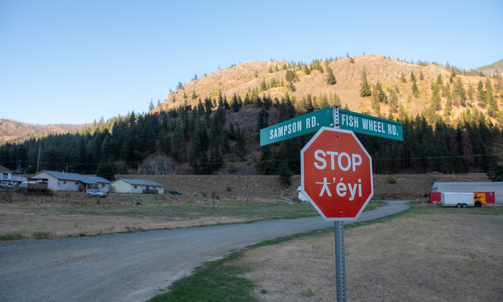
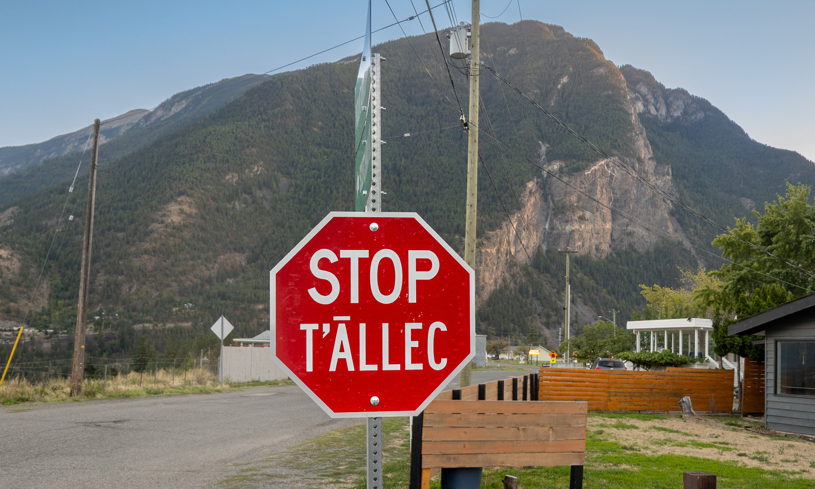
We make a stop in the village of tucckʷiowhum which is part of the Nlaka’pamux Nation. British Columbia is home to many distinct First Nations, each with its own culture, history, territory, and language. Often the languages are visible on the bilingual signs. The following stop signs show two different languages. According to the AI I used for research, “ƛ̓éyi” is Nłeʔkepmxcín which is spoken in the Fraser Canyon and Nicola regions. “T̄ÁLLEC” is St̓át̓imcets which is spoken in and around Lillooet, the town we are heading for today.

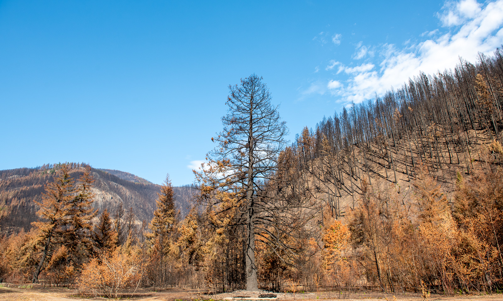
But we are not in Lillooet yet, we are in tucckʷiowhum. This is the first place where we can see the devastation caused by this year’s forest fires. Some hills are covered with black trunks. Even some of the buildings have burnt down. We know that forest fires are part of nature (or can be) but it makes me sad to see the black trees, some standing, some fallen.

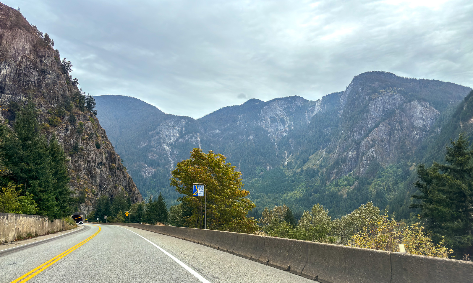
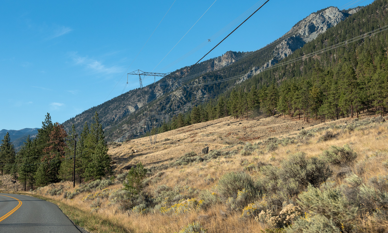
We continue our trip north. The landscape changes slowly. The forests are less dense, the soil looks drier and is often vegetated with brown grass.

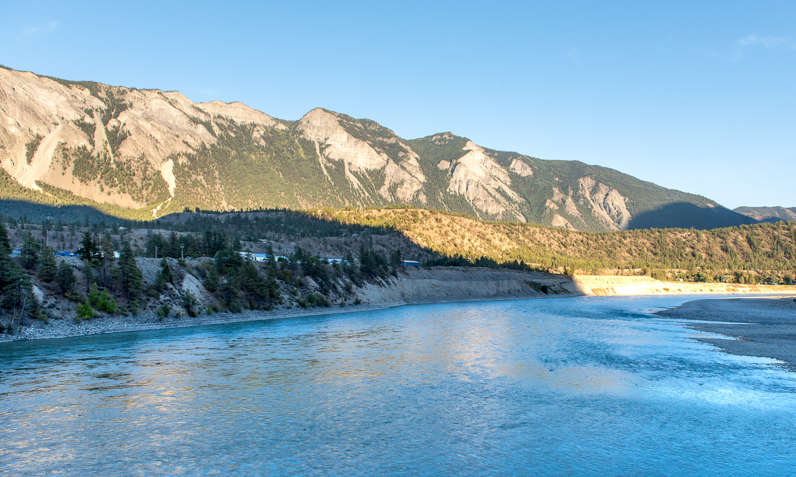
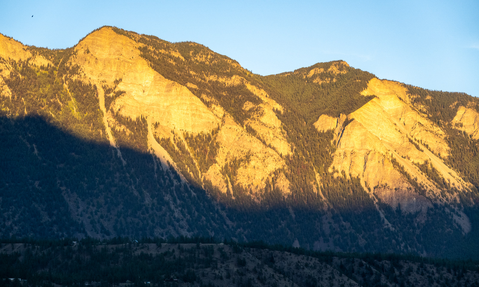
At half past seven we cross the Fraser river and arrive in Lillooet, a small town with a population of about 2300. The sun starts to set, but the mountains in the east still have sunlight.

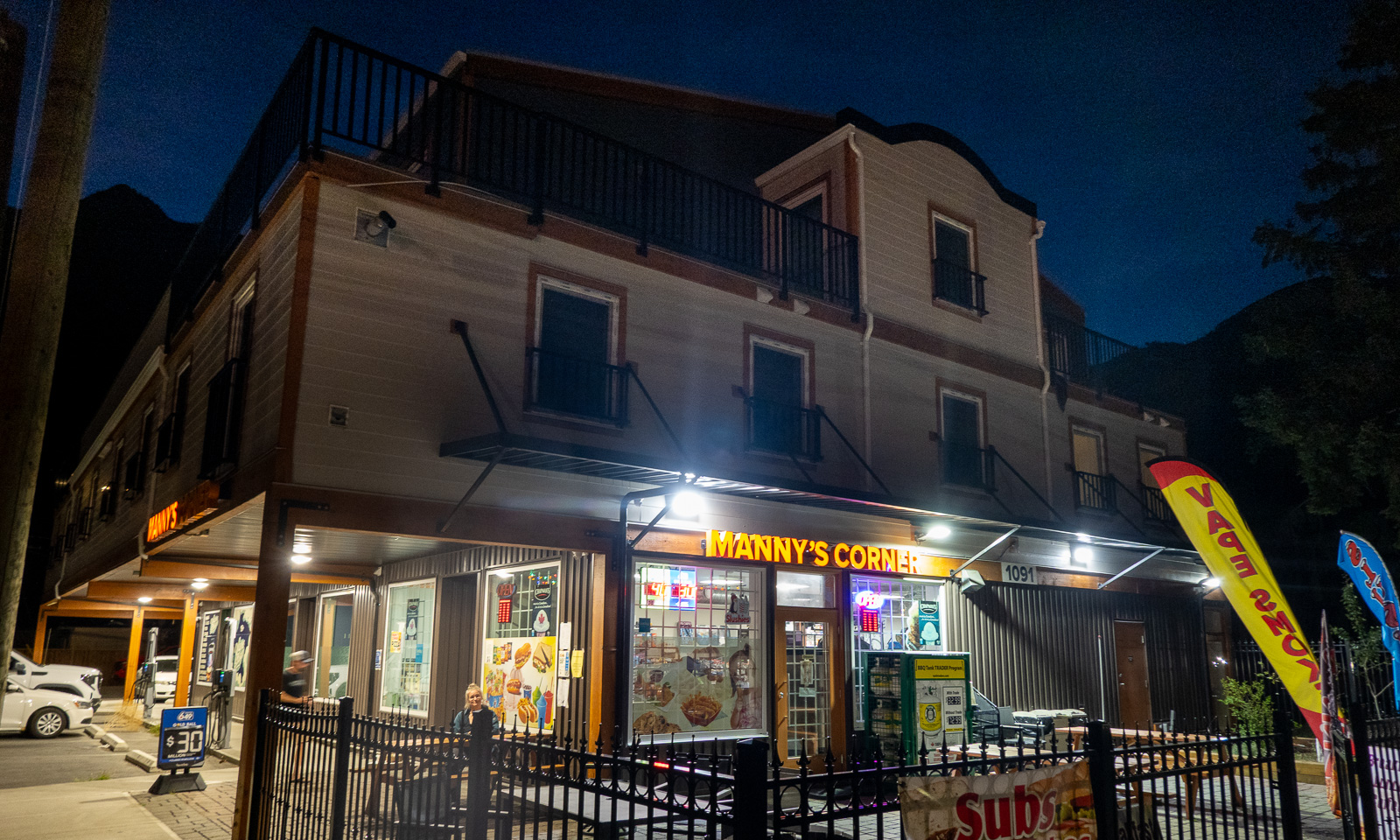
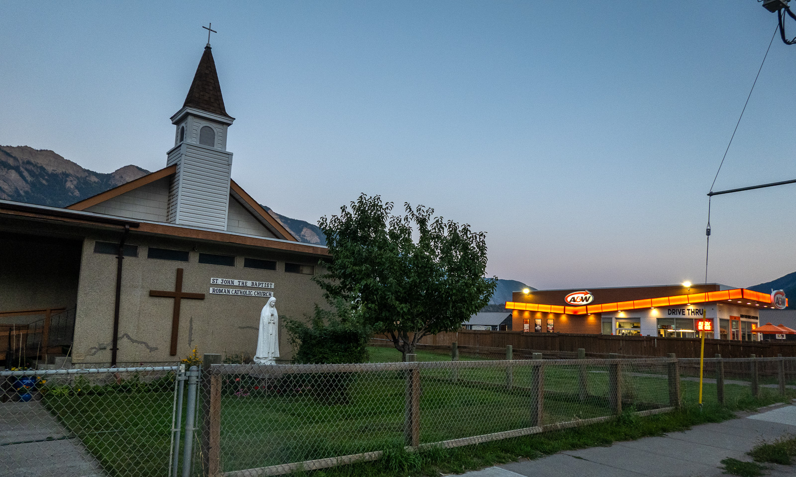
We check in at our first motel ever. We get a giant room with two double beds, a fridge, a coffee machine and a microwave. Since there is no proper kitchen available we walk into the centre where we eat salad and pizza at Manny’s Corner. The delicious Tandoori Chicken Pizza is massive and although I ordered only “medium size” I only manage to eat half of it. The leftovers will serve as tomorrow’s breakfast. On the other side of the street: The Roman Catholic church and a fast food chain.

In the streets: some pedestrians, especially younger ones and cars – mostly pickup trucks. The latter are very common in the area, the bigger the better. No wonder that our rented VW Tiguan, not a small car either, was rated as an “undersized vehicle” by the ferry company :-D .

14 September

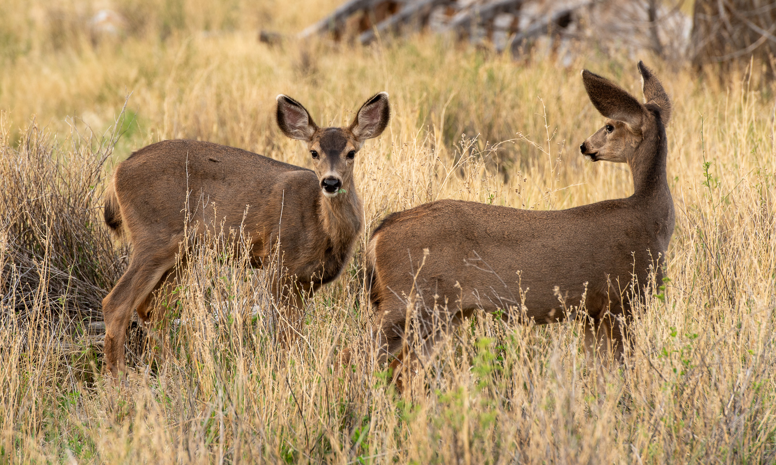
Yesterday it had cleared up and when I wake up, the sky is blue. I go outside, just to the road where I see a flock of mule deer grazing on the dry meadows.

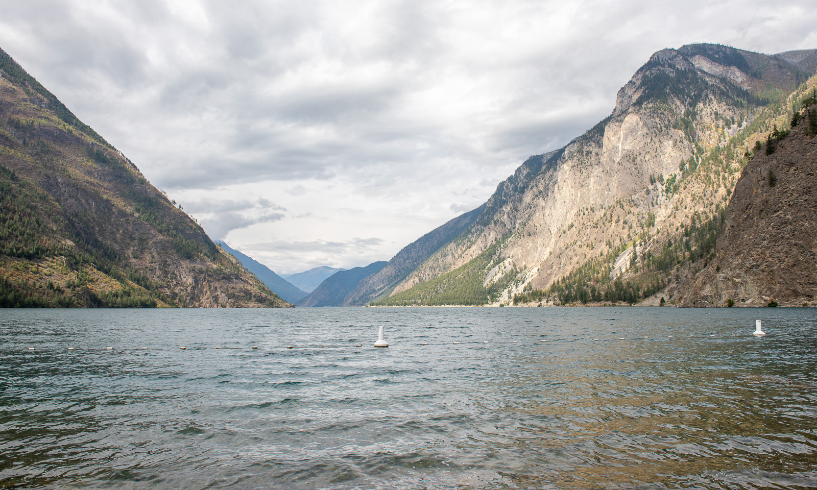
Our first action this morning is to visit Seton Lake. Sam, the manager of the motel said, it was a good place to take a swim and it is. There are some other people around but it is only us actually swimming in the lake.

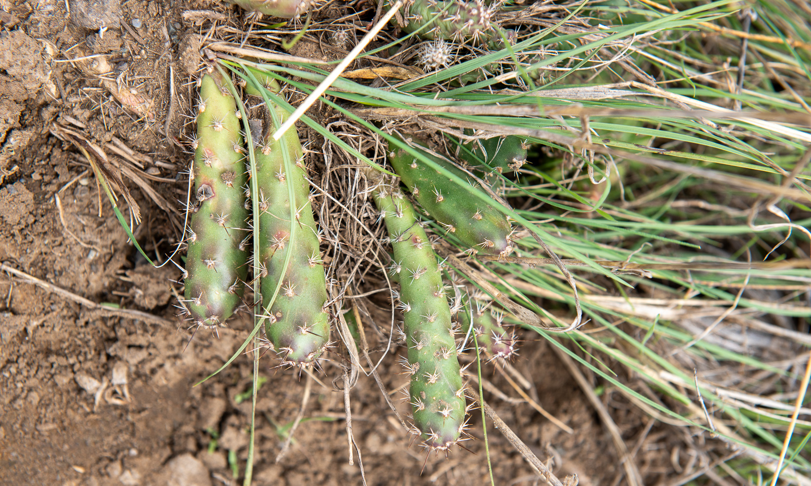
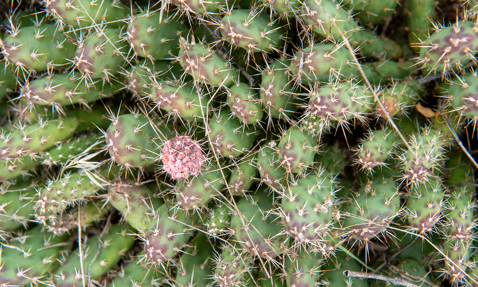
Back in town we are looking around. I already knew that the landscape around Lillooet is desert-like, but I never expected cacti to grow here. This species seems to be the Brittle pricklypear.

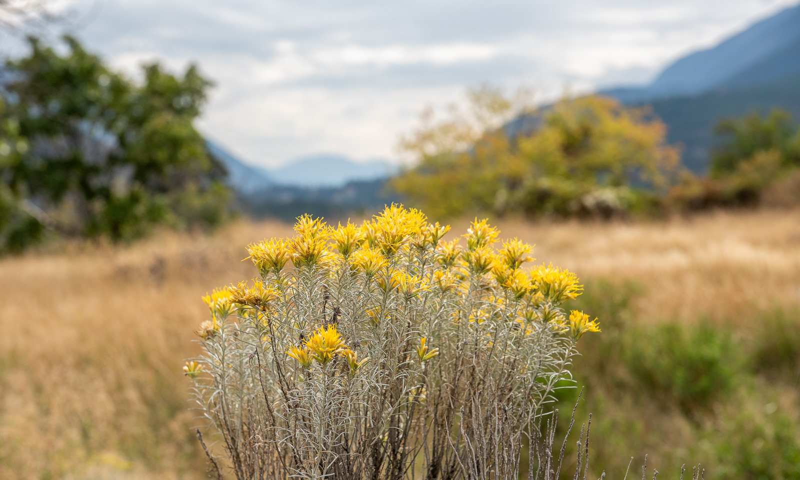
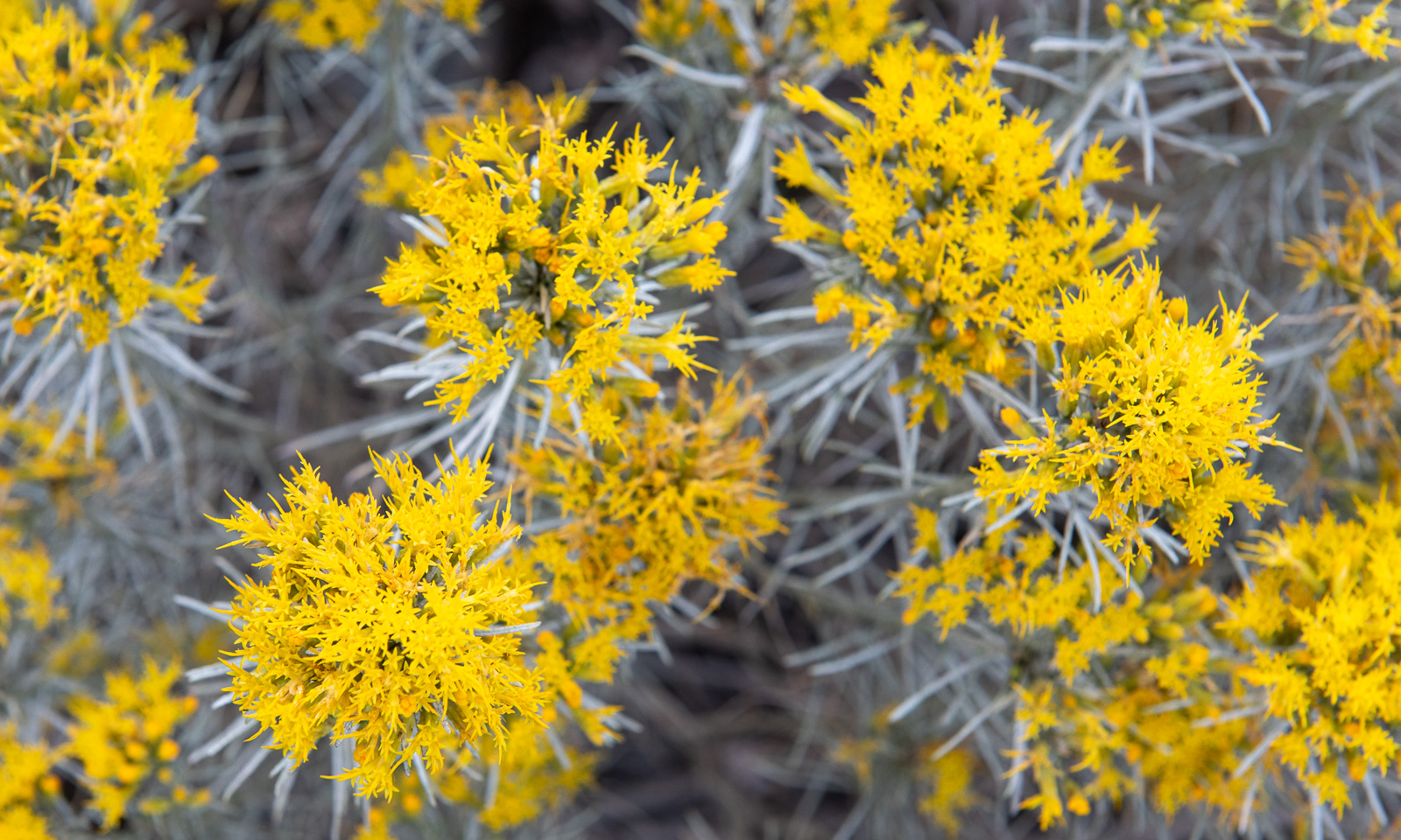
You meet the Brittle pricklypear in person when you are stupid enough to wear sandals. But it is the yellow-blooming Rubber rabbitbrush that shapes this landscape. You can see them everywhere.

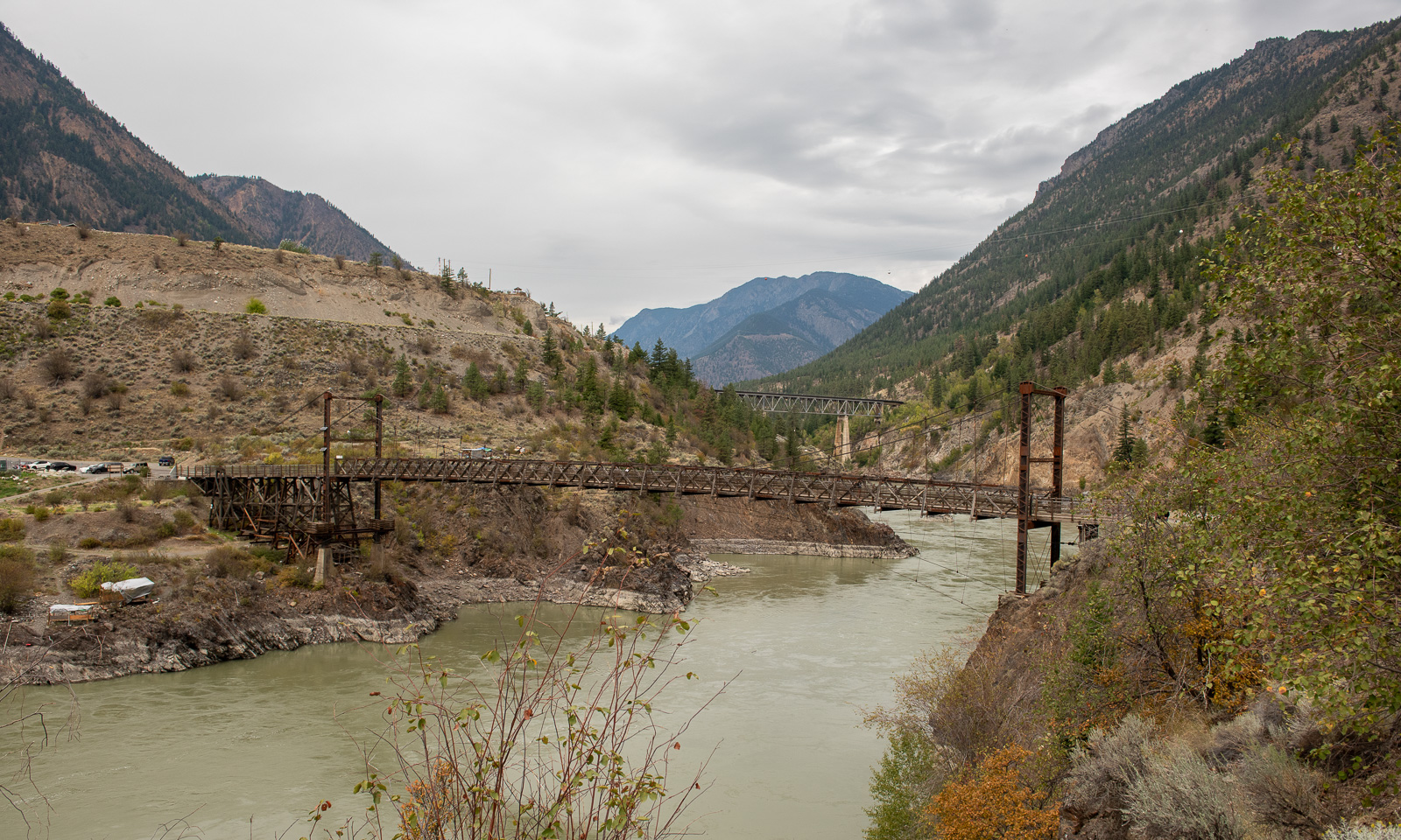
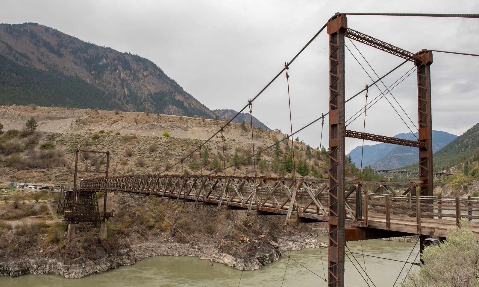
Nearby lies the Lillooet Suspension Bridge, built in 1913 and in active use to cross the Fraser river until the modern “Bridge of the Twenty-Three Camels” was built in 1981.

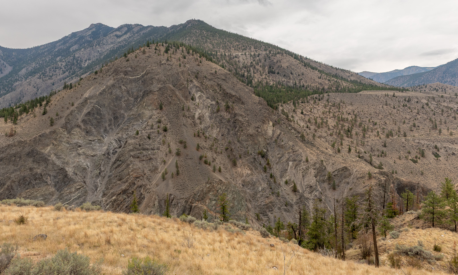
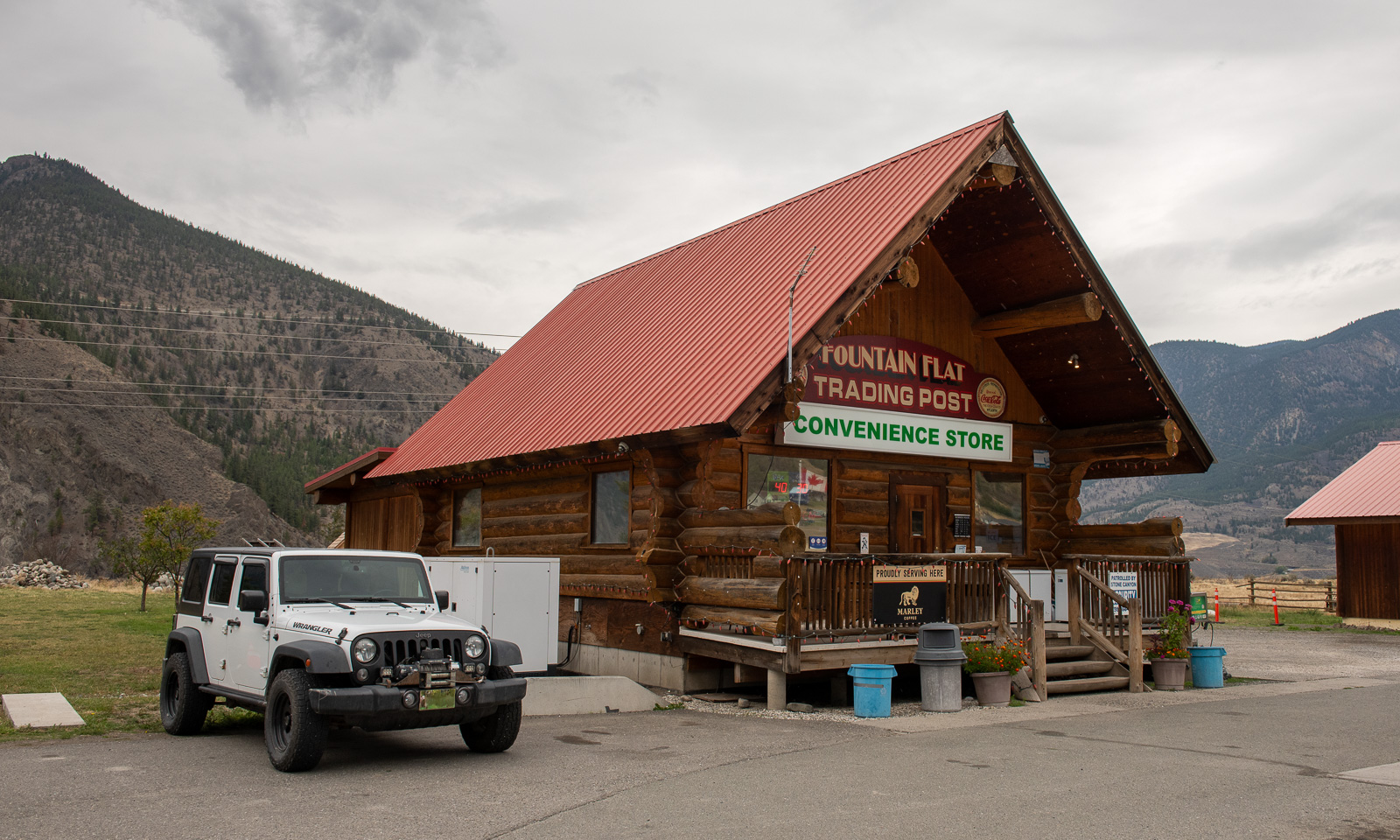
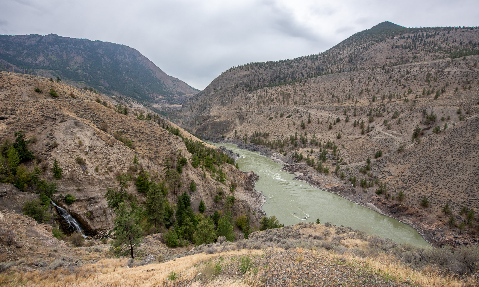
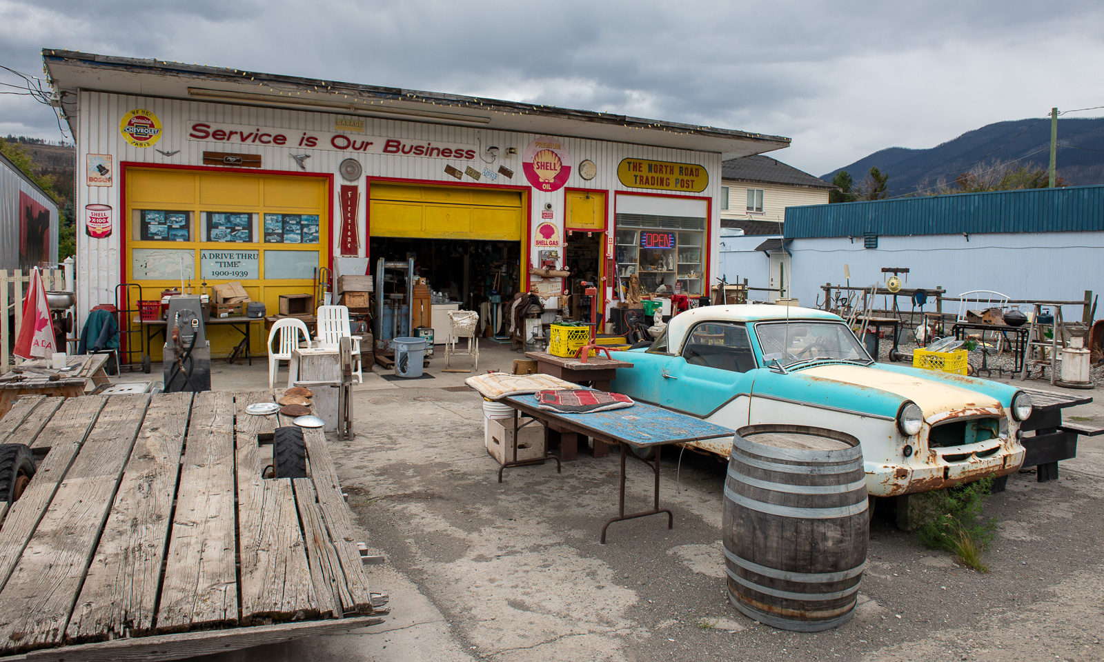
Our way leads north along the Fraser River canyon. We stop several times, mostly to enjoy the views and once at the Fountain Flats Trading Post, a convenience store where we buy snacks and something to drink.

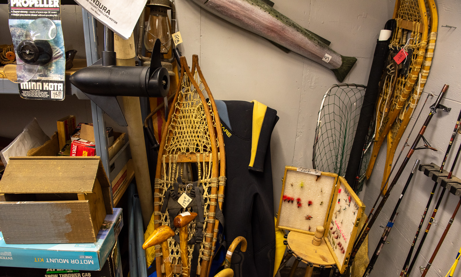
Another stop we make is at the second-hand shop in Clinton where Annika buys a Thermos flask with an interesting feature: it does not insulate for a minute. In a corner of one of the rooms: Two pairs of large snowshoes.

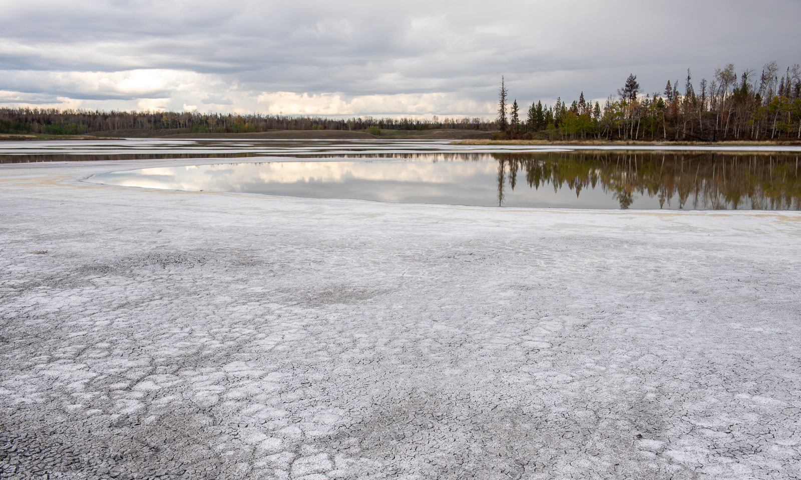
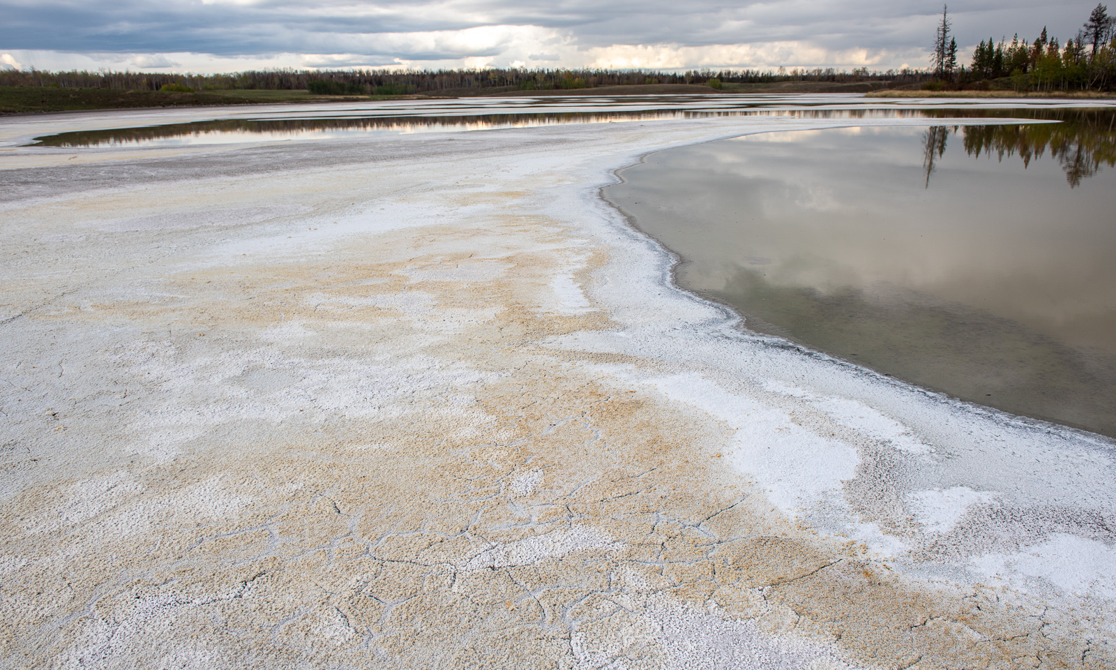
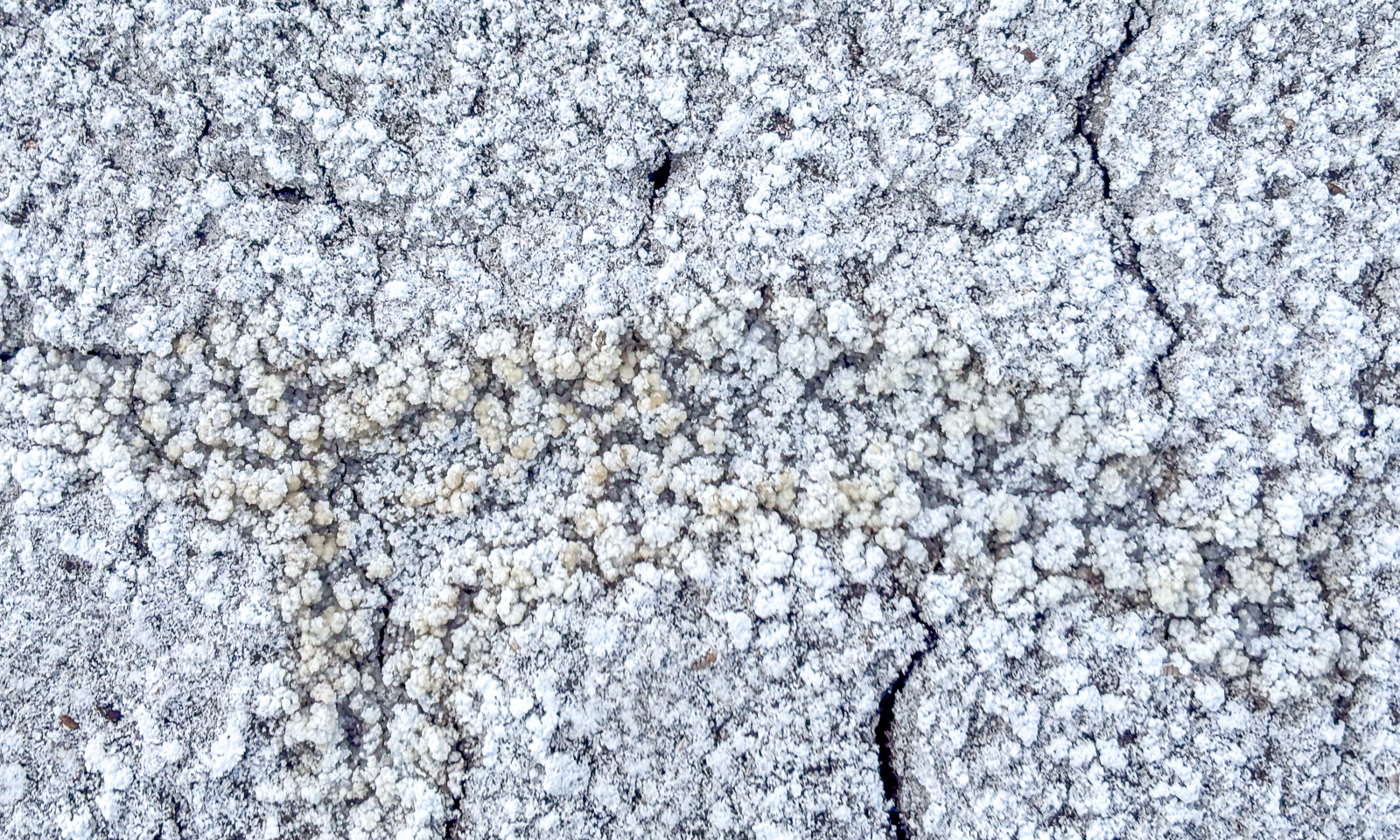
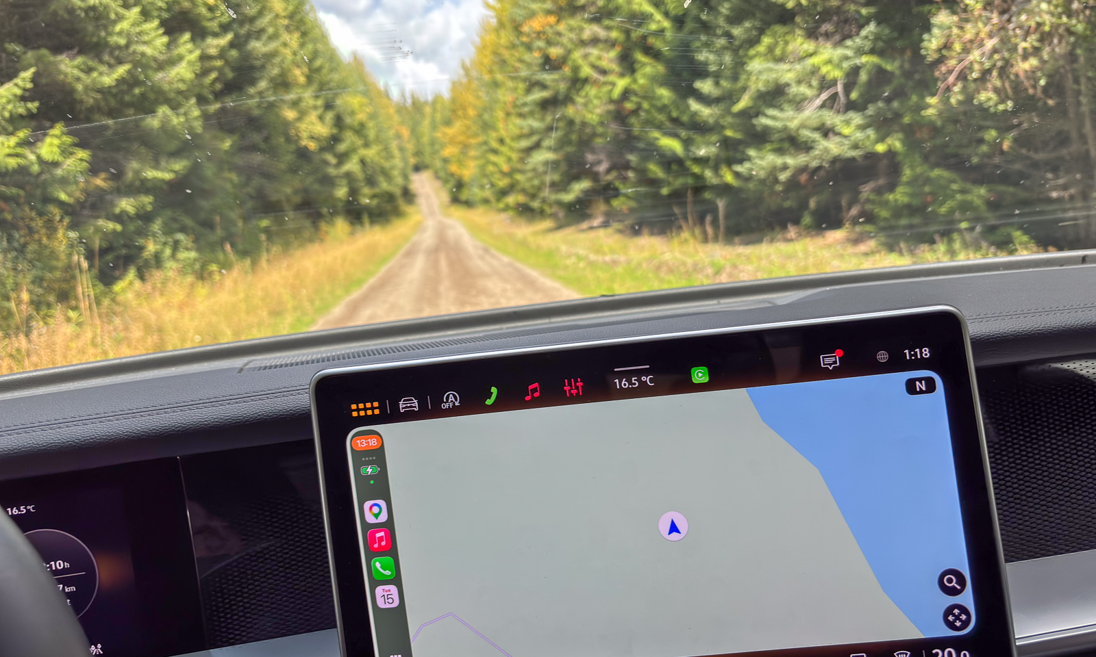
Near Chasm we leave Highway 97 and drive north on unpaved roads. Beside the road are several alkaline lakes, most of them dried out. On the surface there is a thin layer of soda crust, underneath it is black mud. I never saw anything like this before. My rubber boots get muddy and it takes ages to wash the soft-soap-like mud away.

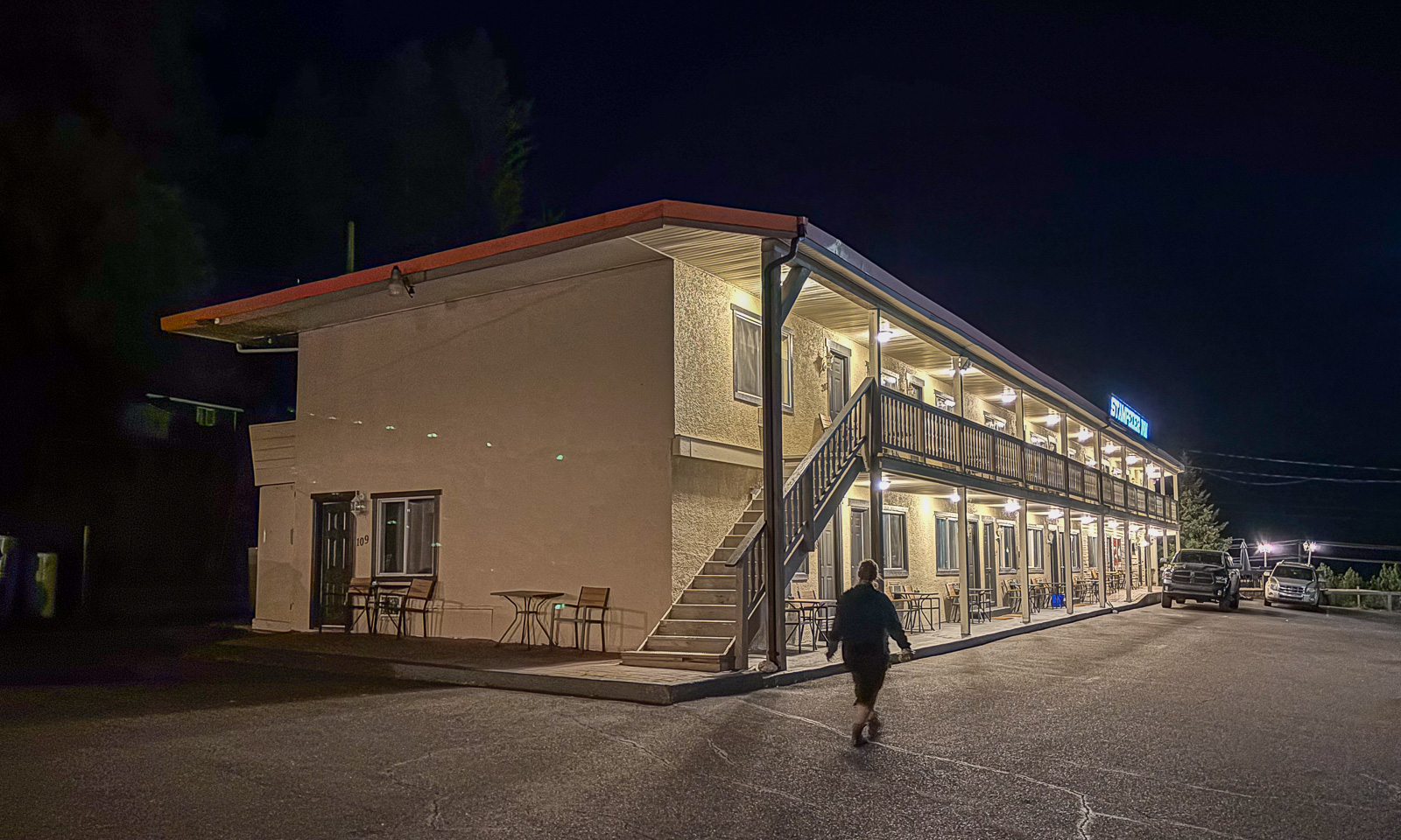
At half past eight we arrive at our motel, the Stampeder Inn in Williams Lake where we’ll stay for two nights.

Again I remember my wondering before our journey: Will Canada be different from Scandinavia apart from its size. And again I get the answer: Some parts are very, very different!