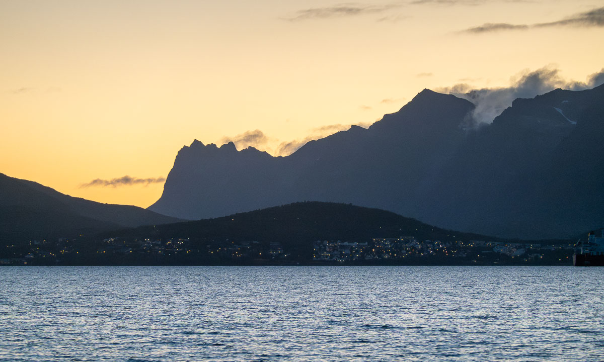
Sunrise winter paddling
Three days ago it thawed and stormy weather crushed all the sea ice. The day after, the temperature dropped below zero again. This morning the weather was clear and calm at -12 °C. Time for another morning kayak tour, just like four days ago.
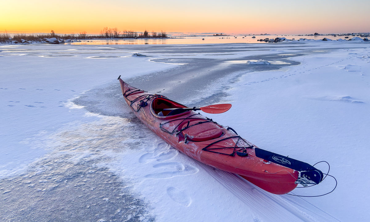
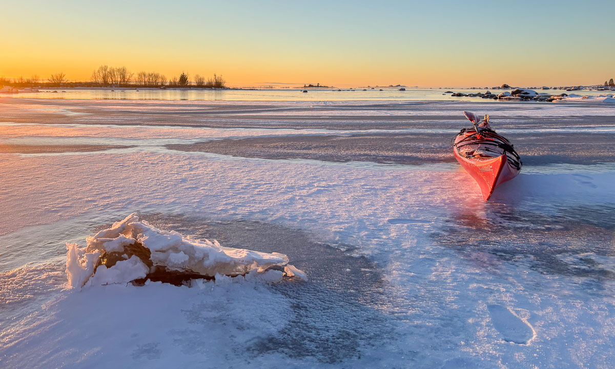
At 7:50 I stood on the leftovers of the old ice that covered the small bay. In front of me – a fresh layer of new ice. How thick may it be? I have the feeling it will not hold my weight.


You see the photo above? The kayak is tilted sideways. That’s not because of the waves or because I’m edging, but because the kayak is lying on the ice. The ice is stable enough to bear us with me sitting in the kayak. I move forward by using ice safety picks that I drive into the ice in front of me and then pull the kayak and myself forward. It’s exhausting, but it works. I have done it many times before. The ice is approximately 3 cm thick.

But then the ice gets thinner and has exactly the thickness I loathe: between 1.5 cm and 2 cm. Then the kayak breaks through and is jammed in a narrow water channel, where it’s almost impossible to use your paddle – no open water reachable – or the ice picks – the ice will break when pulling. Luckily the water channels often tend to widen, so you can kayak back some metres, get some forward momentum using the paddle and break another two metres of ice. That takes a lot of time and extends the distance paddled by a factor of four or more.


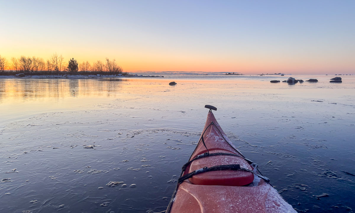
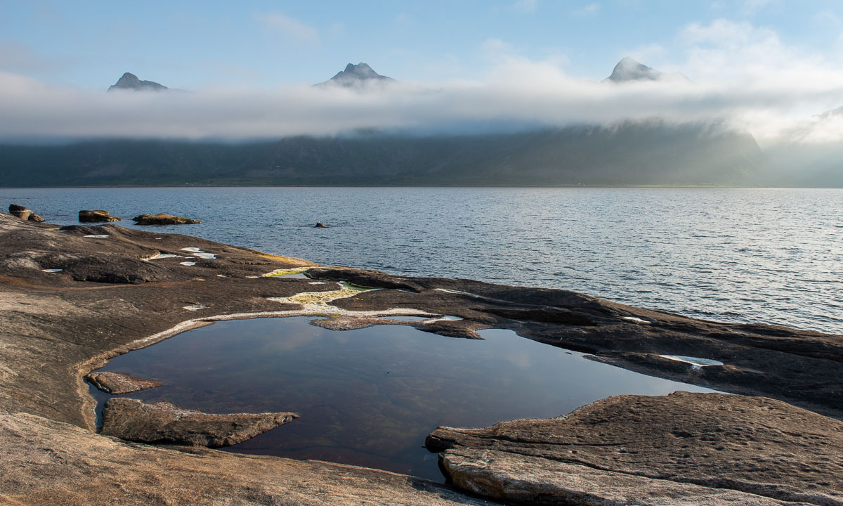
But then – finally – I reach open water by the island Lillskär. It took me almost half an hour for less than 300 metres!

Anyhow I manage to reach the sunrise in time. Now the surface of the sea is multicoloured. The back of the waves are reflecting the orange horizon, the front of the waves the blue sky above.

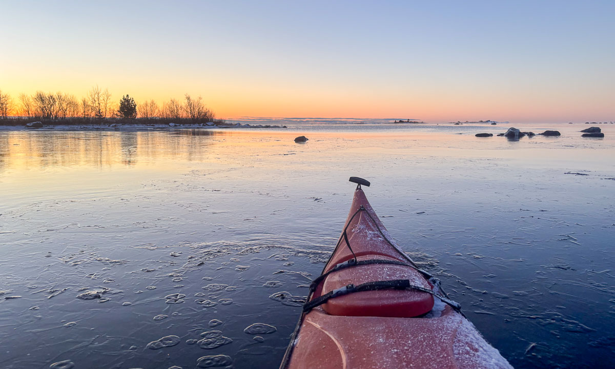
Now I just paddle a short round, because it is a weekday and I have to work. Just some more photos with my mobile phone in its waterproof bag …

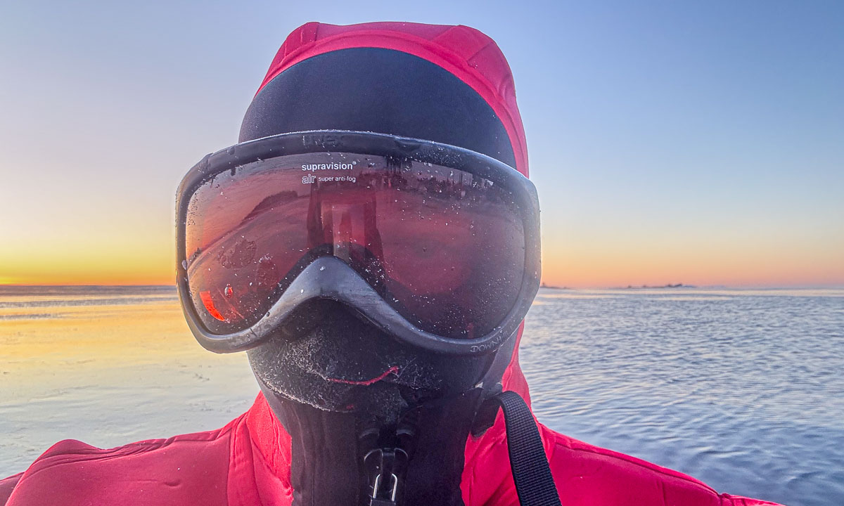
… before I return home. First it is easy, because the channel that I had broken through the ice is open and I can easily follow it. Then the ice gets thicker again. I’m tired and since the water is pretty shallow I exit the kayak and walk the kayak home. I learn that the ice does not bear me at all. So I break it with my knees or – when deeper – with my rear. I would not dare to do this with my kayaking drysuit, but today I wear my survival suit made of thick neoprene, which is very sturdy.

I reach the shallow part of the bay where I manage to grab a large piece of ice and put it upright. Time to play a bit with the translucent motif in front of the sun.

It is two o’clock in the afternoon when I decide to take another break from my desk to watch the sunset. To make a long story short – I got it. No kayaks involved this time.