24 August: Kungsleden day 5 – Singi—Sälka (12 km)
This article is part of the series “2017-08: Kungsleden hike”.
The morning in Singi was cold. The temperature was just above freezing point and again it had snowed onto the higher mountain tops.
Good to have a stove to fire and a gas burner to prepare hot tea!


Each day we got out of our beds earlier and earlier. This day we stood up way before seven and started our hiking day already at half past eight. Hejdå, Singi!

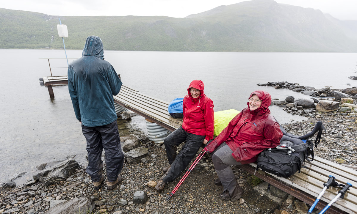
It’s only twelve kilometres to the Sälkastugorna, so we could take it easy. We planned to take a rest in the small emergency shelter Kuoperjåkka which is 6 km away from Singi but it was already occupied. So we rested outside. Despite to the cold weather there were many mosquitoes that tried to bite us. Some succeeded, some died …
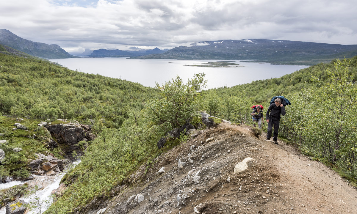
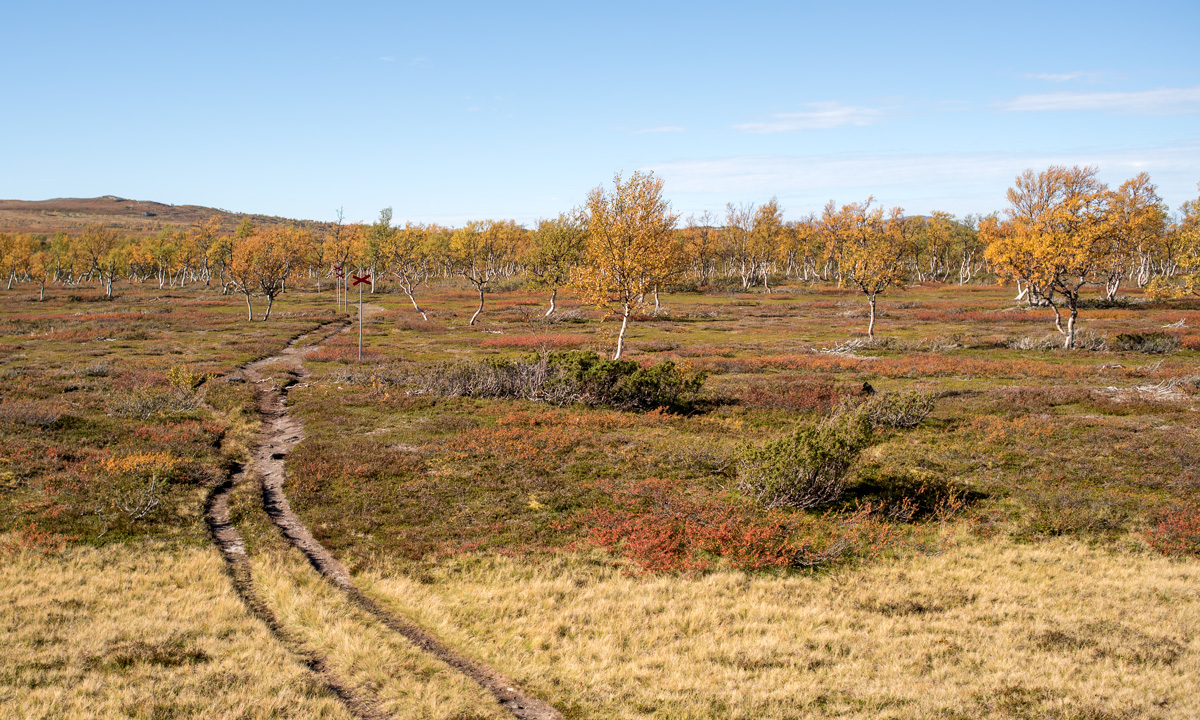
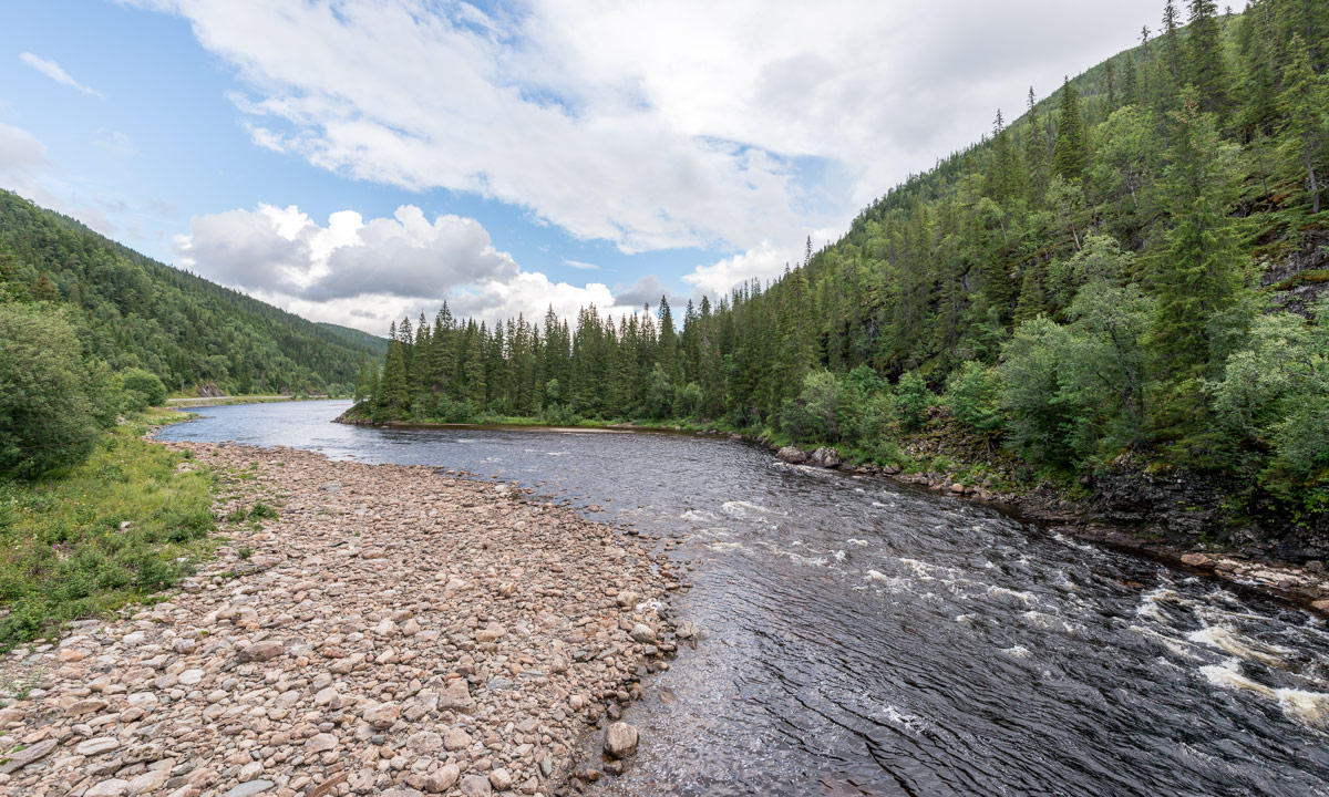
We continued our trail to the north and crossed many small mountain rivers and alpine brooks. All of them were bridged. The smaller ones with wooden planks, the larger ones with metal chain bridges.


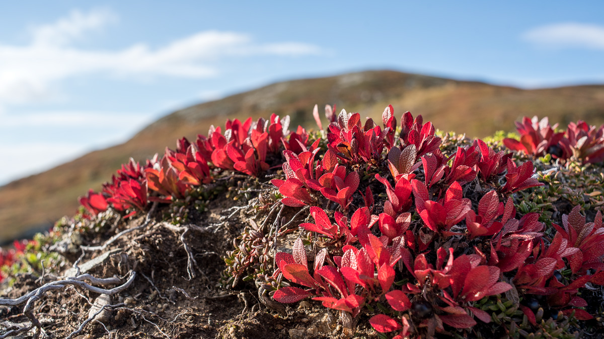
First the sky was grey and the air chilly but little by little it was clearing up and the mountain tops that first were hidden by clouds and haze started to reappear.


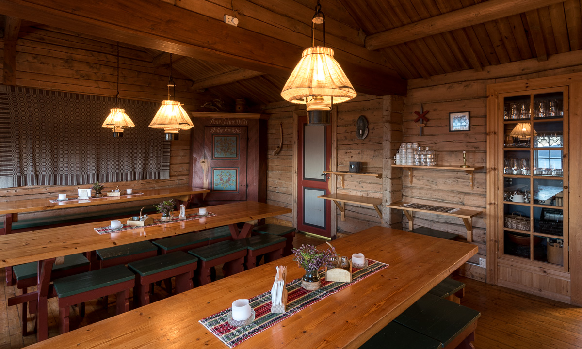
At 13:30 we arrived in Sälka where one of the three stugvärdar – the mountain-lodge keepers – gave us four beds in a 10-bed-room. A lot of people stayed overnight and some of the latecomers had to sleep on mattresses on the floor or in the sauna.
I took an afternoon stroll and peeked into the Stuor Reaiddávággi, the valley that we would hike through the following day.

The kitchen was both too small and designed in the most impractical way. So we moved into our room after dinner and avoided that kitchen. Quite early we climbed in our beds (it’s always bunk beds with two or in some huts even three beds on top of each other), but we didn’t get much sleep that night. Eleven people were sleeping in that room and it was noisy and the air was hot and fuggy. Anyway I managed to fall asleep after a while.
In the night some of us were woken up by a bright flashing light. It held on for minutes without stopping and I realised, that it came from the outside. The light was attached on an antenna on top of a roof and illuminated the whole area. I put on some clothes, went outside and woke up a stugvärd by knocking at the window. He told me, that the police would call. (Every hut on the Kungsleden has a satellite telephone, but only the police can phone the huts from the outside.) I went into bed again, realising once more the bad air in the room, but I didn’t dare to open a window since it was cold outside. Finally I managed to fall asleep again.
Next day the stugvärd thanked me for waking up him. The police was asked to look for a hiker, that indeed had been in Sälka the day before but already had continued his trip.
There are summer trails and winter trails. Partly they are united and partly they run differently. Summer trails mostly are marked with piles of stones. The upper stone is often painted red to increase the visibility of the waymark. Winter trails are marked with red crosses sitting on the top of long poles. Nowadays many of those crosses are made of plastic. That’s a shame since they are ugly, probably less ecological and quite fragile, too.
Don’t follow a winter trail in summer if you don’t want to swim through lakes or find yourself sinking deeply into the mud of a bog.