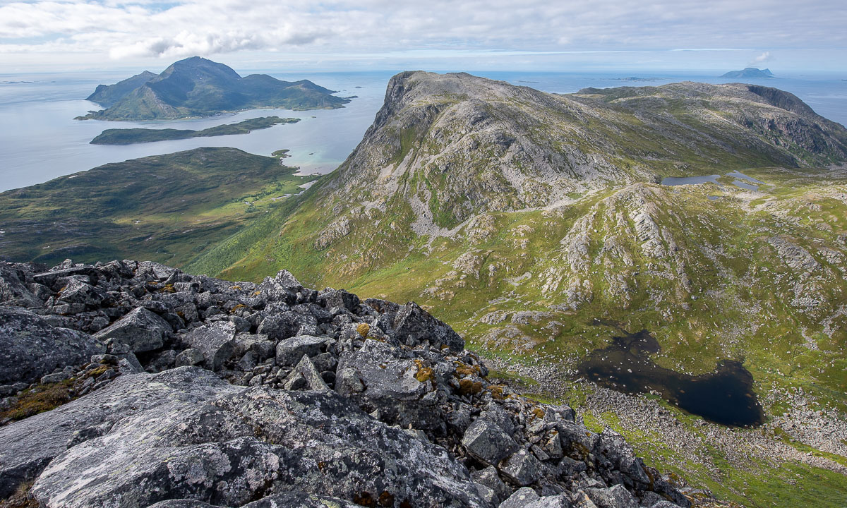
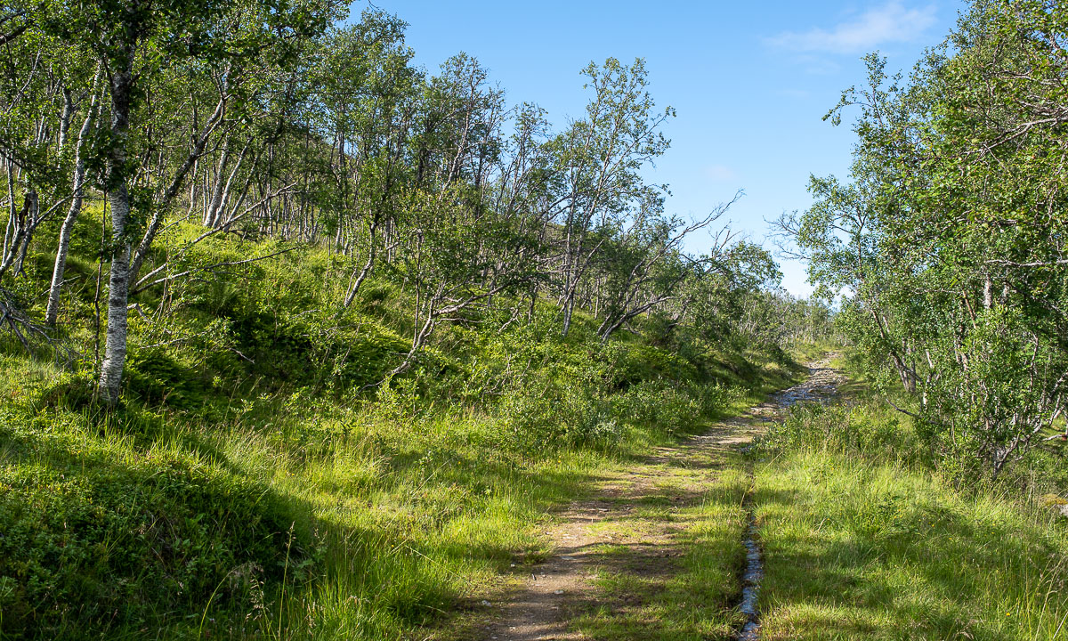
Break at work IV – skiing through the forest
It’s Friday, the last day before weekend and the last opportunity this week to take a break at work.
In the morning I participated a workshop via video conference from my home office in Obbola. I just love the view through the window, where I can see the sun rising over the Baltic Sea and the snow covered backyard.

The workshop ended at 12:20. Right after that I took my old backcountry skis and dressed for a ski tour through the forests. Sunny, calm, -12°C. I wanted to go “Spåret”, a local forest trail. I followed the gravel road, crossed a ditch and followed the trail. Some hundred metres I was lost. When the snow is fresh everything looks quite alike. So I just made my own path. The fluffy snow was as deep as on the trail.

Later I found Spåret again and followed it. I walked through the shadows because the sun didn’t rise more than 3.3° above the horizon today. But at the part north of the treeless swamp the sun had a chance to peek into the forest edge.


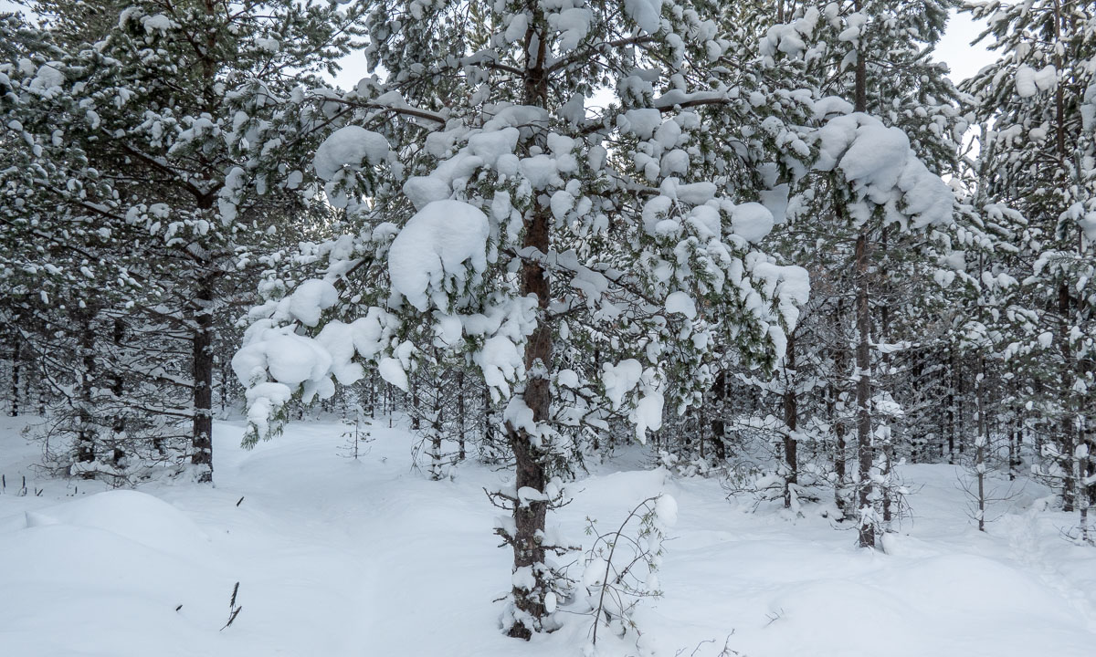
At the road I decided to walk straight ahead instead of turning right to avoid the asphaltwith my skis. This was when I lost Spåret for good. Mostly I followed animal tracks because optical orientation is hard when it looks like this:

But it was fun because there was always something to see, even in a forest covered with 40 cm of snow. A frozen puddle at the rim of a swamp – a small pine covered with rime – thick animal tracks – the temporary (and abandoned) snow cave of a black grouse.


Sometimes I could see a roof of the house or hear a car. It’s Obbola, no wilderness. And so I came to the road that we use to take to town. I didn’t follow it but took a side road today. Less asphalt, more snow!

I arrived home at 13:55, some minutes after sunset. Again the horizon was coloured orange – and again I had a video meeting.