Hiking up the Nordtinden

After I failed reaching the summit of the Nordtinden (640 m) last November I gave it a second try today. It’s so much easier to navigate when there is no snow covering the path and the sparse way marks.

I start to follow the gravel road, which I leave after 2.7 km.

The small trail leads up steadily. It’s not so steep, that I have to climb but steep enough to raise my pulse to hummingbird level. I could blame it on my Covid infection two weeks ago but I guess it’s just a lack of fitness.

A movement to the left wakes me up. It’s a flock of ptarmigan fledglings with an adult. Some flutter away, some stay. I use the confusion to take some photos with my telephoto lens. The photos are heavily cropped, I want to keep distance.

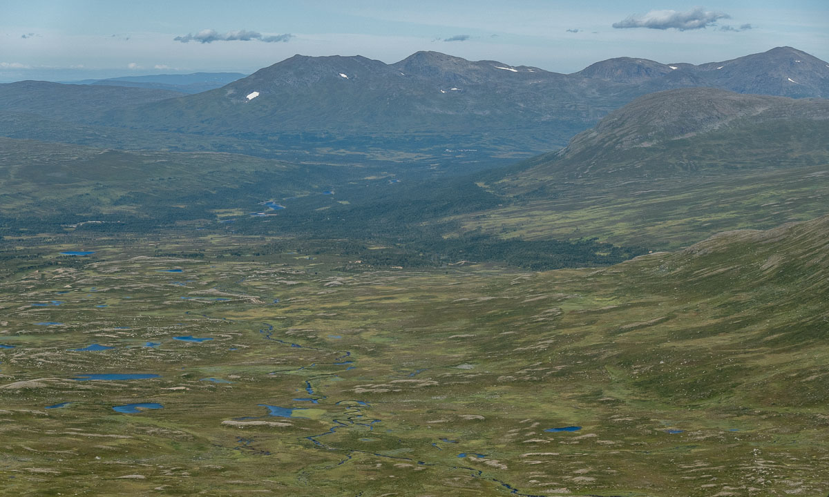
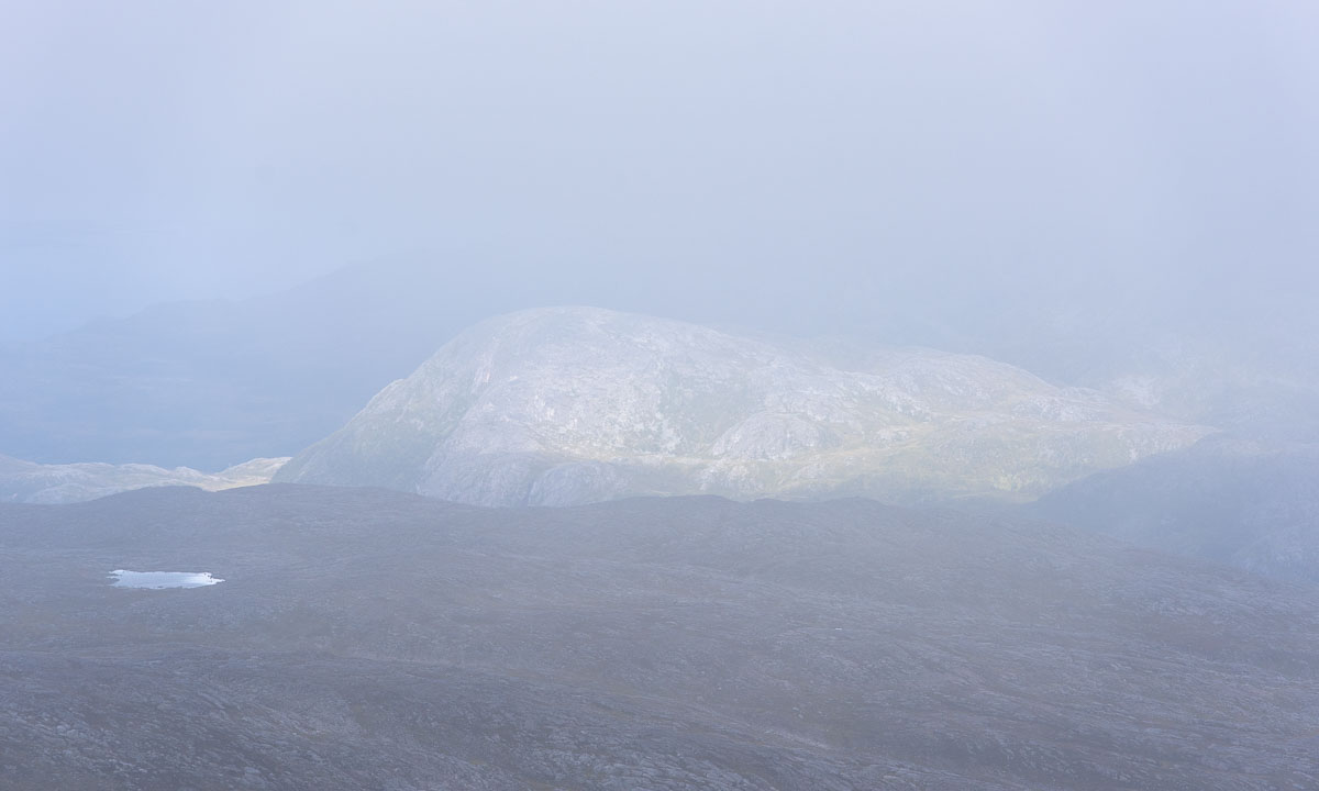
I am above the tree line now and the views are impressive.

Most impressive is a chasm at the side of the trail. The gradient down? Perhaps 400%. Enough to keep safety distance while photographing.

The last part is rocky and pathless but the huge cairns marking the tops of Nordtinden (there seem to be two) are in view so I can navigate just by eye. I take it easy on the boulder fields. I reach summit number one and add myself to the summit register that lies sheltered in an aluminium box.

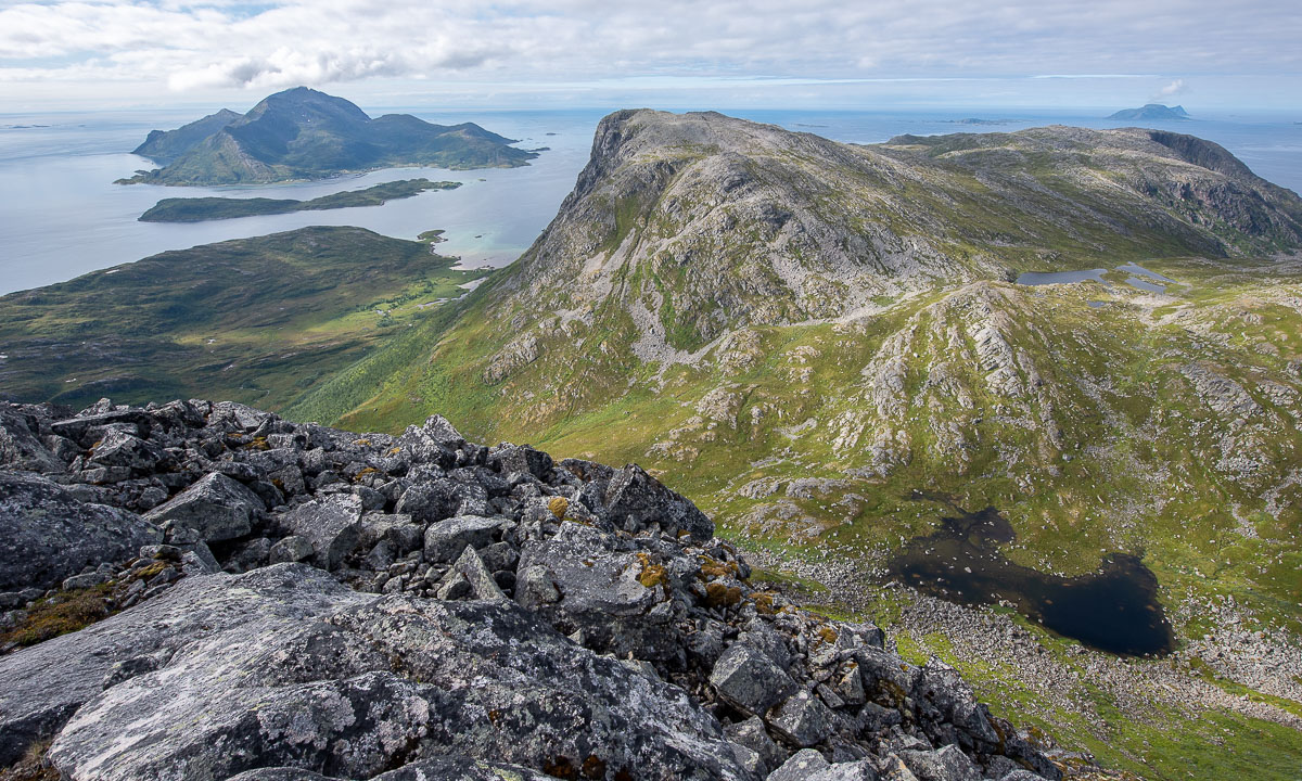
I continue a bit more west to get a better view to the sea. And there it is – the island Vengsøya with the smaller island Vågøya in the front.

I walk around to take some more pictures. I watch the ferry leaving Vengsøya and climb a bit down the slope to have a closer look to the nameless lake below the mountain Laukviktinden.

Then I walk back in a small circle, pass the other summit cairn and start to descend.

It’s always interesting how not only the view changes but the terrain as well. Round the summits it’s mostly rocks and boulder fields, then more and more grass is present and the path consists also of gravel and then earth, too. On the way back the lake Skulsfjordvatnet lies in the sun.

As most day trips the way back is the same as the way there. So I pass the sign to Nordtinden a second time and am on the gravel road again.

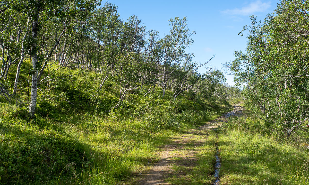
The change from forest to farmland shows that my car is not far away. After four hours and about 12 km I’m back from a lovely mountain hike.

Two more photos showing small things. The first one a beetle from the genus Carabus. The first one a berry from the genus Rubus. I was glad about both discoveries. The difference: The beetle stayed unharmed, the berry was eaten right after taking the picture.


Mountains, sea and midnight sun

Yesterday at 18:00 I took the car to Elvenes on Kvaløya to start a small mountain tour. Well, mountain or hill – the summit of Grønnlibruna is only 401 metres above sea level. I chose this destination in the hope that it was not completely snowed over as the higher mountains still are.

I parked the car, walked the gravel path and stood before the first obstacle, the stream Finnelva. I did the same tour last November, where it was easy to cross. Now in the thawing period the water was at least 50 cm deep and quite fast . Too deep to cross here, even with rubber boots. Luckily I found a better place to ford a bit upstream. Soon I was in the forest. A very wet and muddy forest where I was not always sure whether I followed the way, crossed a swamp or waded in a brook. But this stopped when I gained a bit of altitude where old snow covered the forest floor.

As soon as was above the tree line the landscape changed again. There were some large snow fields but most of the ground was bare of snow and easy to walk on.

After 4 km of hike and some hundred metres in altitude I stood on the summit enjoying the circular view while the weather cleared up more and more.

I did not take a break but hiked down again. I enjoyed the weather and the fact that the birch trees start to turn green, at least in the lowlands. I crossed Finnelva a second time, now with a sturdy stick that I had found on my way. It’s much easier to keep balance with such a “third leg”. From there it was not far to my parked car that I reached round 21:30.

When I left the supermarket in Eidkjosen it was 22:00 and the sky was blue. It won’t get dark because the last sunset in Tromsø was more than a week ago. Since then we have polar days with 24 hours of daylight. I could drive home or …

I turned left. Left to the road 862 that leads to Sommarøya. Maybe I catch the midnight sun. Sometimes I had to drive slow because of the reindeers, sometimes I had to stop to take a photo …

… but round 23:00 I had crossed the bridge to the island Sommarøya and shortly after I parked at the sandy beach Steinsvika. I was not alone. People stood at the beaches, some lit a fire, some paddled kayak, some camped in the hills.

I checked an app when sun would be lowest. What? 0:45!? I forgot, that we had daylight saving time, so clocks were one hour ahead. I took my camera bag, some water and an old jacket, that I use to have in the car and walked to the northern tip of Kvalneset. Now I had a lot of time to just observe the sun hardly going down. After one and a half hour it was time: 0:45 – the sun was at its lowest position: 1.55°. The photo is completely unspectacular because it only shows a low sun, not the fact that the sun would not get lower than that this night.

I was glad about my jacket because it got a bit colder, I was tired and I sat there for almost two hours in total. At least I had chocolate! I waited for the sun to disappear behind the prominent silhouette of the island Håja.

Then I went back to the car and had about an hour drive back home. I wasn’t in bed before 3:30 but it was completely worth it. For a very good reason: I never ever saw the midnight sun in my life before! Although I have lived in Northern Scandinavia for more than 12 years I hardly was above the arctic circle in summer and then it was cloudy.

But it was more than just checking another item of my bucket list. It was just gorgeous to sit there and enjoy nature. I should do that more often and put the old sleeping bag back into my car. Just in case …

White swans in Obbola

After two weeks in Tromsø i travelled home to Obbola last weekend, where I will work from home for two weeks.

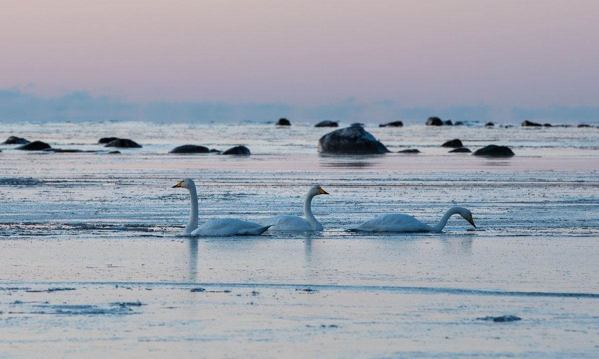
When Annika and I looked out of the window yesterday we could see 3 swans swimming in the water between the small islet Lillskär and us. Oh, another 3 nearby, that’s 6 swans. And another one, and two more.

After some snowfall it had cleared up yesterday and it got colder in the night. This morning the temperature was below -12 °C. When I walked to the coast the water before Lillskär was covered with ice. The swans lay on the ice sleeping. They discovered and watched me but since I was slow and did not come too near they soon tucked their beaks under their feathers again and continued dozing.


Polar expedition AeN JC3 – day 17 and 18: An incredibly beautiful day on the ice

This article is part of the series “2022-02: Winter cruise KPH”.

Day 17 and a bit of 18 · 7 and 8 March 2022

7 March

We have arrived at a place somewhere between Svalbard’s second largest island Nordaustlandet (14.443 km²) and the easternmost island Kvitøya (682 km²). No one lives permanently on these islands.

The ice experts have found an ice flow and examined it. The ice near the ship has some holes so the dress code is survival suits for the first time. In opposite to the formerly used Regatta suits they have attached boots and neoprene arm and neck cuffs. They shall keep you warm and dry in case you fall into cold water – or in our case break through the ice.

I am very interested to join and observe ice coring, a missing link on this expedition. I wasamhowever quite doubtful whether I will be allowed to enter the unreliable ice on this station. But I am lucky again, I may follow M. and L. onto the ice.

Earlier I was told that I may join the scientists taking ice cores but won’t get the opportunity to take ice cores by myself. That’s understandable. To my huge surprise – and delight! – plans were changed: L. shows me how to do it once and then it’s up to me to take five more ice cores. Give me snow or ice and something to play with and I’m happy ;-).

No, I’m no experiences ice corer after five cores. But at least I get an idea and a bit of a routine. In measuring snow depths, ice depths, the freeboard and writing down the values with a pencil. In mounting the large ice core attachment onto the electric drill and removing it after coring. In putting the ice core onto the gutter-shaped cutting board without flooding the electric drill or touching the snow (happened once – sorry!). While M. is cutting the core into slices and putting them into wide-necked plastic bottles I continue with my work. And I have to continue, because I’m still slow and M. shall not wait too long. I think, I could do that for weeks. Standing on the ice and drill cores out of the sea ice.

I have asked Pernille to take some photos from me while coring. These are probably the only photos that prove that I actually did something on the expedition beside of taking photos.

Photo credit: Pernille Amdahl, Nansen Legacy –tusen takk!

And the afternoon? I am allowed just to go onto the ice once more as long as I find some team lead to join. I find one and so get my 7th opportunity on this cruise. Two and a half more hours on the ice. I overhear a radio message. No polar bear warning but the information that our ice flow drifts with more than 2 km/h and the water depth is decreasing. This could damage instruments when they are too deep in the water.

Just some more photos:

And later, when we are on the ship again another polar bear approaches. This time it is a curious one that is very interested in the scientist’s equipment. And since it could harm the bear when it eats cables or plastic it is shooed away with a flare gun. **BANG**. It gallops some metres and then walks away. No polar bears were harmed and as far as I know no cables.

By the way – it was a good decision to use the survival suits. One of the scientists went through the ice today. All of a sudden and quite near the ship. It did not take long to pull the scientist out of the water but without the survival suit this would have been a very wet, cold and unpleasant experience.

8 March

The next day some additional measurements are done on the ice and then we leave last ice station of Arven etter Nansen JC3.

Ha det bra, Arctic sea ice. Farewell! It was a great pleasure to meet you and I definitely will miss you!

Polar expedition AeN JC3 – day 13 and 14: Polar bear ahead!

This article is part of the series “2022-02: Winter cruise KPH”.

Day 13 and 14 · 3 and 4 March 2022

3. March 2022, the second ice day at P7. I have polar bear watch on the bridge at 9:30 +2h so there is some time to relax after breakfast. While I am writing my diary there is a loudspeaker announcement, the first one on this journey:

Polar bear at the front of the ship.

I grab my camera equipment including the large telephoto lens and slip into my Canada Goose clothes. The best deck at the front of the ship is the helicopter deck and there I go.

I am not alone. Ice station was about to begin so some scientists were already clad in Regatta suits. Now they stand at the rail watching. But where’s the polar bear? I cannot see it. Until I go to the rail as well and look straight down. Whoa!

It is hard to believe, but this is my very first photo of a polar bear taken in the wild. Not some blurry spot far in the distance but a polar bear less than 10 metres away – vertically. It is quite interested in the icebreaker with all these funny colourful beings that has appeared in his world.

We are only guests in the Arctic world of the Polar Bears. We are not allowed to chase them off just to do our work. We are not allowed to chase them off to prevent them from destroying scientific equipments. We humans do not matter. Only the polar bears do. But we are allowed to chase them off for two reasons:

  • The polar bear should not eat plastic, rubber or other materials that could harm it.
  • The polar bear should not learn, that it is a nice experience to visit humans and teach this to its cubs. This could result into dangerous encounters in the future.

The polar bear realises that the ship’s bow is boring and continues to Z’s tent, sniffing and licking around ther…

**BANG** – a loud noise alarms me. **BANG** again. K. has used a flare gun to shoo the polar bear away before it starts eating the equipment. The flare gun is not used to hit a target but to make a loud noise. The noise however does not frighten the bear at all and K. gives some more shots. The bear decides that this sucks and slowly continues its way over the sea ice. Even when I have started my polar bear watch on the bridge I can see it in the far distance.

When I am on the sea ice again the afternoon to help K. with the Blueye ROV I see the armed polar bear guards with other eyes. It comforts me even more, that a whole team protects us – three watches on the bridge and several guards on the ice. Polar research works only in a team.

By the way: I am allowed to steer and control the underwater vehicle. It is not easy because the ROV lags a lot and the tension in the cable doesn’t make things easier. But in the end I manage to navigate it back to the ice hole again and we get it out of the water. It has some technical issues, probably because of the cold.

In the evening I stand on the deck and look over the ice.  It was become slightly colder, -26 °C and the air is crisp. Snow and ice look as if carved from marble in the sharp spotlights of the ship.

Later this night a female polar bear with a cub is spotted. And another single bear. I miss them, exactly as I missed the walrus encounters and that of the rare bowhead whale. What this ship misses is some kind of messaging system that informs you in these cases. You cannot be everywhere and you have to sleep sometimes.

The next day I help A. and B. in the benthos lab again. When I go to the locker room to get rid of my boots for lunch I meet E., who is putting on the Regatta suit. Why that? E. tells my another polar bear has been spotted, a kilometre away.

Shortly later we stand on the helicopter deck again and watch the other polar bear approaching. This time I see it when it is still pretty far away, but it discovers our ship and comes nearer and nearer and nearer.

This bear however is less interested in us and just passes by. Good for him and less noisy for us, no flare gun involved this time.

Polar expedition AeN JC3 – day 5: marine fauna · entering the ice · temperature drop

This article is part of the series “2022-02: Winter cruise KPH”.

Day 5 · 23 February 2022

12:30 – it gets colder

Over night it has become much colder and windier. Temperature has dropped to -17 °C and the relative wind speed has increased to 17 m/s (ca. 60 km/h). According to the wind chill formula that feels like -33 °C. The taut nets around the deck are covered with ice structures and ice fog hovers over the still open sea.

14:00 – marine fauna

A large trawl net is being pulled up. Scientist are waiting on deck, they look eager. What will the trawl reveal?

The net is up and the haul is emptied onto the deck.

At once the marine biologists gather round the catch and start browsing, identifying, sorting. I know some of the animals, but neither taxonomy nor latin name. It’s a childhood’s memory – me walking along the shore, my eyes glued to the soil to search for shells, jellyfish, worms, starfish. As a child I wanted to become a researcher but live has changed many times. Anyhow it finally brought me here on this polar expedition on Kronprins Haakon. But I digress, back to some photos of marine fauna and scientists:

I would love to know a bit more about the taxonomy of all these species but this will take some time and efforts, nothing you will get for free.

14:37 – the first sea ice

And there it is. The first sea ice is ahead.

The photo is awful. Noisy, underexposed two levels but I want it here in the blog. Not only for you but also for me because it’s the very first photo of sea ice on this cruise.

But there is more. While we continue north, soon the Barents Sea gets covered with pancake ice – called because of the rounded shapes of the ice floes – that soon make place for larger ice floes. That takes only 20 minutes.

(The images are not in chronological order for layout reasons)

For more than an hour I stand at the bow of the heli deck and watch the changes of the ice coverage. I love ice, I love the sea, I love cold winter and here I can get it all together. I feel happy! And cold it has become. Temperature -22 °C, relative wind speed 16 m/s resulting in a wind chill of -39 °C. The Canada Goose Snow Mantra parka starts to make sense. It shows what it can: keeping me warm under these conditions.

I use a pair of gloves and two pairs of mittens to keep hands and fingers warm. With one exception: Smartphone selfies. These I take bare-handed. While doing that the pinky of my right hand gets really cold and I will feel this for many hours. I’m lucky, the fingertip has no frostbite but I decide to stop making selfies in such harsh conditions. I love the arctic, but I play piano, too. I need my fingers. All of them.

15:59 – dinner pleasures

The haul caught a lot of animals, amongst others a lot of shrimps. Only some of them are needed for research. I help cleaning them, plucking away starfish and other species while a huge pot with salt water starts boiling. And at dinner we all get shrimps. Freshly caught in the Arctic. Delicious!

19:00 – photo shooting

A. a marine taxonomy expert asks me if he can borrow a tripod, he wants to take photos of some of the animals. Oops – I forgot the mount for attaching other cameras. I make another proposal: I’ll drop by and take pictures by myself. From this day I’m the “official court photographer” of non-microscopic animals. That’s work I really like. The first results are not the best, but I’ll share them anyhow:

Species identification taken from the cruise report of Andreas Altenburger. Thanks a lot!

21:30 – Sailing through the night

It’s dark. Ice has become thicker and you can hear the cracking and feel the vibrations from Kronprins Haakon breaking the ice. Again I stand on the heli deck looking ahead. Two strong spotlights illuminate the ice.

And for some minutes there is even a Northern light palely glowing in the sky.

While I stand there, happily watching the ice and the sky, muffled up warmly in my down parka and pants, temperature has dropped even more. -28 °C, windchill -44 °C.

temperate in °C | wind speed relative to the ship in m/s | resulting windchill in °C.


Whale watching – second try

Yesterday Same meeting point, same tour, same boat as 6 days before. But completely different weather! No stormy wind from the north and clouds everywhere, but a clear and starry sky.

And off we went.

It was just incredible how much brighter everything was although it was less daylight than last Sunday. After two hours the island Nordfugløya came into view. A cloud parked itself over the island.

Slowly the colours of the sky intensified and remained colourful the whole short day, because now it was the first day of polar night¹.

It took us round 3½ hours to reach our destination, the sea round Skjervøy. So we had only limited time before we headed back. Already at one, half past one o’clock it started getting darker again.

Eight hours after our departure we had returned to Tromsø.

I have been outside for round seven hours. I didn’t freeze because I was wearing my warmest winter parka. I was inside once to eat a bowl of soup and once when I stood at the ship’s bow and the sea spray soaked the whole foredeck (including me). So I was eager to take a shower not because of being cold but I wanted to get rid of the salt hands and face were covered with.

Resumé: It was a great boat tour and I enjoyed the air, the colours, the light.

And the whales? Oh yes, the whales! Almost forgot them ;-) Well, we saw some of them, mostly orcas and the first fin whale of the season. There were not many whales around and they were quite in a distance, so for photographing whales this tour was not ideal. Too little time and too high the boat decks above the water. I would love to paddle kayak there but I’m pretty sure that I never ever will dare to do that.

____

¹ Where I live in Tromsø we technically had 14 minutes of daylight yesterday but already 1.3 km north it was the first day of polar night.


No whales today

To the left the Brim Explorer, a boat located in Tromsø for amongst other whale watching. To the right the tourists waiting to be boarded. The boat is fully booked, I am not alone.

Before leaving an announcement: The crew will try its best but it’s not granted that we reach the waters where the whales are. Anyone is free to leave and given a full refund. Most people stay and so do I. First of all I’m not surprised, as another tour operator already cancelled today’s tour. And then I just want to be a day on the water. Whales of course would be a nice extra.

To the left Tromsøbrua, the bridge that connects Tromsø with the mainland. To the right the safety on board drill, that everyone had to join.

And then we’re off.

To make it short: What we didn’t get today was whale sightings. What we got today was rough weather in the open parts. The boat was rolling and pitching like a cork in the waves. More than one passenger got sea sick. The unpredictable movements of the boat and the dim light under the grey sky made photographing a bit adventurous. Several times I was forced in and one passage even the doors were locked. The rest I was outside, partly taking photos, partly just looking around and letting the wind blow around my nose.

Conclusion: an awesome tour even without whales. If you want to participate as well: take your warmest clothes with you. And those of you that just want to stay home and look at some whale photos may read my article about Whale watching in Andenes. Enjoy.

Note to myself: TromsøyaRingvassøya/ReinøyaVannøyaNordfugløyaArnøya/LaukøyaSkervøya/KågenLyngenReinøyaTromsøya

A hike round the peninsula Klubben

This article is part of the series “2021-07: Back in Tromsø”.

#onceaweek tour 5

Today I didn’t choose a mountain top but a small coastal promenade as my #onceaweek tour. I took the car to the village Lyfjorden on Kvaløxya and went round the peninsula Klubben. I love hiking up mountains to get the view but at the coast you get views for free ;-).

One of the things that still impresses me is how tiny some houses look standing in front of huuuge mountain faces that often look like vertical walls.

Klubben lies in the Kaldfjorden (the cold fjord). On the other side lies the mountain Store Blåmannen (1044 m) – always an imposing view.

The birches on Klubben had only some yellow leaves left. Since it was quite windy (15 m/s on the bridge to Kvaløya) they will be bare soon. Soon the autumnal colours will be history for this year.

Although this tour was marked as green (easy, for beginners) you still had to watch where to go. Sometimes the path was boggy but mostly stony and I had to watch my steps.

A quite loud noise, like someone inhaling loudly through the teeth interrupted me. I looked for the sound source and spotted a whale quite nearby. Although I had the camera with telephoto lens in my hands it took me a second before I managed to make a photo of the dorsal fin just before the small whale submerged again. I saw it two more times but in quite a distance. The photo is poor but the experience to spot a whale just by chance from your Sunday afternoon walk was extraordinary.

I continued my walk but now the path had vanished and the ground was only rocks. Did I miss the path? Possibly. I checked with the map app of Norgeskart and realised that the way was a bit higher up. I went and climbed up the steep slope but did not find any path. Higher and higher I ascended until it was clear that the map wasn’t as accurate as assumed. Probably the rocks were the path.

I didn’t want to descend that slope again and so continued to ascend it until I met a small gravel road that led to some houses – the first modern and cuboid, the second traditional with a grass roof.

Soon the area had become less steep and I could cut short to the coast again.

On the way back I took an extra stop in Finnes, Kvaløya . The small reindeer herd that I’ve seen there several times was still grazing. Probably they live there.

Today’s tour was only 4 km (elevation gain and loss round 250 m) but I cannot say that it was less fun or less exciting. I have however to admit that it was much less exhausting than the mountain tours. Training effect: ±0.

Fylkesvei 8100

This article is part of the series “2021-08: Northern Norway”.

There are places that are so fascinating, that you want to return there for a longer time. For me the road to Hamningberg is one of these places.

Originally Annika and I didn’t have the plan to visit Hamningberg. It’s a detour of 2×40 km just to see a former fishing village whose houses are now used as summer cottages. On the other side the road 8100 that leads there is closed in wintertime and we never had the chance before to drive there.

So right before Vardø we spontaneously decided to turn left into the road Fylkesvei 8100. We could turn if it was boring. Well, it wasn’t. We were both extremely fascinated by the roughness of the landscape and the many light moods because of the constantly changing weather

The photos are just some snapshots I made on our tour. Maybe I have time to return there some other time with more time for making photos.