White beaked dolphins

This morning I got a facebook message. A colleague of mine had spotted marine mammals on Kvaløya.

I packed the camera and the big telephoto lens and took the car there. I drove around and also took the tunnel to the neighbouring island Ringvassøya but I couldn’t spot any. On the way back I turned into the side road to Kvaløyvågen where I saw a parked car with hazard lights and two people standing, one with binoculars. I asked them if there were any whales around and they affirmed.

And then I saw them too – a pod of at least ten animals. They swam against the current of the sound Kvalsundet and I could spot them for a while. I took some photos and cropped the images, because they were round 300 metres away.

I do not know anything about dolphins. According to my colleague it’s White beaked dolphins.

Thanks a lot for the tipp, M. . It was a special experience to spot so many dolphins from land. Without your message I would have missed them.


And suddenly it’s winter

Last Tuesday it got sunny and I paddled kayak.  On Wednesday it got cold and the small sound between island Lillskär and mainland was covered with ice.

Although it’s mid-December and despite temperatures between -10 °C and -14 °C there were still whooper swans around. Don’t they migrate south? In the morning they managed to paddle through last night’s fresh and thin sea ice. In the afternoon the swans had left. Perhaps they finally decided to fly south.

On Thursday it snowed. In the afternoon 10 cm of fresh snow had fallen and everything was white and bright, even in the night.

On Friday Annika and I had a day off and visited friends in for a long weekend. They live in Kusfors in the inland, round 180 km north. On the way there and there we found more winter. It was not very cold but it snowed quite a lot. I took some images from the car while Annika was driving.

Yesterday on Sunday we came back to our house in Obbola round 20:00. Our property was covered with 45 of fresh snow. Since it had been sub-zero all the days the snow was pretty fluffy. We had to do quite a bit of snow shovelling – but after taking a photo.

Today it’s Monday and a new working week has begun. I had a lot of meetings today and therefore no time to paddle kayak. Oh yes, the kayaks … where are they? I know they lie beside the wooden terrace. Here they are, well hidden under a thick blanket of snow, right beside the window of the winter garden.

But there are other things to do as well. For example opening the afterwork ski season in Olles Spår near Umeå together with Annika. The snow is still soft and the cross-country skiing trail still slow but the first time of skiing is always special and we are happy and grateful that we live in a place where winter is around us.

Now it’s half past nine in the evening and I’m blogging. Snow is falling and the thermometer shows -9.5 °C, the same temperature as the last hours.

And you? What kind of winter do you like? Or do you prefer other seasons?

Scotland: wetness

This article is part of the series “2022-10: Autumn in Scotland”.

You cannot deny, that Scotland can be a pretty wet land. There are however different kinds of wetnesses.

Bathing in the sea

This kind of wetness I love: bathing in the sea. Finally Annika and I managed to find a sandy beach that looked very promising for taking a bath. And it was perfect. No stones, no currents, no sharp-edged shells, no waves as high as a house. The water was warmer than expected and it hardly rained.

Rain and muddy trails

We continued our road trip through the region of Assynt and parked our car by the Stoer Lighthouse. From there we took a circular hike to the Old Man of Stoer, a 60 metre high sea stack. It rained and the trail was soaking wet and partially quite muddy. I managed to keep my rubber boots dry but Annika’s hiking boots were soaking wet after our hike. Her dancing experience helped her to change to dry shoes.

Adventurous roads

As the days before it was Annika that drove the rental cars. You don’t want to fall asleep while driving in Scotland. Beside the single file tracks with its many meeting points sometimes the roads are blocked by sheep. The road sign warning of a 25% steep hill however looked much more dramatic than the road was.

Ardvreck Castle

We have passed Ardvreck Castle several times the last days. Now it was time to stop and have a look.

The lake Loch Assynt was flooded and so was the path to the castle. I like hiking in rubber boots which is a bit overdressed sometimes. In Scotland however I think it’s perfect footwear. Here they helped me to wade to the castle to take some more photos, while Annika waited ashore.

Sea monsters

I almost forgot to tell: At the beach of Clashnessie I observed sea monsters! Carefully I sneaked up to one of them and I managed to take a photo as a proof. There are sea monsters in Scotland!

10 cm high sea monsters.

10 cm high sea monsters buried in the sand.

10 cm high sea monsters buried in the sand looking suspiciously like seaweed.

10 days in Scotland

This article is part of the series “2022-10: Autumn in Scotland”.

It has been years, since Annika and I were on holiday outside of Fennoscandia. This October we enjoyed a ten day journey to Scotland from which I just arrived in Tromsø yesterday.

For this article I chose 2 photos for each day. Some more articles will follow later.

6 October – Edinburgh

I landed in the late morning and have the rest of the day strolling through Edinburgh. Blue sky – so it can actual stop raining in  Edinburgh ;-). In the evening I wait for Annika who is taking the tram from the airport. Now it is raining. Finally we are together.

7 October – travelling to Ullapool

We have pre-booked train tickets to Inverness where we will spend three hours before taking the coach to Ullapool. Well, in theory. The trains do not go the whole way due to heavy rain flooding. The rest is operated by replacement buses. So much to rain in Scotland. In Inverness we catch the connecting coach to Ullapool and have even time for a pizza.

8 October – hiking in Ullapool

After two travel days we want to be outdoors and look for the hiking trail to the hill Meall Mor after a hand-drawn sketch. We find it. From the top we have a view to the town, the hills and mountains in sun, clouds and rain.

9 October – taking the ferry to Lewis

After breakfast we take our backpacks through rain and heavy winds to the ferry terminal just to learn that the ferry has been cancelled because of the gusts on the Minch – the straight between Ullapool and the Isle of Lewis. Luckily the afternoon ferry runs according schedule and we arrive in Stornoway at nine o’clock. Scotland premiere: We hire a car. Annika is driving. Left-hand traffic in darkness!

10 October – exploring Lewis

We explore Lewis by car. Great that Annika is brave enough to drive in Scotland (I’m not). Read the article The west coast of Isle of Lewis about this day.

11 October – Peat bogs and Northern Gannets

From Gearrannan Village we take a small way back to Stornoway. In the bogs you can see traces of peat mining. We give back the car, take the ferry back and are watching the elegant aerial manoeuvres of the Northern Gannets. In Ullapool we receive another car that we have hired for the next two days.

12 October – exploring Assynt

We start exploring Assynt, the region north of Ullapool. Read the article Stac Pollaidh about this day.

13 October – taking a bath

Finally – our first bath! At Achmelvich beach. I will write more about this day later …

14 October – travelling to Edinburgh

It is time to give back the rental car and travel back to Edinburgh. First by coach, then by train. This travel confirms my theory that Scottish coaches and trains are designed solely for transport, not for comfort.

15 October – flying back

Short ones, long ones – all holidays comes to their end. Annika takes me to the tram, again it’s me travelling first. What a wonderful holiday. Thank you, Annika!

Jämtland tour 22 – hiking up the Gåsen

This article is part of the series “2022-08: Jämtland and Trøndelag”.

In Gåsen, one of my favourite cabins in the Swedish mountains we took a day off from our hiking tour. My brother-in-law and I took this as an opportunity to hike up to the summit of the mountain Gåsen, name giver of the cabin.

Gåsen is 1427 metres high. That’s however not a huge ascent, because the cabins lie on 1100 metres.

As everywhere in on our hiking trip there were reindeer around. What do they do on the snow fields? Eating snow? Fleeing the mosquitoes, while there were no around? I don’t know.

We approached the mountain from the south where it is less steep, although Gåsen is quite flat everywhere. While we went up my brother-in-law discovered a snow hare (a.k.a. mountain hare) that ducked to the ground but then sprang away when it realised that we spotted it.

Looking back: the cabins of Gåsen. Looking ahead: the way to the top. And more reindeer.

And there it is – the summit of Gåsen. While the top of the mountain is just a large gravel plateau the 360° panoramic view is quite impressive. It’s not only the mountainscapes that surround Gåsen but the large valleys that made this landscape so huge and seemingly endless.

After a rest – being thankfully for our jackets because it was quite windy – we ascended again, this time more direct to the cabins we stayed over. This time our hike led us over two snow fields. We were not alone, the reindeer seemed to liked the snow fields, too.

At the end we had to go a bit zigzag because the ground was quite wet but after 2½ hours we were back at our cozy cabin. That was fun!

Bonus photo: A cloud. For me it looks like a singing turtle floating effortless though the sky. And you?


A cloudy hike up the Stor-Kjølen

The weather forecast promised sun for most of the day today. Nice conditions for hiking up the Stor-Kjølen. I’ve been there once almost exactly one year ago, today I chose the other route coming from the Northeast.

I was there, my camera was there, however the sun wasn’t. Thick and low clouds hung over the whole mountainscape.

1 – The trail

5-5½ km long, leading up 560 metres in altitude. It is well marked and a visible trail most of the time. One boulder field has to be crossed and the last part is mainly pathless, but not steep.

2 – The reindeer

Much less shy than the Jämtland reindeer. They let me get quite close and one of them came within 3 metres. It seemed to be very curious and I expected it to touch me with its soft nose asking for goodies, but it went away. Another reindeer with huge antlers was much more careful and stayed with its small herd.

3 – The summit

Visible from a lot of places in and round Tromsø because of its prominent, mushroom shaped flight radar station at the top. Beneath the station – a small hut. It’s the varmebua, a heated hut driven by Troms Turlag. Very welcoming today, when it was foggy and round 4 °C.

4 – The weather

According to yr.no 4 °C and sunny. While the temperature might have been correct the rest wasn’t. It was cloudy and foggy and partially also drizzly. But then the sea started to shine and glare. While the sun itself was still hidden by clouds the reflection of the water surface sent sunlight upwards to the Stor-Kjølen. Amazing light, nearly unphotographable.

I waited in the hut for the weather to change, but in vain. On my way back to the car the cloud layer lifted and I could see a bit more of the fantastic surrounding scenery. But if took some more hours until the sun came out today and then I was long home.

A nice tour anyway. Or as the Norwegians say: ut på tur aldri sur – Out on a trip, never sour.

Jämtland tour 22 – the cabins, part 1

This article is part of the series “2022-08: Jämtland and Trøndelag”.

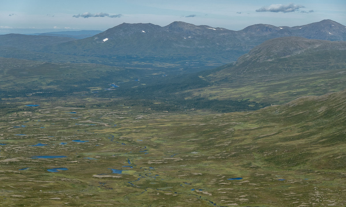
On our hiking tour in the Swedish Jämtland and a bit of Norway we hiked from cabin to cabin. These cabins are quite different, both in concept and in standard.

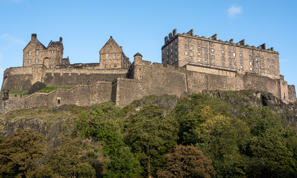
Ok, the photo above does not show a mountain cabin, it shows the Ringve Musikkmuseum in Trondheim that we visited the day before. Sorry folks, I couldn’t resist.

½ – the first emergency hut

Since the weather in the Swedish mountains can be quite rough, there are emergency huts on the trail. The first one lies between Storvollen and Blåhammaren, our first destination. You may rest inside the hut, but do not touch the fire wood or the emergency box – they are meant to save life.

1 – Blåhammaren

With an altitude of 1086 metres it is the highest STF mountain cabin. Famous for its fire beacon and its three-course dinner. We however use the self-catering kitchen to cook pasta with tomato sauce. A great first stay on our tour.

1½ – Endalen raststuga

Another emergency hut. The sun comes out and invites us to take a break. From here it’s only a kilometre to the Norwegian border.

2 – Storerikvollen

Two signs, that we are not in Sweden anymore: All roofs are grass-covered and the inside is full of carpets, wall pictures and other things to make the cabin individual and hyggelig – cozy.

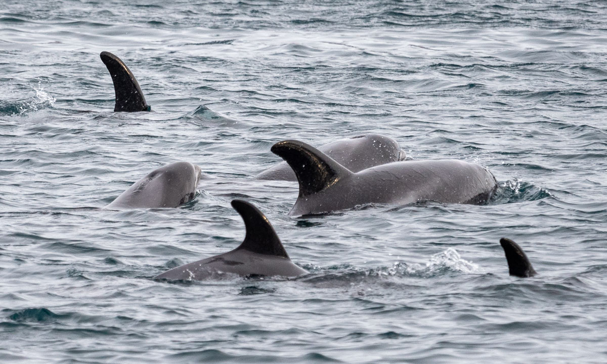
A thing that makes Storerikvollen special: free-roaming sheep and Icelandic horses.

3 – Nedalshytta

After the longest distance of ca. 23 km we gladly arrive at Nedalshytta. As in Storerikvollen this cabin does not provide a self-catering kitchen in the season. We have pre-booked half board and now order dinner. What we do not know yet: the cook is very gifted and the dinners are awesome! A good place for a rest day.

This is by the way the only cabin with road access on our tour.

3½ – Ekkordörren

We are back in Sweden again. Time to take a short rest in the hut Ekkordörren before we follow the trail over the pass.

4 – Sylarna

Without loosing too many words: this is the worst cabin I know! A tiny shop with ridiculous prices, a dysfunctional self-catering kitchen with five soup plates in total, insufficient drying space and so on, and so on. The personal is friendly and pretty uninterested.

We will meet other people on our trip – cabin hosts as well as guests. No one likes Sylarna. But it’s only a single night and now it gets better. Much better!

Stay tuned for part 2 of the cabin article. Coming soon …


Back from a hiking tour

This article is part of the series “2022-08: Jämtland and Trøndelag”.

Hello, my dear blog readers. Three weeks of holiday have come to an end today. Mostly I was aborad. The main attraction: an eleven day hiking tour with my wife, my sister, my brother-in-law and my younger nephew.

We mostly hiked in the Swedish Jämtland but visited two Norwegian cabins as well. Our route: StorlienBlåhammarenStorerikvollen (Norway) – Nedalshytta (Norway) – SylarnaGåsenHelagsFältjägarenRamundberget. That’s a total of about 135 km.

Today I scrolled through the photos I made on the tour – it’s more than 1500. So it will take some time to go though, edit them and write some blog articles.

Anyhow, here is a sneak preview. 9 photos of the tour.

A new camera

Next week Annika, my sister, brother in law a nephew and I will start a hiking tour in Sweden and Norway. We will not use a tent but hike from cabin to cabin. Last time I had 6 kilo of camera equipment with me. This year I decided to scale down weight and so I bought a point-and-shoot camera this week: the Sony RX100 VII. It has some disadvantages, but a huuuge advantage: It’s small and weights hardly more than 300 grams. That’s why I even can take a smaller backpack (also bought this week) and save another 1300 grams of weight.

Today I tested the camera, first on my way to work and then on random places, from the center to Telegrafbukta. I know, that the camera has its limitations (being not weatherproof for example) but I’m quite glad that I finally bought it. And here come some test shots from today. All photos are edited in Lightroom.


Hiking up the Nordtinden

After I failed reaching the summit of the Nordtinden (640 m) last November I gave it a second try today. It’s so much easier to navigate when there is no snow covering the path and the sparse way marks.

I start to follow the gravel road, which I leave after 2.7 km.

The small trail leads up steadily. It’s not so steep, that I have to climb but steep enough to raise my pulse to hummingbird level. I could blame it on my Covid infection two weeks ago but I guess it’s just a lack of fitness.

A movement to the left wakes me up. It’s a flock of ptarmigan fledglings with an adult. Some flutter away, some stay. I use the confusion to take some photos with my telephoto lens. The photos are heavily cropped, I want to keep distance.

I am above the tree line now and the views are impressive.

Most impressive is a chasm at the side of the trail. The gradient down? Perhaps 400%. Enough to keep safety distance while photographing.

The last part is rocky and pathless but the huge cairns marking the tops of Nordtinden (there seem to be two) are in view so I can navigate just by eye. I take it easy on the boulder fields. I reach summit number one and add myself to the summit register that lies sheltered in an aluminium box.

I continue a bit more west to get a better view to the sea. And there it is – the island Vengsøya with the smaller island Vågøya in the front.

I walk around to take some more pictures. I watch the ferry leaving Vengsøya and climb a bit down the slope to have a closer look to the nameless lake below the mountain Laukviktinden.

Then I walk back in a small circle, pass the other summit cairn and start to descend.

It’s always interesting how not only the view changes but the terrain as well. Round the summits it’s mostly rocks and boulder fields, then more and more grass is present and the path consists also of gravel and then earth, too. On the way back the lake Skulsfjordvatnet lies in the sun.

As most day trips the way back is the same as the way there. So I pass the sign to Nordtinden a second time and am on the gravel road again.

The change from forest to farmland shows that my car is not far away. After four hours and about 12 km I’m back from a lovely mountain hike.

Two more photos showing small things. The first one a beetle from the genus Carabus. The first one a berry from the genus Rubus. I was glad about both discoveries. The difference: The beetle stayed unharmed, the berry was eaten right after taking the picture.