10 days in Scotland
This article is part of the series “2022-10: Autumn in Scotland”.
It has been years, since Annika and I were on holiday outside of Fennoscandia. This October we enjoyed a ten day journey to Scotland from which I just arrived in Tromsø yesterday.
For this article I chose 2 photos for each day. Some more articles will follow later.
6 October – Edinburgh
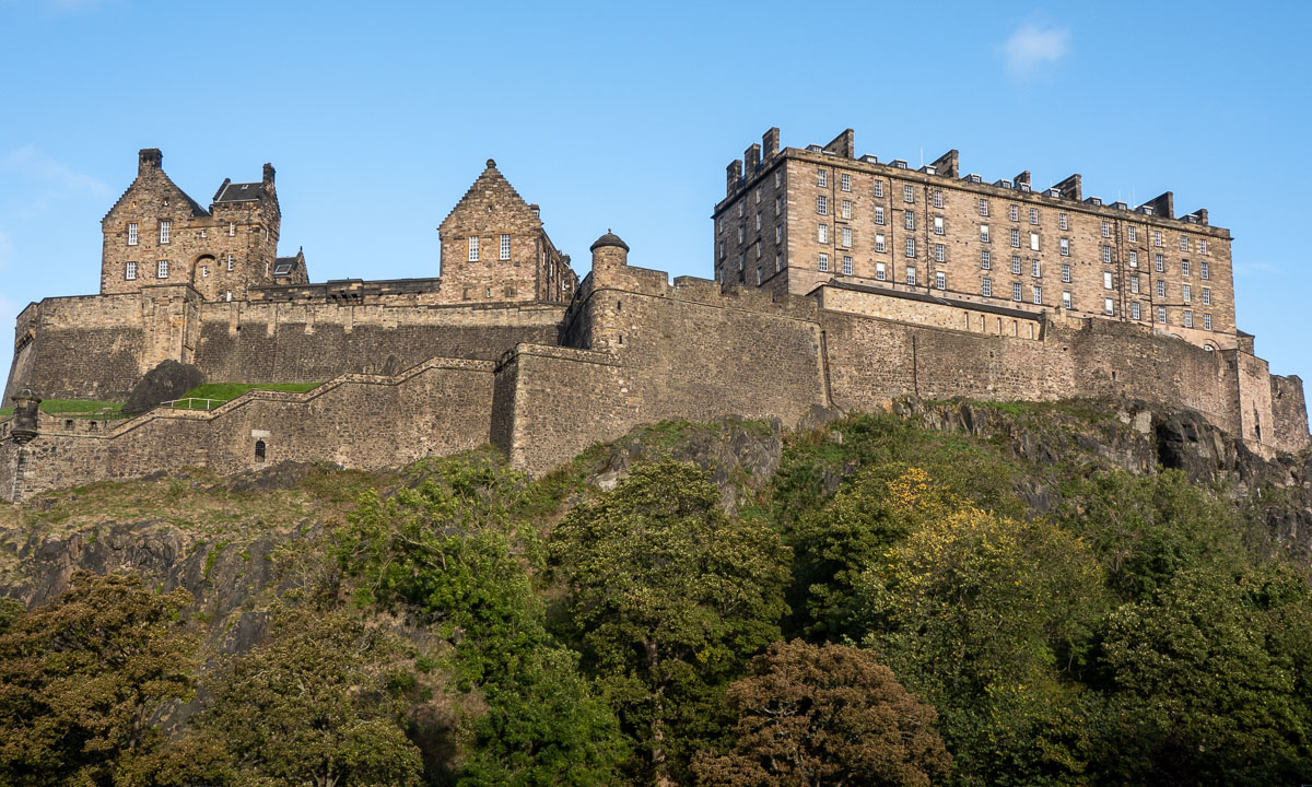

I landed in the late morning and have the rest of the day strolling through Edinburgh. Blue sky – so it can actual stop raining in Edinburgh ;-). In the evening I wait for Annika who is taking the tram from the airport. Now it is raining. Finally we are together.
7 October – travelling to Ullapool


We have pre-booked train tickets to Inverness where we will spend three hours before taking the coach to Ullapool. Well, in theory. The trains do not go the whole way due to heavy rain flooding. The rest is operated by replacement buses. So much to rain in Scotland. In Inverness we catch the connecting coach to Ullapool and have even time for a pizza.
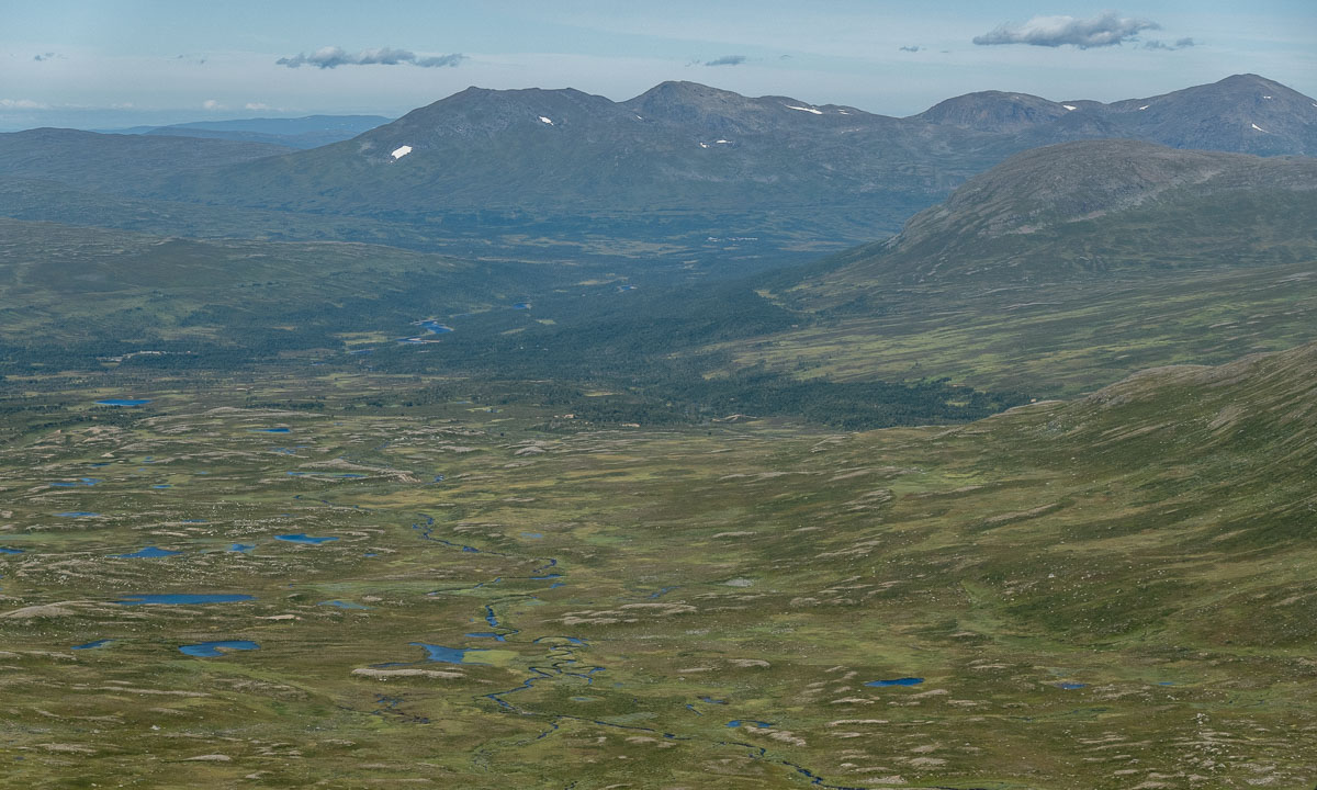
8 October – hiking in Ullapool


After two travel days we want to be outdoors and look for the hiking trail to the hill Meall Mor after a hand-drawn sketch. We find it. From the top we have a view to the town, the hills and mountains in sun, clouds and rain.
9 October – taking the ferry to Lewis


After breakfast we take our backpacks through rain and heavy winds to the ferry terminal just to learn that the ferry has been cancelled because of the gusts on the Minch – the straight between Ullapool and the Isle of Lewis. Luckily the afternoon ferry runs according schedule and we arrive in Stornoway at nine o’clock. Scotland premiere: We hire a car. Annika is driving. Left-hand traffic in darkness!
10 October – exploring Lewis


We explore Lewis by car. Great that Annika is brave enough to drive in Scotland (I’m not). Read the article The west coast of Isle of Lewis about this day.
11 October – Peat bogs and Northern Gannets


From Gearrannan Village we take a small way back to Stornoway. In the bogs you can see traces of peat mining. We give back the car, take the ferry back and are watching the elegant aerial manoeuvres of the Northern Gannets. In Ullapool we receive another car that we have hired for the next two days.
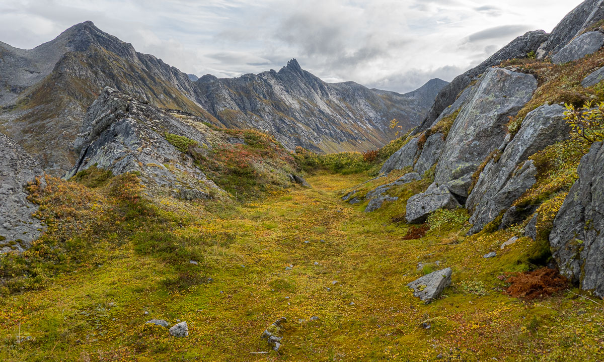
12 October – exploring Assynt

We start exploring Assynt, the region north of Ullapool. Read the article Stac Pollaidh about this day.
13 October – taking a bath


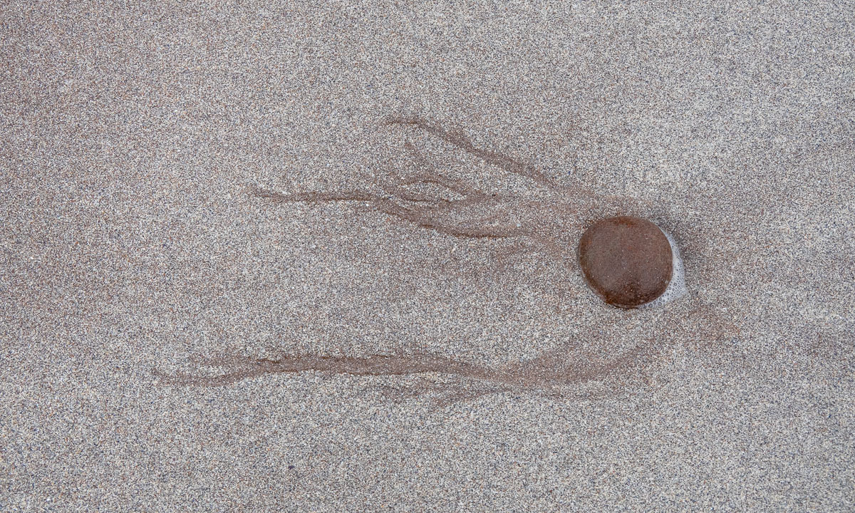
Finally – our first bath! At Achmelvich beach. I will write more about this day later …
14 October – travelling to Edinburgh


It is time to give back the rental car and travel back to Edinburgh. First by coach, then by train. This travel confirms my theory that Scottish coaches and trains are designed solely for transport, not for comfort.
15 October – flying back


Short ones, long ones – all holidays comes to their end. Annika takes me to the tram, again it’s me travelling first. What a wonderful holiday. Thank you, Annika!