My first “topptur“

Just 14 km by car to the parking place on Kvaløya and I’m at the southern end of the two valleys Finnvikdalen and Krabbelvdalen. I put on the skis, put on the backpack, up with the hood and I’m ready to ski. -14 °C, hardly any wind.

First I follow an old track, perhaps two skiers and two with snowshoes went there. But soon I leave it to follow the Krabbelvdalen. Further plans: none yet.

Slowly the terrain rises. I do not have climbing skins with me but mostly I can ski just straight ahead. I’m alone and leave a track in yesterday’s freshly fallen snow.

I spot a cabin by a mountain slope and realise that the mountains may be not as steep as they looked first. Could it be possible for me to ski over the saddle between the two summits of the Mellaskarfjellet (301 m and 325 m) to make a round trip? Well, at least I can try. To gain height I have to go zigzag a lot and some of the snow is hard and icy. I’m a lousy skier and wonder if I ever will be able to ski downhills and leave this place. Well, I reach the saddle and it’s only 40 more metres in altitude to the southern top. Let’s go and make the round trip a topptur – a summit tour.

To make a long zig-zag story short: I reach it! I put on my down jacket and take a rest with a bit of chocolate and half frozen water.

The descent to the Finnvikdalen takes some time. I do not dare to ski straight downhills because parts of the snow are icy and other parts is crusted powder snow where you break though. So I take it slow and easy.

I see two other skiers with a dog approaching. While I slowly ski downhills they catch up and thank me for the track I made while passing.

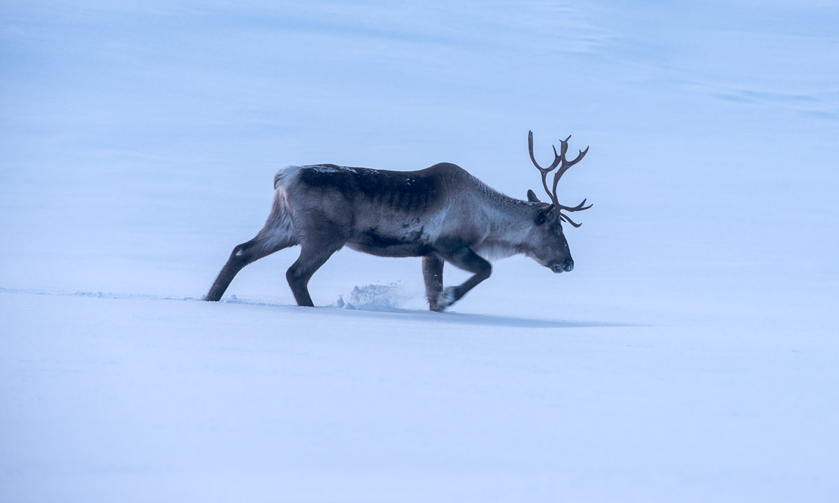
Two reindeer nibble at the birch trees, I’ll never will understand how they can survive cold winters with this nutrition. The dog is quite interested. “Will is run? Is it fun?”. But alas it is on a leash and the reindeer calmly trots through the snow to find another birch to nibble at.

Now it is me who is the lucky one. The dog owners leave a fresh ski track on which I at least double my tempo. They head to something that looks like a broader ski track and so it it. It leads to a mountain hut.

Tracking map from my iPhone appA lot of skiers are on this trail. After I have passed the hut I’m on a broad trail prepared by a snow mobile. Now I can ski even faster (still slow ;-) ) but I’m unsure where this trail leads me. I continue following it constantly checking my map app until it signals that I’m on my old track again. What? Where? Here? I do not recognise this place!

Some hours ago I was alone, now a broad track cuts through the landscape. I pass the very same tree that I photographed this morning.  Ok, the app is right. The parking place comes into sight, it is full of cars. Just a bit more to go and I arrive at my car. While I stop my tracking app and change my clothes other people pass me on both sides.

I guess many Norwegians would just laugh about me calling my today’s tour a topptur, since the summit is a hill, not a serious mountain. Many Norwegians are excellent skiers and topptur is used for alpine style tour skiing often in steep terrain, not necessarily for cross-country skiing . Anyhow I liked this tour and give it the name I think it deserves from my perspective.

On the map you can both see my zigzagging near the summit and that I was significantly faster on the trail back ( slow | fast).

To my big surprise it has become colder. -16 °C the car thermometer shows now. At home it is only -7 °C. I wonder why because both places are located quite near the sea.

I couldn’t sleep

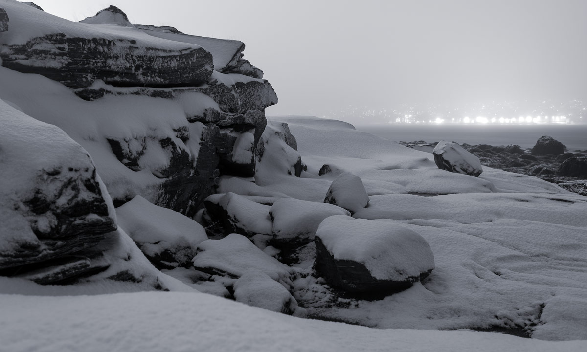
I couldn’t sleep. Not at all! At 1:30 I gave up and went out for a walk. And took some photos. Black and white. By the coast. Snow showers.

Now I try to catch some sleep. Good night!

____

Not I see, that the 2nd JPEG has quite strong colour artefacts. I may correct that. Later.

Fresh snow in Tromsø

Since yesterday evening I am back in my “work town” Tromsø. How I got here after 17 hours of travelling is another story. I only mention that it among others had to do with snow.

And snow we got in Tromsø as well. Round 30 cm of fresh, clean snow cover the ground, the houses, the trees and build fields of slush in the shallow parts of the sea.

These photos are from a short promenade from Telegrafbukta and Sydspissen.

Four winter days in and round Obbola

OK guys, it’s Sunday afternoon and I’m too lazy to write long texts. I just show some photos of the last days where our German friend Medi joined Annika and me on various excursions with some notes.

Thursday, 6 January – skiing in Västermarks naturreservat

+++ Västermarks naturreservat, 50 km north from Umeå +++ a non-commercial forest made us climb over and under fallen trees that lay across the marked loop trail +++ by the trail a wooden cabin +++ time was too short to fire the oven but lighting candles is cozy, too +++

Friday, 7. January – lunch break skiing

+++ right next to our postbox (500 metres from our house) starts Spåret, a 3600 metre long forest trail +++ we use back-country skis to ski Spåret in my prolonged lunch break +++ we, that’s Dirk – guest for two nights – Medi and I +++ -12 °C, but my Anorak is too warm +++ I tie it round my hip +++ on the photo it looks like a skirt +++

Photo: Dirk Thomas

Me sking “Spåret” – Photo: Dirk Thomas

Saturday, 8 January — cross-country skiing on Olle’s Spår

+++ grey weather, -14 °C +++ the trees are covered with snow +++ black-and-white imagery +++ after some days of back-country skiing it’s nice to use cross-country skis on a real trail +++

Sunday, 9 January – Northern lights and sunrise

+++ 1 o’clock in the night +++ I check for Northern lights +++ we are lucky +++ Medi and Annika watch the aurora beside of the garage +++ I take some photos from our garden +++
+++ 8:20 in the morning +++ the Baltic Sea freezes over more and more +++ sunrise colours by the sea  +++ and then in our garden +++ watching sunrise while taking breakfast +++

Still Sunday, 9 January – Strömbäck-Kont

+++ just a short walk at one of Annika’s and my favourite places: Strömbäck-Kont +++ looking at the ice ridge by the sea +++

Still Sunday, 9 January – halo effects

+++ after lunch we are taking Medi to the airport +++ strong and colourful parhelion or sun dogs halos +++ the photo is taken at the airport +++ I am questioned by the security and show the taken photos to prove I’m not a spy +++

Thaw and cloudbursts

Why, oh why was the forecast of Yr right? Already a week ago it forecasted a period of thaw and heavy rainfall. And Wednesday it started to rain. Just now I’m listening to another cloudburst bucketing down on the roof.

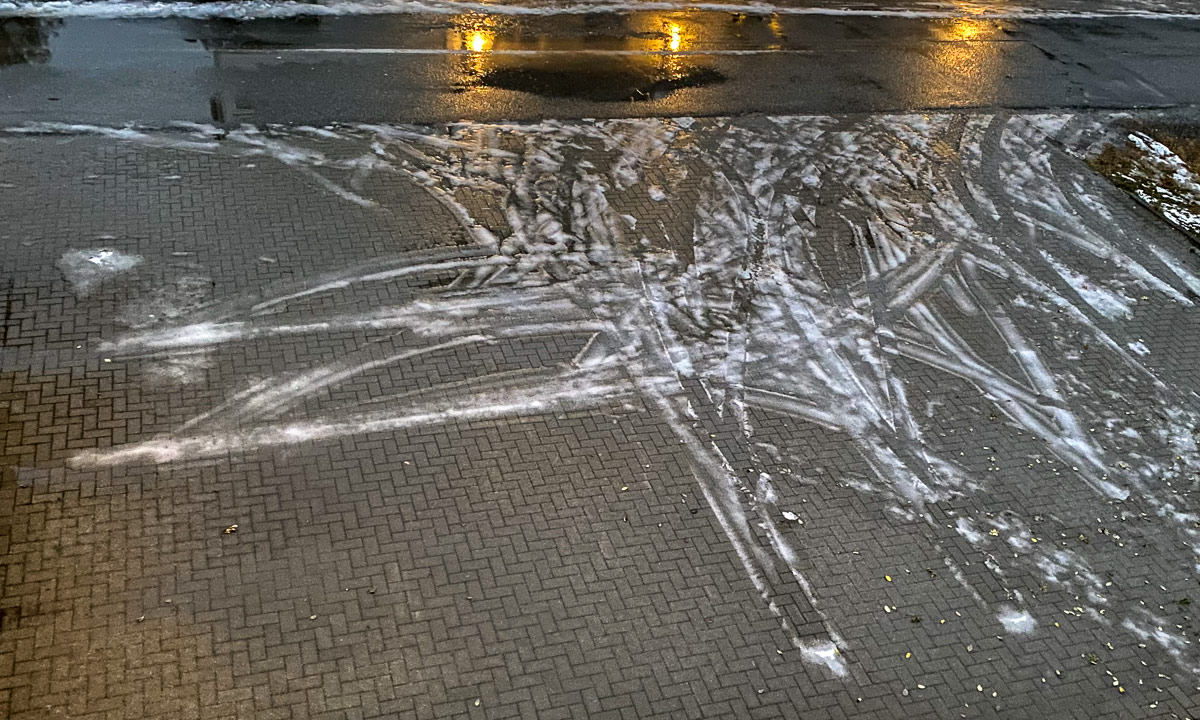
The snow is gone and the ways and small streets are very icy. When it continues raining like this even the ice may have thawed and washed away soon.

It looks almost like autumn but with a huge difference: It’s dark. The photos above I made at lunch break on my last working day this year.

It’s a pity! Just today my wife Annika will arrive so that we can spend Christmas time together. It would have been lovely with a lot of snow but even though it shall be colder again soon it does not look like we get some.

Tønsnesvarden

On Tuesday we got some snow in Tromsø. On Wednesday it already has melted away. But last night a bit of snow arrived.

Today I chose a shorter tour from my book “På tur in Tromsø” (On tour in Tromsø) because I just wanted an easy hike, not a full-grown mountain tour. The weather agreed with me.

By the sea only a bit of wet snow and sleet covered the ground but already 50 meter higher the gravel path was covered with 10 cm of snow. Deep tyre tracks were carved in the snow. This part of the tour was very easy. Just follow the road up until you reach the radio unit on the Tønsnesvarden (281 m) and try not to slip, because under the snow there are some icy patches.

This summit has a big radio station on its top. Even in the increasing snow fall is was quite visible. Now I walked through 20 cm of snow. After an hour I arrived at the radio station, where I met the creator of the deep tyre tracks: A six-wheeled ATV.

It wasn’t cold but a windy. It snowed more and more and the wet snow glued itself to my jacket. On my way back I left the main road and followed a small path on my digital map on my iPhone. I stopped in a forest of birches with thin and long stems. I loved the motive, but my Nikon camera gave up in this wet weather. The lens was fogged up in the inside and in the dense and wet snowfall I didn’t dare to change lens. One photo worked out ok anyhow:

Soon I realised that some of the paths drawn on the map did not exist in reality (at least not in winter) while others that exist were not part of the map. So I went cross-county through pathless terrain, partly dens forest, partly wetlands with many small streams to cross. It took only 15 minutes until I reached the other gravel road leading down again. Now the iPhone was in charge for making pictures.

I followed the path down. With each metre altitude I lost there was less snow on the ground and the snow fall became more and more sleet. When I arrived at my car my anorak was soaking wet. Having seat warmers in a car is a great feature after such a tour.

For the records: 6.5 km, round 300 metres in altitude. Temperature round 0°C.

Appendix 1:

When I show pictures of mountain tours and hilly hikes it is easy to forgot, that Norway has not only mountains but the sea, too. This is an iPhone snapshot I took from some metres from my parked car. What you cannot see is the mountains of the island Kvaløya, 3.8 km away. They are hidden in the snow clouds.

Appendix 2:

What do you do with photos taken with a fogged up lens? You start to experiment. I mean, the photo is spoiled anyhow. But the result of today’s experimentation turned out nice in my opinion.

Grense Jakobselv

This article is part of the series “2021-08: Northern Norway”.

This sign marks the only Russian–Norwegian border station. In February 2018 I crossed this border to Russia together with Annika and two friends. This time we stay in Norway and I take just a photo of the sign.

Our destination today (which is 30 August): Grense Jakobselv, a small border village. As the road to Hamningberg the road there is opened only in summertime and we never have been there before.

It starts like a typical car trip. The road goes along the Jarfjorden and a large lake. In Vintervollen the road turns right and we see the barrier that closes the road in winter. It is open. Now the road leads over the mountains. The rocks here are the oldest in Norway with an average age of 2.9 billion years. I’m not a rock expert and so I take a photo of a birch instead of a random rock whose type and age I cannot determine.

We reach the small river Jakobselva. This small and shallow river is special because here it marks the Norwegian–Russian border. The pink salmon (also called humpback salmon) do not care, they are busy to go upstreams and not all fish succeed.

We continue to the village Grense Jakobselv. For me the biggest surprise was the chapel. In my view every northern Norwegian church is made of wood and painted white. Not the King Oscar II Chapel (built 1869) that is made of stone.

While I wasn’t properly prepared about the church I knew something else: There is a sandy beach. It is at the very end of the road. Annika and I take a bath. Water temperature is about 11–12 °C. It feels quite strange to change clothes for a bath while you can hear the Norwegian army practising shooting.

As many minor roads in northern Norway the road to Grense Jakobselv is a dead-end road and so we have to drive the very same road back. After having been back we get something we have missed on the journey so far: an afternoon nap!

Black and white weather

+1 °C, grey and hazy with some rainy showers. I ignore the weather and go out for a longer walk. Time to put a black and white film in the iPhone.