A hike to the Sørtinden between the seasons
After a springlike Easter week in southern Sweden I travelled back to my “work town” Tromsø on Easter Monday. Yesterday I was outdoors in the fjell. –the first time since the end of January.
What kind of tour will I go for? Is it skis or rubber boots? Let’s pack both, take the car to the parking place by the road 863 on the island Kvaløya and have a look.
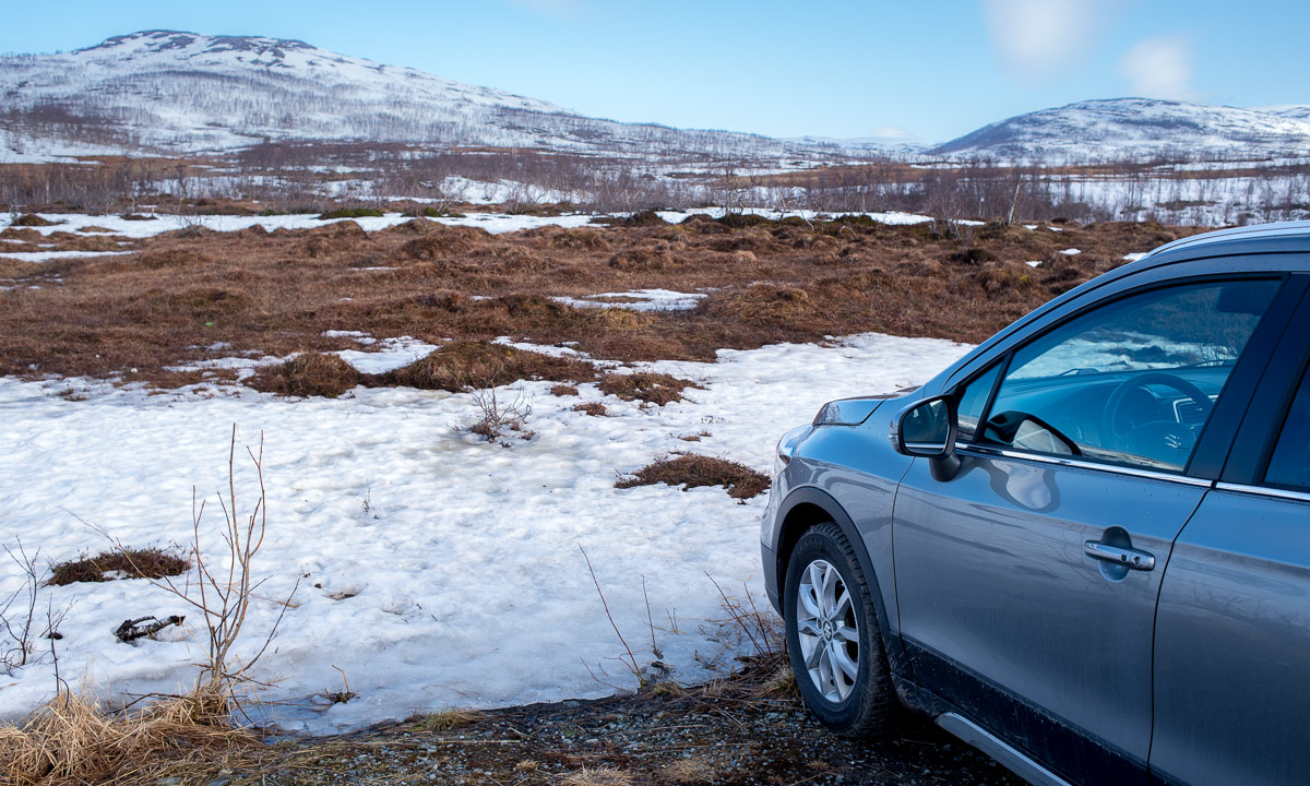
OK. Let’s take boots! I lock the car and start crossing the bogs. Some parts are still frozen, others bounce like a wet sponge when being crossed. The terrain rises and soon my boots trudge through snow. Snow is still deep but so compact that I hardly sink more than 5–20 cm.


I slowly ascent the mountain landscape and leave the trees behind. Soon I reach the top of the hill Skavlikollen.

I continue north. I put off my jacket because I am sweating in the warm sun. I realise that I forgot a sun blocker and take my buff for protection. (It worked – no sunburn the next day!) While the higher mountains are still covered with snow I walk also on rocks and heather. The hilly and mountainous landscape looks beautiful in the sunny weather.


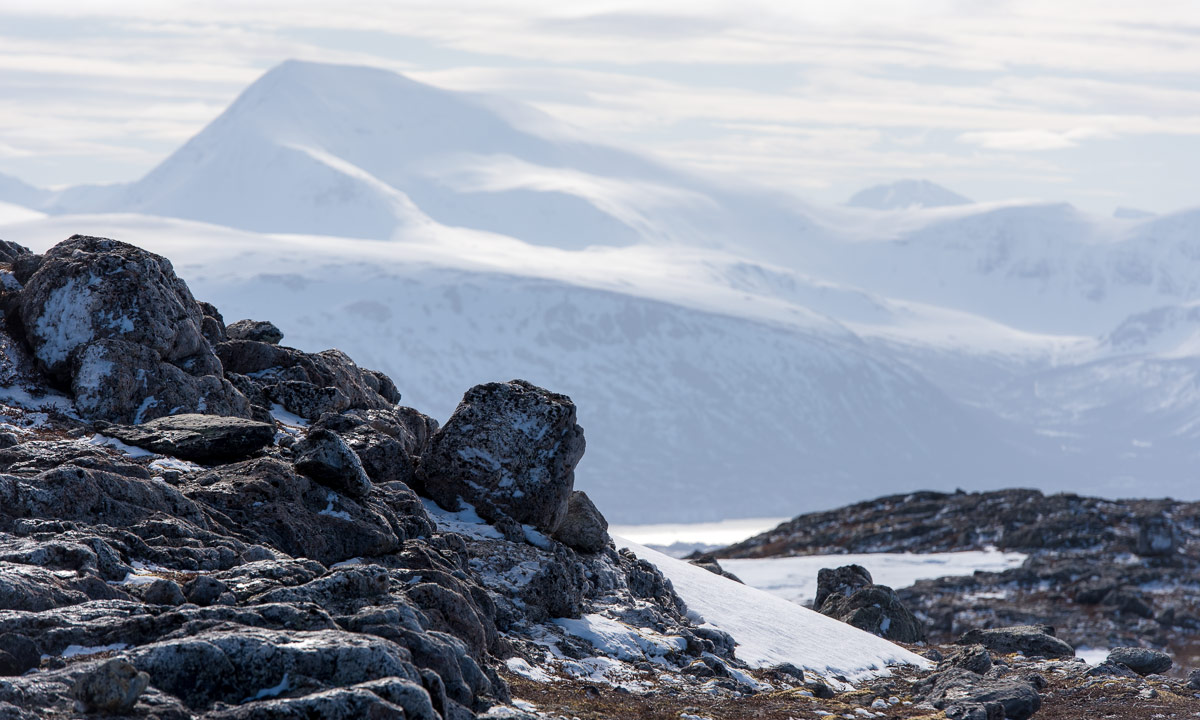

After round about 6 km I reach the top of Sørtinden (471 m). I’ve been there twice (1), (2), but only in autumn.

Here I take a rest and enjoy the view of mountains and fjords. I start to freeze and I’m glad about my down hoodie that fits into the camera backpack. The sun provides warmth but the air temperature is hardly above zero.
I choose another way back but get a bit “photo-lazy”. For the birch at the slope however I’ll take my camera out of the backpack.
Partly it is easy to walk down the snowy hills because you can glide, but parts of the snow has softened by the sun and more than once I break into knee deep snow. After 11.5 km of walking and snow trudging I arrive at the car. From there it’s only 20 minutes by car home.

That’s a good start for #onceaweek– my plan to make a new tour every week. Let’s see what I’ll do next weekend. When I look at next week’s weather forecast it might be a ski tour.