Late summer mountain hike
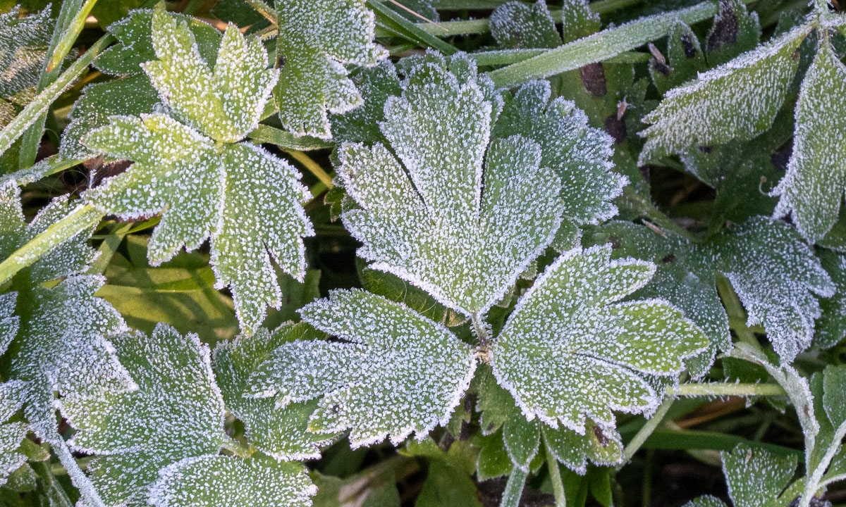
The forecast was correct – the sky was blue the whole day today. At 9 o’clock I meet my friend Chris on a parking place and we start a mountain hike. The morning air is a bit chilly and some leaves even have frost on them.
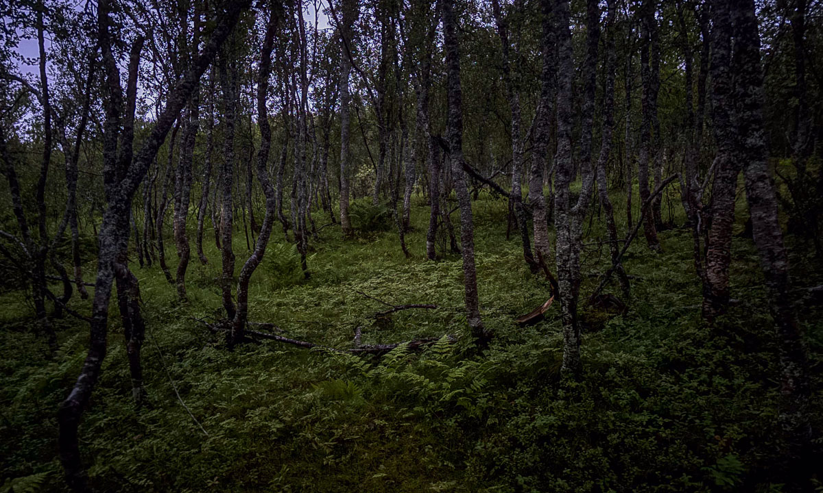
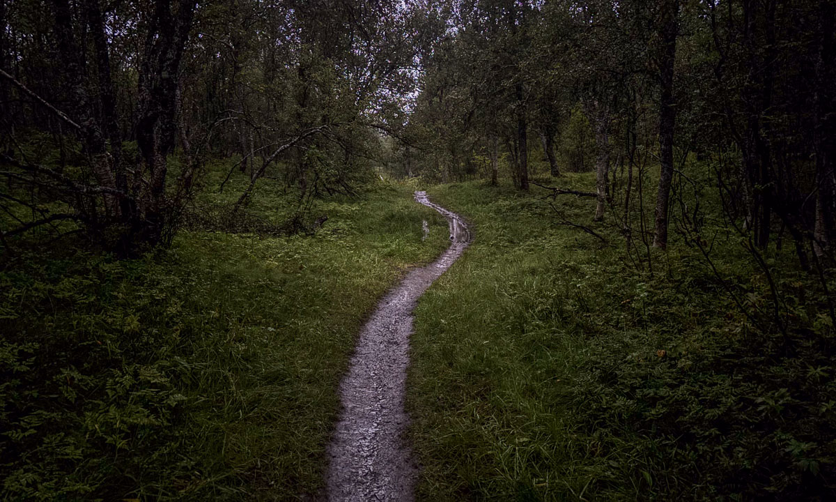
After we have crossed the river Tromsdalselva we follow a path and some quiet residential streets and arrive at the way up to Sherpatrappa. That’s is a stone staircase of 1,203 steps leading up the mountain. Today is Sherpatrappa Opp – a competition where people run up the stairs. We however prefer walking and are lucky, that the competition will not start before eleven.

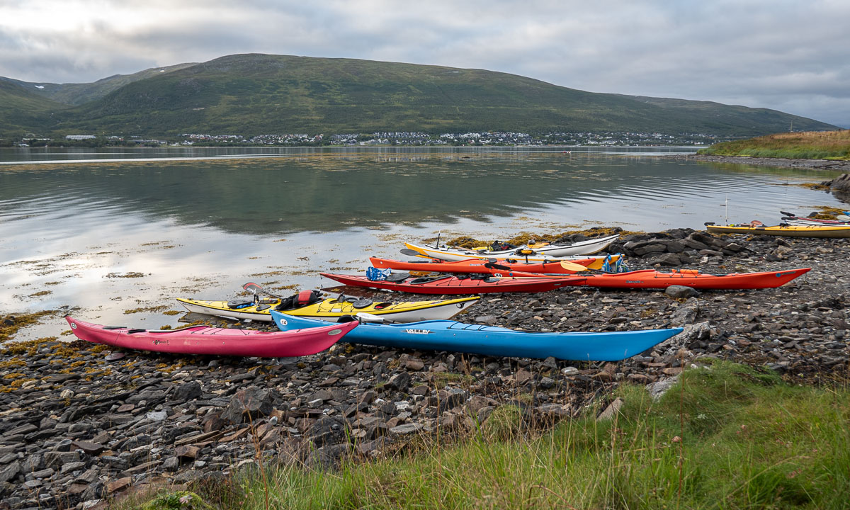
At the end of the stairs the terrain becomes less steep and you have a gorgeous view on the island Tromsøya and its beautiful surroundings. I see the island Håkøya that I circumvented by kayak two days ago. And today there is another competition: Tromsøya rundt, a 24 km long kayak tour round the island. From 400 metres up, we spot a group of kayakers passing below.

I assumed it was too late in the year for cotton grass – a clear sign for wet ground – but by a small and shallow pond we find a field of these candyfloss like flowers.

A lake always gives an awesome extra perspective in the mountainous landscapes, especially when it is as clear and blue as this one.

A white reindeer is grazing by the trail. It is not shy at all and ignores us while looking for food. On the way back we will meet it again.

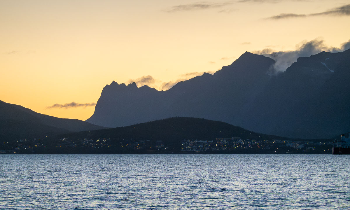
I will never loose the fascination for the Norwegian landscapes, where sea and summits meet. I paddled to Grindøya – the island in the middle – several times. In the back lies mountain range on the island Kvaløya. This island is more than 1200 times larger than Grindøya and mainland Norways 5th largest island.

The weather has become warm and summery. Anyhow you can see the signs that the summer comes to an end. The colours have started changing.

On our way back we use Sherpatrappa again and get an awesome view on the town. Tromsø in a nutshell: Two Hurtigruten ships – the bridge Tromsøbrua – the iconic church Ishavskatedralen. And in the background the mountain Kjølen, where I’ve seen the midnight sun seven weeks ago (I and II).
Takk for turen, Chris!