Slowly I’m gaining height with my fjellski. It is sunny and almost windless. Round -6 °C. I seem to be alone. I start traversing a slope while continuing gaining height. I’m nervous. I’m not a downhill skier and every metre I ski up I have to ski down again somewhere.
Mission accomplished: I’m above the tree line. Above me the blue ski, below the white snow. And, while I go further I get another blue: The sea.
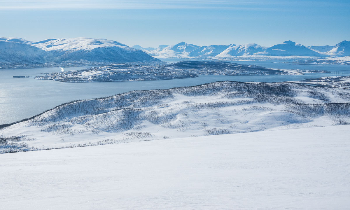
When I look back I can see the whole island Tromsøya. Somewhere over there in the south, hidden by the wooded hills is my small rented apartment.
I didn’t plan a route for today. I just wanted to be out enjoying the winter. But when a heap of stones marks a top and it’s easy to reach I have to ski there. Mountain summit 1: Kraknesaksla (ca.335 m). With a nice view into the sound Grøtsundet.
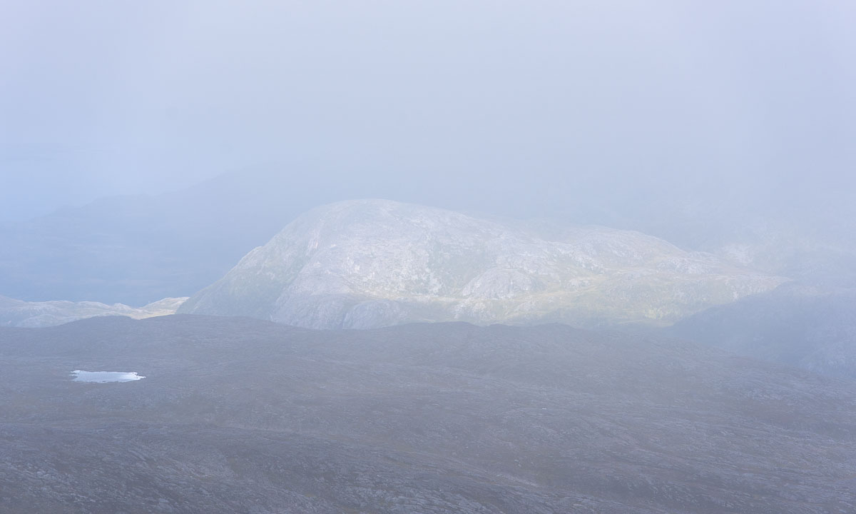
According to the map there are some lakes a bit down. The lakes are invisible. There is only snow. What I can see are the buildings. One small cabin and a wee, tiny shed with a wind turbine. The cabin is closed and I cannot see any sign. Probably it’s private.
I continue my ski trip. I have reached a vidda – a plateau.
Now I start to see other people. A single skier, a group of three going uphills, a skier with a dog in the distance. Most locals love to be outdoors but perhaps not as early as I.
I decide to ski to a mountain top I found on my map app Norgeskart. It’s called Jerremaš (467 m) and is a kilometre away. On the way there I see that the group of three heads into the same direction while two others are already returning. Seems to be a popular place.
And it is. I’m not alone. Several other skiers are sitting there, enjoying the sun, talking Norwegian. Almost all of them are 65+.
I look at the 360 degree panorama. There are snowy mountain chains everywhere, the sound Kvalsundet, the island Ringvassøya and somewhere in the northwest the Norwegian Sea.
How shall I continue the tour? Skiing downhills and letting the others watch how I fall face first into the snow? As I mentioned before, I’m not a downhill skier. The others are probably all former Olympic athletes. I decide to take a small detour …
I start to ski down. To my surprise the hills are gentle and the snow is soft and uniform. I manage to ski downhill the broad, snowy slopes and I’m enjoying it. Sometimes I even think, it is too slow.
Much faster than expected I leave the vidda behind. I pass the first trees and see more and more tracks – and skiers. Many of them are skiing on the prepared ski trail that cuts through the valley like a German Autobahn. Others just sit on a mat in the snow taking a break.
A hole in the snow triggers my curiosity. I ski there and look down. A shallow mountain stream flows down there. Open water. It’s comforting that the snow layer is more than a metre thick.
Now it’s only some more kilometres to ski back to the parking lot where I started my ski tour this morning. Although I’m avoiding the prepared ski trail it is obvious, that more and more skiers have been here the weekend. Ski tracks everywhere.
After round about 17 kilometres I’m back at the car. Pretty exhausted and thirsty but very satisfied.
Here’s a map from today’s ski tour. I went counterclockwise. Red is faster than green but still not fast. I’m not a downhill skier.