The last two kayak tours 2022
It’s Friday and the day before Christmas Eve. It’s actually my last working day but I worked only short, thanks to flextime. At 11:10 I stopped developing software for this year and went out kayaking.
Two days before the sea was open between our small ice covered bay and the islet Lillskär. Today it is covered with a layer of new ice. I drag the kayak to the end of the bay and start the tour.


Just crossing the 100 metres of ice seems to take ages. The ice is too thick to paddle through, too thin to walk on and too soft to push oneself forward with arms and ice claws. So it’s a lot of back and forth to get a bit of momentum to crash another metre with brute force. The stiff neoprene of my survival suit does not make it easier and I’m so exhausted when I leave the ice behind. I change plans. I won’t visit Obbolstenarna today (farther away) but the island Bredskär again. I turn the kayak and paddle north. Partially to open water, partially through fields of thin feathery ice. Let’s see, how far I’ll come.


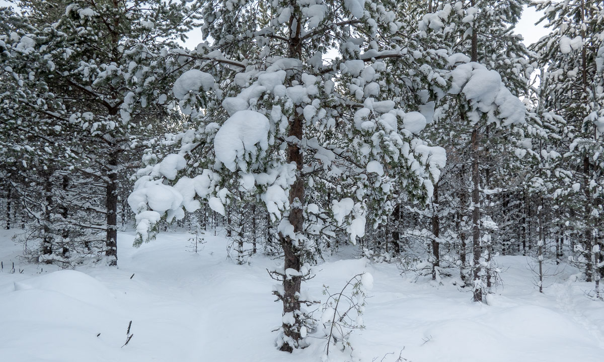
I reach Bredskär and start to circle it. Looking at the right I see snow covered islands in the distance and ice fields. It feels and looks quite arctic.


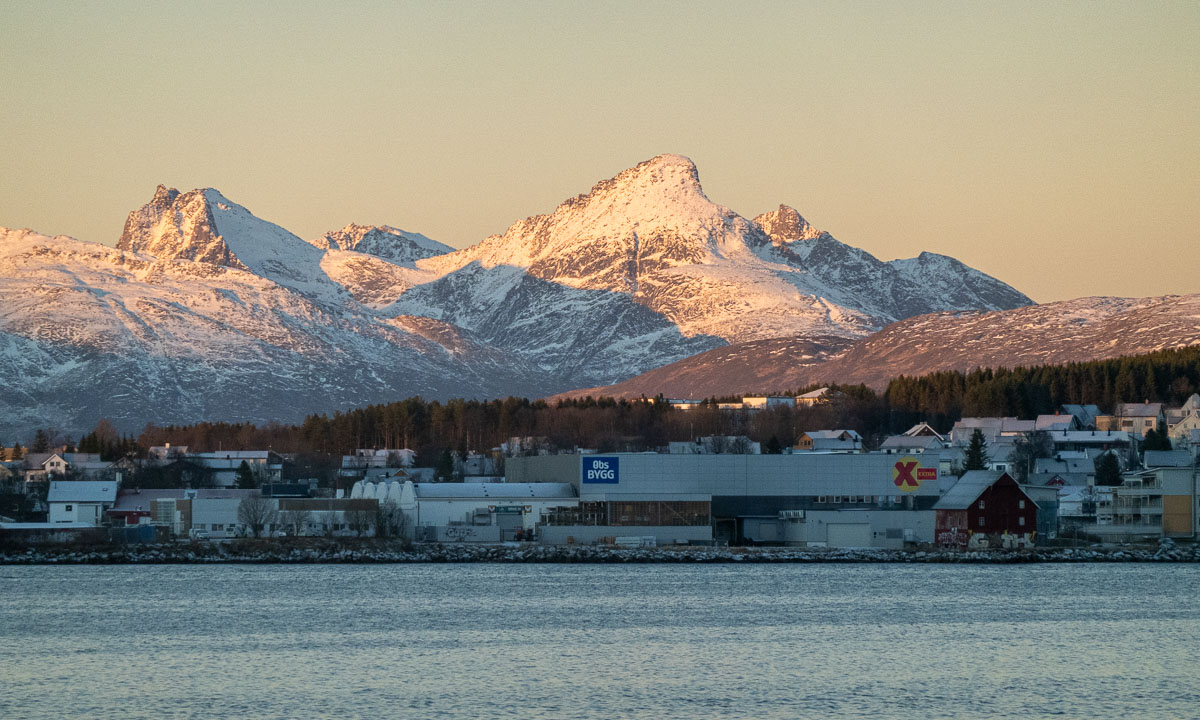
This impression changes directly when I look left and see the forest of Bredskär passing by. Looking straight ahead gives another view: The port of Holmsund with the ferry to Finland. Between that and me: many ice fields.


I pass the small bay with the sandy beach and slowly follow the shore line. When I want to turn left again to enter the sound that leads back I am stopped by another ice field, this one thicker than the others. I remember the first 100 metres today and decide not to break through but to turn. It will make the tour a bit longer but I have holidays and I’m not cold. The outer side of the island is beautiful anyhow in the light of the lowering sun.

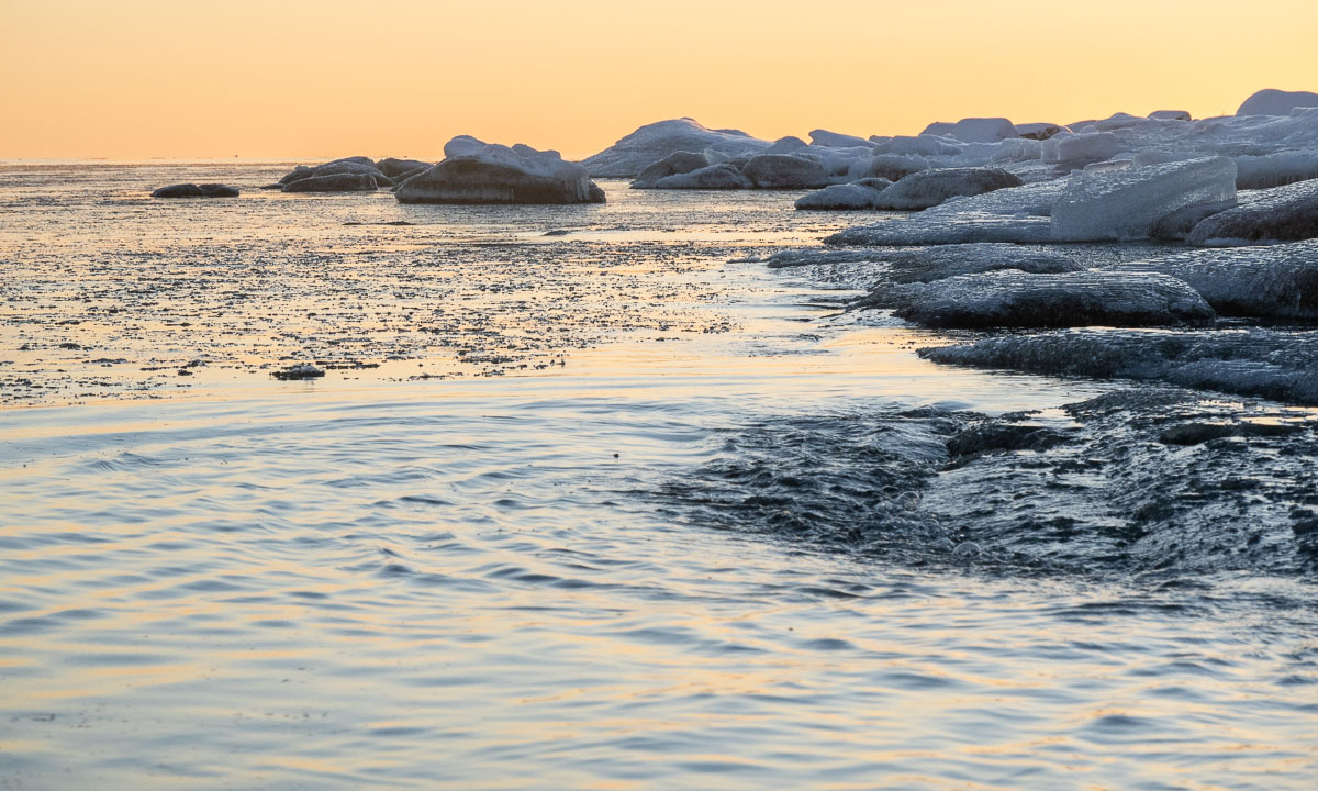


Yes, the sun is lowering. The tour took longer than expected. I decide to watch the sunset from the kayak and slow down a bit. My fingers are getting a bit cold, but it’s worth it.


A good two hours later I arrive at the first ice field again. The ice channel that I had created by breaking through has frozen over again but breaks under the weight of my kayak. Shortly before 14 o’clock I stand on the bay ice again. The tour was a bit demanding, but impressive and beautiful. A great start into the Christmas holidays!

I’m however quite sceptical about Annika’s and my idea for tomorrow: Christmas eve paddling together. With temperatures round -10 °C the ice will probably be too thick the next day. A pity!
One day later – Christmas eve. Annika and I peek through the spotting scope to check the ice situation. Looks like the ice has gone. I walk to the ice edge and see our observations confirmed: Yesterday’s ice has gone and beside of some new and thin ice fields the water is open. So let’s take a kayak tour together!


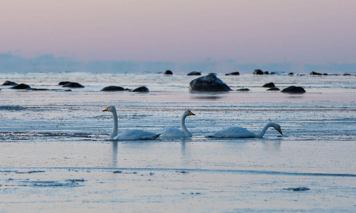
This paddling tour was magic. The sea surface was smooth as silk, the sun felt warm and the new ice was easy to paddle through. The air was so clear that we could spot islands far away and there was almost no wind. Beside of the high frequency noises when crushing the ice with our kayaks and a dog at land barking at us it was completely silent.
It was Annika’s first winter paddling tour and I’m glad and lucky that it was such an exceptionally great one. May many other tours follow in the future! In spring, summer, autumn and winter.