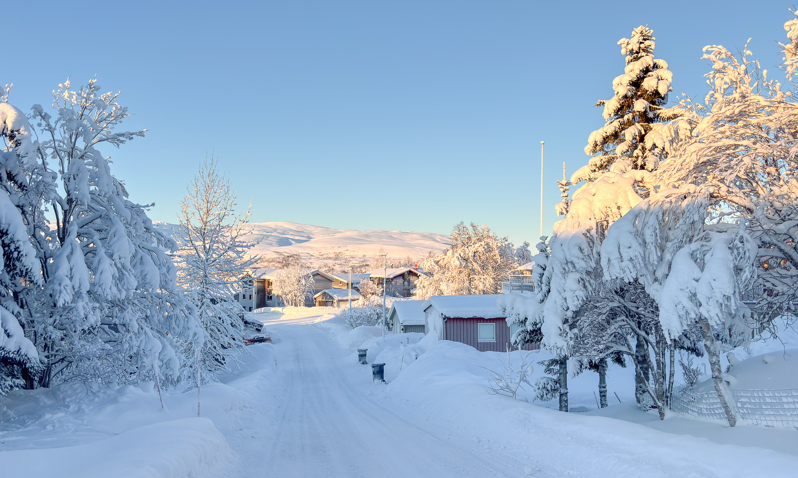
It’s not the first time that Annika and I have visited the mountain cabin Trollvassbu. This time our friend Christine joined us on this ski trip.
At 10 o’clock we set of, Christine and Annika with backpacks and I with my camera backpack and pulka. And since there is a lot of space in a pulka – for example for all our sleeping bags – we could bring lots food with us for the evening and next day’s breakfast.
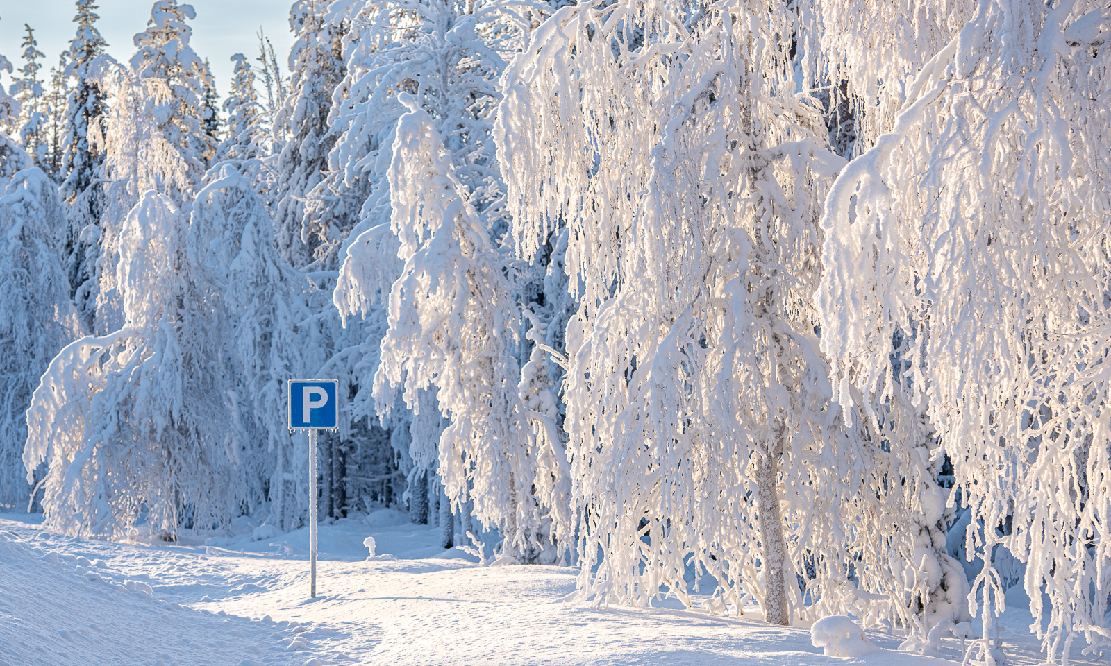
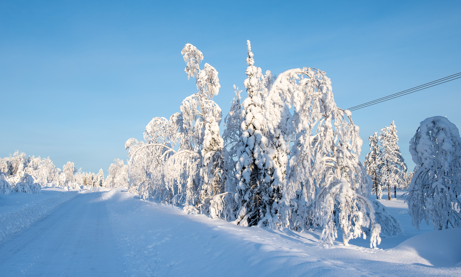
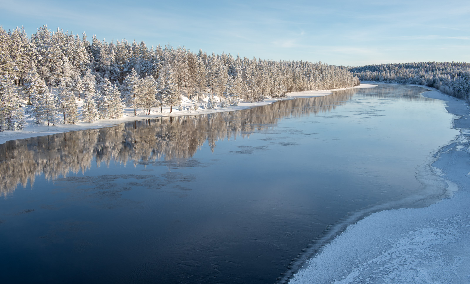
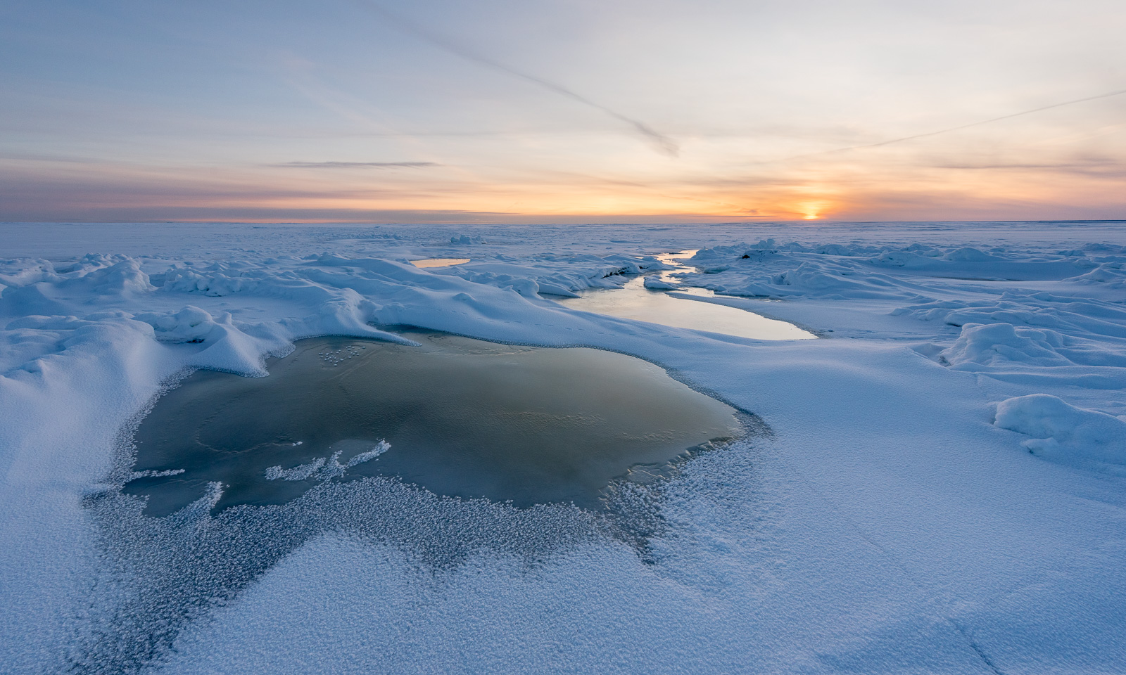
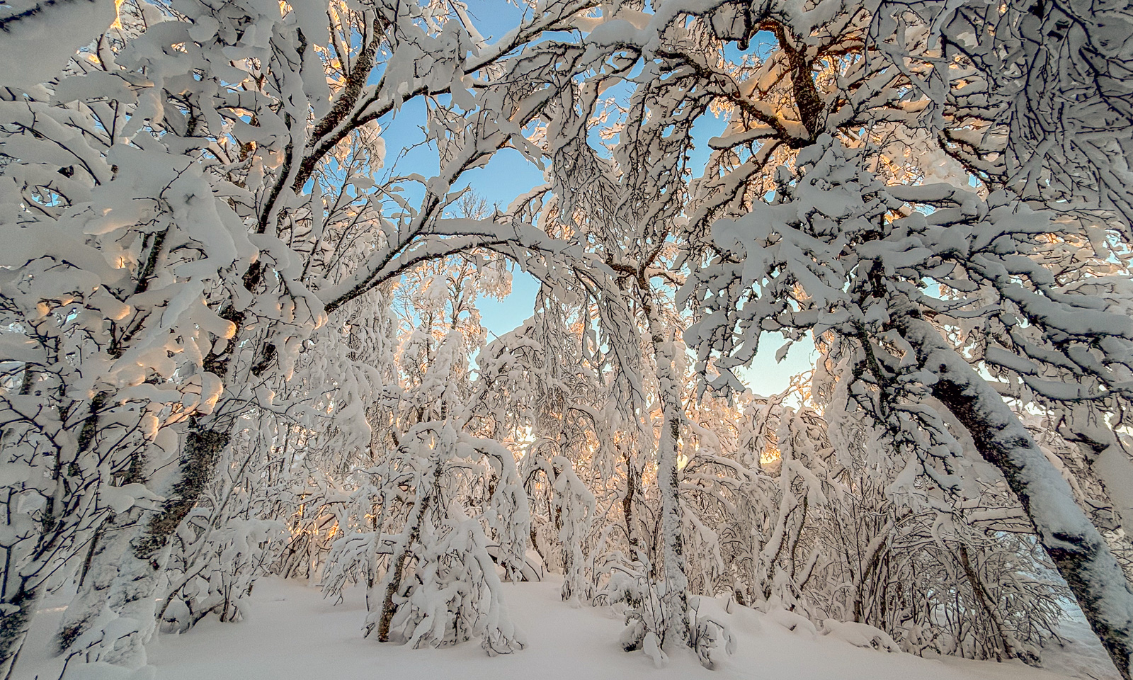
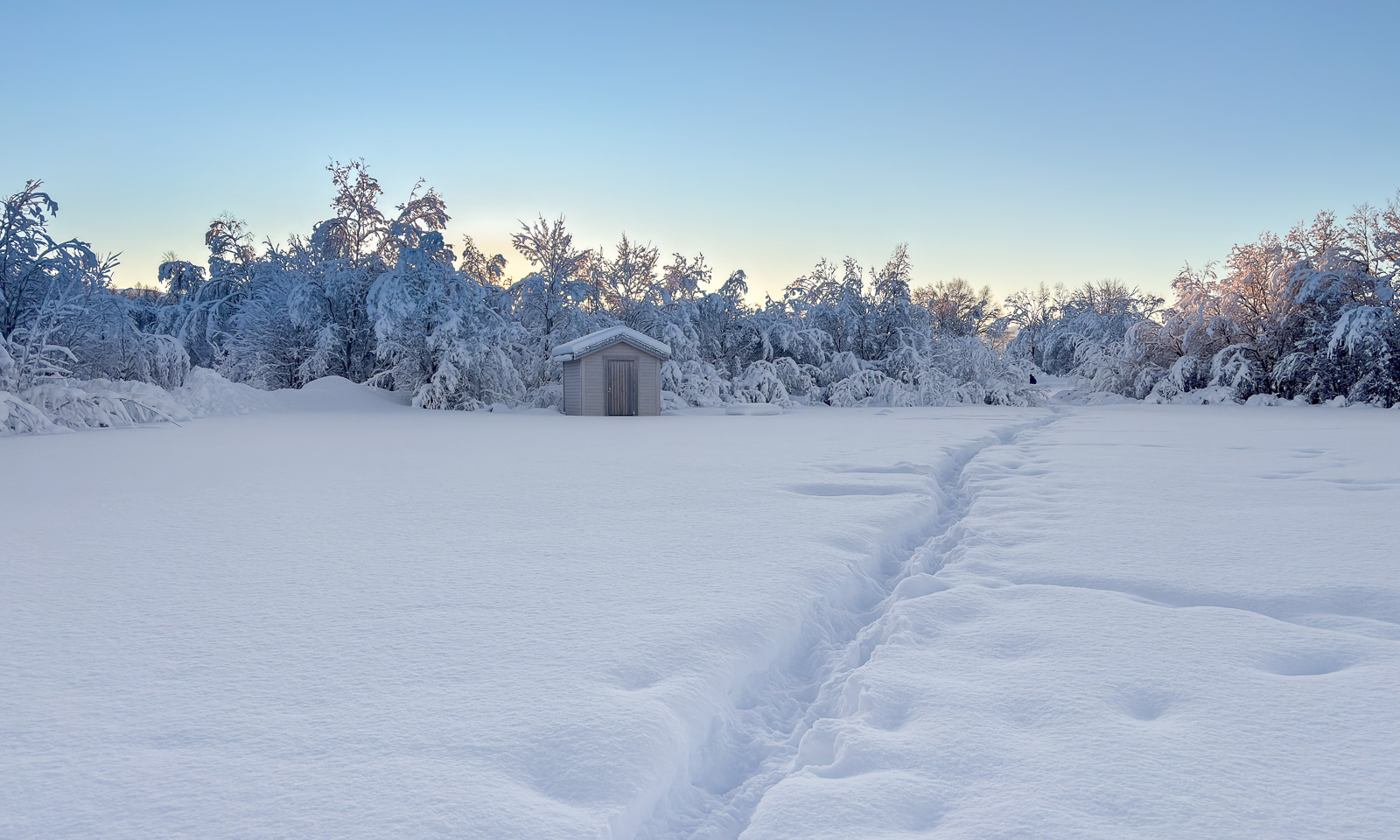
Navigating there has never been easier. Since it hasn’t snowed for twelve days the backcountry ski trail was not snow-covered and was very easy to follow. I have taken pictures of all the mountains already last year, but that’s no reason not to take more:
And there lies the mountain cabin Trollvassbu.
At first it was pretty crowded inside, but many were just on a day trip and didn’t stay overnight. Nowadays the head torches are so bright, that skiers can leave in the afternoon as well after it had become dark.
Like many mountain cabins, you heat Trollvassbu with a wood-burning stove and fetch water from the river nearby. It seems to be open all winter.
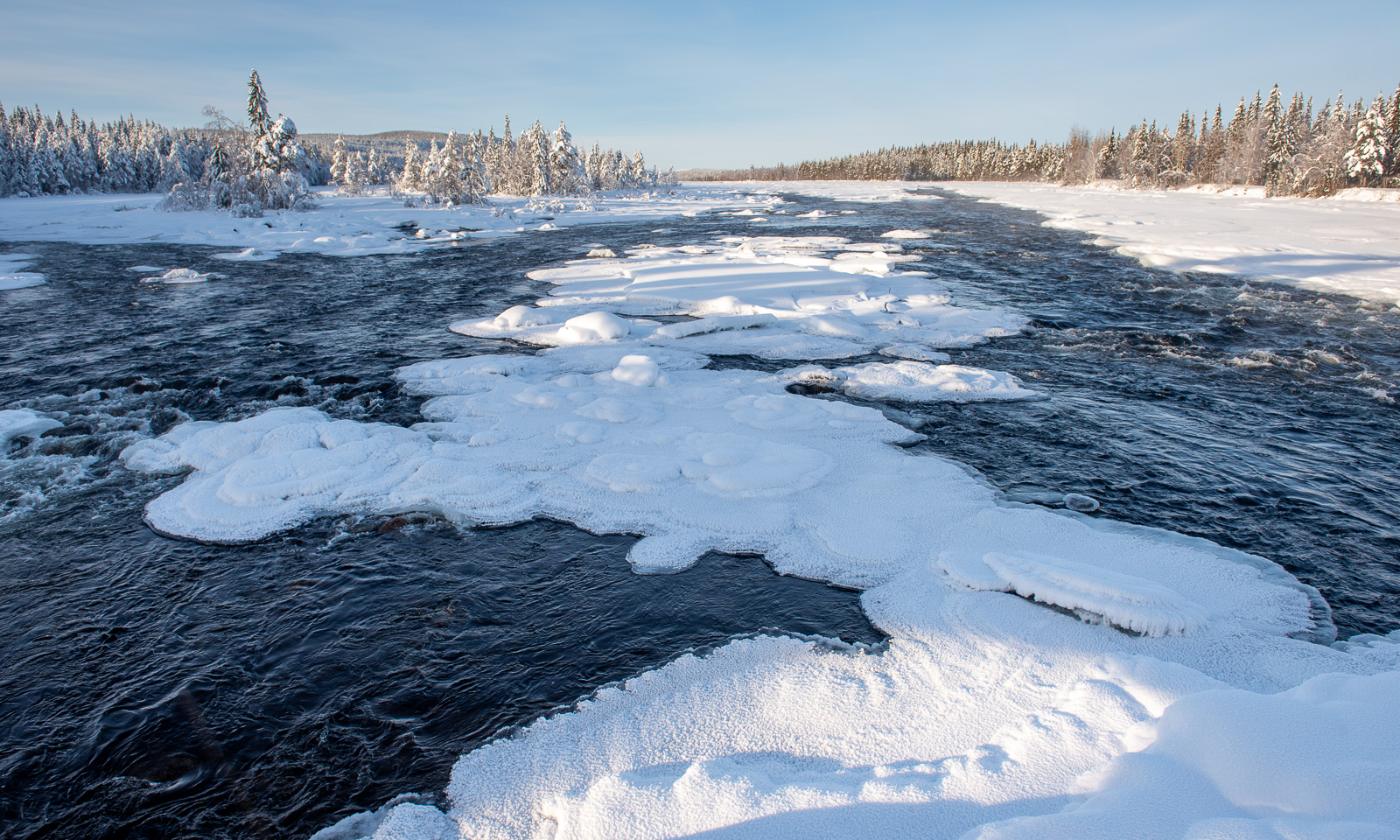
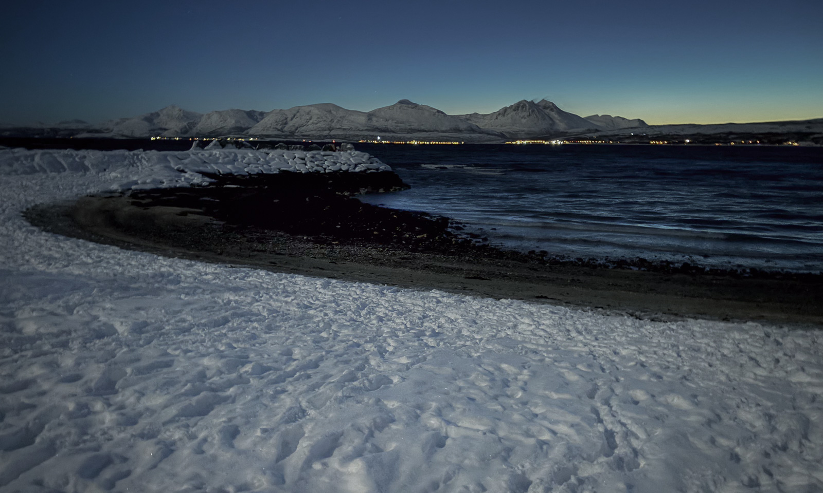
While I was taking long-exposure shots of the river, Christine was preparing a luxury dinner: reinskav with Spätzle. Reinskav is shaved reindeer meat and Spätzle traditional egg pasta from Swabia in the southwest of Germany. Thanks for cooking, Christine – so delicious!
In the evening it got warmer, and during the night the wind strengthened and turned very gusty. The next day showed that Yr, the Norwegian weather forecast, had been correct: it really had started raining.
After a long breakfast we got ready to leave Trollvassbu and ski back to the car park. This time the landscape looked colourless in the rain and the photos came out nearly black-and-white.
To our relief the wet snow did not slow us down and soon we arrived at the car park apparently guarded by this snowman with the top hat.
Now came the most dangerous part of our ski tour: crossing the car park that has transformed into a huge area of wet ice, which was almost frictionless. But no one slipped and fell, and we packed the car with all our wet stuff and left.
The weather on our way back could have been much better (and much worse), but it was fun to be out together. Shall we do it again later this winter?